Leading up to our finals days at Glacier National Park in Two Medicine, Chris and I hiked a total of 49 miles over 4 days, and I tacked on an additional 50 miles by bike on the Going-to-the-Sun Road. Our final day and hike at the park would be the arduous yet rewarding 19-mile Pitamakan/Dawson Pass Loop, totaling our hiking mileage to 68 miles over 5 days. Not even our aching legs could hinder our spirits to set off on our final hike, especially since the day was the last day of an unusual string of perfect weather.
We awoke early enough to catch glorious alpenglow at the campground: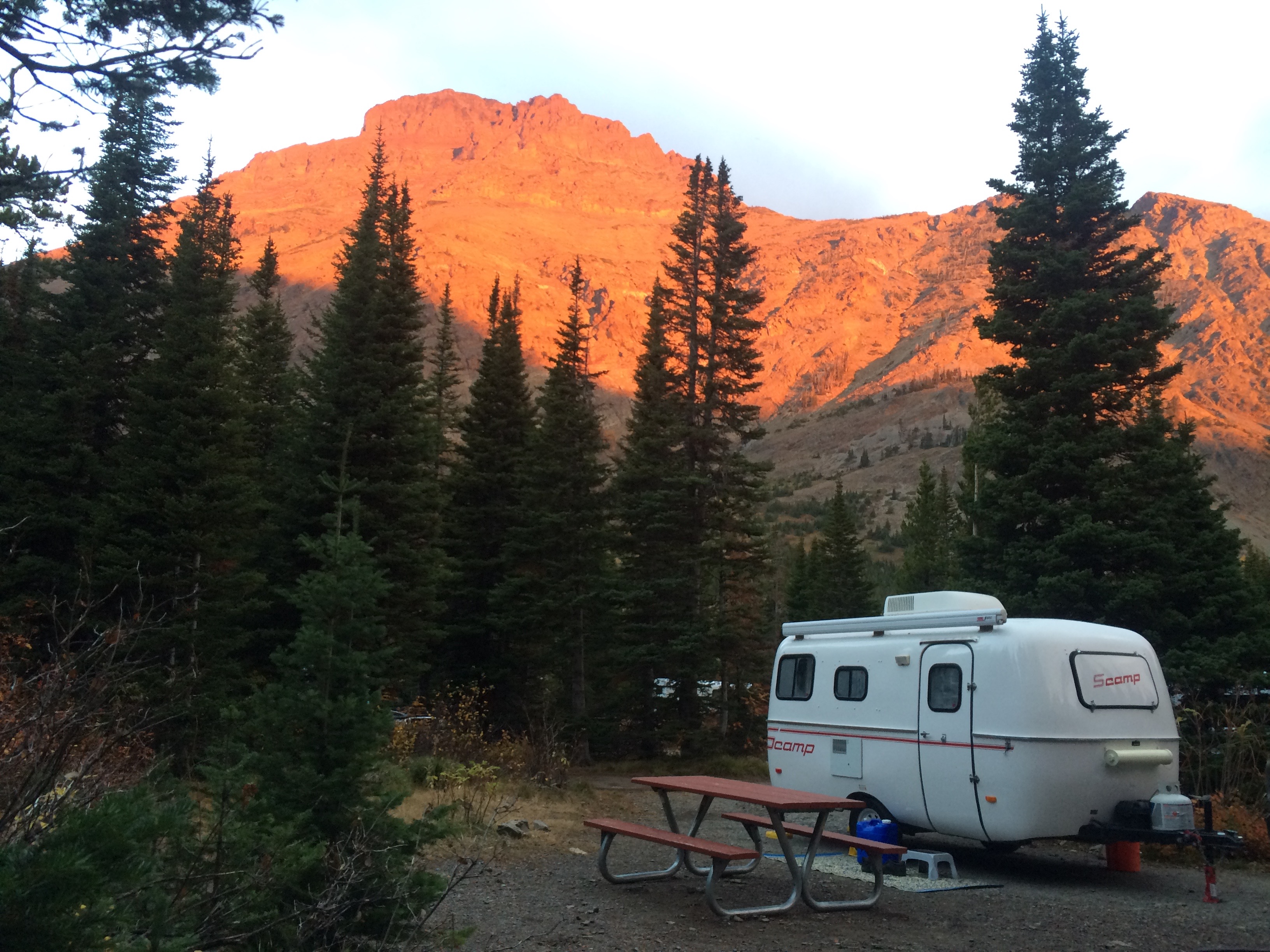
For the first several miles, we hiked along the valley floor known as the Dry Fork.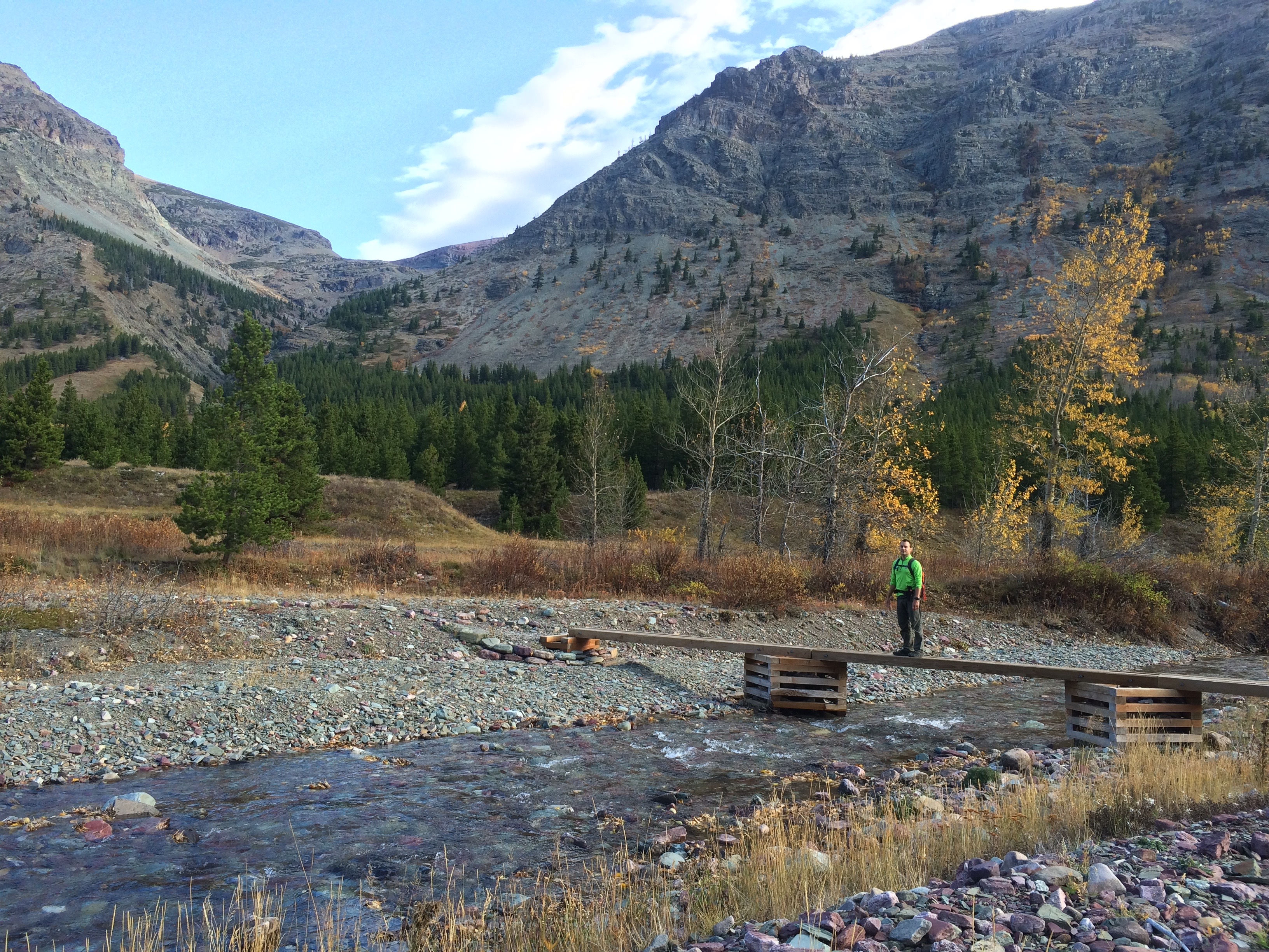
The trail along the Dry Fork gradually led us out of the valley, up toward Pitamakan.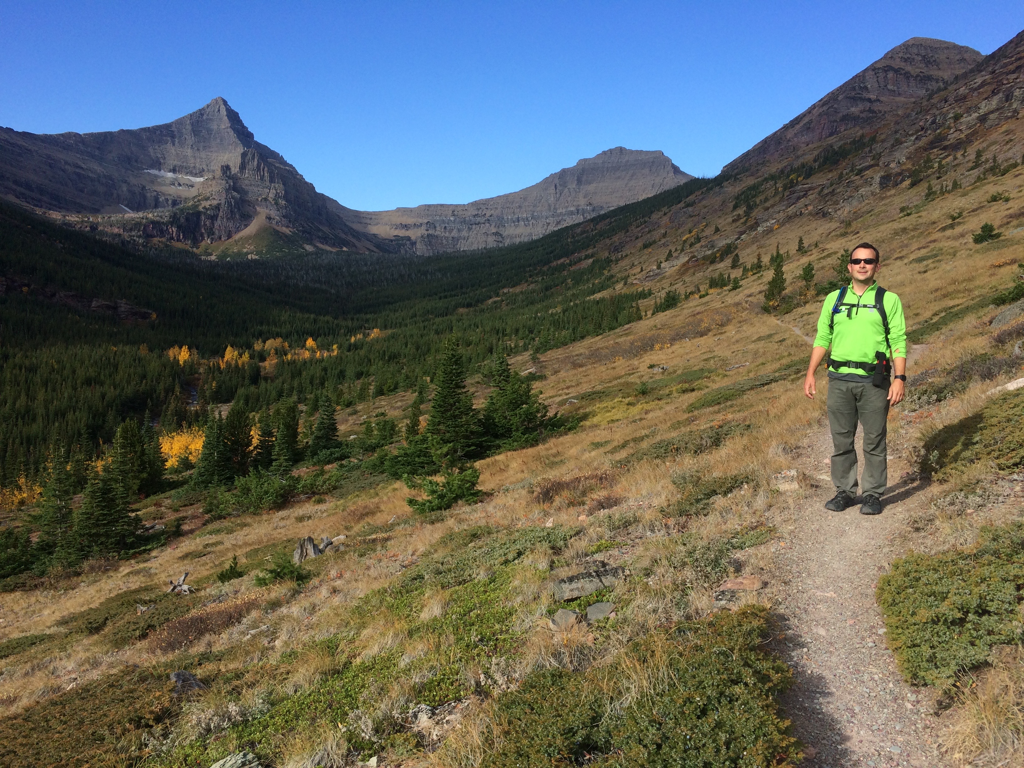
Access to Oldman Lake was closed due to bear activity, and sure enough, we stumbled across a grizzly bear along the trail split to Oldman Lake. I couldn’t snap a decent enough picture, so I humor you instead with this Bear Warning sign that had been clearly mangled by the bear itself.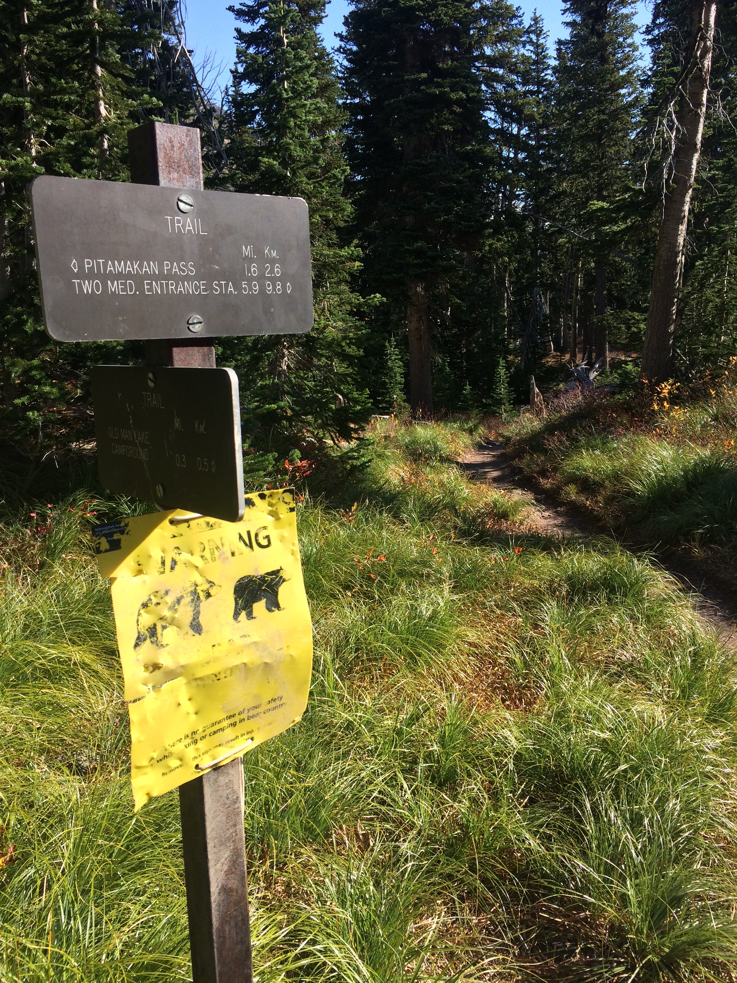
Up and up we climbed toward Pitamakan Pass. Views looking down into Oldman Lake from the steep switchbacks left us speechless. Flinsch Peak is the pointy mountain on the left, and Mt. Morgan is the mountain on the right. The trail takes hikers around the backsides of both mountains.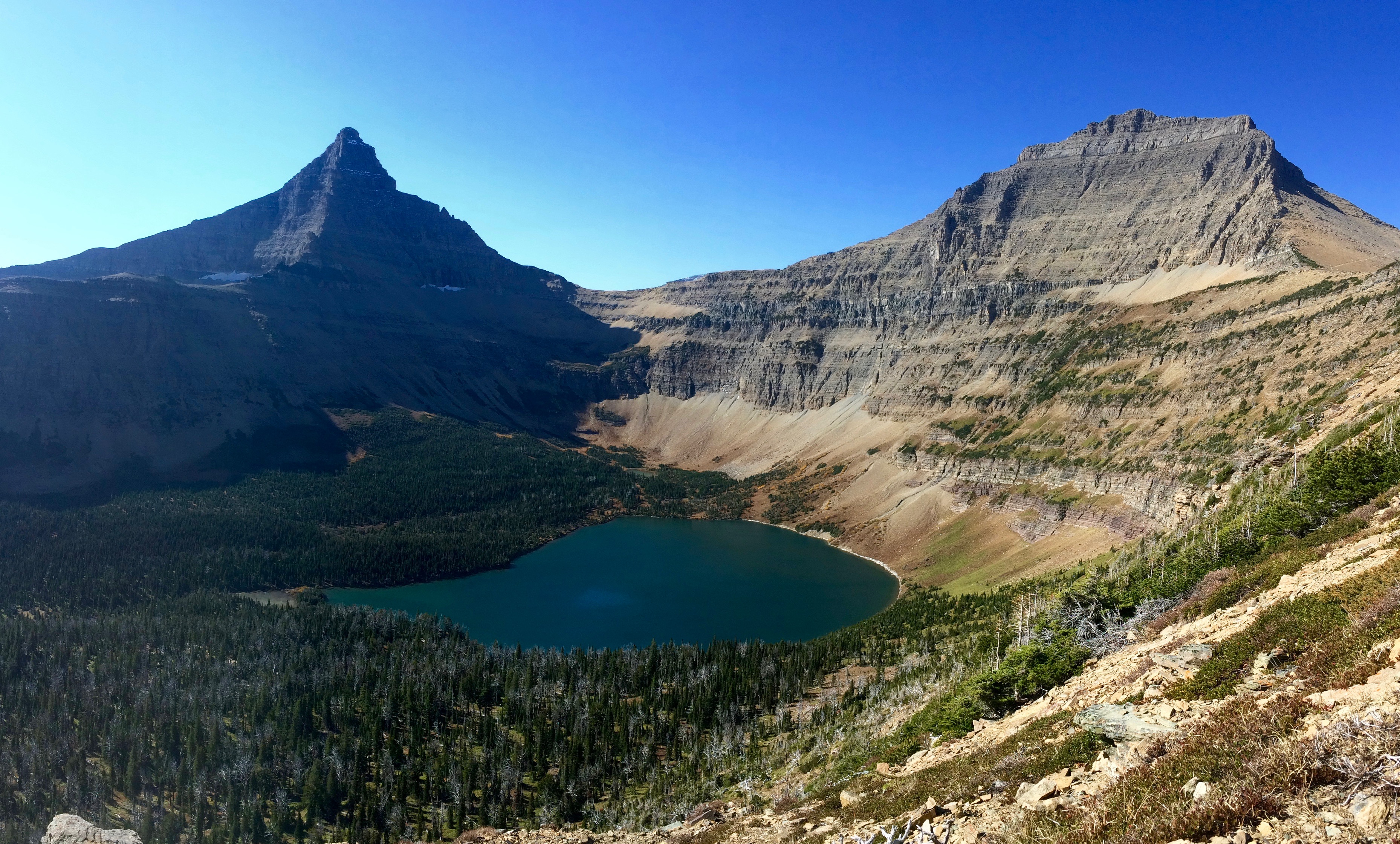
Just as I thought that view would be the highlight of the entire hike, I was quickly proven wrong as soon as we summited Pitamakan Pass. On the other side of the ridge, the view of Pitamakan Lake stole our attention away from Oldman Lake.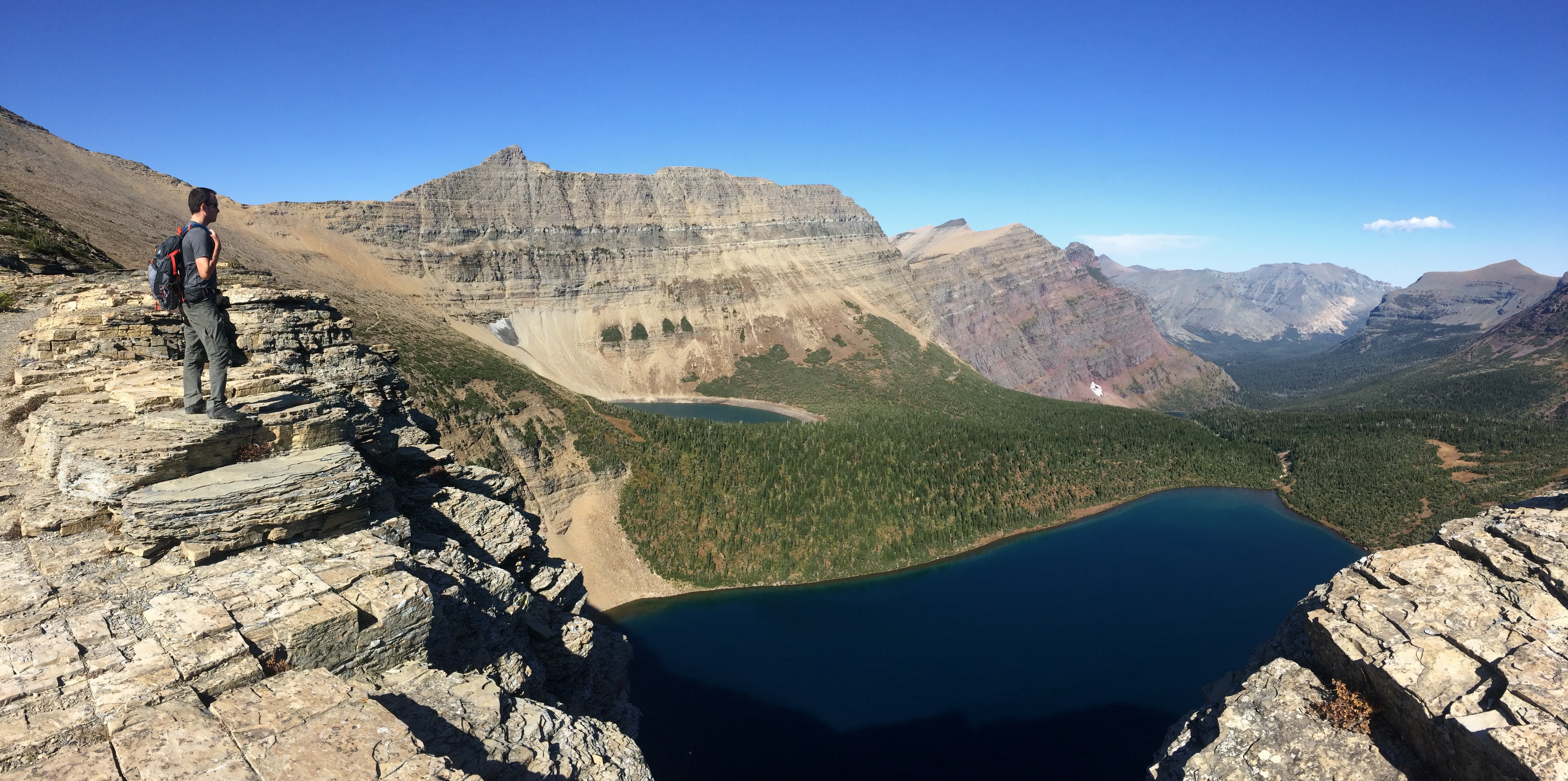
And we continued our final ascent along Pitamakan Pass for a lunch break. From here we could even see the Dry Fork valley and the distant Lower Two Medicine Reservoir.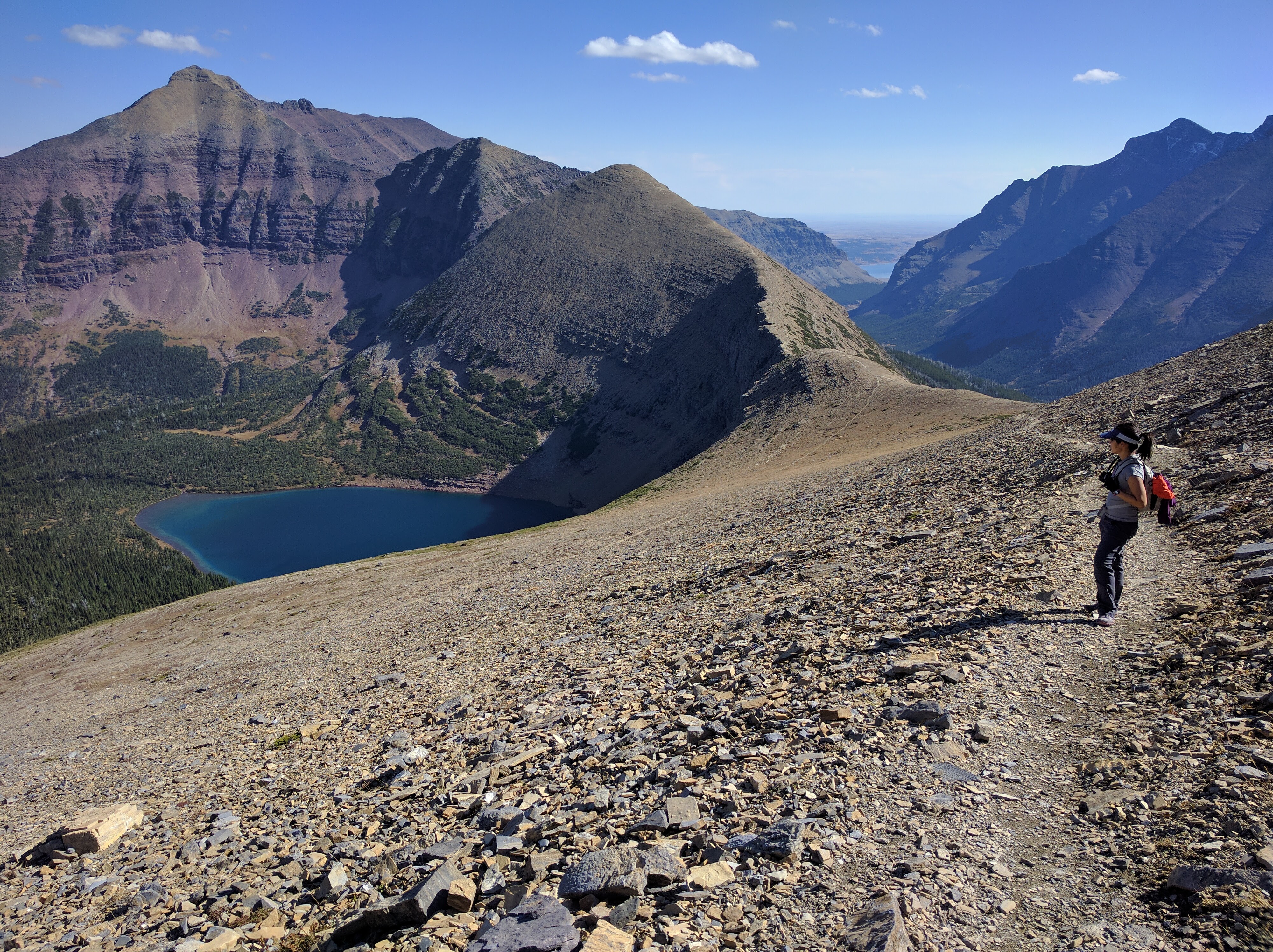
As we hiked onward to the backside of Mt. Morgan, I once again assumed we had witnessed all the highlights of the hike. And I was wrong. In the distance, the ridge trail along Cut Bank Pass leading up over Tinkham Mountain carved out an unusual looking potato chip wedge of a mountain, forcing me to stop numerous times to simply gawk at the sight.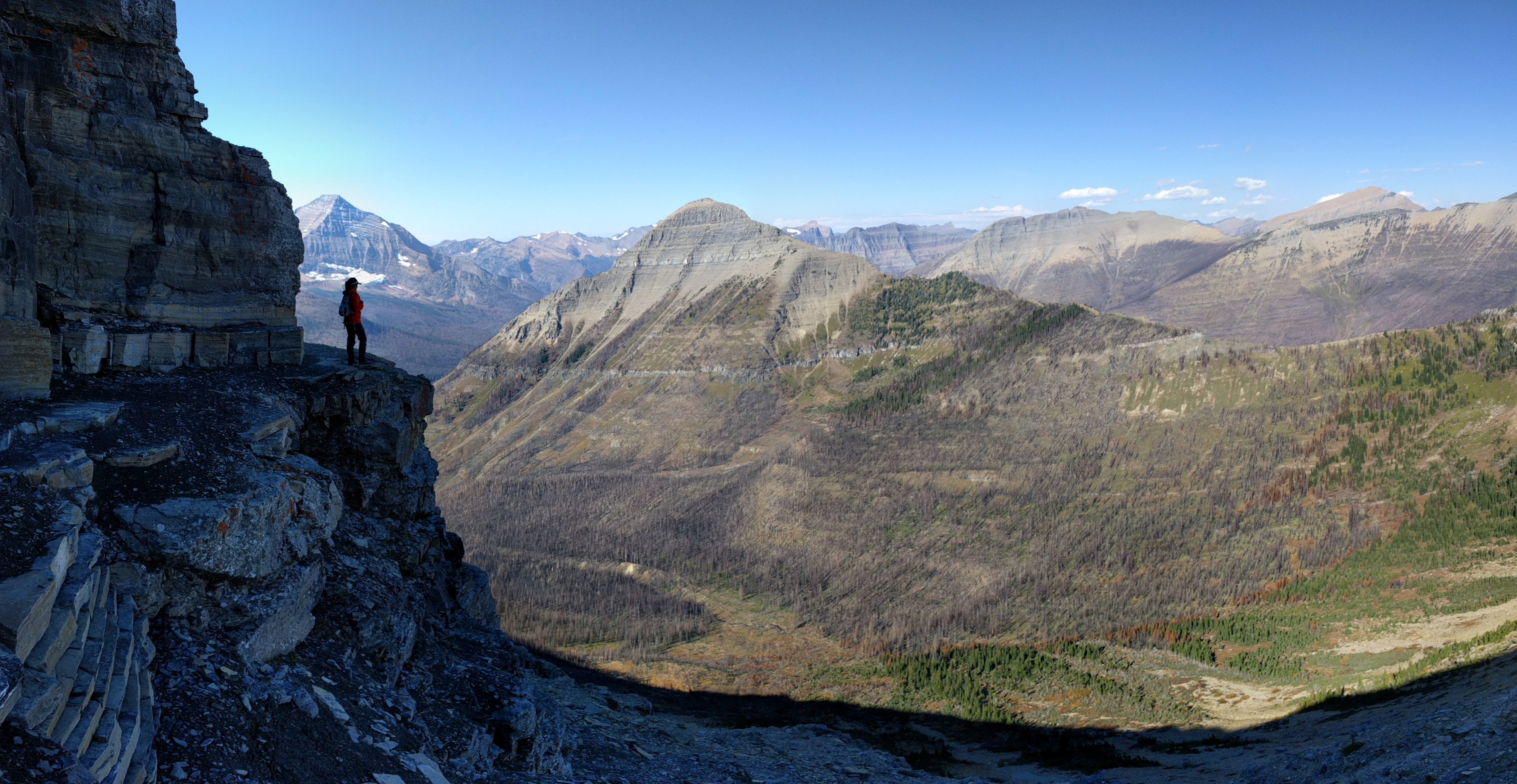
After circumnavigating Mt. Morgan, we gazed out over the valley along the backside of Flinsch Peak .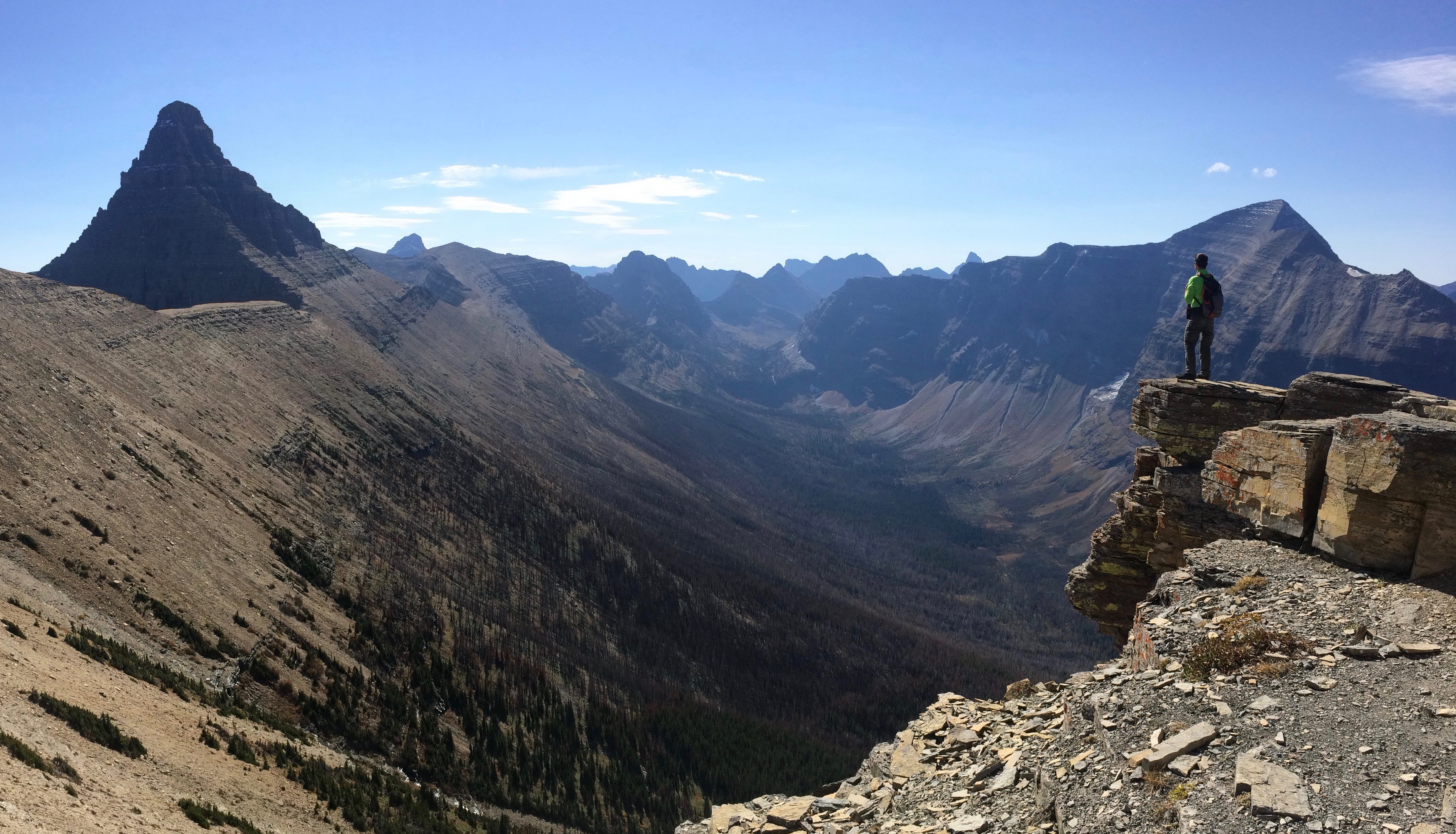
From there was the final ascent to Dawson Pass before descending 6.5 miles back to the campground in the valley. (Tip: We somehow snagged a smidgen of AT&T signal along the ridge between Mt. Morgan and Flinsch Peak!)
Two Medicine Lake coming into view: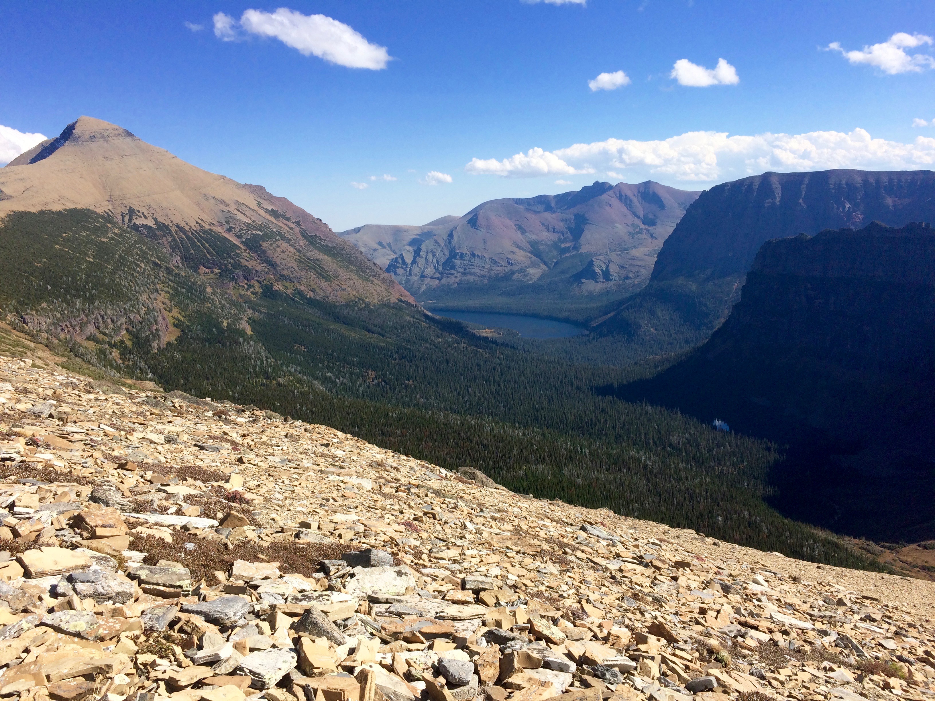
With our heavy legs, we trudged on a step at a time until we reached the eastern shores of Two Medicine Lake once again.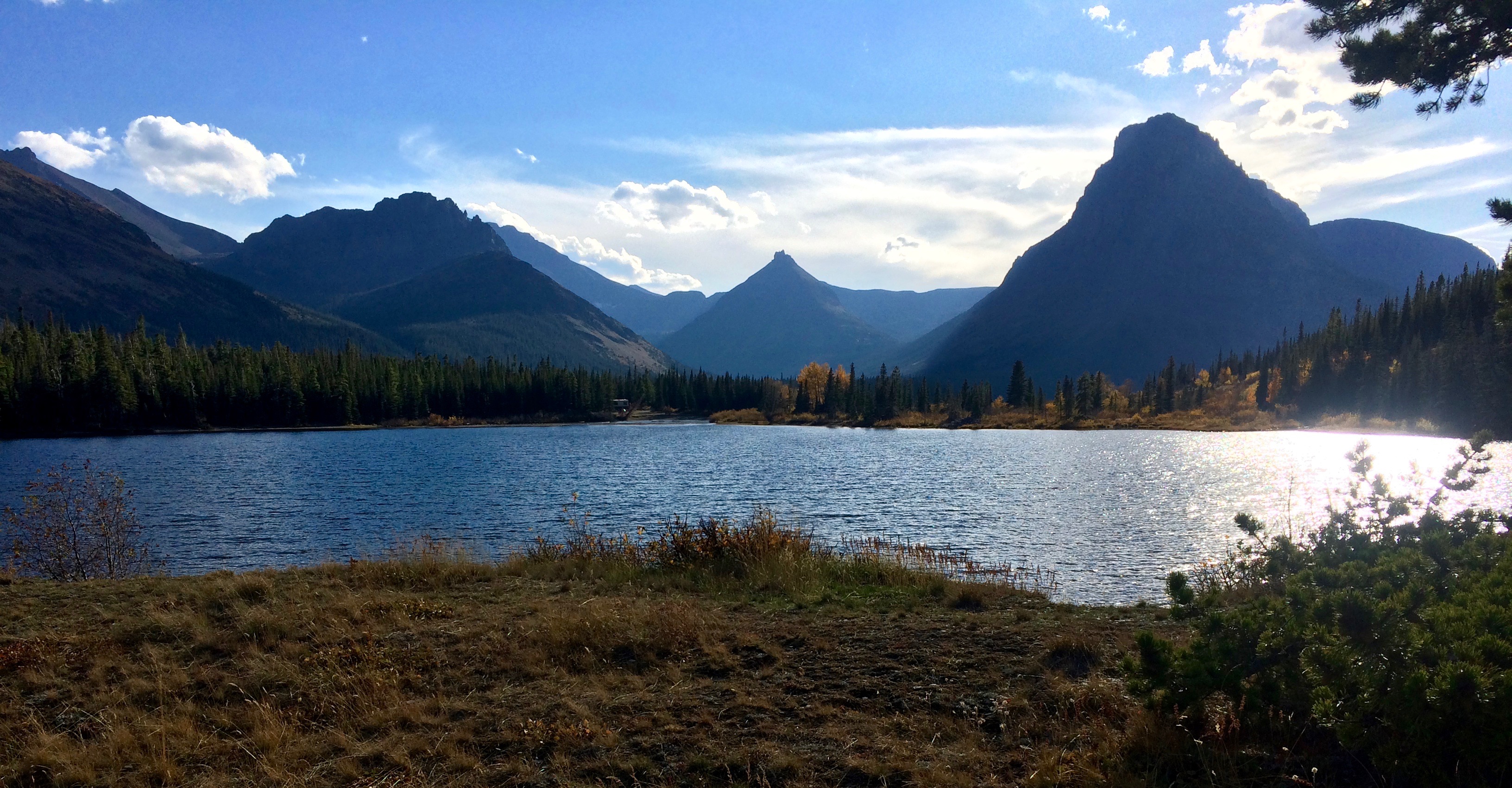
When we reached the campground, a family of bighorn sheep welcomed us and congratulated us for completing our longest and final hike at Glacier National Park. Well, they earnestly waited for food scraps, but I like to think they said hello.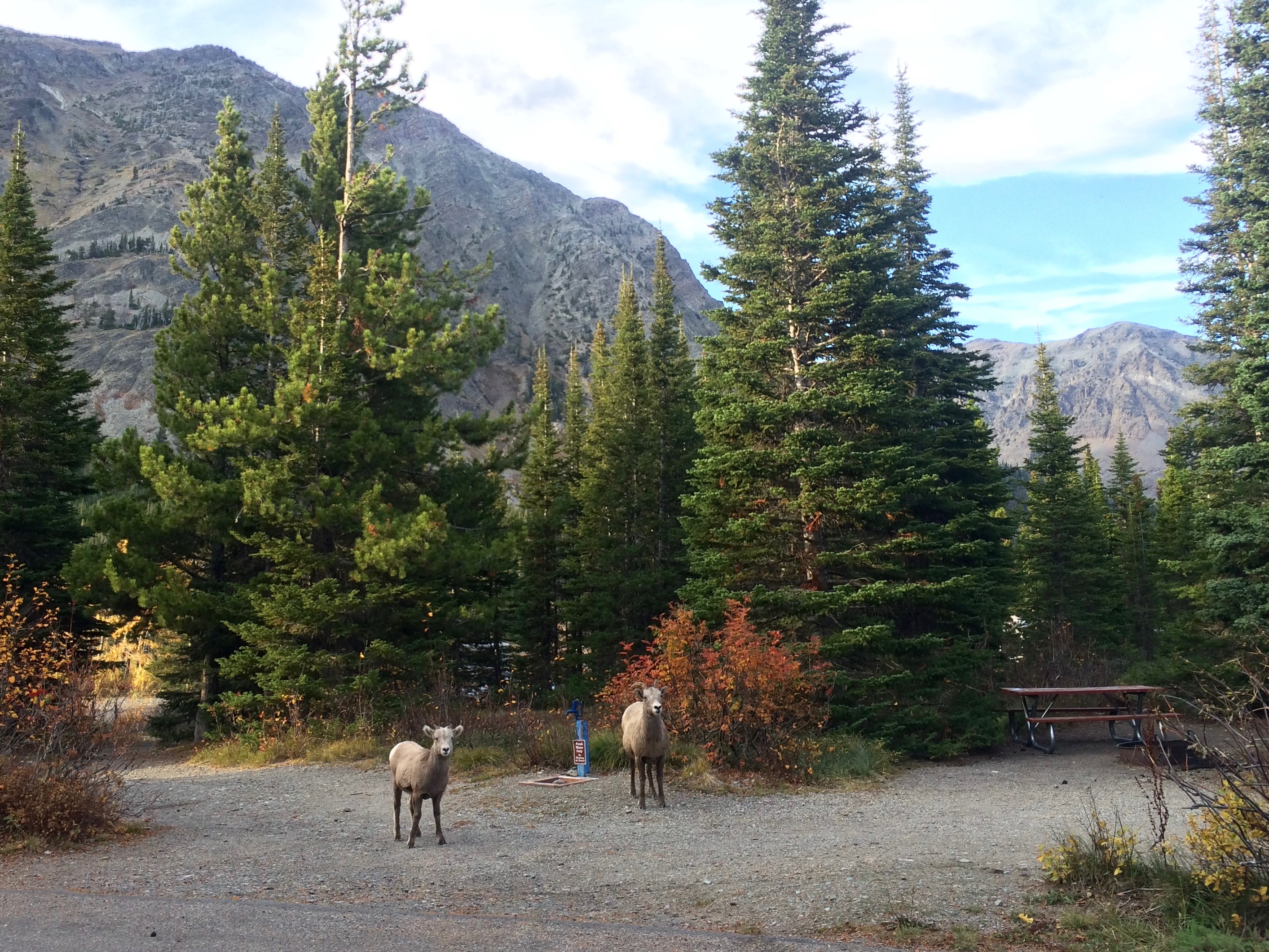
That concludes our week-long exploration of Glacier National Park. Even with our 68 miles of hiking and my 50 miles of cycling, we hardly scratched the surface of the park’s 700+ miles of trails which simply means we’ll be back again and again, each time exploring and discovering a new favorite trail.
