Capitol Reef
Though not as grandiose and epic as the nearby Bryce and Zion National Parks, Capitol Reef still has its charm. We ended up spending 3 days and 2 nights in this quaint park, hiking several trails and enjoying the ride through its known 15-mile round trip scenic drive.
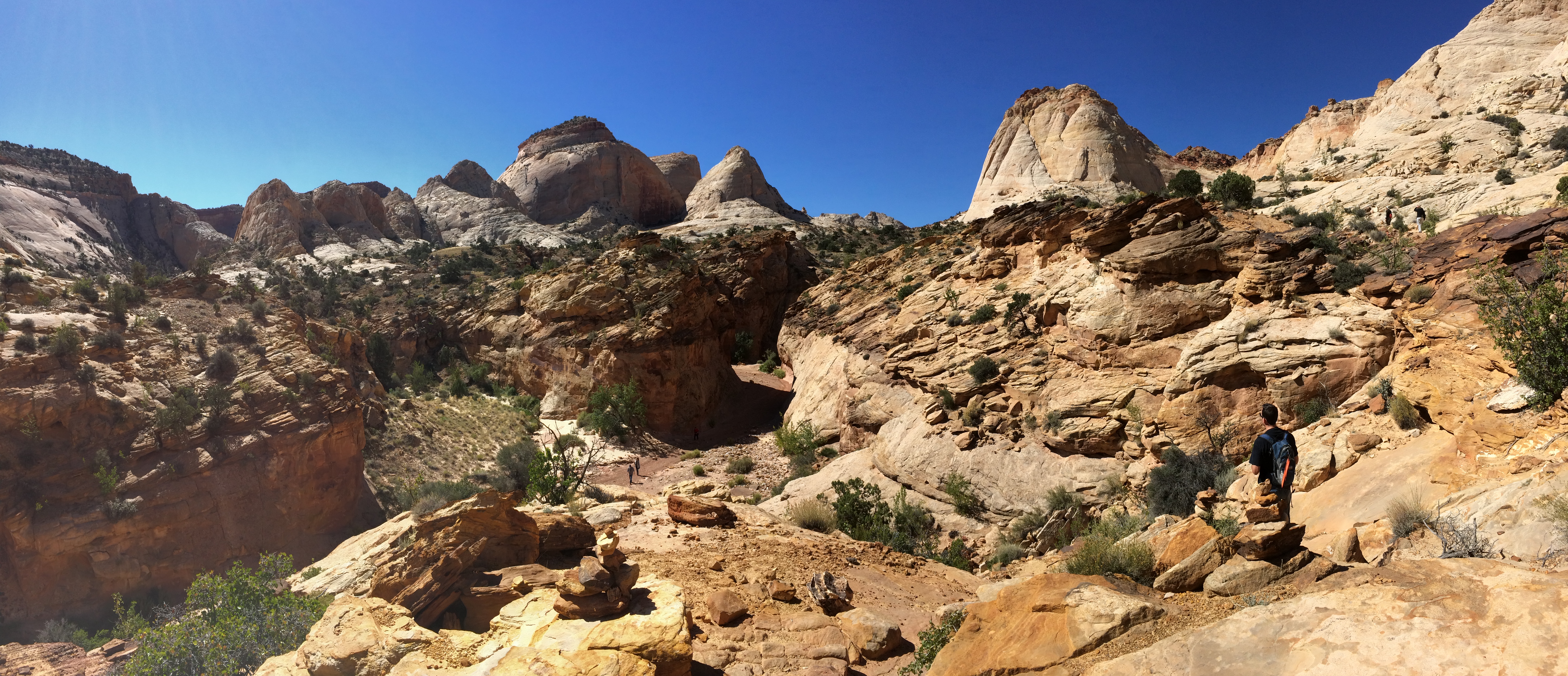
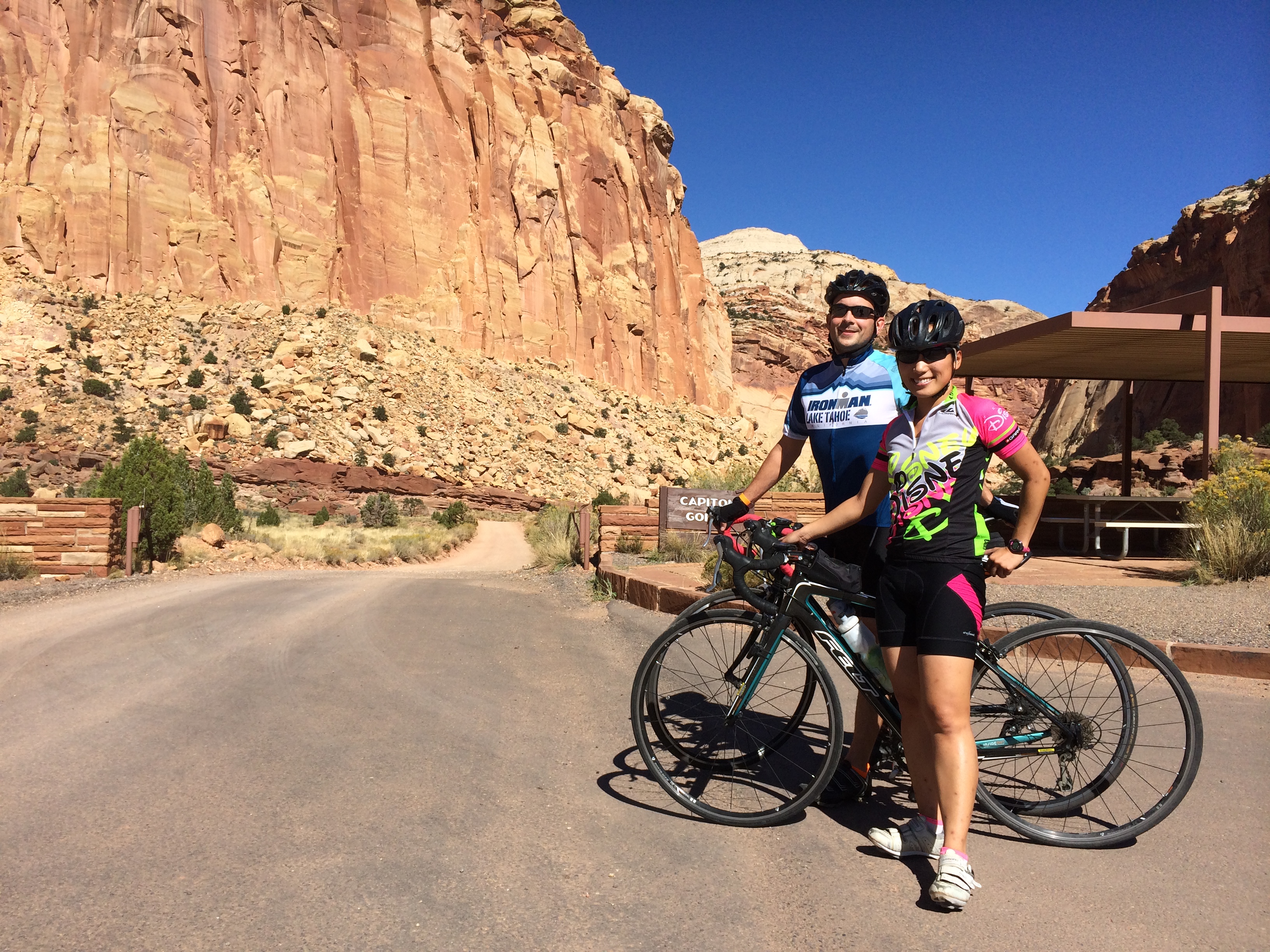
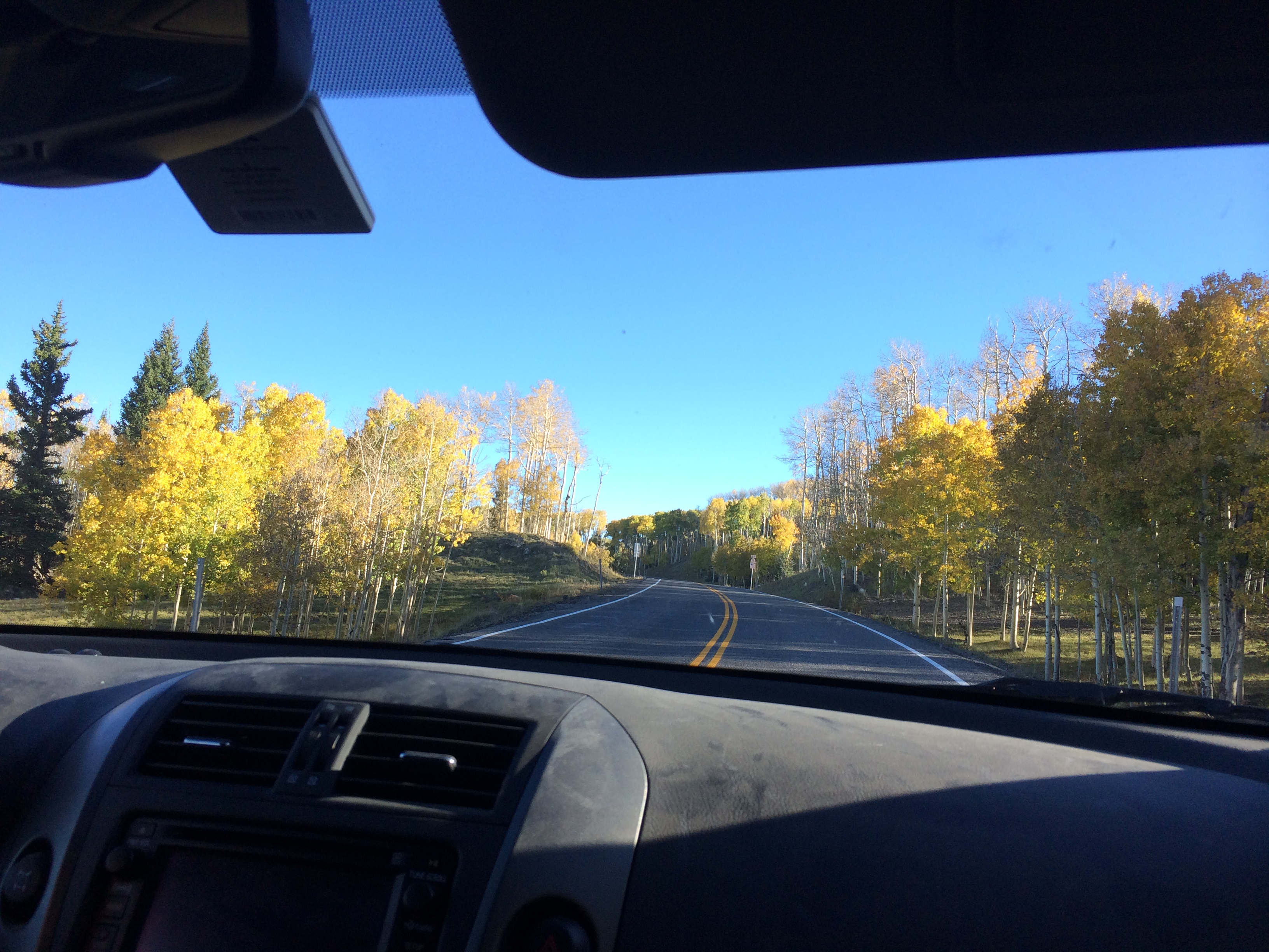
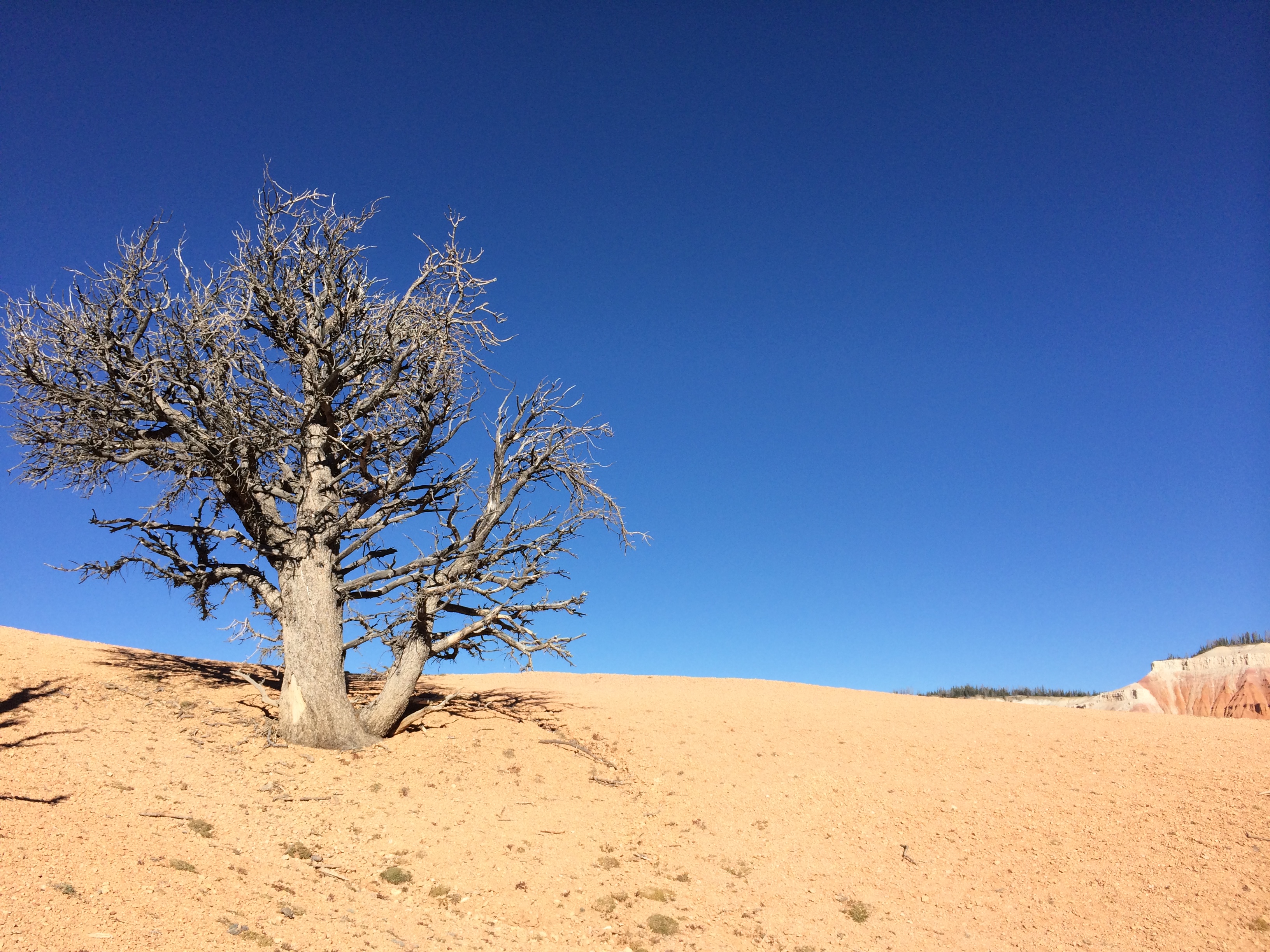
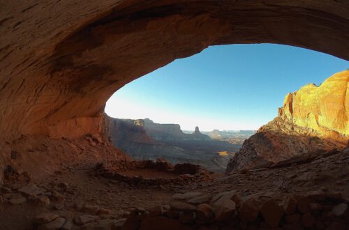
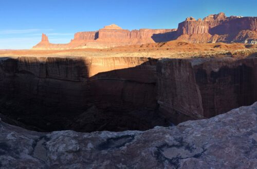
I can’t remember the last time we drove through majestic walls such as this–Capitol Gorge Road. We occasionally stuck our heads out the window to gawk at the natural wonder: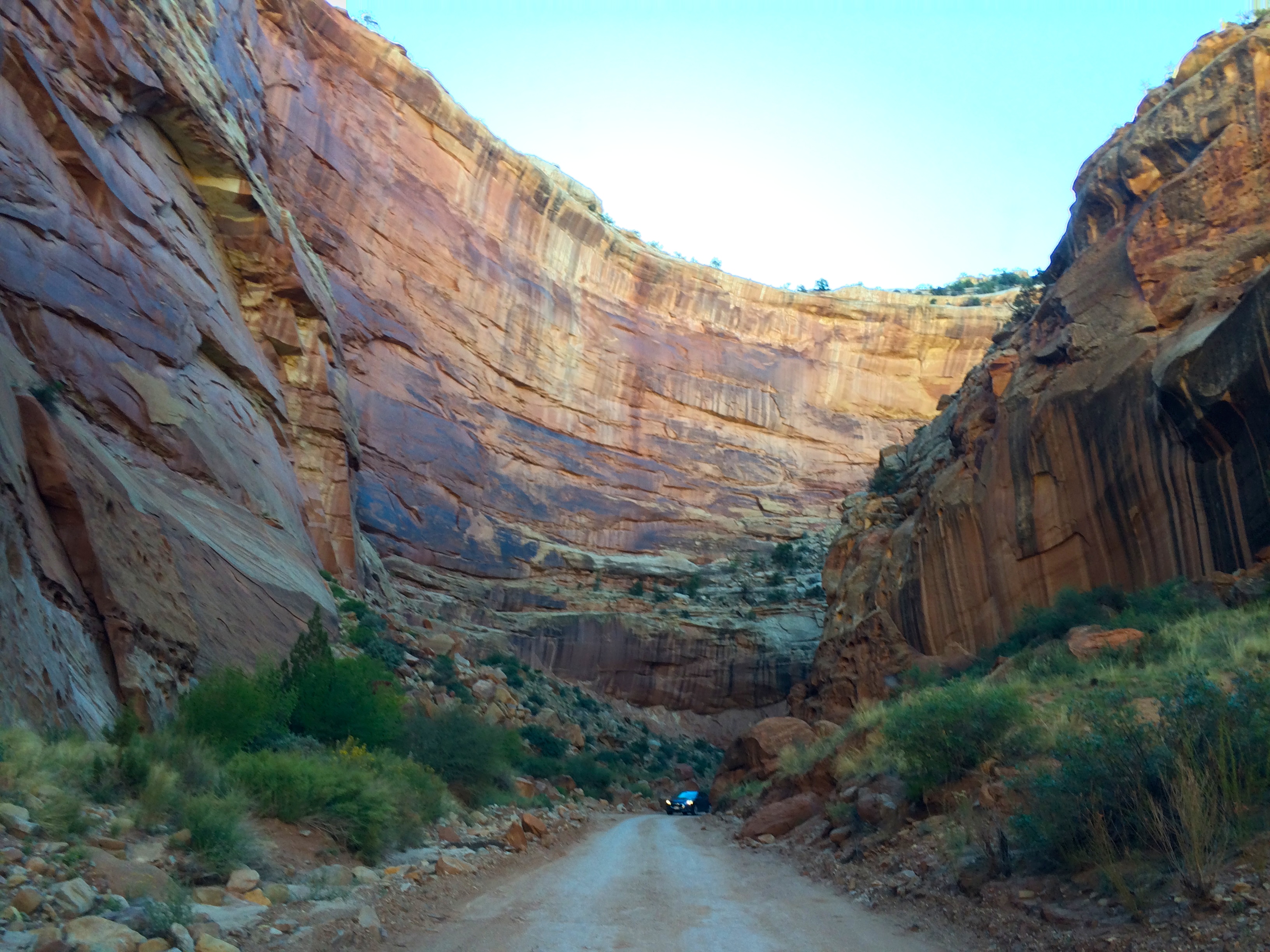
This road ended with 2 trailheads: Golden Throne Trail and Capitol Gorge Trail. We hiked both since they were easy.
The Golden Throne as seen from the Golden Throne Trail: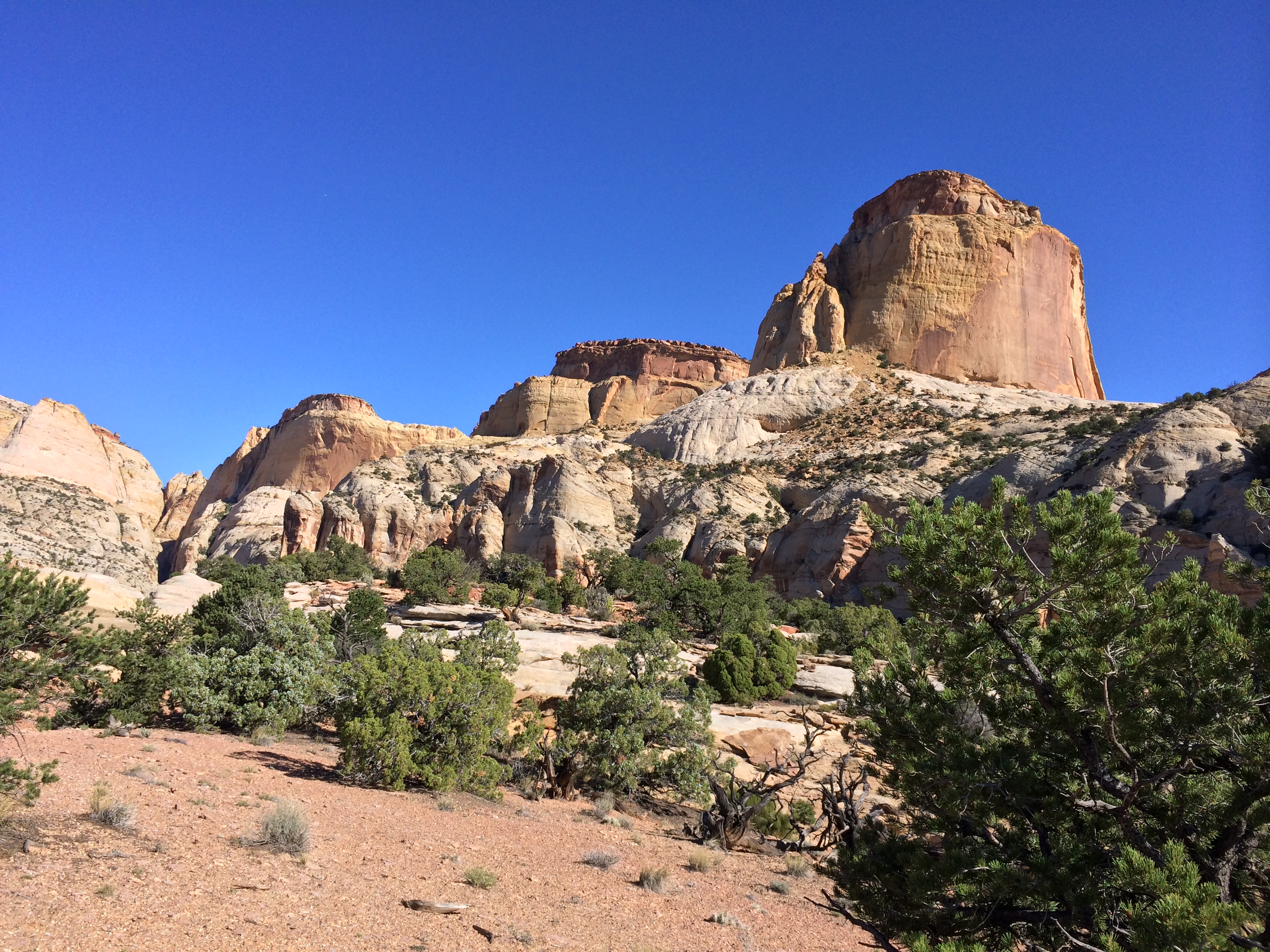
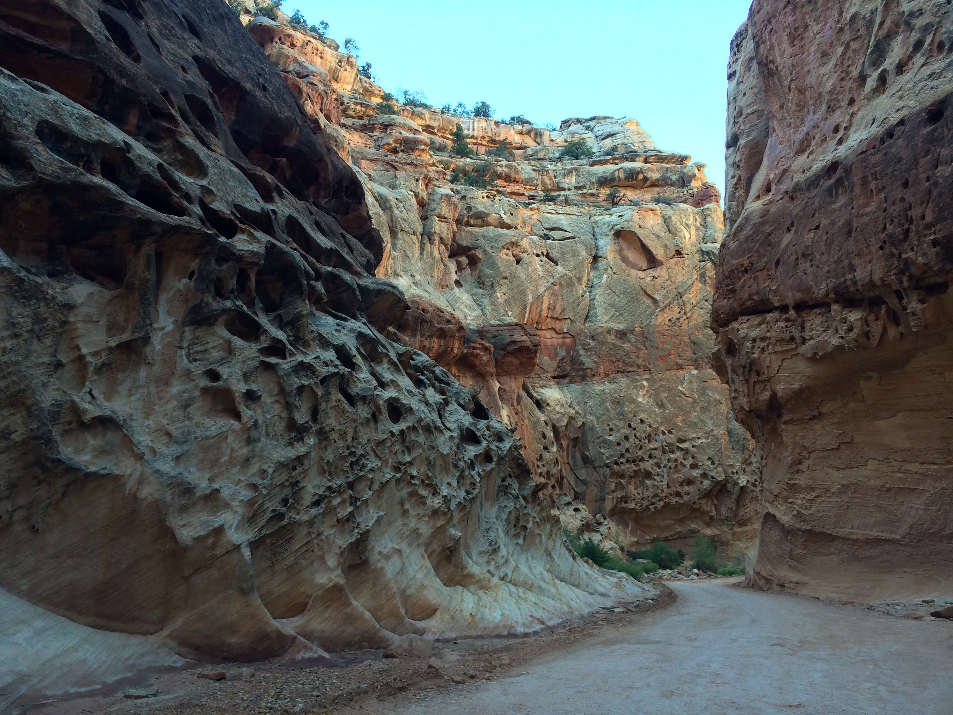
Up until 1962, visitors were able to drive through the Capitol Gorge Trail all the way to the Fremont River. Now it is used as a trailhead for short, easy hikes.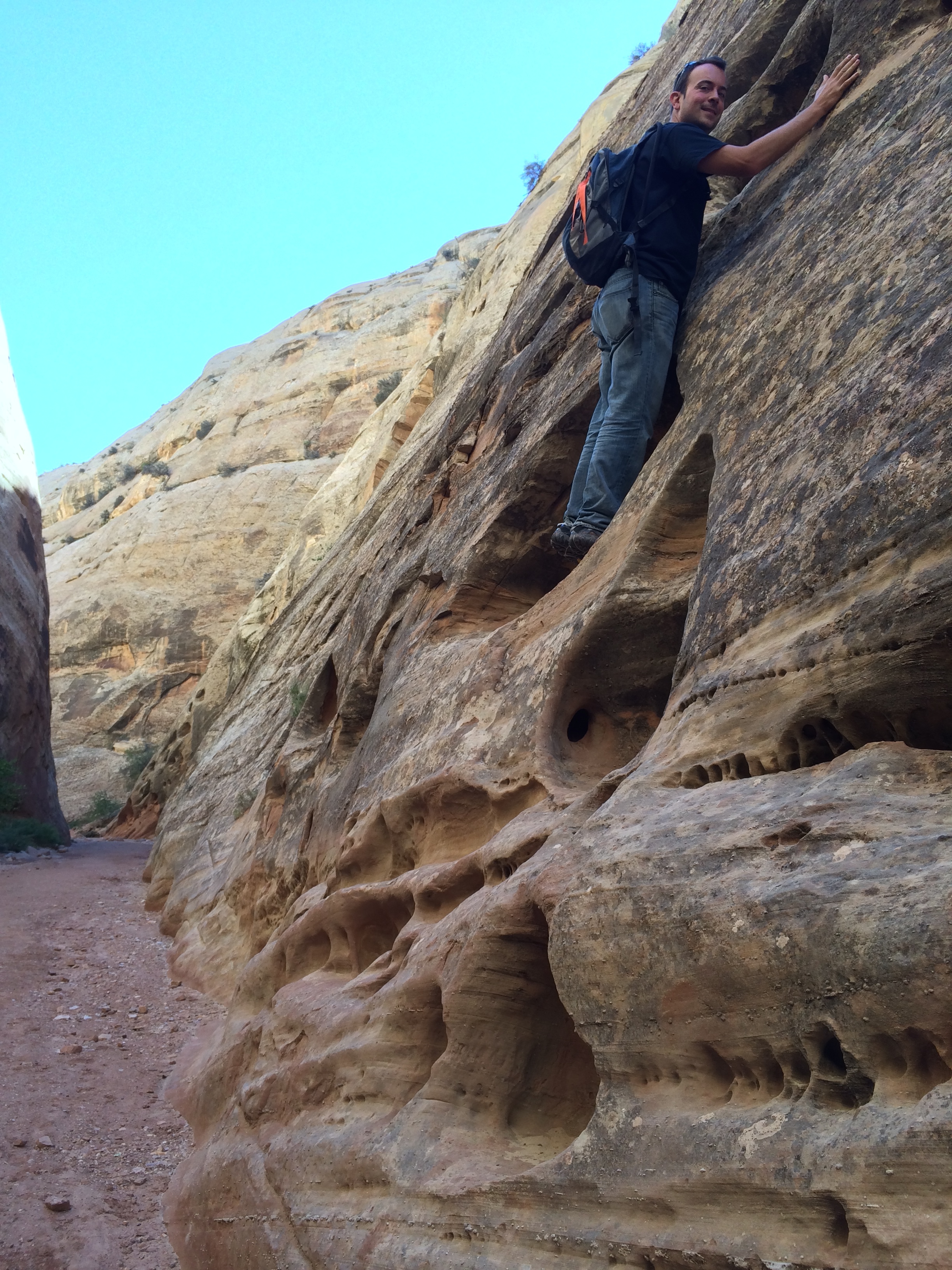
Just off the Capitol Gorge Trail are “The Tanks,” natural pockets of rainwater which are used as drinking water for the animals and a place for amphibians to lay eggs. 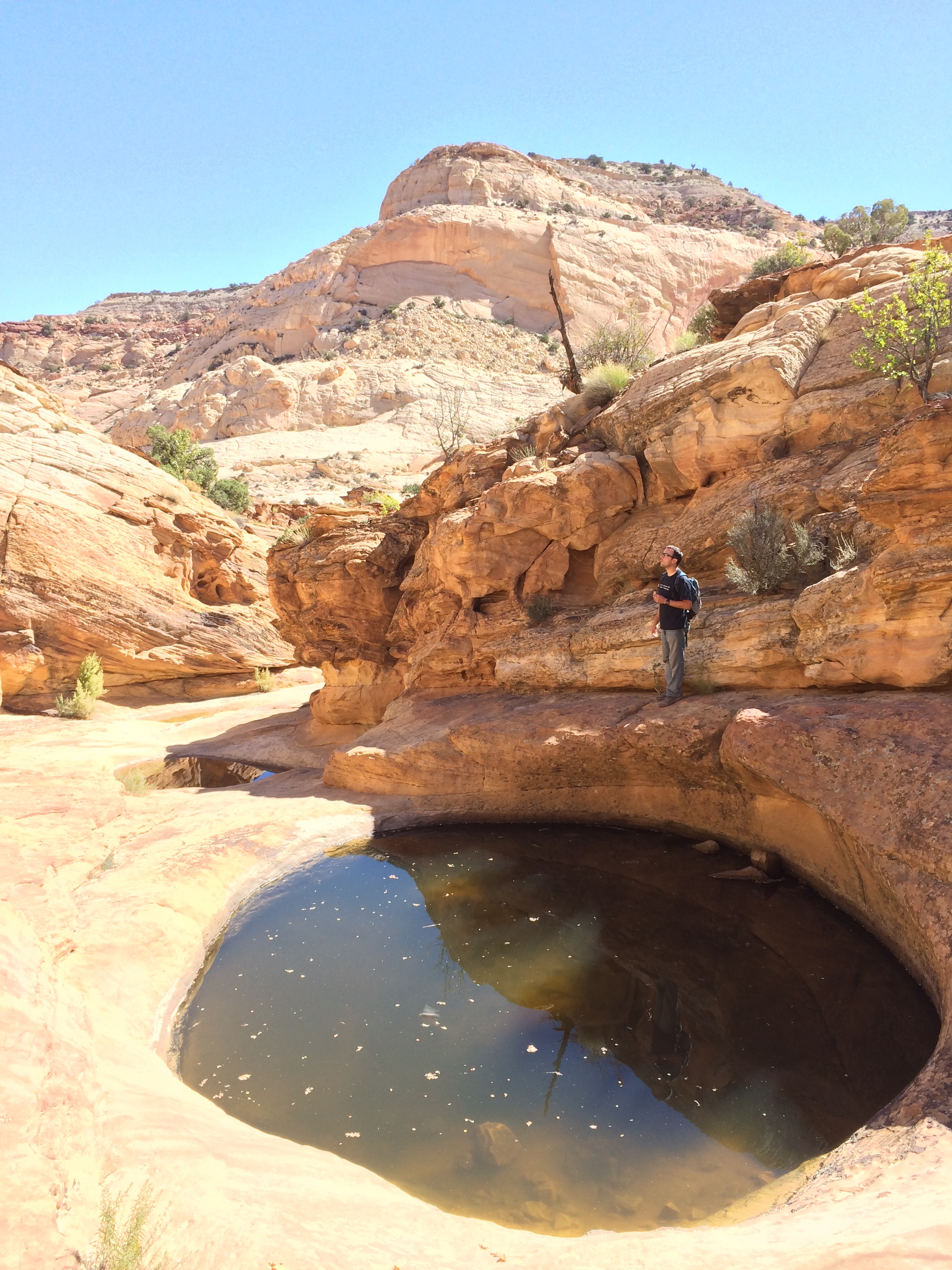
On the way back to our car, we observed carvings left behind by early pioneers. The oldest carving we spotted was from 1796!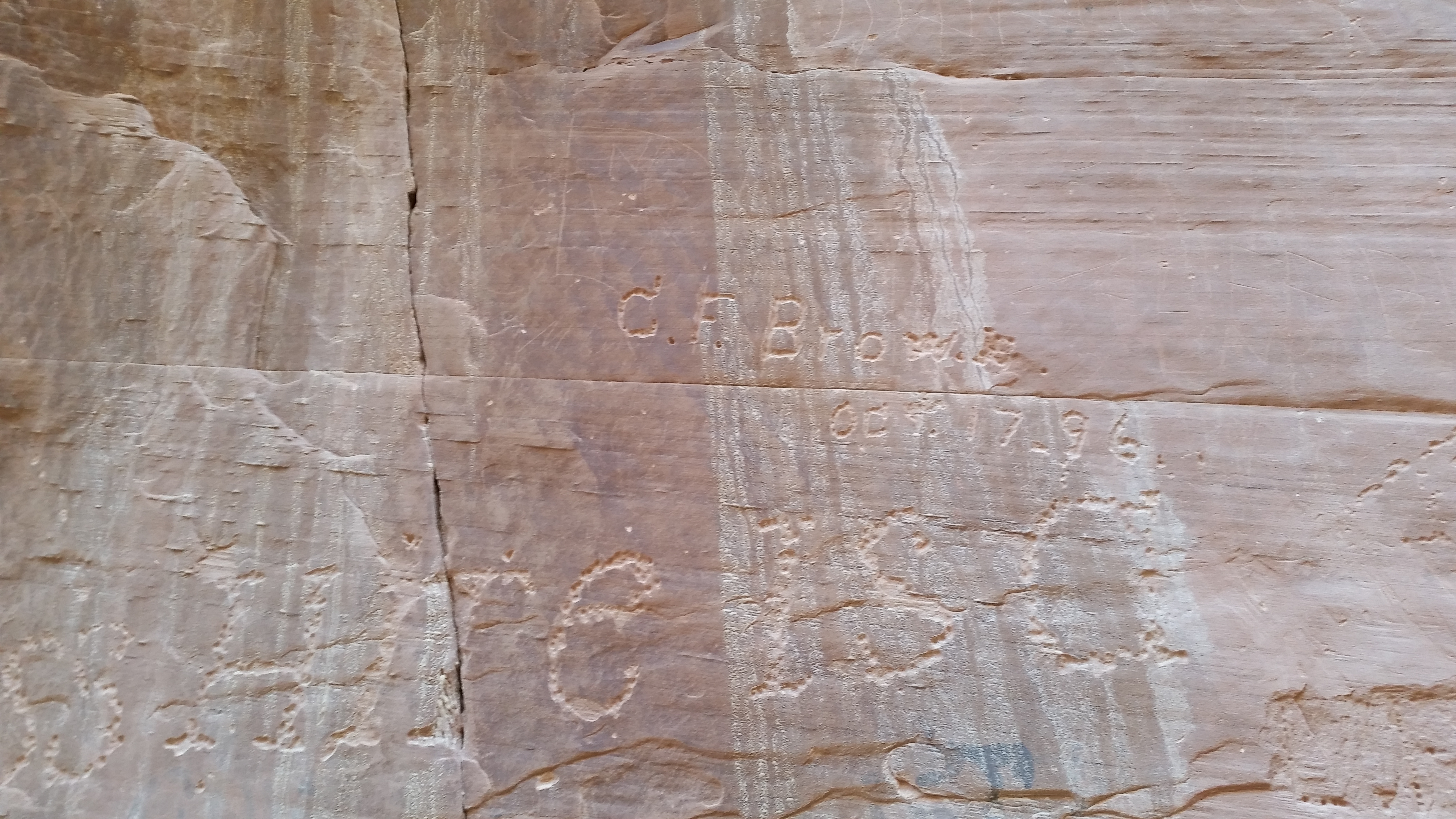
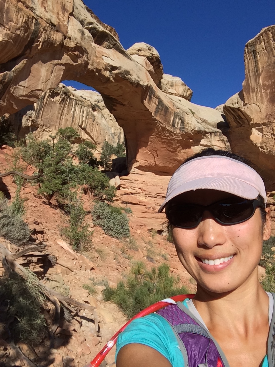
The next morning I quickly checked out the Hickman Bridge, a natural 130 ft. arch.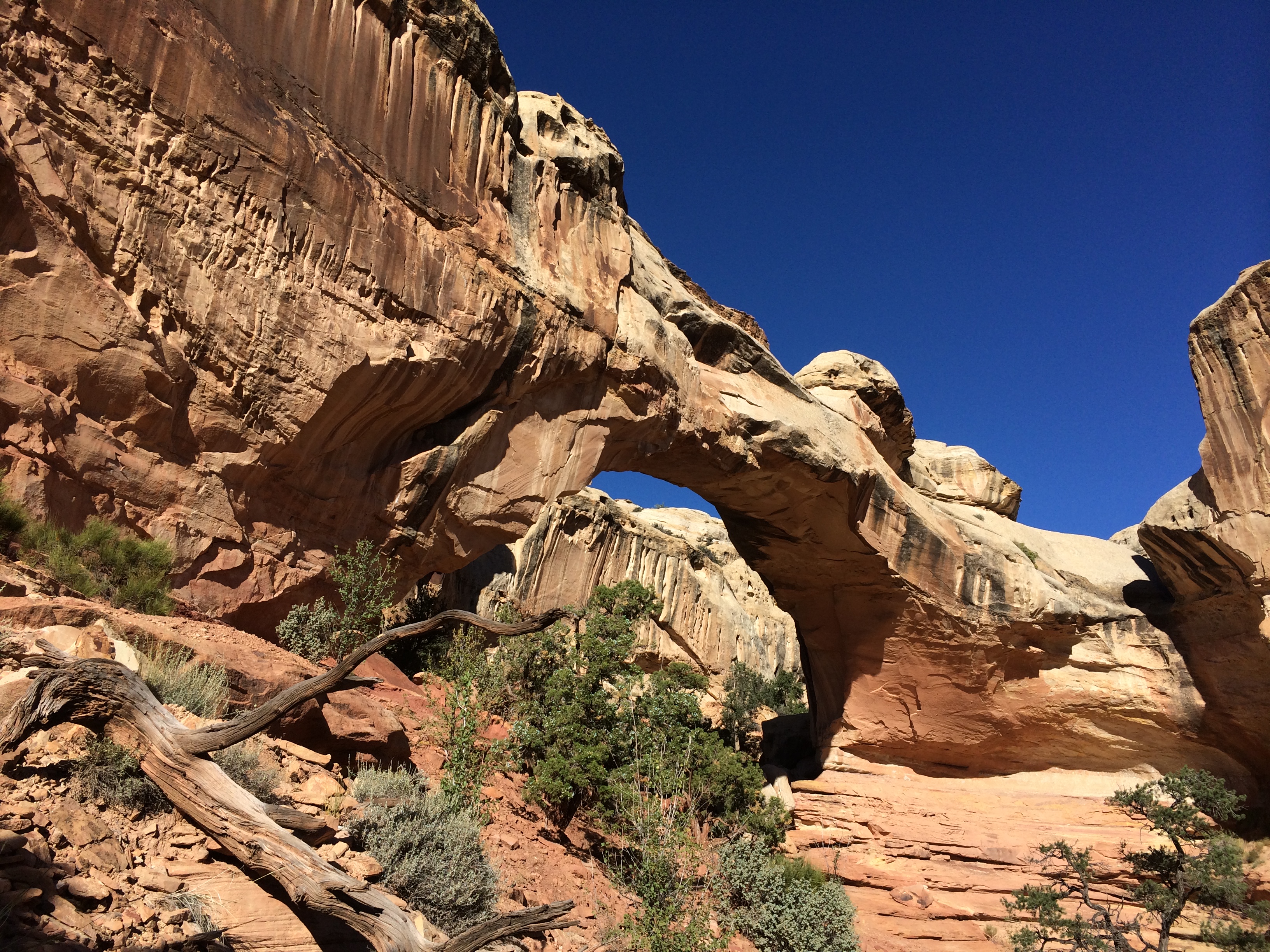
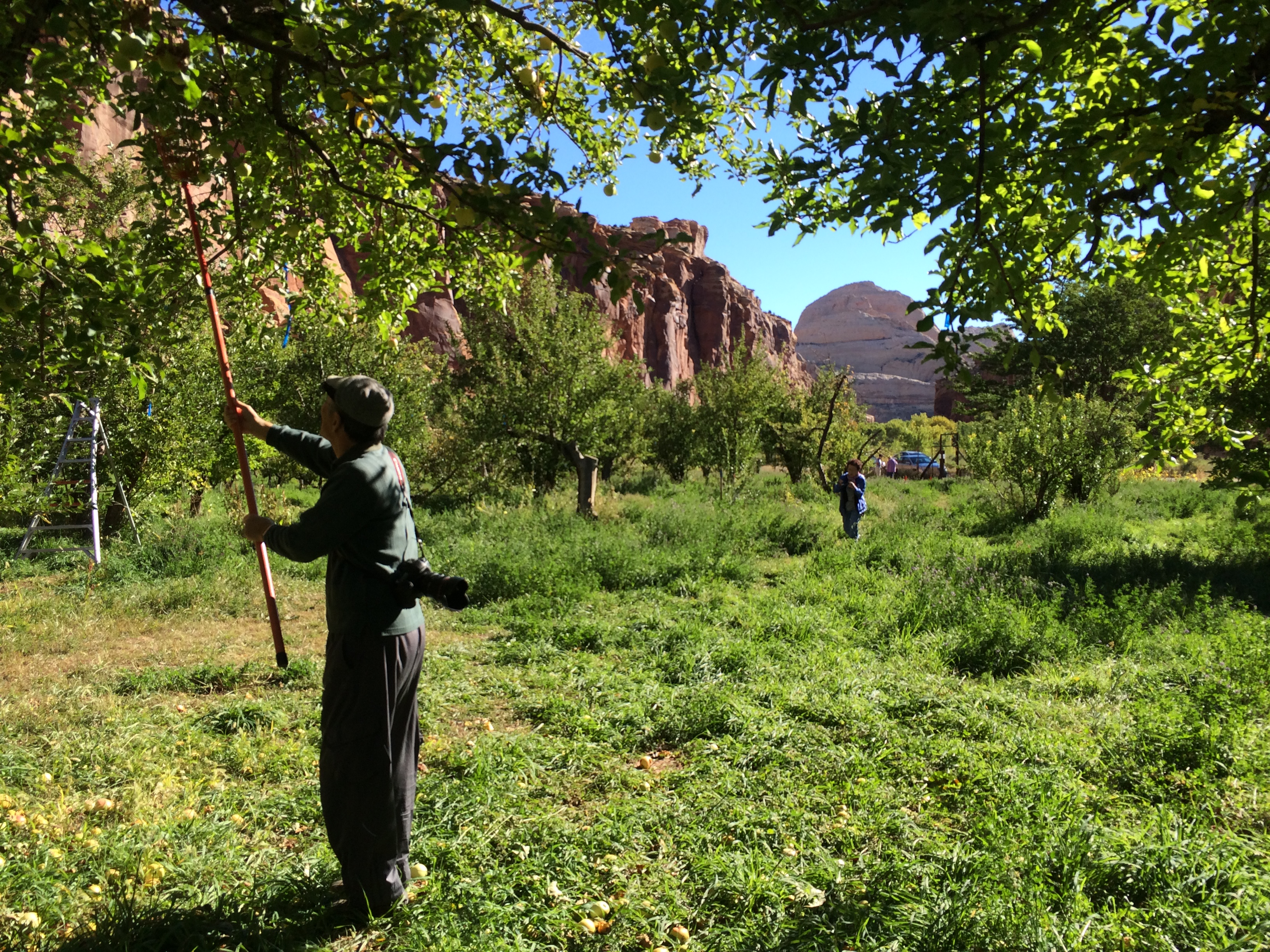
And on my way back to camp, the striking contrast between green and red caught my eye–orchards! There was a large U-PICK sign out front, along with two cars parked along the side of the road. I quickly pulled over to see what the deal was. Apparently Capitol Reef is home to the largest, historic orchard in any national park. Visitors can pick and eat as many available fruit as they wish, or pick and take out fruit at $1.25/pound. Apples were in season, and the golden delicious apples were scrumptious. I ate an apple on the orchard, and grabbed an apple to take back to Chris.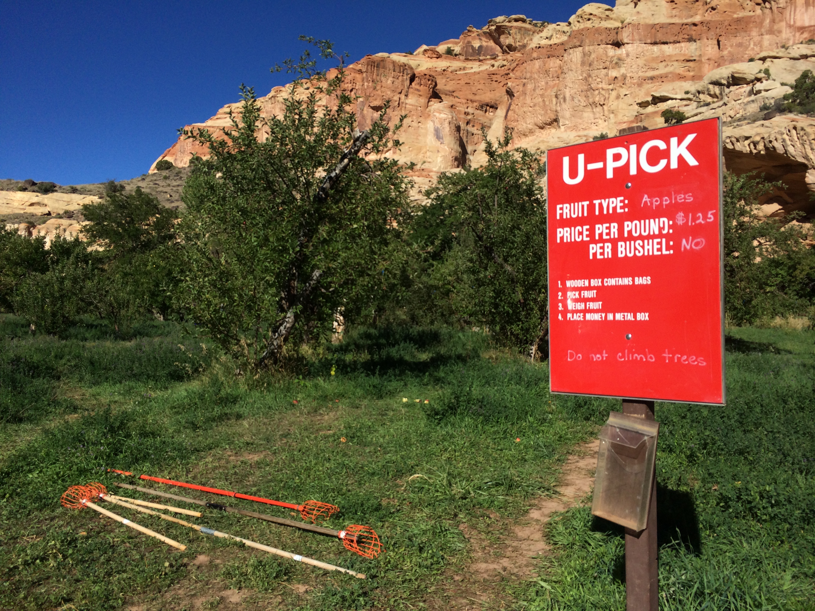
Before our departure later that afternoon to Bryce National Park, we toured the scenic road again. However, instead of driving it, we cycled it to better appreciate the beauty of the park. Conditions couldn’t have been more accommodating!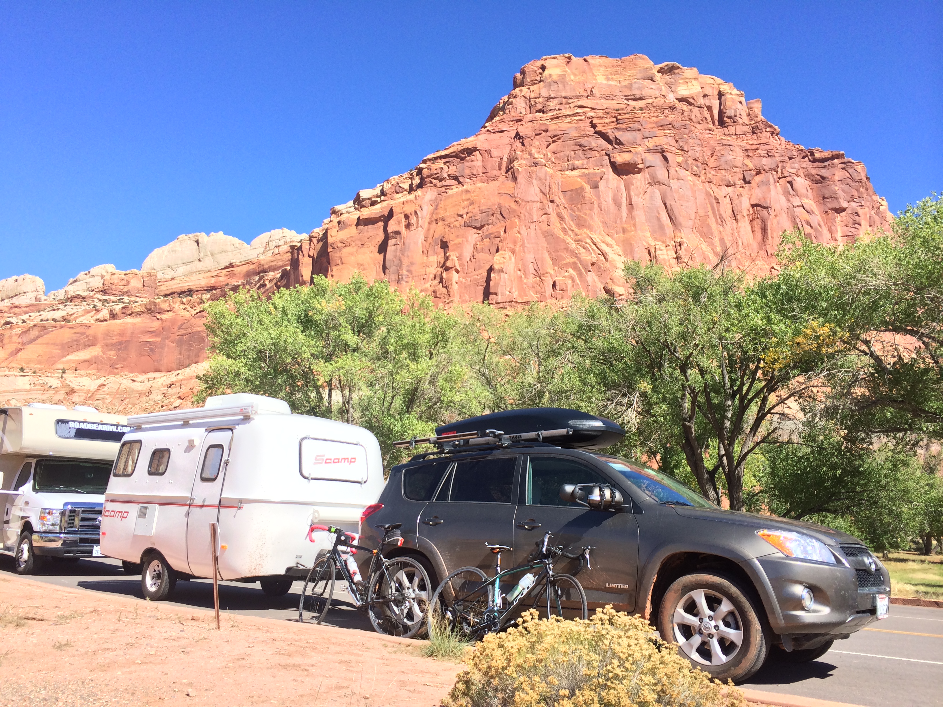
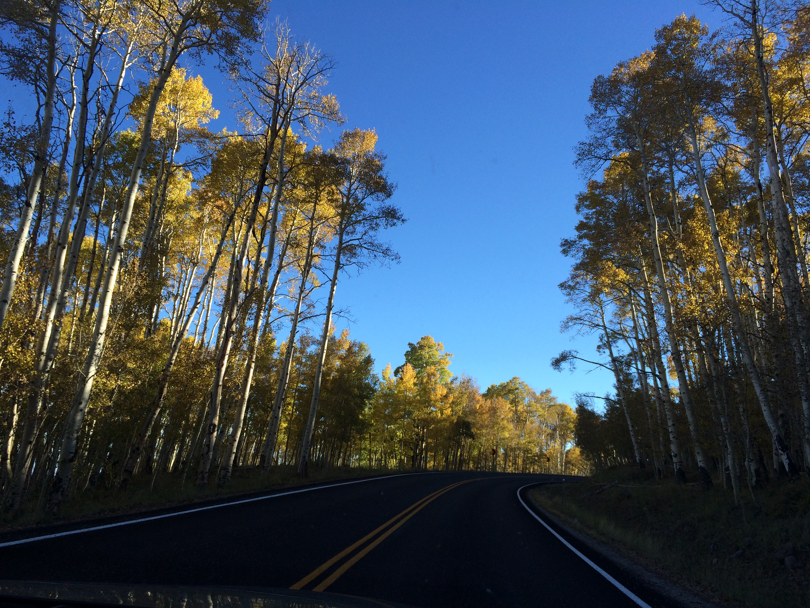
After the quick bike ride, we moseyed our way down to Bryce National Park. Like Utah 24, Utah 12 was breathtaking. Most of the drive was spent through the traversing highway of Dixie National Forest, which was speckled with bright aspen trees. The sunset’s rays illuminated the golden leaves, reminding us that it was autumn.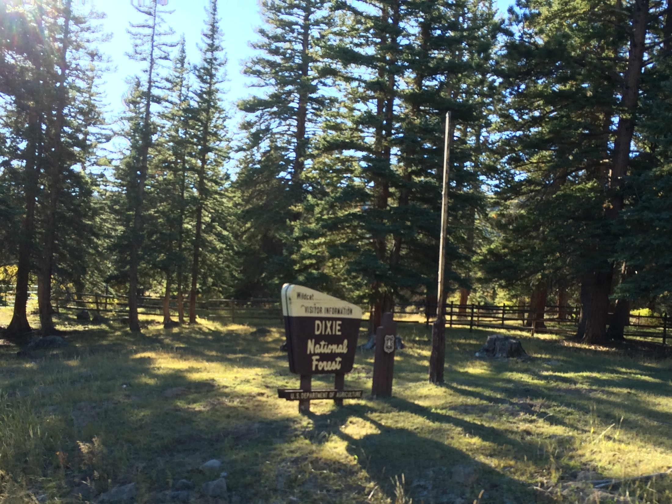
As the day slowly drew to an end, the colors across the horizon blended into a lovely mix of blues, pinks, and yellows. Autumn in Utah is truly the best time of year to visit.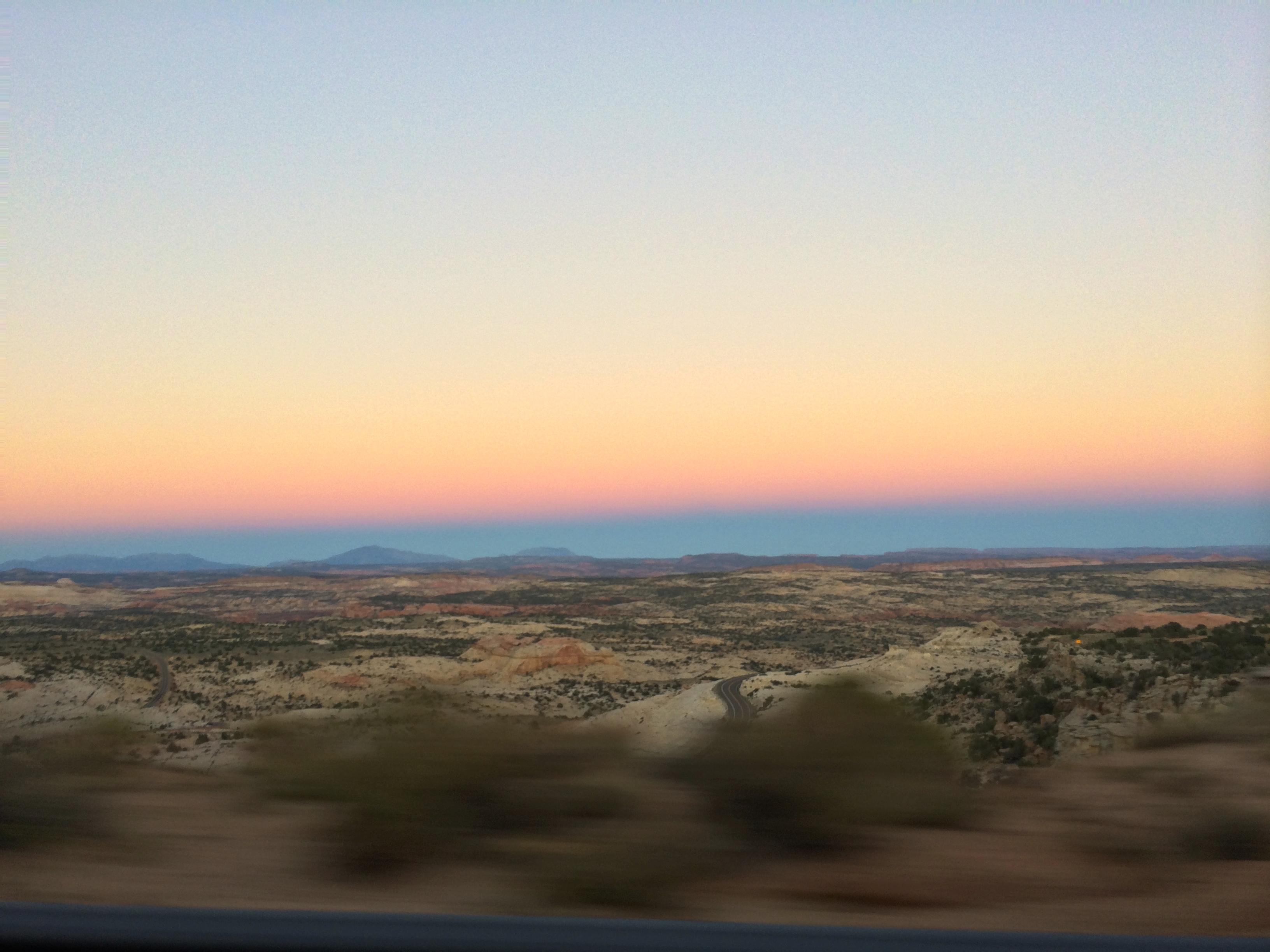
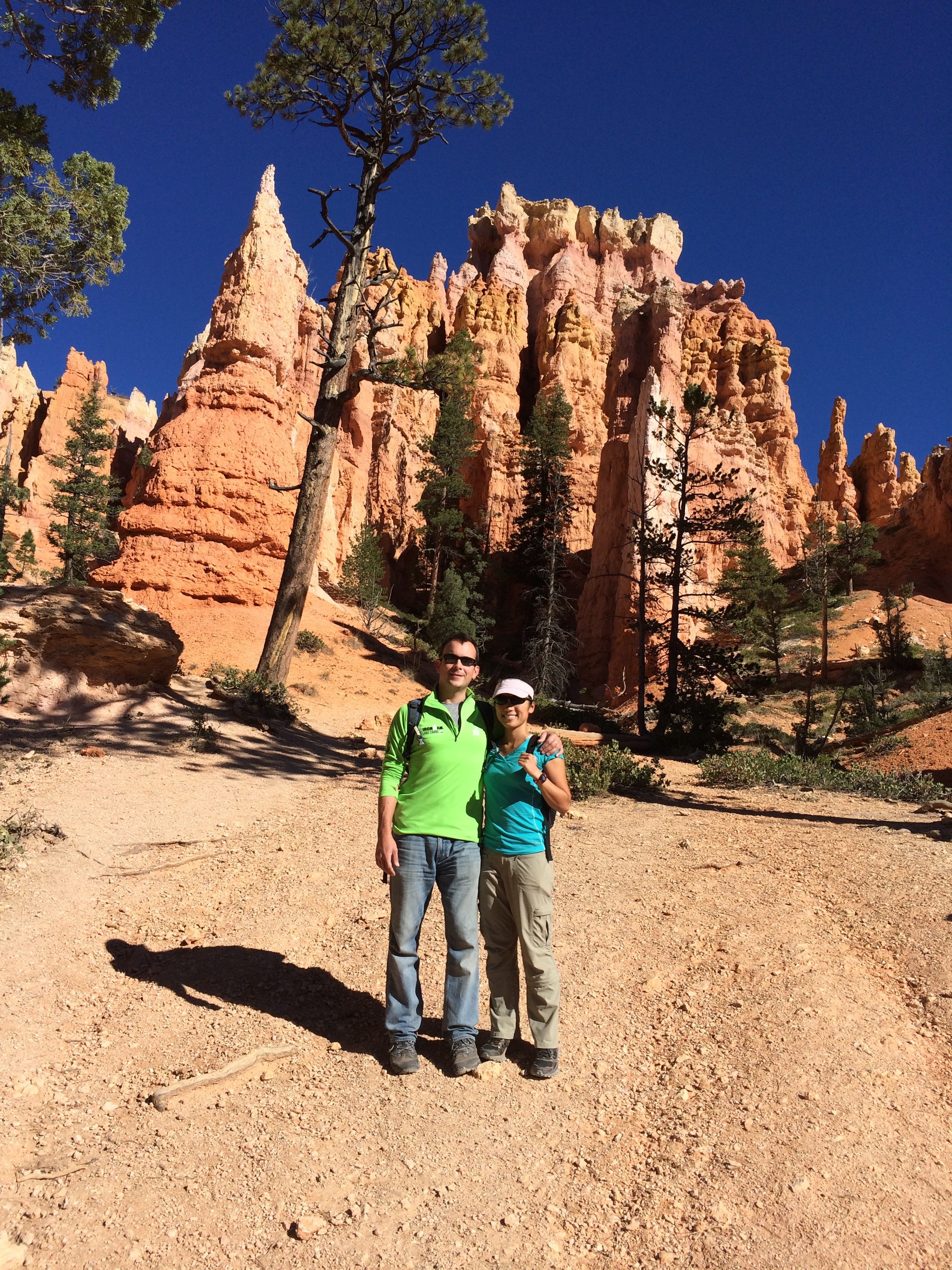
Bryce Canyon National Park
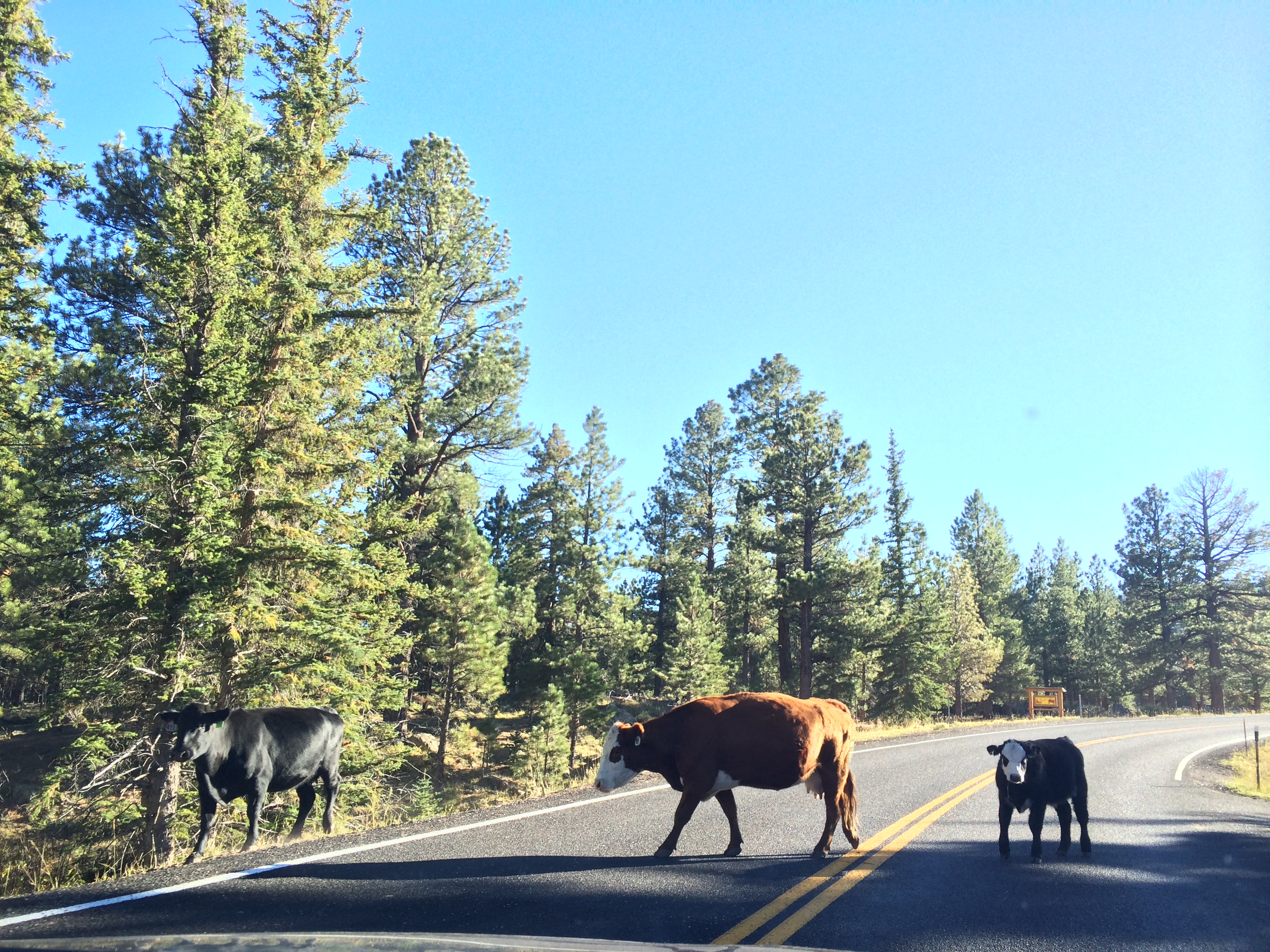
We arrived at our destination around 9pm and boondocked outside of Bryce National Park in the Dixie National Forest. Although the forest also happened to be an open cattle range, we didn’t expect there to be cattle herding right outside our trailer the next day!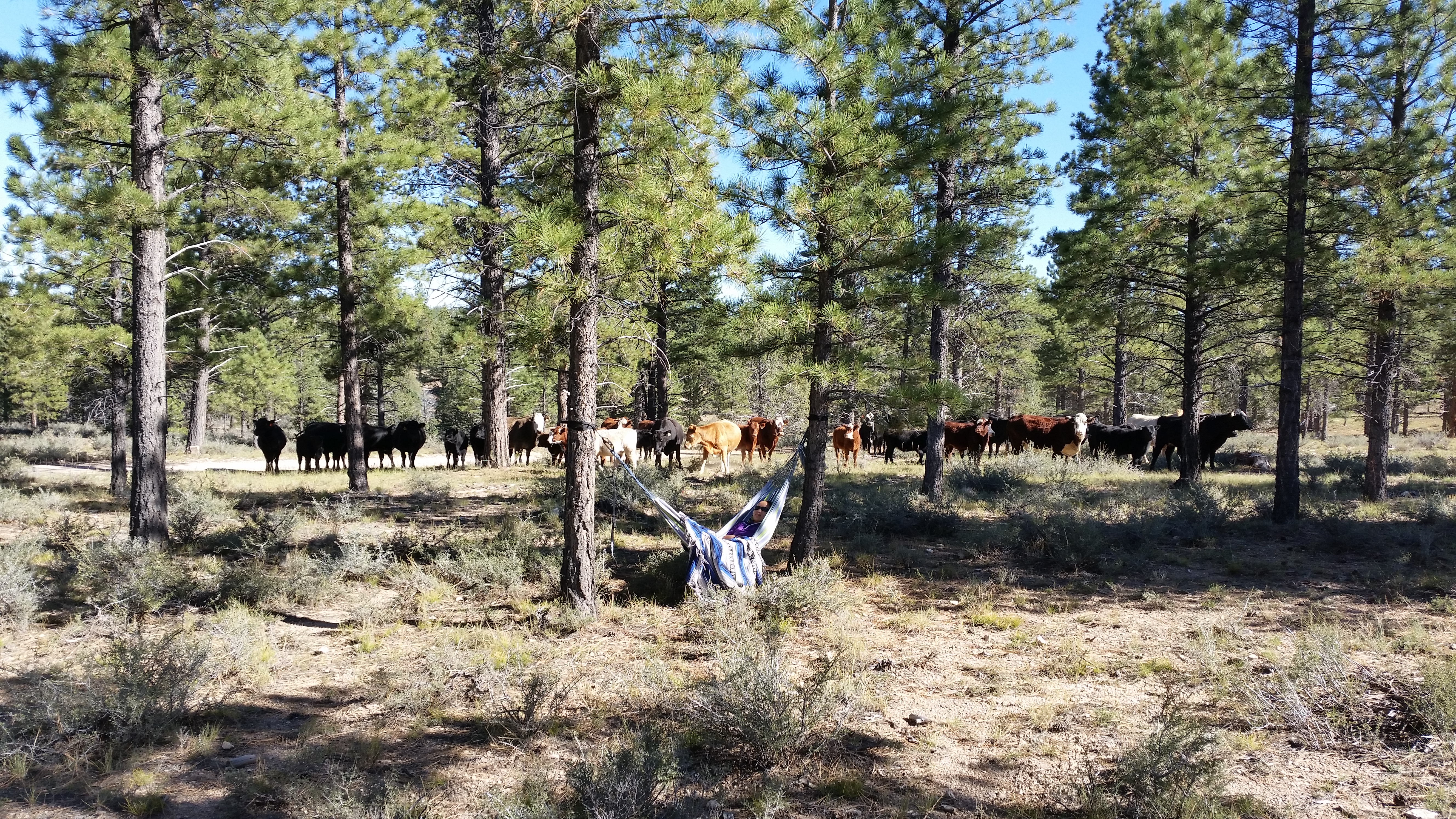
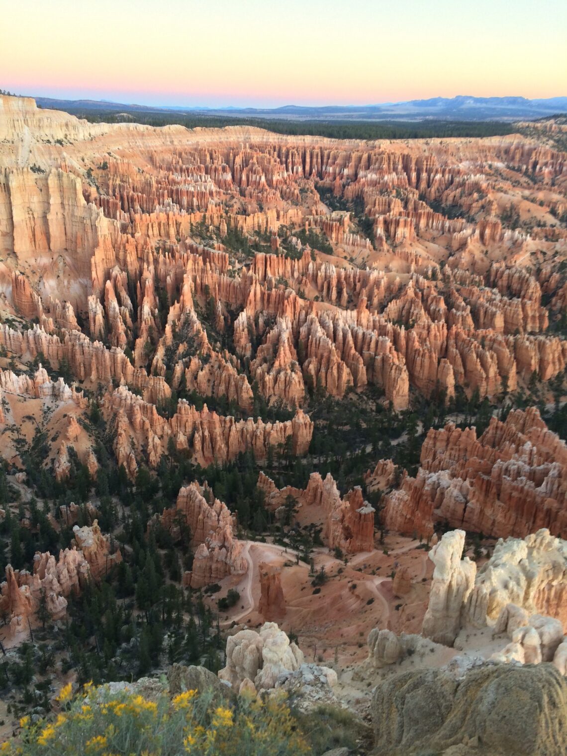
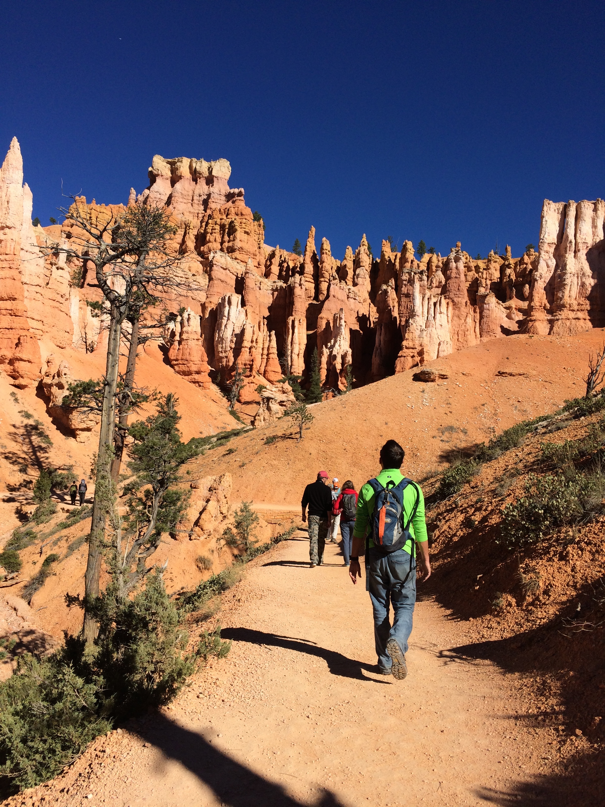
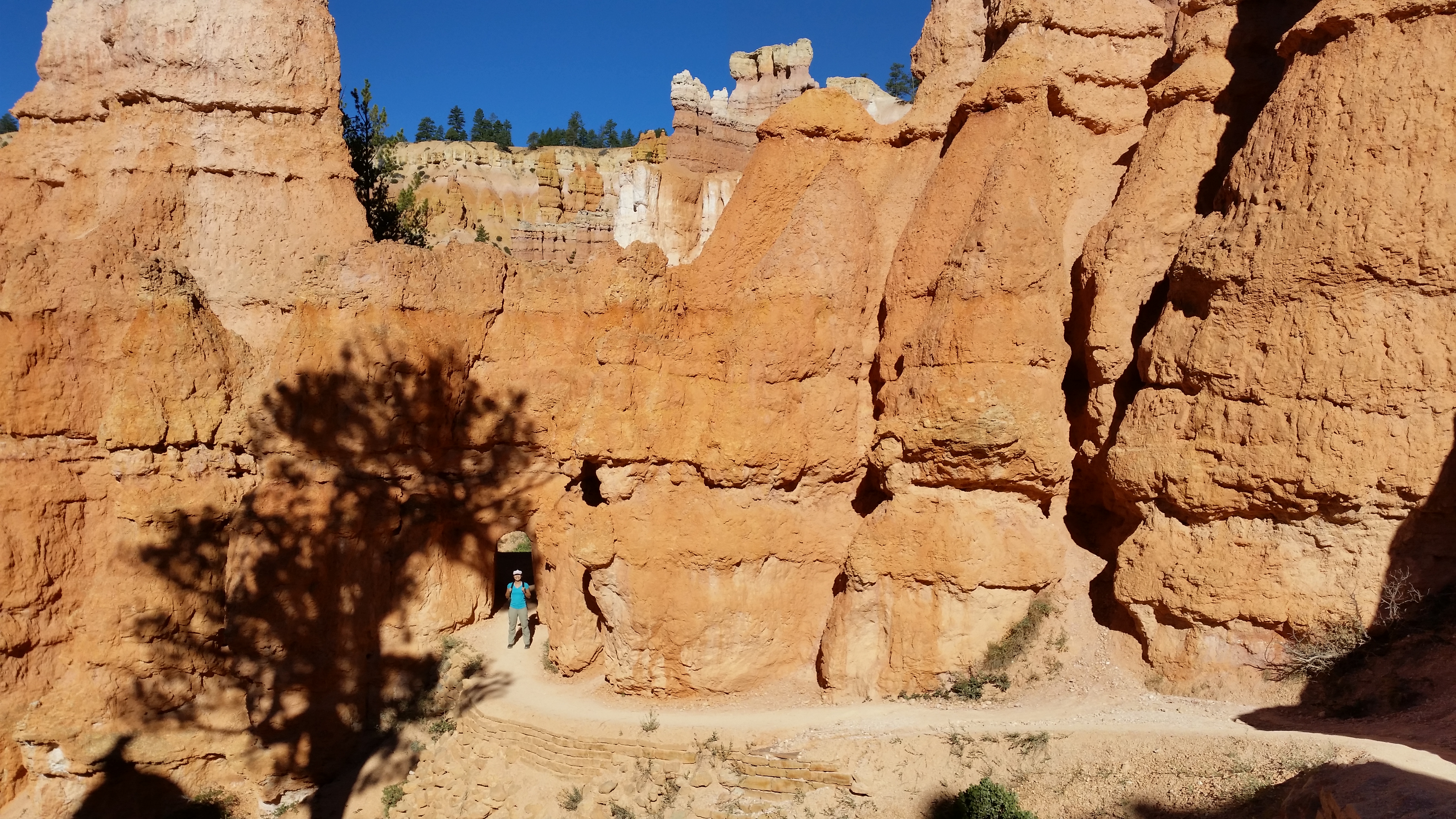
Our first full day at Bryce consisted of the popular figure-8 loop, a combination of the Queens Garden, Peek-A-Boo, and Navajo trails. I never knew how magical Bryce Canyon was. The towering spires and endless hoodoos lined along the trails of switchbacks made a surreal hiking experience, as if it was a manmade Hollywood film set.
A view of the amphitheater from Sunrise Point: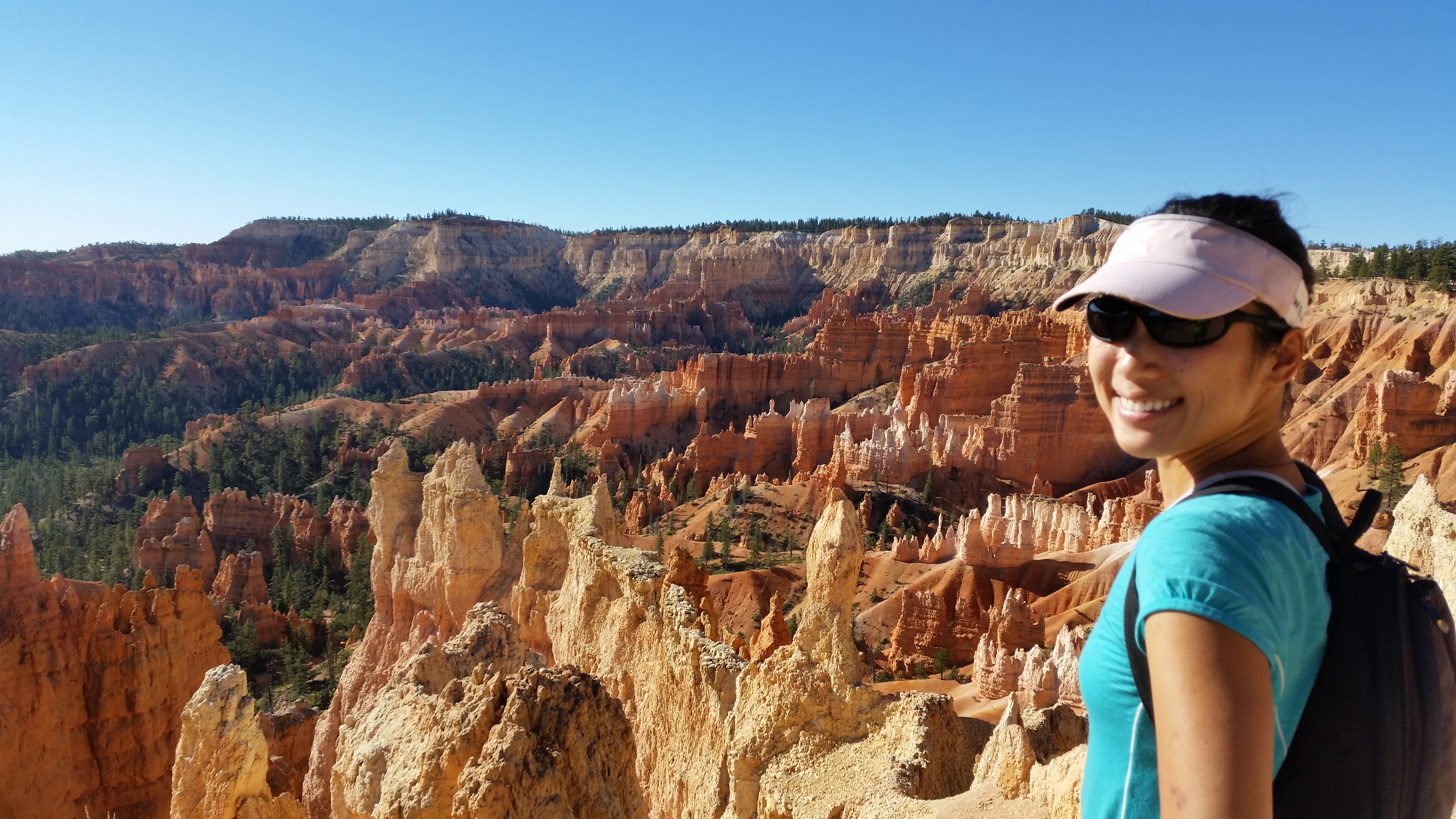
A view of the amphitheater from Sunset Point: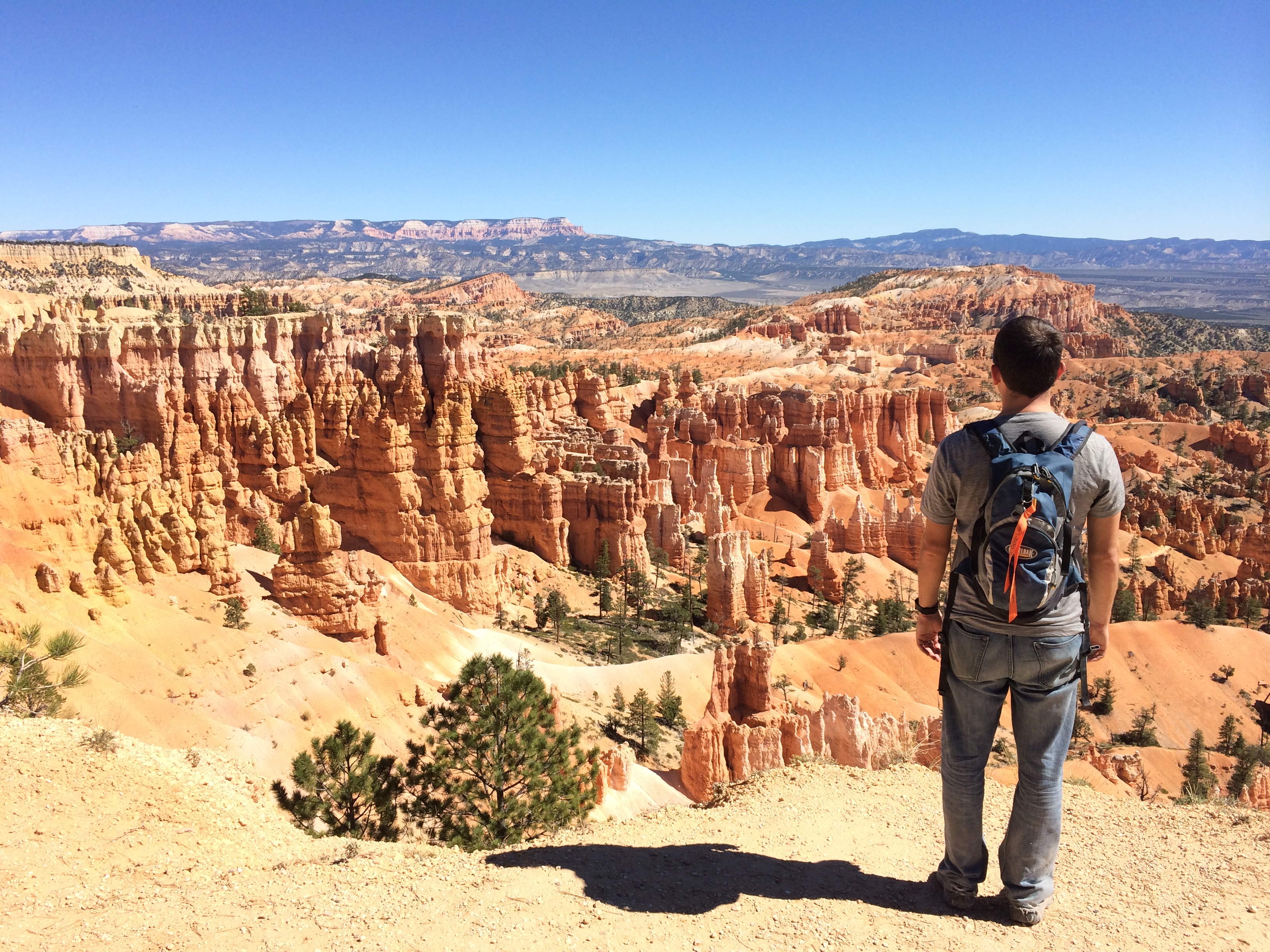
Hiking through the hoodoos: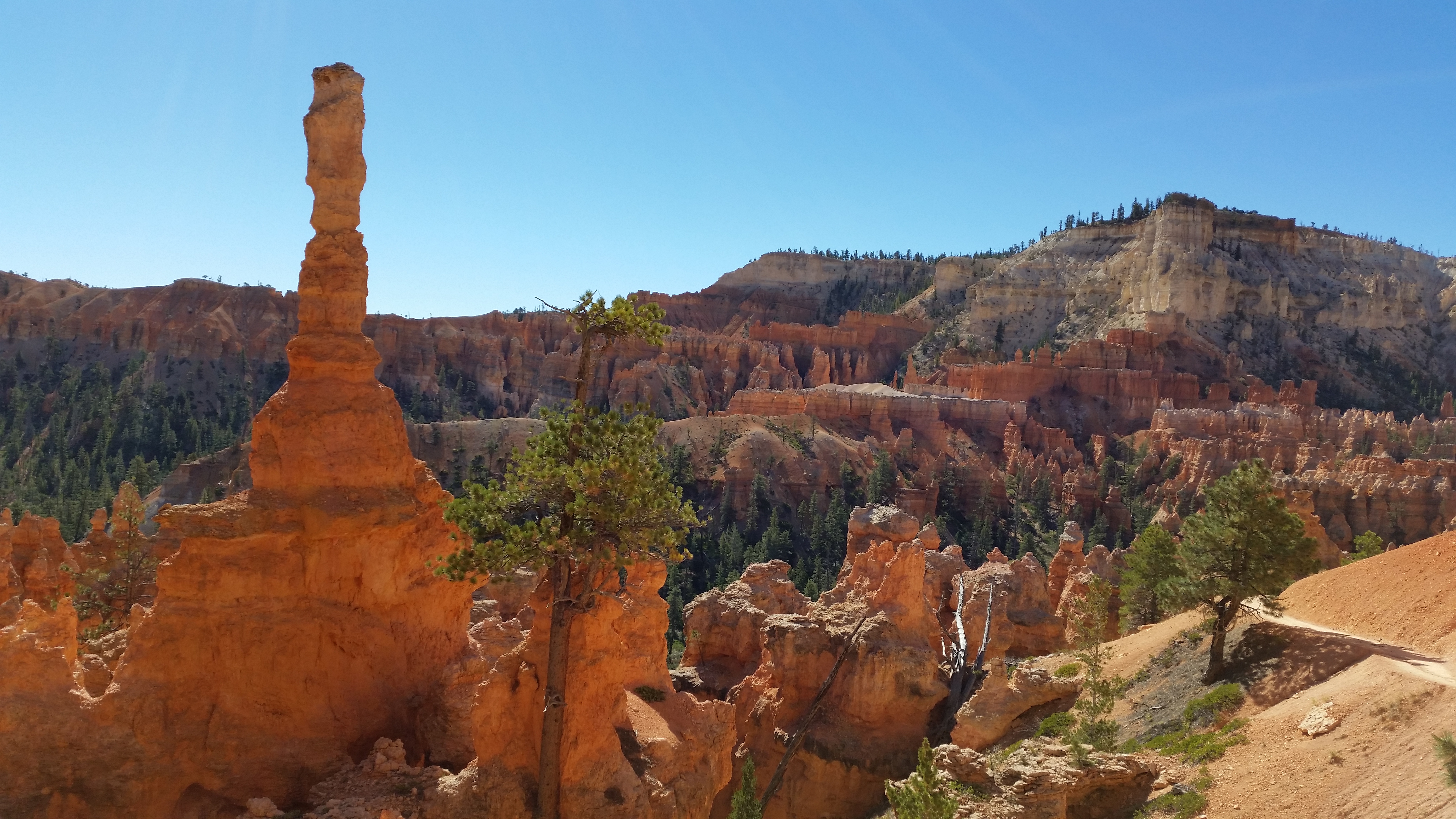
The wall of windows: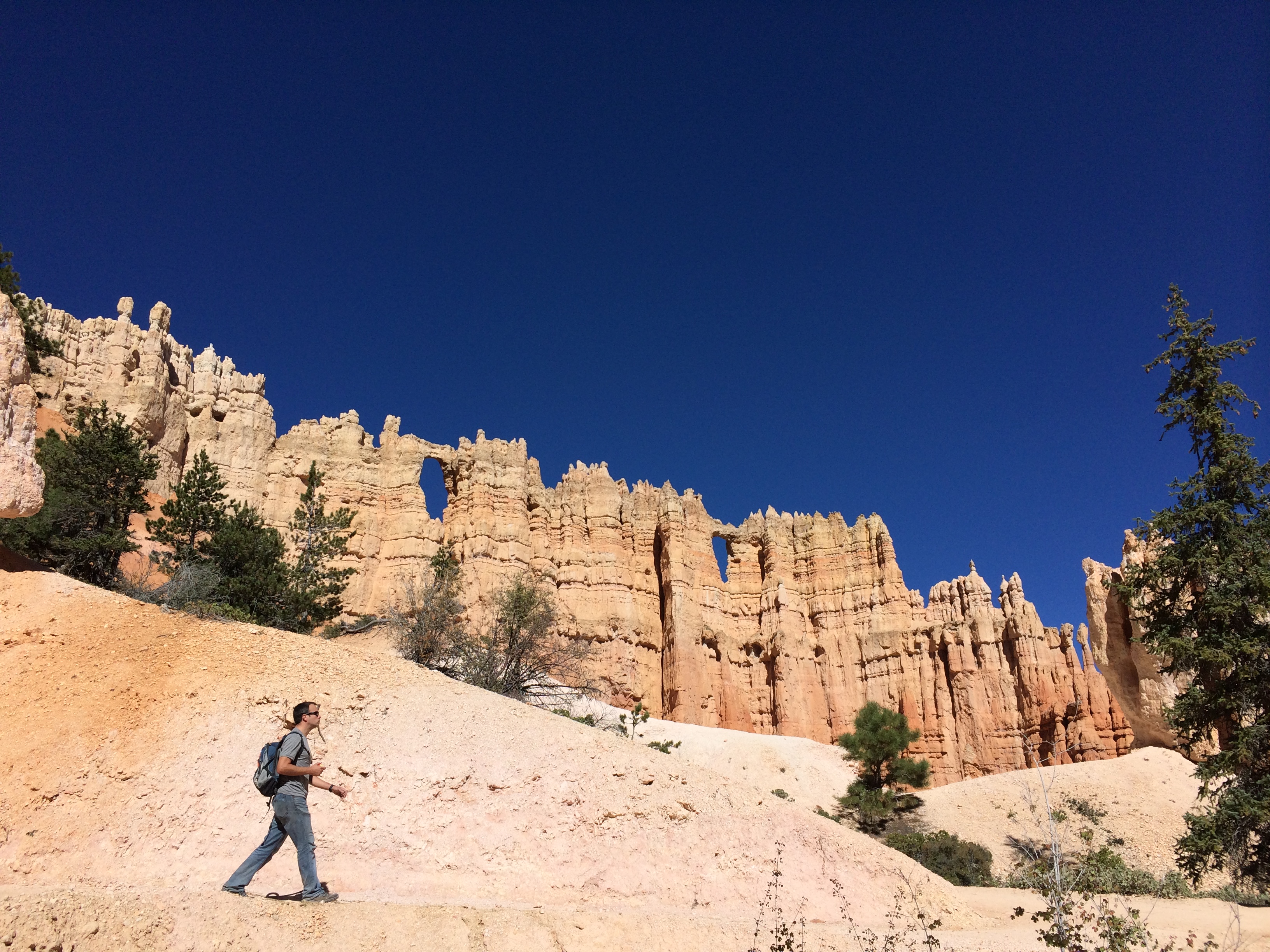
Wall Street: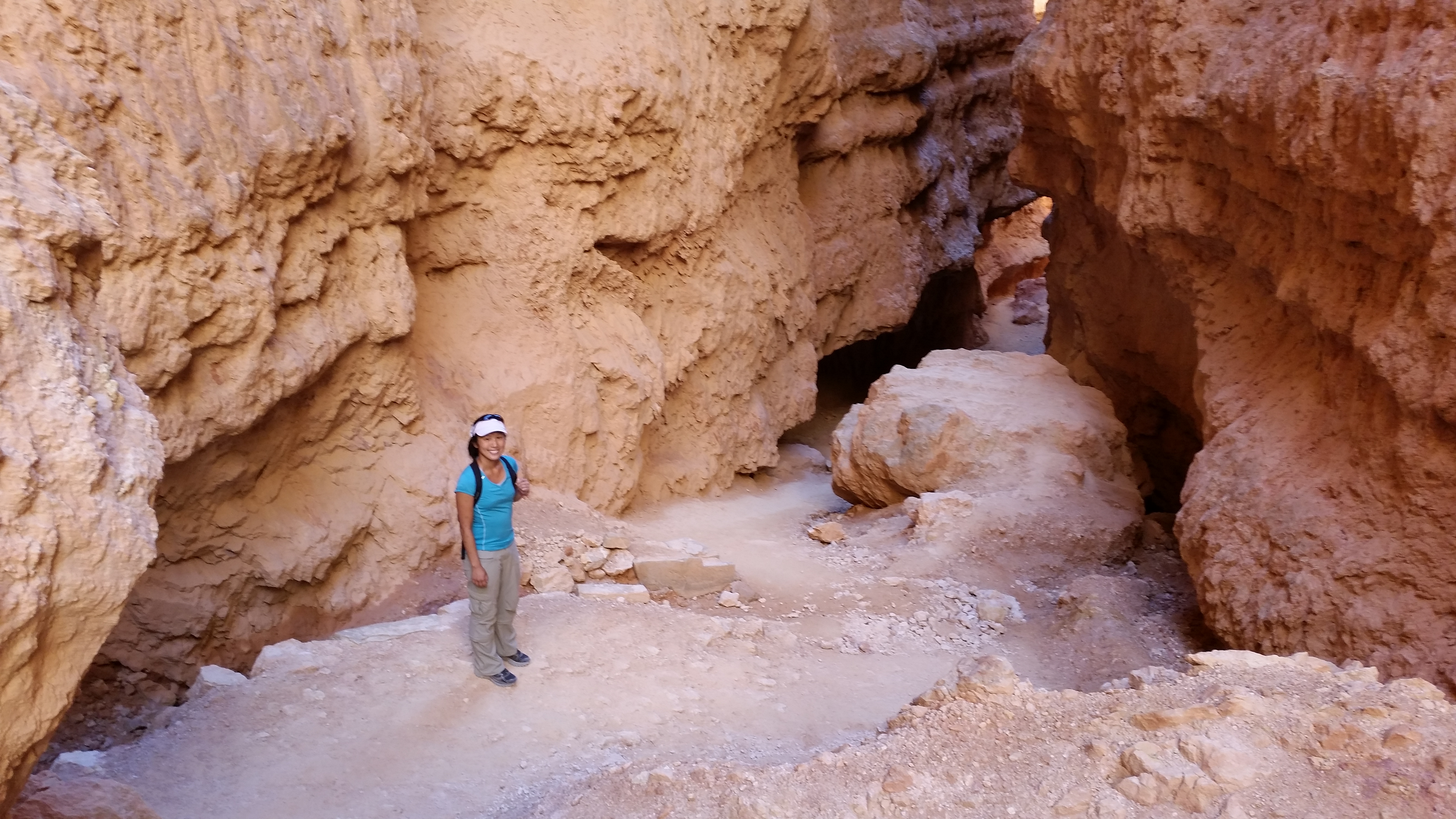
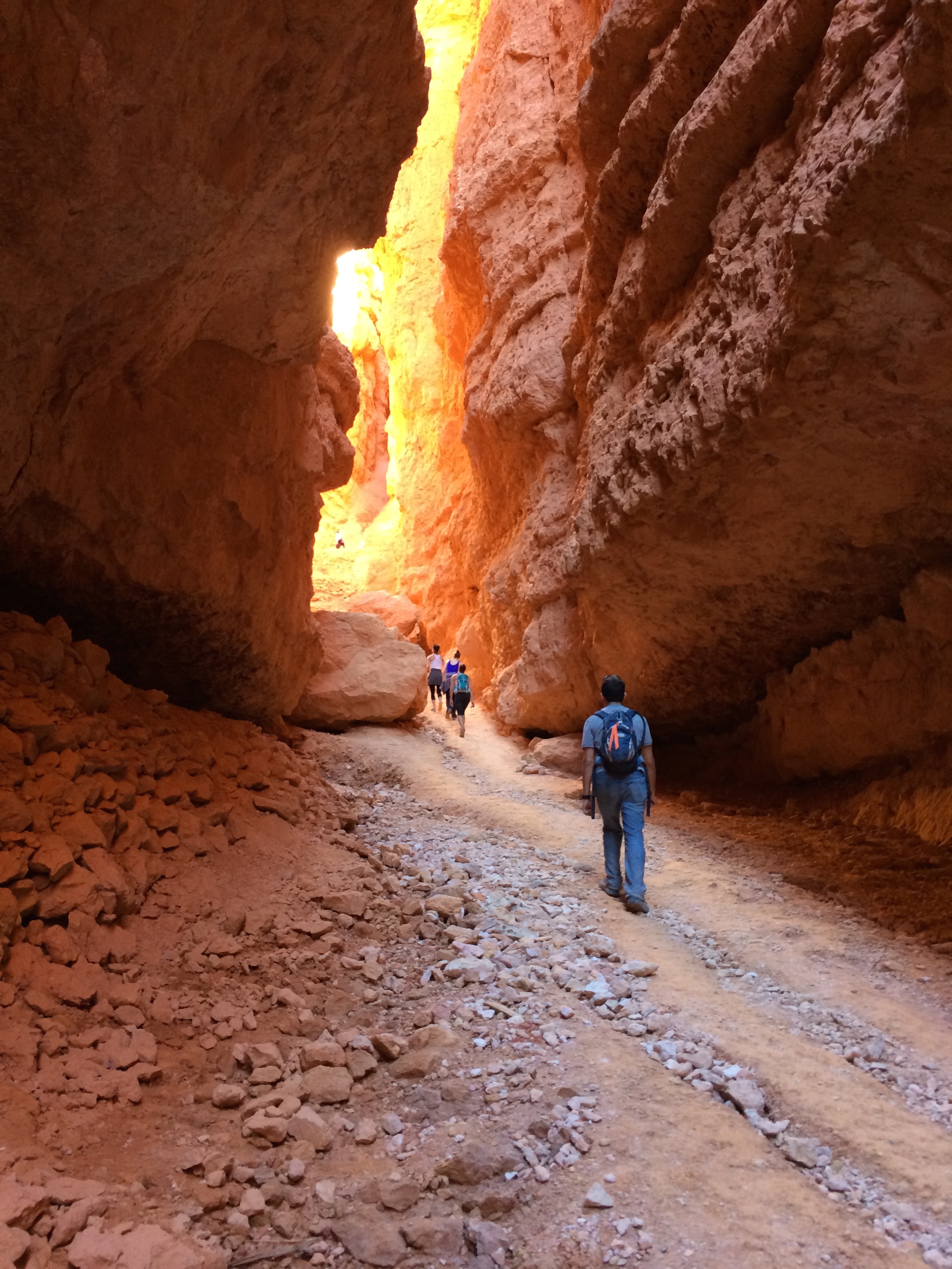
This figure-8 loop was a fantastic introduction to Bryce Canyon as its diverse trail showcased landscapes of the amphitheater, brought us up close to the towering hoodoos, led us through the canyon floor forests, strolled us past natural windows, and left us panting as we staggered up the narrow Wall Street at 8,000 feet of elevation.
And that hike wasn’t enough to fulfill our adventurous souls! The following day we cycled the 34-mile round trip ride up to Bryce Canyon’s highest point, Rainbow Point, at 9115 feet of elevation. To our delightful surprise, the climb wasn’t as bad as we anticipated.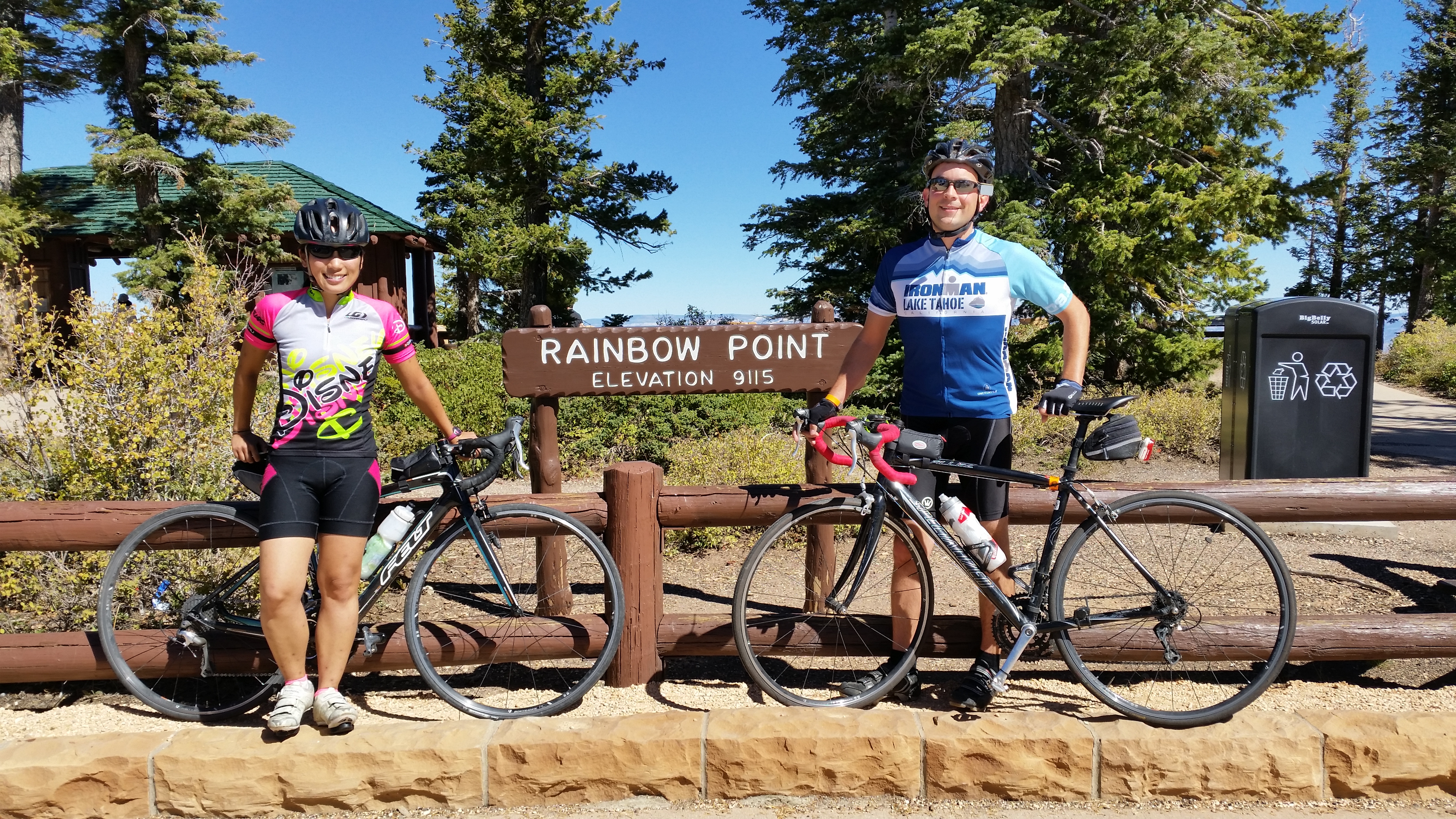
While resting at the summit, a woman told Chris, “I envy that you can see the world this way.” We reflected upon that statement a bit, primarily because we found it strange. It’s not like some higher form of power blessed us with endurance, or an affluent hand gifted us money for a bike. Life cannot be enjoyed without working your ass off for it. Those who should be envied are those who have luck beyond one’s control, not those who earned it.
After cycling, we got some camping laundry done! 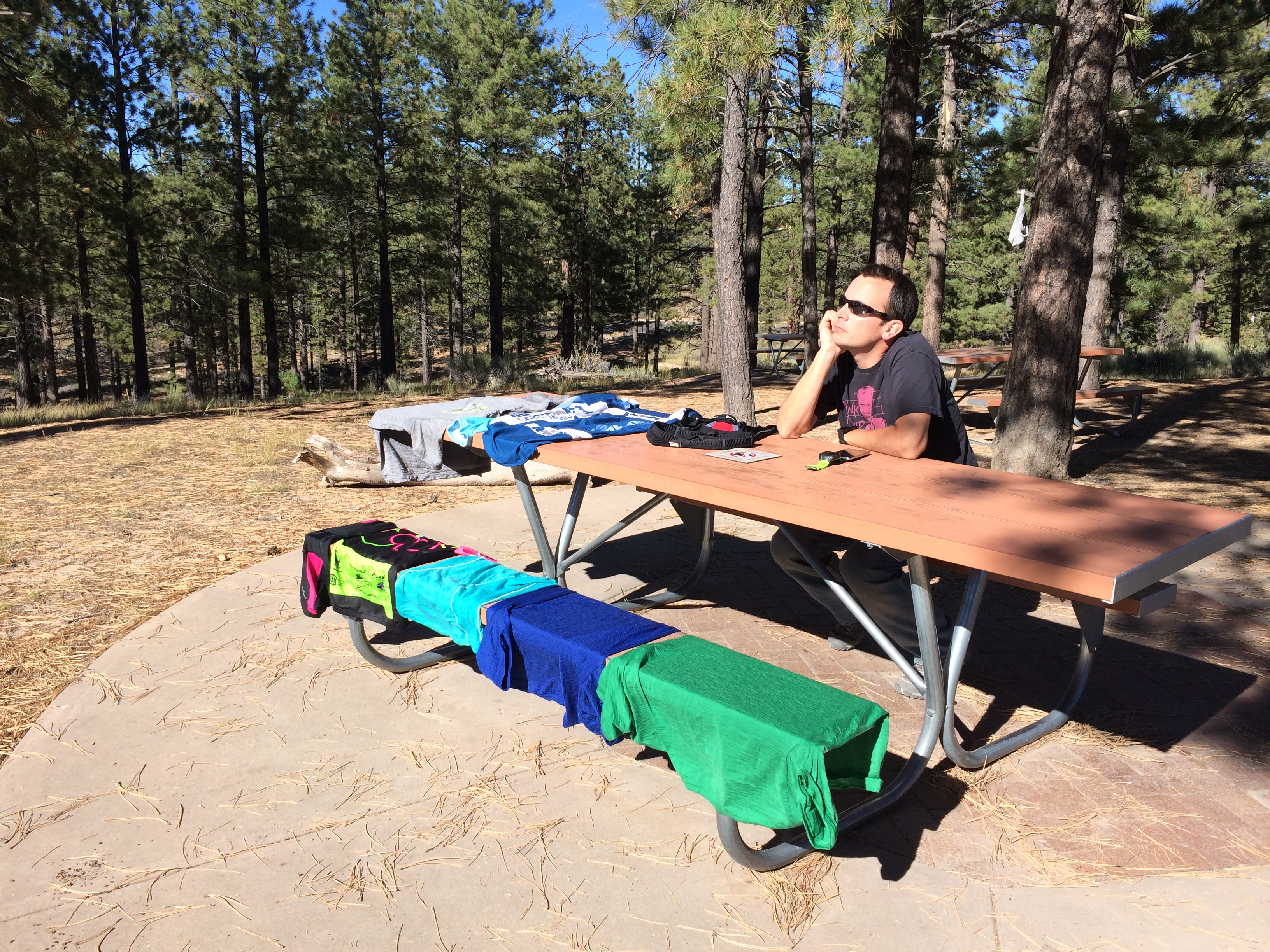
And then napped back at our lovely campsite: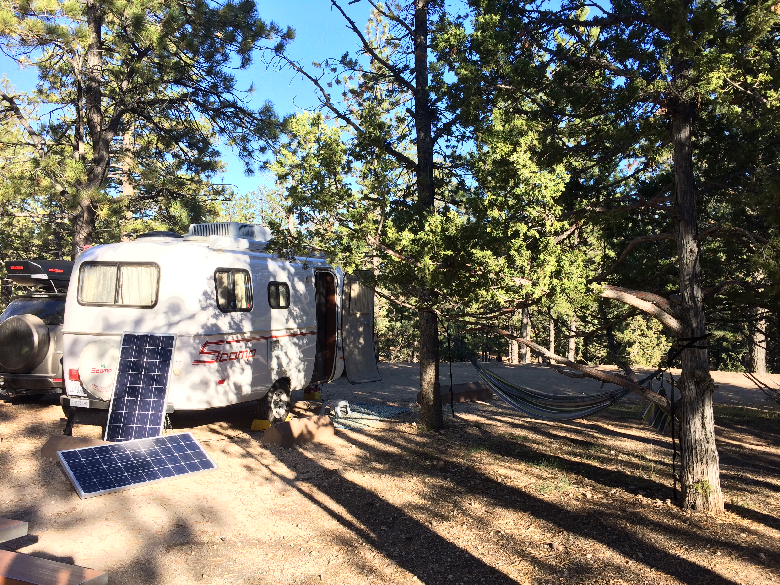
Our final hours at Bryce National Park were spent at Bryce Point for sunrise. Once again, photos do not do justice.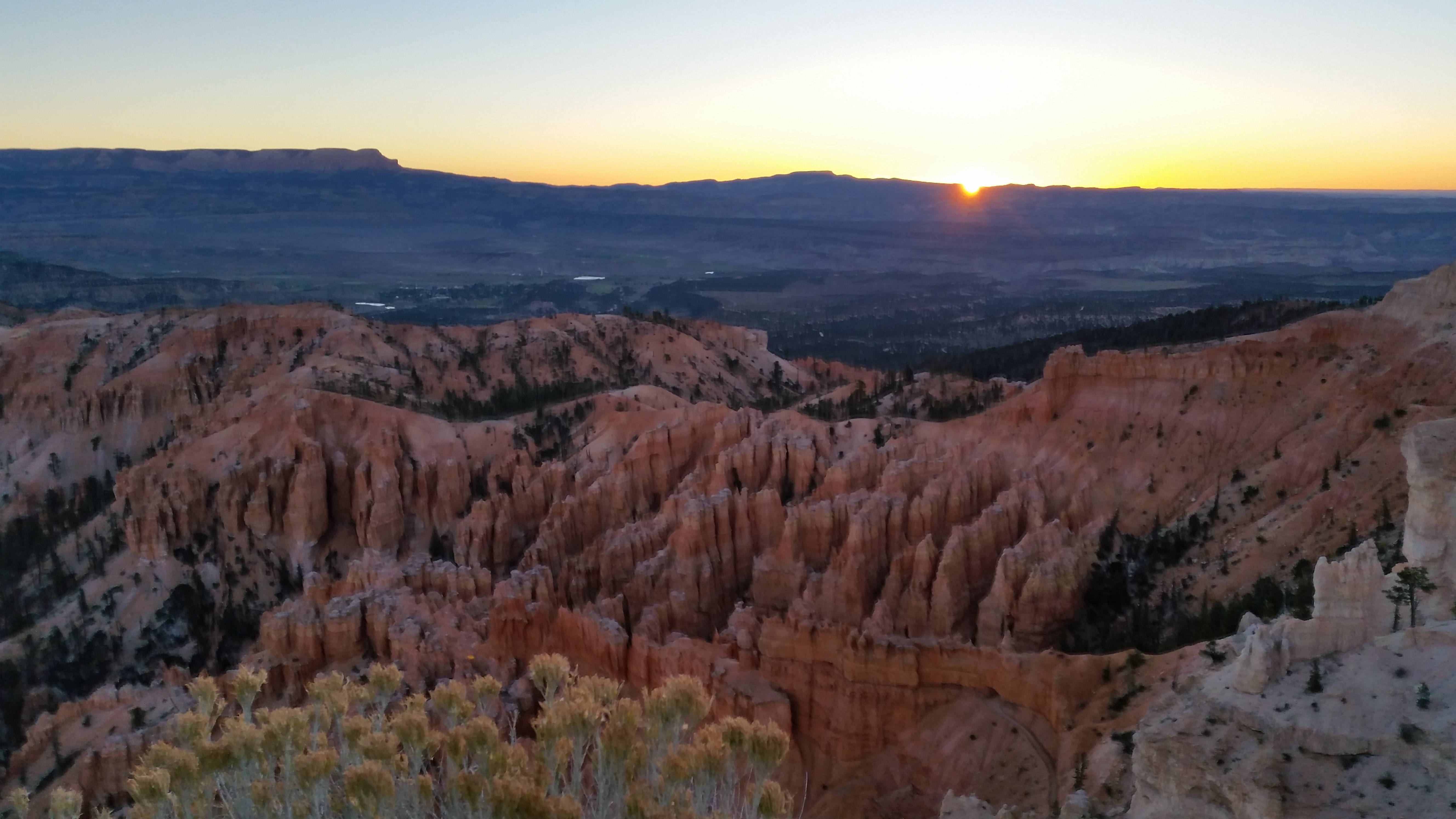
Before the sun peeked out:
And just a few minutes later, the sunshine cascaded over the rim: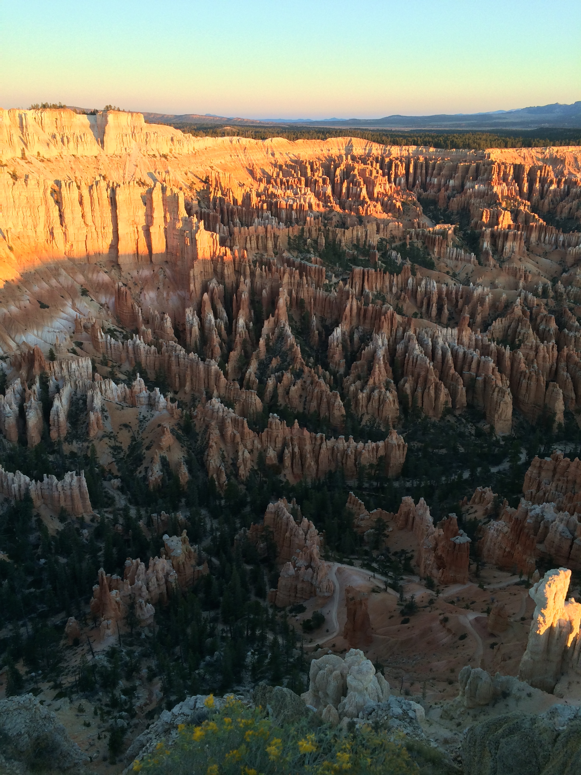
This one is for you, Mom!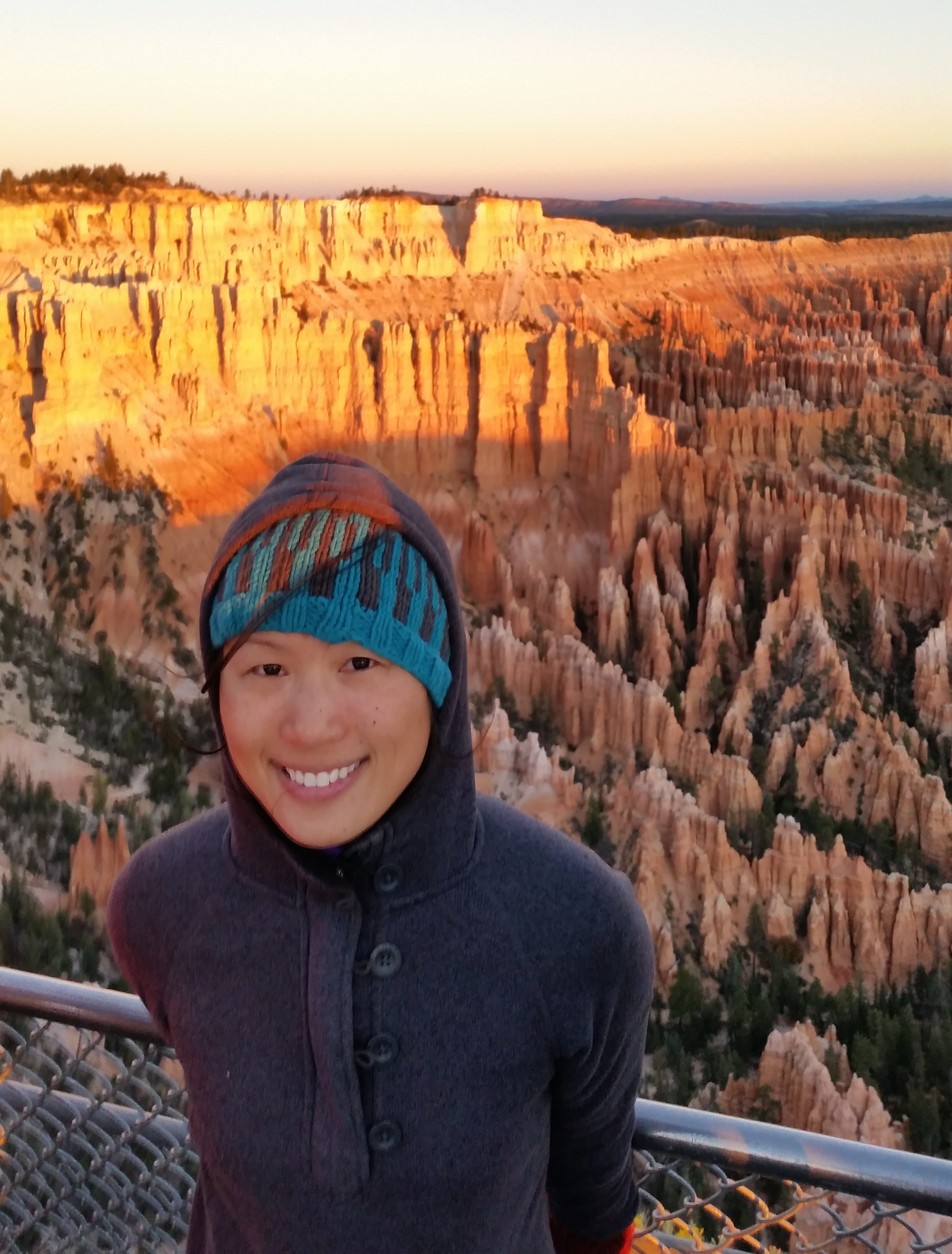
And of course, an obligatory couple shot: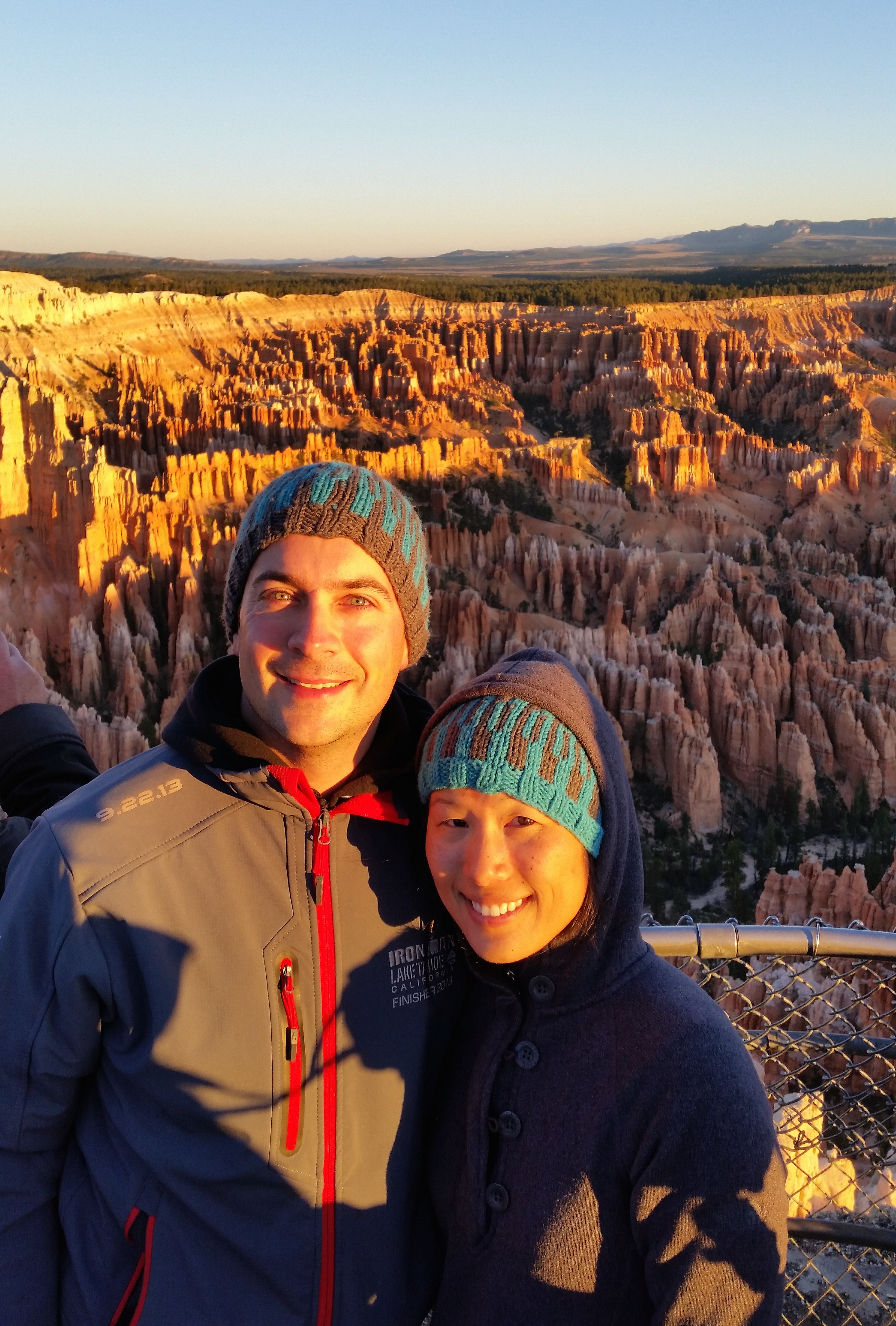
Cedar Breaks National Monument
Shortly thereafter we packed up camp and ventured west toward Cedar Breaks National Monument. The drive through the Red Canyons was delightful; it reminded me of driving through the giant redwood trees near Oregon: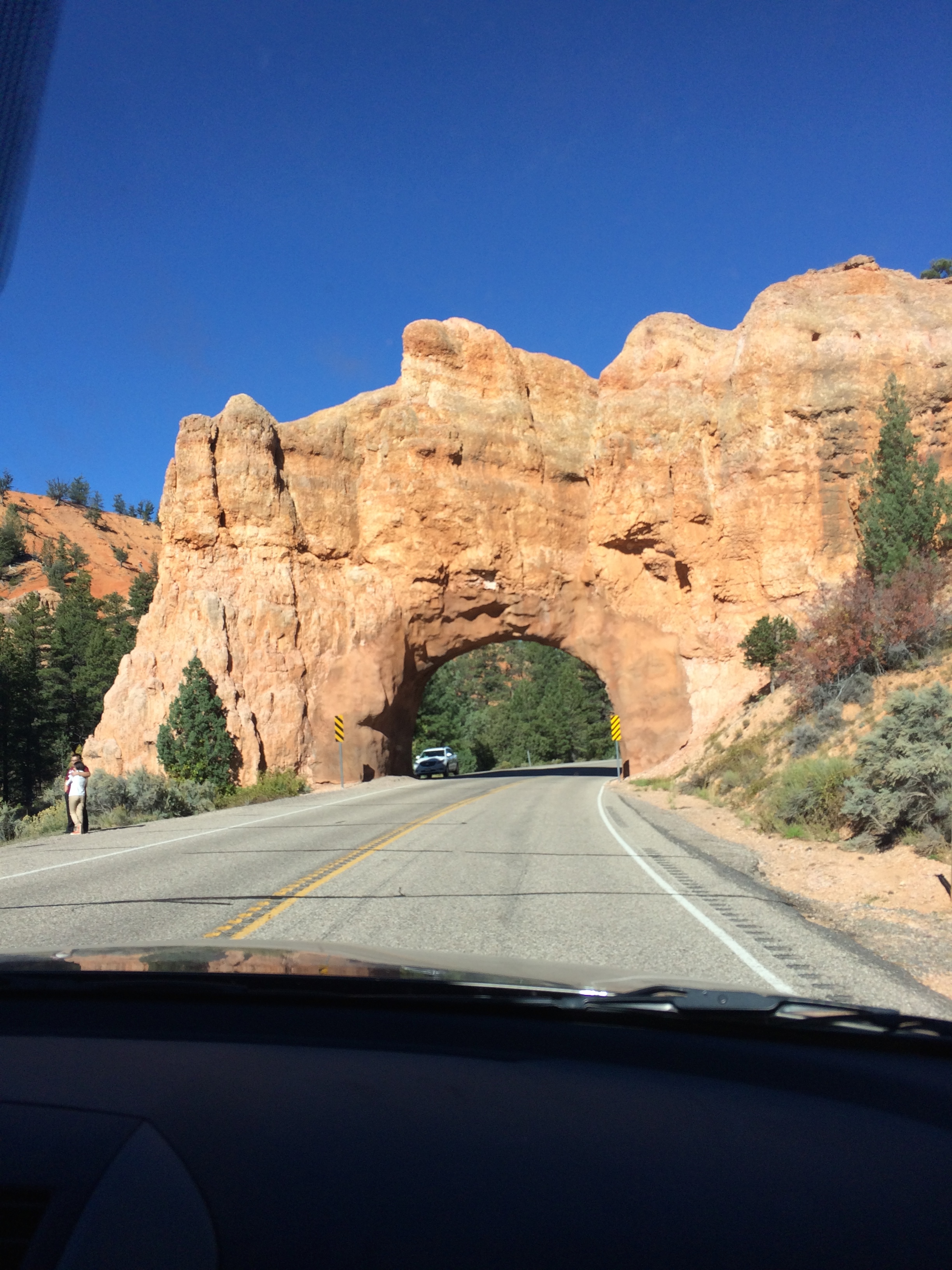
Scromp and Chris got dropped off at the outskirts of Cedar City. Chris found some BLM land in the hills that provided a panoramic view of the city below us.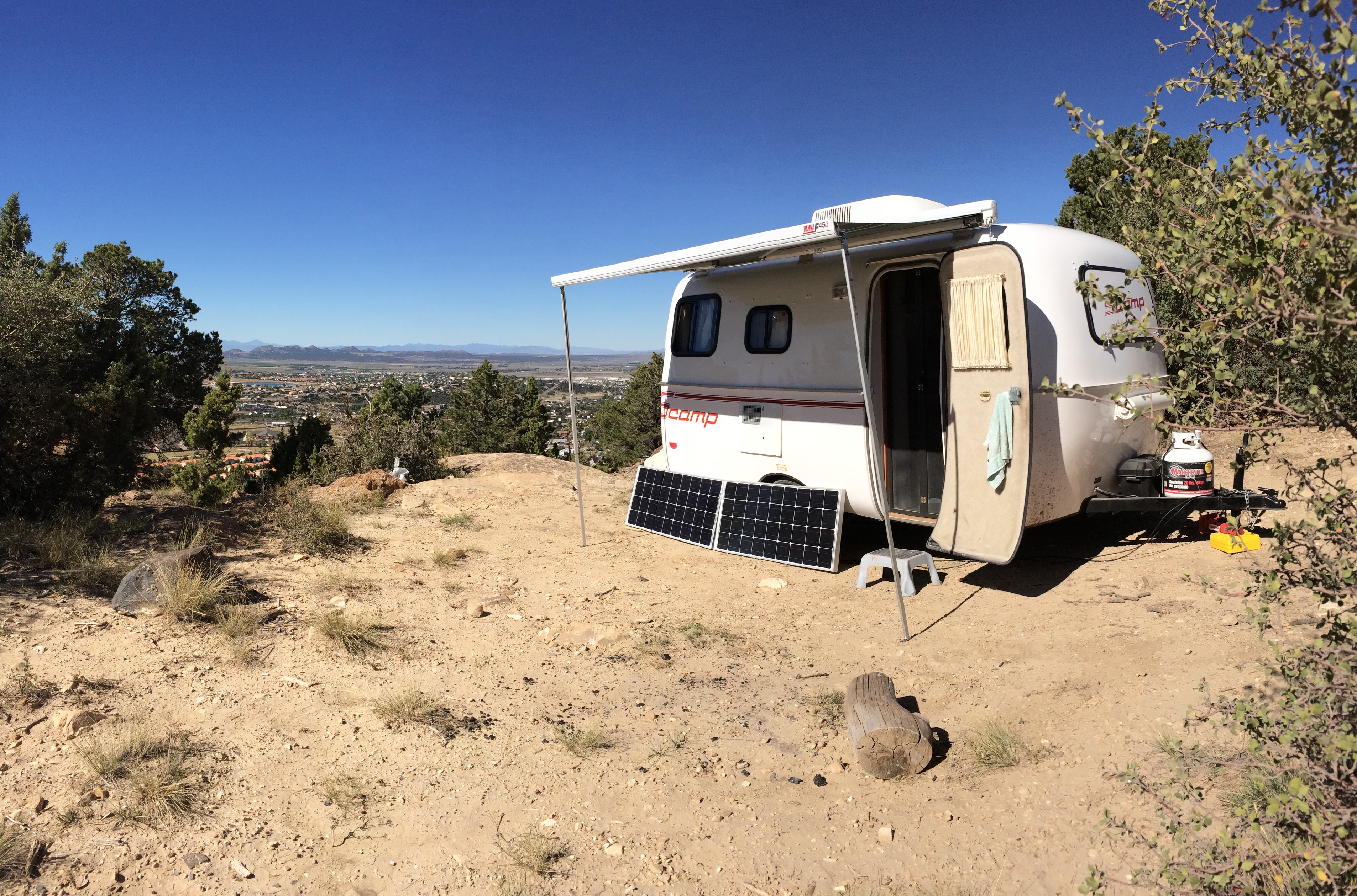
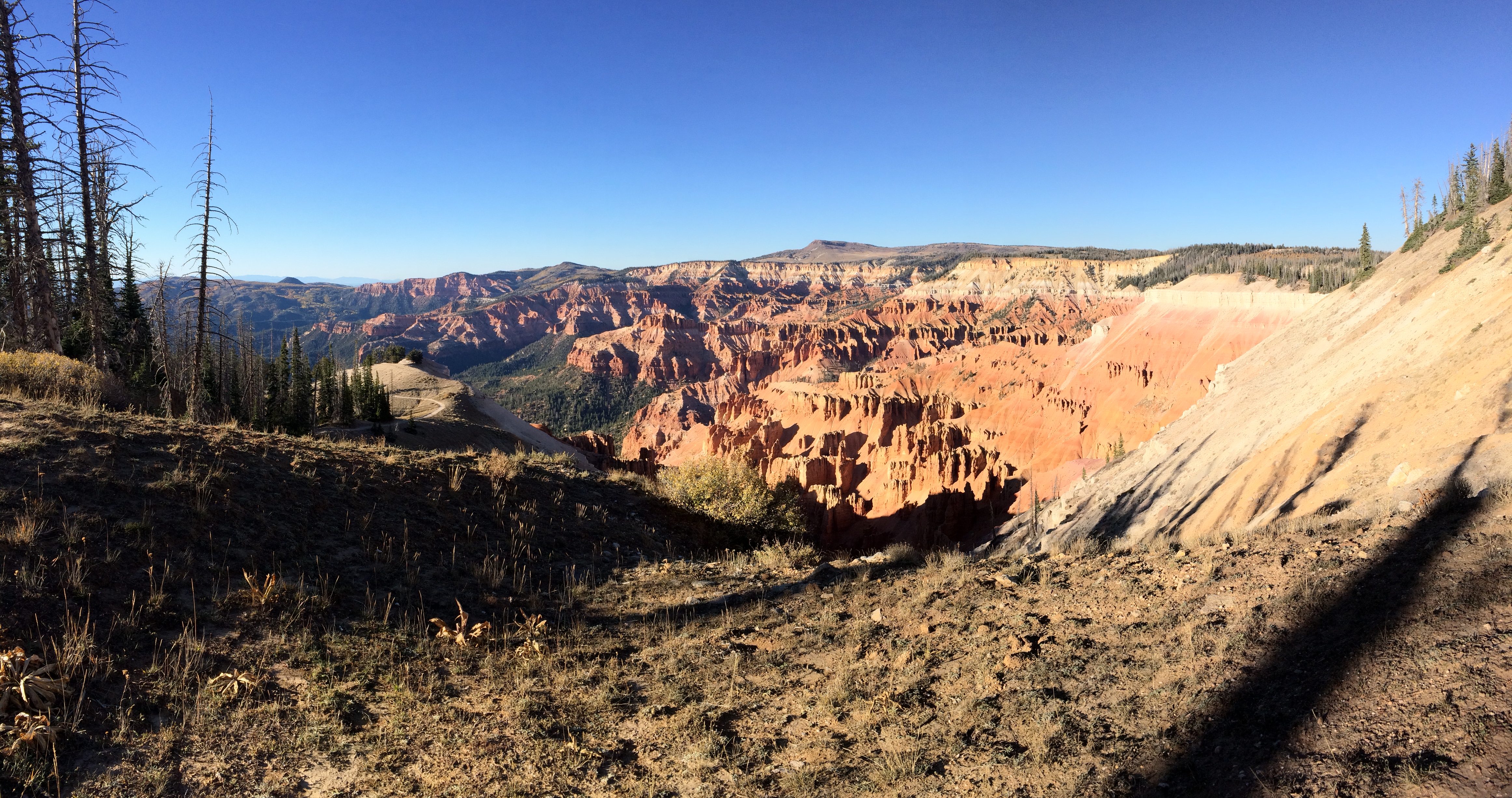
Then I turned around and backtracked up the highway toward Cedar Breaks National Monument, a small park that only receives approximately 600,000 visitors per year. Its remote location, lesser-known name, and the fact it was a Monday afternoon made it a peaceful visit; the practically vacant parking lot ensured that I had the overlooks all to myself. Although the hikes were short and not strenuous, I was surprised to find myself panting harder and feeling more fatigued than usual. Yep, the 10,500 ft. elevation point definitely wore me out!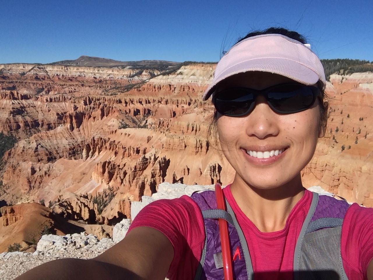
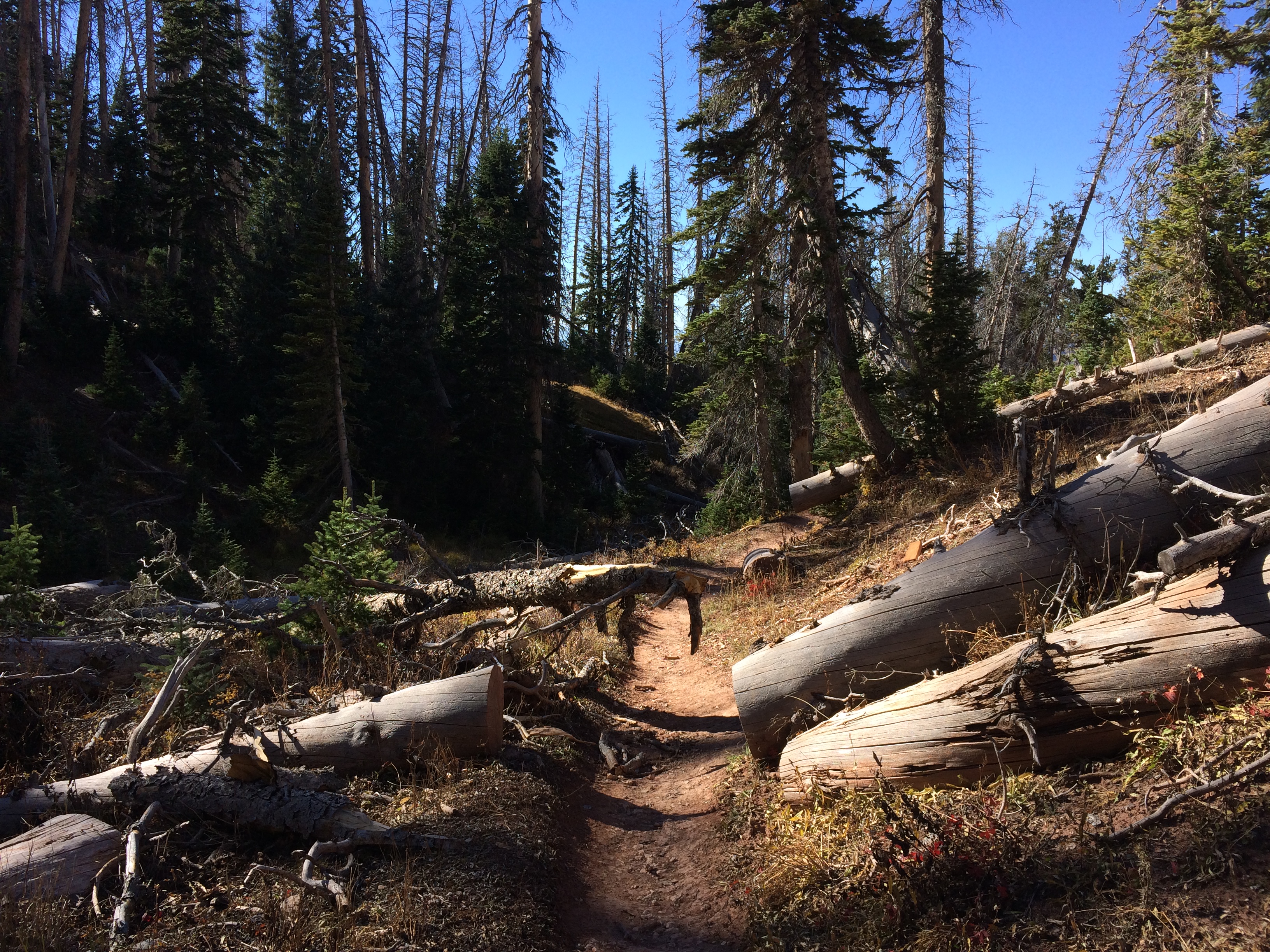
Due to the high elevation, it’s not surprising that a copious amount of trees have been struck by lightning. Fallen trees littered the trails and forests: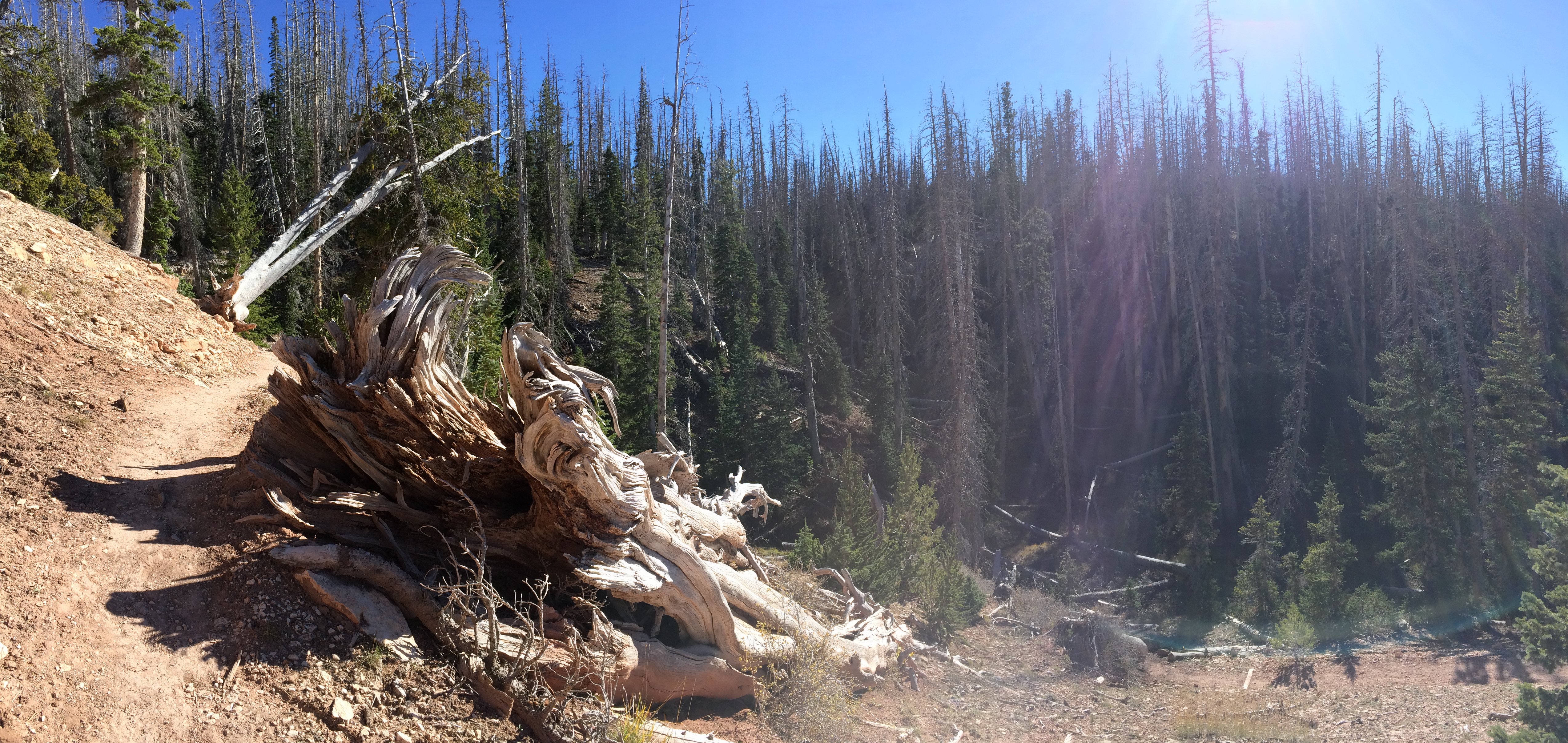
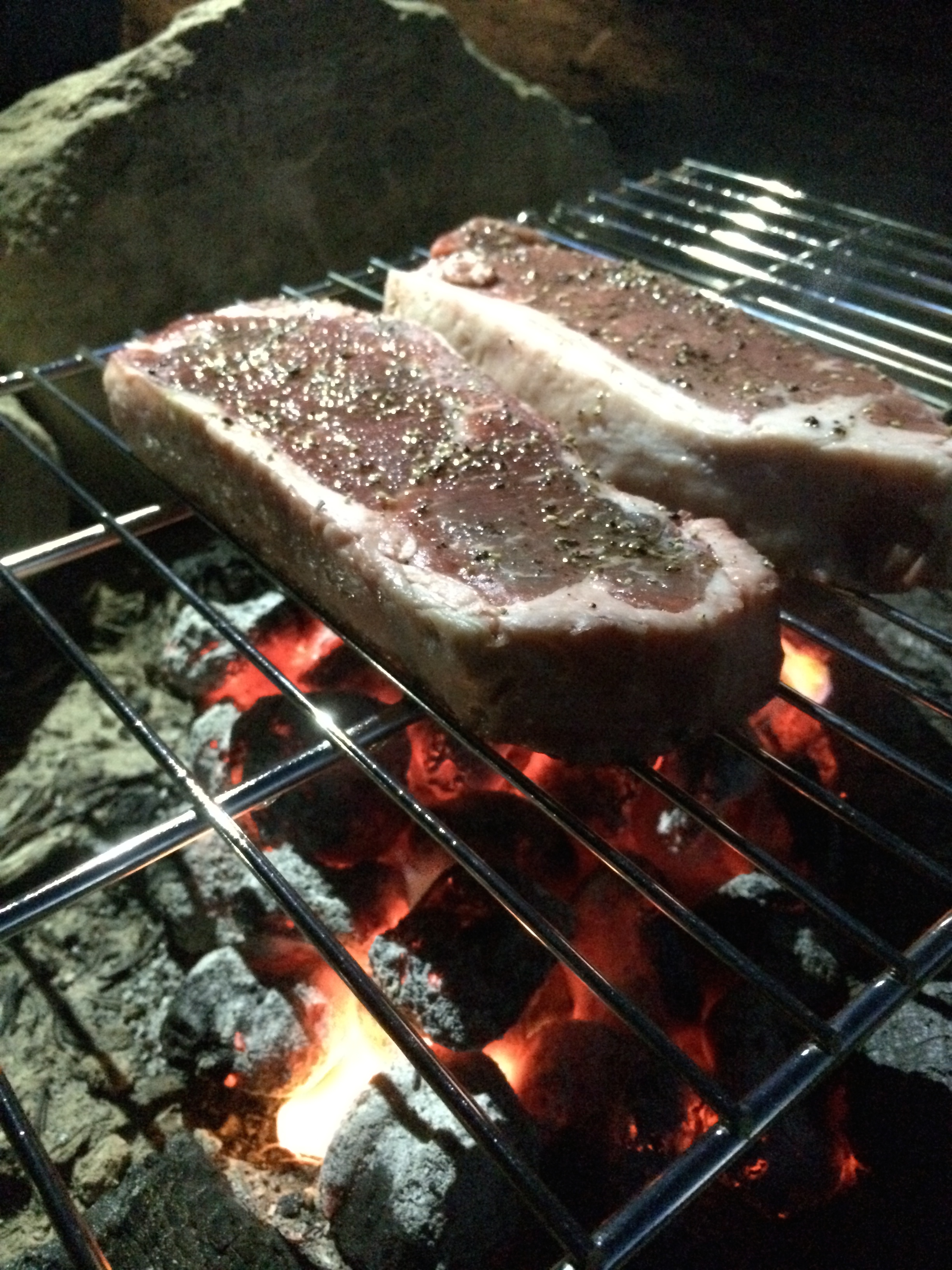
The day ended with a peaceful sunset overlooking Cedar City. We even built a small campfire and grilled some steaks!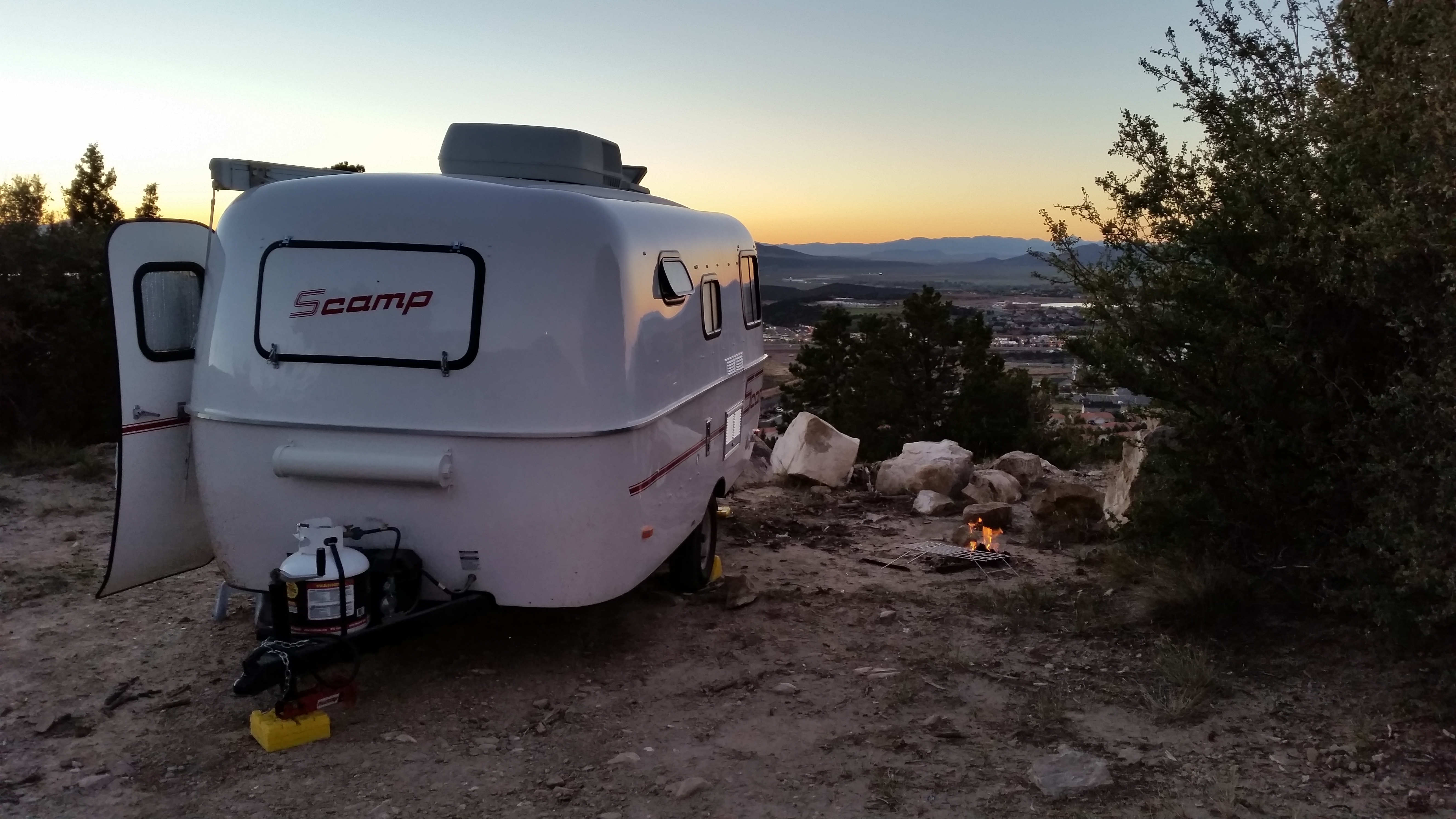
Capitol Reef charmed us with its quaint, historic town and orchards. Bryce wowed us with its magical spires and hoodoos, especially with its dramatic shadows at sunrise. Cedar Breaks filled me with tranquility due to its remoteness and lesser known name. Having been spoiled by these parks’s tranquility, we were curious what was in store for us next at the world famous, tourist-filled Zion National Park.


Thanks for the picture you took especially for me, Jean! Lovely and joyful face with magnificent Bryce National Park at the background. Yes you guys have worked your butt off to enjoy your life this way! Love from Mom. Ngoc Diep Nguyen NTH-NT