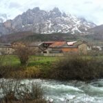
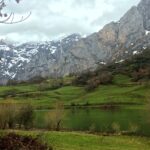
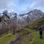
People rave about the national parks of the U.S., Patagonia in South America, the whole country of New Zealand, and the French/Swiss Alps. No one speaks of Picos de Europa, and I don’t know if that’s a good or bad thing. I’m amazed little is known about Spain’s 2nd largest national park, but for now, I’ll assume the unknown is a good thing in order to keep this special place a secret.
Unlike major national parks in the U.S., Picos de Europa does not have a fee booth. As a matter of fact, what makes Picos de Europa so special is the number of villages scattered within the mountains. These are not campsites or refugios, but year-round villages with cafés, restaurants, and lodging. Hikers can literally hike from one village to the next, taking breaks for local sidra (cider), cheese, and chorizo. Most villages have roads, but there are still some villages with only foot trails, making them incredibly remote. No permits or reservations are needed at this park; hiking and camping only requires time and energy, as it should be.
It wasn’t until we crossed the French-Spanish border into San Sebastian that we made the spontaneous decision to visit Picos de Europa. Cities, both large and quaint, had filled our itinerary the past 1.5 months of road tripping, and the need for fresh air, snow-dusted mountains, and lush woods was strong. Although weeks could be spent backpacking the circuits and stopping in and out of the mountainside villages, we only had a couple days in the park before heavy rainfall could arrive. We ended up hiking the park’s famous Cares Route (an extended version of it which I’ll explain later), and the trail to the village of Bulnes. Because it was early spring, the Fuente De cable car wasn’t running regularly, so riding up/hiking down wasn’t an option. Another popular option was the trail around Lagos Covadonga, but again, we were limited by time and rain. No doubt, our time in the Picos de Europa was brief, but it was time well spent in Spain.
Our first stop before entering the park was majestic Riaño, a small community perched on a tiny peninsula between merging rivers.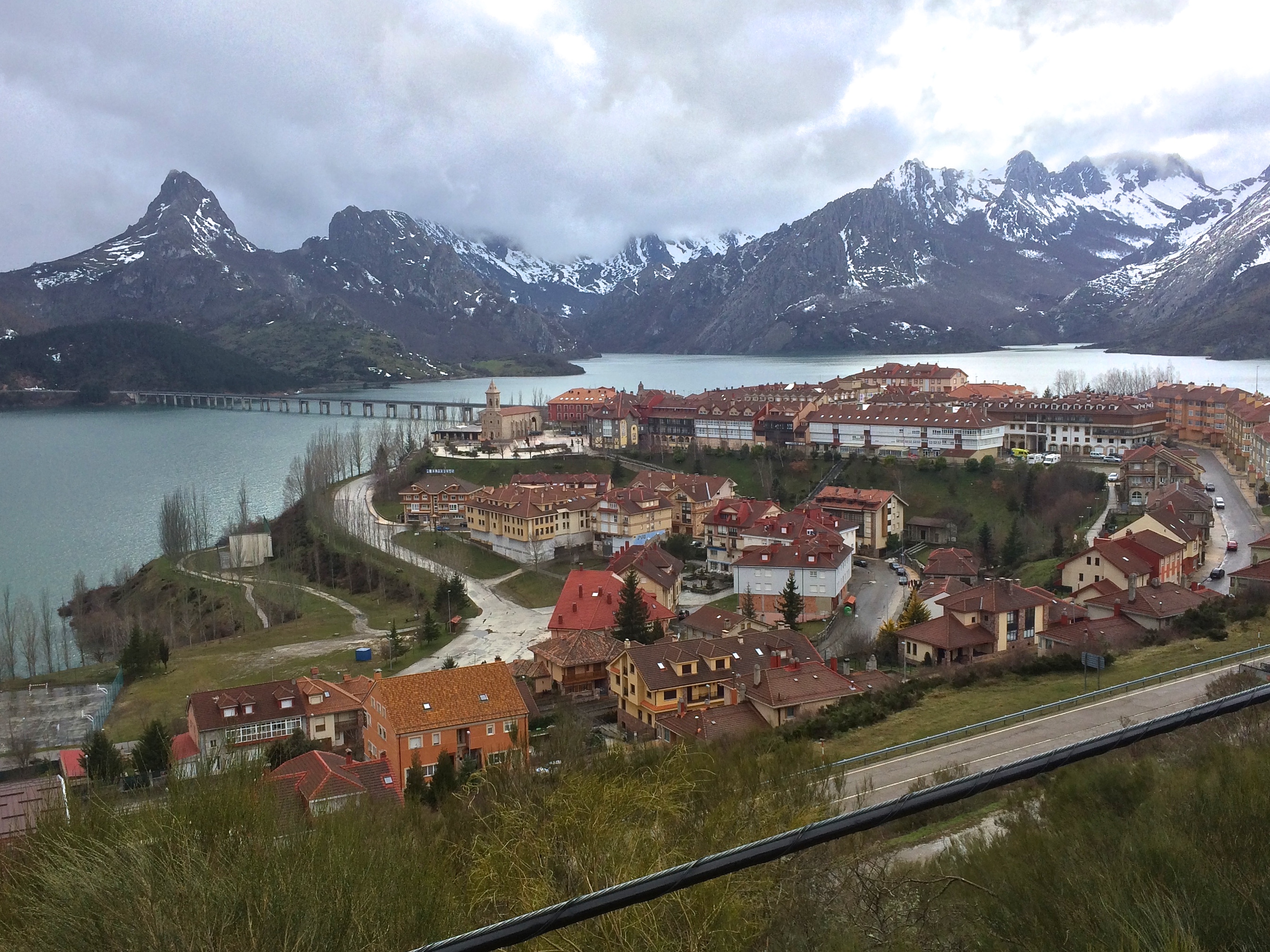
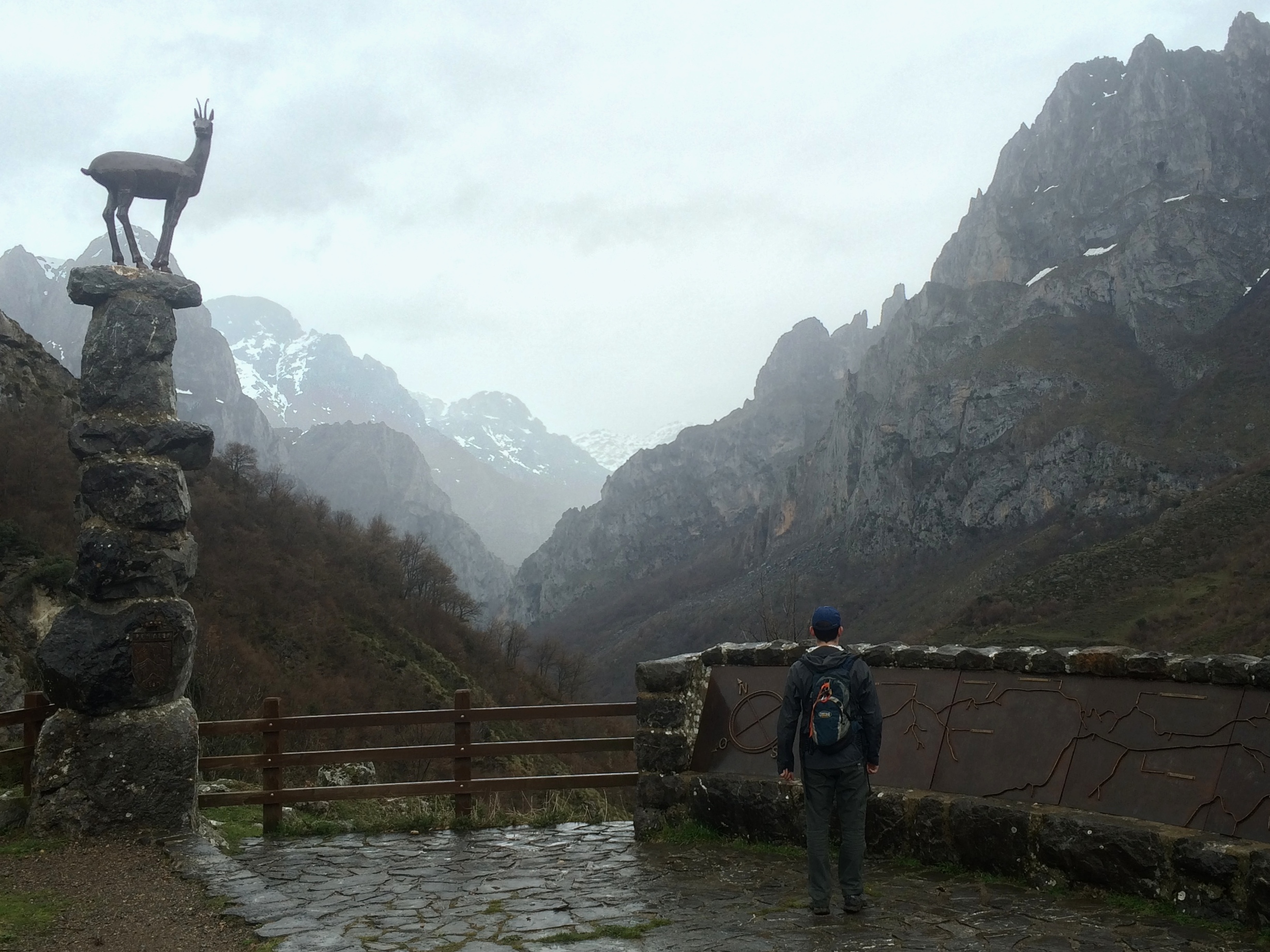
After a brief stop, we continued our way into the park, pulling over for epic viewpoints.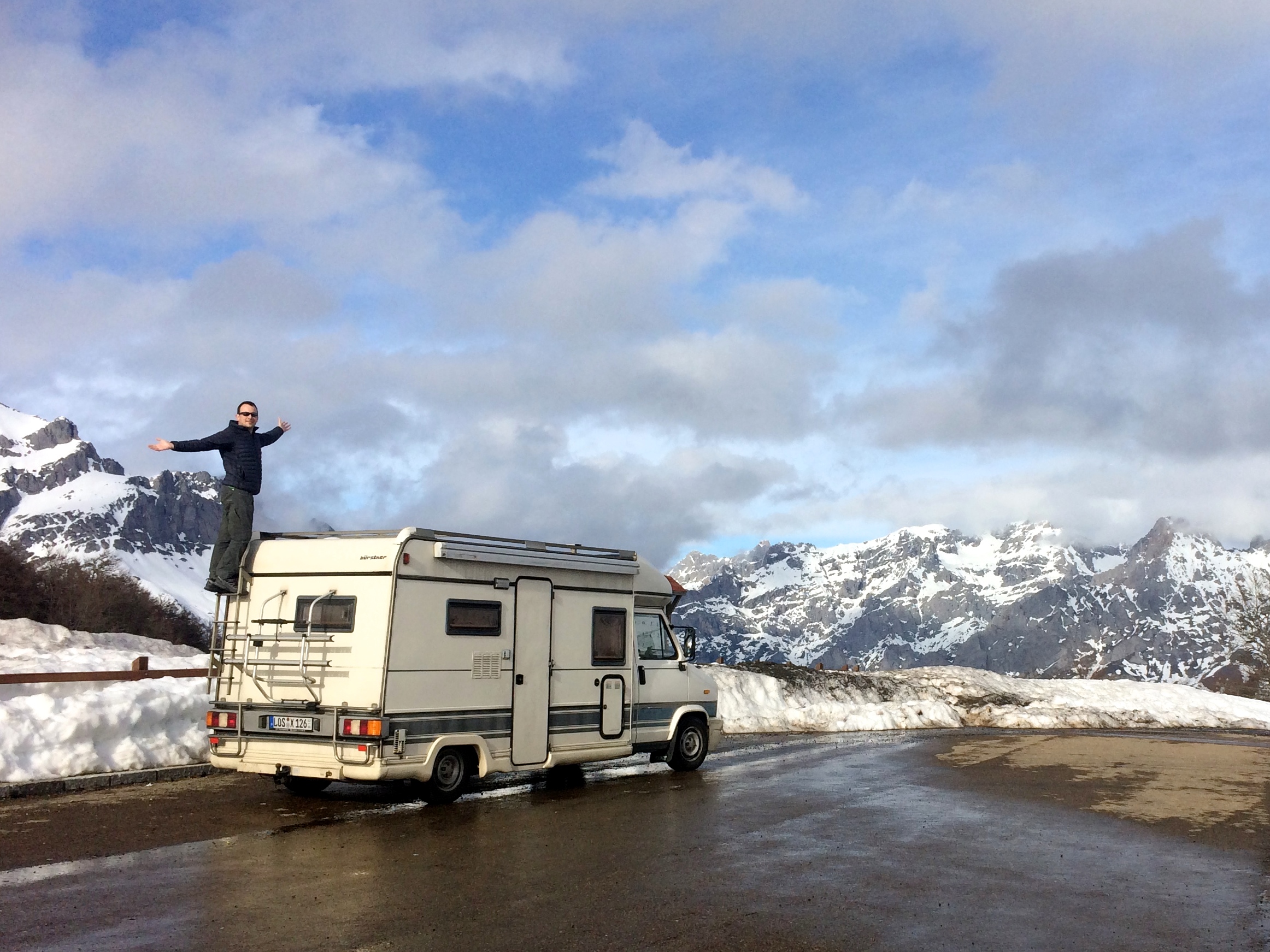
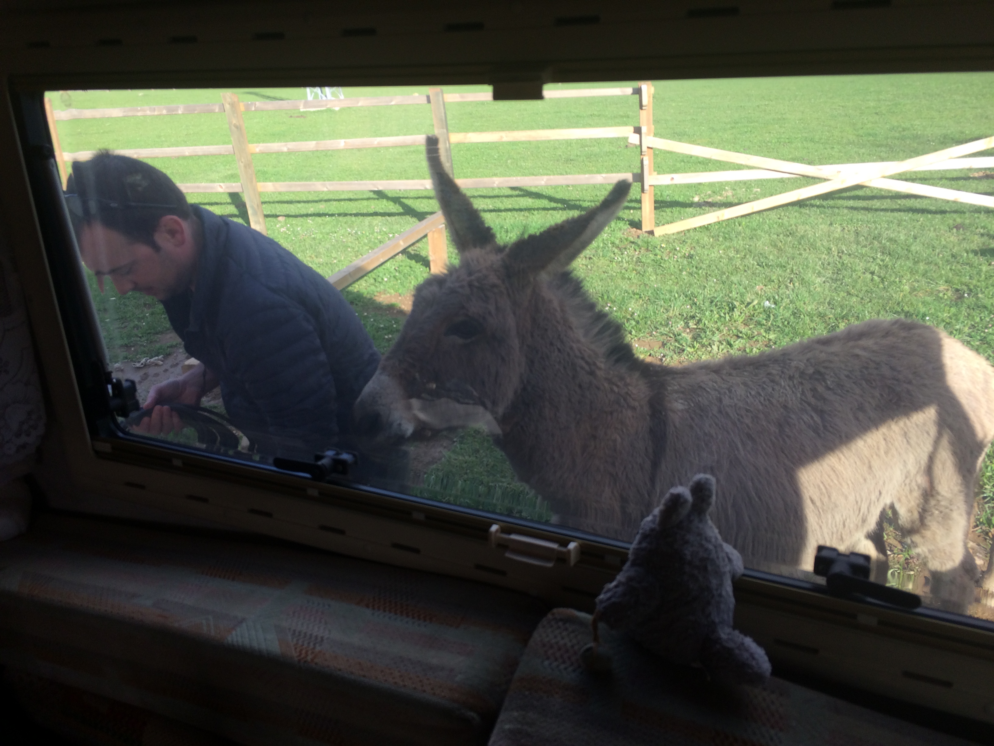
Our final destination for the day was the town of Posada because it was the only town in the entire park that actually had a motorhome facility. For €8/night, we had electricity, water, dump, bathroom, and a lingering mule. And best of all, we had the whole place to ourselves. Yay, spring time!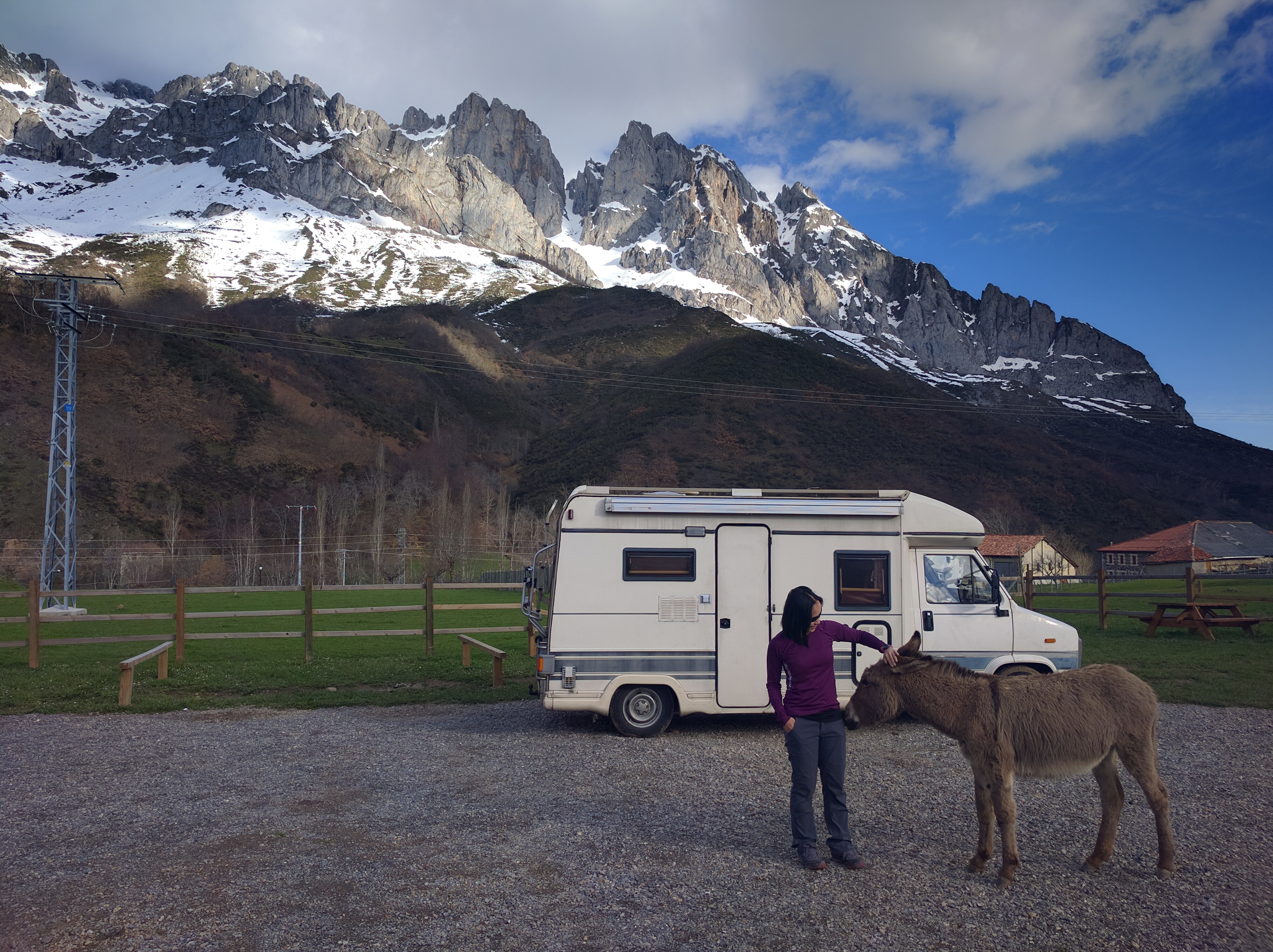
The next morning we set out on a long hike along the Cares River. This is where I fudged the logistics. I read that the 25-km round-trip hike would take 6-8 hours. Well, it would have taken that long had we started our hike in the village of Cain or Poncebos. We started our hike from Posada (much further south) which tacked on an additional 20 kilometers round-trip! There was no way we could have driven the RV from Posada to Cain—the road was too steep (20% grades), and had only a single lane. Had I gotten my facts straight before the hike, we probably wouldn’t have started hiking at 10am. Oops.
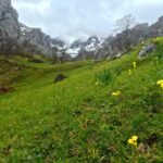
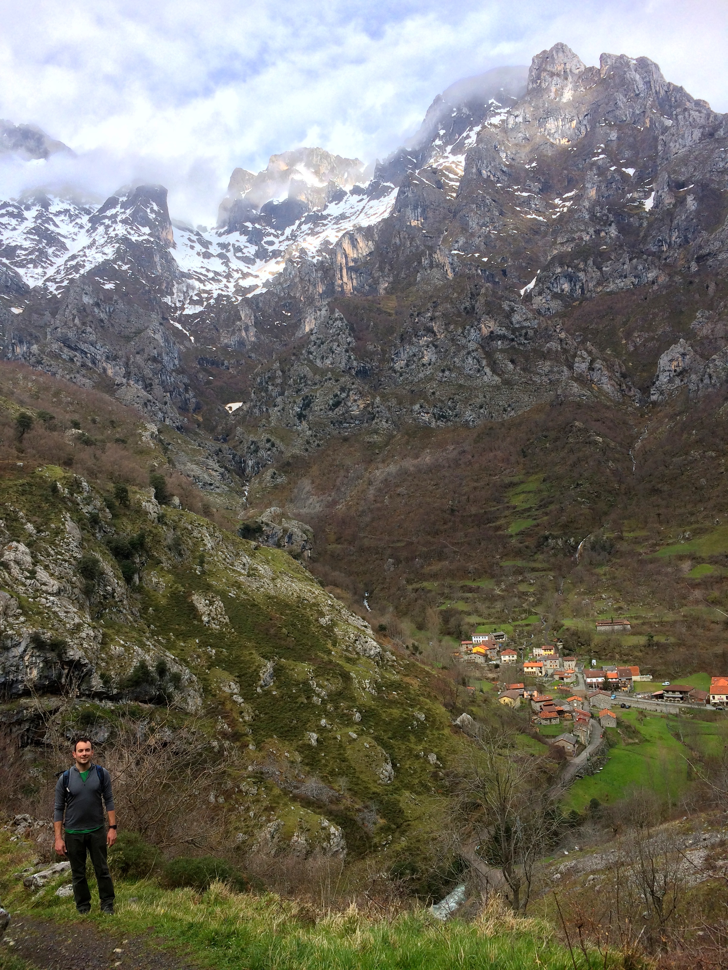
Because most people hike the Cares Route between Cain and Poncebos, we had the entire lush green trail from Posada to Cain all to ourselves. Fresh spring rain and snowmelt meant gushing waterfalls, bright green grass, and fields of blooming flowers. It was quite the contrast of the main rocky Cares Route.
Posada:
Mirador del Tombo:
Mountains and fresh fields:
Looking down at Cain:
A mercado in Cain where we stocked up on snacks: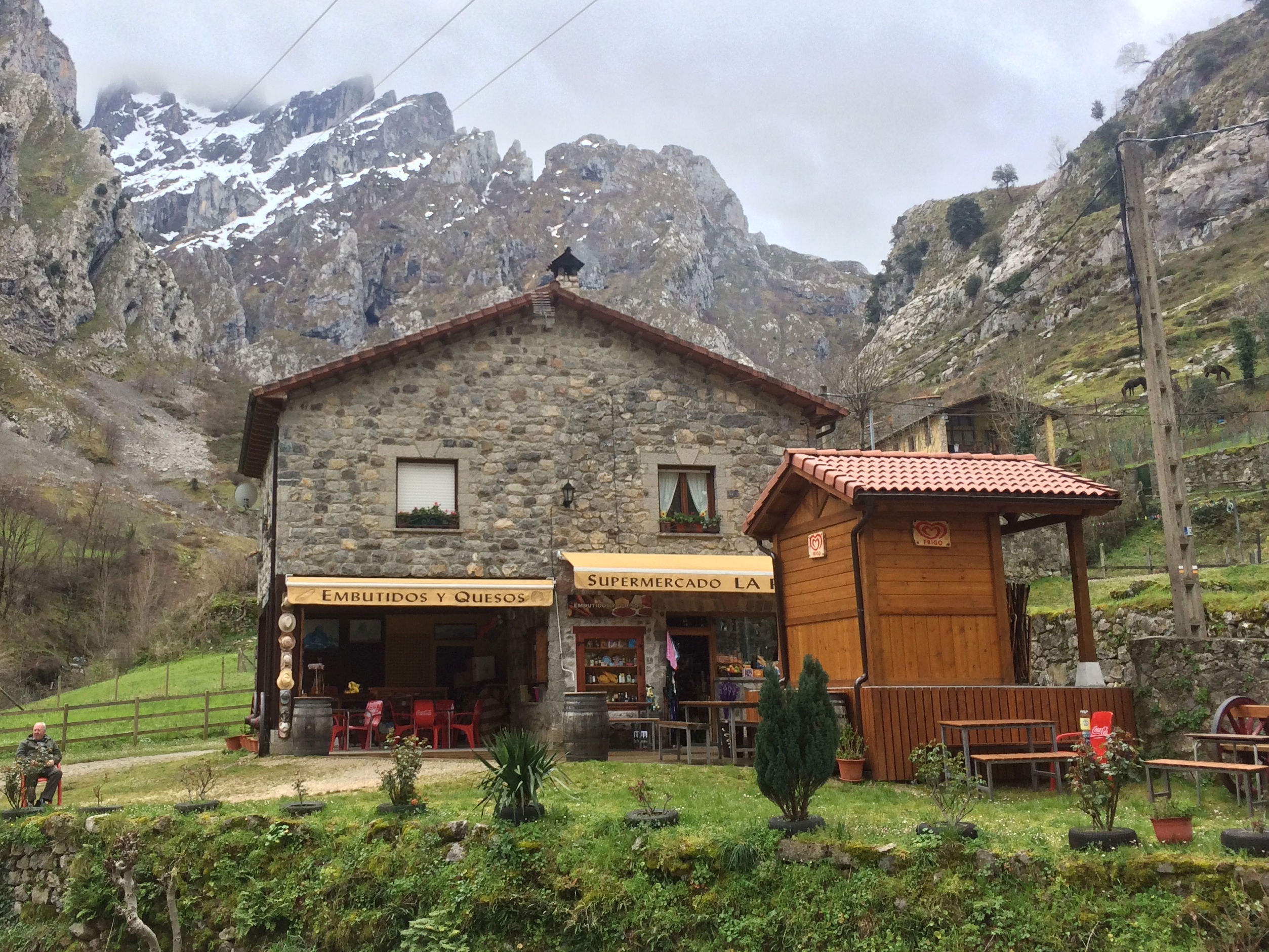
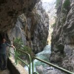
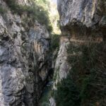
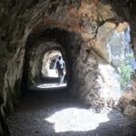
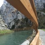
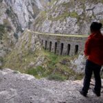
It became evident in Cain that people began their hike there rather than Posada. Hikers drove past us and parked in the village and followed signs for the Cares Route. This route literally carves a path between Cain and Poncebos, and at one point was the only way to travel between the two villages in the winter. Originally constructed for a hydroelectric sluiceway, the path is only several feet wide but hundreds and at times a thousand feet high above the river. The trail takes hikers through carved-out tunnels, zig-zags along the bends of the rocky slopes, and promises seemingly endless views of the trail. Waterfalls and the coursing river could be heard during most of the hike. And luckily for us, since we were hiking on a weekday in the spring, we only saw a couple dozen other hikers instead of the hundreds of hikers the summer typically sees.
The Cares River and tunnels hugging the gorge:
Perhaps the most photogenic tunnel: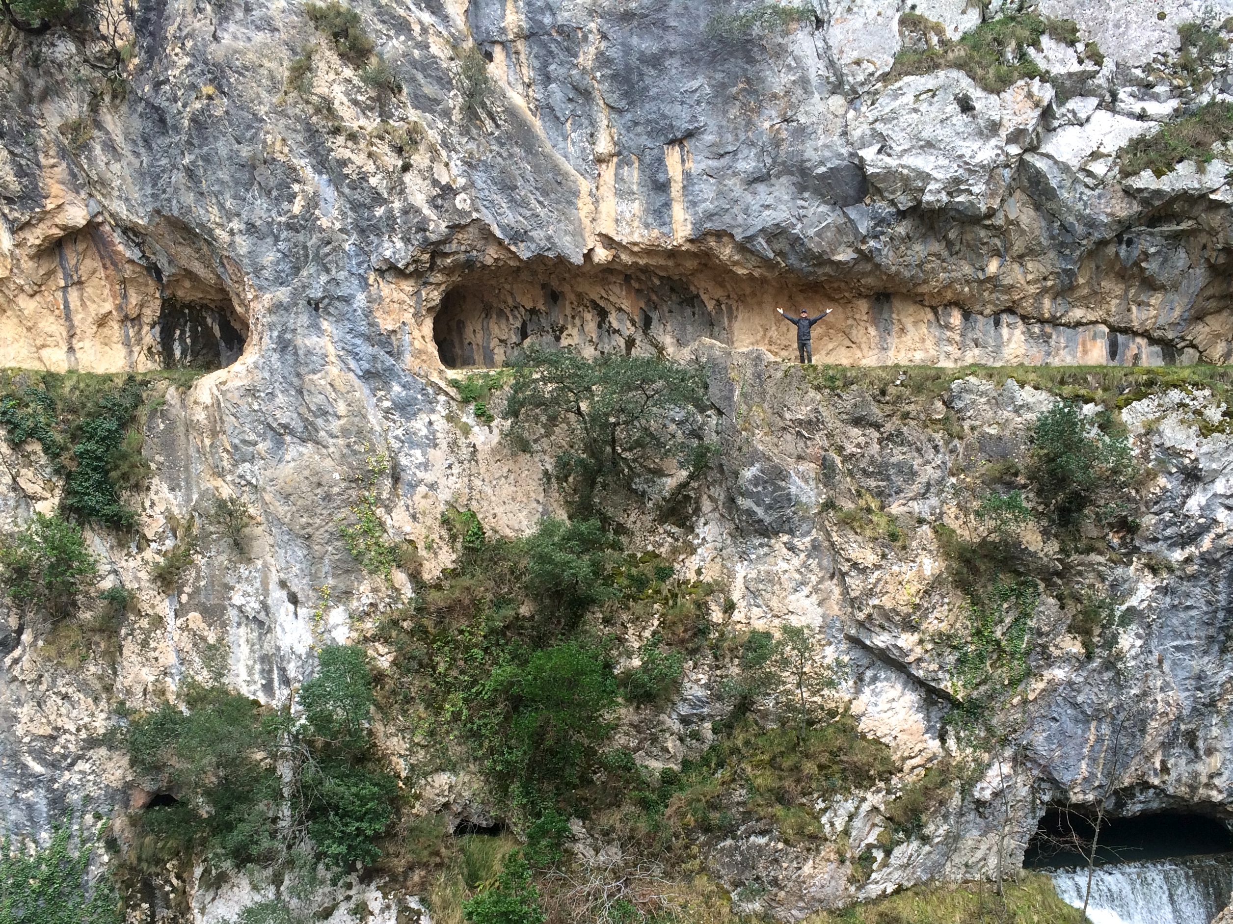
A single rock-arch on the trail: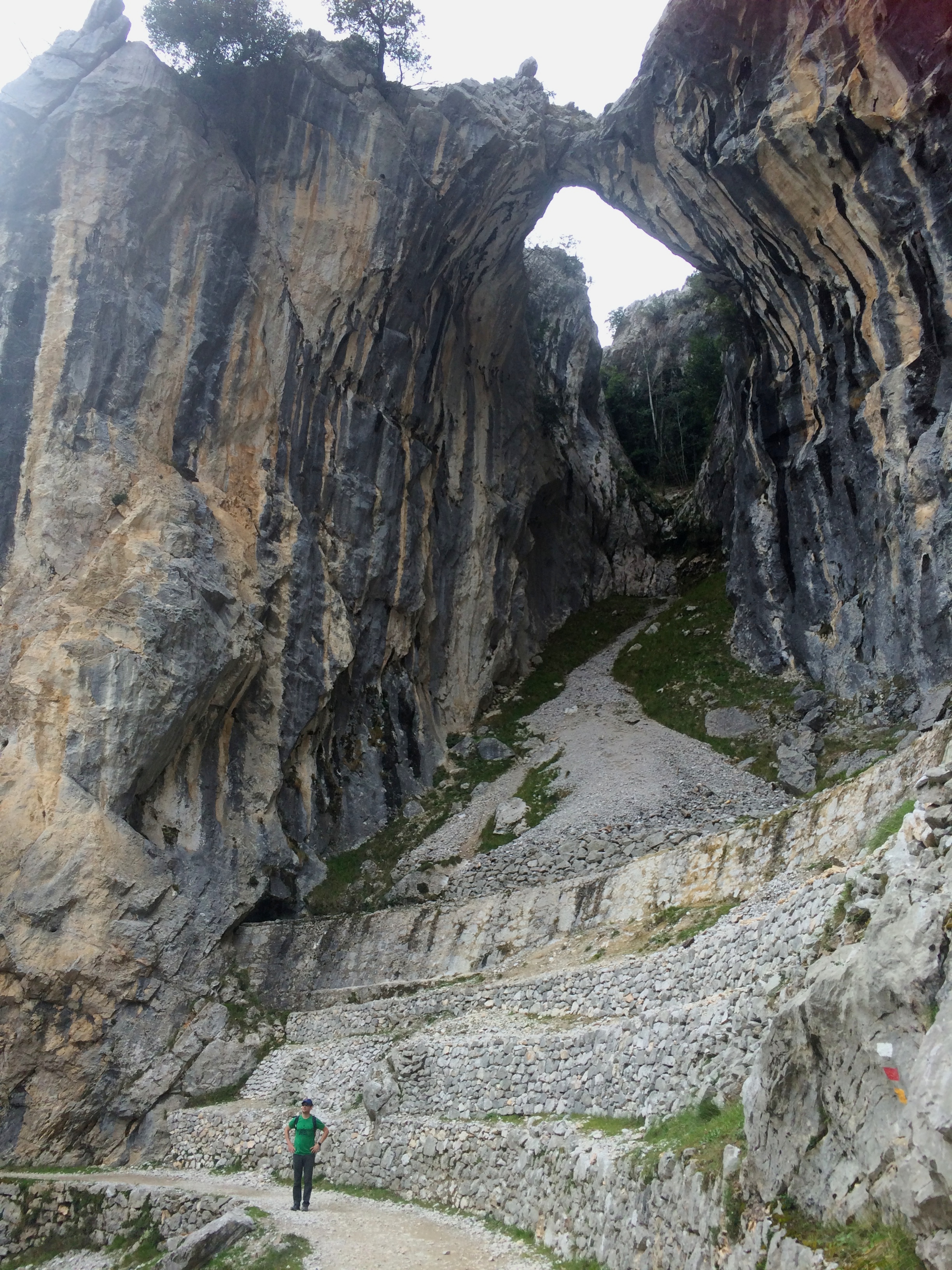
The hydroelectric sluiceway:
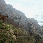
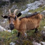
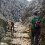
Wild goats everywhere!!!
Epic views down the gorge: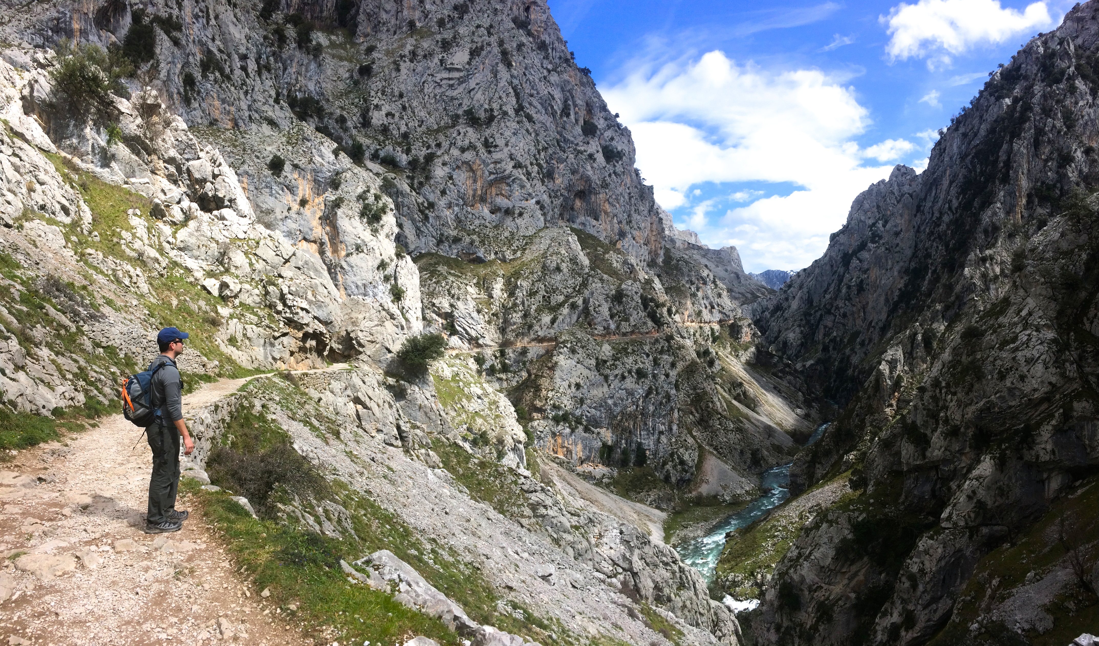
Poncebos Bridge, the turn-around point: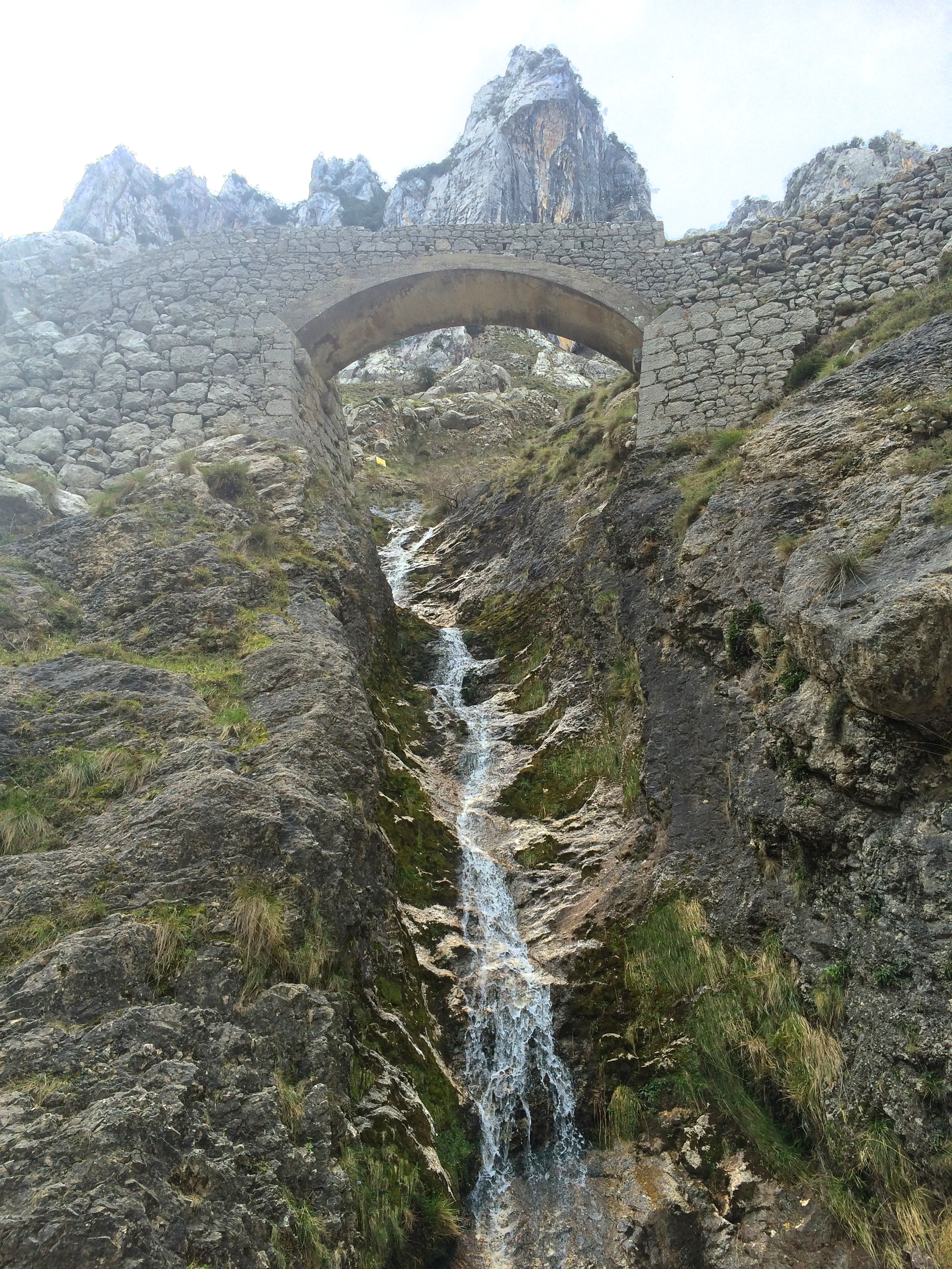
During the return hike we contemplated the remaining time and distance. Best case scenario we find a ride from Cain to Posada, saving us a painfully steep 10k walk. Worse case scenario we walk the 10k back to Posada, which would make the overall hike 45 km and we’d return past 9pm, definitely after dark. We knew we were capable of doing it. It would just suck. Well, long story short, we made it back to Cain, and scarfed down bread, cheese, and ham. There was literally no one in town, so we begrudgingly headed back to Posada. Exhausted, we trudged up the steep hills, practically all the way back until the last 2 or 3 kilometers until I spotted headlights coming our way. A nice couple gave us a ride back to Posada (they were spending the night there anyway), sparing our legs another 30 minutes of uphill walking. Needless to say, we were beat.
You’d probably be surprised that we hiked some more the following day. The day was too beautiful not to!
We drove deeper into the park, where hairpin turns and cliffs granted gorgeous views.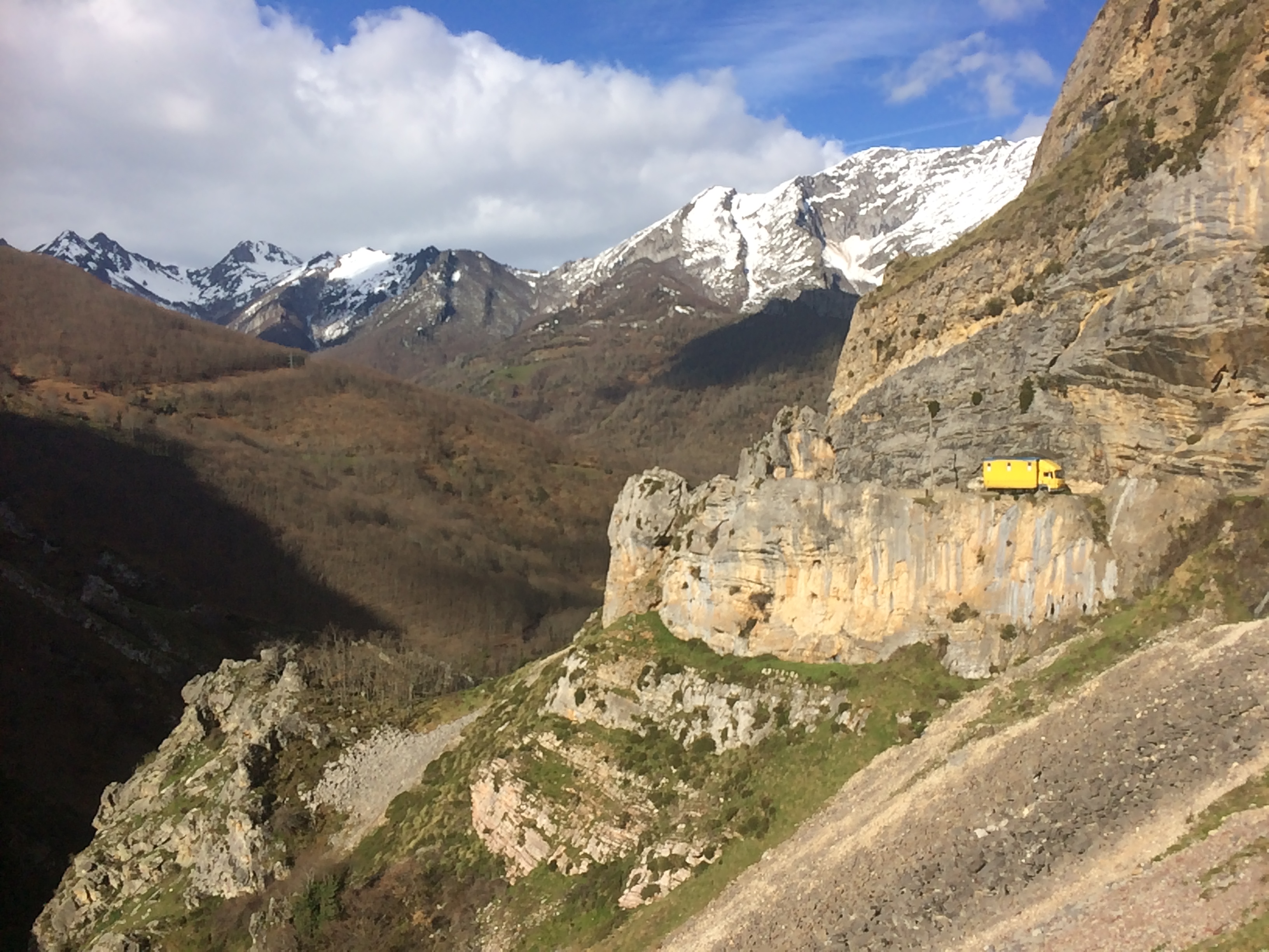
My favorite view of the park’s majestic limestone massifs was from the Mirador del pozu la oracion, not far from the town of Poo (yes, Poo):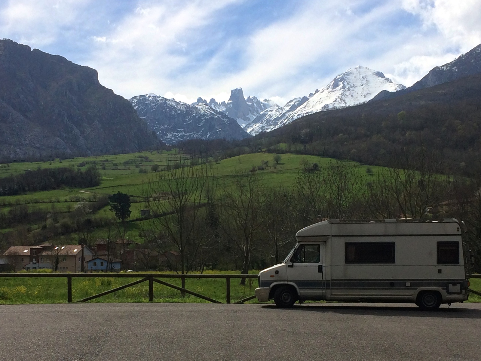
We parked at Poncebos (ha, we had hiked there the day before!) for the Bulnes trailhead. This entire trail was a steady, rocky climb to the remote mountainside village of Bulnes. Until 2001 when a funicular was built into the mountain to funnel up and down visitors, the only way to Bulnes was by trail via foot or donkey. Hikers typically skip the funicular (which is an expensive ~€20 ride) and walk the trail. It took us exactly an hour to reach Bulnes, a village with a population of about 20 people. We passed probably about a half dozen people on the trail, but the restaurant in town was bustling with energy. Most people that day had ridden up the funicular—good economy for perhaps the most remote village in Spain.
Crossing the river at the start of the trail: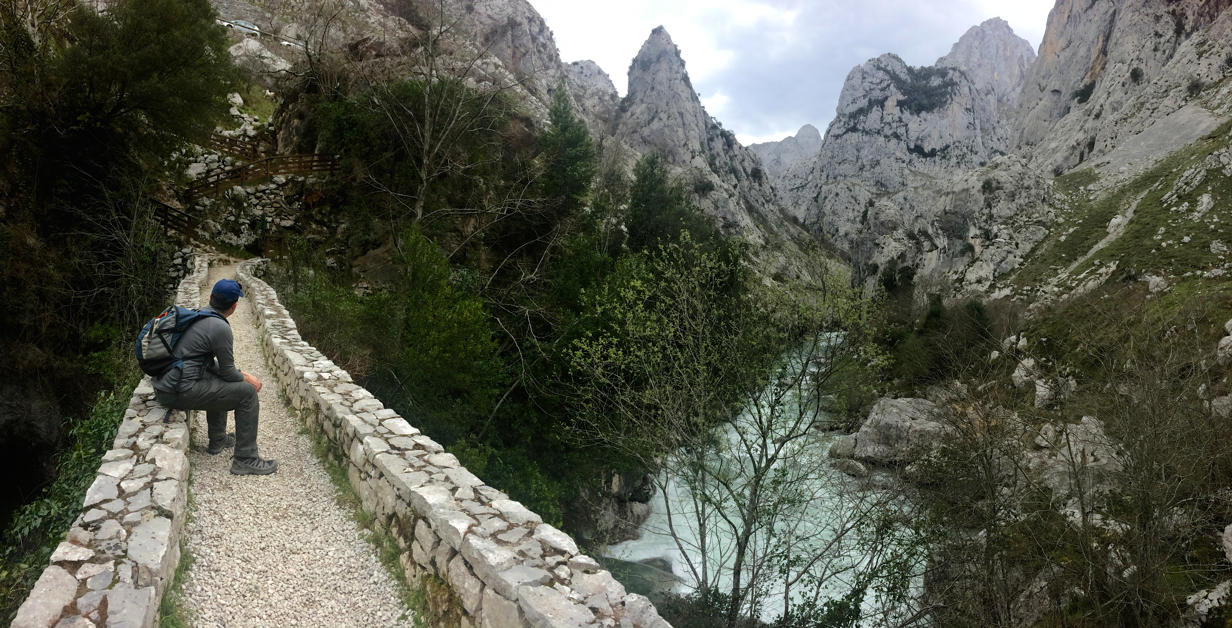
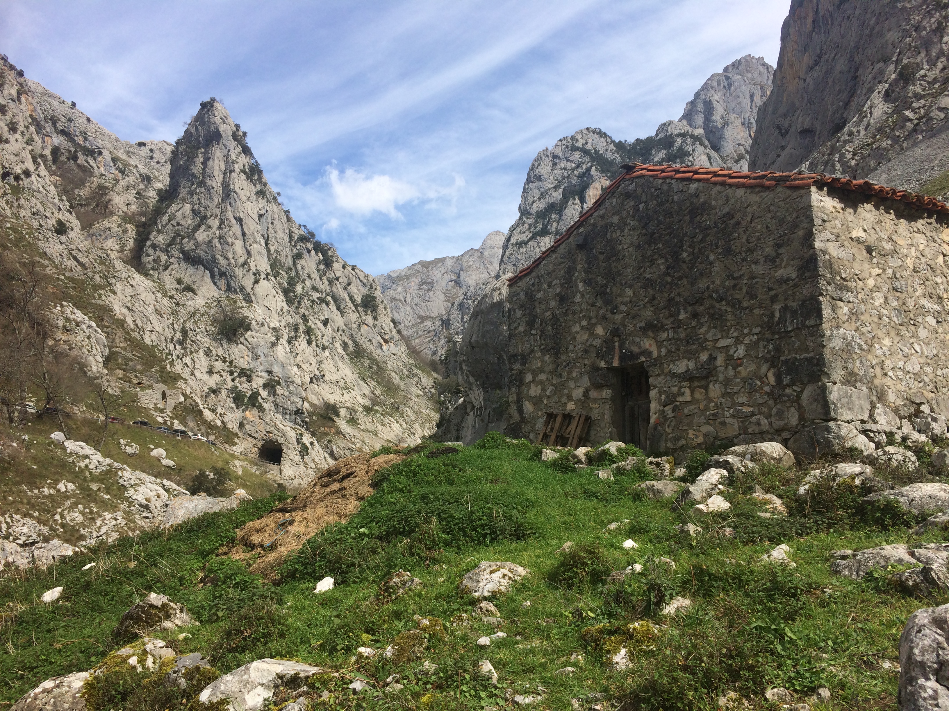
Looking back down at the valley: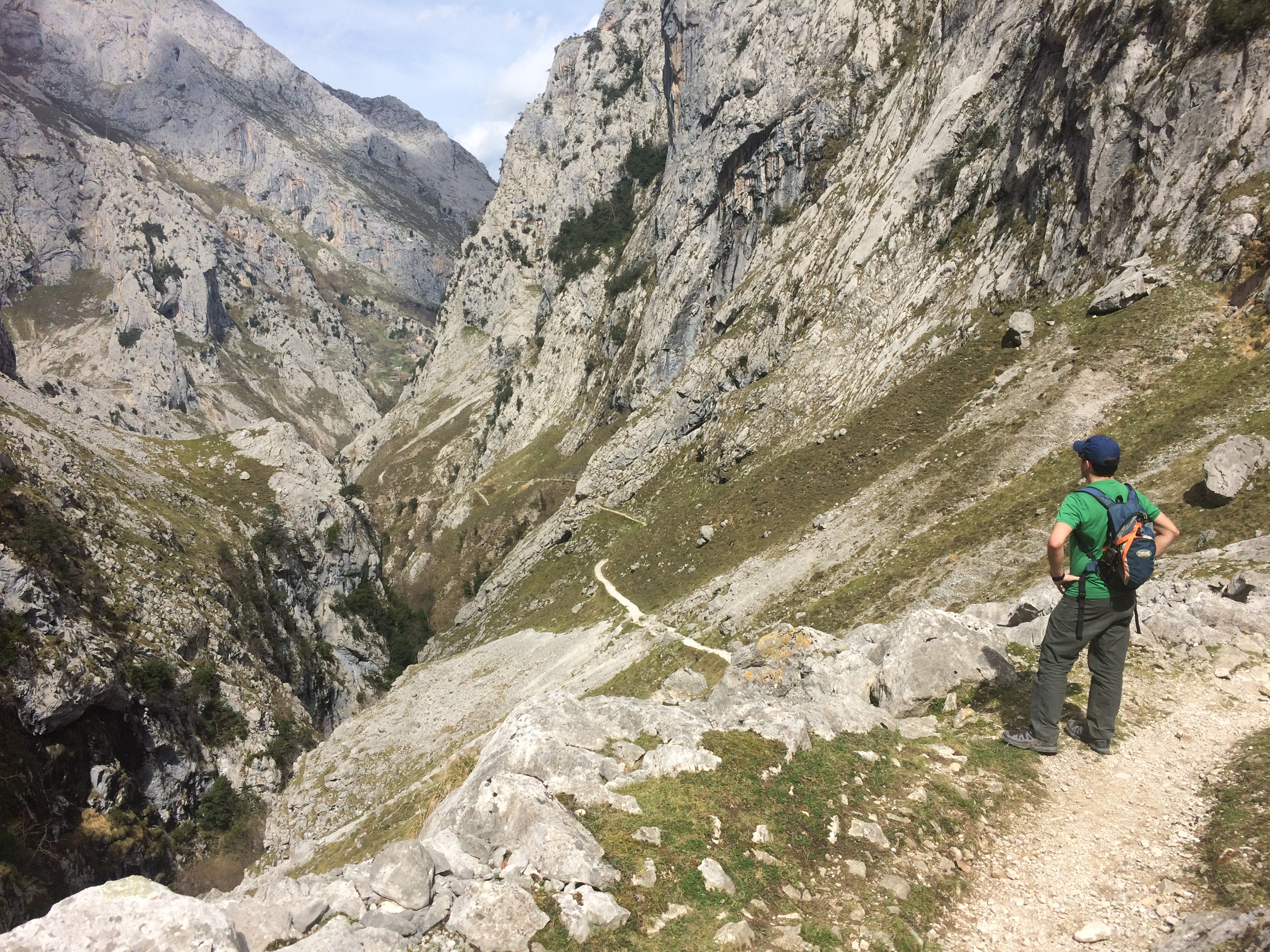
Lots of goats there too: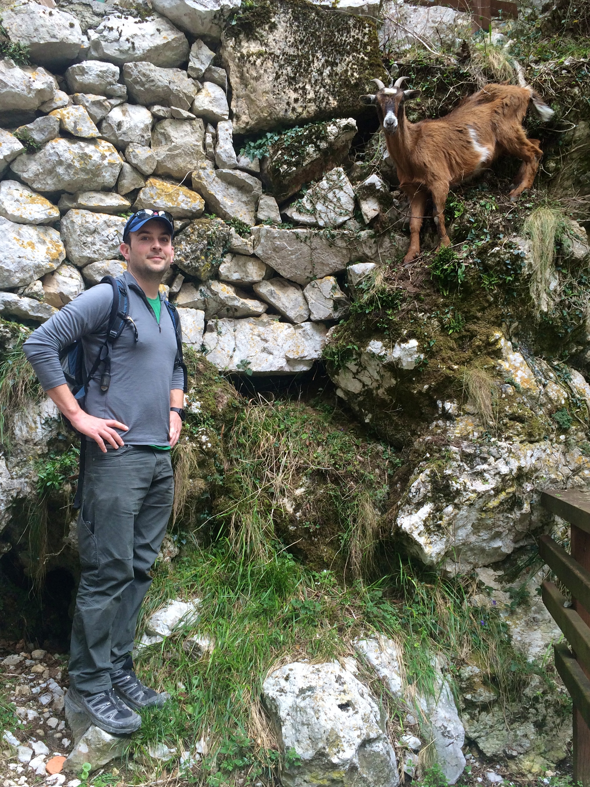
Bulnes:
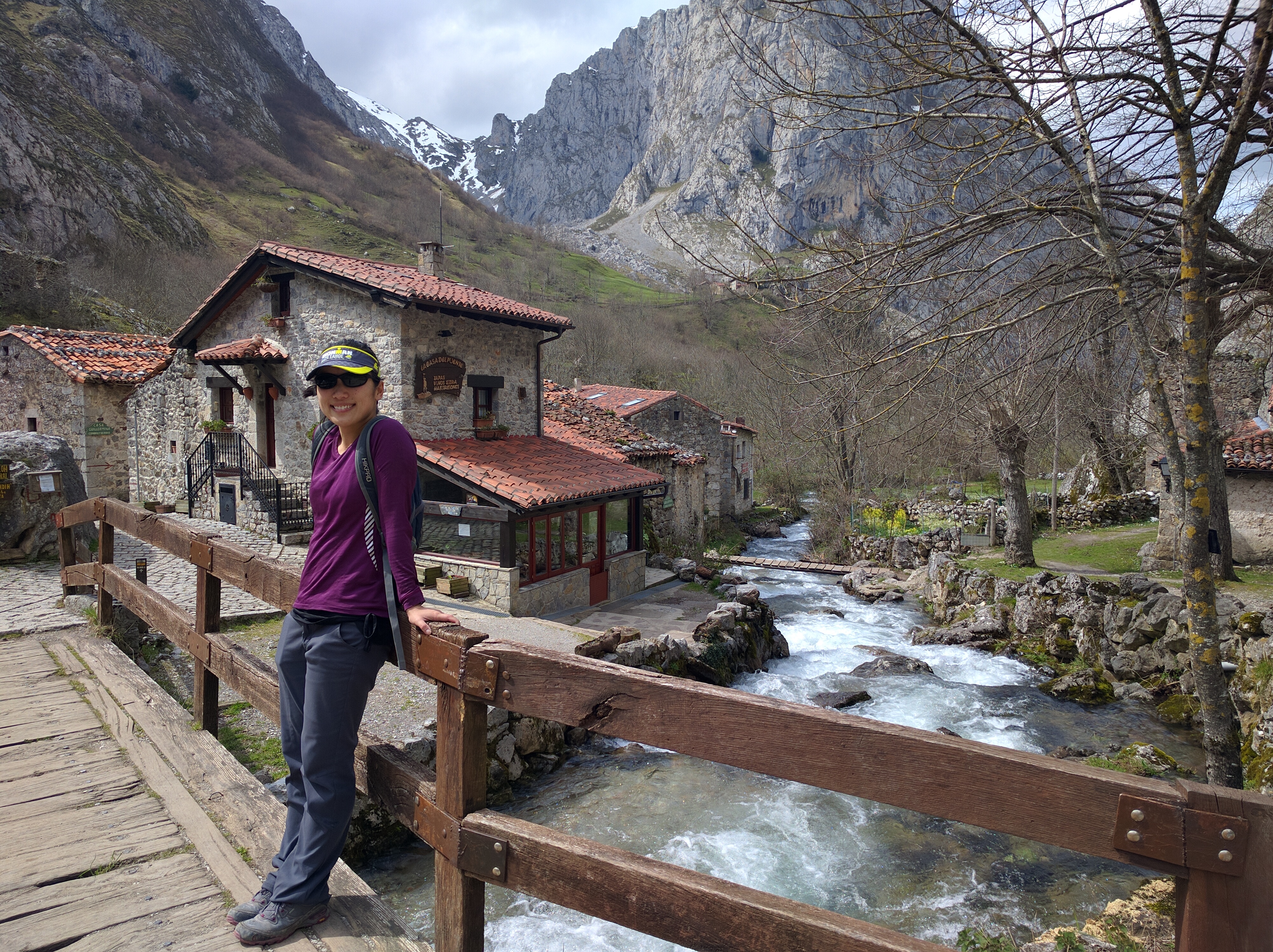
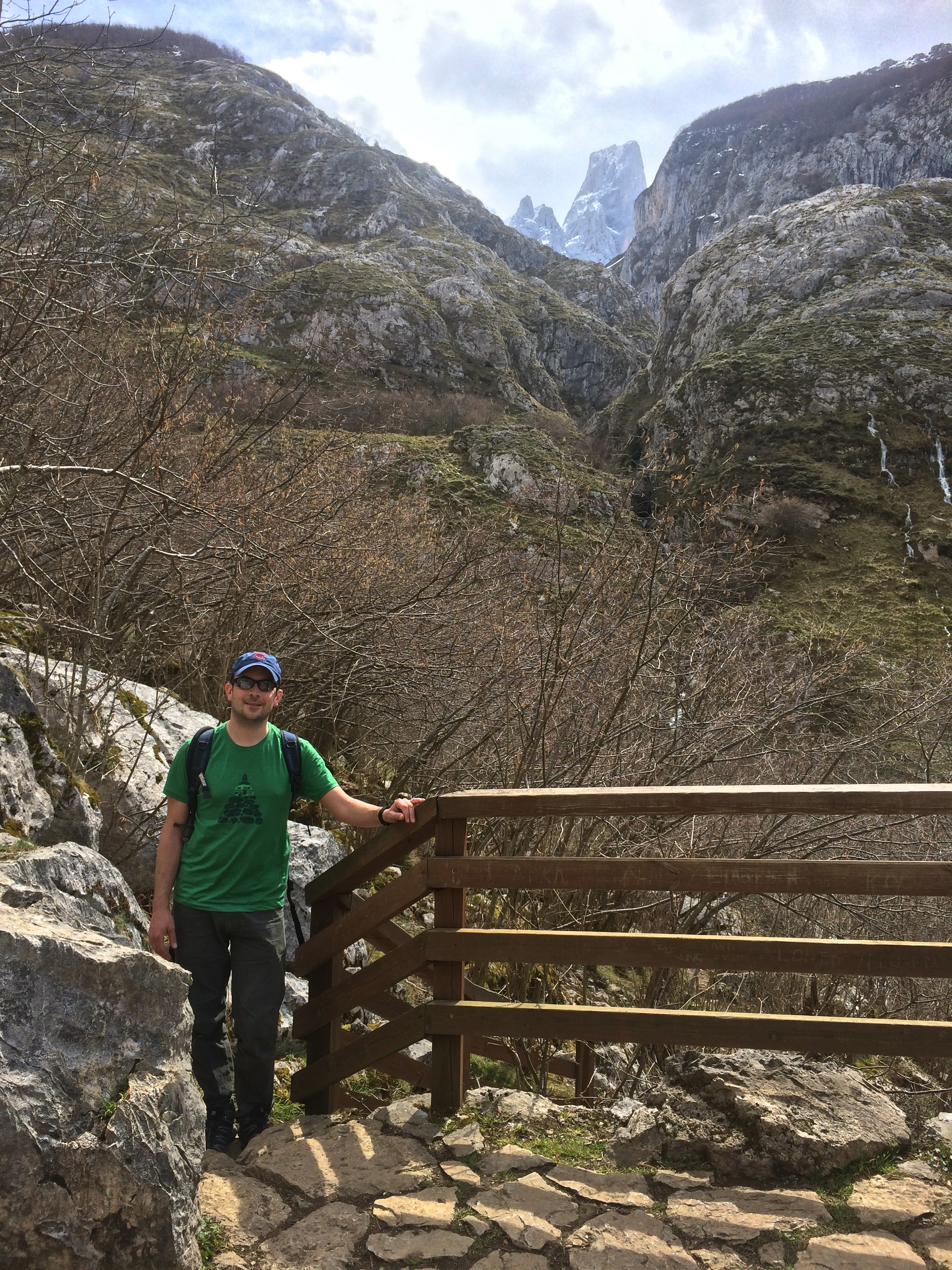
From a mirador in Bulnes, a view of Pico Uriellu, aka Naranjo de Bulnes, the park’s highest peak:
Looking down at Bulnes from the mirador: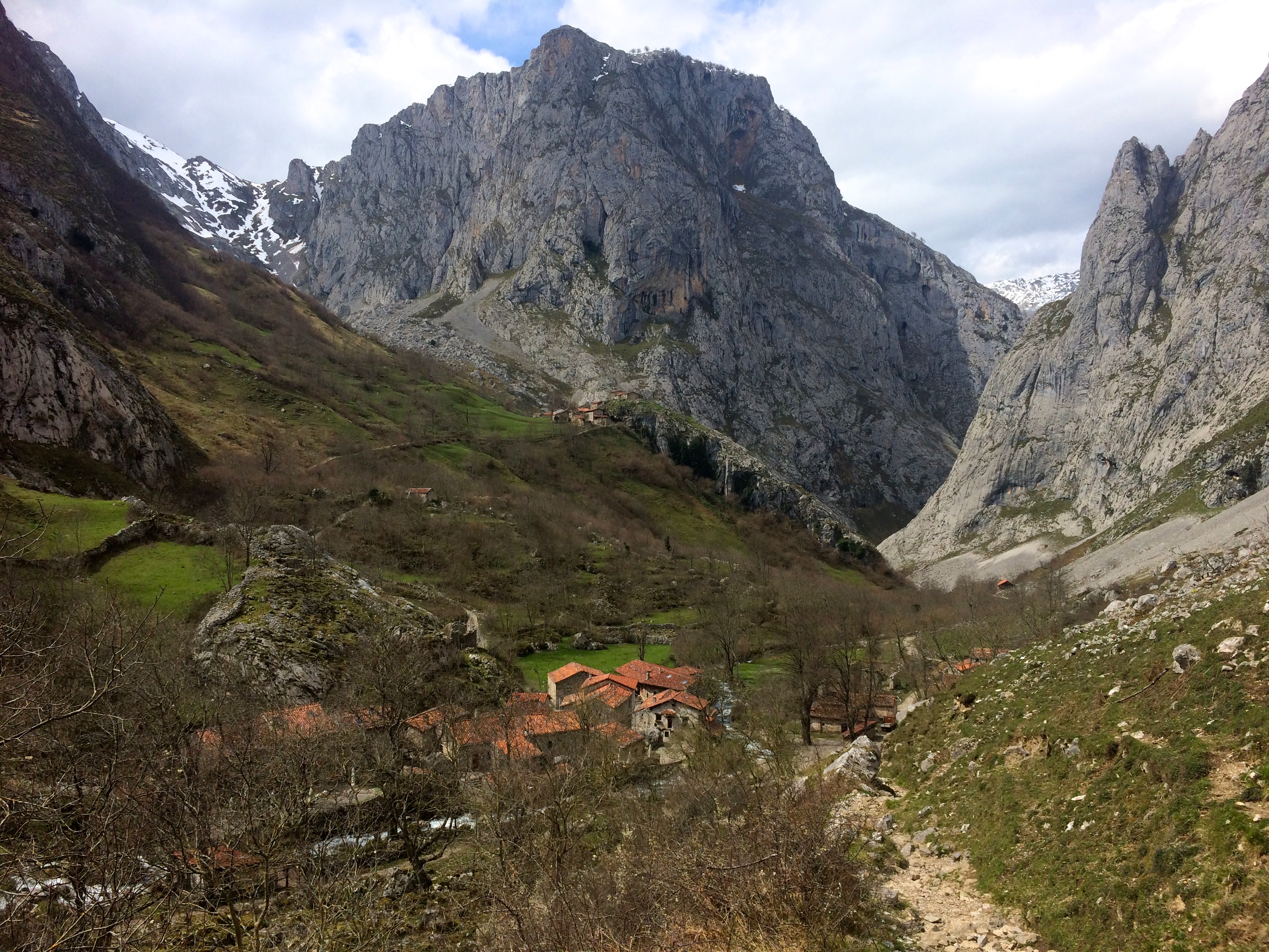
Trails from Bulnes connect to the next town of Sotres, or up over steep ridges to other refugios that grant access to Pico Uriellu. It would have taken much more time and energy to continue hiking—much more than we had—so we ventured back down the trail to Poncebos. Thick clouds began to trickle in toward the end of our hike, indicating that the forecasted storm was on its way.
As we left Picos de Europa later that evening, with heavy rainfall pouring down around us, I re-envisioned the recent hikes to hold onto the beautiful image of the mountains and trails. Although I had no knowledge of Picos de Europa prior to arriving to Spain, I left with the same awestruck satisfaction that I gained upon completing hikes in Patagonia or even U.S. national parks. Our brief reunion with nature ended up being the refreshing break we needed from the well-trodden cities of France, and the last bit of fresh air before our immersion with the tour bus cities of Central and Southern Spain.

