Vancouver (…and how I found out I was Canadian)

I visited Vancouver as a child a number of times to visit relatives, but I hadn’t been back since. Vancouver would be not just a beautiful city to me, but also a place that would trigger old memories from my childhood and a place with family members who would enjoy feeding me piles of homemade Vietnamese food. YES!

A ride along the Sky Train past the eye-catching “golf ball” of Science World brought us to my aunt’s condo for lunch, and there I learned of my mother’s dual citizenship with the U.S. and Canada. “Hm, maybe I’ll look into getting my Canadian citizenship through her,” I jokingly said. But that joke blossomed into reality later that night at my cousin’s house when her husband told me the story about his brother.

His brother, like my mom’s family, fled to Canada as a refugee after the Vietnam War. But unlike my family, he returned to Vietnam after earning his Canadian citizenship due to difficulty in finding a job. After returning to Vietnam he had two sons who later became Canadian citizens due to their father’s naturalization despite not having been born nor raised in Canada. I was also neither born nor raised in Canada, but now obtaining a second passport was not impossible! Without showing any hesitation or sign of amusement, my cousin insisted I apply for a certificate of citizenship.

Chris and I spent the next hour or two excitedly researching Canadian law around citizenship. What we deemed too good to be true was in fact true—that first generation children with at least one Canadian parent (whether born or naturalized) are automatically Canadian citizens. Wow. I was Canadian this whole time! As hilarious as this sounds, how I viewed the country and its people changed from that moment onward. These are my people, this is my country! I thought as we walked around the city.

In addition to hanging out with cousins, an aunt, and an uncle, we enjoyed free areas of interest in and around Vancouver. We found Portland and Seattle to be a bit drab, hence my lack of blog posts for those cities, but we loved Vancouver so it gets a write up.

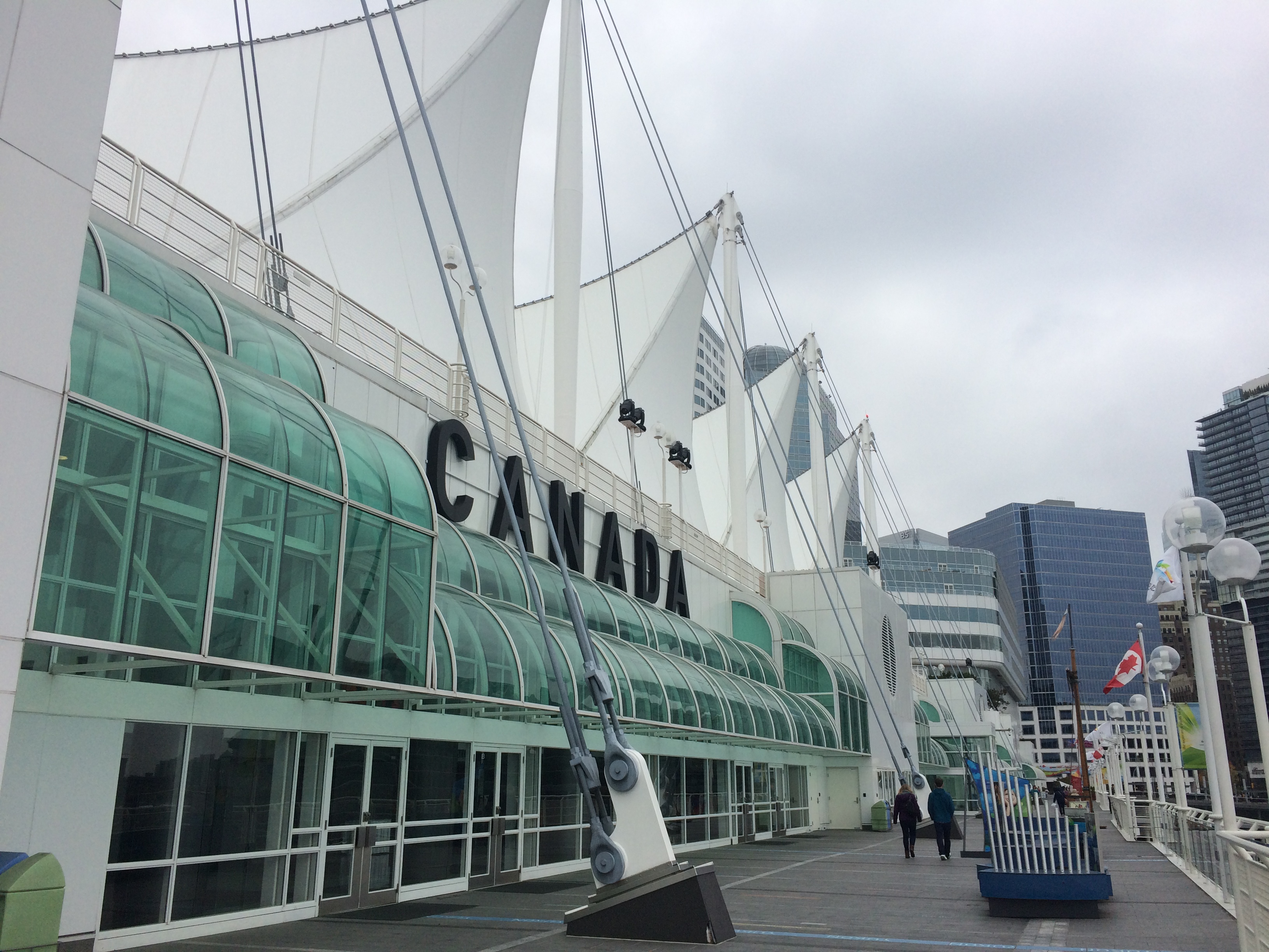
Within the heart of downtown, we walked around Canada Place to the touristy Gas Town district.IMG_4943
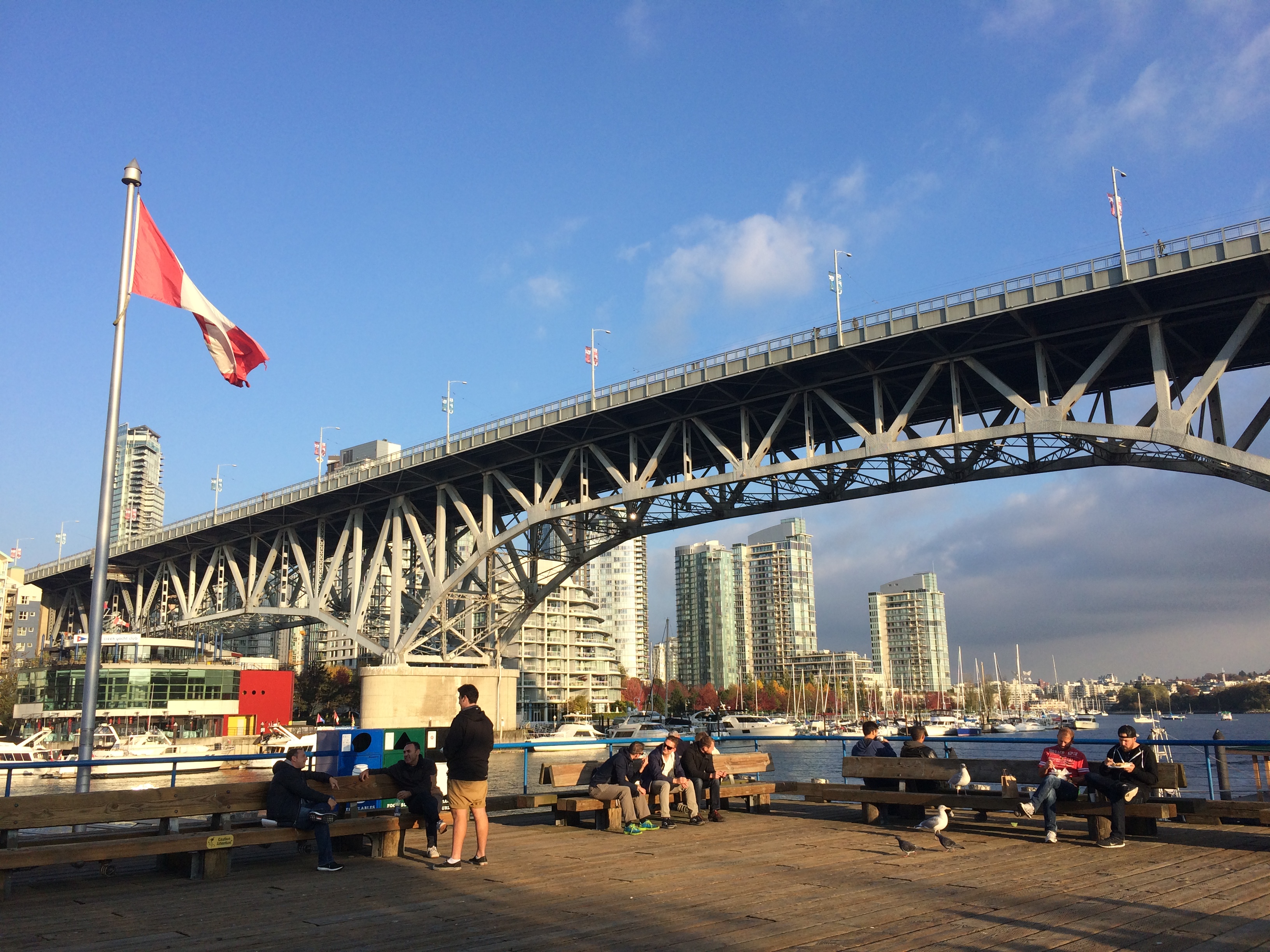
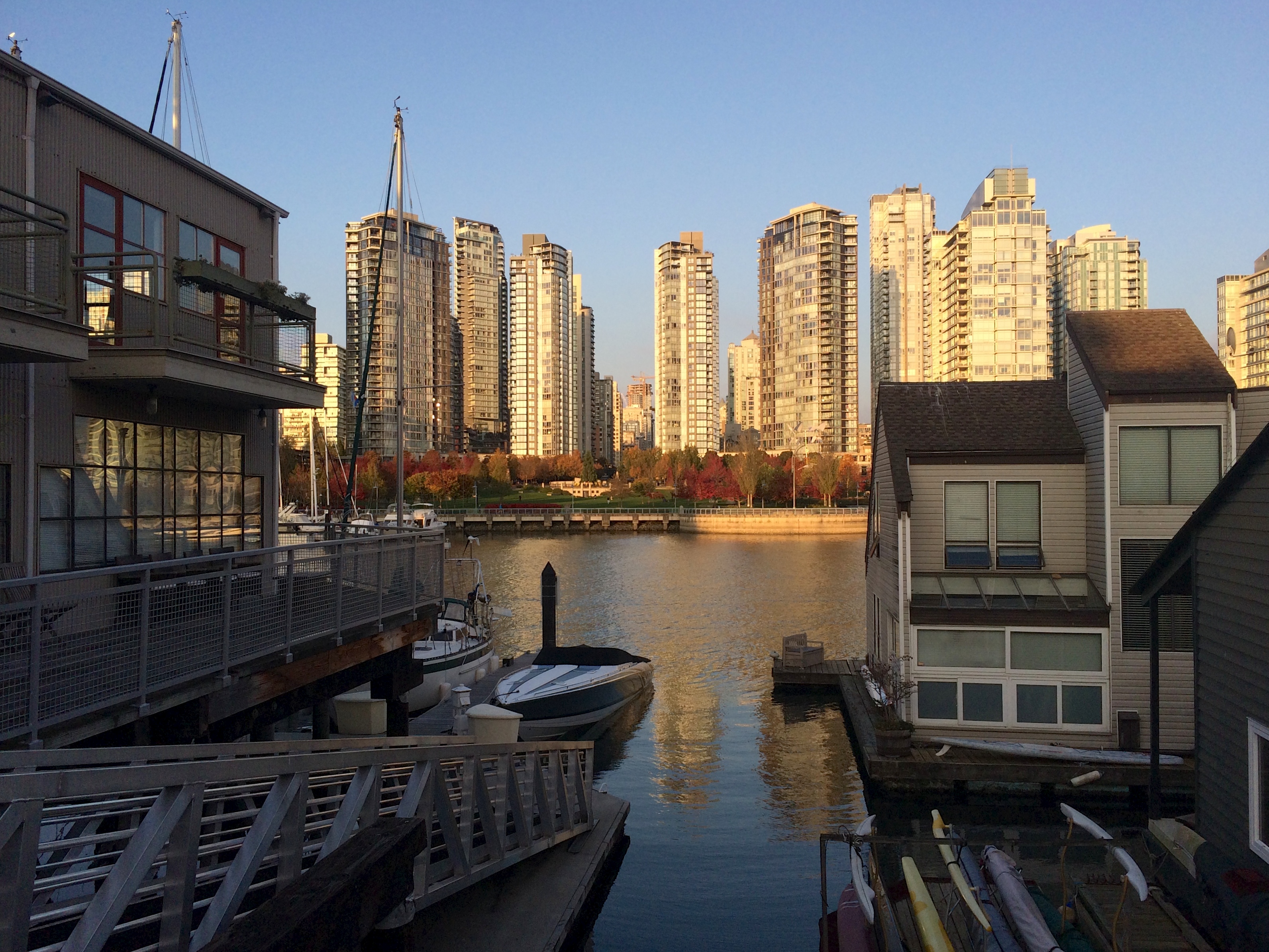
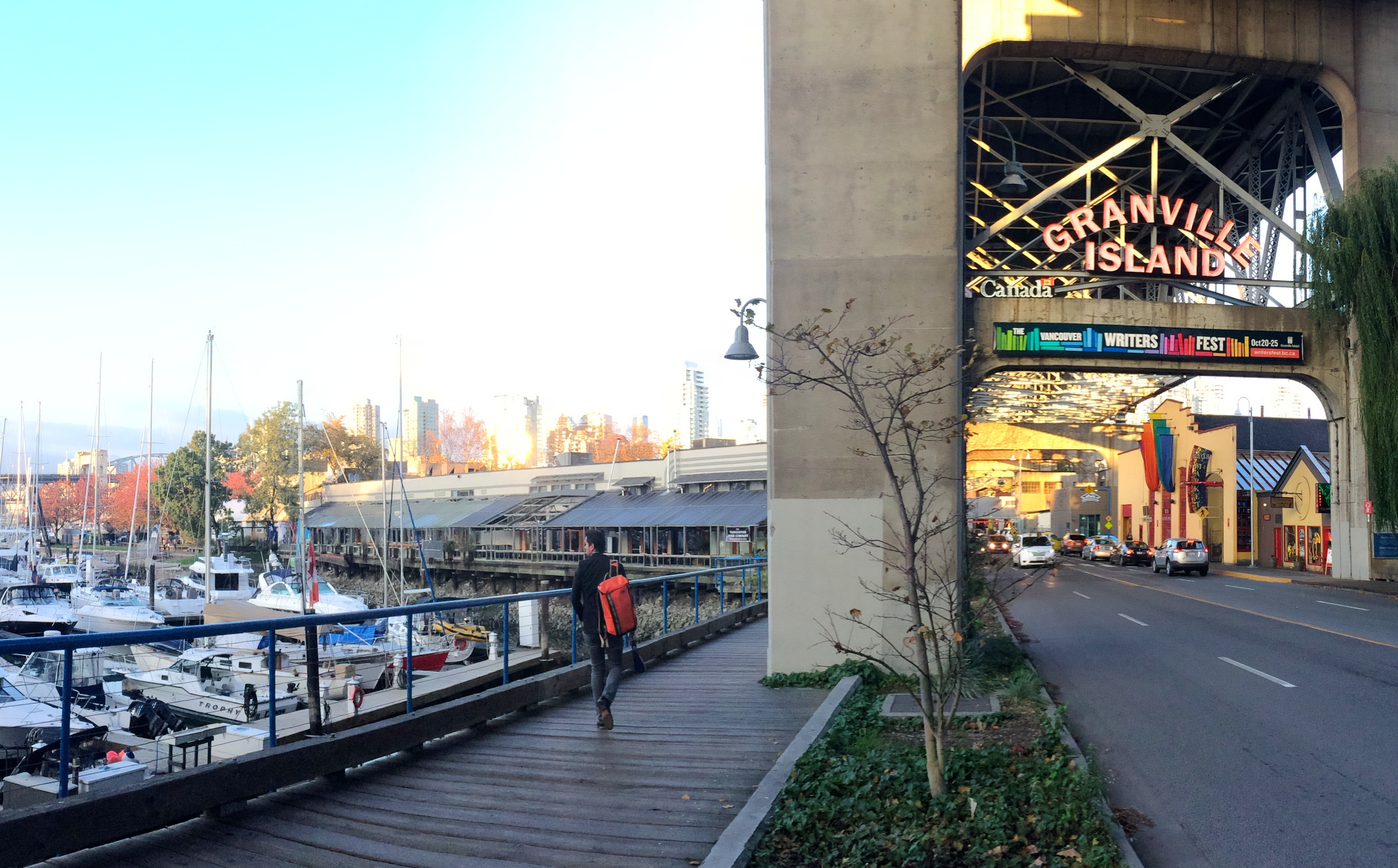
Everyone raves about the public market on Granville Island and it definitely lives up to its hype…fresh produce and meats, rustic artisan bread and baked goods, homemade pastas and raviolis…oh my! We enjoyed chowing down on overpriced but tasty clam chowder while gazing at the skyline of high-rise condos across the bay. Living down the street from this market would be dangerous for my budget and my belly! Tip: Park for free on Lamey’s Mill Road.IMG_4957IMG_4947 IMG_4955
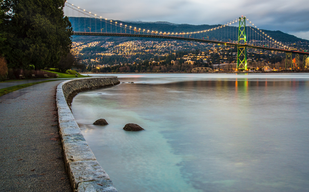
If I lived in Vancouver my favorite place for a quick run would probably be Stanley Park. Though slightly smaller than San Francisco’s Golden Gate Park, this urban park is practically an island with a nine kilometer scenic seawall hugging its entire perimeter. What distinguishes this park from other urban parks are the beaches, swimming pools, water park for kids, and totem poles! I was too busy running so I couldn’t stop for pictures. Here is a picture from summerfast.ca.The amazing view from Stanley Park, one of the things I miss since moving away from Vancouver.
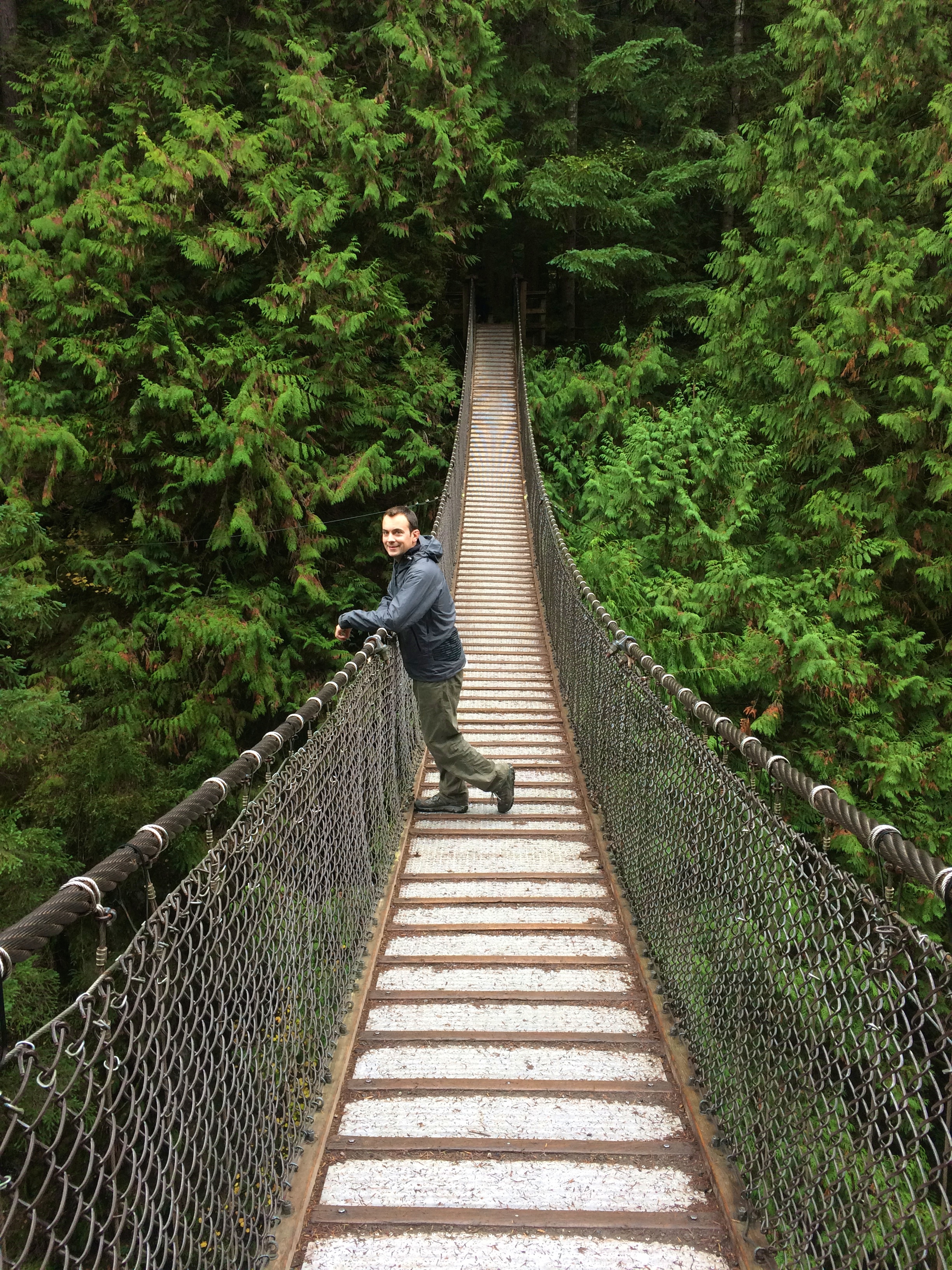
Just outside of Vancouver, a quick stroll through Lynn Canyon Park along the suspension bridge is considered a decent alternative to the Capilano Suspension Bridge. How people pay $37 CAD just to cross the longest and highest pedestrian suspension bridge in the world I do not know. The bridge at Lynn Canyon Park is FREE!IMG_4936
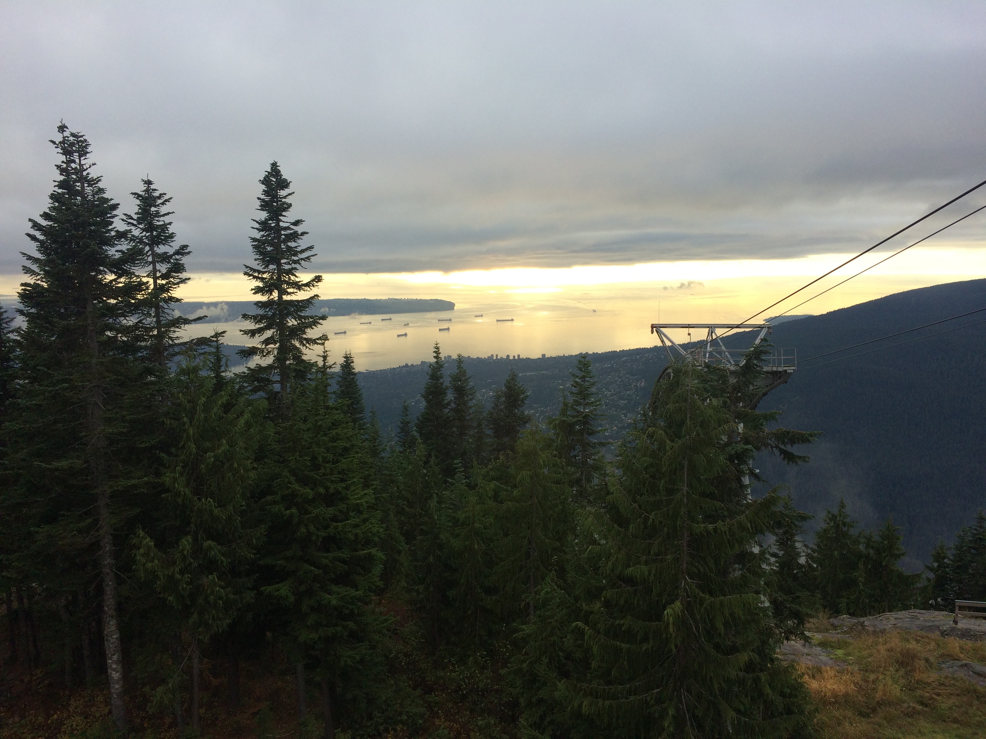
And finally, the Grouse Grind at Grouse Mountain. In the winter people come to ski, but during the off-season people can pay the whopping $43.95 CAD to ride a gondola to and from the top of the mountain…or hike up for free on a super steep trail called the Grouse Grind. The Grouse Grind comes with a bit of local competition, with the goal to summit 1.8 miles with a 2,800-ft. elevation gain under an hour. With 2,830 steps it’s no easy feat. Tack on the uneven steps, twisted tree roots, and plenty of rocks and boulders, and you’ve got yourself a pretty technical ascent. I’m not in shape like I used to be AND I forgot to wear my watch, so I summited in 1 hour and 1 minute. BOO! It was a cloudy day so the view from the top wasn’t great.IMG_4958
There were plenty of other areas of interest, such as the renowned Dr. Sun Yat-Sen Park, Chinatown, and beaches, but I was content with the sites we visited. There was no regret leaving Vancouver after several days. After all, I knew it would be easy to return since I am Canadian after all! =D

Posted in British Columbia | Leave a comment

North Cascades

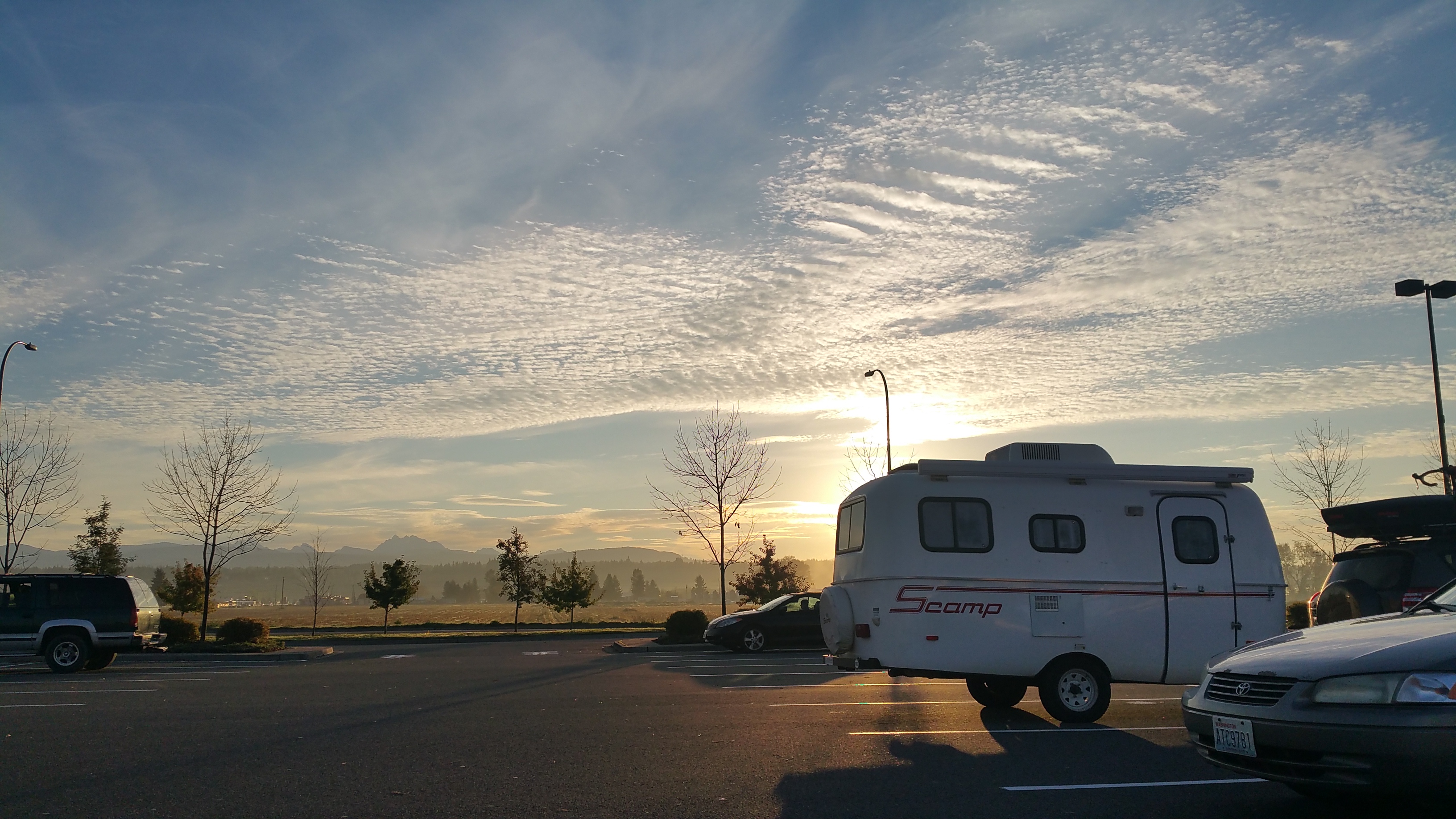
Between Mount Rainier and North Cascades National Park we spent a quick night boondocking at a Walmart in Arlington.  Normally nights at Walmart are straightforward, perhaps sometimes loud and unmemorable, but our vicinity to the Cascade mountain range delighted us with a superb sunrise as we set out that morning.20151016_080507

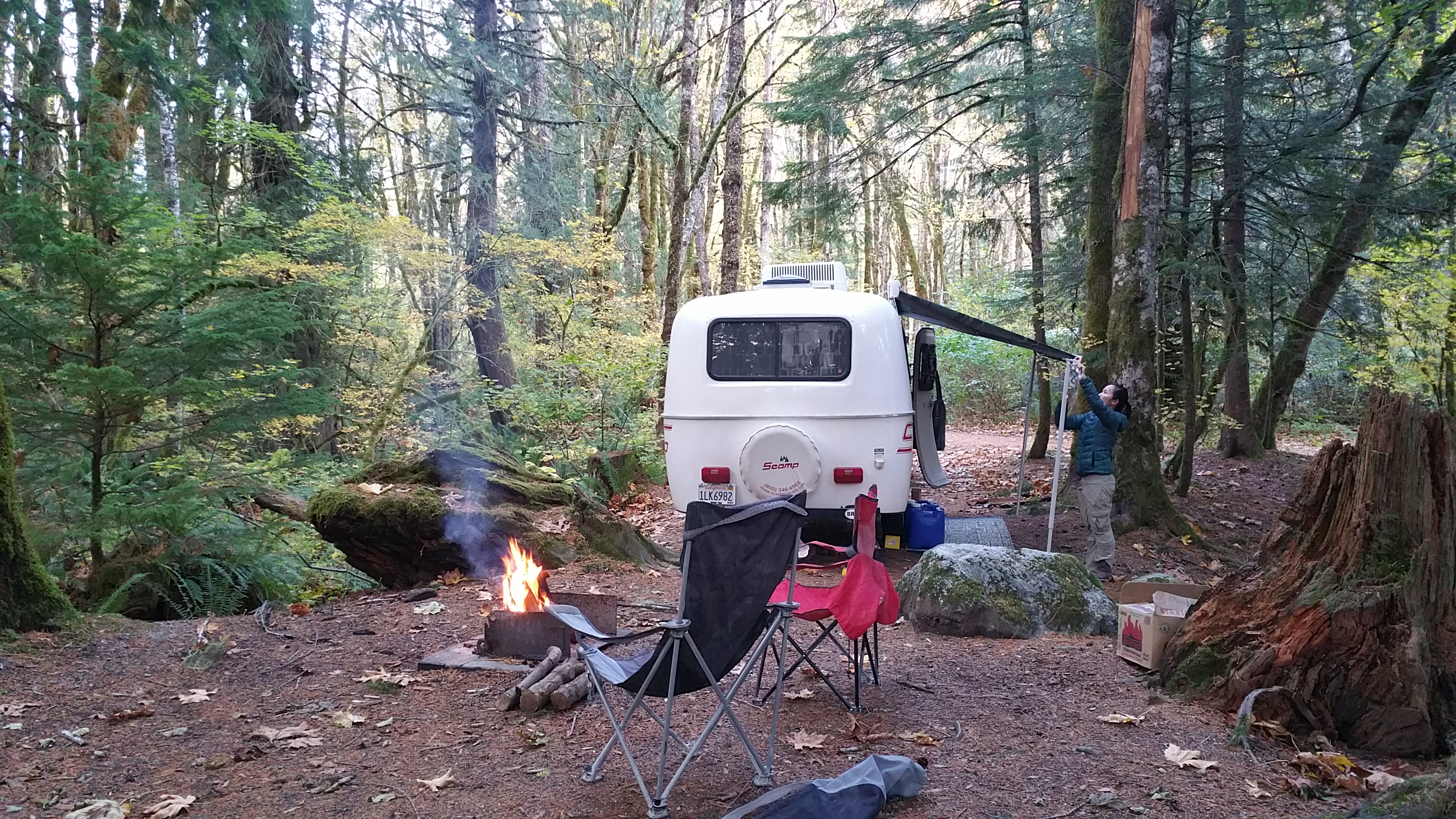
And sometimes nights at Walmart are followed by pleasant nights in a charming, new campsite. Having done my research prior to entering North Cascades NP, I discovered that the Goodell Creek Campground (right outside the visitor center) was open and free by mid-October. It also wasn’t quite winter yet, so the RV dump station and potable water source were still open near the visitor center. A campsite, dump, and water—all free at a national park? Romping & Nguyening!20151016_174821

Despite our last minute Nguyening moment, there were still factors that limited our stay: recent fires from late summer, rain in the forecast, and trail closures for repair. With only one full day, we spectated views from the popular overlooks and hiked the popular Maple Pass Trail.

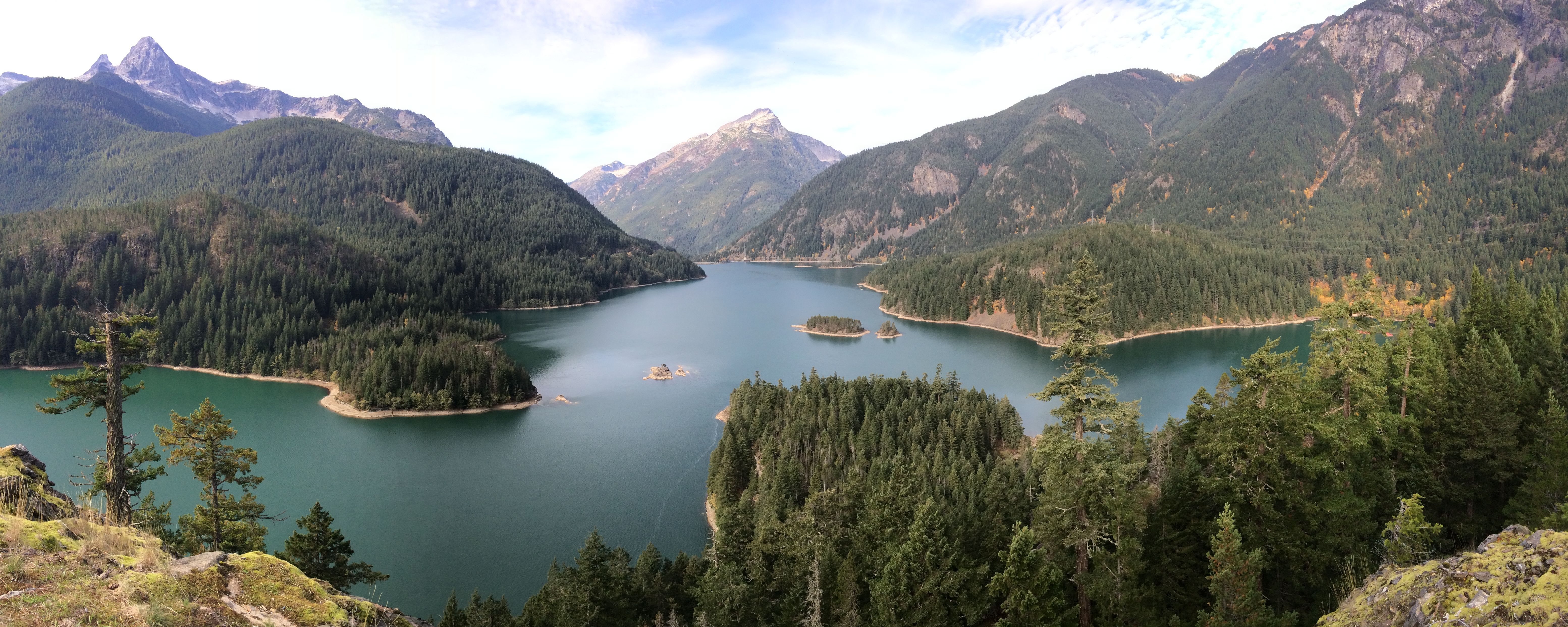
Diablo Lake Overlook, perhaps the most beautiful artificial lake I’ve seen:IMG_4888

Washington Overlook (later in the day):IMG_4929

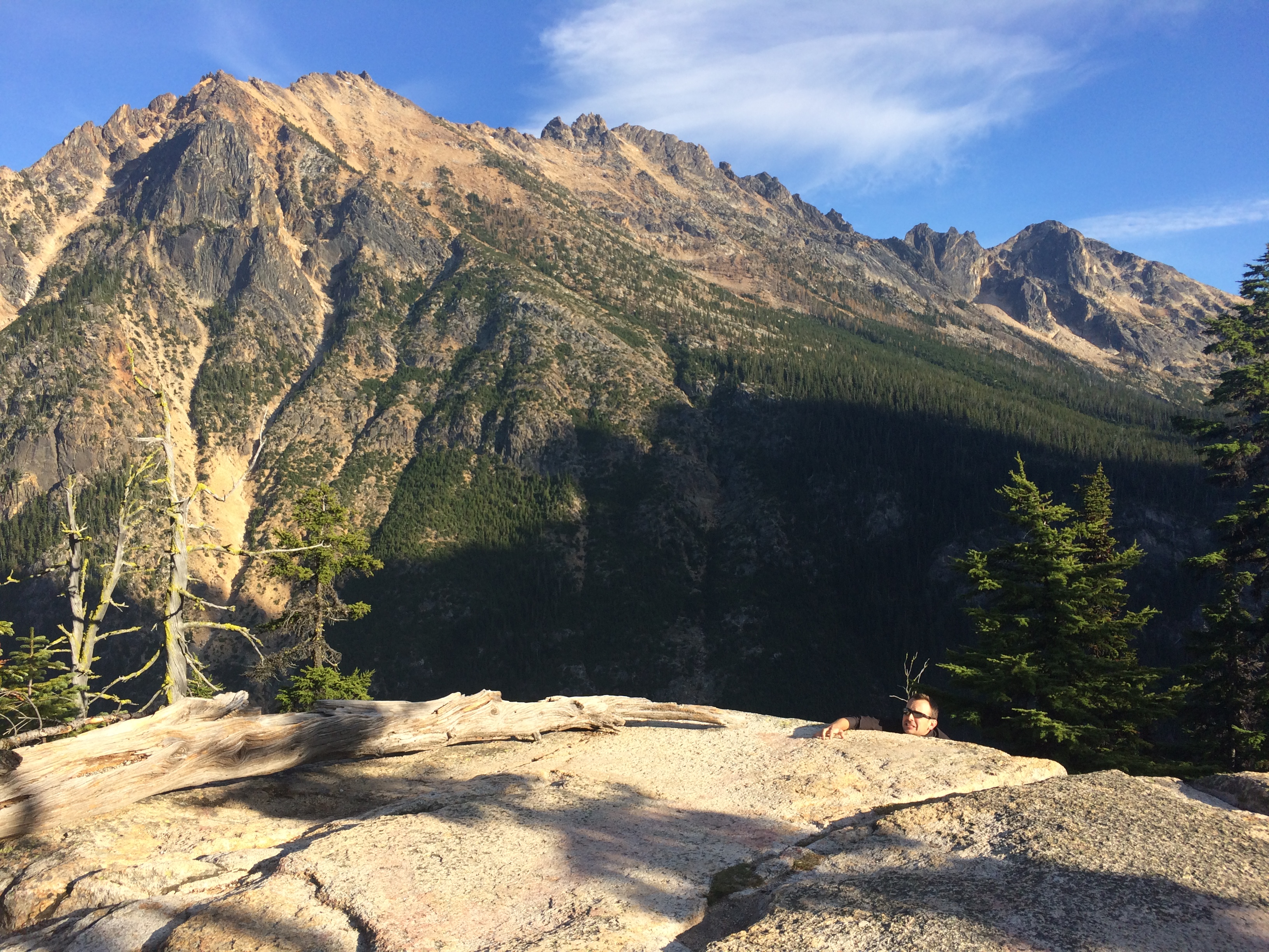
For some reason I underestimated the 7+ mile Maple Pass Trail at Rainy Pass. Having spent the last two days hiking and biking Mount Rainier, my expectation for North Cascades wasn’t high and my legs were a bit sore. But this hike was epic, with narrow trails along ridges, a detour to and overlooks of Lake Ann, and panoramas of never-ending mountain ranges and craggy peaks.

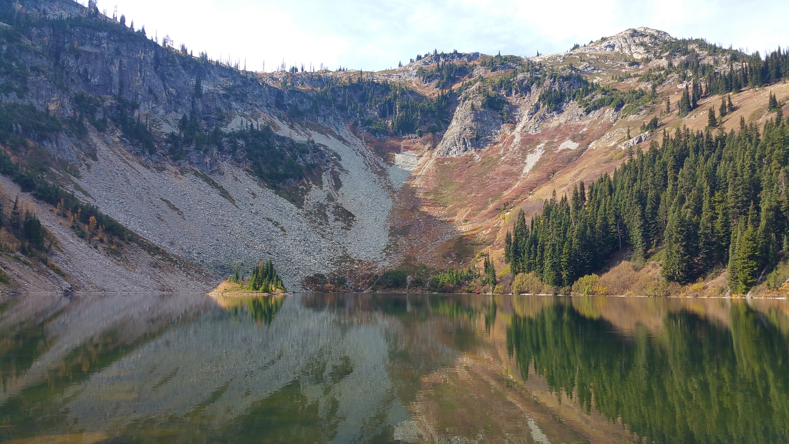
We hiked the quick .6-mile roundtrip detour to the foot of Lake Ann, whose reflection dazzled us all around.20151016_124434

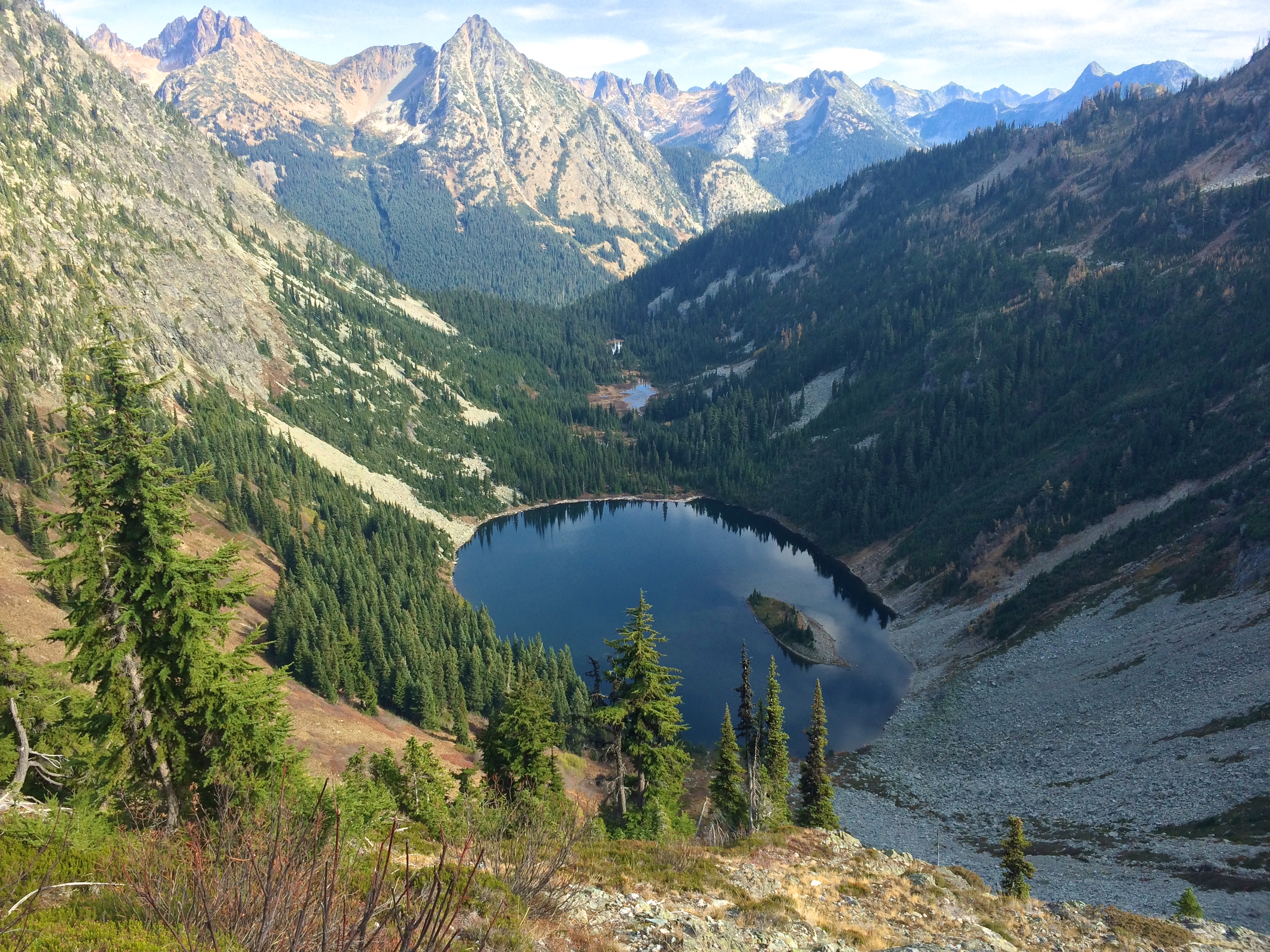
Lake Ann from above:IMG_4914

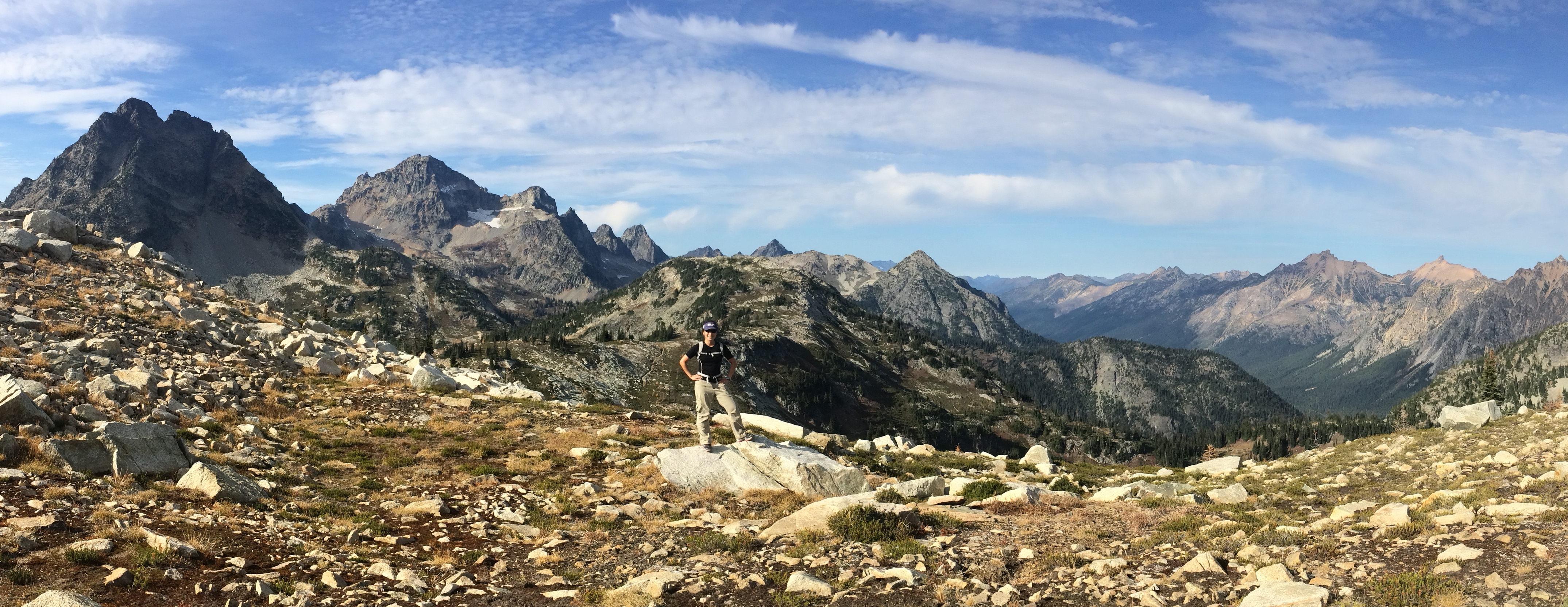
The higher up we climbed, the more spectacular the mountain views became.IMG_4924

We continued to traverse up and down the mountain, passing by another small but beautiful lake (Rainy Lake) on the way down.  The next day we stopped briefly at the Visitor Center to discover their recommended 1-day itinerary: a visit to all the overlooks and a hike along the Maple Pass.  Ha! Looks like we made the perfect choice since that was the park’s recommendation.

Other epic hikes at North Cascades include Easy Pass (apparently not easy at all) and the Cascades Pass/Sahale Arm Trail.  The Cascades Pass Trail is often dubbed a “bucket list” hike, but the gravel road to the trailhead at the time was already closed for the season for repair.  And we all know what that means…just gotta return someday to make the hike! =)

Posted in Washington | Tagged , | Leave a comment

Mount Rainier

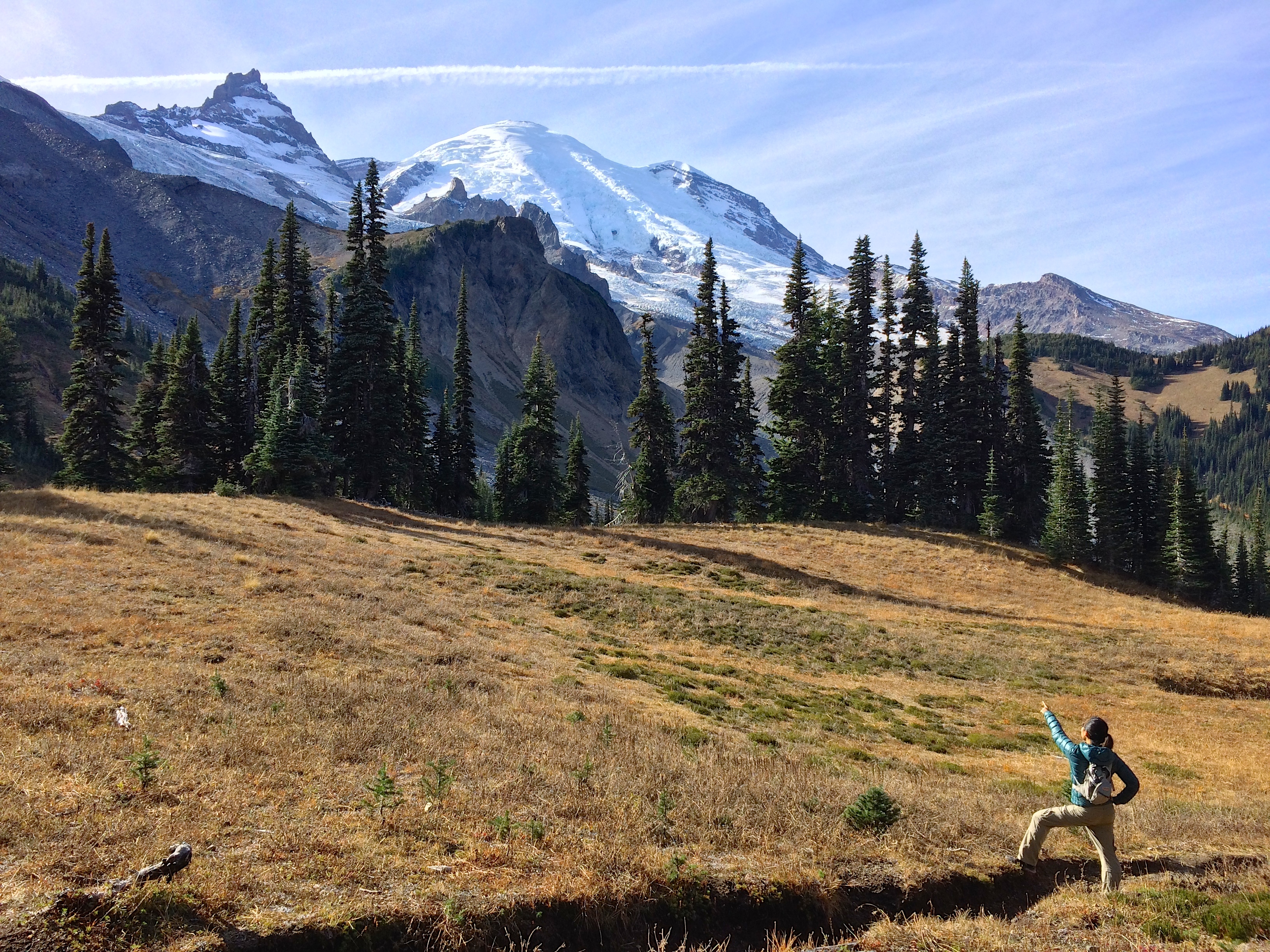
At 14,409 ft., Mt. Rainier stands slightly taller than Mt. Shasta.  But with its icy glaciers, deep crevasses, and steep slopes, technical climbing skills are required to summit Mt. Rainier.  Summiting Mt. Rainier will be another dream I hope to achieve once I attain the technical skills in the future.  Thus, we left behind the ice axes and crampons and stuck to trails along the mountain and nonetheless enjoyed its scenic hikes during a brief period of perfect, sunny days.

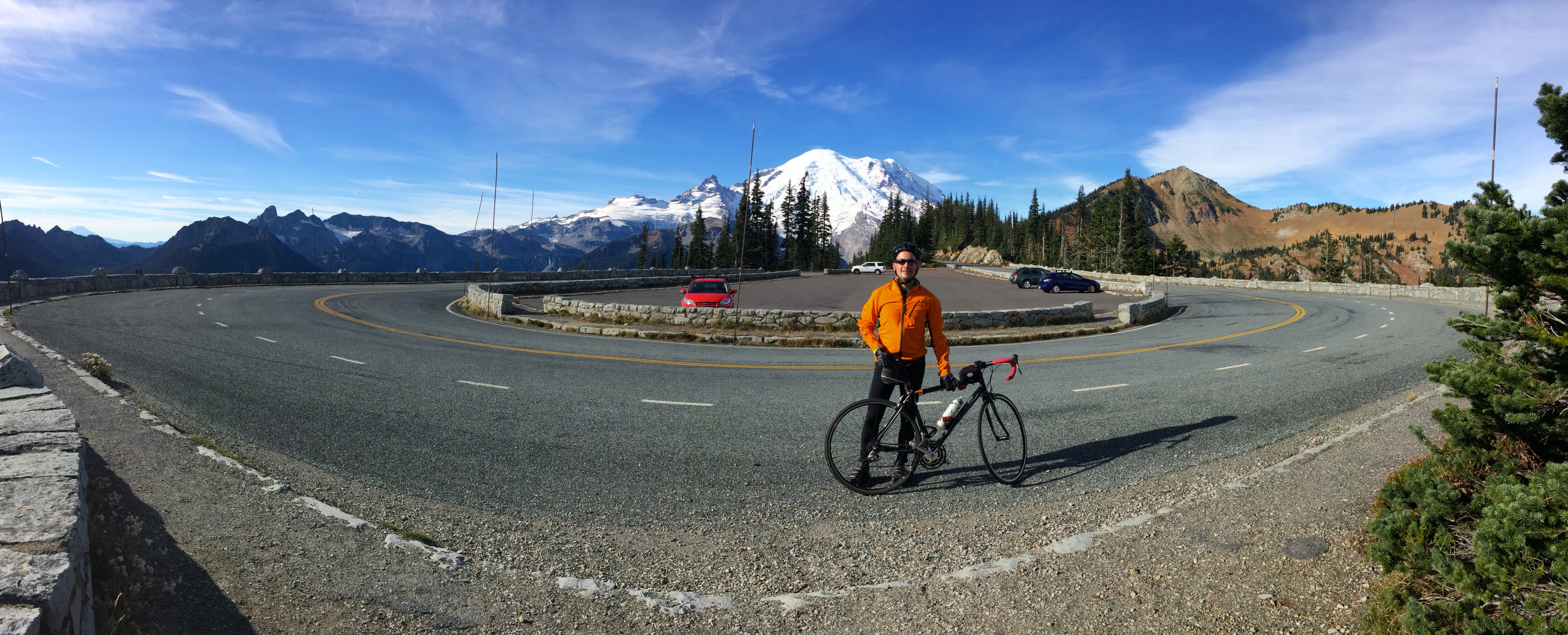
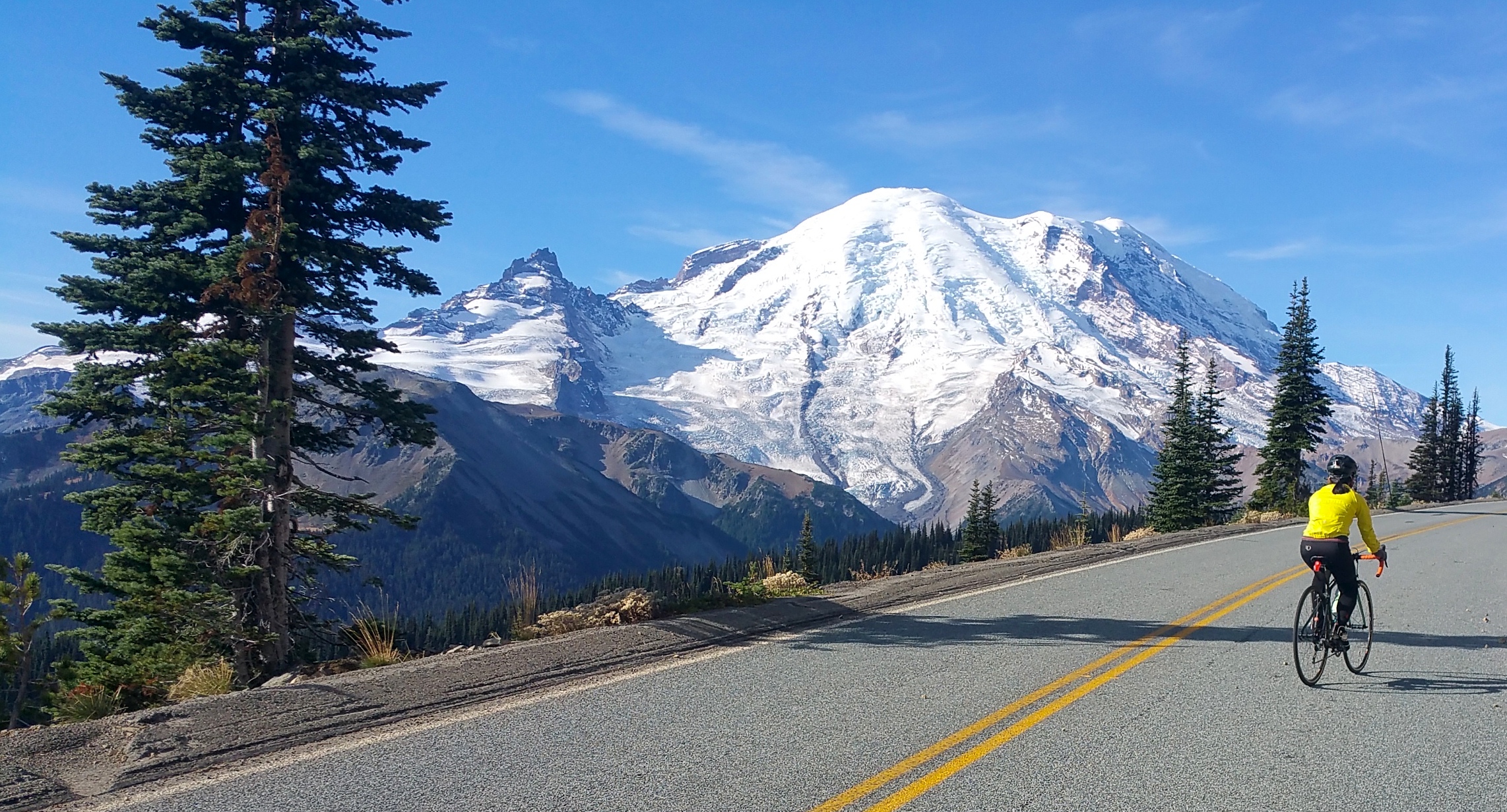
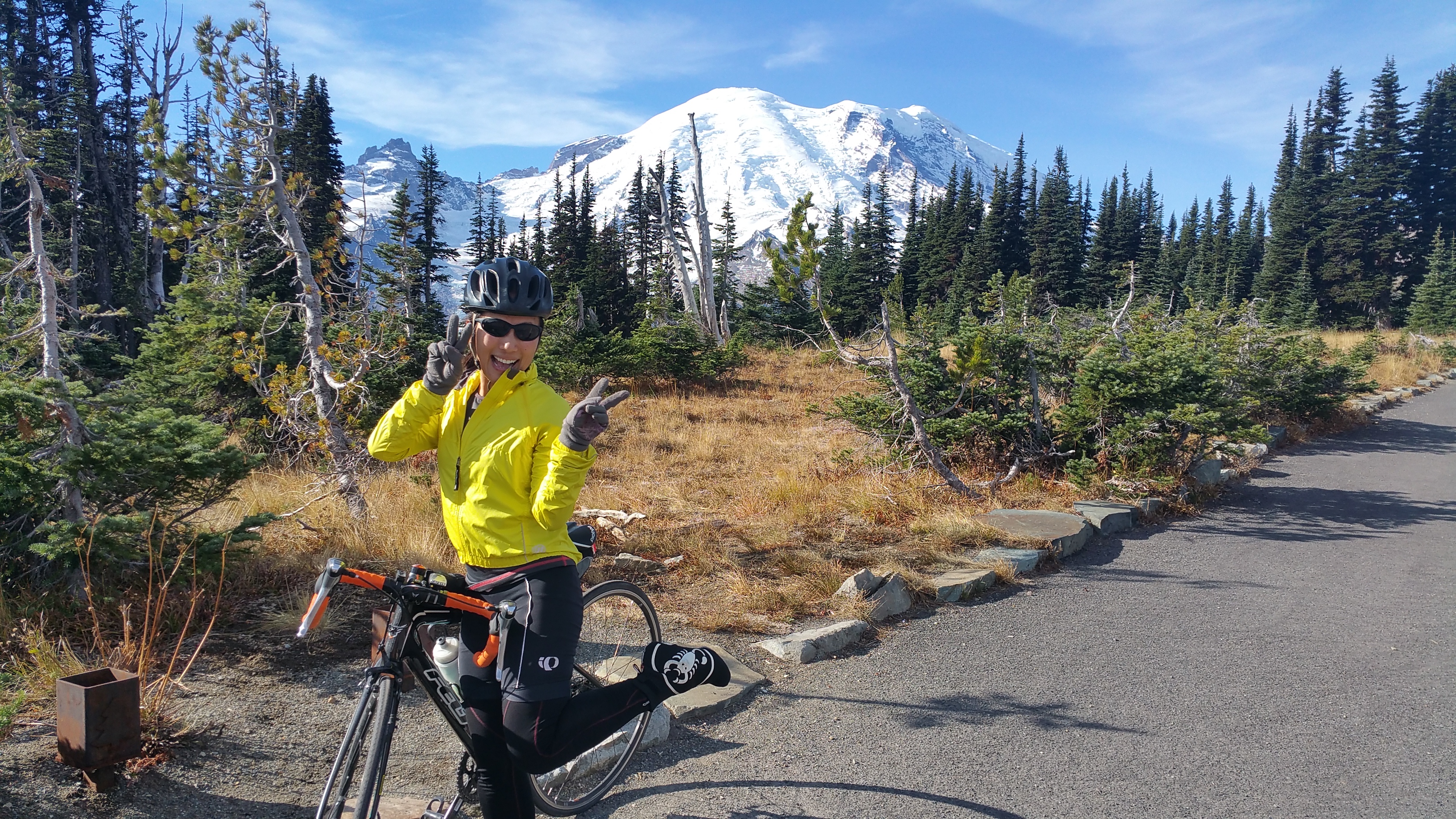
First things first.  I was craving a bike ride.  With its gradual climbs and descents and switchbacks along a valley of mountains, the ride up to the Sunrise viewpoint/parking lot on the northeast side of the park hit the spot.IMG_480720151014_103541

A combination of three things I love: cycling, mountains, and being hella Asian.20151014_104924

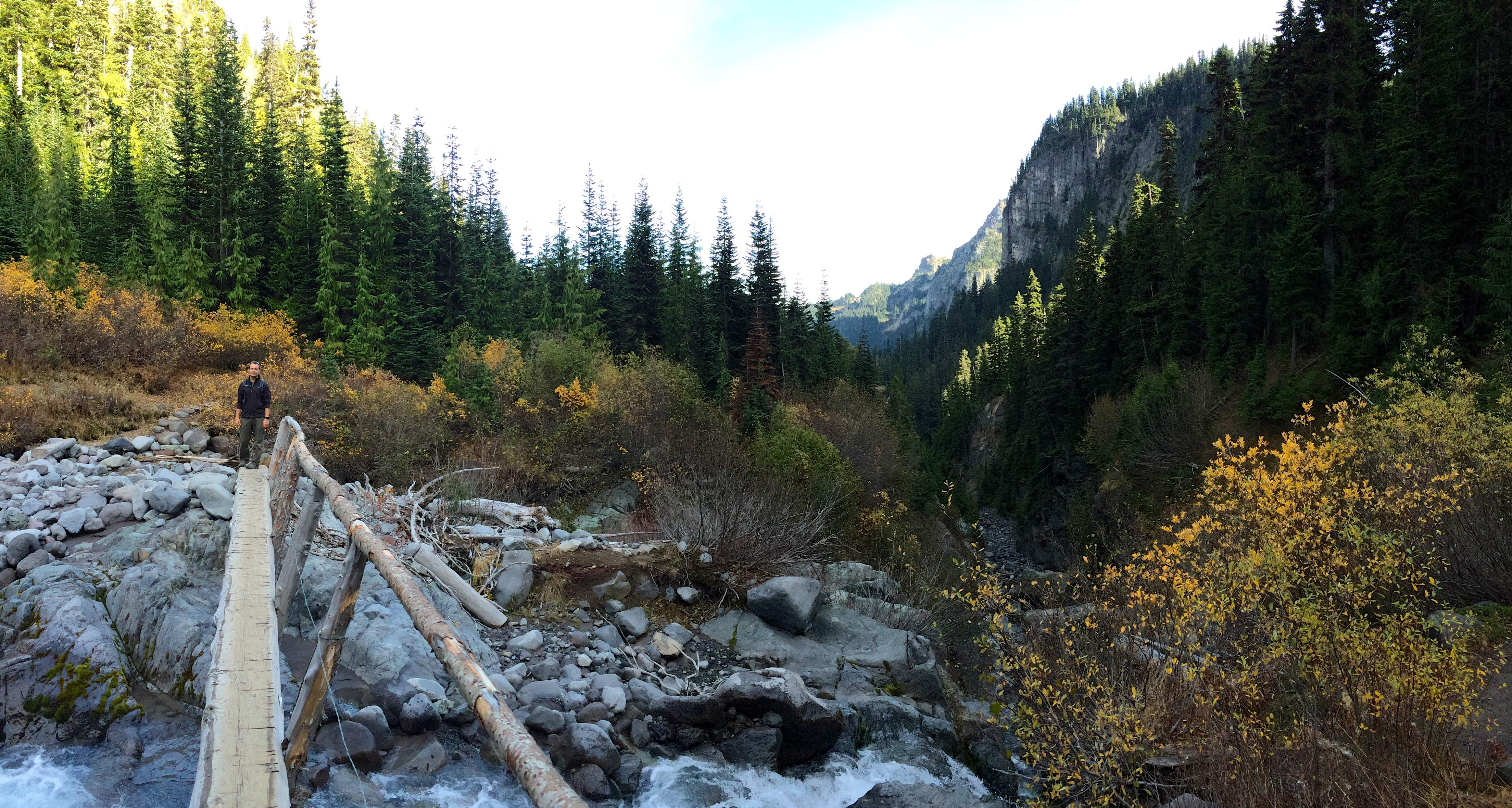
After the bike ride we went for a quick hike on the Summerland trail.  The hike through the woods along the foot of Mt. Rainier granted pretty views of forested valleys.IMG_4829

Mt. Rainier from the northeast:IMG_4824

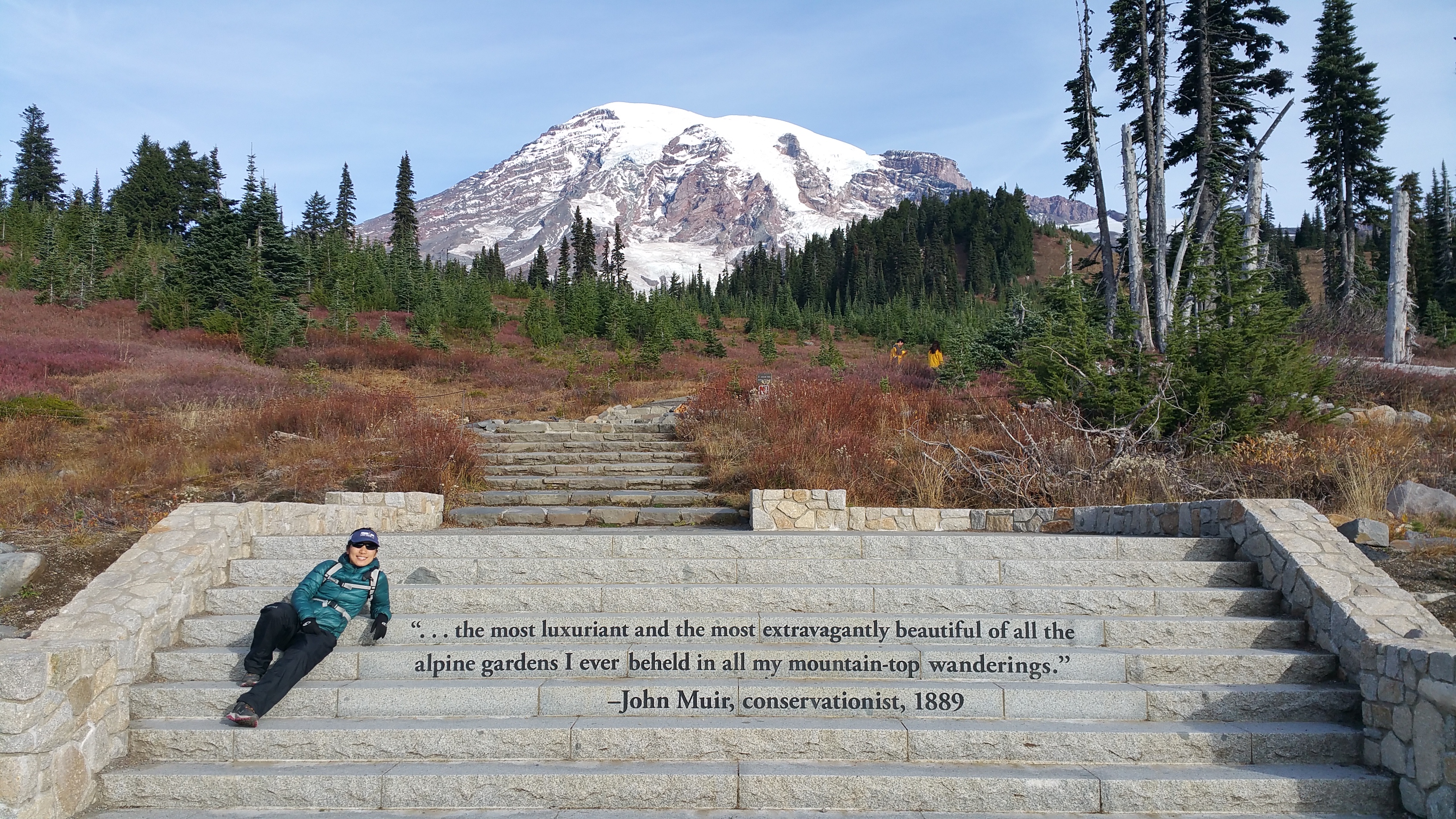
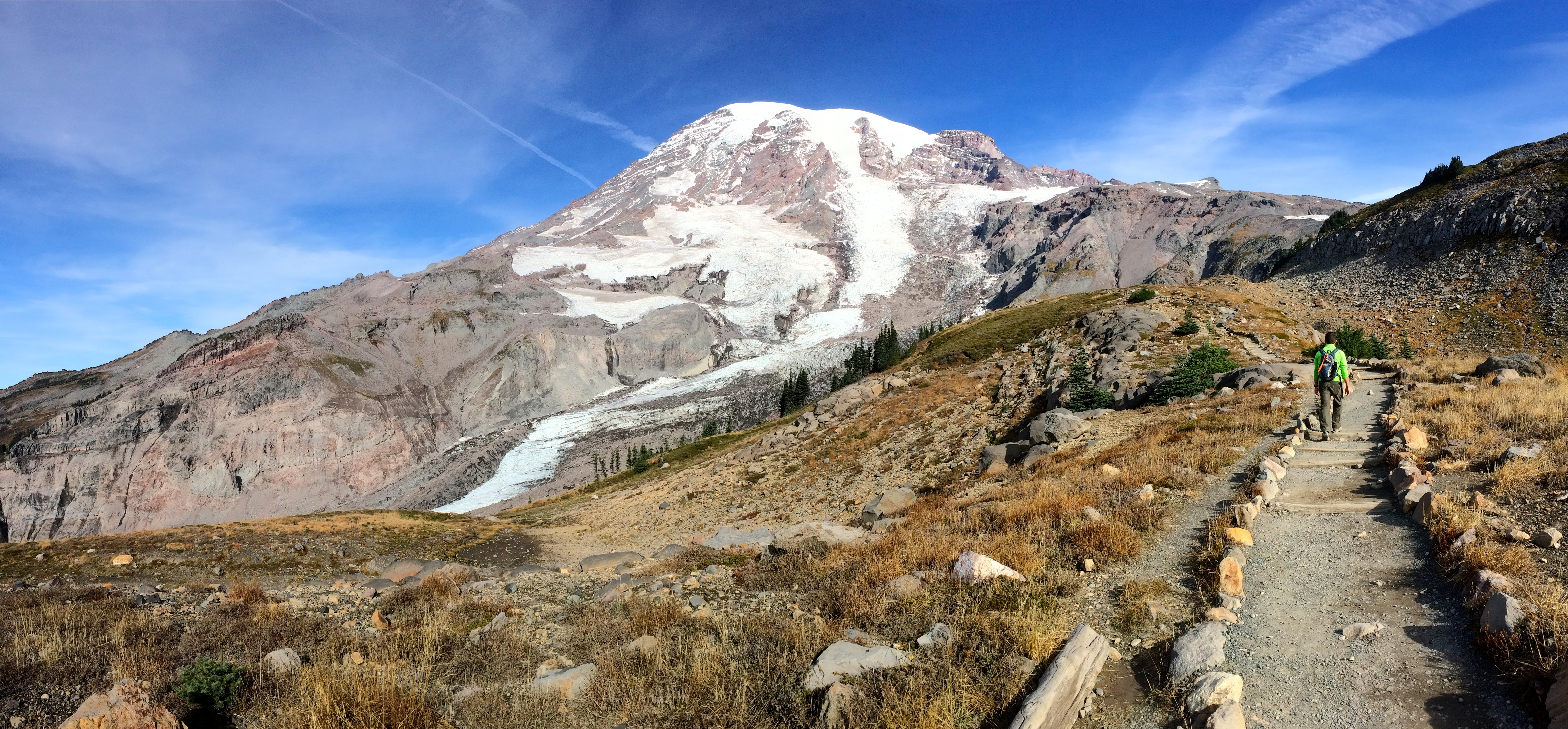
We saved the best hike for our second day–Panorama Point at Paradise, the most popular stop, viewpoint, and trailhead in the south at Mt. Rainier National Park.  Although not a long hike, fantastic 360º views surrounded us with every step we took.  Plan on taking plenty of pictures!

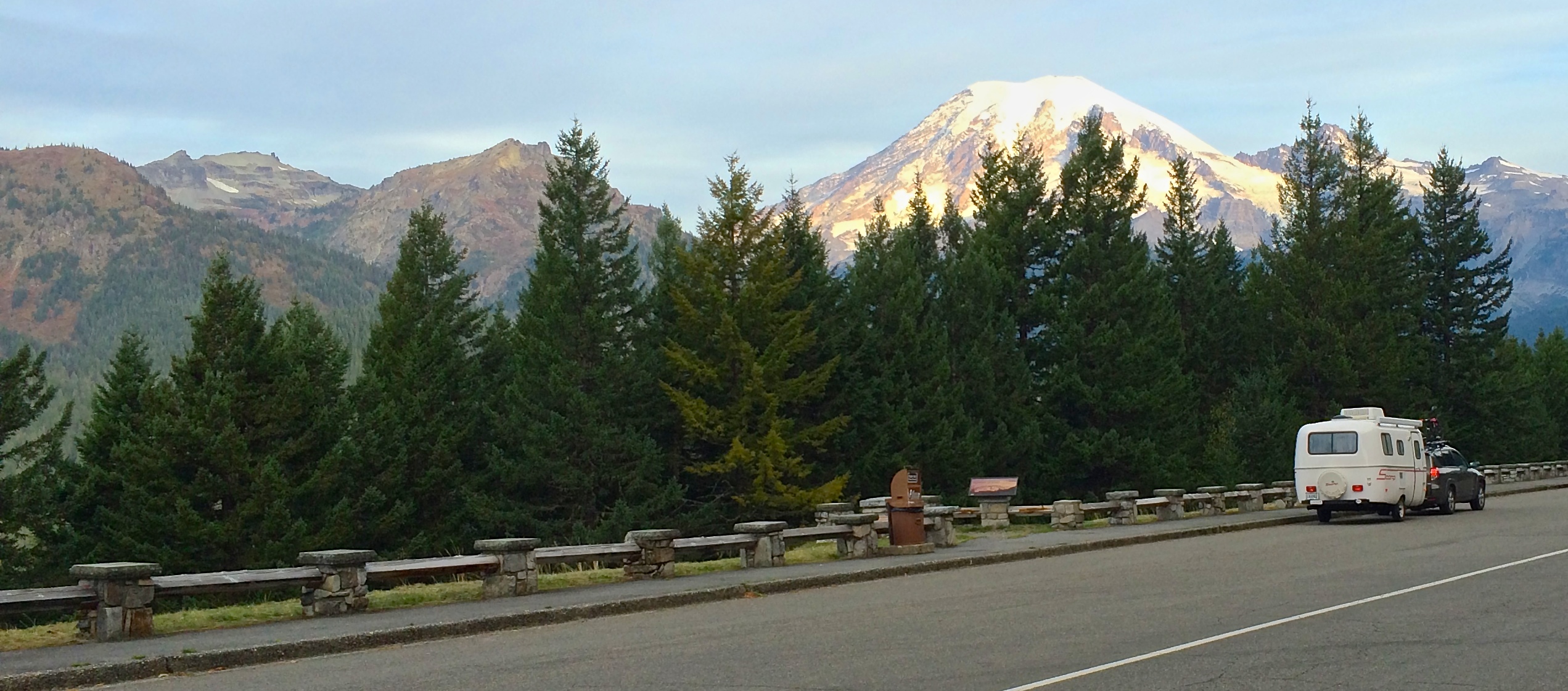
The drive up to Paradise with a glowing Mt. Rainier in the distance:IMG_4833

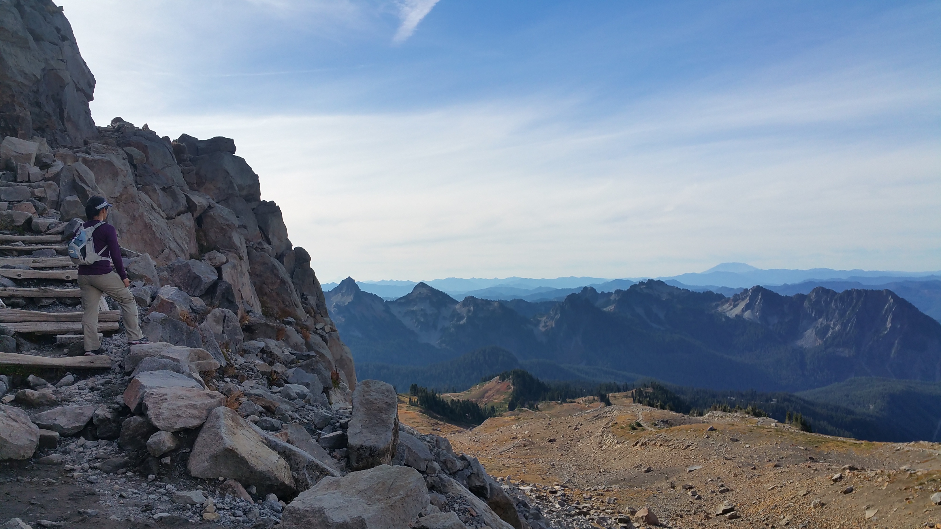
At the start of the trailhead:20151015_093932

The grandiose Mt. Rainier:IMG_4862

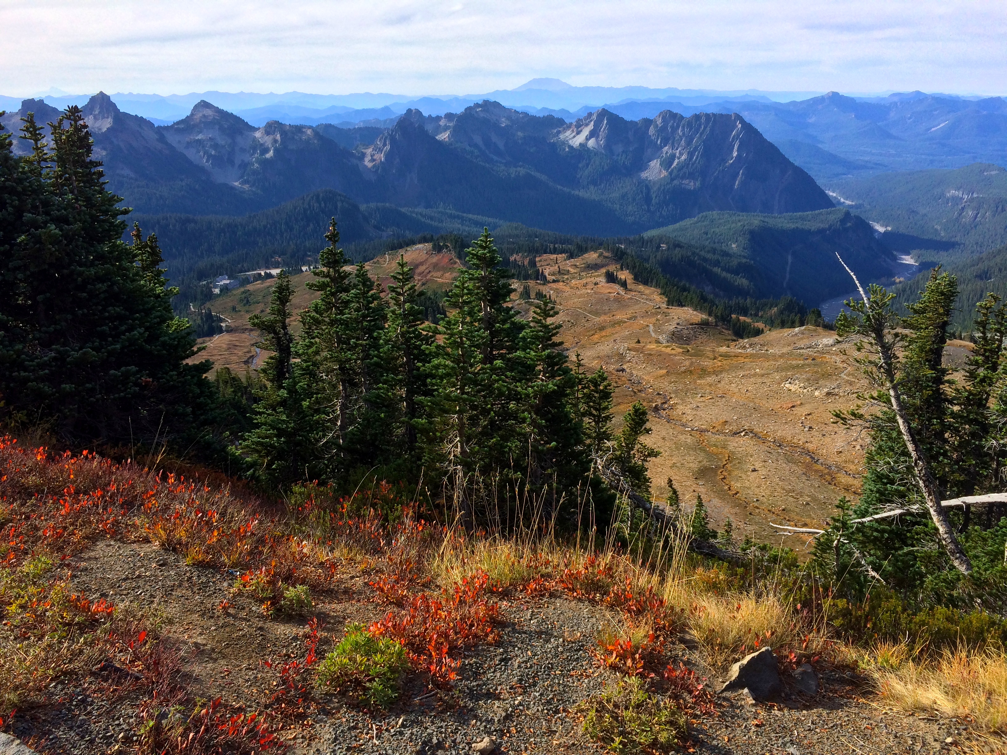
Looking to the south at Mt. Saint Helens (can you see it?!), with fall foliage:IMG_4869

Just steps away from Panorama Point:20151015_103828

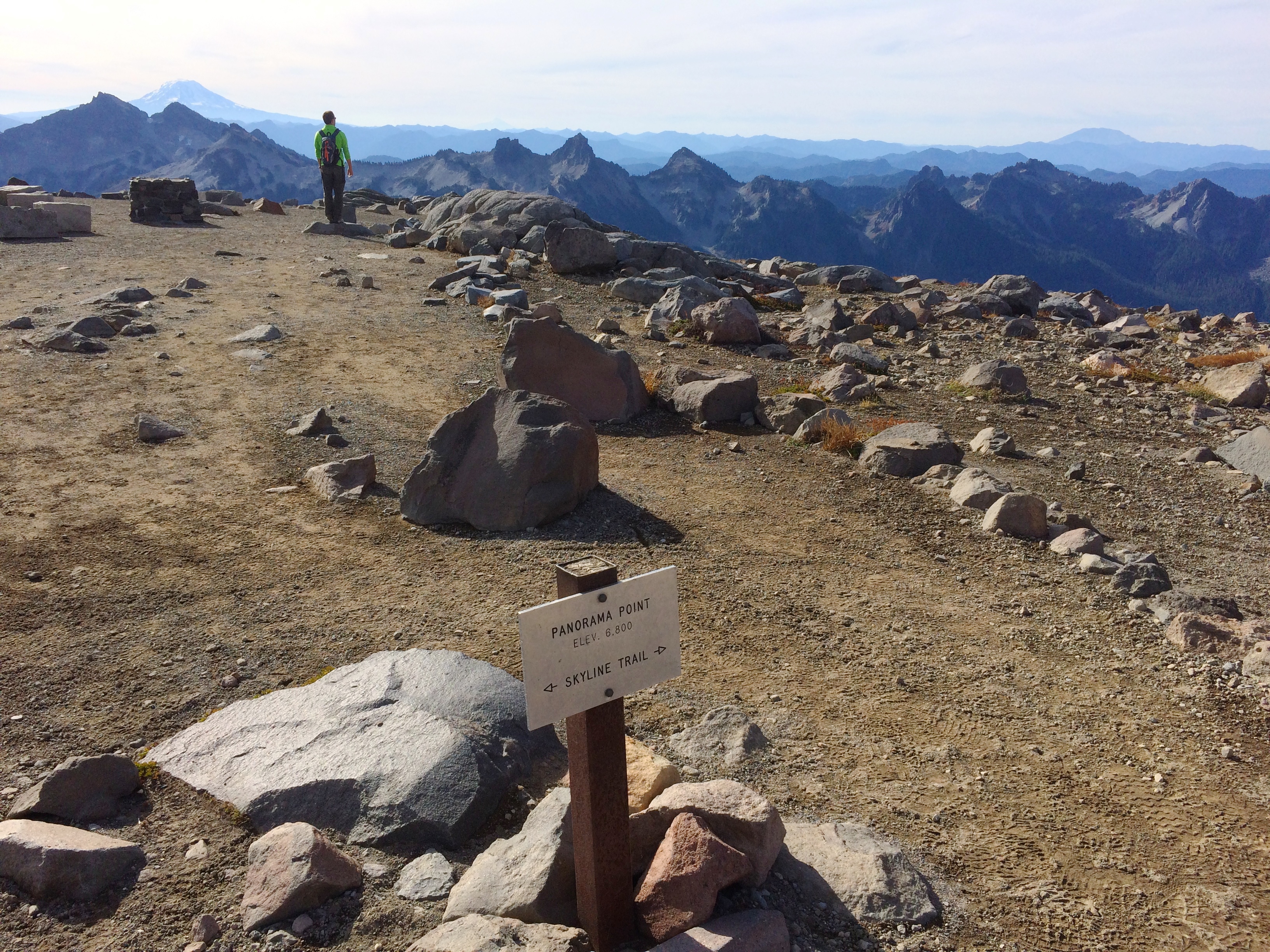
And finally, Panorama Point!  We were able to see Mt. Adams, Mt. Hood, and Mt. Saint Helens.IMG_4870

By the time we returned to the parking lot we were surprised that there were quite a number of visitors and vehicles for an autumn Thursday.  It is said that by 9am on a sunny summer weekend the Paradise parking lot is completely filled. That said, visiting and hiking the national parks in the fall (shoulder season) is definitely the way to go.  Our original plan was to relax after two days at Mt. Rainier, but with only one more warm, sunny day in the forecast we beelined for the mountains at North Cascades National Park.

Posted in Washington | Tagged , , , | 1 Comment

Olympic National Park

Places like these are the reasons why domestic travel is incredible. Before arriving to Washington I hardly knew that Olympic National Park (commonly referred to as the Olympic Peninsula) existed, but upon research the day before entering the park, I was mind boggled by its diverse and breathtaking beauty. Who knew that just one federal park, one unpretentious area of land, could present its visitors dramatic landscapes of the unforgiving northern Pacific coast, rainforests seemingly from another continent, and panoramas of alpine mountains? If the weather cooperates (which it rarely does in this region), one can summit a glacier-filled mountain, traverse mossy rainforests, kayak in pristine lakes, and stroll along vast stretches of beaches—all in the same weekend.

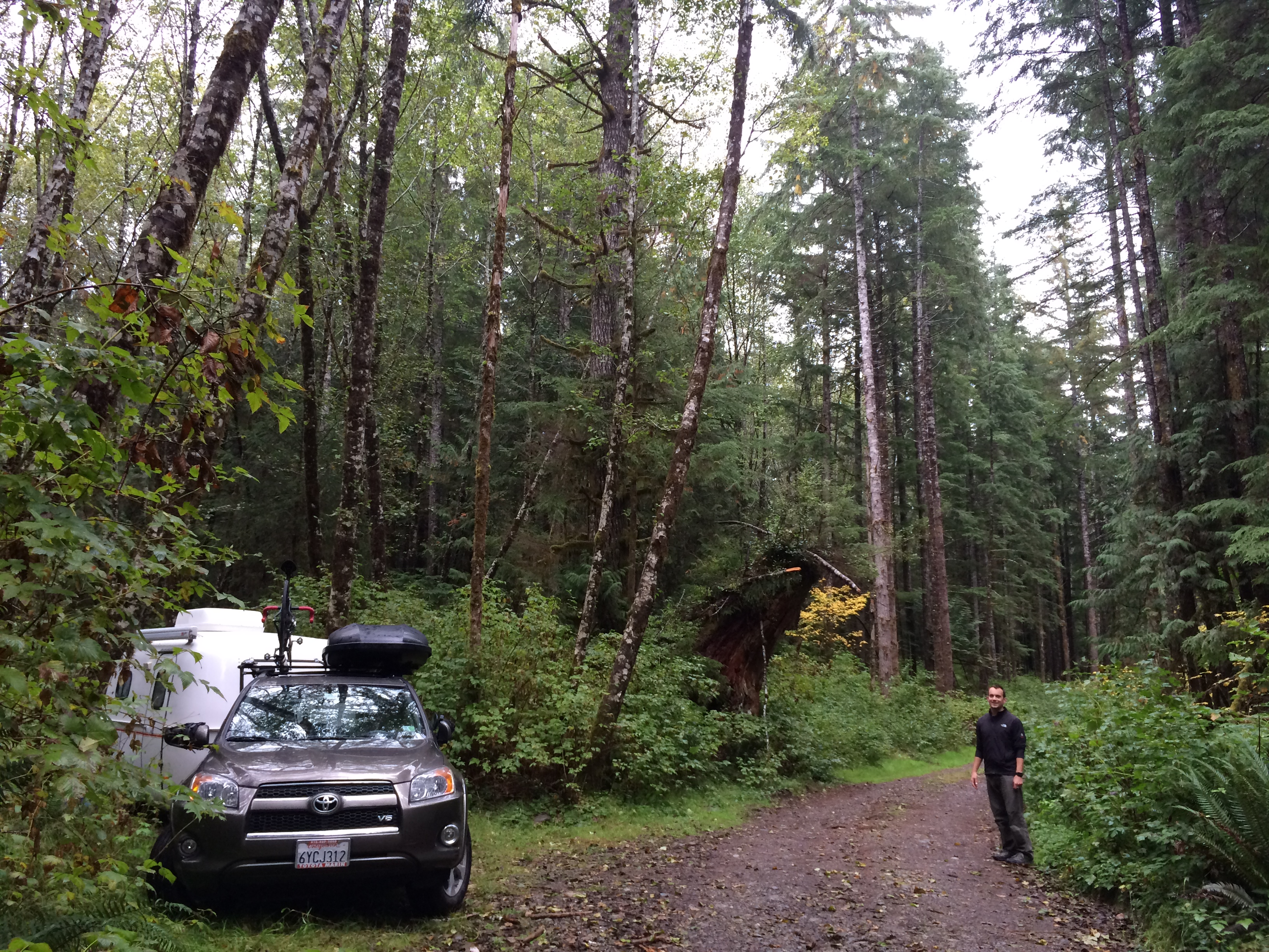
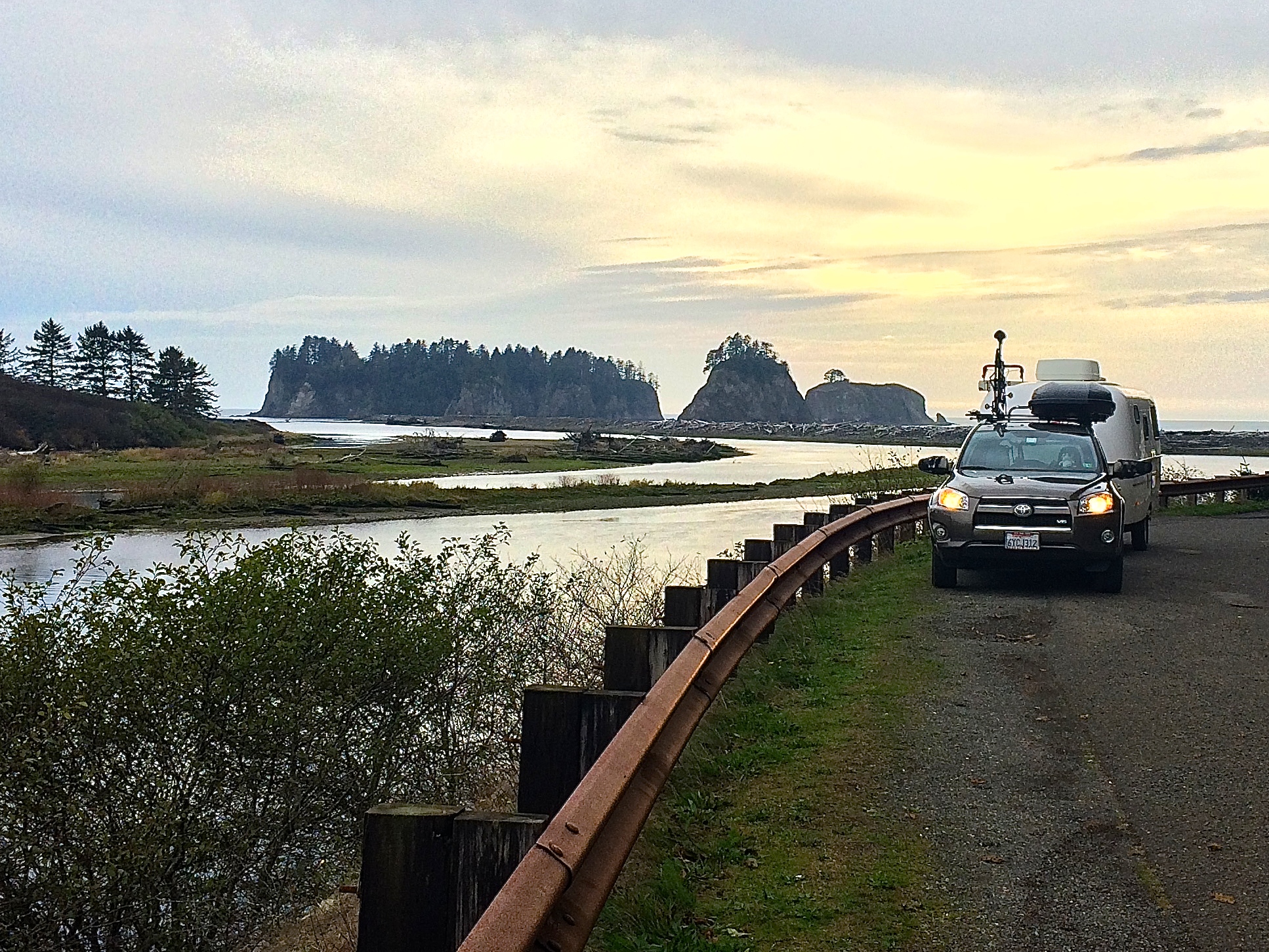
We ended up boondocking on a random forest road in the forest just south of Neilton.IMG_4566

Sunrises and sunsets are typically taken into account when I plan my day at national parks, but at Olympic tides also had to be observed. There were too many beaches that I wished to see, and timing it all with low tide in order to observe the rocks, driftwood, and tidal pools was a bit tricky.

First was Ruby Beach, whose low tide was 4:30am and high tide was 10:30am. We aimed for 7:30am, somewhere in the middle.IMG_4569

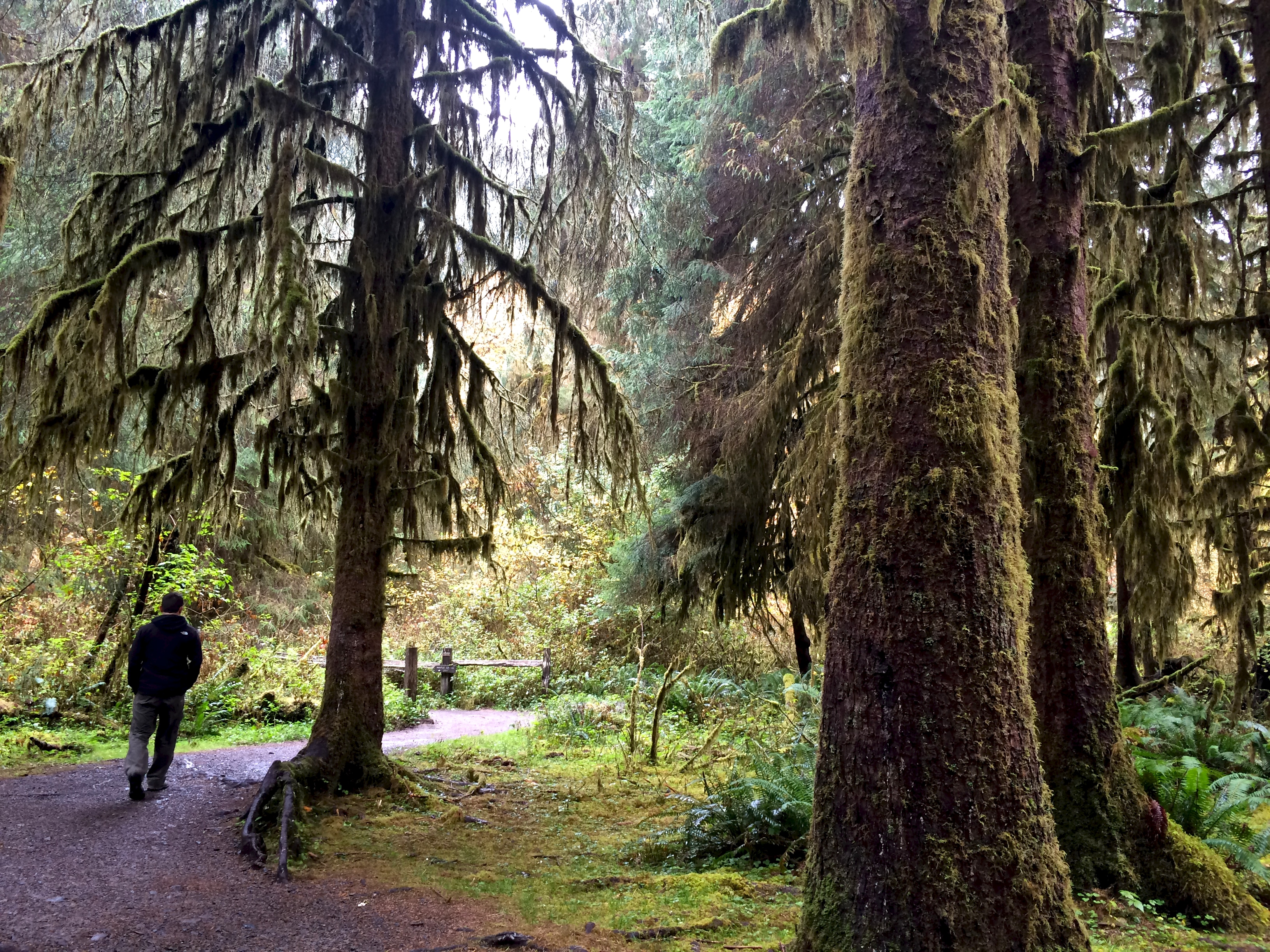
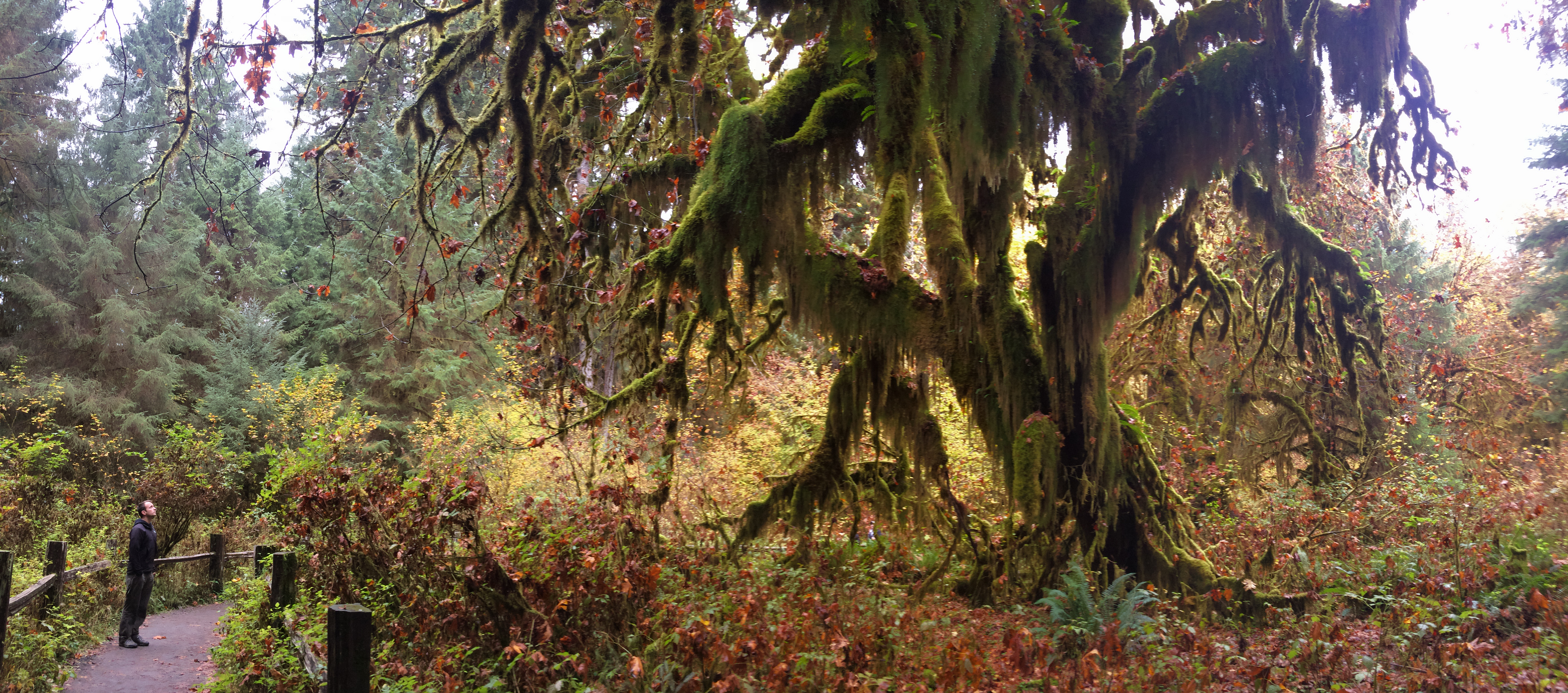
The next low tide for the coast was 4:30pm, so we planned to return to the beaches later that afternoon. Between Ruby Beach and the next set of beaches, we ventured east into the Hoh Rainforest’s Hall of Mosses. It is said that not even J.R.R. Tolkien himself could have imagined a fantasy rainforest such as Hoh, but no description could have prepared us for the short .75-mile loop through the magical Hoh rainforest.

With all the rain and perpetual moisture in the air, curtains of Spanish moss draped from branches and soft clusters of moss clung to massive trunks.IMG_4604

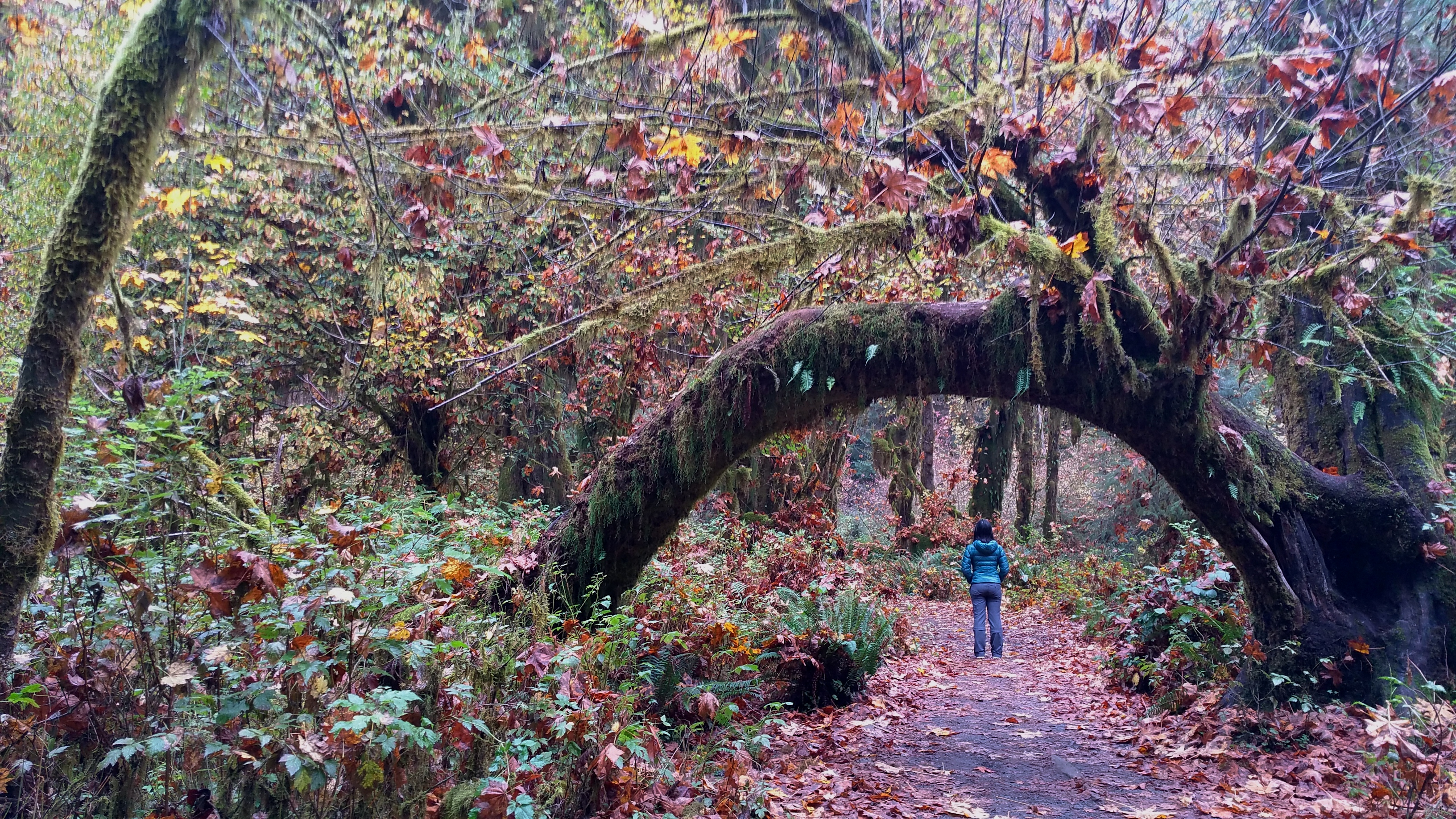
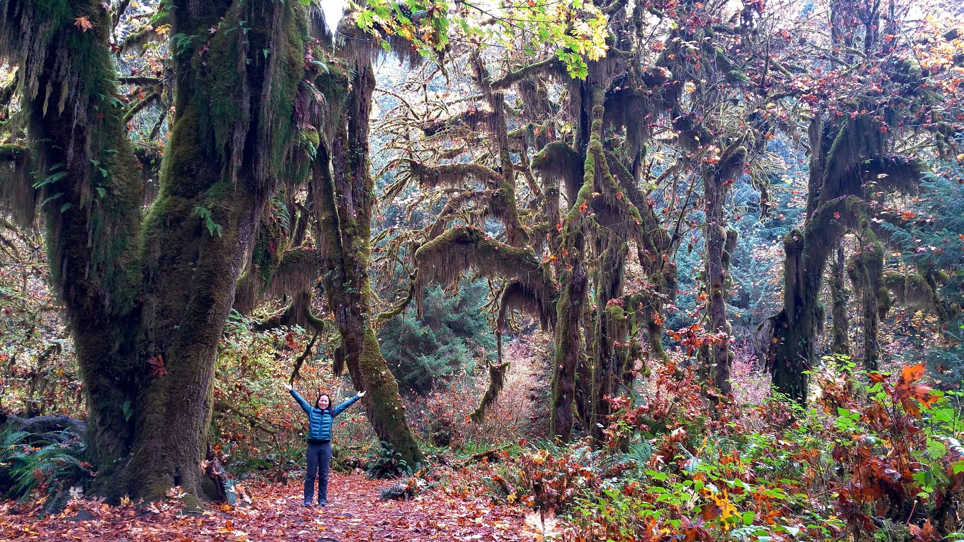
I assume most visitors see the Hall of Mosses in its full green glory during the peak summer season. Thanks to autumn, the trail beneath and the canopy above were speckled with orange.20151008_11370020151008_113823

My favorite photo from Olympic National Park is below. No filters were used, no color adjustments were made. Just Mother Nature at its finest. It’s hard to believe that this is still the United States, never mind Washington state.IMG_4607

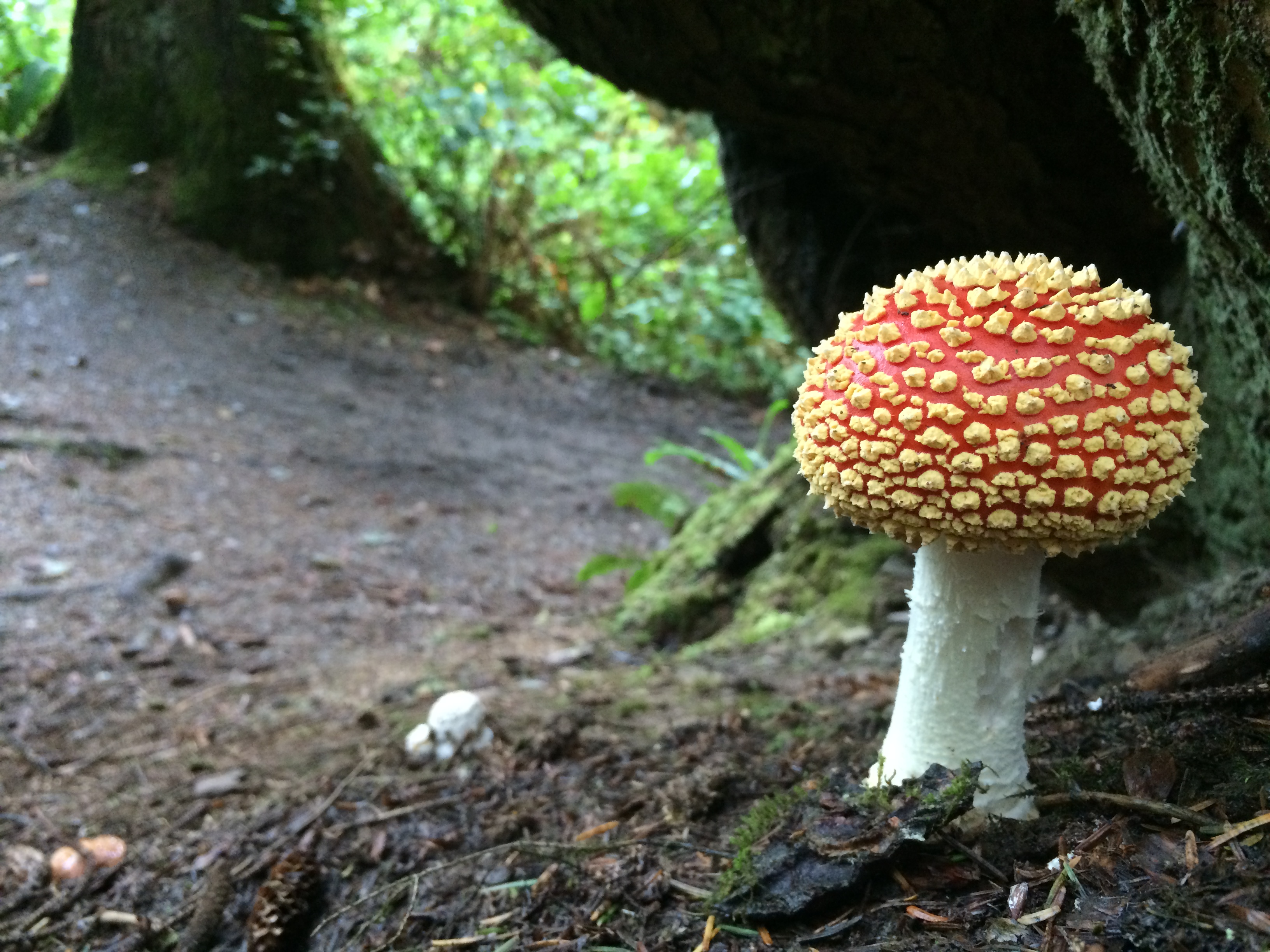
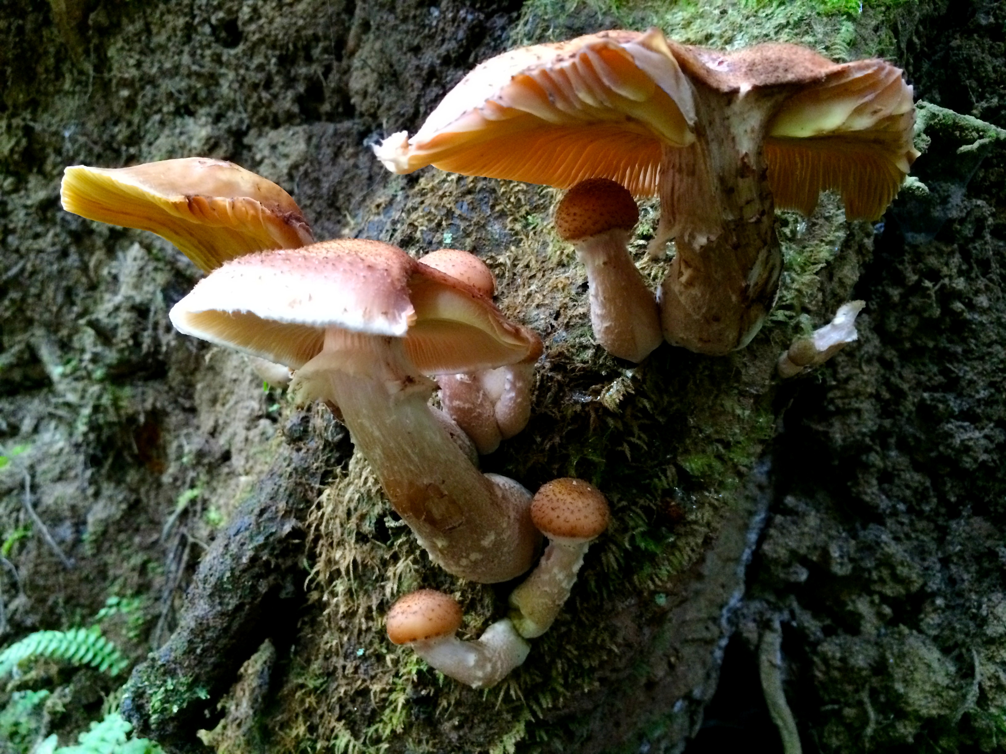
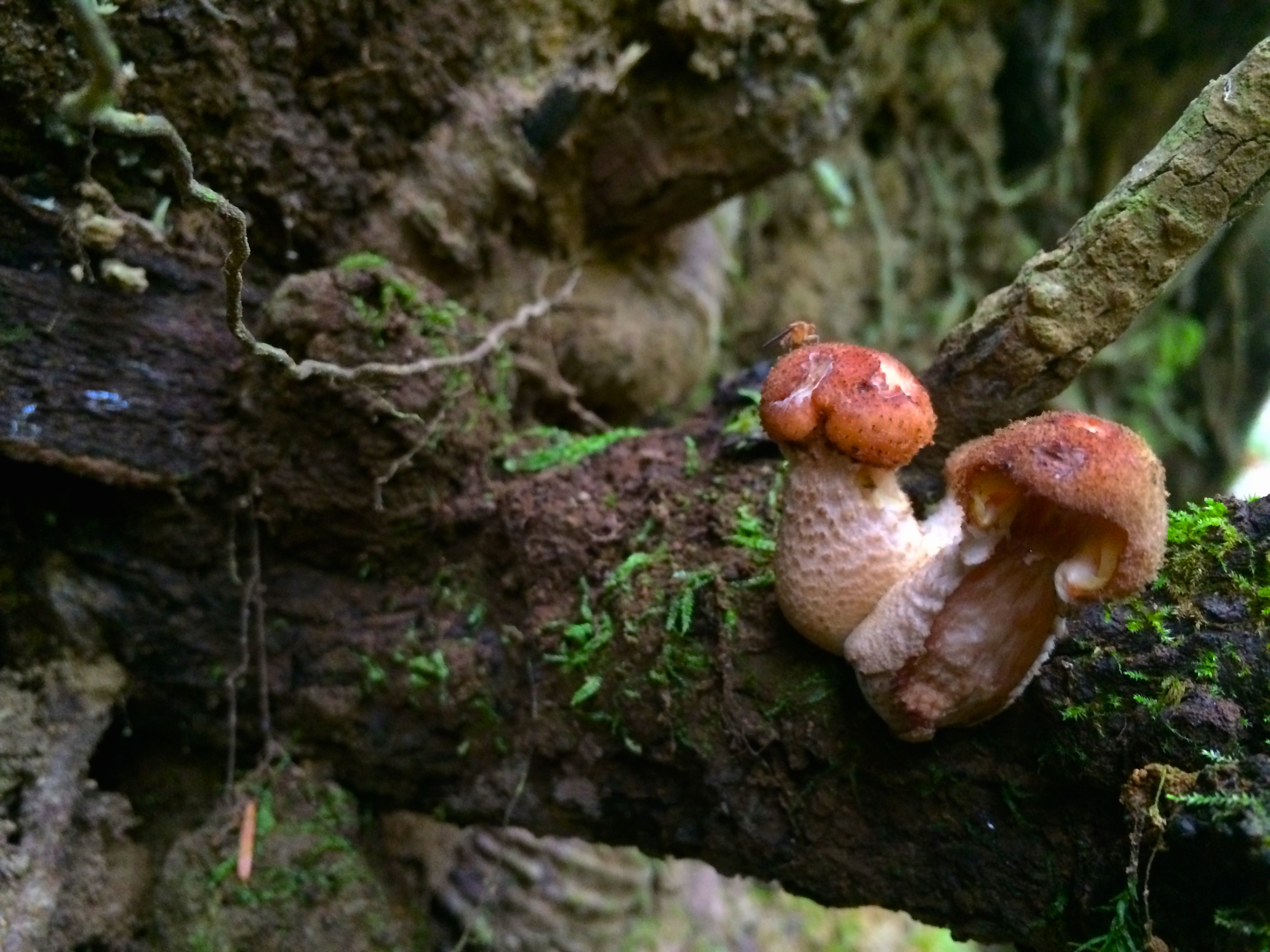
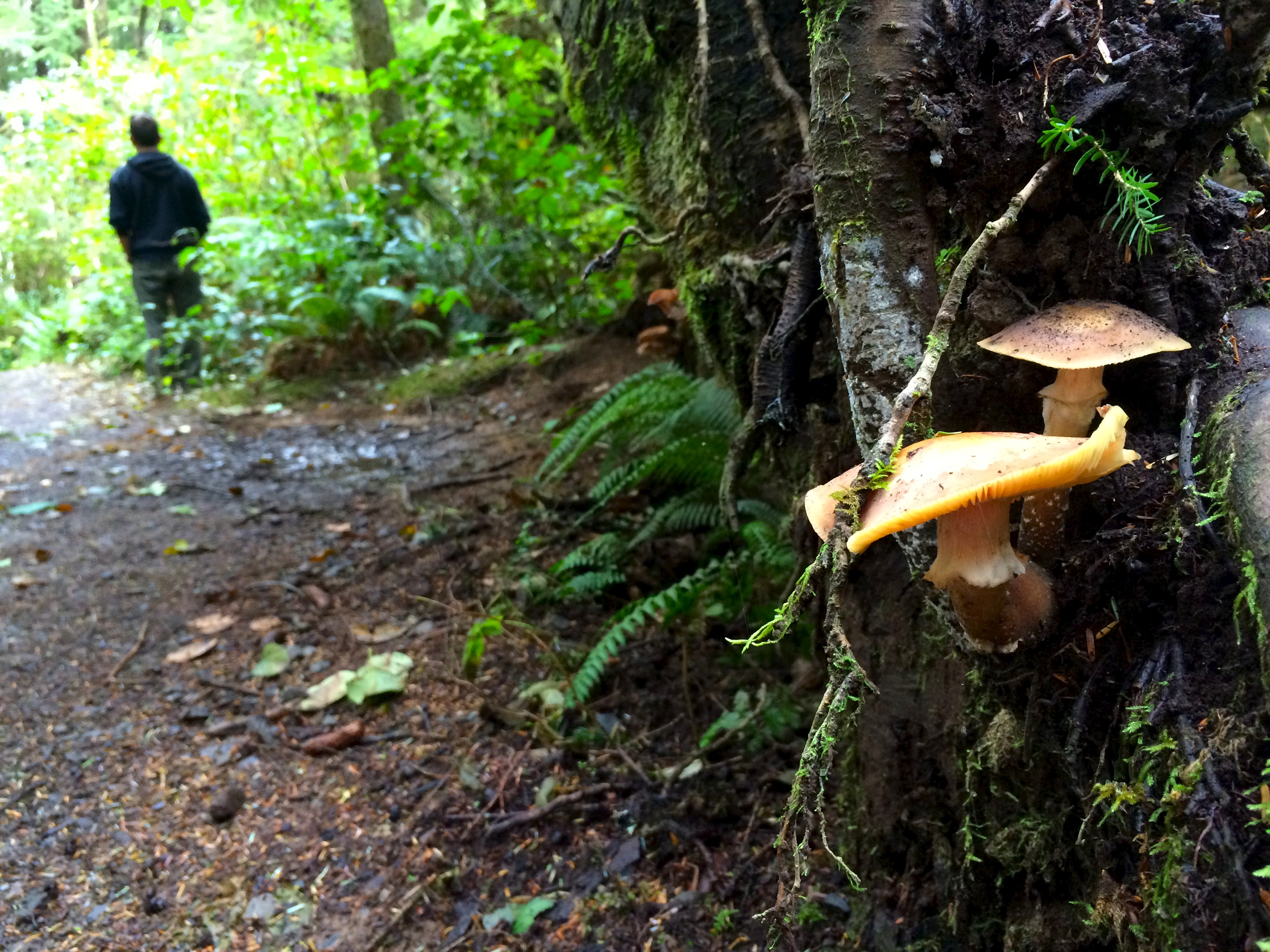
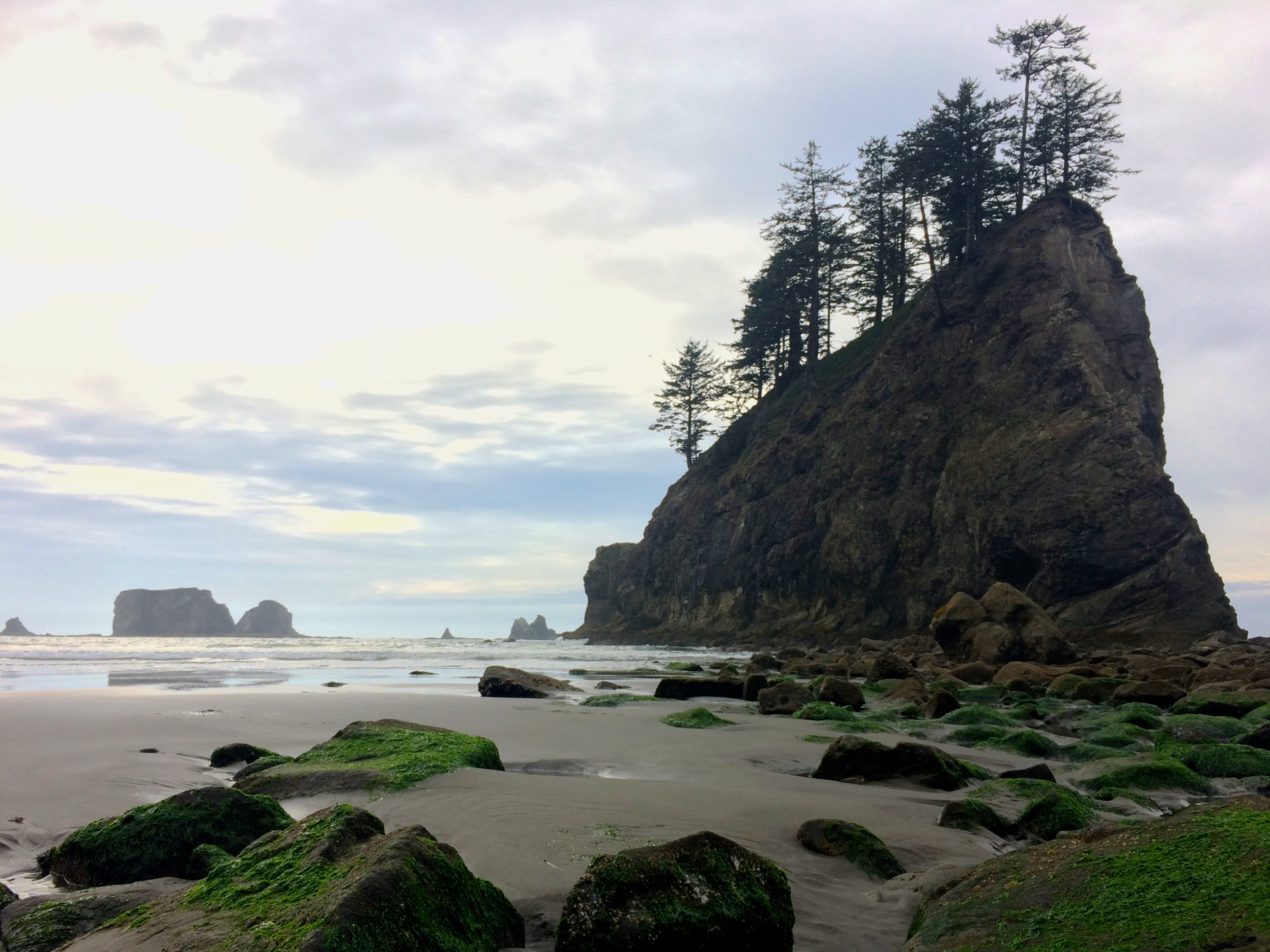
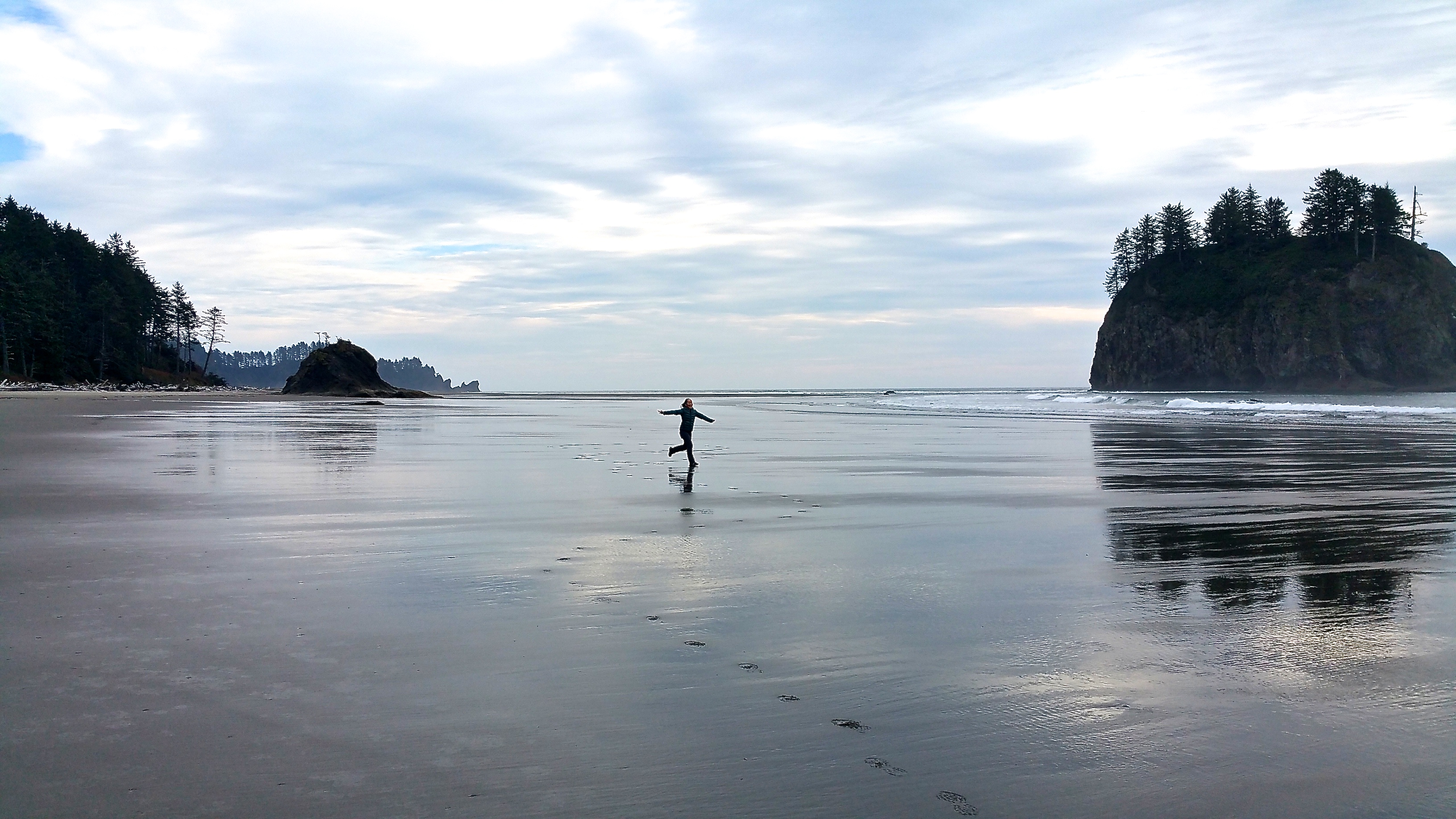
Not long after we made our way over to what would be my favorite beach at Olympic: Second Beach. The short trail through the rainforest onto the sandy beach was dotted with mushrooms of all shapes and colors. I had to stop to admire these adorable little guys.IMG_4665 IMG_4672 IMG_4671IMG_4670

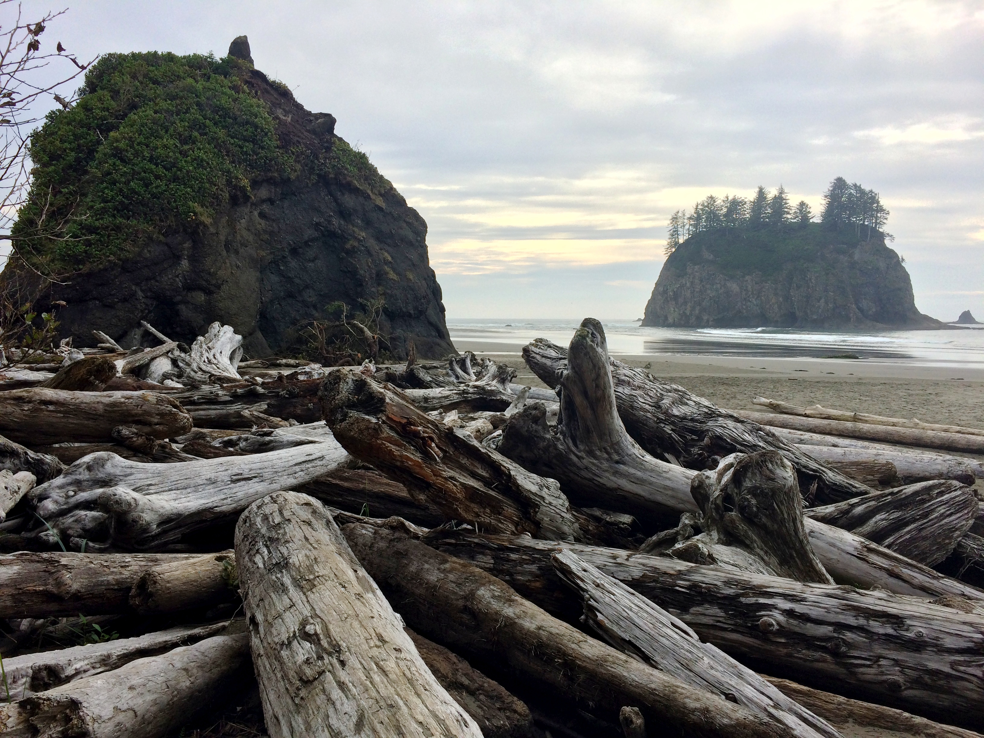
And on the beach I got a bit camera crazy—it was simply all too beautiful. It was impossible to take a crappy photo. Massive sea stacks in the distance were easily framed by driftwood in the foreground:IMG_4673

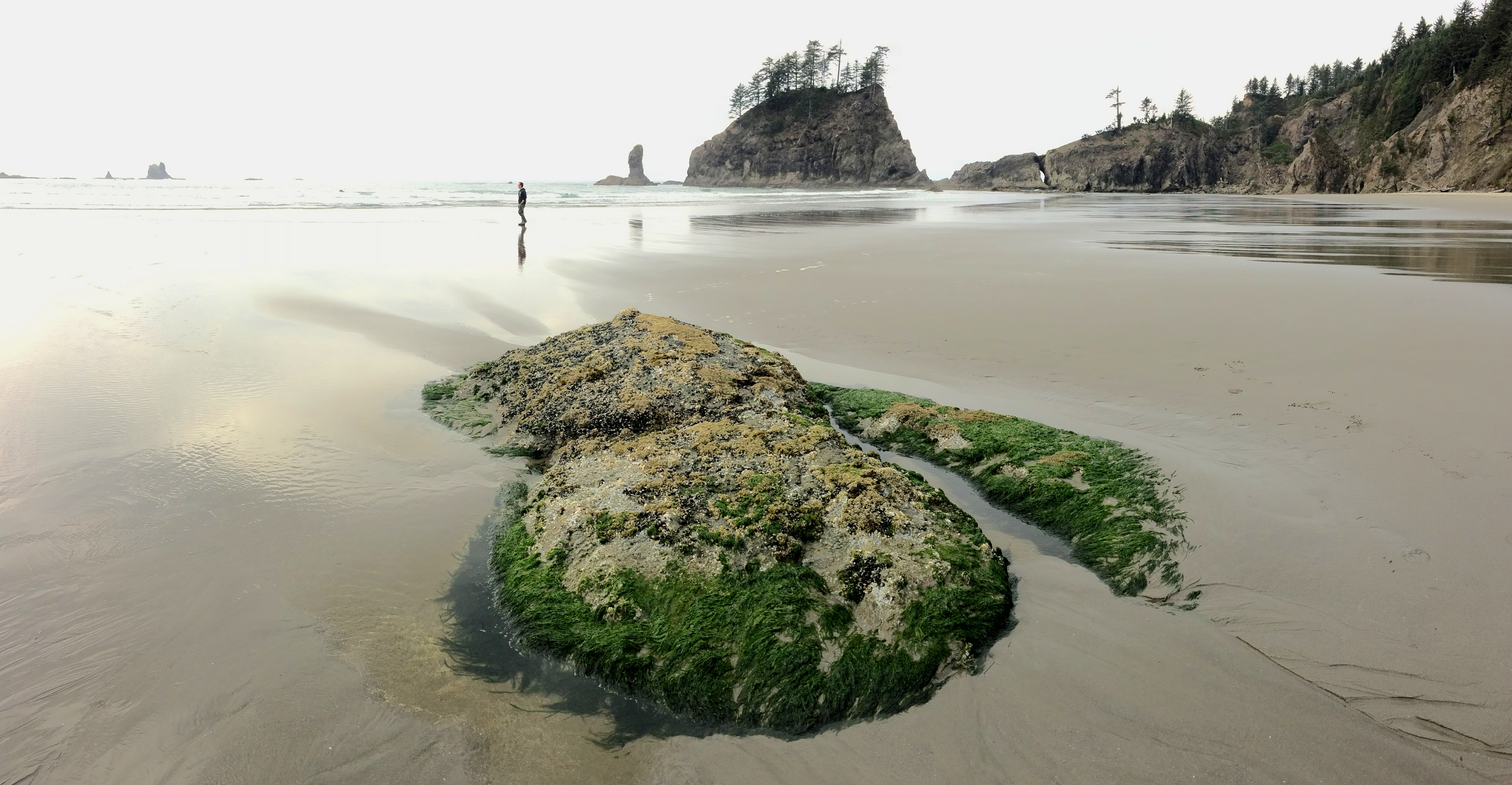
And moss-covered rocks only visible at low tide:IMG_4683

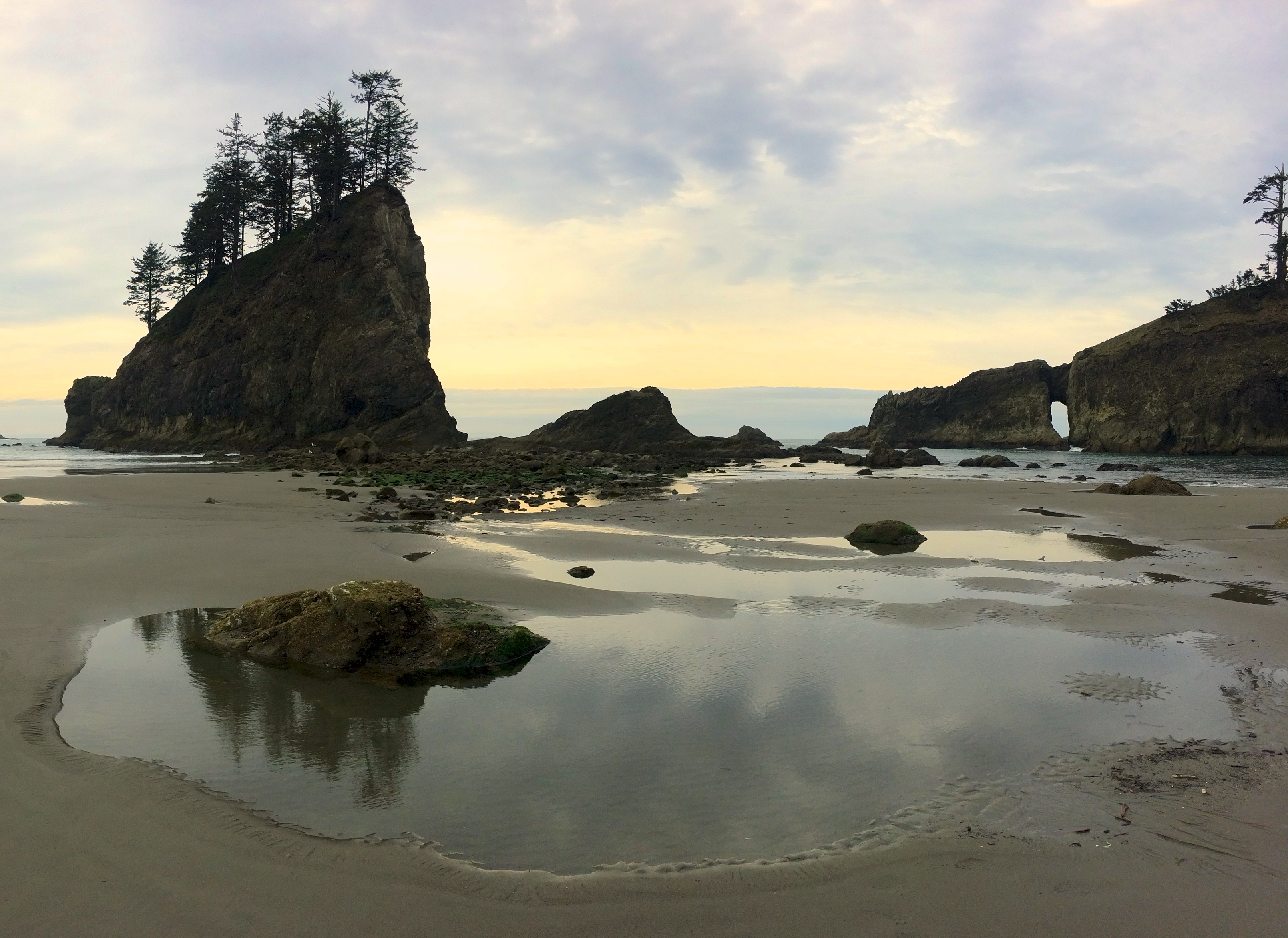
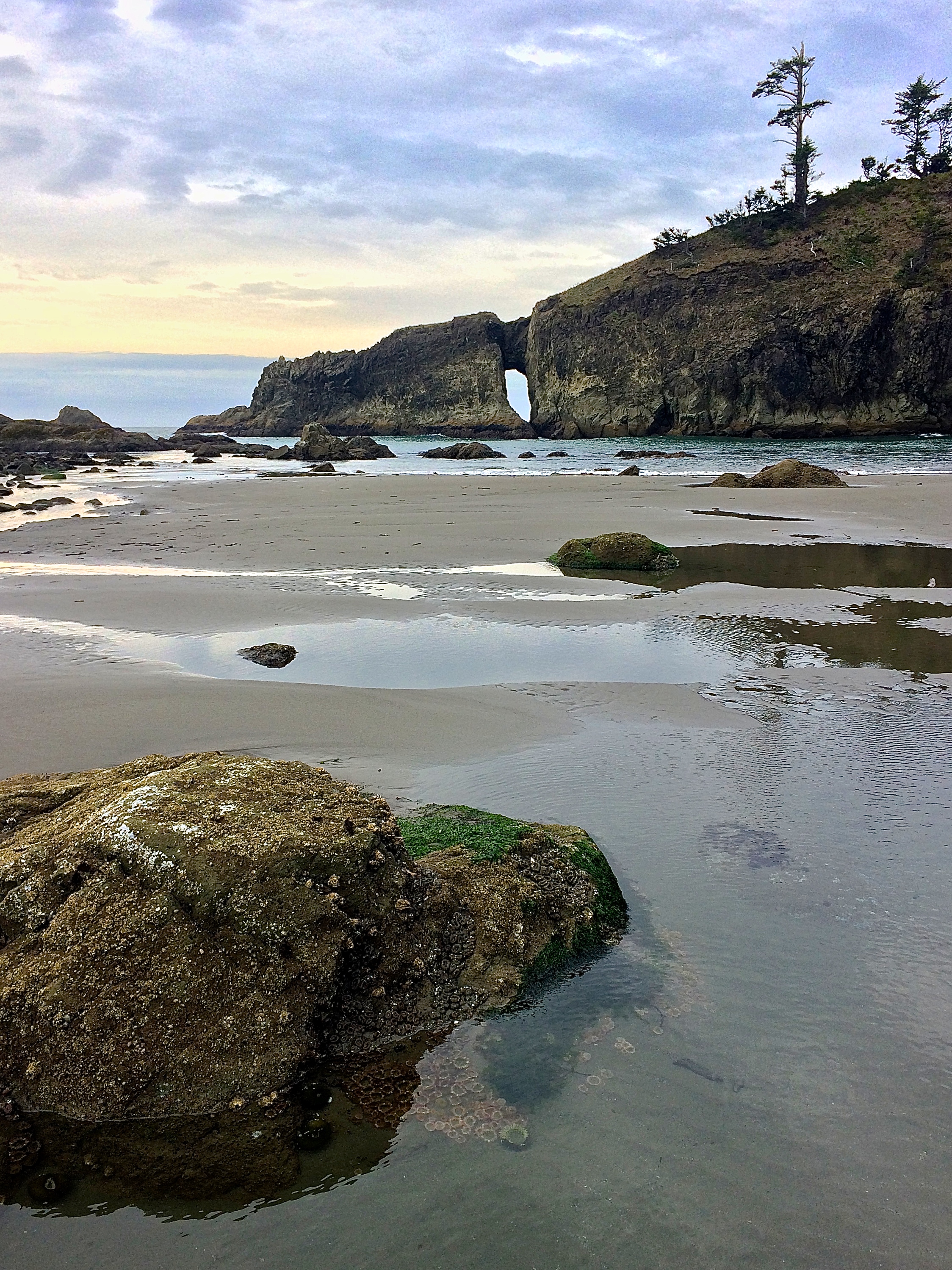
Giant sea stacks and rock formations:IMG_4701 IMG_4689IMG_4702

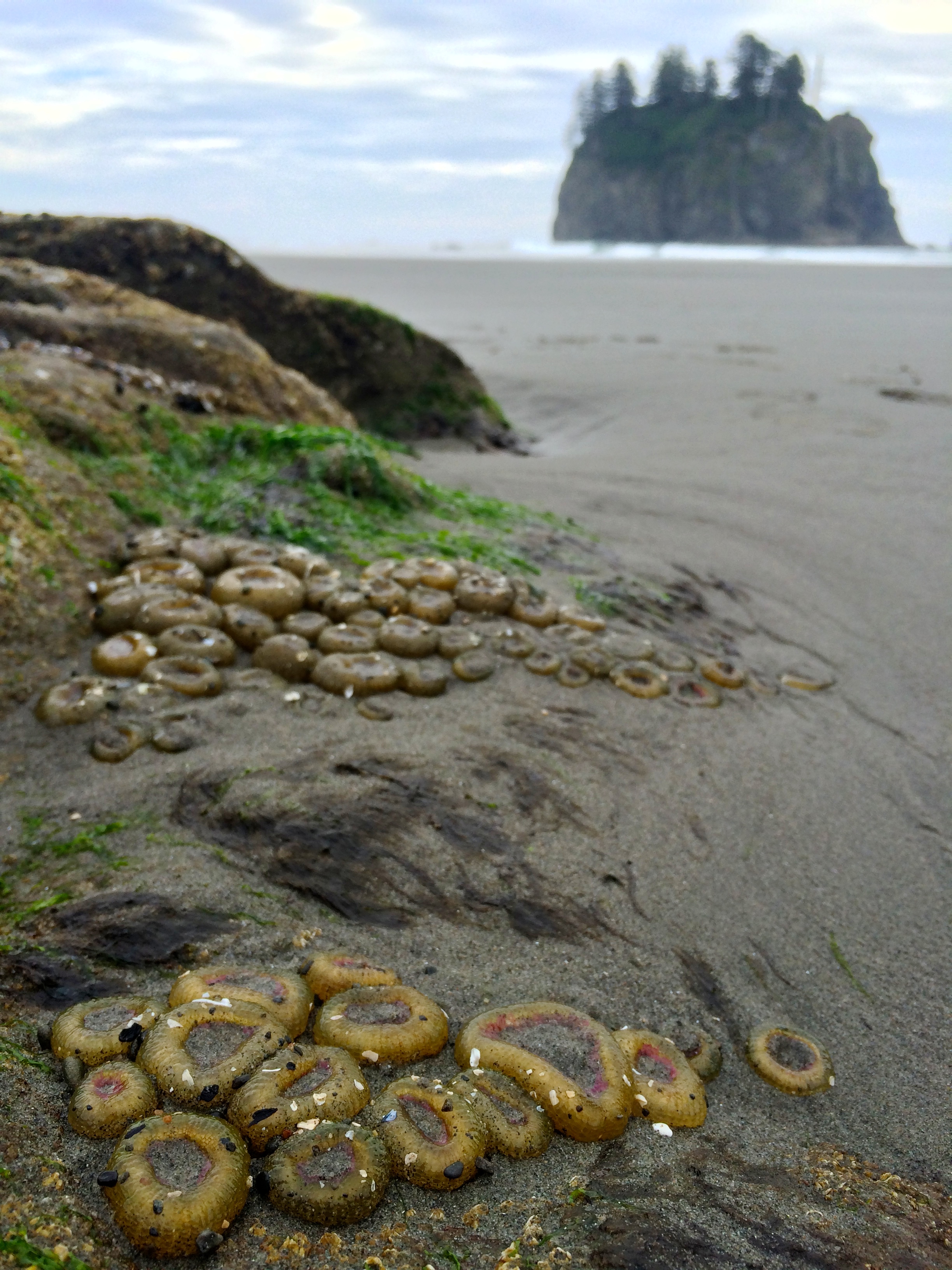
Tidal pools that displayed sea anemone:IMG_4704

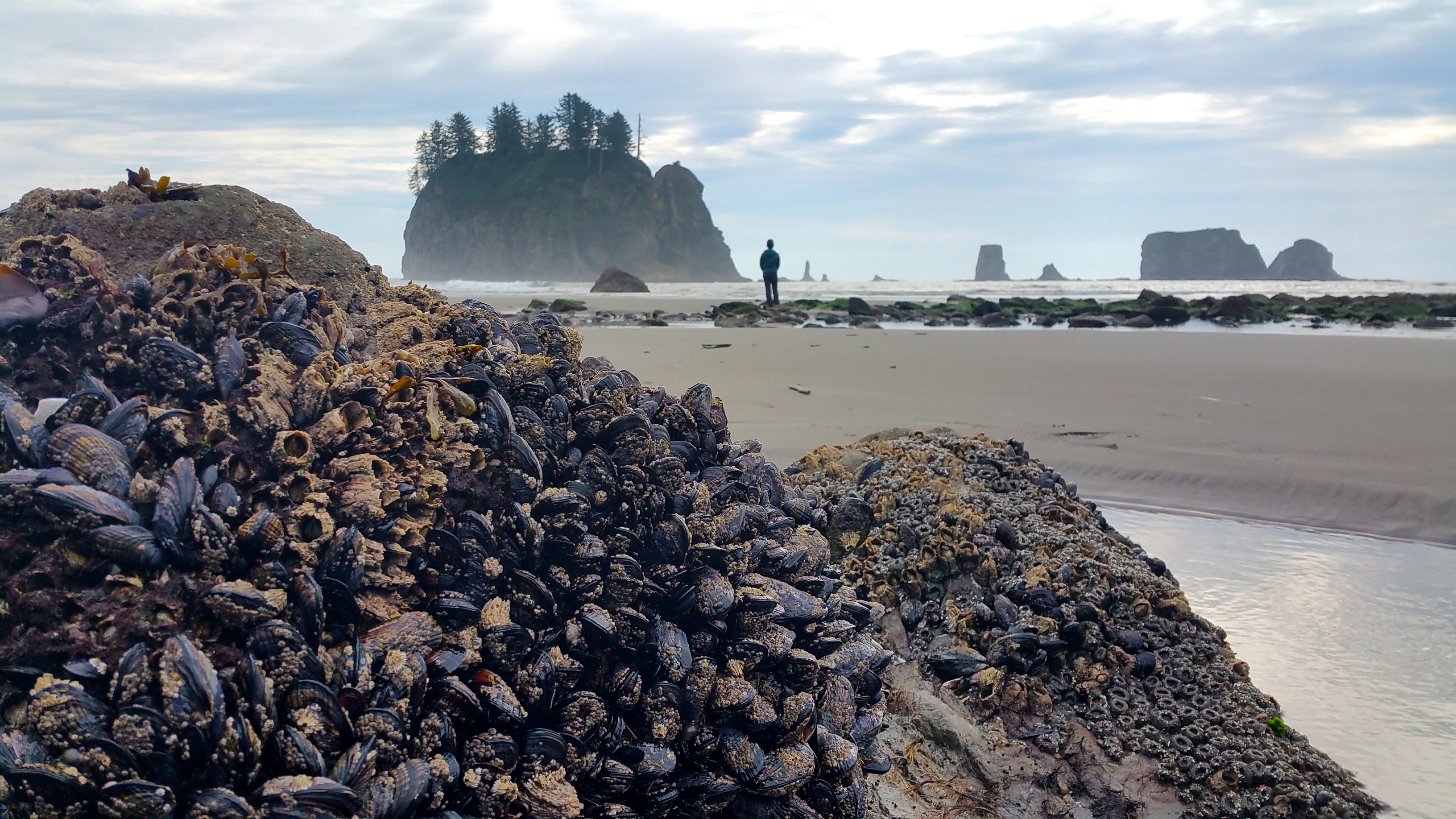
And hundreds of clams clinging to rocks:20151008_144844

I ran around the vast stretch of sand in solitude, with arms outstretched:20151008_150238

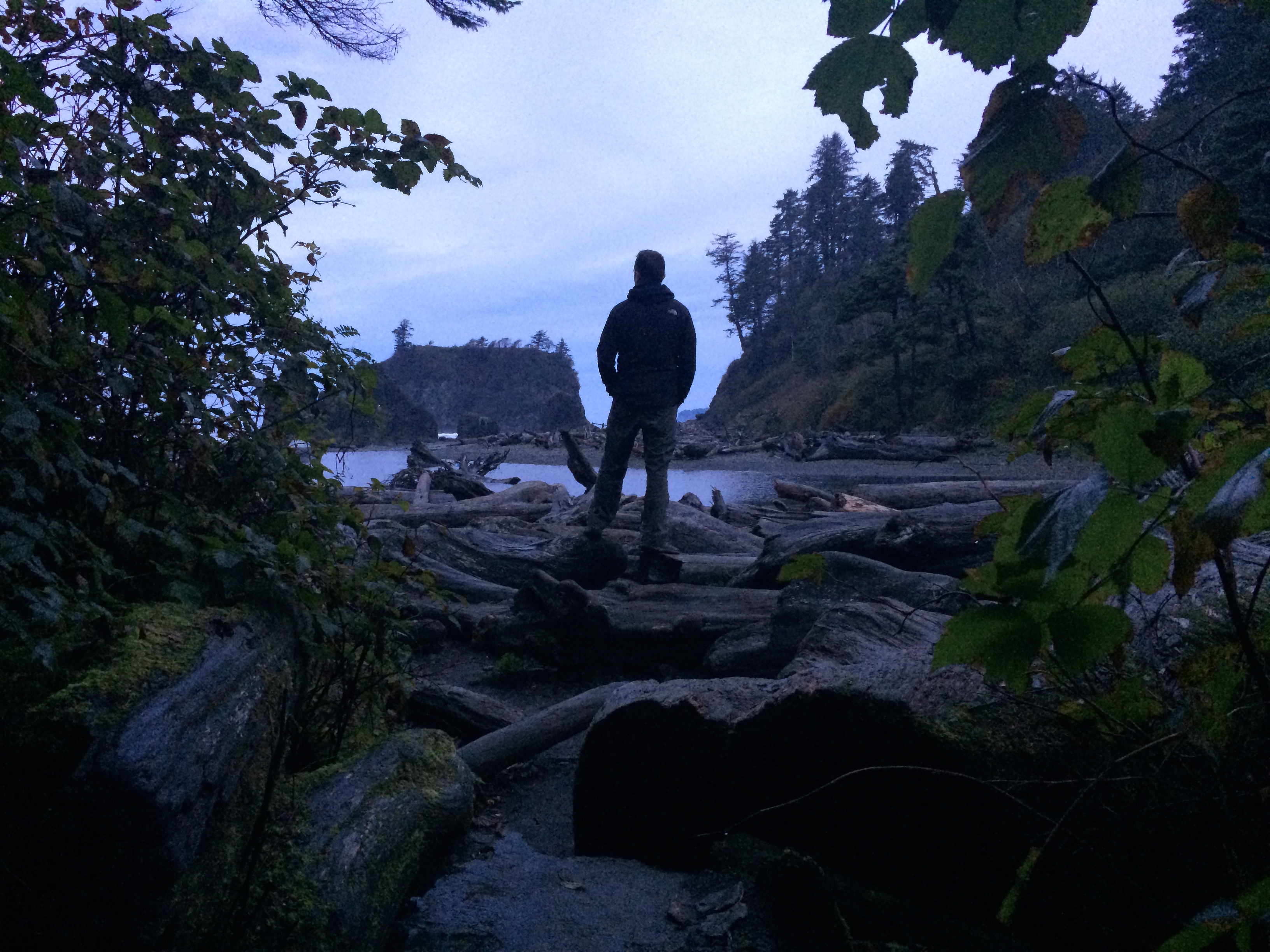
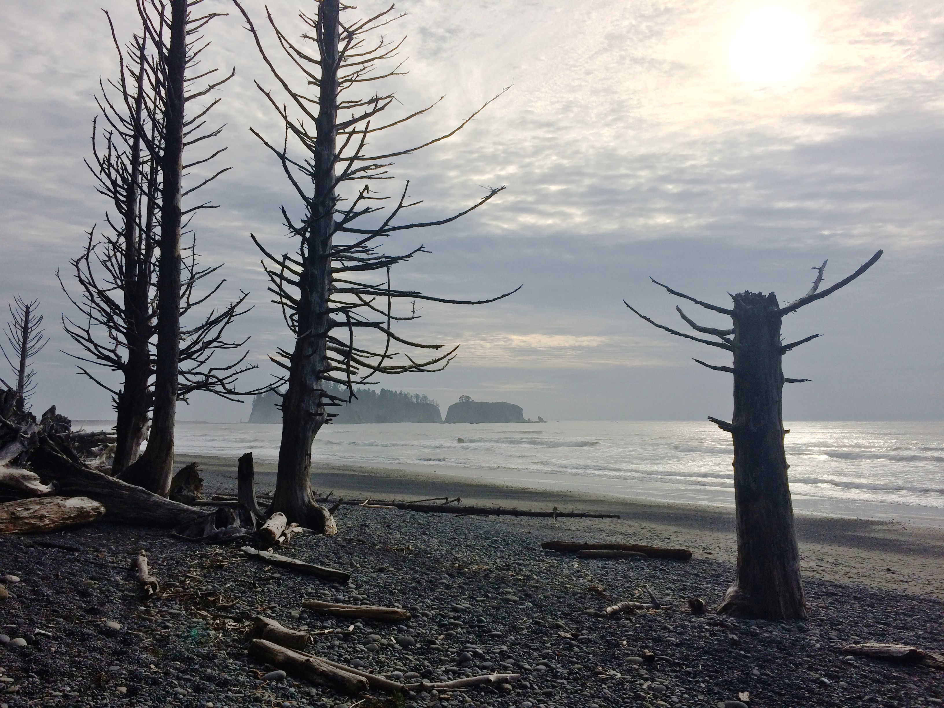
Our final beach of the day was Rialto Beach. Never before had I seen such spooky landscape along the coast!IMG_4715IMG_4742

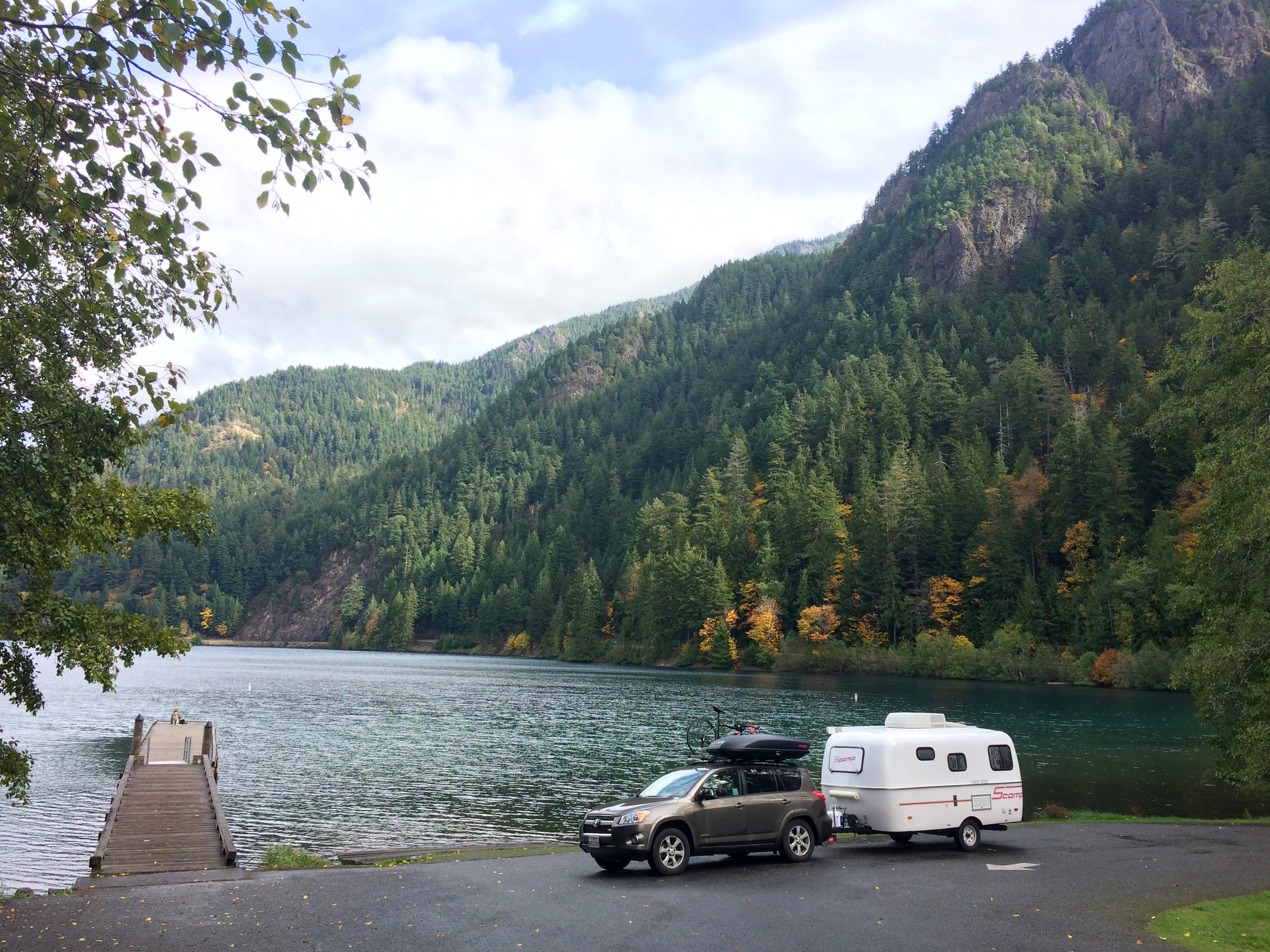
During our second day after waiting for a morning rain to pass, we made a brief stop at Lake Crescent.IMG_4750

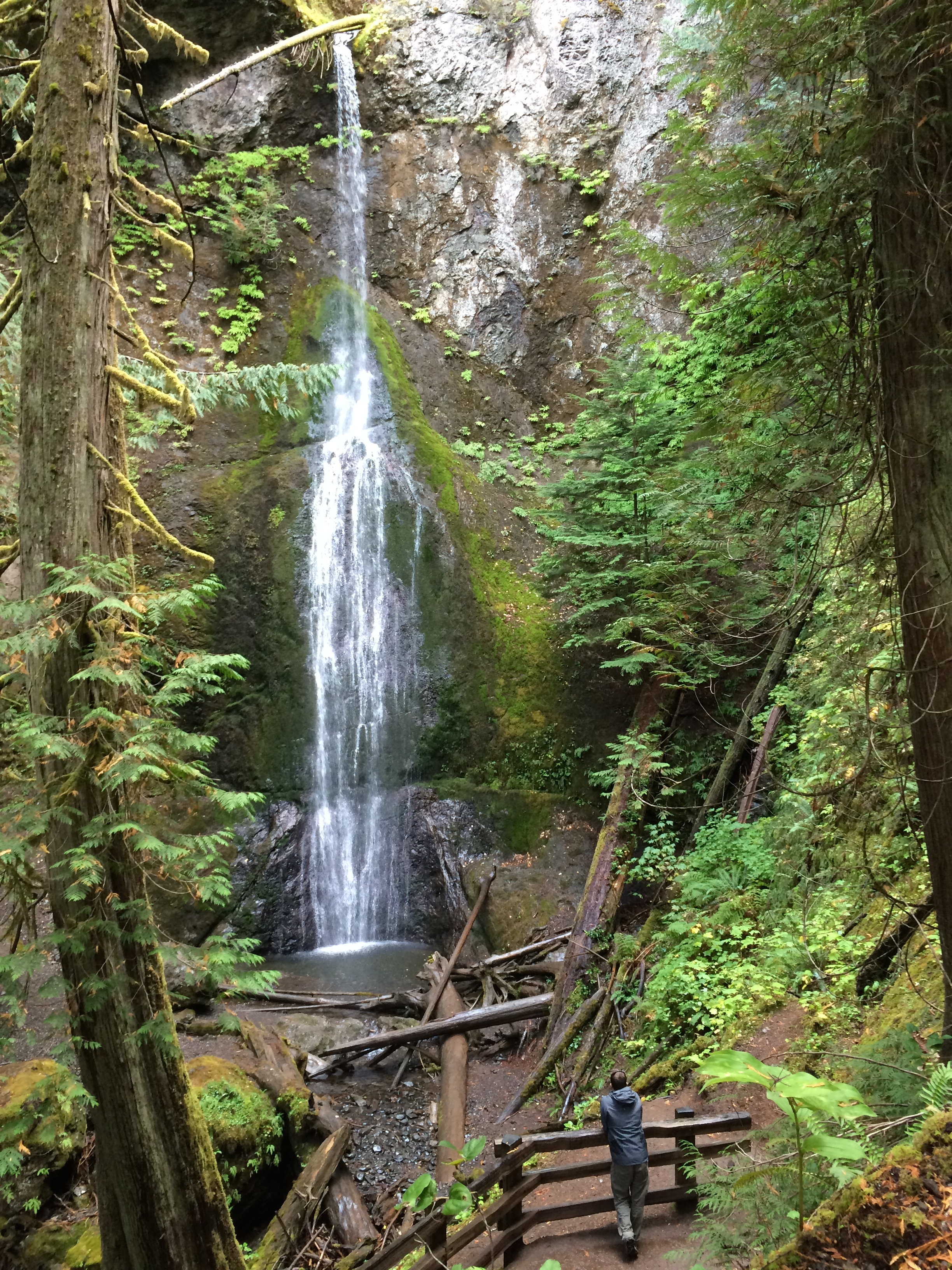
There we strolled a short, gentle trail through the woods to Marymere Falls.IMG_4760

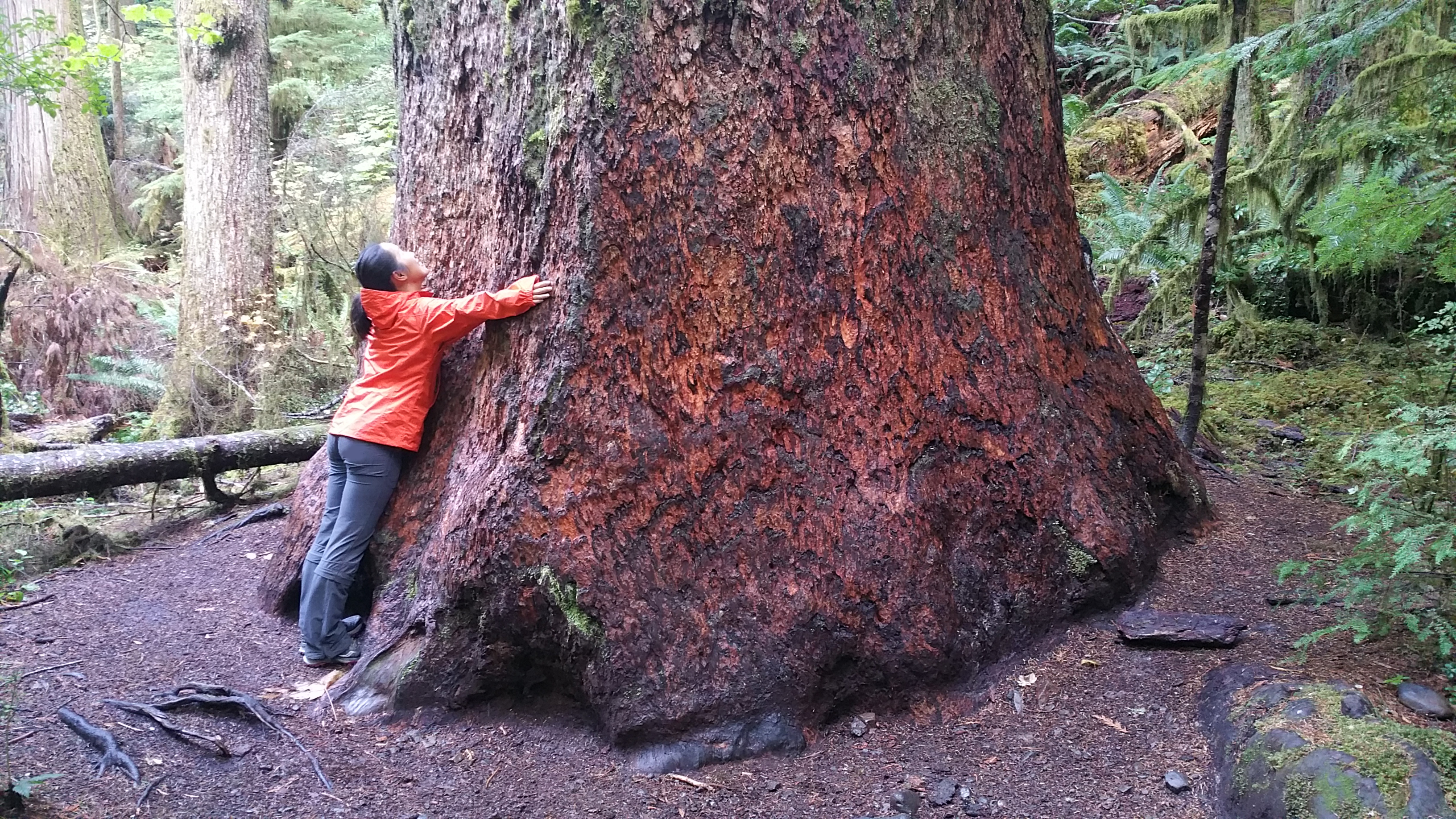
We encountered more gigantic trees along the way.20151009_134516

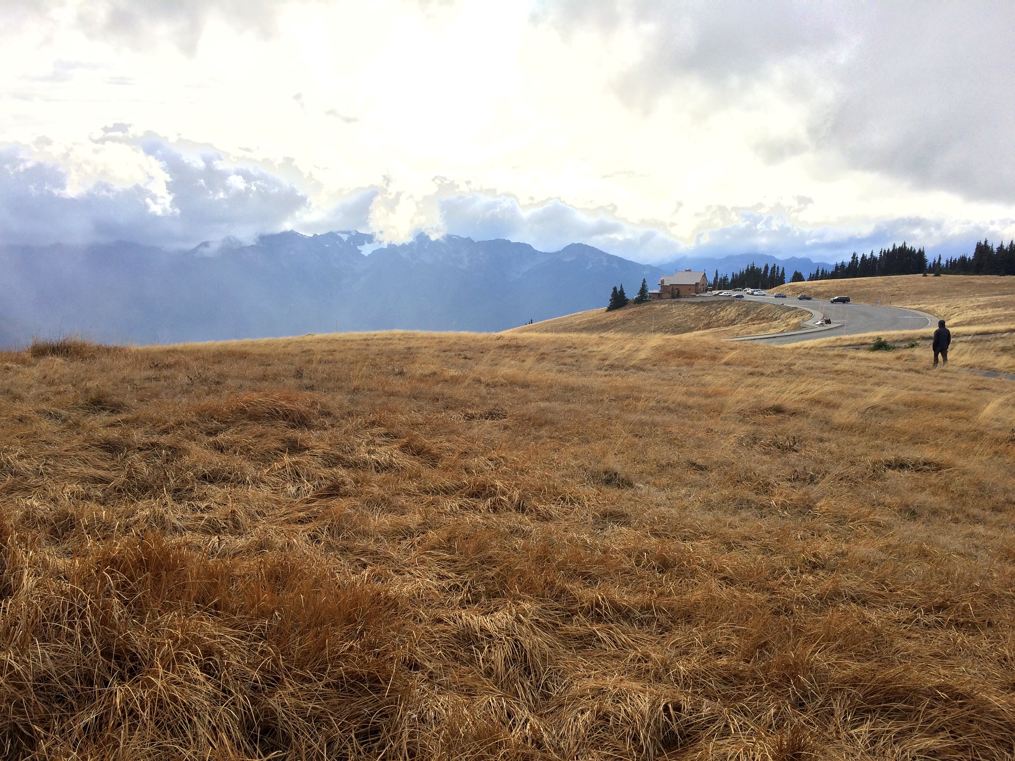
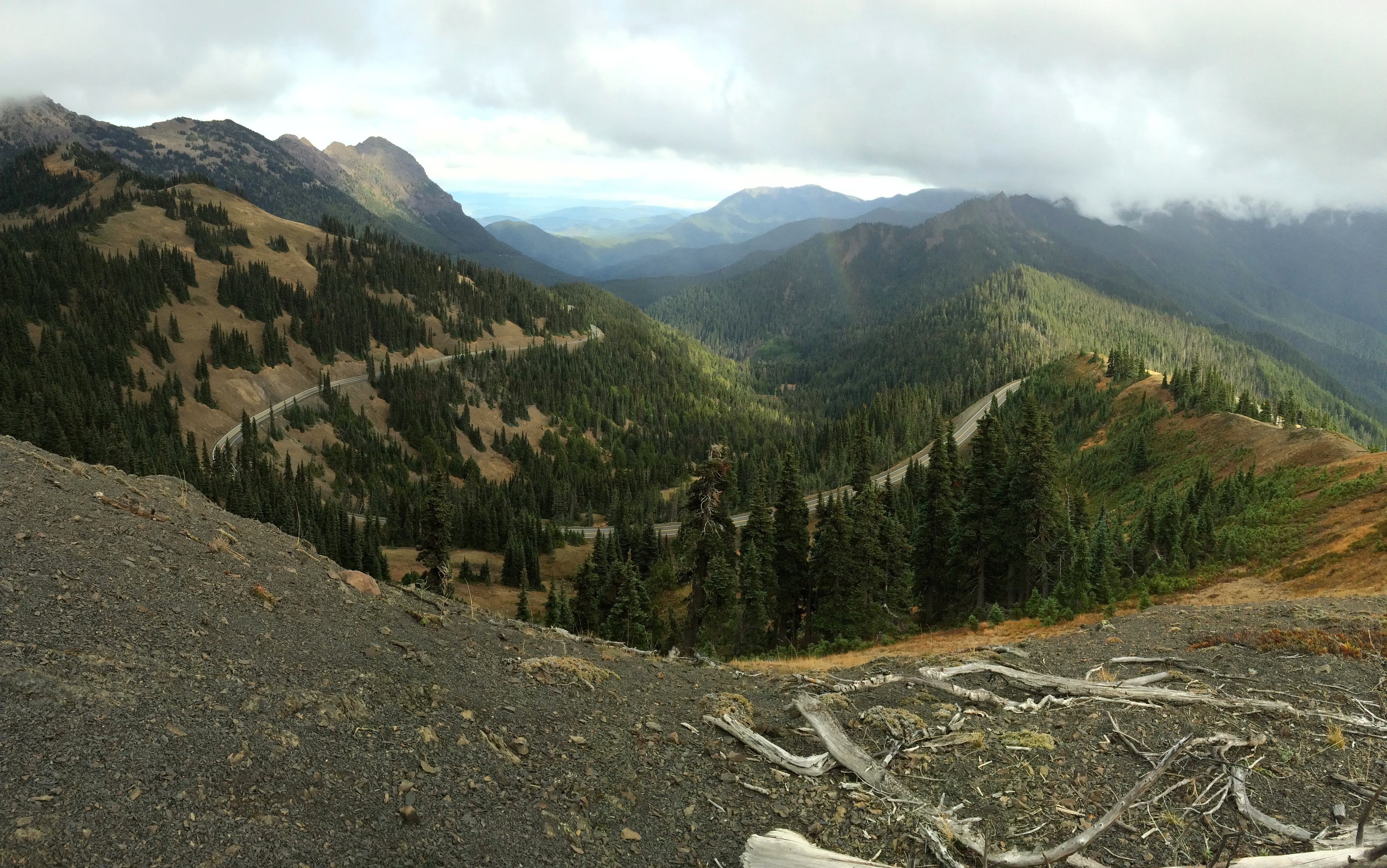
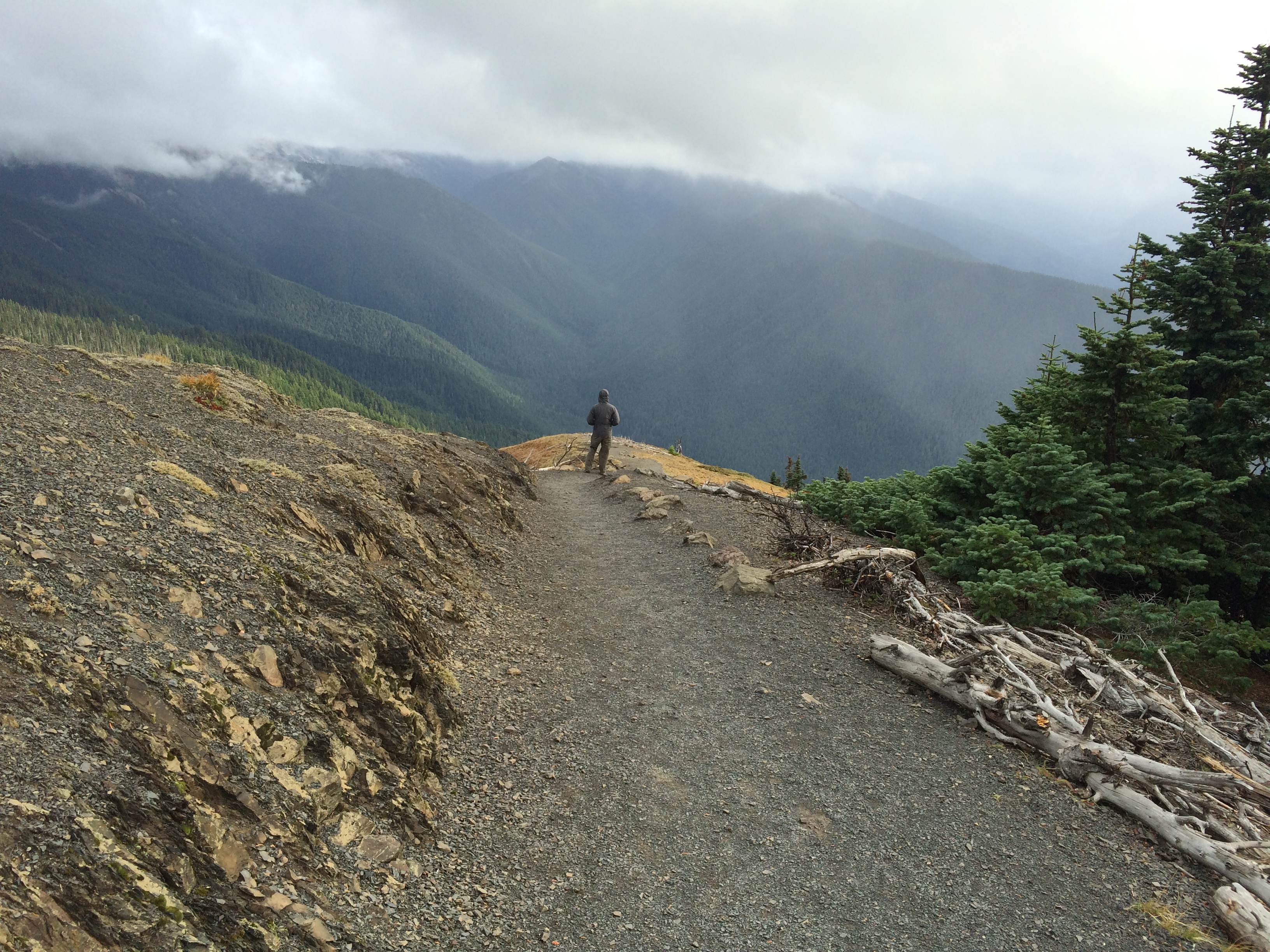
I hesitated whether or not to make the drive up to Hurricane Hill due to on and off rain and wind, but we had nothing else better to do so up we went for the national park’s best high altitude views at over 5,200 ft.  On a rare, clear day a panorama of peaks and glaciers could be seen from the road and parking lot.  But it proved true to its name, and thick, gray clouds engulfed the majority of the peaks that day, but every now and then the clouds parted way for some glaciers.IMG_4788

The epic road up to Hurricane Hill:IMG_4785

Unfavorable weather (mostly unforgiving wind) prevented us from attempting any long hikes, so we settled with a stroll around the area.IMG_4783

We departed Olympic National Park before the weather worsened.  Apparently the seasons don’t matter too much in this area–rain seems to be the park’s regular friend. Although we couldn’t hike the Olympic mountains, we enjoyed soaking in the dramatic landscapes of the magical rain forests and eerie beaches.  It was a bit disheartening that we could not spend time in the Olympic mountains but I knew we would make up for it with our next national park–Mount Rainier.

Posted in Washington | Tagged , , | Leave a comment

Mount Saint Helens

Conditions were crap for Mount Hood, but conditions were perfect for summiting Mt. St. Helens.  While we sat in the parking lot of Timberline Lodge at Mount Hood figuring out our next excursion, we quickly discovered that summiting Mt. St. Helens required purchasing a permit in advance.  Luckily the following day was Monday, and while weekend permits were sold out for the year, there were plenty of permits remaining for the weekdays.  We purchased and printed the permits there at Timberline Lodge, spent the rest of the afternoon at Lost Lake, and then made our way over to the Mt. St. Helens trailhead where we would spend the night.

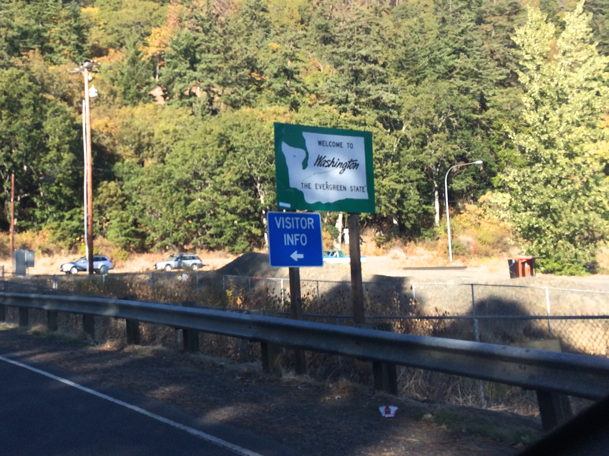
Crossing over the Columbia River into Washington:IMG_4519

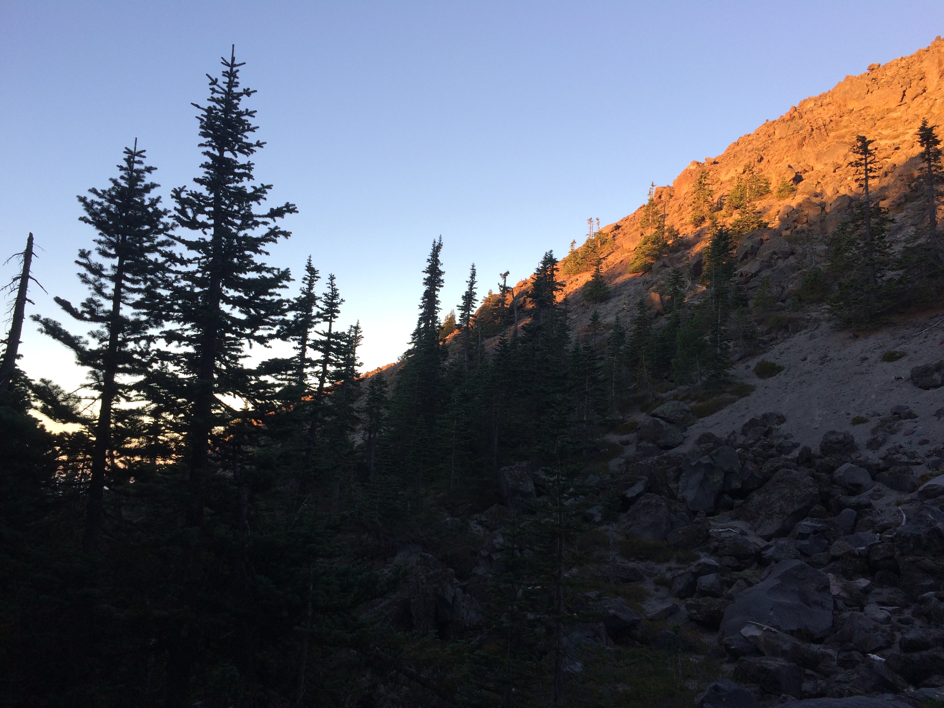
Shortly before the sun climbed over the Gifford Pinchot National Forest the next morning, we set out for our hike.IMG_4521

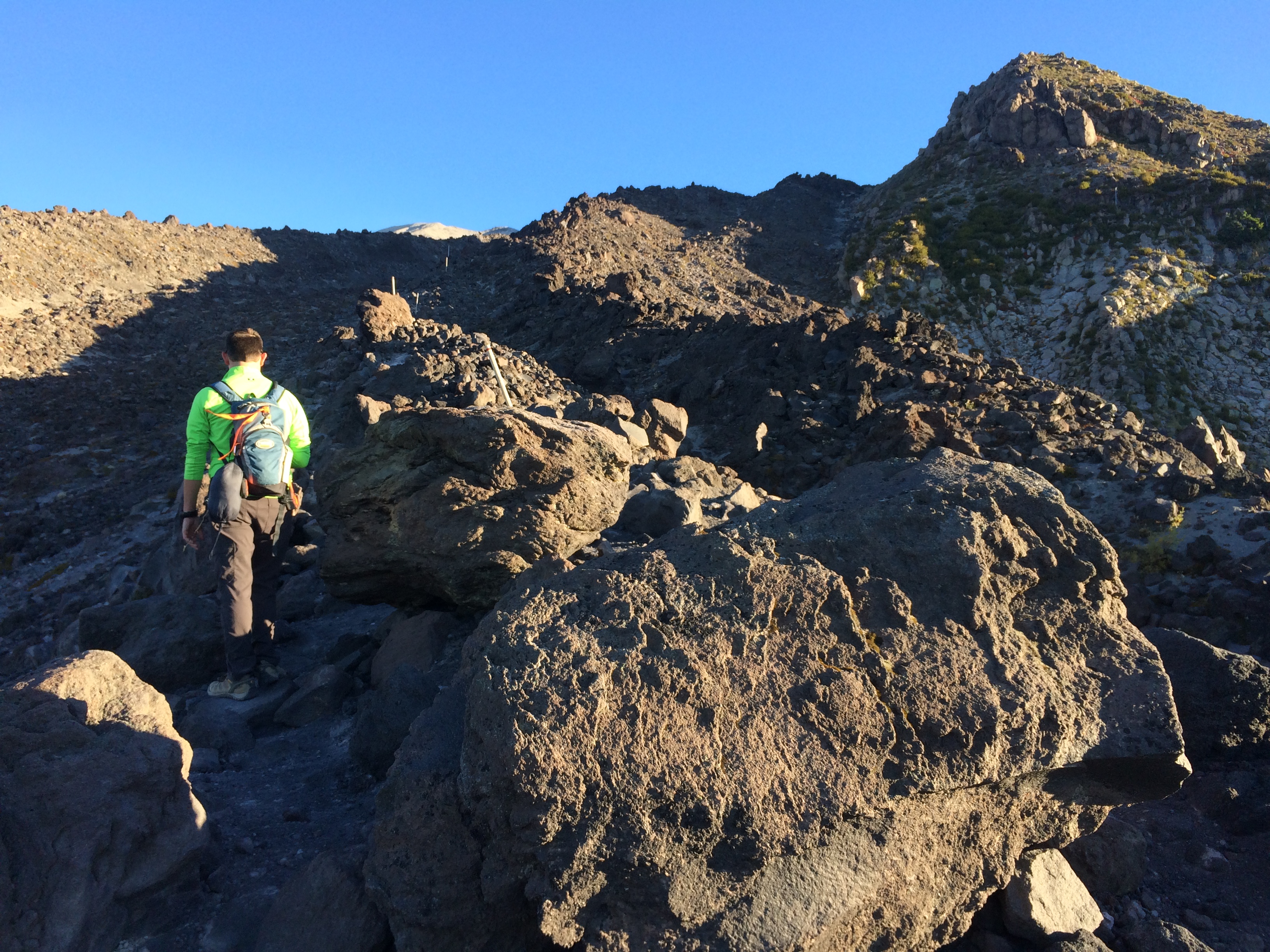
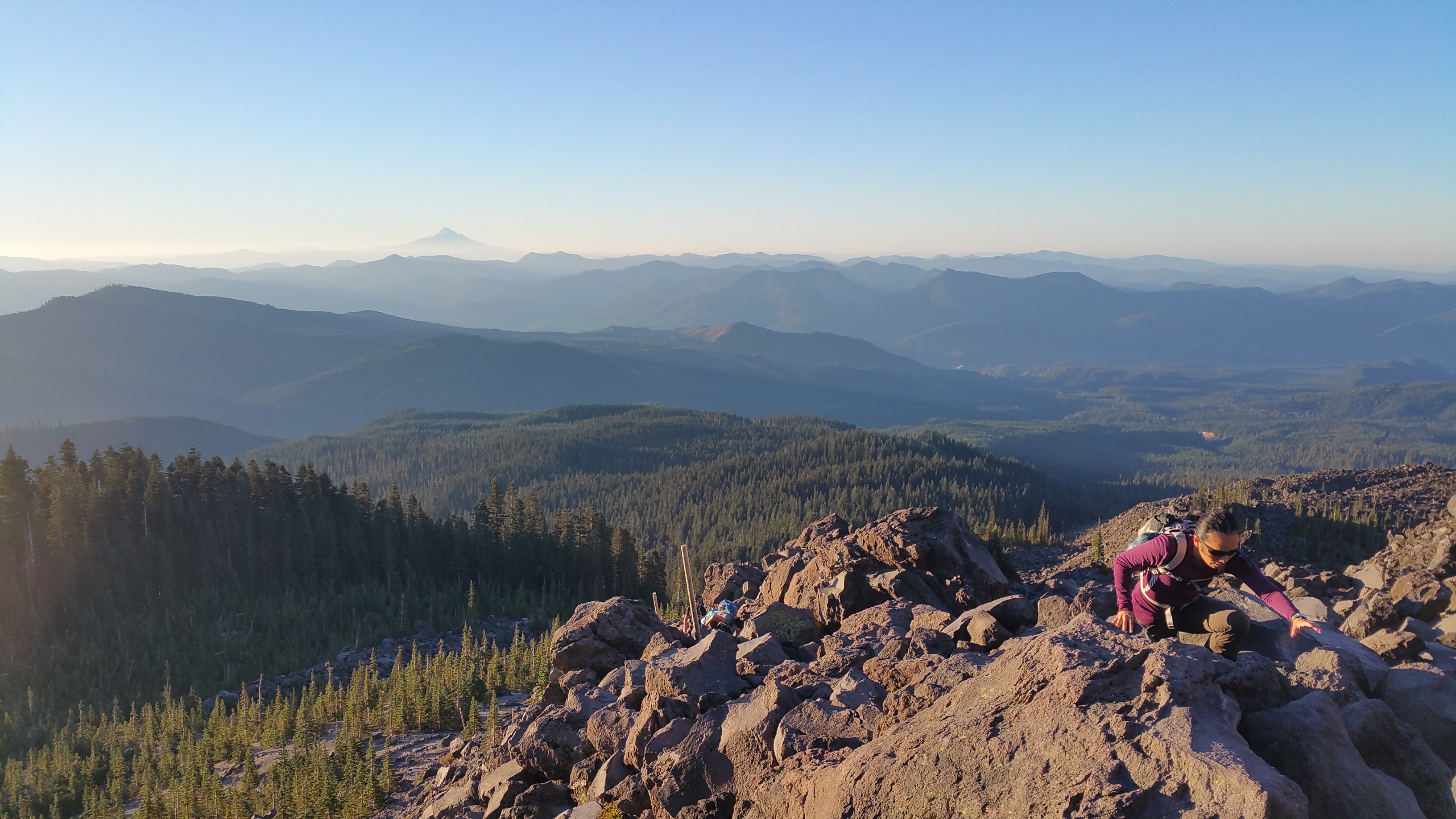
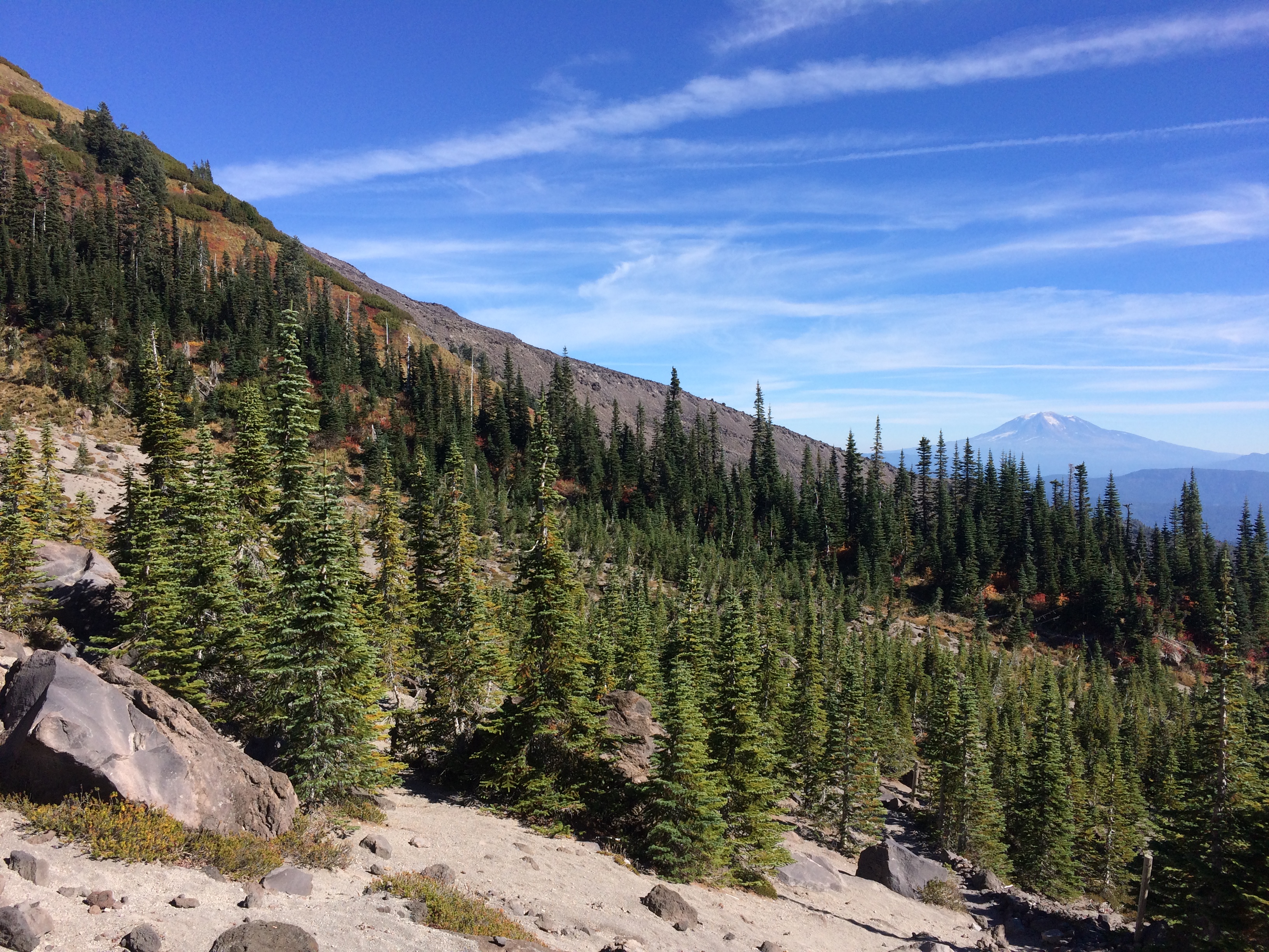
The first couple miles were a gentle stroll through the woods, but once we finally began our summit at the mountain base the trail became a scramble up boulders and rocks.IMG_4524 20151005_074911

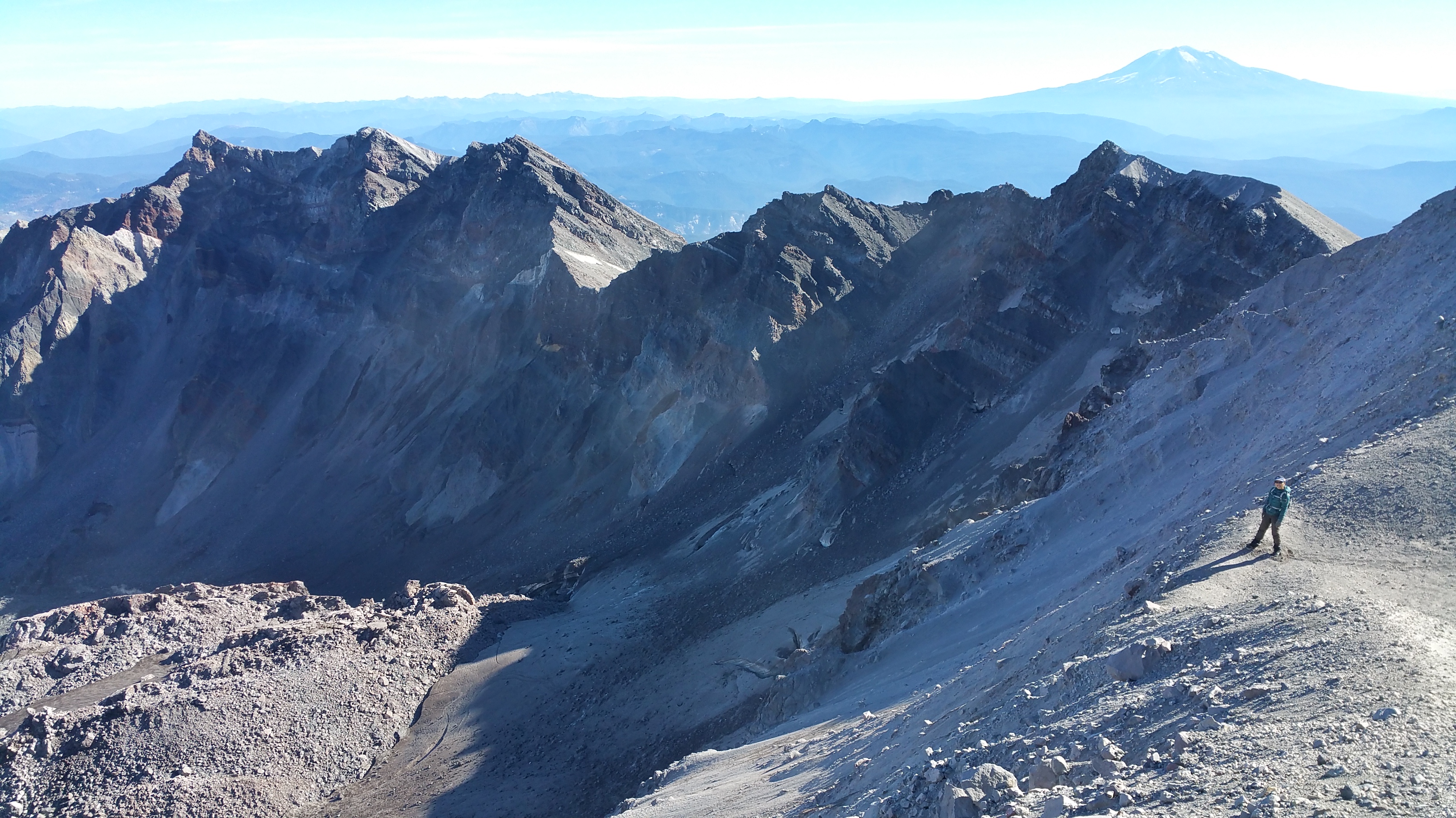
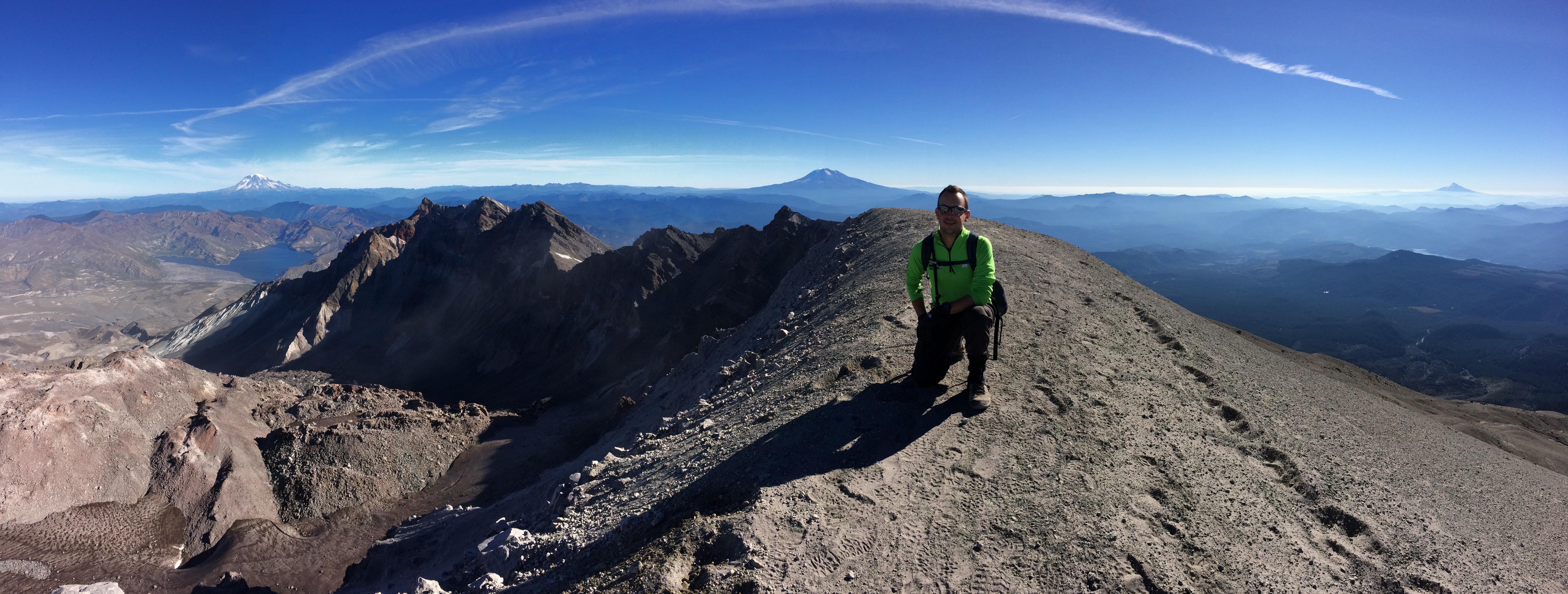
Chris couldn’t wait for the spectacular view of the crater at the summit, but I simply had no idea what awaited us.  Behold–the recent crater blast from only 35 years ago!  Here on this beautiful day I stood along the crater rim looking down into the active fumeroles. Mount Adams rose proudly in the distance.20151005_105715

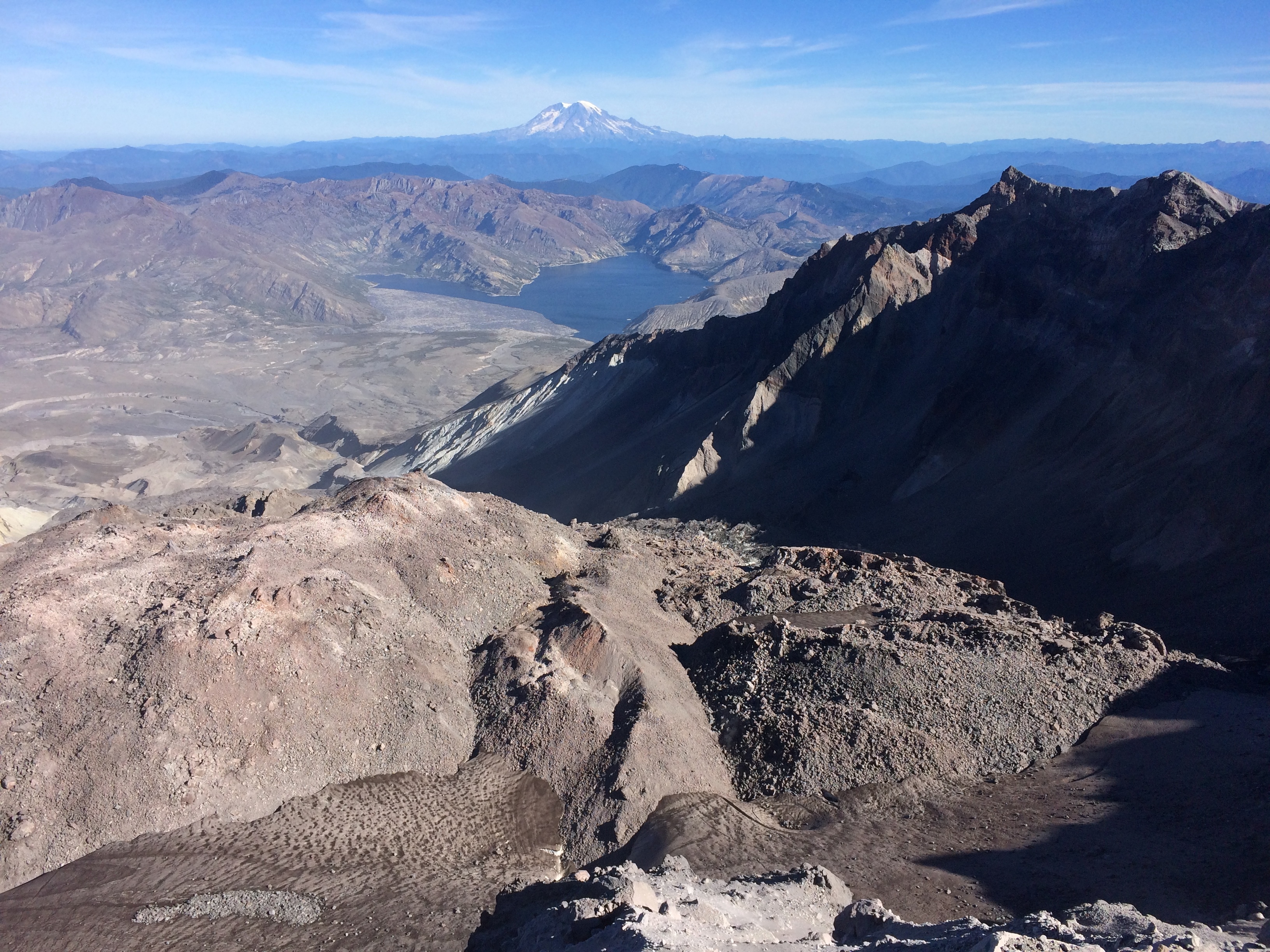
The crater of Mt. St. Helens, with Spirit Lake in the middle ground and Mt. Rainier in the background:IMG_4542

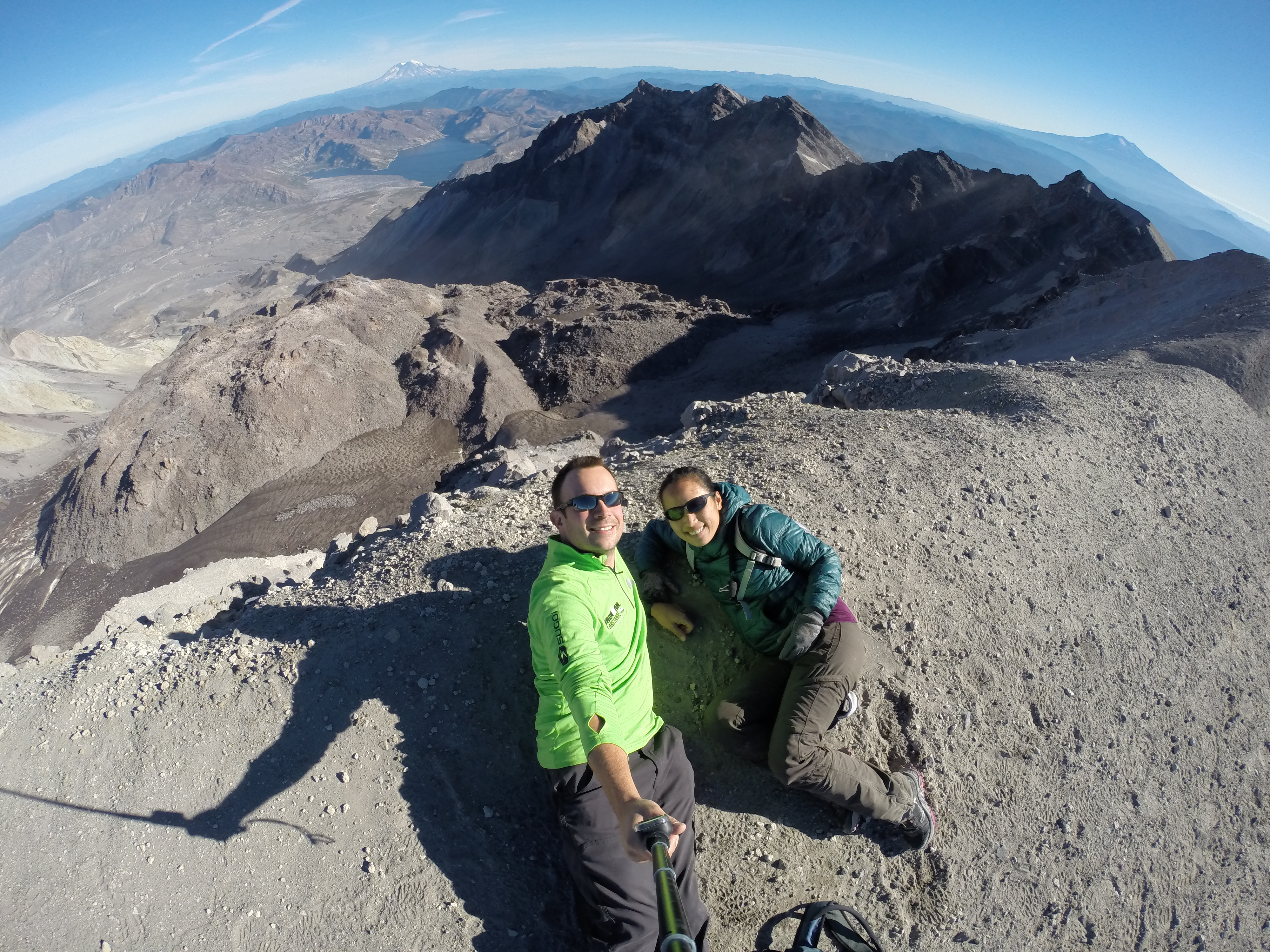
Selfie at the summit:DCIM105GOPRO

Another panorama from the summit with the three surrounding mountains: Mt. Rainier to the left, Mt. Adams in the center, and Mt. Hood to the right…and a jet flying overhead:IMG_4550

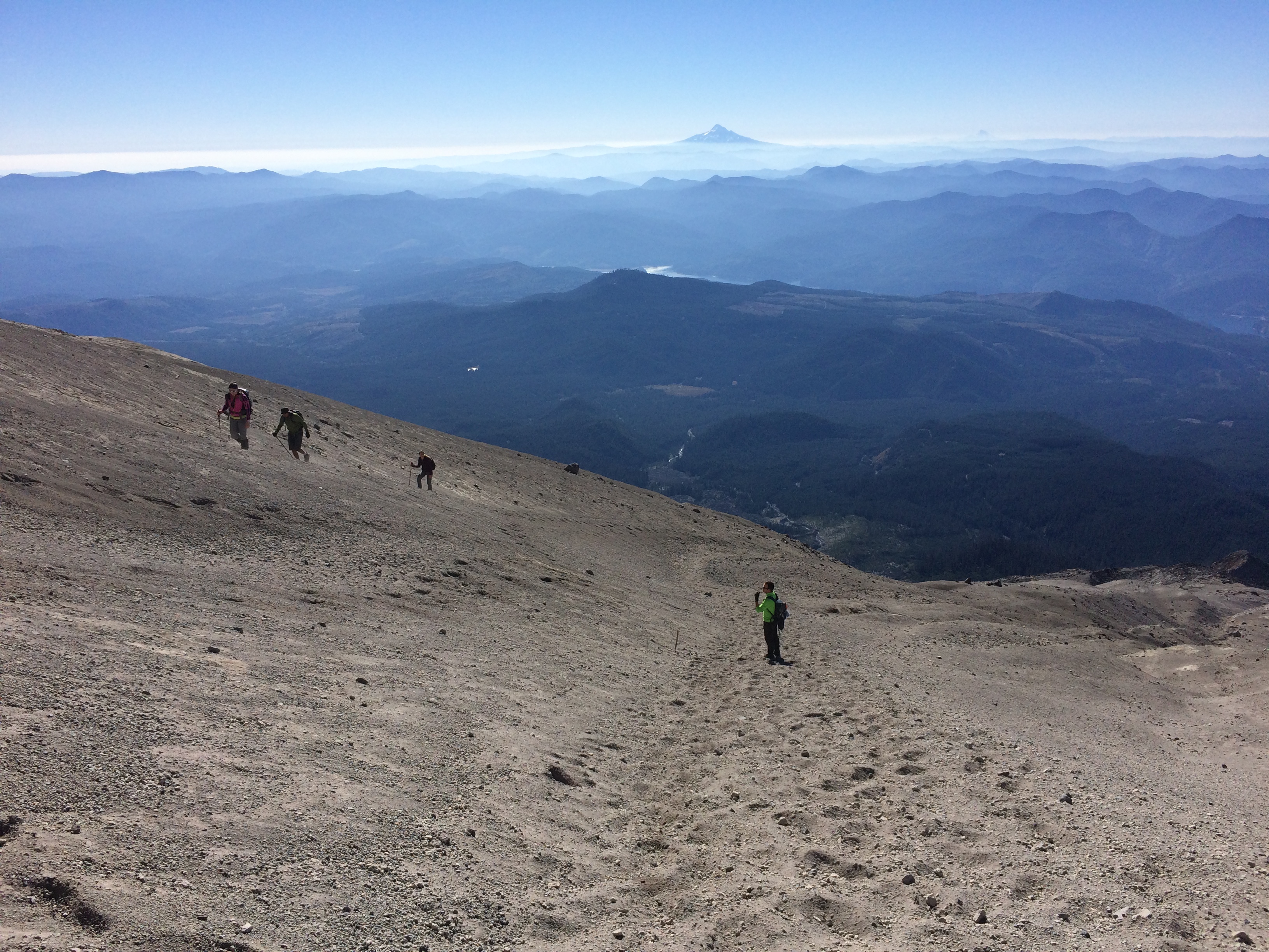
Descending always takes longer than I expect.  With its steep, crumbling slopes and piles of rocks, we were forced to nimbly make our way down.  Because we began our hike so early in the morning, we were actually the 4th group to summit.  There were plenty of more groups on their way up as we worked our way down.  IMG_4551

One final shot of Mt. St. Helens at the base of the mountain with Mt. Adams in the distance:IMG_4552

The incredibly rewarding hike took us just about 6 hours roundtrip.  Add an epic view of a crater with surrounding mountains at the top to a perfectly clear, sunny day and you’ve got yourself quite the memorable hike.  Mt. St. Helens is a very active volcano indeed.  It might be worth summiting before it blasts Washington again!

Posted in Washington | 1 Comment

Mount Hood

Had it not been for the hunting hillbillies telling us we weren’t welcome at a dispersed camping area outside of Mount Hood, we wouldn’t have spent the next 45 minutes driving in the dark frantically searching for a place to spend the night. I studied a map and finally suggested driving up a random forest service road in search for a secluded dirt turnout. That not only worked out beautifully, but also generated a new method of searching for dispersed camping that we would end up using repeatedly in the near future.

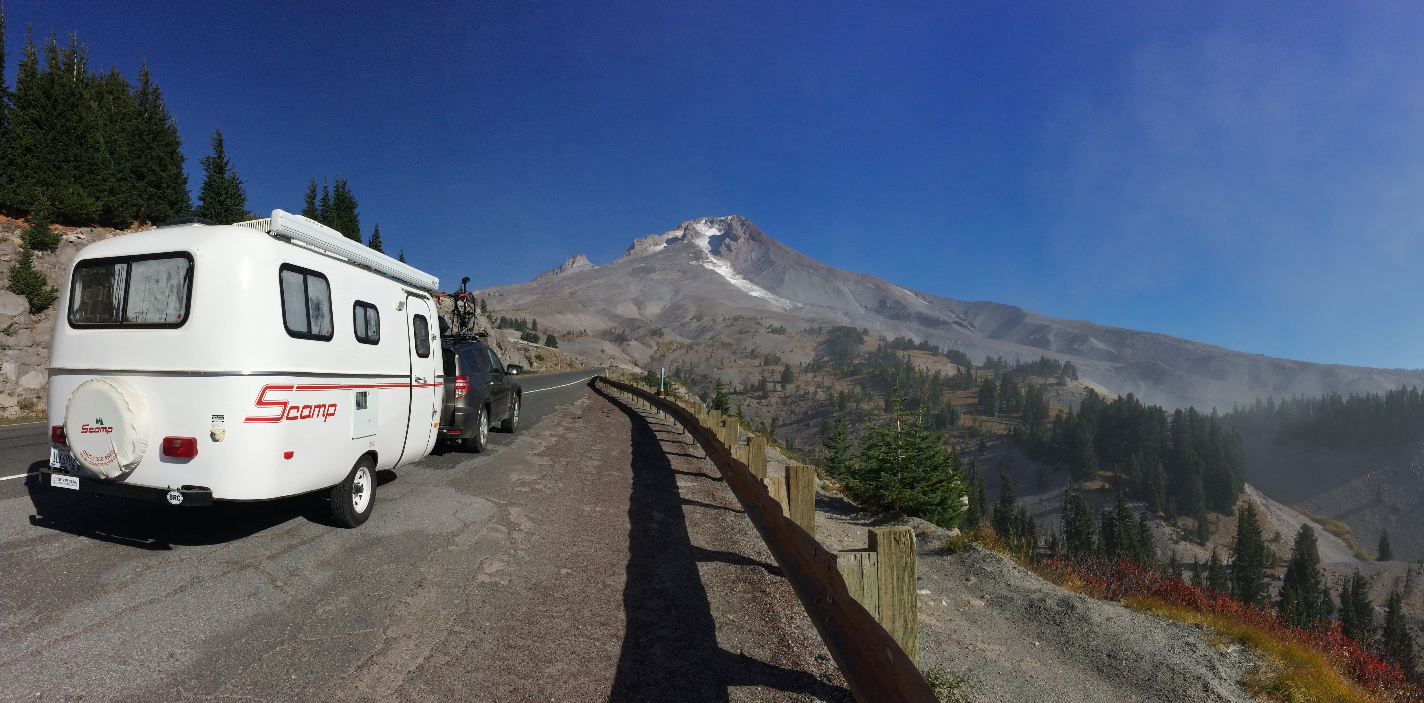
The next morning we drove up to Timberline Lodge. As we climbed up we saw just how badly the drought has affected Mount Hood.IMG_4487

We knew we had a slim chance of summiting Mount Hood, but we wanted confirmation from a ranger. And of course he told us we’d be crazy to climb it at that time due to constant rock and boulder fall at all hours—not only had there been a drought but the climbing season ended in July. The entire Cascade Mountain Range consists of rocks and boulders held together by gravity and snow, and now with the lack of snow, it’s really just gravity keeping it all together.

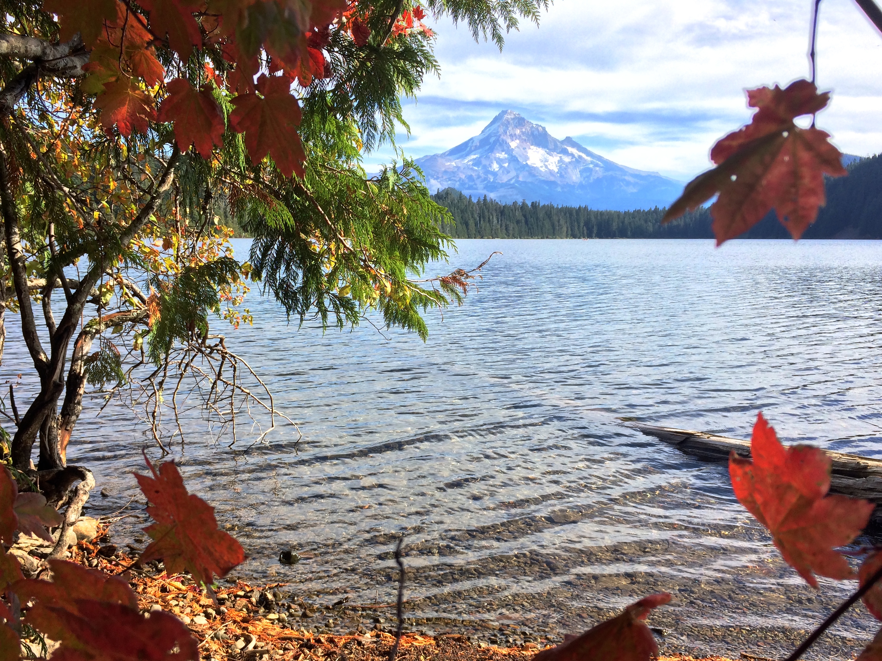
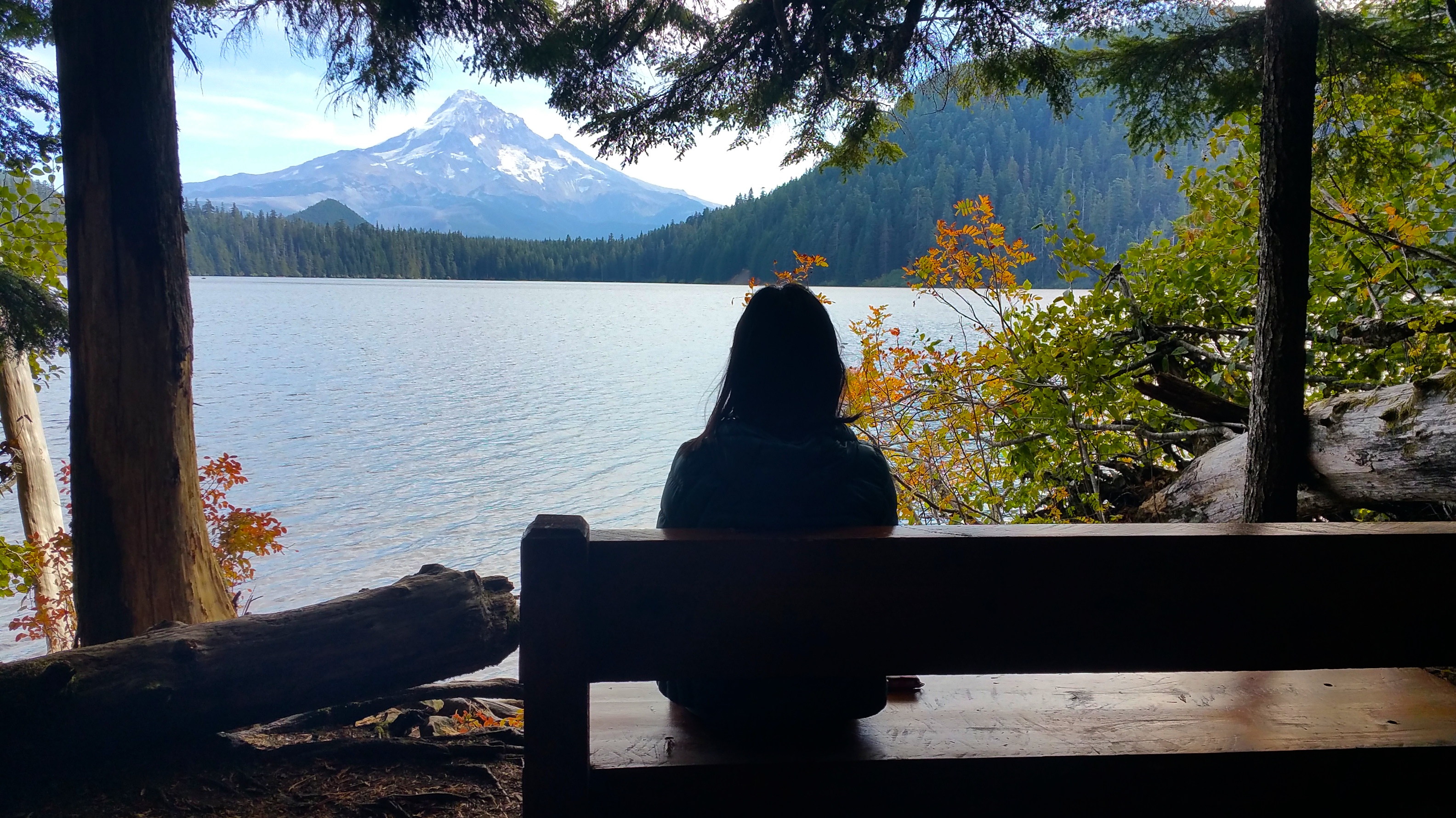
We didn’t want to spend the last minutes of our lives tumbling down a mountain or being crushed by falling boulders, so we spent the rest of the afternoon relaxing at nearby Lost Lake. Lost Lake was quite the detour from the main highway, but I knew it was the site for postcard-perfect pictures of Mount Hood.

Mount Hood framed with fall foliage:IMG_451020151004_135529

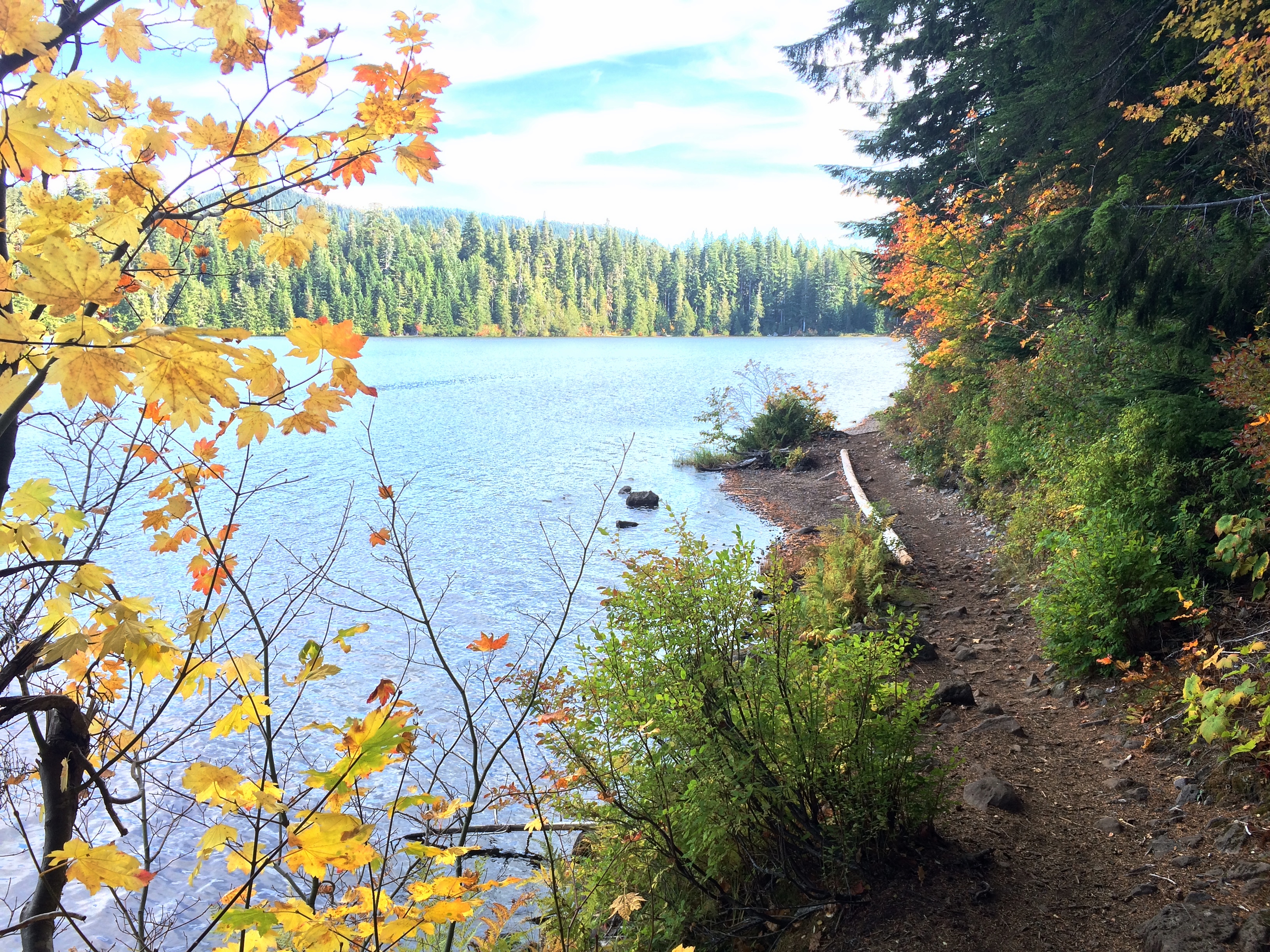
We took a pleasant stroll around the lake.IMG_4505

Our goal that evening was to spend the night at the trailhead for Mount Saint Helens, so we bugged out after circling Lost Lake. We picked up fresh, local apples from a fruit stand (yay, apple season!), crossed the bridge over the Columbia River into Washington, and drove along the incredible river into the forest. With just a bit of sunlight left, we made it to the trailhead where plenty of other hikers were planning to spend the night before summiting Mount Saint Helens.

Posted in Oregon | 2 Comments

The Northern Coast of Oregon

Despite its epic reputation, we hadn’t planned on making it over to the Oregon coast.  But we did, and boy, were we glad we did.  The original plan was to mosey over to Mount Hood after Portland, but I found out about a fiberglass RV meet-up at Fort Stevens State Park at the last minute. It would be our first fiberglass gathering, which was dubbed Egg NOG (Northern Oregon Gathering).

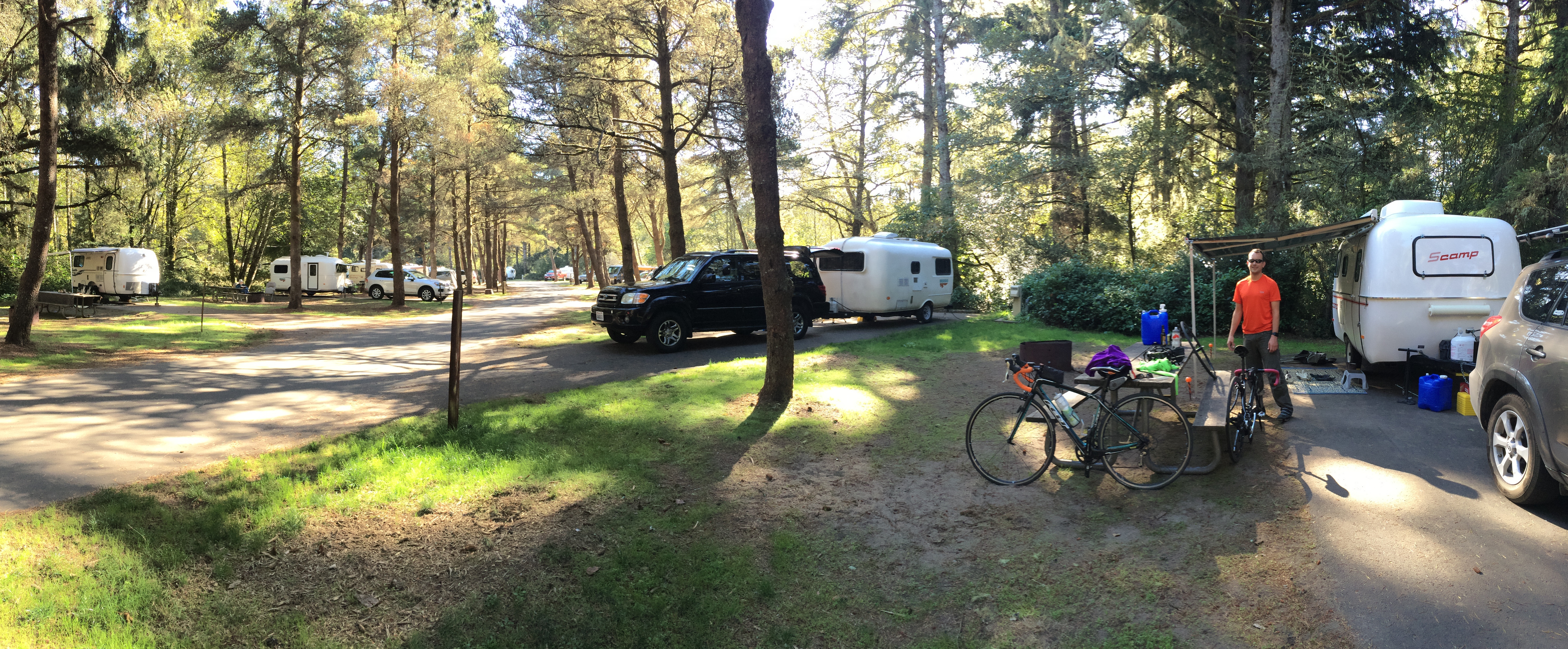
We only spent 1 night at Fort Stevens State Park.  As avid boondockers, we couldn’t bear to spend $29/night for more than one night just for a campsite!  During our stay we mingled with other fiberglass RV’ers, the majority of them retired folks now traveling and enjoying life. It was fascinating to see other brands, sizes, and custom exteriors and interiors of other fiberglass RVs, the majority being Escape and Casita trailers. Stories were shared and tips were exchanged between people with the common interests of a love for camping and living in lightweight homes on wheels.IMG_4456

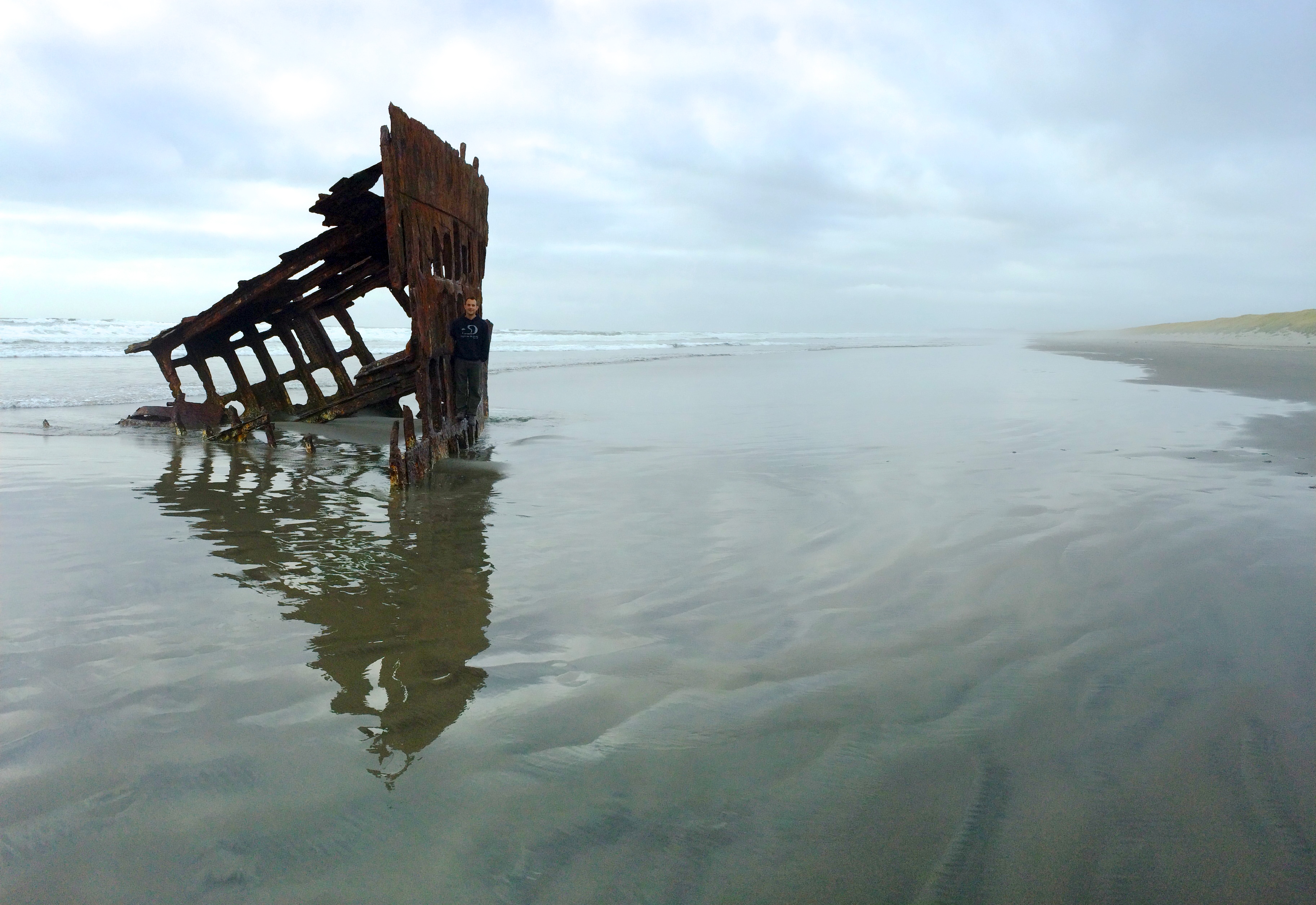
Aside from chatting with fiberglass RV’ers, we checked out Fort Stevens’ main attraction: the remnants of the Peter Iredale washed ashore in 1906.IMG_4450

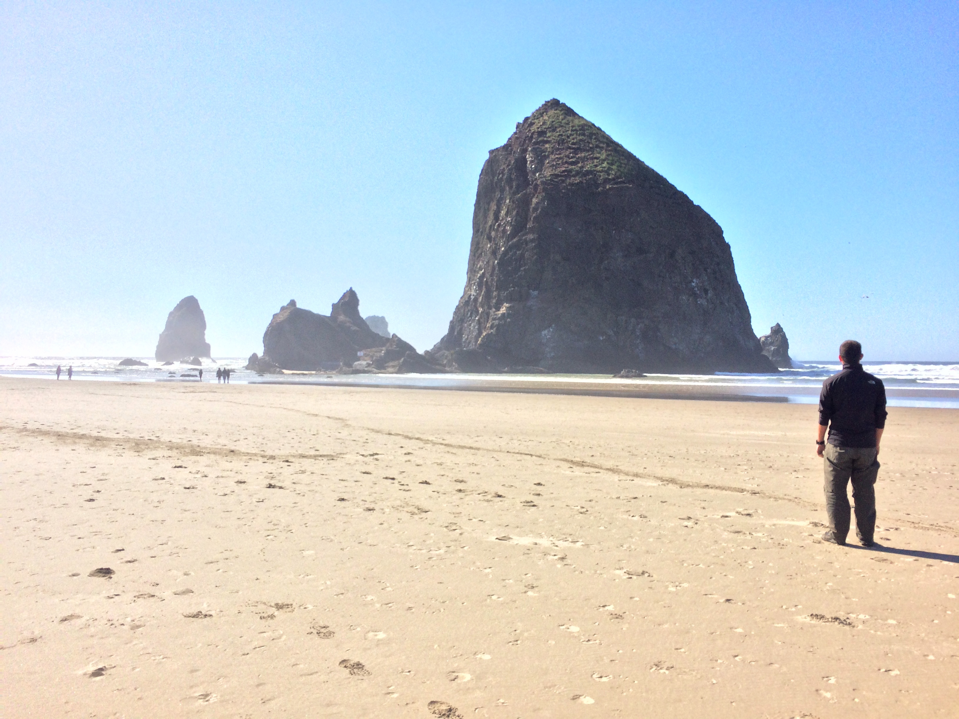
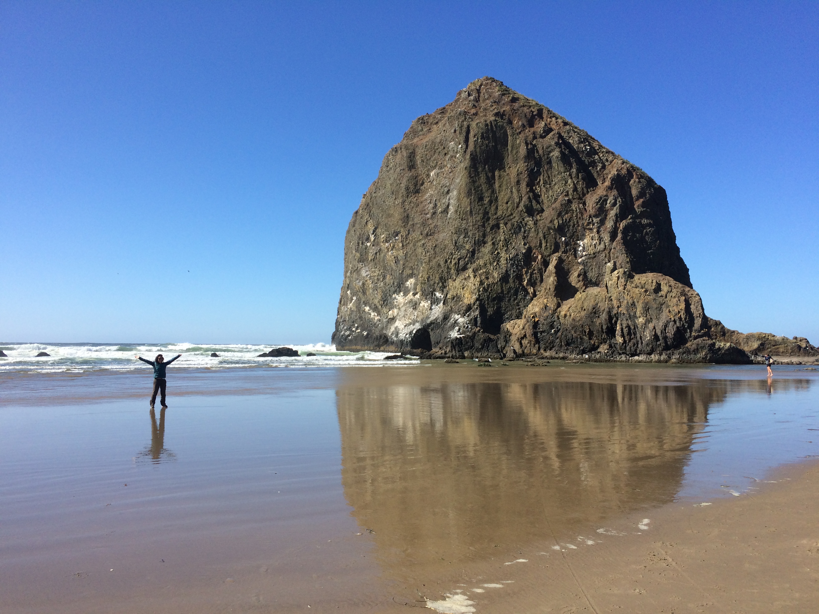
From Fort Stevens, we wanted to go razor clamming at Gearhart but the season had already been closed for 5 months due to unusually warm temperatures in the ocean. We had already experienced the joys of abalone diving the year before, and we had hoped to repeat a similar activity by gathering shellfish by hand for a delicious dinner. Mother Nature prevented us from clamming, so we headed further south to Cannon Beach to check out the world’s third tallest sea stack, Haystack Rock. We couldn’t make it for sunrise or sunset (perhaps the best time for photo opportunities), so these pictures will have to do.IMG_4462 IMG_4472

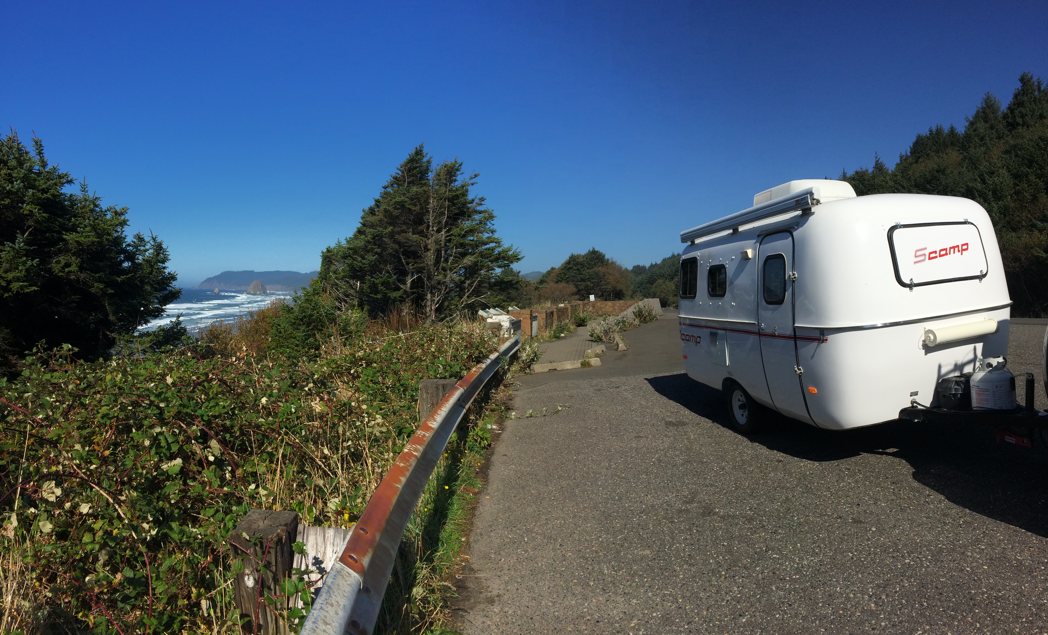
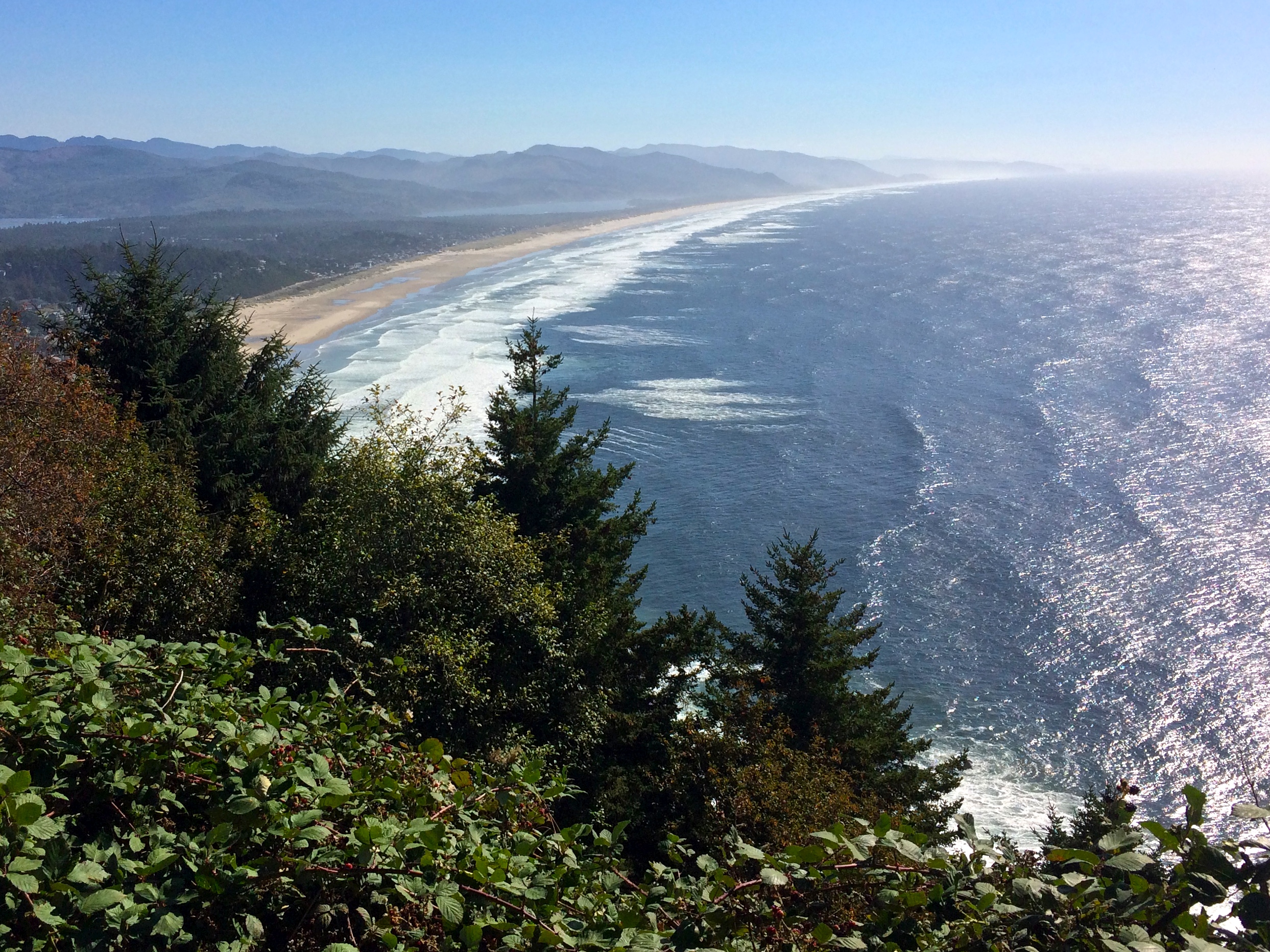
Driving south on Highway 101 reminded me of being back home in California…the windy roads, the gorgeous overlooks from the cliffs, the roar of the wind, and the fresh aroma of sea salt embraced me in northern Oregon. It was the perfect day to cruise along the Pacific at the edge of the continent.IMG_4474 IMG_4475

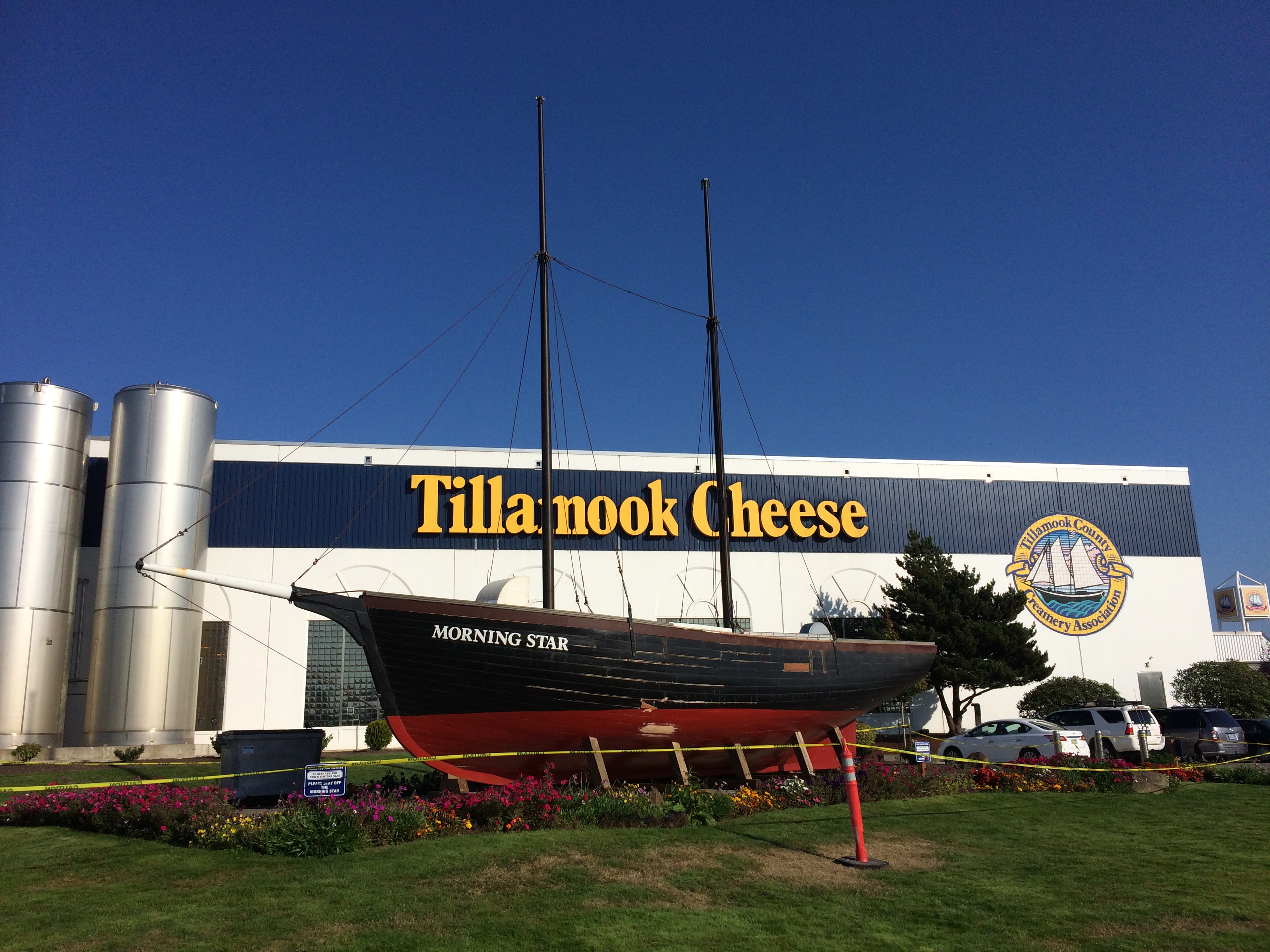
We didn’t want to stray too far from our final Oregon destination of Mount Hood, so we ventured as far south as Tillamook for a free self-guided tour and cheese samples! Had the factory, ice cream shop, and café not been jam-packed with weekenders, we probably would have stayed longer.IMG_4478

I know that it was a shame we didn’t drive the entire Oregon coastline; its higher-acclaimed beauties were only a couple hours further south. But I was happy to see a part of it, and knowing its vicinity to home and the likeliness of a future return made it easier to cut the coastal trip short. Our quick detour to sea level was memorable, and after stuffing ourselves sick with cheese we made a beeline to familiar high-altitude territory.

Posted in Oregon | Tagged , , | Leave a comment

Willamette Valley

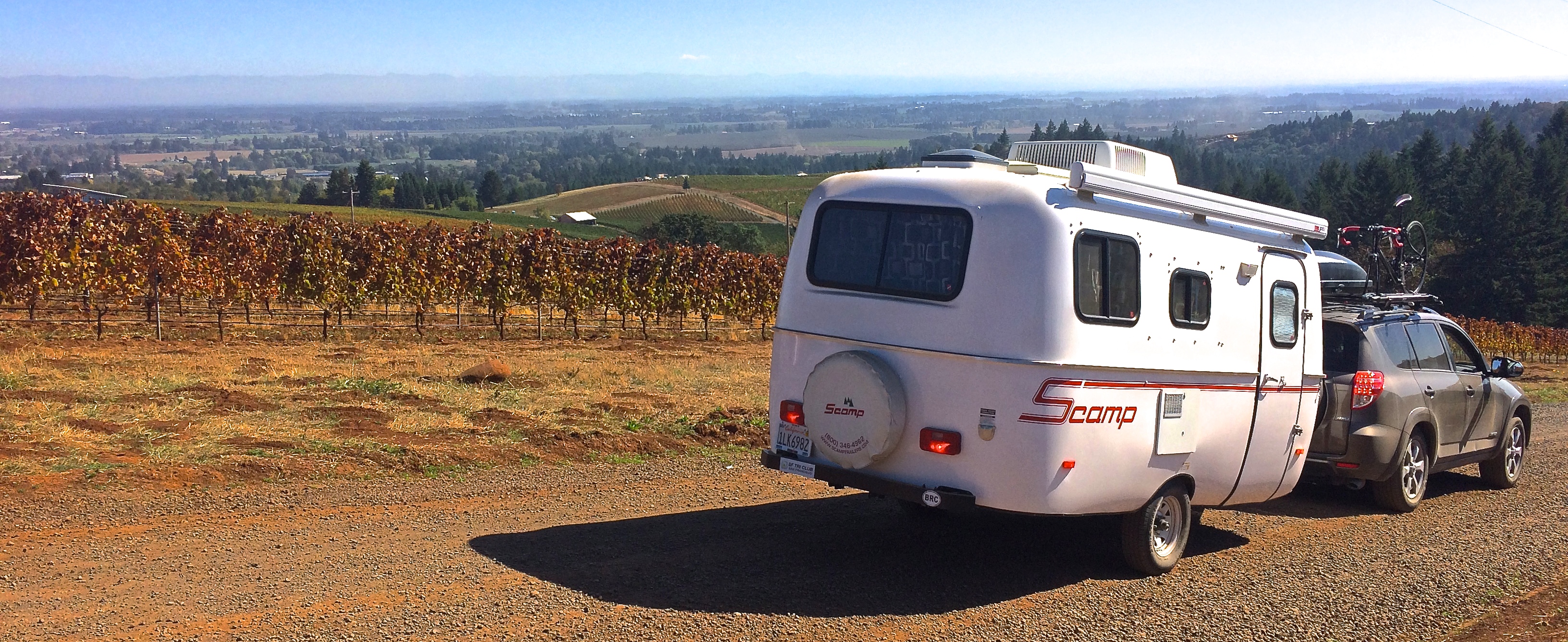
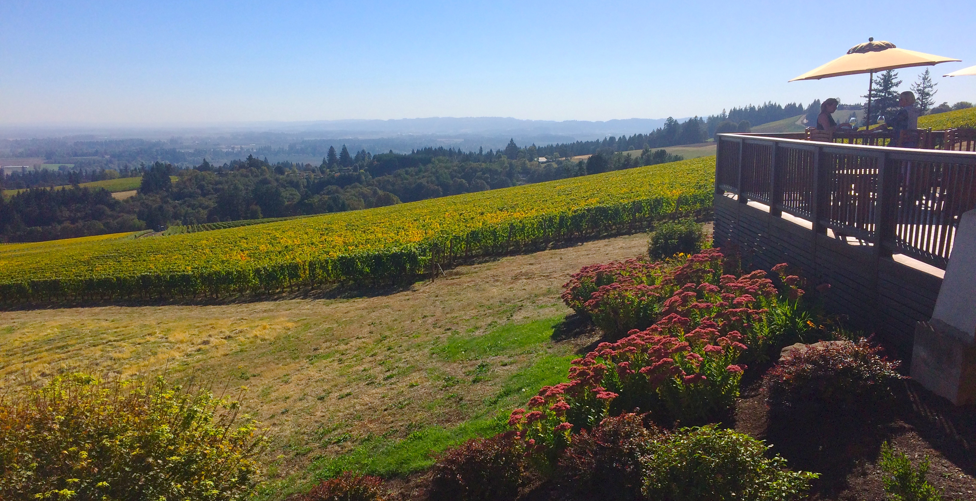
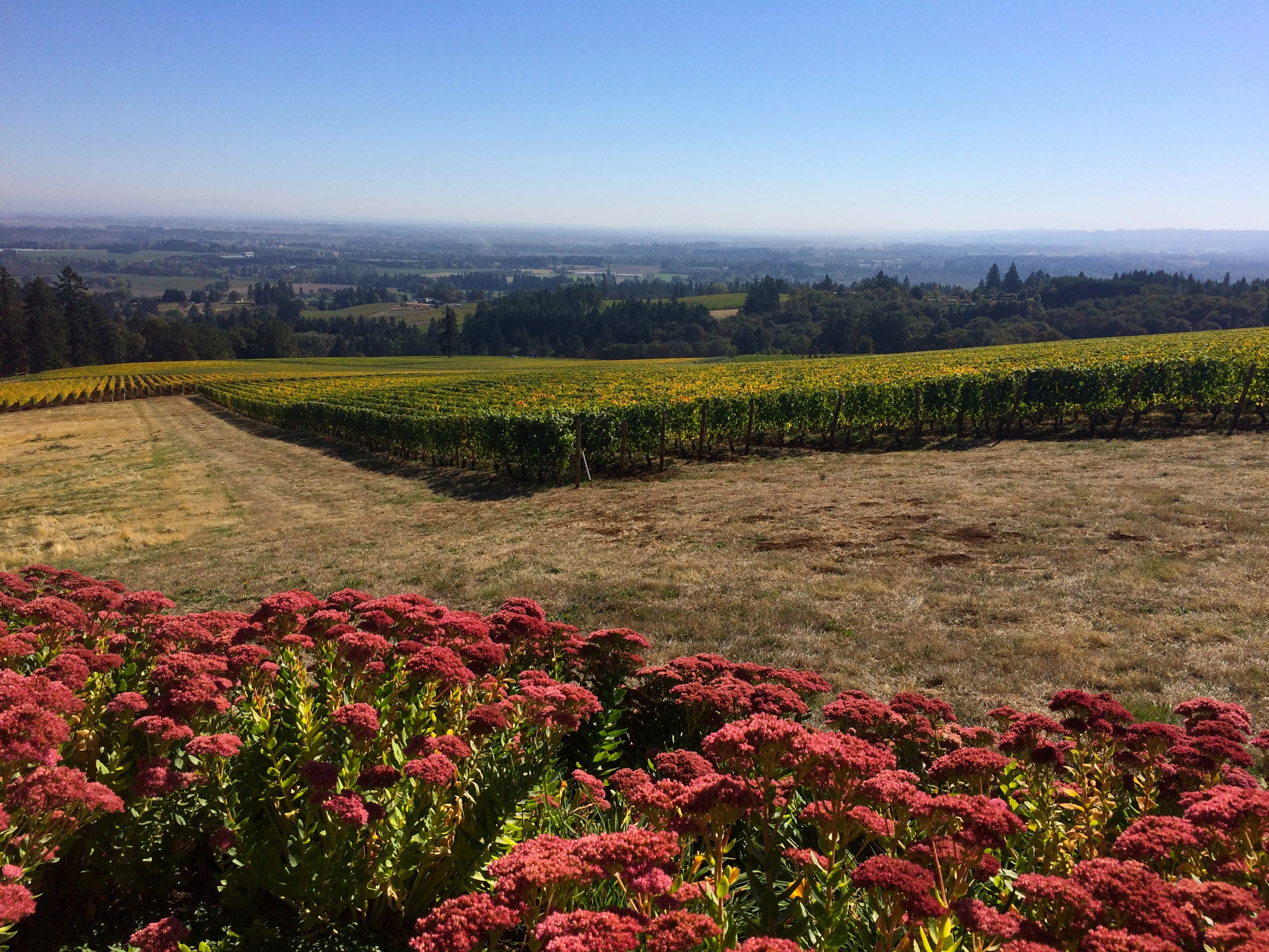
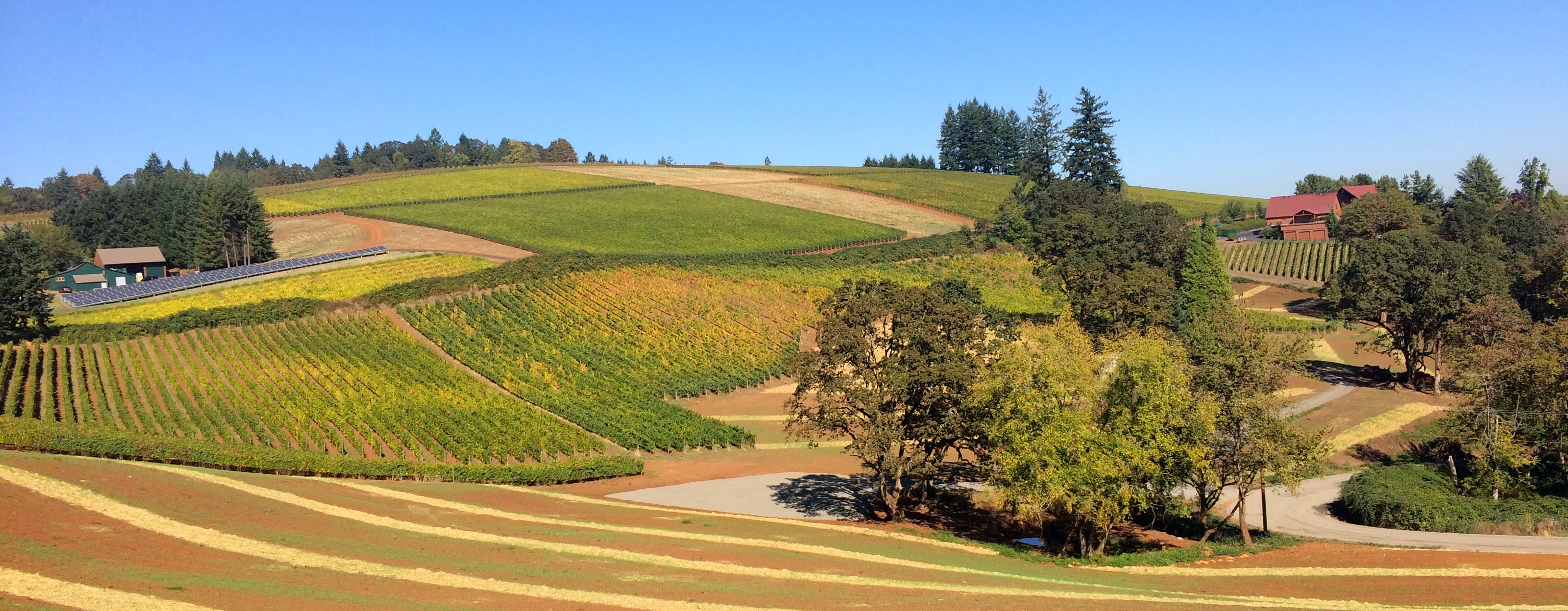
With wine country being just a convenient, short detour southwest from Portland and with the weather so perfect for sipping wine outdoors, we spent one brief day in the Willamette Valley.  After touring our local Napa wine valley and Mendoza’s wine country, I can say that my favorite season for wine tasting is the autumn.  By then the scorching hot summer sun has settled to a comfortable blanket of warmth, and the endless rows of foliage shine a brilliant crimson against the clear skies.  In Willamette Valley the rolling hills of vineyards extend far into the blue horizon of mountains, and choosing which winery to visit for Oregon’s famous pinot noirs can be a tedious task.

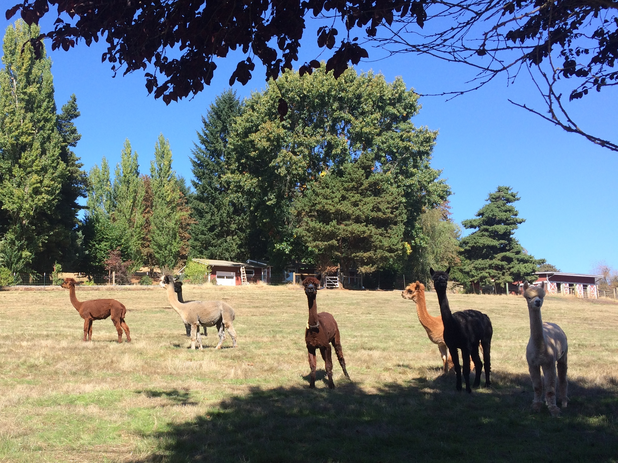
Along with the hills and vineyards in Willamette Valley are…alpacas!IMG_4362

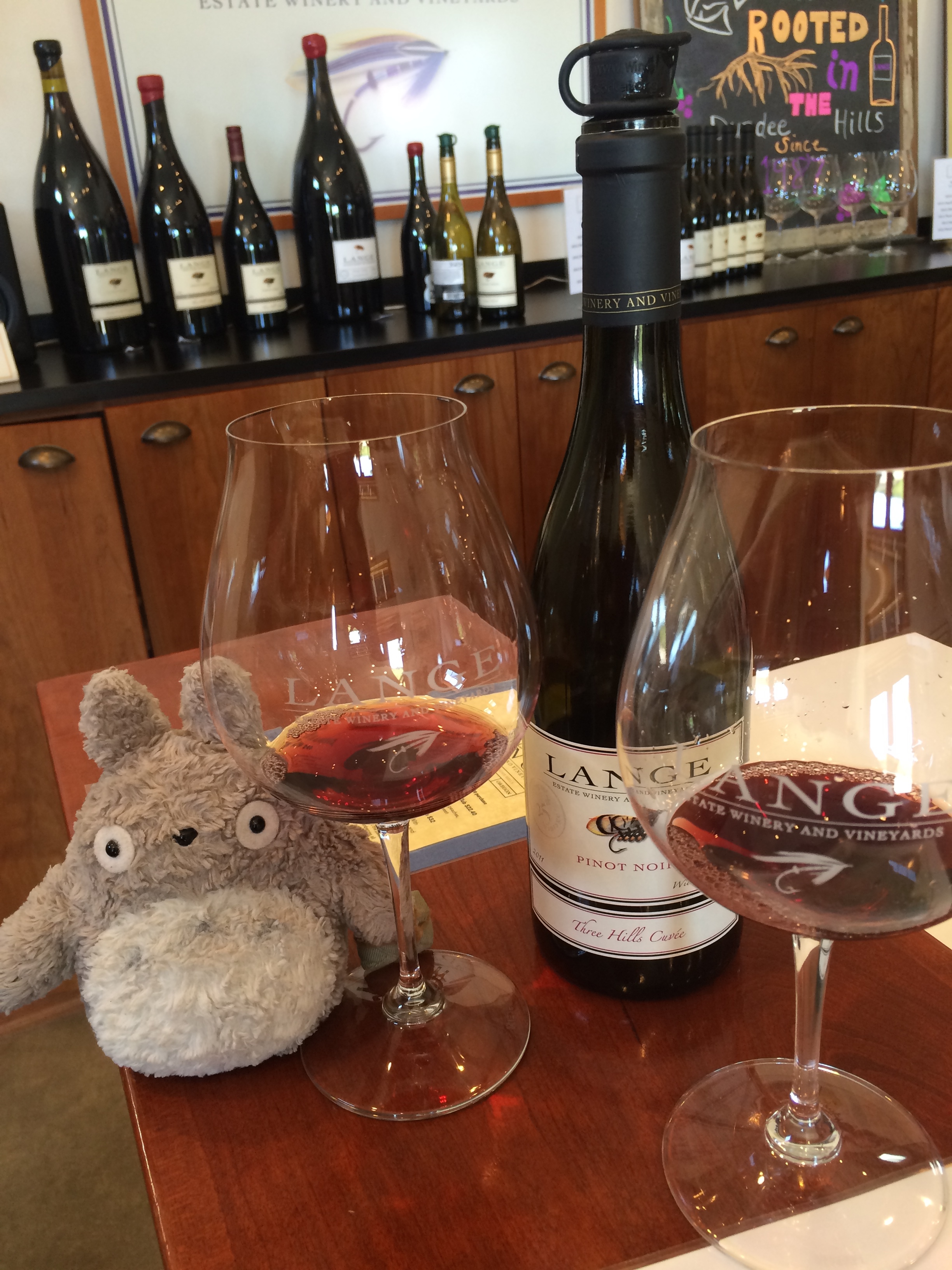
Our first winery was Lange Estate, only accessible by miles of unpaved roads.  IMG_4369

While some would complain the winery was out of the way, we enjoyed roaming around the hilly countryside for shots such as this:IMG_4376

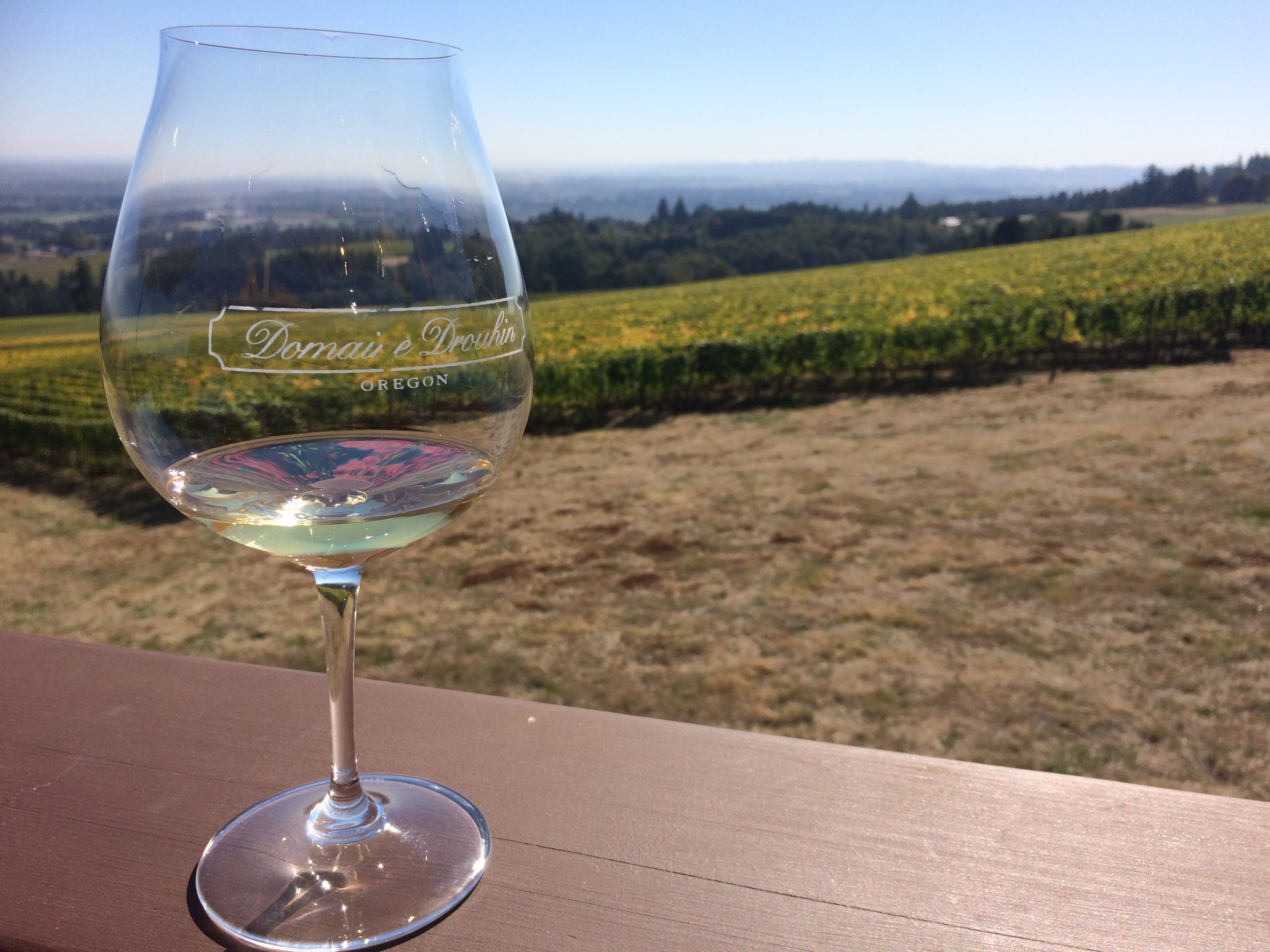
Our second winery for the afternoon was Domaine Drouhin, which was much larger than Lange Estate.  I thought the views from Lange were breathtaking, but they had nothing on Domaine Drouhin!IMG_4395IMG_4388 IMG_4391 IMG_4394

The drive to Domaine offered lovely scenery as well.IMG_4378

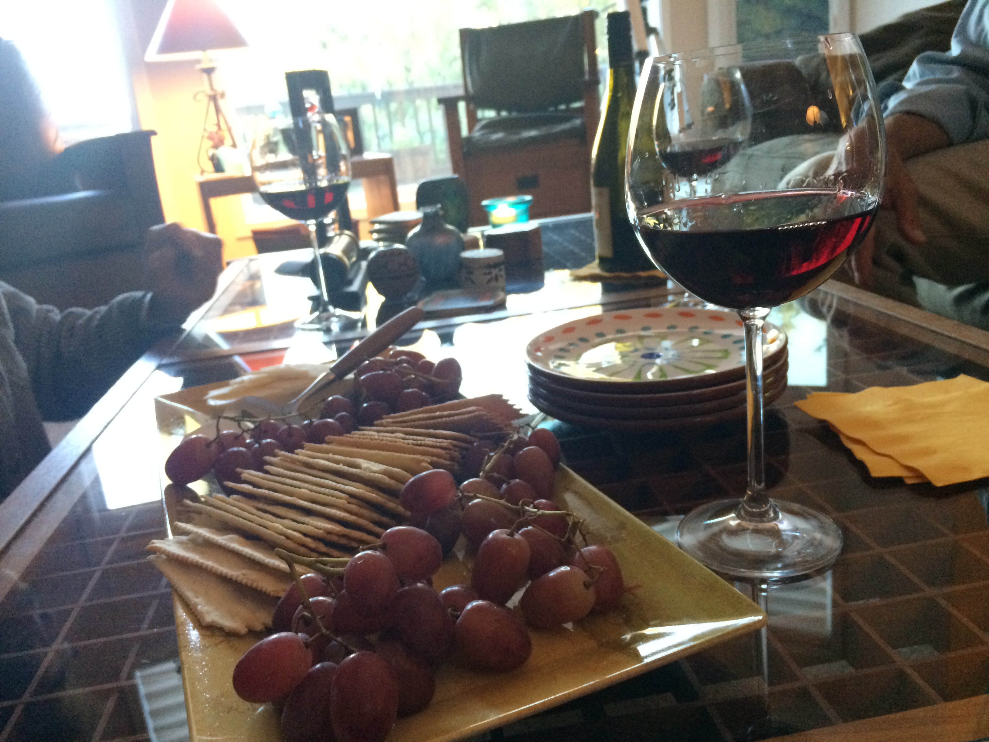
I conclude my wine post with a very Oregon experience.  While hiking Crater Lake less than a week earlier, we ended up chatting with an energetic couple in their 60’s and 70’s at the top of Mount Scott.  Bruce, an advocate for breaking colloquial standards, was a strong and healthy man in his 60’s who runs marathons…barefoot!  He was even hiking barefoot on the mountain when we met him, and we were enlightened by his website Barefoot Bruce.  His wife, strong and sharp at 73, was still hiking mountains and running in 5k-distance events (with shoes…hehe).  We exchanged information, and they invited us for dinner and wine to their beautiful home.  Because their home was conveniently located just outside of Willamette Valley, we spent an evening with them sharing stories of life adventures over more wine, cheese, crackers, and grapes.IMG_4401

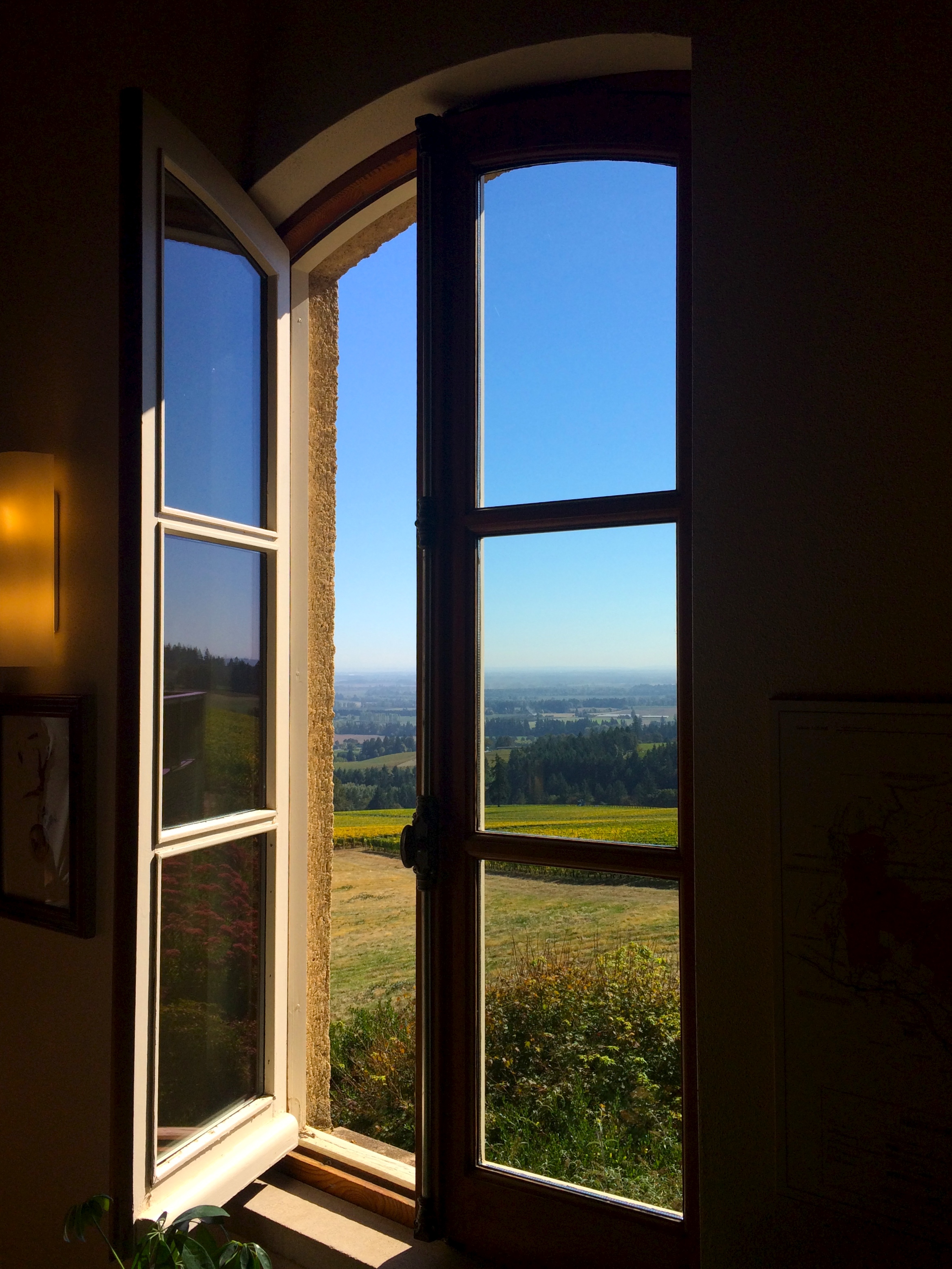
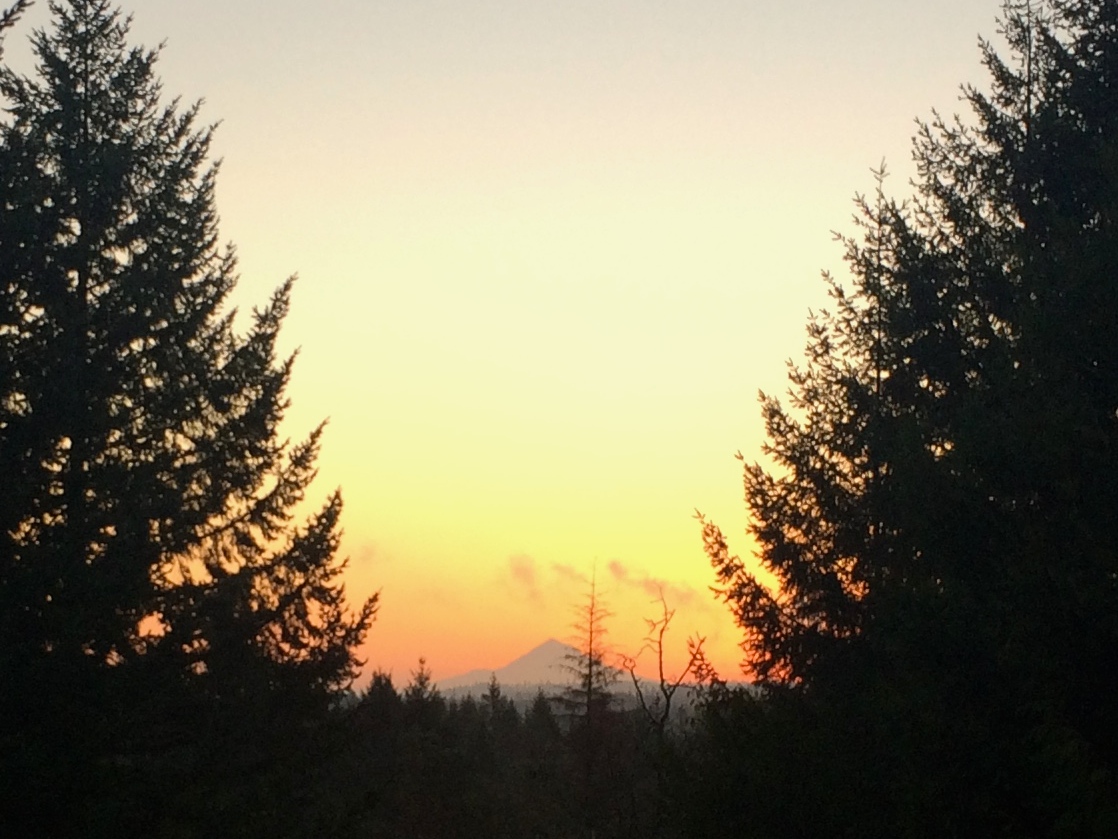
They even had a perfectly-framed view of Mount Hood from their living room window.IMG_4402

Like in Bend, we enjoyed spending time with new, inspiring friends of Oregon who were generous enough to open their doors to strangers.  They were great examples of who I want to become when I’m older–proof that age is nothing but a number.  It was a reminder that we are all reflections of the people we surround ourselves with.  That night, I spent time thinking about how fortunate I was to have met such amazing people on this journey, and just how many more inspirational people I’m going to meet in the following year of travels.

Posted in Oregon | Leave a comment

Waterfalls and the Columbia River Gorge

Images of drizzly, gray skies come to mind when I think of the Portland area.  Although wet weather was a known, I failed to connect water and mountain and was surprised to find out that Oregon is not just full of volcanoes and mountains but also plenty of gorgeous waterfalls.  The autumn season combined with consecutive years of drought meant a lighter water flow, but every waterfall we saw was nonetheless a site to gawk at.  We also were fortunate to have weather in our favor; western Oregon does occasionally see sunny skies and brighter days and we happened to be lucky enough to experience pleasant weather during the several days we were there.

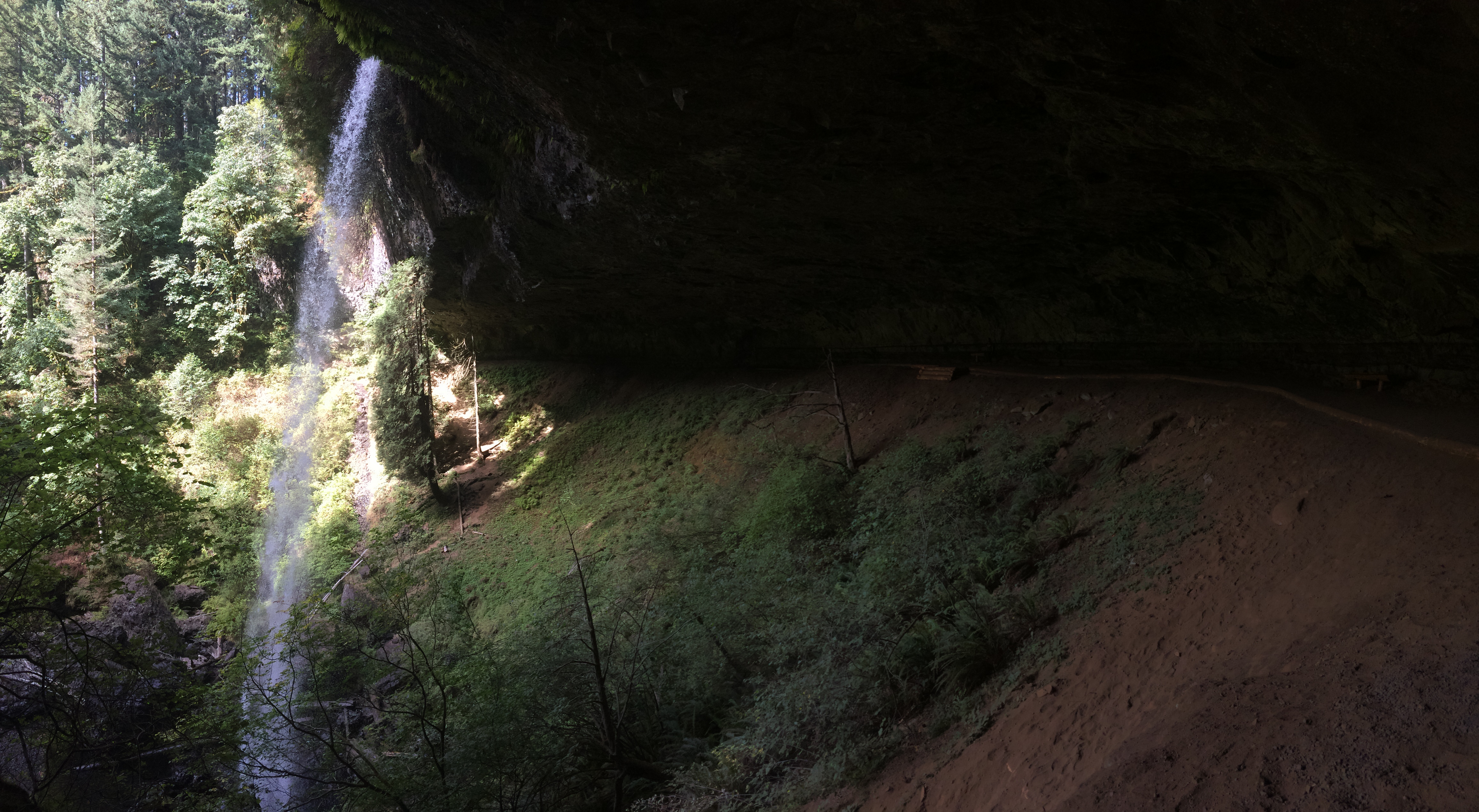
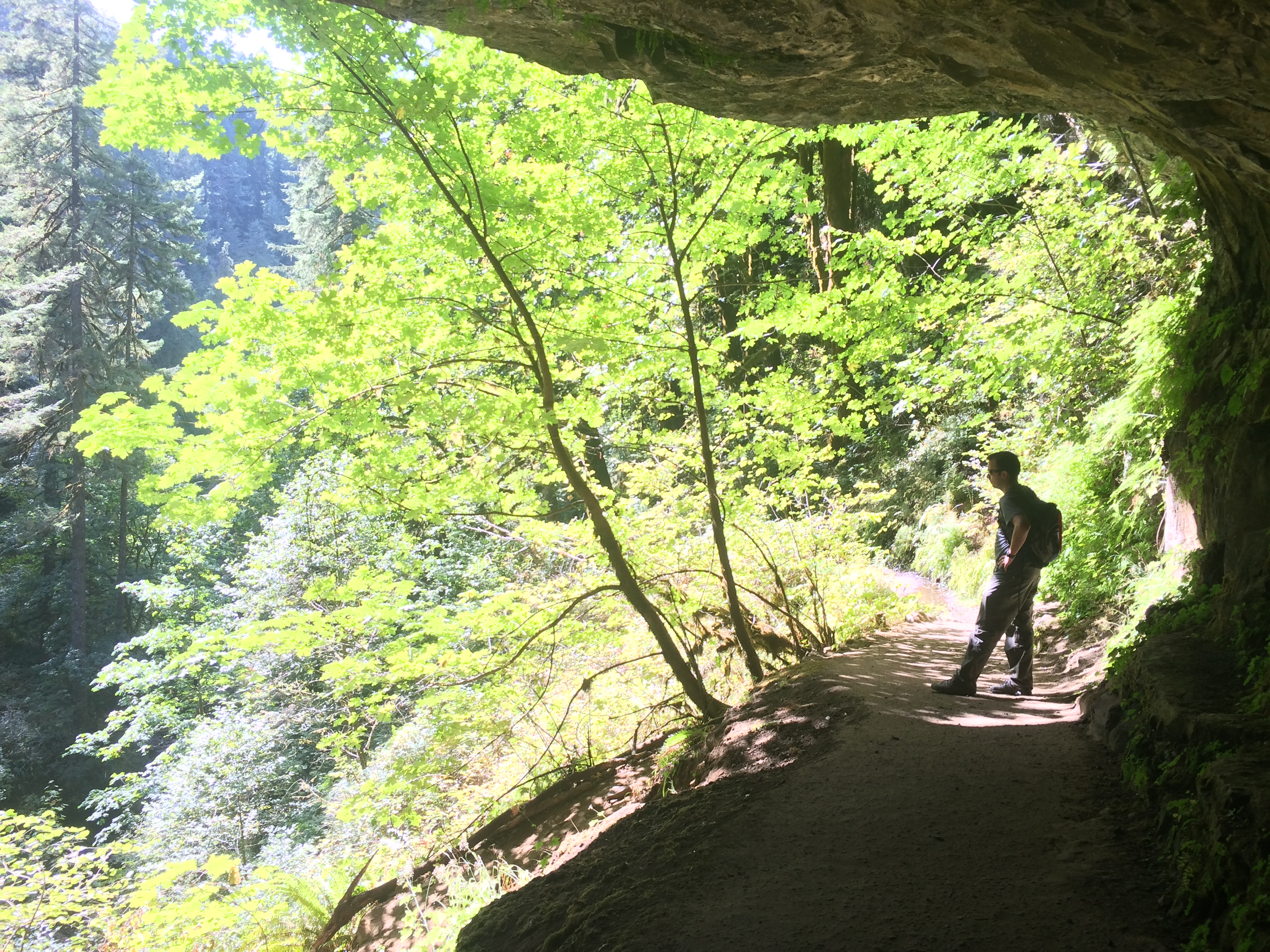
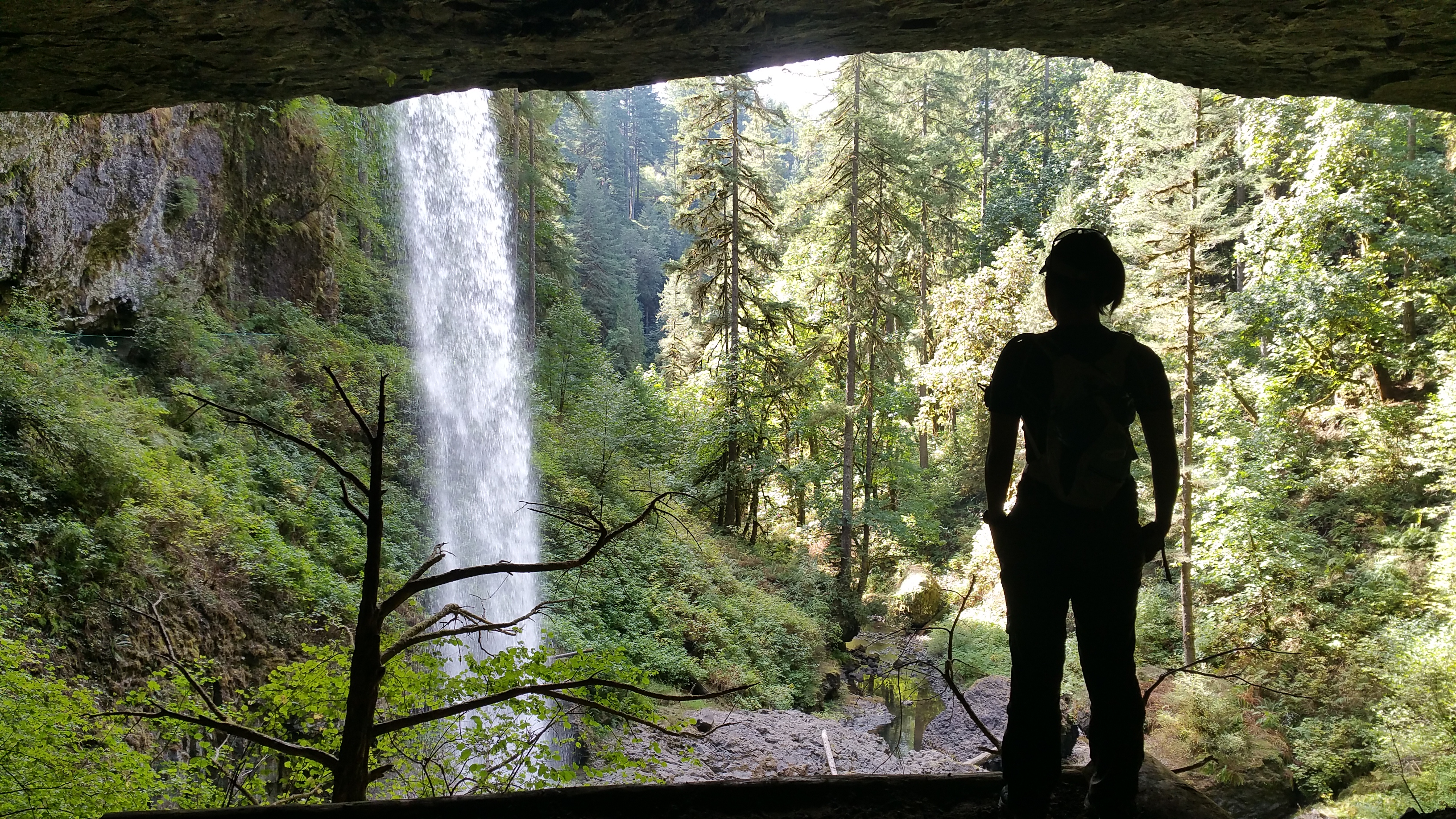
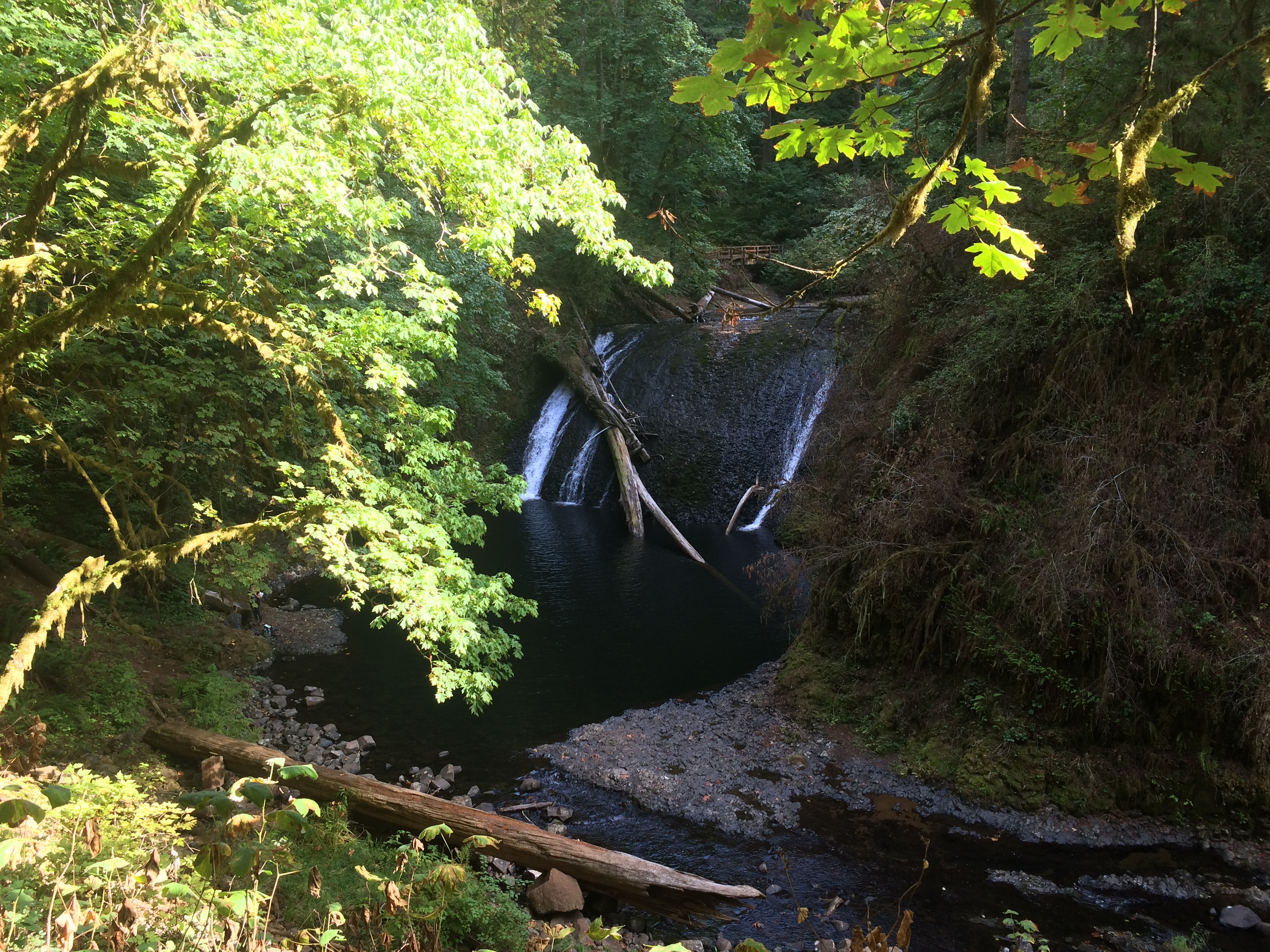
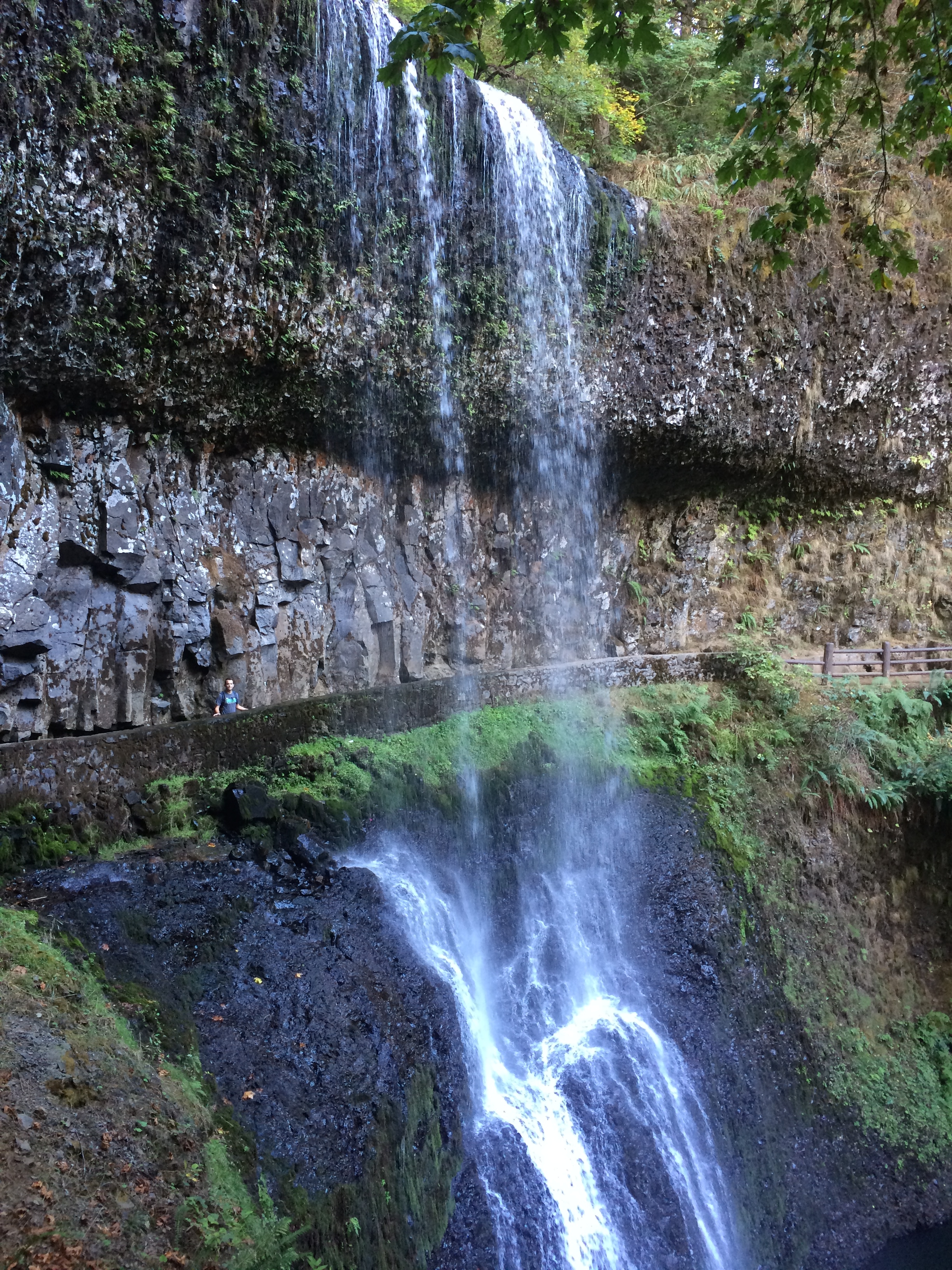
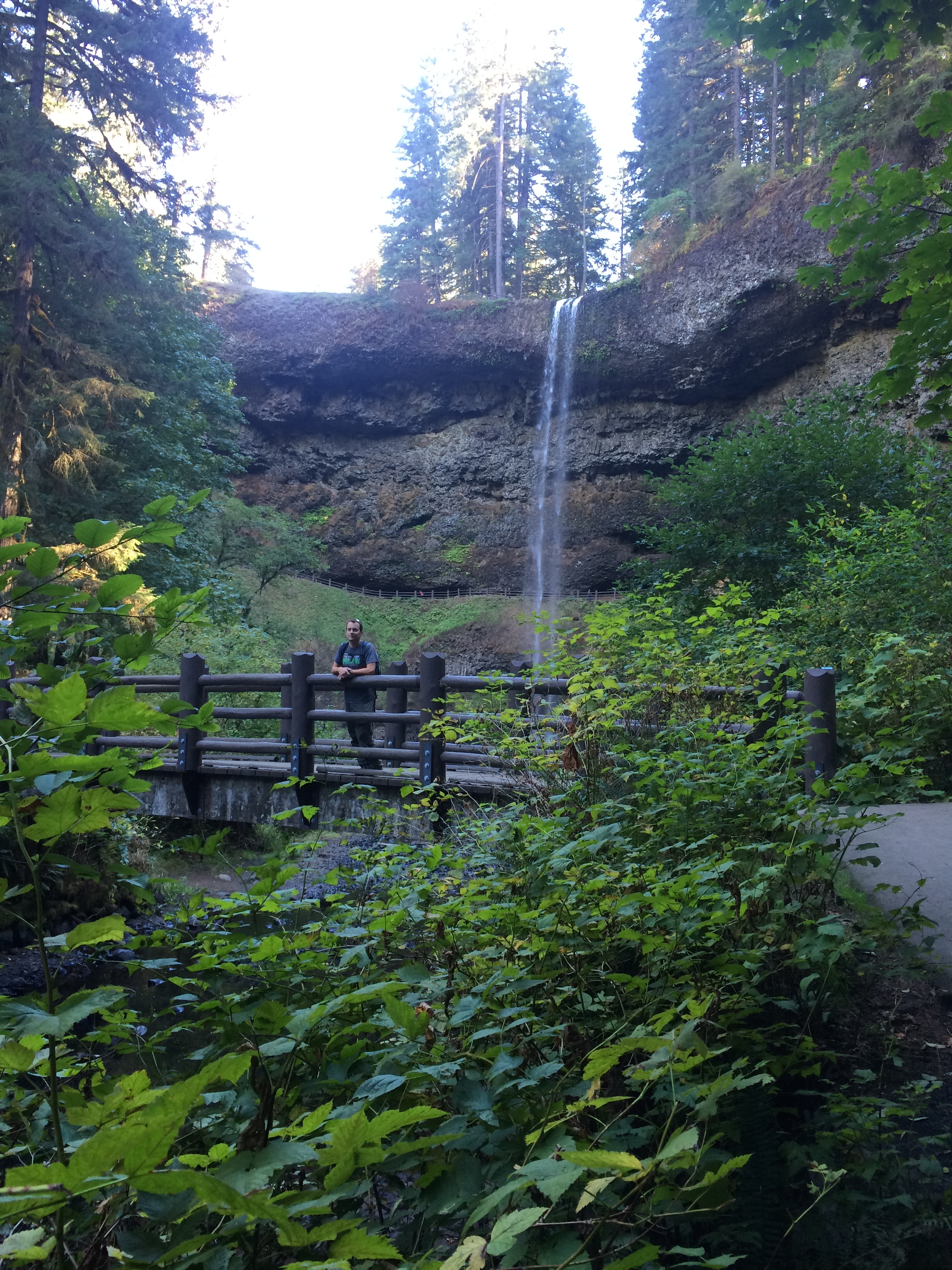
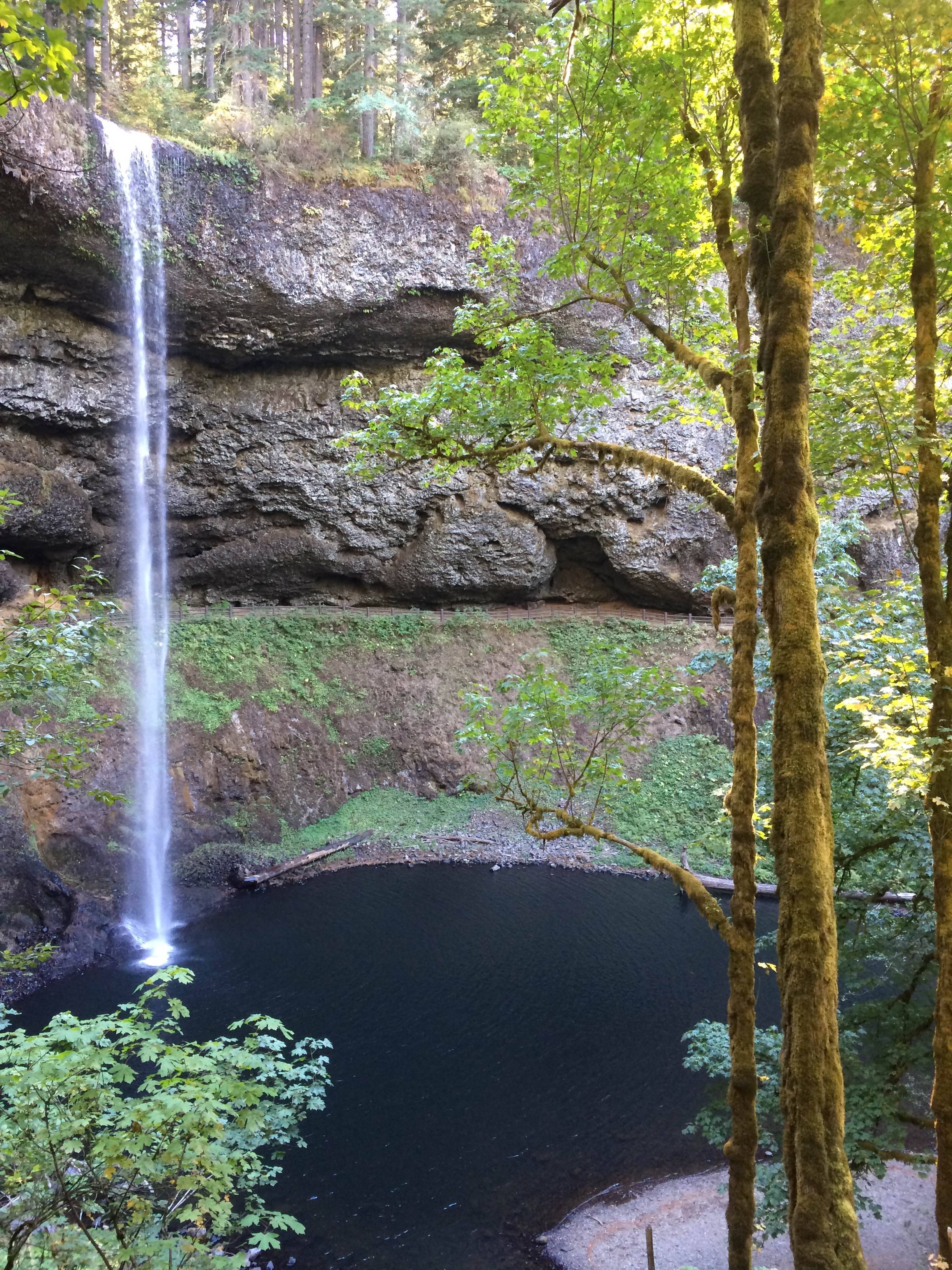
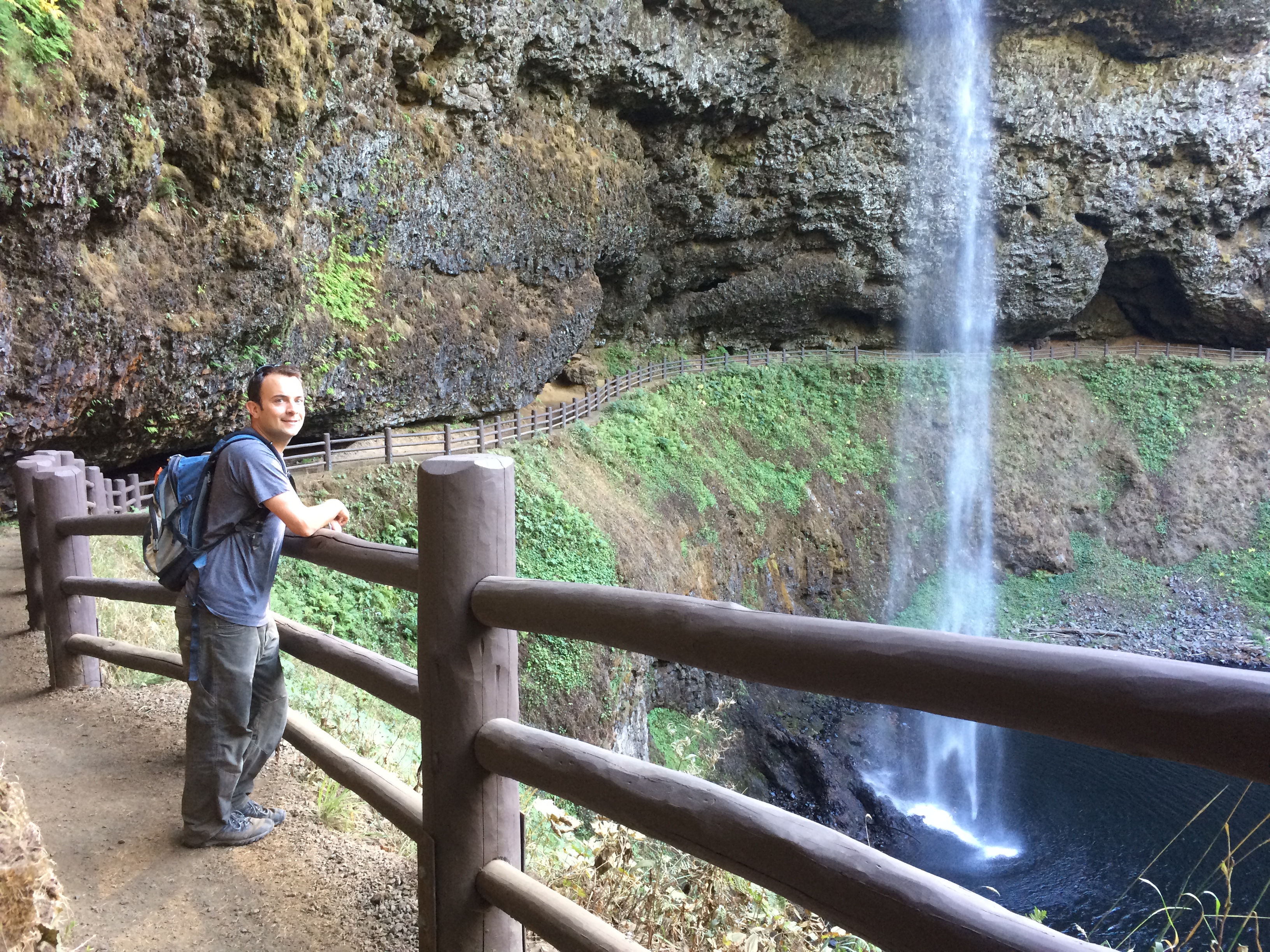
First things first, we spent a quick afternoon in Silver Falls State Park en route from Bend to Portland.  This state park is Oregon’s largest state park, and its popular 8.7-mile Trail of Ten Falls was not to be missed.  Its trails are typically packed on weekends, but we enjoyed a leisurely stroll from waterfall to waterfall on a quiet Monday.  Some falls were more powerful than others, and pictures of my favorite falls can be seen below.IMG_4331 IMG_4339 20150928_142359 IMG_4342 IMG_4344 IMG_4351 IMG_4354 IMG_4355

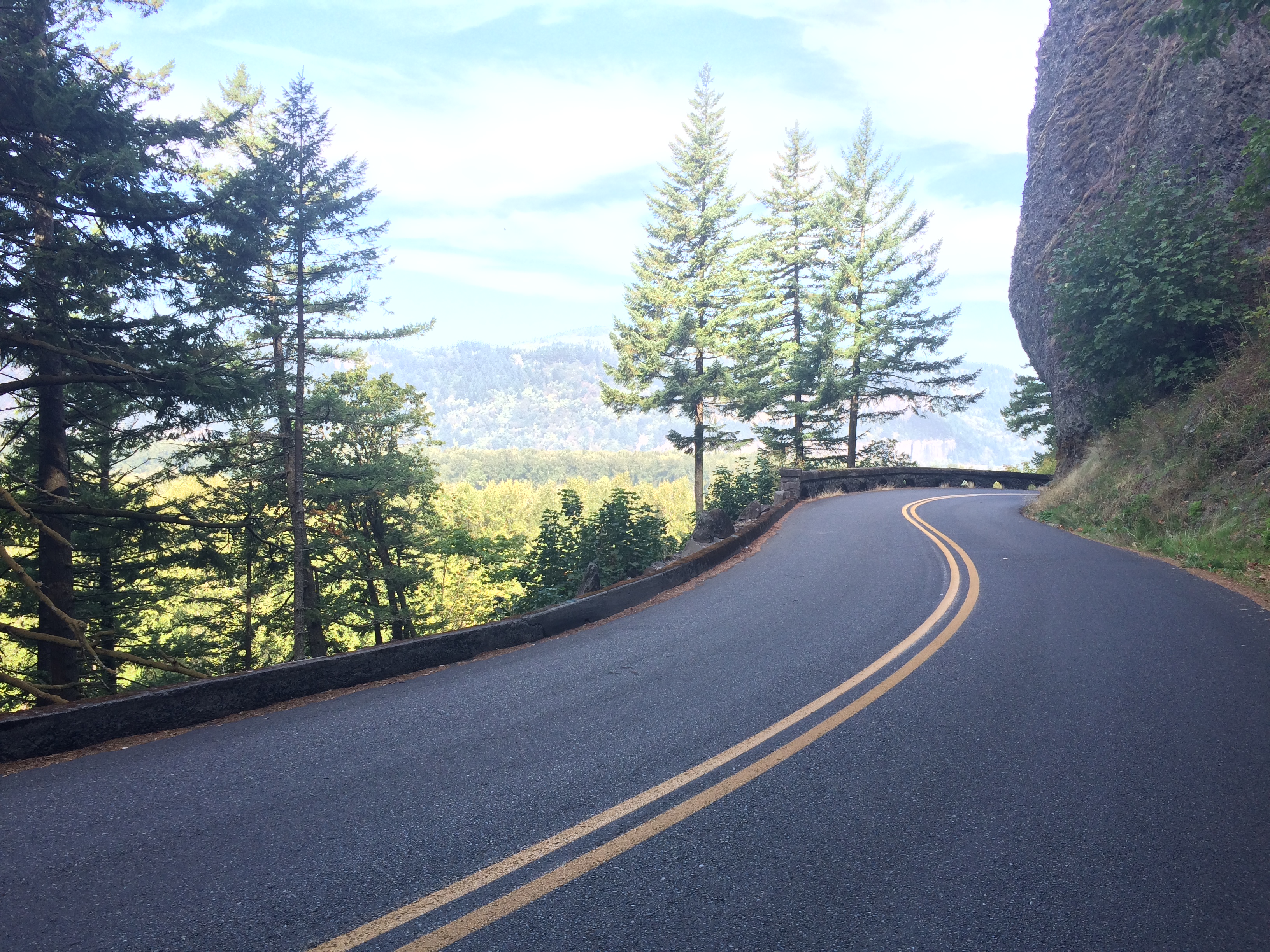
While in Portland I spent a day exploring the mighty Columbia River, Multnomah Falls, and Oneonta Gorge.  I drove to just outside of Troutdale, mounted my bike, and ended up cycling one of my most memorable bike rides along the new, smooth pavement with rolling hills and lush, green trees.IMG_4415

I had no idea that this ride was one of my friend’s favorite rides in the Portland area. Touring the route along the river by bicycle just so happened to be a fantastic idea and perhaps the best way to explore the area.  Before arriving to Portland I had no idea that the Columbia River was the largest river in the Pacific Northwest, the fourth largest river in the U.S., and that it separated Oregon and Washington.  I also had no idea just how beautiful the entire surrounding area was, especially on a picture-perfect day.

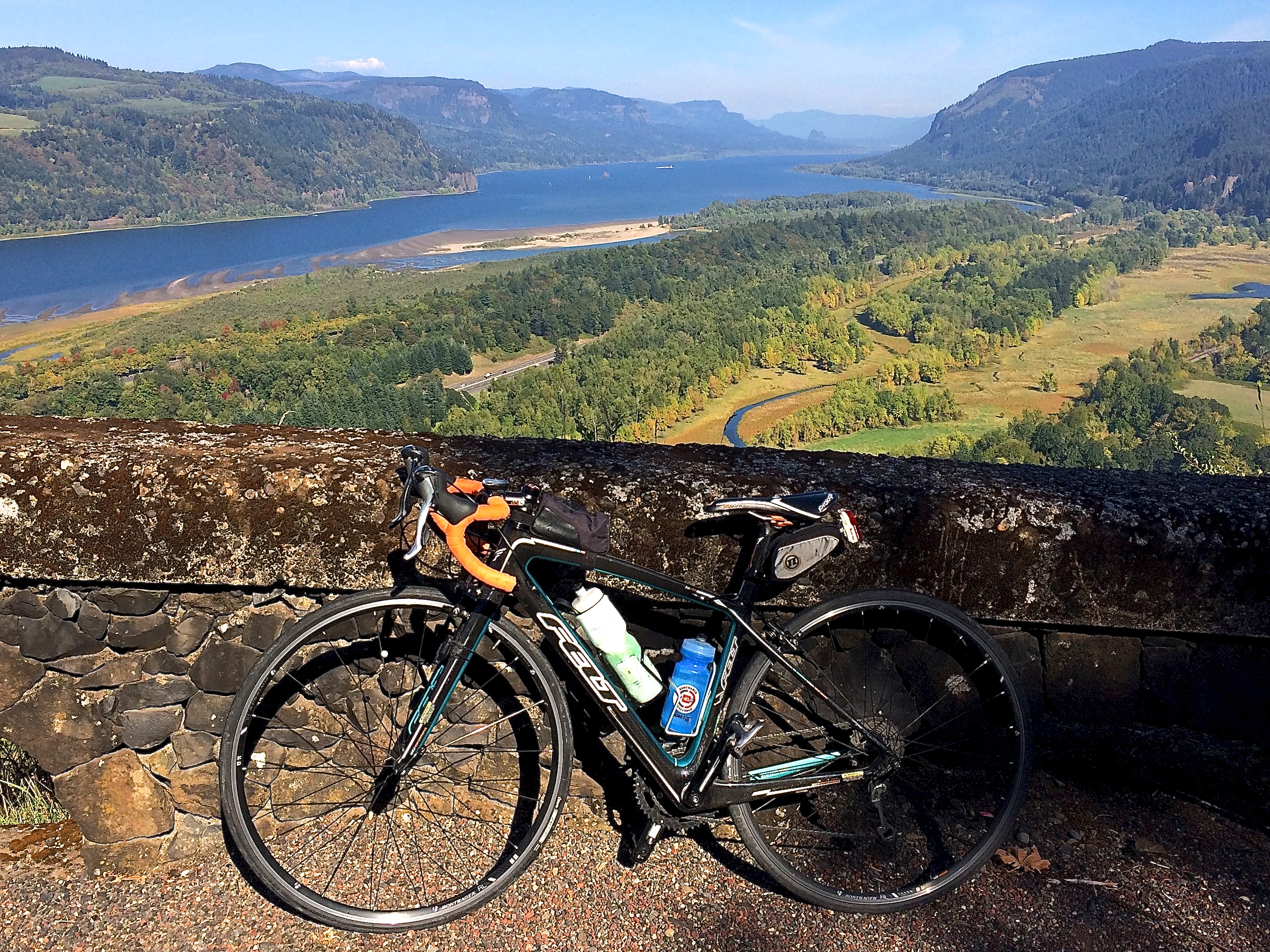
The Columbia River from the vista building, perhaps the most popular stop and viewpoint along the scenic highway:IMG_4441

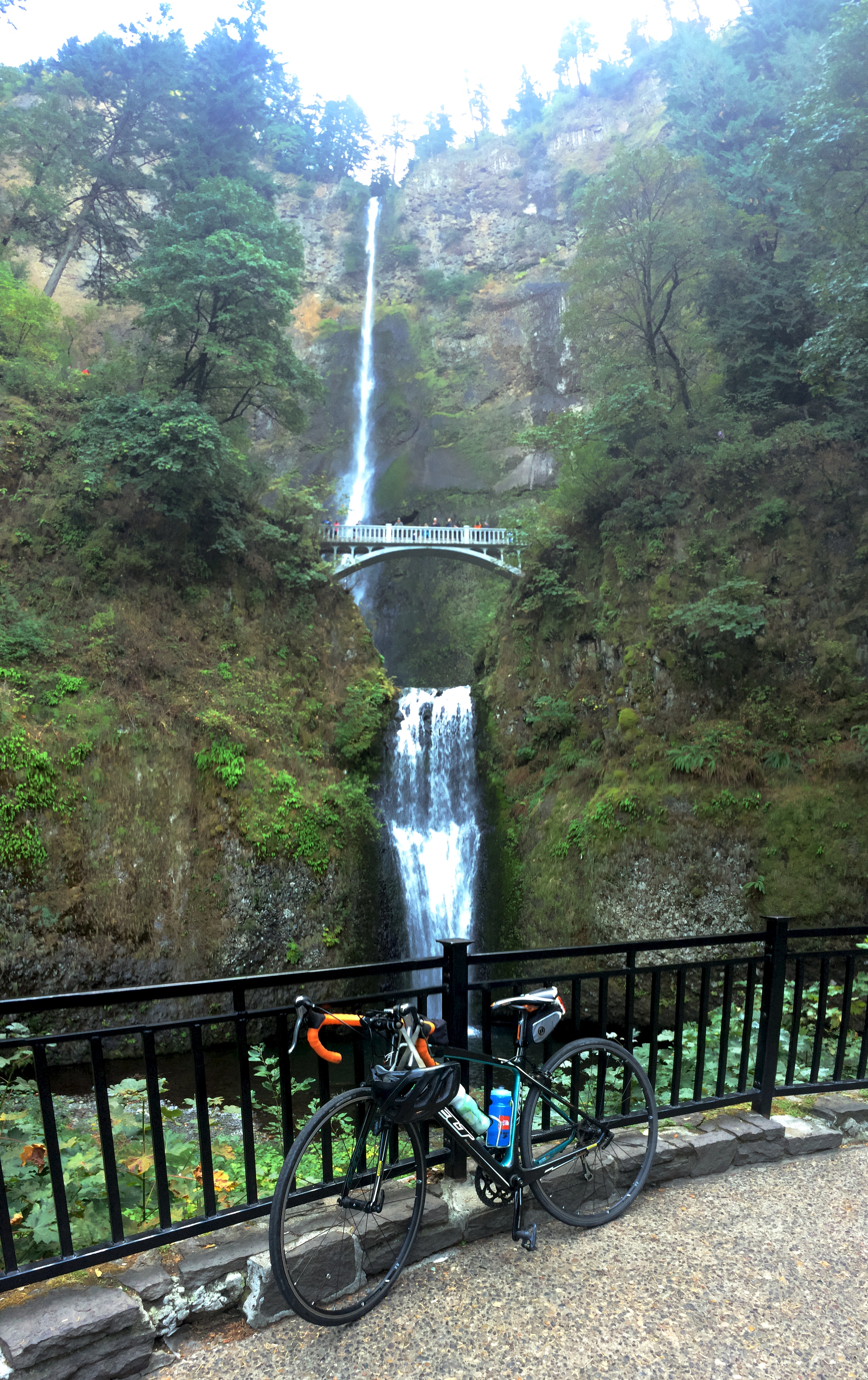
Multnomah Falls, Oregon’s tallest waterfall, was no doubt annoyingly crowded even on a Thursday. I stayed long enough to wait for the crowds to thin out a bit, snap this obligatory picture with my bike, and continue just a few more miles east toward Oneonta Gorge.IMG_4426

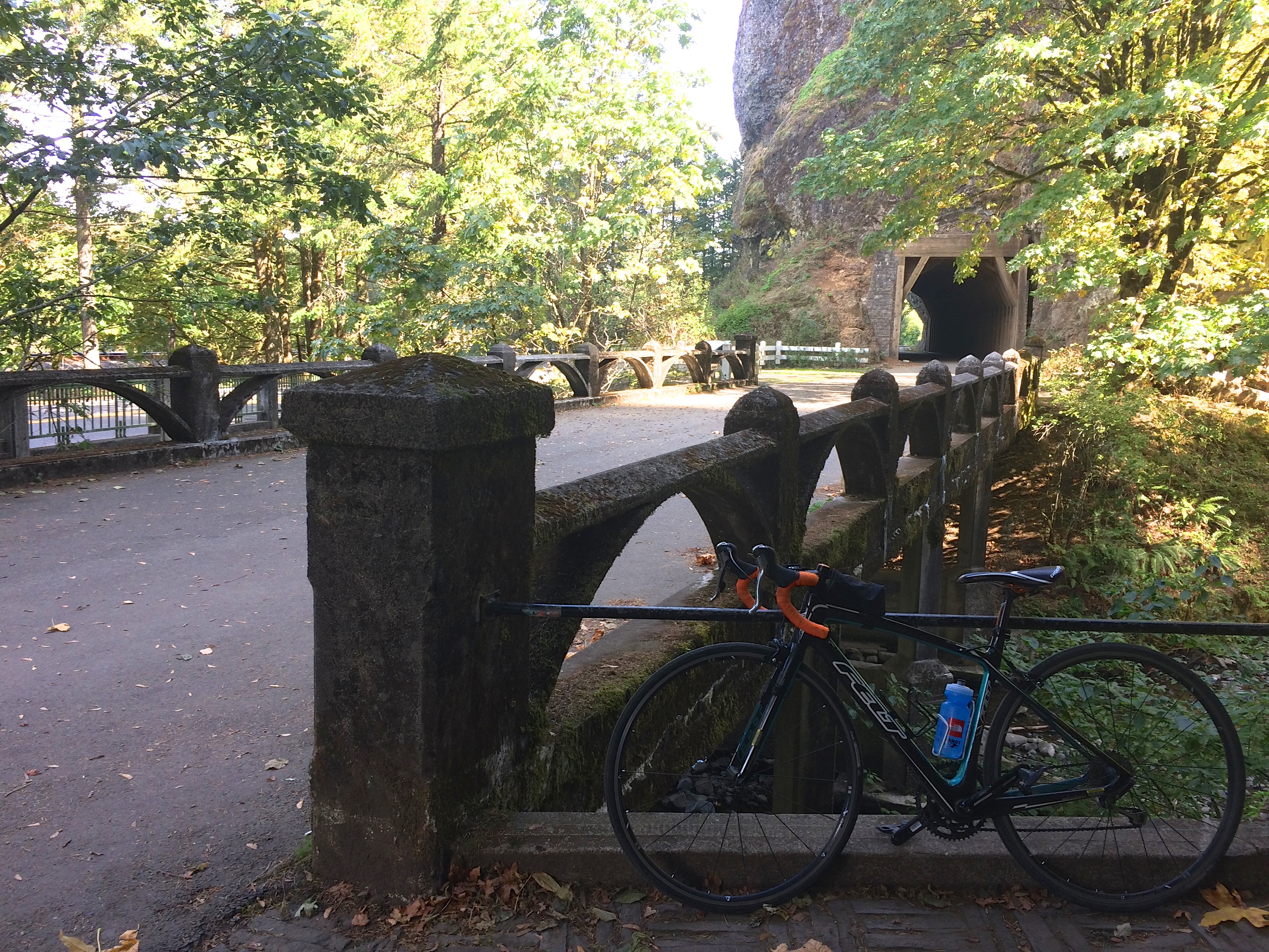
Oneonta Gorge is often overlooked thanks to Multnomah Falls, and it was so quiet and empty I had to stop a few times to make sure I was at the right spot. Finally I found the tiny staircase down into the gorge, not far from the historic Oneonta tunnel.IMG_4429

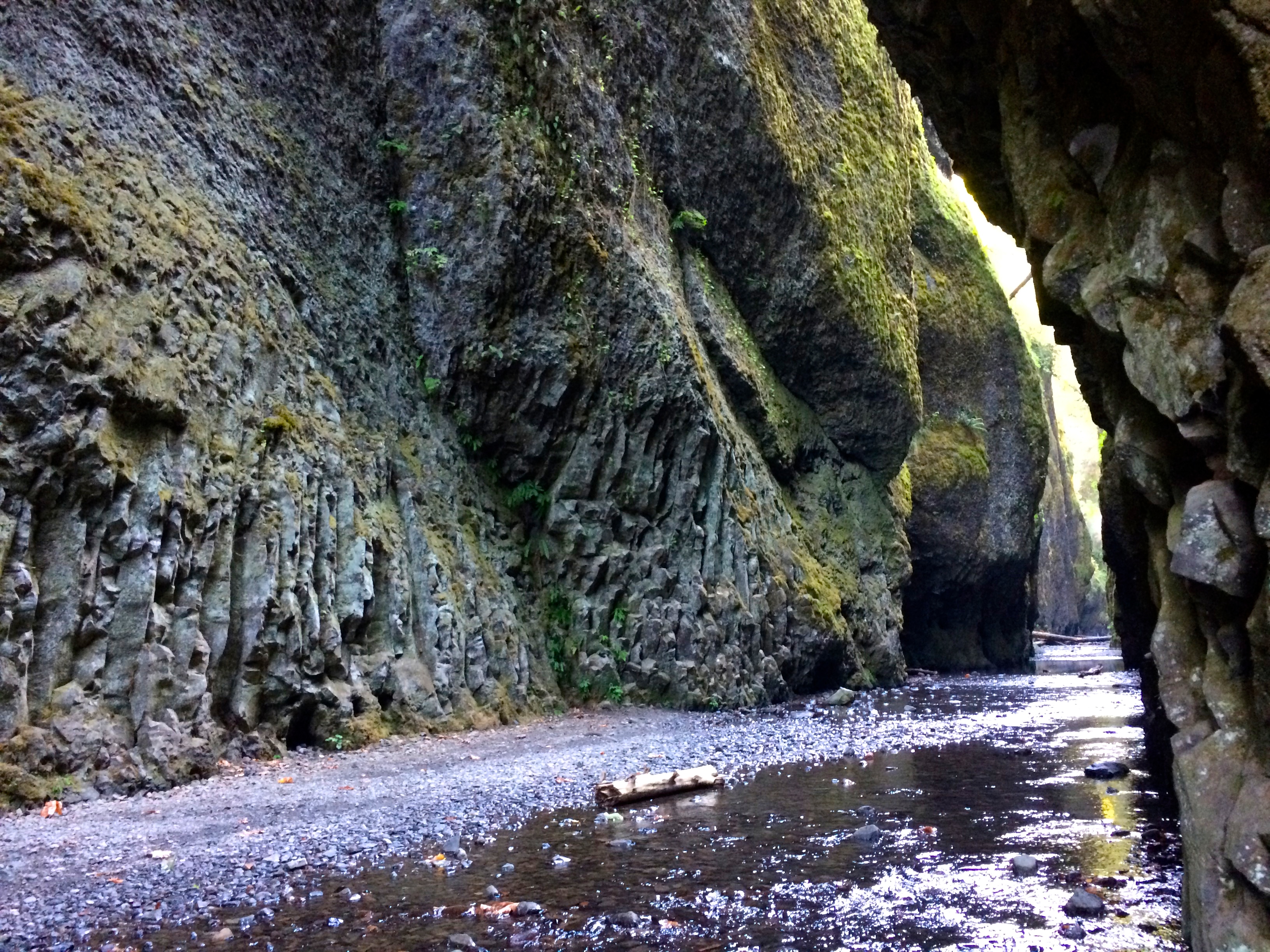
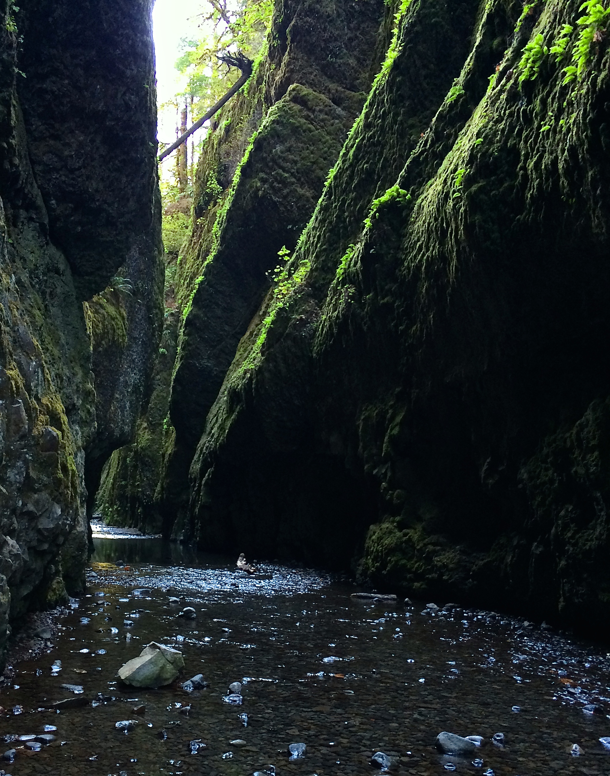
Down in the lush, green gorge was a creek dammed by trees and logs from previous flash floods.  Locals told me that there is normally an hour-line wait of people crawling and climbing over the logs on weekends to get to Oneonta Falls, and that I should take advantage of the rare serenity by going in.  I locked my bike to a tree, changed into my running shoes (packed specifically for this hike), and nimbly crawled over rocks and logs until I could crawl no further.  I didn’t want wet shoes or socks, so I took those off and carefully made my way through ankle-deep water.  Little did I know that this water runoff was from Mount Hood snow melt, and the ice-cold water numbed my feet to the point of where the pain was unbearable, so I quickly retreated.  I at least managed to take a couple photos from within the gorgeous Oneonta Gorge.IMG_4434 IMG_4435

The Columbia River Gorge lives up to its standards, and I think it has high standards due to its vicinity to other areas of interest throughout the state.  Beauty can be found in every corner in Oregon.  Volcanoes in the south, mountain ranges in the center, the coast in the west, and the mighty river and waterfalls in the north.

Posted in Oregon | Tagged , , , | Leave a comment

Bend

I had only heard of the small city of Bend, Oregon one year ago. During our 3.5-month road trip last year around the U.S., we randomly started chatting with an enthusiastic, talkative man at the top of Angel’s Landing at Zion National Park. Due to our shared interests in life adventures and endurance sports, we ended up swapping cards and keeping in touch. Fast forward to now—I reached out to him and he told us we could stay at his house in Bend! In fact, he wasn’t even home when we arrived but he had left us a key and told us to treat ourselves like home.   We both hardly remembered what he looked like.

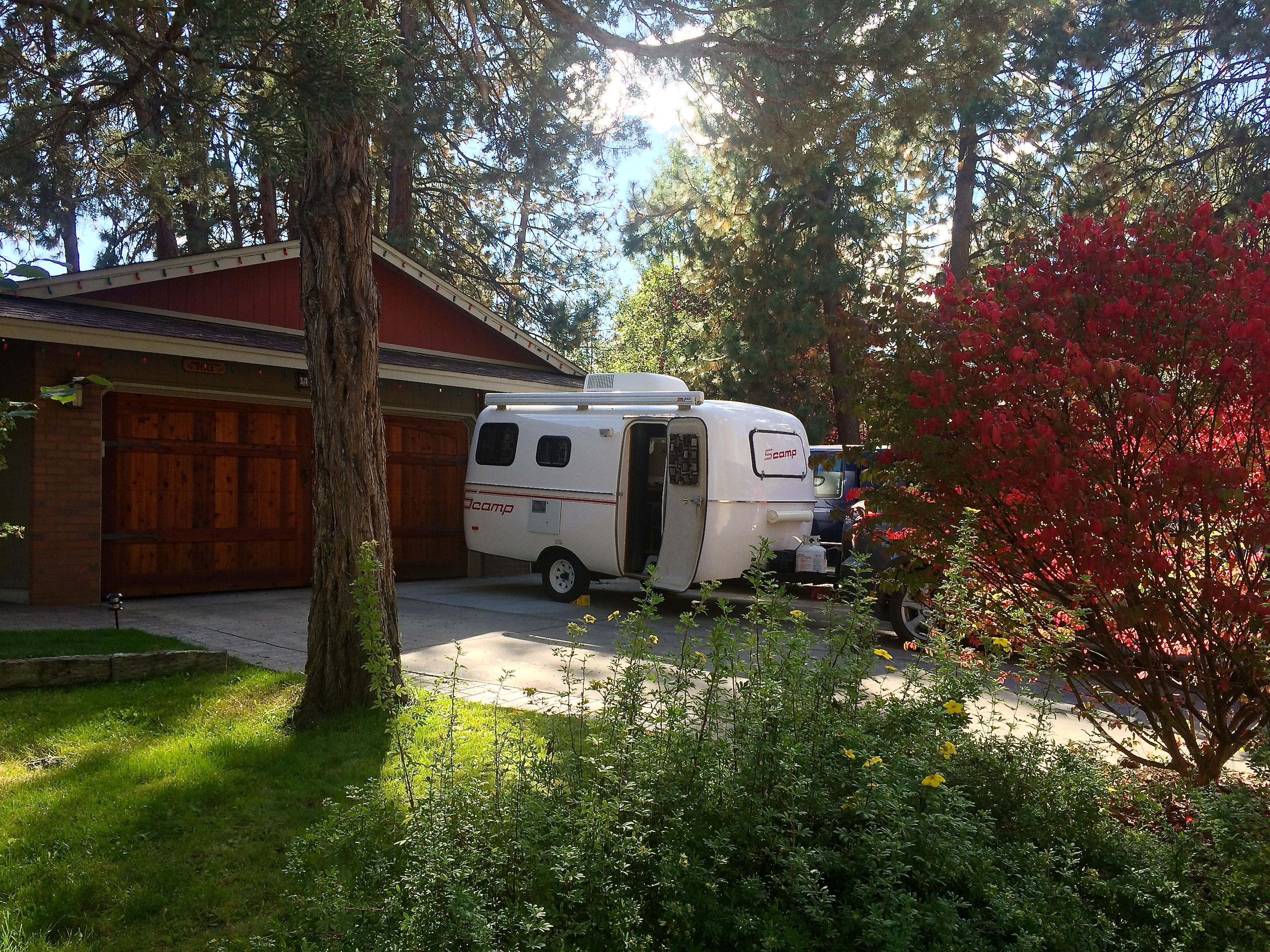
We were complete strangers and had only met once. And now there we were, camped on his driveway with access to his beautiful house in the woods. I quickly learned that this was simply the way of Bend.IMG_4275

He just turned 60 and recently bought a sailboat on the east coast with the goal of sailing by himself to the Bahamas in the next year.  He was a prime representation of the Bend community. Everyone was wholesome and thrived on fun, the outdoors, and adventure. With its beautiful location and access to mountains, mountains, and more mountains, it seems as if the prerequisite to calling Bend home is simply having a love for life.

Aside from the numerous brewpubs and creative, fusion restaurants, we visited a couple of local favorites: Pilot Butte, the lakes along the Cascades Lakes Scenic Byway, and Newberry Volcanic National Monument.

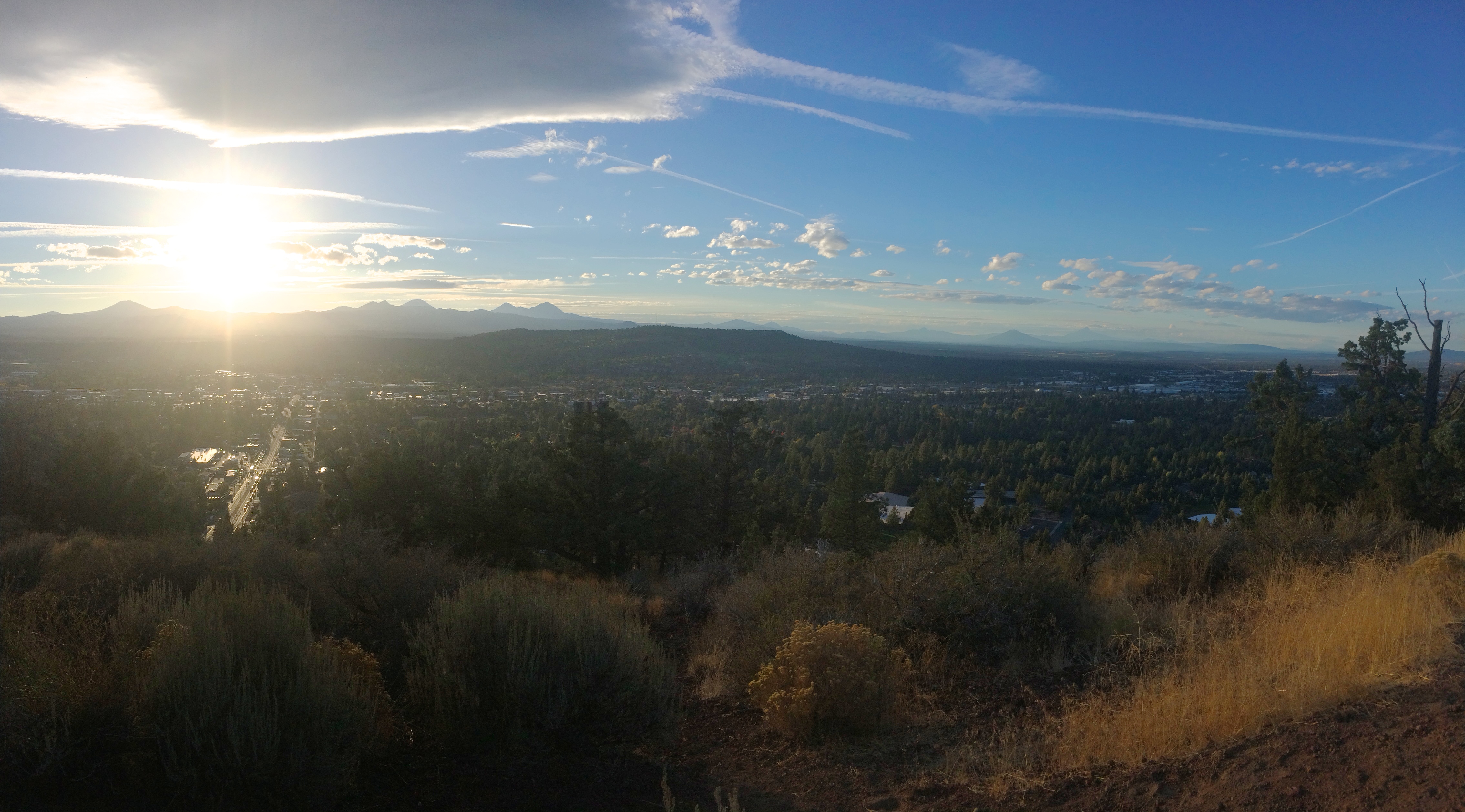
We knew Crater Lake was once an active volcanic area, but little did we know that every little bump, hump, and mountain in Southern Oregon were once volcanoes. Pilot Butte is the primary butte smack in the center of town and is a popular place for locals at sunset. From Pilot Butte, one can spectate all the mountains around, including Oregon’s tallest peak Mount Hood. Because Bend has mostly spectacular weather year-round, being able to see the surroundings on a clear day is the norm.IMG_4279

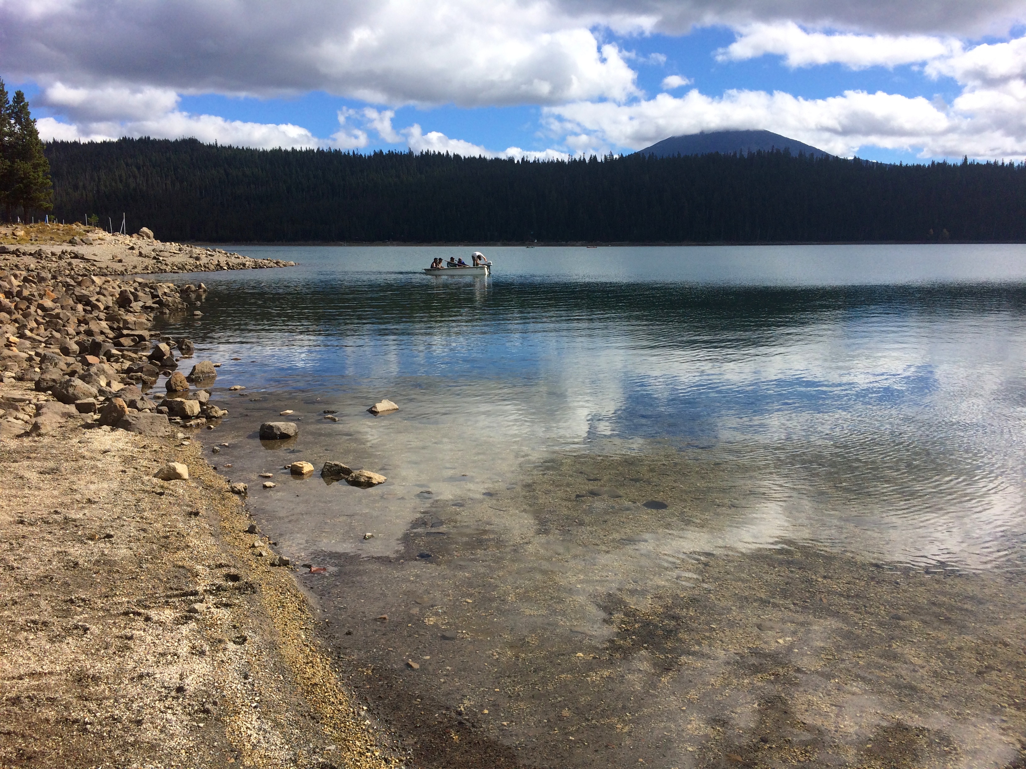
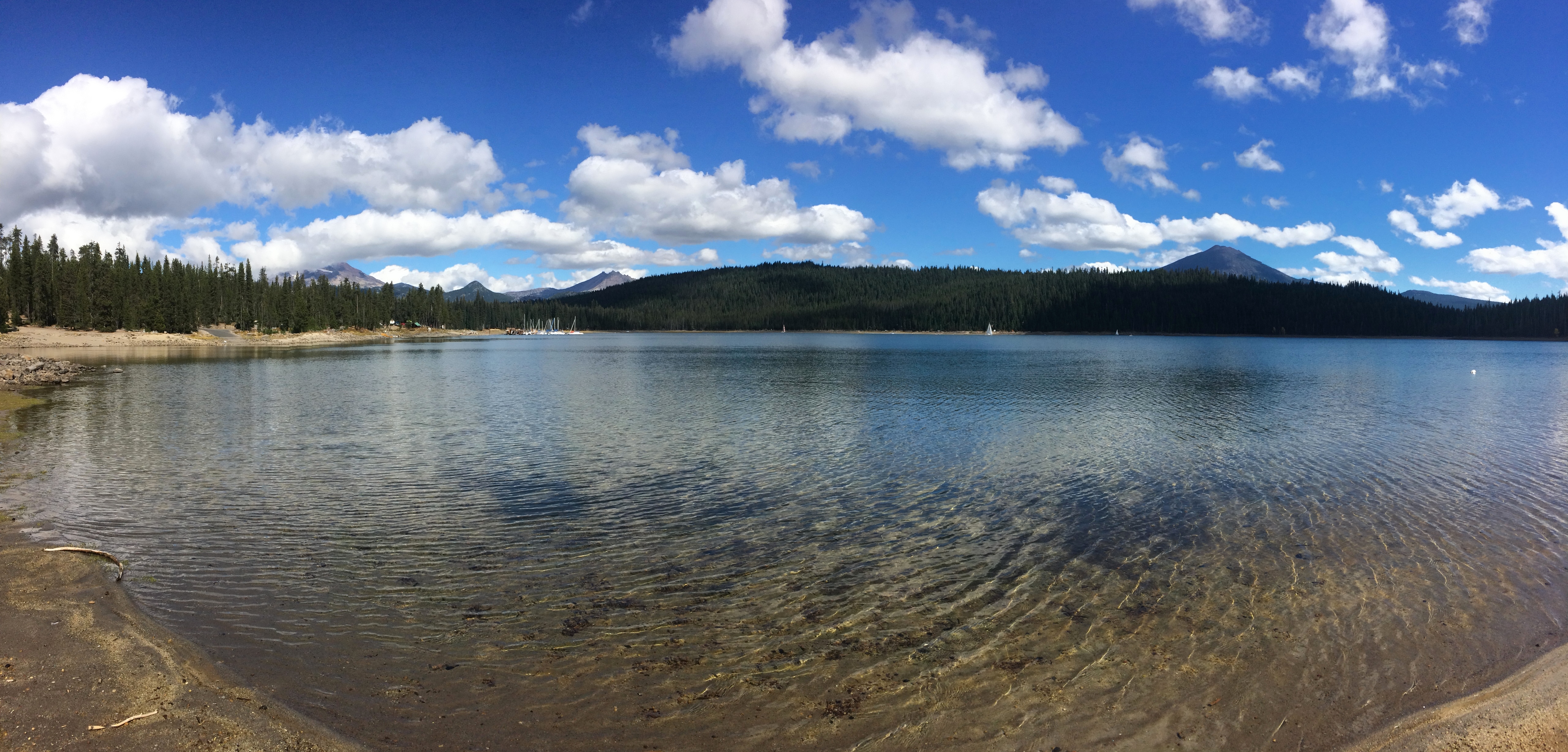
About 45 minutes east of Bend along the Cascades Lakes Scenic Byway are hundreds of lakes with stunning backdrops and shimmering reflections of volcanoes. Smooth pavement, a gradual ascent into the woods, and Mount Bachelor and the Sisters looming into view make a pleasant drive. In the warmer summer months the lakes are popular with boats, kayaks, canoes, stand-up paddle boarders, swimmers, and fishers. (It wasn’t until I arrived to the lakes that I finally understood why so many people in Bend owned boats.) The chilly fall morning prevented us from entering the water at Elk Lake, so we resorted to enjoying the views from shore with a picnic lunch.IMG_4281 IMG_4288

And just about 30 minutes south of Bend lies Newberry Volcanic National Monument, a vast region filled with buttes, calderas, caves, waterfalls, and even an obsidian flow! Unlike most national parks we’ve been to, this national monument featured a diverse range of geological features that kept us thoroughly interested, amused, and fascinated.

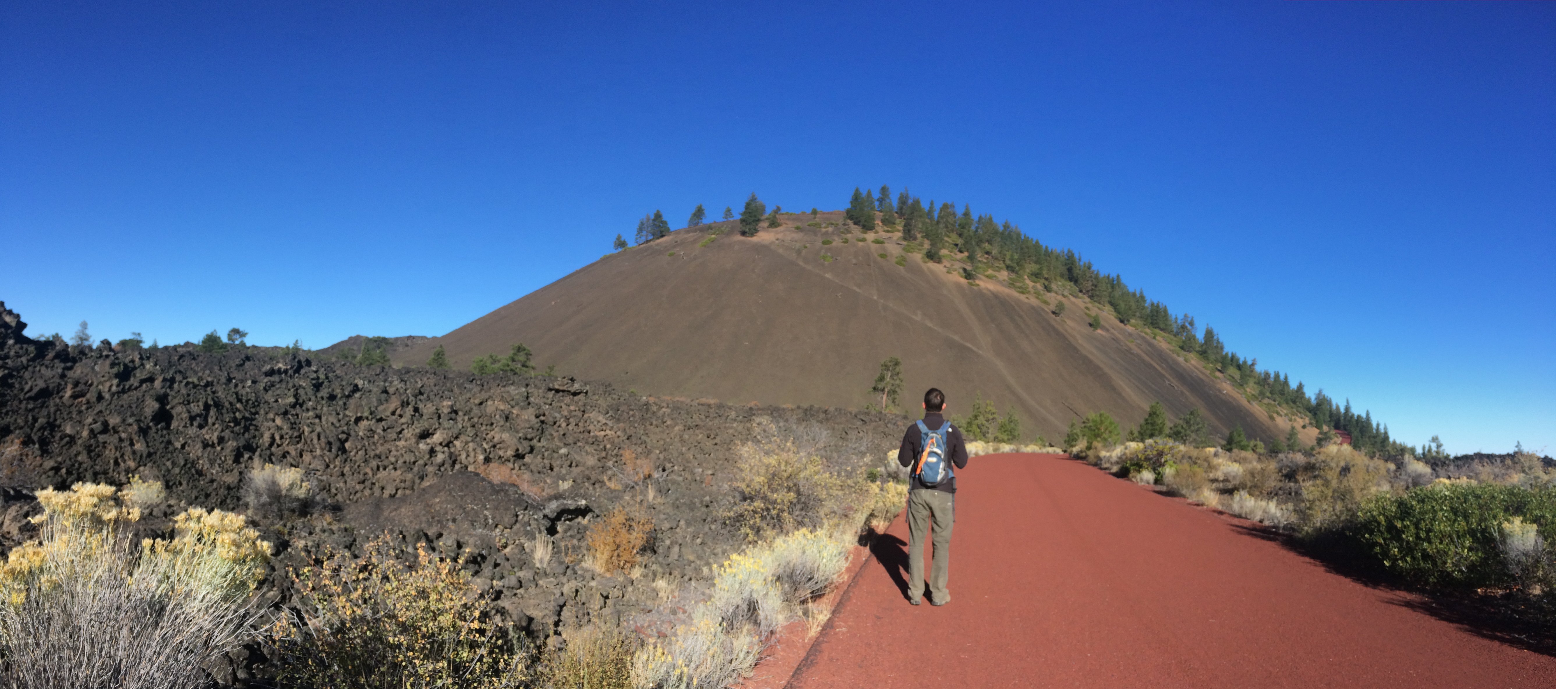
Because it was literally next to the visitor center, our first stop in Newberry was Lava Butte. Walking along the path up to the butte revealed its conical shape from a good distance:IMG_4289

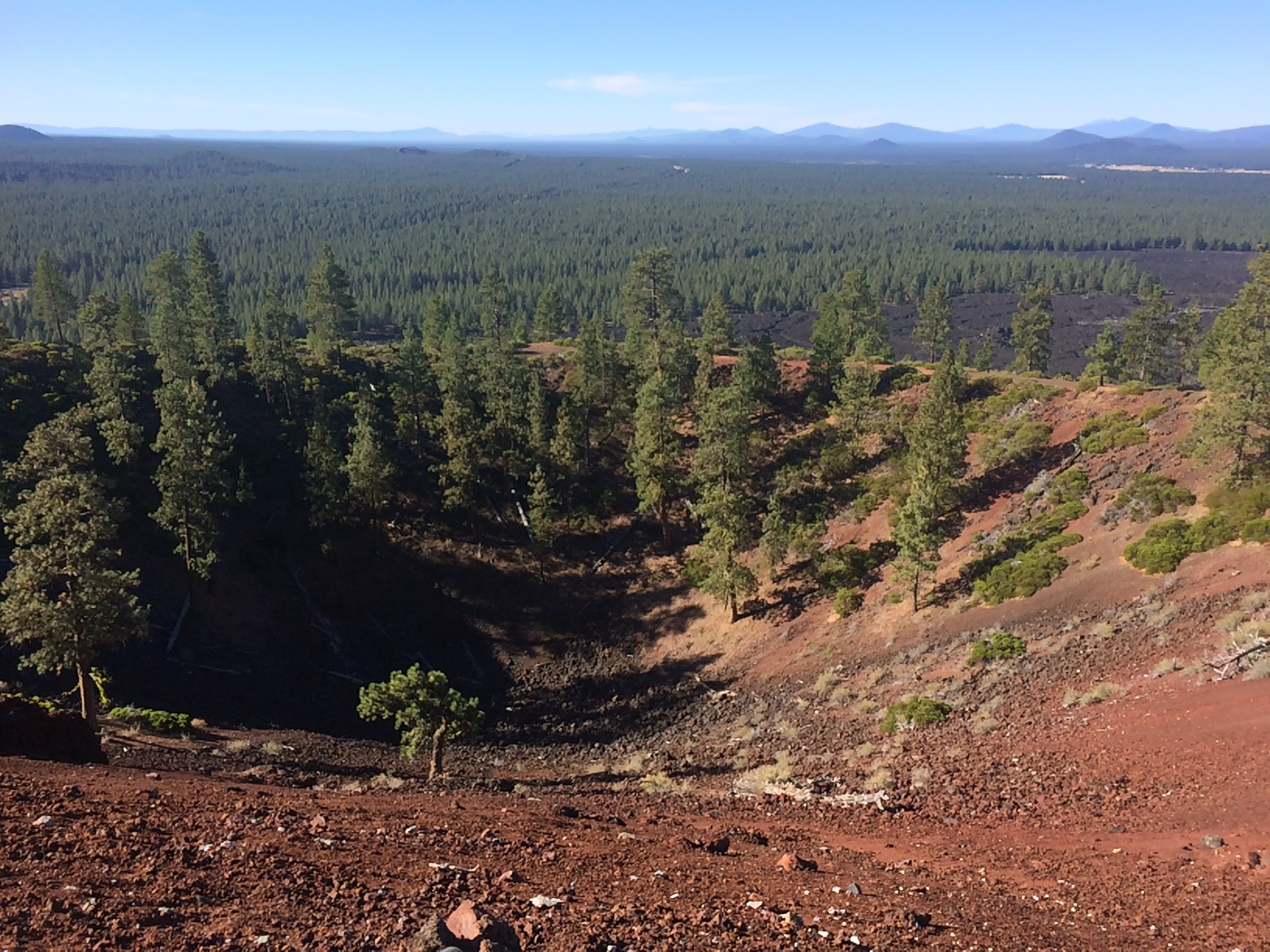
And from the rim, we gazed out into the horizon at once-hissing and spitting volcanoes, and we also observed the caldera below:IMG_4292

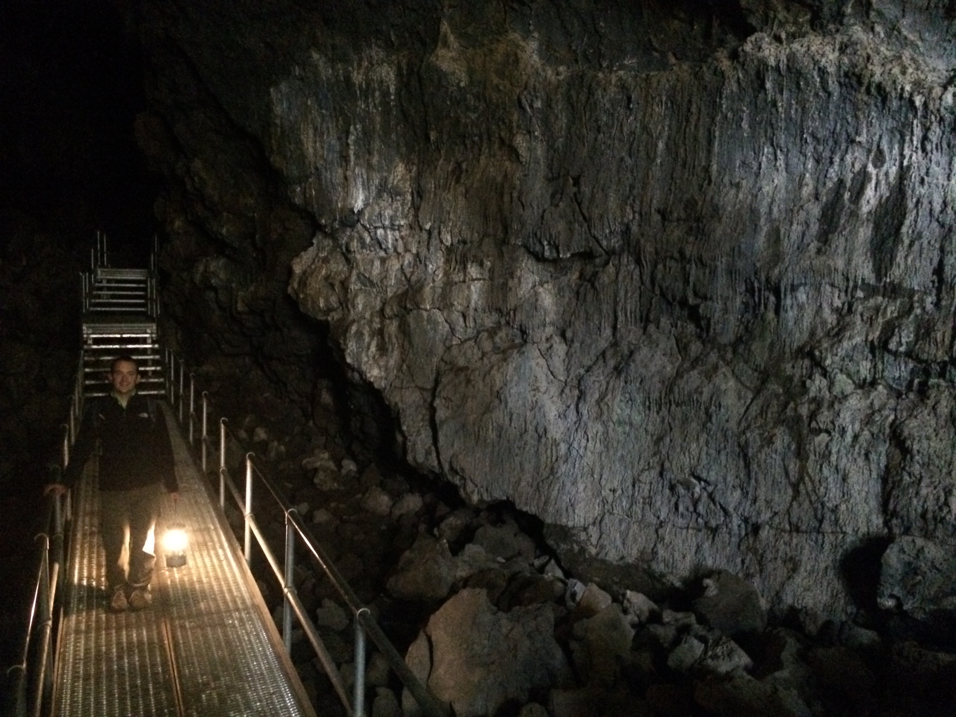
A quick drive down the road led us to our next destination: the lava tunnel. The hike was only about a mile round-trip out and back.   Instead of using headlamps to explore the pitch-black lava tunnel, we opted to use our more traditional gas lantern.IMG_4299

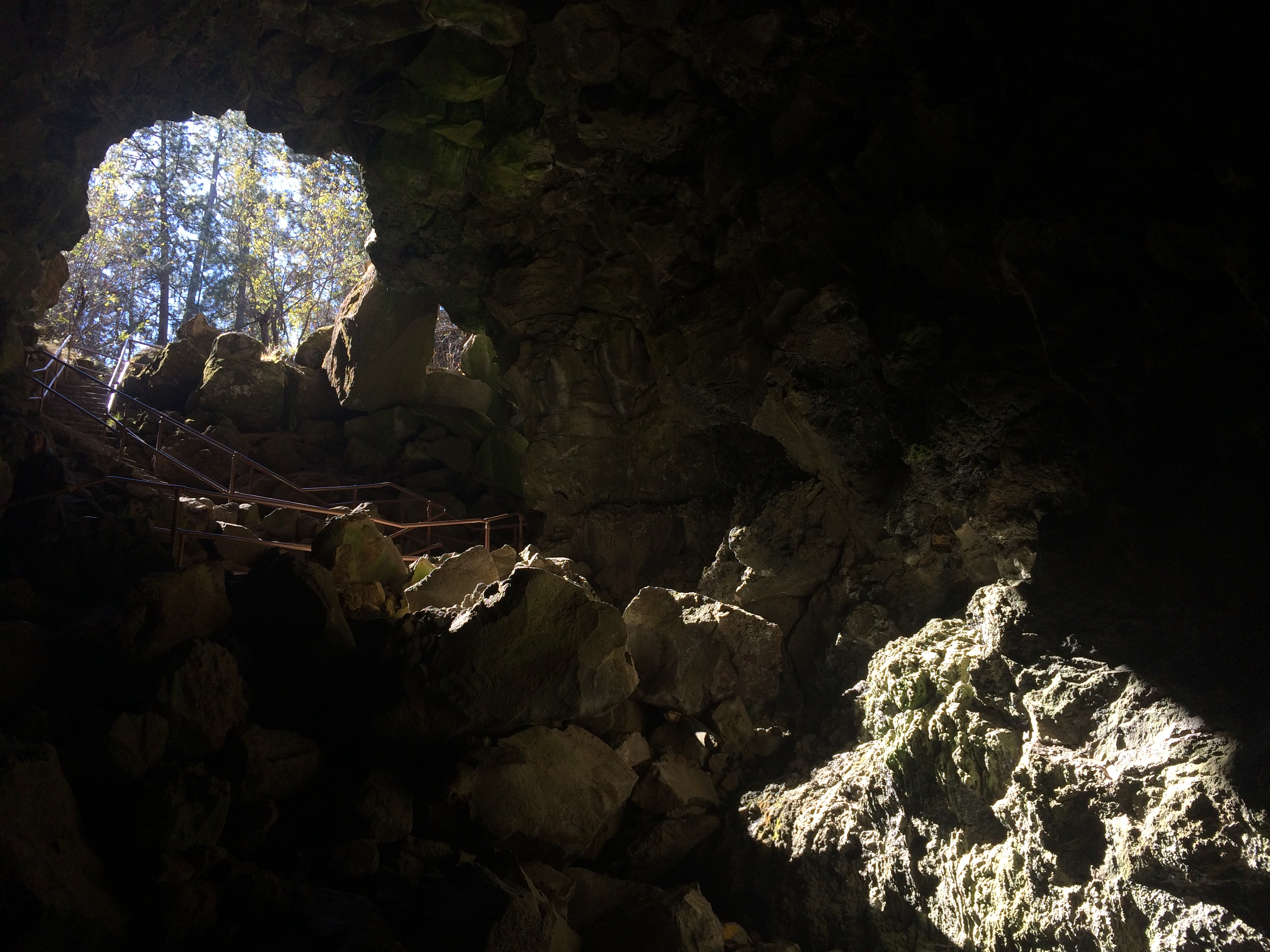
But natural light from the entrance gives you a clear idea of how most of the lava tunnel looked.IMG_4296

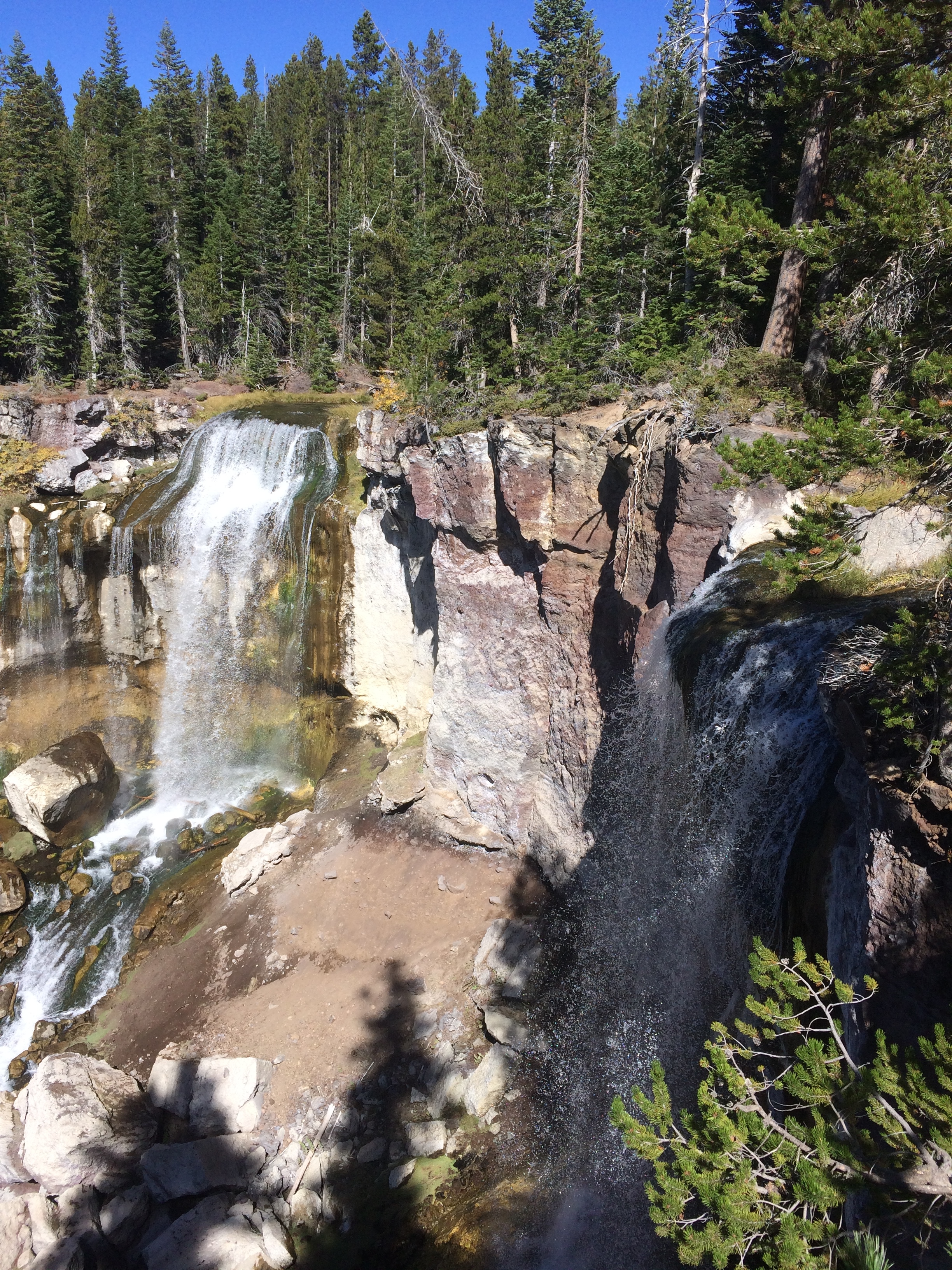
After exploring the lava tunnel we drove further south toward the highest peak in the monument—Paulina Peak. First we took a quick detour to snap a photo of Paulina Falls.IMG_4302

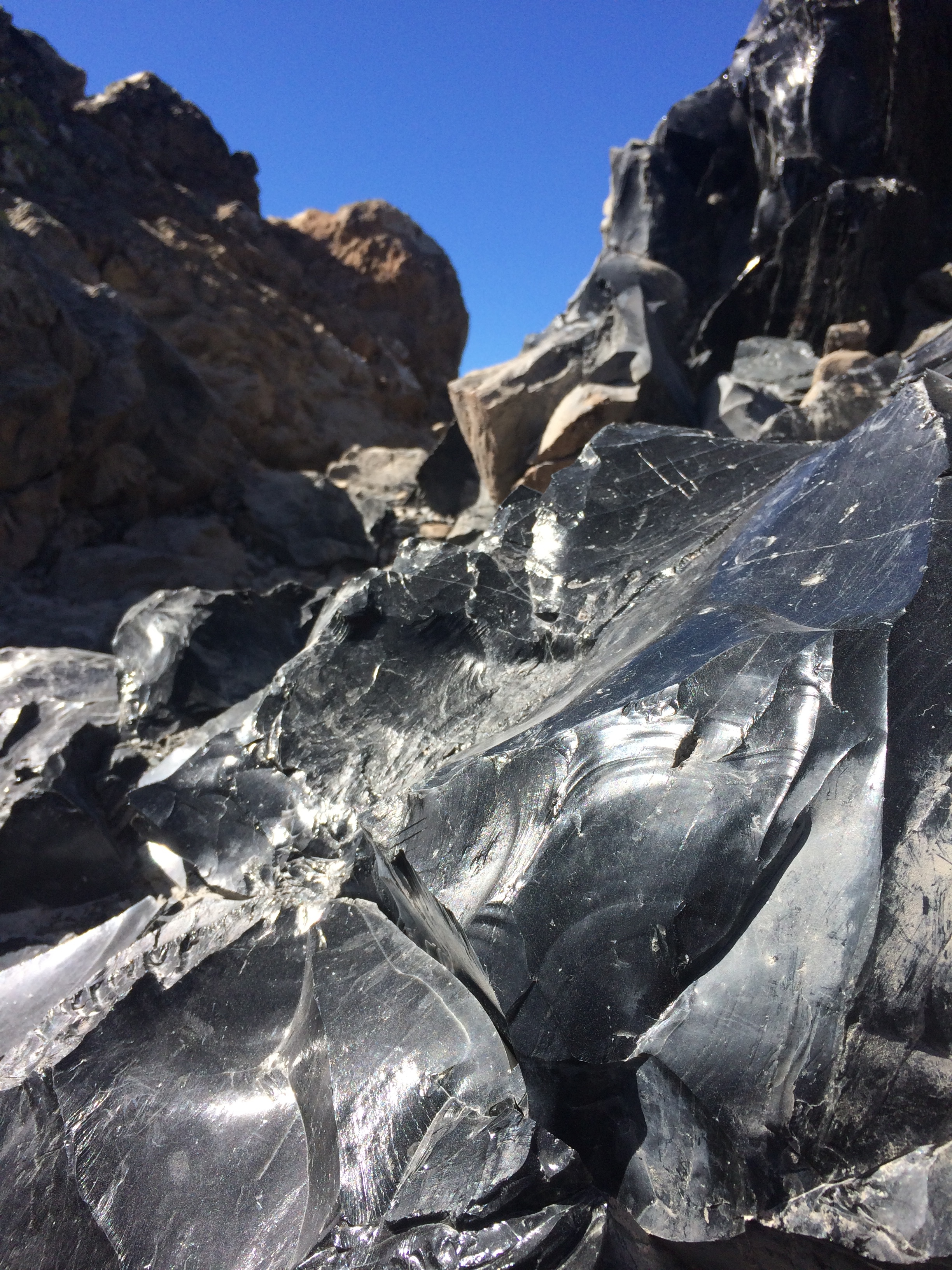
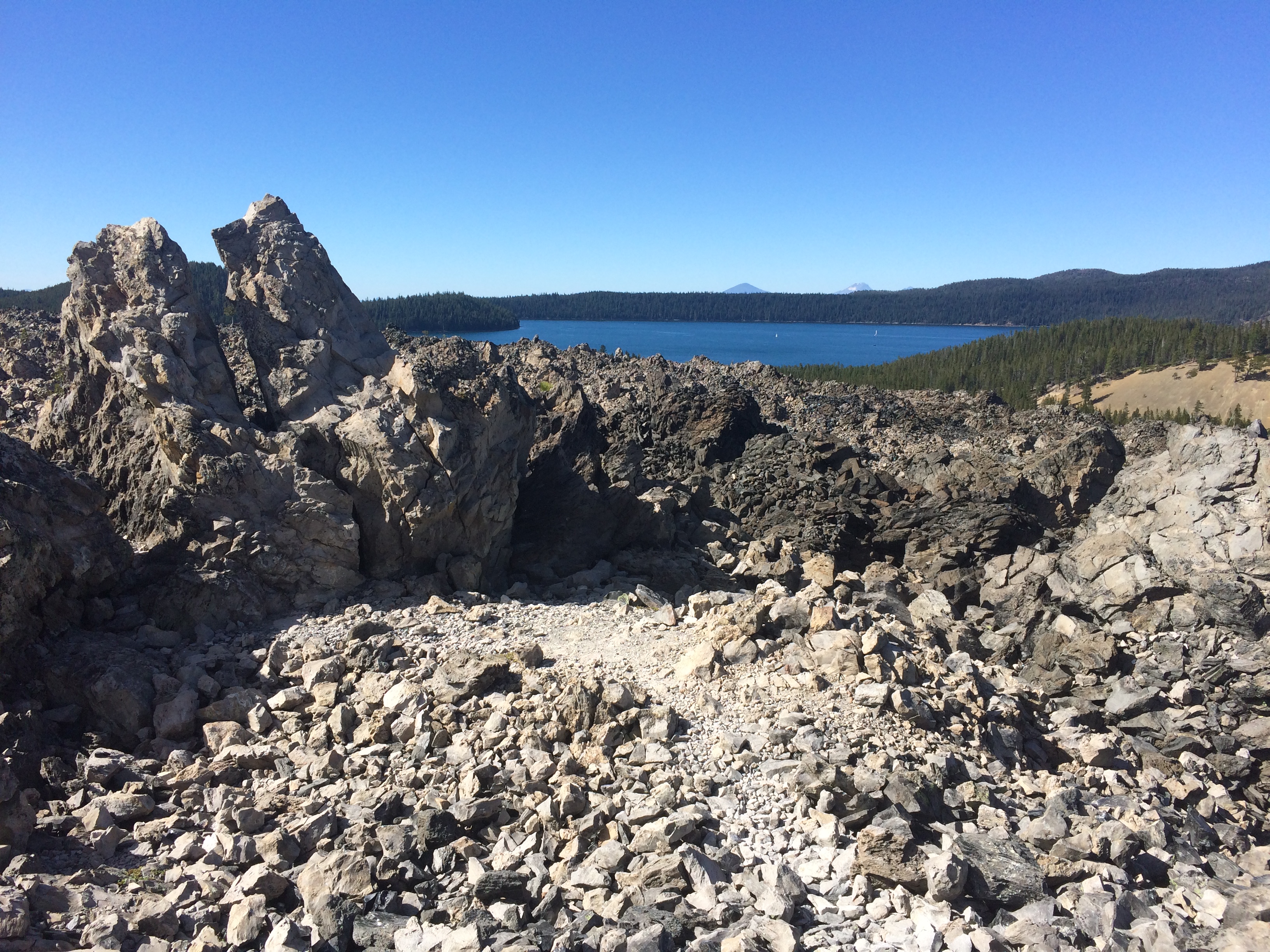
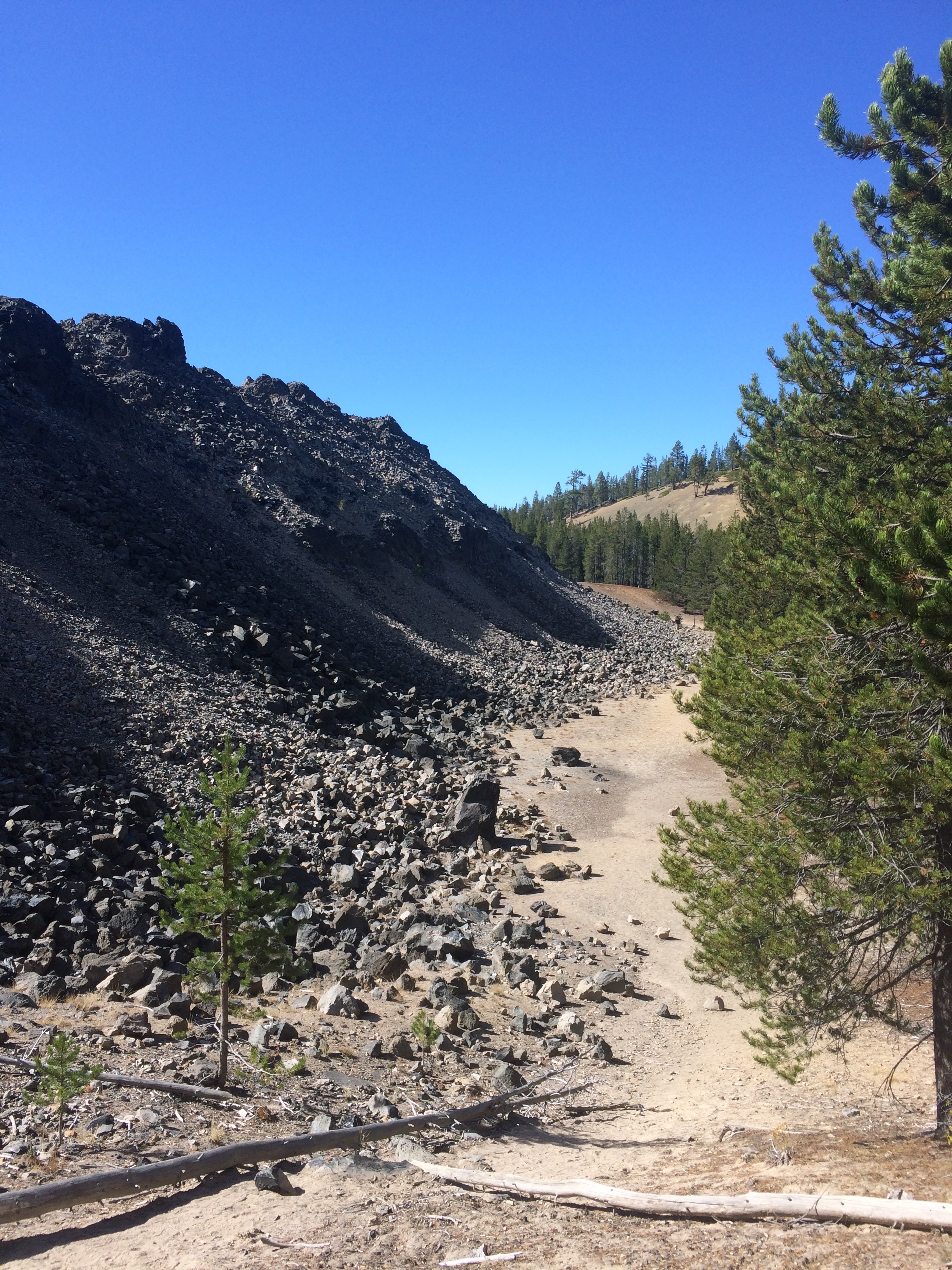
Then we strolled along the 1-mile gentle but sharp and shiny obsidian trail. I didn’t even know what obsidian was until I arrived. Science can better explain it than I can, but in a nutshell, obsidian is black glass formed by lava and was used by Native Americans for tools, weapons, and jewelry. The big obsidian flow in Newberry is Oregon’s youngest lava flow at 1,300 years old.

Close encounters with natural, shiny obsidian among its bed of pumice and stone were fascinating.IMG_4312

Mounds of obsidian could be seen everywhere, with Paulina Lake in the distance.IMG_4313

I loved the stark contrast between the land and where the obsidian came to a halt.IMG_4314

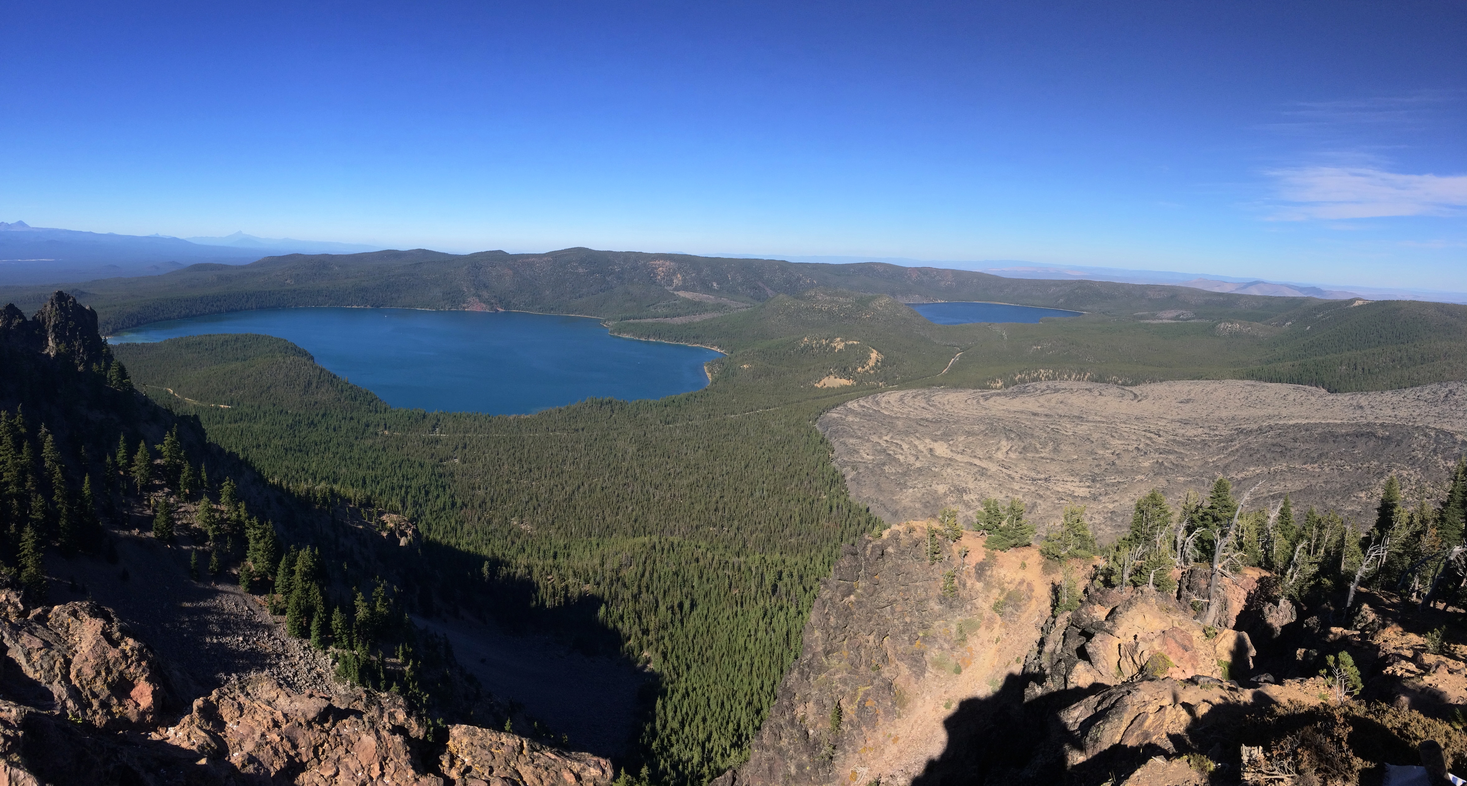
It wasn’t far from the big obsidian flow to Paulina Peak, the highest peak in Newberry at 7,989 ft. From there, Paulina Lake and East Lake could be seen, with a caldera between the lakes.IMG_4319

Keep in mind that Paulina Falls, the big obsidian flow, and the two lakes are all within the same caldera of the Newberry volcano. Yes, it is difficult to fathom all these beautiful geological features all within the same volcano, but that’s how diverse this region is.

Because summer had already passed we weren’t able to take advantage of favorite local activities in Bend such as tubing down the Dechutes River or boating in one of the hundreds of lakes. We were at least able to sample just a pinch of Bend by scoping out several lakes along the Cascades Scenic Byway and the national volcanic monument.  You can love the wholesomeness of Bend, or become quickly over it like me and be ready to venture north for more diversity in lifestyles and culture.

Posted in Oregon | Tagged , , , | 1 Comment