Unlike other national parks, the best time to visit Death Valley National Park is from November through February, where average temperatures hover between a comfortable 60-70ºF. From May through September, the low season, average temperatures exceed 100ºF. Despite being the largest national park in the contiguous U.S., this endless desert valley lacks one thing that I love the most about parks: trees! With areas of interest vastly spread out, I ended up spending more time driving in the park than exploring on foot. Even with the lack of trees and epic hikes, we enjoyed the timeless views from our car windows as we explored by vehicle.
Multiple visits would be necessary in order to see everything the park had to offer, and with our limited time and closures of sections of the park due to the October 2015 flash flood, I was able to see Badwater Basin, Artists Palette, Zabriskie Point, Dantes View, Mesquite Flat Sand Dunes, Rhyolite, Titus Canyon, Mosaic Canyon, and Father Crowley Vista Point. I knew that a park that covered so much ground would offer an array of landscapes; I expected the salt flats and sand dunes, but I was surprised by the thousands of canyons, splotchy mountains, ghost towns, and dramatic ripples of foothills.
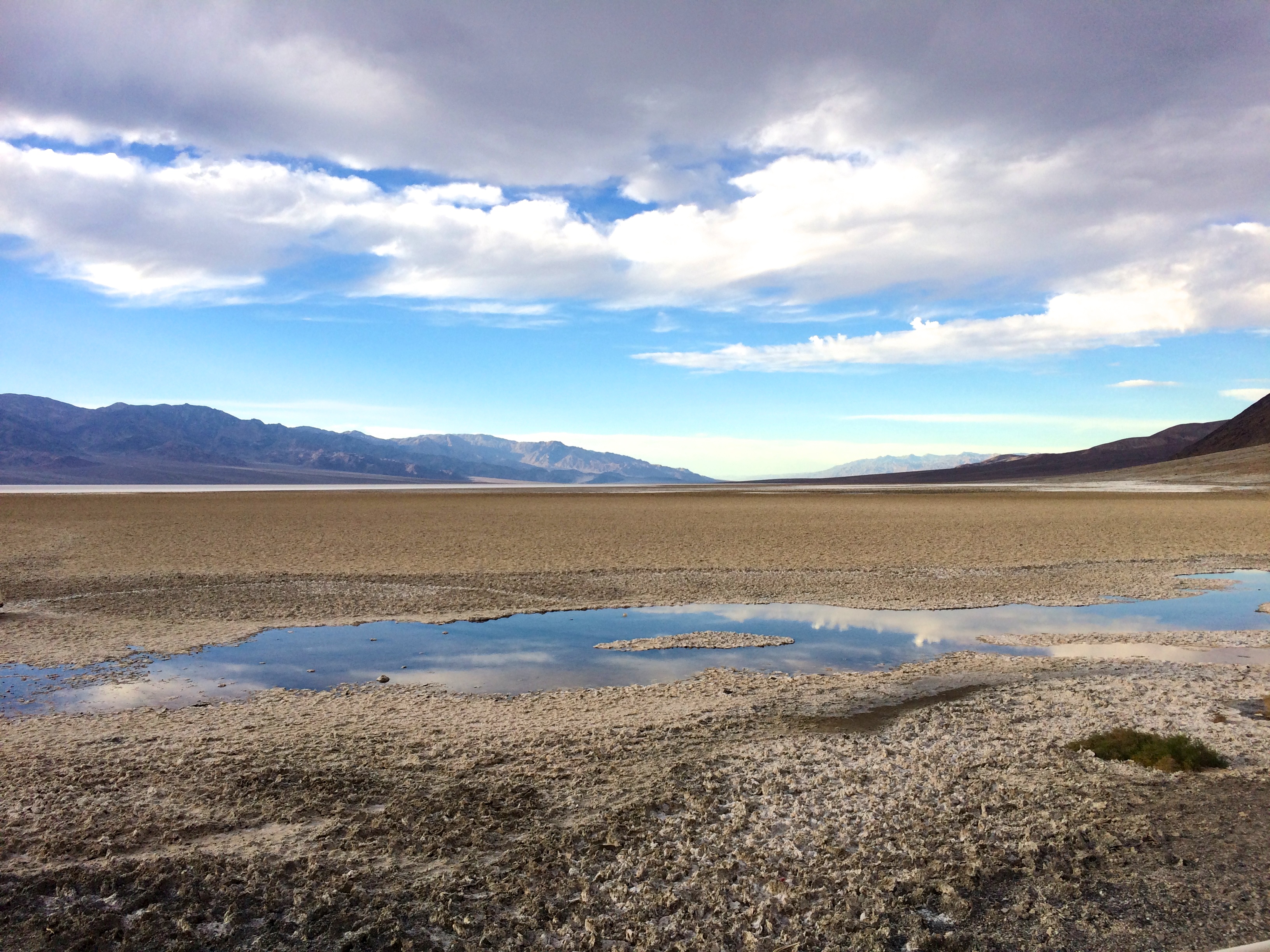
We entered the park by late afternoon, and we set out for Badwater Basin after a brief visit to the Furnace Creek Visitor Center (which by the way was equipped with a pricy gas station and wifi)! Who knew that Badwater Basin, which has the lowest elevation point in North America, was a salt flat desert?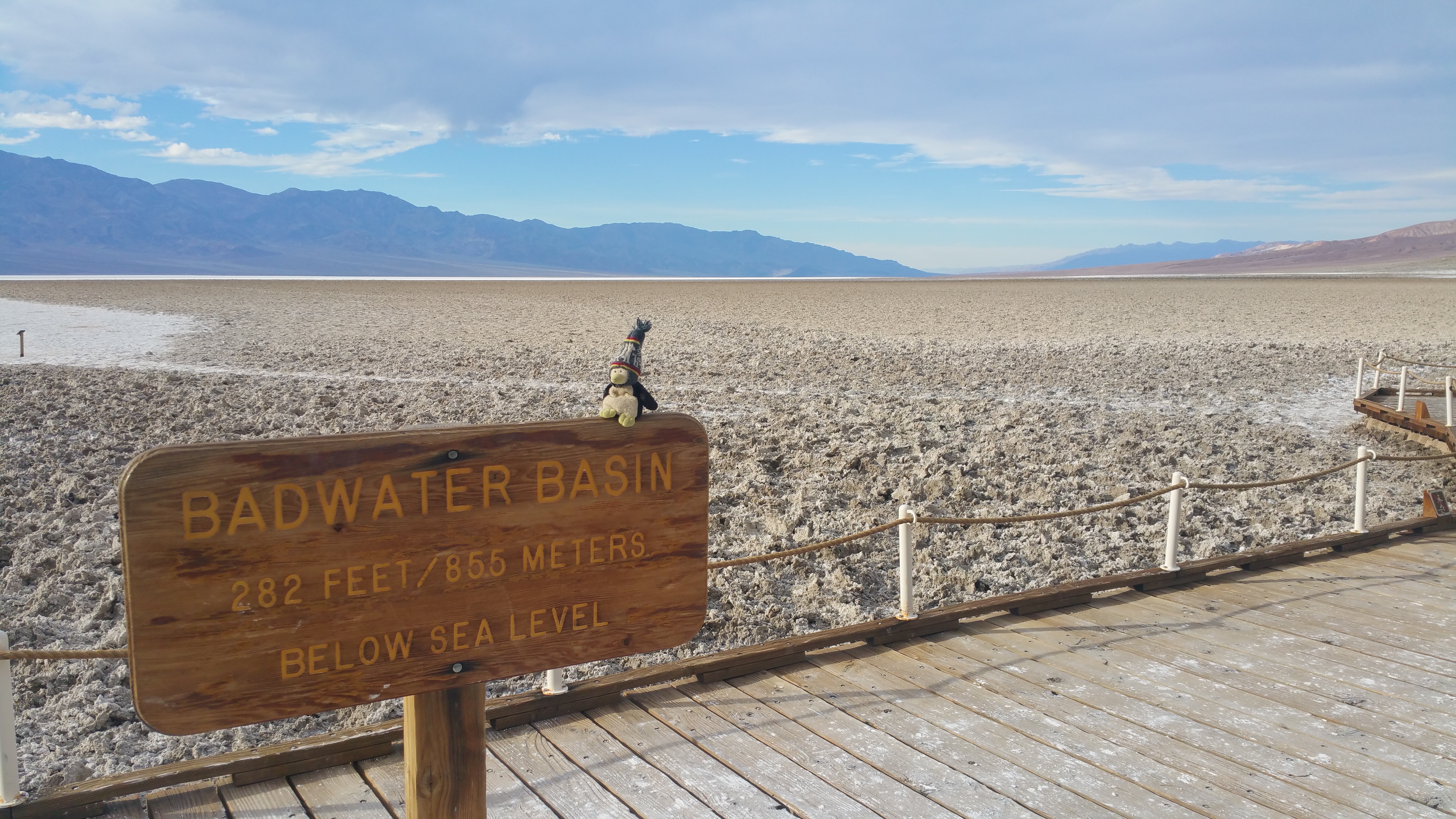
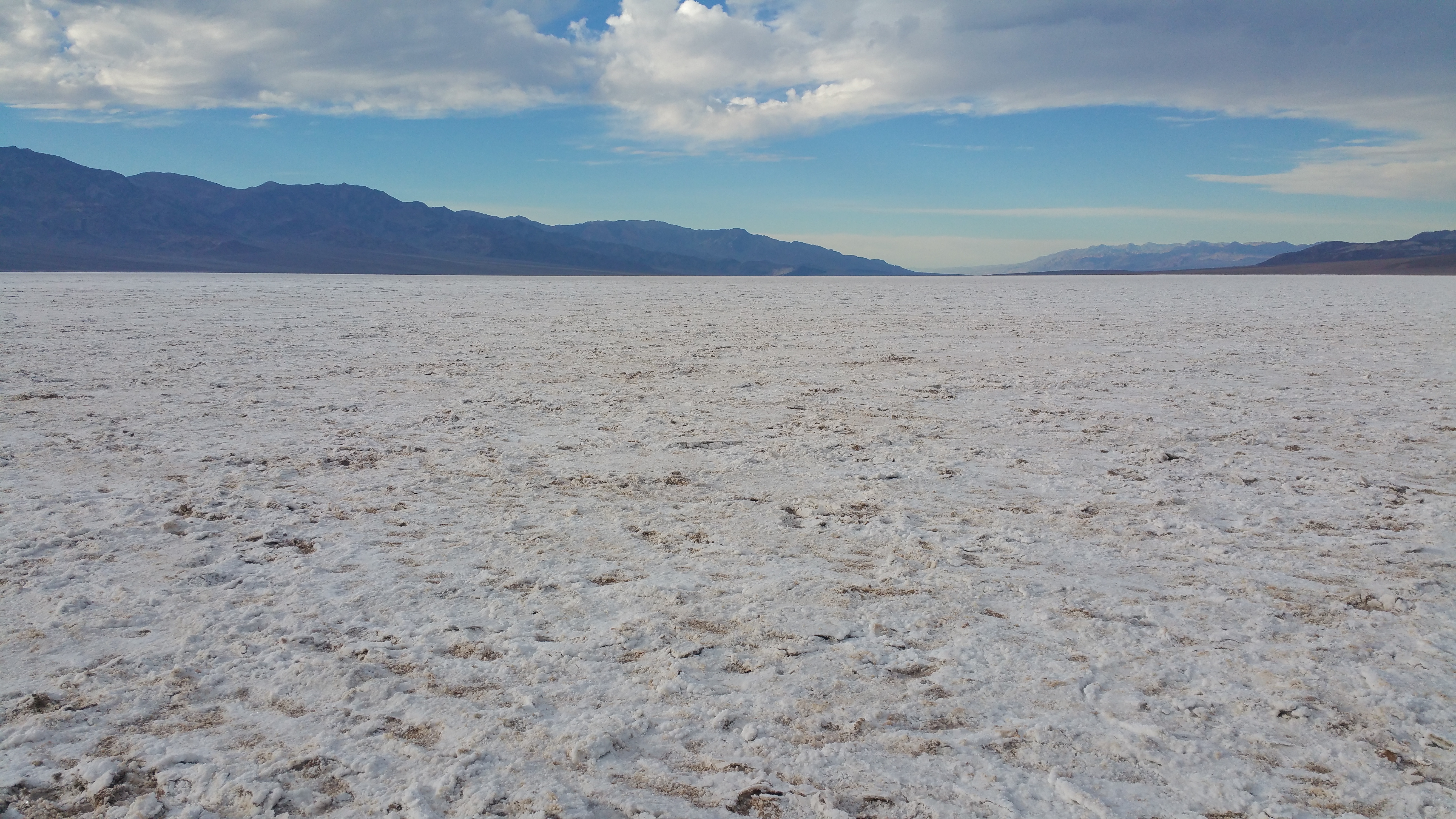
While not as impressive as Salar de Uyuni, the largest salt flats in the world in Bolivia, the landscape and salt clusters were still a marvel to spectate.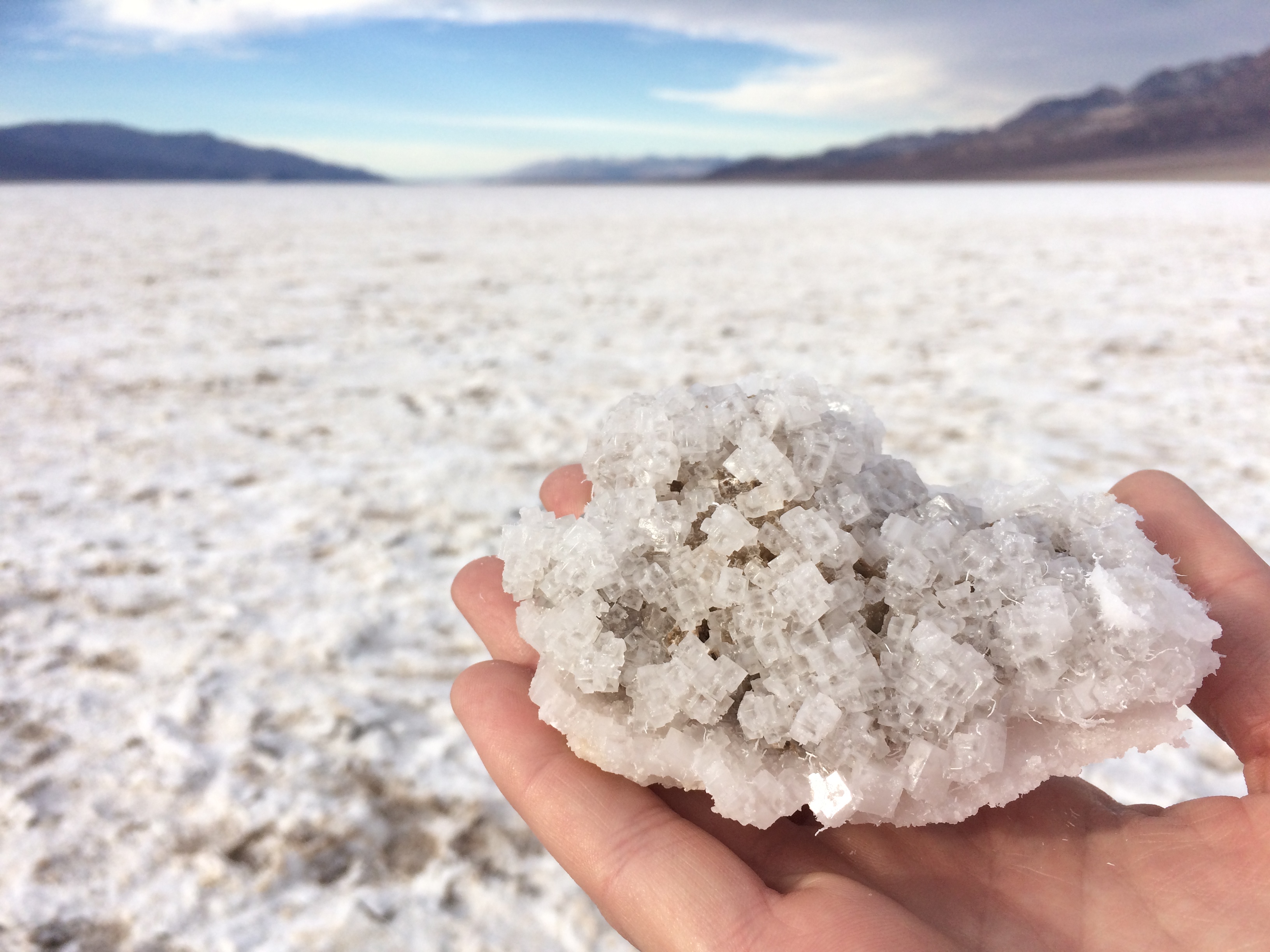
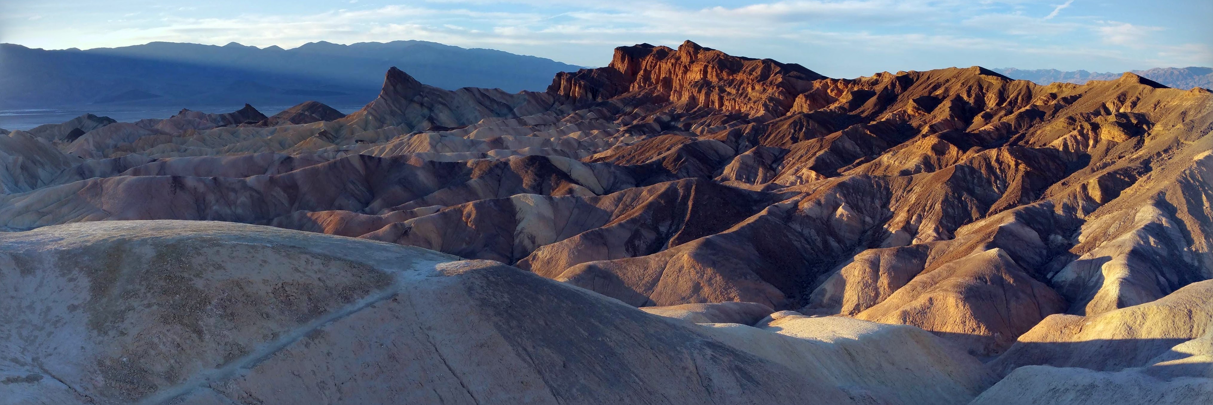
Following Badwater Basin was a quick drive through Artists Drive, and following Artists Drive was a short stopover at Zabriskie Point. They say sunset was the time to go to this point, and the reason why was obvious. As if the ripples of rock layers and splotches of colors weren’t already enough eye candy–the deep shadows added to the dramatic visuals!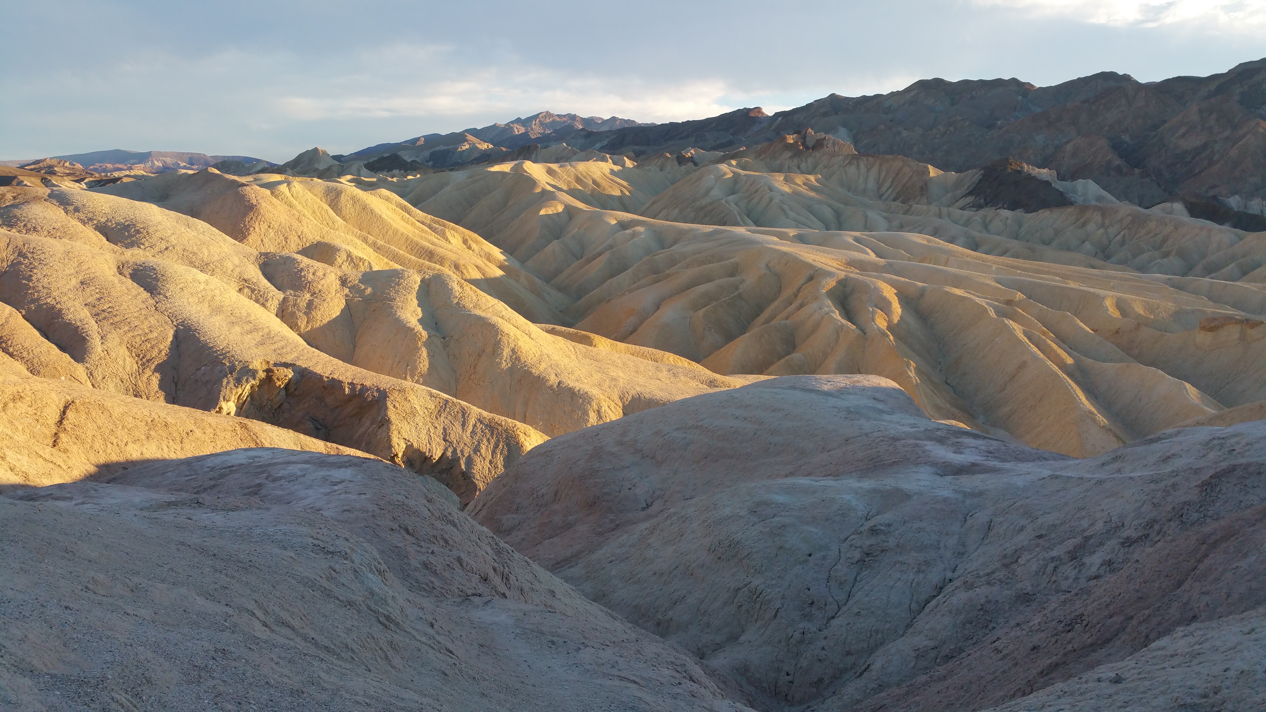
With the sunlight rapidly fading away we rushed over to Dantes View to gaze from the park’s acclaimed best overlook. We arrived just in time as the sun had barely dipped behind Telescope Peak, the park’s highest peak. From Dantes View at 5,475 ft., we could see Badwater Basin below and the desert valley beyond.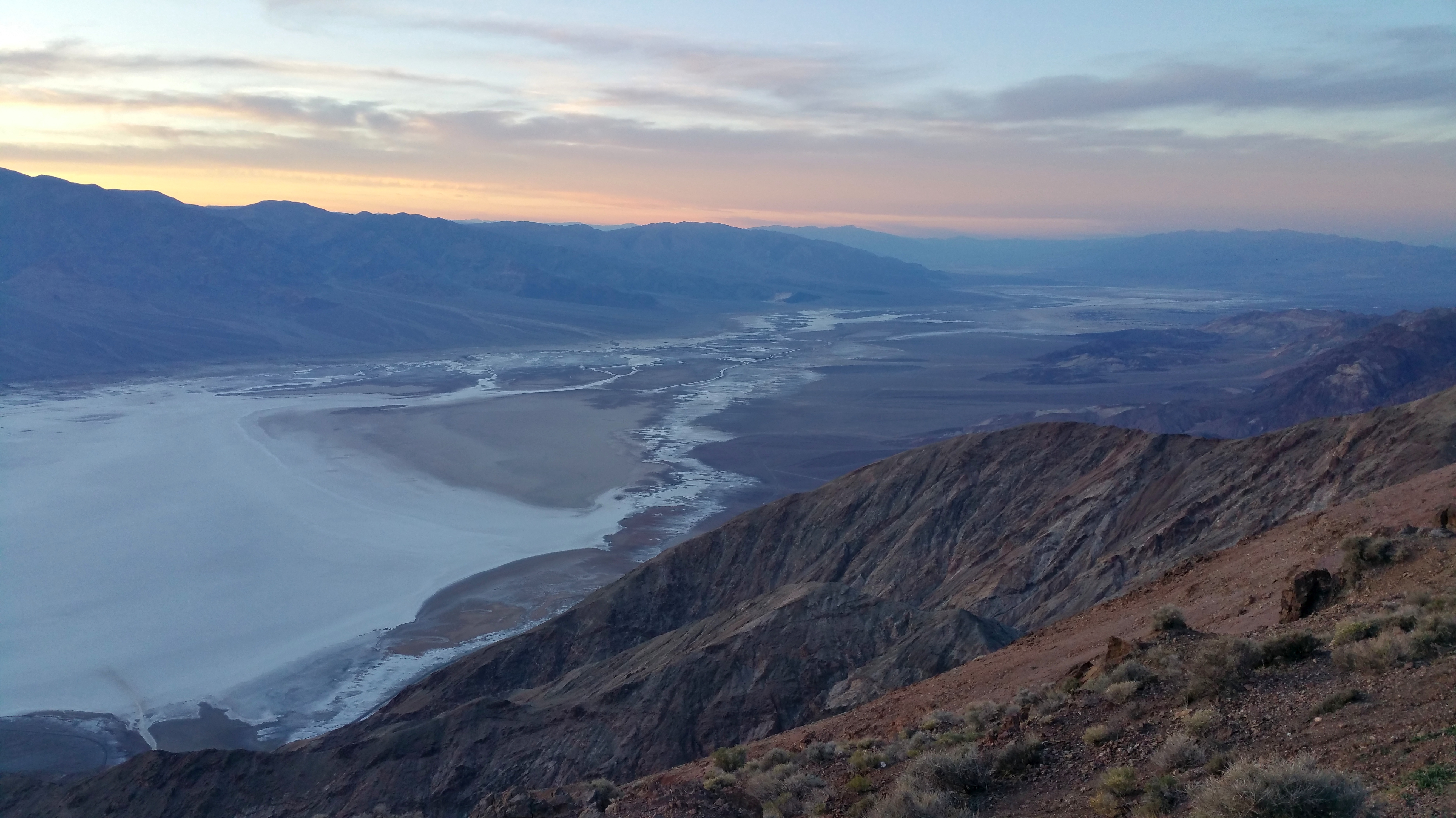
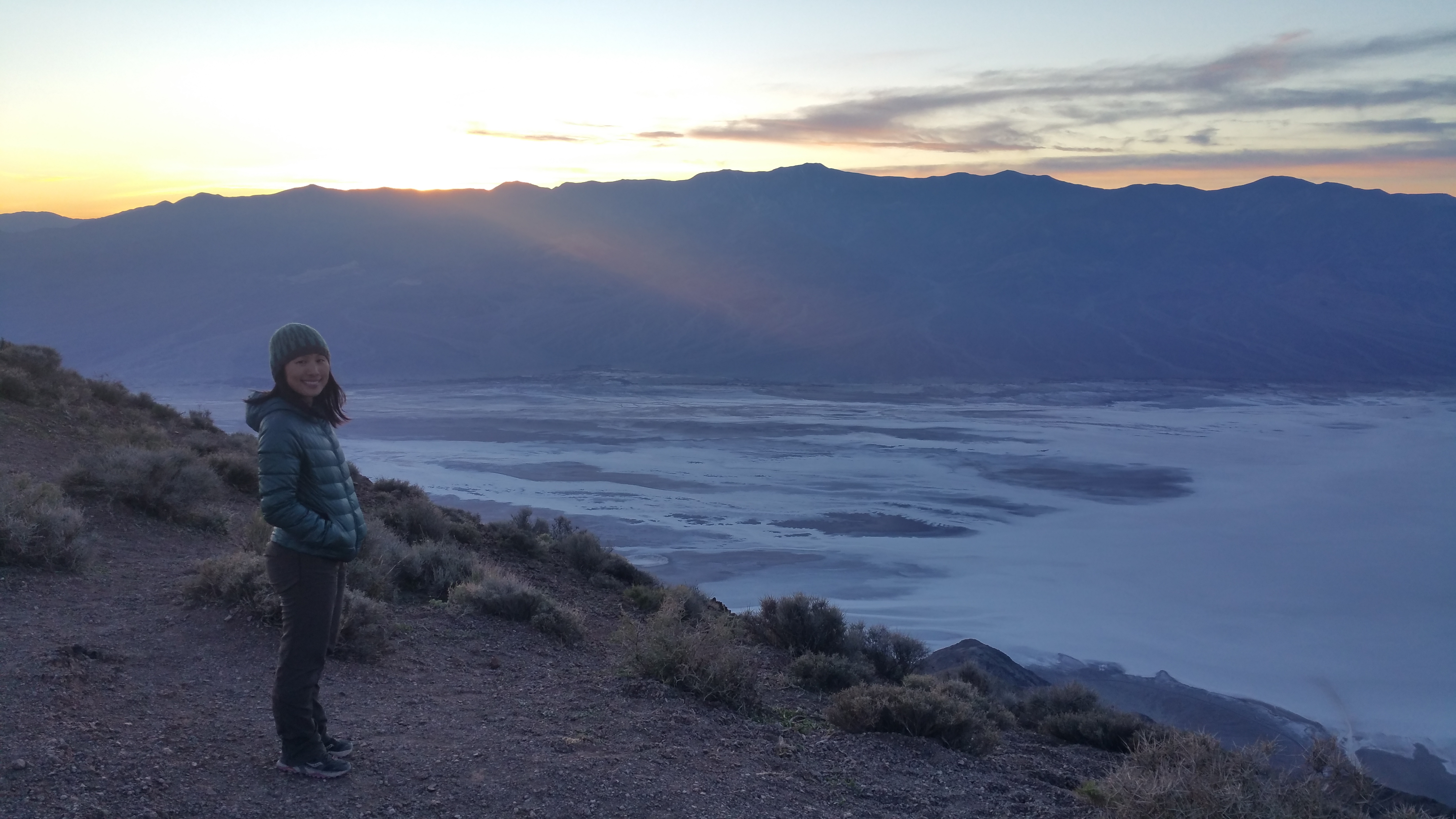
We then left the park boundary since we planned to boondock on public land several miles from the entrance sign. The plan was one free night of camping outside the park, and one paid night of camping within the park. Our first night was spent here: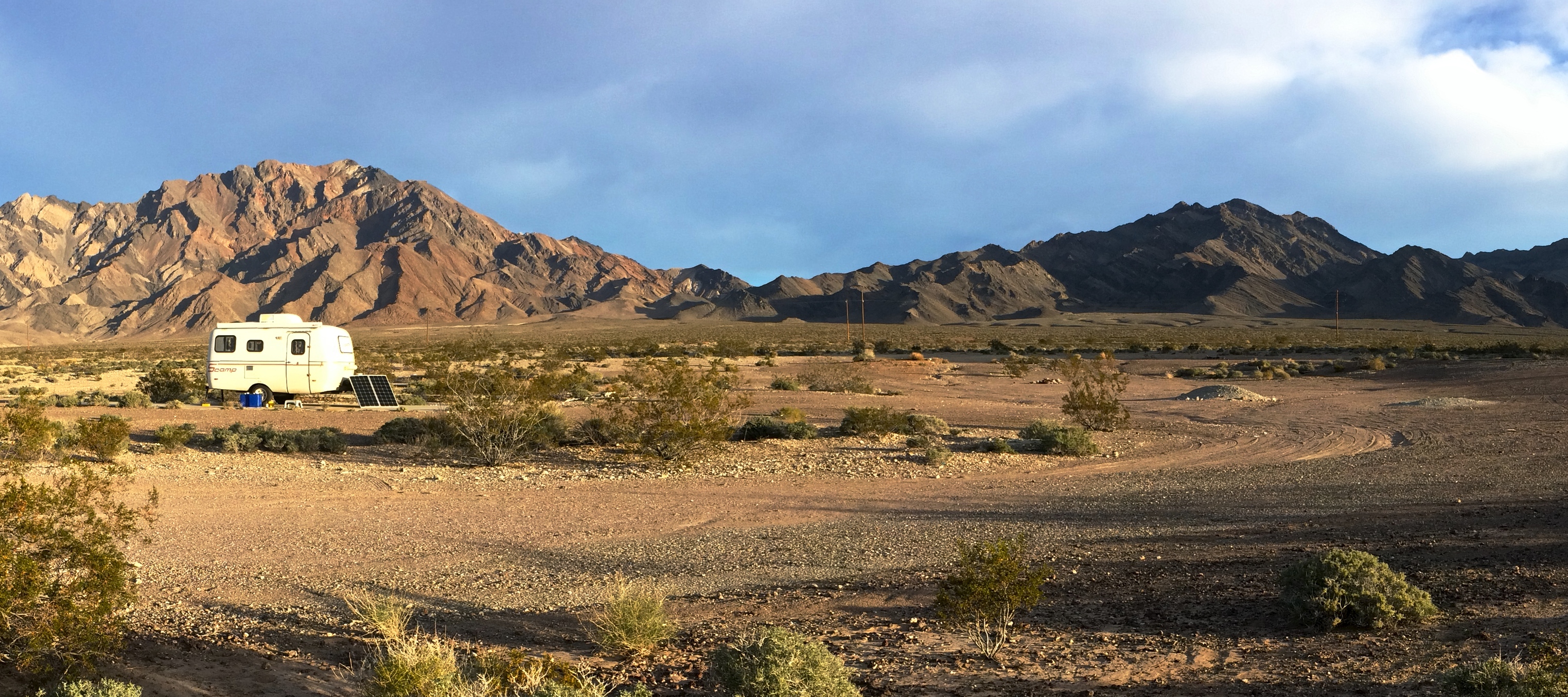
The next morning we entered the park again, driving past numerous signs that marked sea level elevations.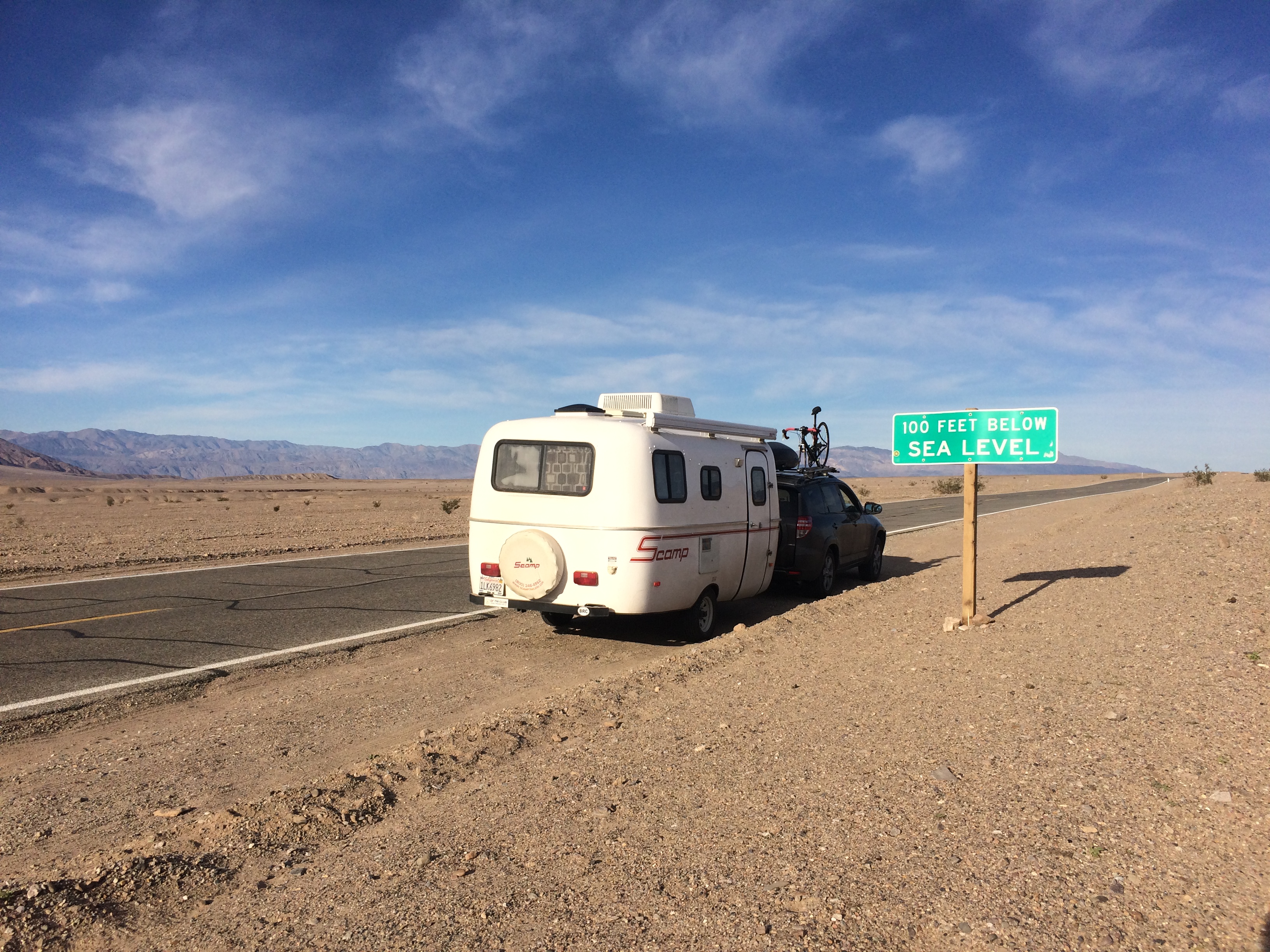
Later that morning after setting up camp at Sunset Campground I ventured into a different area of the park: Rhyolite (a ghost town just outside the park in Nevada) and Titus Canyon. The 27-mile off roading adventure to Titus Canyon began with 10 miles of relatively flat gravel road before leading me through steep and windy roads between rugged mountains. The second-half of the journey took me to a small ghost town, and ended with canyon narrows and jaw-dropping rock formations. It is said that Titus Canyon is the most popular backcountry road in the park, but I enjoyed the entire road in solitude.
Easy riding through some washboard gravel early on in the drive: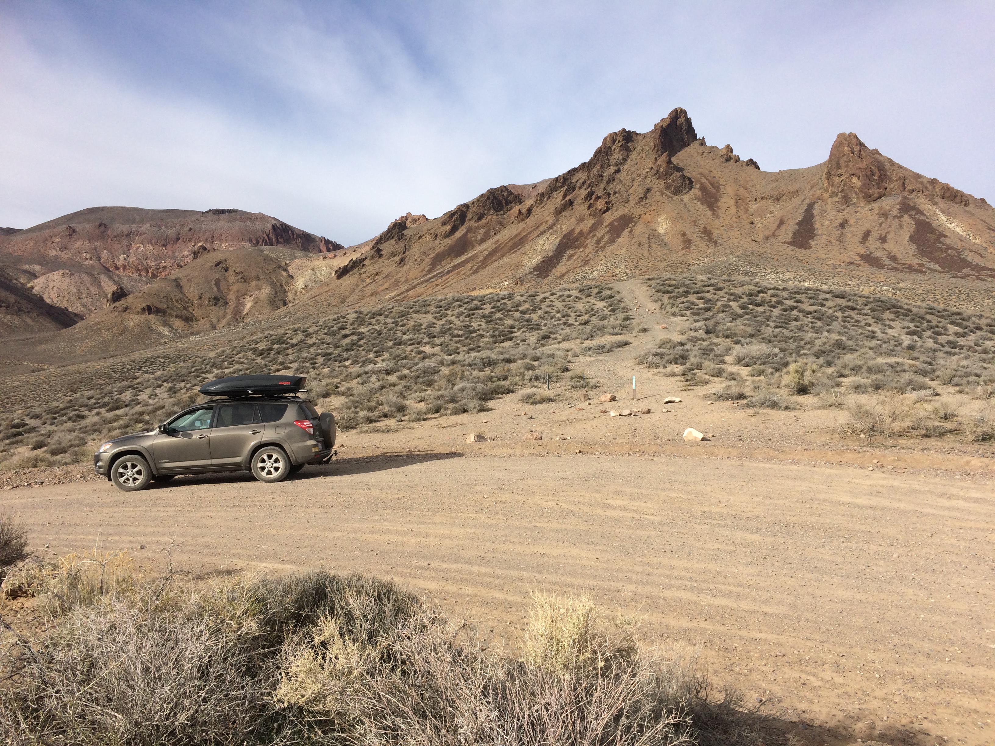
Red Pass, the highest point of the drive at 5,250 ft.: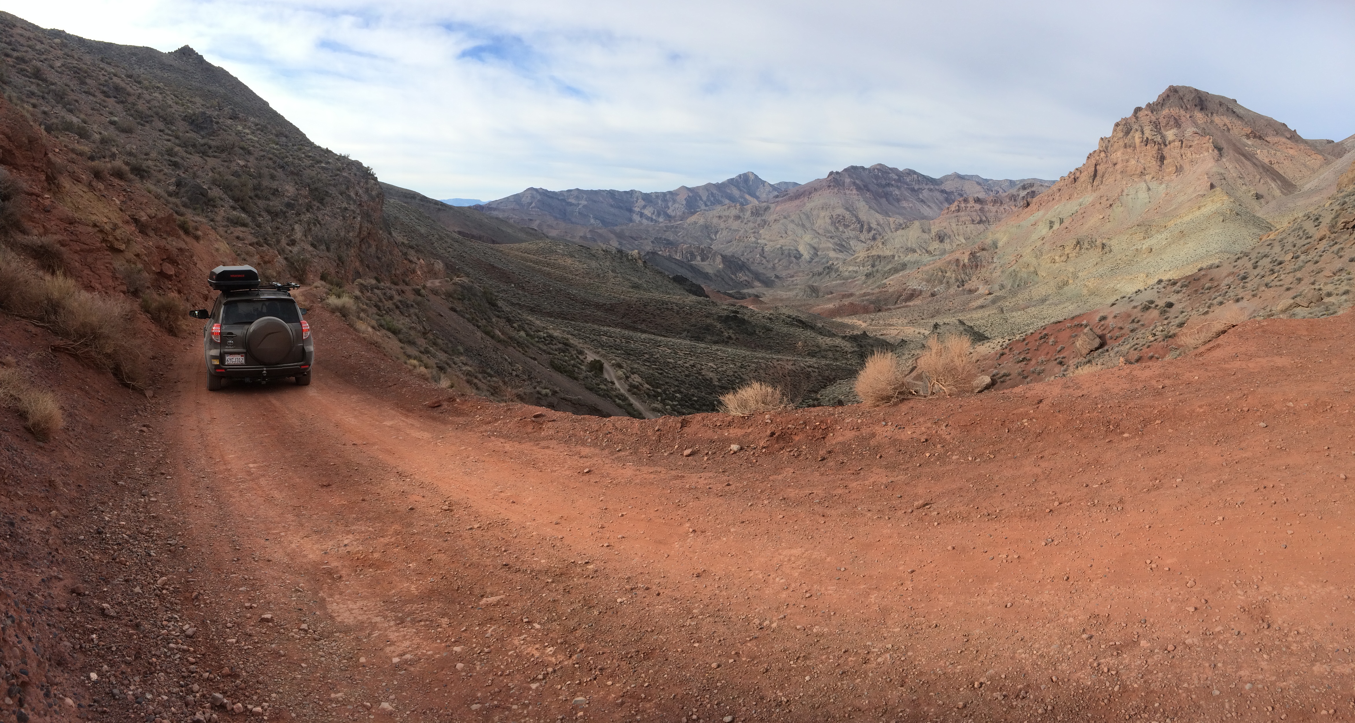
The ghost town of Leadfield, once a mining town, lasted less than a year.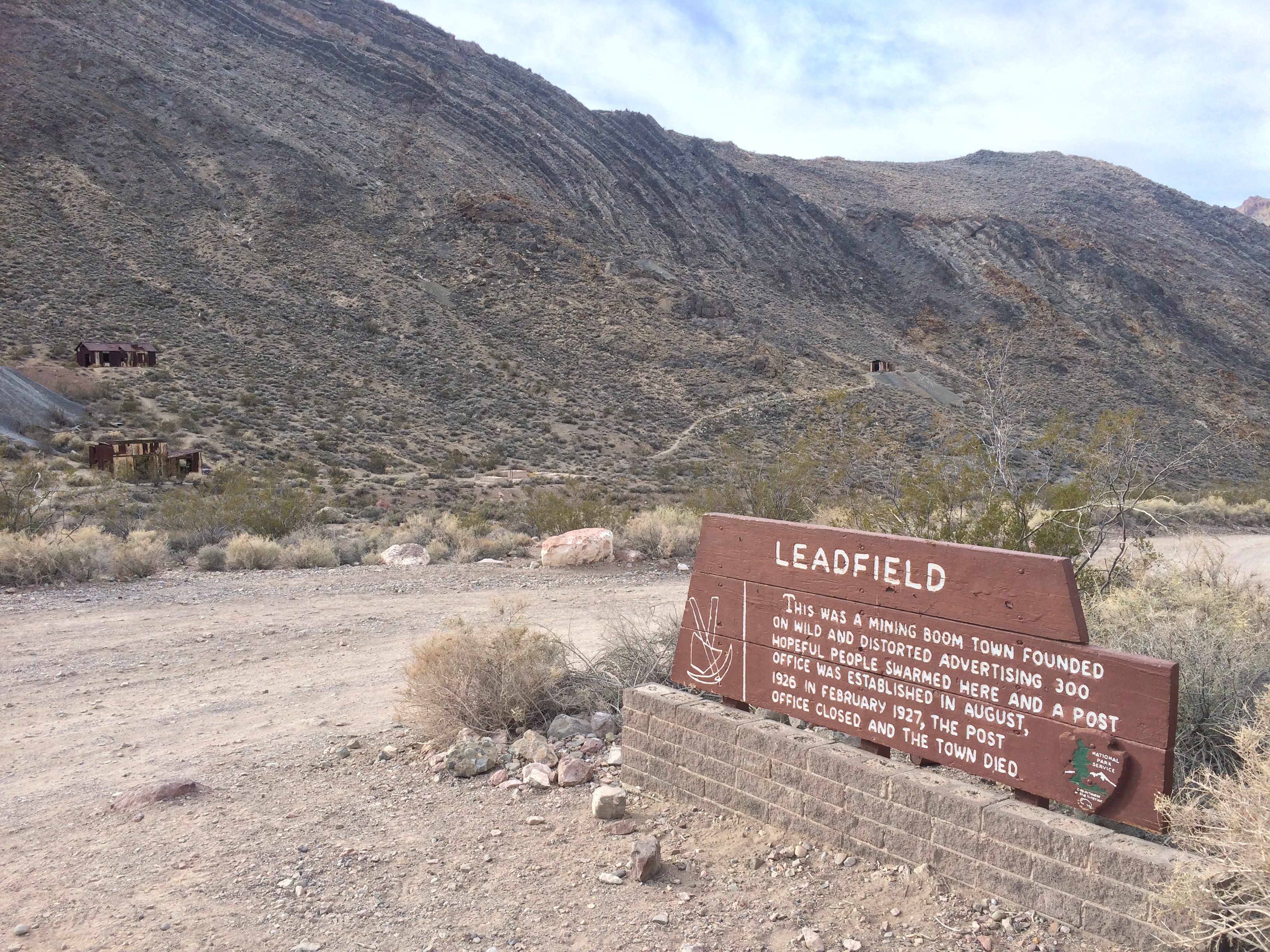
Several shacks still remain in Leadfield.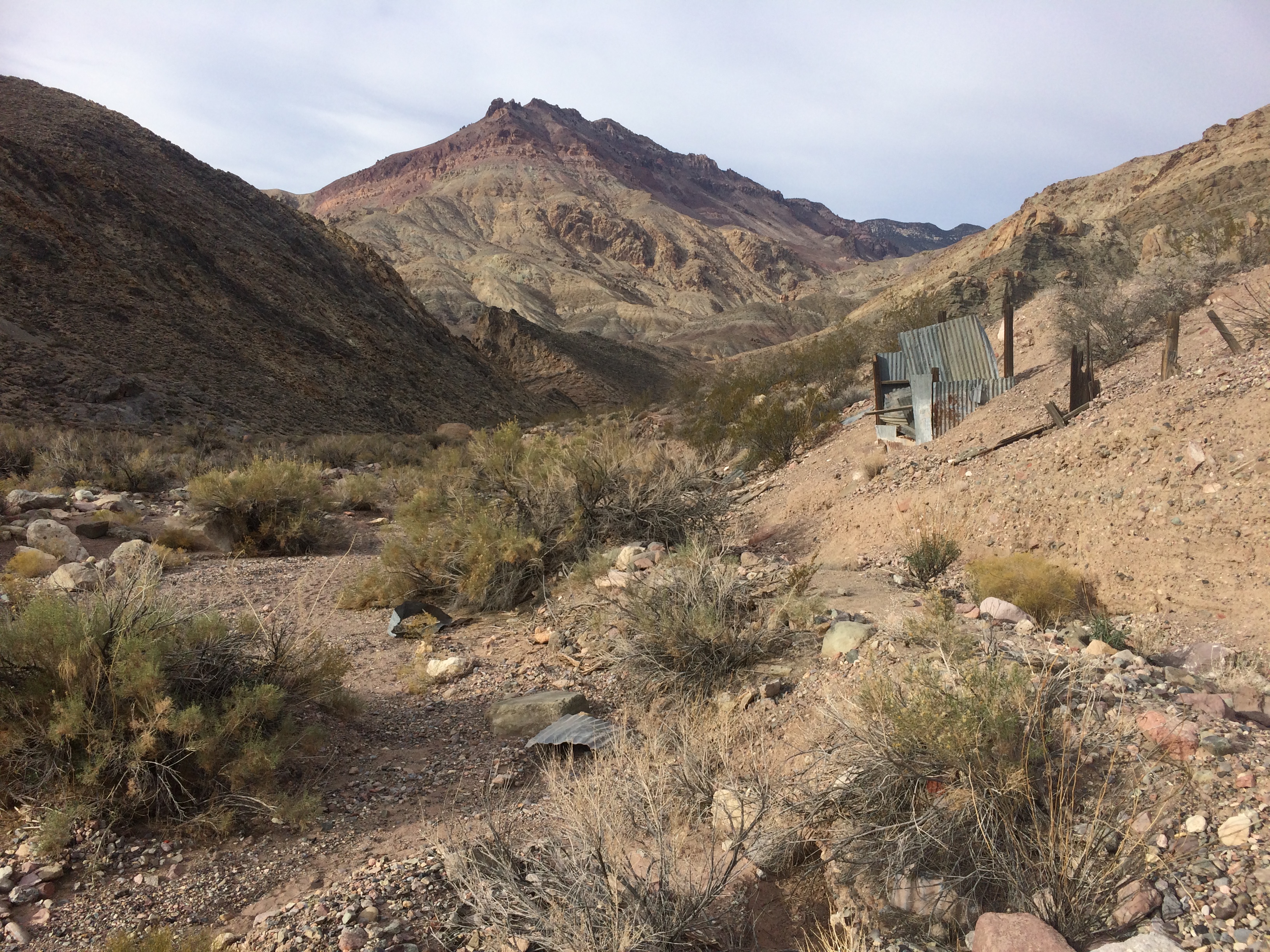
Titus Canyon loomed into view just beyond Leadfield. This was where the rock formations became interesting and picture-worthy.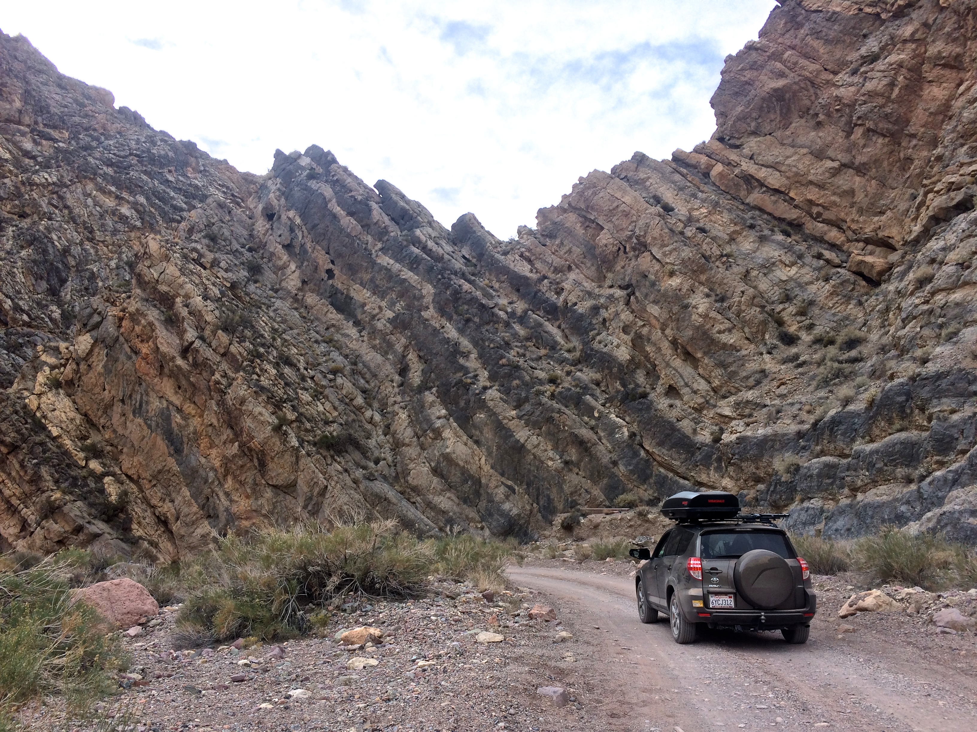
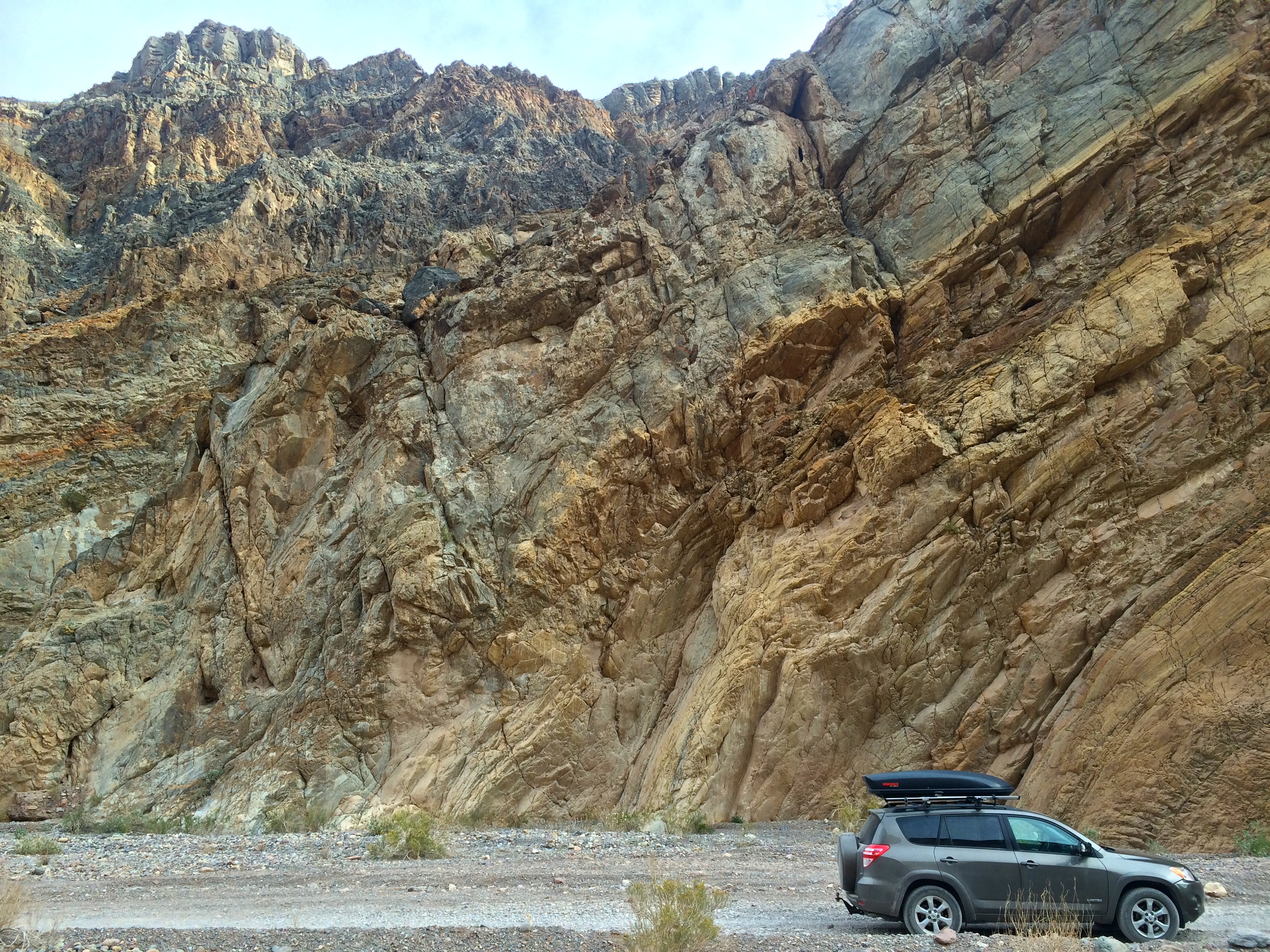
The last mile or two of the one-way road became very narrow.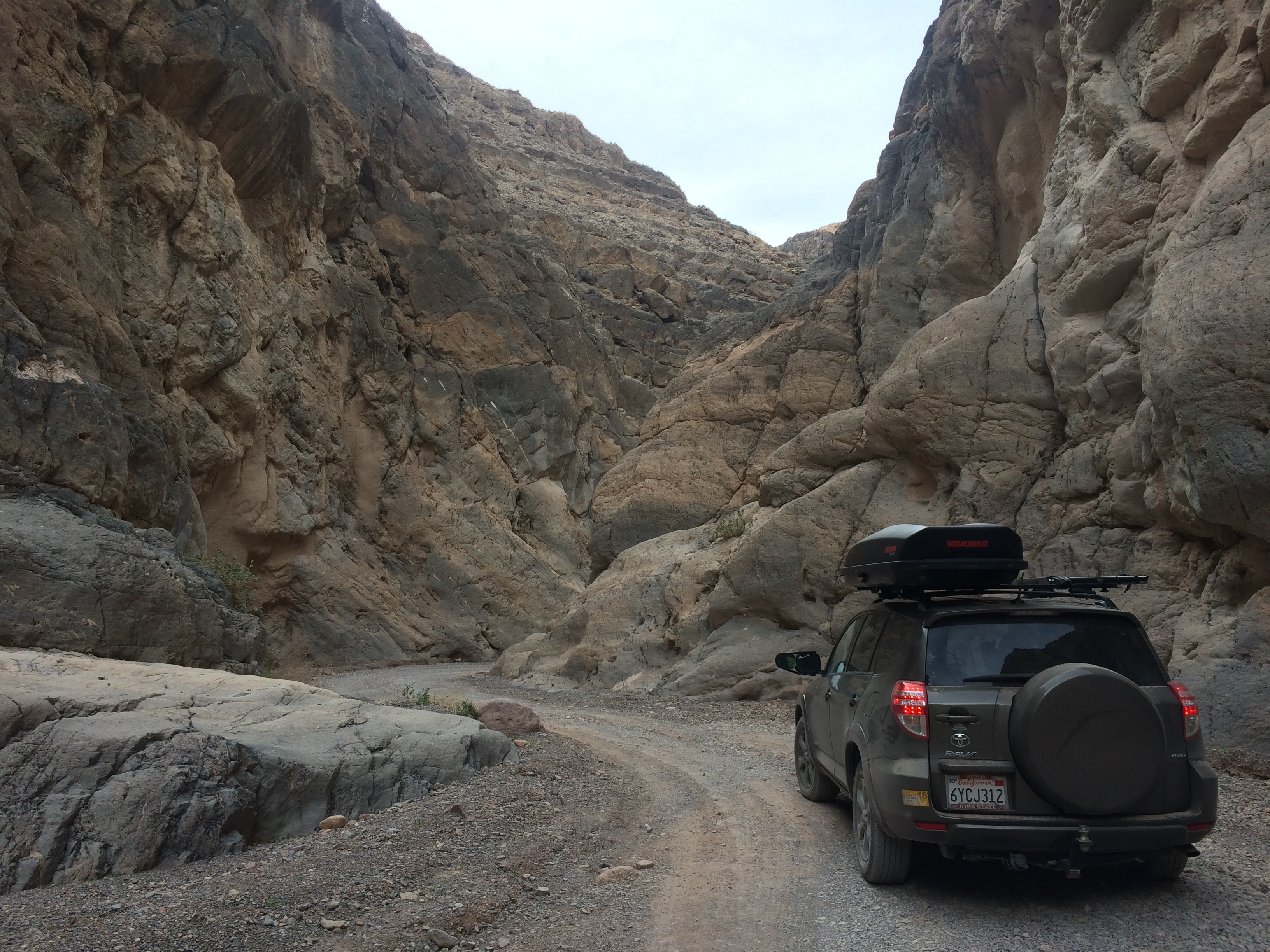
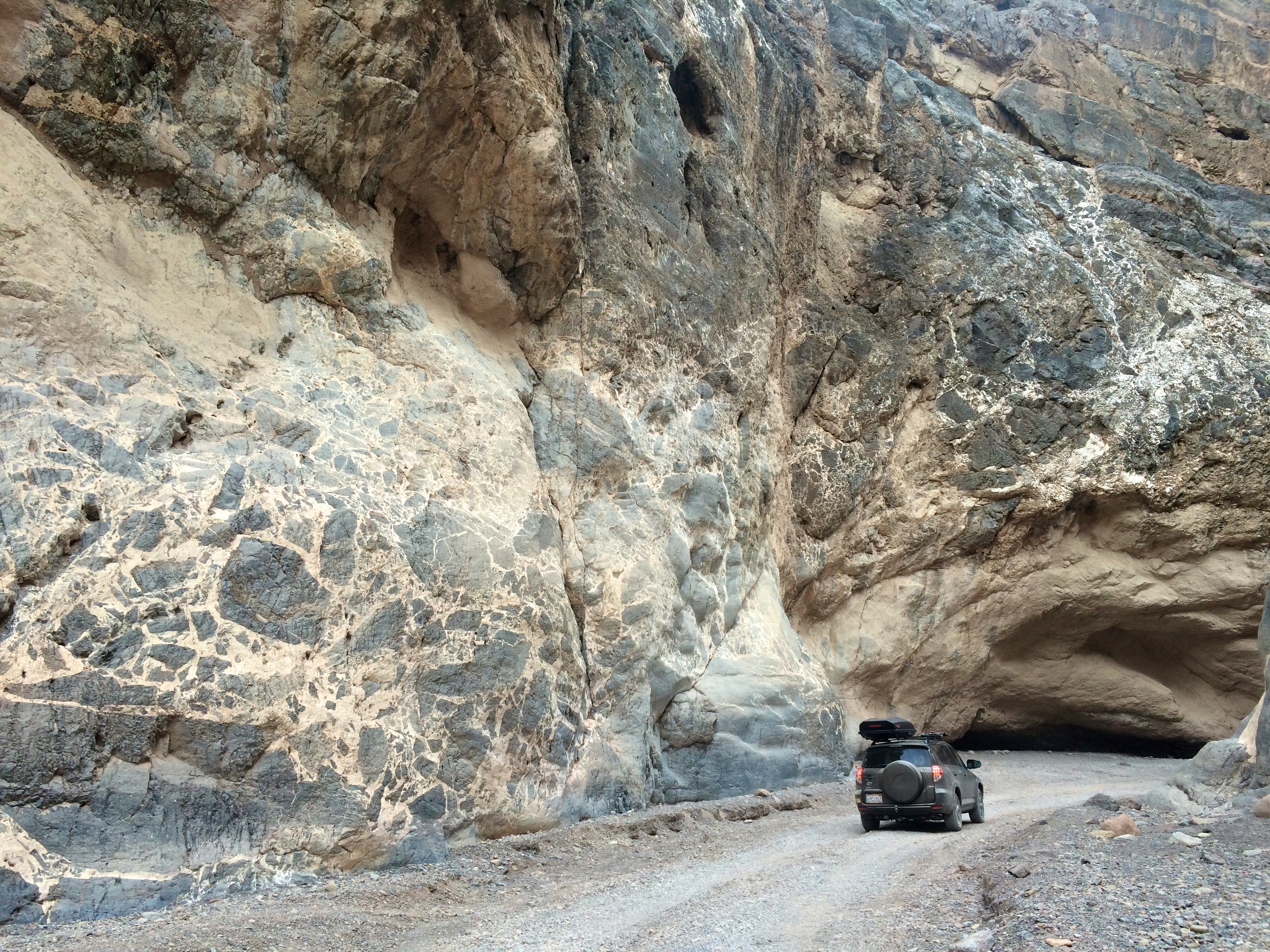
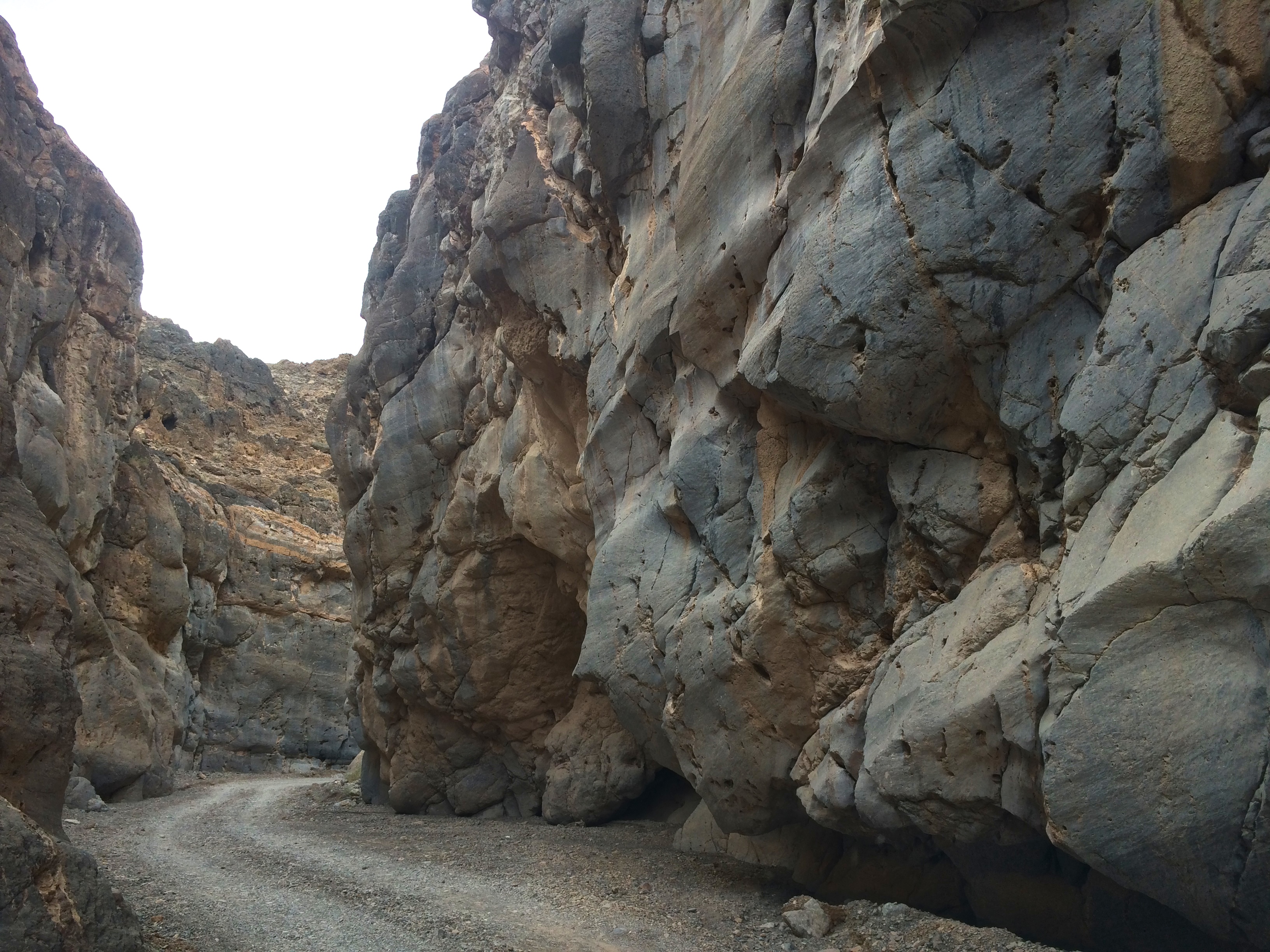
And after the narrowest section of the canyon with looming rock walls, I popped back out into the open desert!
Before returning to the Furnace Creek area, I made a quick detour to the Mesquite Flat Sand Dunes. Although the Eureka Sand Dunes in the park were the largest sand dunes in California, the sand dunes of Mesquite were more convenient and accessible.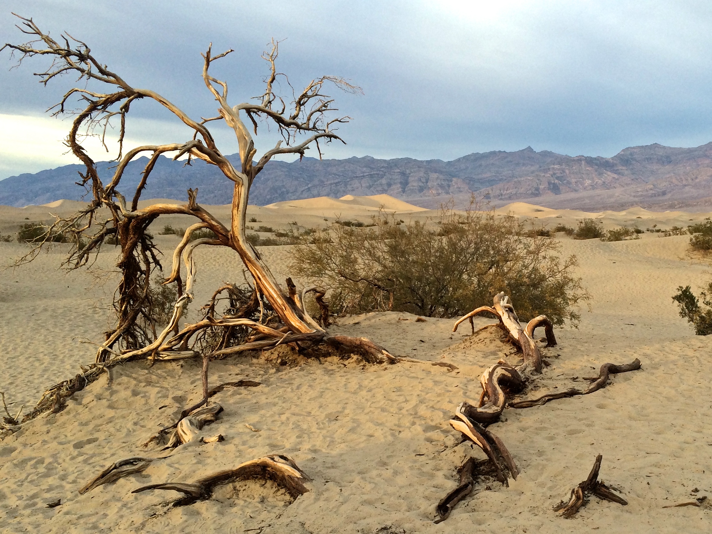
The next morning we made two stops on our way out of the park: Mosaic Canyon and Father Crowley Vista Point. I didn’t find Mosaic Canyon very interesting, and we missed the turn for Darwin Falls, so our real excursion of the day was at Father Crowley Vista Point.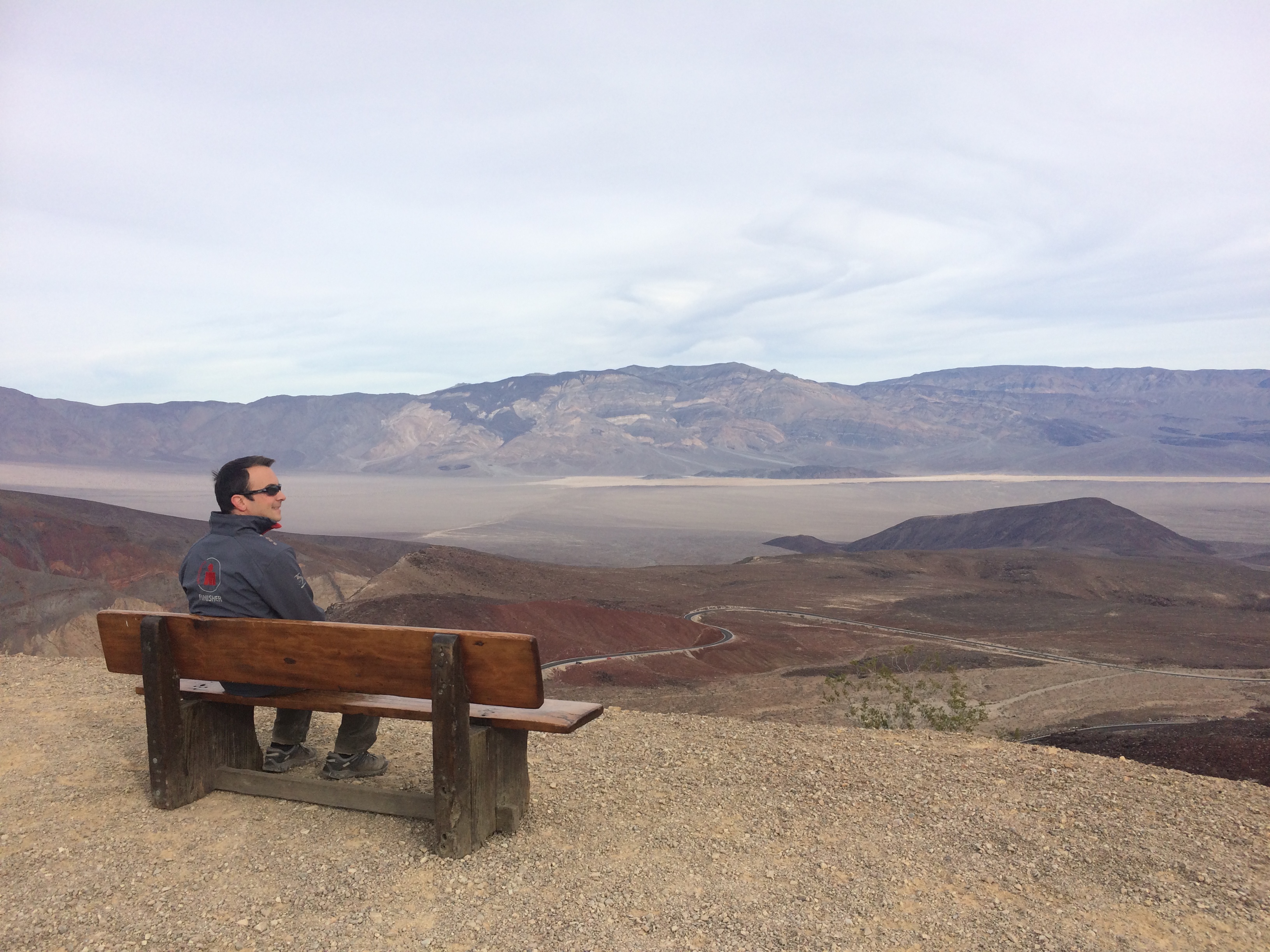
Luckily for us, we arrived on a day when U.S. military jets were practicing low flying between canyons. Apparently there were three zones in the park where military aircraft could practice, and the Rainbow Canyon at this vista point was one of them. As we strolled to the vista point, we stopped in our tracks when a couple F-16s buzzed overhead with a deafening roar following shortly after.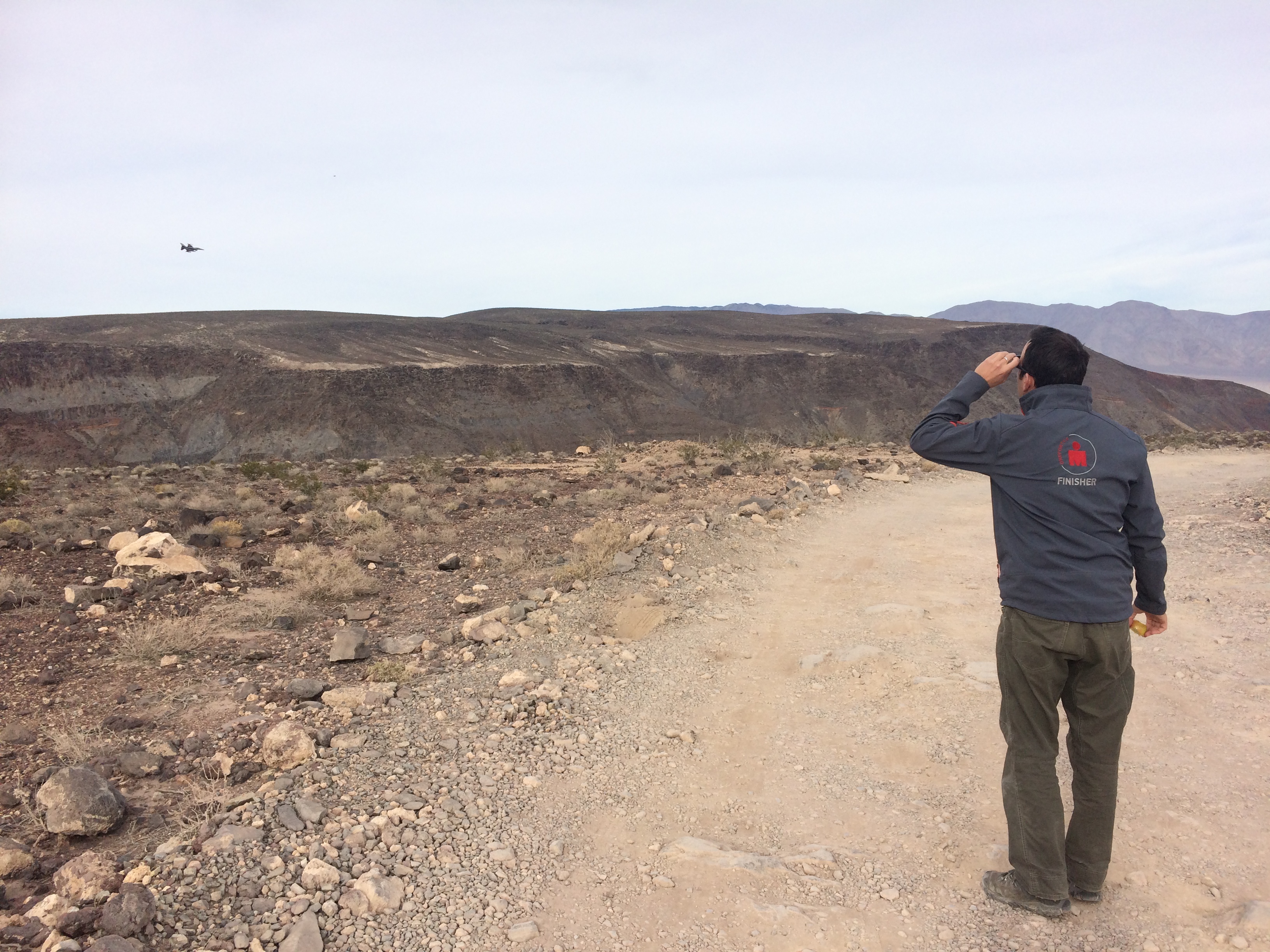
And then we left. It took about a couple hours to drive from Furnace Creek to the Father Crowley Vista Point, and even after we exited the park, we drove through desert wilderness for what felt like hours. Death Valley wasn’t my favorite national park, mainly due to standing at Point A and being able to see how freakin’ far away Point B was. Maybe because that makes me feel smaller than I already am.
This post is part of the Travel Tips Collection: California.

A very detailed post about a wonderful place! Your pictures are stunning!
I host a blogging event “Monthly Travel Tips Collection” and now the subject is “California”, if you wish to participate sharing the link to your post via pingback I can give you the link to the instructions 😉
Ciao
Marica
Sure thing! I’m glad you liked my post about Death Valley and thank you for commenting.
Great! If You wish You Can find the details here:
https://ontheroadthrough.wordpress.com/2015/12/15/monthly-travel-tips-collection-2/
Pingback: Alabama Hills & Mt. Whitney | Romping & Nguyening
Pingback: King Canyon and Sequoia | Romping & Nguyening