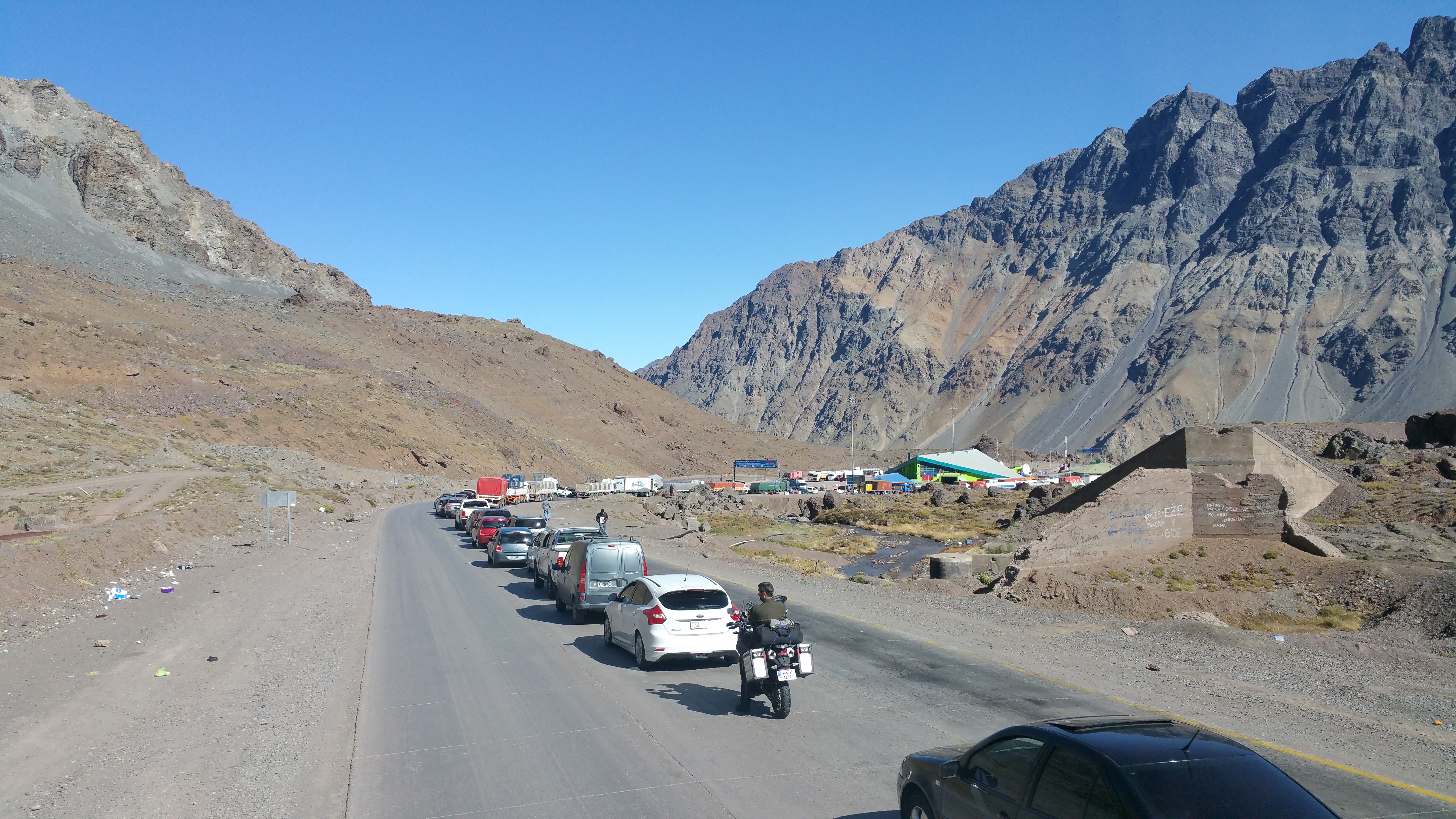
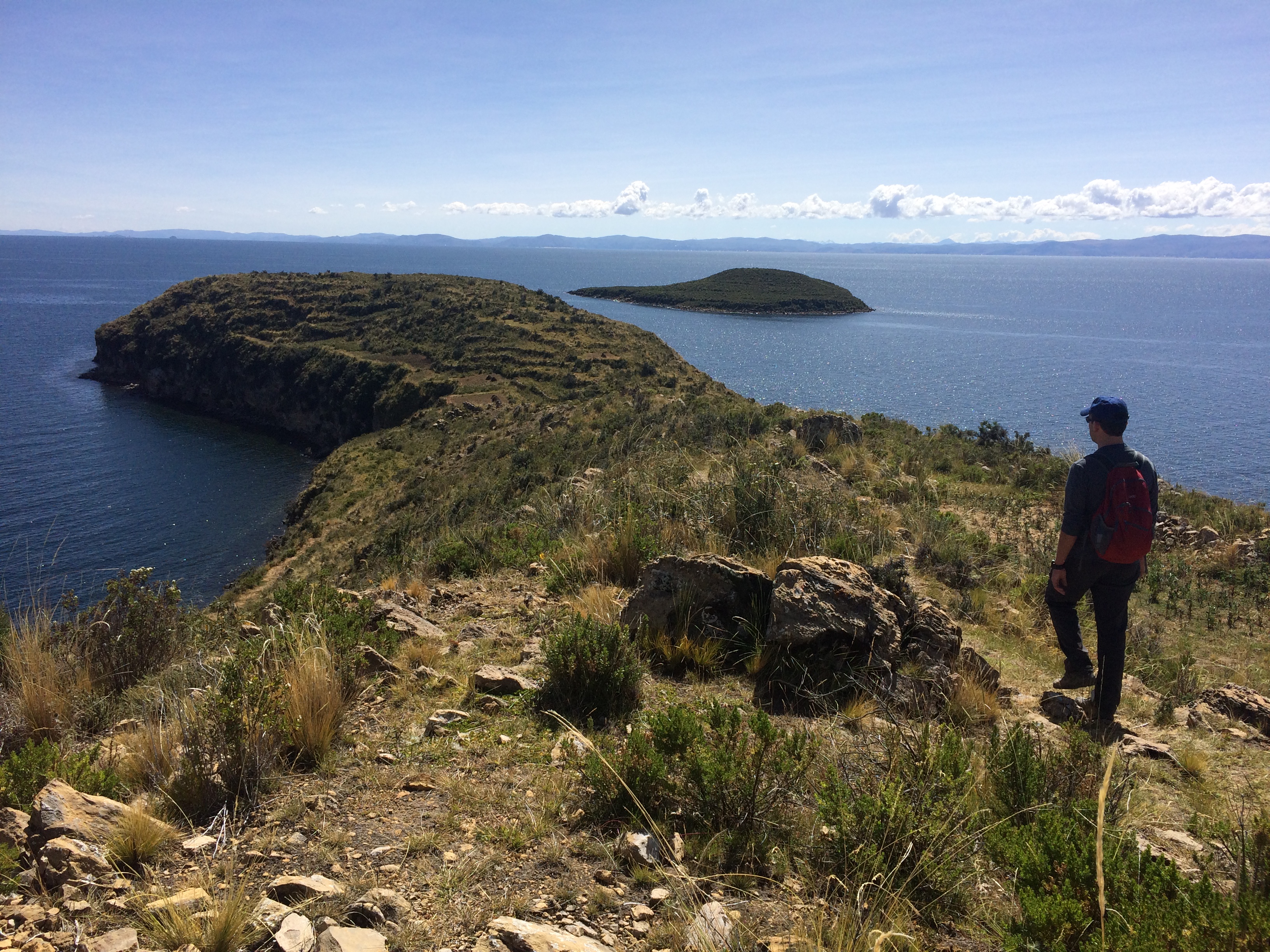
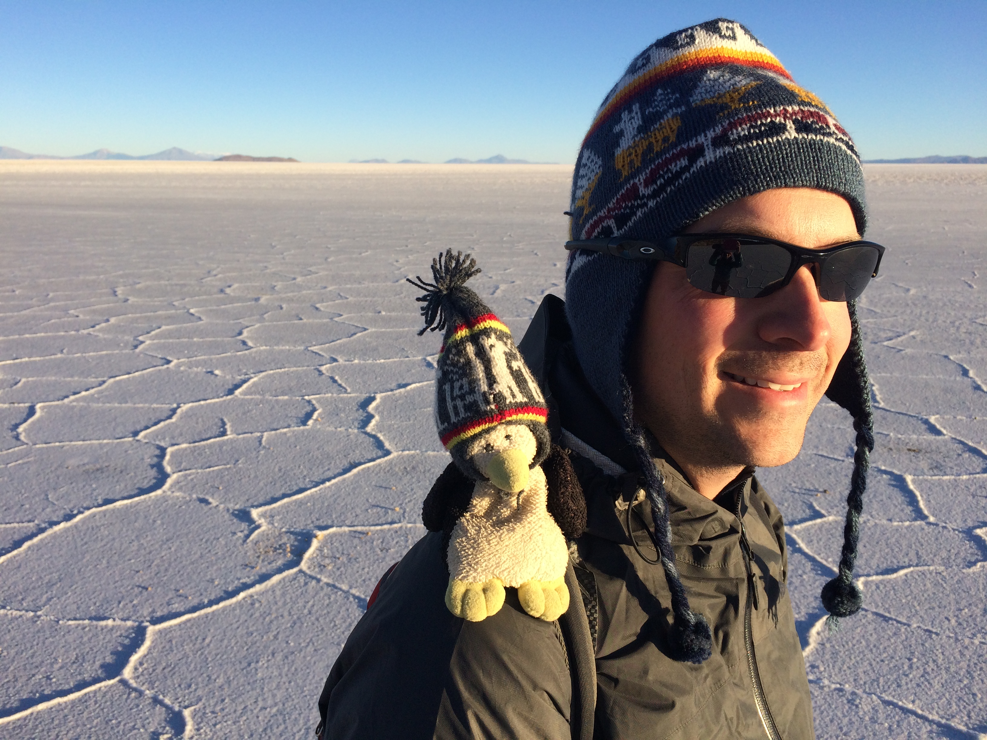
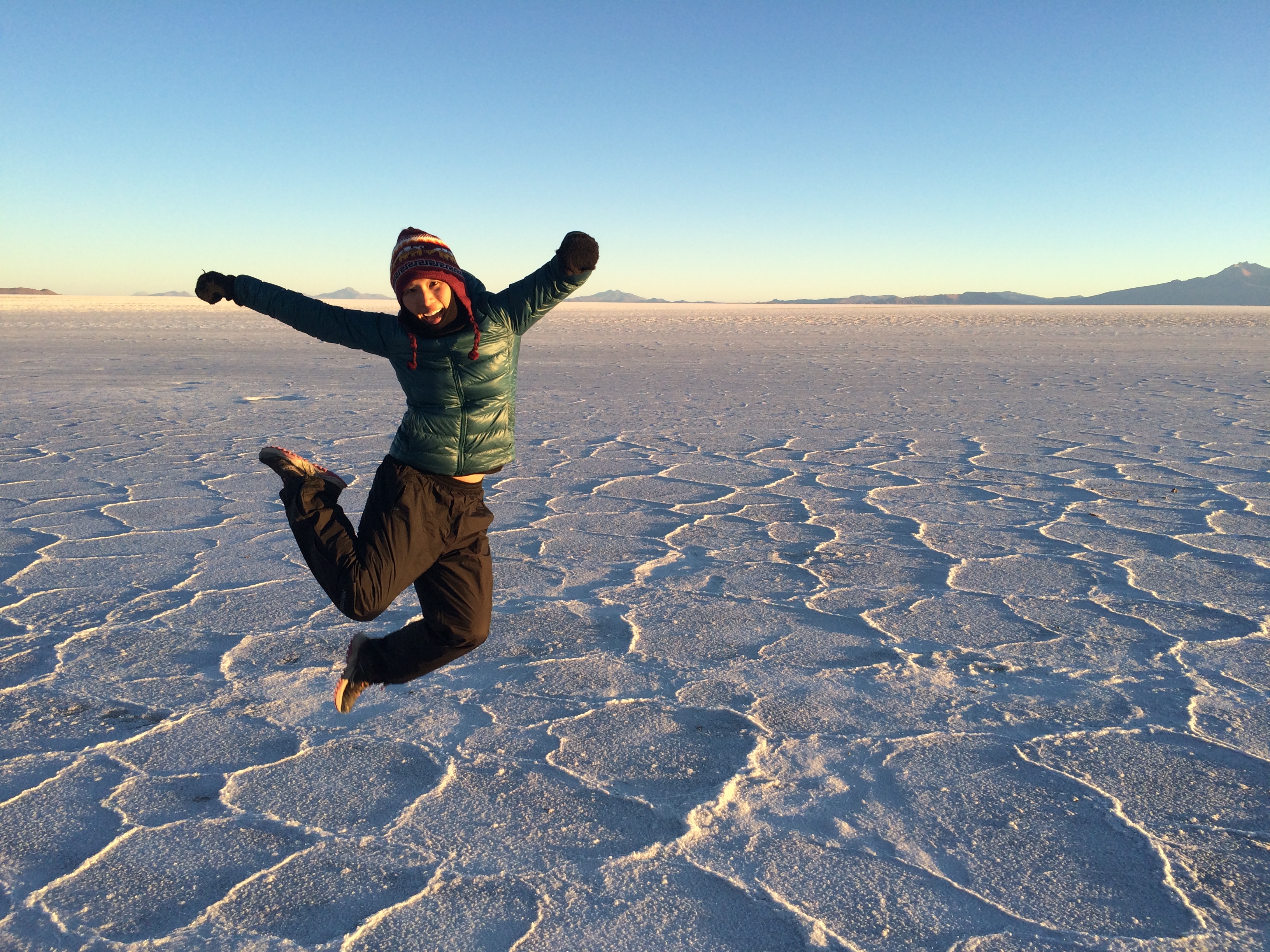
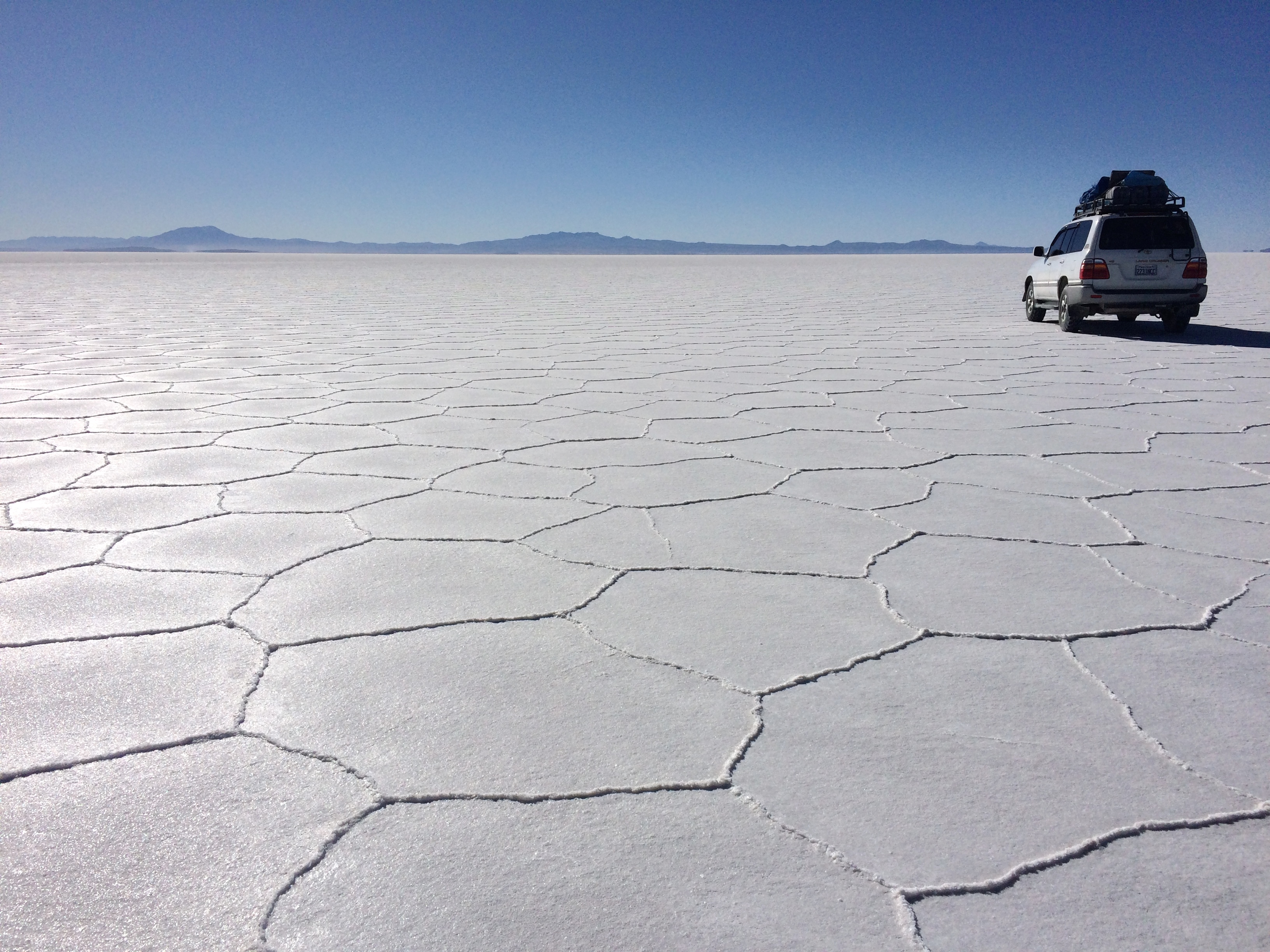
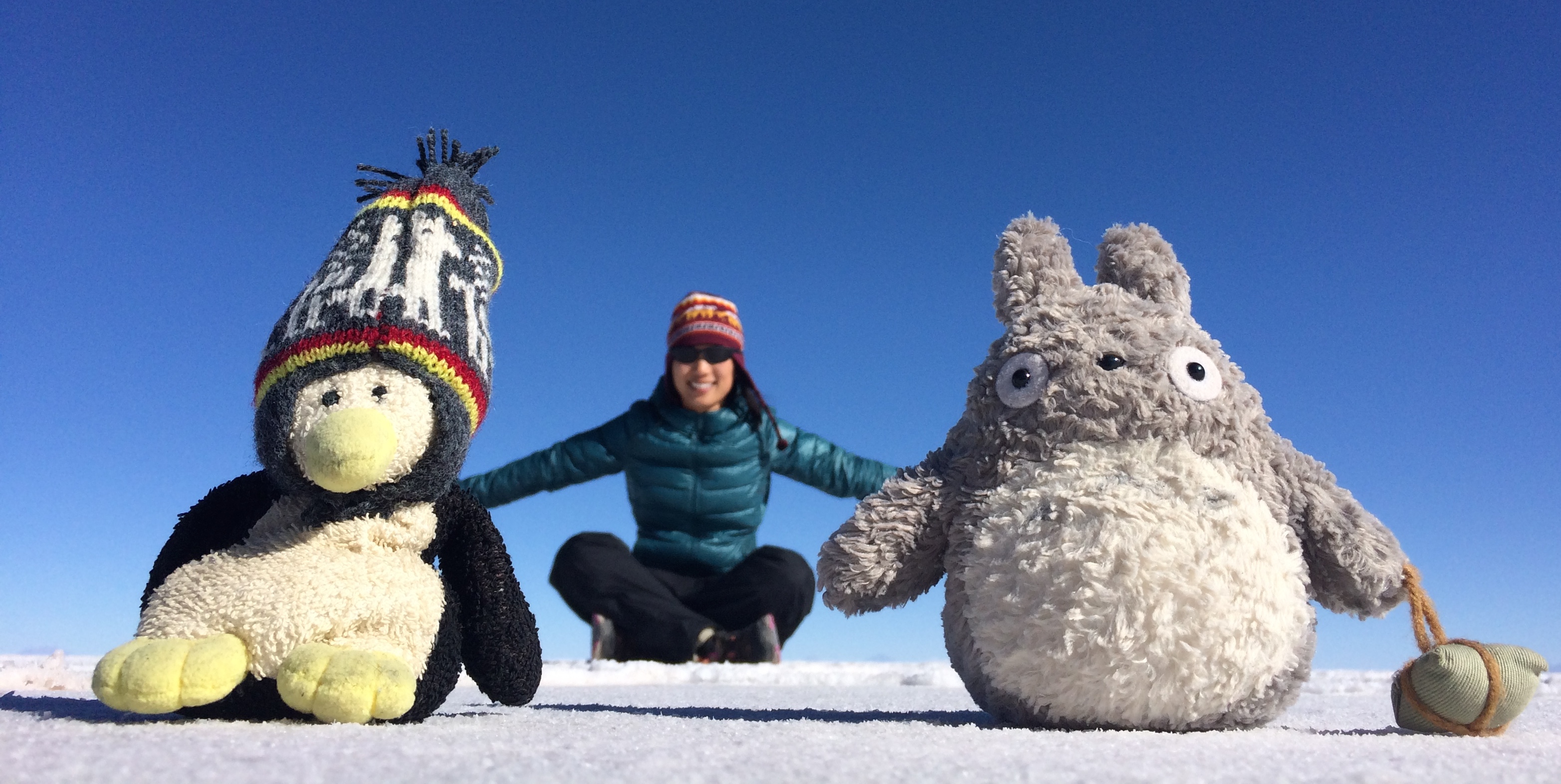
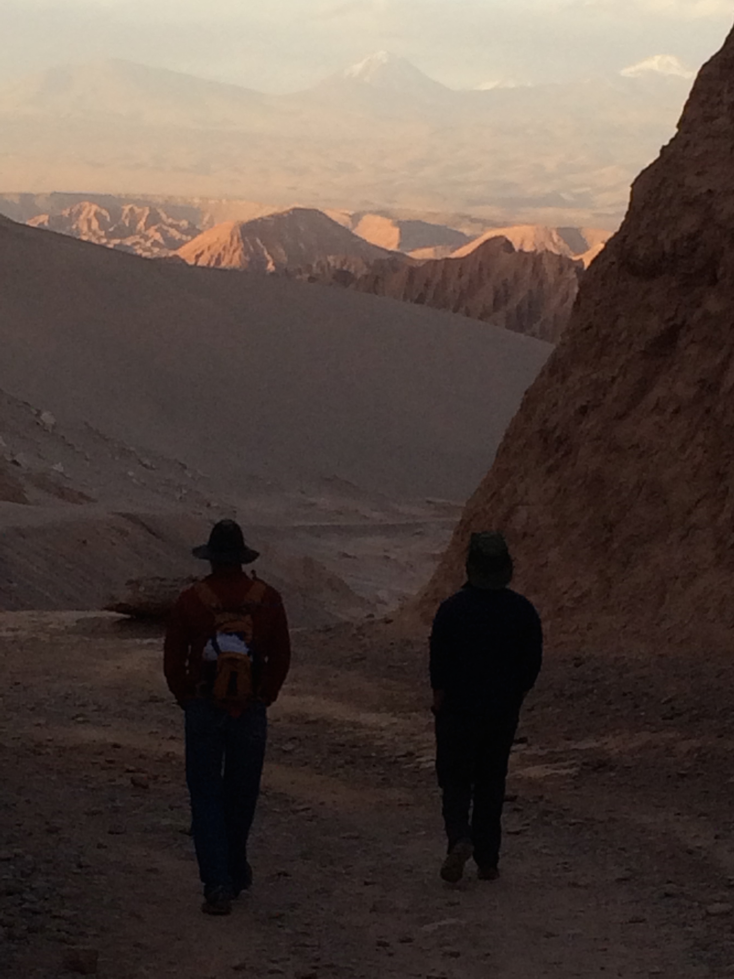
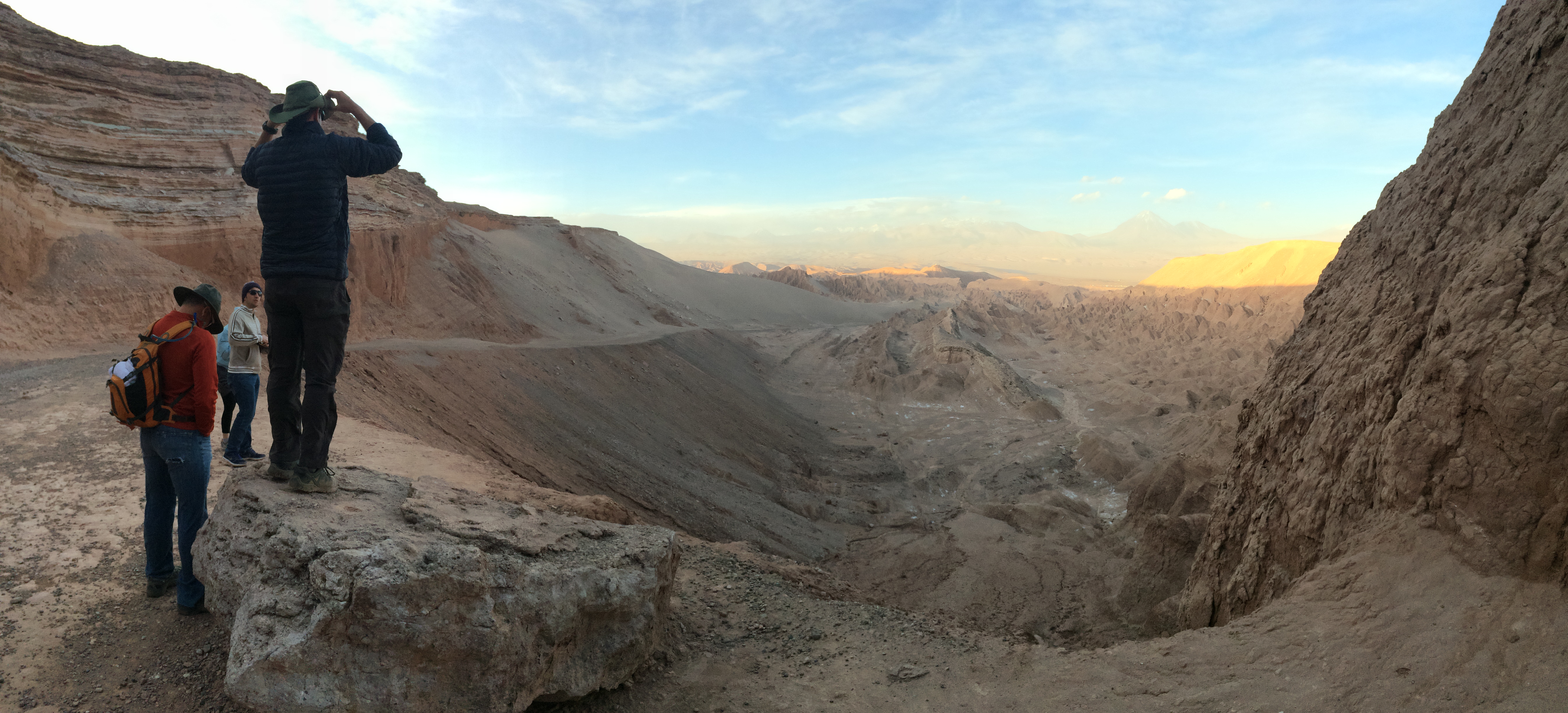
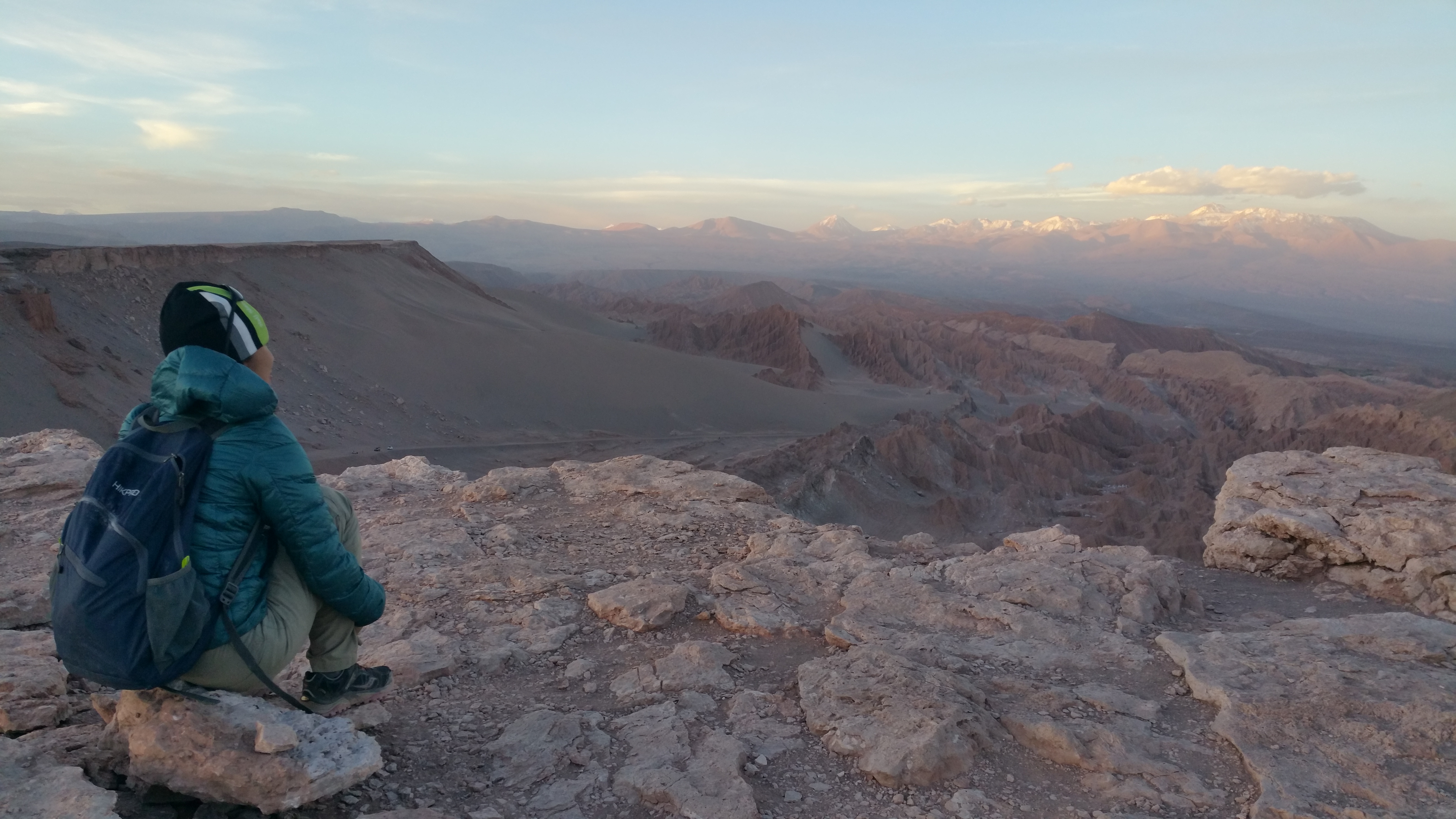
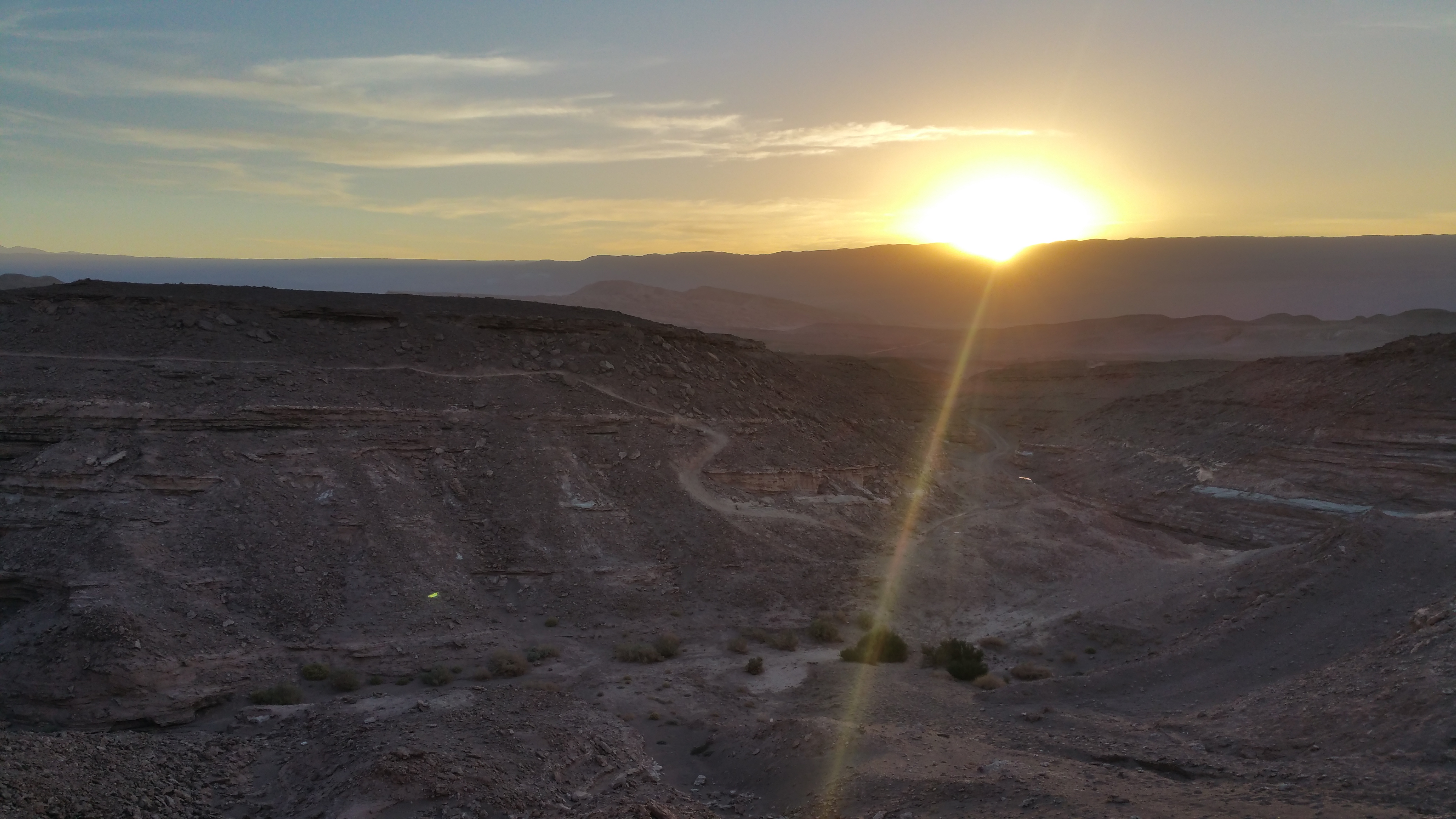
Copacabana and Isla del Sol

I write this after having visited Lake Titicaca on both Bolivian and Peruvian sides. Whereas the Peruvian side stirs the fascination for indigenous culture, the Bolivian side captivates the eyes with its picturesque scenery.  Lake Titicaca is a popular resort town for both locals and internationals, and getting there from La Paz couldn’t be easier.

At ~3,800 meters in elevation, Lake Titicaca is dubbed as “the highest navigable lake in the world”…whatever that means.  We had just hiked around Lake Chungara, Chile at 4,500 meters.  There were no boats at Lake Chungara, but that didn’t mean you couldn’t bring a small boat and navigate across it. =P

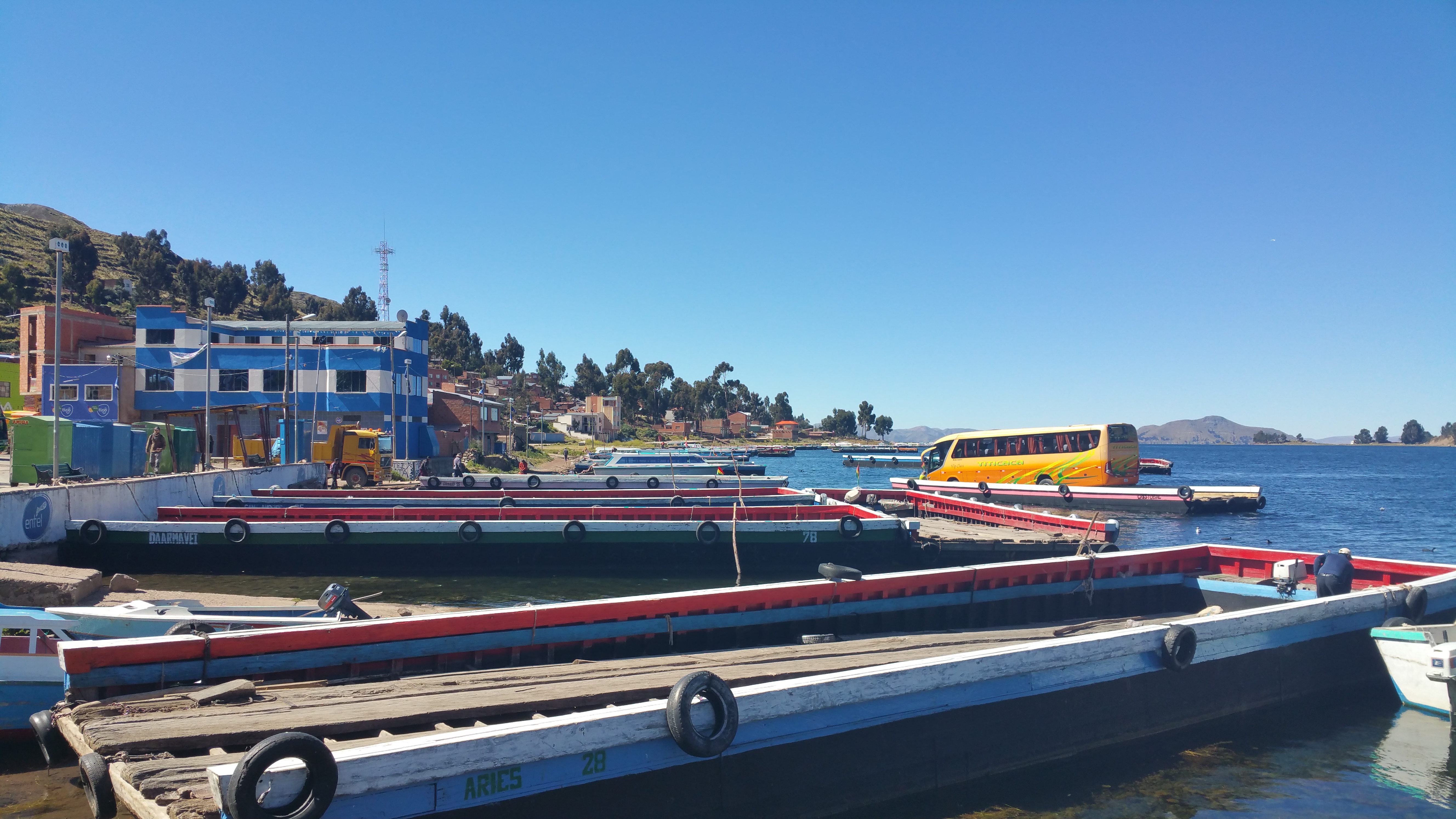
Although locals pay only 10 bobs (~$1.50) for the 4-hour bus ride from La Paz to Copacabana, tourists typically pay 30-40 bobs.  Luckily we managed to find tickets for 20 bobs (~$3) at the main bus terminal the day before departure.  The bus travels all the way to the Strait of Tiquina, where the massive lake splits into two. In order for the bus to cross the strait, passengers are required to disembark the bus, cross via ferry, and wait for the bus to cross via barge.

The bus on a barge:20150522_111942

The little ferry, for 2 bobs (~30¢):IMG_1887

Not long after we reunited with the bus, we continued our way up the windy road to Copacabana.  We were all dropped off at the main bus terminal and we spent the rest of the afternoon exploring the town and finding lodging and boat tickets for Isla del Sol for the following morning.

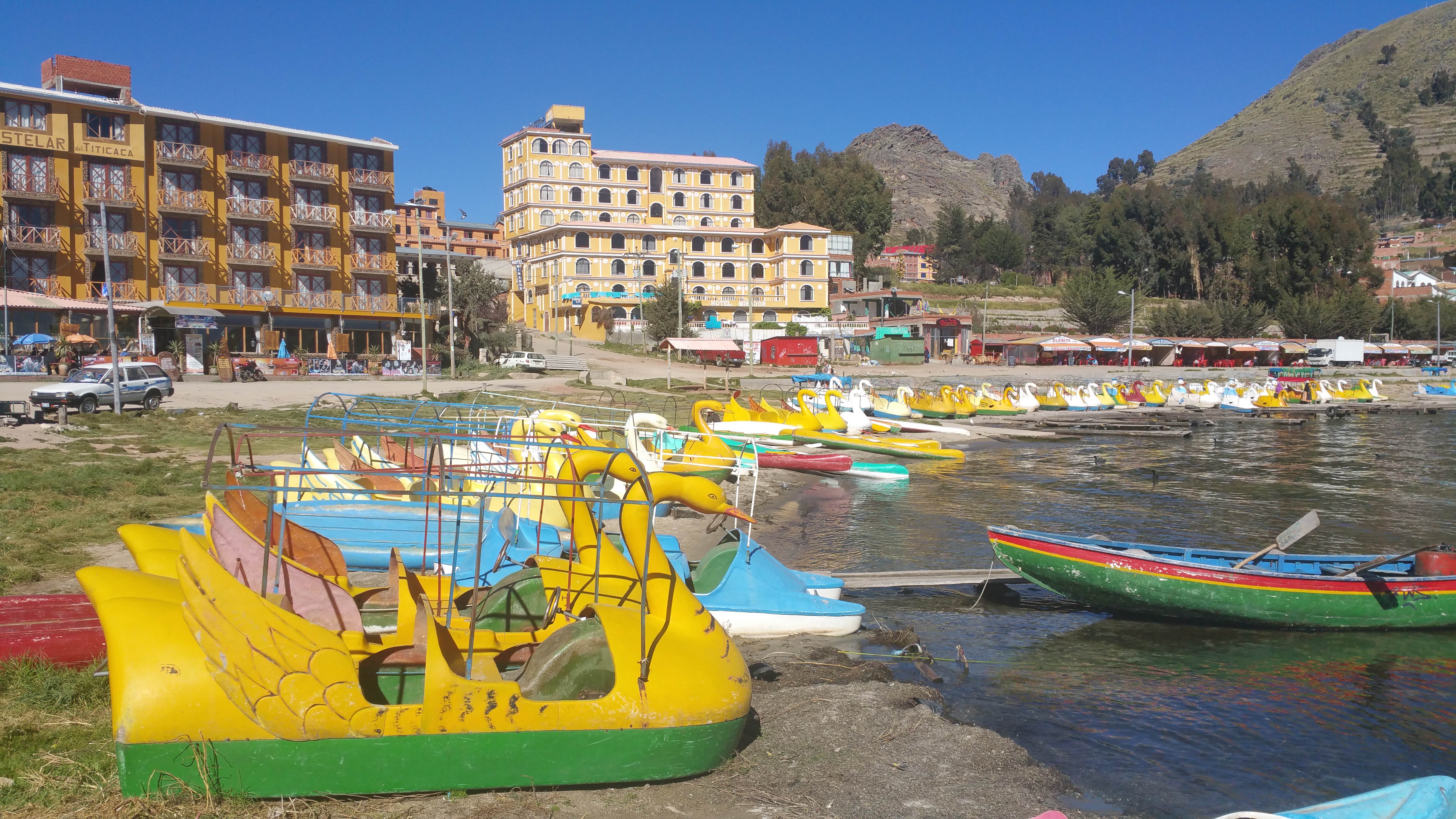
The lakeshore of Copacabana:20150522_145753

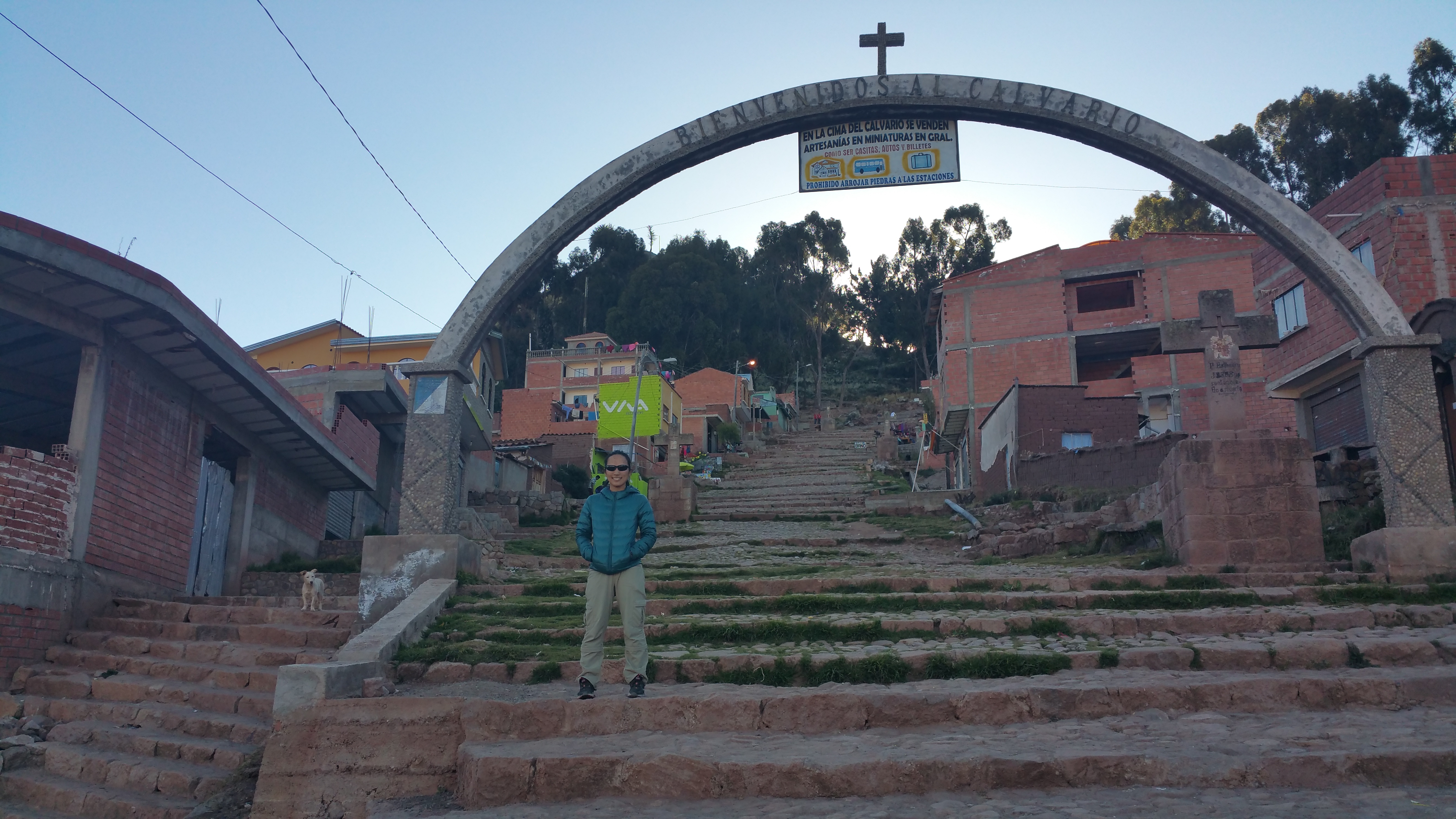
For sunset we walked up the steep Cerro Calvario for its famous overlook of Copacabana.  I think Lonely Planet estimates the walk to take 45 minutes, whereas other reviewers claim 30 minutes.  We are out of shape and did it in approximately 15 minutes, even with the high elevation. Woot, woot! 20150522_164625

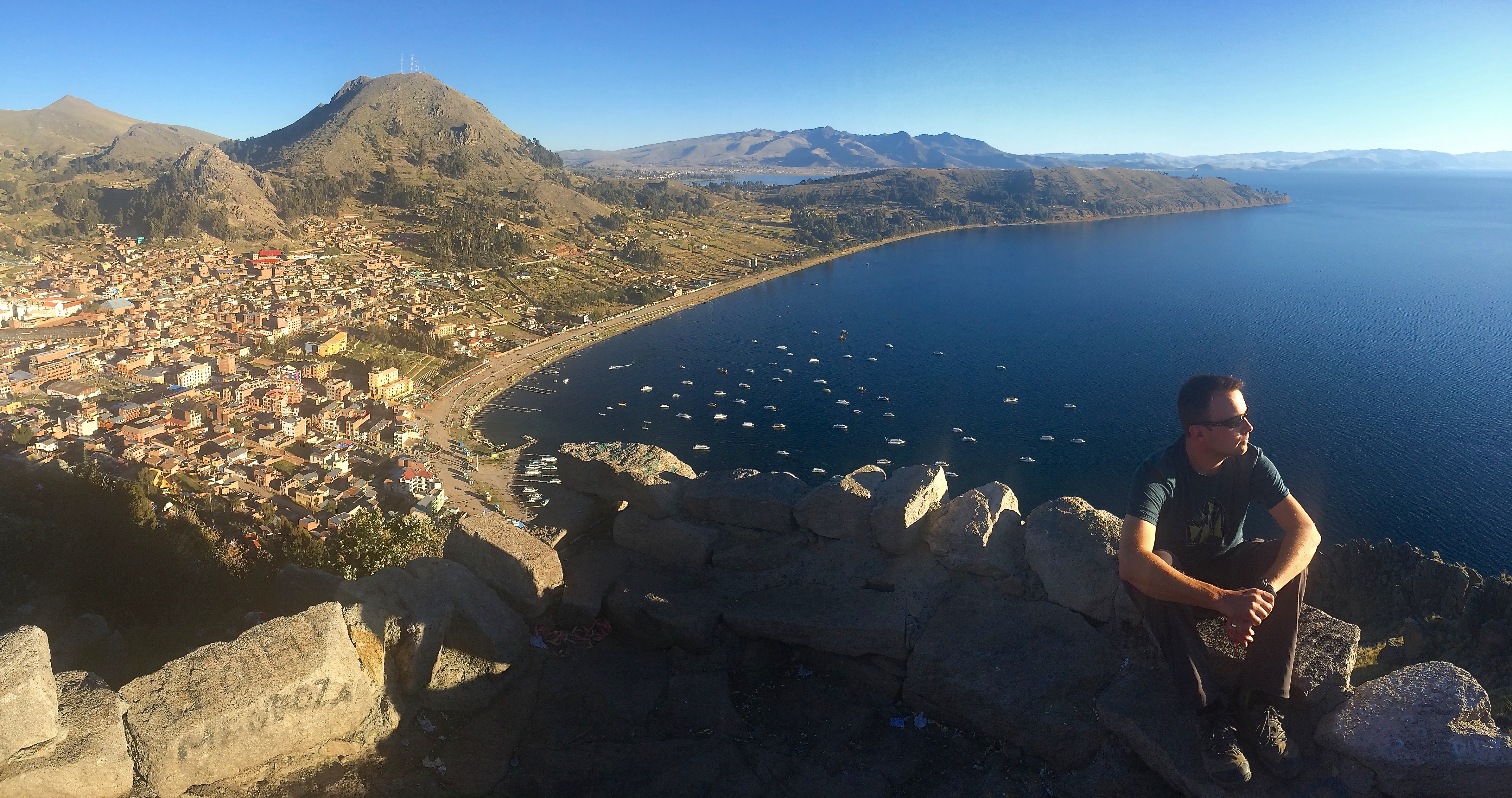
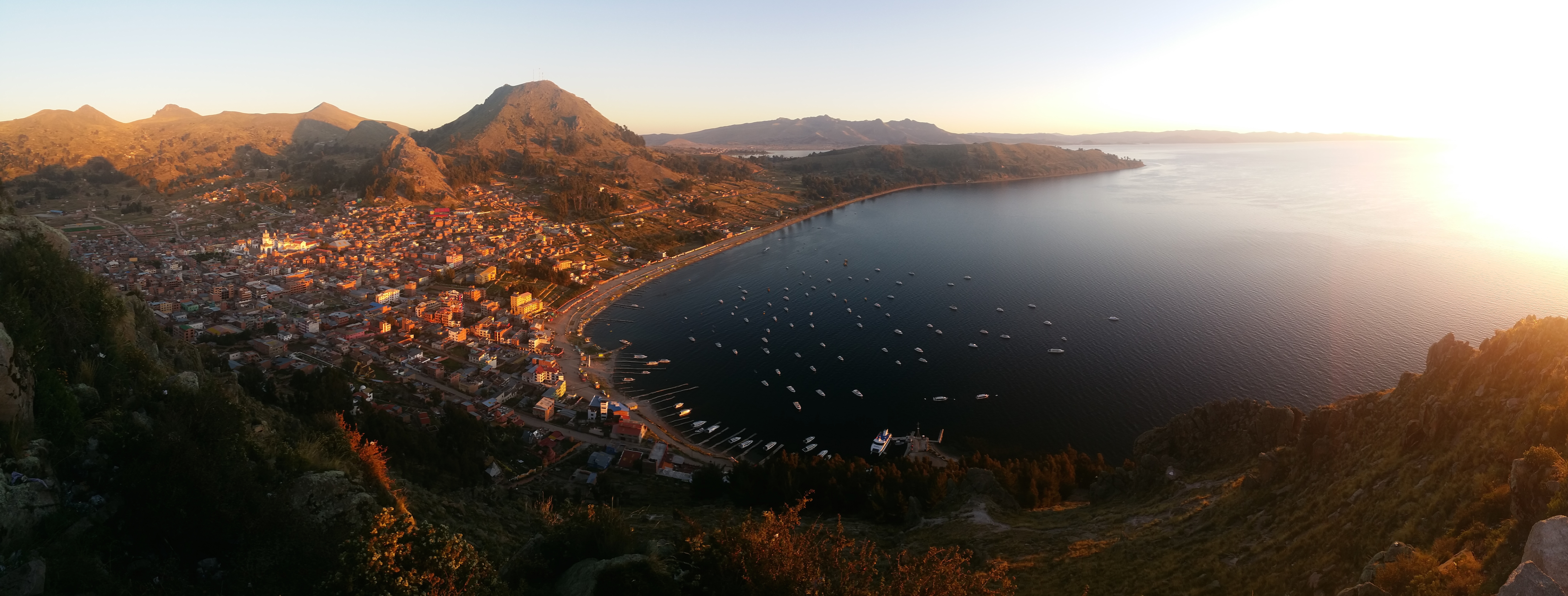
And here is Copacabana below.  You can even see Peru in the distance!IMG_1897

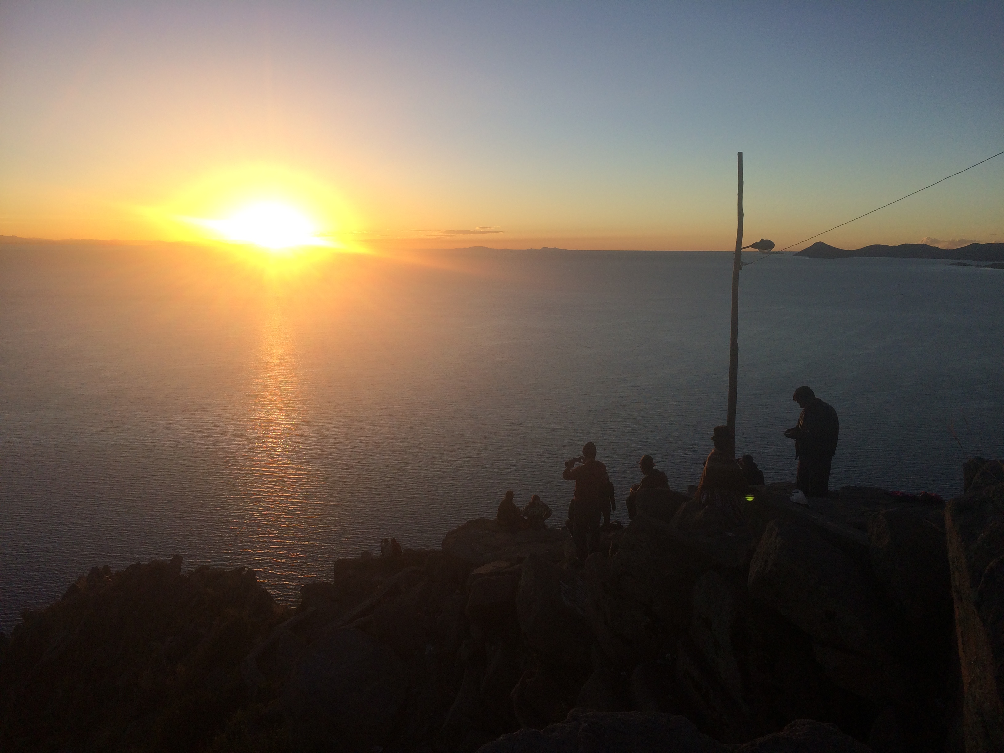
We sat at the lookout for about an hour, until the magic hour.20150522_180747IMG_1899

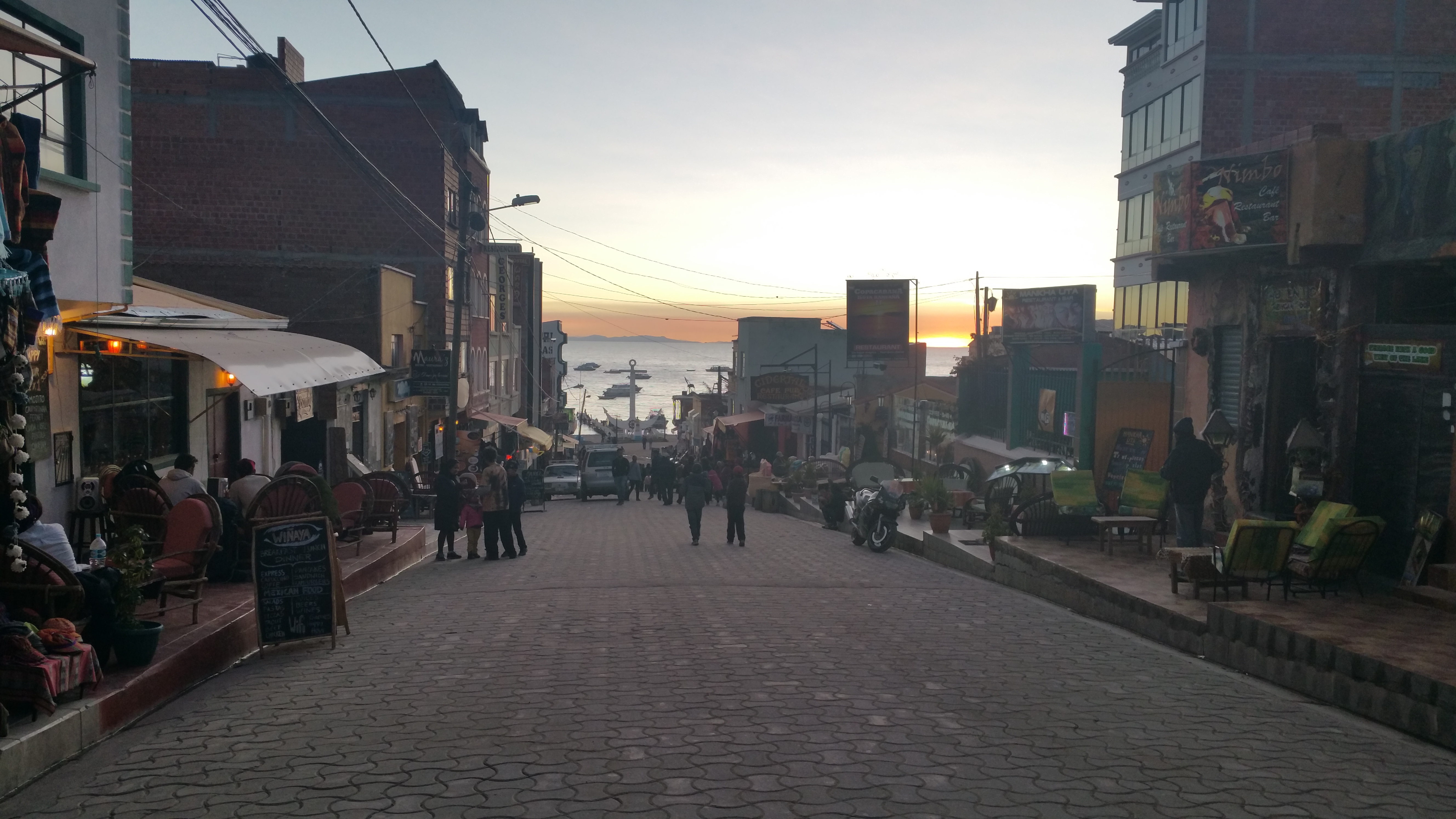
Even the main tourist strip in town is pleasant at sunset.20150523_181652

The next morning we took the incredibly slow boat/ferry (30 bobs or ~$4.30) to the north shore of Isla del Sol, the largest island on Lake Titicaca.  Though some hostels and campsites are scattered on the north shore, most hostels, restaurants, mini markets, and homes can be found on the southern shore of the island.  For those who choose not to spend the night on Isla del Sol, the most common activity is to hike from the north to the south to catch the afternoon ferry back to Copacabana.  That is what we did.  If you hike the entire route, you will need to pay three different tourist fees simply for trail usage: 10, 15, and 5 bobs, a total of another 30 bobs (~$4.30).

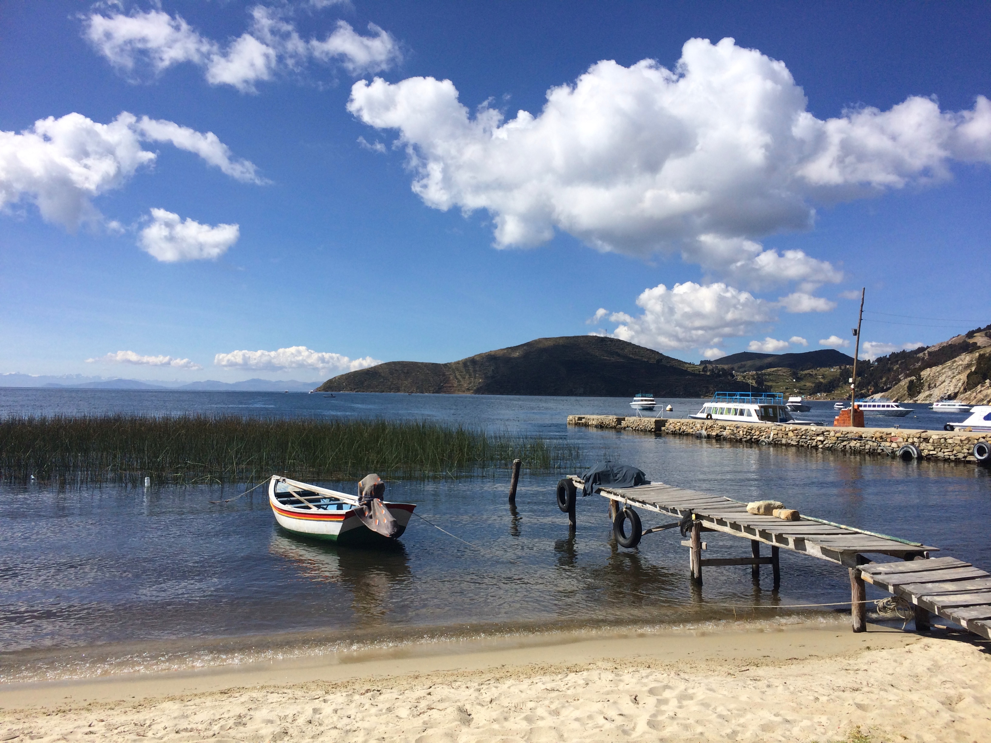
The placid waters upon arrival of Isla del Sol:IMG_1906

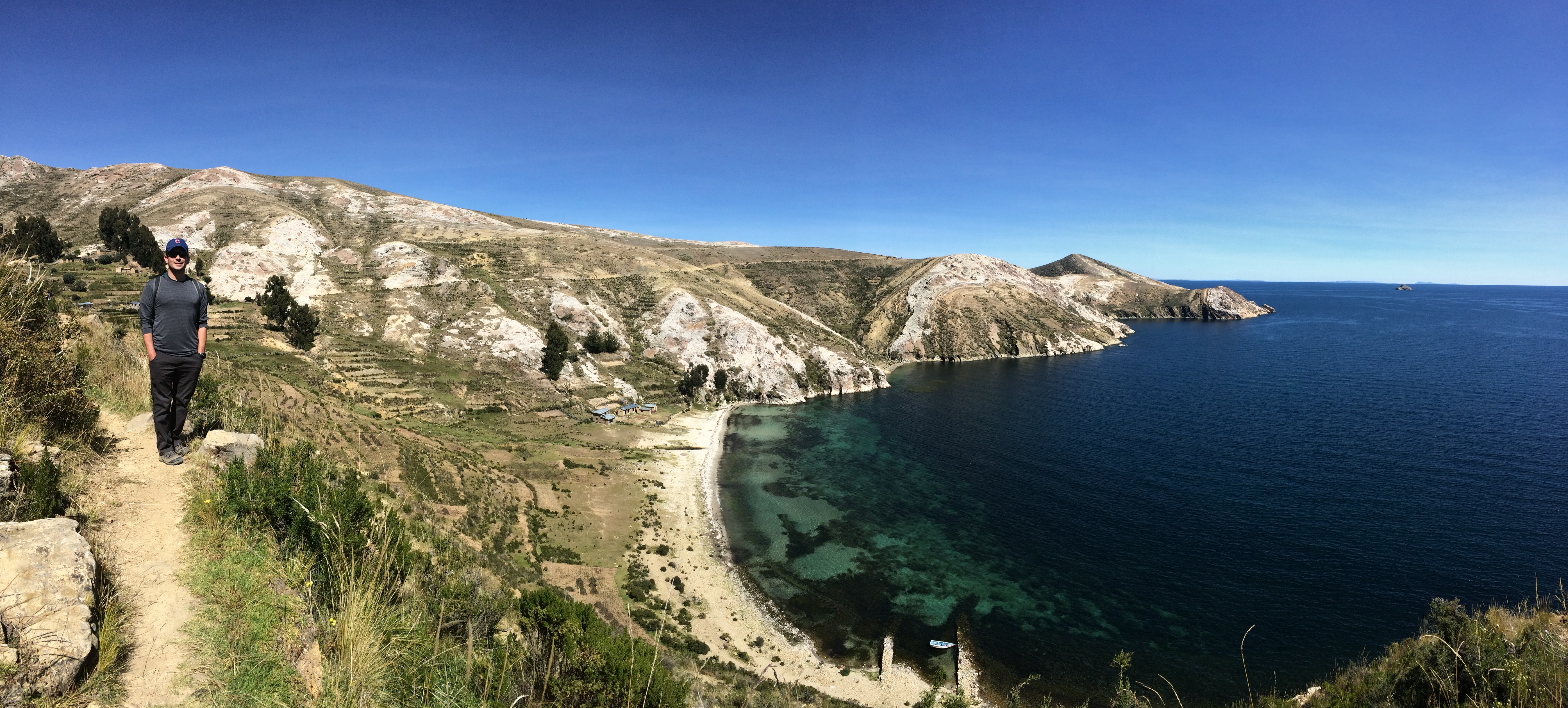
There are no flat paths on Isla del Sol.  The entire island consists of steep rolling hills, which offers splendid views of and around the island.IMG_1915IMG_1918

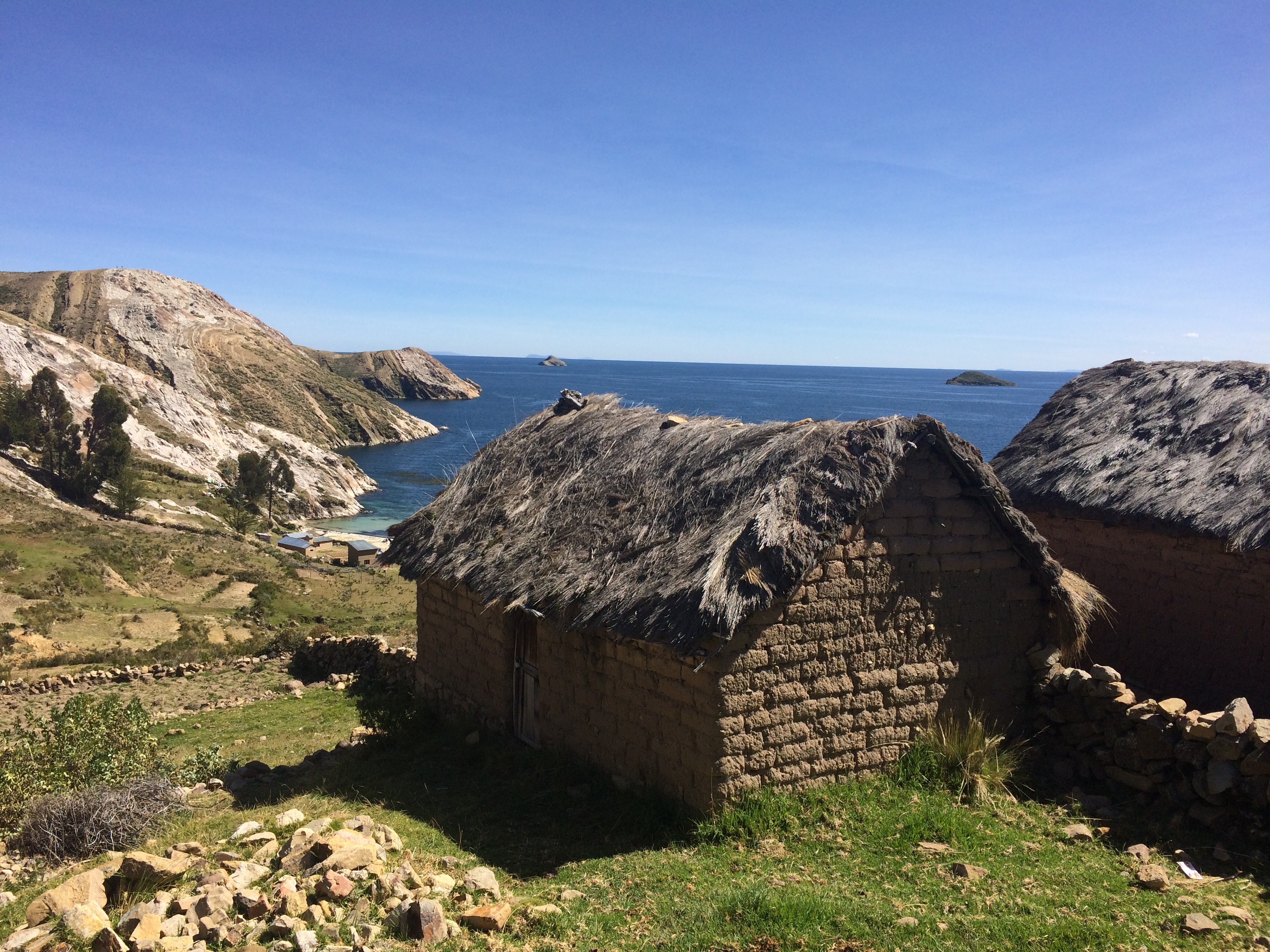
There are plenty of homes, farmland, and domesticated sheep and alpaca along the path. Here is a thatched-roof house with views of the lake in the distance:IMG_1912

The Inca ruins in the north:20150523_122602

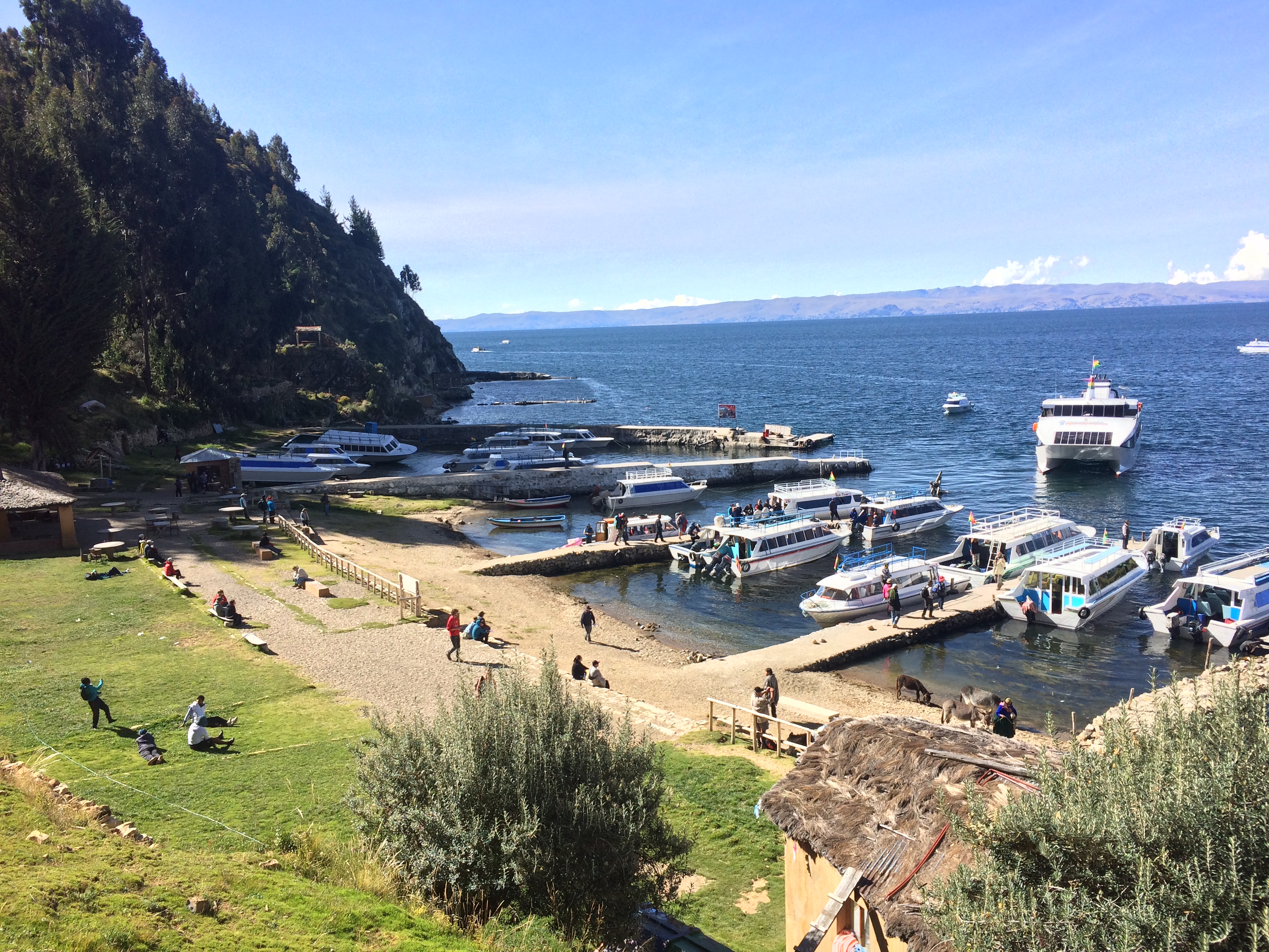
The southern port:IMG_1937

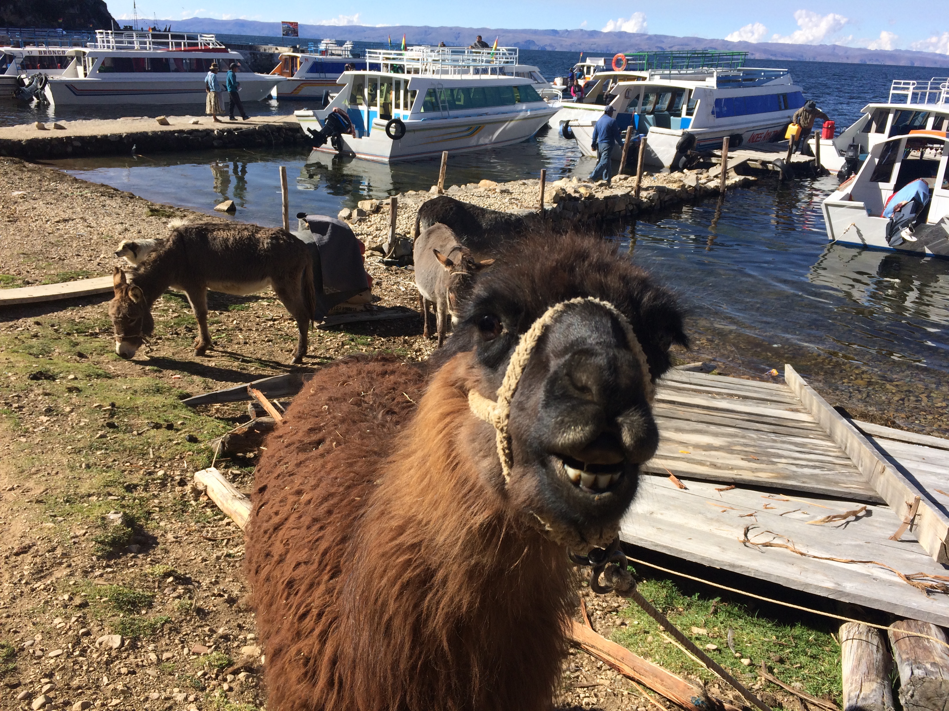
Llama! Derp.IMG_1938

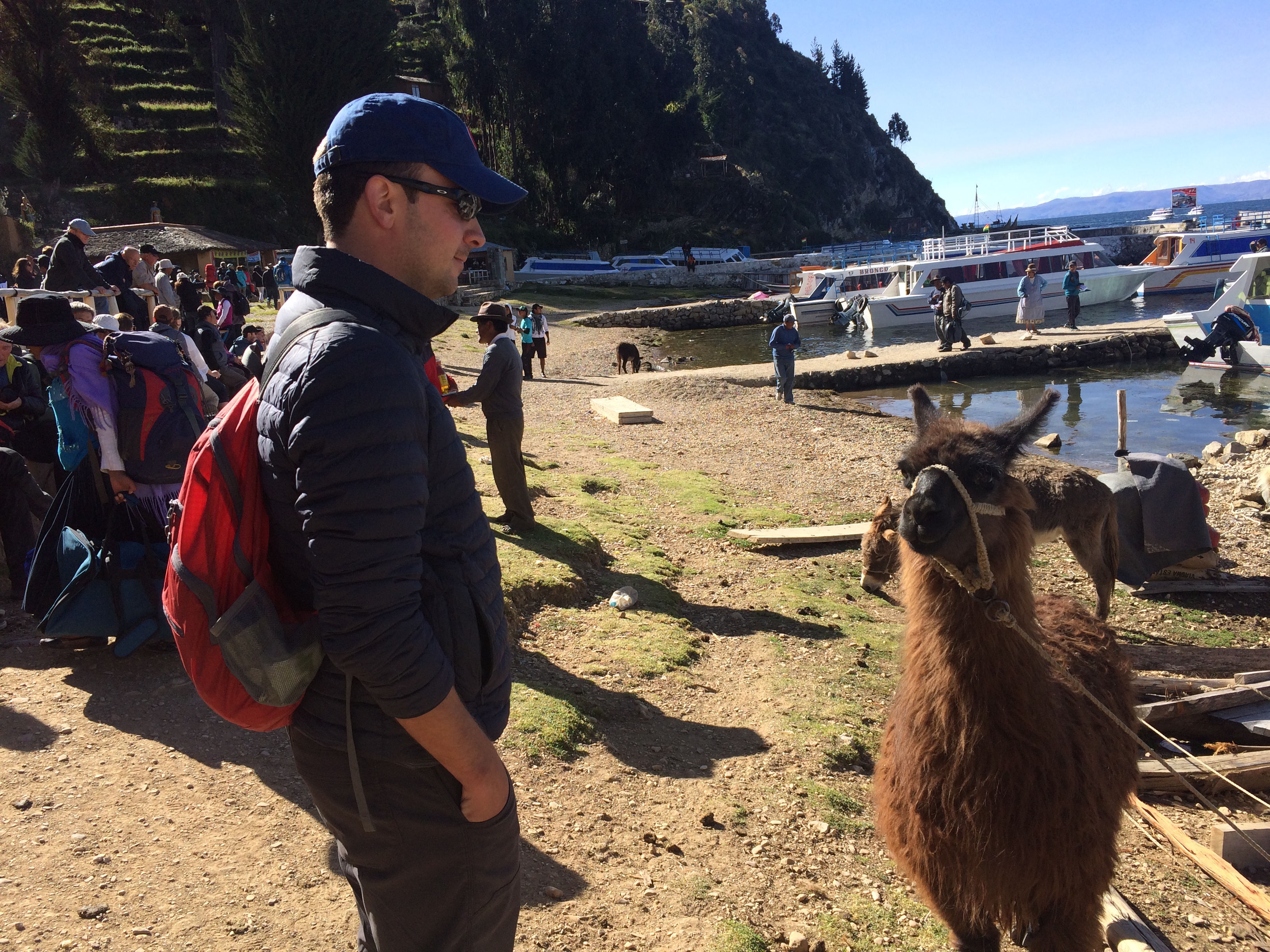
And we finished our hike on Isla del Sol with a super close encounter with a llama.  He didn’t like how close I got so he spit on me as I took this photo.IMG_1939

After a brief 2.5 days at Lake Titicaca on the Bolivian side, we bid farewell to Bolivia and headed for Lake Titicaca on the Peruvian side.  Although our time in Bolivia was brief, we actually saw most of Bolivia’s highlights in only a week and a half: Uyuni, La Paz, Coroico (Yungas Road), and Copacabana. All places were at high altitude and cold!  Despite the short visit and the pain-in-the-ass visa process that we endured, we loved the landscapes and cityscapes the seldom-visited South American country had to offer.

Posted in Bolivia | Tagged , , | Leave a comment

Yungas Road

One outdoor adventure excursion offered daily from numerous tourist companies in La Paz is advertised as “Biking Down The Most Dangerous Road In The World.”  This road, Yungas Road, is located in the town of Coroico approximately 60 kilometers northeast of La Paz. Despite its technical terrain, steep downhill curves, lack of guardrails, narrow single lane, high cliffs, fog, and water runoff from the rainforest, it’s really not as dangerous as it sounds.  With common sense (and maybe a little cycling experience) and the capacity to clutch onto your brakes for a couple of hours at a time, the bike ride is not dangerous and is breathtakingly beautiful.

All the “death ride” tourist shops litter the touristy street of Sagarnaga.  We went with Barro Biking based on their decent reviews, and because we were able to haggle down the price to 350 bobs pp (~$50).  =D

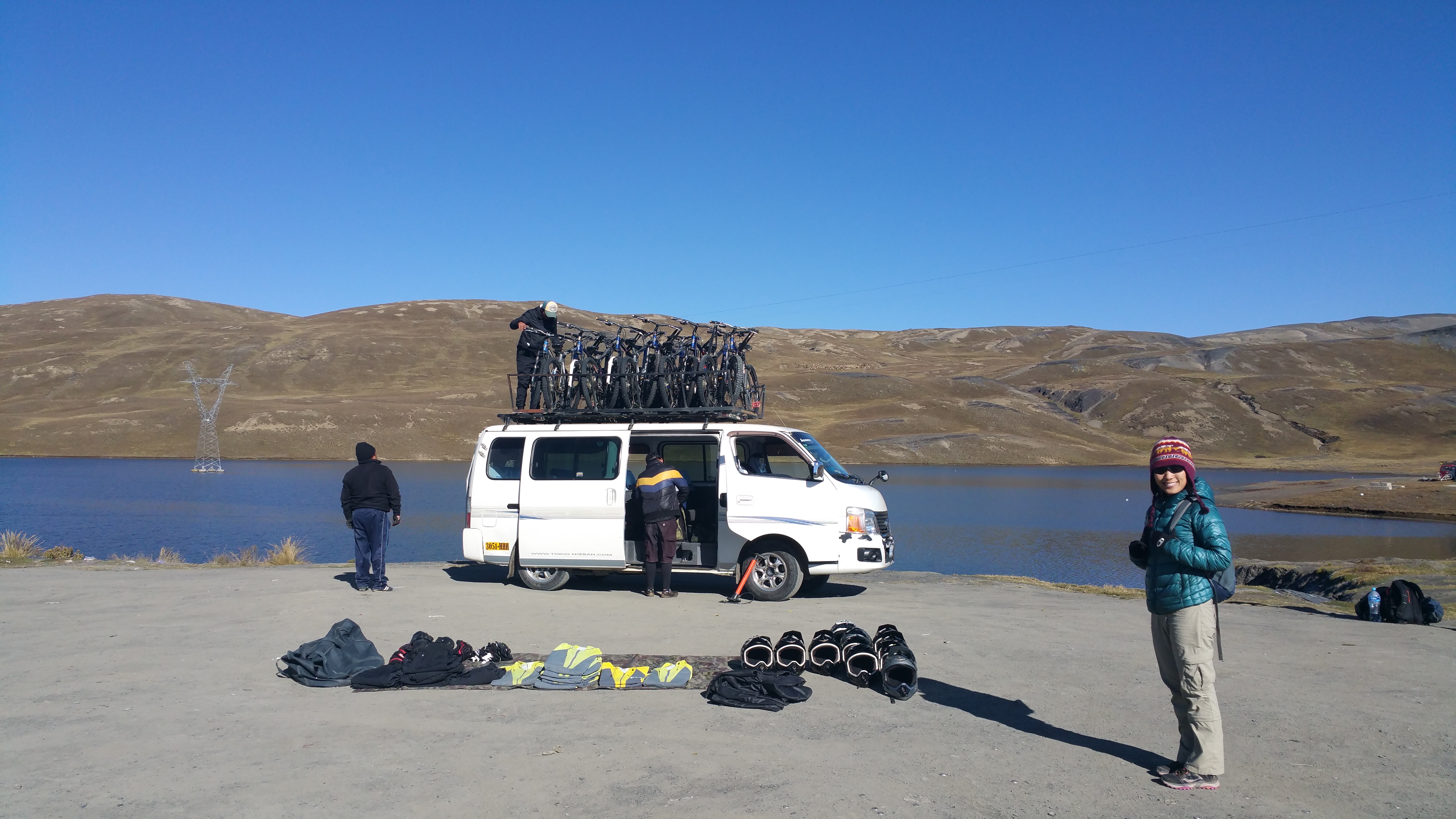
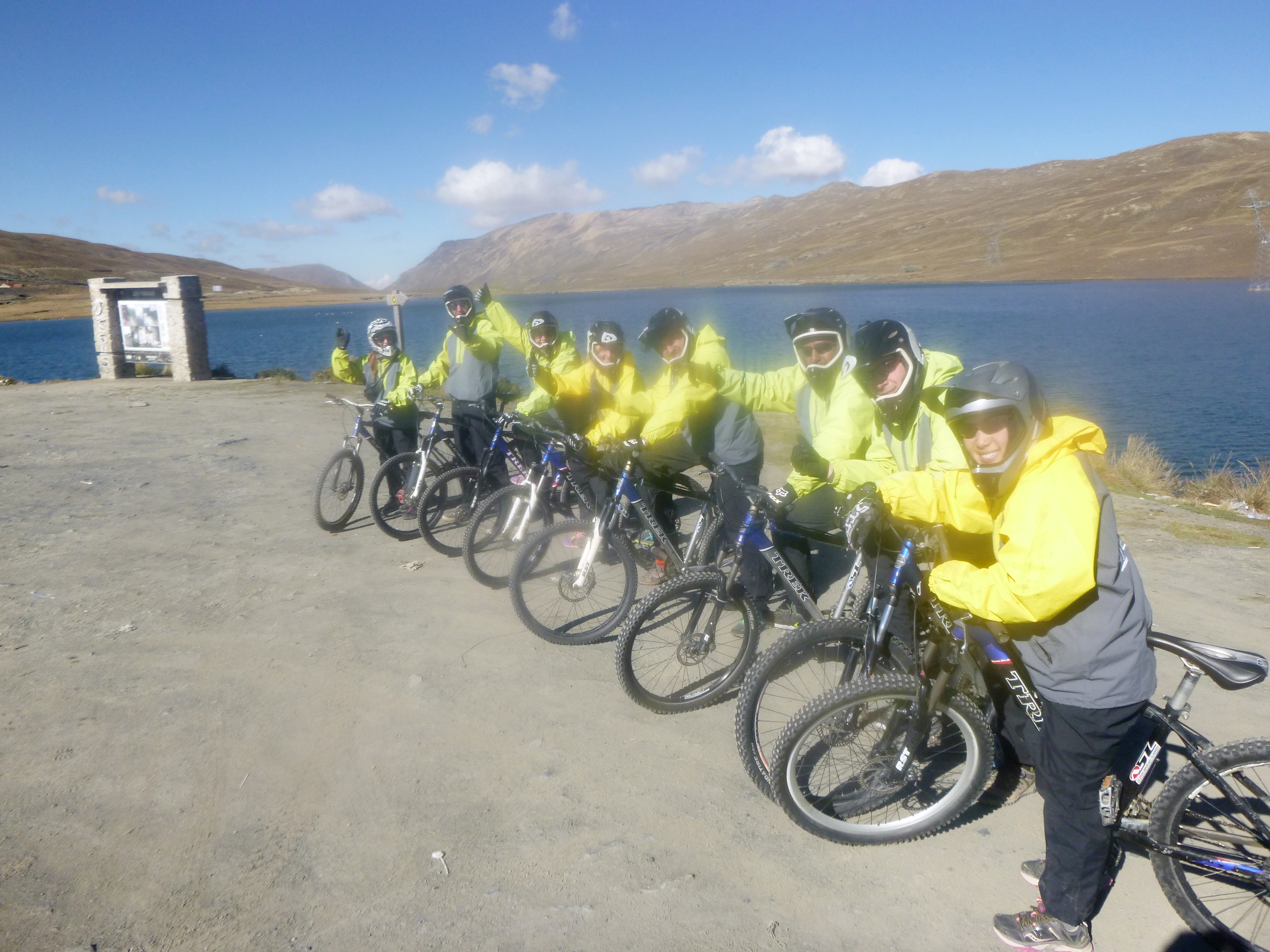
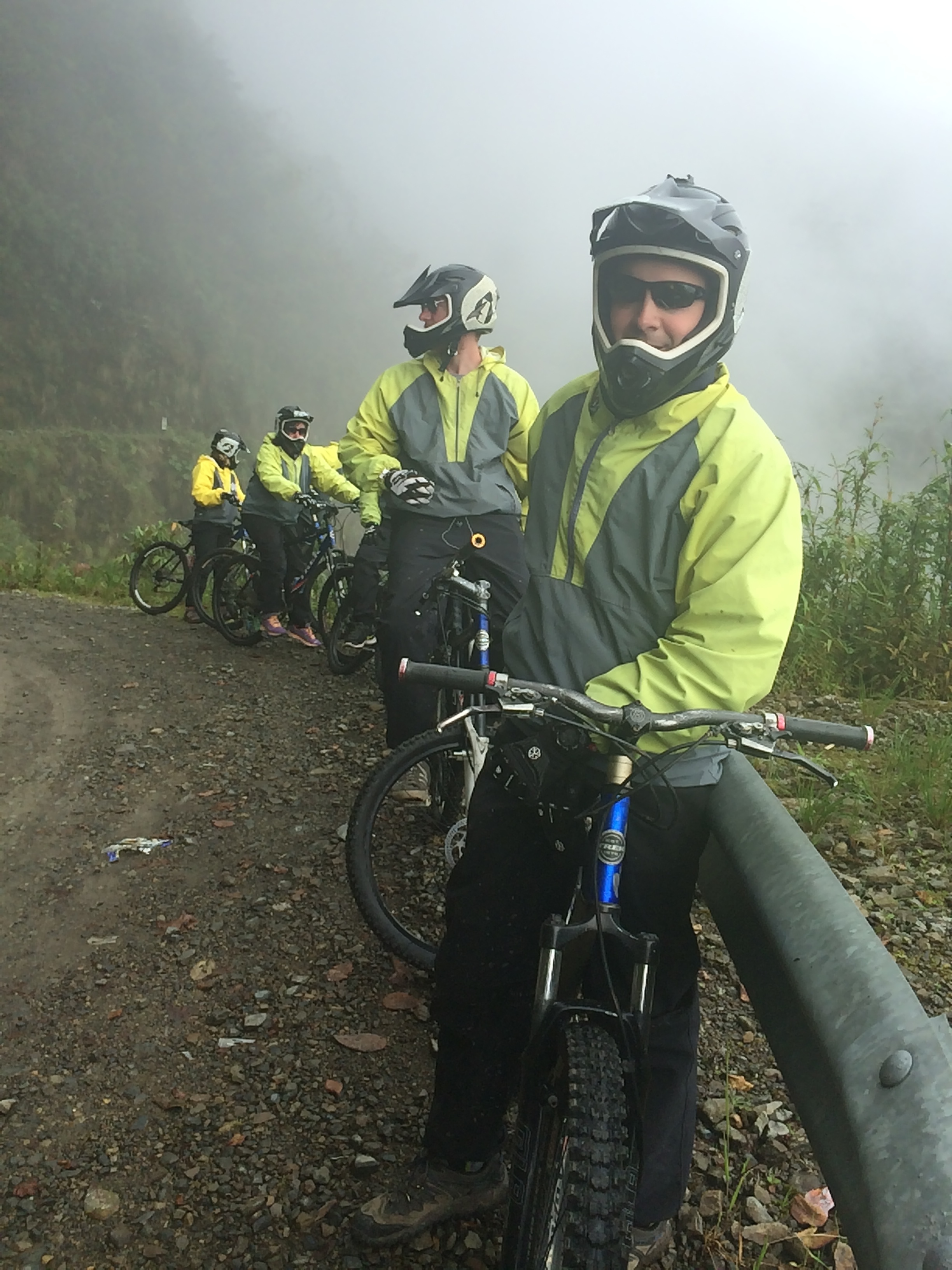
After an early morning start and about an hour and a half of driving, we were ready to go.20150520_091220P1400710

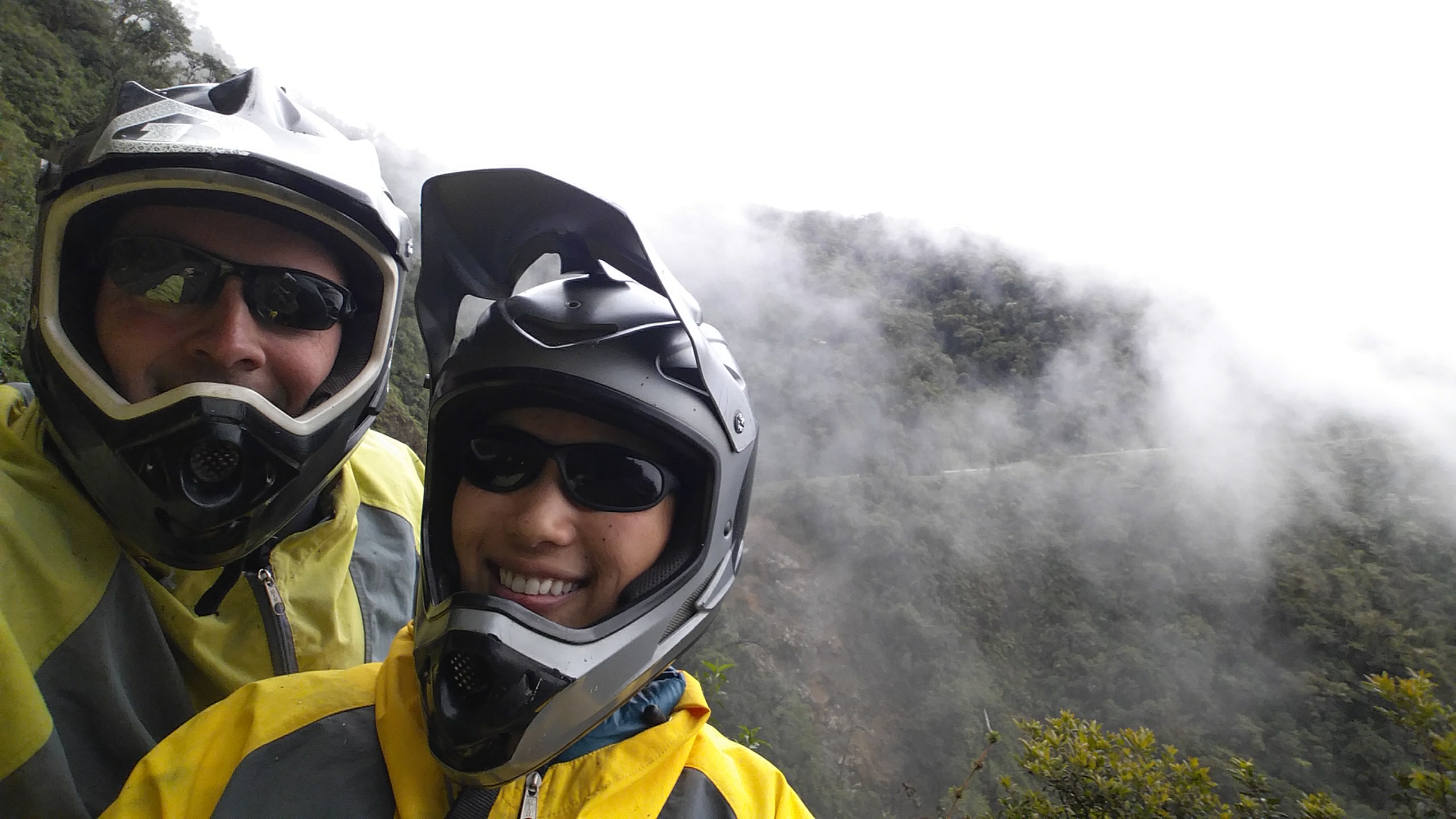
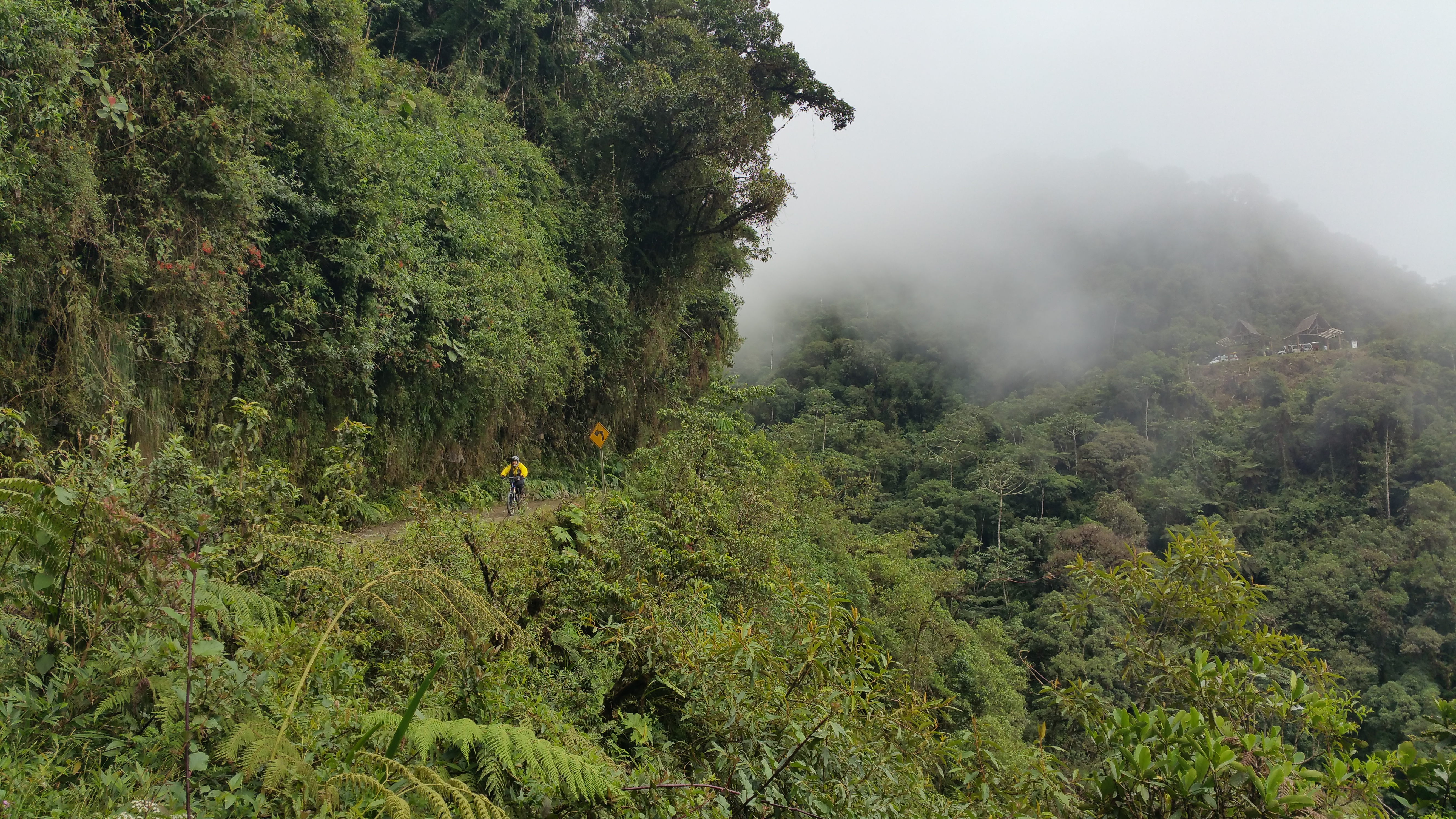
The first portion of the ride was a beautiful, smooth cruise down paved roads.  Because the starting elevation was ~3,000 m and the ending elevation was ~1,500 m, we began the ride high above the clouds.  As we soared down the windy roads, we literally zoomed through wispy clouds that gathered in the valley between the mountains and hills.  By the time we reached the “most dangerous road in the world” we were quite enveloped by clouds, mist, and fog.20150520_110748

Yes, the terrain was technical.  Yes, there were loads of rocks.  Yes, there were trucks that needed to pass by every now and then.  And the road was uneven, steep, and curvy.  Only one girl in our group lost control and fell off her bike, bruised one side of her body, and smashed her phone…but she was inexperienced. It is said that 18 cyclists have died since cycling tours began in 1998.  I assume they were all inexperienced.

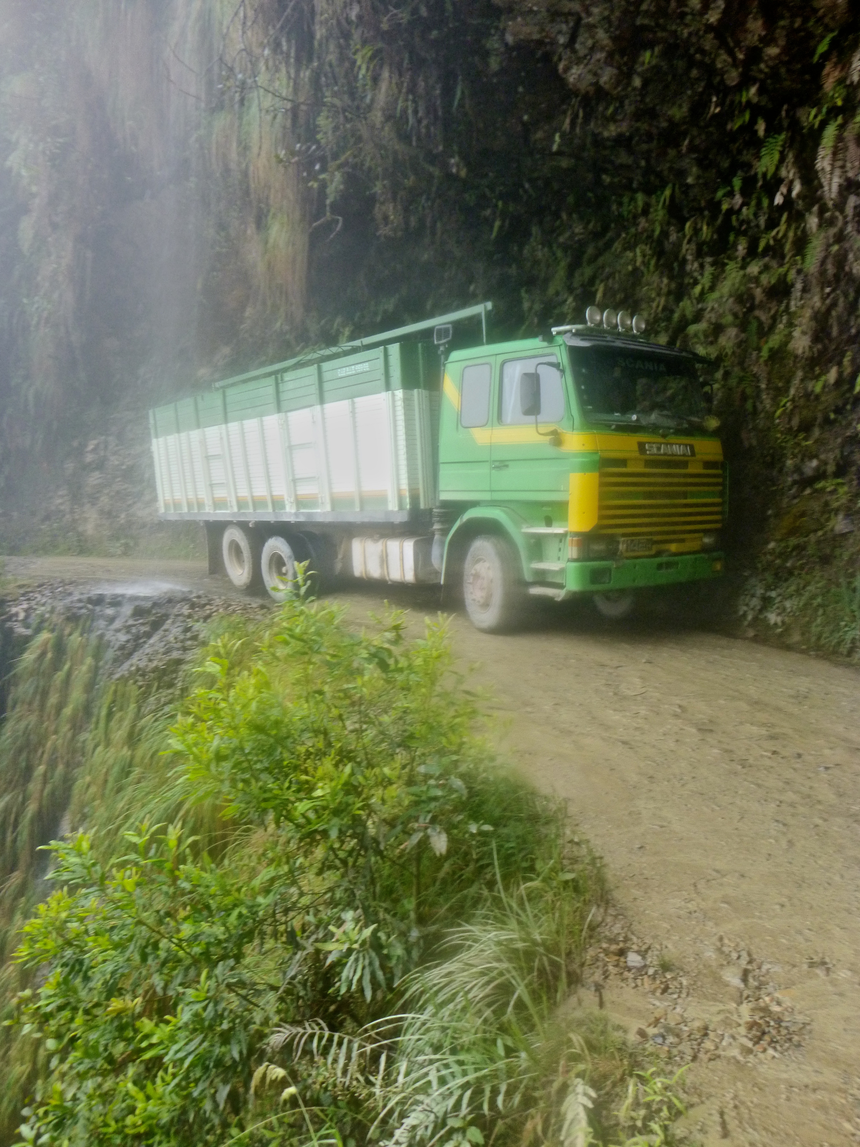
There were trucks!!! OMG! Look at this one steering clear of the cliff.P1400800

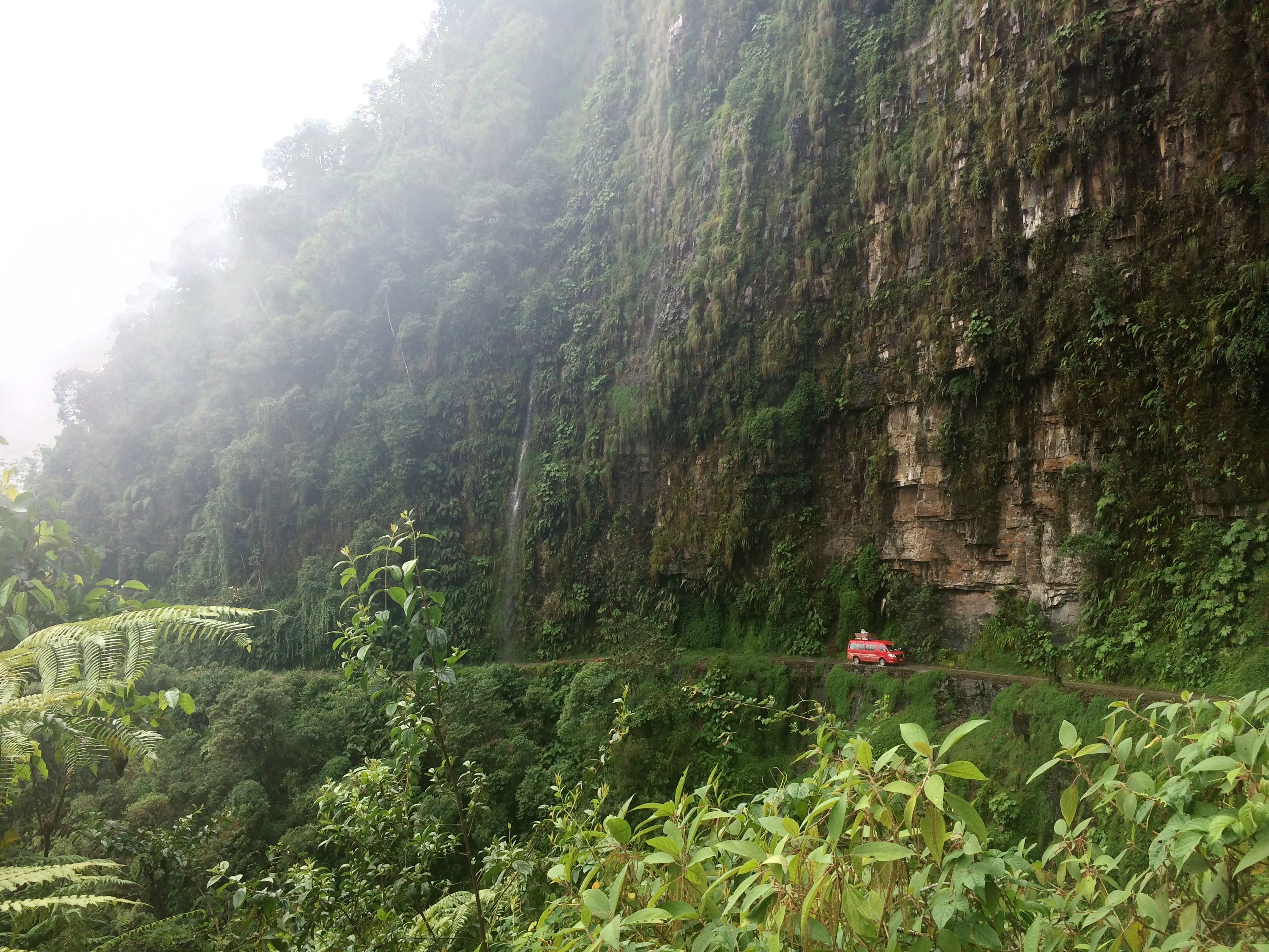
Downhill mountain biking through a rainforest with waterfalls? Yes, please!IMG_1811

We thoroughly enjoyed the ride.IMG_1807

Chris got this great shot of me. Whee!20150520_114119

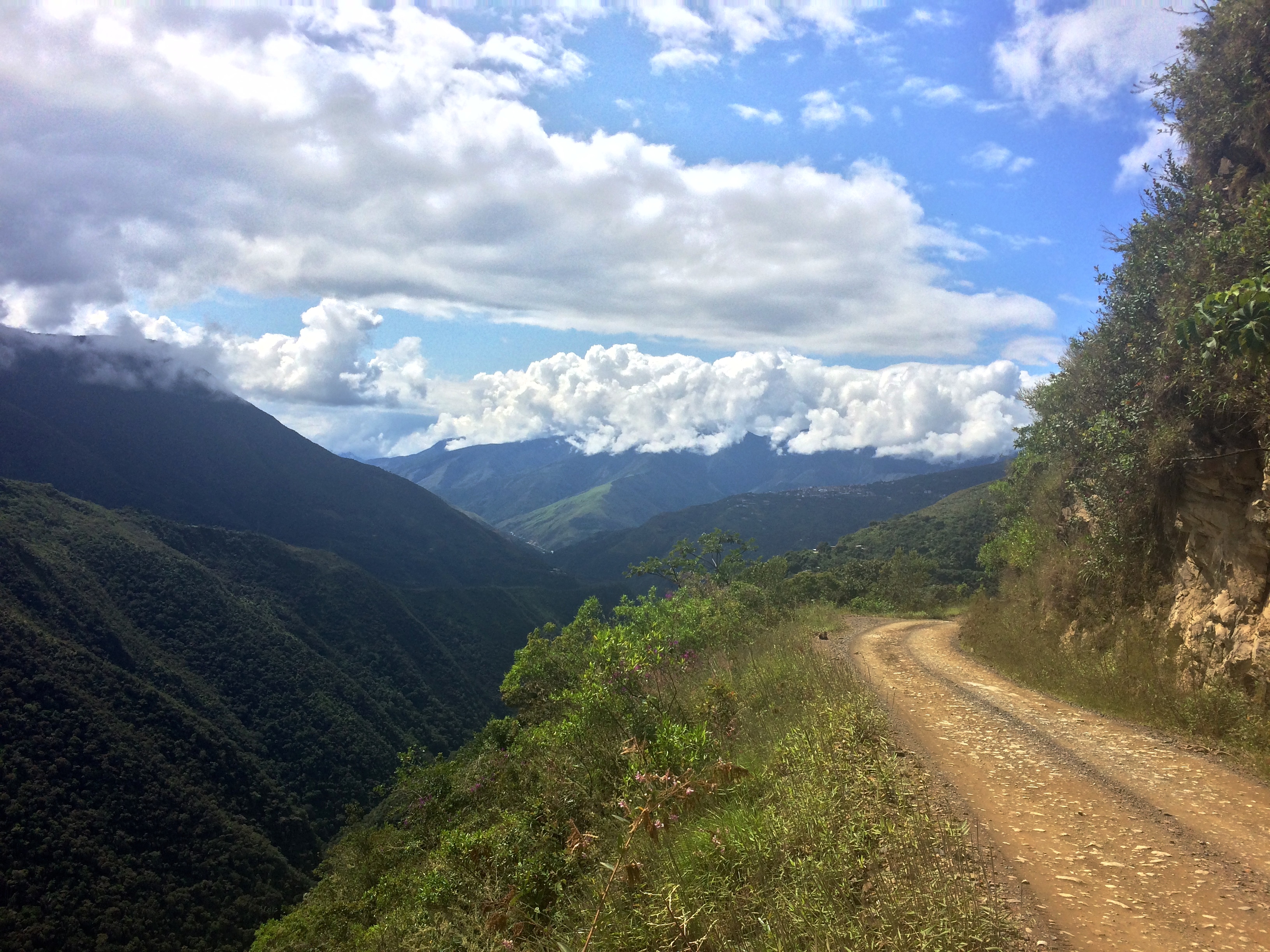
Toward the end of the ride, the skies cleared and the temperatures rose, allowing us to witness more spectacular scenery in the valley of the rainforest.IMG_1813

All the bike excursions end with a lunch buffet at a hotel and pool, which is mediocre at best.

Obviously this is an excursion that is catered to tourists–why the hell would any local do this?  It is absolutely worth the time, effort, and cost.  The experience is not as dangerous or thrilling as advertising makes it out to be; with common sense and little experience, it is another outdoor cycling experience.  In the end, it wasn’t the “thrill factor” that I enjoyed.  What did it for me was a reunification with a bike, and soaring above, through, and below the clouds in the valley of rainforests.

Posted in Bolivia | 1 Comment

La Paz

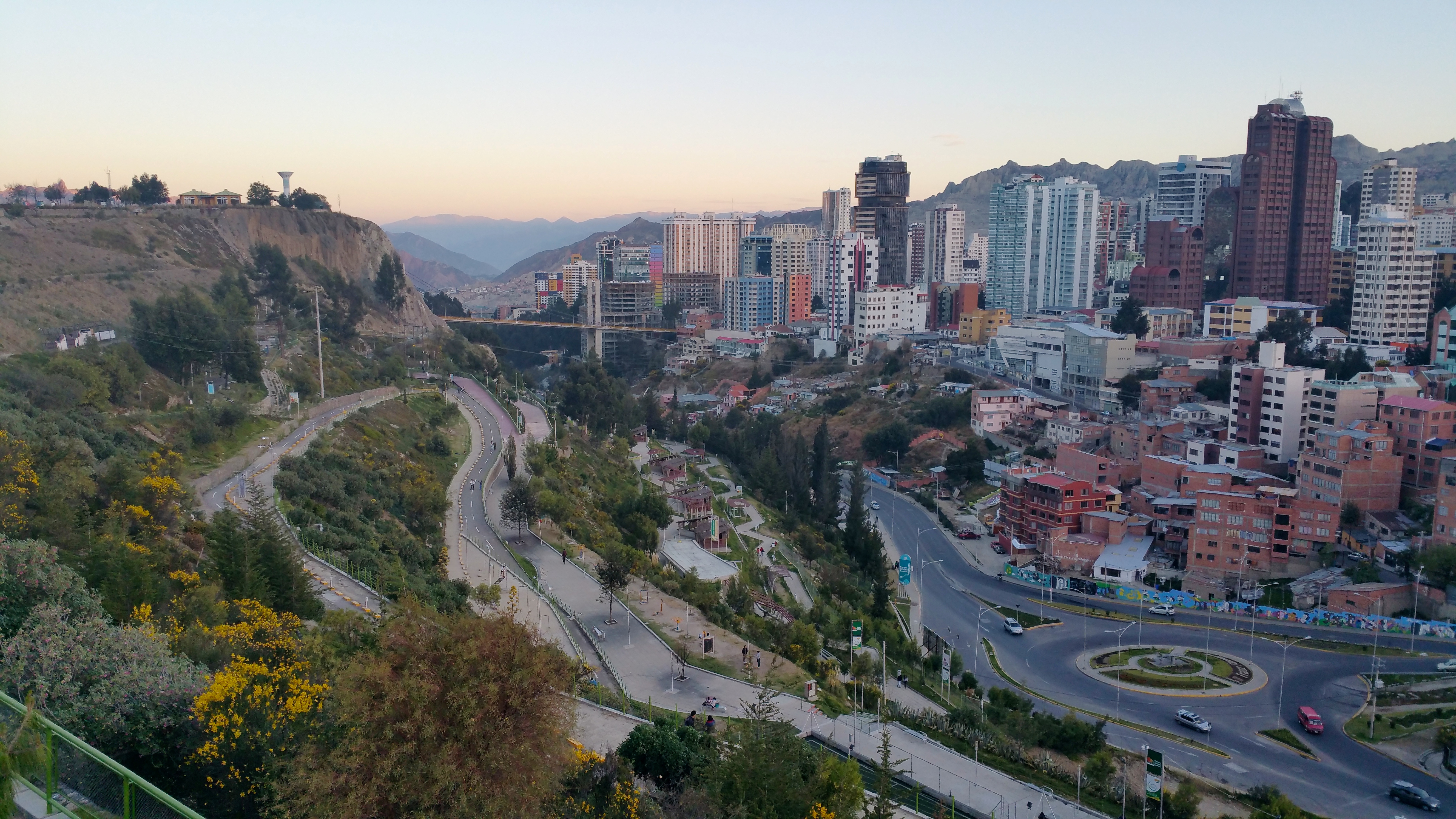
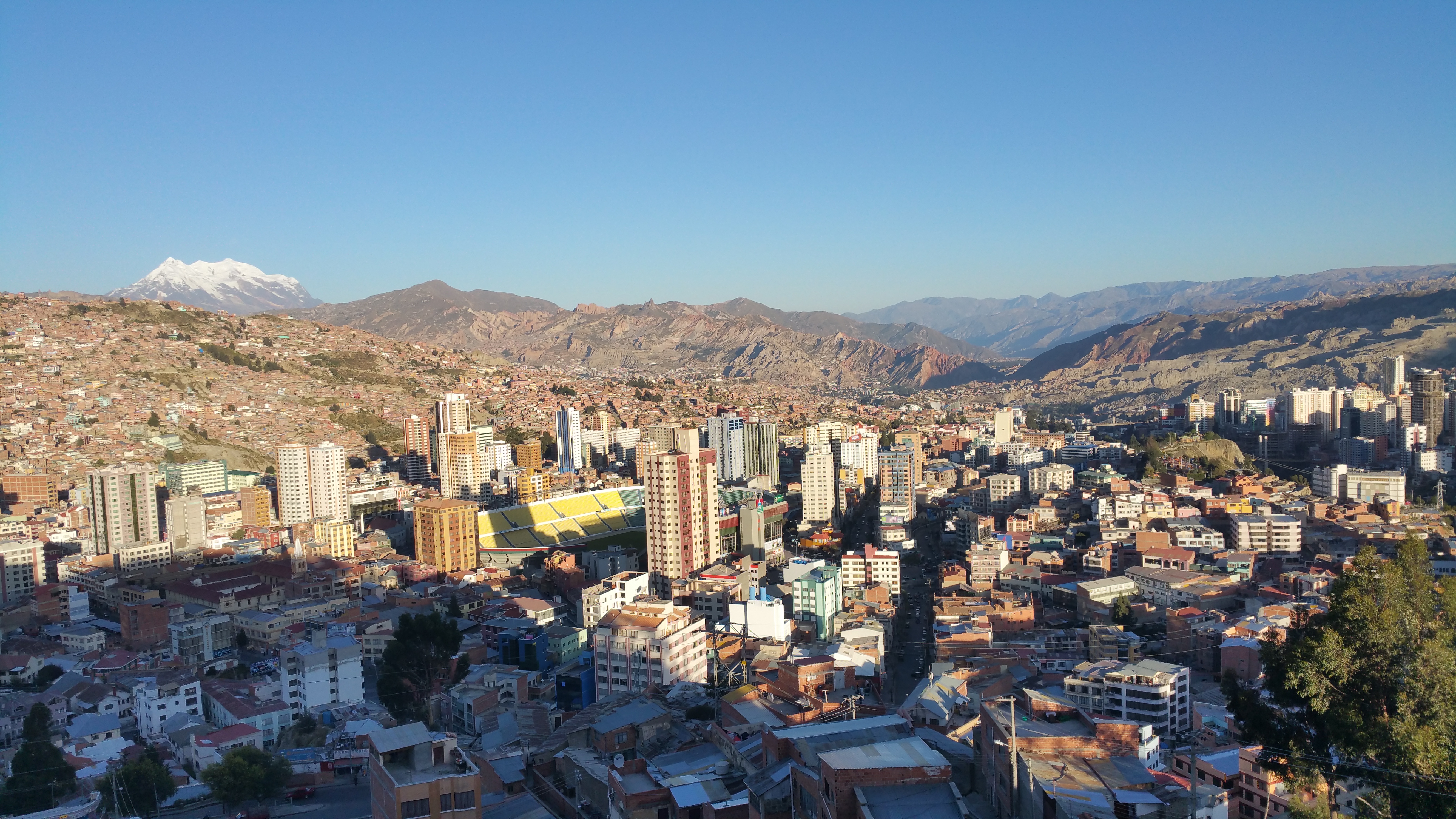
After 2 months in modern Chile and Argentina, I was excited for some culture (despite the long and unnecessarily tedious visa process for Americans).  Research on Bolivia made me assume there were similarities to Southeast Asia with regard to street food, lifestyle, and cost of living…excluding the high altitude. Prior to arriving I knew La Paz was the highest metropolis and administrative capital in the world at ~3,650 meters; however, I had no knowledge that it was a bowl-shaped supercity with sharp, rugged mountains in its surroundings. With its rolling hills in every turn plus the extreme altitude, it made walking in San Francisco seem like a simple stroll through the park.

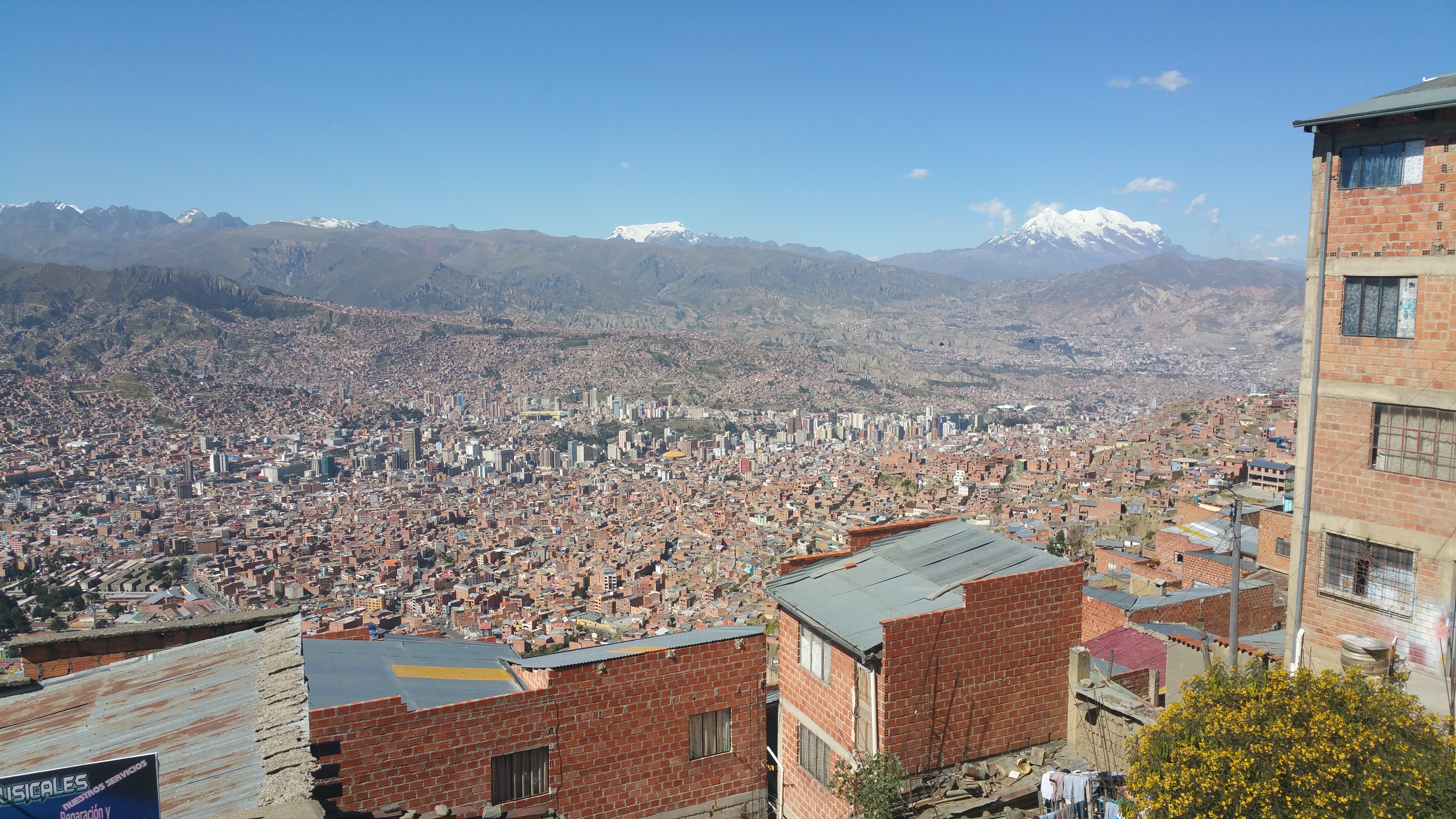
Contrary to what we are used to in the States, the rich live at lower altitudes whereas the poor live further up the hills.  The lower altitudes are preferable not just because of its vicinity to the city center, but also because of the more moderate climate.  At the top of the bowl is the giant suburb of El Alto, and its views down into La Paz are literally and figuratively breathtaking.  I had never seen such an incredible city until I saw La Paz from El Alto–imagine millions of homes sprawling out from the bottom center of the bowl, crawling up the sides of the valley and engulfed by rugged mountain terrain.  You’ll see the photos in this post from various viewpoints.

During our brief visit to La Paz we enjoyed people watching, strolling through eclectic markets, climbing up to miradors, and making a side-trip to Yungas Road, the “most dangerous road” in the world.

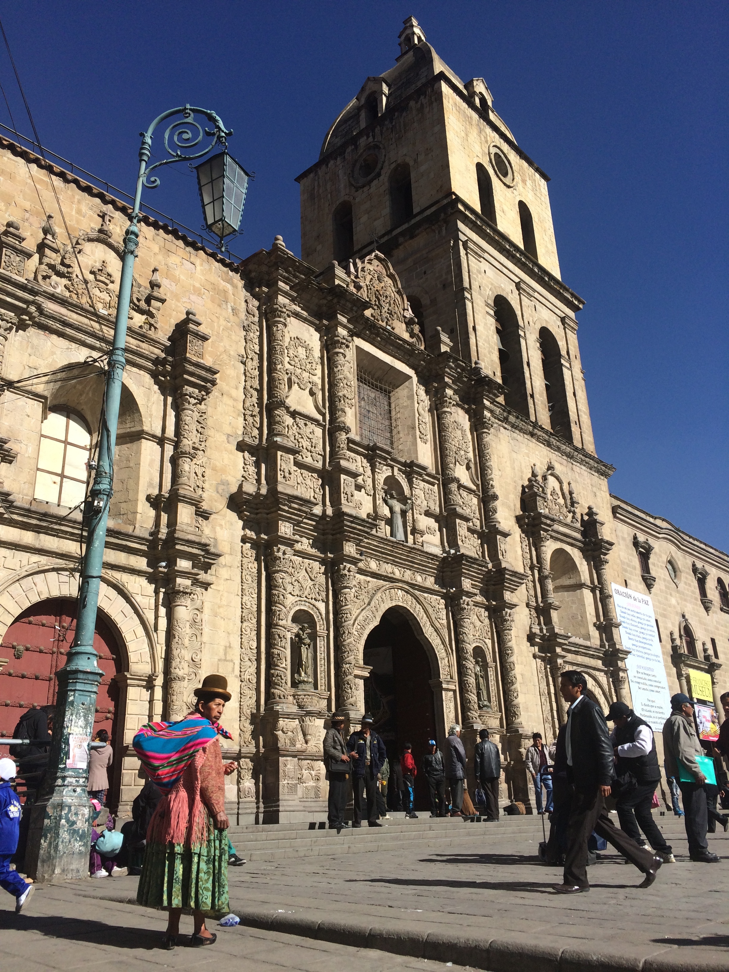
The church of San Francisco:IMG_1822

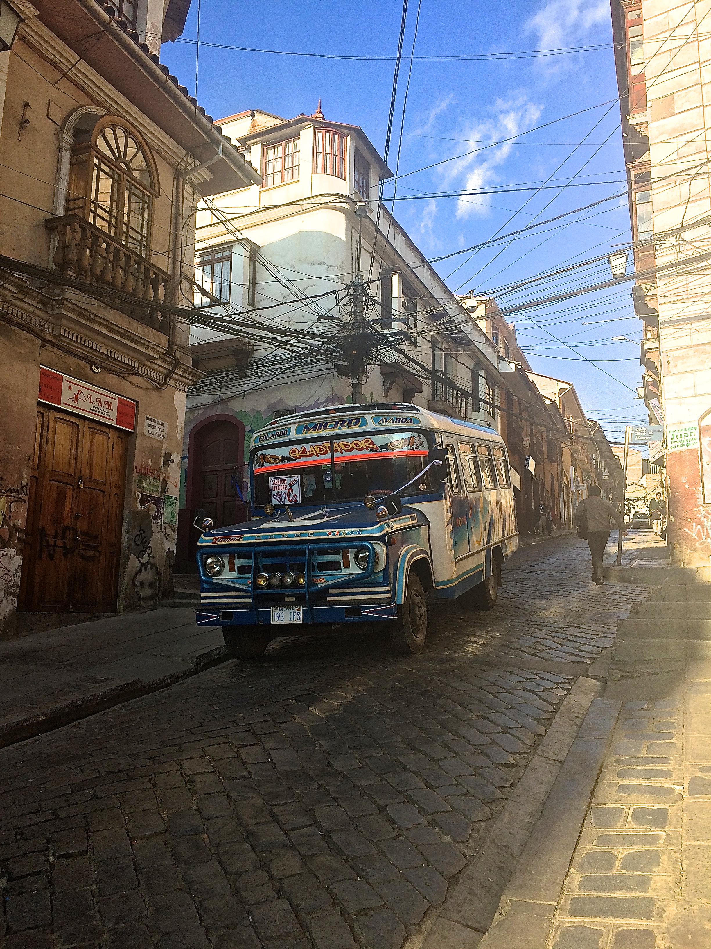
A typical bus in La Paz rolling downhill on a cobblestone street, with clusters of power lines suspended above:IMG_1804

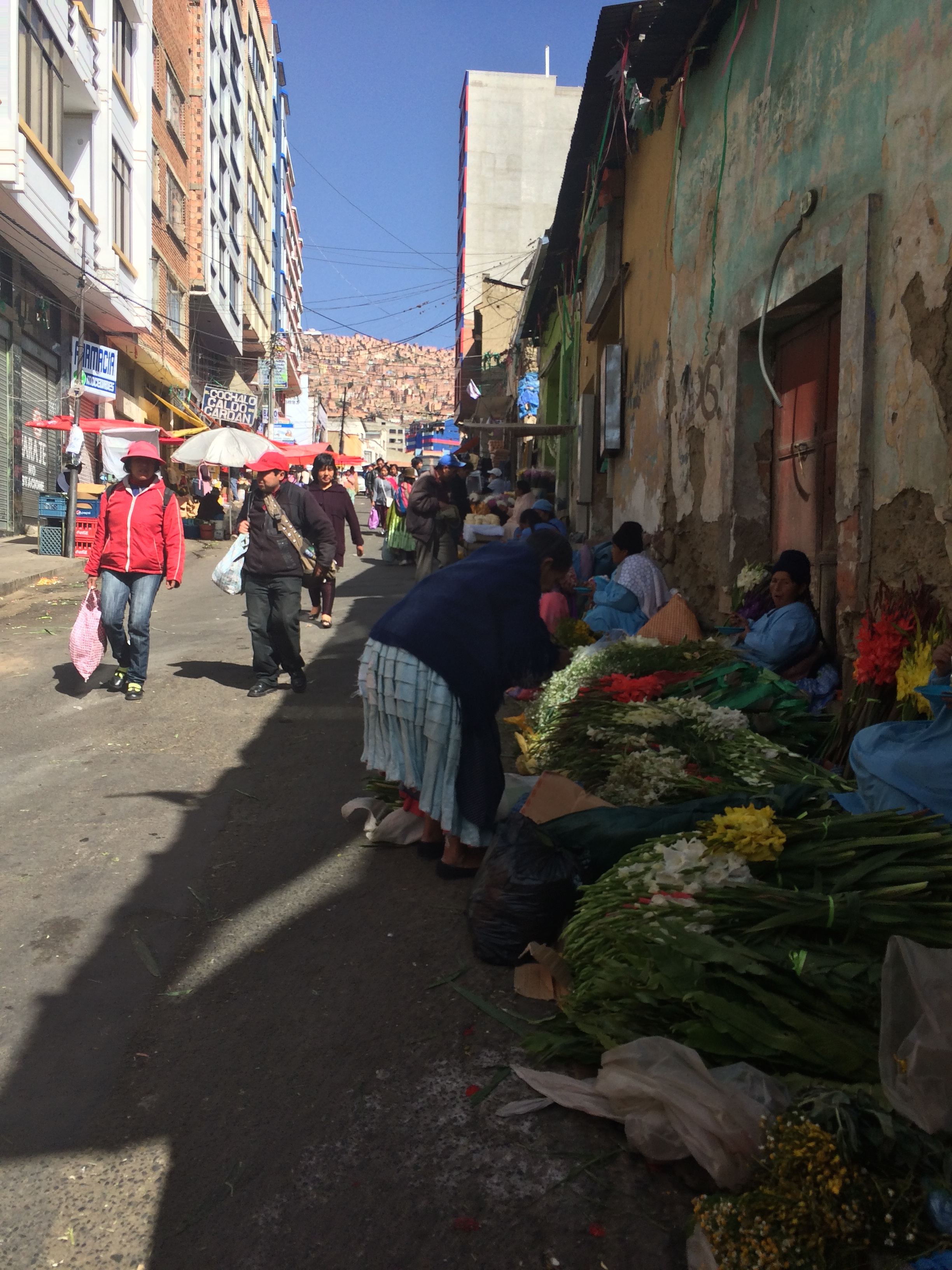
Bolivian women selling flowers in the streets:IMG_1746In almost every street (like pictured above), there are views of the mountains in the distance, completely covered with homes.

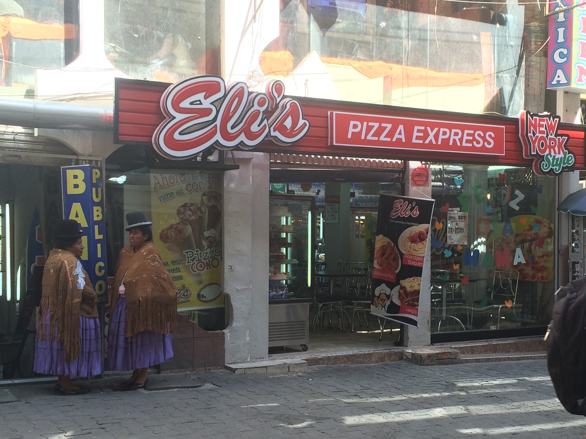
More Bolivian women:IMG_1830

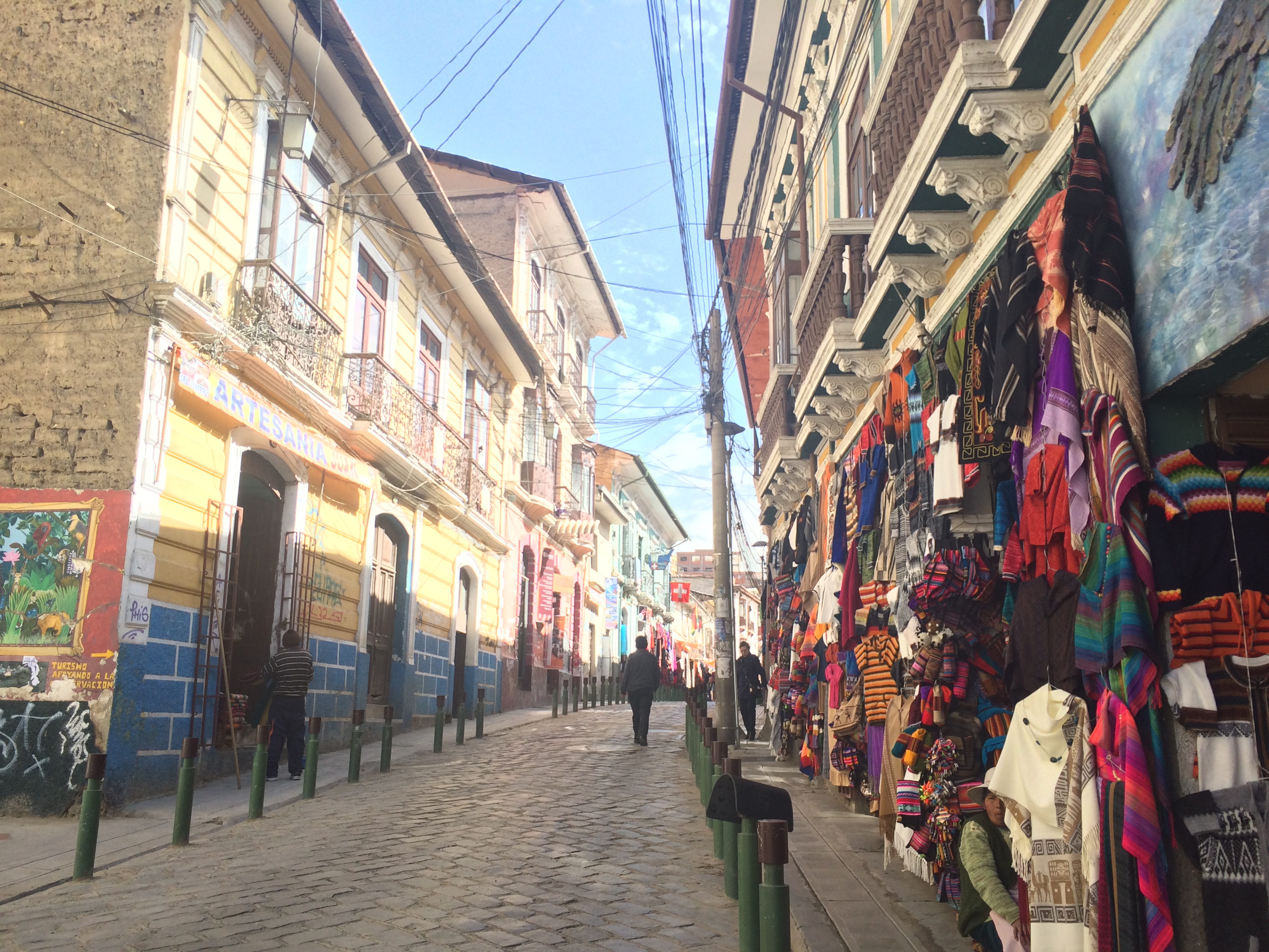
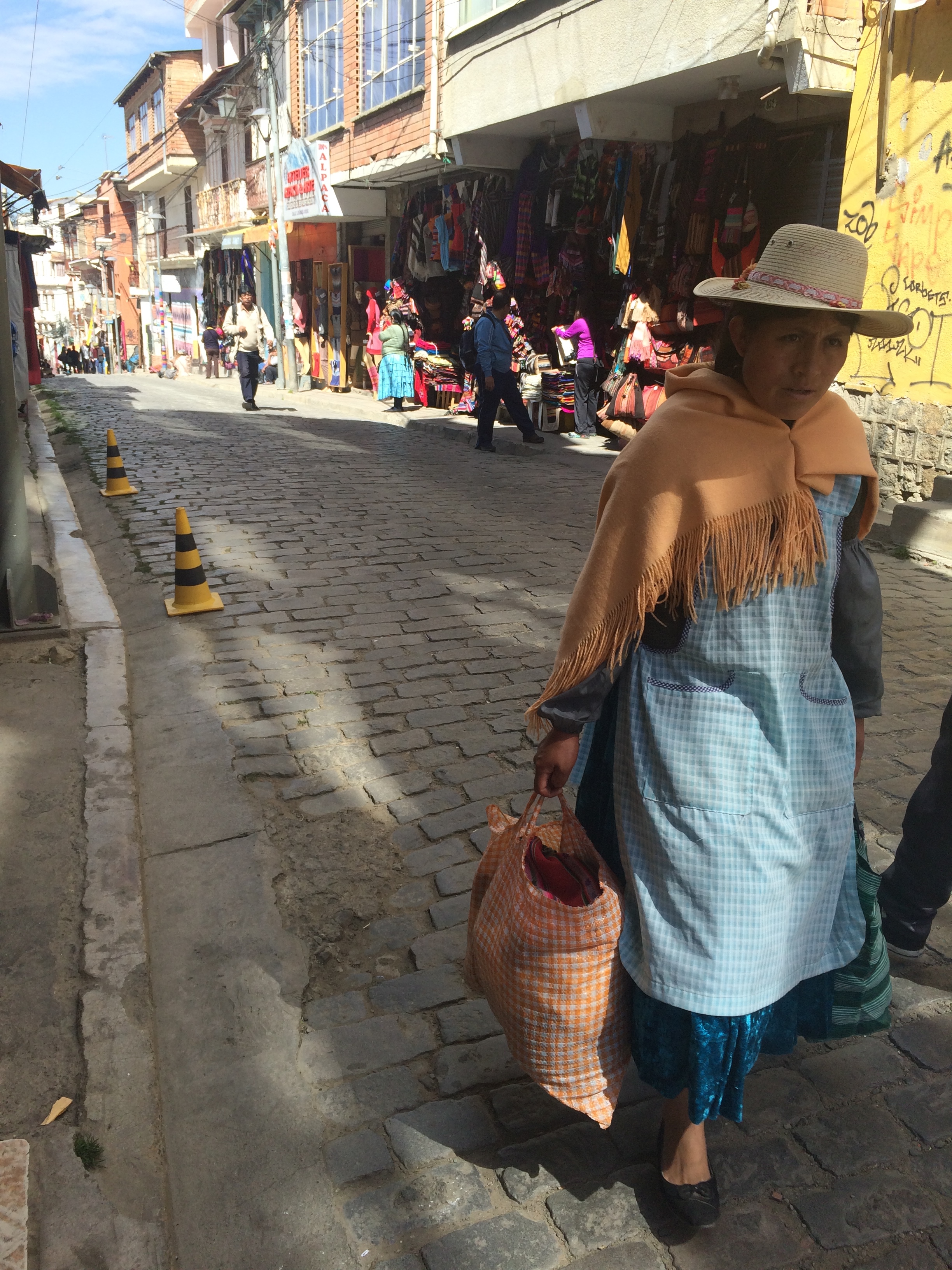
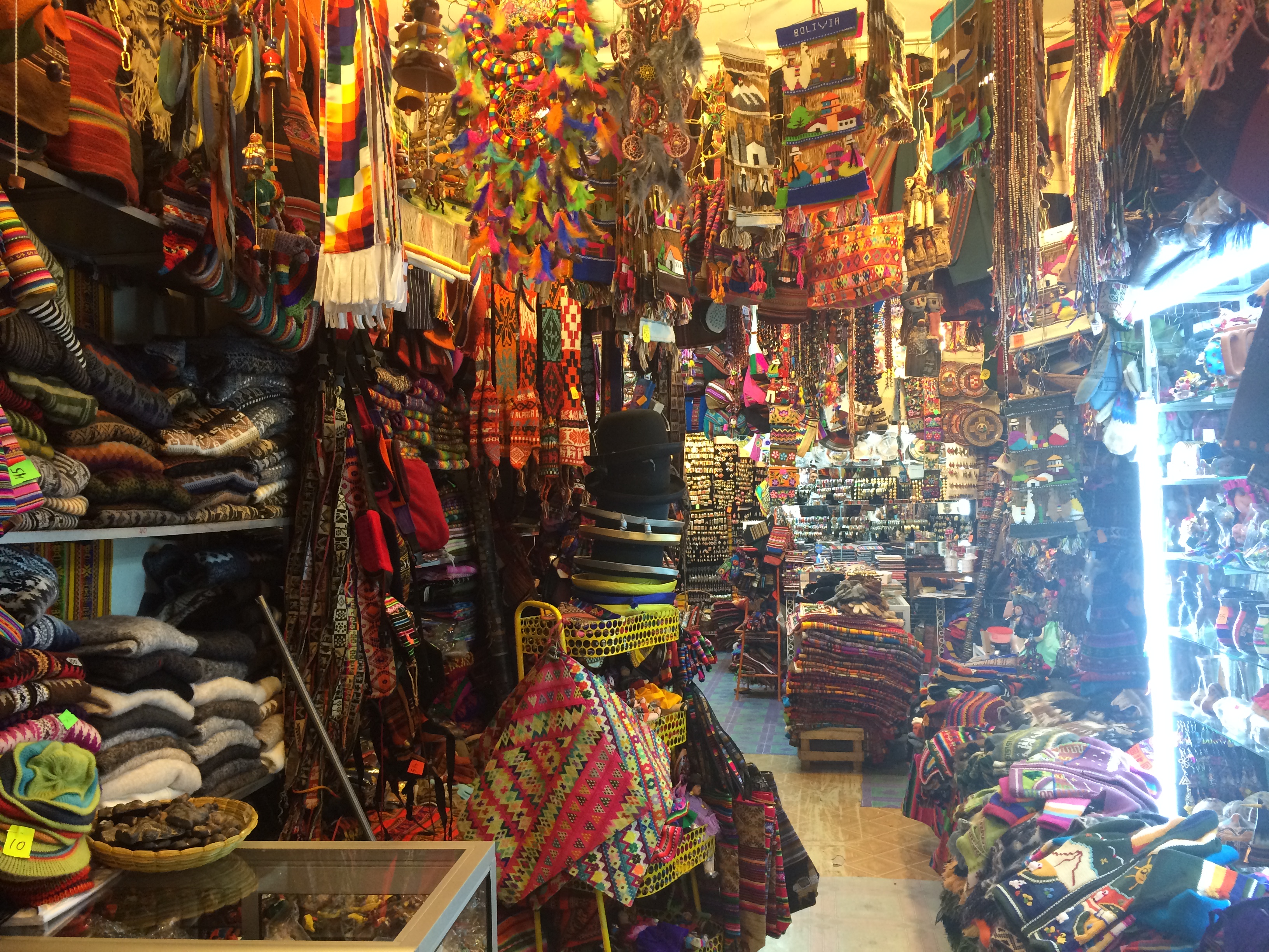
Artesenal shops:IMG_1748

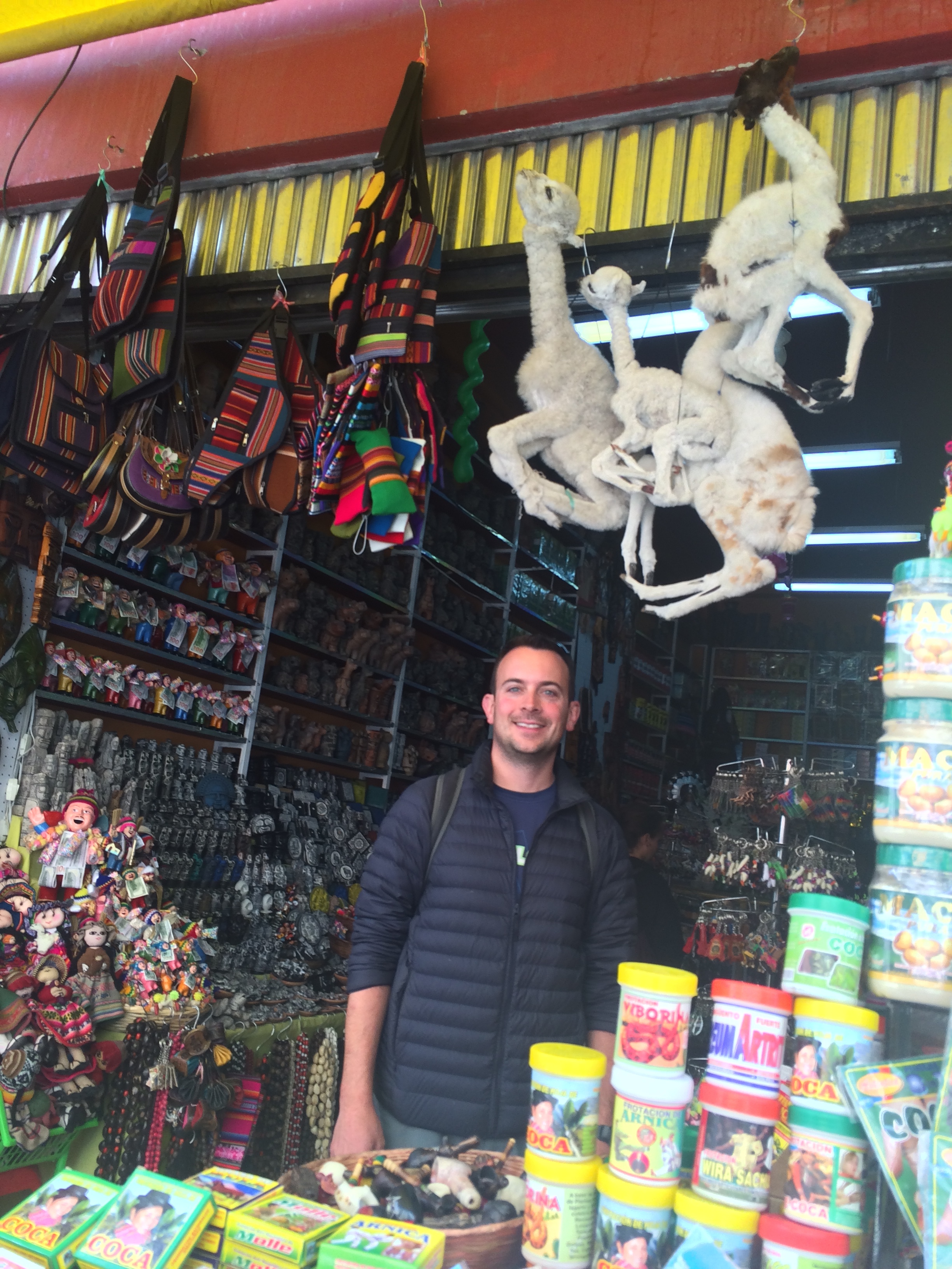
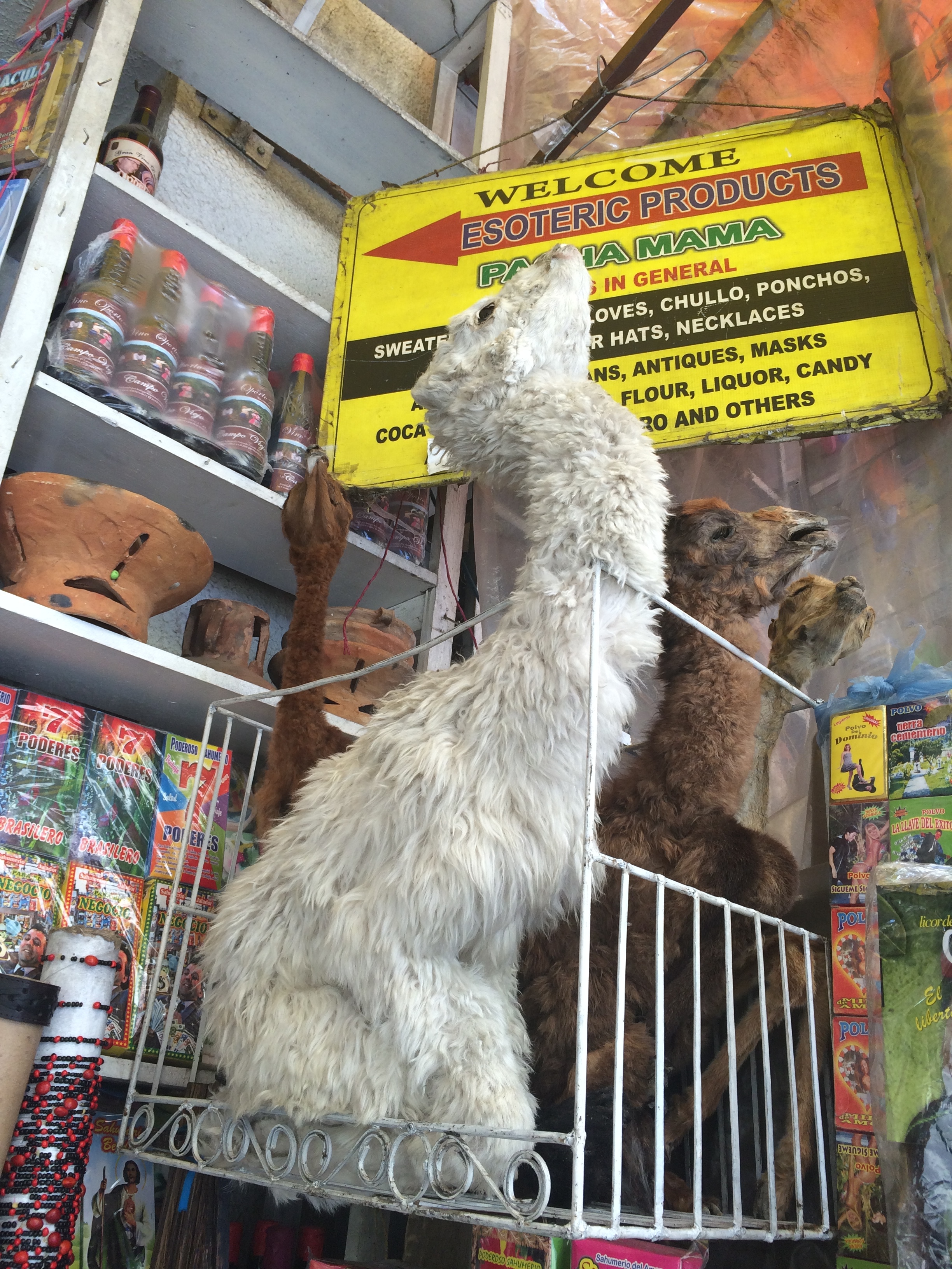
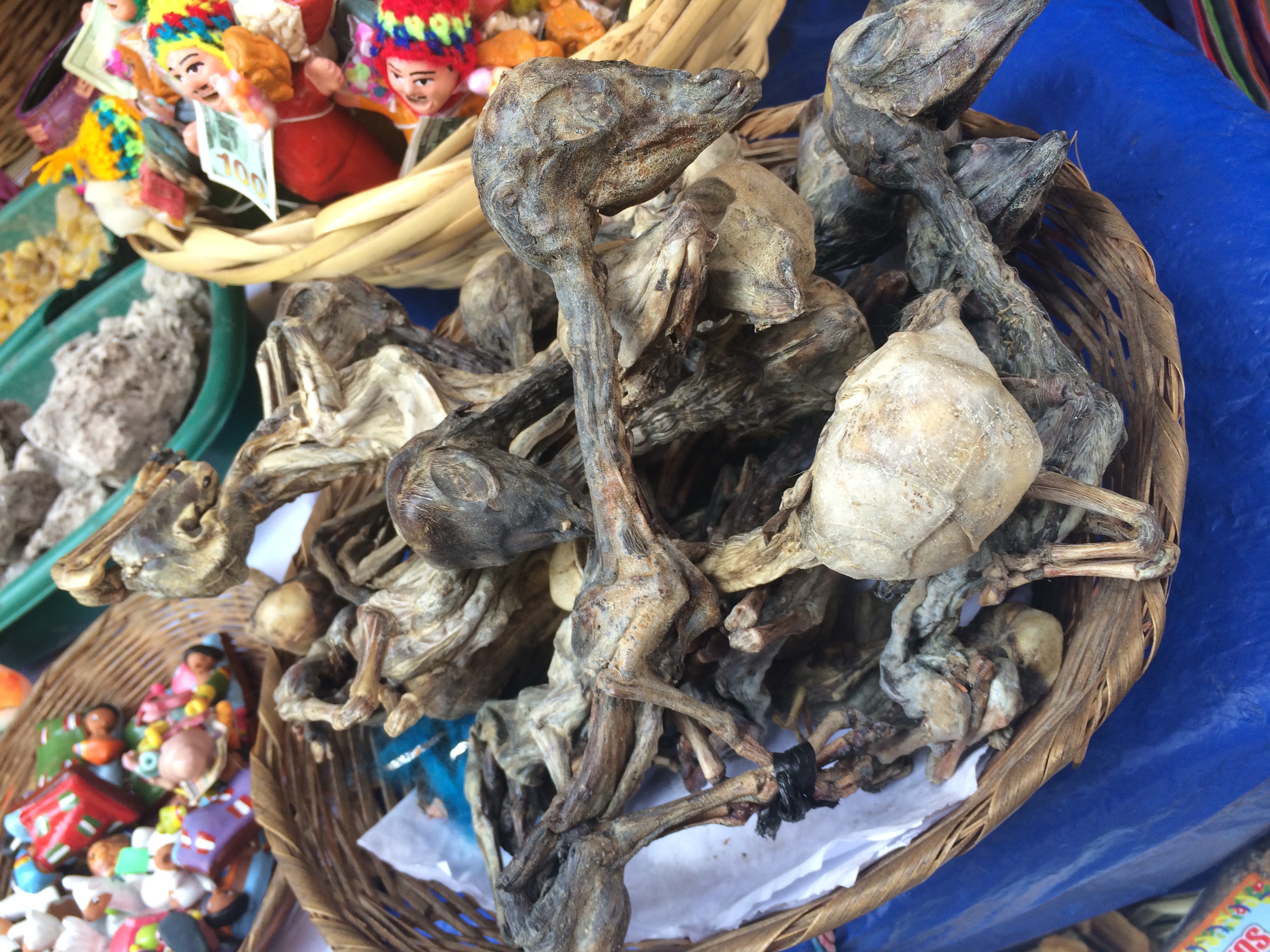
The famous “Witch’s Market”:IMG_1751 IMG_1764

The Witch’s Market is not only filled with trinkets, souvenirs, and artesenal crafts.  One can easily find cocoa leaves, herbs, dried llama fetuses, and dead baby llamas.  Apparently some believe that the burial of a llama fetus beneath one’s home will bring good luck.IMG_1760IMG_1761IMG_1758

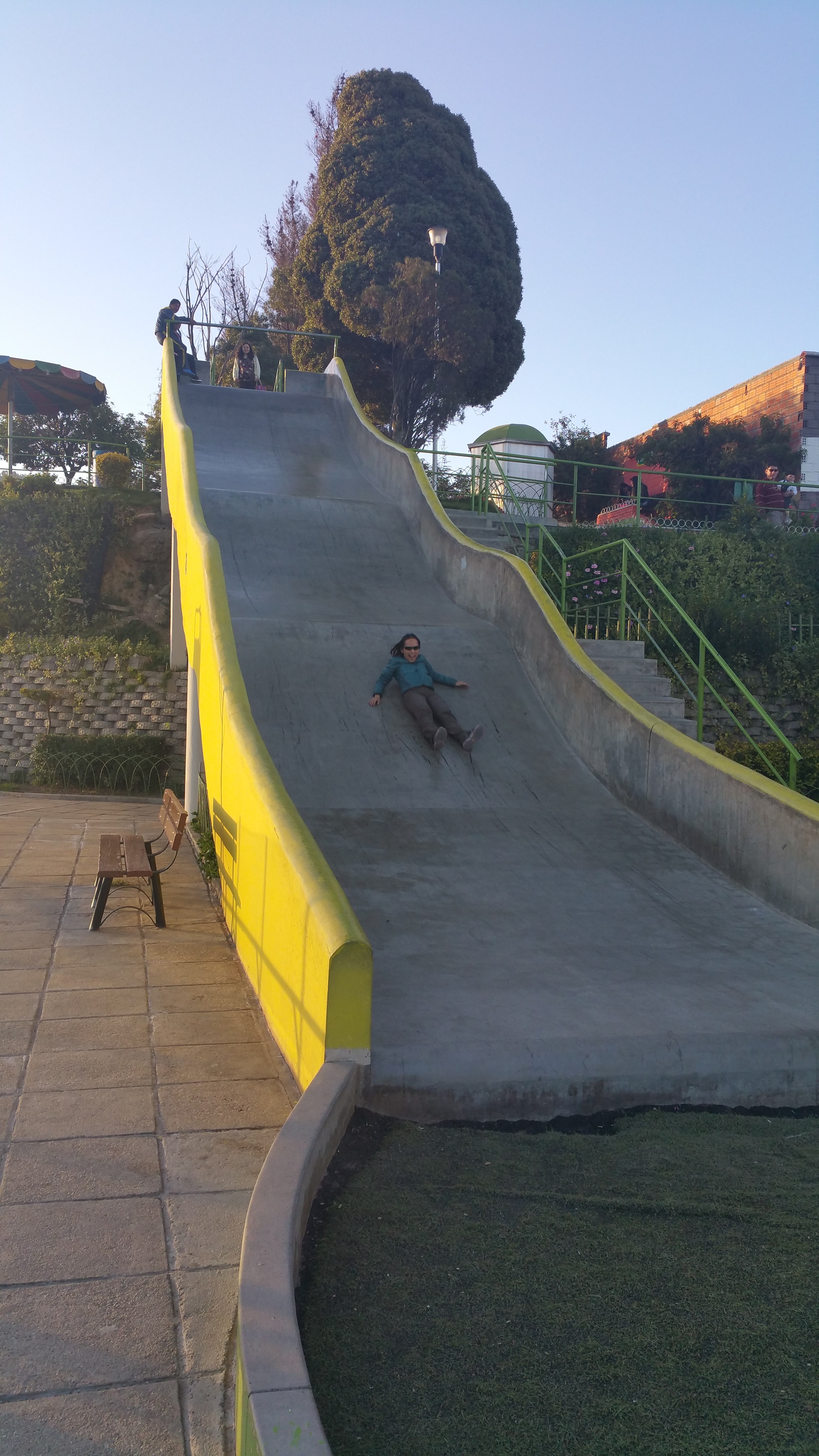
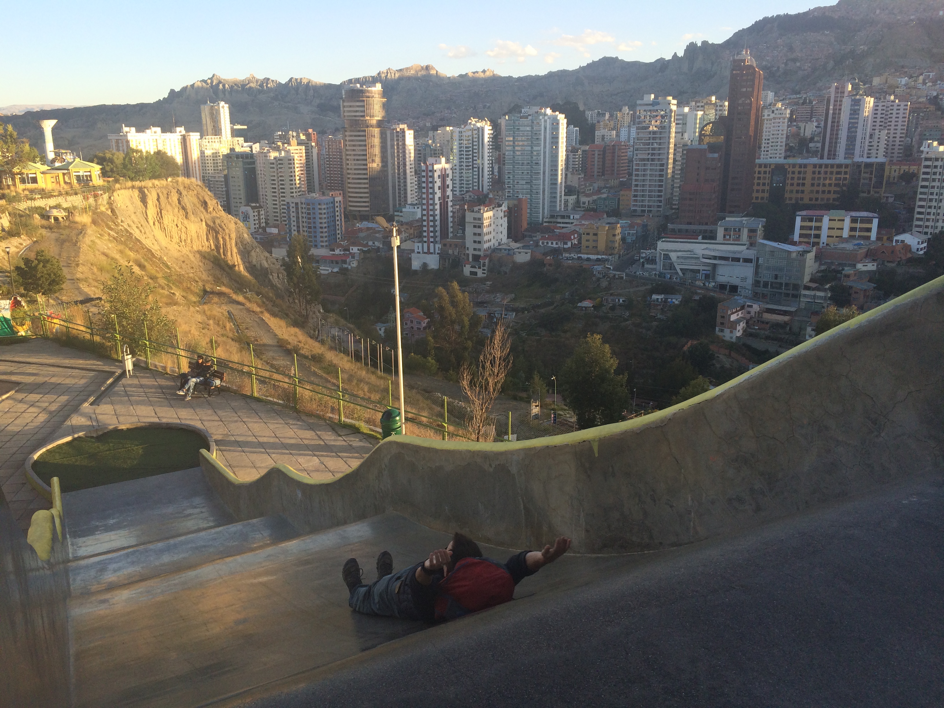
Laikakota Park has an entrance fee of 3.5 bolivianos (bobs), ~50¢.  This park is basically a large playground with incredible viewpoints. Amusingly enough the best viewpoint was from a giant slide. Whee!20150519_173926_017 IMG_178020150519_180017

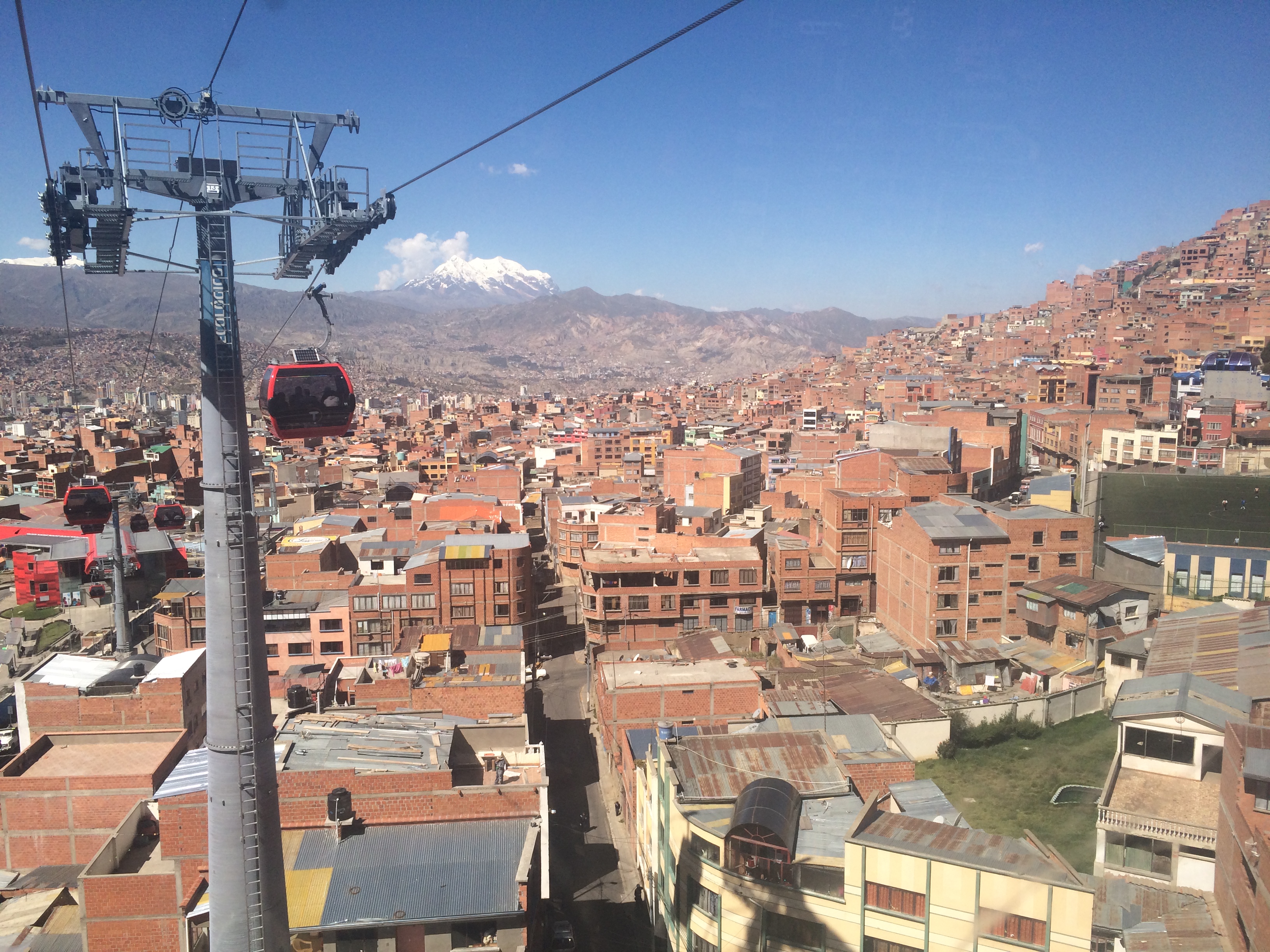
We fortunately happened to be in La Paz on a Thursday.  On Thursdays and Sundays, one of the largest markets in the world takes place above La Paz in El Alto. And better yet, we were able to take one of their newest forms of transportation: the cable car.IMG_1838

Transportation is a nightmare in La Paz.  There is literally no public transportation for the metropolis of over 2 million people.  All forms of shared transportation are private. Thankfully in 2014, the construction of a modern cable car was completed.  Now instead of enduring a 30-minute minibus ride to the top of El Alto, one can travel from La Paz to El Alto within minutes all for only 6 bobs (~85¢) roundtrip.  And not only is it efficient and inexpensive, the views are spectacular.  It’s incredible that this cable car is one form of commuting.IMG_1845

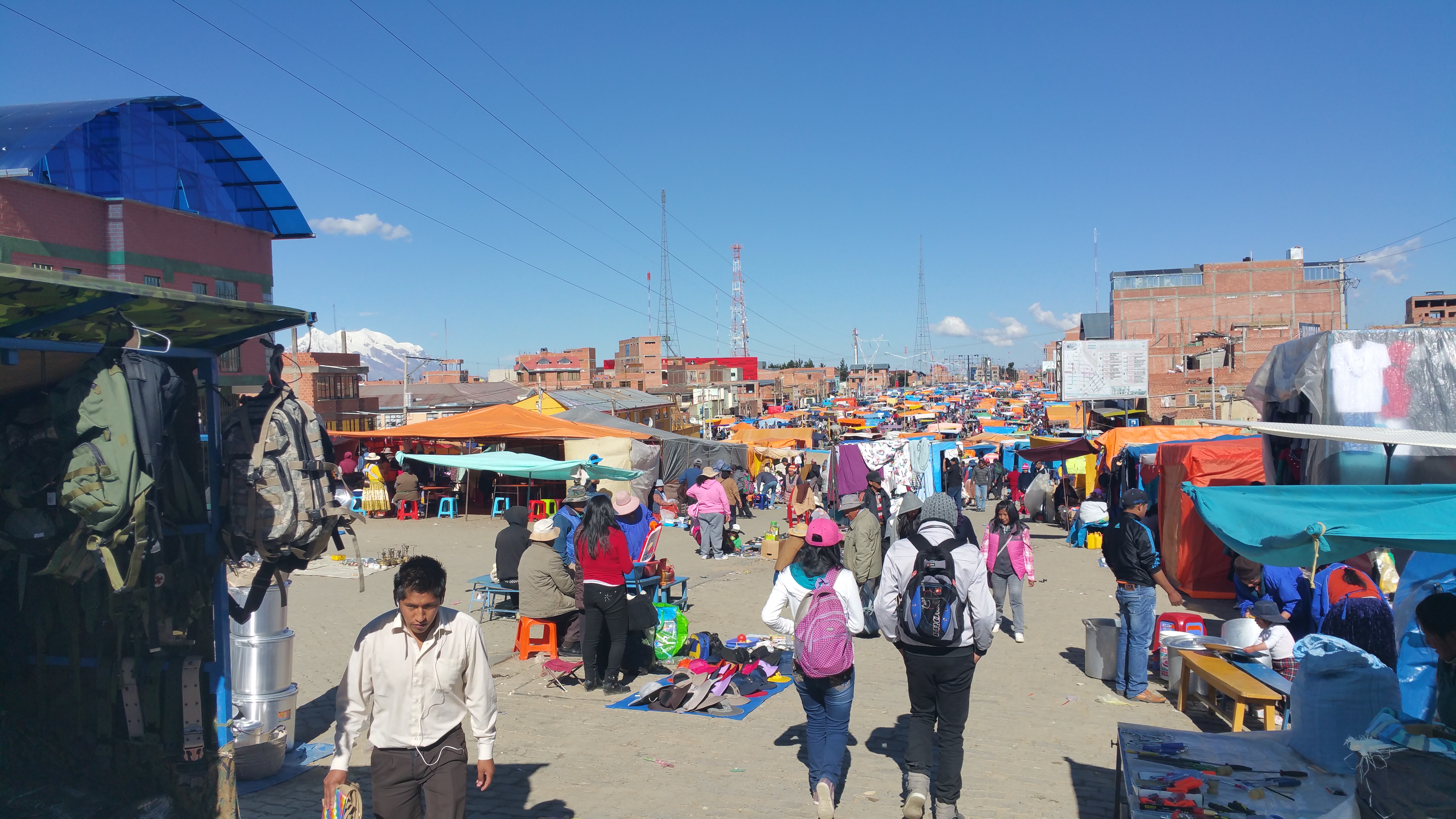
The Thursday market was full of life, energy, people, and practically anything you can think of for sale.  From produce, to lotion, to clothes, to shoes, to kitchenware, to stolen car parts, the market has it all.20150521_145704

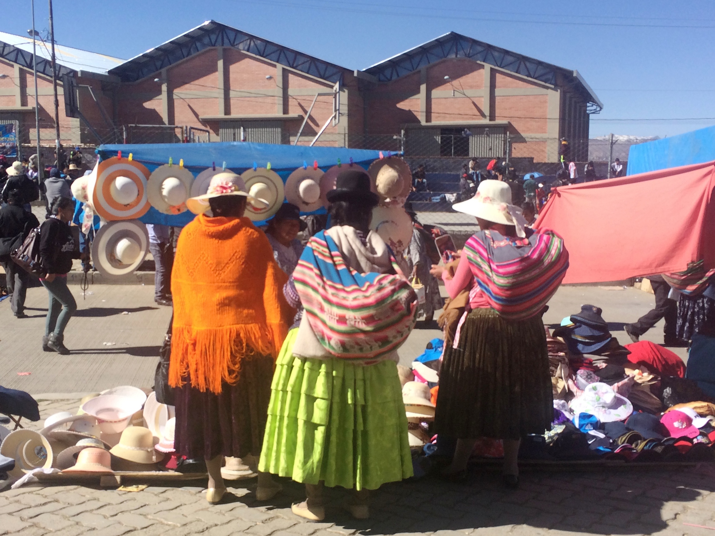
Women buying hats.IMG_1862

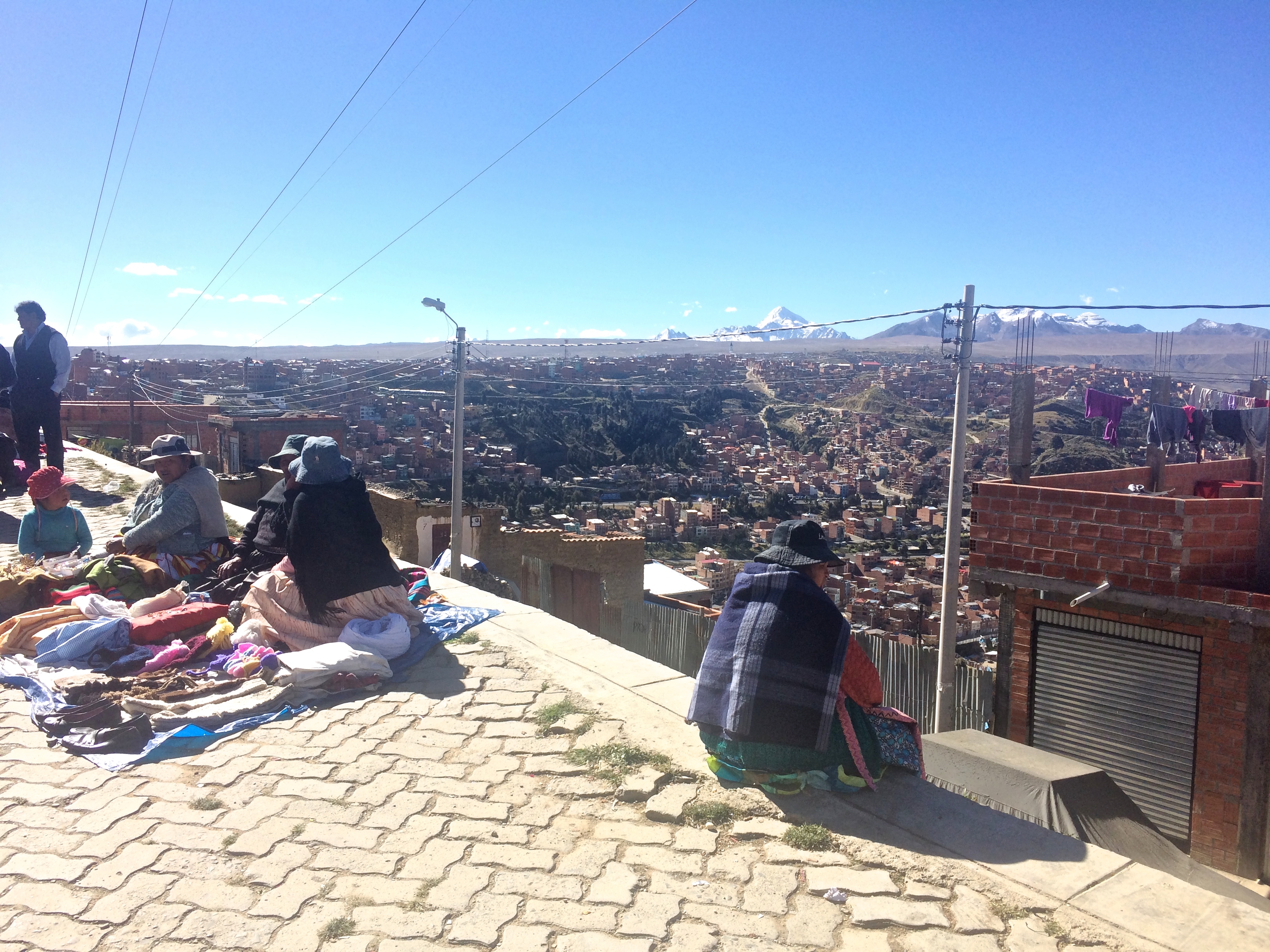
La Paz as seen from the El Alto market.IMG_1868 20150521_141737

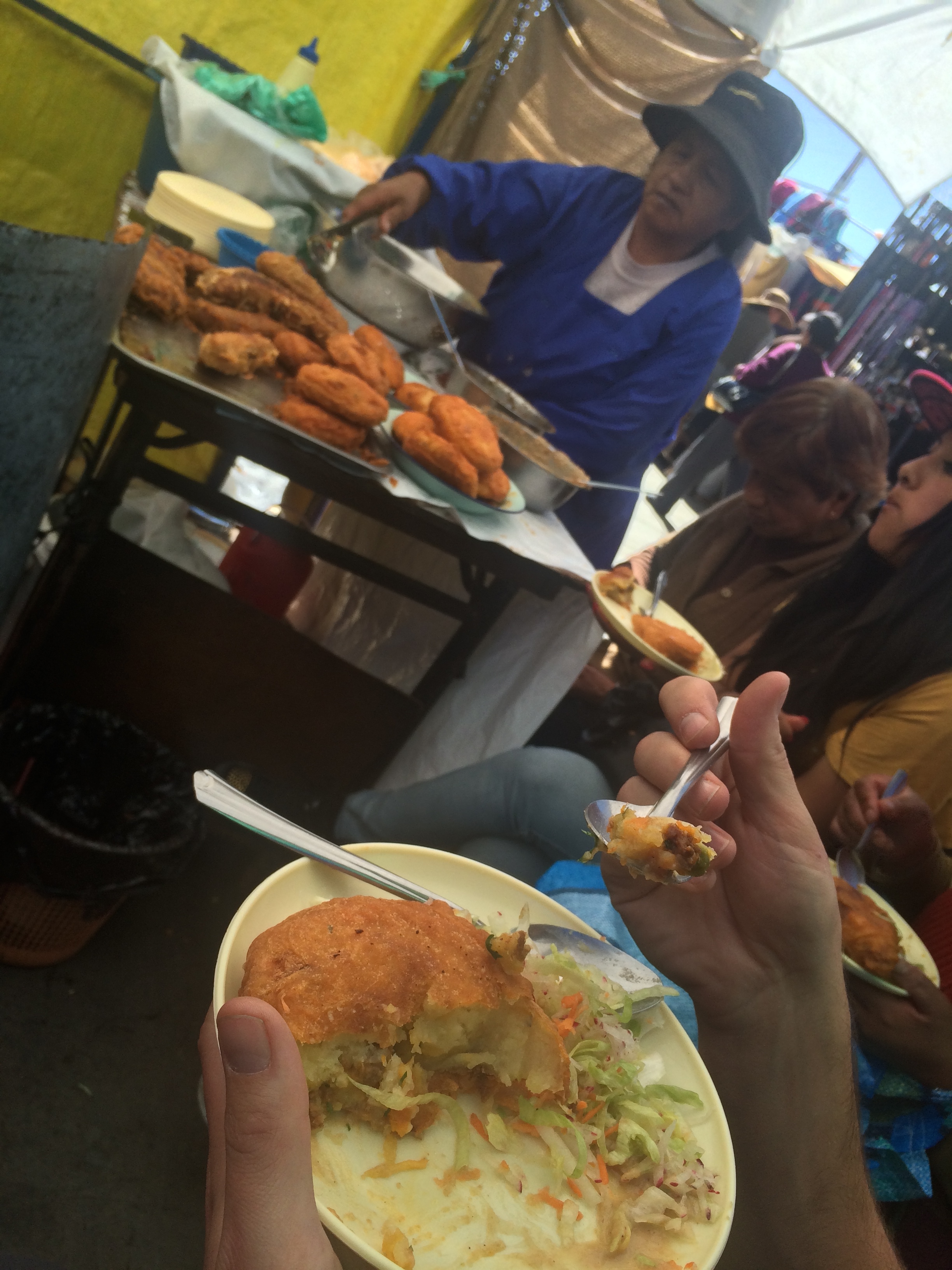
My favorite thing about local markets is the street food.  We had no idea what this fried potato thing was, but we wanted to try it. It only 4.5 bobs (~65¢) and amazingly delicious.IMG_1853

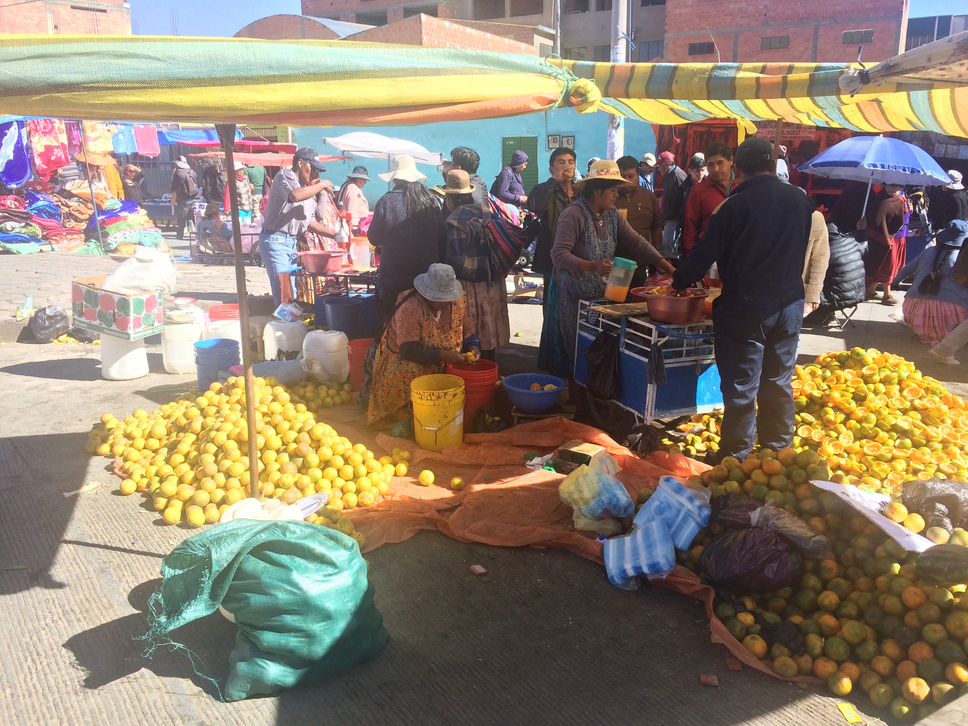
Fresh squeezed tangerine juice, 1.5 bobs (~20¢).IMG_1866

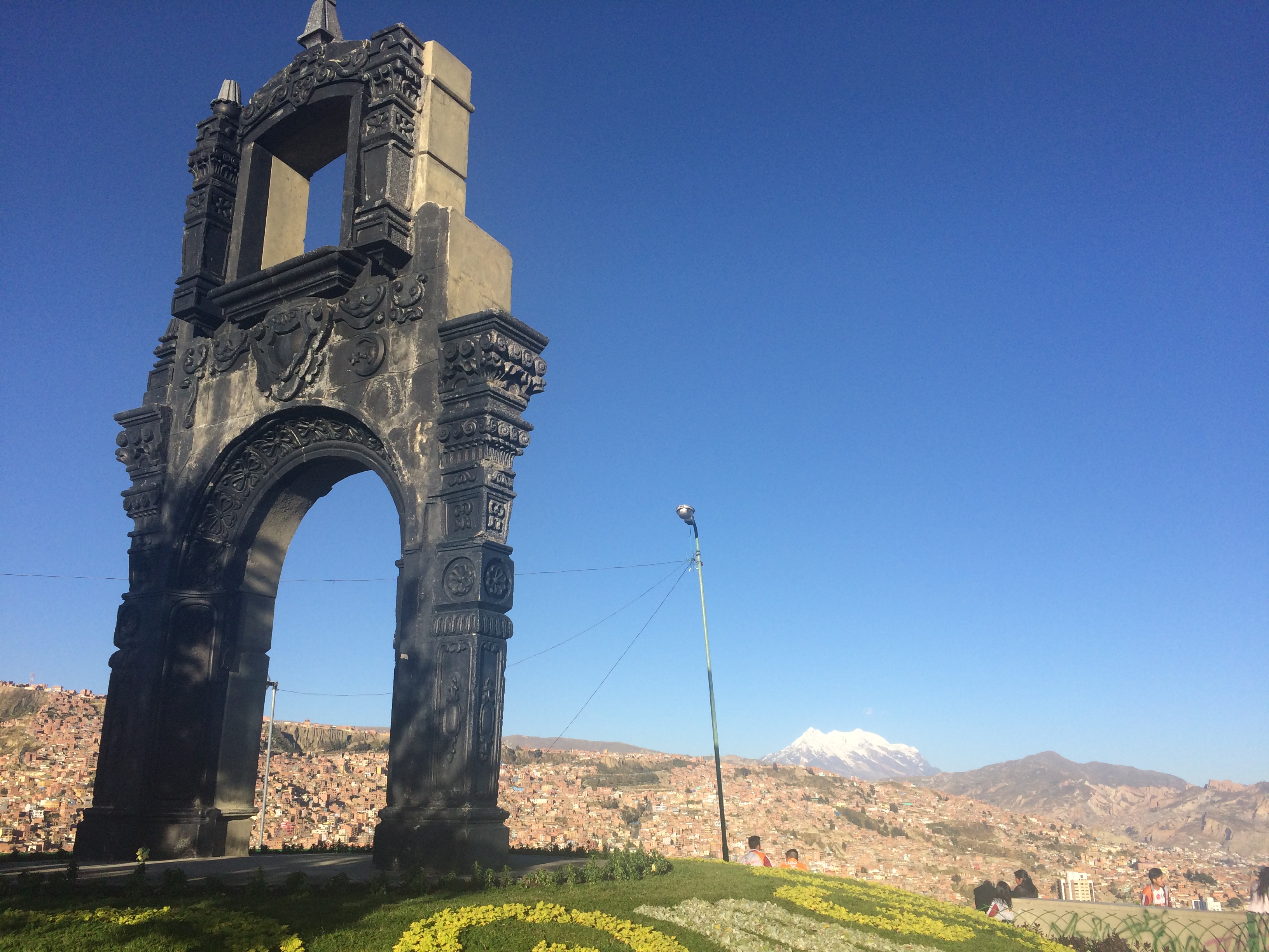
With our hearts content and bellies full, we spent our final afternoon and evening in La Paz at the best viewpoint: Killi Killi Mirador.  The 360º views and the looming shadow over the city at sunset could not be beat.IMG_1876 20150521_172247

Sadly in the States, I’ve always heard of Rio de Janeiro, Buenos Aires, and Santiago.  No one ever really speaks of La Paz.  Is it because the typical American prefers not to wander out of his comfort zone?  Do they prefer the comforts of modern society instead of indigenous culture? La Paz is so little known and talked about…perhaps because Bolivia is one of the least-visited South American countries. Truthfully I hadn’t even considered visiting Bolivia until a month into our trip, and after gazing in awe at its gorgeous landscape and breathtaking cityscape, I am so glad I made it to Bolivia.

Posted in Bolivia | Leave a comment

Lauca National Park

Literally every other traveller I met told me they had never heard of Lauca National Park when I told them that it would be our final destination in Chile before departing for La Paz, Bolivia. In the process of figuring out the logistics of getting there and away, transport, and lodging, I soon discovered why it was not a part of the typical backpacker’s route in South America. 20150517_120403

Lauca National Park is highly underrated. In my opinion, its “wow” factor is comparable to the increasingly popular Torres del Paine in the far south. I think most people don’t travel there or know about it due to the lack of information and popularity, but its beauty is so spectacular I wouldn’t be surprised if it became a destination for eco-tourists in the next generation. All I can say is that my research and planning for this excursion in the extreme north of Chile was worth it. Below I’ll lay out all the information I dug up.

They say Arica, the northernmost city of Chile only 20 km south of Peru, is the base for Lauca National Park. It’s not. Well, it is if you do the highly un-recommended day tour from Arica, where you spend most of your time in the bus and only get just enough time to snap some photos of the volcano and lake. Although a budget option, a day trip from Arica would mean going from sea level to 4,500 meters and no time for any hiking. If you’re the type of tourist who doesn’t mind being in a bus all day just to snap a few photos, go for it. But no outdoor enthusiast should go with this option.

The mid-range option (which I would have done if I wasn’t going to Bolivia) is to rent a car from Arica. You could rent a car first thing in the morning, drive all the way to the park, and then spend a night in the nearest town of Putre. Then the next morning you could return to the park one more time before heading back to Arica to return the car. I would recommend bringing a jug of gasoline because there are no gas stations in Putre (or outside of Arica for that matter). It is possible to buy gas in Putre from a siphoned can at a higher price. This is definitely the best option if you plan to return to Chile.

The expensive option is to make Putre the base for Lauca National Park and hire a tour/private driver. Food and lodging in this tiny town of ~400 people is incredibly expensive due to its location. I picked this option only because we were heading to Bolivia next; its vicinity to the border was a convenience I could not pass up. We took the night bus from San Pedro to Arica, spent a day in Arica, headed out to Putre early the next morning, spent 3 nights in Putre, and then continued our journey to La Paz, Bolivia.

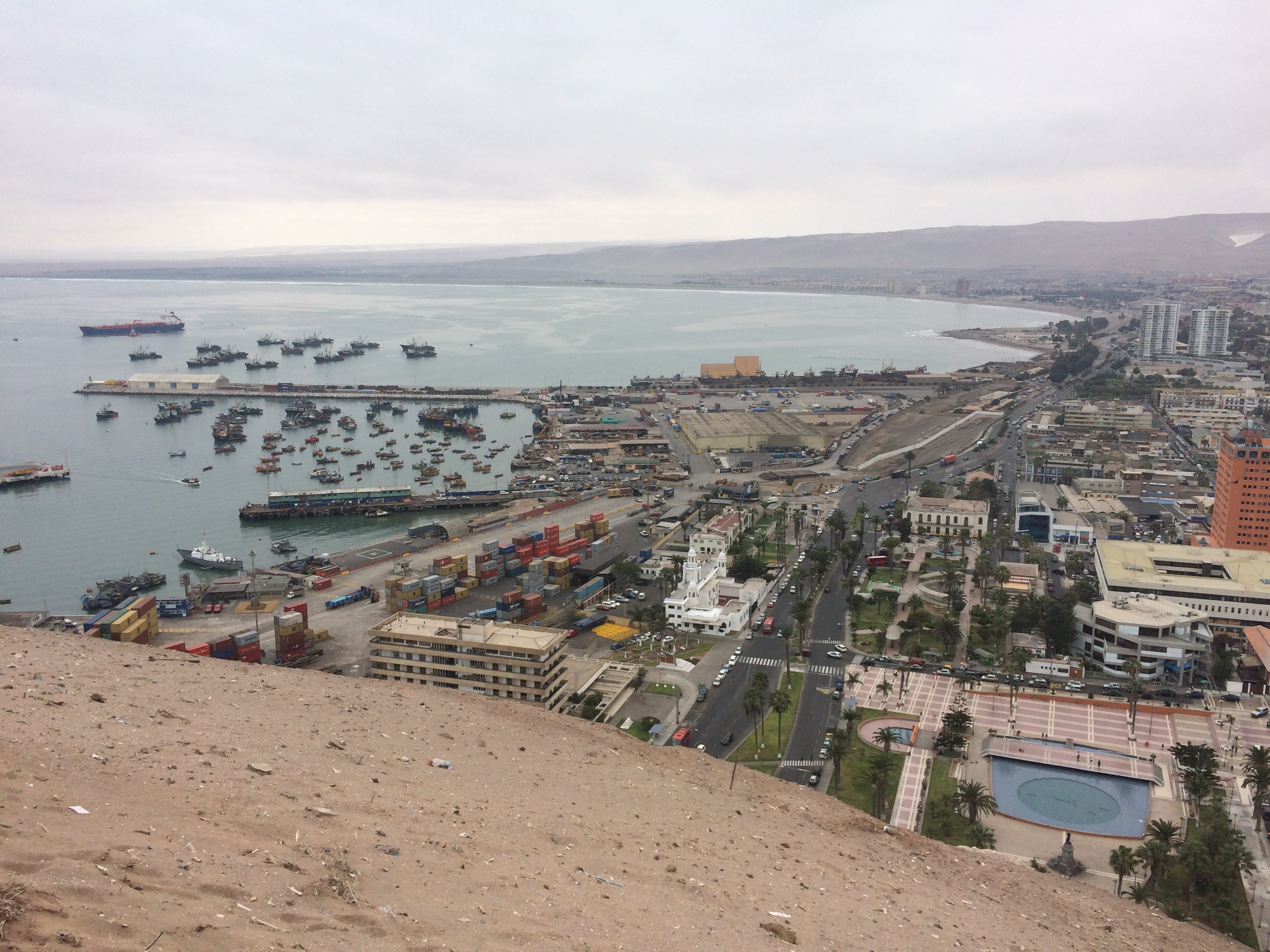
There isn’t a whole lot to do in the sleepy beach city of Arica, so 1 day sufficed. We strolled up the steep hill of El Morro to take in the views of the city and engage in philosophic discussions. It was cool seeing the curve of South America from this hill—you can even see Peru in the distance!IMG_1559map

We left early the next morning at 6:30am for Putre. Our hostel keeper telephoned La Paloma (the bus company that leaves daily at 7am for Putre) the day before to book our bus tickets, and also scheduled a taxi to pick us up and take us to the terminal (not the same as the main bus terminal). The taxi cost 2,500 pesos (~$4) and the bus ticket cost 9,000 pesos pp (~$15). The windy bus ride into the mountains to Putre only took 3 hours.

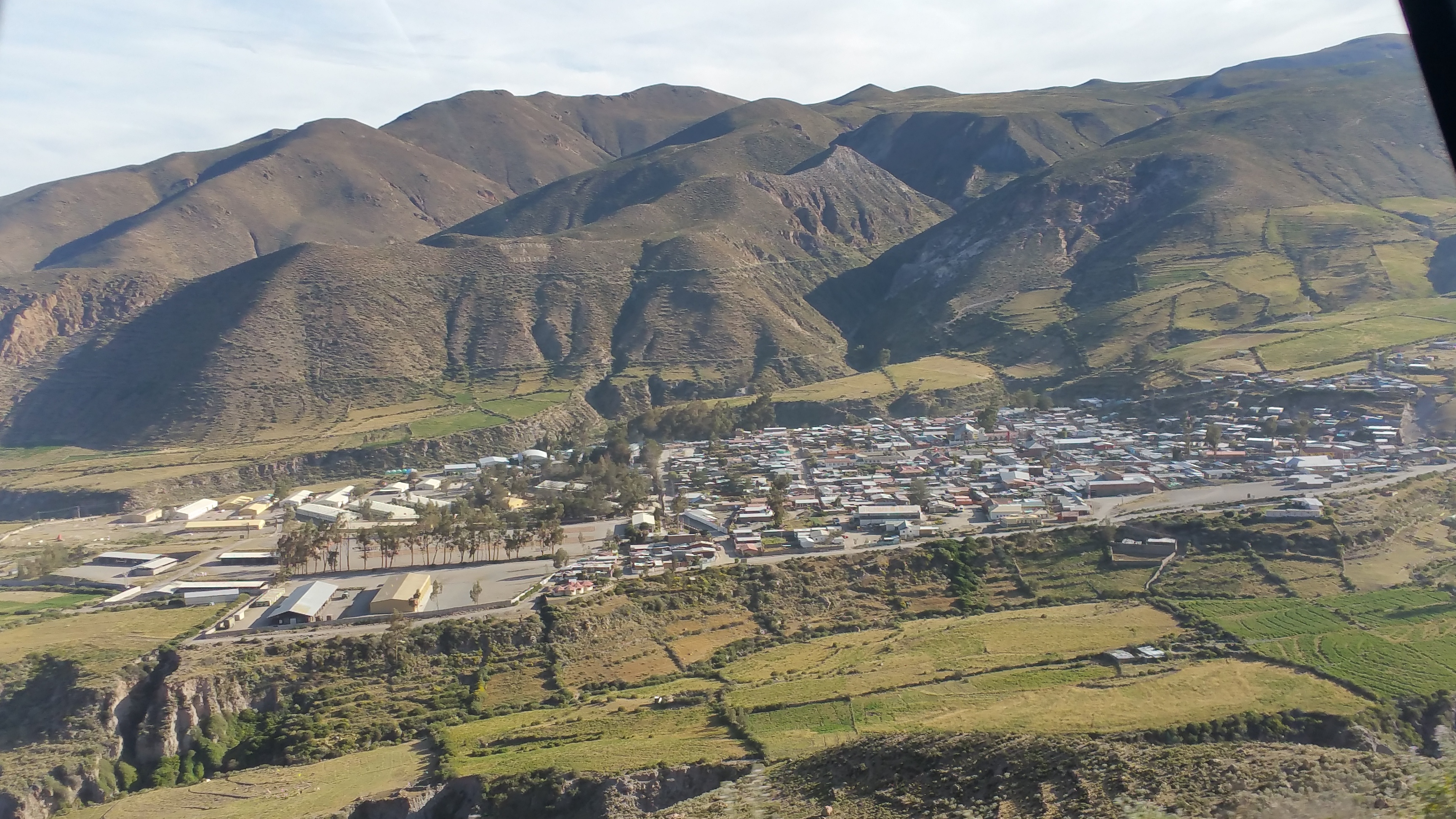
Putre, the tiny little town, as seen from the highway:20150515_095126

This town is tiny. And I mean TINY. There are only 3 restaurants and maybe 4 places for accommodation. Out of the places for accommodation, only 2 had heating. And out of the 2 that had heating, one had only 5 rooms. Because the temperatures ranged from subfreezing to 55ºF, we opted for lodging with heating. Had we not just done a week in San Pedro and 4 nights in Southern Bolivia in freezing temperatures without heating, I think we could have braved 3 nights in Putre. But we were over it. We wanted the comfort.

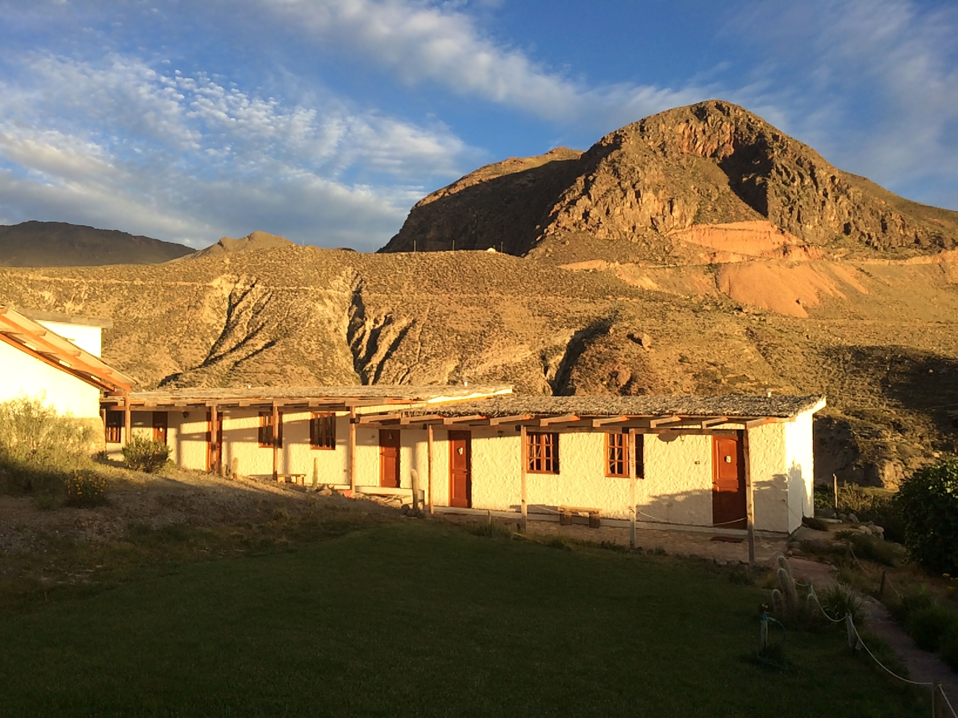
Terrace Lodge had the best reviews in town, and we definitely splurged there to be comfortable. At $80/night, it was not cheap, but it was super clean, comfortable, and warm. There are also only 5 rooms—we lucked out with availability due to the low season. An Italian couple runs the place and they told us that most tourists in Putre are European…hardly any are American, and none are Chilenos. During our stay there everyone else was German and in their 50’s.  Since there were hardly any tourists in this tiny, remote town, we saw the same faces everyday—and we were definitely the only Americans.IMG_1639

They said only one day is needed in Lauca National Park, and there were 2 other possible excursions: Suriplaza in the far north, or Salar de Surire to the south. Because I had no interest in seeing these places and because I loved Lauca National Park so much, we visited the park twice. Everyone else at our lodge had rented cars from Arica, but because we did not have a vehicle, we had to hire a private driver and 4×4 vehicle from Terrace Lodge for 75,000 pesos (~$125) per day.

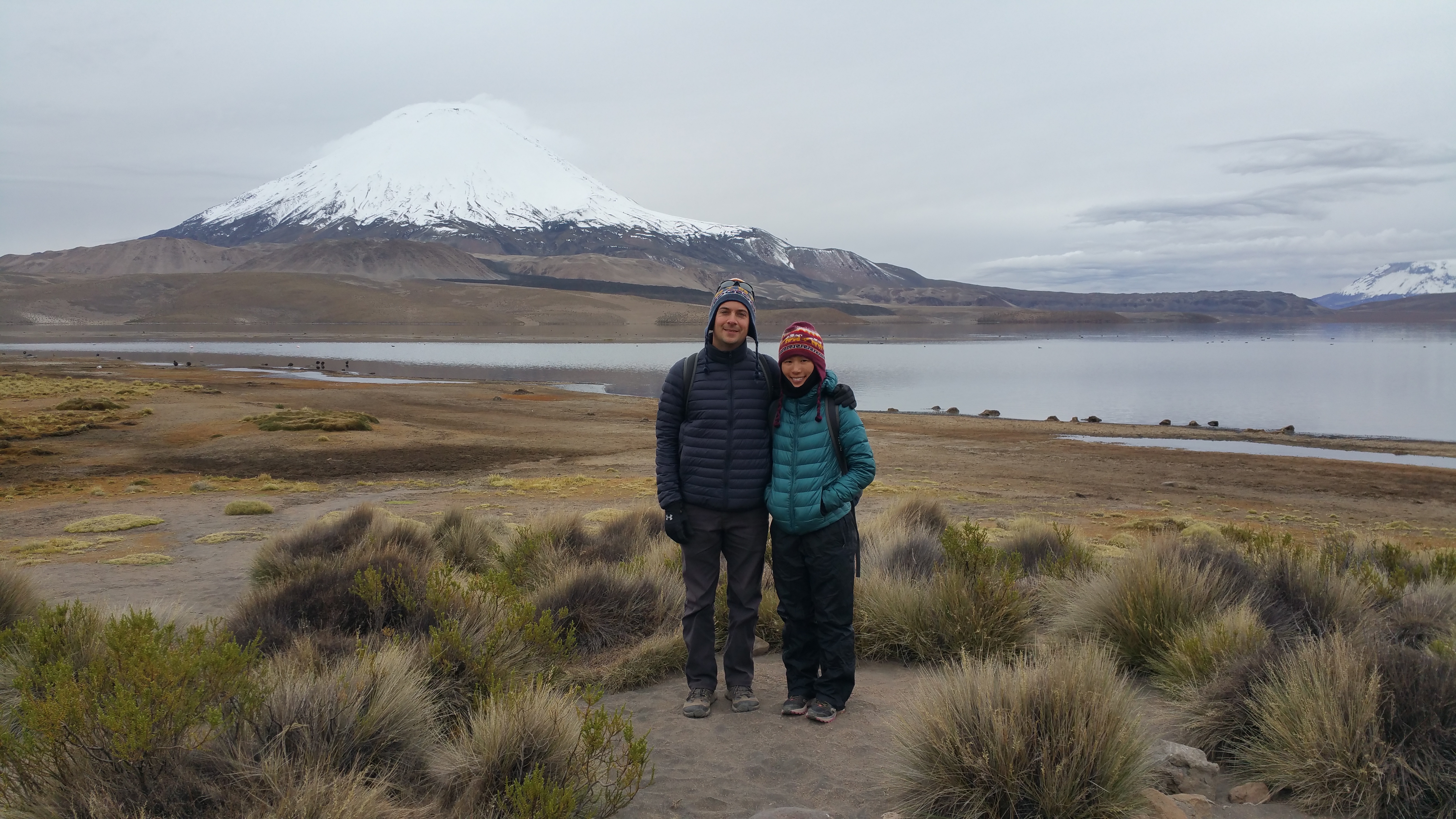
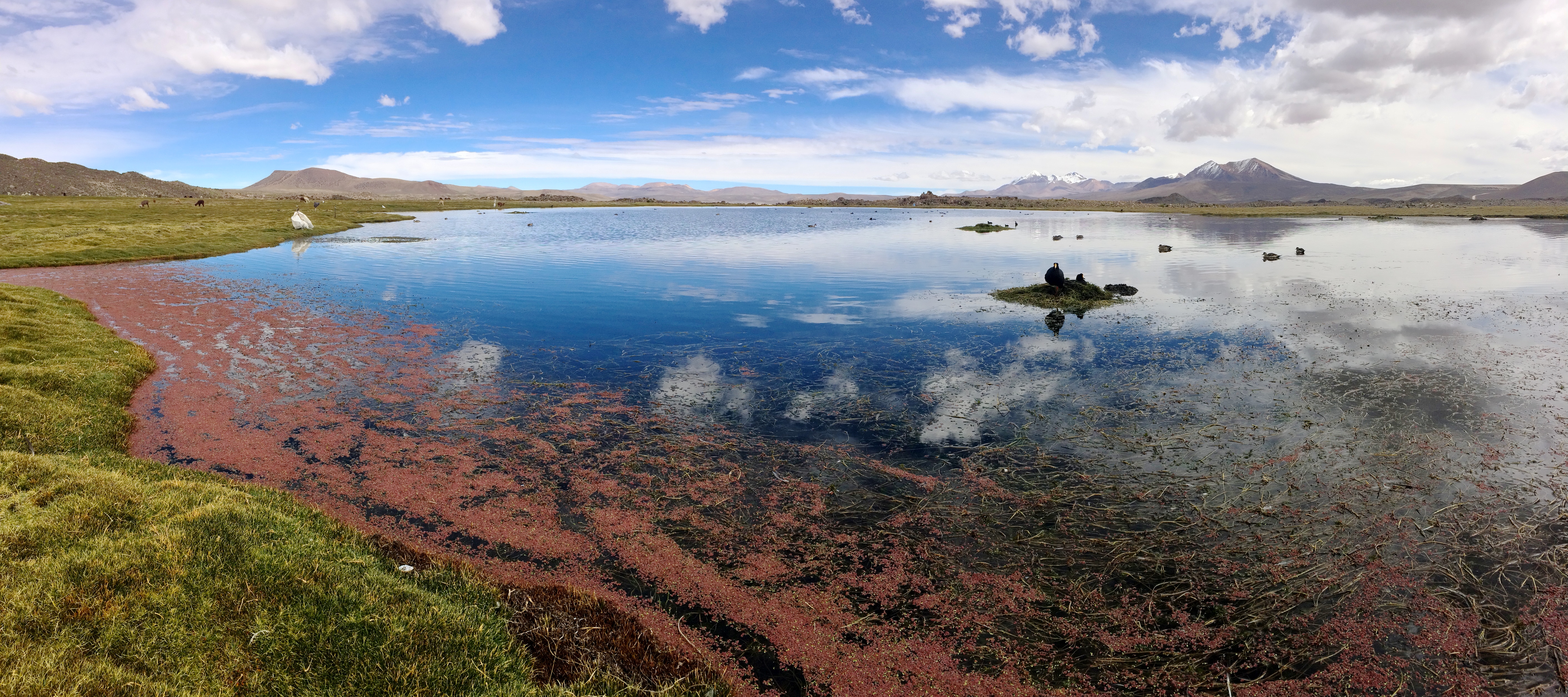
Overcast skies are rare for the area, and we were just so unfortunate to have cloudy weather for our first day. When we arrived at Lago Chungara in the morning, the skies were a heavy gray and the lighting was poor for photography.20150516_101600IMG_1586

We made a brief stop at Lagunas de Cotacotani, which looked terrible under the dark skies. I knew how epic the lagoons looked in proper lighting, so I opted to return there the next day.

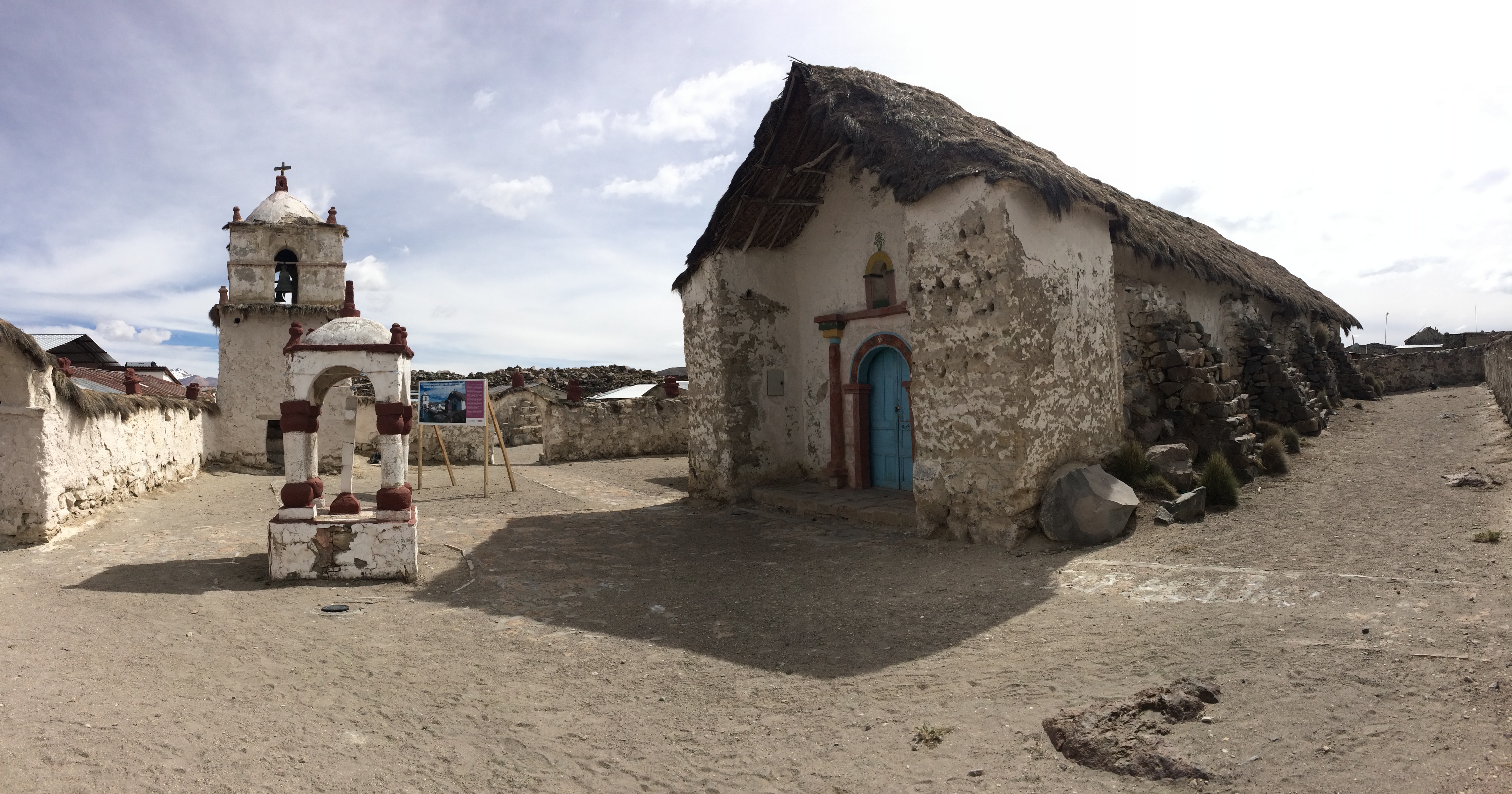
Then we stopped at the small village of Parinacota. Even with just a population of a couple hundred people or less, the central building was this adobe church.IMG_1598

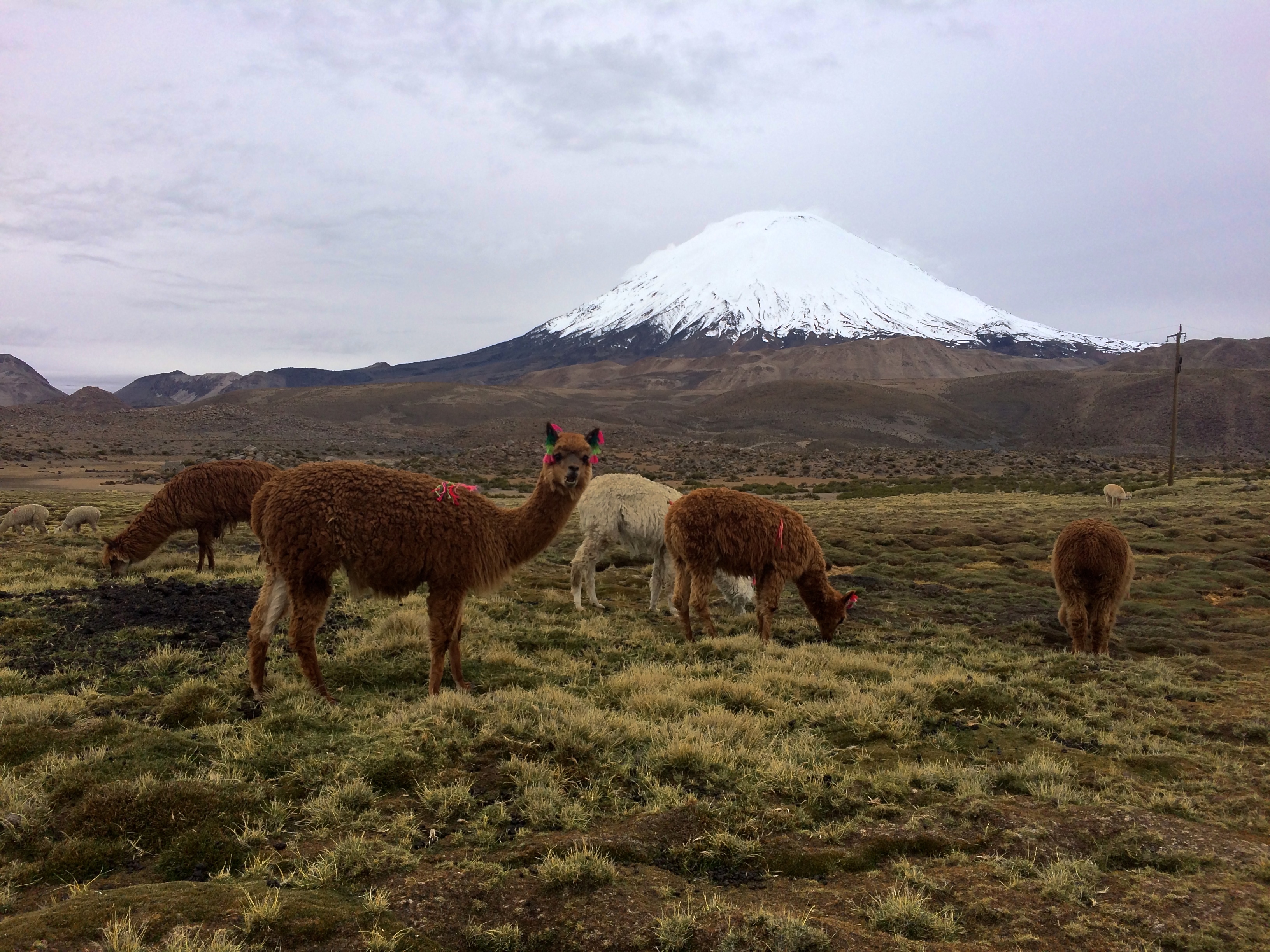
At this time, the clouds began to part, which made for jaw-dropping scenery and photos in Parinacota’s fields of grazing llama and ponds of Andean birds.IMG_1618IMG_1614IMG_1629

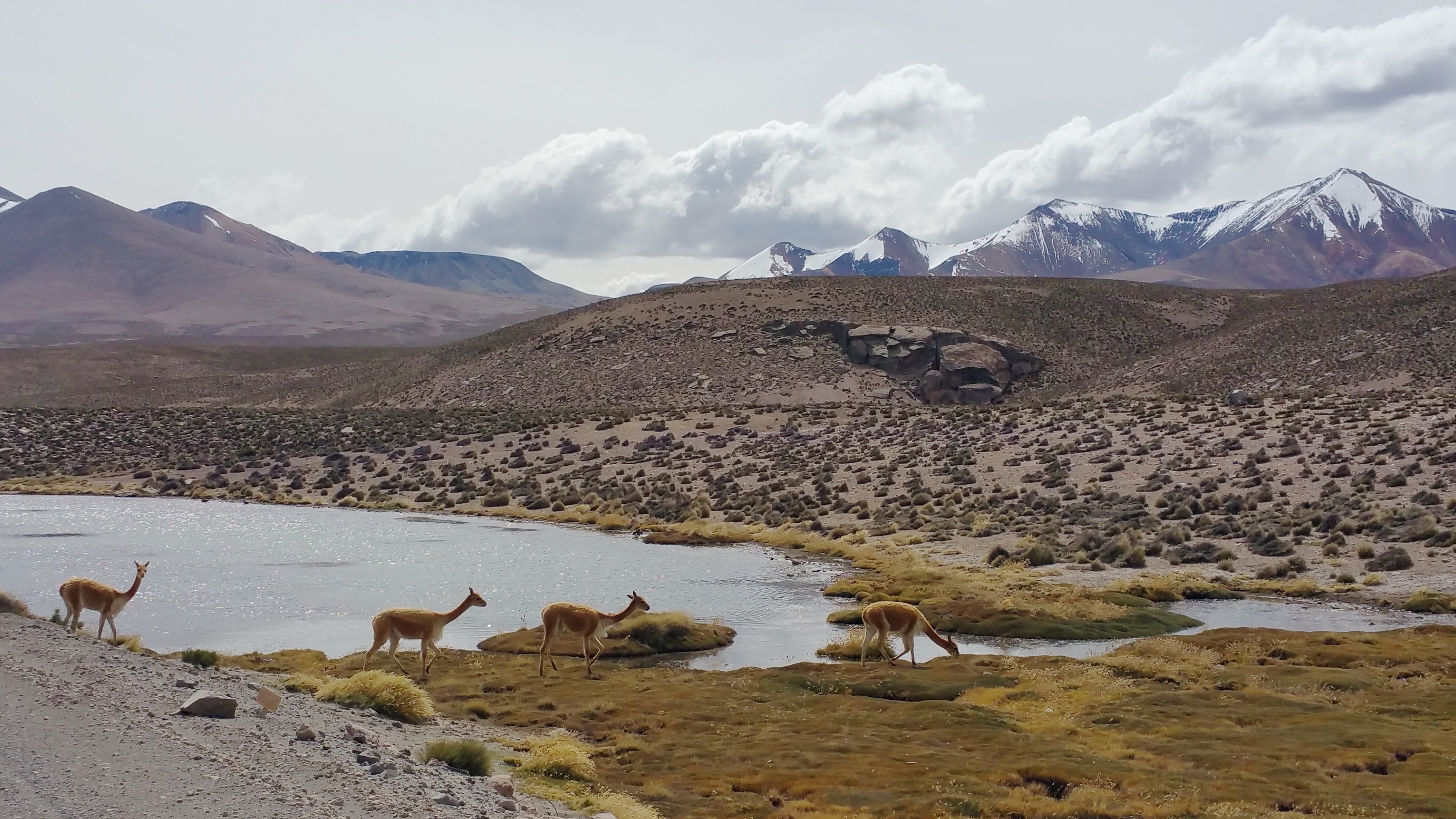
And on the way back into town, we observed vicunas from a distance. 20150516_143029

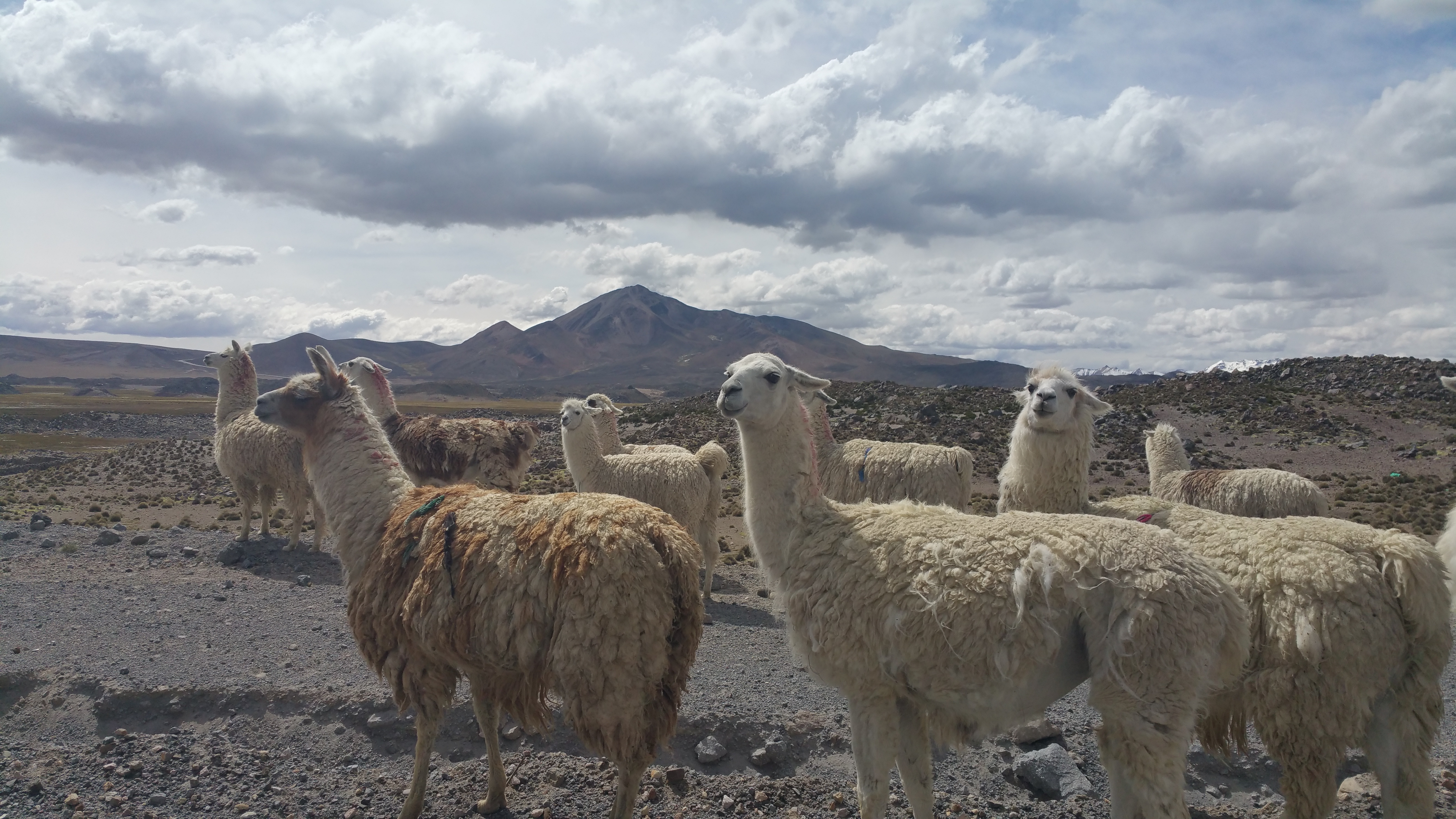
And many roadside llamas.20150516_140718

The weather improved for the following day. It wasn’t simply a plain blue sky; fluffy clouds dotted the sky for more lovely photo opportunities.

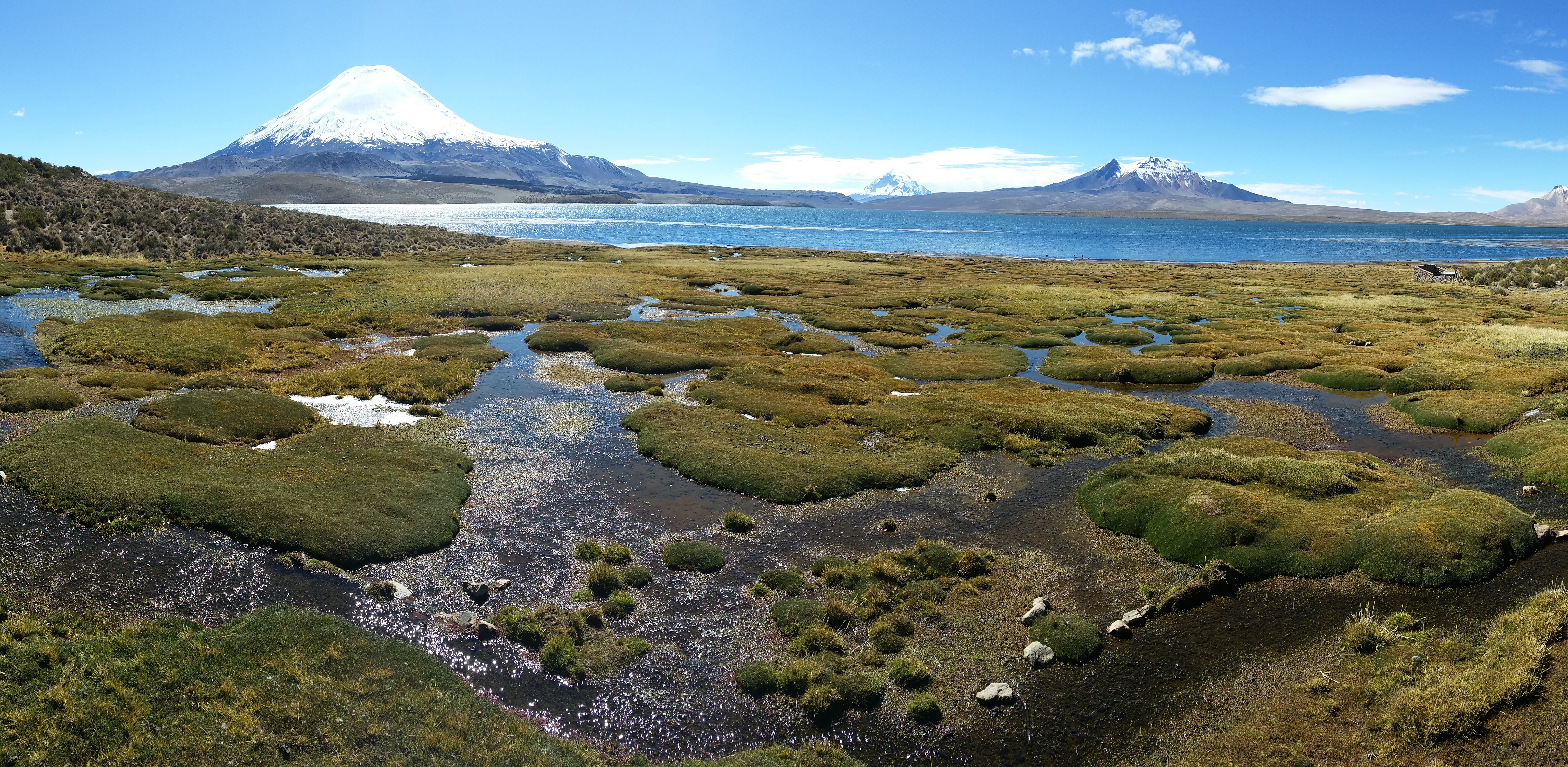
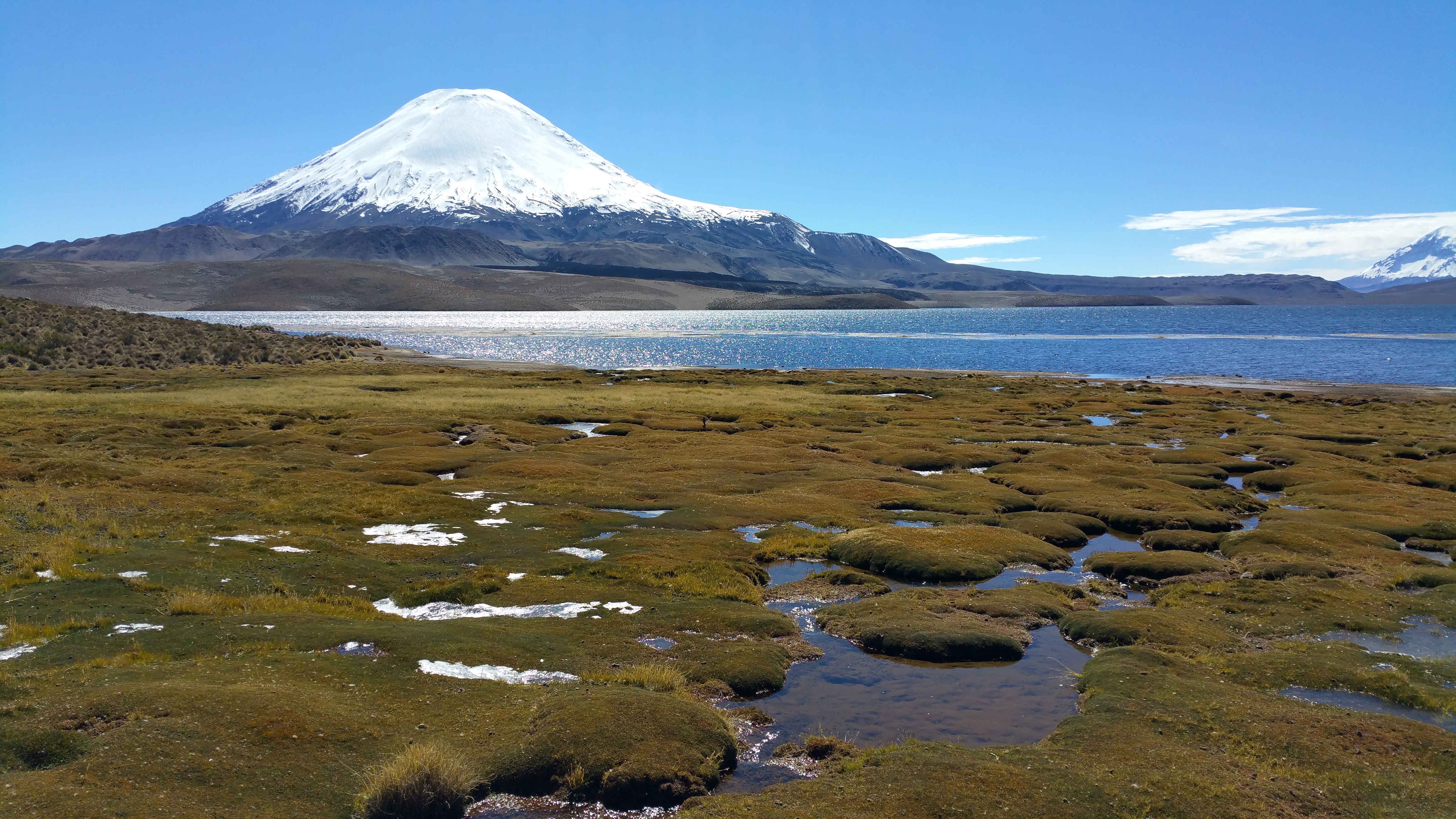
We returned to Lago Chungara. See what a difference the sunshine makes!20150517_120704

We got a kick out of herding some alpacas.IMG_1676

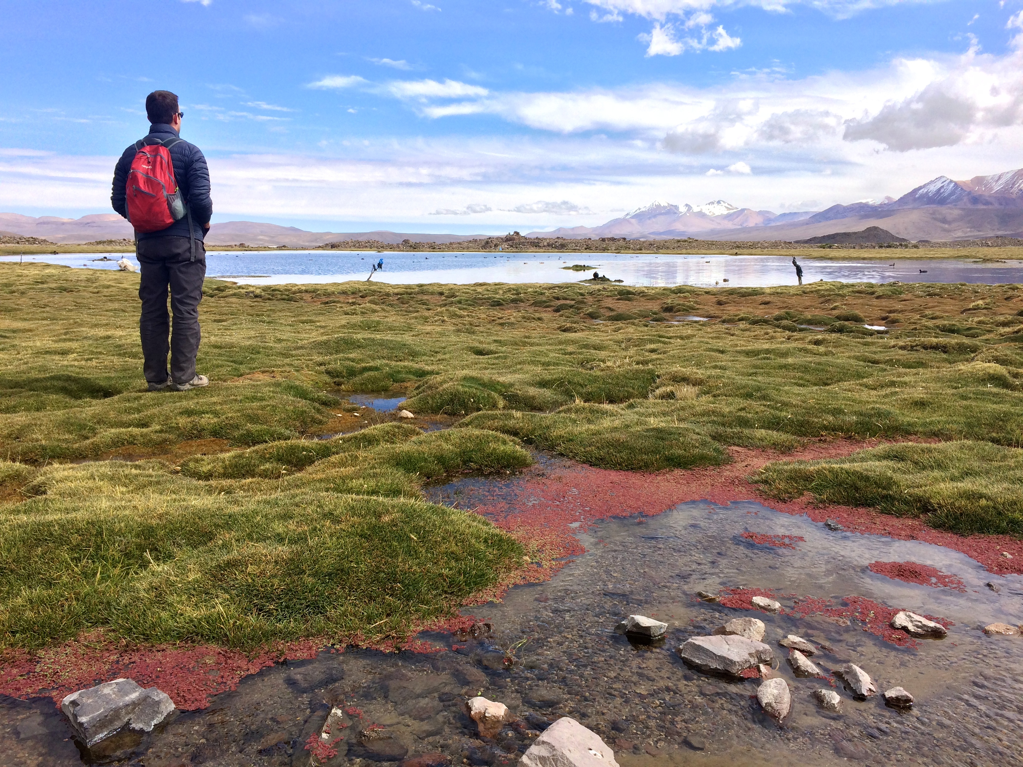
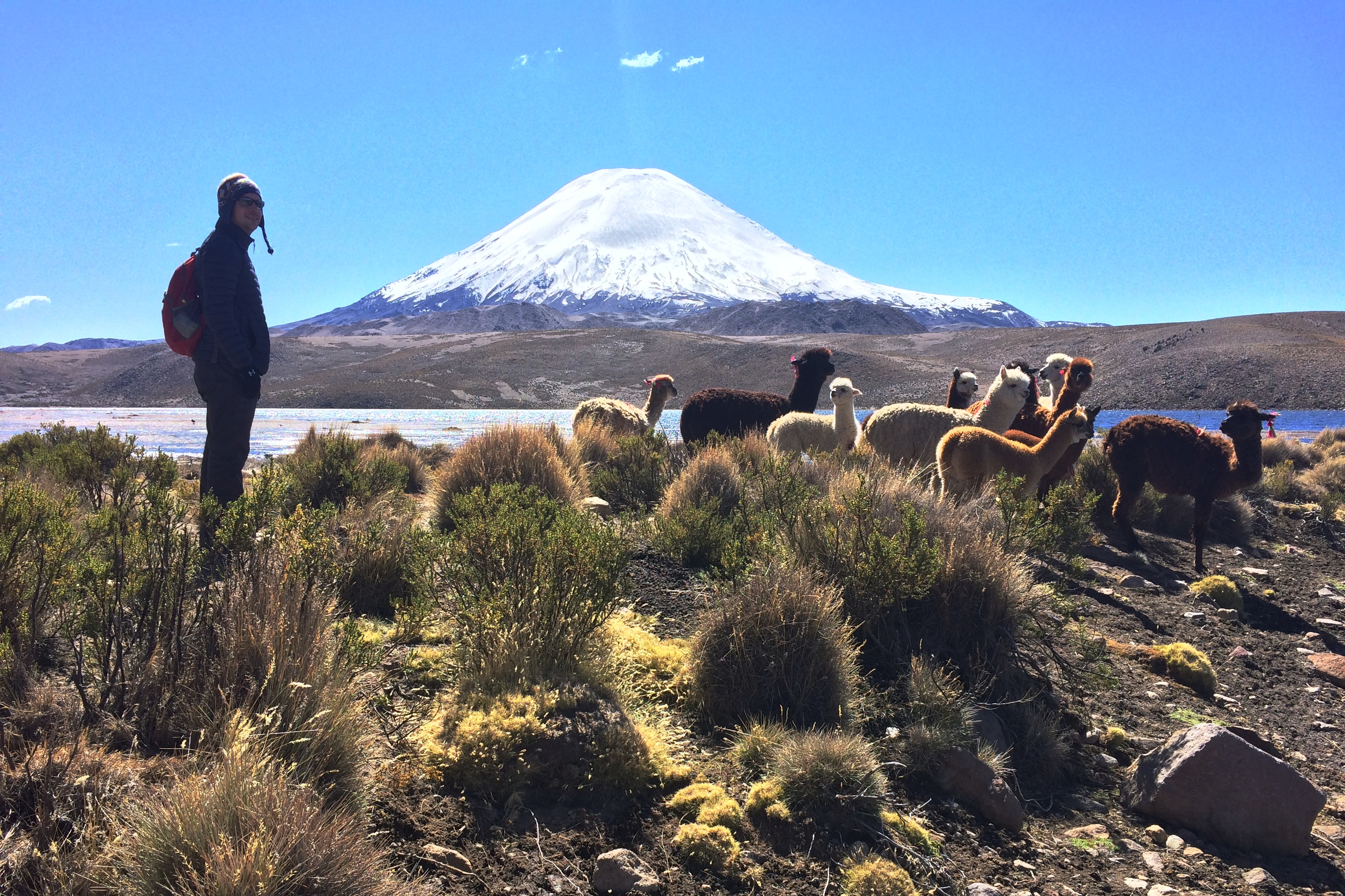
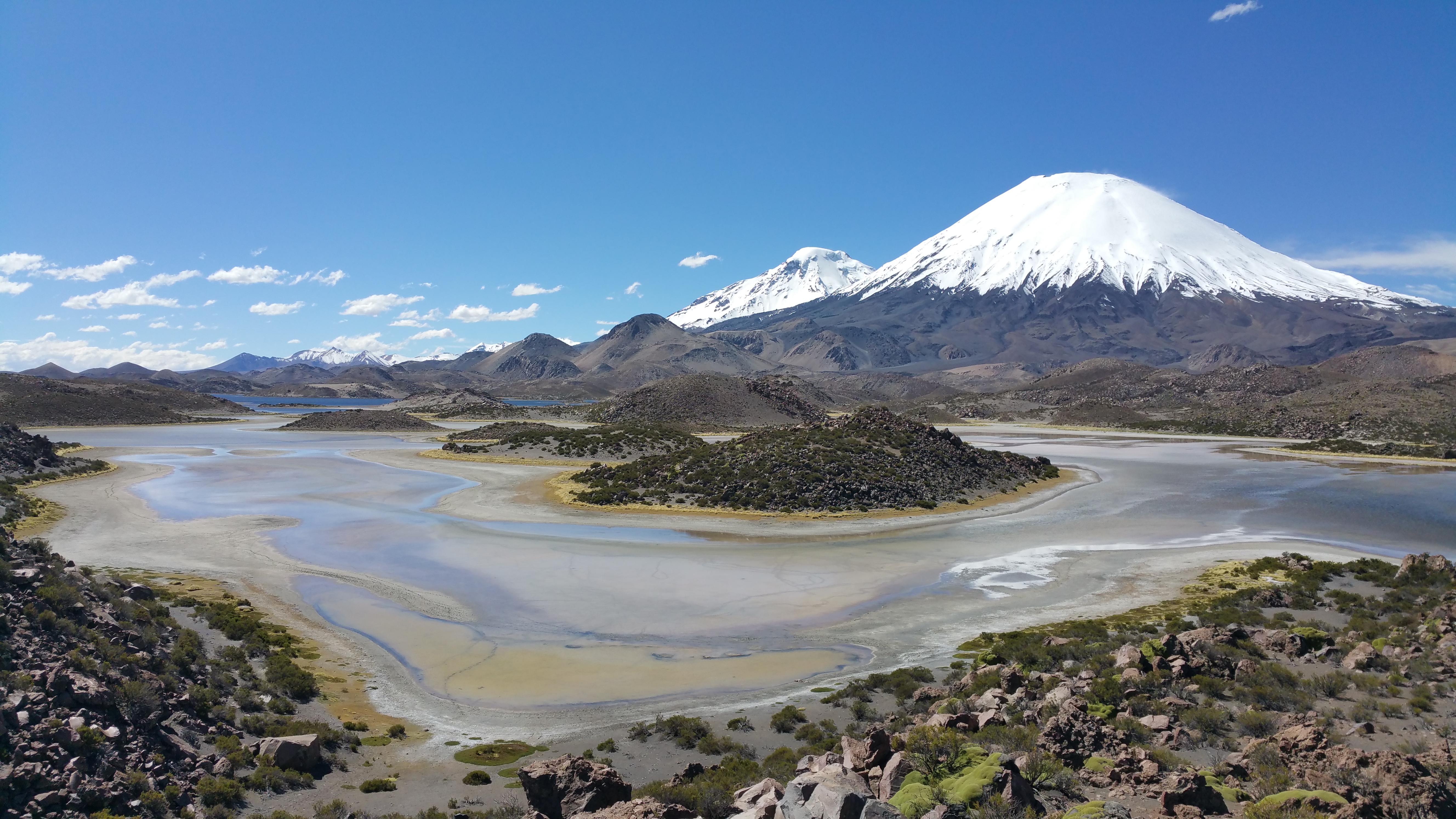
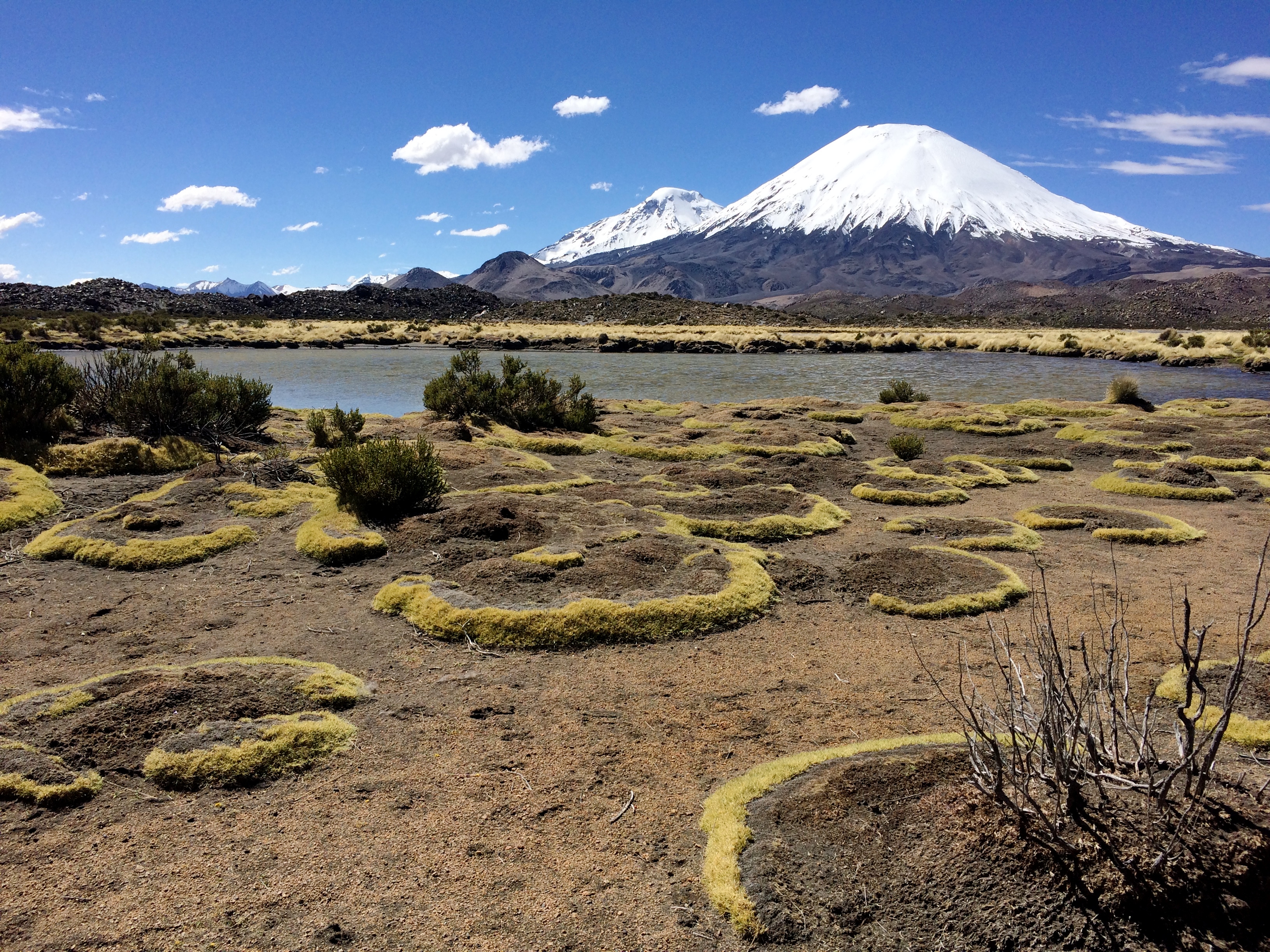
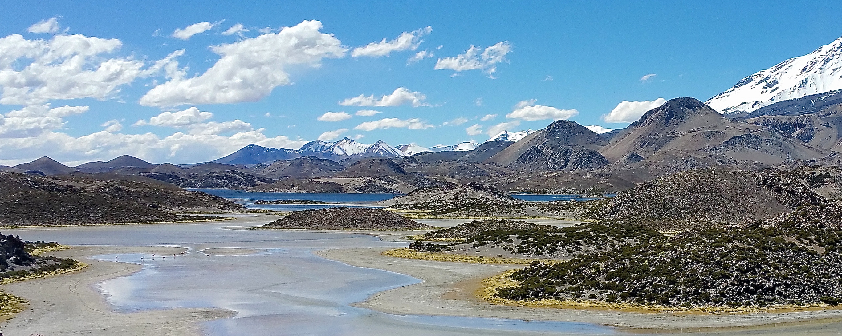
However, what we enjoyed the most at Lauca National Park wasn’t Lago Chungara. Sure, Lago Chungara is one of the highest lakes in the world and boasts a dramatic volcanic backdrop.  Composing photos with llama grazing in the foreground is not difficult to do.  Even the reflection of the volcano in the pristine waters of the lake makes a pretty epic photo. Despite all that, Lago Chungara wasn’t as epic as the Lagunas de Cotacotani. I’m so glad we returned when the sun shone brightly.20150517_135934

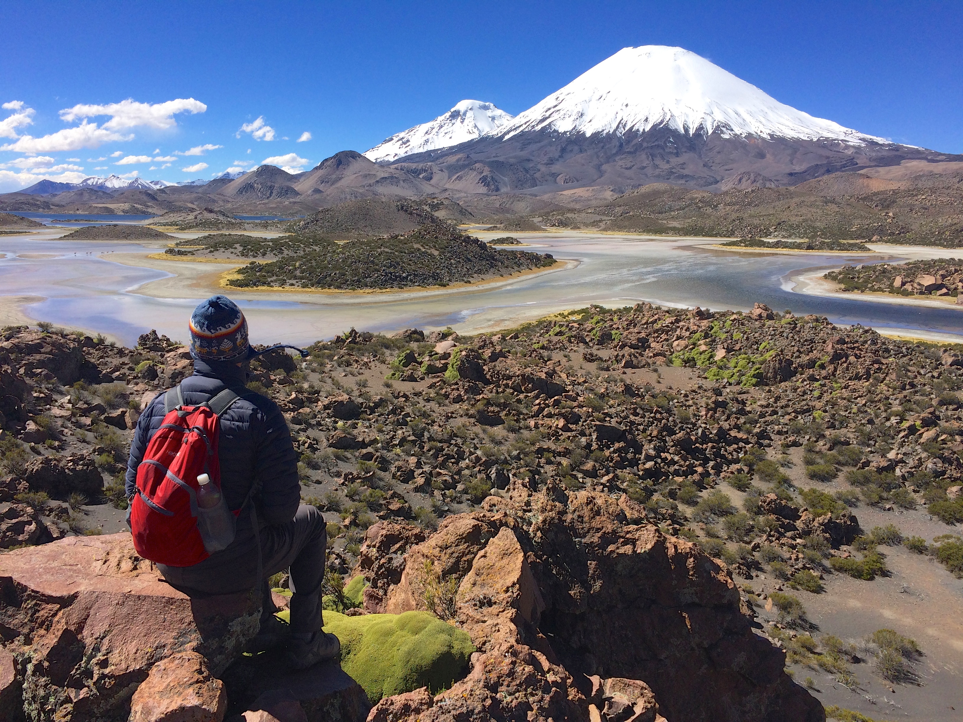
Apparently there is a trail from Lagunas de Cotacotani that leads hikers all the way to the village of Parinacota. However due to rain and lack of hikers, the trail had been washed out. From the highway there is a mirador, but the views are blocked by power lines and are just not close enough! We hiked down to the lagoons; I wanted to perch atop one of the numerous lava rock piles to get the best view possible.IMG_1691

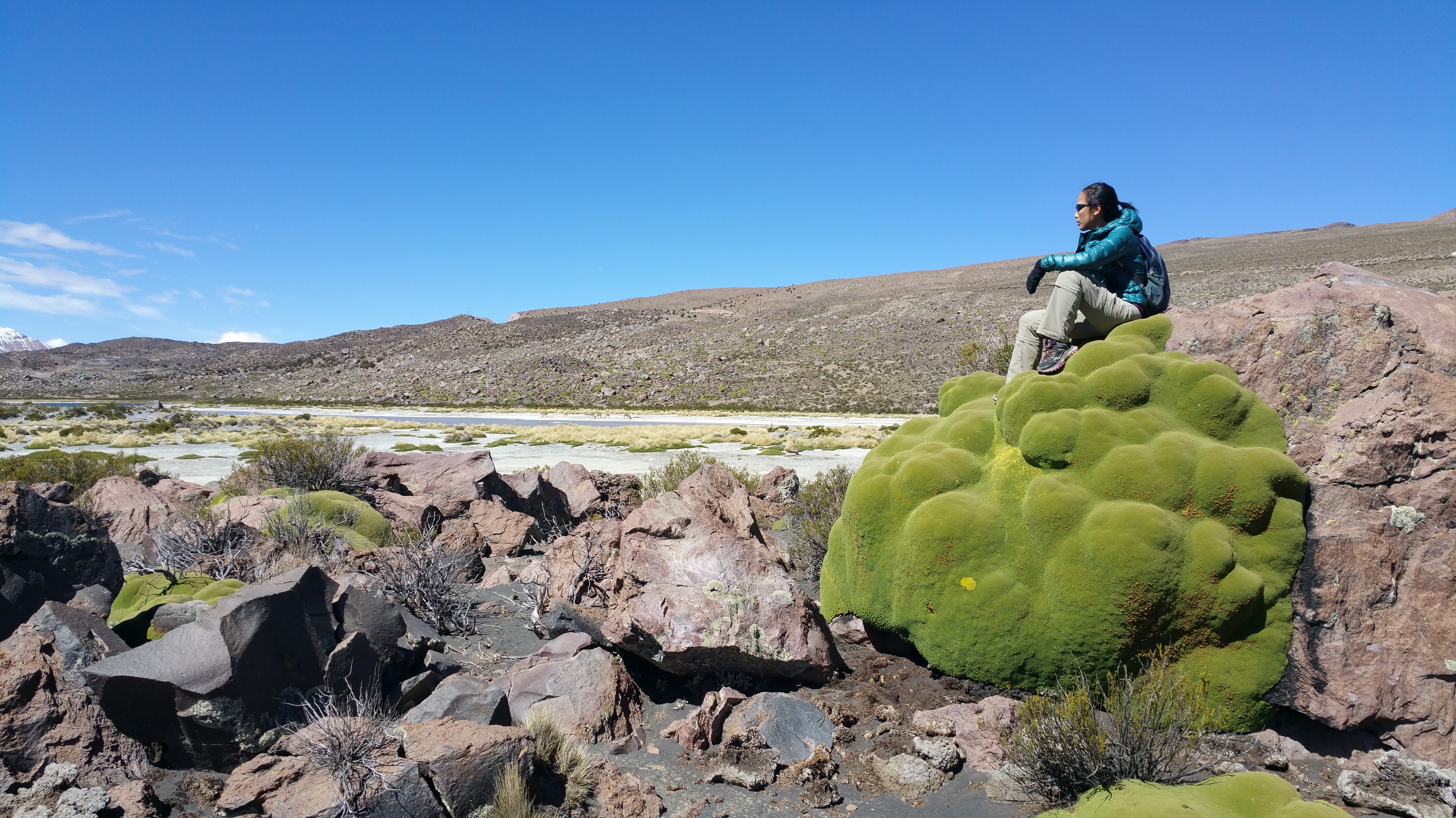
Albeit a short hike, the altitude wore me down. At 4,500 m, it was probably the highest altitude hike we’ve ever done. But strolling along a salt lagoon, climbing up and over llaretas, and hiking up mounds of lava rocks to witness scenery that people rarely see was priceless.20150517_134127

As we sat atop the highest lava rock pile within reach, I wondered when the last time another human stepped upon these rocks. There were no signs, no trails, no cairns, nothing to mark anything. We were able to see buses and cars stop afar at the mirador, snap some photos, and move on. Not one soul came down to get this close to the lagoons, and I savored every minute I had out there.IMG_170220150517_142011

Finally we had to leave. I wouldn’t be surprised if the Lagunas de Cotacotani became a famous trail in the future, decked out with trail markers, bathrooms, and campsites. But for now…it’s still a well-kept secret.

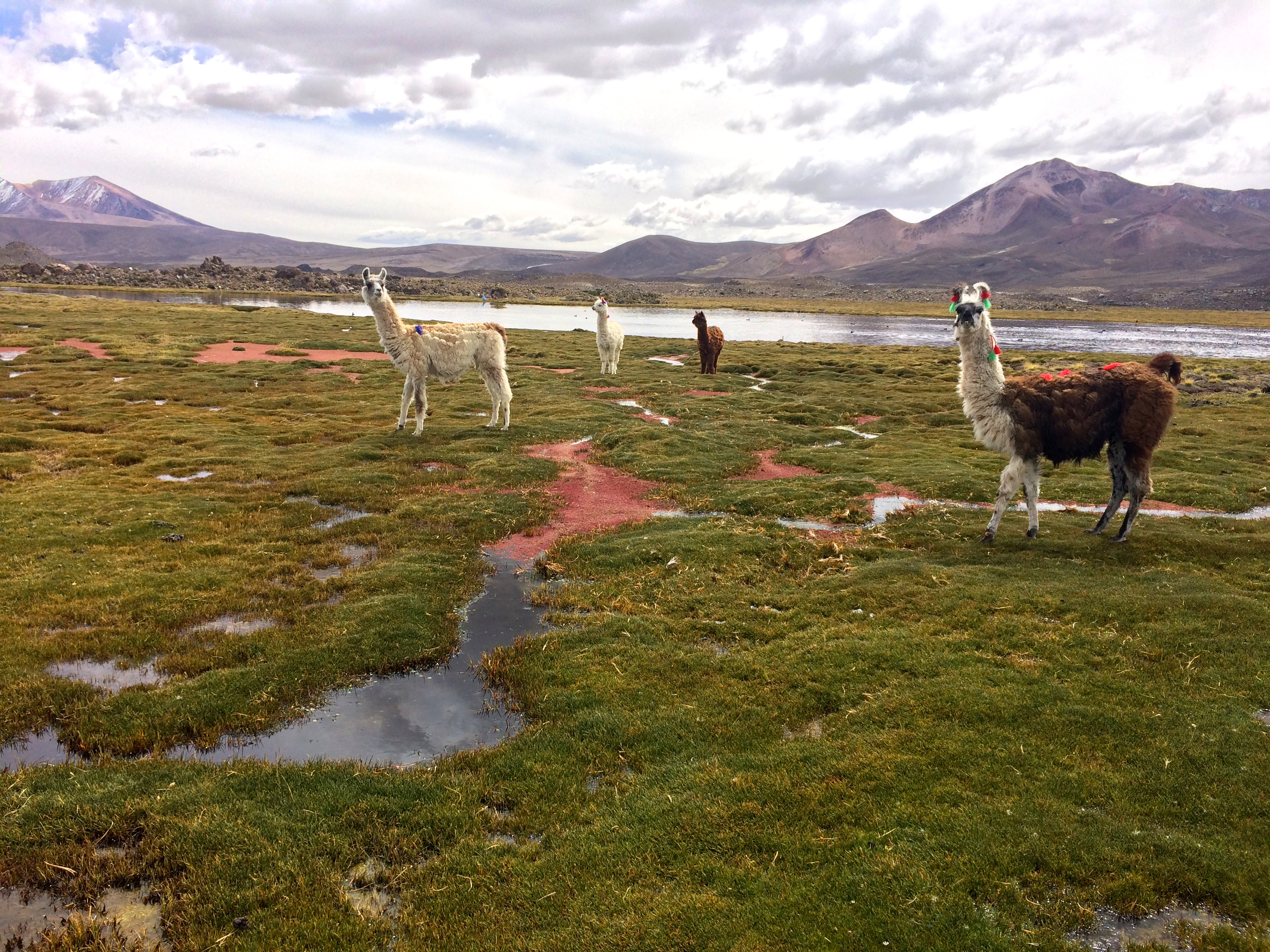
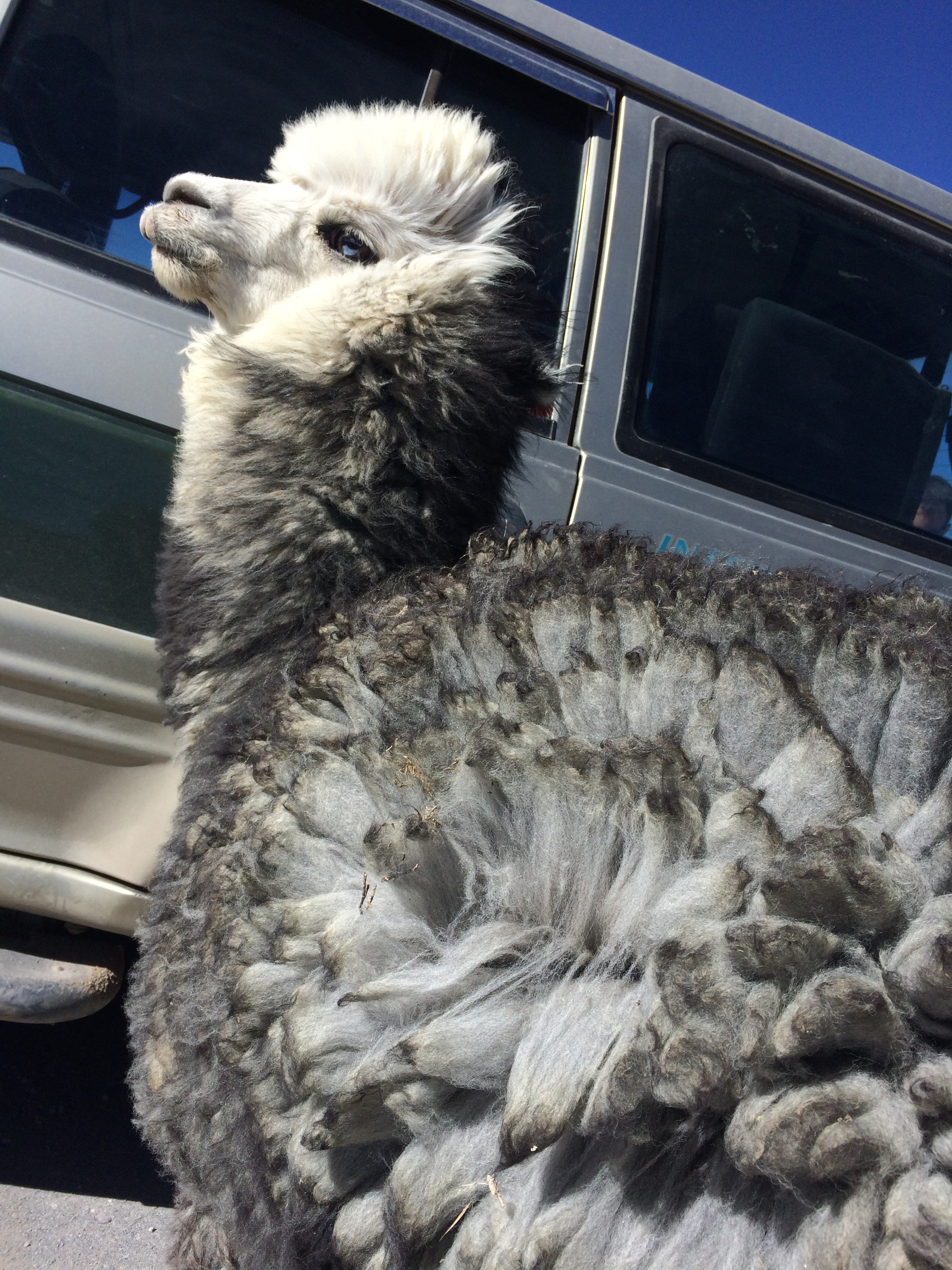
To top things off, we had an amusing encounter with a llama on our return to Putre. On our map, there was an area marked, “Friendly Llamas.” I had no idea what that meant. When we approached the area, Chris said, “The map says there are friendly llamas around here.” I asked our driver to slow down, and then I spotted a single fuzzy llama about 5 meters away. I then asked our driver to stop so I could snap a cute photo of the llama gazing into the distance, but the unexpected happened.

The llama heard the car approach and stop, turned around, and literally ran up to the car like an excited dog. He pressed his derpy face into the glass windows, most likely expecting a treat.IMG_1723

Chris and I excitedly got out of the car. “He’s a friendly llama!” Chris exclaimed, running his hand through the llama’s super fluffy wool.

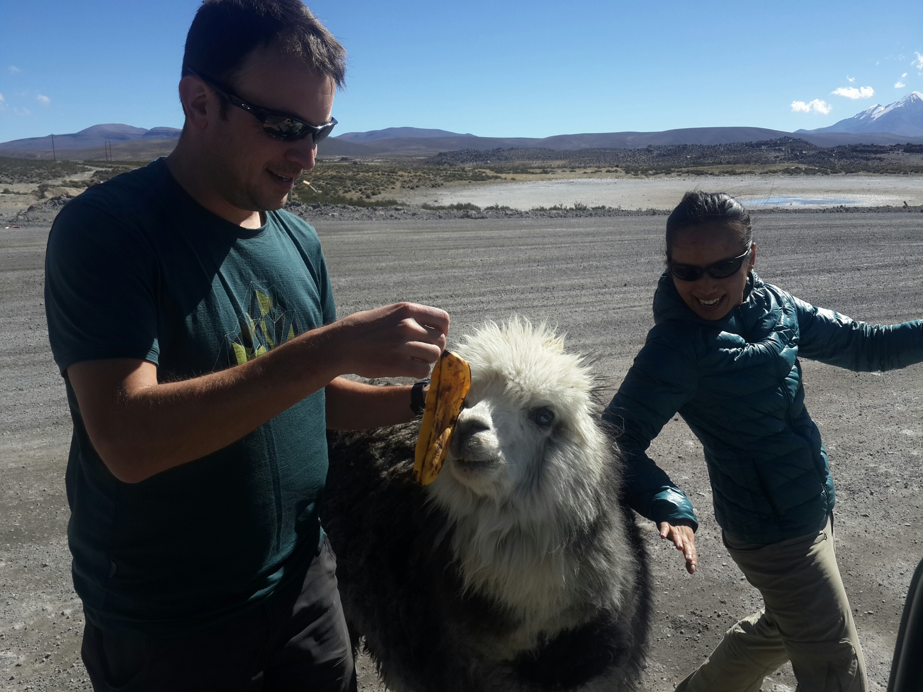
We tried to feed him a banana, but he didn’t eat it. Llamas prefer vegetables.20150517_154249_resized_1

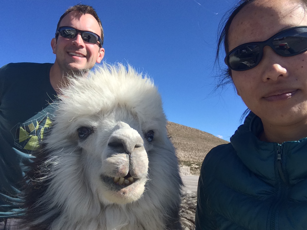
Selfie with a llama! (Right after I took this photo, the llama spit in Chris’s face. So we left.)IMG_1729

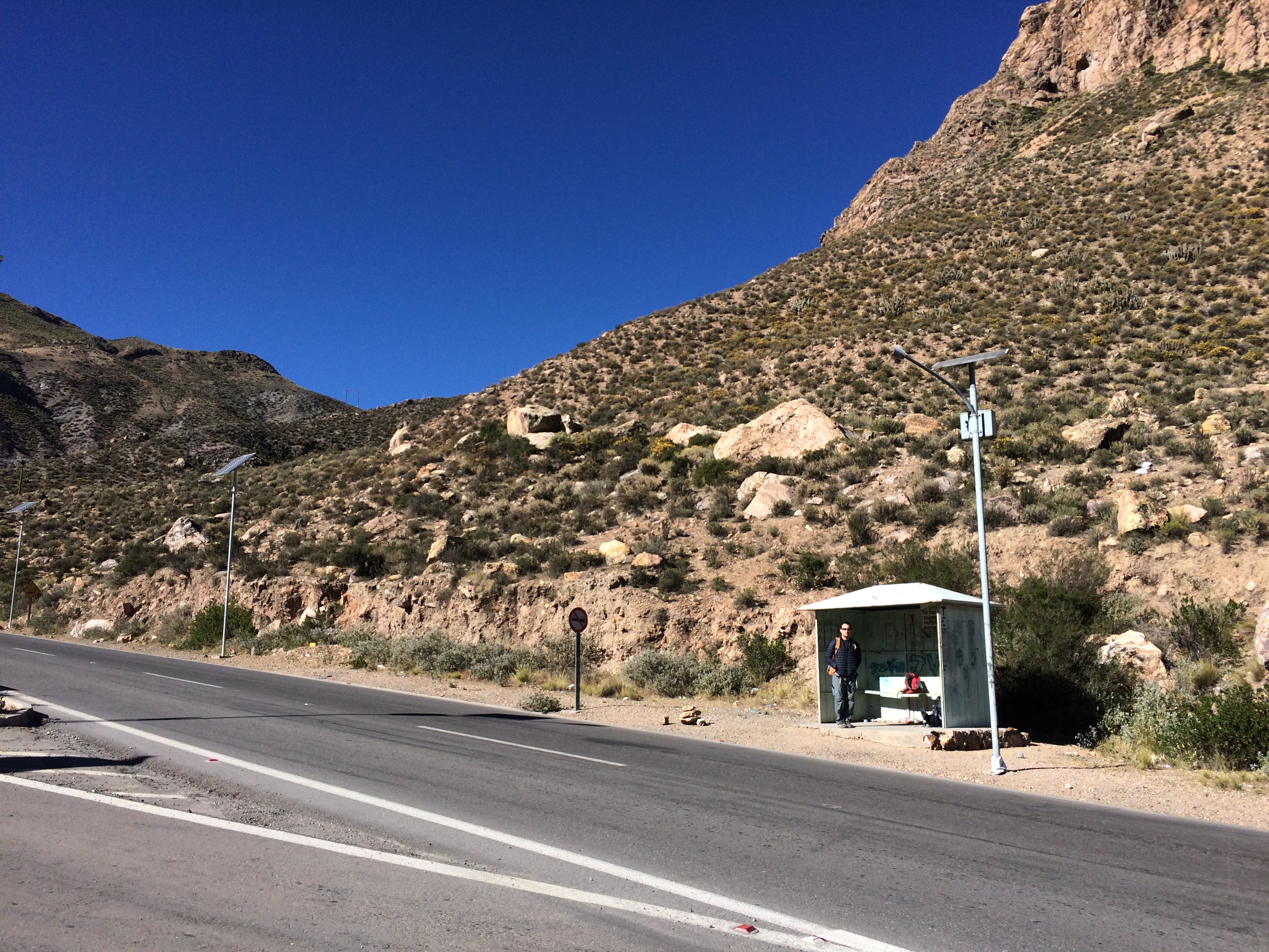
The next morning we head out for La Paz. Putre is so tiny, no one sells bus tickets and there are no bus terminals. We went to Hostal Cali a few days before and asked to purchase tickets to La Paz. They had to call the bus company from Arica to book our tickets for us. Because no buses actually stop in Putre, we had to hitch a ride 4 km out of the town to a fork in the road to get picked up by the bus from Arica. We ended up waiting at the fork in the road for almost an hour. Yay.IMG_1734

So there you have it. An incredibly beautiful national park so rarely frequented by tourists that getting up and personal with animals isn’t difficult, and trails don’t quite exist so you kind of have to figure it out on your own. Although it was an expensive side trip, a pain in the ass to get to (the highway to the park is also under construction and is super fucked up), and lacked anything convenient for tourists, I have no regrets researching the cumbersome logistics and making it happen. I’m assuming those who claimed that Lauca National Park is a disappointment compared to Salar de Uyuni did not venture out to explore and discover its hidden beauty.

Posted in Chile | Tagged , , | Leave a comment

Off-Roading To Uyuni

One of the many highlights of South America is the 3-day/2-night or 4-day/3-night off-roading adventure from San Pedro de Atacama, Chile to Uyuni, Bolivia.  The days are filled with incredible panoramas of deserts, volcanoes, lagoons, salt flats, geysers, wild animals, fauna, and more…all between the altitude of 3,500 meters and 5,000 meters!  Tack on the high altitude, freezing temperatures, and heatless nights, and you get an amazing and memorable adventure that is not for the faint of heart.

There is no shortage of tour companies in San Pedro selling excursions to Uyuni, but after reading numerous nightmare stories about drunk guides, shitty vehicles, insufficient food, and lying companies, I narrowed it down to the top two companies: Cordillera and Estrella del Sur.  We ended up going with Estrella del Sur (125,000 pesos pp, ~$210) because they not only had one of the best reputations, but they also presented the tour in the most professional manner and they rented sleeping bags which was a necessity for the first night.  Luckily we had no major issues with the trip; our driver did not fuck up, the food was plentiful and delicious, and our itinerary was thoroughly followed.  We can definitely vouch for Estrella del Sur! Whatever company you choose from, all companies more or less follow the same route, which I will highlight with photos below.


Day 1

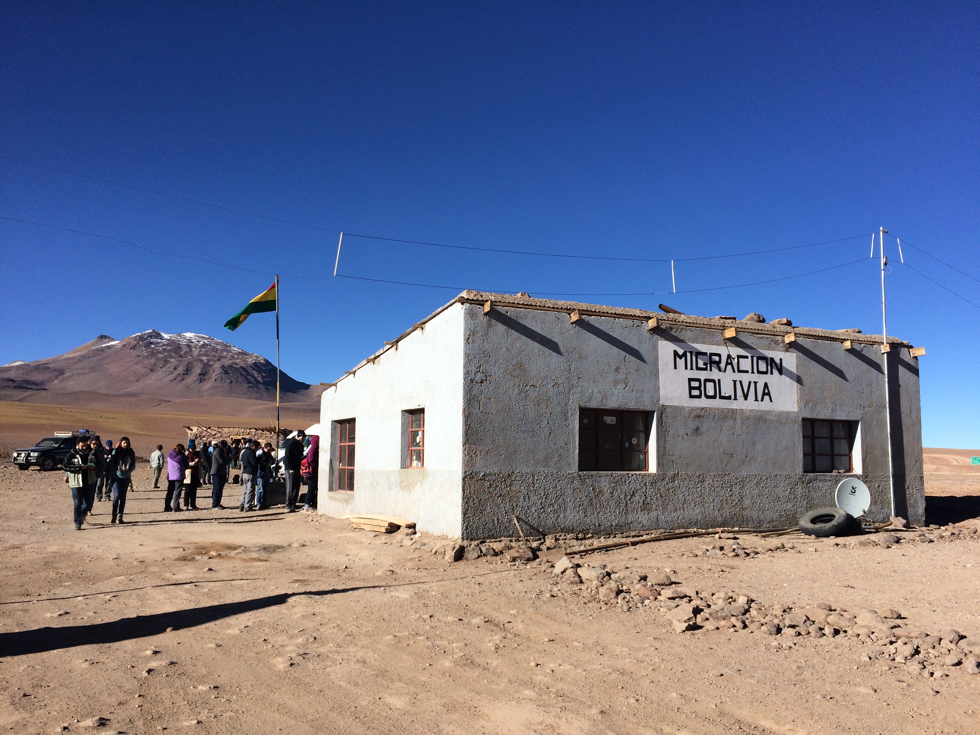
All travelers start with an early morning hotel pickup at 7:30am.  Exit Chile, immigration and border stuff in Bolivia, all the fun shenanigans. We hoped to buy the $135 multiple entry visa but we were only able to purchase the $60 single entry visa.  Boo.IMG_1168

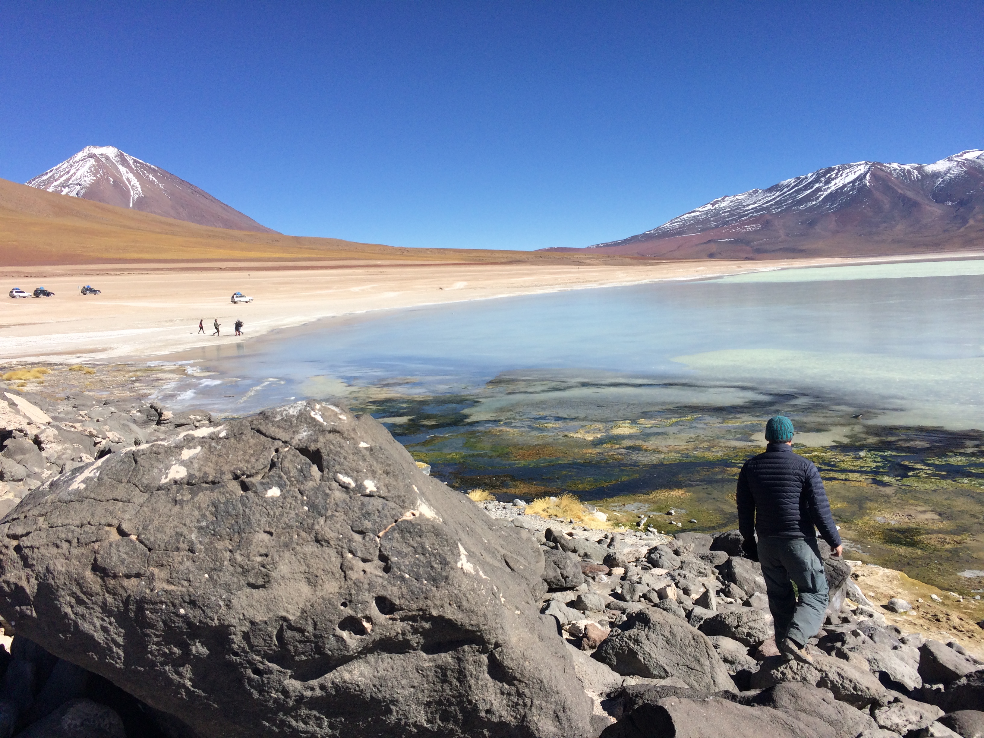
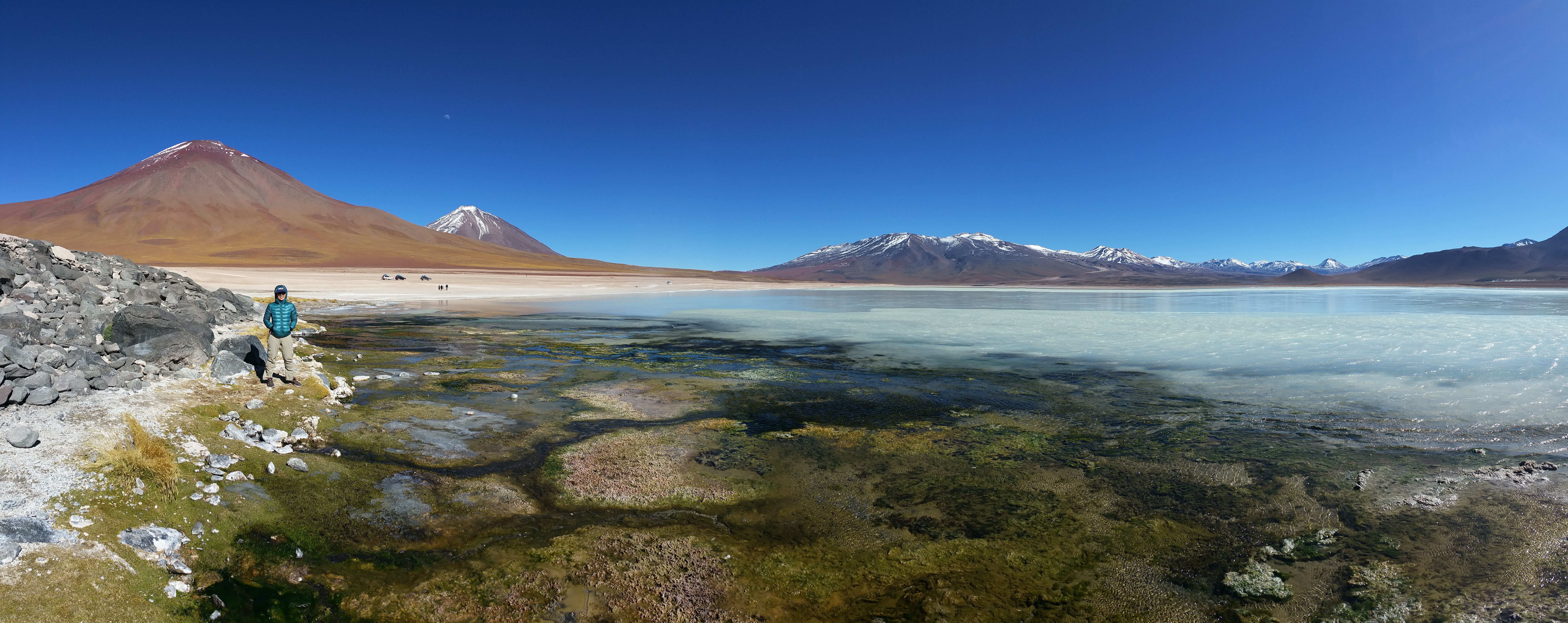
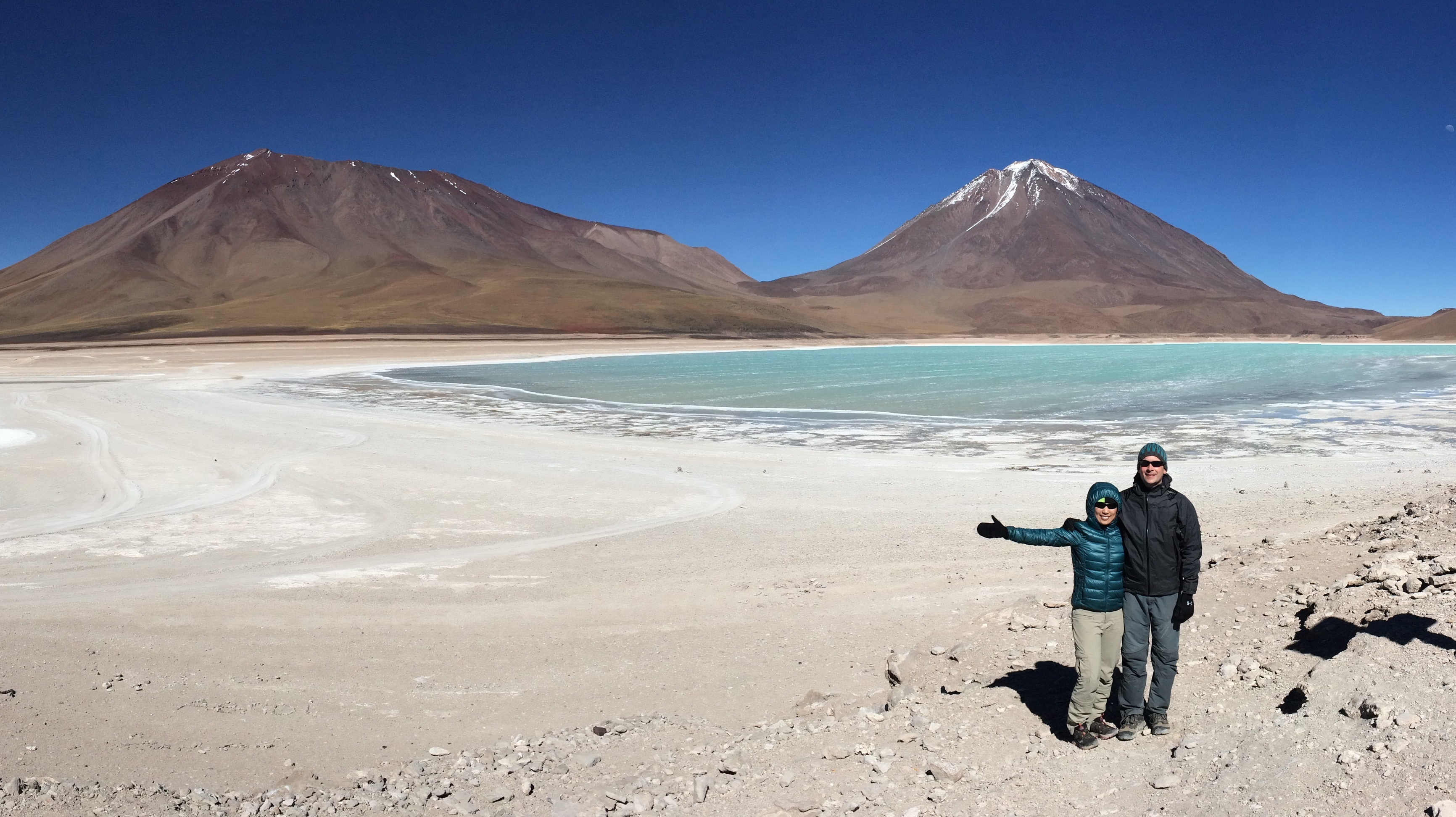
After everyone got their stamps and chowed down on a picnic breakfast at the border, we met our driver, hopped into his 4×4 Toyota Land Cruiser, and set out for our adventure. Not long after heading out on the bumpy dirt road, we were quickly treated to stunning scenery of Laguna Blanca and Laguna Verde.

Laguna BlancaIMG_117720150509_101030

Laguna VerdeIMG_1181

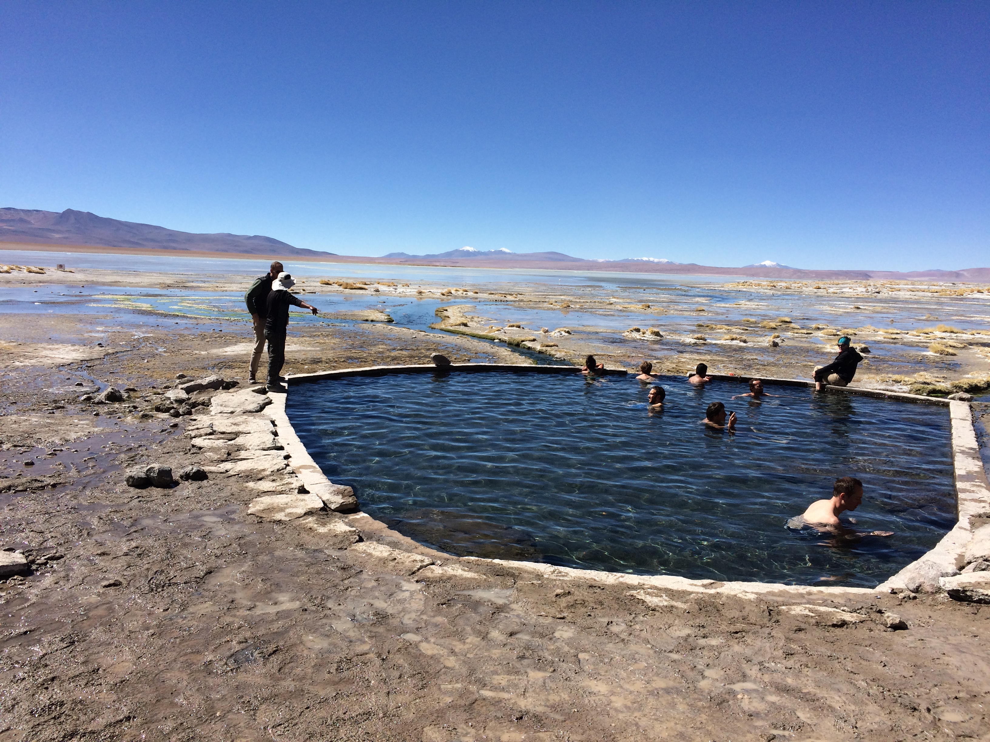
Next was a natural hot spring.  Because we had already spent time in the springs of the Geysers of Tatio, Laguna Cejar, and Termas de Puritama, we had no desire to enter another spring.  Plenty of people soaked in it though.IMG_1187

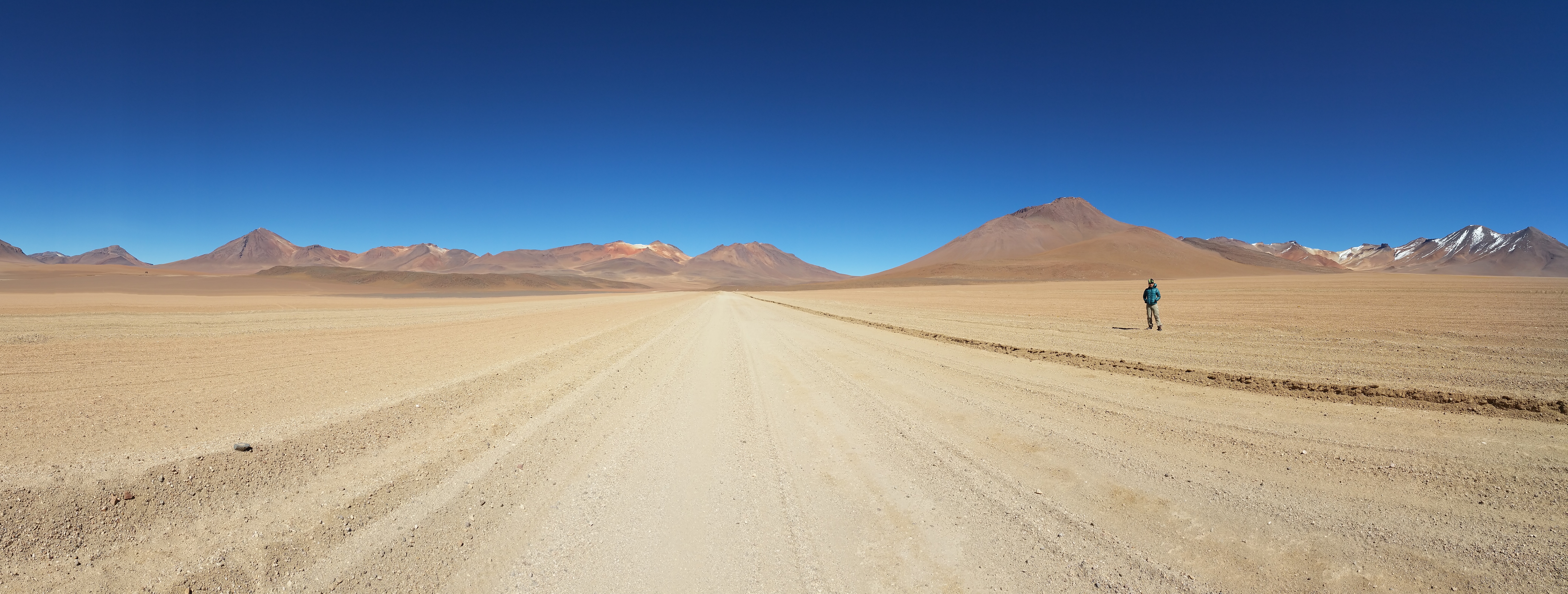
We spent a fair amount of time driving through the beautiful, remote desert.  Literally on the other side of those mountains was Chile.20150509_111714

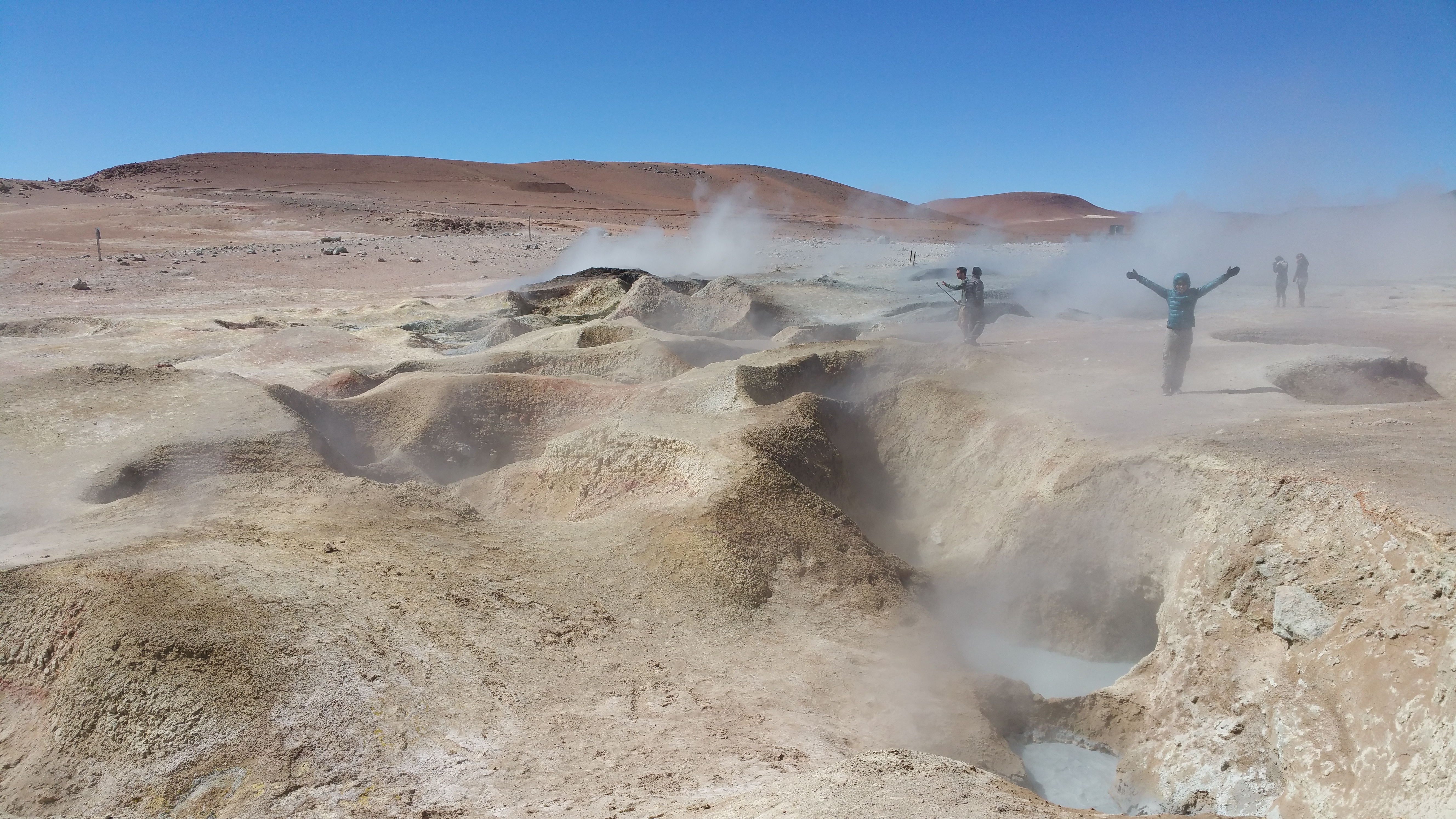
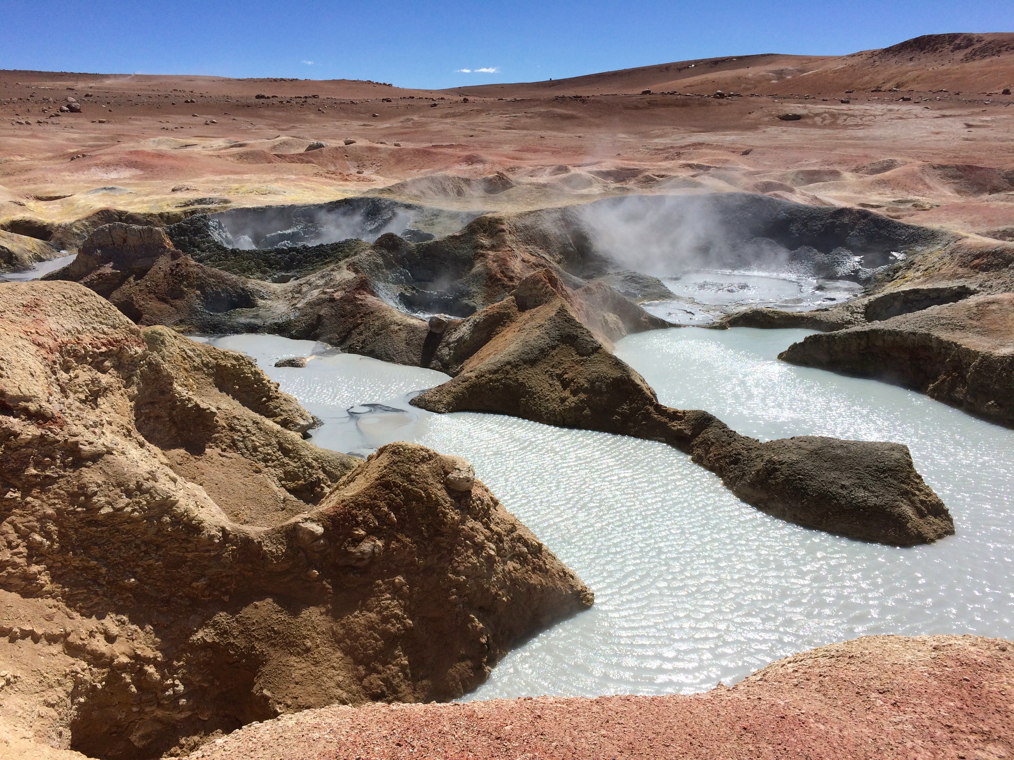
And then we made a stop at a small geyser field.  I actually favored these small geysers over the Geysers of Tatio, perhaps because we were able to approach them and they were hissing and spitting at an earsplitting pitch.20150509_125635 IMG_1194

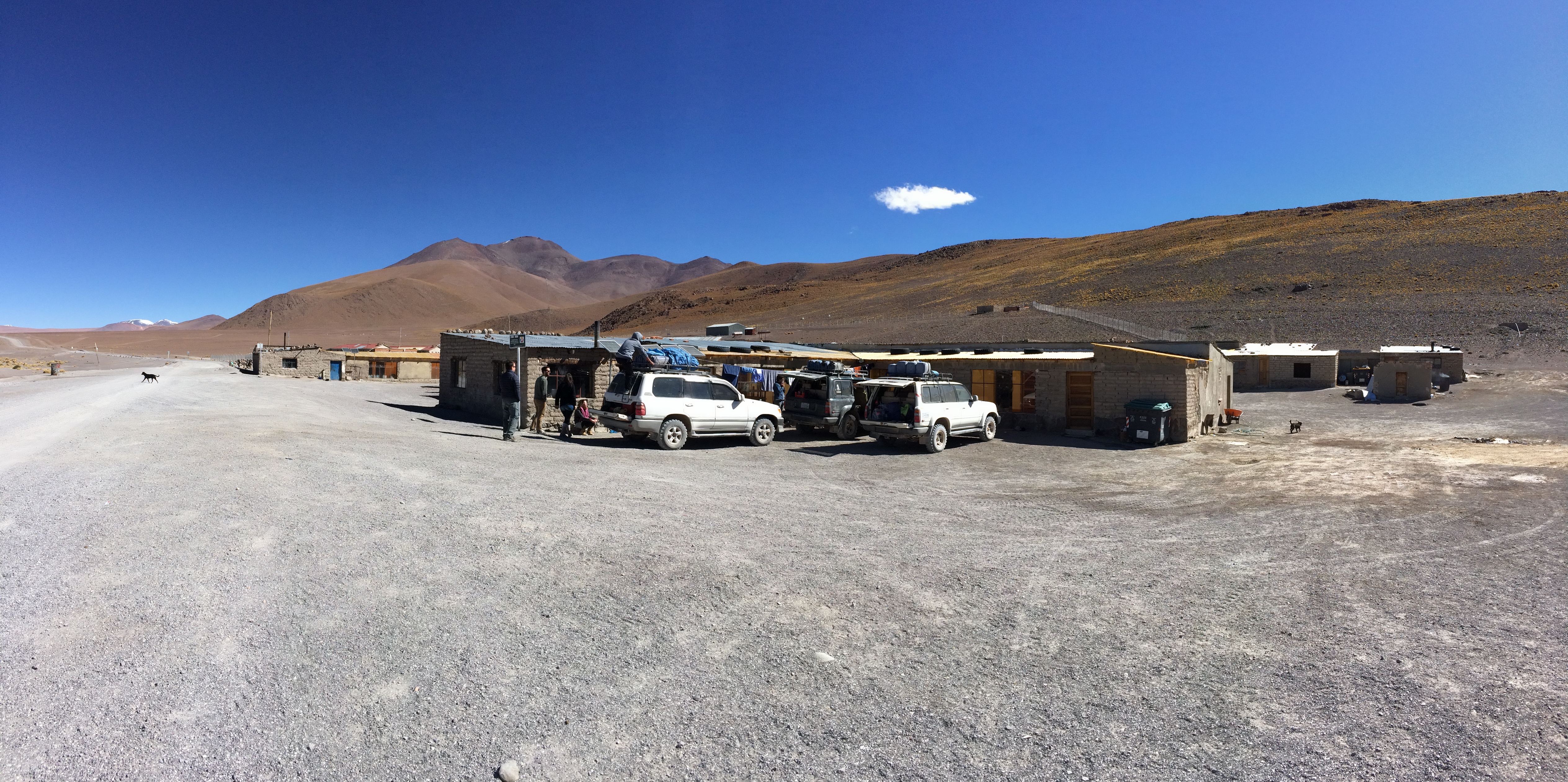
We arrived at our first hostel by around 2pm, where we quickly ate a late lunch. IMG_1205

By this point we were at about 4,500 meters and suffered a bit of altitude sickness. Symptoms included severe dehydration and throbbing headaches.  (I drank so much water that I literally had to pee every 20 minutes.)  We took altitude medicine and then headed out for the mirador at Laguna Colorada.

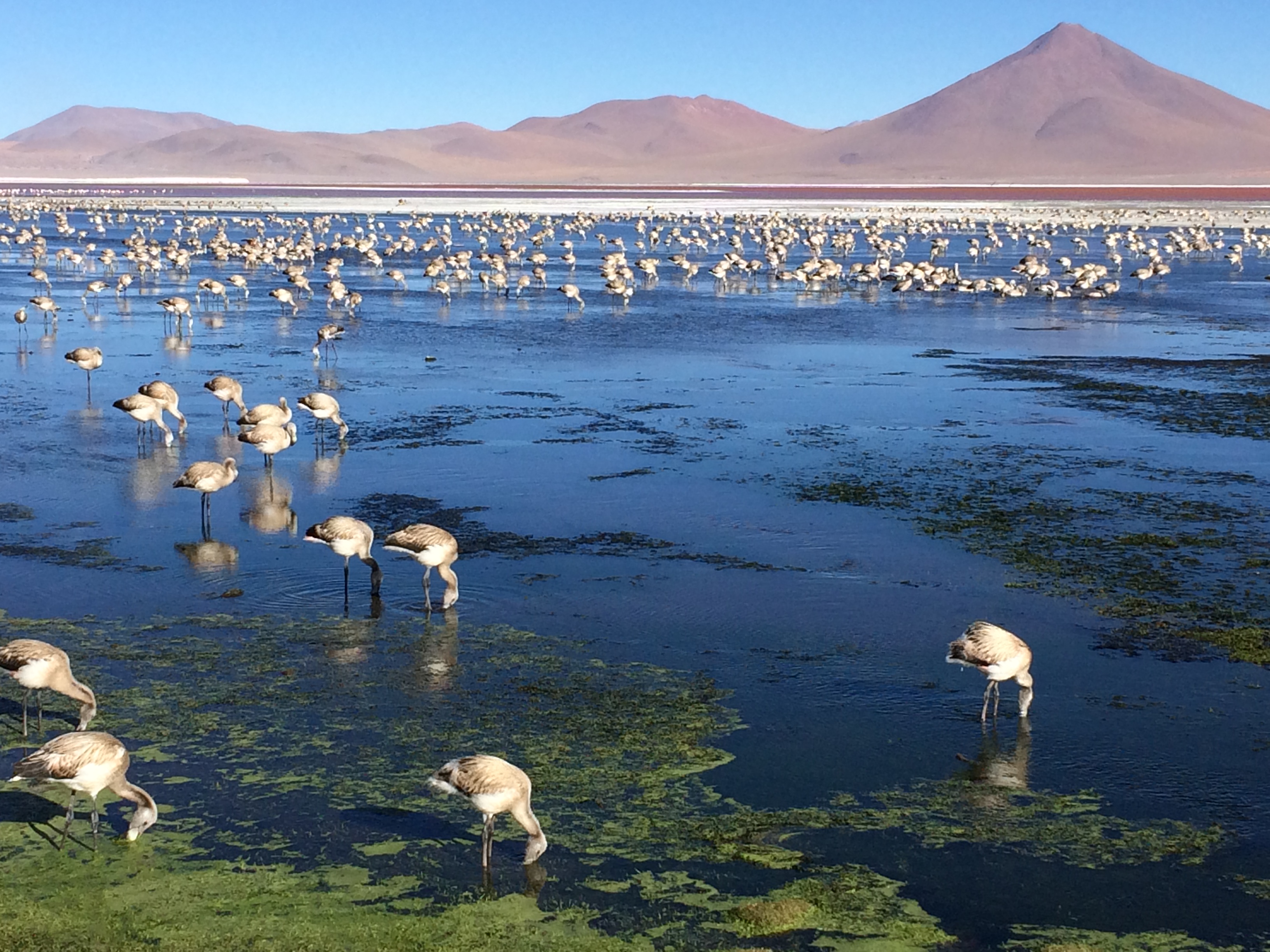
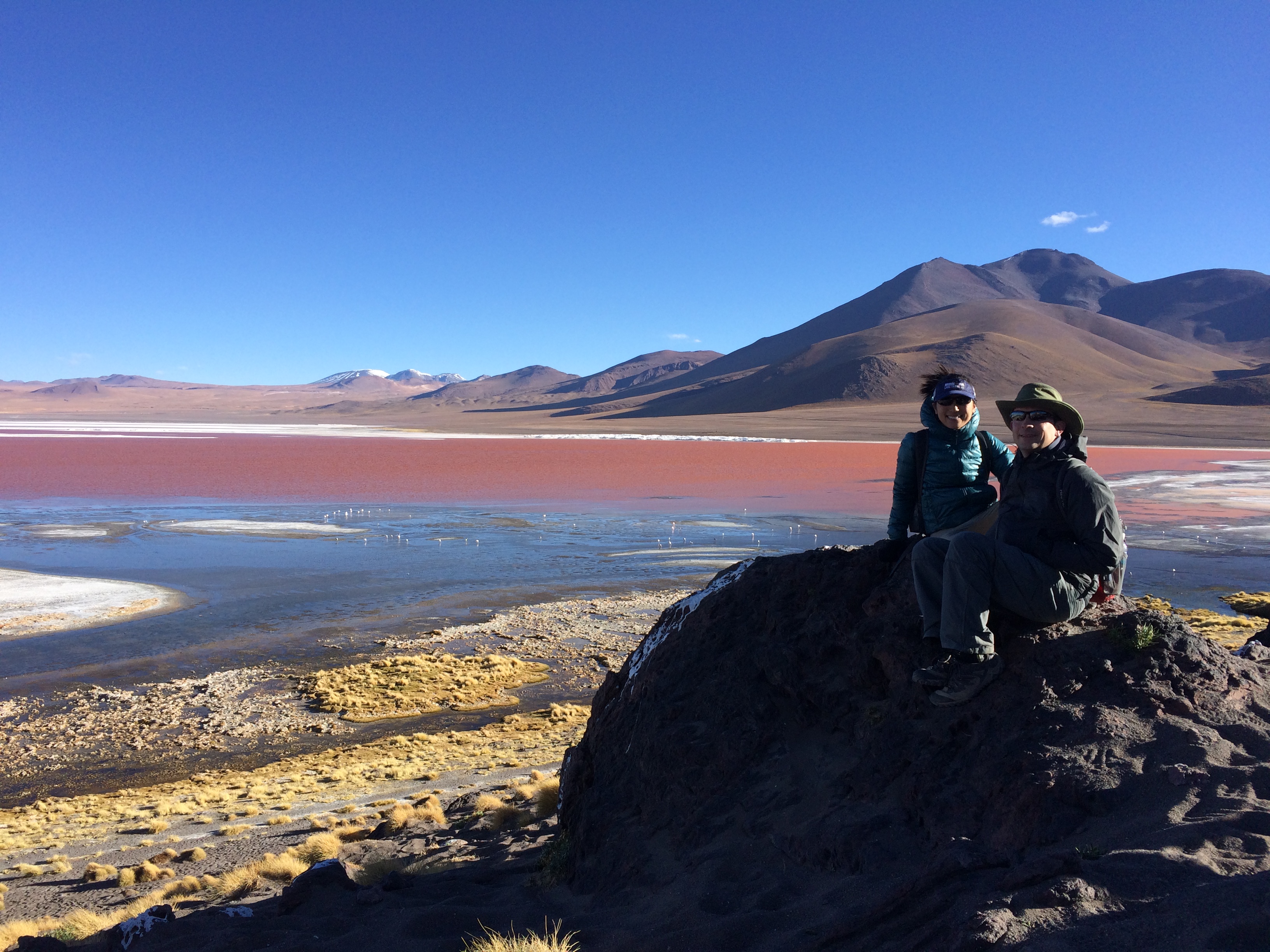
It was painfully cold.  The wind was loud and menacing.  The high altitude pounded our heads.  Dry, thin air scraped at my throat and perpetually deprived me of water.  What was supposed to be a hike ended up being more of a slow amble across the unforgiving desert. But the wondrous beauty of Laguna Colorada was worth it.  Not only did the lagoon shine an unique, brilliant red, it was filled with literally thousands of Andean flamingos. IMG_1220IMG_1225

After the hike we returned to the hostel for dinner and a freezing night of sleep.  All the structures in this remote area of Bolivia were quite primitive and rudimentary; lightbulbs were fueled by solar power and heating systems were a luxury that simply did not exit despite the subfreezing temperatures.  Although all the beds were equipped with plenty of thick blankets, we were all thankful that we had sleeping bags to snuggle in.


Day 2

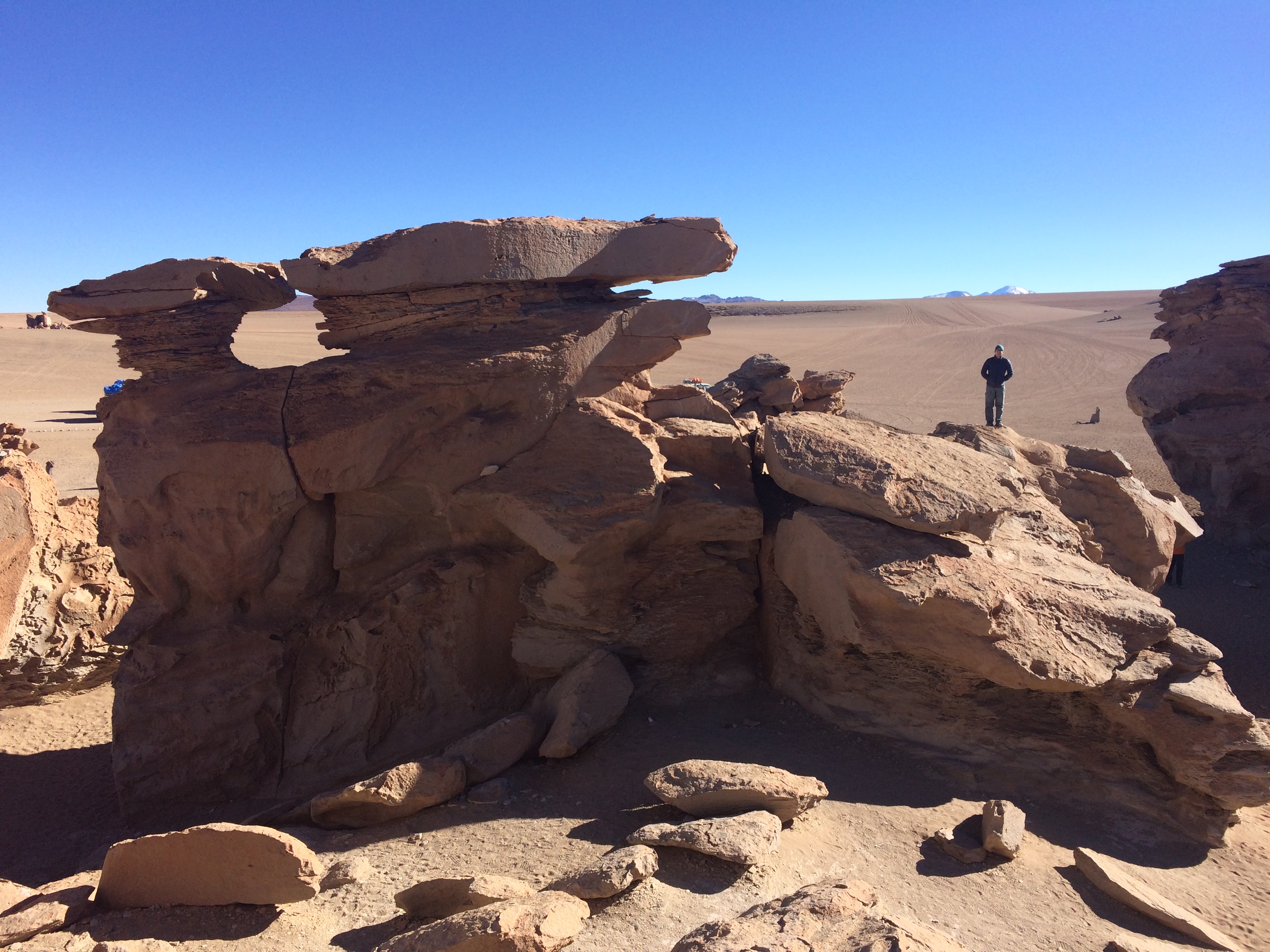
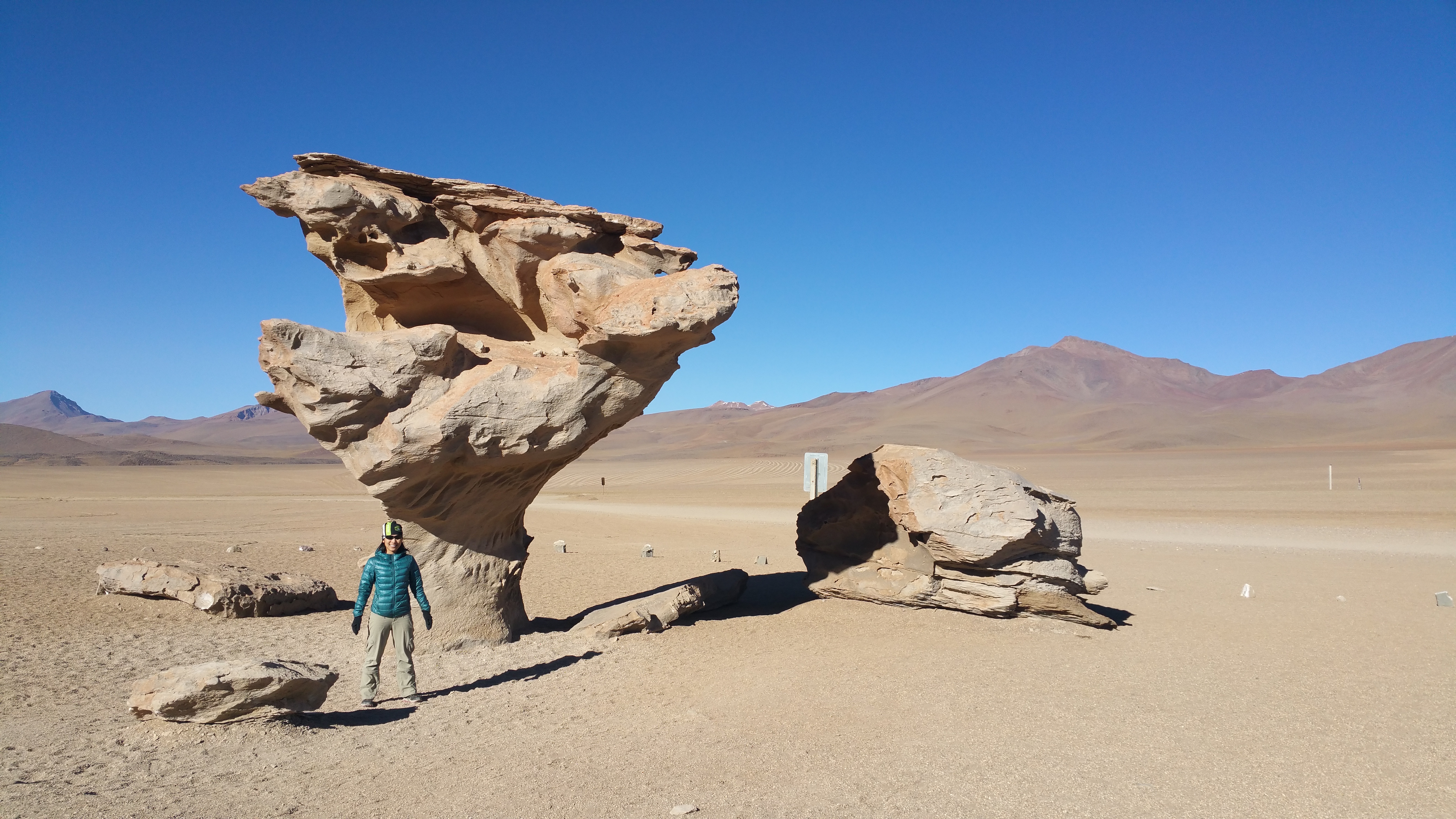
Breakfast at 8, and we were off at 8:30 for a full day of outdoor fun!  First, we visited a large yet random collection of rock formations in the middle of the vast, sparse desert.IMG_1234 20150510_090136

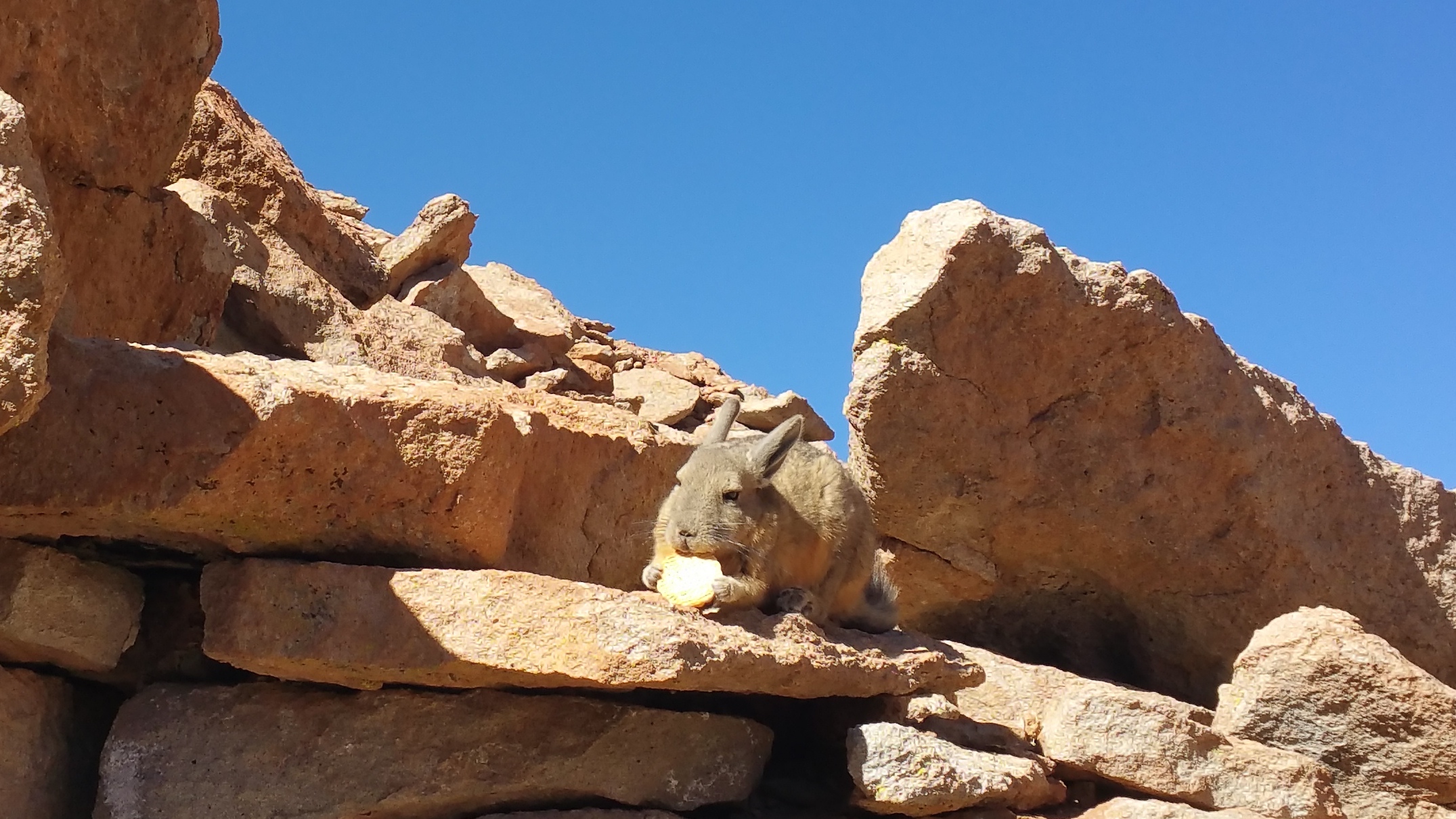
Then we continued down the bumpy, dirt road which eventually became an alley of rocks. Viscachas, the adorable high plain mammals that look like a cross between a bunny and a squirrel, live in these rock formations and can be easily spotted.20150510_102140

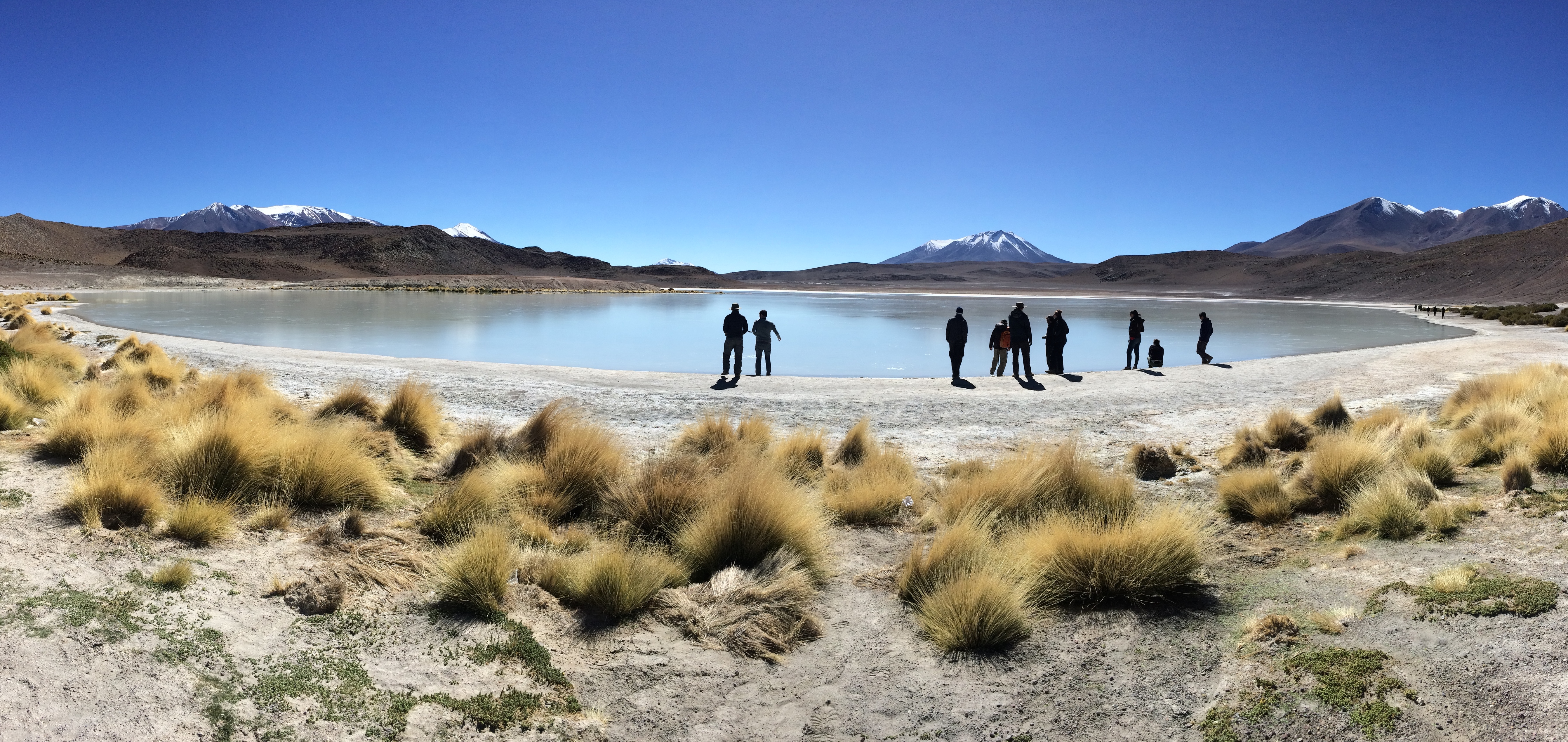
Another salt lagoon.IMG_1257

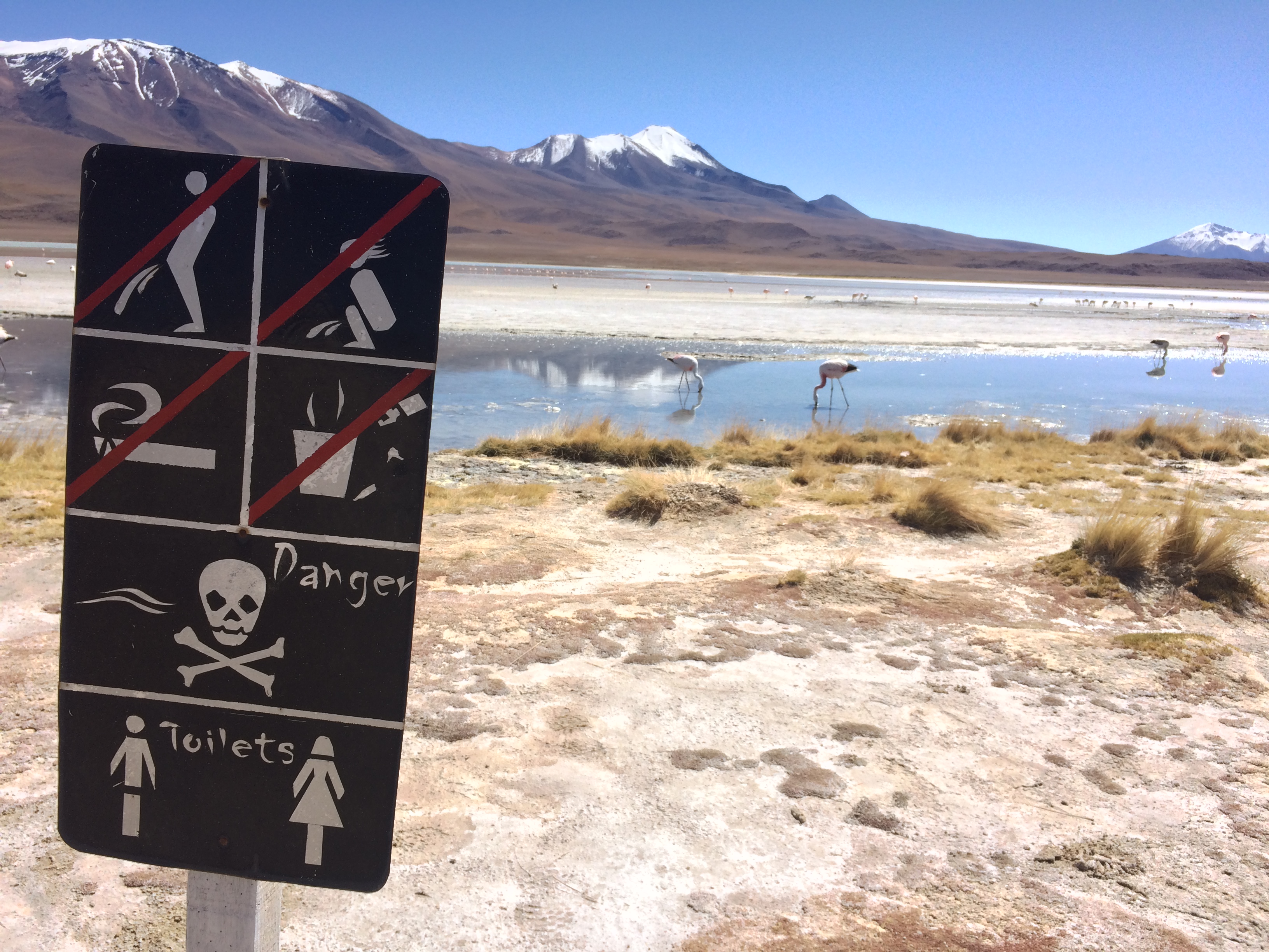
A small, placid flamingo lagoon. I loved the signs here.IMG_1265 20150510_121209

Lunch break.IMG_1284 IMG_1289

First time seeing an active volcano huffing and puffing some steam!IMG_1293

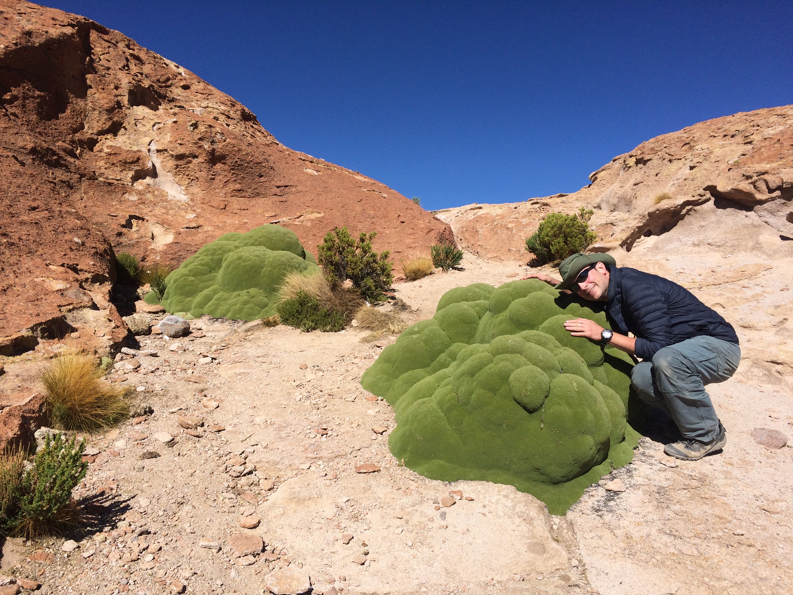
These desert llareta (greeny bubbly plant things) were plentiful.IMG_1294

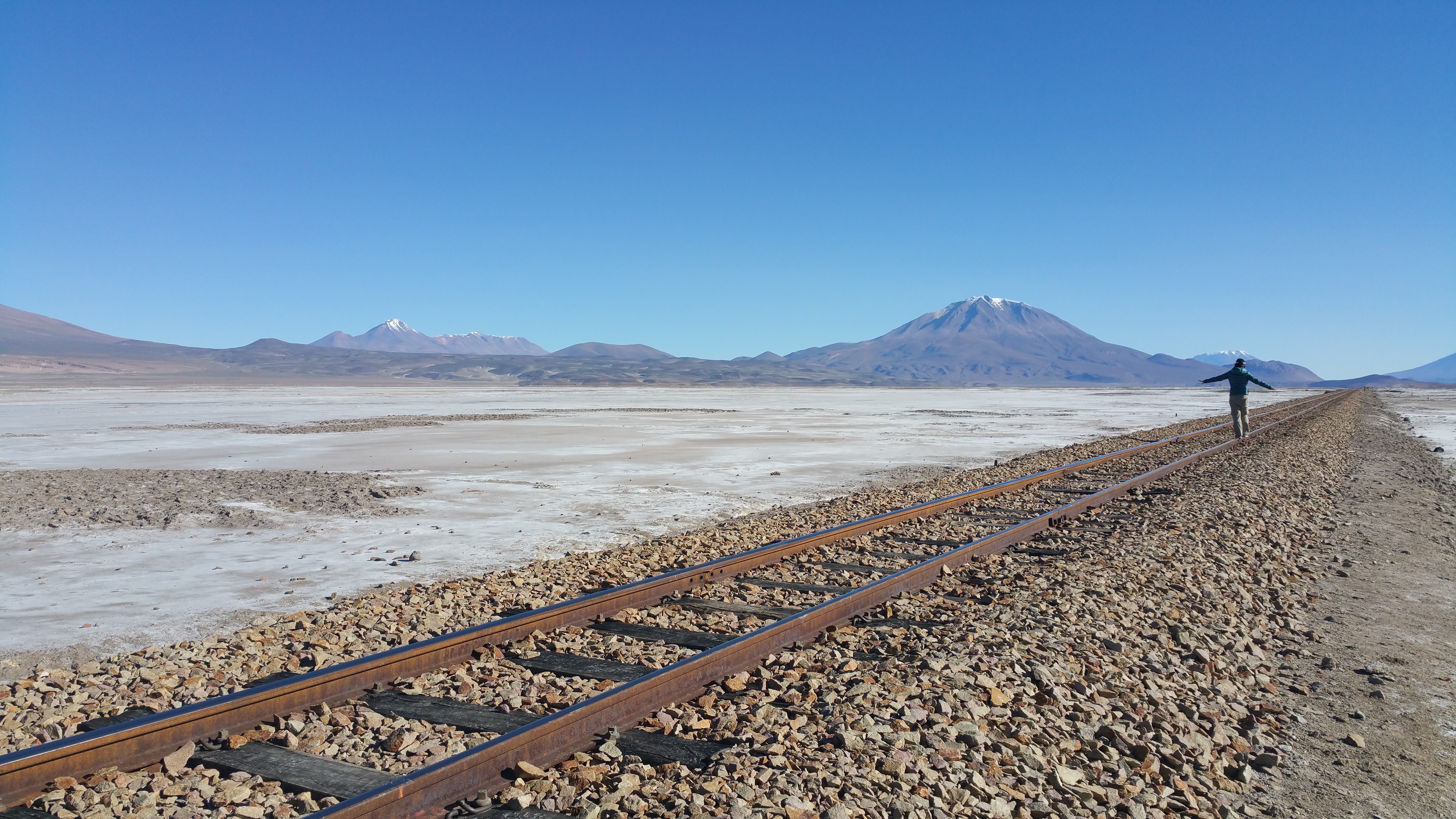
Railroad tracks in the middle of a salt flat made for worthy photos.20150510_154341

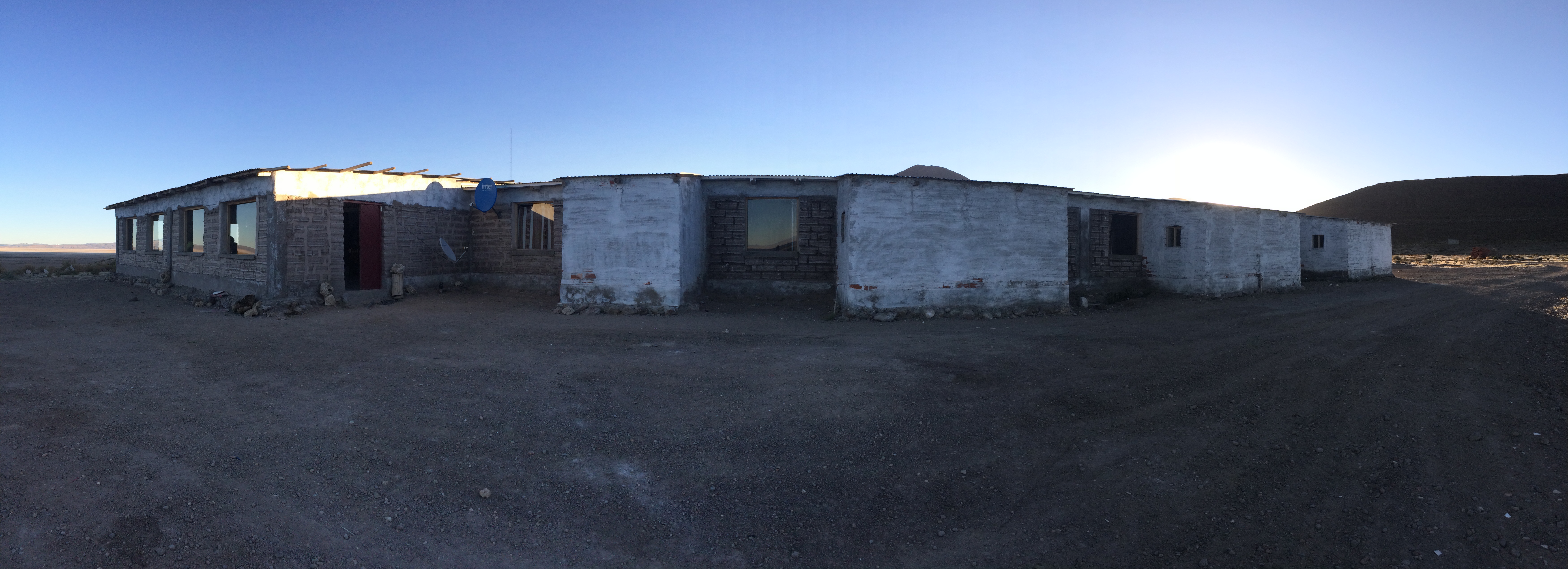
And finally, our lodging for the second night: The Salt Hotel.IMG_1306

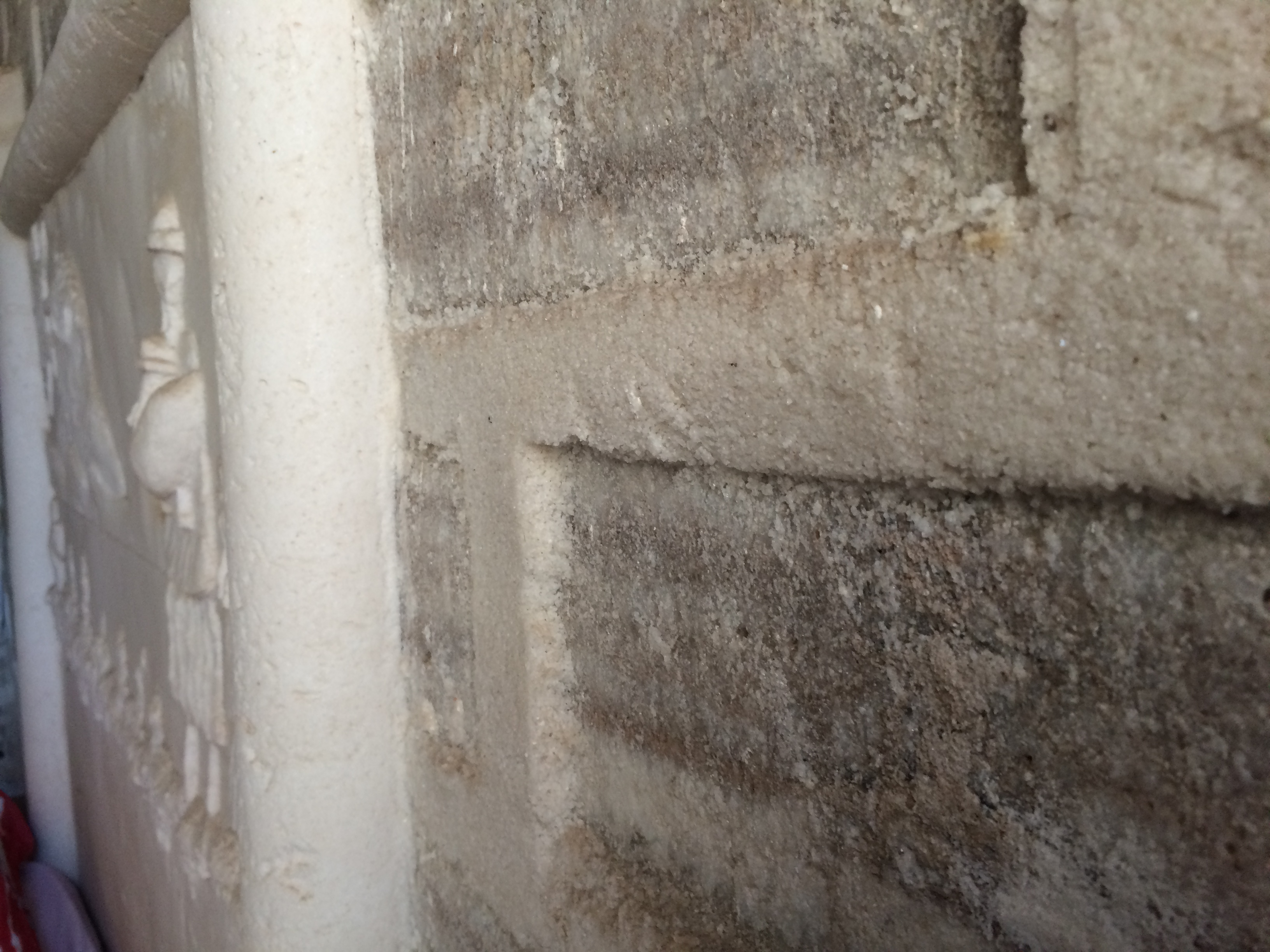
The interior walls were composed of salt! Incredible!IMG_1304

Because it was a hotel, there were double, triple, and matrimonial rooms with private bathrooms.  Hot showers (they were warm at best) were provided between 6:30pm-8:30pm, and electricity was provided until 10pm.  Of course, there was no heat, but because we were at a slightly lower elevation, the night wasn’t as cold as the first night. Everyone had a good night’s rest prior to a 5am departure for sunrise.


Day 3

“5am sharp,” our driver told us in Spanish the night before.  Well, it would have been sharp had he not locked his own damn keys in his idling car.  Fortunately he was able to break into his own car within 25 minutes (with the help of Chris and others), and we were off to the finale of the whole trip, the largest salt flat in the world of Salar de Uyuni.

This giant salt flat is about 3,600 meters elevation, which was a lower altitude compared to our first couple of days.  Because we had acclimated a bit more and had taken more altitude medication, the only real challenge that we endured was the painful cold. Fortunately the dark, frigid moments didn’t last long because the temperature rose as soon as the sun peeked out of the horizon.20150511_064942 20150511_065247

Knowing that the magical lighting would only last a few fleeting minutes, we scrambled down onto the beautifully checkered ground of the natural salt flats.20150511_065658

Just a select few of my favorite photos from sunrise.IMG_1365 IMG_1369 IMG_1349

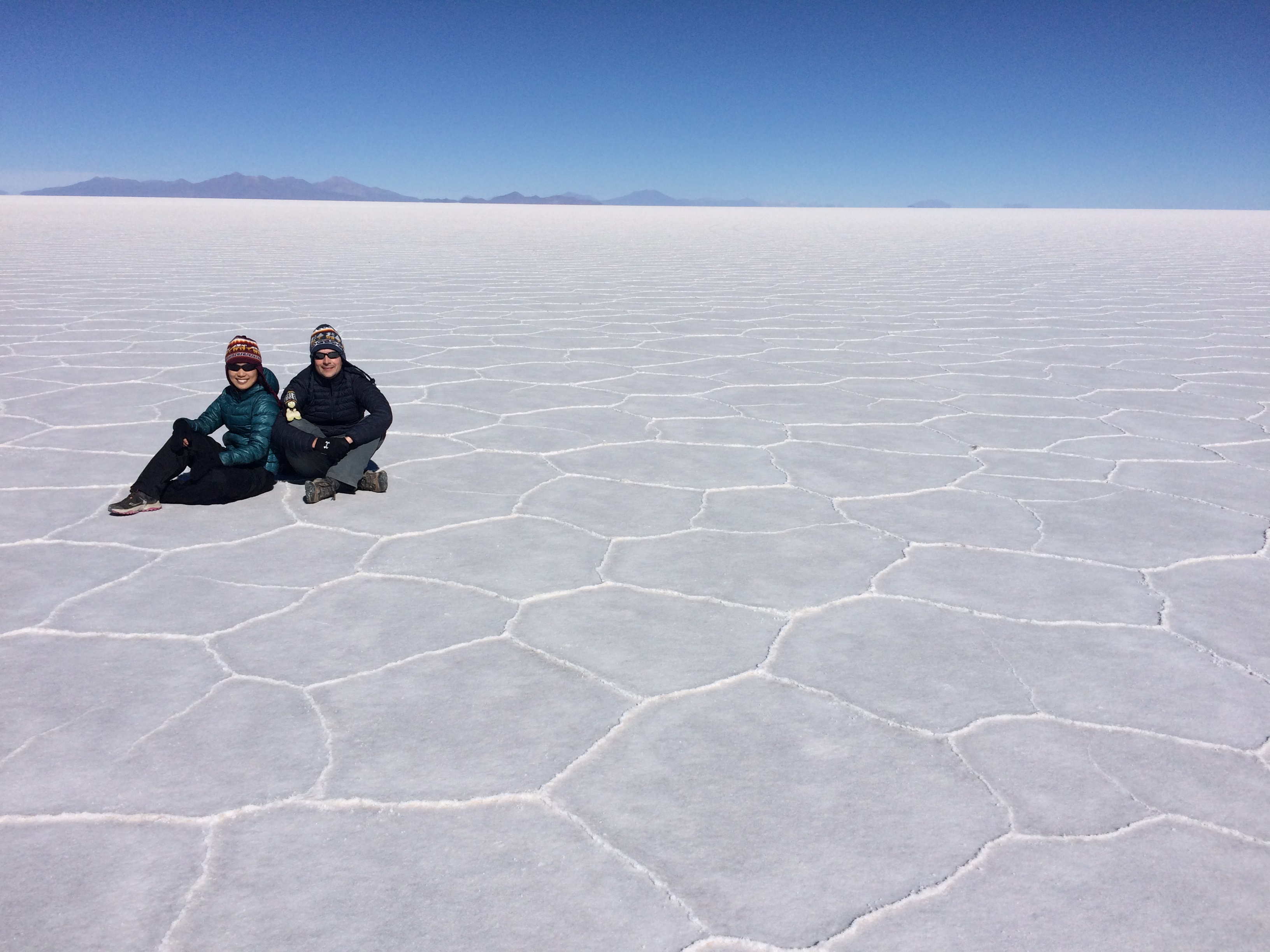
Not long after the sun rose, we ate a picnic breakfast and then ventured out into the vast emptiness of Salar de Uyuni.IMG_1386

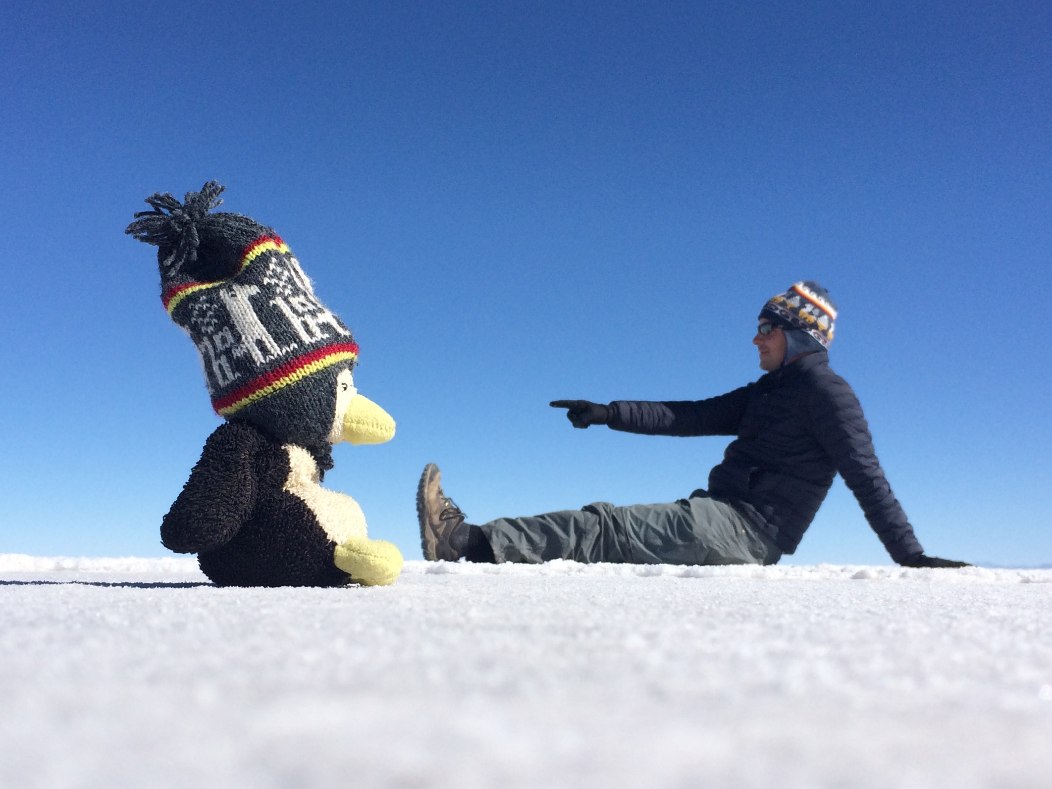
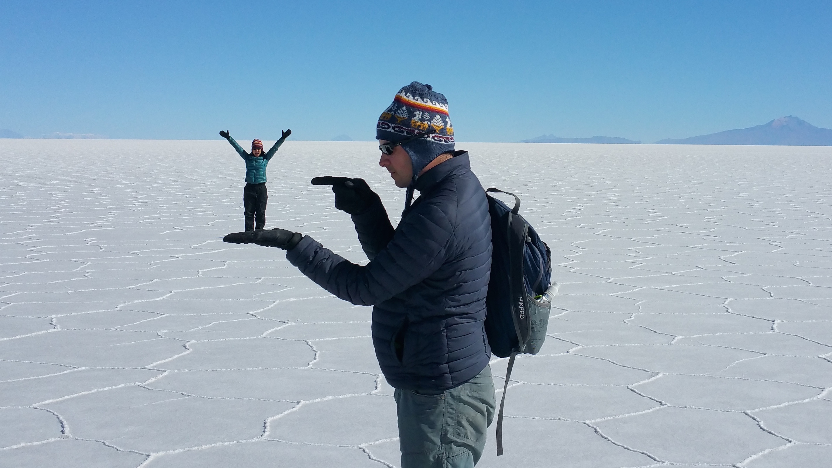
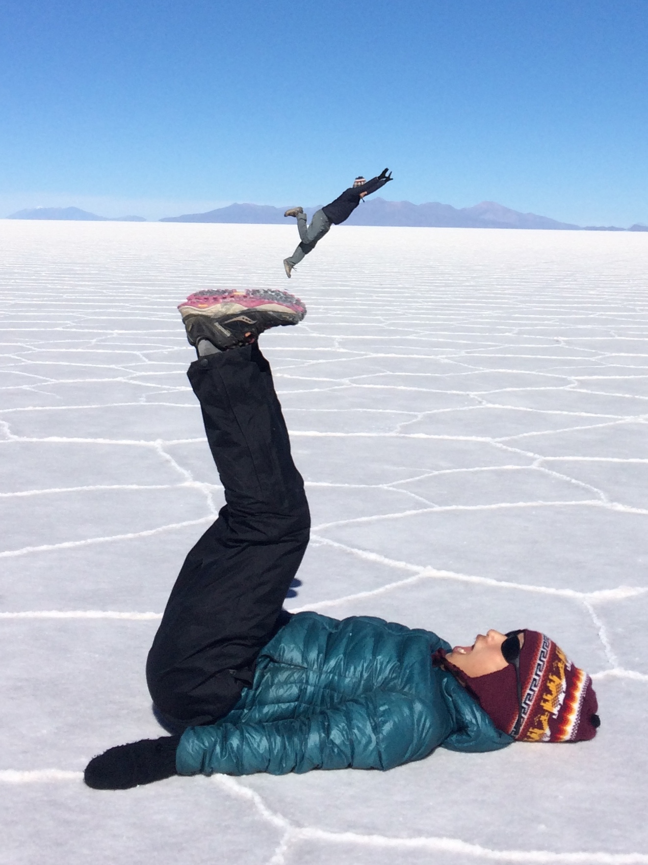
Then we got a kick out of some stupid, silly tourist fun with obligatory forced perspective shots.  Because why not?IMG_1398 IMG_1410 20150511_095258_fix IMG_1421_fix

Okay fine, here is a normal one. =)IMG_1443

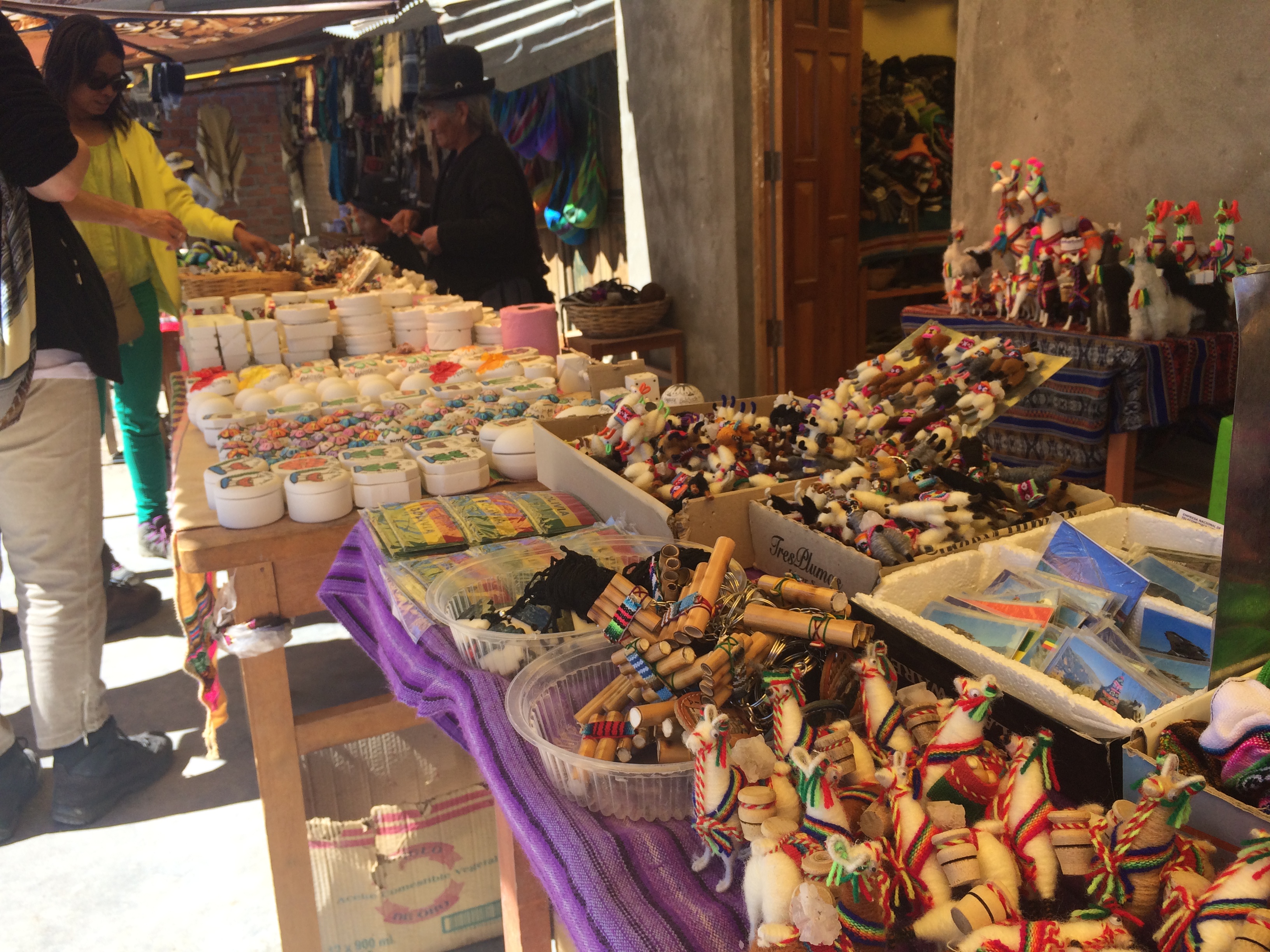
After squandering an hour in the blinding whiteness of the salt flats, we visited a small pueblo with locals selling artesenal crafts to tourists.IMG_1473 20150511_115001

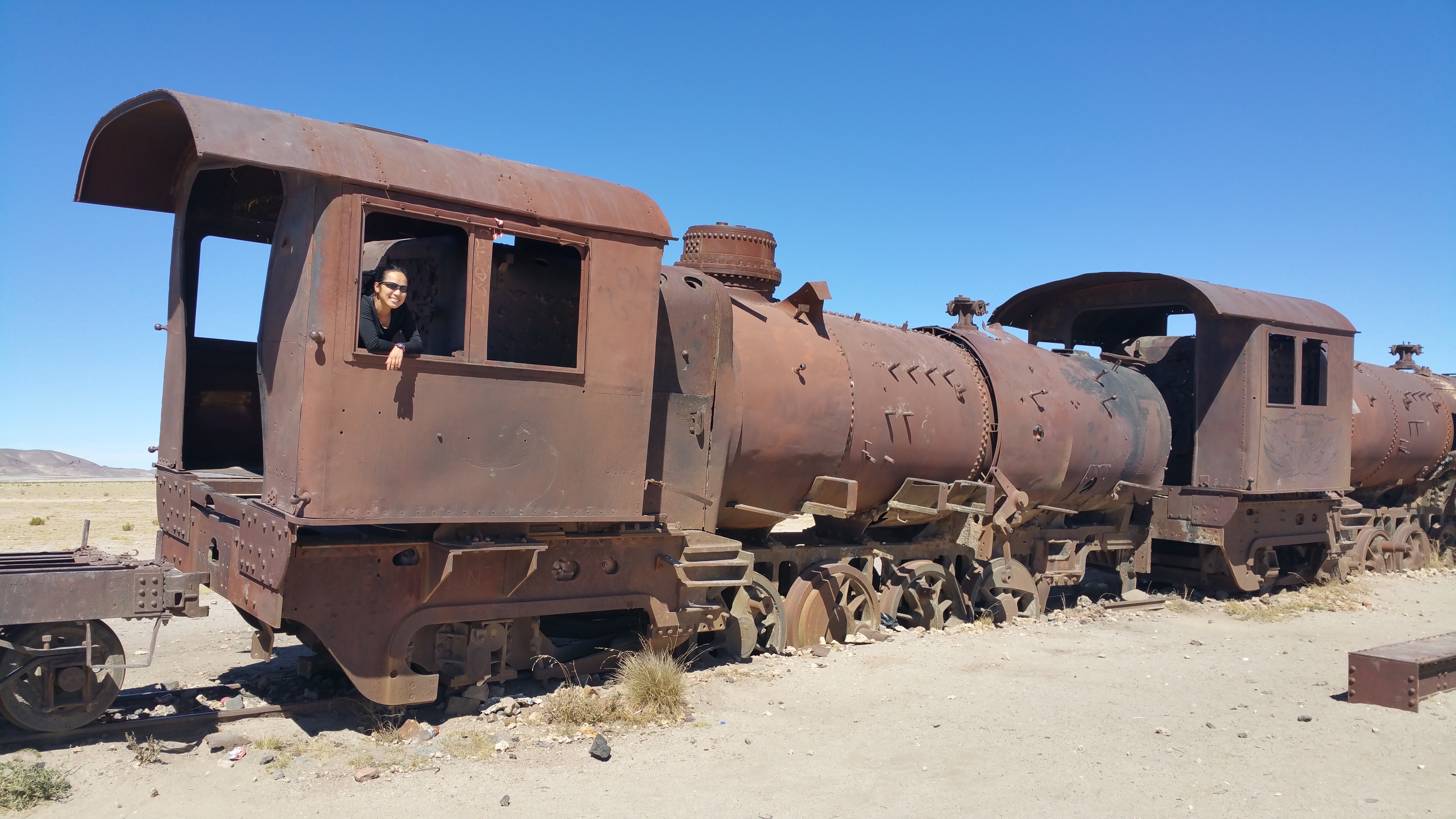
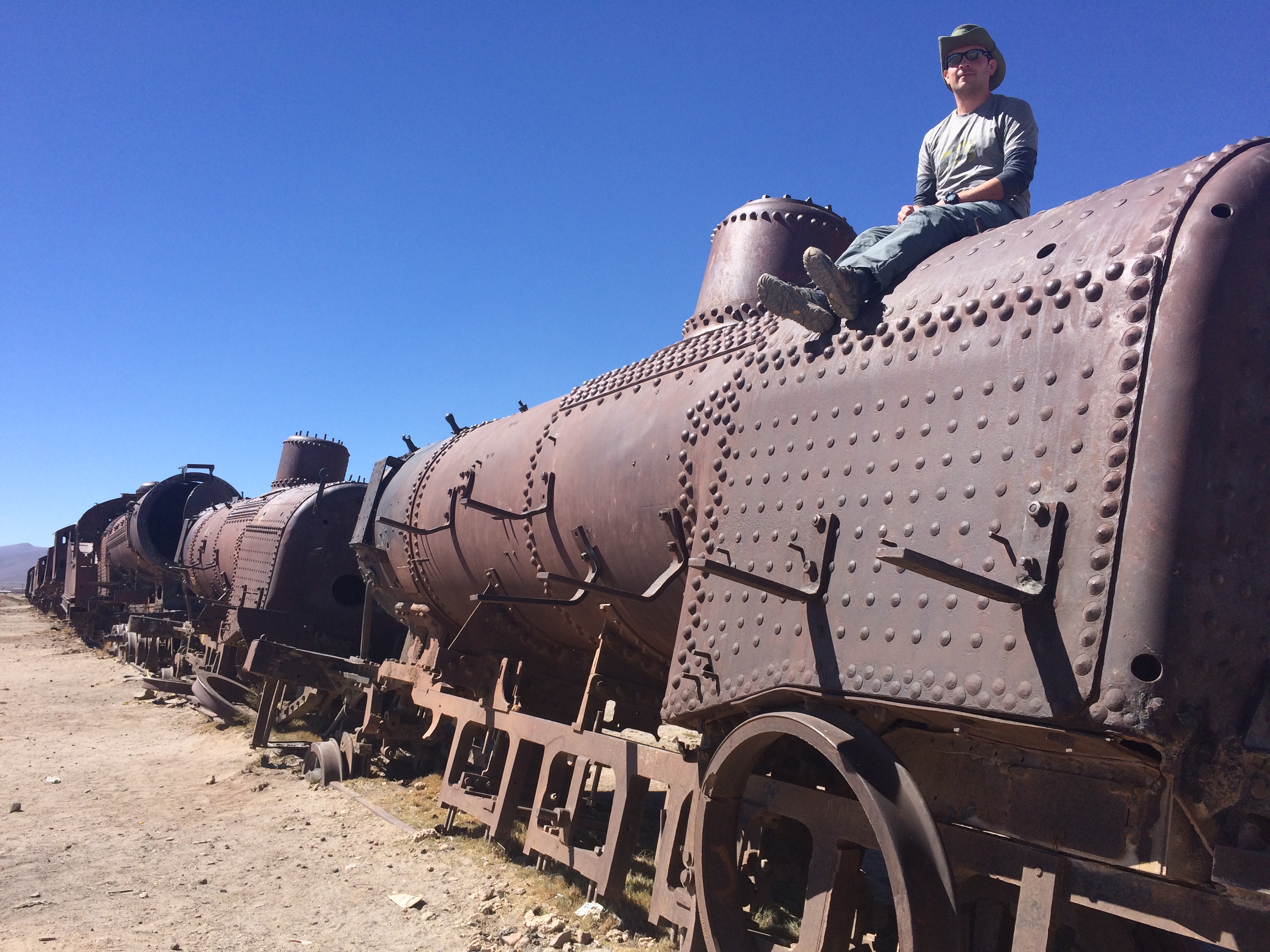
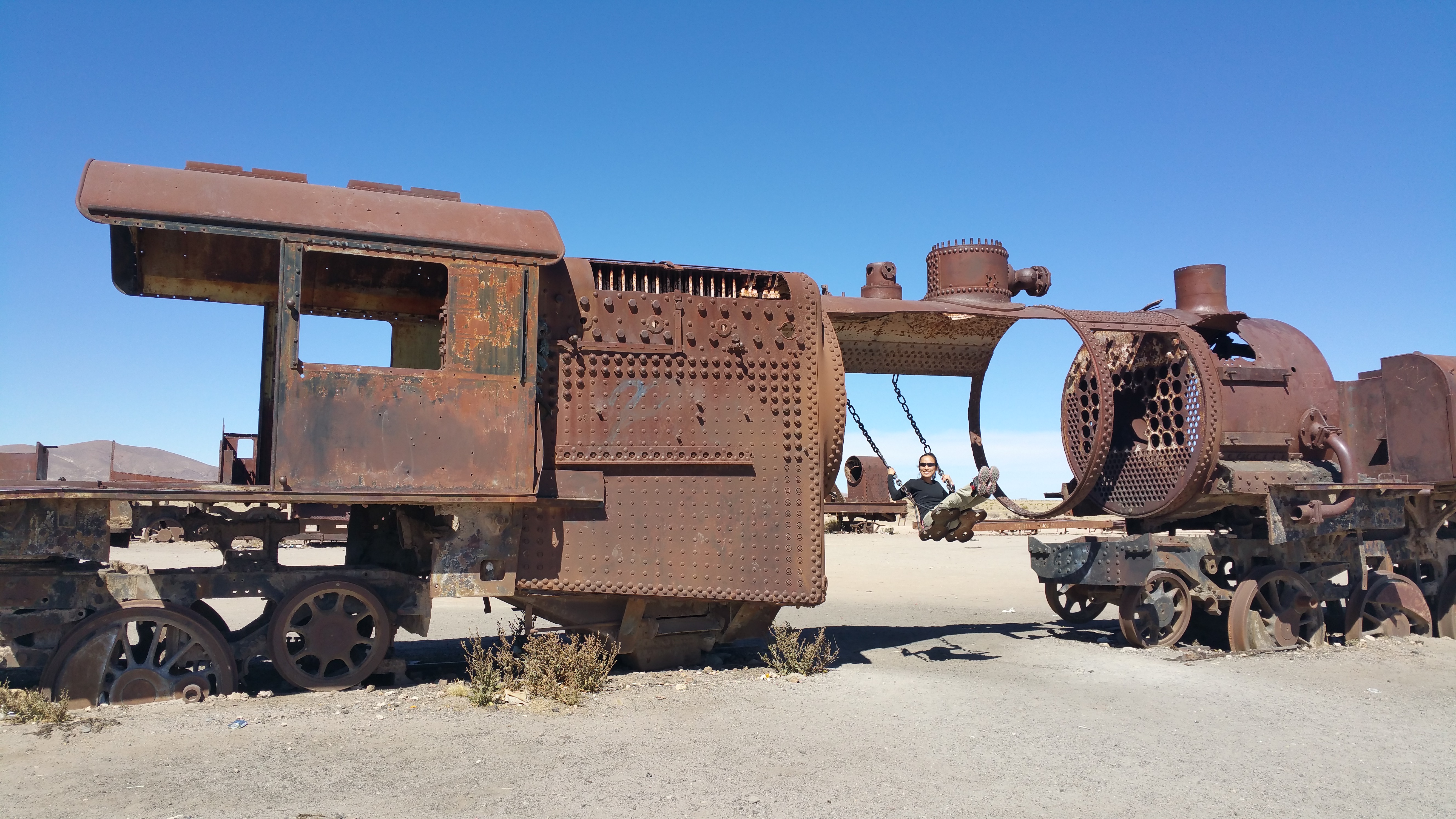
Then our driver took us through the tiny town of Uyuni.  It didn’t take long to cross the entire town, where we eventually arrived at a train cemetery. Where else in the world can you climb on and play with blown-out trains?20150511_124844 IMG_1480

Someone even attached a swing to the train! Whee!20150511_125618_014

After lunch we returned to the town of Uyuni.  There really wasn’t much to do there except roam the streets and people watch.  About 95% of the travelers finish their tour in Uyuni–their off-roading adventure is 3-days/2-nights long.  But because Chris and I were returning to San Pedro, our adventure lasted 4-days/3-nights.  We had 2 hours to kill in Uyuni before hopping into another 4×4 to head out for a final night in the desert before returning to San Pedro the next morning.

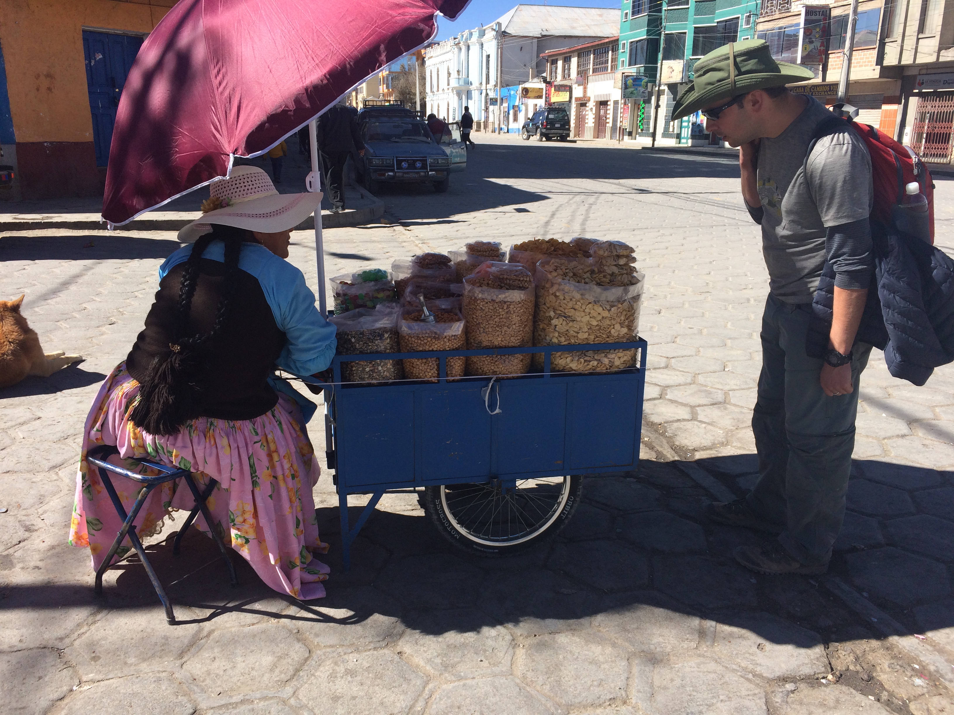
We bought dried nuts and bananas from a street vendor.IMG_1503

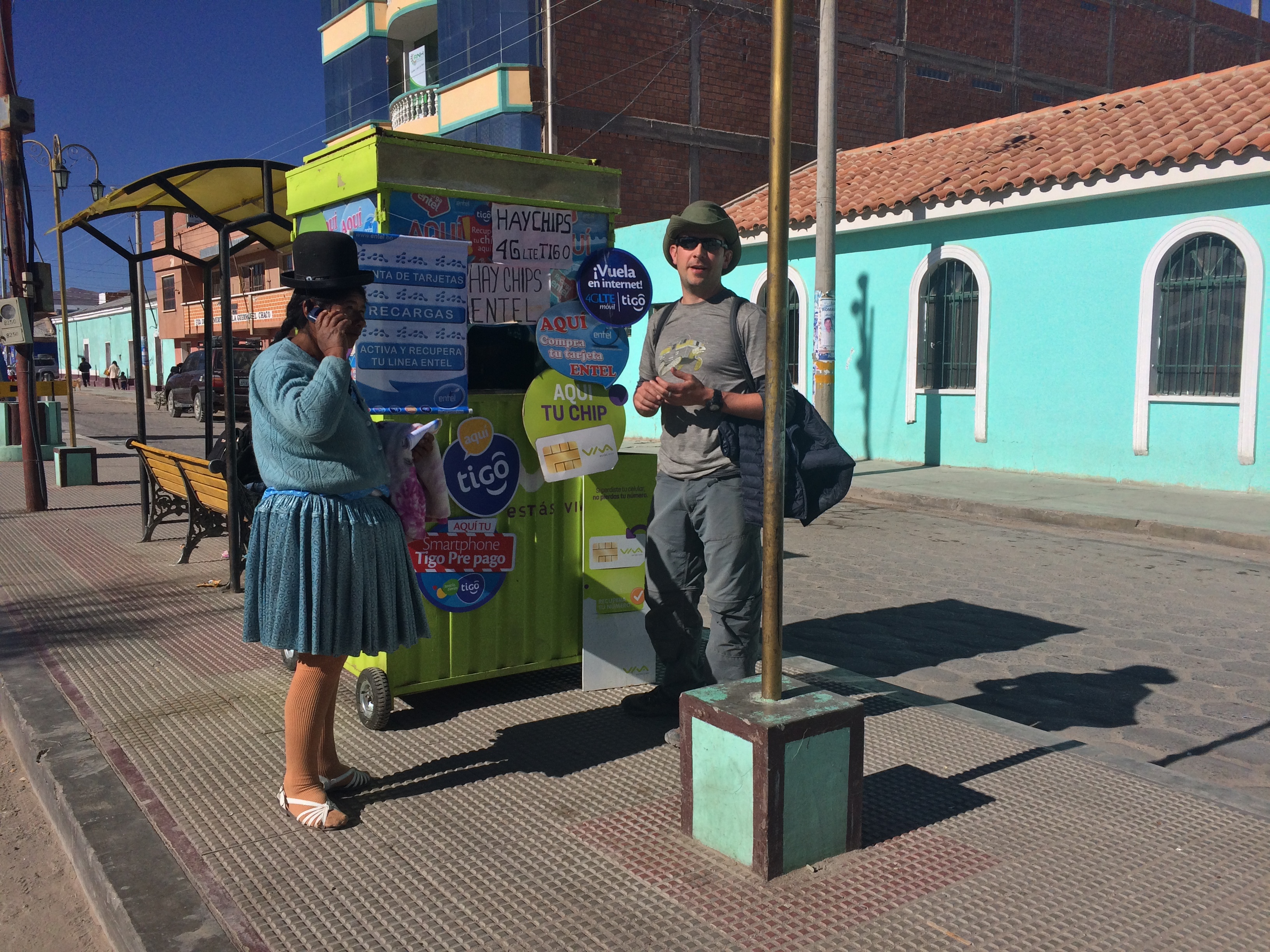
Chris even bought a chip for his phone.IMG_1513

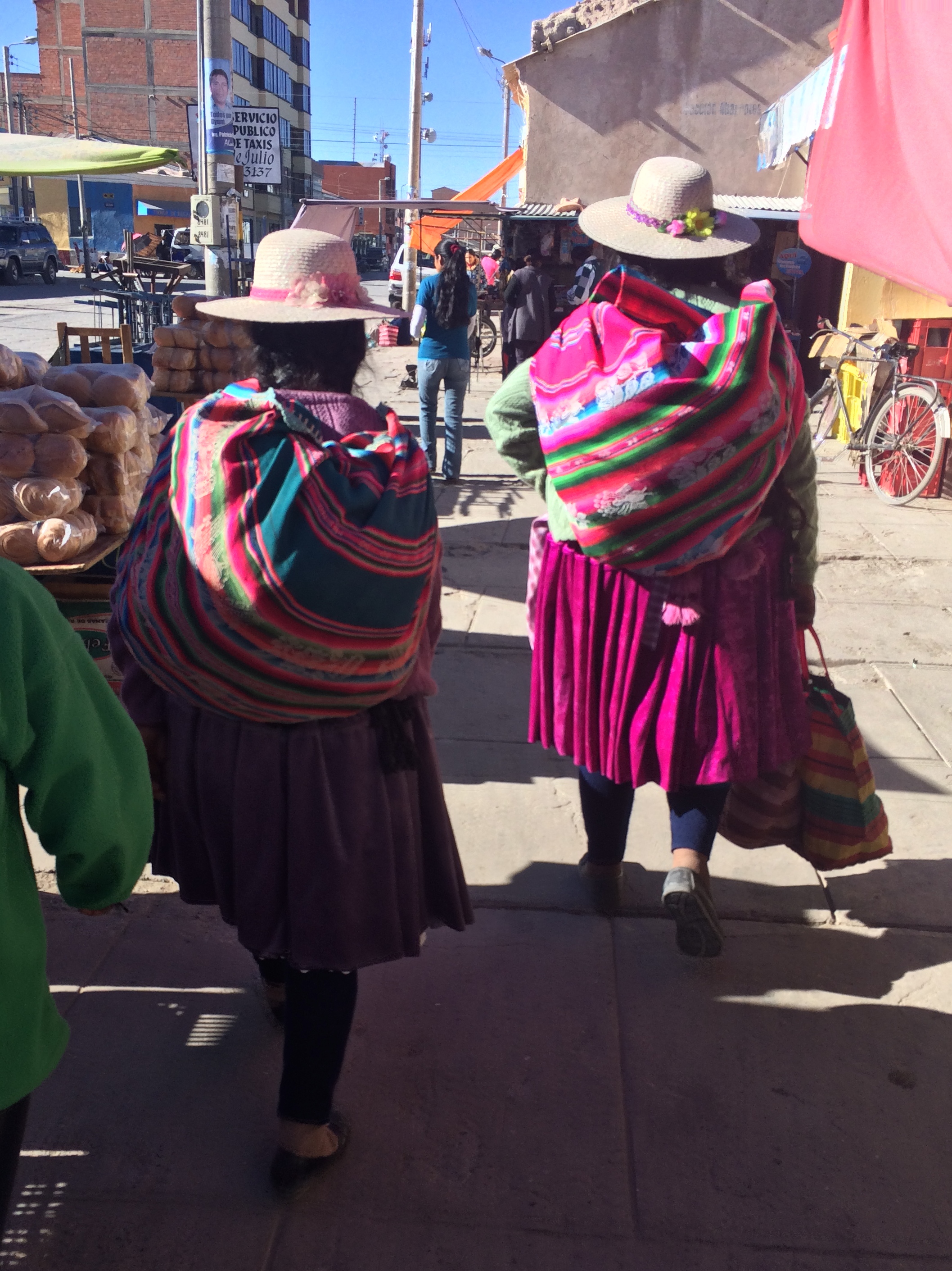
I adored the colorful fabric worn by the Bolivian women.IMG_1514

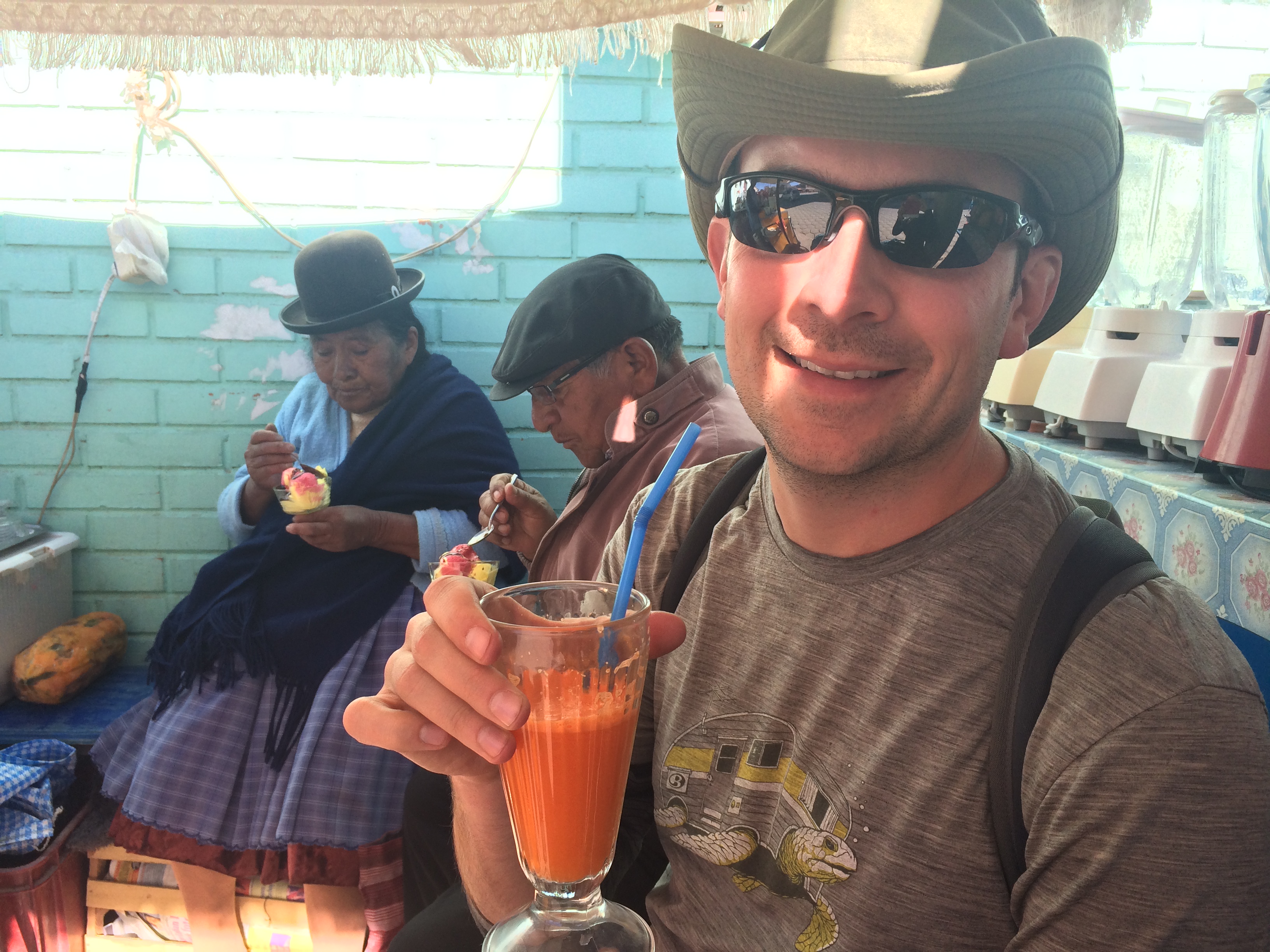
And finally, we devoured fresh orange and carrot juice from a street vendor before departing Uyuni.  We even shared the bench with an elderly Bolivian couple who sat down to enjoy ice cream.IMG_1516

Finally the time rolled around for us to depart Uyuni and head back to San Pedro.  We had an uneventful ride back to the desert, checked into our last hostel, ate dinner, and slept through a final night of subfreezing temperatures.  It was another 5am departure the next morning, as the driver needed to make it to the Bolivian-Chile border to begin another off-roading adventure with the next set of excited tourists.

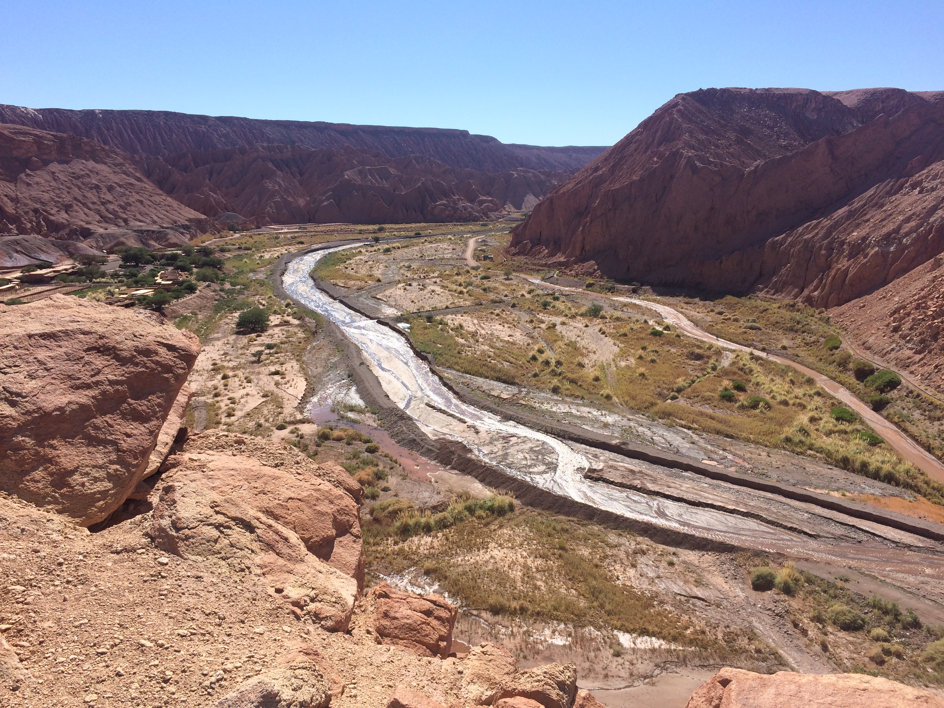
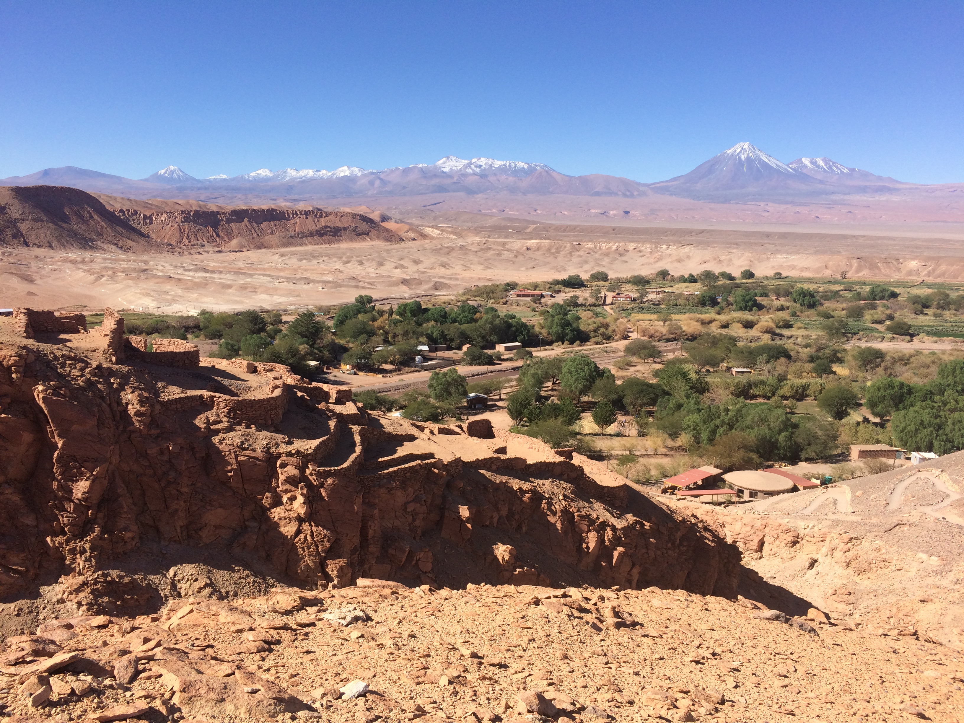
We were back in San Pedro for one final day before departing for Arica.  Chris got a good work day in, and I hiked the archeological ruins in the outskirts of San Pedro.  Thanks to acclimating to 4,000 meters in Bolivia, I had no issue walking up the hill in the 2,500 meter-high town of San Pedro.IMG_1531 IMG_1533 IMG_1544

I was amazed that we had spent an entire week in San Pedro and never ran out of things to do. Despite our incredible time spent in the Atacama Desert, I have to admit that the multiple-day off-roading excursion to Salar de Uyuni was the highlight of Northern Chile/Southern Bolivia.  Just imagine–tourists from all over the world set out for this journey every morning.  It doesn’t matter how cold it is, how high the altitude is, how bumpy and dusty the roads are, or how remote it is.  The beauty of the high desert plains is not to be missed.

Posted in Bolivia | Tagged | 1 Comment

San Pedro de Atacama

Going from one remote place to another wasn’t difficult; we had grown accustomed to marked up food, items, and lodging due to the necessity of hauling in products from major cities. However the difference between Easter Island and San Pedro de Atacama was a major one. Albeit both of Chilean territory, one contained the warmth and relaxation of island life while the other boasted volcanoes and salt lagoons in high altitude deserts. Both territories are remote but each come with their own distinct, opposite reputation of beauty and wonder.

After returning from Easter Island, we spent two days in Santiago and packed away our warm-weather clothing to prepare for the cold deserts of Northern Chile. I didn’t know there was more to Easter Island than the moai statues, and I didn’t know there was more to San Pedro other than the famous Valley of the Moon. And like in Easter Island, I was amazed by the striking beauty and variety of excursions I had not known prior to arriving.

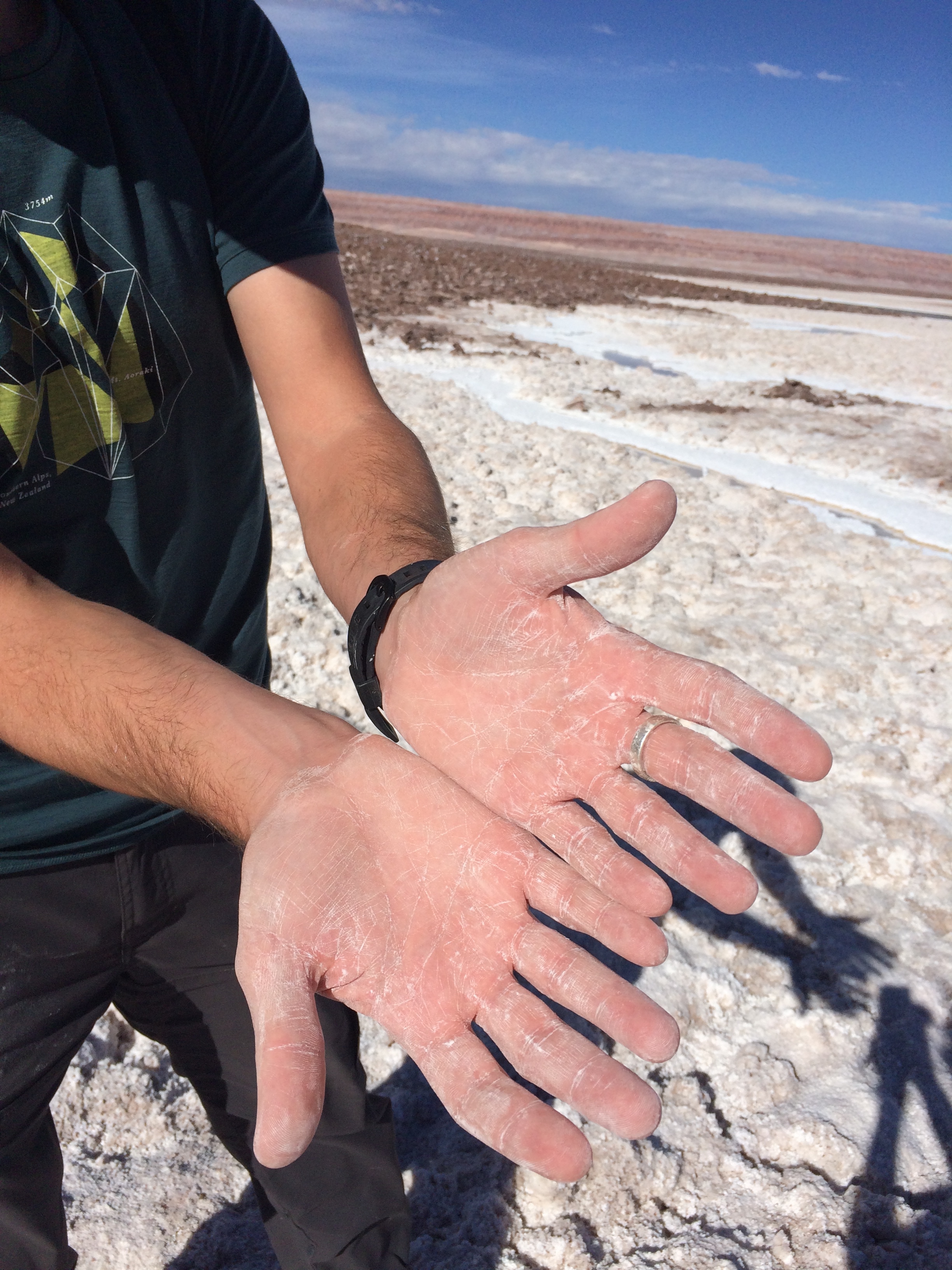
Situated ~7,000 feet above sea level, the vast desert of San Pedro faces drastic temperature changes between day and night.  Imagine a desert valley surrounded by the most active volcanoes of Chile. Dust fills the roads, and each 4×4 or horse that passes by kicks up more dust into the air. During the day the high altitude UV rays penetrate the skin, easily frying pale skin within the hour. It is easy to forget about windburn…until your skin is cracked and chapped after a few hours of outdoor adventure. The incredibly dry air assures thirst in the morning, and perhaps even a bloody nose. Add playtime in one of the salty lagoons, and your skin will wonder if it has ever suffered anything worse. When night falls, gloves, leggings, a jacket, and a hat are essential, but because the city lacks streetlights, stars shine galore. I’m amazed a town exists in such a location, but I appreciate its existence in order for foreigners to experience the epic beauty of the Atacama Desert.

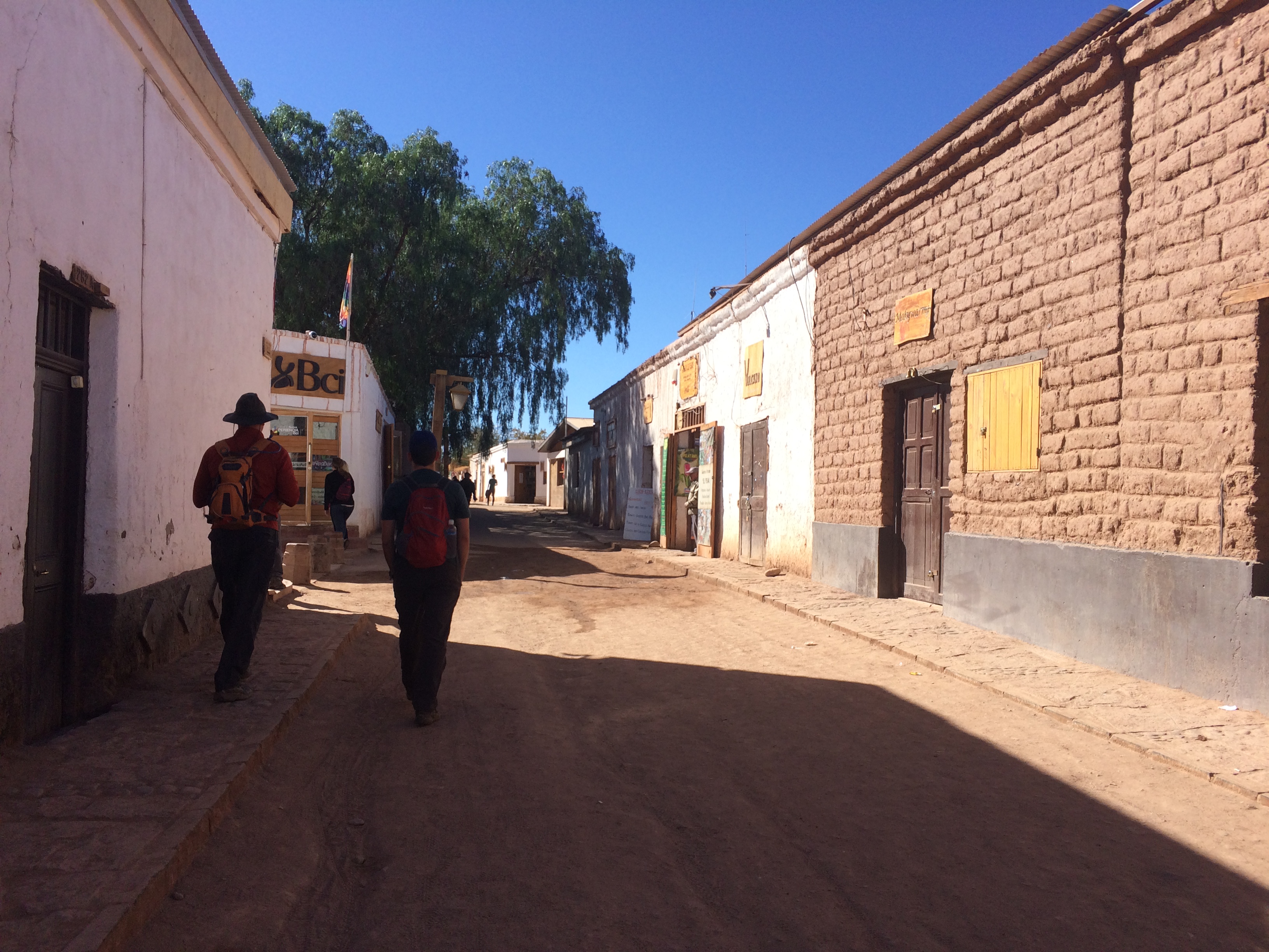
The streets of San Pedro are lined with 1-story stone buildings of tour companies offering practically the same excursions.IMG_0905

We looked into renting a car for 4 days, but quick research showed that it would cost ~$700 USD! Unlike my experiences in tourist cities, it turned out that bus tours were definitely the easiest and most economical way of experiencing the Atacama Desert. So that’s what we did for our 4 whole days in San Pedro. Below I have the costs associated with the tours and entrance fees, along with some photos and descriptions.


Valley of the Moon
(8000 pesos pp + 3000 pesos entrance fee, ~$18 USD)

All tours to the Valley of the Moon start at 3pm and end with an epic sunset over the valley.  This is the most recommended tour if you are short on time.

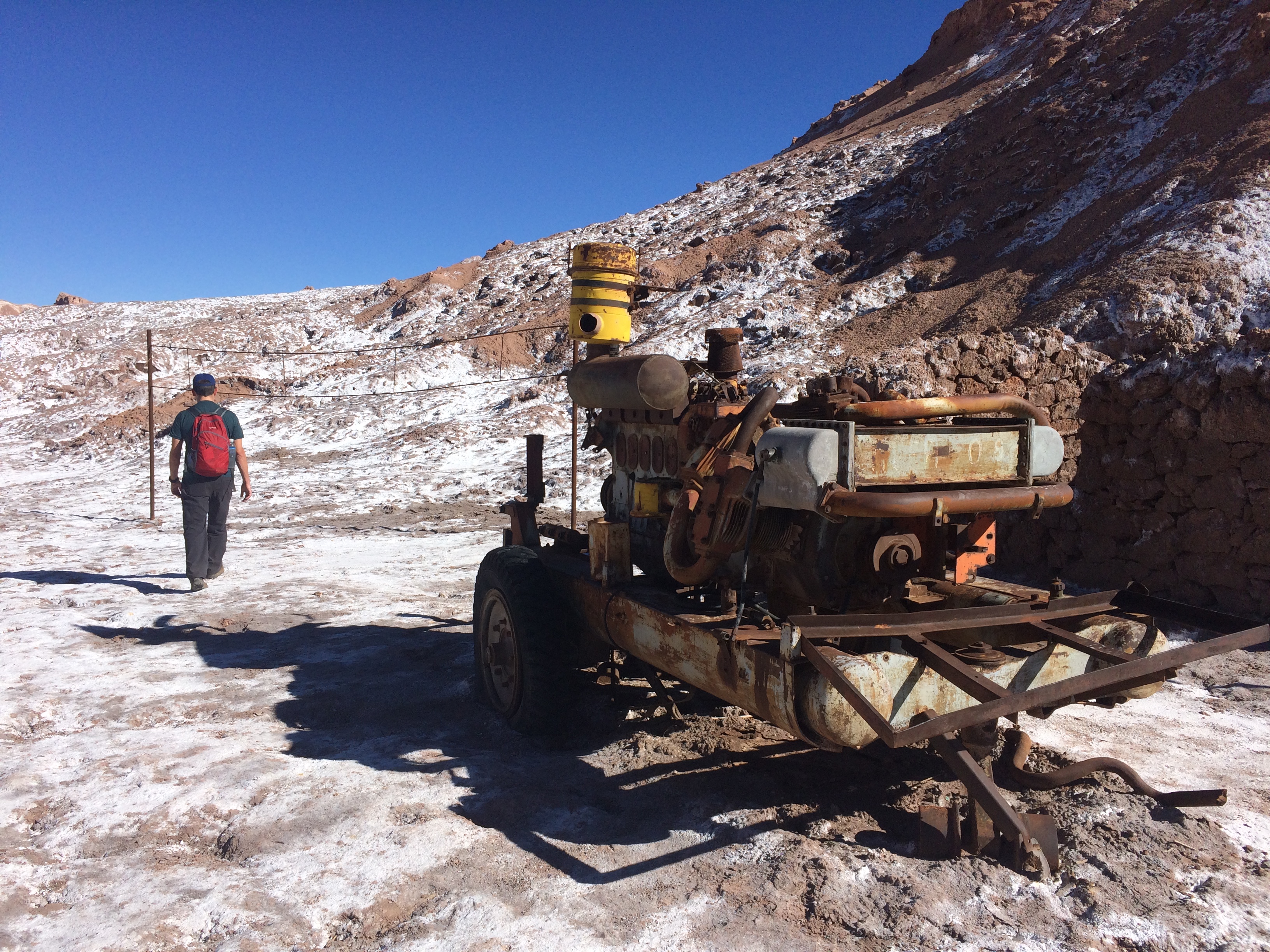
This place (and much of the desert) is covered in salt. Back in the 60’s people even mined for salt here.IMG_0924

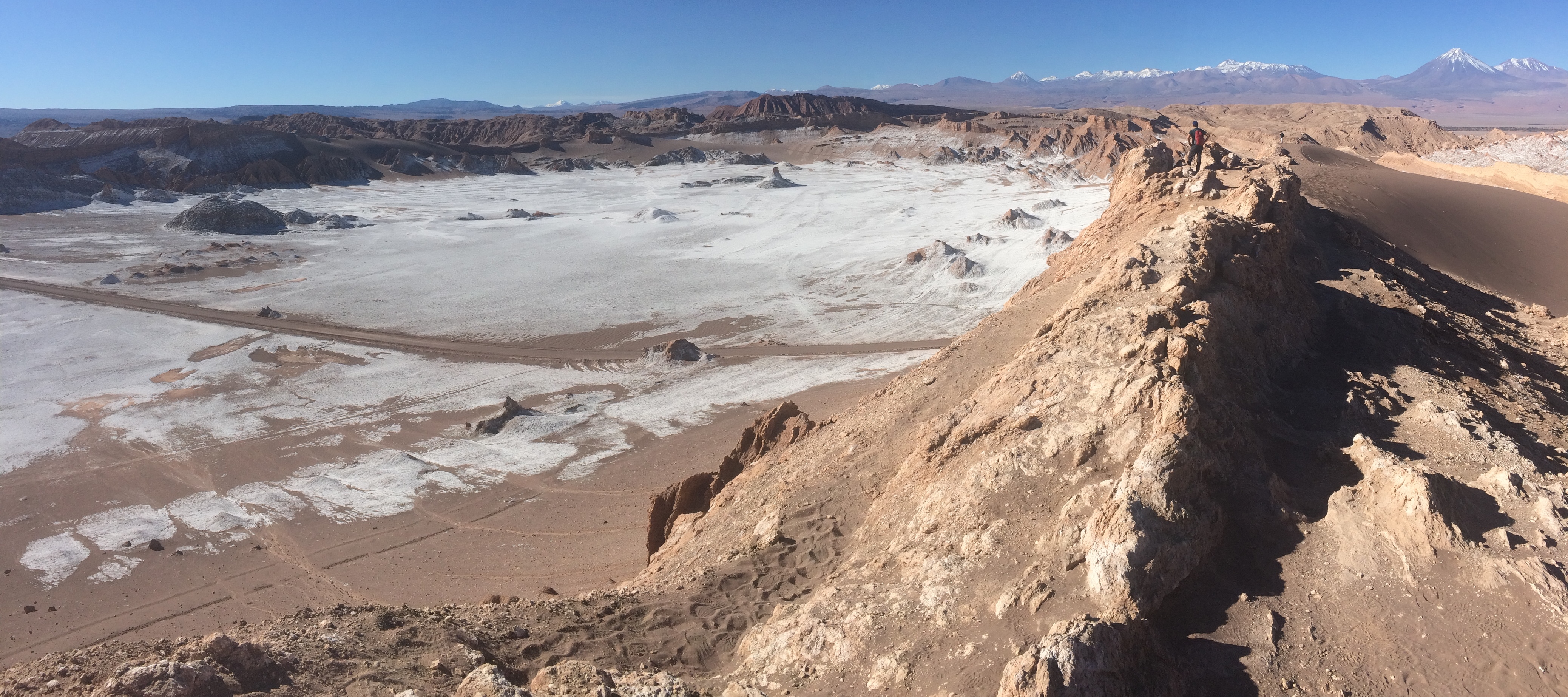
A short hike up a sandy hill revealed the gigantic salt valley and the Andes Mountains in the distance.IMG_0934

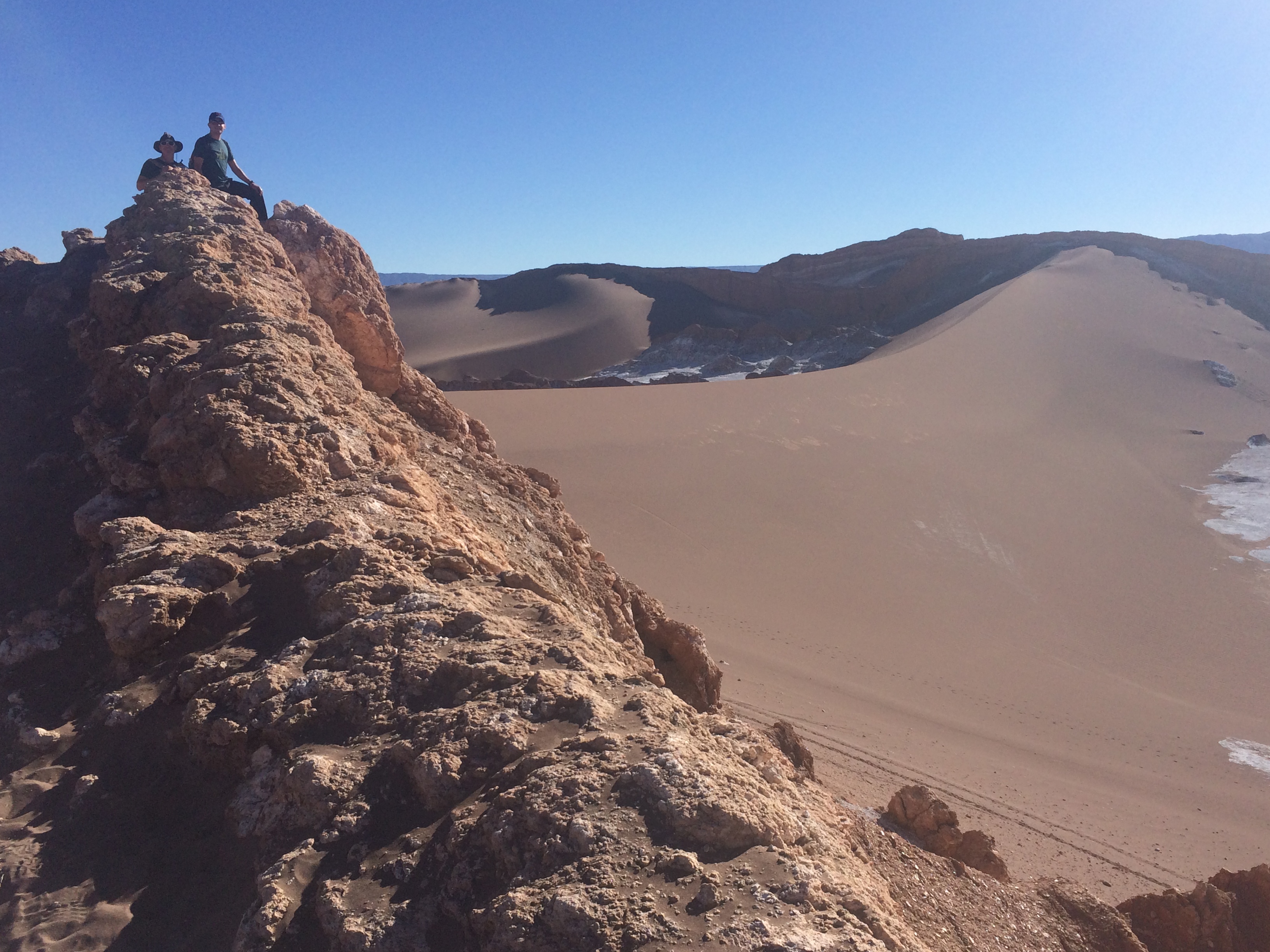
Rocks and sand dunes.IMG_0936

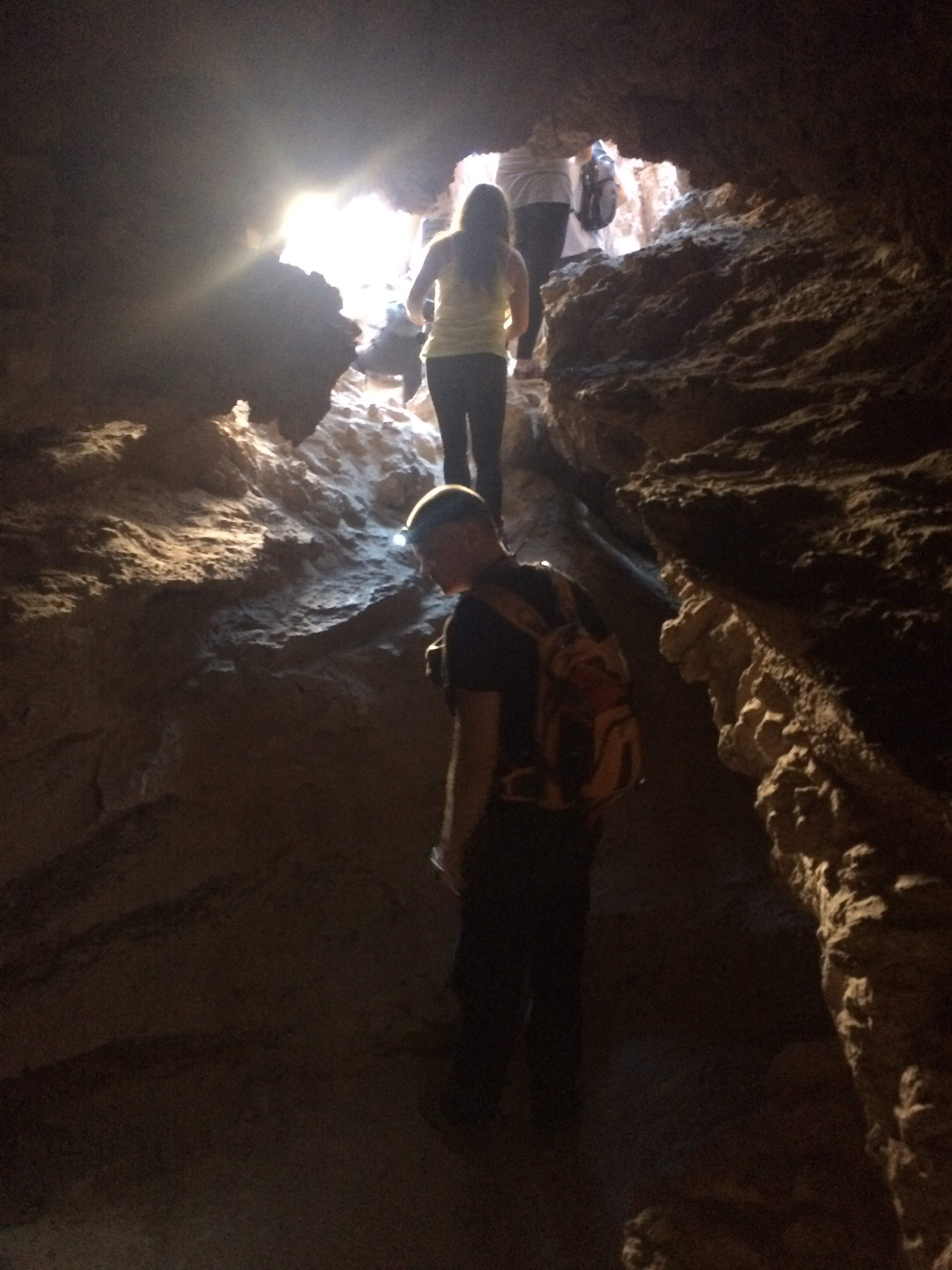
A short cave tour.IMG_0949

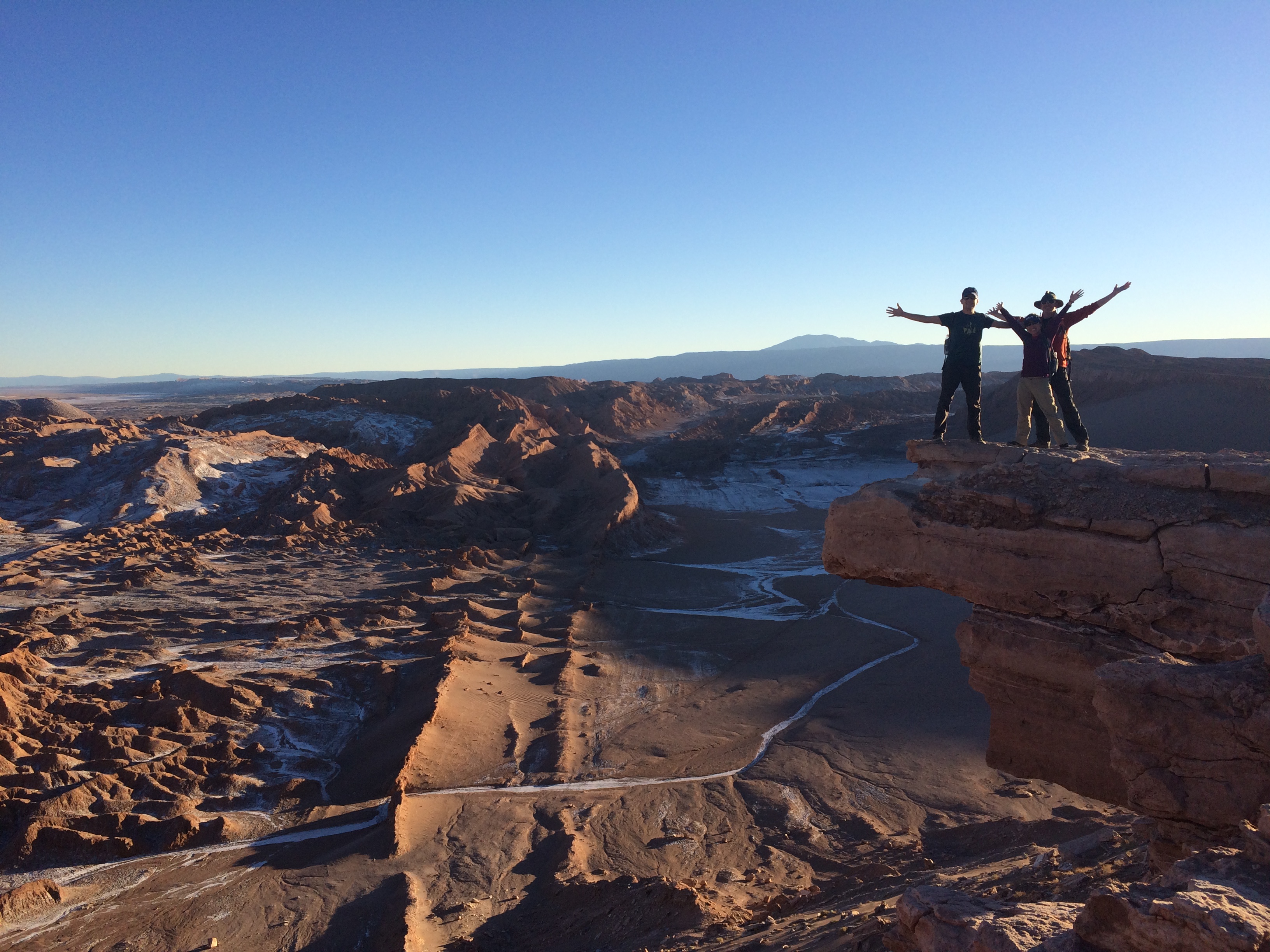
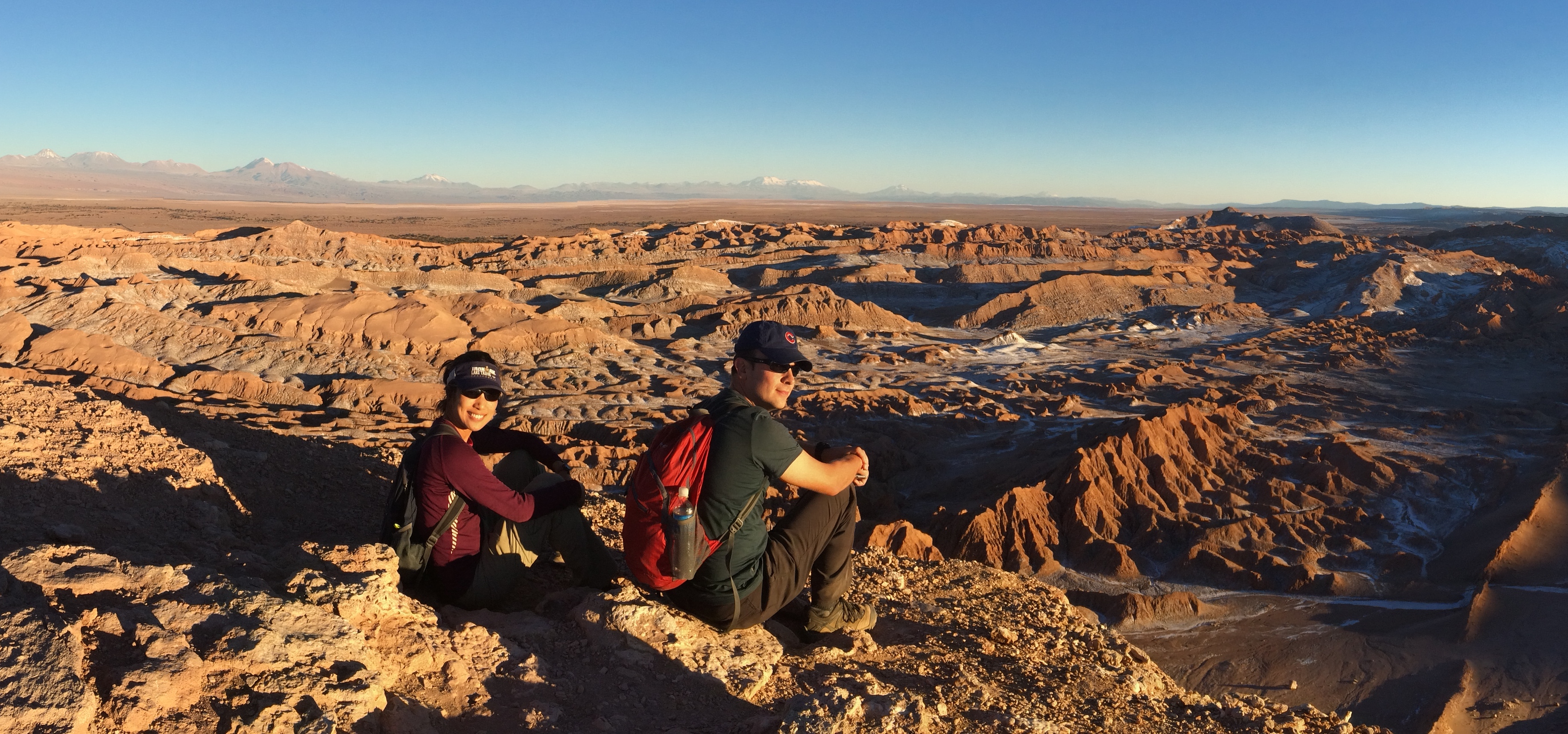
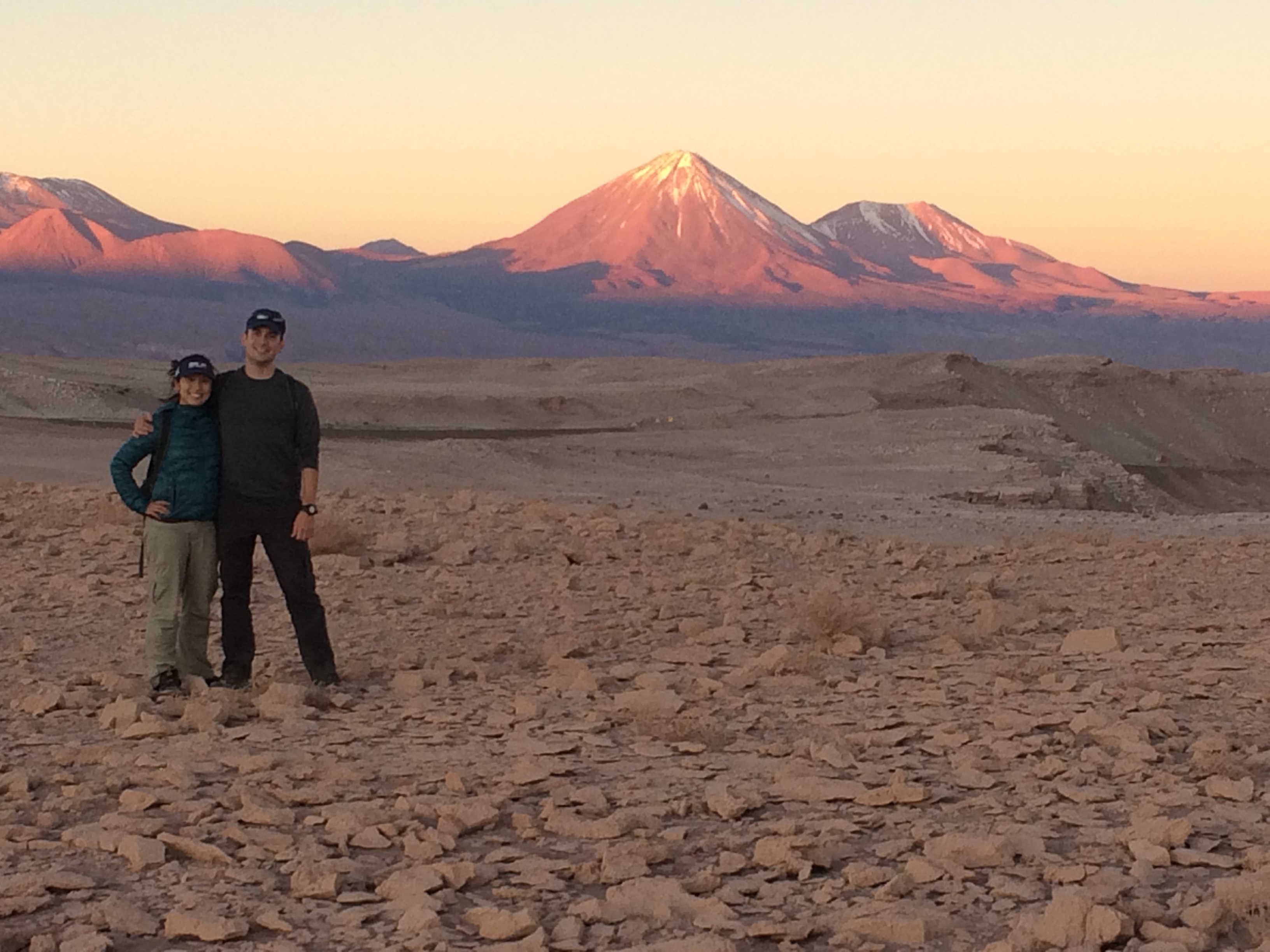
The epic valley for sunset.IMG_0965 IMG_0973IMG_0981


Lagunas Altiplanicas, the High Plains Lagoons
(25,000 pesos pp, ~$40) 

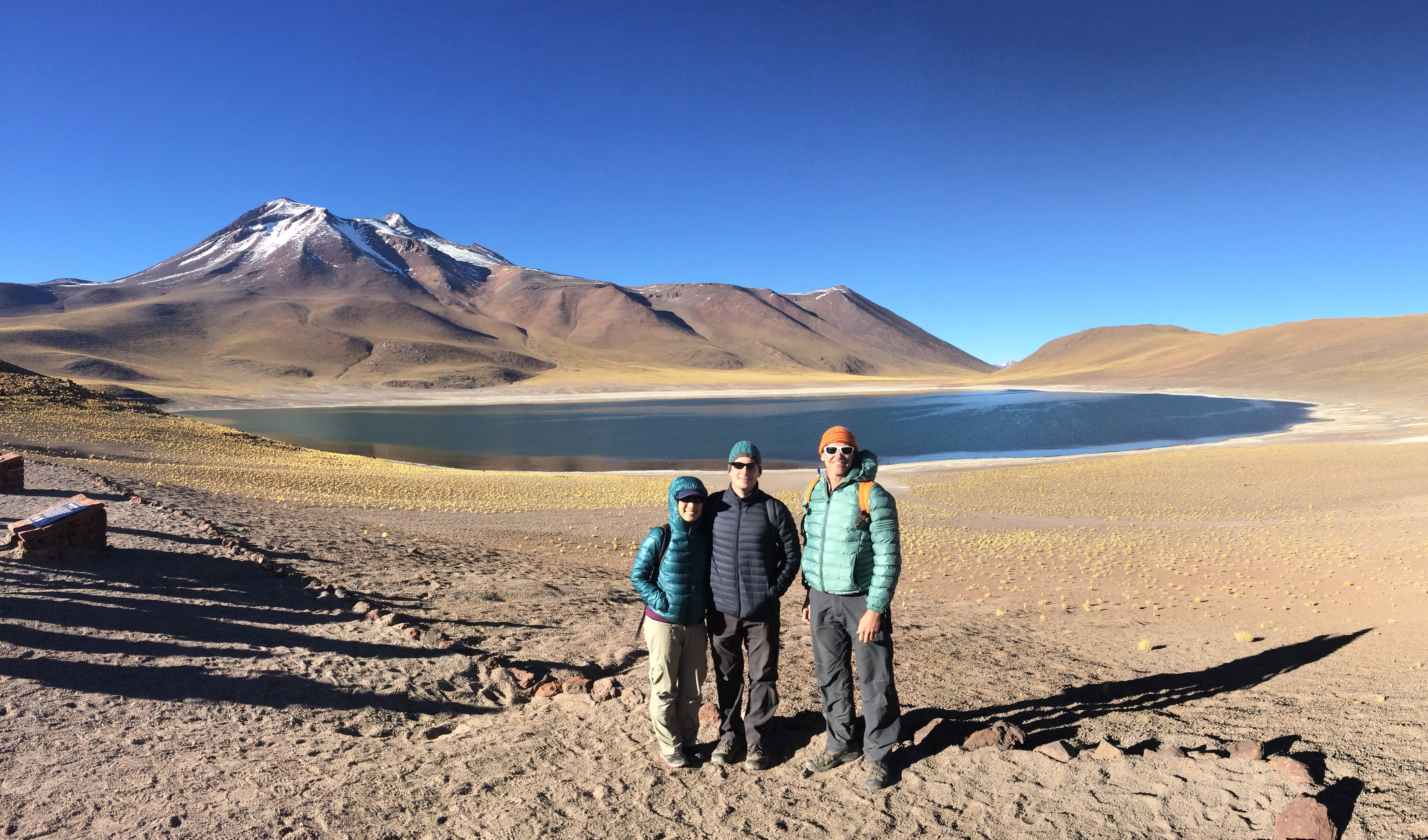
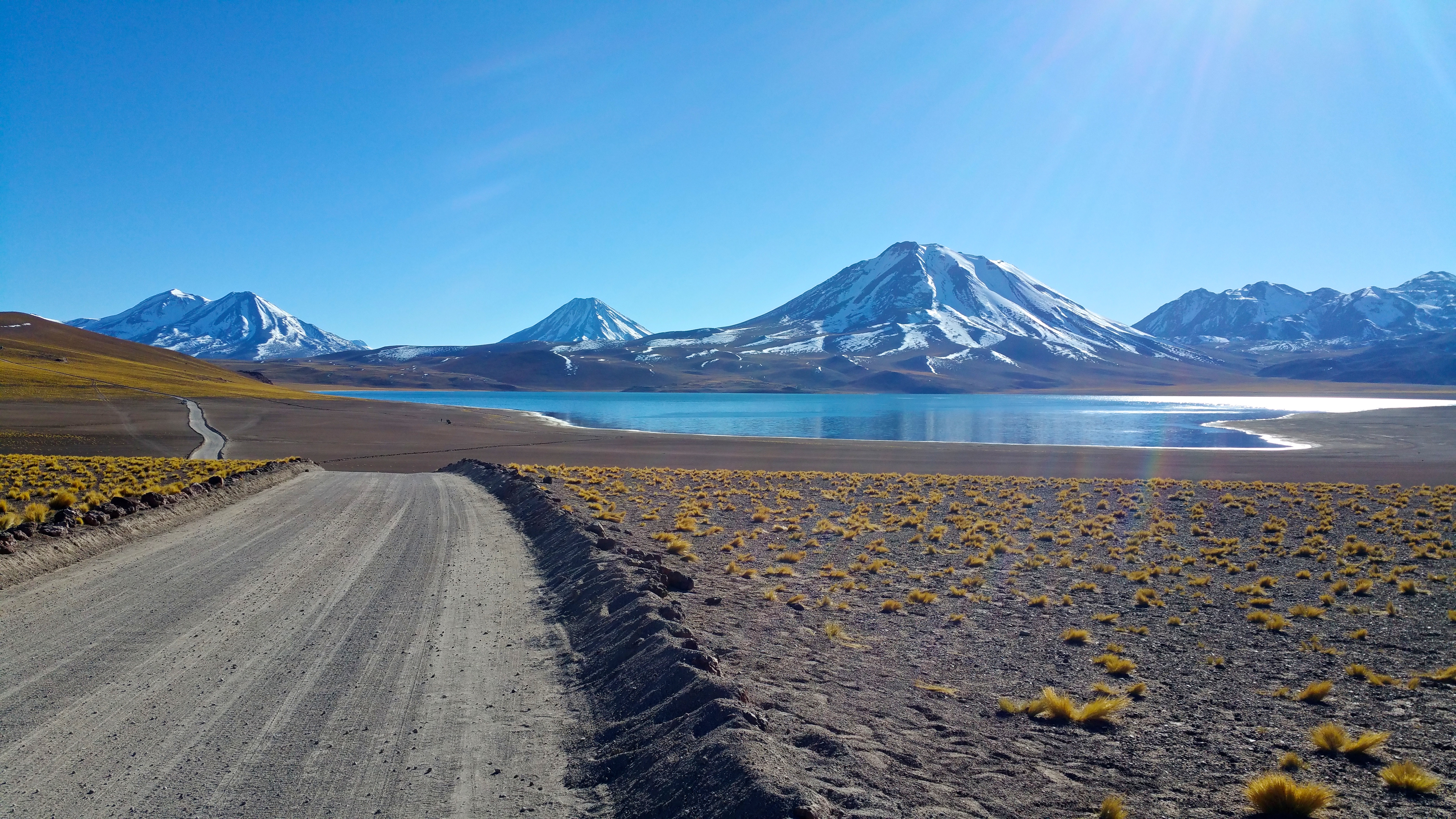
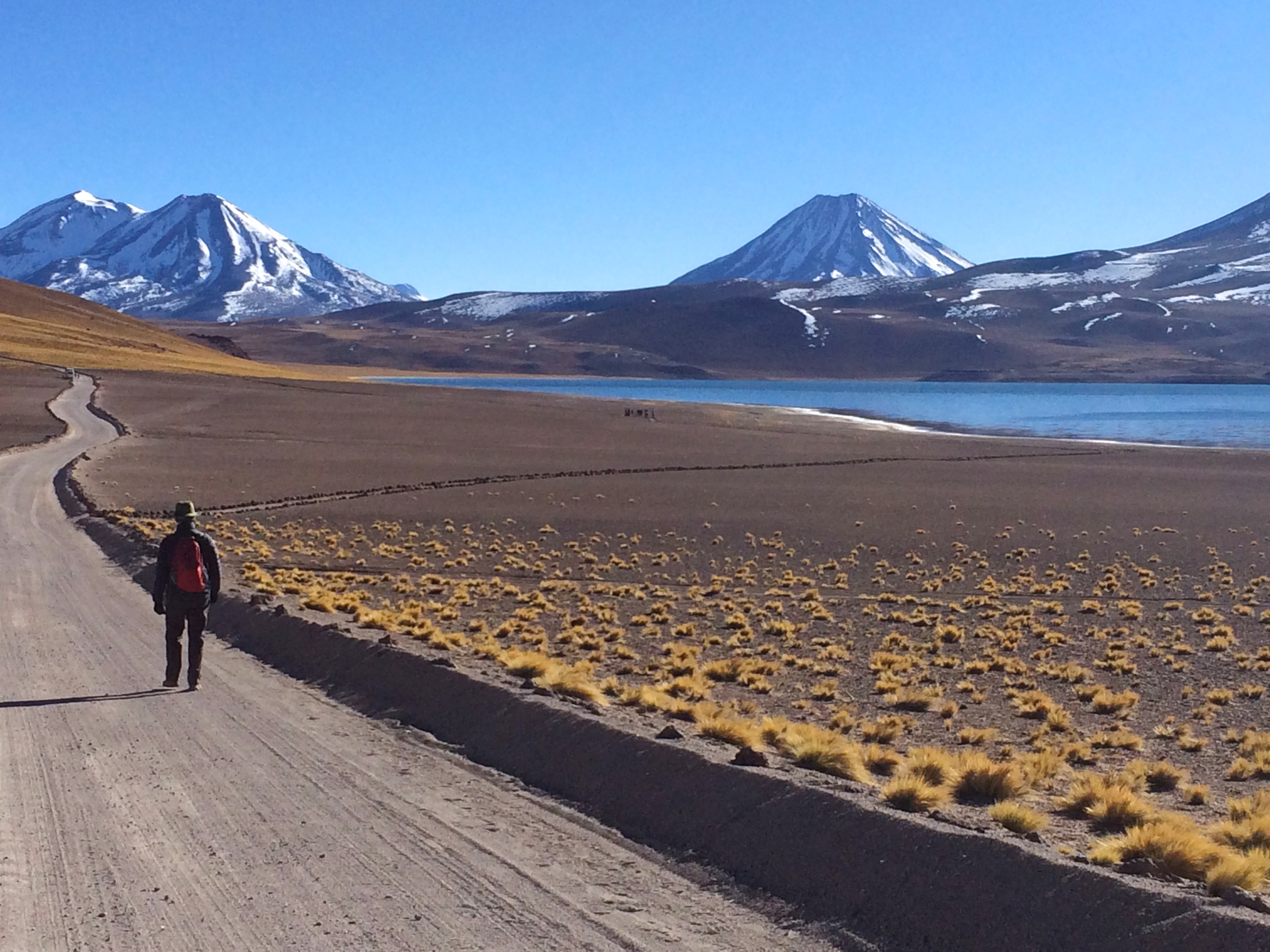
The morning after we visited the Valley of the Moon, we woke up bright and early to check out the Altiplano Lagoons Miscanti, Meñique, and Chaxa, which are a far distance south from San Pedro near the Bolivian border. Despite the long, early bus ride and biting cold, the views of the salt lagoons with backdrops of volcanoes were breathtaking.

The Miscanti and Meñique Lagoons were part of the first park, with an entrance fee of 5,000 pesos pp (~$8). We were dropped off at Laguna Meñique.IMG_0996

Then we strolled on over to Laguna Miscanti.20150506_095738 IMG_1005

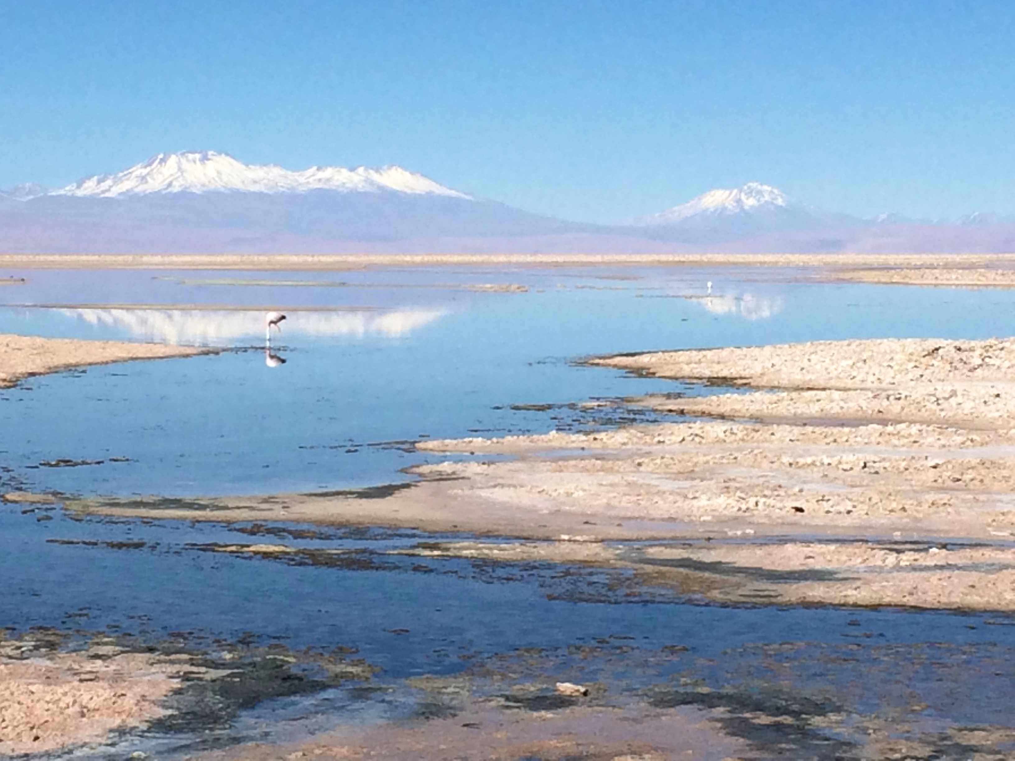
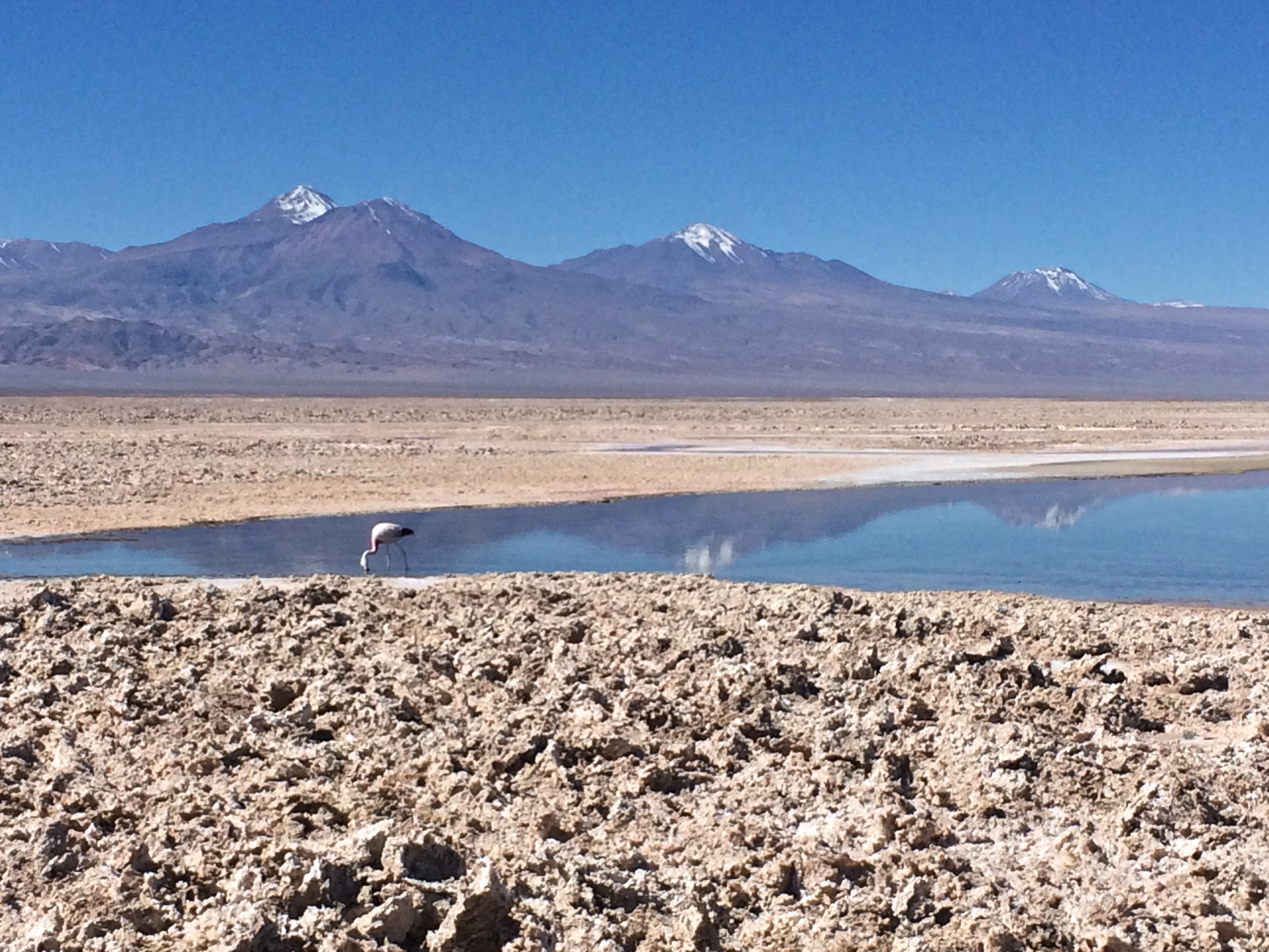
After visiting these neighboring lagoons, we headed over to Laguna de Chaxa, a flamingo reserve, which also had another entrance fee of 5,000 pesos. This was by far our most expensive day in San Pedro! However, the natural beauty outweighed the expenses. The tranquil salt lagoons, reflections of distant volcanoes, and wild flamingoes were stunning. We wished we could have had more time there.IMG_1017 IMG_1020 IMG_1027


Geyser del Tatio
(20,000 pesos + 5000 pesos entrance fee, ~$40)

We had already seen the largest geyser field in the world at Yellowstone, but it wouldn’t hurt to see the 3rd largest geyser field in the world. The Geyser of Tatio also boasts the reputation of being the highest geyser field in the world.

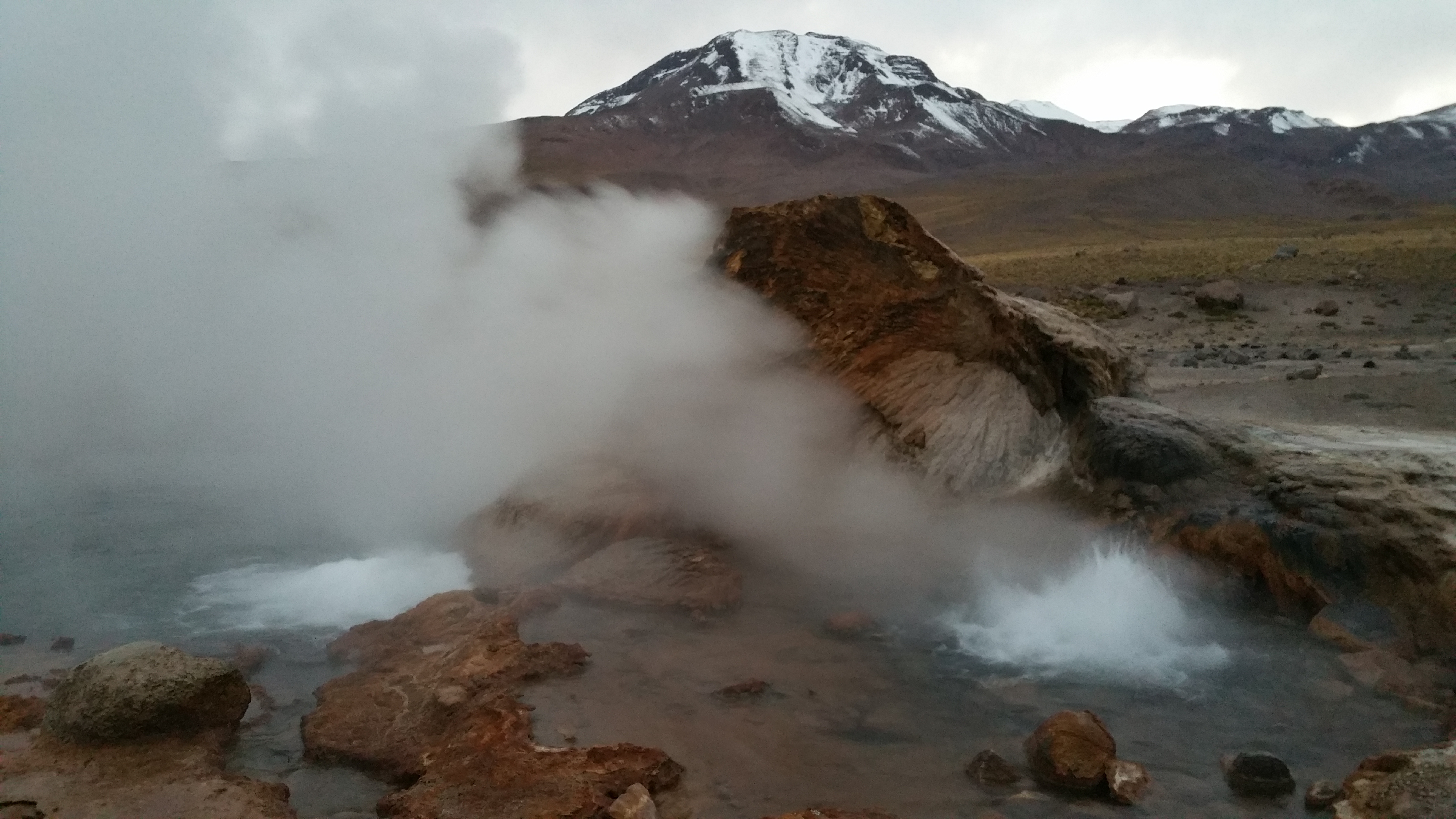
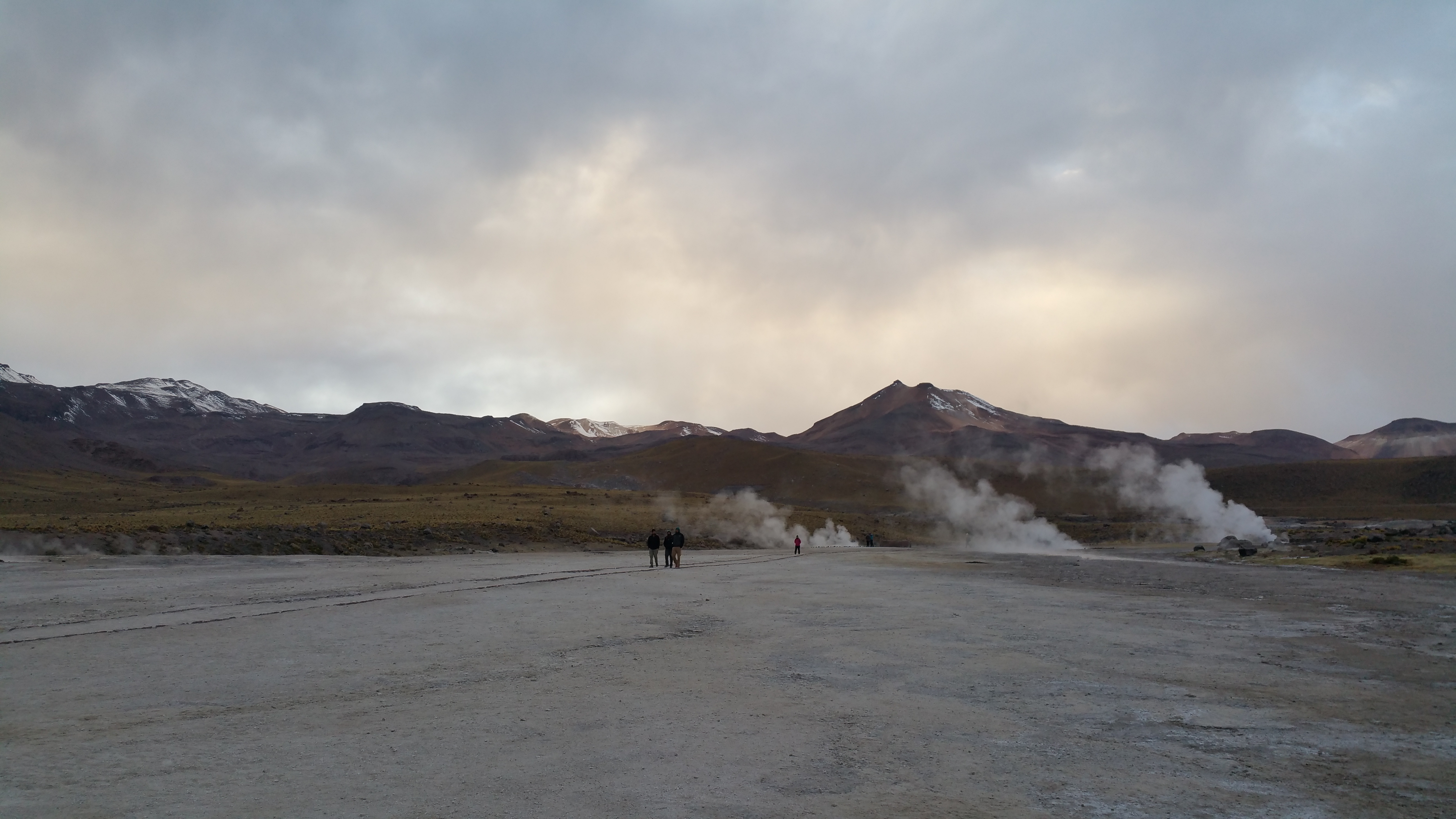
Although not spectacular by any means, we still enjoyed waking up at 4am for the long drive north of San Pedro in order to catch the geysers at sunrise.20150507_074229 20150507_080108

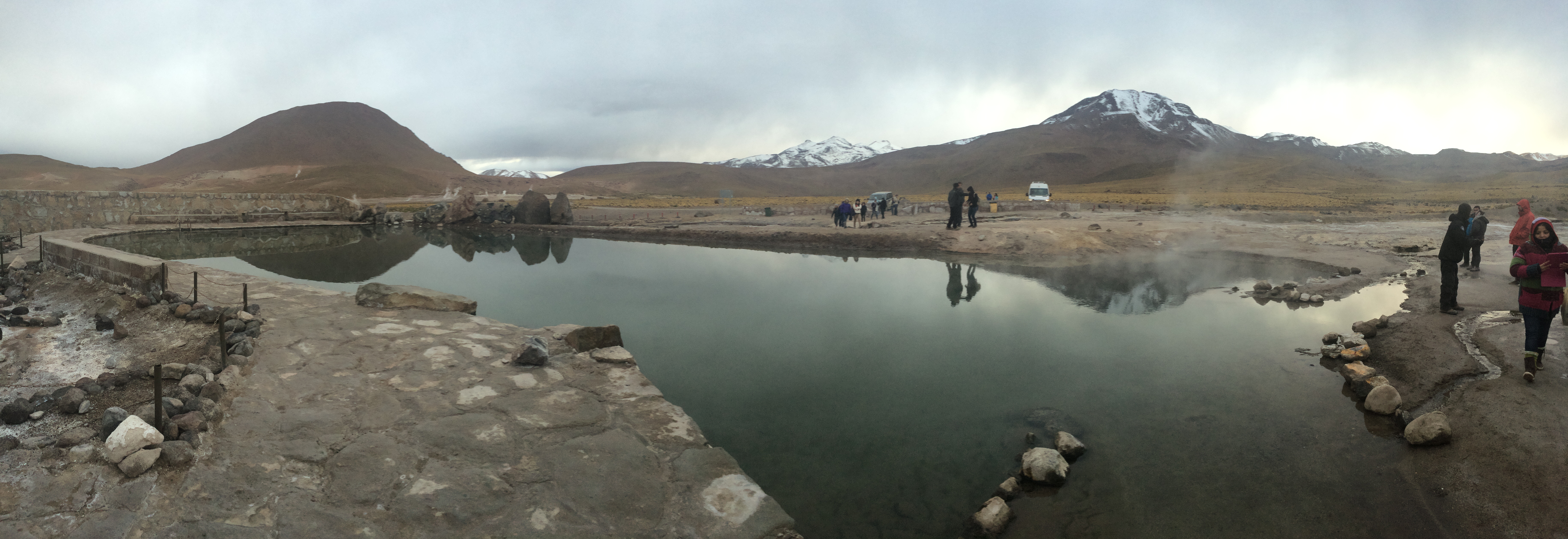
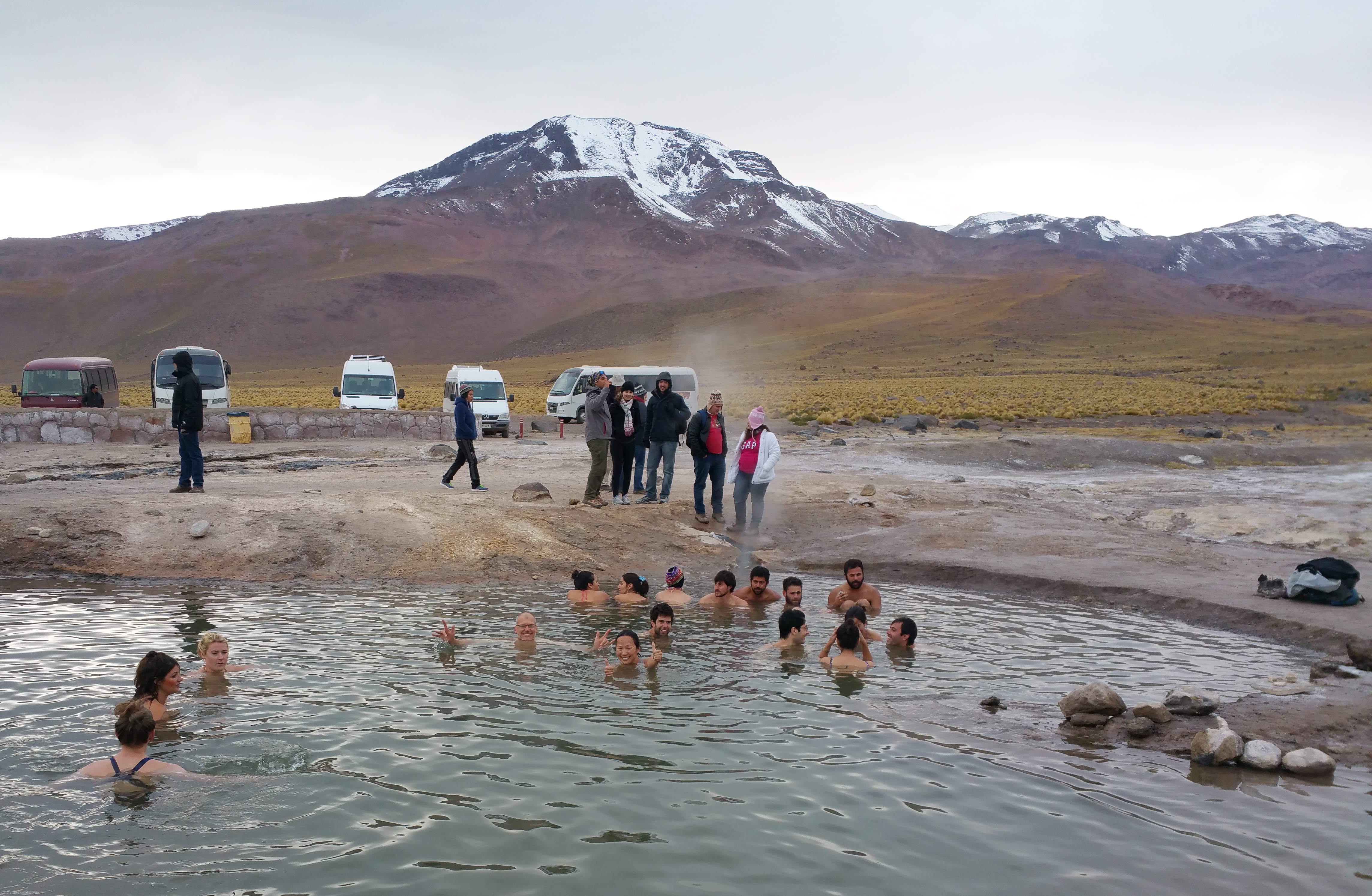
Our favorite excursion at the geysers was soaking in a “hot” geyser pool in below freezing air temperatures. In actuality it was far from hot…it was only slightly warm at best and seemingly cold due to the air temp. But whatever. It was fun.IMG_1049geyser_fix

On our return to San Pedro, we stopped to snap pictures of the beautiful fauna.20150507_095604 20150507_101106

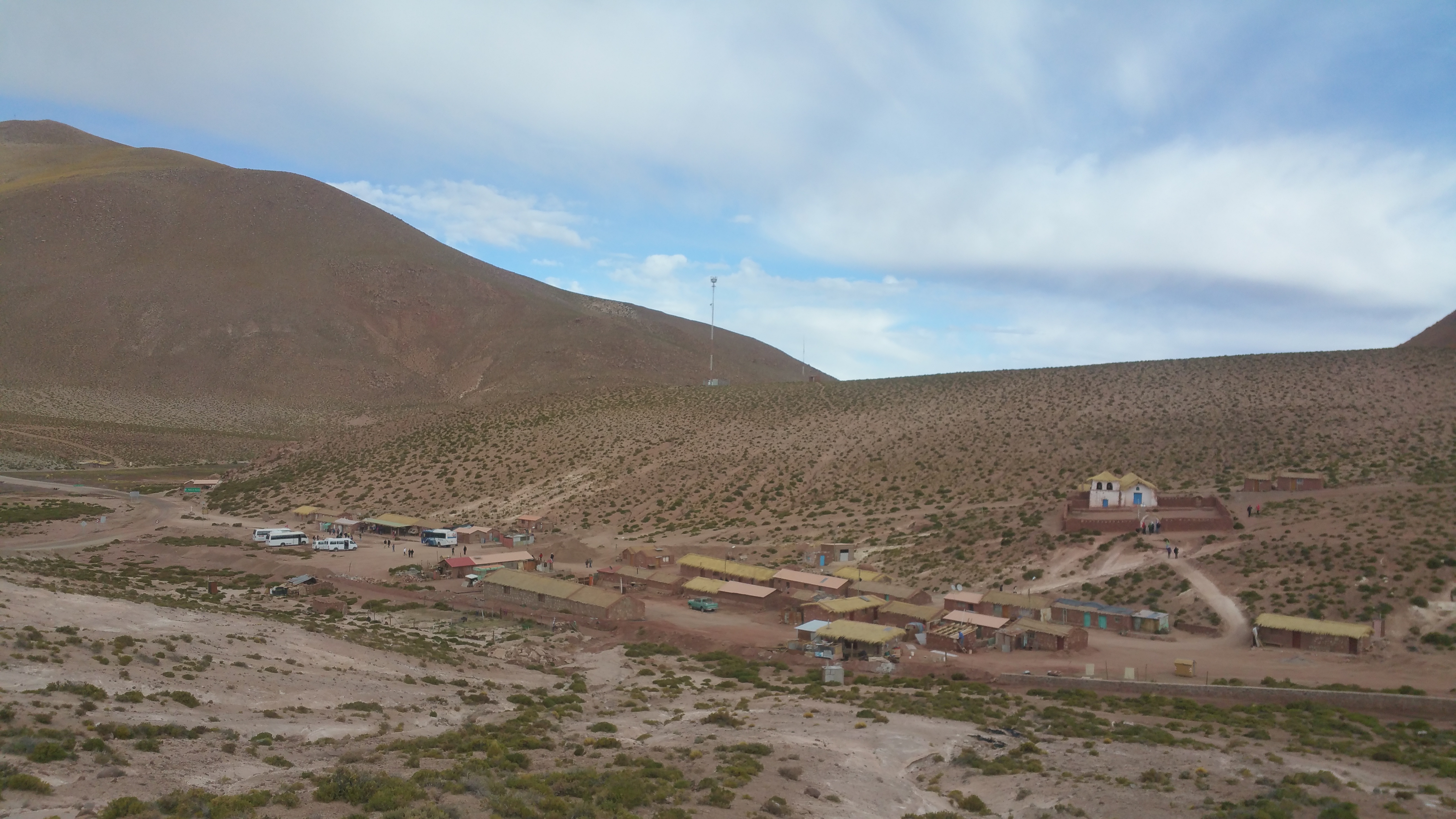
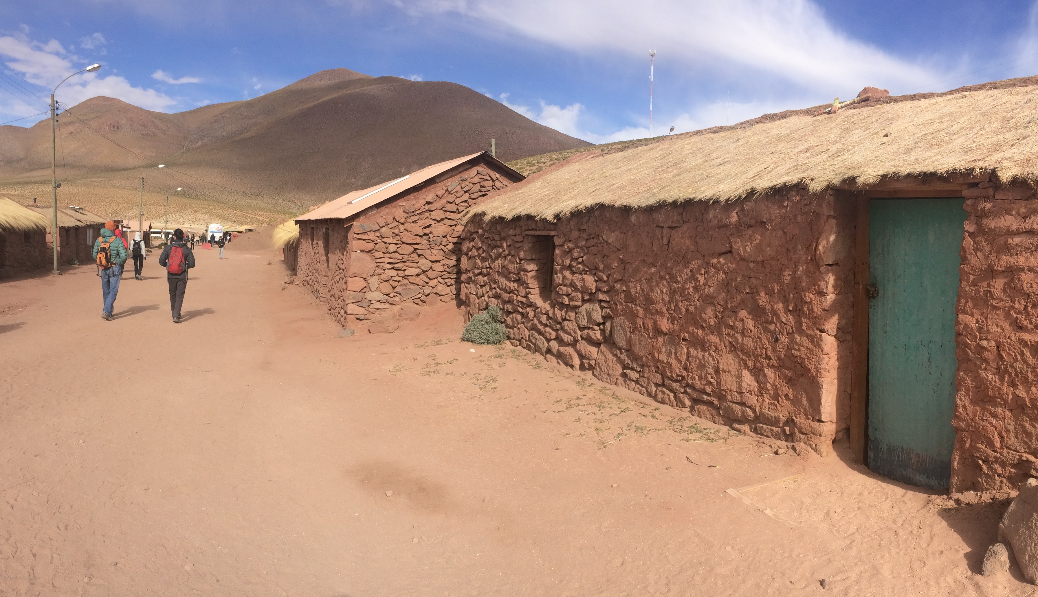
We also made a brief visit to a tiny pueblo called Machuca. 20150507_102720 IMG_1071

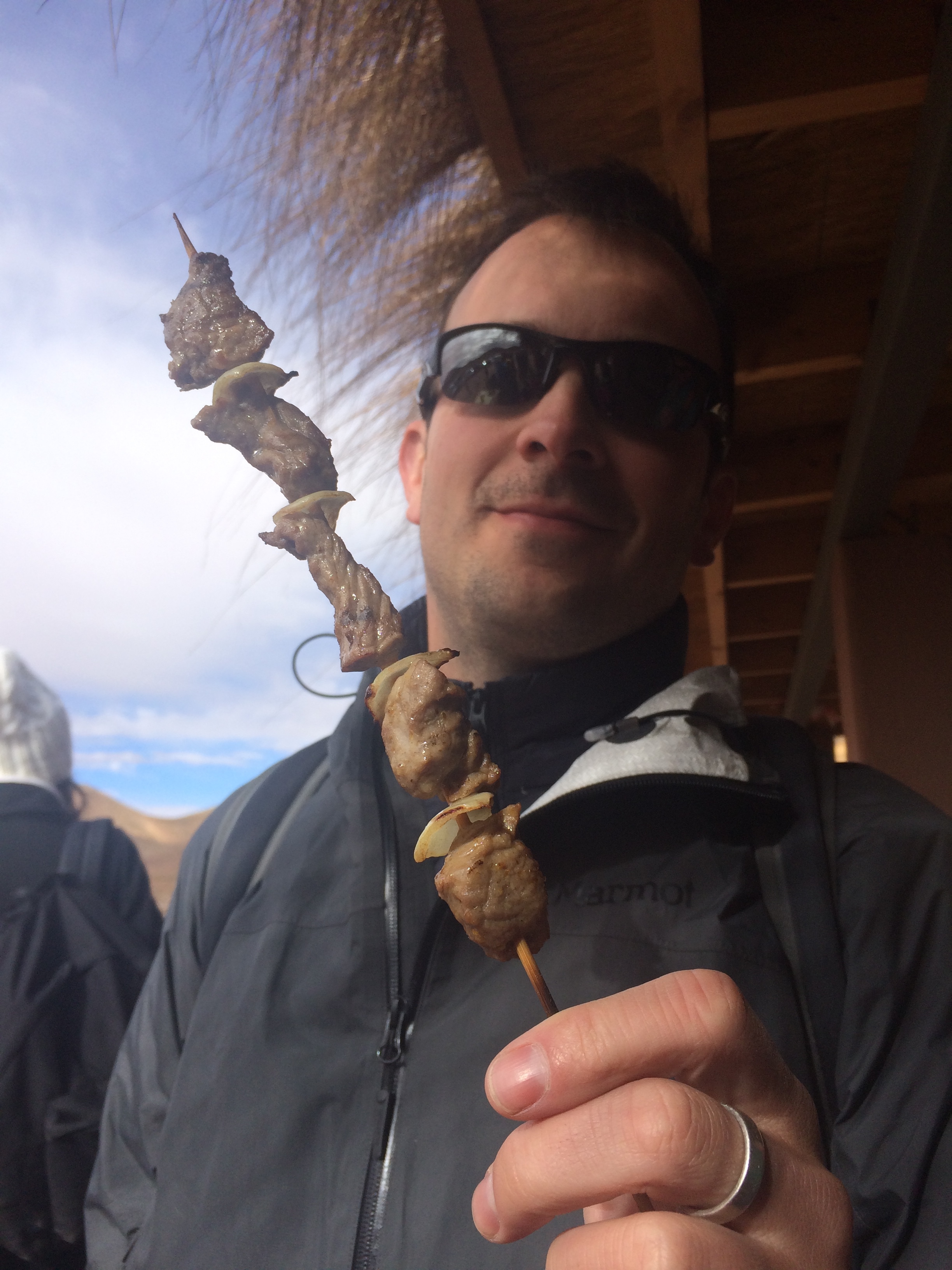
There, we had our first taste of llama, grilled and skewered. It was delicious! We can’t wait to eat more llama in Peru.IMG_1063


Laguna Cejar
(12,000 pesos pp + 2500 entrance fee, ~$25)

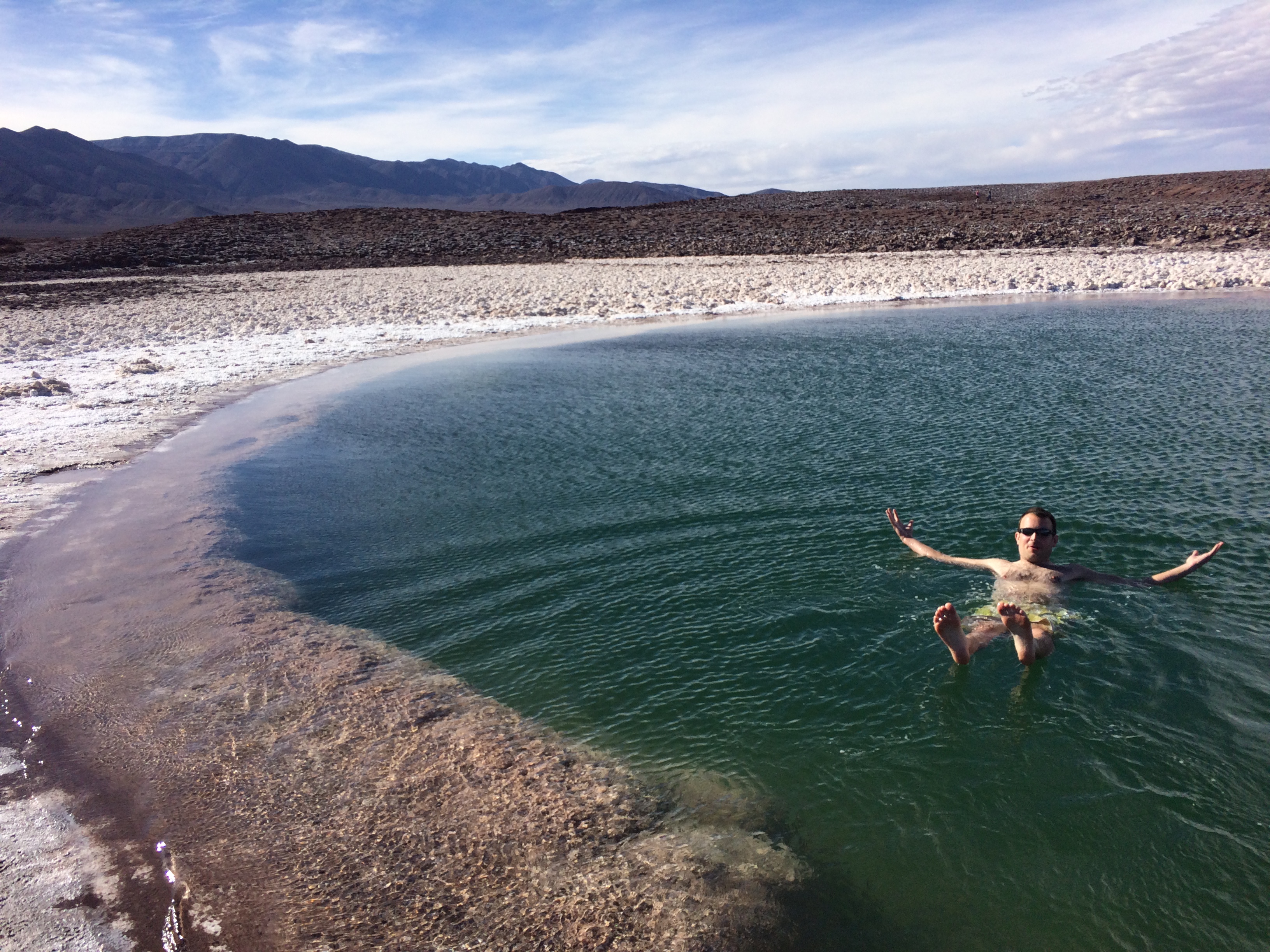
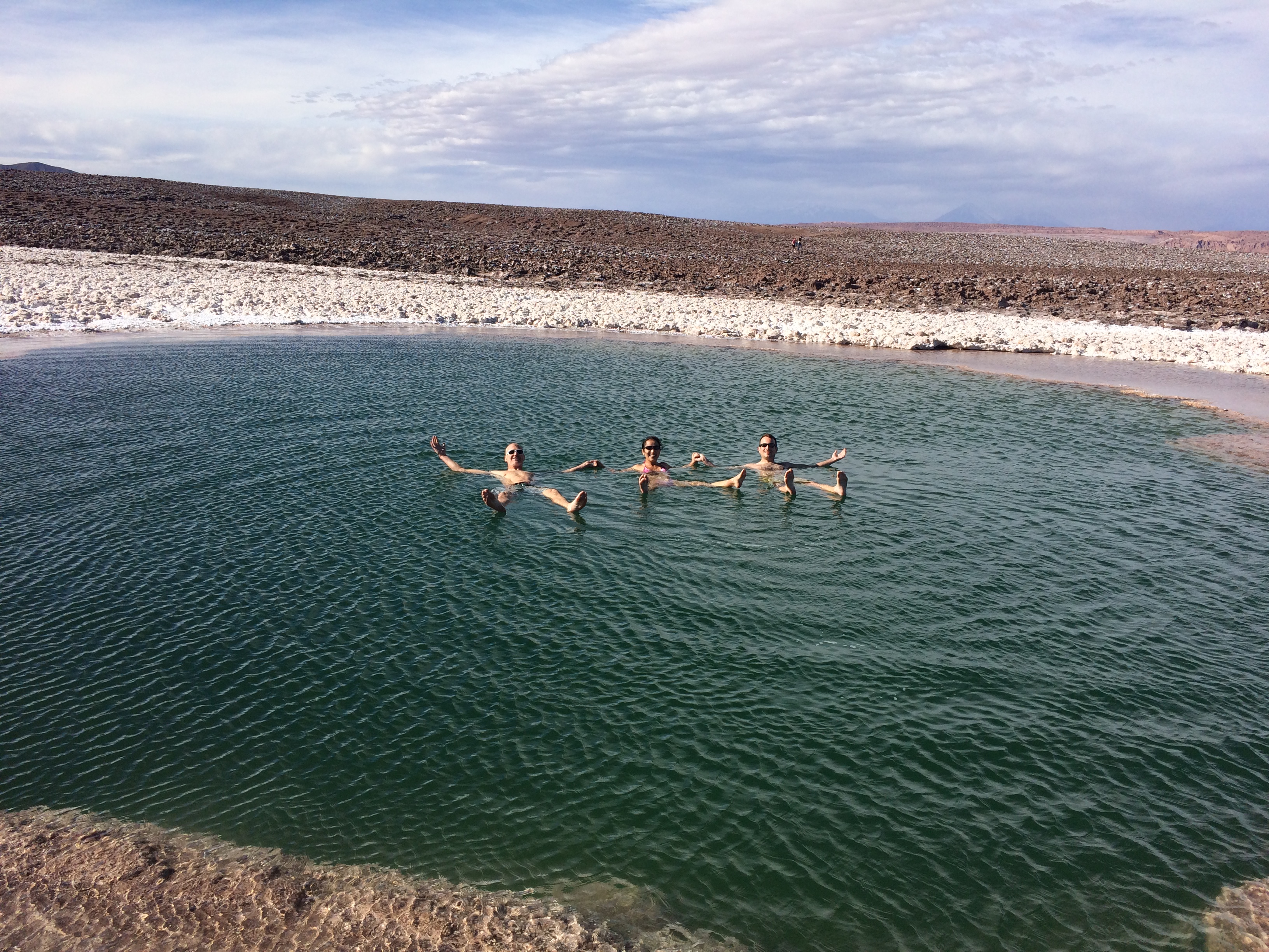
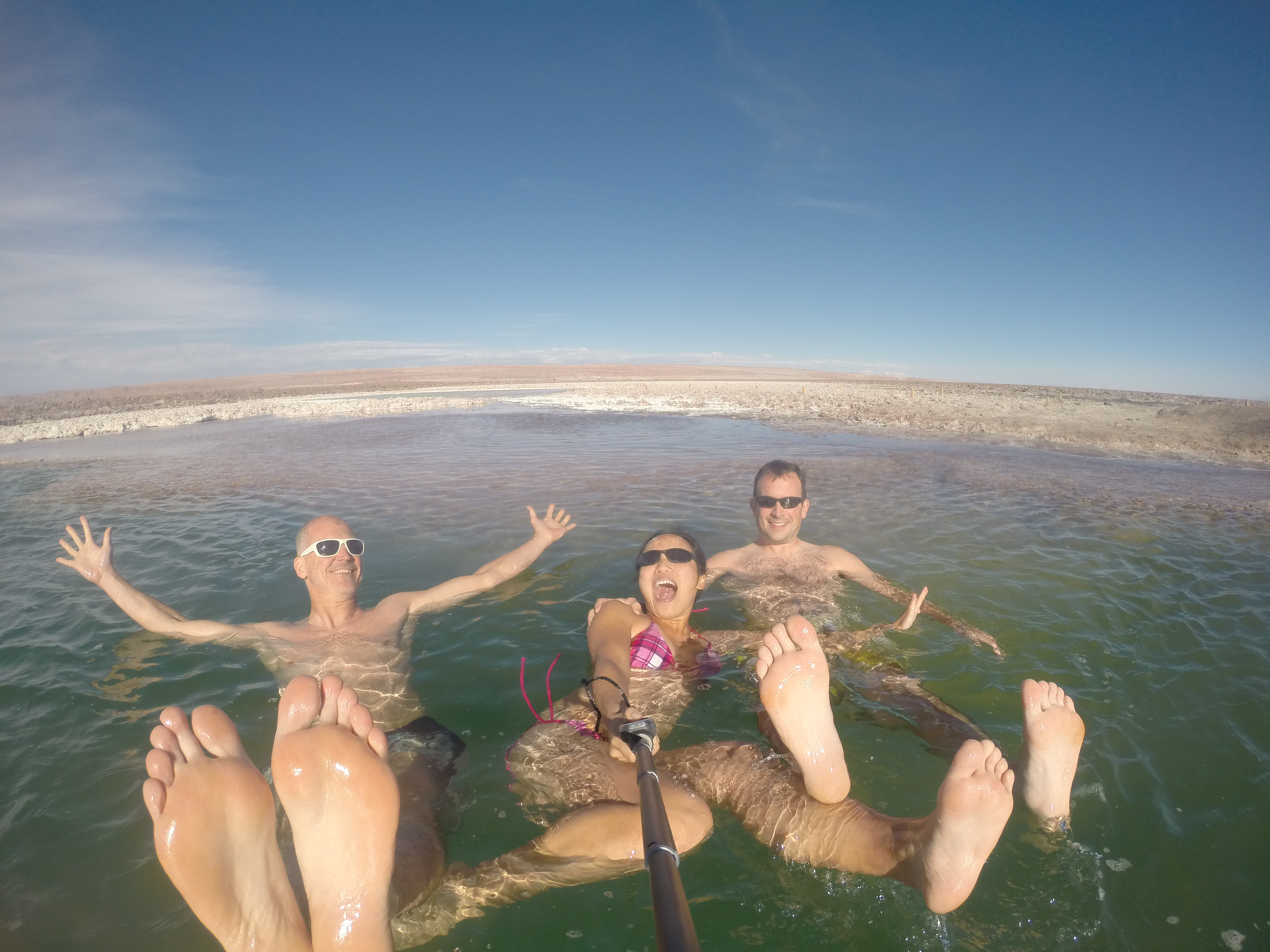
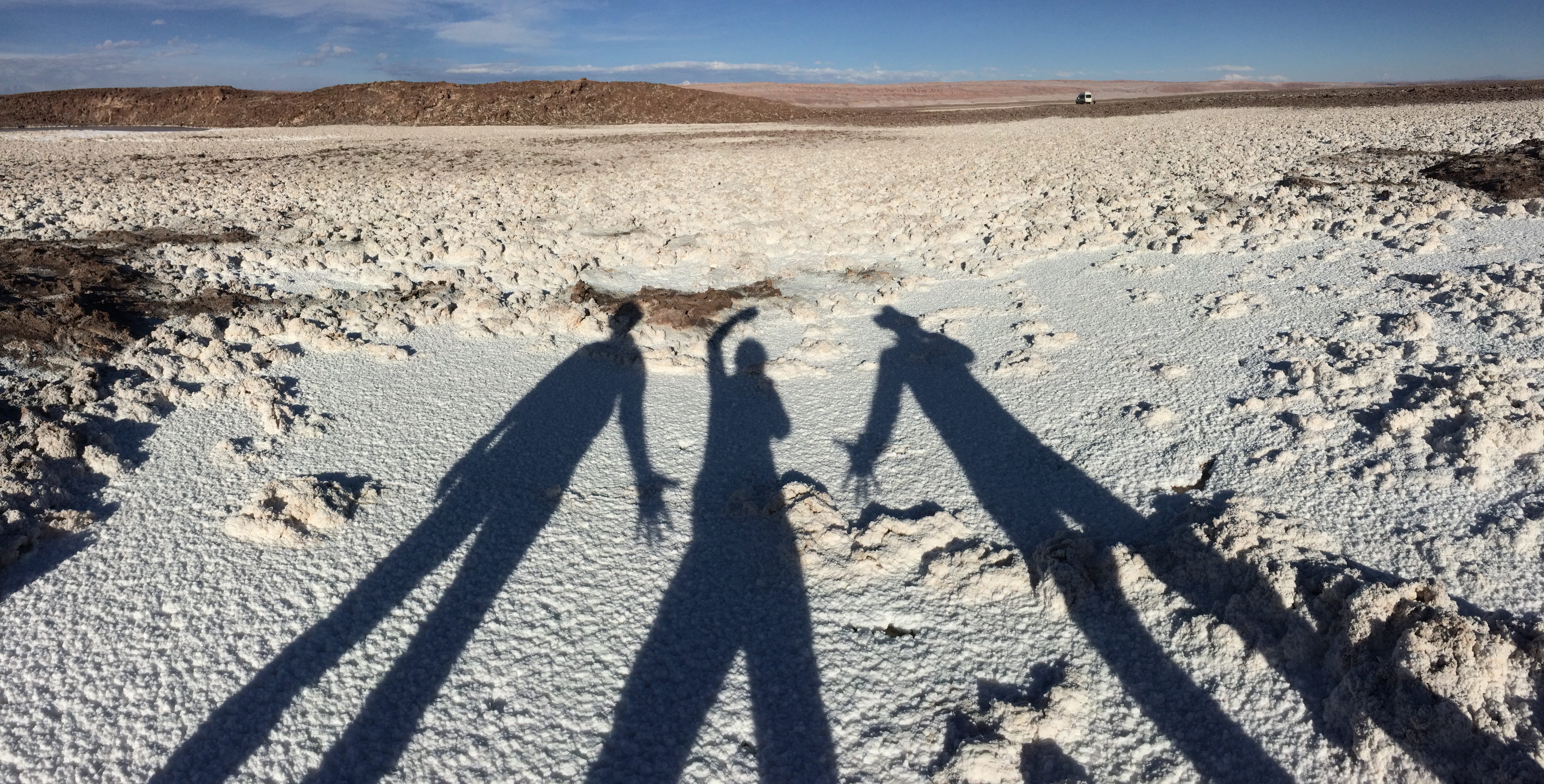
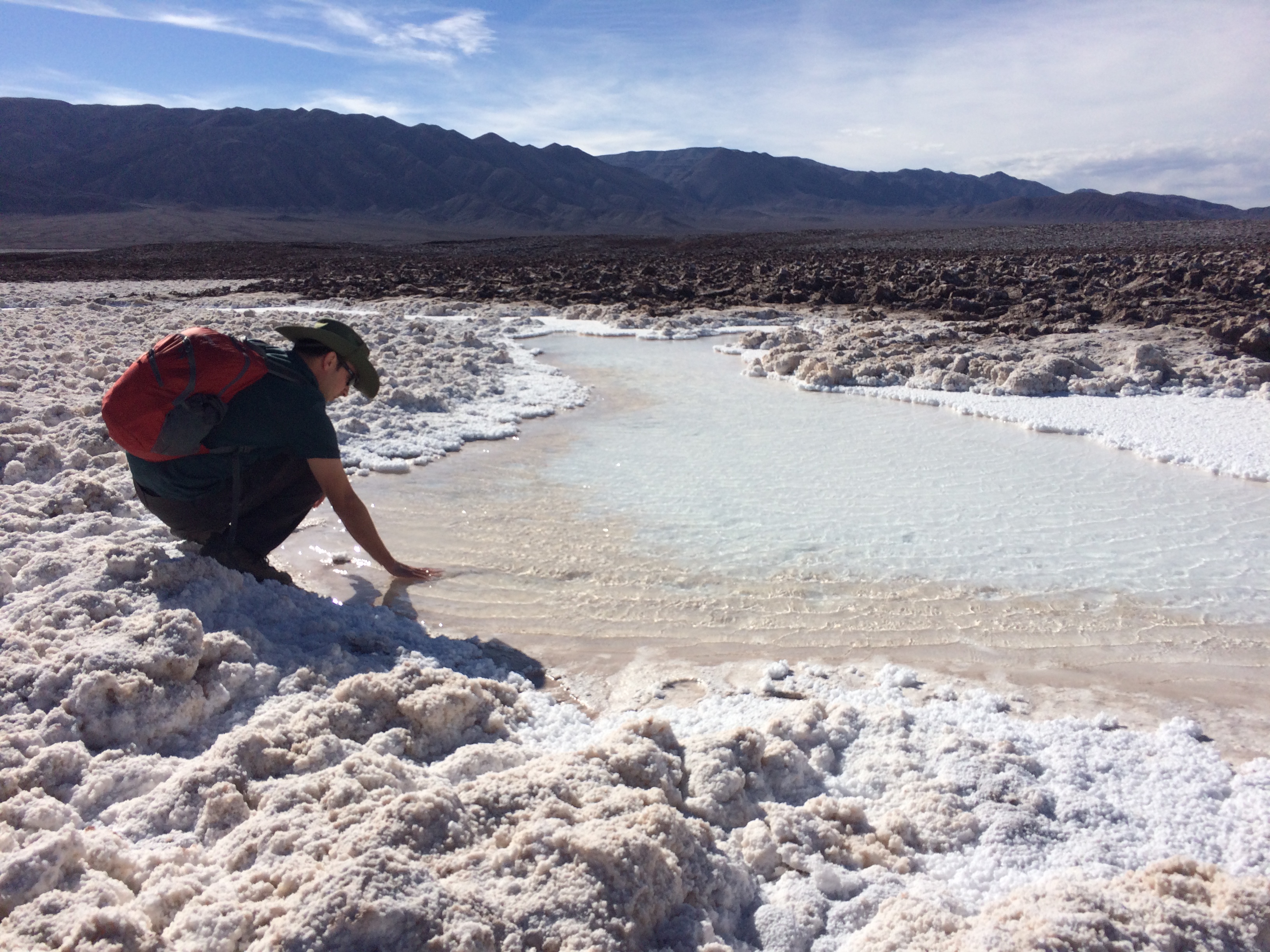
Chris has mentioned wanting to float in the salty waters of the Dead Sea. I have never had such a desire. However Karl, Chris, and I ended up entering this salty lagoon outside of San Pedro. We didn’t care that the winds were strong that day. The air temp also wasn’t favorable, and the water was COLD. Practically no one else desired to go in. Despite the chilly autumn weather, we went in anyway. And it was incredible. The feeling of such strong buoyancy was one of the coolest things we have ever experienced. The best way to describe the feeling is like…sitting on a ball.IMG_1118 IMG_1124DCIM105GOPRO

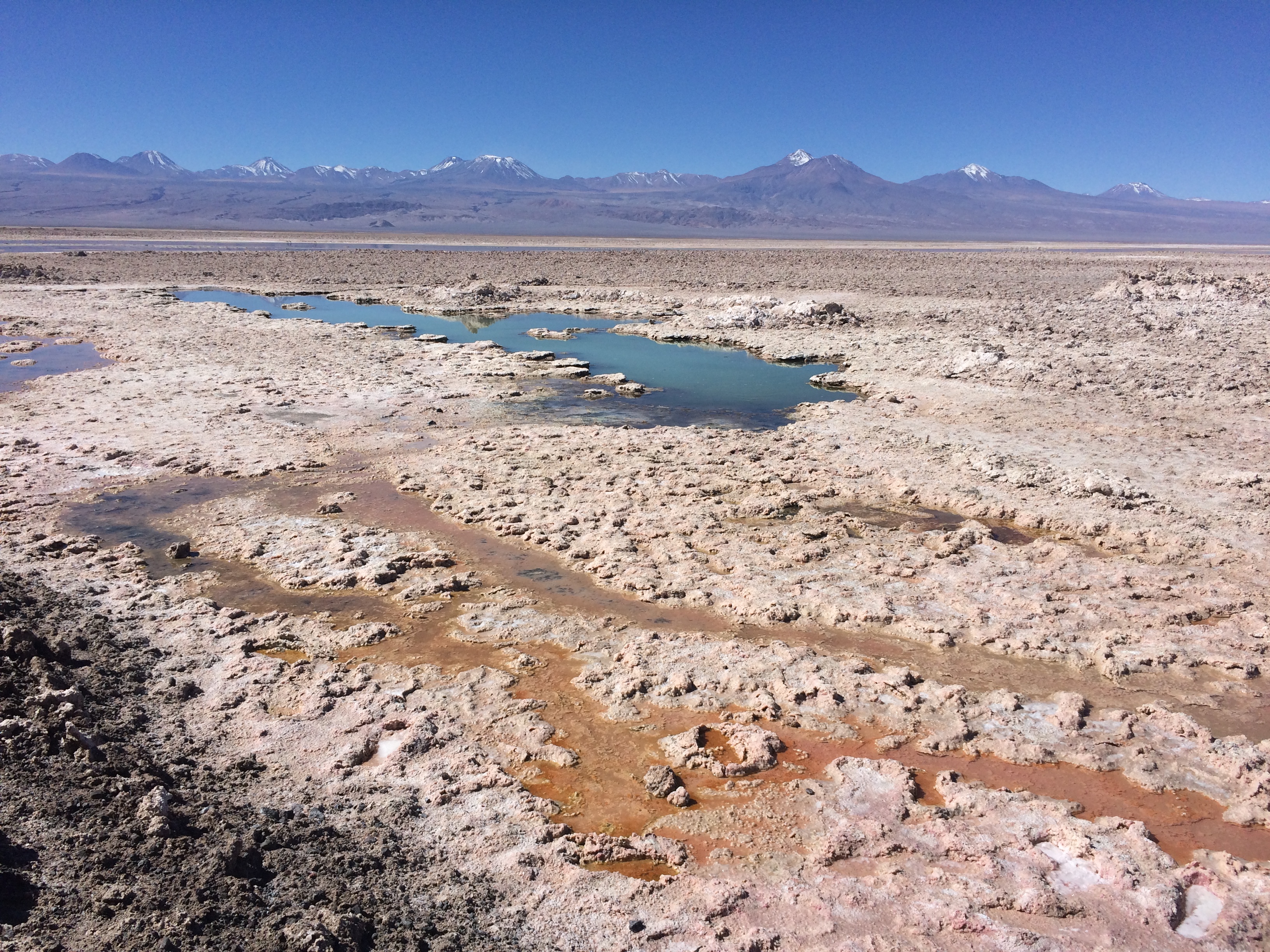
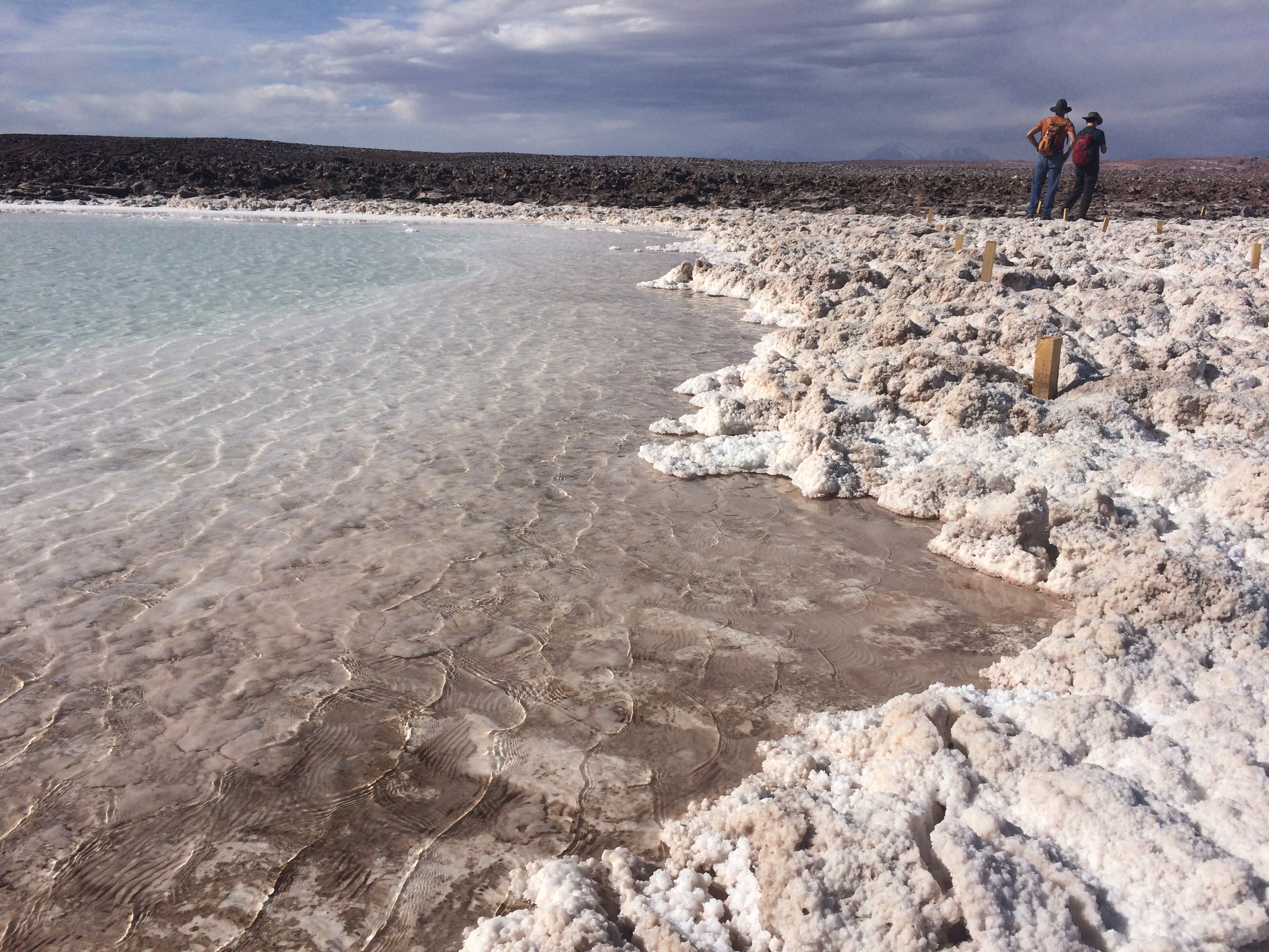
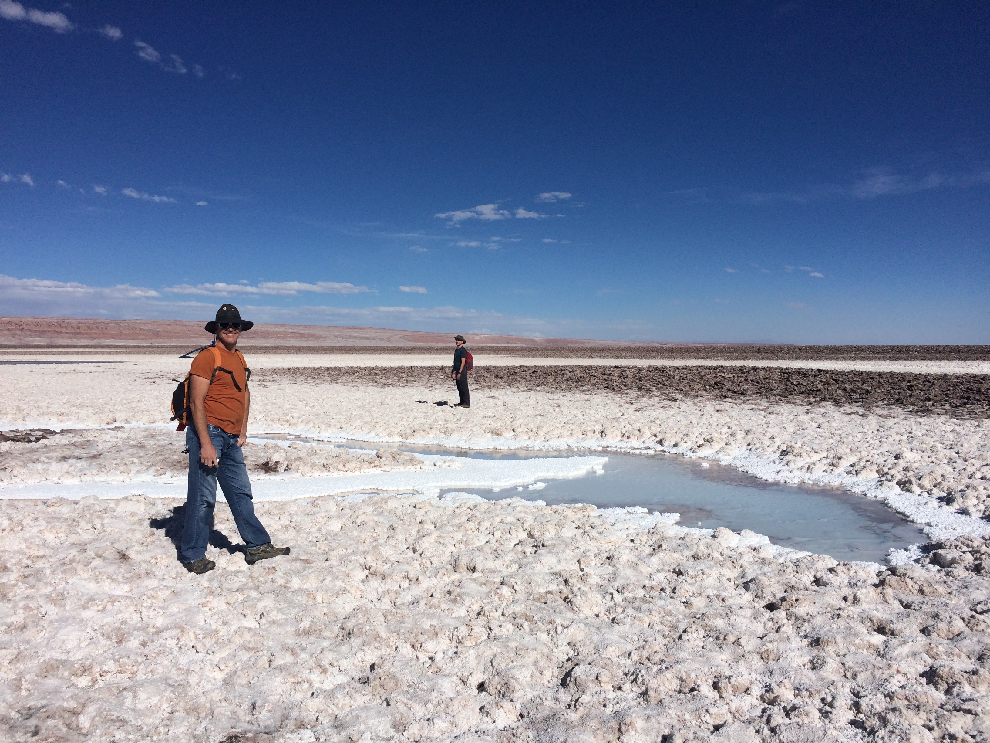
Even if you do not wish to float in the frigid lagoon, you can still enjoy the surroundings. There are multiple lagoons with short hikes showcasing the interesting salt clusters and formations in the area. IMG_1101 IMG_1104 IMG_1140

We enjoyed feeling the silky texture of super salty water.IMG_1110

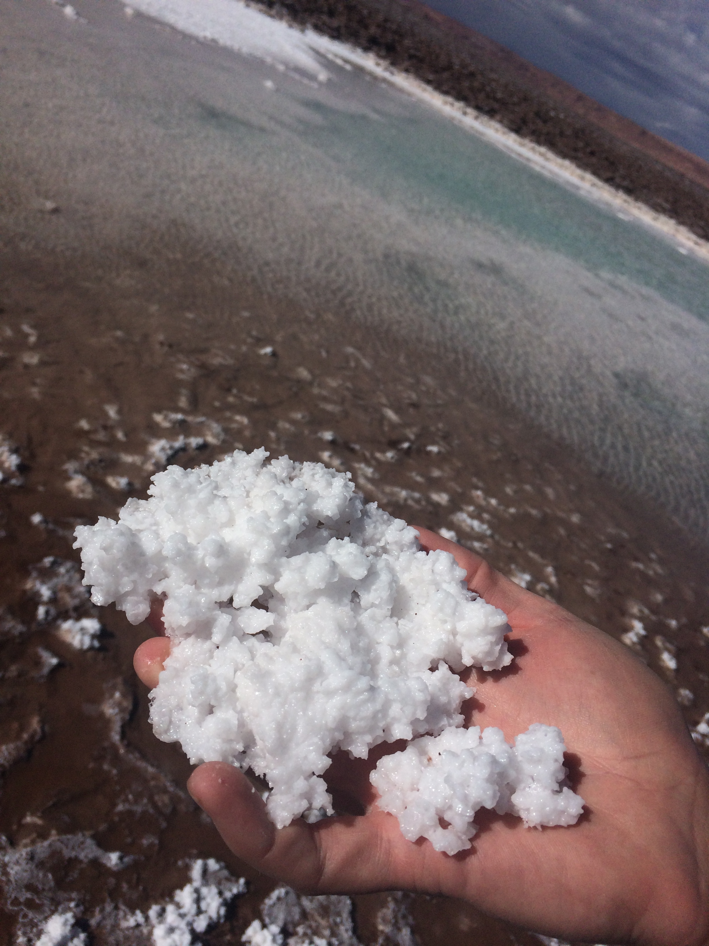
And then we observed the salt that remained in our hands after the water evaporated.IMG_1116

Salt clusters.IMG_1098

After we left the lagoon, we finished the tour with a sunset over the “amphitheater” of the Valley of the Moon. IMG_1146 IMG_114920150507_18565120150507_185358


Termas de Puritama
(8000 pesos + 9000 pesos entrance fee, ~$28)

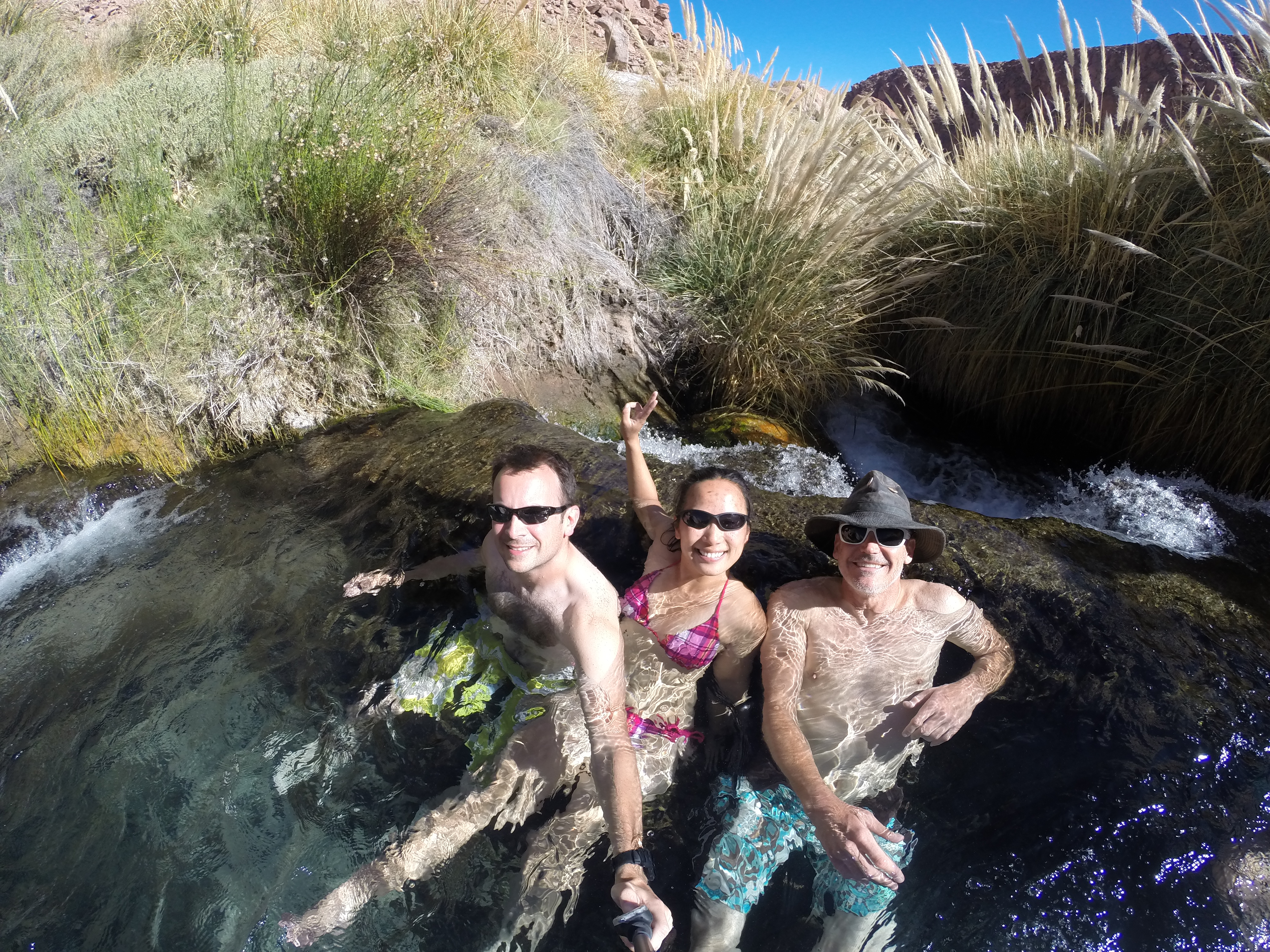
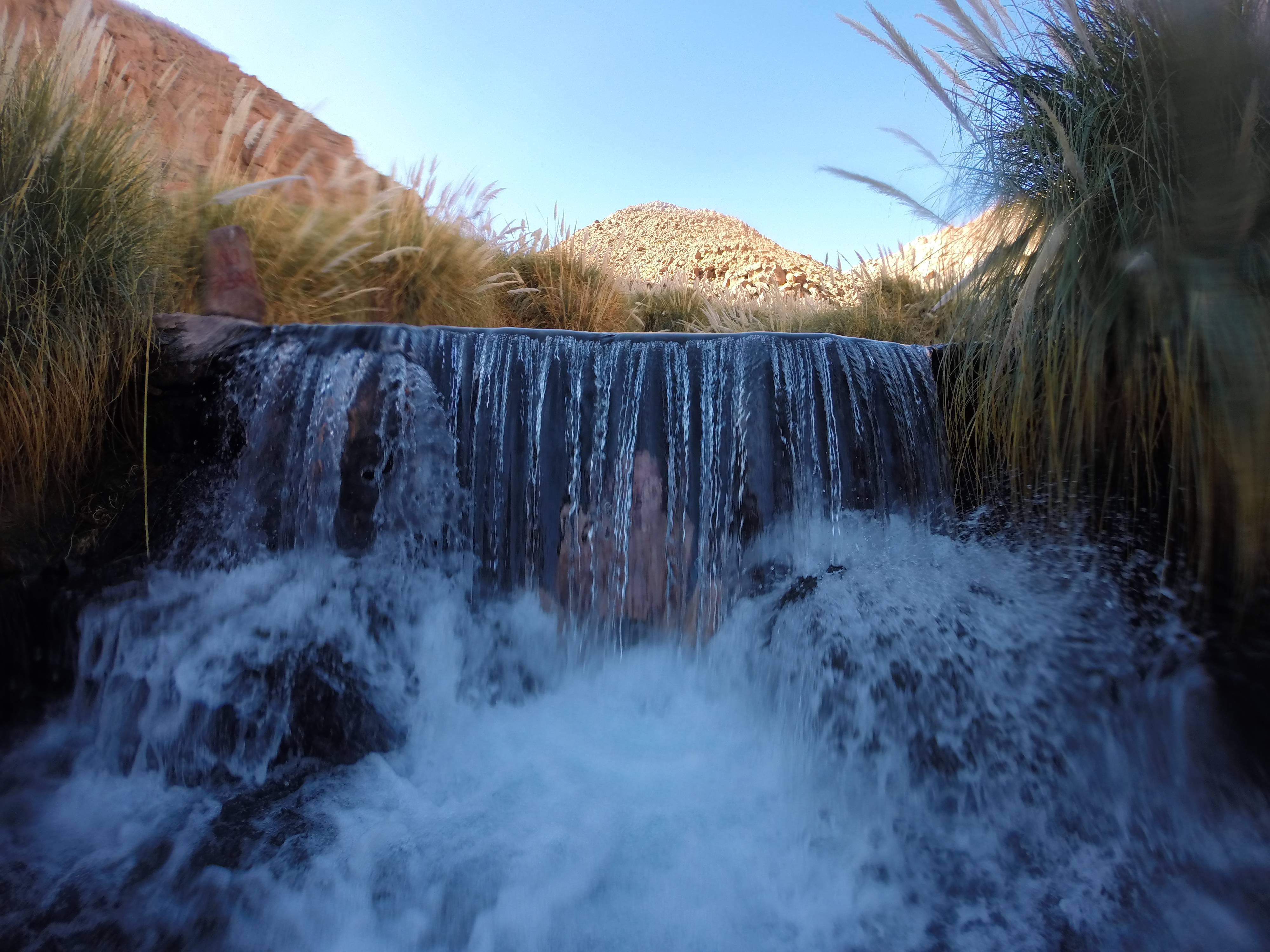
We finished our visit in San Pedro with a relaxing day at the “hot springs” of Puritama. There are about 10 artificial warm pools and waterfalls that belong to a resort; the pools are created from a warm-water natural river nearby. Tip: The entrance fee is a steep 15,000 pesos before 2pm, but after 2pm it is only 9000 pesos pp. Bring a padlock—there are lockers available!

DCIM105GOPRO

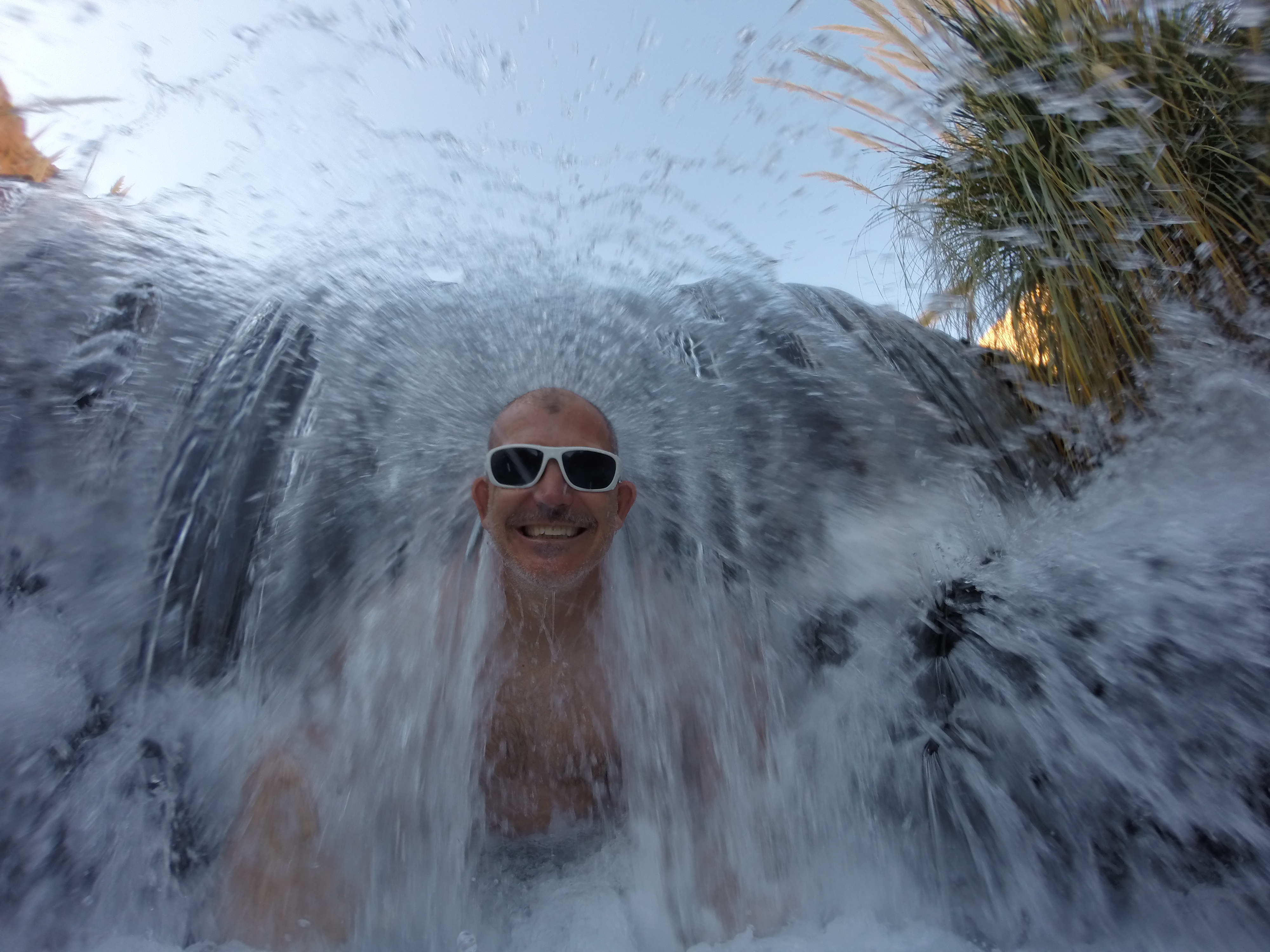
Our favorite warm pool had a hidden waterfall that one could sit behind. No words can explain how much we enjoyed climbing into the waterfall and bursting out of it.DCIM105GOPRODCIM105GOPRO

Karl’s 2-week vacation in Chile finally drew to a close, and we bid farewell to him the next morning. As he headed back to the States, we continued our journey to an incredible 4-day, 3-night off-roading adventure in Southern Bolivia to spectate even more gorgeous high plain salt lagoons, volcanoes, flamingos, and finally, the largest salt flats in the world.

Posted in Chile | Tagged , , , , | Leave a comment

Fun On Easter Island

There is so much more to Easter Island than all the moai statues—the cycling, the hiking, the beaches. In my post about Easter Island On A Budget, I lay out all the logistics and costs associated with the trip, but in this post I will highlight all the activities we enjoyed.20150426_155519


Day 1: Rano Kao

It wasn’t until around 4pm when we were finally free to explore the island. Our plane landed around 2pm, we walked to Camping Mihinoa from the airport, and we “checked in” to our tent.

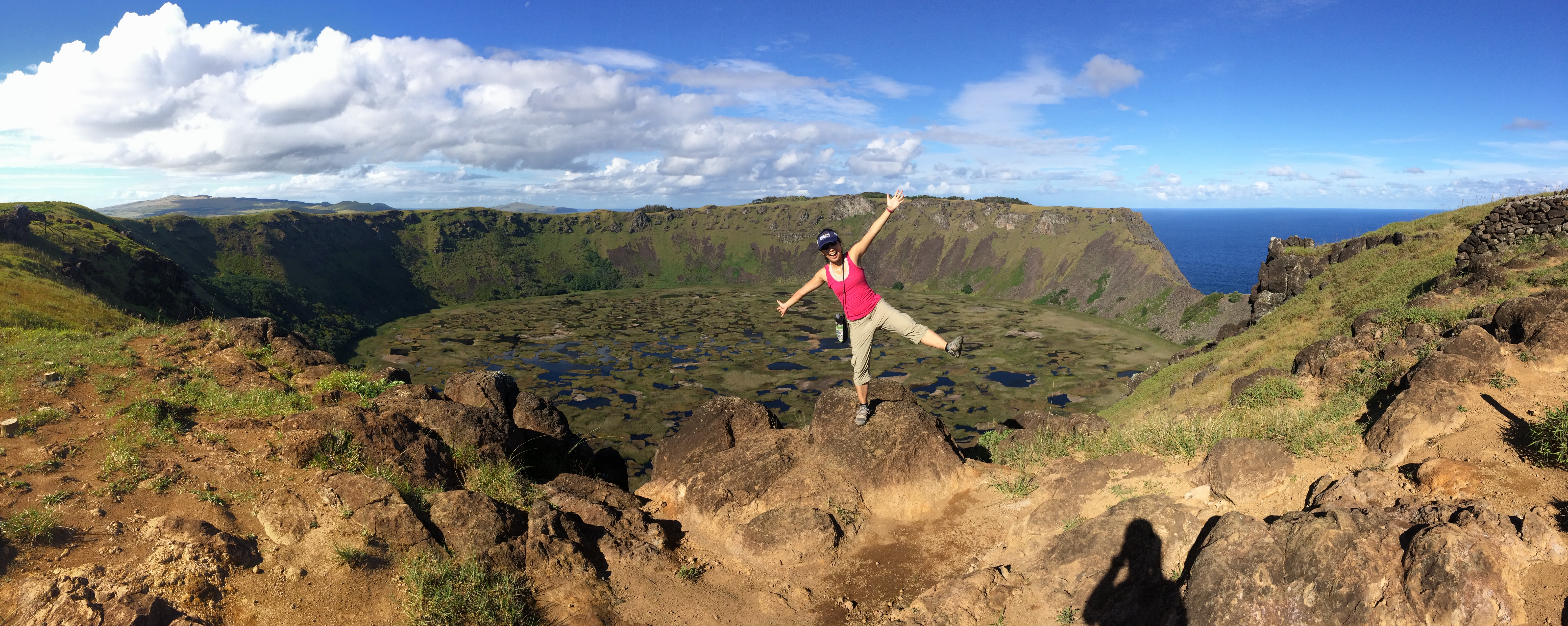
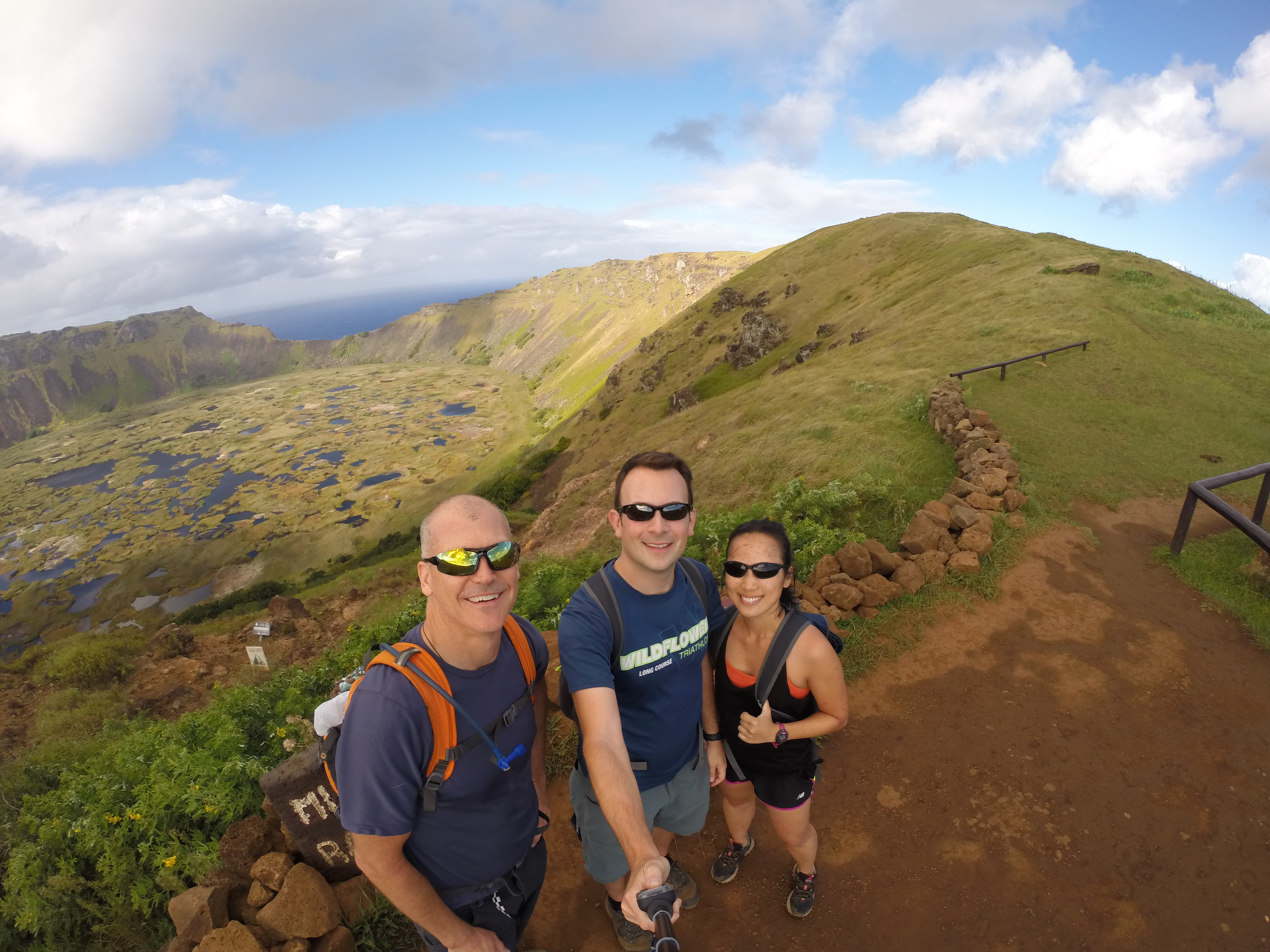
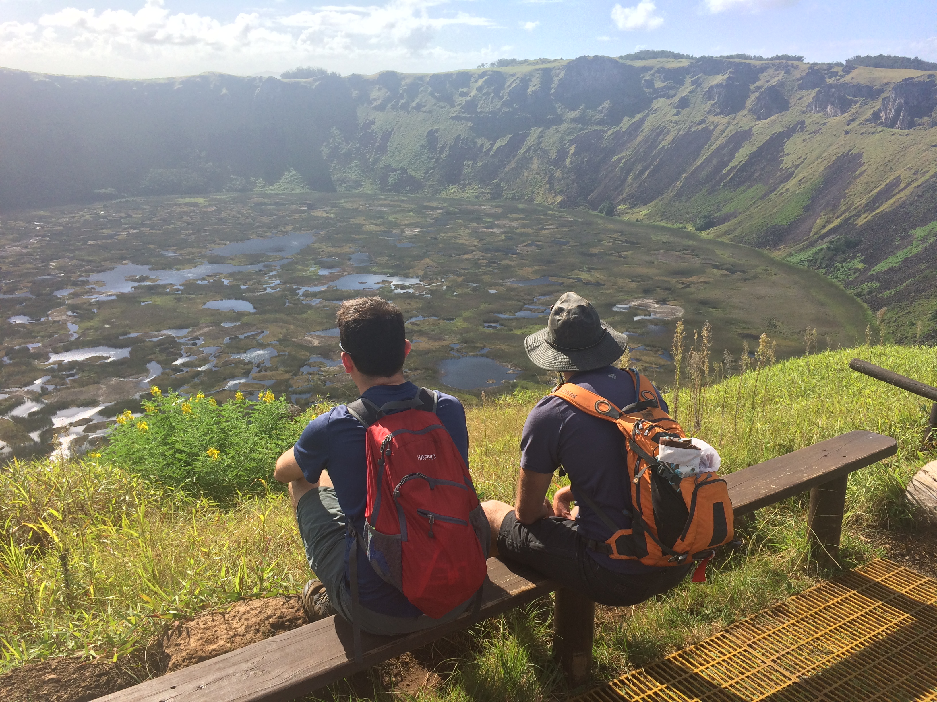
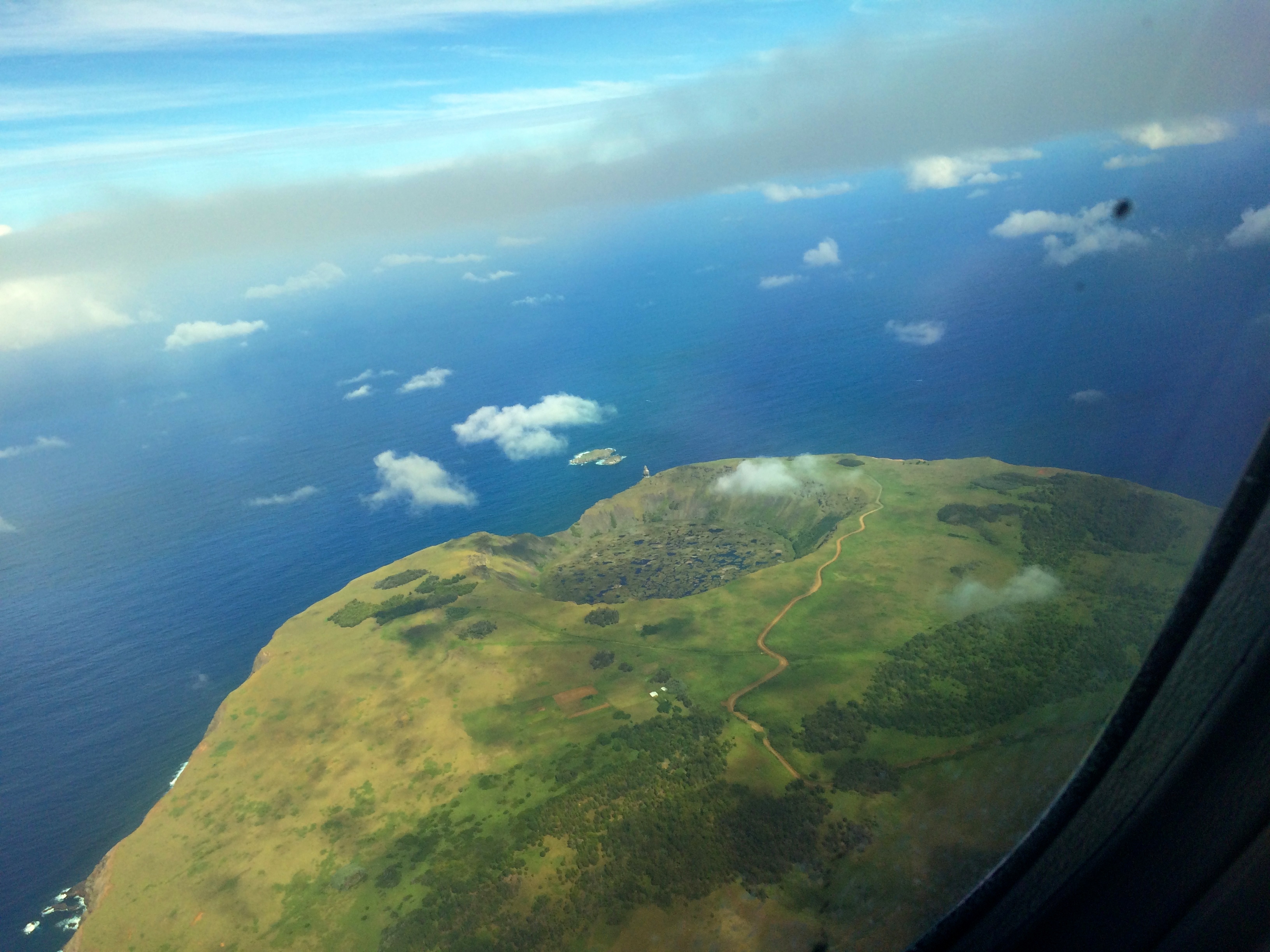
The hike up to Rano Kao, the extinct volcano that is now a marsh, wasn’t too far away from the campsite so we opted to check it out. No words can explain the majestic sight one sees when gazing into the crater from the rim of the volcano.IMG_0524

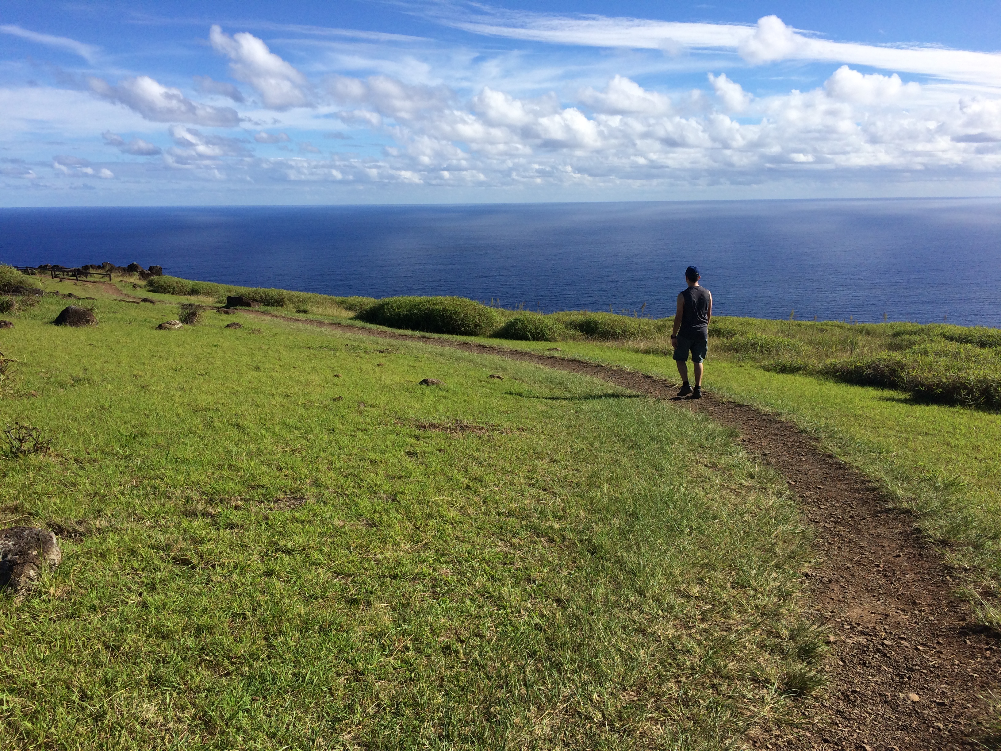
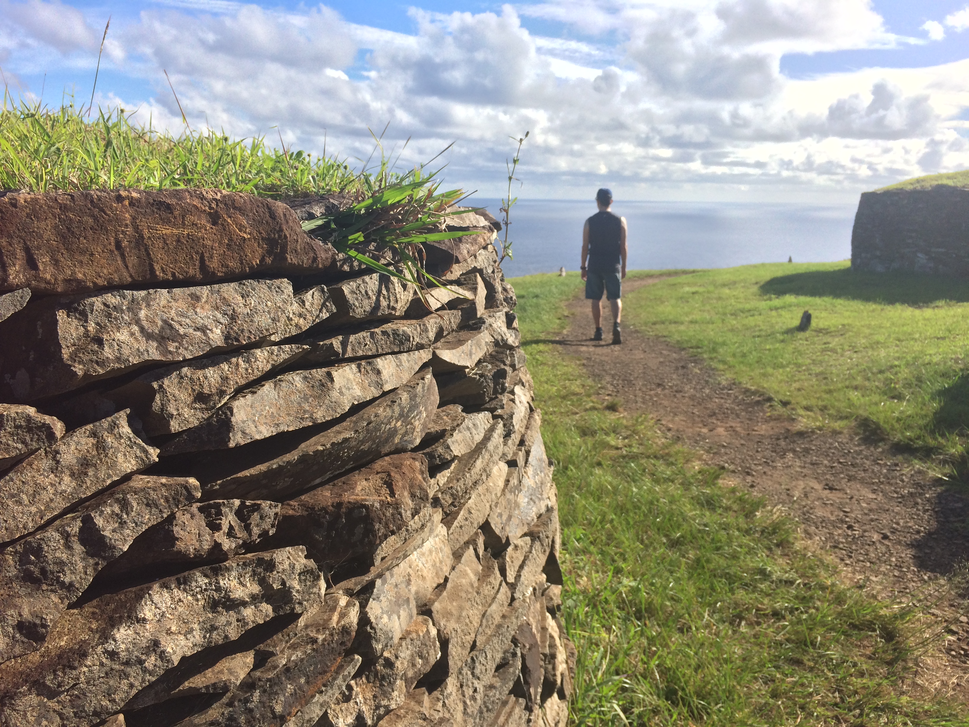
Along the crater was the ancient Orongo Village, overlooking the ocean.IMG_0525 IMG_0534

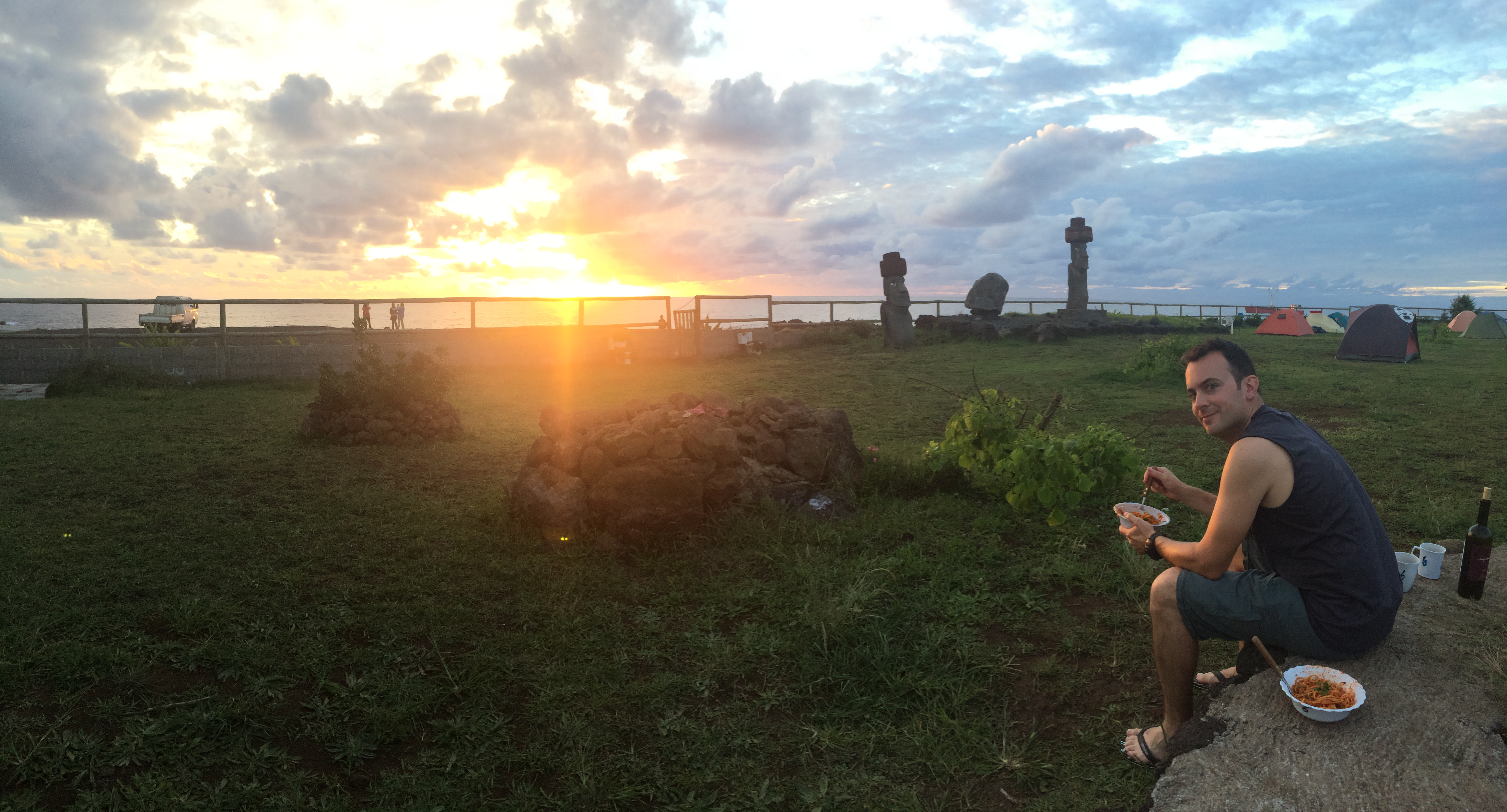
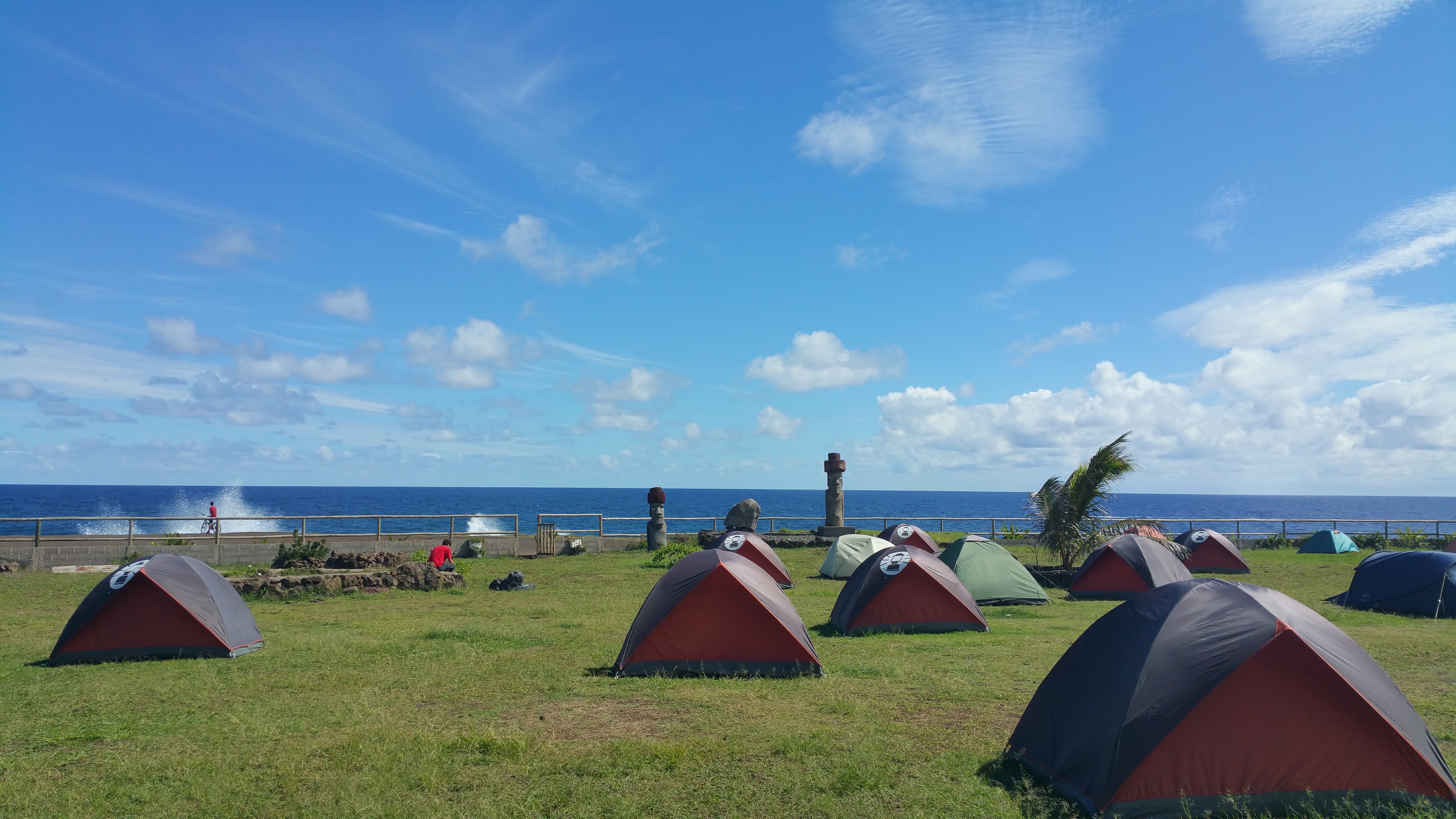
We returned to camp just in time for me to prepare dinner, and we watched the sunset over the ocean as we ate from our campsite.IMG_0538


Day 2: Mountain Biking: Maunga Tere Vaka And Back

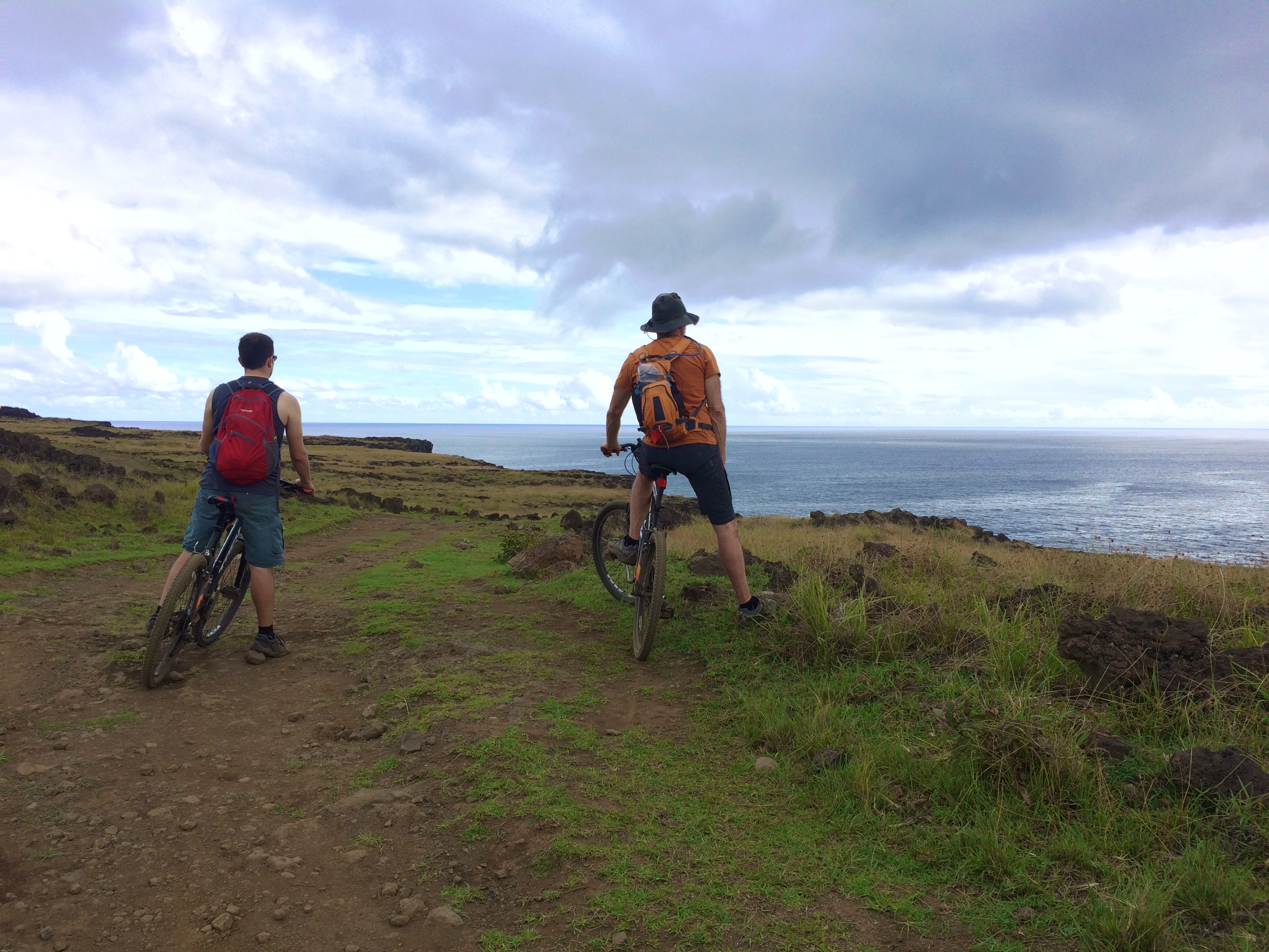
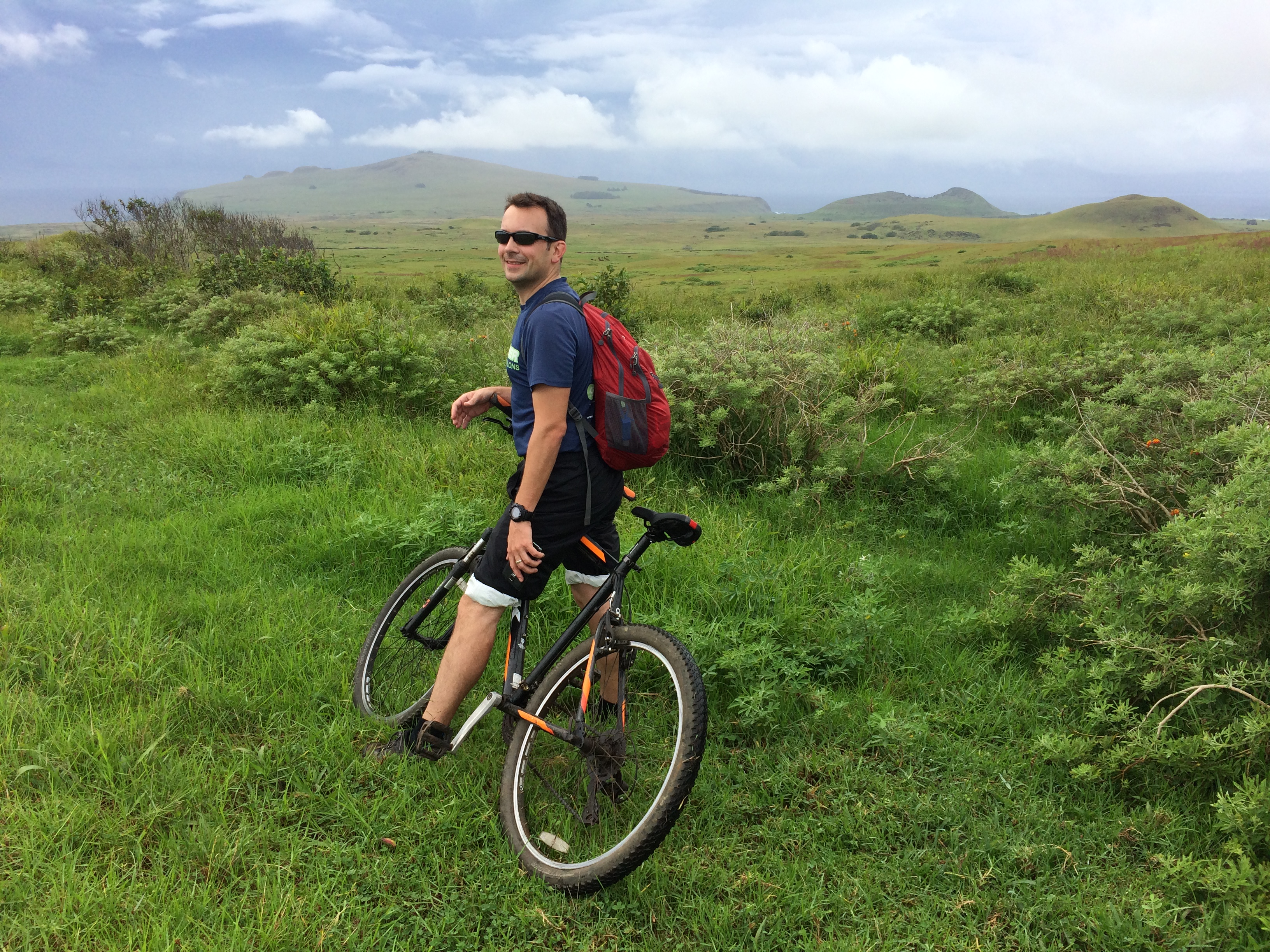
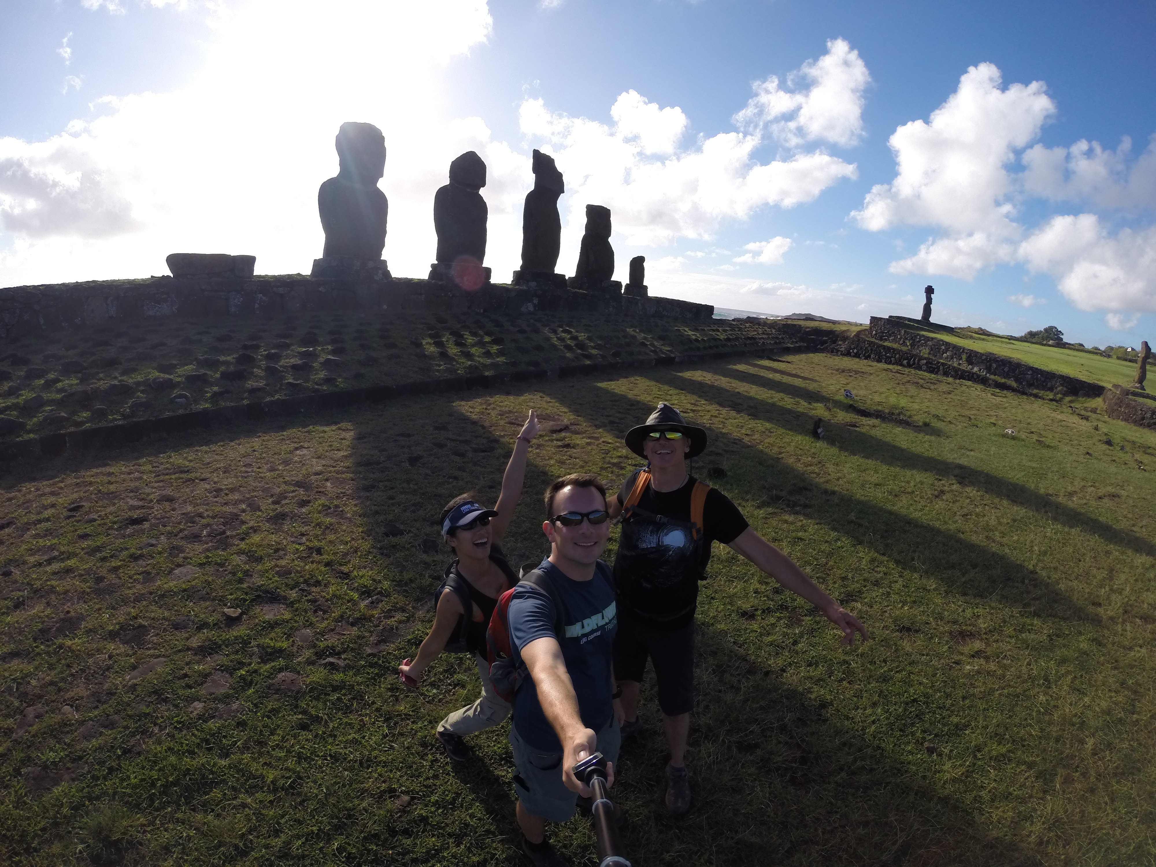
Karl, Chris, and I rented bikes and set out from Hanga Roa to explore the quarry of Puna Pau, the moai set of Ahu Akivi, Easter Island’s highest peak Maunga Tere Vaka, the caves of Ana Te Pahu and Ana Kakenga, and the moais Ahu Akapu and Tahai on our return. Although only 17 km round-trip, a good portion of the ride was on gnarly dirt paths.  The hike up to the highest peak was also steep and long, and we were exhausted by the end of the day.IMG_0595

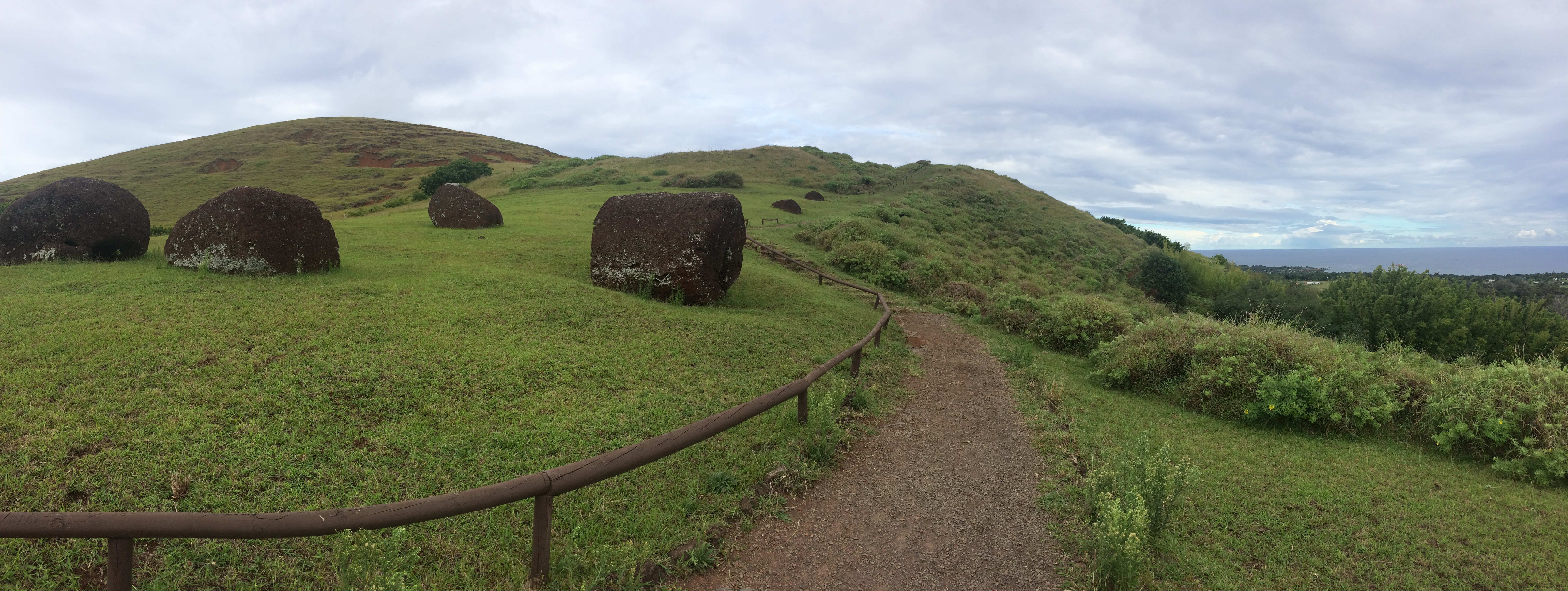
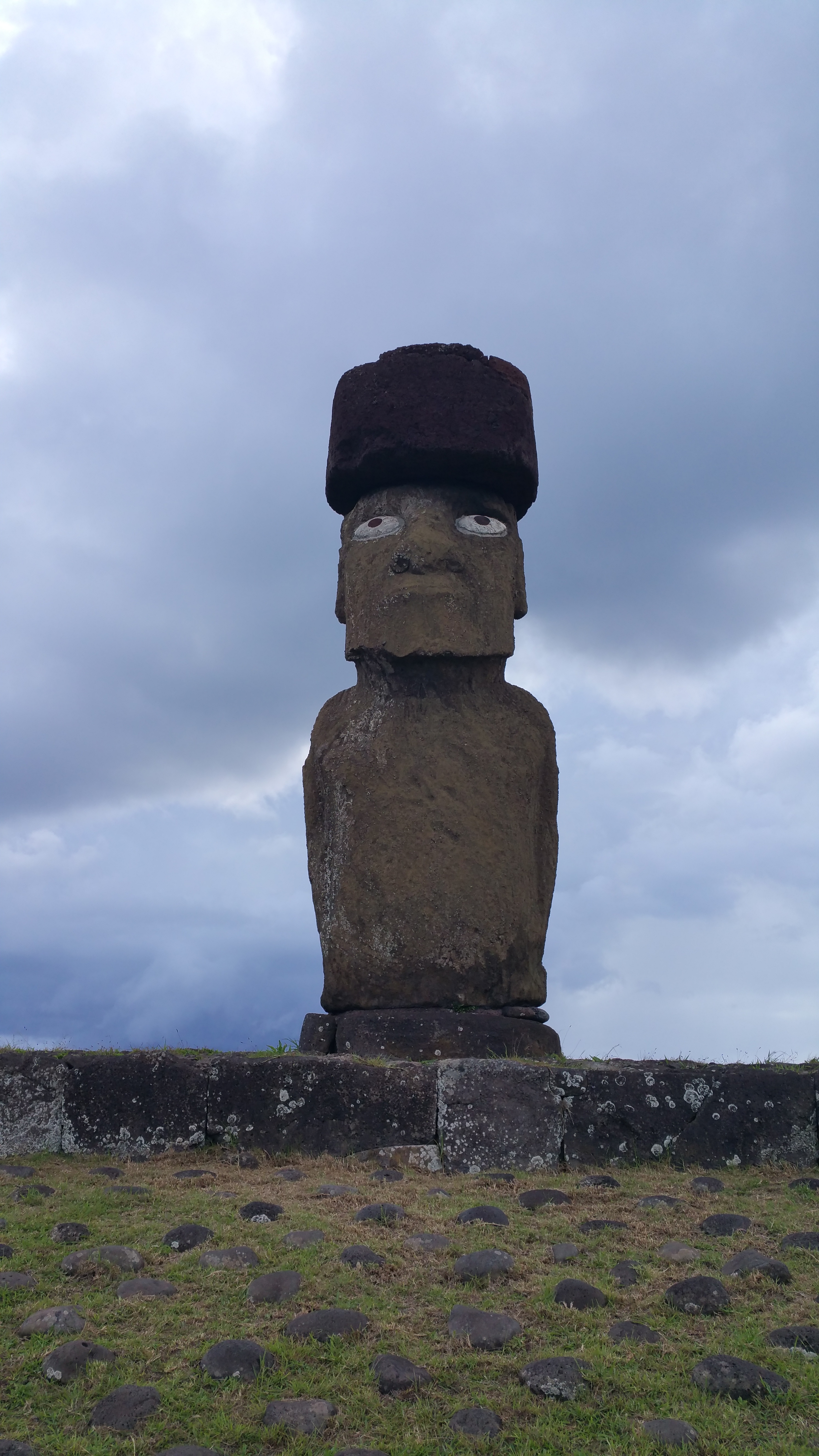
The quarry of Puna Pau is the home to crimson-colored rocks, contrary to the rest of the gray rocks the moai were carved from. It was here where the people of Rapa Nui dug up and carved the “top-knots” or “hats” seen on many of the statues. A number of these hats lay strewn about at Puna Pau. These hats never made it to their destination.IMG_0550

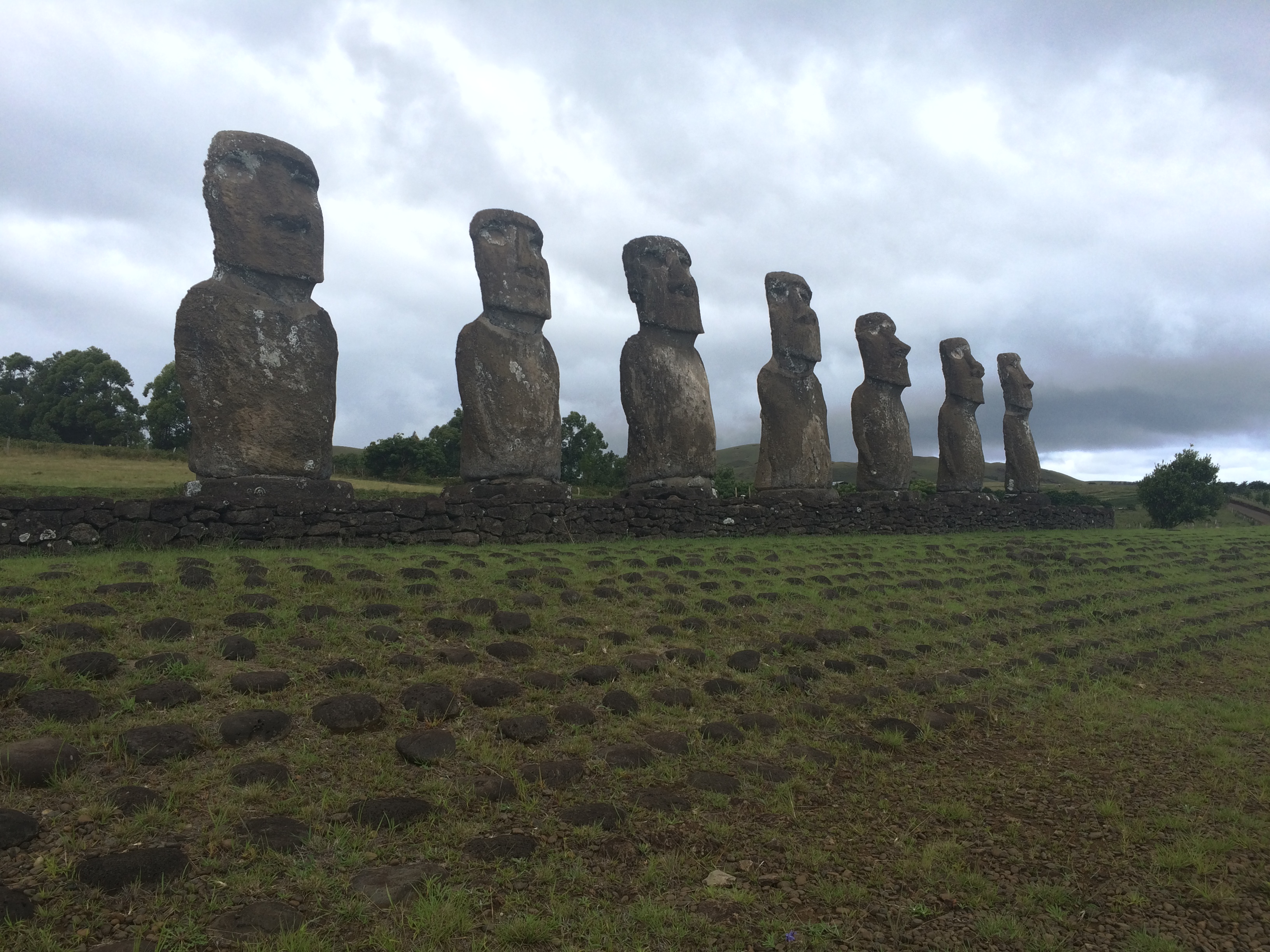
Next was Ahu Akivi, where we took a quick photo and lunch break. These were interesting to me as this set of moai were inland whereas the other rows of moai were coastal.IMG_0555

Not far from Ahu Akivi was the trail leading up to Maunga Tere Vaka, the highest peak on Easter Island. We biked up a steep, gnarly portion of the trail before we finally decided to park our bikes and hike the rest.  From there we were able to see the ocean all around us.IMG_0561

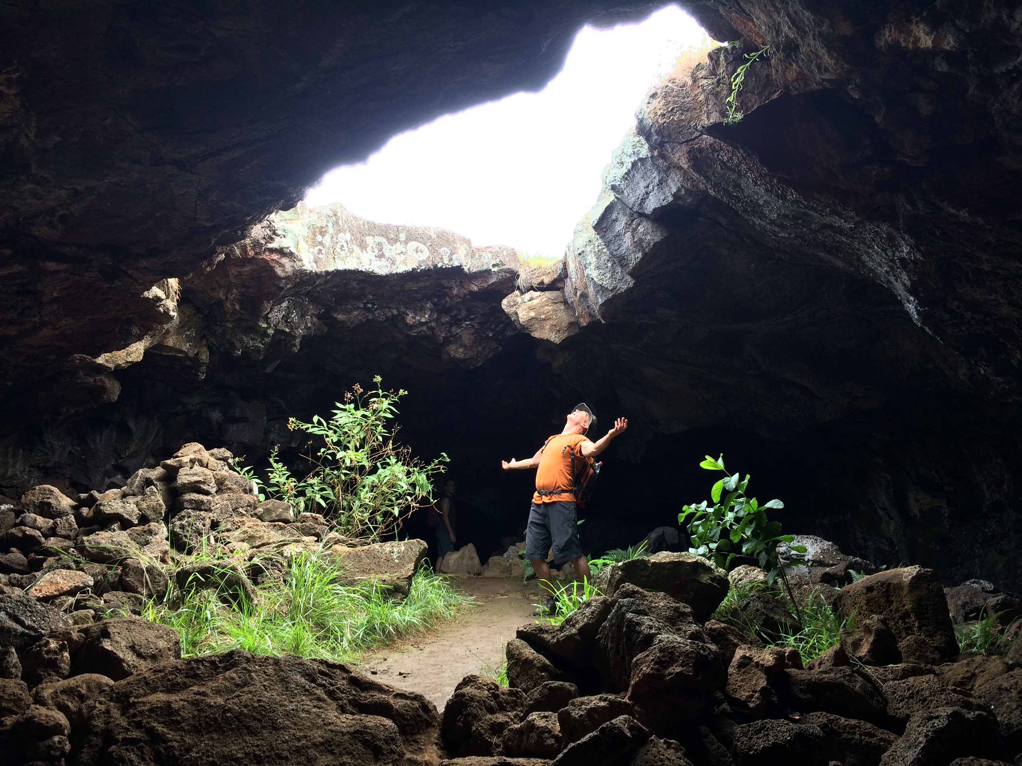
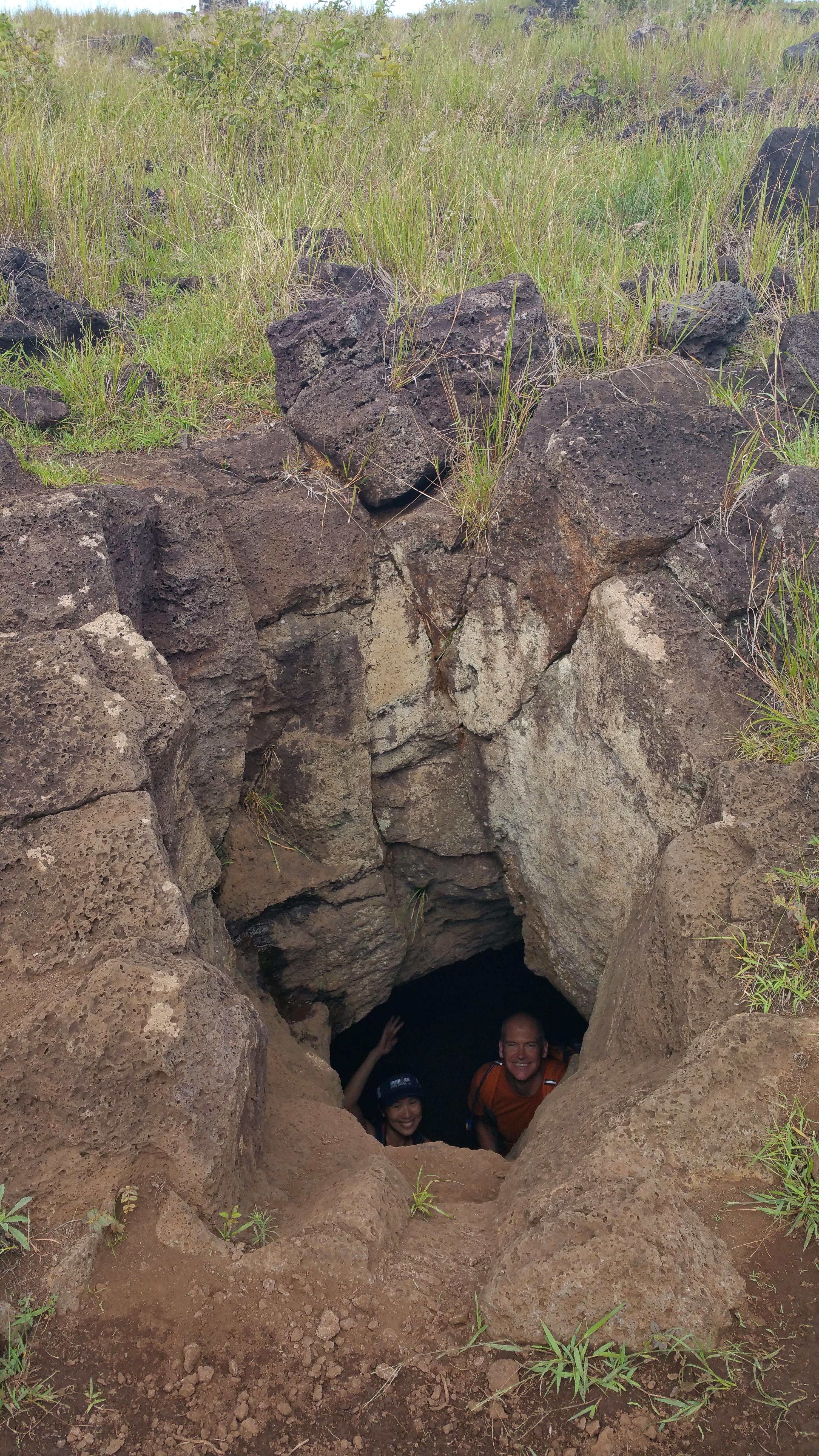
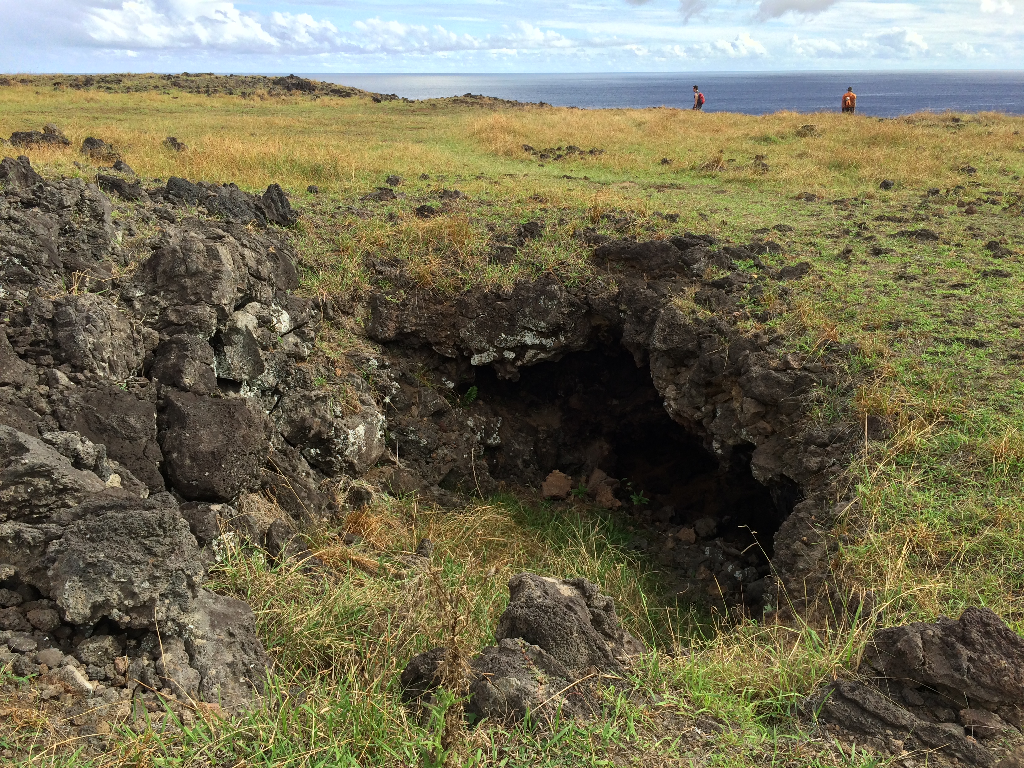
After the hike we remounted our bikes and descended to Ana Te Pahu cave. IMG_0577 IMG_058420150427_155612

Not far from Ana Te Pahu we continued to a slightly hidden, gorgeous cliff and sea view, which I believe was Ana Kakenga.IMG_0599IMG_0610IMG_0601IMG_0606

And finally, upon returning to the town of Hanga Roa, we finished our self-guided cycling tour with the moai set at Tahai.IMG_062420150427_193608


Day 3: More Mountain Biking: Anakena Beach and Back

With slightly sore legs and sore butts, Chris and I mounted our bikes once again and set out for Anakena Beach, which took about an hour of pedaling.

The probability of rain was high, but we didn’t care. The bike ride was gorgeous.IMG_0626

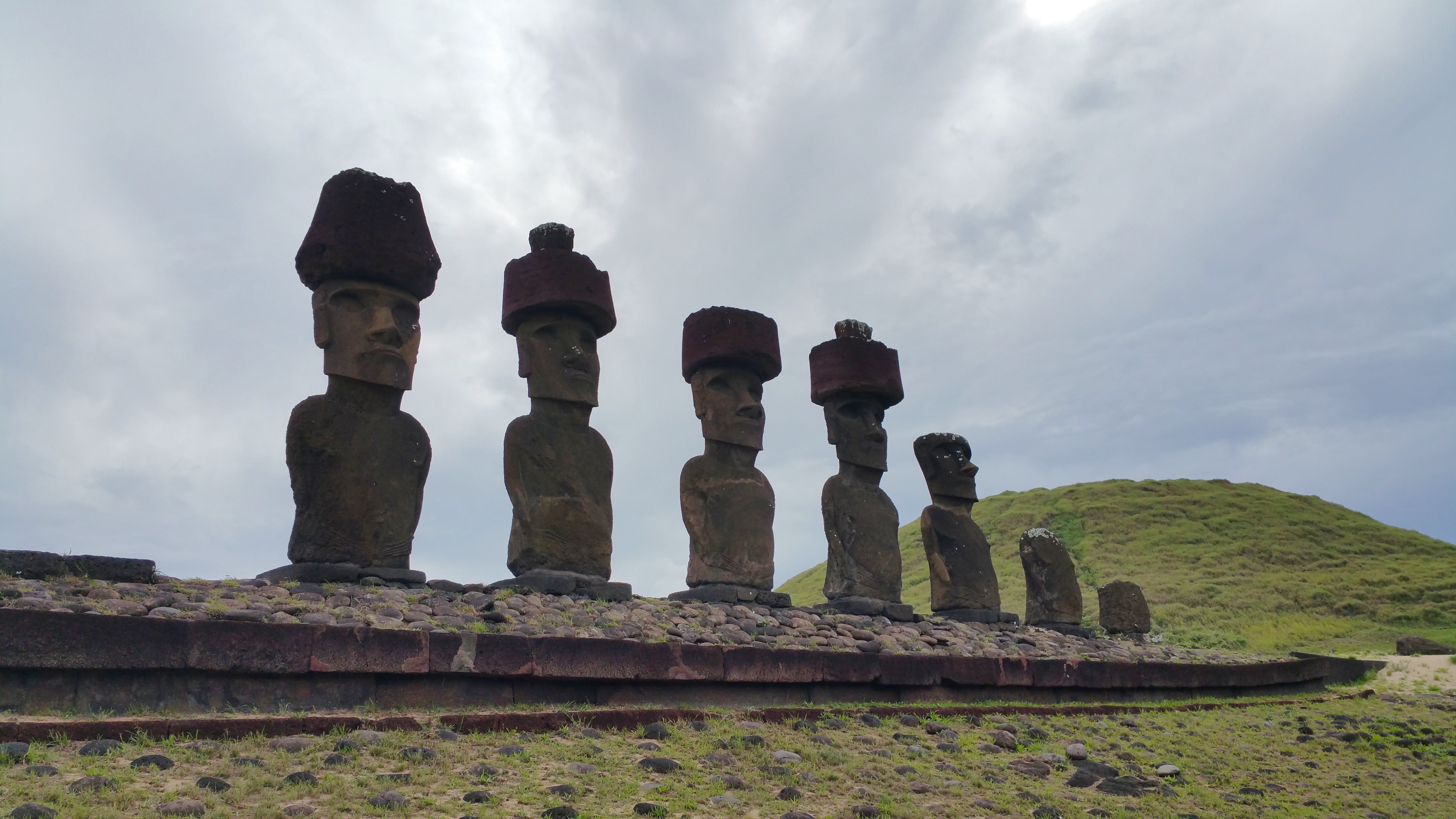
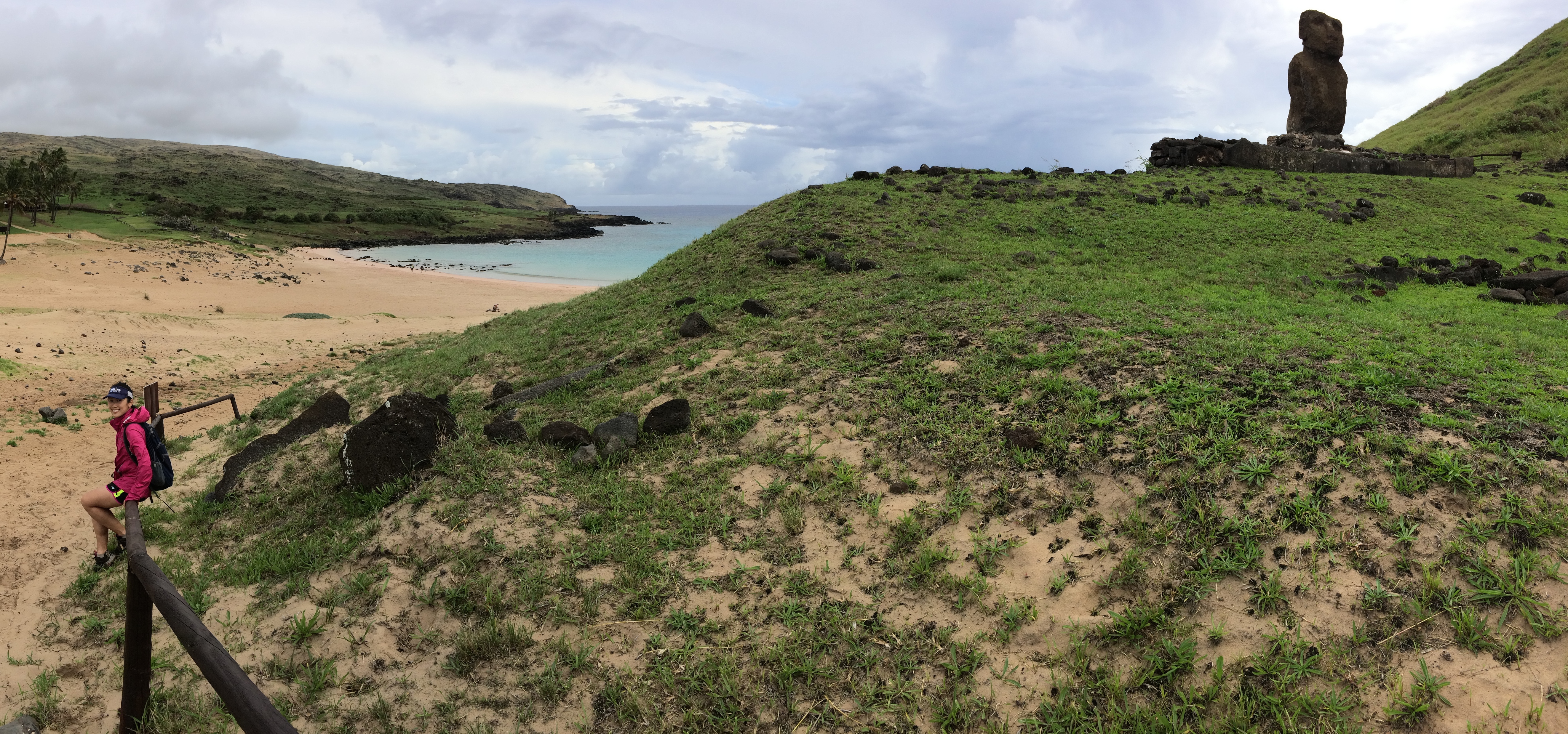
Anakena Beach also had a set of moai.  We spent at least an hour at this gorgeous beach.20150428_115301 IMG_0645

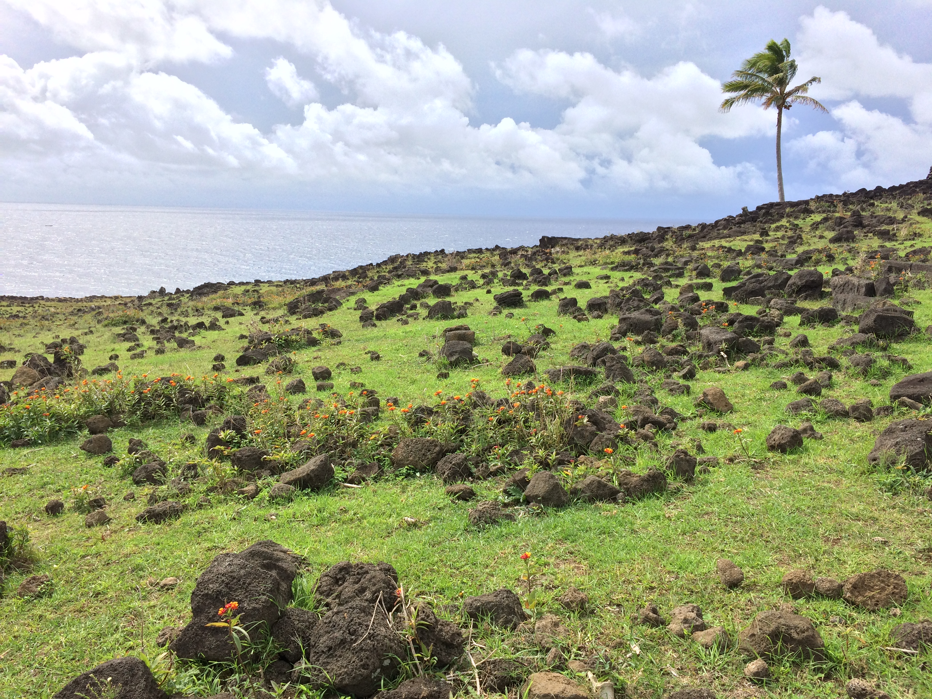
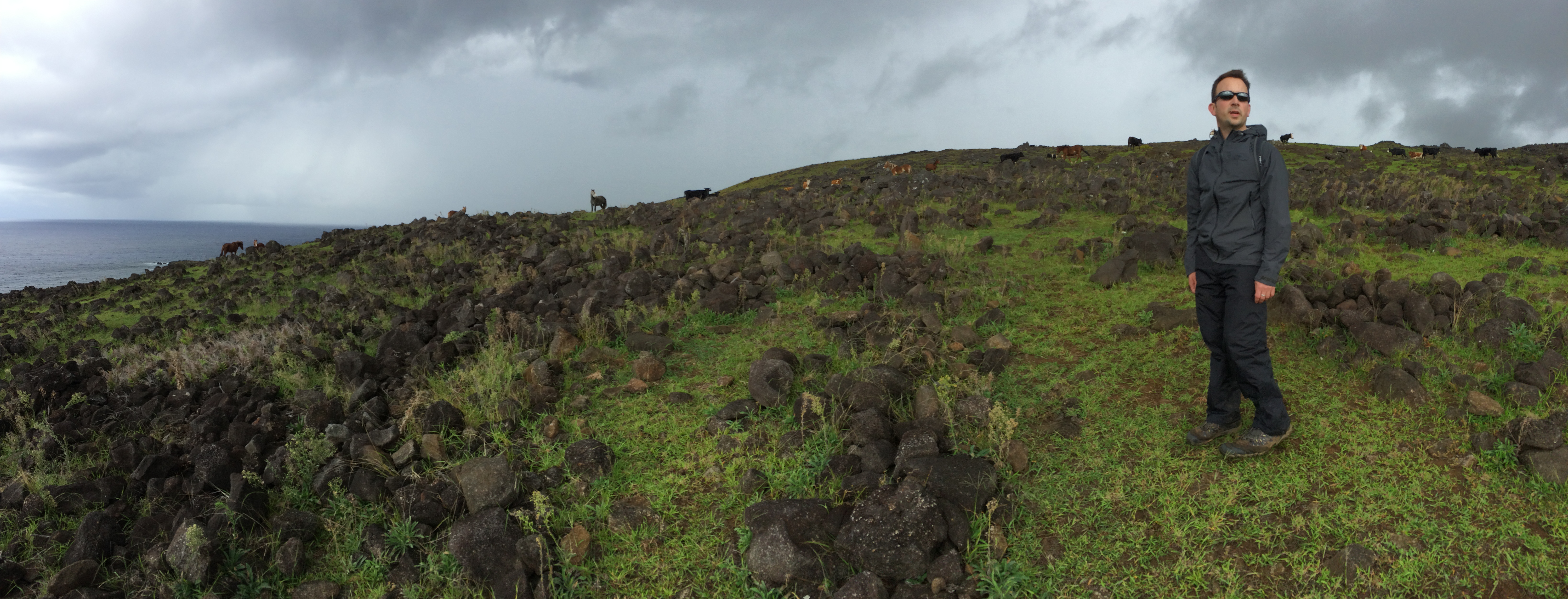
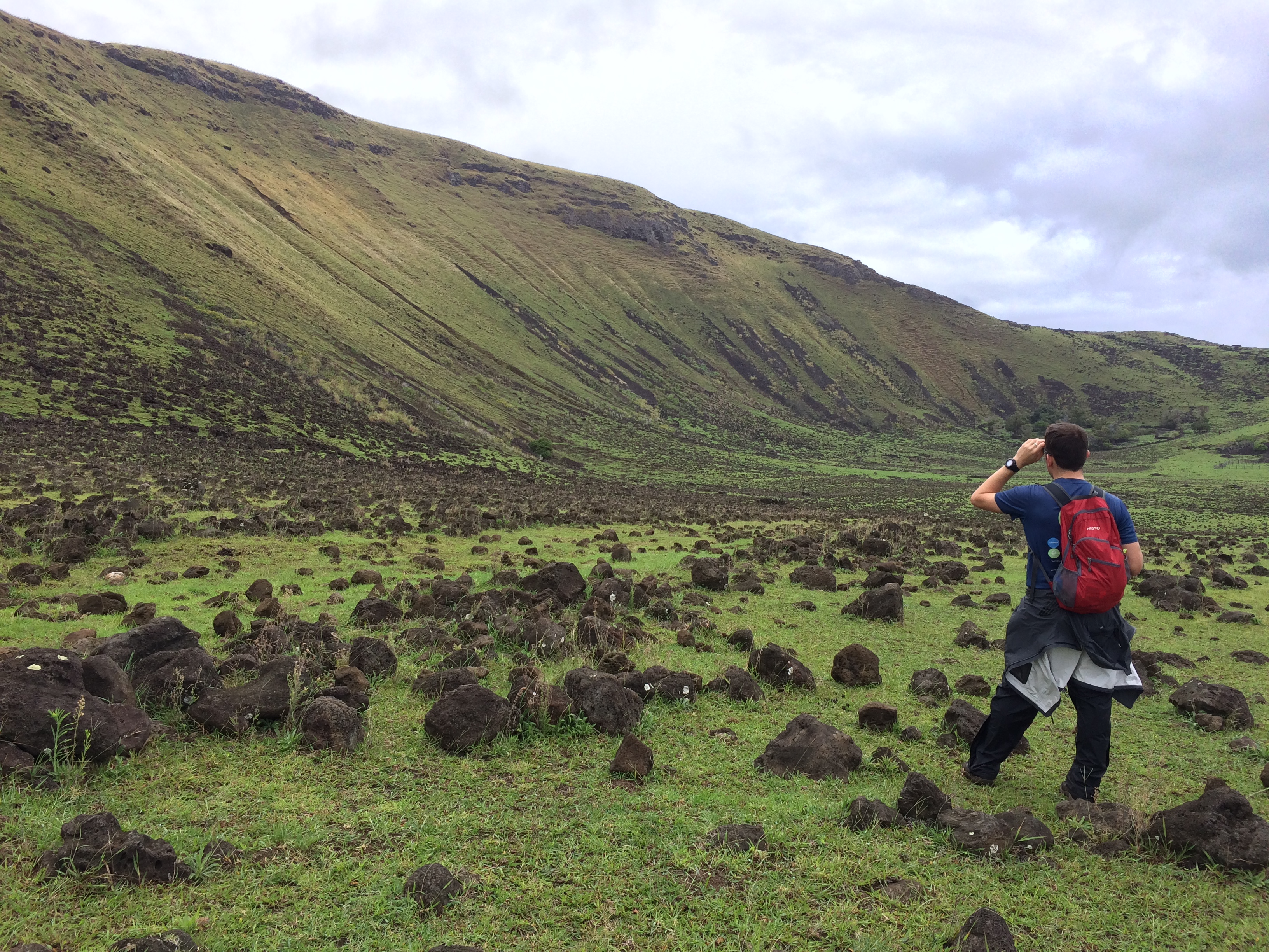
From the beach we hiked along a mostly-eroded path to Hanga O-Teo and back. This hike isn’t even printed on some maps, and no one talks about this hike, which gives it a reputation for pure remoteness.  And boy, was it remote. There was not another soul in sight.

Lava rocks strewn about.IMG_0666

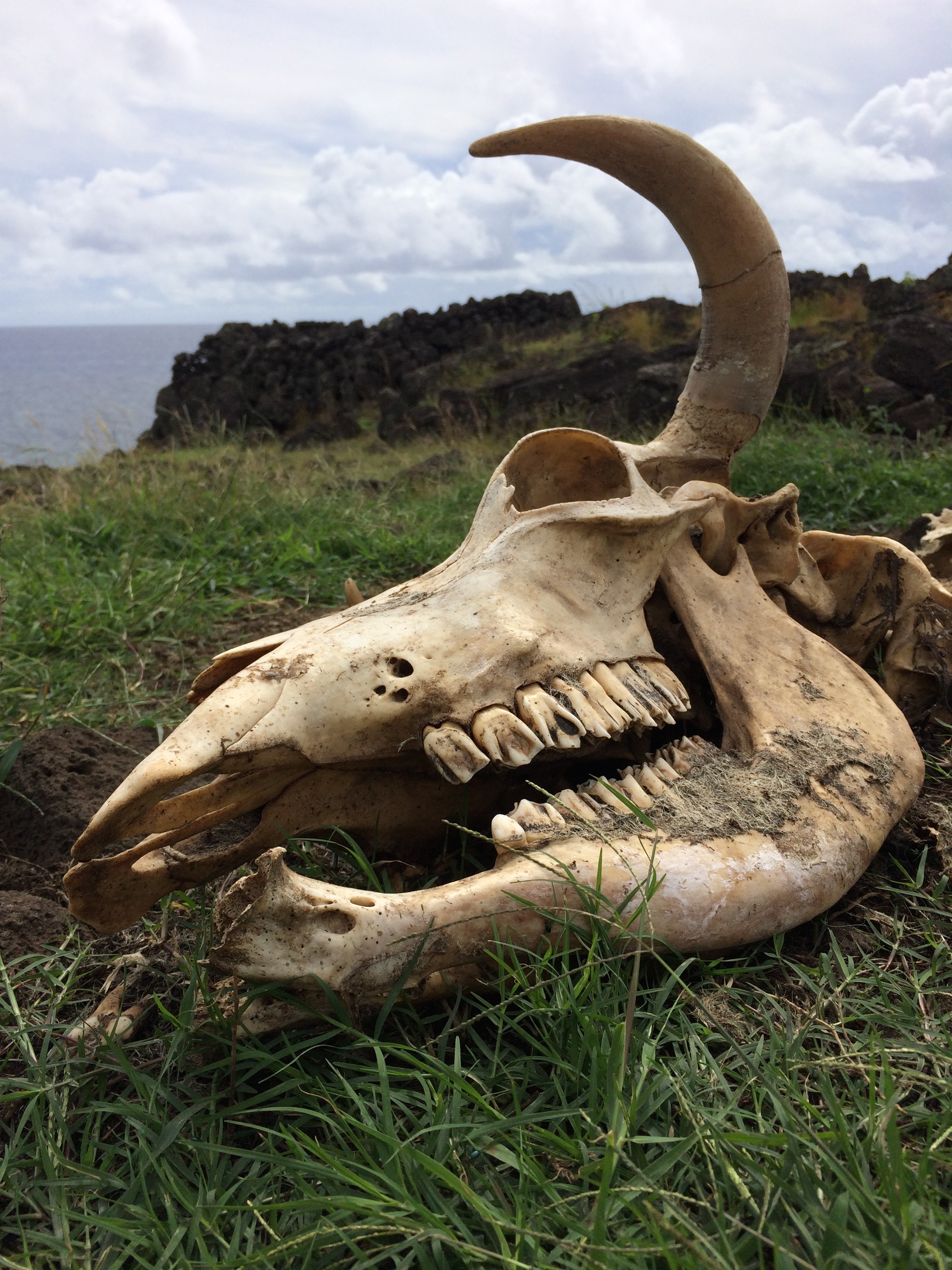
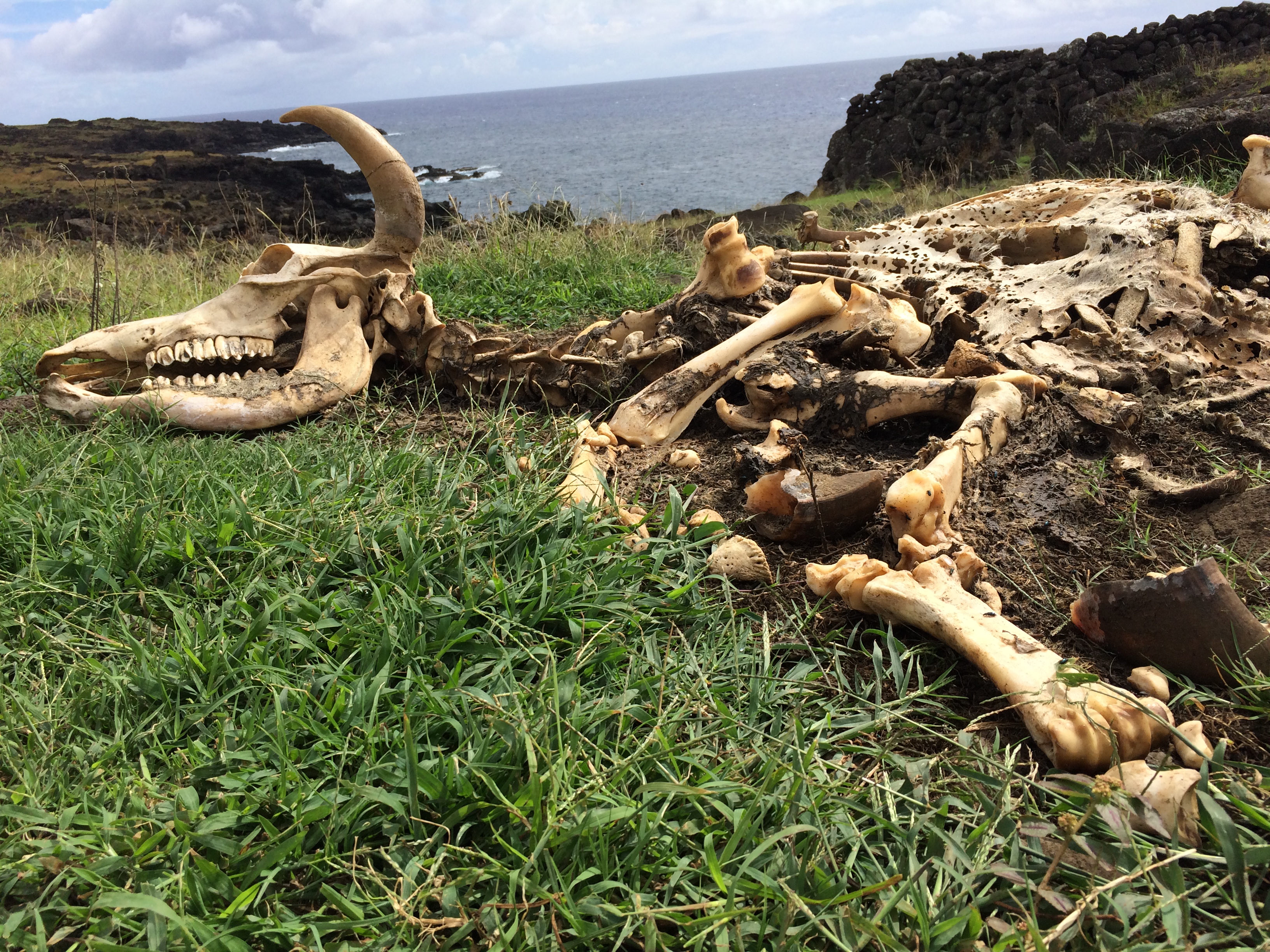
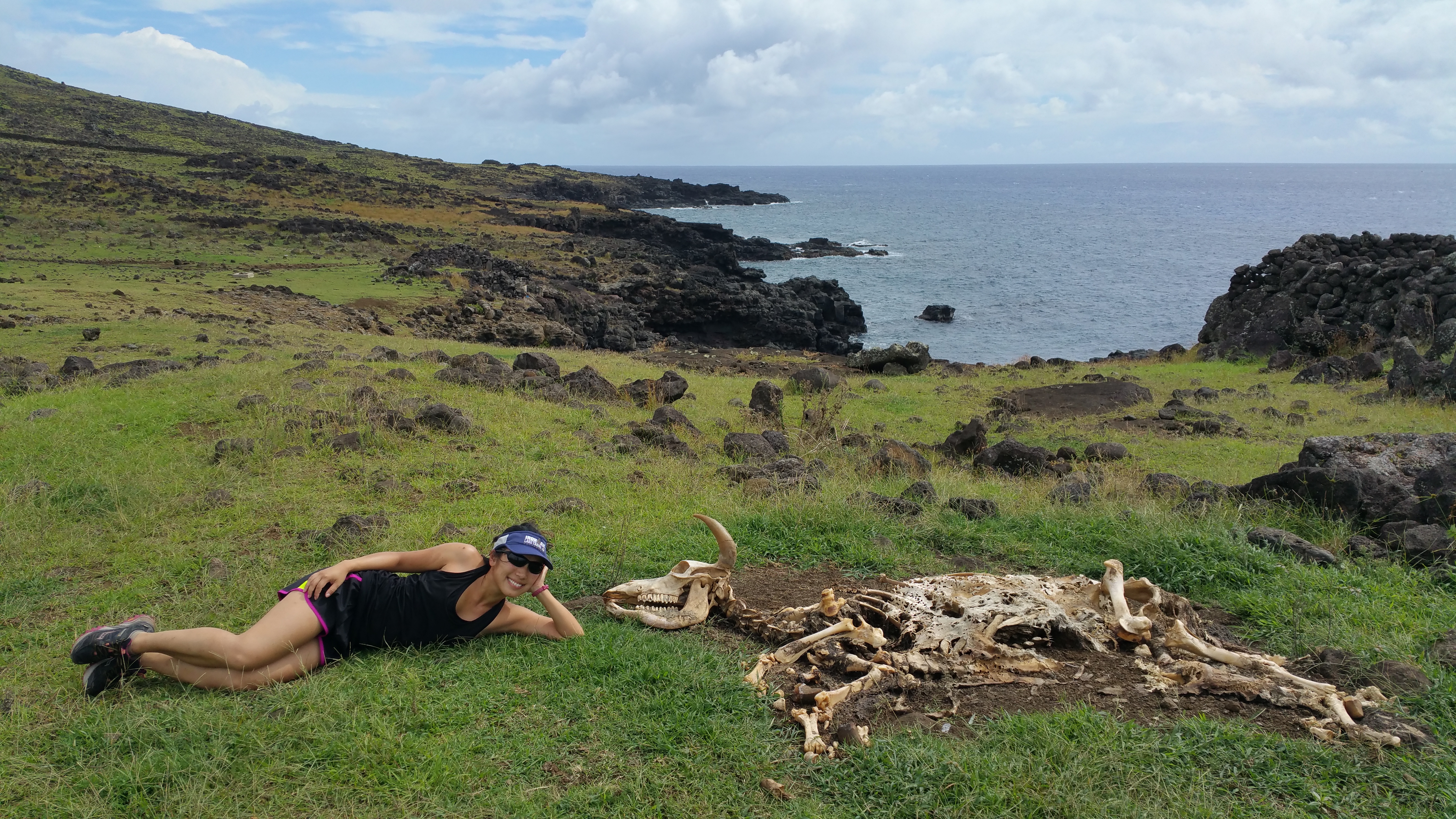
We even stumbled upon a complete, untouched skeleton of a cow.IMG_0675 IMG_067120150428_135619

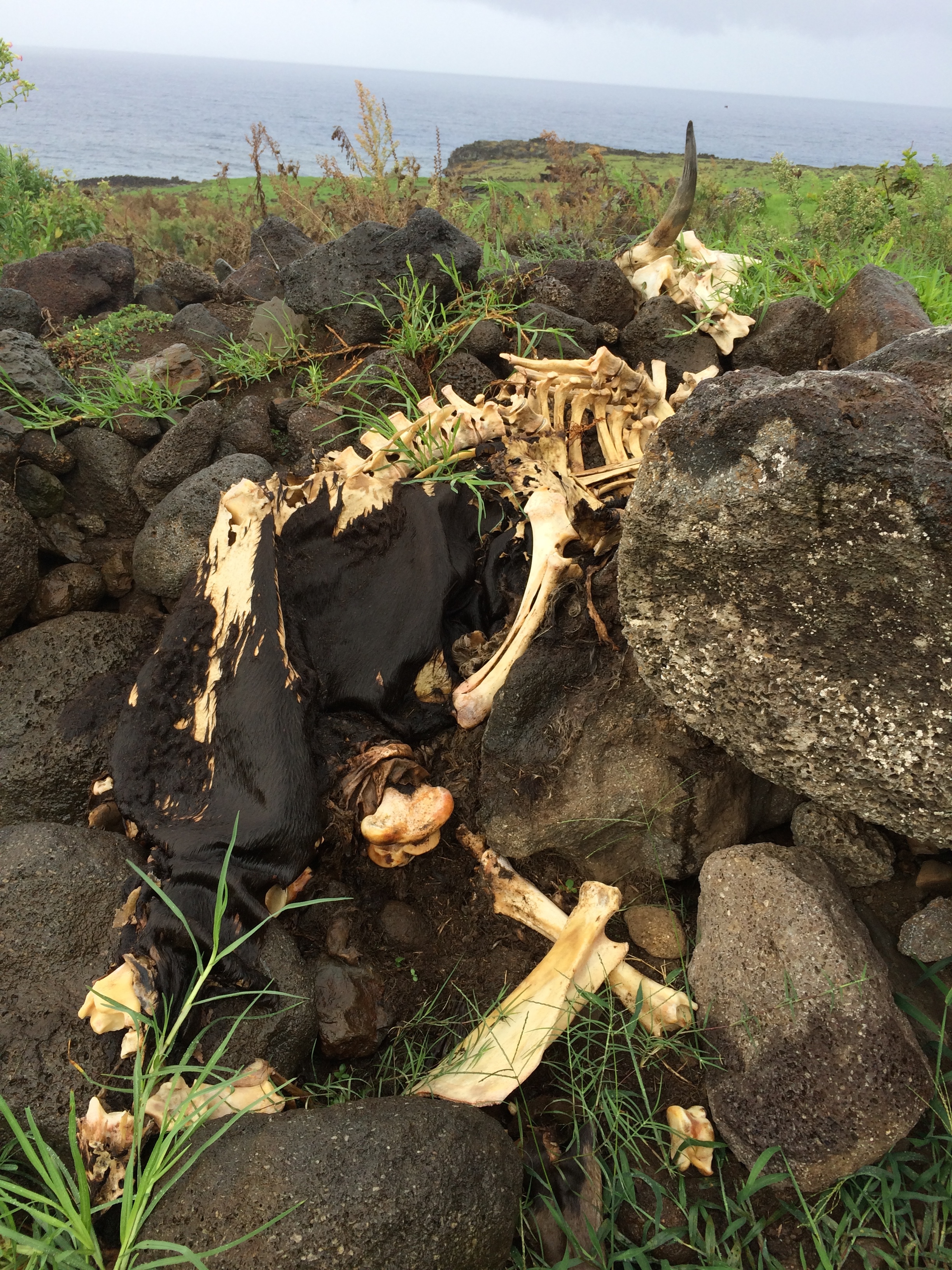
And another cow that died when attempting to cross over this stone wall:IMG_0701

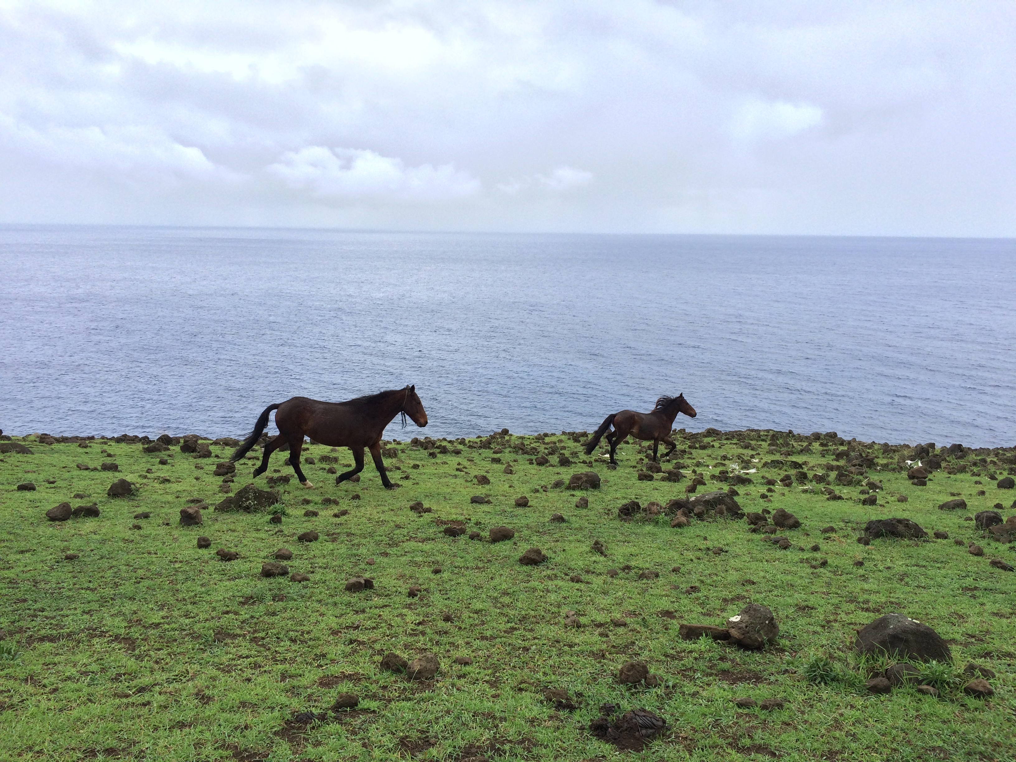
There were wild horses everywhere.IMG_0686IMG_0698

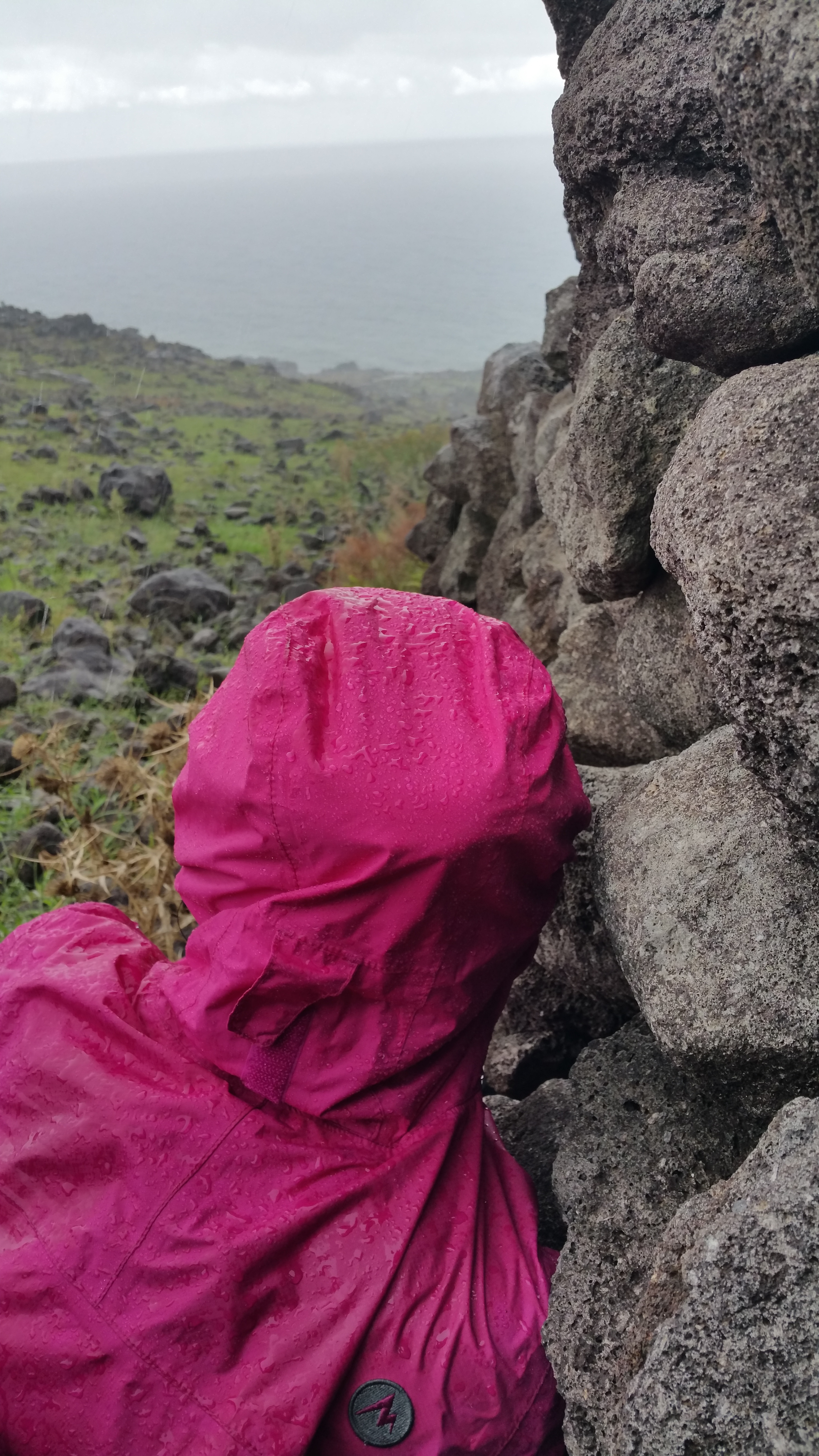
We even got rained on a couple times, but fortunately there were stone walls we huddled up against for shelter.20150428_154831

We hiked until we saw a lone house in the distance, equipped with camping tents. It was situated along the beach, beside the exaggerated slopes of the volcano.IMG_0692

From there we backtracked to Anakena Beach (about 3 hours round-trip), where we retrieved our bikes and pedaled back to Hanga Roa (about another hour). We even managed to get dumped on by a brief storm during the steepest climb up the road. Fun times!


Day 4: Sunrise At Ahu Tongariki

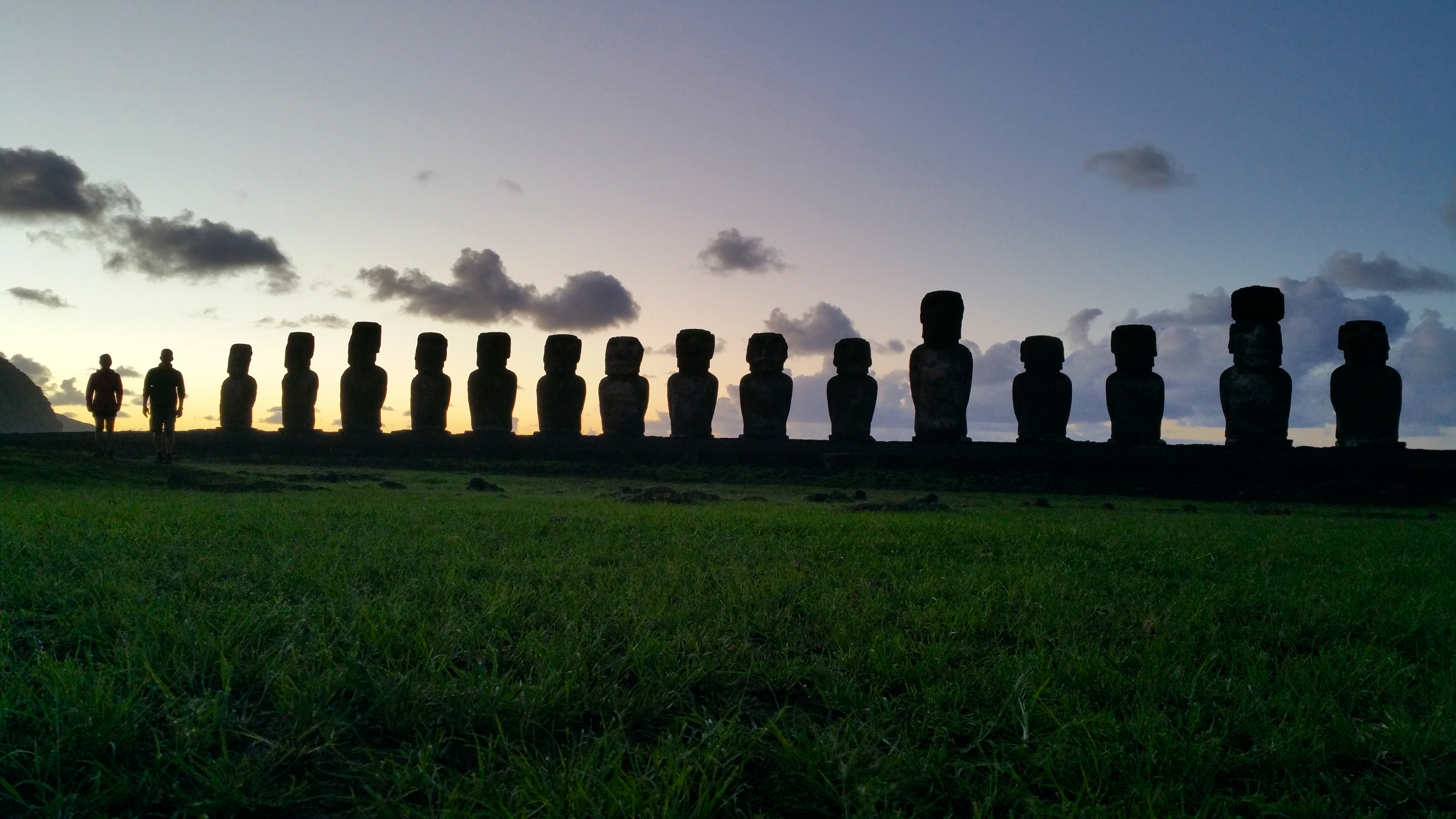
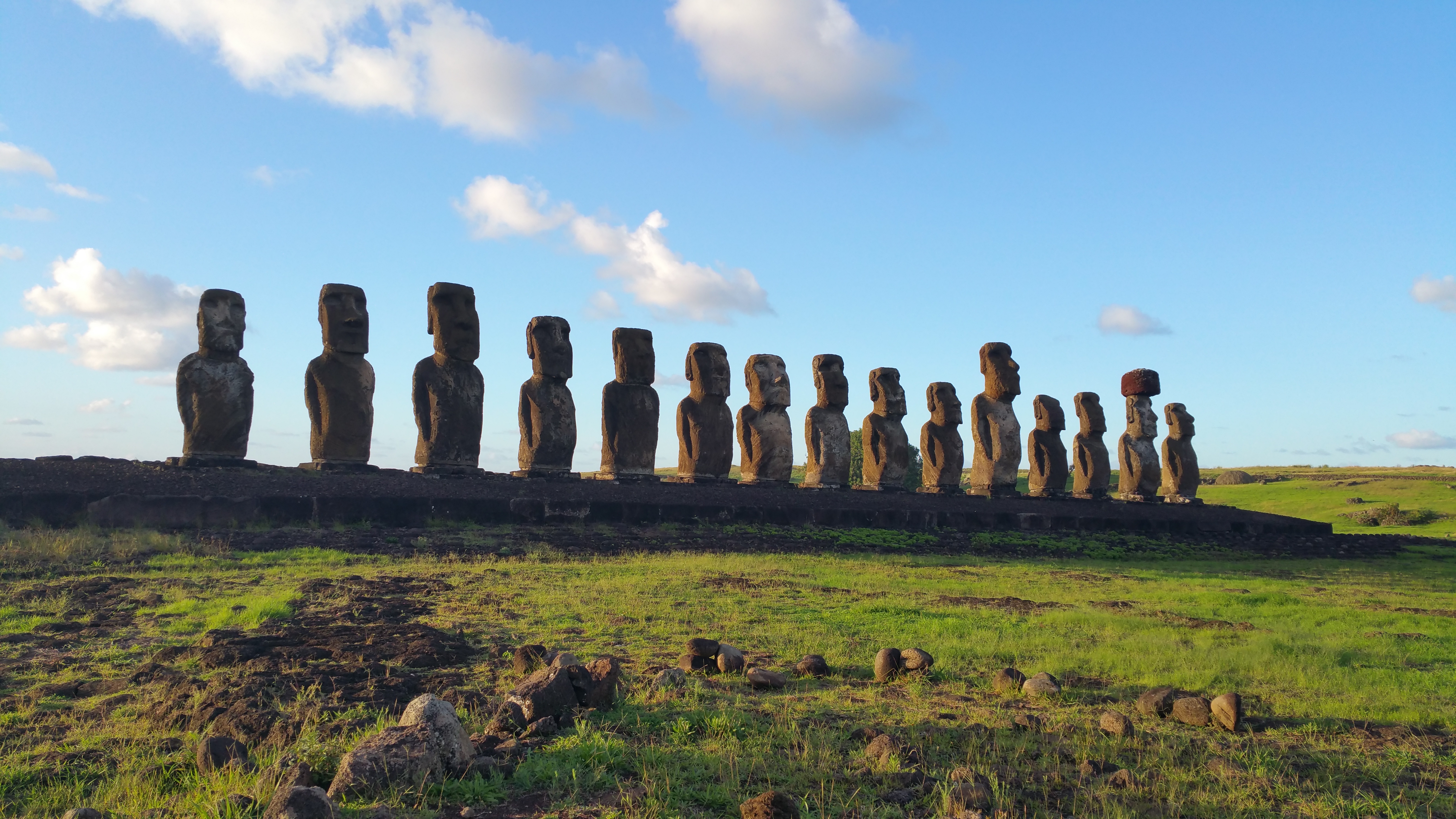
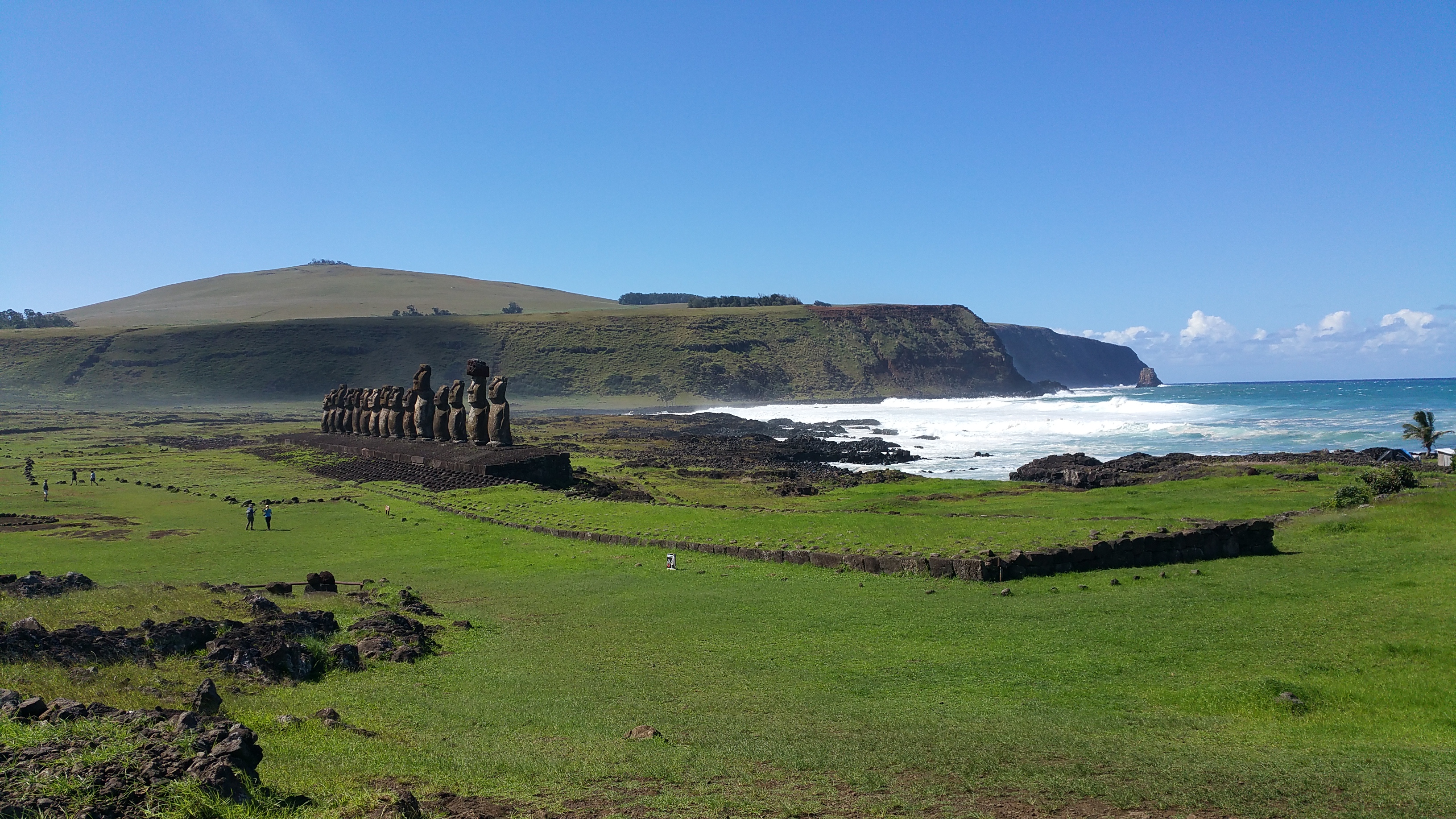
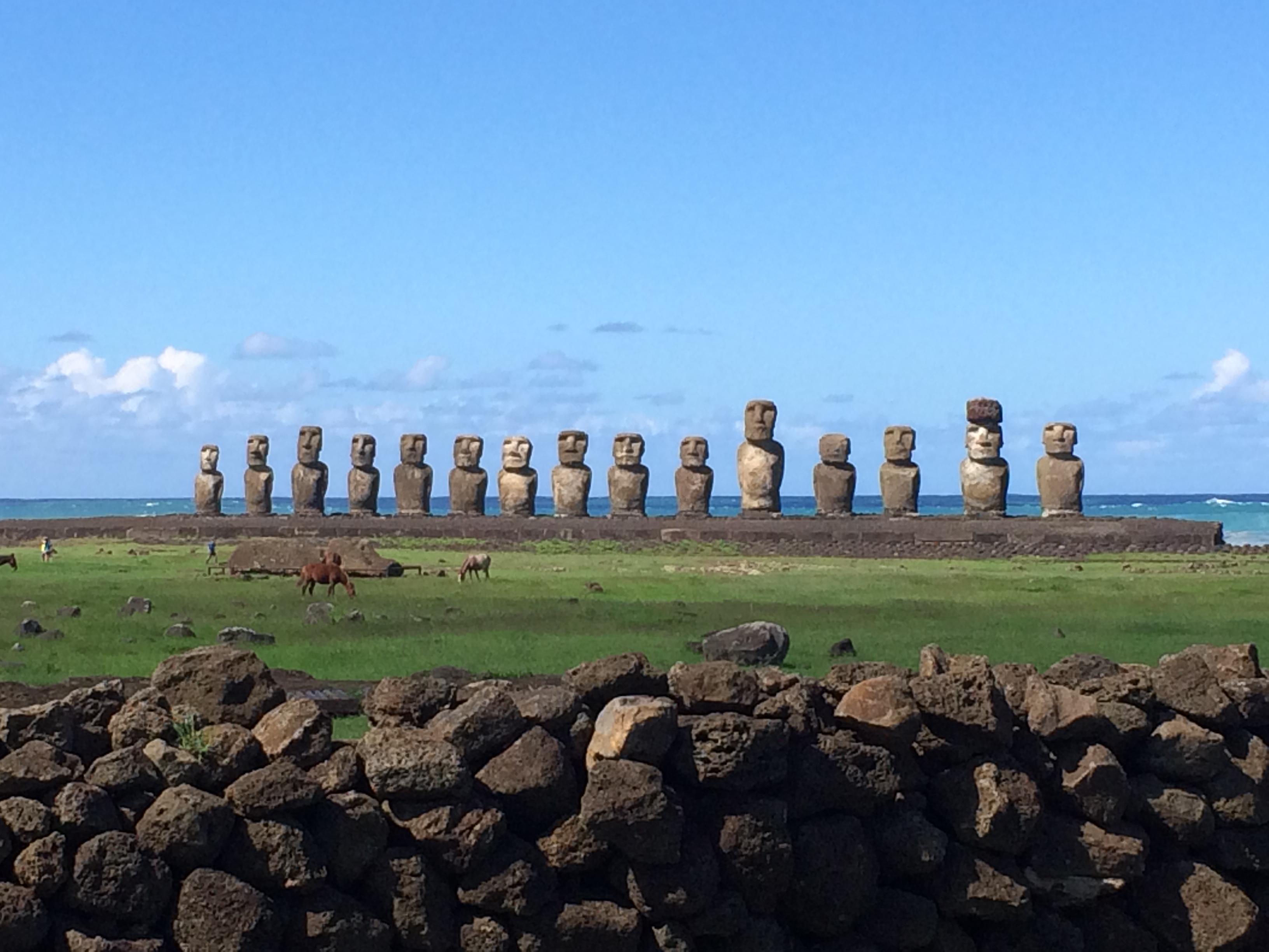
Thanks to the strange time zone, the sun rises late at Easter Island in the autumn. We awoke relatively early to catch sunrise at 8:41am at the most dramatic set of moai, Ahu Tongariki. 20150429_082720

It was easy to squander away an hour there, snapping myriads of photos every minute as the lighting changed.20150429_085515 20150429_091350

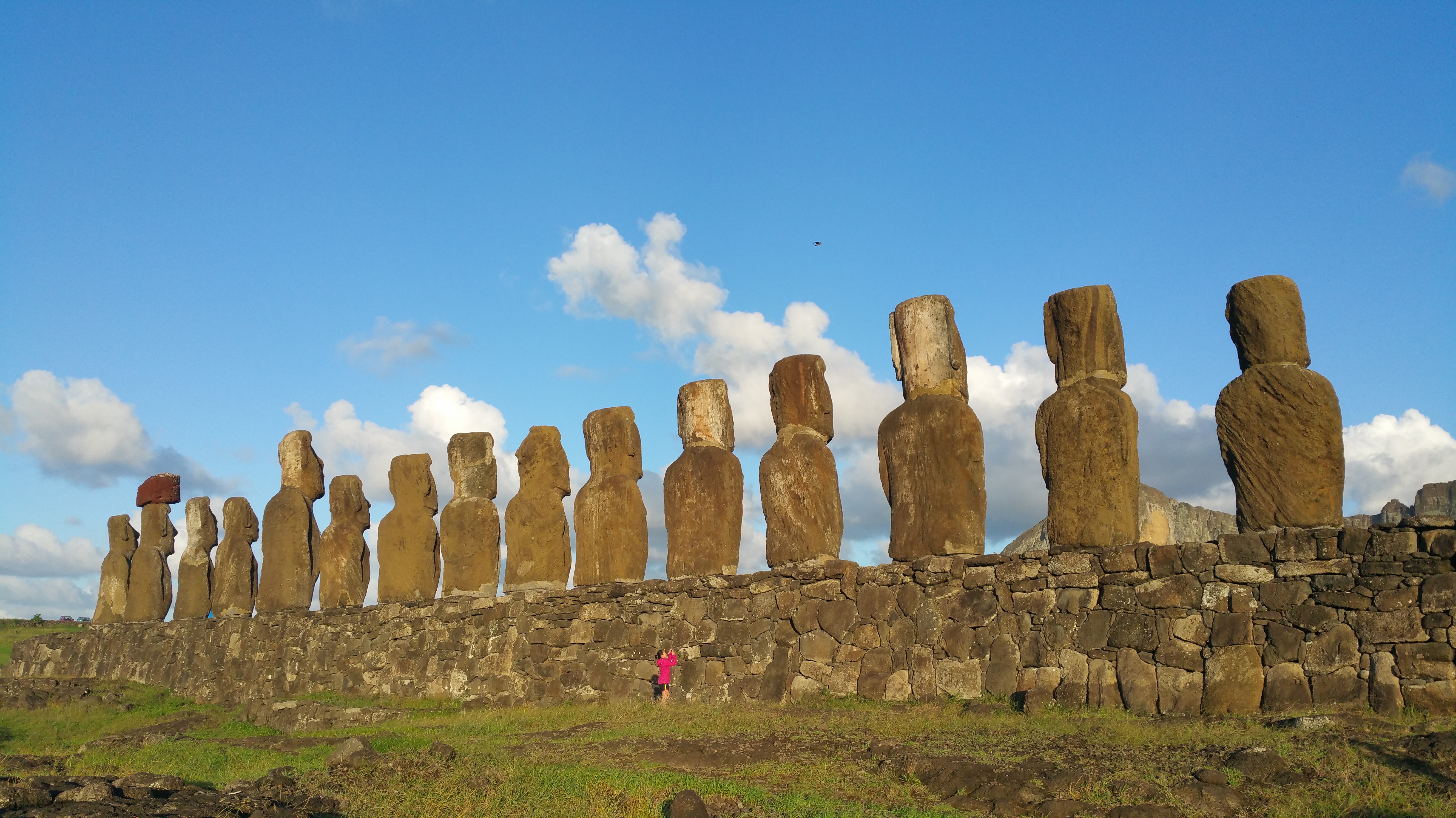
The backs of Ahu Tongariki. 20150429_091928

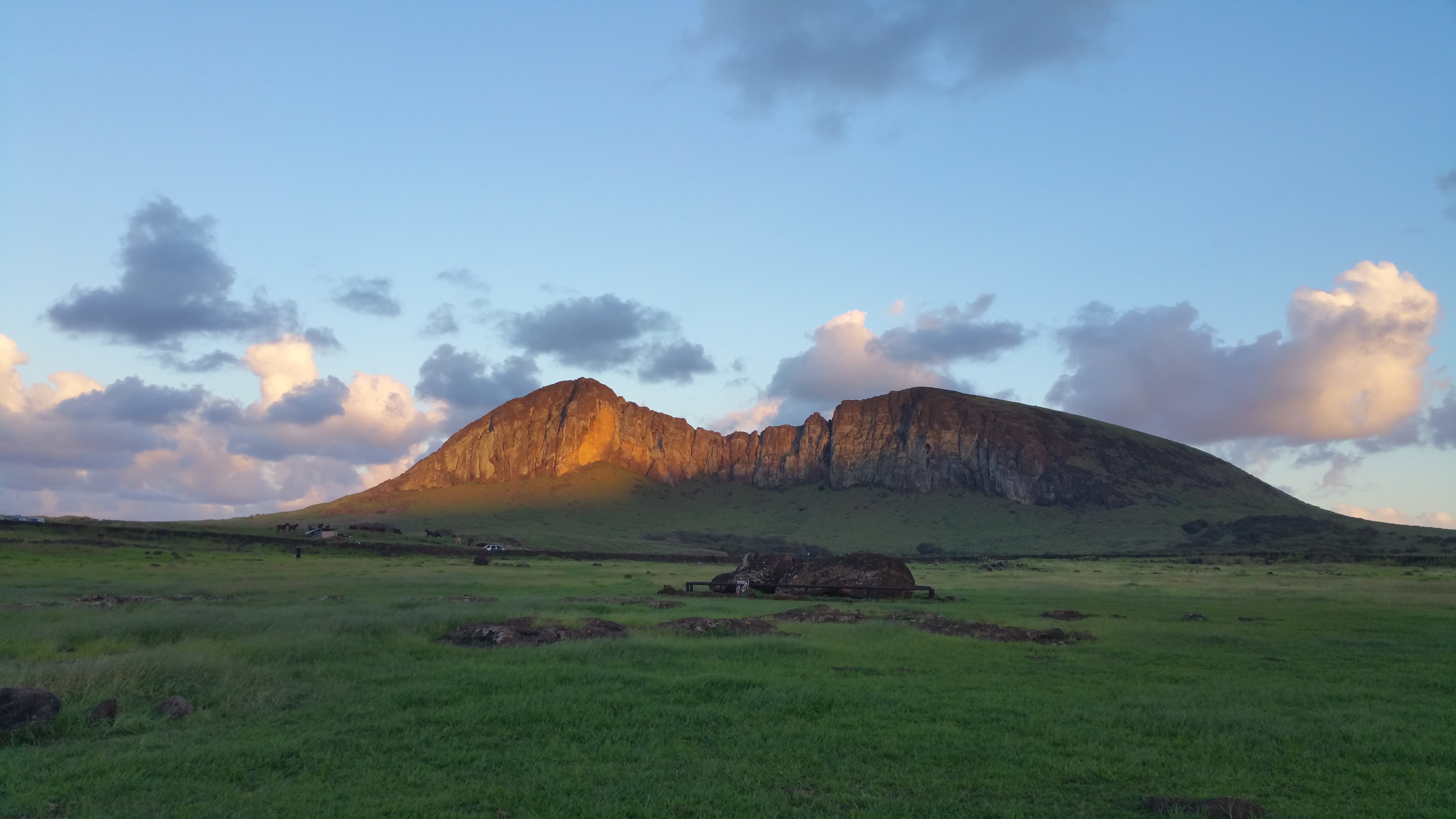
After we spent enough time at Ahu Tongariki, we continued to perhaps what was our favorite site on Easter Island: Rano Raraku, an extinct volcano from which all the moai were carved and distributed from.

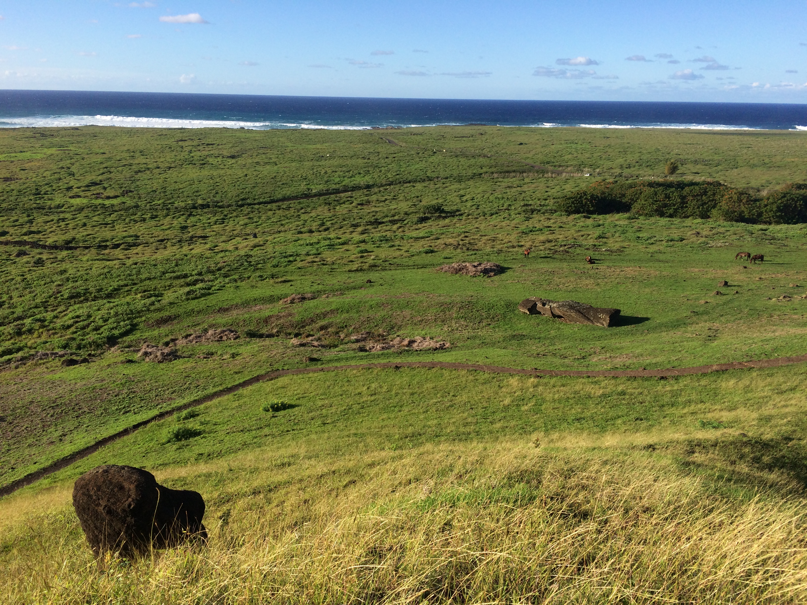
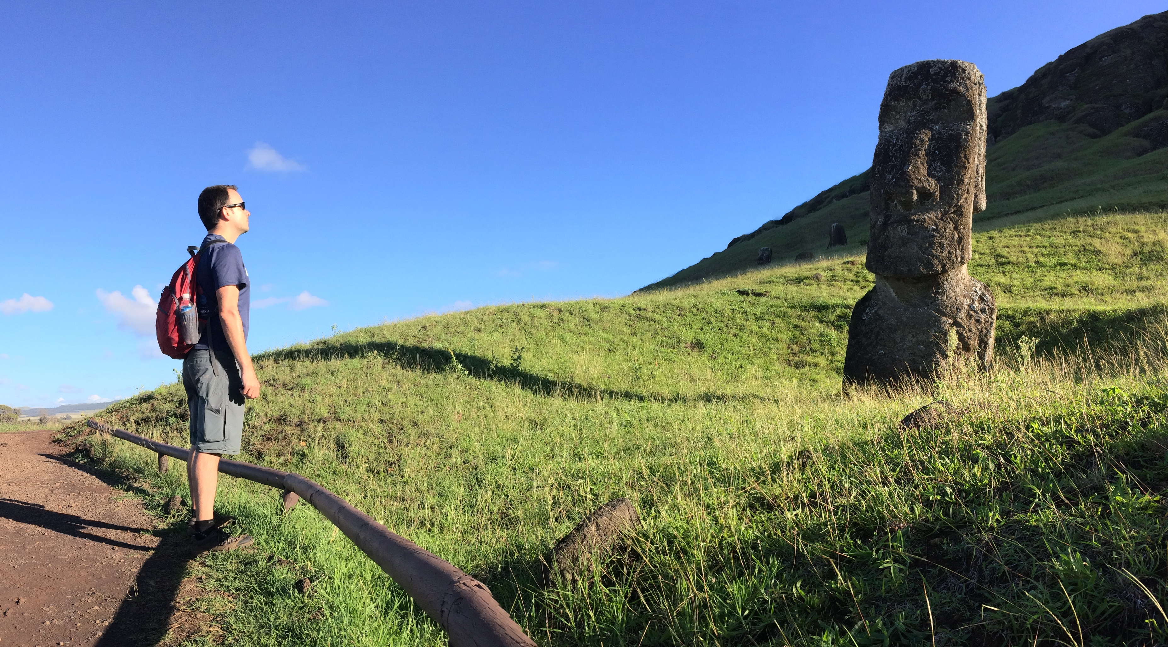
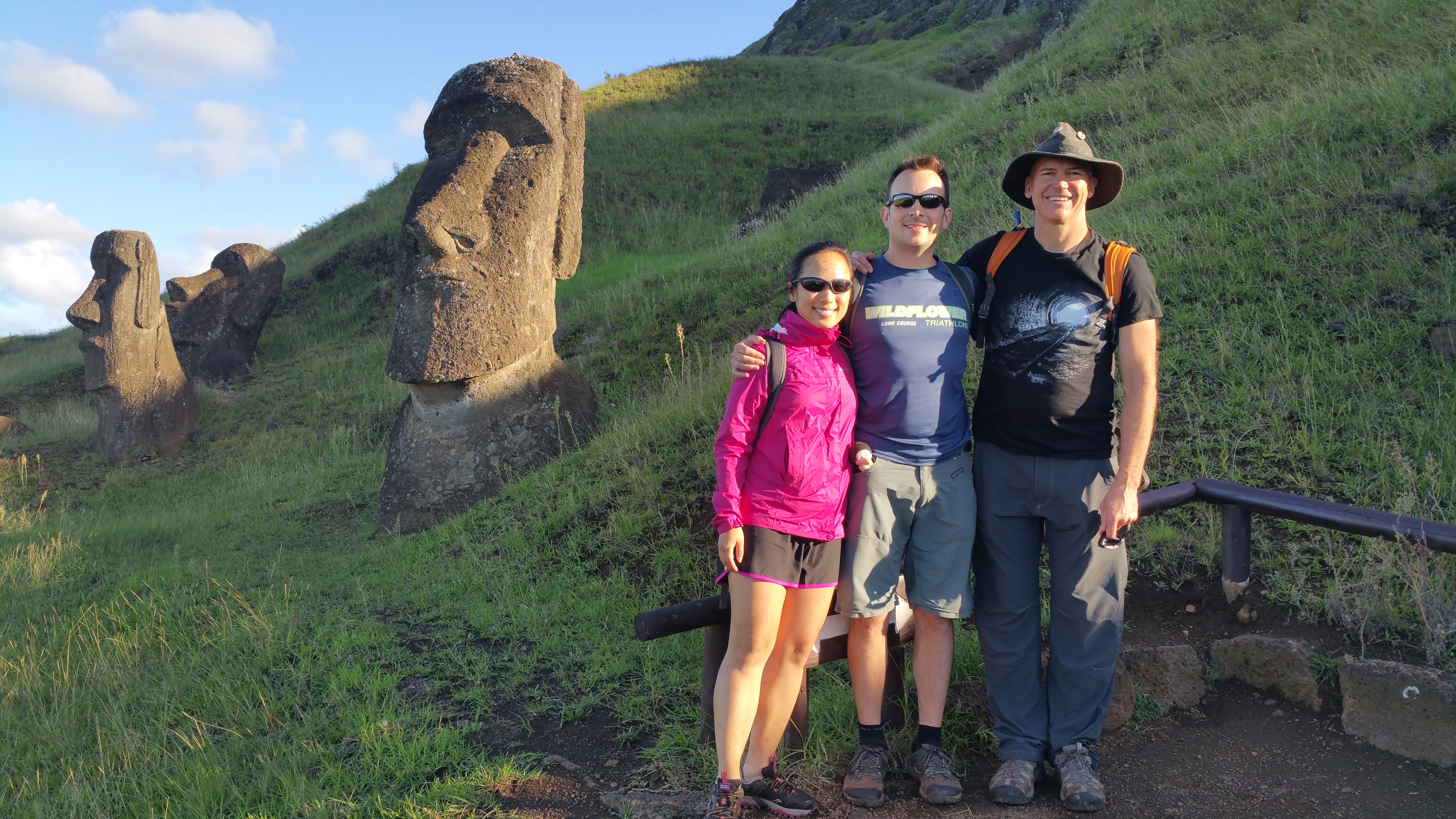
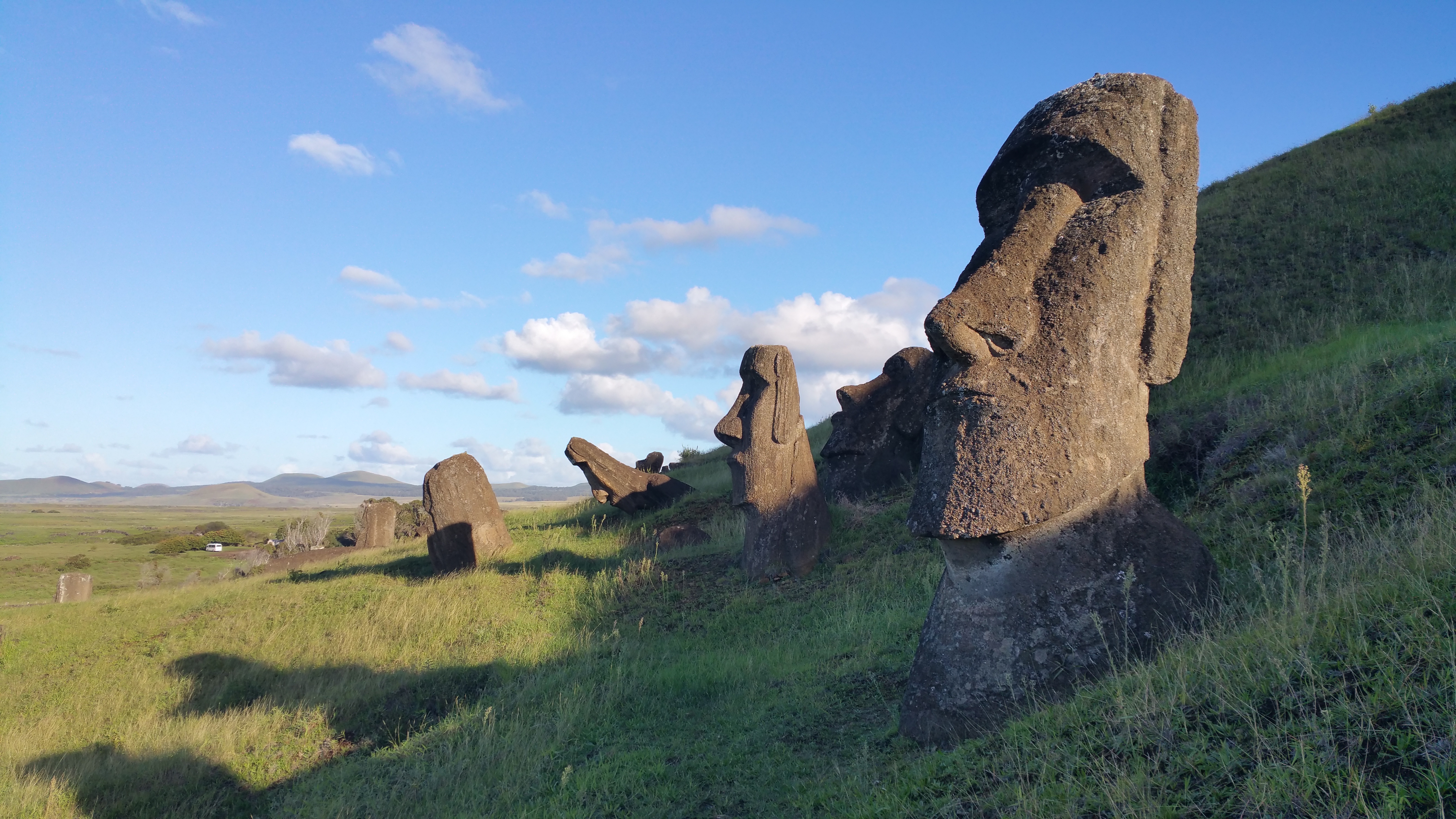
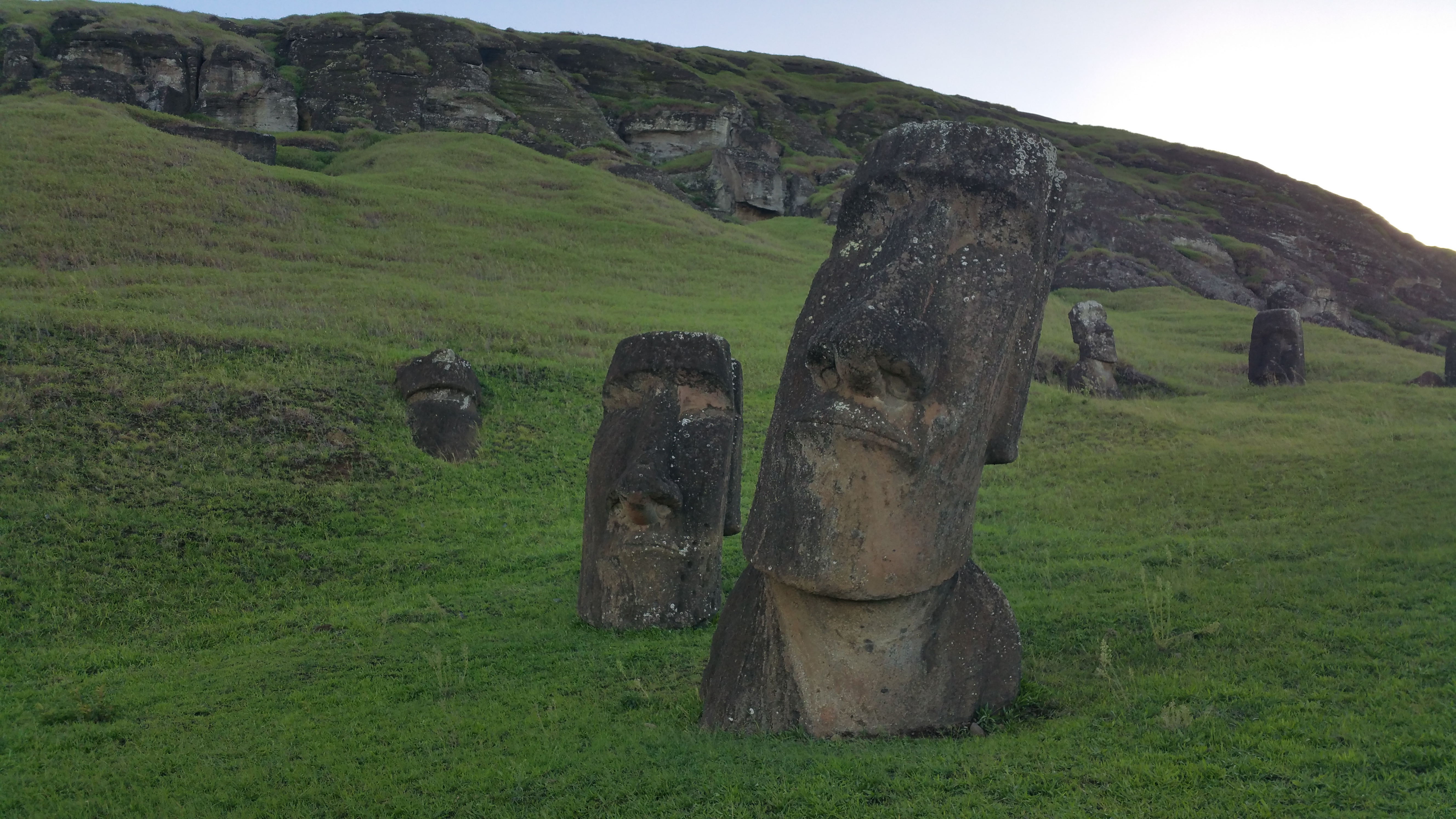
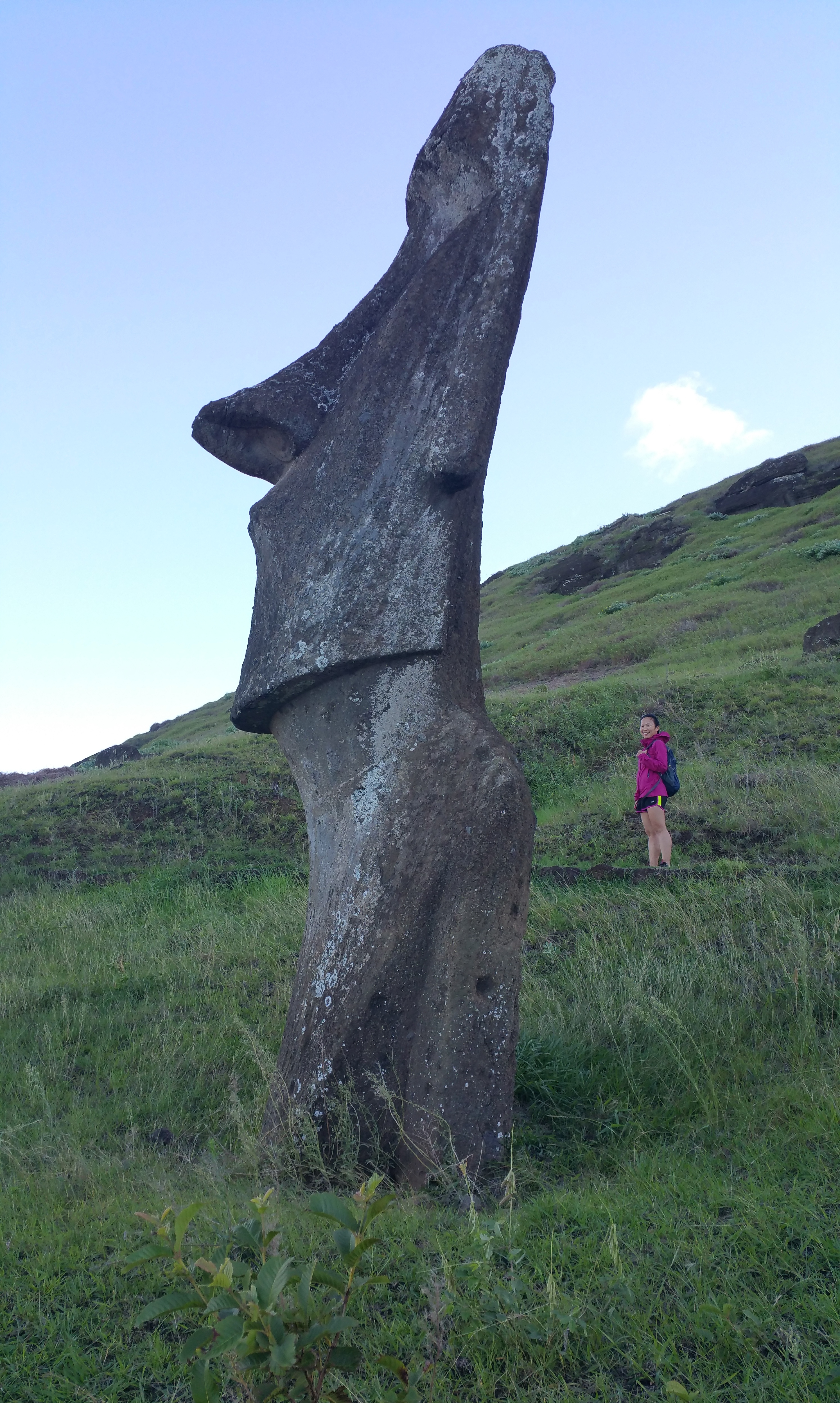
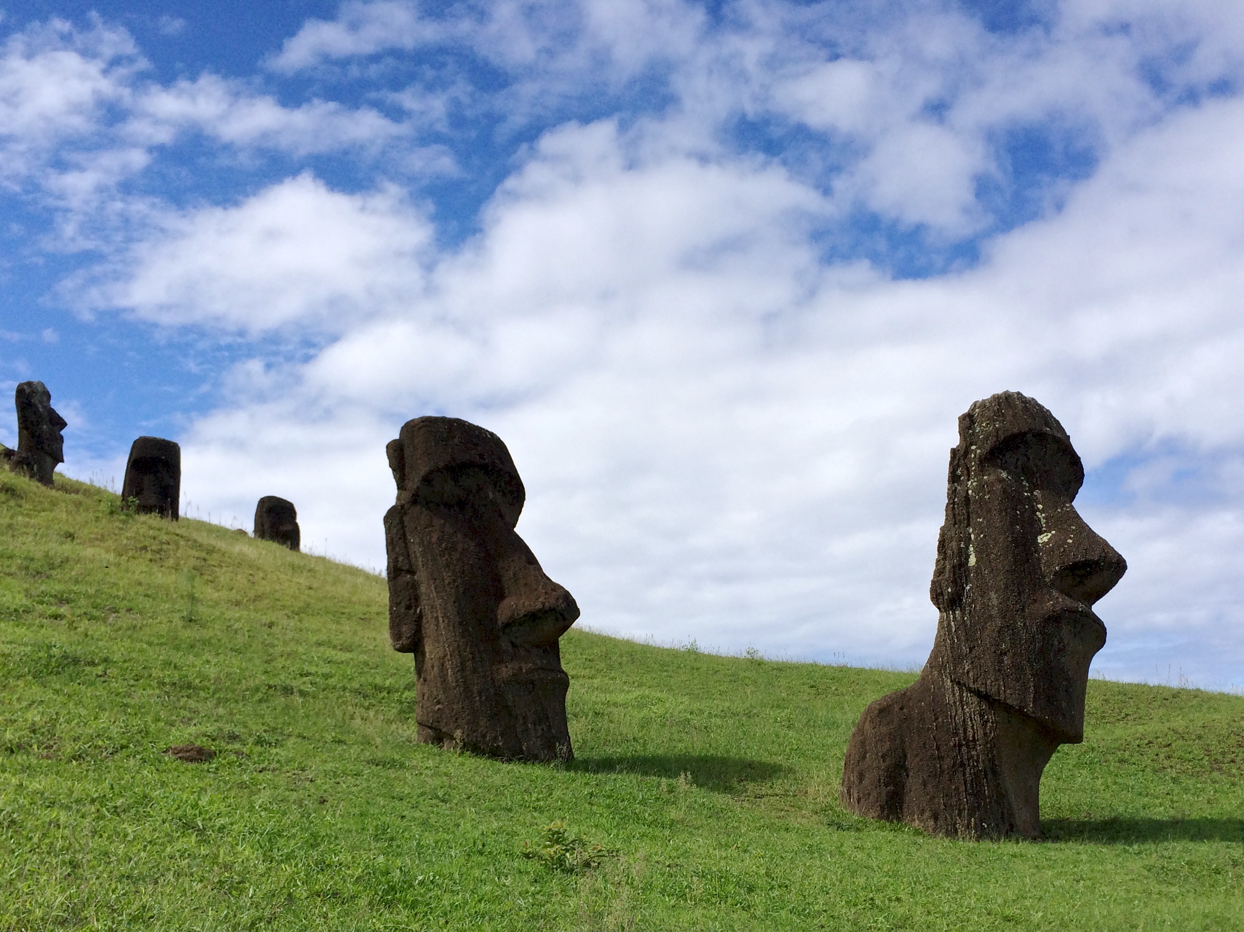
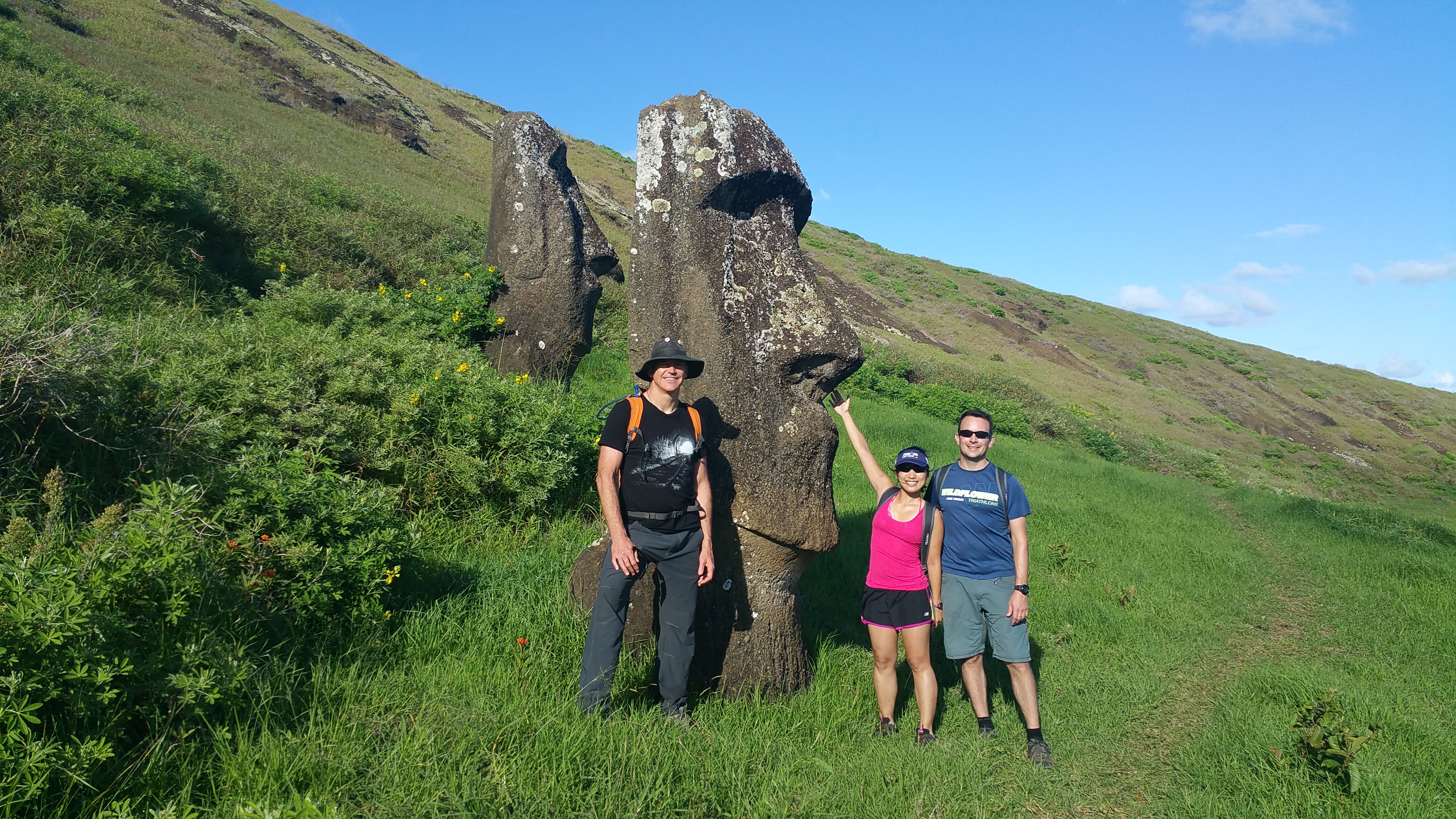
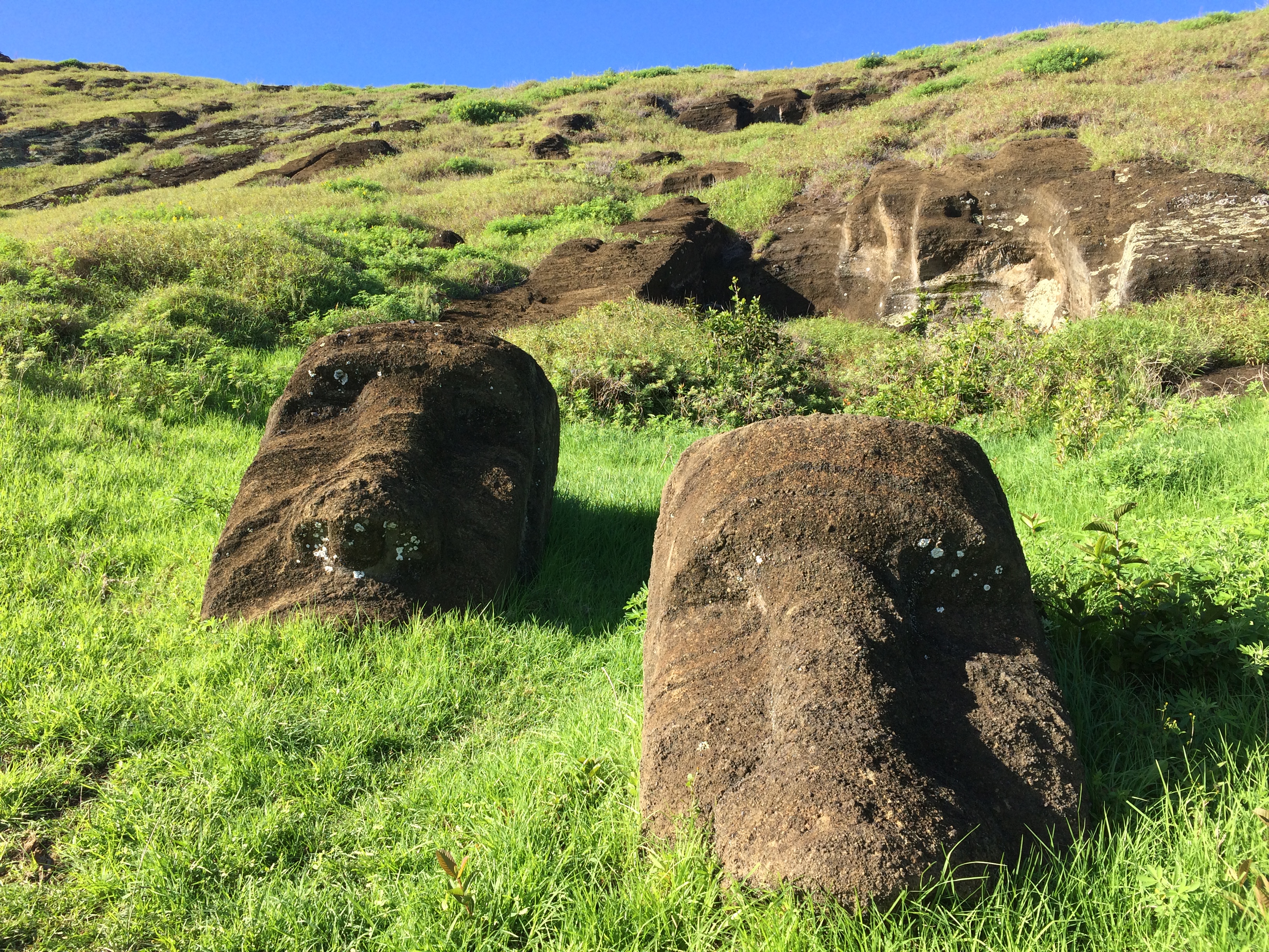
Dozens of moai heads lay scattered across this volcano, most in its upright position, and some face down.IMG_0752IMG_076520150429_10071920150429_10024220150429_09501420150429_094816IMG_1580

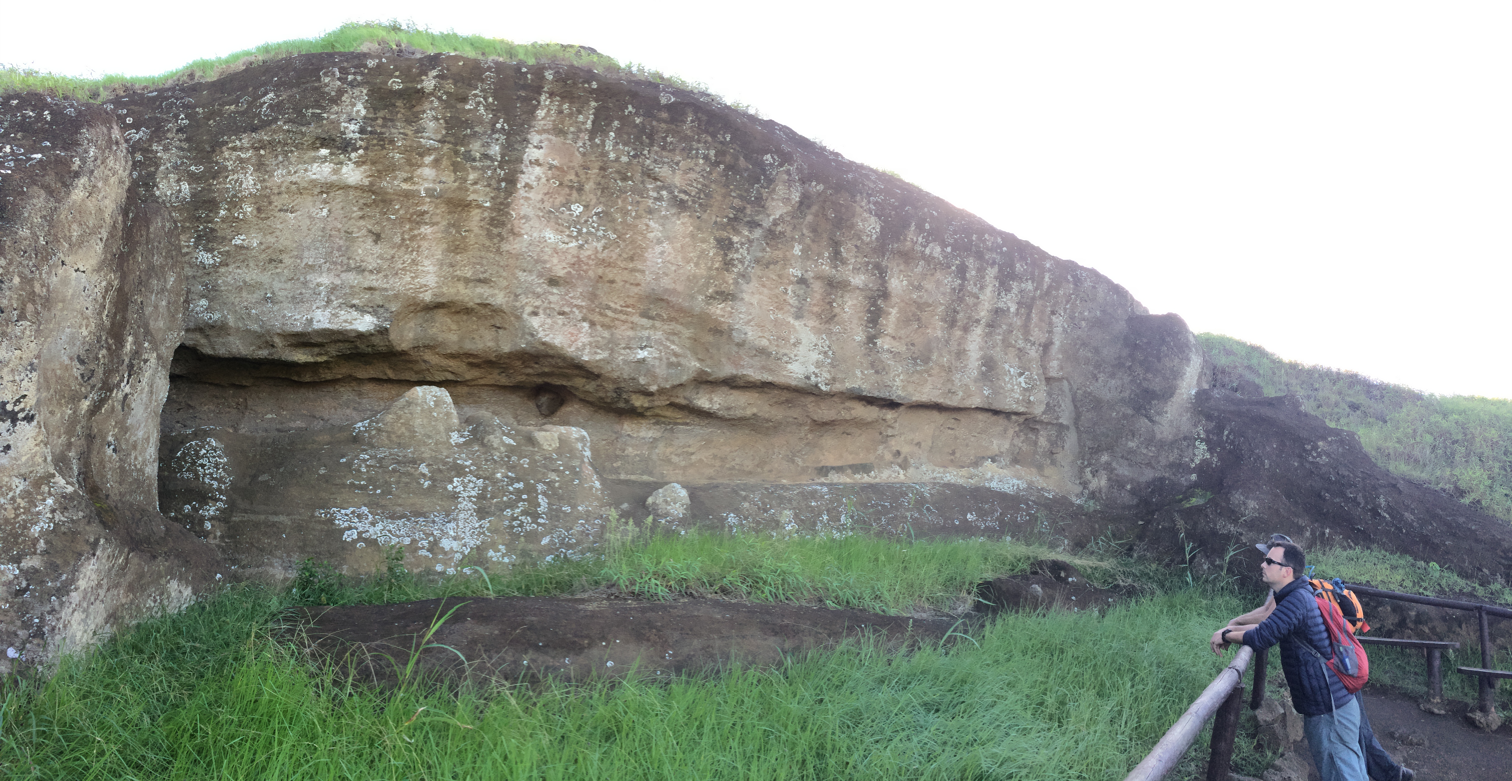
There were even some still carved in the rocks in incomplete form.IMG_0747

A short hike to the rim of the volcano exposed a storybook-scene: blossoming trees, vibrant green grass, wild horses, and a pristine lake.IMG_0766

The dirt path along the rim led us to a handful of more moai that we could get up close with.20150429_105632 IMG_0775

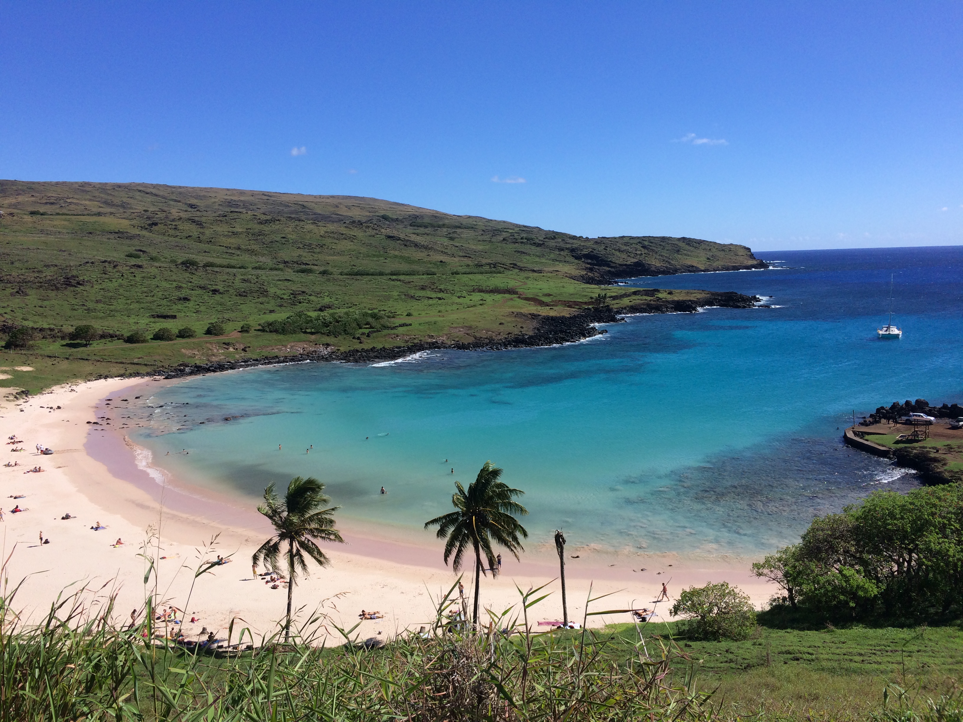
Once we observed all the moai at Rano Raraku, we returned to Anakena Beach to go for a swim in its crystal clear waters.IMG_0793

Passing Ahu Tongariki again in a different setting:20150429_150530

Before returning the rental car, we relished the scenic coastal drive along the southern shores of the island. Wild horses and cows were plenty, along with the dramatic, powerful waves splashing against the lava rocks.IMG_0801


Day 5: Revisiting Our Favorite Site

Because the conditions were not favorable for scuba diving, we spent our final day on Easter Island revisiting our favorite site nearest Hanga Roa: Rano Kau. After a big breakfast we grabbed our gear for our last day of hiking.

On top of Rano Kau again, with Karl this time:DCIM105GOPRO

I think we sat here for almost an hour, gazing at the spectacular view:IMG_0823

Unlike the previous time we hiked to Rano Kau, the winds were stronger and the clouds were lower. The swaying grass, and the swift clouds and its shadows created a stunning visual experience.IMG_0842

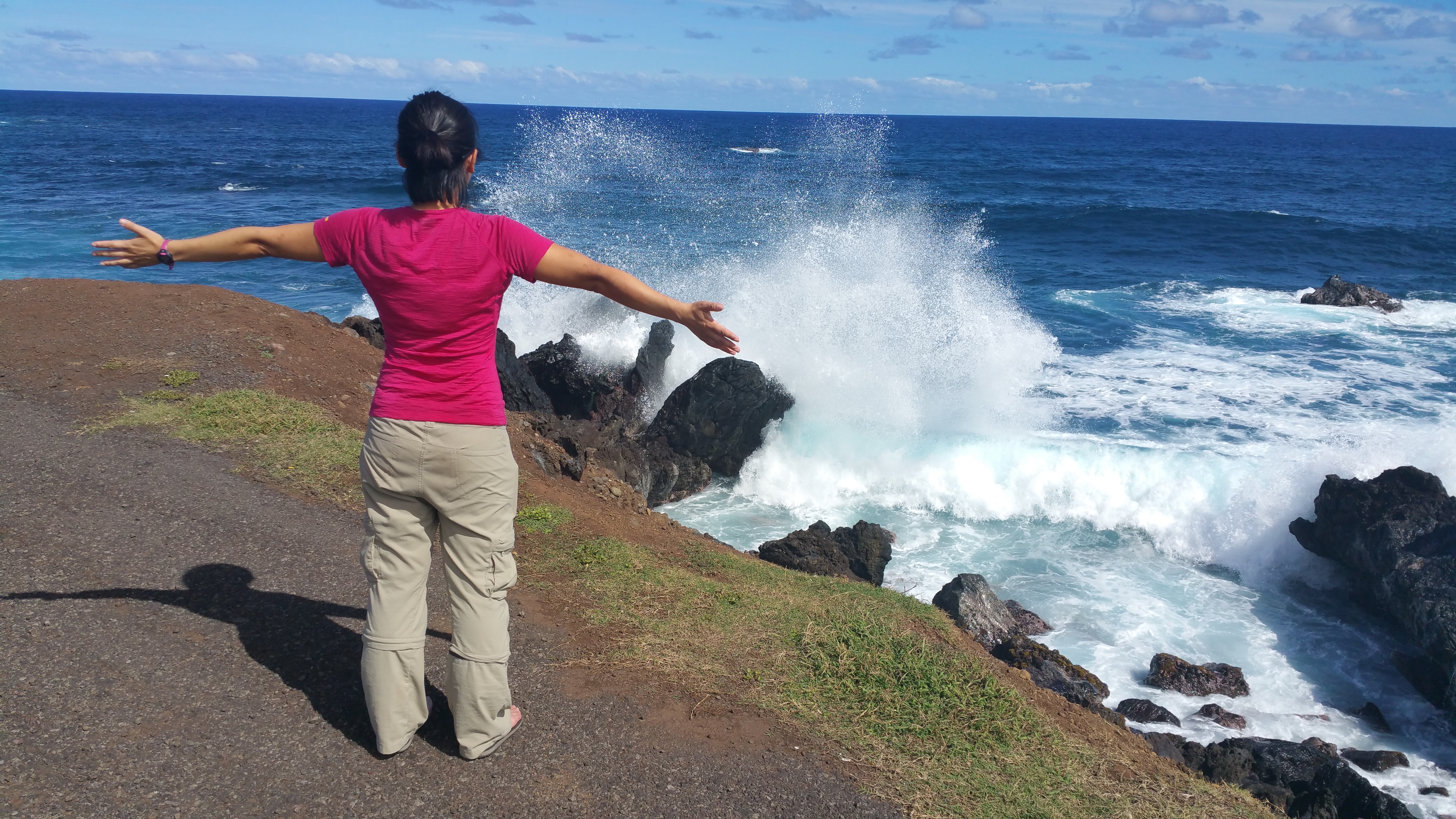
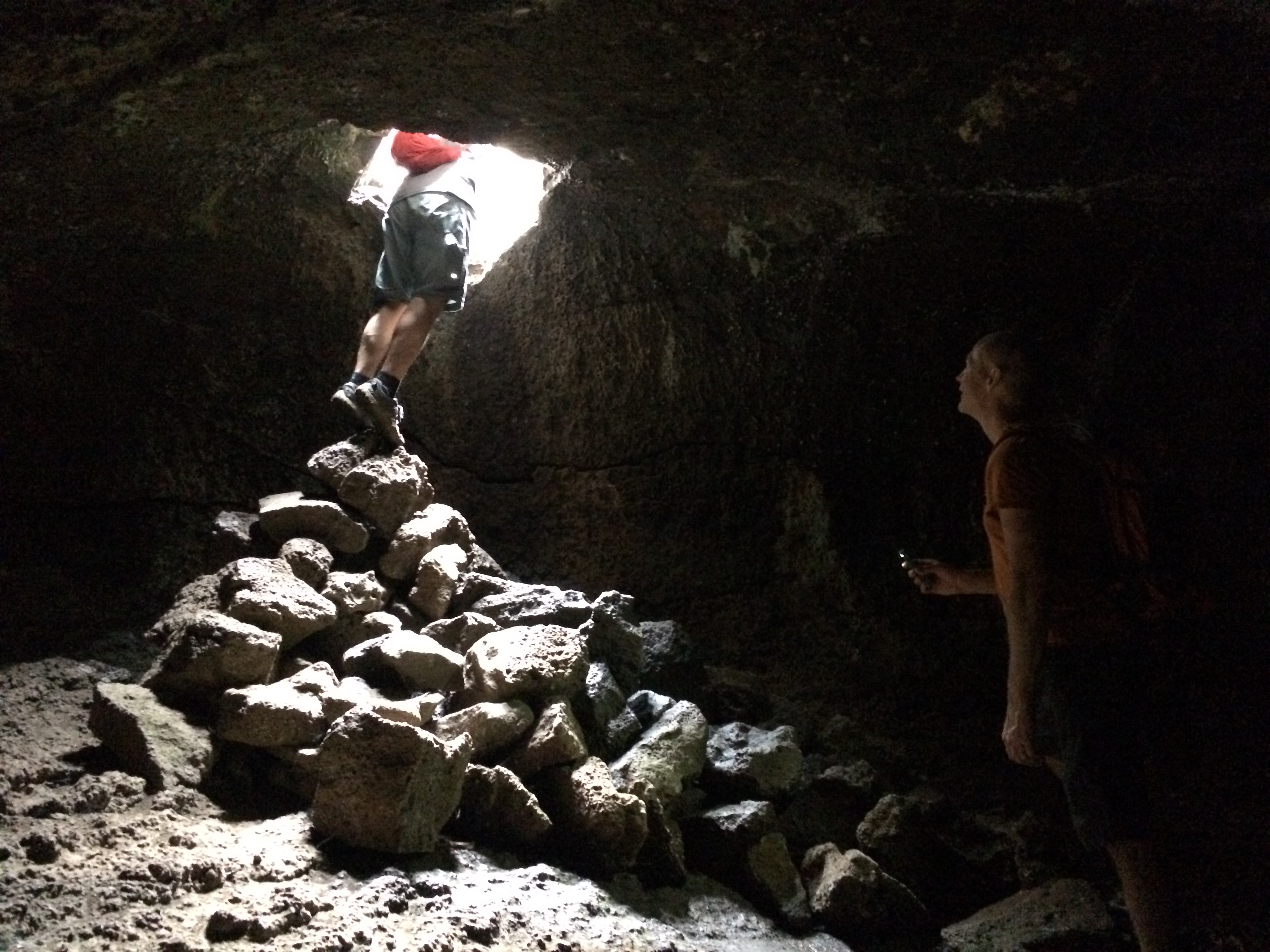
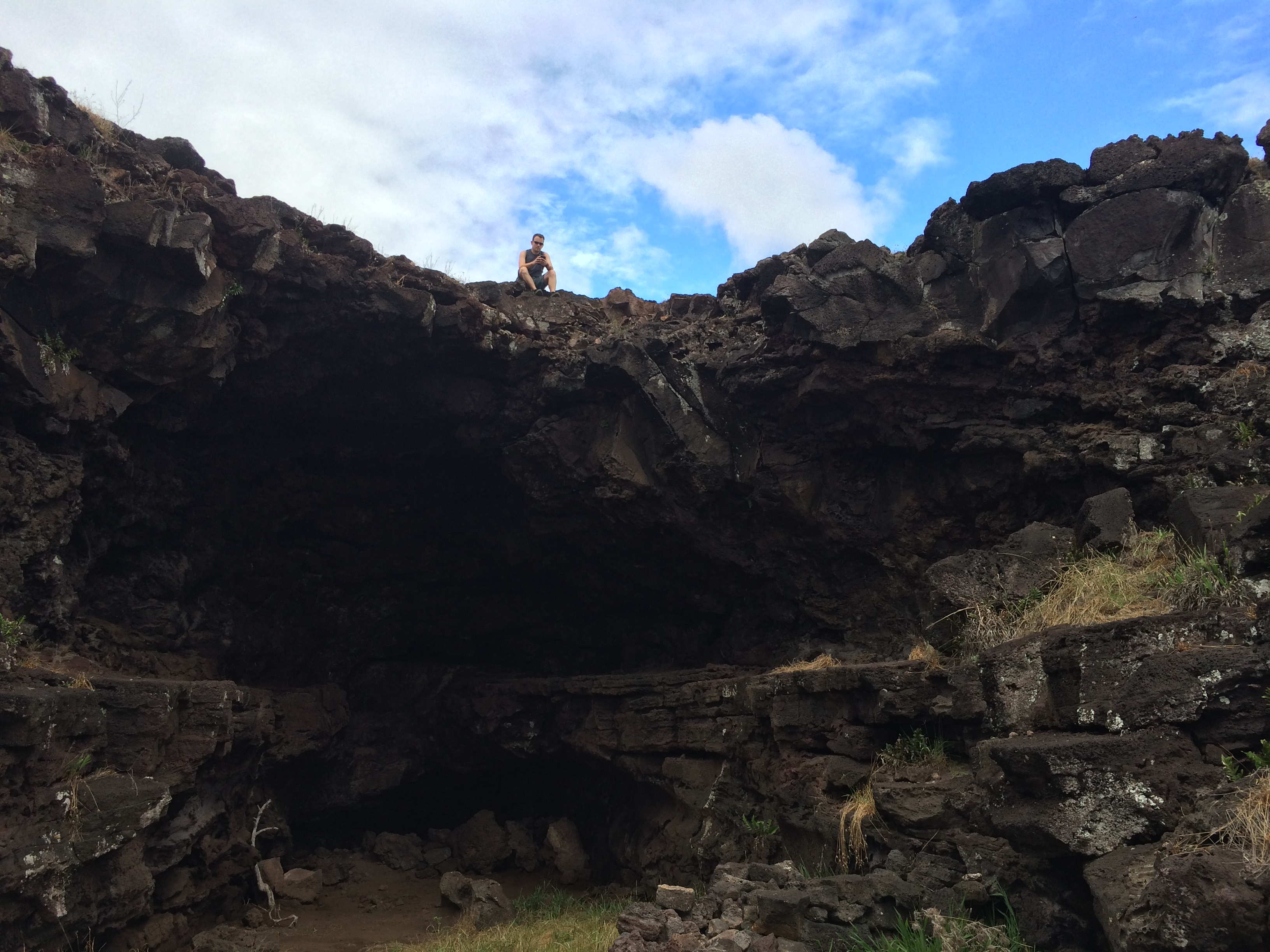
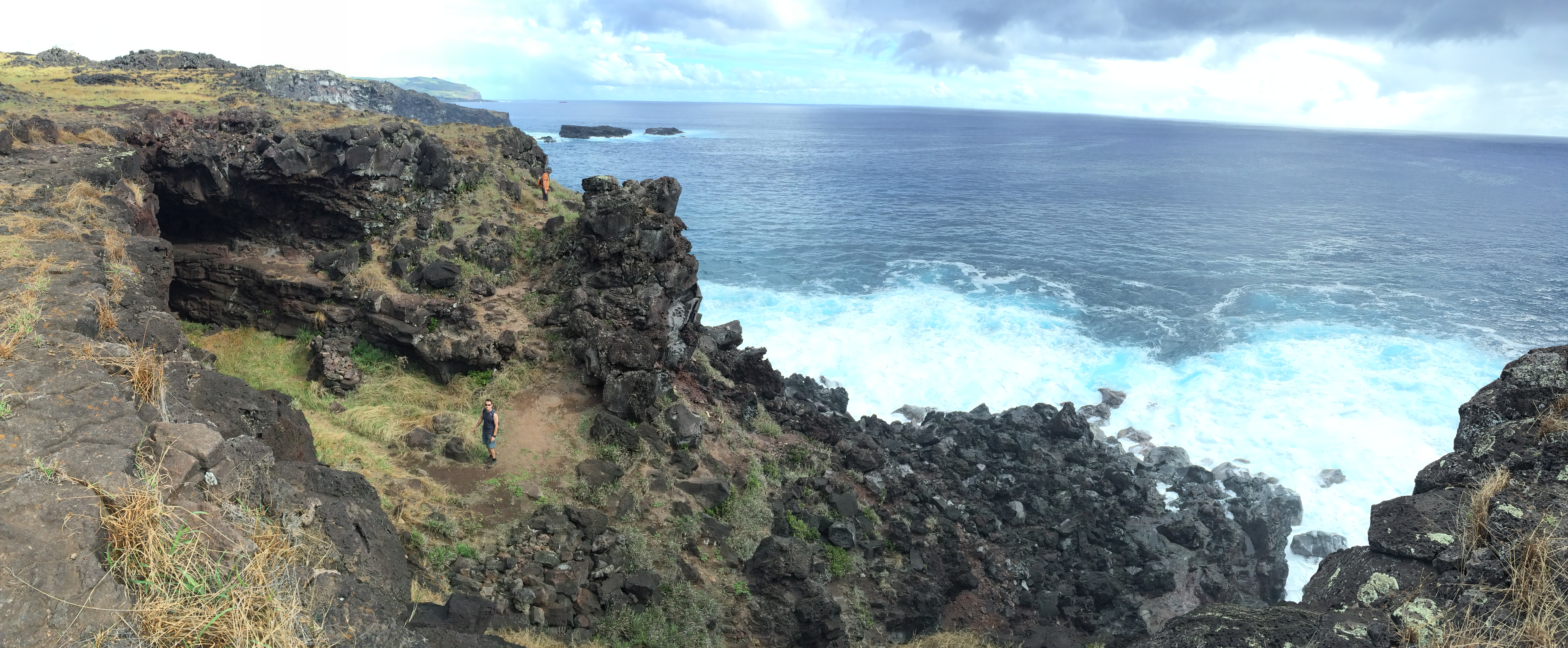
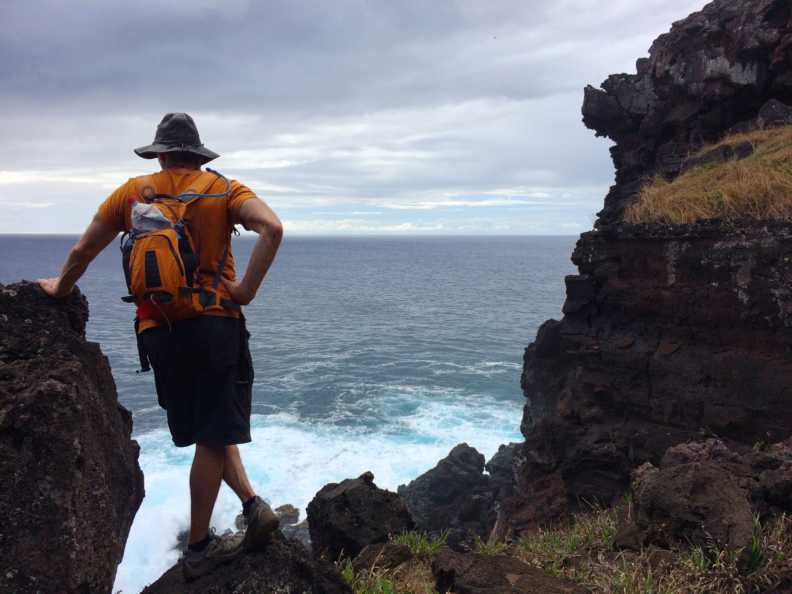
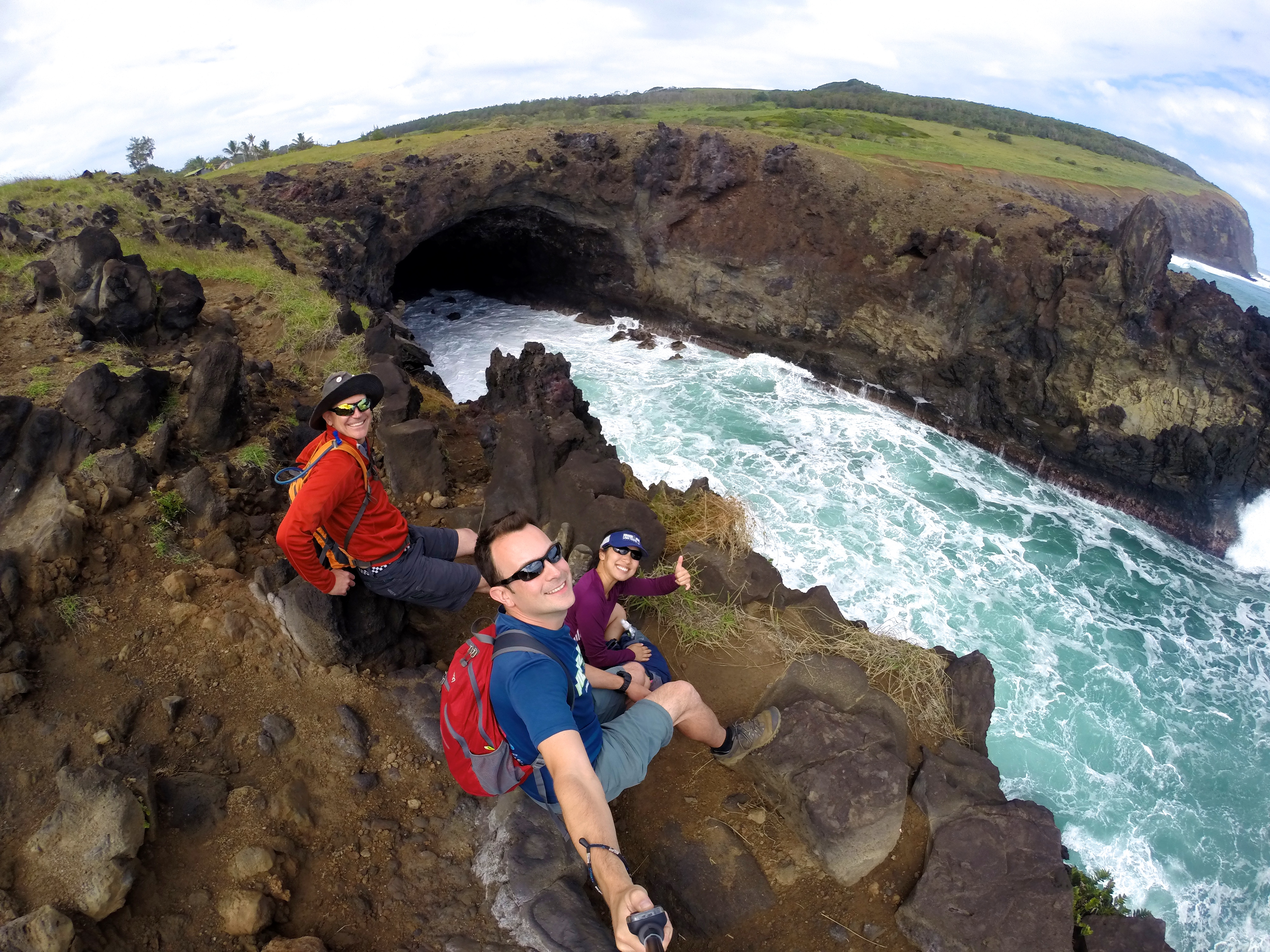
Having so much extra time on our hands, we wandered off the trail along the coast and discovered an indescribable lava tube. We watched Mother Nature’s powerful waves rip and crash onto the massive lava rocks.DCIM105GOPRO

We had to tear ourselves away from this coastal gem; otherwise we would’ve remained there for hours. From there we stumbled back into town, grabbed some snacks, and returned to our hotel for a brief break.

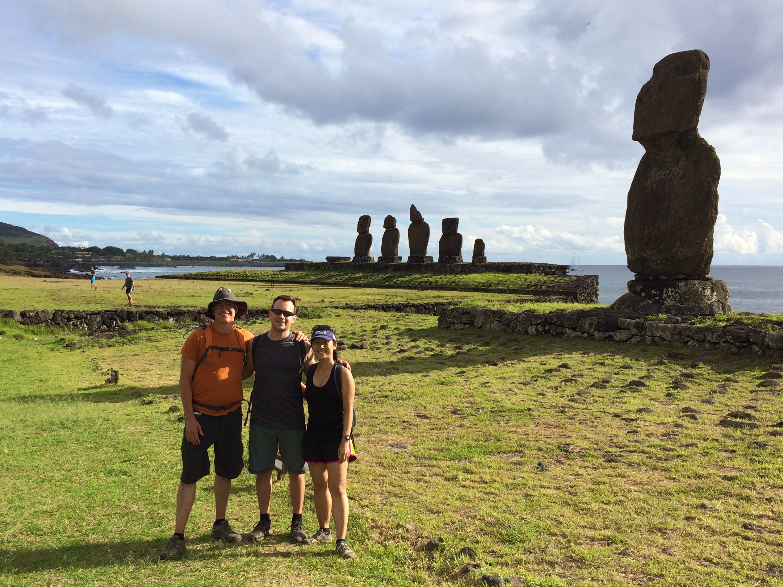
Then we set out again for Tahai in the late afternoon.DCIM105GOPRO

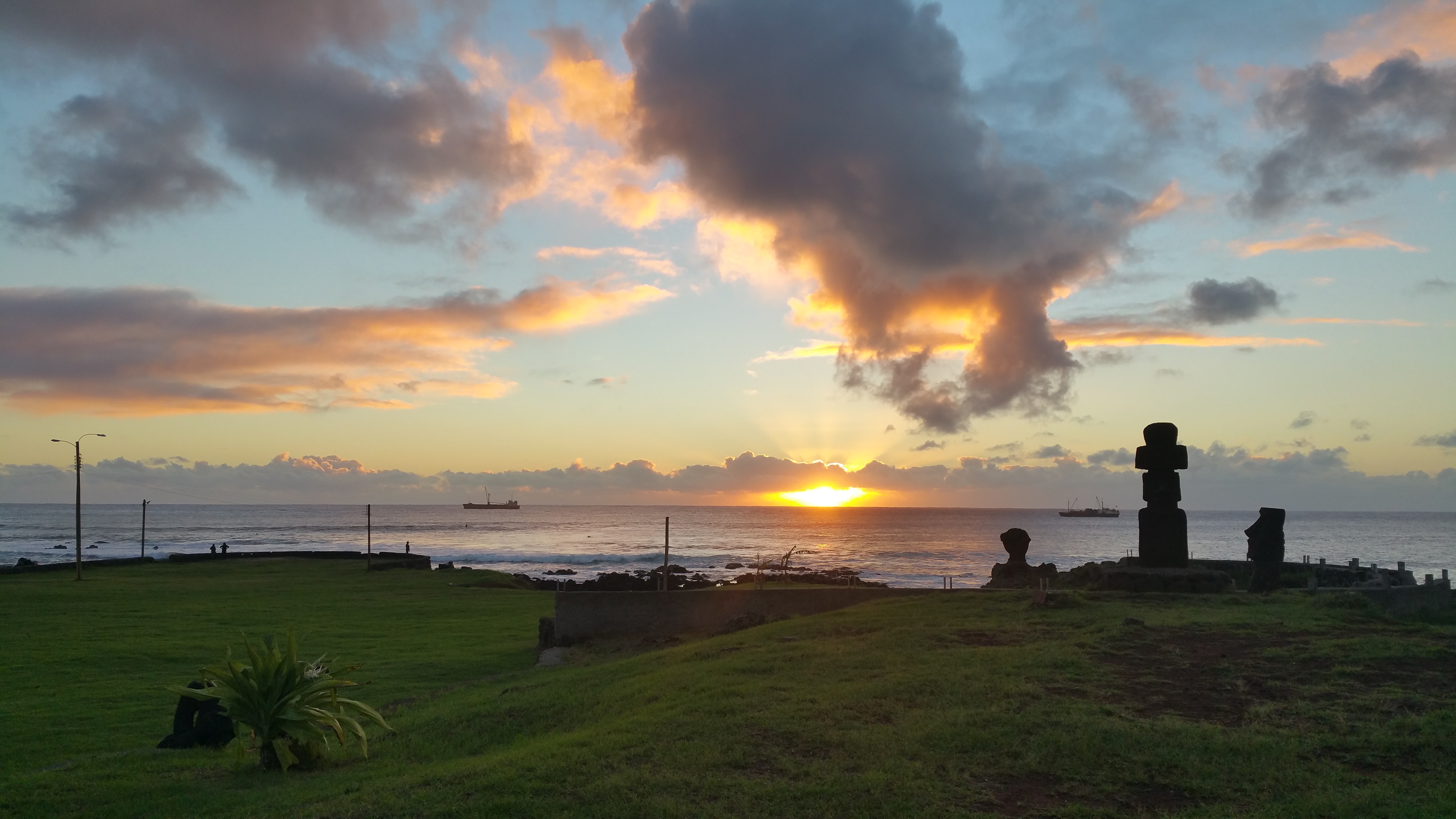
And we couldn’t believe that the colors of sunset were natural—the lighting was just incredible.20150430_194239IMG_0876

That evening we dined at a restaurant along the beach for our final night. Because I had prepared all our lunches and dinners during our entire stay at Easter Island, eating out was a fantastic way to end the trip.


Day 6: Travel Day

Sleep in, pack, walk around a bit more, and head back to Chile mainland. Thanks Easter Island! No words can describe how memorable you were!

Posted in Chile | Tagged | 3 Comments

Easter Island On A Budget

Just like anywhere you travel for vacation or adventure, you can spend money lavishly or frugally, but Easter Island’s reputation comes with a hefty price tag. Due to the remoteness of Easter Island (smack center in the Pacific Ocean with its nearest neighbor located ~2000 km away), it is clear why things cost so much. But with proper planning, budgeting, frugal decisions, and maybe a bit of luck (which I will later explain), it is actually not as expensive as one may think to travel to and explore one of the most remote places in the world.

Flight

IMG_0498

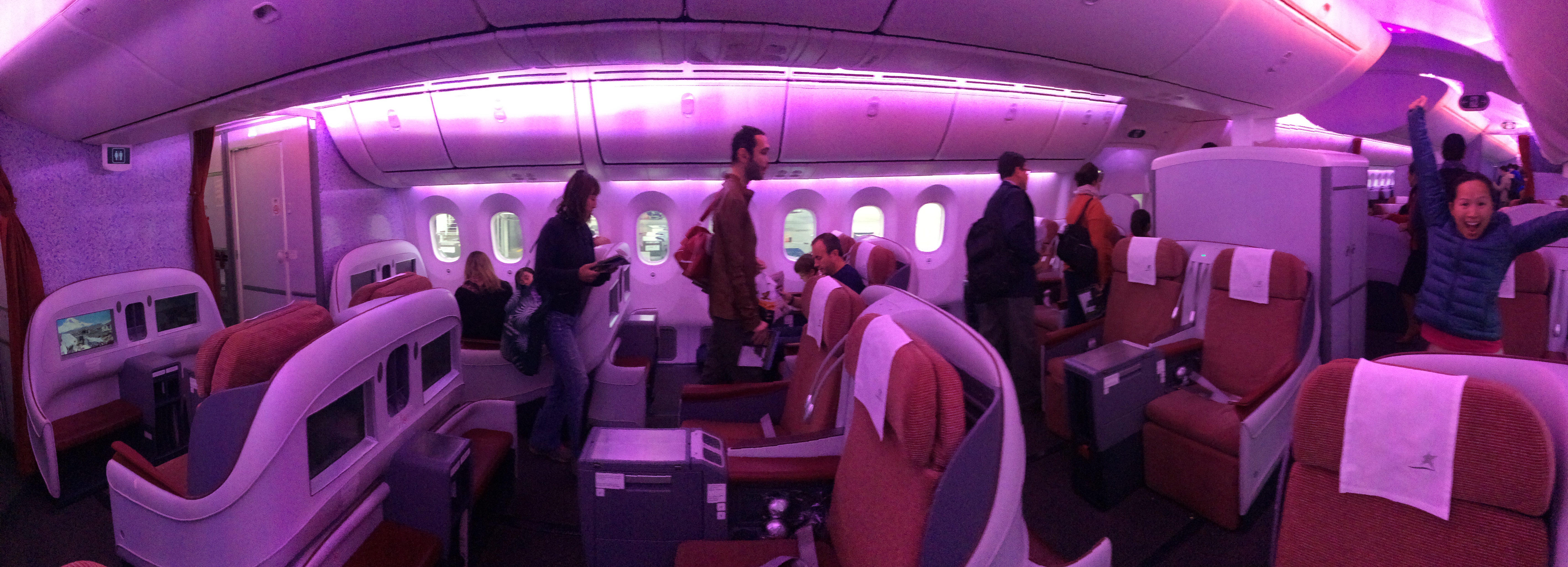
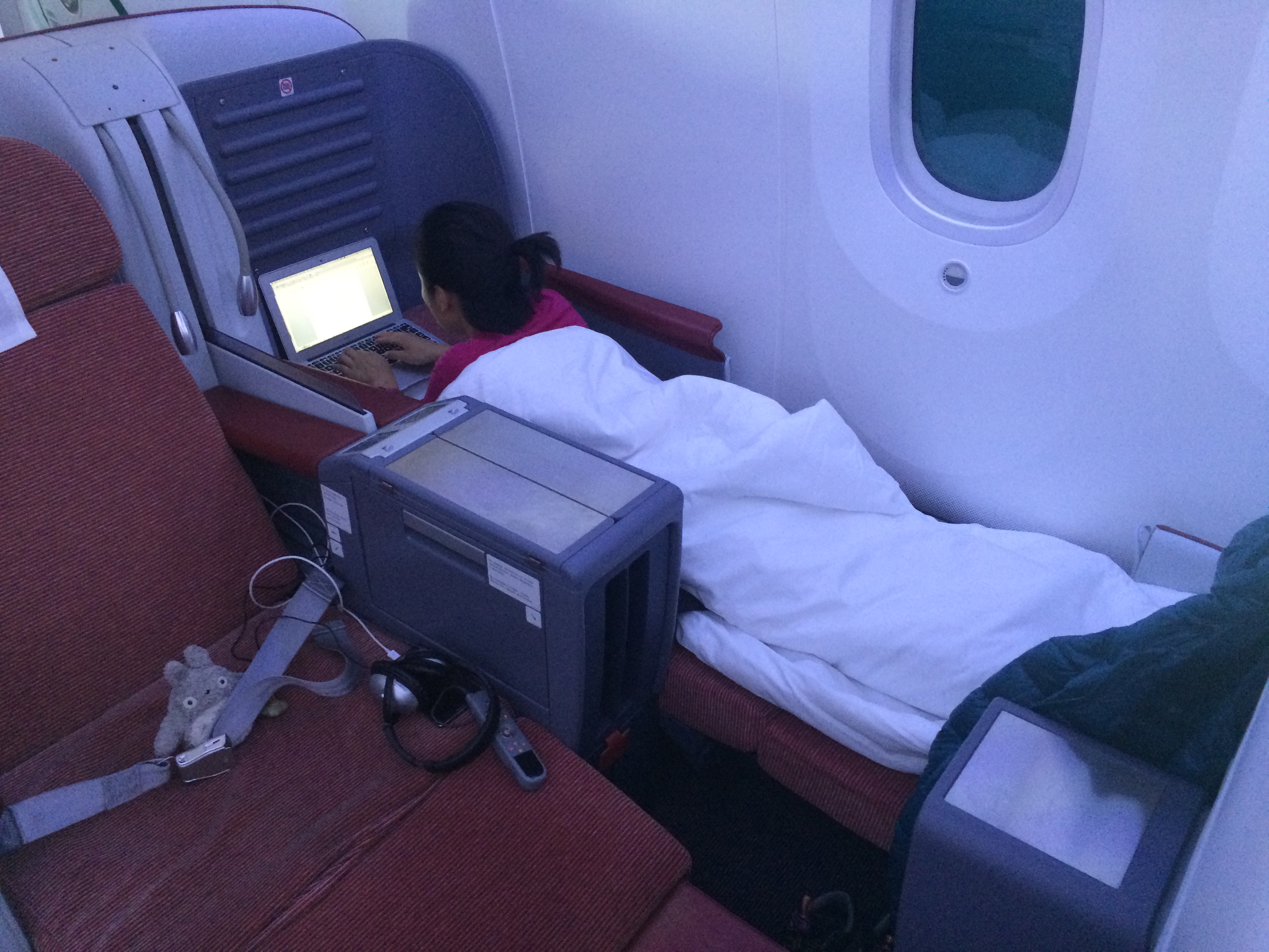
Assuming you don’t blow all your money on tours, accommodation, meals, and souvenirs, perhaps the biggest expense of the trip to Easter Island is the plane ticket. During the high season of December through February (summer) tickets book up fast, even with the inflated price of $800! I booked tickets for the end of April (autumn, low season) 2 months in advance for $530…business class. For some reason, business class tickets were actually cheaper than economy seats at the time of purchasing, so I just lucked out there.IMG_0485IMG_0493

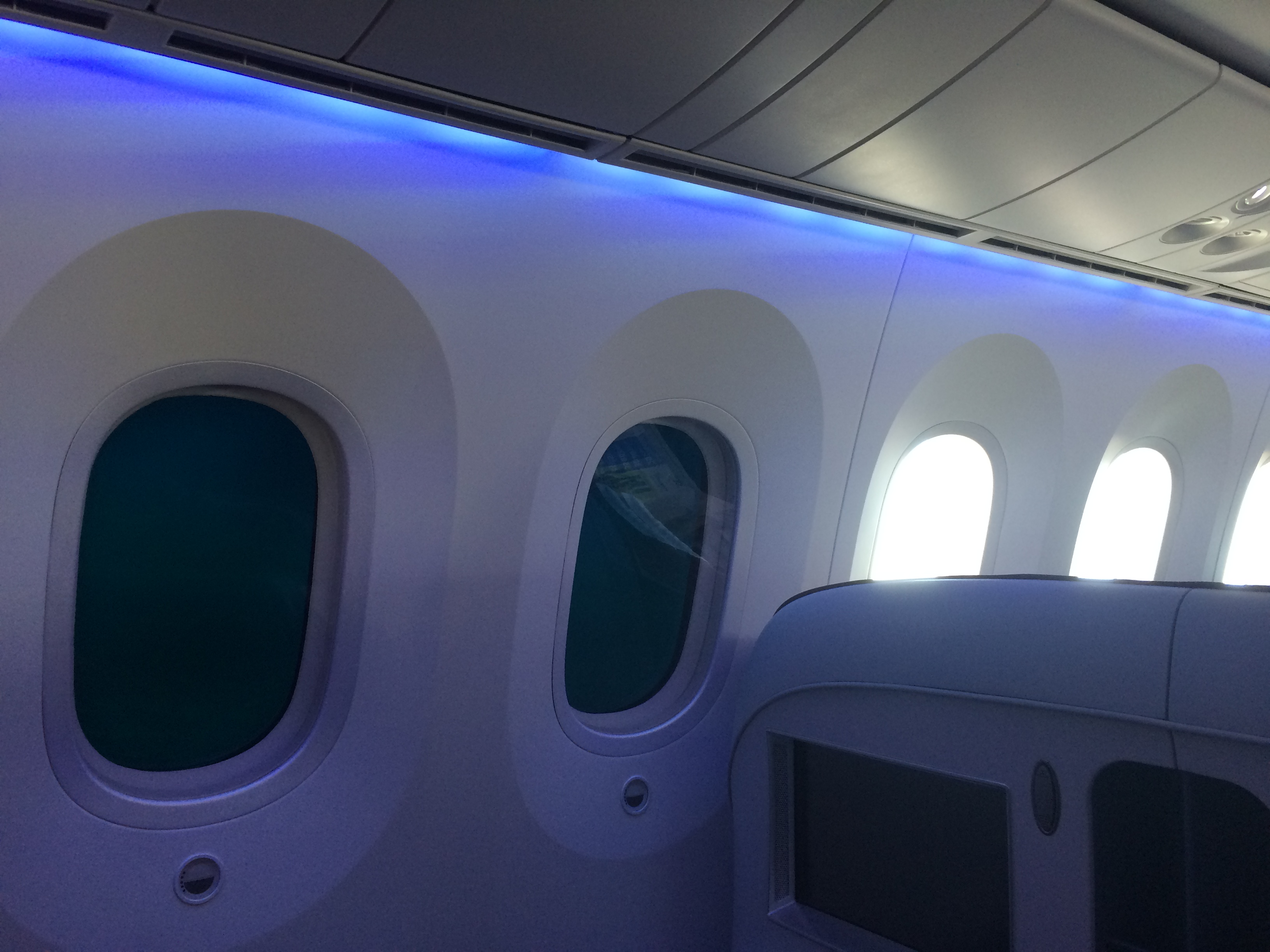
Even the windows in first class were badass! Check out the LED windows:IMG_0489

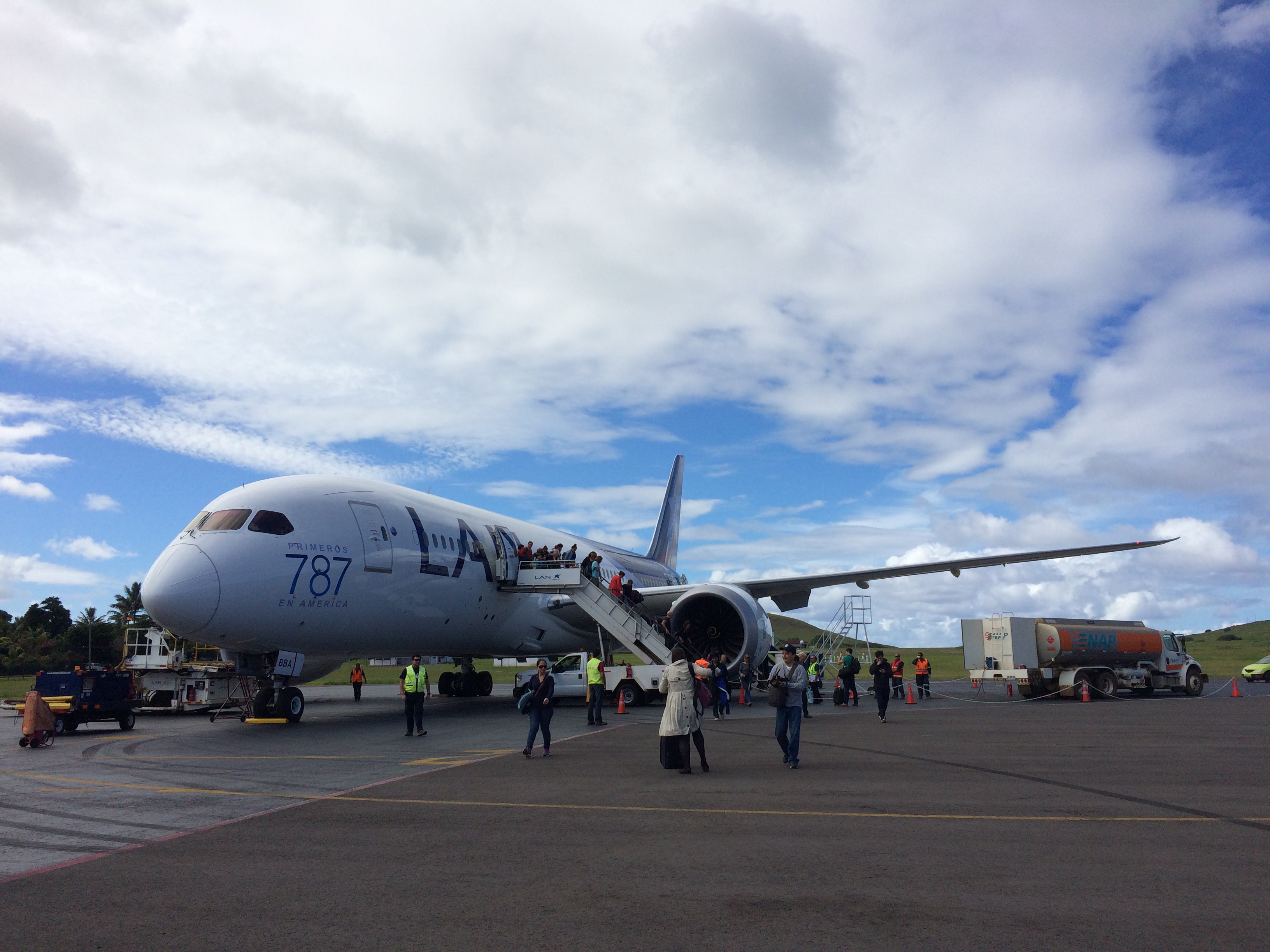
However, a friend of mine purchased his ticket a month in advance for as low as $510, and I met a guy who purchased his ticket just a week before coming to Easter Island and he only paid $520. Assume the cheapest ticket you can pay for is ~$550 in the low season.  The flight to Easter Island from Santiago will be on the 787, the newest, biggest, and most badass plane out there. Tip: Try to sit on the left side of the plane.IMG_0507

Lodging

20150426_160748

There are all sorts of accommodation in Hanga Roa, the “downtown” of Easter Island. From luxury resorts, to bed and breakfasts, to hotels, and to camping, Easter Island has it all. I even saw some homes advertising a CAMPING sign on their fence, welcoming any strangers to camp on their lawn for a fee.

We opted for 3 nights of camping and 2 nights at a hostel/hotel. Because we needed to rent sleeping bags and a tent we camped with Camping Mihinoa on the beach for 5,500 ($8.40) pesos per person per night. It was an additional 2,000 pesos (~$3) per tent for wifi and use of electricity. In total, we spent 35,000 pesos (~$54) for 2 people for 4 days and 3 nights at Camping Mihinoa.

I figured we’d enjoy a bit more comfort and privacy toward the end of our trip, so I found a charming place on AirBnB for $60/night. Our room accommodated three people, and Chris and I split the room with our friend, bringing the price down to $20 per person per night.

Brief research online showed that the cheapest private rooms can be as low as $40 per night, but they all get booked in advance. When I booked 2 months in advance, the cheapest rooms were already filled. Average rooms seem to range from $60-$100. Thanks to camping and splitting a room from AirBnB with 2 others, my cost of accommodation for 5 nights was $67. Had we camped all 5 nights the cost of lodging would have been even cheaper.


Food

IMG_0509

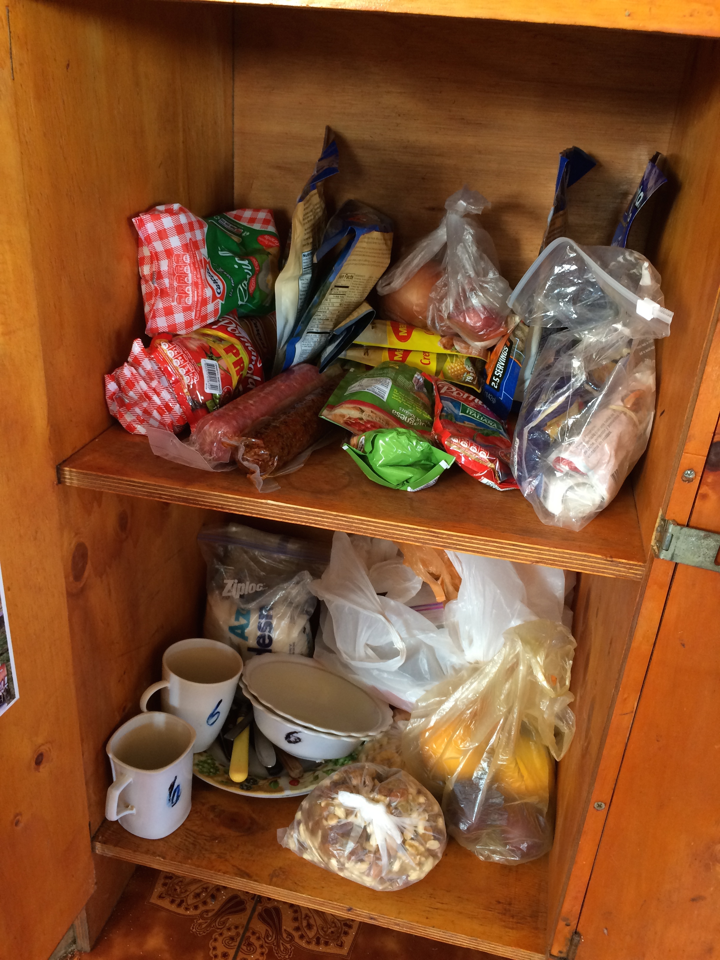
Food on the island isn’t cheap, not even from the grocery store. Everything is hauled in overseas. Entrees in restaurants range from 10,000-20,000 pesos ($15-$30)! In planning our trip to Easter Island I made sure to stock up on groceries at Mercado La Vega in Santiago (the best and cheapest place for produce), and made sure our campground and hotel had a kitchen. Chris and I each carried a heavy bag of groceries from Santiago to Easter Island, and my goal was to finish all of it before heading back. It cost about $20 for food that would feed Chris, me, and a friend 4 dinners 5 lunches. Not too shabby!

Easter Island is known for its seafood, so I wanted to enjoy a meal at a restaurant for our last night. The three of us split an entrée, soup, appetizer, fries, and some beers for $27 USD each. I was glad I splurged for only one night of eating out considering how expensive food was. We also budgeted for the occasional cold beverage, water, snacks, and yogurt (about $20). Bringing in our own food and using the available kitchens made our cost of food incredibly low.

Over the course of 5 days, the cost of groceries brought in from Santiago, snacks and beverages on Easter Island, and one night of eating out was $67.

National Park Entrance Fee

I lucked out with cheap business class tickets, but I lucked out even more upon arrival. It is said that everyone must purchase a national park ticket for 30,000 CLP (~$45) that can be purchased at the airport. After arriving I inquired about where to purchase the park fee, but apparently there had been some dispute with the Chilean government, and tickets were not required to enter the park at that time. Further inquiry revealed that this had been ongoing for most of April and will continue into early May. Free entry into the Easter Island national parks? Romping and Nguyening!

Transportation

IMG_0541

As I do all my travels, I enjoyed Easter Island without any tours. Tours not only prohibit freedom, but are also expensive. Out of curiosity I looked up tours online and saw that packaged tours can cost as much as $200-$400 pp! Insane!

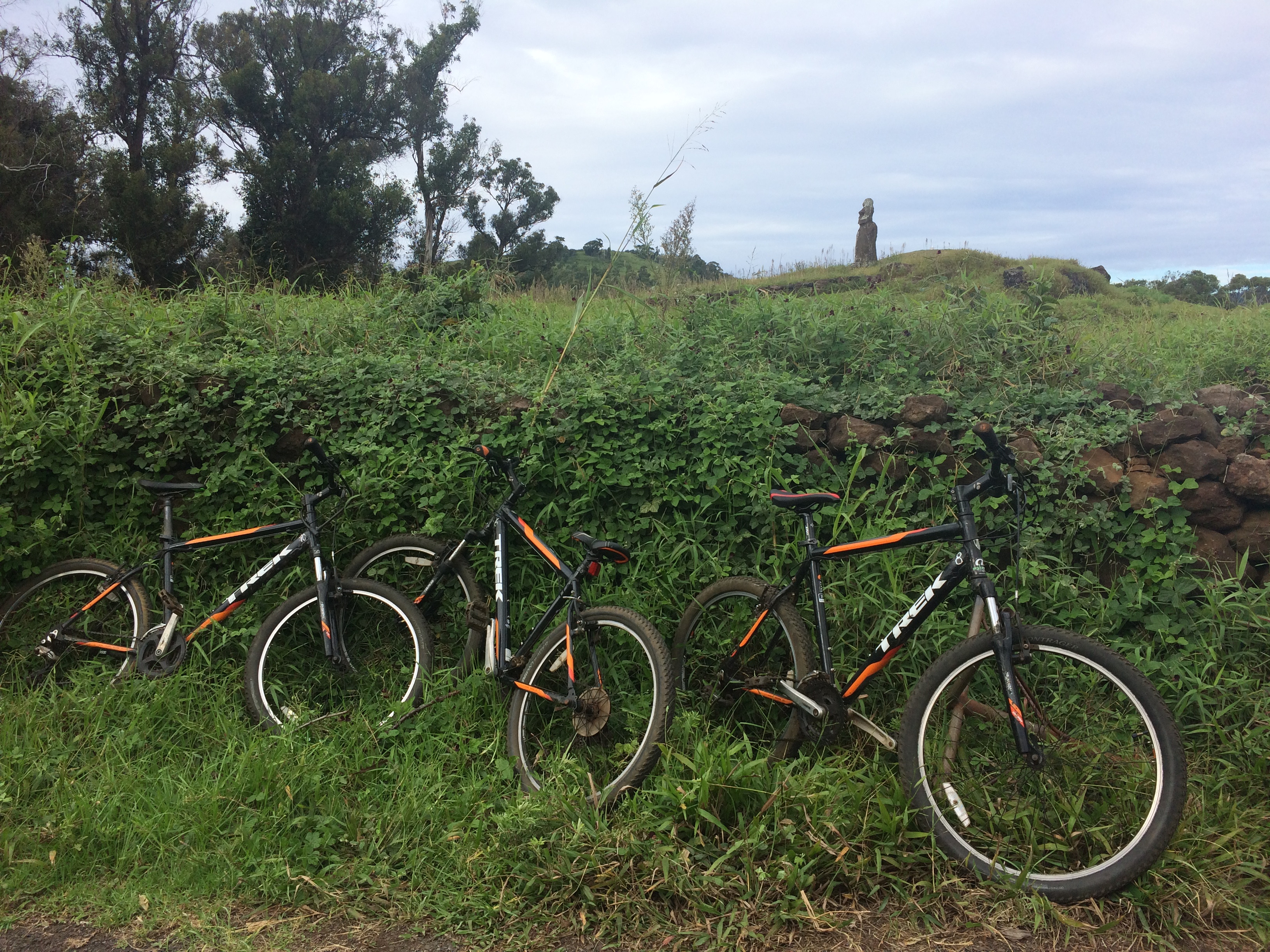
For our first two days, each of us rented bicycles for 16,000 pesos (~$25). (The price was 10,000 pesos (~$15) for one day, and each additional day was cheaper.) The longest stretch of road from one end of the island to the other is only 24 km, so a round-trip ride is completely doable. With a reasonable level of fitness and expectation of the road conditions and weather, exploring Easter Island by bicycle is not difficult. In fact I found it the most adventurous and rewarding way to see the island. There was wind, rain, tree roots, rocks, potholes, steep hills, and fun descents, but we loved it.

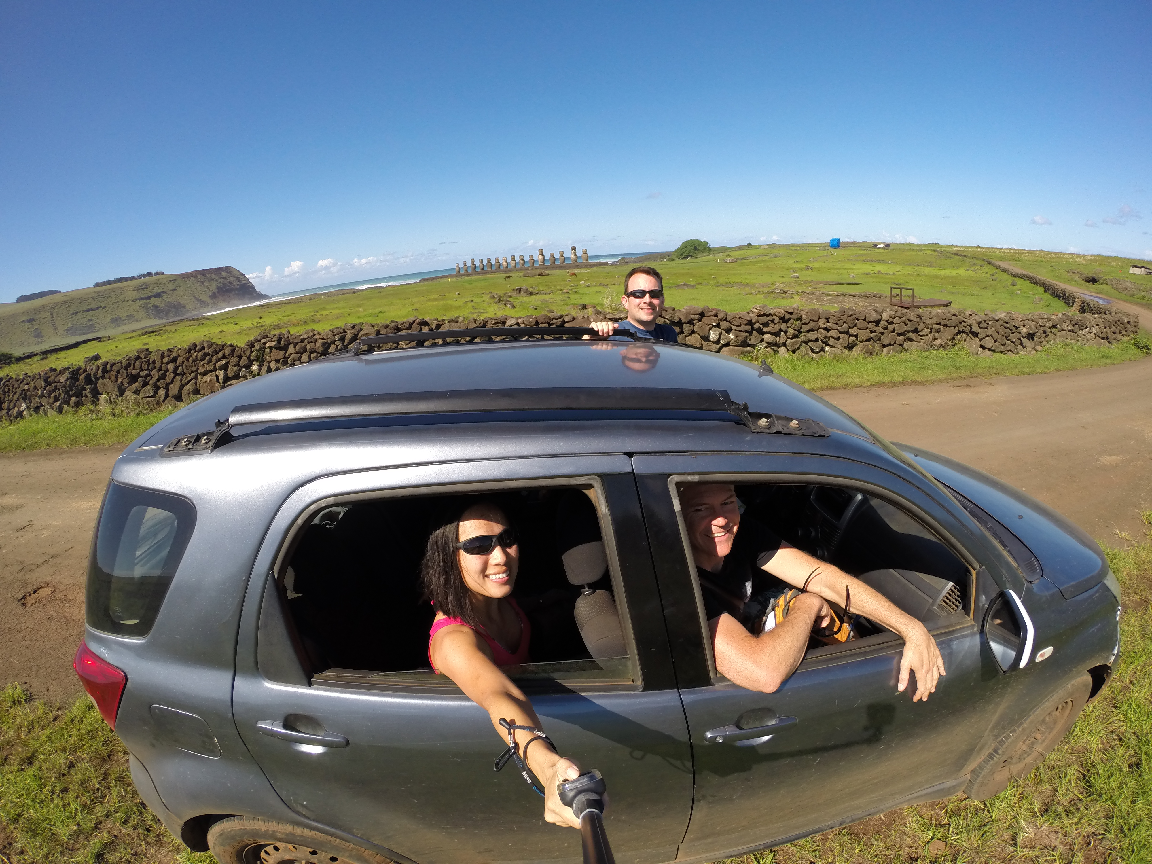
We also rented a car from Camping Mihinoa for a day for only 30,000 pesos (~$45). It seems as if most hotels/campgrounds offer car, bike, and motorbike services of their own that are much cheaper than the ones offered in the city. The cost of the rental car was the same price as renting 3 bikes, but we preferred biking over driving. Between the three of us, the cost of the rental car was 10,000 pesos (~$15) each. Score!DCIM105GOPRO

For our first and last days our mode of transportation was foot. Between those days I spent 16,000 pesos on a bike rental for 2 days, and 15,000 pesos for a car rental for 1 day. Because the island was so small, (and also because the gas gauge was broken) we only put in 5,000 pesos (~7.60) for gas. Total cost of transportation for 3 days: 32,666 pesos (~$50).

Extra Costs

Expect to spend a lot more if you drink or want to buy souvenirs. Avoiding alcohol and shopping saves me a lot of money. I spent a couple of bucks on a postcard and a magnet, but other than that, I didn’t blow any money on shopping.

We would have liked to go scuba diving, but it was too windy during our entire stay. The monstrous waves and white caps made each scuba shop turn divers away. Had we scuba dived, each dive would have cost anywhere from $50-$60.

Summary

Excluding airfare, I spent a total of around $185 for accommodation, food, and transportation for 5 days on one of the most remote places in the world. In order to maintain this low of a budget, it is necessary to have a fondness for camping, patience and desire to cook, and good health to hike and cycle the island. If you require nice lodging, enjoy eating and drinking out every lunch and dinner, and only explore the island by tour or car, then the trip will cost you hundreds if not thousands of dollars.

Even if you cannot bring the total cost down to under $1,000 like I was able to, the trip to Easter Island is worth every penny. I truly had no idea how beautiful the island was outside of the famous Moai statues. In addition to spectating some of the most iconic statues in the world, we were awestruck by the extinct volcanoes, incredible hikes and bike rides, caves, lava rocks and tunnels, and beaches. During my stay in Easter Island I recalled the pushing and shoving of the rude crowds at Angkor Wat in Cambodia, or even the national parks of Utah. That doesn’t happen in Easter Island. Public buses and franchises are even forbidden on the island for it is seen as destructible to the Rapa Nui culture. Anyone can enjoy the beauty of the island in peace, and anyone with a passion for the outdoors will easily fall in love with the island. Chris and I cannot wait to come back.

Posted in Chile | Tagged | 2 Comments

Mendoza

Four weeks quickly passed and we were finally in Mendoza, our concluding city to Argentina before crossing international borders again into Chile. And what a perfect way to end Argentina—with the breathtaking Andes mountains beyond the autumn foliage of vineyards, perfect days with average 70ºF temperatures, inexpensive wine tastings, and gentle bike pedaling along kilometers of vineyards, we savored our final days in the second largest country in South America.

Although the city of Mendoza is the capital of Mendoza province, what makes the visit memorable is the outskirts of the city. The three towns most visited for wine country (in order from nearest to furthest) are Maipu, Lujan de Cuyo, and Tunuyan (Uco Valley).

On our first day after settling into Mendoza, we visited San Martin Park, a relatively large park within the city. There isn’t much to do in the city of Mendoza itself, so a stroll up Cerro de la Gloria is worth visiting if time permits.20150421_115625 IMG_0356
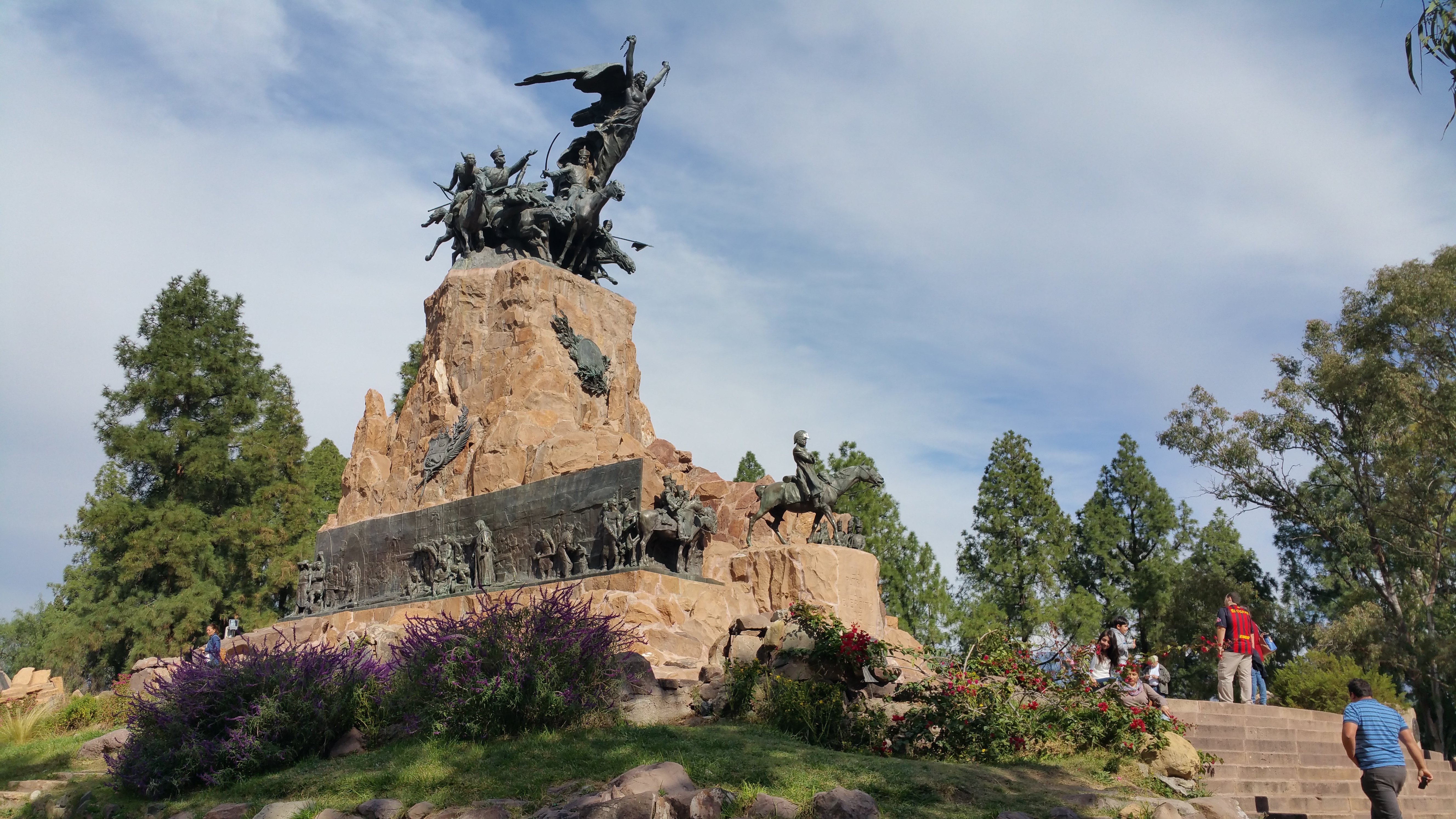
Shortly after our stroll through the park, I researched the how-to’s on touring the vineyards and discovered that the 4 methods of wine touring and tasting were:
1. Private car hire/tour
2. A relatively new hop on/hop off bus tour
3. Bus and bike combination
4. Rent a car

#1 was out of the question, as it was the most expensive way to see the vineyards (at least $160). We considered #2 but read the entire day could take 10 hours because the bus visits every single drop on and drop off location. Although incredibly cheap, #3 was only an option for Maipu, not for Lujan de Cuyo or Uco Valley. #4 wasn’t too expensive once split between two people, and allowed for the most flexibility and freedom.

We quickly decided we would do #4 for one day of touring Uco Valley and Lujan de Cuyo, and #3 the following day for Maipu. These options worked out perfectly for us and we had no regrets driving through the gorgeous vineyards at our own pace one day, and biking along the roads in the perfect autumn temperatures the next.20150422_125805
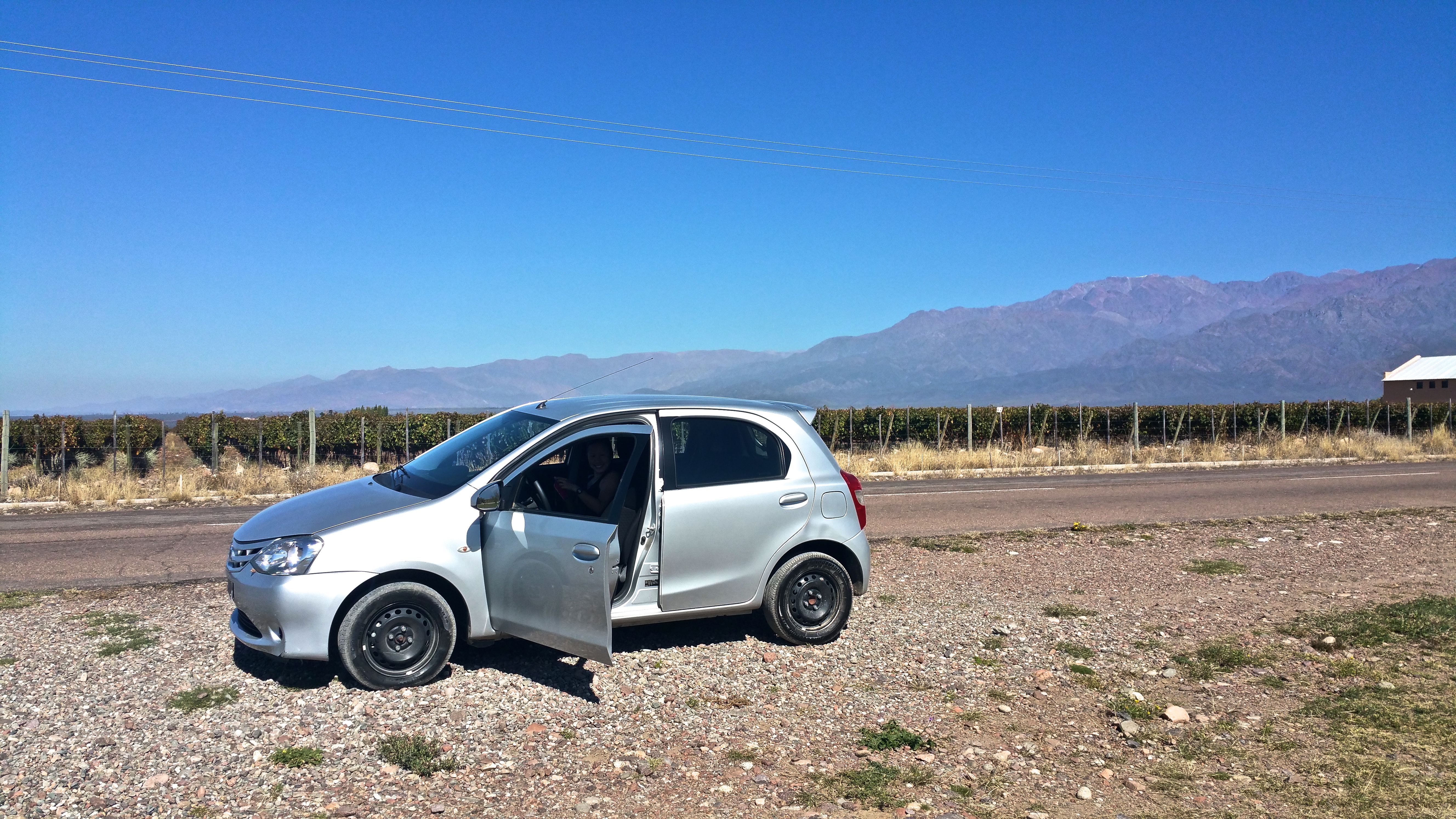
All the rental car companies are conveniently clustered together in Mendoza and after inquiring for prices of all-day rentals from 6 different companies, we found that the cheapest option was Sixt for 650 pesos, or ~$53 USD. We rented a car and booked a tour/tasting at 11am at The Vines of Mendoza in Uco Valley, and another tasting for 3:30pm at Luigi Bosca in Lujan de Cuyo.

The following morning after picking up our car we drove about 1.5 hours south to Uco Valley. Getting out of Mendoza and Maipu took some time and it wasn’t until we actually passed Lujan de Cuyo until the scenery changed from a cluster of a city to wine country.

First, The Vines of Mendoza.20150422_125751
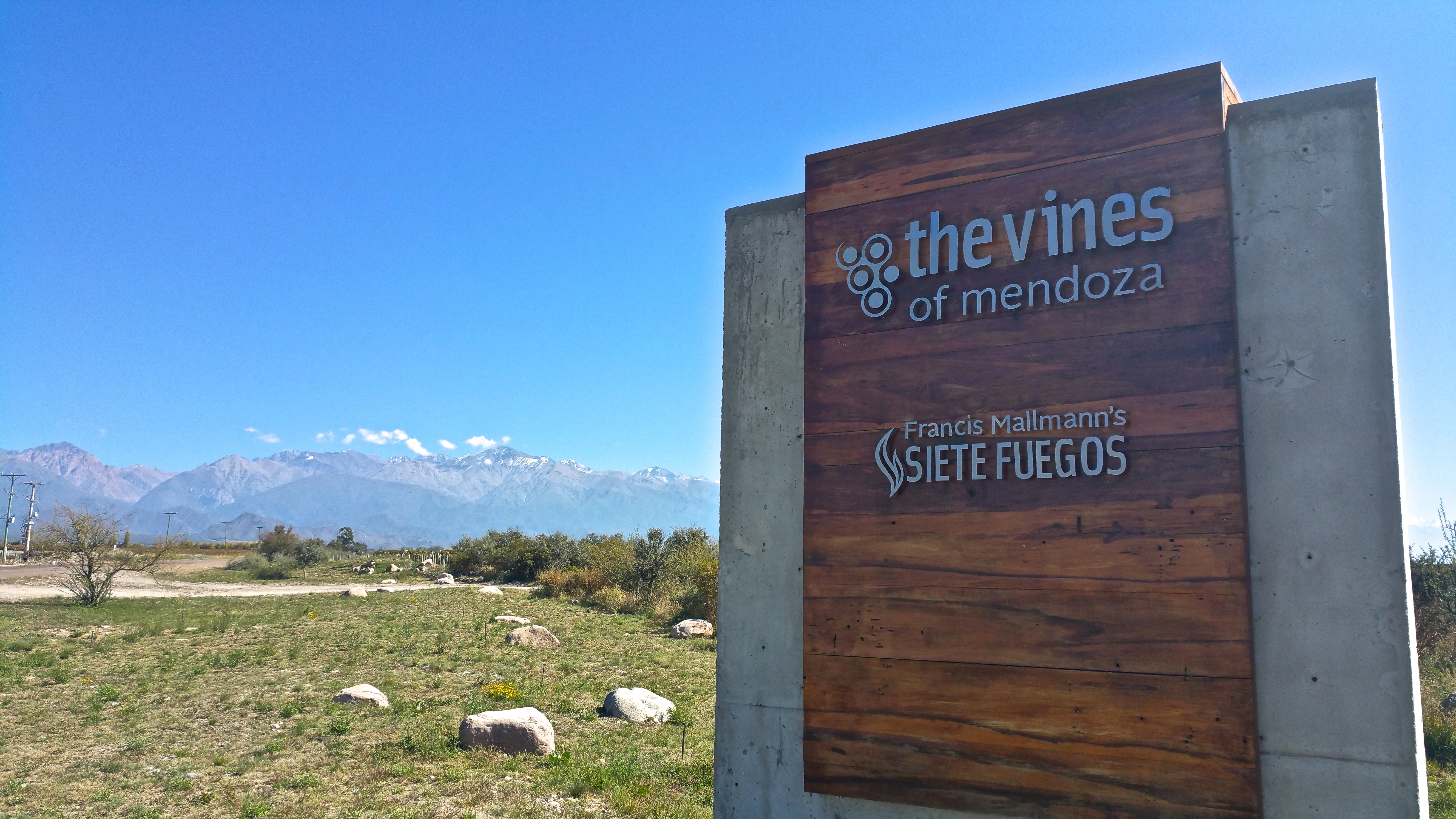
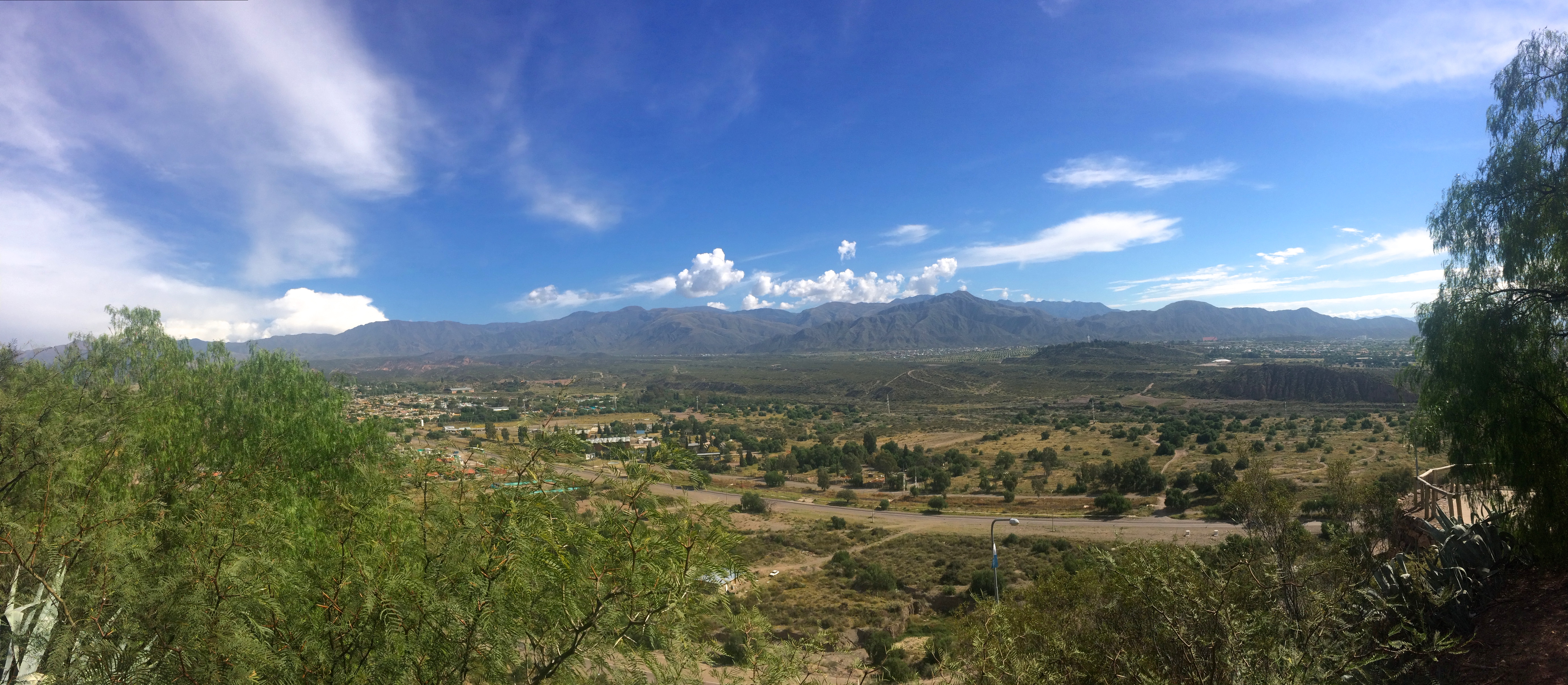
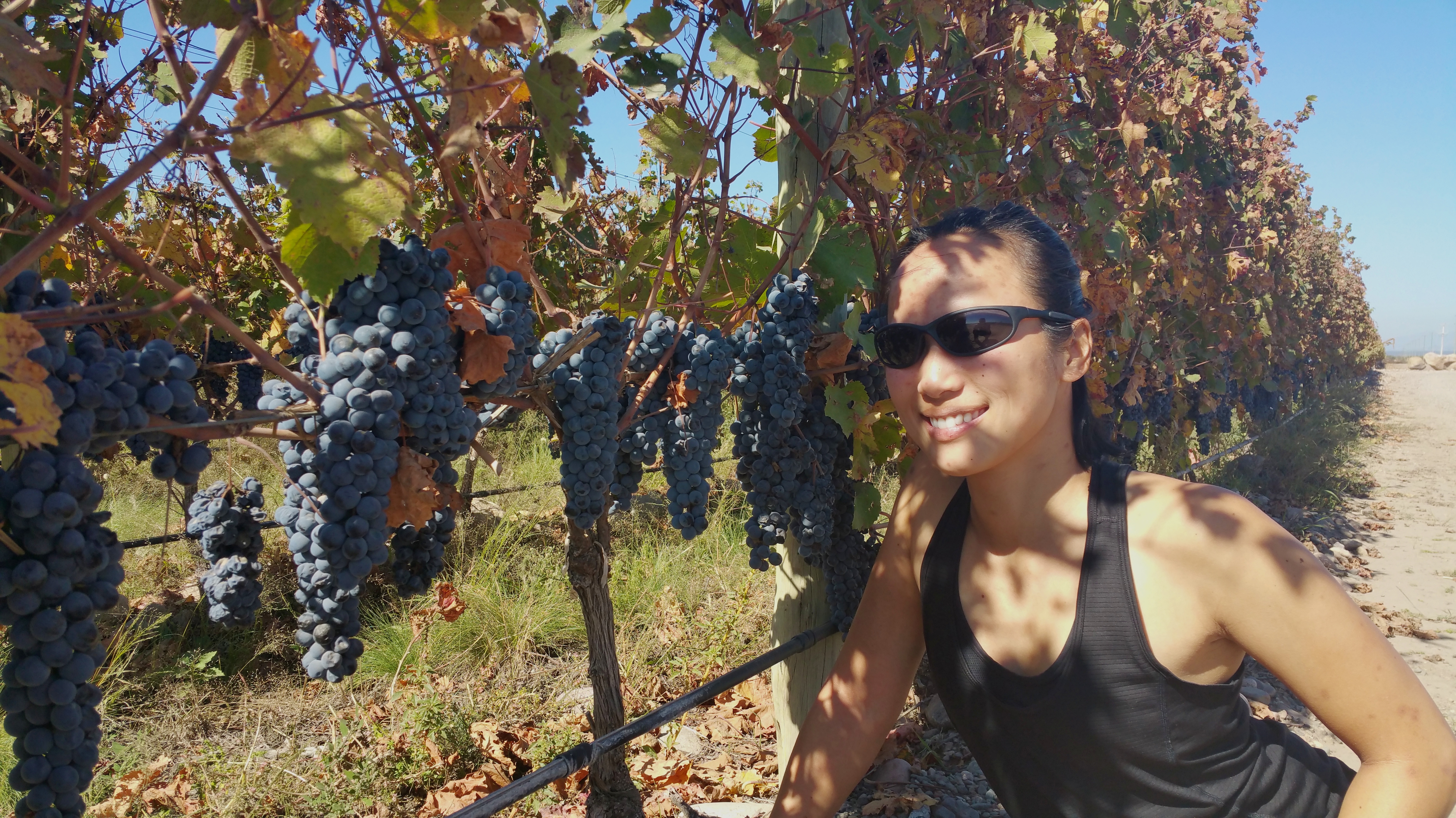
What an incredible place. We drove through acres and acres of vineyards before finally arriving at the wine production facility and outdoor tasting area.20150422_124659
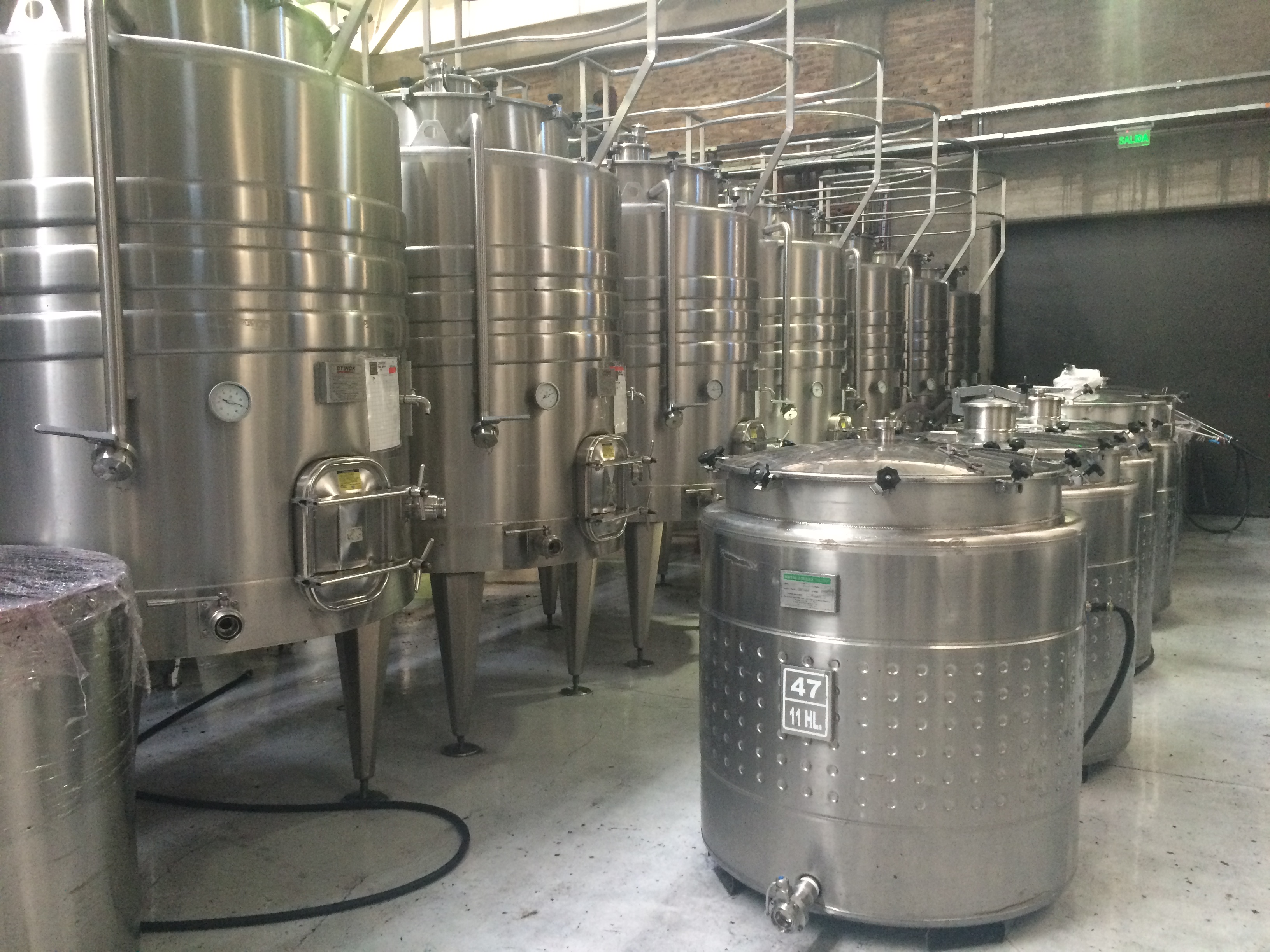
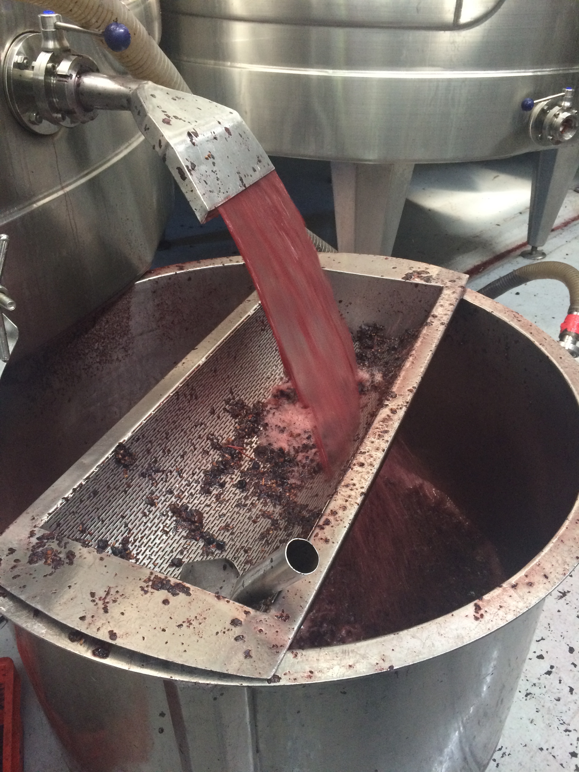
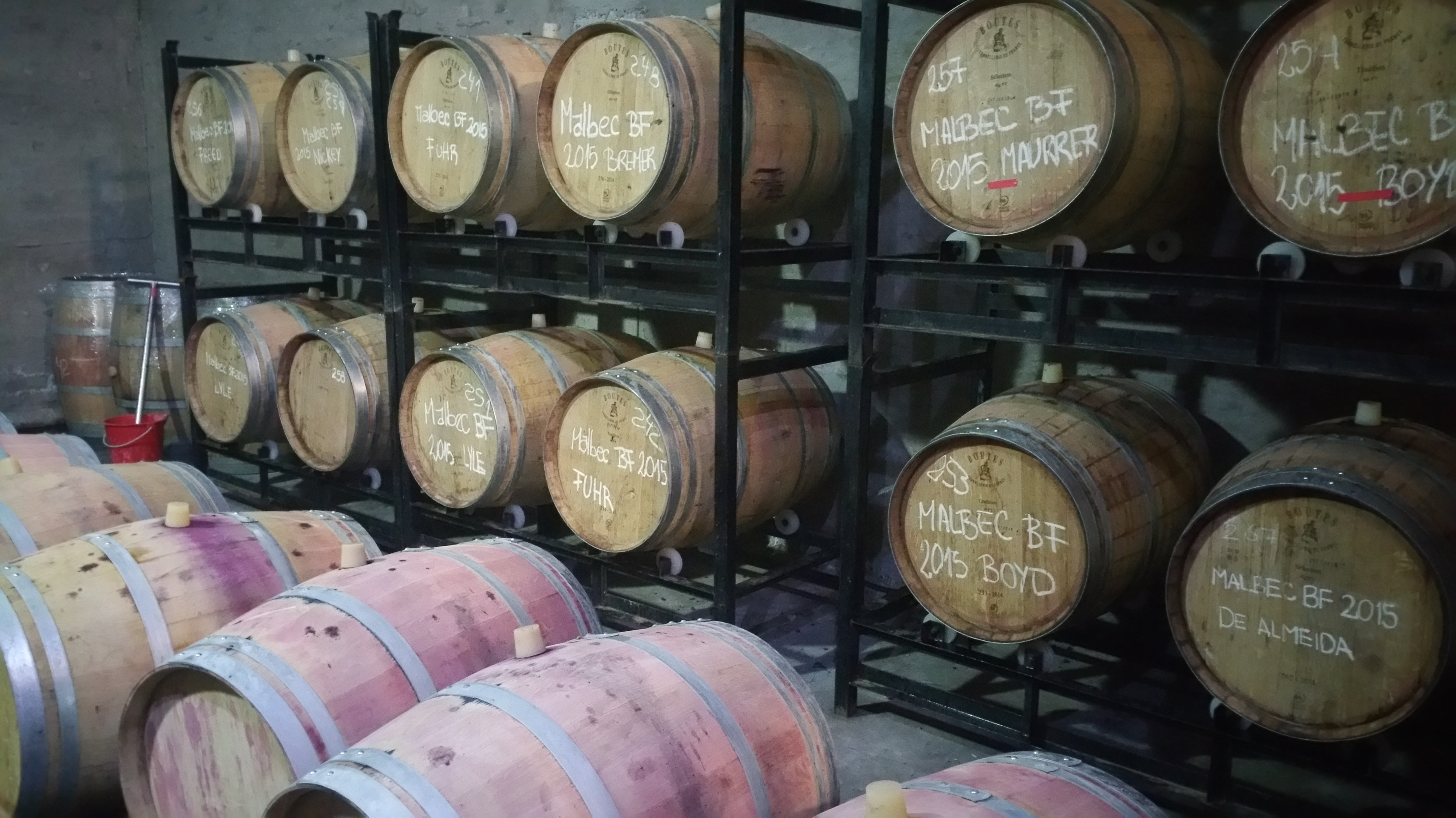
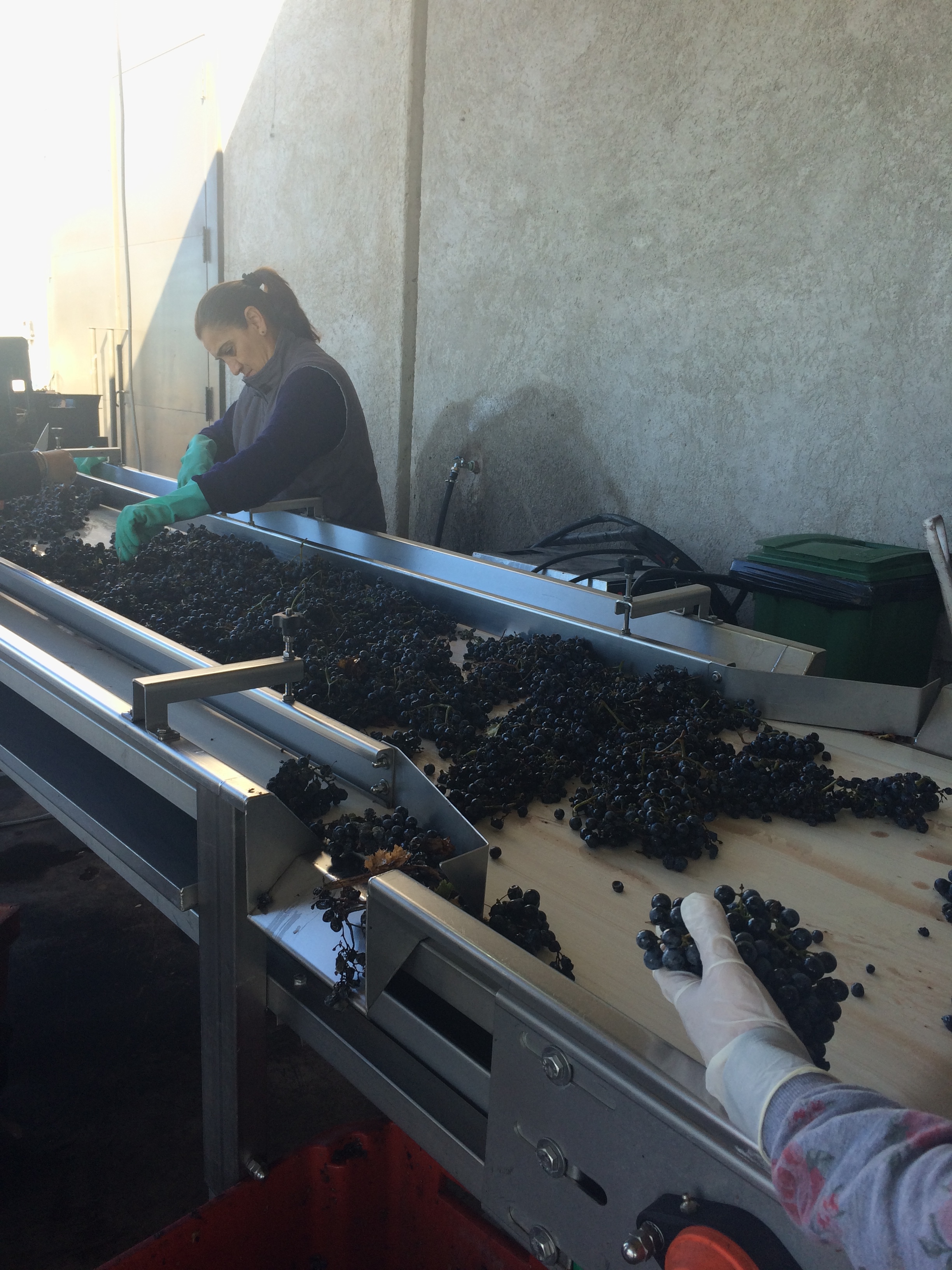
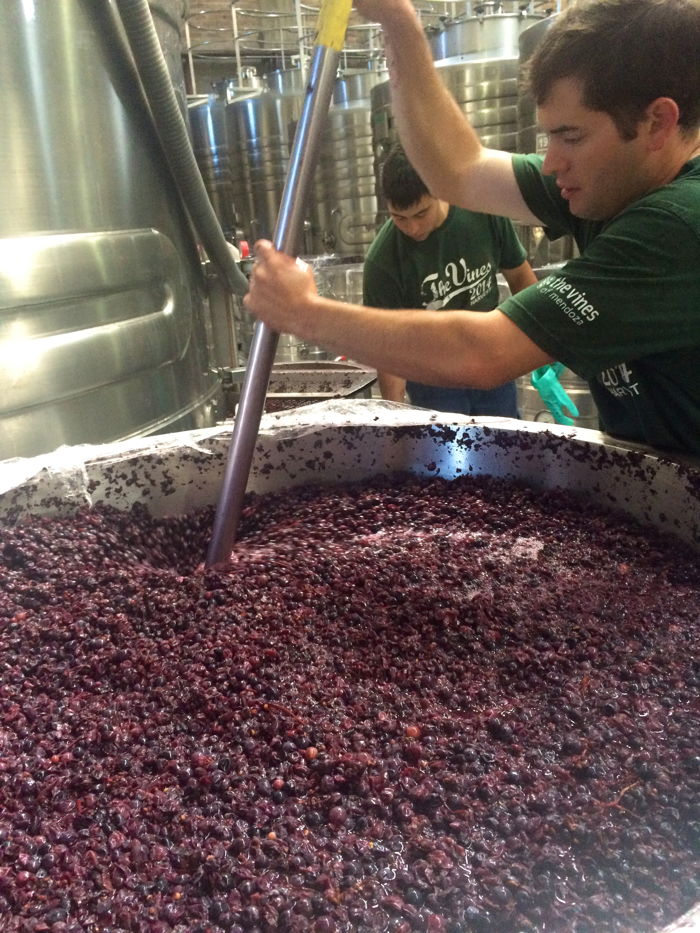
Autumn (March-April) is a busy time for wine country, as it is the harvest season.   We watched the wine makers, grape pickers, and machinery in awe.IMG_0365IMG_0367IMG_036820150422_112639
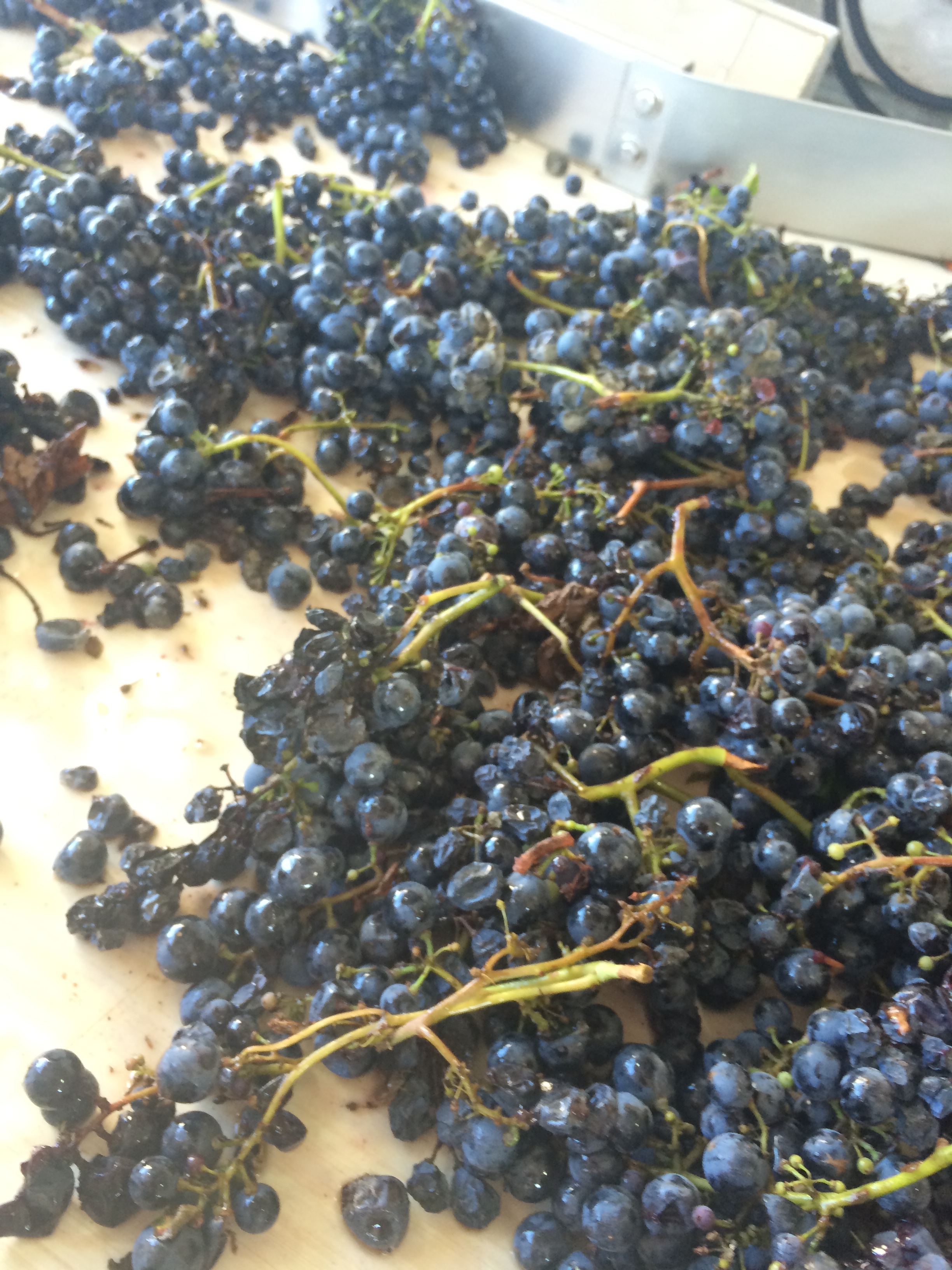
We even sampled the grapes on the conveyer belt! They were amazingly sweet—much sweeter than grapes we are used to from grocery stores back home.IMG_0370 IMG_0371
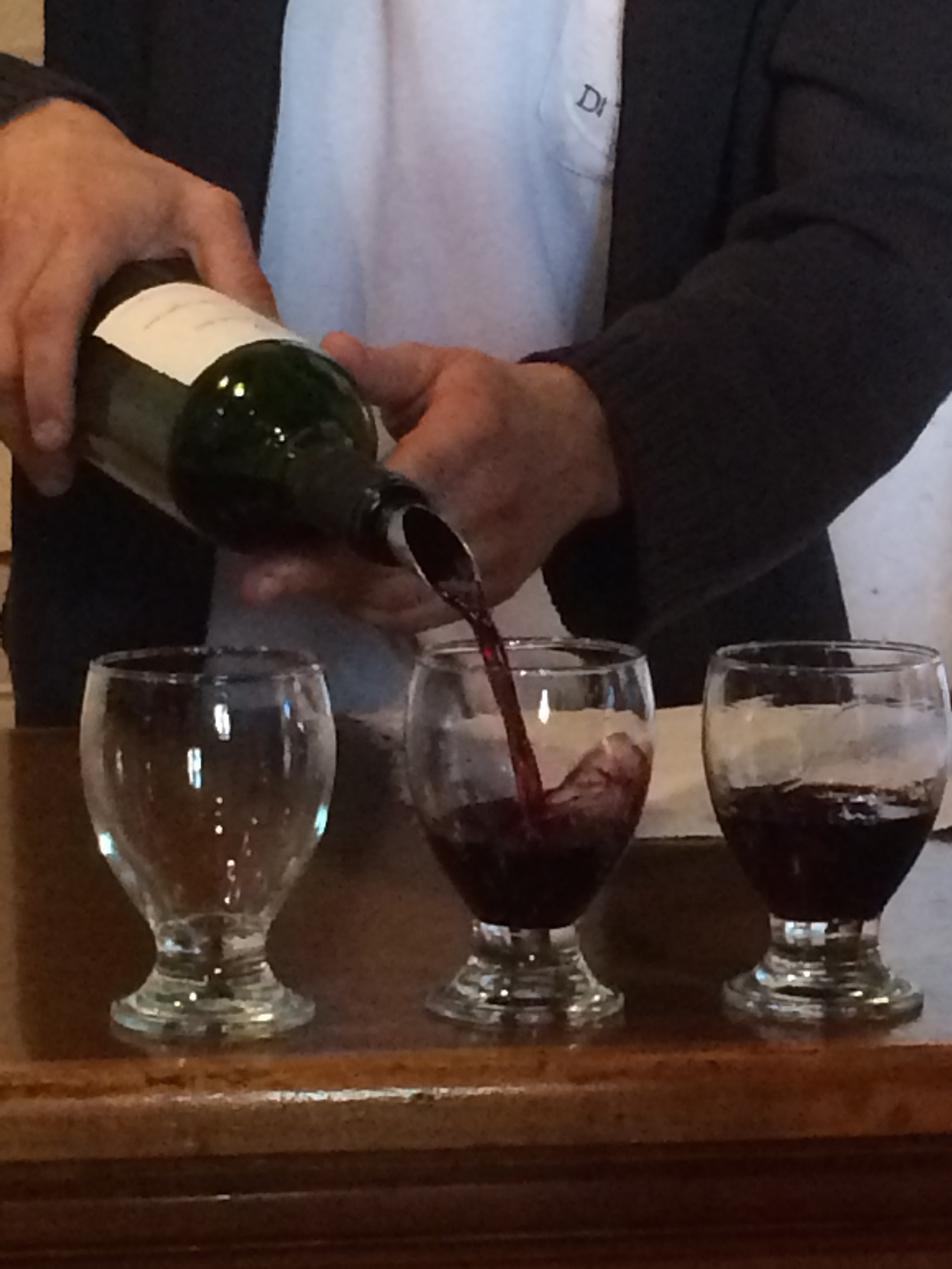
Wine right out of the metal vat, with dry ice:IMG_0378
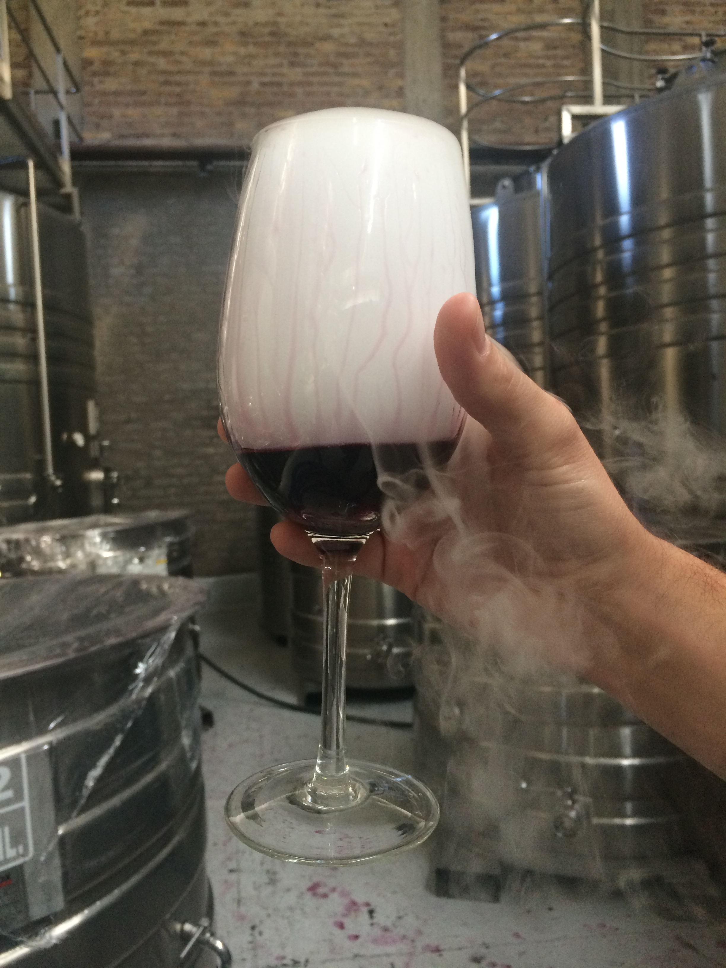
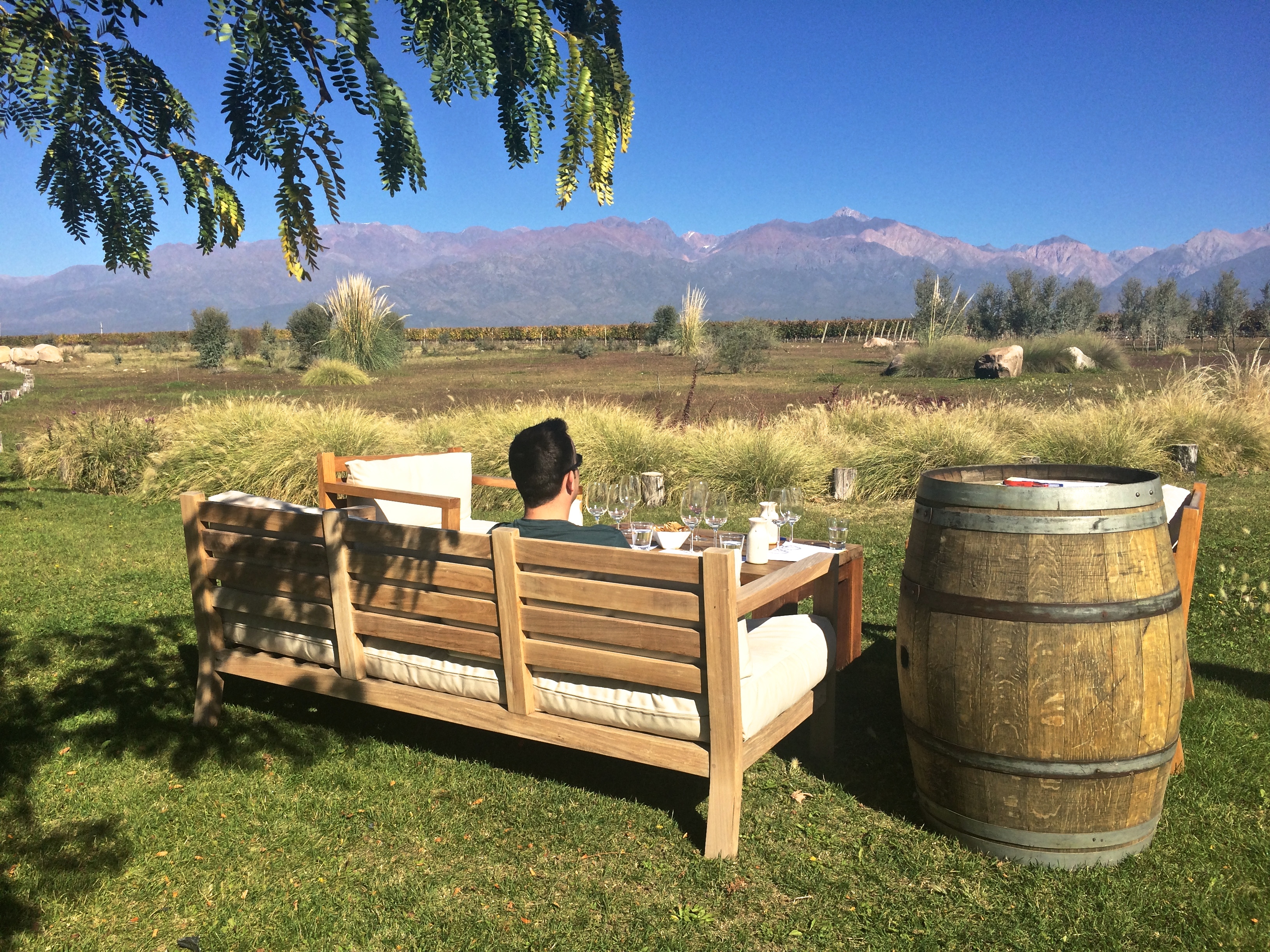
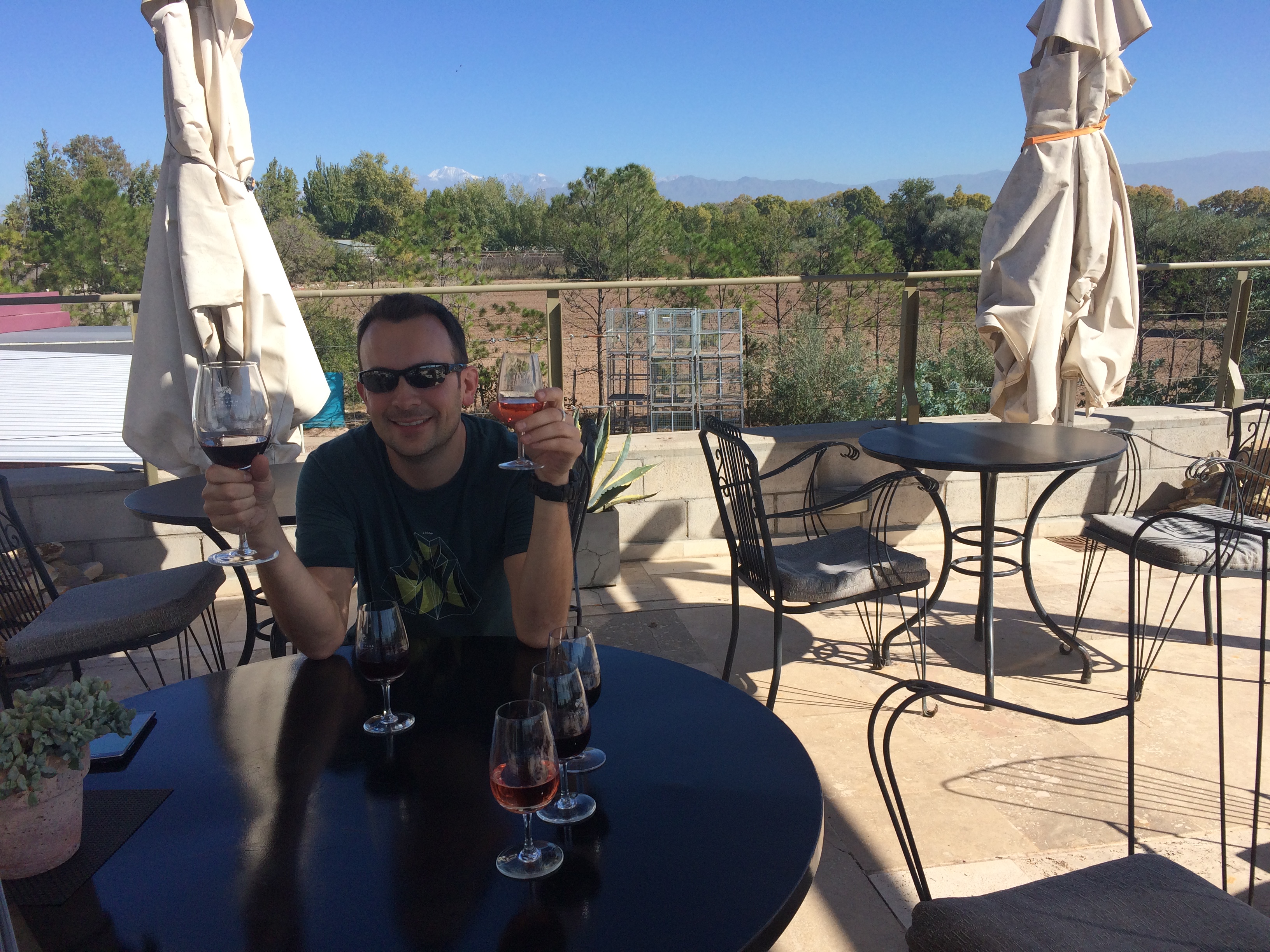
And finally, the tasting. Of both days of tasting and touring, our first tasting at The Vines of Mendoza was by far our favorite. It wasn’t just a tasting room in the middle of a city; it was open outdoor seating in the vineyard and production facility itself, overlooking the vast country and Andes Mountains in the distance.IMG_0391
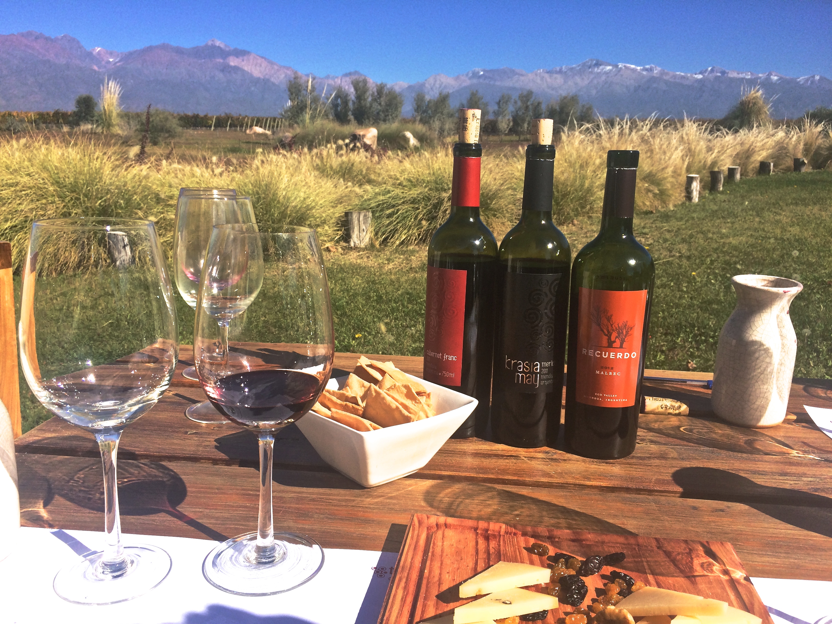
We could have sat there all day.IMG_0388

Each tasting was 110 pesos pp (~$9 USD) and included a 75 peso credit toward a bottle of wine. Because our two tastings amounted to a 150 peso credit, we walked away with a fine bottle of Malbec, originally with the price tag of 140 pesos, but “free” with our credit. The price for 2 tastings in the beautiful countryside, a tour, and a bottle of Malbec: 220 pesos, or ~$18 USD. Amazing!

For lunch, we ate at La Posada del Jamon, a highly recommended pork-themed restaurant. Delicious!

Time flew and we had to rush to make our 3:30 reservation at Luigi Bosca in Lujan de Cuyo. Compared to Uco Valley, it was incredibly underwhelming since it was simply a tasting room in the center of the city. No scenery, no vineyard, nothing. I can’t recommend it, unless you want to get really drunk (I did, but Chris didn’t). At Luigi Bosca, the price per tasting was 110 pesos. However, the entire 110 pesos can go toward any wine purchase, and the tasting would be waved. We ended up purchasing 2 bottles of Malbec at 156 pesos each (~$12.75) and had both our tastings waved. Win!

The next morning we took the public bus (#10, Routes 171, 172, or 173) from Catamarca and La Rioja. (You need to buy a Redcard at a kiosko beforehand and top up the card. At the time the price pp from Mendoza to Maipu was 5.1 pesos pp.) Maipu is only about a 30-minute bus ride from Mendoza, and is definitely not as beautiful as Uco Valley. Knowing we were tourists, the bus driver dropped us off down the street from the rental bike companies.20150423_140917
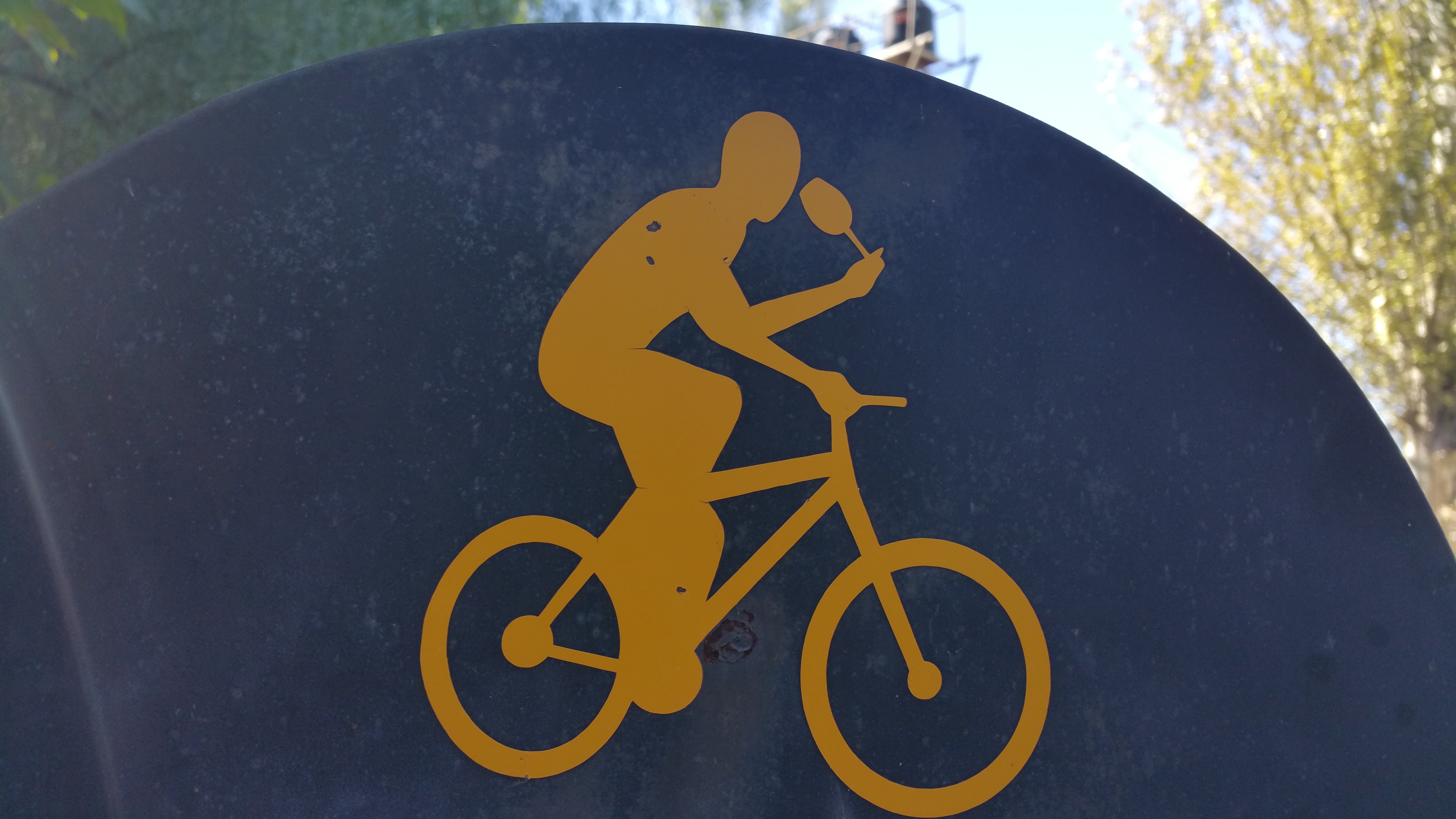
Although not as breathtaking as Uco Valley, Maipu still has its perks. There is a clear bike route, and bike companies provide maps of wineries with discounts for tastings. None of the tastings in Maipu require reservations, which allow people to enjoy Maipu at a leisurely pace without rushing to be on time for anything. The summer season makes it less pleasant with temperatures exceeding 100ºF, but because it was autumn, the weather could not have been more perfect. I should also mention the downside along with the perks: it is easy to assume the bike ride would be along quiet, countryside roads. Nope. Traffic is quite heavy, often with large trucks and buses zooming by. Fortunately the distances between vineyards aren’t long, and some areas are quite scenic. With that expectation in mind, we thoroughly enjoyed our budget-friendly bus and bike ride in Maipu and wished we had an extra day to tour more wineries in the area.

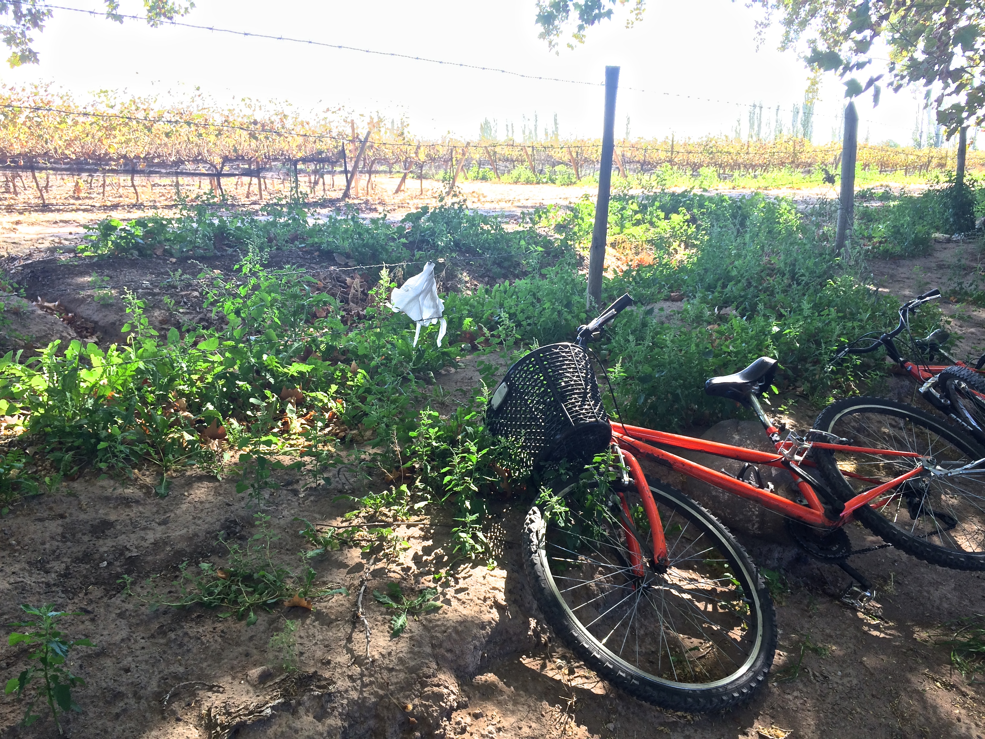
After renting the shittiest bikes ever from Orange Bikes at 70 pesos pp (~$5.75 USD), we set off for my first destination of choice: Tempus Alba.IMG_0426
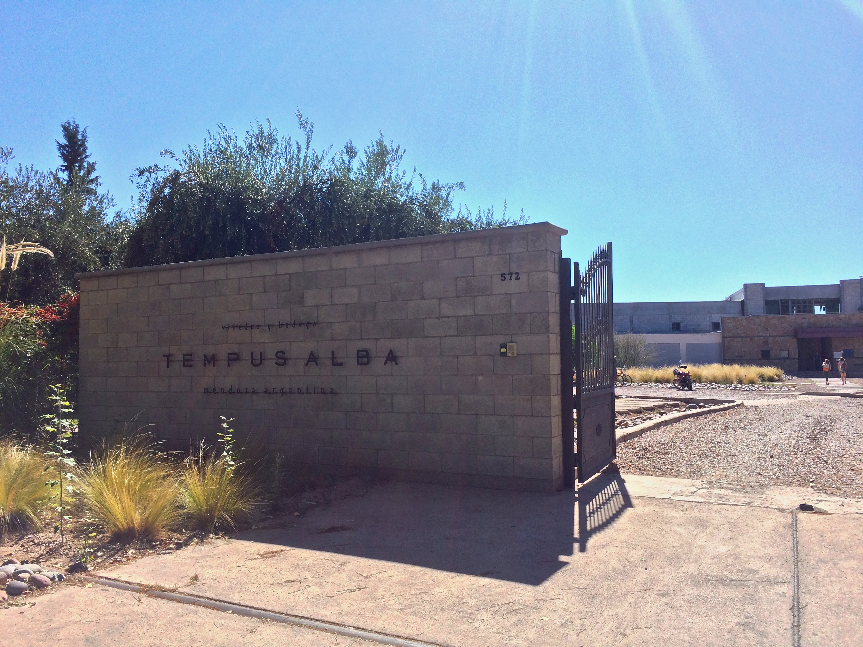
Tempus Alba is not only a vineyard and wine production facility, but also a restaurant with high reviews. I figured it would be a good idea to put some fine food in ours bellies before getting drunk. We arrived a bit early (11:45am) and their restaurant did not open until 12:30pm (damn late times, Argentina!!!), but it suited us well since we simply ordered a tasting and enjoyed the rooftop view all to ourselves.  As we waited and soaked in the scenery, we reminisced on our time in Argentina and discussed how awesome our lives were. It was a Thursday afternoon and there we were, sipping on wine, spending the whole day enjoying wine country.IMG_0418IMG_0420
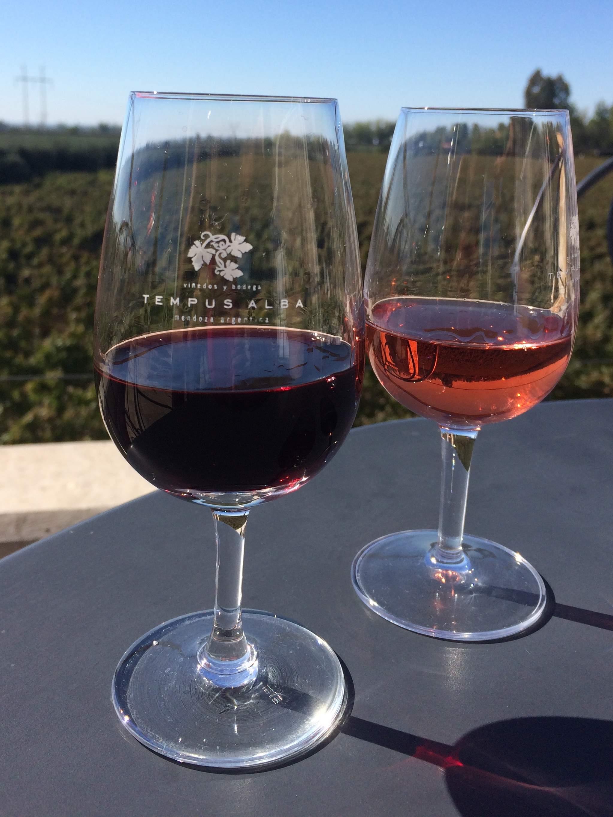
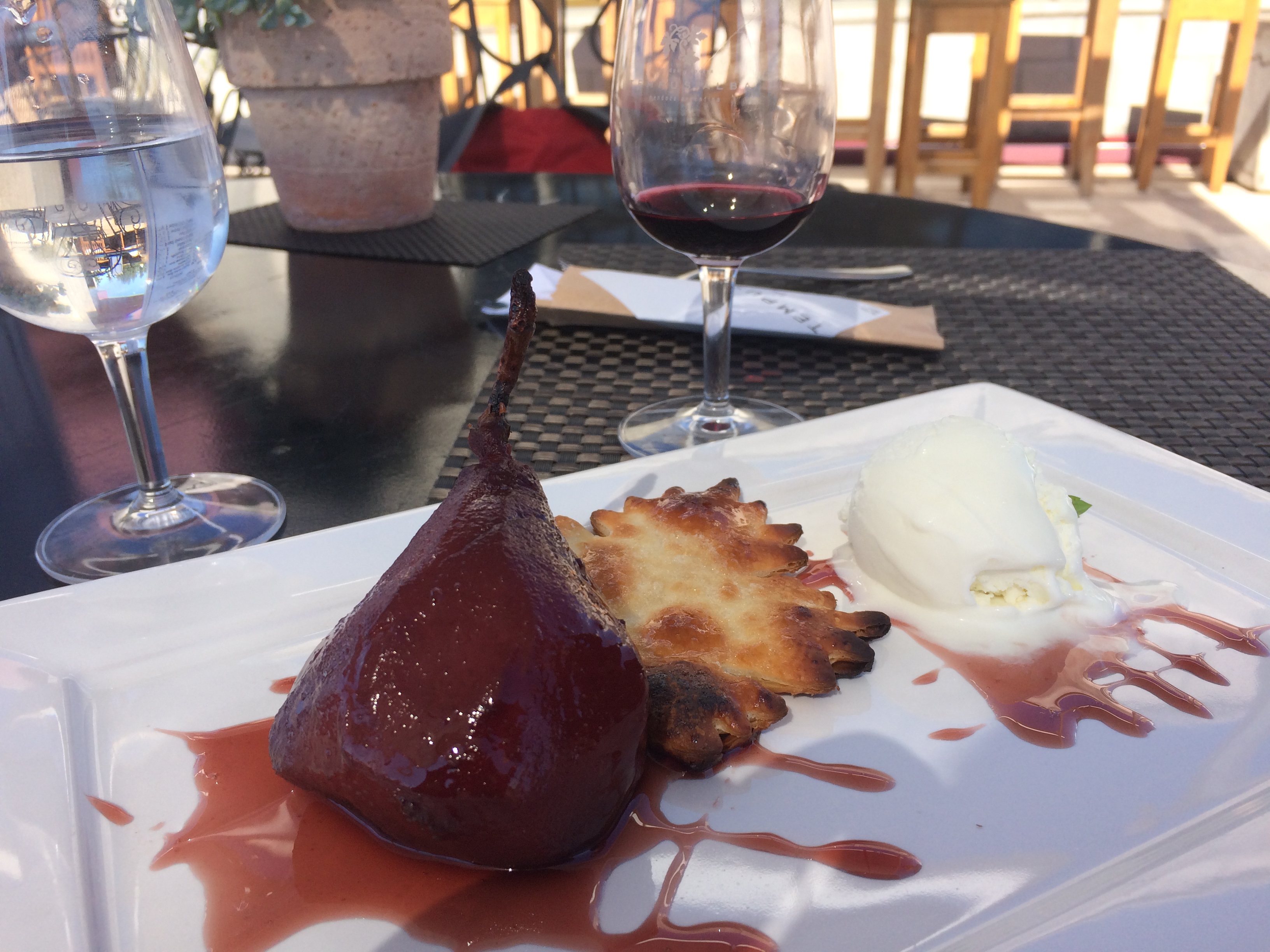
Our incredible lunch at Tempus Alba included a tasting of around 50 pesos (~$4 USD), a flavorful burger (with a patty wrapped in prosciutto!), and a dessert of Malbec-soaked pear with vanilla ice cream.IMG_0423
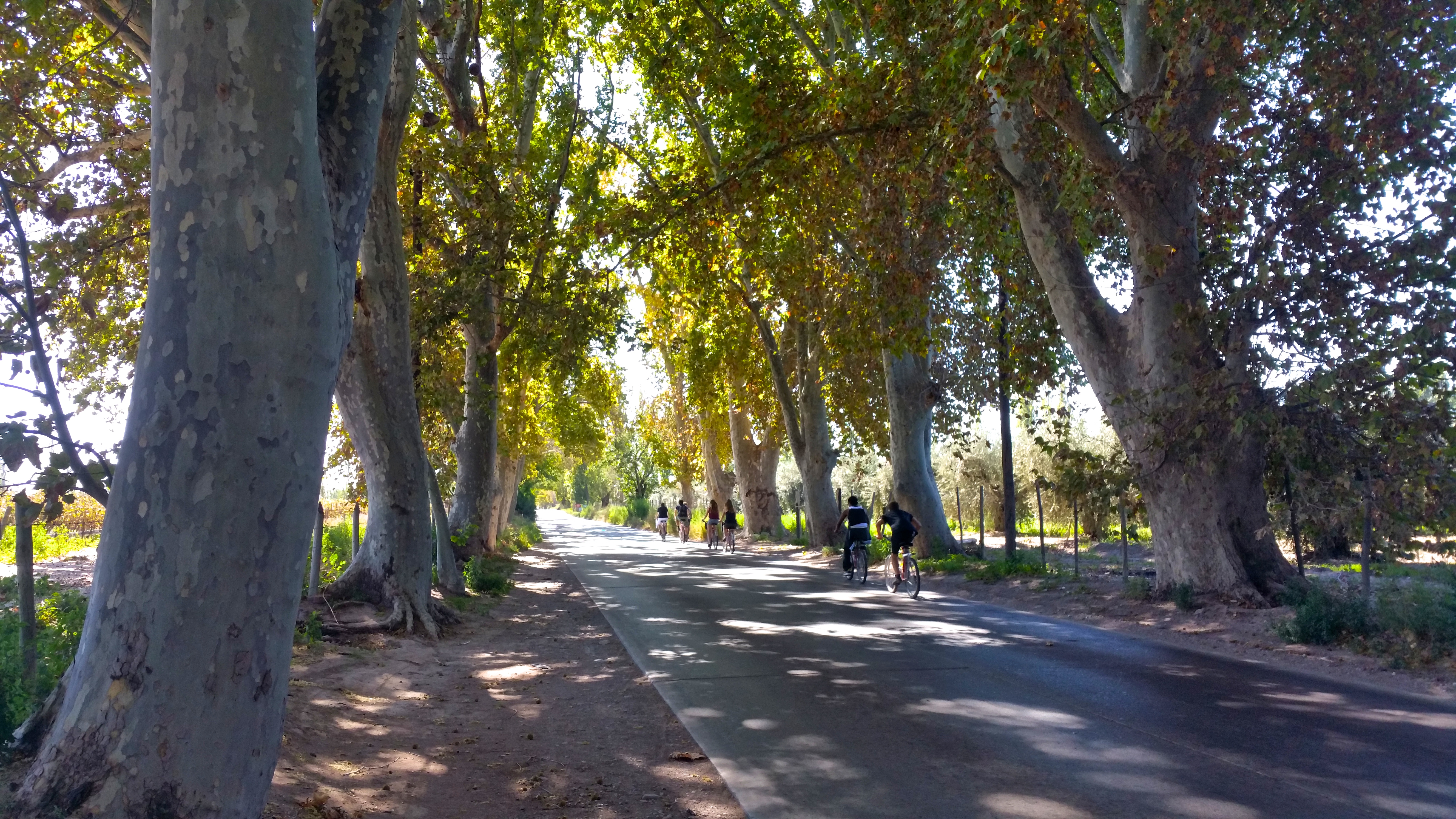
After squandering away a relaxing 2 hours at Tempus Alba, we continued our journey south down the road toward our next destination, Familia de Demosso.

Biking along the tree-lined road:20150423_140301
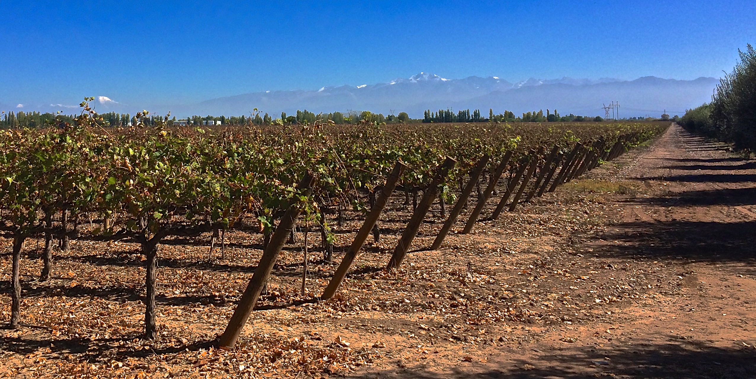
Stopping to take pictures:IMG_0430

Acres and acres of vineyards with the Andes Mountains:IMG_0442
We enjoyed a tasting at this small, family run vineyard, wine production facility, and tasting room for only 45 pesos each (~$3.70). IMG_0445IMG_0449
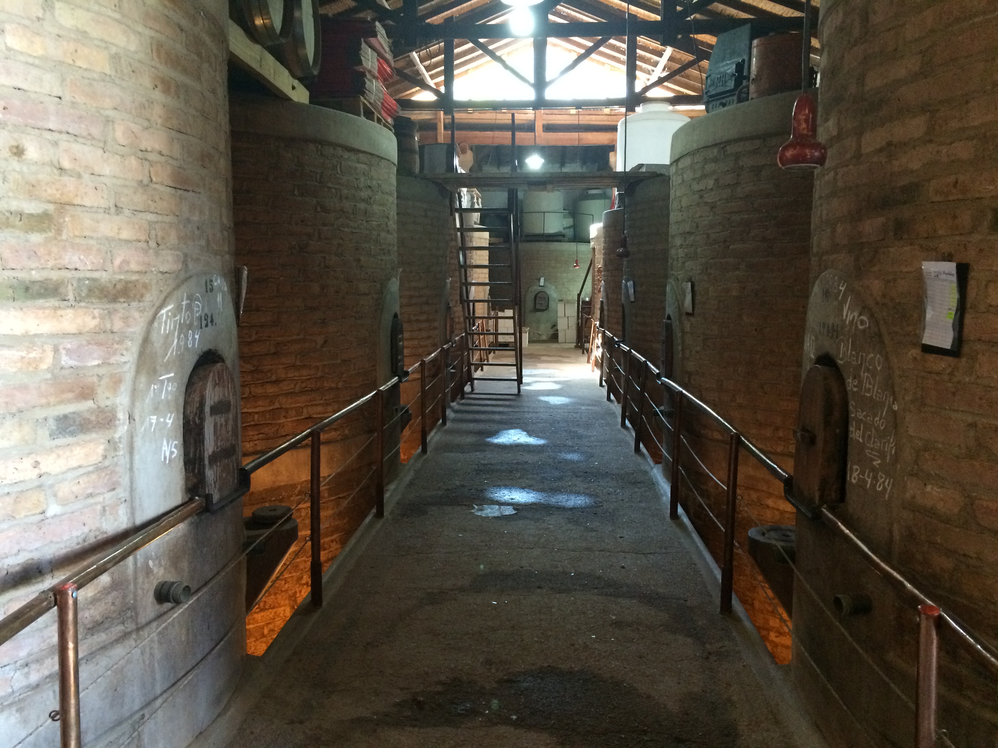
Then we pedaled back up north to Bodega La Rural, a winery and wine museum. Their tasting required a minimum of 2 people. Because I didn’t want to taste and they didn’t allow sharing, we did not do a tasting here.IMG_0456
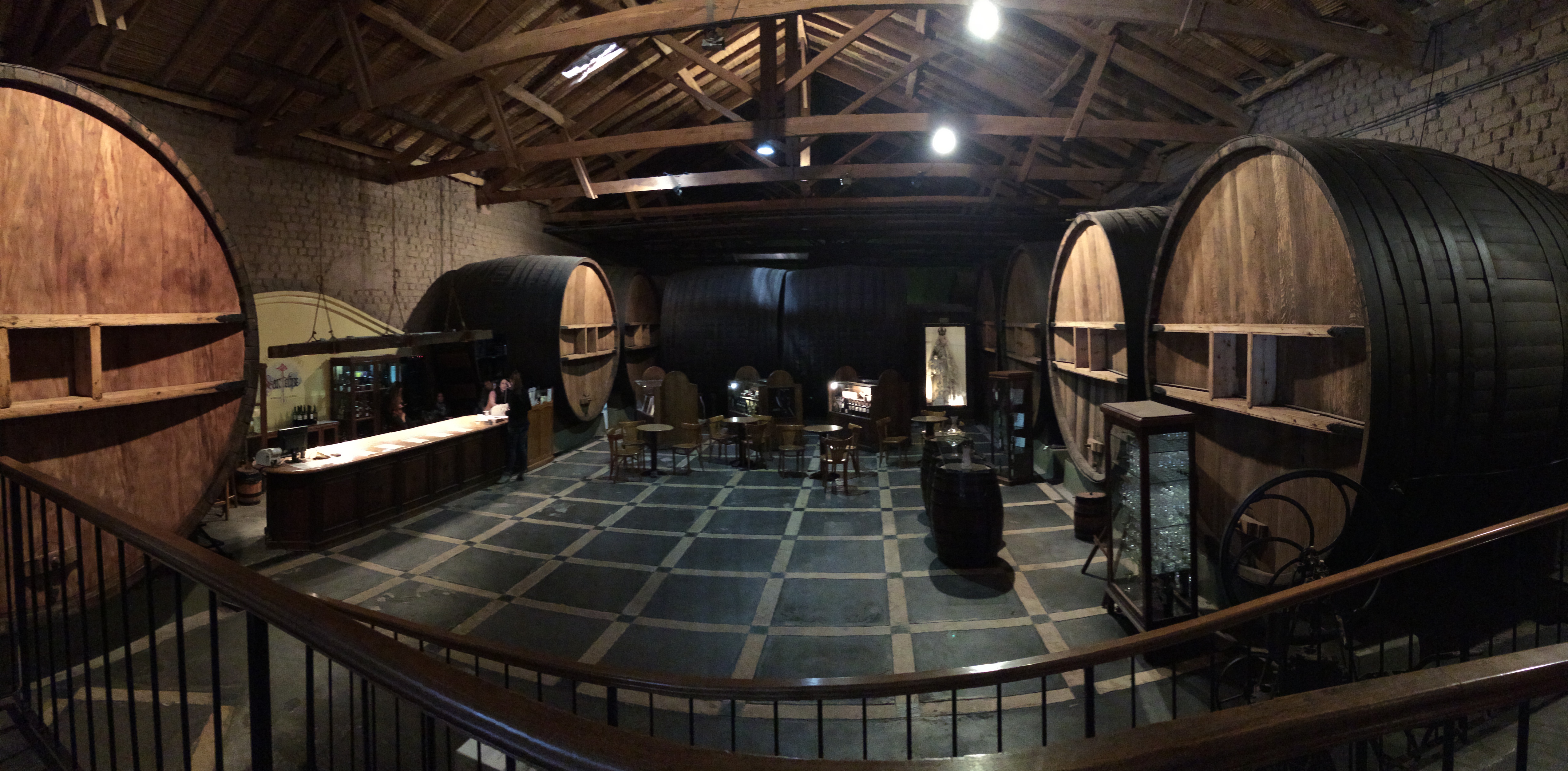
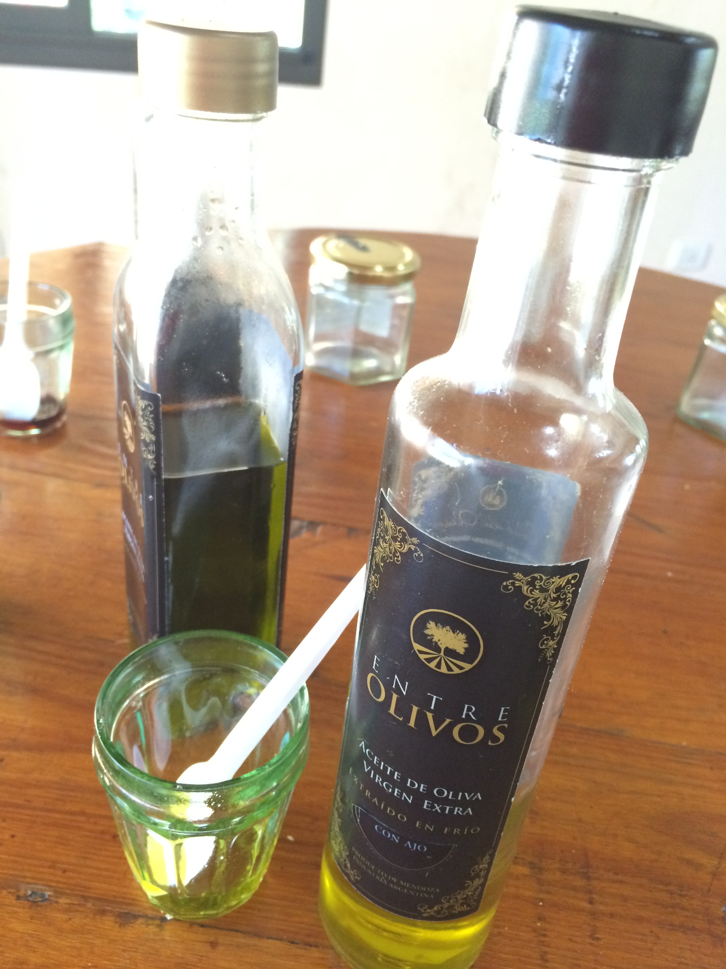
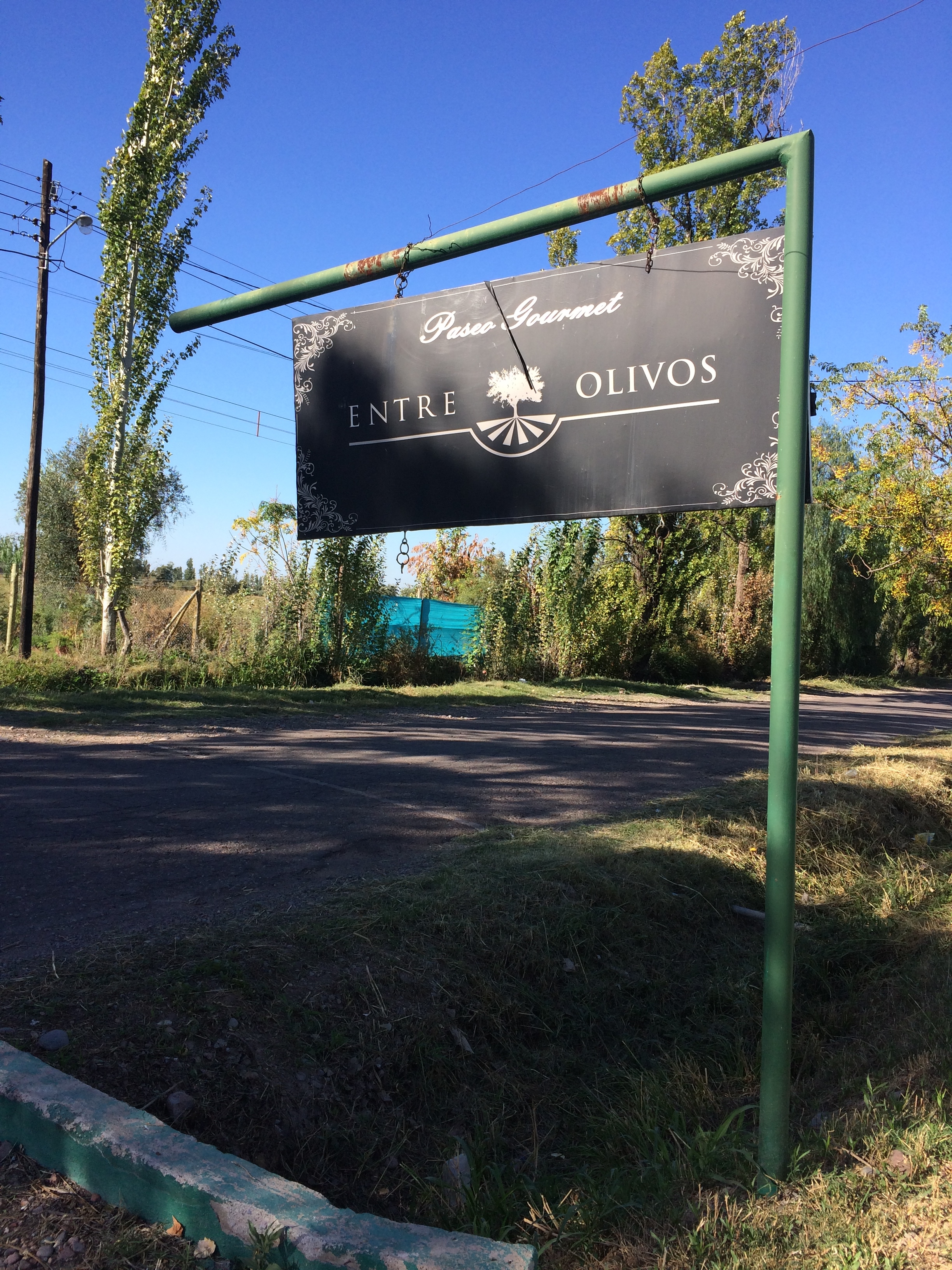
Having done multiple tastings for two consecutive days, we were happy to end our wine tour with a tasting at Entre Olivos. For 45 pesos pp, we tasted a variety of olive oils, olive tapenade, mustard, chili, jams and marmalades, chocolates, and 2 shots of homemade liquor. The most unique flavor was the chocolate with pepper liquor—imagine the flavors of milk chocolate, spicy black pepper, and warm liquor blending in your mouth at the same time!IMG_0459IMG_0458
We wish we could have spent another day in wine country, but we had to leave to catch our flight from Santiago to Easter Island that I booked 2 months ago. An extra day to properly explore Uco Valley and enjoy its natural beauty at a more relaxed pace would have been preferable.

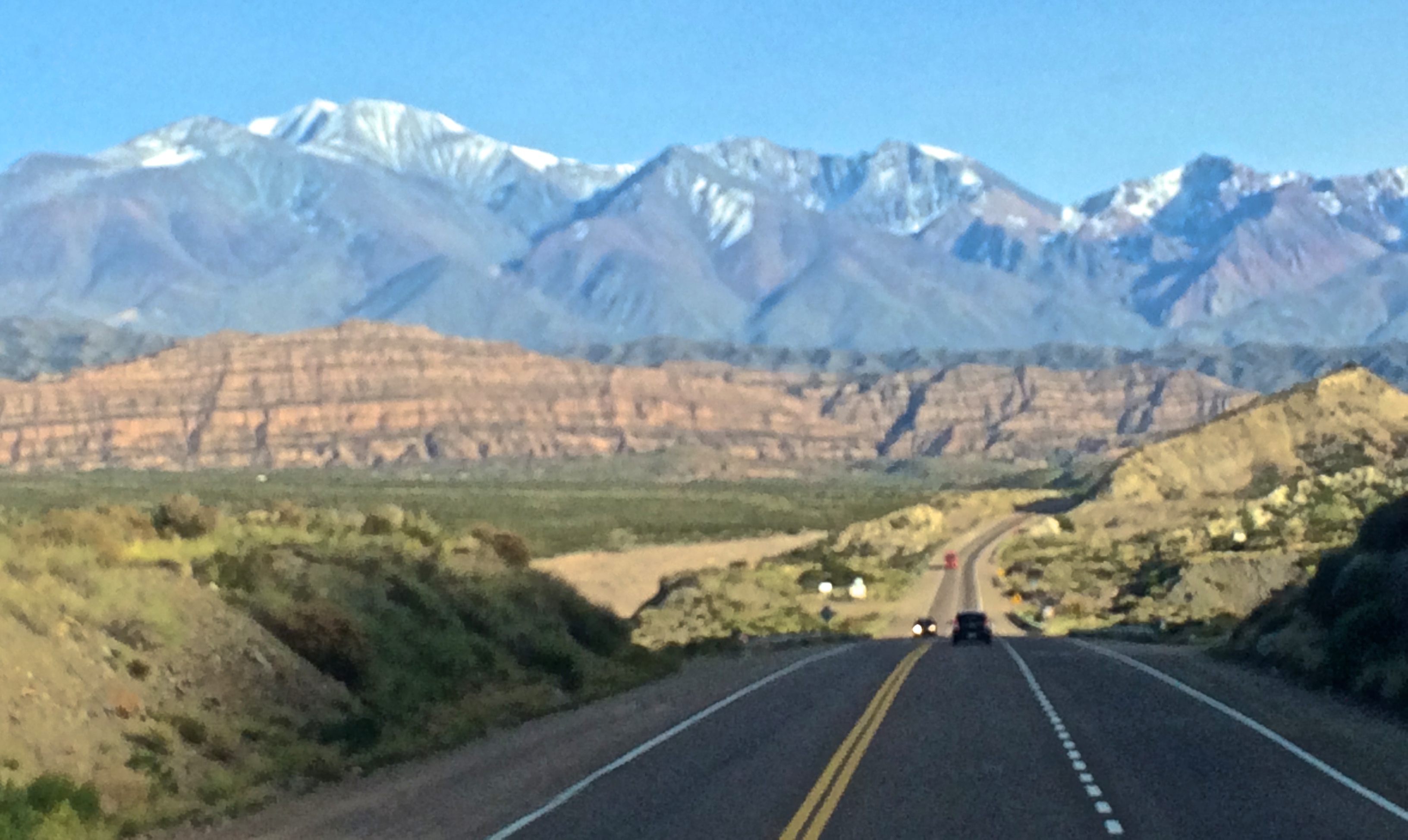
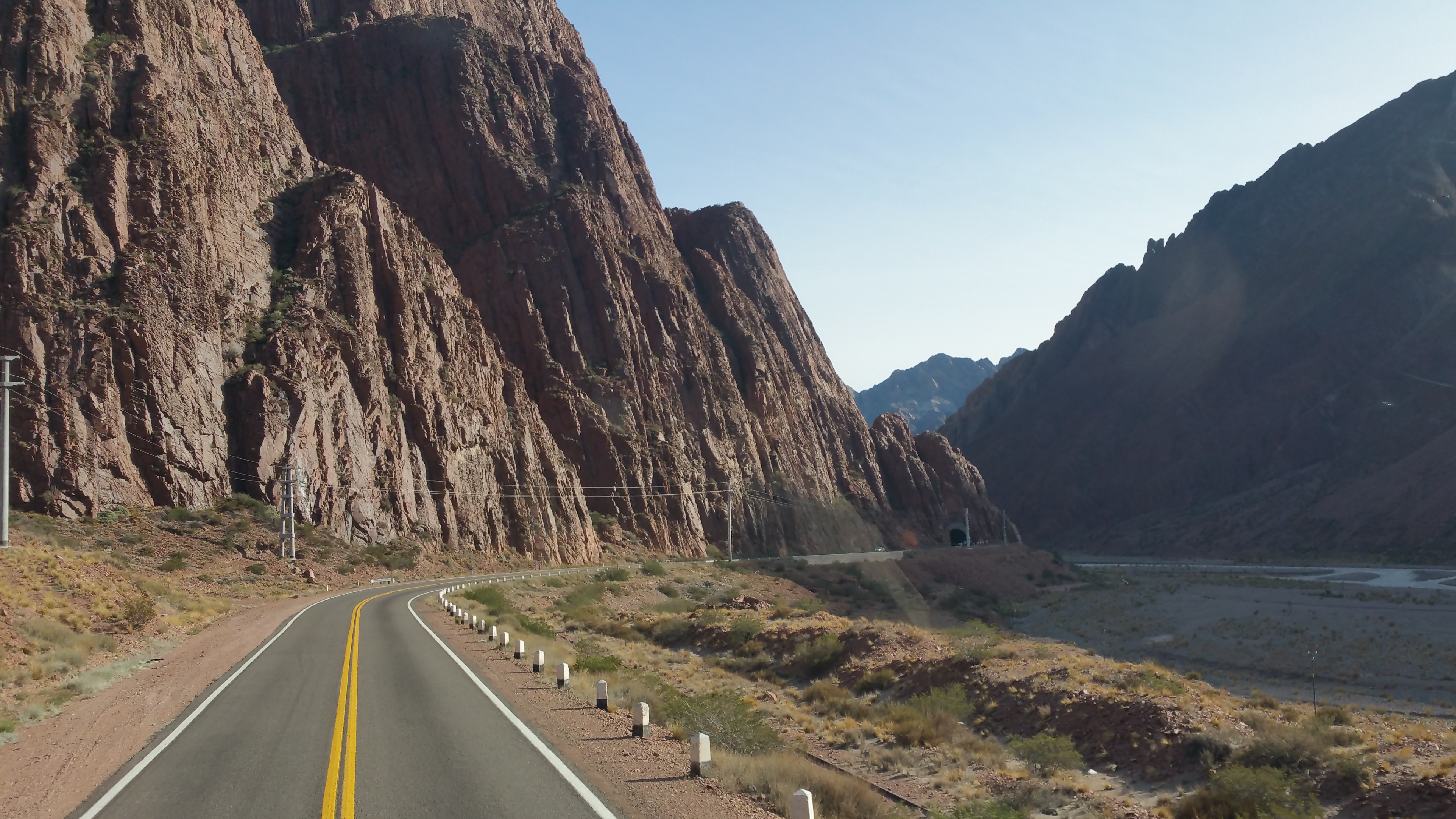
At least we were able to enjoy the beauty of the Andes as we crossed the land border between Mendoza, Argentina and Santiago, Chile. Having read that the ride was spectacular, we made sure to book our bus tickets during the day to be able to see the views and ideally, score the best seats on the bus. Fortunately, we booked our bus tickets 4 days in advance and we were able to select our seats of choice: top deck (all long-haul buses have double-decks), front row, with giant windows.

With spectacular weather during our entire stay in Mendoza, we sadly bid farewell to Argentina and thoroughly relished our bus ride into Santiago.

Chris taking photos from our seats:IMG_0469
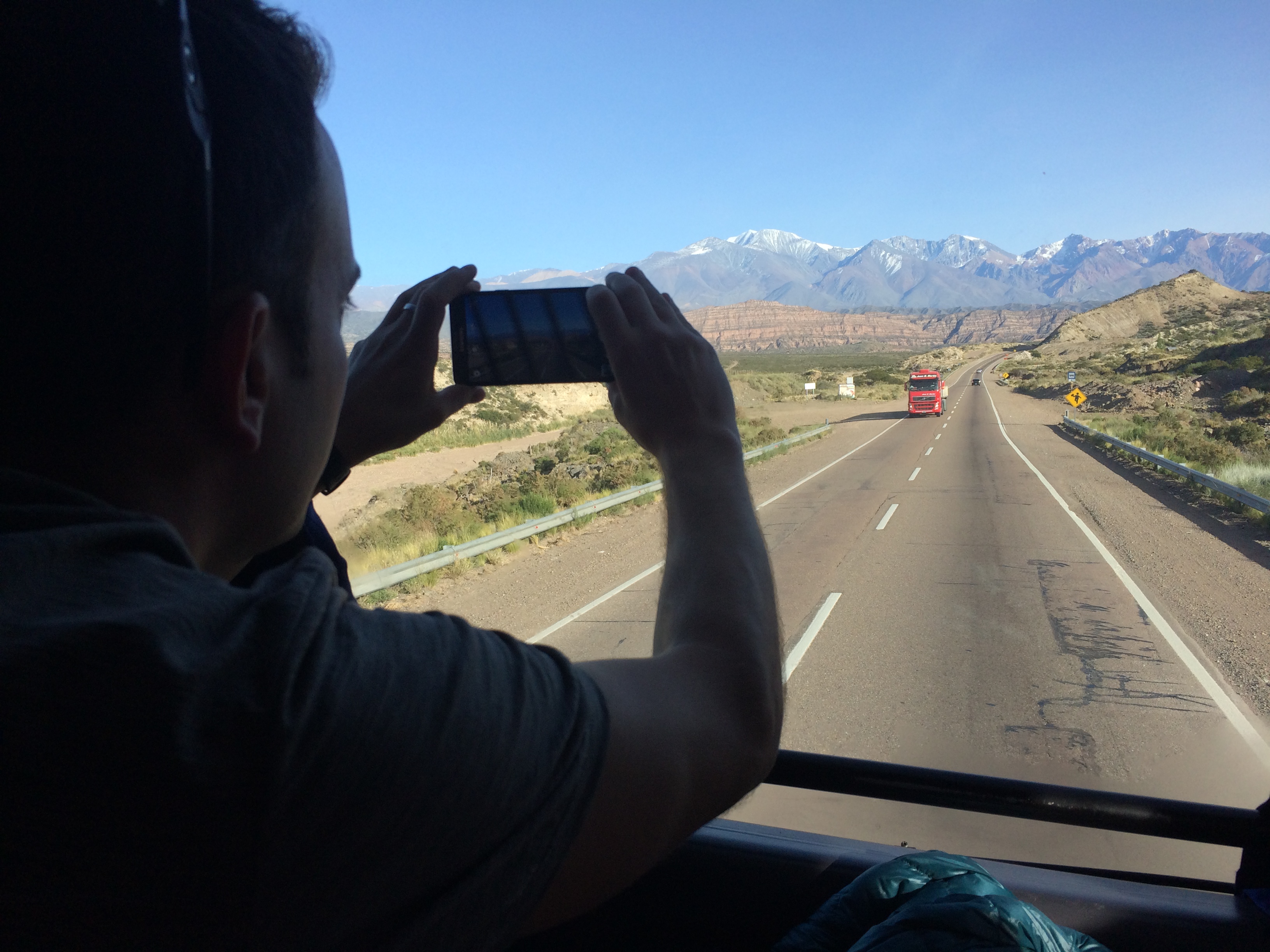
Views from our window:IMG_046820150424_102938

And finally, the border:20150424_115916

For some reason there were a lot of Ferraris from Chile coming into Argentina.IMG_0471
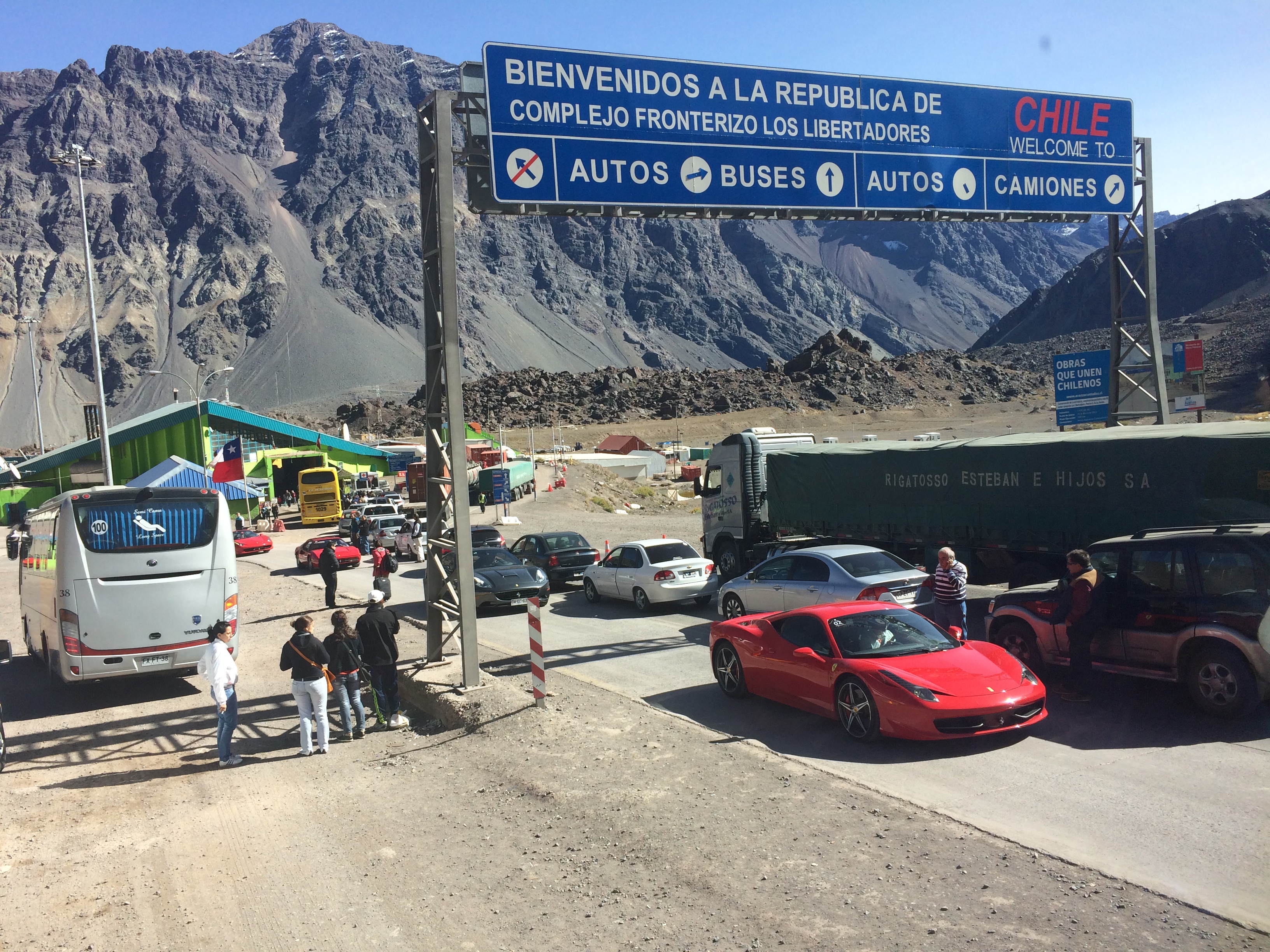
The drive to the border from Mendoza took 3 hours, and the exit and entry only took 1.5 hours. Not bad!

Shortly after crossing the border, we began the incredible descent down the Andes. There were a total of 29 “curves,” or crazy switchbacks down the mountain. Imagine all the buses, trucks, and cars weaving down this road.20150424_134657
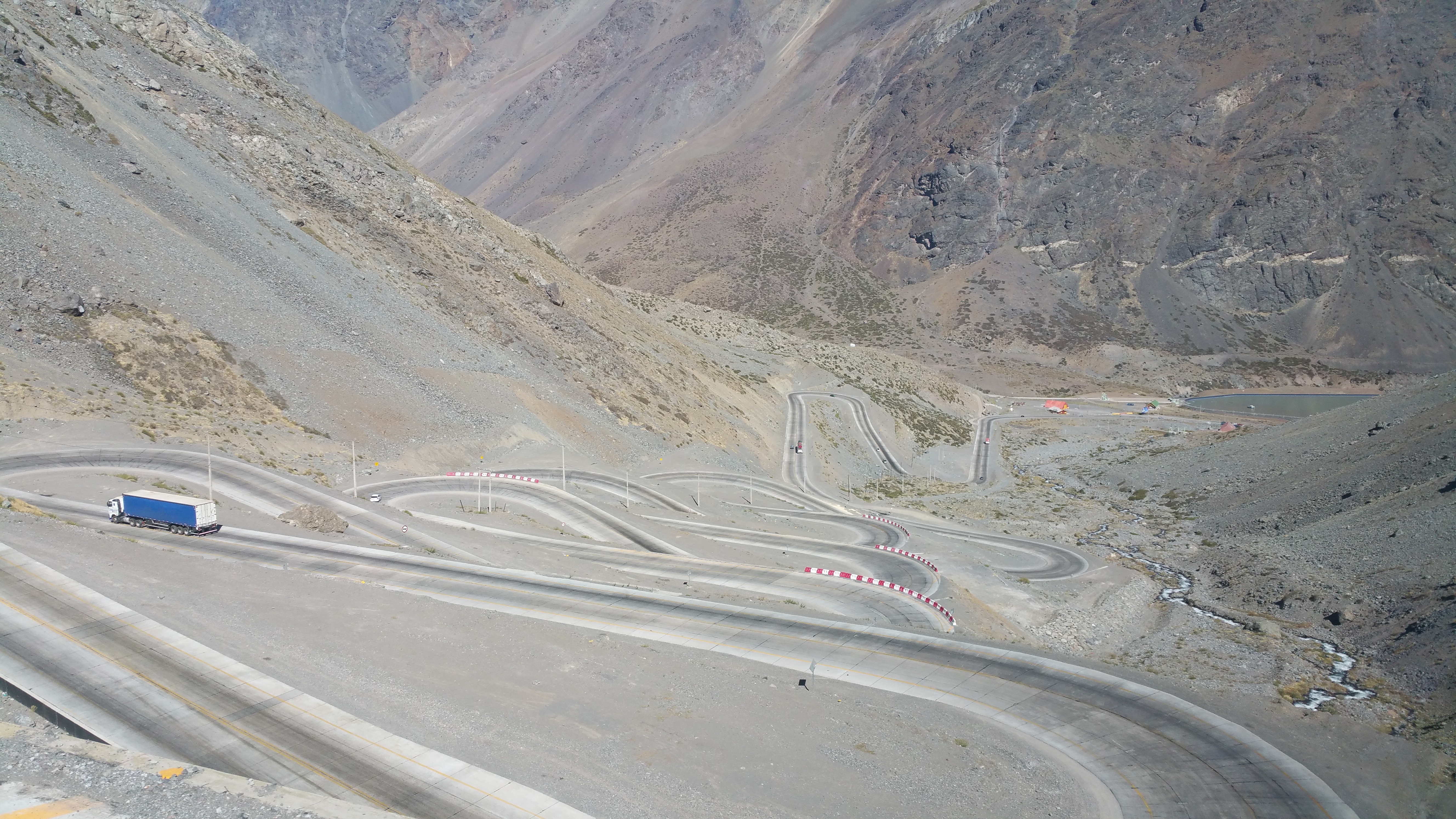
We pulled into the Santiago bus terminal exactly at 4pm for a total of a 7-hour journey. From Santiago, we had a day and a half to prepare for our next destination: Easter Island, or Rapa Nui, or Isla de Pascua in Spanish.

One country and one month down, 4 more countries and 4 more months to go!
Posted in Argentina | Tagged , | 2 Comments

Cordoba

Years ago at my company I worked with a team from Cordoba, Argentina.  Two of the guys I worked with have a similar thirst for adventure as I do, so we kept in touch on social media even after I parted ways with my company.  Now that I was finally in Argentina, I had no excuse to avoid the slight detour to Cordoba, the second largest city in Argentina, conveniently located between Buenos Aires and Mendoza. However, it wasn’t that the detour was inconvenient.  My friends in Cordoba pushed and pleaded with us to visit them and their office, and they practically rolled out the red carpet for us.  Not only did we enjoy an action-packed, comped 4-day weekend in Cordoba, we also had the opportunity to immerse ourselves in local, Argentinian life.

Despite being in Cordoba, we didn’t see much of Cordoba.  Instead, we explored the natural surroundings in the Sierras of Cordoba and spent time simply socializing with new friends.

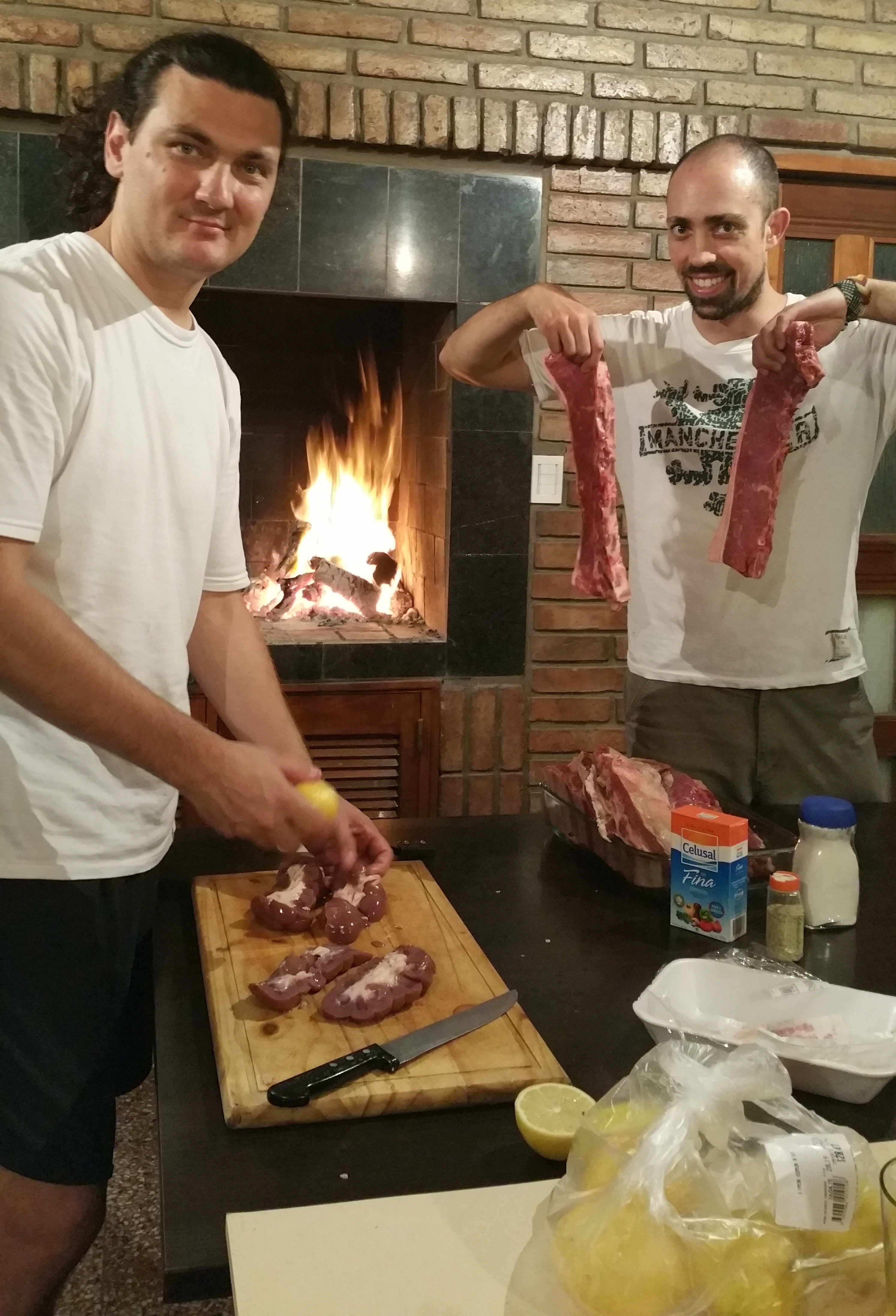
We were treated our first night to traditional asado by my friend, Daniel.  Apparently Daniel prepares asado on a weekly basis at his office for his company, Ravegan. Those lucky bastards.20150416_202413

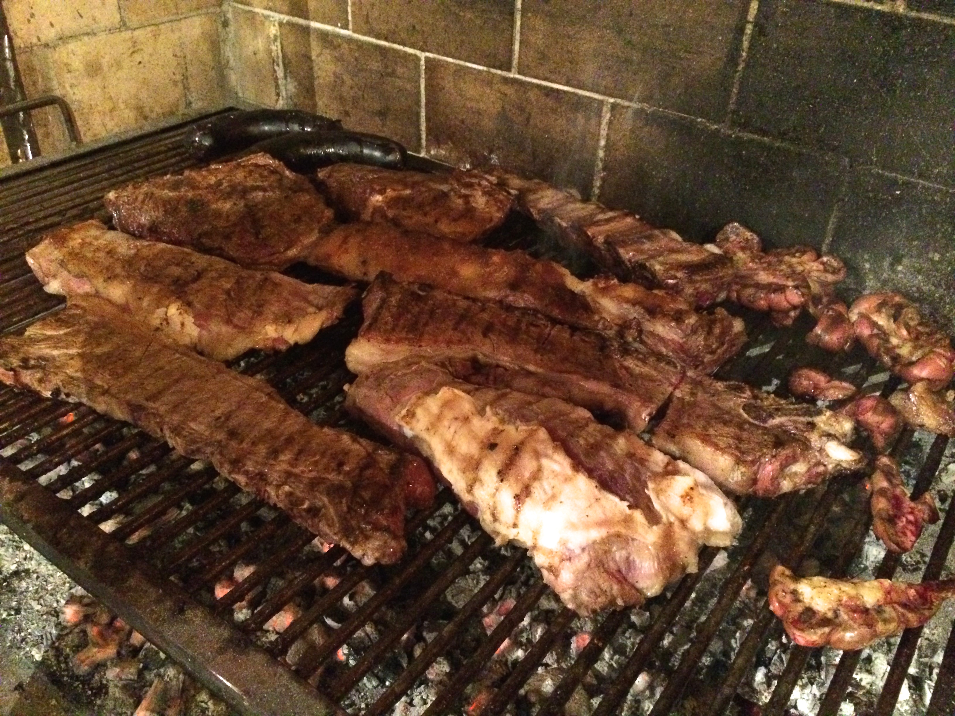
There was a lot of meat of all sorts of cuts.IMG_0316

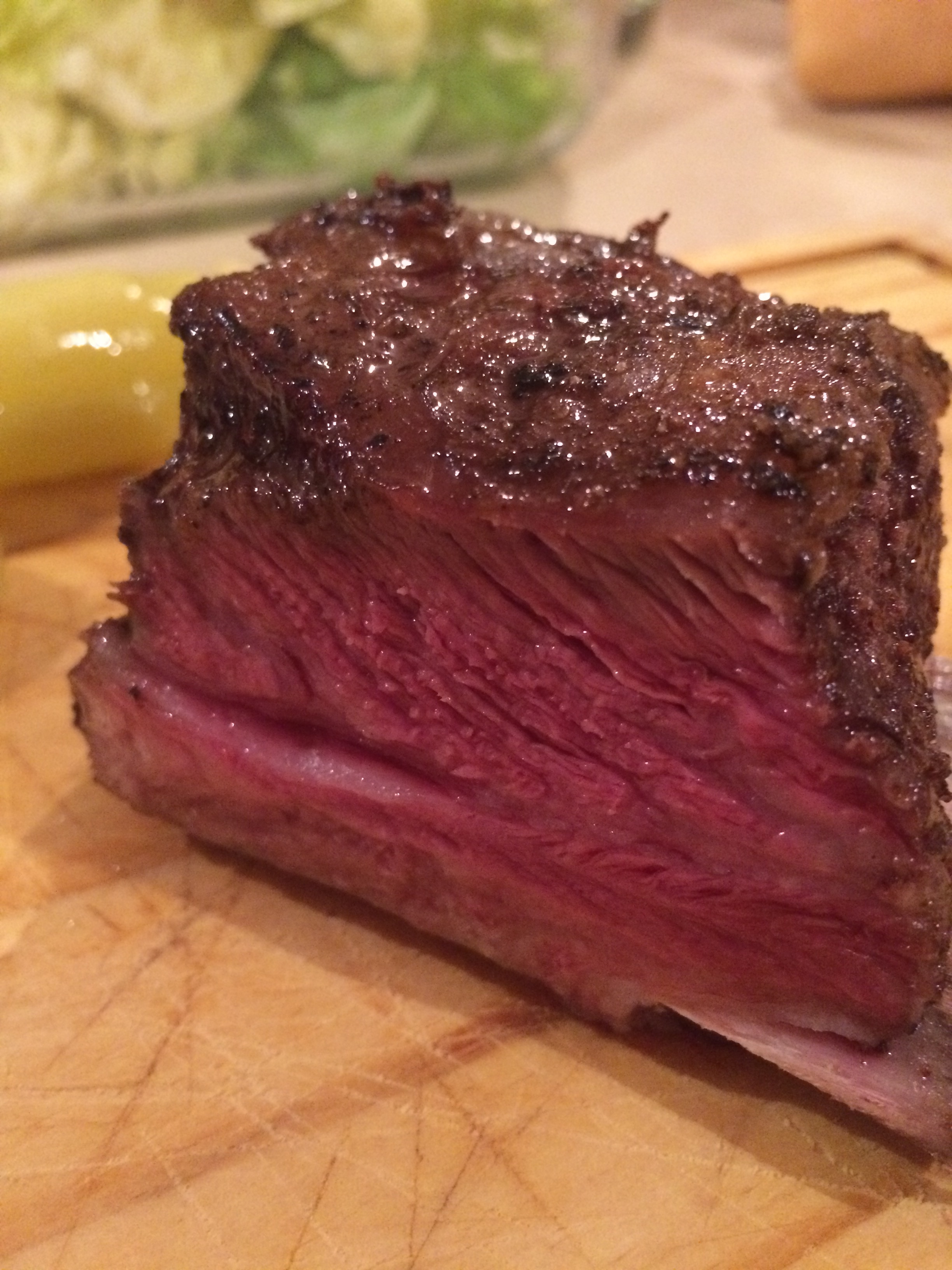
Oh my GOD. Me gusta carne!IMG_0319

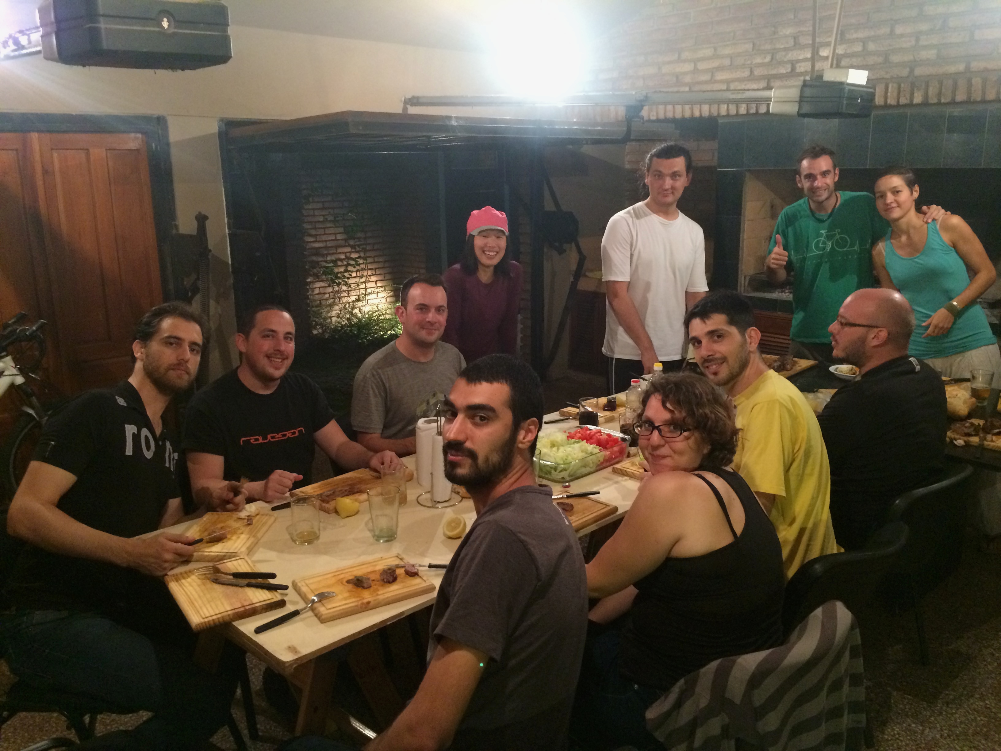
And with all these people, there were no leftovers.IMG_0325

I haven’t mentioned it earlier but Argentinians eat their dinners late, usually 10pm or later.  They are as amazed with the Americans’ early dinner times as Americans are with the Argentinians’ late dinner times.  Daniel even asked me for confirmation, “When you eat dinner, the sky is still light?”  As if that’s crazy!
During our previous 3.5 weeks in Argentina, we never truly assimilated with Argentine culture.  We never had to because it was either just the two of us or we hung out with other foreigners.  And by Argentine culture, I mean meal times, meal sizes, and business hours. Whenever we ate dinner at a restaurant, we always showed up “early” at 8pm, exactly when they opened.  We would typically be the only patrons in the restaurant, but by 9 or 10 the restaurant would be full, even on a regular weeknight.  We were bewildered by the number of parents with their baby strollers in restaurants after 11pm, but that was the norm.

Now here we were having a giant steak dinner around 10pm on a Thursday night–a work night.  Many remained after dinner to socialize, enjoy wine or beer, and simply hang out until midnight.  We weren’t able to get into bed until after 1am because that was when Daniel finally left to go home, only to return the next morning at around 7am to take us on a camping trip.

Until this point I was oblivious to Argentinians and their breakfasts.  Breakfasts don’t really exist.  Well they do, but it’s typically a coffee and two medialunas (mini croissants), which is hardly a snack by American standards, followed by another medialuna or cookie between breakfast and lunch at around 11am.  Chris and I awoke groggily from a late night of dinner, drinking, and socializing, assuming we’d grab something to eat on the way out. Nope.  No one else ate anything, and we didn’t have our first meal of lunch until after 1pm.

The variety of food in Argentina is also extremely limited.  At first I thought there were only steaks, empanadas, pizzas, and sandwiches of salami and cheese because I was in a touristy area.  Nope.  Even with the locals, we consumed endless amounts of pizza, meats, cheeses, and bread.

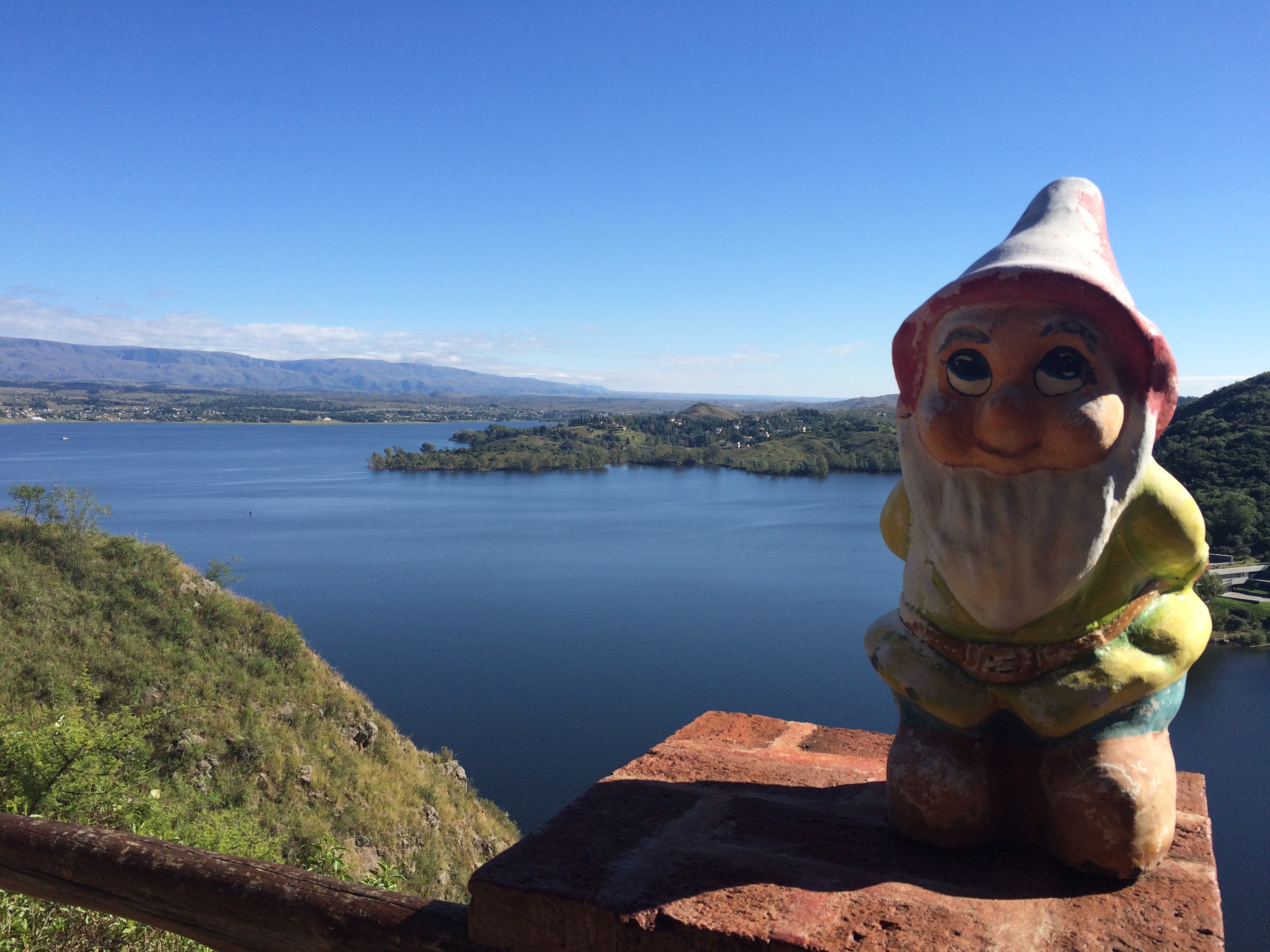
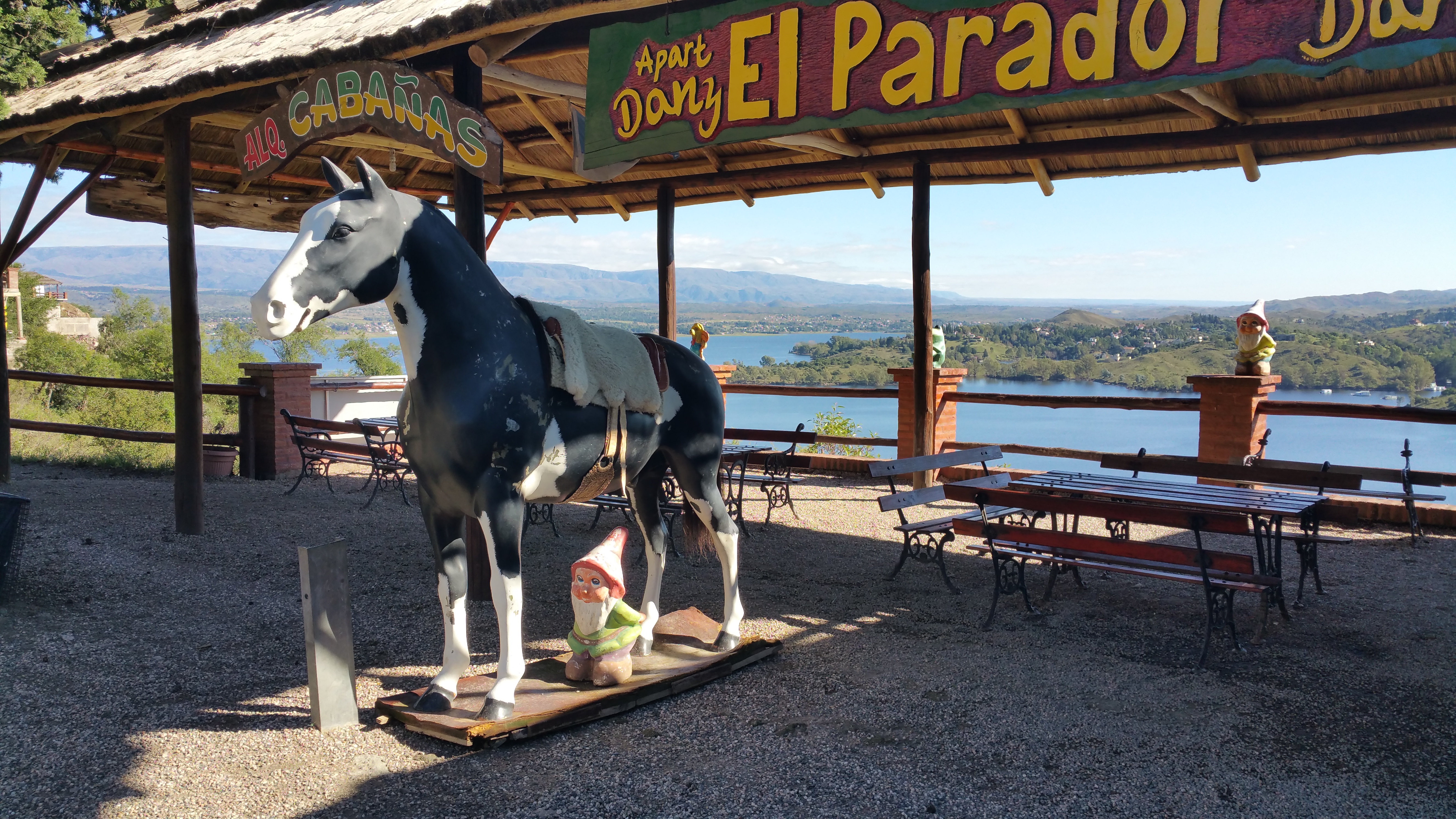
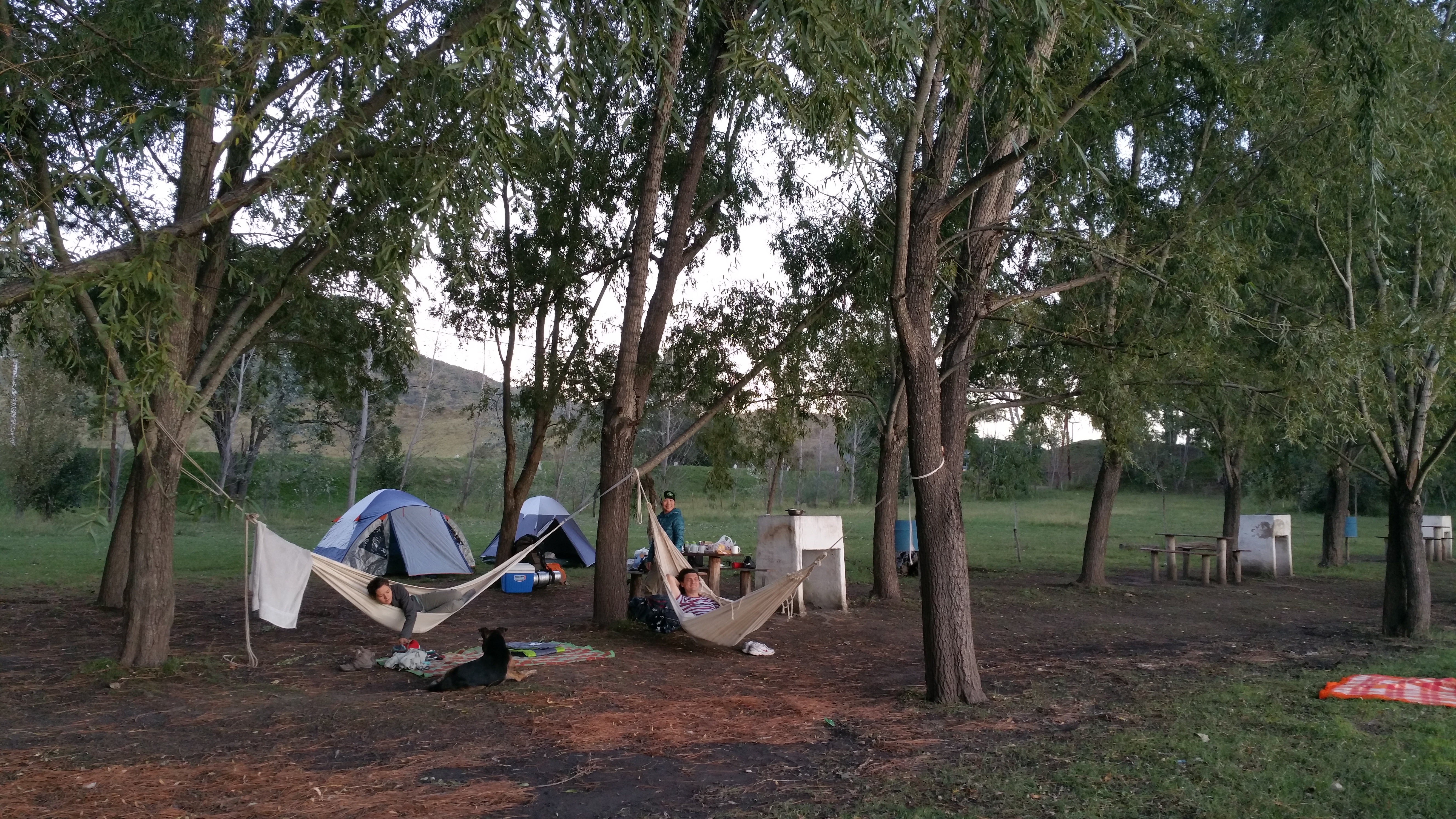
Despite the ultra-late dinners, lack of sleep, and nonexistent breakfast, the weather for camping was perfect. IMG_0329

Poor gnome… I don’t recommend standing there.20150417_103514

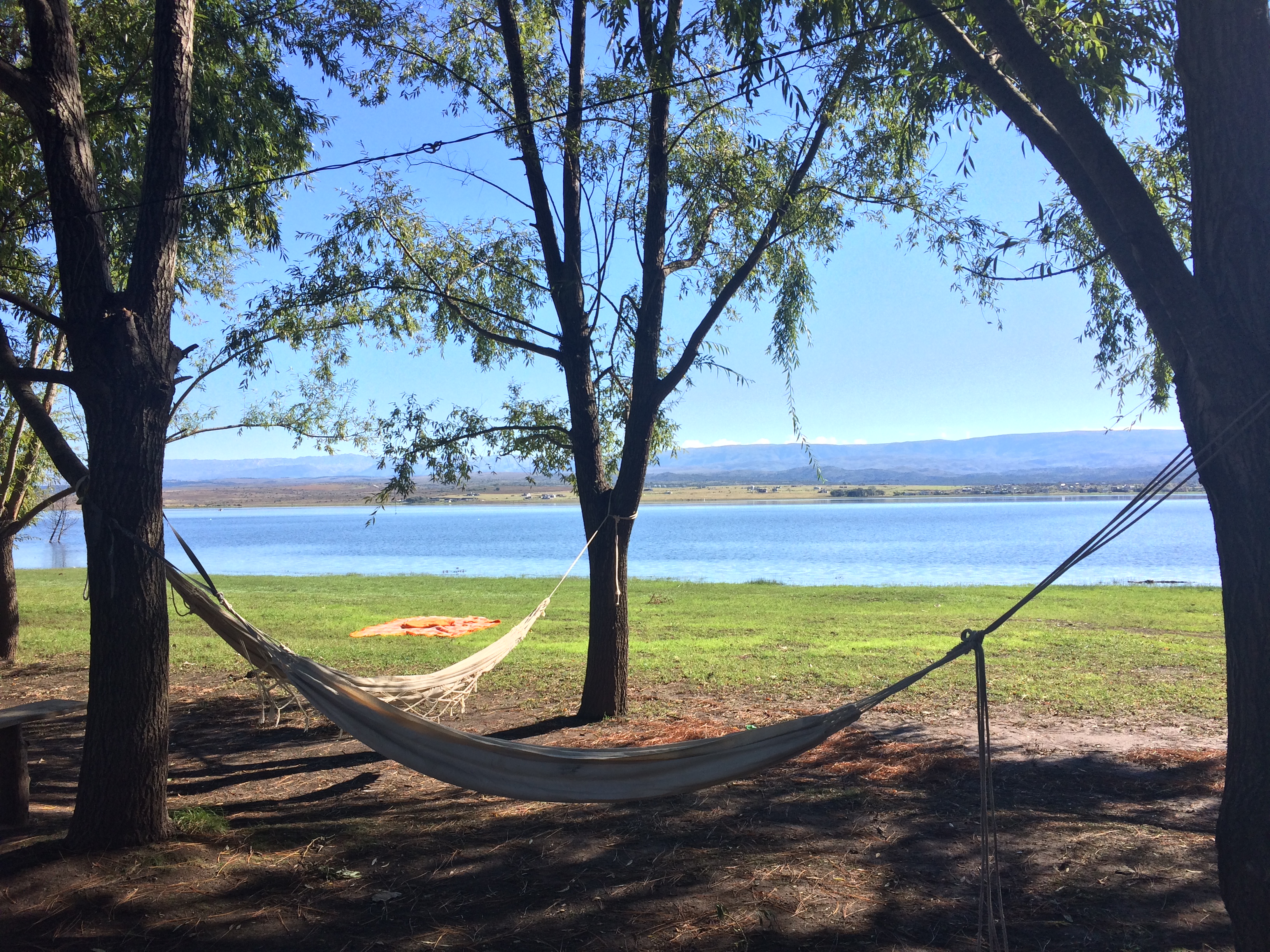
We spent a lot of time in hammocks at the campground.IMG_033220150417_184901

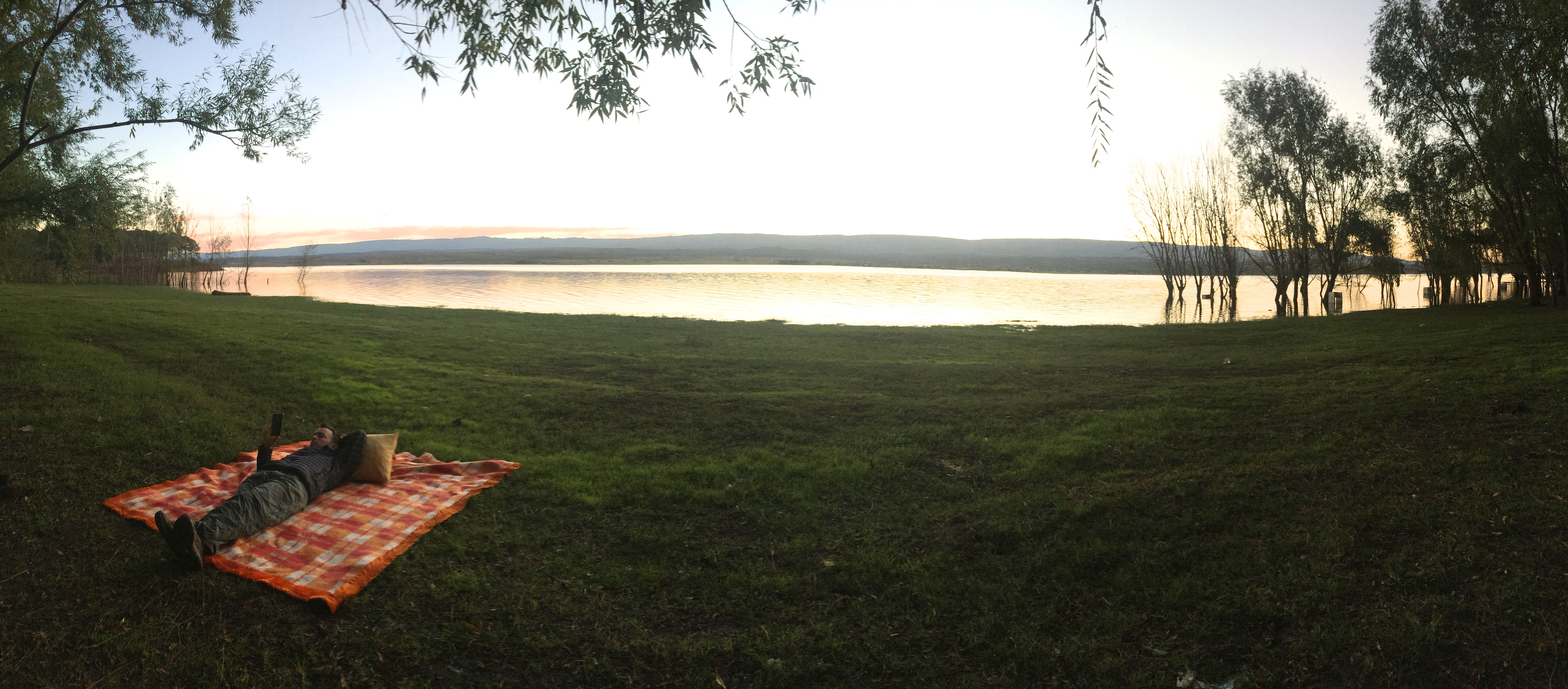
Relaxing sunset over the lake:IMG_0335

Normally after camping we return home exhausted, and we shower, eat, and go to bed early.  However, upon returning to Cordoba city, we were taken out for dinner at 10pm before another early rise for another breakfast-less day with a long hike ahead.  We were in bed by midnight, up by 6:30am, and out again for our final full day in Cordoba.  This time Chris and I brought leftover pizza with us to eat in the car for breakfast.  Others were amused by the fact we were eating so early in the morning, nevermind the long hike that laid ahead. Like the day before, they all skipped breakfast and consumed their first “meal” of fruit and bars 2.5 hours into the hike.

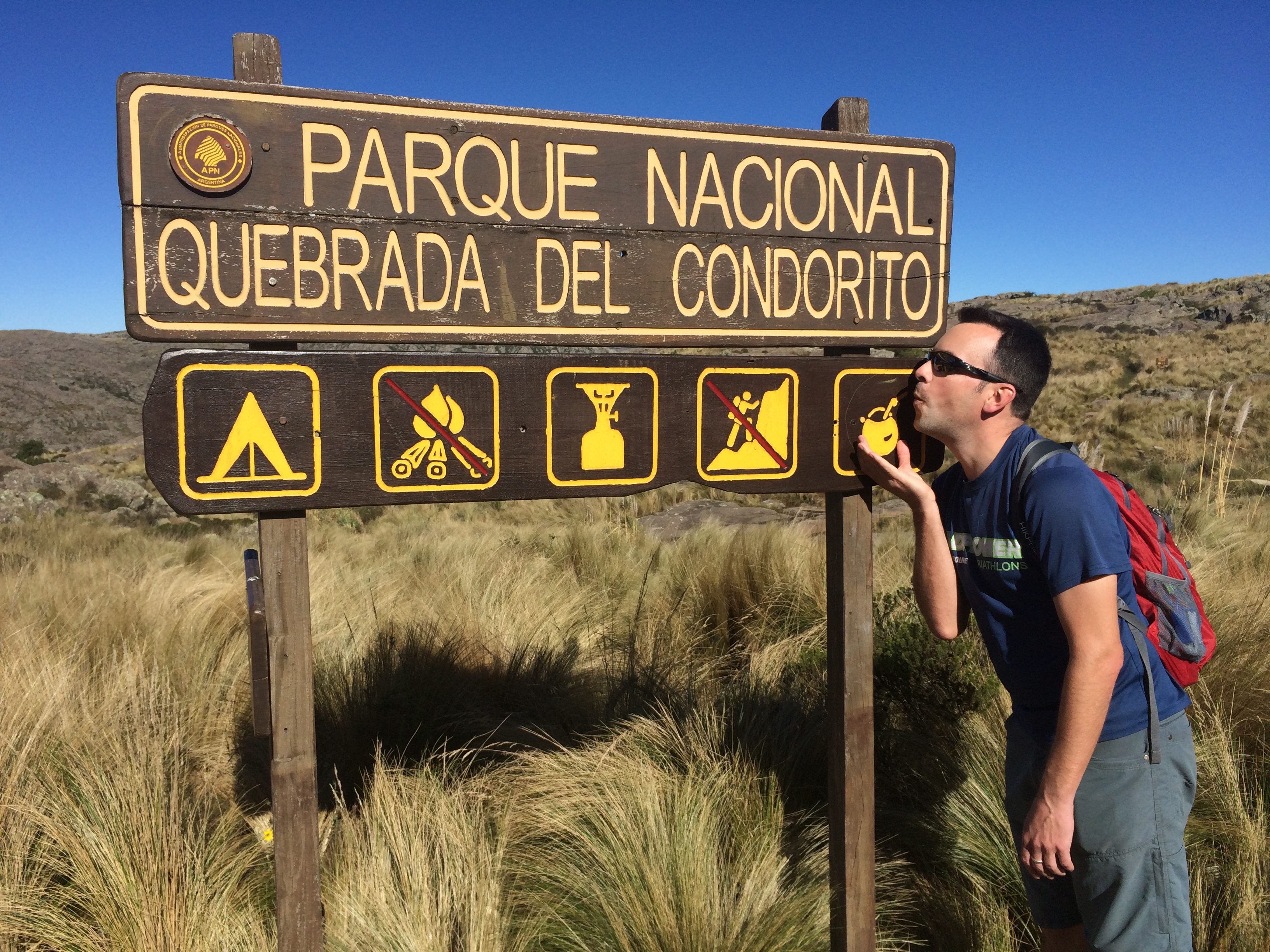
For our final day Daniel took us to Quebrada del Condorito National Park where we enjoyed a pleasant, long hike in search for condors.IMG_0340

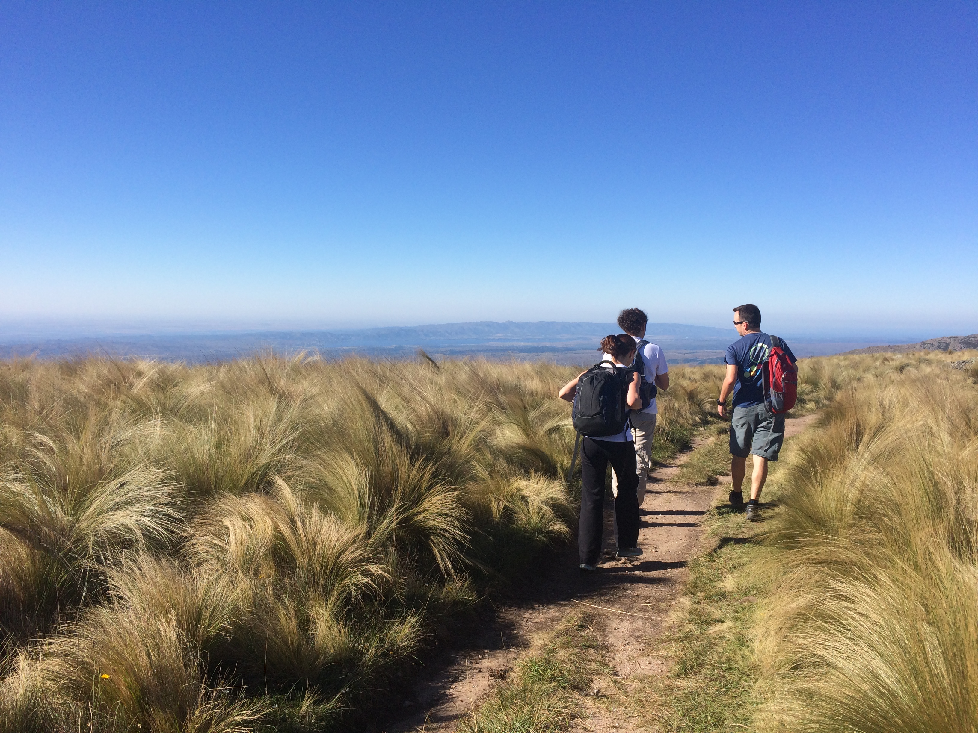
Low hills and grasslands make up much of the park.IMG_0338

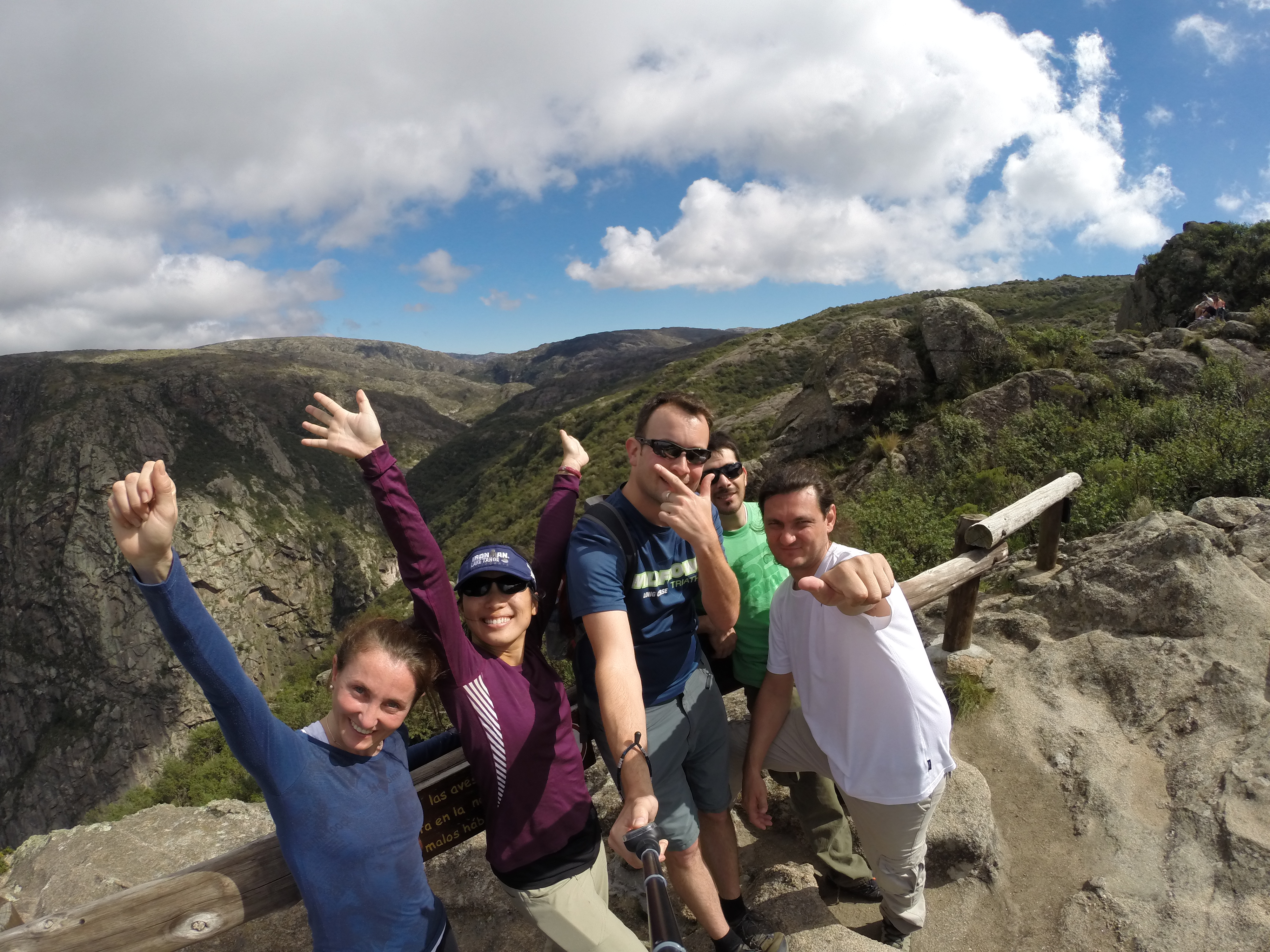
The north balcony:DCIM105GOPRO

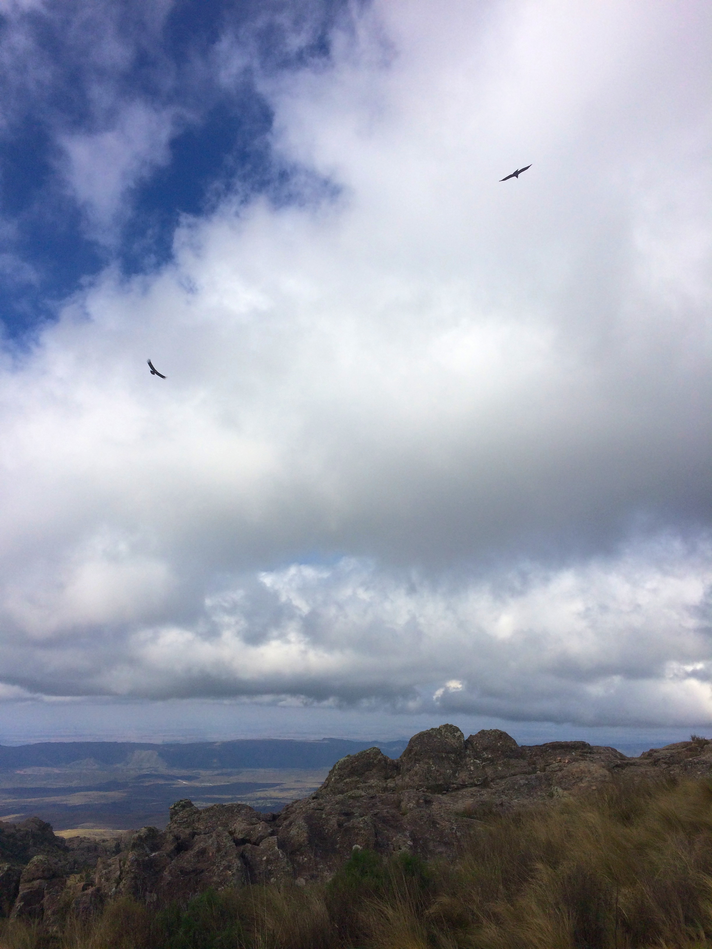
Condors flying overhead.  They look tiny in photos, but in reality, they are giant vultures with a wing span up of to 10 ft. long!IMG_0345

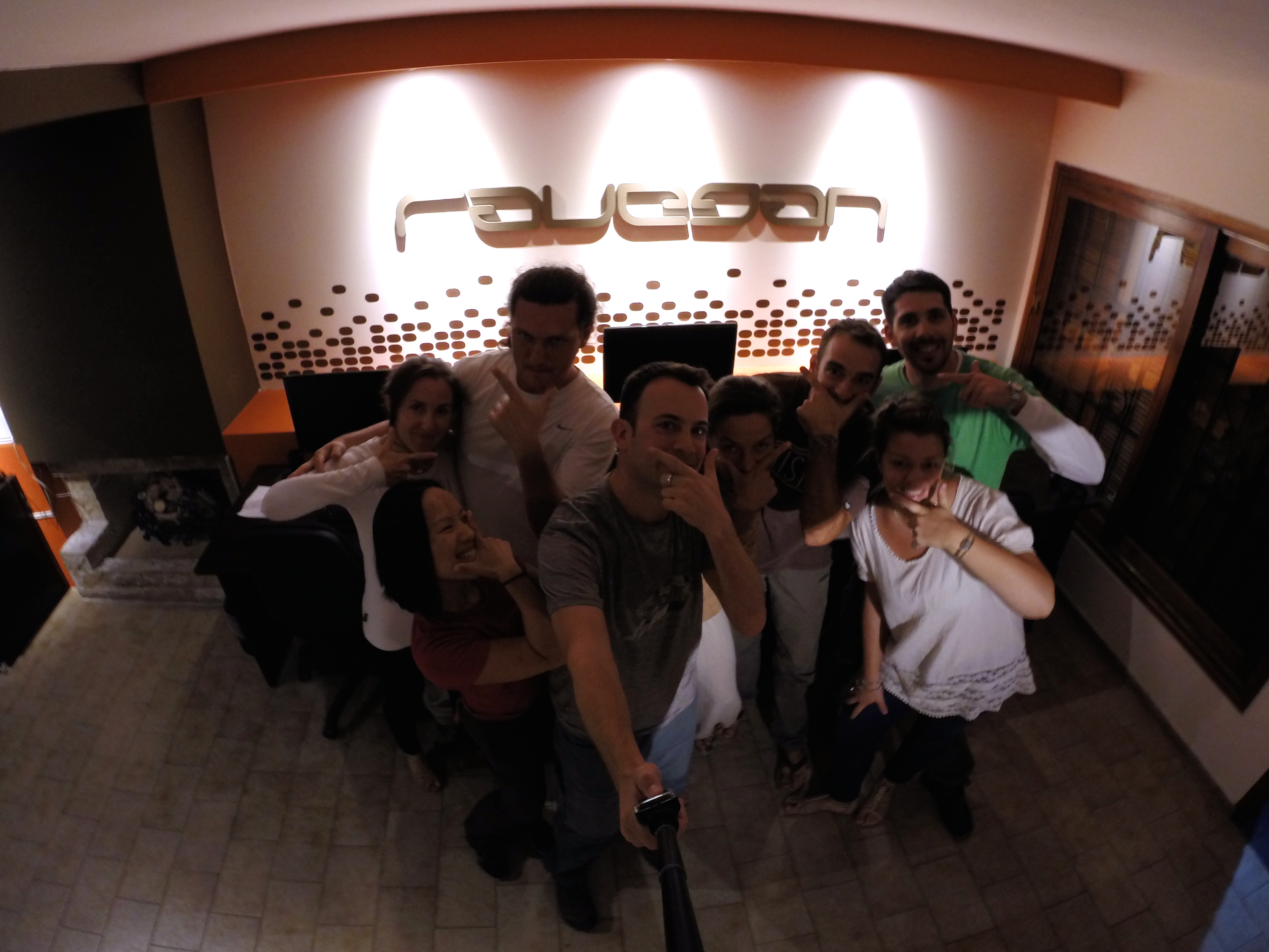
After a full weekend of late nights, early mornings, and outdoor excursions, our exhausting trip to Cordoba concluded with a final hangout in Daniel’s office before departing via overnight bus to Mendoza.  Ta mortal!DCIM105GOPRO

During our stay in Cordoba, we were able to see parts of Argentina that not many internationals have time to see.  I was finally able to meet guys I used to work with but had never met.  Although it was a bit of a struggle, we were able to fully immerse ourselves in the language and culture by speaking Spanish, dissecting the Cordoba accent, staying up late, eating late dinners, and skipping breakfasts.  Chris and I were both grateful for having visited Cordoba, and we cannot express our appreciation for the hospitality and warm friendliness from Daniel and Ravegan.

As our overnight bus pulled out of the bus terminal, I told Chris, “I don’t think I can keep up with the Argentinians.”  I looked forward to our first day in Mendoza because it meant sleeping and recovery from Cordoba. =)

Posted in Argentina | Leave a comment