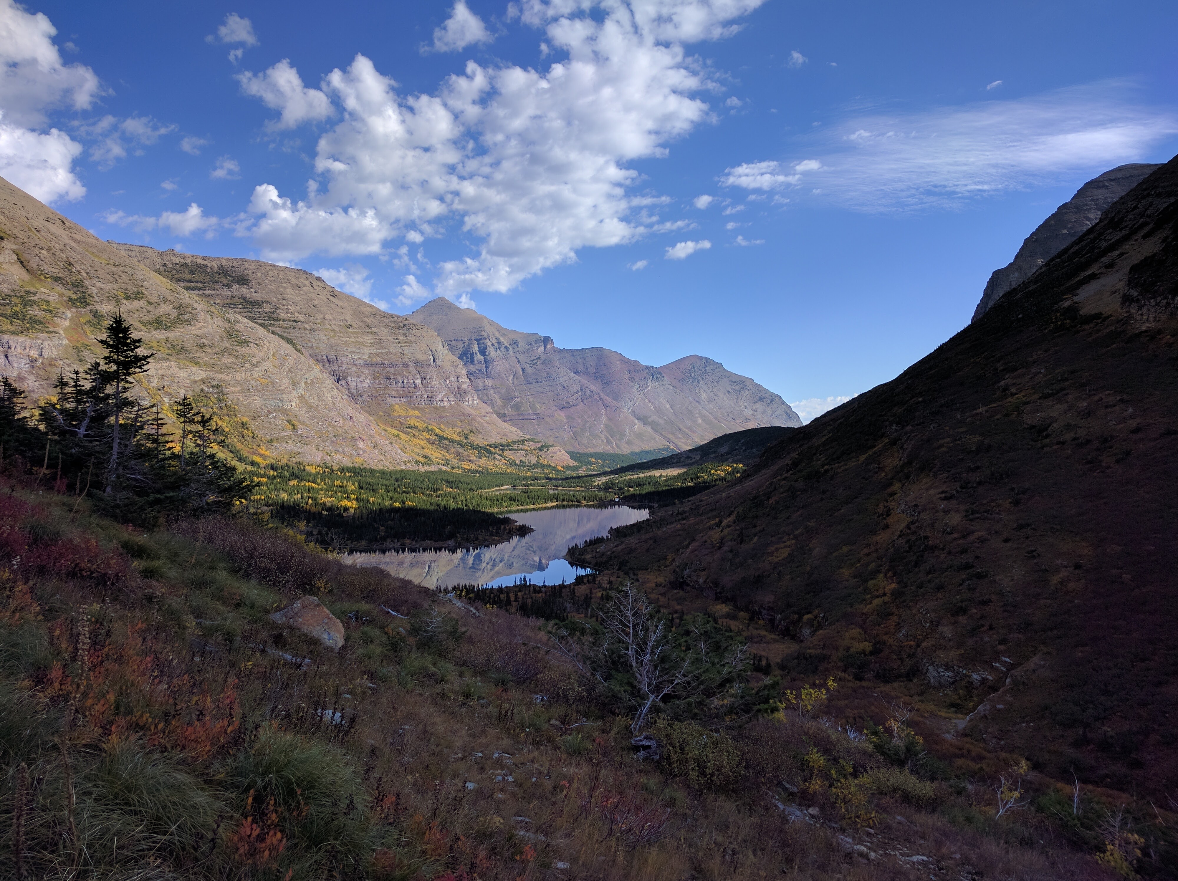
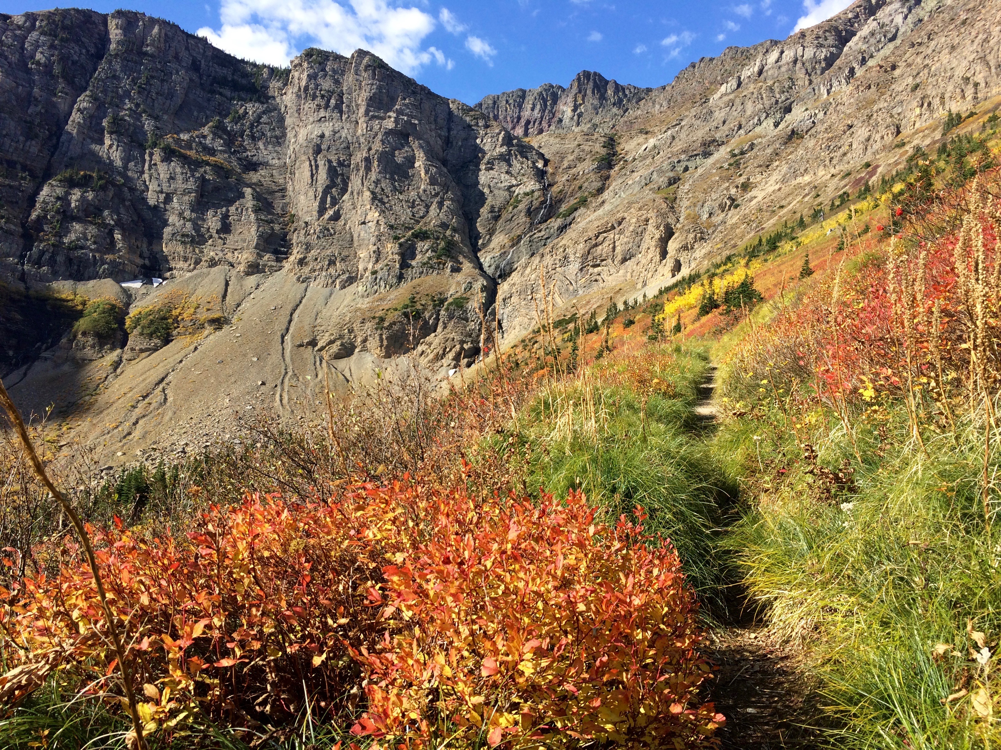
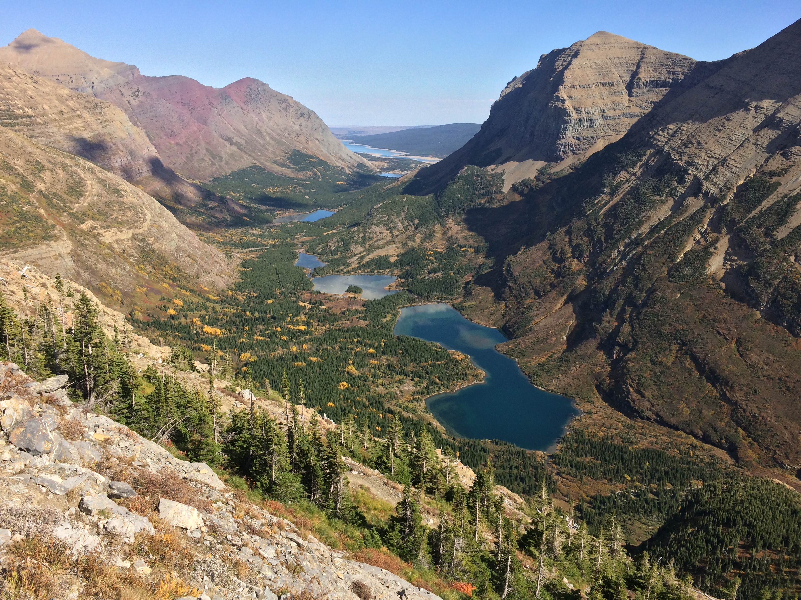
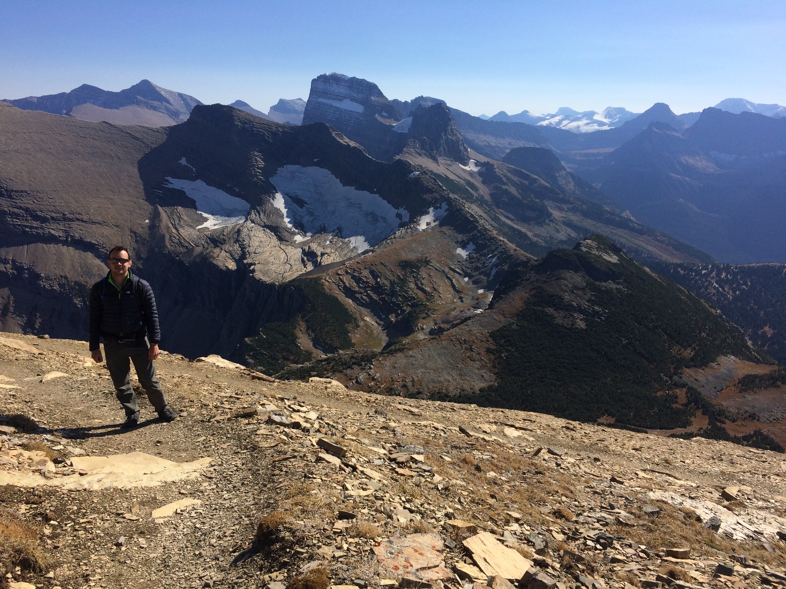
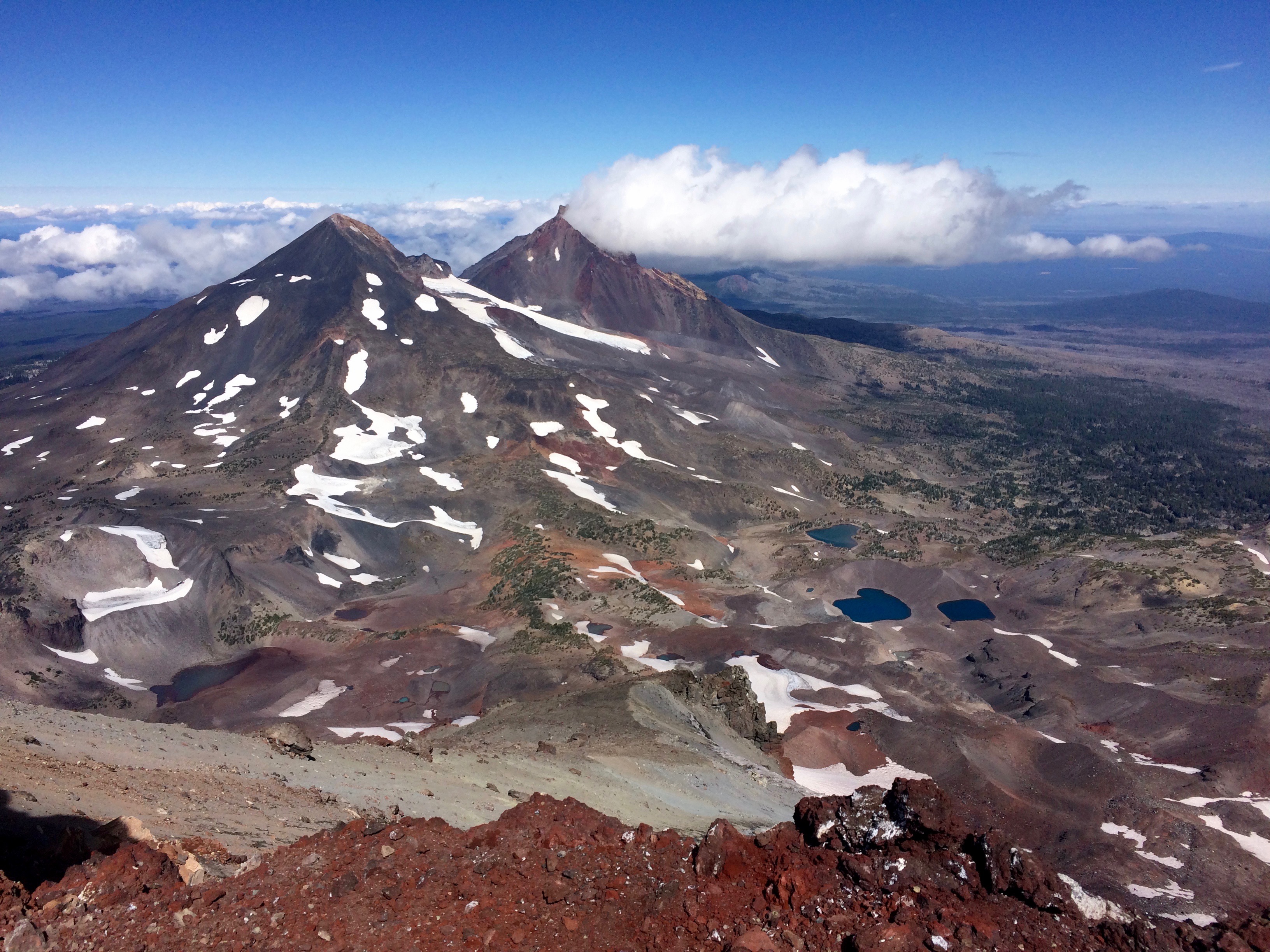
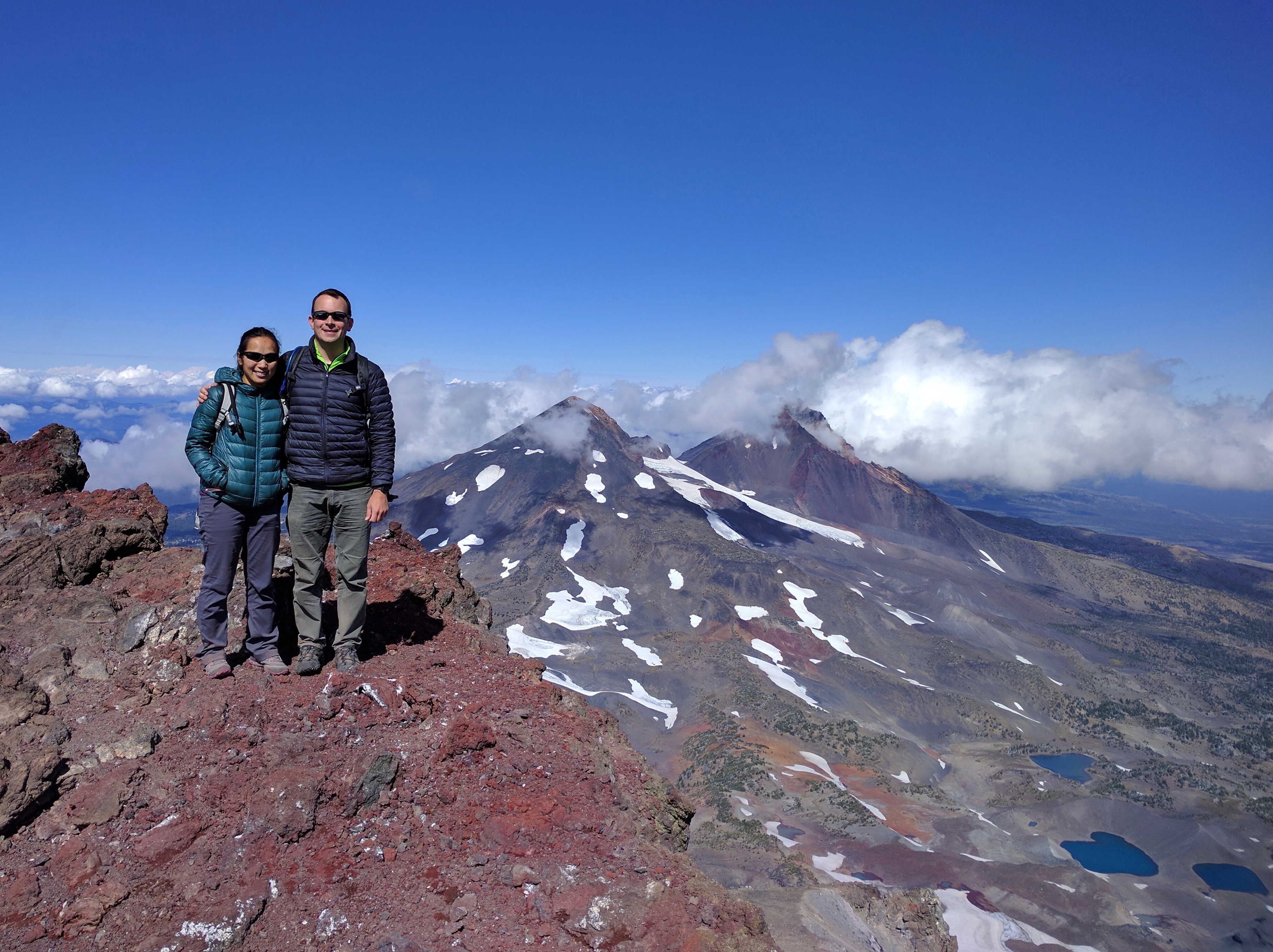
Alabama Hills & Mt. Whitney

I’ve always said California has everything, and that was before I even knew that California also has the highest AND lowest points (both within ~100 miles of each other) in the contiguous U.S!

Last year in Death Valley, we sauntered along Bad Water Basin, the lowest point in the U.S. at -282 feet below sea level. This year we figured we’d summit the U.S.’s highest peak, Mount Whitney, at 14,497 feet tall.

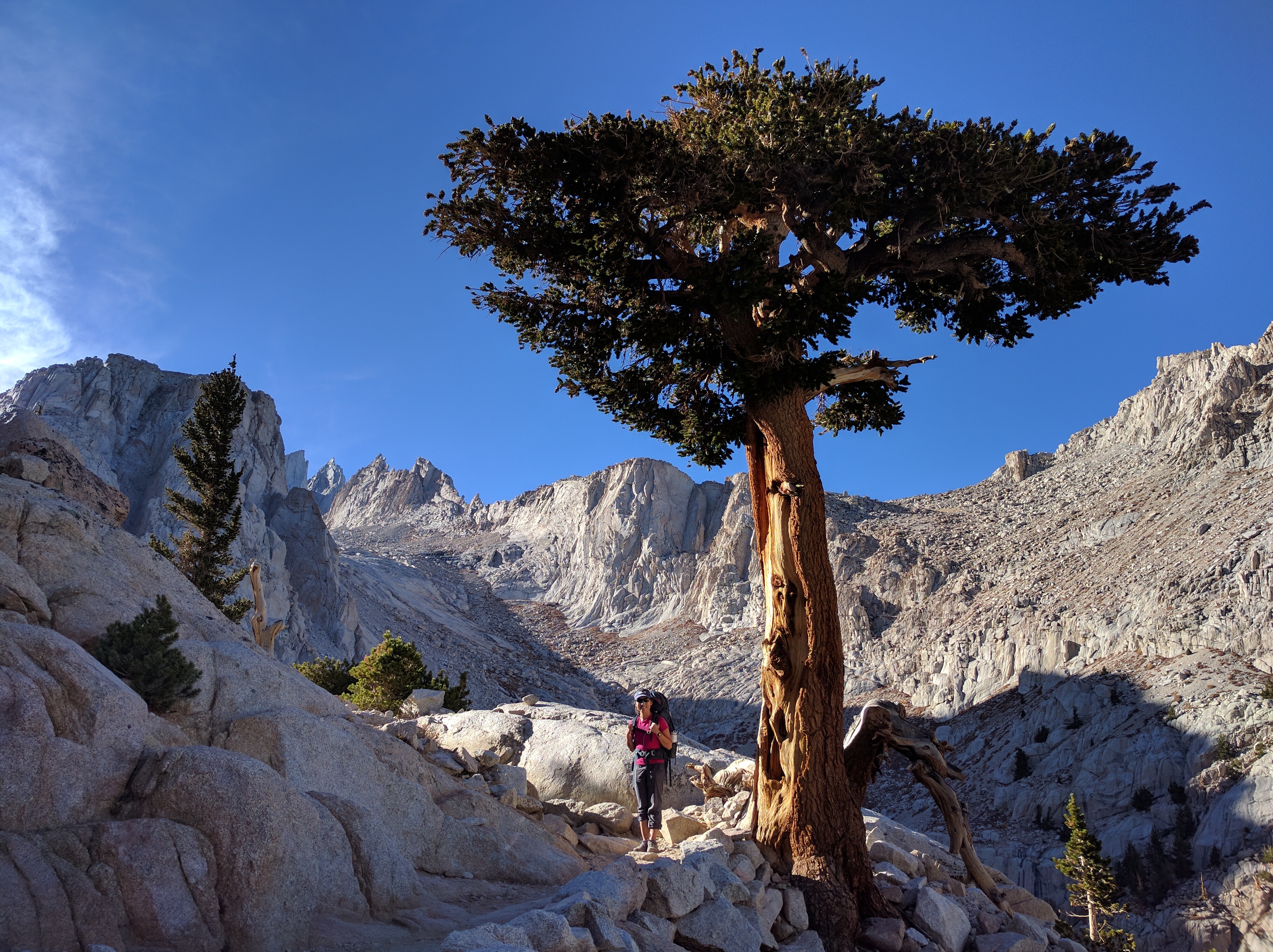
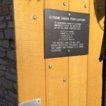
By mountaineering standards, Mount Whitney is relatively easy to summit. Between summer and fall, anyone in decent shape can summit the mountain—no mountaineering experience required. As a result, the 22-mile out and back trail from the east in Whitney Portal is an incredibly popular hike–so popular that a permit is required to summit. Summiting from the west side in Sequoia National Park isn’t limited, but it requires a multi-day backpacking trip instead. An early spring lottery typically distributes all available permits for the hiking season (100 day hikers + 60 backpackers), but no-shows abound the autumn off-season. We walked into the Eastern Sierra Interagency Visitor Center in Lone Pine at 11am on the day of our planned hike, snagged a couple of permits, and set off for Whitney Portal.img_6023
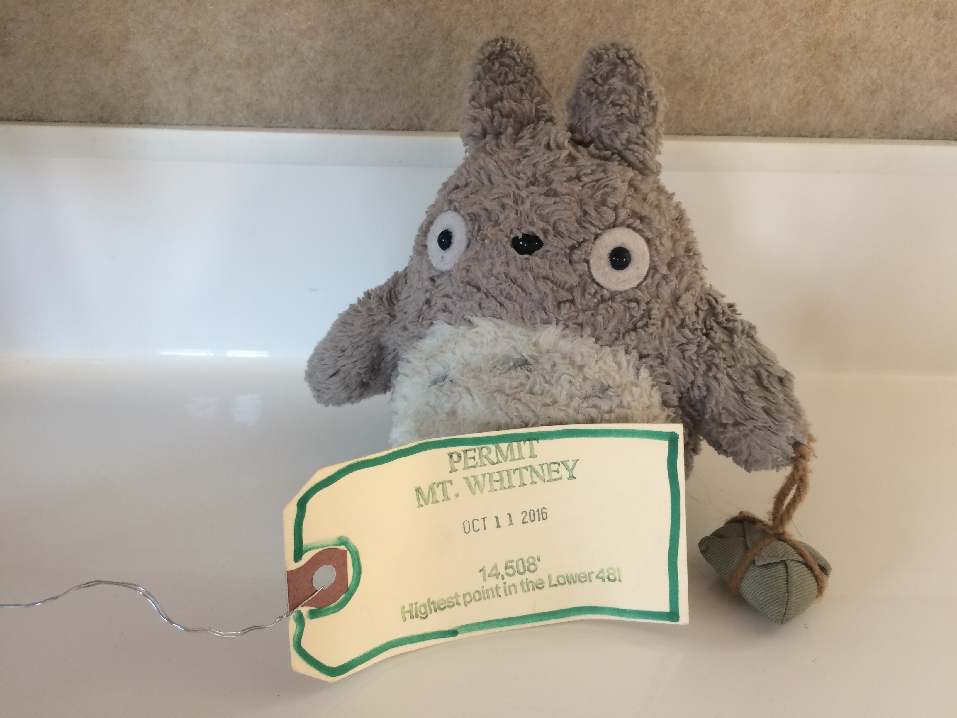
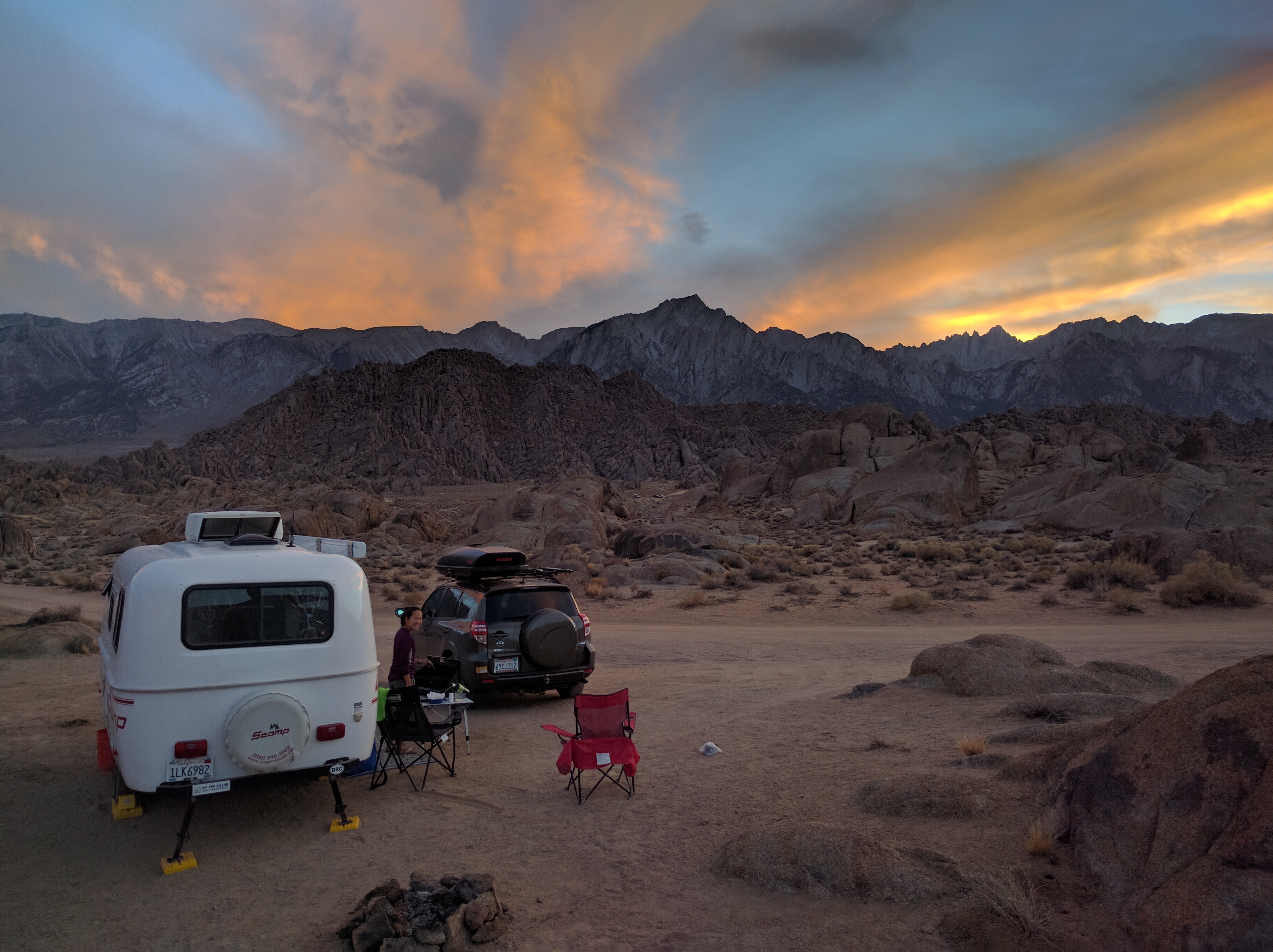
At the trailhead lies the popular Whitney Portal campground, suitable for those summiting Mount Whitney, but at $22/night for nothing more than pit toilets and picnic tables, I preferred to boondock in the stunning Alabama Hills just 12 miles east of Whitney Portal. In addition to being free, the surrounding landscape was stunning and vacant. I wouldn’t have had it any other way.img_5976_fix
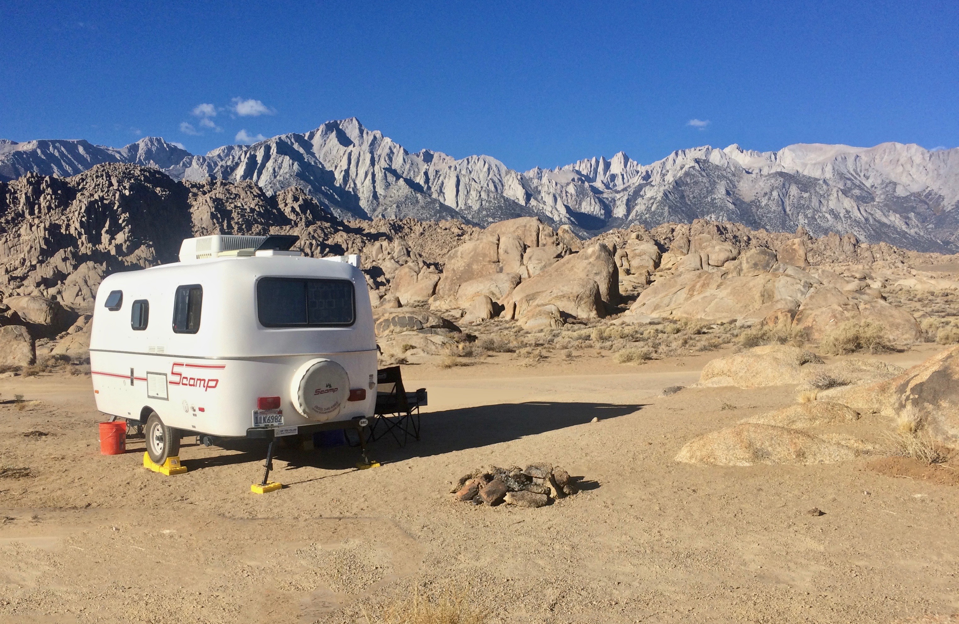
I had never heard of Alabama Hills until I came to summit Mount Whitney. Apparently these wonderful rock formations are well-known in the Hollywood industry; multiple films such as How the West Was Won, Gladiator, and Iron Man were filmed amongst the rock formations with the Sierra Nevada mountain range in the distance.  Preparing dinner outside in this Hollywood backdrop was glorious.img_20161010_182254
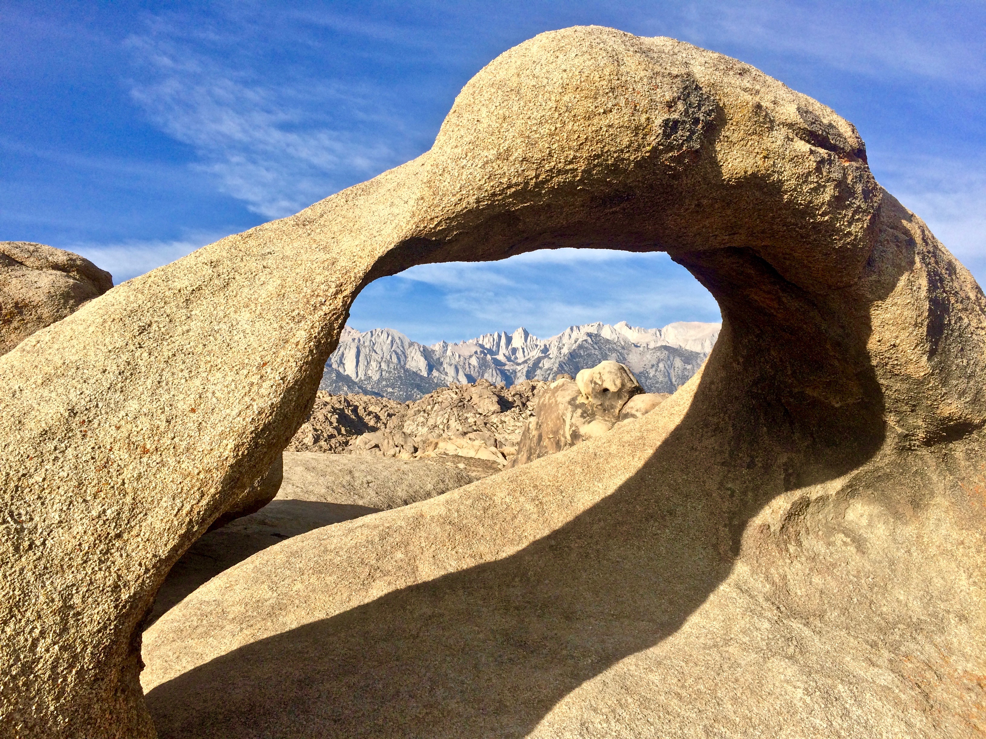
One iconic landmark within the Alabama Hills is the Mobius Arch, particularly for its signature framing of the Mount Whitney crags in the morning. img_6022
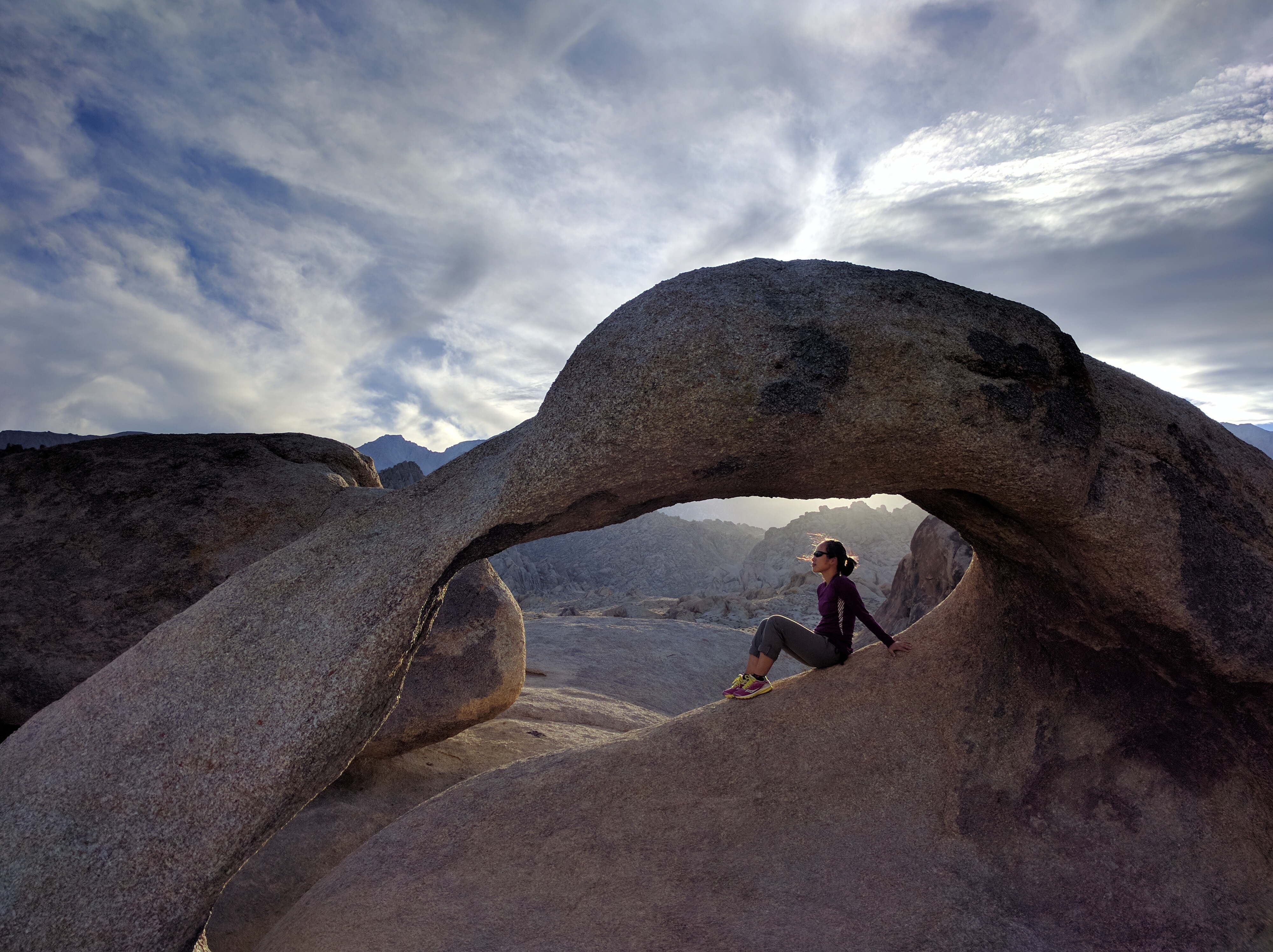
Sunset, too, provides dramatic lighting.img_20161010_171948
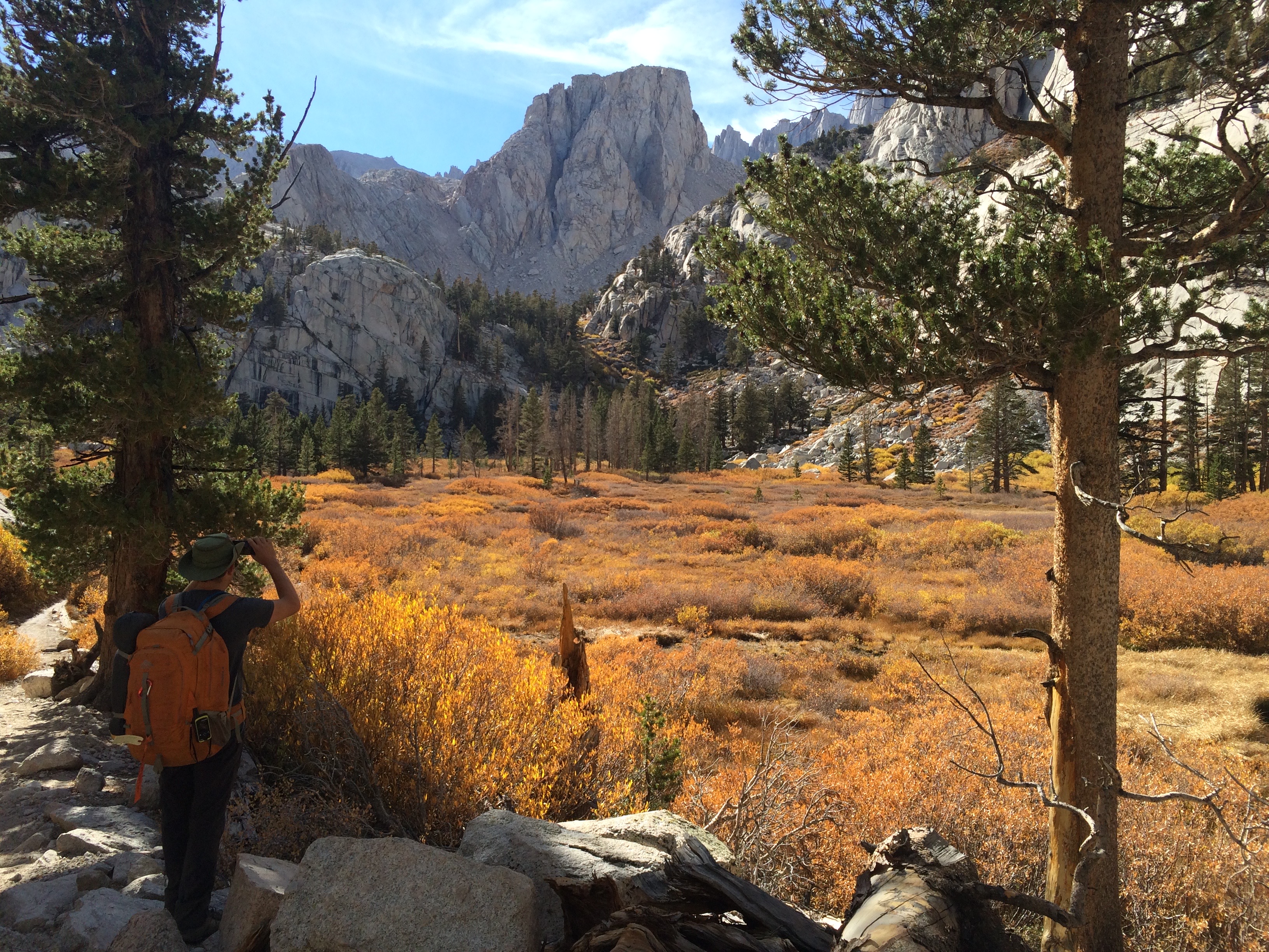
We left our trailer behind in the Alabama Hills while we set out for our 2-day/1-night backpacking trip to the Mount Whitney summit. Since we only snagged permits at 11am that morning, we didn’t hit the trail until a little after 1pm. We only had 5.5 miles to hike until we reached camp, which turned out to be a beautiful trail with picturesque meadows and trees.img_5984img_20161011_160827
A ranger told us that the popular Trail Camp was exceedingly popular, so we camped just about a 5-minute walk east of Trail Camp along Lake Consultation. Not only was it more peaceful than Trail Camp, the views were more phenomenal.

We kept our bear canister a distance from our tent.img_20161011_185116
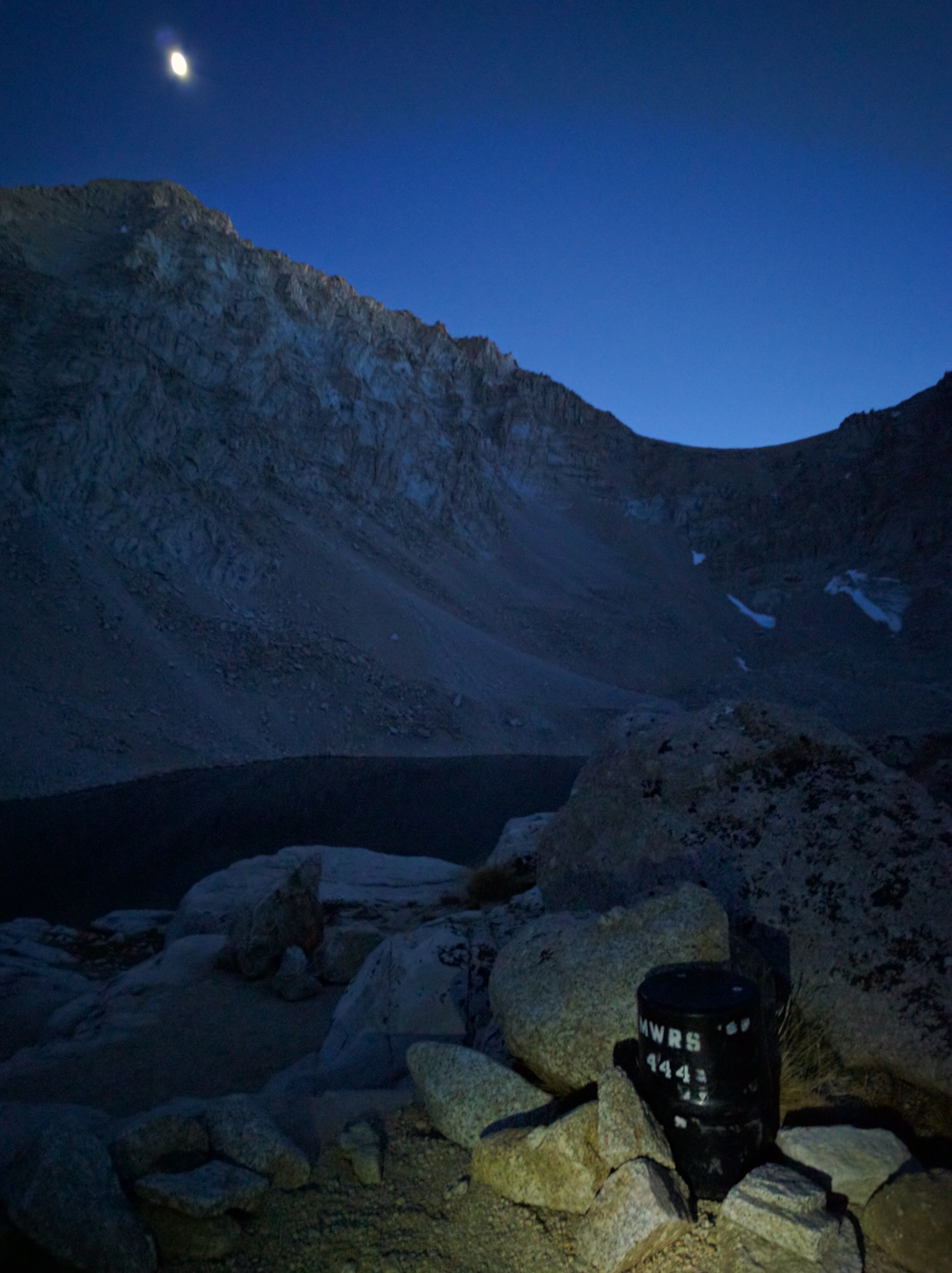
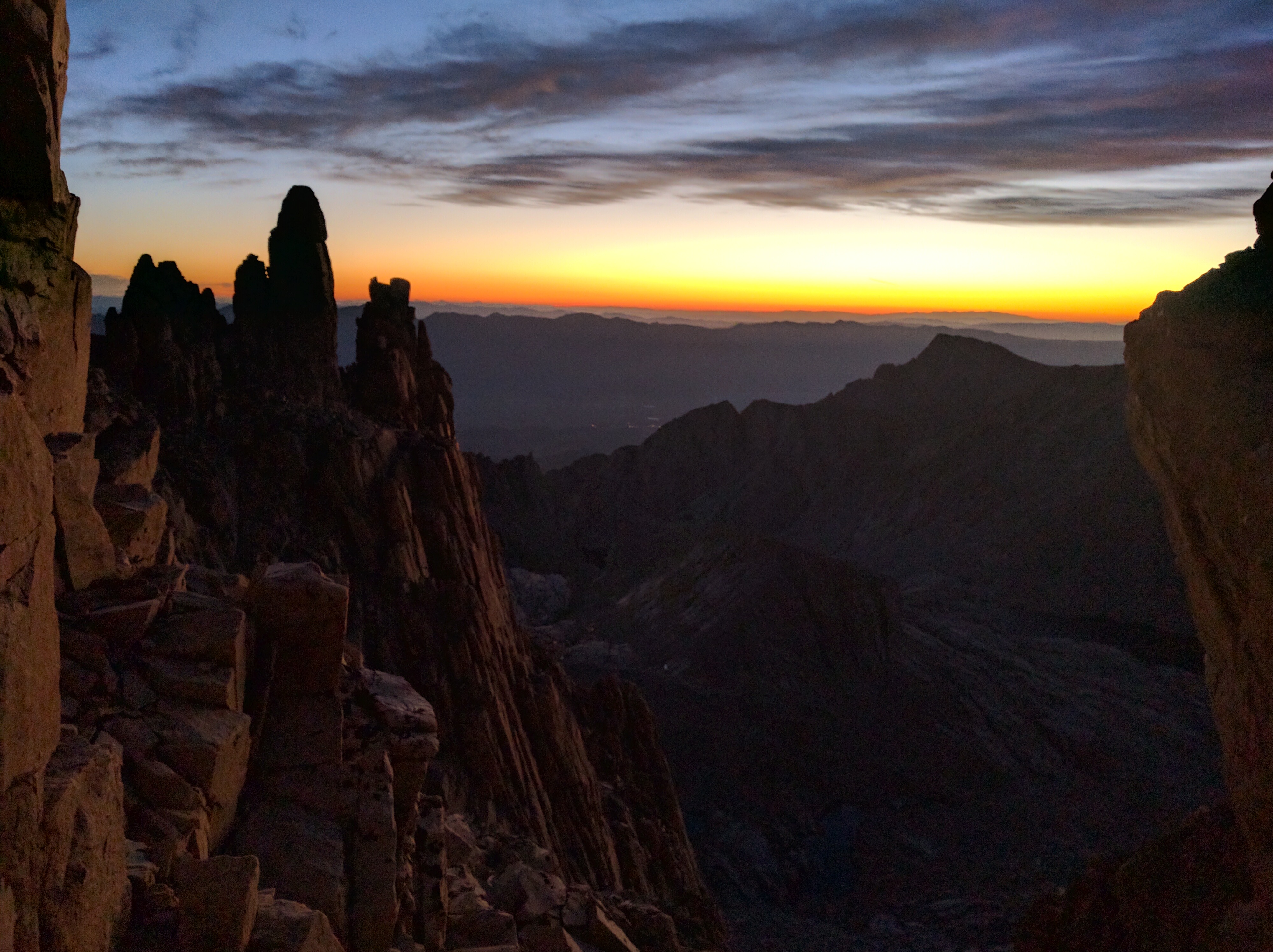
After a crappy night’s “sleep,” we awoke at 3am for a Mount Whitney sunrise summit. Hiking in the pitch dark passed by quickly, and the first glimmer of light filled me with apprehensive excitement.img_20161012_055049
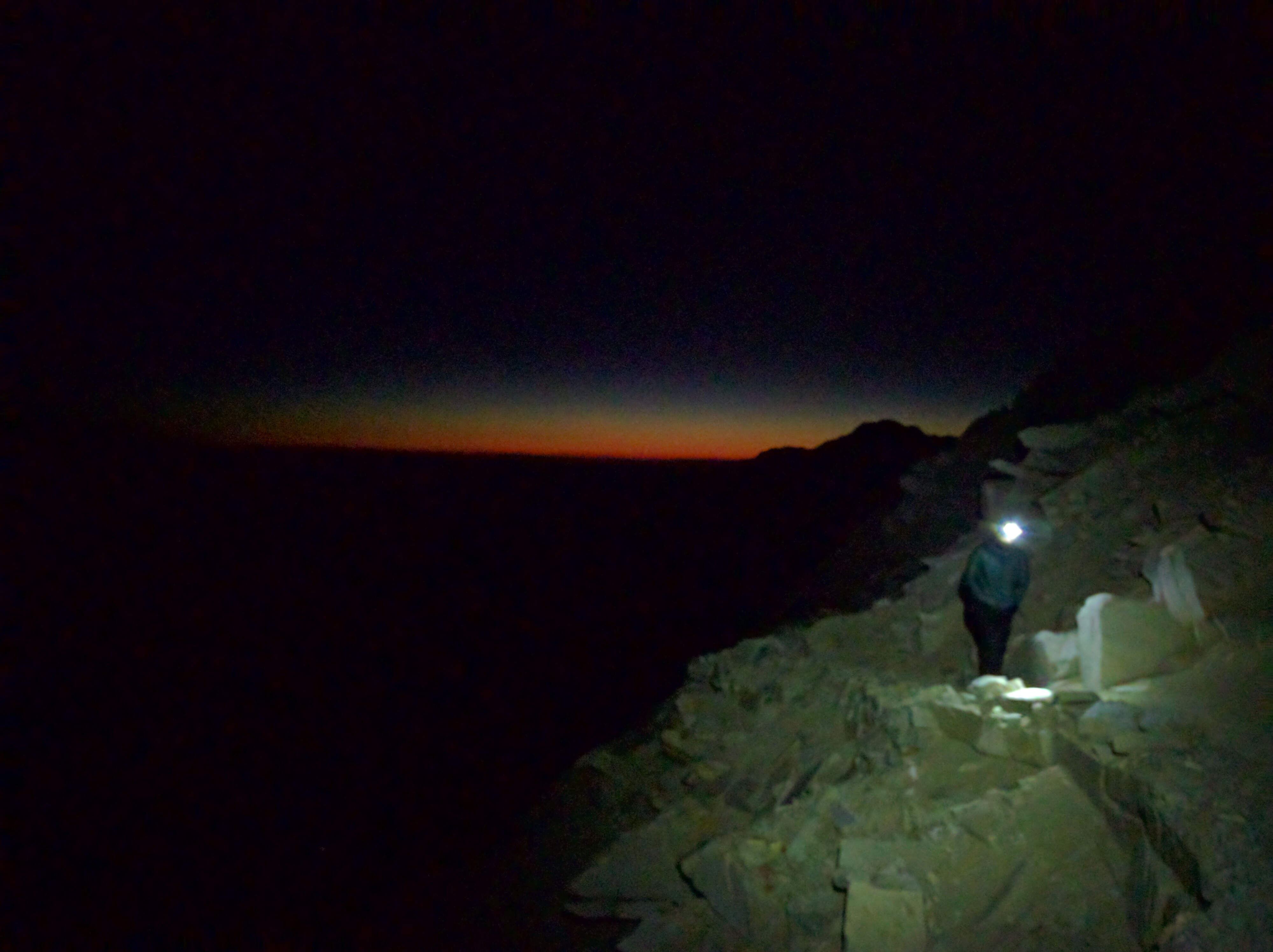
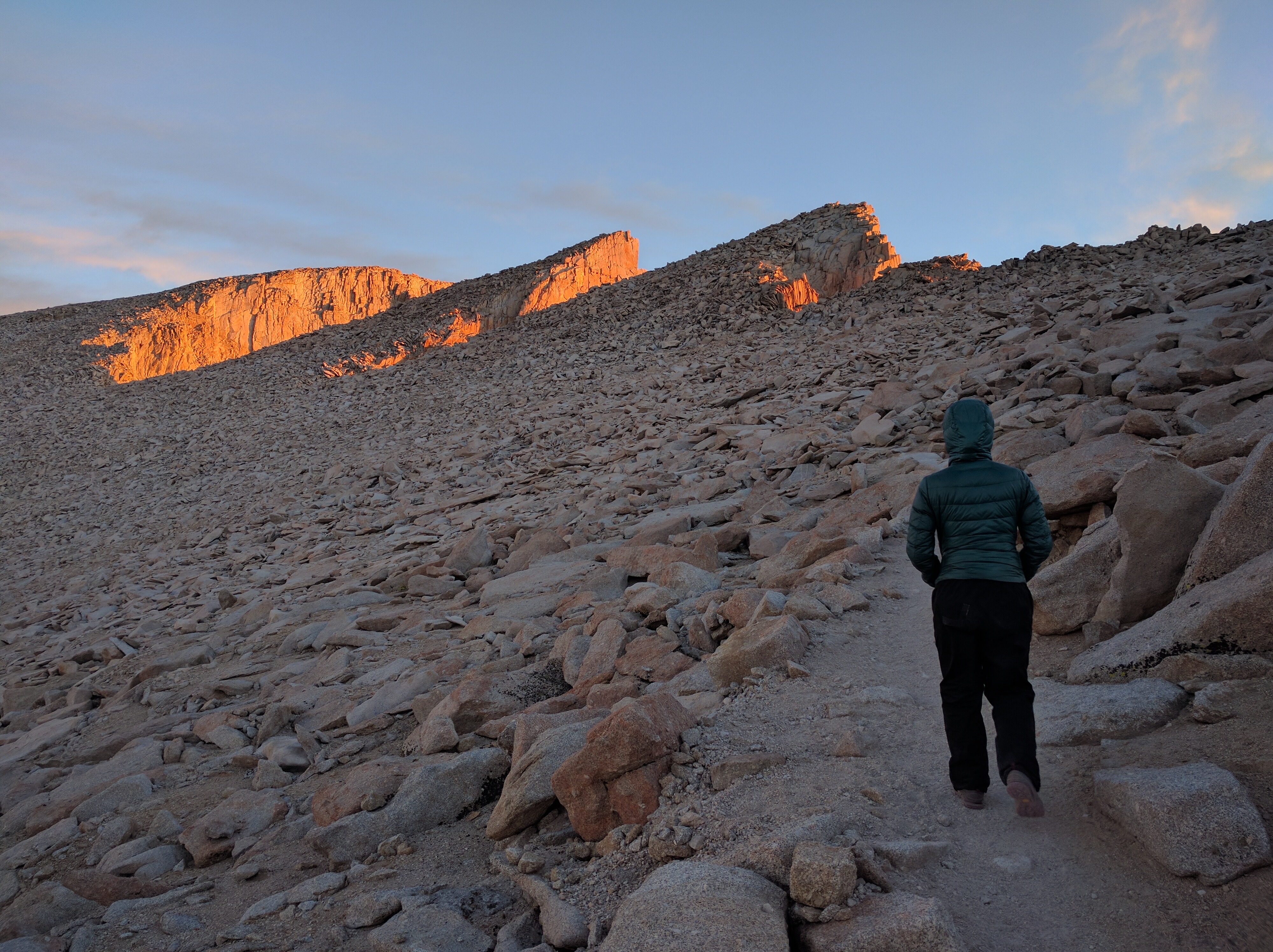
We made it to the glorious crags just before alpenglow.img_20161012_062704img_20161012_063206
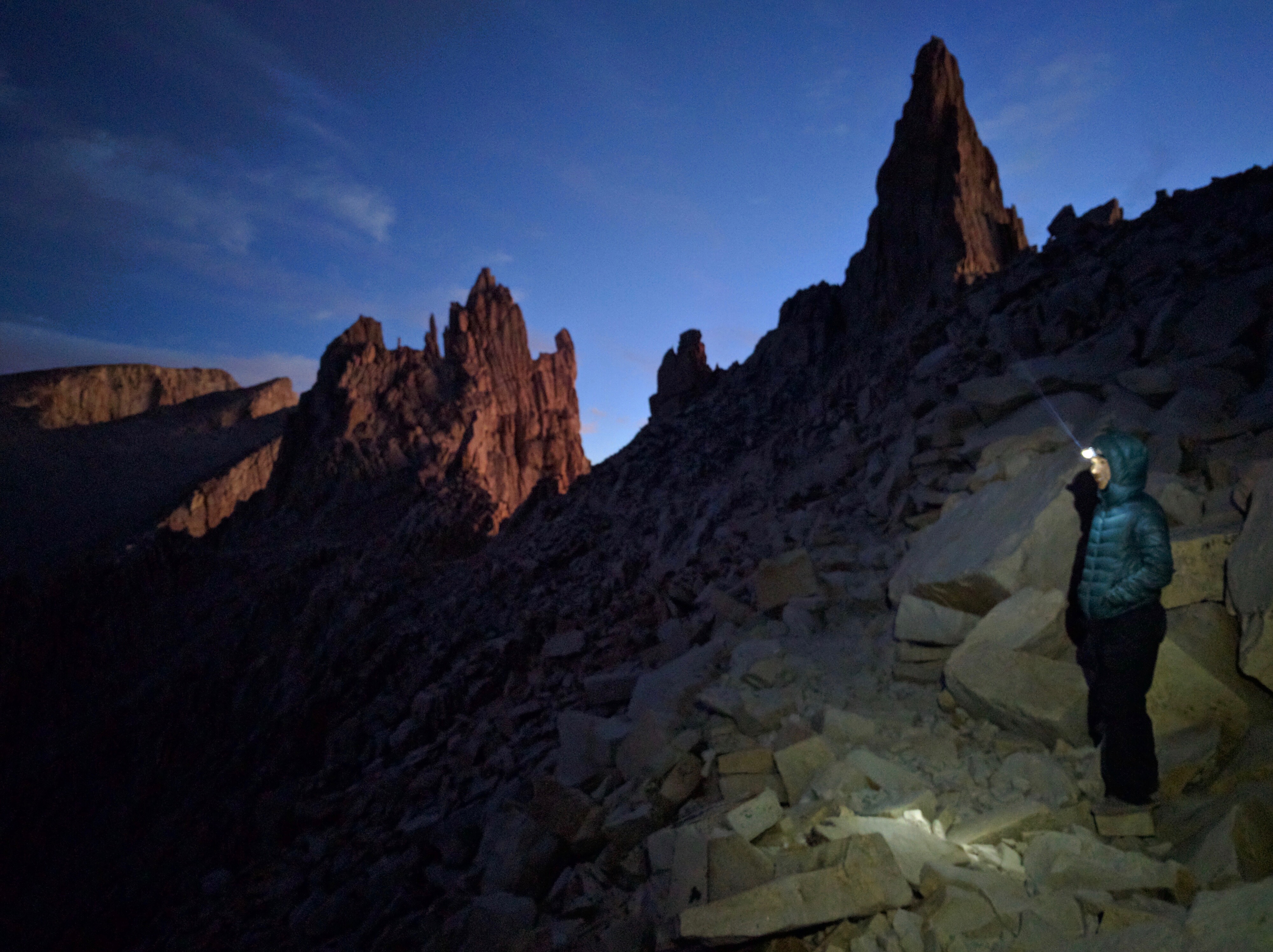
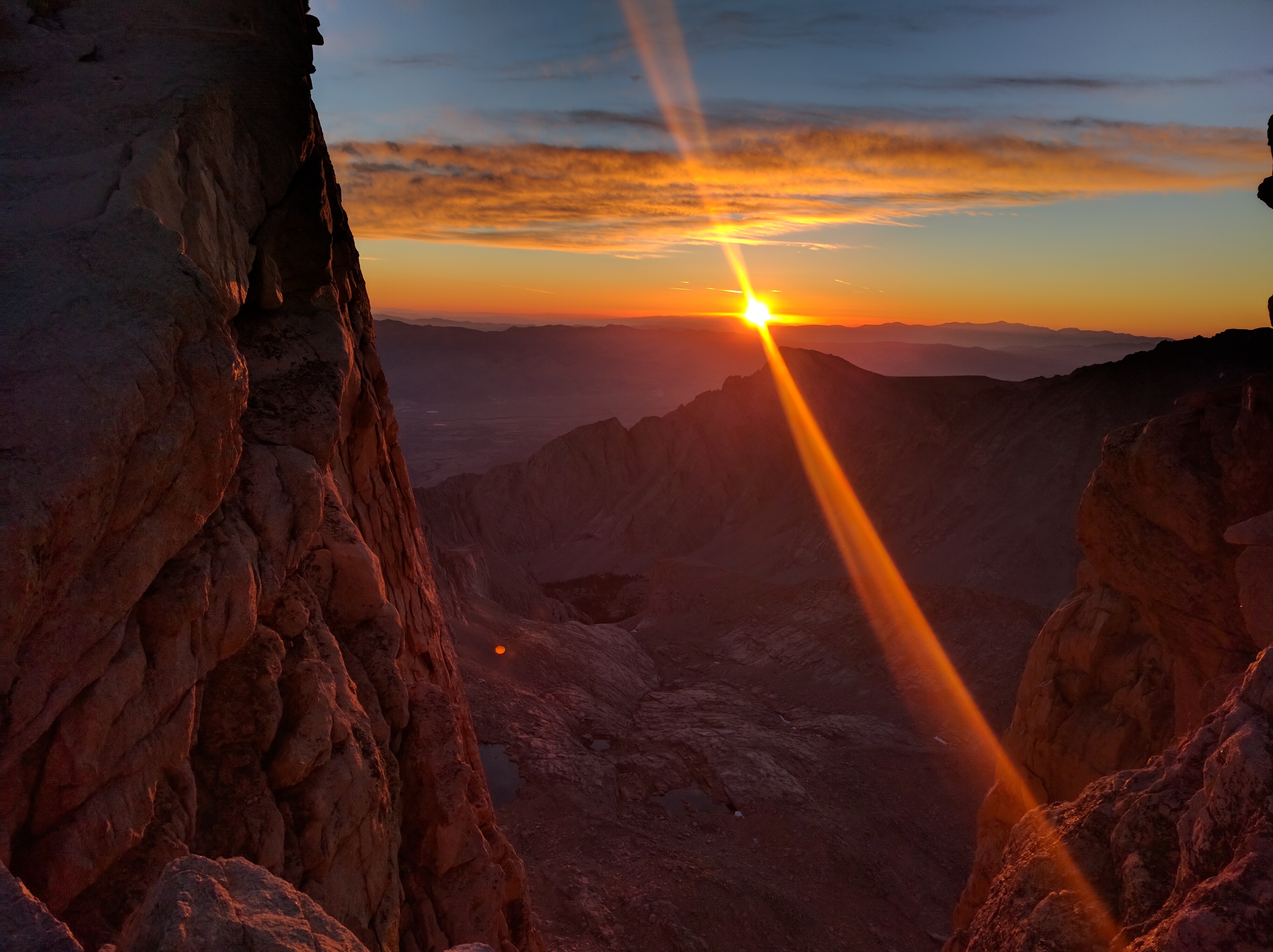
Sunrise between the crags:img_20161012_065450

Alpenglow looking to the west in Sequoia National Park:img_20161012_065920
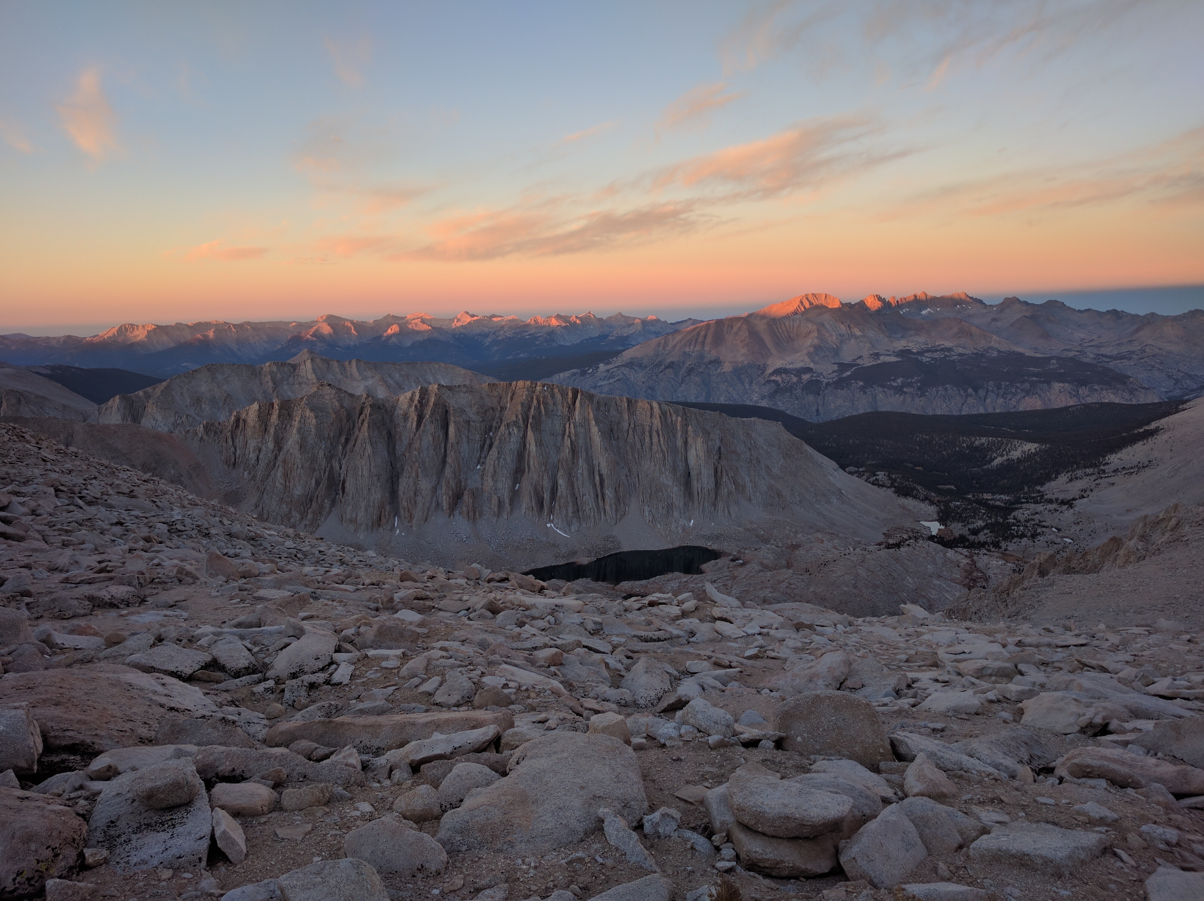
Almost to the summit:img_20161012_065740

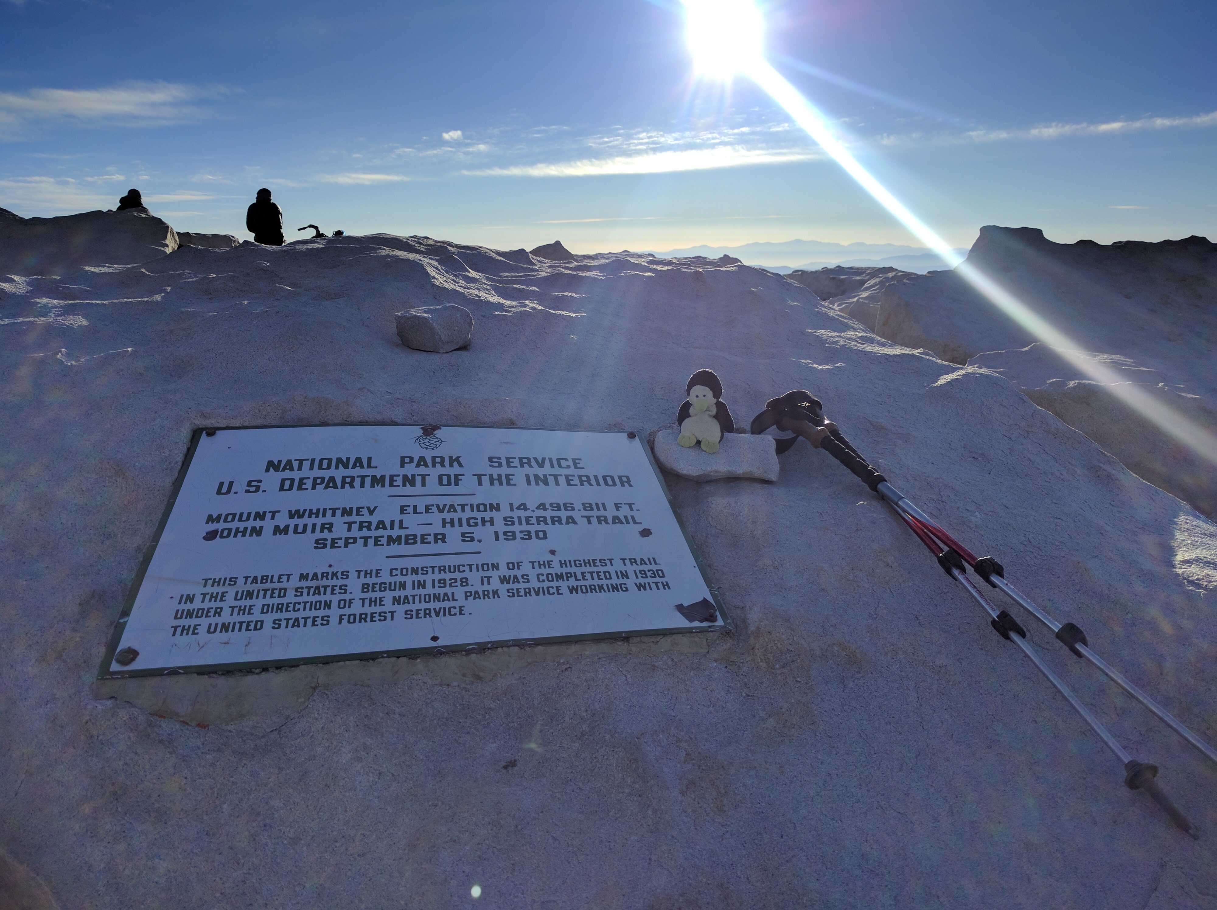
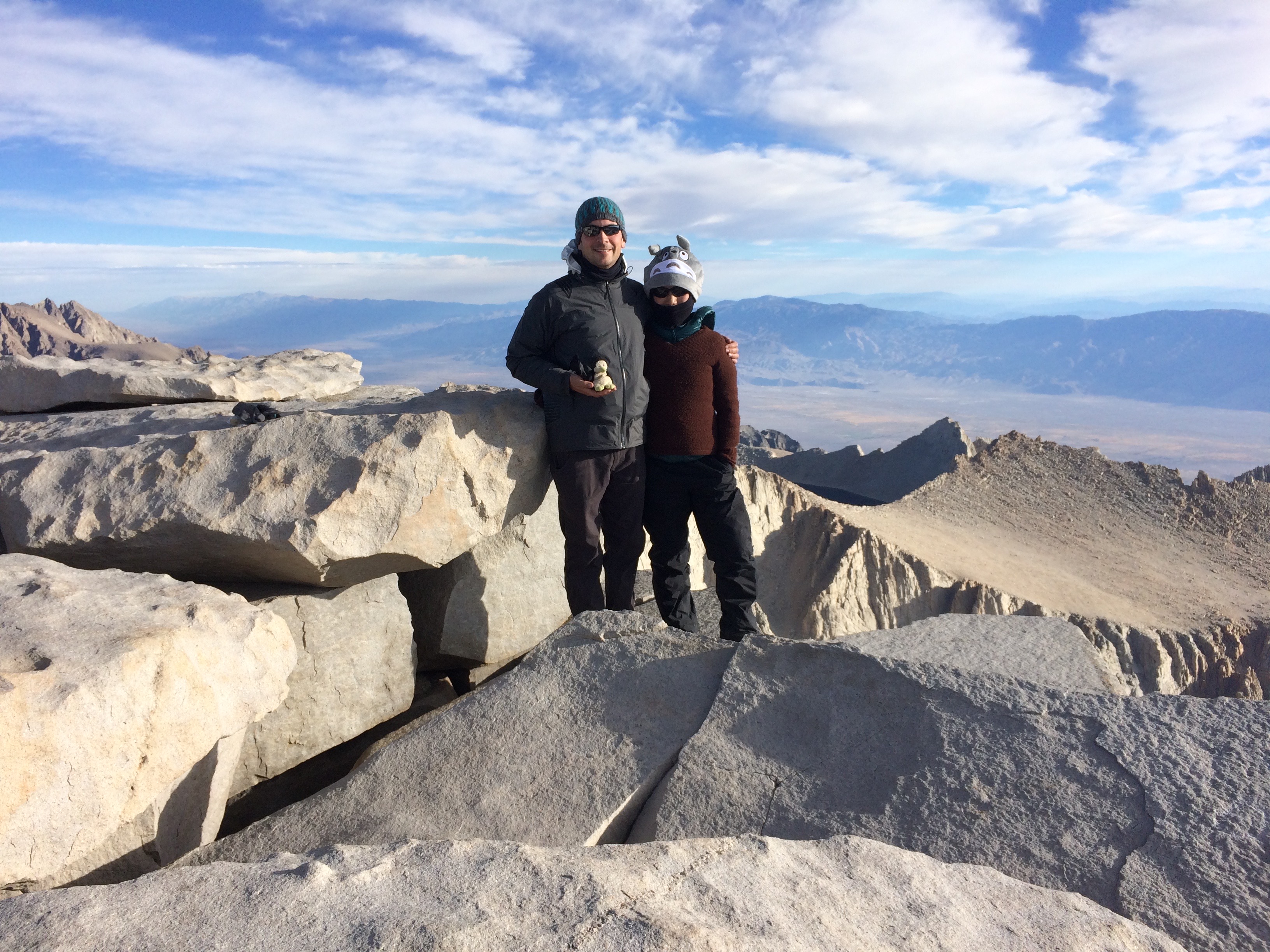
And finally, the summit!img_20161012_075524img_6002

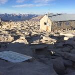
There was even a hut at the summit, apparently for hikers who unfortunately get struck by lightning. Lesson: Don’t attempt to summit if it looks like rain!

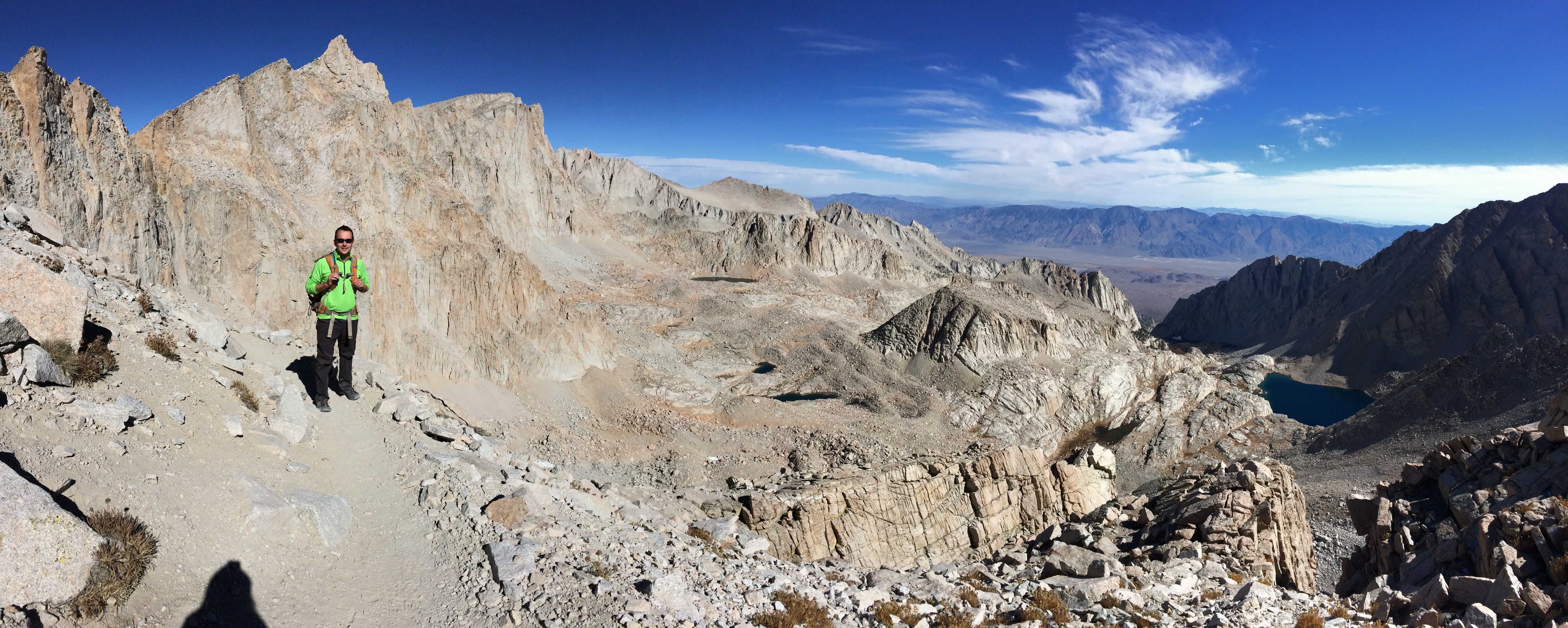
On the way back down, we quickly realized how hiking in complete darkness was probably a better idea than hiking in daylight. The darkness had prevented us from seeing just how steep all the switchbacks were! There were multiple moments where we looked up incredulously, exclaiming, “We hiked up all that?!”img_6007img_6010
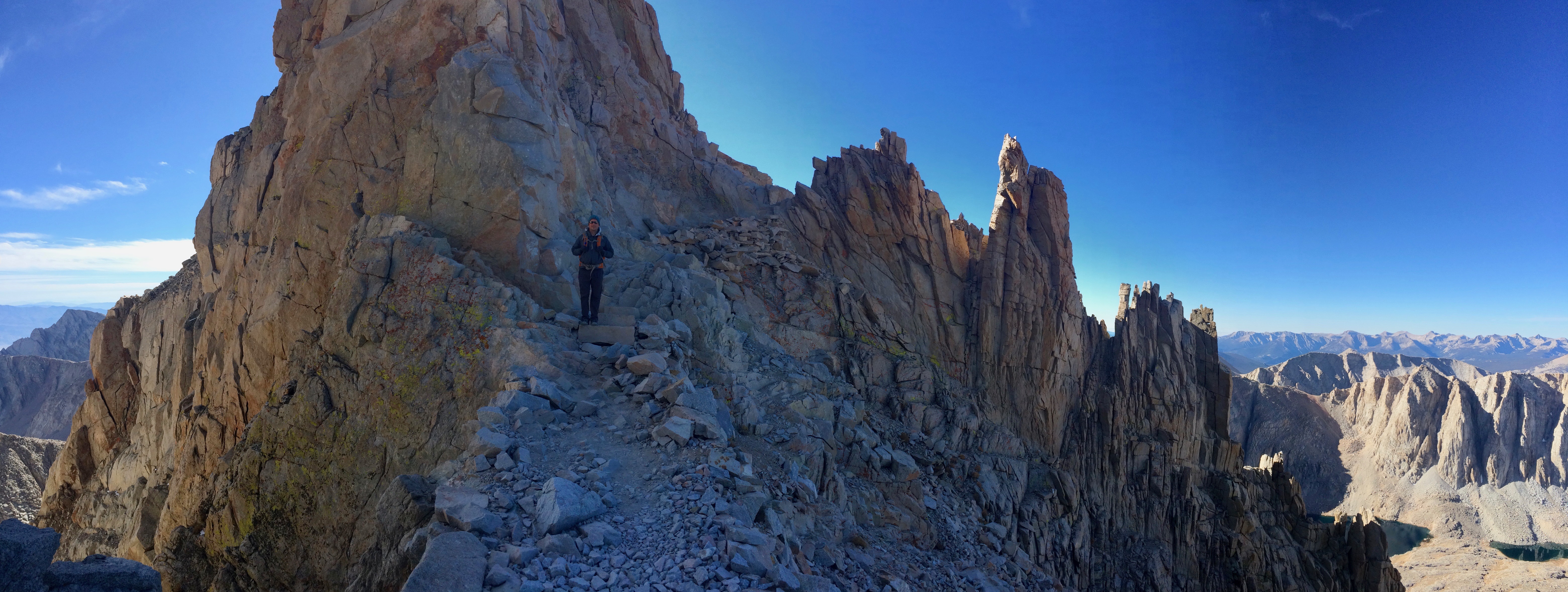
As opposed to seeing only three other hikers for a sunrise summit from the east side, there were dozens of hikers attempting to summit after 9am–on a weekday in October! Fall offered us not only windless, perfect weather for hiking, but also plenty of permits to snag at the last minute.  We’ve summited plenty of conical mountains and volcanoes, but none craggy at the top.  Thanks to Mount Whitney’s unique rock top, we witnessed an incredible summit alpenglow and sunrise.  And thanks to the nearby Alabama Hills, we were able to camp in a movie set…for free! Even for those not interested in summiting Mount Whitney, the Alabama Hills are well worth the visit.

Posted in California | Tagged , , , | 2 Comments

Joshua Tree

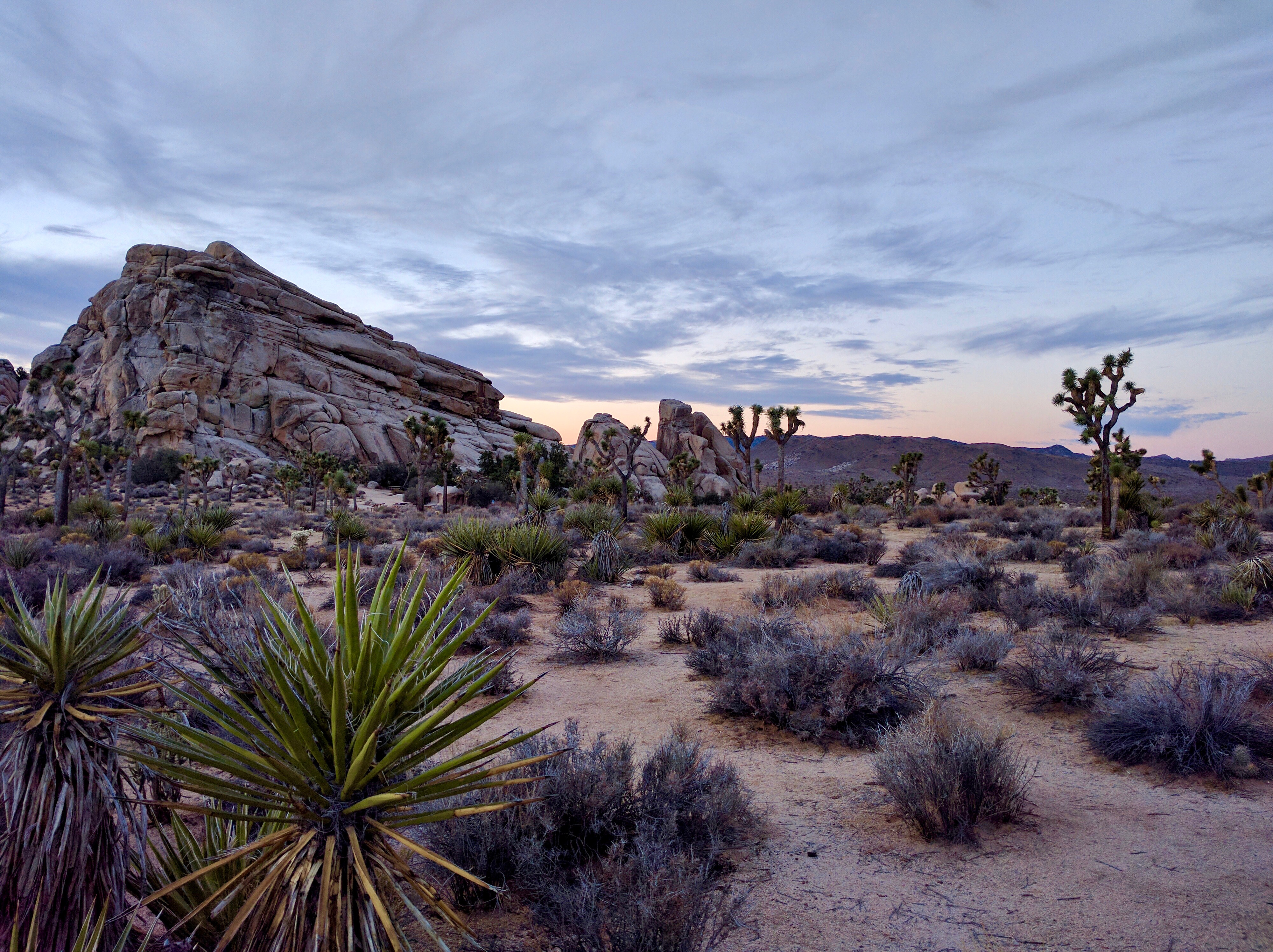
I didn’t think I’d like Joshua Tree National Park.  I typically prefer the more “traditional parks” that consist of deep canyons or mountains, forests, and lakes.  I figured Joshua Tree NP would just be a boring desert with a bunch of cool trees, right?

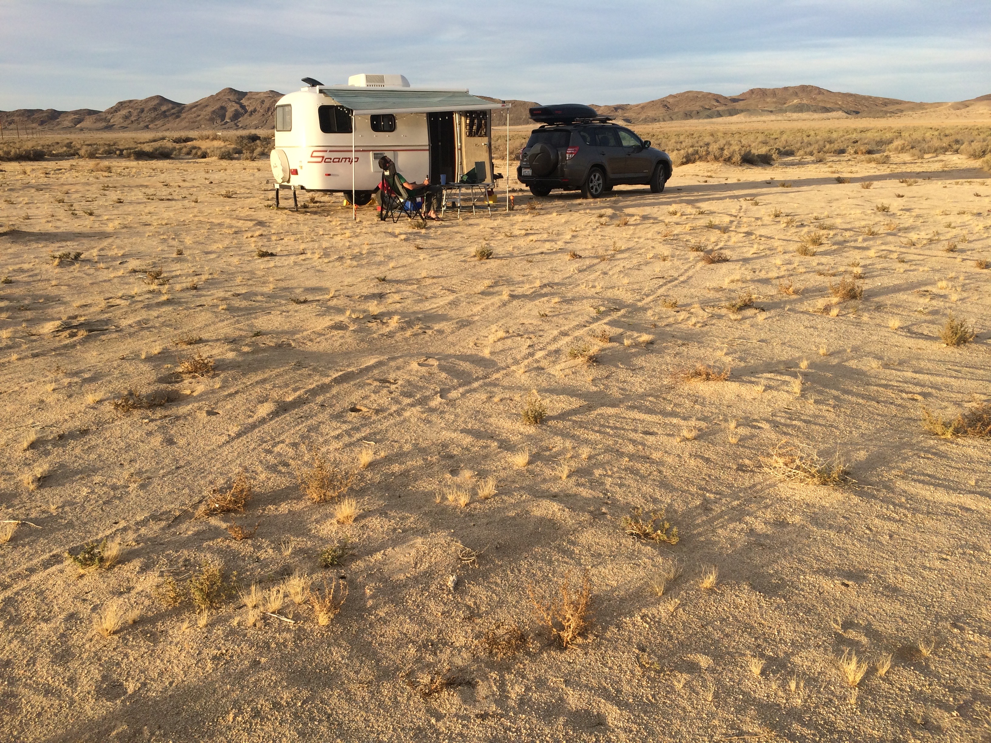
Free camping on BLM land outside of Joshua Tree NP:img_5875

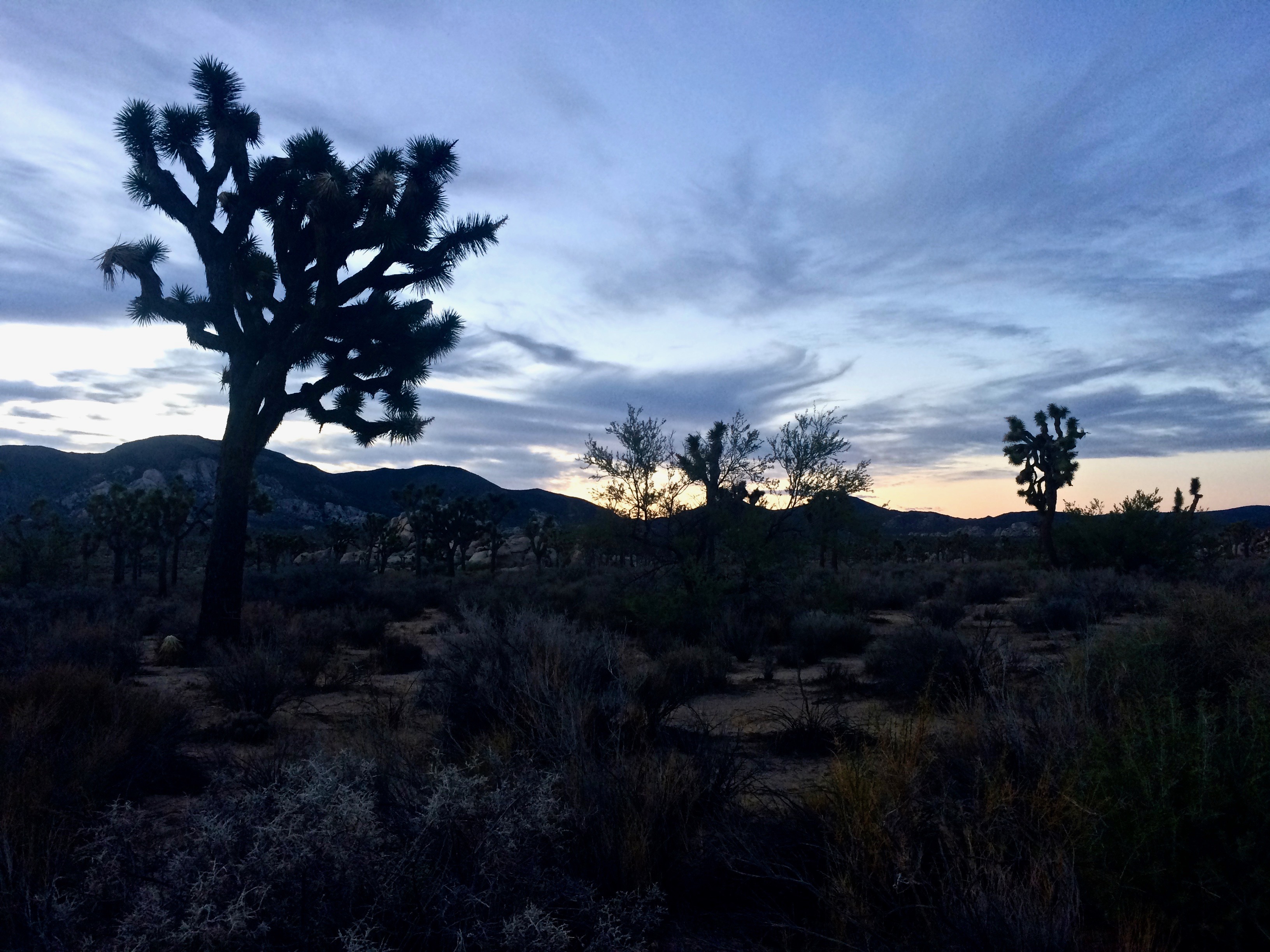
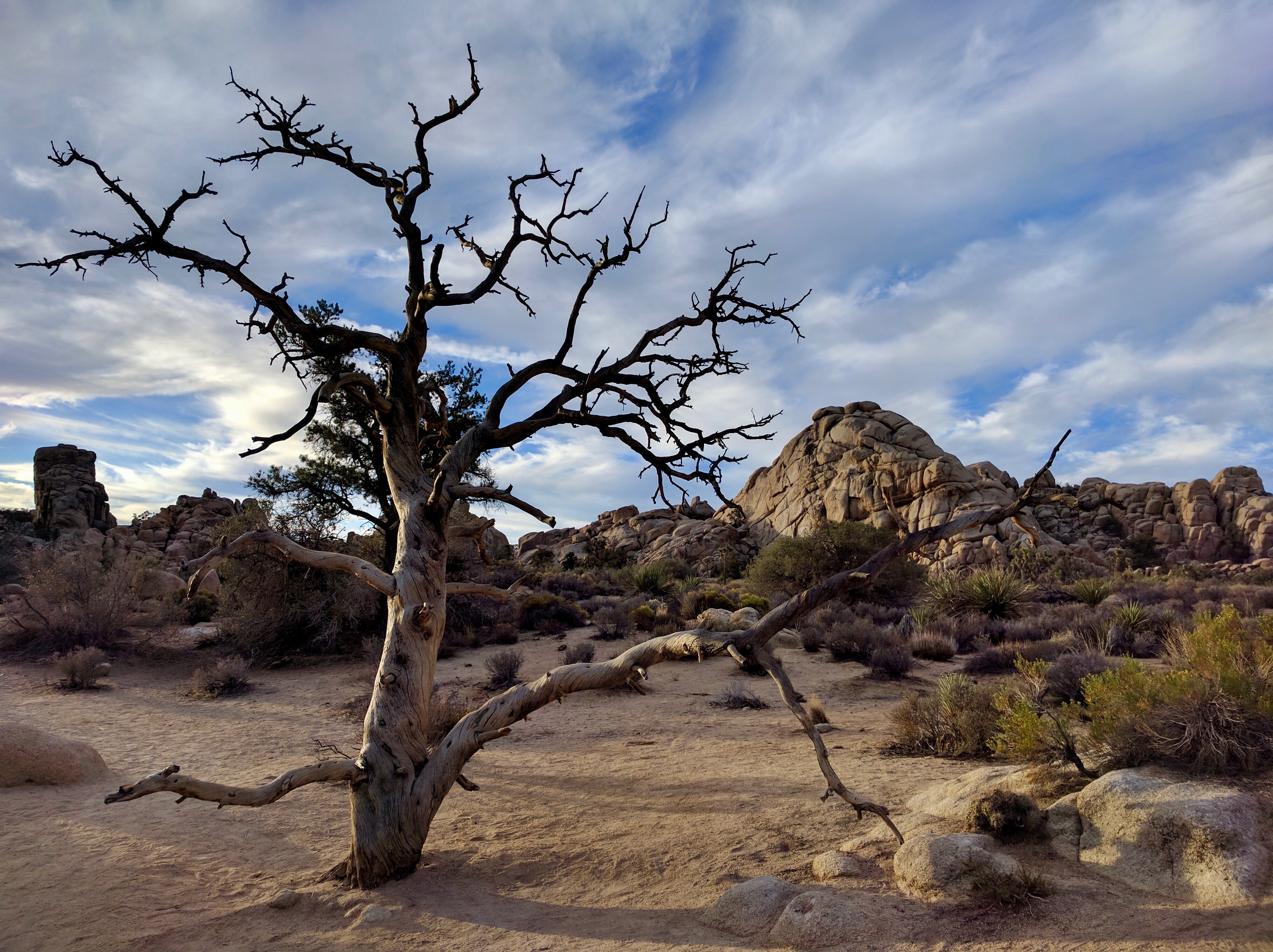
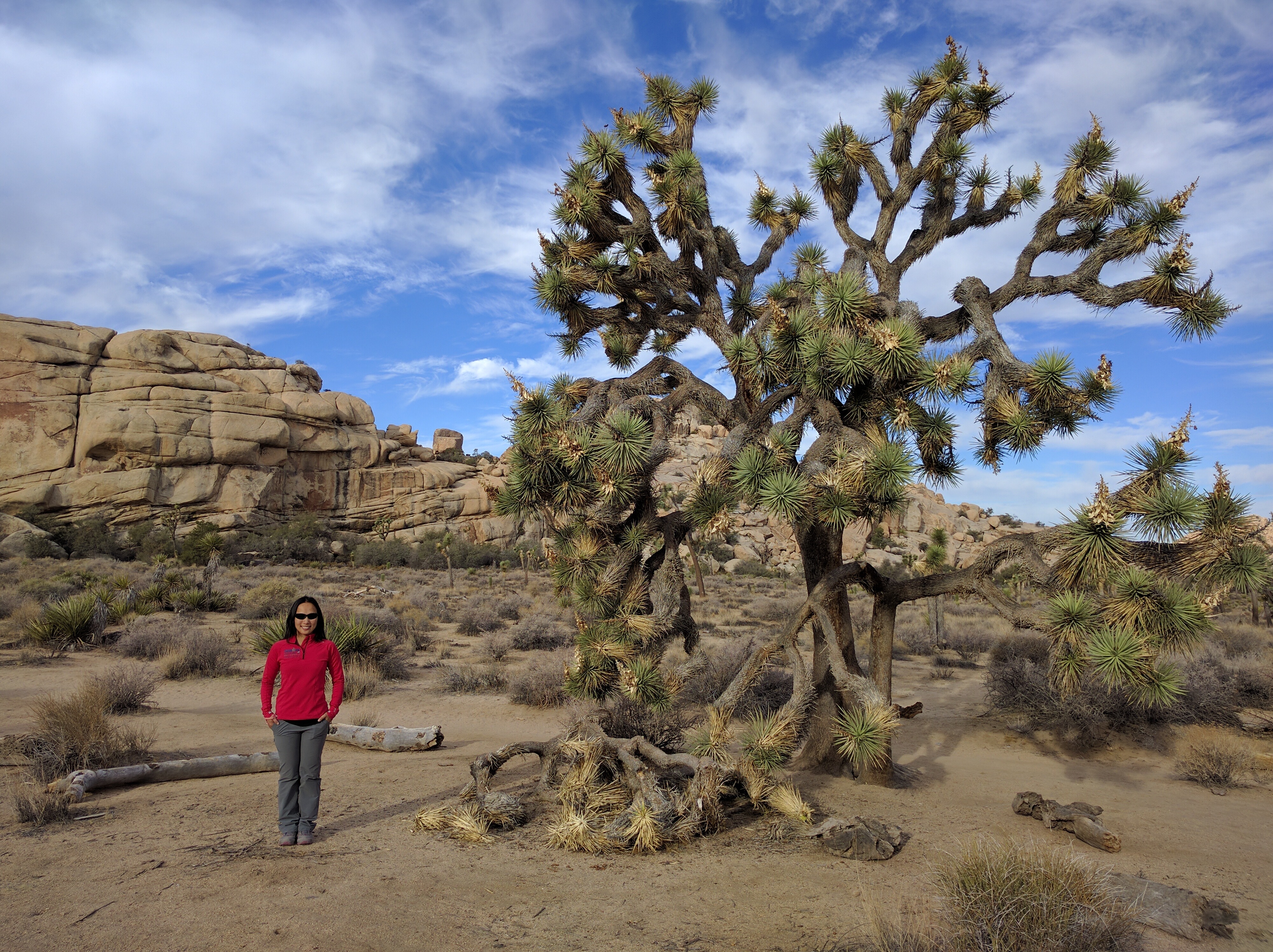
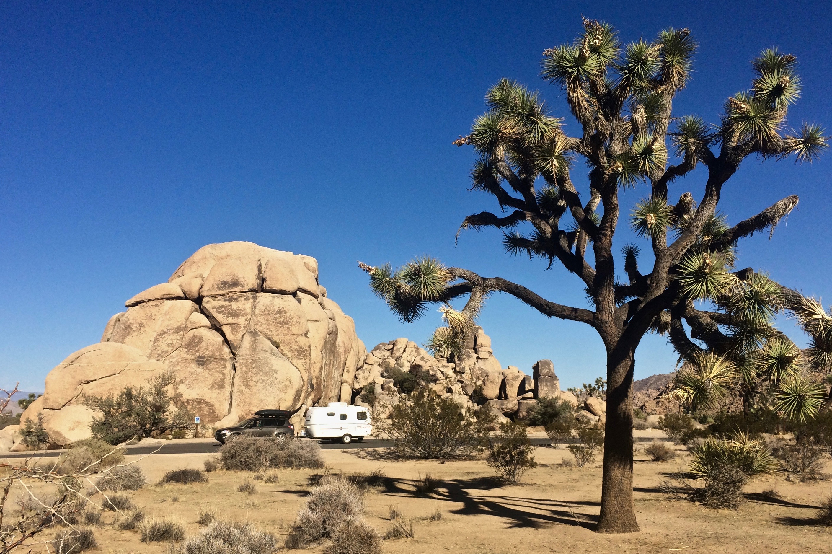
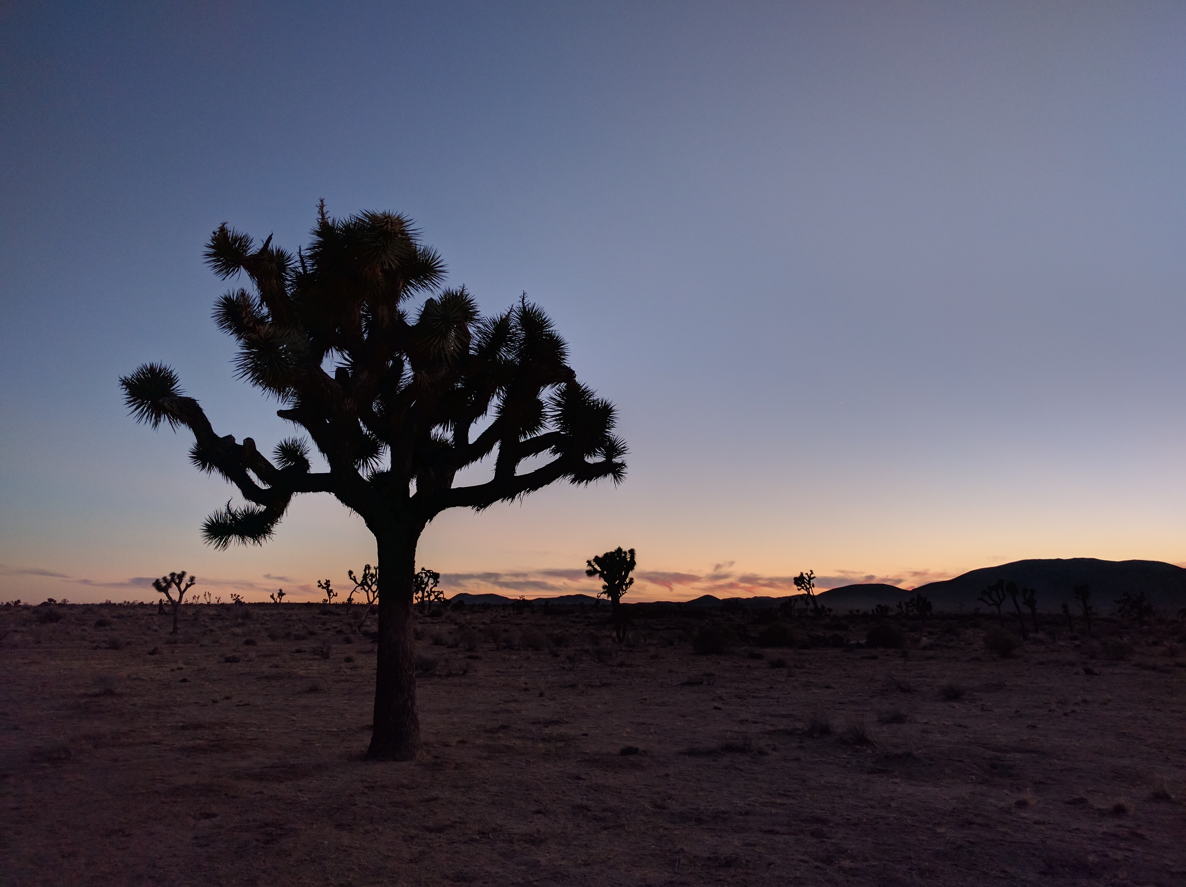
Within minutes of entering the park, I figured how very wrong I was, especially during the magic hour of sunrise.  Silhouettes of the gnarled trees beckoned us as we drove down the vast, empty road, and it became understandable why artists, poets, and nature lovers personify these trees.  I, too, became enamored by these trees, and yearned to grab them by the arms and dance in the desert twilight.img_5877

Compared with the 20+ national parks we’ve visited, Joshua Tree NP truly leaves a lasting impression.  With its alien world of spiky trees and rock formations, it is difficult to imagine such a place exists on this planet.  But it DOES exist, which is why there are national parks to begin with–to show the world just how incredible certain parts of the world can be.

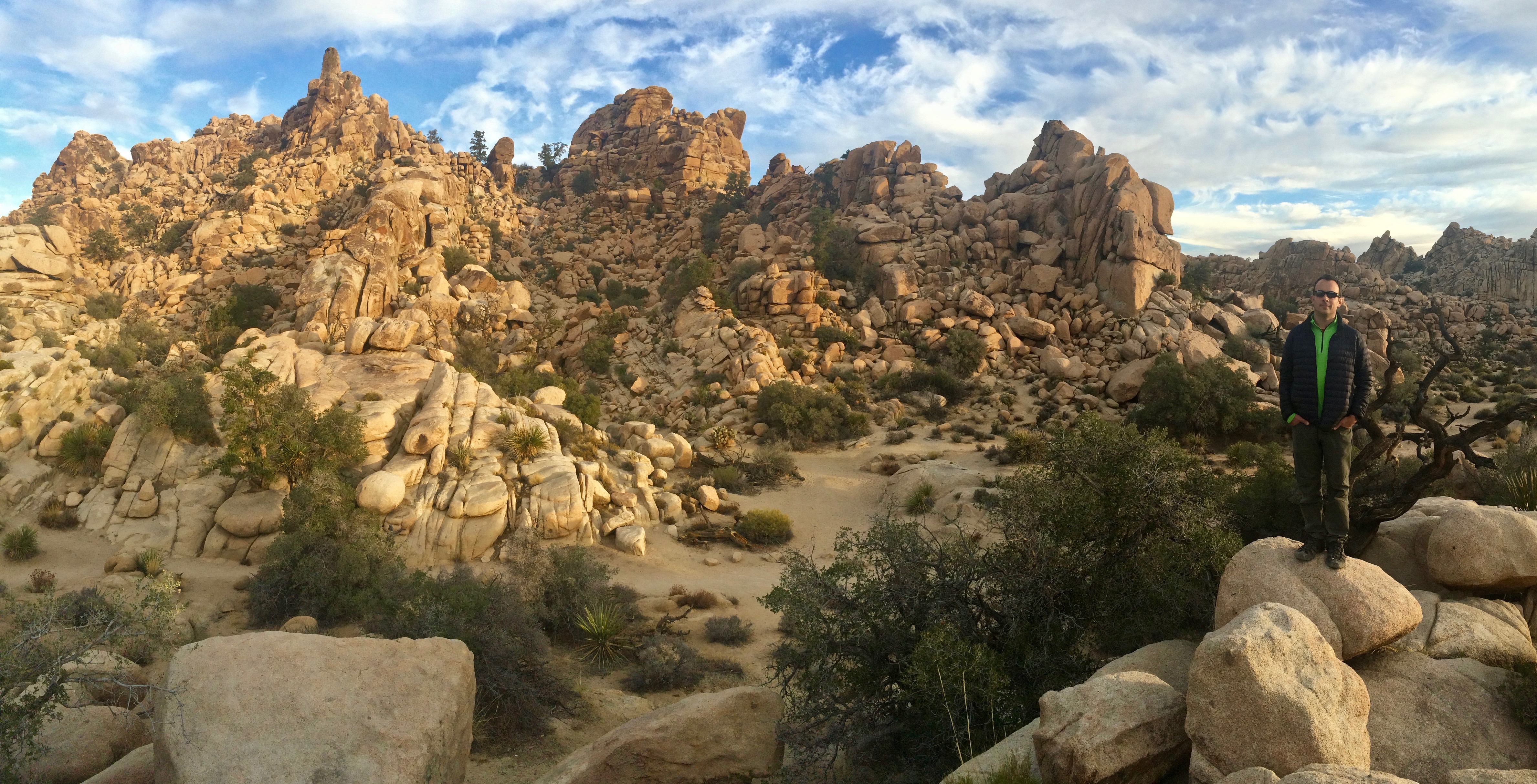
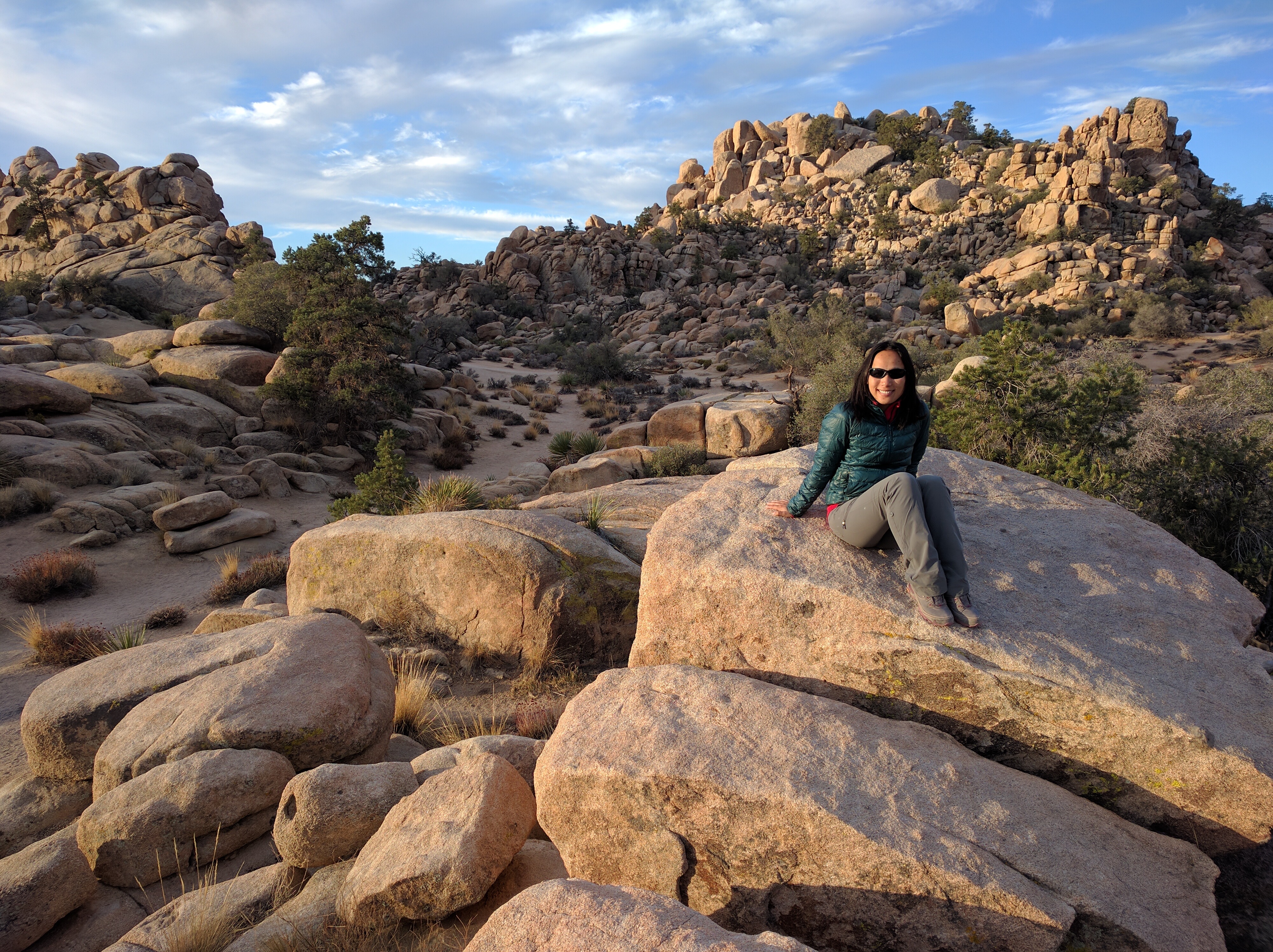
Who knew that desert landscapes could be so beautiful?  Perhaps the most scenic and popular trail in the park is the 1-mile Hidden Valley loop trail, where ranchers once rustled cattle.  We watched sunrise at Hidden Valley and had the typically crowded valley all to ourselves.img_20161008_064058img_5888img_20161008_072020img_20161008_072801

We then proceeded to the neighboring Barker Dam, which unfortunately had no water in the fall season.  The trail was still scenic, but not as gorgeous as Hidden Valley.img_20161008_082133

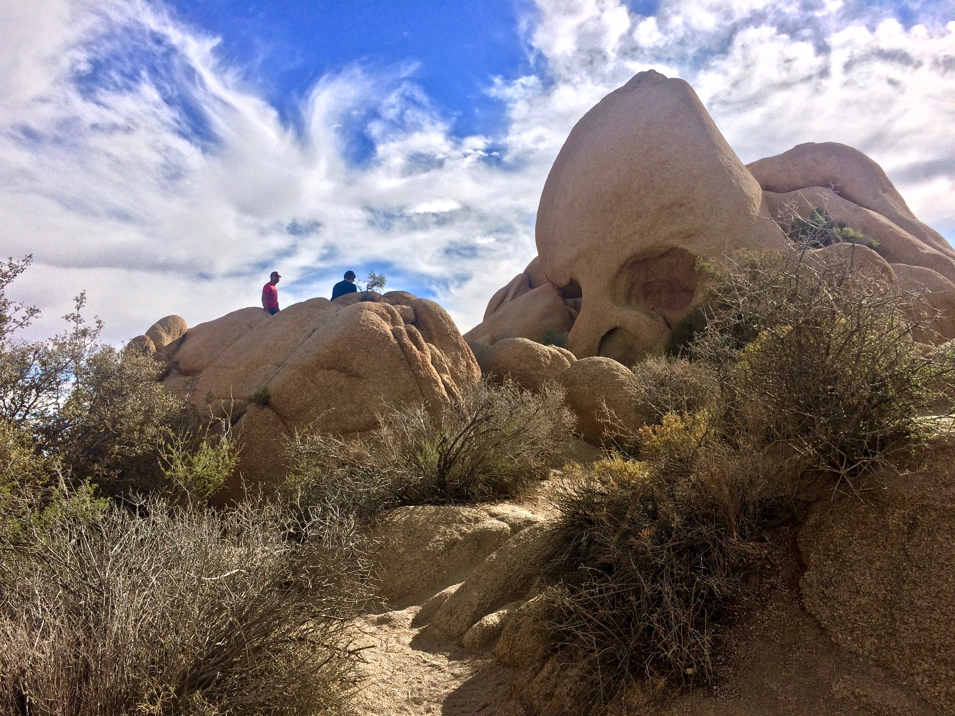
Attractions along the road include Skull Rock:img_5905

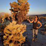
And a sprawling “garden” of cholla cactus, a surreal landscape for sunrise or sunset:

The Quail Springs Rock Exhibit Area is popular amongst rock climbers and boulderers. img_5936

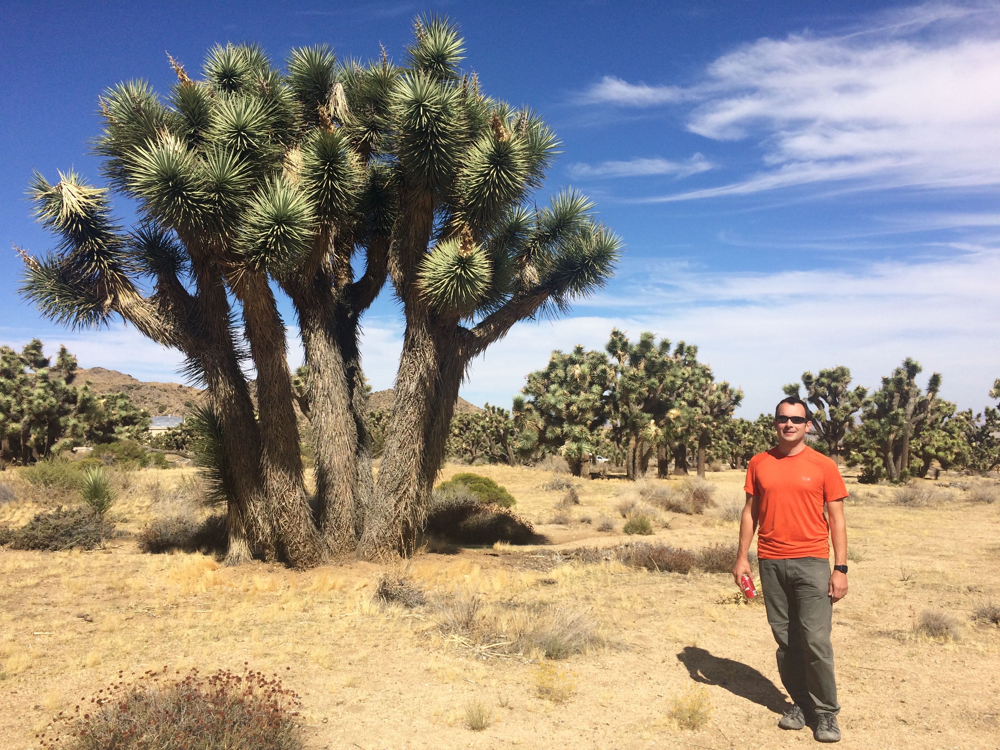
And the densest concentration of Joshua trees can be found in the higher region of Black Rock Canyon.img_5908

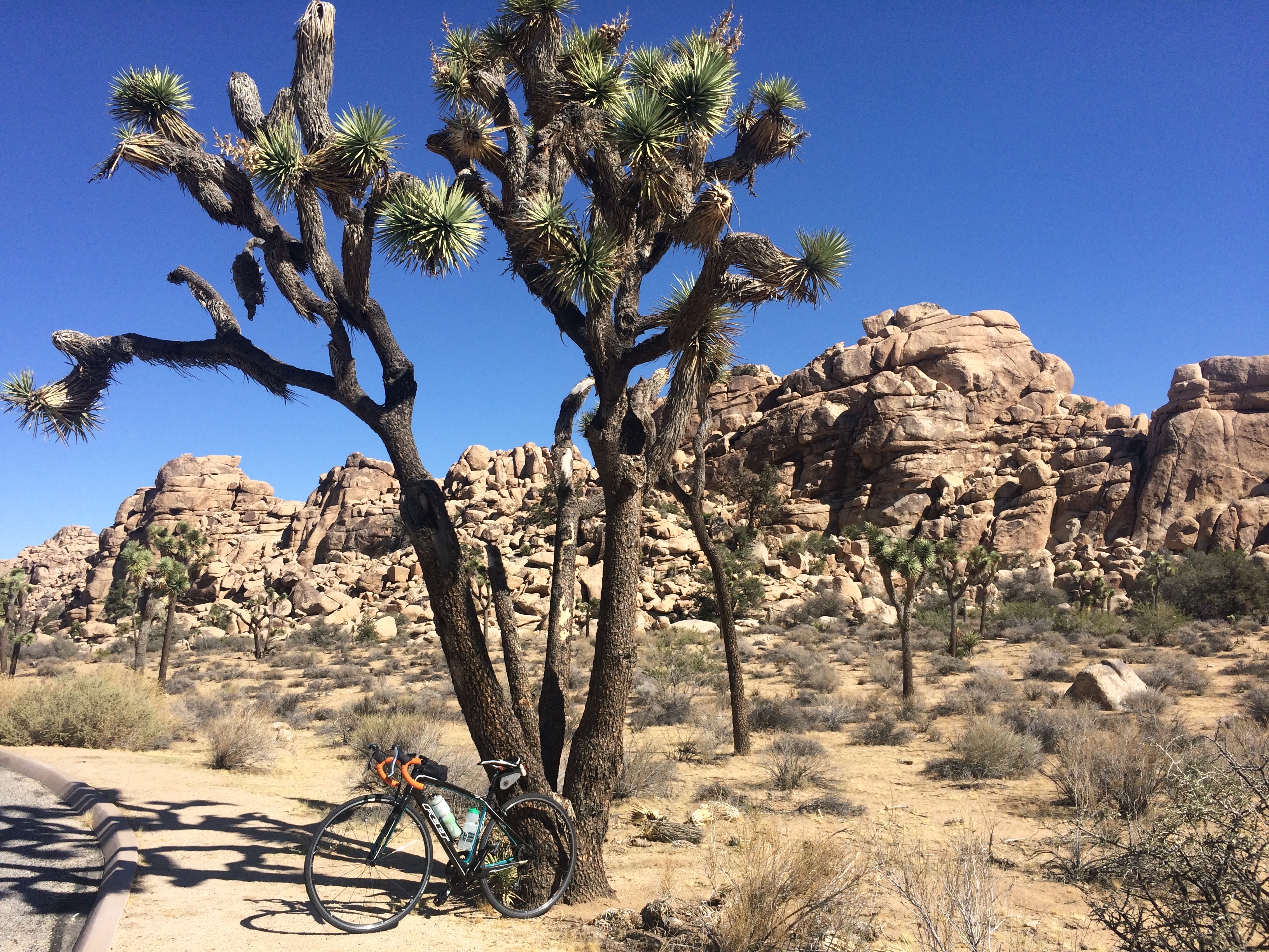
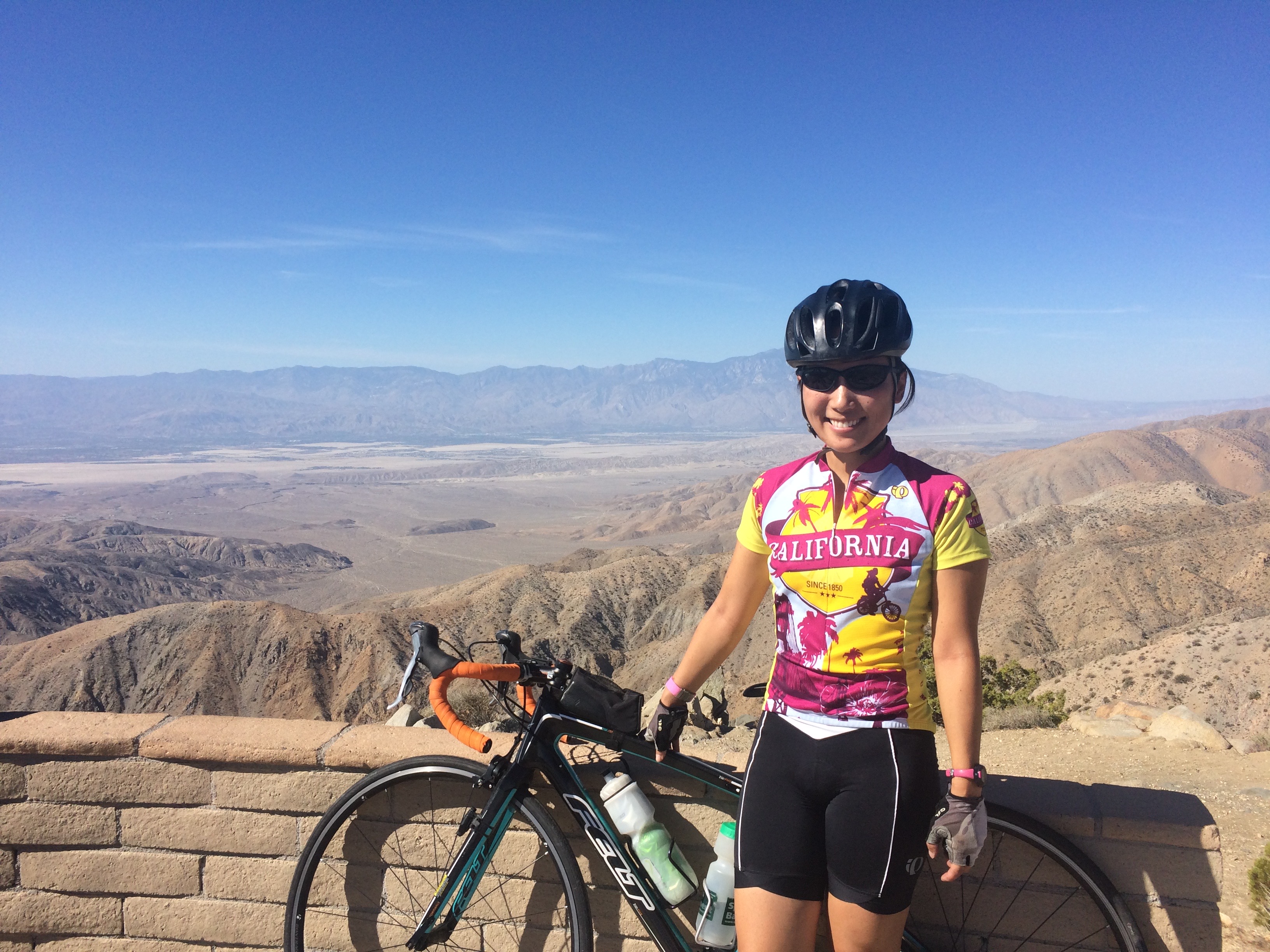
With tolerable autumn weather, a bike ride up to Keys View is a glorious way to view the park and its trees.  Keys View boasts the only lookout at the park, which overlooks the Coachella Valley.img_5949img_5944

Joshua Tree NP doesn’t have much in the way of long, epic hikes like those in Glacier or Canyonlands, but its short, scenic strolls through concentrated areas of rocks and trees help one appreciate the landscape at a more leisurely pace.  With rocks to climb, new landscapes to explore and discover, and so much to learn, Joshua Tree NP will bring out the inner child in anyone.img_20161008_183424

Posted in California | Tagged , , , , | 1 Comment

Valley of Fire

Some lesser known state parks can flaunt the grandeur of national parks, and Nevada’s first state park, Valley of Fire, defends that claim.  Originally we planned on driving straight from Great Basin National Park, Nevada to Joshua Tree National Park, California but we made the spontaneous detour to Cathedral Gorge State Park.  While searching for a free place to boondock near Las Vegas, I stumbled upon Valley of Fire–there was BLM land just outside of it.  After the brief detour to Cathedral Gorge, I figured it wouldn’t hurt to make another brief detour to Valley of Fire.

However, unlike Cathedral Gorge, Valley of Fire is massive.  Not massive by national park standards, but definitely massive by state park standards.  While only a few hours are required to see all of Cathedral Gorge, several days would be necessary to explore all of what Valley of Fire has to offer.  Sadly, we only had half a day to check out a handful of the park’s highlights.

In order to get a head start on our day, beat the weekend crowd, avoid the afternoon heat, and watch a spectacular sunrise, we got up bright and early to search for Fire Wave.  It wasn’t difficult to find, and the half mile hike to reach it was also easy.  This was a photographer’s paradise.

After Fire Wave, we made our way to the nearby White Domes Slot Canyon, another quick hike under a mile.

Interesting rocks, desert shrubs and cacti abound!

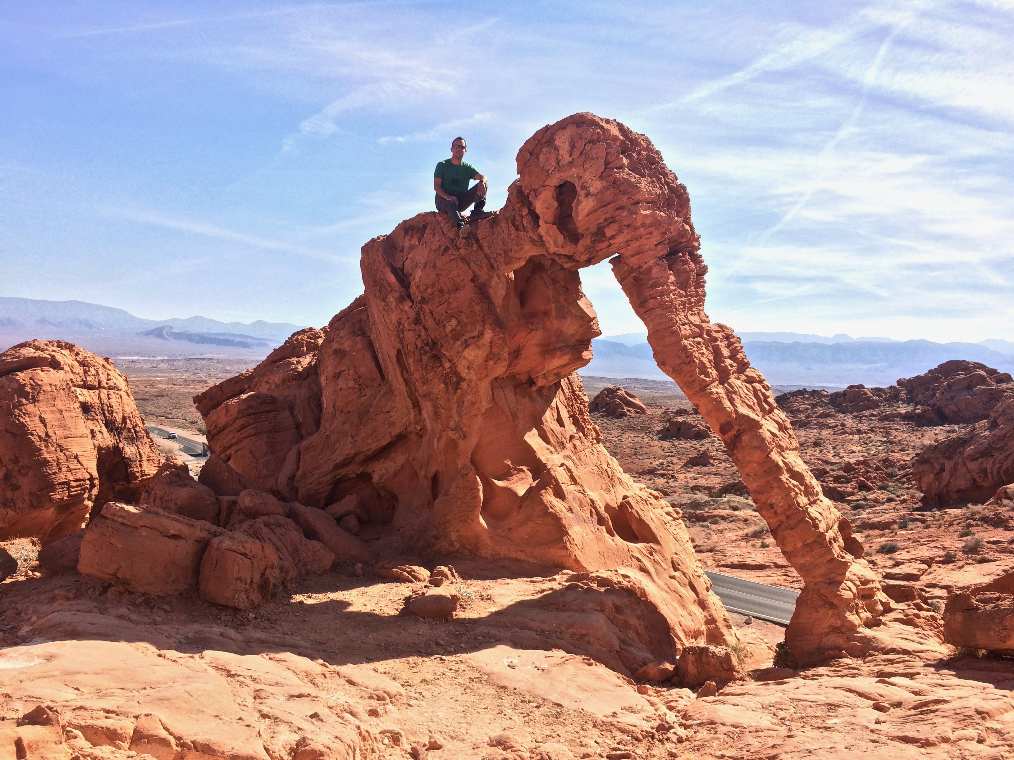
Next, we drove through most of the gorgeous alien-like park to Elephant Rock, which is conveniently located along the road.img_5840

Cheese!img_5836

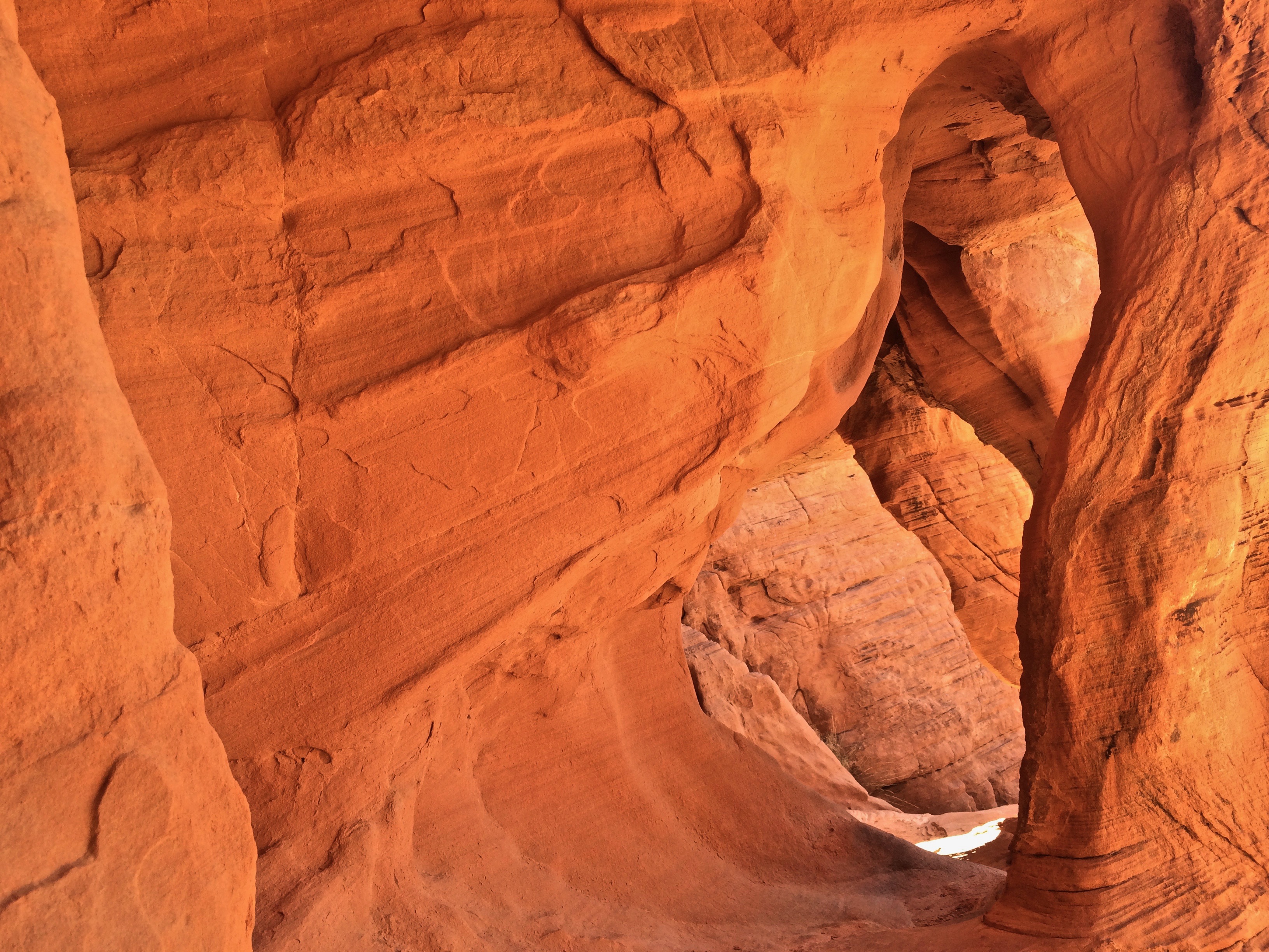
And finally, we made the quick driving tour through the Arch Rock campground area where I was able to carefully observe Mother Nature’s wind stone arches.img_5851

As the park began to fill up with tour buses, the temperature rose, and we knew it was our time to head out to our planned destination–Joshua Tree National Park.  After all, we had never even heard of the park the day before! Considering Valley of Fire is only an hour’s drive from Las Vegas, I’m sure the park is the outdoor lovers’ retreat for the nearby locals. With unimaginable beauty comparable to the deserts of southern Utah and Arizona, Valley of Fire deserves to be visited again and again.

Posted in Nevada | Tagged , | Leave a comment

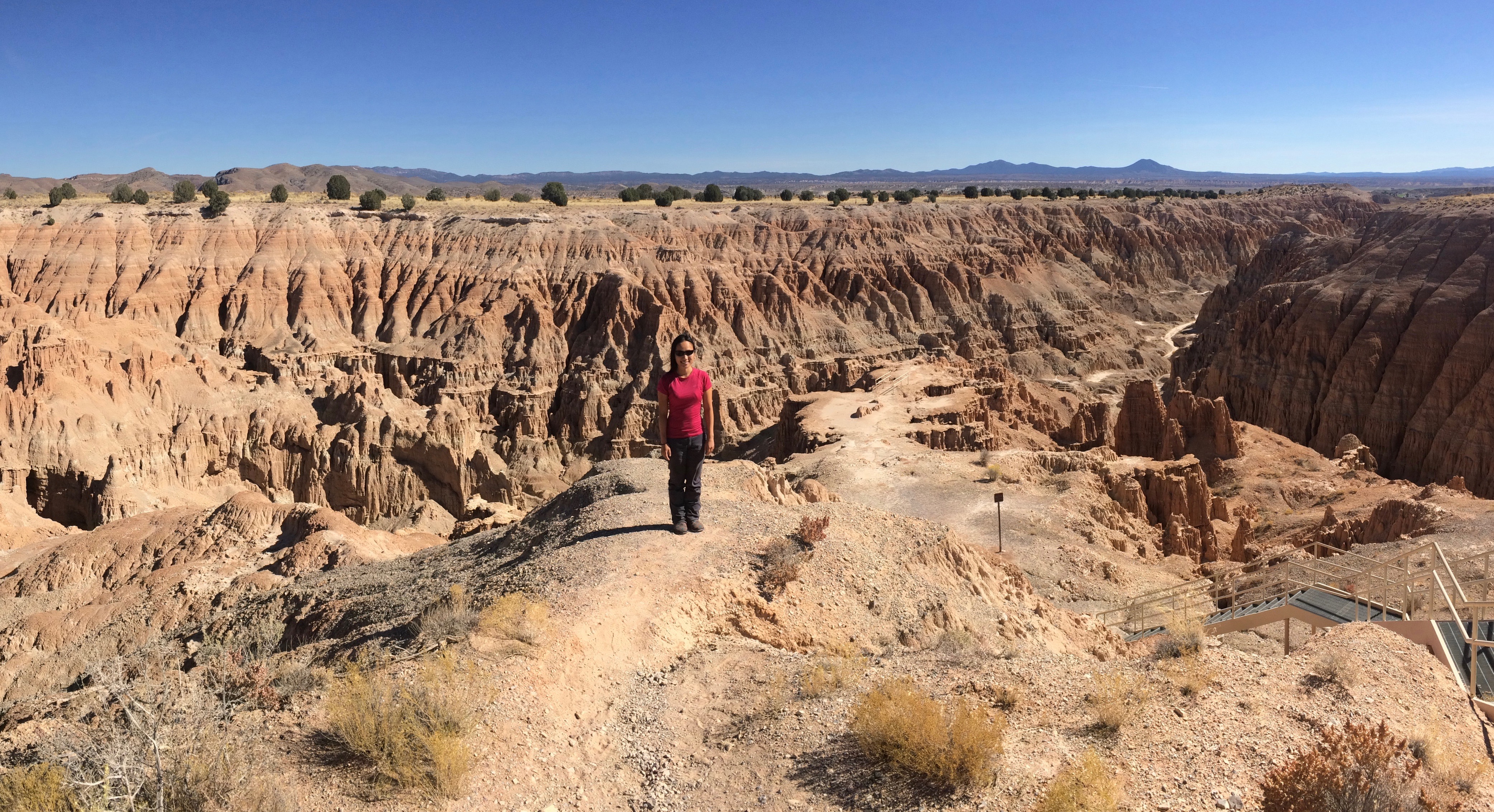
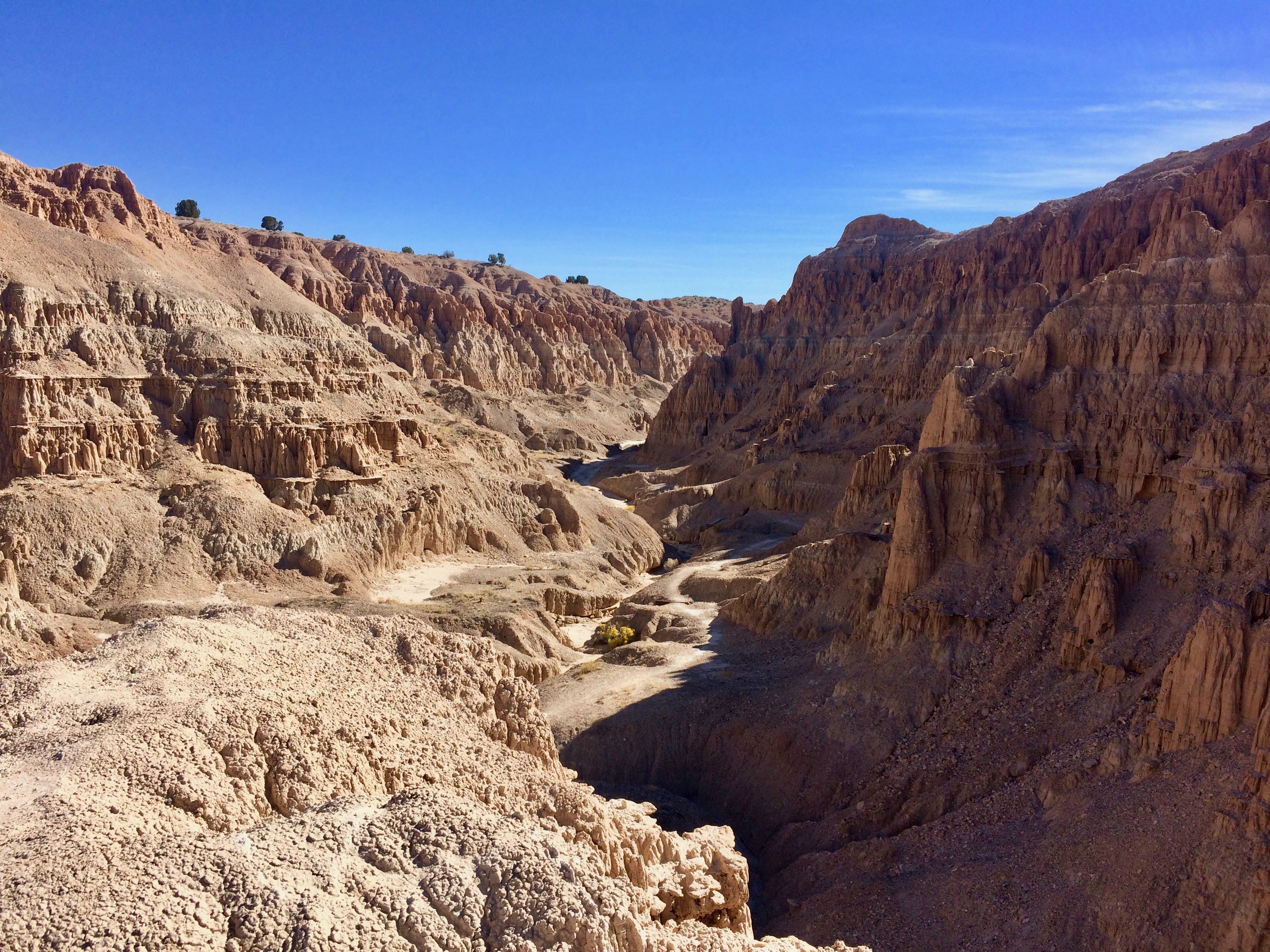
Cathedral Gorge

As I quickly made my way in and out of the Great Basin National Park Visitor Center to use the bathroom, curiosity drew me to the information board.  I couldn’t resist skimming over the PLACES NEARBY map, especially with its beautiful pictures.  A stunning photo captioned “Cathedral Gorge” caught my eye, as it resembled a mini Badlands National Park.  Seeing that the state park was conveniently located right off the highway on our route to Southern California, I saw that there was no reason why we couldn’t stop for a brief visit.

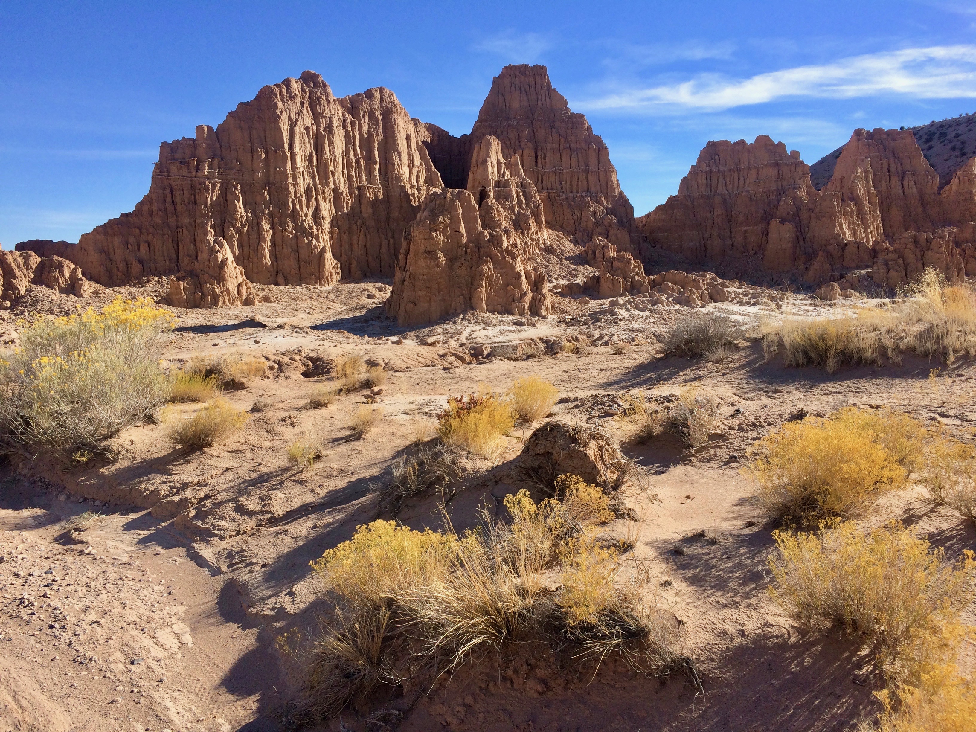
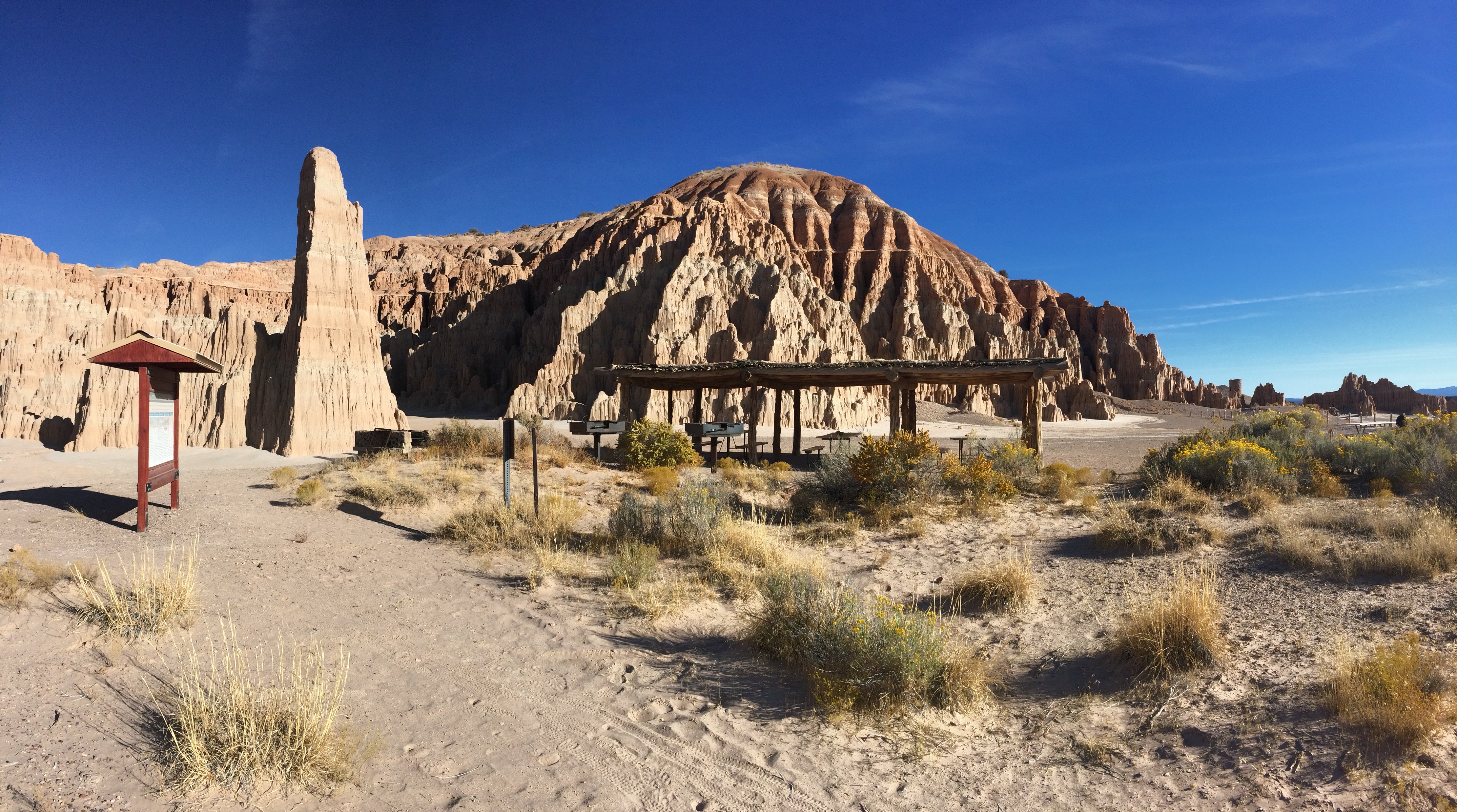
We pulled over to scope out Miller’s Point, the park’s most spectacular view over the gorge.  To my surprise, it was more than just an overlook–there were covered picnic tables, bathrooms, plenty of parking, and even a couple trailheads, free of charge!  img_5731

Miller’s Point:img_5742img_5733

From Miller’s Point, a metal stairway led me down to the Miller’s Point Trail, which took me through the scenic gorge to the 4-mile Juniper Draw Loop Trail.  This 4-mile trail basically made up the entire state park, making it easy to see what the park had to offer.

Descending from Miller’s Point:img_5743

Photos from the Juniper Draw Loop:img_5762img_5769img_5772

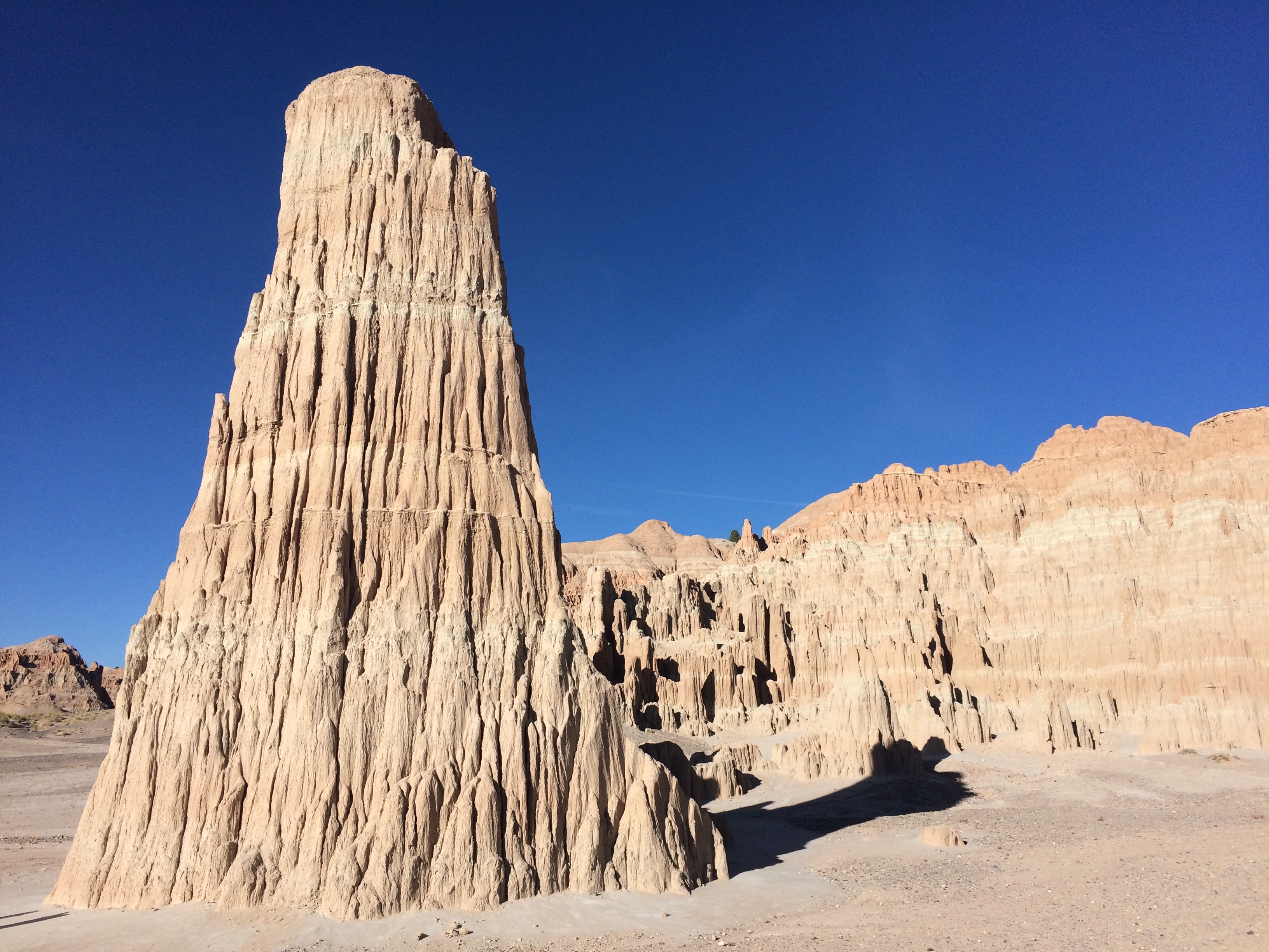
The park’s iconic cathedral spire:img_5773

For a $7 day use fee, visitors can spend time in the park’s beautiful picnic area along the walls of the gorge (or just park at Miller’s Point for free).img_5775

Since we accidentally discovered Cathedral Gorge along our drive, our visit was spontaneous and brief.  Fortunately not a whole lot of time is required to explore the entire park; we were in and out in just over a couple hours.  I’m thankful that I read the information board at Great Basin National Park; Cathedral Gorge was a wonderful little surprise in the area.

Posted in Nevada | Tagged | 1 Comment

Great Basin National Park

Literally lost in the middle of nowhere across the expanse of a massive desert, Nevada’s sole national park quietly lingers between a cluster of mountains.  It’s a damn easy place to pass by along the lonely highway, and I’m sure most people do just that. However, making that adjacent turn into the labyrinth of mountains takes wanderers, explorers, and the curious into landscapes that can only be imagined: cave chambers at the foot of the mountains, groves of the Earth’s oldest living trees, iconic rock formations, a rock glacier, and Nevada’s highest peak at 13,159 feet.  That’s quite a bit for a tiny national park!

Our plan was to cram it all in: Day 1 would consist of a summit to Wheeler Peak followed by the scenic hike through the Bristlecone Grove and to the rock glacier, and Day 2 would start with a 90-minute tour through the Lehman Caves before heading out.

We were about a month out from the seasonal closure of Wheeler Peak Scenic Drive, but all water spigots at the park had already been shut off.  It was no surprise why–during our stay at the Wheeler Peak Campground (a high-elevation campground at 9,900 ft!) we never saw the temperature rise above freezing level!  Luckily the visitor center in Baker was still open, and we filled our water jugs there.  Once high up at the campground we picked literally the BEST site (#22) and stayed warm in our cozy little trailer.img_20161005_164550

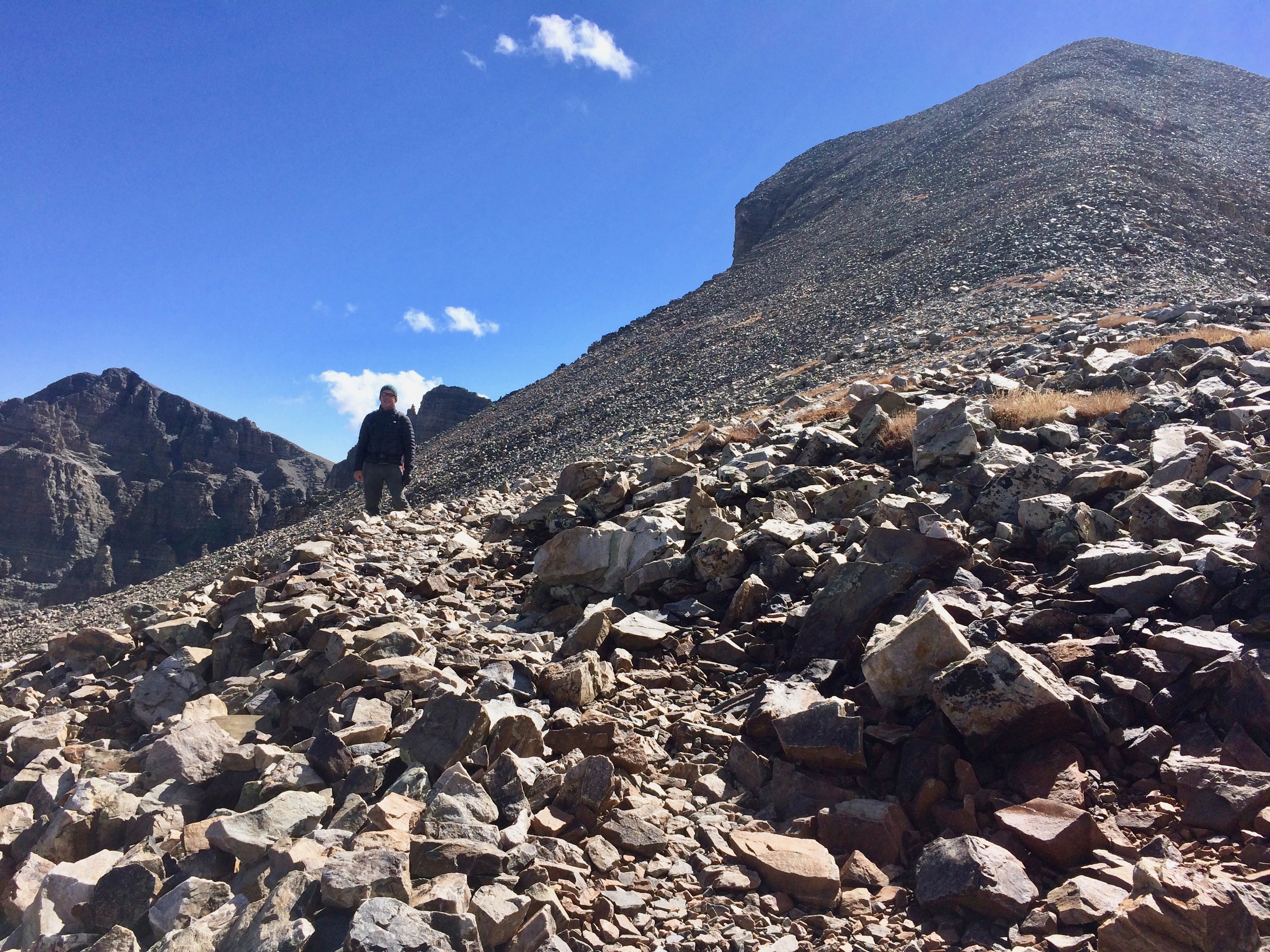
At only 8 miles round trip, the summit of Wheeler Peak isn’t too difficult to reach.  Still, the altitude zapped the energy out of me, and the brutal cold and wind didn’t help either.

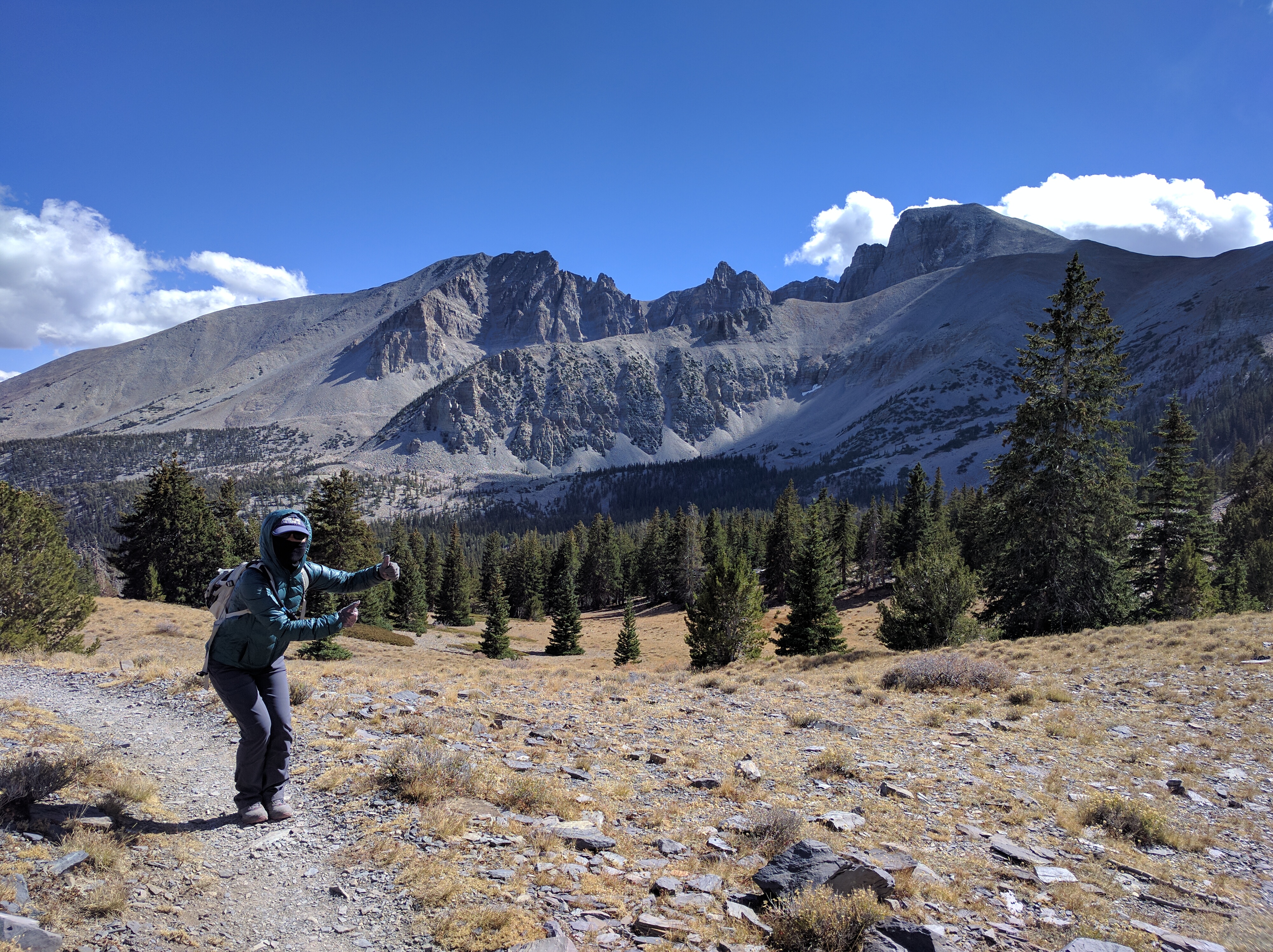
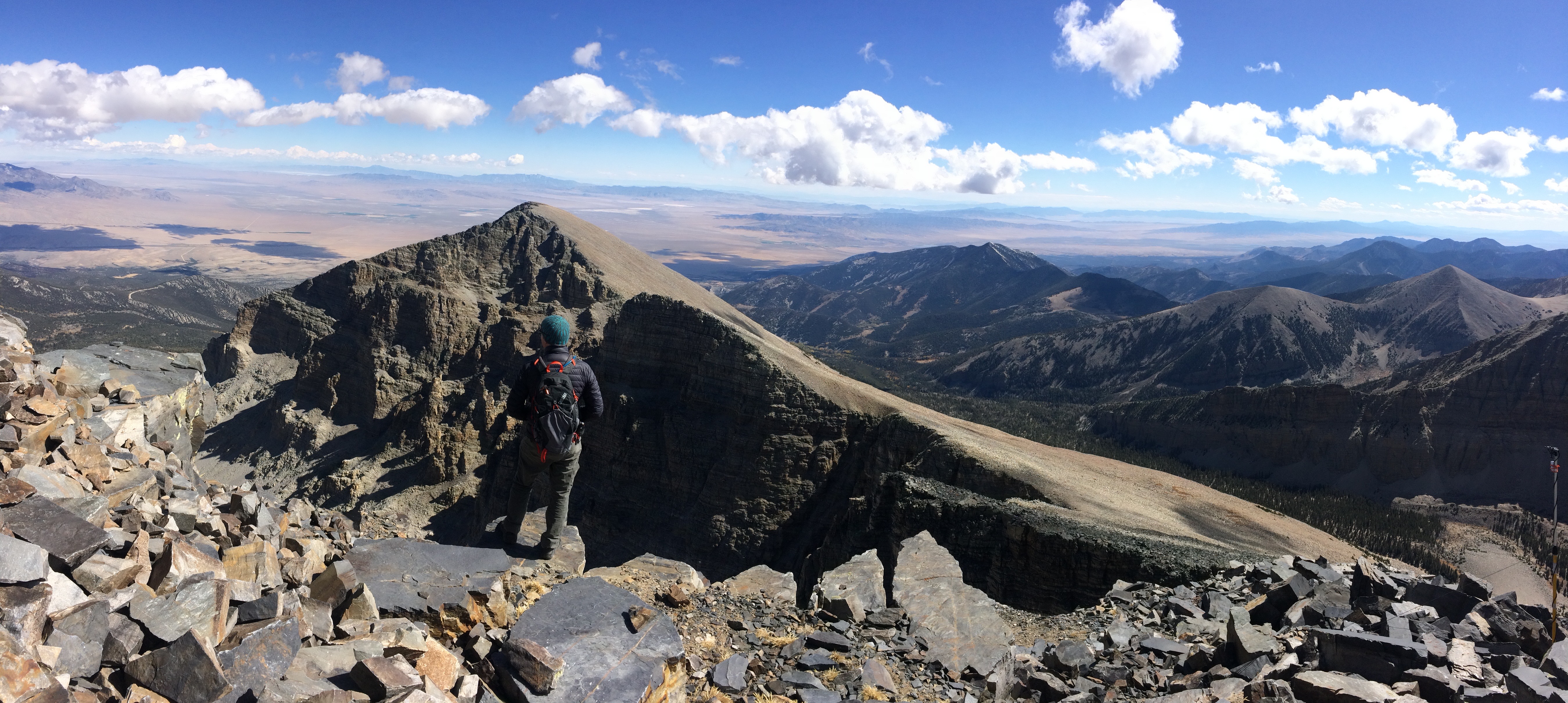
I wore my balaclava during the entire hike.  The peak is that little hump to the right of the rock formations.  Yep, we were going there.img_20161005_133705

So close, yet so far!img_5687

Yay, the summit!img_5690

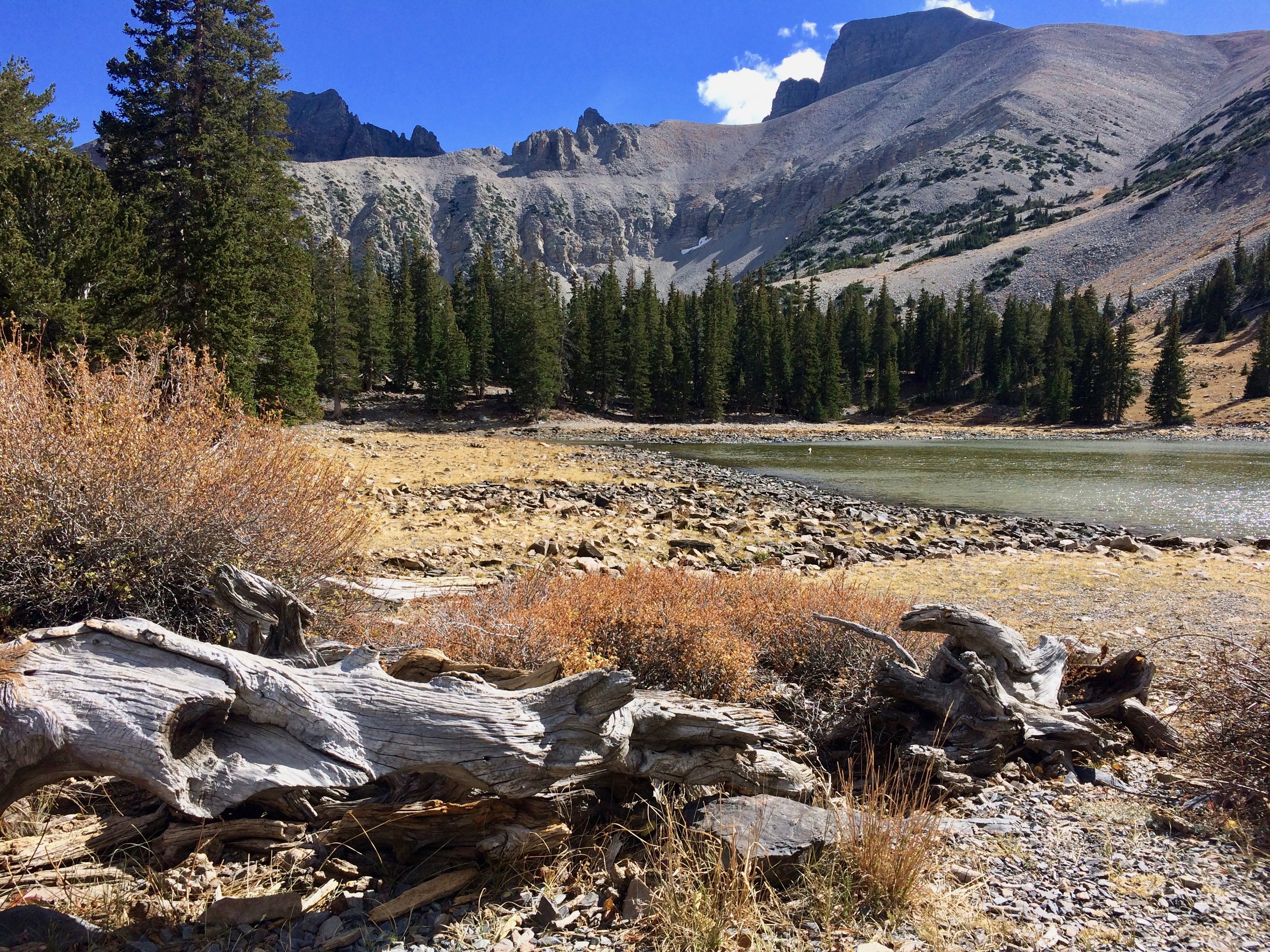
Once off the peak we strolled along the lakes (more like ponds) toward the bristlecone pine grove.img_5691

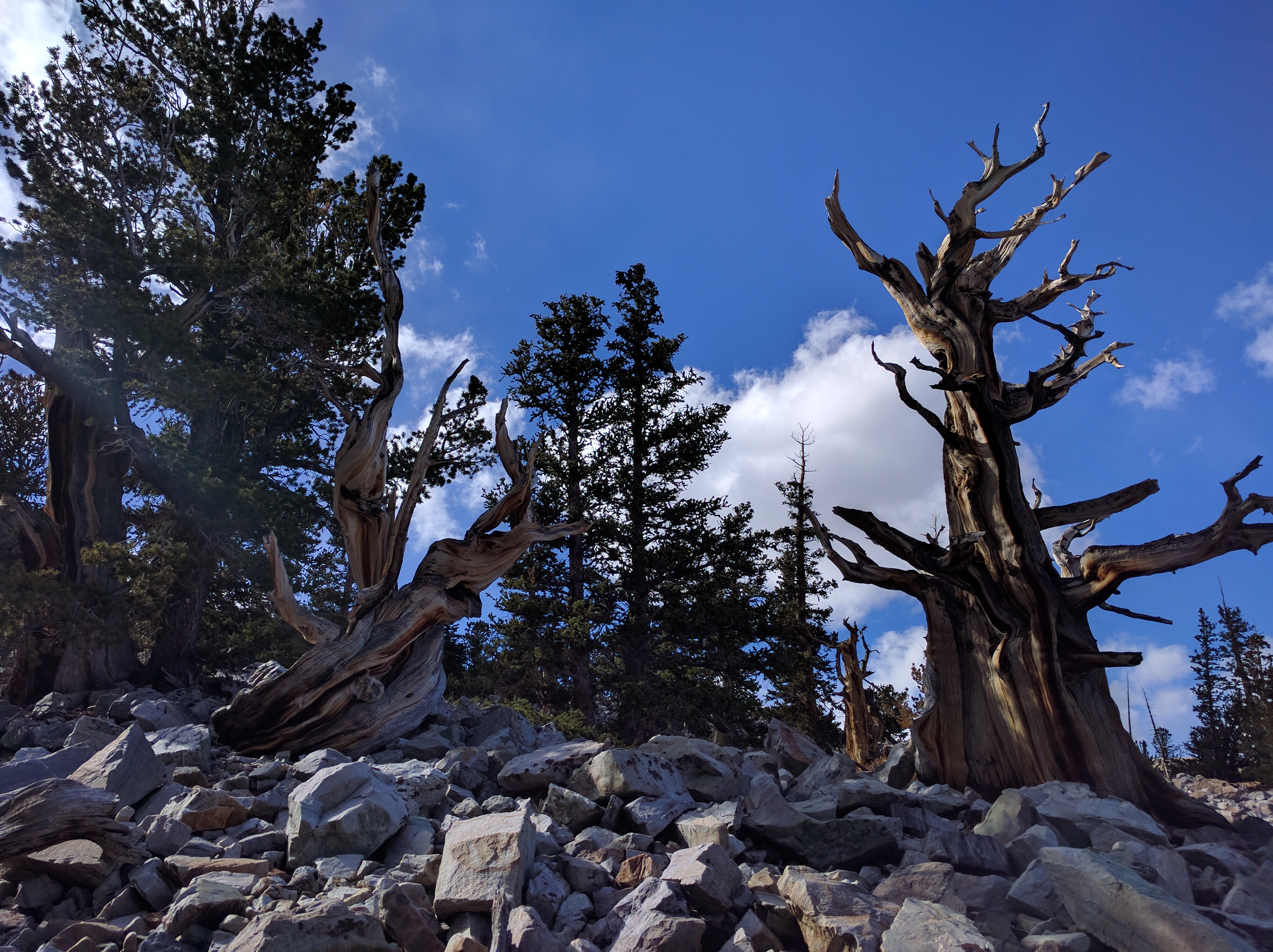
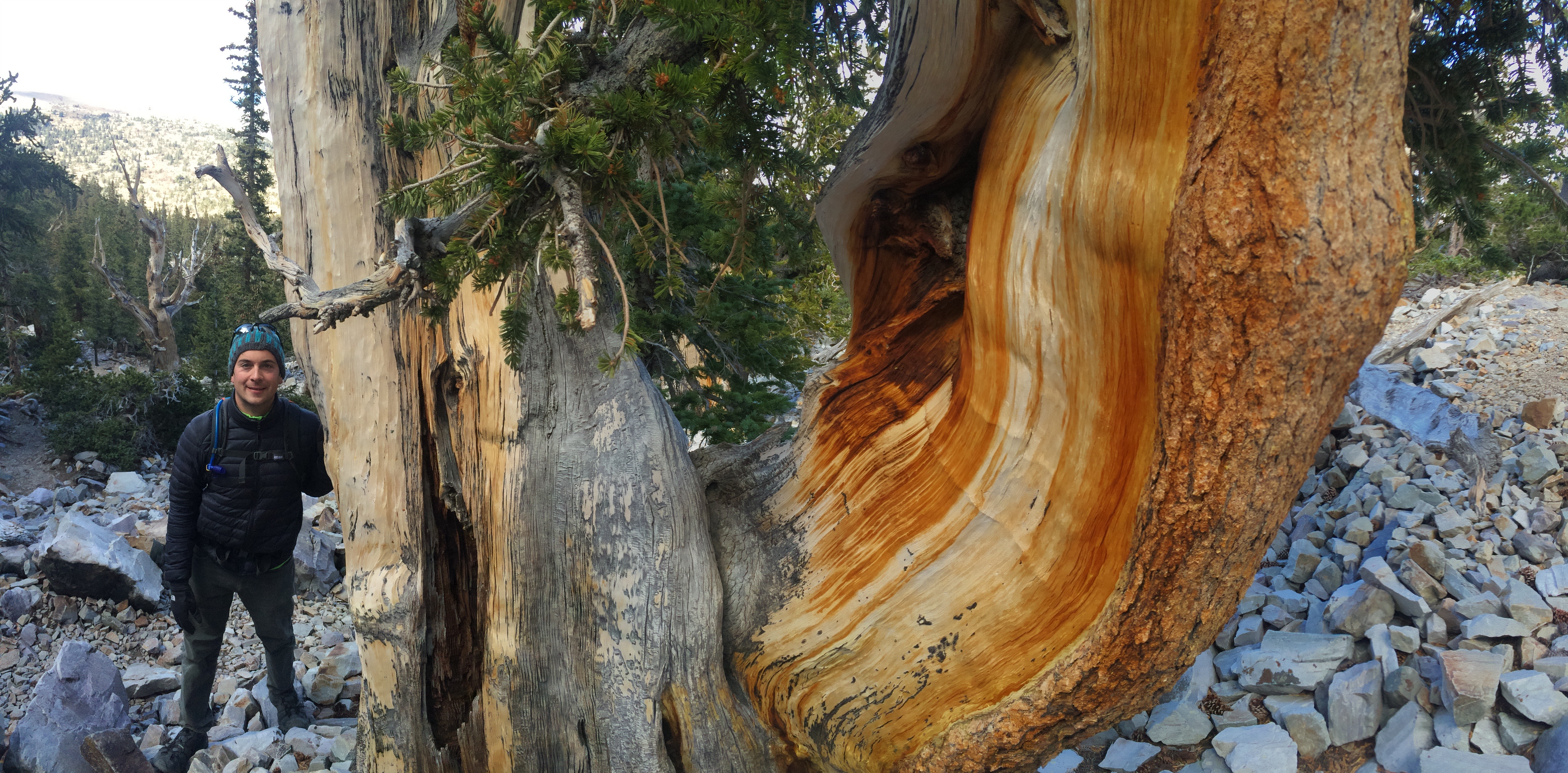
The trail to the bristlecone pine grove requires a little uphill climb, which surprisingly isn’t easy due to the 10,000+ ft. elevation level.  But we soon set eyes on the bristlecone pine trees that lay scattered throughout the area.img_20161005_144042img_5696

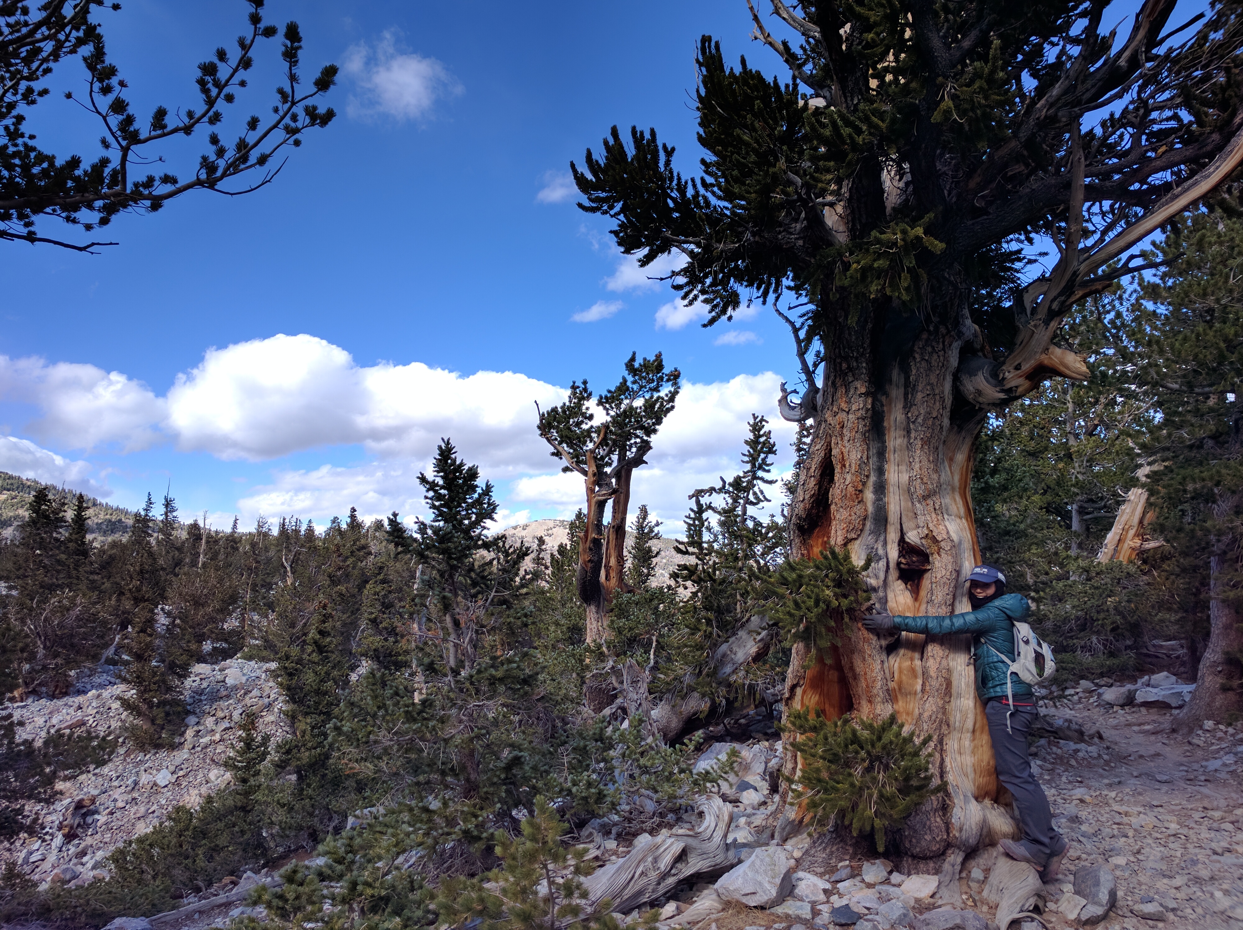
I had to hug one.  They’re so beautiful, full of personality, and SO old!  Even after death they can remain on the earth for thousands of years!img_20161005_144505

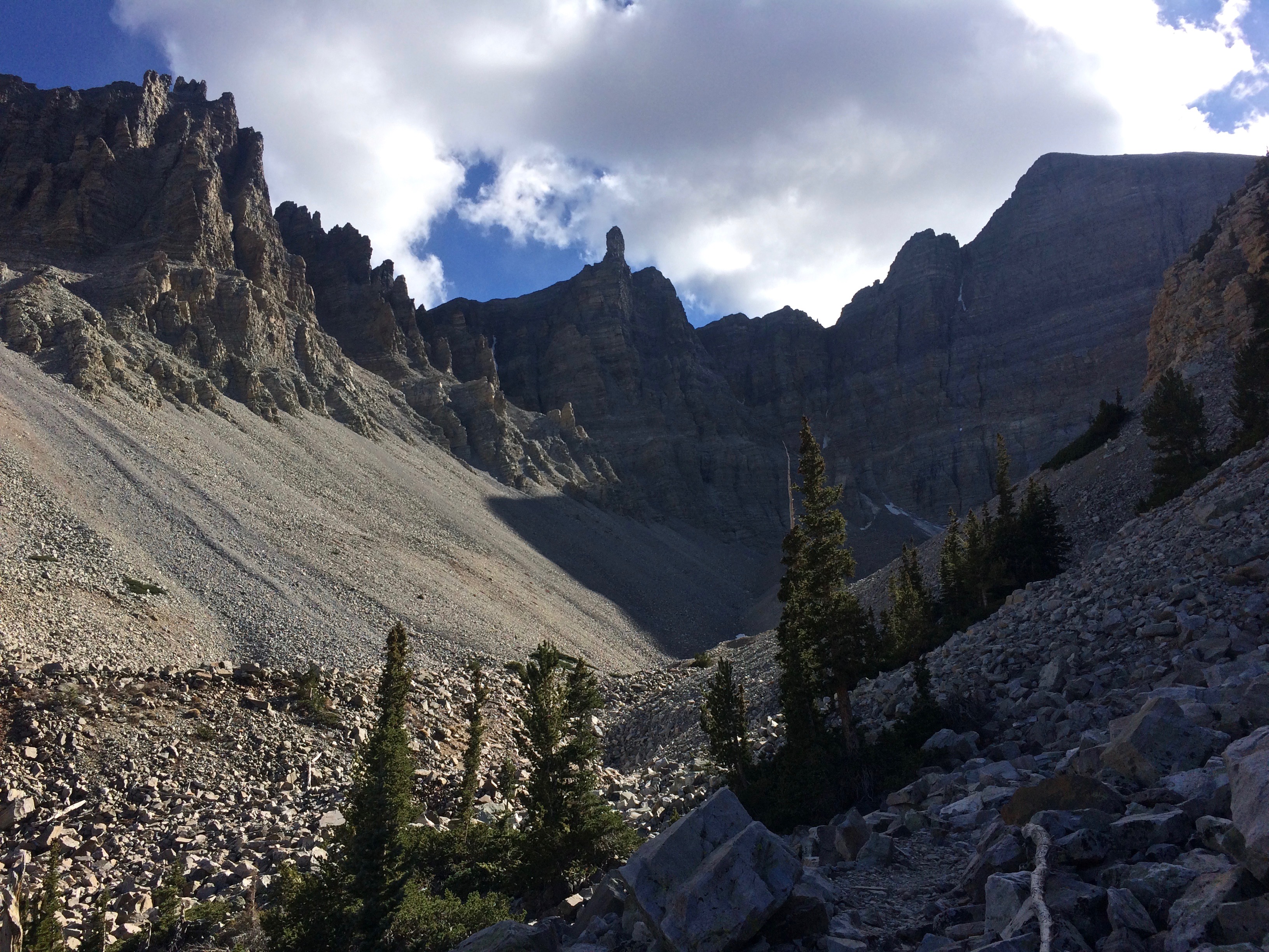
Beyond the grove of bristlecone pine, we continued to the rock glacier.img_5698

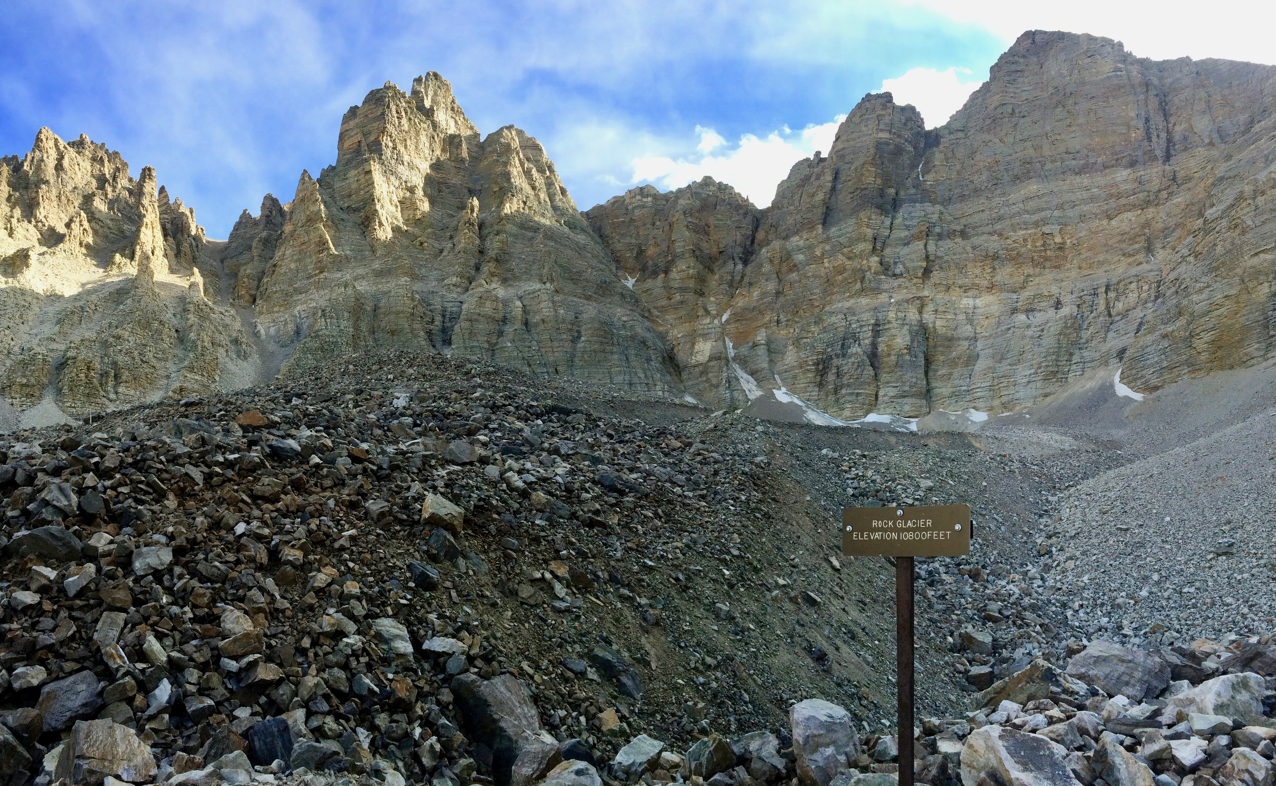
The end of the trail with the tiny rock glacier in the distance:img_5703

We covered between 13-14 miles that day, which would have been a piece of cake had it not been the altitude.  13-14 miles above 10,000 feet?  I slept GOOD that night.

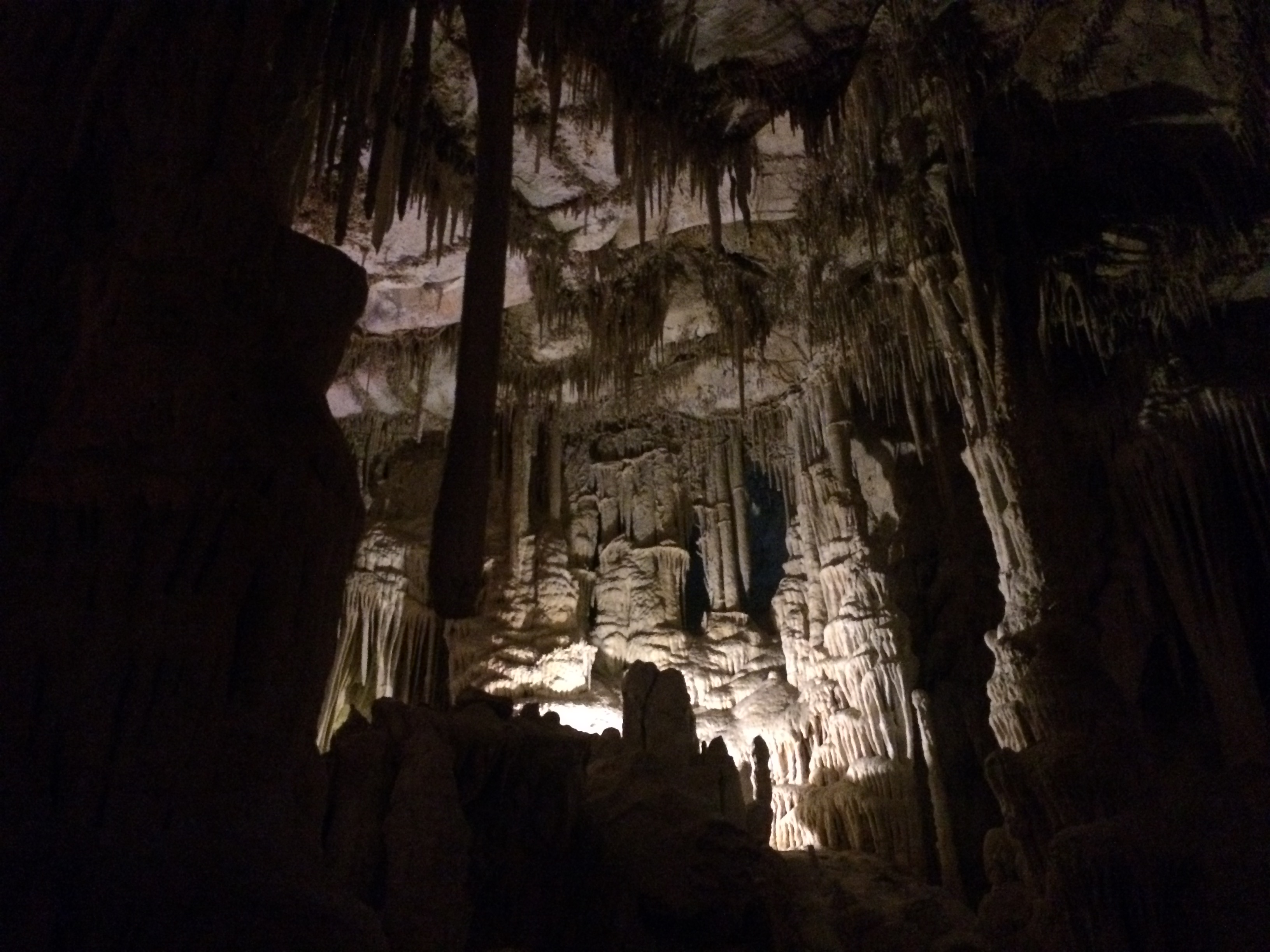
Finally, the Lehman Caves, which were only discovered in the late 1800s.  Exploration and new discoveries are constantly taking place within the caves, and there are daily cave tours throughout the year.  I reserved tickets online ($10 for adults), showed up at the visitor center at 9am, and thoroughly enjoyed my 90-minute tour of the cave.  It felt like being a kid all over again.img_5712

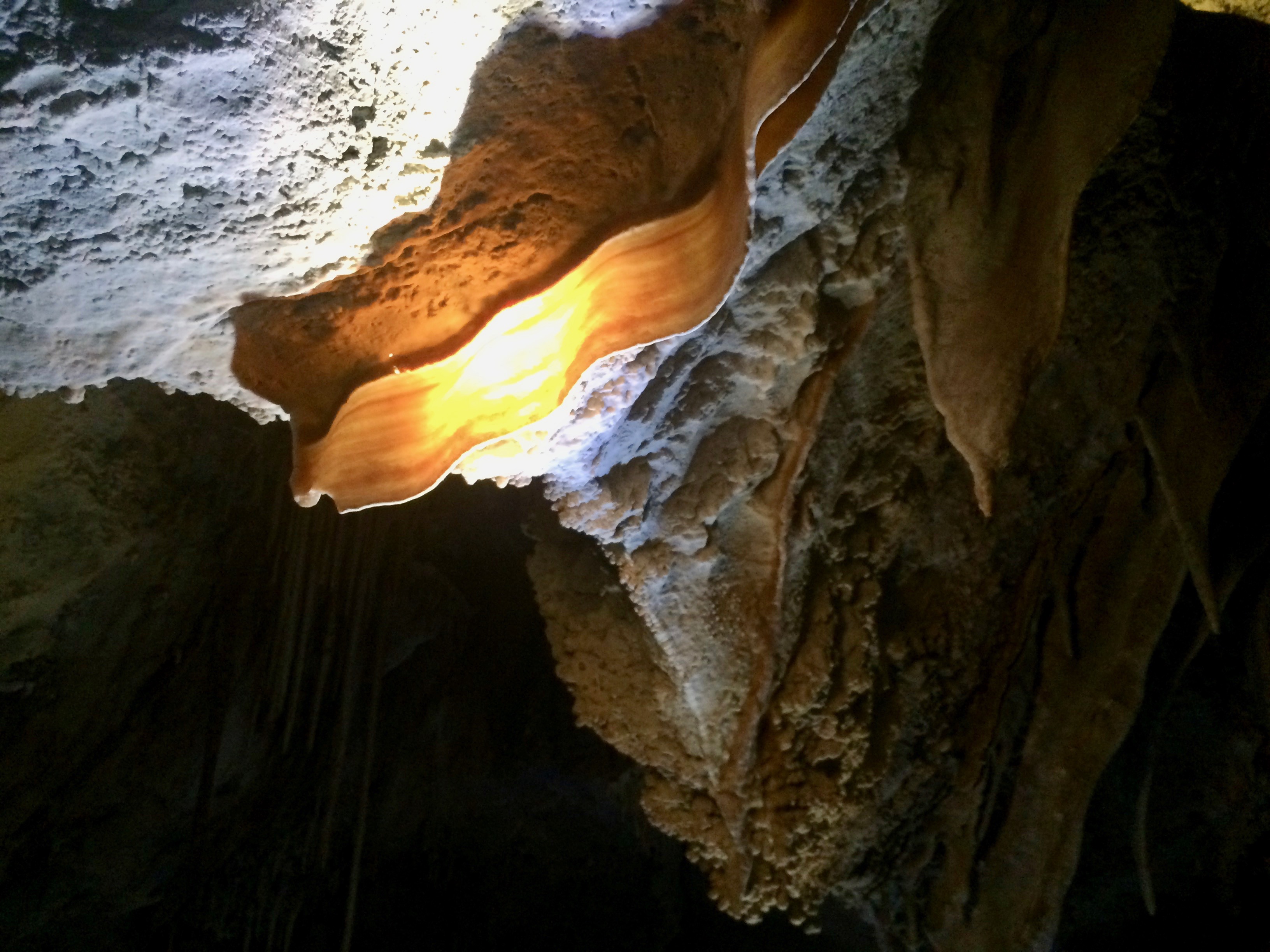
Cave bacon!!!img_5721

We spent only a day and a half at Great Basin National Park, but we probably saw more than most visitors see during their entire visit.  The late season, weekday, and menacing cold probably also kept out most visitors, giving us a serene experience within the area. Outside of Reno and Las Vegas, Nevada is known to be quite bleak and desolate, but the natural areas showed us that Nevada had a lot more to offer.
Posted in Nevada | Tagged , , | 1 Comment

Two Medicine

Leading up to our finals days at Glacier National Park in Two Medicine, Chris and I hiked a total of 49 miles over 4 days, and I tacked on an additional 50 miles by bike on the Going-to-the-Sun Road.  Our final day and hike at the park would be the arduous yet rewarding 19-mile Pitamakan/Dawson Pass Loop, totaling our hiking mileage to 68 miles over 5 days.  Not even our aching legs could hinder our spirits to set off on our final hike, especially since the day was the last day of an unusual string of perfect weather.

We awoke early enough to catch glorious alpenglow at the campground:img_5577

For the first several miles, we hiked along the valley floor known as the Dry Fork.img_5580

The trail along the Dry Fork gradually led us out of the valley, up toward Pitamakan.img_5582

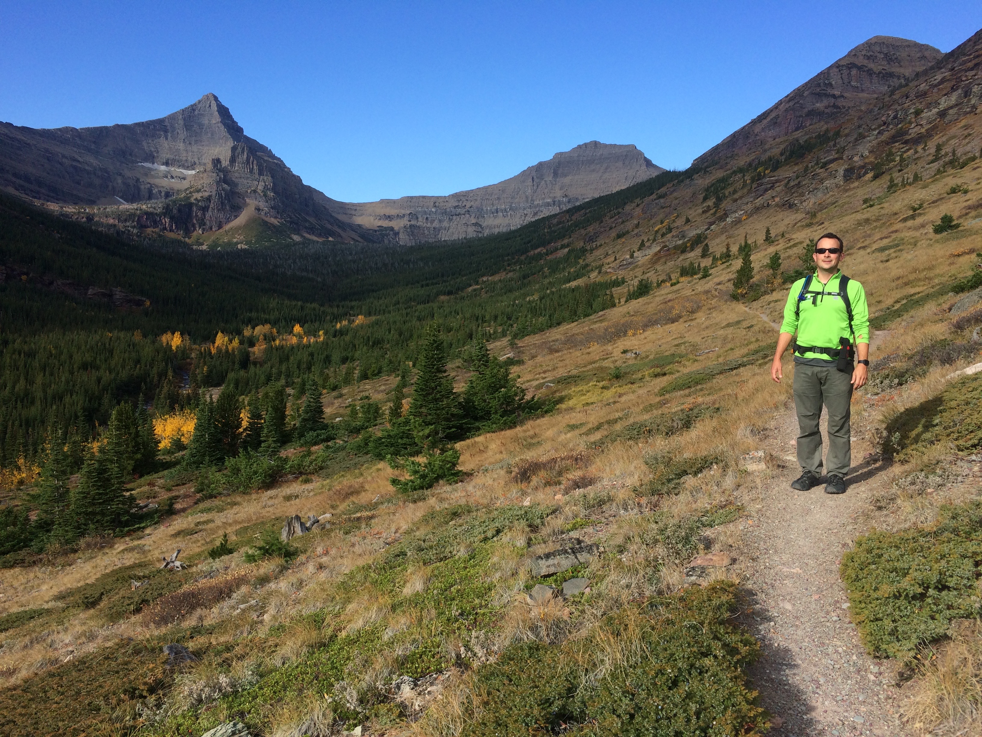
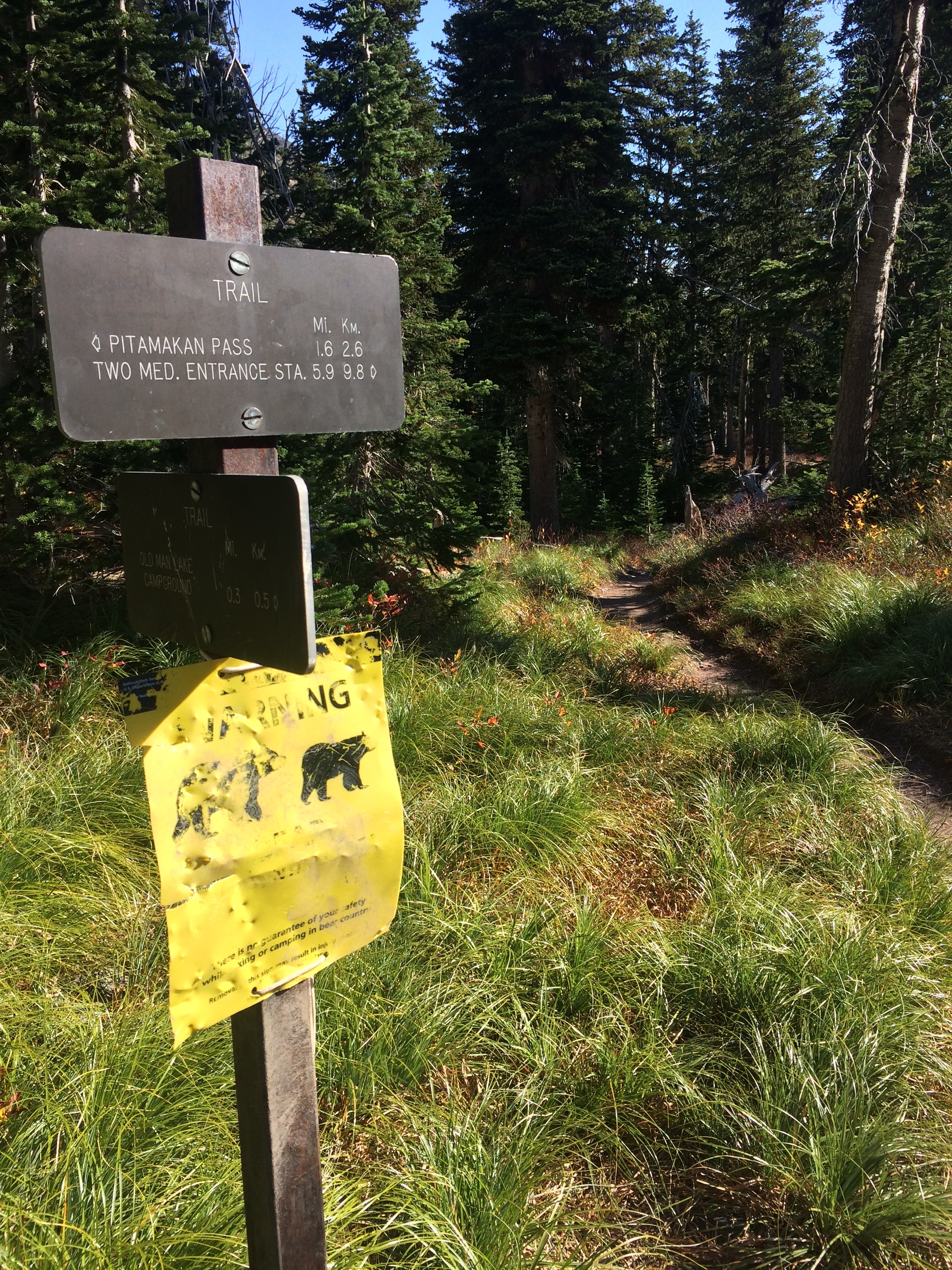
Access to Oldman Lake was closed due to bear activity, and sure enough, we stumbled across a grizzly bear along the trail split to Oldman Lake.  I couldn’t snap a decent enough picture, so I humor you instead with this Bear Warning sign that had been clearly mangled by the bear itself.img_5584

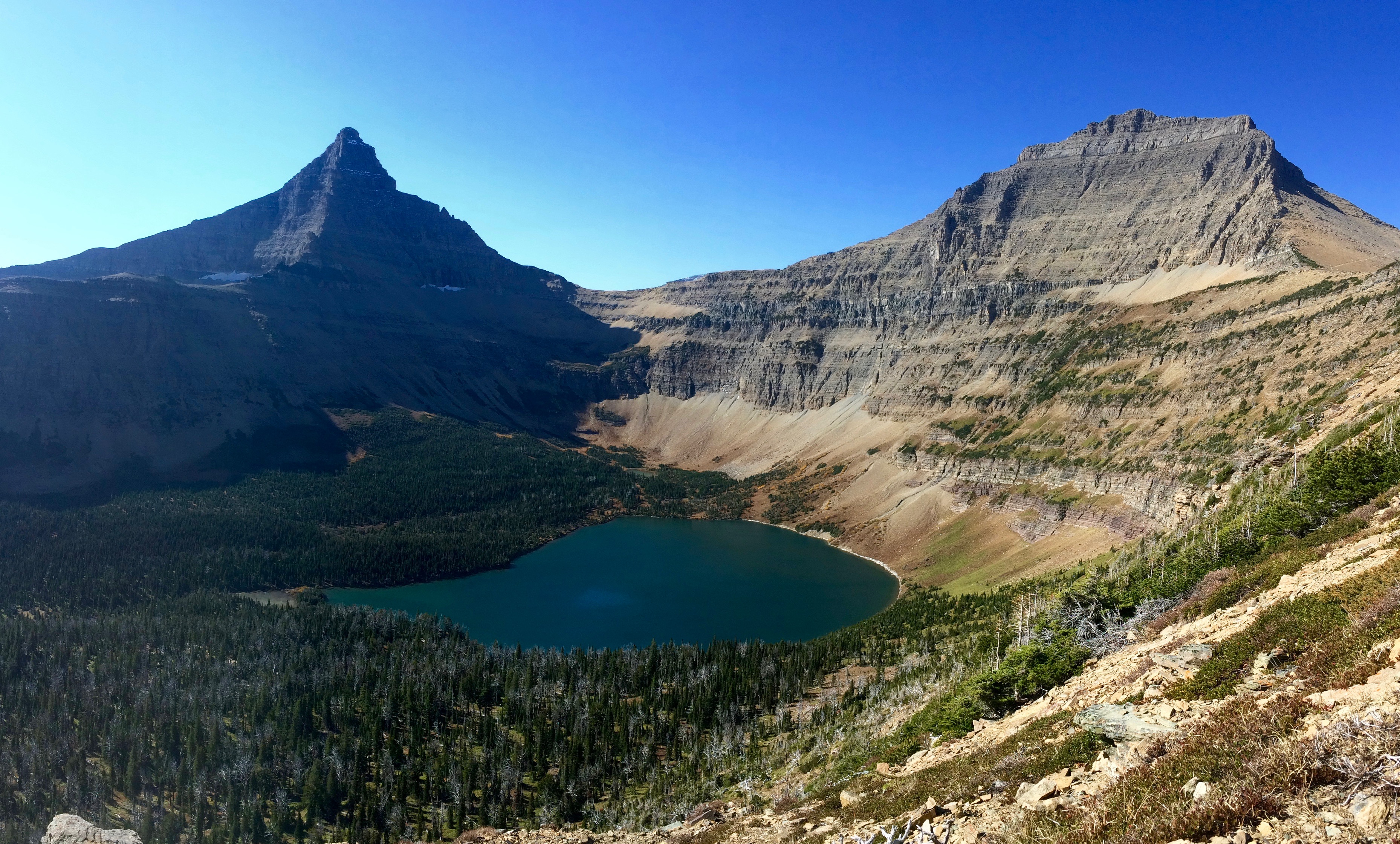
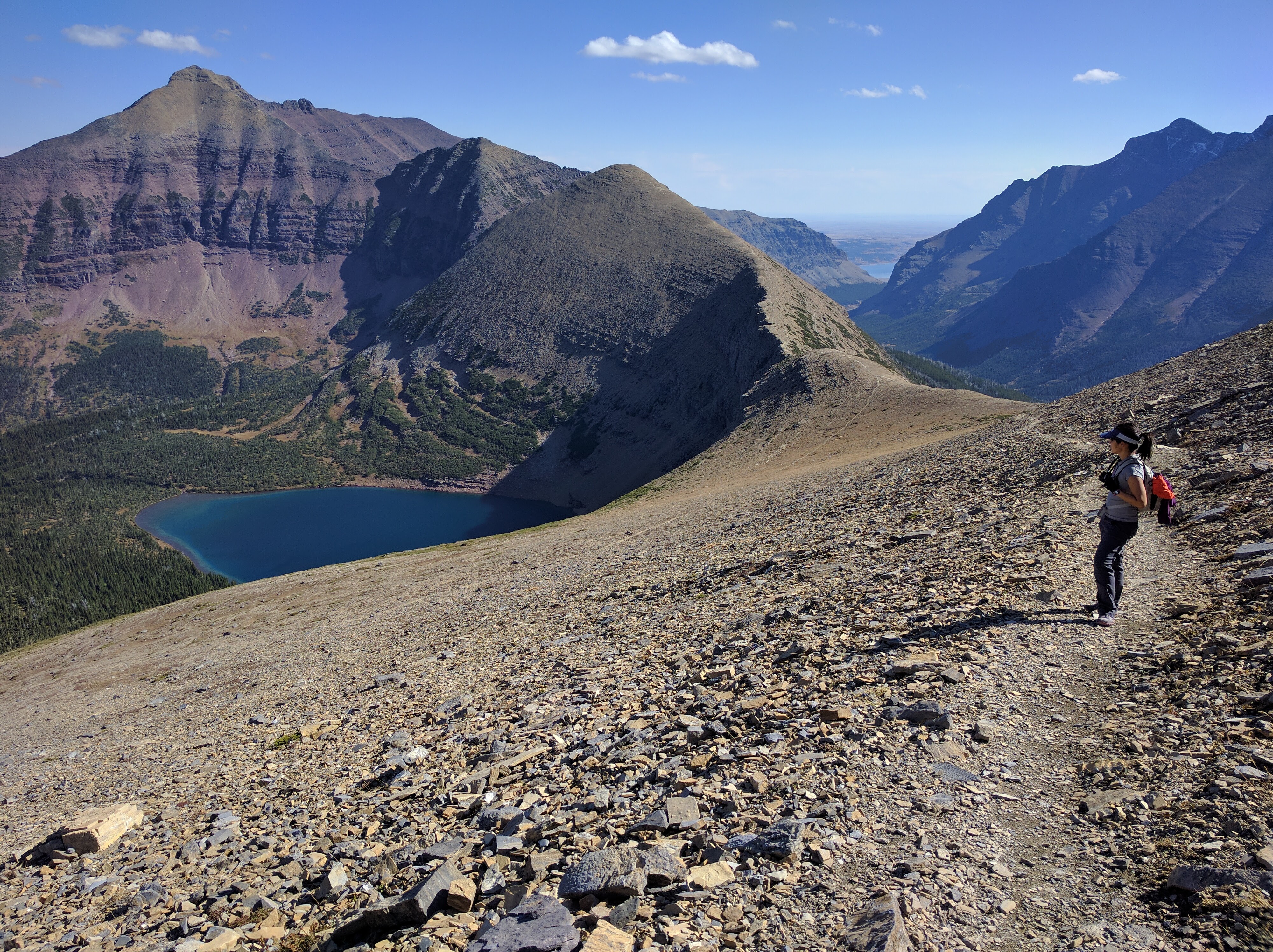
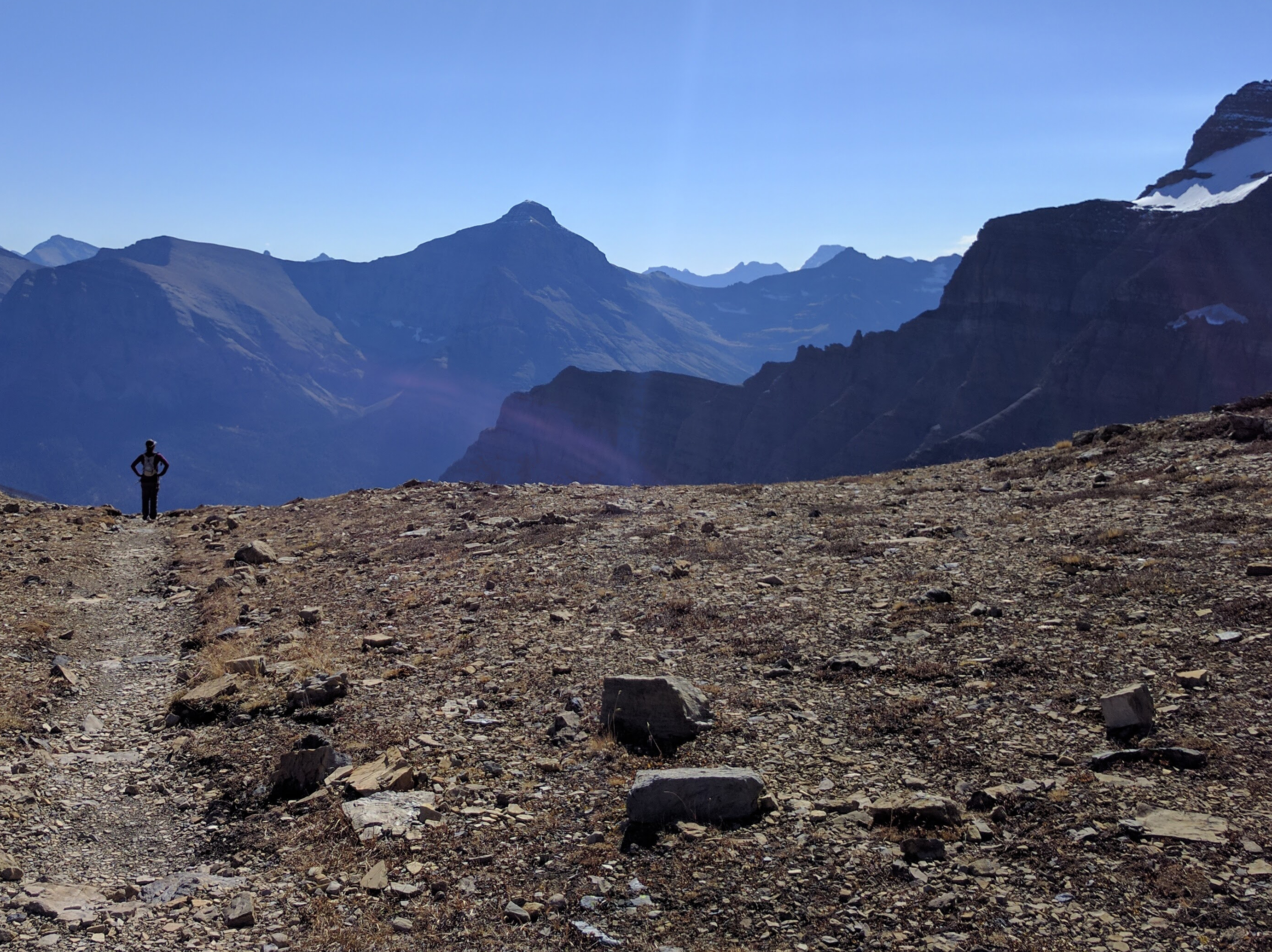
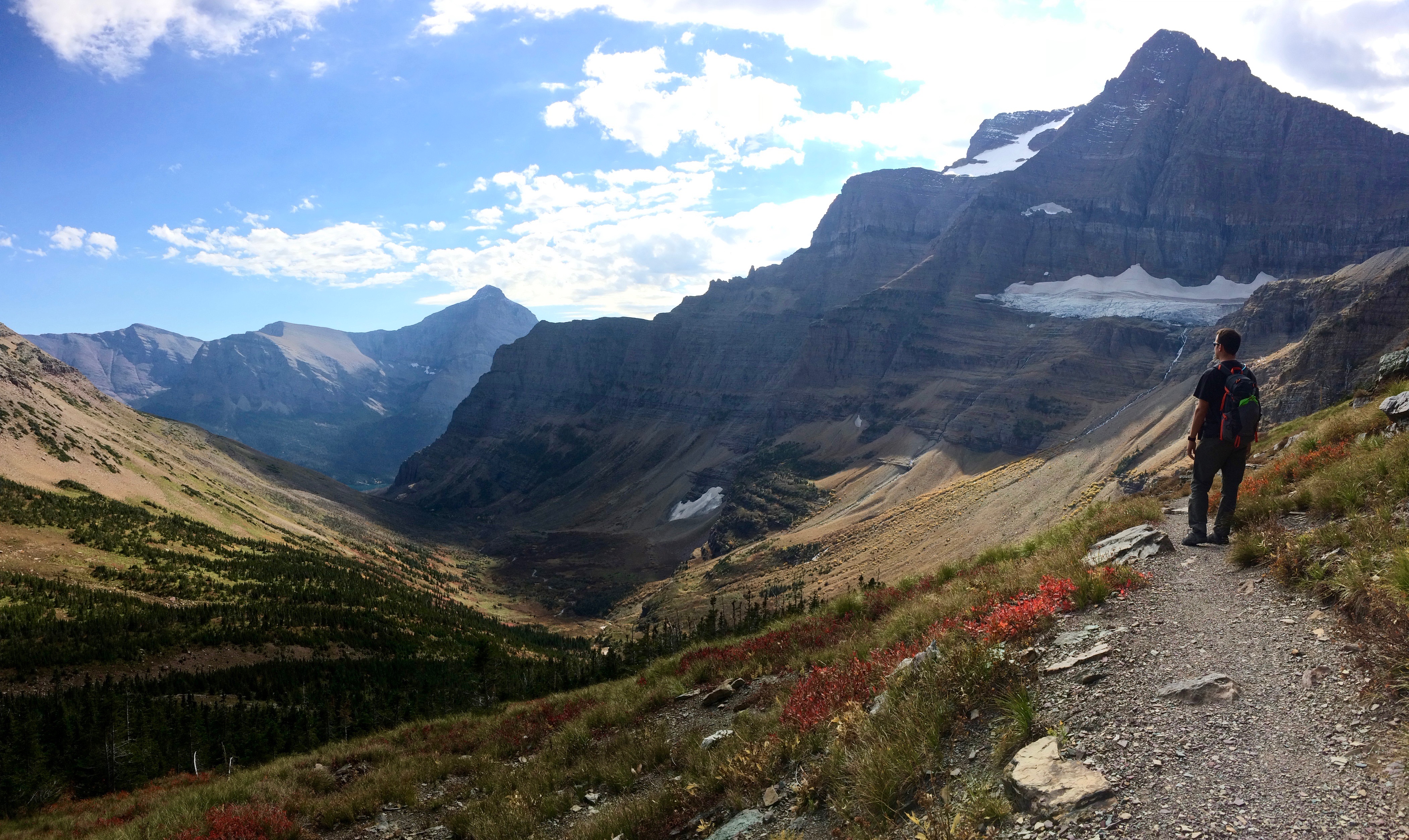
Up and up we climbed toward Pitamakan Pass.  Views looking down into Oldman Lake from the steep switchbacks left us speechless.  Flinsch Peak is the pointy mountain on the left, and Mt. Morgan is the mountain on the right.  The trail takes hikers around the backsides of both mountains.img_5587

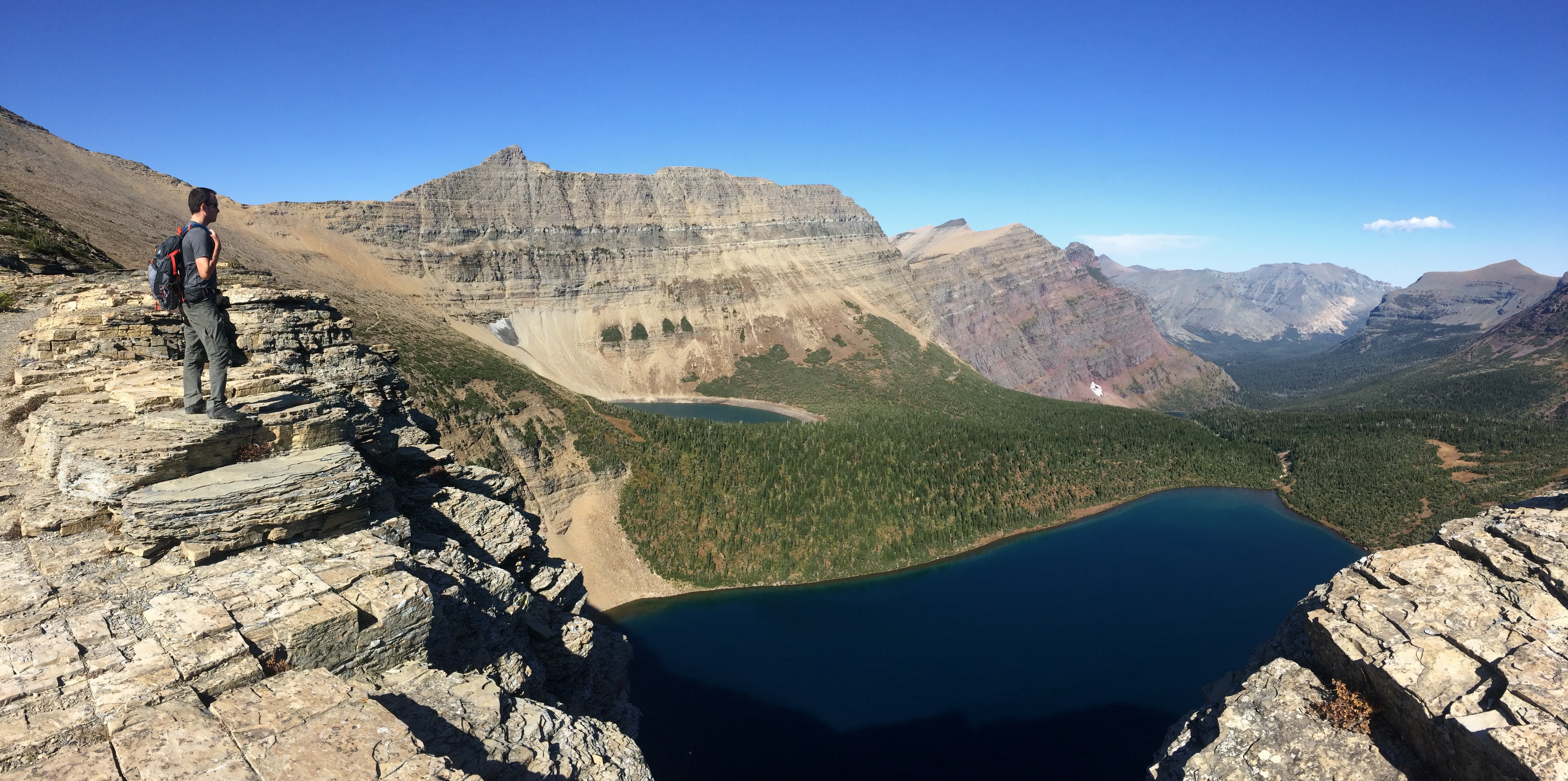
Just as I thought that view would be the highlight of the entire hike, I was quickly proven wrong as soon as we summited Pitamakan Pass.  On the other side of the ridge, the view of Pitamakan Lake stole our attention away from Oldman Lake.img_5592

And we continued our final ascent along Pitamakan Pass for a lunch break.  From here we could even see the Dry Fork valley and the distant Lower Two Medicine Reservoir.img_20160930_122259

As we hiked onward to the backside of Mt. Morgan, I once again assumed we had witnessed all the highlights of the hike.  And I was wrong.  In the distance, the ridge trail along Cut Bank Pass leading up over Tinkham Mountain carved out an unusual looking potato chip wedge of a mountain, forcing me to stop numerous times to simply gawk at the sight.pano_20160930_125649

After circumnavigating Mt. Morgan, we gazed out over the valley along the backside of Flinsch Peak .img_5596

From there was the final ascent to Dawson Pass before descending 6.5 miles back to the campground in the valley.  (Tip: We somehow snagged a smidgen of AT&T signal along the ridge between Mt. Morgan and Flinsch Peak!)

Two Medicine Lake coming into view:img_5599

With our heavy legs, we trudged on a step at a time until we reached the eastern shores of Two Medicine Lake once again.img_5600

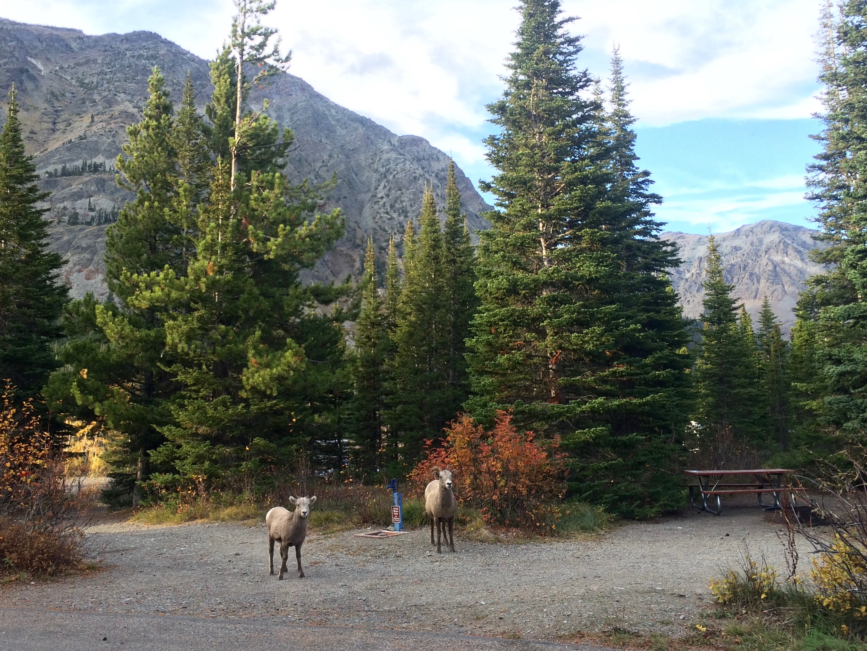
When we reached the campground, a family of bighorn sheep welcomed us and congratulated us for completing our longest and final hike at Glacier National Park.  Well, they earnestly waited for food scraps, but I like to think they said hello.img_5618

That concludes our week-long exploration of Glacier National Park.  Even with our 68 miles of hiking and my 50 miles of cycling, we hardly scratched the surface of the park’s 700+ miles of trails which simply means we’ll be back again and again, each time exploring and discovering a new favorite trail.

Posted in Montana | Tagged , | Leave a comment

Many Glacier

While Glacier National Park’s Going-to-the-Sun Road seems to attract the majority of its visitors (and predominantly the non-hikers), I assume that Many Glacier attracts the majority of its hikers and nature enthusiasts.  There’s no wonder why–it seems as if the scenery to mileage ratio on any given trail gives Many Glacier an epic factor of 10.  Upon gazing over the glassy, finger-like lakes, glaciers, dramatic cliffs and rock walls, which were all embraced by autumn drapery, we found ourselves lost in a whirlwind of a magical nature land.  To recall we were still in the United States was almost unbelievable.

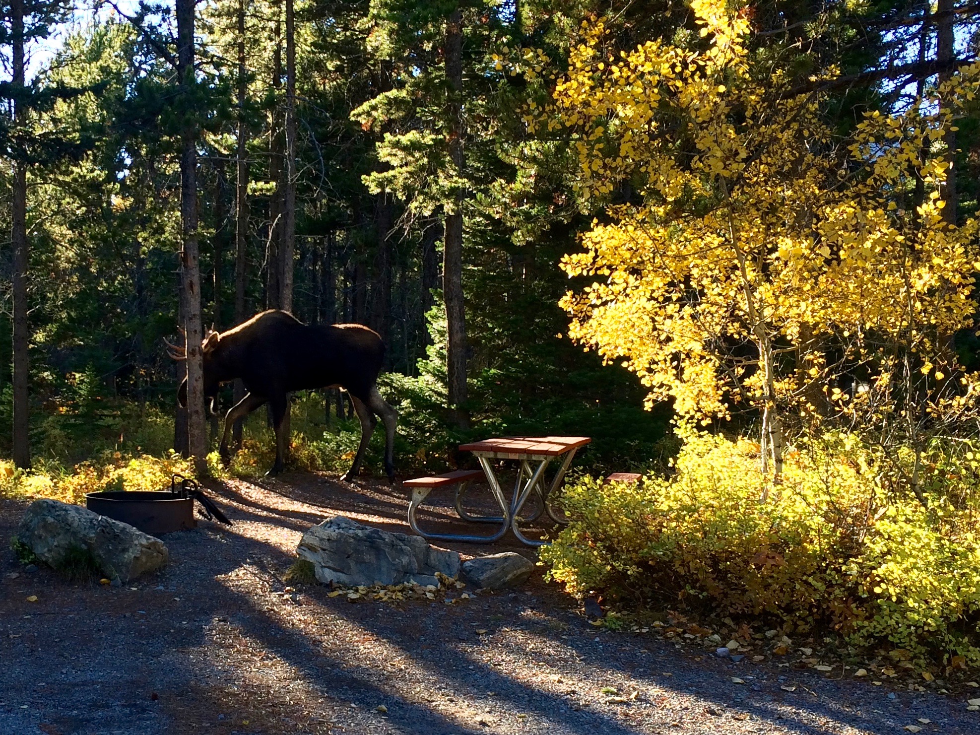
We arrived on Day 2 of the campground’s primitive status, and despite it being a Tuesday afternoon, the campground was surprisingly quite full.  Within minutes upon arriving, a bull moose appeared to welcome us.img_5417

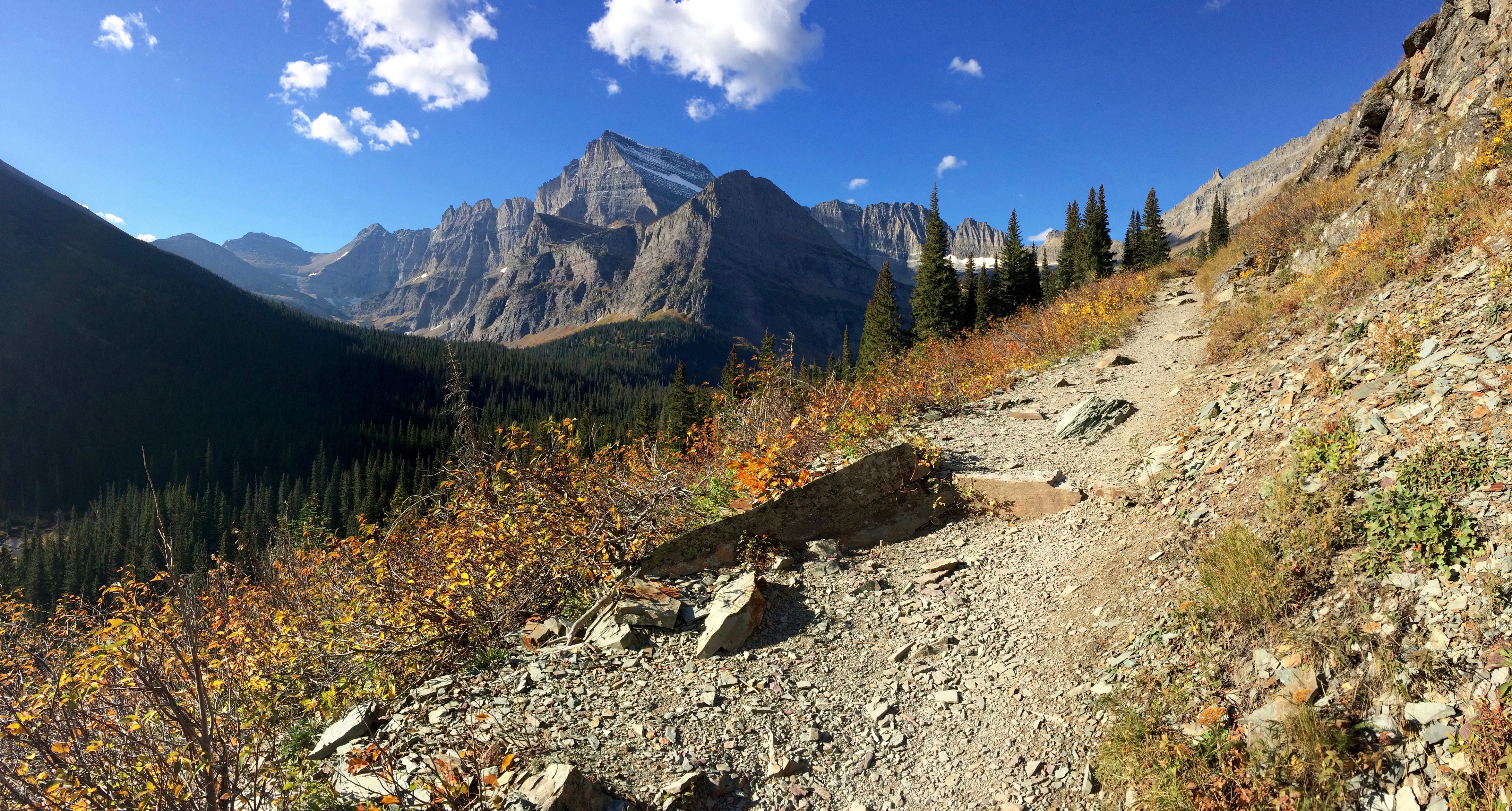
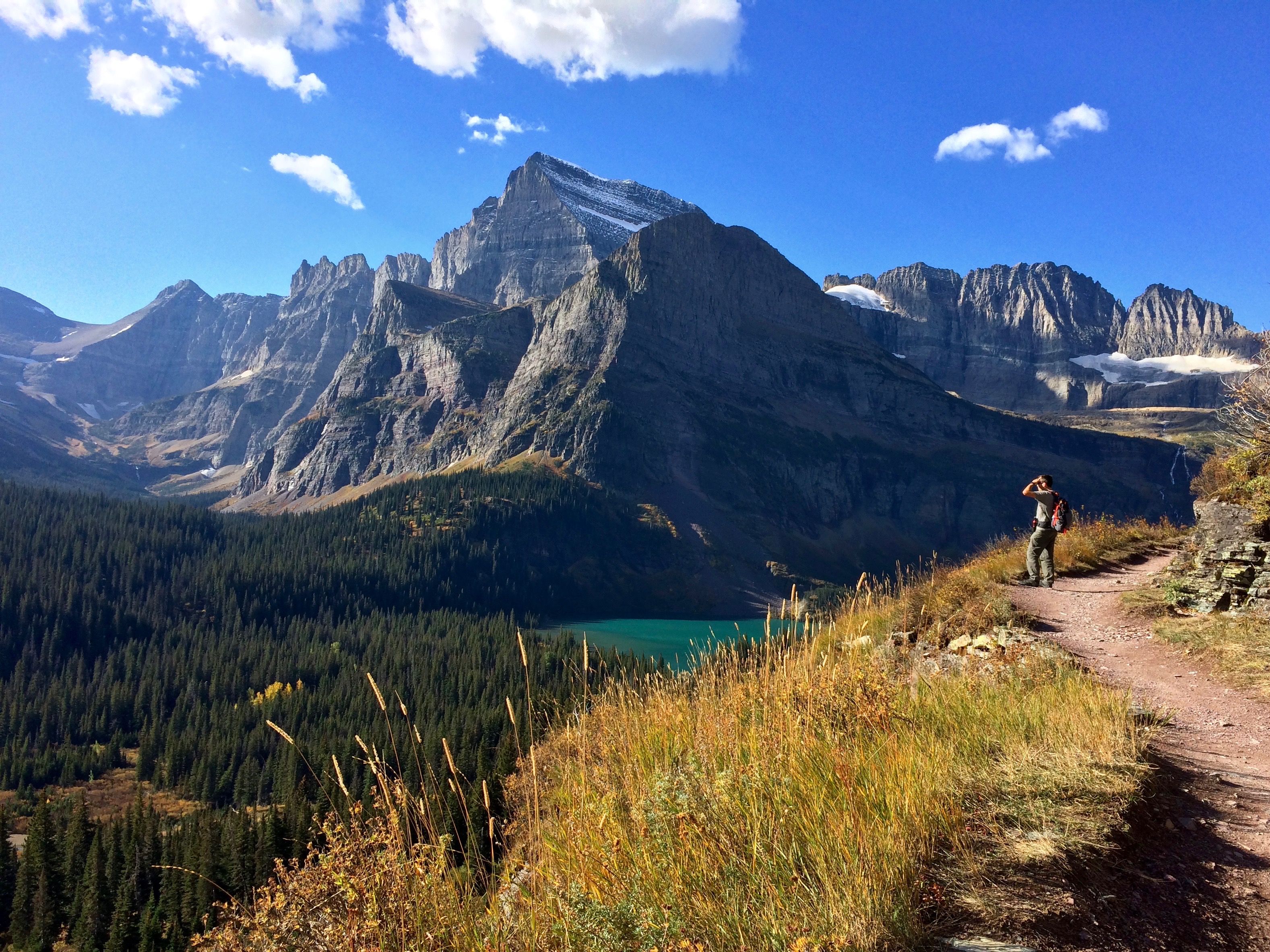
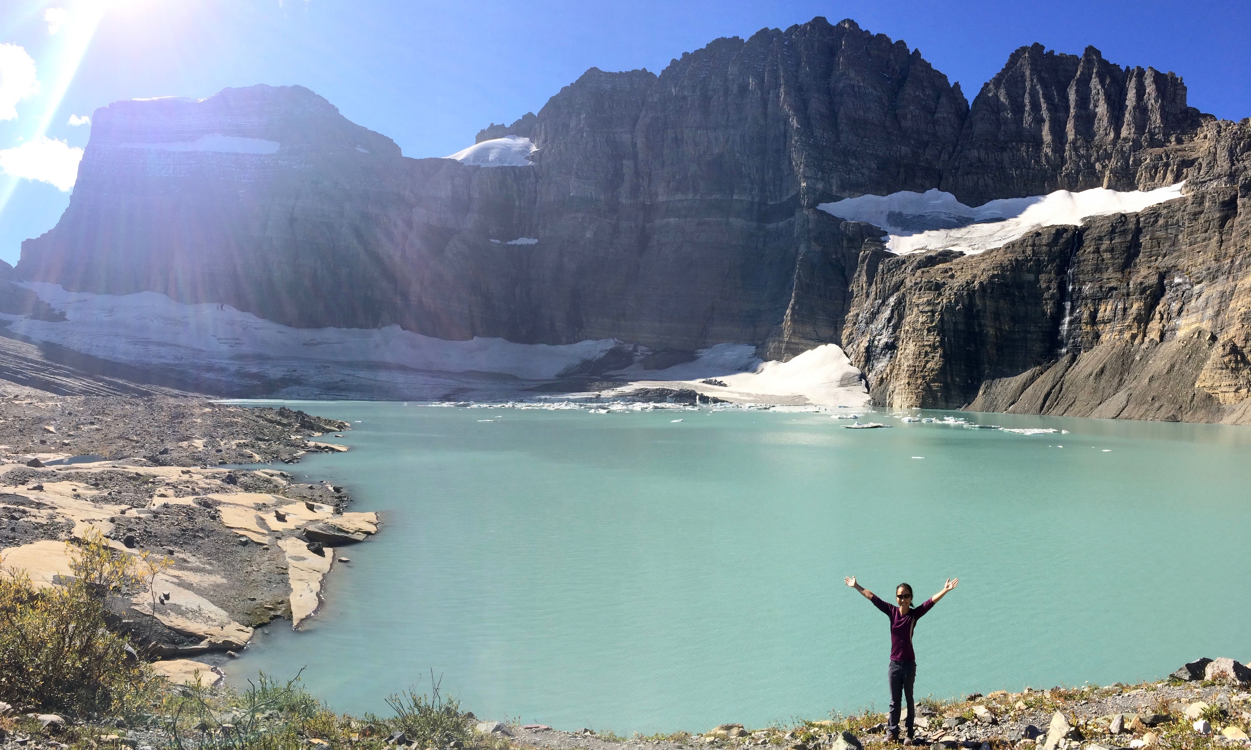
The next morning we set out to see the park’s most visited glacier–Grinnell Glacier.  At ~11 miles roundtrip from the campground with not much elevation gain and spectacular views throughout the hike, it’s unsurprising that this hike is so popular.  Tack on perfect weather and start of the low season, and you’ve got yourself the perfect hike.

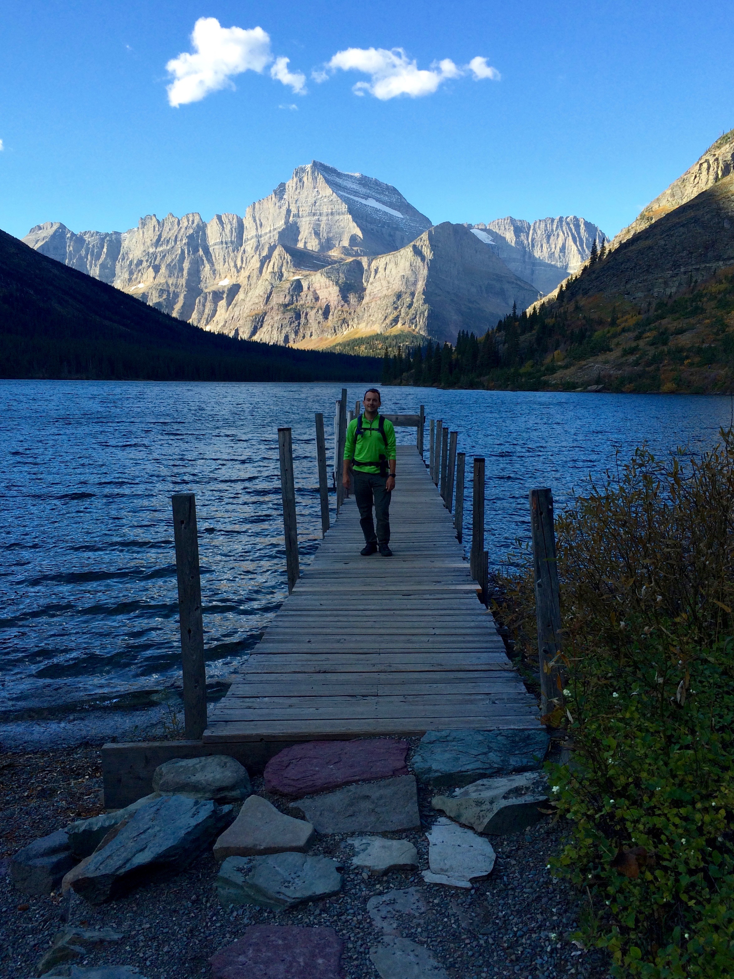
Lake Josephine in morning lighting, and no more tour boats for the season:img_5427

Hiking along Lake Josephine:img_5433

Grinnell Lake coming up:img_5441

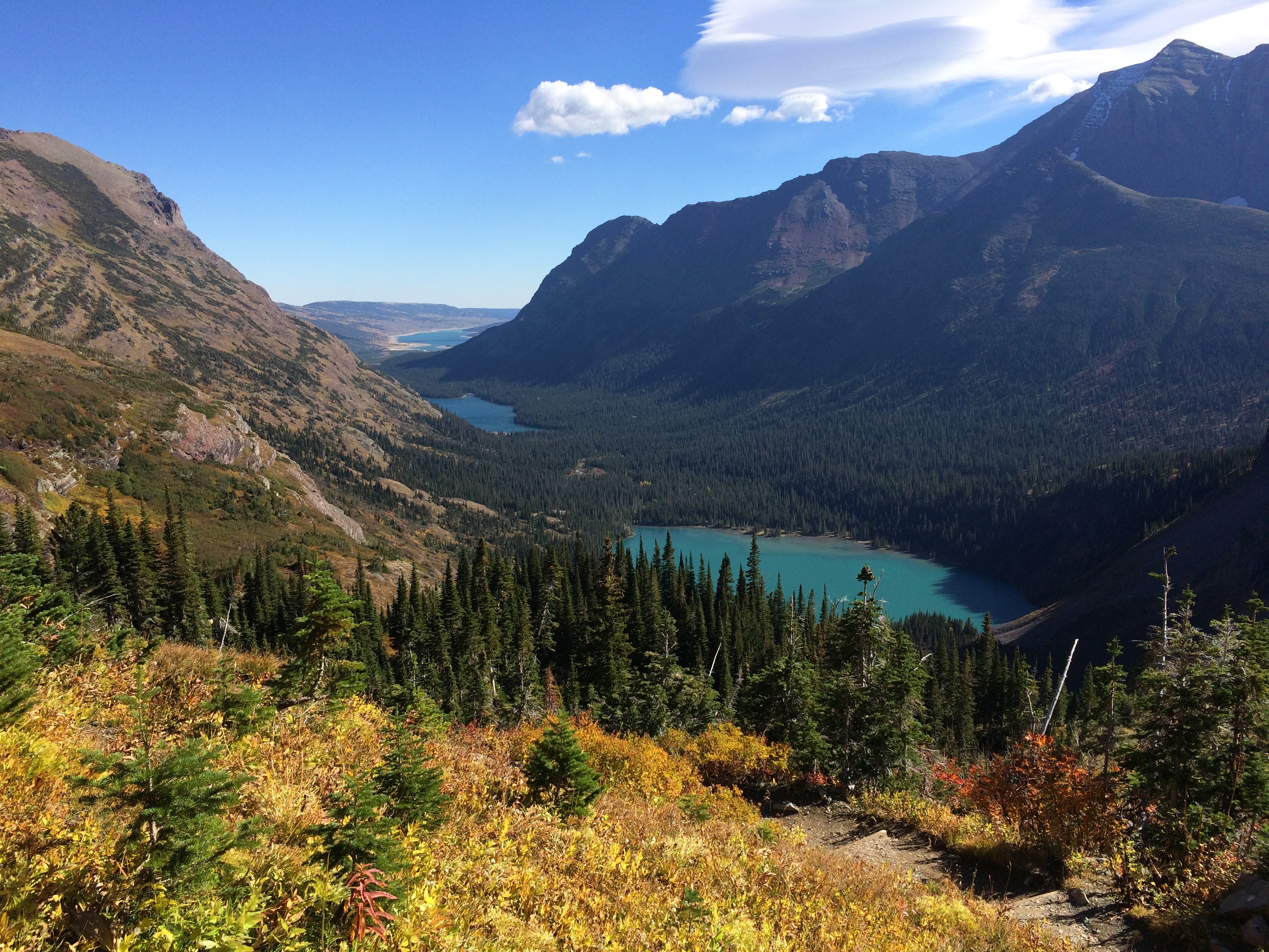
Climbing higher, and looking back at all the lakes we hiked past (Grinnell Lake, Lake Josephine, and Swiftcurrent Lake):img_5448

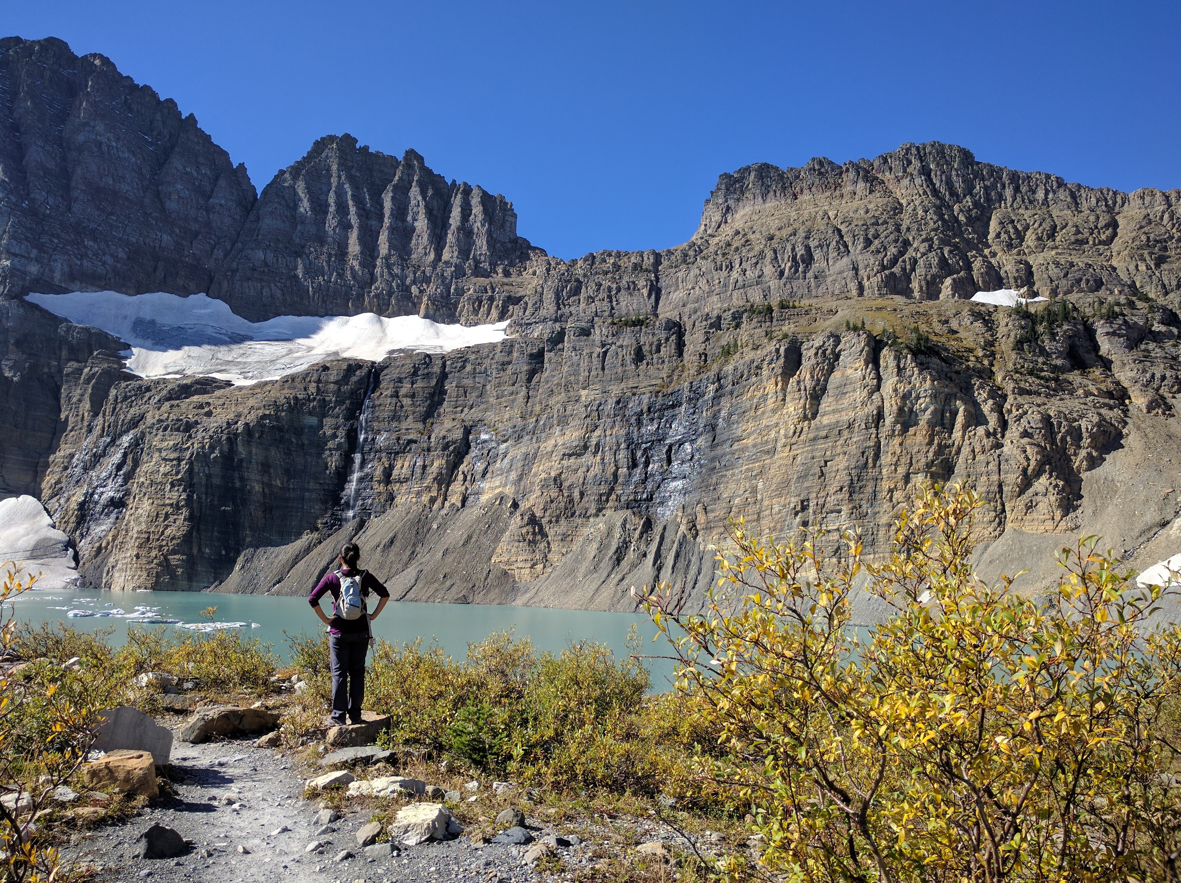
Grinnell Glacier (or what’s left of it):img_20160927_114054

Yay, Grinnell Glacier!img_5450

Another hike we completed was up to Swiftcurrent Pass, followed by Swiftcurrent Mountain.  From Many Glacier, the mileage is 16 miles roundtrip, but the perfect weather, lack of other hikers, and breathtaking scenery made us forget how far we hiked to reach the summit.  We met a group of local hikers at the summit, and even they commented on how lucky we all were that day; one hiker had hiked the exact trail 5 times before, and had never seen such incredible weather.  No biting wind, just comforting sunshine.
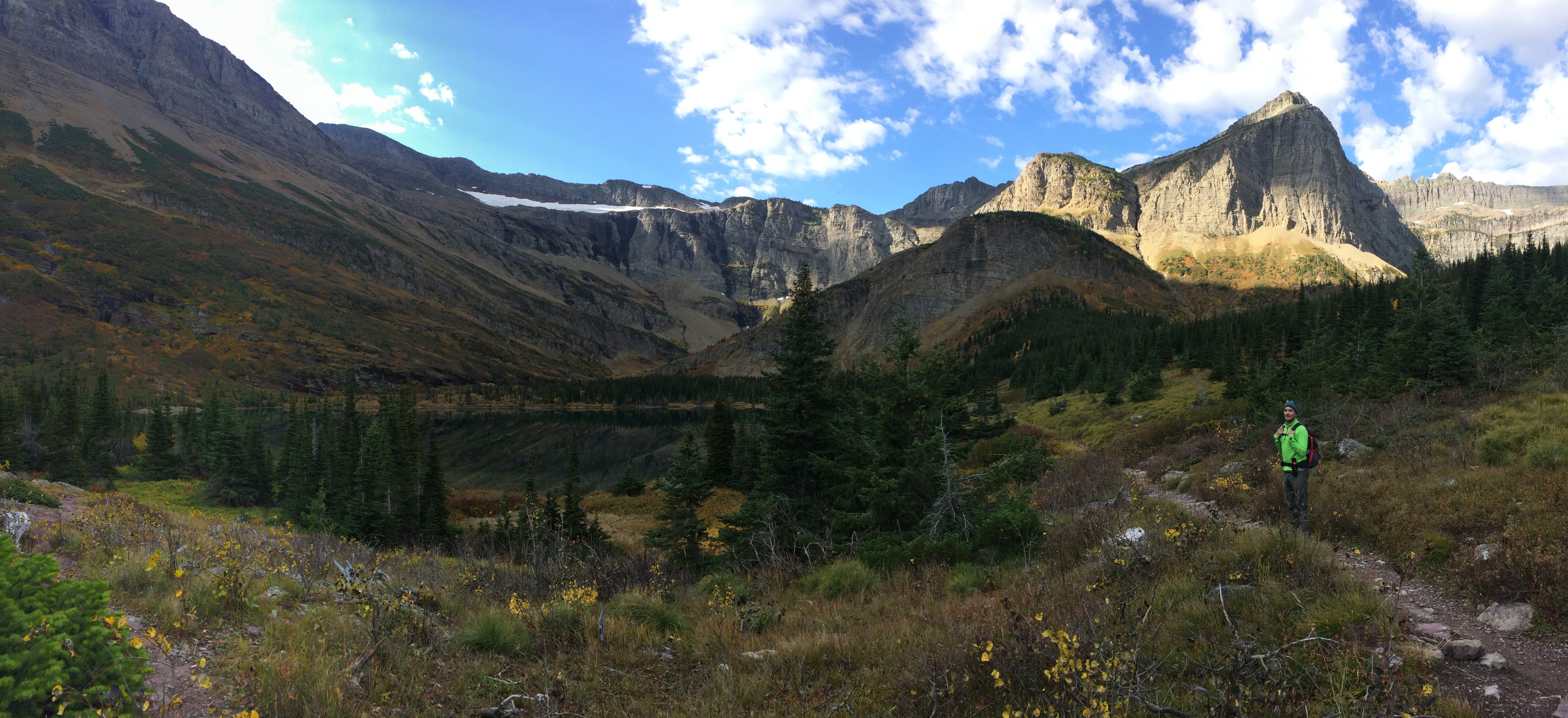
First, we hiked through a long valley and arrived at Red Rock Lake.img_5462

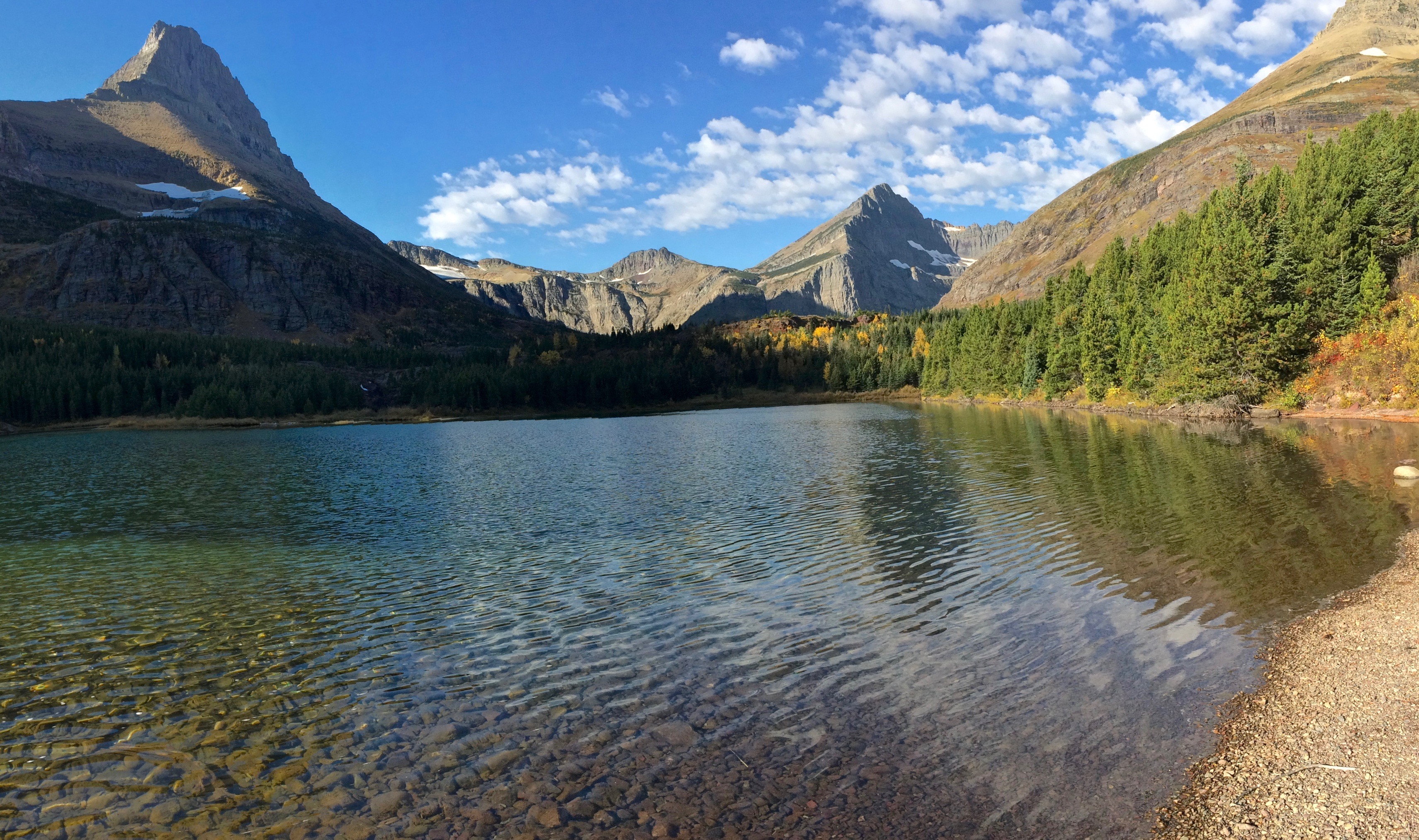
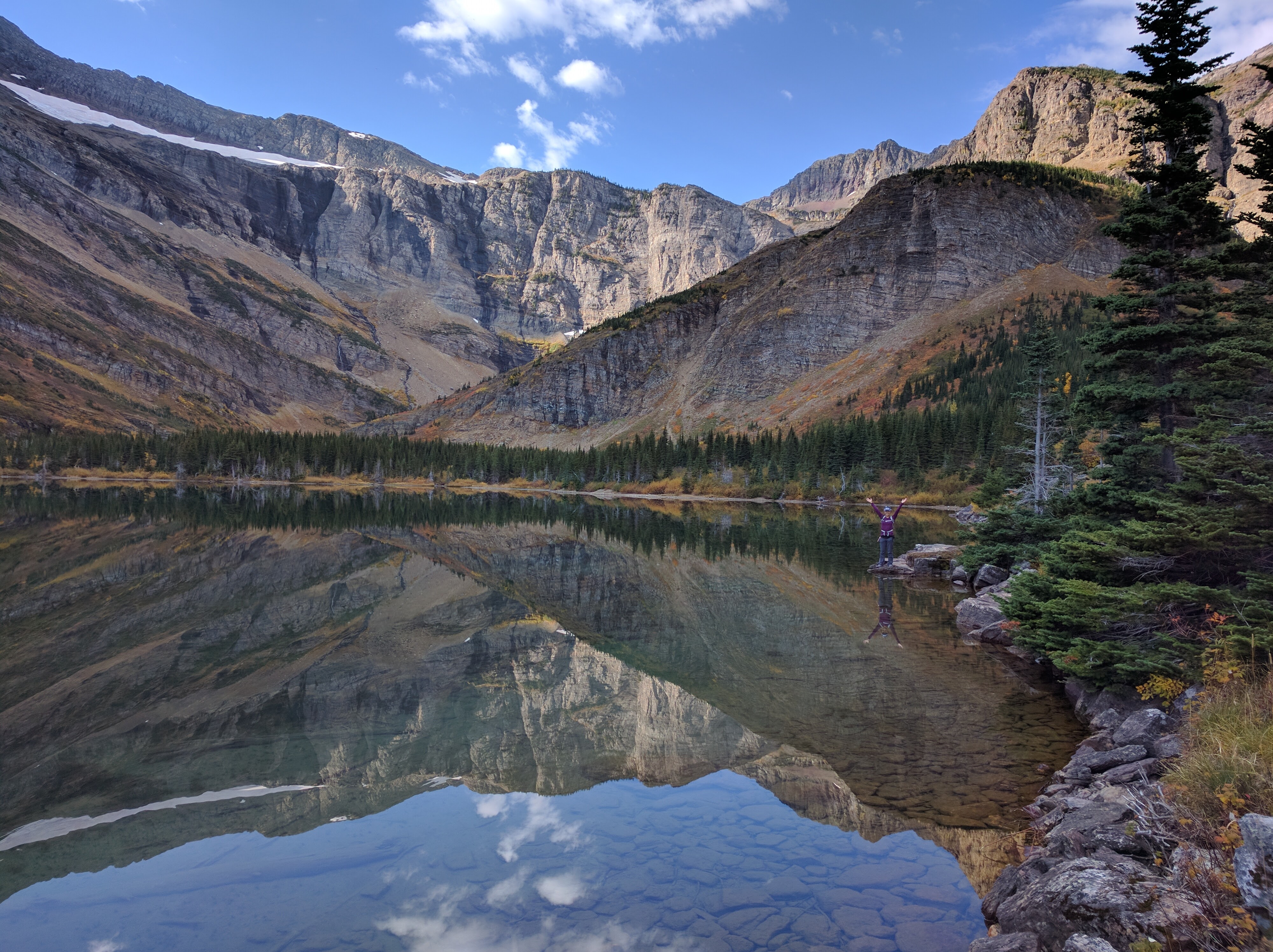
Beyond Red Rock Lake is an even more incredible lake–Bullhead Lake.img_5468img_20160928_102748

Then began our climb, which allowed us to gaze back at the valley.img_20160928_105341

Amazing fall colors:img_5525

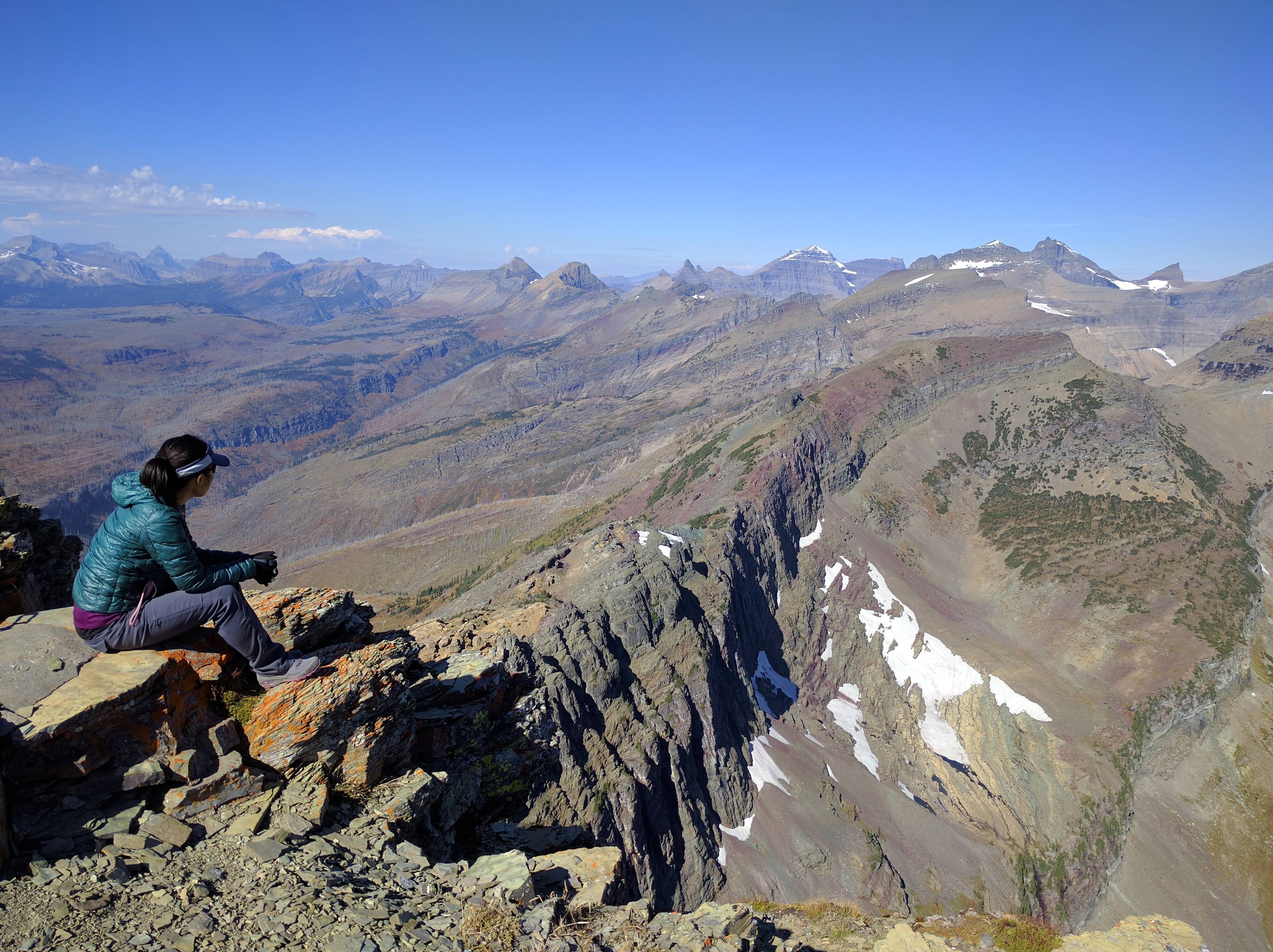
The absolute BEST view of Many Glacier can be seen from Swiftcurrent Pass.  We can see Bullhead Lake, Red Rock Lake, Fishercap Lake, Swiftcurrent Lake, and even Lake Sherburne.img_5543

The last, final 1.2-mile climb to the summit of Swiftcurrent Mountain was deceptively long, but granted us winning views on the way up.img_5540

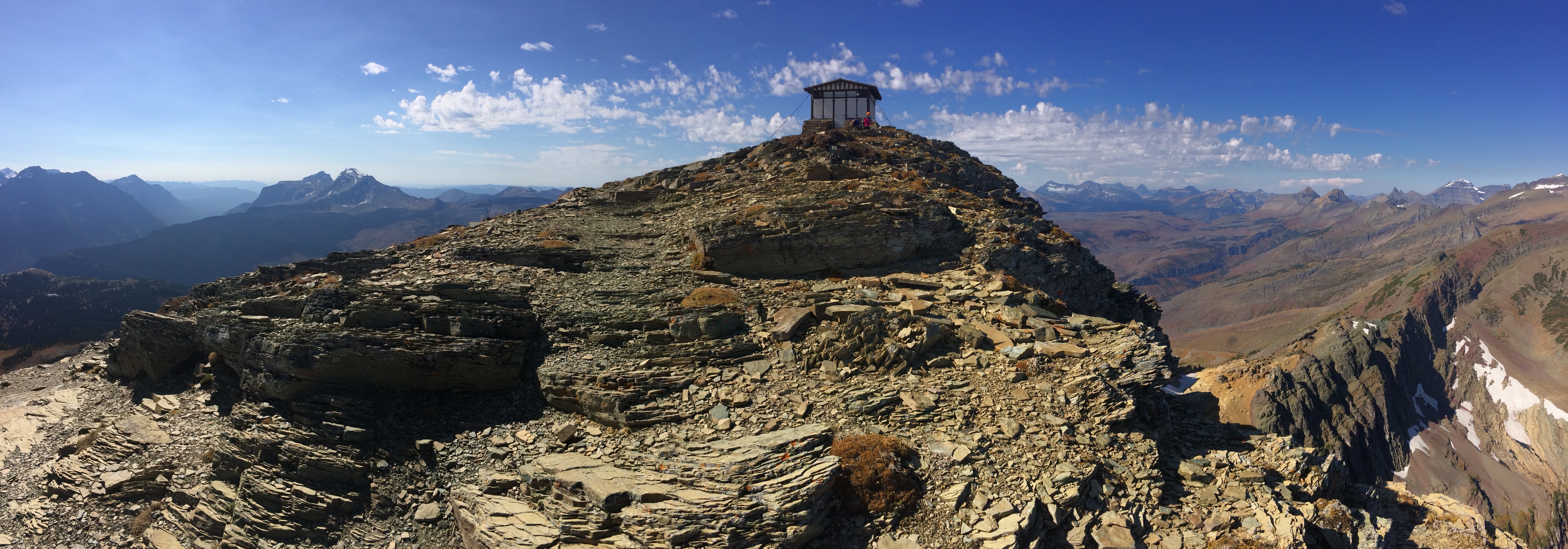
Finally, the lookout tower at the summit!img_5539

360º views for lunch:img_20160928_132649

I know I haven’t spent much time at Glacier National Park, and I know that every hike in each section of the park is breathtaking.  But between the trails along the Going-to-the-Sun Road, Many Glacier, and Two Medicine, my favorite hikes were in Many Glacier.  I’m sure I’m not the only one who feels this way–I hope the pictures explain it all.

Posted in Montana | Tagged , , | 1 Comment

Going-to-the-Sun Road

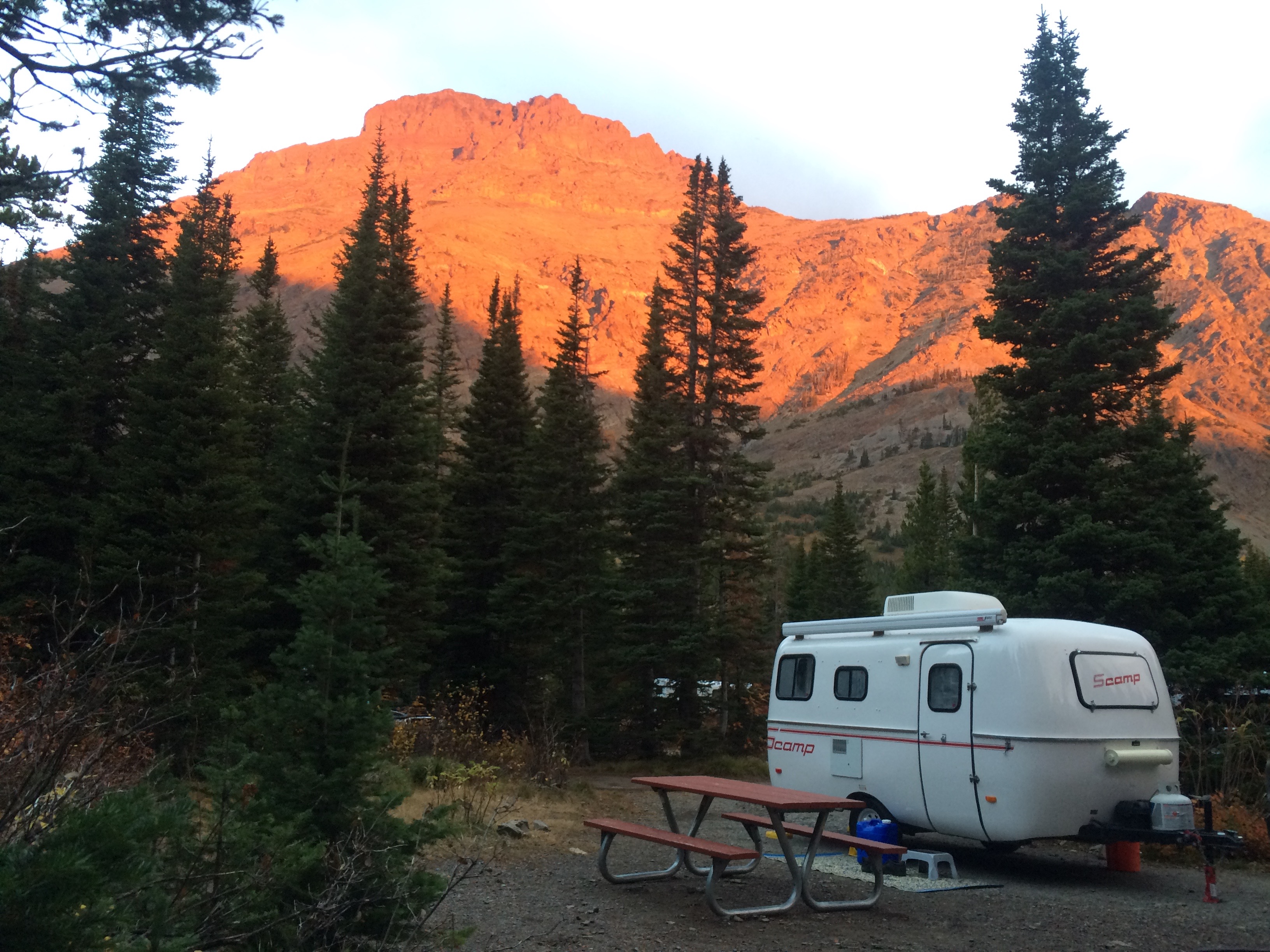
Towing a 16′ trailer meant we couldn’t drive through Glacier National Park via the famous Going-to-the-Sun Road, so we took the long route around the park to East Glacier.  The plan was to camp at St. Mary; most campgrounds along the Going-to-the-Sun Road were already closed, St. Mary was in primitive status ($10/night!), it served as the perfect base to cycle and explore the trails along the road, and it was the launching point for our next destination at Many Glacier.
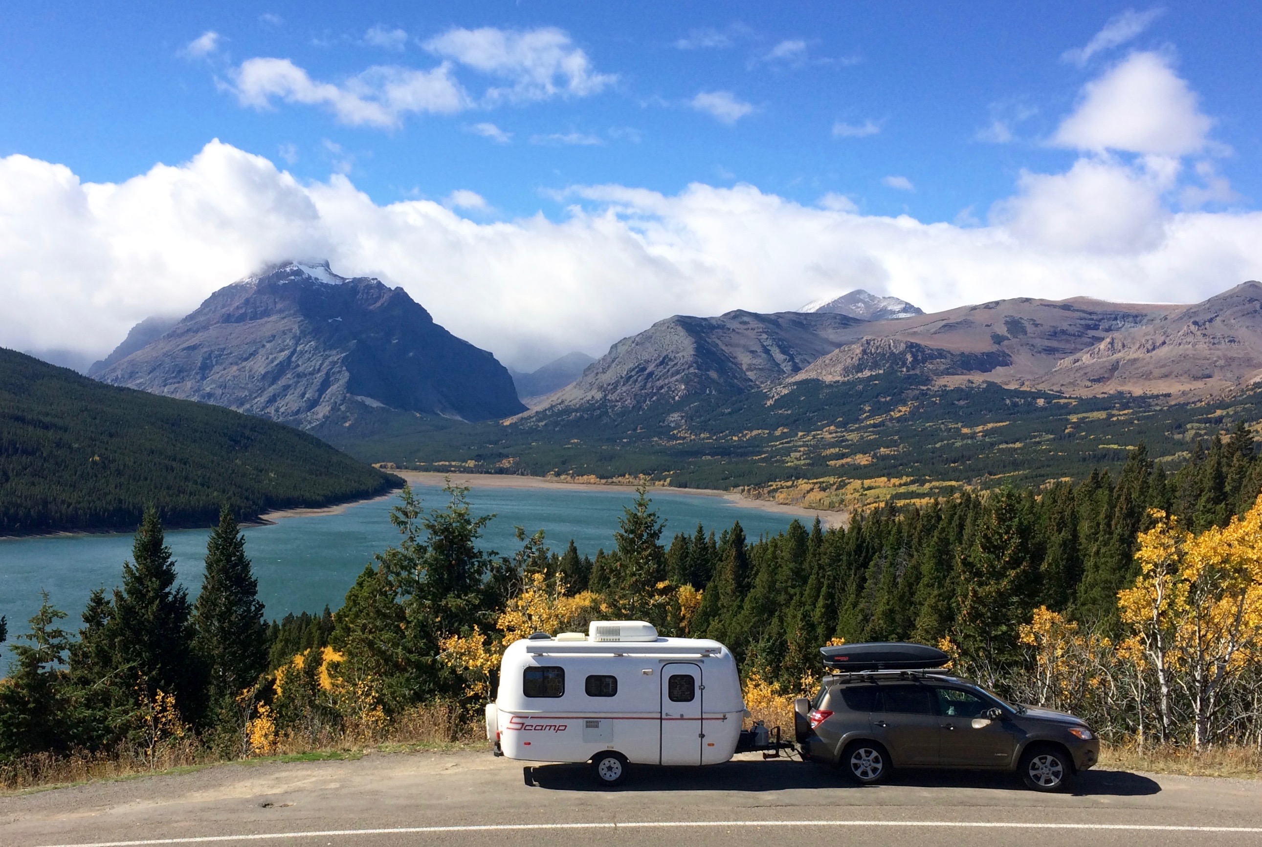
A quick photo stop just outside of Two Medicine:img_5336

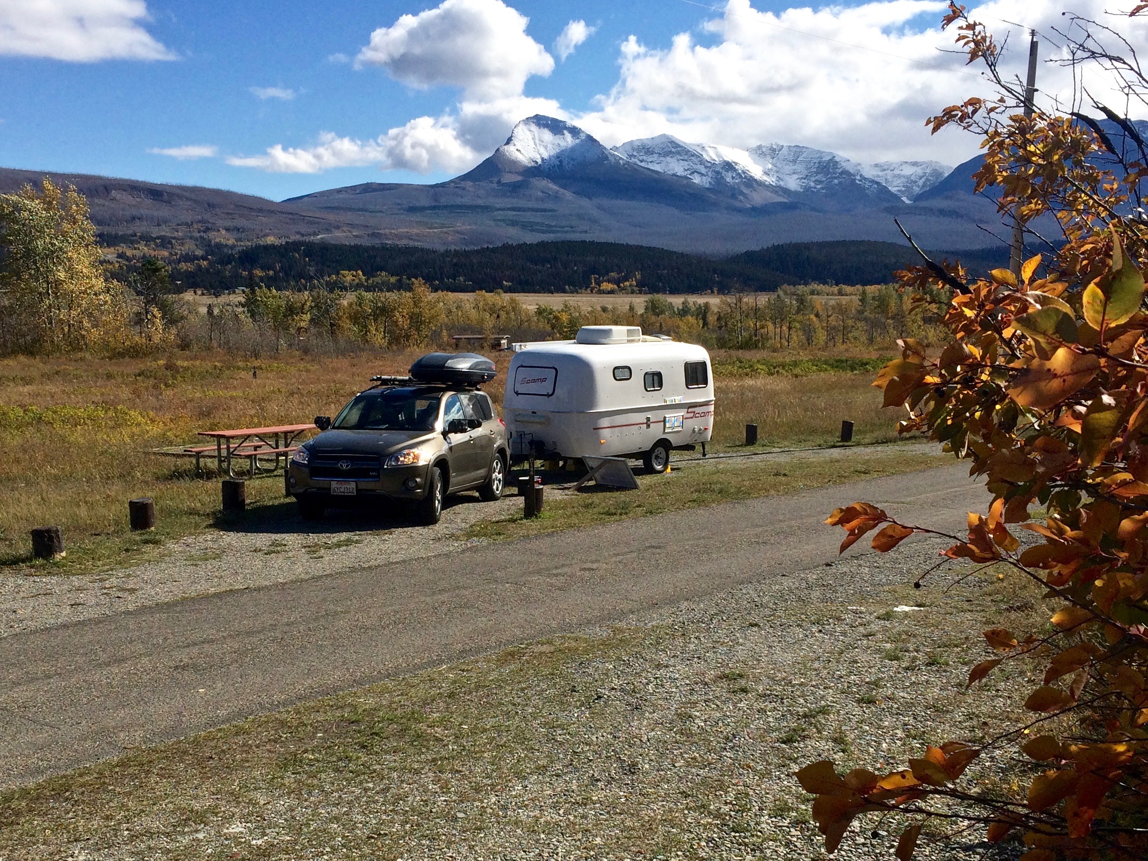
We pulled into St. Mary Campground by late afternoon on a Saturday, but because it was late September, the campground had plenty of available sites.  If it had been summer, the campground would have hit capacity by 8am. Views at St. Mary could not be beat!img_5341

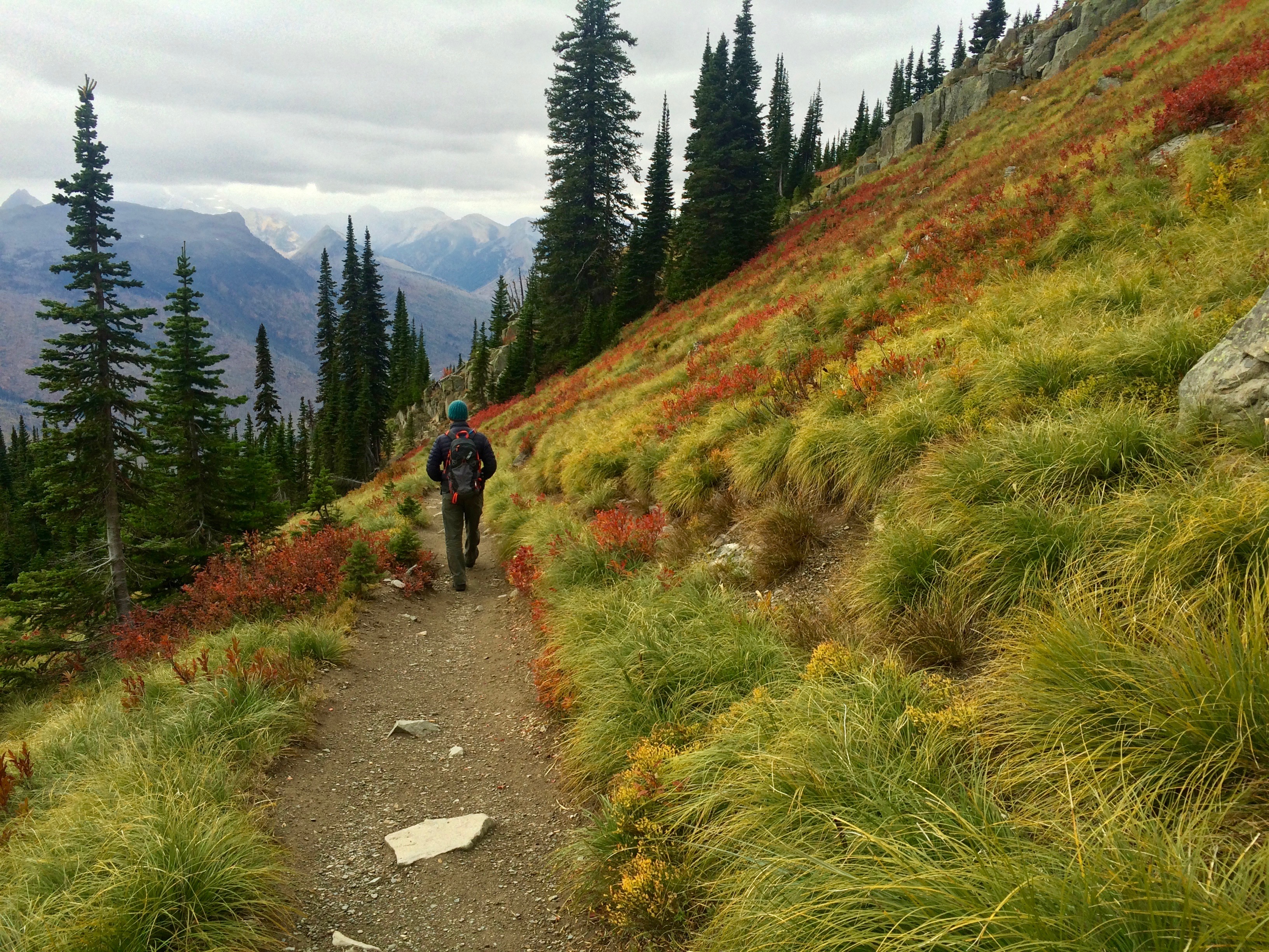
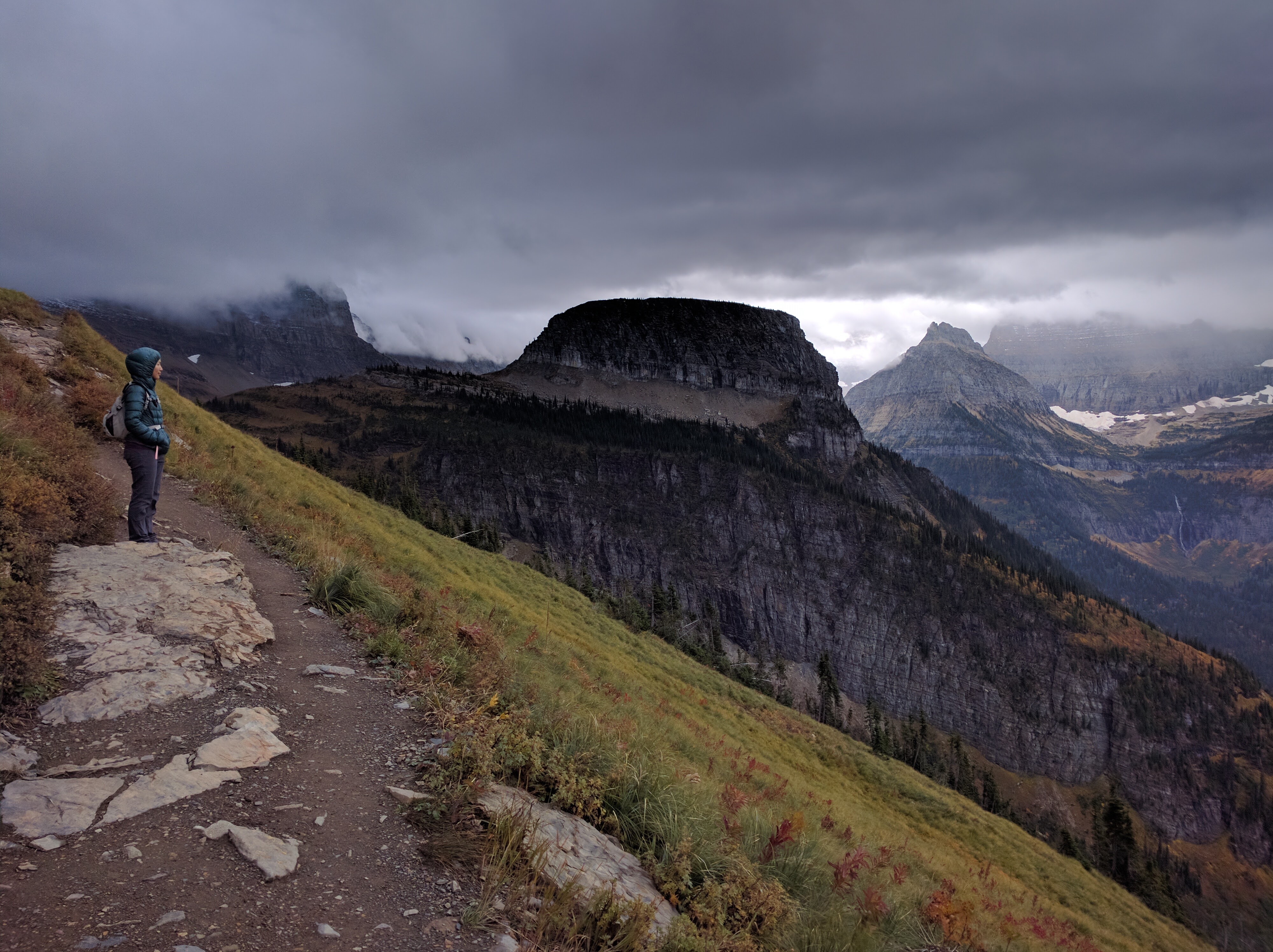
My original plan for the next day was to bike the Going-to-the-Sun Road from St. Mary to Apgar, but the relentless winds forced me to change plans.  Instead, we ended up hiking the popular 12-mile Highline to Loop Trail.  Shuttle services had already ceased for the season, so we parked at the Loop Trailhead, hitchhiked to Logan Pass (hitchhiking is easy and completely legal in the park), and began our hike from there.

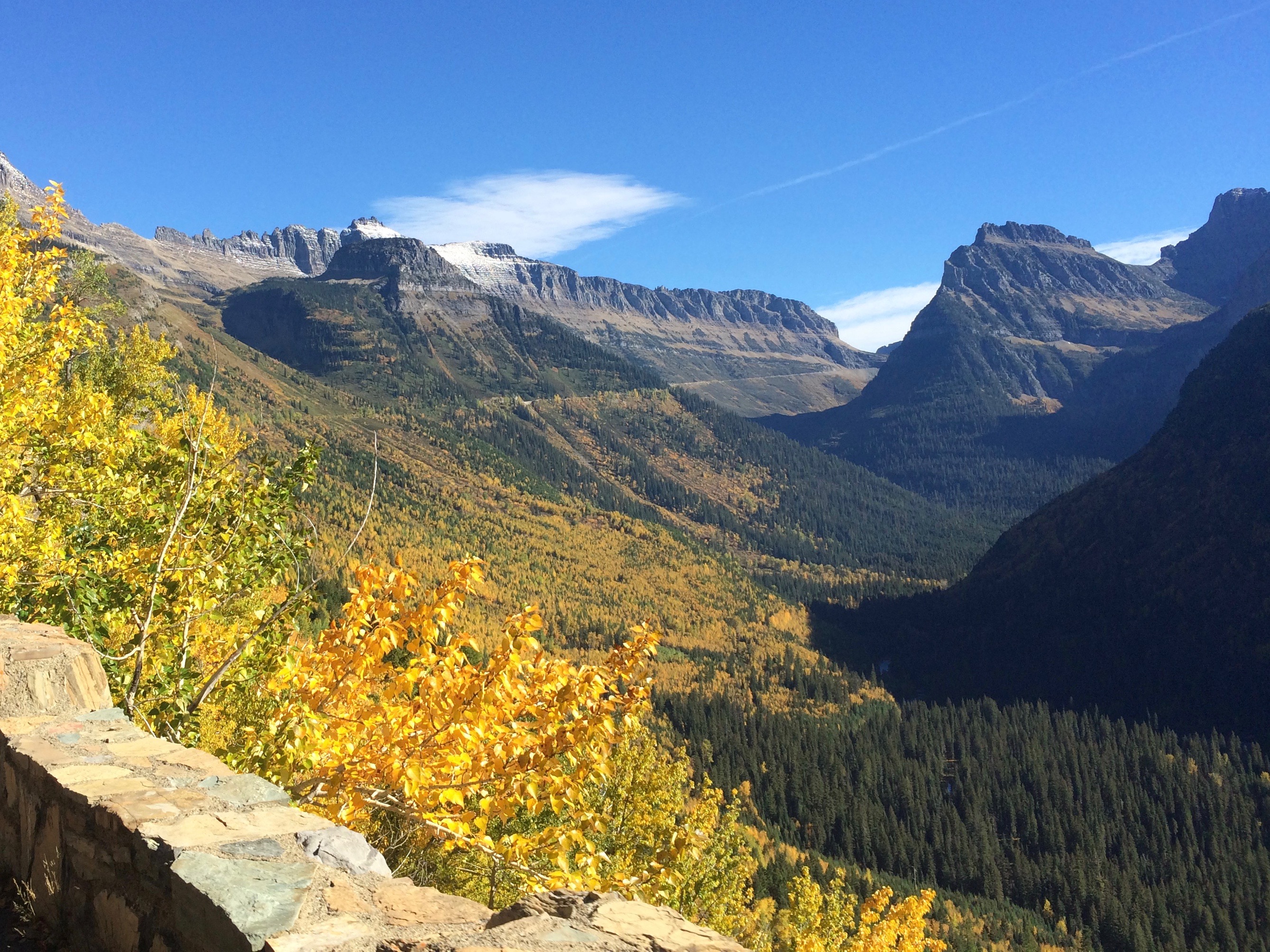
Driving along the Going-to-the-Sun Road:img_20160925_110533

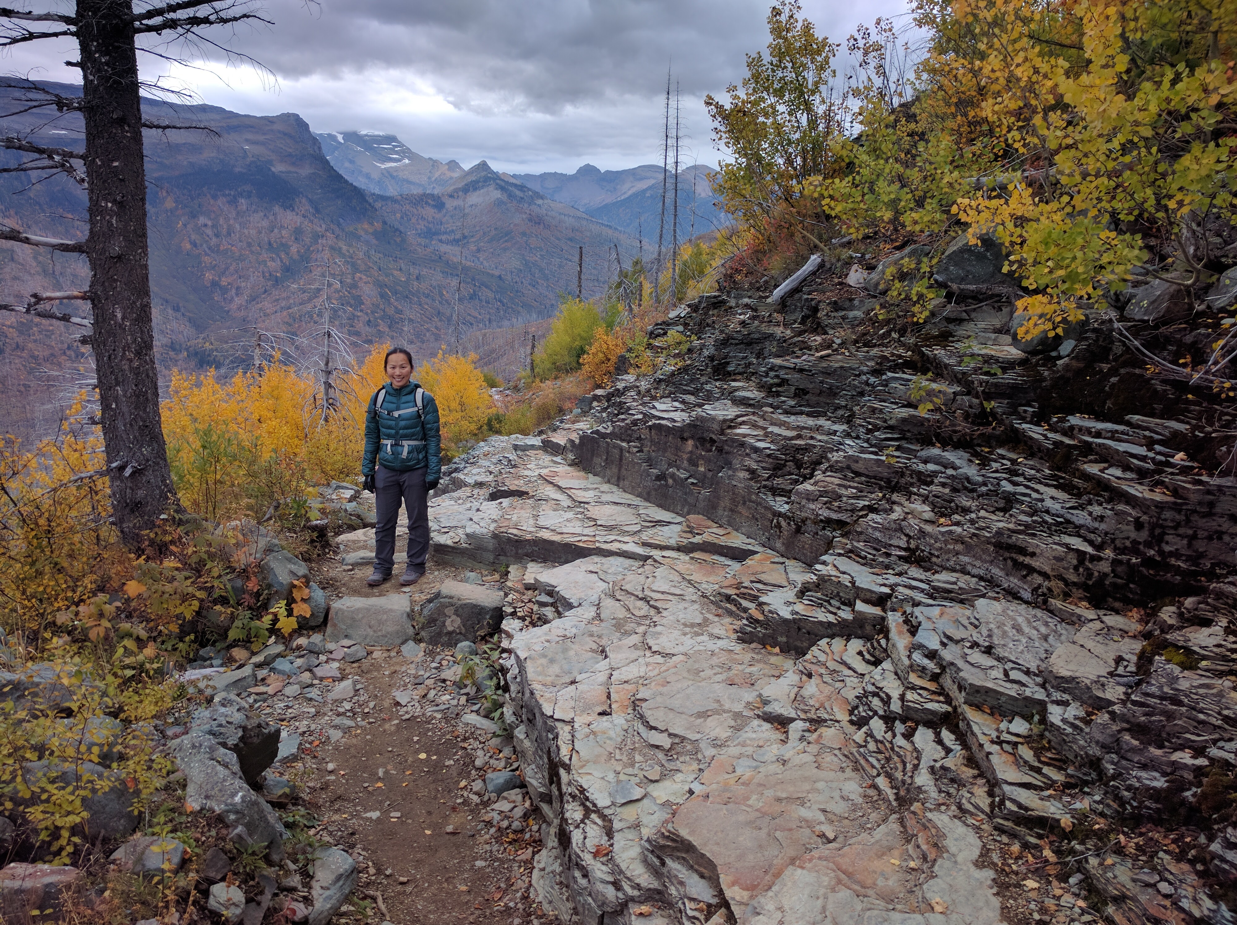
Shots from the hike:img_5369img_5376img_5378img_20160925_134253img_20160925_160548

Tip: The trail took us to Granite Park Chalet, where we had data (AT&T)!

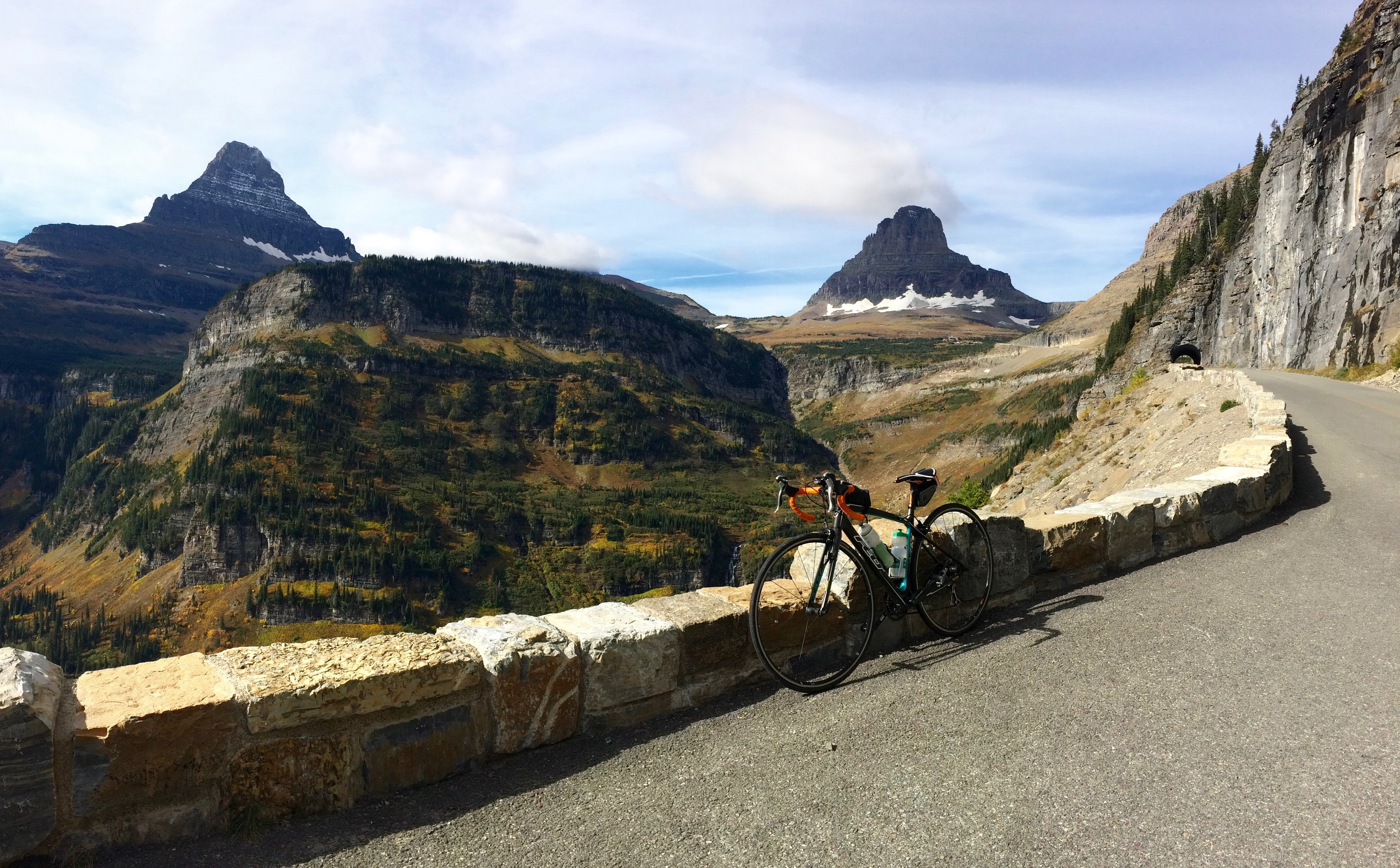
I set out to cycle the 50-mile Going-to-the-Sun Road the following morning in a east to west direction from St. Mary to Apgar.  With a shorter climb and lower grade, going east to west is easier.  This direction is also safer with its wide lane throughout the climb, saving the windy, narrow lane for the descent.  However, the east side of the park is known to be windier than the west, and on the day I rode it, the winds were brutal.  Consistent 20 mph winds with gusts of 30 made for a grueling ride and left me wondering if cycling west to east would have been easier.  Perhaps.

From June 15 through Labor Day, cyclists are not allowed on the road between 11am-4pm. Thanks to the late season, I could cycle the road any time I pleased.  I set out not long after 9am, only to battle gnarly winds for the next 10 miles.  At least the views made up for it.
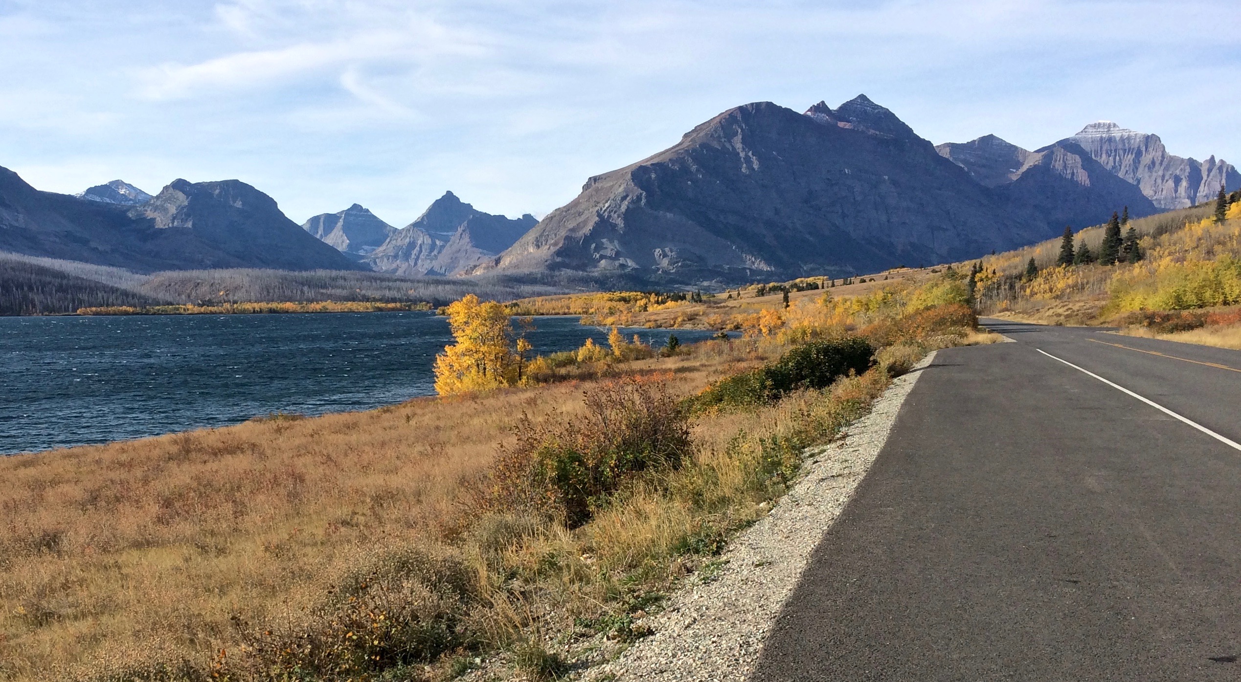
Cycling along St. Mary’s Lake:img_5383
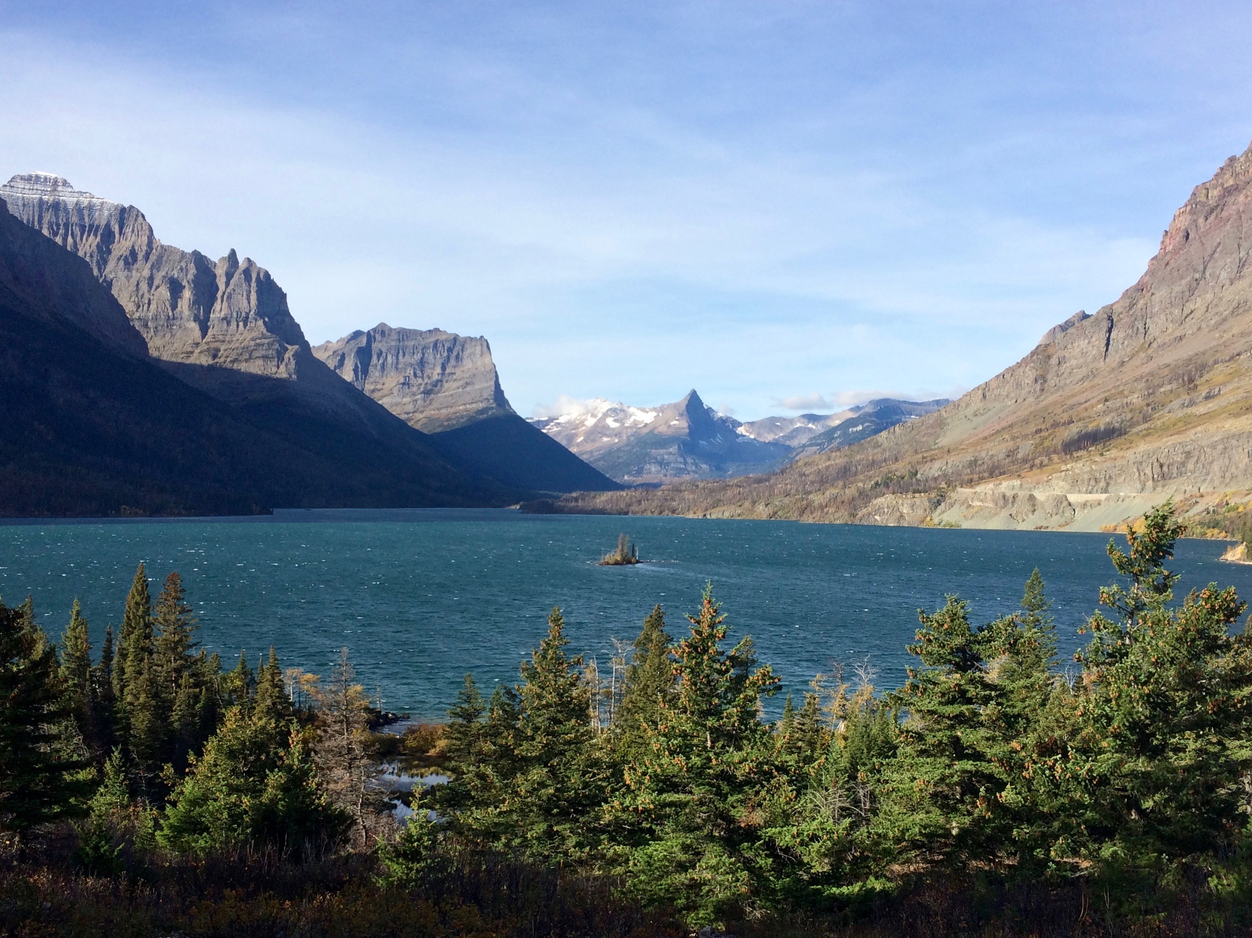
Wild Goose Island:img_5385

Yellow leaves hinting at fall:img_5386

Climbing up the pass:img_5389

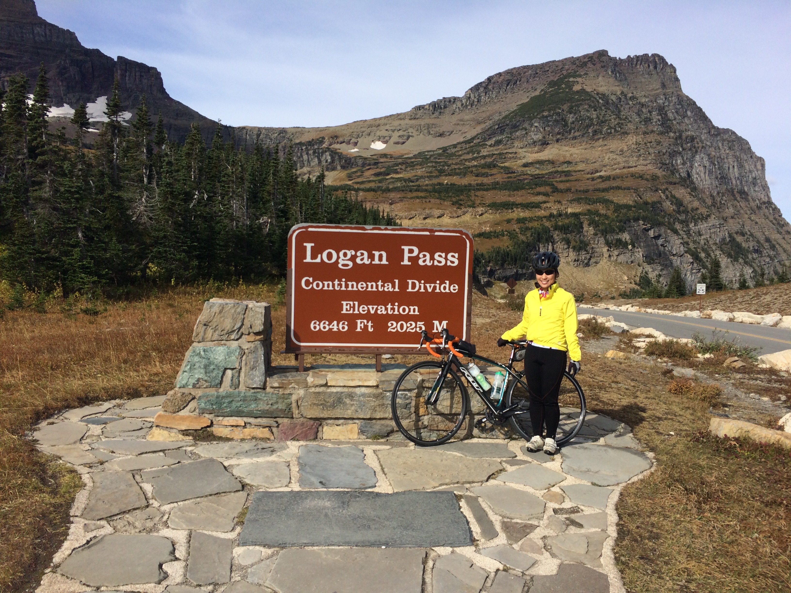
Finally, at Logan Pass:img_5392

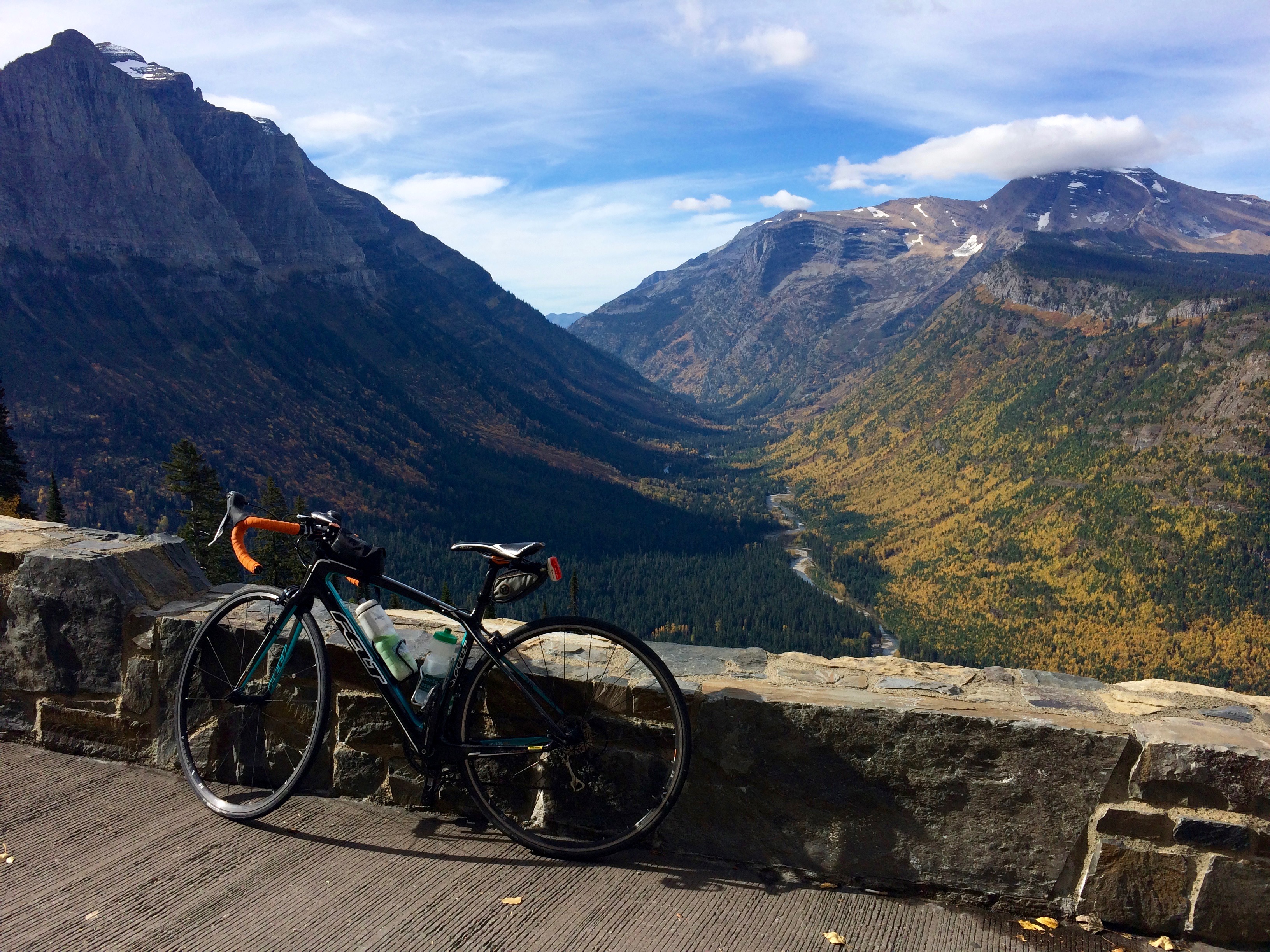
Incredible views descending along the west side of the park:img_5396

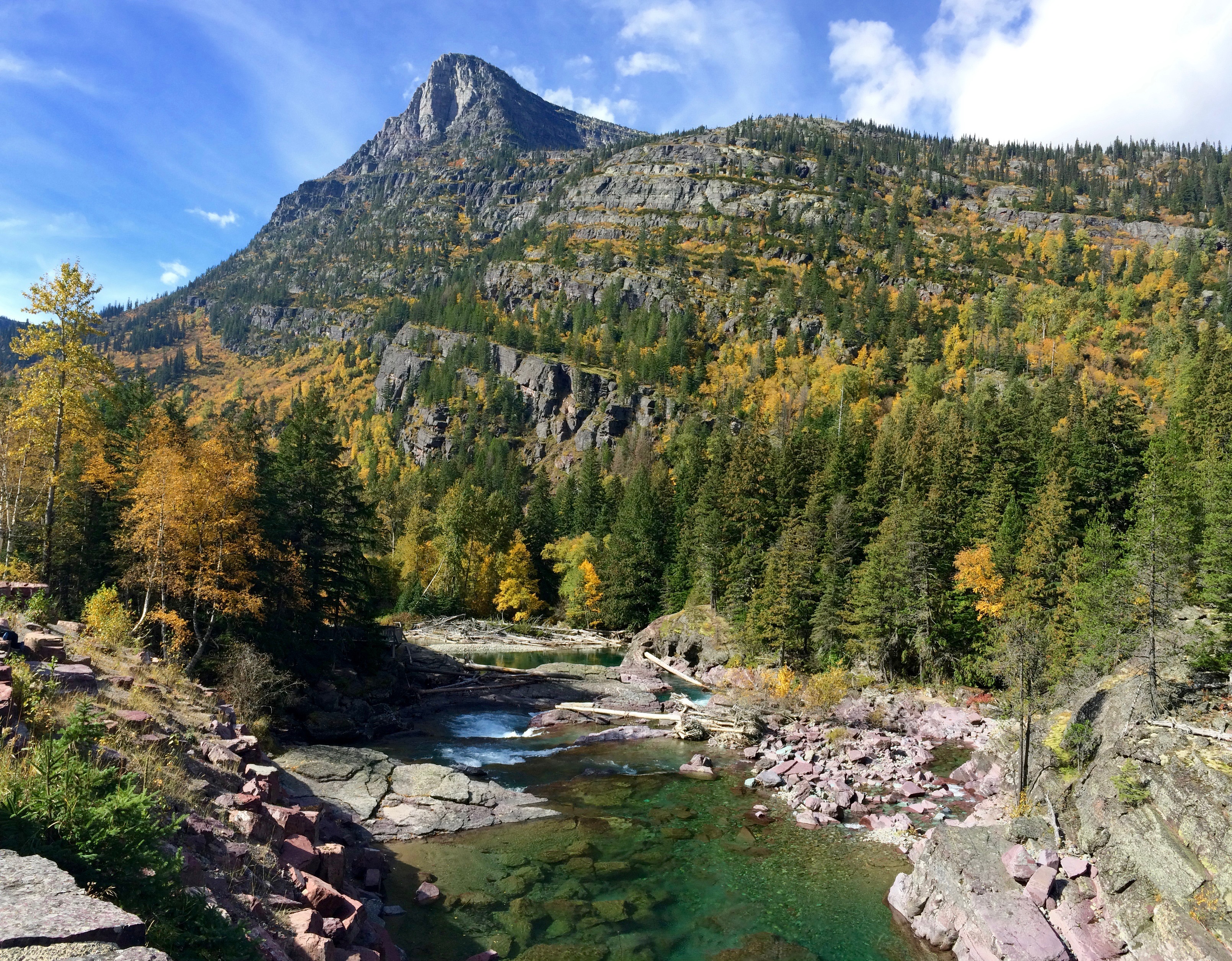
Beautiful and clear McDonald Creek:img_5402

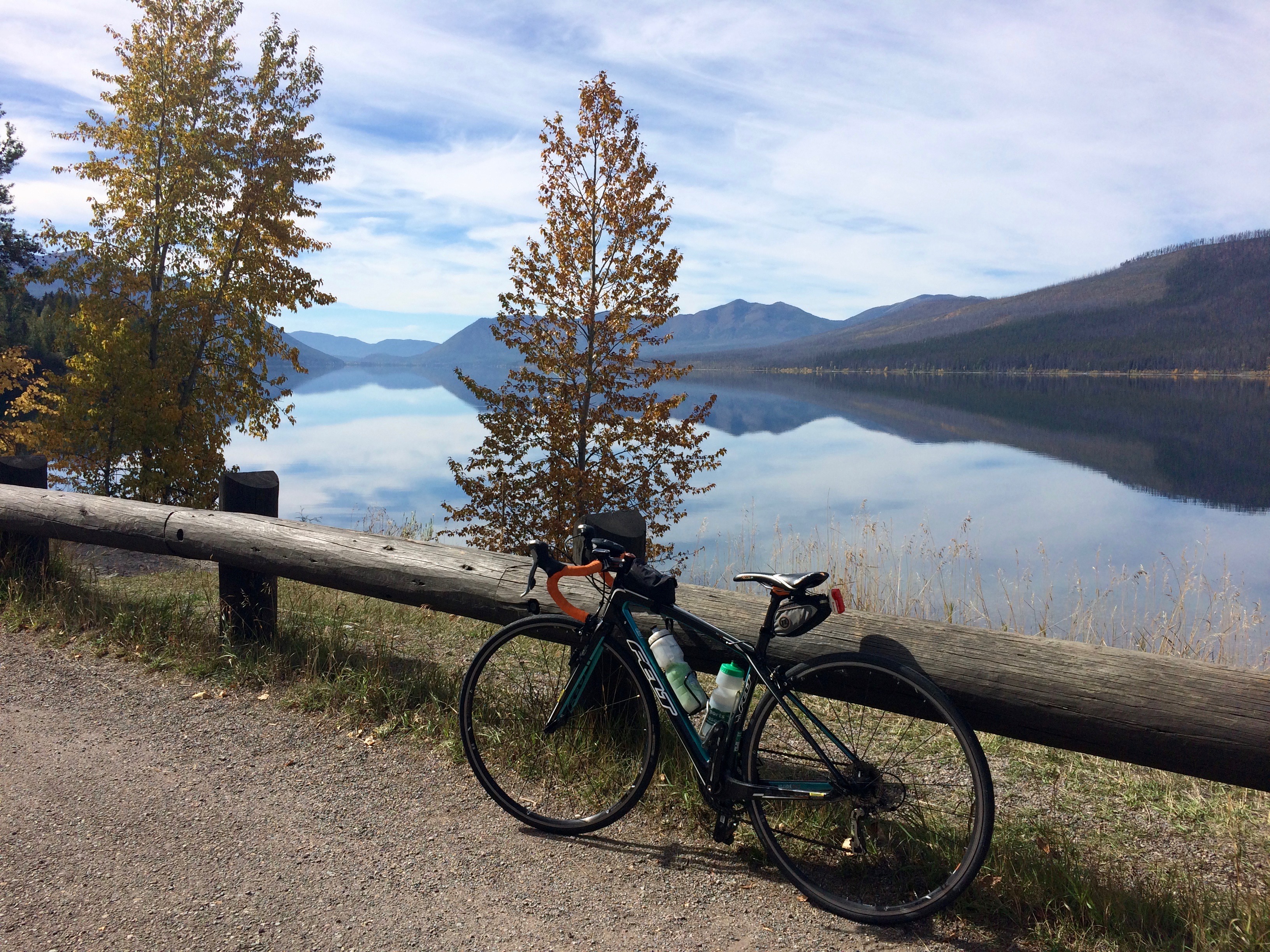
Pristine Lake McDonald:img_5404

There truly is no better way to enjoy Going-to-the-Sun Road than by bike under sunny skies.  Coming from the San Francisco Bay Area, I didn’t find the bike ride to be difficult at all, despite not having ridden over 25 miles in two years.  Fortunately I only had to ride one-way, since Chris awaited me at Apgar with the car, and we drove back along the Going-to-the-Sun Road to our campground.  Gorgeous views again!img_5411
Another beautiful hike we completed along the Going-to-the-Sun Road was the 10-mile Siyeh Pass trail around Going-to-the-Sun Mountain.  We parked at Sunrift Gorge, hitchhiked to Siyeh Bend, and began our hike from the Piegan Pass Trailhead.

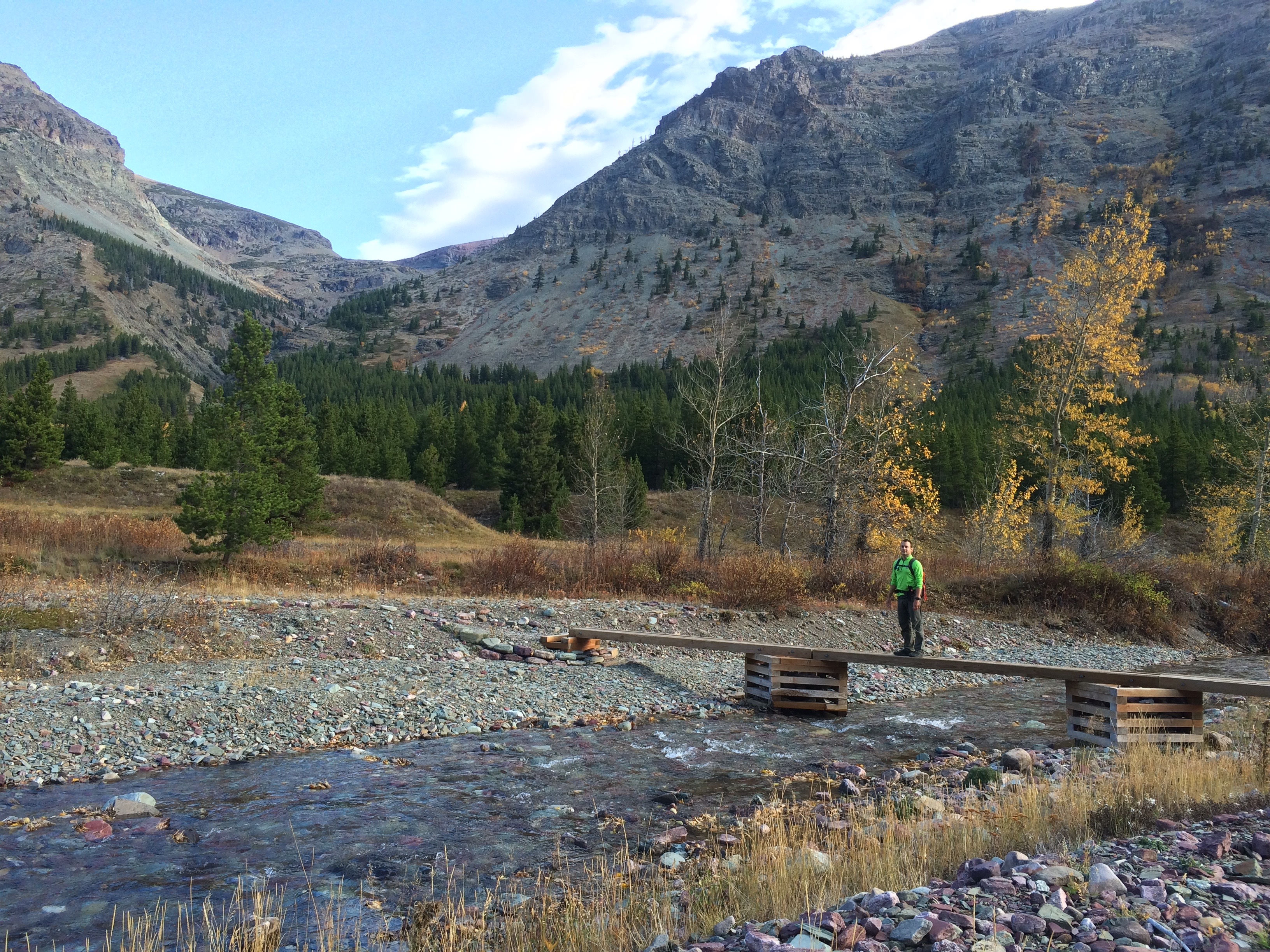
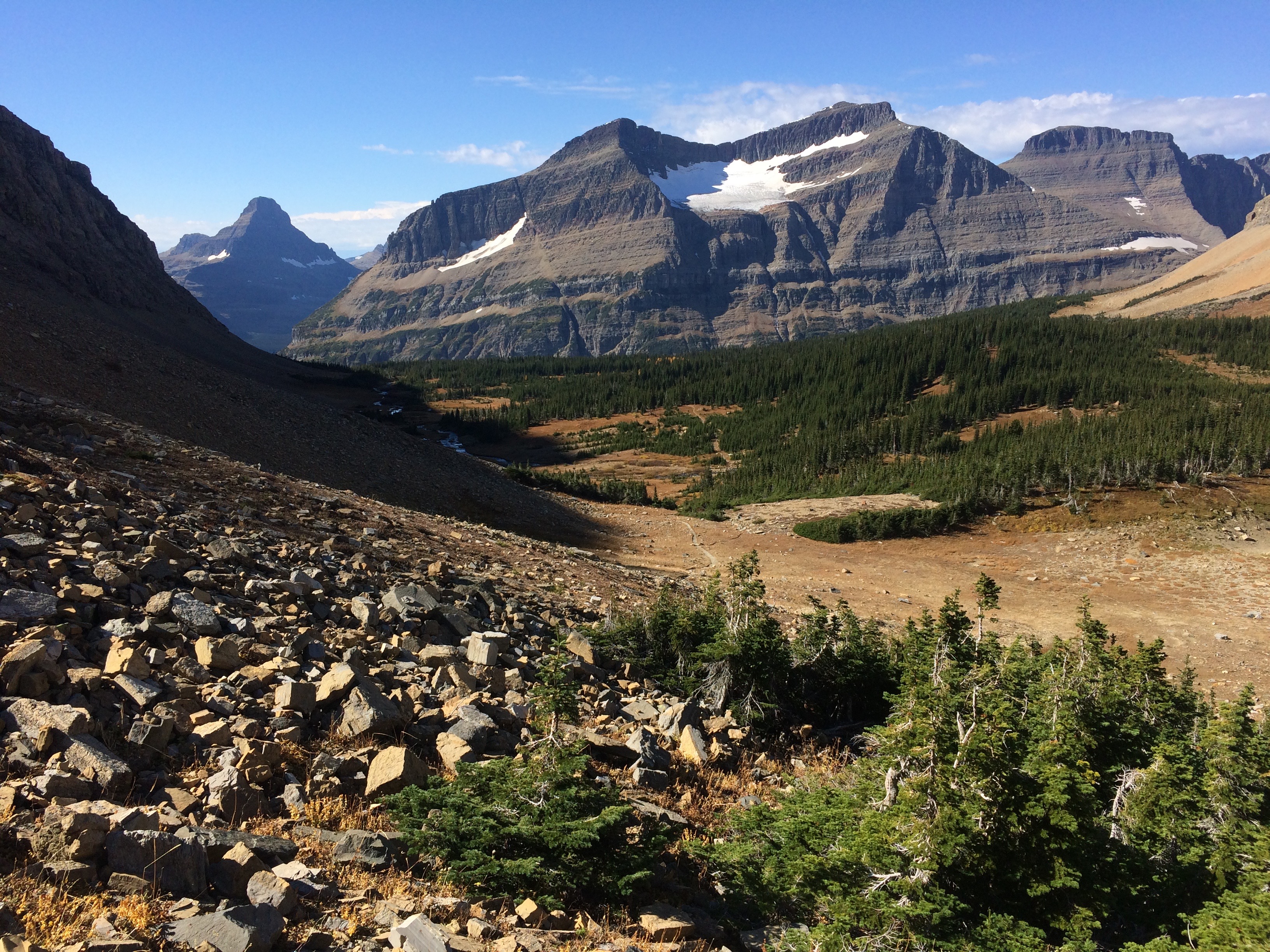
It took a while to climb out of the alpine valley.img_5558

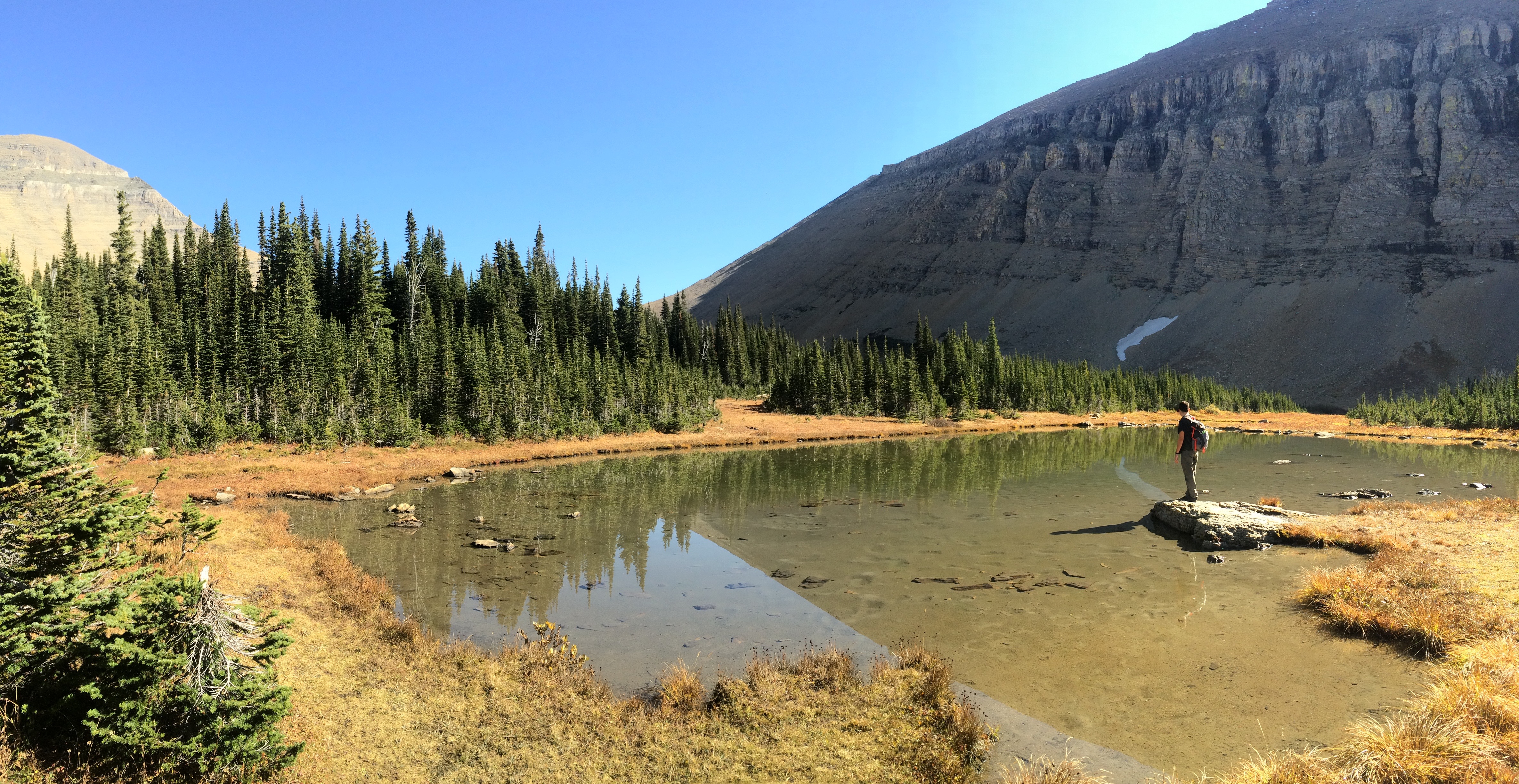
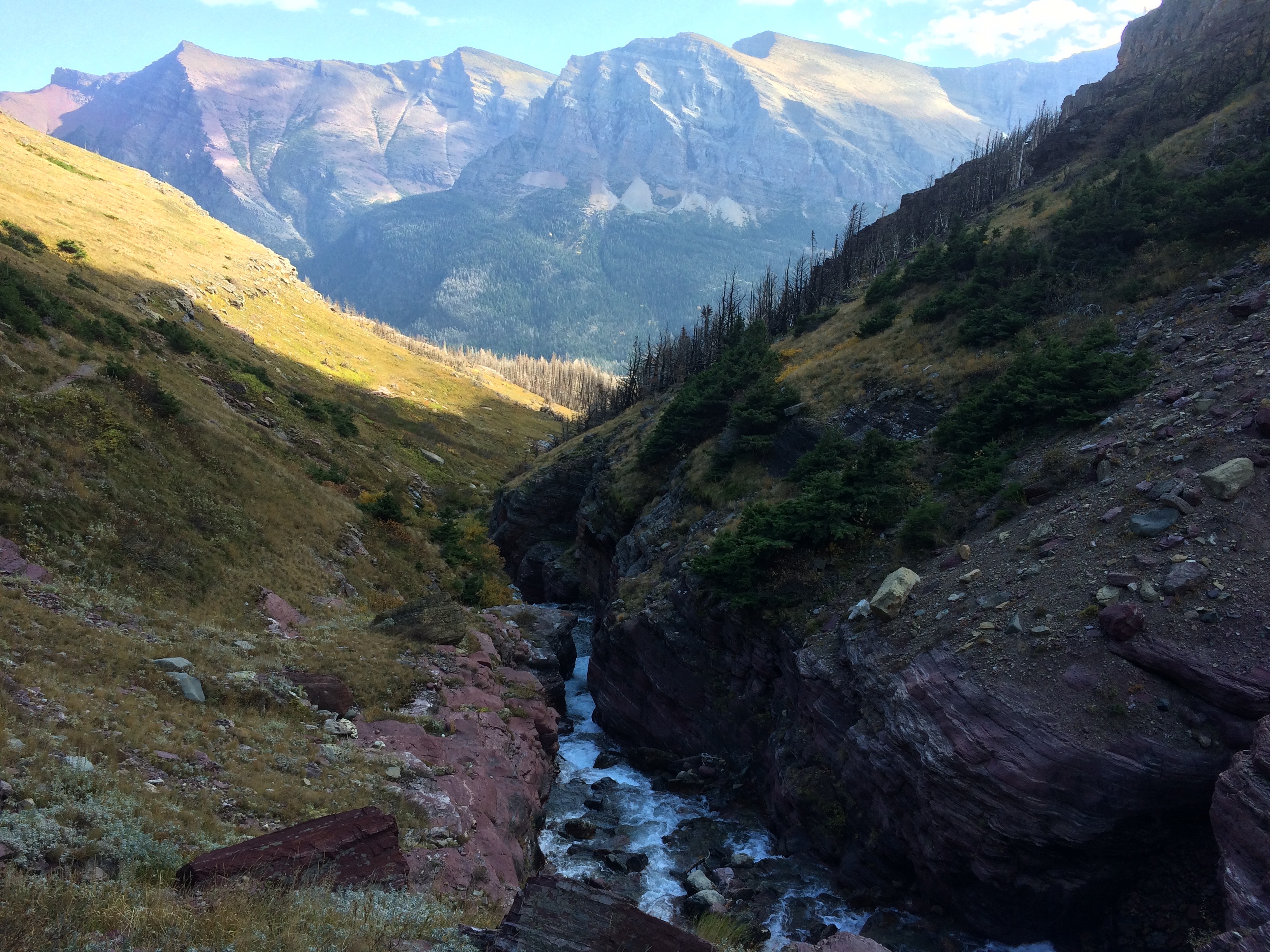
But as we approached the pass, streams and glacial lakes appeared.img_5554

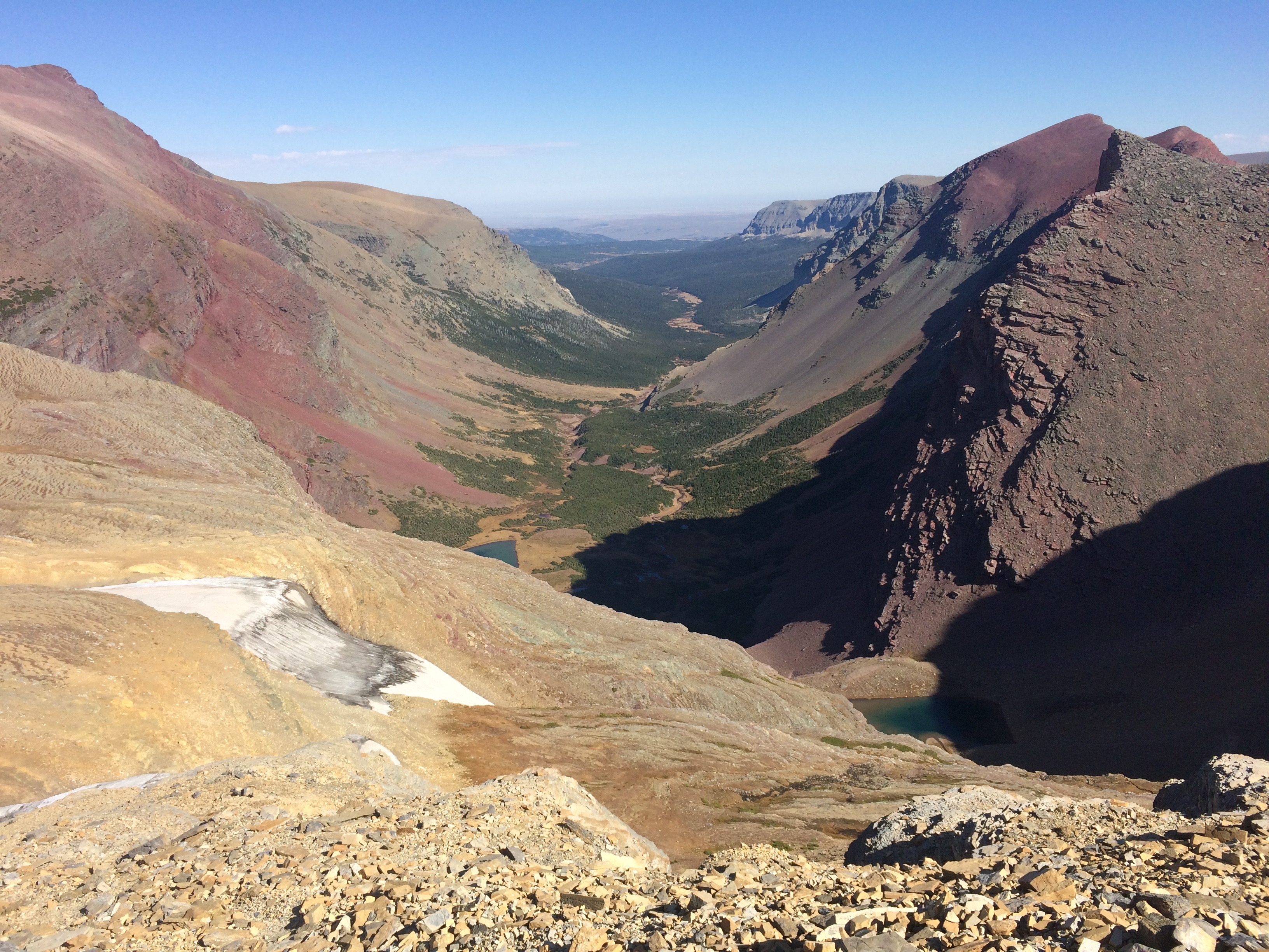
View from Siyeh Pass, looking to the north:img_5560

Heading down the pass, toward St. Mary Lake:img_20160929_131754img_5568

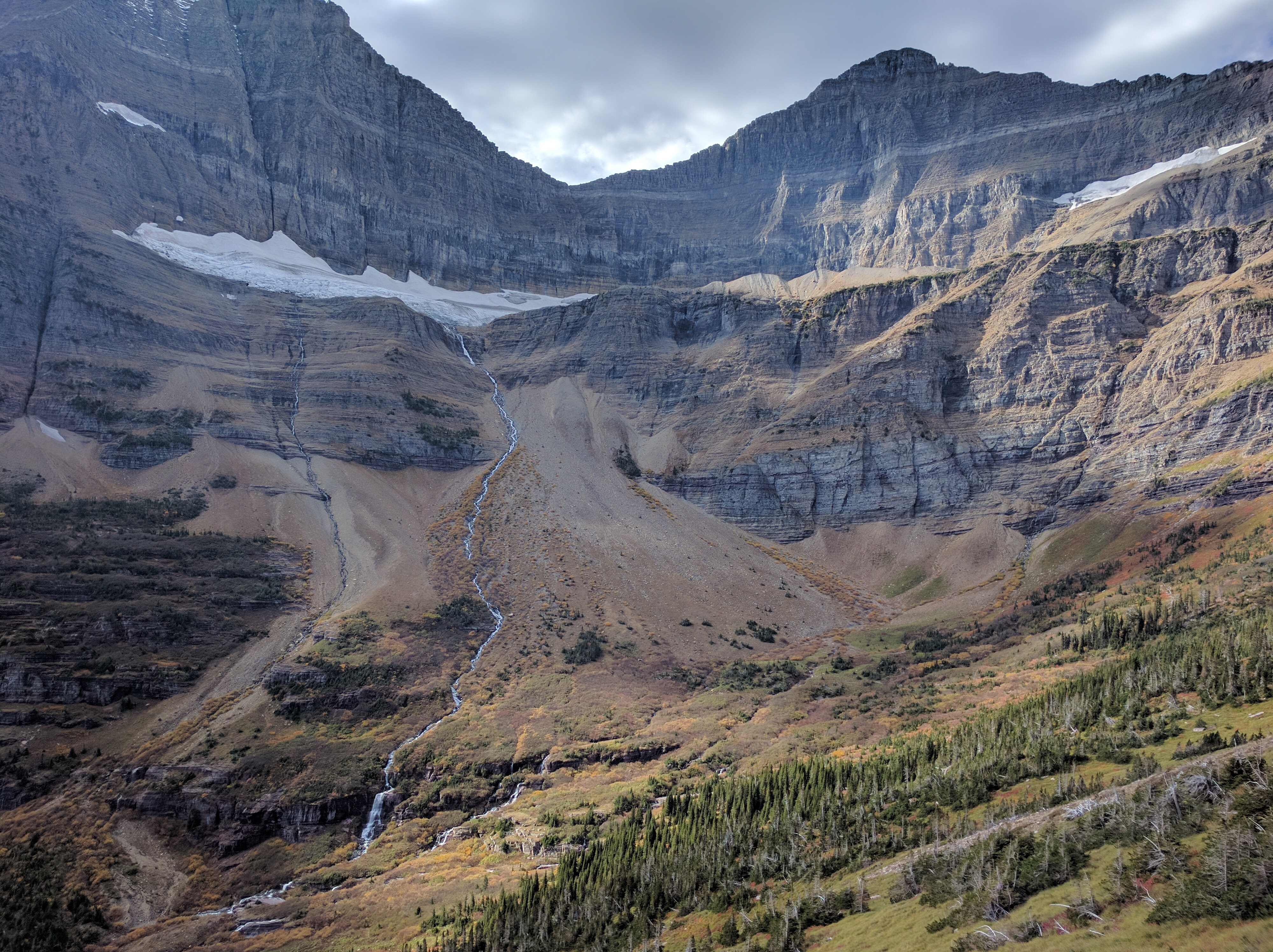
Matahpi Peak, with a glacier-stream cascading down its walls to form a river which feeds into St. Mary Lake:img_20160929_143125

One of the many sources of St. Mary Lake:img_5573

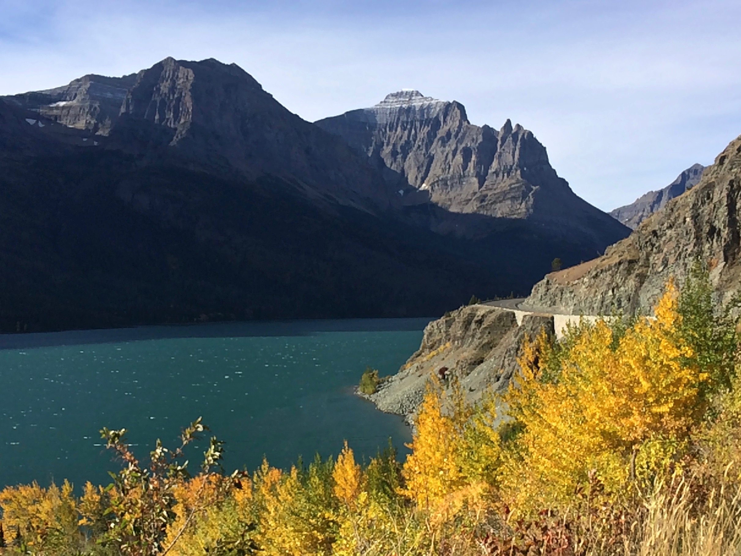
Within our first couple of days at Glacier National Park, we were already blown away by its vastness and beauty.  Both hikes at the Highline Trail and Siyeh Pass were epic, the bike ride on the Going-to-the-Sun Road perhaps even more so, but I knew our next couple of days at Many Glacier would wow us even more.  Proper planning was key to our enjoyment at Glacier, followed by spending enough time in each section of the park.  Next up–Many Glacier, and then Two Medicine!

Posted in Montana | Tagged , , , | 1 Comment

How to Experience Glacier National Park

I’ve always heard about Glacier National Park—the wildlife, the glacier-carved mountains and lakes, the unbelievable hiking trails, and the sheer size of it all. But then I read about the complaints: the visitor center’s and trailhead parking lots filling by 8am on any given weekday, the packed shuttle buses, the horrible traffic congesting the single-lane road, the tour buses, the long lines at bathrooms, swarming hiking trails, and all the campgrounds with long queues at the registration booths. That doesn’t sound like a getaway into nature.

Then I learned why. Glacier’s hiking season only lasts a little over 3 months (maybe 4 months): mid-June to mid-October, with predictable weather only from July through August. No wonder everyone flocks this park at exactly the same time.

Experiencing Glacier had occupied my mind for over 2 years, and finally the trip solidified into a priority. In order to truly enjoy the park’s gems, I made sure of two things: 1. To arrive after the majority of the lodges, shuttles, boats, and restaurants have closed for the season and 2. To have the flexibility to chase the weather as it was autumn with unpredictable weather.

Immediately upon seeing an entire week of predicted sunshine in the forecast, I made the call to head into the park. It was only five days after most services had closed for the season, making parking, hiking, and camping hassle-free, with camping fees half off at $10/night!

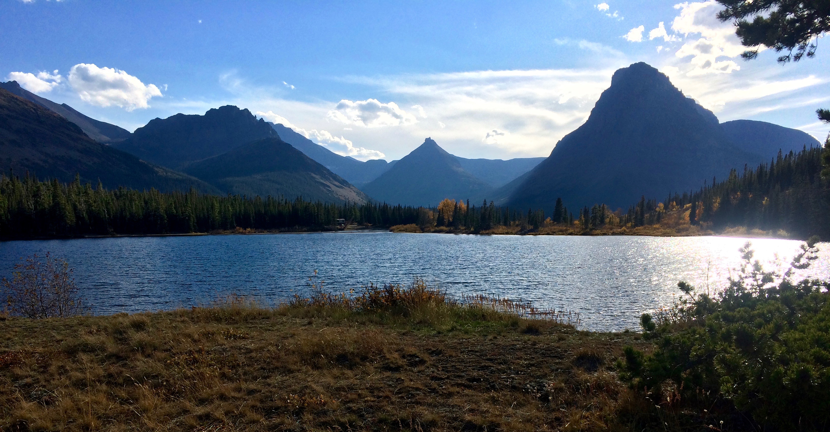
Our arrival to Glacier, passing by Two Medicine:img_5336

It was a win:

  • No traffic or long lines
  • Stellar weather
  • Peaceful hiking trails
  • Plenty of parking and campsites available
  • Reduced-price camping

During our six days at Glacier, I cycled the renowned 50-mile Going-to-the-Sun Road and we hiked a total of 68 miles in various sections of the park.  Our first day saw wind, fog, and cold temperatures, but each day thereafter was literally the warm, crystal-clear day perfect for hiking.  Locals even told us they had never seen such great weather, and our timing couldn’t have been better.

Even during the off-season in late September, there were enough cars to keep the roads busy. Visitor center and trailhead parking lots and all campgrounds were actually almost full. Many of our hikes still saw dozens of hikers. I can’t imagine the park during the peak season. The park simply cannot handle the capacity. I imagine it to be another stressful, annoying vacation jam-packed with tourists during the peak season. Planning to visit after most services have shut down is key to enjoying what the park has to offer. It really is the only way to fall in love with Glacier National Park.

Posted in Montana | Leave a comment

South Sister

After our first trip to Bend in 2015, I knew that we’d return. Again and again. Sure enough, exactly a year later, we found ourselves passing through Bend. This time we made sure to summit Oregon’s third highest peak, South Sister.

Sprawling between Eugene and Bend, the gorgeous Deschutes National Forest is home to lakes, ski runs, campgrounds, trails, and mountains, the notable mountains being Mount Bachelor and The Three Sisters. Of The Three Sisters, the South Sister is the tallest at 10,358 feet, the least technical to summit, and offers incredible views of the other two sisters. At approximately 12 miles round trip, it’s no surprise that this day hike is extremely popular—so popular, that the national forests website advises against summiting on weekends. So we hiked it on a Tuesday autumn morning.

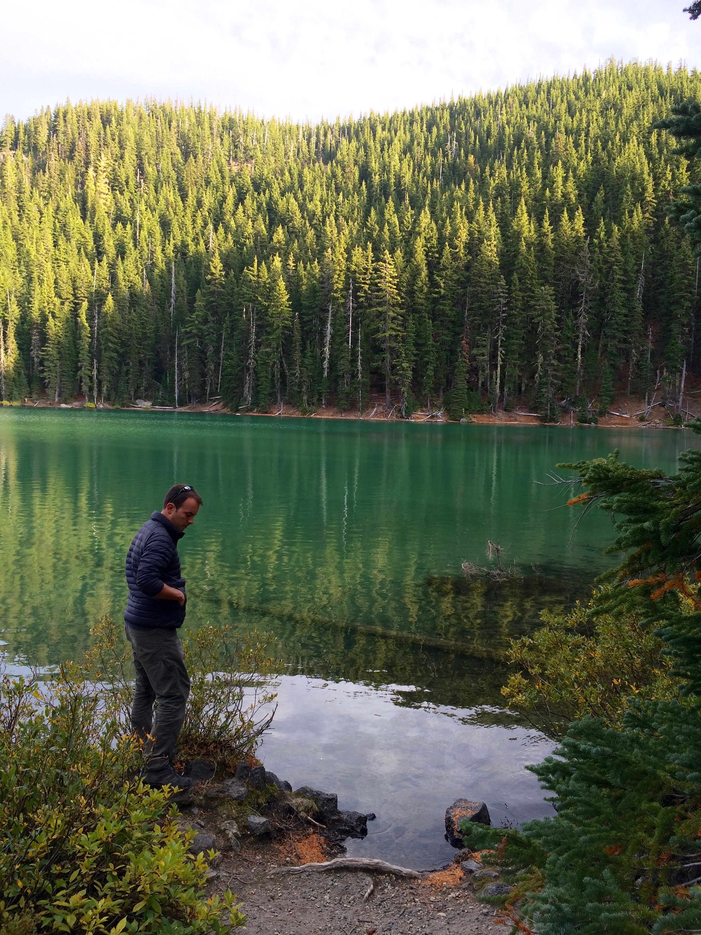
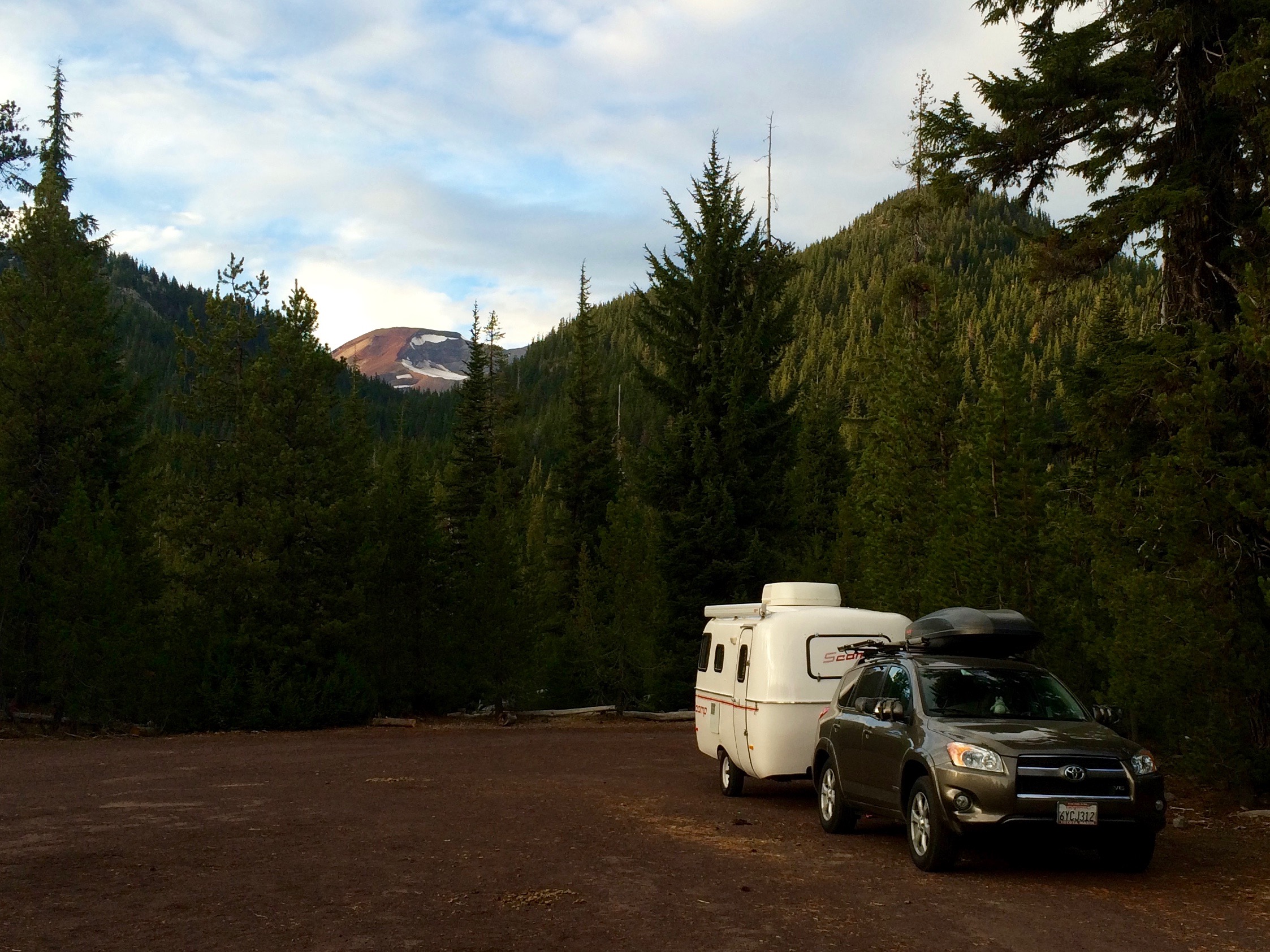
Devil’s Lake Trailhead is the start to the South Sister Summit, and it isn’t just a trailhead. As the name suggests, there is a beautiful, emerald-green lake, and better yet—free camping! There is a $5 day-use fee to park at the trailhead, but the fee is waived with the annual national parks pass. Yay! Lake + free camping + trailhead to the summit of a mountain = WIN!

Devil’s Lake:img_5302

Our campsite for two nights, with South Sister looming in the distance:img_5305

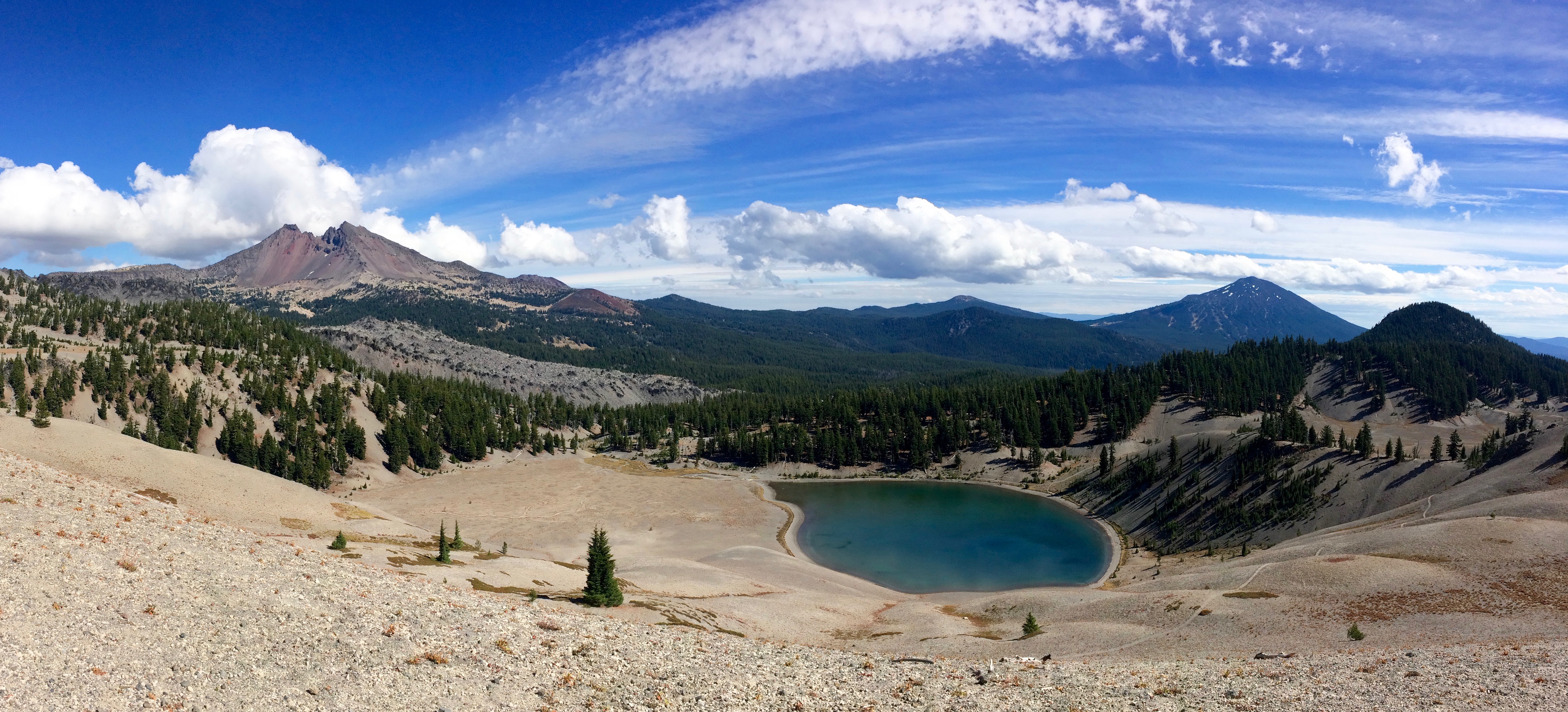
On our way up we passed by Moraine Lake.img_5329

Climbing up and up:

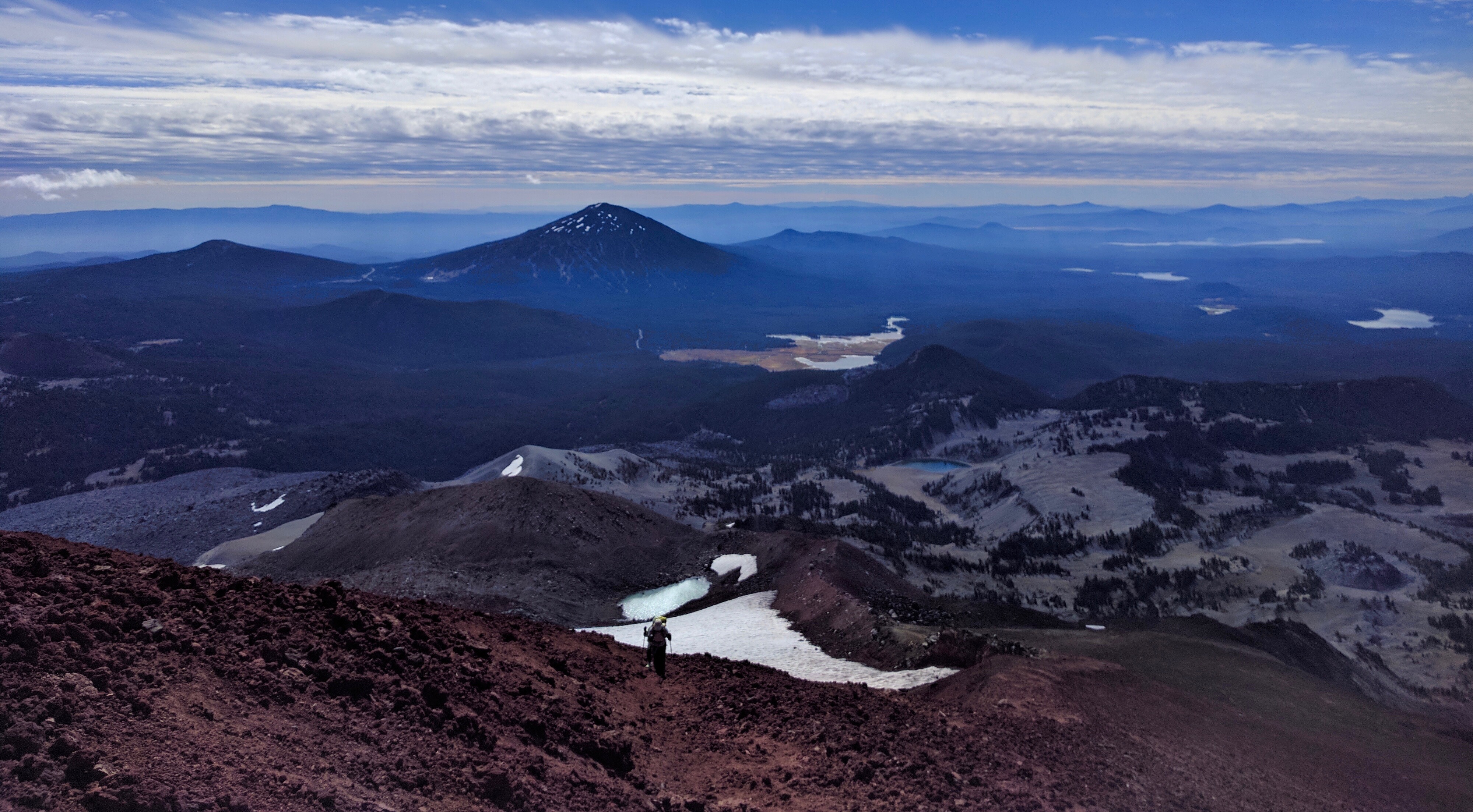
Sometimes it’s important to stop and turn around for the views:img_20160920_114209

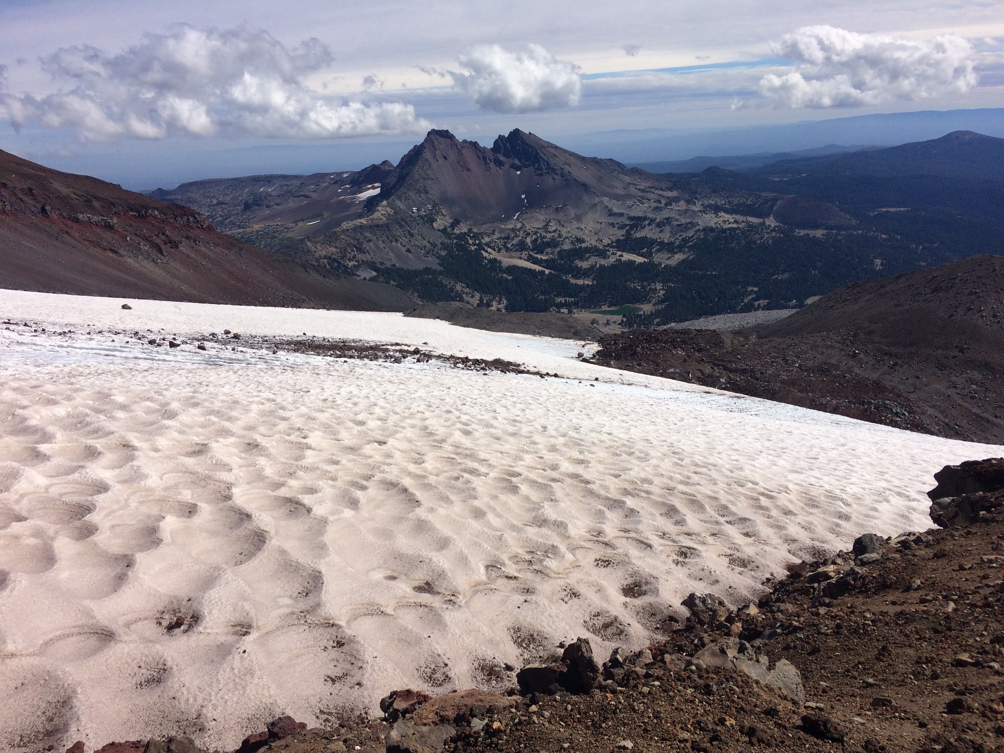
Snow fields with Broken Top Mountain in the distance:img_5321

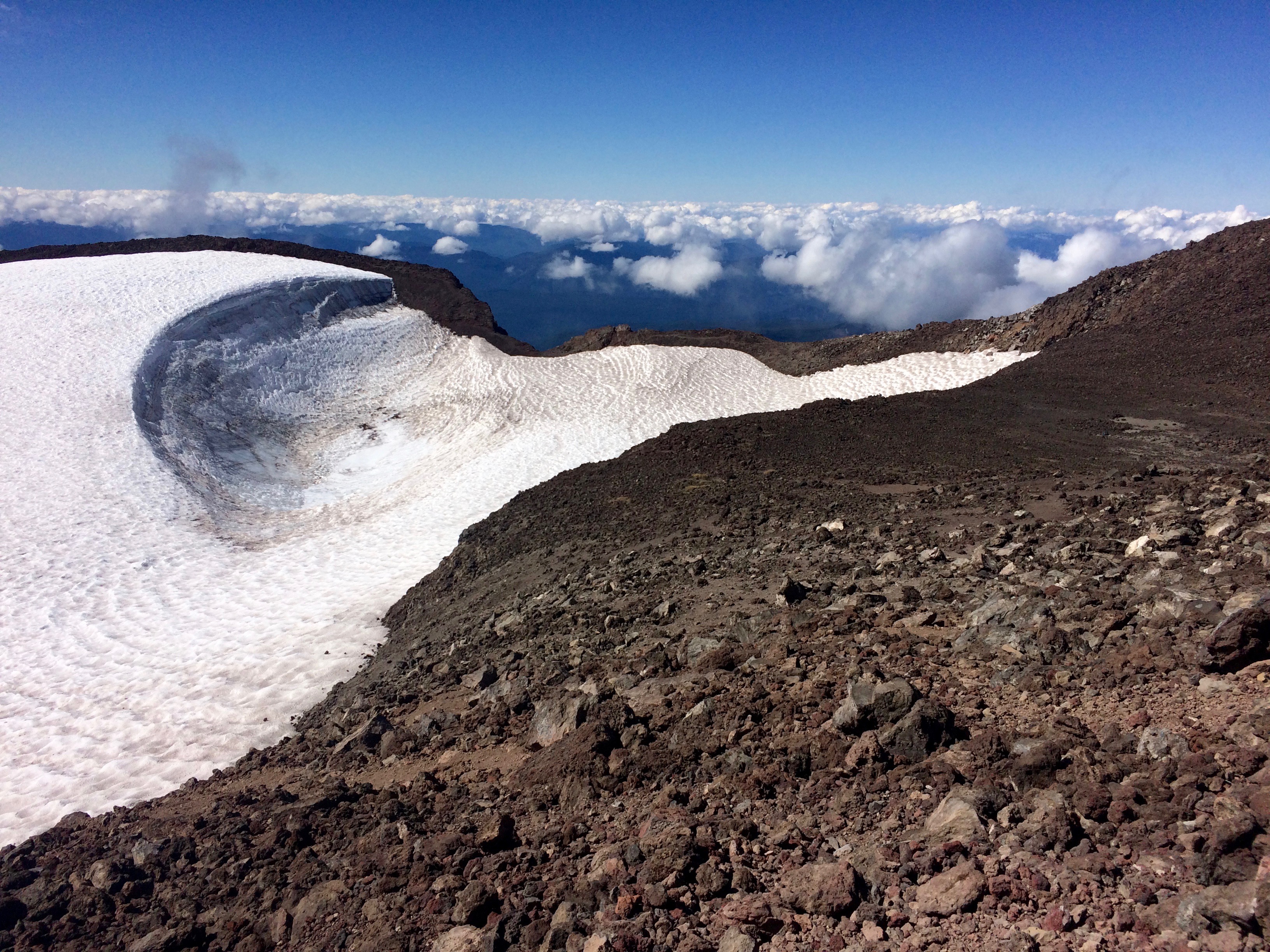
And finally, the summit! With wind-swept snow fields:img_5318

But in addition to the achievement of summiting South Sister, the view overlooking Middle and North Sister to the north was nothing short of amazing.img_5319

It took us 4 hours to summit and less than 3 hours to descend, making it the perfect day hike: long and steep enough to make it a challenge, yet easy enough to complete in under 10 hours, with rewarding views during the hike and at the summit.

Highly recommended!img_20160920_123913


Posted in Oregon | Tagged , , | Leave a comment