Great Sand Dunes and Zapata Falls

Last year we fell in love with New Mexico’s White Sand Dunes, so it was a no brainer that we had to see North America’s largest sand dunes during our time spent in Southern Colorado.

The drive from Black Canyon of the Gunnison to Great Sand Dunes was beautiful, especially when passing through the Curecanti National Recreation Area.IMG_5611
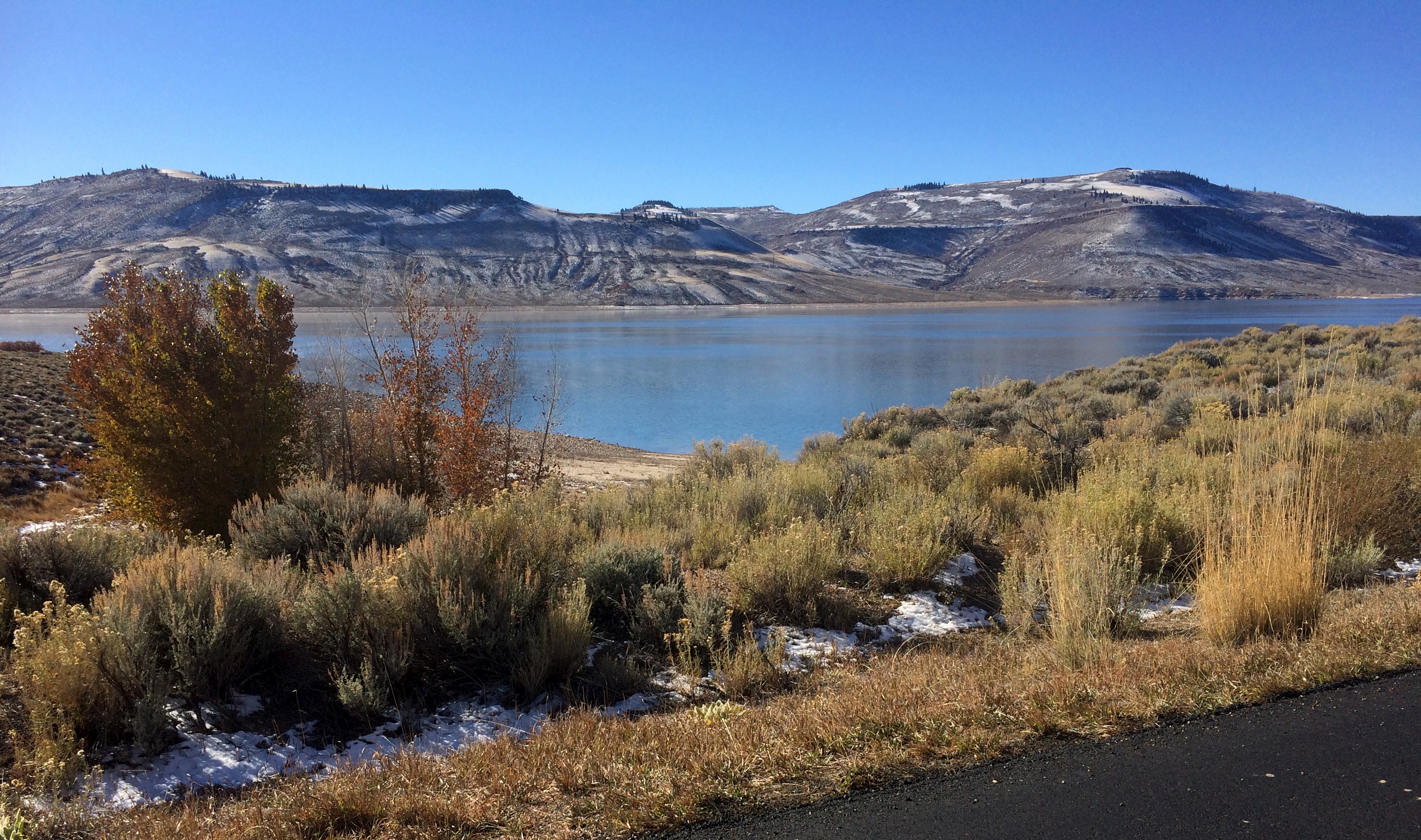
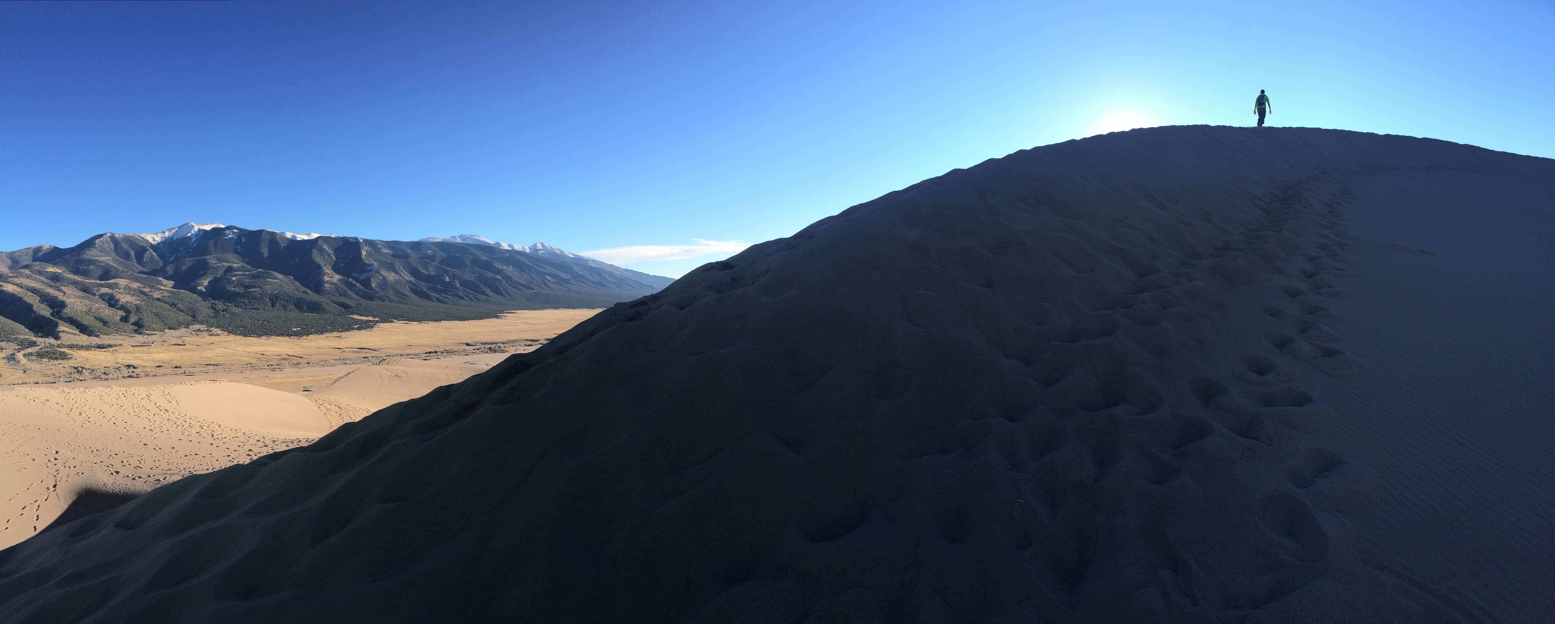
We arrived to Great Sand Dunes in time for a late lunch, and with the early winter month upon us, the low sun gave us perfect lighting for photos.IMG_5618
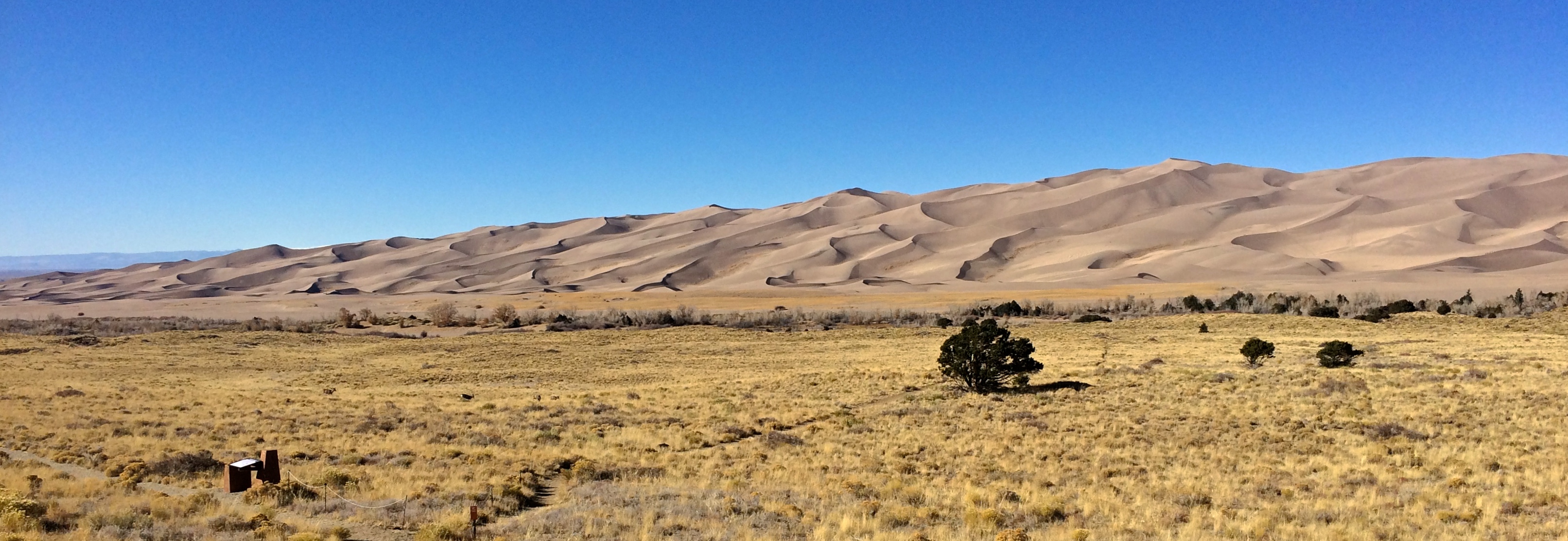
In the peak months of May and June, a seasonal creek flows through the dunes, and with a high clearance vehicle, more hiking options become available.  It was neither peak season, nor did we have a high clearance vehicle, but we had perfect weather and timing for a quick hike to the highest sand dune in the continent.

So up we went to the 750 ft. tall High Dune. IMG_5632 IMG_5636
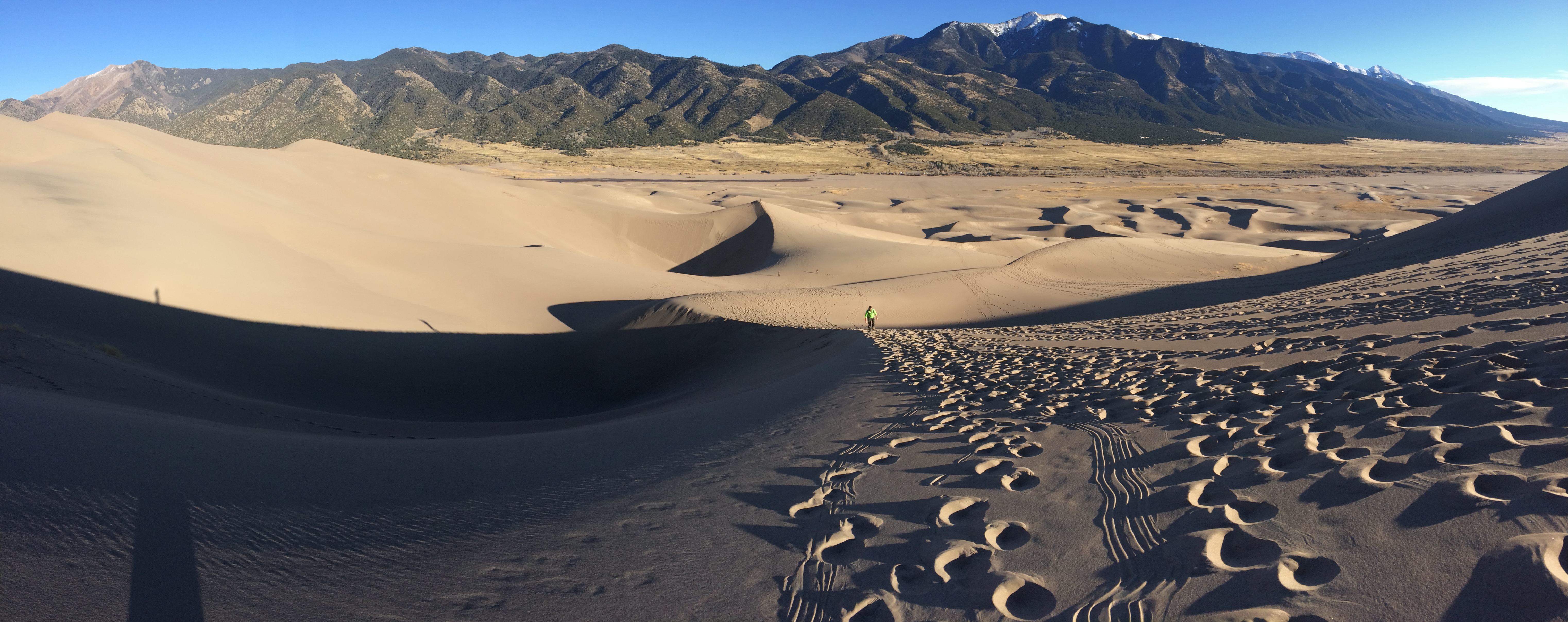
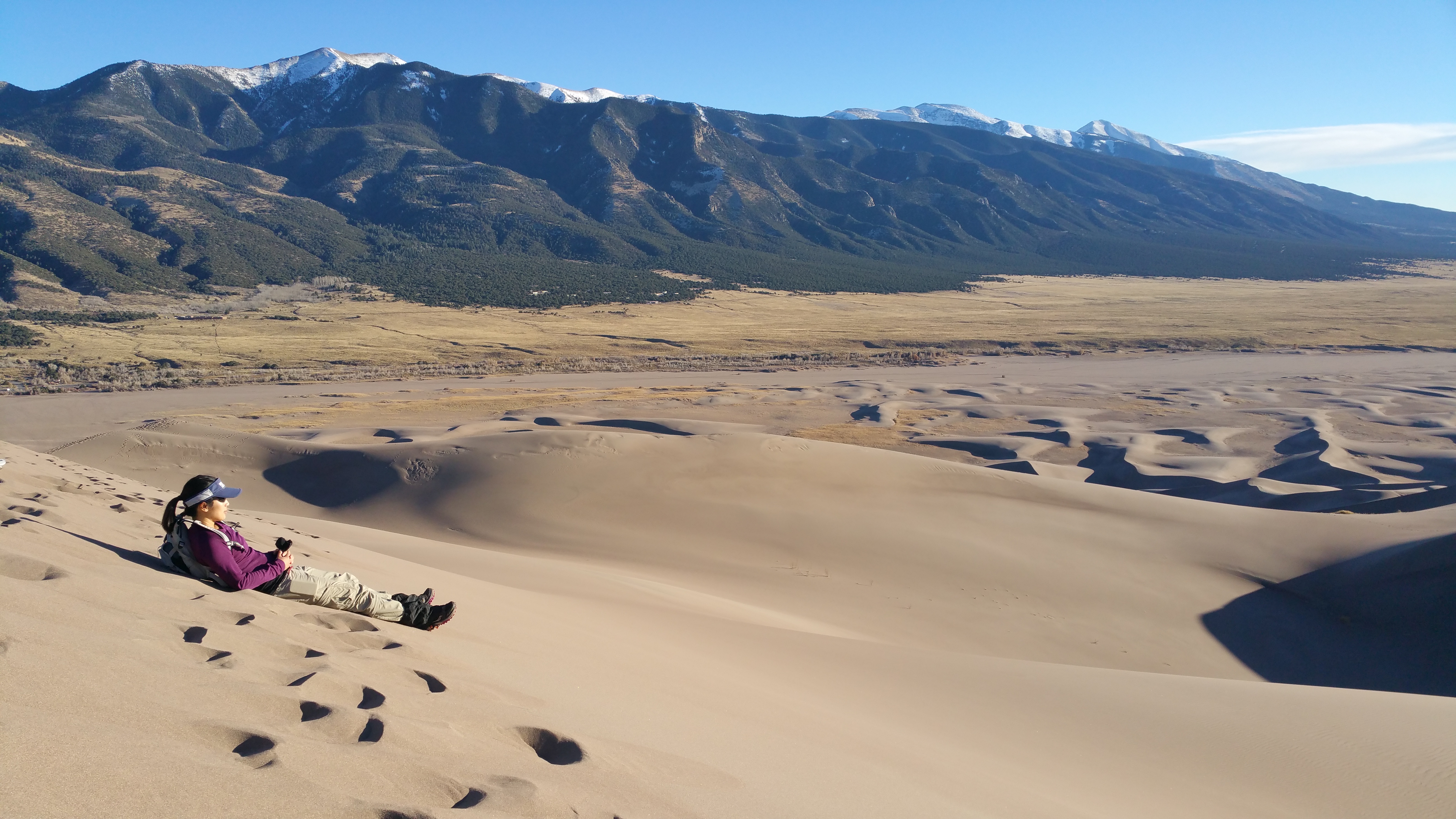
Who knew that such massive sand dunes could be backed by this lovely landscape of snow-topped alpine mountains?IMG_5644
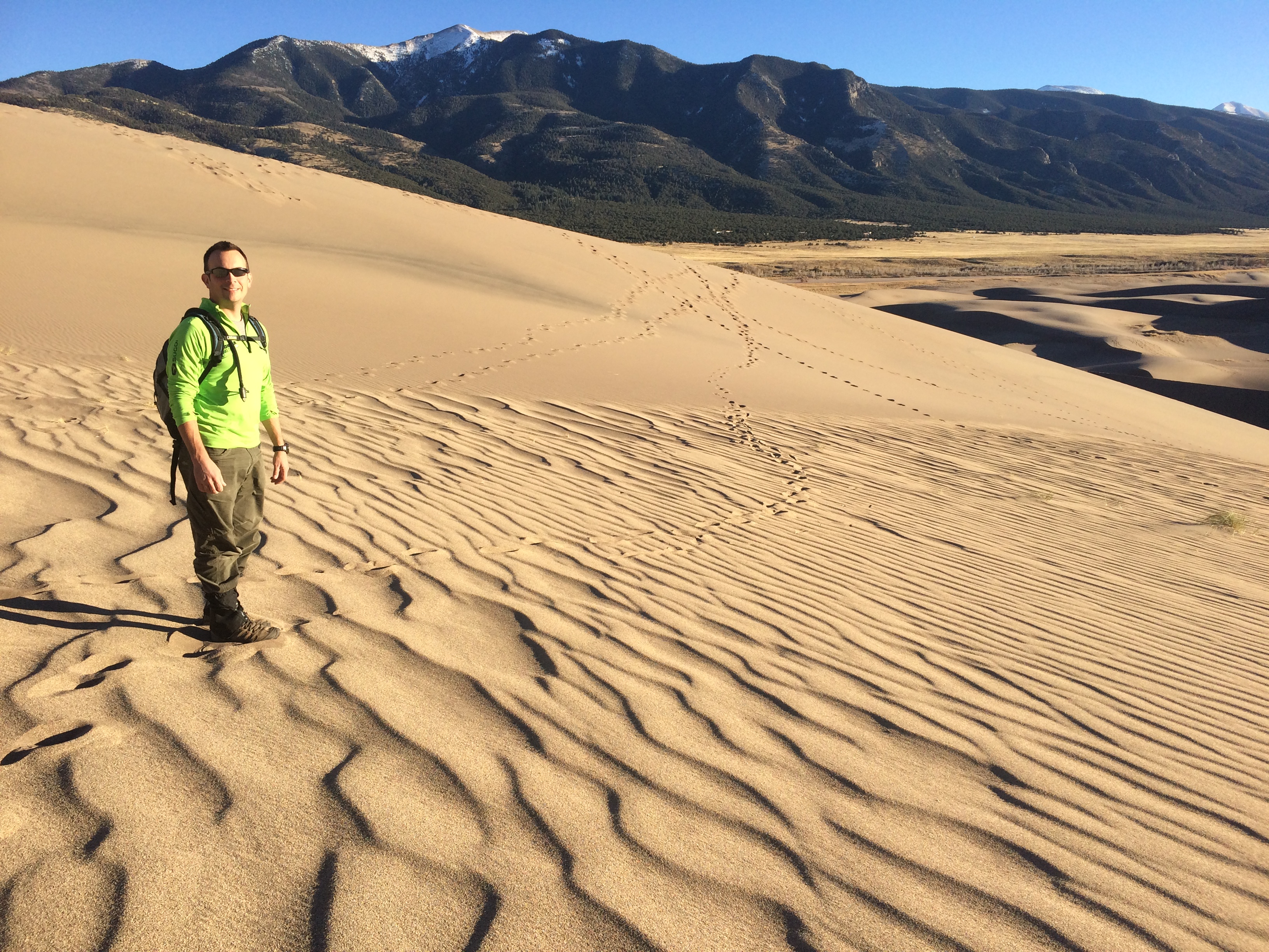
It was easy to forget that we were in a high-altitude desert.  With the valley floor approximately 7,500 feet in elevation, I found myself huffing and puffing along the steep slopes of the dunes.20151114_152753
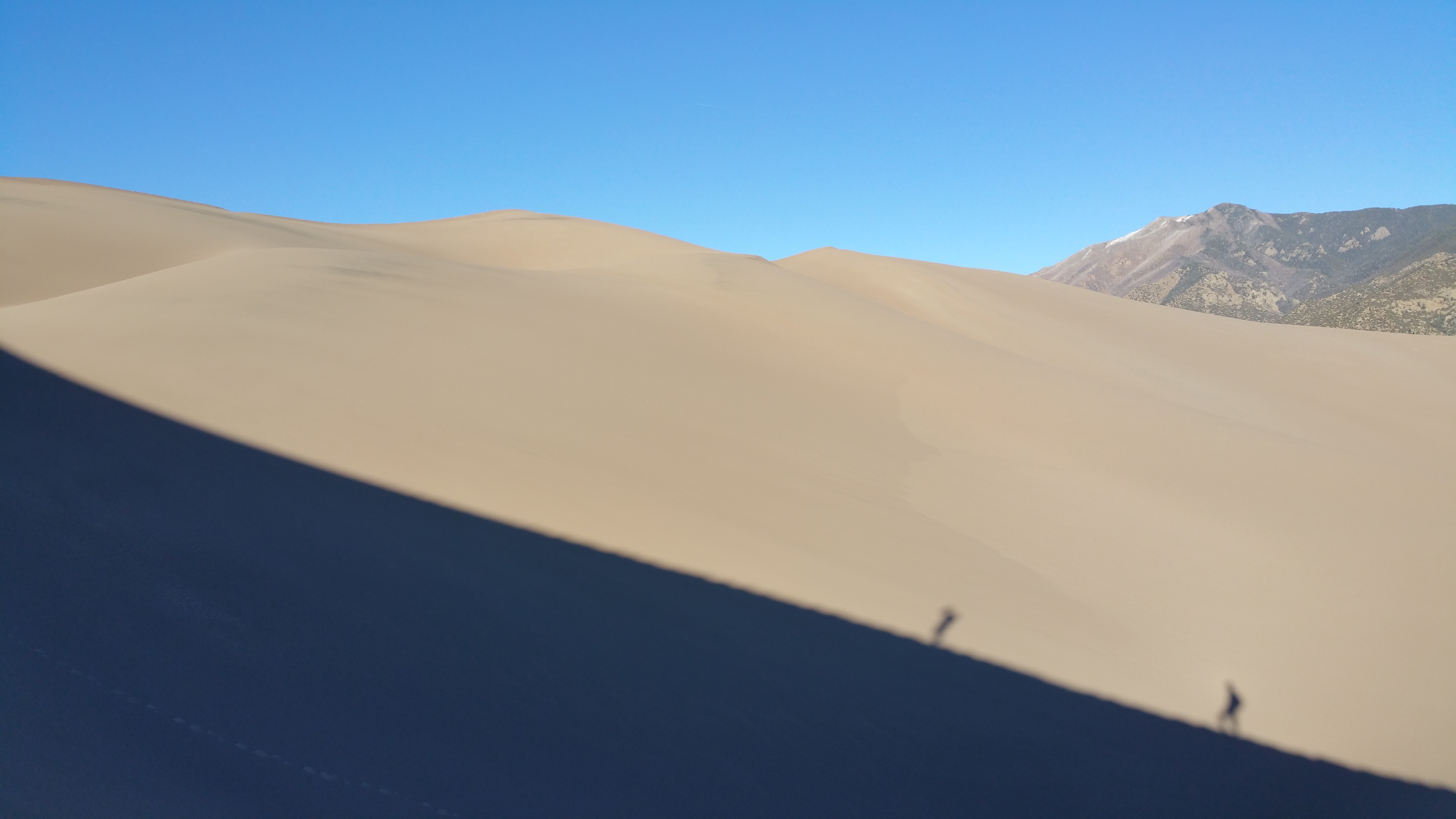
Enjoying the view from the top:20151114_154322

It took us 45 minutes to summit, and 30 minutes to return to the parking lot for a roundtrip time of an hour and fifteen minutes.  Not too shabby.  We both wore gaiters (highly recommended!) so we didn’t have to fuss with uncomfortable mounds of sand accumulating in our shoes.  Of the three items on our day’s checklist, we had one remaining.  Leave Montrose (check!), arrive to Great Sand Dunes and hike a dune (check!), and find a campsite (time to go!).

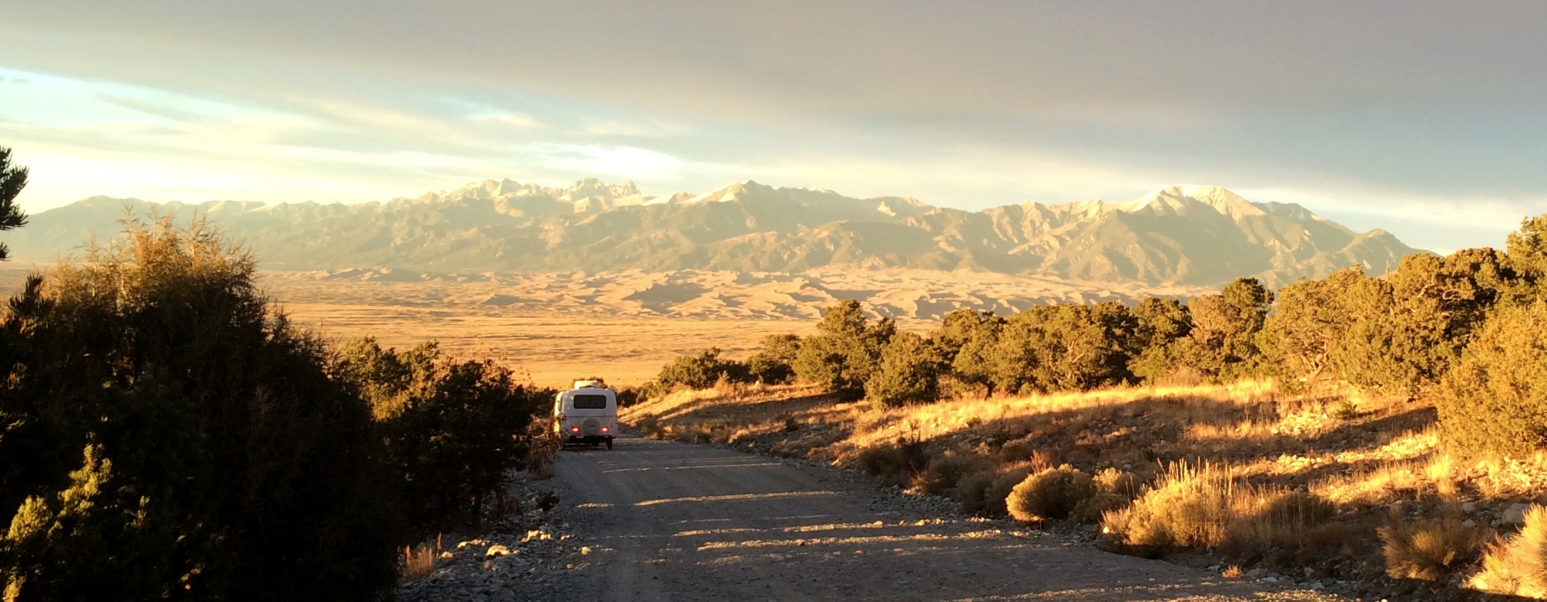
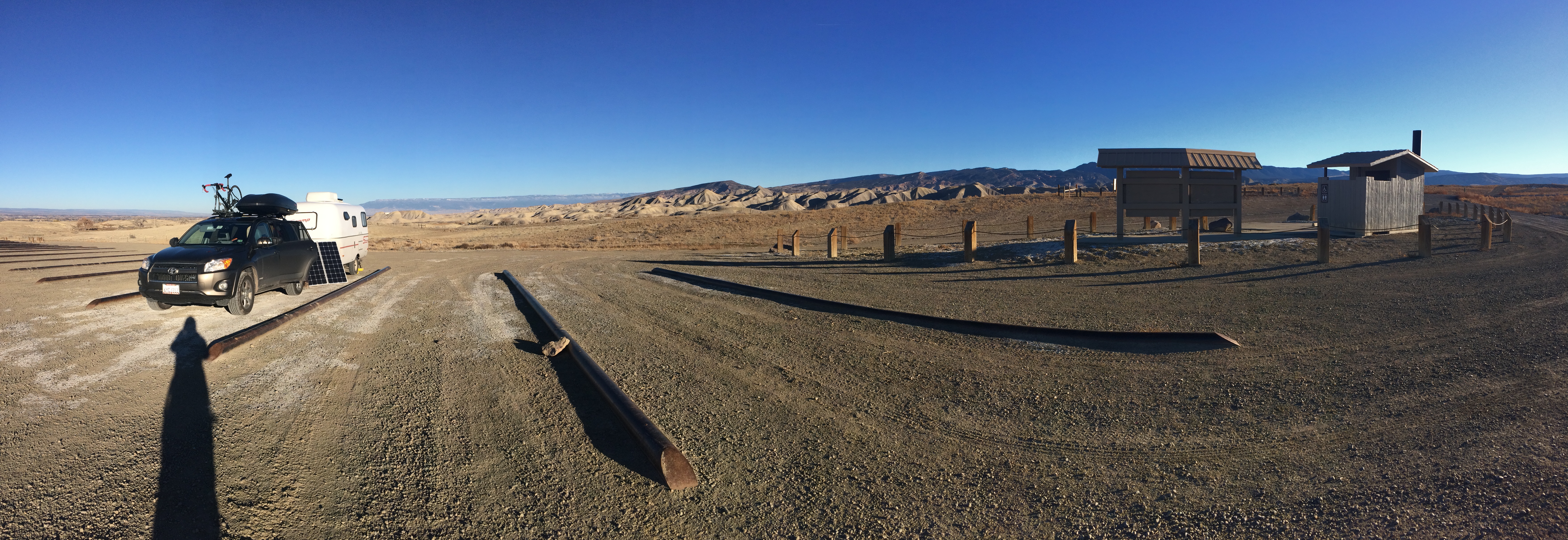
Fortunately the popular, nearby Zapata Falls Campground was only a 7-mile drive away. Three miles of steep washboard gravel road led us to the campground as the sun set. IMG_5651
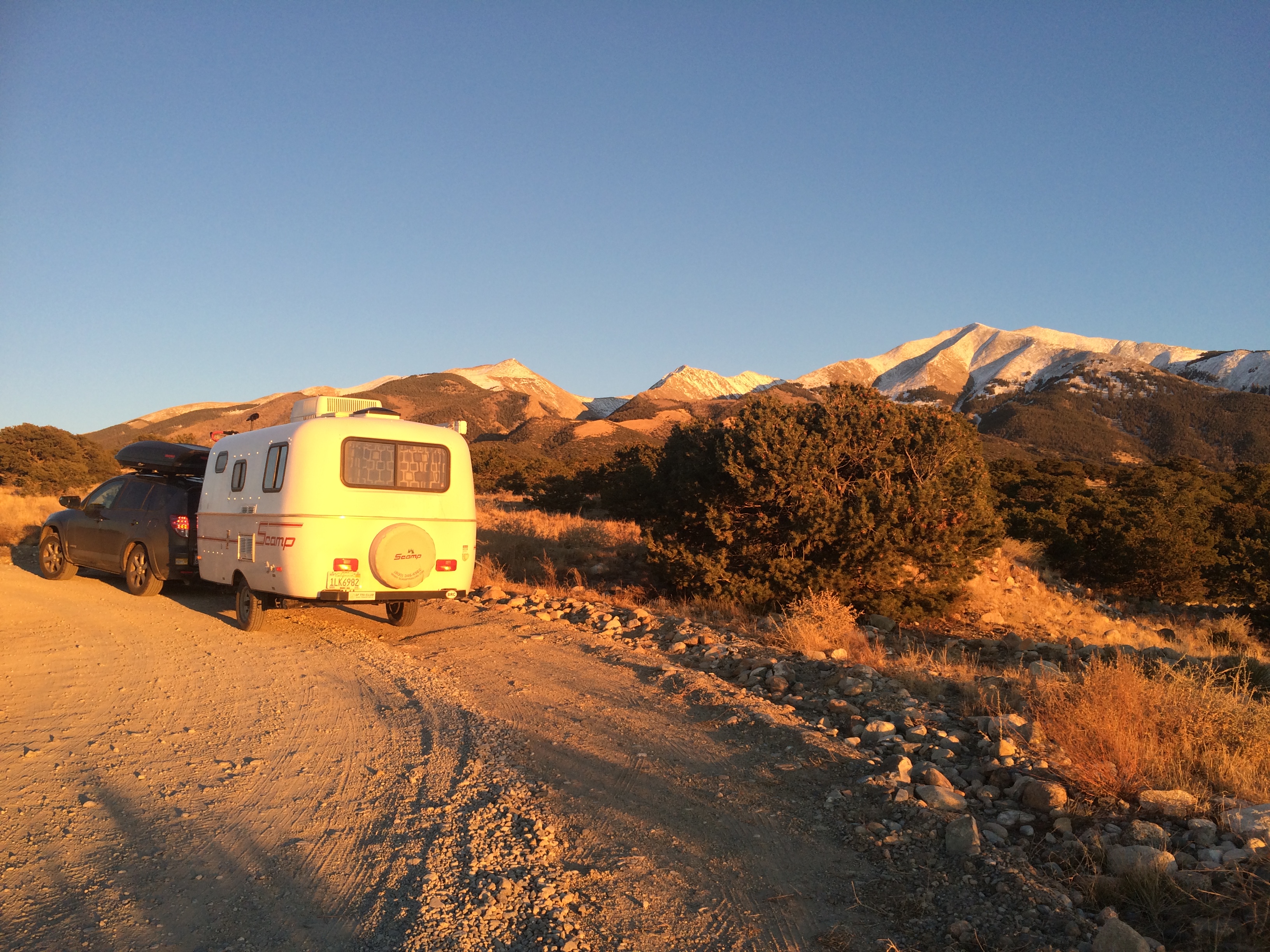
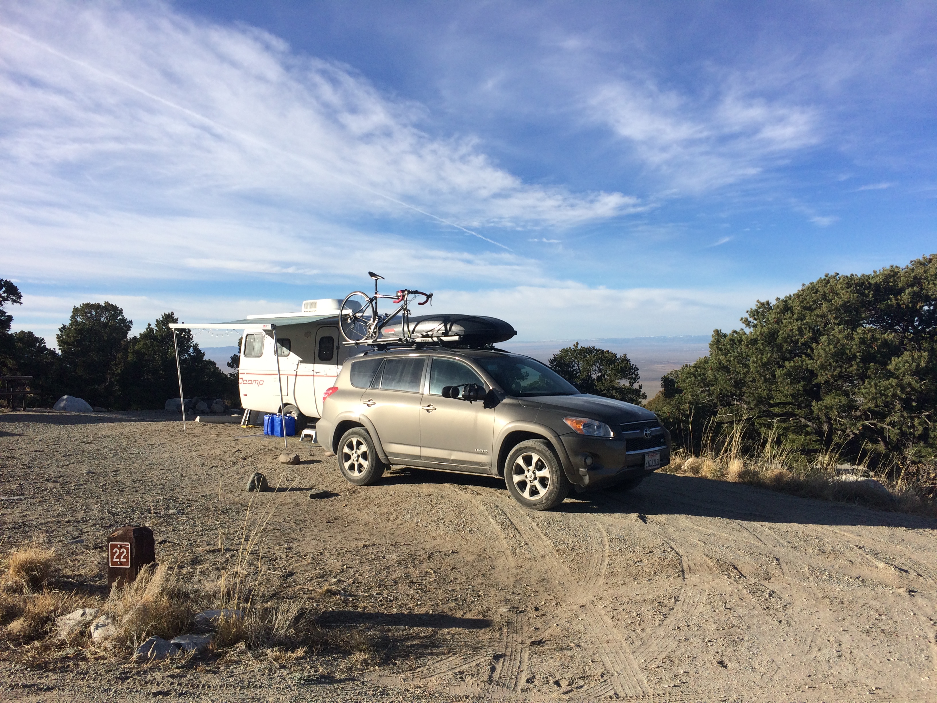
At $11/night the campground is a deal, especially since it boasts spectacular views of the sand dunes and has a couple of hiking trails itself.  However, due to mixed messages, I thought the campground was free during the off-season.  Whoops.

A photo taken the next morning:IMG_5654
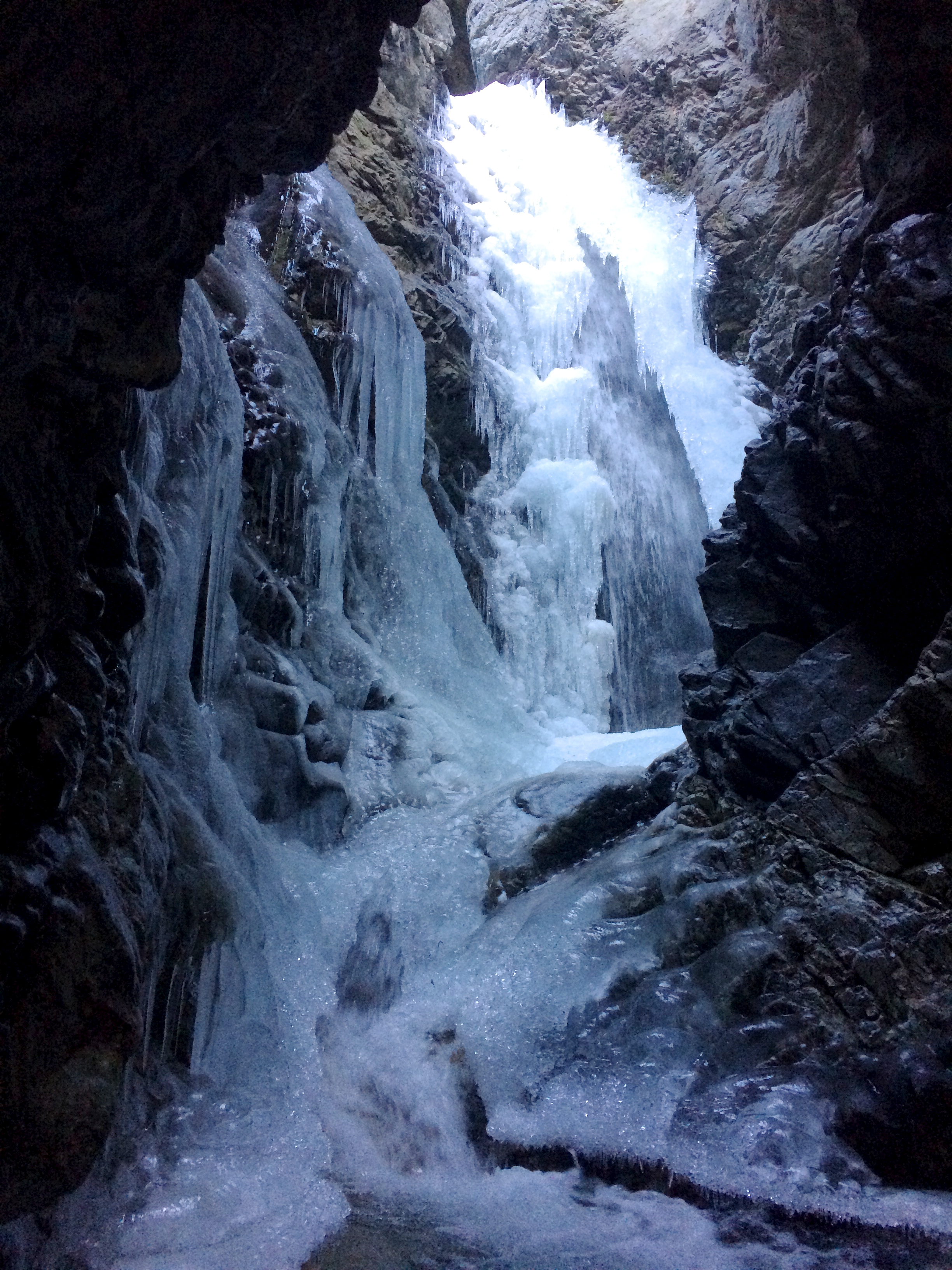
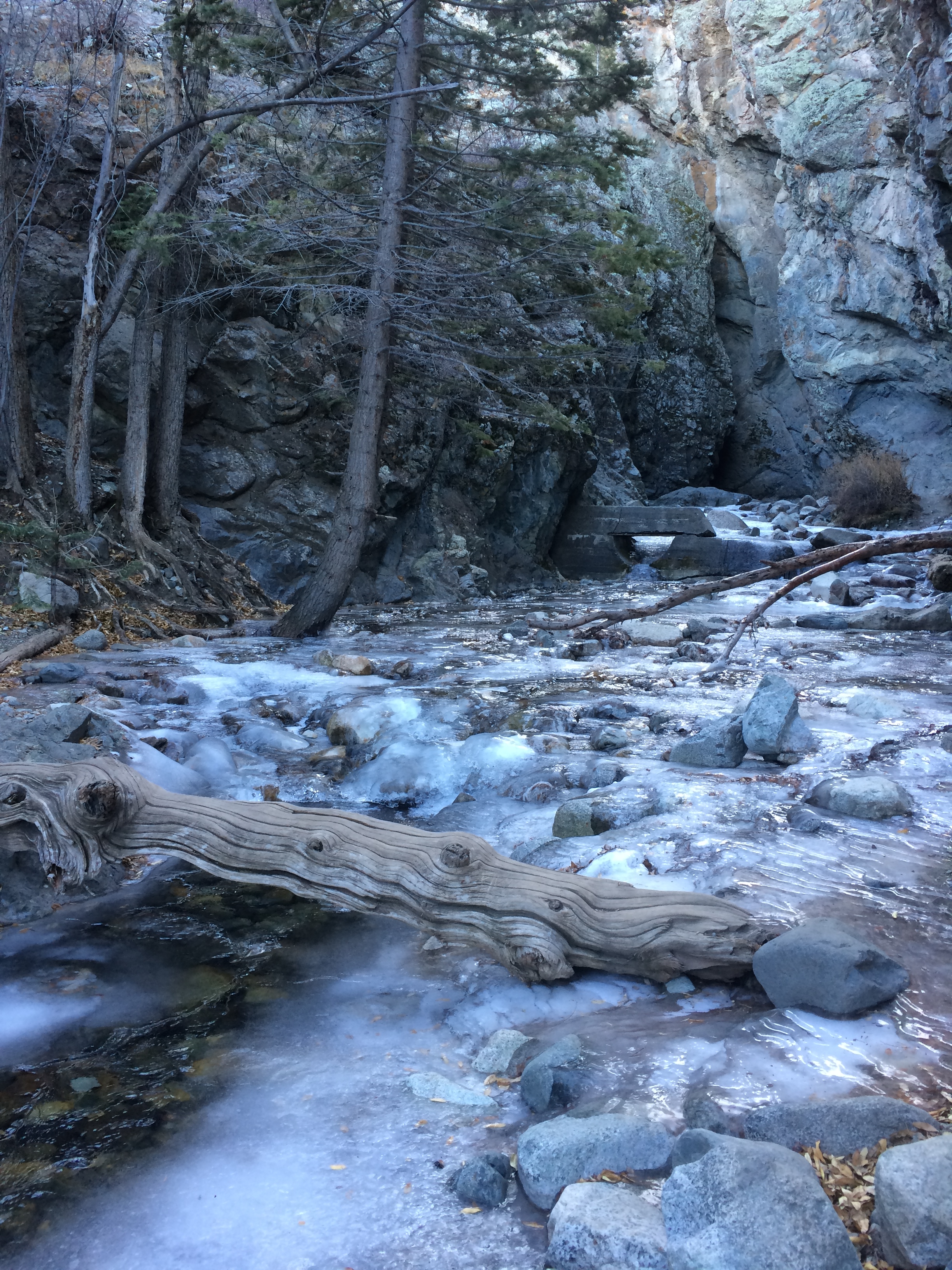
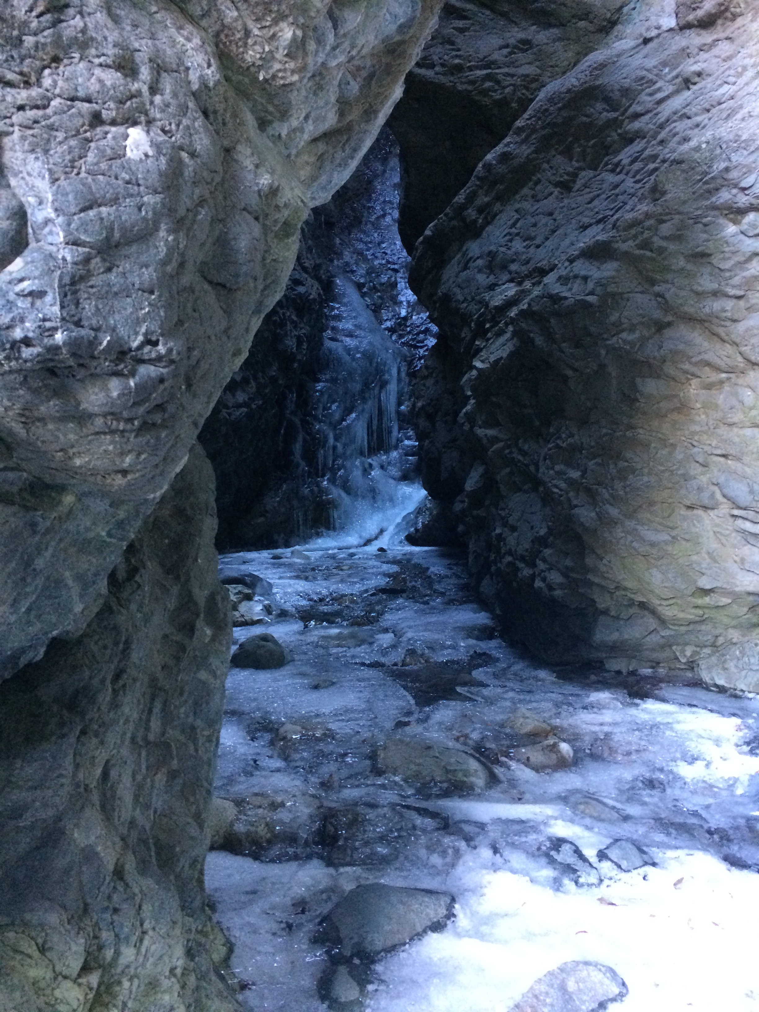
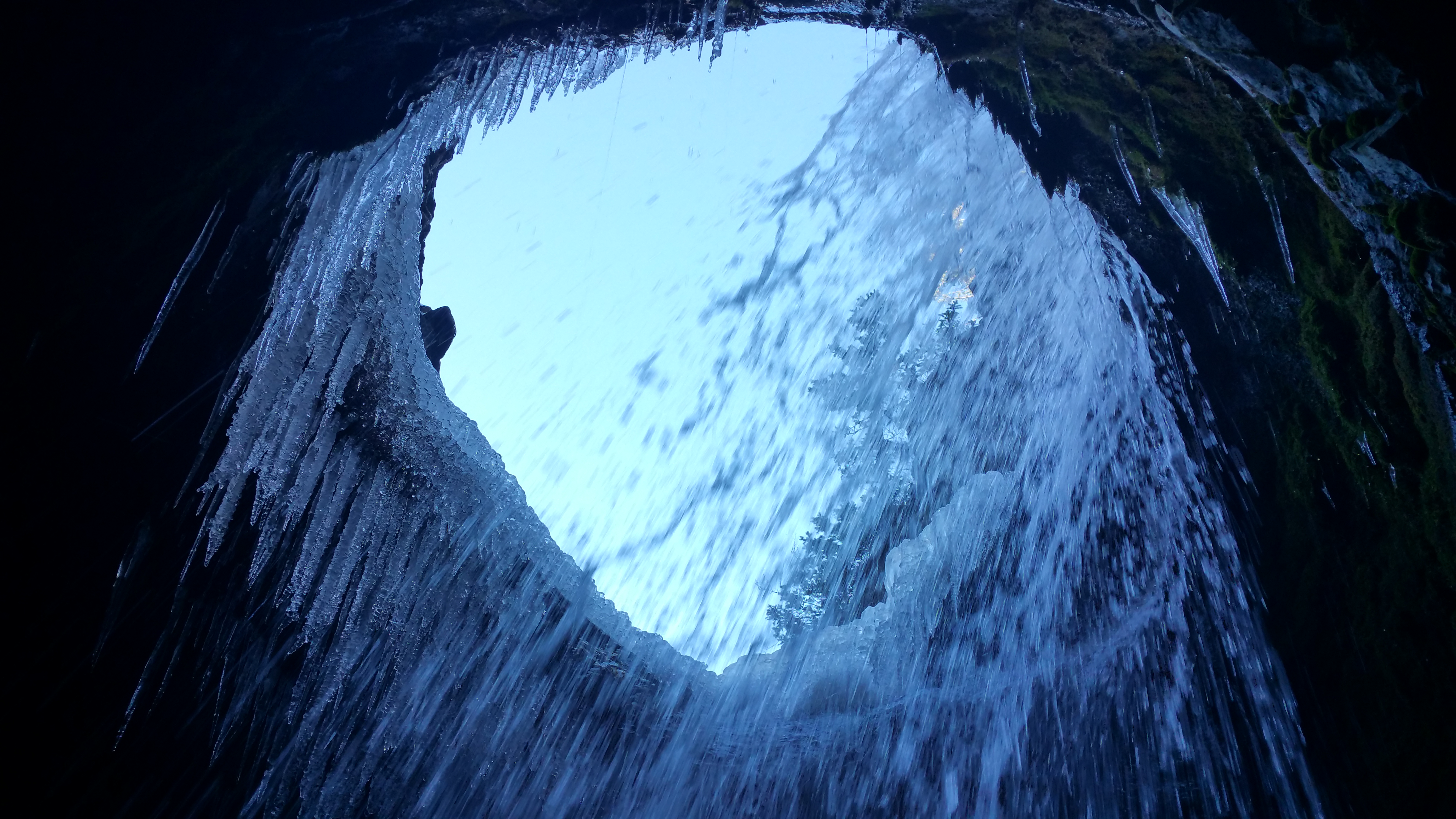
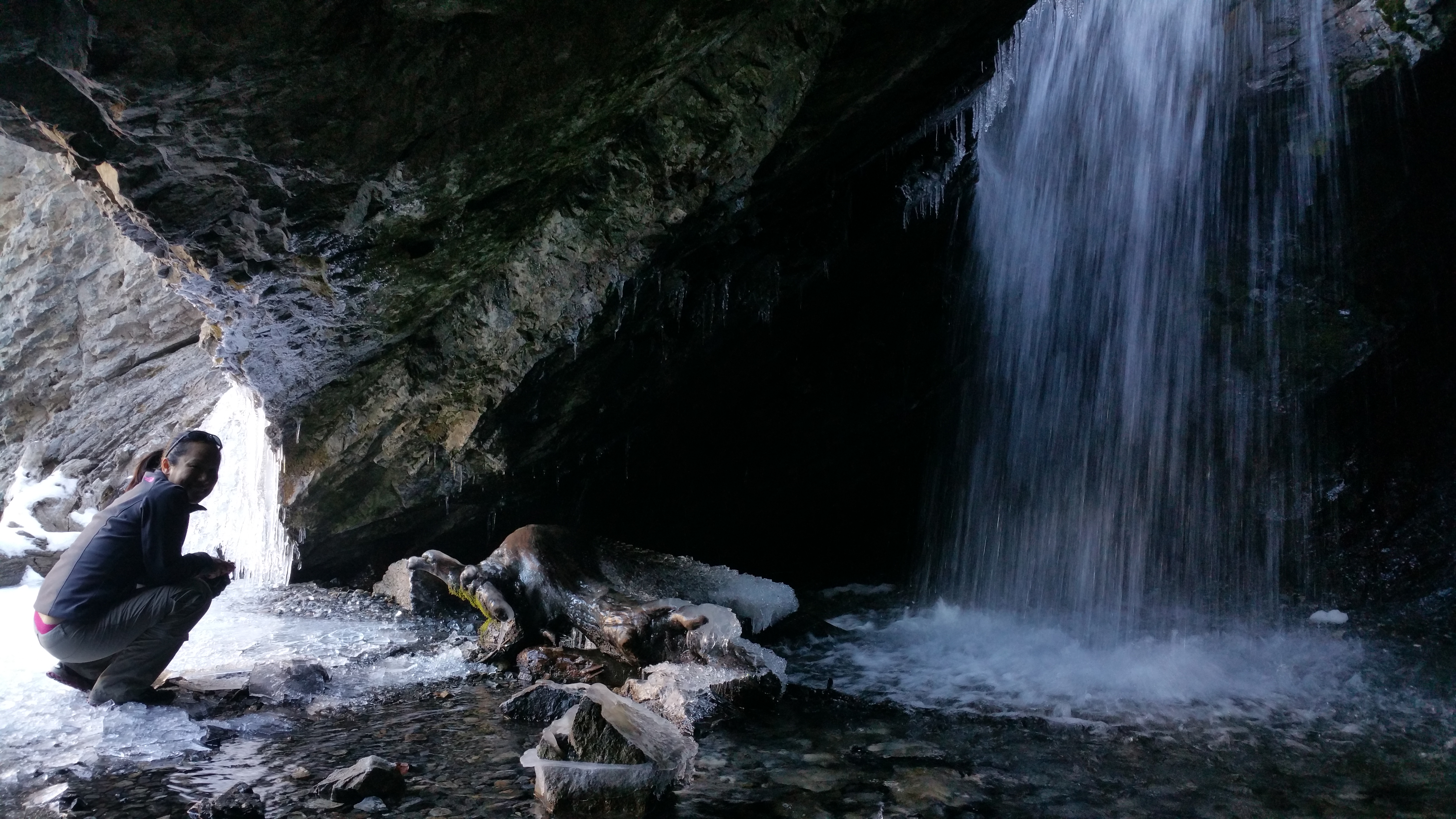
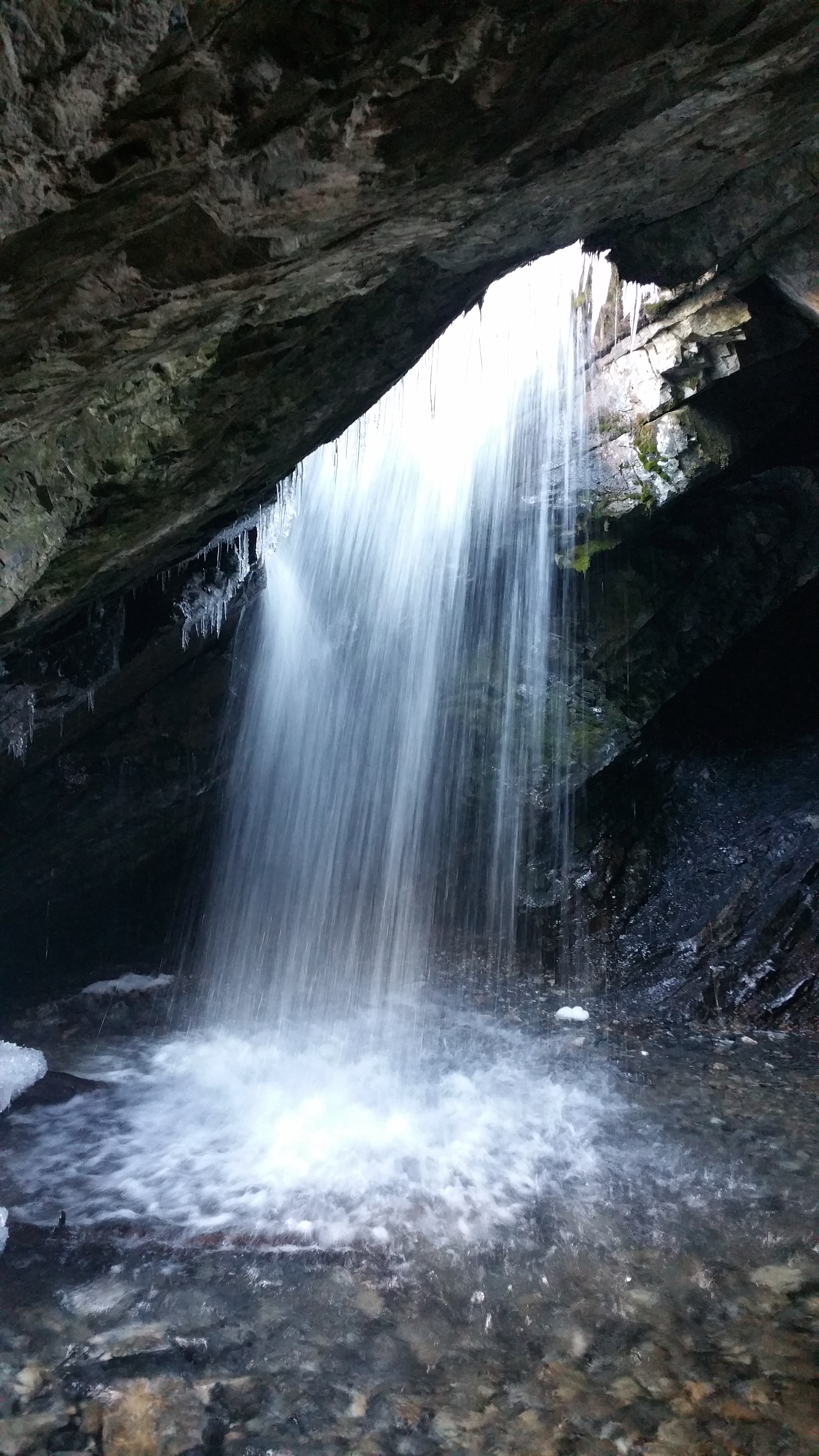
I set out that morning with two goals: to check out Zapata Falls and hike to South Zapata Lake.  To see Zapata Falls would normally require wading through the ankle-high creek through a small cave, but at this time of year, I only hoped it was frozen enough to walk on.  Upon arriving to the creek, I saw that the creek was mostly frozen.  Everyone else there turned back because they did not have crampons…but I did!  Even with crampons, I had to exercise extreme caution as I gingerly took steps toward the frozen falls due to thin areas of ice.  Because I was the only visitor with crampons, I was the only visitor able to see the mostly frozen falls.

The frozen creek:IMG_5659

At the opening of the cave:IMG_5661

A close up of frozen Zapata Falls:IMG_5664

A panorama from inside the cave, with the falls on the left and the opening to the creek on the right:IMG_5666
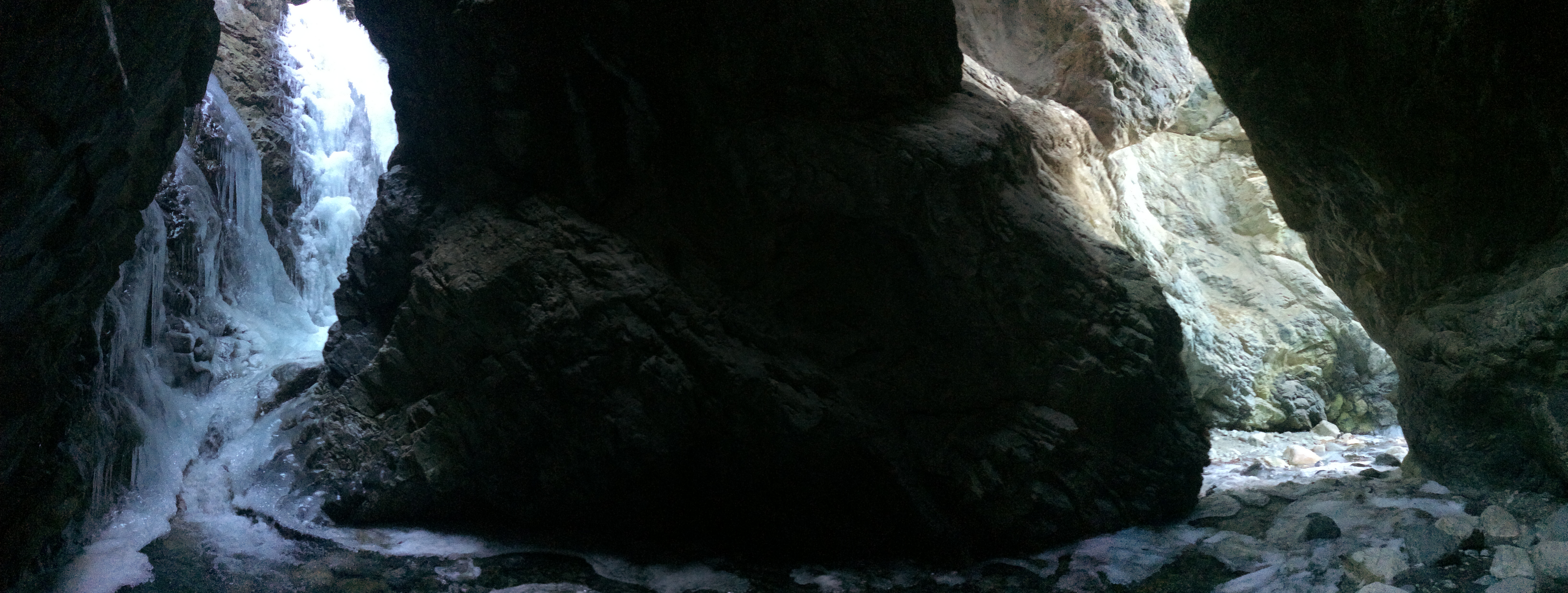
Hearing the roar of the falls beneath the icicles was surreal, along with seeing the bubbles gurgle under thin sections of the ice.  I nimbly made my way back out to embark on my second goal for the day: hike up to South Zapata Lake.

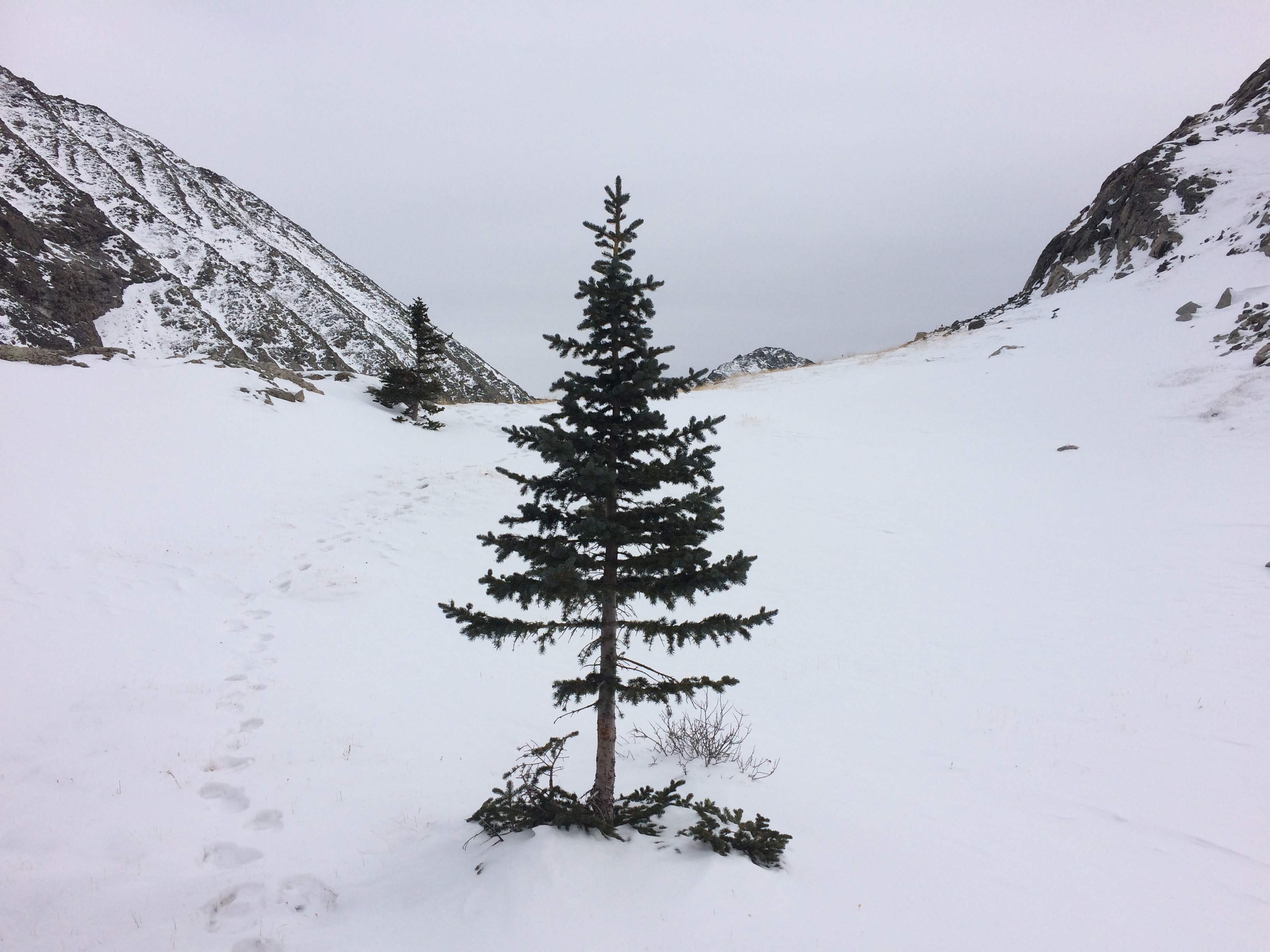
I knew the 9-mile roundtrip hike to South Zapata Lake would be no easy feat.  The trailhead began at 9,000 ft. and ended at 11,900 ft.  Much of the trail was steep and I had to account for altitude.  Although the hike started off with clear and sunny skies, a storm scheduled for the next morning had already began to make its way in.  As I neared the summit, conditions grew worse with colder temperatures, heavy winds, and thick gray clouds.  With less than a mile to go, the trail became lost with snow and each step resulted in calf-deep snow.  Due to conditions worsening, knowing that ascending at altitude in calf-high snow would exhaust me even further, and the thought of getting stuck in the snow alone, I quickly decided to turn back.  I was sad I didn’t make it to the lake. This is where I turned around:IMG_5672
Not long after returning to the campsite, we packed up and headed out.  Ideally we would have stayed another night–that was the original plan.  We loved having the whole campground to ourselves, the splendid views of the valley and sand dunes below, the nearby hiking trails, and cell phone service and data! But due to a winter storm advisory in the area, we didn’t want to chance it.  Steep gravel road in snow while towing? No thanks.

We literally made our way down the hill as the glorious alpenglow of sunset began to creep upon the great sand dunes below.IMG_5675
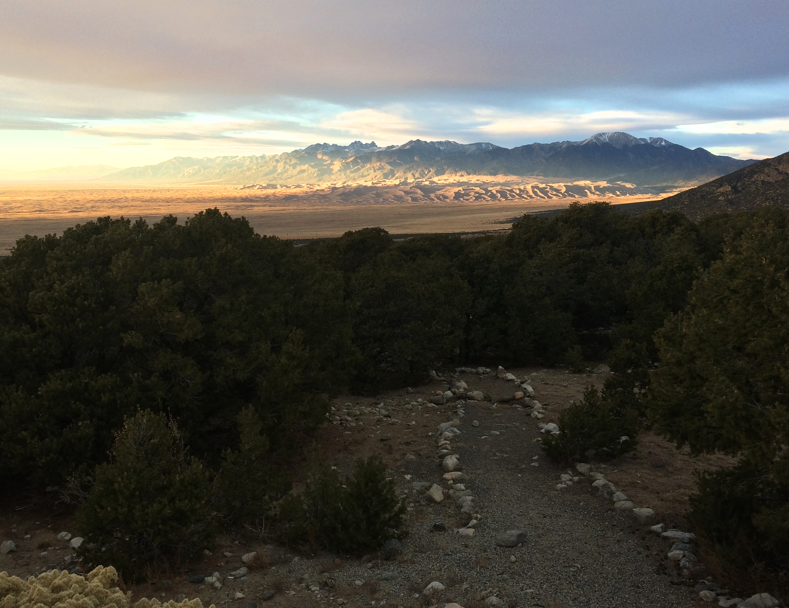
Sunset alpenglow at its finest:IMG_5680

Great Sand Dunes and Zapata Falls were a bit out of the way, but definitely worth it.  After all, there is nowhere else in North America where we’d be able to find sand dunes of this grandeur.

Posted in Colorado | Tagged , | 2 Comments

Black Canyon of the Gunnison

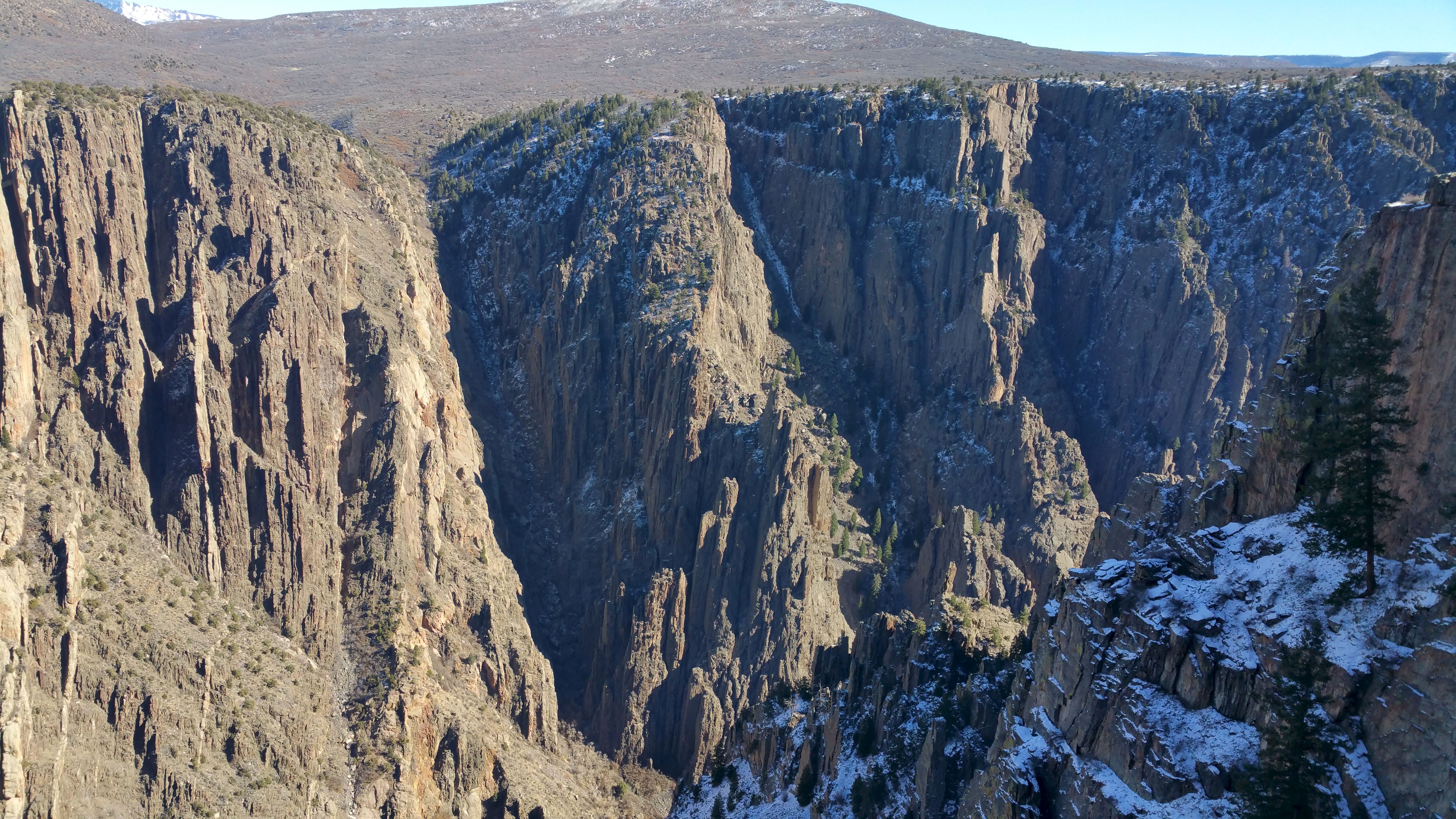
Of the 59 national parks in the U.S., most are unheard of/unknown, and that is definitely the case for the Black Canyon of the Gunnison National Park.  Maybe because it’s such a small park.  Maybe because it is simply overshadowed by Colorado’s other popular national parks such as Rocky Mountain or Mesa Verde.  But despite its unpopularity, gazing down (and hiking down!) into the canyon is spectacular, especially gazing at the famed Painted Wall at sunrise, Colorado’s highest cliff at 2,250 ft. tall.  There is a reason why it is called the Black Canyon.  With its steep drop offs and incredibly narrow walls, it is said that certain areas of the inner canyon only see about 33 minutes of sunlight per day. In constant shadow, the walls appear to be a perpetual, menacing black.

Due to the off-season, there were no entrance or camping fees in the park.  However we chose to stay on BLM land in the adorable, friendly town of Montrose, the nearest town to Black Canyon of the Gunnison.  The Montrose Fairgrounds provided a free RV dump, and a nearby truck stop also had free potable water–we were pretty much set in Montrose with the free campsite, free water, and free dump!IMG_5571

We arrived at the visitor center exactly when they opened at 8:30am with the sole purpose of getting wilderness permits (which were free) to hike down the canyon to the river.  Having done all my research prior to coming to the park, I knew exactly what I was getting myself into.  Of the several trails down into the canyon, the 1-mile Gunnison Route was the easiest way down. One mile? Psh. Sounds easy, right? Tack on 1,800 ft. of elevation gain, an 80-foot chain on a steep section of the trail, loose rocks and scree, and you’ve got yourself quite the climb. And because it was November and a storm just passed, add some snow and ice too.  I read that park rangers enjoyed giving hikers a hard time to prep them for this suffer-trail, and no doubt, the conversation we shared with the ranger was amusing.

“Oh, you wanna go DOWN into the canyon?”

“Yup.”

“Well, embrace the suck.”

Then I told the park ranger how I really had to push Chris to come with me on this hike. I didn’t want to go alone.

He replied, “A woman went down by herself yesterday.” Then he looked thoughtfully in the distance and finished off with, “She made it back. She was pretty banged up but she made it back.”

All hikers are supposed to check in with the park rangers at the visitor center upon returning from the hike.  If hikers don’t check in, the park rangers would have to assume help is needed and they’d send someone down to help.

“Don’t be like the Texans. They always get stuck down there and need help,” were his last words.  We still don’t know if he was joking or not.

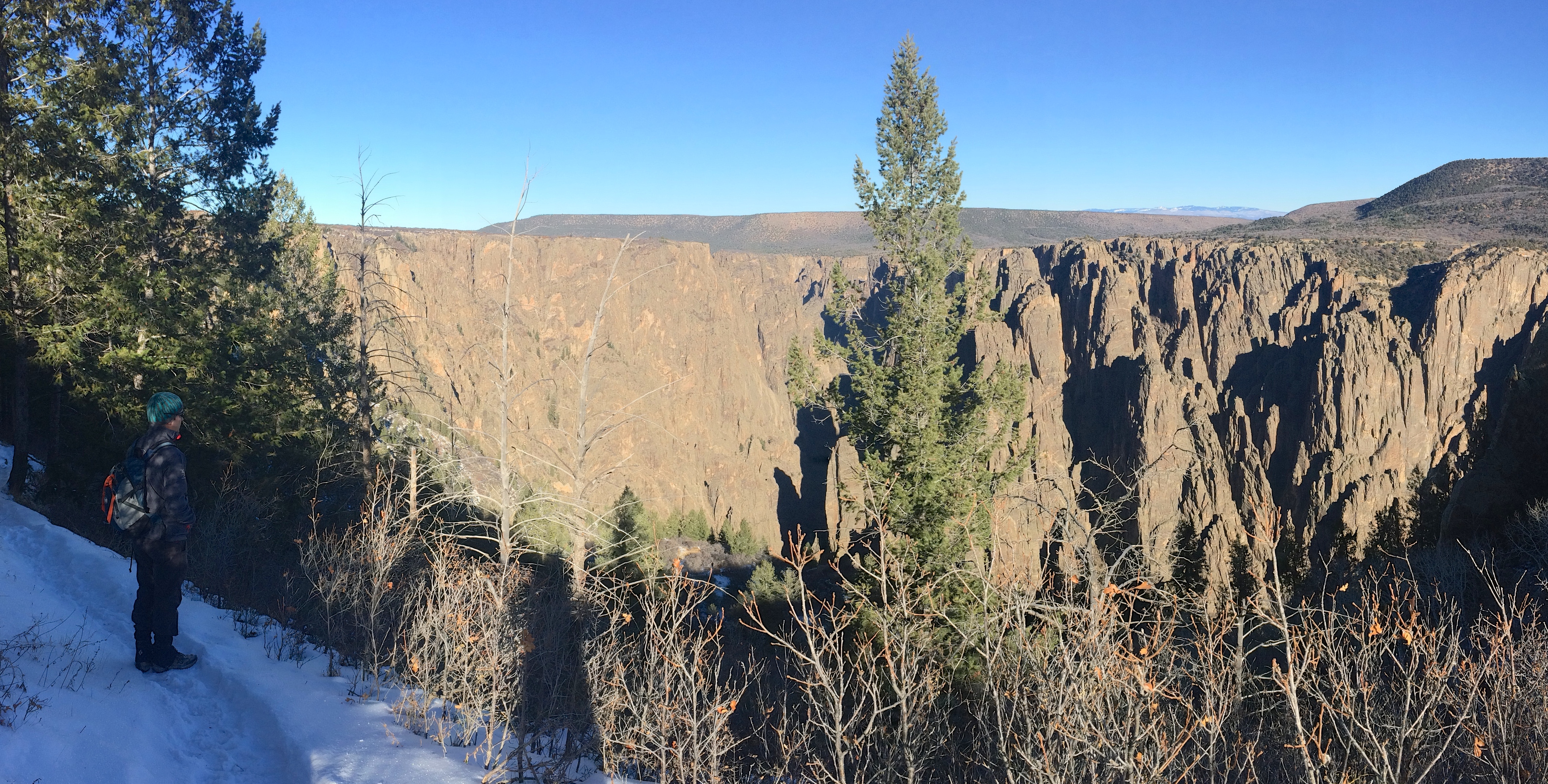
And off we went.  The Gunnison Route started from the visitor center.  Easy enough. But first, we gazed down into the canyon from the overlook to prepare ourselves for what we signed up for.20151113_121509

Just a further stroll along the rim:IMG_5574

When the trail actually began its steep descent into the canyon, we put on crampons.  I will say that the crampons were useful for descending, but I didn’t need them for ascending.

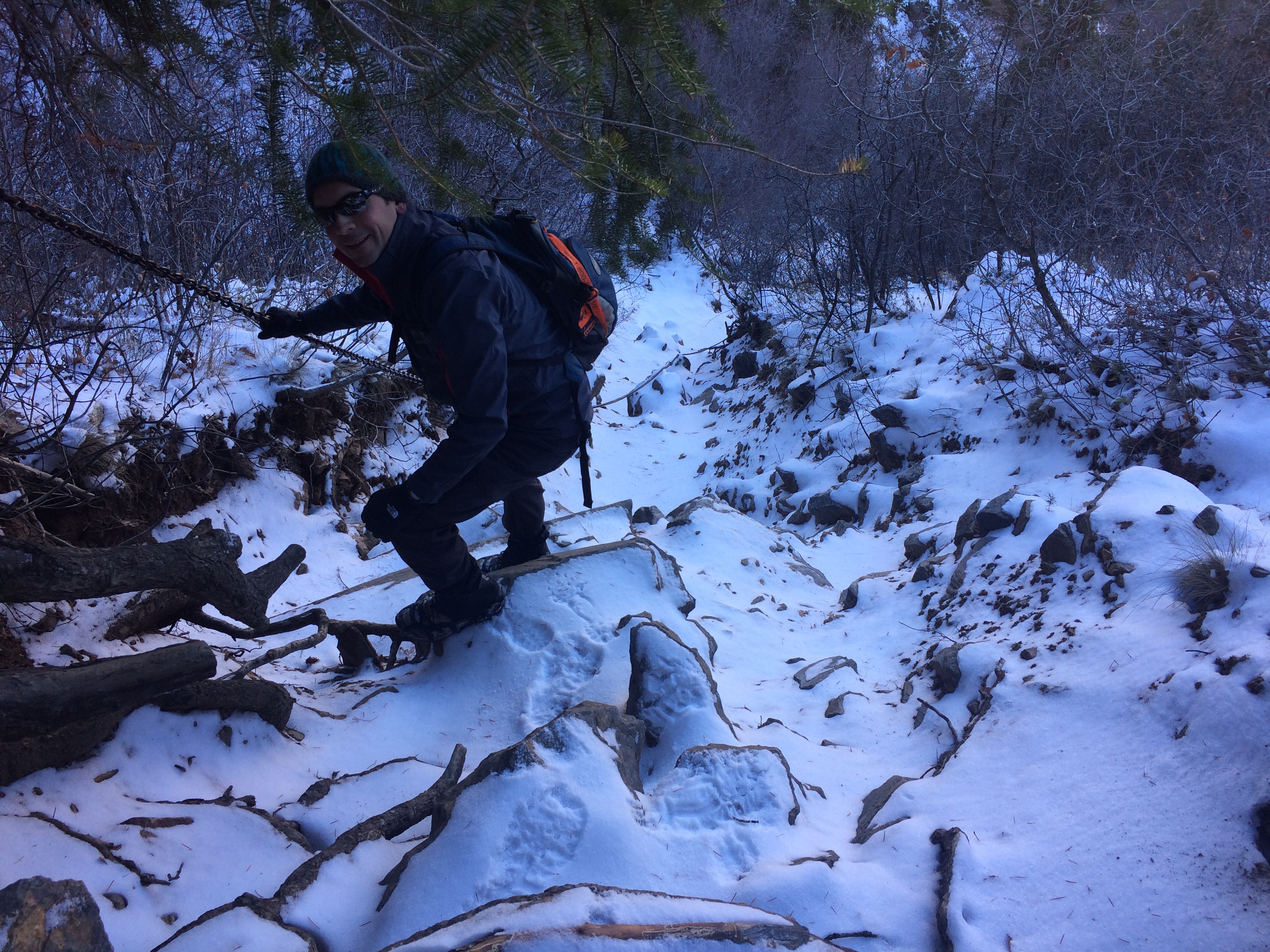
The chain, THE CHAIN!  The top of the chain was located about 1/3 of the way down. I found the chain more helpful going up than down.  It was also frozen and sticky with dry snow; clinging onto the chain numbed the crap out of my hands.IMG_5576

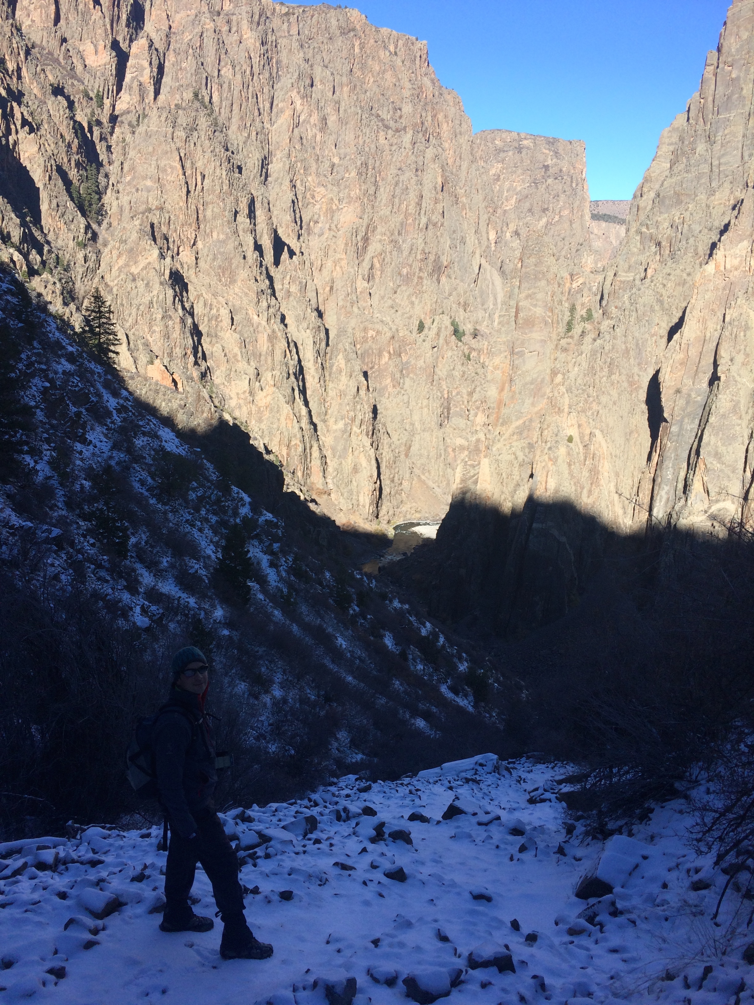
Down, down, down. Down into the canyon we went.IMG_5577

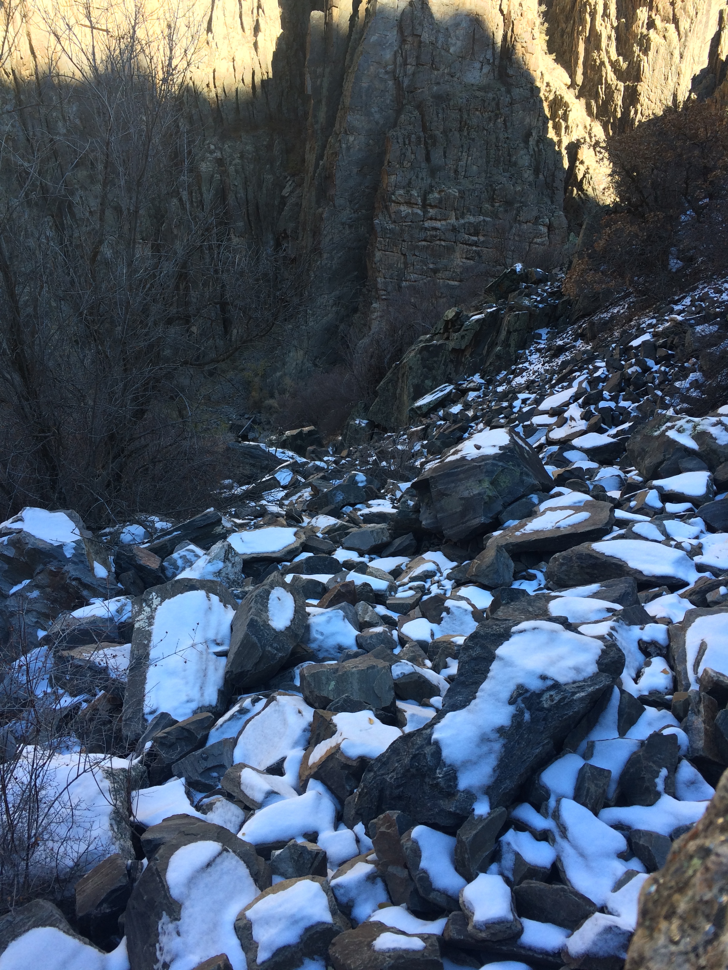
Loose rocks with snow. Scrambling was fun.IMG_5578

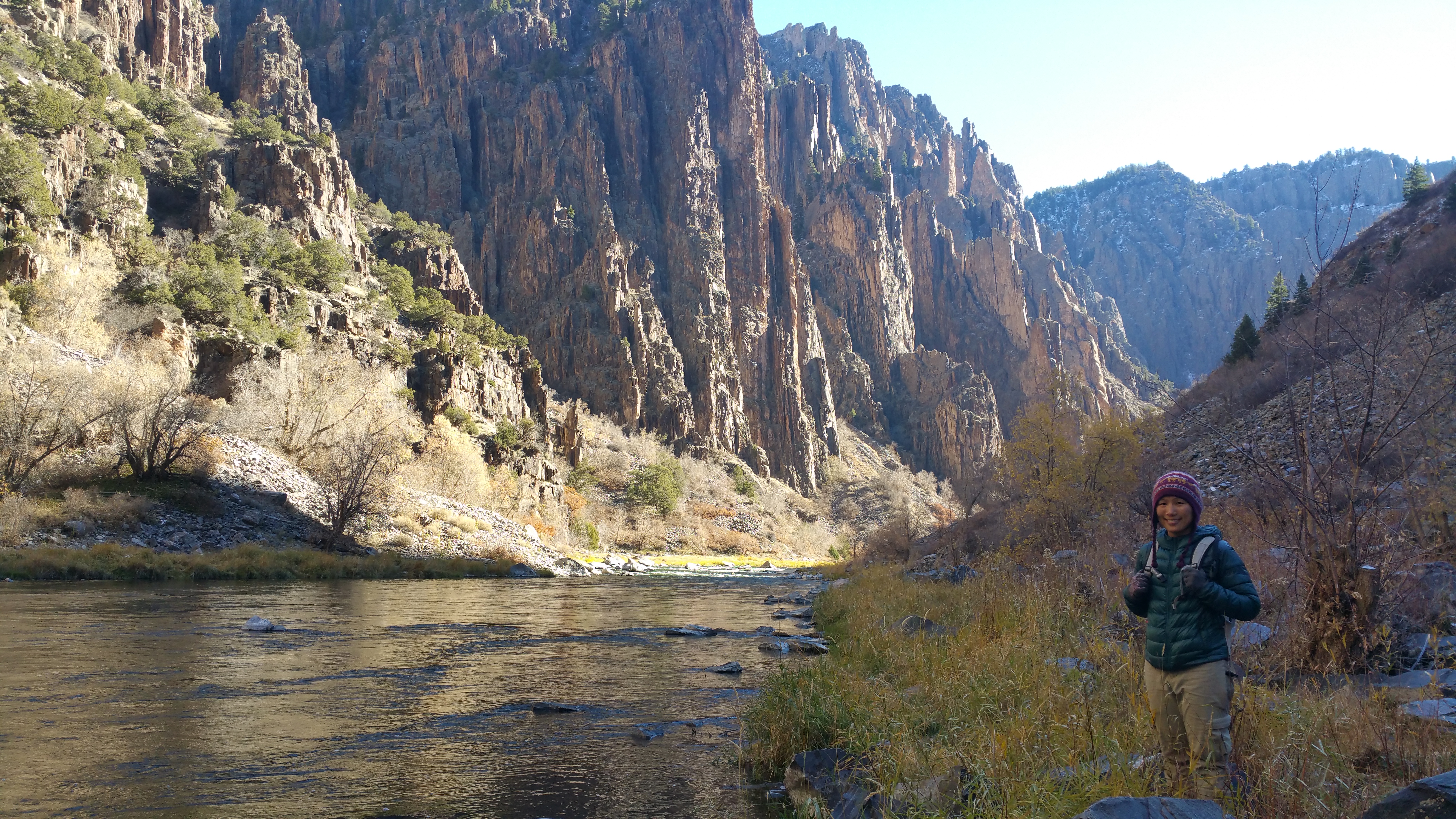
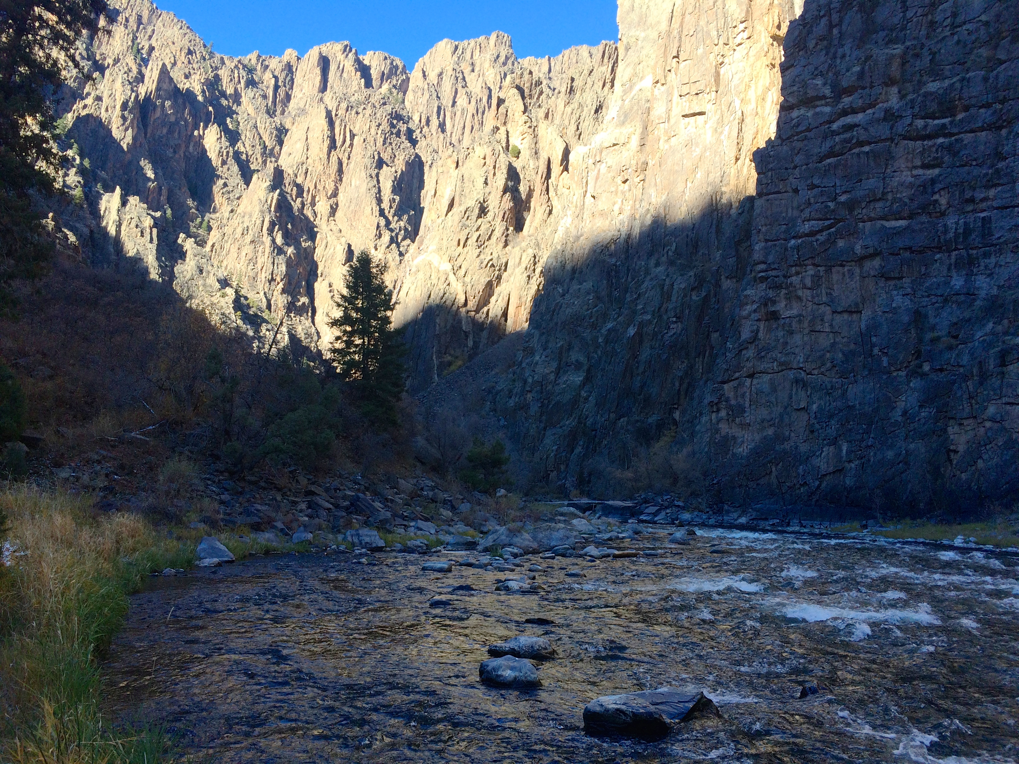
And finally, the canyon bottom!  It took us about 1 hour and 10 minutes from rim to river. The powerful, gushing river produced some rapids, and the morning sunshine spilled brightness all over the opposite canyon walls–it was too surreal.  Had it not been so damn cold the bottom of the canyon would have been the perfect backcountry campsite. 20151113_102800 IMG_5584

We didn’t stay too long at the bottom–we were too cold!  The 1,800 ft. climb wasn’t as awful as I anticipated, but I still lost my breath scrambling over rocks and using tree roots to pull myself up over steep ledges.  Although the fresh snow made it slippery going down, we appreciated the snow going up.  Snow tracks prevented us from getting lost, a common problem for hikers going back up on a steep trail without cairns or signage.  Our ascent took us an hour and a half, for a total roundtrip time of 2 hours and 40 minutes.

After checking back in with the park ranger (and exchanging a few more sarcastic lines) we drove along the 7-mile South Rim Road, occasionally stopping at a couple overlooks.

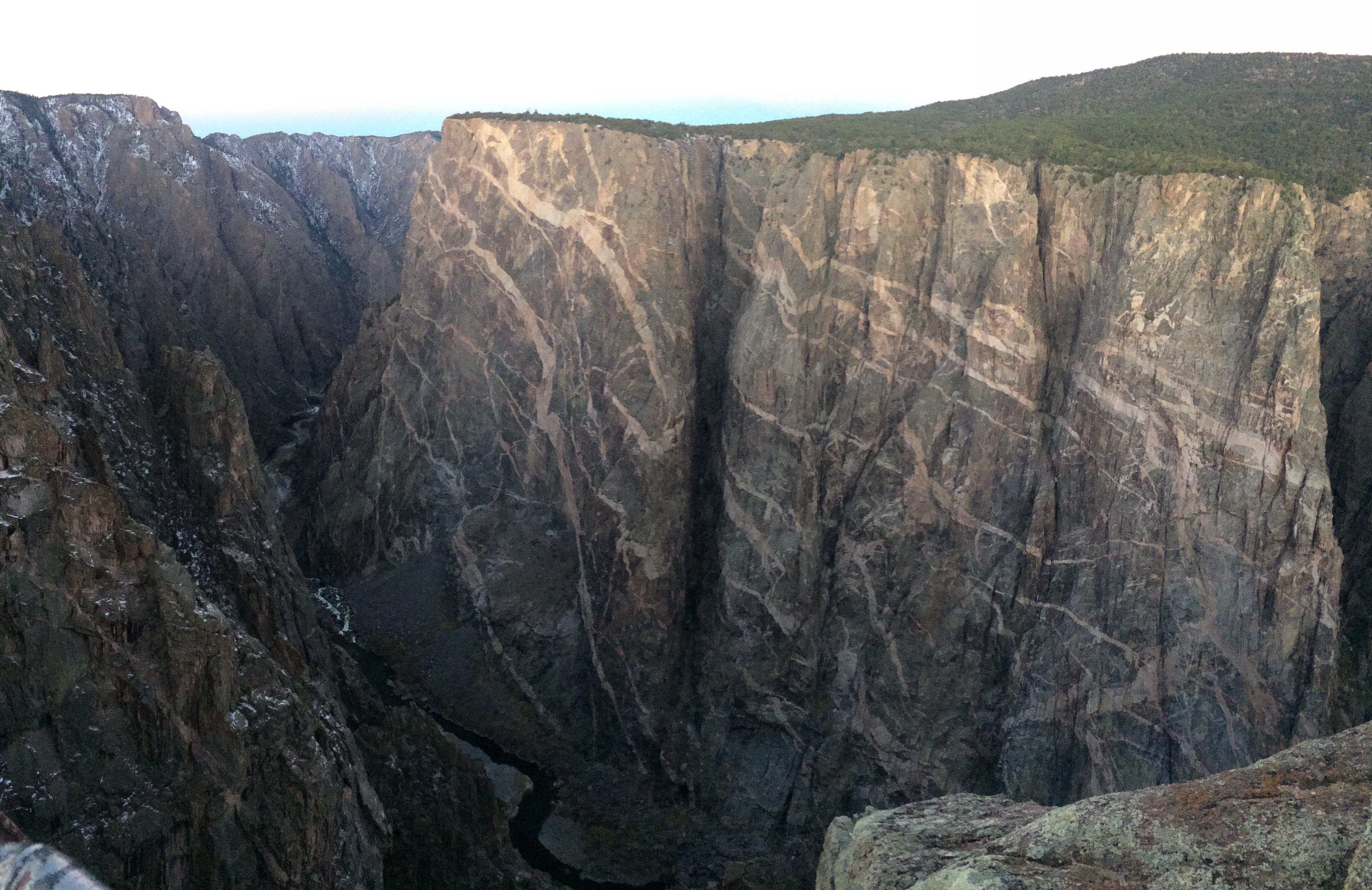
The famed overlook of Painted Wall:20151113_125417-EFFECTS

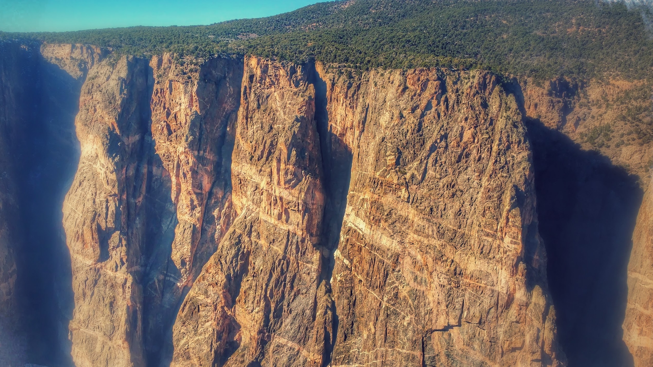
With the afternoon sun overhead, the canyon walls were filled with dark shadows which prevented me from seeing Painted Wall at its finest.  Determined for a better photo, I got up at 5:40am the next morning to drive into the park from Montrose.  I got exactly the experience and photo I was hoping for.IMG_5596

Over billions of years, layers of rock formed the canyons we see today, and it is especially evident on this wall.  No photo can justify its scale.  The streaks of color on this wall are gigantic in real life, but from afar it looks like a wall with paint splatters, hence its name. I’ve never seen any other canyon like it.

It’s not the Grand Canyon or Canyonlands, but it’s still a dramatic, beautiful canyon.  With wonders like Painted Wall, epic hikes down to the river, and peaceful solidarity due to infrequent visitors, the Black Canyon of the Gunnison will surely take anyone’s breath away. Literally.

Posted in Colorado | Tagged , | 1 Comment

Colorado National Monument

Not having a strict agenda, or any schedule for that fact, is one of the best aspects of traveling.  Not vacationing.  TRAVELING.  And that is how we stumbled upon the wonders of Colorado National Monument.

During our 2014 road trip across the U.S. we hardly spent any time in Colorado.  In fact, we only had 3 days to spare for Colorado, which forced us to rush through Rocky Mountain National Park, Denver, and Boulder.  Now we had real time (well, more than 3 days) to spend in Colorado, but all in the south.  My sites of interest included 3 national parks: the rarely-visited Black Canyon of the Gunnison, the tallest sand dunes in North America at Great Sand Dunes, and the ancient cliff dwellings of Mesa Verde.

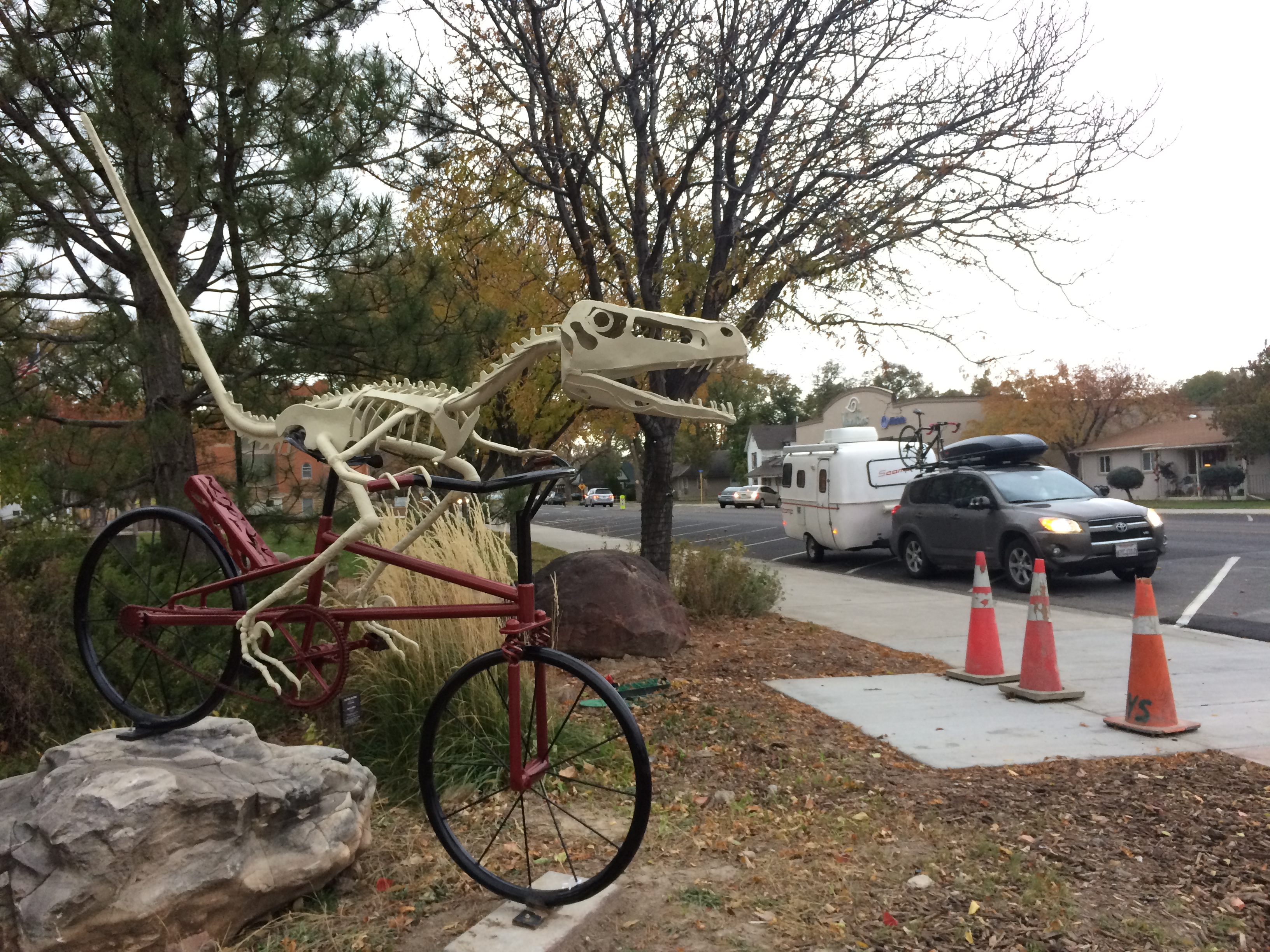
Along the way between Crystal Geyser and Black Canyon of the Gunnison, we stopped in Fruita so I could run an errand at the post office. Fruita is apparently known for dinosaurs.IMG_5464

But while in Fruita I quickly learned of the nearby Colorado National Monument.

“Want to make a detour to Colorado National Monument?” I asked Chris.

“Why not?” he replied. “How many days?”

“I don’t know. A couple?”

And what an amazing detour it was.  A small winter storm was passing through the night we arrived, dusting the high canyons with fresh snow.  Luckily the storm only lasted one night, and the rest of our days at the monument were beautiful and sunny. Over the next day and a half I hiked 4 easy trails and biked along the scenic Rim Rock Road at Colorado National Monument.

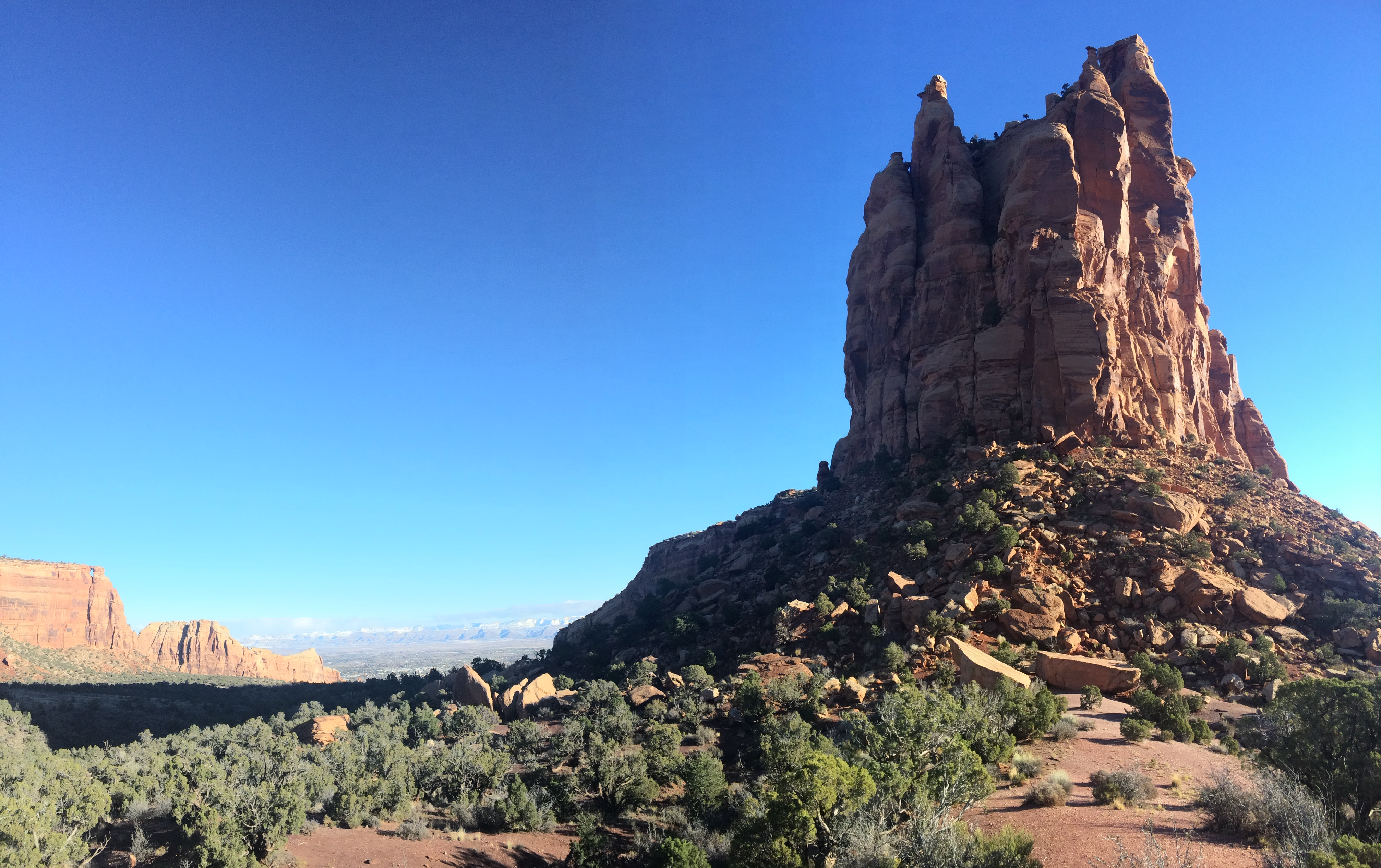
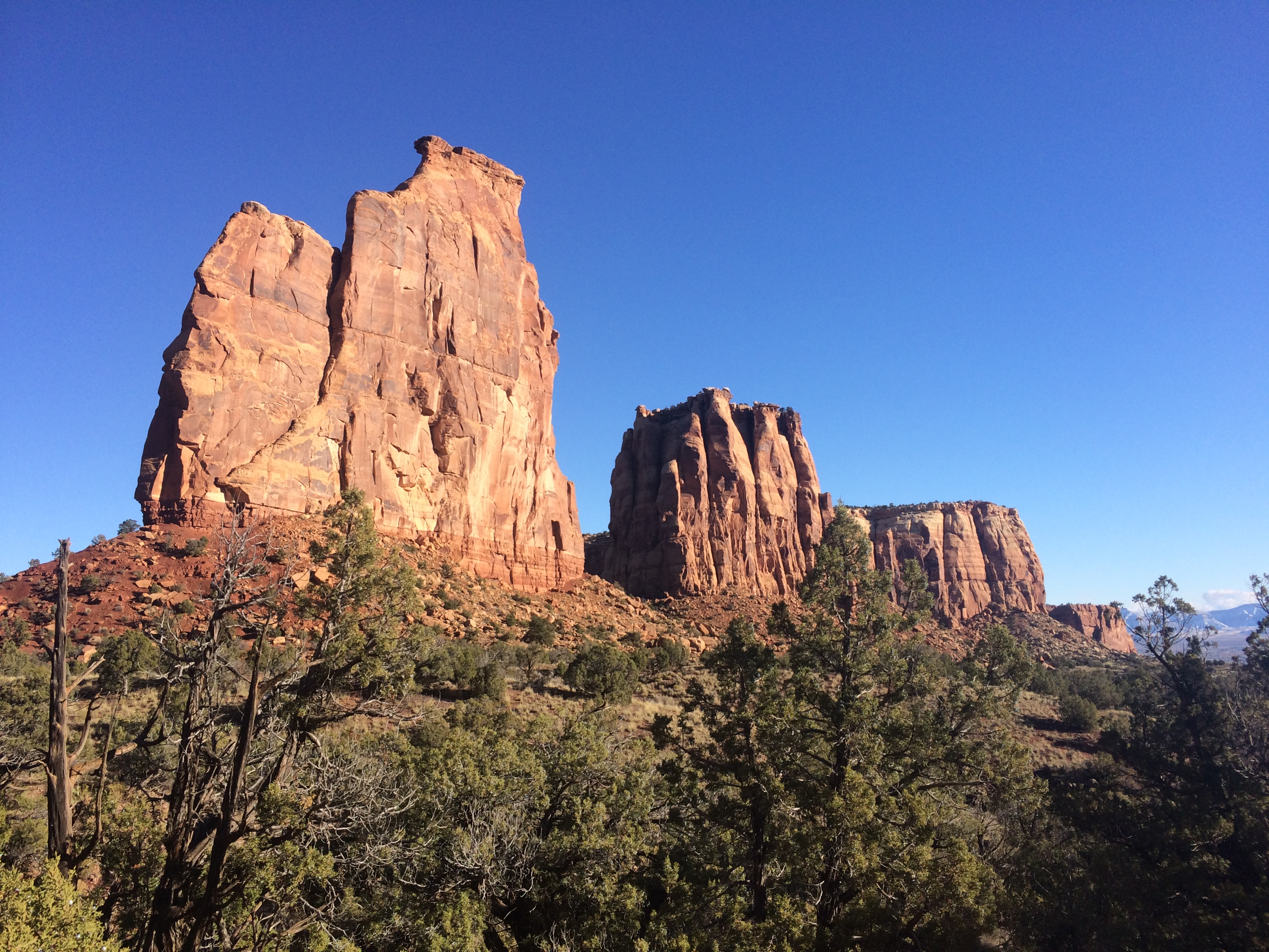
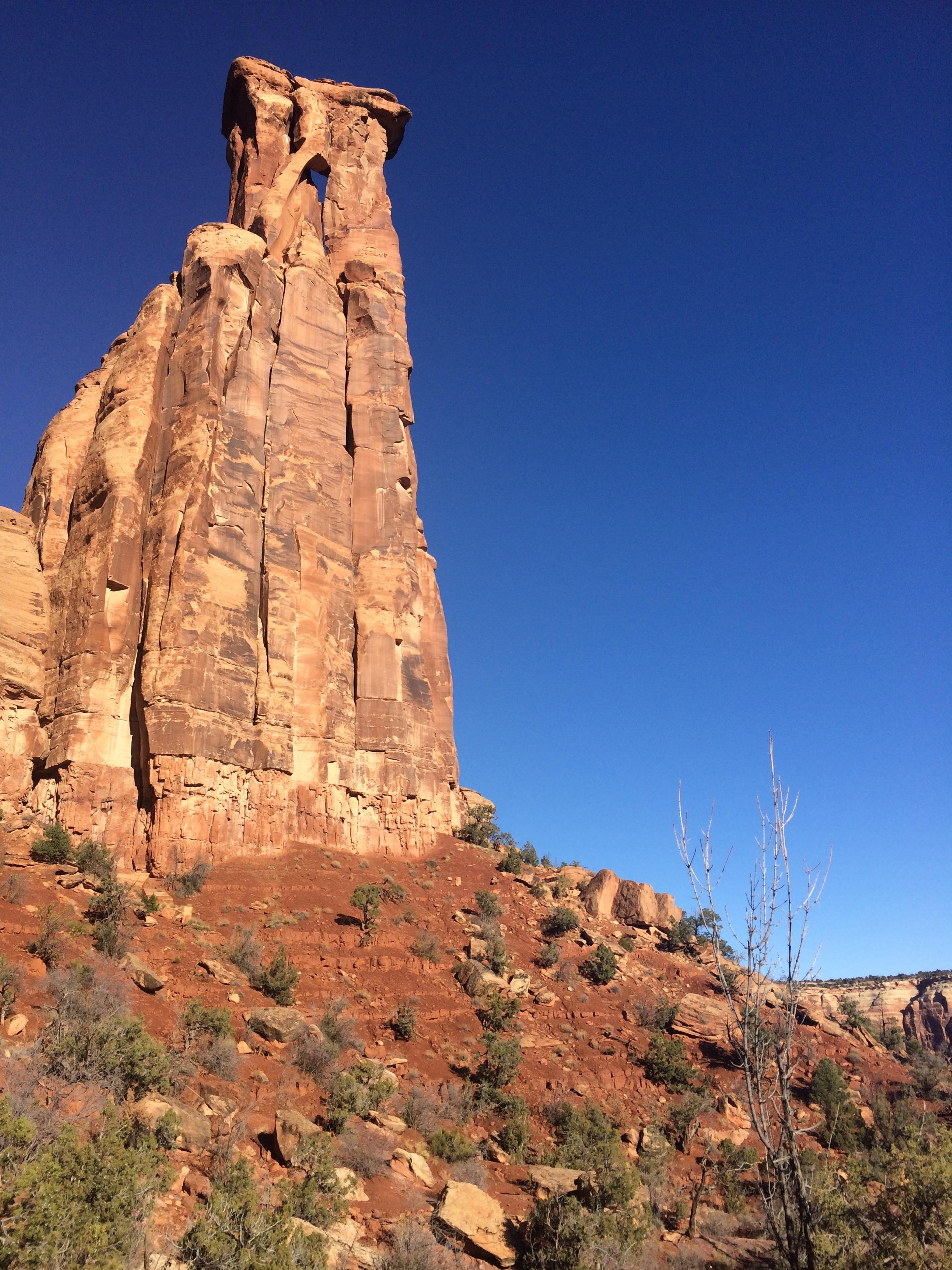
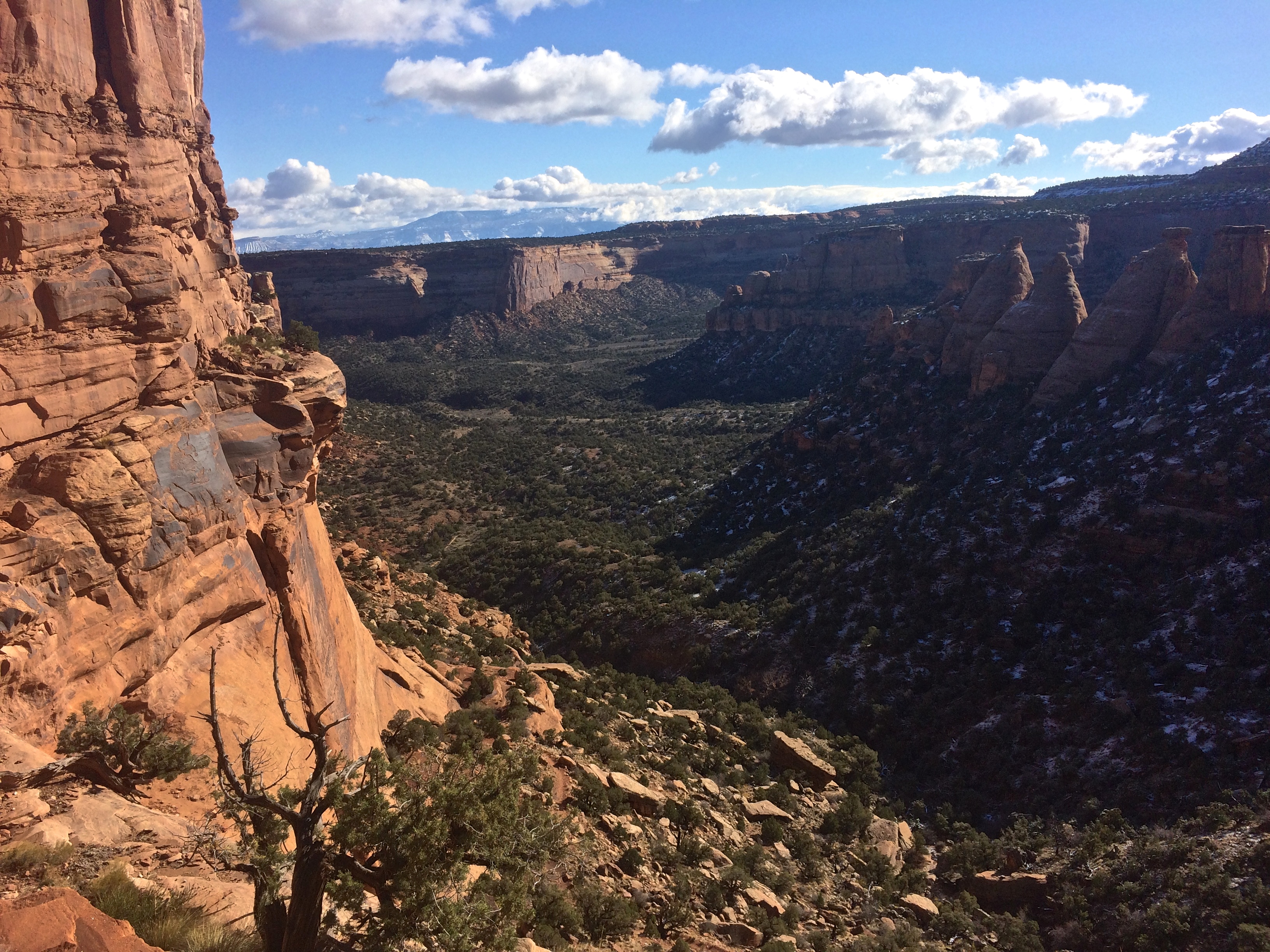
After hunkering down for one night in the town of Fruita during the storm, we ventured into the monument the next morning.  Because Chris had to work, I was fortunate to cut trail distances in half; instead of hiking a potentially long loop, I’d start at one end and Chris picked me up at the other end.  I wanted to see as much as possible, so I got a bright and early start to the 6-mile long Monument Canyon Trail.  This trail trickled along the floor of the canyon, passed by the notorious Independence and Kissing Couple Monuments, and climbed up 600 feet beside the Coke Ovens to the top of the canyon.

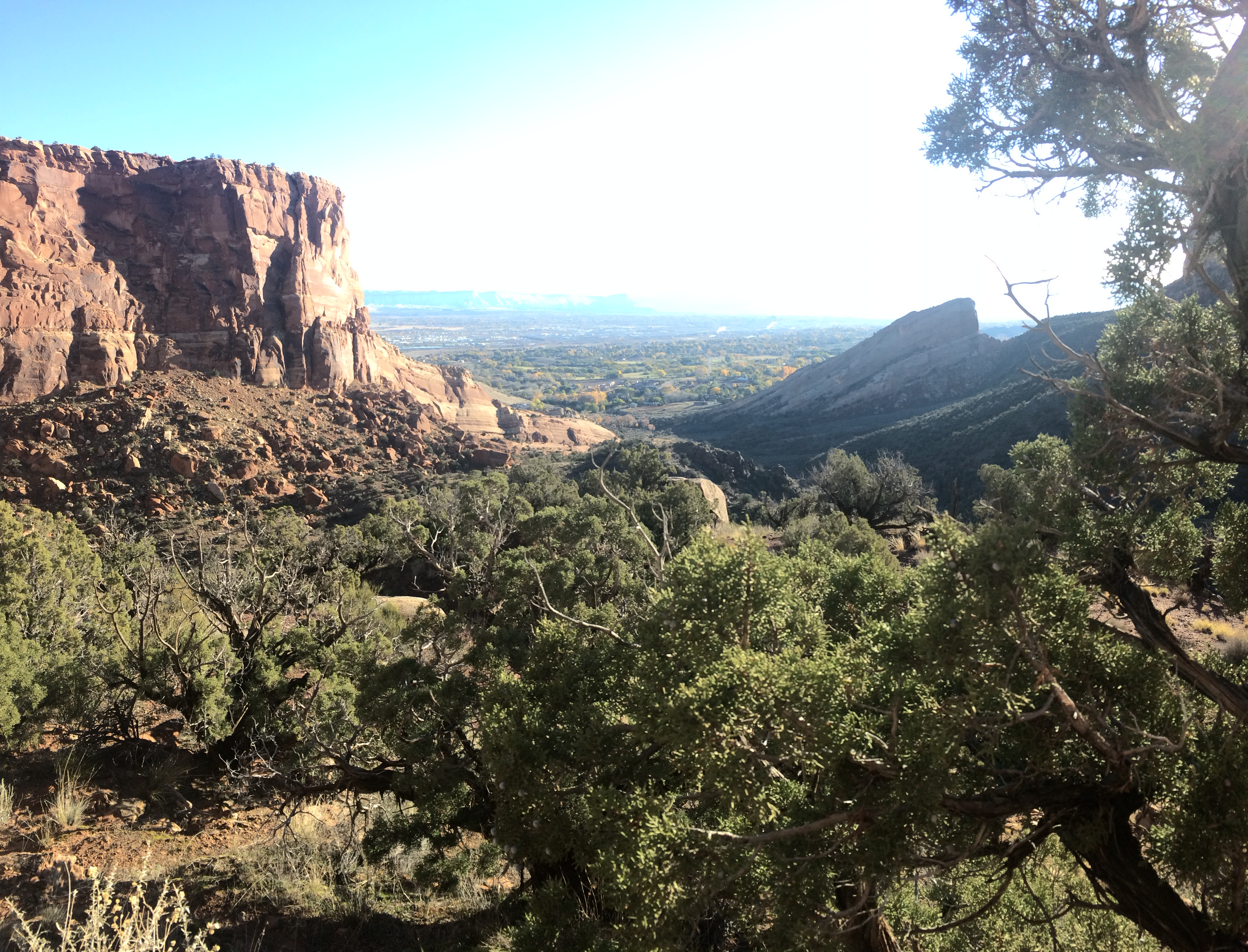
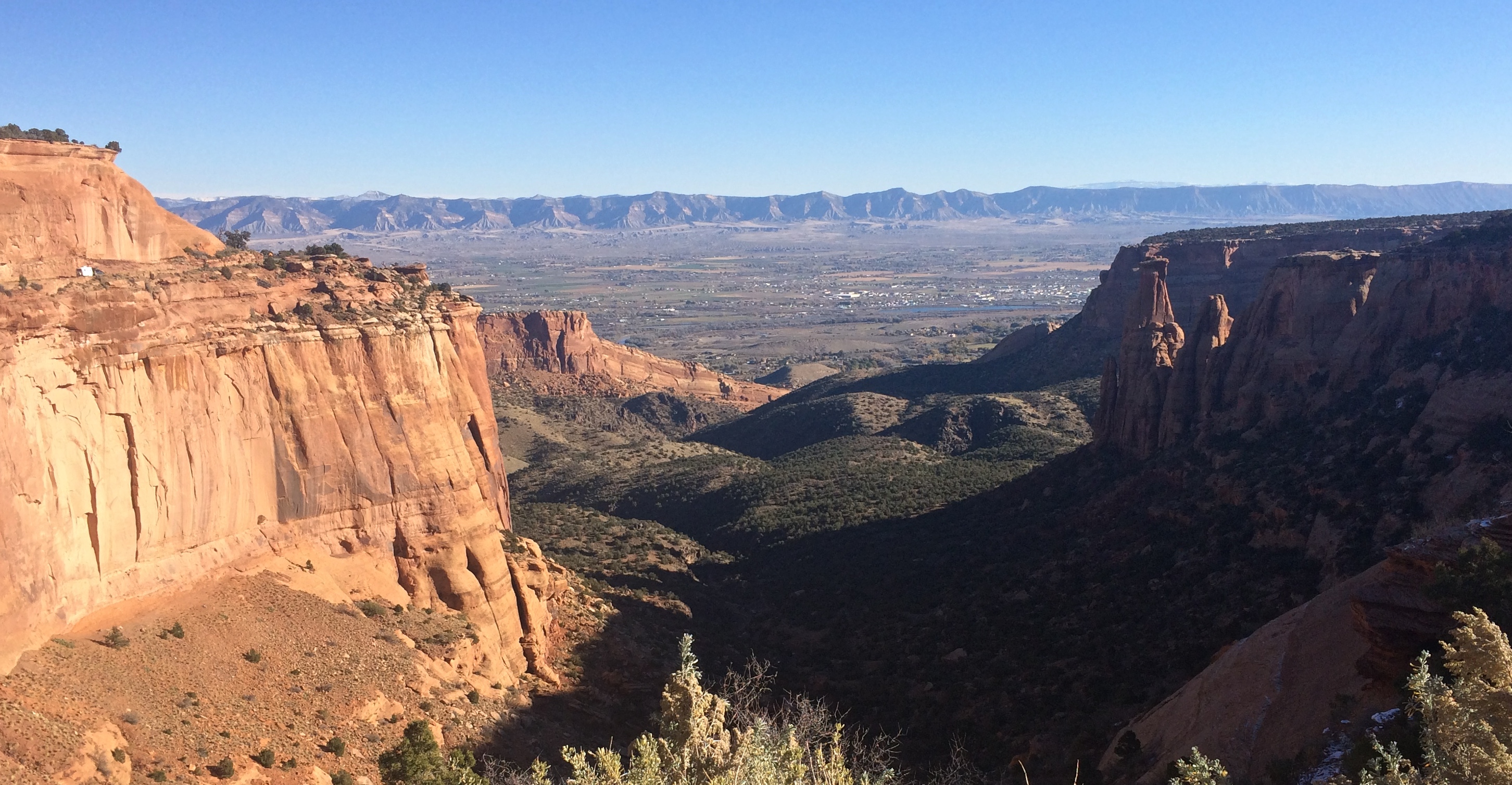
The view about halfway into the hike, looking back at the land I just traversed:IMG_5472

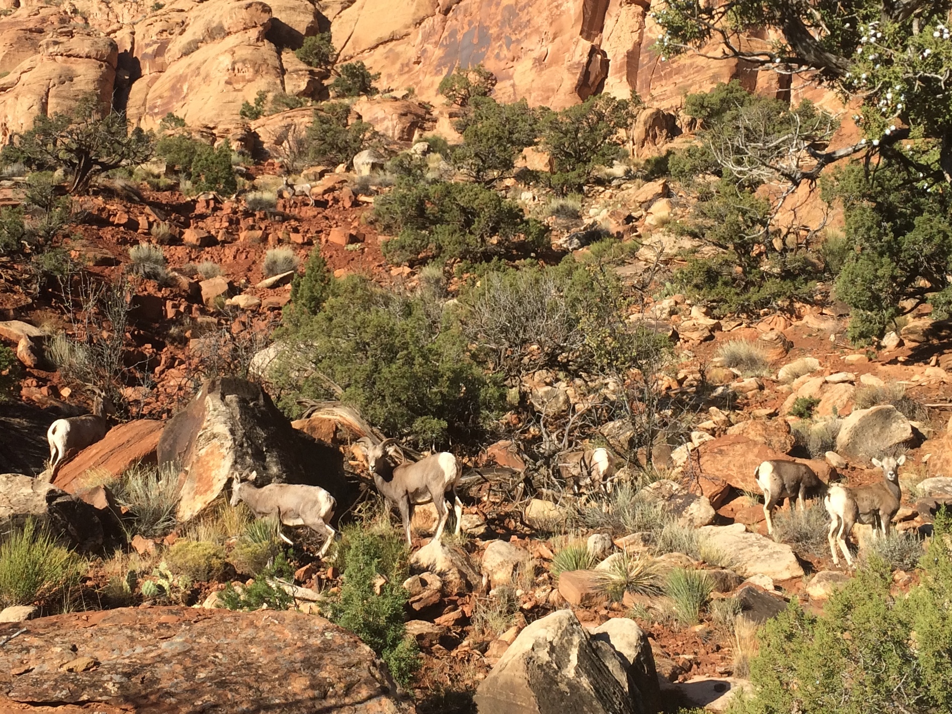
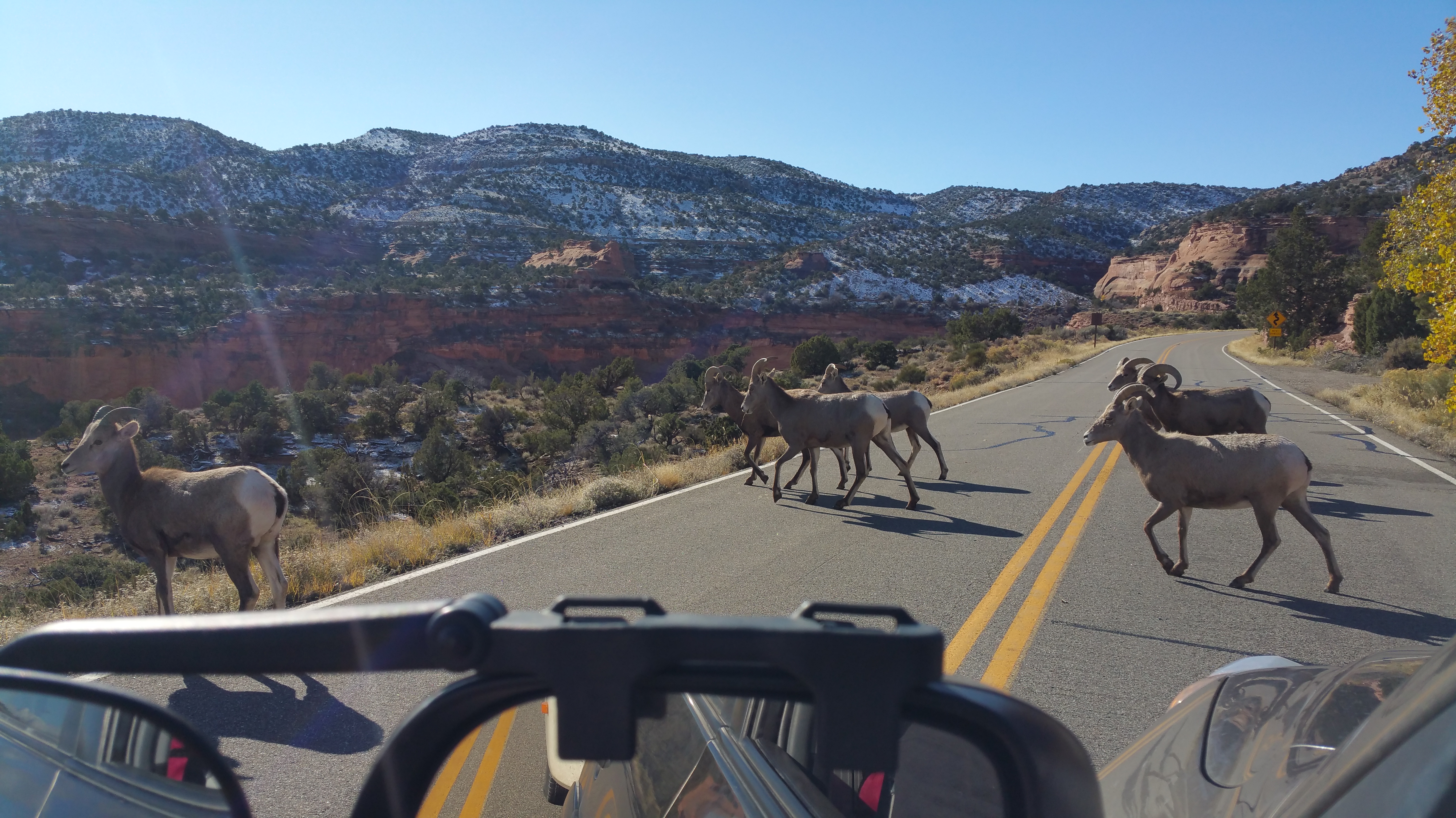
I stumbled upon a bunch of bighorn sheep.IMG_5475

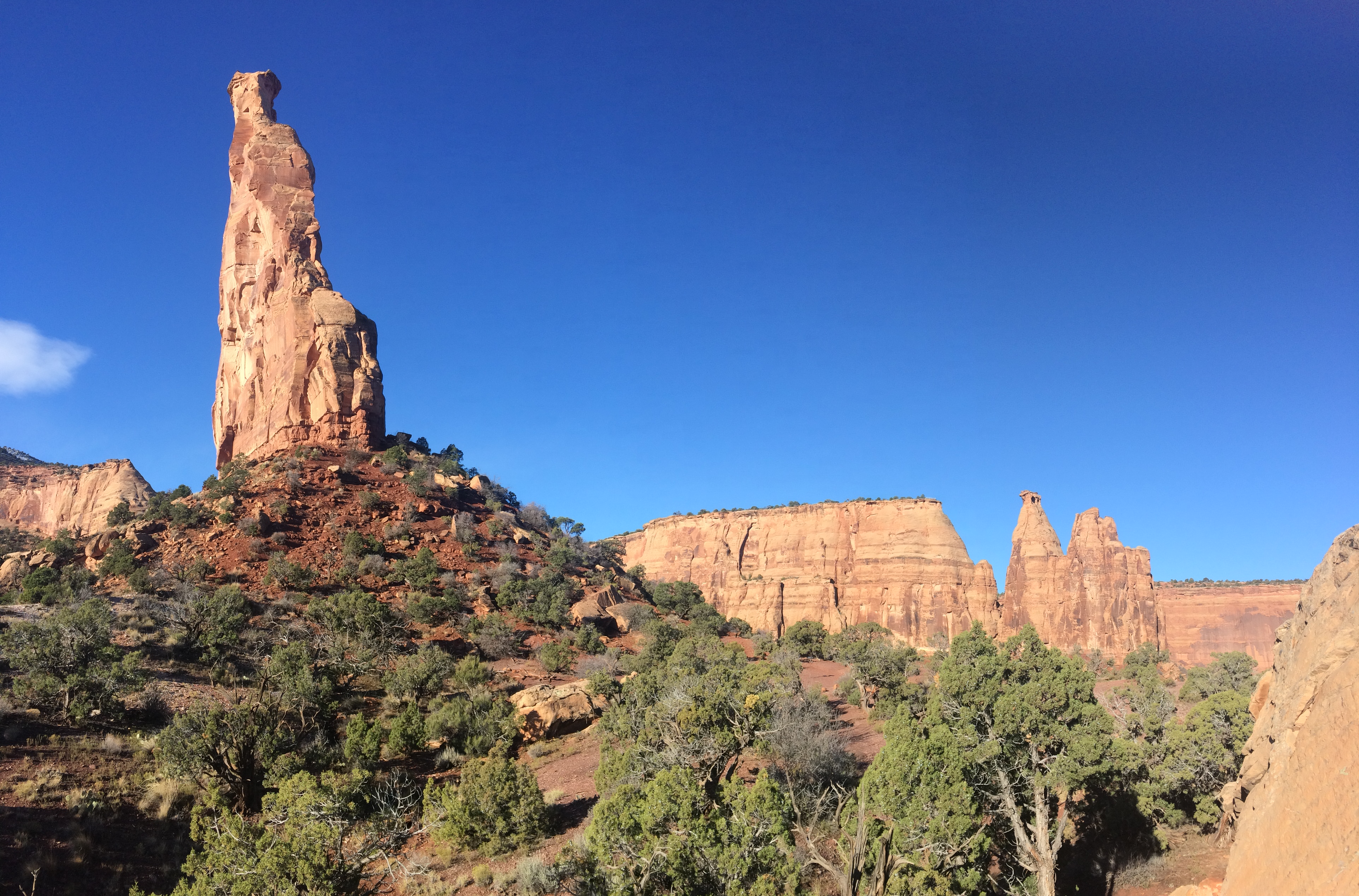
Approaching Independence Monument, with Pipe Organs in the distance:IMG_5493

Island Monument:IMG_5497

Independence and Island Monuments:IMG_5500

Kissing Couple:IMG_5502

Climbing up into the canyon, with Coke Ovens to the right:IMG_5504

Chris met me at the top of the canyon.  During his drive to meet me, he too stumbled upon bighorn sheep.  I later discovered that they love to linger around the visitor center.20151111_104132

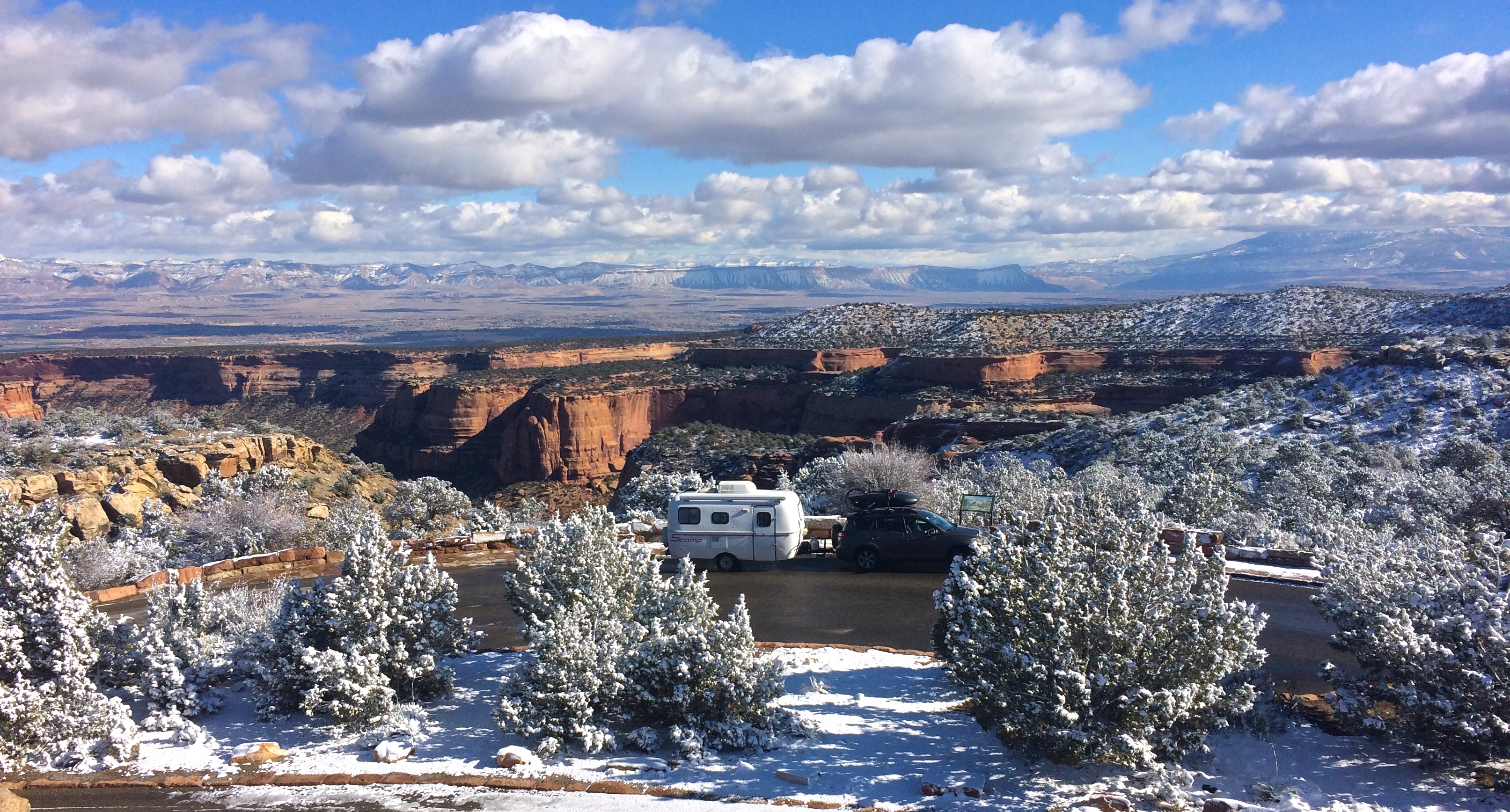
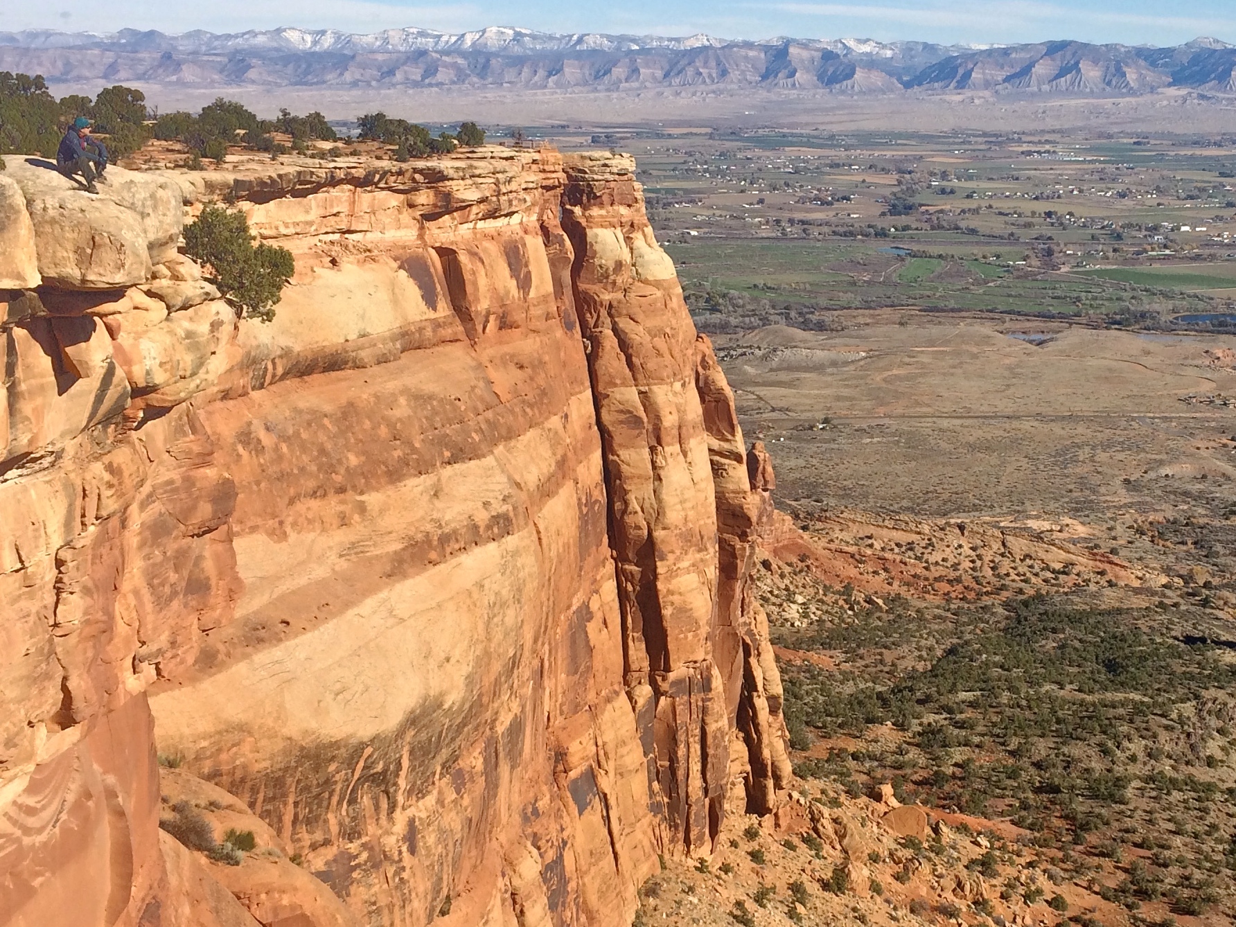
We drove along scenic Rim Rock Road, checking out several overlooks along the way.  My favorite photo from an overlook, with the recent storm dissipating and fresh snow on the shrubs:IMG_5515

During the drive, we kept an eye out for the fork in the road.  The night before, I carefully studied a map of the park and saw that the road forked 7 miles down from the visitor center.  At the fork, the road to the east continued along the monument, but the road to the west immediately became BLM land with a trailhead and enough space to set up camp.

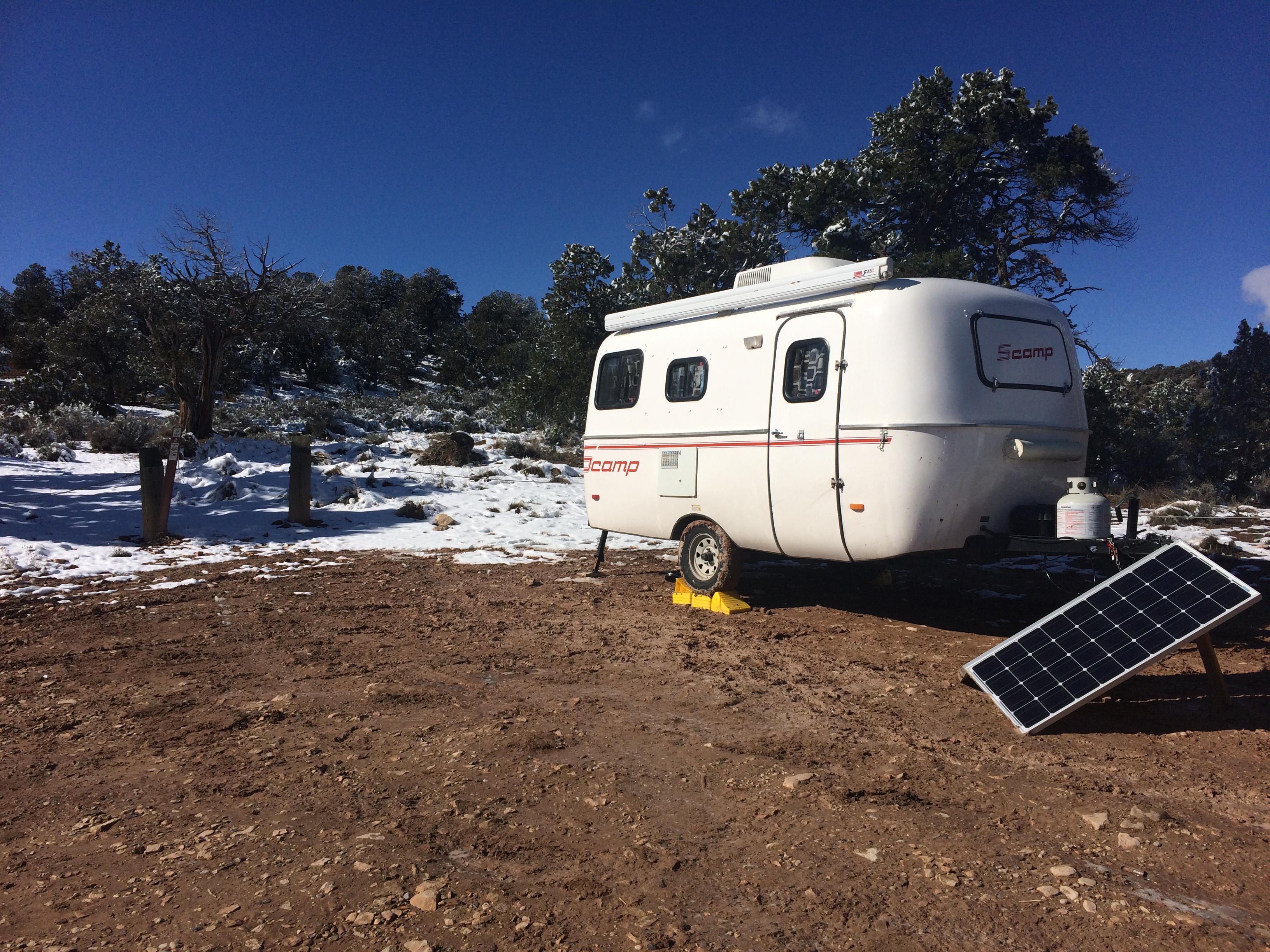
Albeit muddy from the storm, the site was perfect–plenty of sunshine for our solar panels, and even data coverage with our antenna!IMG_5518

We unhitched Scromp, quickly scarfed down lunch, and headed back into the park to drive the rest of Rim Rock Road. Once again, I got dropped off at another trailhead–the easy downhill 1.75-mile Serpent’s Trail–and Chris met me at the bottom in the parking lot. IMG_5522

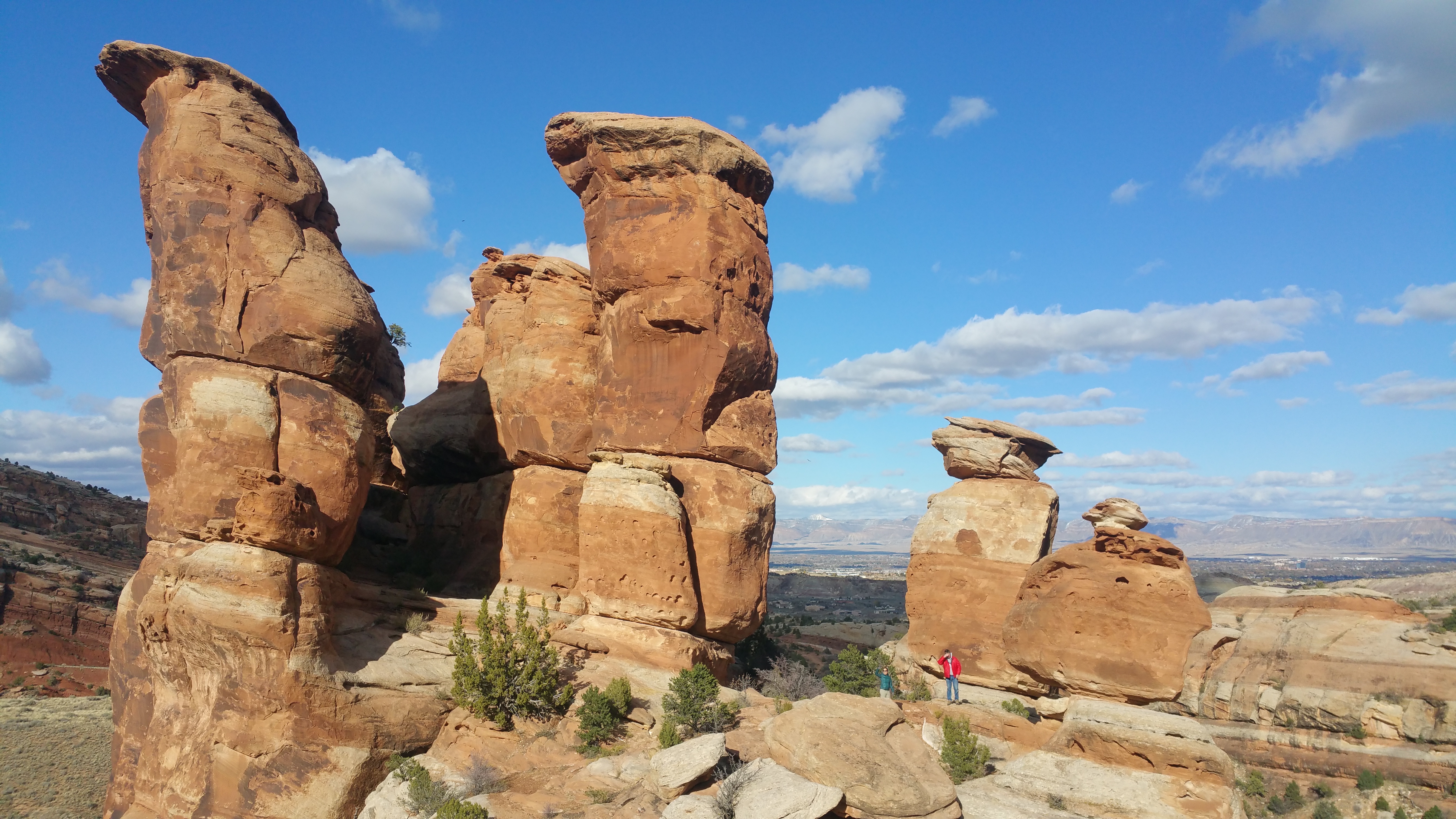
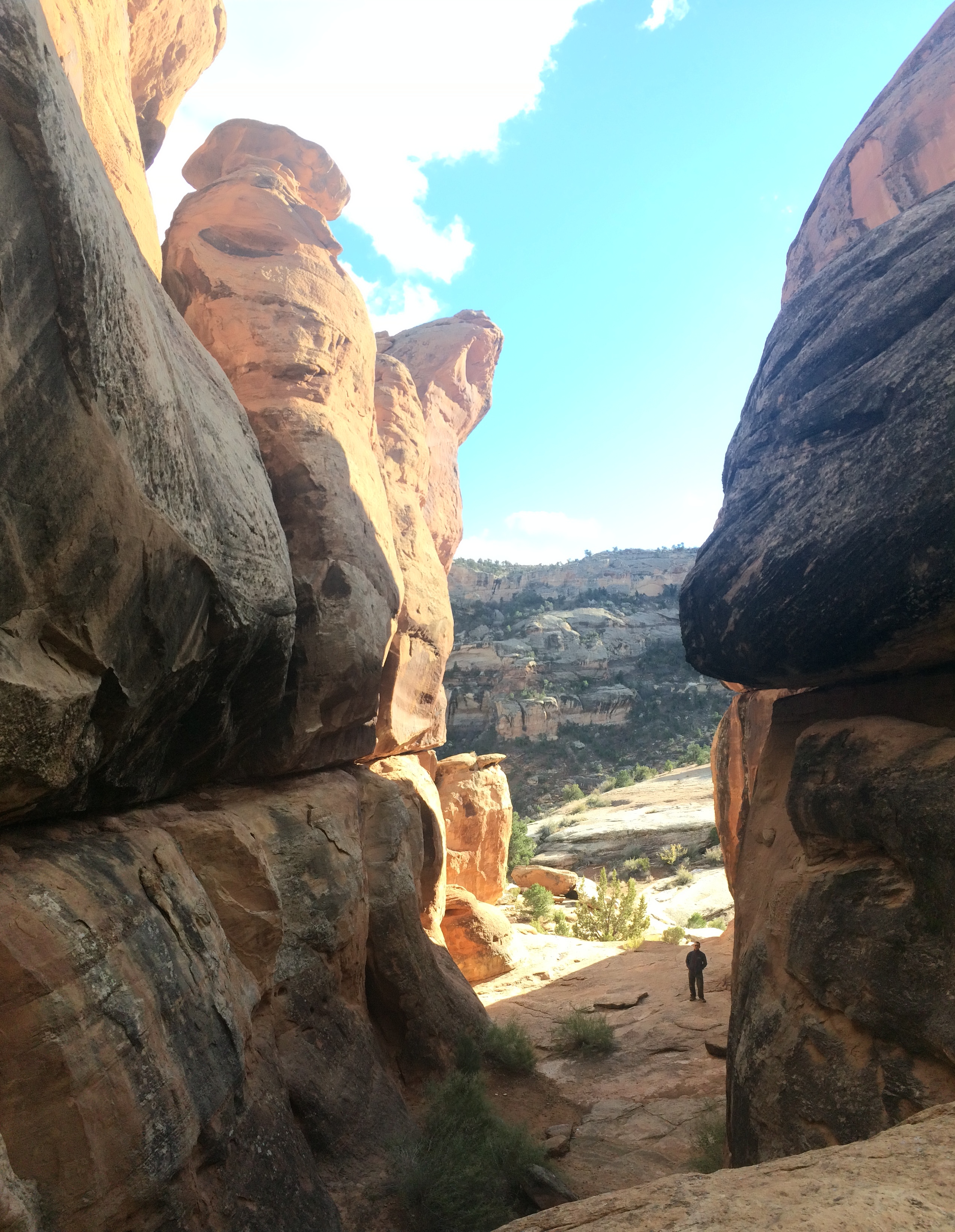
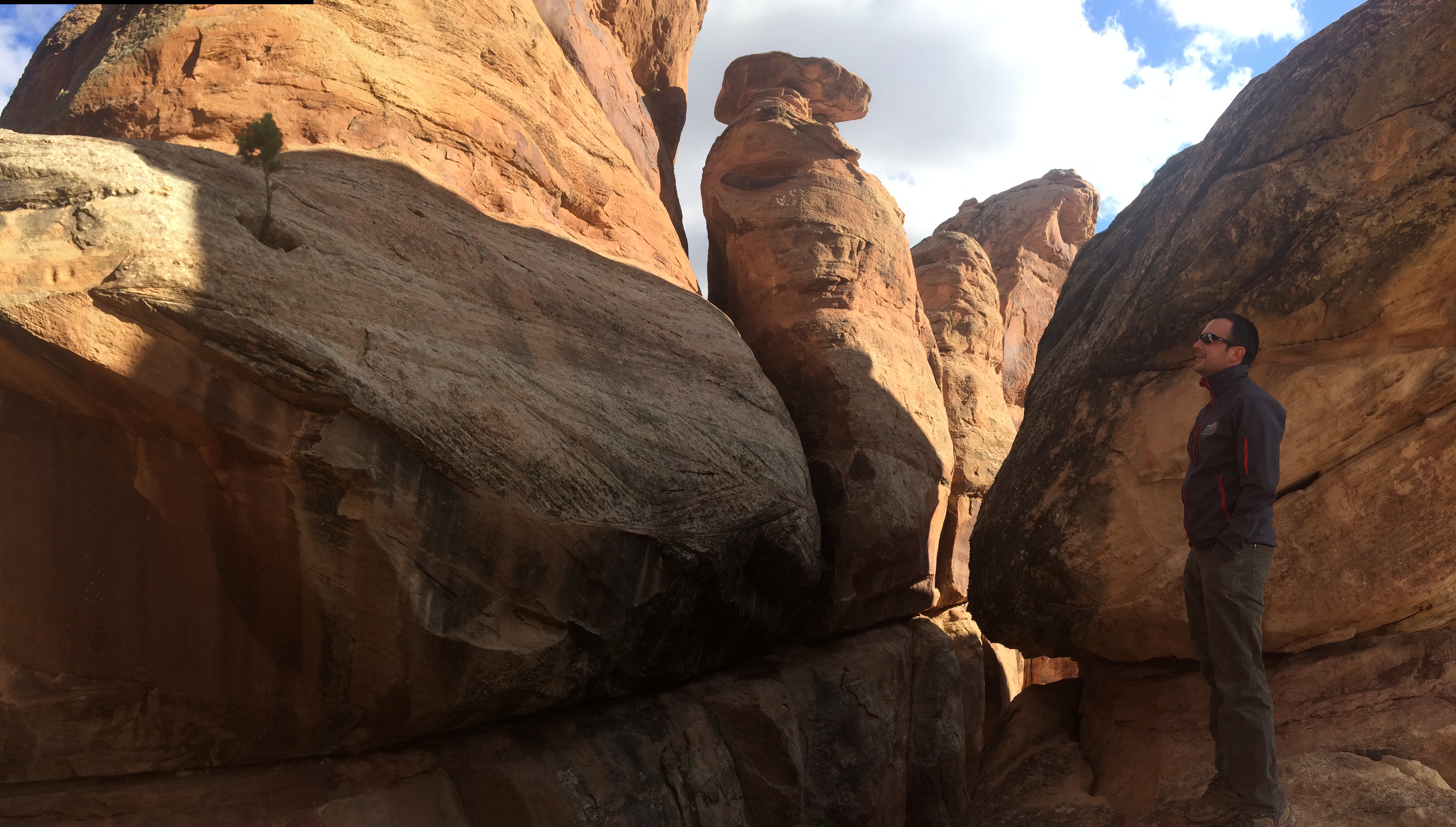
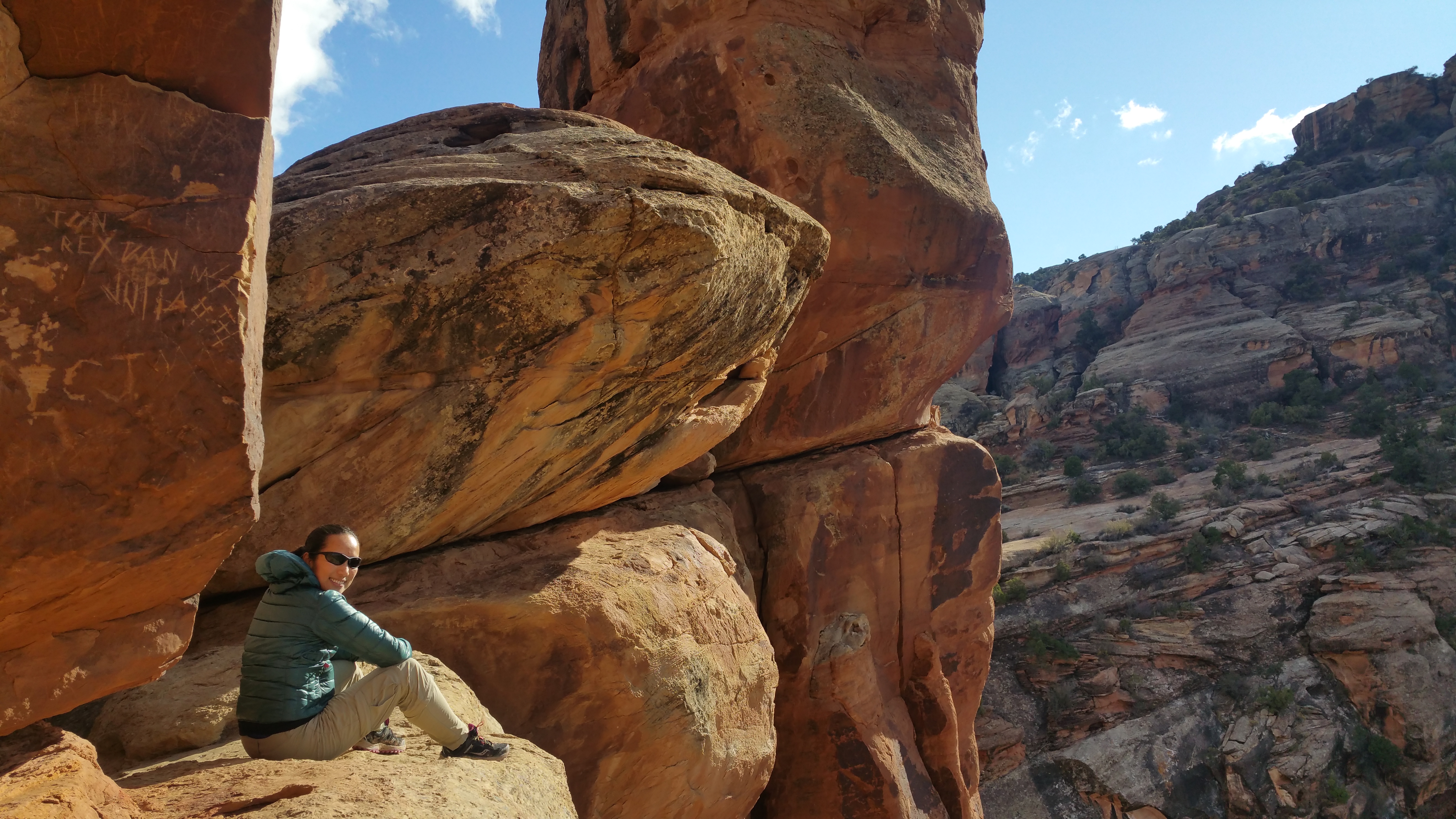
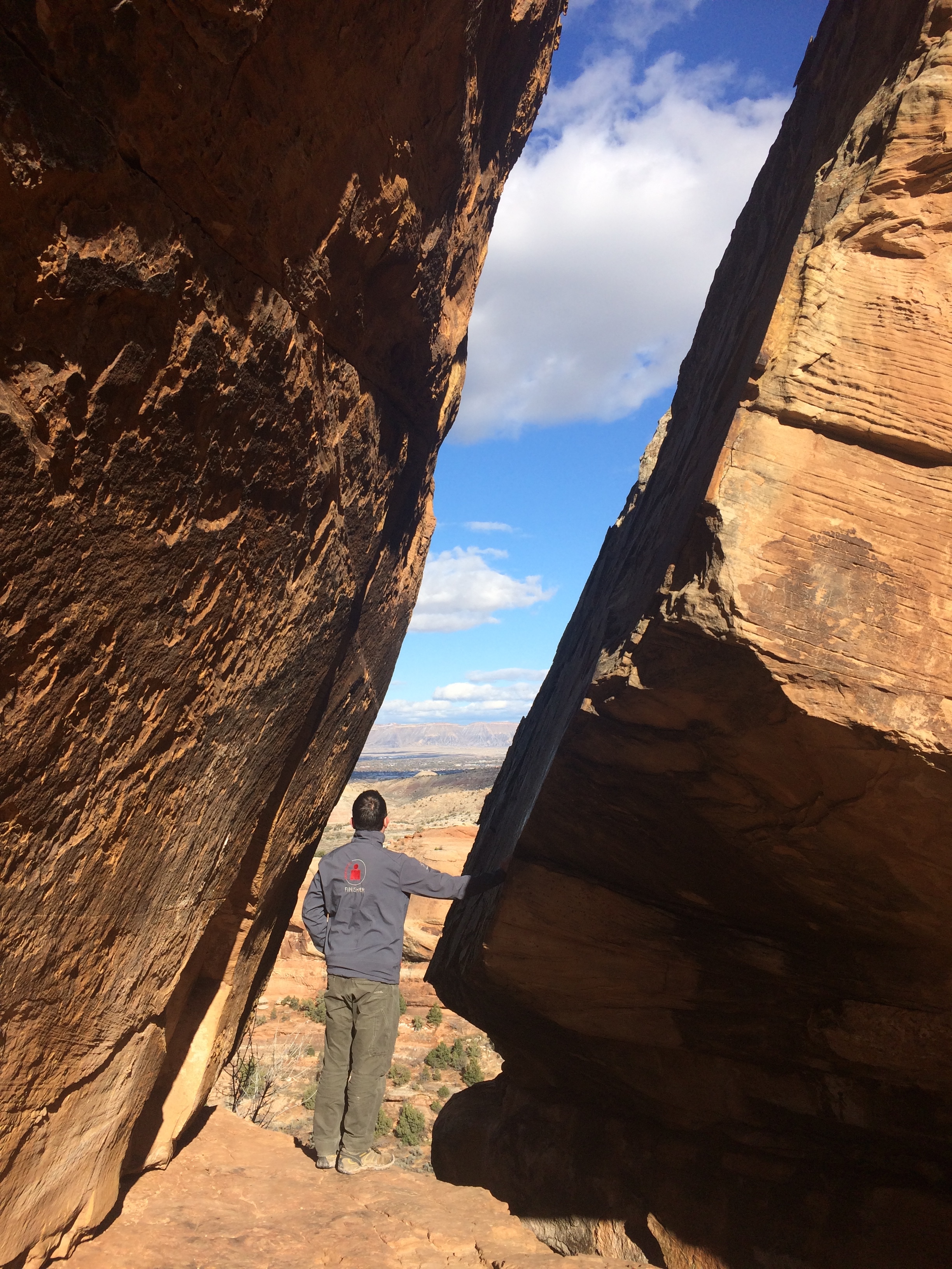
Once in the parking lot, I discovered another short trail–the .8 mile Devil’s Kitchen.  A park ranger had told us about how awesome this trail was, so it didn’t take much convincing to get Chris to join me.  It was a short hike, but it was awesome just like the park ranger described!  The uphill trail basically led us to a natural cathedral of rocks. 20151111_135858

Inside the rock formation:IMG_5533IMG_552920151111_134824

The views from between the rocks were awesome too.IMG_5530

During my first day at Colorado National Monument, I hiked the Monument Canyon Trail, Serpent’s Trail, and Devil’s Kitchen Trail.  In addition to the hikes, we drove along Rim Rock Road and found an awesome BLM spot right outside of the park.  Little did I know the next day would be equally as amazing.

Early the next morning we broke down camp and headed toward Fruita.  Once again, the drive along Rim Rock Road was breathtaking.IMG_5539

We made a short stop to the visitor center to stroll the half-mile Canyon Rim Trail.  This was literally along the canyon rim with steep nerve-wrecking drop offs.IMG_5551

Then we exited the park and drove down the windy road back into Fruita.  There, Chris continued to work and I hopped on my bicycle for a quick joy ride back up into the park. Due to the storm leaving behind icy patches of snow on sections of the road, I was unable to cycle the entire Rim Rock Road.  But, I made the best of it and cycled from Fruita to a little past the Independence Monument Lookout and back, totaling a bit over 19 miles.

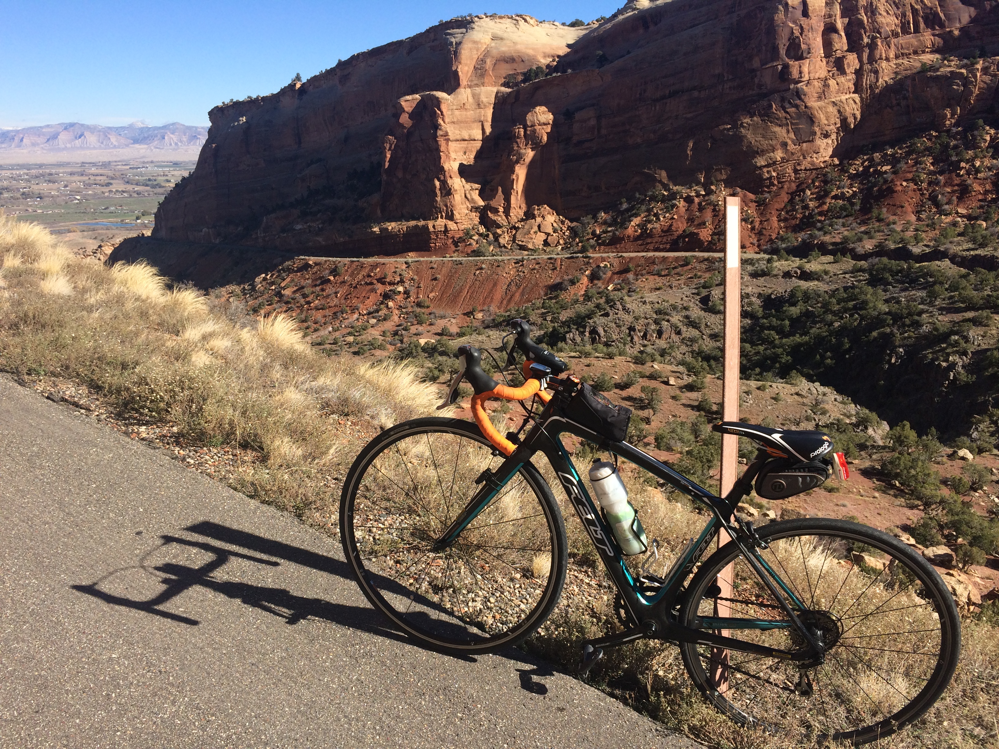
The beautiful climb into the monument:IMG_5554

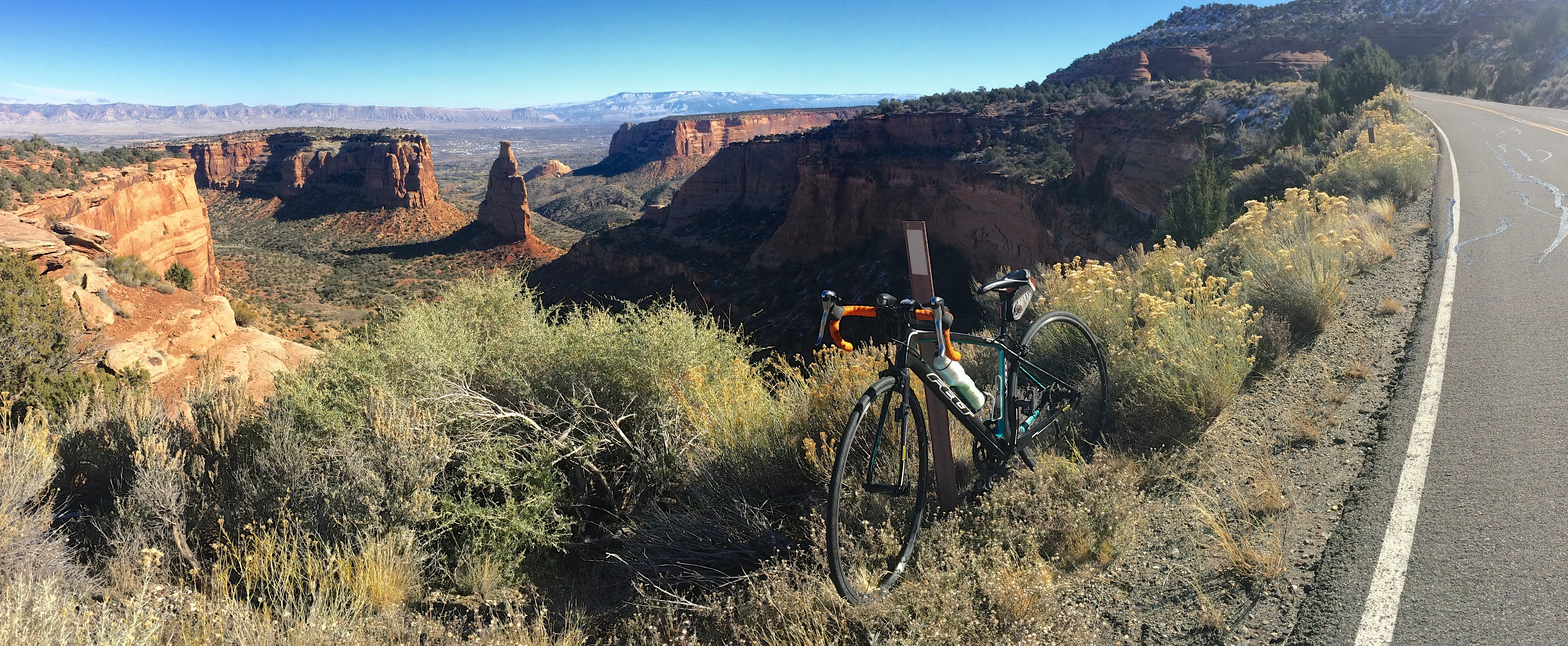
The best view in the park:IMG_5564

The descent quickly got me back into Fruita, where we lunched and headed out again, east toward the Black Canyon of the Gunnison.  Instead of driving directly to Gunnison, we made a slight detour (again!) to drive over Grand Mesa, one of the largest flat-top mountains in the world.

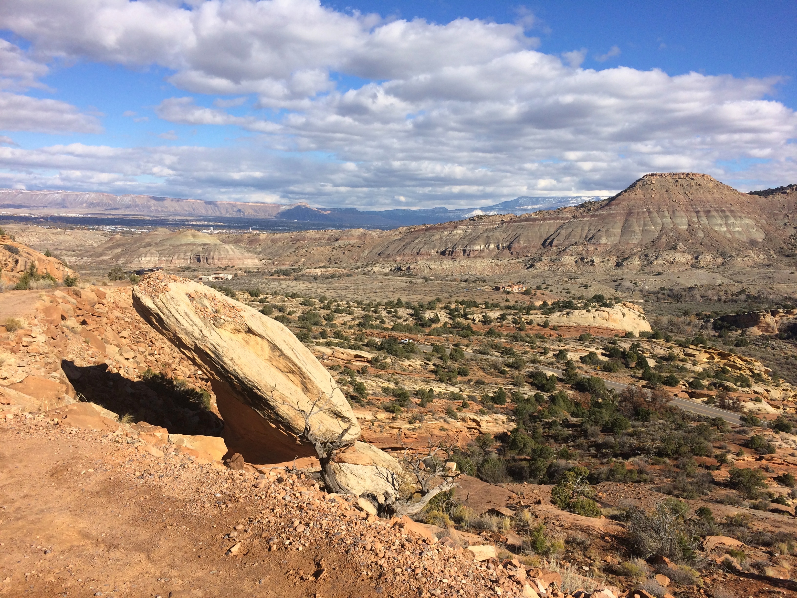
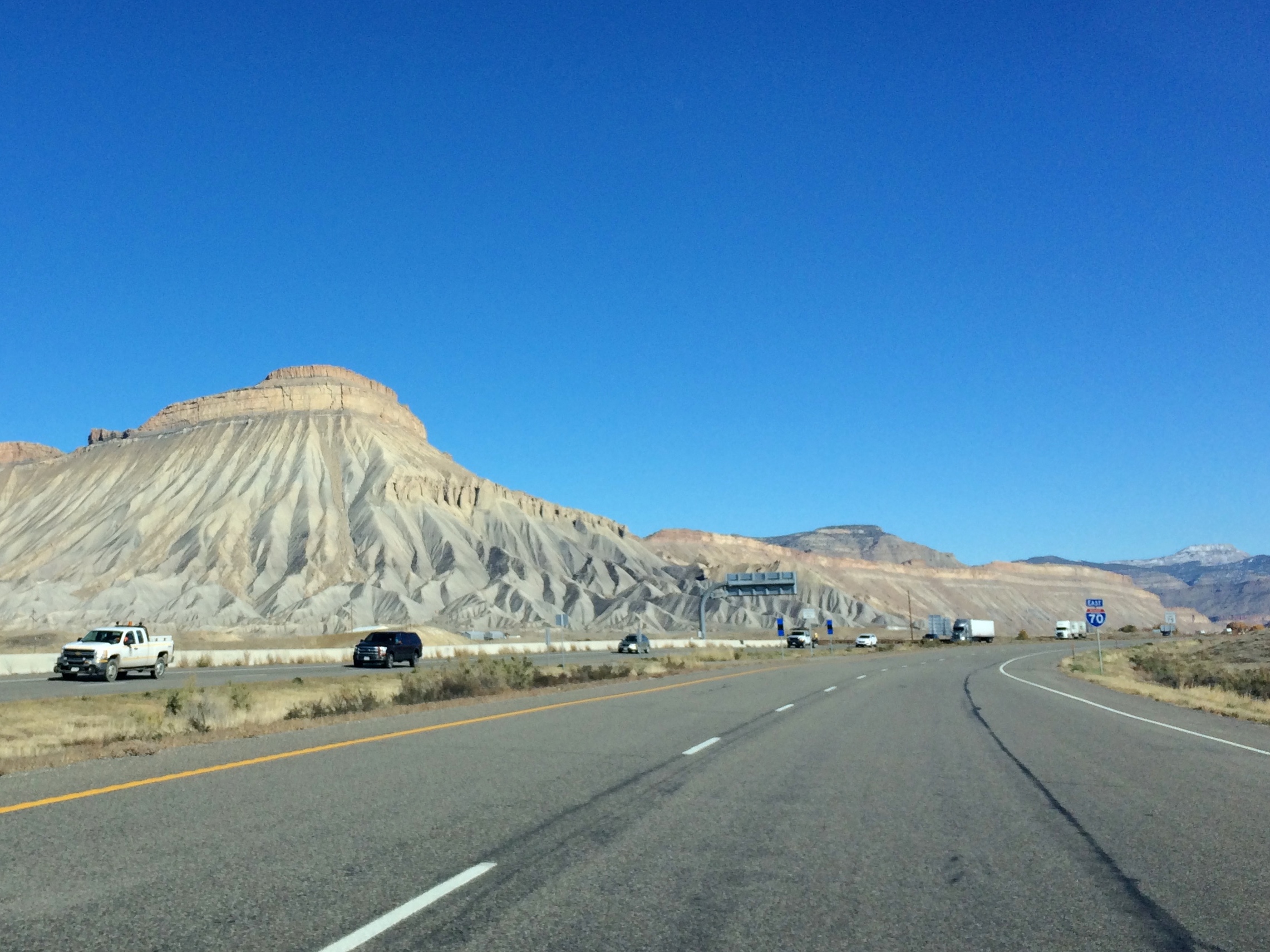
This isn’t Grand Mesa, but I still found this roadside mountain incredible.IMG_5566

Unfortunately due to the storm, everything on Grand Mesa was snow covered and frozen. We literally drove right over it and down to our next BLM site in Montrose, just outside of the Black Canyon of the Gunnison.  Naturally, we had the area primarily to ourselves and by the time we finished setting up camp, we had exactly 10 minutes of sunlight remaining.

Well, that was an epic last minute detour.  Prior to arriving to Fruita I had never heard of Colorado National Monument.  Googling the monument and seeing pictures of its dramatic rock formations enticed me to go…and I was SO stoked to have done 4 short hikes and 1 bike ride during the 1.5 days at the monument.  It was nothing short of amazing.
Posted in Colorado | Tagged , , , | 3 Comments

Crystal Geyser

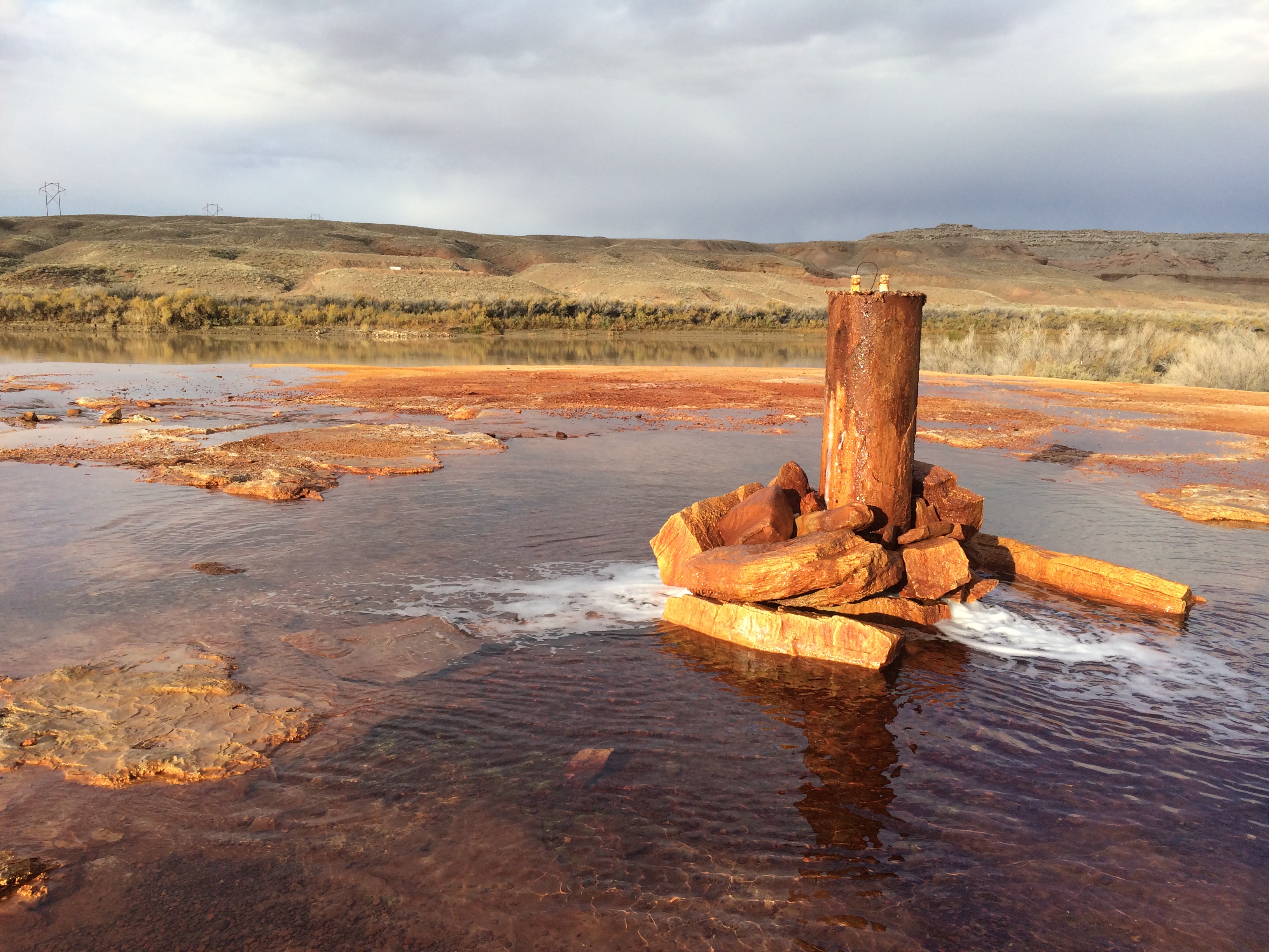
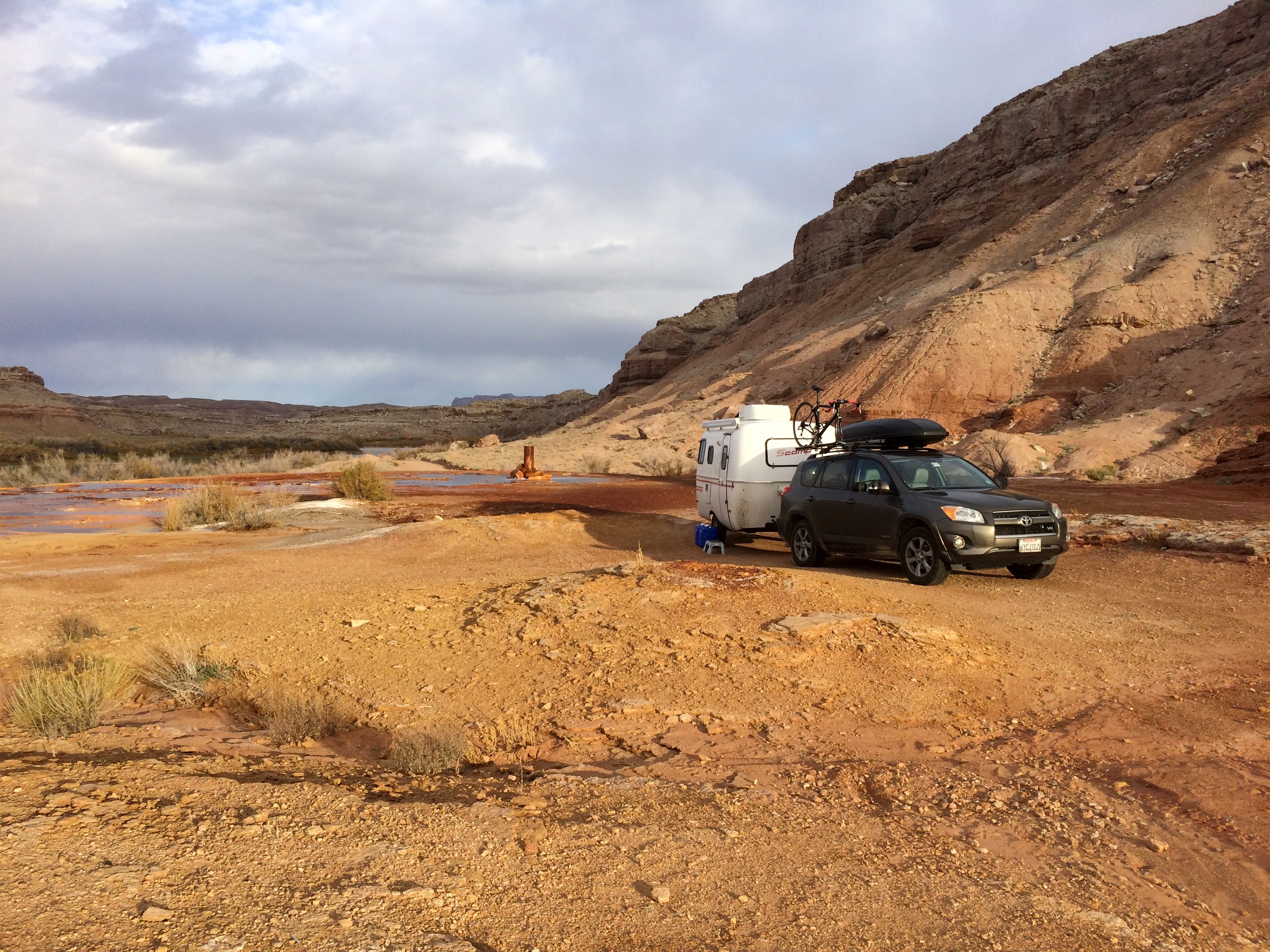
No, not the brand of water. An actual geyser. An accidental, man-made geyser formed by a drilling attempt to find oil in 1935. The Crystal Geyser, located just a few miles south of the small town of Green River, Utah, was a rare cold water carbon dioxide driven geyser—it did not have any geothermal activity.IMG_5432
I say was because it doesn’t erupt anymore. Prior to 2014, it was said that ~66% of the eruptions occurred about 8 hours after the previous eruption, and the rest about 22% after. Eruptions lasted 7-32 minutes, or 98-113 minutes. But now, due to stupid tourists clogging up the geyser with rocks, the geyser no longer erupts. Instead, Crystal Geyser now bubbles perpetually and occasionally spurts out a vertical foot of water. I only discovered the news of the now-dormant geyser while overnight camping beside the geyser. After 12 hours of waiting in our trailer and only witnessing random gurgles, I looked up the latest report on the geyser and sadly read about its current condition.IMG_5419

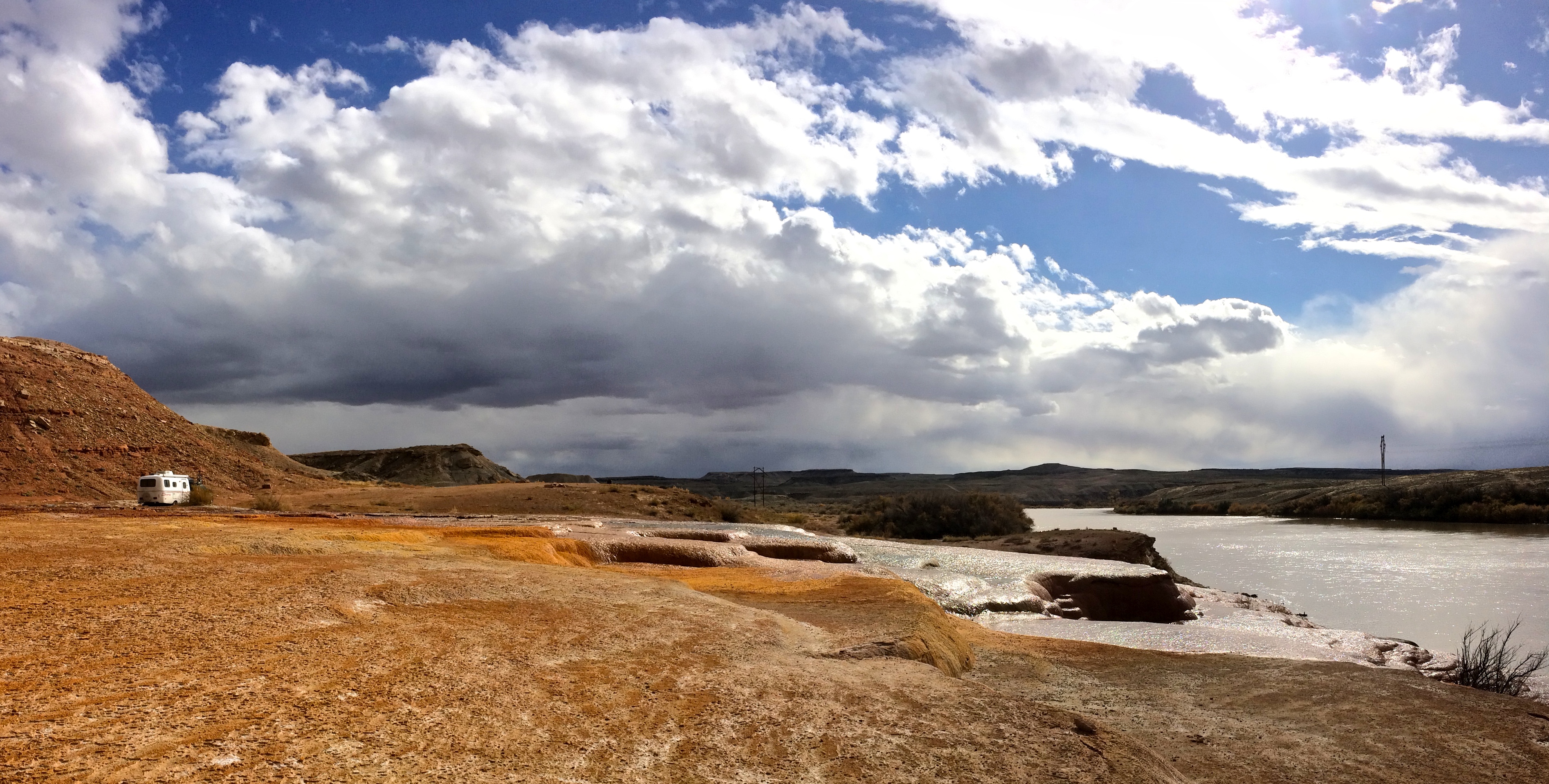
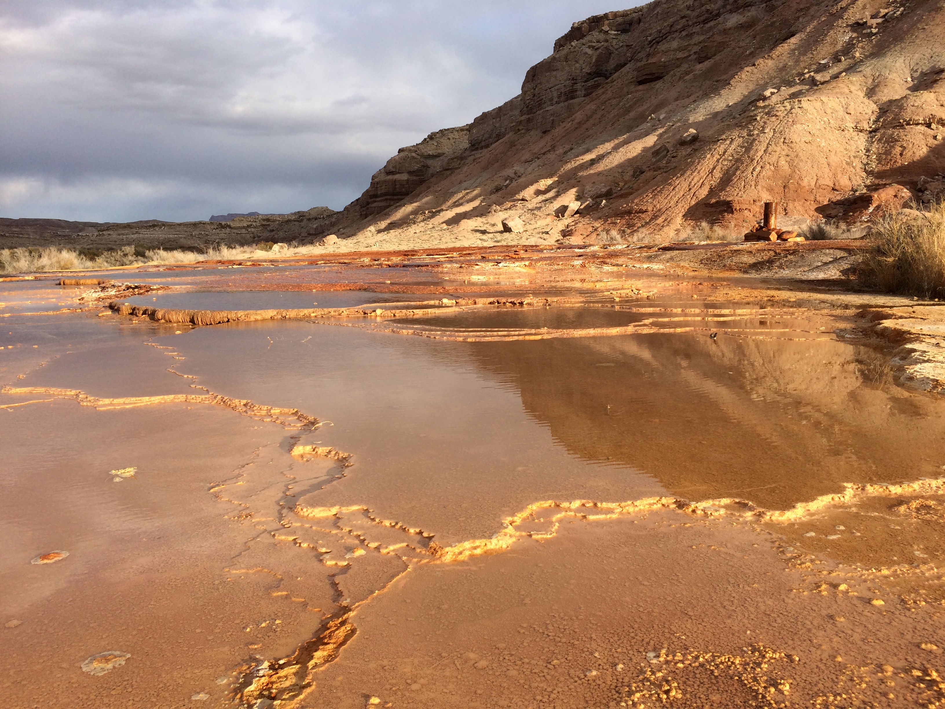
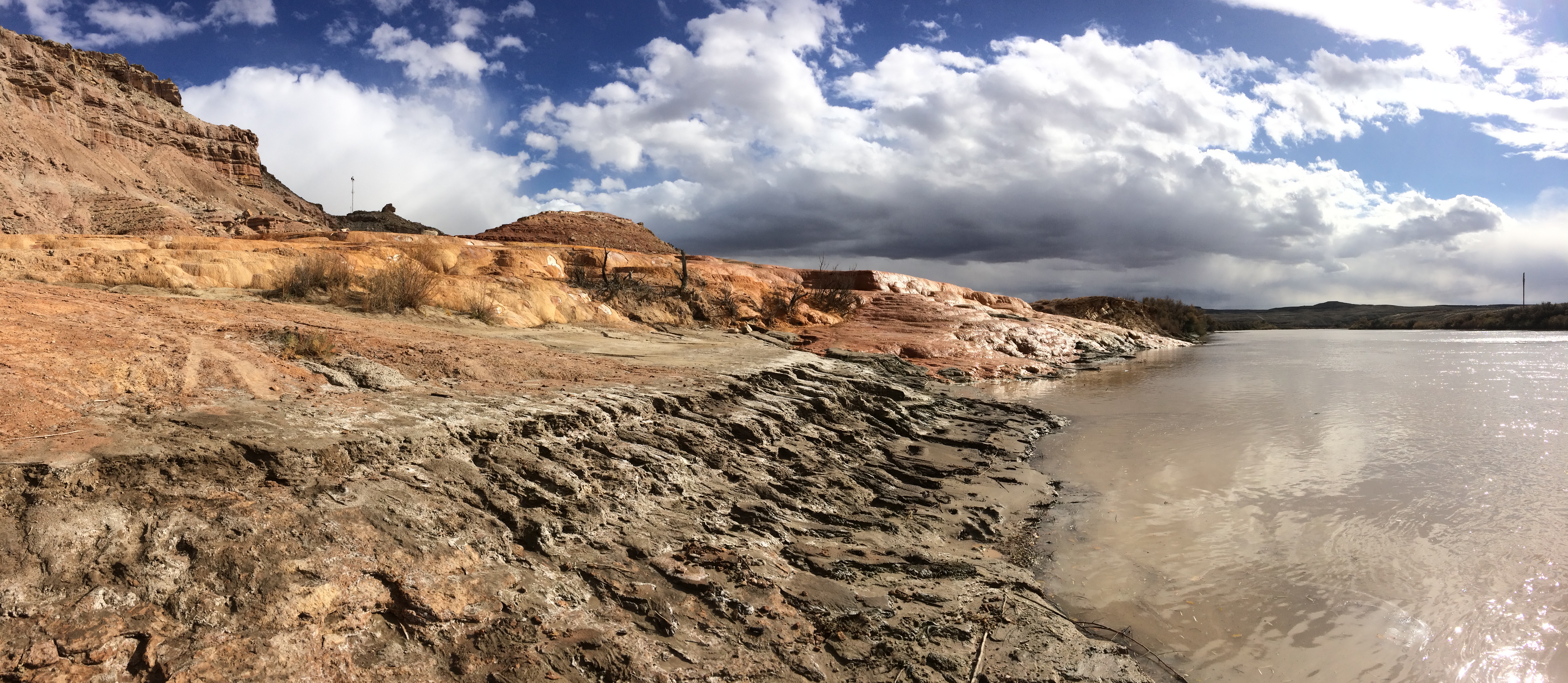
At least Crystal Geyser is located on BLM land. Numerous free and decent campsites surround the geyser, and the mineral springs that are constantly flowing into the Green River provide a gorgeous setting of bright orange travertine.IMG_5422

Adjacent to the orange travertine are white deposits of travertine. With a rare storm rolling into the area, we were granted gorgeous scenery.IMG_5437 IMG_5440

We even cast a few lines into the murky Green River. I didn’t think there were fish near the geyser spring deposits, but it was worth a shot.IMG_5443

Crystal Geyser is not worth driving a far distance to see, but if you’re passing through the area and need a free place to spend the night, definitely check it out.  Not only is it free, it has an interesting history and a unique landscape.

Posted in Utah | 1 Comment

Donut Falls

If you happen to be in or near Salt Lake City with a couple hours to kill, check out Donut Falls, perhaps one of the most popular hikes in the SLC area.  We were staying in Draper with friends, and they suggested making the quick hike (or walk) at Donut Falls.

Apparently the week before, the climate resembled more like late summer/early fall. When we visited Donut Falls, it was clearly the start of winter.  The creek was mostly frozen with snow-covered rocks, and the hike up to Donut Falls was icy and slippery. But was it worth it?  YES! Because a portion of the waterfall had frozen over, granting us icicles along the rim of the donut-shaped falls.20151108_13422720151108_134112 20151108_134011

Posted in Utah | Leave a comment

Twin Falls and Around

Years of watching our friends base jump from the Perrine Bridge in Twin Falls on social media sparked the desire to see the bridge for ourselves.  Perhaps someday we’ll make the jump ourselves once our timing alines with some friends’ timing, but for now scoping out the bridge and the surrounding area would have to do.

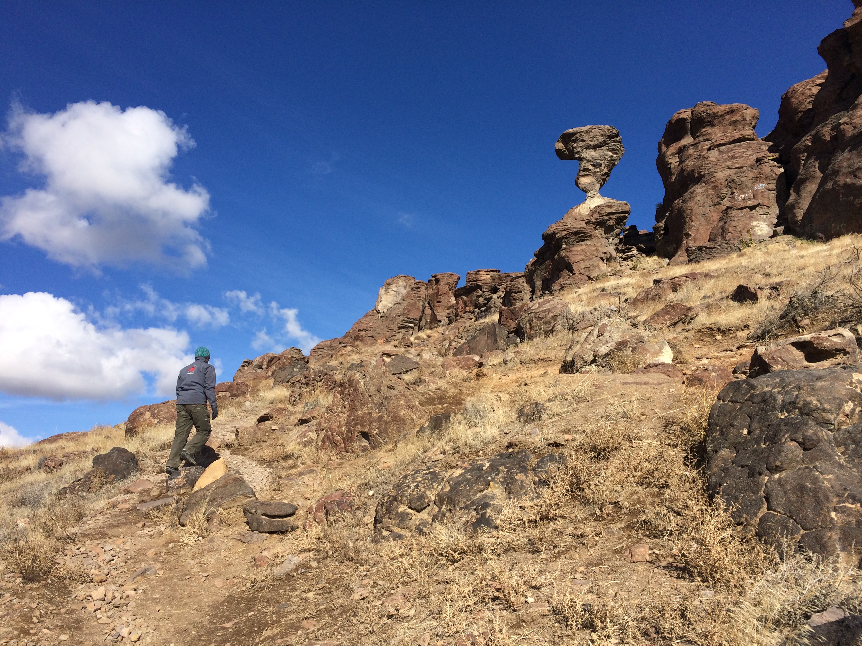
Between Boise and Salt Lake City was obviously Twin Falls, but was there anything else? Obviously, there was!  Not far from Twin Falls was a slight detour to Idaho’s Balanced Rock, seriously the coolest balanced rock I had ever seen.

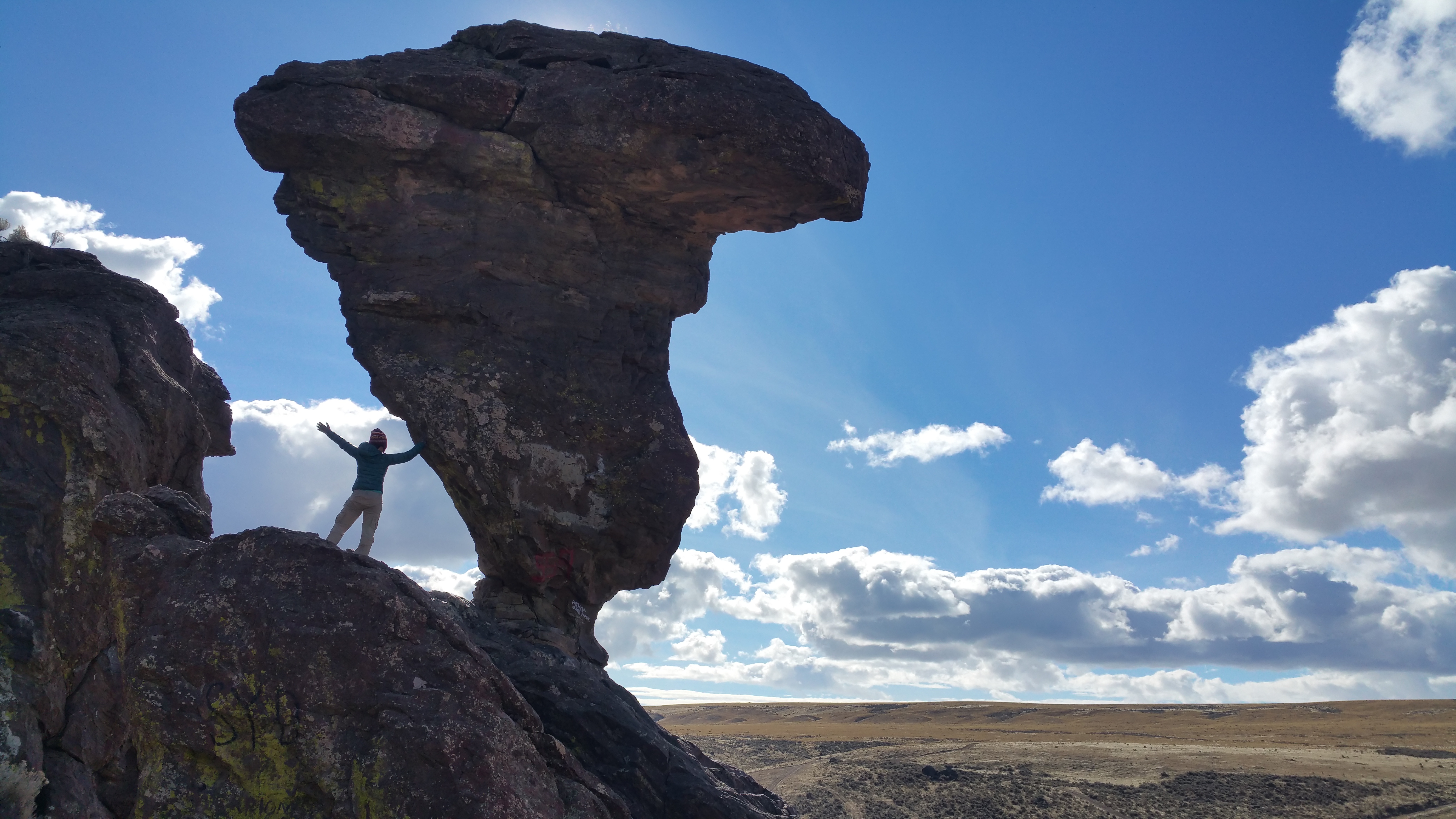
Numerous balanced rocks lay scattered throughout the Colorado Plateau, but none can top this one.  Given that the long drive there was all through flat farmland, I found it odd that I would find such an interesting rock formation and structure in farm territory.IMG_5312

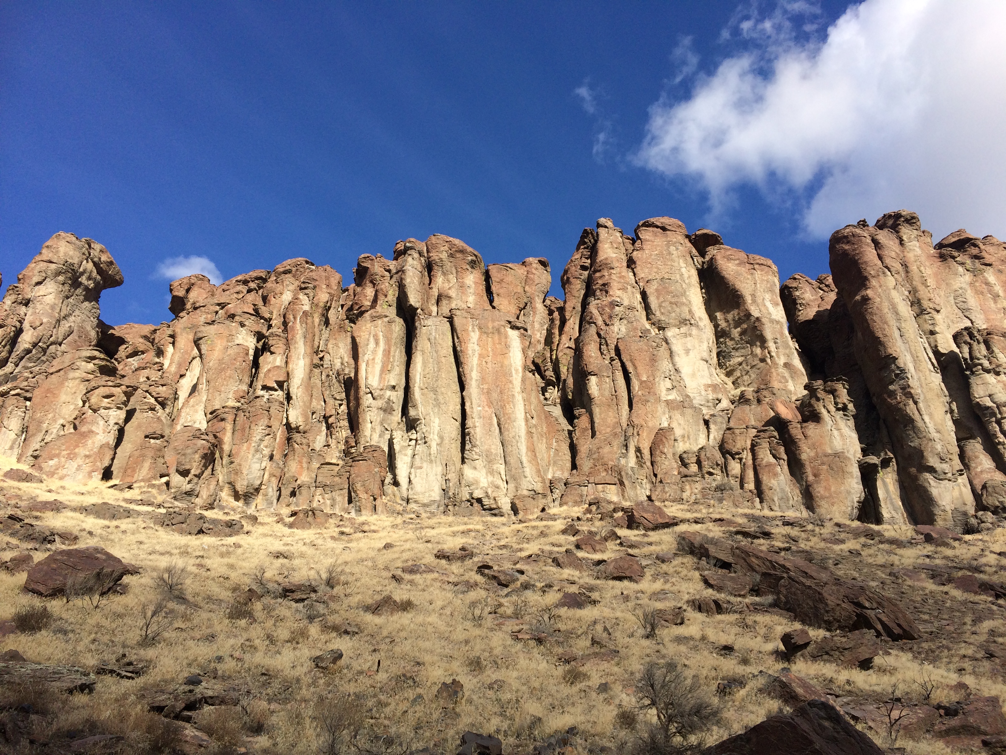
But finally, just a few miles before Balanced Rock, the road dipped down with a few steep curves, leading us through a wall of unique rock formations.IMG_5307

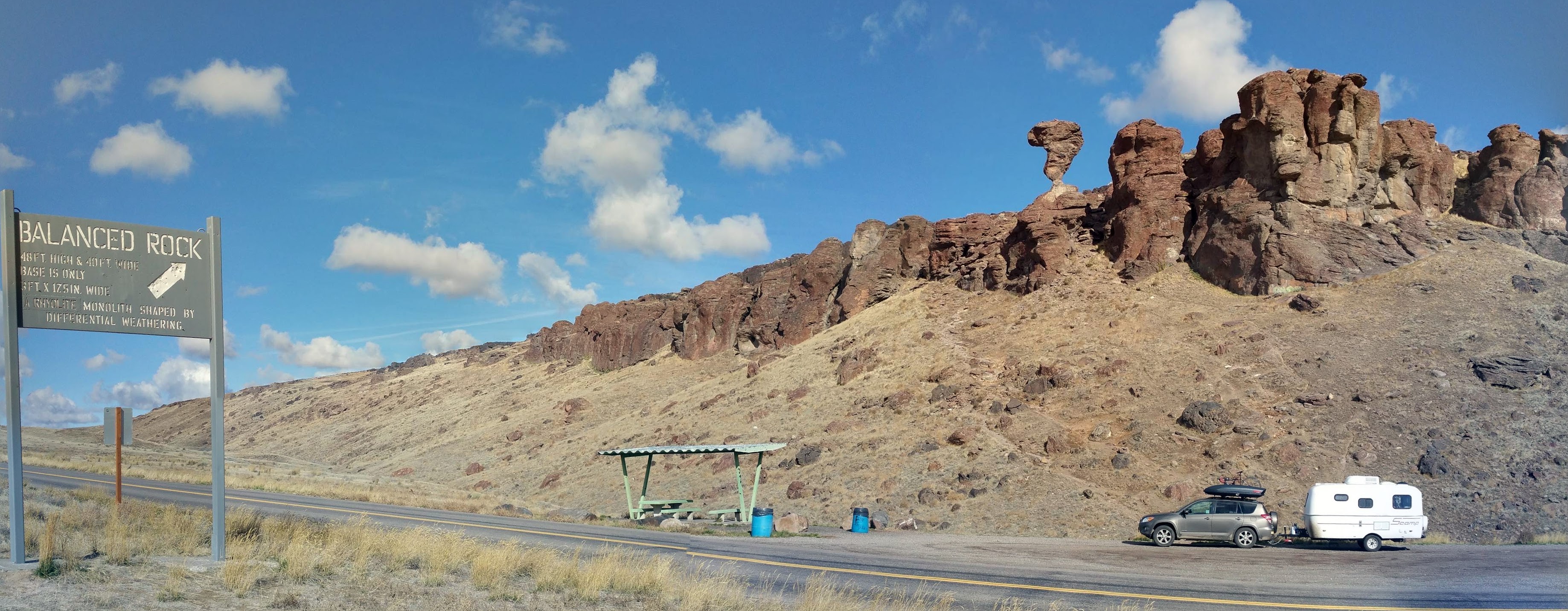
The balanced rock was actually not in Balanced Rock State Park.  We drove past the park, and sure enough, we found Balanced Rock to the side of the road.  It was easy to find, especially with a big roadside sign with a giant arrow.20151106_122814-PANOIMG_5278

It only took a few minutes to walk up the hill to Balanced Rock for epic photos.IMG_5281

From a distance geological formations always seem small, but up close, they are surprisingly massive.  Standing 48 ft. tall and weighing 40 tons, this rock balances on a pedestal measuring only 3 ft. by 17 inches!  Here’s a sense of scale:20151106_124715

Before exploring Balanced Rock, I wondered if it would be worth the detour from Twin Falls.  With exceptional weather and the experience of getting up close to touch the rock, it was definitely worth it.

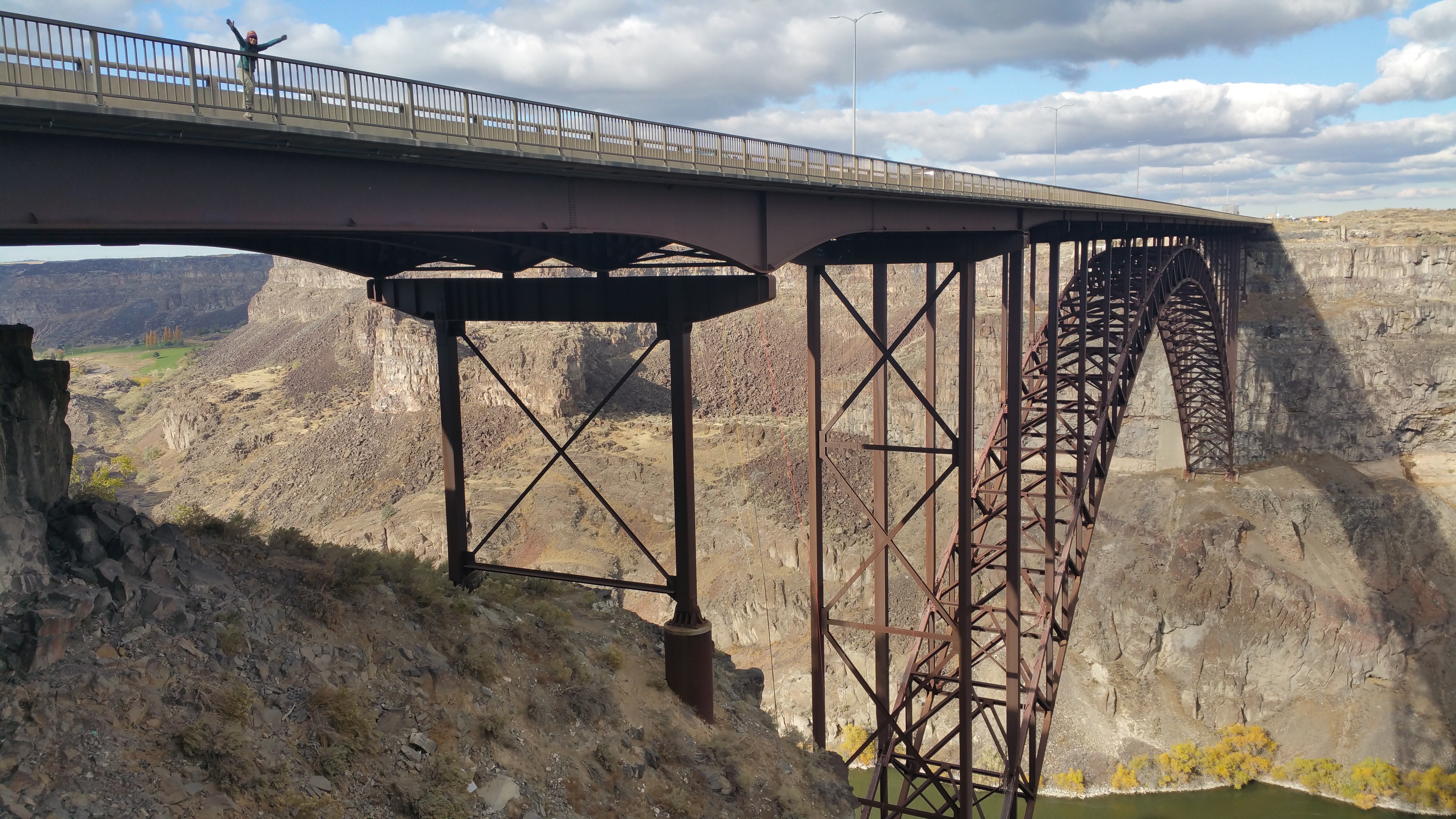
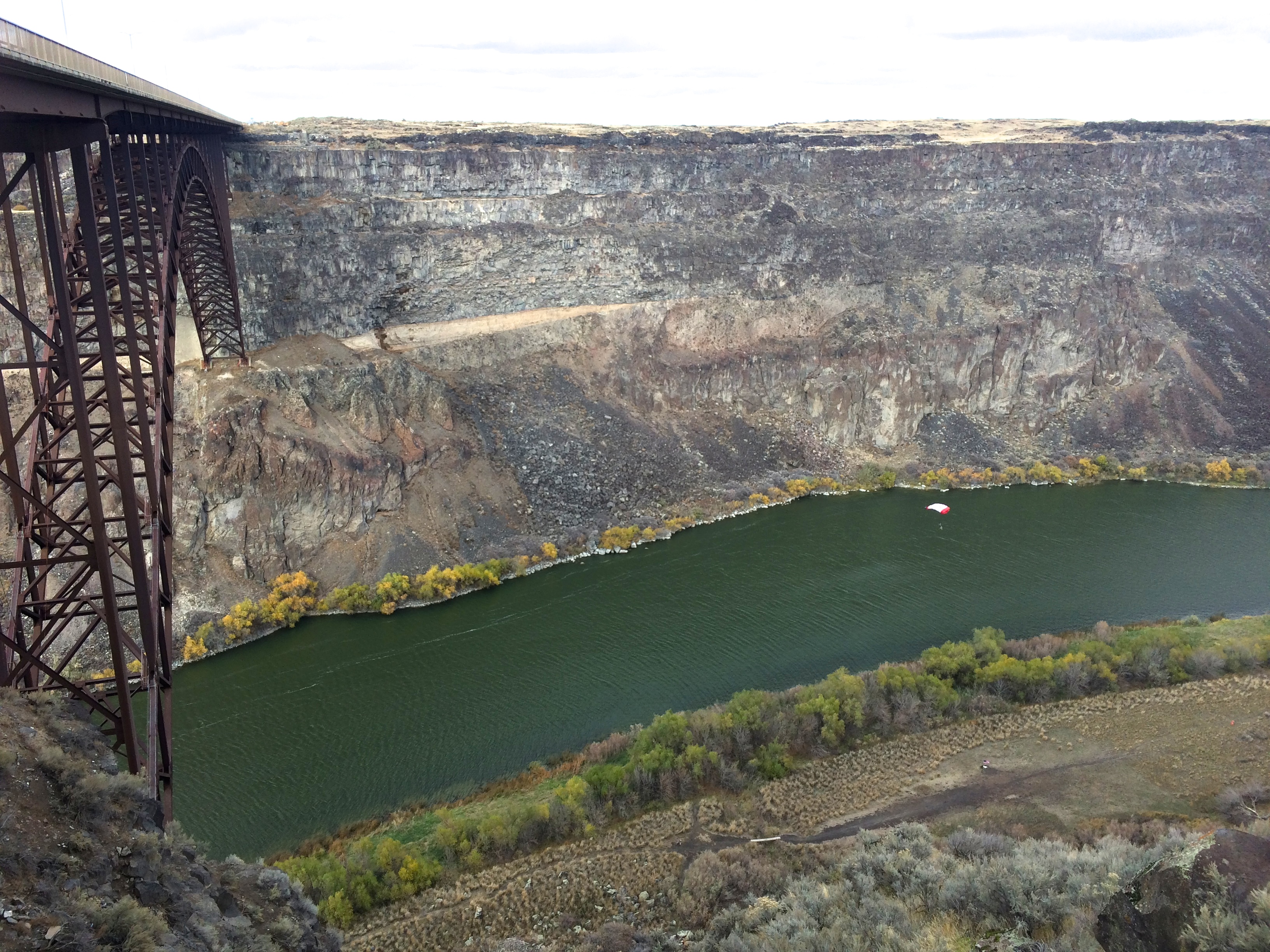
Not more than an hour later, we made it to the Perrine Bridge.  20151106_140830

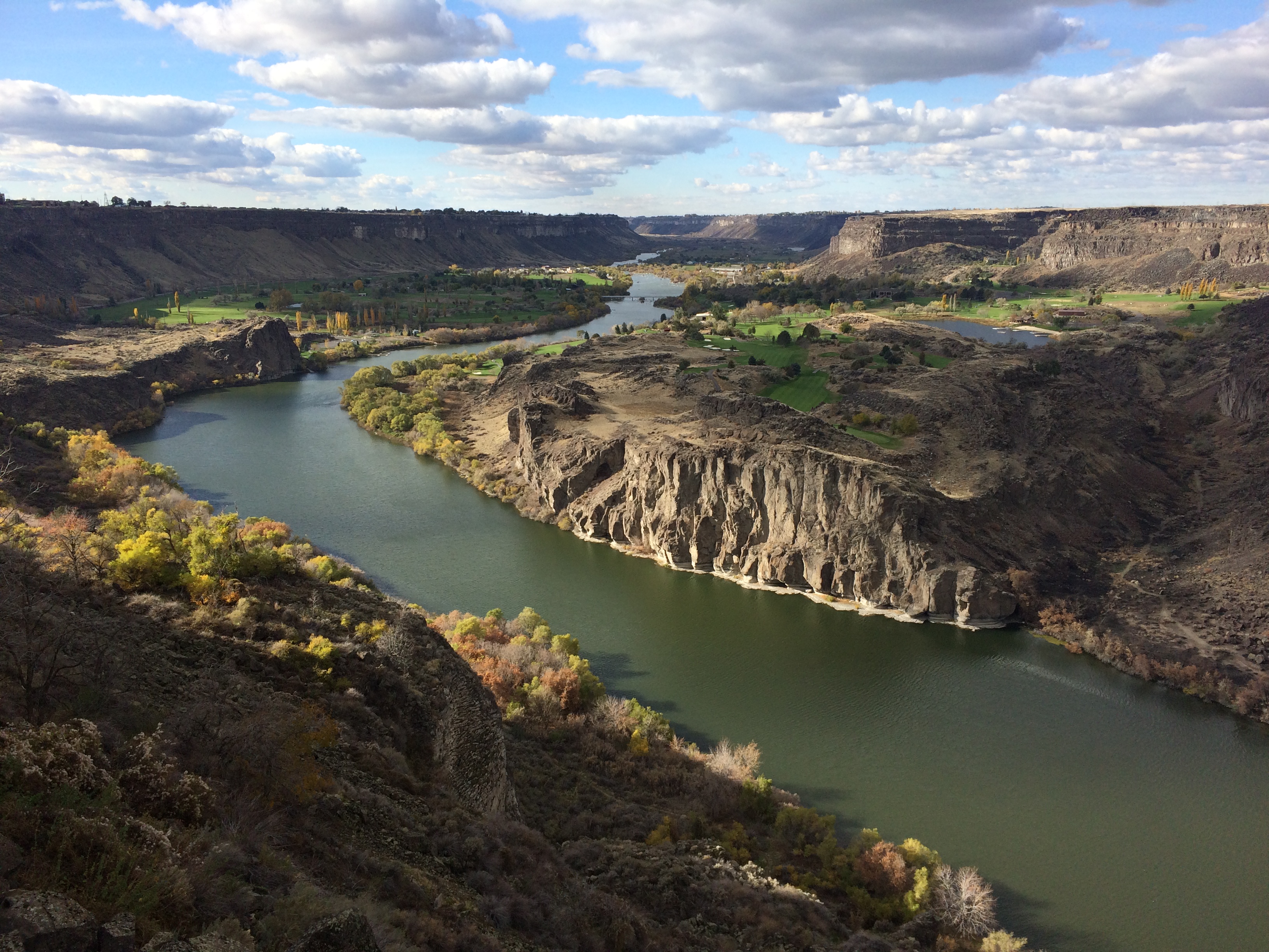
We always knew it was “that tall bridge in Idaho that everyone jumped off of,” but we had no idea that the river and canyon below were equally as epic.IMG_5323

With swirly winds and the fact it was a random weekday, we weren’t expecting (but hoped) to witness someone jumping off the bridge.  We fortunately hung around long enough to catch a glimpse of someone gearing up to jump in the parking lot.  Not long after a brief introduction, chat, and fist-bump, he was soon up and over the bridge. Yay!IMG_5351

Despite not being able to watch a jumper we personally knew, witnessing the jump was the highlight of our day.  Now we can truly envision the Perrine the next time our friends share their stories of jumping.

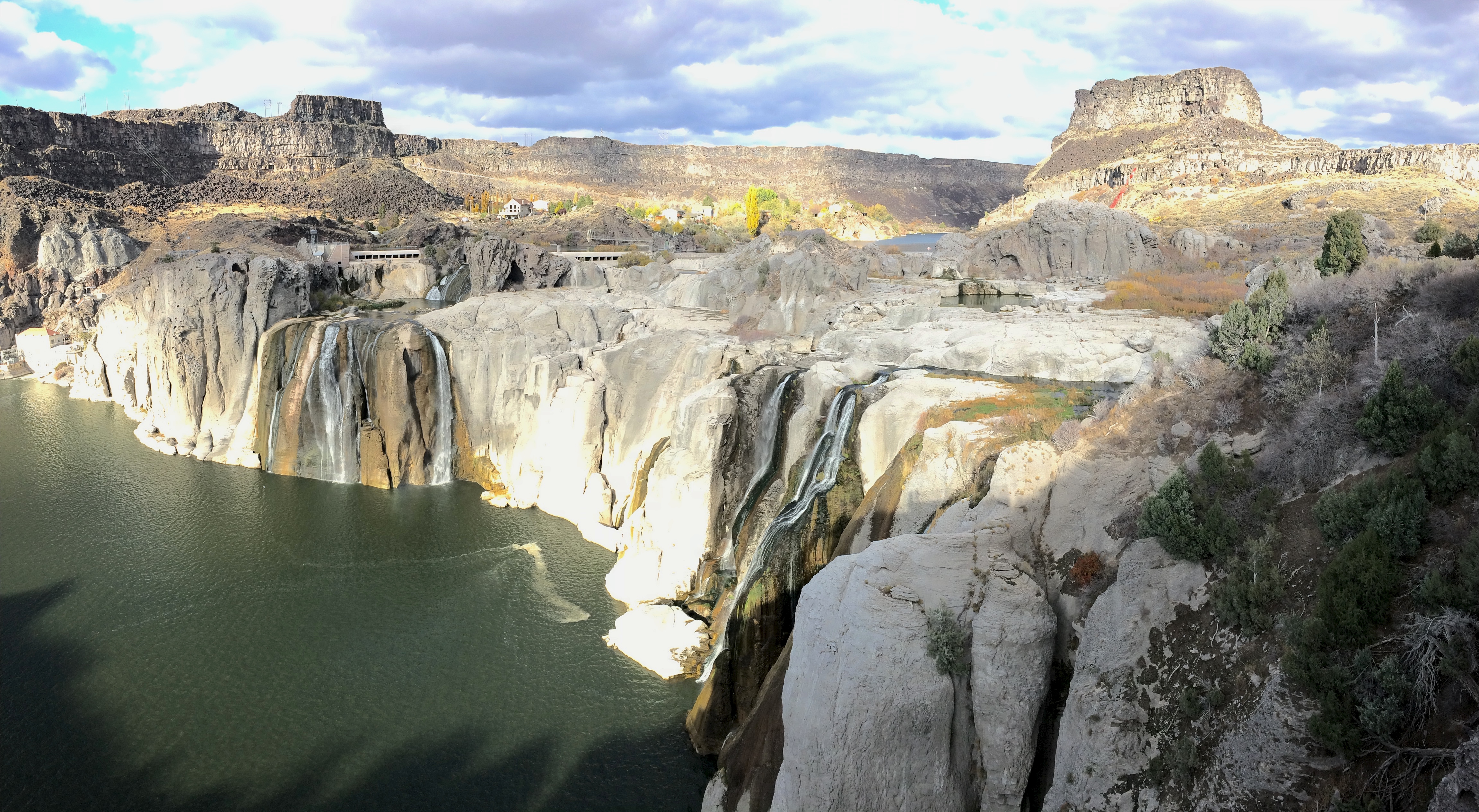
Before setting out for our final destination of Salt Lake City, we made one more stop for the day: Shoshone Falls, literally just a few miles east from Twin Falls.  Autumn meant the worst time to view any waterfall, but it was free to enter, and still interesting to see with all its white rock exposed.  Not much of a waterfall, and more like a running water hose:IMG_5355

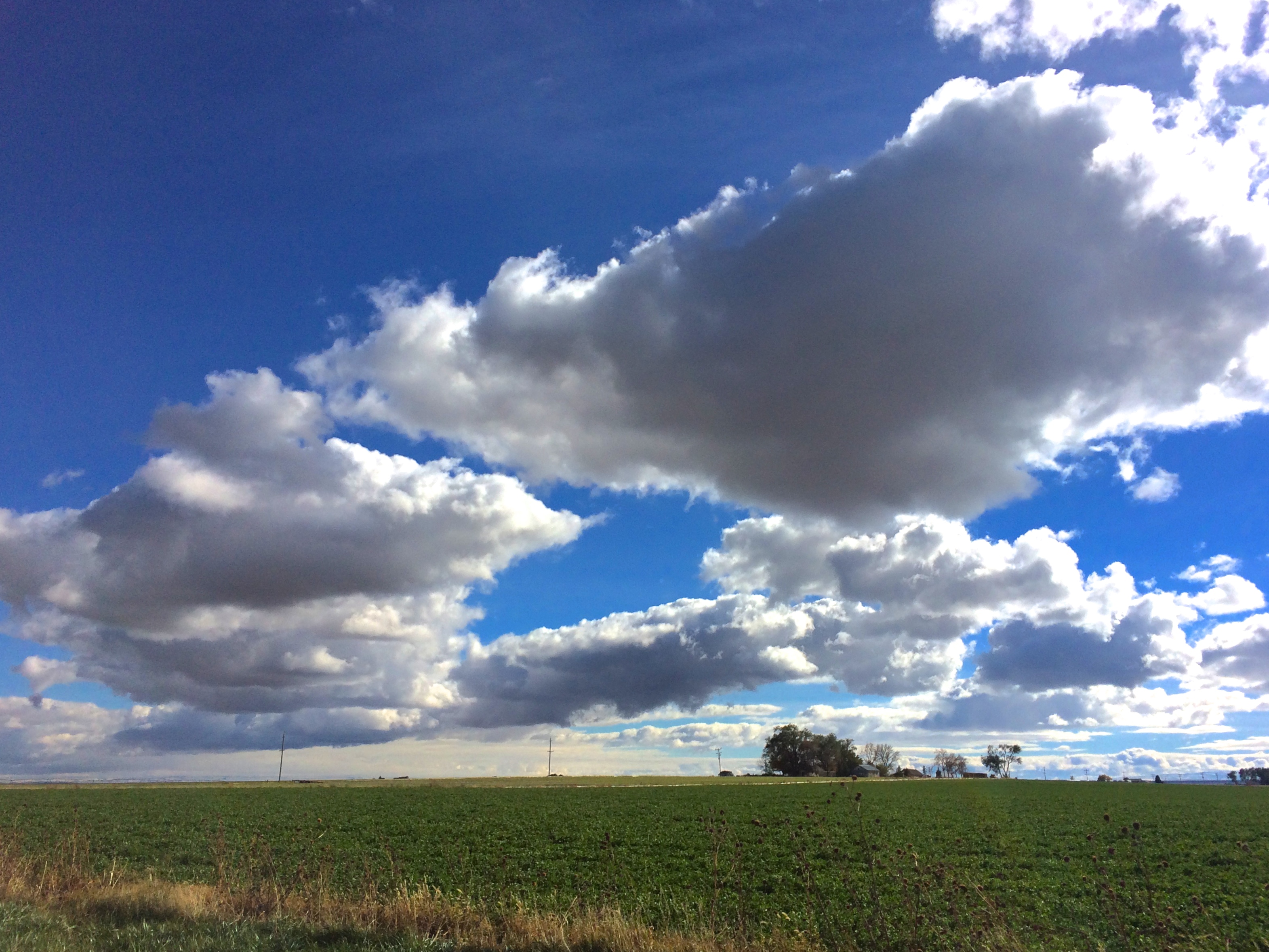
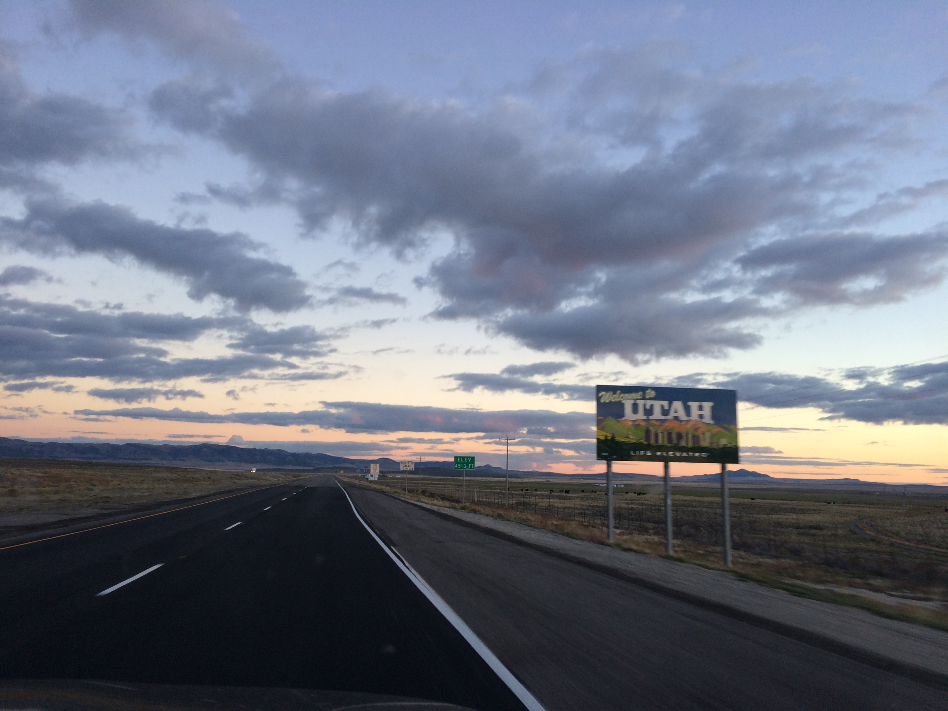
The sun began to sink over the mountains as we headed into Utah.  With mountains, the wide, open prairie all around us, and a sky dotted with clouds, the drive into Utah was a beautiful one. IMG_5369

Posted in Idaho | Tagged , , | Leave a comment

Around Boise

Even though I’ve never spent any time in Idaho, I always thought Idaho was flat and boring, perhaps because I’m the typical Californian who confuses Idaho with Iowa.  Well, I was wrong!  With its notoriously beautiful neighbors of Washington, Oregon, Montana, Wyoming, and Utah, I should have assumed that Idaho would also be full of BLM land, mountains, and wilderness (Idaho is actually the state with the highest percentage of wilderness in the lower 48 states).  There is more than just potatoes!

After our 6-week roadtrip around the Pacific Northwest ended with Hells Canyon, we beelined it for Boise, Idaho en route to Utah.  I discovered at the last minute that the Ontario Visitor Center in Oregon, right at the Oregon/Utah border, allowed overnights in their parking lot.  They also had free wifi. YAY!  Feeling refreshed the next morning after the long, windy drive along the Snake River, we drove into Boise to figure out where we would go next.IMG_5206

Of course, there was no free camping in Boise, Idaho’s largest city and capital with just less than a quarter million people.  However, I read that there were several dispersed camping areas along the Lucky Peak Reservoir at Lucky Peak State Park, a favorite of Boise locals and only a 20-30 minute drive away.  So off we went.

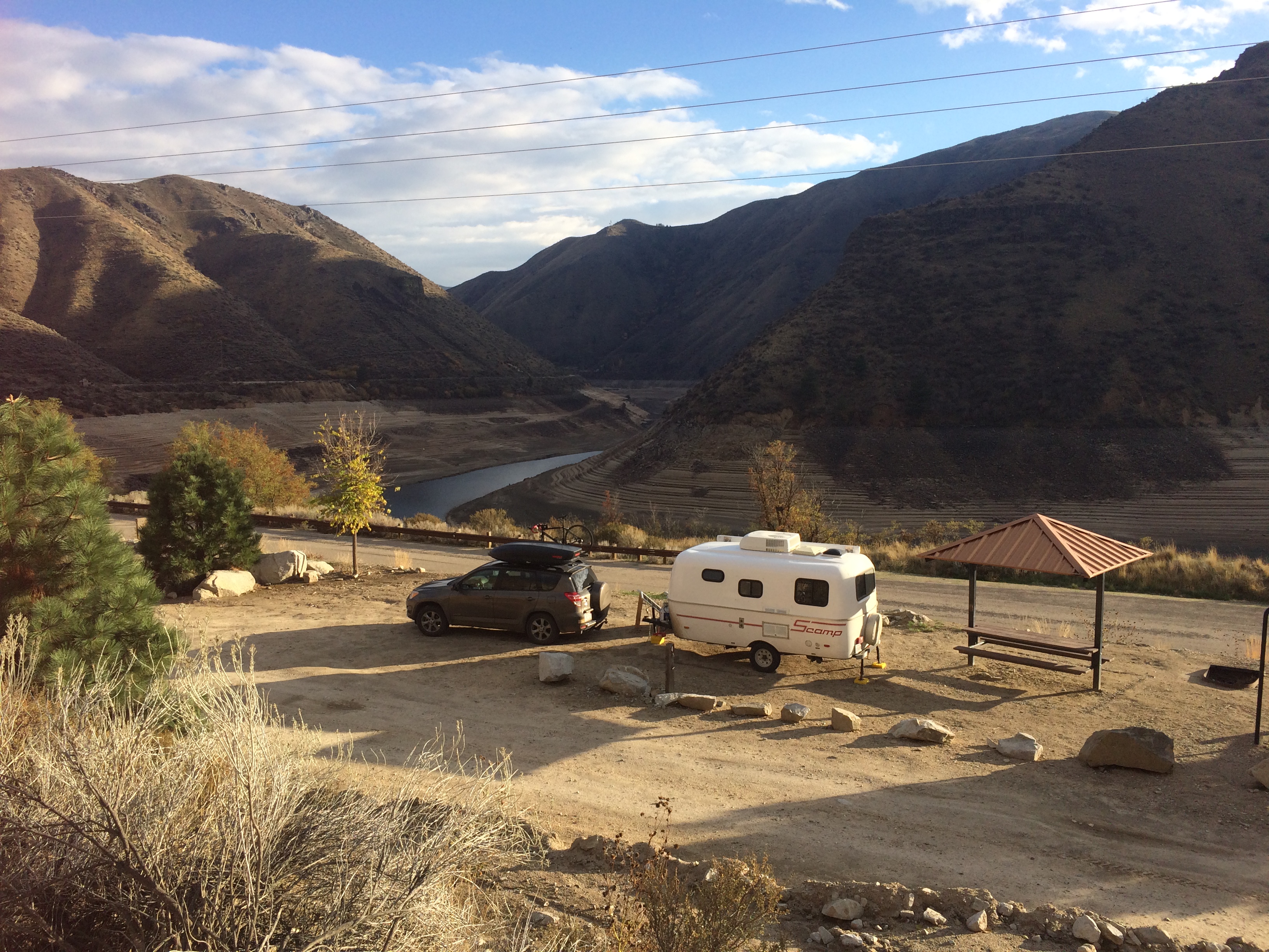
We didn’t have to go far along the reservoir before we stumbled upon Macks Creek Park, a campground and park run by the U.S. Army Corps of Engineers.  I could tell it was a popular spot in the summer, but post September 15, the whole area was first-come, first-served, and free to use. IMG_5218

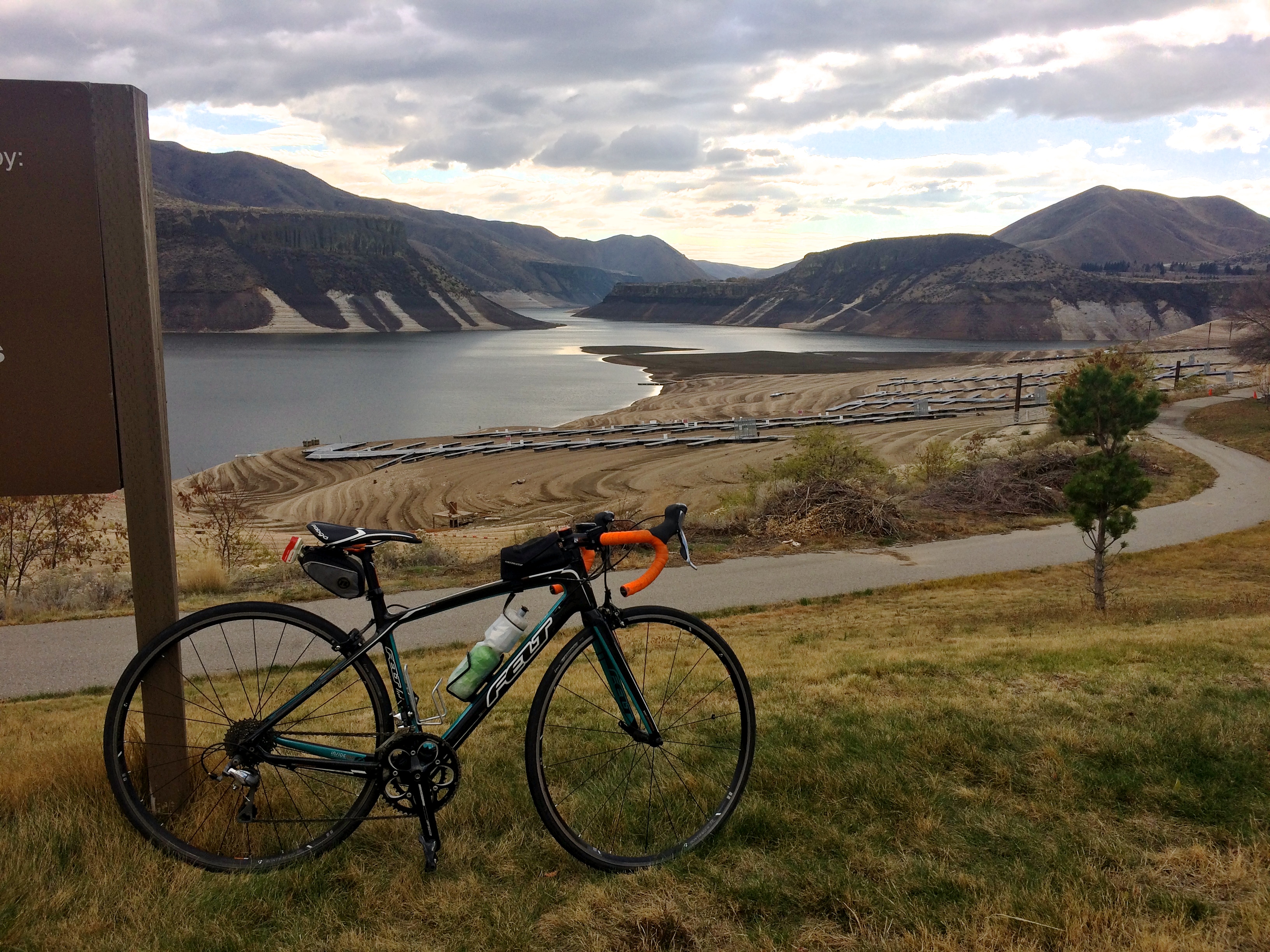
Sadly, the north-western drought hit Idaho pretty hard too.  Look at how incredibly low the lake level was!  Upon research I learned that the reservoir had been draining since 2012 in order to supply local farmers with water for their irrigation systems.  Other neighboring reservoirs had already been drained and the Lucky Peak Reservoir was the final resort.  Yikes.  Still, it was beautiful and I managed to take a somewhat worthy photo during a bike ride along the reservoir.IMG_5214

After Lucky Peak, we continued southeast to Mountain Home which would be the base for venturing into the unincorporated community of Bruneau.  The two prides of Bruneau are the sand dunes in Bruneau State Park and the much lesser known and hidden Bruneau Canyon.  I quickly drove through Bruneau Dunes State Park and wasn’t at all impressed with the sand dunes, so I’m leaving that out in this post.

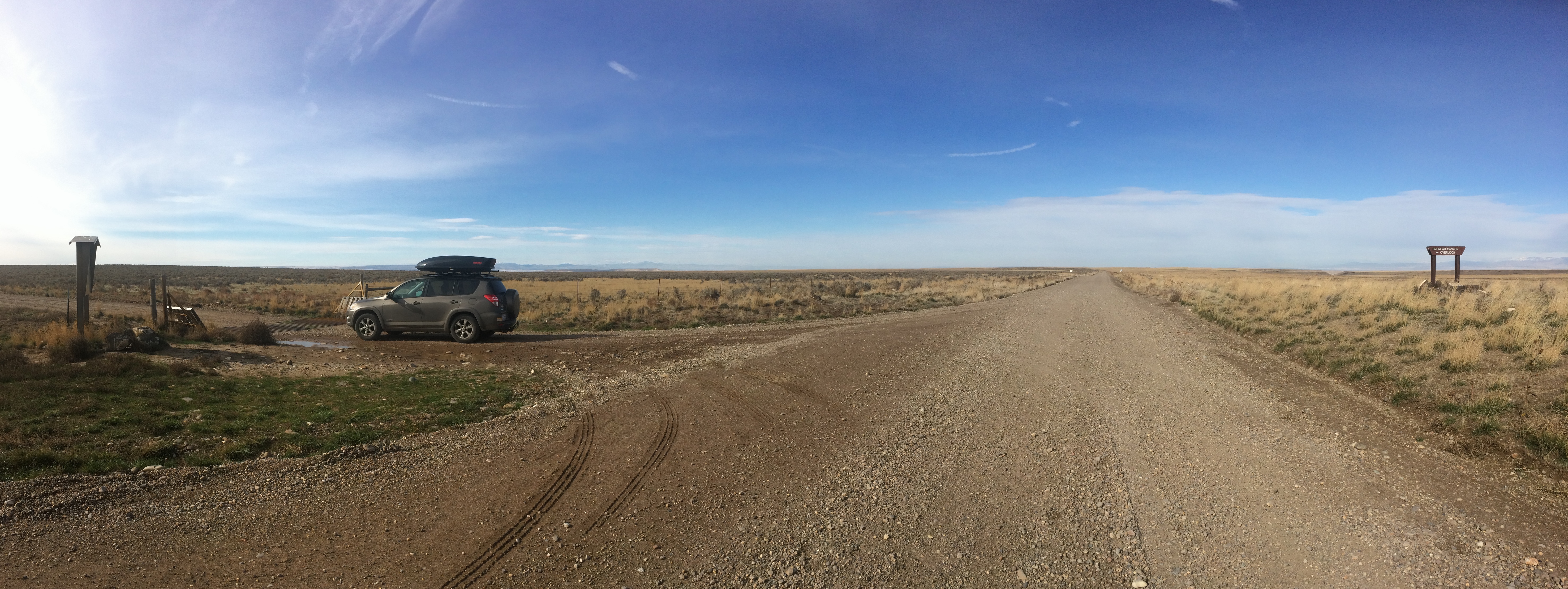
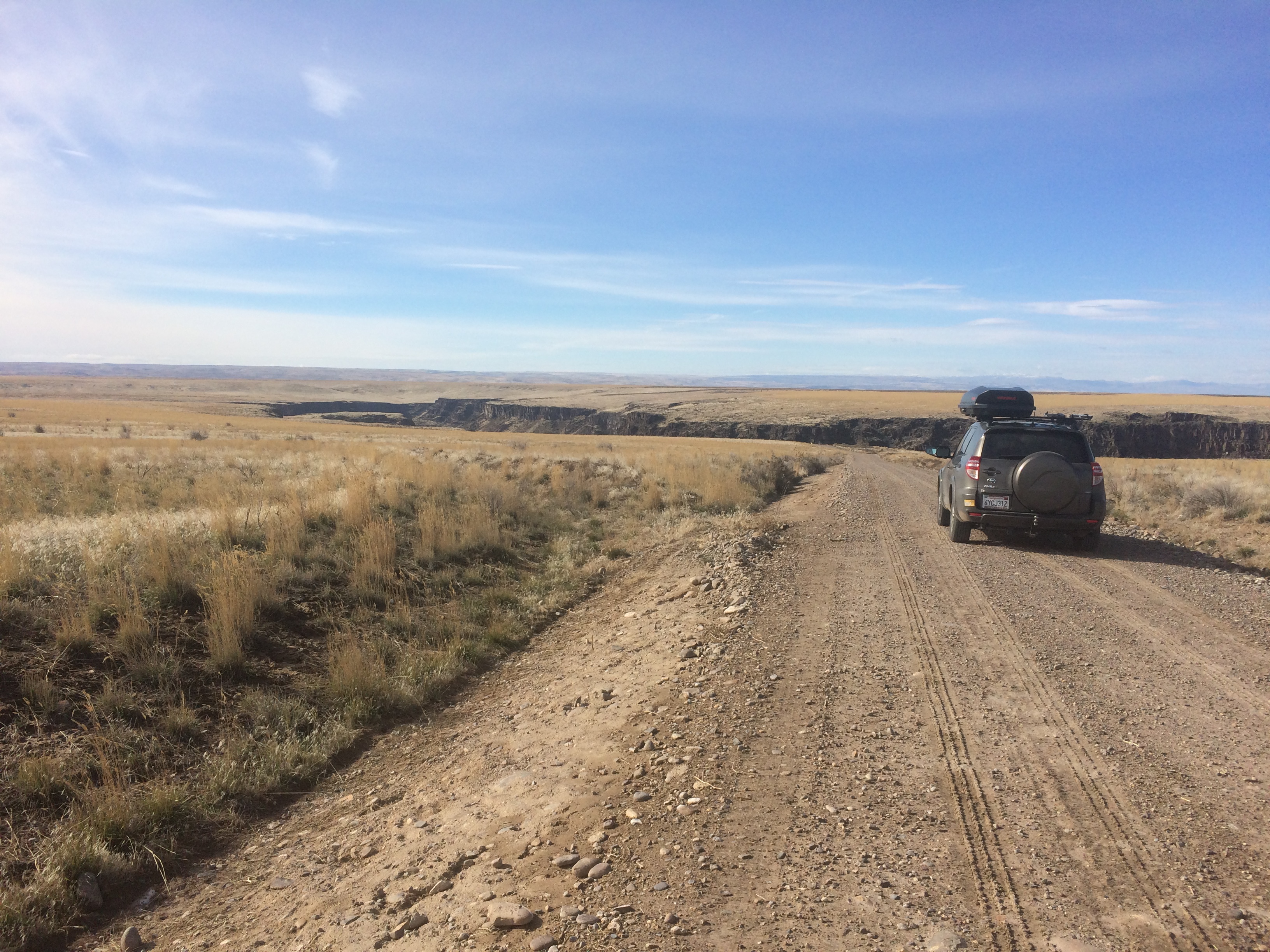
Bruneau Canyon, on the other hand, was literally in the middle of nowhere on BLM land. Simply getting to the overlook, which is the only accessible spot to view the canyon, required a bit of a drive (~18 miles of paved road from Mountain Home, and an additional 17 miles or so of paved and gravel roads to the overlook), patience, and properly reading signs.  IMG_5224

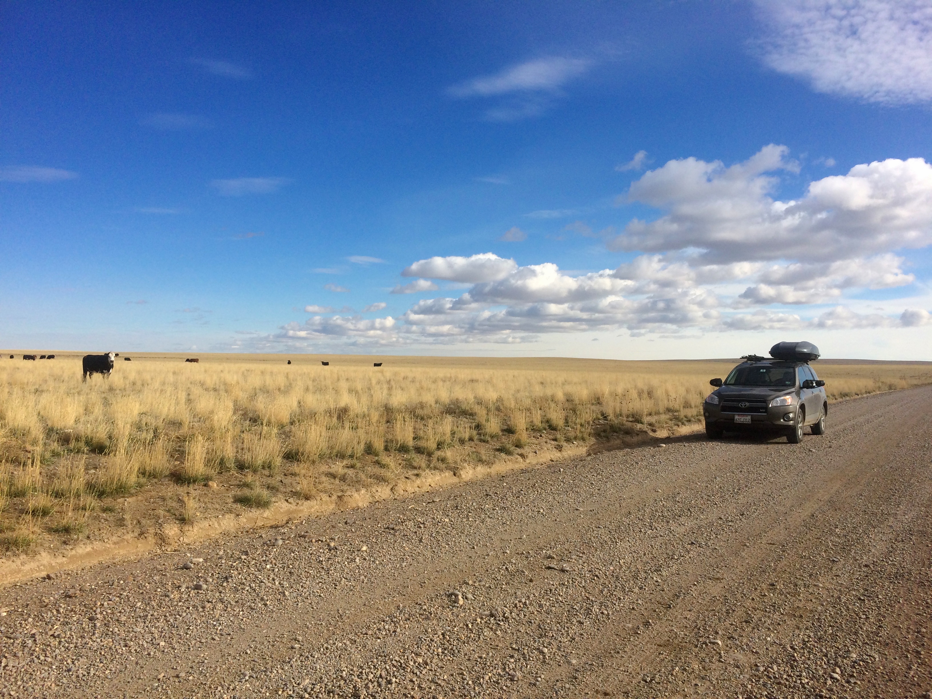
A lot of flat farmland driving. Moo.IMG_5259

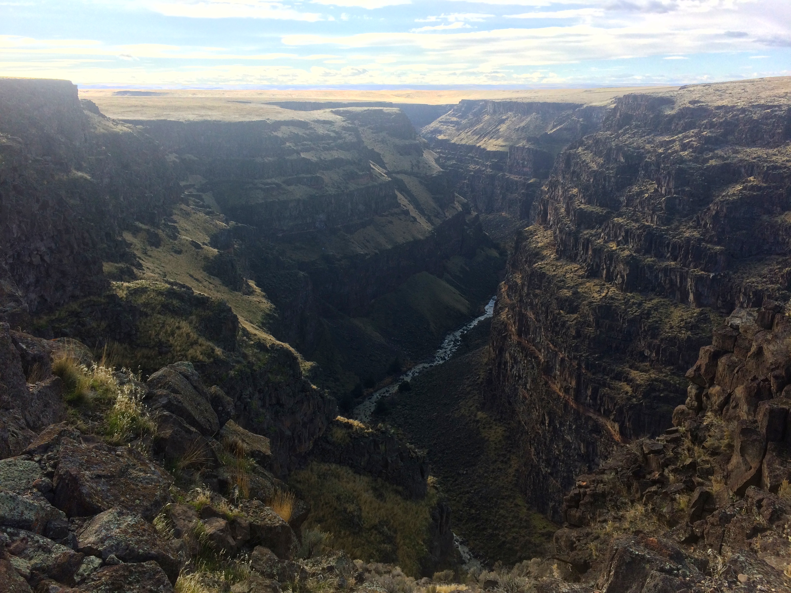
As I drove toward the overlook, I was amazed at what came into view after miles and miles of flat land.IMG_5226

The views from the overlook were incredible, but my favorite view was from a stroll further down along the rim.IMG_5247

Other than this epic view, the entire area was remote and barren…definitely an off-the-beaten-path site in an off-the-beaten-path state.  Hiking was out of the question because a high-clearance vehicle was required to get to trailheads.  There were no picnic tables or outhouses, and there wasn’t much of a fence or barricade at the overlook (note: bad place for kids!).  I was literally the only person there.  The most use locals get out of this 60-mile long canyon is below in the Bruneau River, the prime spot for advanced white water rafting.  My visit to the canyon overlook was brief–no rafting or hiking for me!

My first couple days in Idaho were off to a good start.  Canyons and reservoirs? I’ll take it! Considering we weren’t planning on spending a considerable amount of time in Idaho, I didn’t think we’d see much.  But Idaho had more to offer than I expected, especially as we homed in on Utah.

Posted in Idaho | Tagged , | Leave a comment

Hells Canyon and Around

Perhaps the most remote destination in the Pacific Northwest, Hells Canyon sits along the border of Oregon and Idaho with the mighty Snake River below carving the deepest river gorge in the U.S. Even during the scorching hot peak season of summer this national recreation area seldom sees tourists due to its far location from any major city, meaning the off-season would entail pure solitude. Two things I had to consider before making the trip to Hells Canyon: whether or not the roads were still open (some typically close by end of October), and if the long drive through tiny hamlets would make the trip worthwhile.

Wow. Little did I know.

In my previous post about Vancouver Island, I mentioned that road trips are sometimes about the little towns you pass through before the final destination. The side trips and hamlets we visited in remote southeast Washington and northeast Oregon turned out to be much more memorable than I expected. I doubt anyone from home (California) knows much about eastern Oregon or even Hells Canyon, and I’m not going to lie—it was so amazing that I would LOVE to return.

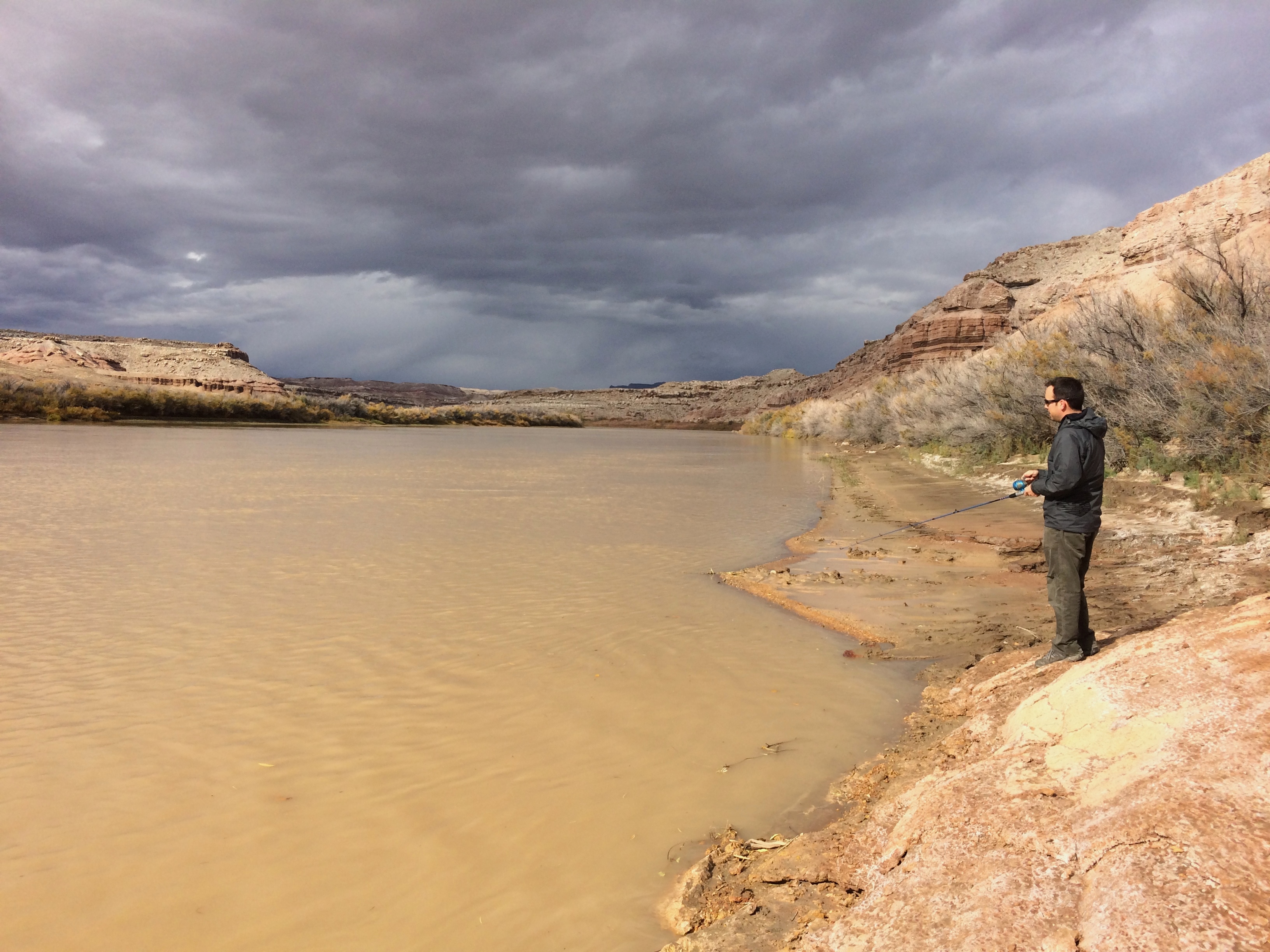
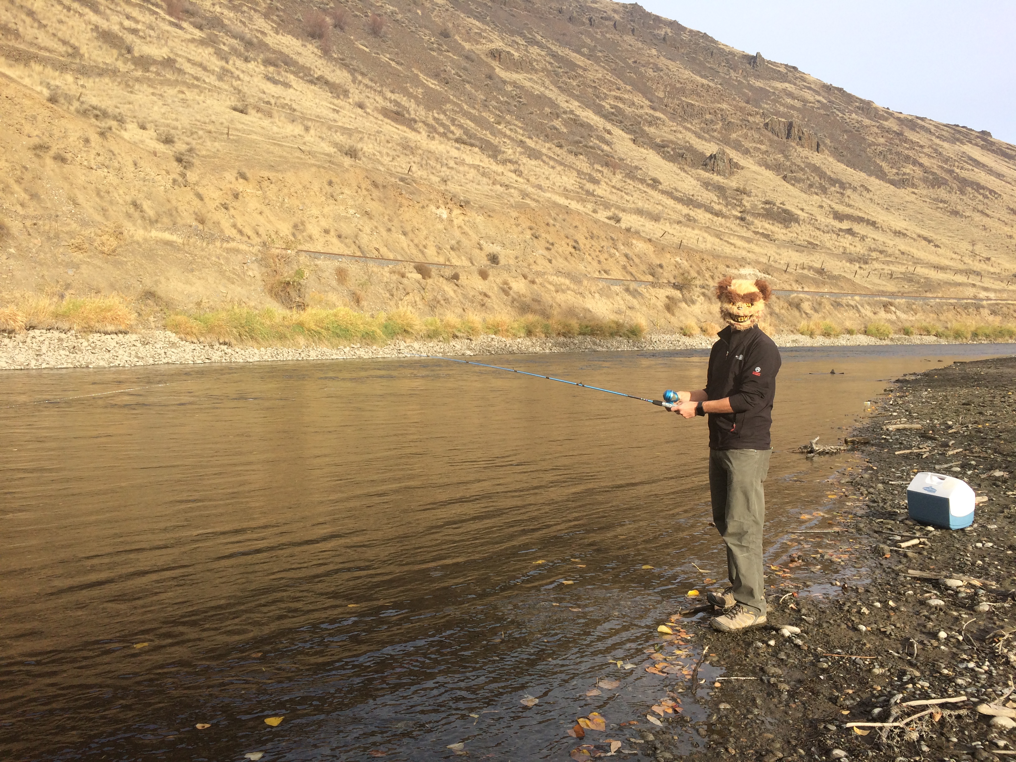
After our trip to Canada we stopped overnight in Seattle and continued onward to east Oregon. During the drive I made a couple phone calls for more information about road closures, and we were good to go! We found a free campground (because it was the off-season) along the Yakima Canyon River at the Roza Recreation Site in Yakima, Washington. There, Chris taught me how to fish. We didn’t catch anything…I actually don’t think there was anything in the river…but we still had fun fishing on Halloween.IMG_5122

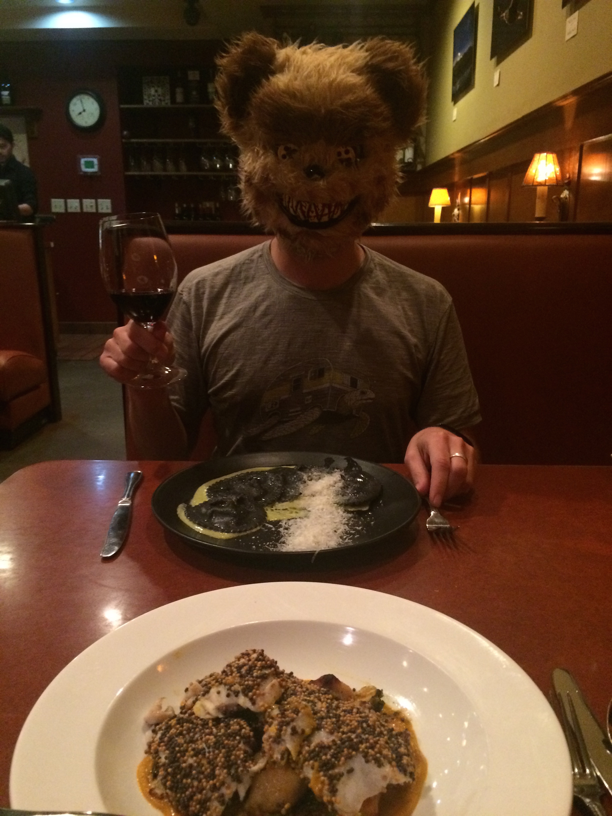
Then we drove Washington’s wine country from Yakima to Walla Walla, where rolling fields of green vineyards filled the scenery.  Despite its remote location Walla Walla is surprisingly known for its culinary arts. I guess we were in wine country after all. We celebrated Chris’s 37th birthday at an Italian restaurant in Walla Walla. It was Halloween so costumes were a must.IMG_5123

From Walla Walla, Washington we crossed the nearby border into Oregon and proceeded into the boonies. No more cell coverage or data in this area. And it was beautiful…the woods, the lightly snow-topped mountains in the distance, the quaint towns we passed through.

The countryside during the short drive from Enterprise to Joseph:IMG_5127

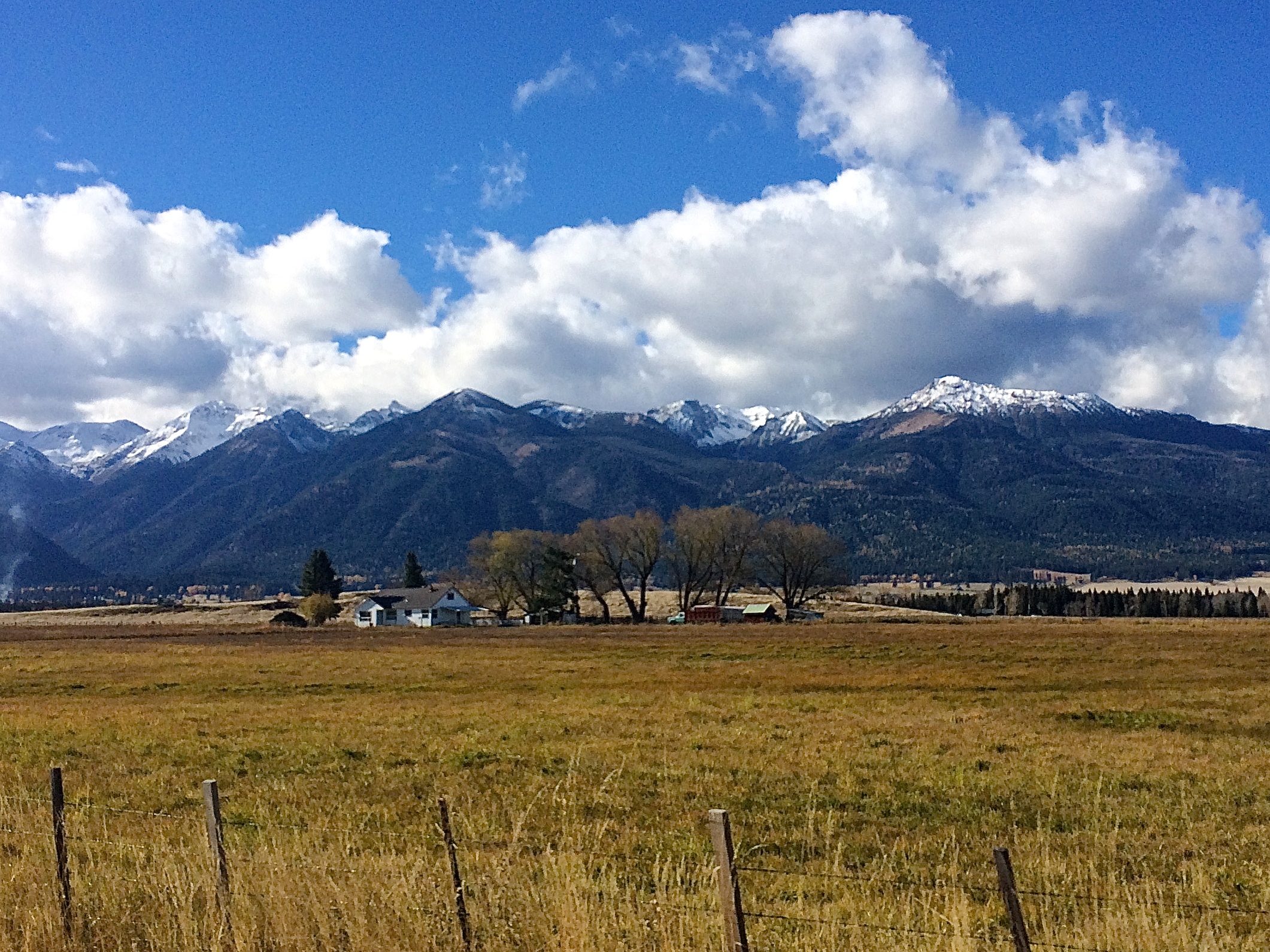
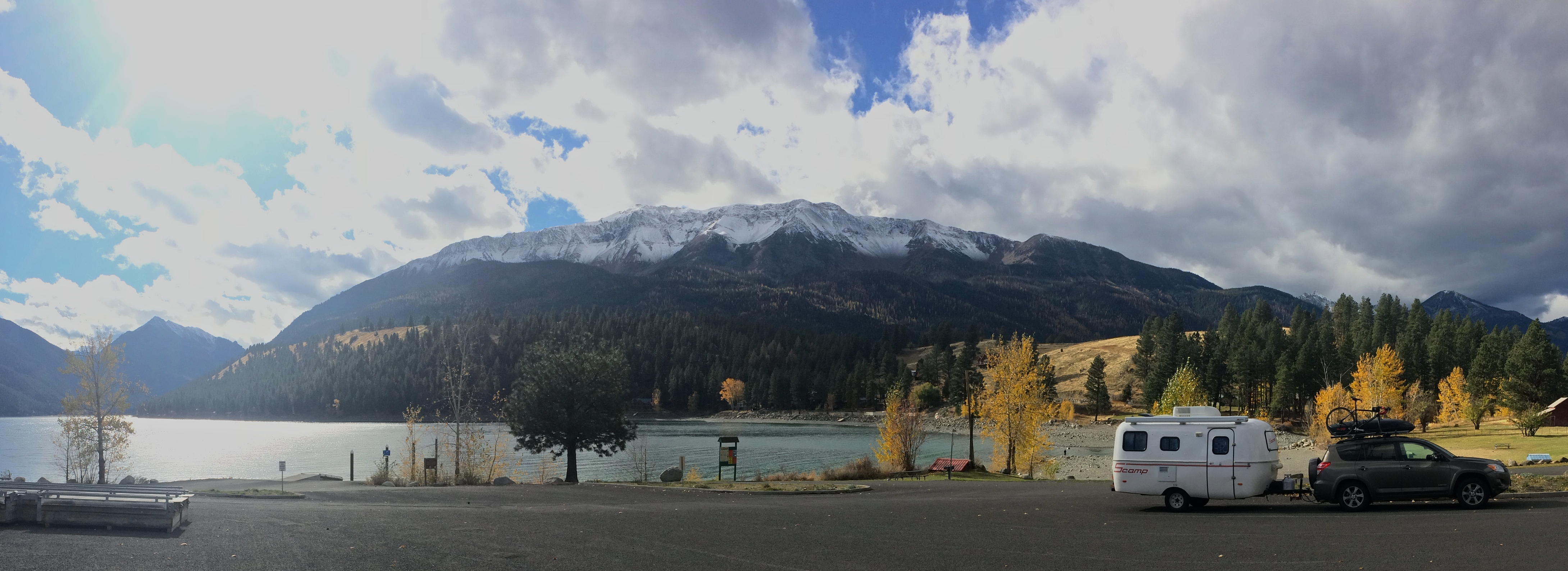
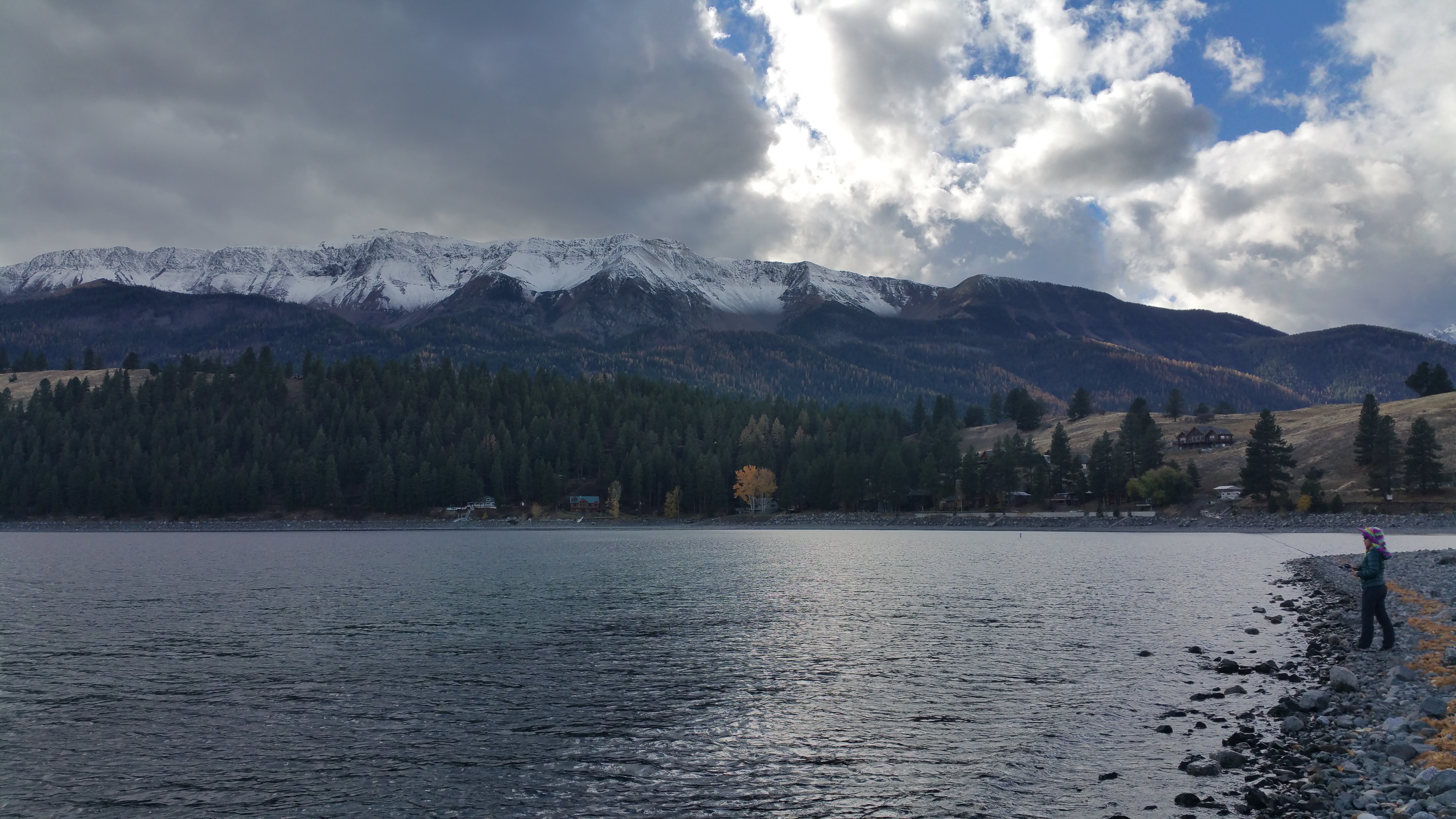
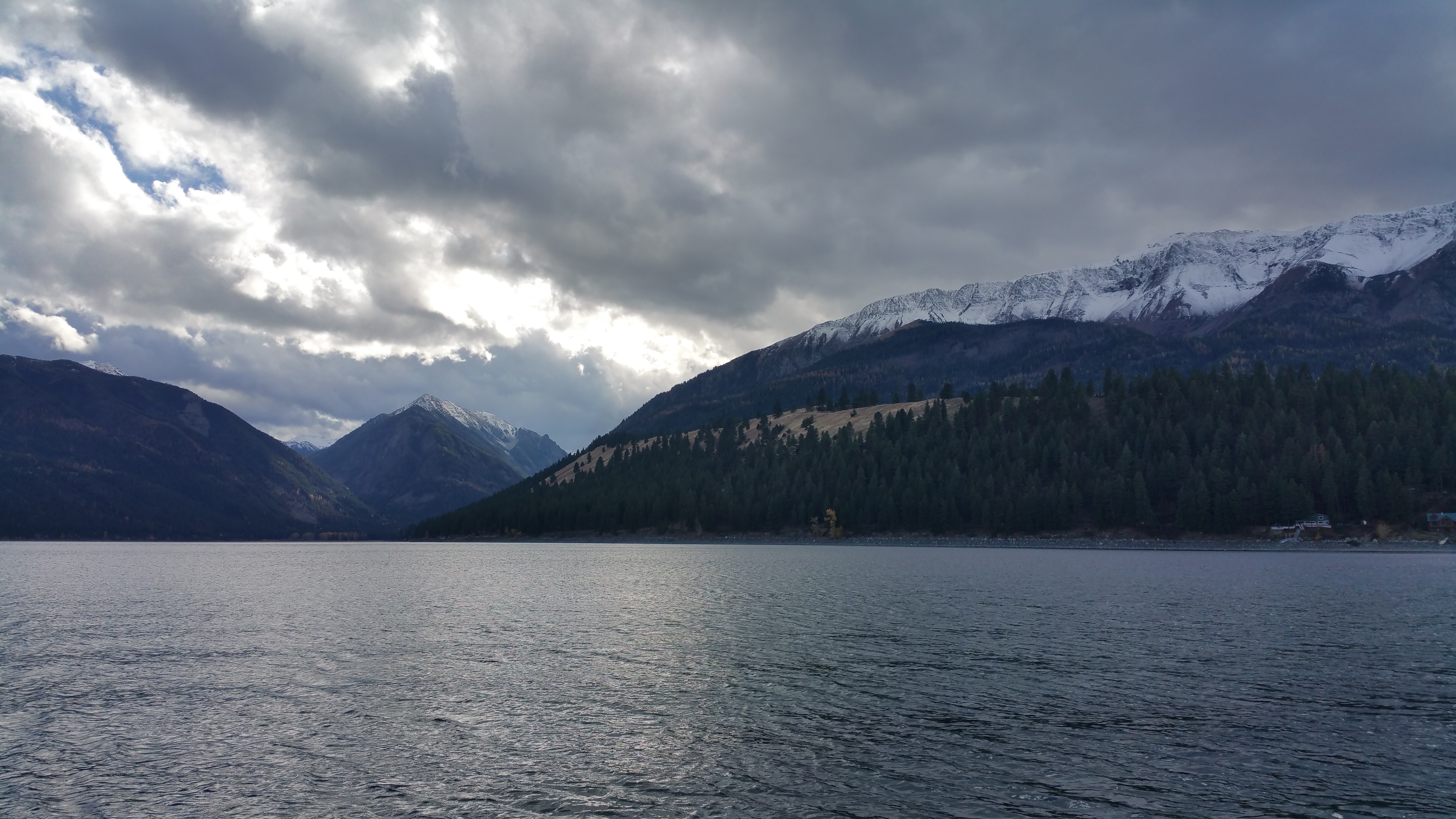
At the southern tip of the adorable town of Joseph lies the highlight of the drive—the dramatic Chief Joseph Mountain with a perimeter of snow-dusted mountains framing the glacially formed Wallowa Lake. There was absolutely no one else there.IMG_5134

There we unsuccessfully fished again, though we did get a couple of bites on our hooks. Dammit!20151101_124531

Despite our fishing failure we loved being there. Gazing out at Chief Joseph Mountain with the dark clouds rapidly drifting over its peak while casting and drawing in our fishing lines was surreal.20151101_124525

Late afternoon soon came upon us and it was time to go. Originally we planned to drive to Lick Creek Campground, the nearest Forest Service campground to Imnaha, but still a ways from Imnaha. Imnaha was the final hamlet where the paved road would become a 24-mile gravel road up to Hat Point Overlook, presumably the best lookout of Hells Canyon. Normally we don’t mind towing our trailer with us, but everyone advised against towing a trailer up the steep, narrow gravel road. In my planning I had hit a roadblock—where to leave the trailer?  Dropping it off at Lick Creek Campground was my safe bet.

As we left Wallowa Lake we decided at the spur of the moment to not take the detour to Lick Creek Campground and instead drive all the way up to Imnaha and ask a local if we could park somewhere for the night. Worse case scenario—we drive back down to Lick Creek Campground. And everything worked out perfectly.

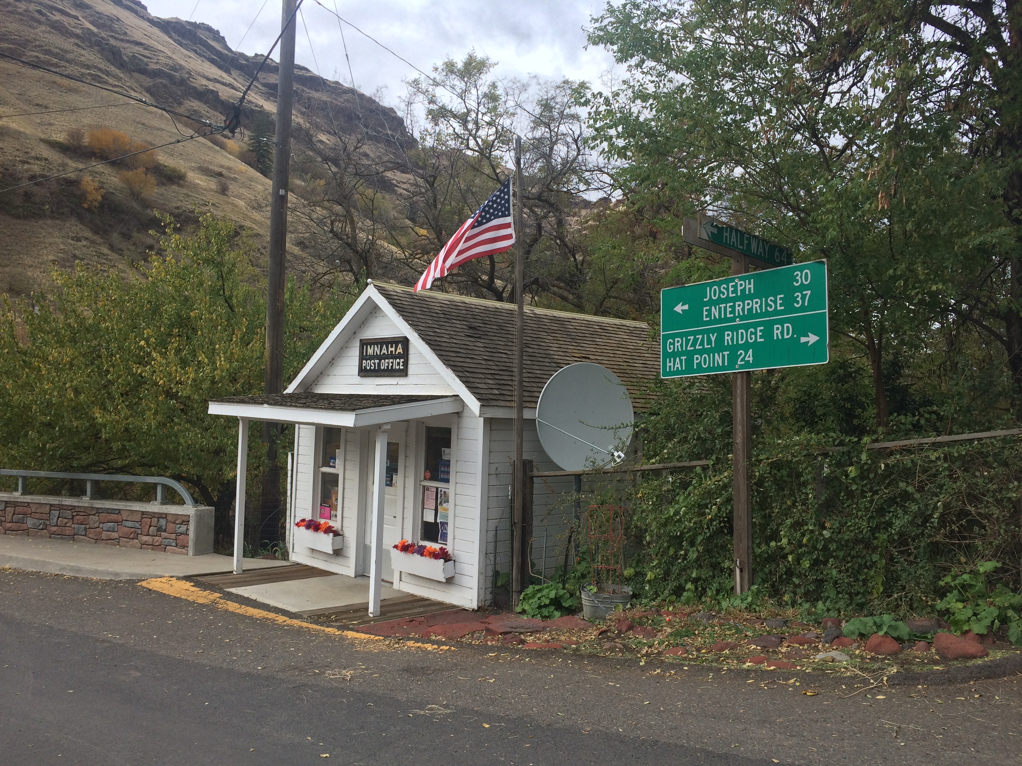
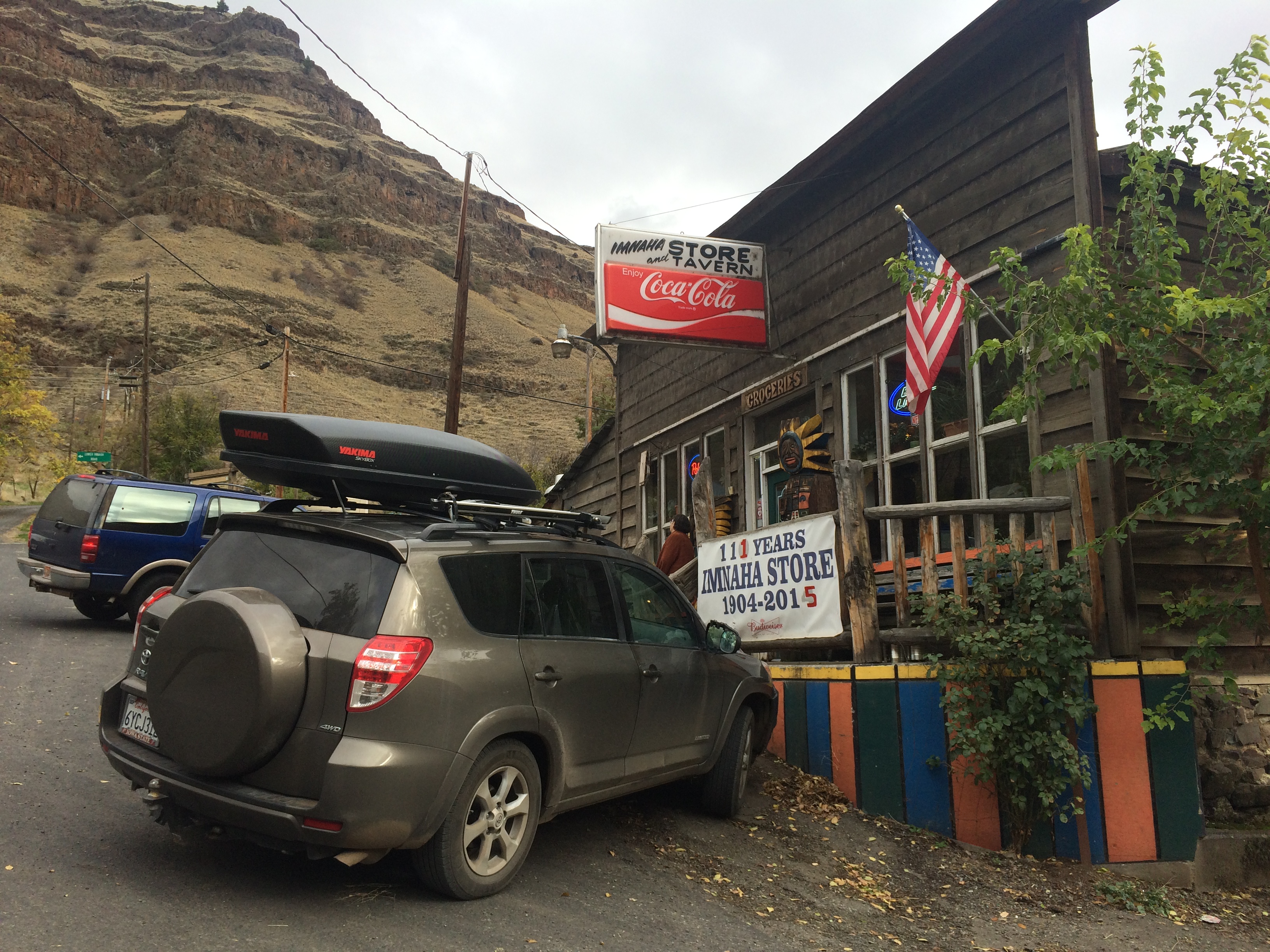
Imnaha was probably the most isolated and tiniest hamlet I have ever visited. Only about a dozen people lived in Imnaha proper, but about 175 people make up for the surrounding farm area. Still, this place was too adorable! Among the handful of houses, the only service buildings were a post office and a tavern/grocery store. Photos taken during the day:IMG_5169 IMG_5171

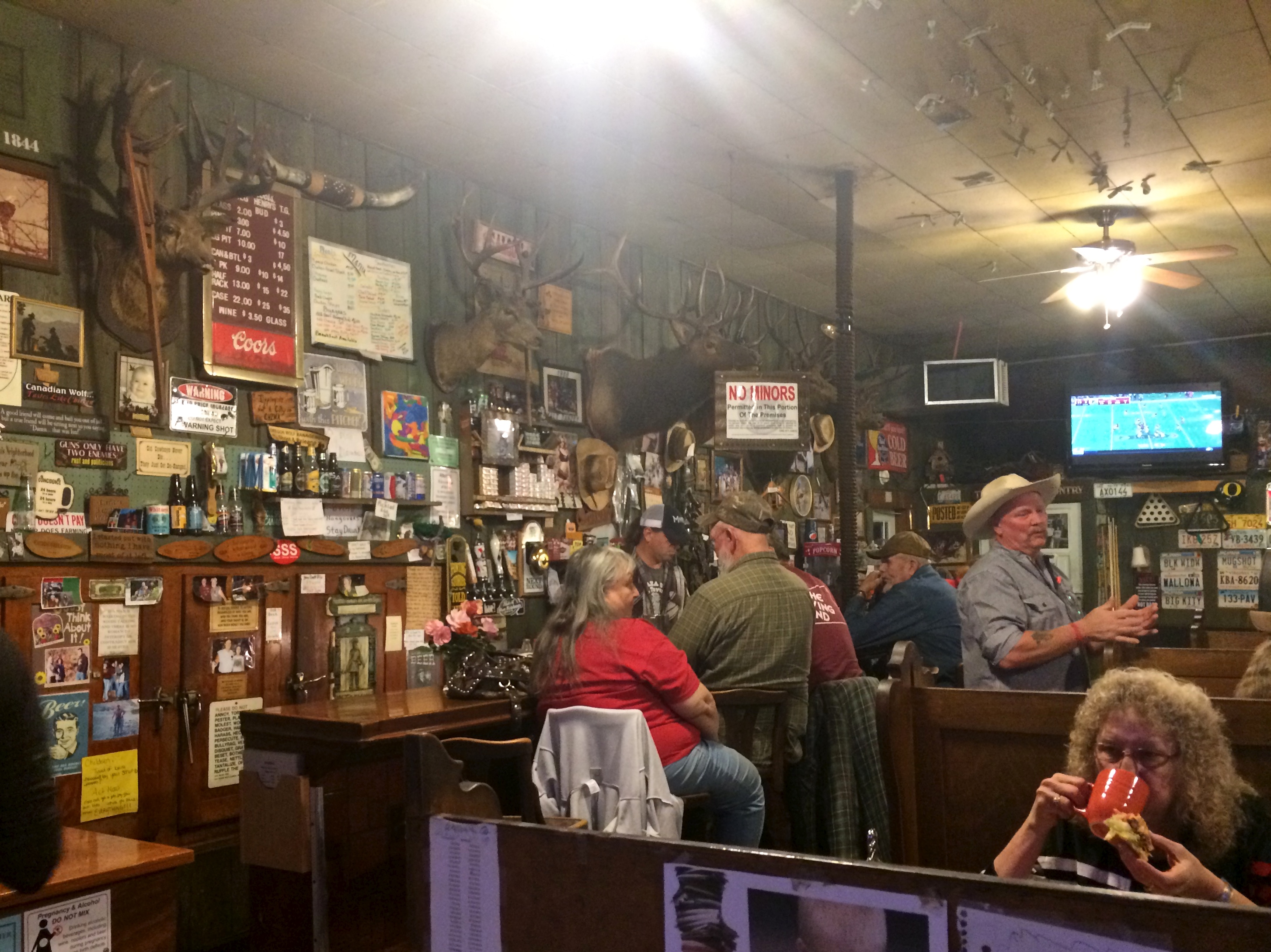
It was past sunset when we arrived to Imnaha and the only building showing any sign of life was the tavern. Upon entering the tavern we were immediately delighted by what we saw: cowboys, taxidermy, dollar bills tacked to the ceiling, and bright, sarcastic signs and posters covering every inch of the wall. To stumble into a tavern boasting with personality was what we least expected to say the least.IMG_5148

We asked the man behind the bar if there was somewhere in town where we could spend the night, unhitch the trailer, and head up to Hat Point the next morning. He pointed us just a ½ mile down Upper Imnaha Road along the river. The site was perfect and we settled in during the remaining minutes of daylight.

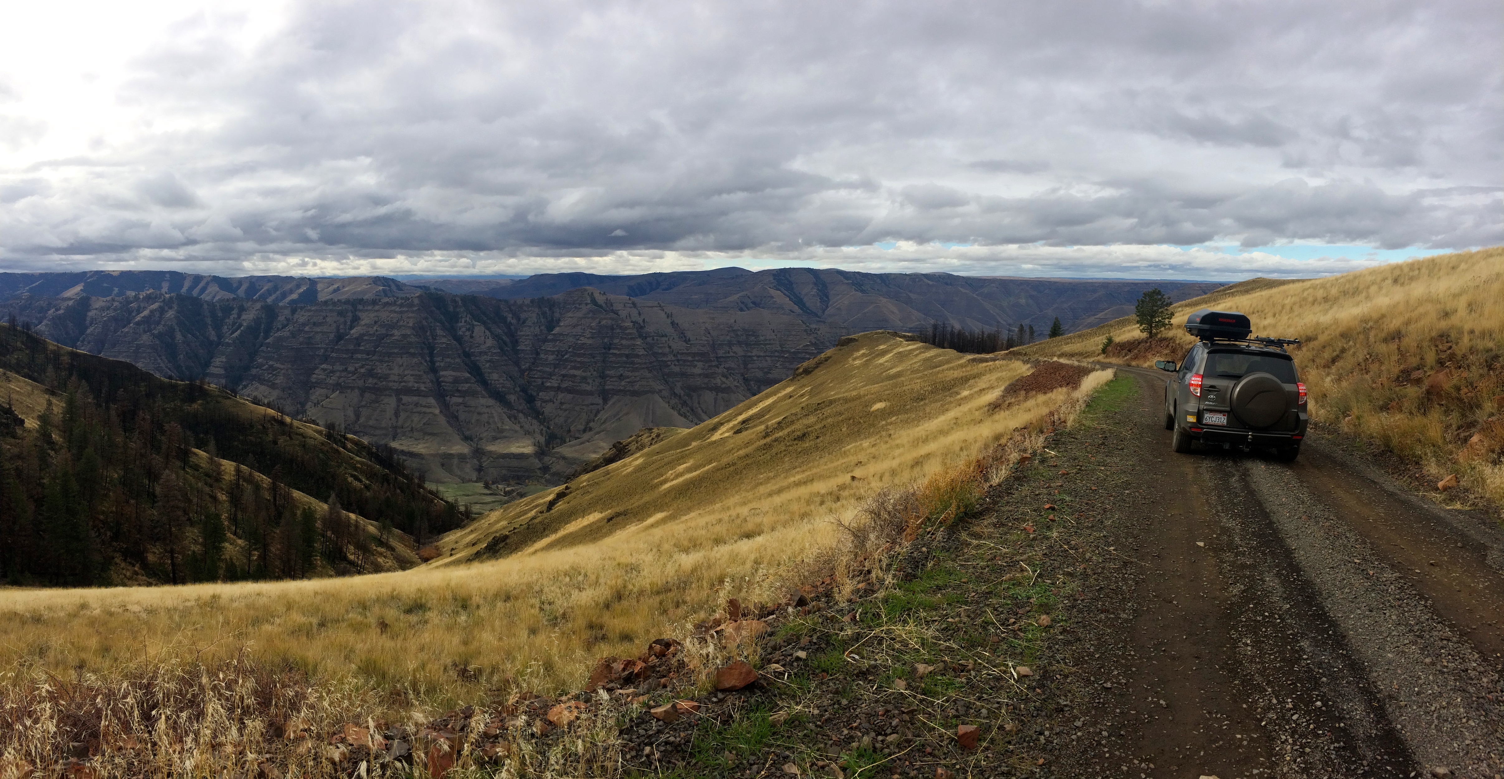
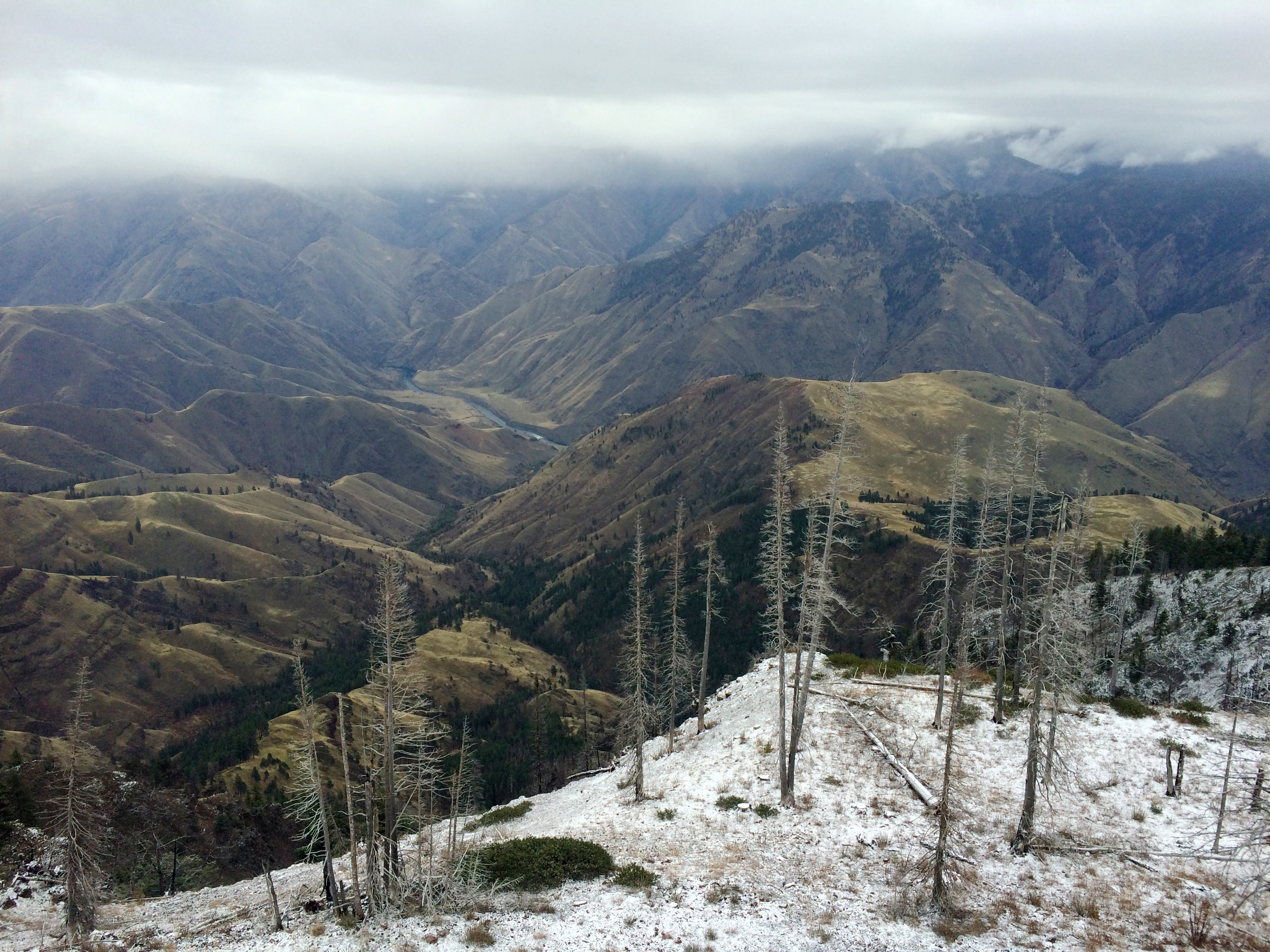
Early the next morning we set out without the trailer up the gravel road to Hat Point Overlook. Despite what everyone else said, we regretted not bringing up the trailer—it really wasn’t as bad as everyone made it sound. It was smooth and without potholes, and only steep the first 5 or 6 miles. The drive was along a forested ridge with spectacular scenery all around. We even saw the Oregon Cascades Mountain Range 80+ miles away!IMG_5164

Up and up we climbed toward the Hat Point Overlook, 6,982 ft. high. As we drew nearer flurries of snow whirled around us. At the parking lot, everything was dusted with fresh snow. We were the only people there.

The view of Hells Canyon and the Snake River from the 82-ft. lookout tower:IMG_5149

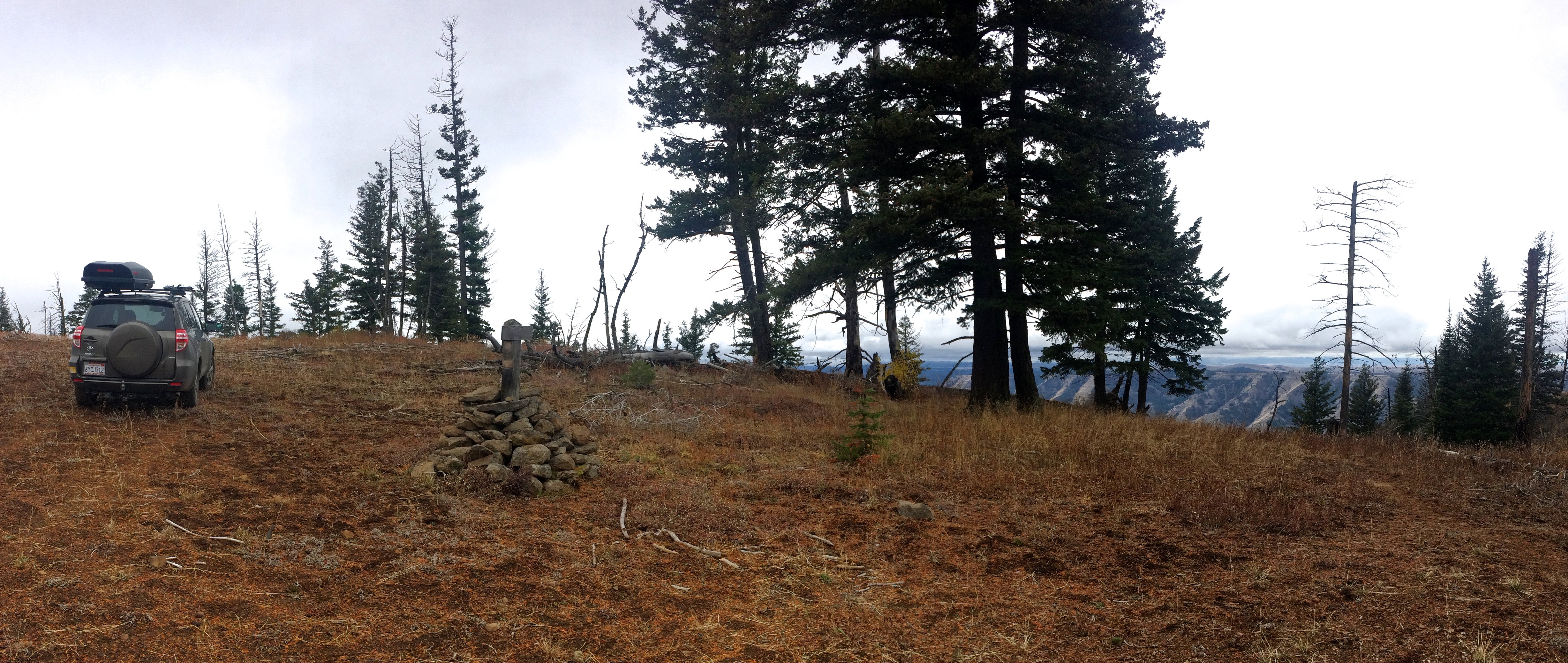
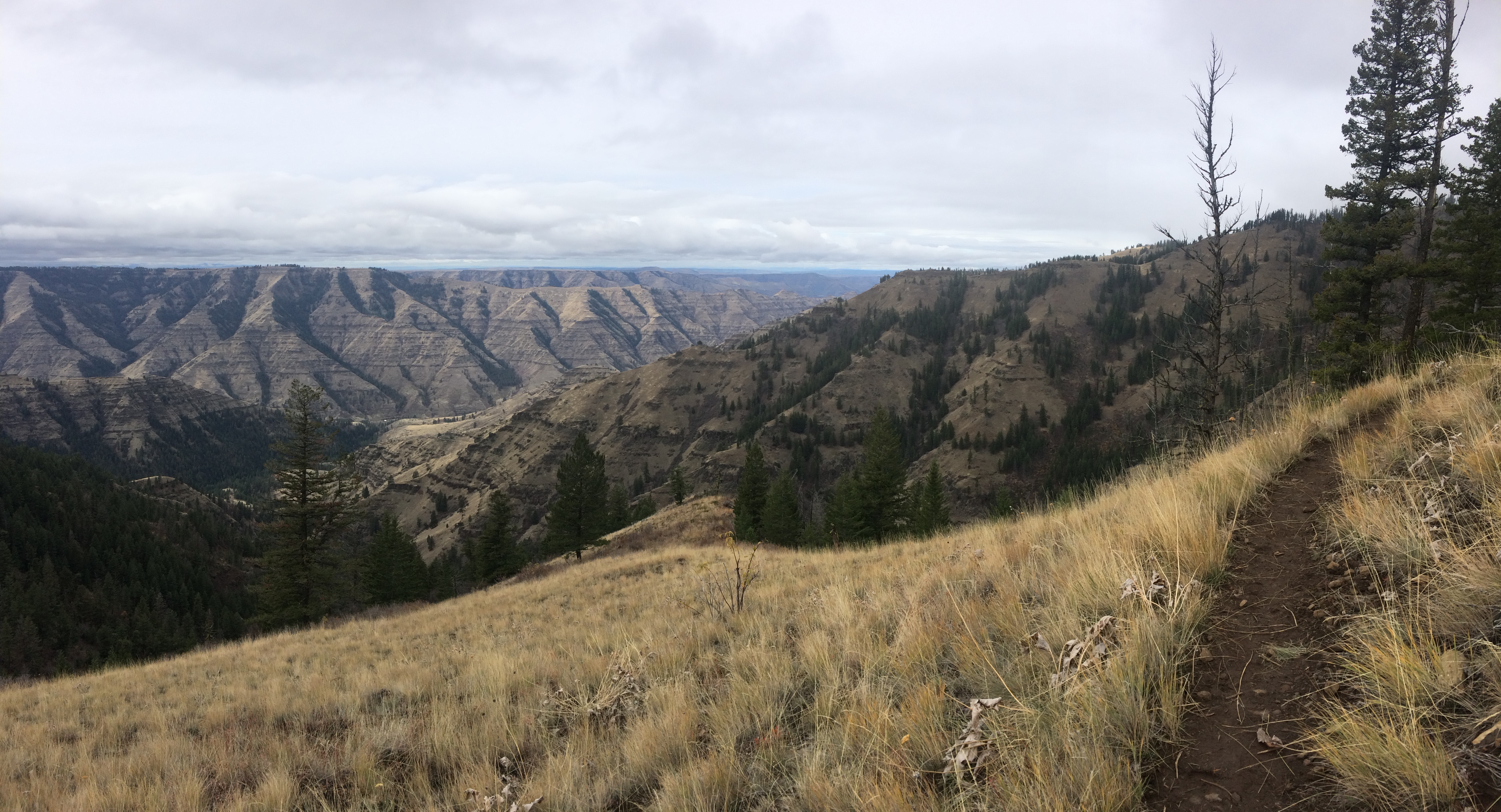
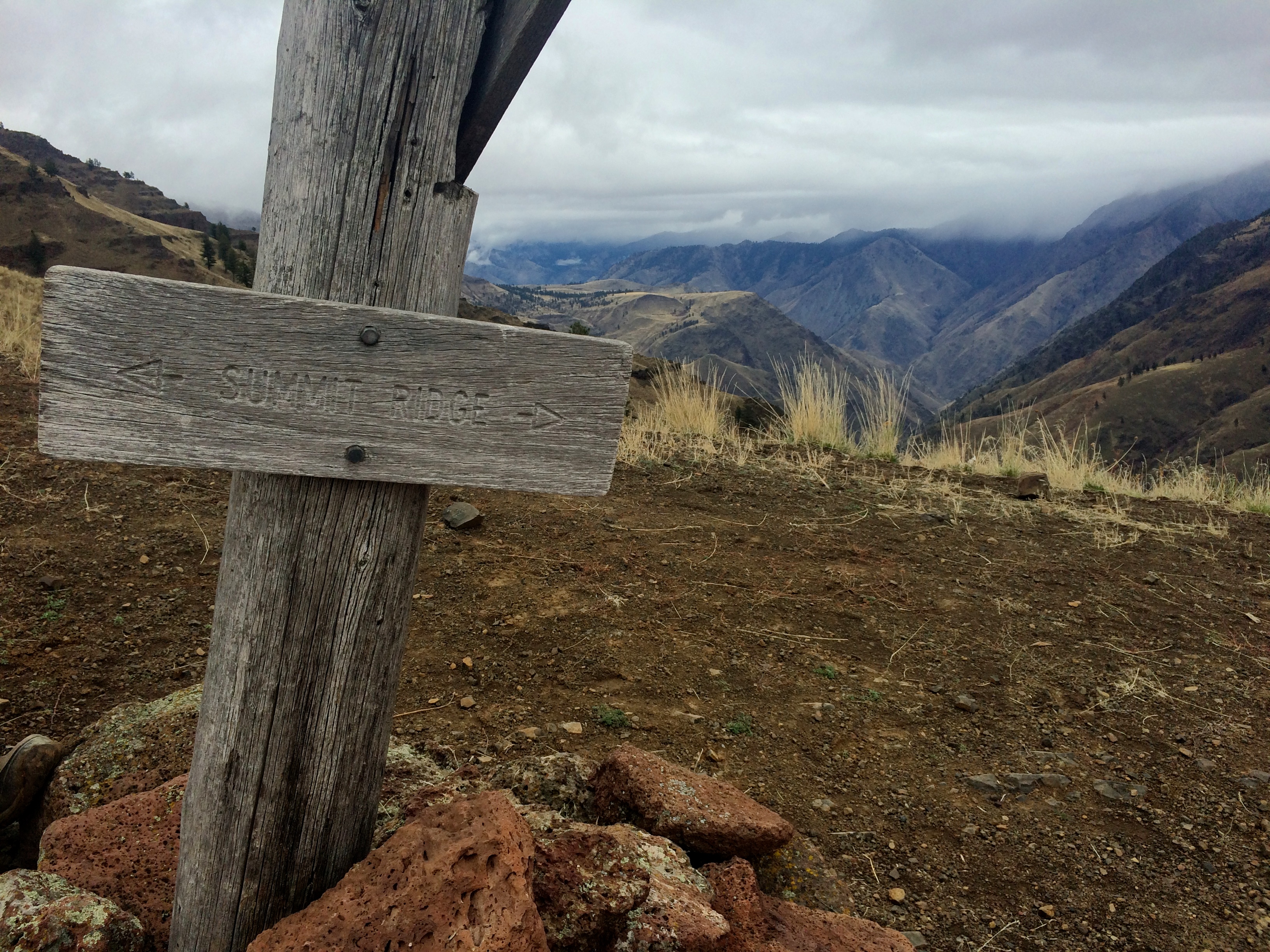
Since we made it this far, I wanted to hike in the area. Thanks to www.lesstravelednorthwest.com, I found several hikes in the Hells Canyon area. Picking the trail was easy; finding the trailhead was a bit harder. But we found it, marked by a large rock pile, just about a ½ mile before Saddle Creek Campground.IMG_5162

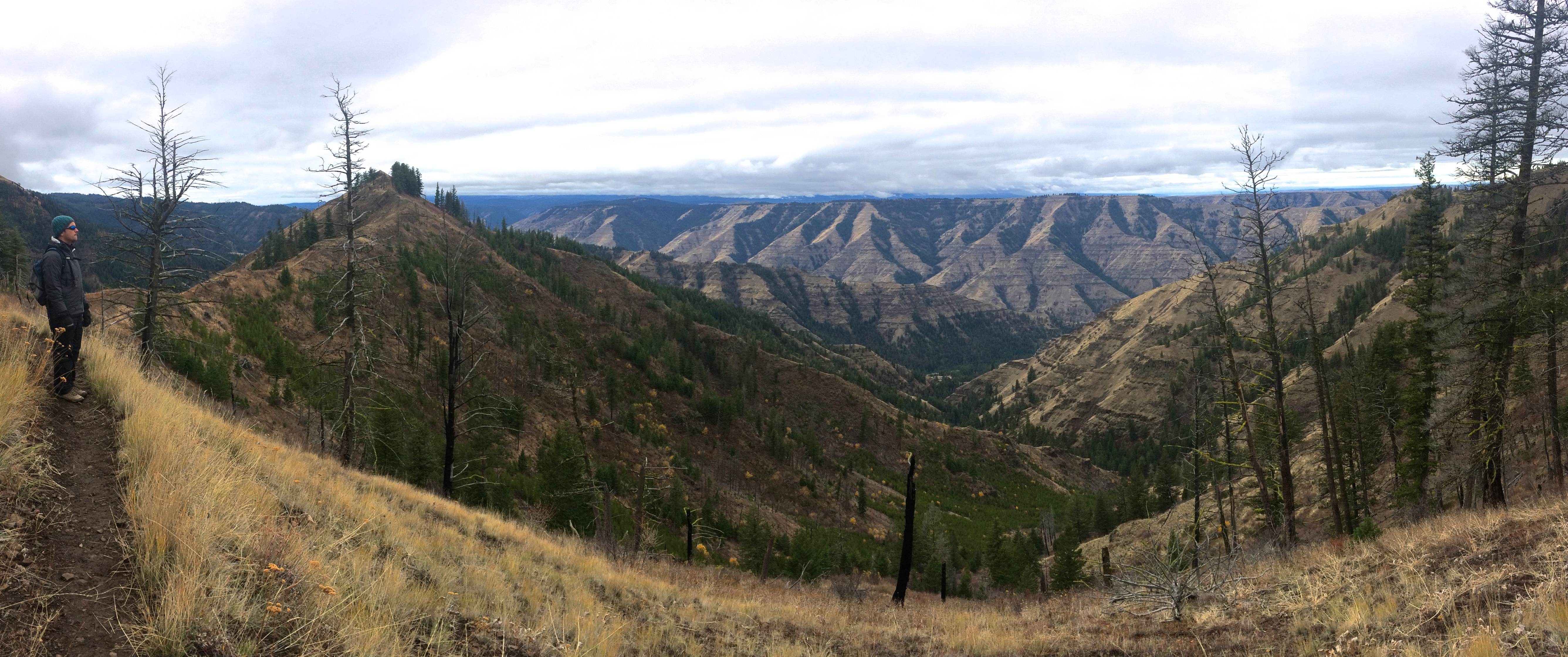
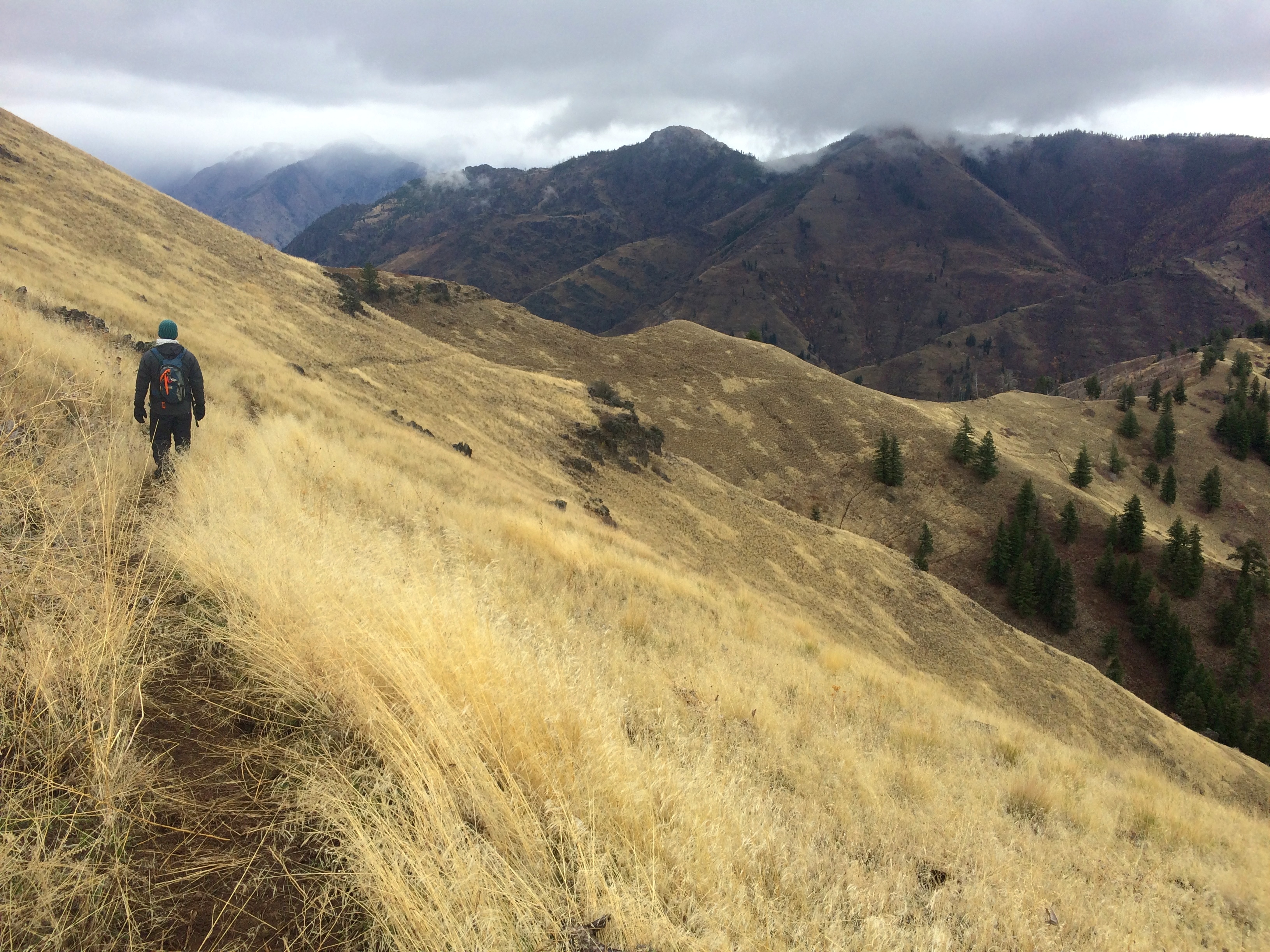
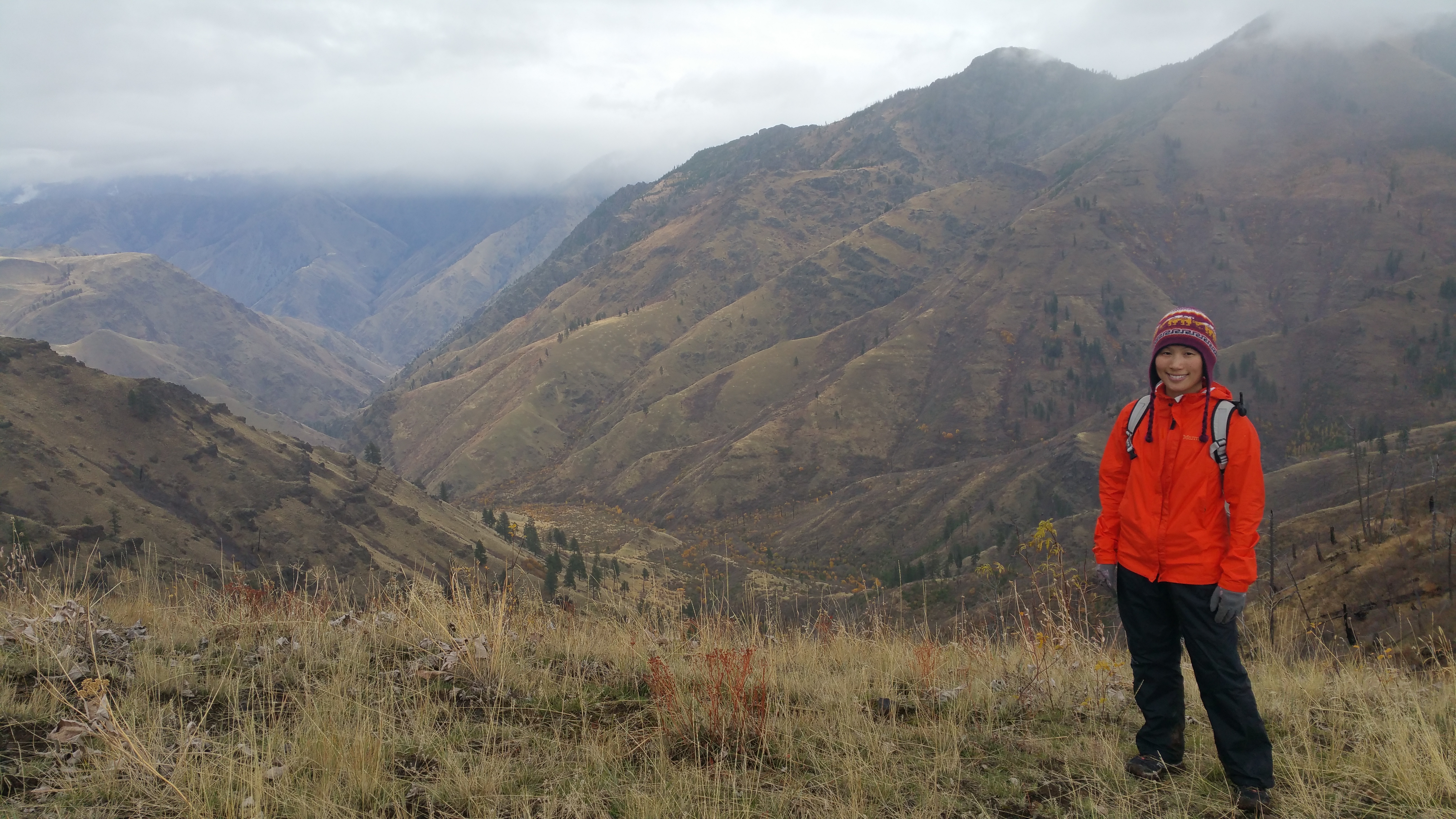
Hiking along the Summit Ridge Trail:IMG_5156 IMG_5157 IMG_5161IMG_5159

Luckily it didn’t rain or snow at all (okay, maybe a few flurries) during our hike, but we still hiked through freezing temperatures.20151102_111919

After the hike we made our way back down to Imnaha, grabbed a hot lunch at the tavern, picked up the trailer, and headed south toward Boise, Idaho.

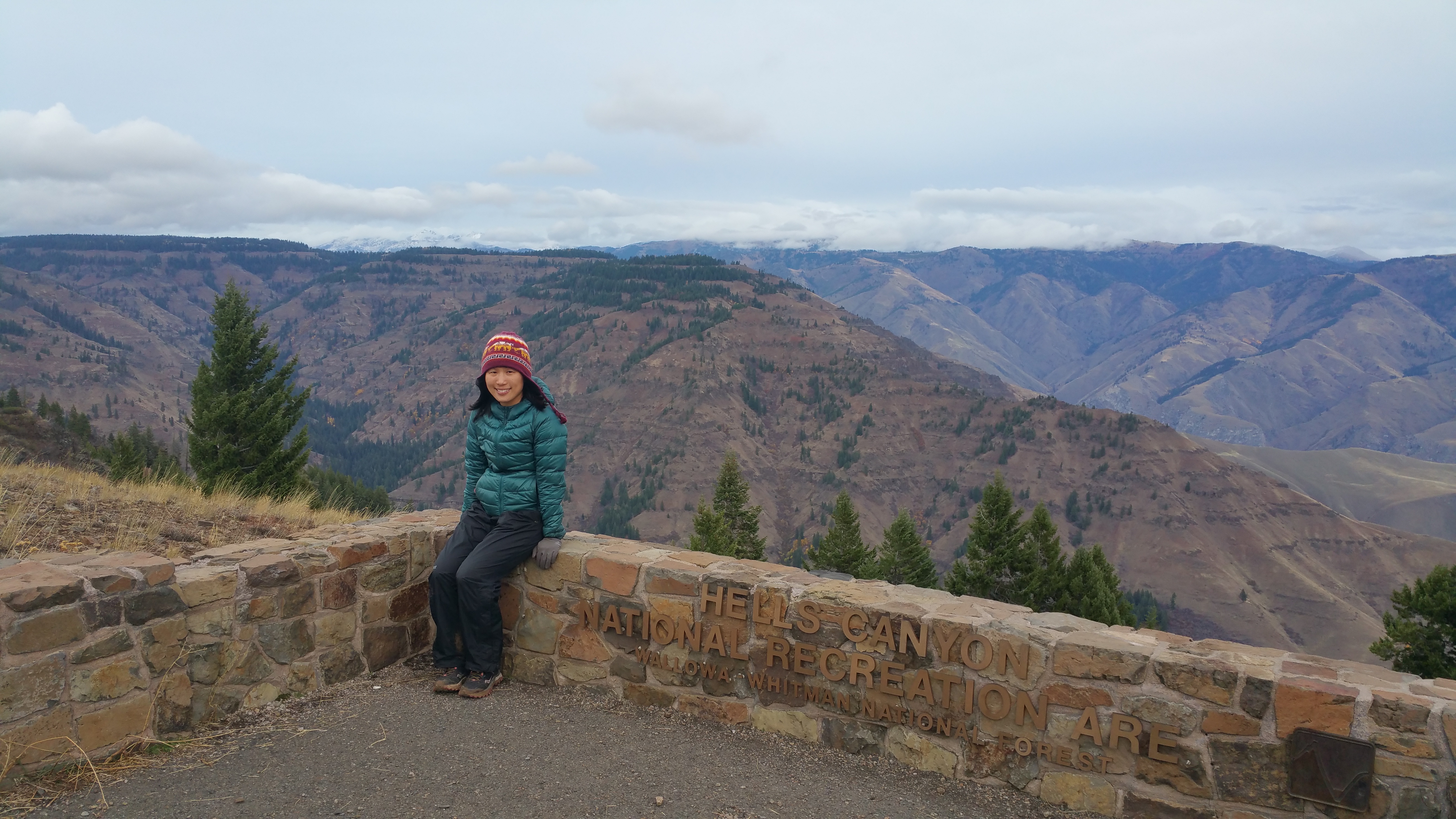
We made a quick detour to the Hells Canyon Overlook, not as spectacular as the Hat Point Overlook, but worth a stop since it is the only overlook of the canyon from a paved road. As you can see from my face, it was incredibly cold and windy. My teeth hurt for the couple seconds I smiled for this photo. Yowza.20151102_153611

And onward we went…to the south…and to the east. Our next leg of the trip was southern Utah, a region we are quite familiar with, but a favorite region of ours that we find worth visiting again and again. But between Oregon and Utah was Idaho, which meant seeing more small towns and natural sites unbeknownst to us. As we crossed the Snake River into Idaho, the 6+ weeks of the wet Pacific Northwest finally came to a close, and the magical dry deserts soon awaited us.

Posted in Oregon | Tagged , , | 1 Comment

South Vancouver Island

Vancouver Island comes second after New Zealand for being the largest island in the Pacific, and oddly enough, at the very southern tip of the island is Victoria, the lovely city and capital of British Columbia. Everyone raves about Victoria, often finishing their suggested excursions with a sigh of wistful nostalgia. People either love or hate San Francisco, Chicago, and New York, but no one, and I mean no one feels any disdain for Vancouver or Victoria. We had to check it out.

Trip planning for Vancouver Island was not easy. First, there was the expensive ferry. (If we didn’t have to tow a trailer then the ferry would have been less of an issue.) Second, it was the off-season, which meant limited activities. And third, if we were going to ferry over the trailer, then we had to see more than just Victoria. And what exactly was on Vancouver Island other than Victoria? We scrambled for more information literally a day before our ferry ride. All the marketing (photos, descriptions, and excursions) was catered to older and often retired Caucasians, and now that I’ve returned from Vancouver Island I can definitely see why. Pleasant. Peaceful. These are the words that conjure in my mind now when I think of Vancouver Island. Though expensive and far from epic, we had no regrets visiting the quaint towns and capital of British Columbia.


Getting There

Coming from Squamish, we took the ferry from Horseshoe Bay to Nanaimo, Vancouver Island’s second largest city after Victoria. The price for a one-way 1.5-hour ferry ride for two adult passengers, a car, plus an oversized vehicle (32 feet) was a whopping CAD $164. Considering we spent 5 nights on Vancouver Island, it was worth the cost.

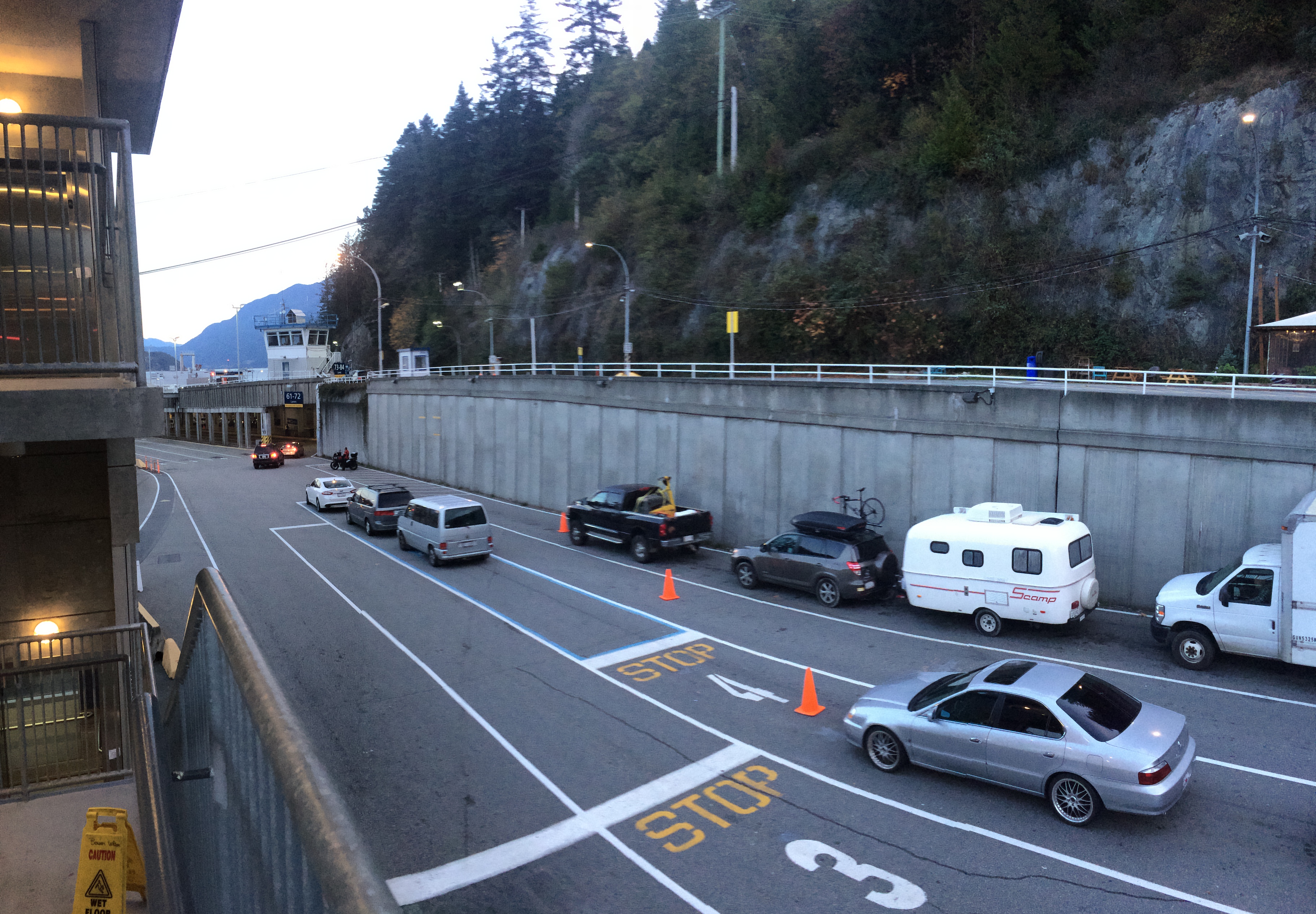
Waiting in line:IMG_4986

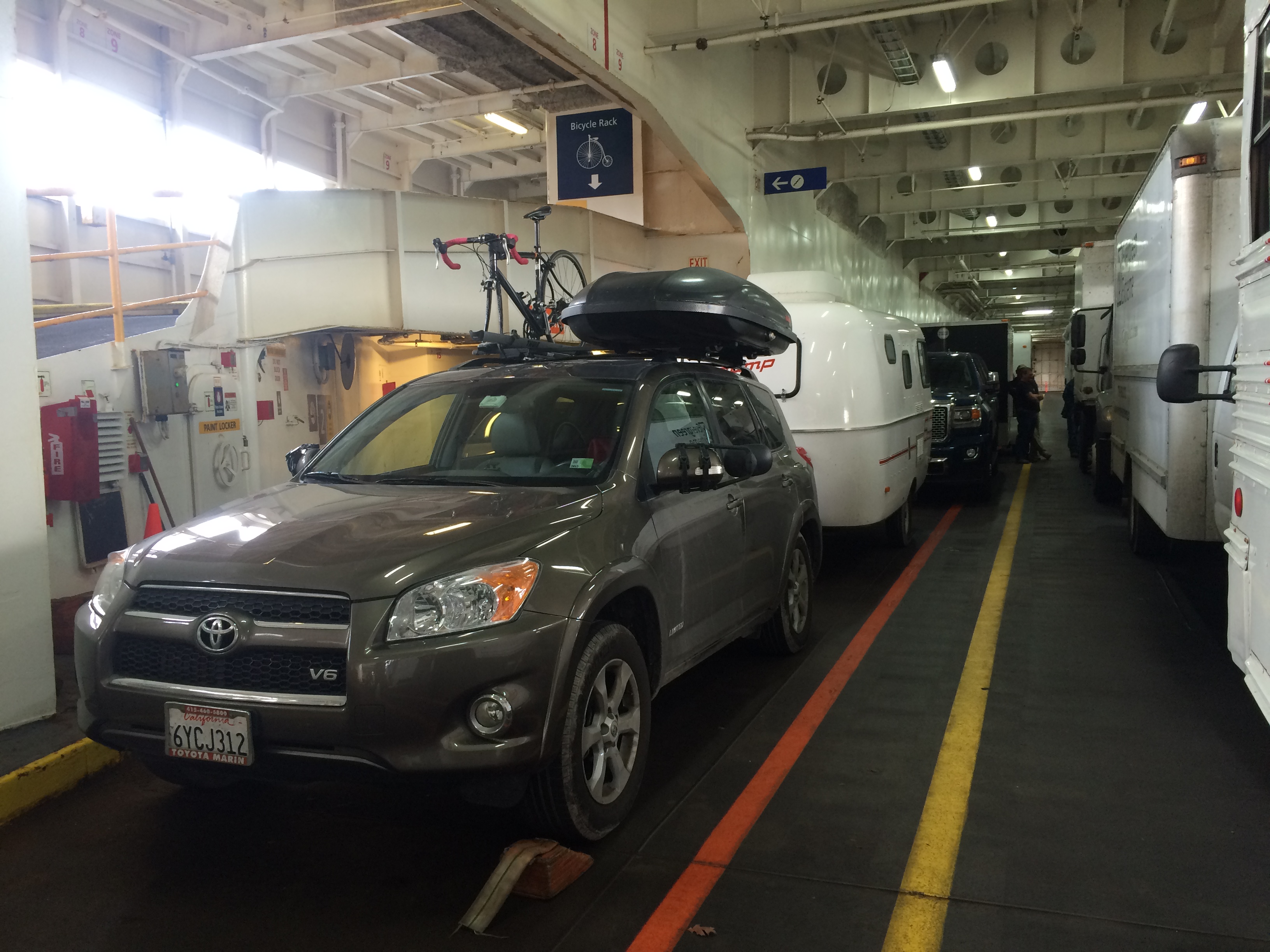
Scromp gets his first ferry ride!IMG_4990

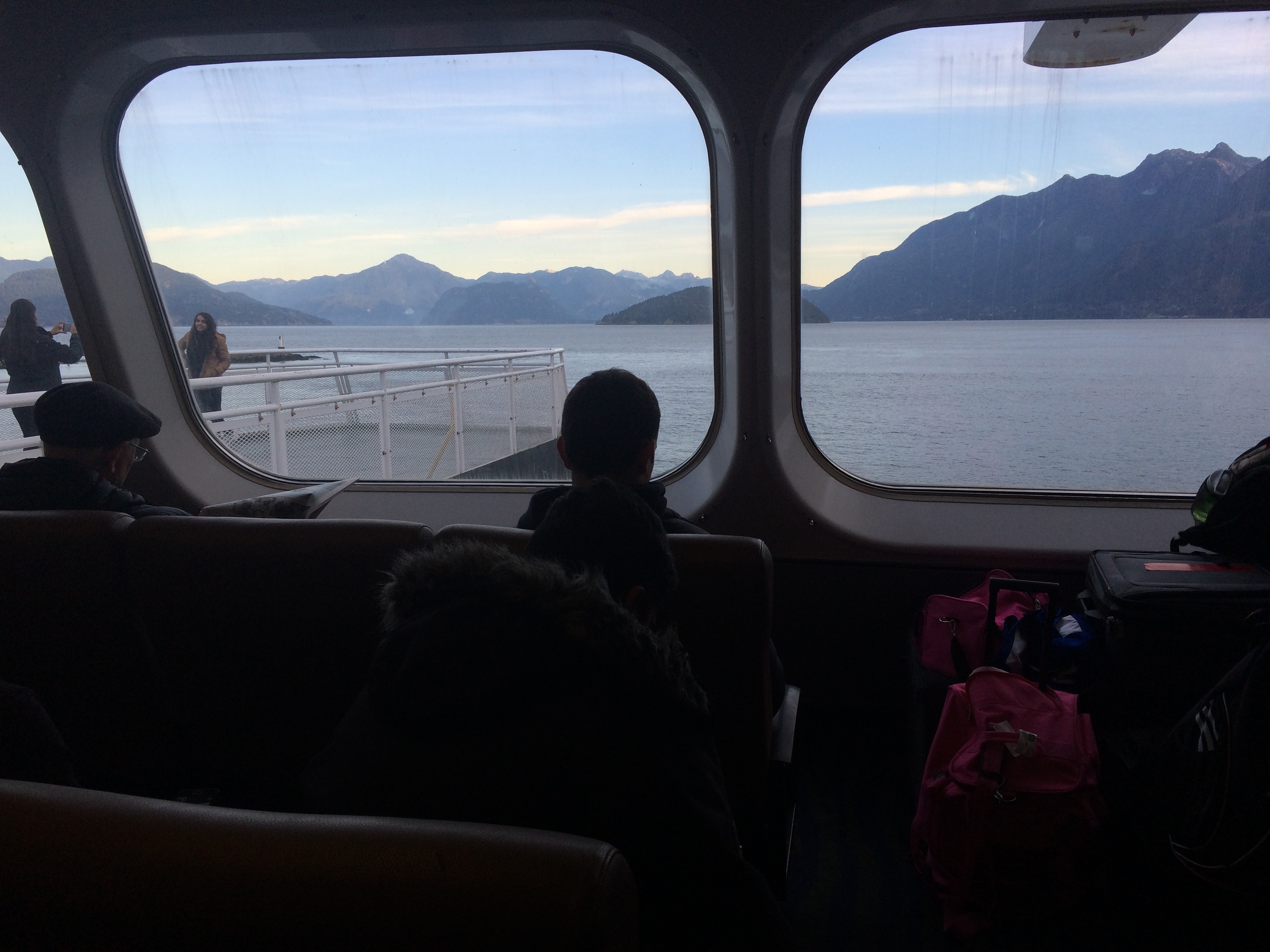
How Canadian…taking the ferry across the sea.IMG_4988


Coombs

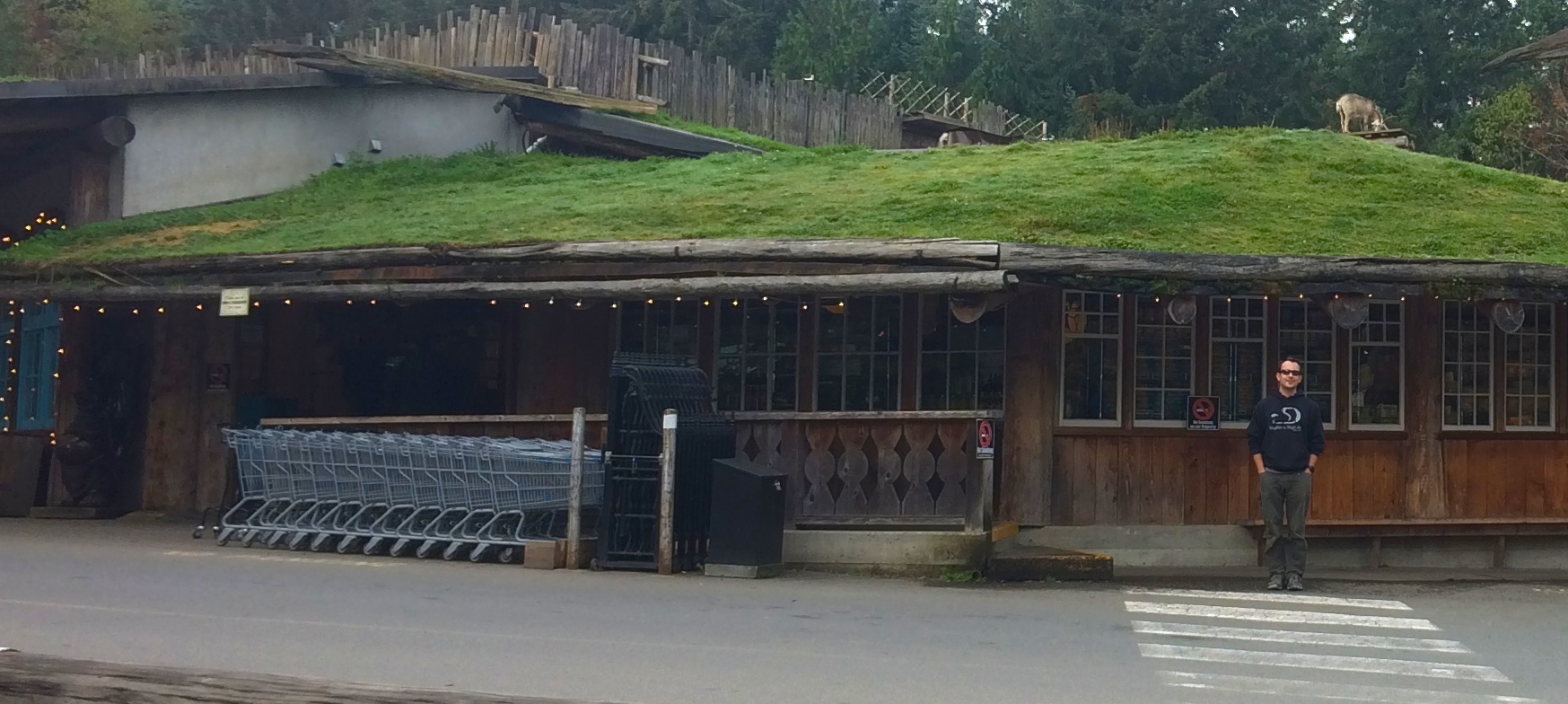
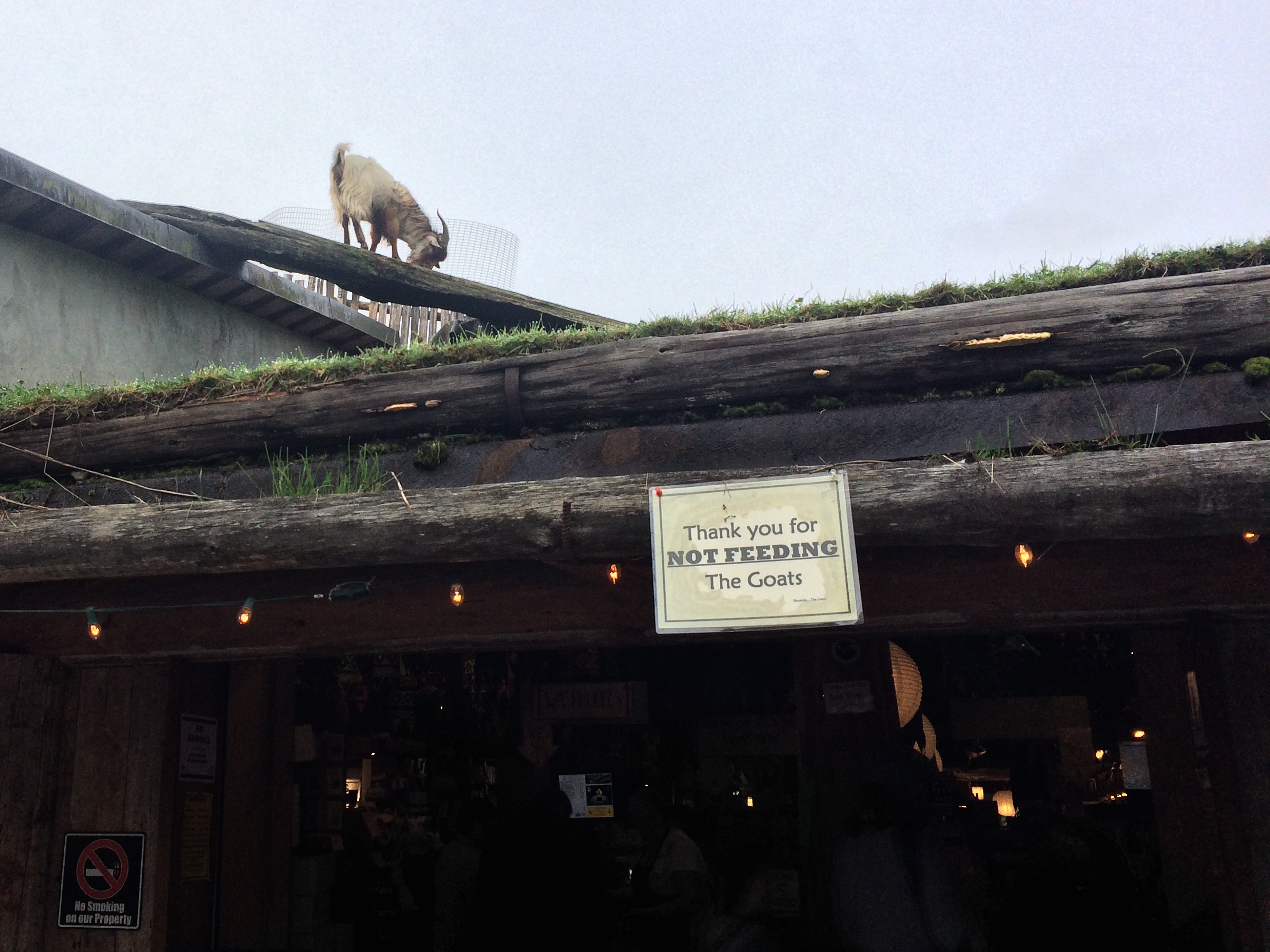
After docking and exiting the ferry at Nanaimo, we excitedly headed toward the remote west coast for Tofino and Ucluelet. Along the way we made the touristy stop at the Coombs Market. Anyone with an interest for the culinary arts can spend hours browsing each section at the market, but what attracted us to this local gem was its kitschy, roadside tourist attraction—the goats on the roof!IMG_4993IMG_4998

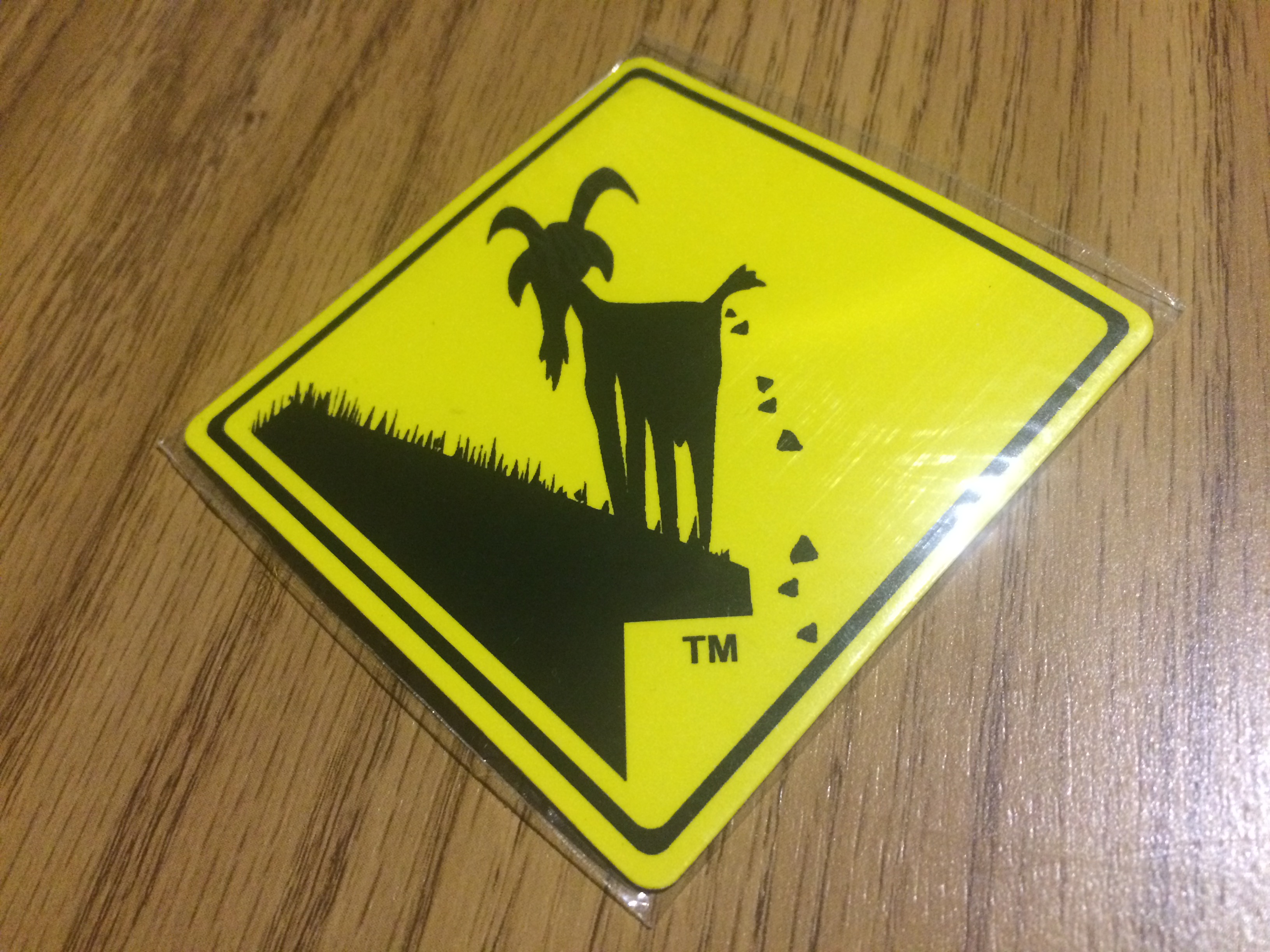
Their adorable pooping goats logo was printed on stickers and shopping bags. I later saw many cars sporting this sticker all over Vancouver Island.IMG_5266


Tofino & Ucluelet

In order to get to the remote beach towns of Tofino and Ucluelet, one must drive a couple hours through zig-zag forest roads. At the end of the long drive is a skinny peninsula, the land mostly belonging to the Pacific Rim National Park Reserve. In the northern tip of the peninsula lies the surf-bum town of Tofino, and in the southern tip lies Ucluelet. Both towns are so far from the next nearest town that simply leaving would require a road trip. The only attractions remaining for the season was an expensive boat ride to some natural hot springs, whale watching, and surfing, none that sounded appealing to us.

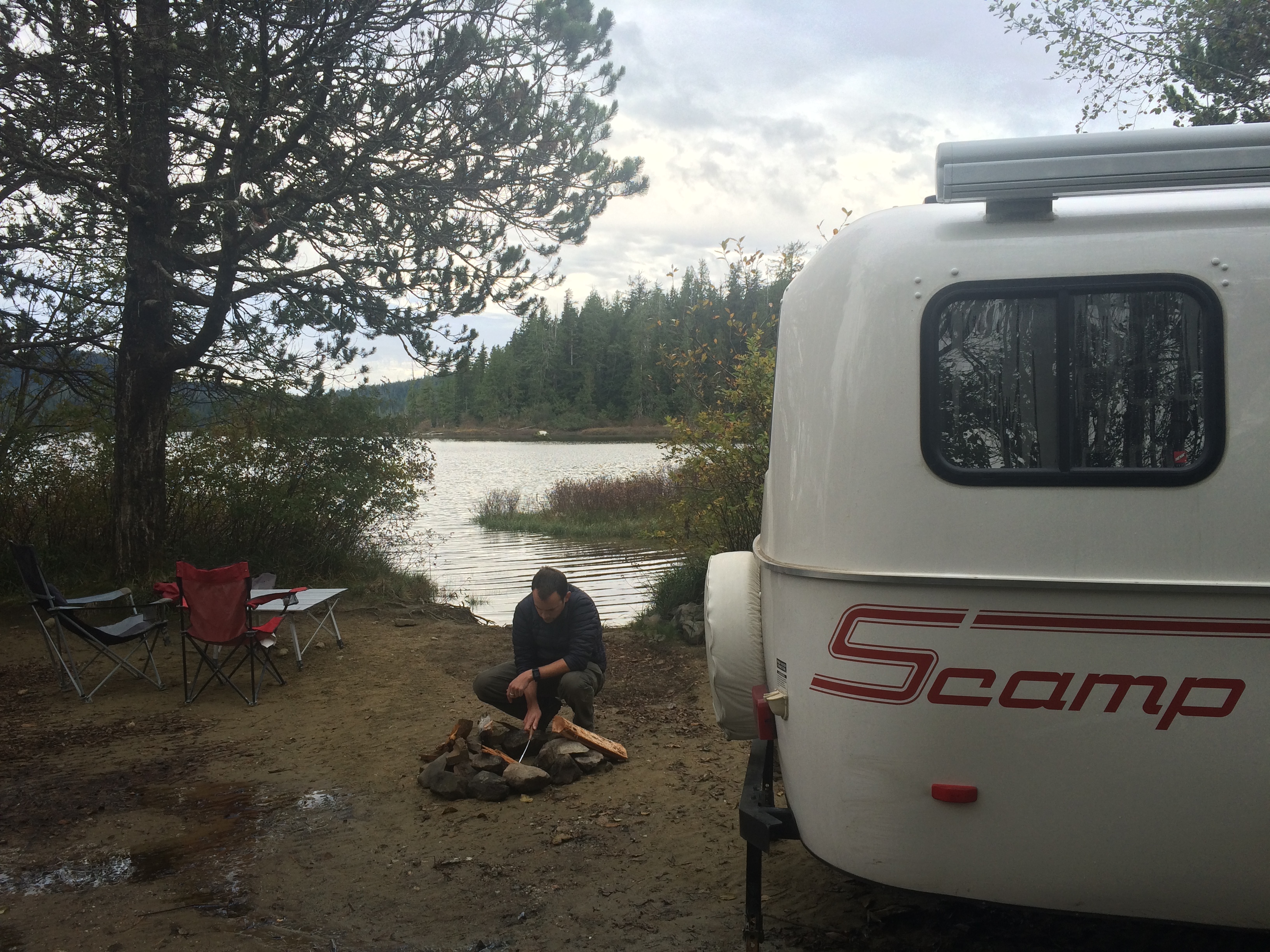
Luckily the woman at the visitor center told us of a dispersed campground (or in Canadian words, Crown Land) in the area—the Clayoquot Arm Beach Recreation Site at the north end of Kennedy Lake. The unpaved road was only about 7-8 miles long, but because it was filled with nasty potholes it took almost an hour to get to the site.IMG_5006IMG_5008

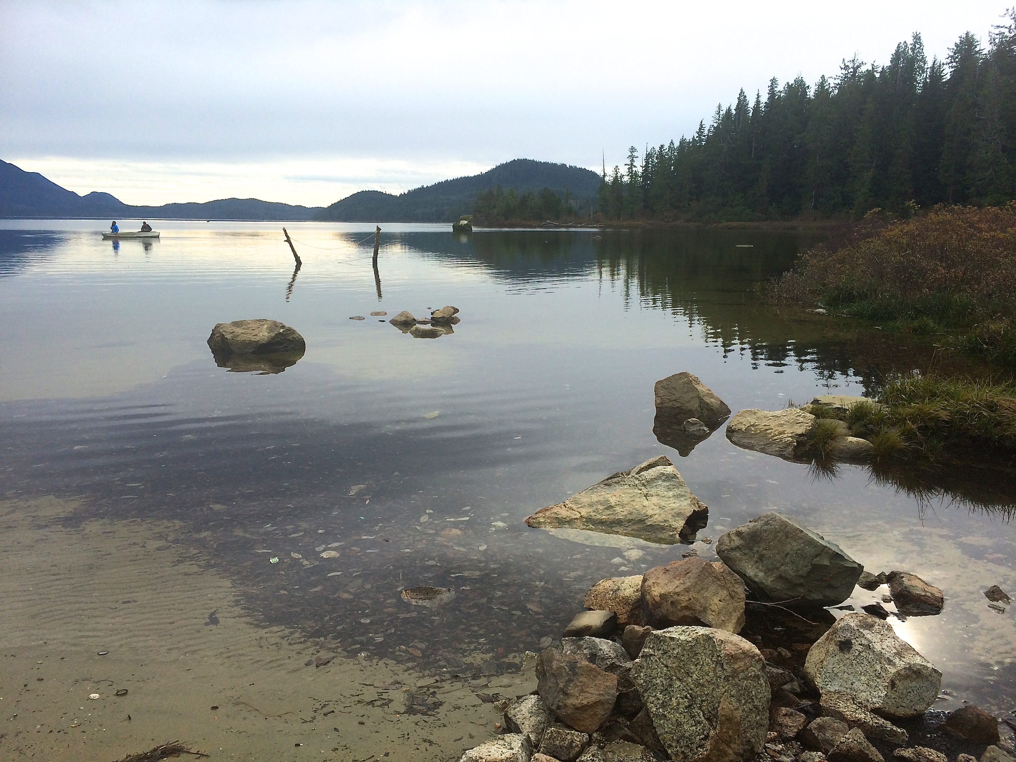
We camped lakeside.IMG_5012

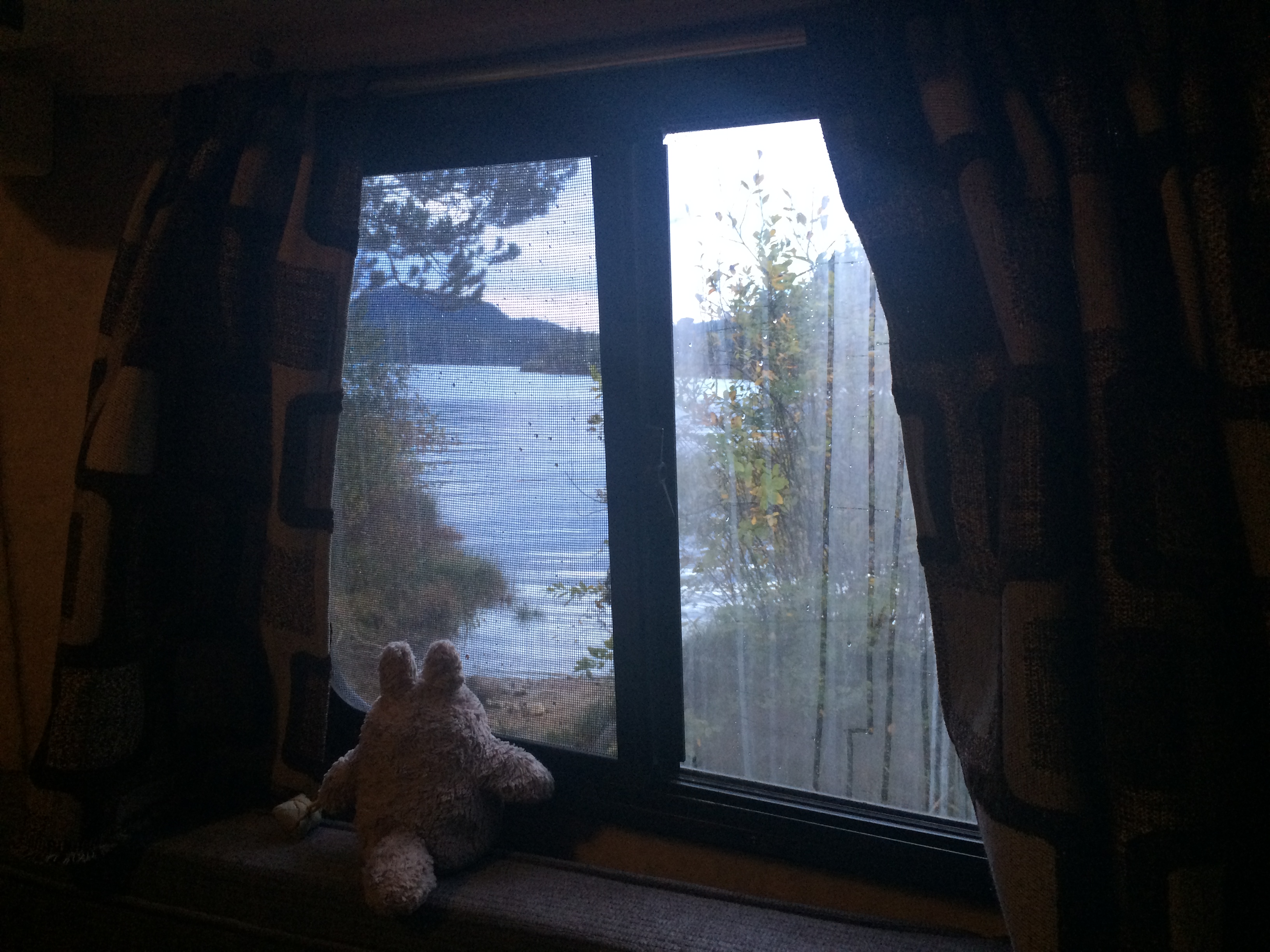
And we had pleasant views from our trailer.IMG_5017

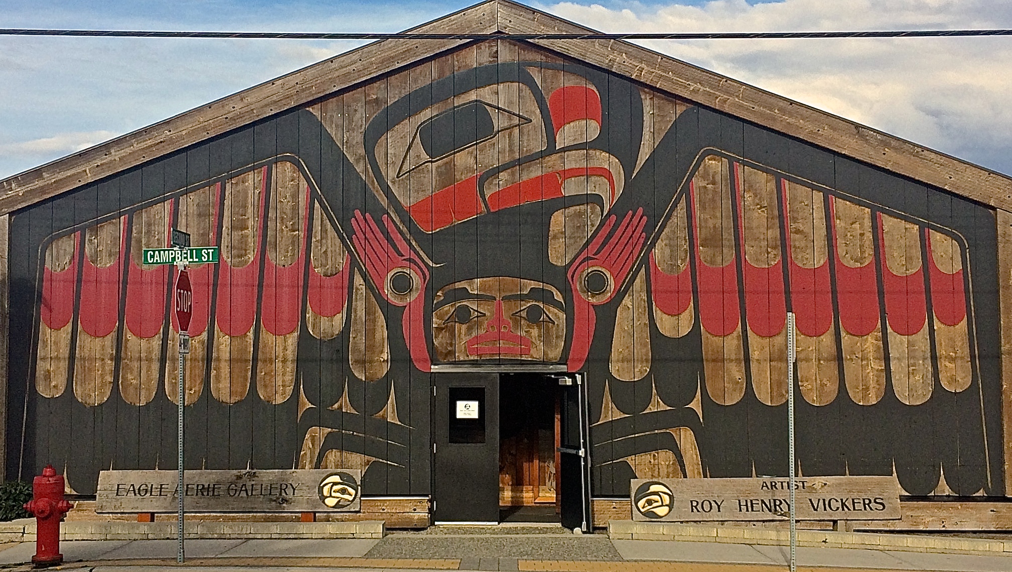
In the town of Tofino there was a Native American art gallery.IMG_5022

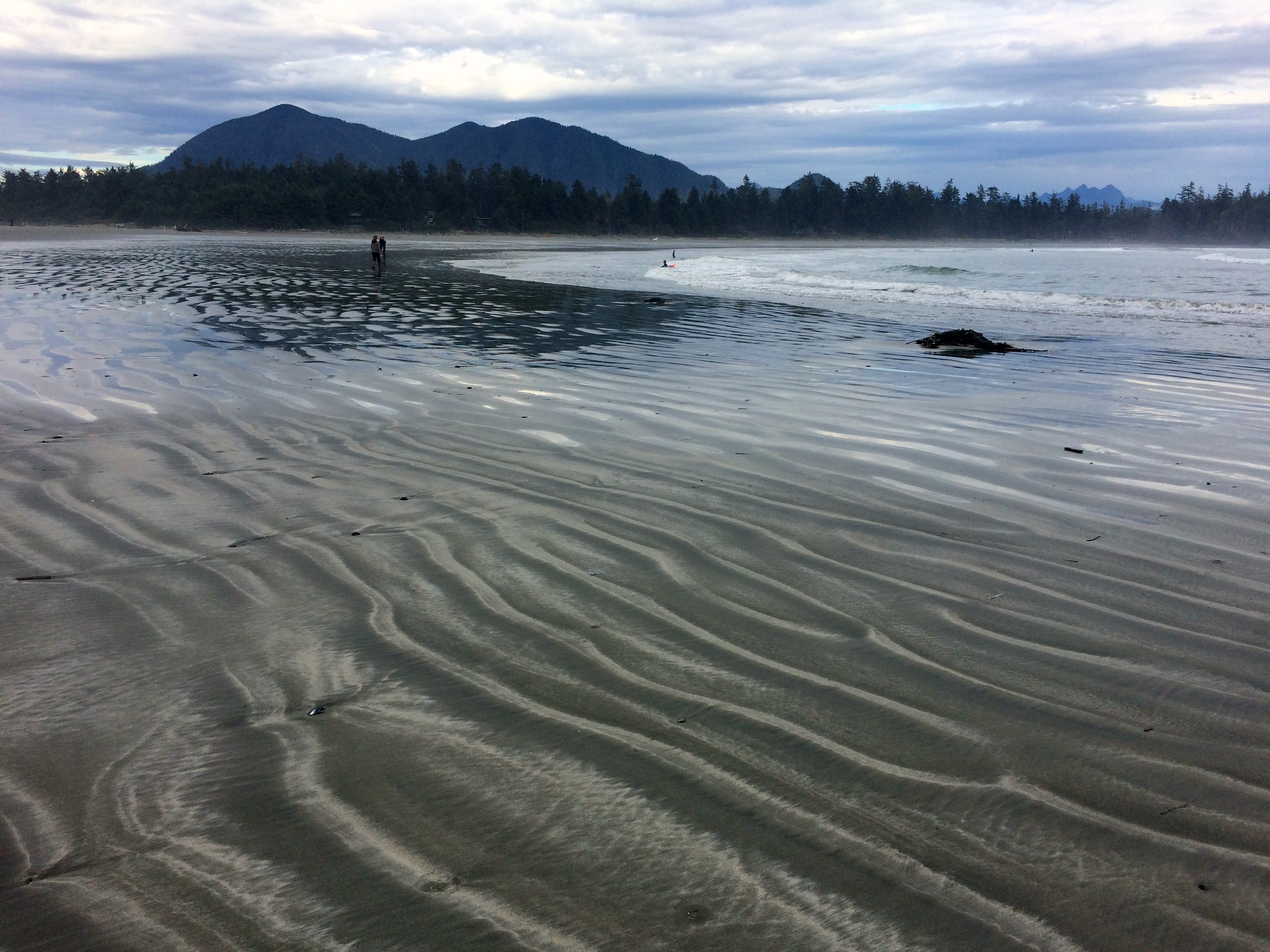
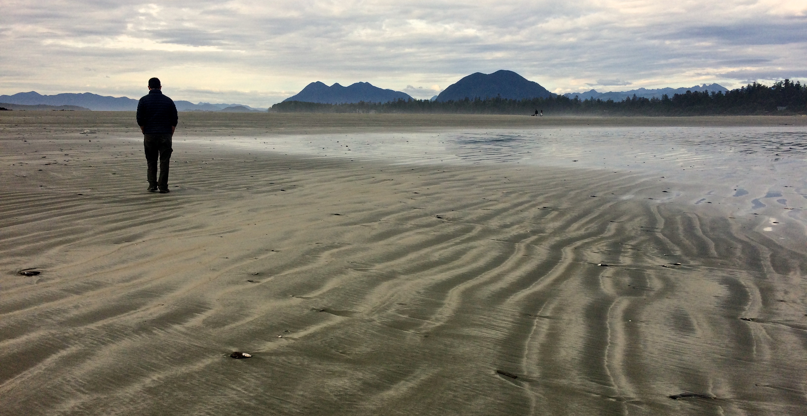
And we found Chesterman Beach to be beautiful at low tide.IMG_5047 IMG_5052


Duncan

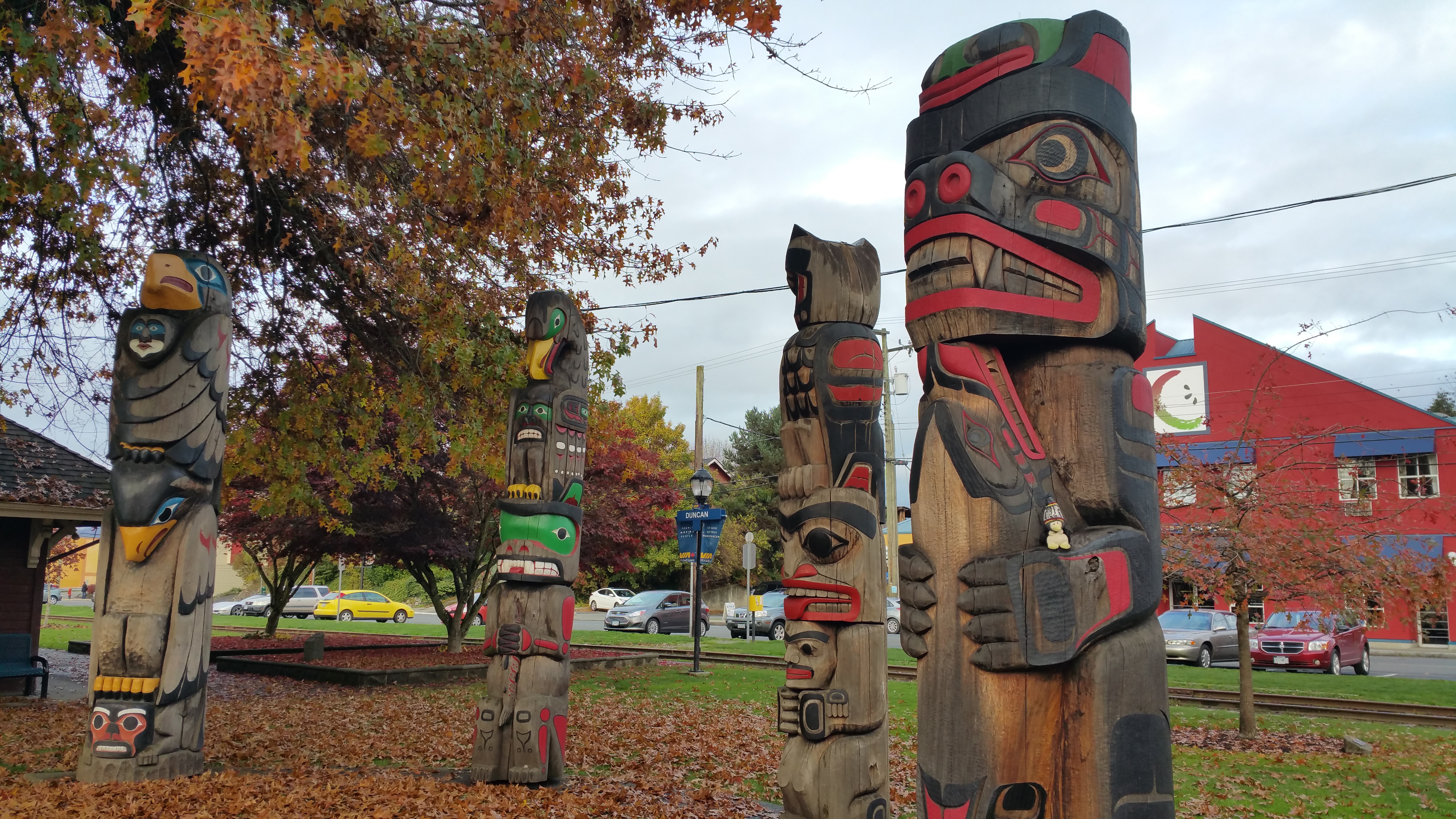
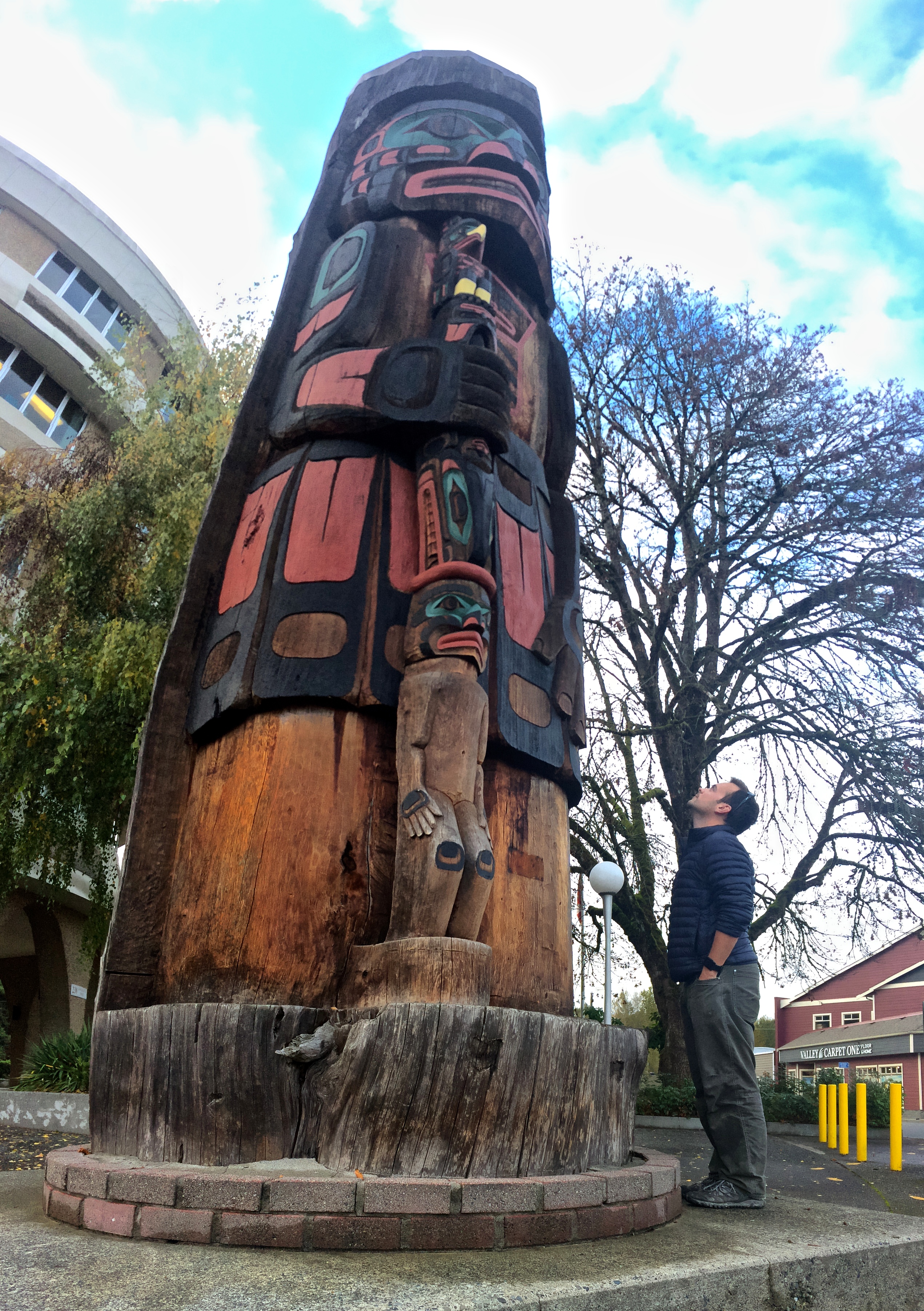
We headed to Victoria after Tofino and Ucluelet, but made a quick stop in Duncan for a self-guided totem pole tour. With 38 totem poles and interpretive signs scattered throughout downtown, Duncan hosts the largest outdoor totem pole gallery in the world. Within the totem gallery is also the widest totem pole in the world. Because we weren’t going to make it to Alert Bay in northern Vancouver Island to view the world’s tallest totem pole, I knew we had to at least see the world’s widest totem pole.20151026_164605
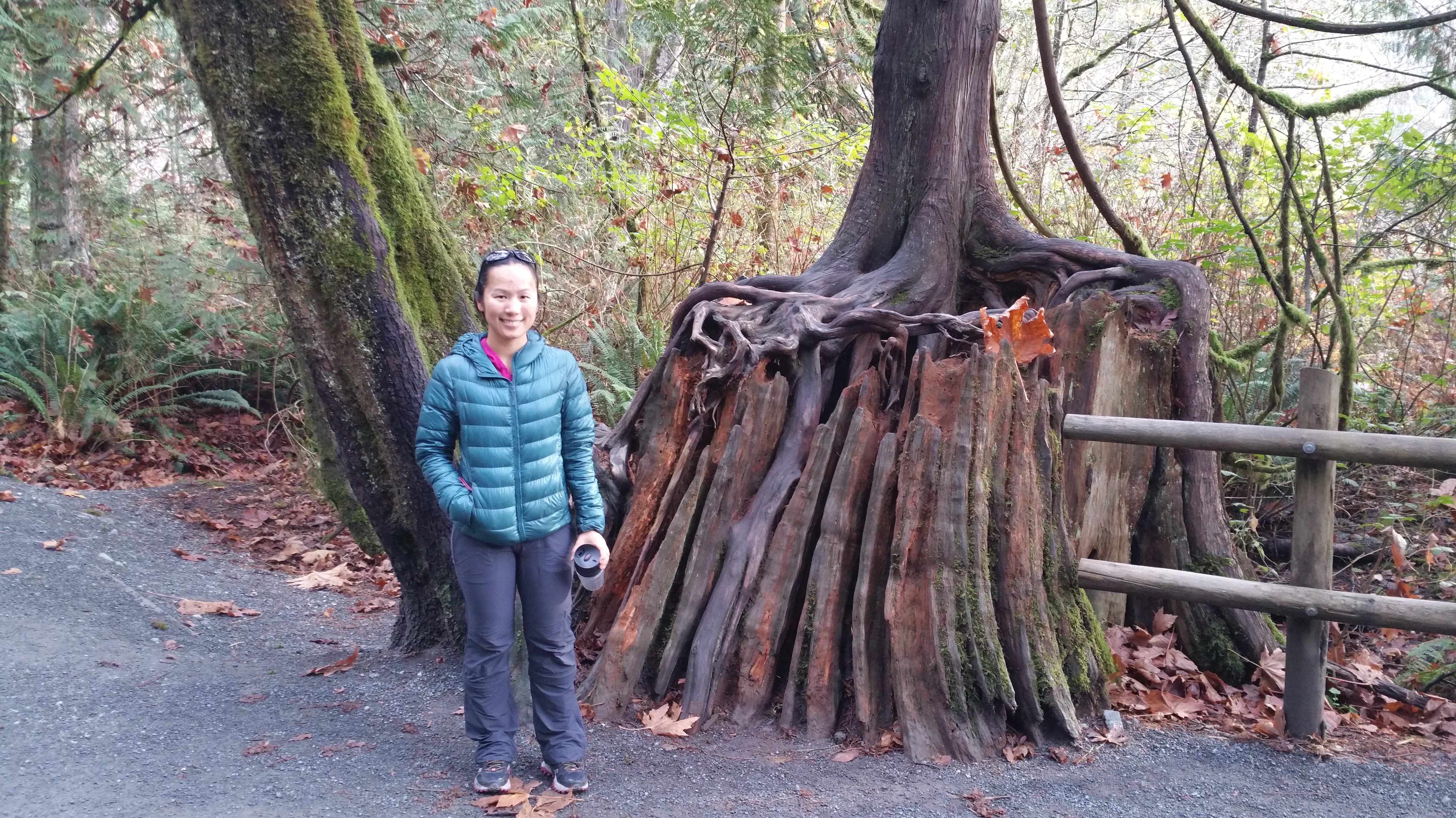
The widest totem pole ended up being more interesting than we anticipated—it was carved from a 750-year-old tree!IMG_5064


Langford

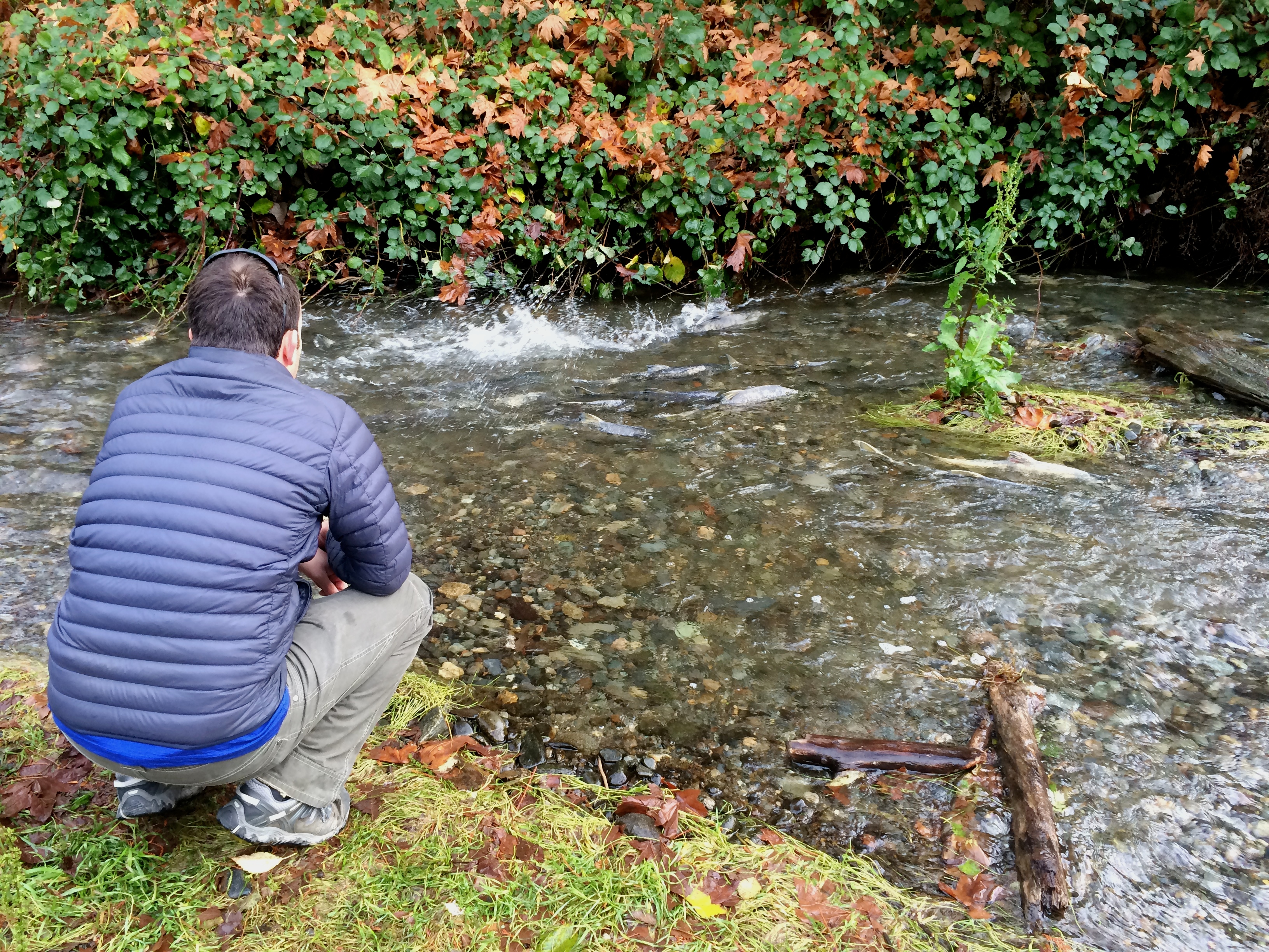
Just outside of Victoria is the town of Langford which is home to hundreds of spawning salmon in the fall. While most attractions in the Pacific Northwest were closed for the season, Goldstream Provincial Park’s main attraction was only just getting started. In fact, October is the best month to visit Goldstream as October marks the beginning of salmon spawning. Before heading into Victoria we visited this park where we observed hundreds of salmon swimming upstream! We had never witnessed this incredible phenomenon; to watch them fight their way up the current to spawn and die was awe-inspiring. I know it may sound boring in writing but seriously, in person, it was nothing short of amazing.IMG_5087

In addition to observing the salmon, we saw a bald eagle and picture-worthy trees.20151027_094900


Victoria

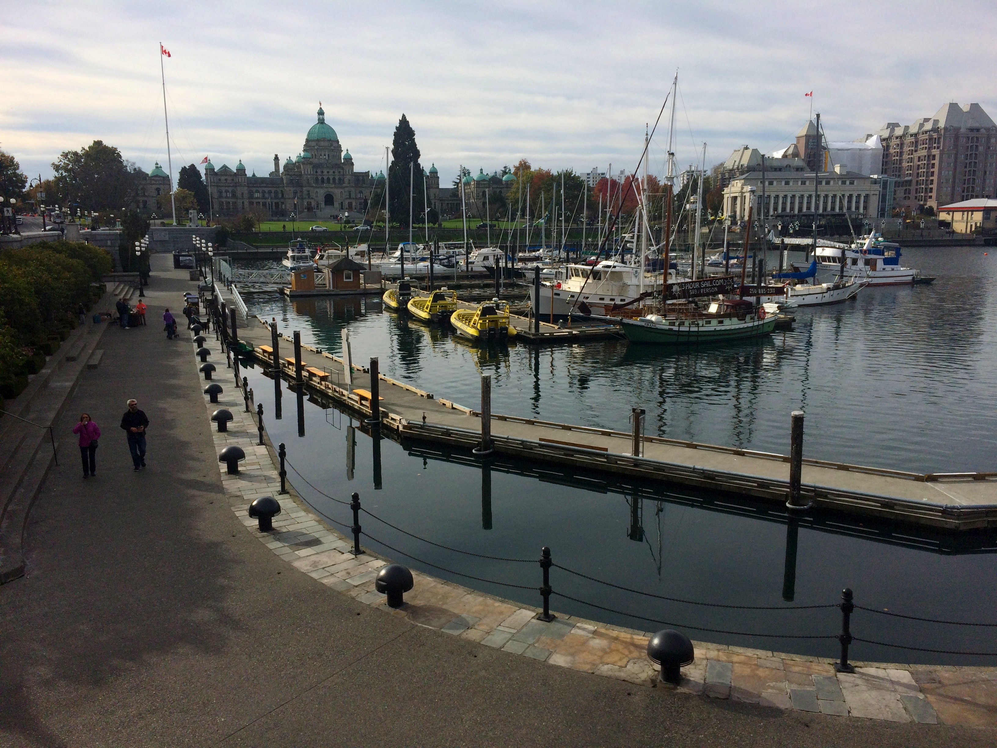
And finally, lovely Victoria. We briefly passed by Chinatown (apparently Canada’s oldest Chinatown), ate halibut fish’n’chips at the Inner Harbor, watched seaplanes take off and land at the seaplane terminal, and strolled by the parliament building.IMG_5098

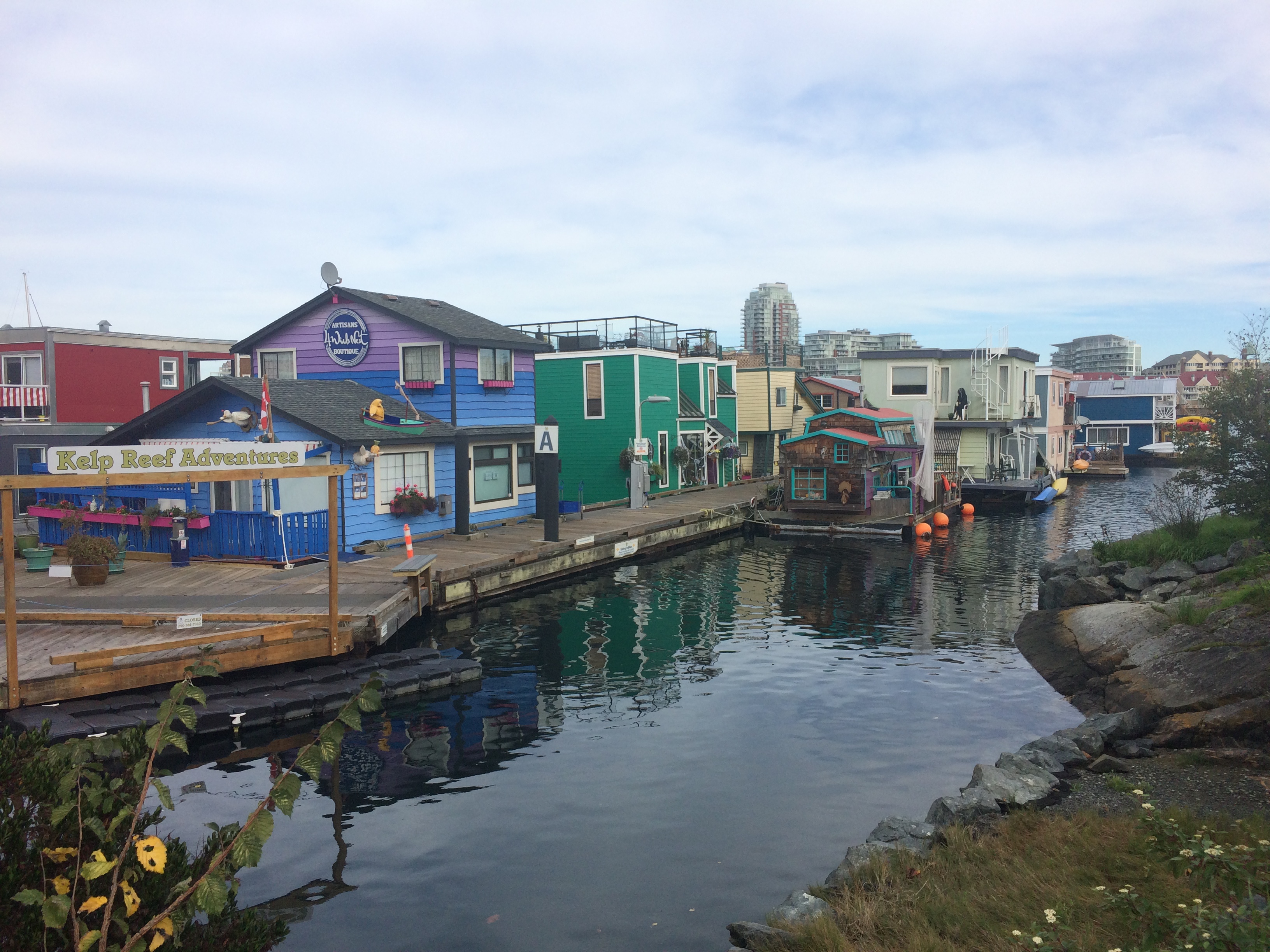
Floating shops at Fisherman’s Wharf:IMG_5099

Along the southern edge of Vancouver Island at Beacon Hill Park, with Washington in the far, far distance (not visible in this photo):IMG_5100


Port Renfrew

Our final town of interest on Vancouver Island was Port Renfrew. From Victoria we headed west again for more Pacific beauty. Most of the drive was windy and up and down along the coast, with woods to one side and the ocean and Washington state to the other side. Port Renfrew, primarily a Native American reservation, was the most desolate, lonely town we had ever seen. Combine run-down trucks, RV’s, un-kept houses with piles of junk and toys in the lawn with a lack of any human being or animal and perpetually gray skies, and you’ve got yourself quite an eyesore of a town.

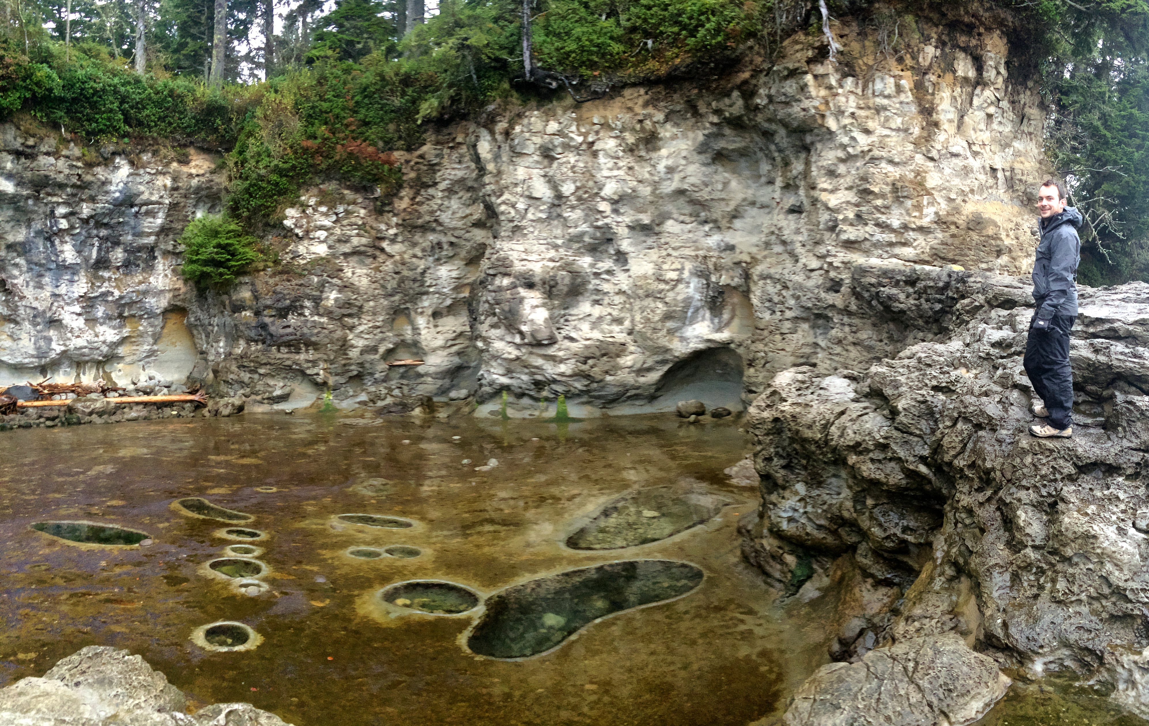
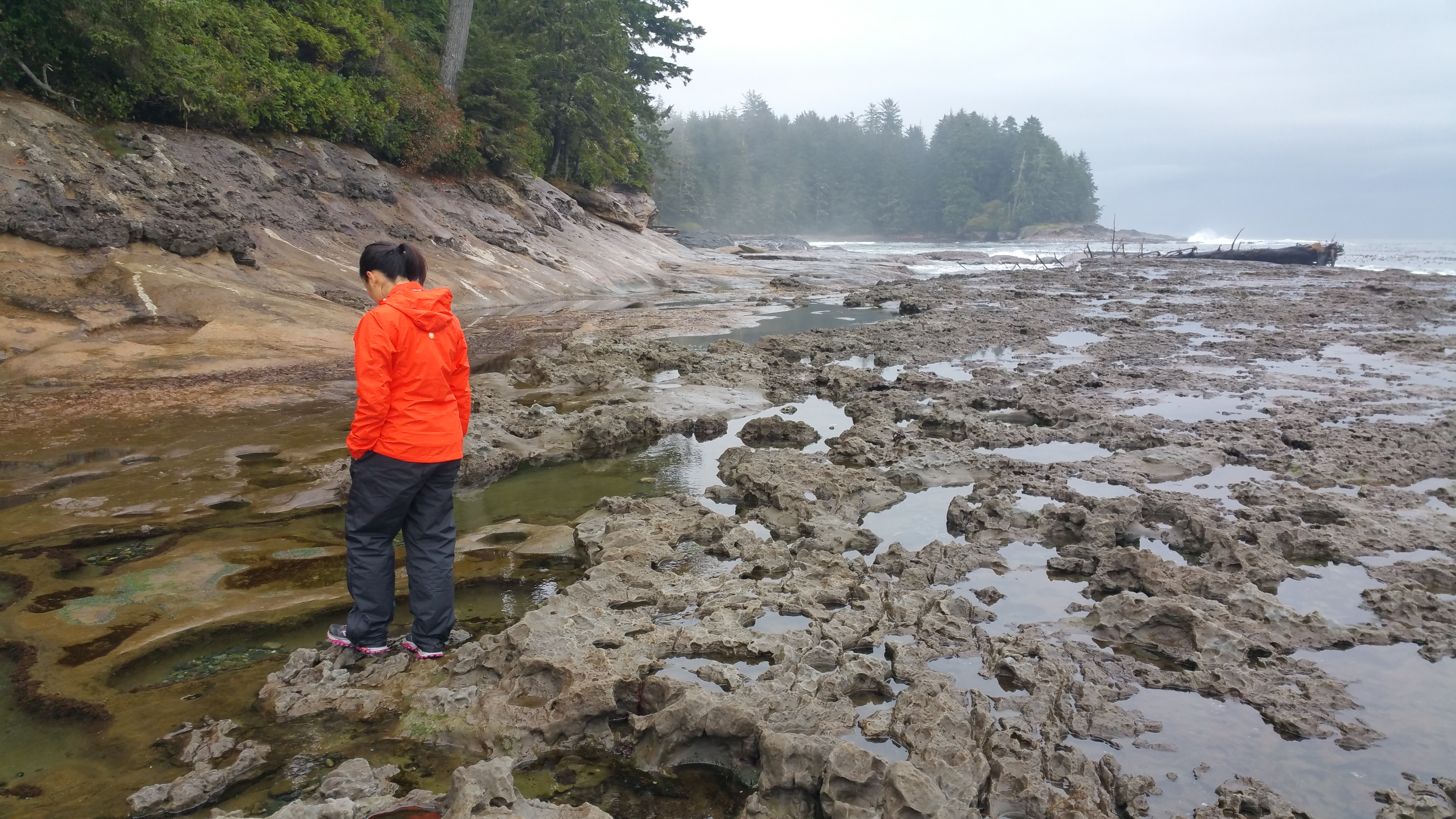
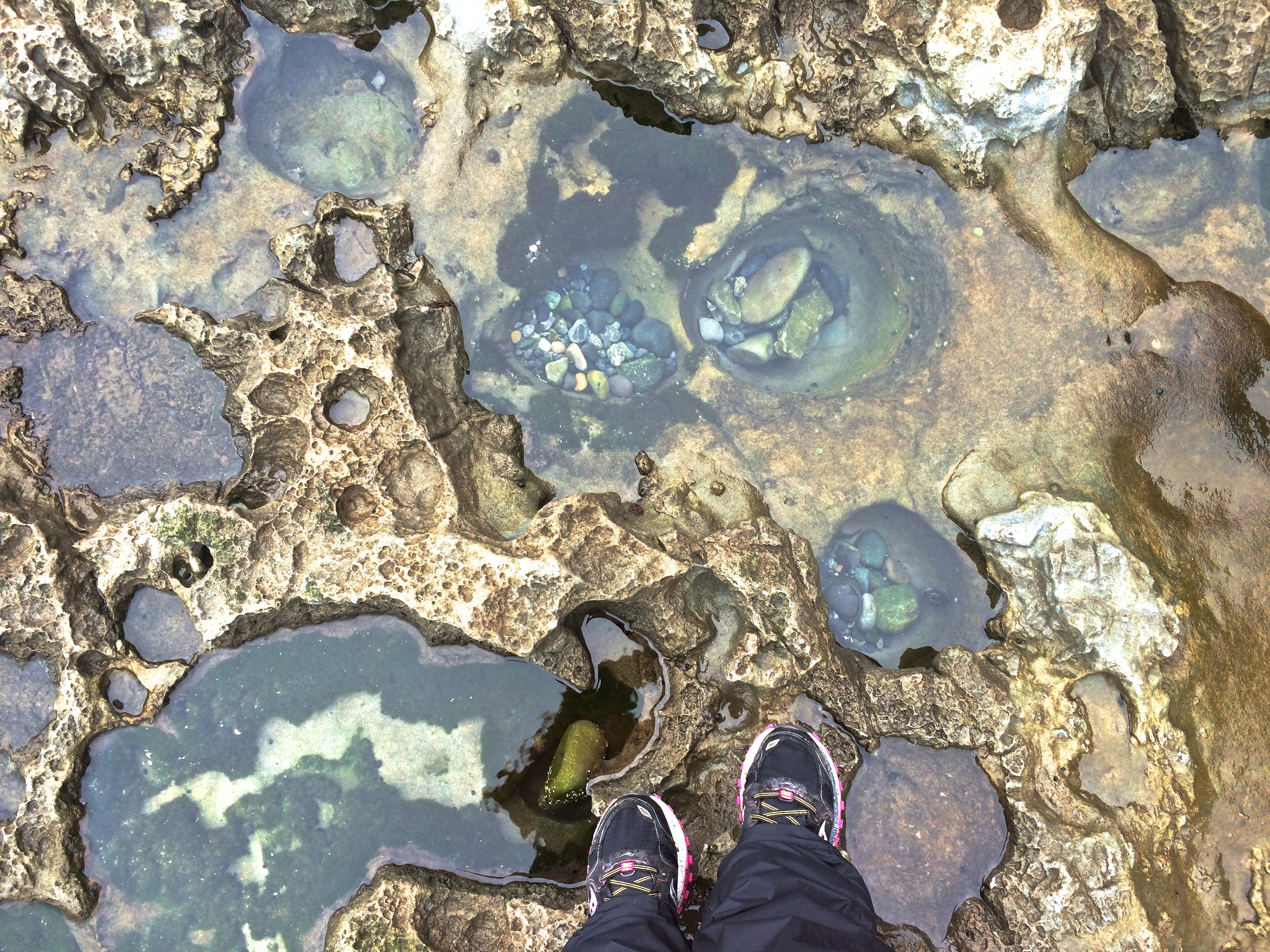
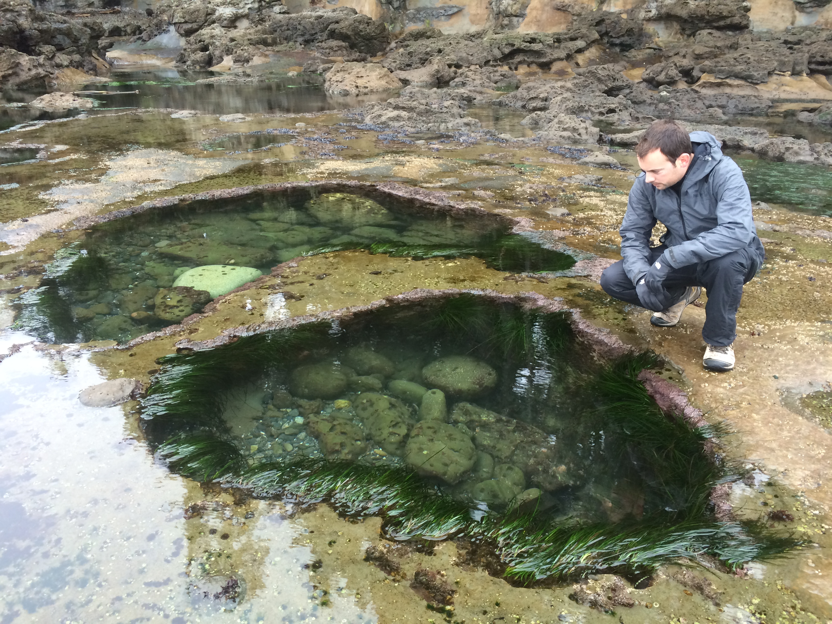
The real reason to drive all the way to Port Renfrew is Botanical Beach. At low tide you will truly understand where the beach gets its name. Powerful waves hurl boulders against the rocky shore, creating cavities that are further deepened over time by sea anemones eating away at the rocks. Gradually, the cavities become large holes and are filled with colorful stones, sea grass, hermit crabs, mussels, starfish, and other sea life—an individual underwater botanical garden. Each tide pool resembles a mini aquarium that you can gaze down into. I’ve seen tidal pools but none like those at Botanical Beach.IMG_5106

Walking along the rocky, slippery shore of Botanical Beach, searching for unique tide pools.20151028_093755

Standing over and looking down into a collection of tide pools:IMG_5111

My favorite pair:IMG_5109

We wanted to check out Avatar Grove next, another forest filled with massive trees, but because the town’s only gas station was closed for the season we had to head back to Victoria in a mad-dash for gas. Joy.


Returning to the U.S.

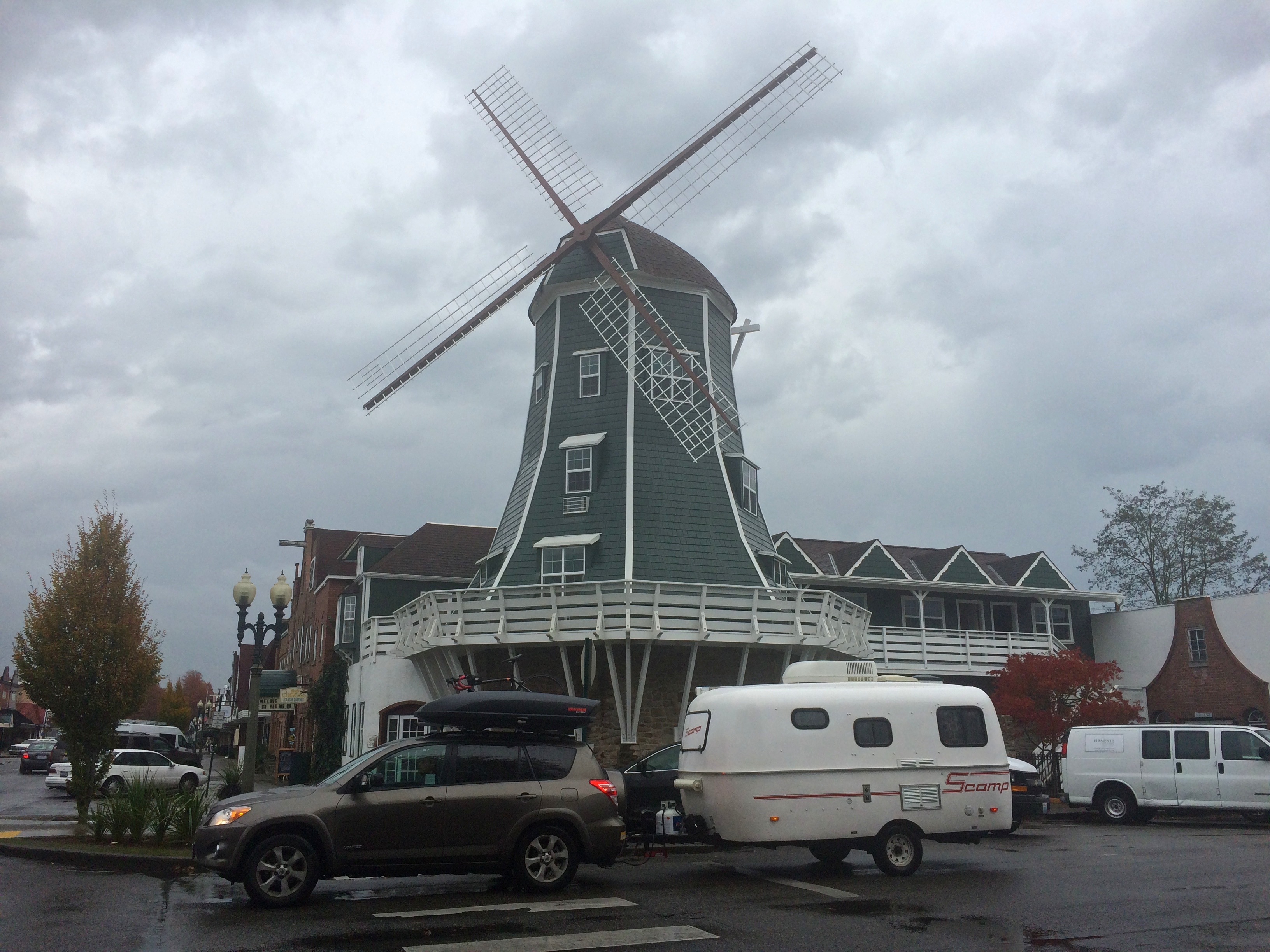
It was another early start and another ferry ride back to mainland British Columbia, this time from Swartz Bay to Tsawwassen. Now we were headed for home, the U.S., after spending almost 2 weeks in British Columbia. The drive to the U.S. was short, the line across the border even shorter, and we made a detour to Lynden, a Dutch town not far from the border in Washington state.

Downtown Lynden with a Dutch windmill.IMG_5113

Why did we go to Lynden? For the famous Lynden Dutch Bakery. I read that their pies were to die for and I had to find out. The verdict? Seriously the best damn apple pie I have ever had. If I ever cross the border again by land, which I know I will since I’m Canadian, I promise I will always stop by this bakery for pie.IMG_5119


Conclusion

From each small town we visited, from Coombs to Duncan to Lynden in the U.S., we saw or learned something memorable. We definitely weren’t the target demographic for tourism in Vancouver Island, but we still enjoyed the pleasant beauty of the island and Victoria. I tend to strive for epic factors in my destinations, whether it be scenery or activity, but sometimes road trips are about visiting the adorable, lesser-known towns between them. If it weren’t for that, then I would never have seen goats on a roof, the world’s widest totem pole, a stream of spawning salmon, or botanical gardens of the sea. And now I know where to find the best damn pie.

Posted in British Columbia | Tagged , , , , , | 2 Comments

Sea-to-Sky

Autumn in Whistler meant one cannot enjoy the lakes and watersports of summer nor the splendor of white powder of winter. However, I was already in Vancouver and had the desire to venture slightly more north, especially since it meant driving along the famous Sea-to-Sky Highway. And best of all, after consecutive days of rainy, gray skies in Vancouver, we were guaranteed days of sunshine in the Whistler area.
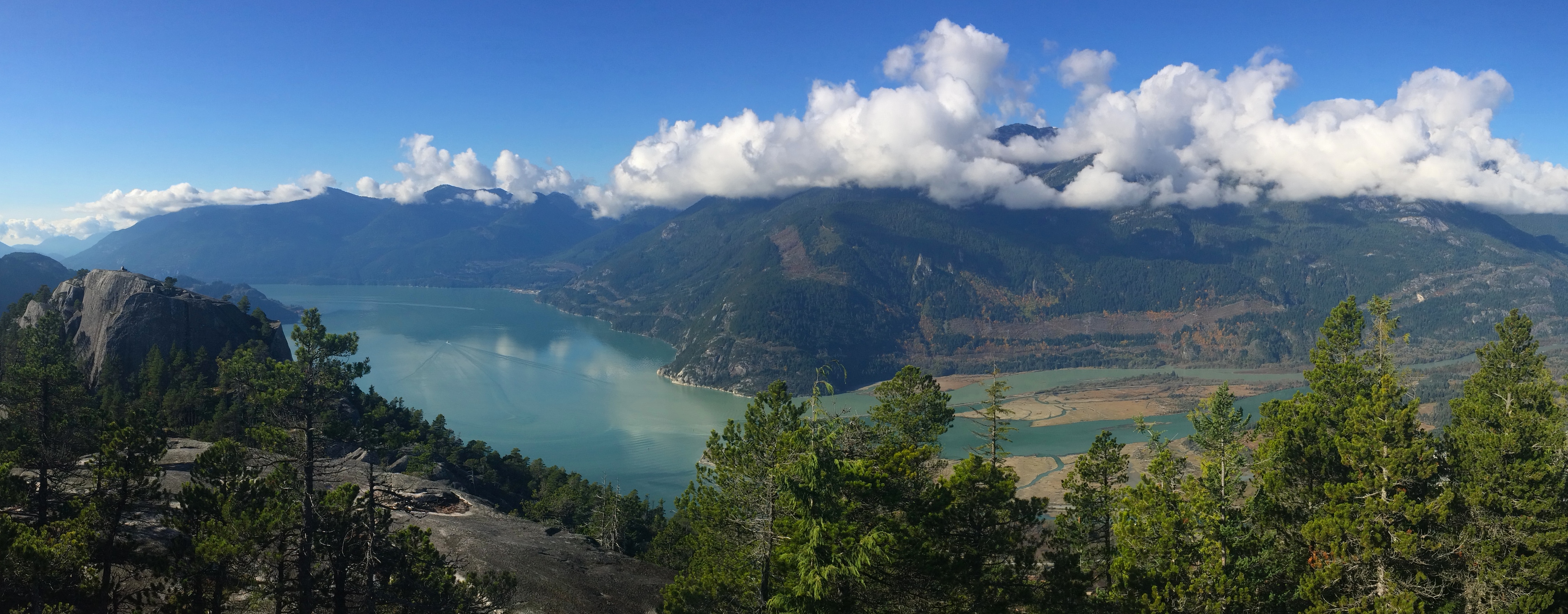
My first stop en route to Whistler was in the little town of Squamish specifically for the Stawamus Chief, the second largest freestanding monolith in the world. Sitting along the highway, the towering 700-meter rock wall is impossible to miss. It is no surprise that the Chief’s three peaks were once sacred sites for the First Natives and is now a magnet for rock climbers and hikers; the views from the peaks overlooking the creamy-blue Howe Sound are incredible. At first I thought there would just be a parking lot/trailhead, but when we arrived we discovered a large campground and water spigots that were unfortunately already closed for the season. This would have been an excellent place in the summer.

Once again I overestimated the time and endurance needed to summit. Maybe it was due to powering up the Grouse Grind just the day before, but the climb up to the peaks weren’t as grueling as they were made out to be. I didn’t want to keep Chris waiting for too long (he hunkered down in the parking lot to work) so I skipped First Peak and summited the Second and Third Peaks.

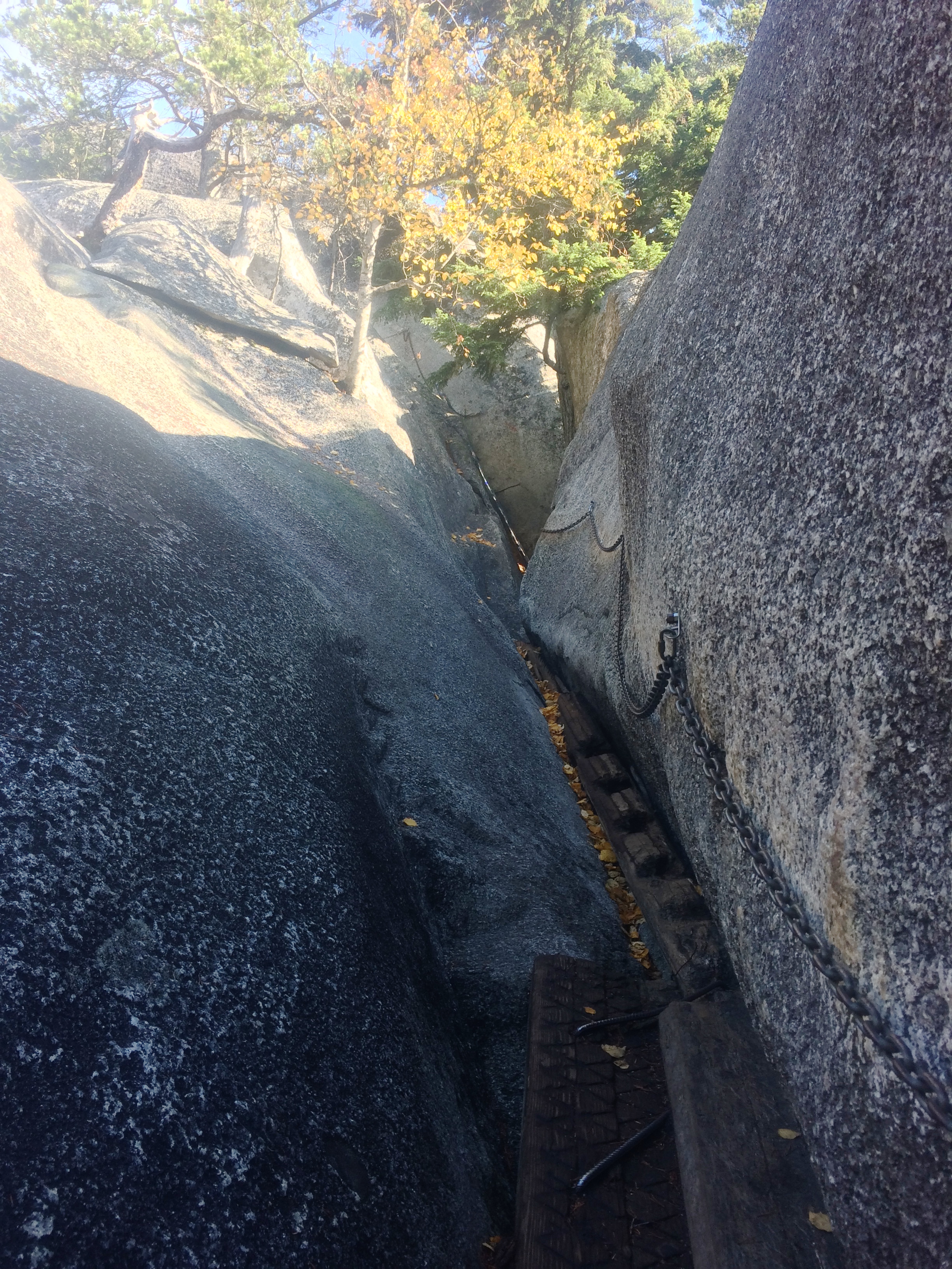
It just so happened that trail up to Second Peak was the trail with chains. Good thing because I definitely needed them.IMG_4963

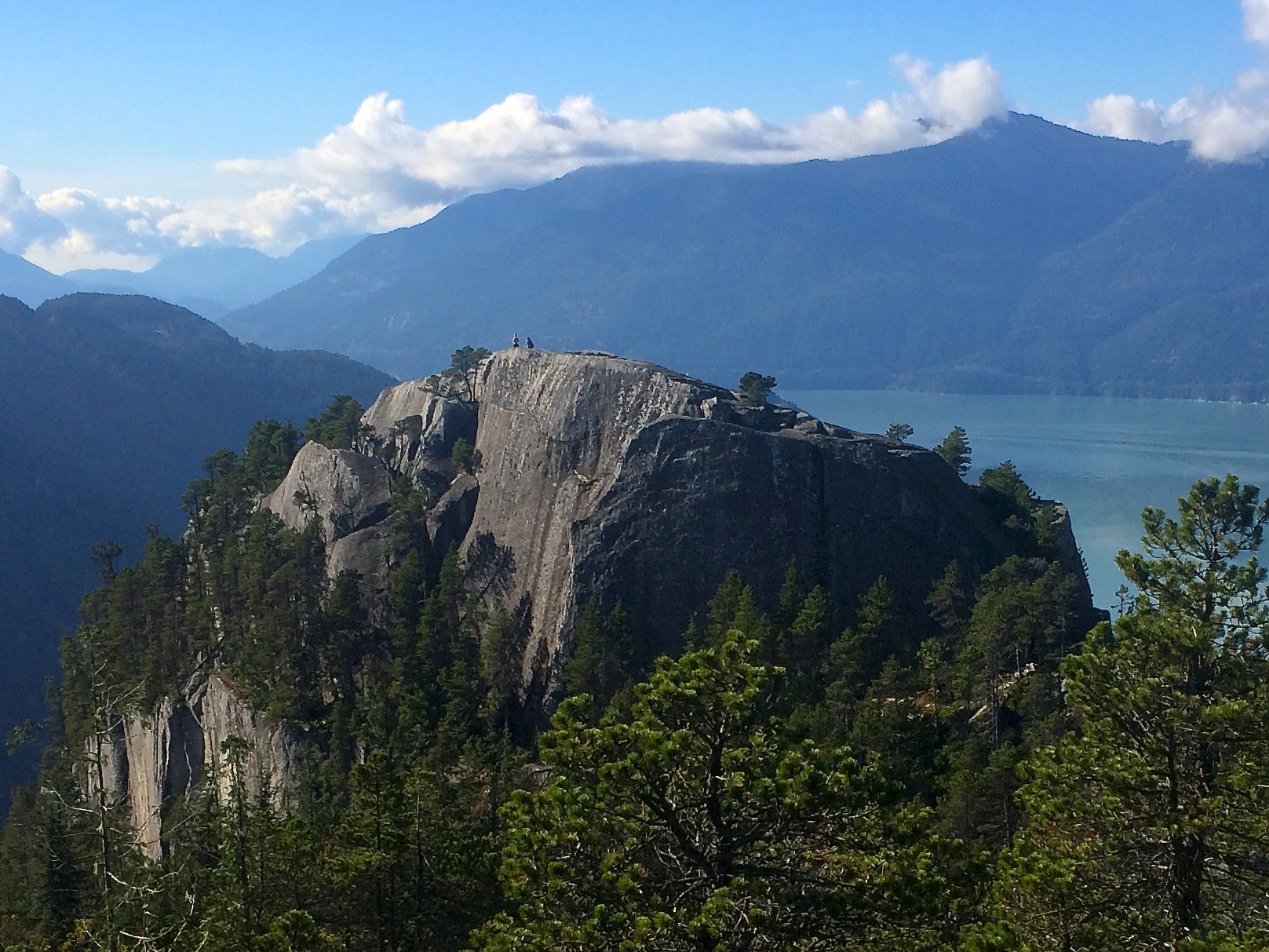
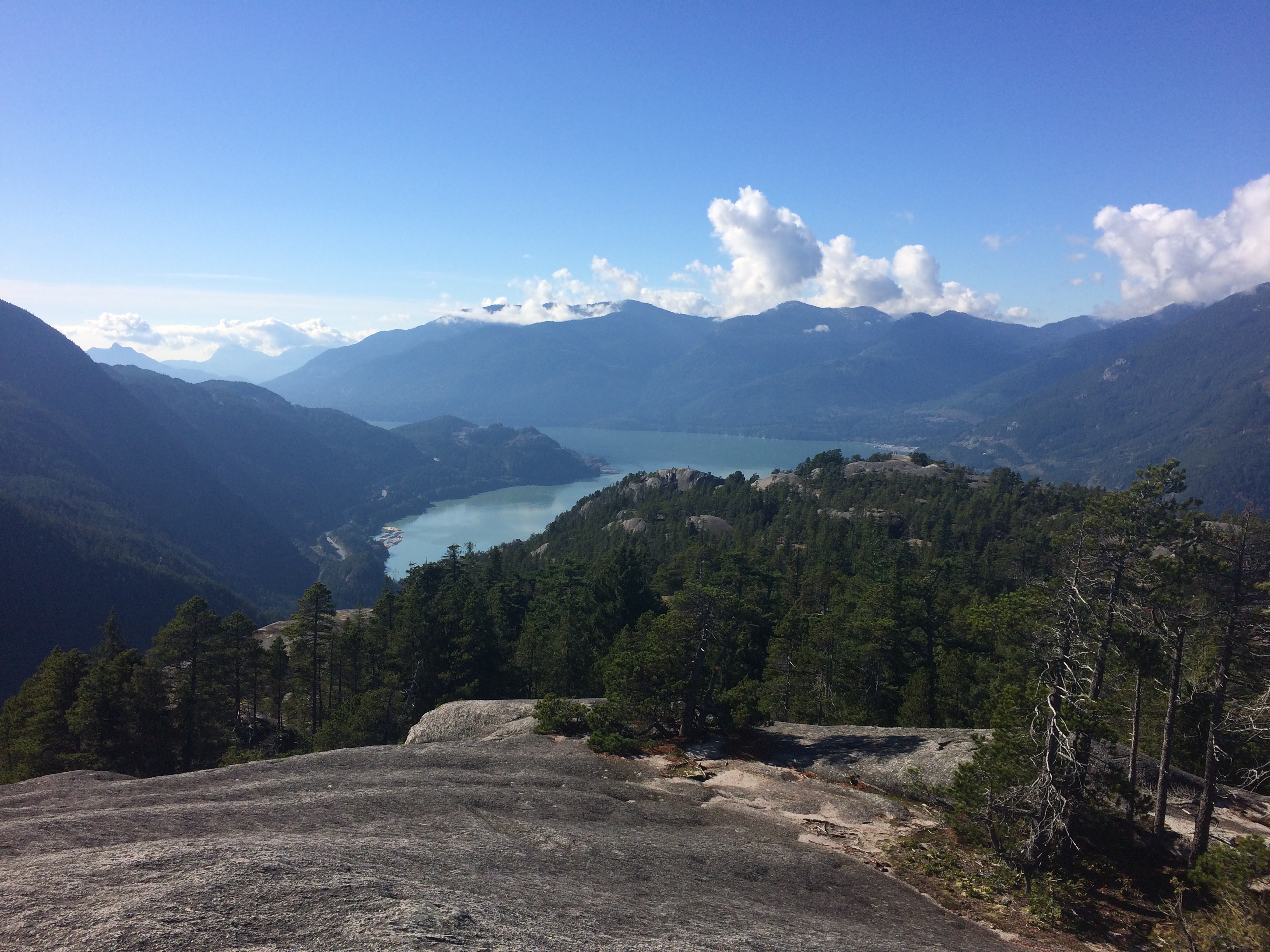
It took me just about an hour to summit Second Peak. Here is the view looking at First Peak.  Can you find the two people standing on it?IMG_4968

And a pano from Second Peak.IMG_4972

Third Peak wasn’t far nor strenuous to get to from Second Peak, but its views weren’t as memorable. Looking out toward First and Second Peaks:IMG_4976

Conveniently located on the highway not far from Vancouver or Whistler, the Stawamus Chief is absolutely worth the climb on a clear day. The hike does not require too much time, its views are incredible, and it’s FREE!

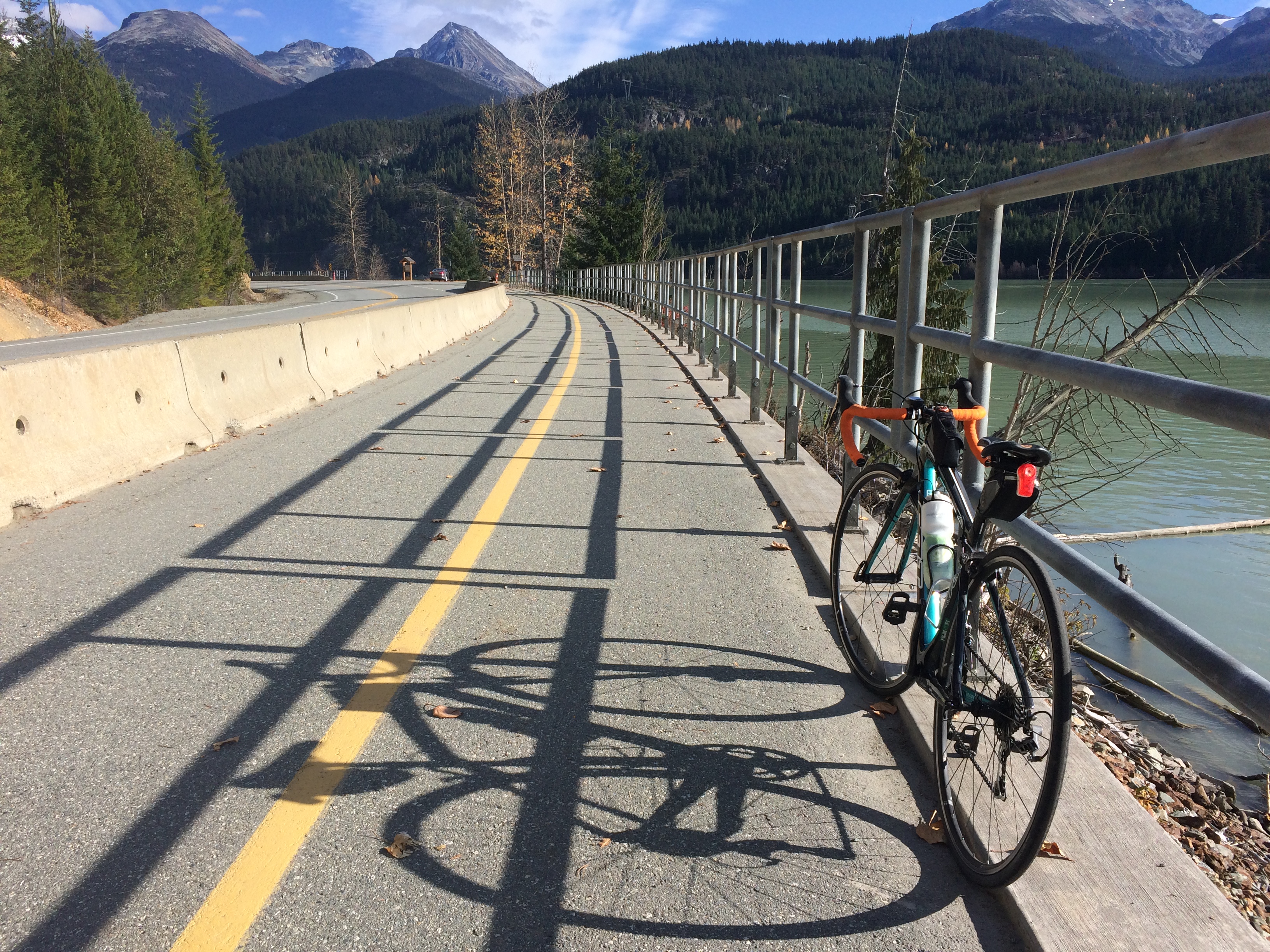
Next was Whistler. As I mentioned earlier, shoulder season meant we couldn’t swim or snowboard. So what’s a bored Jean to do? I hopped on my bike and pedaled a quick 20 miles to Pemberton. Yay! IMG_4979

Our 2-day trip along the Sea-to-Sky Highway though very brief was beautiful and memorable especially due to the views from the Stawamus Chief.  I can’t wait to return in the summer or winter months.

Posted in British Columbia | Tagged | Leave a comment