Grand Teton

Driving north for only half a day completely transformed our surroundings with Wyoming’s alpine mountains, dense forests, year-round snow, and countless lakes replacing Southern Utah’s endless deserts, dry canyons, and wind-sculpted rock formations.  Although quite the opposite of where we’d spent the last 2.5 weeks, it was not difficult to fall in love with Grand Teton National Park.

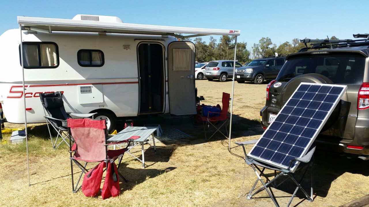
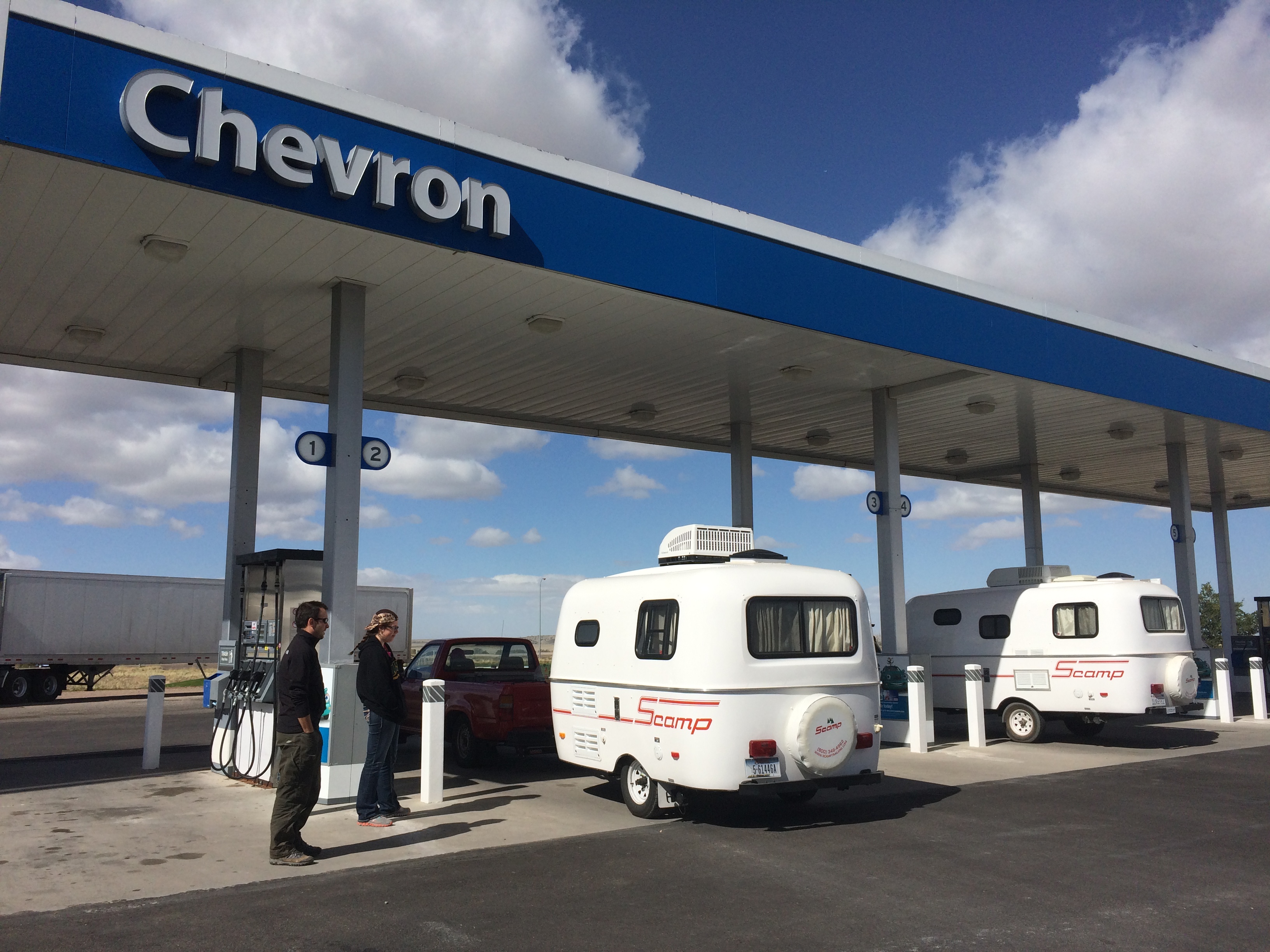
We left Salt Lake City in the afternoon and arrived in The Grand Teton long after dark.  As we made our way up toward Wyoming, we even ran into other Scampers!IMG_7285The mother-daughter pair who owns this 2014 13′ Scamp spend a lot of time on the road and just purchased their Scamp earlier this year.  The daughter did not know of our next destination and coincidentally told us that The Grand Teton was her favorite place.
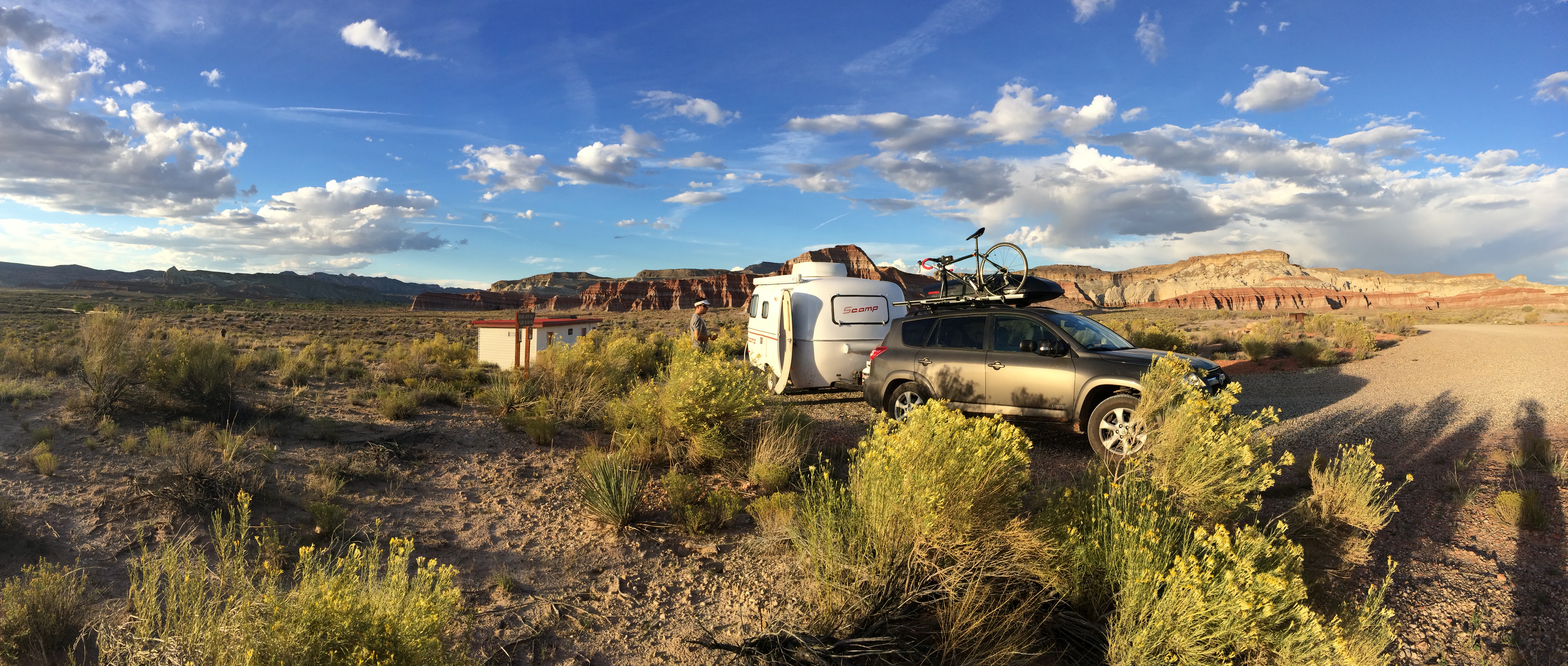
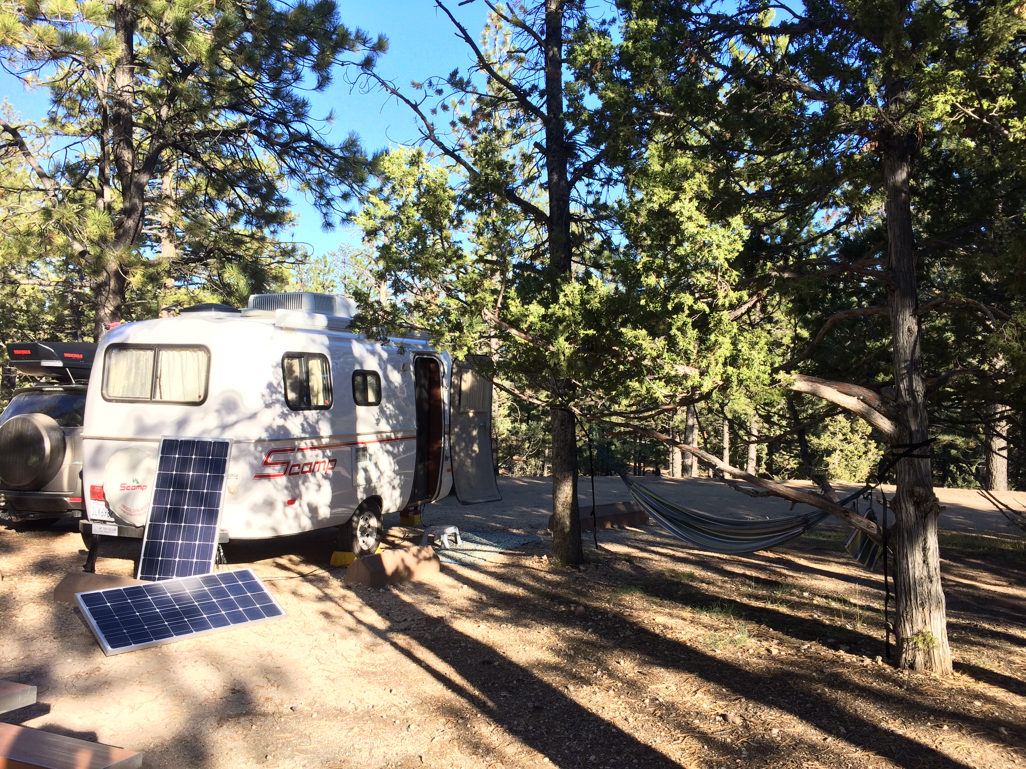
Thanks to research and the internet, I discovered one of the most picturesque boondocking sites with lovely backdrops of the entire Teton range off a random dirt forest road.  I highly recommend camping here due to its remote location, vicinity to the park (Moran entrance), and its stellar views.  Despite the site’s popularity, there was only one other tent pitched in the large campground when we arrived–again, another benefit to traveling during the off-season.  We set up in the dark and eagerly awaited the view from our window the next morning:20141015_094403_Android
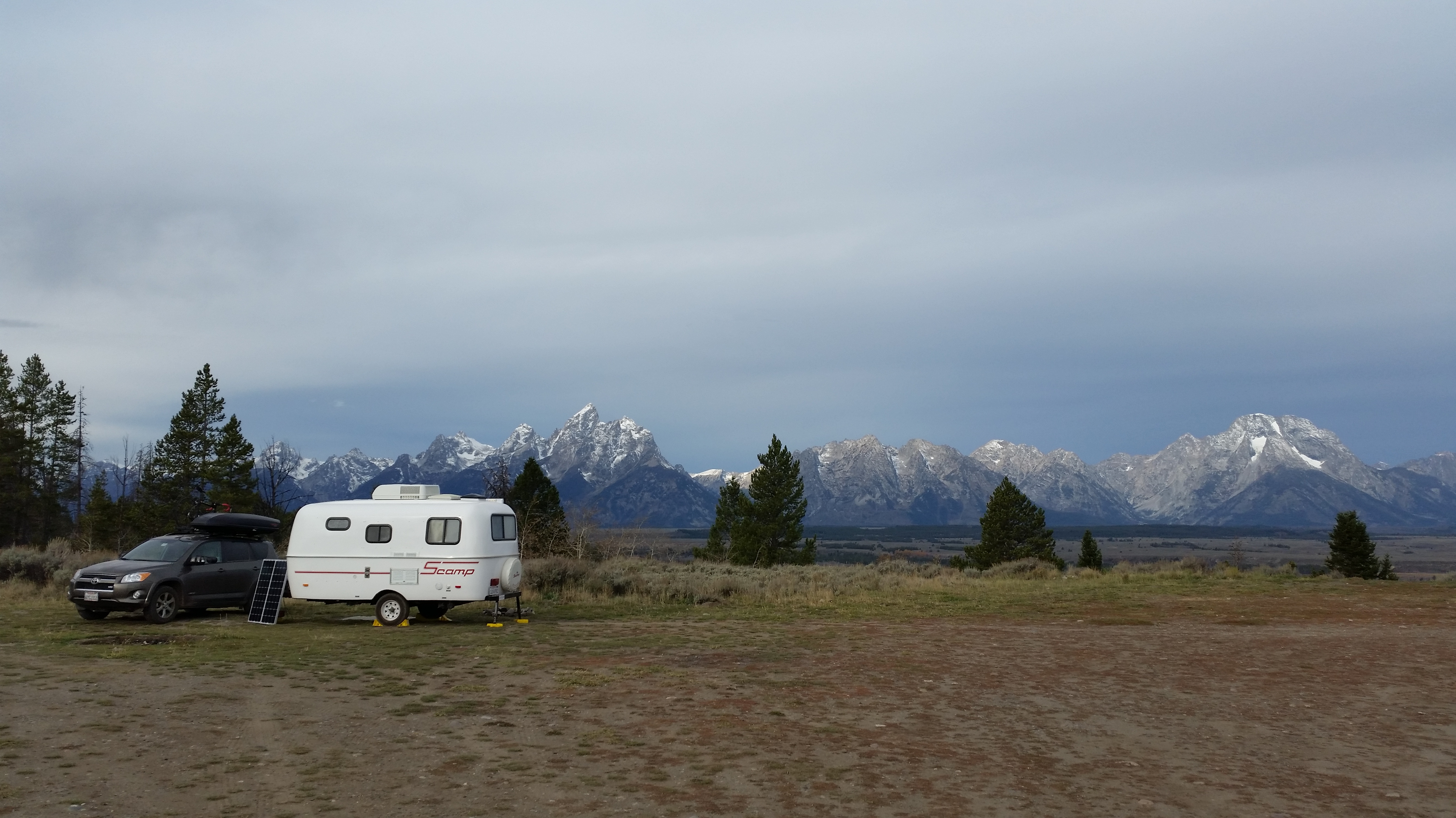
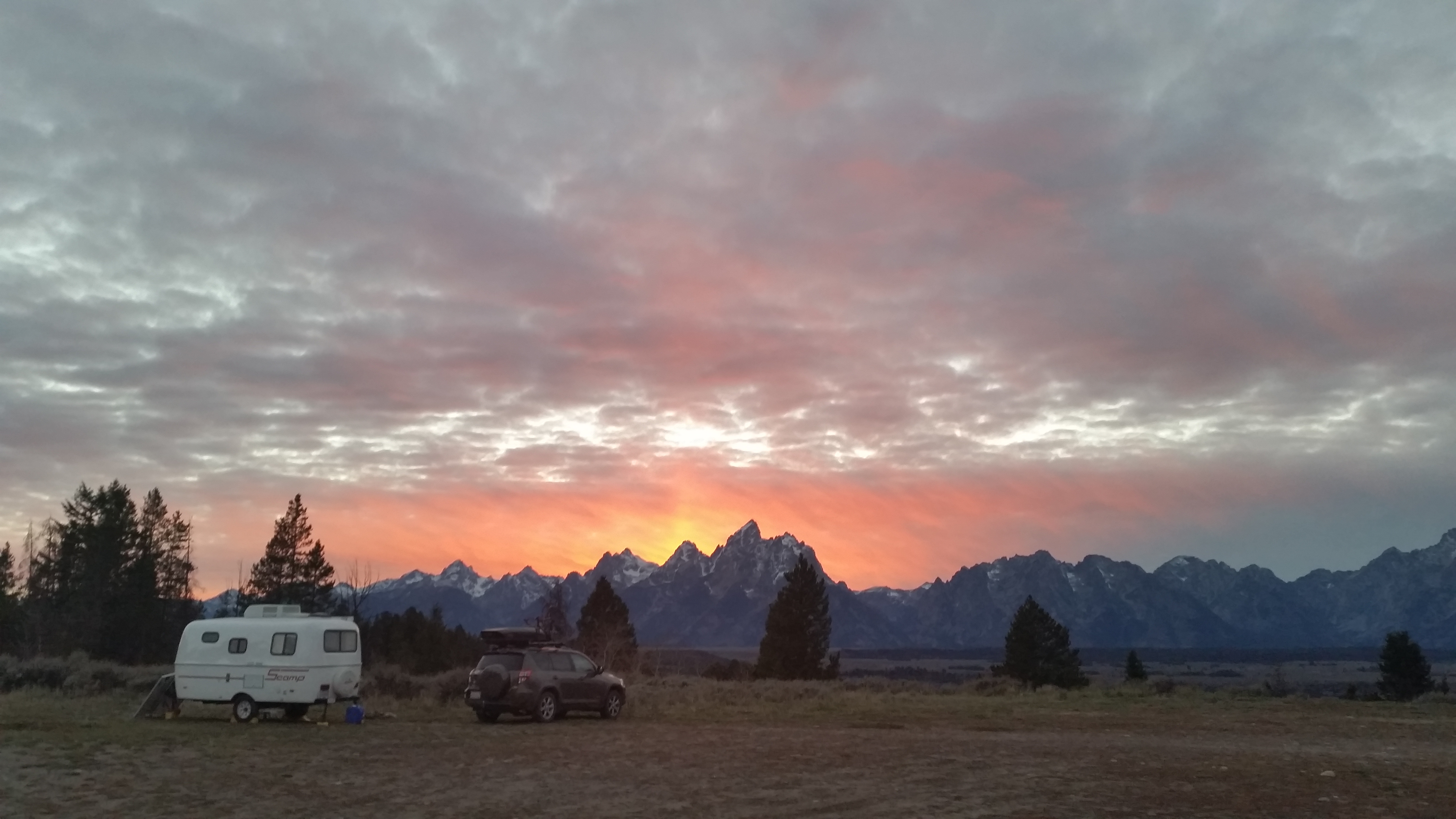
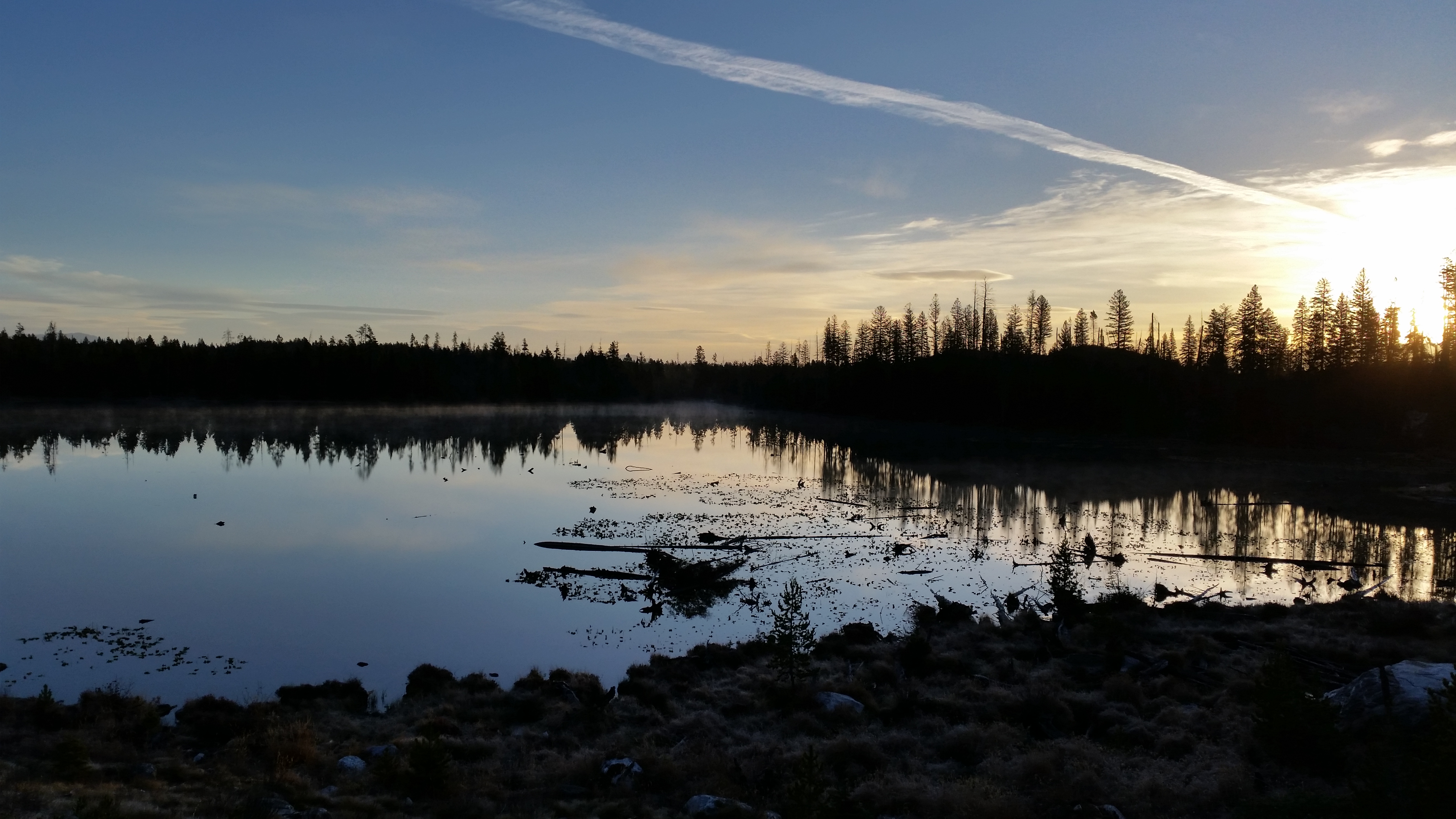
The other tent camper had left, leaving the entire landscape to ourselves!  For the next five nights, this was our home.  Clouds trickled in and out, presenting us a variety of sunrises and sunsets that could easily satisfy the fastidious artist.20141015_175836_Android20141016_184527_Android (1)
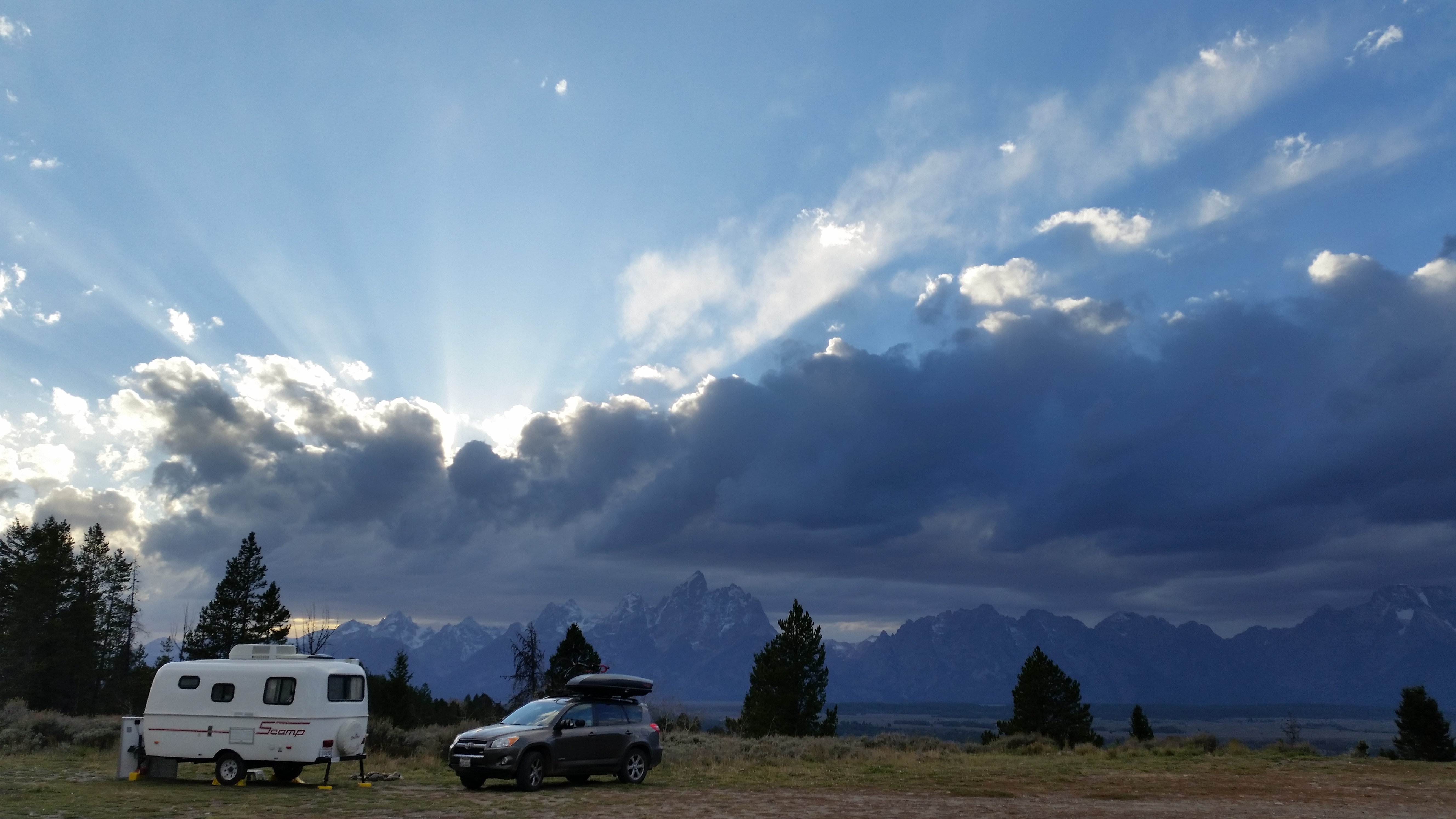
Luck was also on our side.  Weather in the Rockies is most unpredictable; it could be sunny and clear all week with a day or two of sporadic storms between.  Prior to arriving, the weather forecasted several days of unusual, pleasant autumn warmth that would reach the mid-60s!  Thankfully, the forecast was spot on.

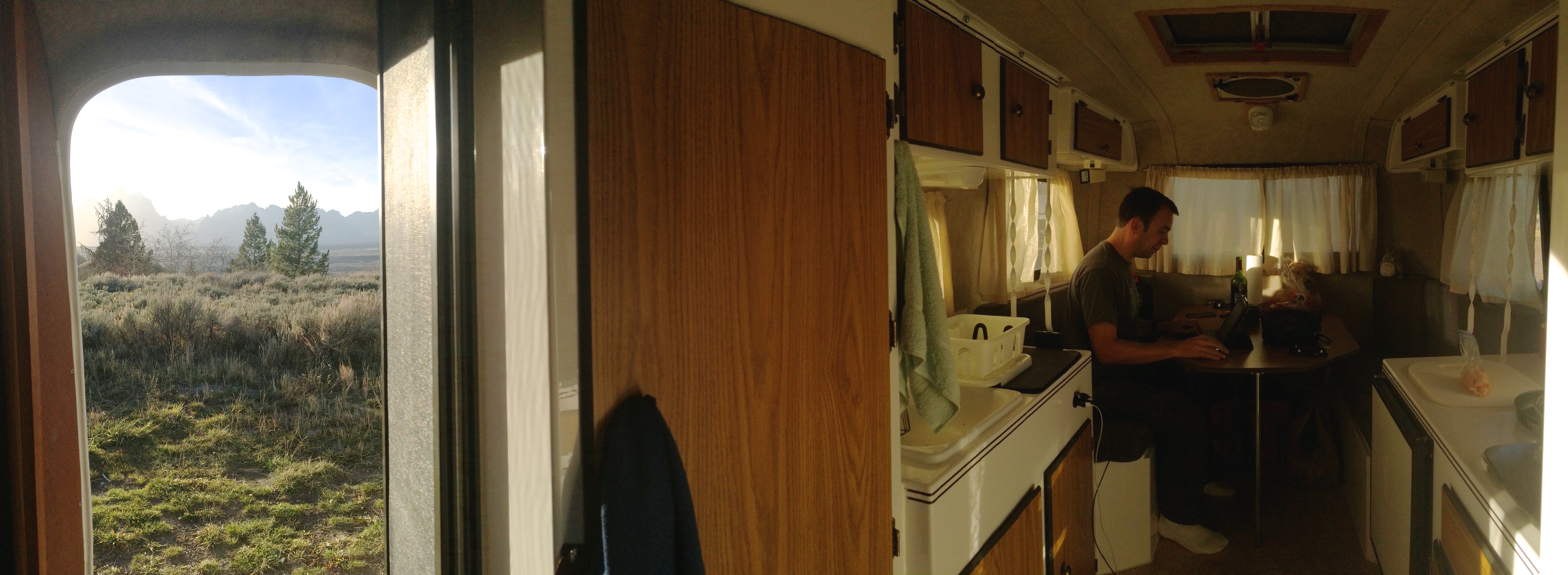
Between hikes and other outdoor adventures, we enjoyed squandering away time in our home.  The simple pleasures of hanging out in Scromp and enjoying the view from his door was all we needed to fulfill our happiness.  “This is a great life,” we often thought to ourselves as we sipped on wine and watched the day pass by.  Below is Chris working at the dinette, with a gorgeous view right outside our door.IMG_7360
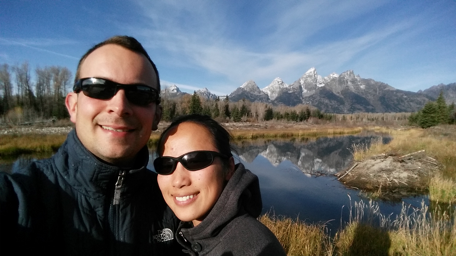
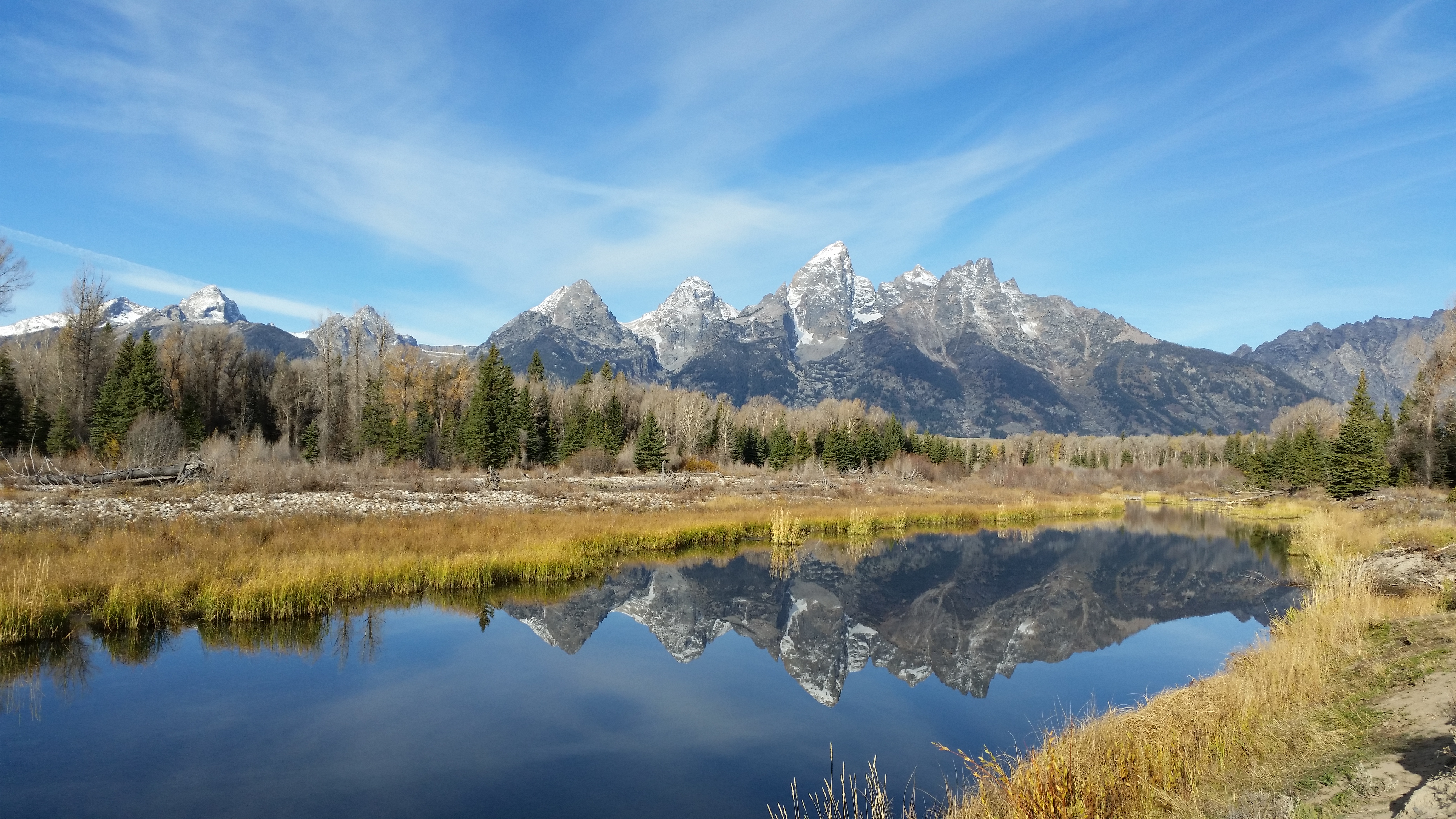
When we weren’t spending time in Scromp, we hiked several trails and drove to a number of overlooks. The classic, practically perfect overlook from Schwabacher Landing: 20141016_093119_Android 20141016_093225_Android
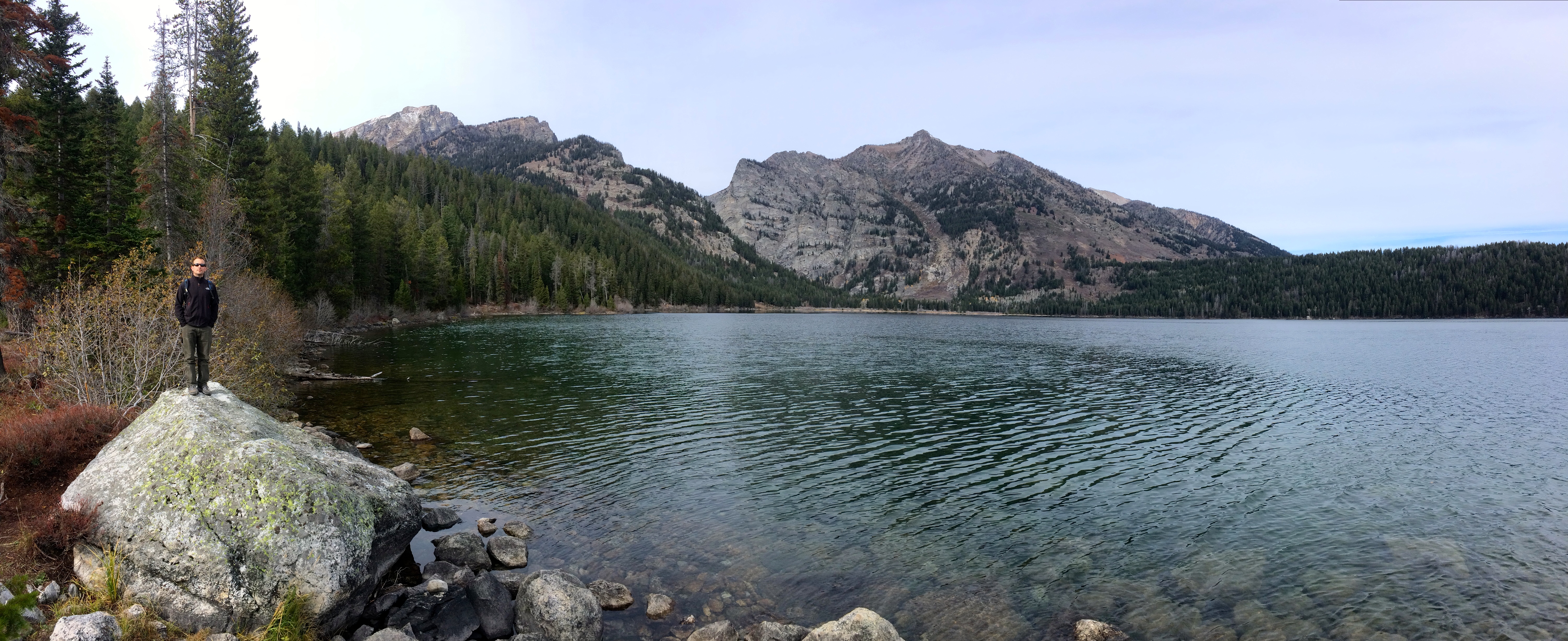
Easy 4-5 mile loop around Phelps Lake:IMG_7316
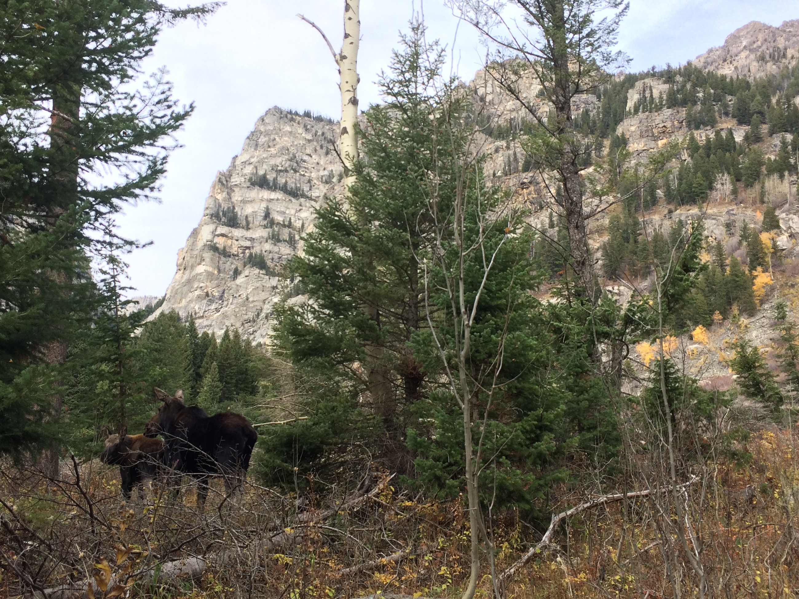
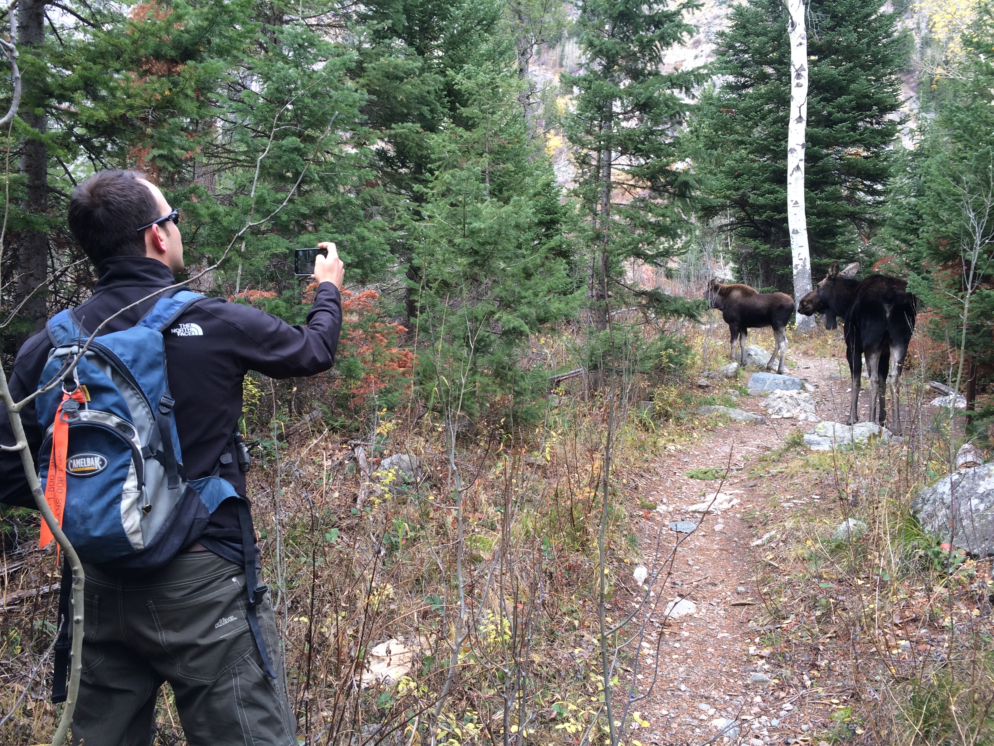
Because the trail around Phelps Lake was vacant, we encountered a moose and her baby.20141016_120226_AndroidIMG_7320 IMG_7318
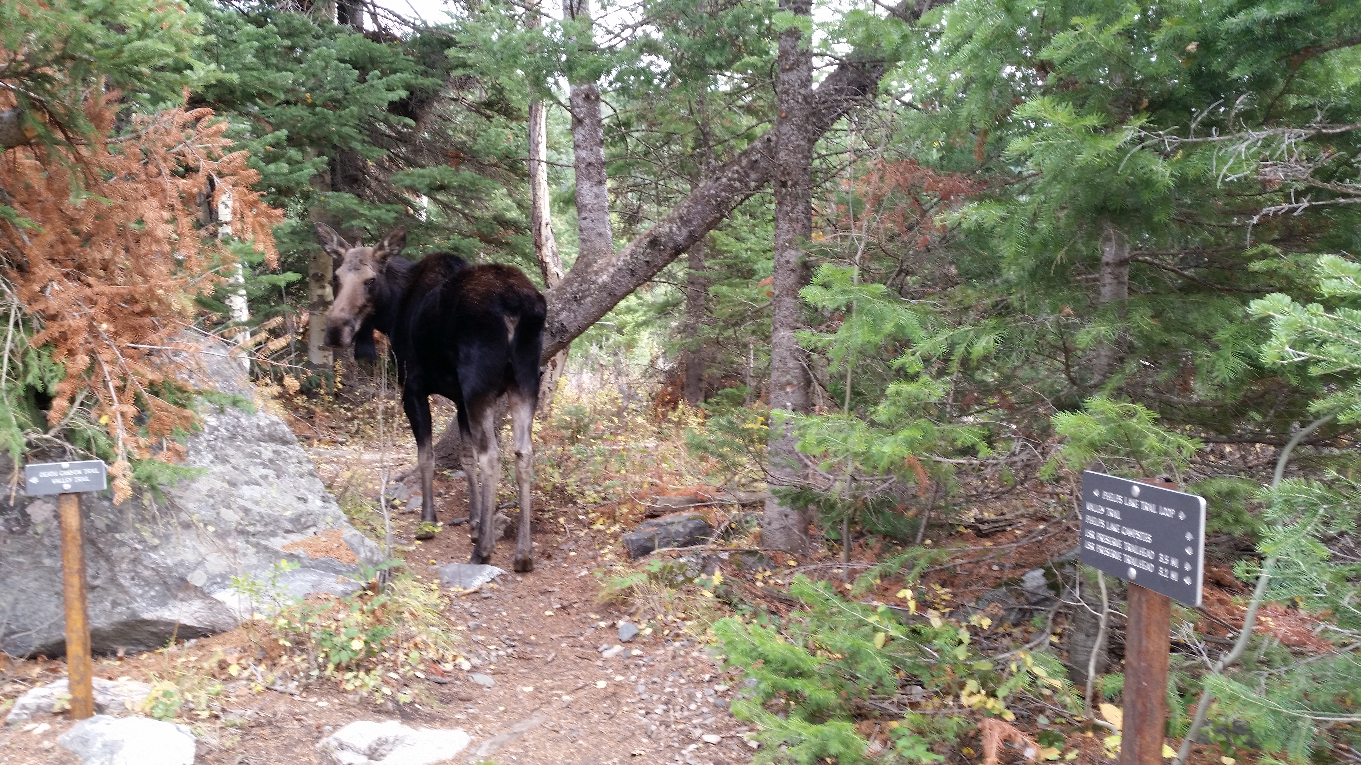
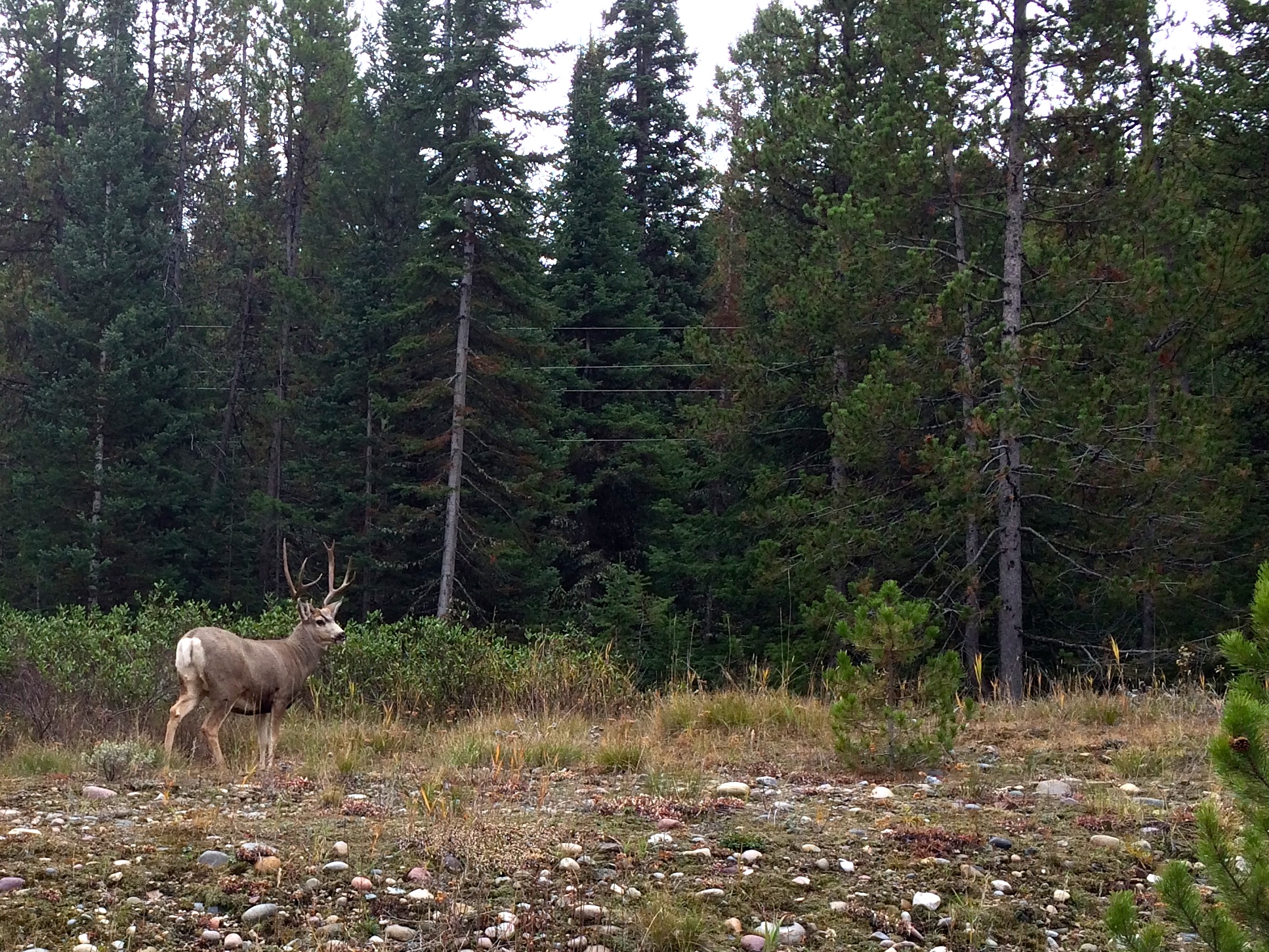
Even outside of hiking trails, it was not uncommon to encounter wildlife along the road. Elk, bison, antelope, and deer frequently grazed the prairie and marshes.IMG_7305
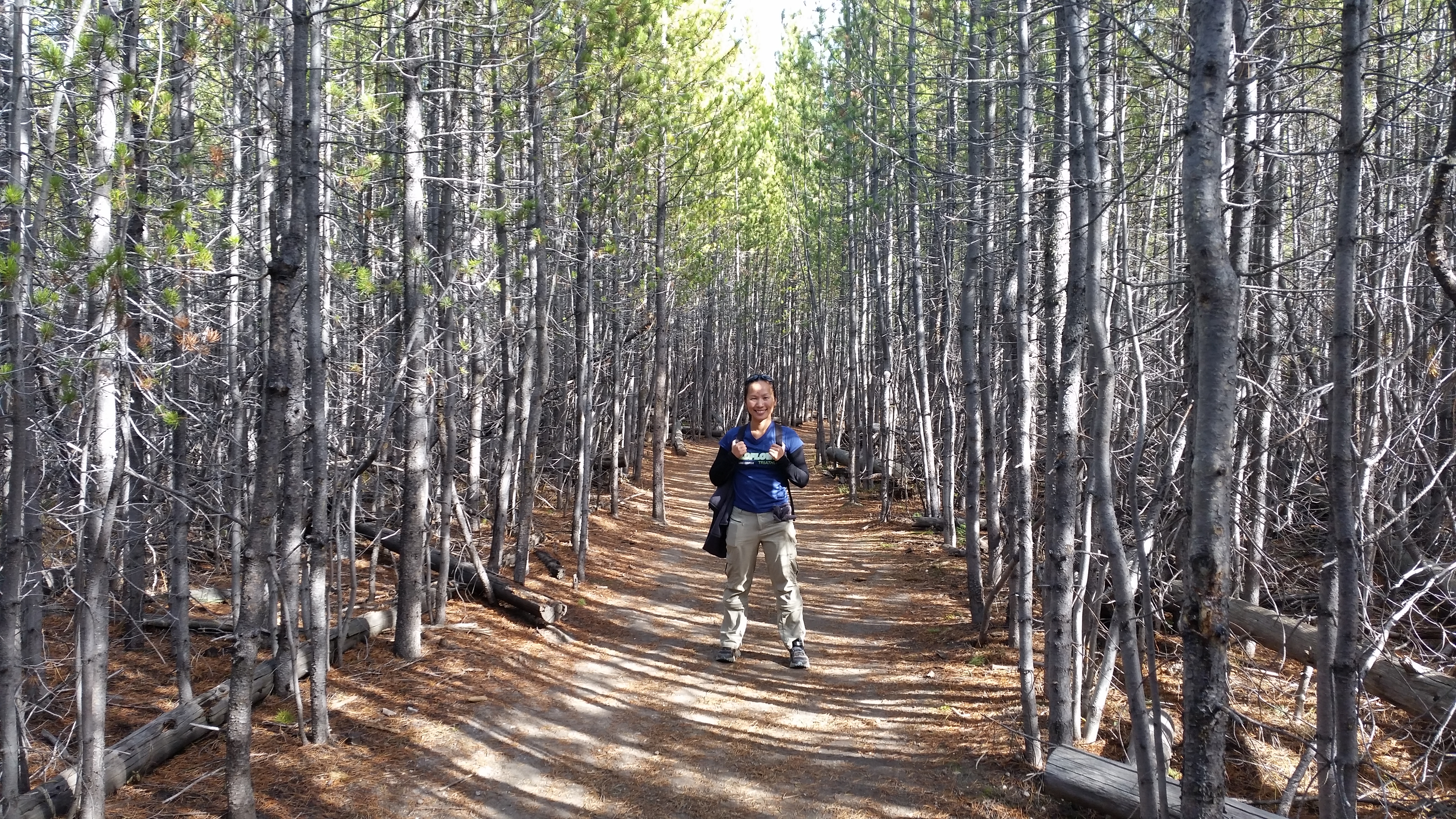
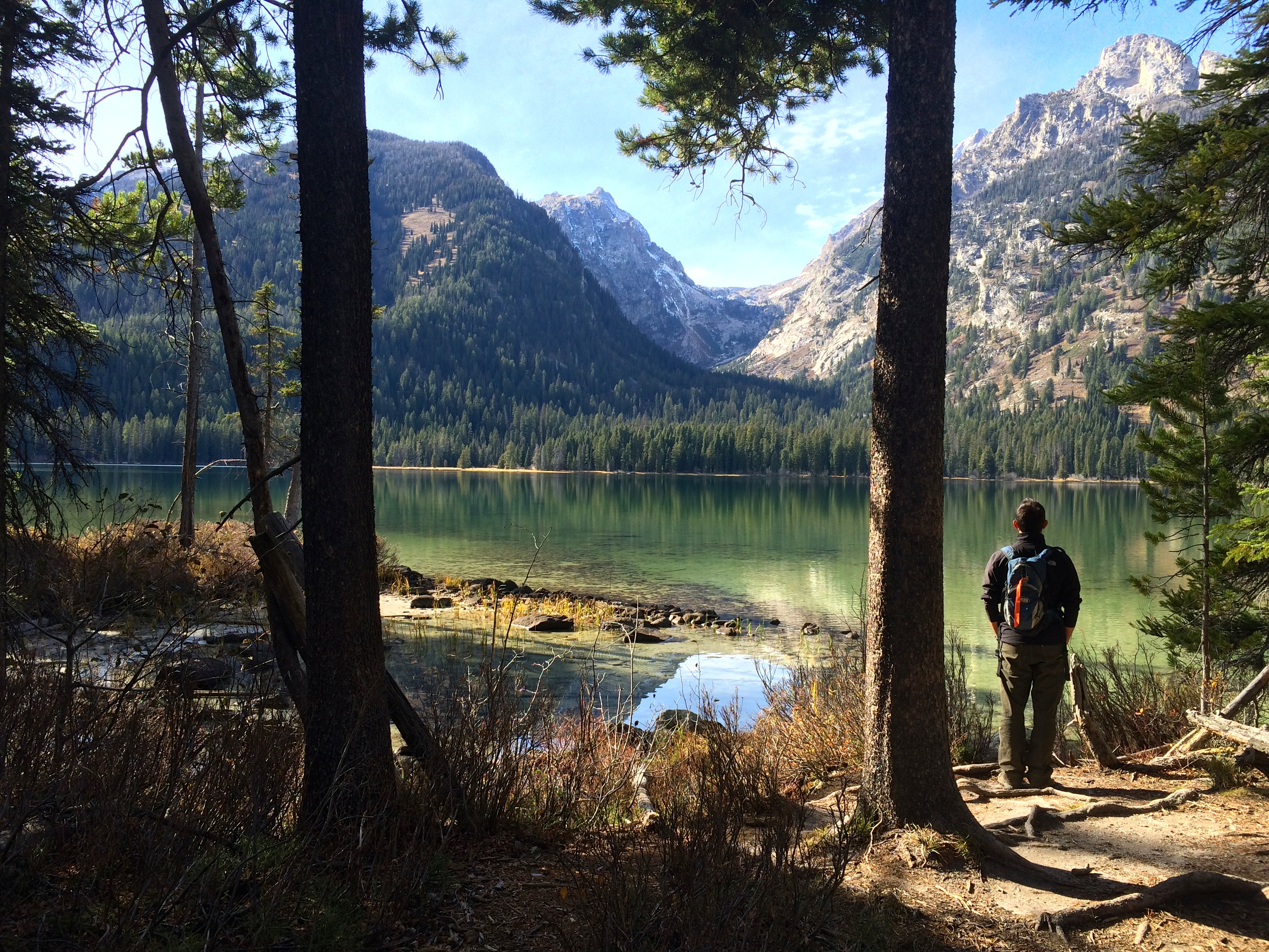
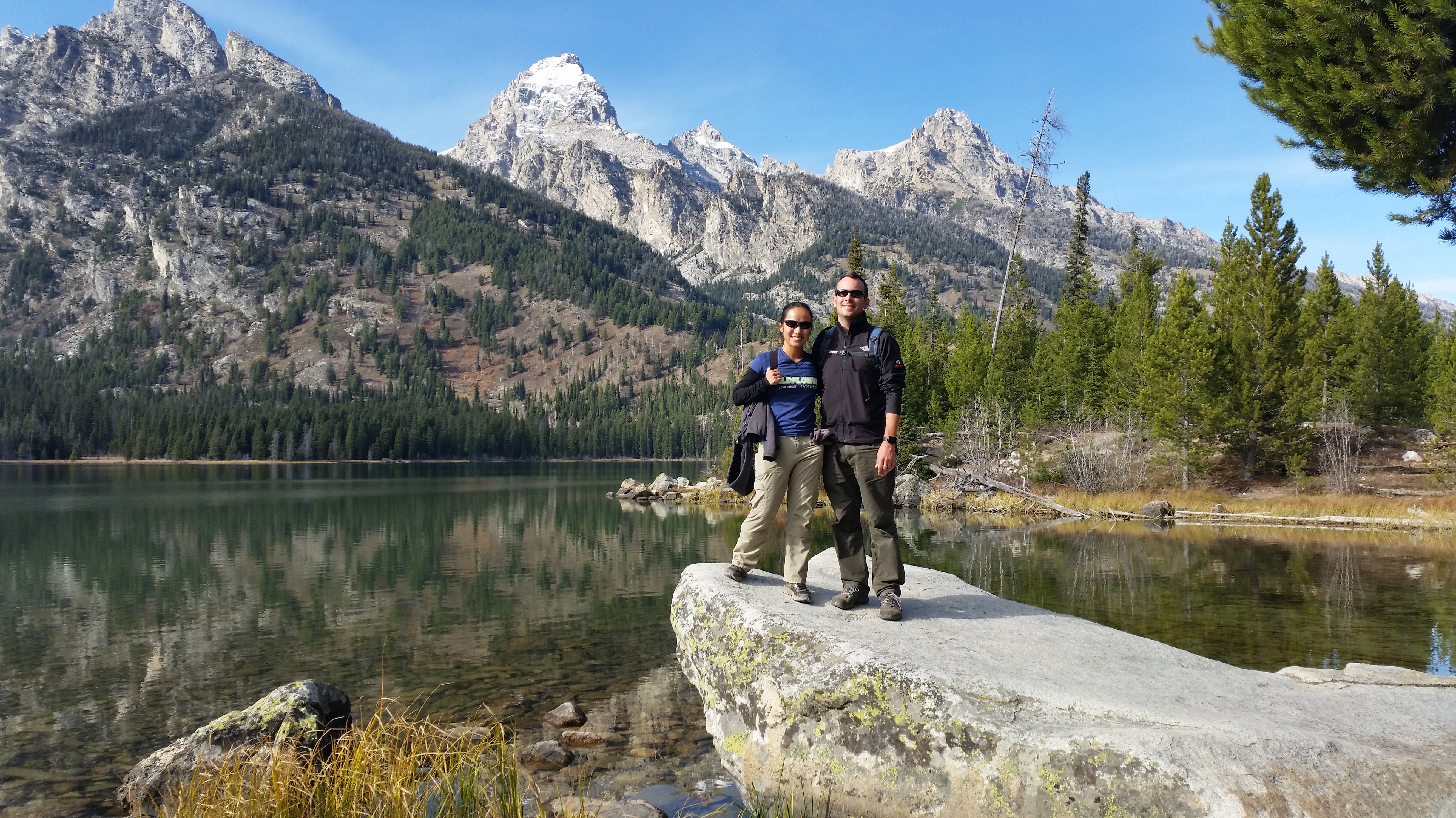
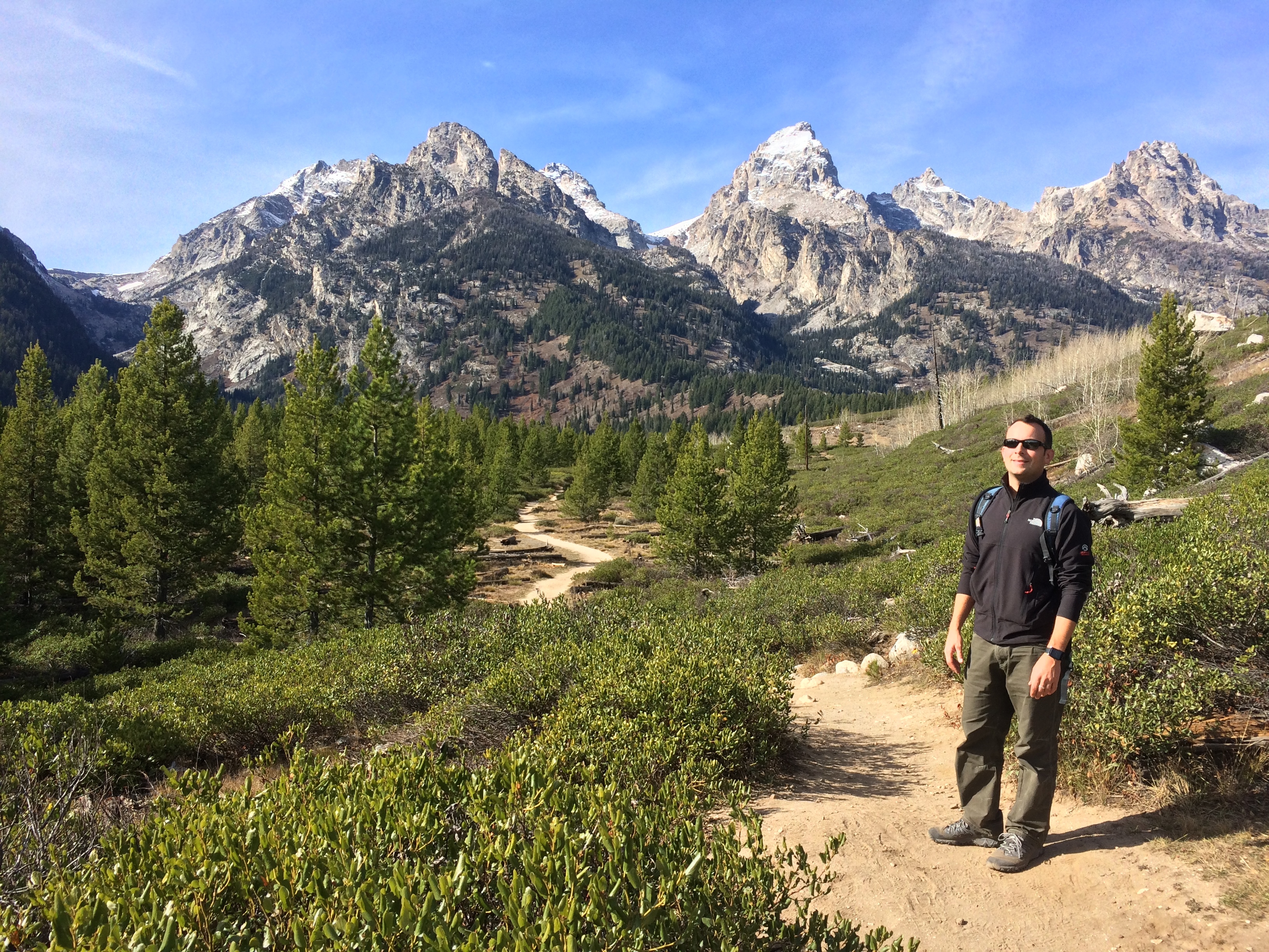
After hiking the perimeter of Phelps Lake, we moseyed over to Taggart and Bradley Lakes to hike another easy 4-5 mile trail.  Despite being a short trail frequented by other hikers, the scenery was varied and beautiful, taking us across a small bridge over a gushing creek, leading us through the dense woods, and guiding us into, up and over the placid lakes with dramatic mountain backdrops. IMG_732320141016_144314_Android (1)IMG_7327 20141016_145135_Android (1)
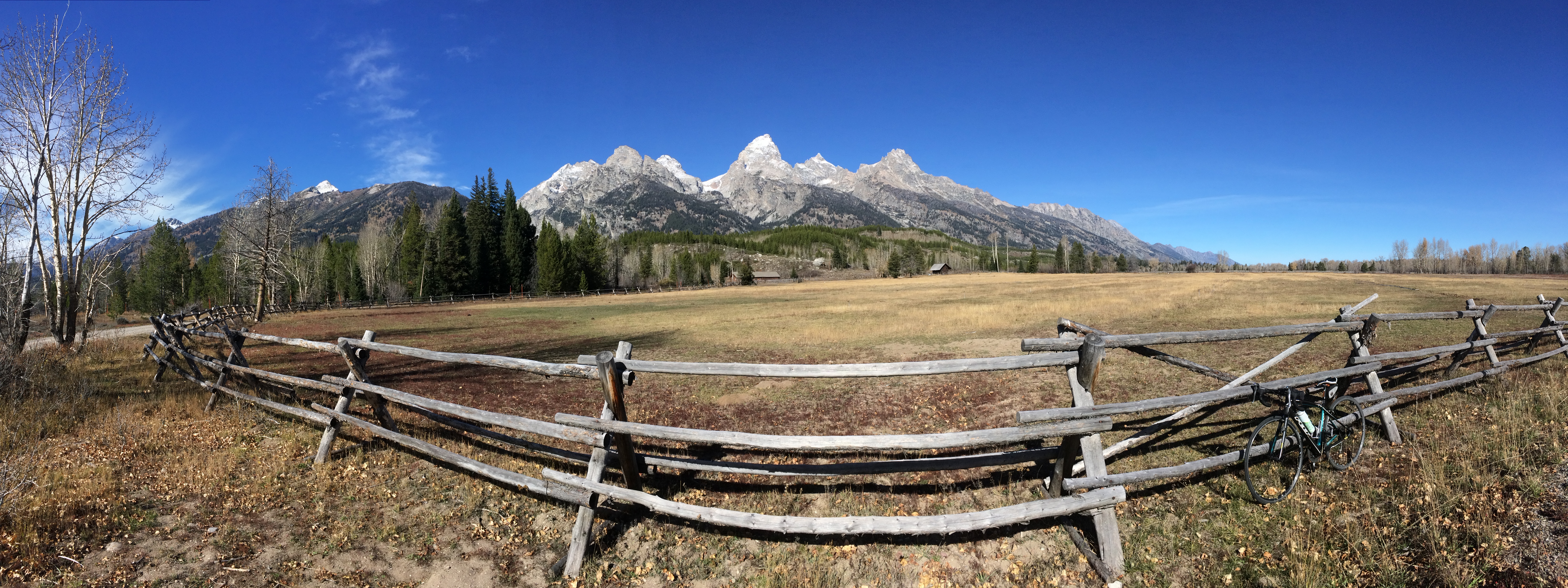
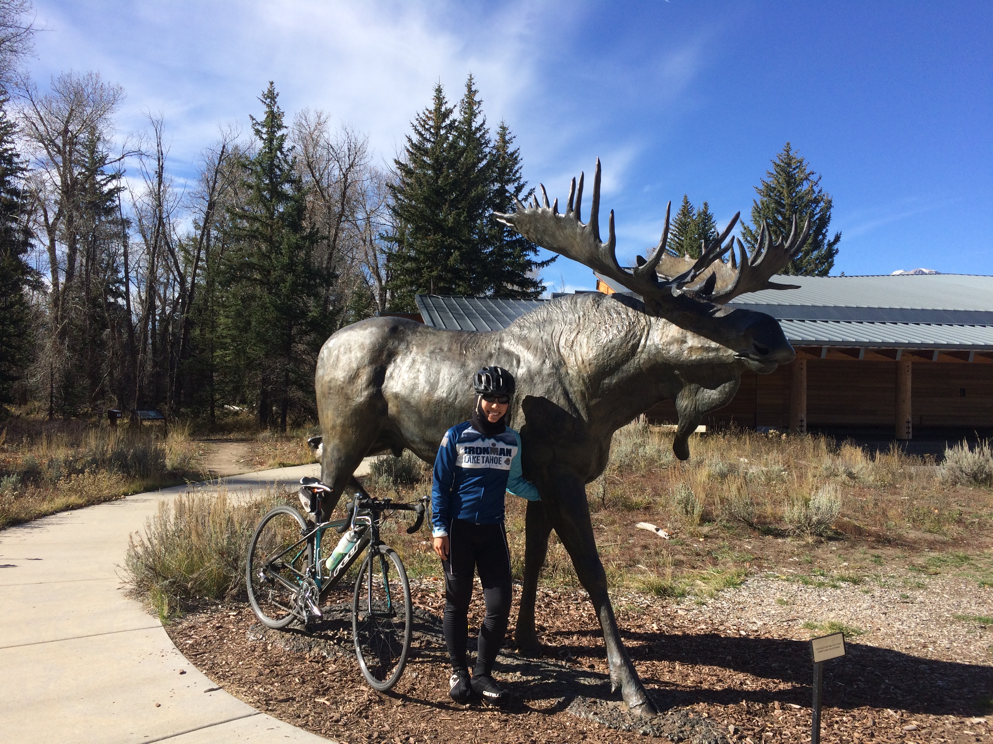
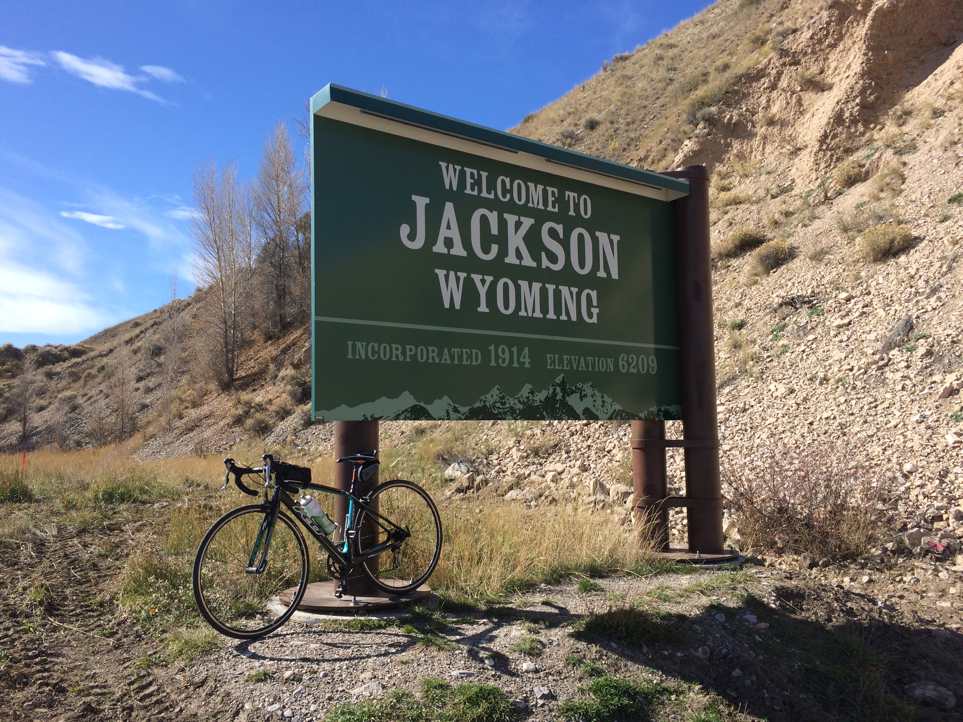
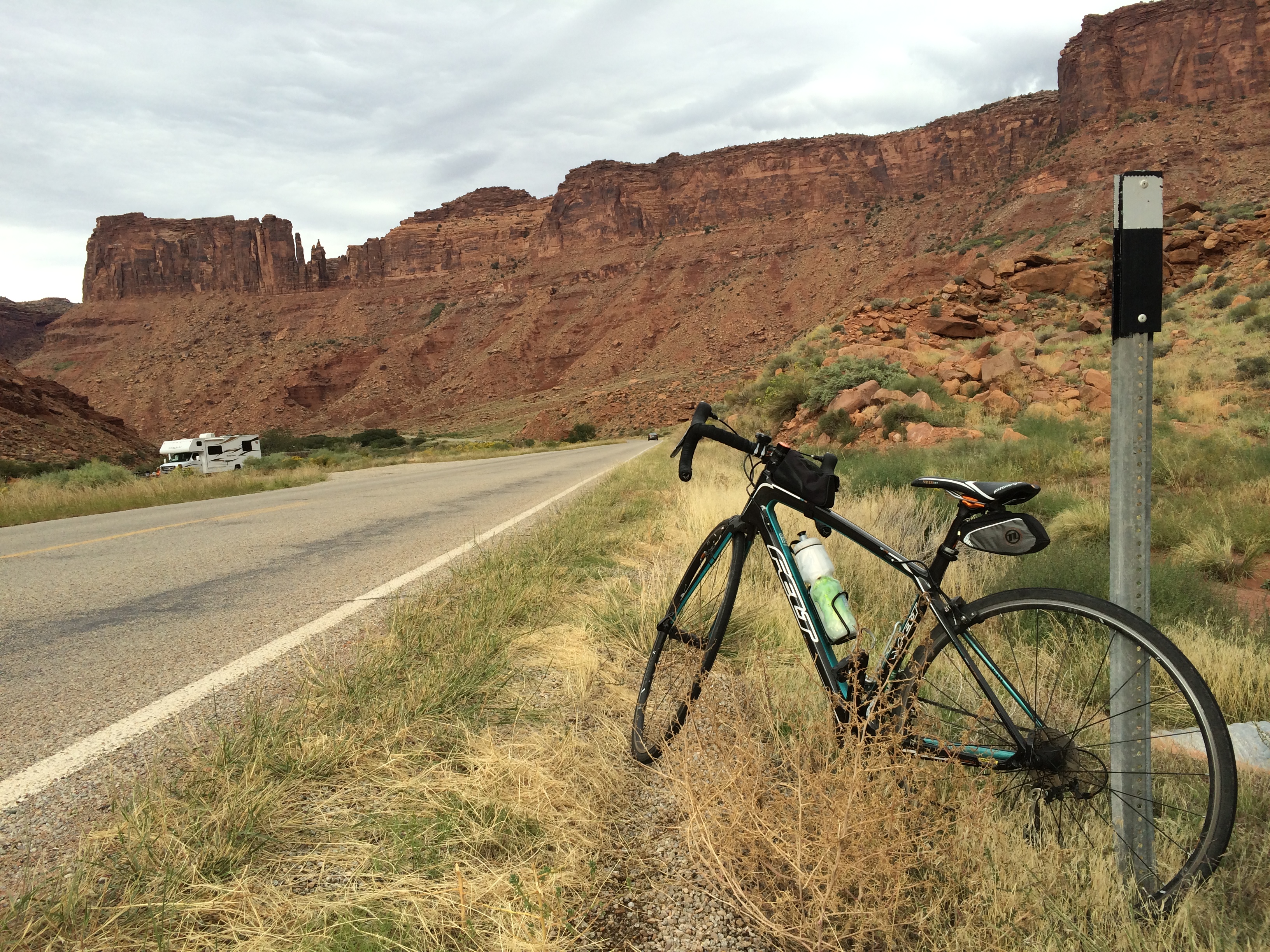
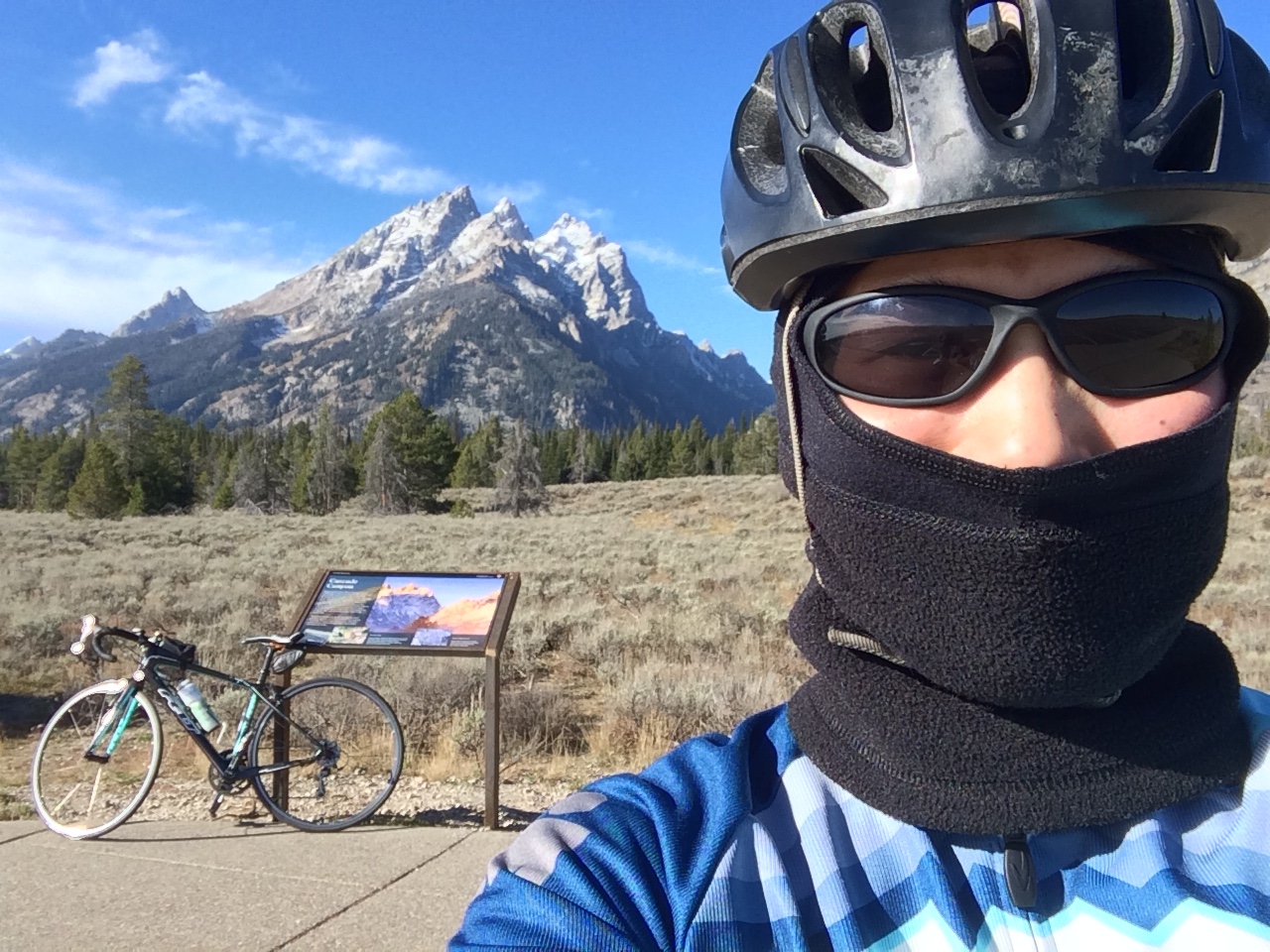
On a separate day off from hiking, I was able to tour The Grand Teton by bicycle. Although the morning’s crisp, chilly air numbed my face as I pedaled past the Teton range, I enjoyed the sparse roads and overlooks that belonged to no one else but myself.  It was an easy, relaxed 36 miles from Moran Junction to the charming town of Jackson, where Chris worked and waited for me at a café.IMG_7338 IMG_7344 IMG_7347 IMG_7350
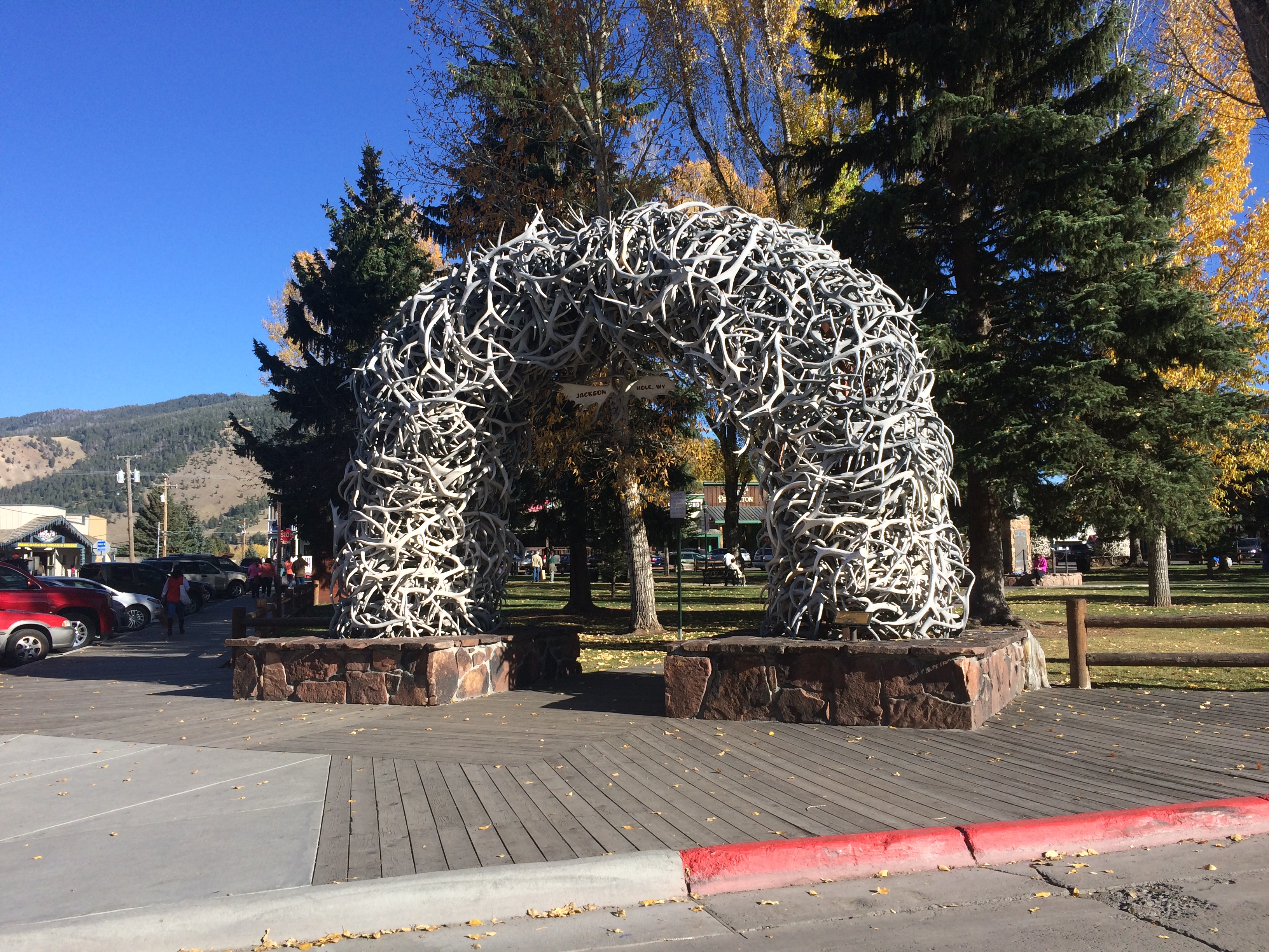
Behold–the famous antler-arch at Jackson Hole Square. Check it out…this whole thing is made entirely of antlers!IMG_7357
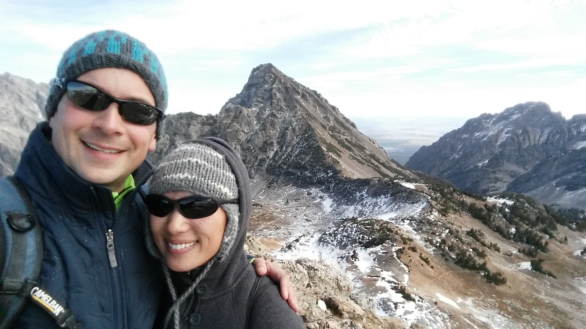
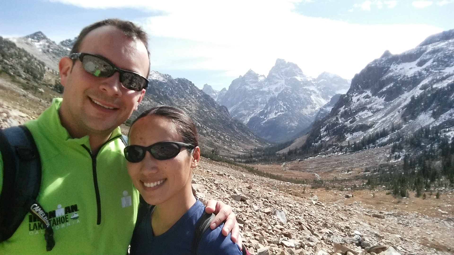
As if it couldn’t get any better–the day after my bike ride proved to be the most unforgettable.  It is said that the 19.2 mile hike along the Paintbrush-Cascade Canyon loop provides the best sampler for those who want a taste of The Grand Teton in a short period of time. From a start at 7,500 ft. and peak at 10,700 ft. with a total of 4,950 ft. elevation gain, the hike is not for the faint of heart.  Suitable months to hike this trail only lasts from August through October; prior to August, a pickaxe is recommended/required due to the large quantity of snow and ice, and the park closes early November.  Like The Narrows top-down hike, many people break this hike into two days and camp overnight along the trails, but without proper camping gear we opted to hike the whole damn trail in a single day with a 10-hour goal time.  Chris and I have hiked countless trails nationally and internationally, and we can easily say that the Paintbrush-Cascade Canyon loop ranks high on our list of most memorable hikes.

“Today is the day!” I excitedly thought as the alarm woke us in darkness. With autumn daylight being so scarce, we knew it would be wise to begin at sunrise.

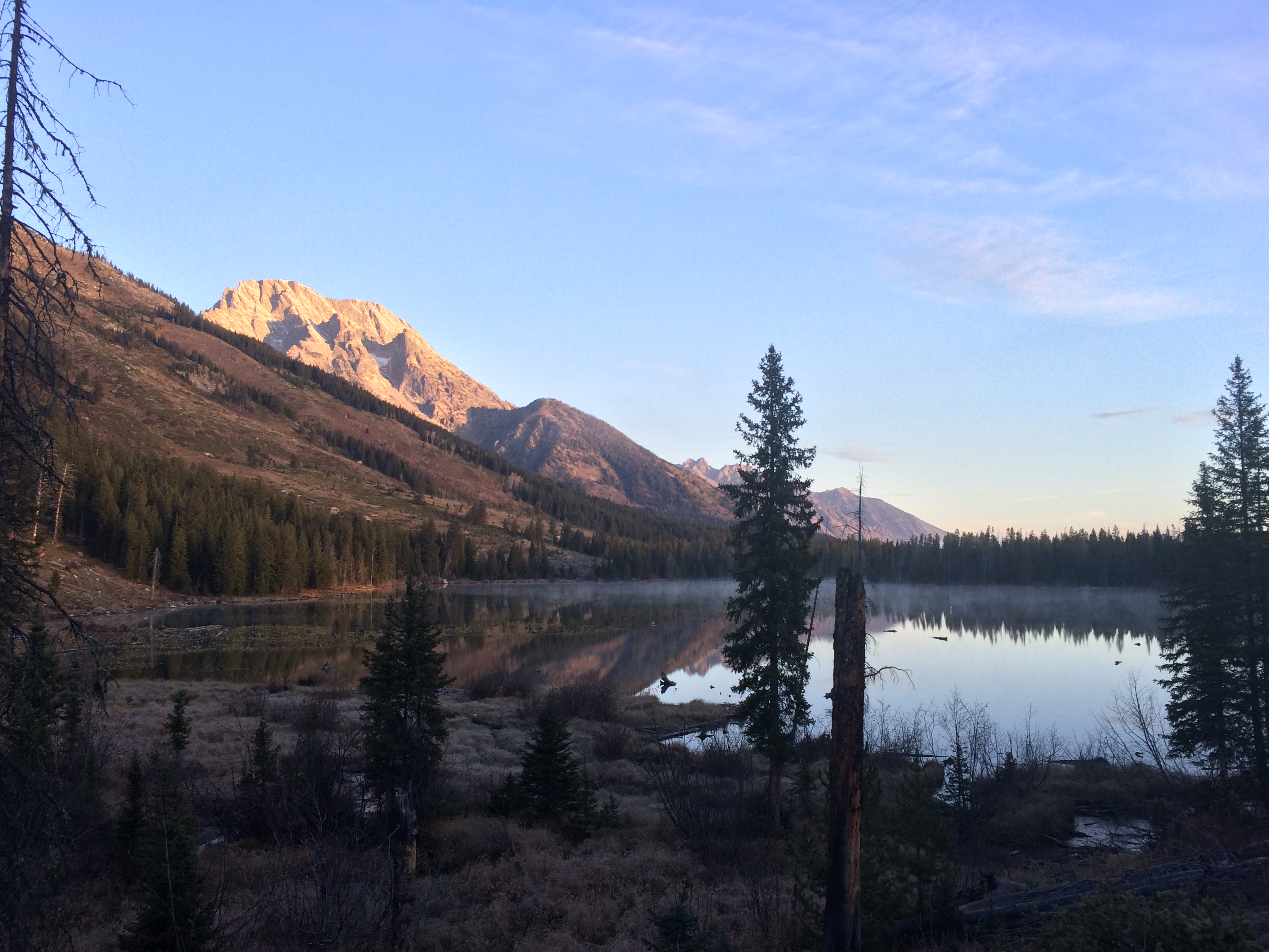
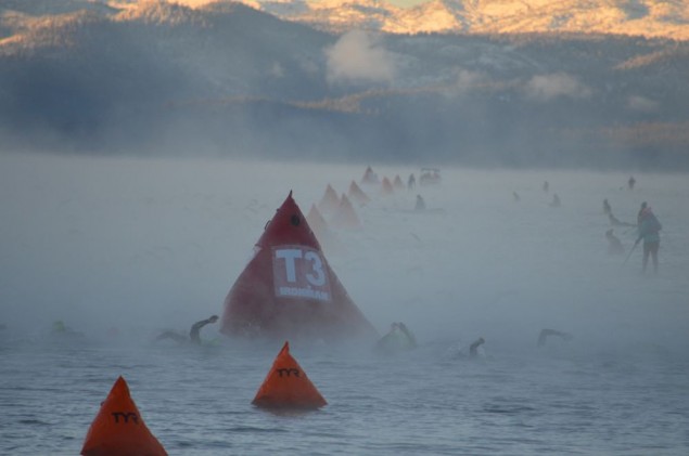
During our drive to the park, the scenery reminded me of the swim start of Ironman Lake Tahoe 2013.  Because the water temperature was colder than the air temperature, an eery mist rose from the creeks and lakes to bestow a mysterious landscape.IMG_7362
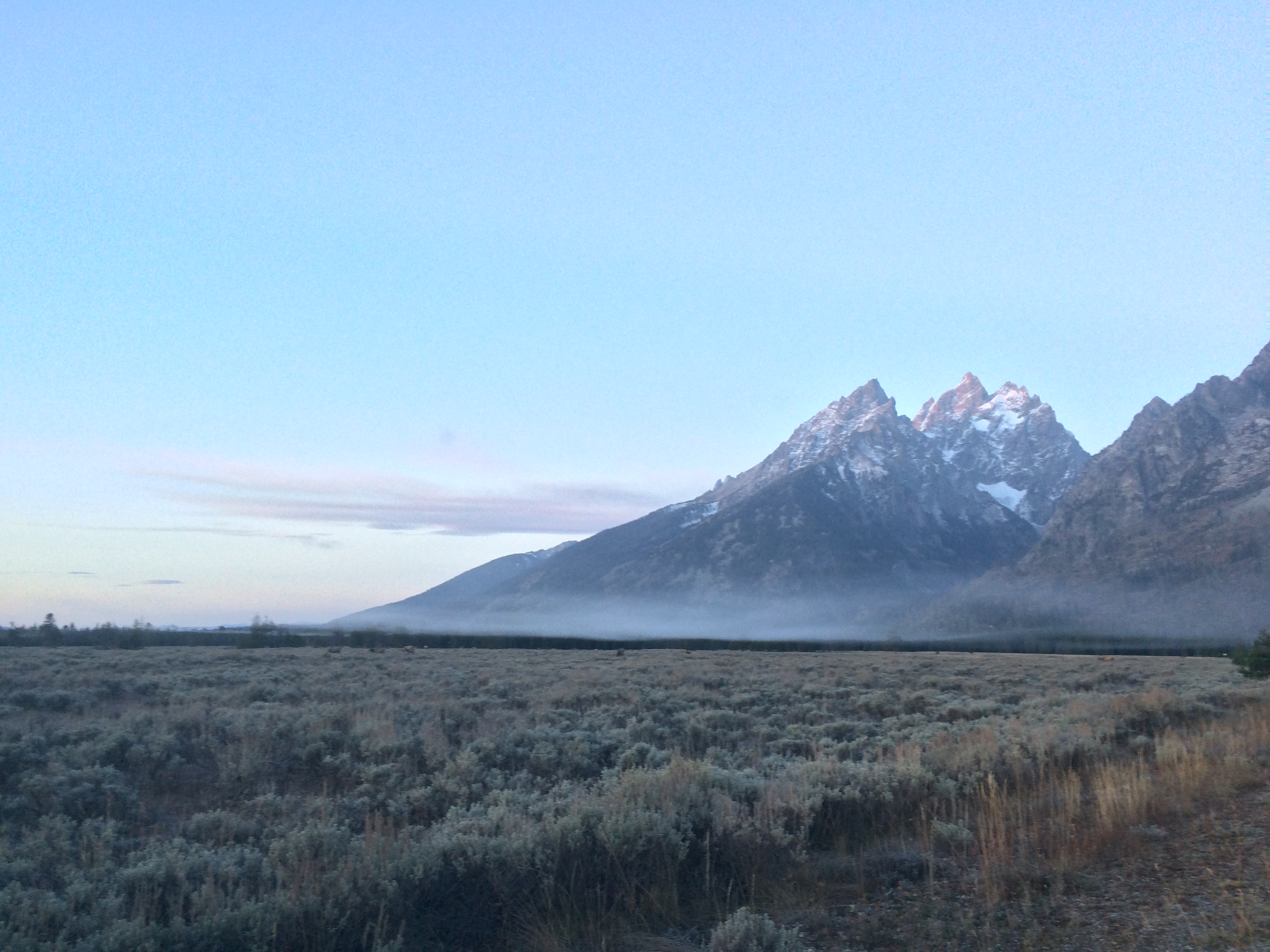
We hit the String Lake trailhead just 10 minutes after sunrise. 20141018_080300_Android (1) IMG_7366
We hiked the loop in a counter-clockwise direction for two reasons: the views were more highly regarded that way, and more importantly, we would ascend and finish the climb early on while our legs were fresh.

The first 4 miles or so of the Paintbrush Canyon trail was a gradual ascent from String Lake to Holly Lake.IMG_7370
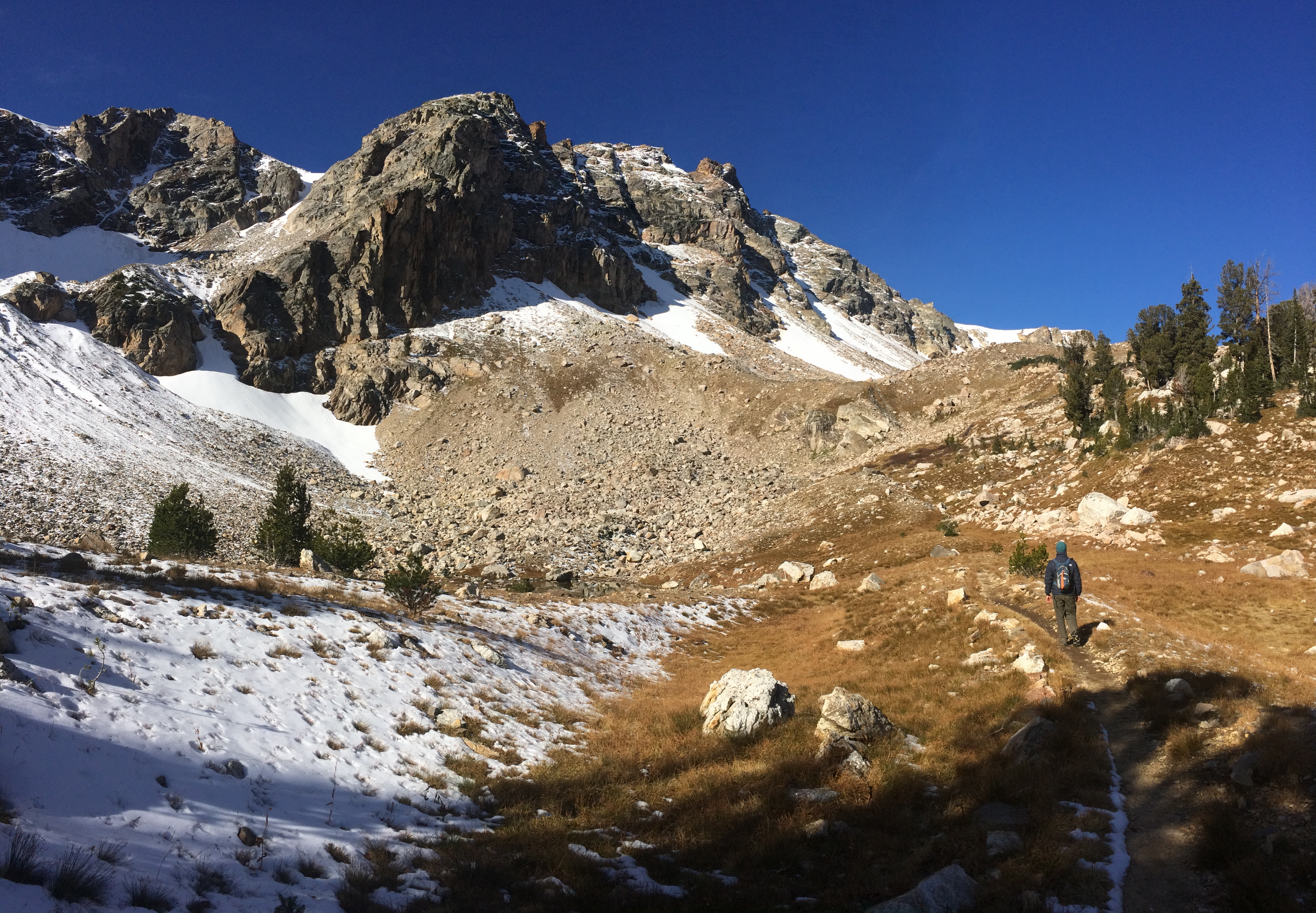
Slippery ice and snow dusted the dirt path as we hiked up.20141018_103615_Android (1)
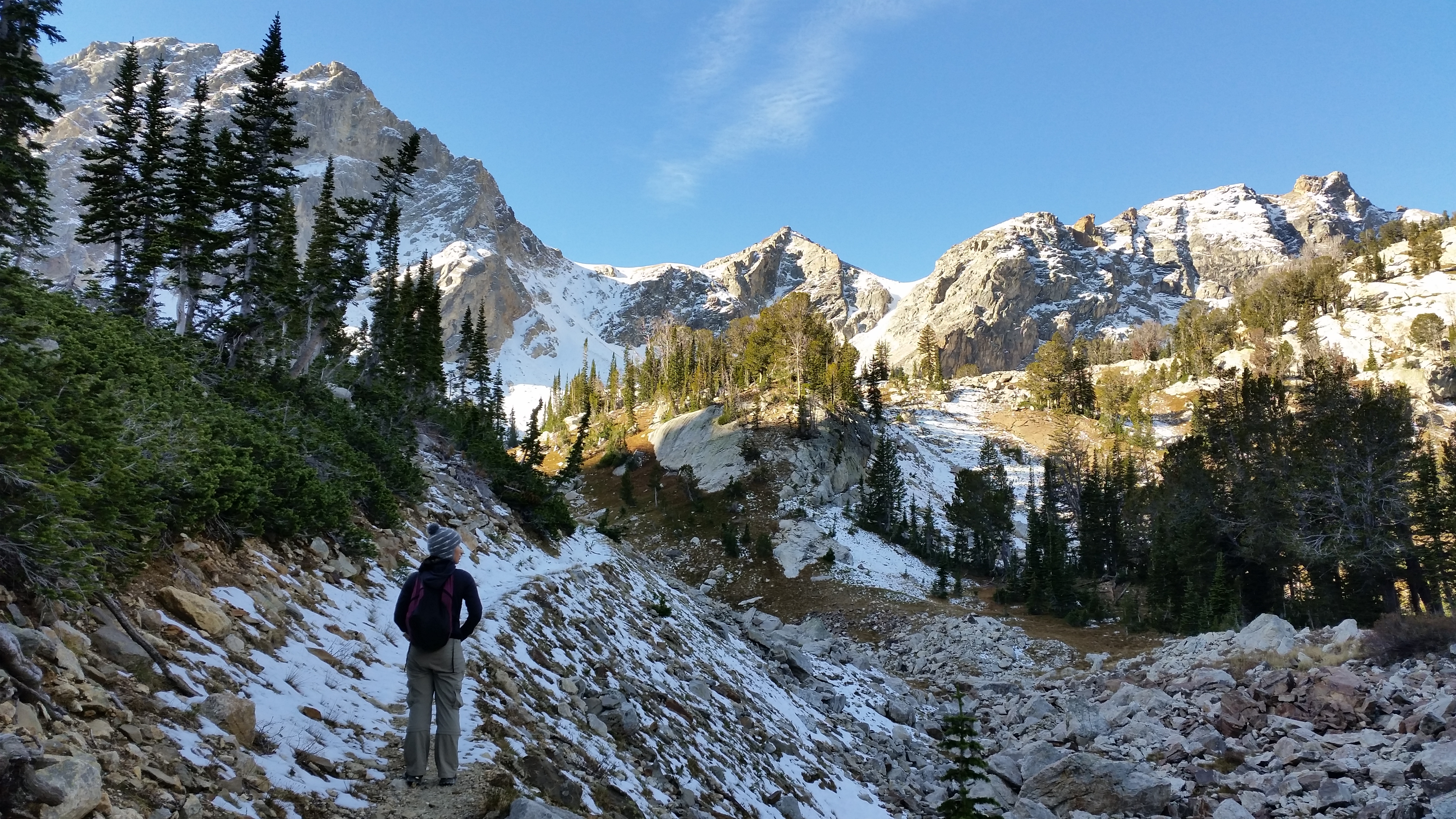
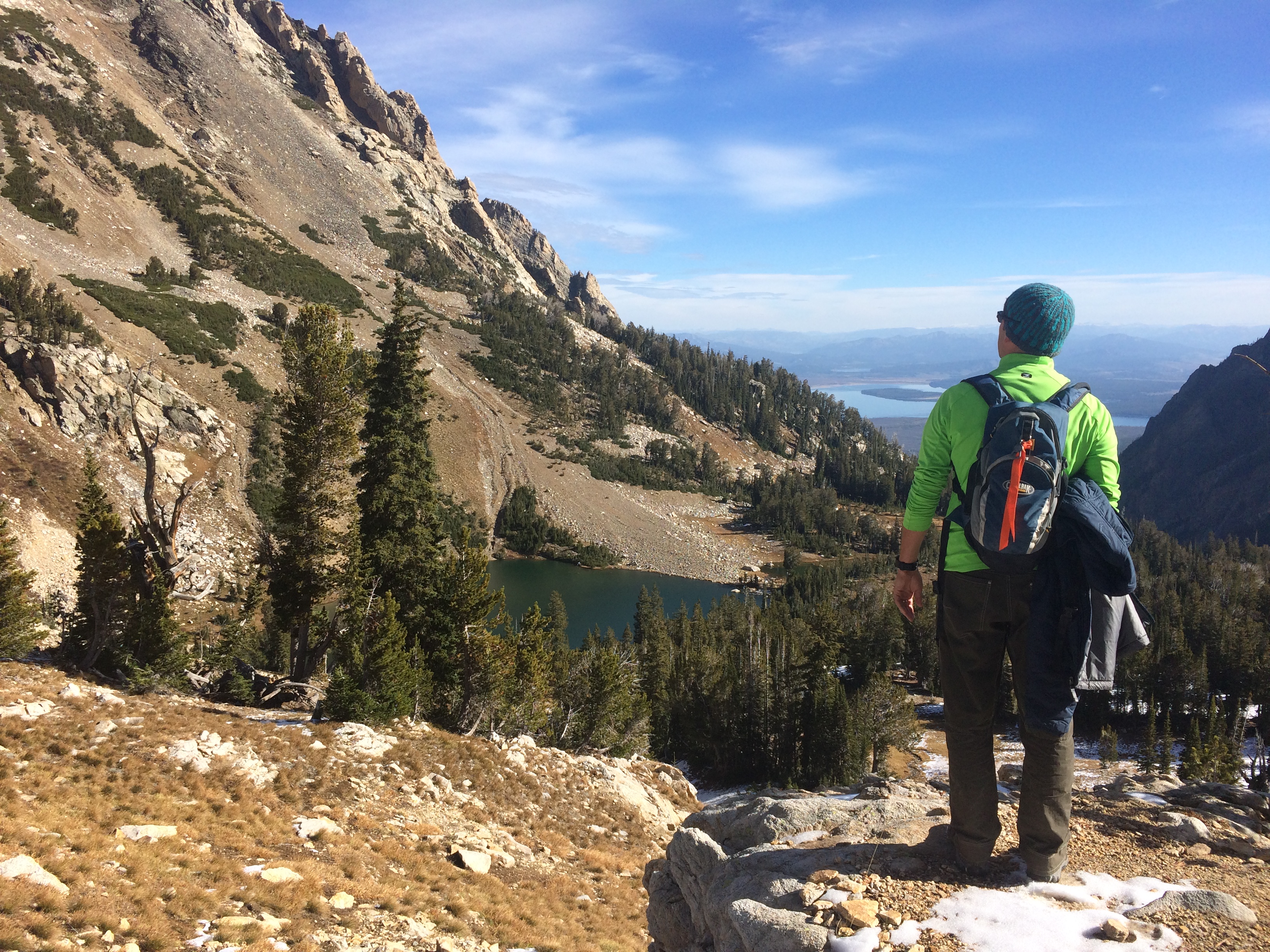
Gazing down at Holly Lake with String Lake in the distance:IMG_7371
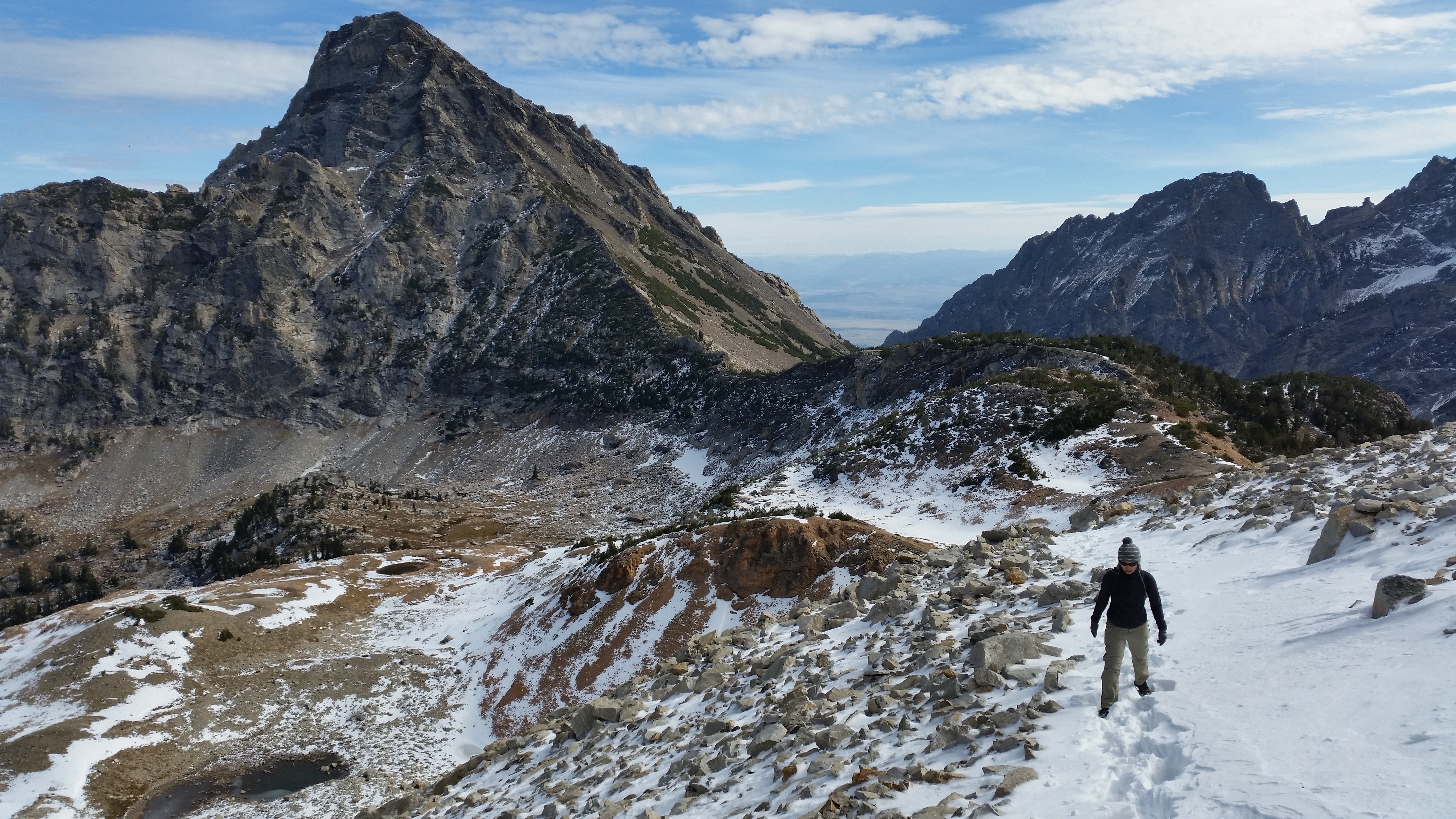
“This isn’t so bad,” I thought as we powered through the first couple miles at lower elevation.  But the next grueling 2.5 miles or so from Holly Lake to the Paintbrush Divide was a steep bitch and I was hardly able to keep my breath.  As the air grew colder and thinner (Chris called out, “8,500 ft!” to “9,500 ft!” to “10,200 ft!” when we approached those altitudes), my body grew more weary with each staggered step through packed snow fields. Even with my layers, hat, and gloves, I felt parts of my body ache with pain and cold as I slowly made my way through the freezing mountain shade and biting wind.IMG_737420141018_115847_Android (1)

Finally, the Paintbrush Divide came into view and we optimistically made our way up toward the peak where we maxed out in elevation:IMG_7375
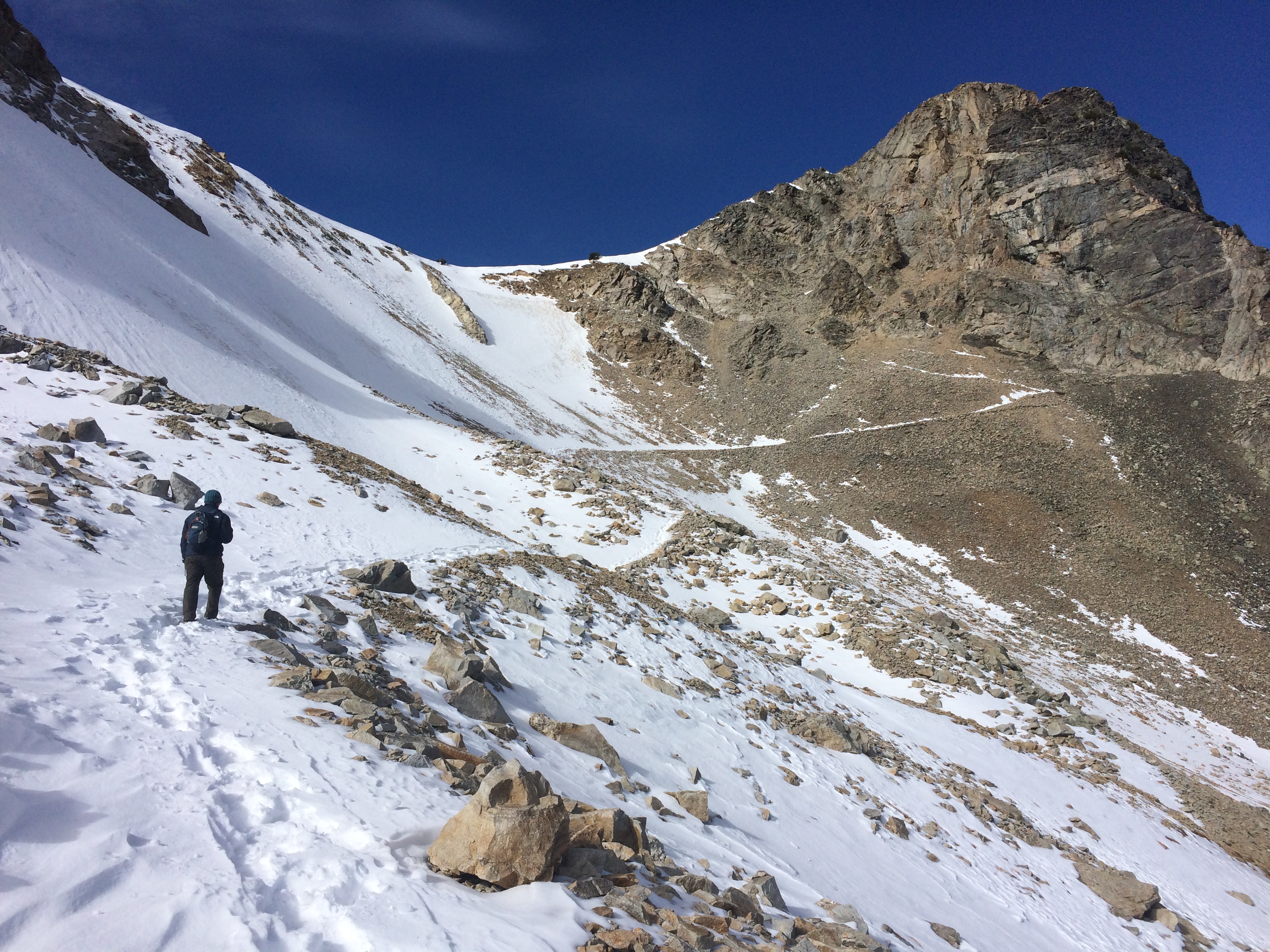
After trudging along the snow covered mountain and taking one sluggish step at a time on extremely steep and loose rocks, I finally made it to the Paintbrush Divide! (Chris, the strong man that he is, made it without suffering from high altitude.)20141018_121945_Android (1) 20141018_122340_Android (1)
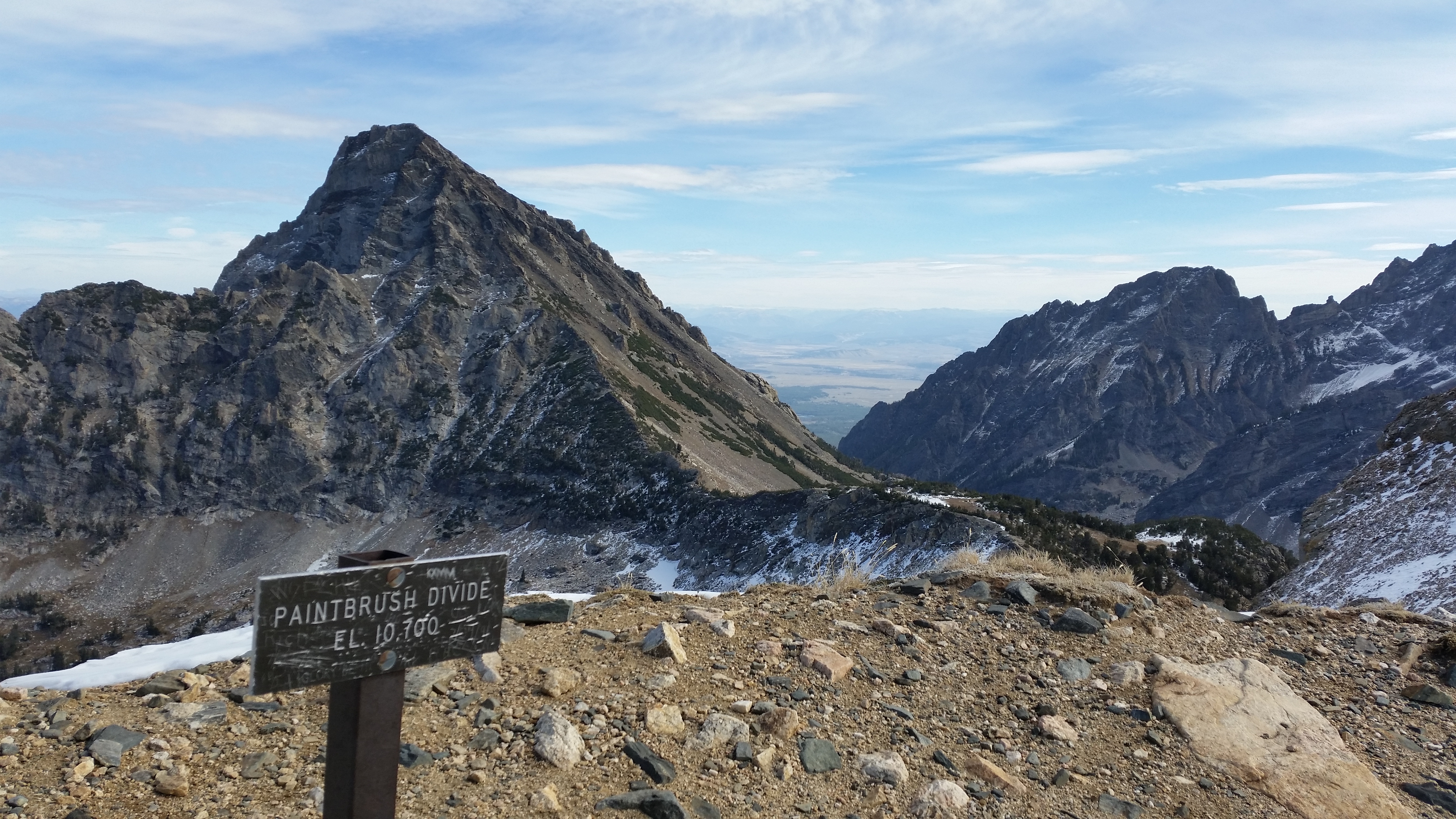
WHOO!20141018_121714_Android (1)IMG_7377

After a big hurrah and exclamation of relief that we were officially done ascending, we began our way down on the other side of the Paintbrush Divide which was a lovely 2-3 mile descent.  Here is what you don’t typically see of The Grand Teton–the back side that overlooks Idaho to the west:IMG_7380
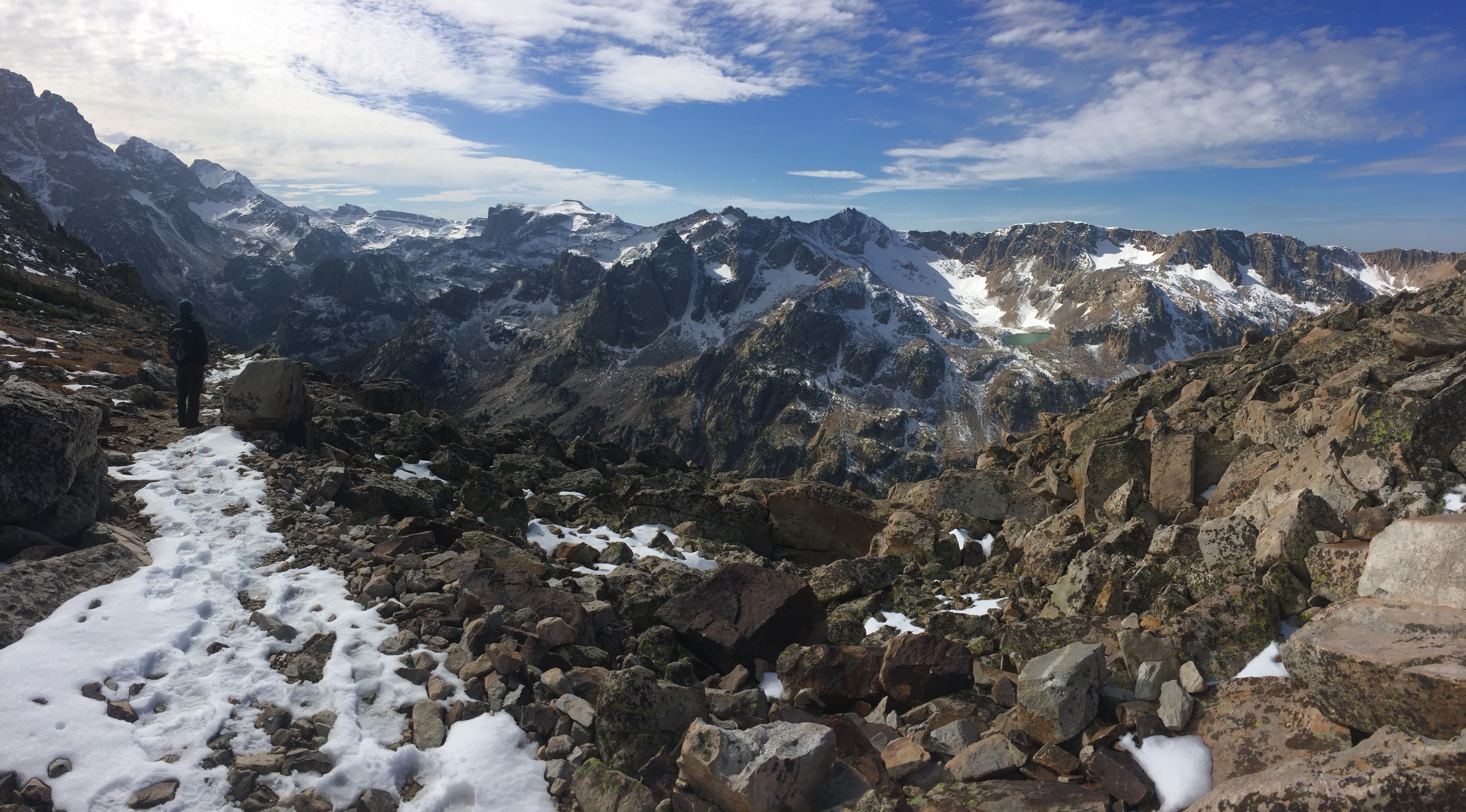
Of the entire loop, Lake Solitude was my favorite landmark.  The reflection of sunlight twinkled upon the crystal-clear waters, and the jaw-dropping bowl-shaped valley of forests beneath the Teton range in the distance was a landscape like no other.  As we peeled off our layers in lower, warmer altitudes, we marveled at our surrounding environment: IMG_7384
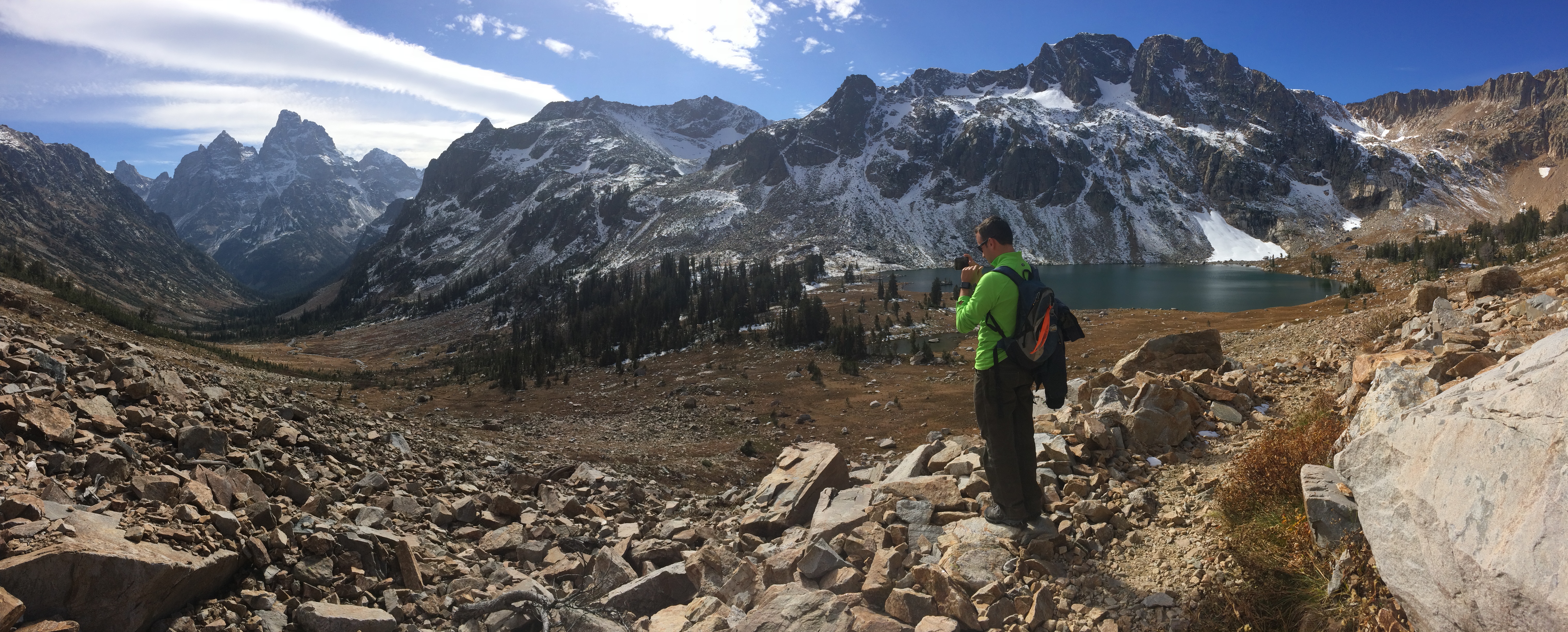
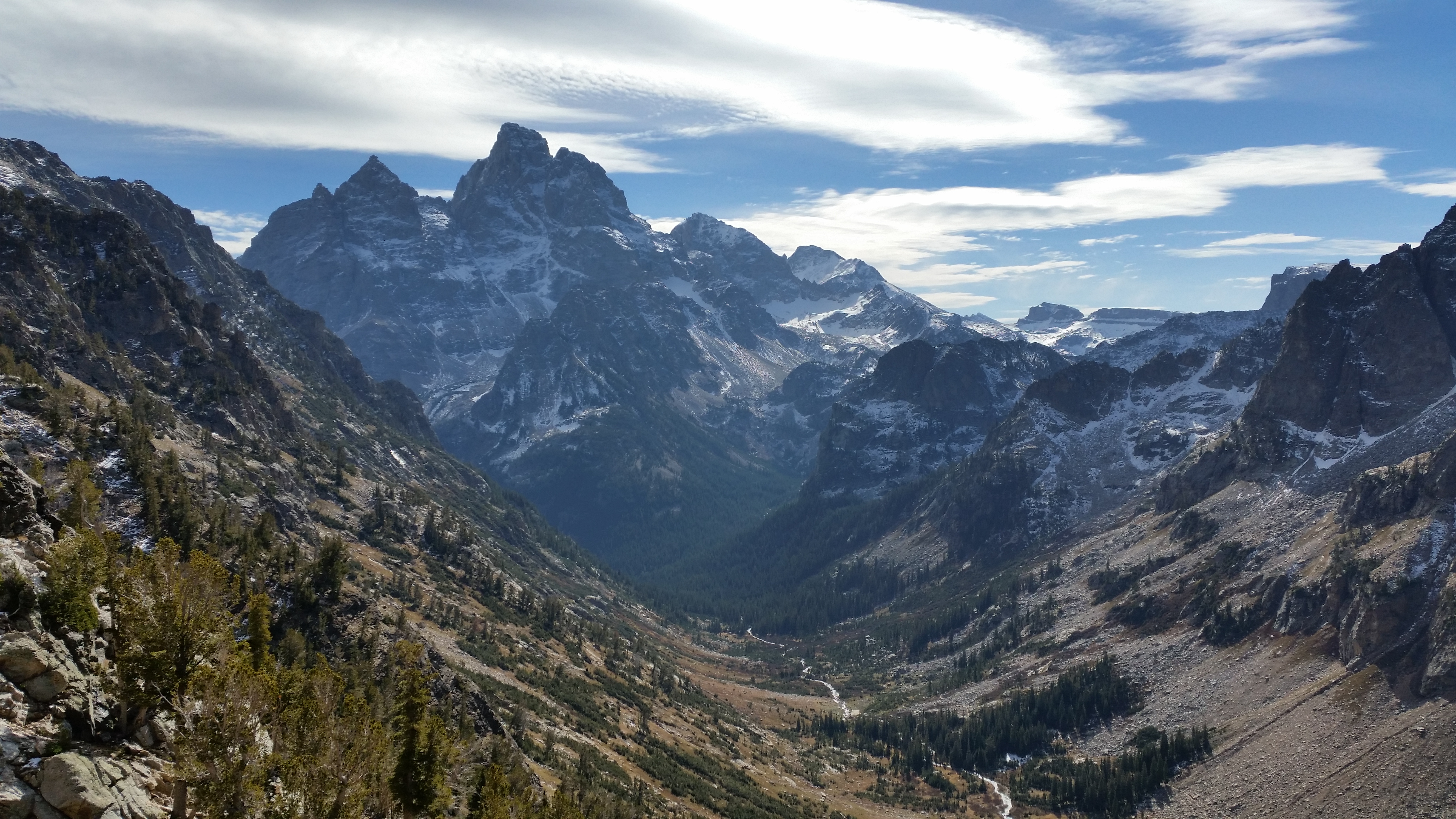
The bowl-shaped valley during the descent of the Paintbrush Divide into Lake Solitude:20141018_131026_Android 20141018_133243_Android
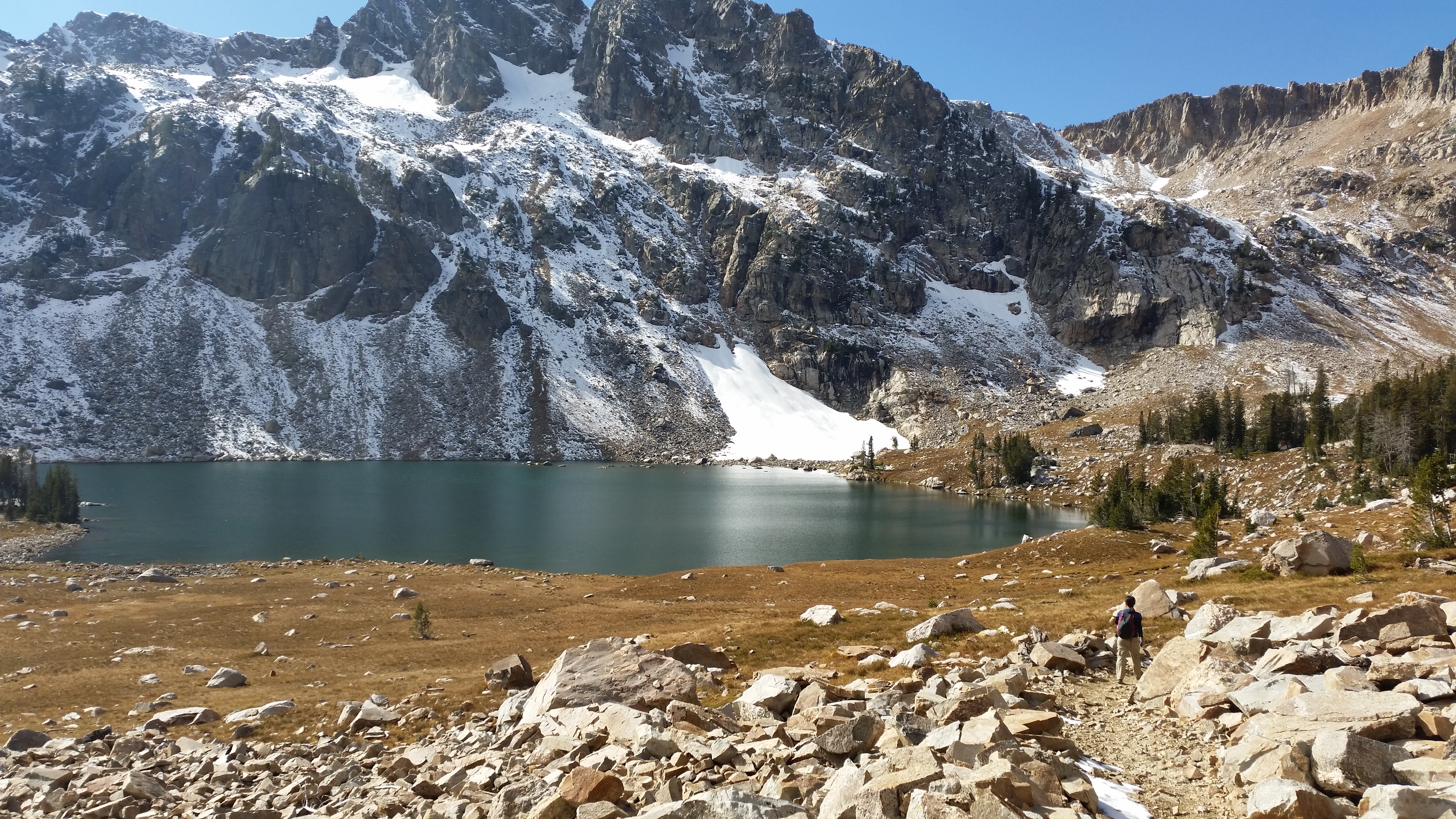
Me excitedly jogging toward Lake Solitude:20141018_133636_Android
After a quick snack break at Lake Solitude, we continued our 2-3 mile hike to Cascade Canyon.  As we descended into the bowl-shaped valley, we caught glimpses of a magical wonderland of towering mountains enveloped by dense, green forests:IMG_7388
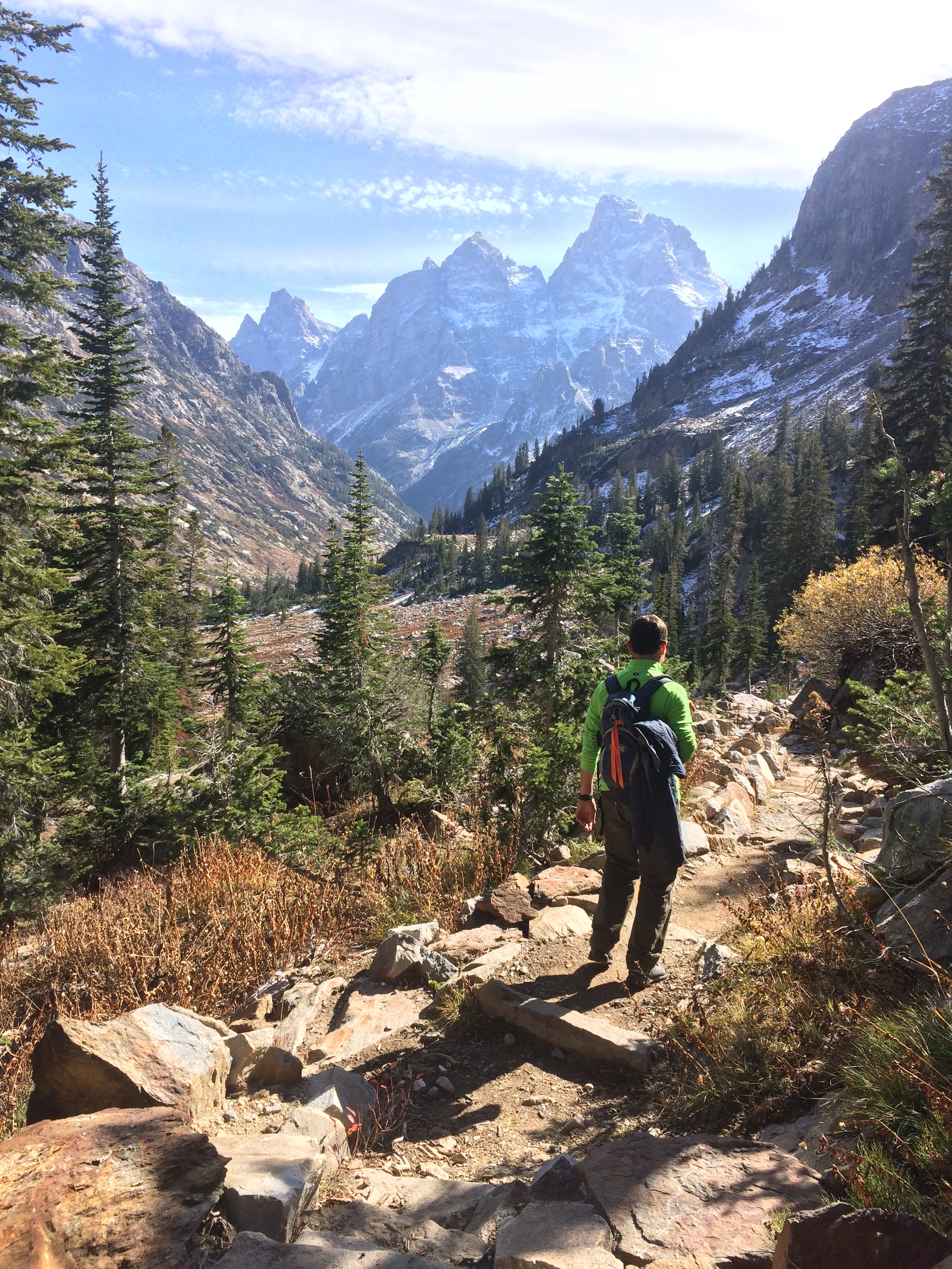
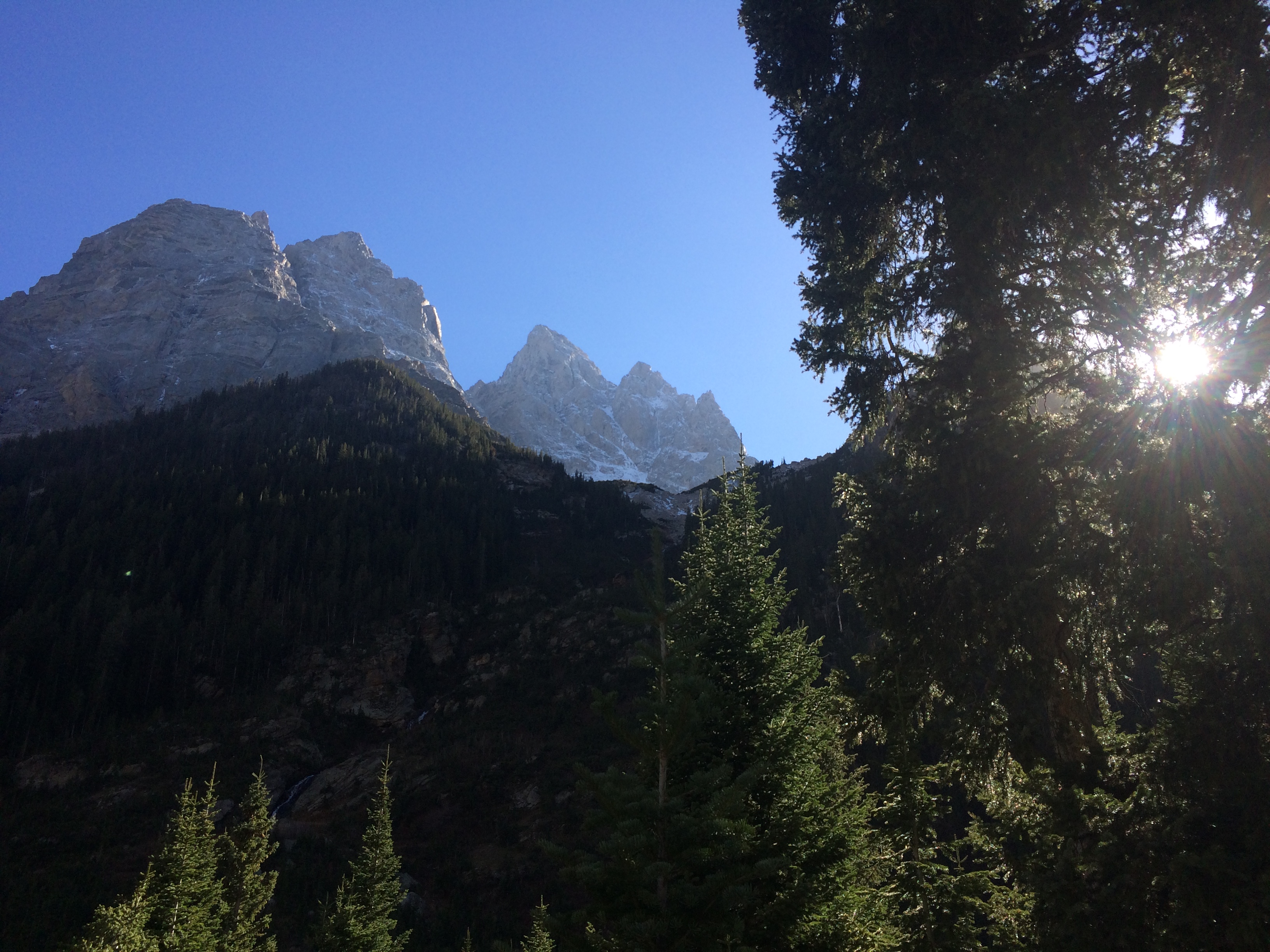
The remaining 6 miles or so was literally a beautiful stroll through the woods, mostly descending past creeks and small bridges.  During the last leg of the trail, we caught a glimpse of The Grand Teton itself looming out from behind Mt. Owen:IMG_7392
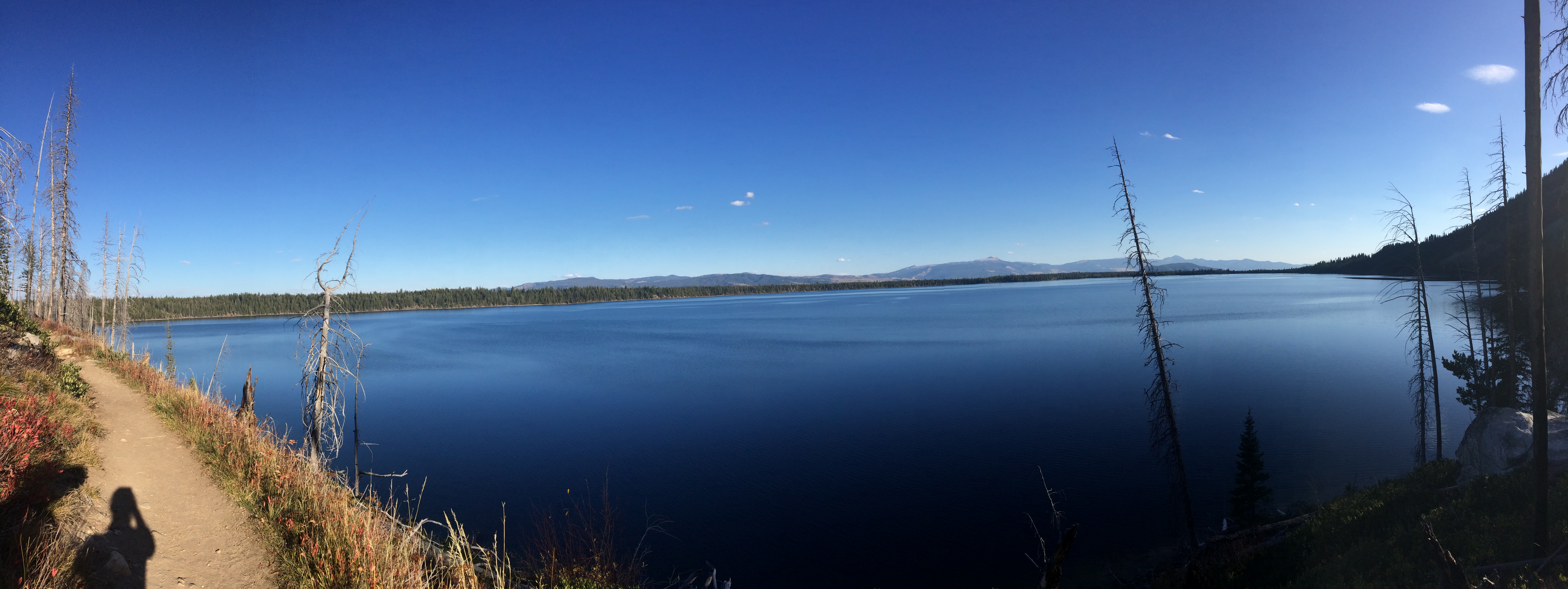
And finally, the last mile was spent hiking along the northwest perimeter of the pristine Jenny Lake back toward the Spring Lake trailhead/parking lot:IMG_7393
We finished in 9 hours and 15 minutes, beating our 10-hour goal!  “This is why I like having a cooler in the car,” I told Chris as I pulled out a hard-earned ice cold cola.  Chris saved his beer for after the drive.  There was ample time to enjoy our final sunset over the Tetons before heading out to Yellowstone the following day.

Wow, Grand Teton.  Just wow.  I expected to be blown away by Utah’s national parks, but I did not expect to be blown away by this.  Like Zion, the park is relatively small compared to other national parks, making it easy to navigate and explore.  From short hikes to endurance hikes to gentle cycling tours, gorgeous views are abound.  Even easy drives to overlooks are not to be missed.  Boondocking is incredible.  What a perfect 5 days.

Overshadowed by the massive Yellowstone National Park not far up north, Grand Teton National Park deserves the same national attention as Yosemite, Yellowstone, and Zion National Parks. But as I ponder about that a bit further, perhaps it is for the best that Grand Teton remains lesser known so its trails and overlooks remain pure.

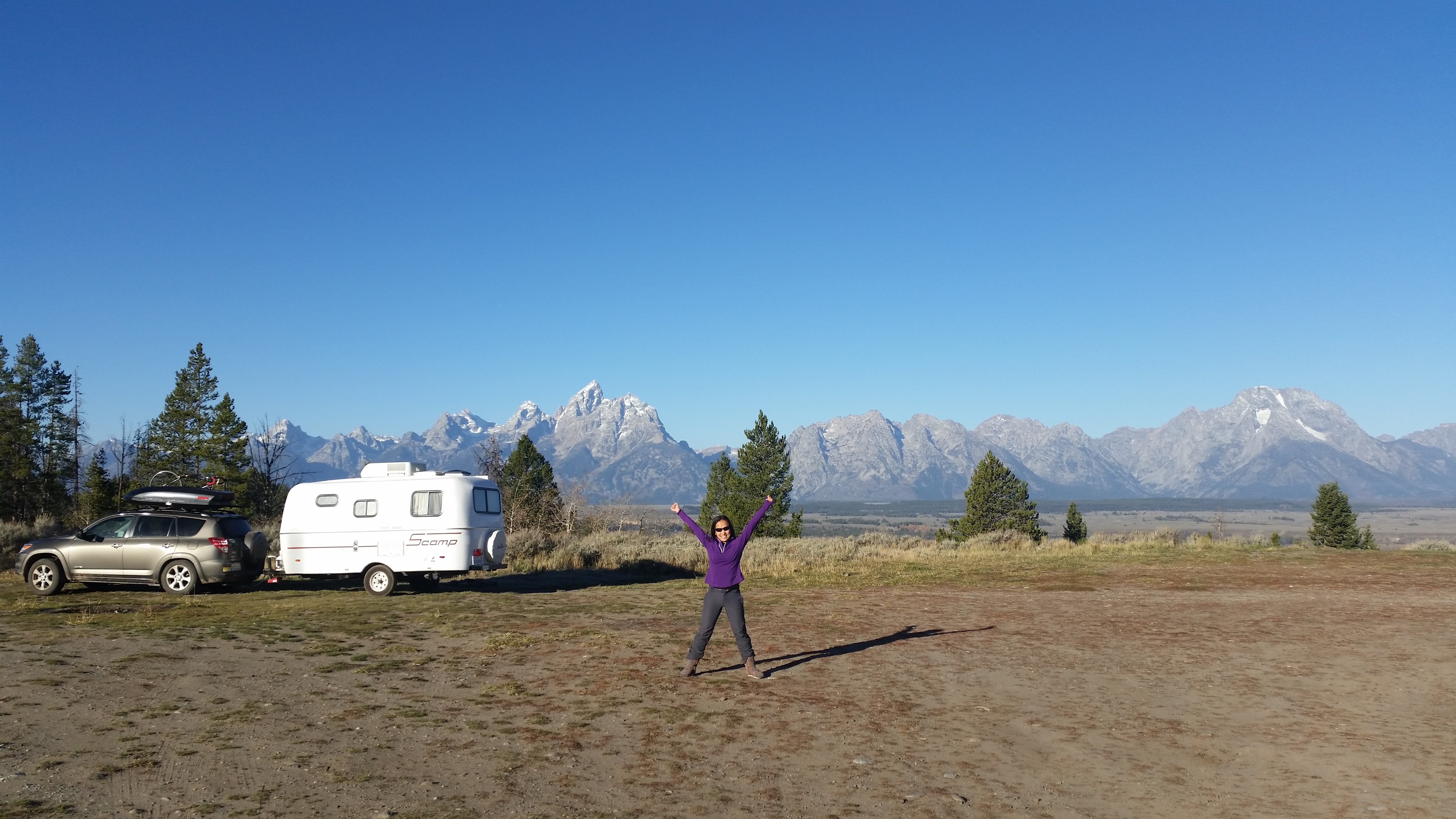
One final picture at The Grand Teton, all hitched up and ready for our next destination:20141019_092819_Android
Posted in Wyoming | 1 Comment

Slot Canyons

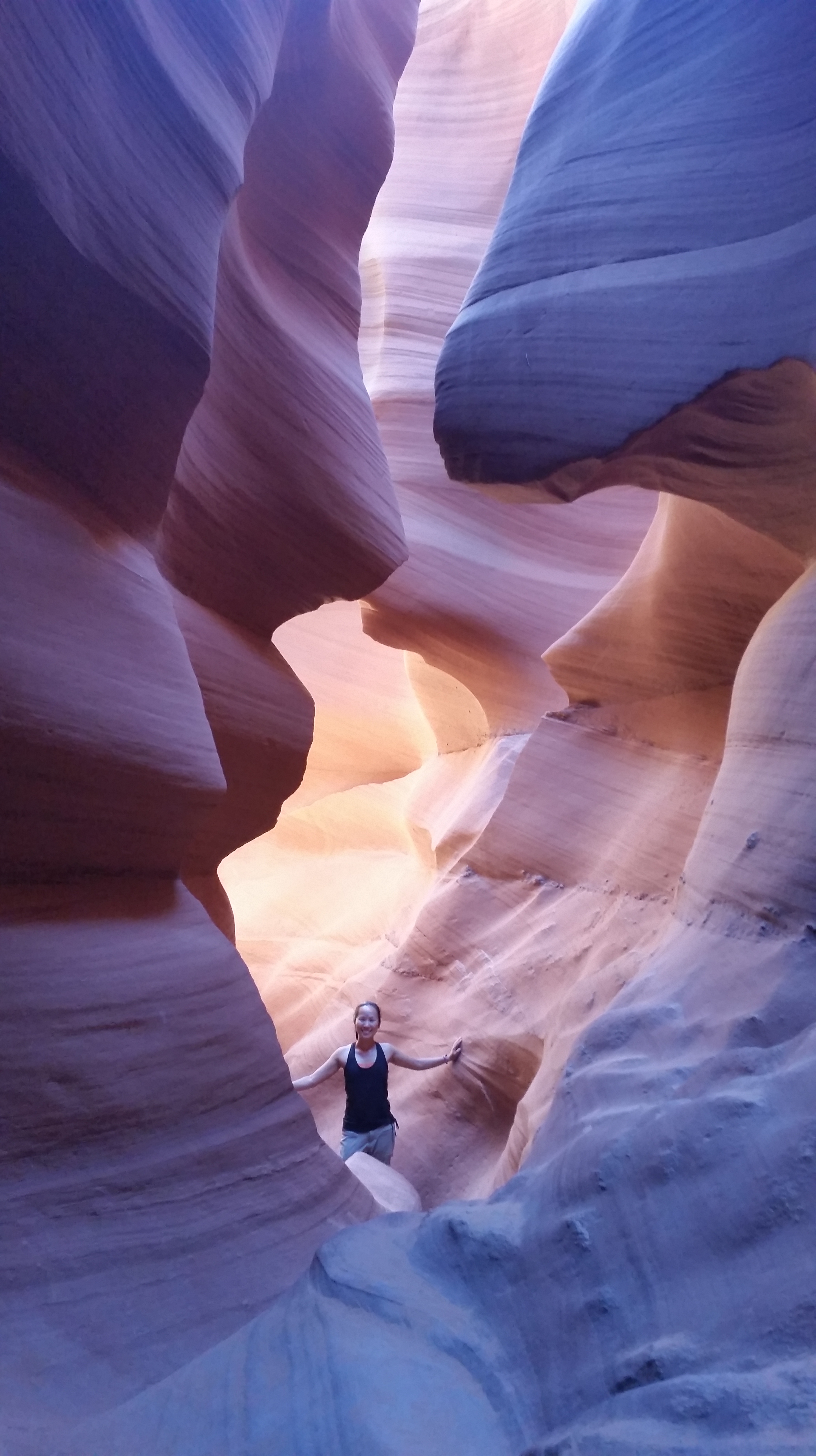
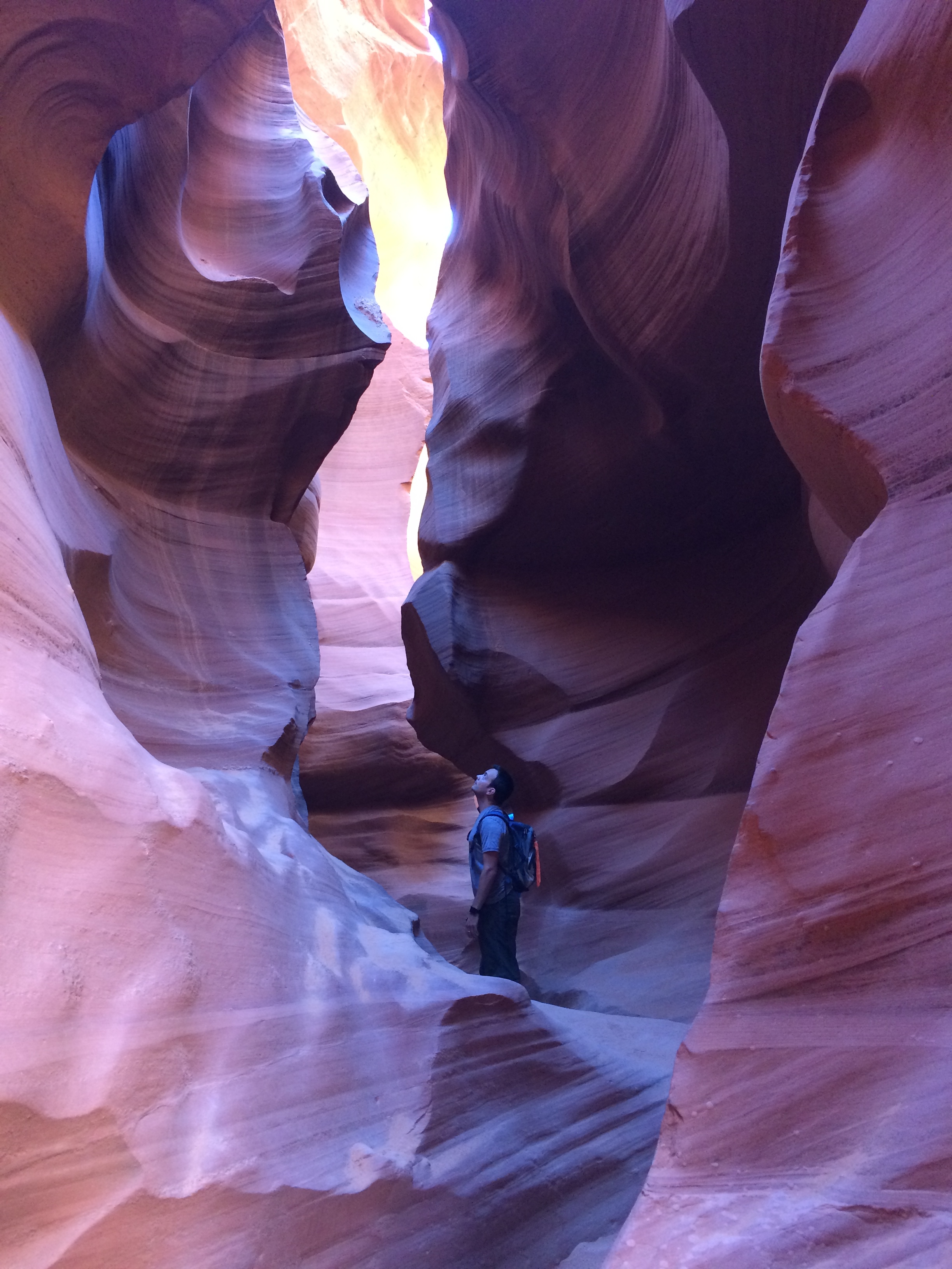
Within the Utah/Arizona region that holds the highest concentration of slot canyons compared to anywhere else in the world, Antelope Canyon is probably the most famous of them all.  Almost everyone has seen a photo of or been to Antelope Canyon. Typical photos include abstracts of glowing orange and subdued purple colors twirled together as if Mother Nature’s paintbrush swept the walls.  If it weren’t for the people posing within the narrow river-carved and wind-swept canyon, it would be easy to assume that it was a corridor of fantastical dreams.

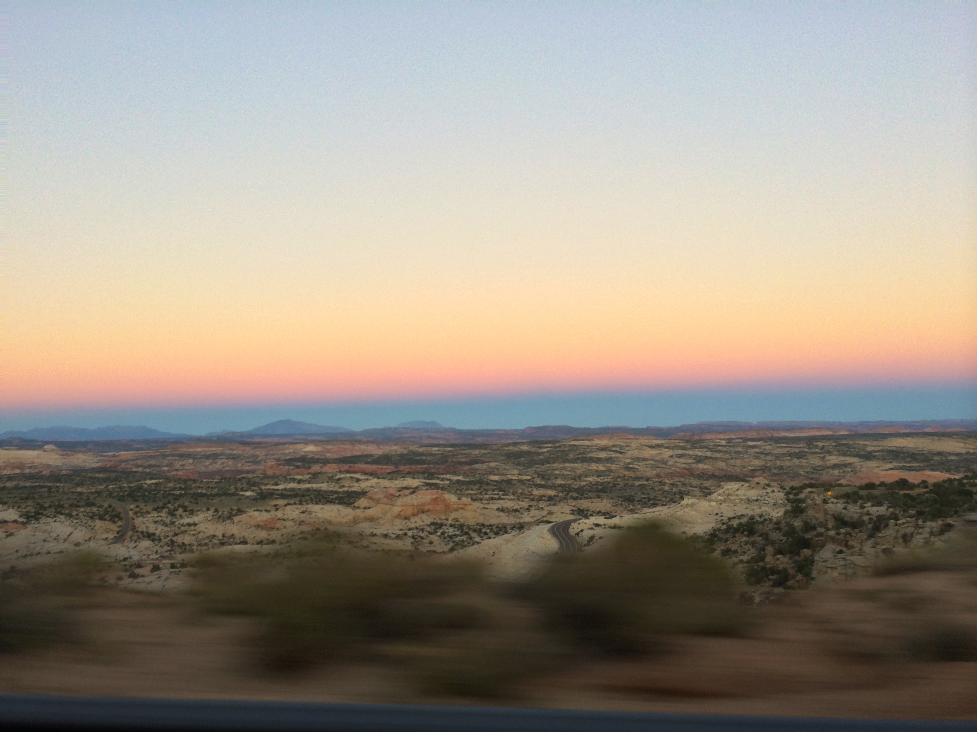
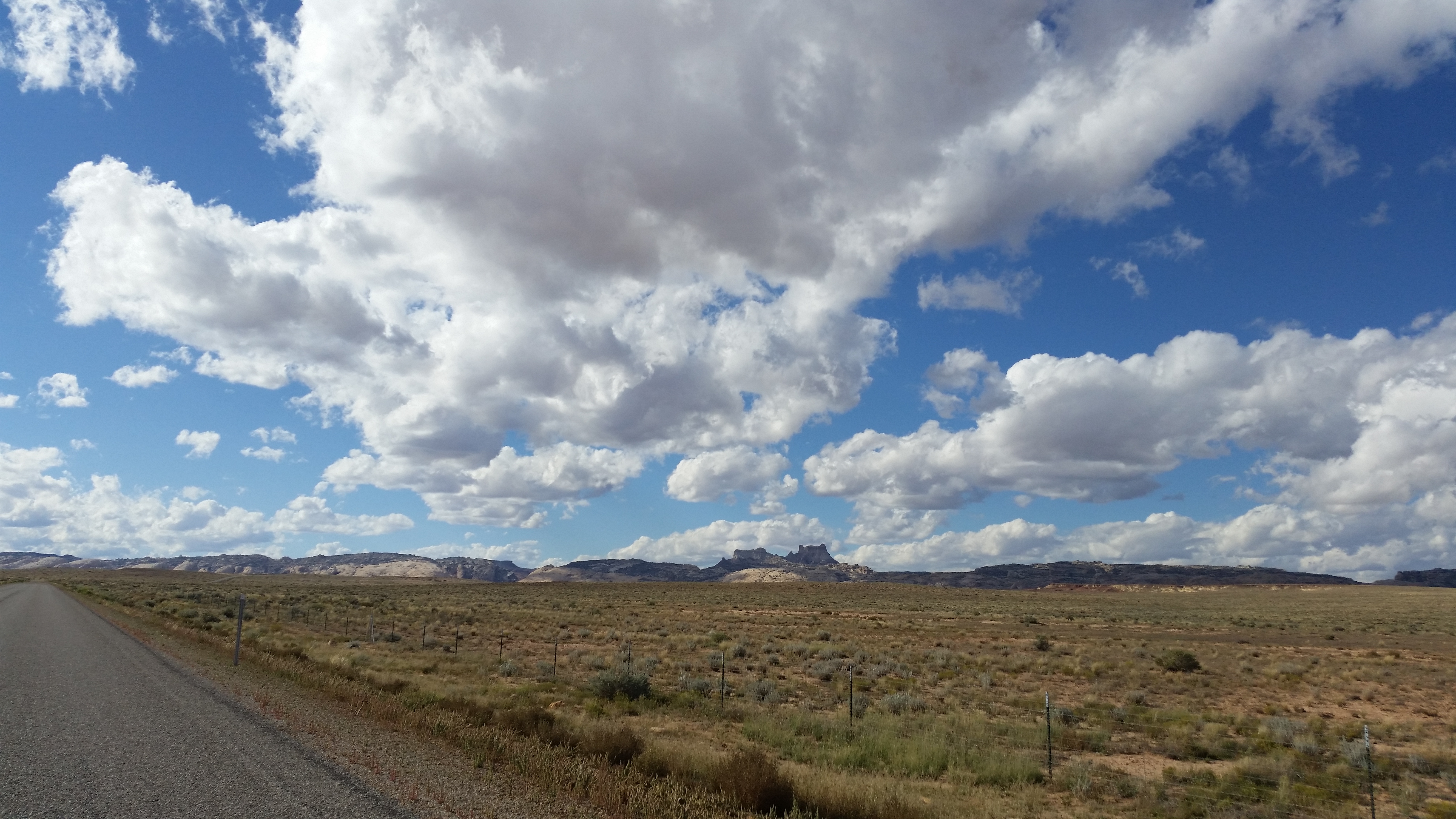
Even the drive between Zion National Park and Antelope Canyon awed us with indescribable natural beauty.  I couldn’t resist taking a photo of the bold colors of sunset while making a water stop:IMG_7236

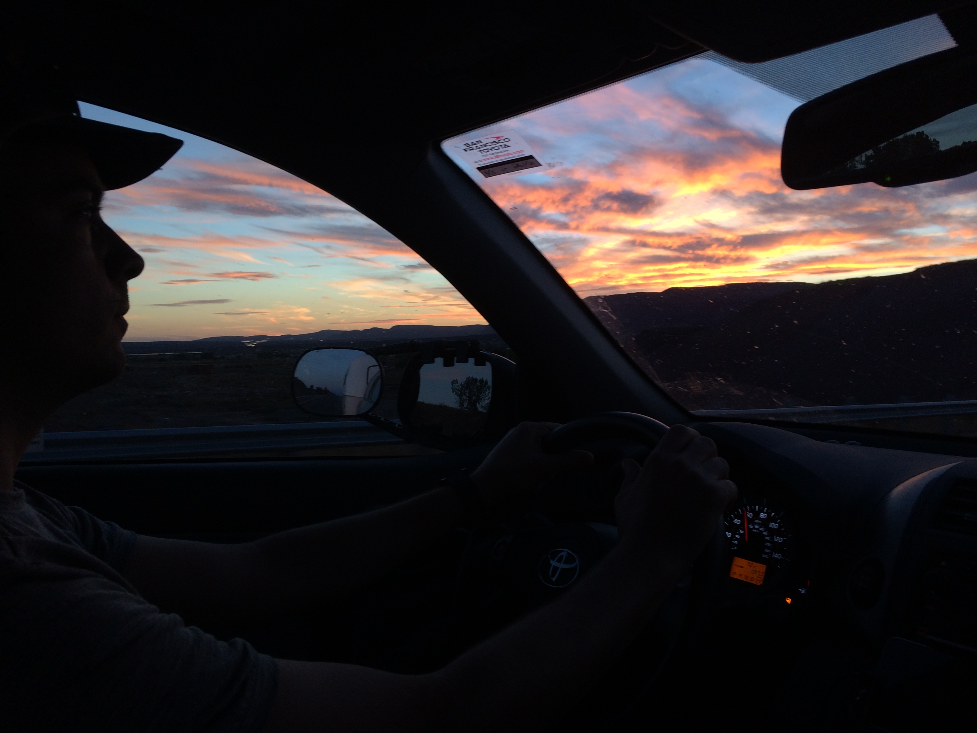
Long stretches of highway were not as dull as expected due to the epic sunsets:IMG_7240

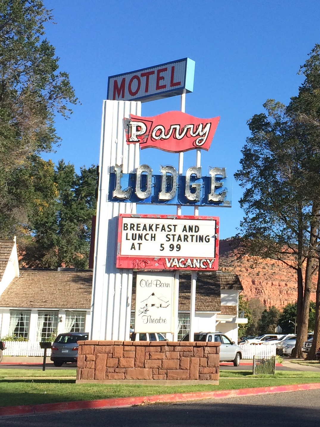
Vintage signs representing good ol’ American history charmed me:IMG_7244

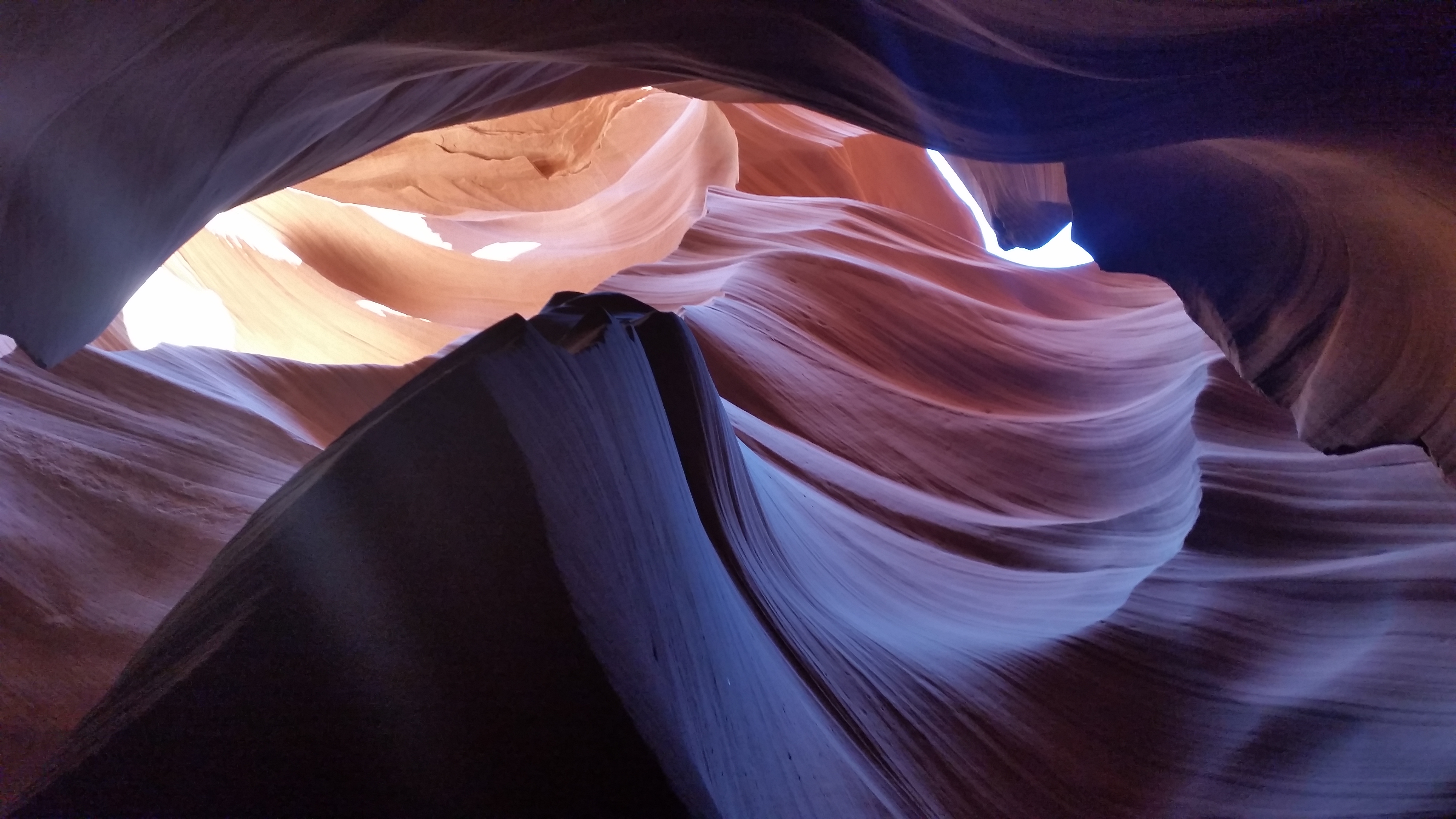
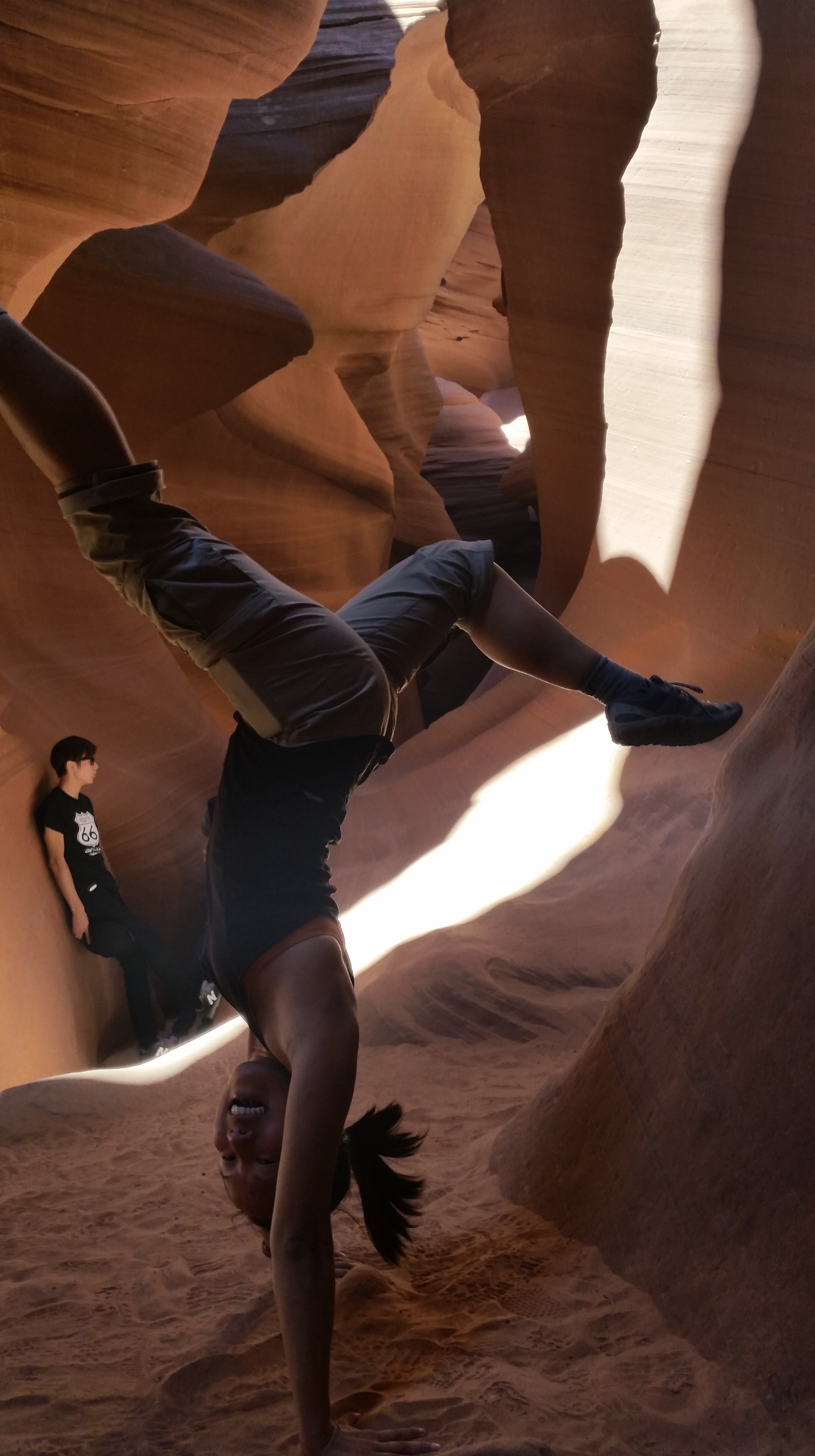
And behold, photos of the infamous Lower Antelope Canyon!20141010_121221_AndroidIMG_7220IMG_721720141010_122202_AndroidIMG_7206IMG_7207IMG_7216IMG_722620141010_123835_Android20141010_124752_Android

Exiting Lower Antelope Canyon:20141010_130610_Android

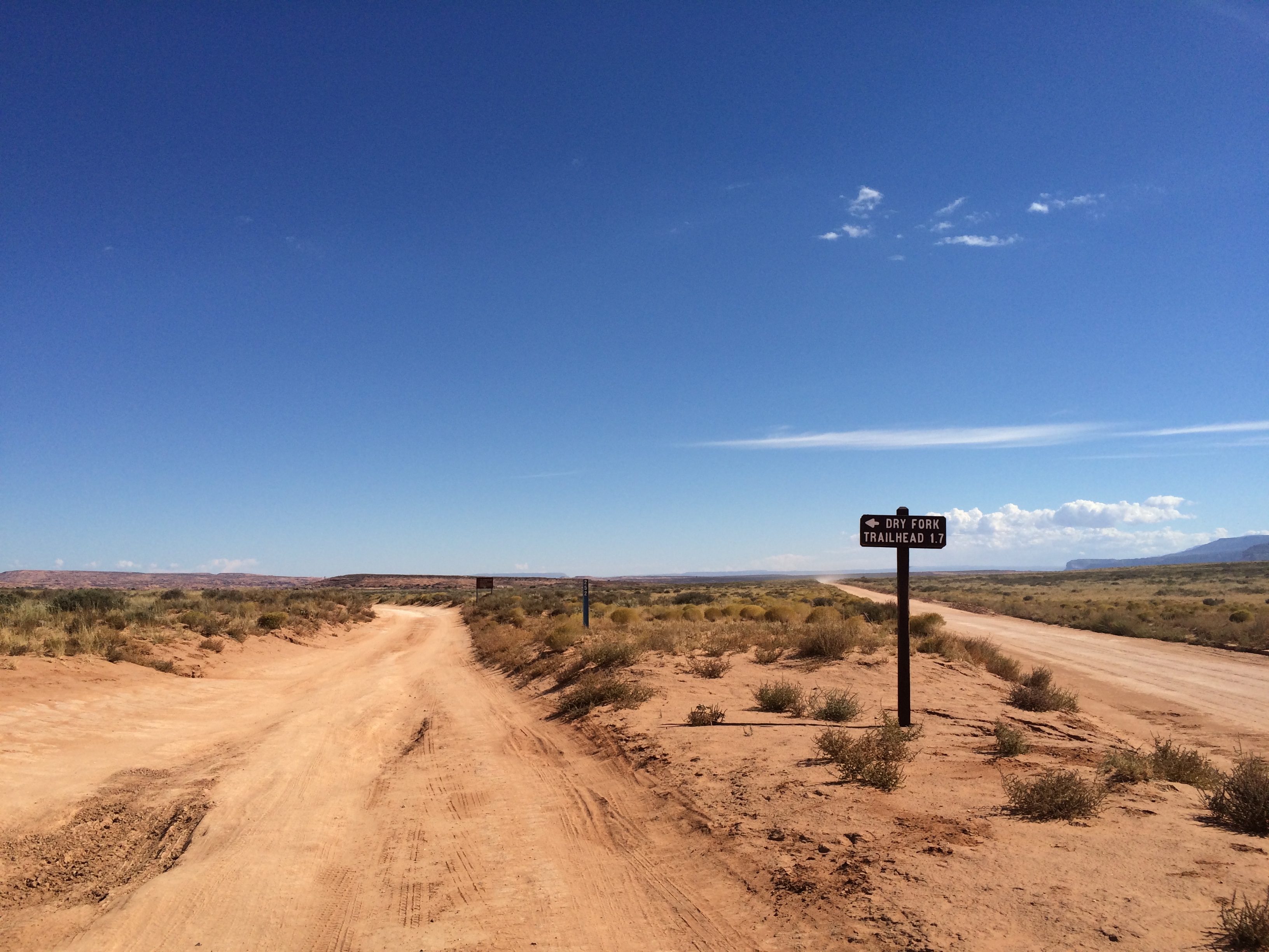
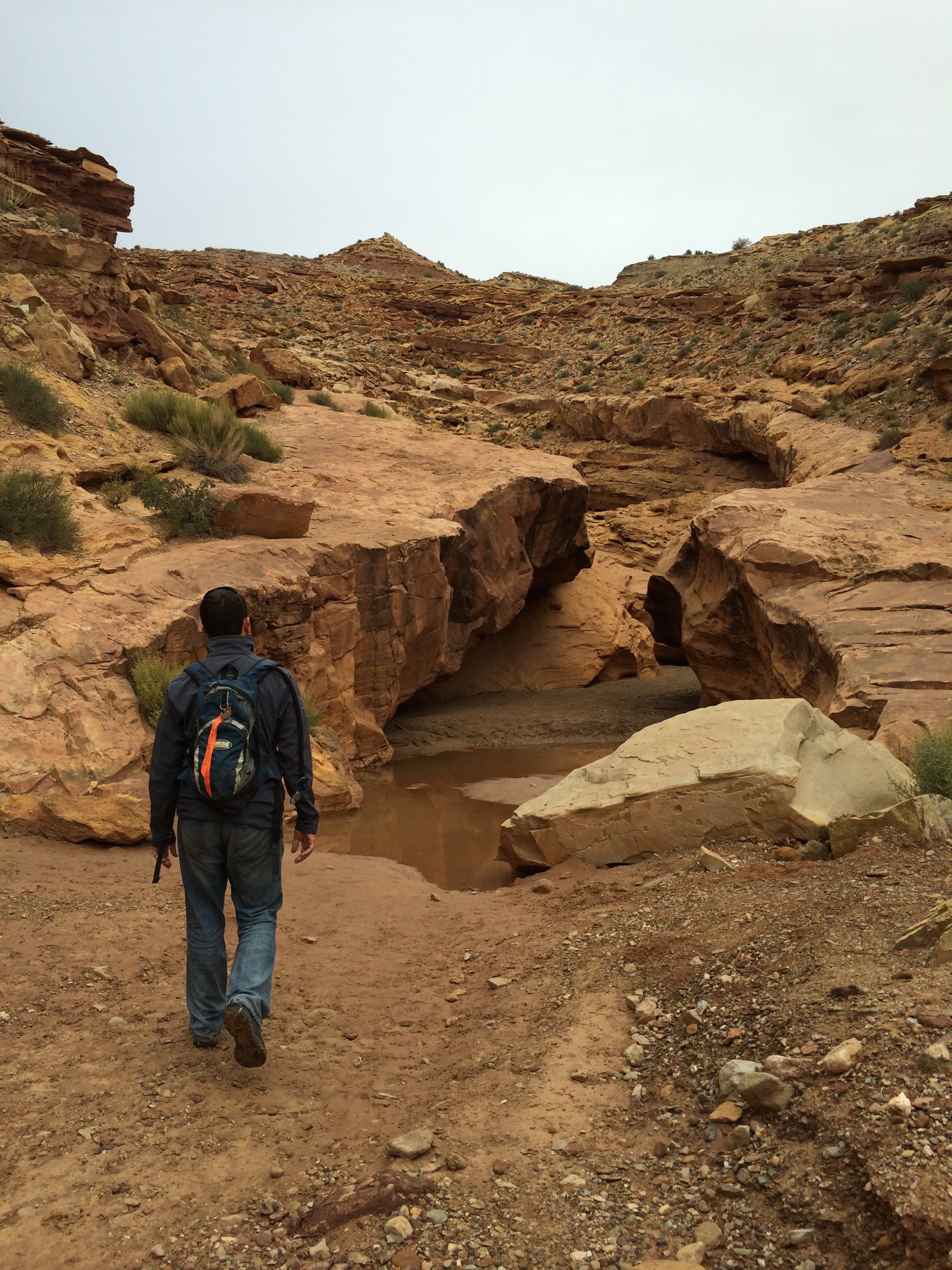
The day after Antelope Canyon, we explored two more slot canyons that were tucked away within Grand Staircase-Escalante National Monument.  Getting to the Peek-A-Boo and Spooky Canyons was an adventure in itself; the 26 mile unpaved dirt road will rattle any high-clearance vehicle and the Dry Fork Trailhead leading up to the parking lot is even rougher.  IMG_7246

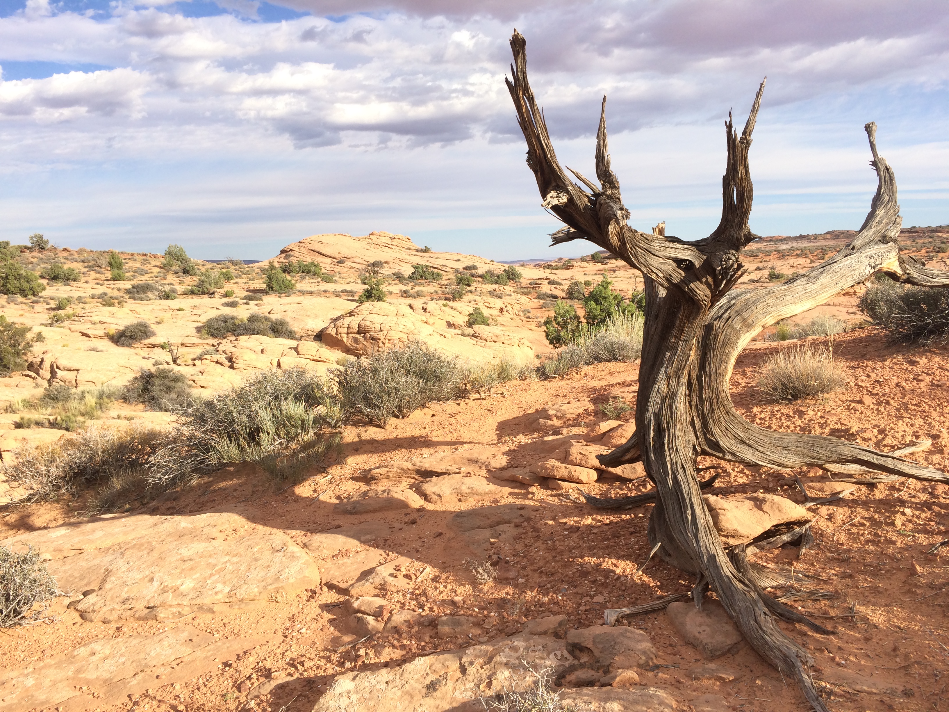
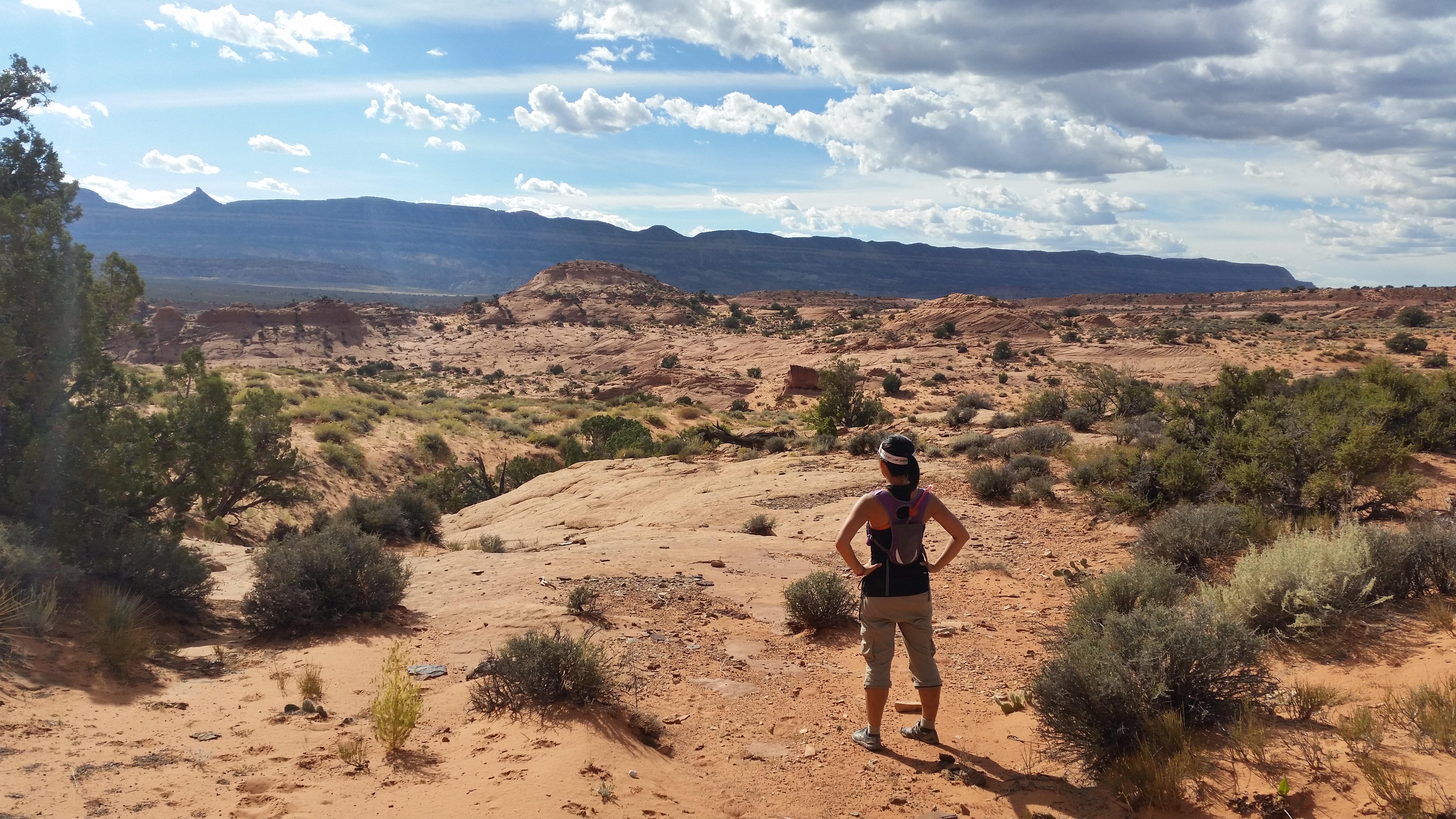
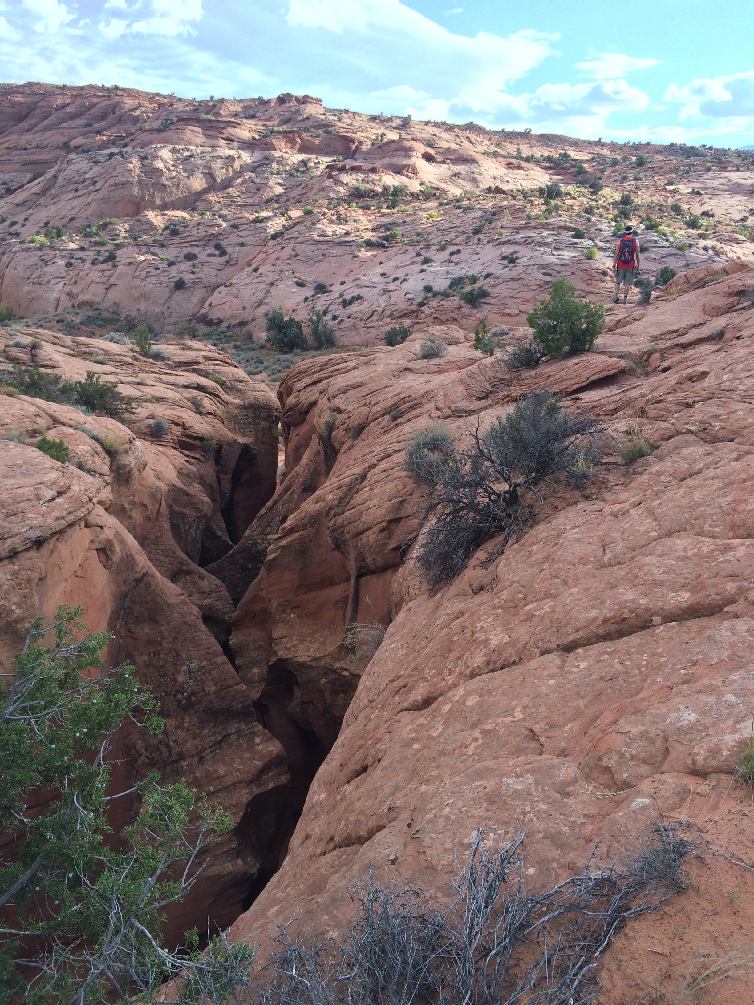
The vast, sparse desert presented us with steep climbs and descents on sand but it was beautiful nonetheless.  Trails at Grand Staircase-Escalante are not marked by signs but only cairns, which made the search for the slot canyons even more challenging.IMG_7278 IMG_7276 20141011_152044_Android

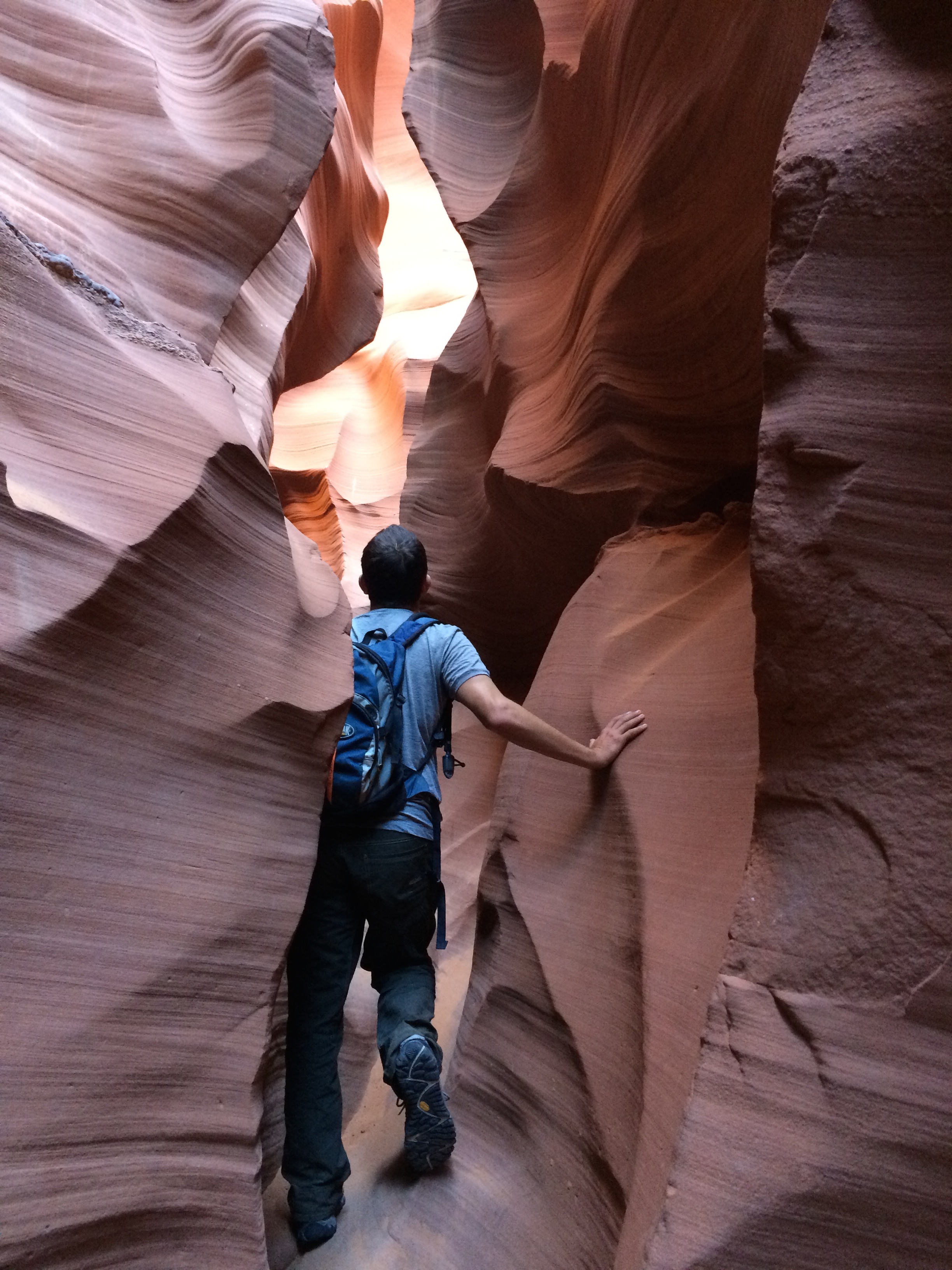
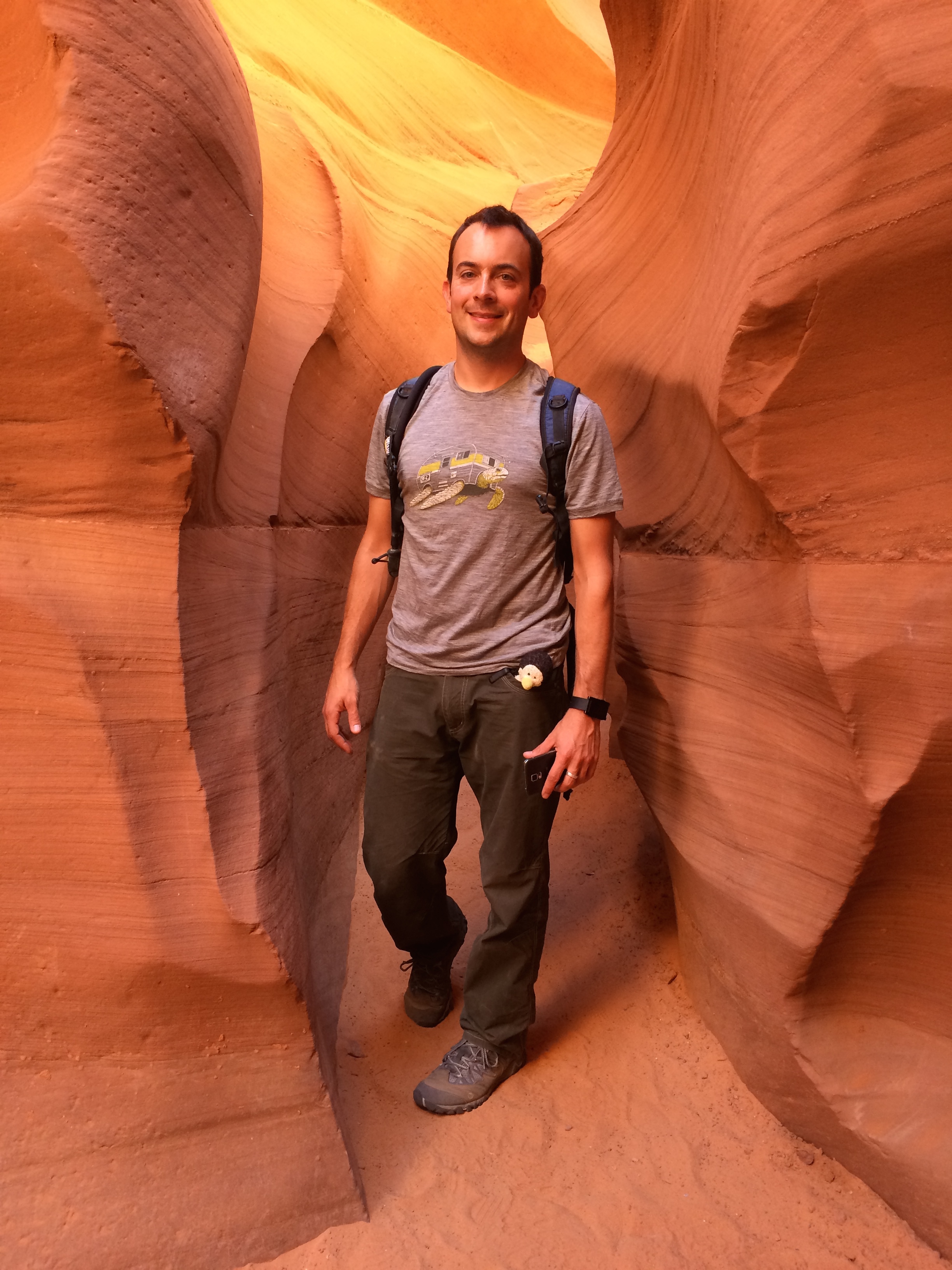
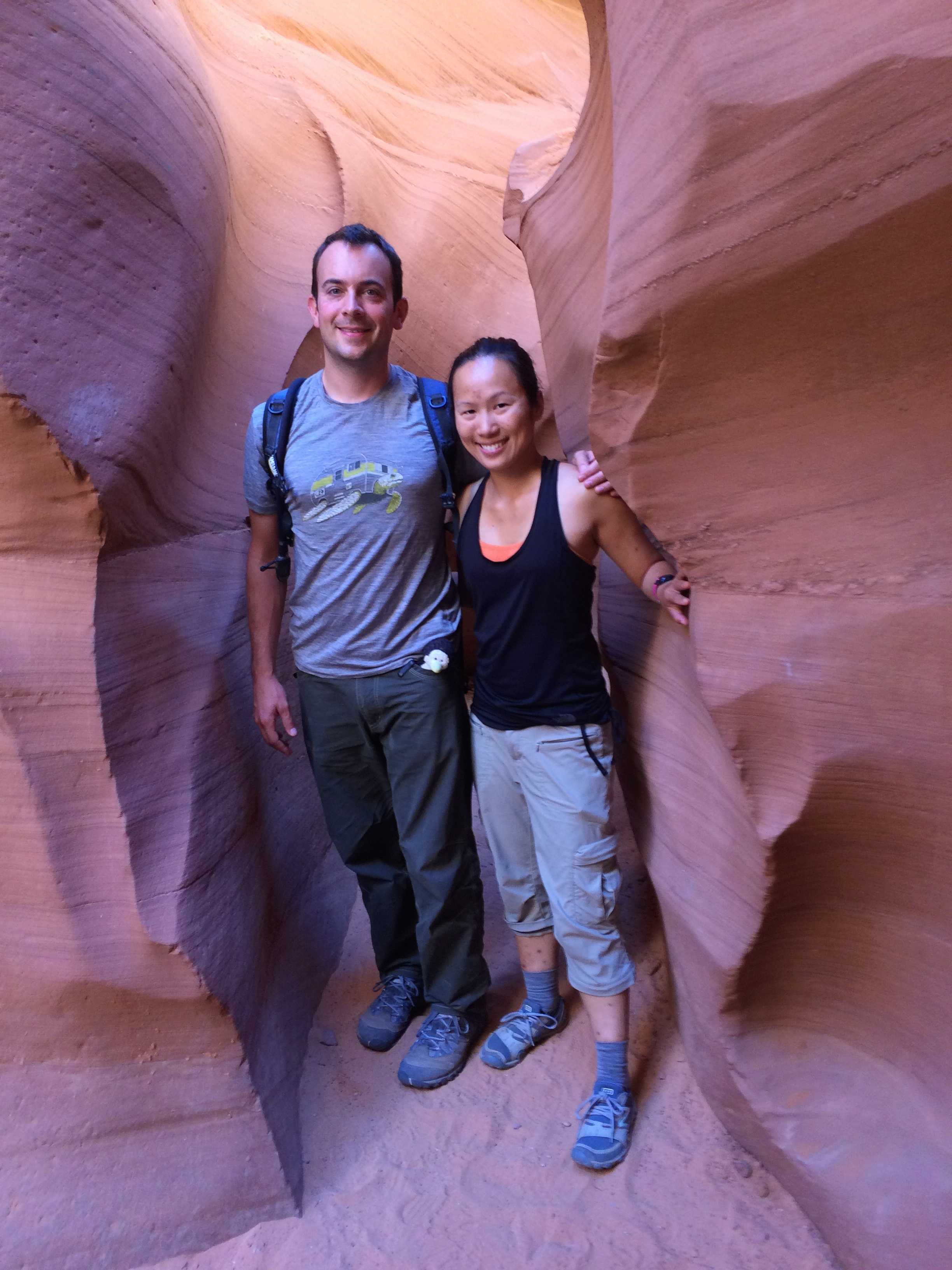
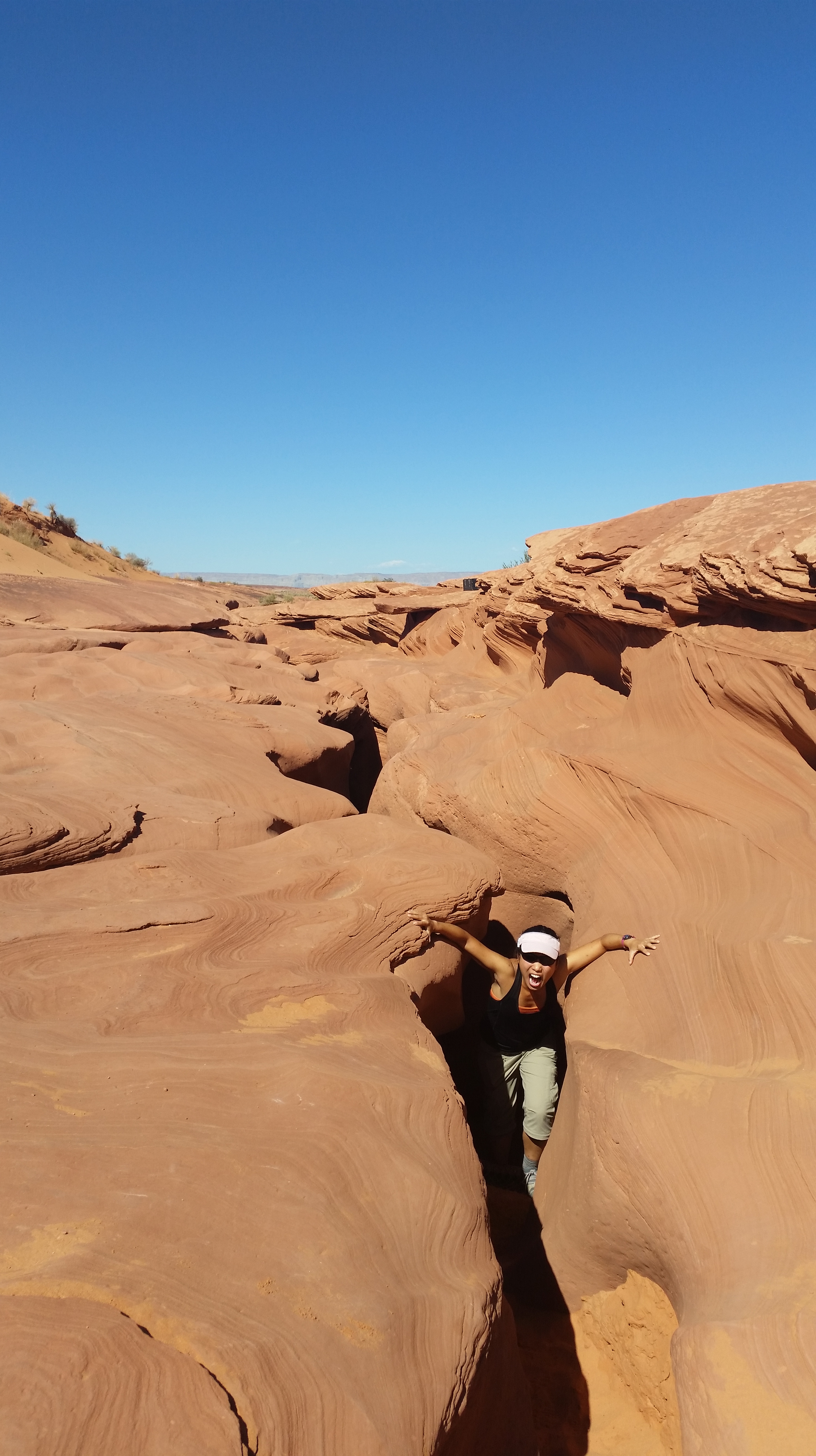
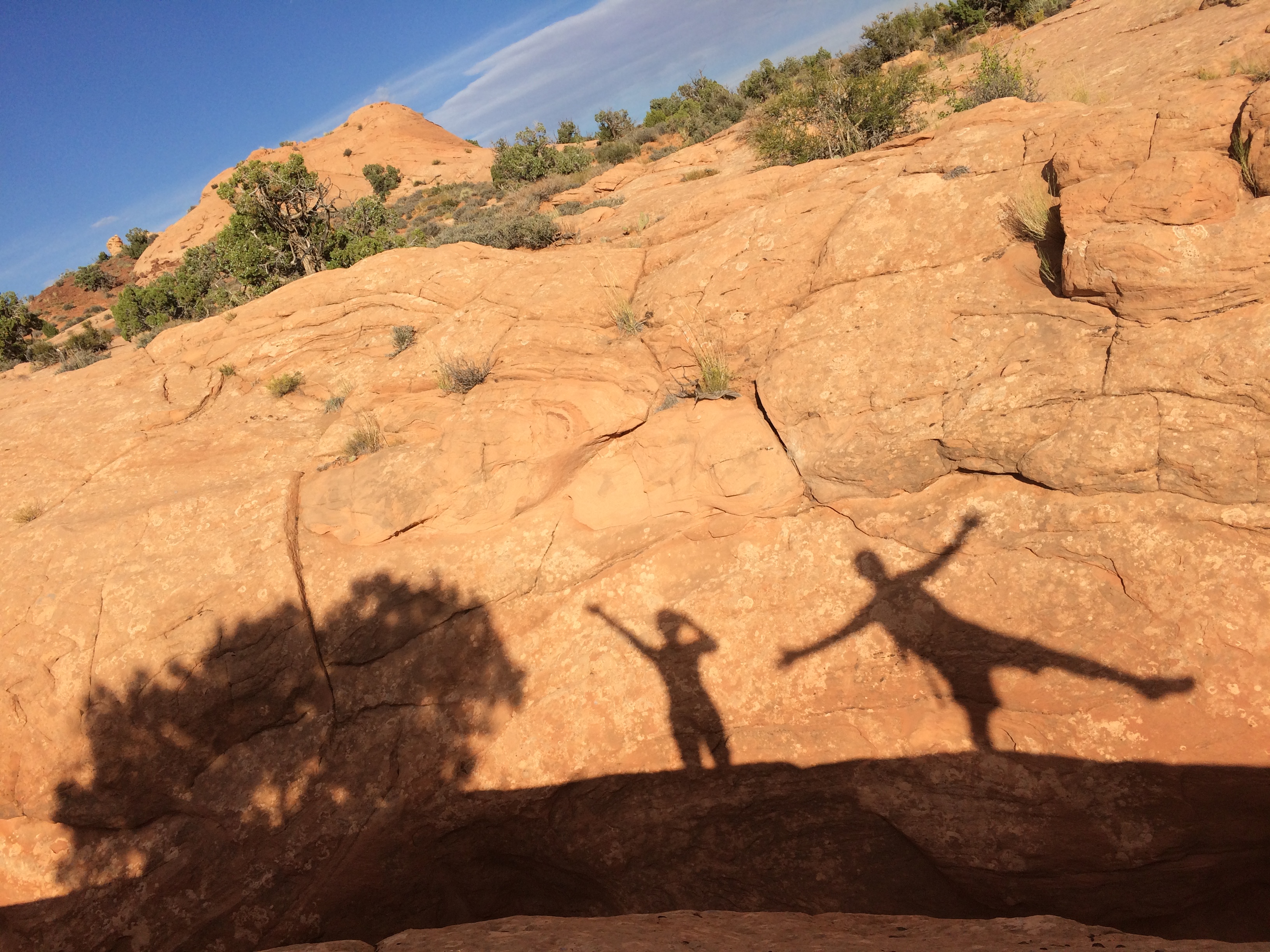
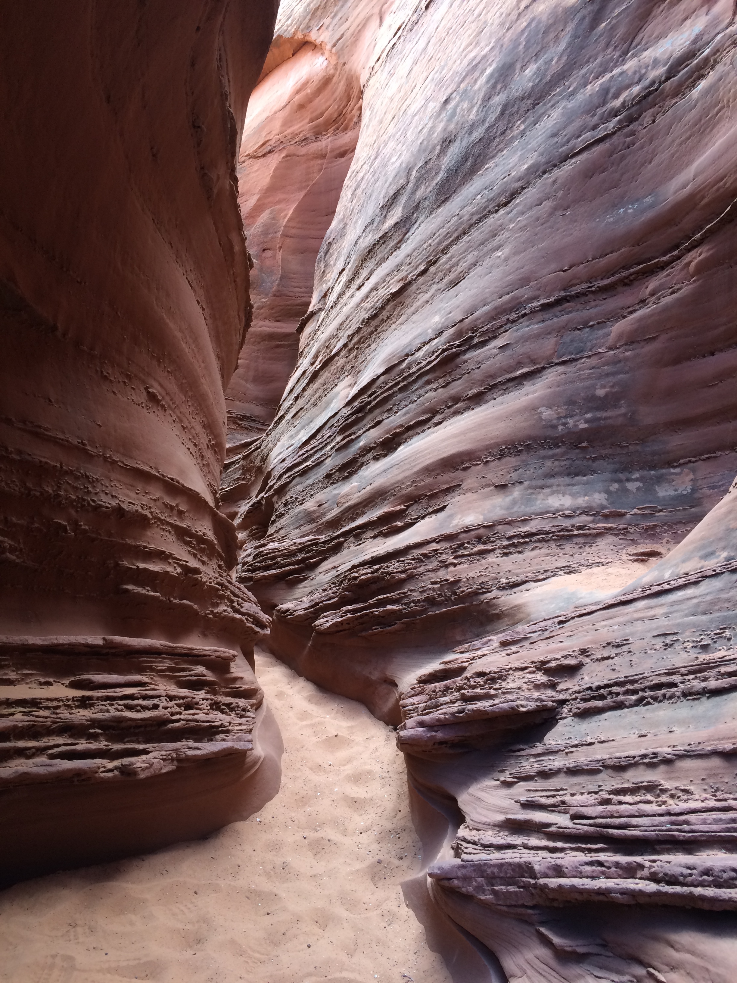
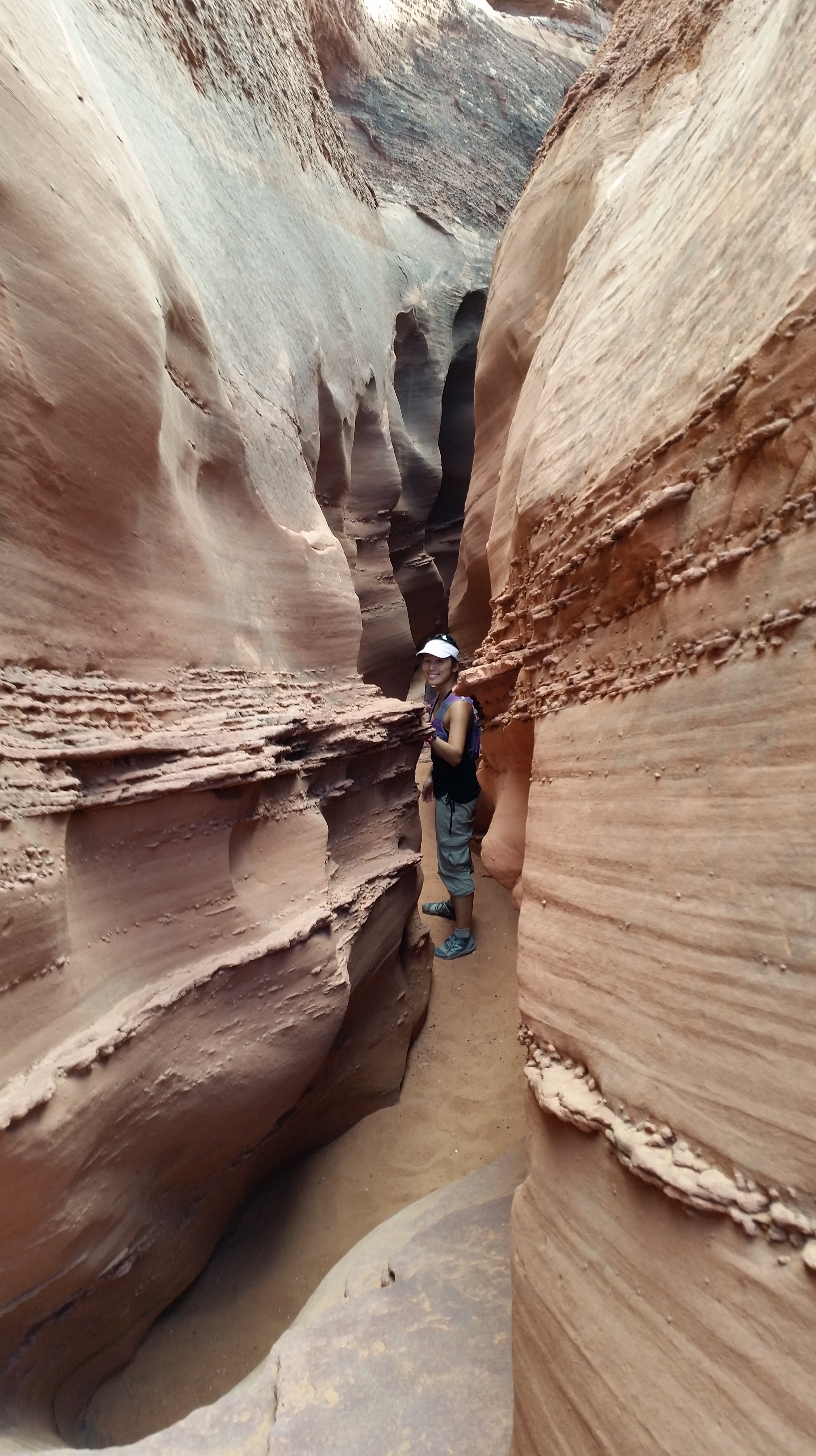
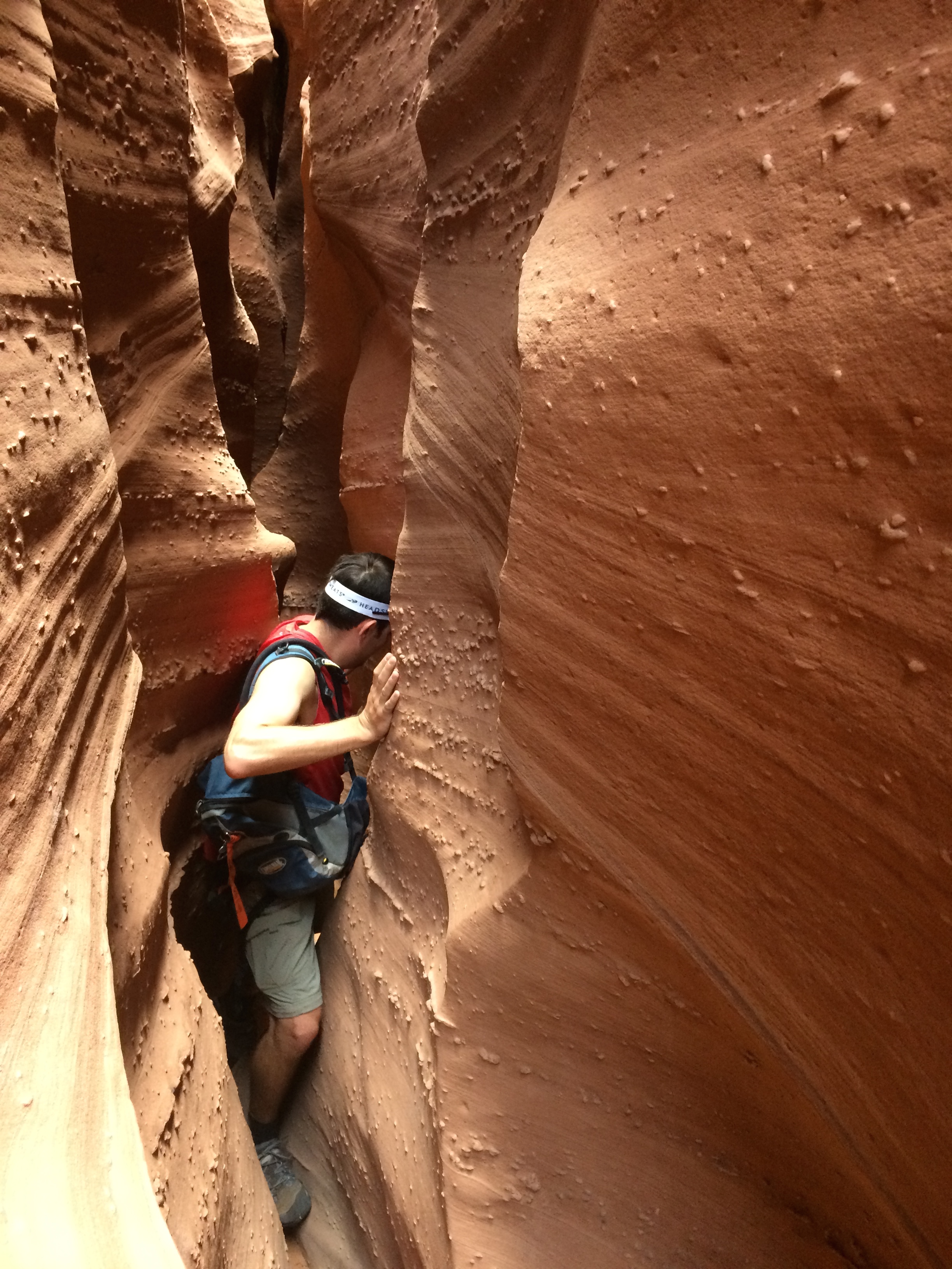
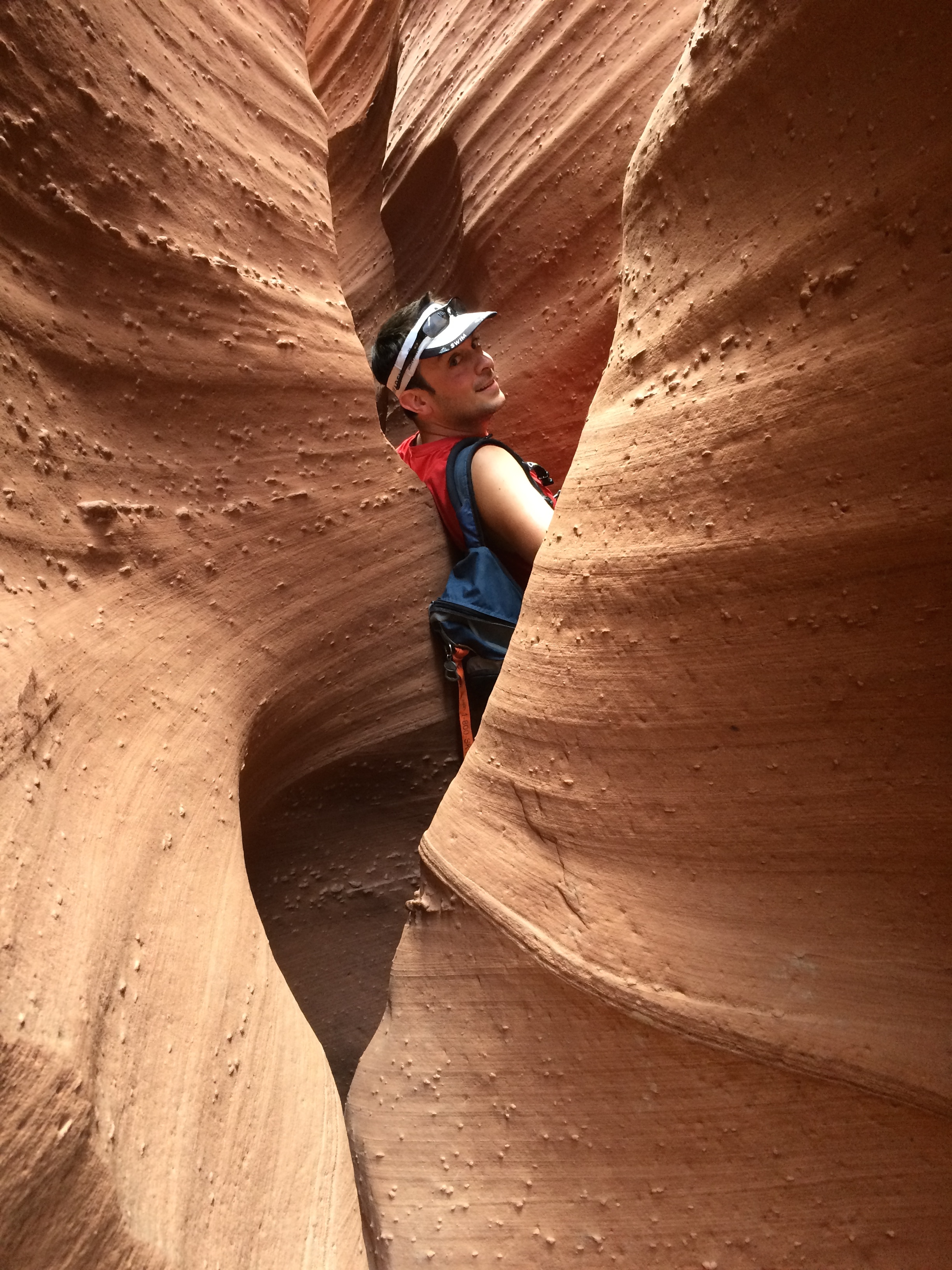
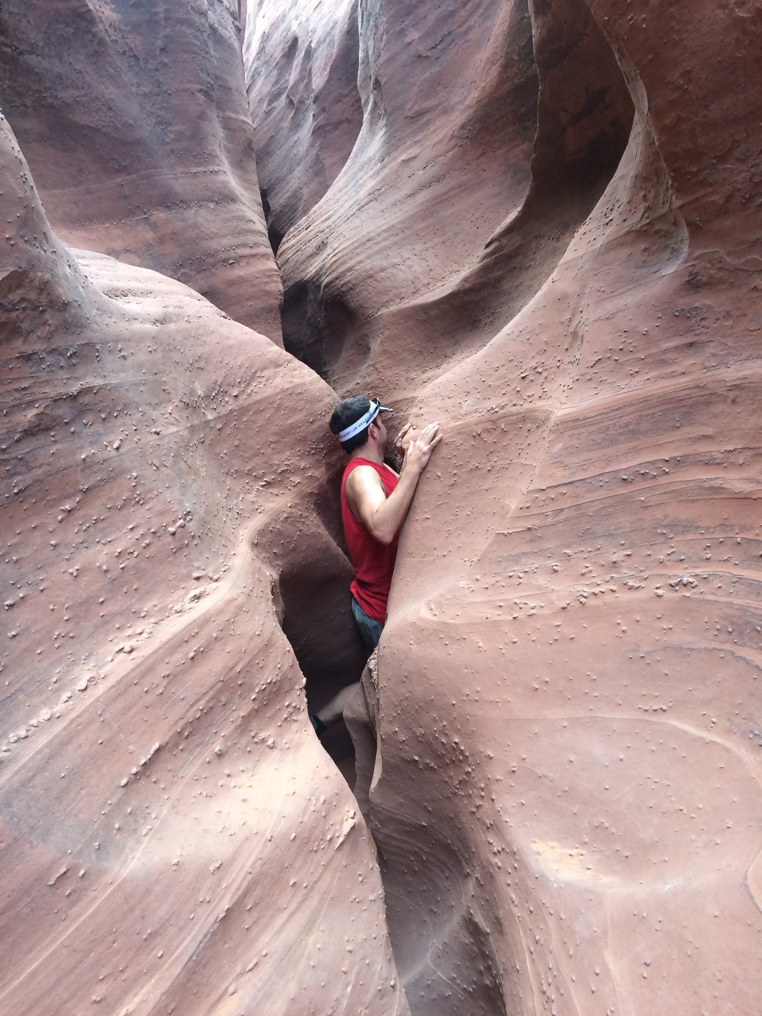
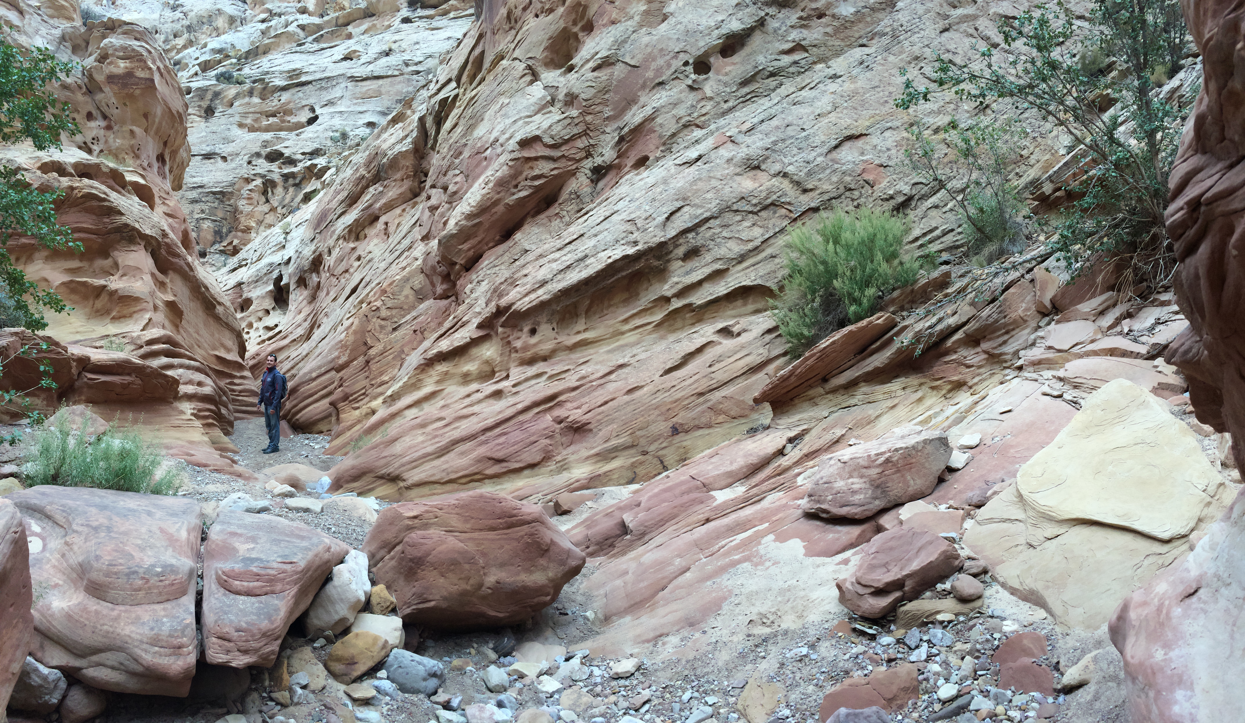
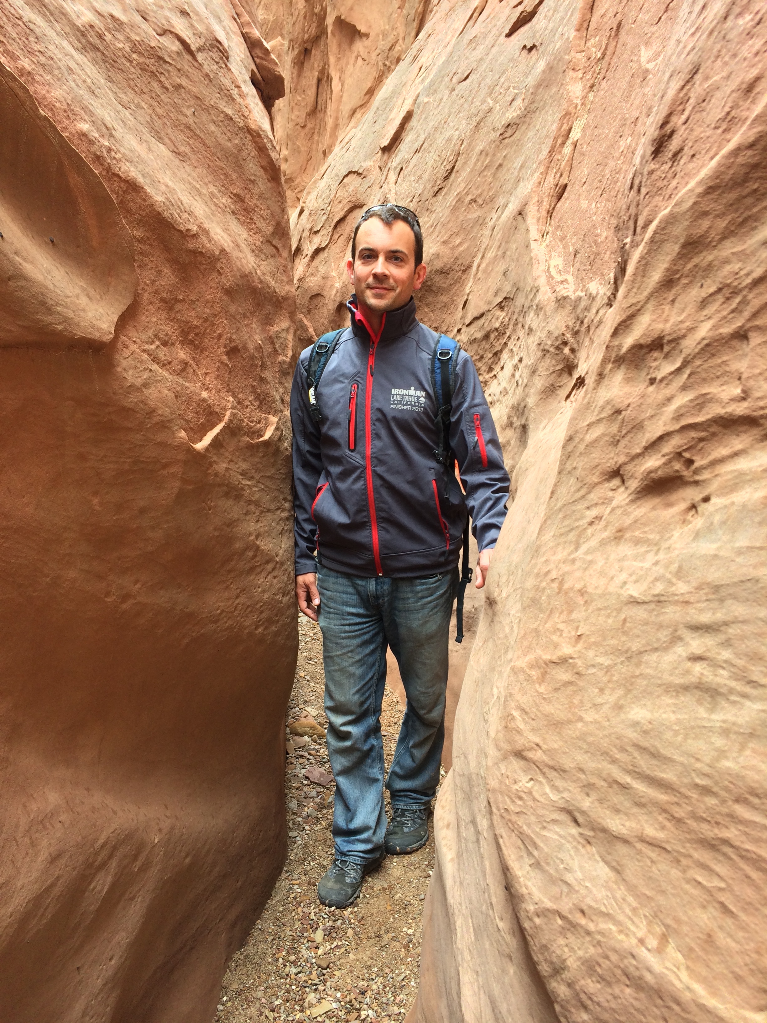
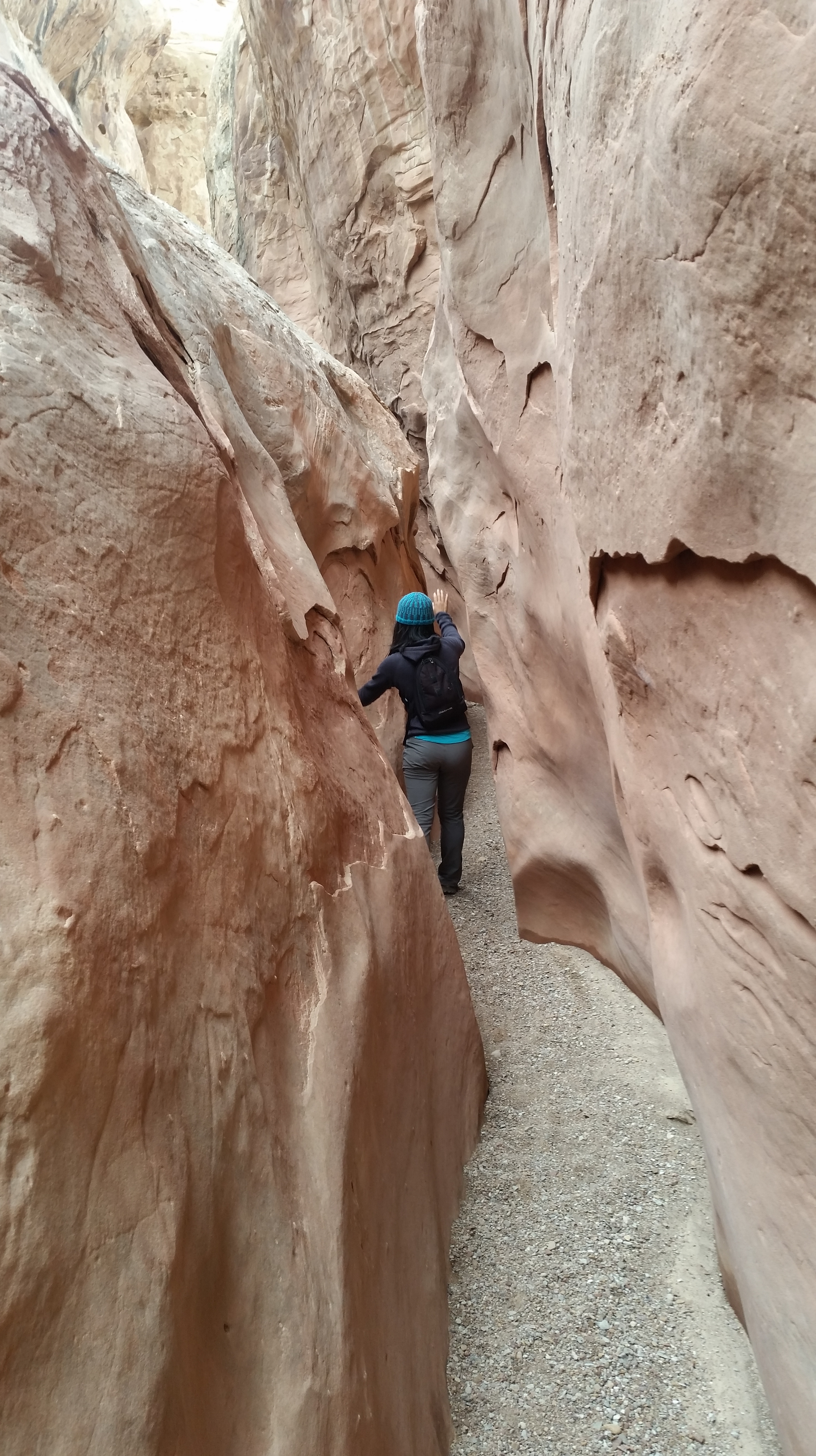
After purposely venturing off-course and trudging through the sandy desert, we finally caught sight of some cairns in the distance and made our way to Spooky Canyon.  Although reminiscent of creamy chocolate, the walls of Spooky Canyon were so cramped and narrow that even I felt the need to suck in my stomach in order to squeeze through the waves of walls.  At first, the entrance was wide enough, with walls that resembled a chocolate macaron cookie or wafer.IMG_7255

But as we ventured deeper, it became narrower:20141011_160707_Android

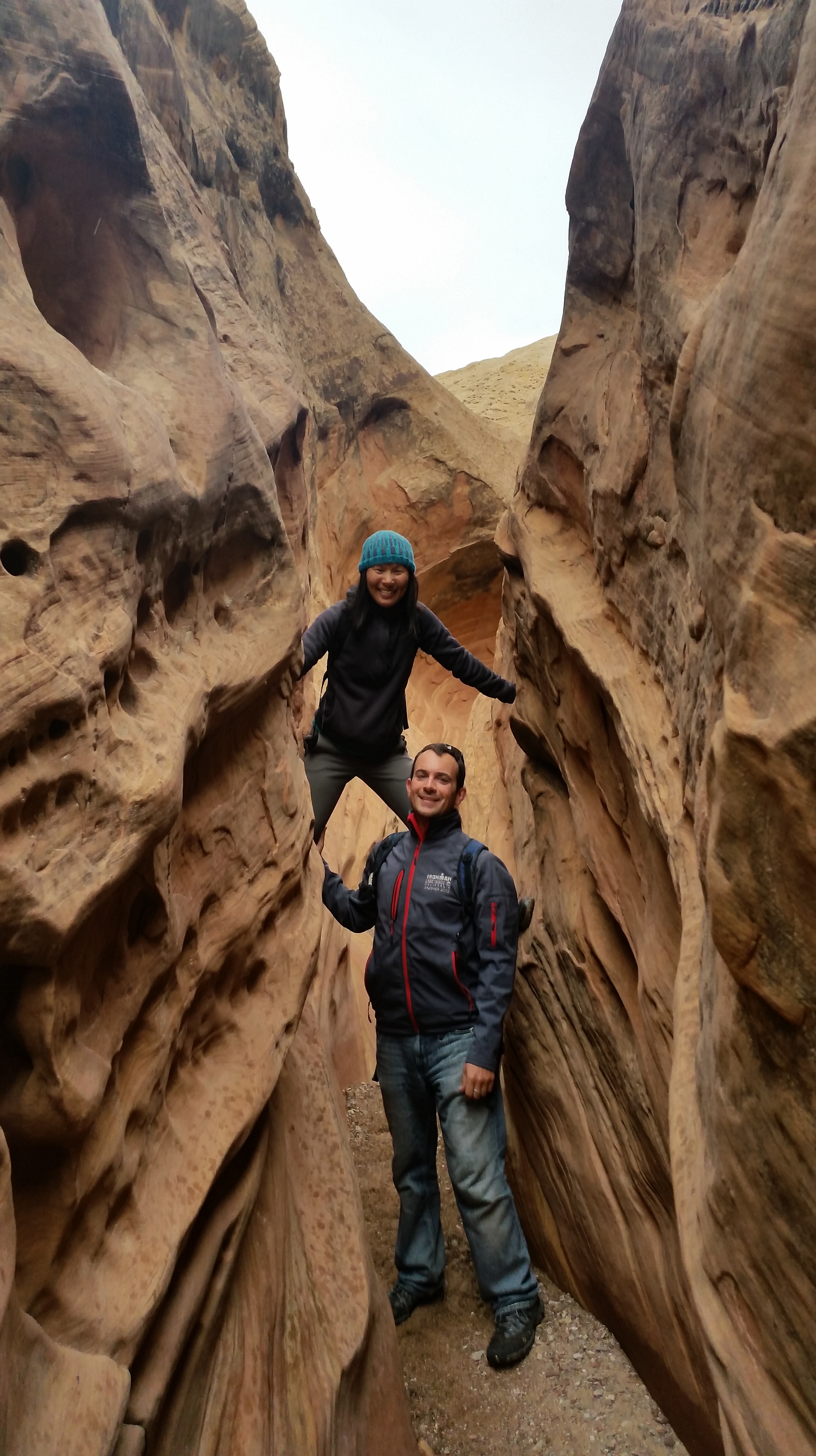
And narrower:IMG_7267

And even narrower:IMG_7265

So narrow, that Chris had to remove his Cambelbak to force through the canyon:IMG_7264

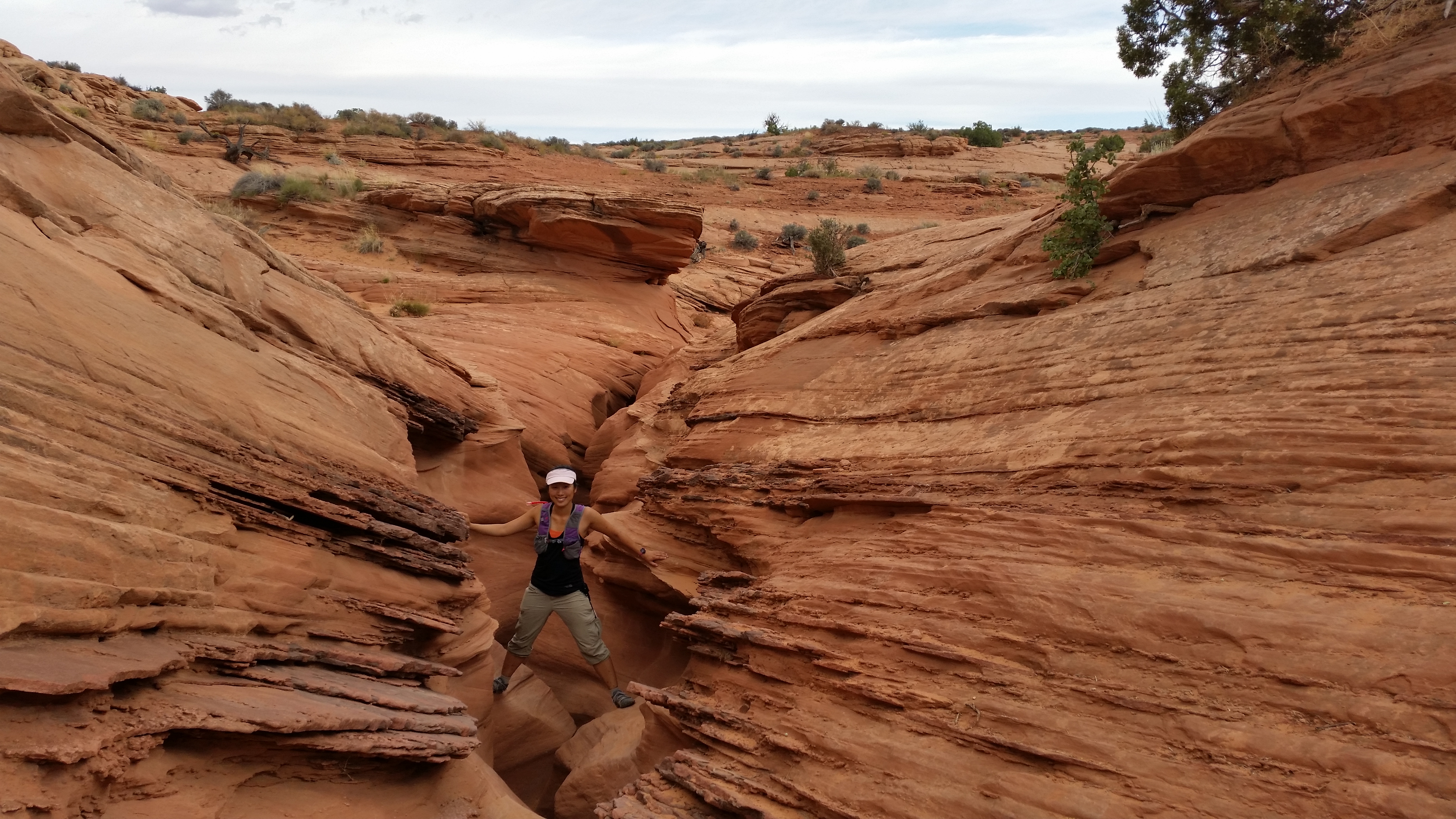
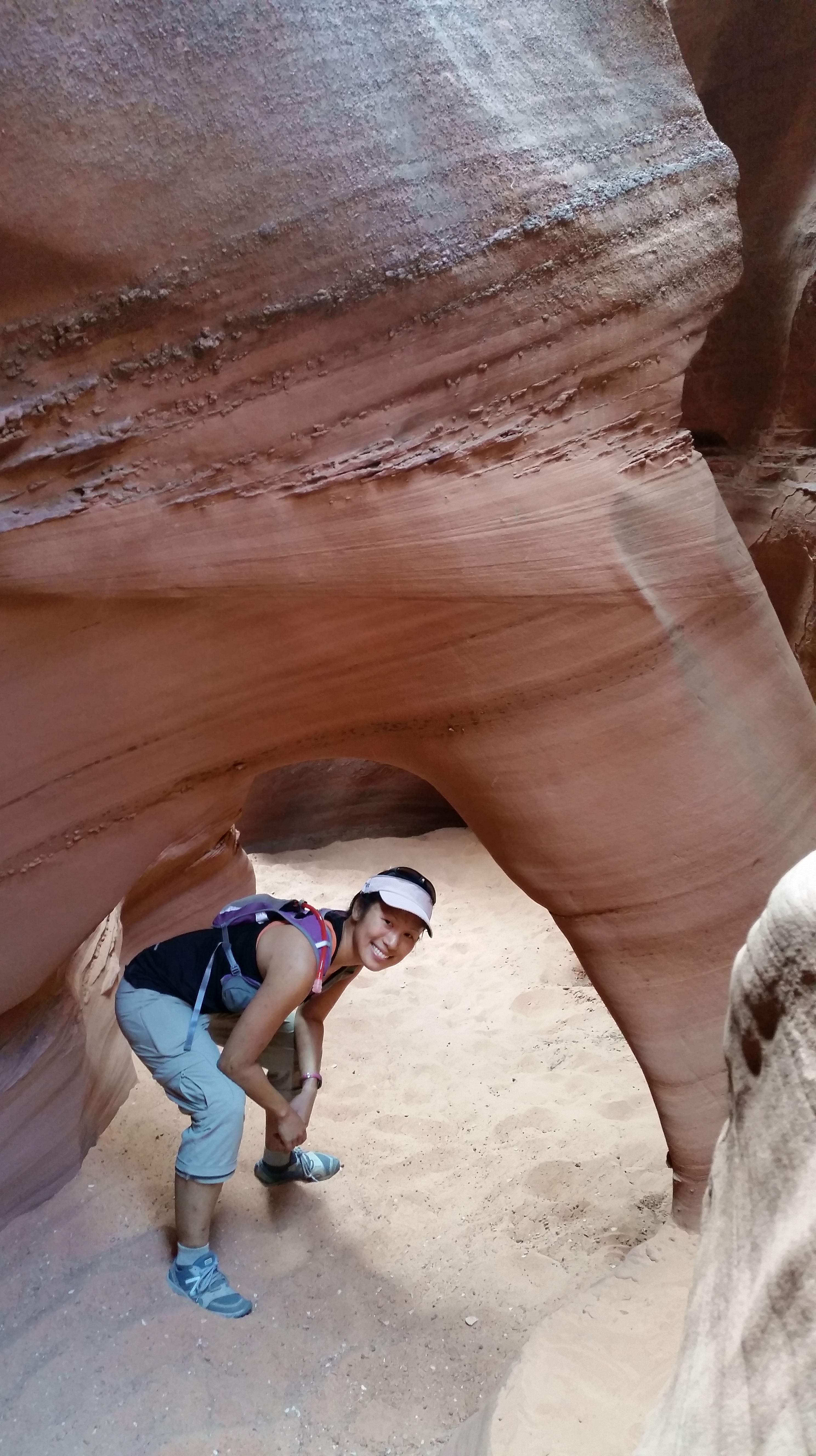
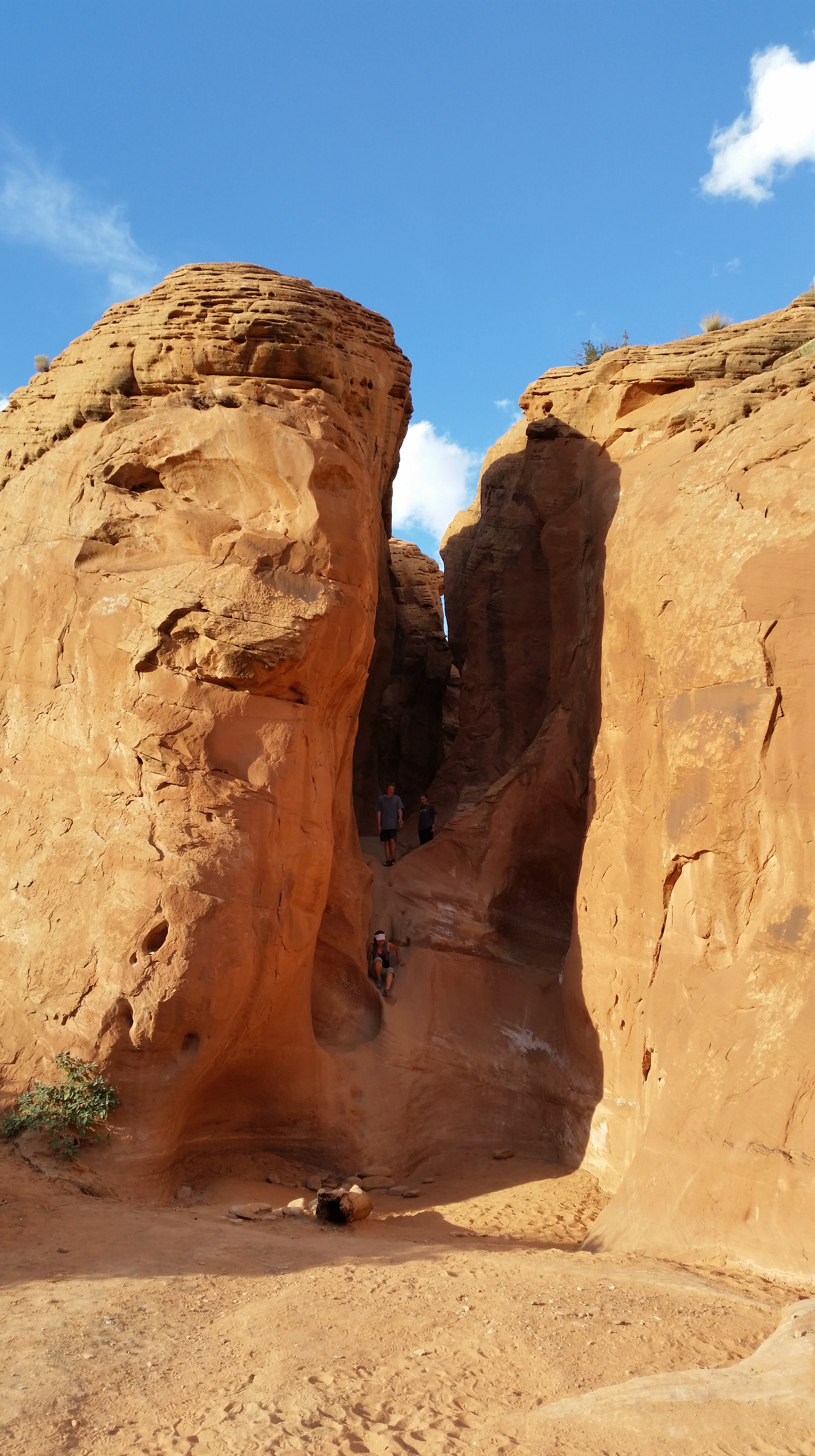
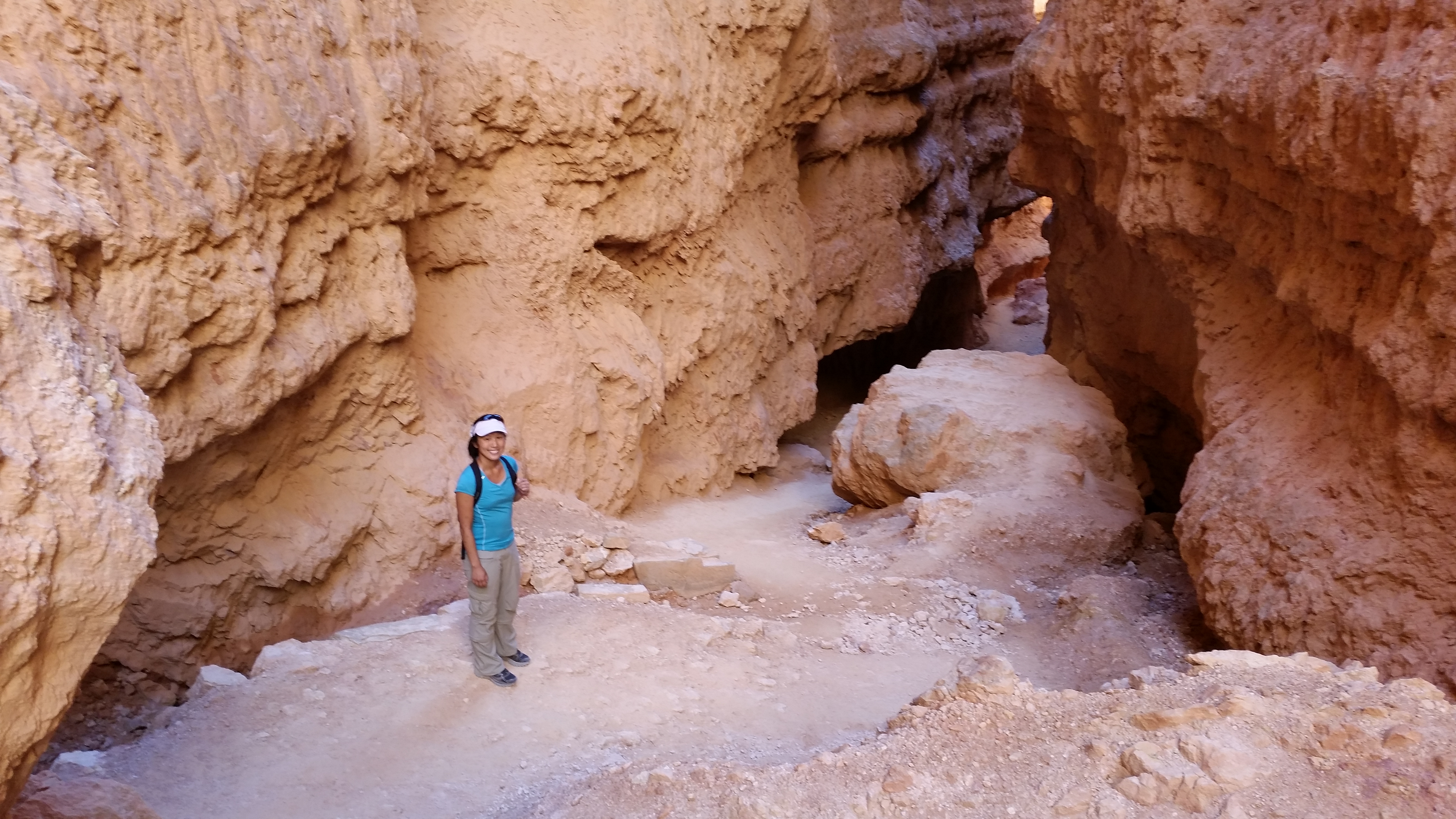
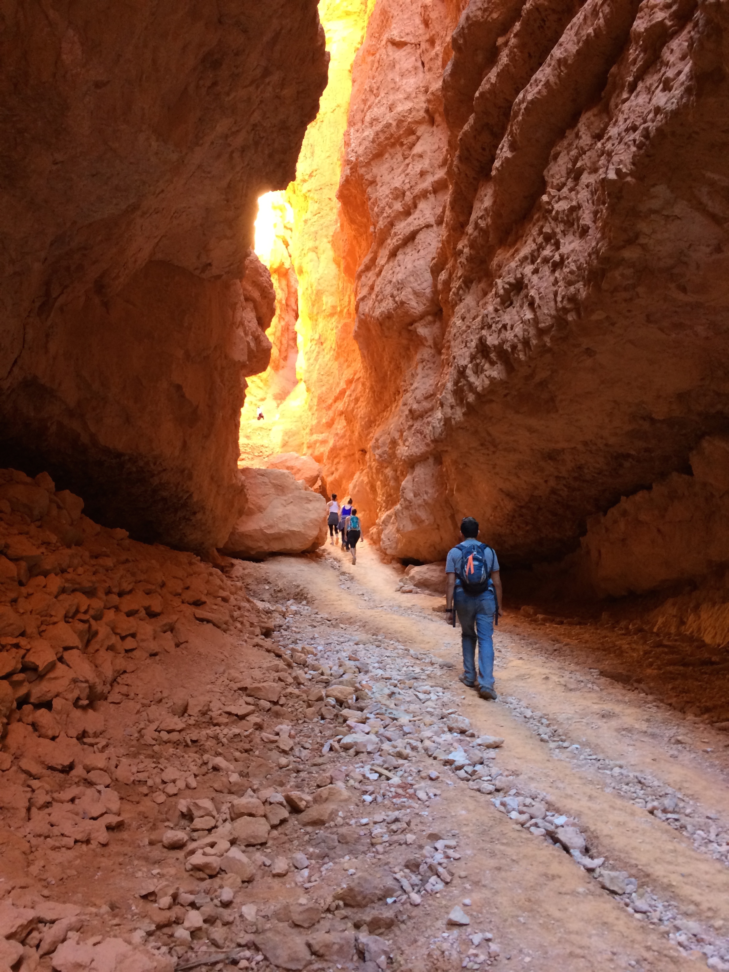
Peek-A-Boo Canyon was not as narrow, but its entrance was unique to other slot canyons we had visited.  We actually hiked it in reverse from the bottom up and ended up sliding down the elevated entrance instead of climbing up into the slot canyon.

Looking down into Peek-A-Boo from the top:IMG_728020141011_164958_Android

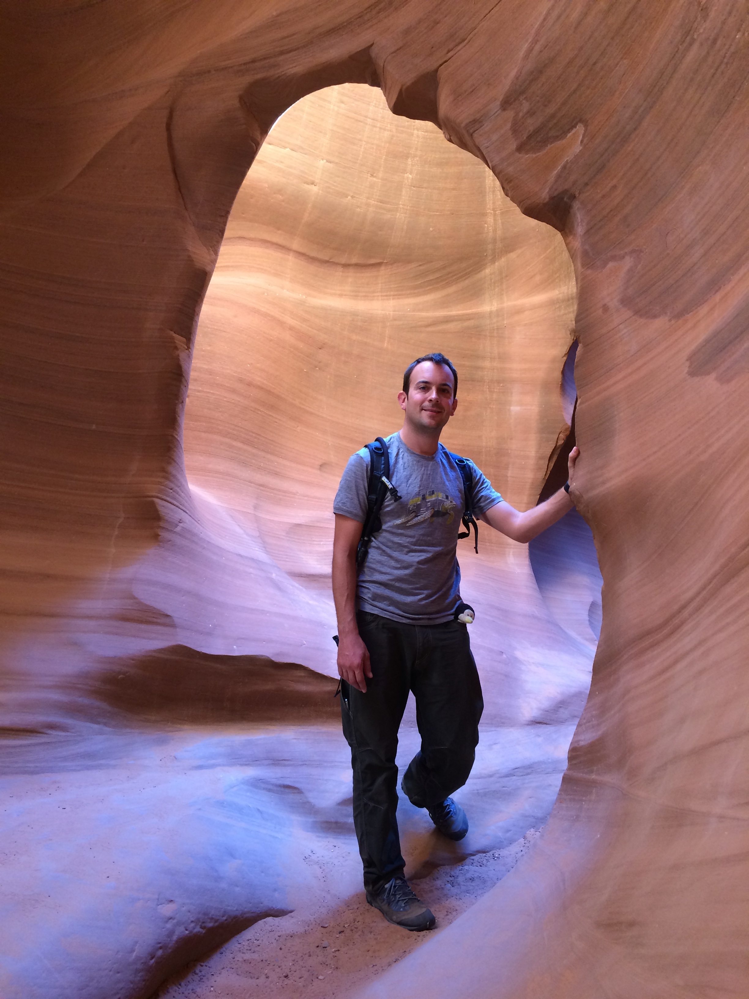
Inside the canyon:20141011_160749_Android

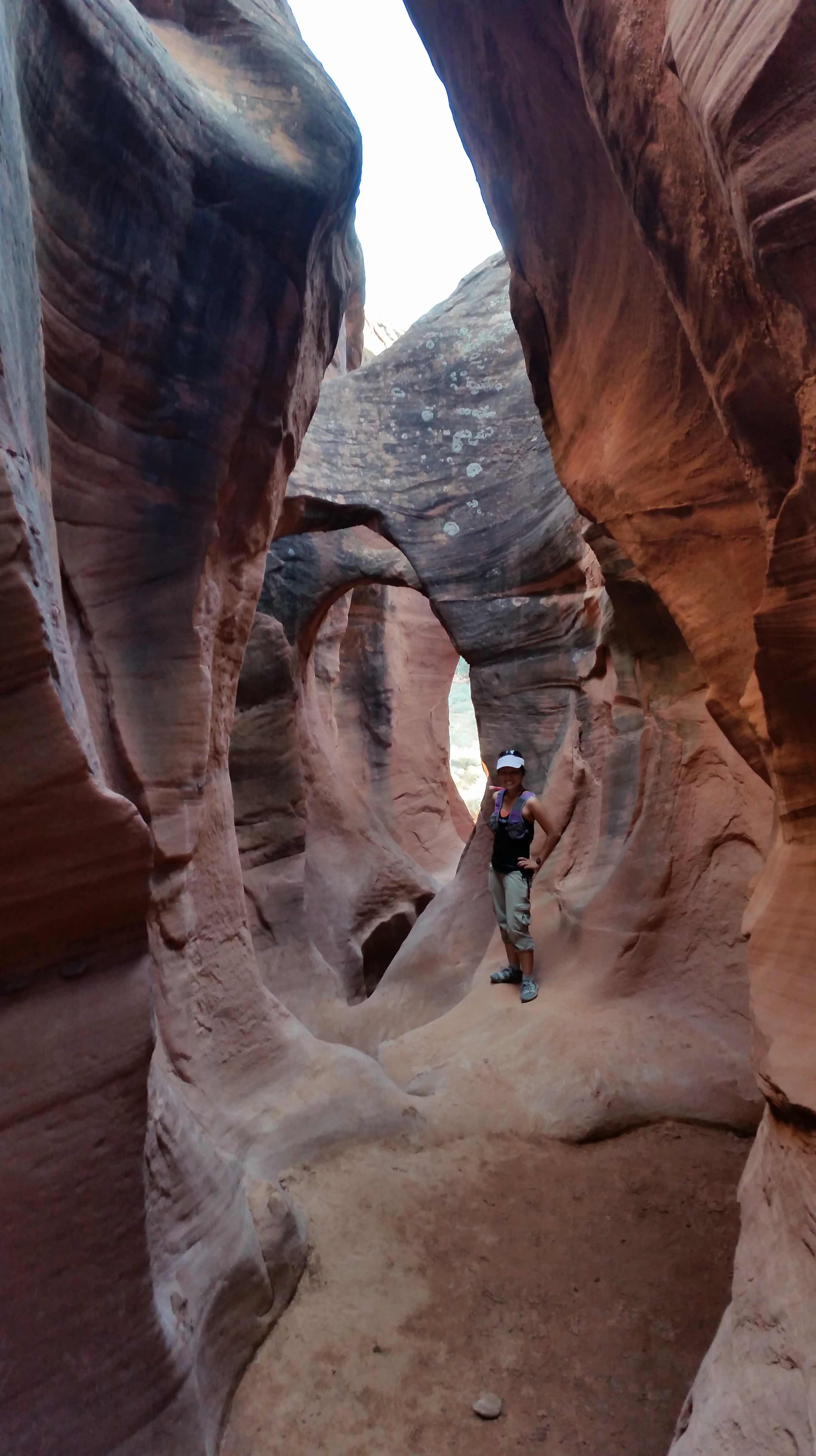
Whimsical loops and arches near the entrance:20141011_171437_Android

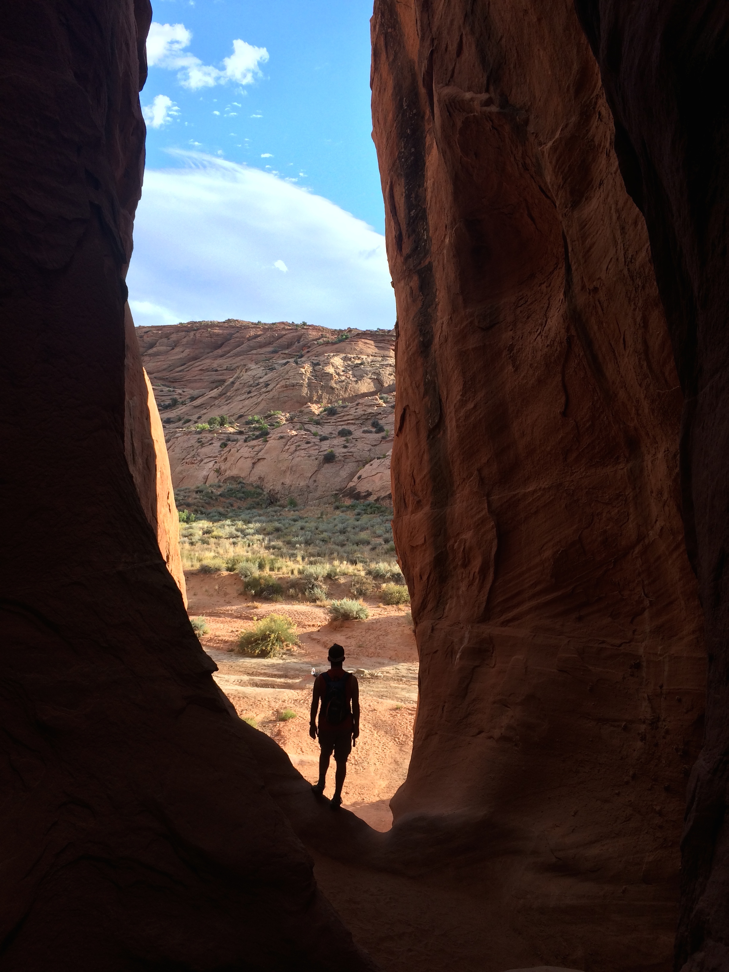
Standing at the entrance and gazing out:IMG_7282

Crawling out of Peek-A-Boo Canyon:  20141011_171738_Android

Our Utah national parks adventure finally came to a close with slot canyons: the acclaimed Antelope Canyon, and the secluded Spooky and Peek-A-Boo Canyons.  Over the course of 2.5 weeks we hiked Arches National Park, Canyonlands National Park, Little Wild Horse Canyon, Goblin Valley State Park, Capitol Reef National Park, Bryce National Park, Cedar Breaks National Monument, Zion National Park, Antelope Canyon, and Grand Staircase-Escalante National Monument.  Like everywhere else we’ve traveled, we yearned to stay longer, to hike more trails, to see more parks.  As a woman mentioned to us at a coffee shop, “You never want to leave Utah.”  But with only a couple more months on this road trip, it was necessary to continue.  At least our next destination was another national park, the Grand Tetons in Wyoming.  And with Utah being so close to California, it definitely won’t be long before we return.

Posted in Utah | 1 Comment

Zion

They say it’s a magical place. They say it’s the most visited national park in the United States. They say they come here for a weekend trip or a vacation and skip the other parks because they only have time for this one. They call it Zion National Park.

One quickly realizes these statements are facts within minutes upon entering the park as heads turn here and there into a dizzying frenzy of enchantment.  However the well-seasoned traveler will also soon discover what they don’t tell you about Zion National Park, which I’ll lay out below.

In the outskirt of the park lies the town of Springdale, which I assume relies on Zion tourism to exist. As opposed to a sole general store and dingy motel typically within the vicinity of other national parks and monuments, an abundance of restaurants, hotels, lodges, and even shopping/boutique shops cater to not just the outdoor enthusiast but to the tourist at Zion. The “CAMPGROUND FULL” sign is not a replaceable sign; it is a permanent sign indicating the status of its campgrounds at all times, even on weekdays. Overpriced campgrounds scatter throughout Springdale, along with $5-for-5-minutes showers due to the absence of showers in Zion. It’s no wonder that cars are not permitted to venture far into the park during May through November; in order to prevent traffic congestion, shuttles were introduced in 2011 to transport in and out all of its visitors. The shuttle ride itself is reminiscent of the crowded, tourist-ridden Disneyland, where voices coated with a forced enthusiasm calling out basic, mundane information are actually appreciated by those who rarely venture out. Tour buses litter the road, and it seems as if the majority of visitors are international tourists or retired elders. This is the Angkor Wat of national parks.

Despite Zion’s mass tourism, we, like everyone else, experienced the magic of Zion.  My proficiency with travel planning from our Southeast Asian travels kicked in during my research and enabled us to avoid the tremors of tourist-ridden attractions.

First, when to go? THE WEEKDAY (in October for superb weather). I had planned our route and schedule accordingly so we would arrive and depart Zion before the weekenders/vacationers could arrive.  I met some campers at Bryce who were in Zion for the weekend before, and with a cry of despair all they could say was, “It was SO crowded.” We arrived on Tuesday late afternoon in mid-October and immediately realized it was the most crowded national park we have ever visited.  I could not imagine what the weekend beheld.

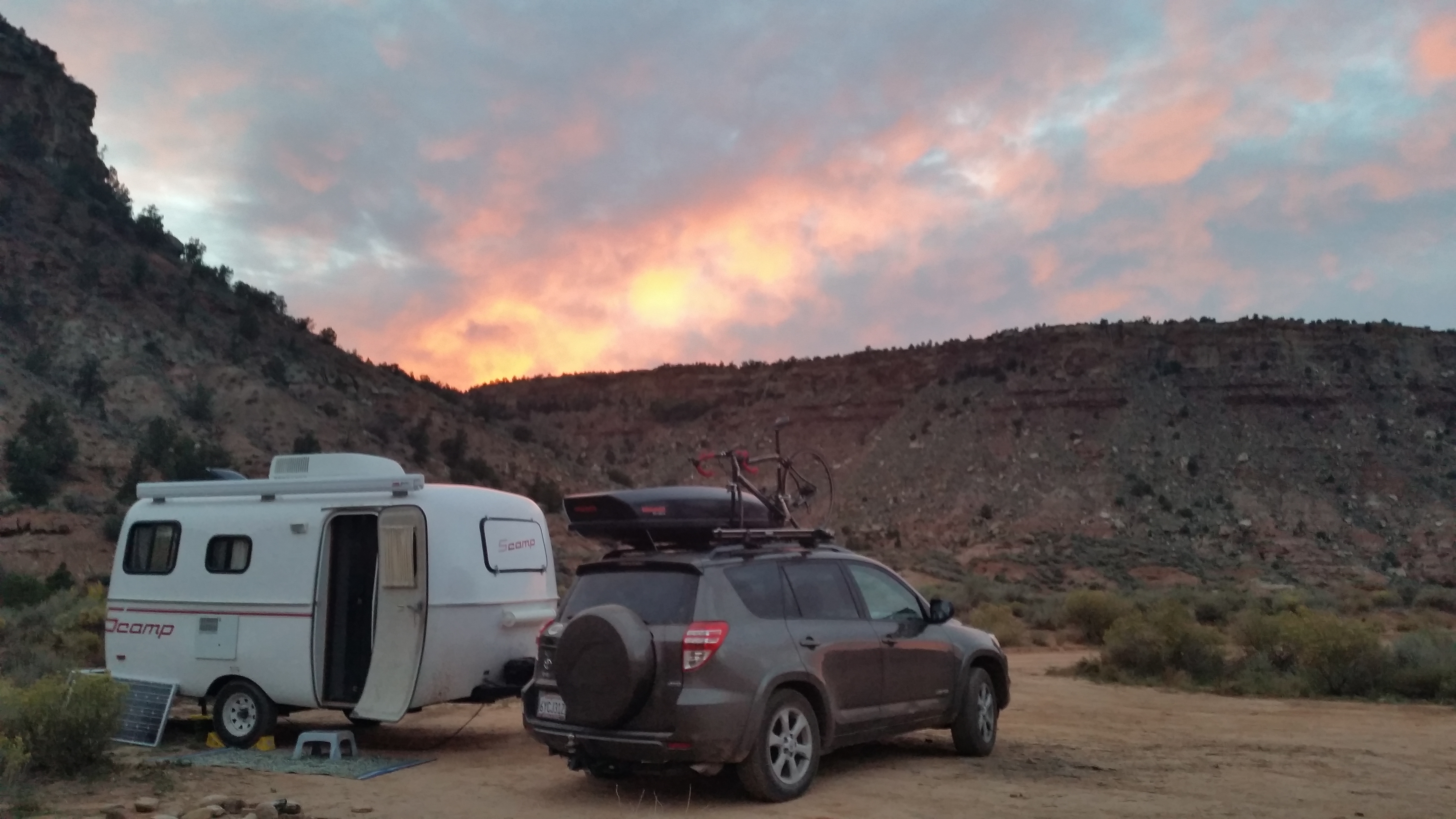
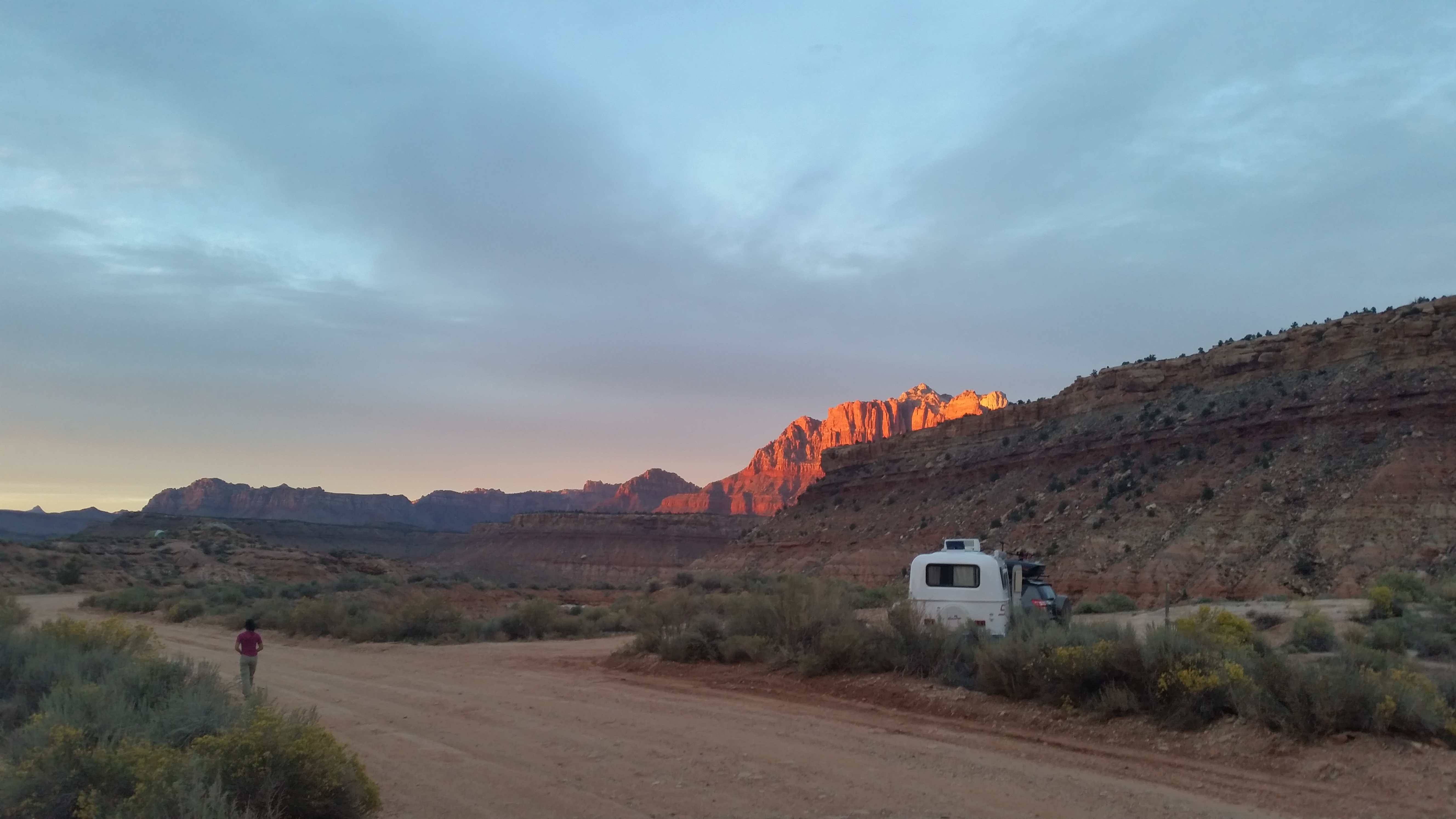
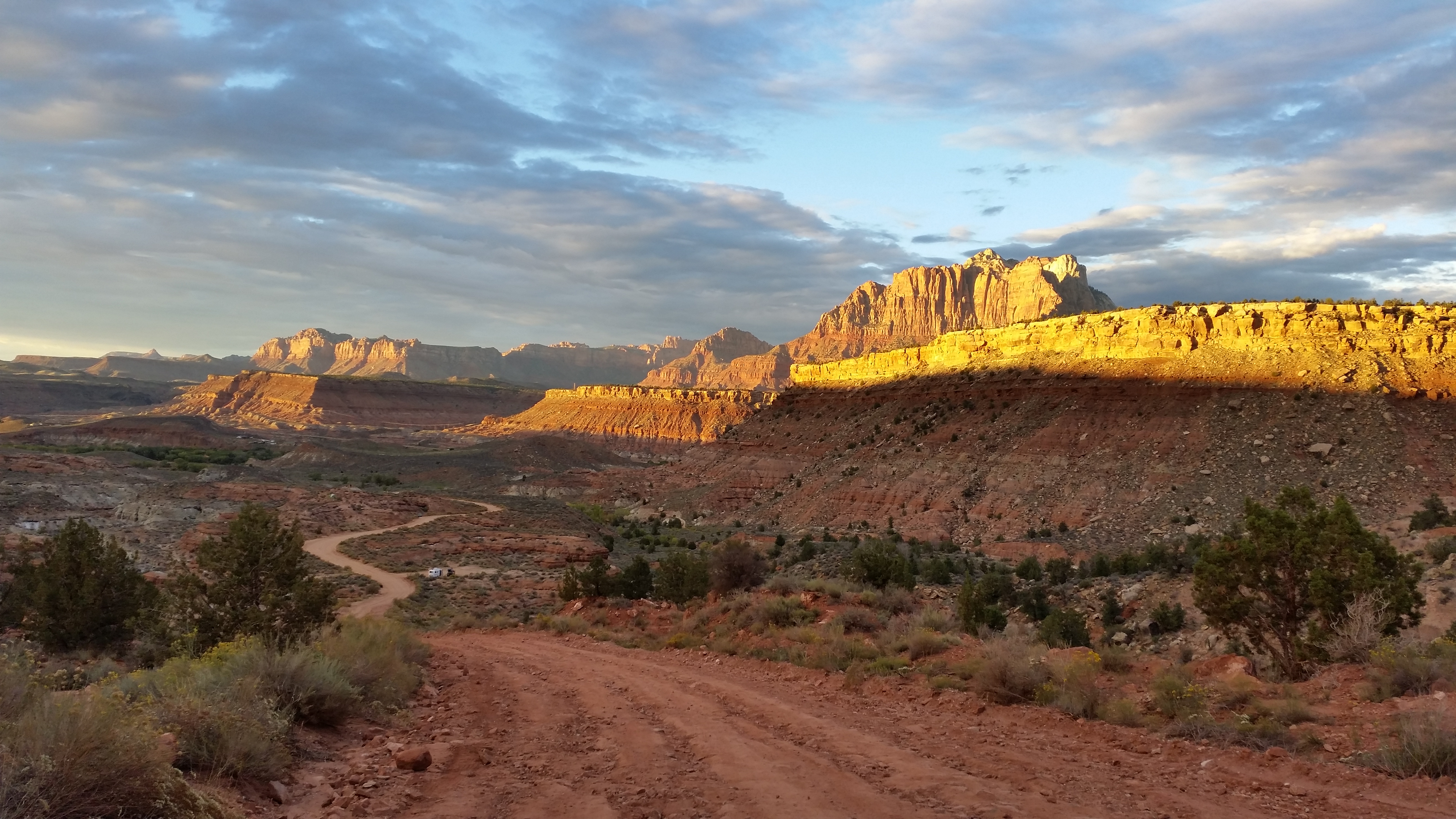
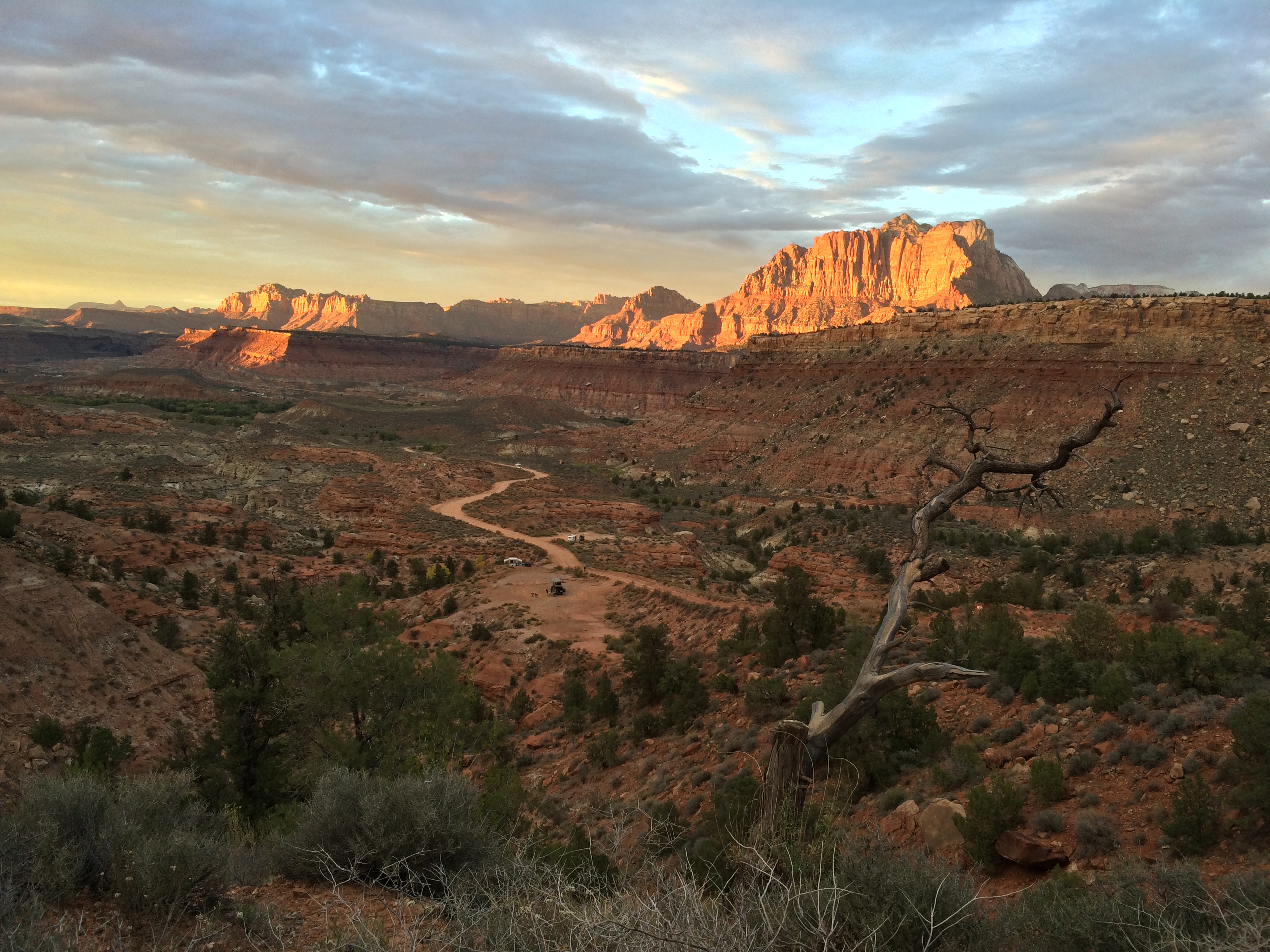
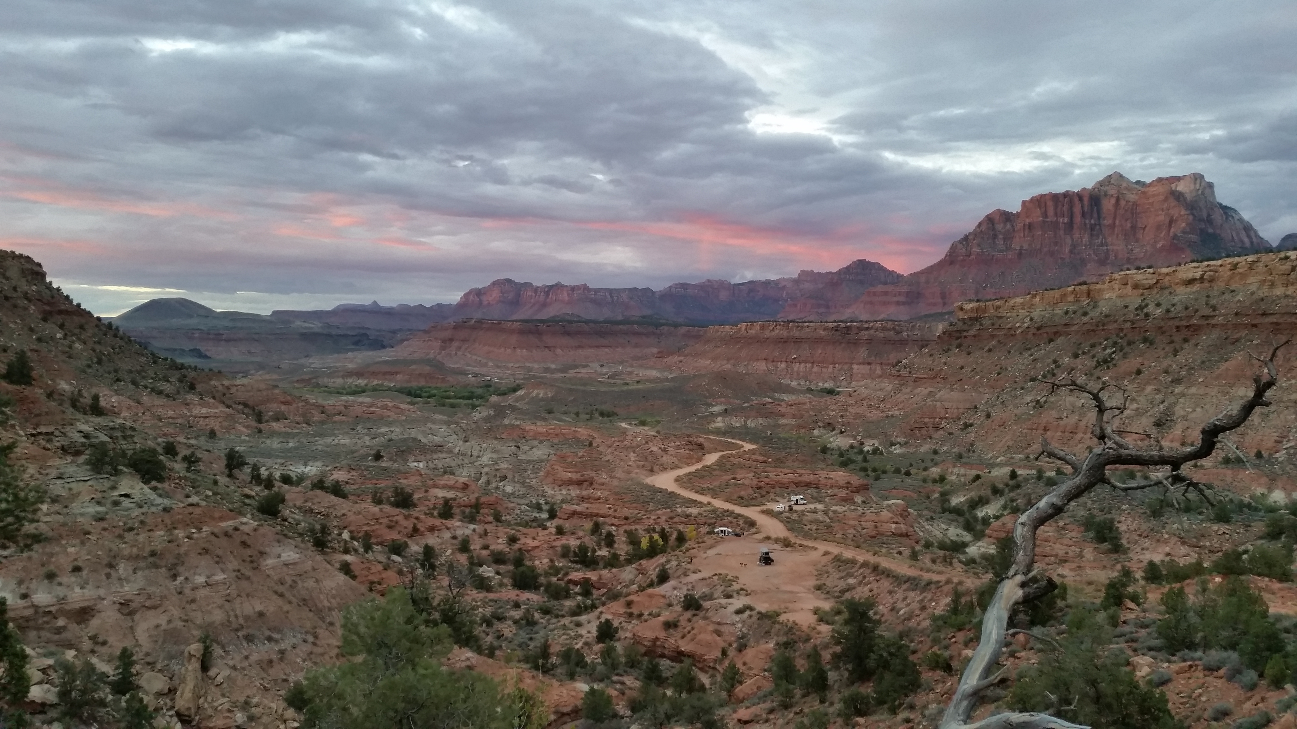
Second, where to camp? After we left Moab I got hooked on www.freecampsites.net, a site that depends on user-generated information and content for areas of legal and safe boondocking. With a quick search I discovered the Smithsonian Butte, just a 10-minute drive from Zion’s entrance. From there, I learned that the Zion area had glorious sunsets practically every evening. And, because of its secret location tucked away from tourists, the beauty could only be shared between us and a handful of like-minded neighbors. As if it couldn’t get any better—we didn’t have to pay $30/night just to park in a random dirt lot along the road in Springdale—it was FREE!

Sunset from our first night:20141007_191317_Android20141007_190514_Android

Sunset from our second night:20141008_184459_AndroidIMG_7128

“Pink” rain rolled through!20141008_190736_Android

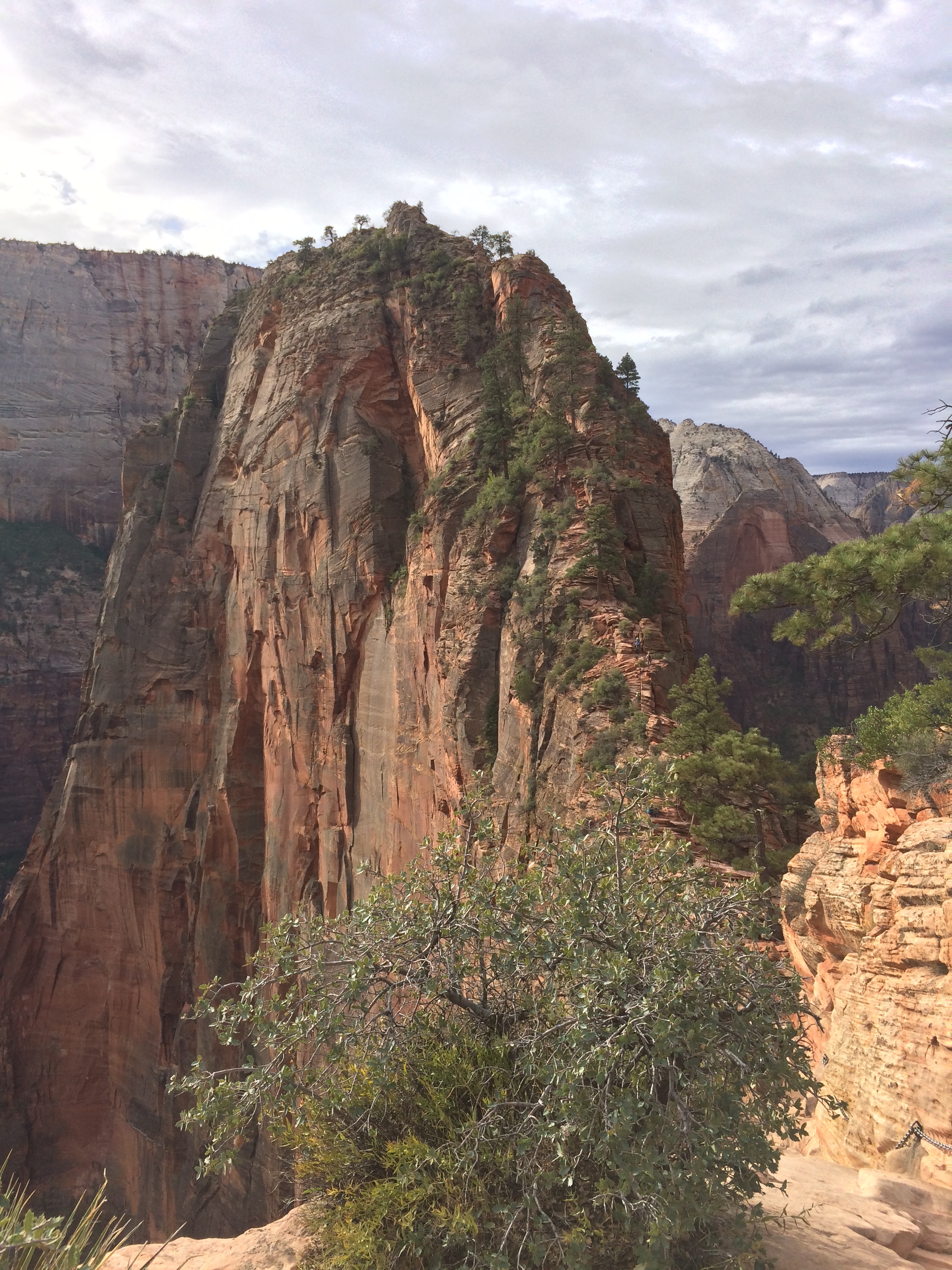
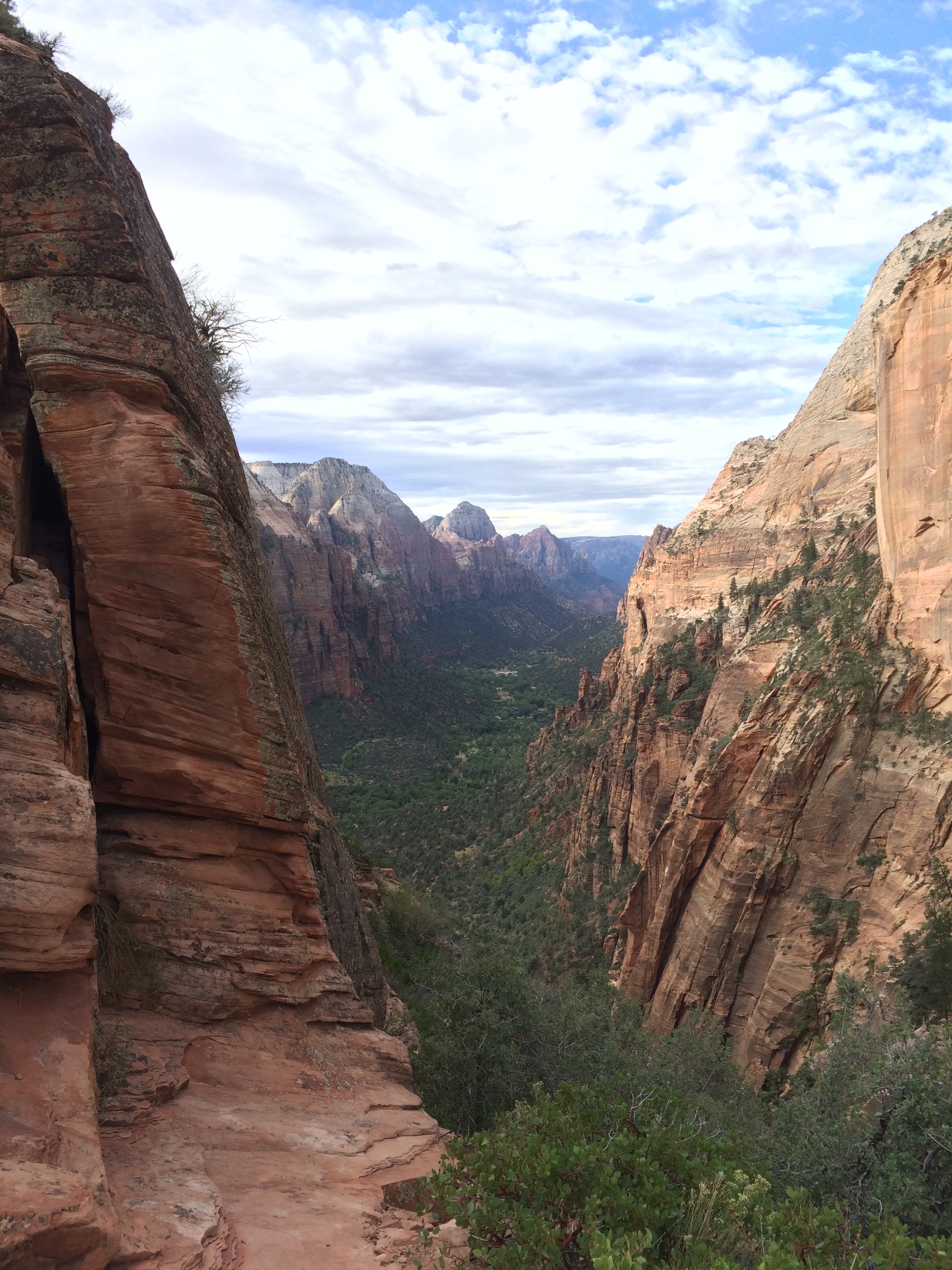
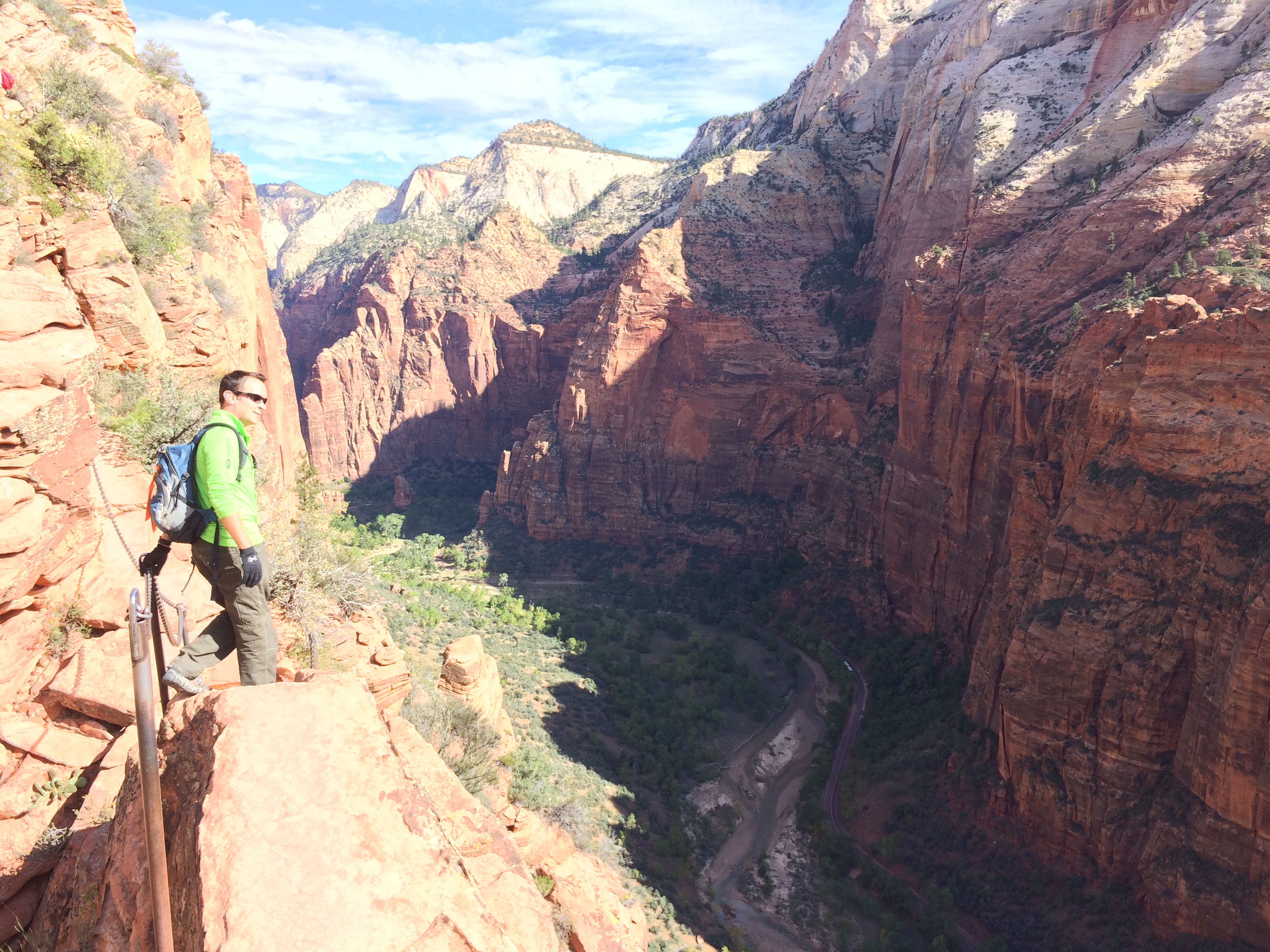
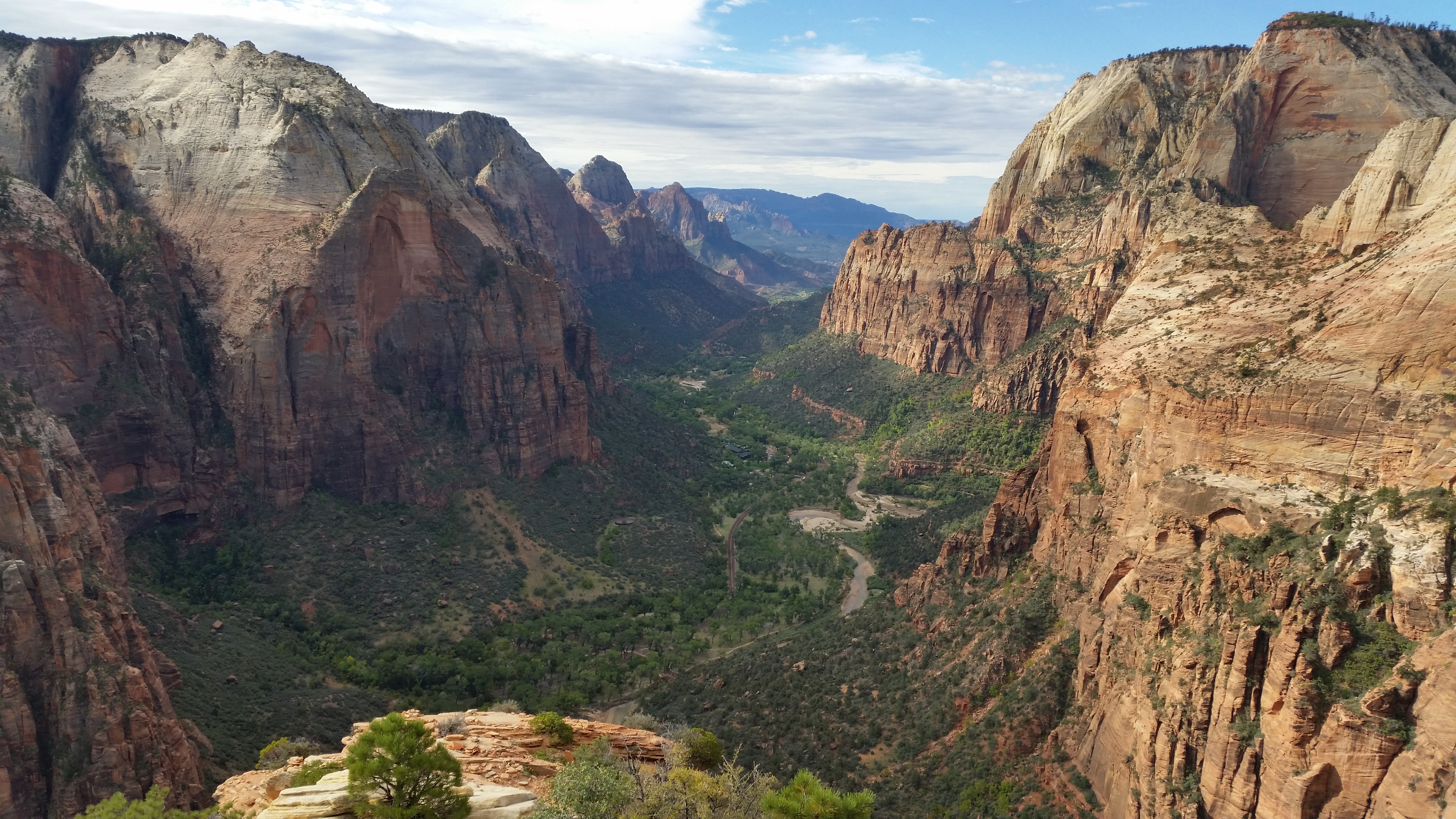
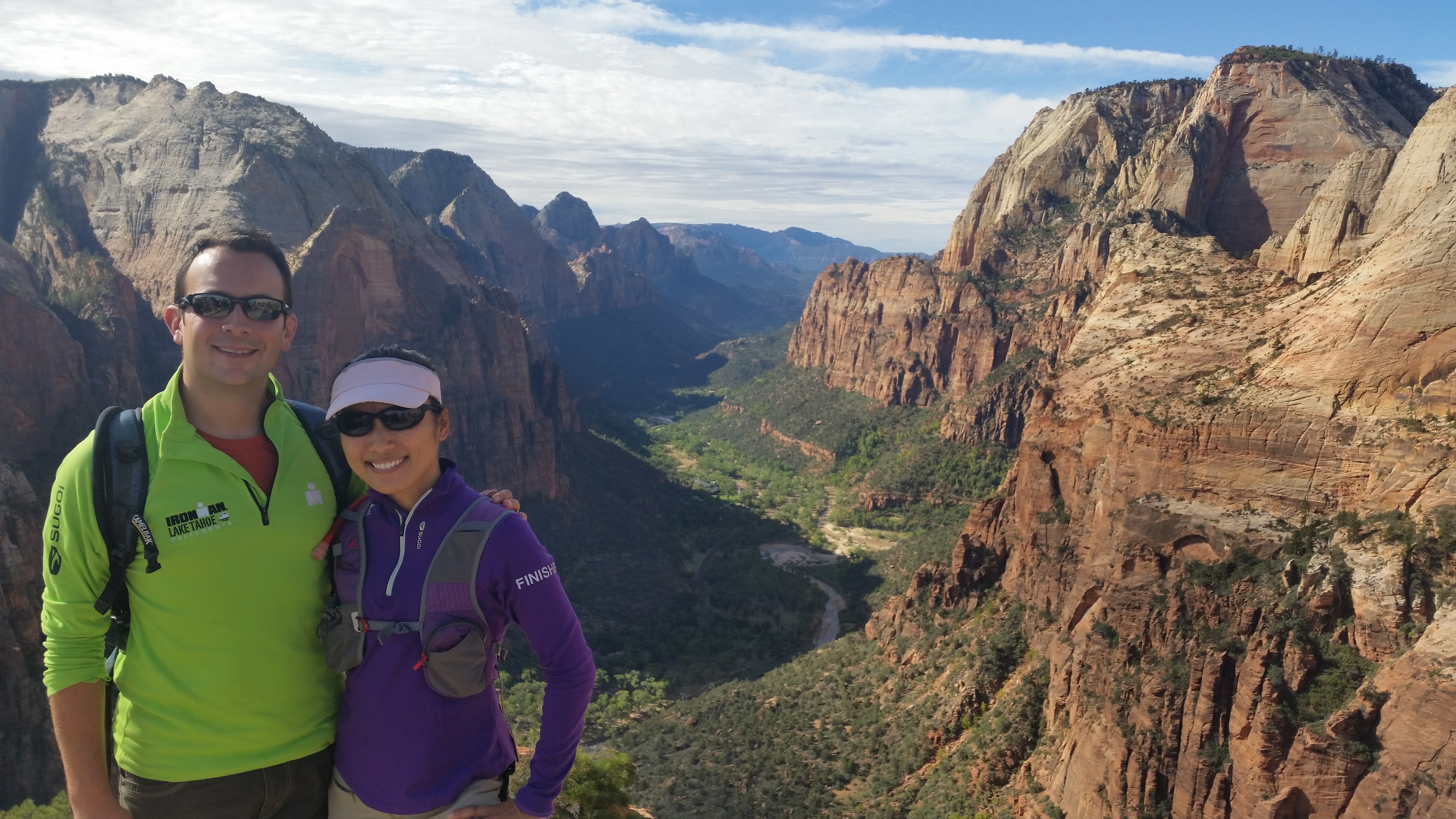
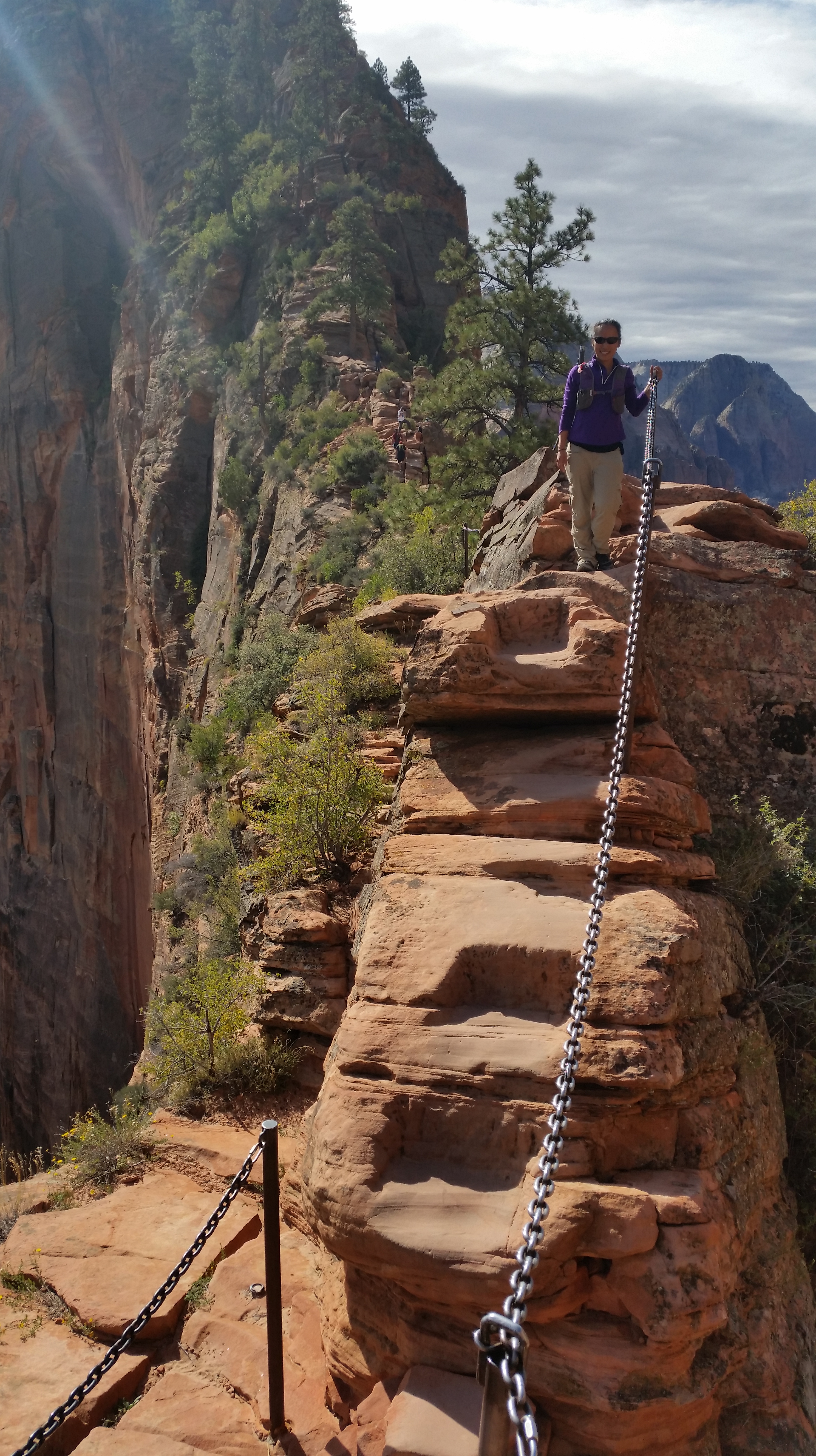
Third, Angel’s Landing.  As one of Zion’s most glorified hikes, it’s no surprise that it typically brims with hikers…but not before 9am!  Atypical of hikes in the woods, Angel’s Landing resembles a thin waffle fry with trees growing along the top edges.  The steep set of switchbacks are a decent workout, but the joy comes from scrambling over boulders and looking down from the cables into the deep fall on both left and right sides.  Once we reached the top, we, along with just a few other hikers, were rewarded with fairytale views of a sweeping landscape.  For that instant, awe replaced our short breath.  As morning rose, the sun slowly climbed over the canyon walls and rippled across the hilltops in the distance.  Time quickly passed, and along with the late morning came more crowds. By the time we began our descent, the crowd at the peak nearly doubled, with even more hikers climbing up.  We were relieved to have hiked Angel’s Landing sooner rather than later, as by late morning numerous hikers sat scattered along the rocks stumped from exhaustion, along with some height-fearing hikers refusing to complete the journey to the summit.IMG_7106
20141008_110423_AndroidIMG_7108 IMG_7118 20141008_101400_Android 20141008_104543_Android

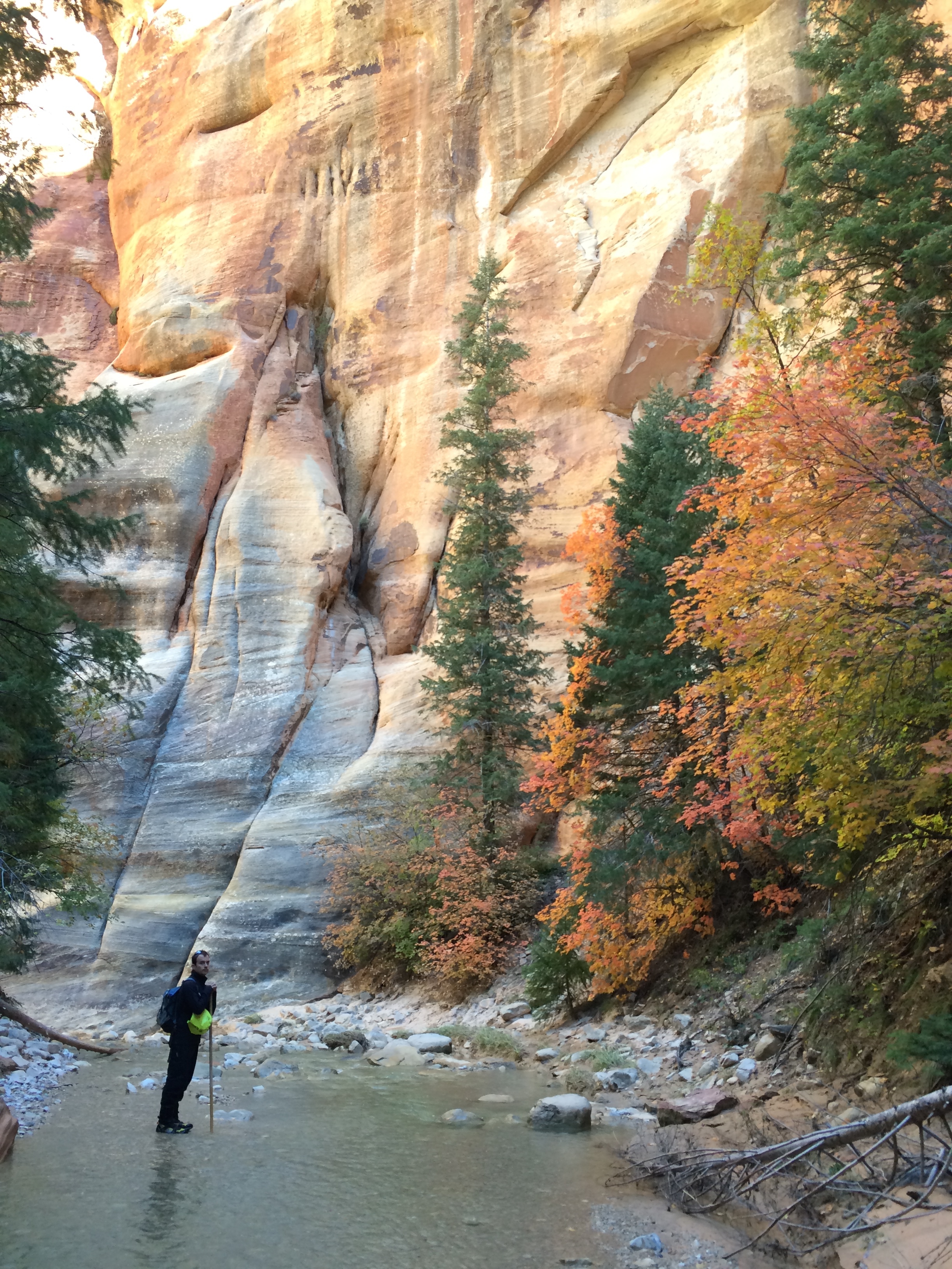
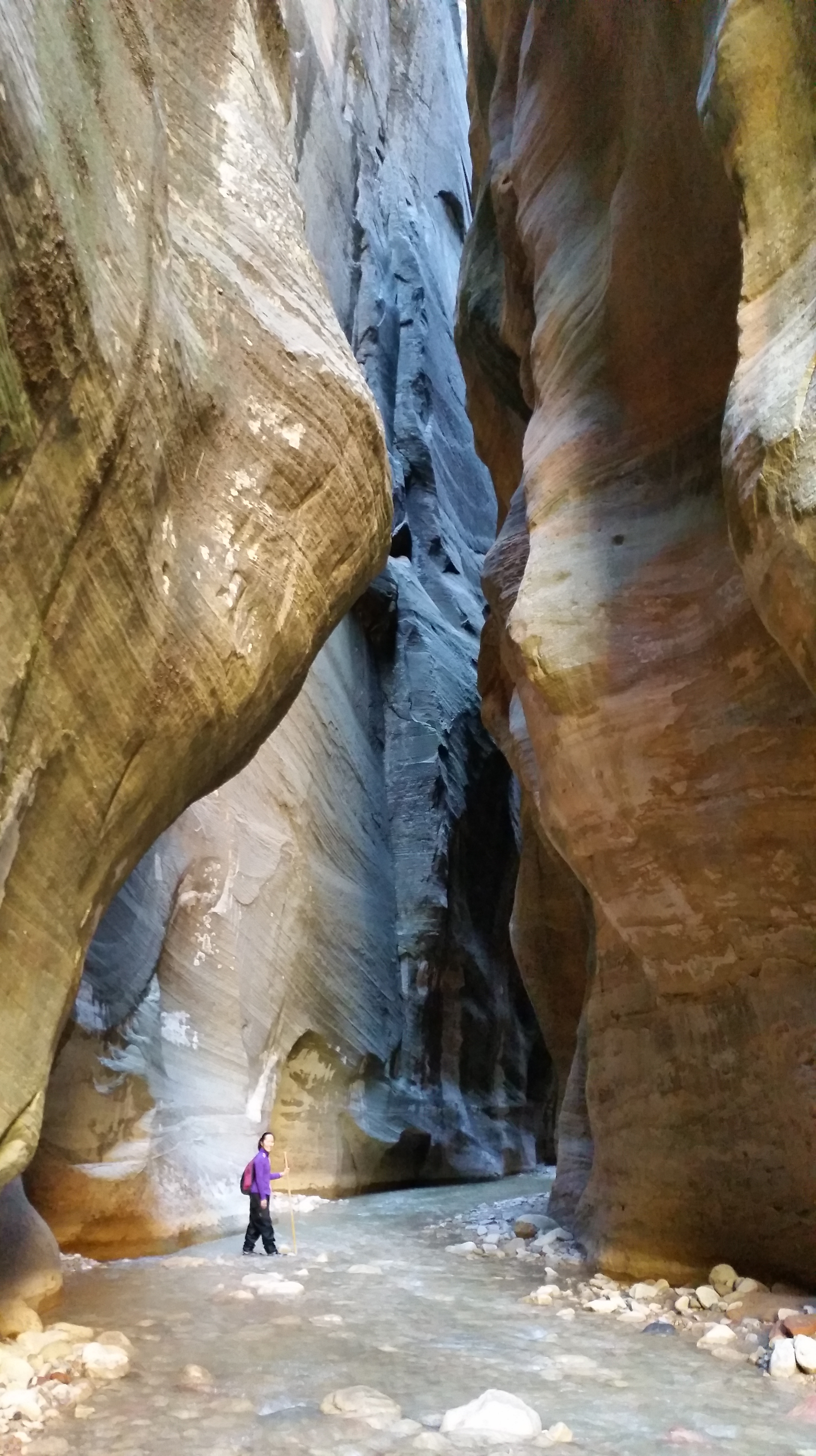
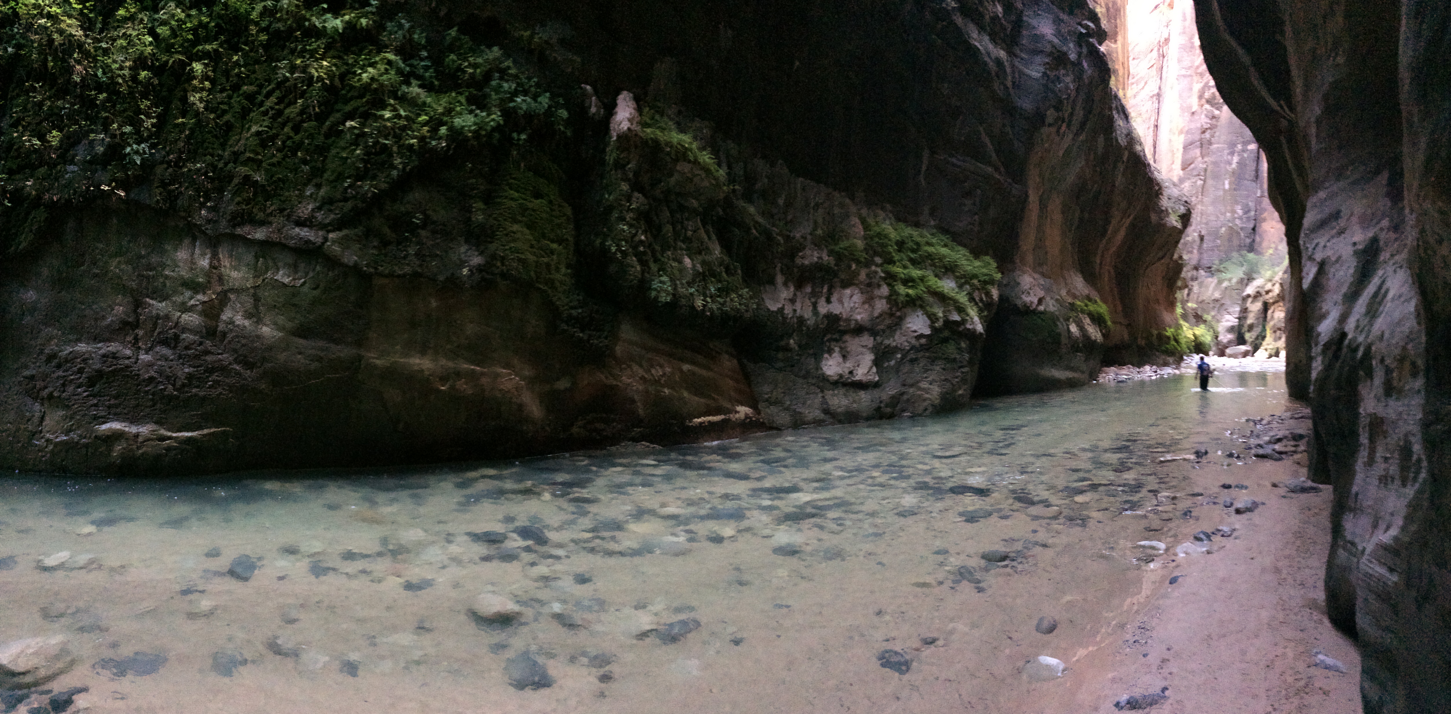
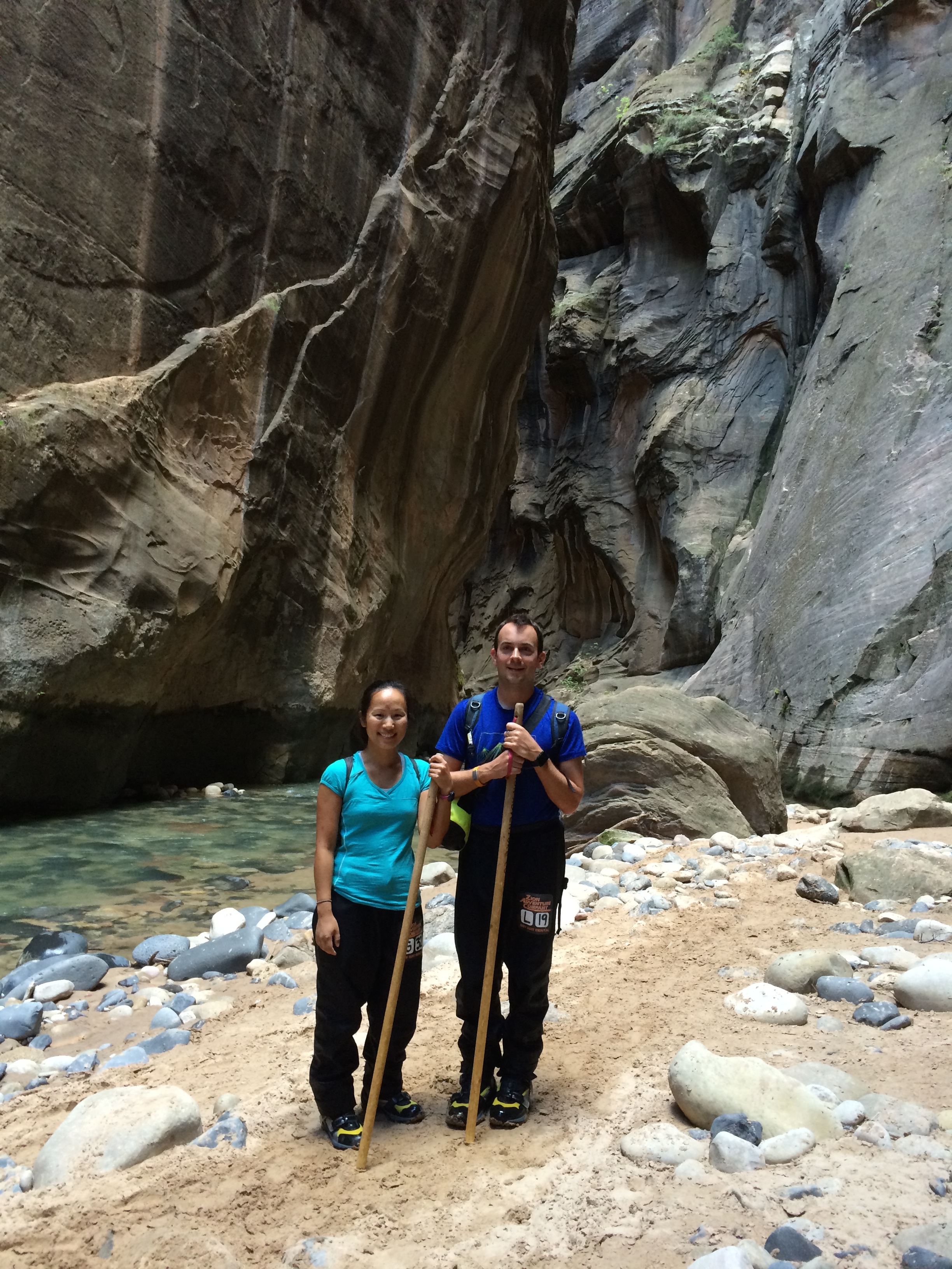
And finally, The Narrows. This is why people come to Zion—to zigzag through the Virgin River between mysterious canyon walls, to gaze upward with gaping mouths, to ponder upon the wind-blown, river-carved canvas of Mother Nature. There are three ways to explore The Narrows.  First option: start from the bottom at whatever time, hike as far as you please, and turn around and return the way you came.  Second option: start from the top in the morning, stop overnight at a backcountry campground, and finish the 16-mile hike the following day.  Last option (usually not recommended): start from the top shortly after sunrise, skip the campground, and finish all 16 miles by dusk.  A wilderness permit is also required for the top-down hike, which can be acquired at the visitor center from 7am the day before.  We opted for the last option.  The overnight backpacking experience was preferred but we had not packed our sleeping bags or tent. We also figured if we were going to do The Narrows, we were going to do the whole damn thing.  The winning factor was that the majority of the tourists were incapable of walking in the river for 16 miles within 12 hours, so we knew that route would be less traveled. And our assumptions were correct!

The morning before we hiked The Narrows, we arrived at the Wilderness Permit Center by 6:15am for their opening at 7am. Permits at Zion are scarce and are given on a first-come first-serve basis, so we didn’t want to risk our chances of not getting one. Perhaps we were a bit over conservative, or perhaps it was due to the 40% chance of rain in the forecast, but the line was vacant and we promptly purchased our permits to hike The Narrows after a short lecture/warning about flash floods. We were aware of the fatality in The Narrows only two weeks prior as a result of a flash flood, but a storm was definitely in the forecast back then, and less than 50% for the day of our planned hike.

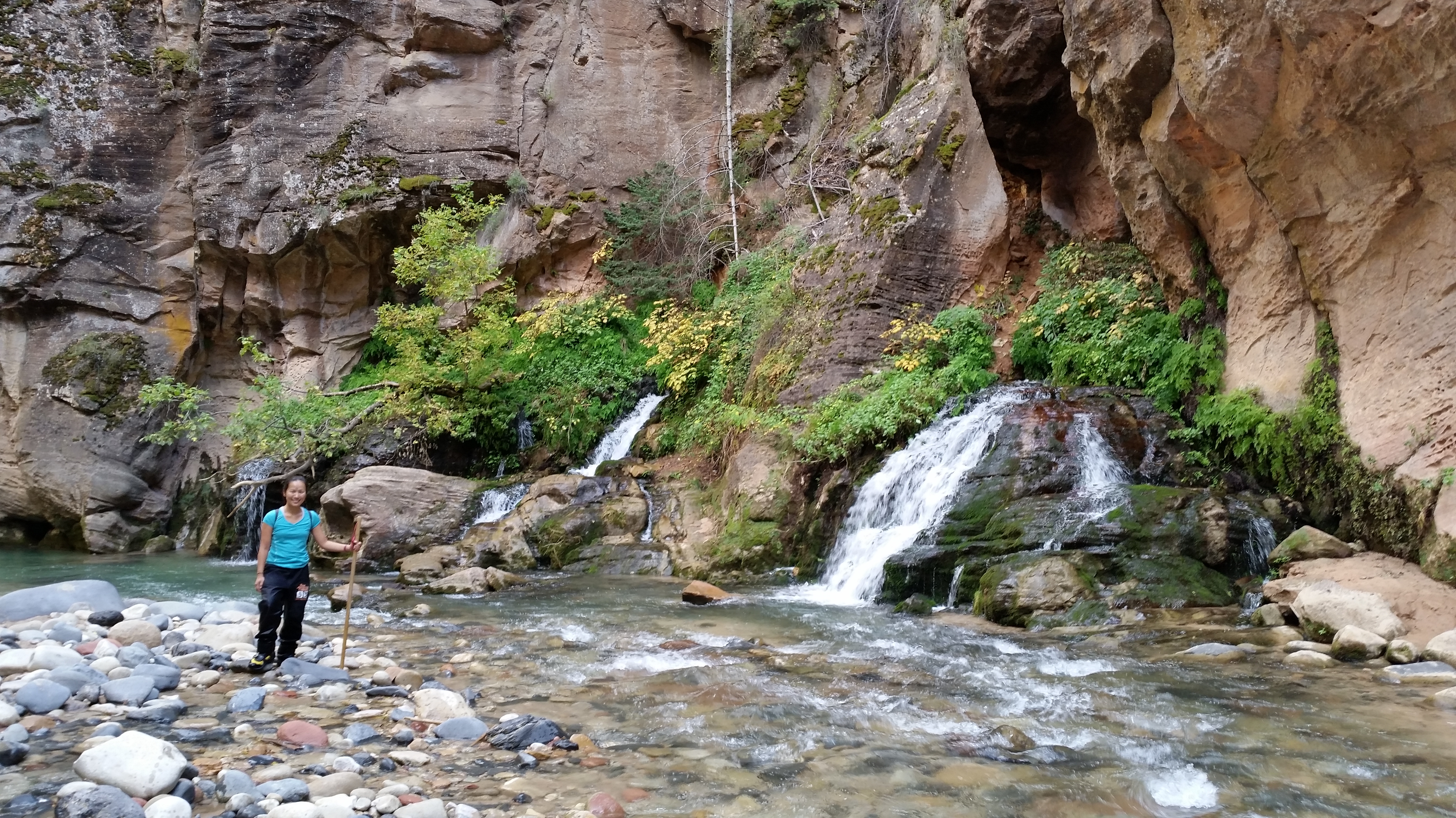
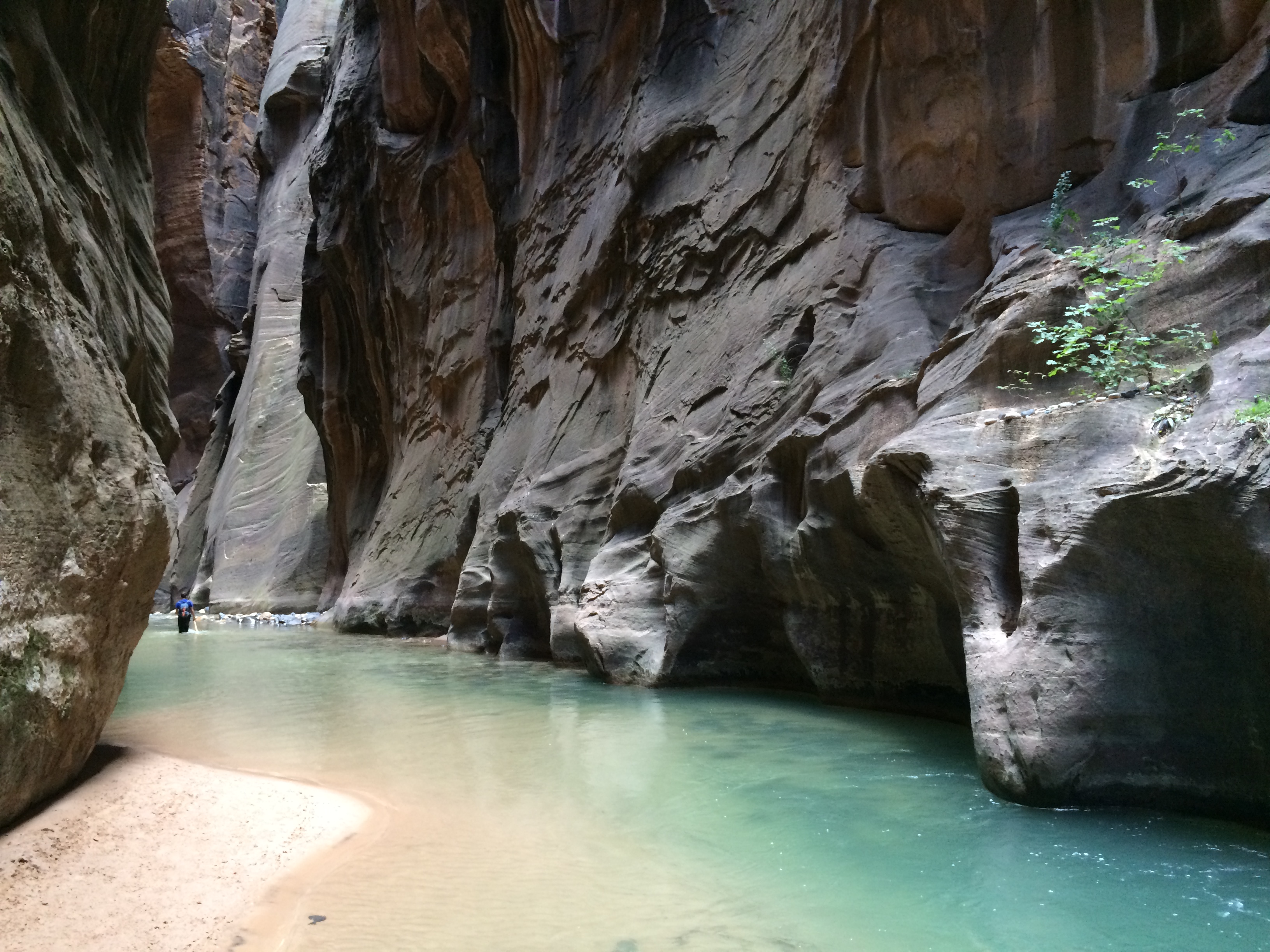
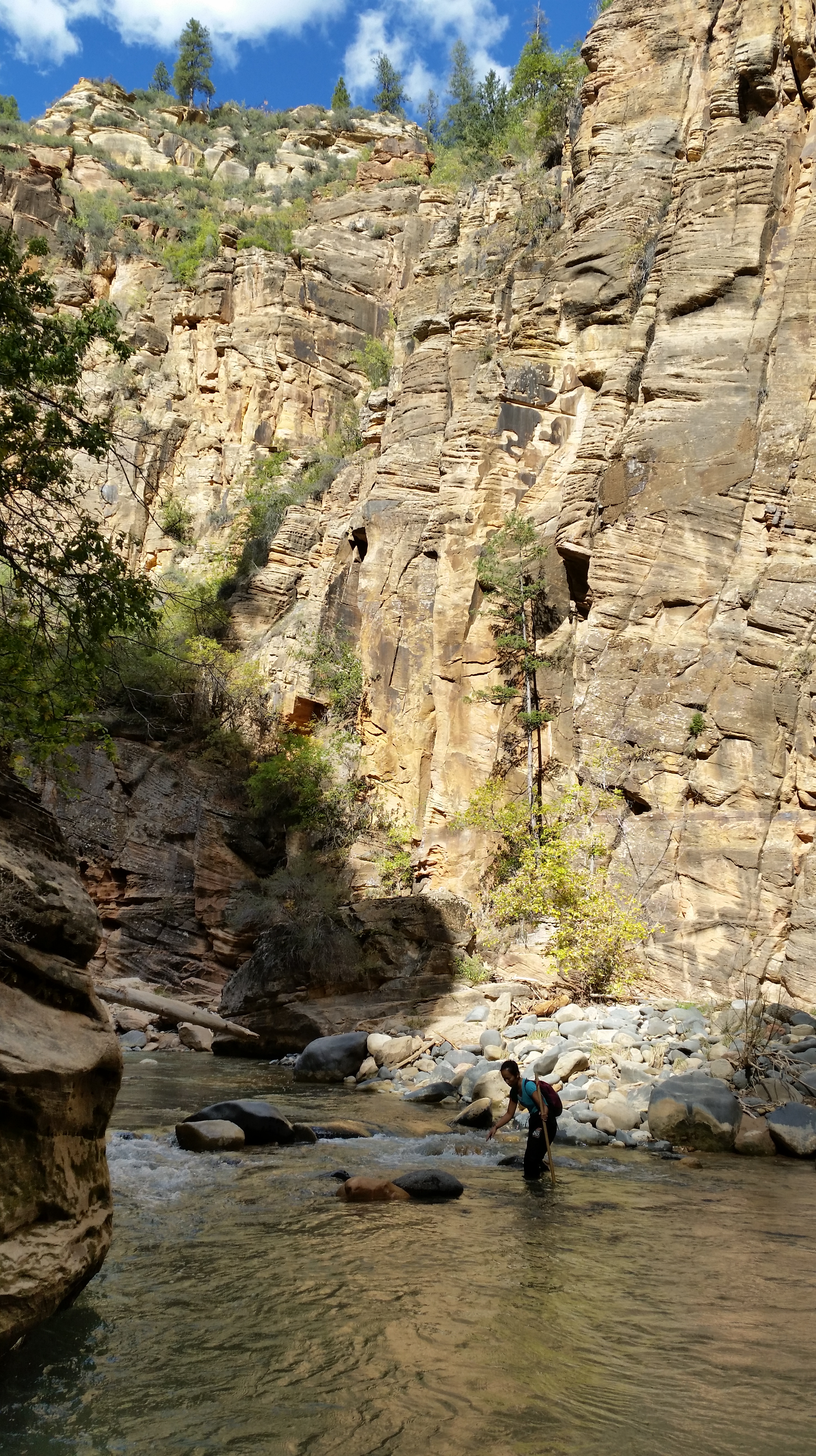
The morning of our hike was a consecutive early morning, as third-party shuttles for the top-down Narrows hike depart promptly at 6:30am.  When I awoke, I observed the brilliant stars and the deep shadows cast by the full moon—a good sign that rain was unlikely.  By the time we began our long day, the air was crisp and the skies were blue.  Yay, no rain!  We traveled several miles before the empty stretches of grassy fields could form into subtle walls, but soon enough, canyon walls loomed before us.IMG_7135 IMG_7136IMG_7143

The romantic autumn foliage:20141009_114550_Android20141009_103746_AndroidIMG_7144

Narrow!
20141009_130718_AndroidIMG_7156

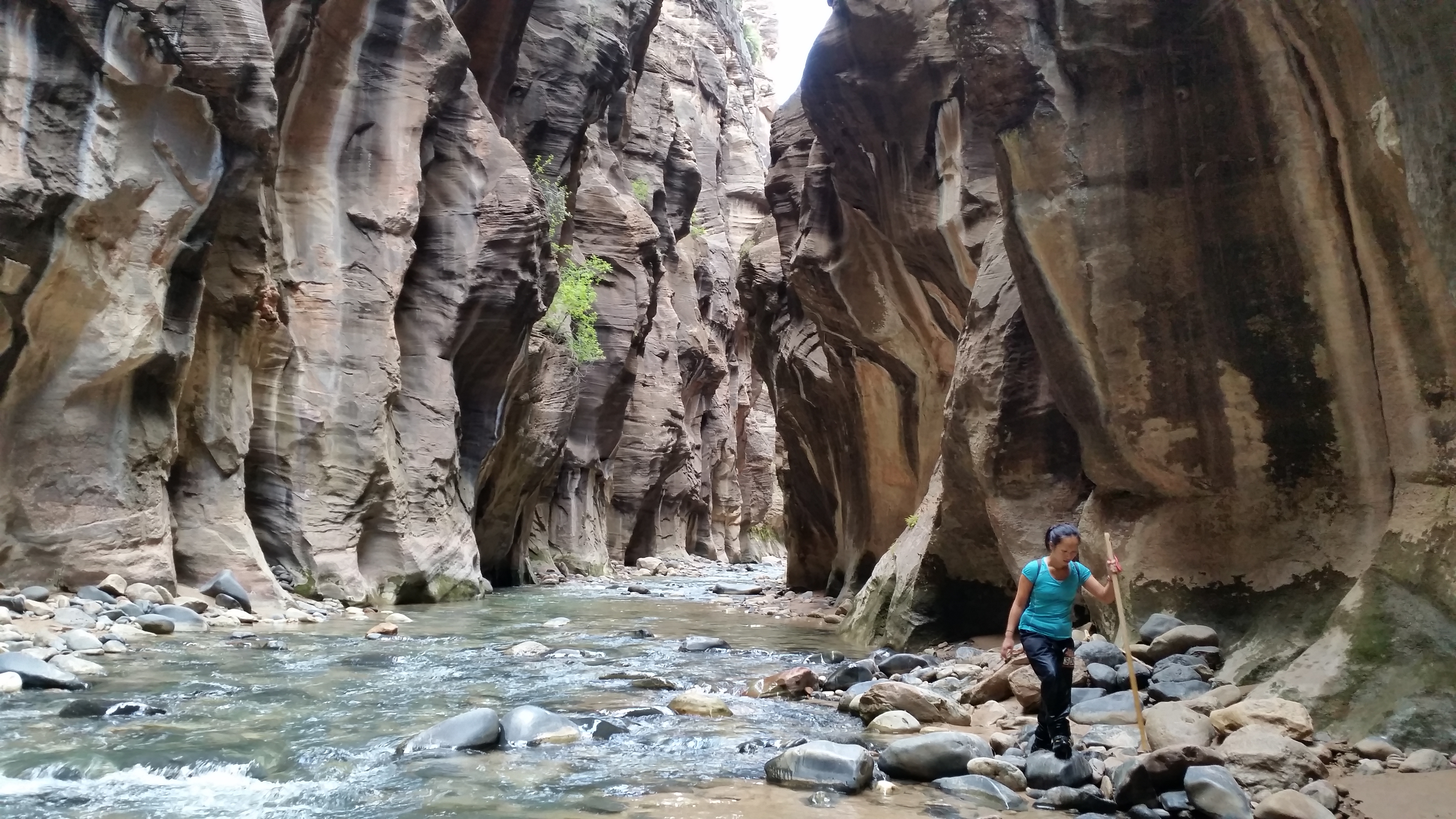
Note to Mom: Yes, I know I look fat in these pictures.  The dry pants we rented made us both look extra bulky.IMG_7161 20141009_152405_AndroidIMG_716220141009_153301_Android20141009_154113_Android

We made it to the shuttle stop right before sunset for a total of 10 hours.  Albeit a stunning fairytale landscape, the hike is not for the weary.  Stepping over loose rocks and hiking in river currents for 16 miles proved to be more strenuous than we anticipated.  Still, we had the entire Narrows all to ourselves, up until the last couple hours when we drew nearer to the bottom of the trail.  Totally worth it.  With ankles and legs aching from a full day’s adventure, we stuffed our faces with greasy pizza that night before passing out in bed.

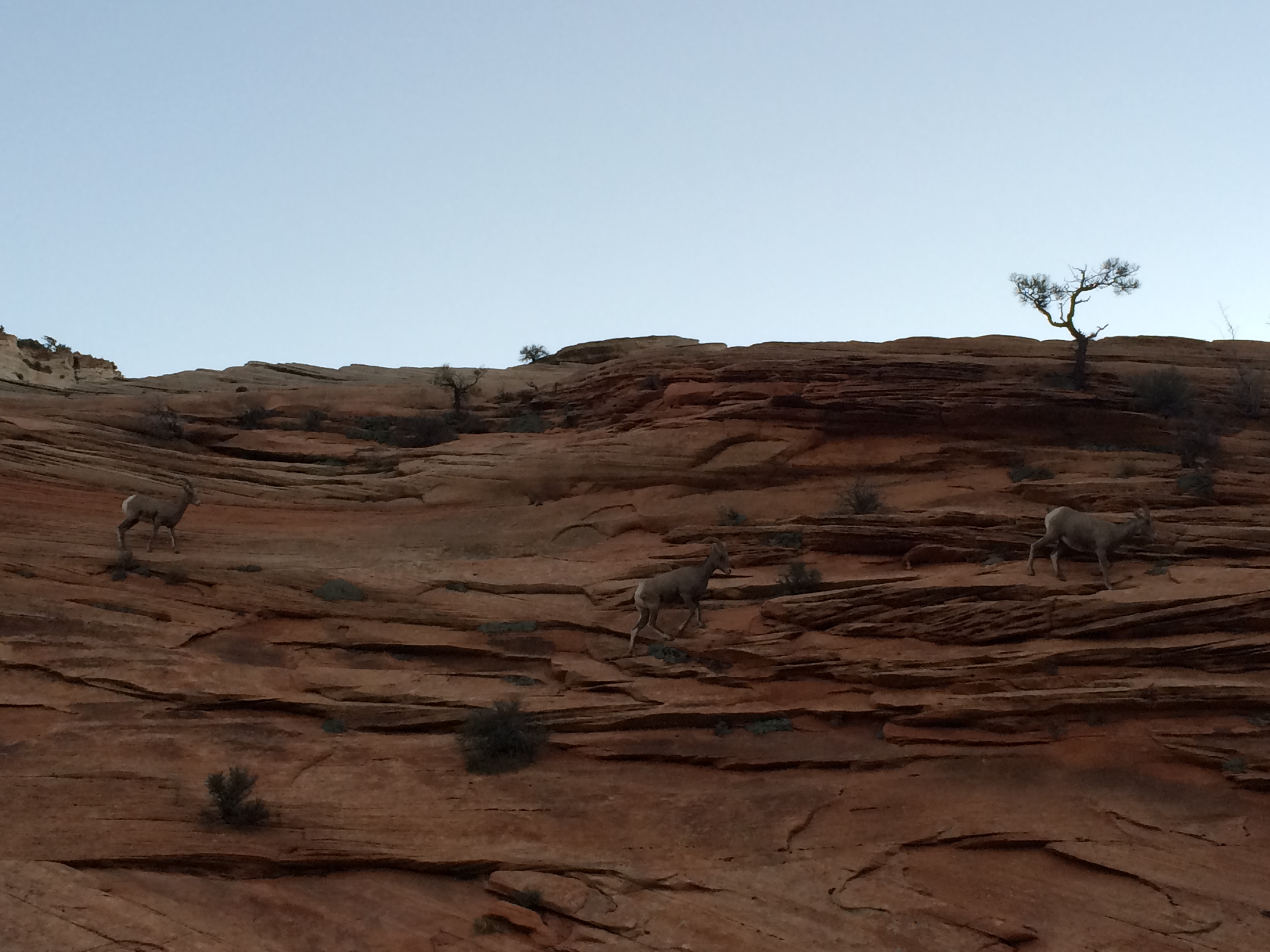
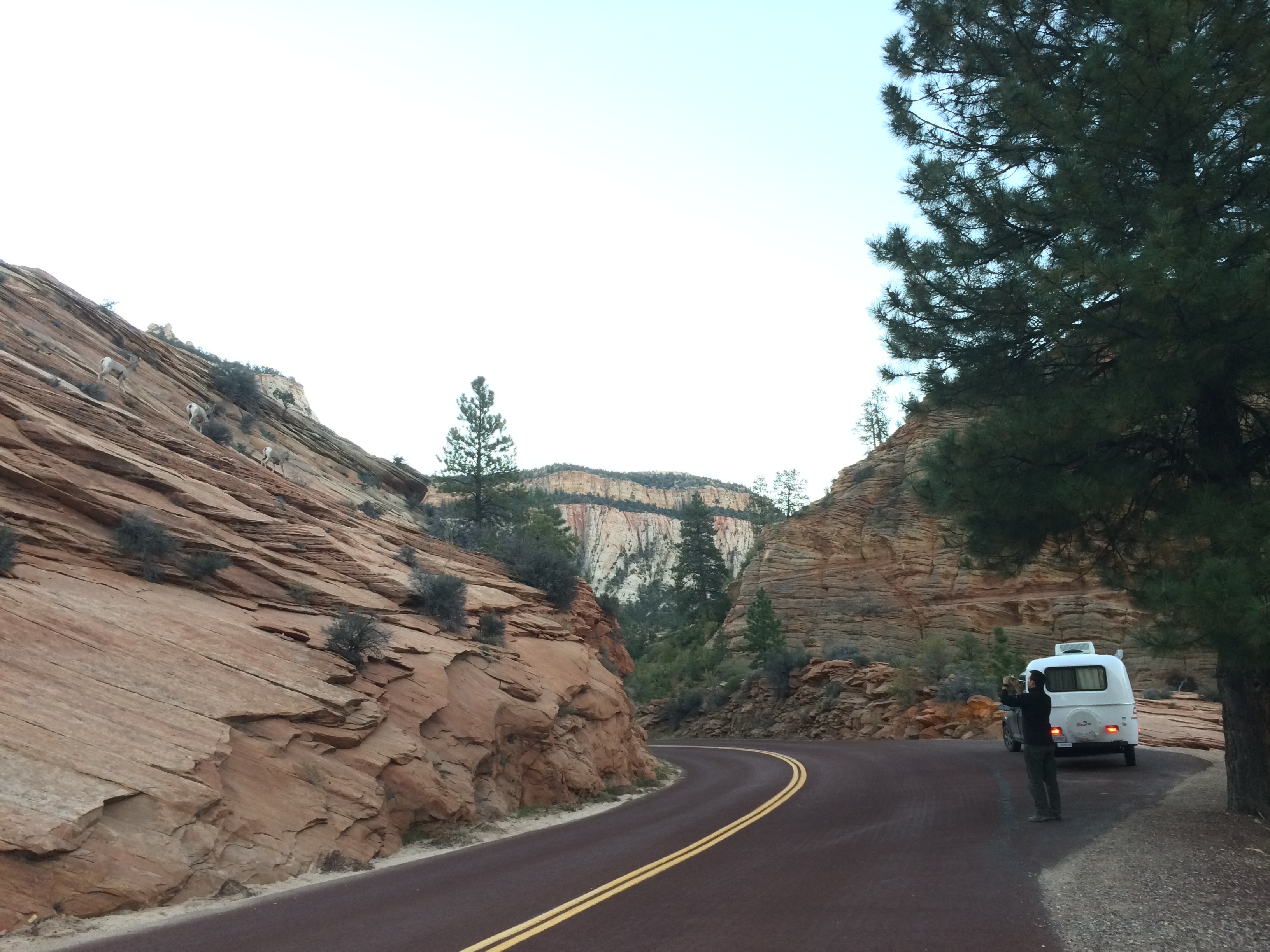
The following morning we headed out to the notorious Antelope Canyon.  Just when we thought our Zion adventure couldn’t get any better, we spotted several bighorn sheep literally along the road on the way out.IMG_7175 IMG_7179

Of all the national parks and monuments we visited in Southern Utah, Zion definitely captured our hearts the most.  With plenty of diverse wildlife, it was not uncommon to see a Disney-like scene of a doe and fawn feeding in the foreground of glowing trees and canyons.  The surreal landscapes, the dramatic sunsets, the epic hikes–these are the reasons for Zion’s notoriety and prominence.  Hopefully with careful planning on when to go, where to stay, and which hikes to explore, you can also enjoy Zion in tranquility, just like how the wilderness is meant to be experienced.

Posted in Utah | Tagged | 2 Comments

Capitol Reef, Bryce, and Cedar Breaks National Parks

Capitol Reef

Though not as grandiose and epic as the nearby Bryce and Zion National Parks, Capitol Reef still has its charm.  We ended up spending 3 days and 2 nights in this quaint park, hiking several trails and enjoying the ride through its known 15-mile round trip scenic drive.

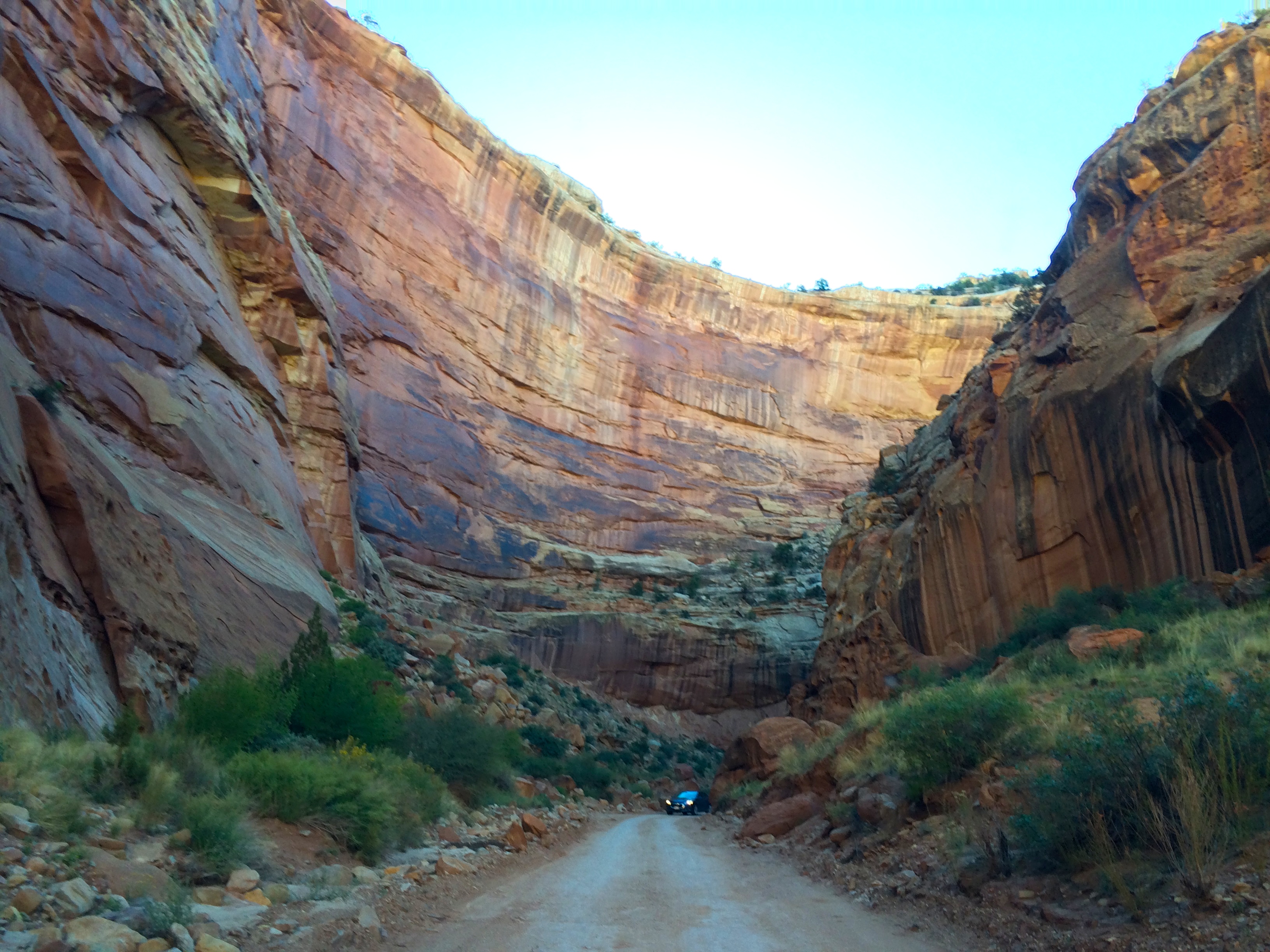
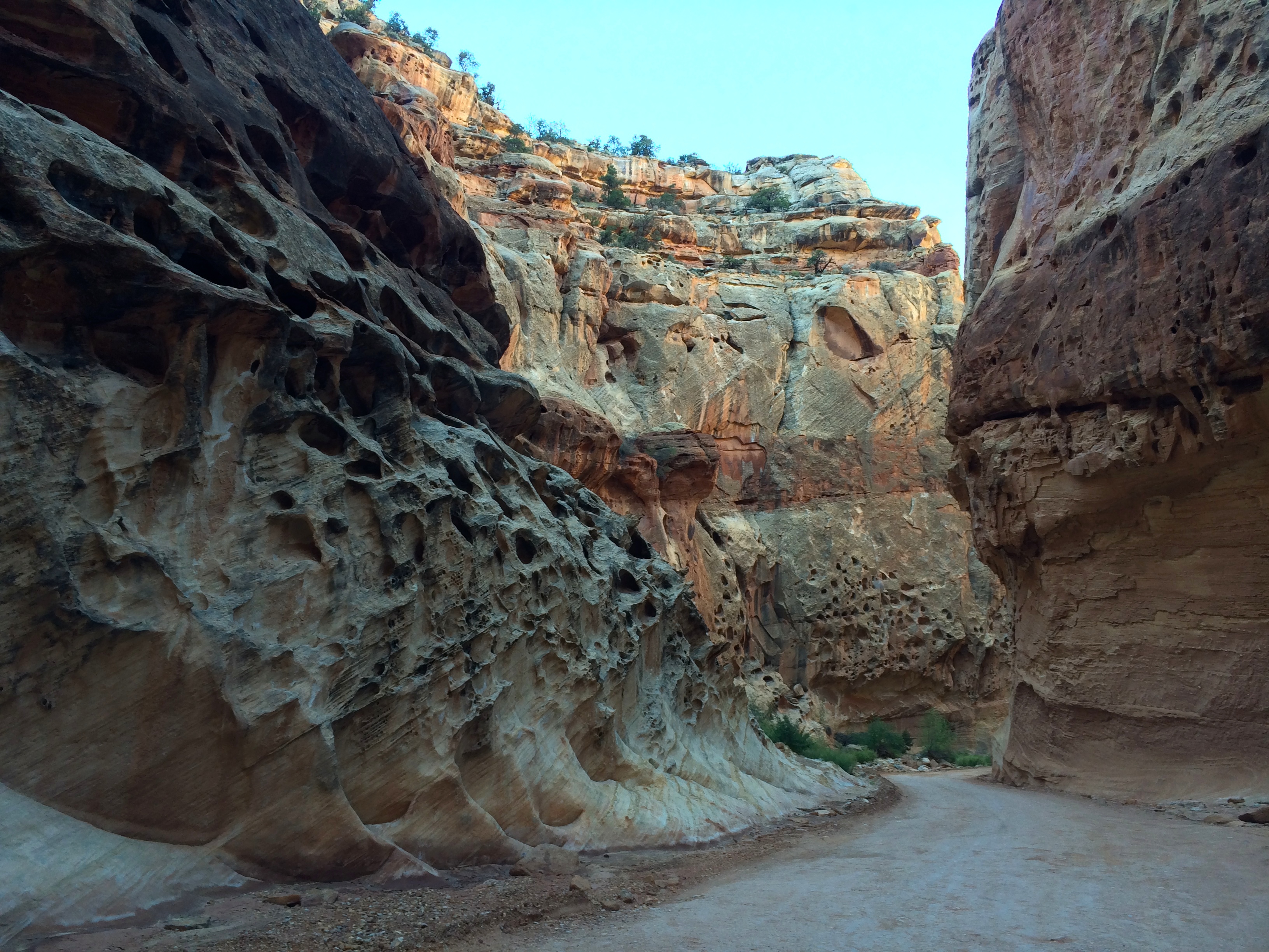
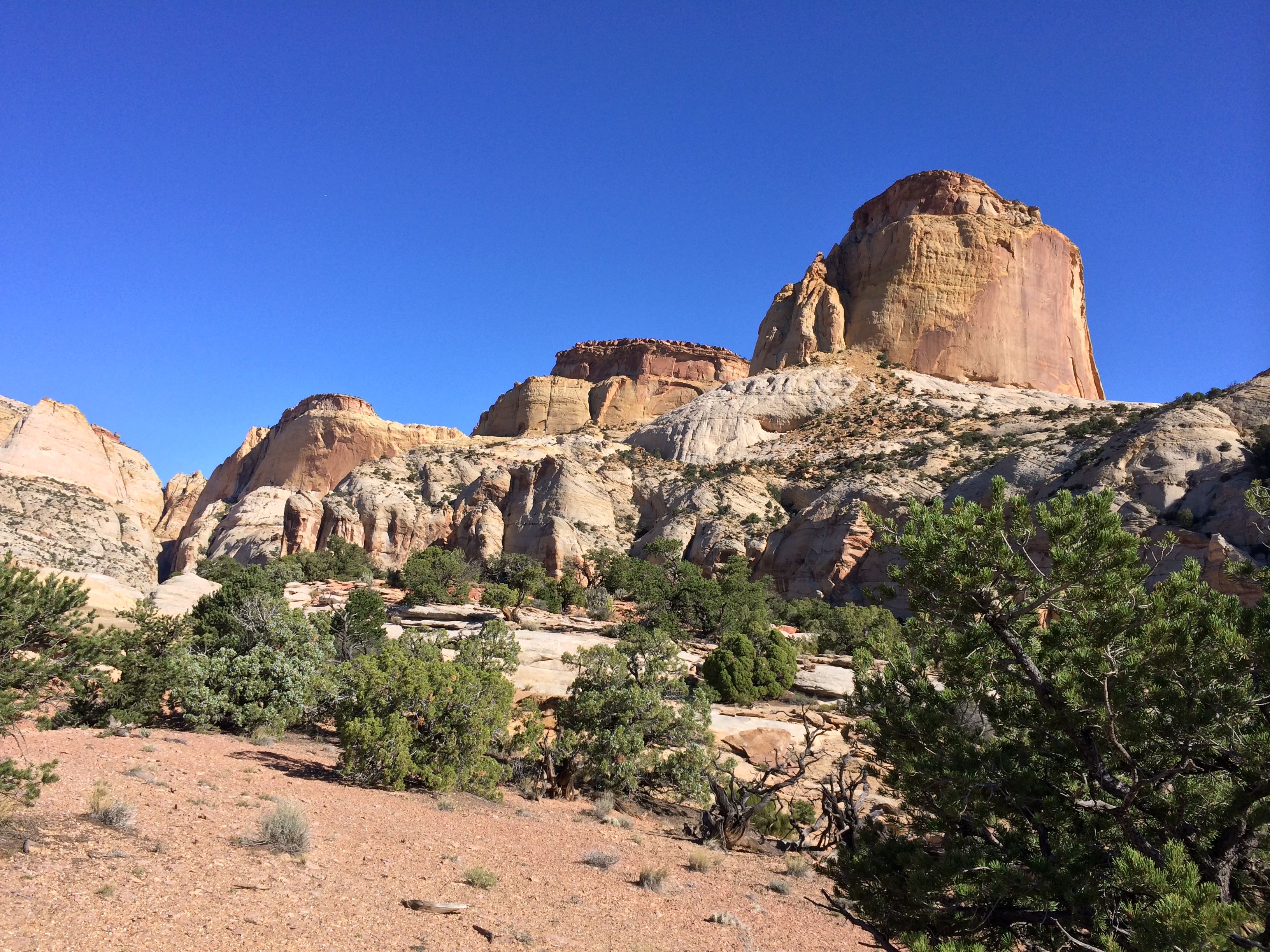
I can’t remember the last time we drove through majestic walls such as this–Capitol Gorge Road.  We occasionally stuck our heads out the window to gawk at the natural wonder:IMG_6945 IMG_6947

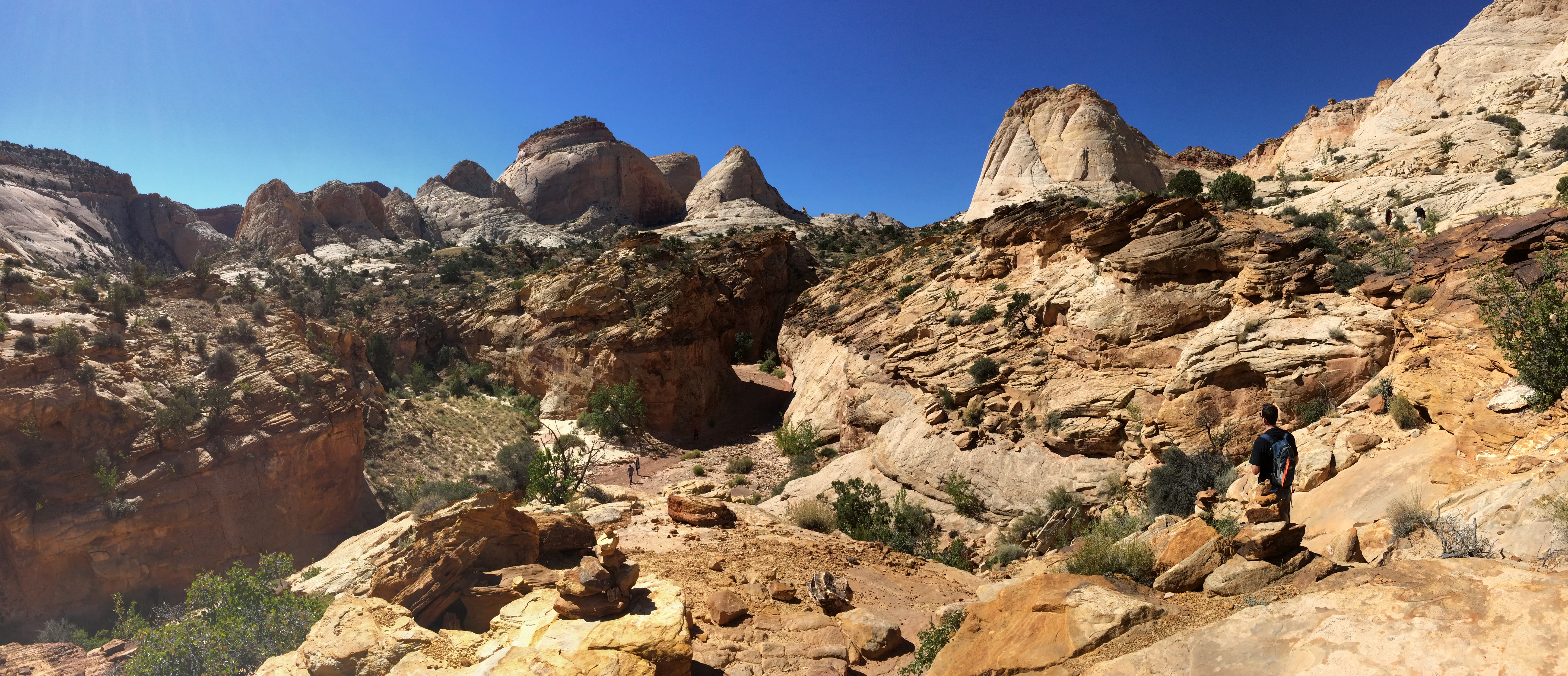
This road ended with 2 trailheads: Golden Throne Trail and Capitol Gorge Trail.  We hiked both since they were easy.

The Golden Throne as seen from the Golden Throne Trail:IMG_6951IMG_6969

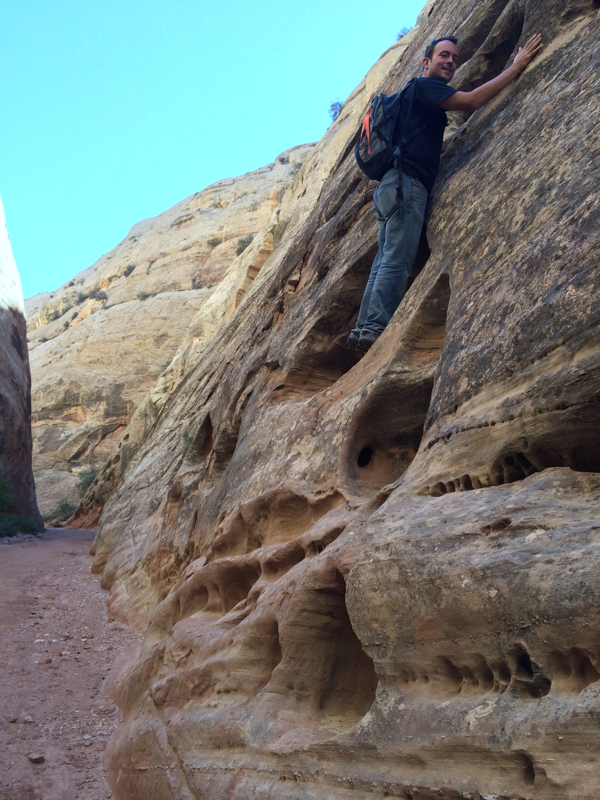
Up until 1962, visitors were able to drive through the Capitol Gorge Trail all the way to the Fremont River.  Now it is used as a trailhead for short, easy hikes.IMG_6957

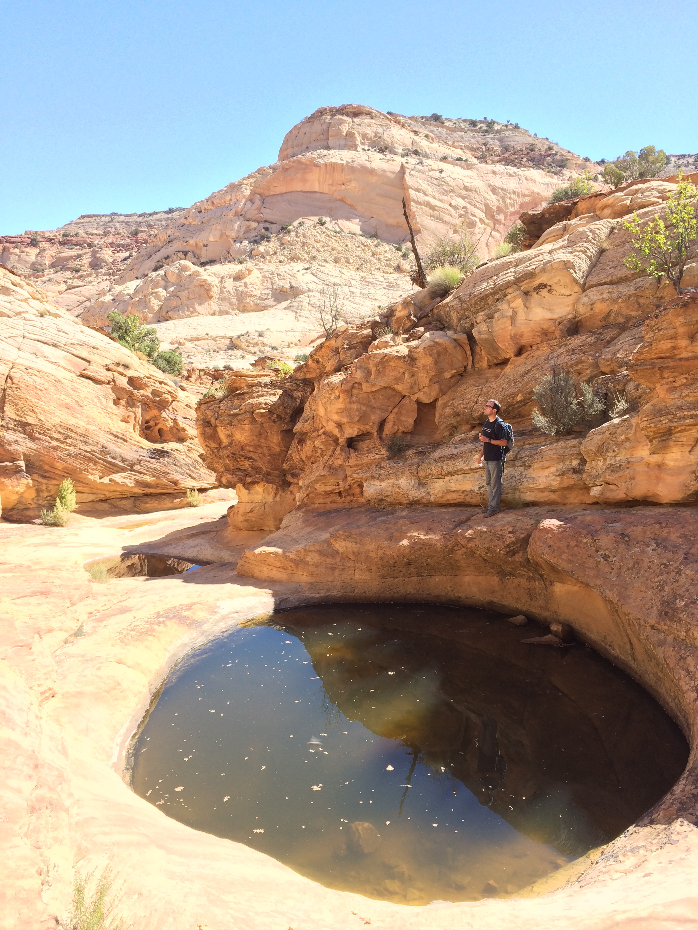
Just off the Capitol Gorge Trail are “The Tanks,” natural pockets of rainwater which are used as drinking water for the animals and a place for amphibians to lay eggs.  IMG_6968

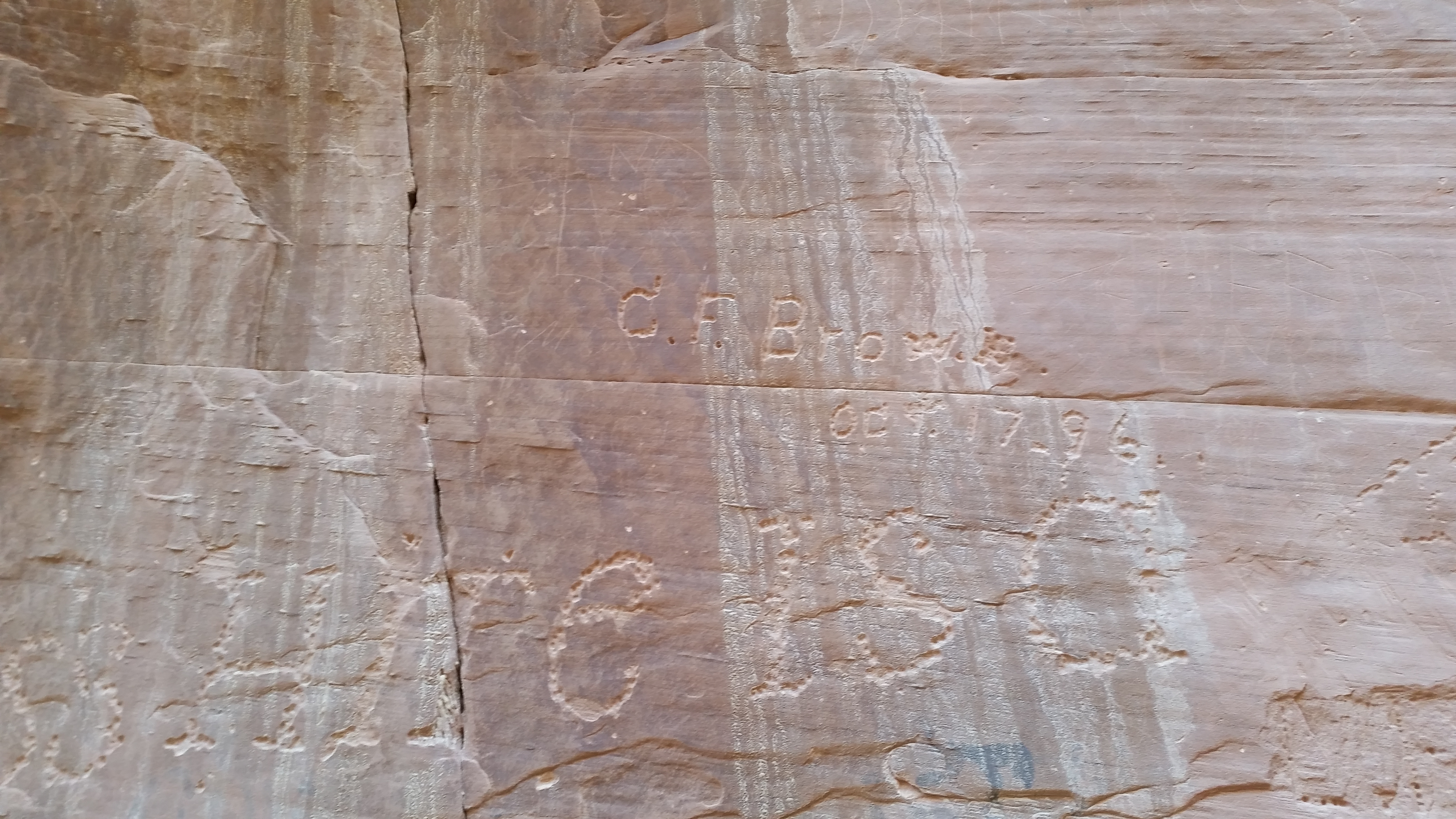
On the way back to our car, we observed carvings left behind by early pioneers.  The oldest carving we spotted was from 1796!20141002_122545_Android

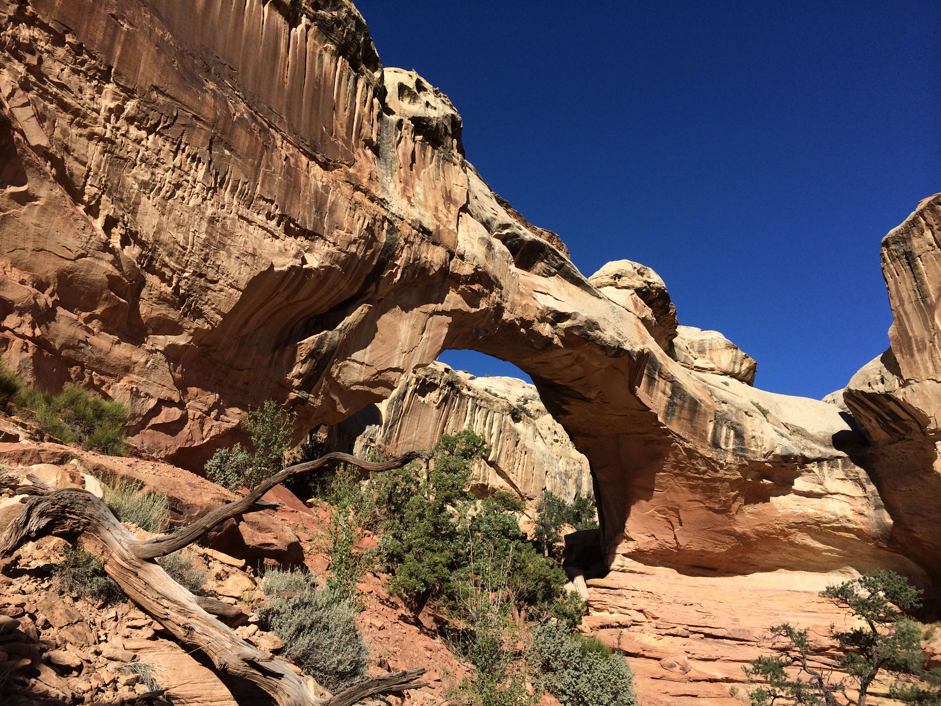
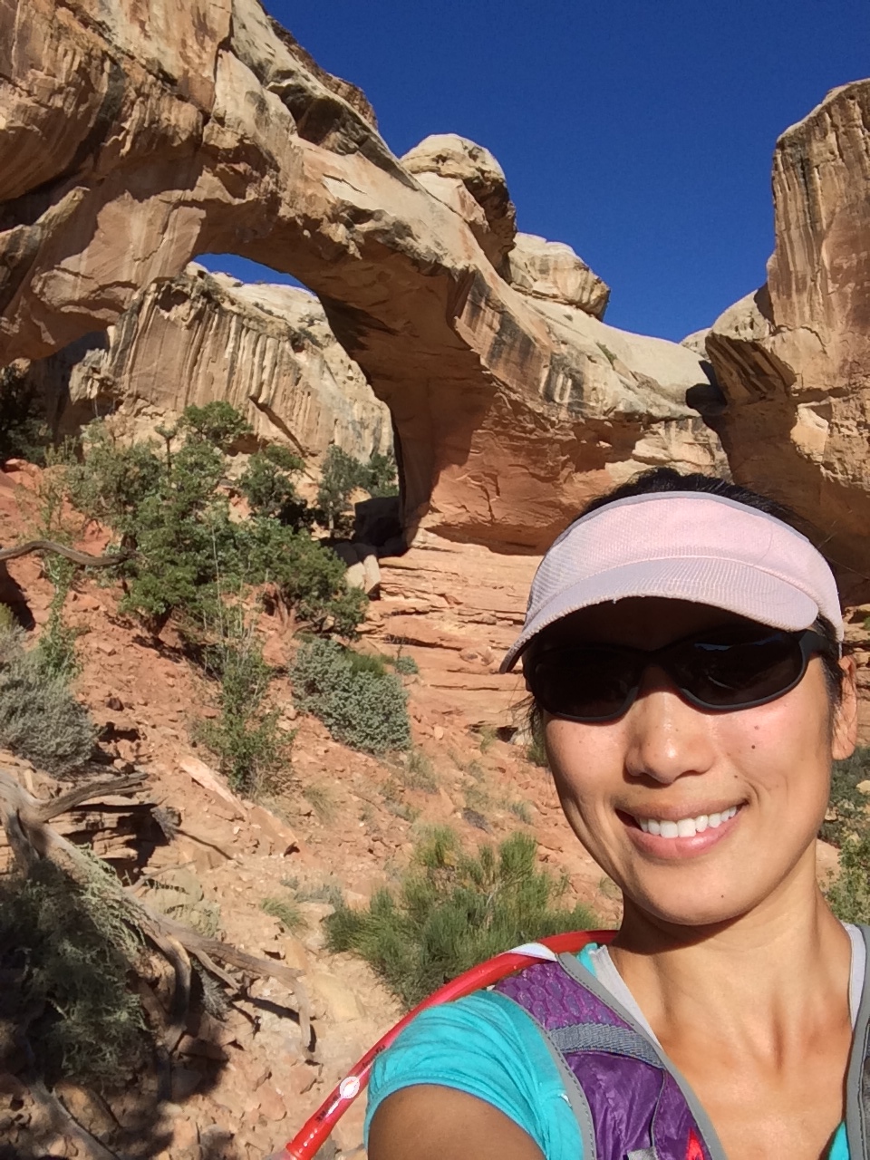
The next morning I quickly checked out the Hickman Bridge, a natural 130 ft. arch.IMG_6972 IMG_6974

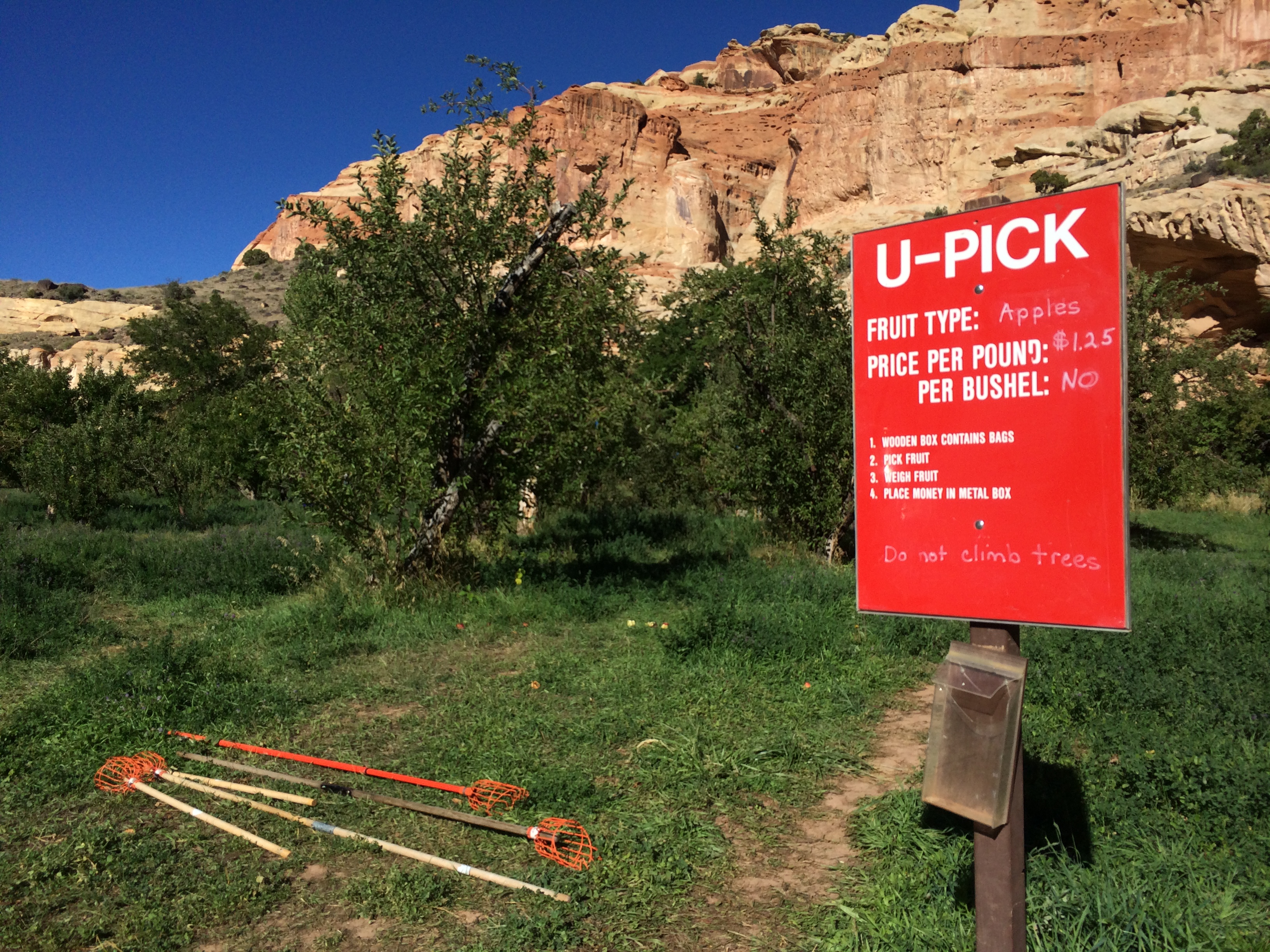
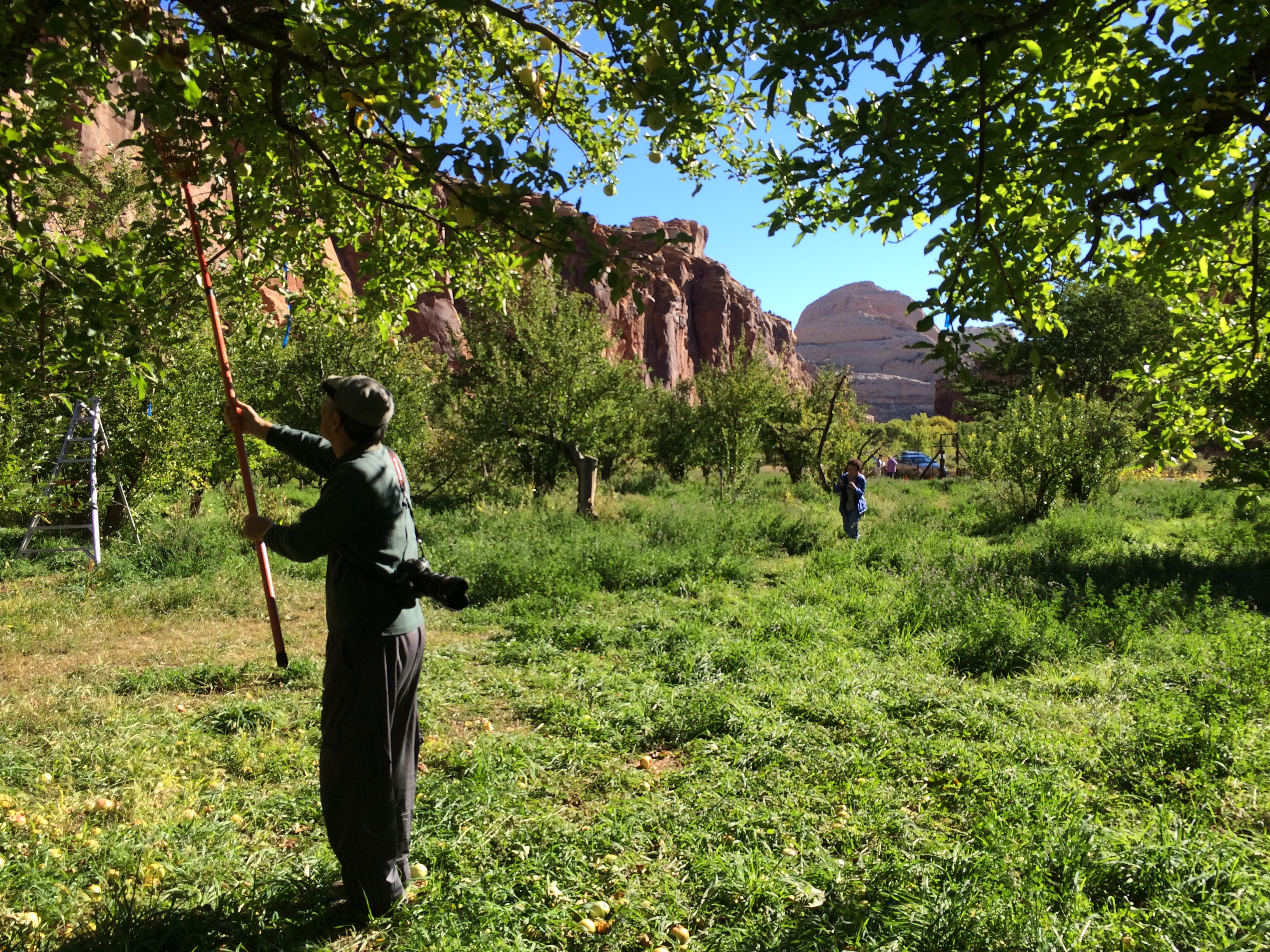
And on my way back to camp, the striking contrast between green and red caught my eye–orchards!  There was a large U-PICK sign out front, along with two cars parked along the side of the road.  I quickly pulled over to see what the deal was.  Apparently Capitol Reef  is home to the largest, historic orchard in any national park.  Visitors can pick and eat as many available fruit as they wish, or pick and take out fruit at $1.25/pound.  Apples were in season, and the golden delicious apples were scrumptious.  I ate an apple on the orchard, and grabbed an apple to take back to Chris.IMG_6994IMG_6990

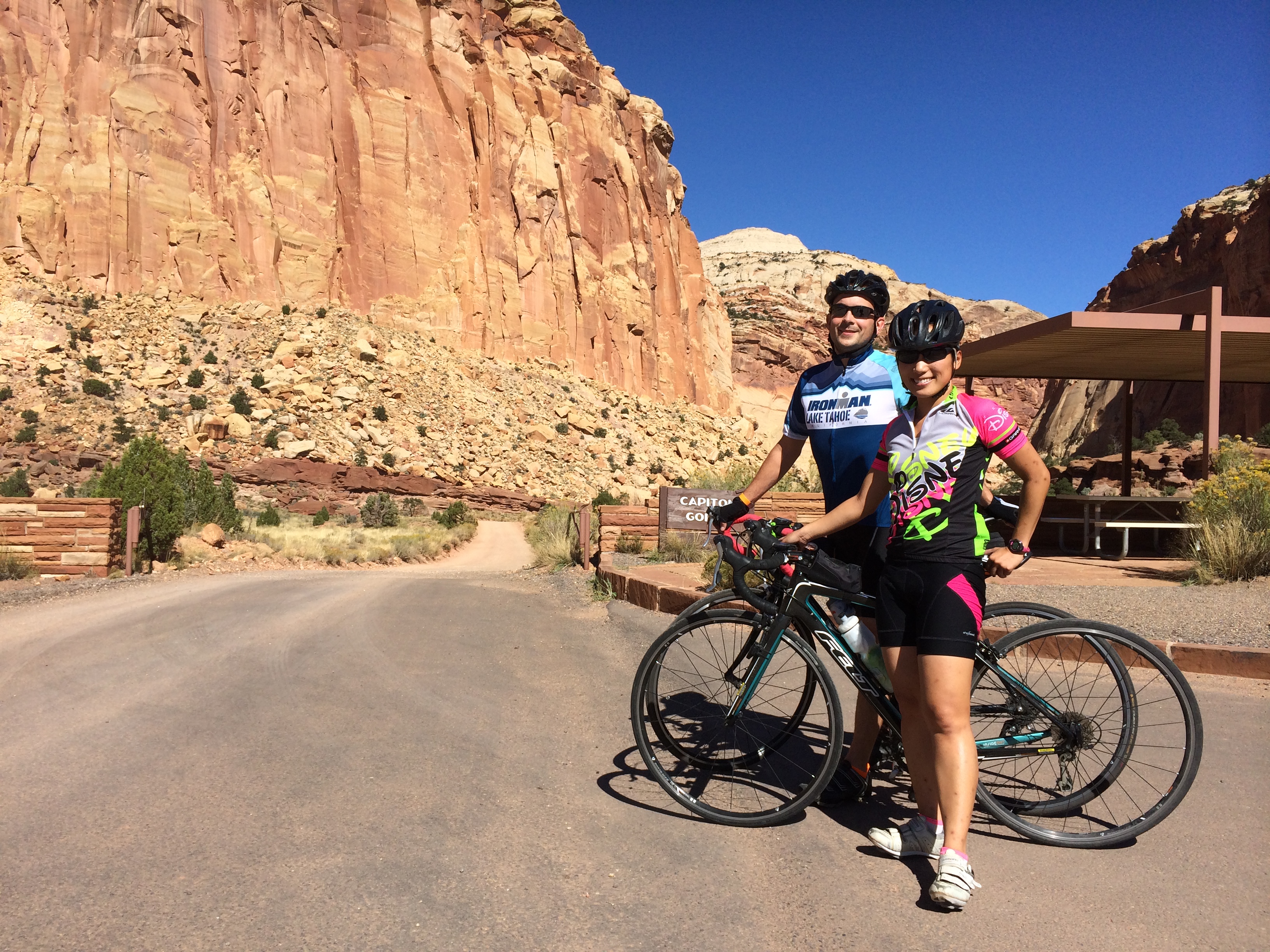
Before our departure later that afternoon to Bryce National Park, we toured the scenic road again.  However, instead of driving it, we cycled it to better appreciate the beauty of the park.  Conditions couldn’t have been more accommodating!IMG_6995IMG_6997

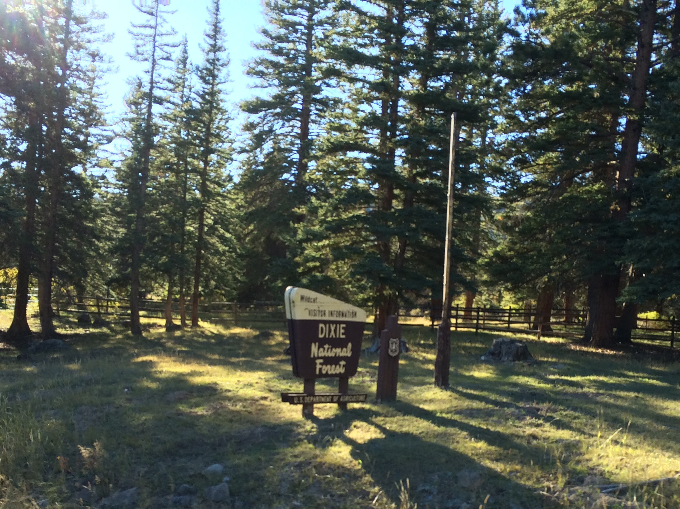
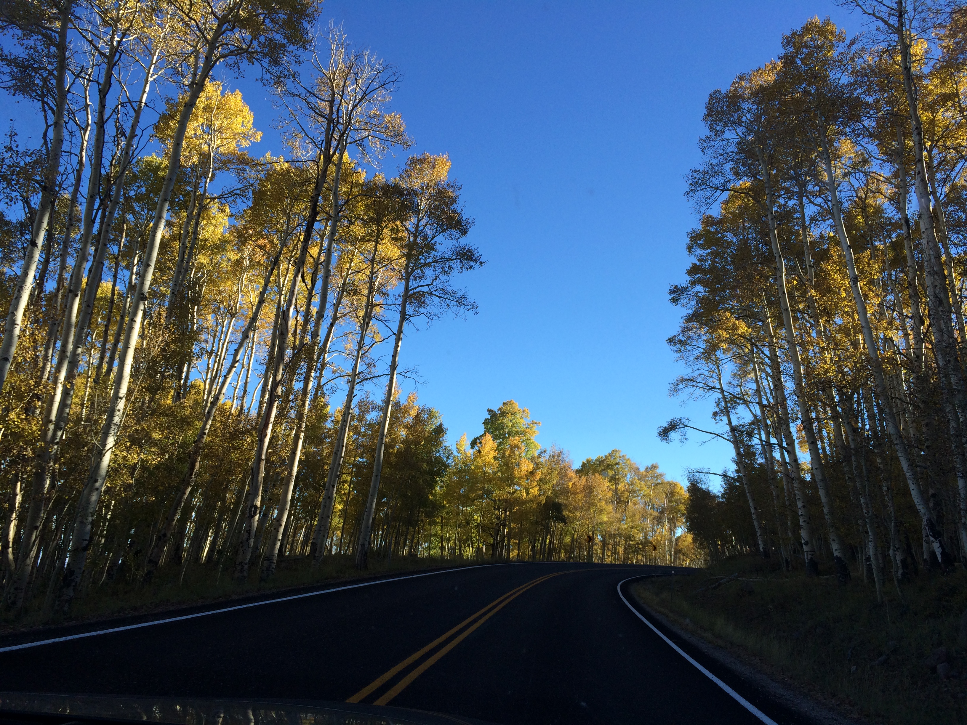
After the quick bike ride, we moseyed our way down to Bryce National Park.  Like Utah 24, Utah 12 was breathtaking.  Most of the drive was spent through the traversing highway of Dixie National Forest, which was speckled with bright aspen trees.  The sunset’s rays illuminated the golden leaves, reminding us that it was autumn.IMG_6998 IMG_6999 IMG_7015 IMG_7024

As the day slowly drew to an end, the colors across the horizon blended into a lovely mix of blues, pinks, and yellows.  Autumn in Utah is truly the best time of year to visit.IMG_7033


Bryce Canyon National Park

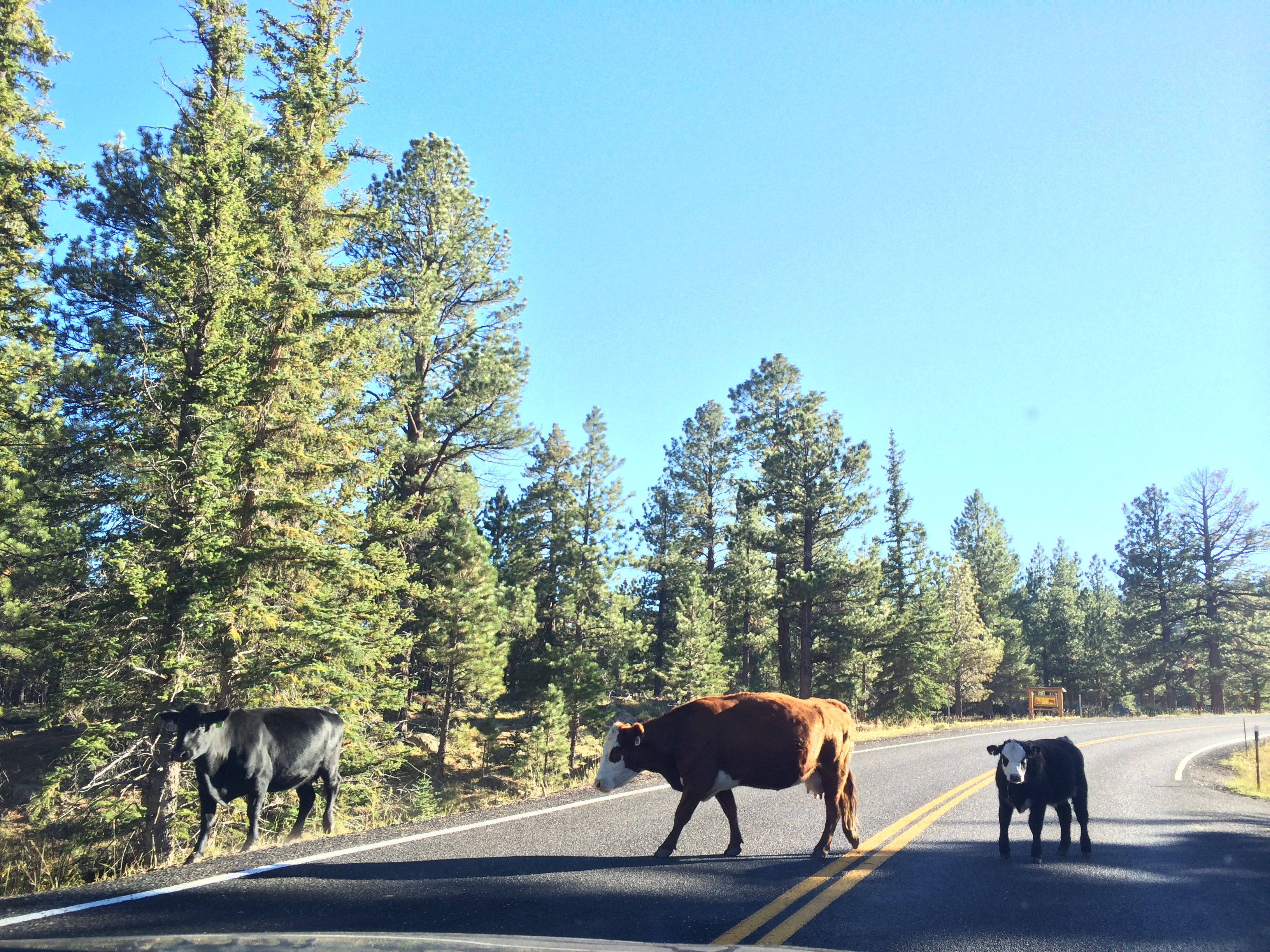
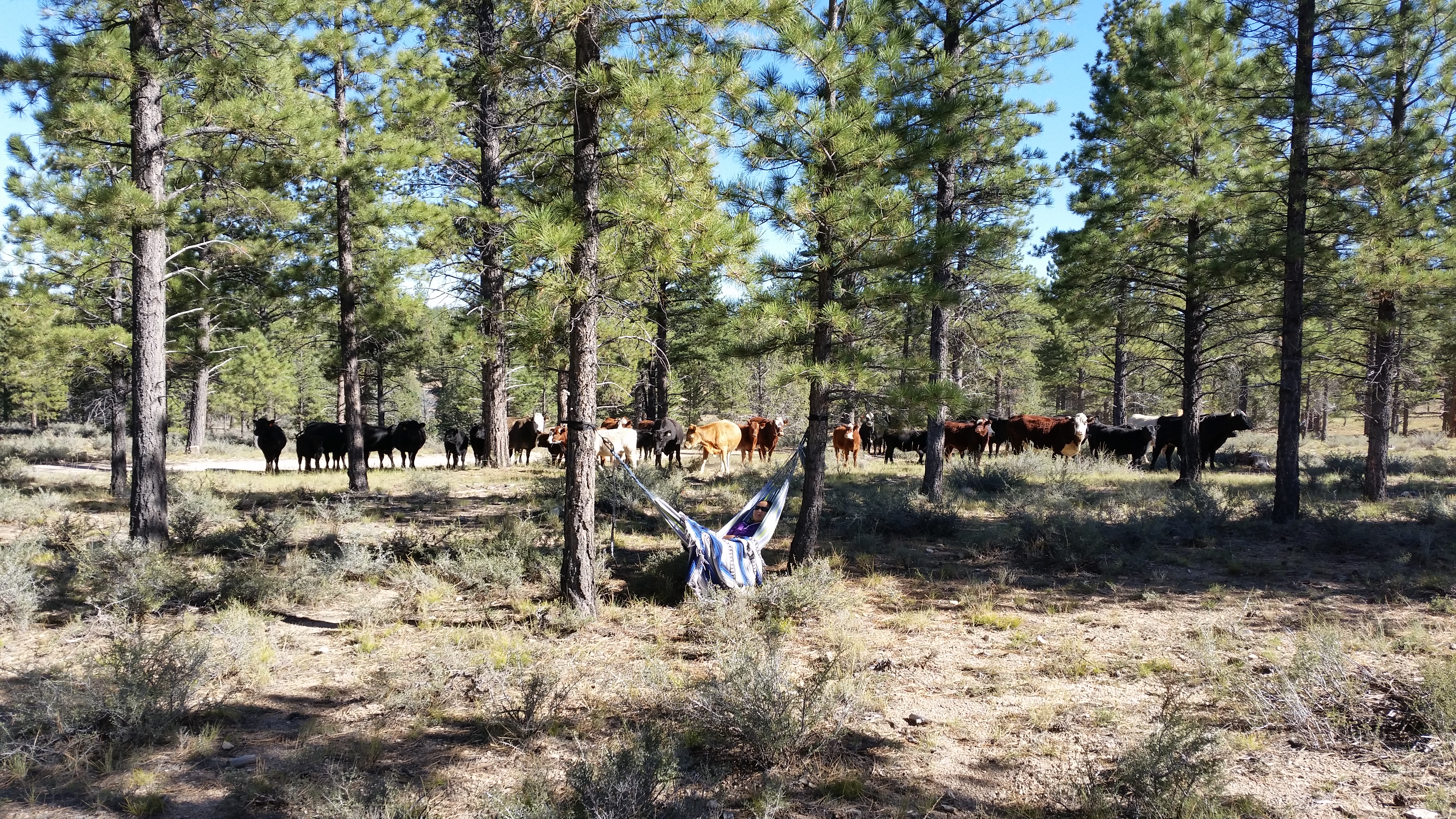
We arrived at our destination around 9pm and boondocked outside of Bryce National Park in the Dixie National Forest.  Although the forest also happened to be an open cattle range, we didn’t expect there to be cattle herding right outside our trailer the next day!20141004_154930_Android

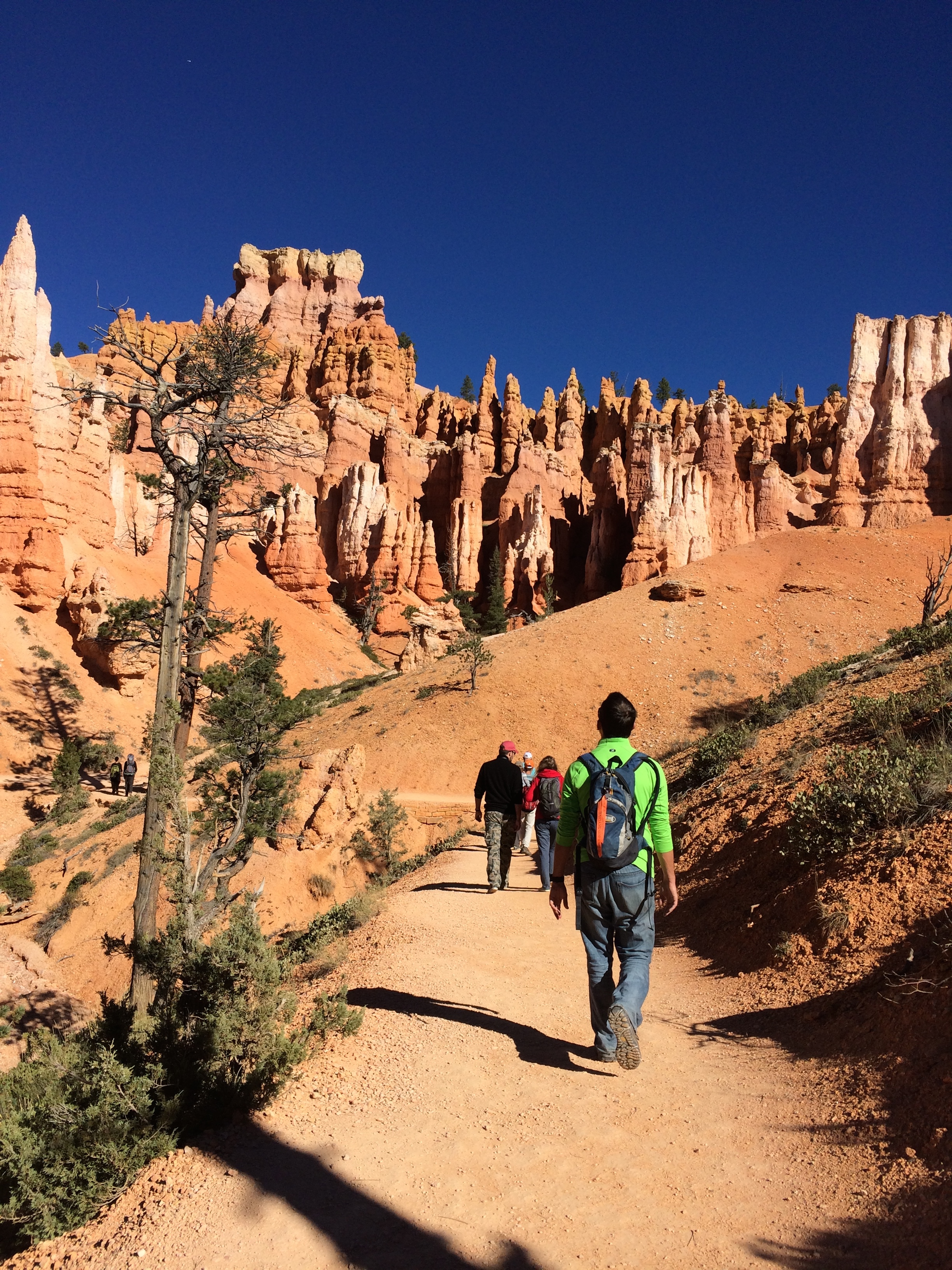
Our first full day at Bryce consisted of the popular figure-8 loop, a combination of the Queens Garden, Peek-A-Boo, and Navajo trails.  I never knew how magical Bryce Canyon was.  The towering spires and endless hoodoos lined along the trails of switchbacks made a surreal hiking experience, as if it was a manmade Hollywood film set.

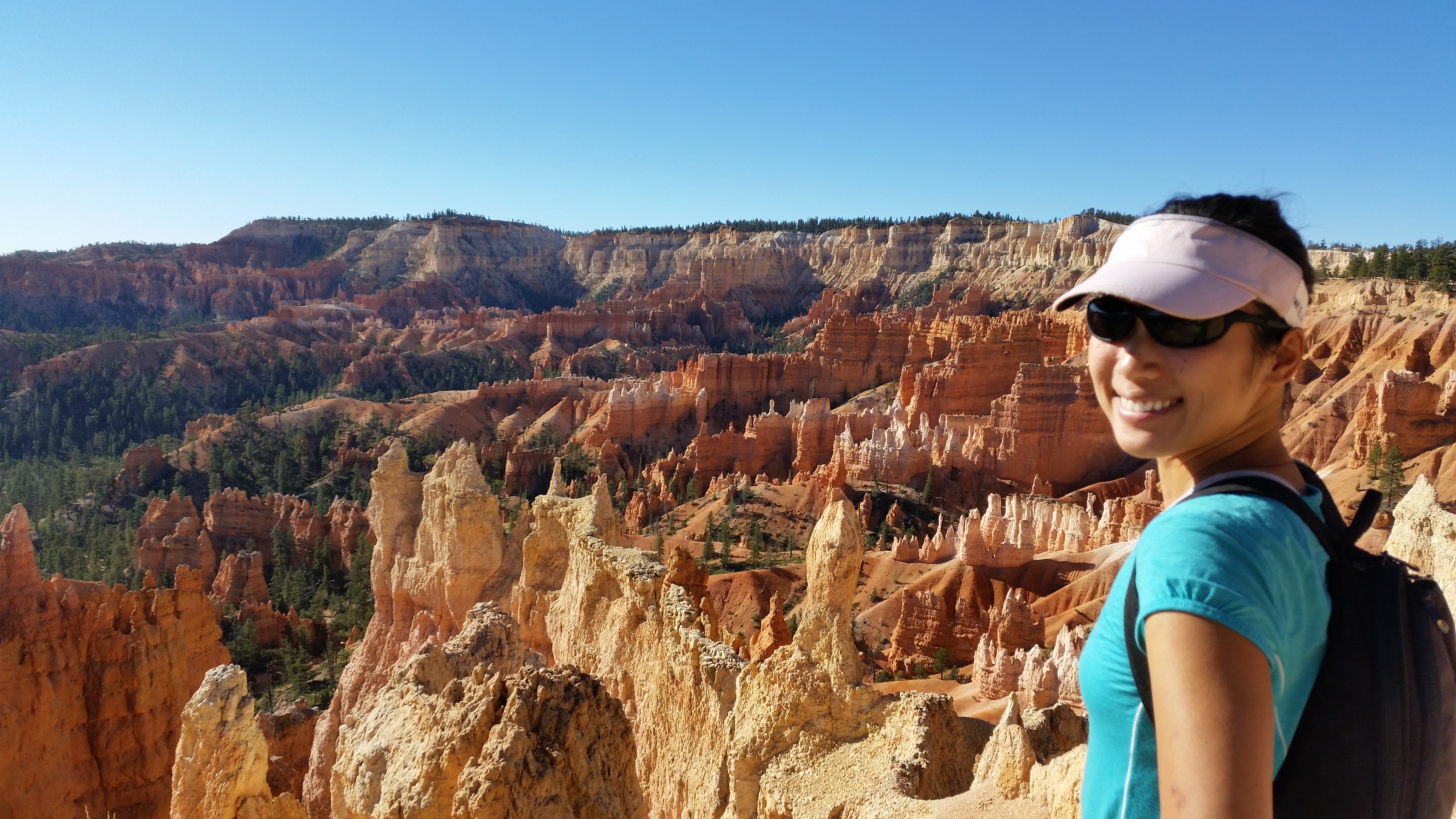
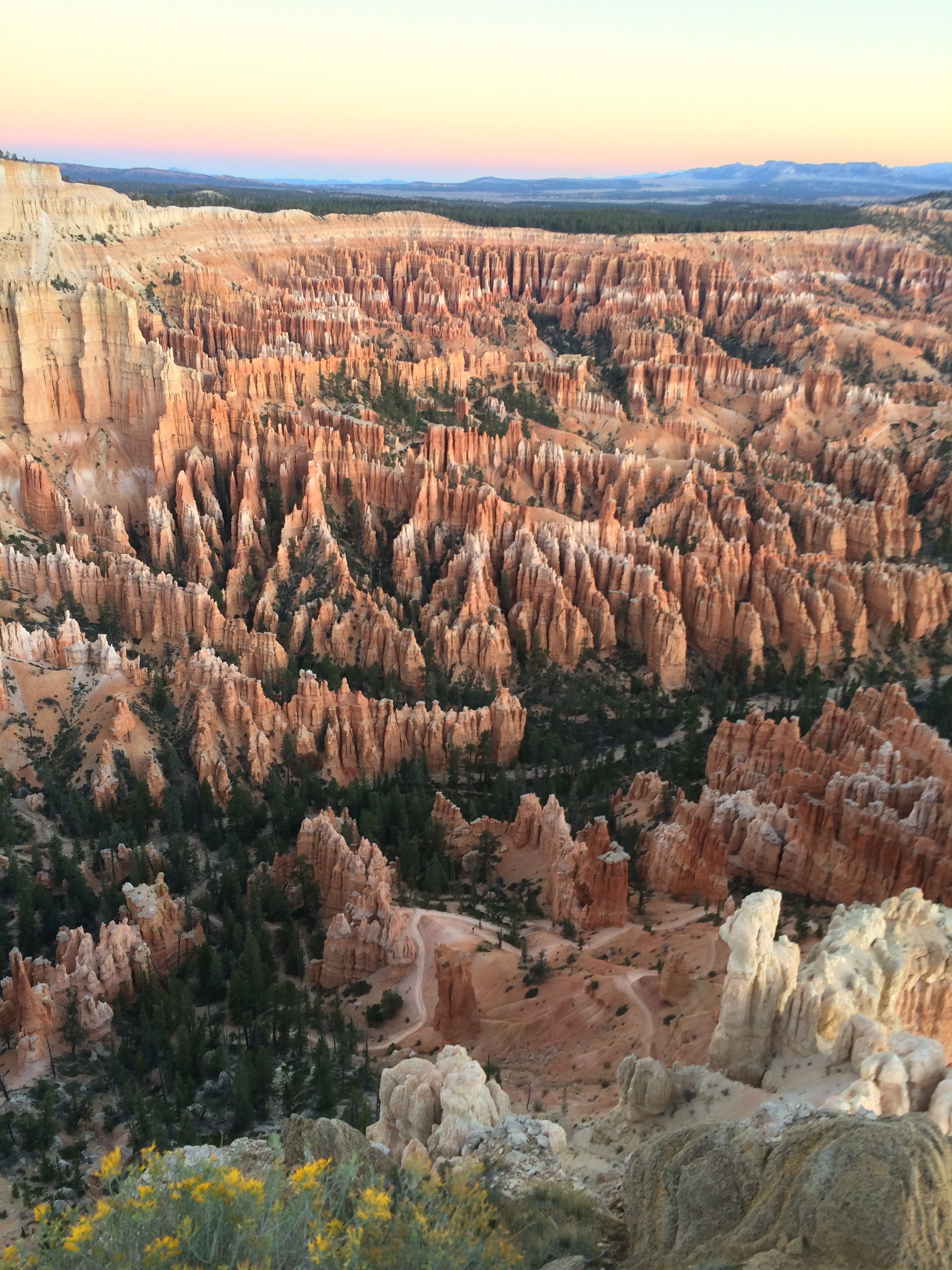
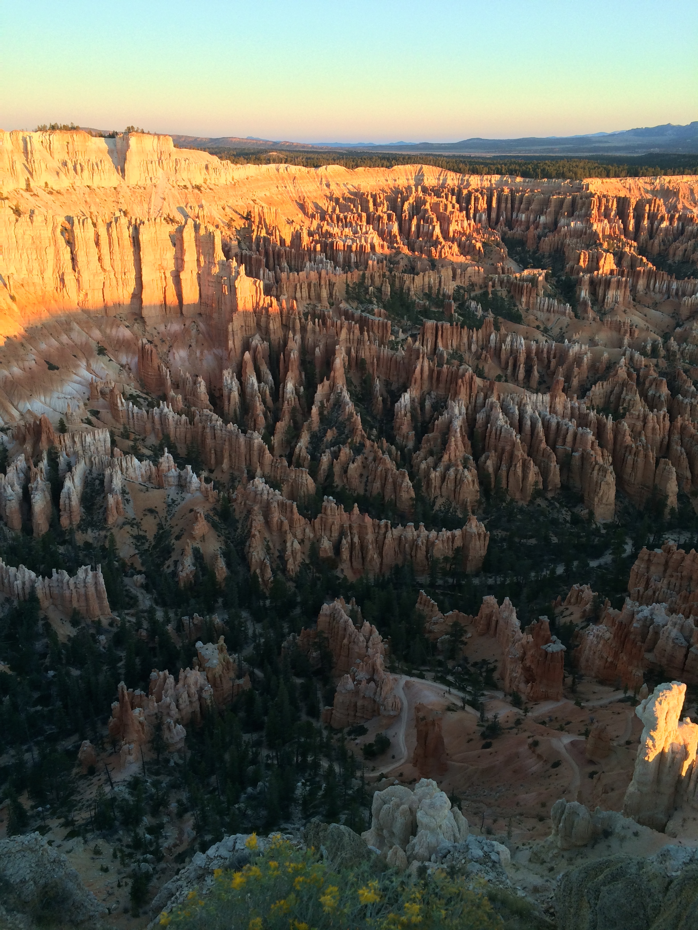
A view of the amphitheater from Sunrise Point:20141004_100059_Android

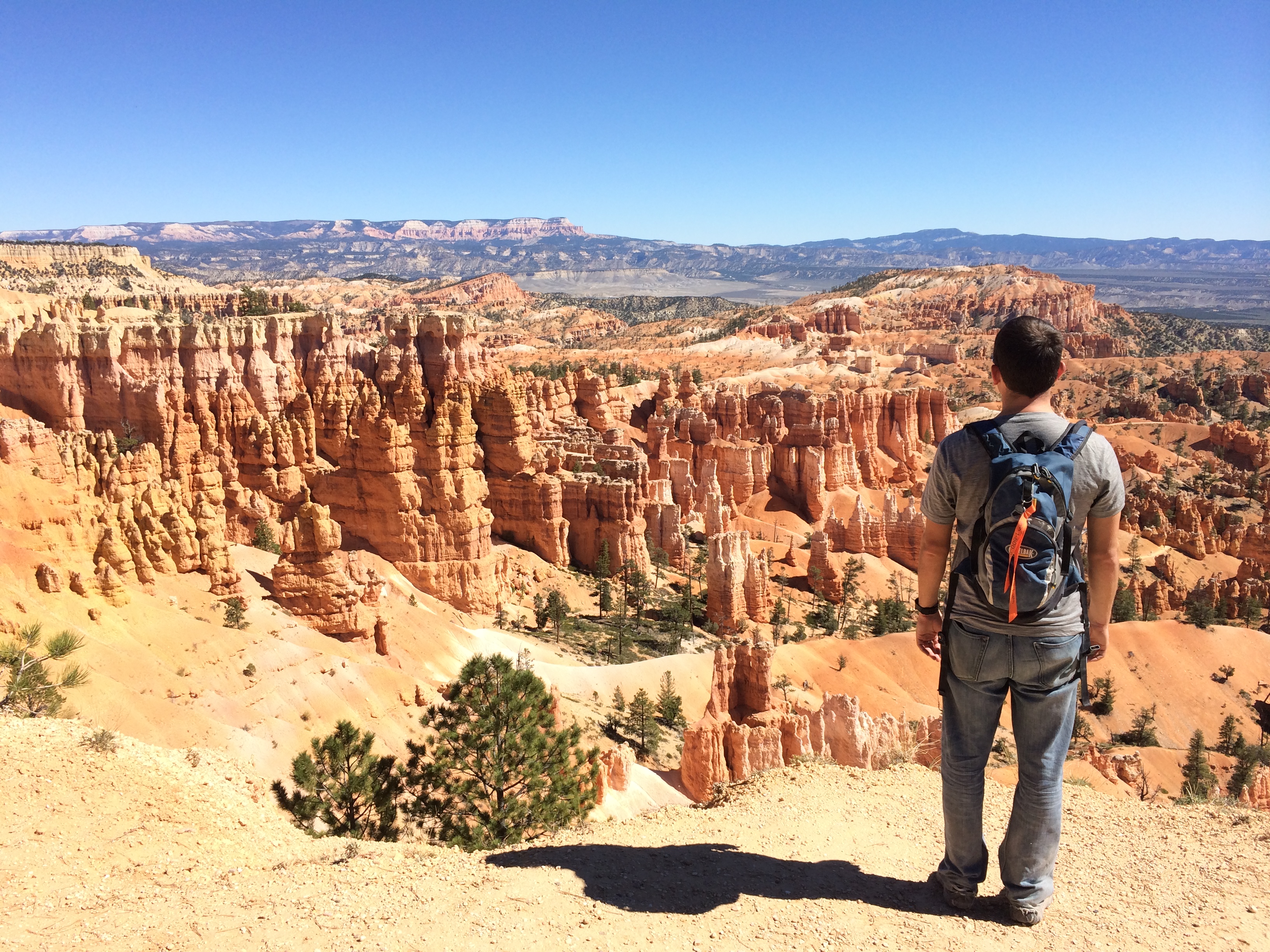
A view of the amphitheater from Sunset Point:IMG_7064

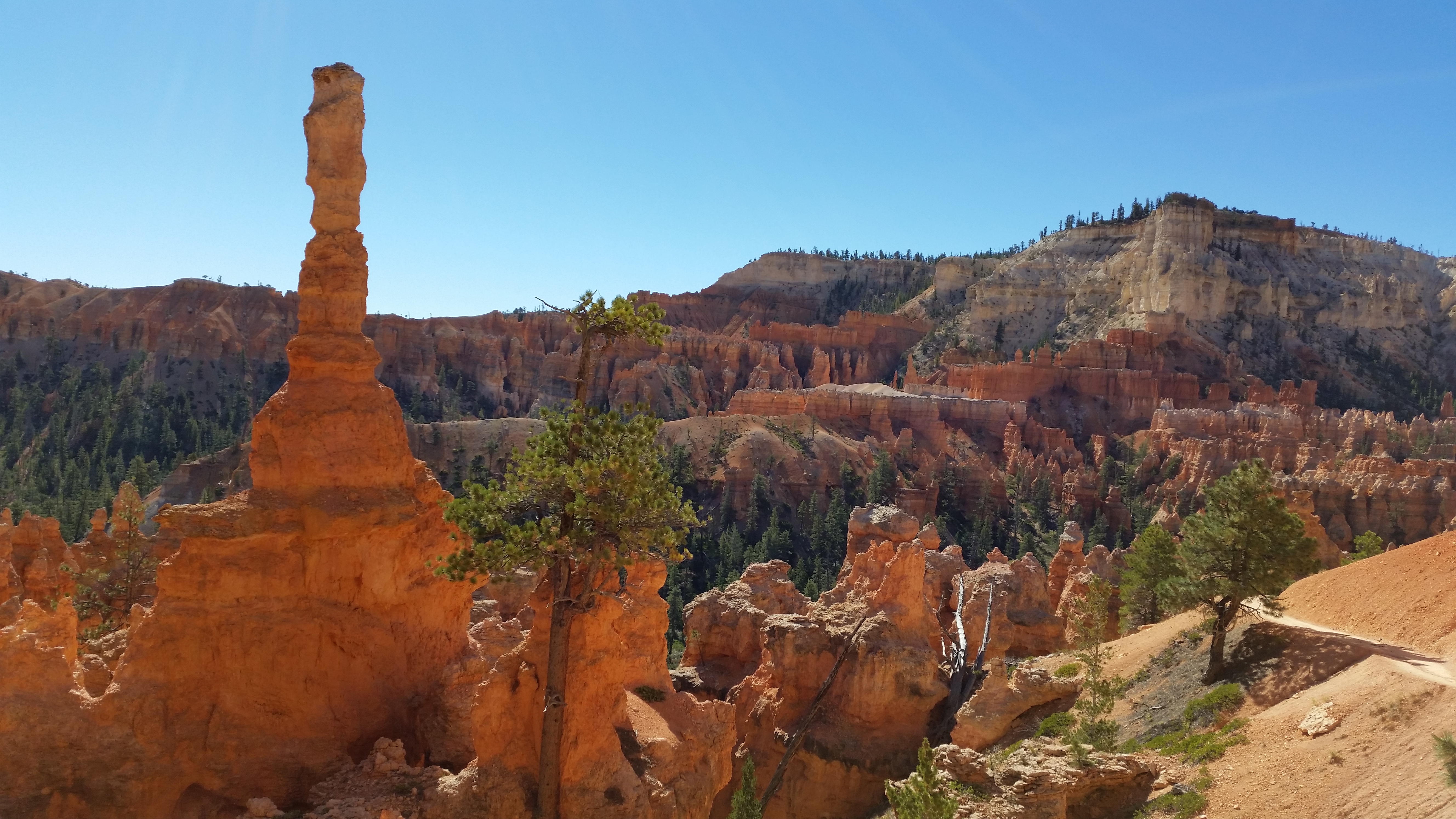
Hiking through the hoodoos:20141004_105706_AndroidIMG_7047 IMG_704820141004_101407_Android

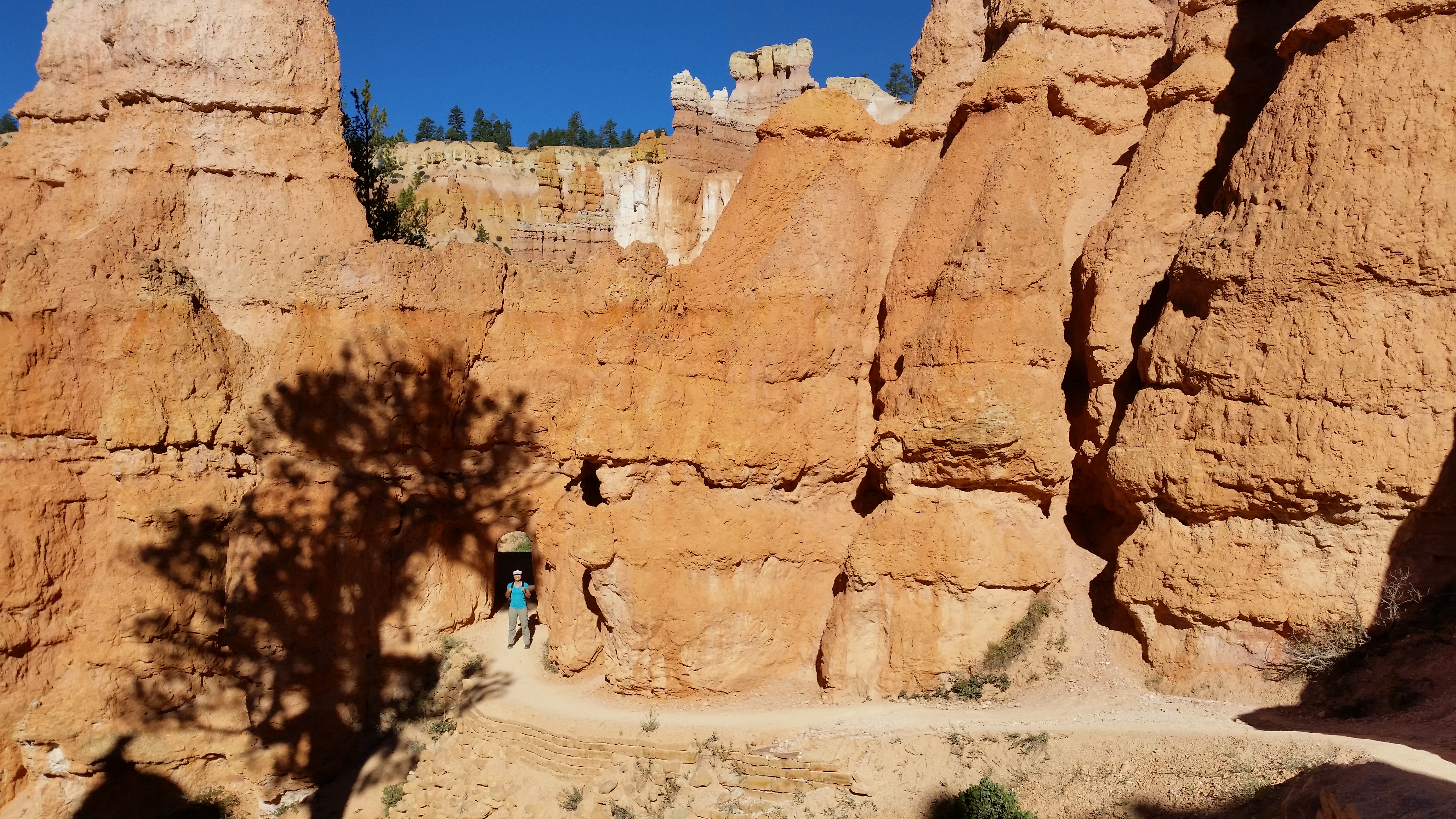
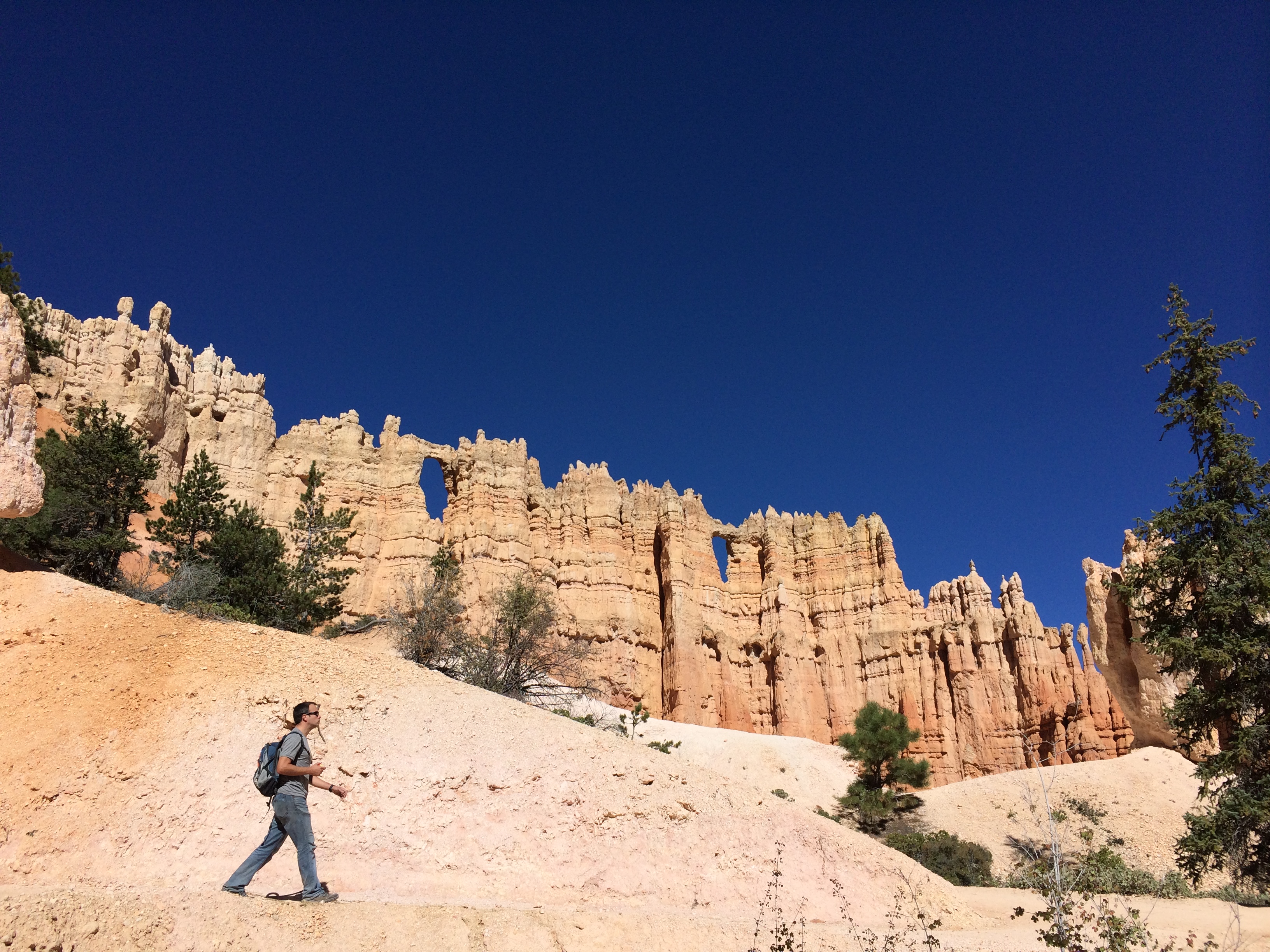
The wall of windows:IMG_7052

Wall Street:20141004_122744_AndroidIMG_7058

This figure-8 loop was a fantastic introduction to Bryce Canyon as its diverse trail showcased landscapes of the amphitheater, brought us up close to the towering hoodoos, led us through the canyon floor forests, strolled us past natural windows, and left us panting as we staggered up the narrow Wall Street at 8,000 feet of elevation.

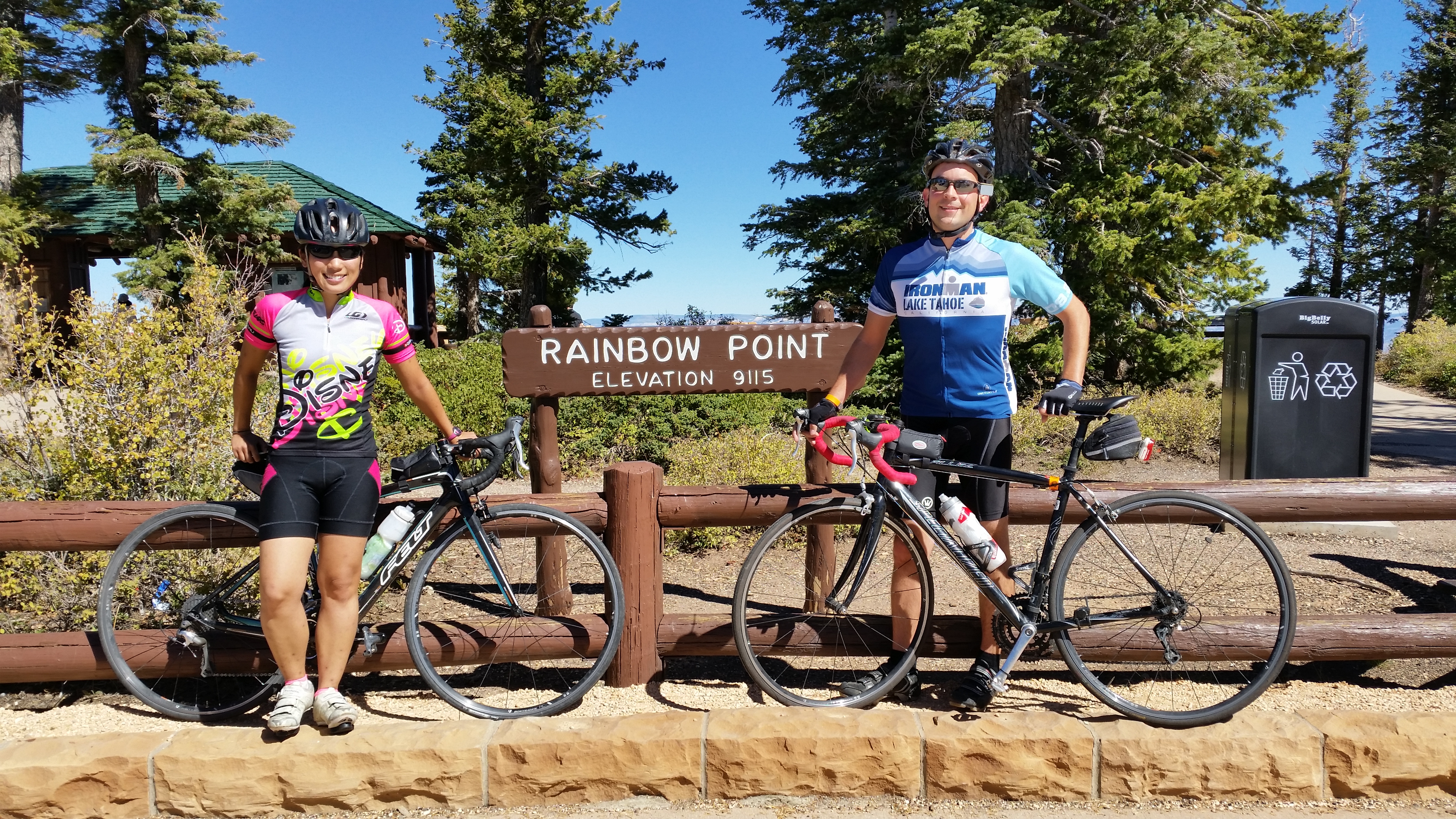
And that hike wasn’t enough to fulfill our adventurous souls!  The following day we cycled the 34-mile round trip ride up to Bryce Canyon’s highest point, Rainbow Point, at 9115 feet of elevation.  To our delightful surprise, the climb wasn’t as bad as we anticipated.20141005_124611_Android

While resting at the summit, a woman told Chris, “I envy that you can see the world this way.”  We reflected upon that statement a bit, primarily because we found it strange.  It’s not like some higher form of power blessed us with endurance, or an affluent hand gifted us money for a bike. Life cannot be enjoyed without working your ass off for it. Those who should be envied are those who have luck beyond one’s control, not those who earned it.

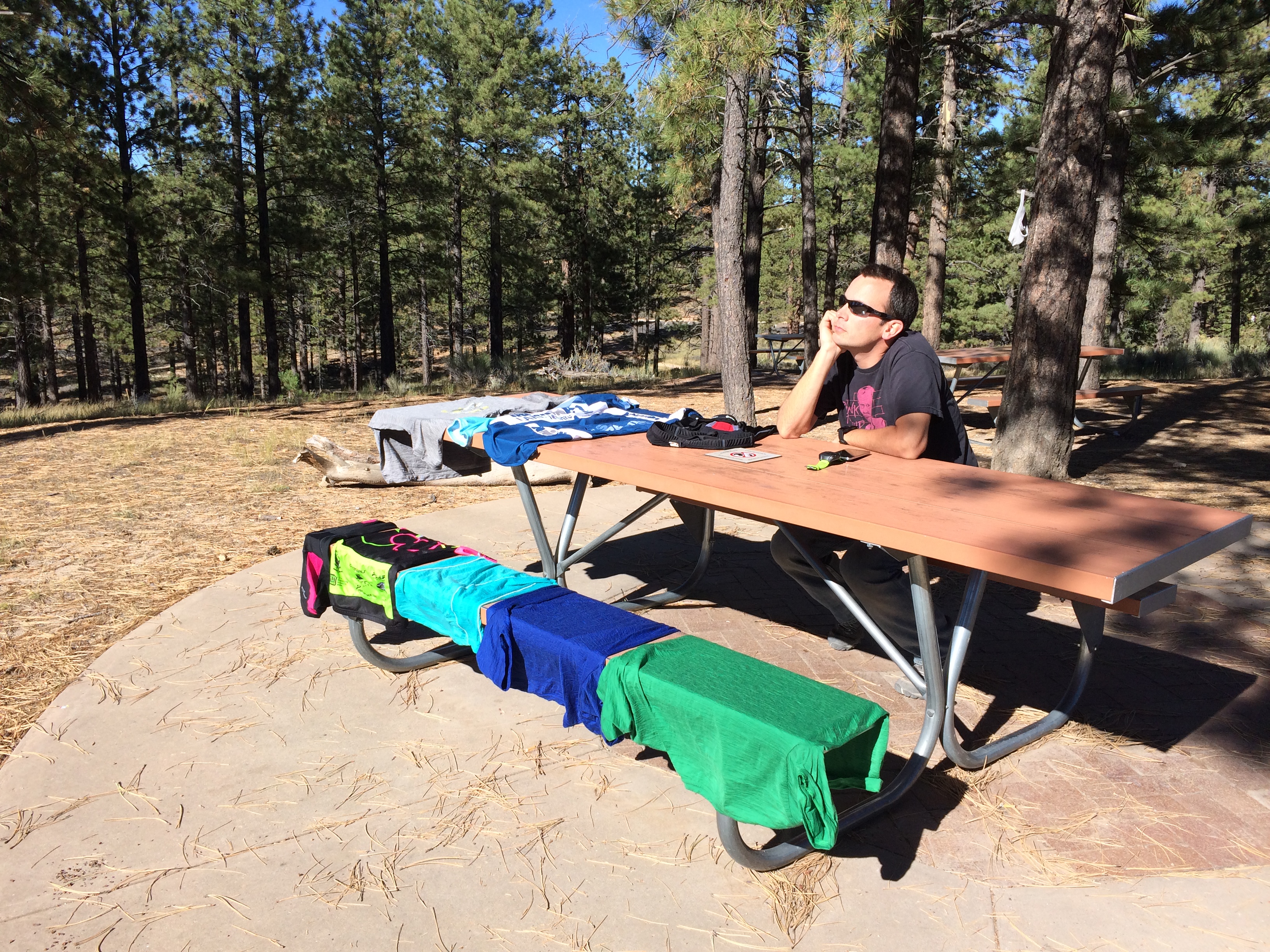
After cycling, we got some camping laundry done! IMG_7073

And then napped back at our lovely campsite:IMG_7074

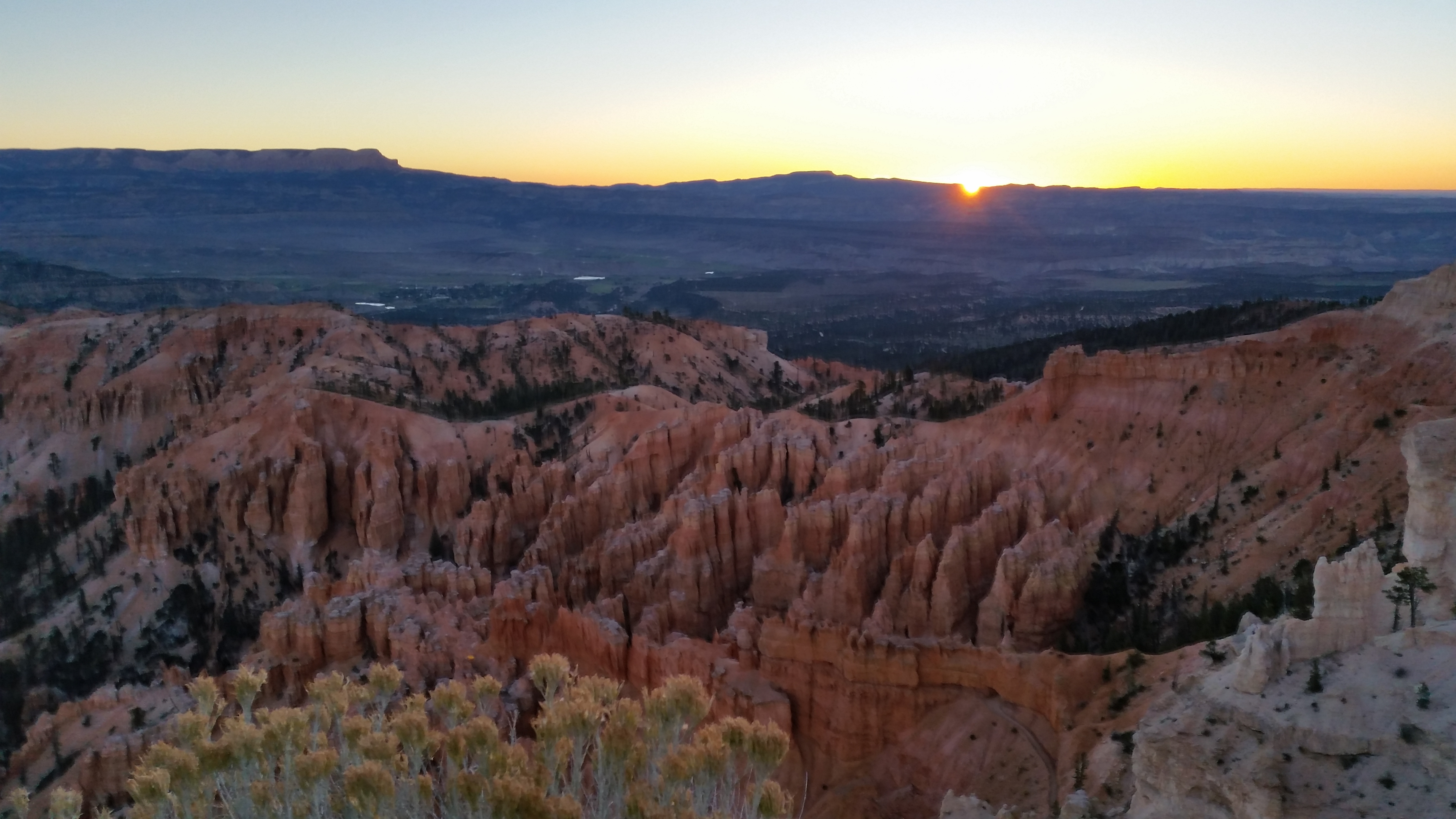
Our final hours at Bryce National Park were spent at Bryce Point for sunrise.  Once again, photos do not do justice.20141006_072810_Android

Before the sun peeked out:IMG_7078

And just a few minutes later, the sunshine cascaded over the rim:IMG_7080

This one is for you, Mom!20141006_073058_Android

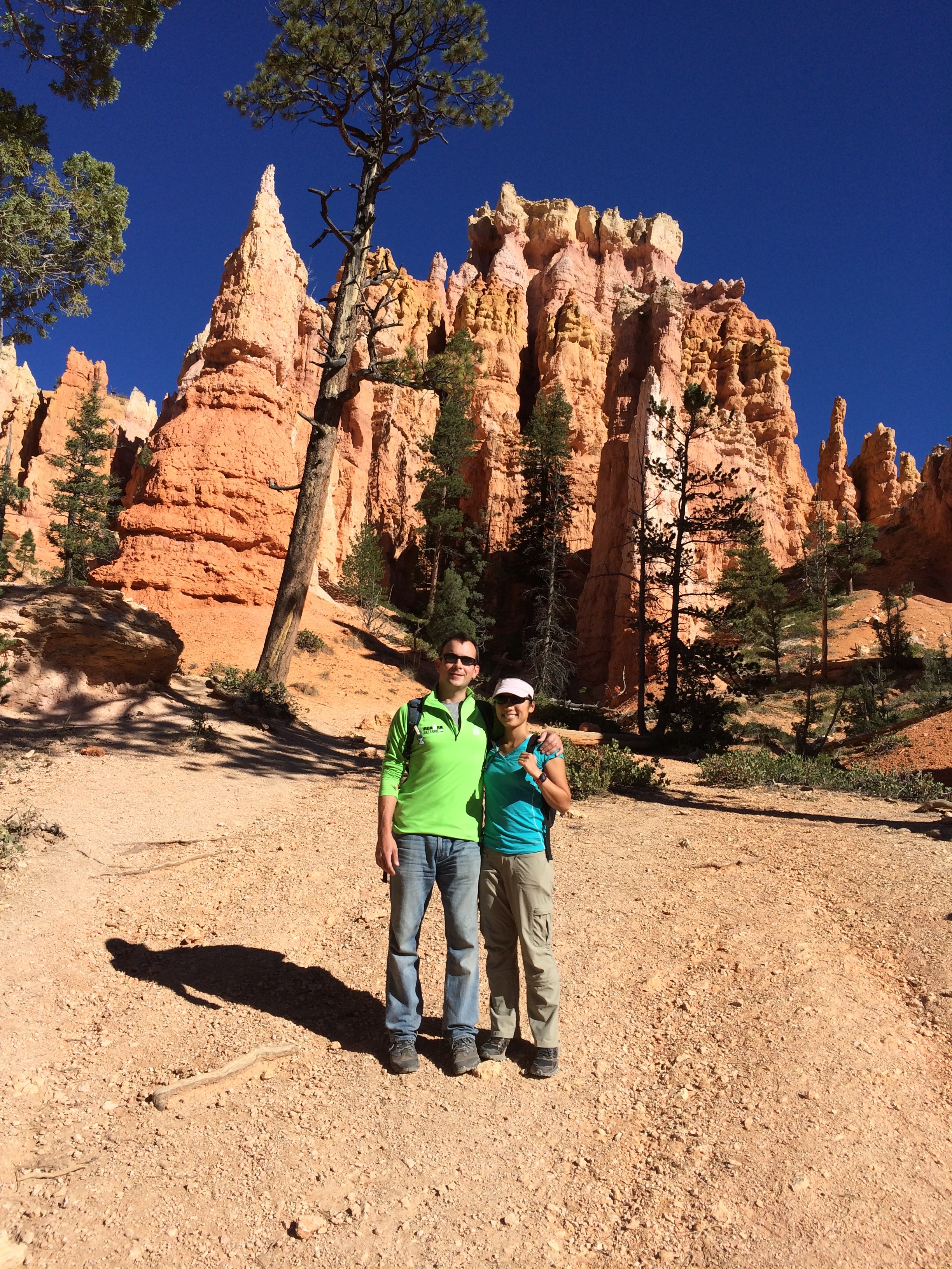
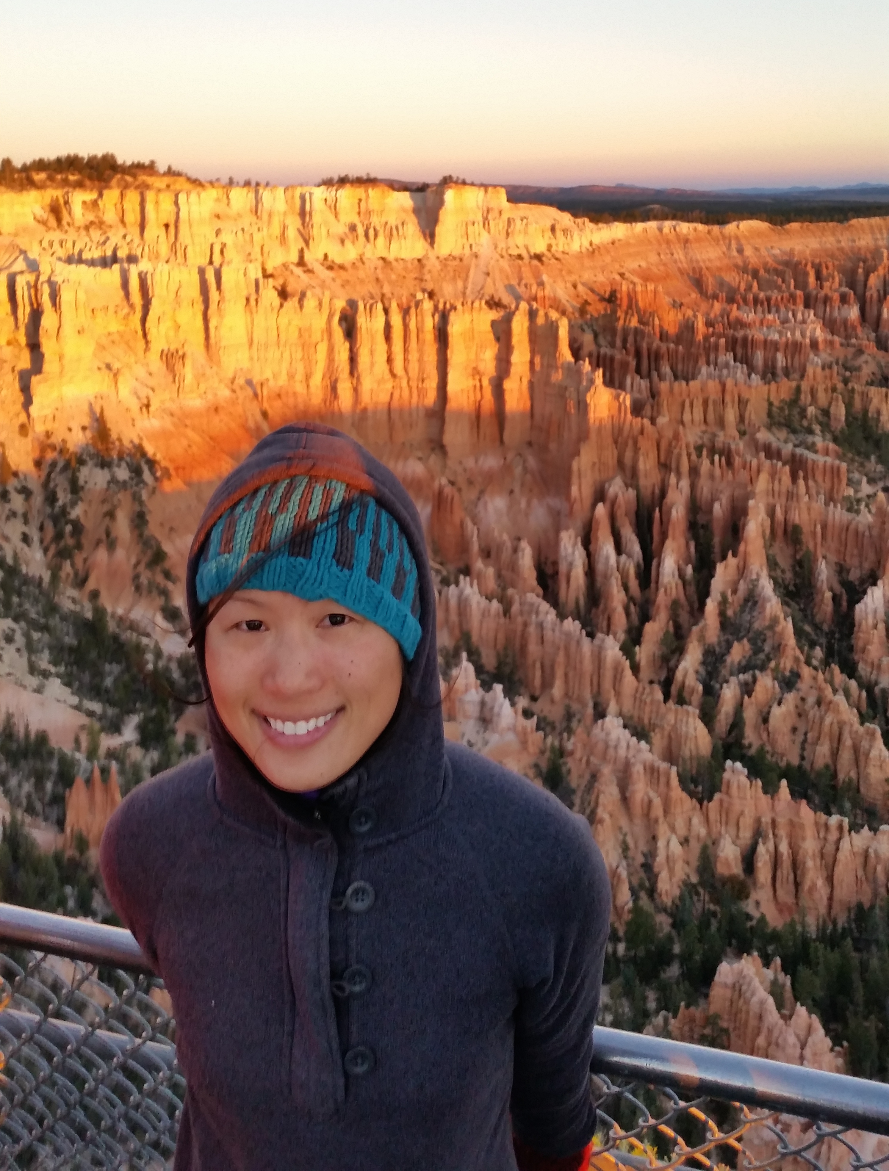
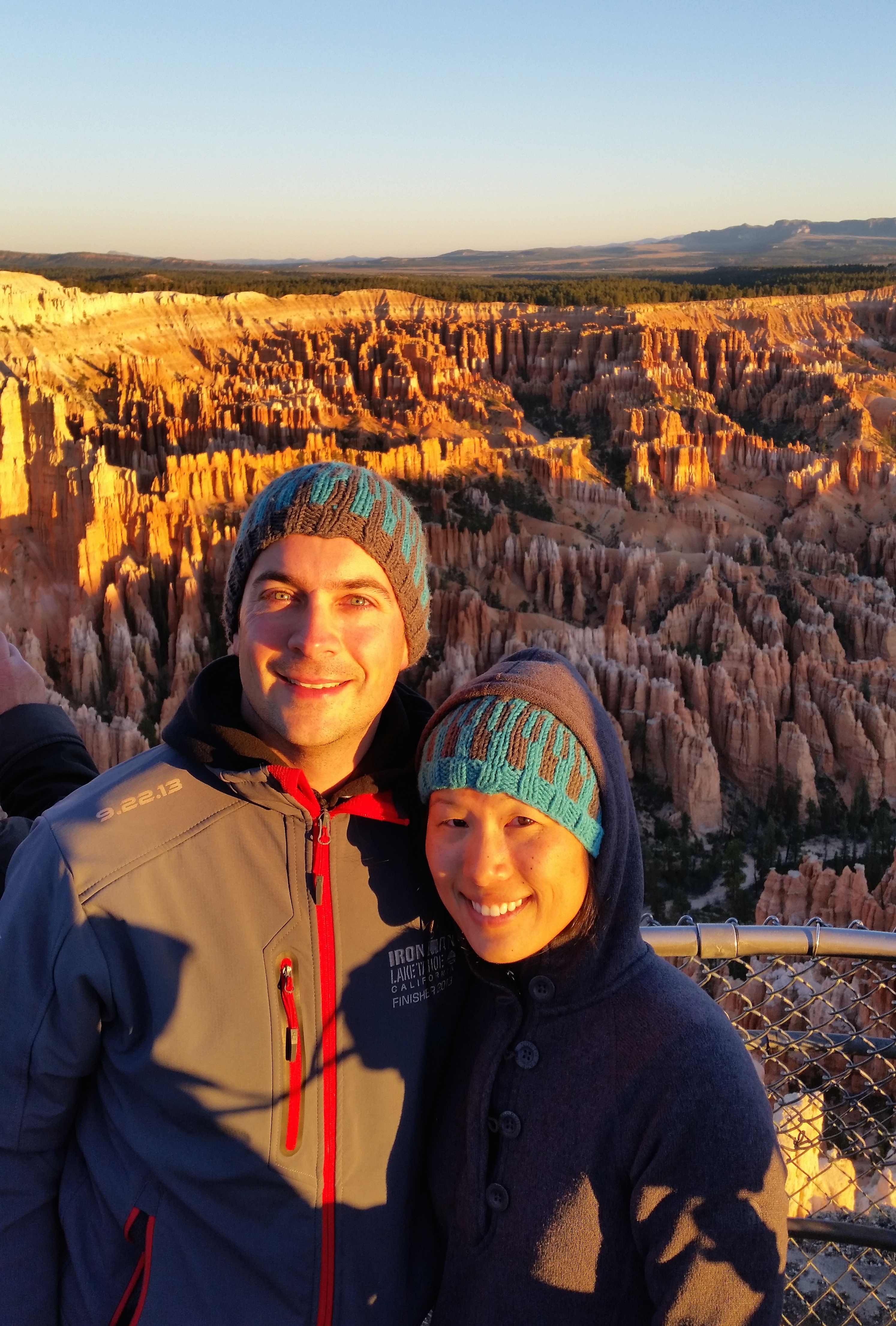
And of course, an obligatory couple shot:20141006_074042_Android


Cedar Breaks National Monument

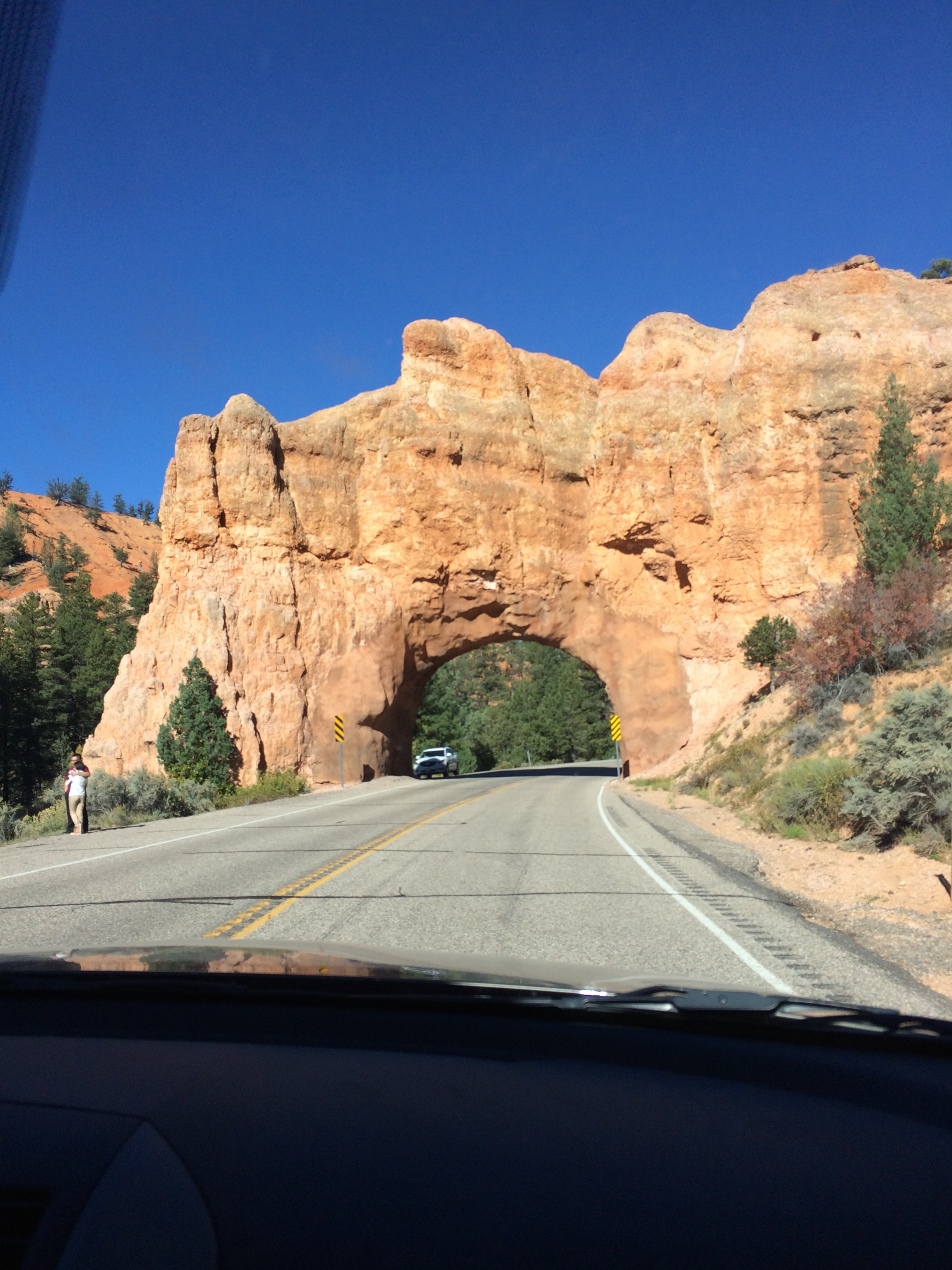
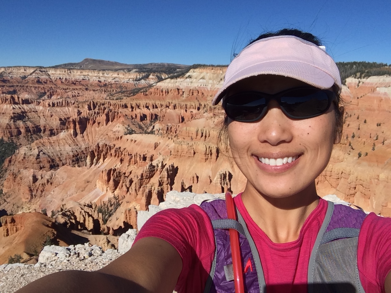
Shortly thereafter we packed up camp and ventured west toward Cedar Breaks National Monument.  The drive through the Red Canyons was delightful; it reminded me of driving through the giant redwood trees near Oregon:IMG_7082

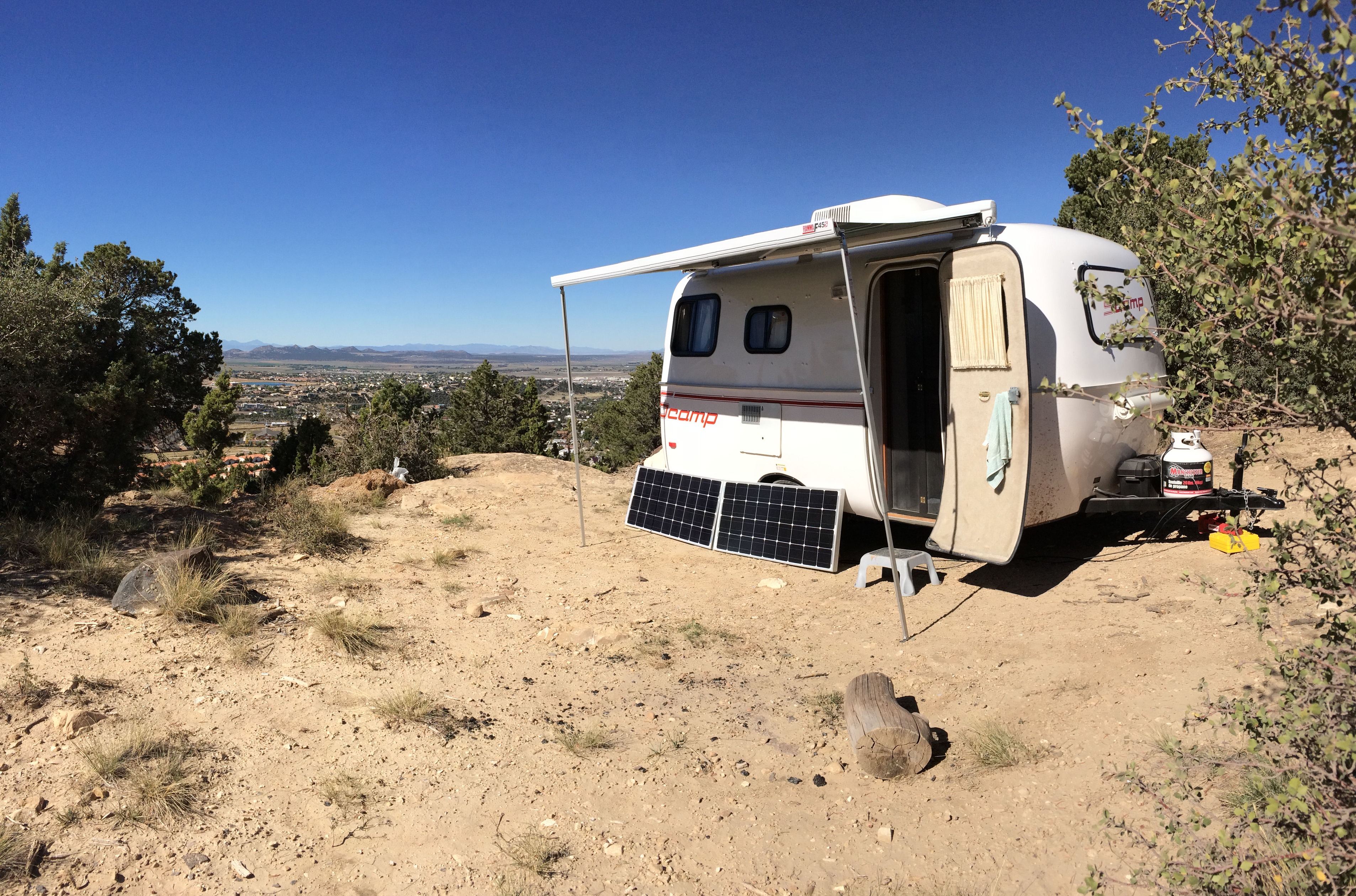
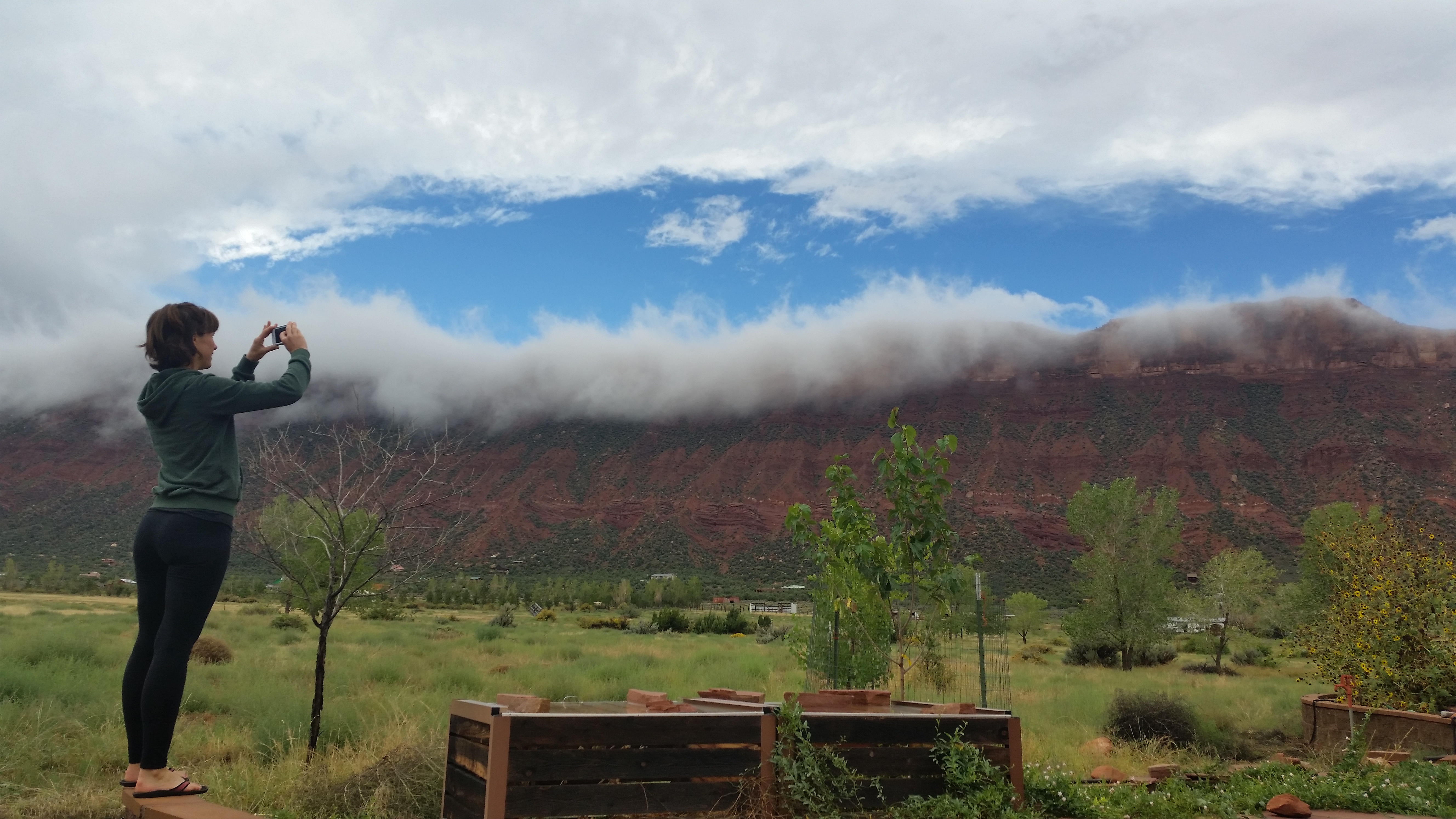
Scromp and Chris got dropped off at the outskirts of Cedar City.  Chris found some BLM land in the hills that provided a panoramic view of the city below us.IMG_7086

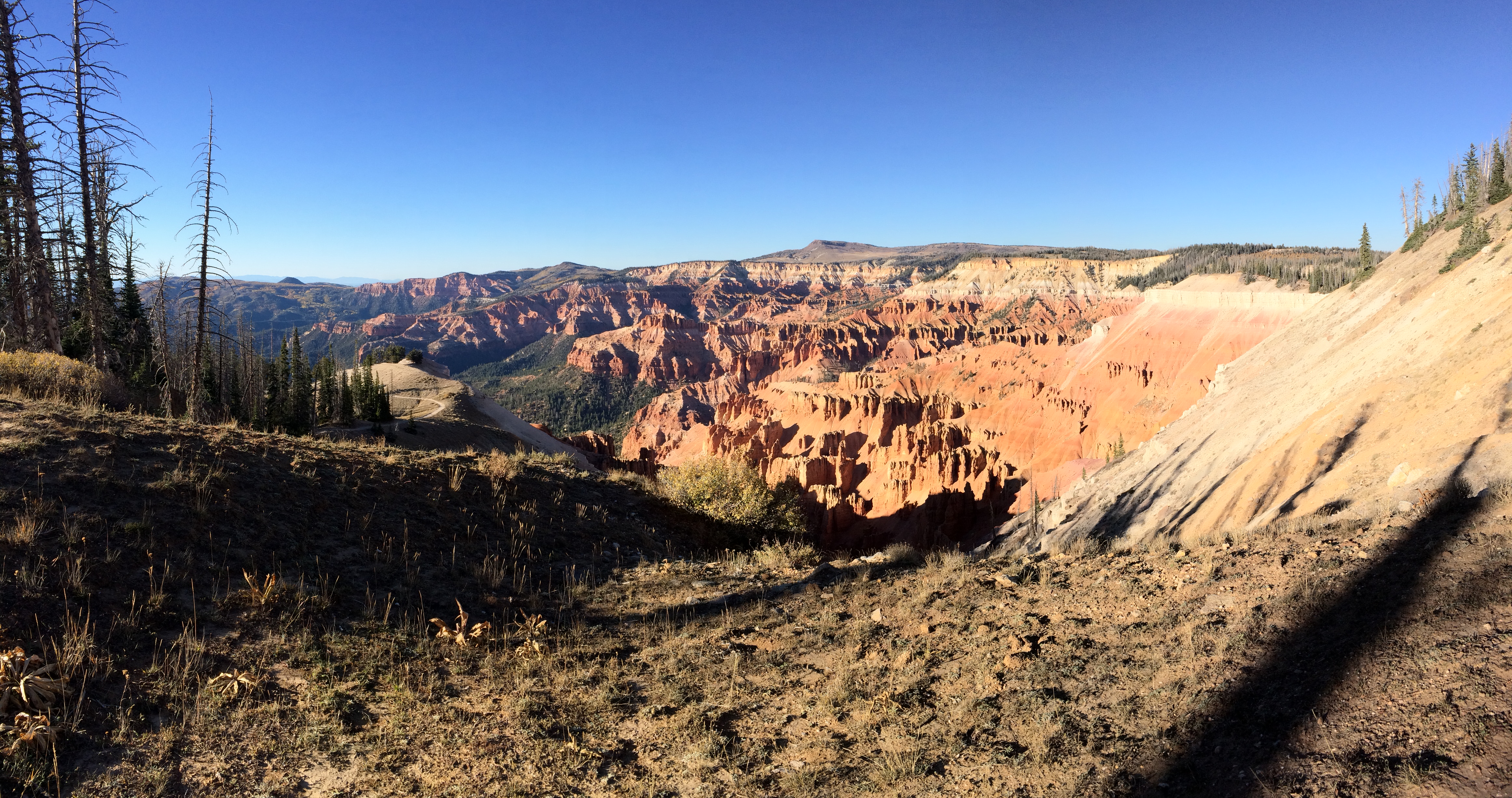
Then I turned around and backtracked up the highway toward Cedar Breaks National Monument, a small park that only receives approximately 600,000 visitors per year. Its remote location, lesser-known name, and the fact it was a Monday afternoon made it a peaceful visit; the practically vacant parking lot ensured that I had the overlooks all to myself.  Although the hikes were short and not strenuous, I was surprised to find myself panting harder and feeling more fatigued than usual.  Yep, the 10,500 ft. elevation point definitely wore me out!IMG_7092 IMG_7096 IMG_7095

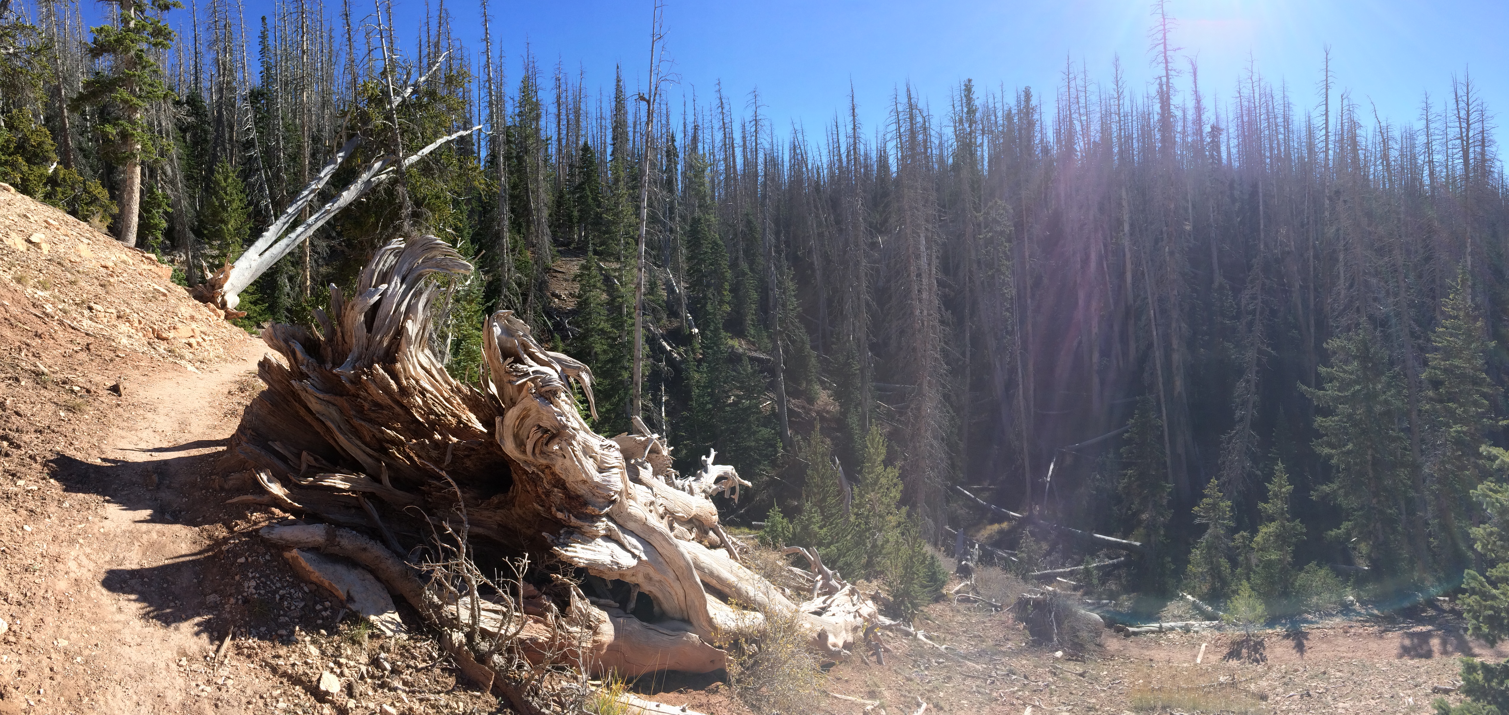
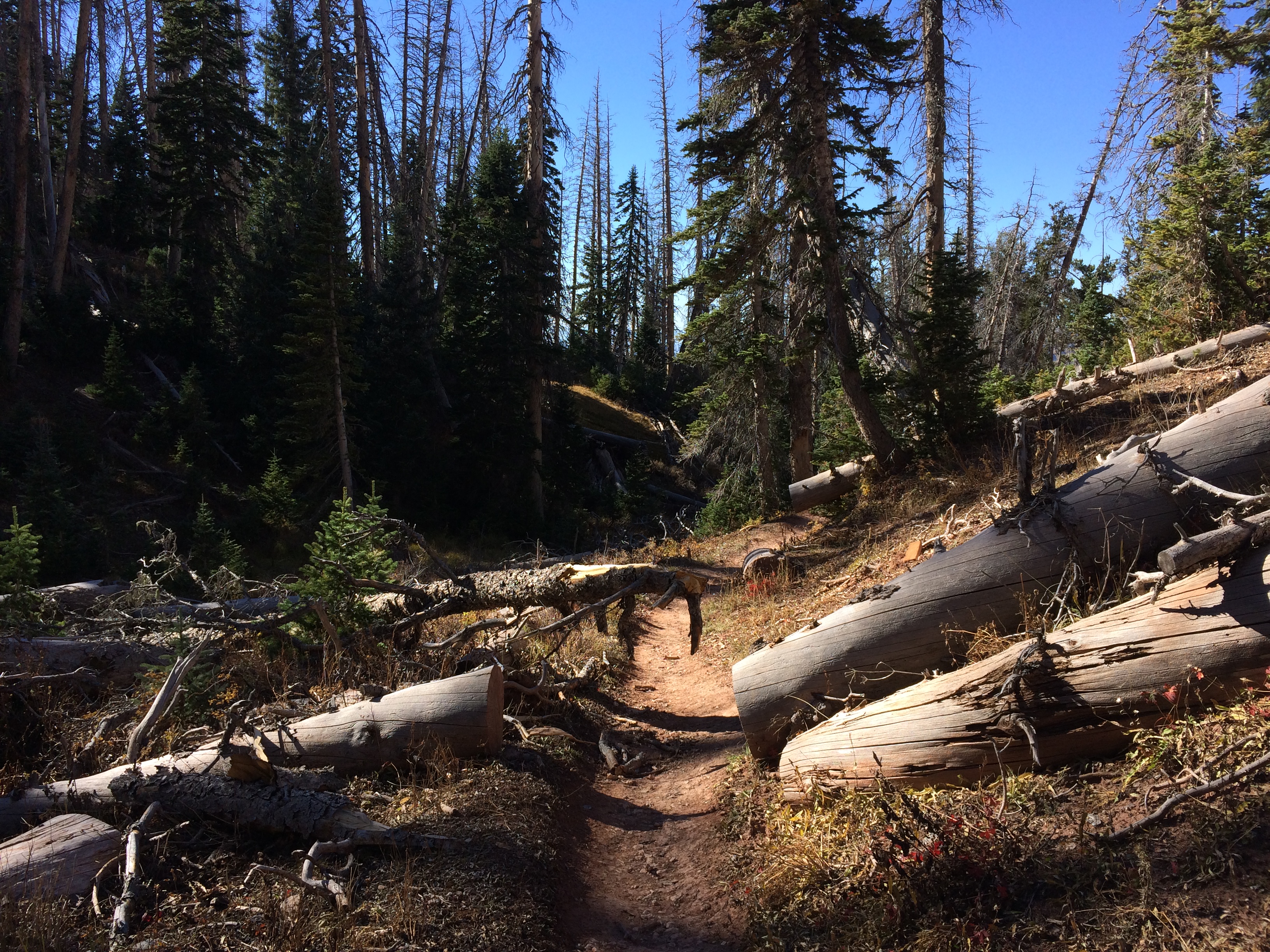
Due to the high elevation, it’s not surprising that a copious amount of trees have been struck by lightning.  Fallen trees littered the trails and forests:IMG_7093 IMG_7094

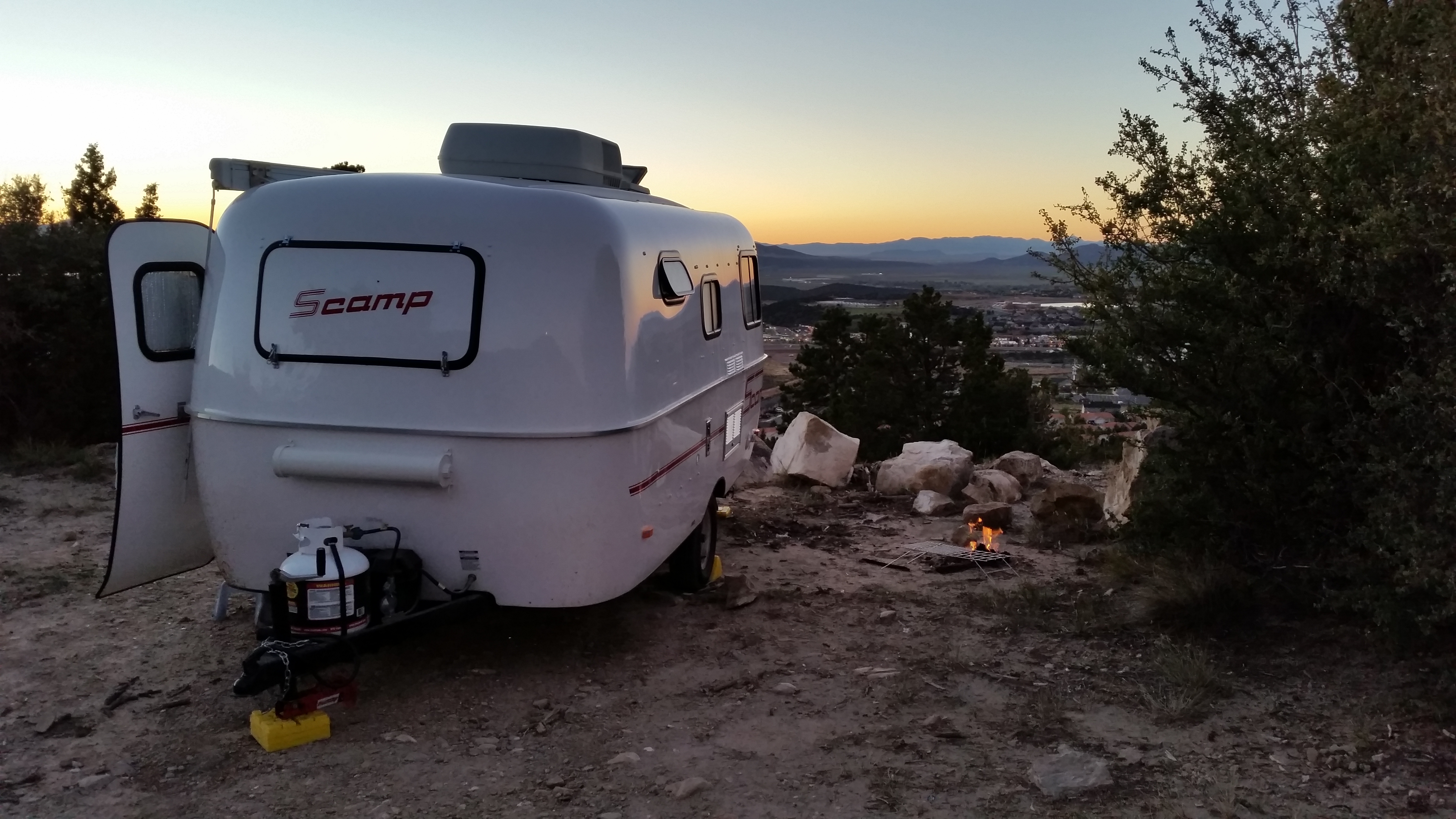
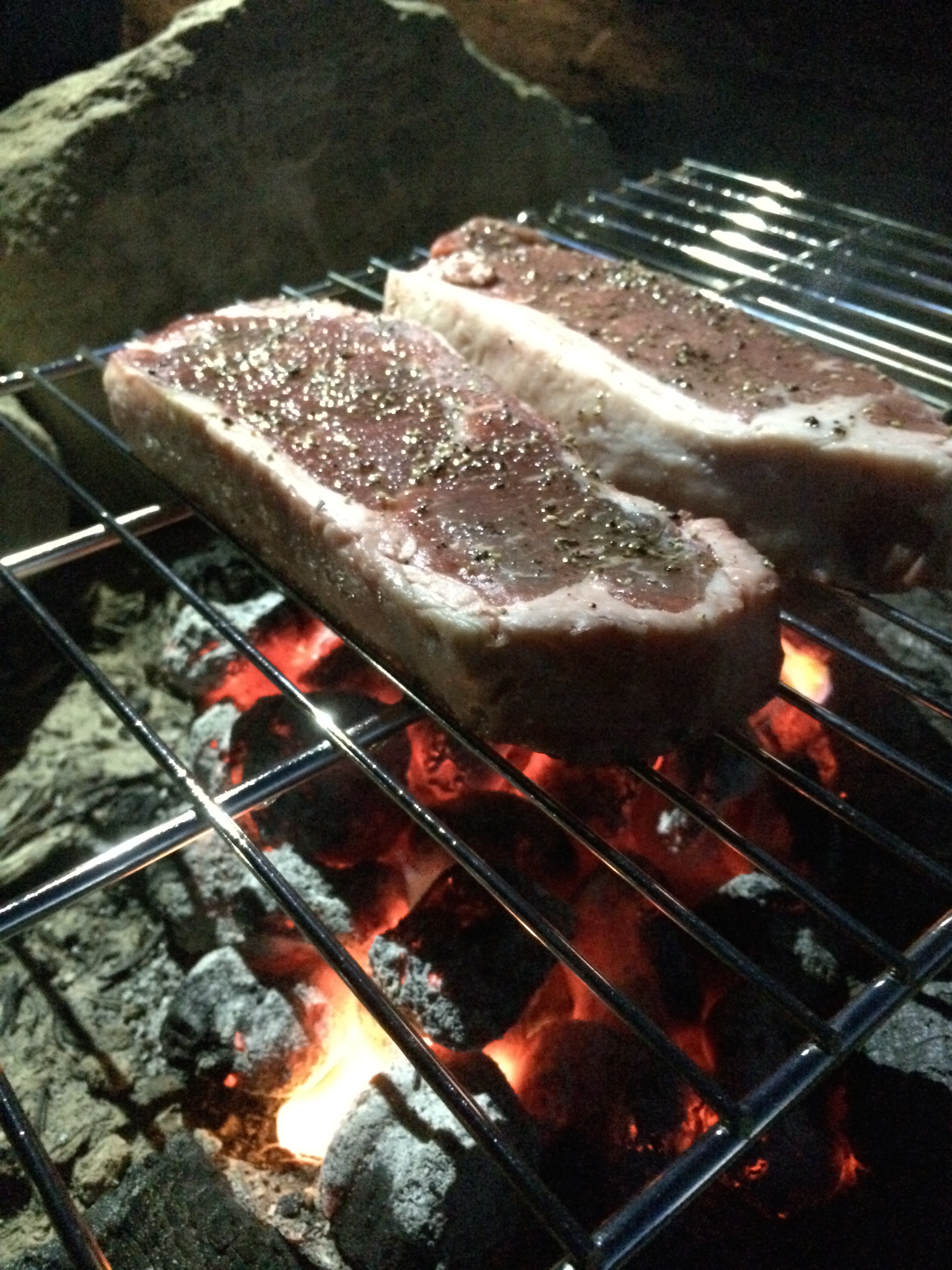
The day ended with a peaceful sunset overlooking Cedar City.  We even built a small campfire and grilled some steaks!20141006_191644_AndroidIMG_7098

Capitol Reef charmed us with its quaint, historic town and orchards.  Bryce wowed us with its magical spires and hoodoos, especially with its dramatic shadows at sunrise.  Cedar Breaks filled me with tranquility due to its remoteness and lesser known name.  Having been spoiled by these parks’s tranquility, we were curious what was in store for us next at the world famous, tourist-filled Zion National Park.

Posted in Utah | 1 Comment

Little Wild Horse Canyon, Goblin Valley, and Capitol Reef

After I completed my hike at Canyonlands National Park, we headed out for our next destination: Little Wild Horse Canyon and Goblin Valley State Park.  With storms swirling overhead the past couple days and even forecasted for the following day, we were surprised to be granted one sunny day with scattered clouds.  The day turned out to be perfect for cruising and enjoying the scenery.IMG_685420140930_160822_Android
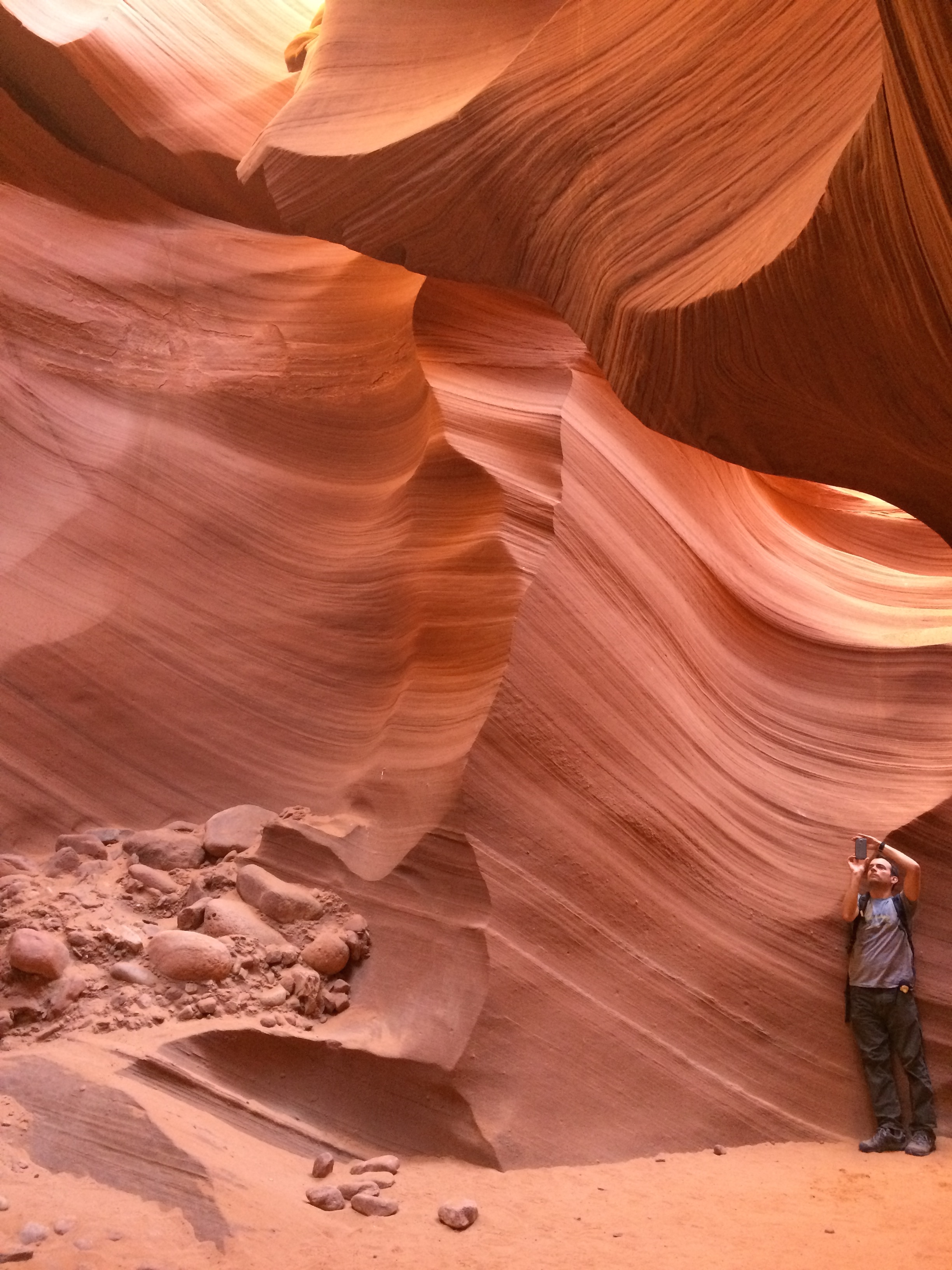
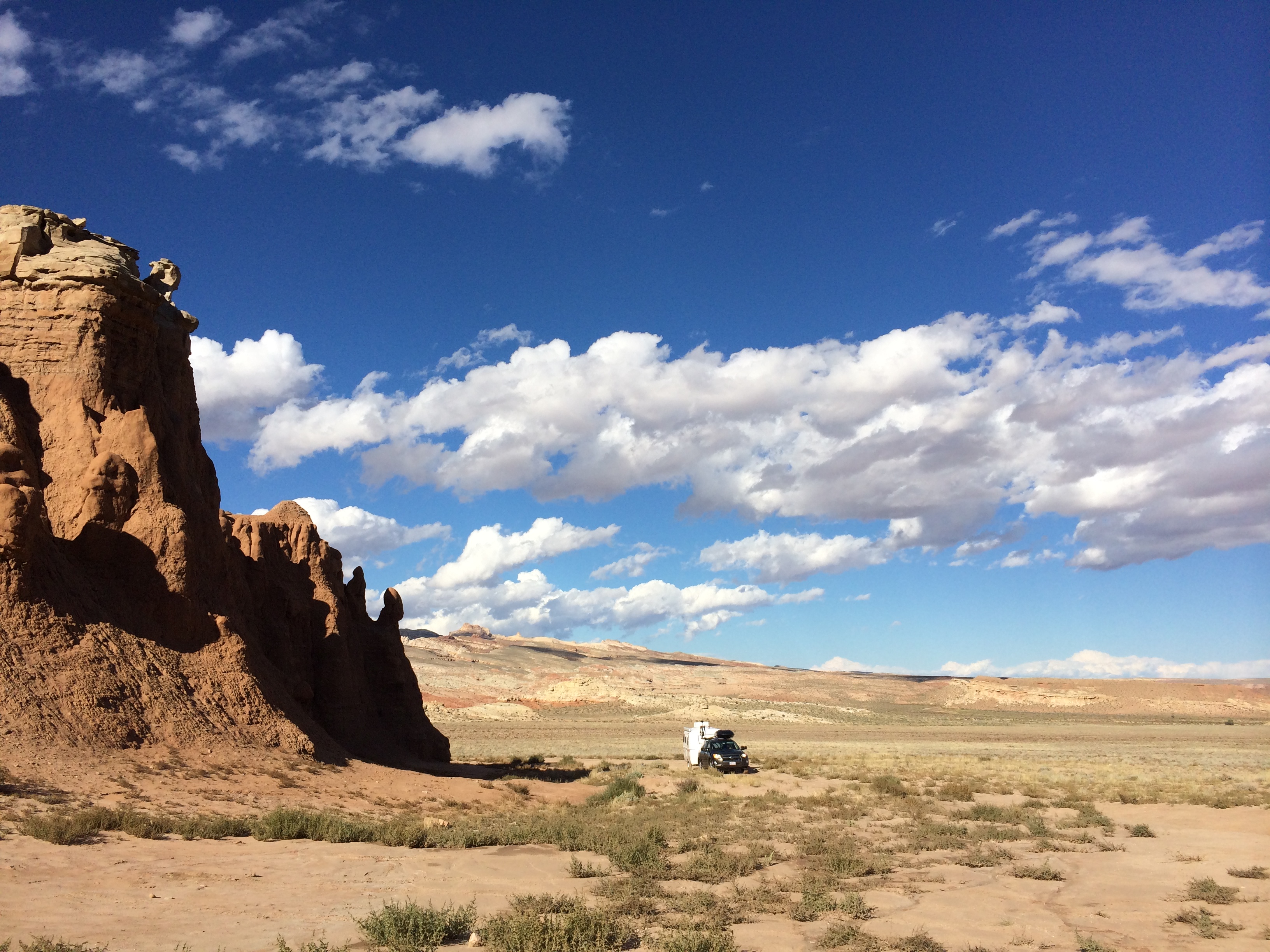
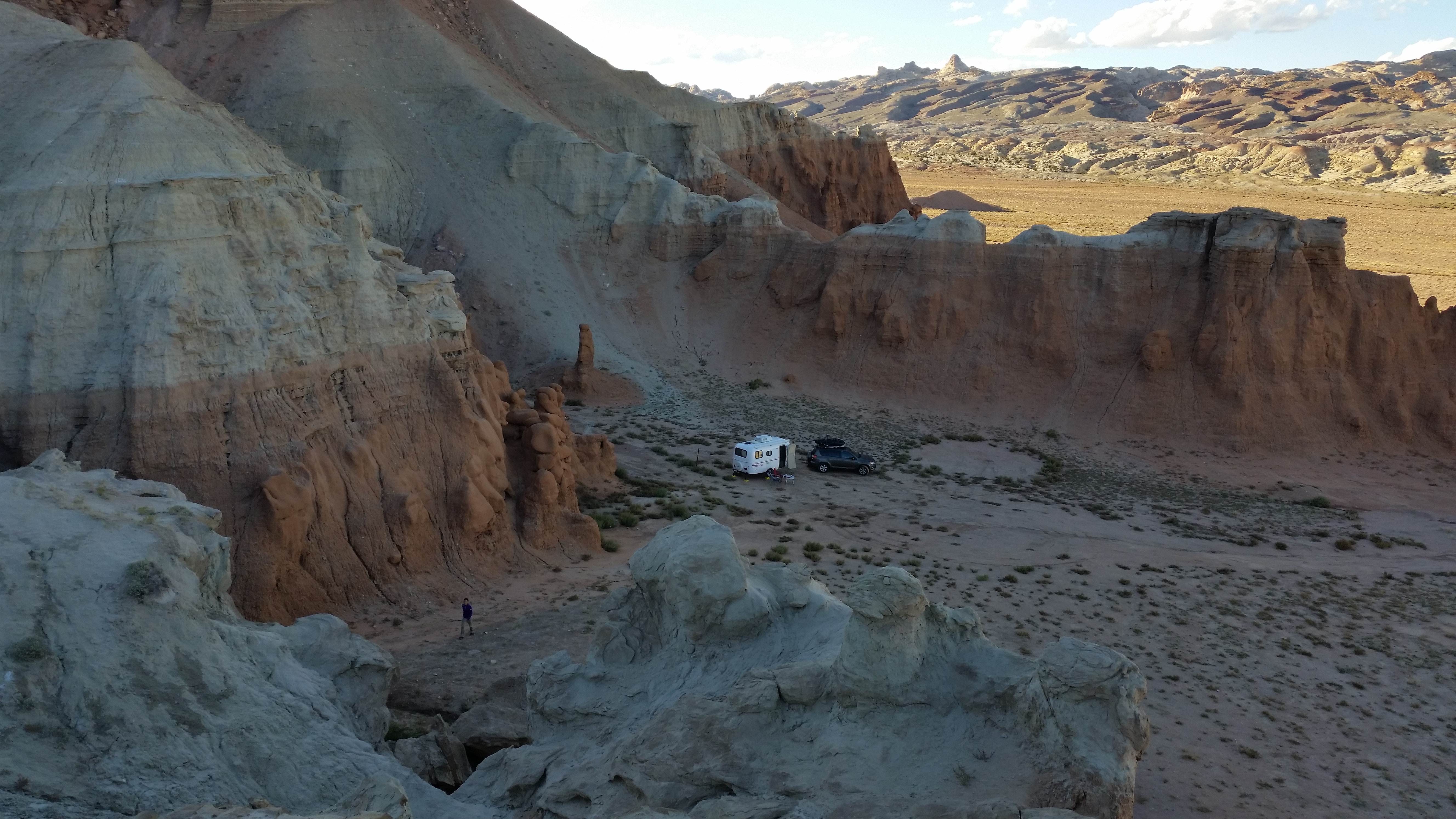
Boondocking in the vacant lands between Little Wild Horse Canyon and Goblin Valley State Park was recommended to us by a friend; little did we know that this area would expose us to a desert beauty beyond imagination.  We slowly turned off the smooth paved road onto a bumpy dirt road and searched for the perfect campsite that we could call our own that night.IMG_6860

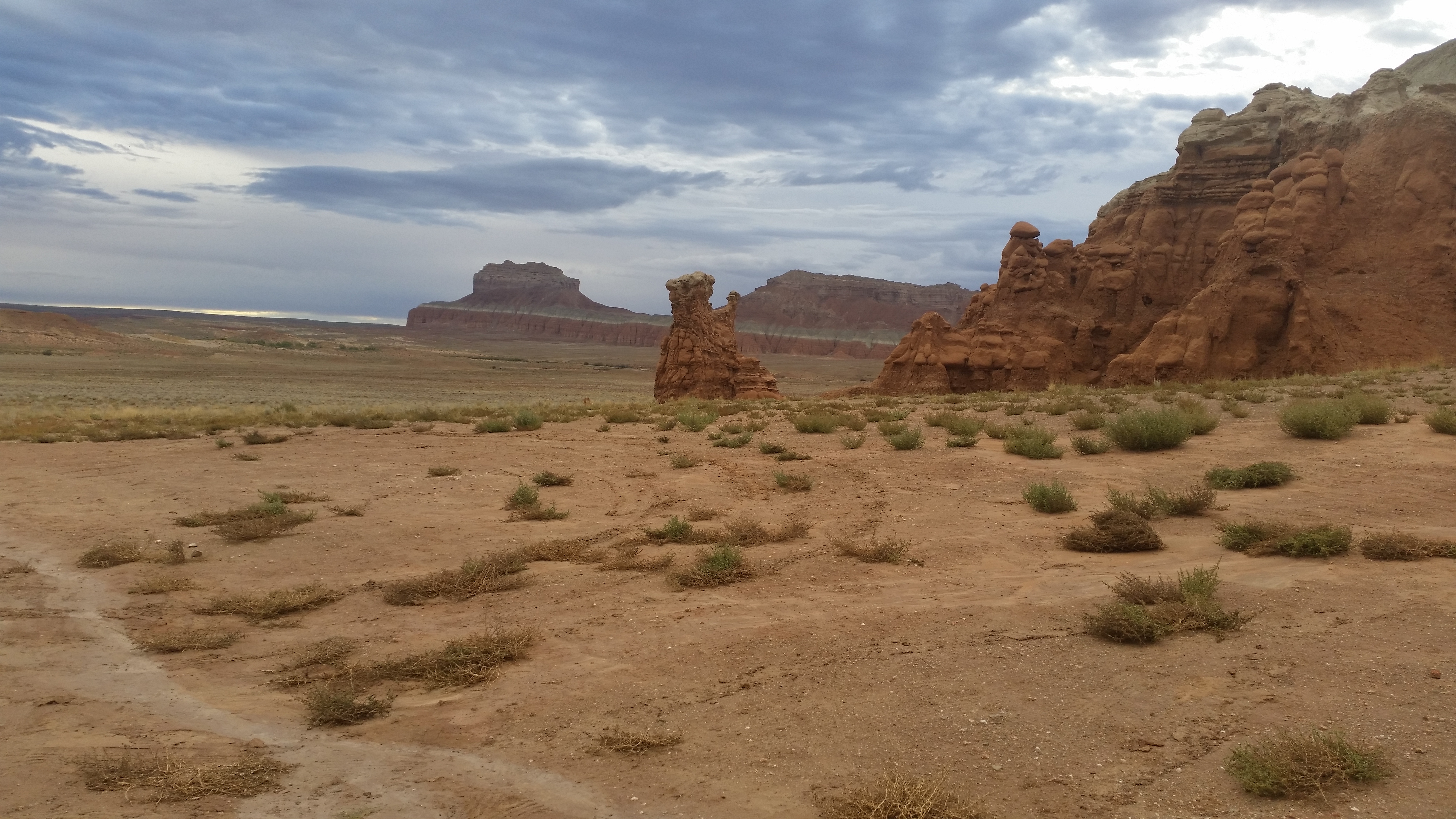
After clumsily scooching across the dry plains and flattening out tumbleweed that stood in our way, we discovered the perfect campsite sheltered behind a natural wall of protection. Faded tire tracks, scattered dog prints, and a burnt out campfire proved it had been a popular campsite enjoyed by previous boondockers.  Embracing this new experience, we vigorously set up camp and explored the surrounding desert as if we were children in a newly discovered playground.IMG_6864 20140930_173827_Android IMG_6878

As we silently hunkered down in our camp chairs that faced the eastern horizon, we watched the long mountain shadows stretch out over the desert until the final speck of sunlight faded away from the distant cliffs.  The watercolor painting of a sky before us softened into a pale lavender sheet and eased its way into darkness.  Shortly thereafter the sounds of crickets strumming their acoustics filled the silent void.  And there we relaxed, just the two of us in the vast spread of the desert, gazing at the blanket of stars with a single outstretched hand pointing at the dippers and shooting stars in the sky.

We knew the tranquility would eventually succumb to advancing storms.  As we star gazed, our attention was diverted to several sparks in the distance–lightning.  Silence surrounded us when we drifted off to sleep, but the soft pitter patter of rain and turbulent winds woke us with a start in the middle of the night.  By sunrise, our chairs and table had been blown over, and a lackluster gray hue had replaced the once brilliant blue sky.20141001_082251_Android

We had worried that sheets of rain would bequeath a muddy terrain, but to our luck, only a gentle surge of rain had trickled overnight which allowed for an uneventful drive back out to the paved road.  Just a few miles down the road, and we finally arrived at Little Wild Horse Canyon, a slot canyon located in the San Rafael Swell.

Hiking to the canyon:20141001_092855_Android

Entering the canyon:IMG_6879

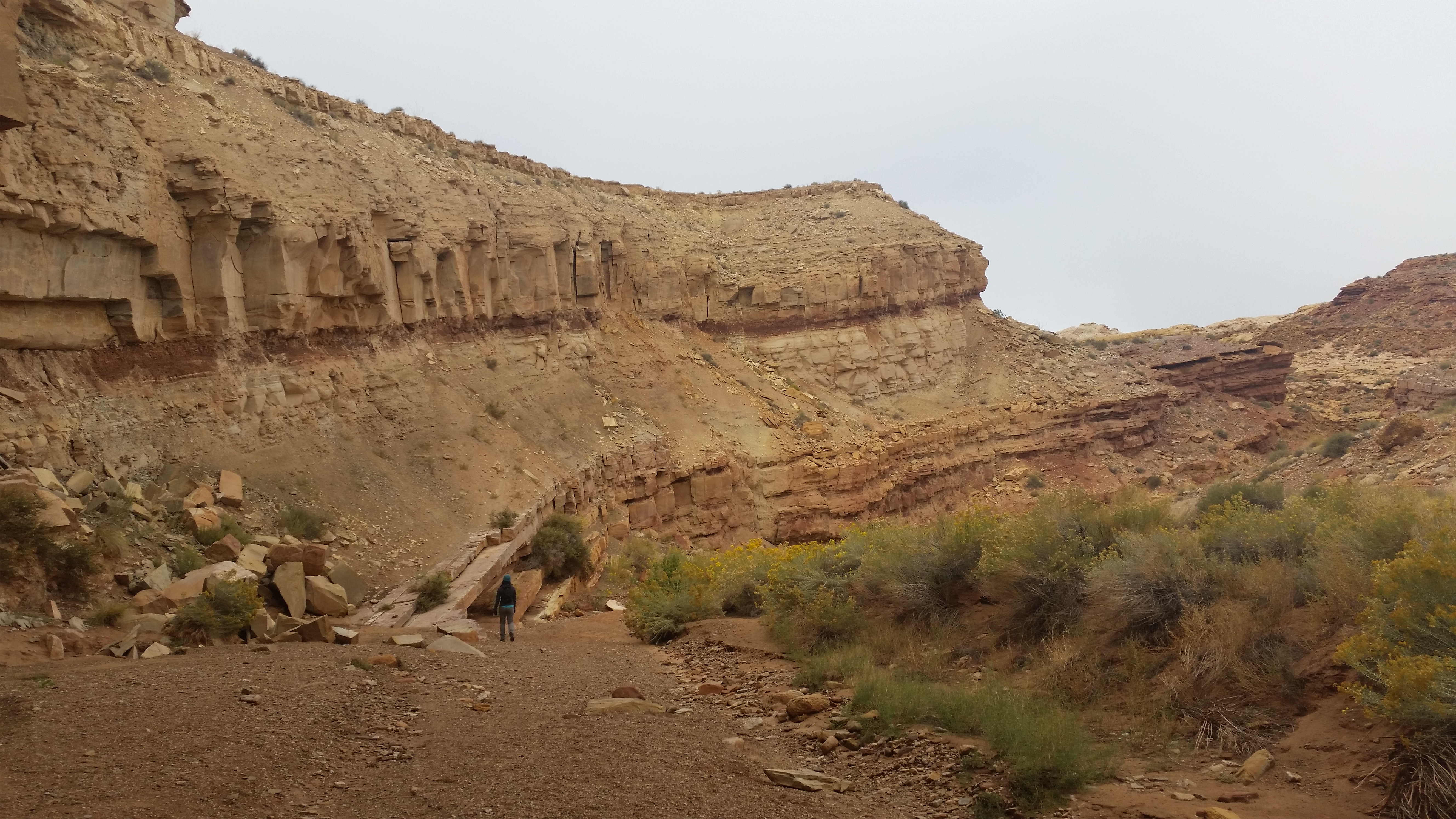
Inside the canyon:IMG_6895IMG_6889  20141001_095242_Android 20141001_095418_Android

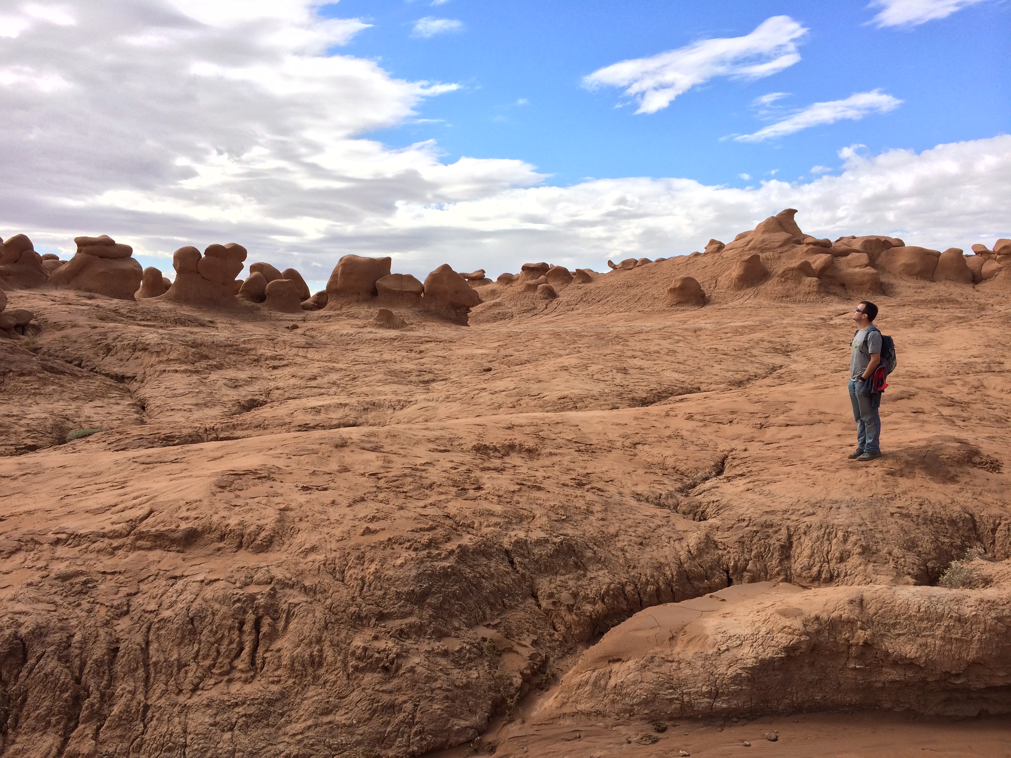
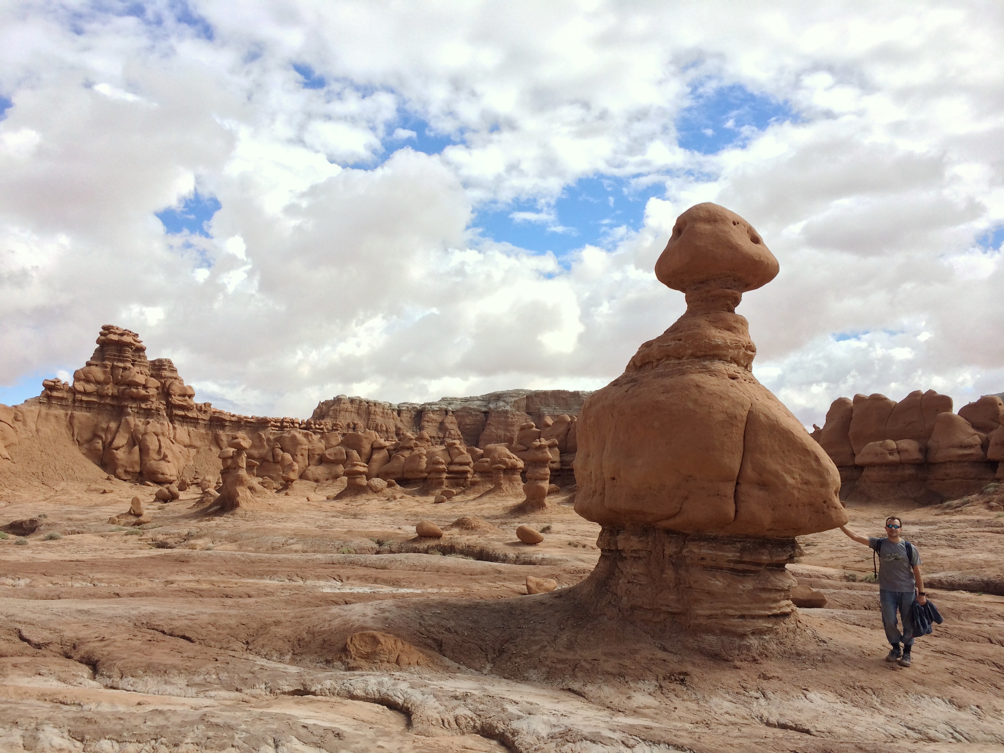
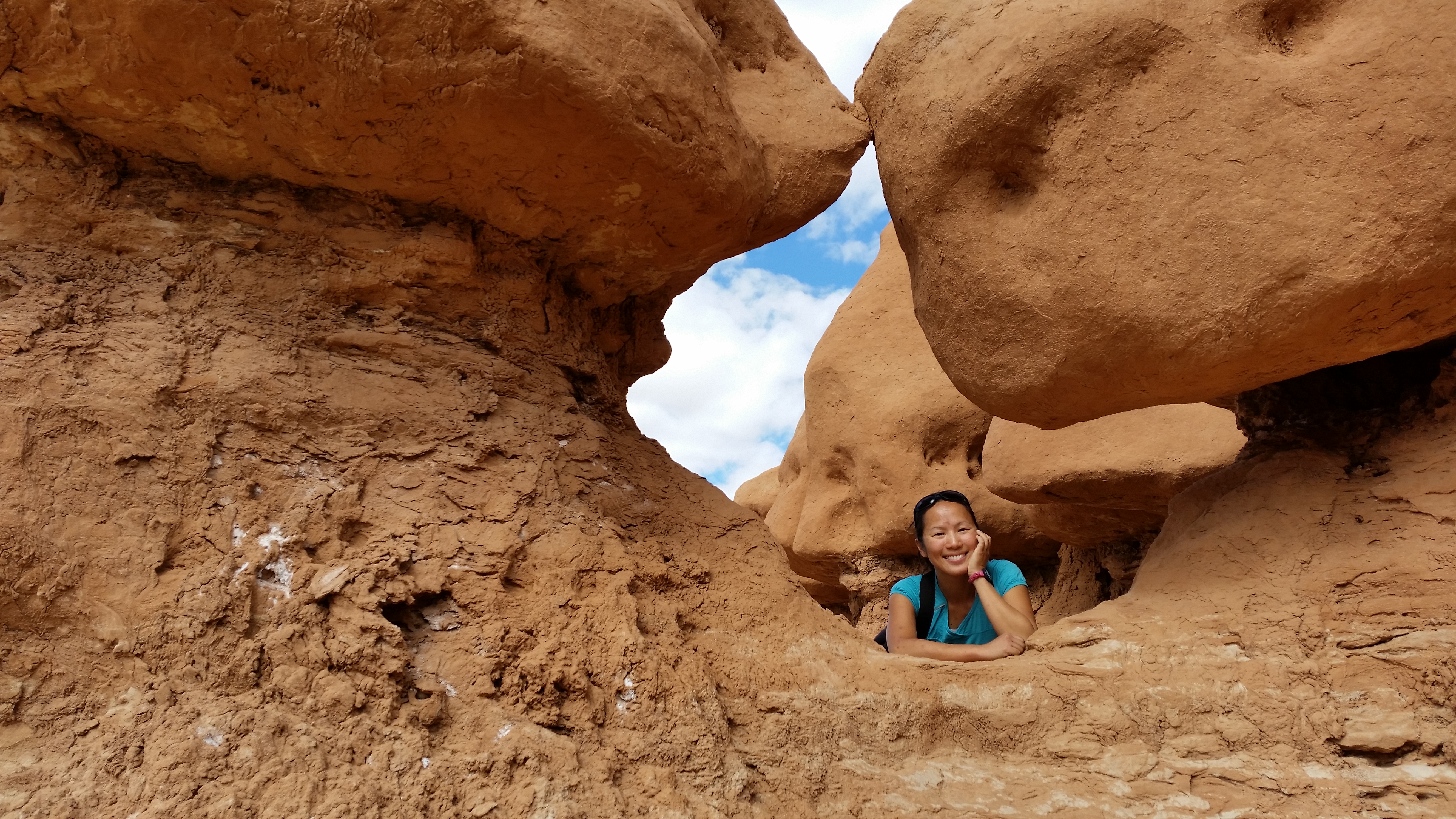
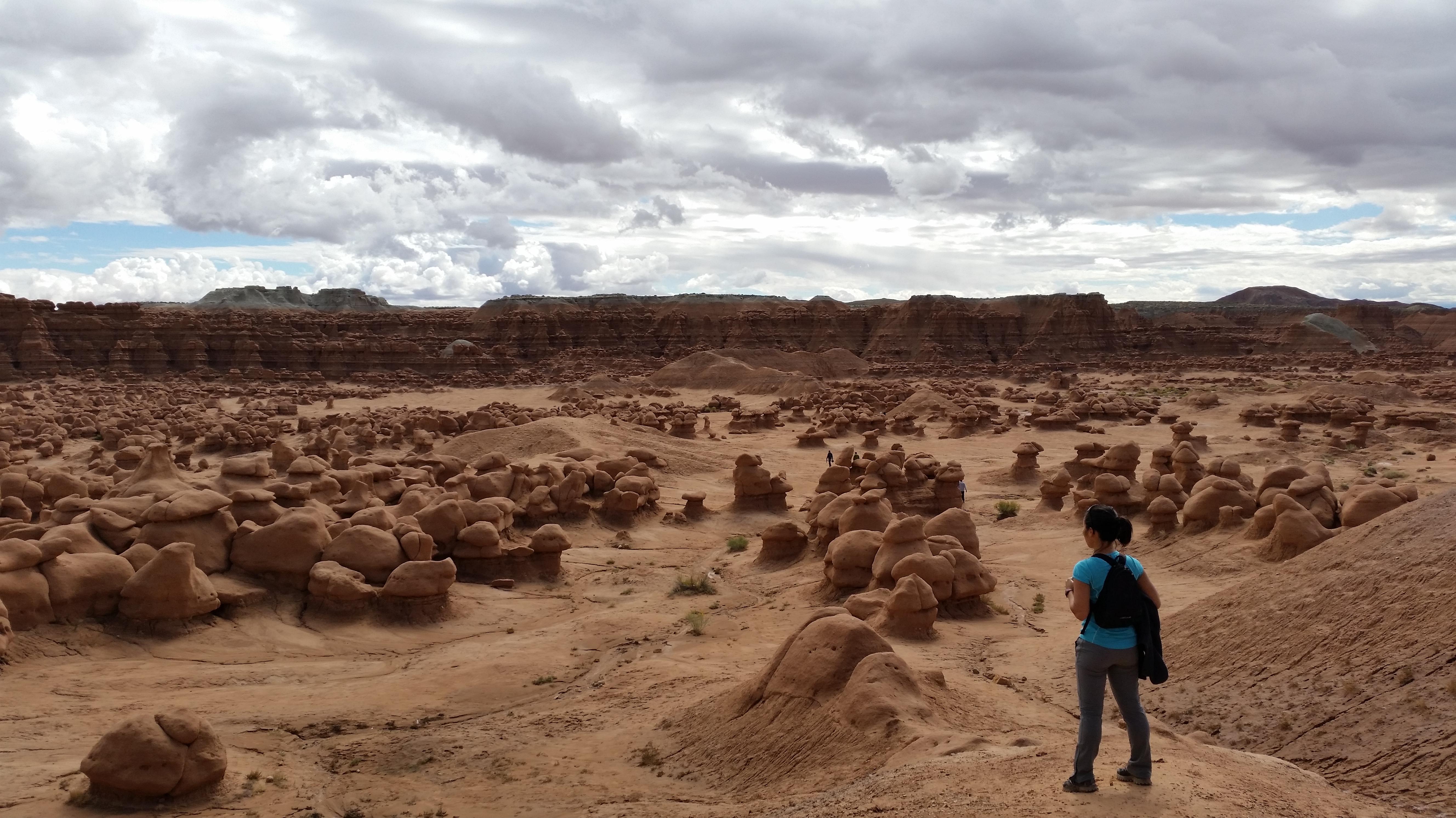
We only explored the slot canyon for an hour before heading over to the nearby Goblin Valley State Park.  Earlier research stirred excitement within me–the valley of “adorable” goblin-like rocks do not exist elsewhere (to my knowledge), making a visit a unique experience.

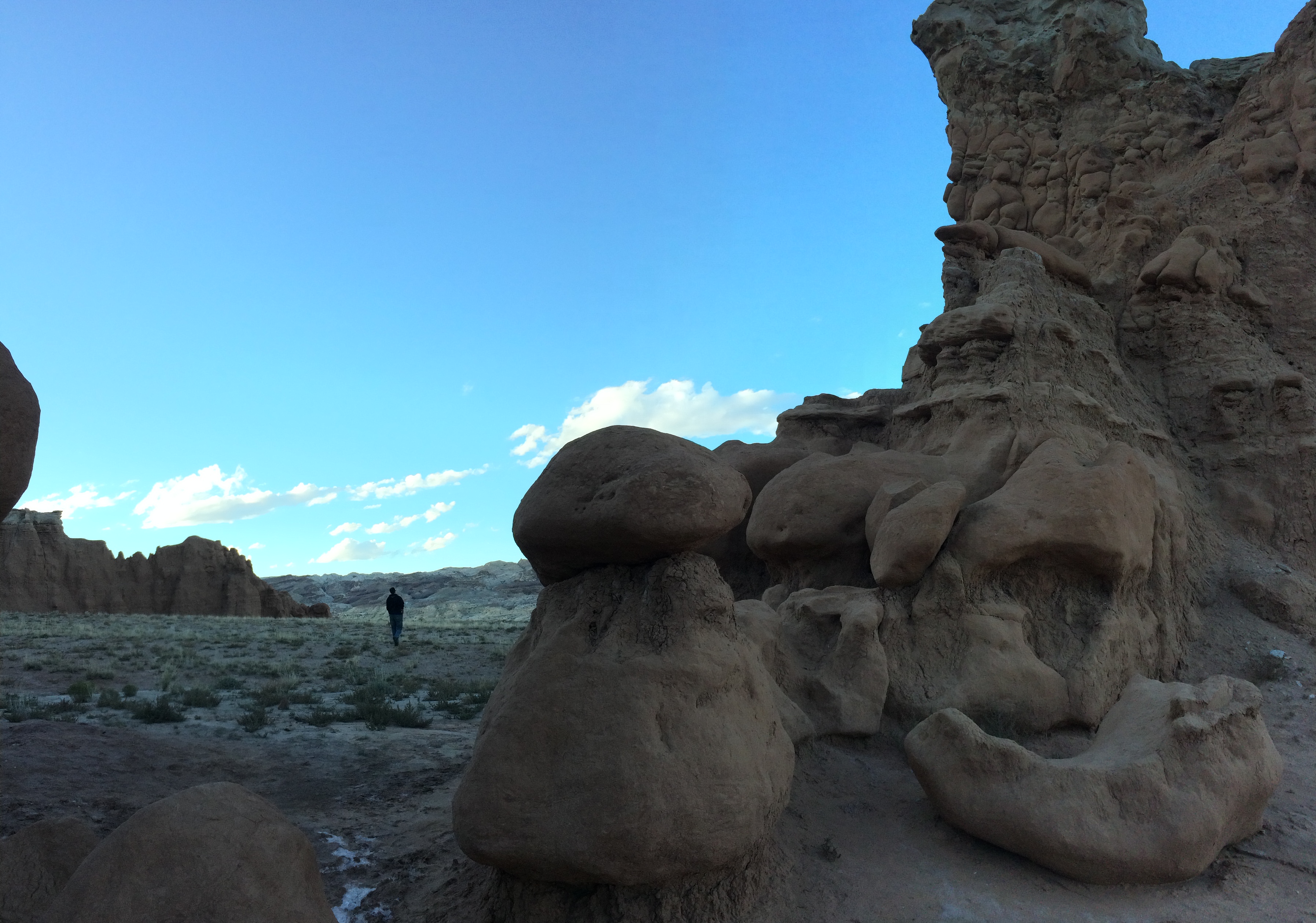
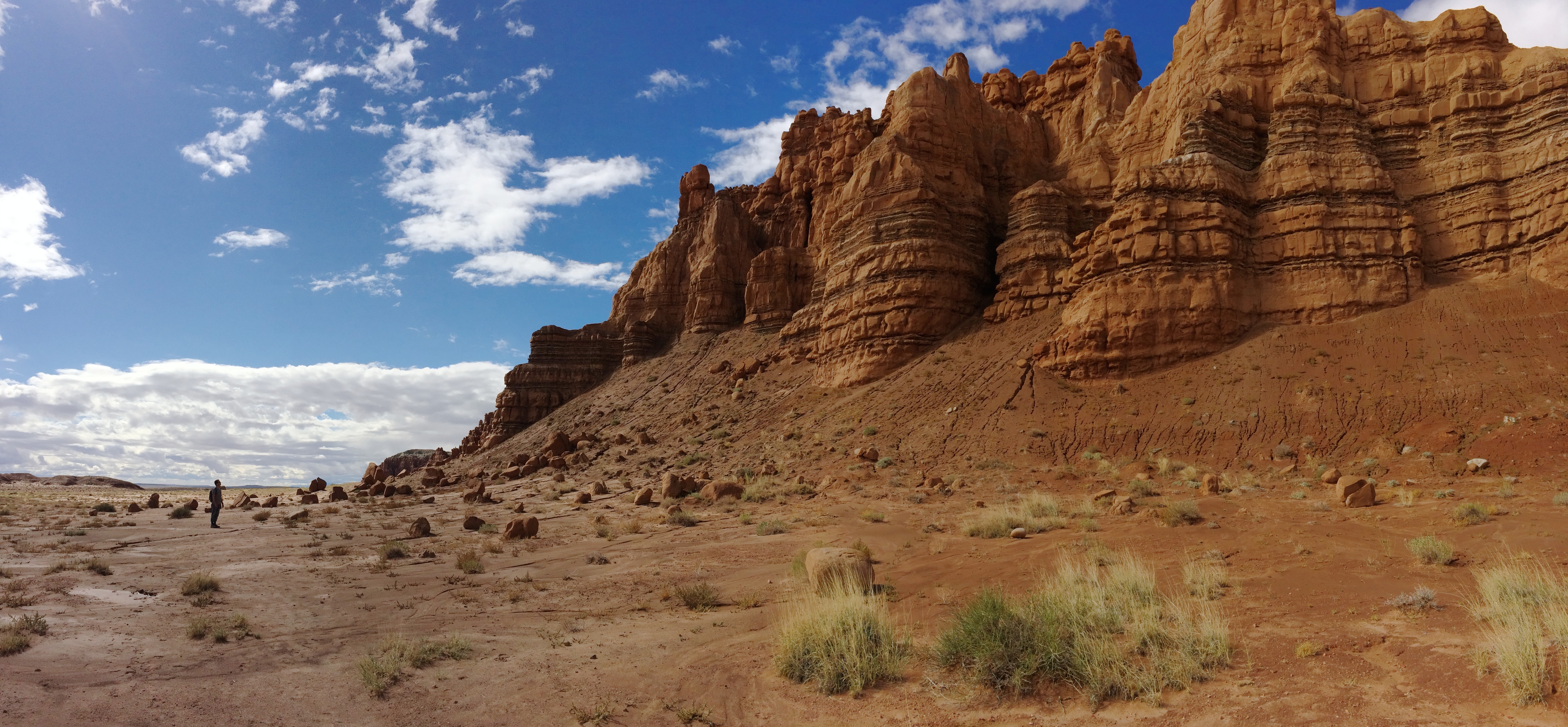
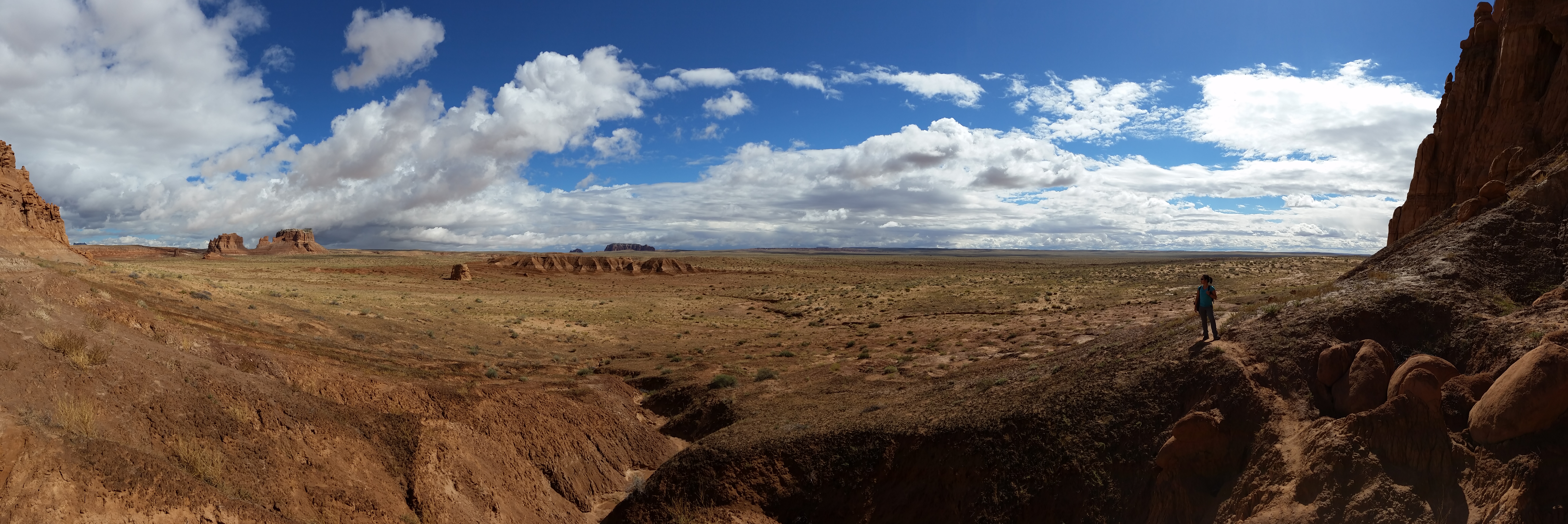
Before hanging out with the goblins, we took a stroll to the other side of the park where fragments of an earlier storm could be admired.  Dark, ominous skies served as a backdrop against the brightly-lit sculptures of nature; who could ask for a more beautiful site?IMG_6902 IMG_6905 20141001_115903_Android

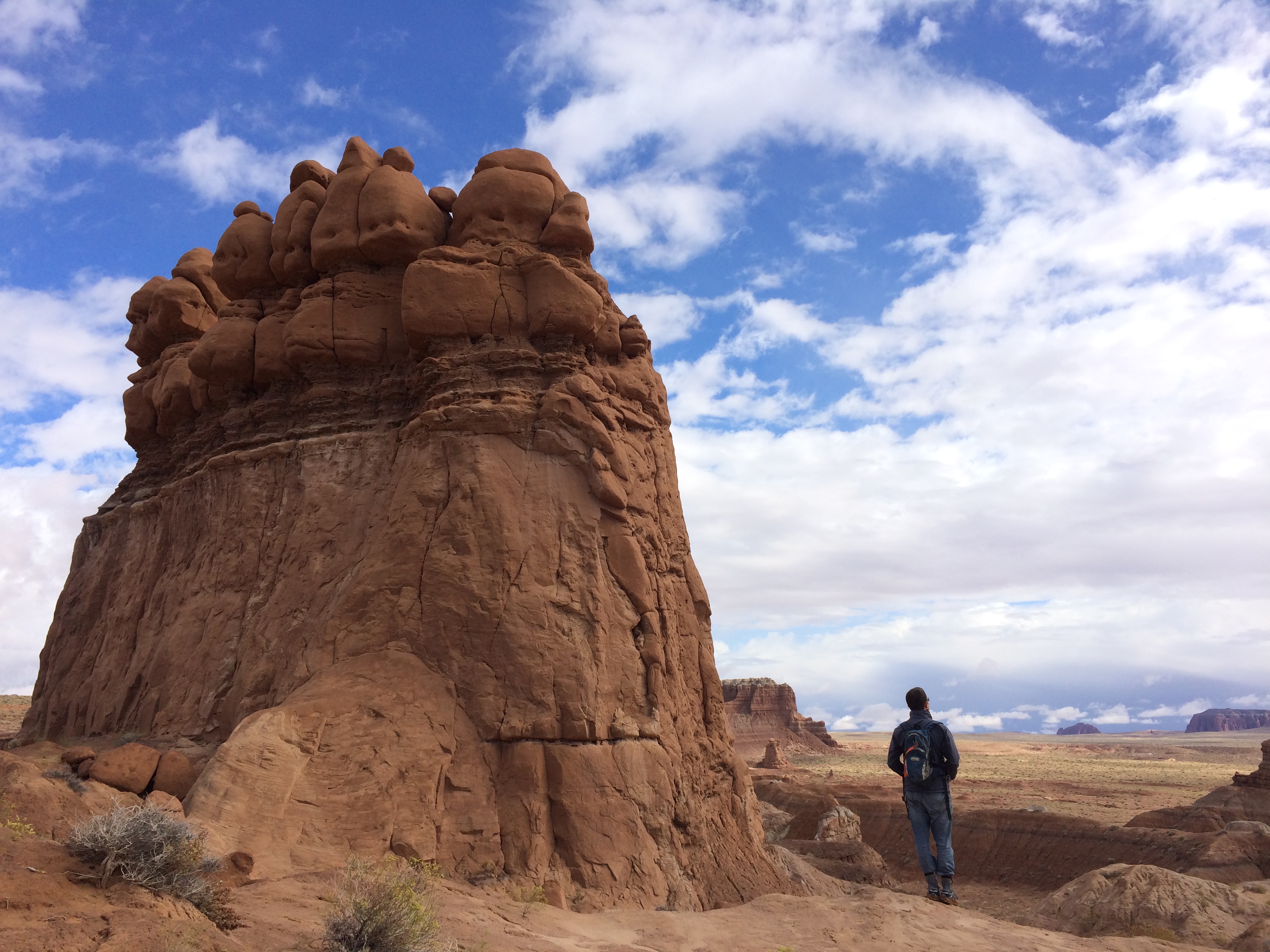
And finally, the valley of goblins:IMG_6921IMG_6916 20141001_122742_Android 20141001_123247_Android

Shortly after noon, we bid farewell to the goblins and headed southwest to Capitol Reef via Utah 24, a historic and unbelievably beautiful highway that leads drivers on a tour through southern Utah. IMG_6926

Campsites were full which ended up working in our favor; we randomly found land right outside of Capitol Reef National Park for some more boondocking.  Nothing will ever top the previous night of boondocking in the middle of the desert between Little Wild Horse Canyon and Goblin Valley State Park, but our new campsite worked out just fine:IMG_6933

We had just enough time to set up camp and for me to wander off again for a solo sunset hike along the Chimney Rock Trail.  The bright red canyons were illuminated by the steep angle of the sunset:IMG_6935IMG_6938

Not bad for a single day! The dismal, wet morning started off with our first visit to a slot canyon in Little Wild Horse Canyon, then proceeded with an excursion to Goblin Valley State Park beneath scattered clouds, and ended with a memorable drive along Utah 24 to a crystal clear evening at the charming Capitol Reef National Park.

Posted in Utah | Leave a comment

Canyonlands National Park

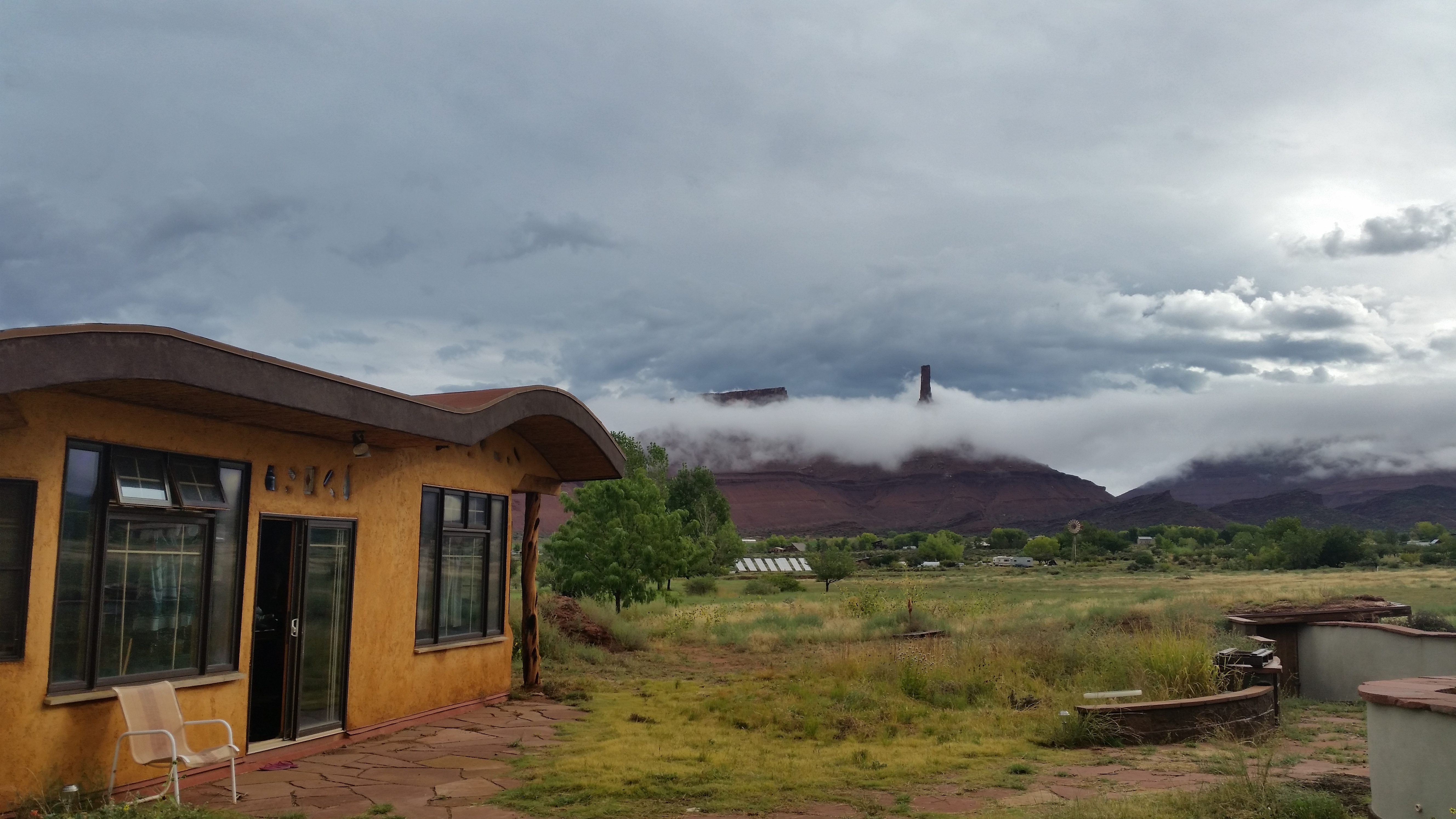
The autumn thunderstorm that struck on Saturday afternoon lingered throughout all of Southern Utah, teasing us with glimpses of warm sunshine between periods of lightning, curtains of cold rain, and violent winds.  Fortunately when we left Castle Valley on Monday morning for Canyonlands National Park, there were only billows of fluffy clouds in the sky. Getting stuck in the mud was no longer a probability and we ventured out for our next leg of our adventure–Utah State and National Parks.

We were already in Moab and had previously visited Arches National Park.  Canyonlands National Park wasn’t too far away, so we figured we’d drop by.  And I’m so glad we did. Little did I know that the adjective enormous can hardly describe the whopping amount of land it covers. The vastness of this national park expanded beyond what we perceived as a “gigantic park”–it is separated into three districts: Island in the Sky, The Maze, and Needles.  It can take up to 6 hours to drive from one district to another, so we picked Island in the Sky (the northern entrance) as it was conveniently located along our route of travel.

Upon arrival, we immediately scoped out a campsite.  We had originally feared that with only 12 available campsites on a first-come first-serve basis, we would be out of luck.  But with Monday on the calendar and sketchy weather all around, plenty of open sites awaited us.20140929_112501_Android

Then we set out toward the Upheaval Dome to satisfy our hiking bug before the dark clouds could release its terror.  On the way we abruptly pulled over for this dramatic overlook:IMG_6761

We made it out to the Upheaval Dome…just in time for the thunder to roar over our heads and lightning to strike nearby.  Not long after capturing this photo of the mysterious rock formation, darkness overtook the white skies with the smell and sound of rain.20140929_124825_Android

The temperature quickly dropped below 50ºF, forcing me to return to camp and change into winter gear.  By the time we set out again for the popular overlooks, the storm passed through and the sun gleamed as if it had never gone into hiding.  Just look at that magnificent white sandstone edge along the cliffs in the distance!20140929_145042_Android20140929_154041_Android20140929_151220_Android

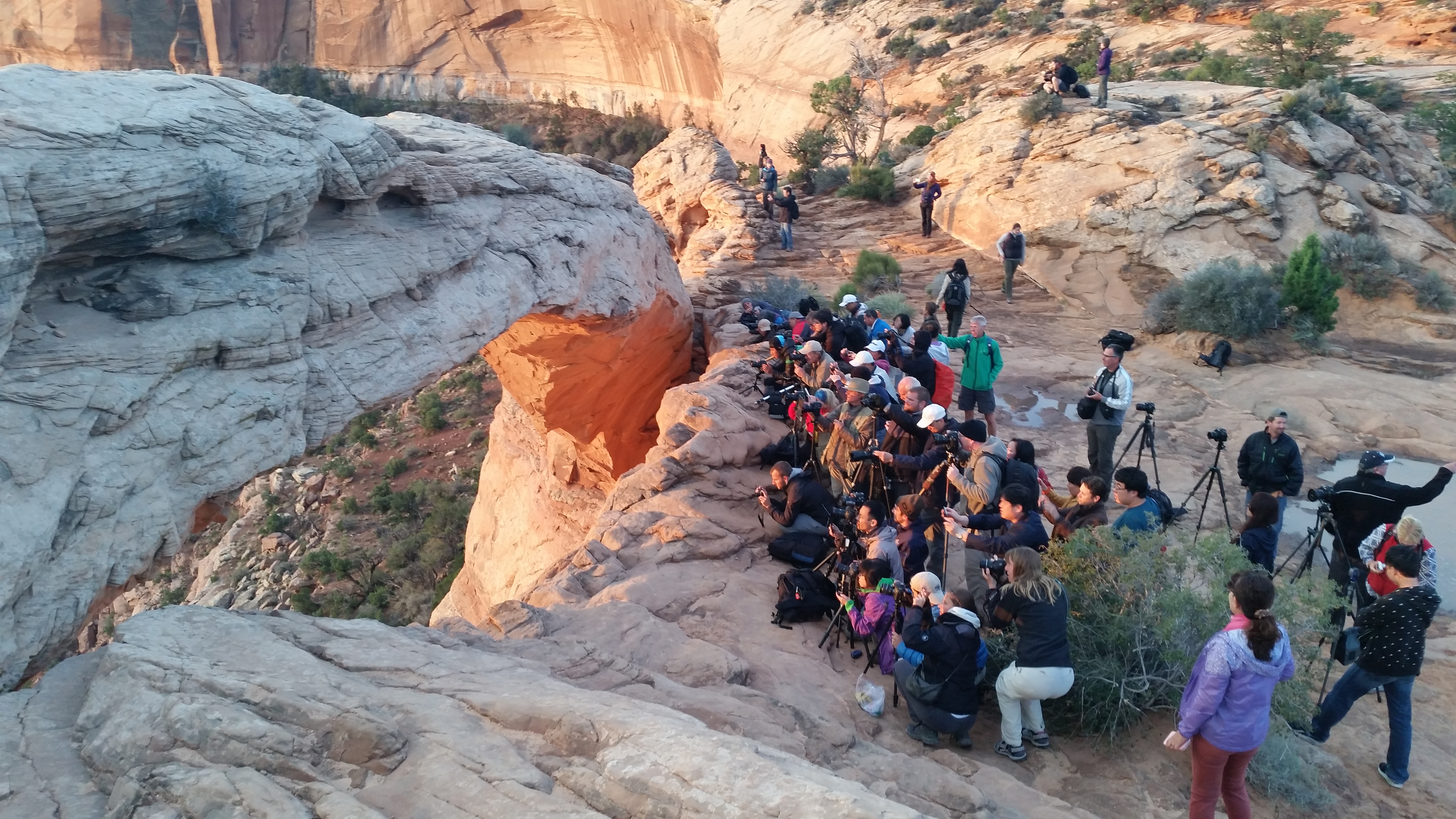
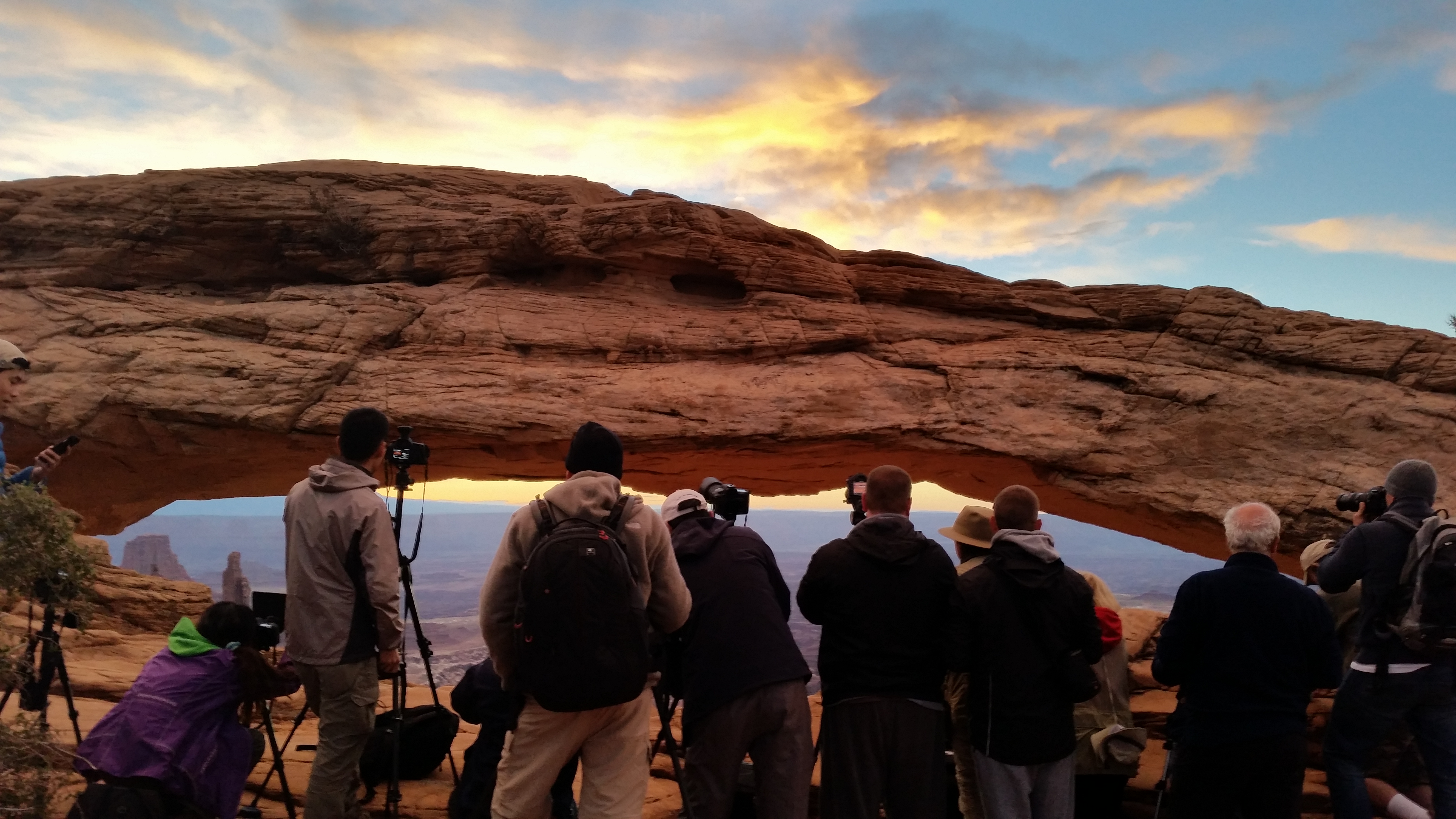
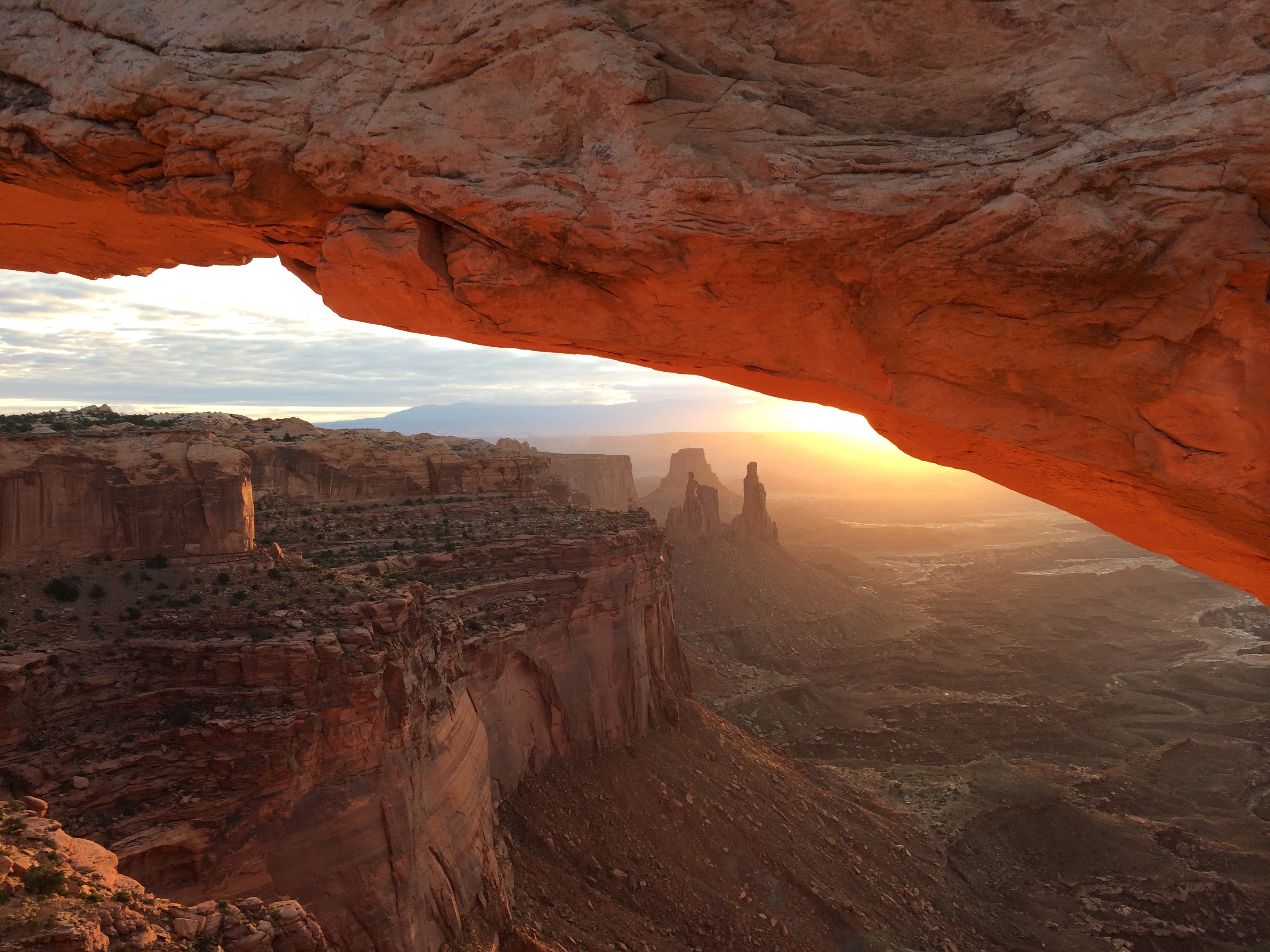
Early the next morning we excitedly made our way over to the famous Mesa Arch to observe its spectacular sunrise.  Although the scenery was breathtaking, we were unfortunately disappointed by the ridiculously large crowd of amateur photographers and uncourteous tourists from tour groups. 20140930_071911_Android20140930_071038_Android

With a bit of a struggle, I managed to squeeze my way into a small opening of the crowd to capture the epic shot below.IMG_6791

Sunrise quickly passed and we returned to camp to check out.  Chris had work obligations and I yearned to do more at Canyonlands than the easy overlook hikes.  After gazing down at the White Rim Trail from the overlooks the day before, I knew a closer look was required.  After all, when would be my next return?

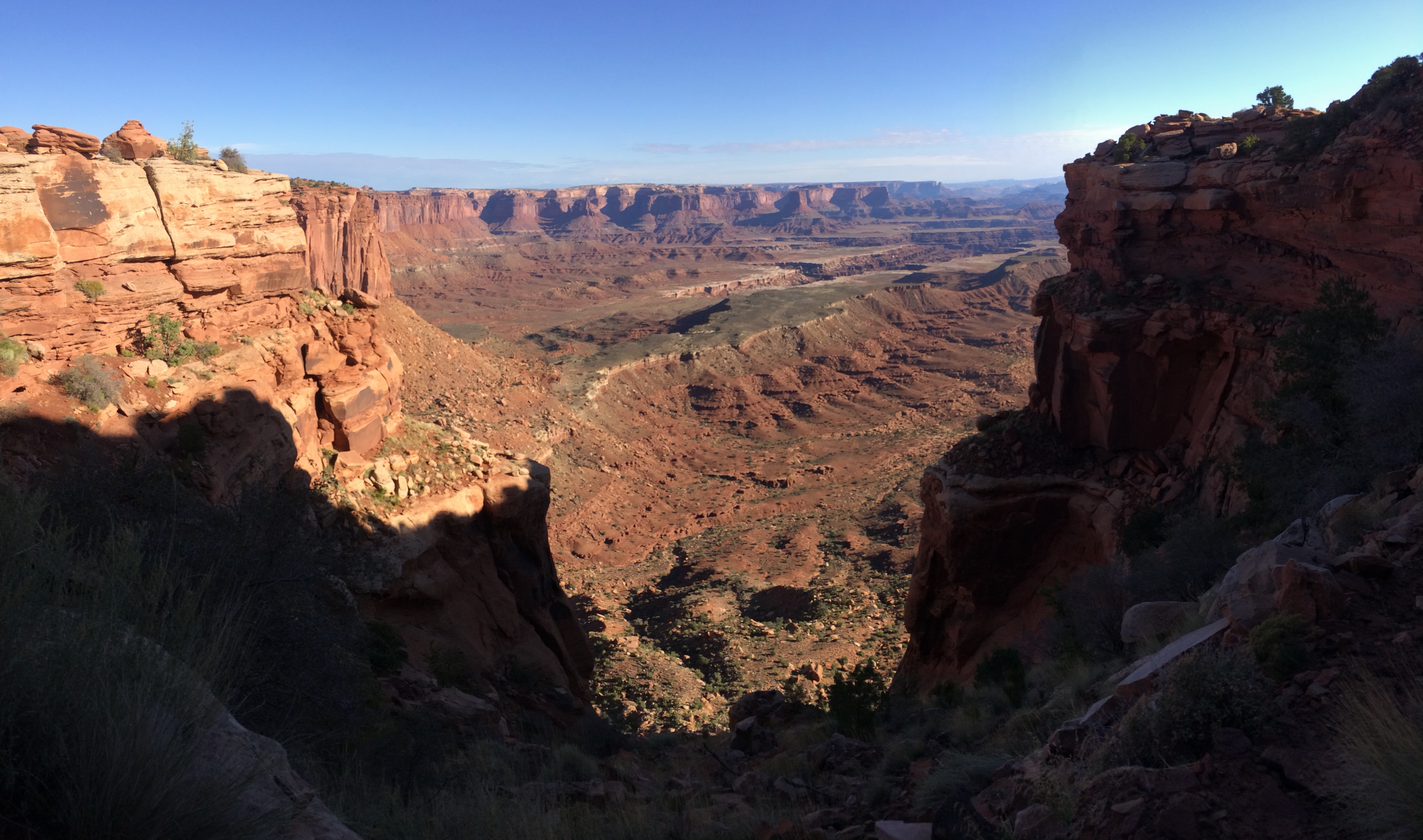
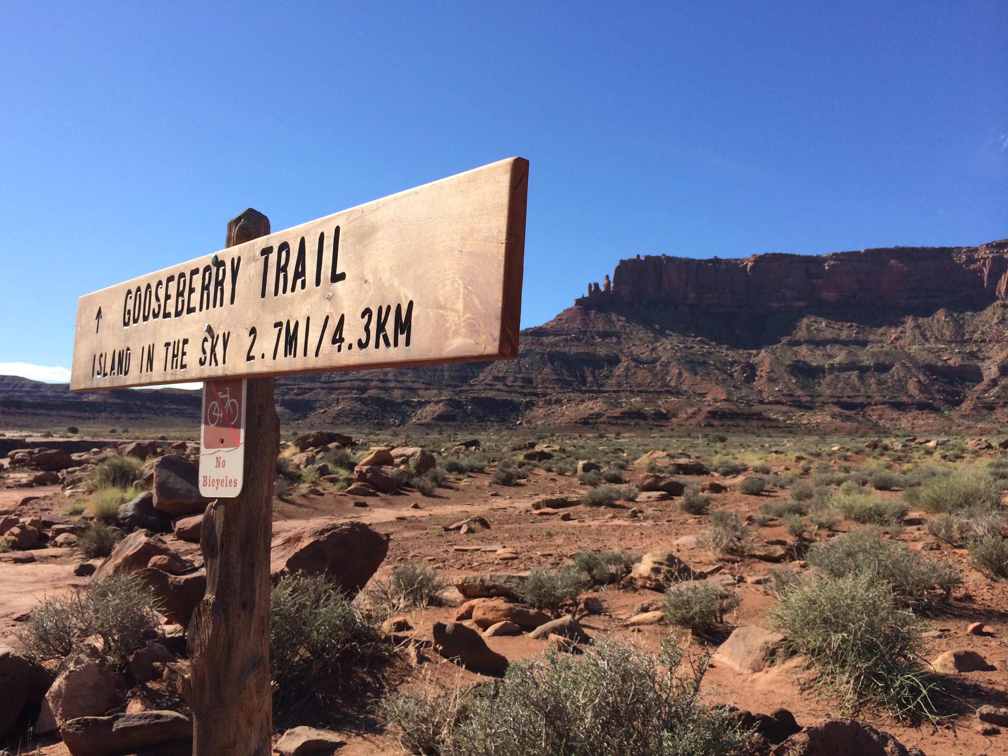
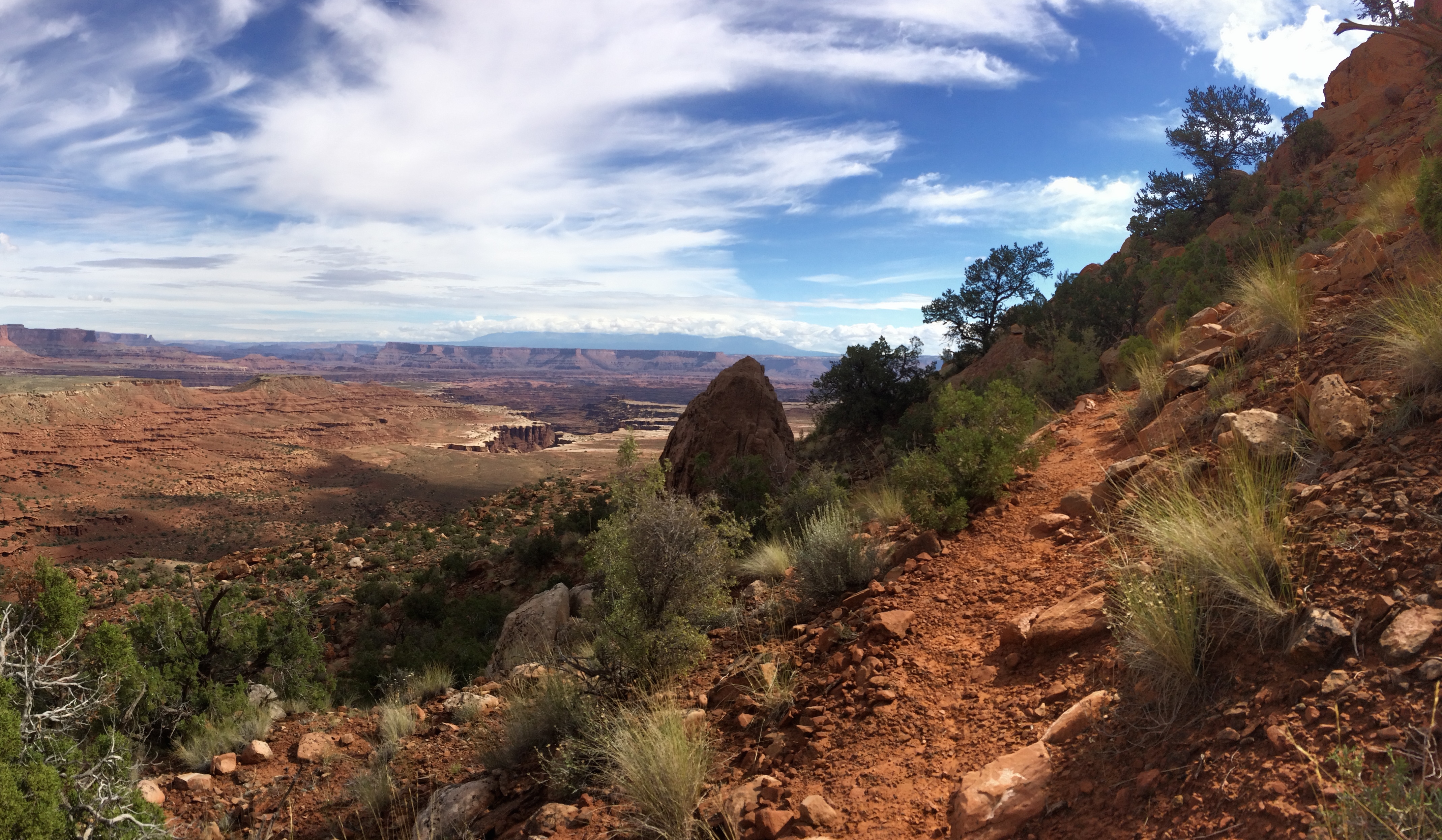
While Chris worked, I hiked the Gooseberry trail, a steep trail of switchbacks that traversed down a canyon wall all the way to the white rim, covering an elevation change of 1,400 feet over the distance of 5.4 miles.

On my way down (kind of scary):IMG_6798

Behind the sign is the mesa top from where I departed:IMG_6830

Standing along the white rim:IMG_6819

On my way back up, I couldn’t believe that I was just there at the white rim in the distance!IMG_6836

After finishing the hike, we set off for our next destination: Goblin Valley State Park.  I will absolutely visit Canyonlands National Park again, and when I do, I plan on taking the 21.6 mile backcountry overnight trail that not only goes down to the white rim, but also down into the Colorado River.  In our initial planning stage, we knew we would hike and camp in the famed Bryce and Zion National Parks, along with recommendations between. I will admit that I was not expecting my breath to be taken away with the “lesser known” parks, but because Canyonlands National Park carved a deep impression in my heart, I can only look forward to more of them.
Posted in Utah | 2 Comments

Salt Lake City to Moab

20140922_174524_Android

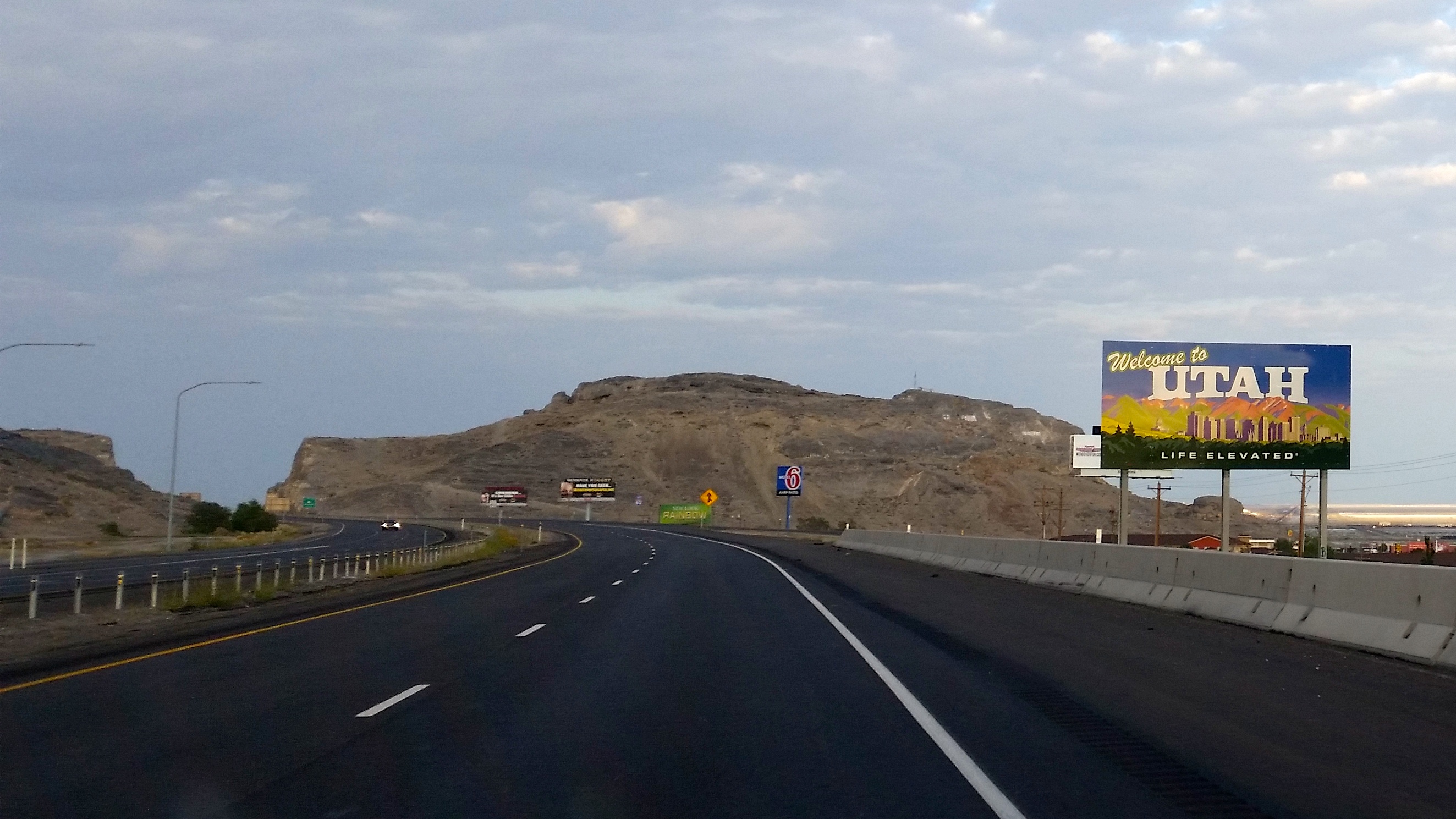
Day 1 after Lake Tahoe: Drive the 580 miles to Salt Lake City and arrive by evening.  The beautiful drive took longer than expected due to towing (we had to fill up the tank every 180 miles, ugh!), and after an entire bag of Cheetos and a twinge of guilt, we made it to my friend’s house by 9pm.
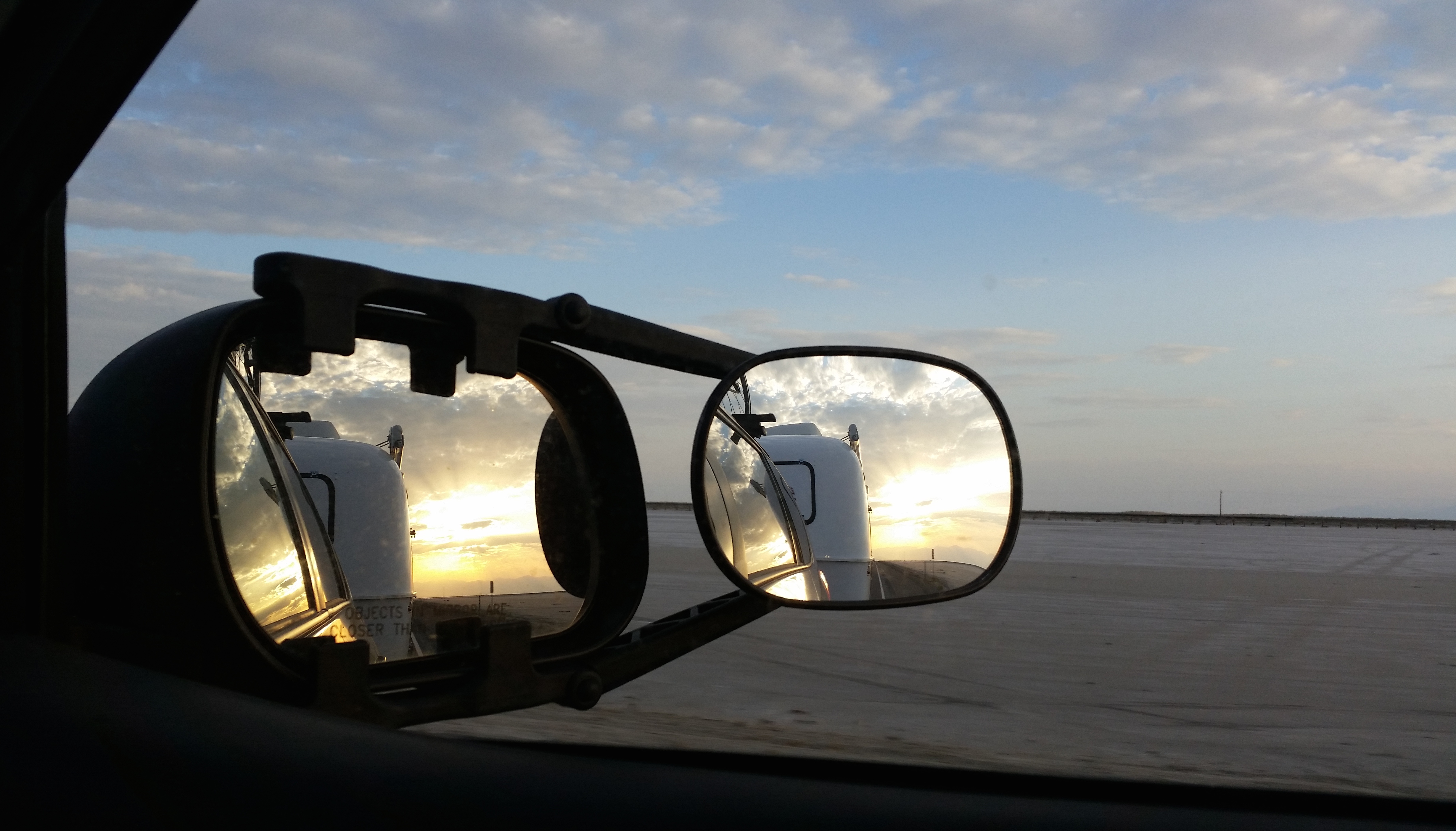
Driving through the salt flats at sunset:20140922_190147_Android

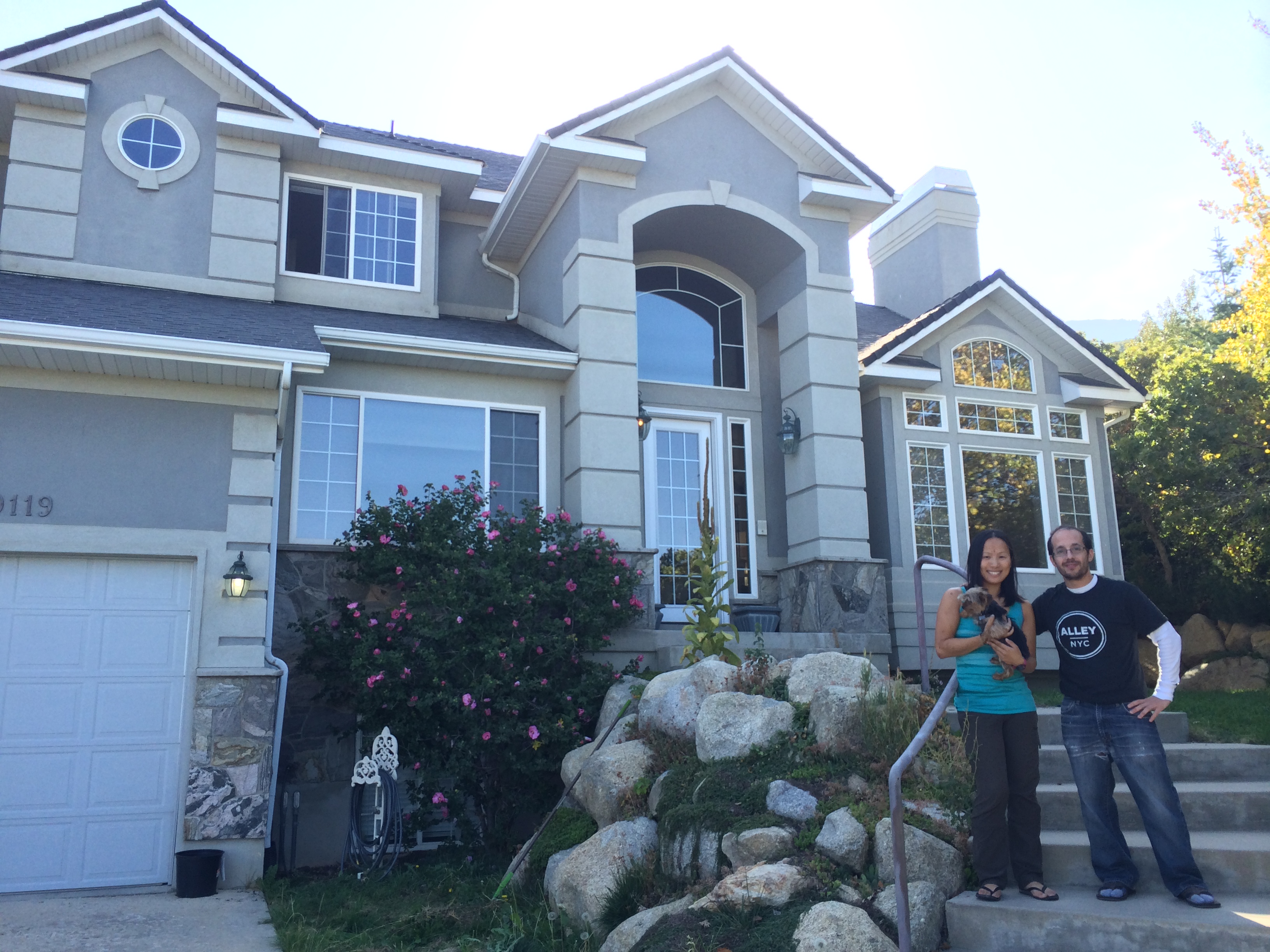
Our original plan called for only one night in Salt Lake City, but with so many errands to run and such wonderful hospitality from my friend, we stayed for two nights.  For only $500,000, you can have a gorgeous house beside a ski resort in Salt Lake City:IMG_6615

For that price in the bay area, you can probably score a mobile home in the shitty suburbs. Perhaps I should reconsider relocating to Salt Lake City! 😉

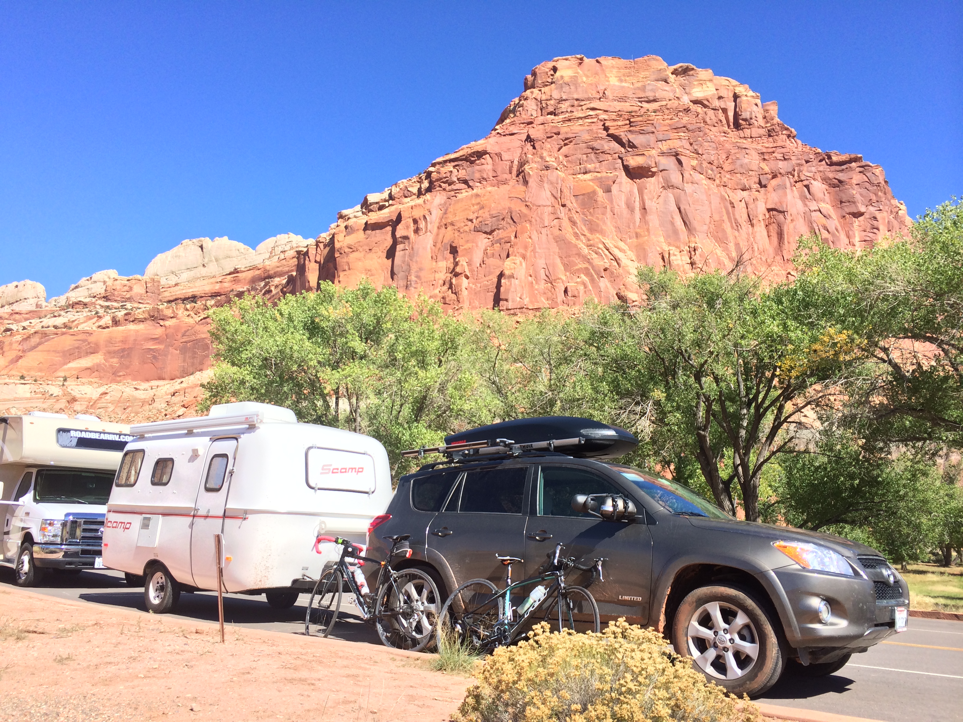
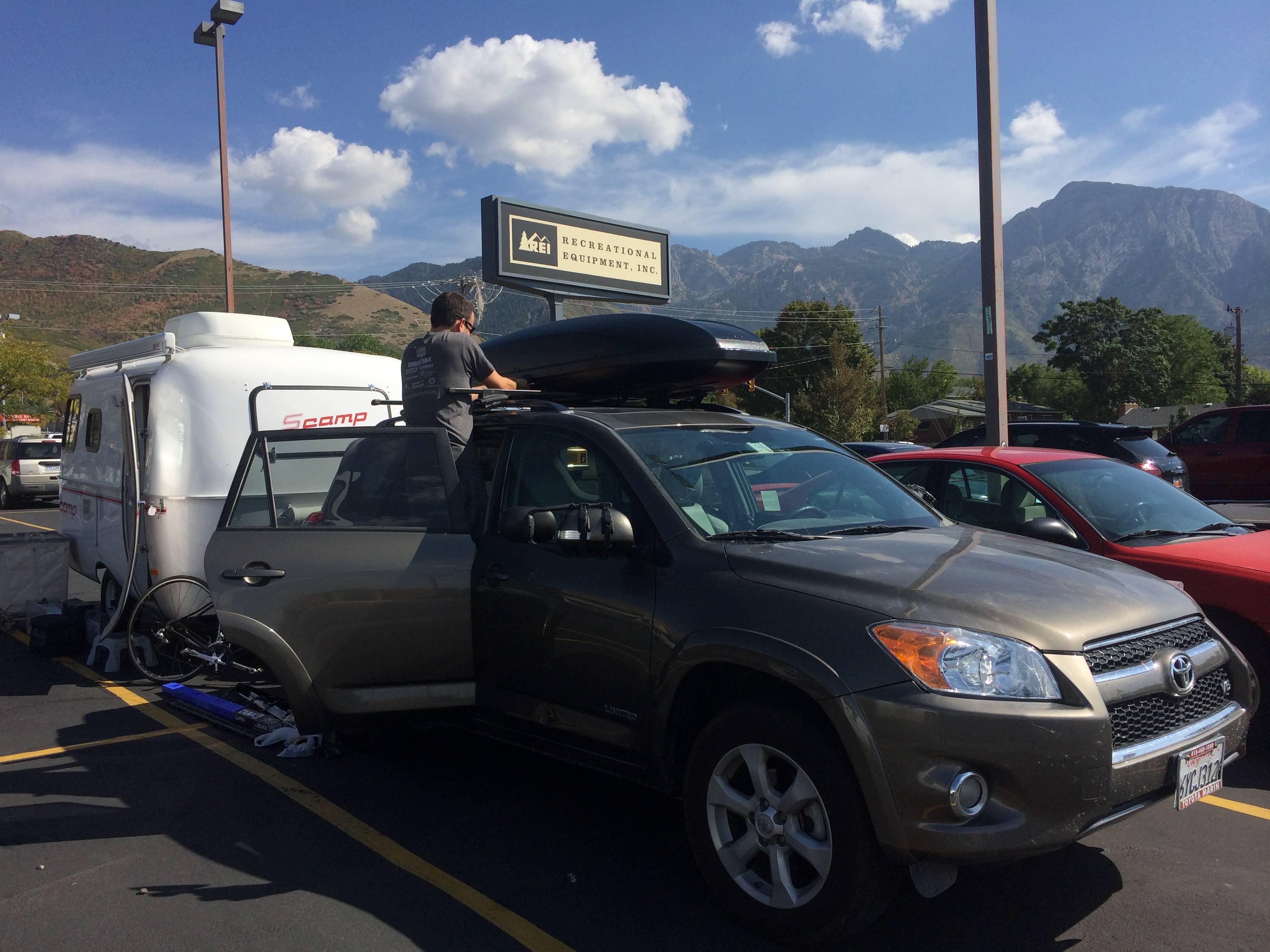
While in Salt Lake, we hooked up our Toyota RAV4 with a new accessory for our journey, a Yakima skybox.  Our lives just got more convenient.IMG_6619

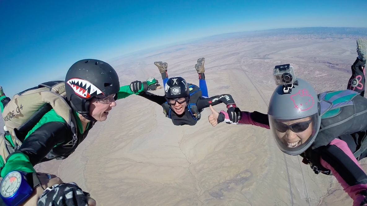
And finally, we ventured down to Moab for the annual Skydive Moab Boogie, the only time of year where solo licensed sky divers can jump in Moab.  Throughout the rest of the year, it is strictly a tandem-only drop zone.

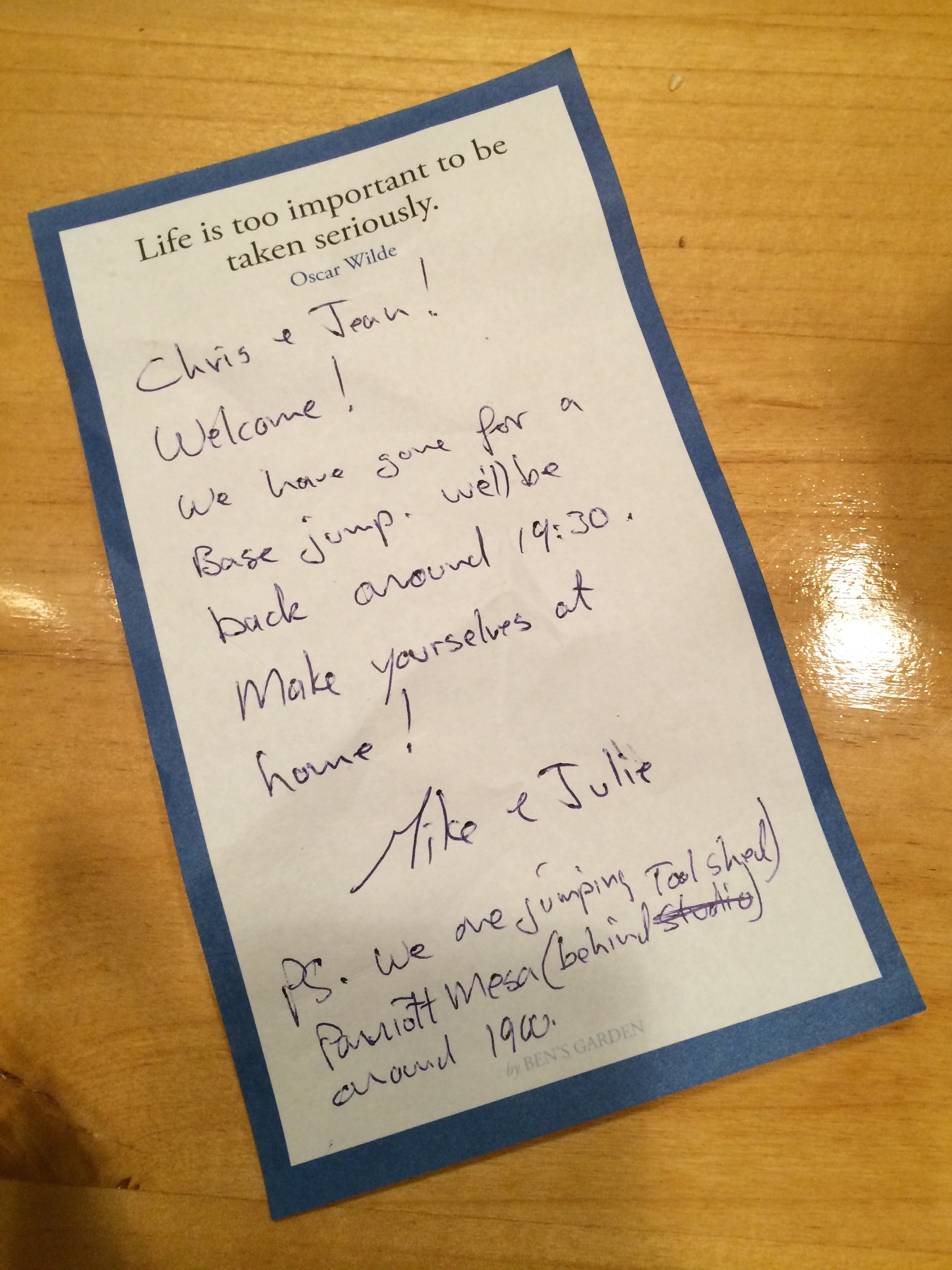
We arrived at our friend’s house in Castle Valley right before sunset, where a note was left for us at their front door. IMG_6638

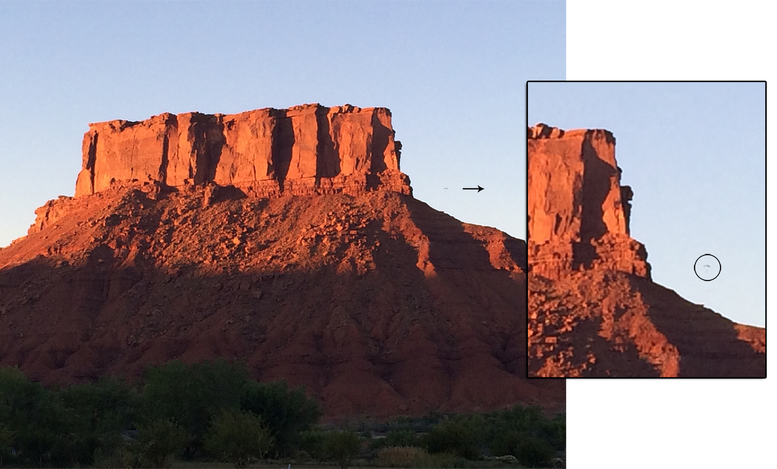
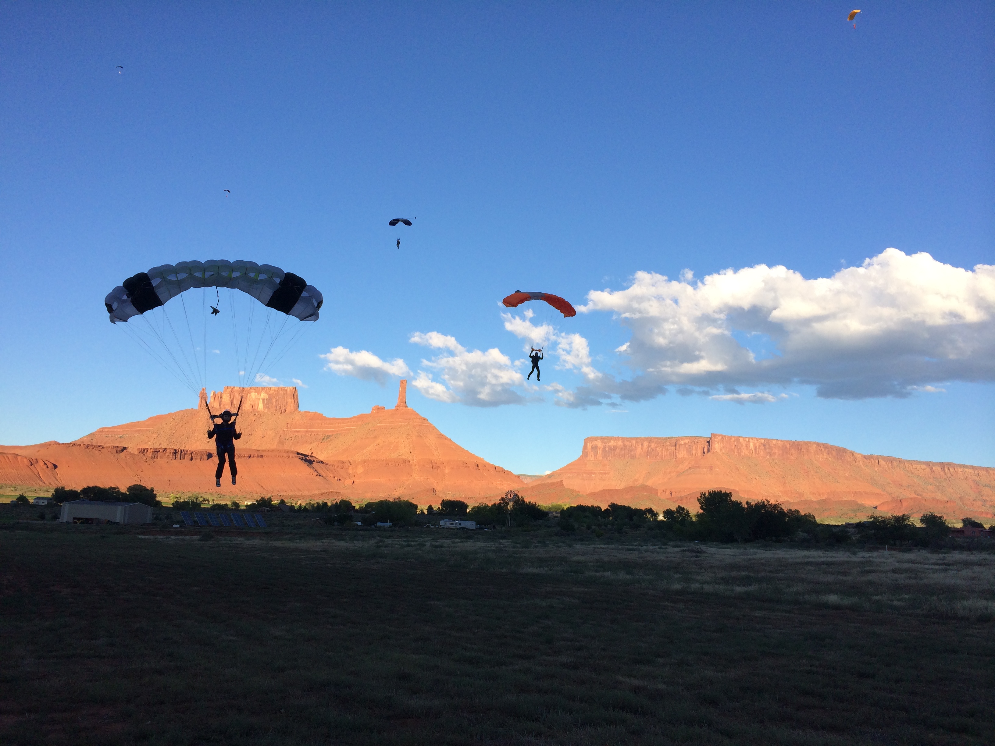
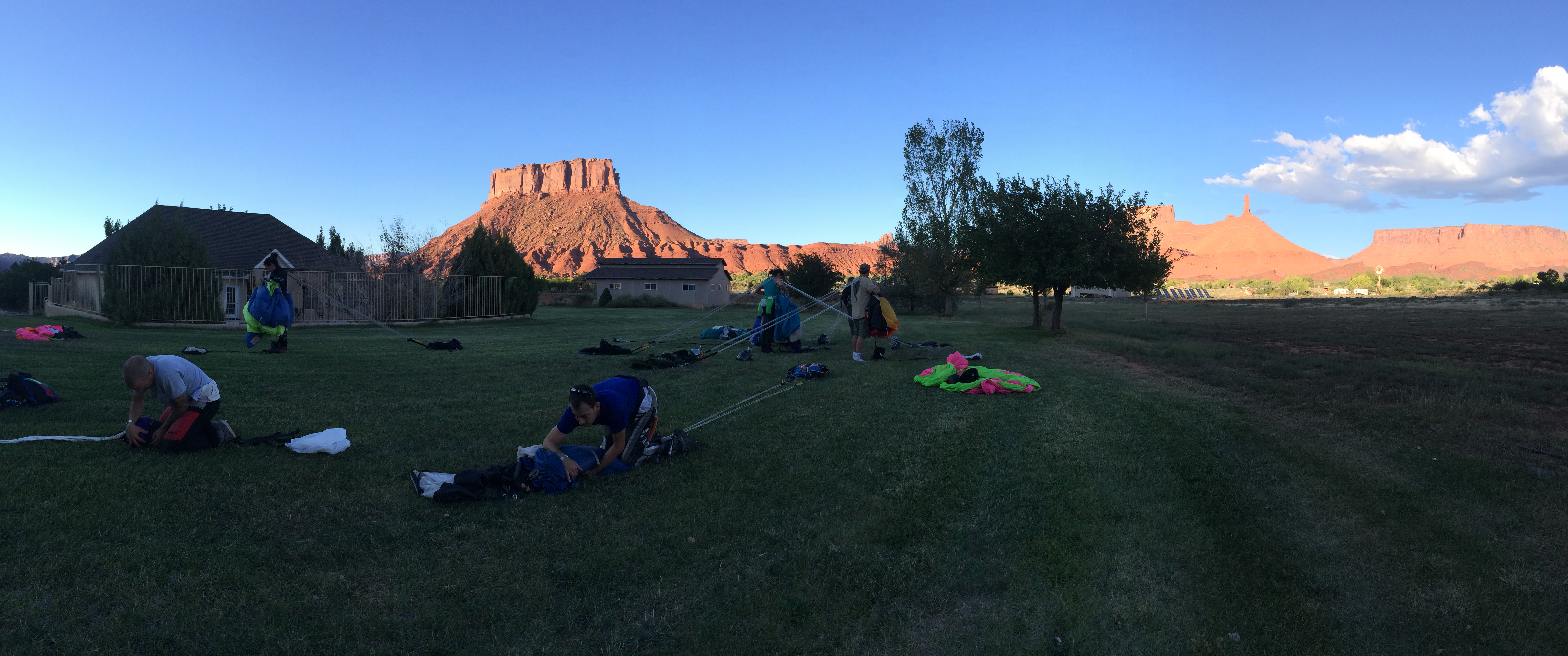
We set up Scromp, pulled out some chairs and wine, enveloped ourselves in Castle Valley’s beauty, and eagerly waited to witness our friends jump off the crimson cliffs of Parriott Mesa. IMG_6634

And off they go! I circled my friend’s parachute so you can get a closer look (click to enlarge):IMG_6635

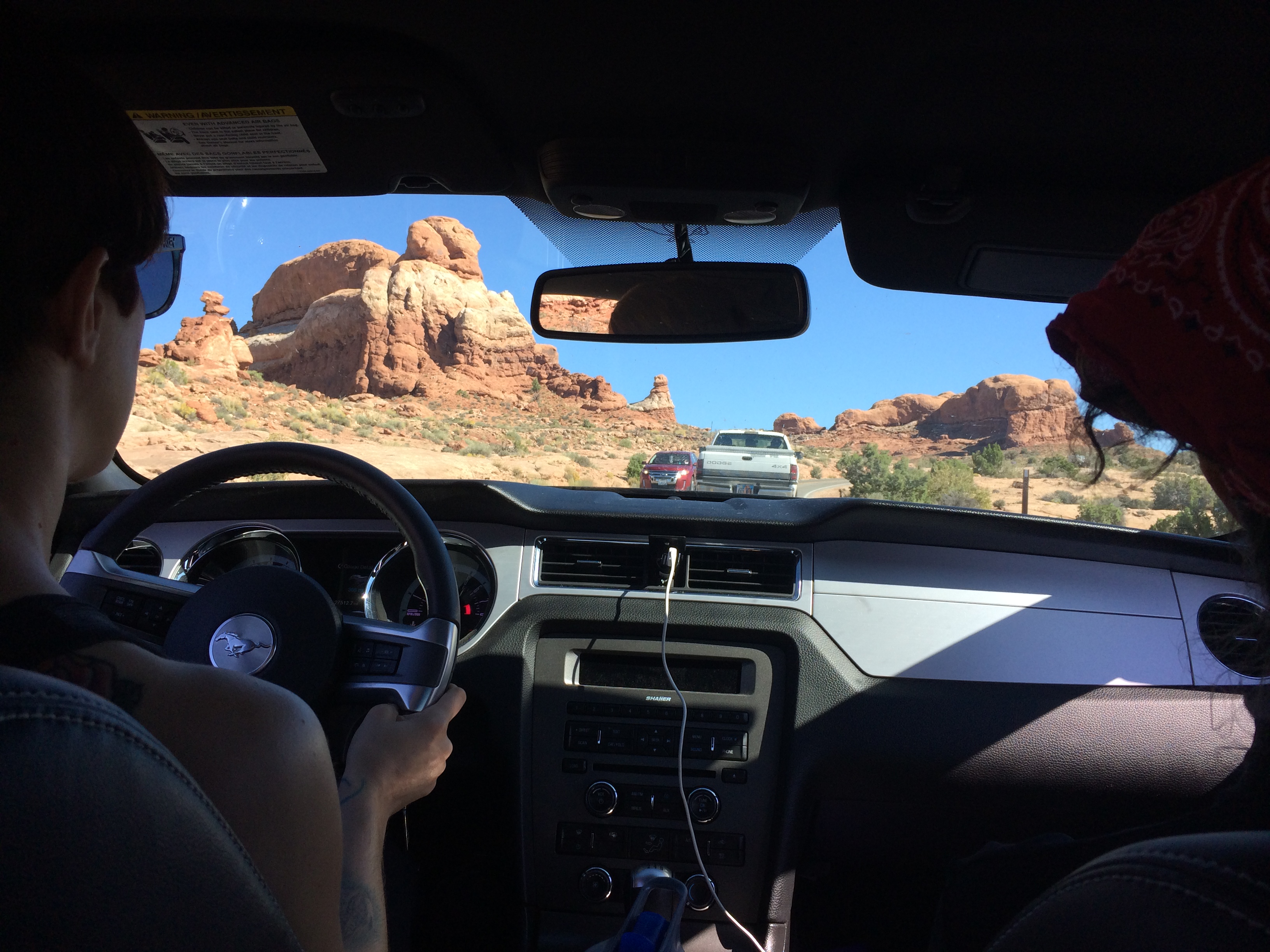
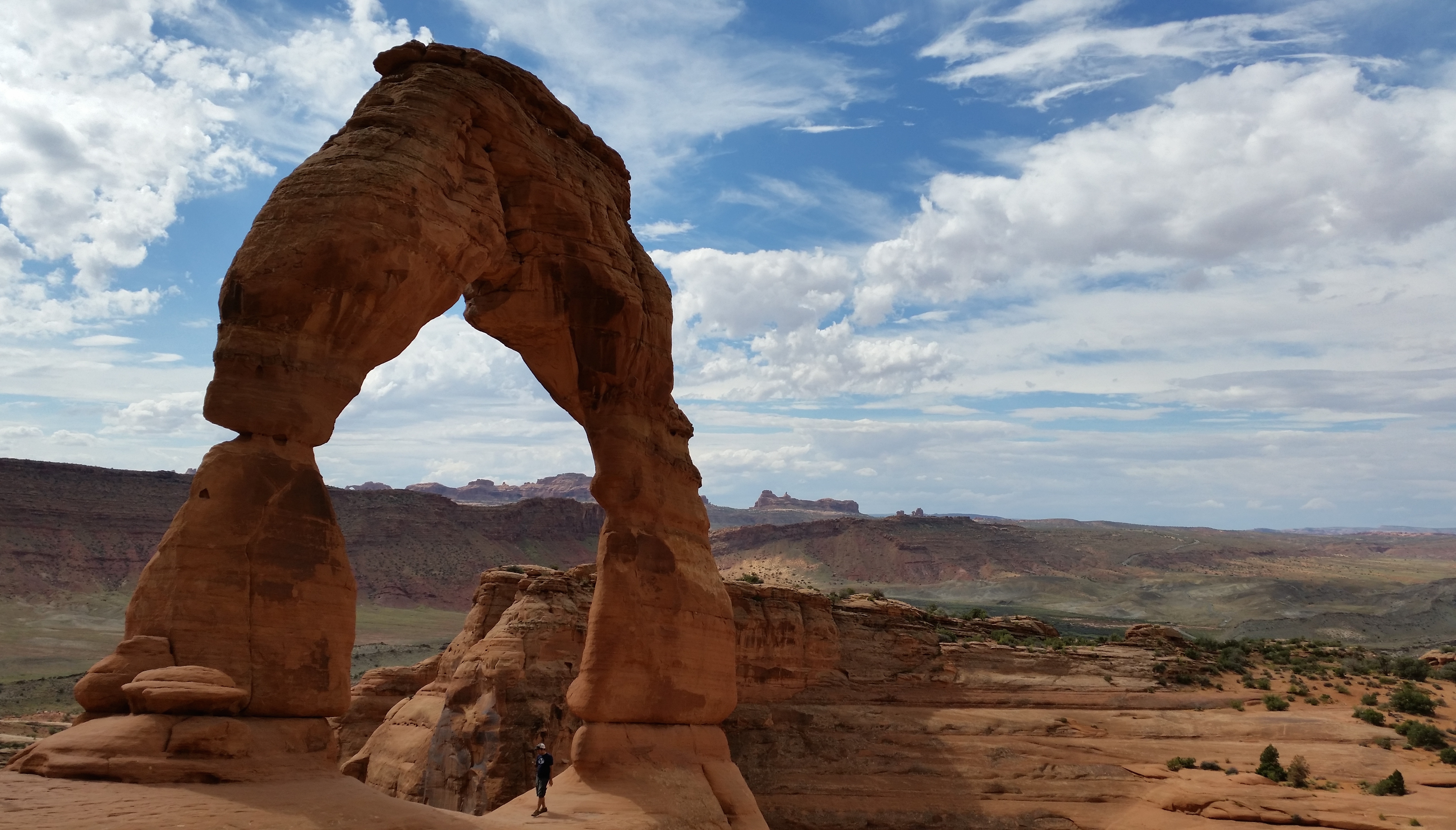
My first full day in Moab was spent at Arches National Park with a couple of my skydiver chick friends.  Since Arches National Park was just outside of Castle Valley, it was a convenient excursion to the skydiving trip–hiking and climbing galore!IMG_6640

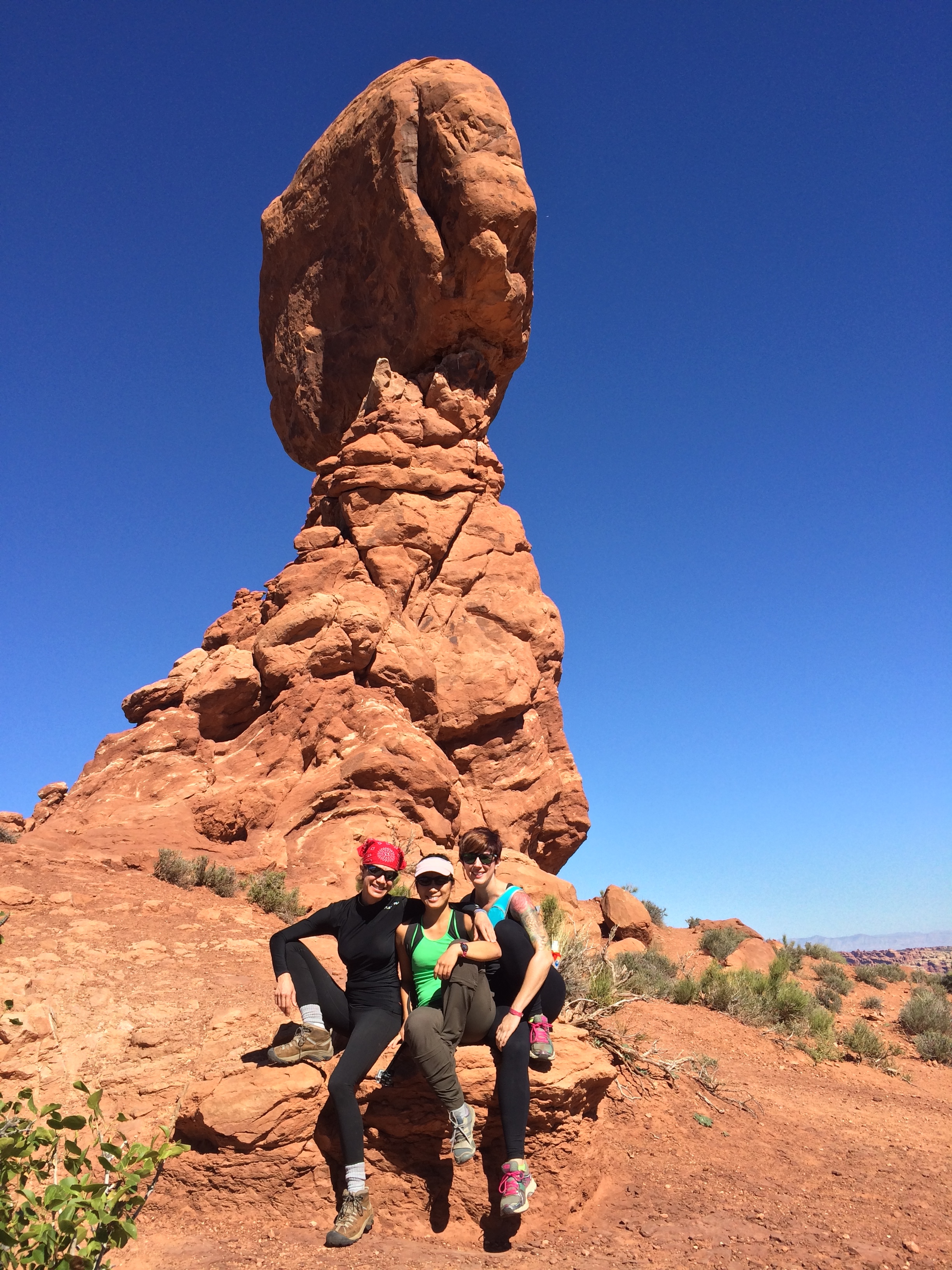
Balancing Rock:IMG_6651

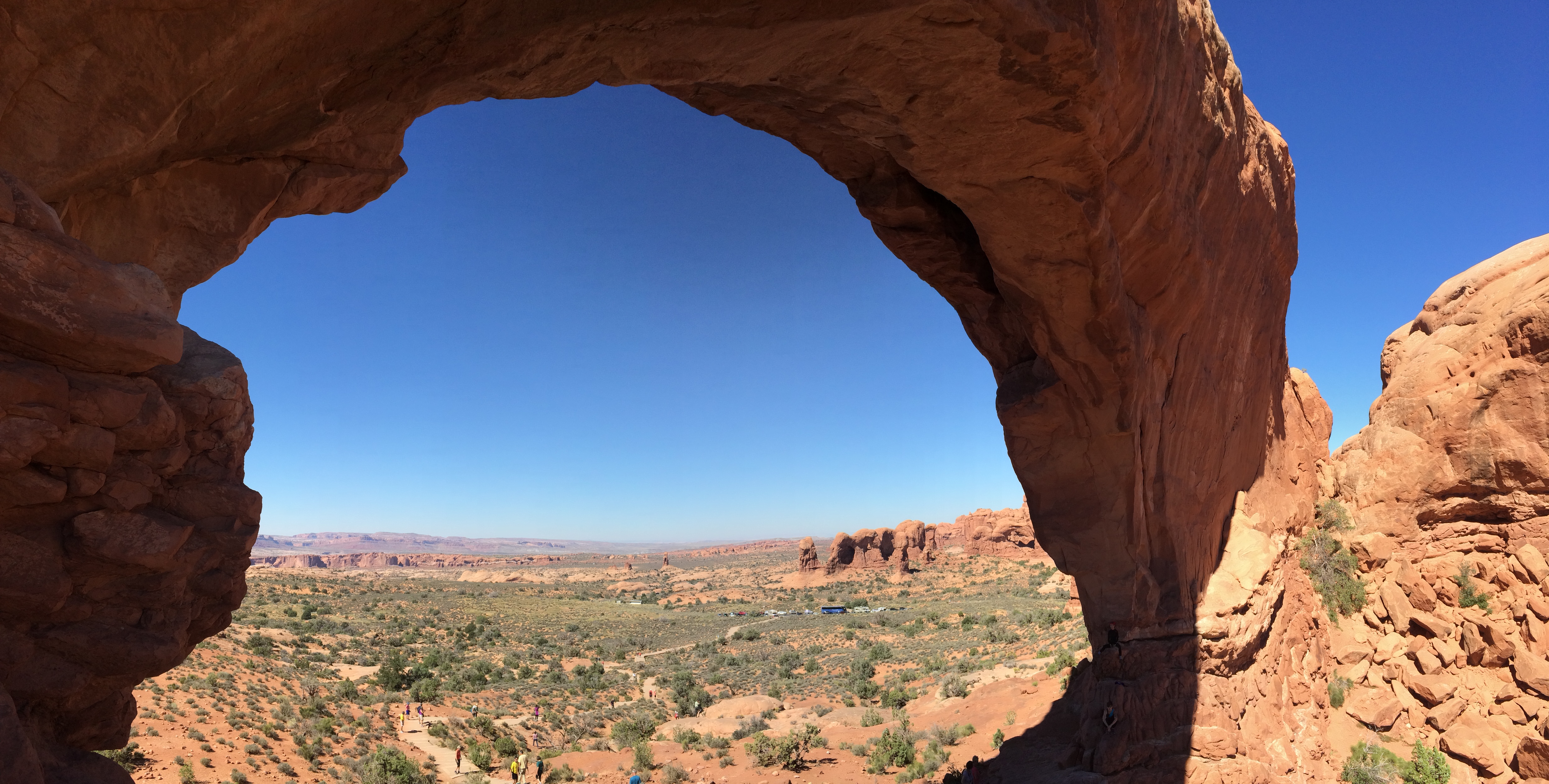
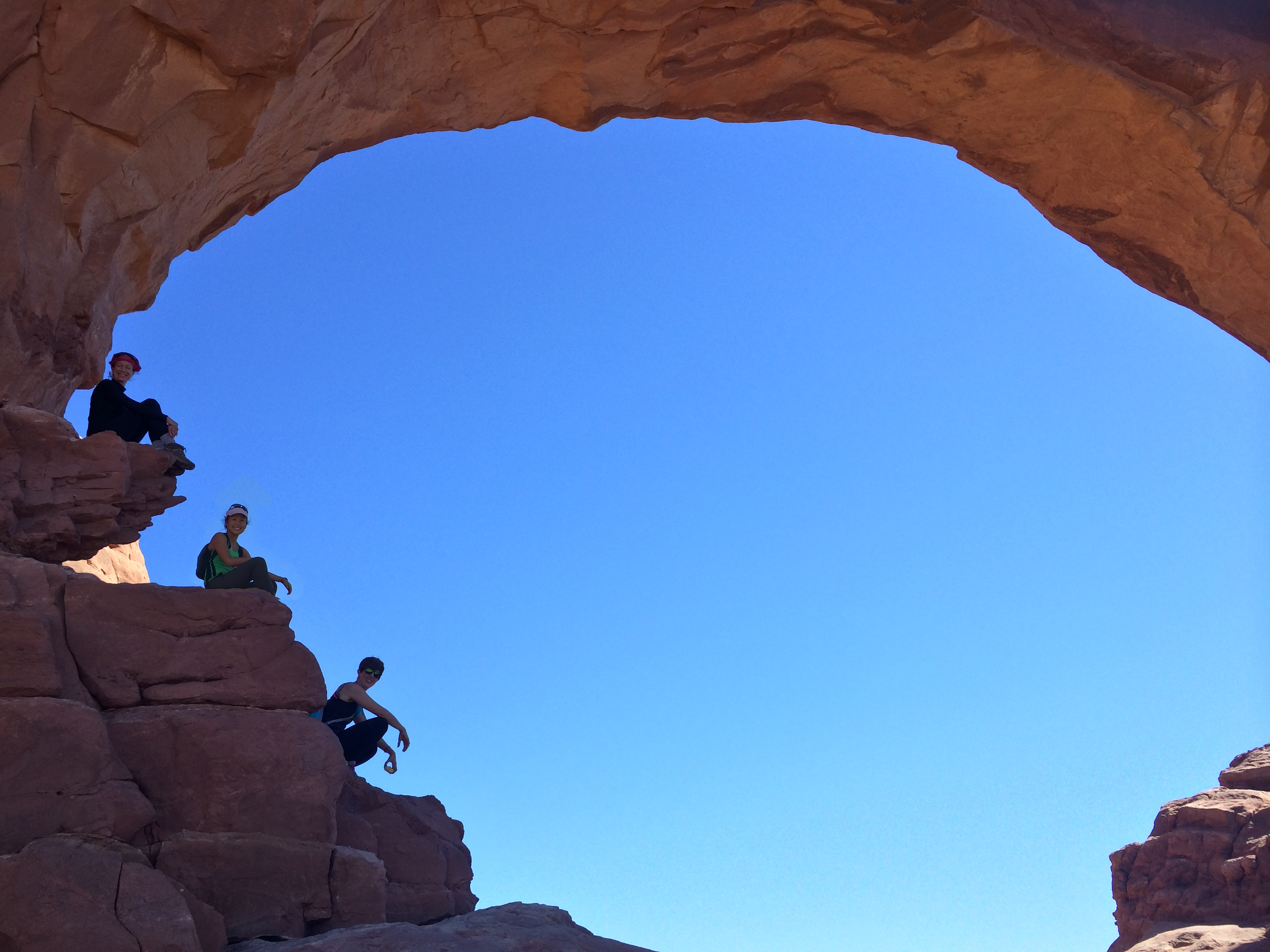
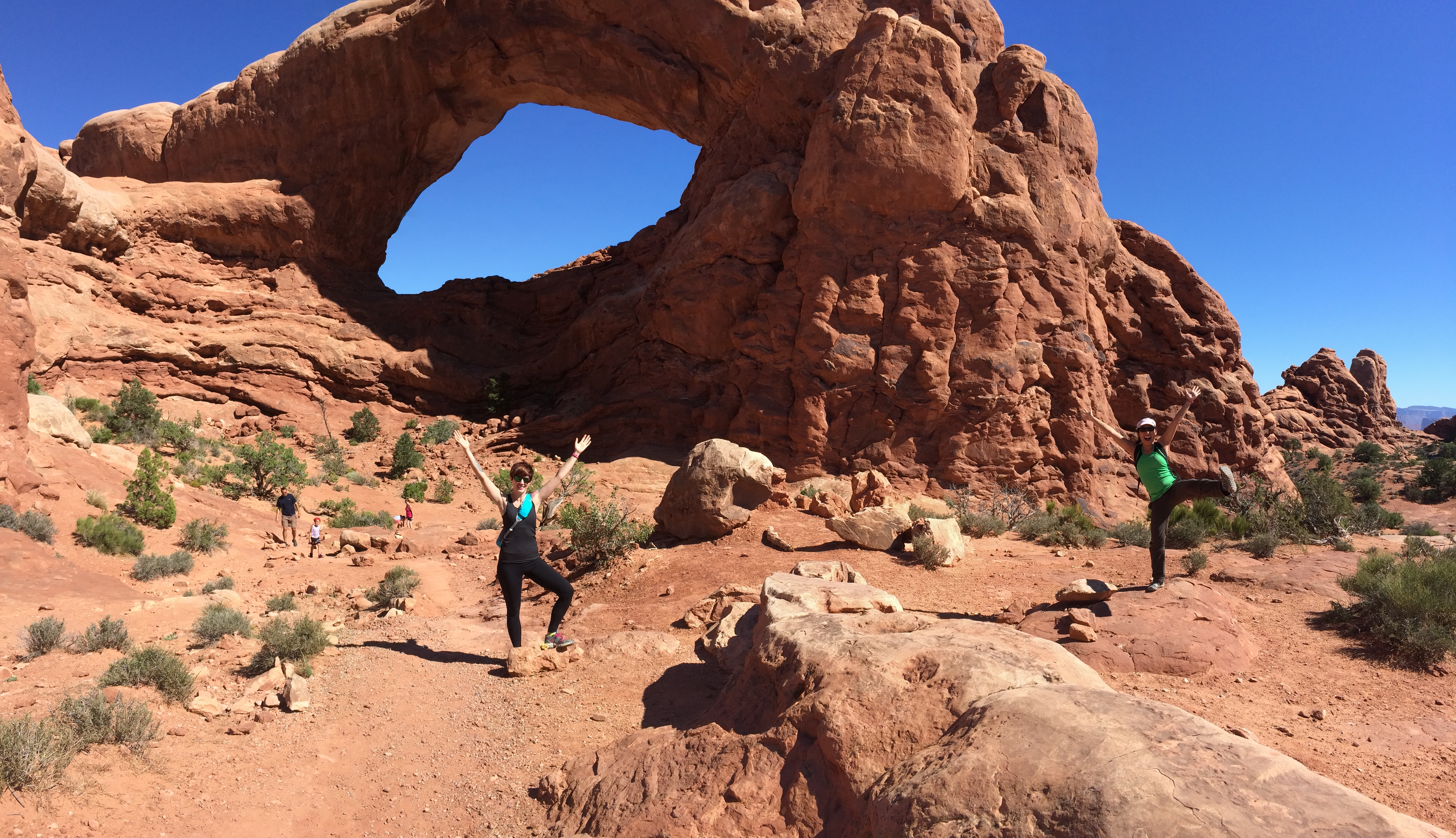
North Window:IMG_6662 IMG_6666

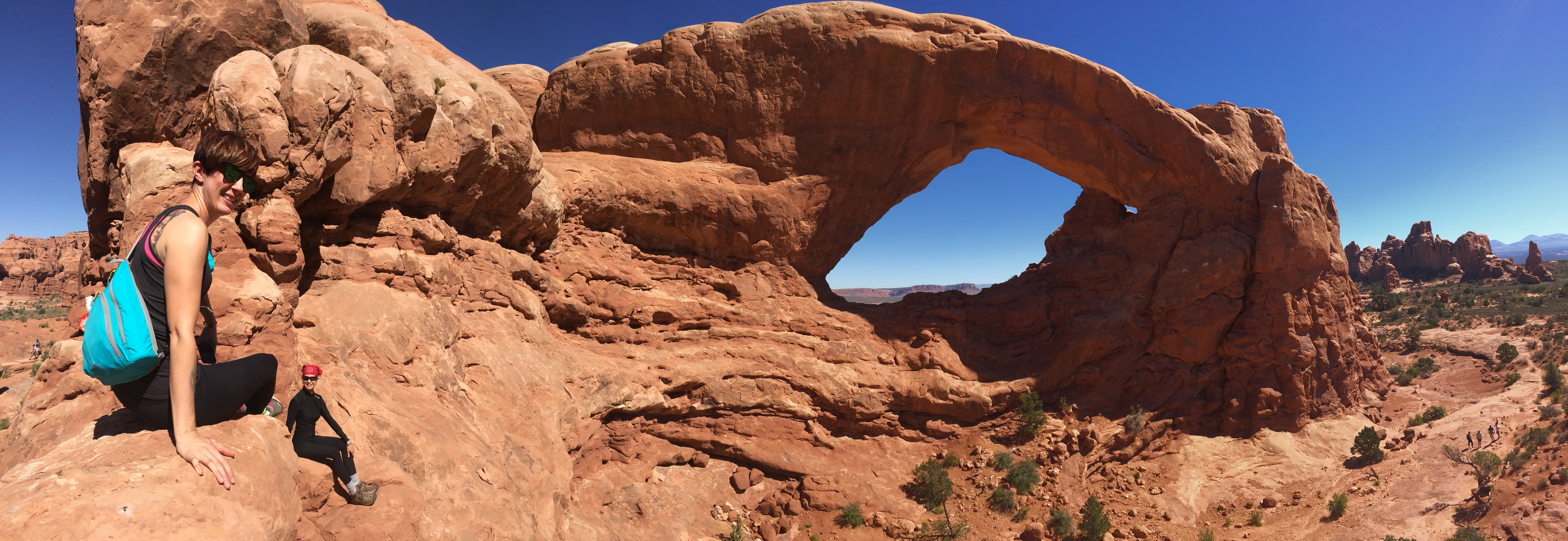
South Window:IMG_6673 IMG_6684

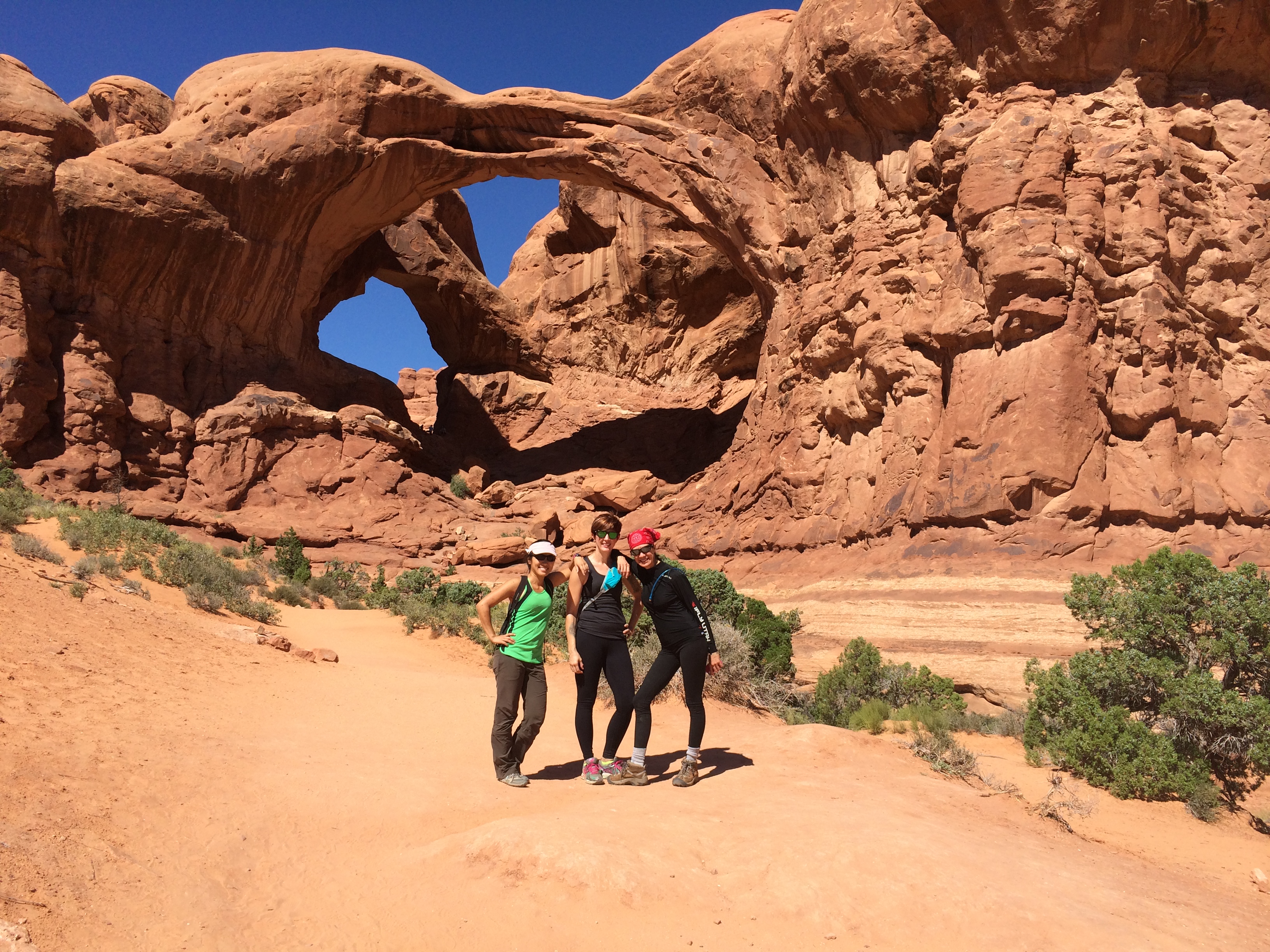
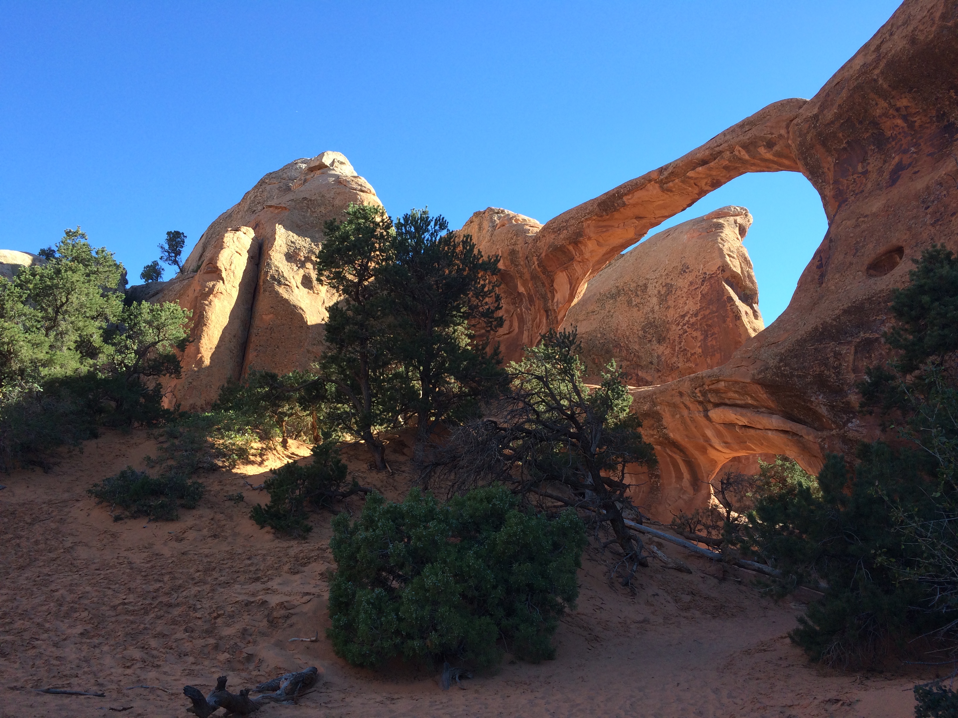
Double Arch: IMG_6692
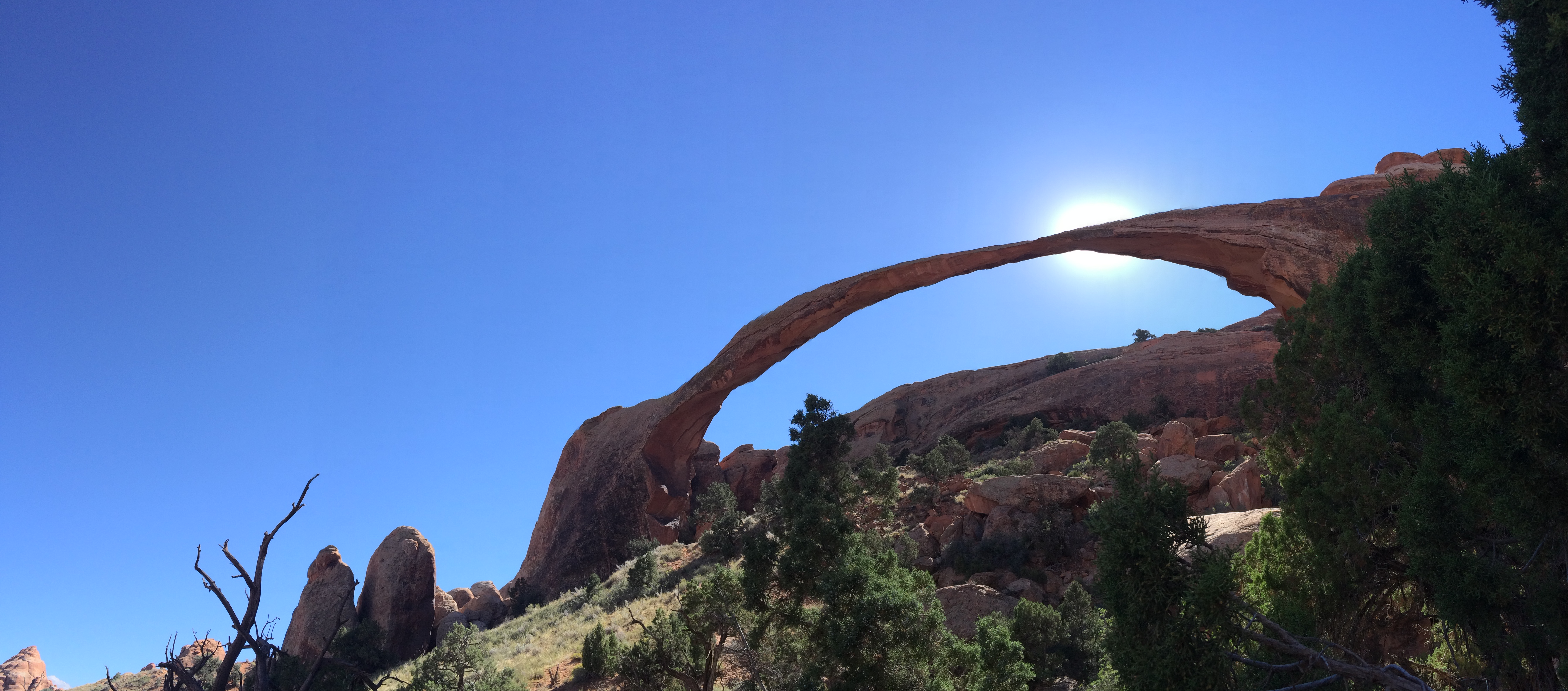
Landscape Arch:IMG_6696

Double O Arch:IMG_6709

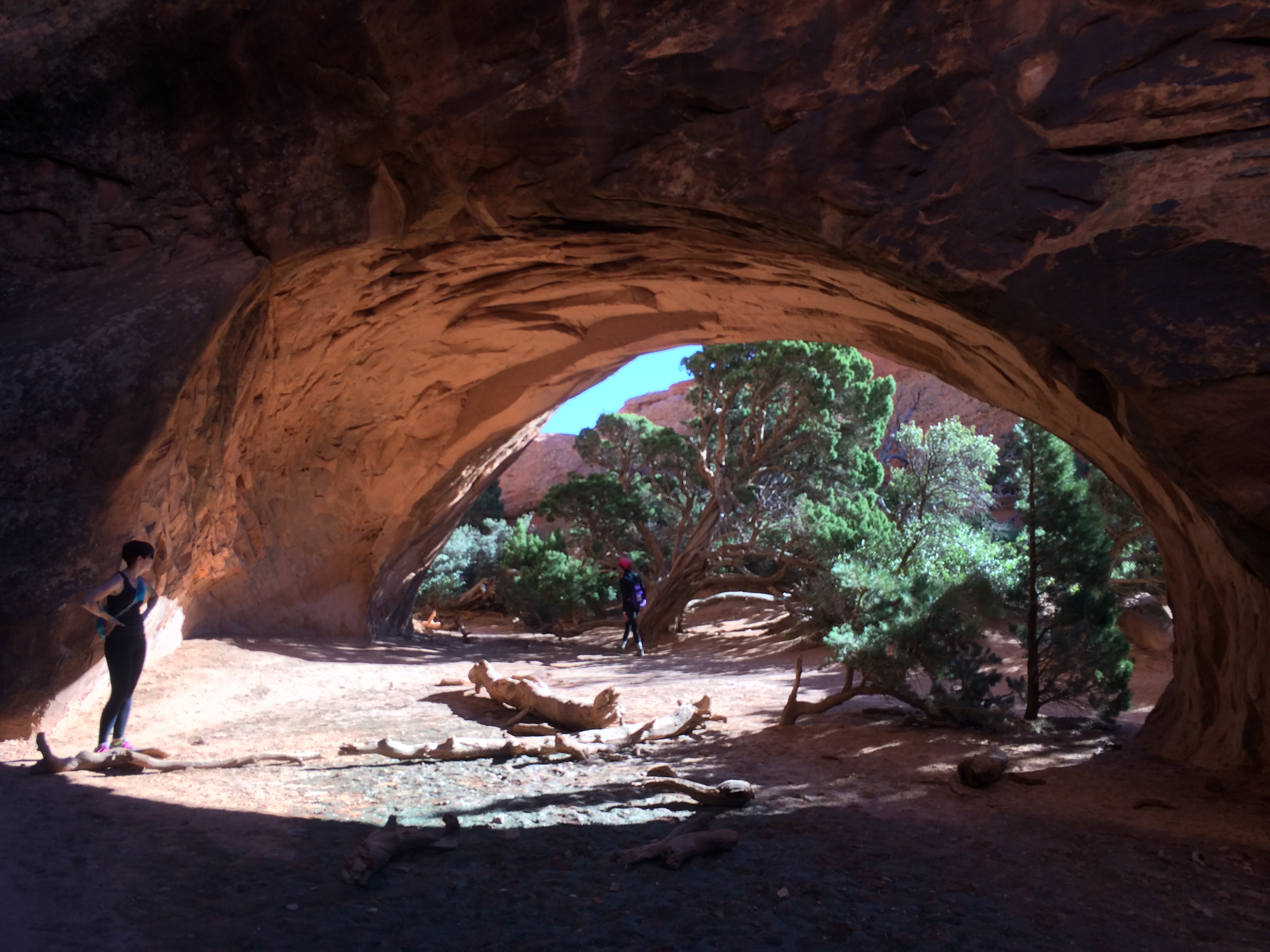
Navajo Arch:IMG_6712

The heat caused fatigue to overtake us sooner than expected, so we saved Delicate Arch for another day.

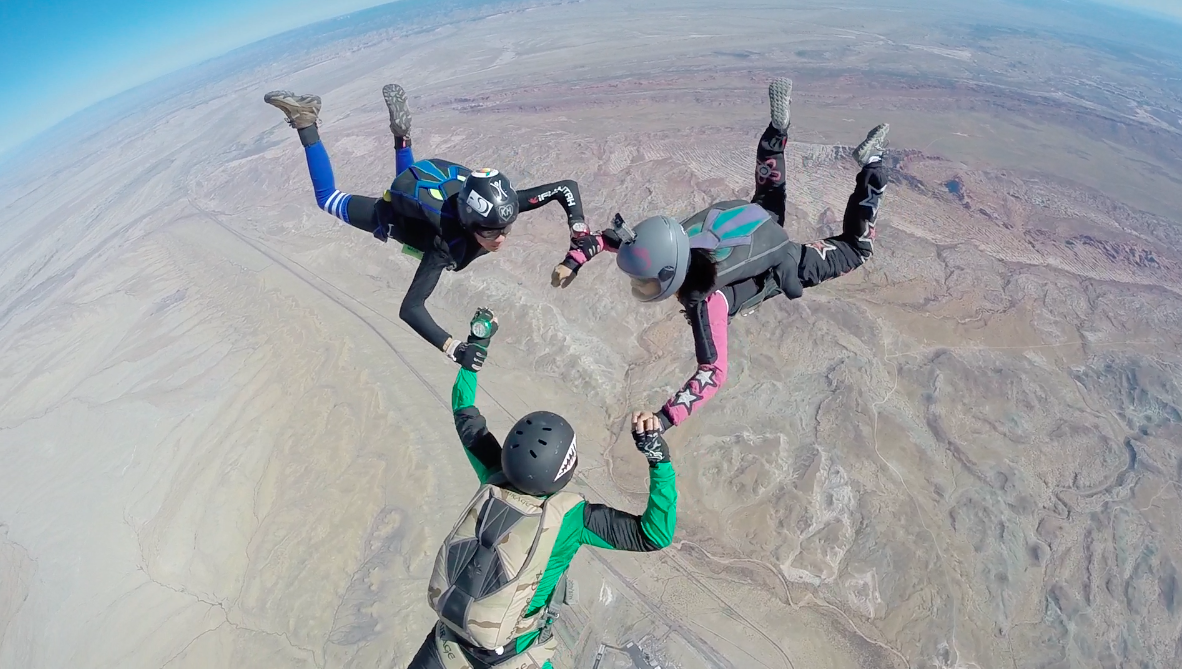
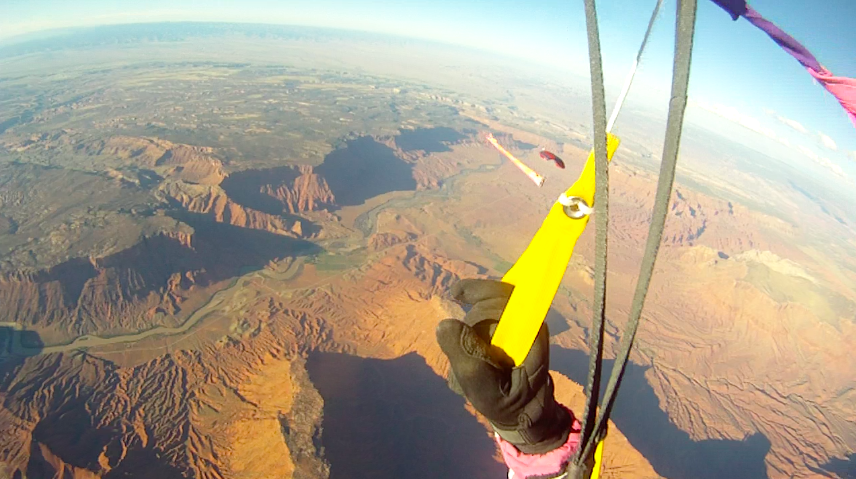
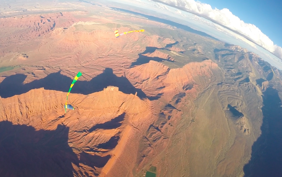
And finally, skydiving.  After an action-packed day of arches, we were ready to fly!  My favorite skydives have definitely been at Burning Man and Moab.  Moab is notorious for its magnificent canyons, mesas, and outdoor activities, but nothing can top parachuting over and around some of the most beautiful landscapes on earth. Screen Shot 2014-09-28 at 10.11.35 PMScreen Shot 2014-09-28 at 9.55.40 PMScreen Shot 2014-09-28 at 8.48.39 PMScreen Shot 2014-09-28 at 10.04.55 PMIMG_6719IMG_6718

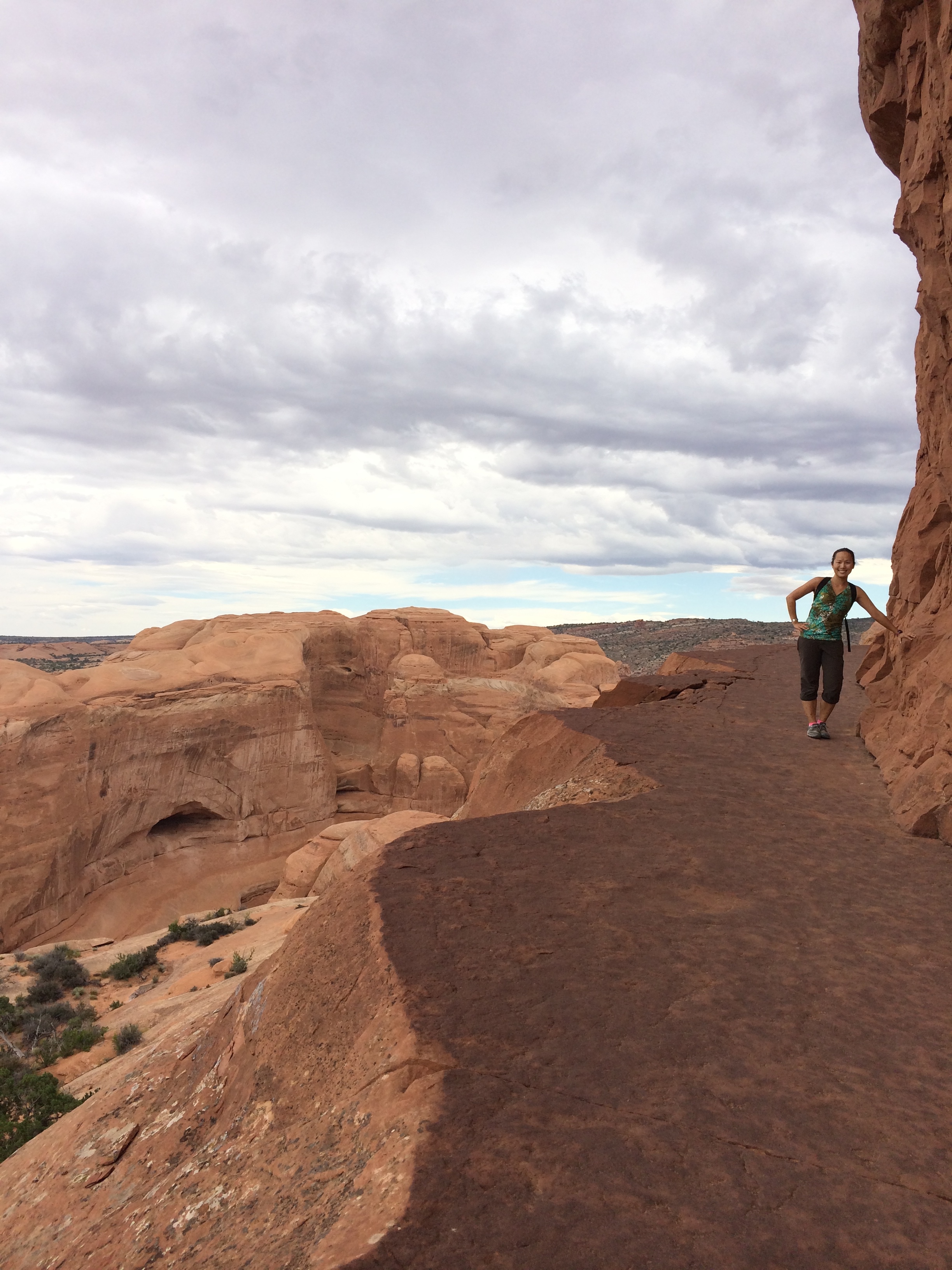
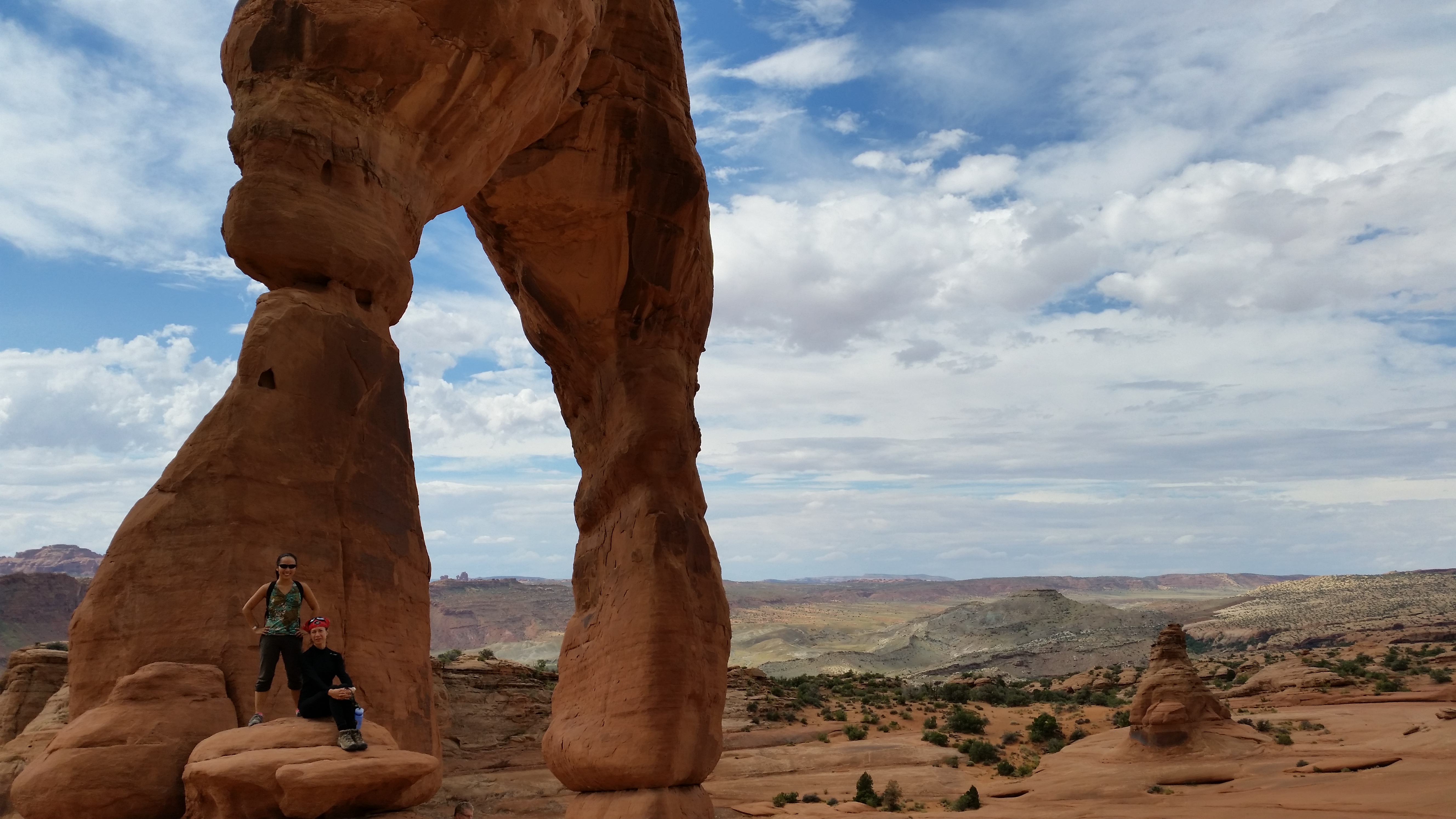
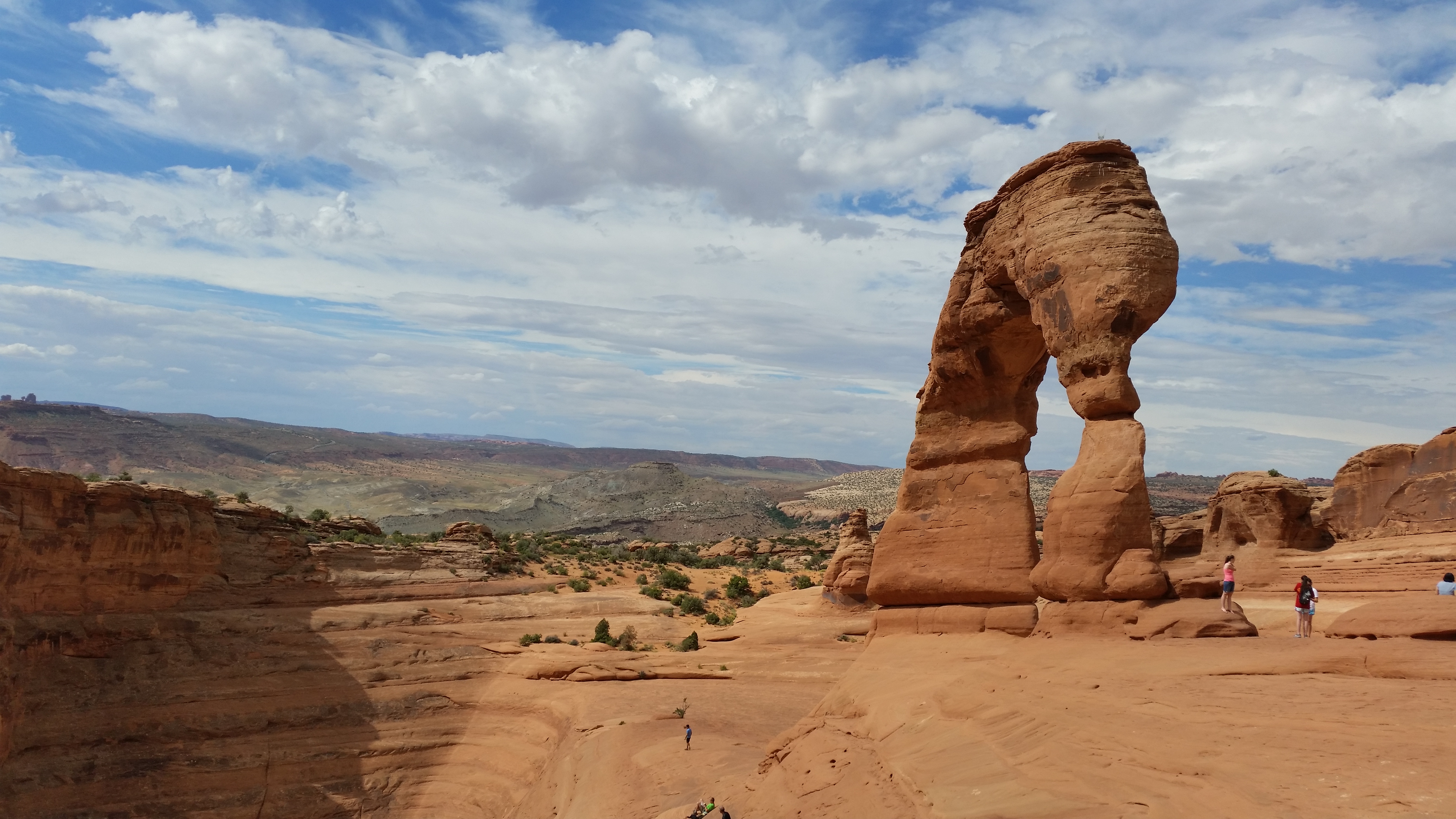
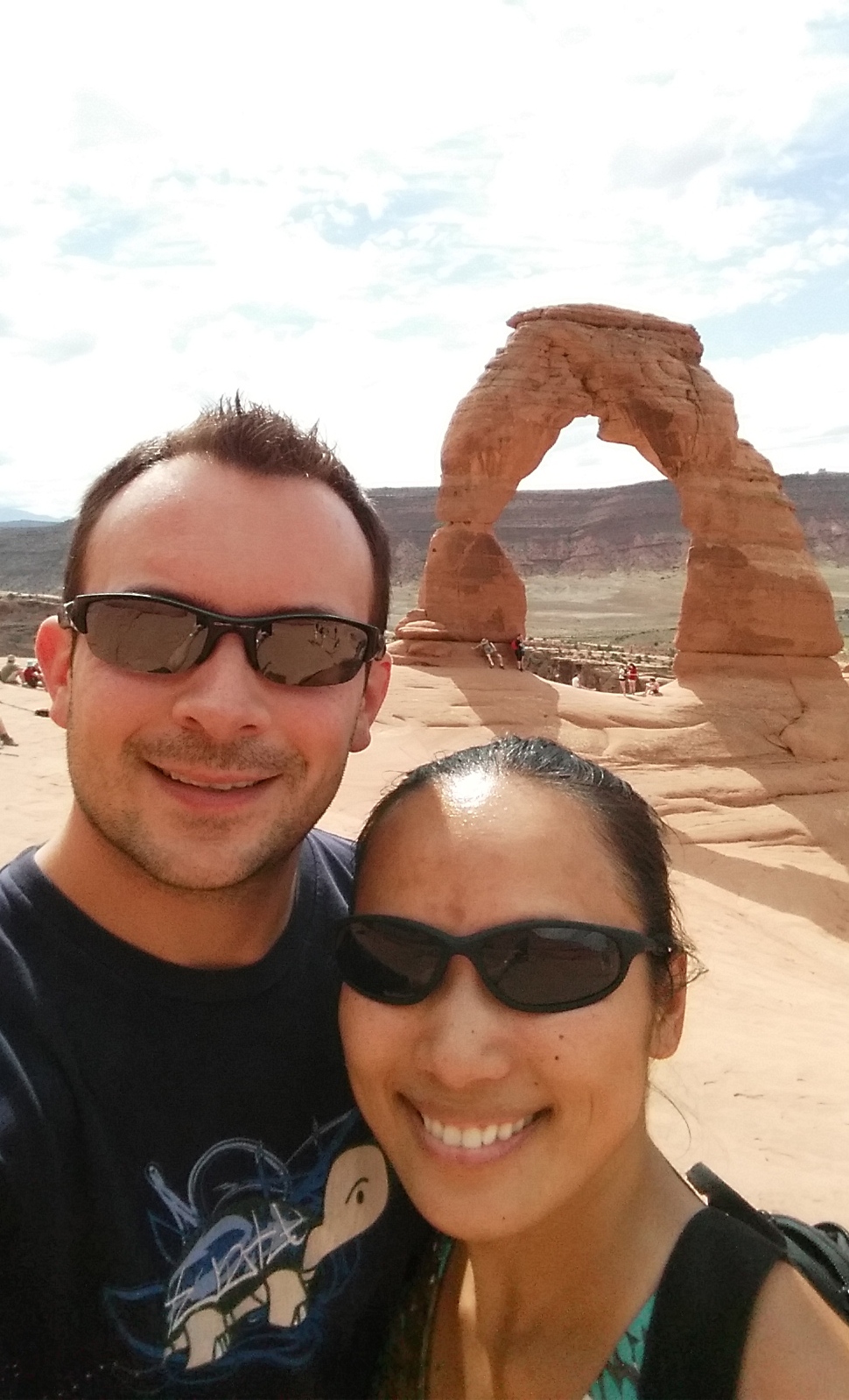
Unfortunately the weather got the best of the boogie and sporadic thunderstorms made their way over on Saturday afternoon, making the ever-so-bipolar winds shift directions even more.  The epic off-site skydives were cancelled, so what were we left to do? Visit Arches National Park again to visit Delicate Arch, of course!IMG_6731 20140927_122202_Android 20140927_122554_Android 20140927_122015_Android 20140927_122851_Android

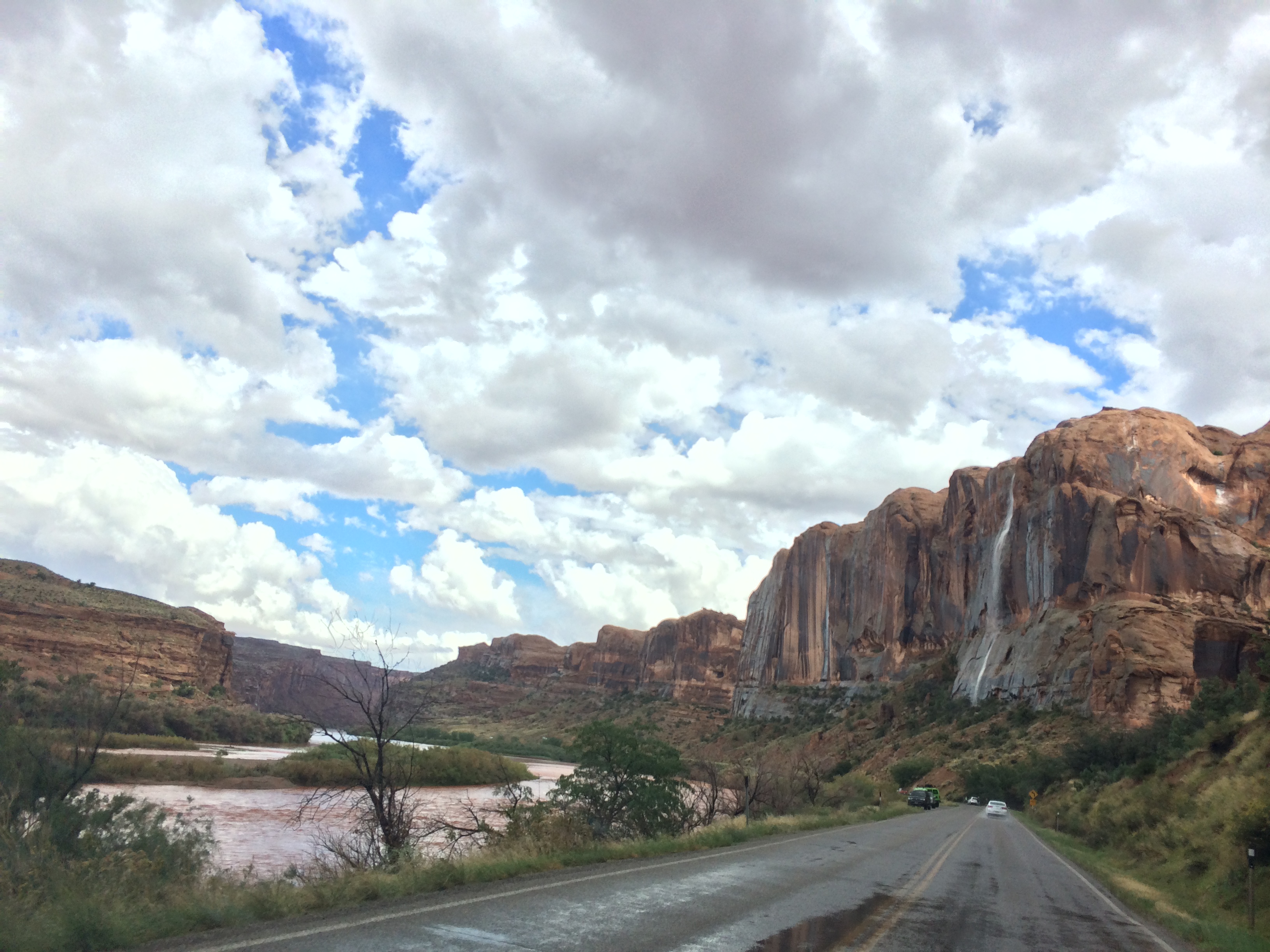
Thunder and lightning storms continued to trickle in and out of the area through the weekend, bringing along dramatic scenery that included waterfalls cascading down mesas and spires peeking through dense clouds.photo 20140928_093133_Android20140928_100808_Android

I even managed to cycle along the Colorado River, zipping by the red boulders and majestic walls of the canyons.IMG_6750

Although we only had one day of skydiving, the striking beauty of southern Utah and the company of numerous friends once again made our time in Moab unforgettable and adventure-filled.  It seems as if everyone who lives in Utah has a passion for the outdoors, a passion for living life, which is why we will continue to visit Utah again and again.

Posted in Utah | 1 Comment

The Ironman Race That Didn’t Happen

The pro athletes usually plummet through the waters exactly at 6:30am the Sunday morning of race day, followed by the amateur athletes at 6:45am.  That was at least the case last year when Chris and I dreadfully stepped into the chilly, placid lake to face our first Ironman triathlon race despite air temps shockingly reading 30ºF.  (We found out later that our first Ironman is now considered the most arduous Ironman race.) This year, we looked forward to taking the year off from triathlons, and instead eagerly awaited race day to volunteer for the event and cheer on our friends who had spent all year training for the race that consists of a 2.4 mile swim, 112 mile bike, and 26.2 mile run.

Last year, with the water temp at 60ºF and air temp at 30ºF, an eery mist hovered over the lake, prohibiting any decent sighting. Photo taken from Triathlon Competitor106-635x421

“Is there a late start this morning?” Chris asked an amateur athlete standing along the beach, whose wetsuit was only partially zipped up.  It was nearing 6:45am and the pro’s had not even begun yet.

“It’s been canceled.”

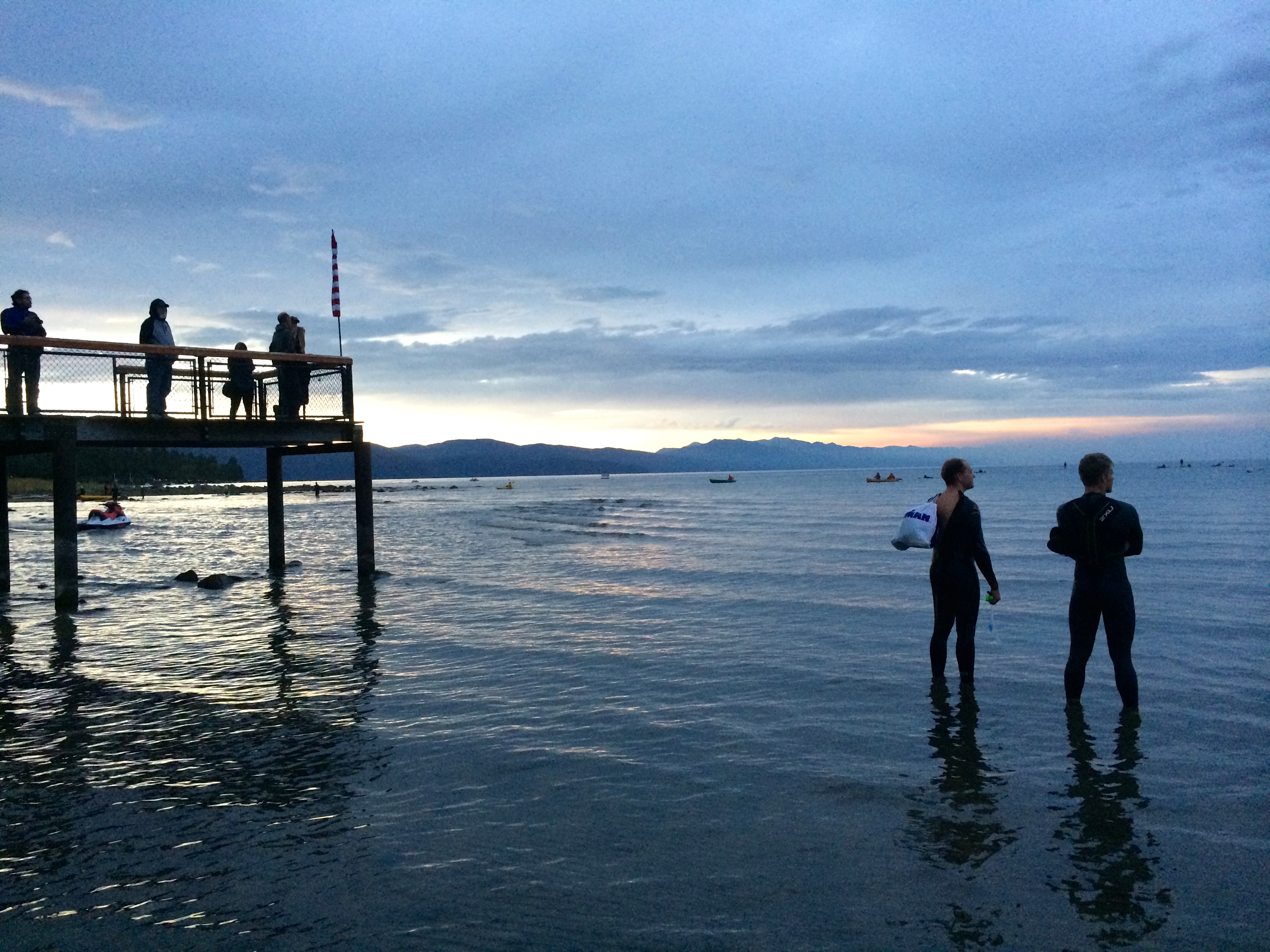
Denial struck us within the first few seconds, but the truth sank in as our surroundings completed the puzzle.  Here and there athletes were scattered, some holding their transition bags, some even swimming out to the second buoy on the lake.  Paddle boarders and kayakers were making their way in, and a mundane silence replaced the expected excitement of race morning.  Seconds after the athlete told us of the cancellation, we heard remnants of the muffled announcement over the PA system regarding bike and transition bag pick up that morning. Ironman Lake Tahoe 2014 had been canceled. 

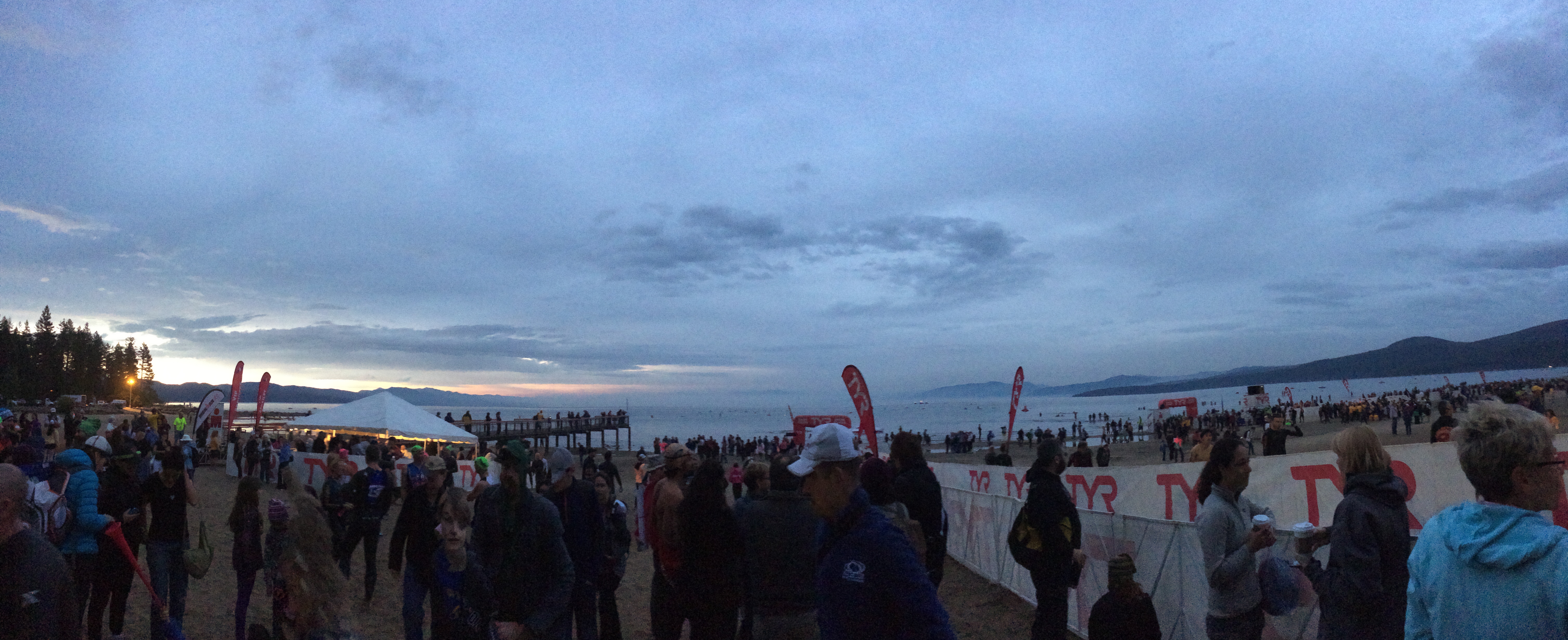
Disappointed athletes pondering their next endeavour while gazing at the lake just before sunrise:IMG_6607

Scattered athletes, volunteers, and supporters along Kings Beach on race morning:IMG_6604

It was heartbreaking.  Thousands of friends and family members had taken time off work and traveled near and far (some even from abroad) to support.  Hundreds of hours were spent into planning and preparing the logistics of race day and the events leading up to it. But worst of all, Ironman dreams were shattered as athletes angrily or tearfully gathered their belongings only to return home without the finisher’s medal they spent all year hoping to call theirs.  The exciting psychological and physiological journey leading up to the day they could finally call themselves Ironmen ended up steering them into a pit of deflated pride.  All due to a forest fire.  A forest fire not from natural causes, but deliberately set by an arsonist.  The grief and despair was beyond imaginable for Chris and I; last year we faced near-record breaking frigid race temperatures during Ironman Lake Tahoe’s inaugural event, but we would much rather face unexpected snow and brutal cold over cancellation.

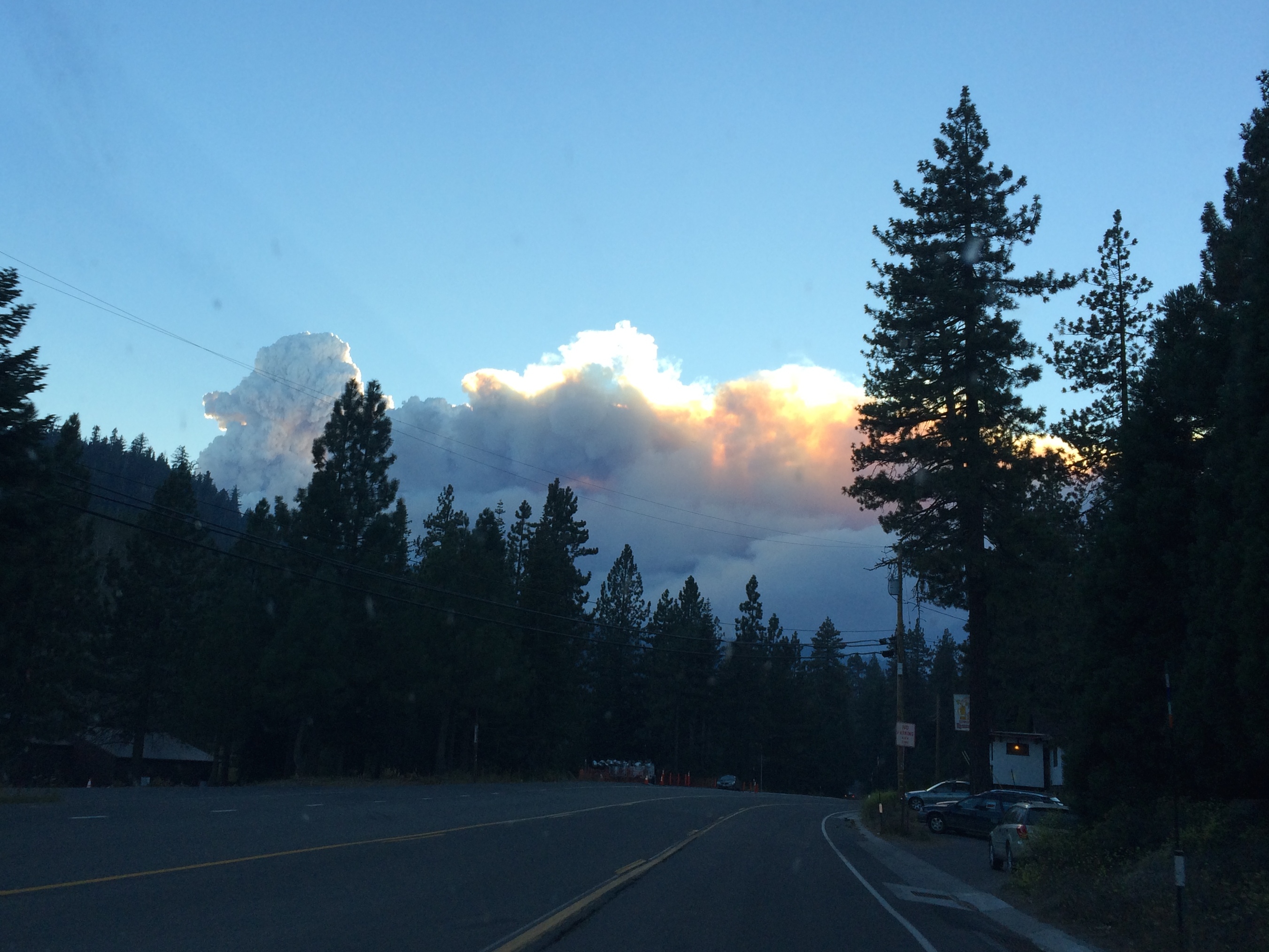
In the days leading up to the race morning of September 21, it was questionable whether or not the race would commence.  We arrived almost a week before the race, allowing us to witness the ominous bomb-like smoke hovering over Squaw Valley: IMG_6587

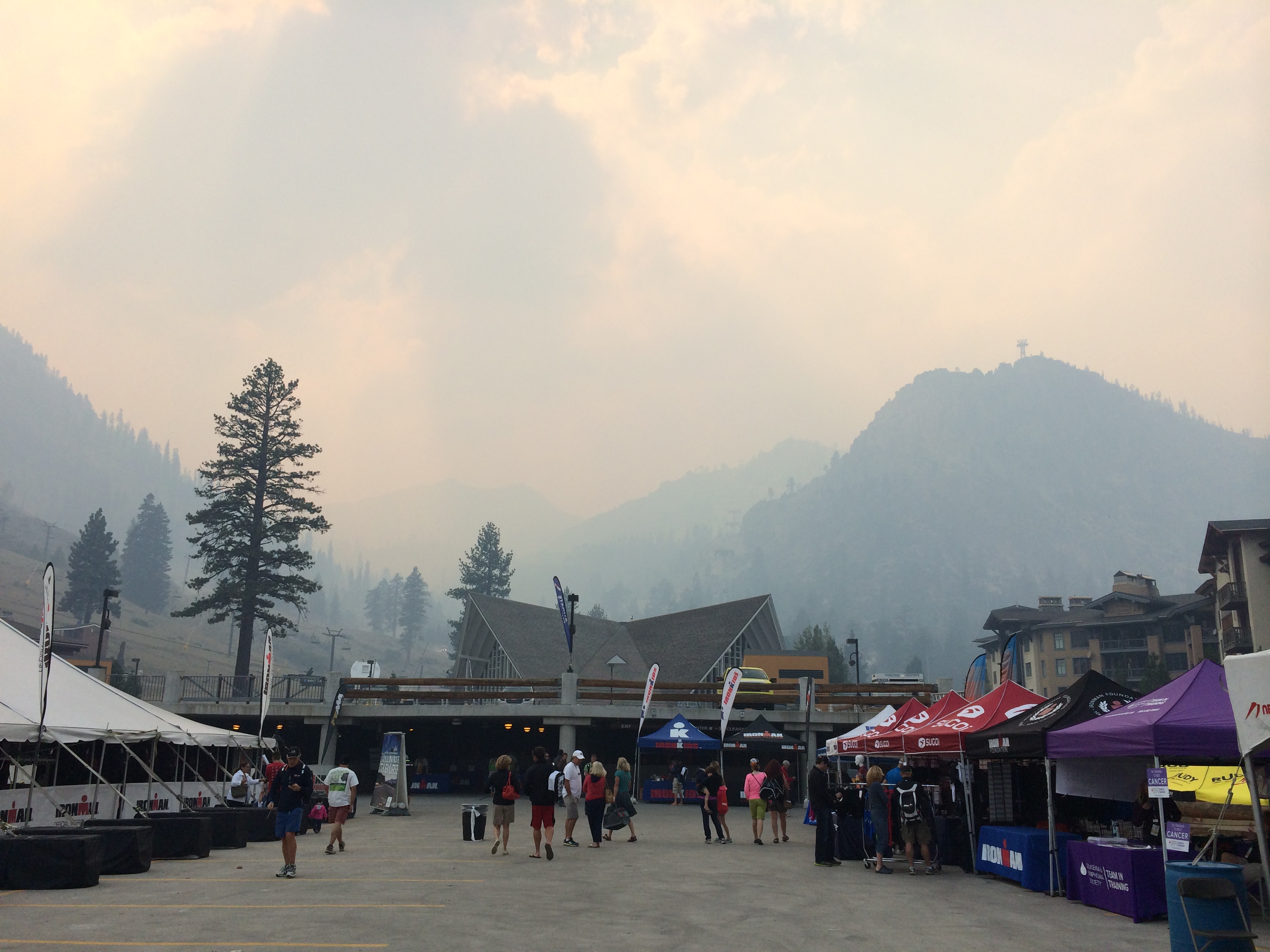
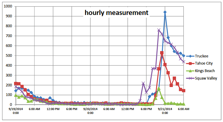
The winds gusting from the west had occasionally filled the Lake Tahoe area with smoke, contaminating the air with smoke pollution more dangerous than that of Beijing’s.  Lake Tahoe air was probably at its worst on Wednesday and Thursday afternoons.IMG_6591

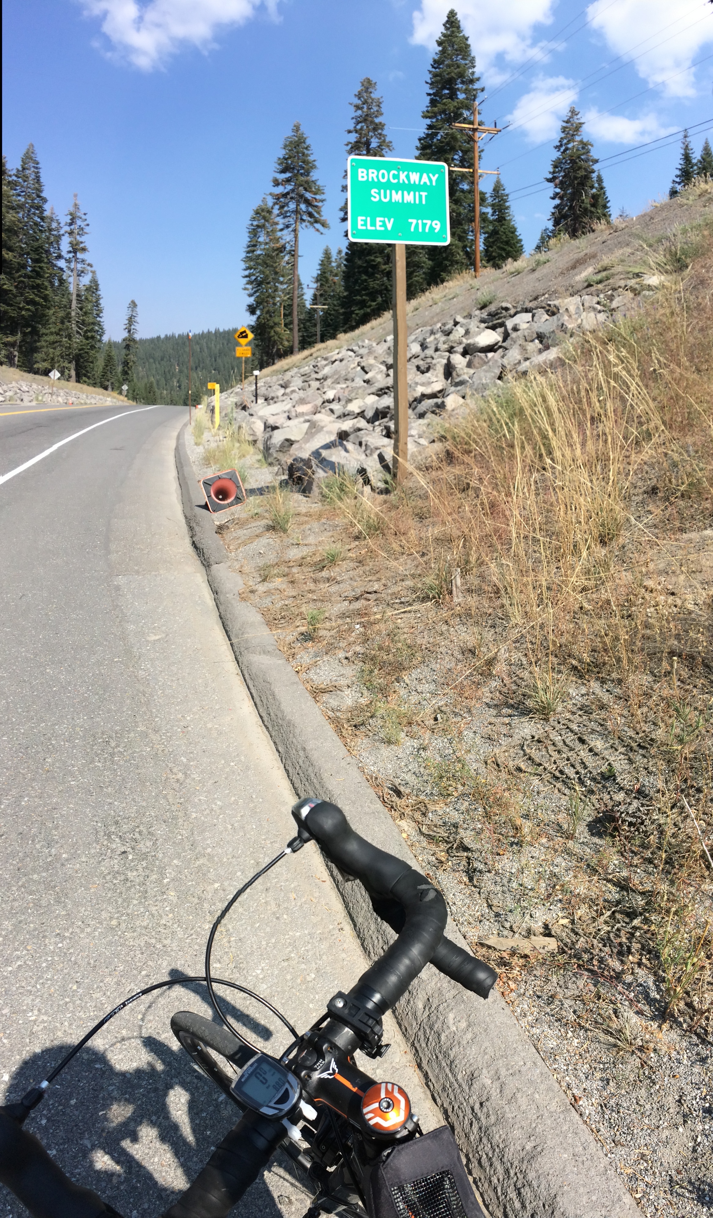
Fortunately, it was predicted on Friday that the winds would shift, and sure enough the day was perfect and clear.  I even managed to get in a bike ride–I rode most of the Ironman Lake Tahoe 70.3 course for a reverse loop over Brockway summit.IMG_6593

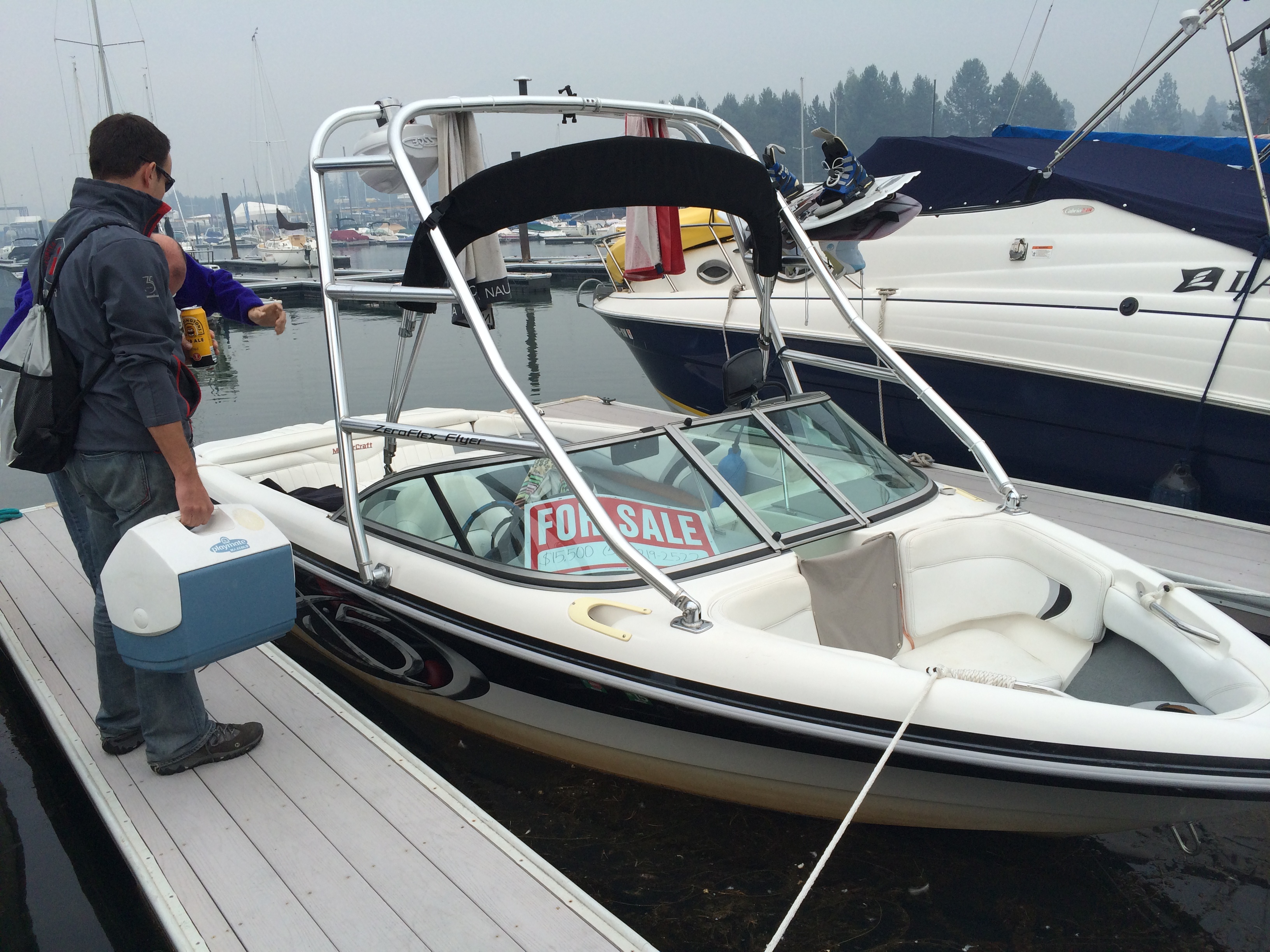
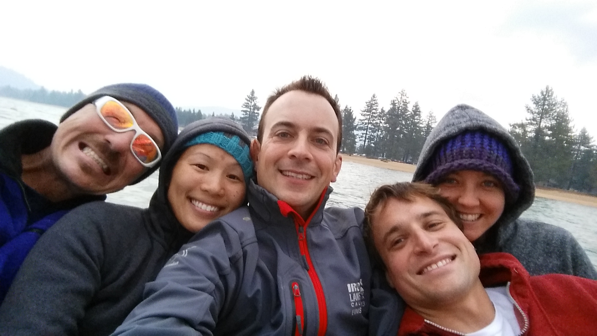
By Friday it was decided that Ironman Lake Tahoe 2014 would continue, putting the nervousness and despair at ease.  Saturday morning was glorious, and Chis and I met with some friends in South Lake to enjoy a boat ride.  Unfortunately at around 4:30pm, the winds unexpectedly and dramatically shifted again, filling the lake with a perilous smoke.IMG_6598

Although the air tainted our clothing with a BBQ flavor, we enjoyed hanging out on the boat. 20140920_182538_Android

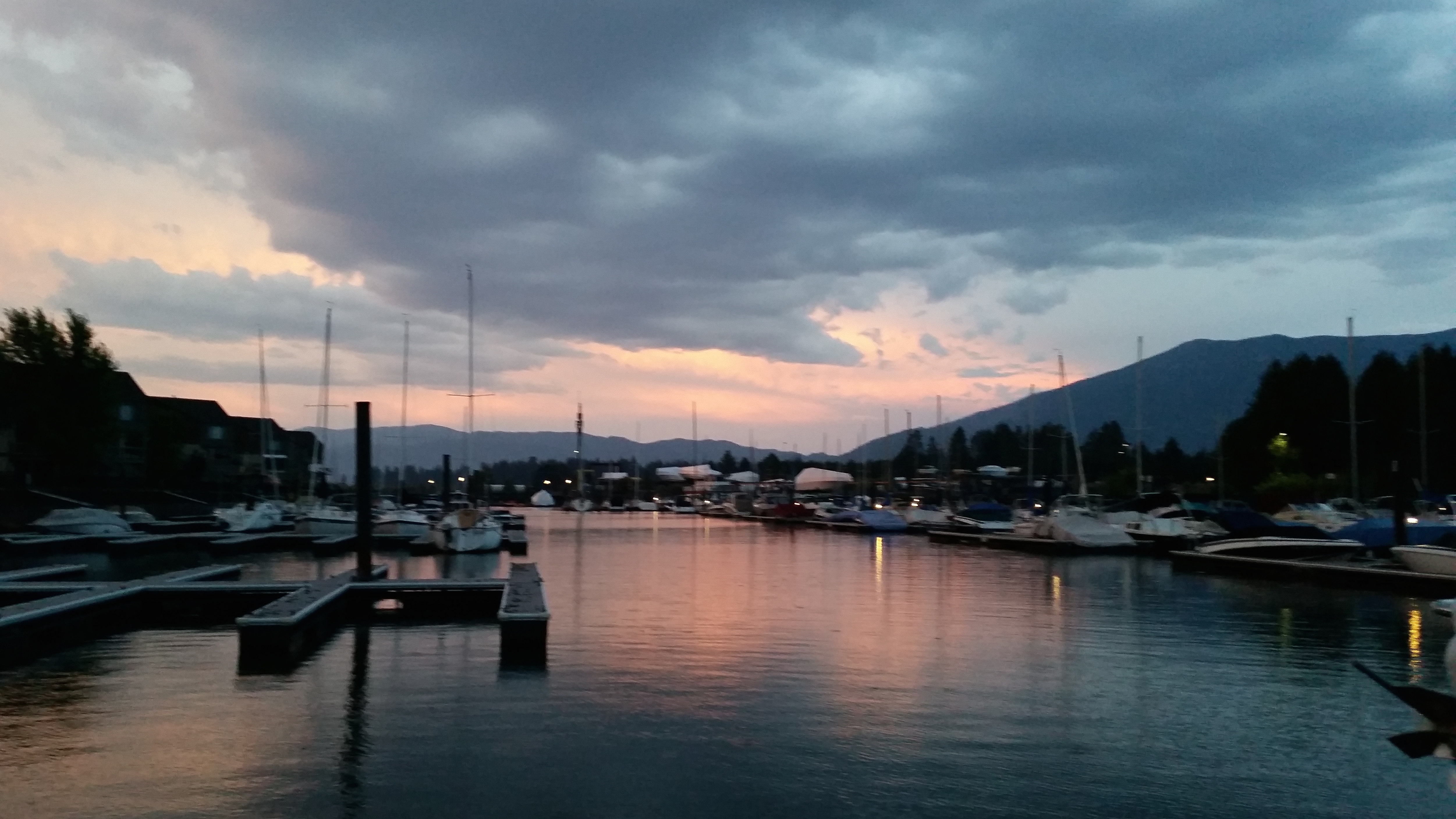
By the time we concluded our boat ride and docked the boat, the smoke receded, sparing us a moment of a picturesque sunset over South Lake Tahoe.  20140920_190254_Android

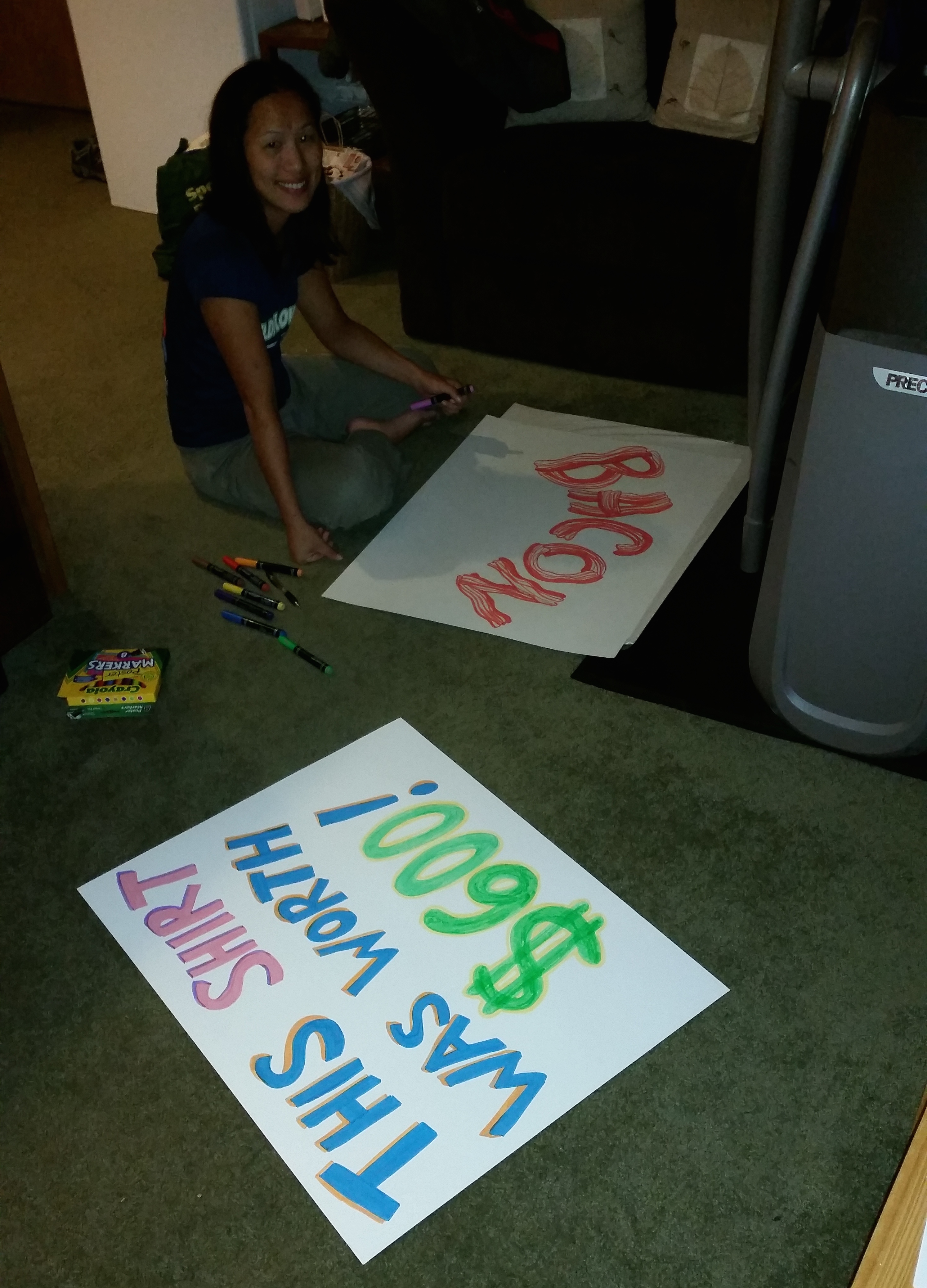
That very night, we even decided last minute to not only cheer on our friends, but to cook several pounds of bacon on the run course and pass out shots of bourbon; the prospective cheer booth was after all only a mile from the finish line.  We even purchased poster board and markers to make cheer signs:20140920_221627_Android

But alas, the unexpected change in wind direction the late afternoon of Saturday resulted in the worst of Ironman Lake Tahoe 2014: cancellation.  air

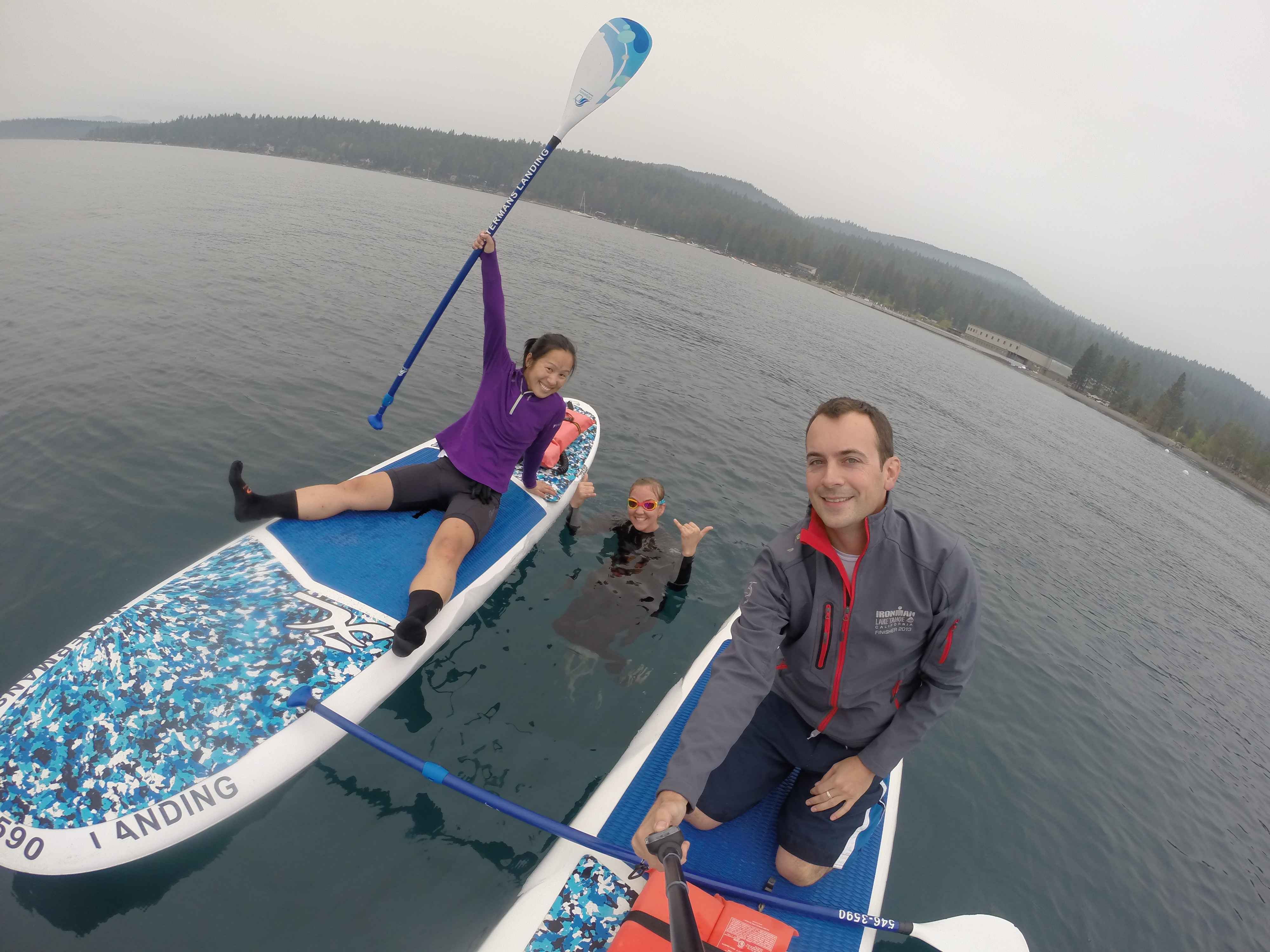
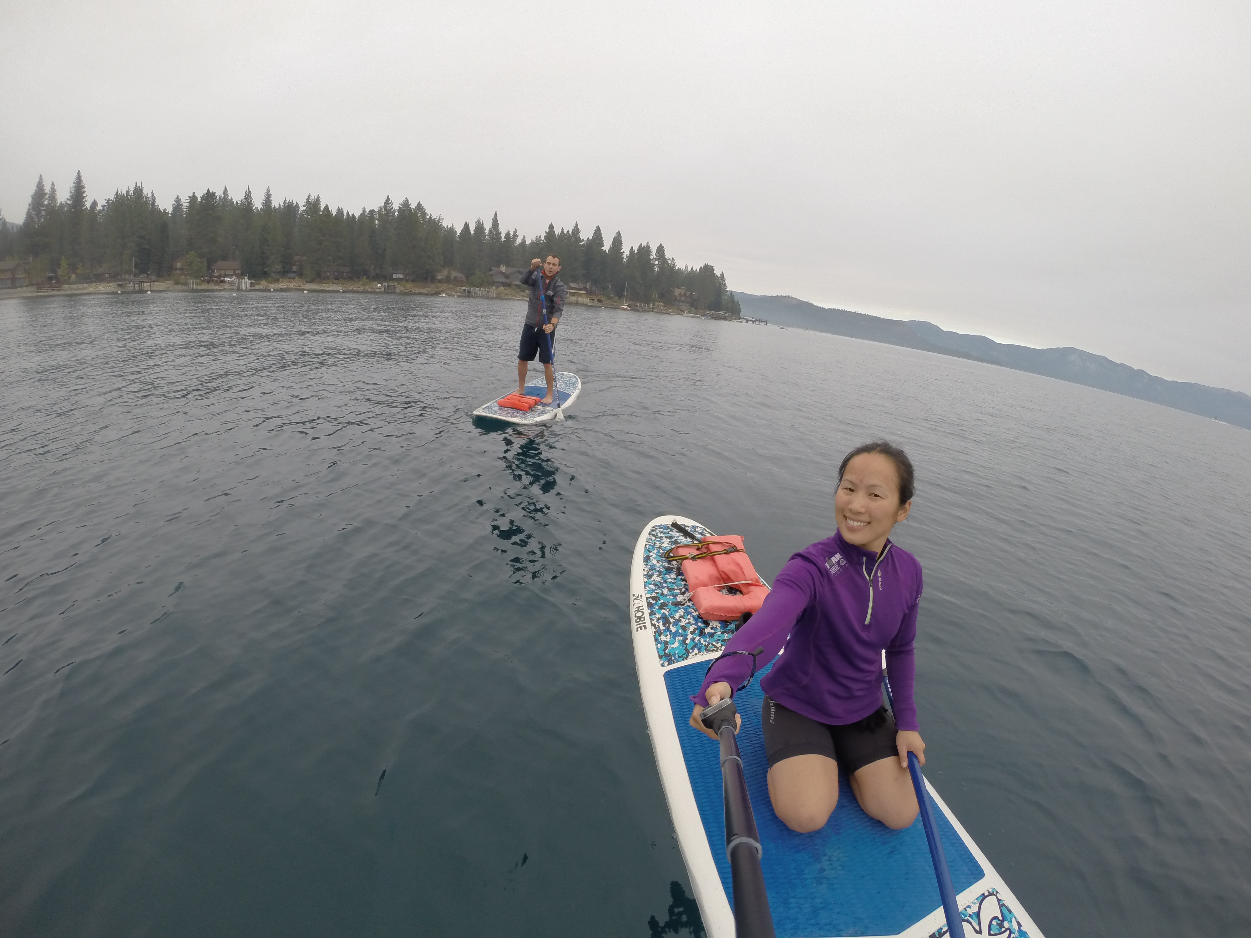
After several hours of scrambling through the clusterfuck of the last-minute cancellation, hugging and offering remorse for our friends, and finally accepting the realization, Chris and I spent our morning stand-up paddle boarding while our friend Danielle worked on her open water swim for her upcoming first triathlon race.  Despite the shitty morning, we were at least able to lift our spirits by once again spending some time on the lake.DCIM105GOPRO DCIM105GOPRO

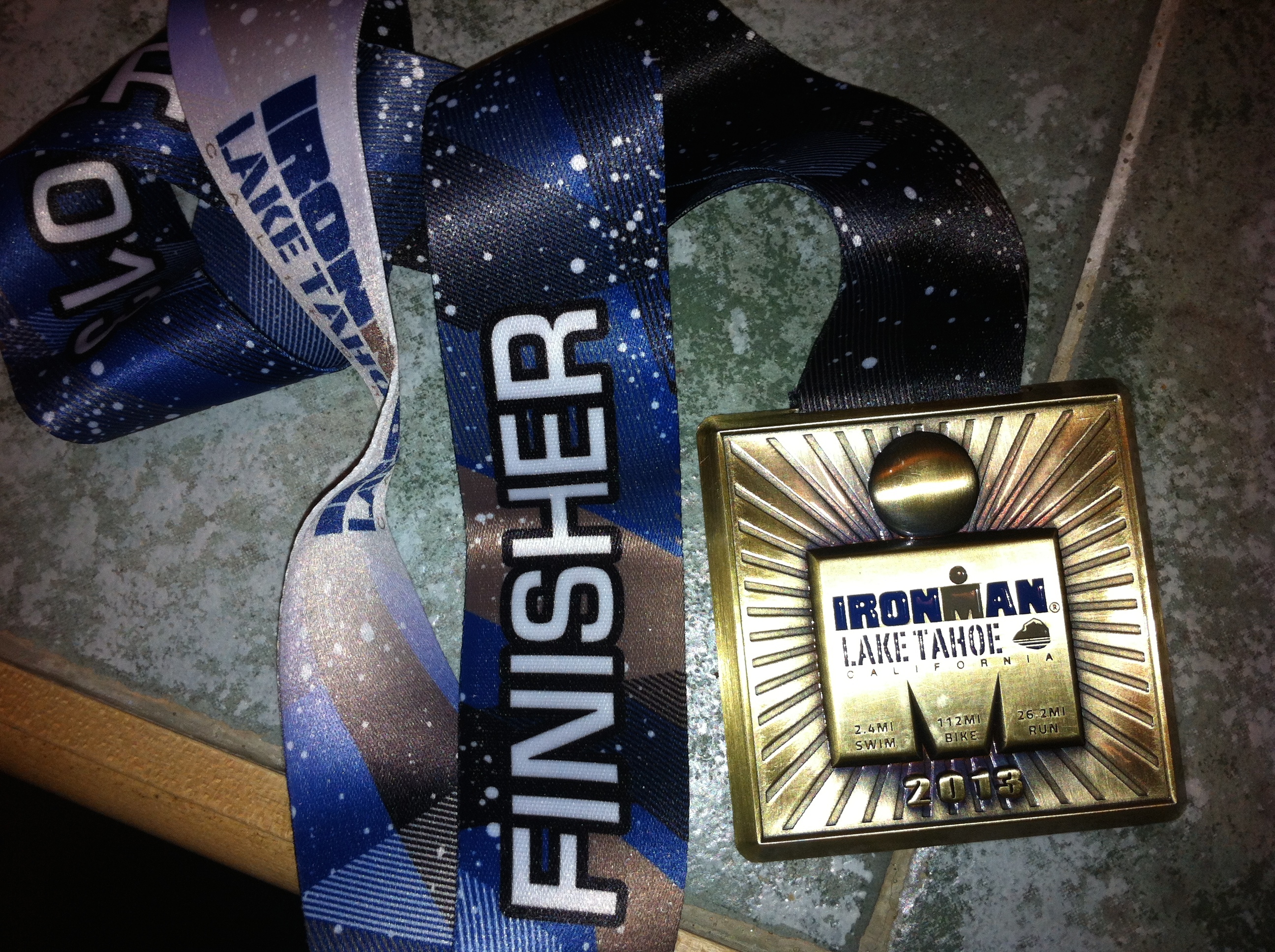
With slightly sunken spirits, we departed Lake Tahoe on Monday morning.  The air quality continued to be barely tolerable; the cancellation of the race was the right decision. Despite having a doomed reputation, we hope there will be an Ironman Lake Tahoe 2015 (I definitely will not be competing) so we can attempt to cheer and support our friends again.  I do not doubt that one day a number of our friends will be the proud owners of the finisher’s medal that I will now cherish more than ever.IMG_1781

Posted in California | Leave a comment

Romping & Nguyening Part 2 Begins: Abalone Diving

Having only spent exactly 1 month and 1 day at home with 2 weeks of it at Burning Man, our planning and preparation for the adventures of Romping & Nguyening Part 2 was no doubt a challenge.  With only a hasty 9 days, we knocked out our jam-packed list of to-do’s which consisted of unpacking and cleaning 2 weeks of Burning Man gear and our trailer, packing for our 3-month U.S. road trip, and meeting a handful of friends and family for lunch/dinner before departing.

In a way, packing for the 3-month road trip was a bigger pain in the ass than packing for our 5-month Southeast Asia backpacking trip.  Not being limited to a 50L backpack meant we could pack MORE! In addition to the thick, winter clothing we were obliged to pack, we also managed to cram our skydiving gear, cycling gear (road bikes on the bike rack), swimming gear, and running gear (both summer and winter wardrobes) into Chris’ compact Toyota RAV4.  Scromp, our 16-foot Scamp trailer that we purchased almost 2 years ago, also required supplies such as tools (Chris installed solar panels), kitchenware (I bought a camp oven for baking), cleaning supplies, and more.photo

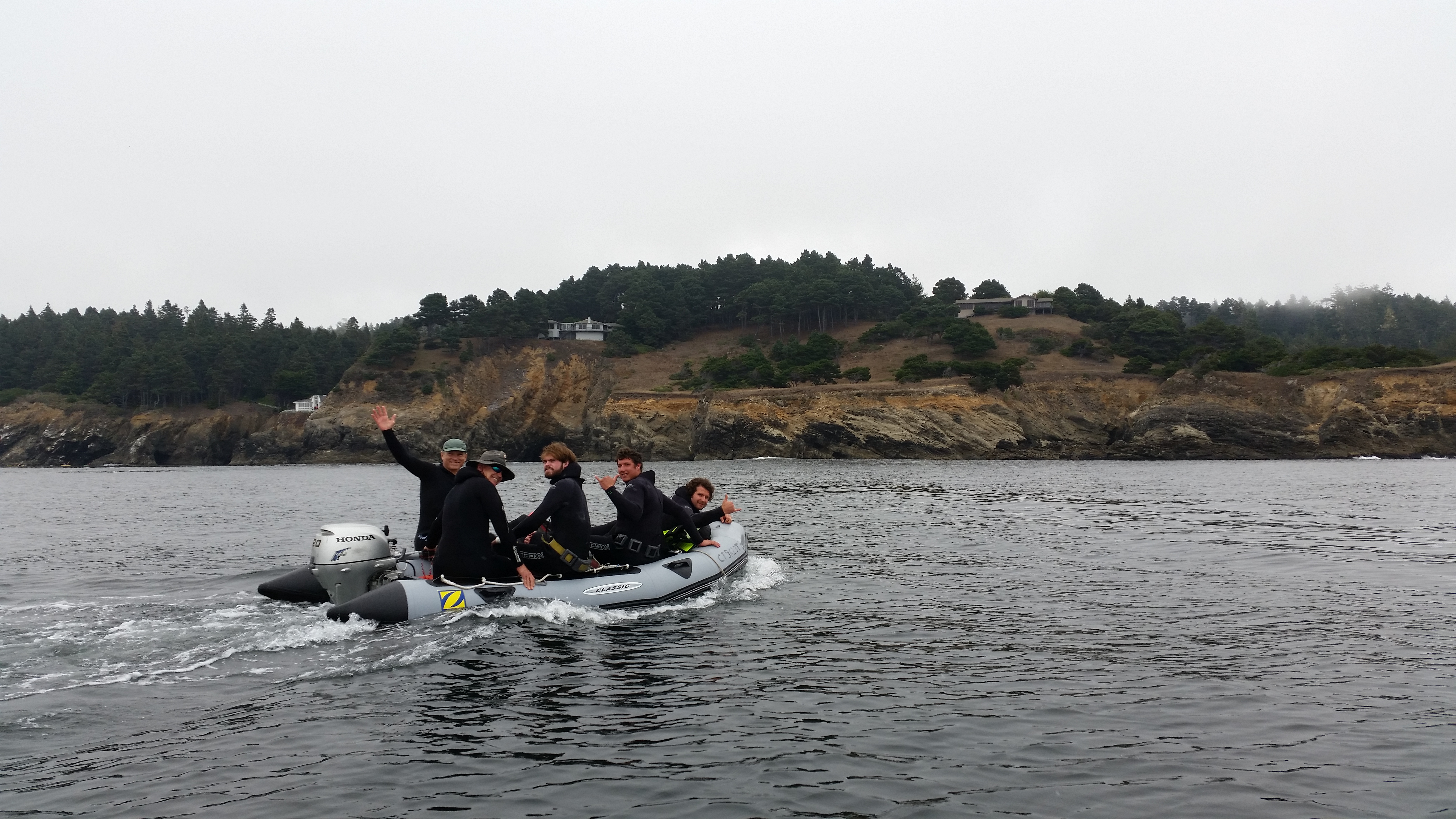
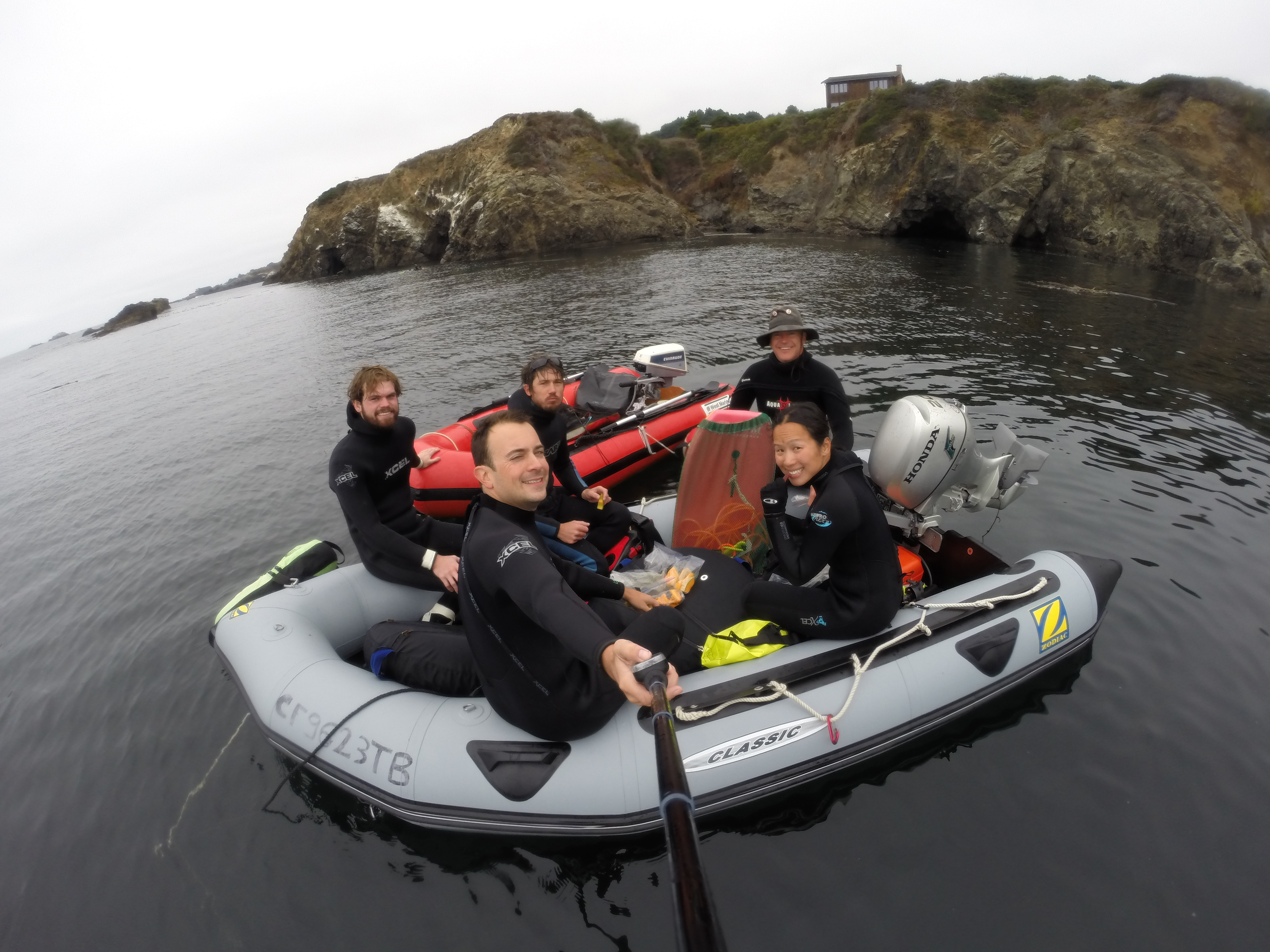
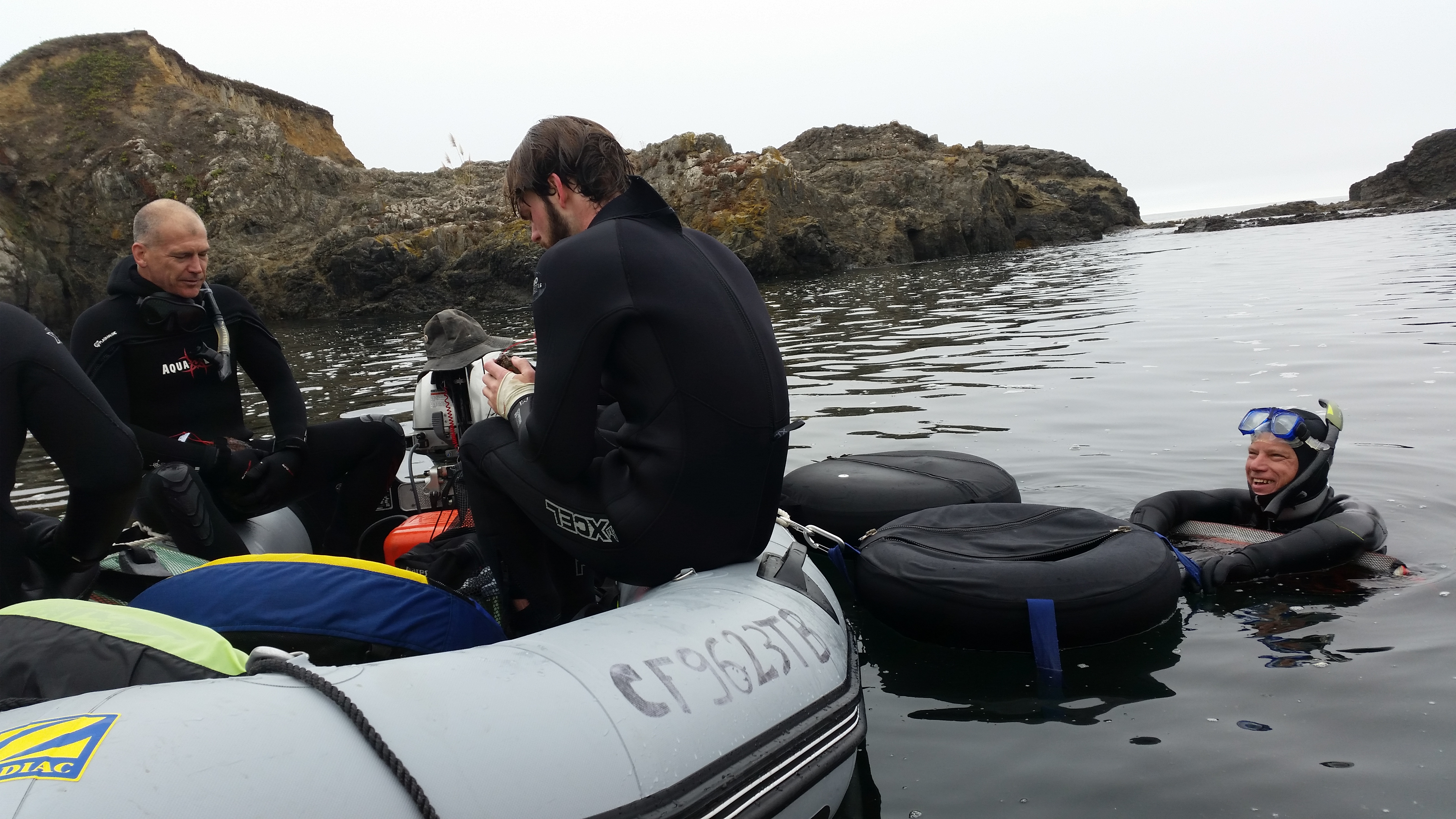
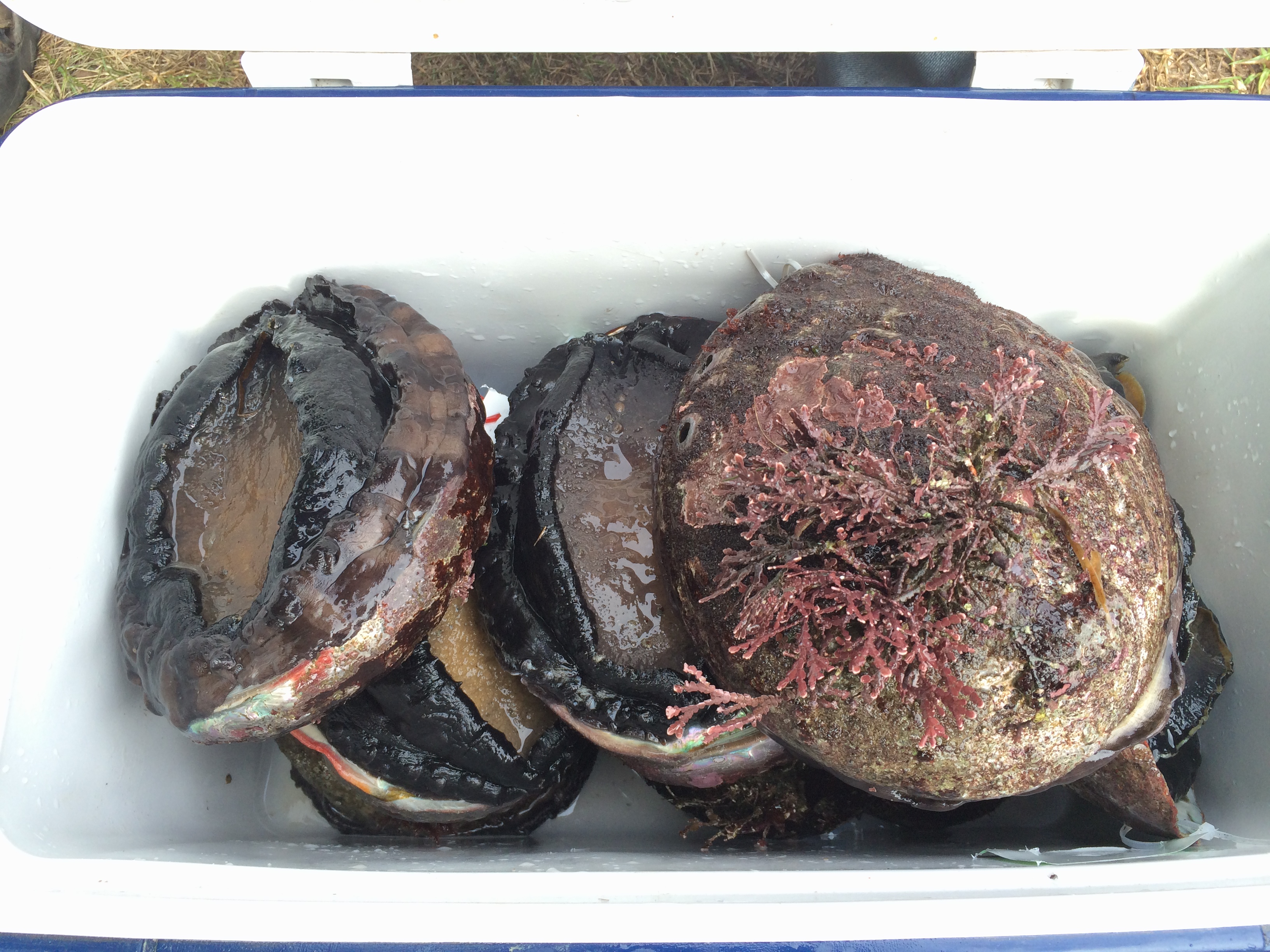
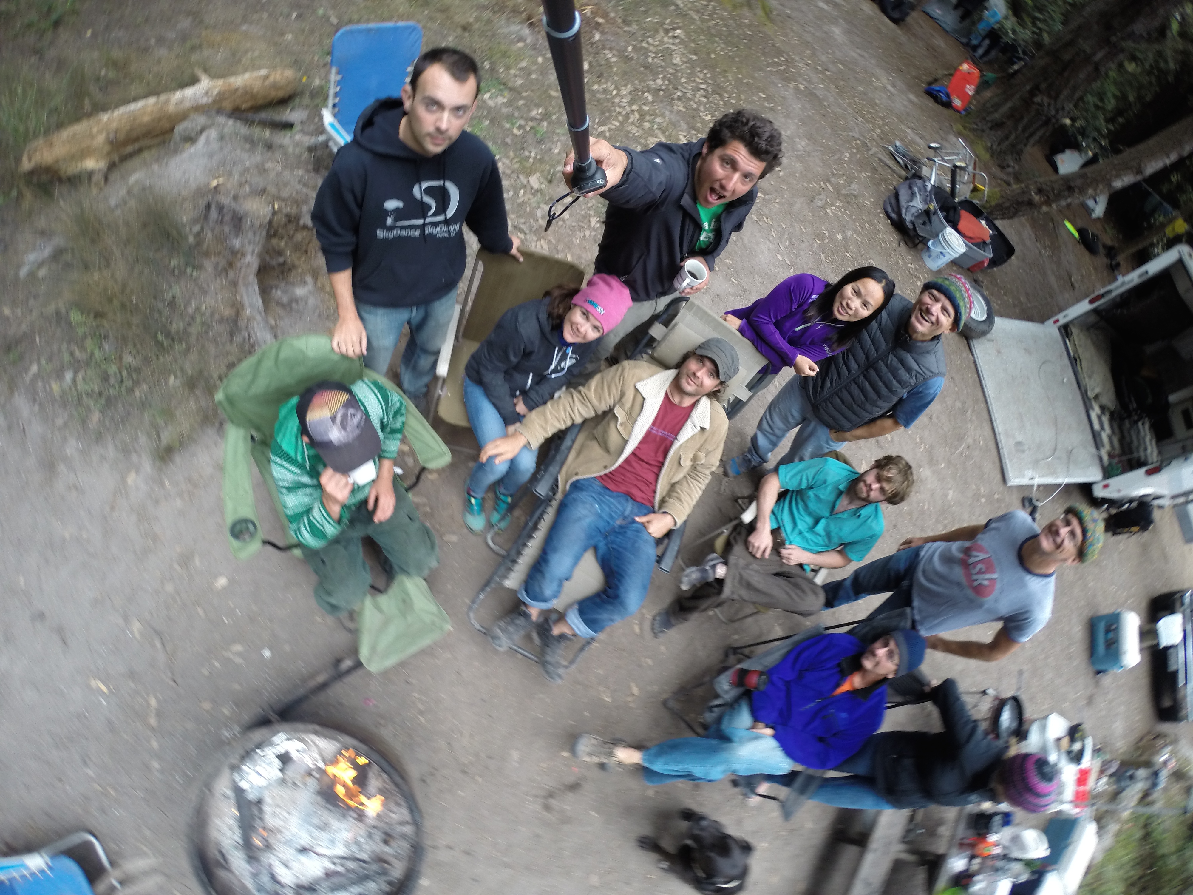
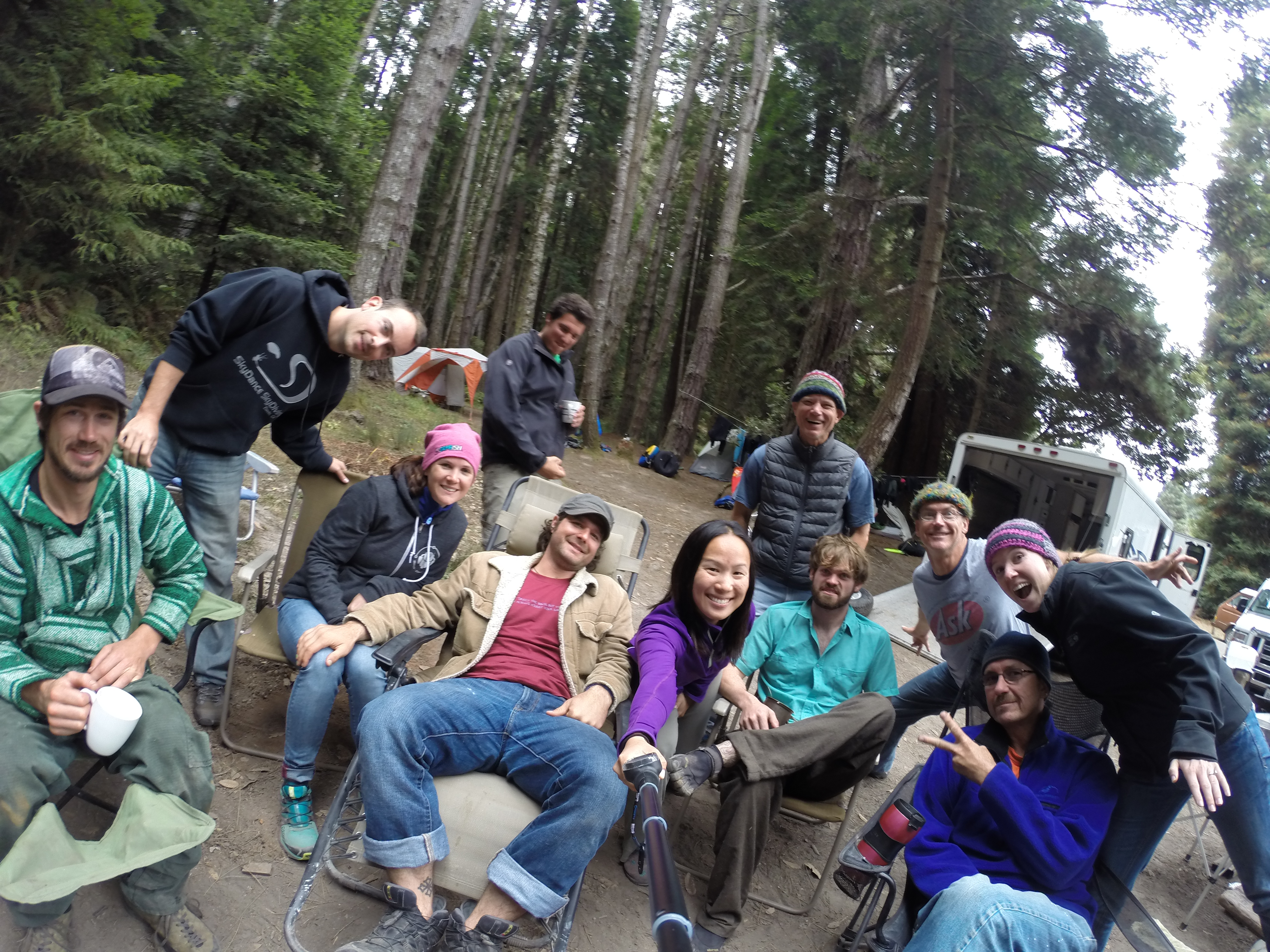
We had originally planned to embark on our journey on Monday, September 15 to Lake Tahoe, but we ended up starting earlier on Friday, September 12 after excitedly making last minute plans to go abalone diving after conjuring crazy ideas while intoxicated at Burning Man. The first destination was Van Damme State Park near Fort Bragg in Mendocino, about a 3-hour drive north of San Francisco.  Over the past couple years, some friends had mentioned abalone diving but we never chiseled out the details and carved the idea into realization. This year the interest to make it happen was full of vigor and enthusiasm, and a group of 11 of us, all from Burning Sky, rendezvoused at the campground and squandered the weekend away by abalone diving, feasting, and simply having a blast.

Fortunately, a number of our friends were experienced abalone-divers, which resulted in a highly well-taken-care-of camp.  They brought boats, gave us the where-to for wetsuit rentals and fishing/abalone licenses, and provided tips on how to pry off the abalone and not die. 😉

Enjoying the boat:

20140913_122914_AndroidDCIM105GOPRO

Hanging out: 20140913_140931_Android

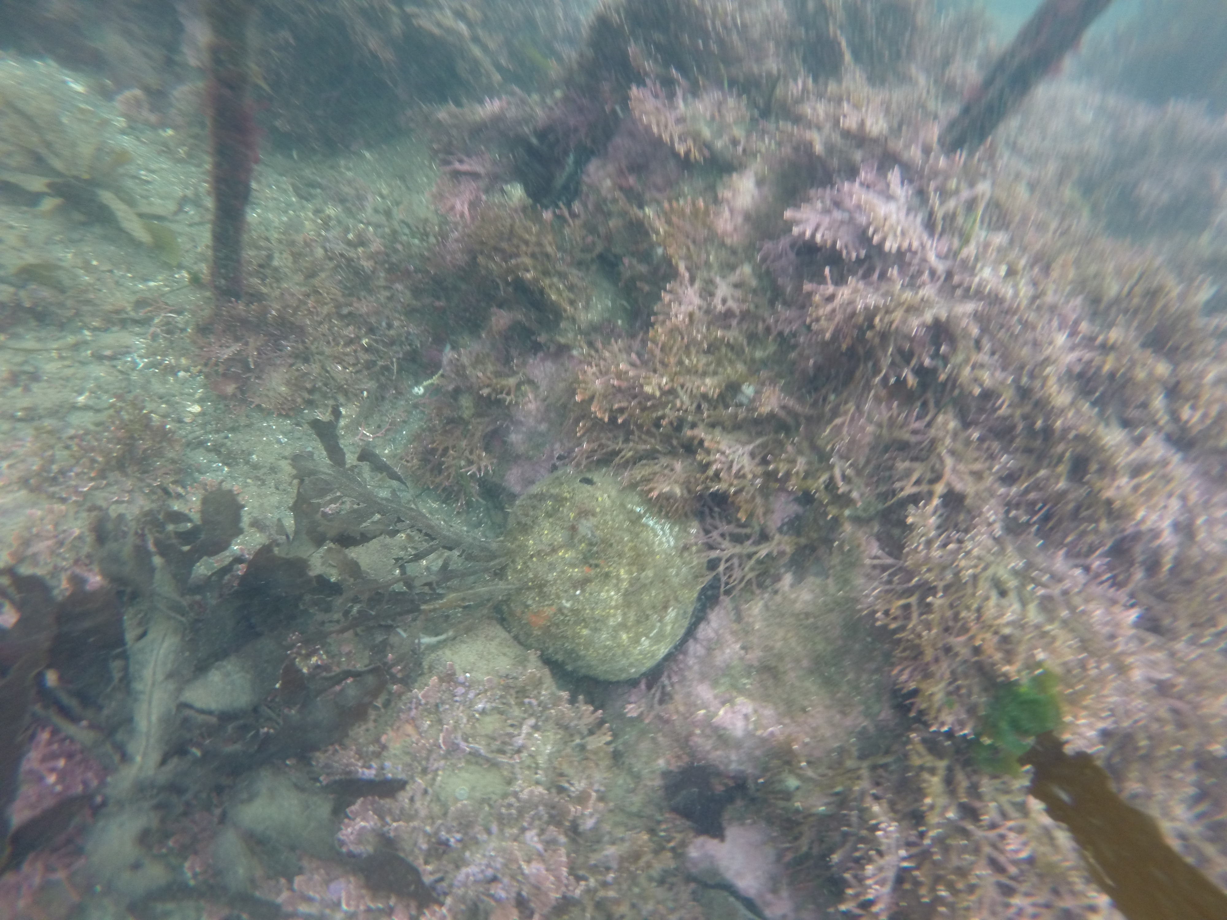
Fresh abalone! 

DCIM104GOPRO

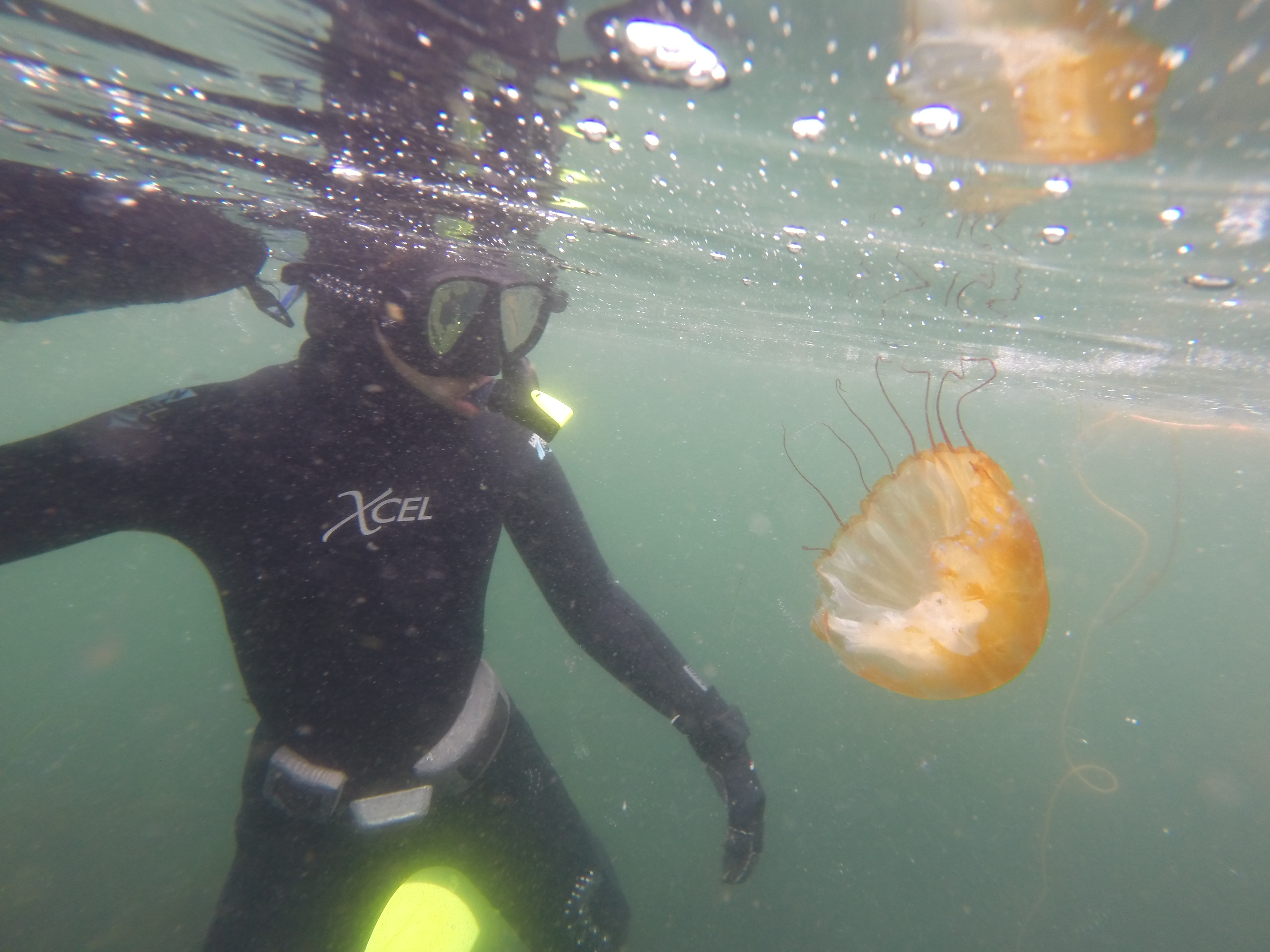
A number of jelly fish dawdling at the surface:DCIM104GOPRO

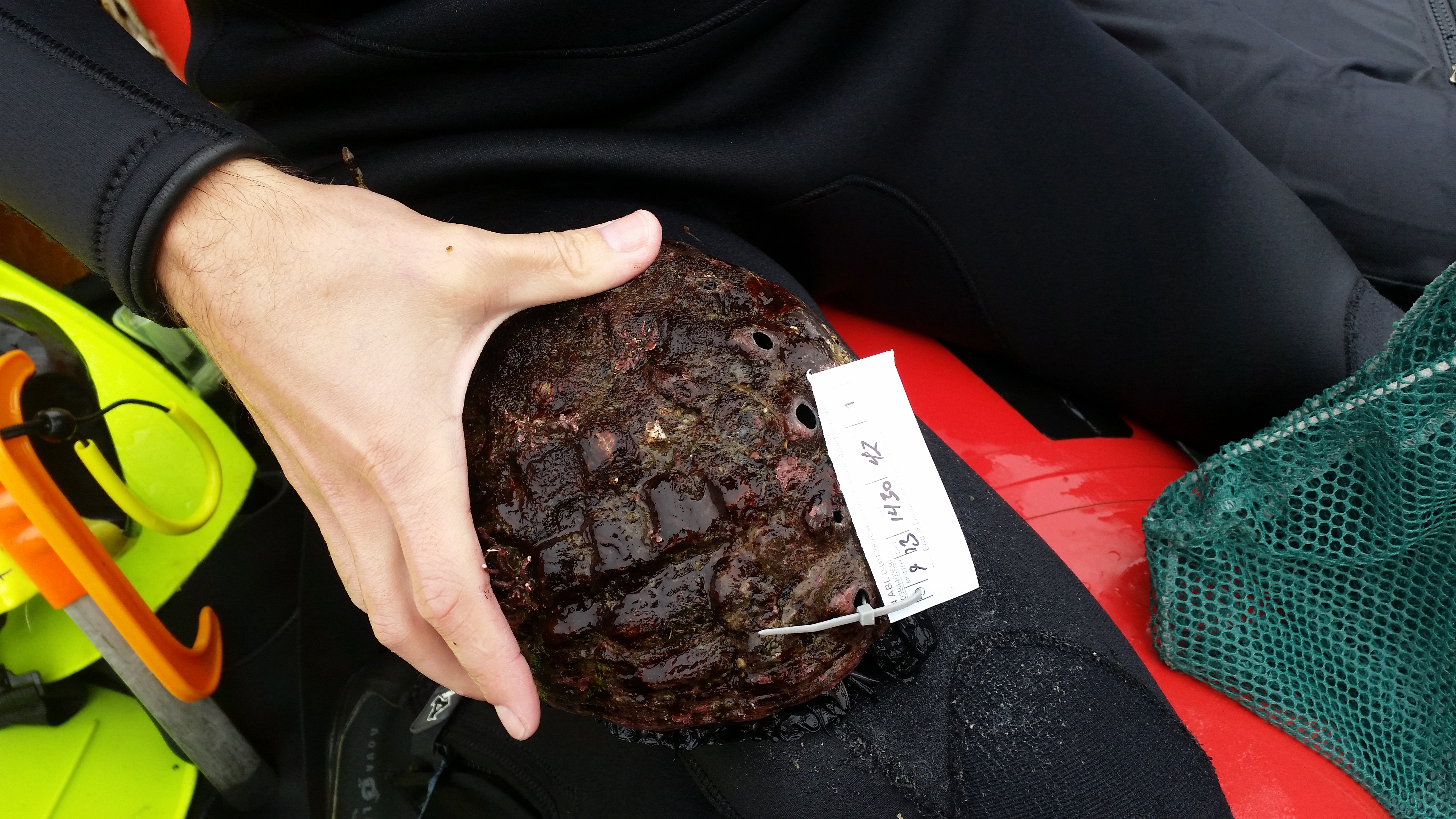
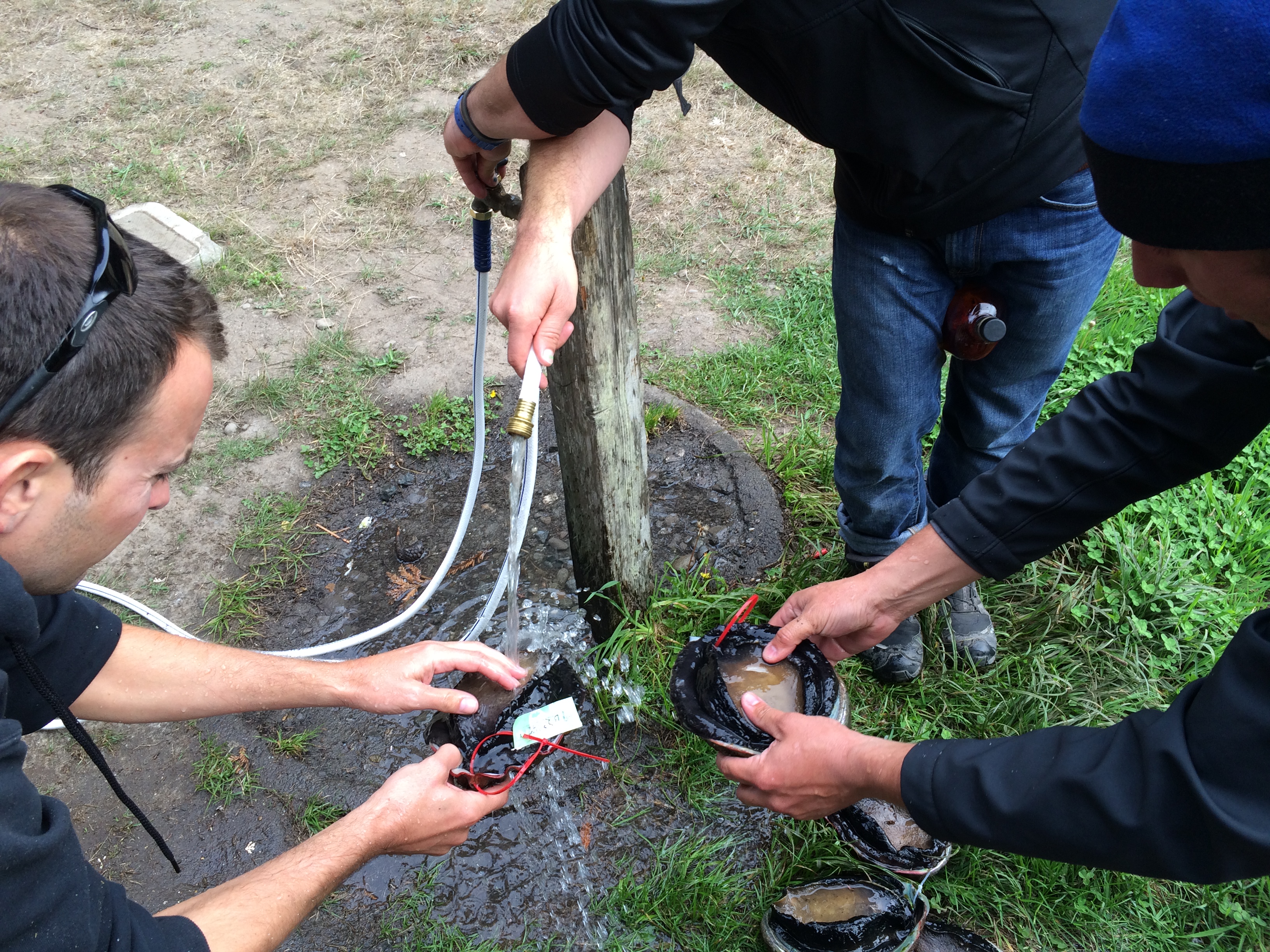
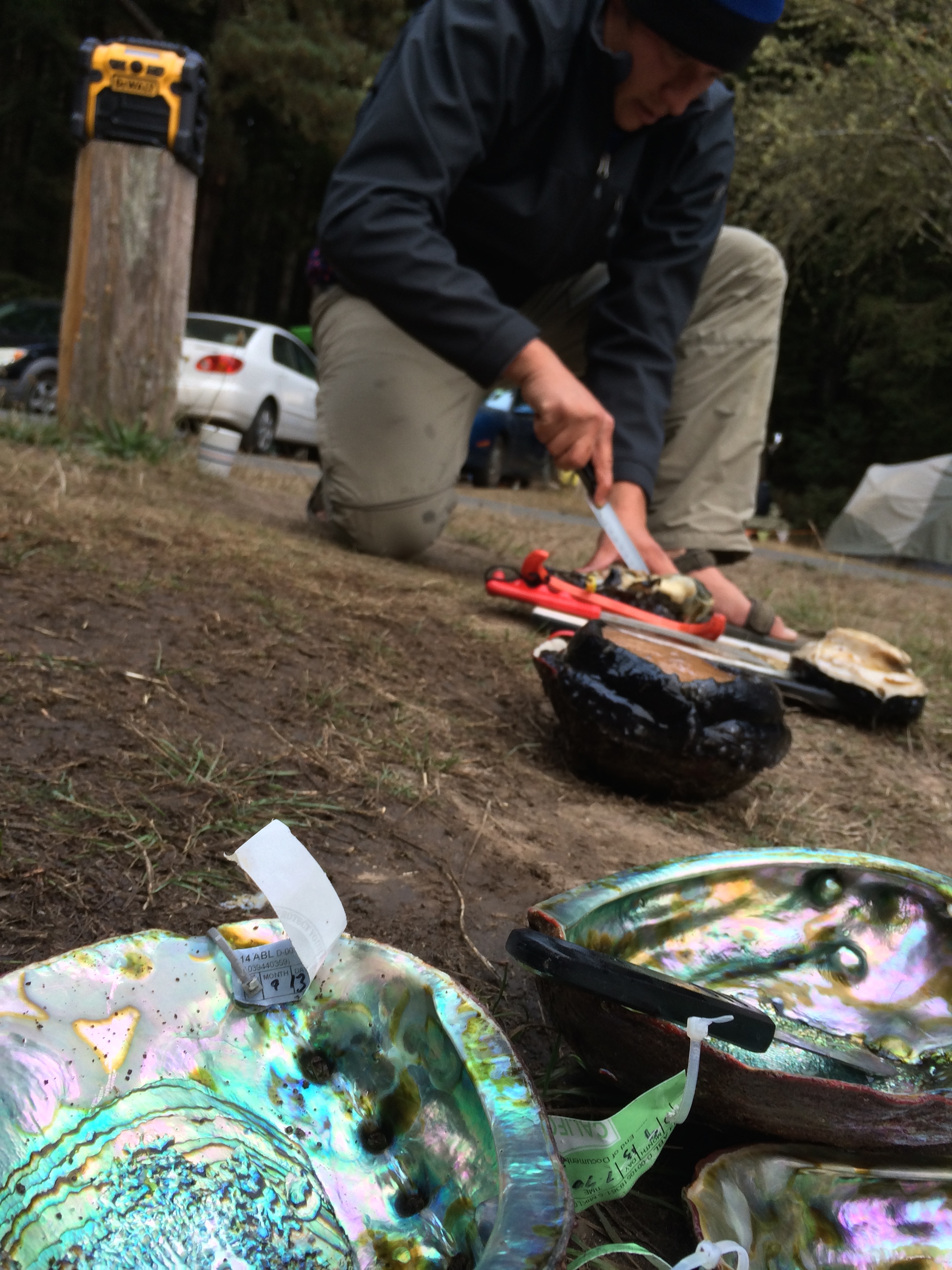
Tagging the abalone:20140913_141015_Android

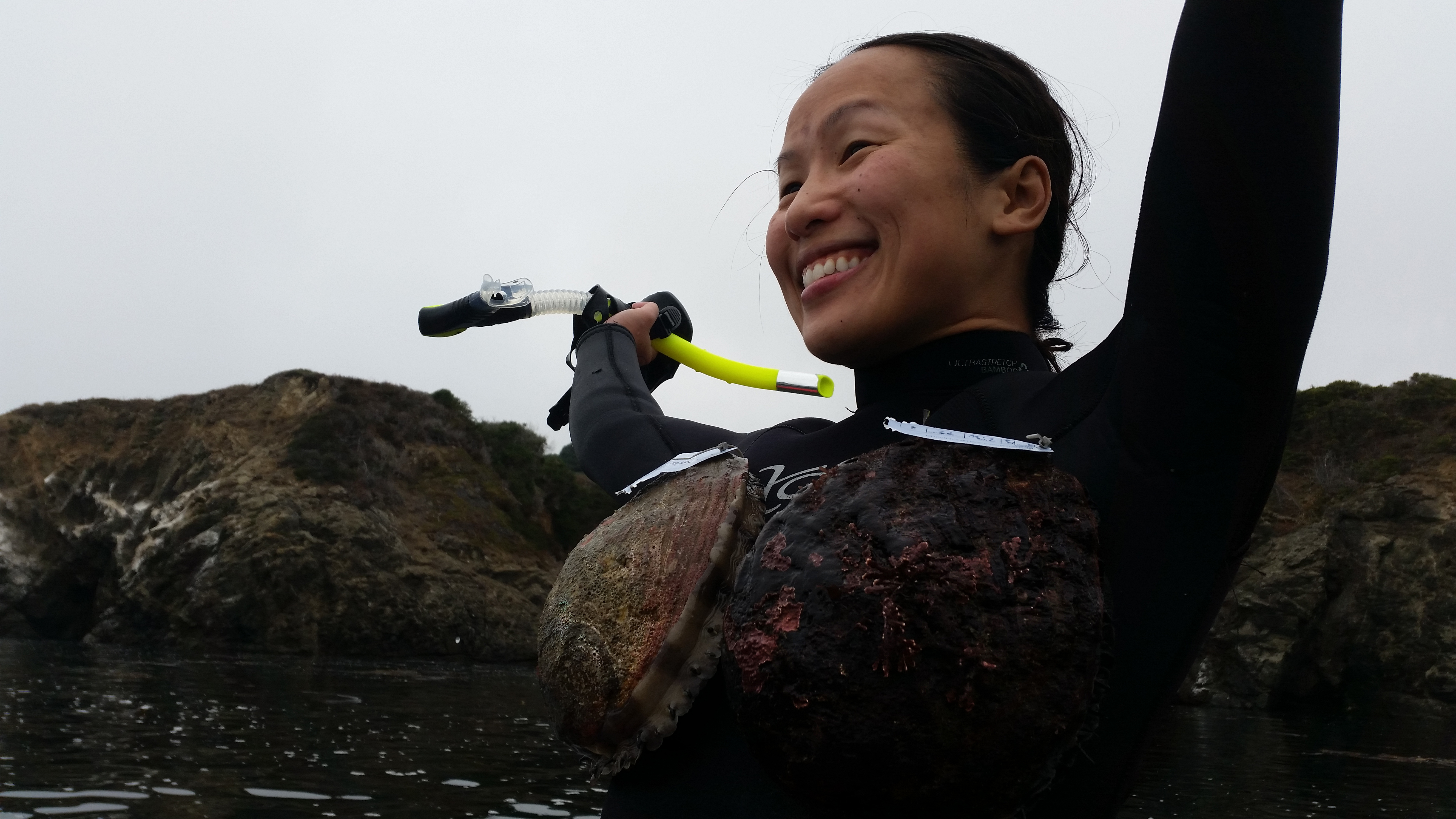
Pretending to be the little mermaid with two abalone sucking onto me:20140913_141337_Android

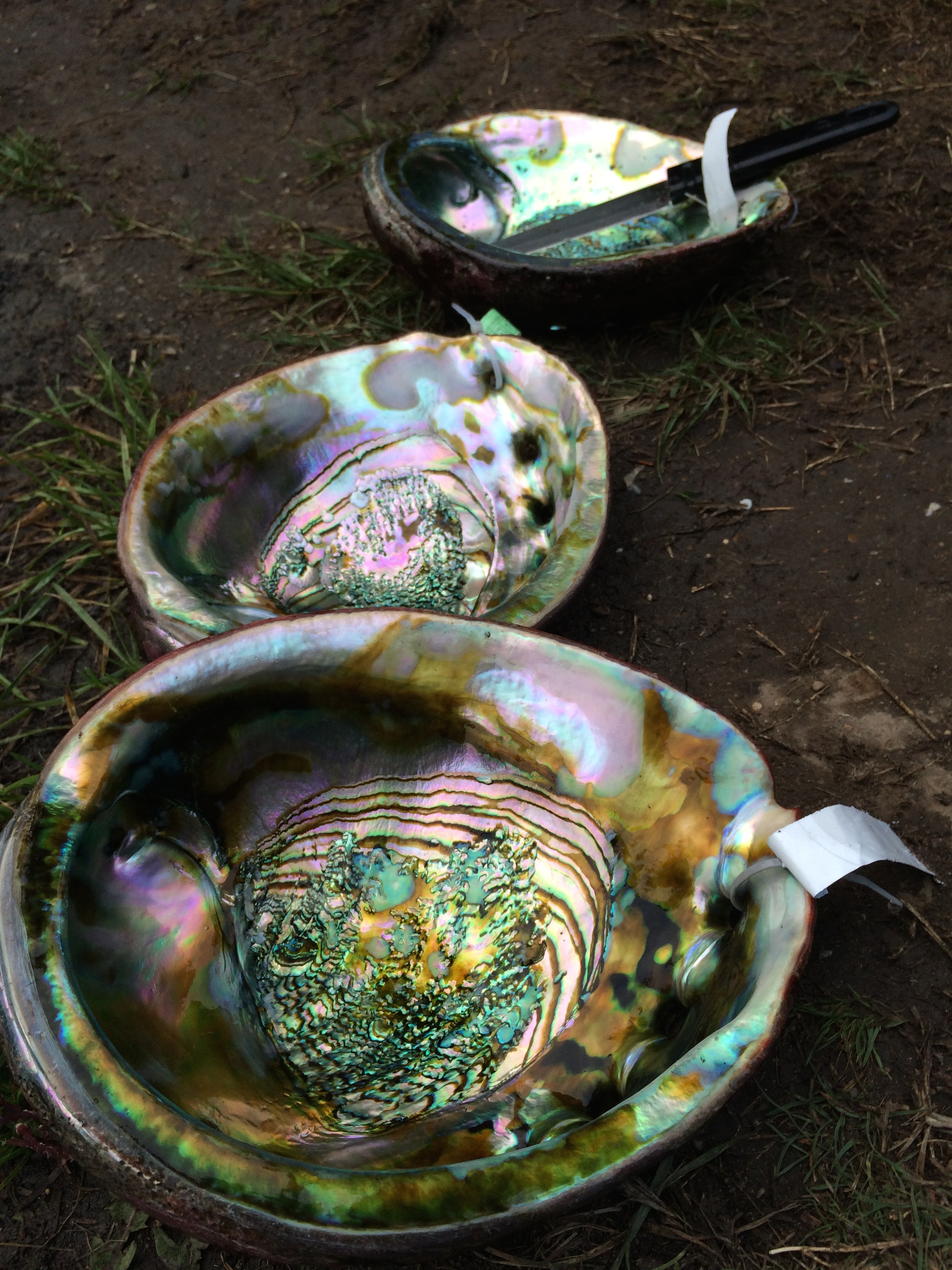
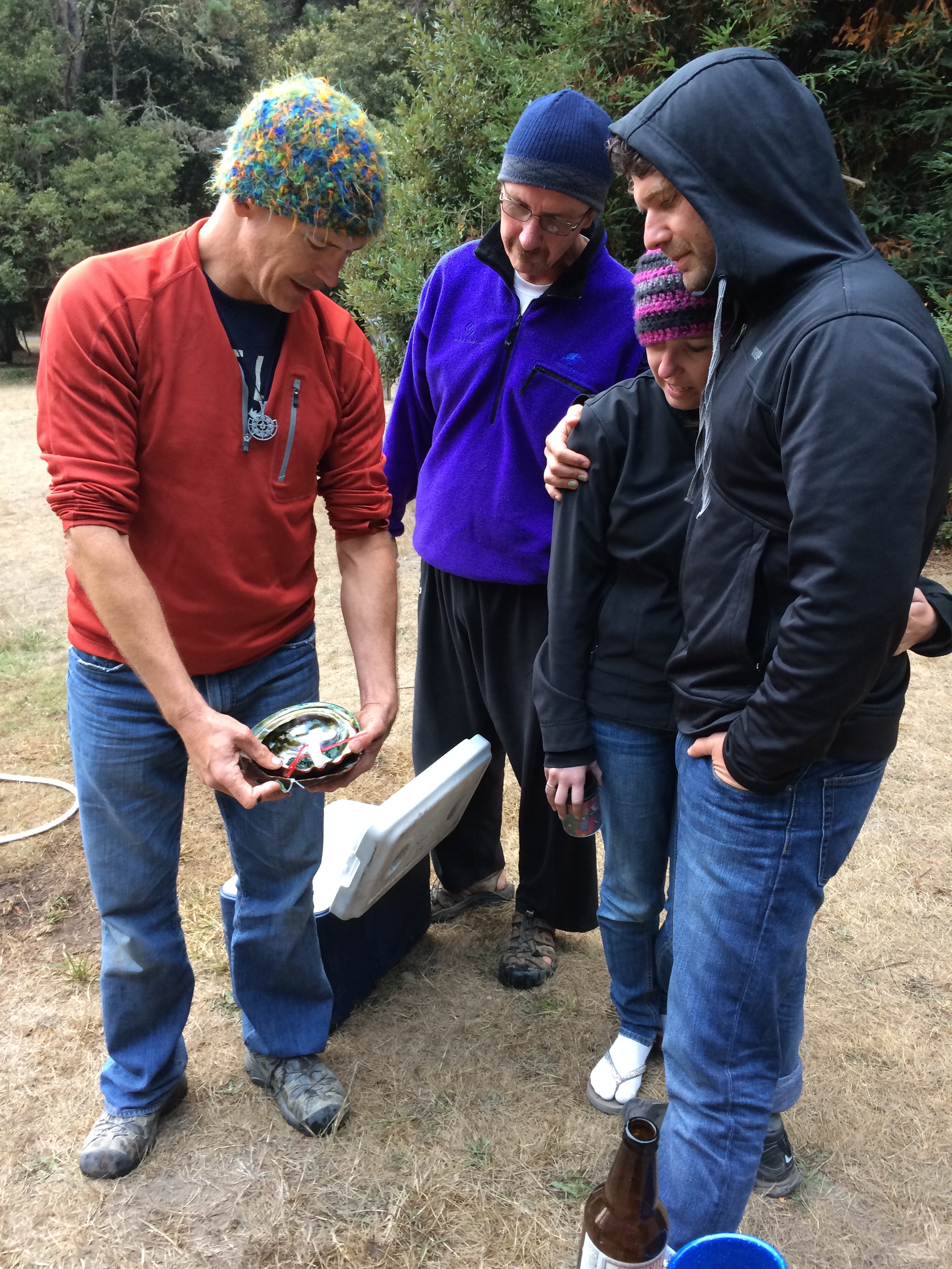
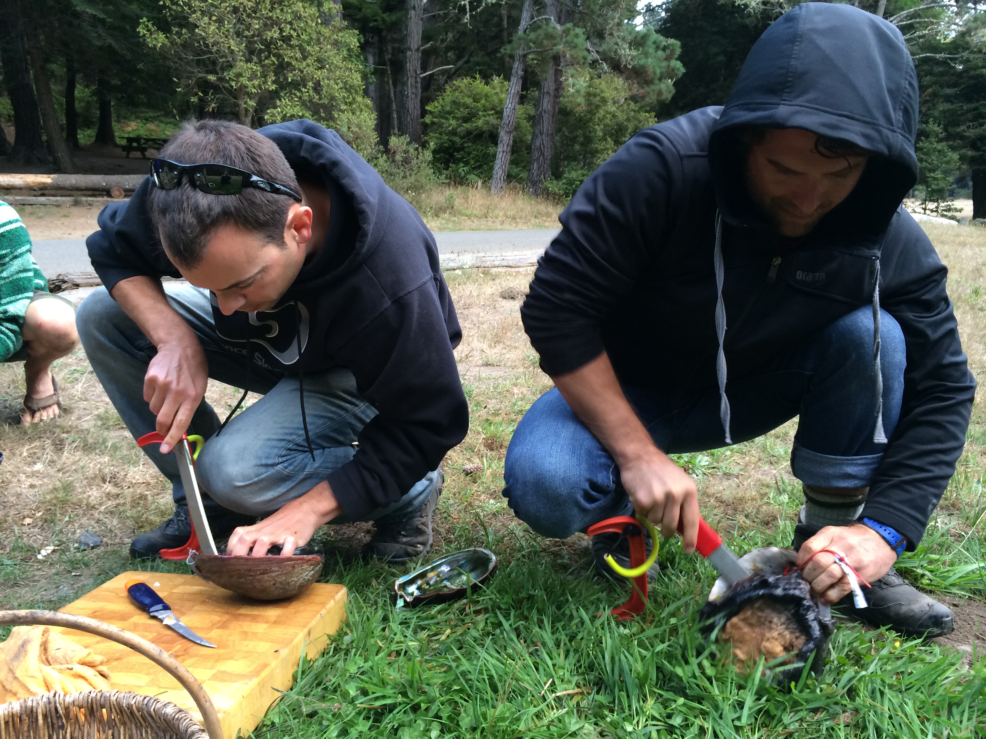
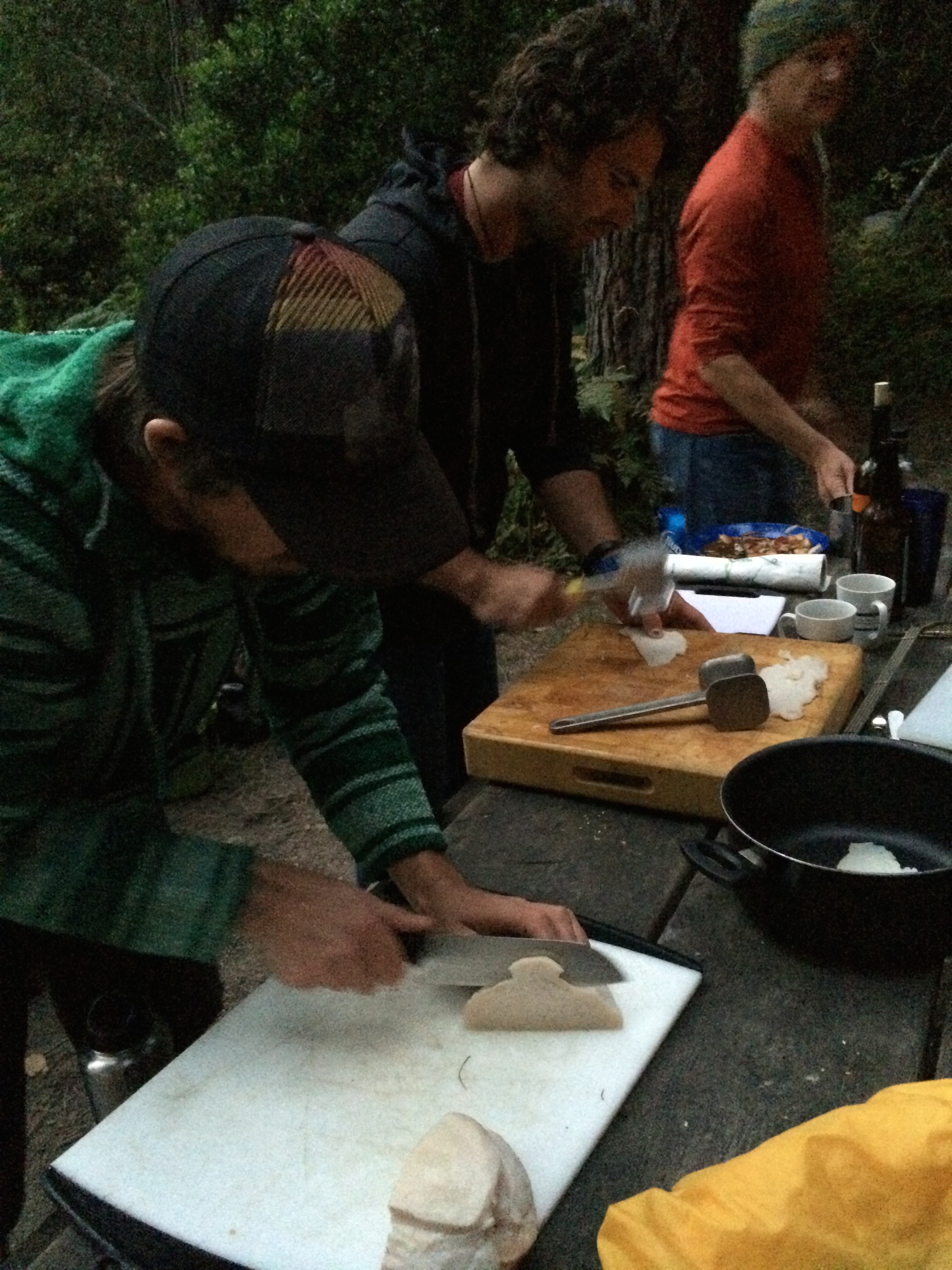
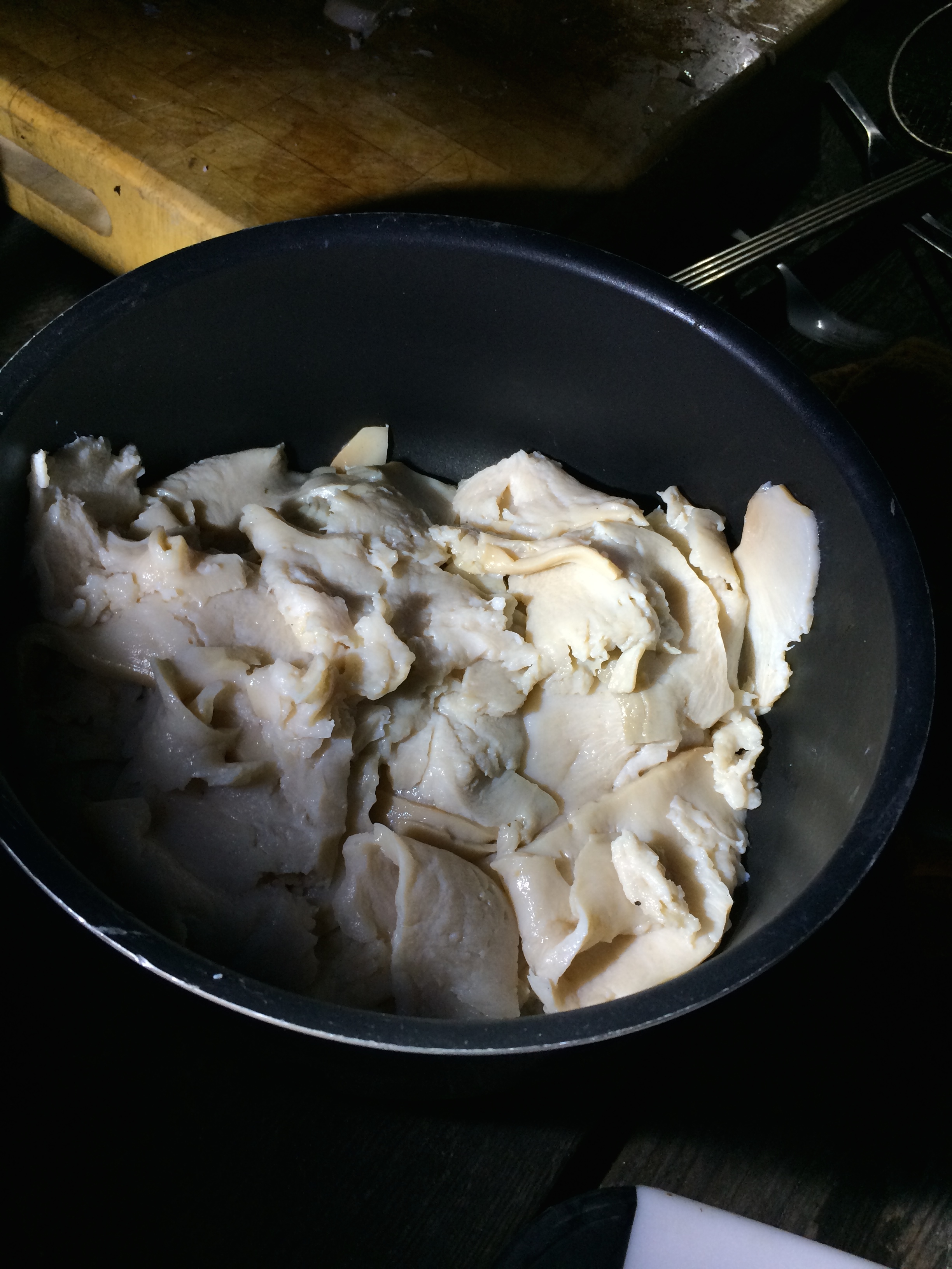
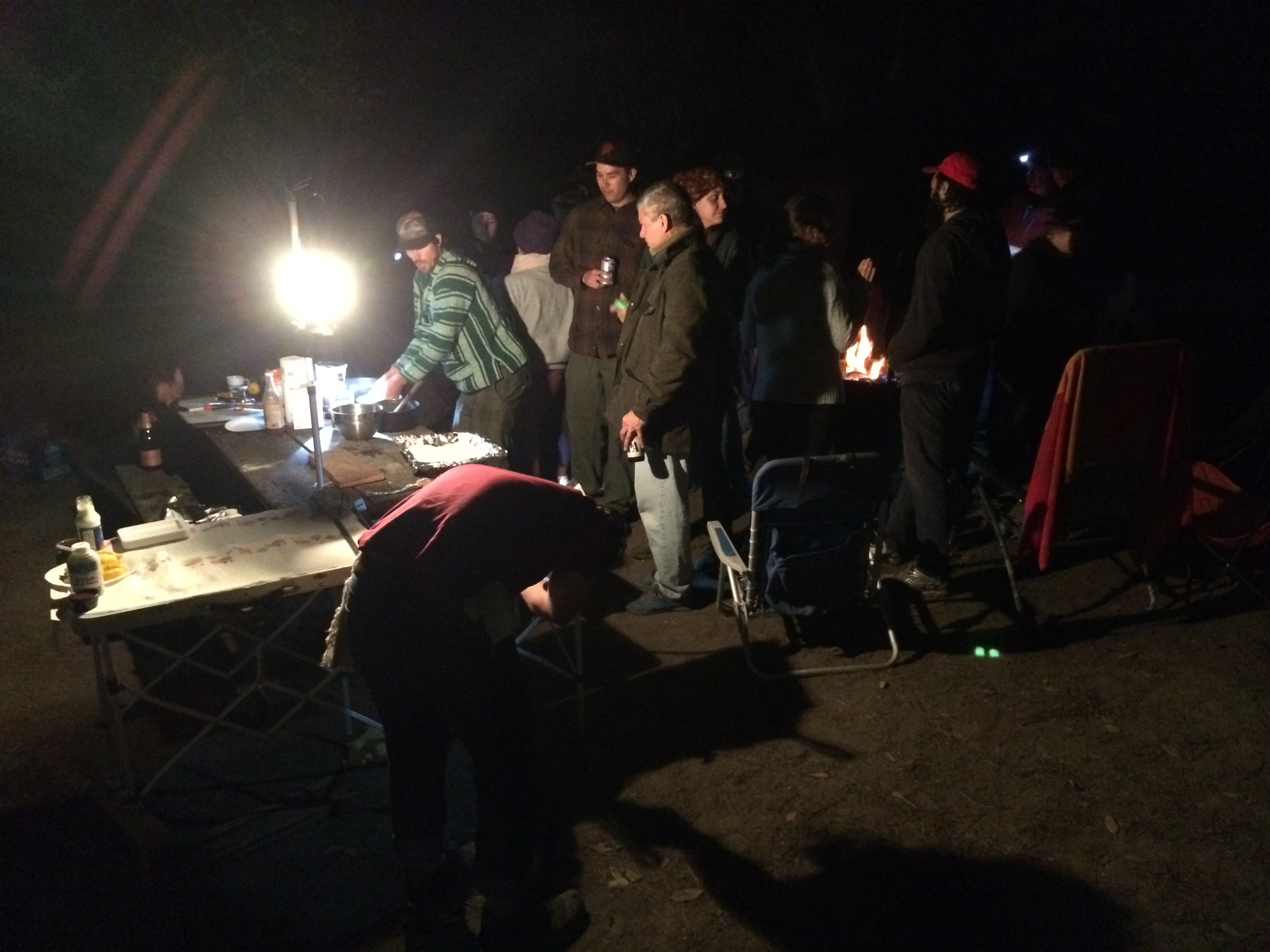
Back at camp we worked in teams to prepare the feast for that night. We prepared 10 abalone (even with 20+ people, we only managed to eat half of them) by de-shelling, de-gutting, washing, trimming, slicing, and tenderizing them.  Hours went into this tedious work; those not involved with the abalone prep kept themselves busy by preparing the other dishes of roast vegetables, tri tip, and chicken.

IMG_6520IMG_6518 IMG_6523 IMG_6531 IMG_6533 IMG_6547 IMG_6555 IMG_6561 IMG_6562

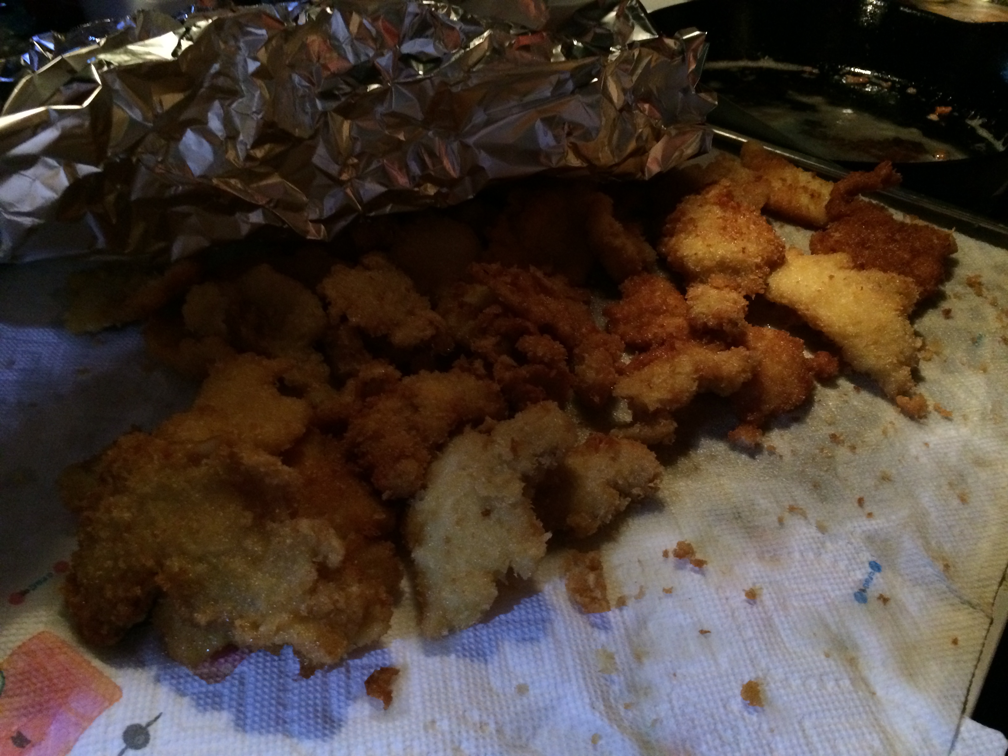
The final form of our abalone: breaded and fried. Abalone at its freshest. YUM!IMG_6564

When we weren’t abalone diving, we enjoyed camping like normal people–hanging out at the campfire amidst the chilly north coast fog, making crude jokes and laughing so loud that our asshole neighbor complained, devouring gooey s’mores, and simply enjoying each other’s company.DCIM104GOPRO DCIM104GOPRO DCIM104GOPRO

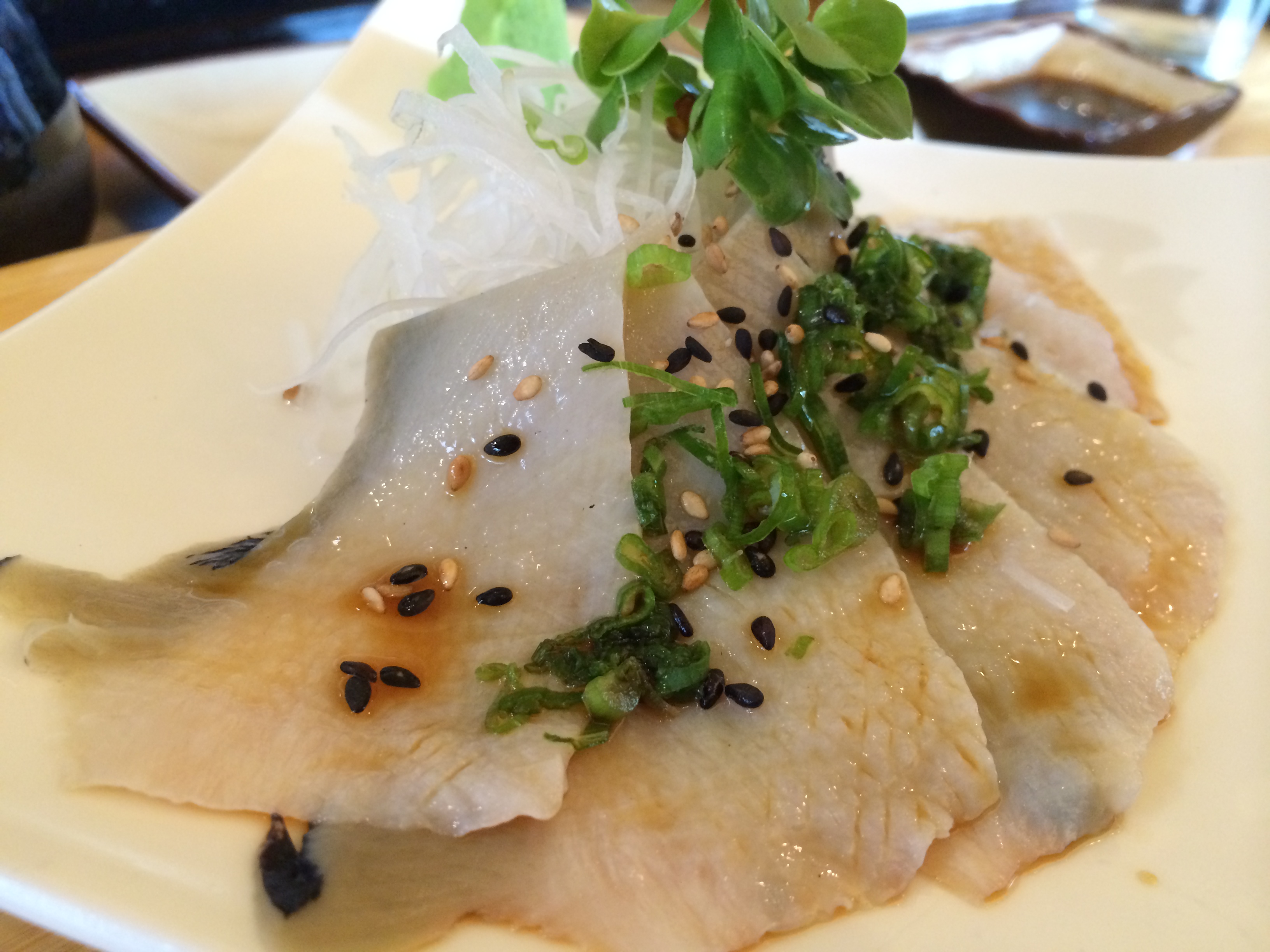
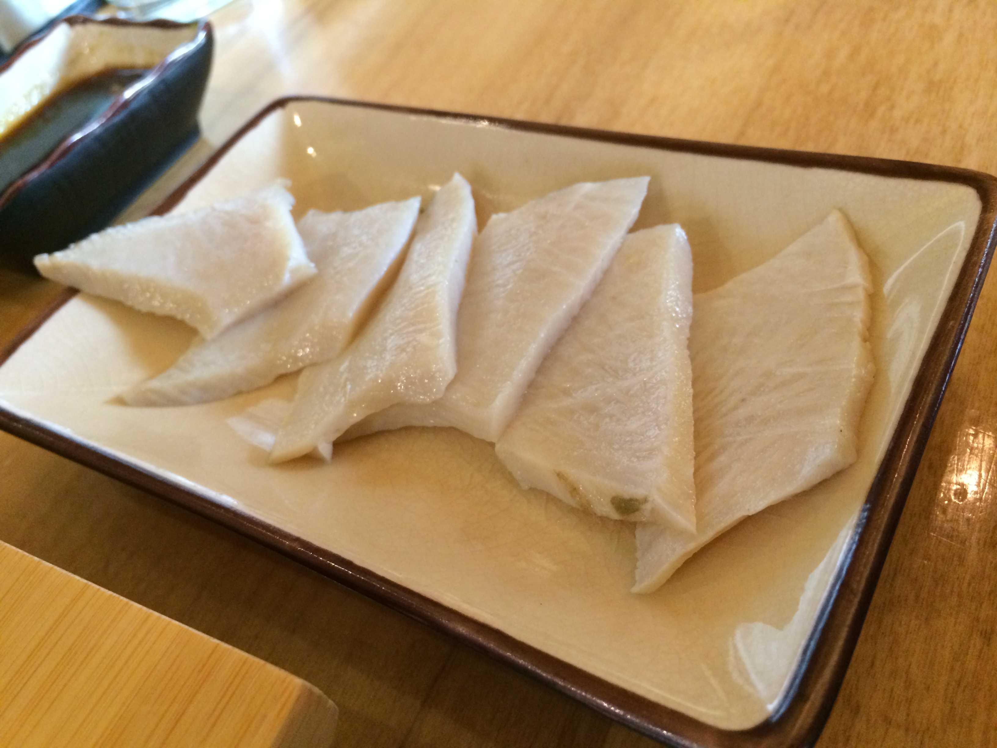
In order to to prevent extinction, California law prohibits abalone from being purchased in markets and limits free-divers (no SCUBA) to catching only 3 per day with a maximum of 18 per year.  Black market rates can actually run up to $80-$100 per abalone!  With the surplus of abalone, Chris and I decided to drop some off at restaurants during our long drive from Mendocino to Lake Tahoe to make sure the abalone were put to good use.  Both head chefs from the seafood restaurant in Sacramento and sushi restaurant in Truckee gratefully accepted a pair of abalone.  They weren’t allowed to sell/serve it to customers so they excitedly told us of their plans to share it with their staff.  The sushi chef in Truckee even graciously prepared some abalone sashimi for us!absushi1 absushi2

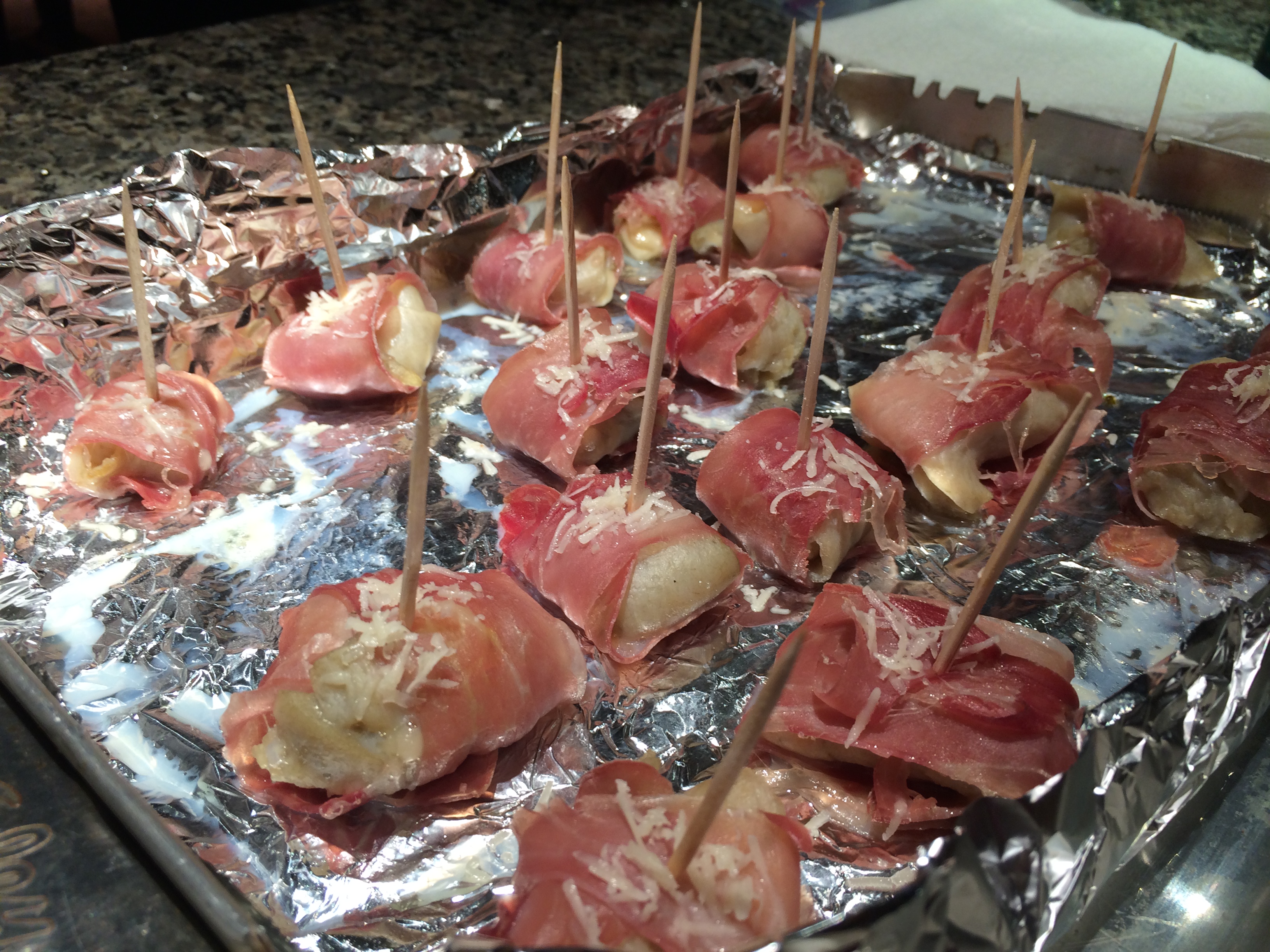
After dropping off a pair of abalone at two different restaurants, I was left with one more abalone, which I prepared myself for a potluck dinner with my triathlon club in Lake Tahoe.  It took a total of a tedious 2.5 hours for Chris to de-shell and gut the abalone, and for me to thinly slice, tenderize (with a freakin’ hammer!), and prepare the abalone appetizers. Thanks to a lesson with Karl back at the campsite, I was able to recreate a simple but scrumptious recipe in the kitchen.  I rolled sliced pepper jack cheese into the tenderized abalone steaks, which I proceeded to roll in prosciutto.  I then placed each pepper jack-abalone-prosciutto ball onto a generously buttered pan, poked a toothpick through each ball to keep them in tact, and then topped each ball with fresh-grated parmesan.  After baking in the oven for 15 minutes at 300ºF, they turned out more mouthwatering than the ones we roasted over the campfire!ab_balls

Since it was my first time preparing and cooking abalone (I did not work on the abalone at camp), I was nervous about serving it, but the looks in my friends’ eyes and exaggerated compliments filled me with pleasure and confidence that I’ll be able to create another delicious abalone dish again.

The last-minute excursion to abalone dive with friends was a wonderful way to kick off the adventures of Romping & Nguyening Part 2.  We were able to share our appreciation of our friendship and each other’s company, our passion for new experiences, and our love for food.  Chris and I look forward to abalone diving again in the next season after we fulfill our thirst for wanderlust.  Until then, we have the rest of the U.S. to explore!

Posted in California | 1 Comment

From Home to Burning Man

The obvious reasons for our excitement upon returning home were familiarity and comfort, but the other reason was simply the sheer fact that home is San Francisco.

I had looked forward to satisfying my thirst for wanderlust, but unlike many travelers, I had not planned on using travel as a means of escape from uncertainty. Preoccupied with an amazing career and countless hobbies, sports, activities, and friendships, I at times wondered myself why I was leaving behind the dream life to embrace the unfamiliar arms of culture shock and scams. But the answer was obvious–my heart yearned for new challenges that exist far beyond the pressures within the office and the physical and mental hardships of endurance sports.

In addition to constantly being surrounded by such positive energy in the years leading up to my travels, I also had the fortune of calling the beautiful city of San Francisco my home. Not San Jose. Not Walnut Creek. Not Palo Alto. SAN FRANCISCO.  Too many people who live in the Bay Area tell their foreign friends and family they live in San Francisco which paints a culture quite opposite of their actual suburban city that lies in the shadow of San Francisco.  I often find myself allowing the little modesty I have to succumb to my obvious pride for this city, for every foreigner I had met overseas sighed in delight when I informed them of my whereabouts.

“Where are you from?” they would ask.

“San Francisco,” I’d proudly answer.

“Ooohhh…that’s like a dream [to live in San Francisco],” a Chinese woman sighed in Siem Reap, Cambodia.

“Wow, you are so lucky to be able to live there,” an Australian woman told me while trekking in Kalaw, Myanmar.

“I LOVE San Francisco!” exclaimed a German woman from Hoi An, Vietnam.

“We’ve never been, but we’ve heard so many great things about San Francisco from our friends who have visited,” a Swiss couple told me at Inle Lake, Myanmar.

“I’ve lived all over the world, and San Francisco is the most beautiful city I’ve ever lived in,” an Eastern European man once told me.

Looking forward to going home is one thing, but when your home is situated on a San Francisco hill with sweeping views of the city, it takes the longing to a whole new level.

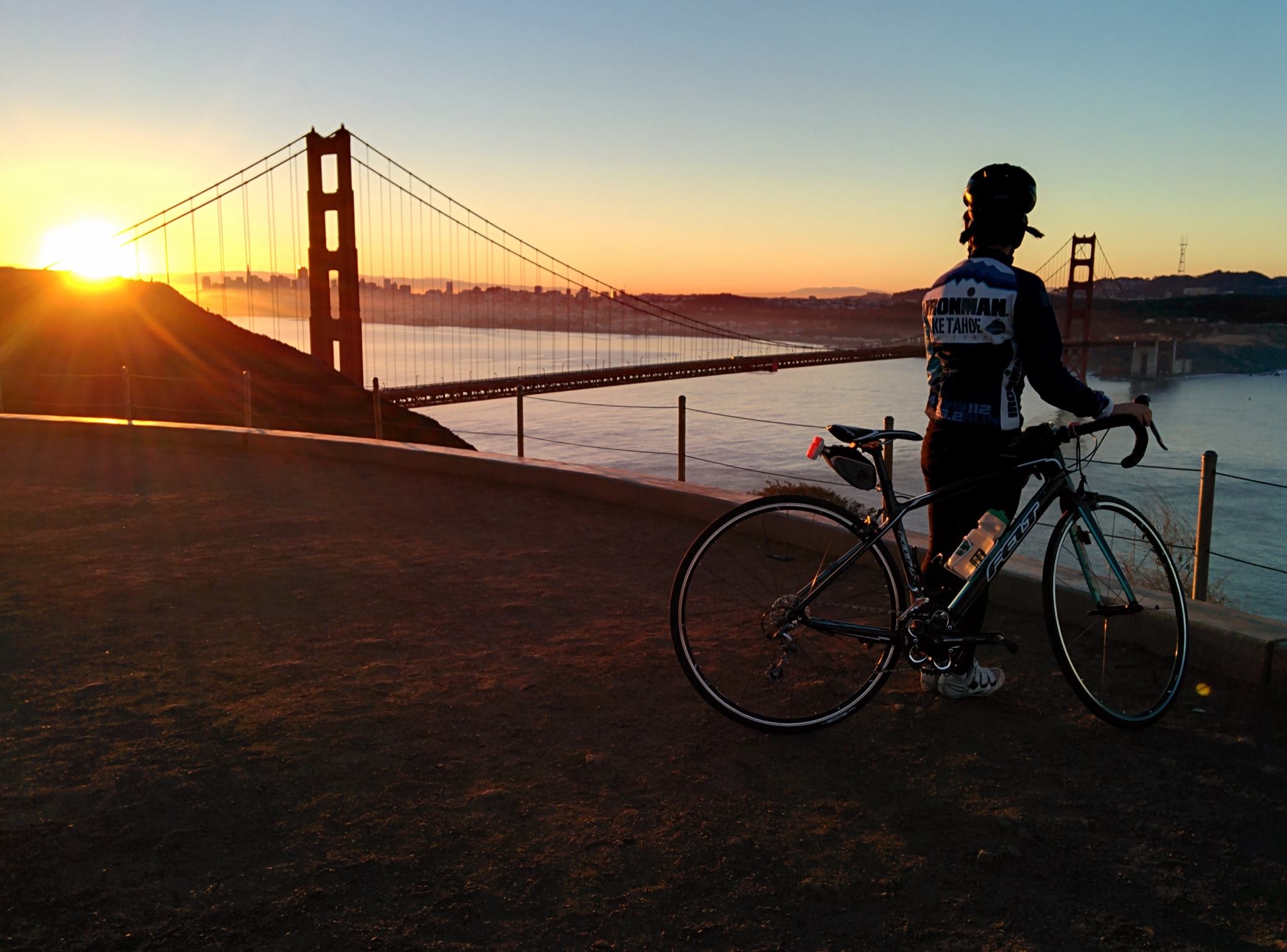
Within the first several days of being home, I did what I loved most: I woke up before dawn and cycled alone across the Golden Gate Bridge to catch a glimpse of sunrise.  San Francisco’s famous summer fog prevented me from enjoying such a site, but on an occasional clear morning the scenery typically presents me with this:1009274_10151777400633481_1135636551_o

We were finally home.  We could now walk down the street to the local markets to buy our favorite cheeses and produce without the headaches of bargaining.  We could go on our beautiful jogs along the bay and inhale the fresh, salty air.  We could dine at our favorite, little neighborhood restaurants and sip on fresh coffee from the barstools of our local bakery.  We could observe the Chinatown fleece-adorned tourists scurrying around the city, clutching onto their maps and speaking in their native tongue.  We could appreciate the charming sounds of San Francisco from our bedroom window: the early morning fog horn that bellows from the Golden Gate Bridge, the hum of the cables that pull the cable cars up the hills outside my home, the hiss of the bus’s transmission as they stop and go across the street from our front door. We could sleep in our own bed and stir from slumber to the soft murmurs and bright white overcast skies of one of the most beautiful cities in the world.

In addition to looking forward to San Francisco, our primary purpose for our return home was to attend the notorious week-long arts and music festival called Burning Man.  I’m not going to make the futile attempt to define Burning Man. There are already too many blogs out there dedicated to that.  I also won’t bother turning this blog post into a photo blog of Burning Man.  There are too many sites out there that showcase the high quality photos of professional photographers such as this photo gallery and this one.  Instead, I want to focus on how Burning Man makes me feel.

Burning Man reminds me that life is worth living.  Year after year tears of joy swell in my eyes amidst long embraces in the center of a dancing crowd.  There is no where else in the world where a peak of 60,000 people gather to celebrate art, music, community, and life. Hugs replace handshakes and strangers greet others with a warm, “Welcome home.” The hippie thoughts of joy, peace, love, and friendship are contagious; happiness is at times overwhelming.  During those moments of pure bliss, I often pause to gaze at the closed-eye, smiling crowd and tell myself, “This is what life is about.”  Life is about being happy, having fun, and enjoying it to its fullest potential; if it’s anything other than that, it’s not worth living.

Burning Man transforms me into the person I typically judge in the default world. Everyone is guilty of judging; some just do more than others.  I admit to being that grumpy, old lady far too often and I catch myself judging all types of people whose lifestyles clash with mine.  But at the end of the day I remind myself that as long as they are not hurting others, there is nothing wrong with their decisions and actions.  At Burning Man I am no longer restrained by the hindrance of society, and I can act, think, and do freely there more than anywhere else in the world.  No one cares.  I don’t care.  I become that person that I once judged, and when I return to the default world, I look at people and life with a layer of empathy that was once lacking.  I arrive on the playa with curiosity and eagerness, and I depart with a heart and mind more open than it ever was before.

Burning Man exemplifies the goodness humankind is capable of.  In the default world we are constantly reminded of the incredulousness of humans as seen in religion, wars, science, technology, communities, etc.  More often than not I find that the power of humankind carries a negative backlash due to what we’ve seen in history.  Out in Black Rock City, we are given the opportunity to see beyond that.  The grandioseness of the art and music and their ability to touch souls is a reminder of how the power of humankind can actually be good.IMG_0778

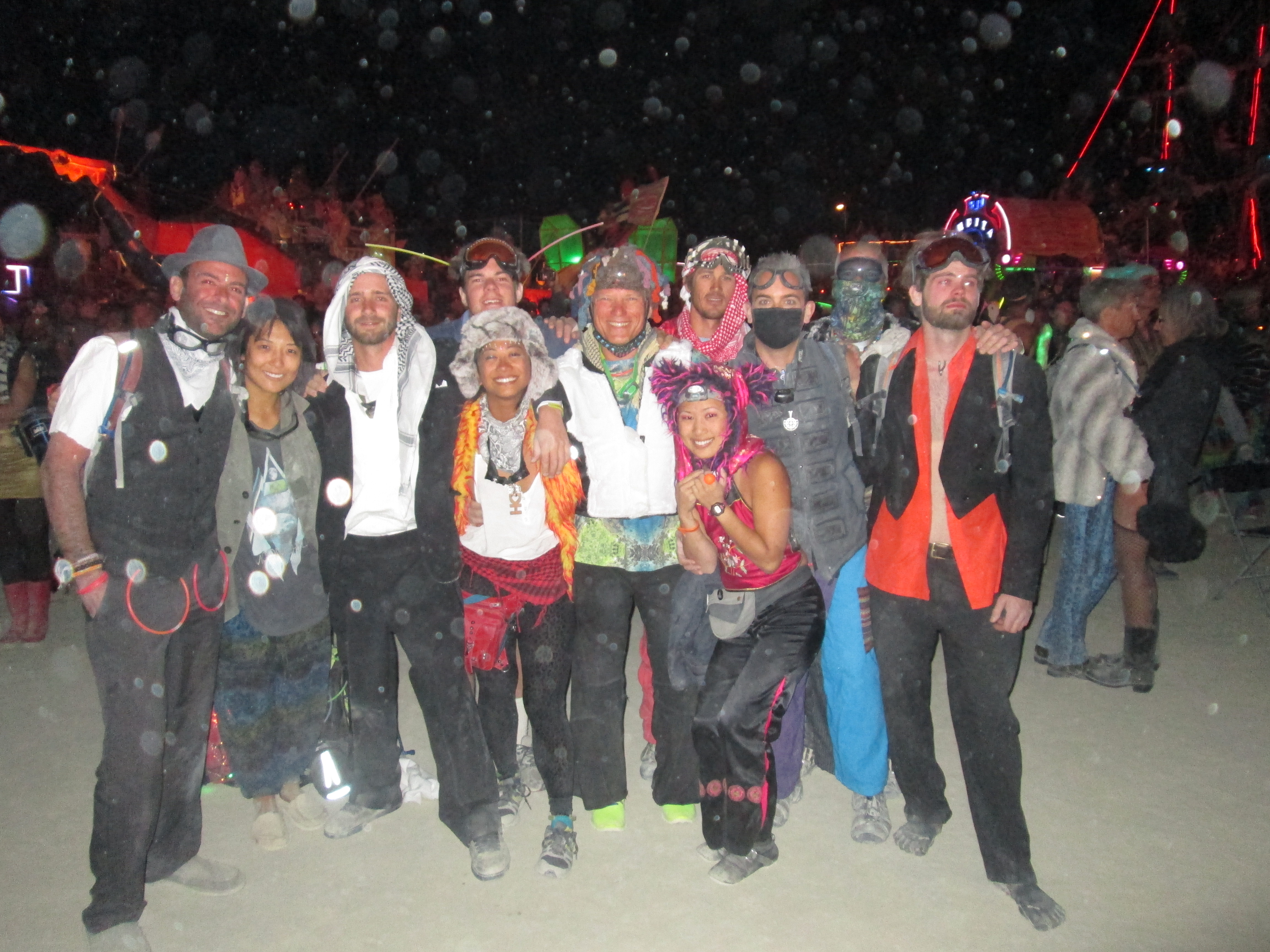
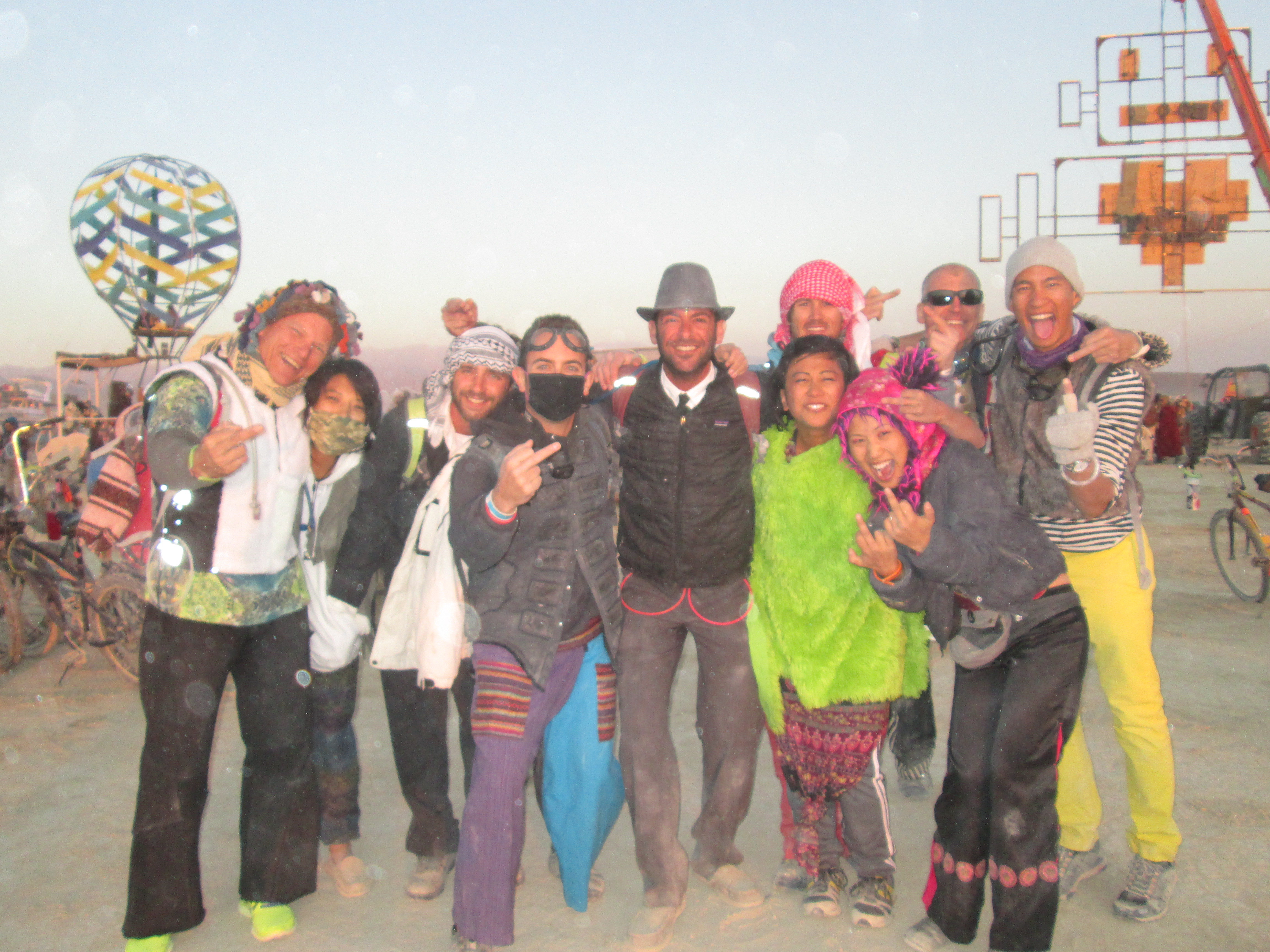
Burning Man not only strengthens the bonds of existing friendships, but also creates new, everlasting friendships.  24-hour dance parties bestow the rare opportunity to mingle and dance in the open air until the stars fade into sleepy, crimson clouds.  Hours can be spent lounging around in hammocks, chitchatting the day away in lieu of biking in the dusty heat.  Interactive art installations are scattered throughout the desert and are best experienced with friends and strangers.  And when hunger or thirst takes its toll, there isn’t a bartender or chef too far away who loves to hear how delicious their beverage or meal tastes.

Saturday night:IMG_0844

Sunday sunrise obligatory photo:IMG_0873

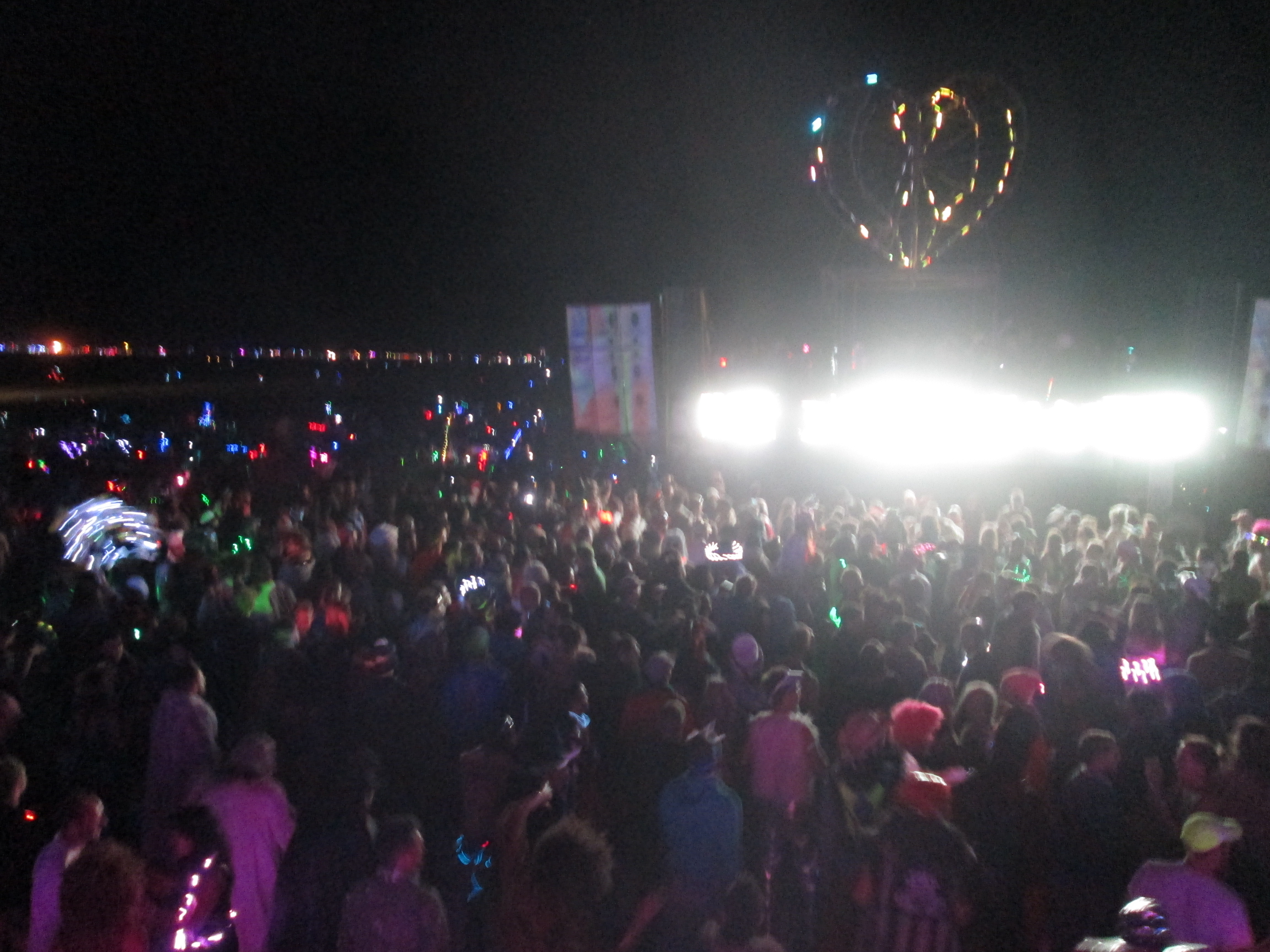
Burning Man epitomizes radical self expression.  There are thousands of camps scattered within the 9 mile polygonal perimeter, with many of them embodying similar themes. However the camp I am associated with, which is the camp that Chris helps run, is the only camp of its kind.  We are Burning Sky, the skydiving camp.  In addition to experiencing the most amazing high from free fall, we are also constantly rewarded with the non-skydivers’ gratitude for the aerial show we “perform” in the sky.  This year 30 of us made our first sunrise skydive into the infamous party at Robot Heart; as a group of us walked away with our gear, a woman ran up to us with tears streaming down her face, gushing, “Thank you so much…that was the most beautiful, amazing thing I have ever seen.”

My friends and I were all so enamored by our sunrise skydive, I put together my first skydiving video with some cuts and our favorite song from Burning Man 2014.  Despite the old camera and dusty lens, I still think I was able to capture the priceless moment with the footage below:

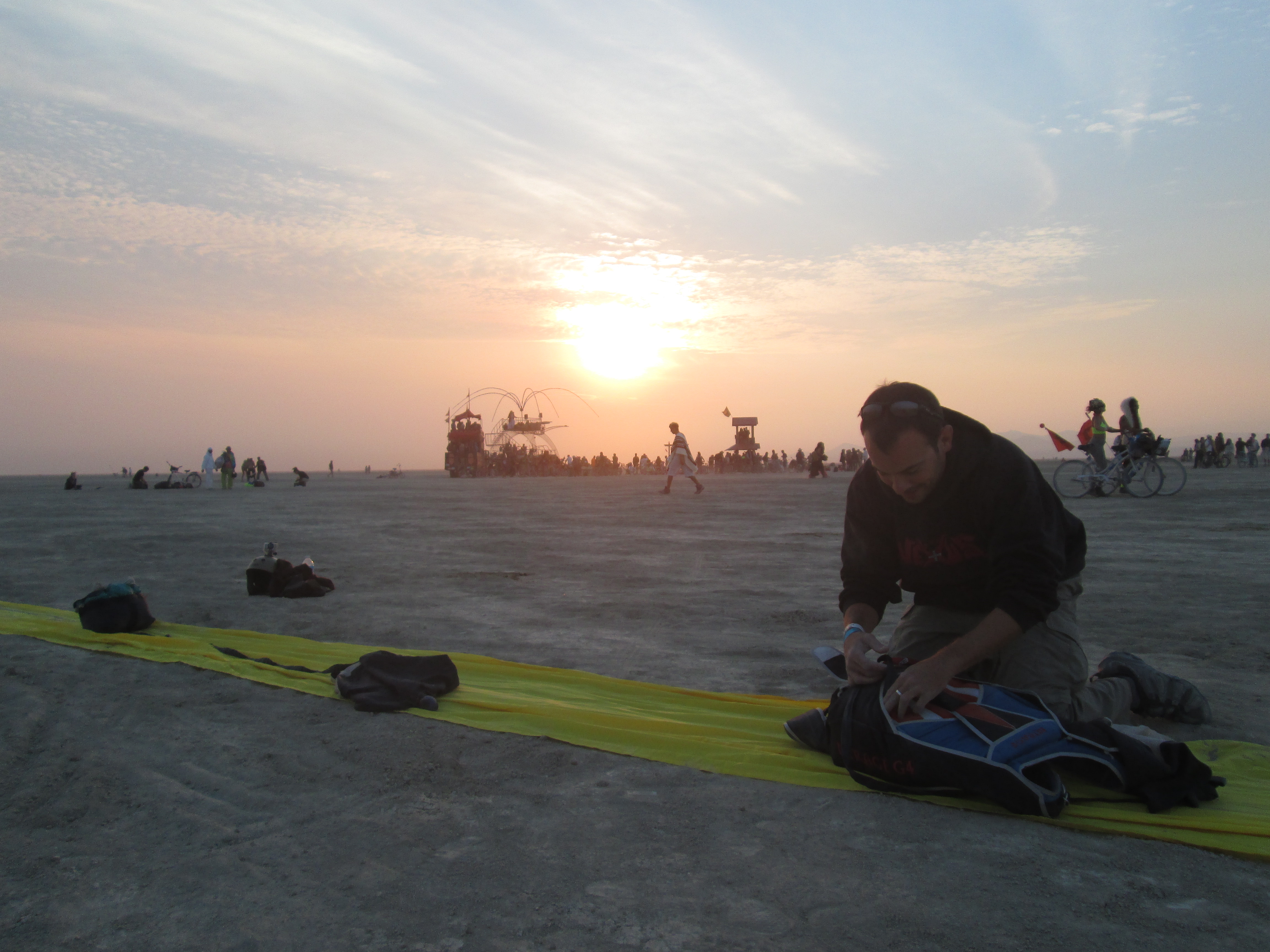
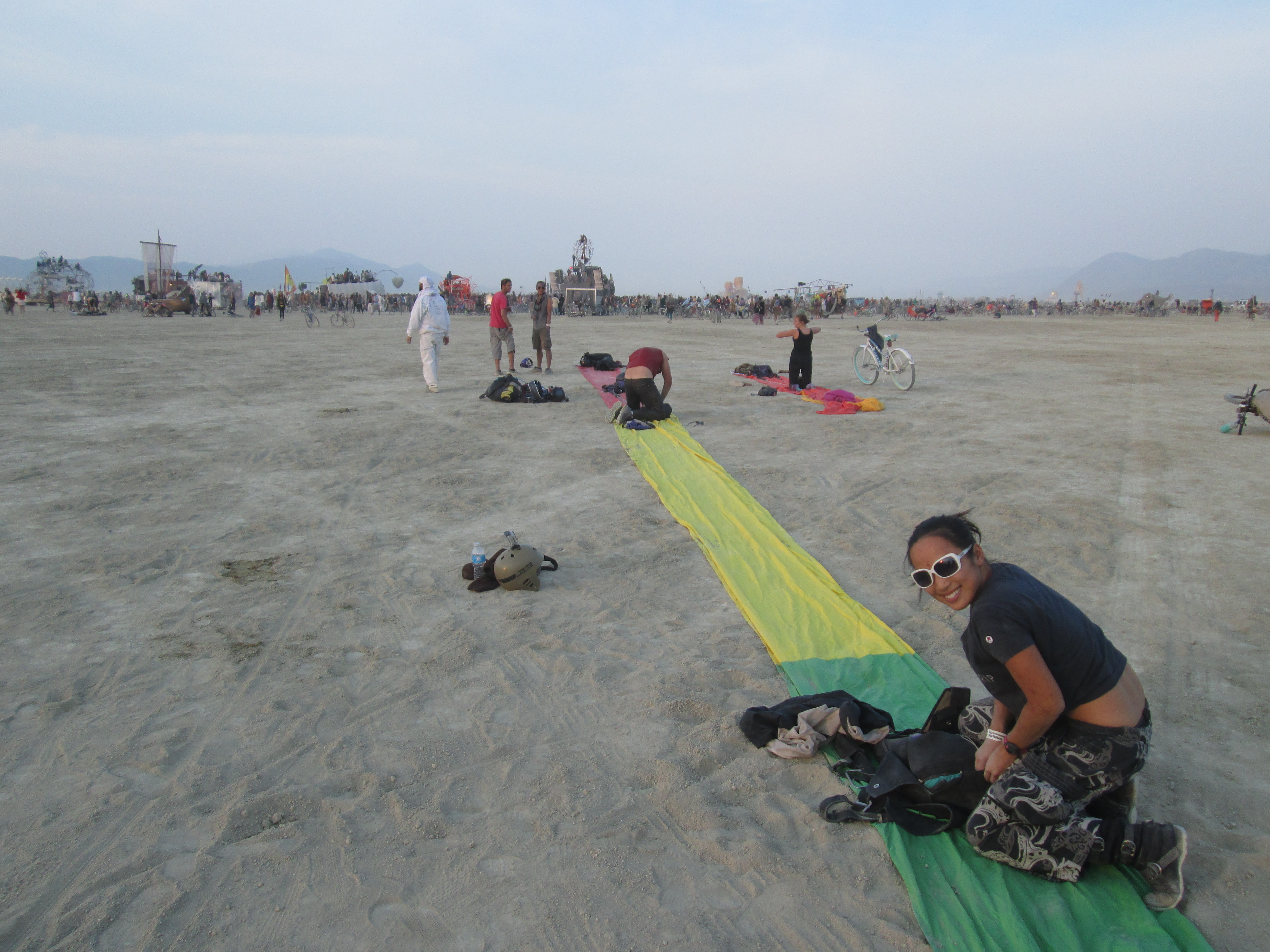
Packing our parachutes after the sunrise skydive:IMG_0789 IMG_0798

No, this wasn’t my first burn.  This was my 5th and Chris’ 6th, and our first time staying on the playa for two weeks (early arrival for camp setup and late departure for teardown). Despite having attending Burning Man for the past consecutive 5 years, this is my first blog entry about Burning Man.  Each year at Burning Man is another year I’ve grown, and each year is filled with thoughts and opinions that alter with maturity and wisdom.  I’m glad that I’ve waited several years to reflect upon and write about Burning Man (which are now intermingled with recent life-changing experiences from abroad) to produce a more fruitful account on what Burning Man is to me.

Posted in Nevada | Leave a comment