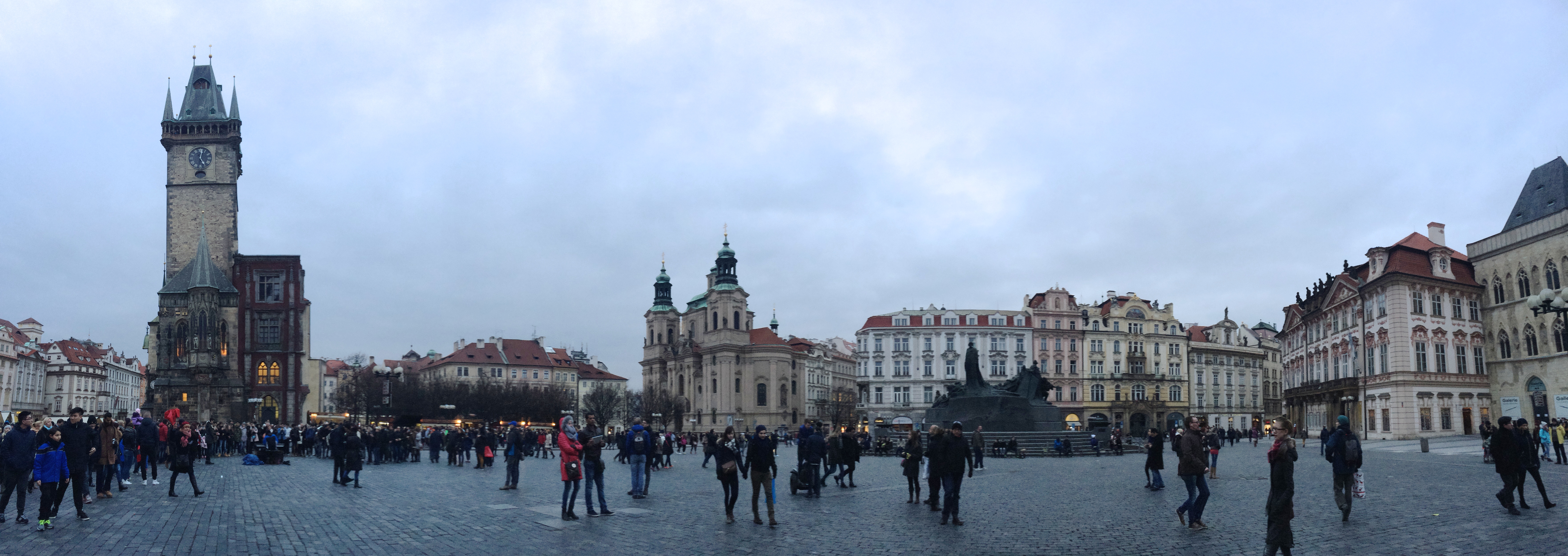
Dachau Concentration Camp

As Americans who had the atrocious history of WWII and Nazi Germany burned into their education since grade school, we knew that a visit to a former concentration camp was a must during our visit in Germany.  However harrowing and heart wrenching the experience may be, we knew that this brutal past time was crucial in shaping the country and the world today. Visiting a country isn’t all about enjoying its beauty, culture, and gastronomy.  Like how the Hiroshima Peace Memorial is to Japan, or the Civil Rights Museum of Memphis is to the U.S., the Dachau Concentration Camp and Memorial is a scar to Germany, illustrating the facts and providing a vivid depiction of what we’ve learned from school.  After viewing the Dachau Concentration Camp, the first concentration camp in Germany, the brutal tactics of Nazi Germany were no longer horror stories and words.  Witnessing the sites used less than 100 years ago to violate human rights materialized what we’ve learned as children–it brought truth and reality.

Located about 16 km northwest of Munich, the Dachau Concentration Camp and Memorial Site is free to all visitors.  It opened in 1933, was intended for political prisoners (including homosexuals, the disabled, and Jews), and was liberated by U.S. forces in 1945.  32,000 documented deaths have been reported, and thousands more remain unknown.

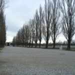
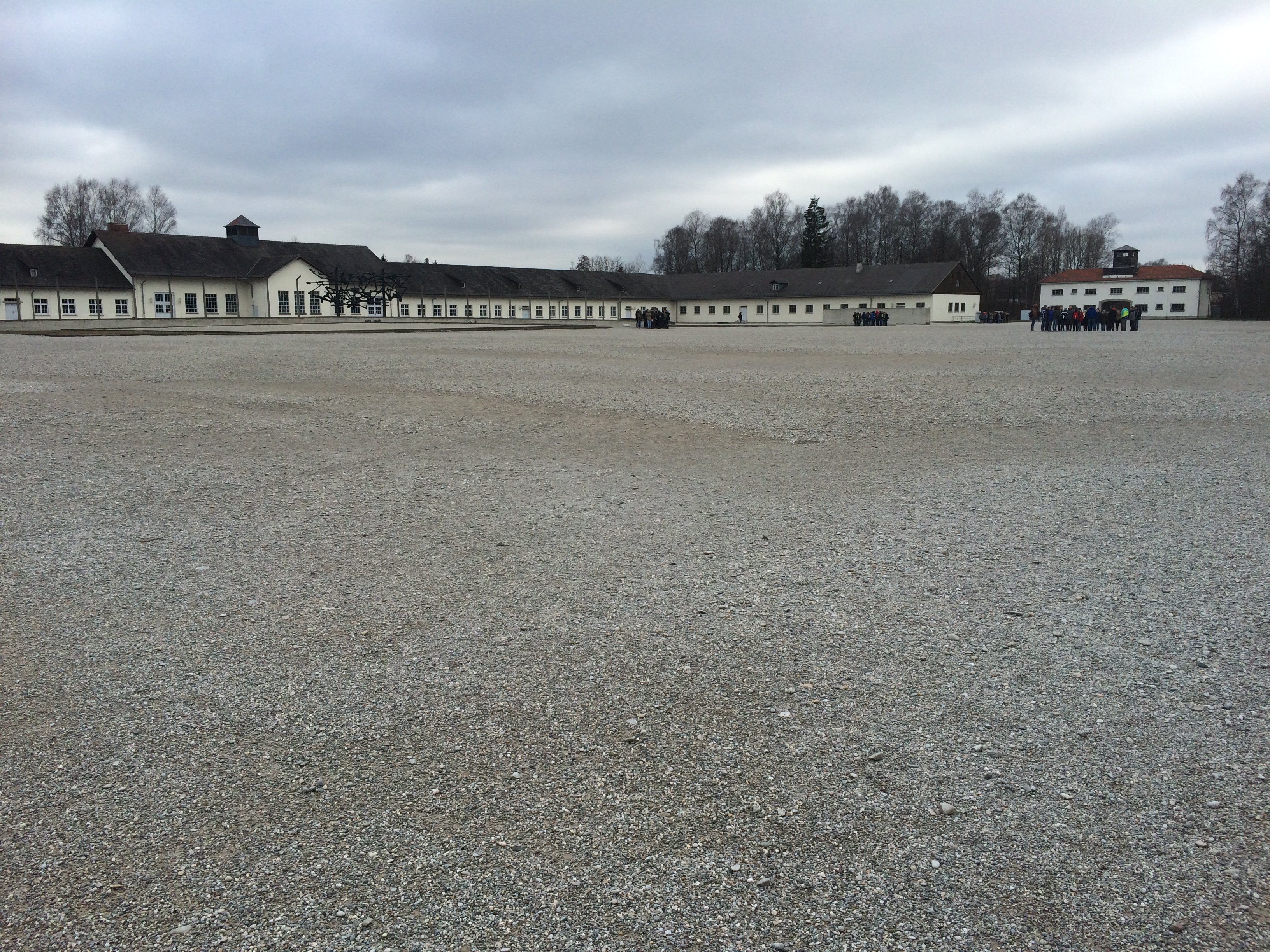
Upon entering, the first site of interest was the courtyard, which was used for role call and public humiliation/torture.  For role call, prisoners stood for at least an hour twice a day and were forced to remain motionless; even the sick or weak were tortured and/or ridiculed if they collapsed.  Sometimes even the dead were dragged out to be called upon.  Below is the courtyard, with the central kitchen in the distance.IMG_7195

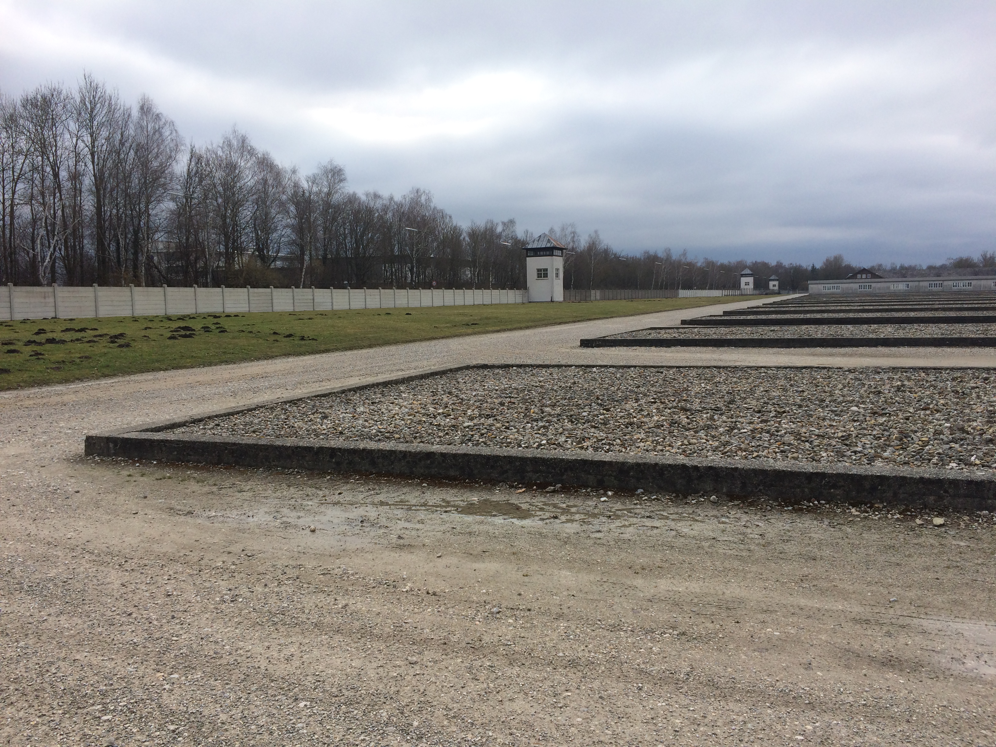
Opposite of the central kitchen were the rows of barracks.  Only 2 barracks exist today after being reconstructed in the 1960s.  The rest were just foundations.

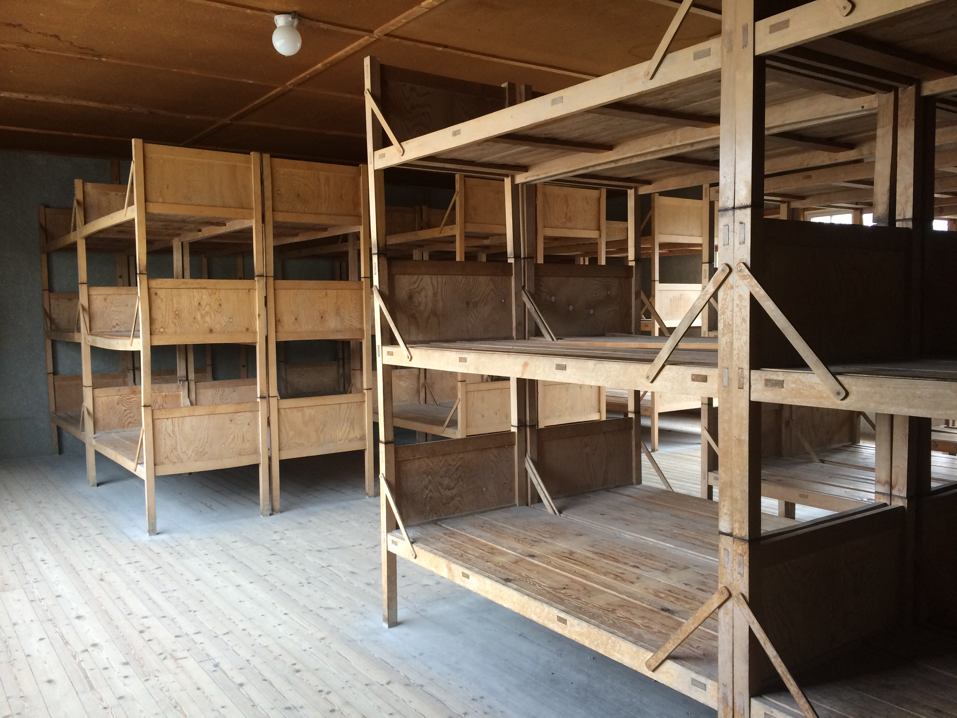
Barracks housed all the prisoners.  Certain barracks were reserved for prisoners who opposed the government, and even some were reserved for prisoners who were to receive medical experiments.  Within the barracks were stacks of perfectly aligned bunks:IMG_7196

No one dared make the bunks imperfect; otherwise, torture would come upon them.

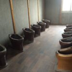
The washroom and toilets:

The barracks were surrounded by an electric barbed-wire fence, a moat, and a wall with 7 watch towers.
IMG_7204

At the end of the barracks were three memorials dedicated to all the prisoners.

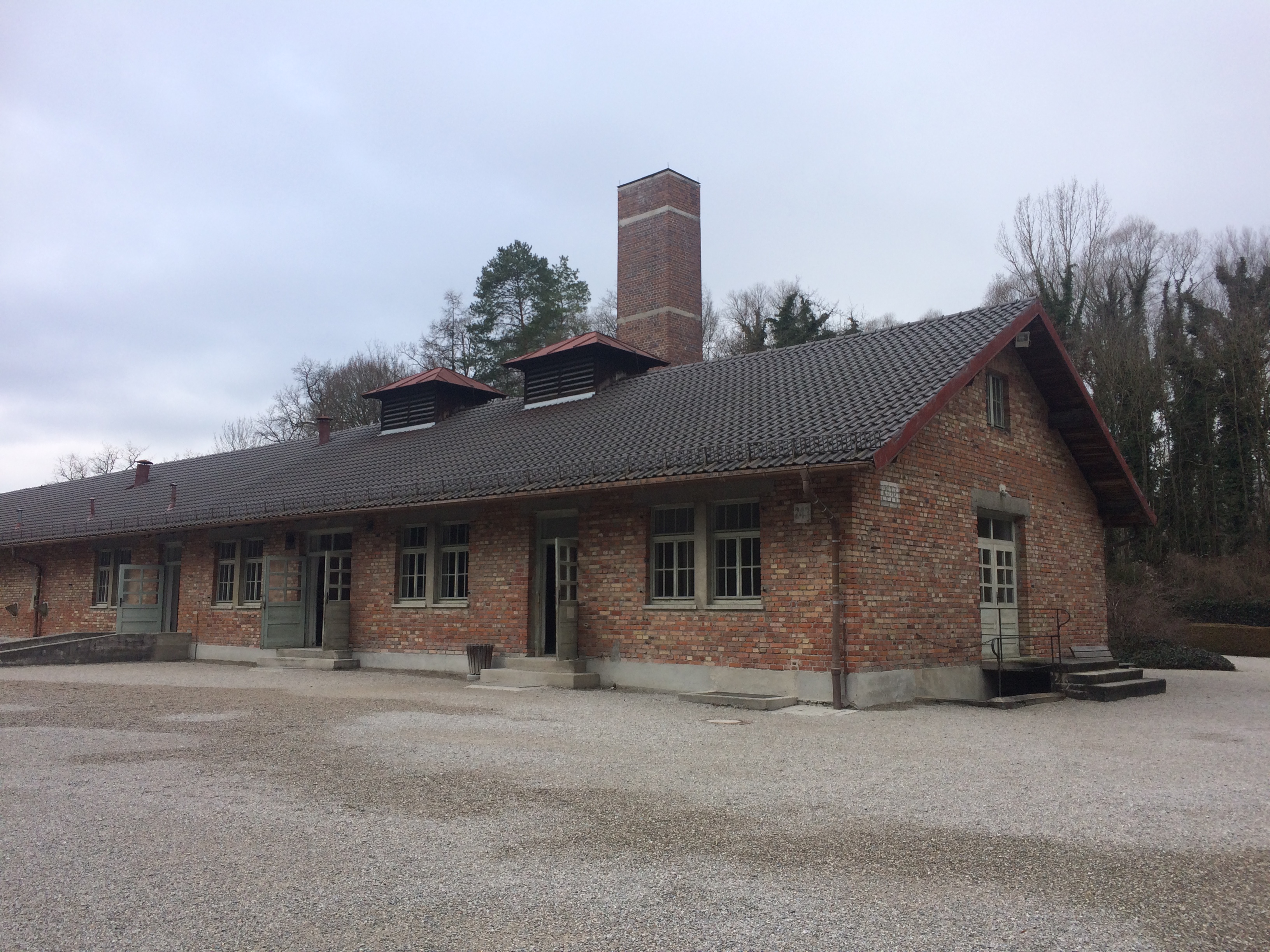
Beyond the memorial was the crematorium.  There was a smaller crematorium, which was replaced by this larger crematorium when the first could no longer keep up with the mortality rate.  The crematorium was used for not only the cremation of dead (and perhaps live!) bodies, but also for execution and storage of bodies.
IMG_7206

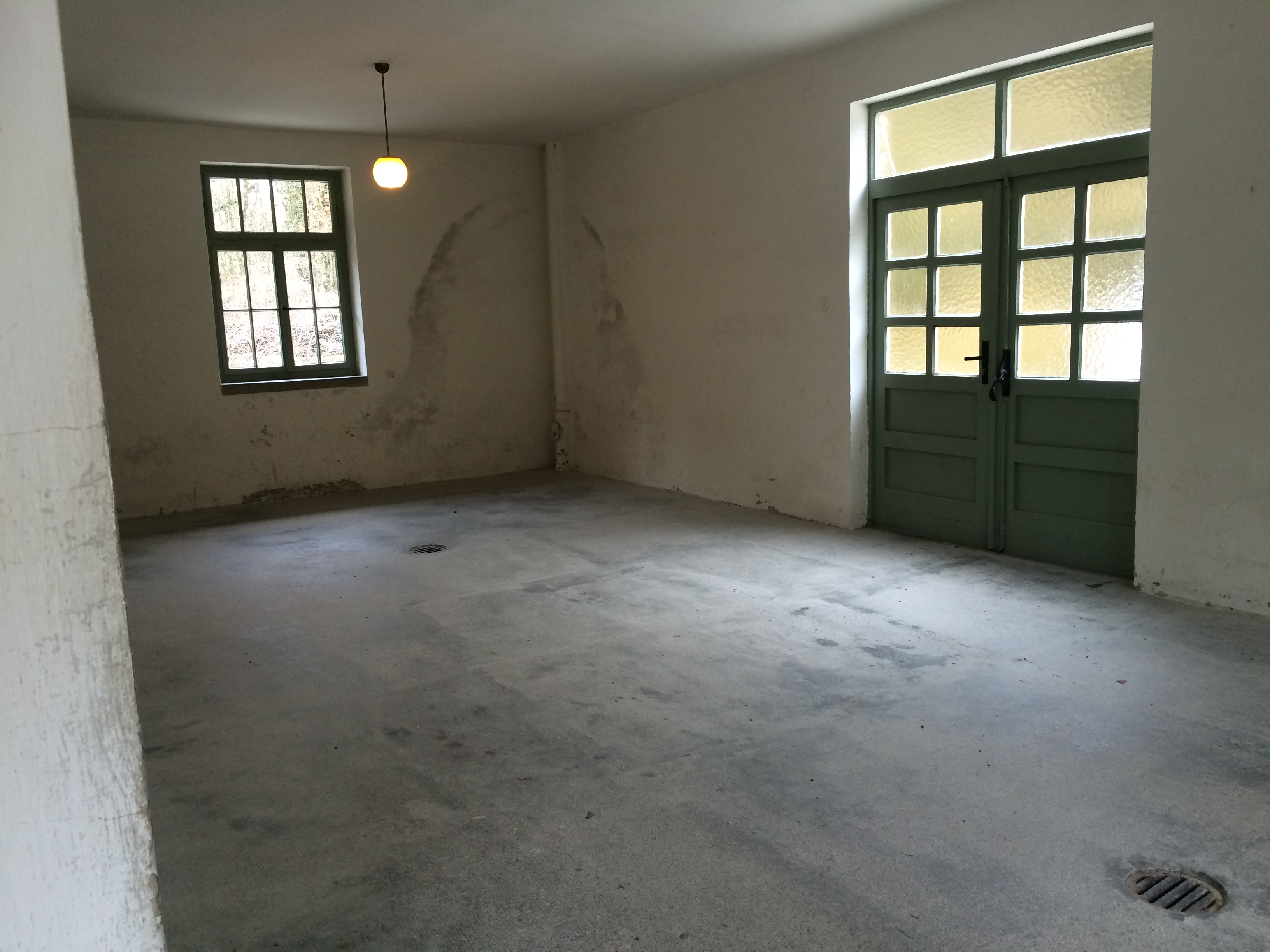
Rooms that once stored piles and piles of dead bodies:IMG_7207

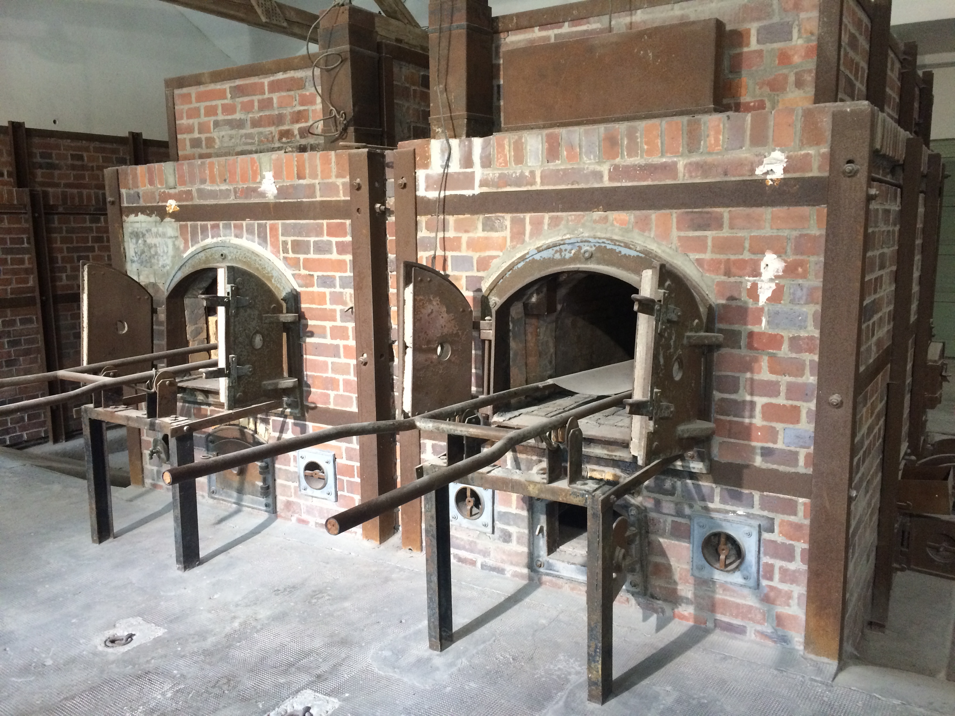
People were often hung directly in front of the ovens before being cremated.  Ovens to burn the bodies:
IMG_7208

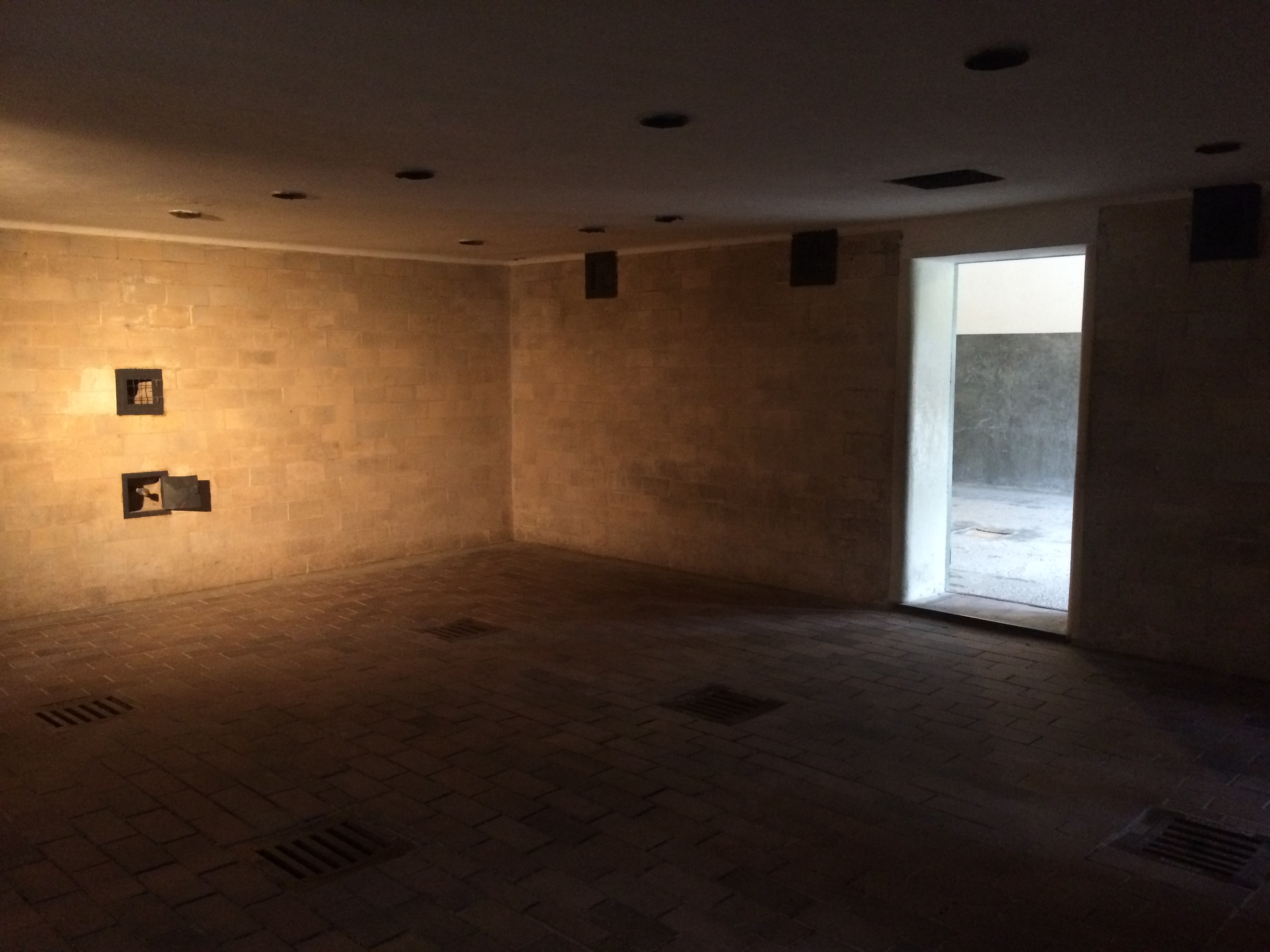
The crematorium also had a gas chamber, but the gas chamber at Dachau was never actually used to mass execute the prisoners.IMG_7213

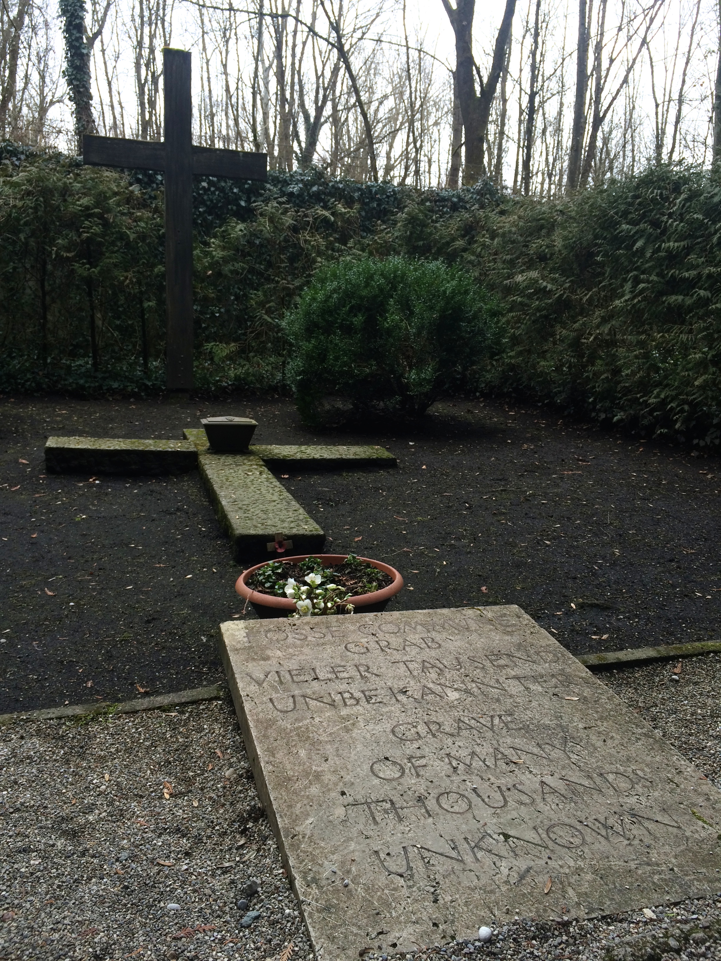
Upon exiting the crematorium, we followed a little stone pathway to a few gravestones, which concluded the gruesome tour through the concentration camp.IMG_7215

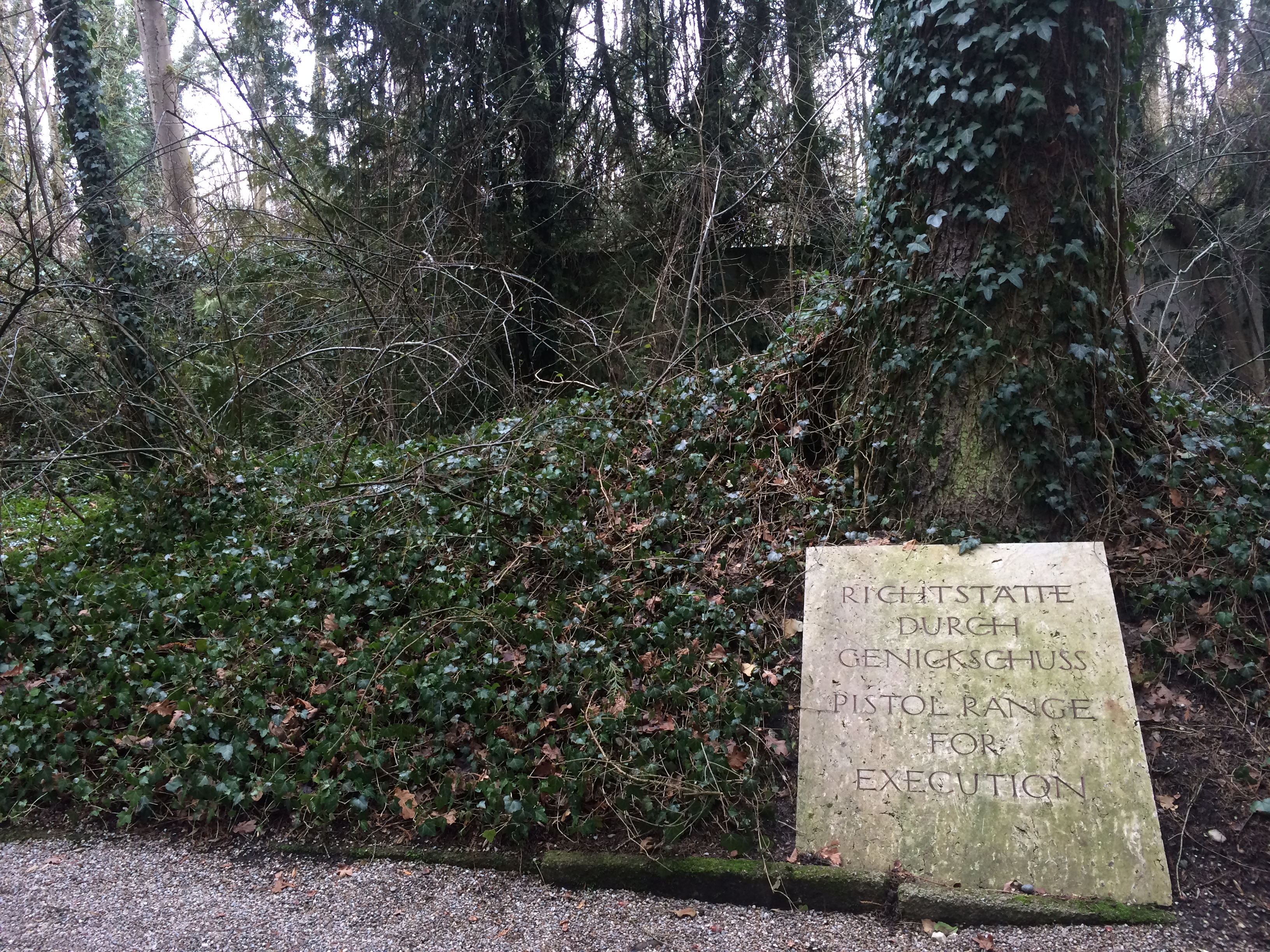
There was even a gravestone for the pistol range execution area:IMG_7216

And that was the Dachau Concentration Camp, definitely not a place to visit if you’re simply a tourist who wants to enjoy the best a city or country has to offer.  When I read about this camp, I was hesitant to visit it, but we were both glad we took the time to see it, learn about it, and be aware of it.  We are now able to put images to one of the most horrifically fascinating outcomes of WWII, perhaps the biggest human regret in our lifetime.

Posted in Germany | Leave a comment

Pilsen

What lies between Prague and Munich? Pilsen, apparently. Non-alcoholic me didn’t blink twice when Chris exclaimed, “Pilsen! We gotta make a quick stop to Pilsen.”

Pilsen is the 4th most populated city in Czech Republic.  It is also known worldwide for Pilsner beer.  I’m not a beer drinker, so I don’t really know what that means, but if you drink beer, I’m sure you know.  Chris found his happy place. =)

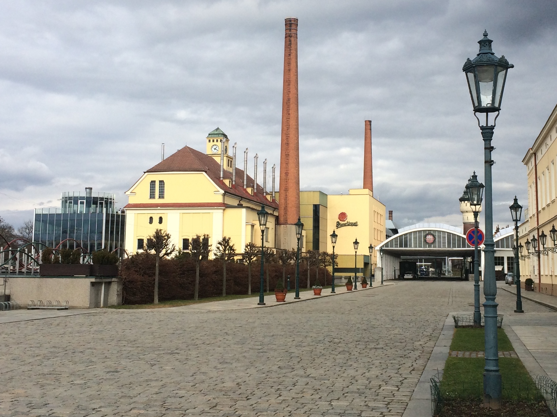
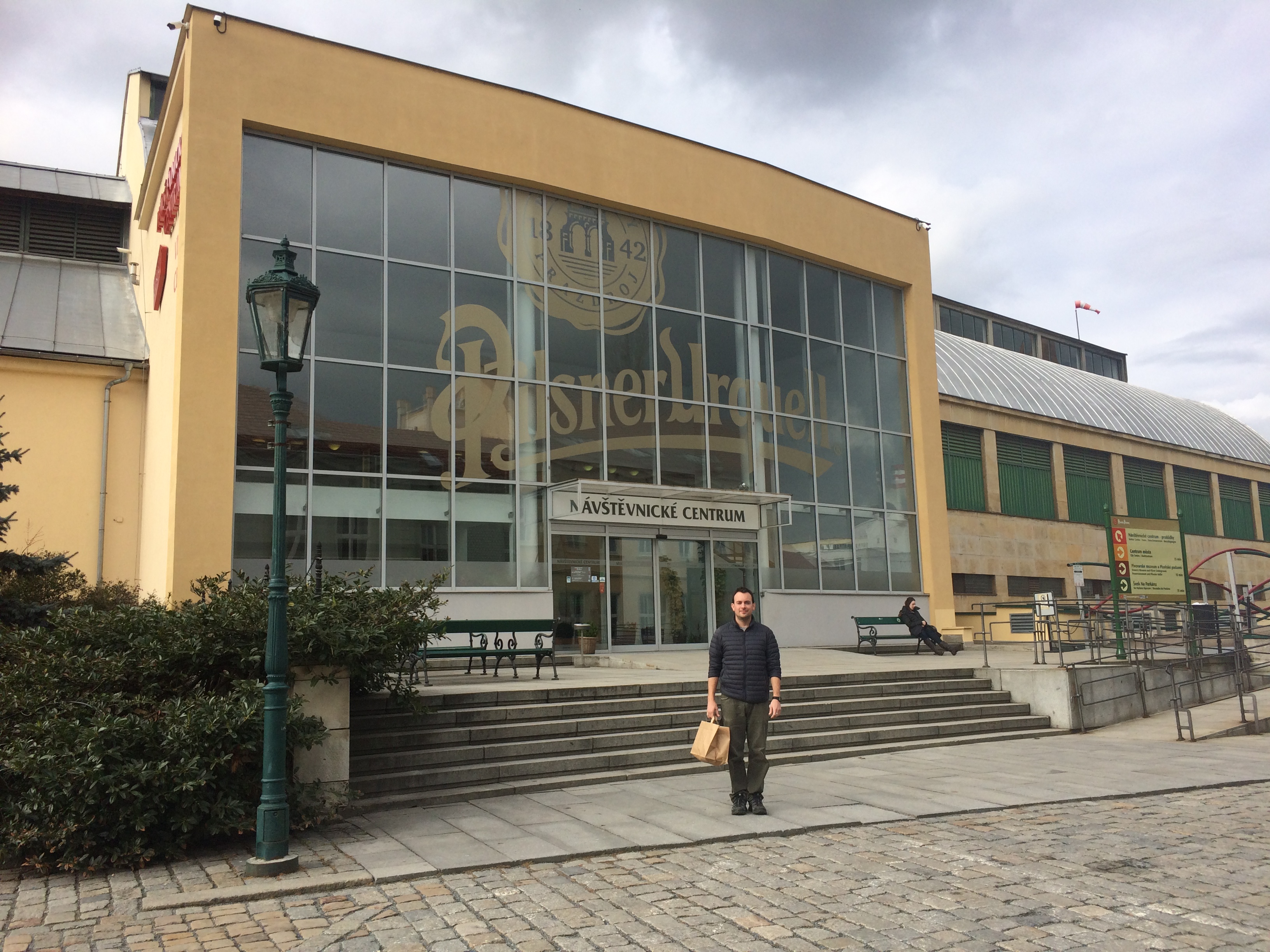
Although the heart of the city did house beautiful Bavarian structures worth stopping for, we only had time to make a quick detour to the Pilsner restaurant and visitor center. There were paid daily tours at the brewery, which we skipped.

The charming brewery:
IMG_7169

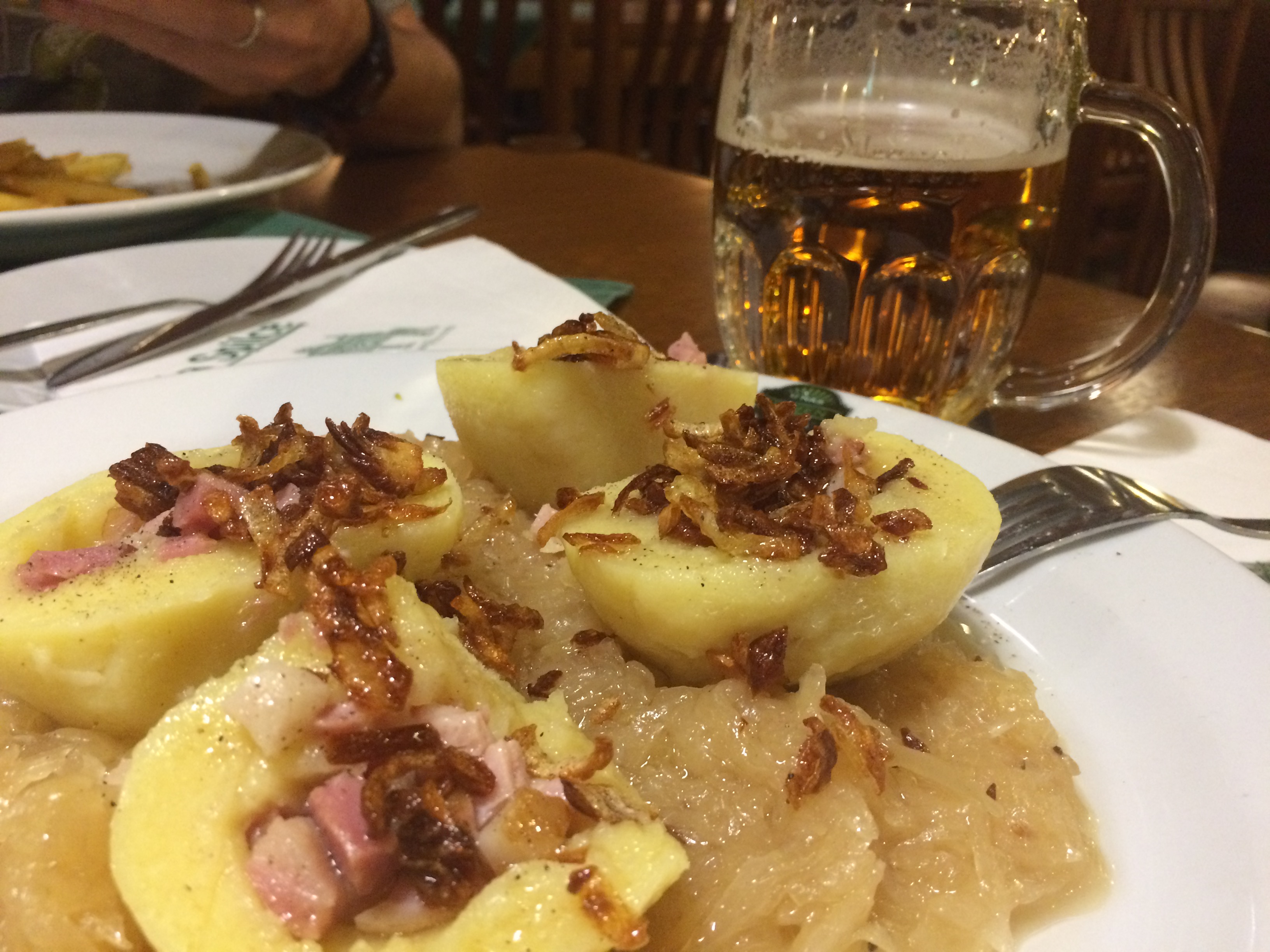
At the restaurant we both ordered cheap beer–the Original Pilsner.  I couldn’t resist turning down beer at a brewery…mainly because it was the cheapest beverage on the menu!  I ordered Czech potato dumplings stuffed with Prague ham, topped with fried shallots, and served on a bed of sauerkraut–literally enough sauerkraut to last me months back at home.  The potato dumplings were incredibly delicious.  Comfort food at its finest.
IMG_7168

The visitor center:
IMG_7170

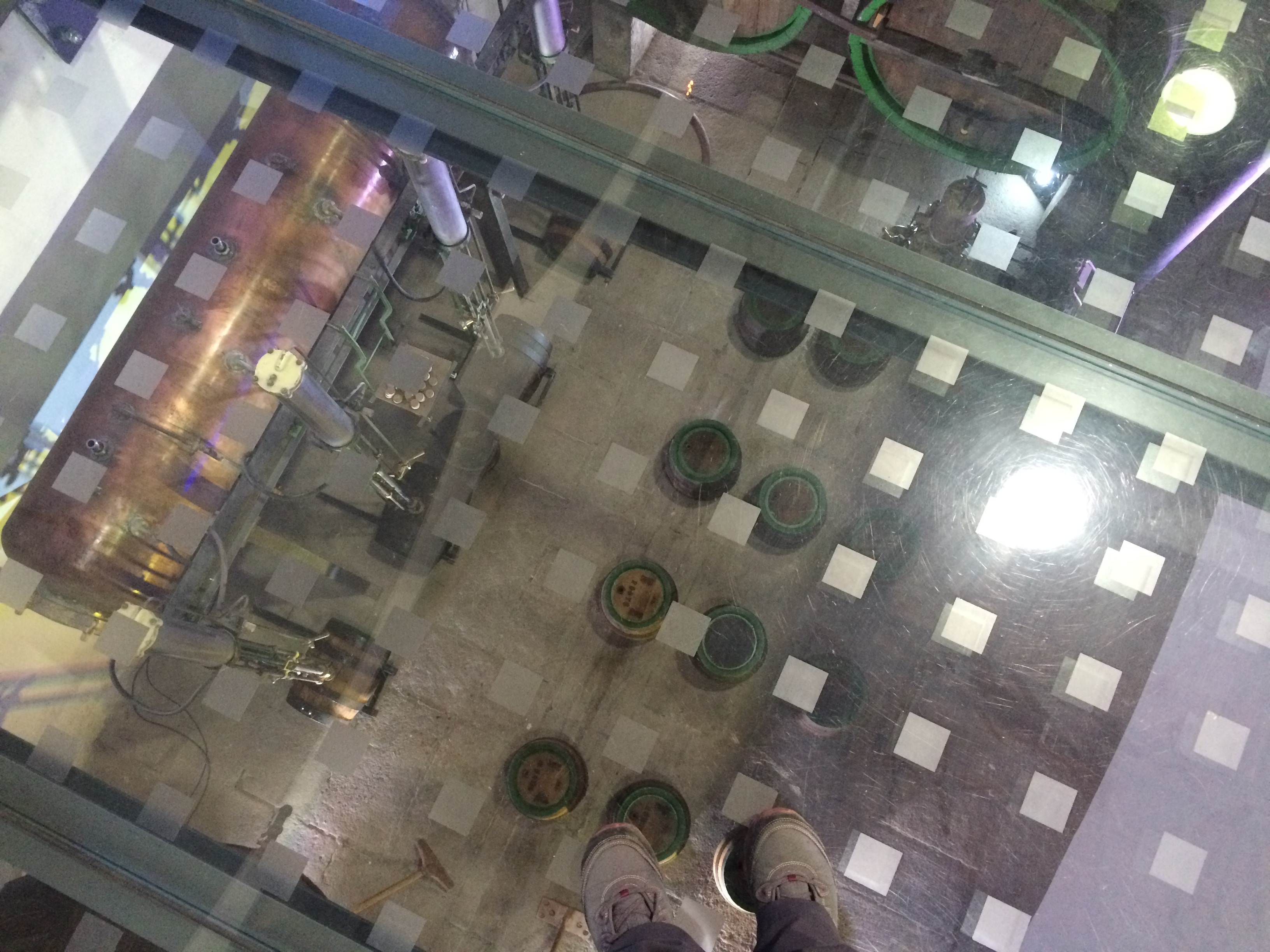
Nothing much or anything interesting inside the visitor center, except a glass floor that allowed visitors to look down into the brewery:IMG_7172

Then we were on our way to Munich.  If Pilsen happens to be conveniently located somewhere in your itinerary, and you have an appreciation for beer, the Pilsen Urquell brewery is worth the quick detour!

Posted in Czech Republic | Tagged | Leave a comment

Prague

Prague fulfills what I imagined to be THE picturesque European city. From every intimate encounter with a street corner to the broad views from one of many overlooks, I often exhaled a wistful sigh as my eyes laid upon what fell before them. Up until the moment I entered the historic city of Prague, San Francisco was the only city with views that could take my breath away at any time.

But now there is Prague. And with Prague entails a sprawling fairytale city, adorned with edifices from before the time Christopher Columbus set sail to discover the New World, sprinkled with diverse and trendy restaurants and cafés, and bursting with crowded energy. Prague reminds me of San Francisco, but with so much more history.

Thanks to TripAdvisor, I found a year-round campground (with RV facilities!) and hostel, Sokol Troja, just 20 minutes north of Prague. At 100‎ Kč ($4) per person and 200‎ Kč ($8) per camper per night, it was a deal. We spent two nights at Sokol Troja and took the bus and metro daily into Prague. Cheap and convenient!

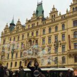
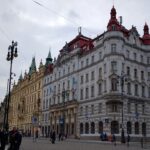
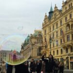
First, we wandered through the city streets, crossing and turning throughout the pre-grid structure of the ancient city. Somehow we ended up at Republic Square, which looked like the center for shopping malls. Don’t get me wrong—it wasn’t just shopping malls. The buildings that served as a backdrop for the square were stunning, along with the talented street performers. I dubbed my favorite street performer “Bubble Boy.”

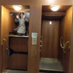
Not far from the Republic Square was the YMCA, where there is a well-kept secret: a free paternoster elevator, one of the last in the city and in Europe.  These elevators ceased production in the 1970s, and most remaining paternoster elevators today exist in Western Europe. When in use, they move in a loop without stopping, can hold up to 2 passengers, and passengers step on and step off at any floor.  Chris and I took a joyride in the elevator.

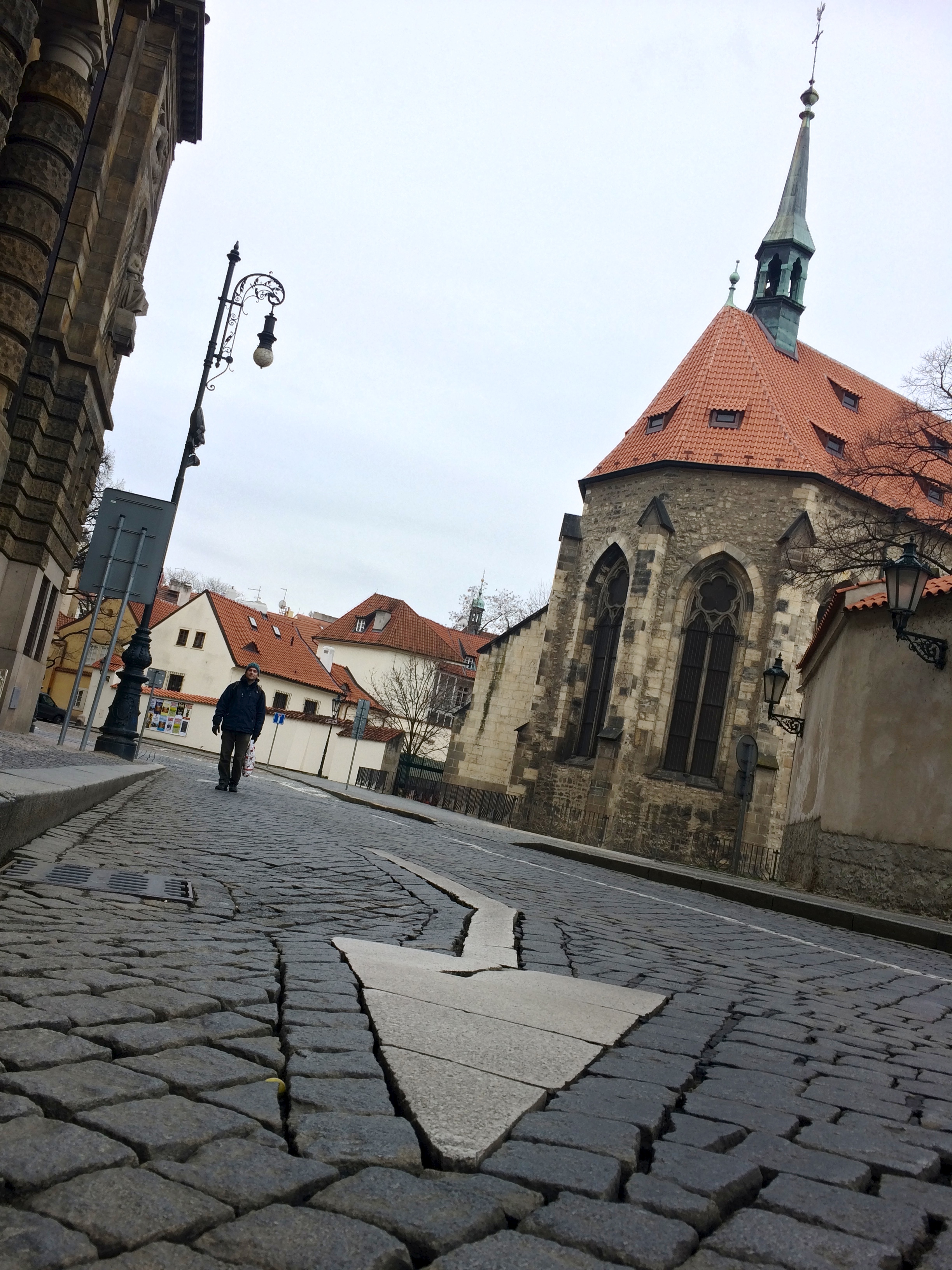
Then we wandered over to St. Agnes Convent:IMG_7036

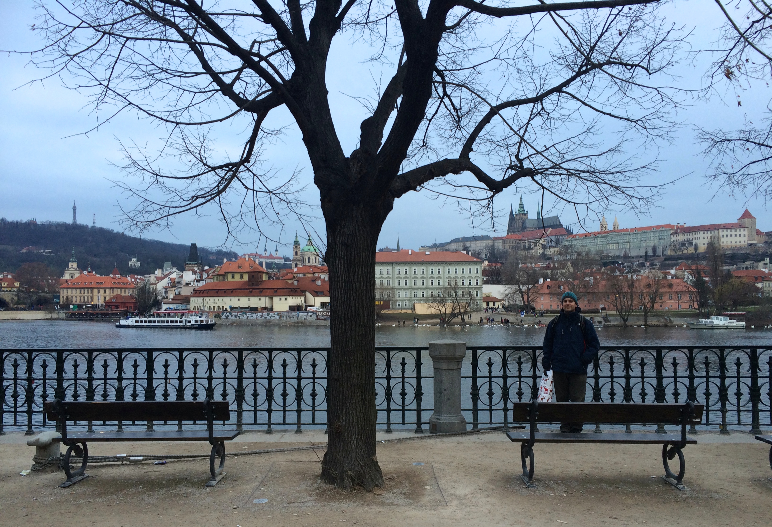
And from there we decided to follow the Charles River all the way to the old and famed Charles Bridge.IMG_7049

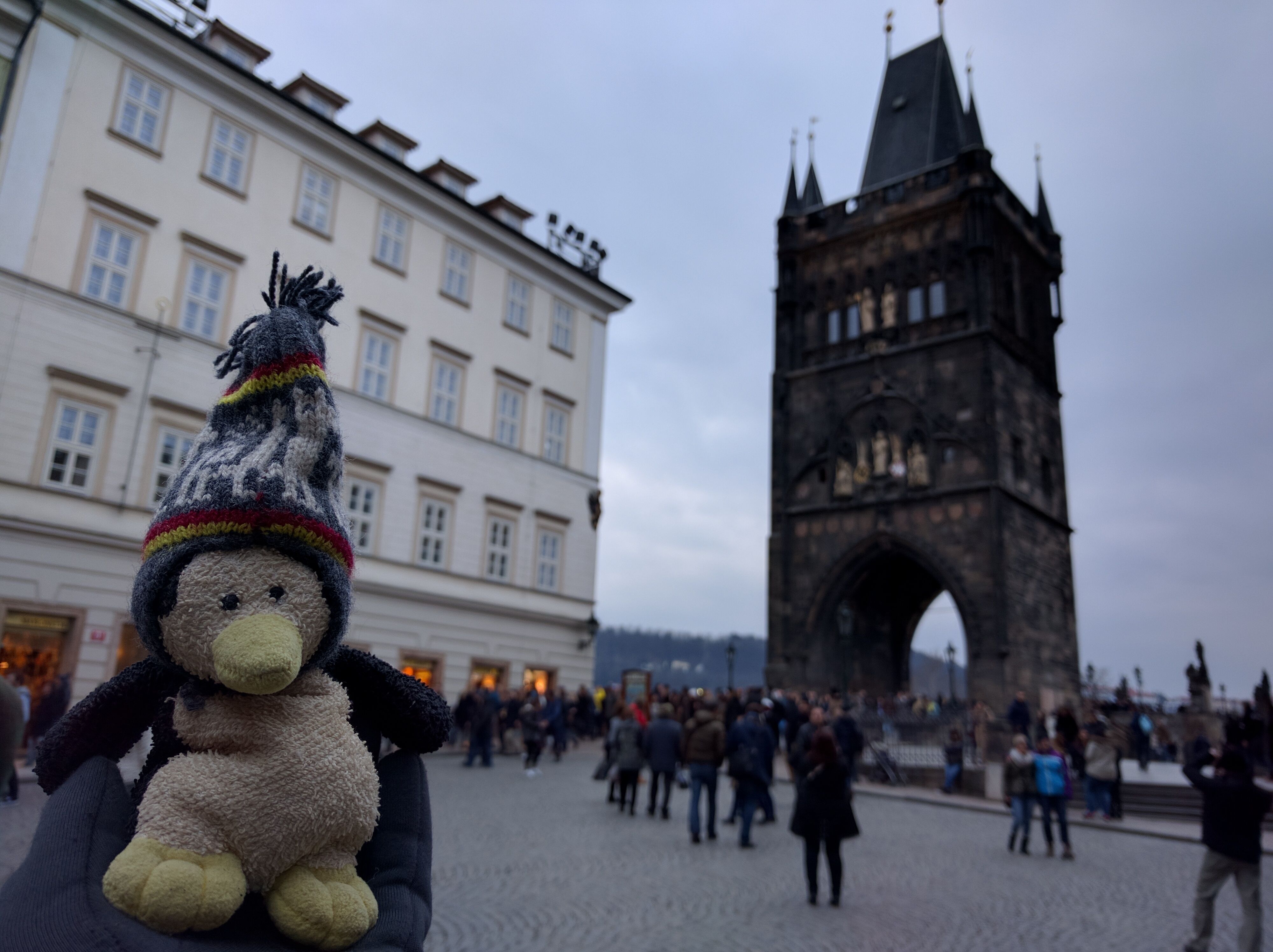
Thick, early evening crowds prevented us from crossing the bridge, but we knew we would return early the next day to spend more time in the area.IMG_20160213_163120 3.55.09 PM

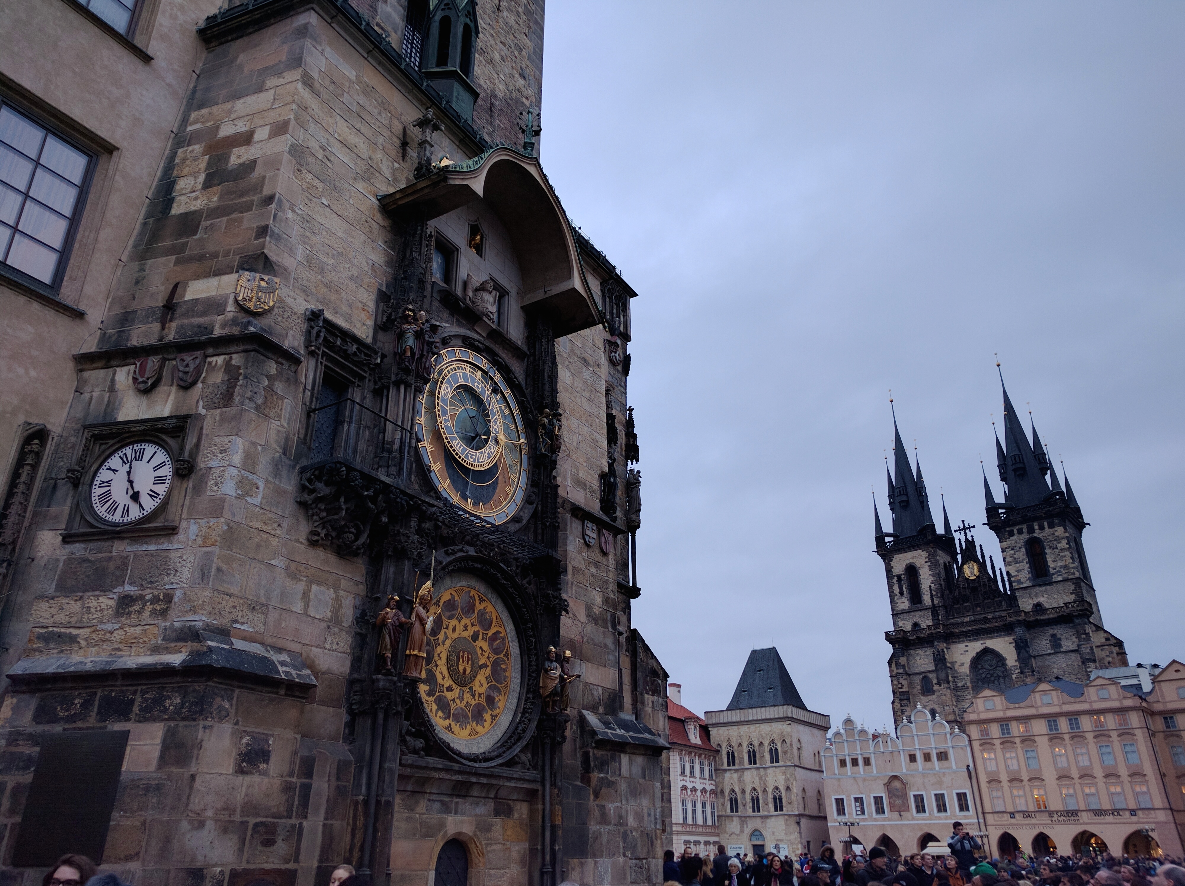
We soon found ourselves in the Old Town. Clearly this was Fisherman’s Wharf to San Francisco as the Old Town was to Prague. Money changers, touristy junk for sale, hustlers, and shoulder-to-shoulder tourists swarmed through the cobblestone streets of the Old Town. However all the rancor was for good reason. I couldn’t stop gazing up at the looming architecture, at that distant church, or that clock tower…IMG_7062

Oddly enough we arrived just 3 minutes before the hourly camaraderie of the astronomical clock. This thing dates from 1490!IMG_20160213_165832

Our evening was filled with more wandering throughout the streets and admiring buildings and churches, and it ended with a heavy Czech meal and cheap beer.IMG_20160213_174250

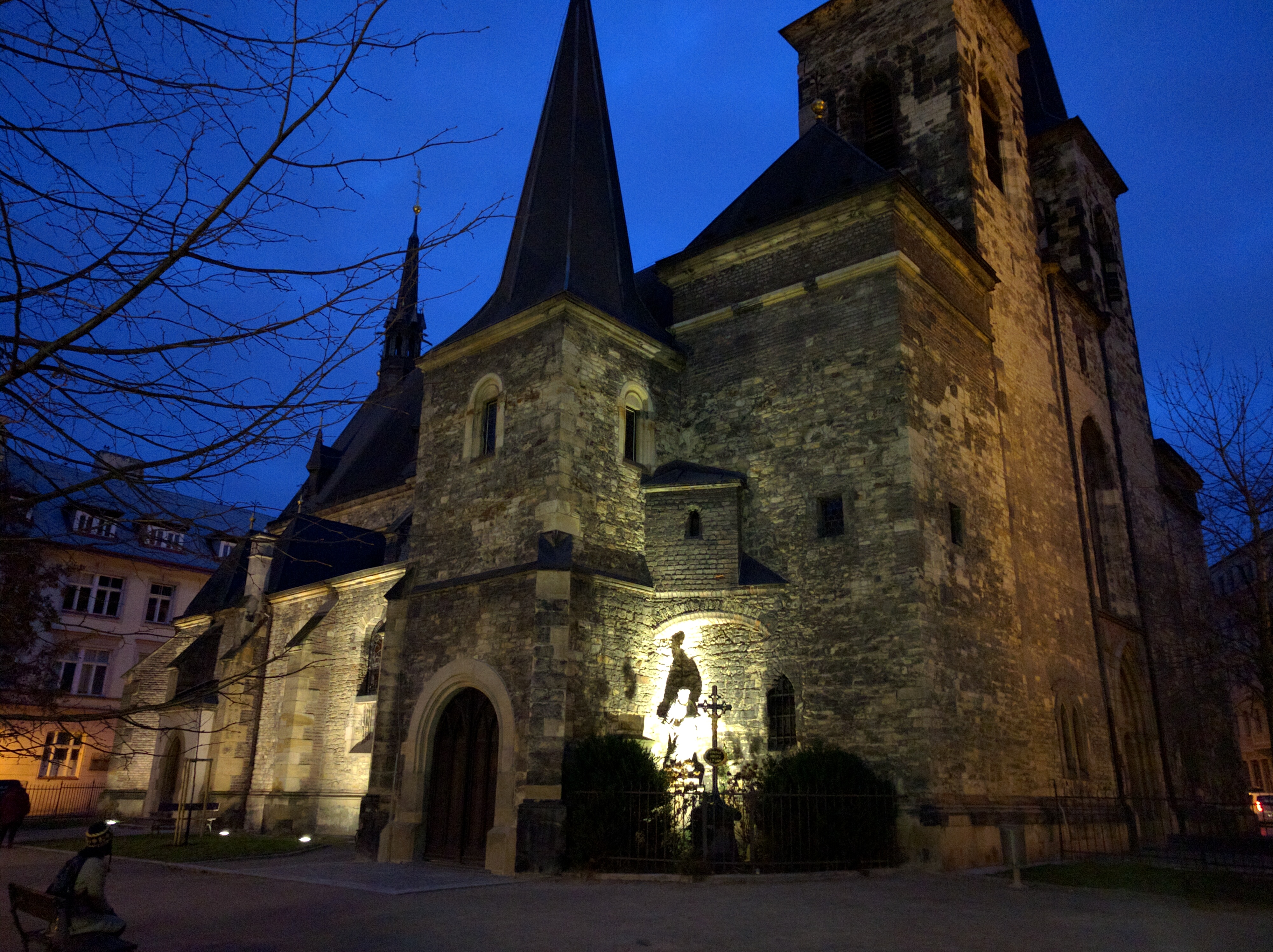
We started our second day in Prague bright and early with a first stop to the Vysehrad fortress. Bound by massive walls, this fort had it all, even a Gothic church.

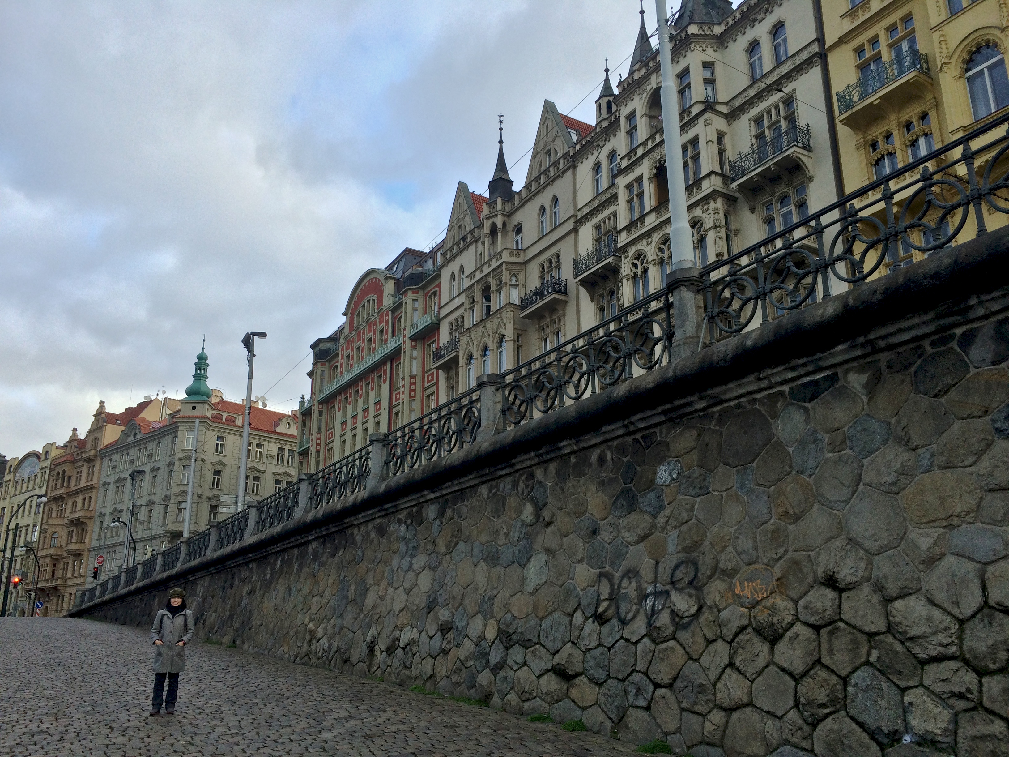
From the top of the fortress we leisurely made our way down to the river and strolled along the waterfront toward Charles Bridge, admiring the architecture along the way.IMG_7079

Then we crossed the Charles Bridge, which was fairly empty in the early morning.

Not long after crossing the Charles Bridge we devoured a filling brunch at Café Savoy, a popular spot among locals. The service and presentation were remarkable.  Nothing could beat their soft-boiled egg.  AND they had their own on-site patisserie!

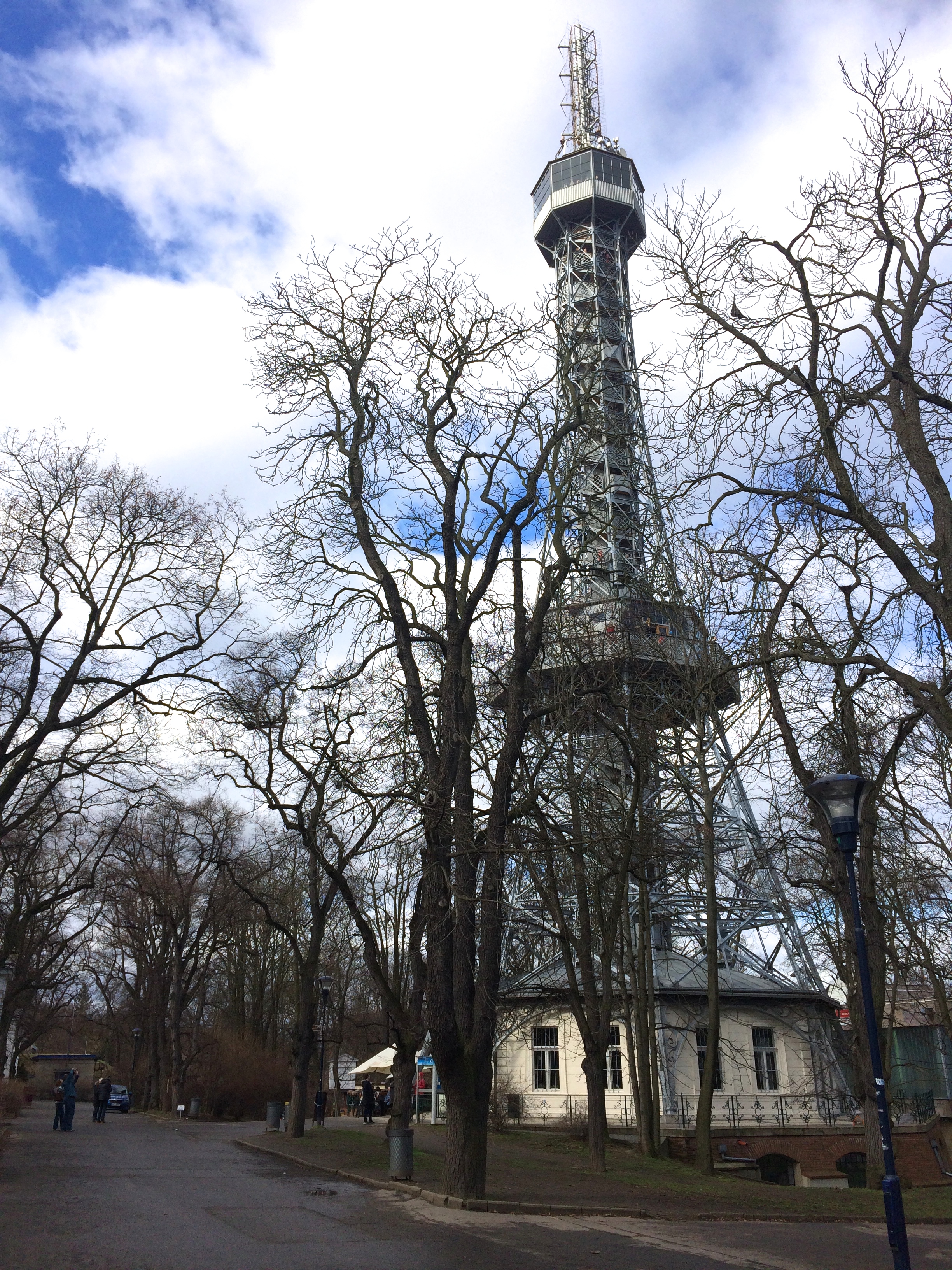
After resting our legs at brunch we made our way up the hill to the Petrin Tower.  I believe there is a lift, but I recommend strolling up the hill.  It wasn’t steep at all, and plenty of benches lay scattered throughout multiple paths for everyone to rest and enjoy the views!IMG_7118

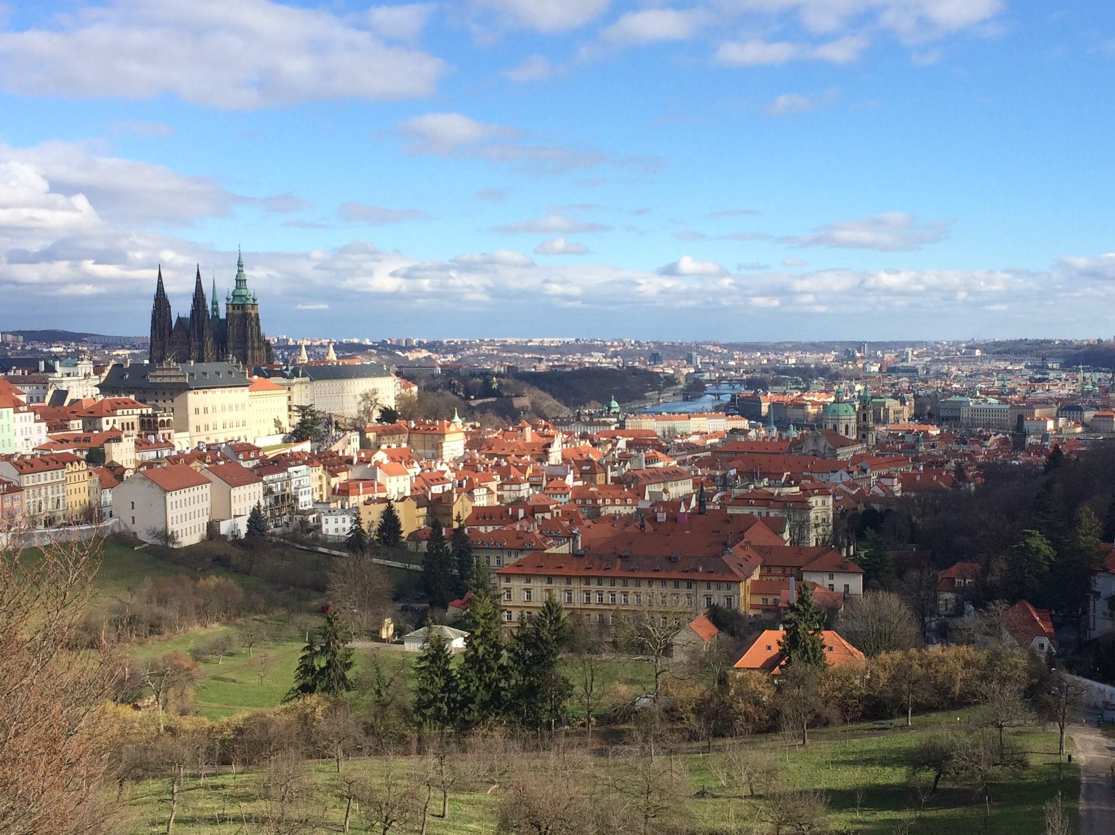
Beyond the Petrin Tower was the Strahov Monastery, which boasted my favorite views of the city.
IMG_7131

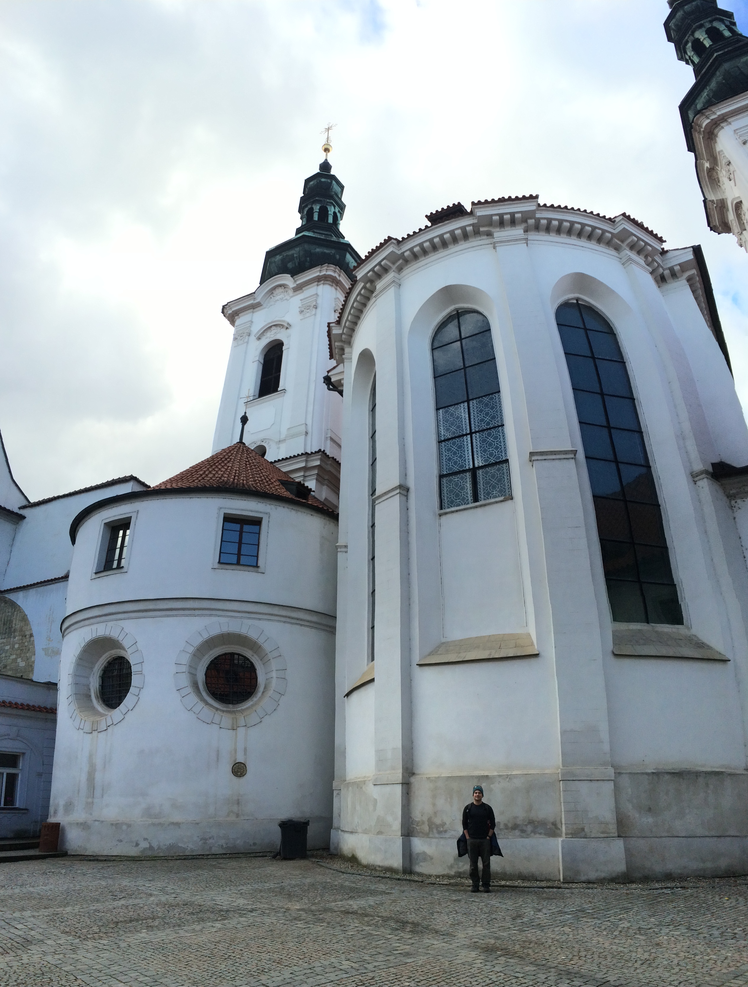
The Strahov Monastery was stunning too.IMG_7137

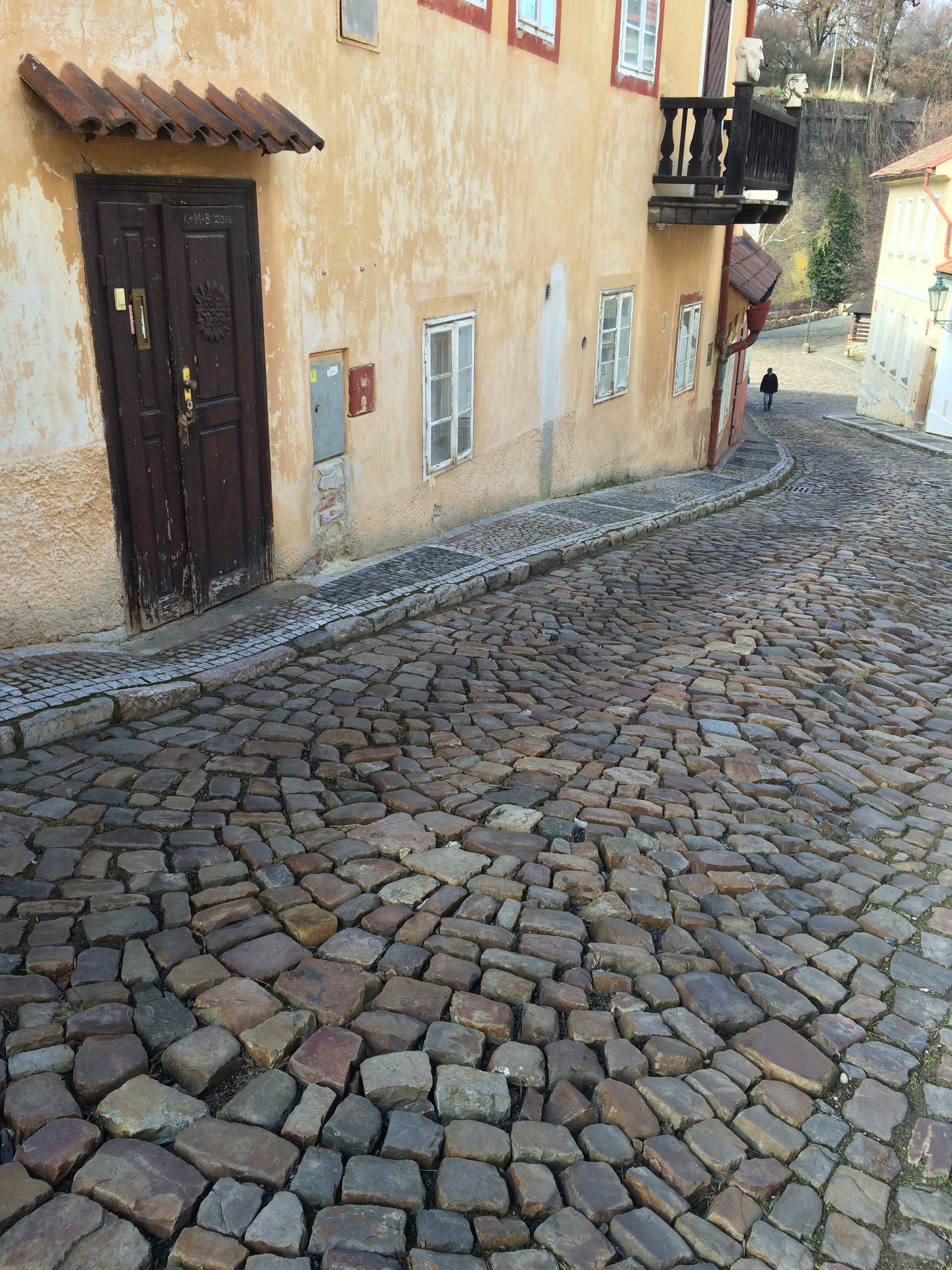
Down the hill from the monastery was Novy Svet street, an adorable, romantic, cobblestone street that leads to the famous Prague Castle.IMG_7142

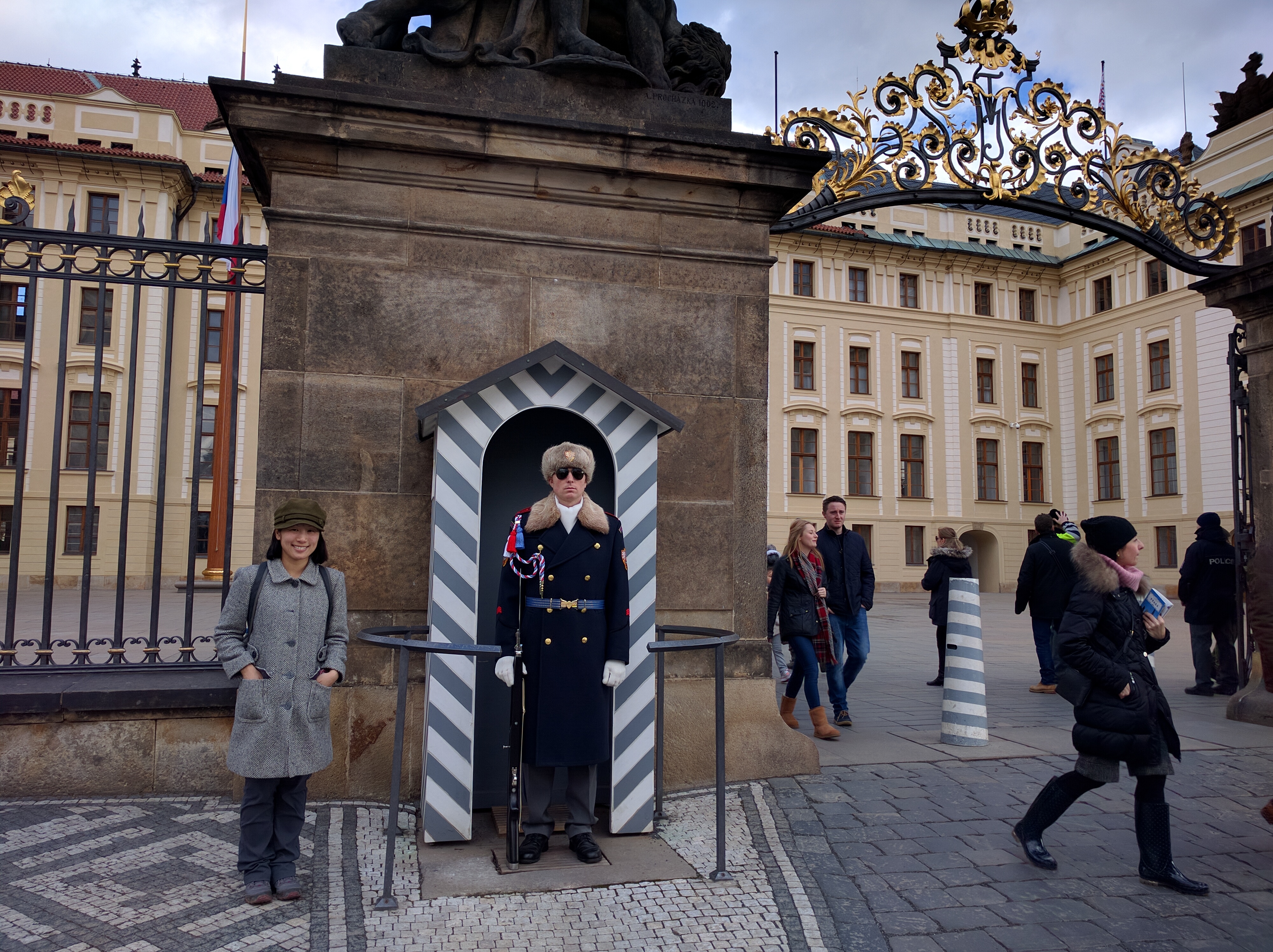
Finally, we made our way to Prague’s top attraction: the Prague Castle and St. Vitius Cathedral.  From afar the castle/cathedral complex was clearly the landmark of the entire city, bursting high into the sky from any viewpoint and sticking out clearly in all pictures.  Little did I know that the Prague Castle is the largest medieval castle in Europe!  One would assume that the majority of a visitor’s day would be spent walking the massive city that encompasses the castle, but no.  The castle is a city in itself.  There were several paid options for tours, but we opted to explore the free areas.

Palace guards at the castle gate–yay tourist shot!IMG_20160214_125800

St. Vitius Cathedral:

Walking around the cathedral:

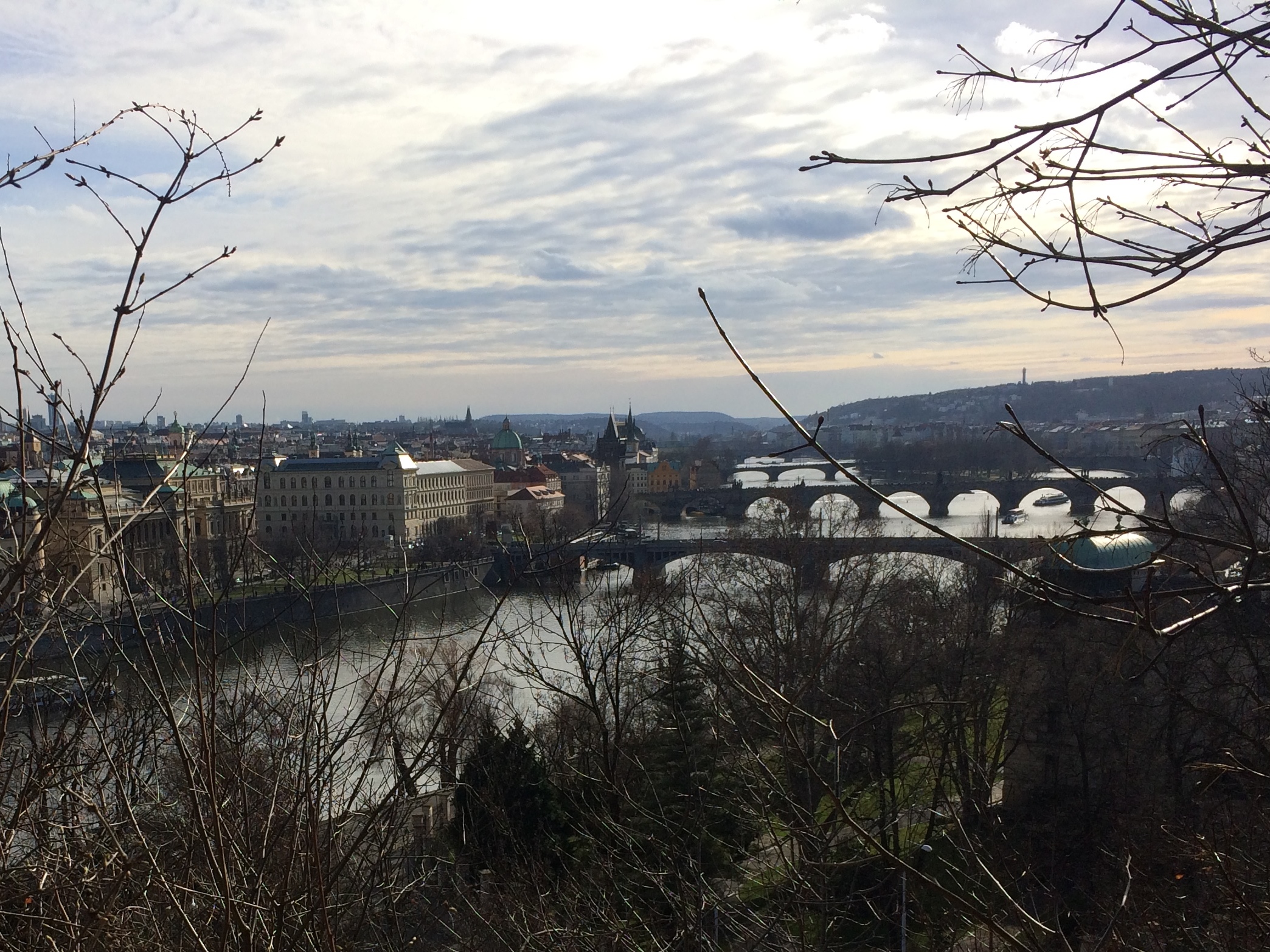
We exited the castle, strolled through Letna Park, and took in the views.  From the hill, there were numerous spectacular vantage points of the castle and the Charles River.  IMG_7161

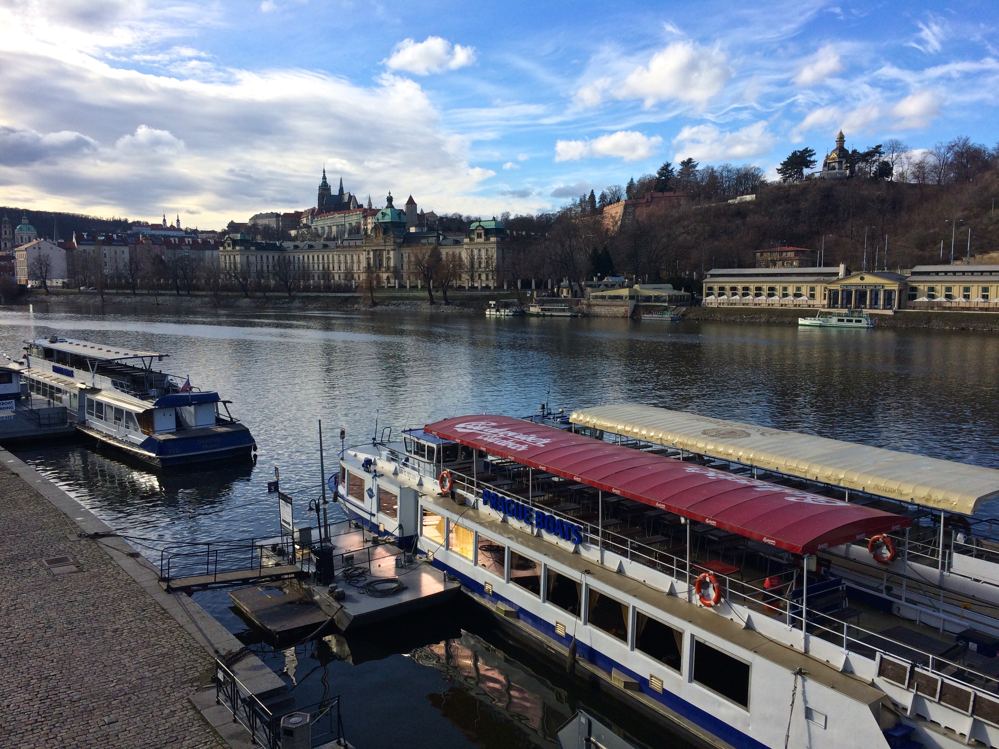
After strolling through Letna Park, we crossed the bridge back into the city.  Again, another excellent view of the castle from the bridge:IMG_7163

Obviously, we rushed through Prague with only two days, but we at least got a general taste of Prague.  Normally, I’m not much of a city person because I find many cities to be the same.  But not with Prague.  Like in San Francisco, a stroll along the perimeter of the city grants breathtaking landscapes and views that not all major cities have.  The striking difference between Prague and other cities is the fairytale cityscape, silhouettes of antiquated churches, and the medieval castle. Prague is truly a magical city.

Posted in Czech Republic | Tagged , , | Leave a comment

Berlin

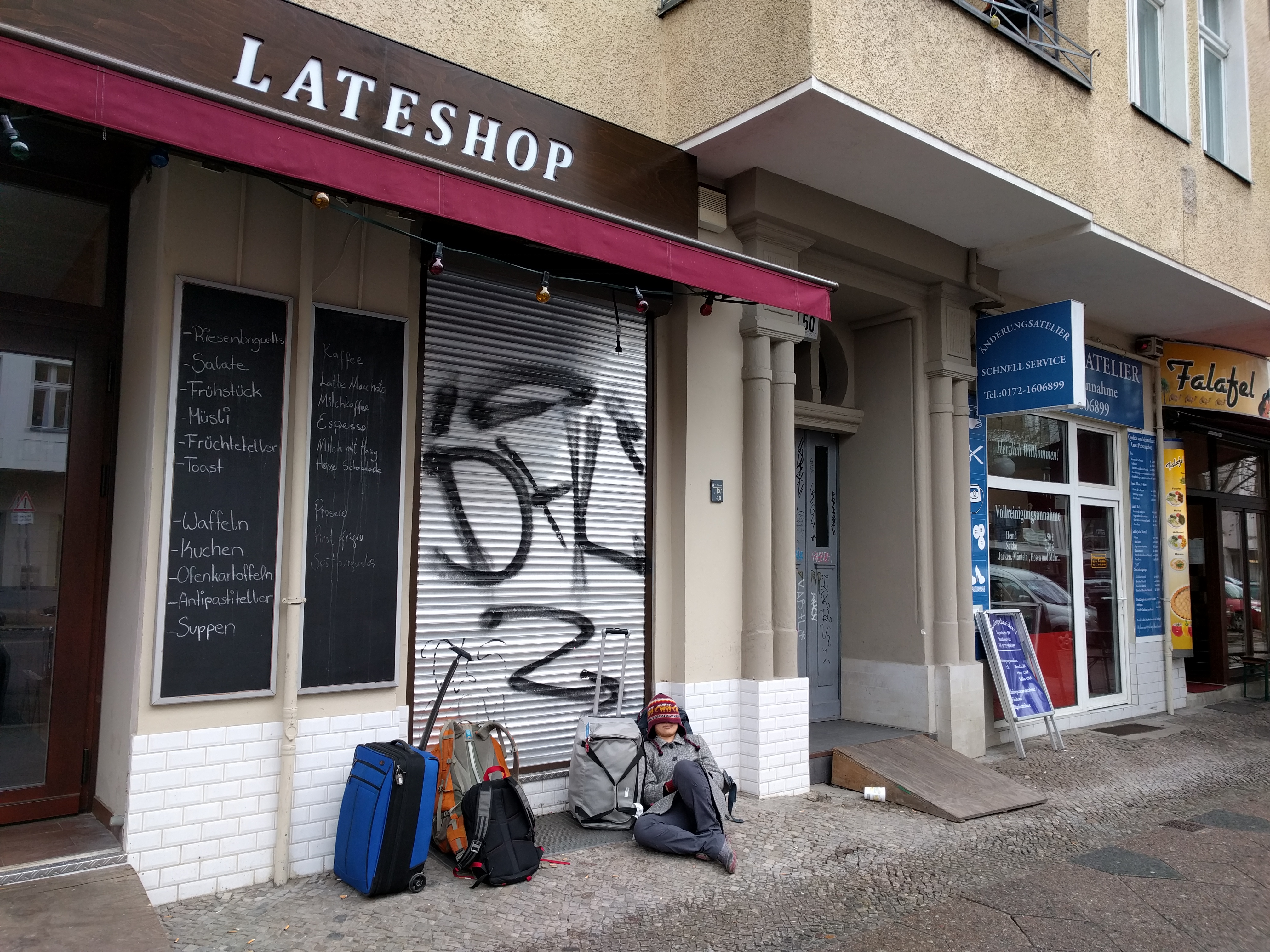
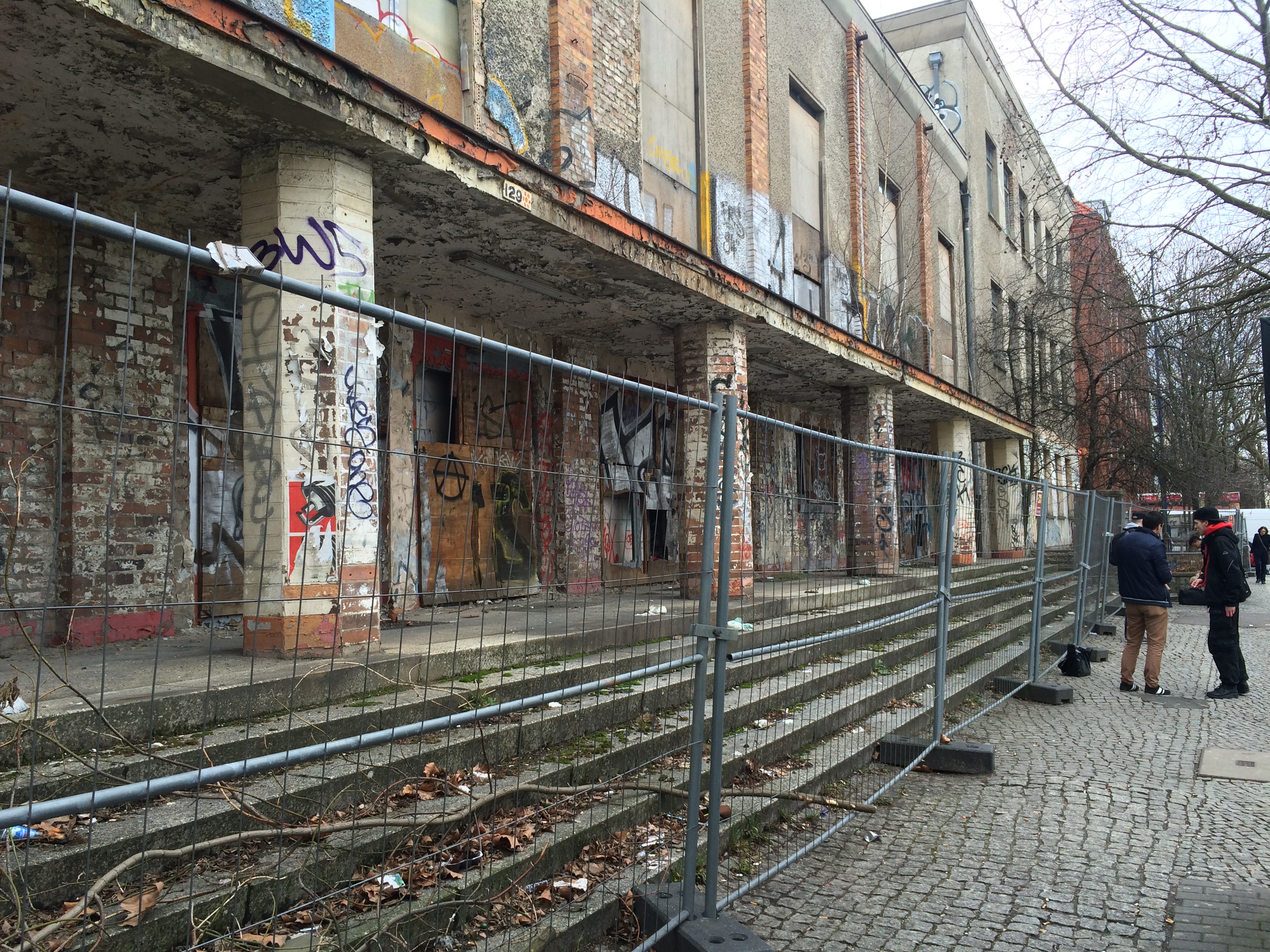
All my friends told me Berlin was edgy, hip, and grungy.  Other than the murals and scribbles of graffiti sprayed every few meters throughout the city, I didn’t think it was that at all.  Maybe that thought will change when I see the rest of Europe, but for now I’ll say Berlin was incredibly clean and pleasant.  Even slumming it on the sidewalk waiting for a spätkauf, or convenience store, to open upon our arrival wasn’t too bad of an experience.IMG_20160208_103427

Graffiti like this could be found EVERYWHERE.  Seriously, I had never seen so much graffiti in my life.
IMG_6901

Major U.S. cities are often filled with filth, trash, and obnoxious people, and neither of these problems were to be found in Berlin.  A clean, incredible and extensive network of public transportation.  Polite, soft-spoken people.  Bakeries and flower shops at every corner.  Diversity in people, food, and culture.  Cheap beer and groceries. A grueling past from the Nazi reign in the 1930s, and socialist rule from 1961-1989.  This is Berlin.

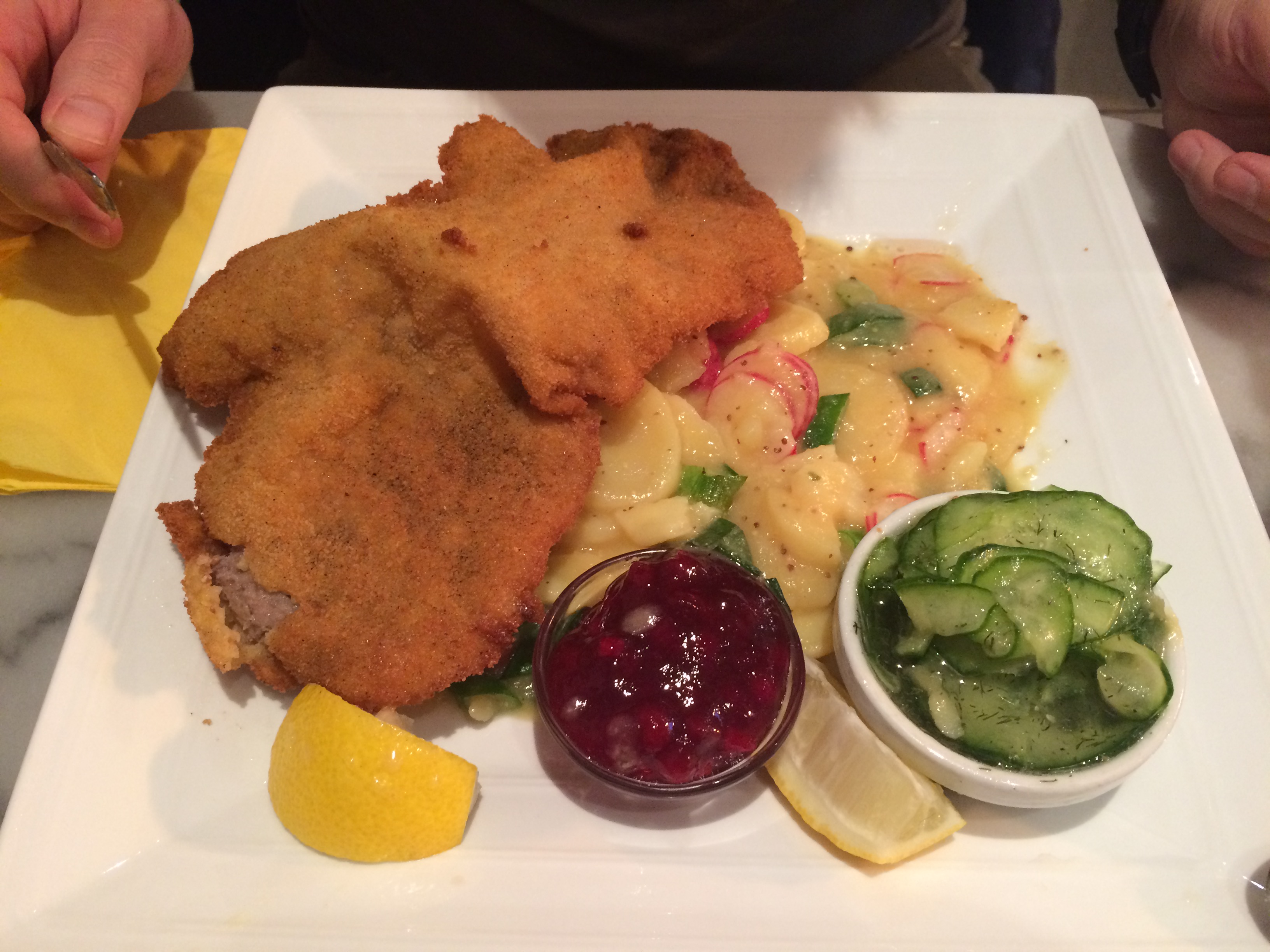
Because we never tasted German food in our entire lives, our first dinner in Berlin had to be typical German food: heavy, comfort food-y, saucy, and something with a long name. The wiener schniztel wit kartoffel und gurkensalat (breaded veal with potatoes and cucumber salad) from Imbiss 204 in the Prenzlauer Berg neighborhood hit the spot.IMG_6866

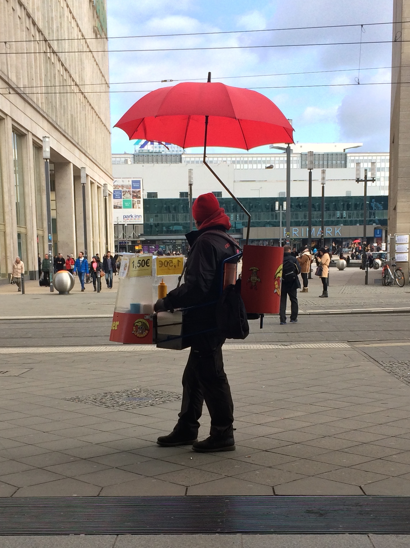
The streets and metro stations are filled with tasty fast food options, including waffles, soft pretzels, and sausages!IMG_6911

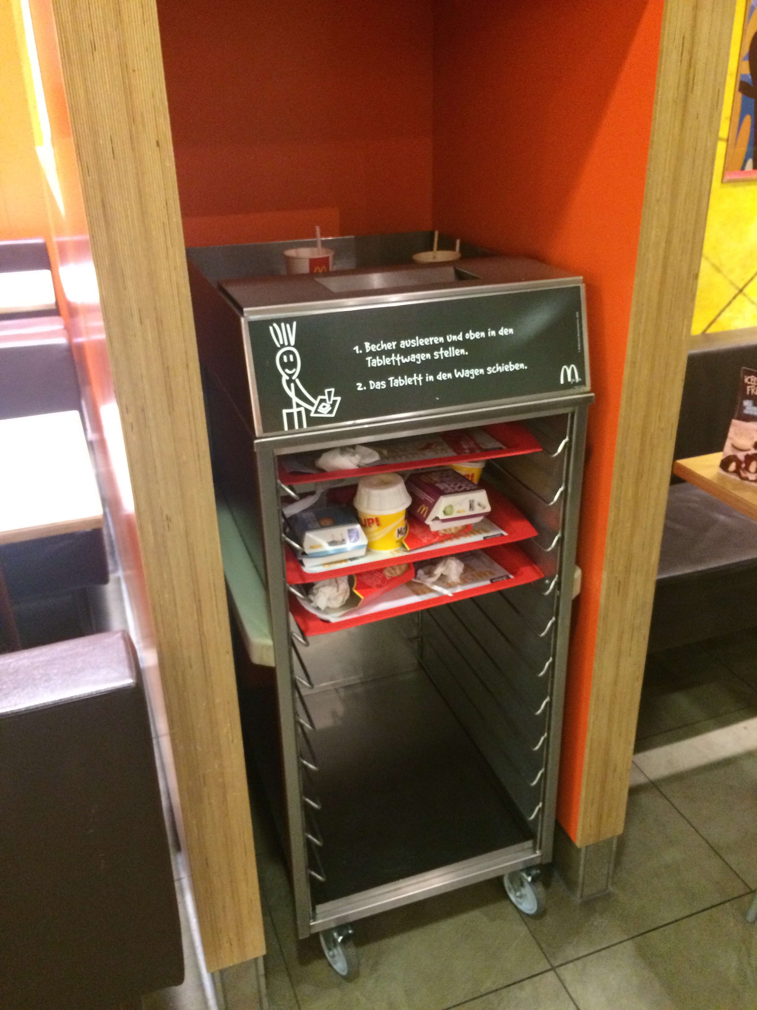
Germans are known for processes and efficiencies.  Why can’t we bus food trays like this in the U.S.? Hmph.
IMG_6923

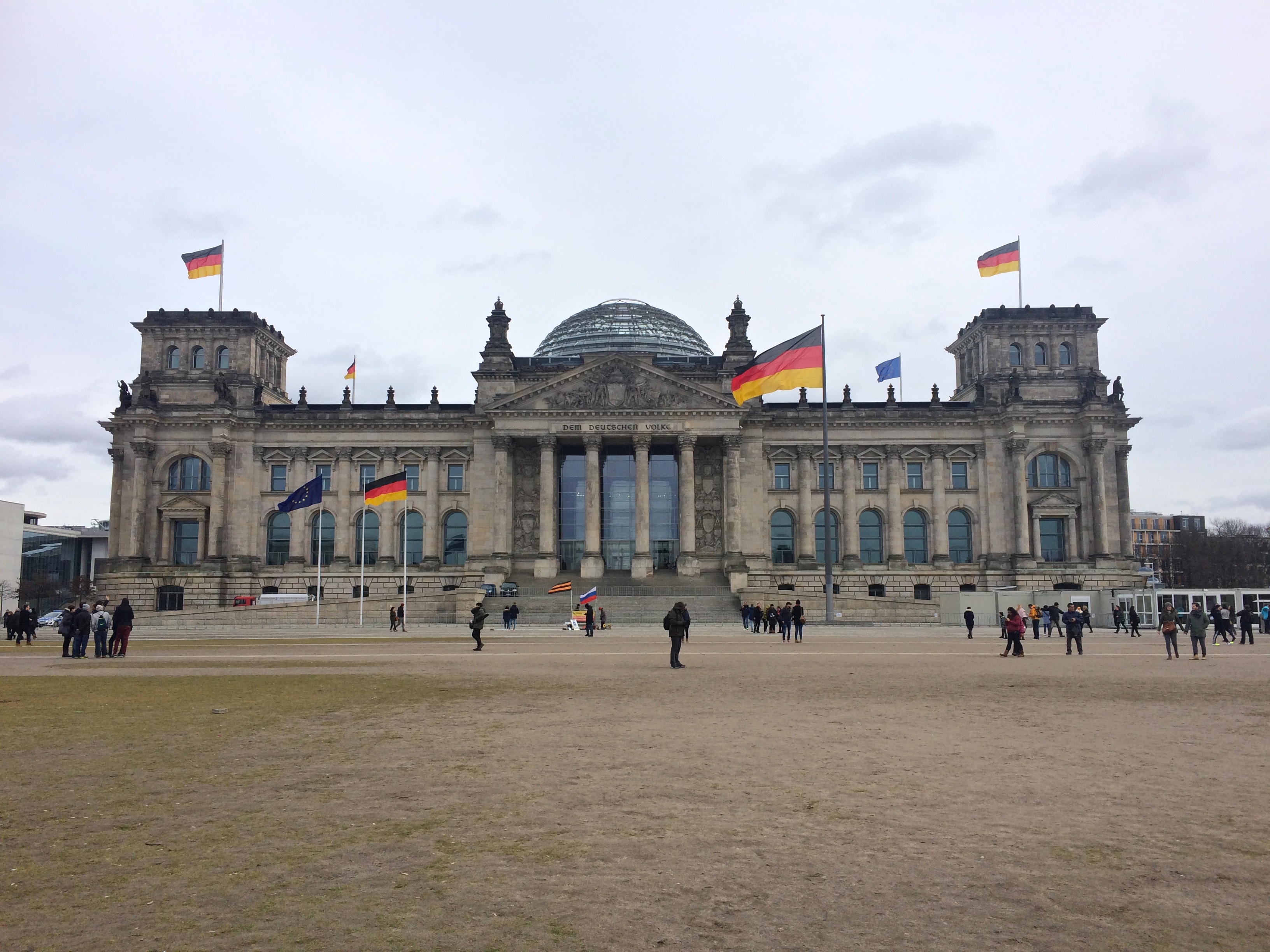
The main walking attractions in the tourist area include Reichstag, the government building.  We didn’t pay to go up into the dome though.IMG_6890

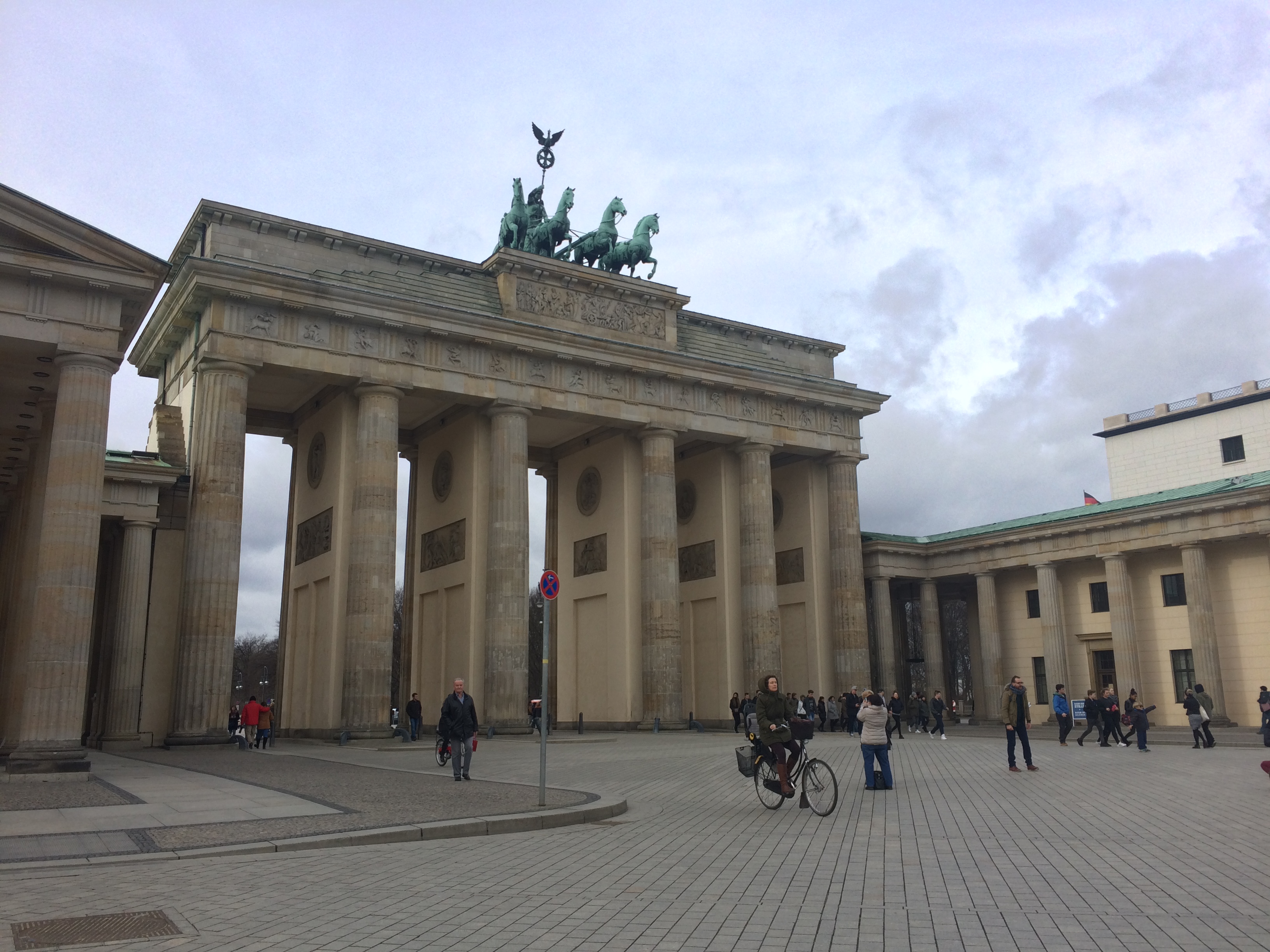
Brandenburg Gate once marked the entrance into the city:
IMG_6881

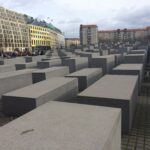
The Holocaust Memorial was beautifully haunting:

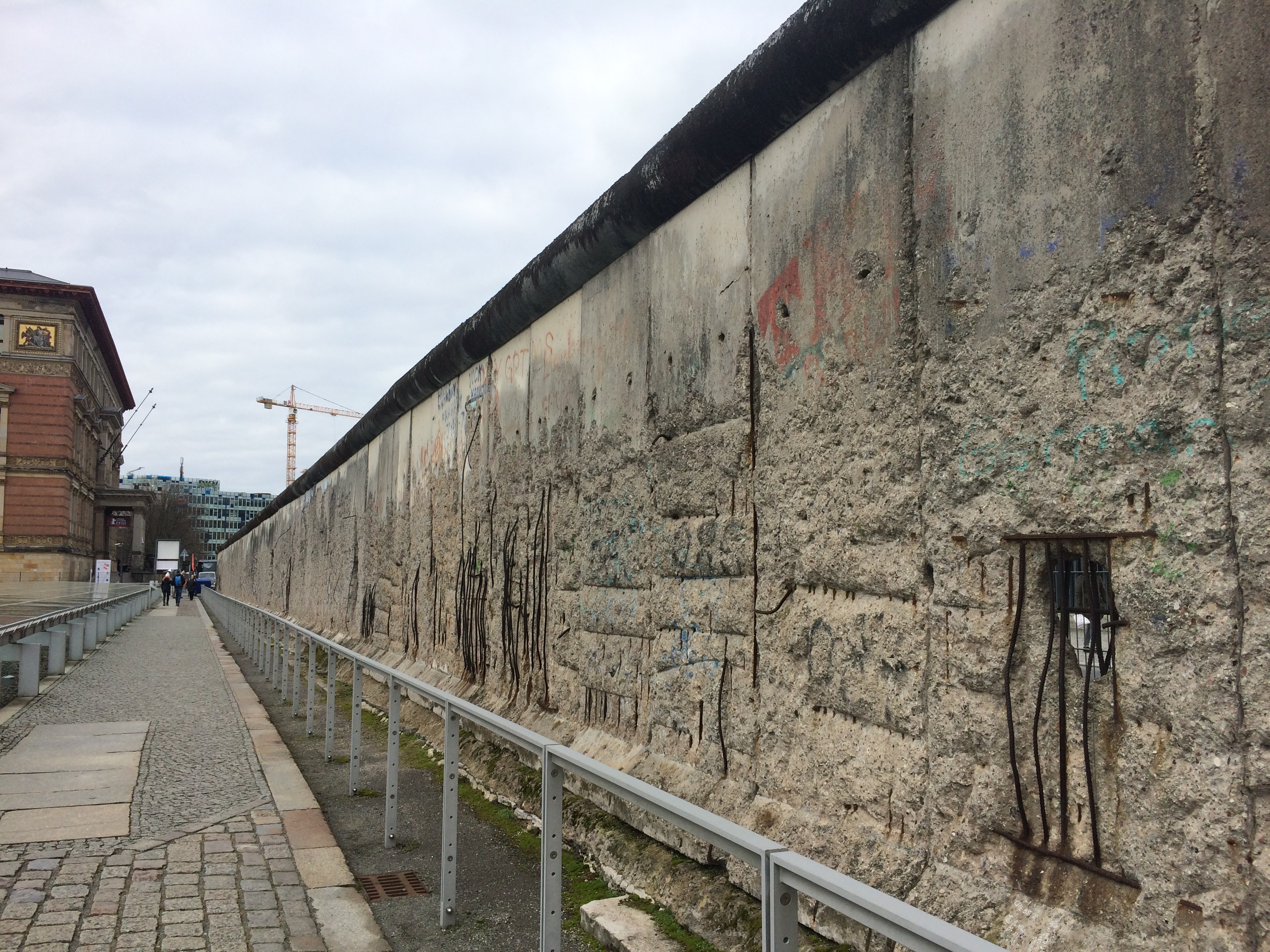
The free Topography of Terror not only provided detailed information about the Nazi regime, but also a 200-meter fragment of the Berlin Wall.  At least 136 people died at the Wall, the majority of them in attempt to flee from East Berlin to West Berlin.IMG_6868

Fragments of the Wall stand throughout Berlin as displays, but my favorite display was the East Gallery.  This 1.3 km section of wall consists of paintings by famous artists from all over the world.  Naturally, the murals have been defaced by local graffiti “artists.” No visit to Berlin is complete without strolling along the river and the East Gallery!

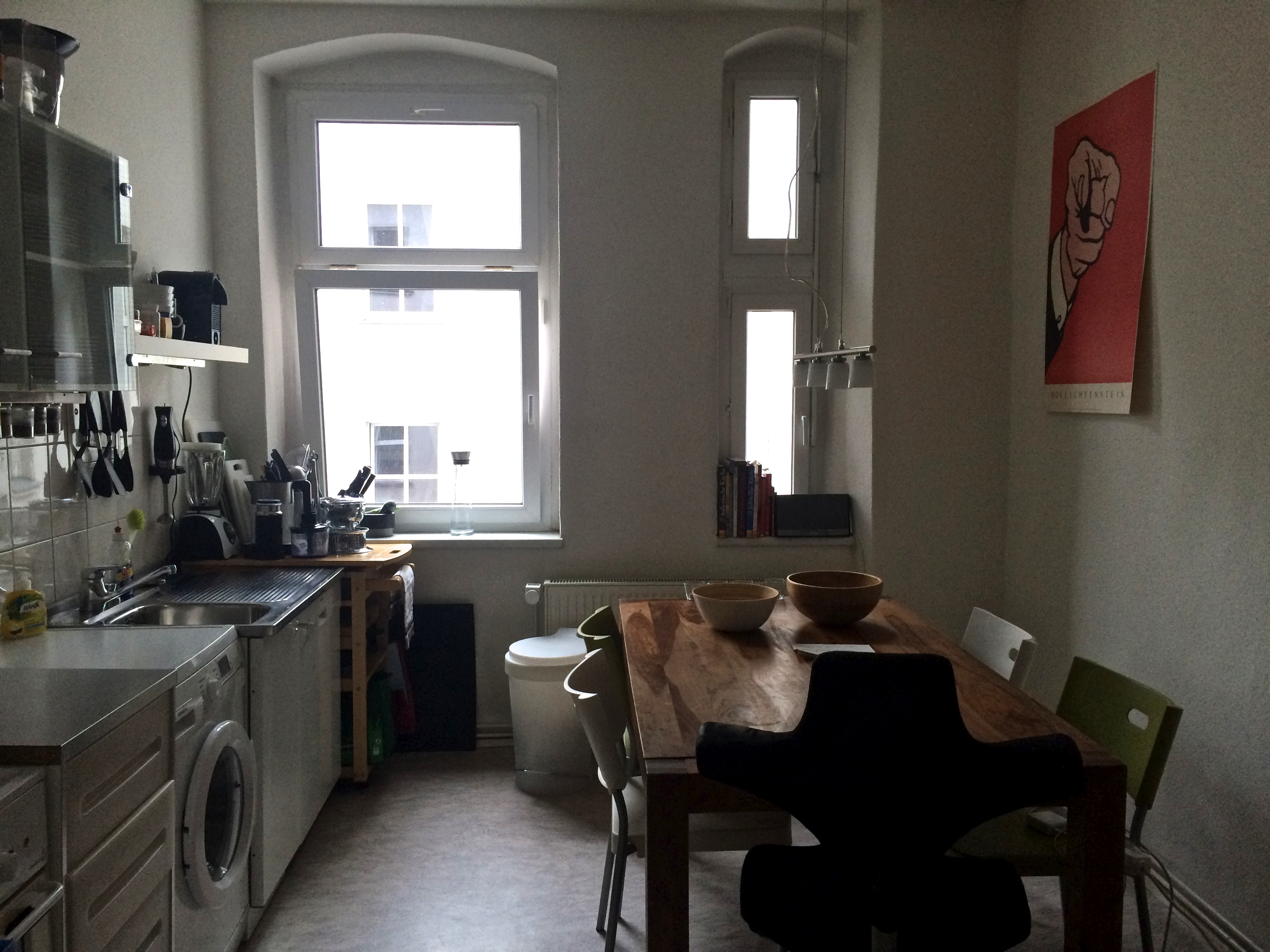
Berlin was the perfect first Euro-stop not just because it was an easy city to become accustomed to, but because our incredibly hospitable German friend housed us in his flat–while he was off vacationing in Thailand!  It was like a free airBnB all to ourselves.  Despite all the awesomeness the Germans have, I will admit one thing.  I don’t think I can get used to a washing machine in the kitchen. =PIMG_6865

Posted in Germany | Tagged , | Leave a comment

SF to Berlin (Air Berlin)

In previous years we used United miles to travel.  This time around we used American AAdvantage miles to fly business international from San Francisco to Berlin, Germany. Although American Airlines devalued their entire AAdvantage program for 2016, we were traveling early enough (February) to avoid the devalued award chart changes.  Only flights booked on March 22, 2016 and after were affected.  Whew.

Before I dive into our flight experience, I must say how horrible it was to book tickets using AAdvantage Awards.  First of all, award travel was scarce.  Second, almost all flights had three legs with awfully long layovers.  Third, all but one flight was a British Airways flight, meaning an additional $500+ “fuel surcharge” (which has nothing to do with fuel prices) would apply to the reservration.  And finally, every business class flight to Berlin only had one award seat.  After hours of creative flight building, we finally opted to fly separately.  Chris would fly the best flight on Sunday morning: business class from SFO to Chicago, then business class from Chicago to Berlin for 50,000 points and $5.60.  I would fly the more inconvenient flight on Saturday night: business class from SFO to London, London to Dusseldorf, and then Dusseldorf to Berlin for 50,000 points and $511.  Chris agreed to split the $511 with me, making both our business class flights a total of 50,000 points and $258.30 each.  All in all, the outcome wasn’t too horrible, but the process of seat-selecting using AAdvantage Awards was incredibly cumbersome and stressful.

Fortunately booking with AAdvantage Awards has one huge benefit–the unlimited ability to make any date and time changes for FREE.  Yep, that’s right.  As long as the departure and destination are the same, and as long as there is an available award seat on the flight of choice, date and time changes can be made for free!  We booked our tickets a month before departure, and two weeks before setting out, I casually looked at flights again.  To my surprise, an award business class seat opened up in Chris’ flight!  I immediately called American Airlines to change my flight, and it was simple as that.  Also, I was refunded the $511 fuel surcharge since I would no longer be flying with British Airways, which brought our total costs to 50,000 points and $5.60 each to fly business class to Berlin!  There were a few kinks in their system that disturbed my check-in process, but I got it all cleared up at the check-in counter at the airport.

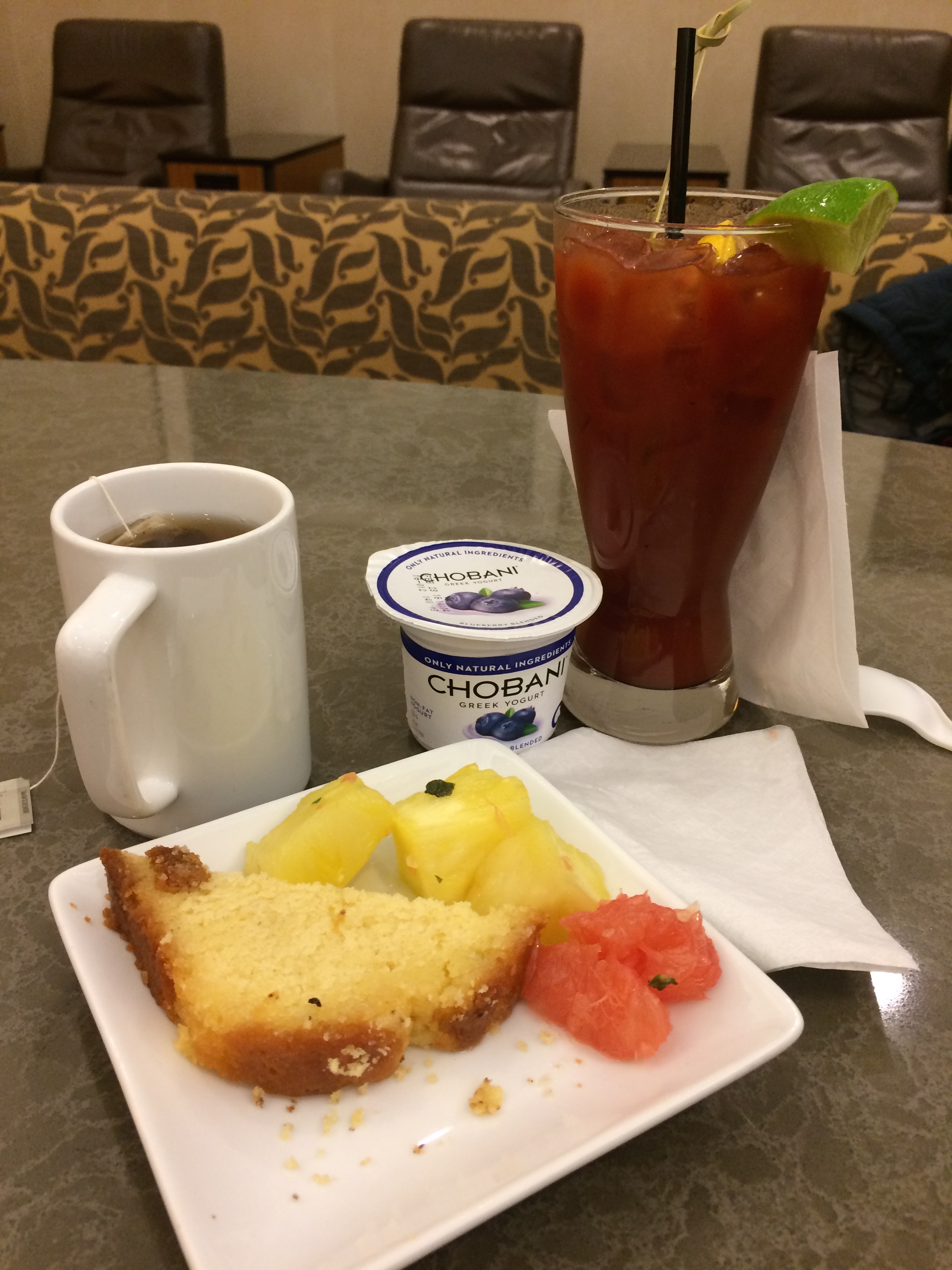
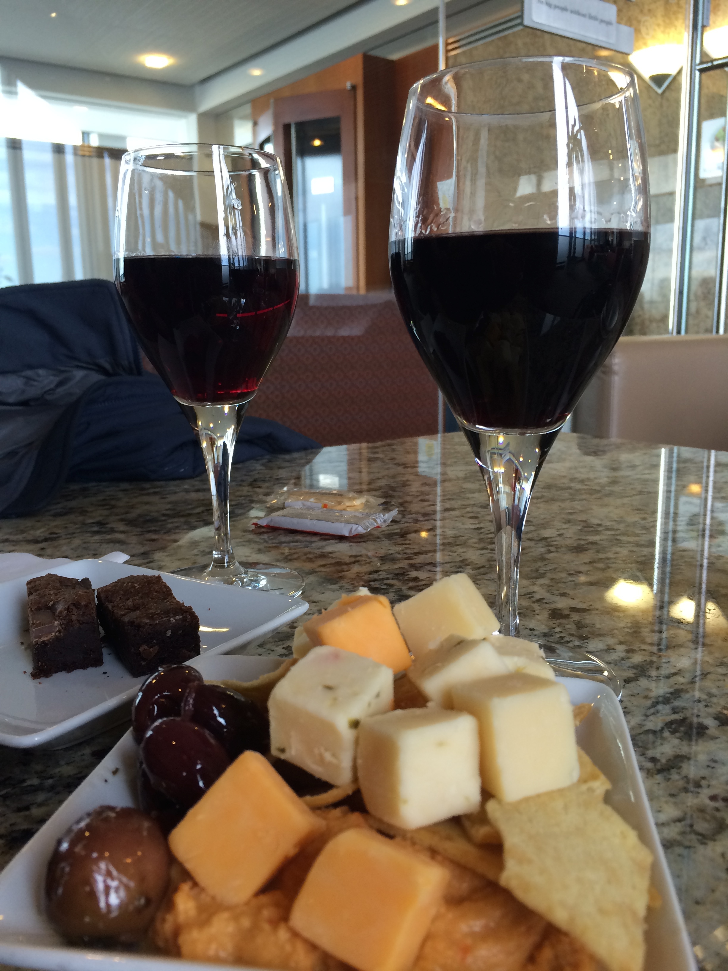
The business-class pampering began at the Admiral’s Club in SFO as we waited to board our flight.  It was 6:30am and we started our day with breakfast.  Chris also got a complimentary Bloody Mary.IMG_6832

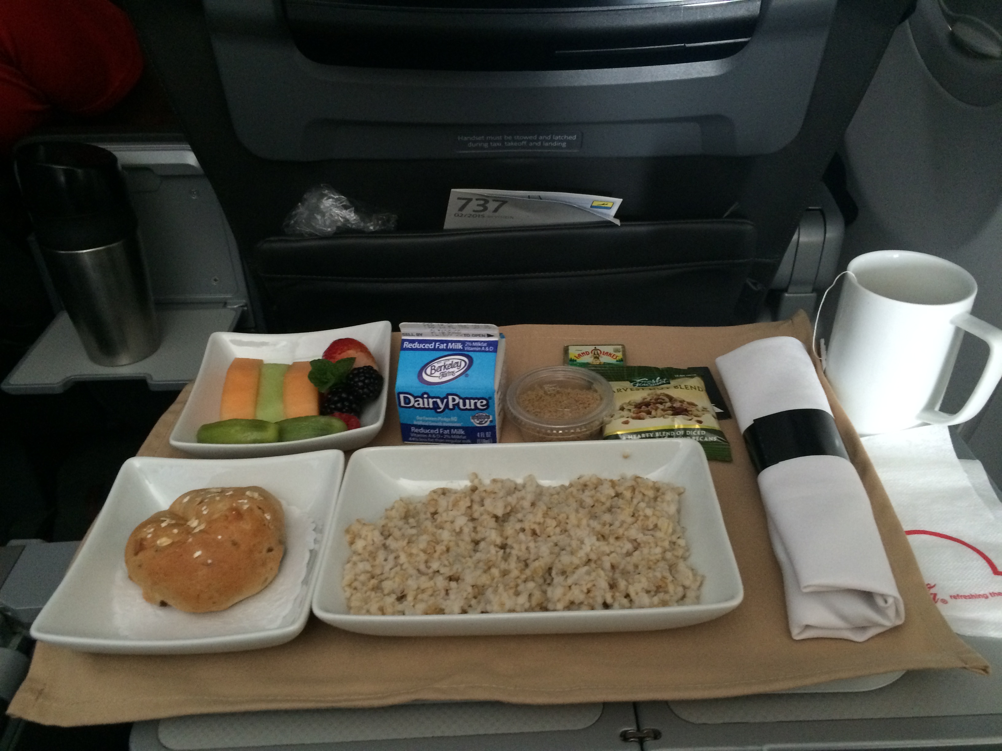
We made sure to not stuff ourselves too much at the lounge, because we knew there would be more breakfast on our first leg to Chicago.  Steel cut oatmeal with fruit and granola:
IMG_6834

Once in Chicago, we stuffed ourselves silly at another lounge while waiting to board our next flight to Berlin.
IMG_6836

The plane to Berlin was incredibly empty.  Not even business class was full. I’ll bet that everyone in the economy class enjoyed an entire row to themselves.  Well, here were our individual seats in business class:

Albeit slightly cramped with an odd configuration, we enjoyed our 8-hour flight to Berlin. I mean it was still business class! Can’t complain there.  The best seats in the business class were all taken (the very private window seats), so Chris ended up with the aisle-window and I got the aisle seat.

As soon as we were seated, we were given complimentary champagne.  Then we dove into the menu for dinner and breakfast.

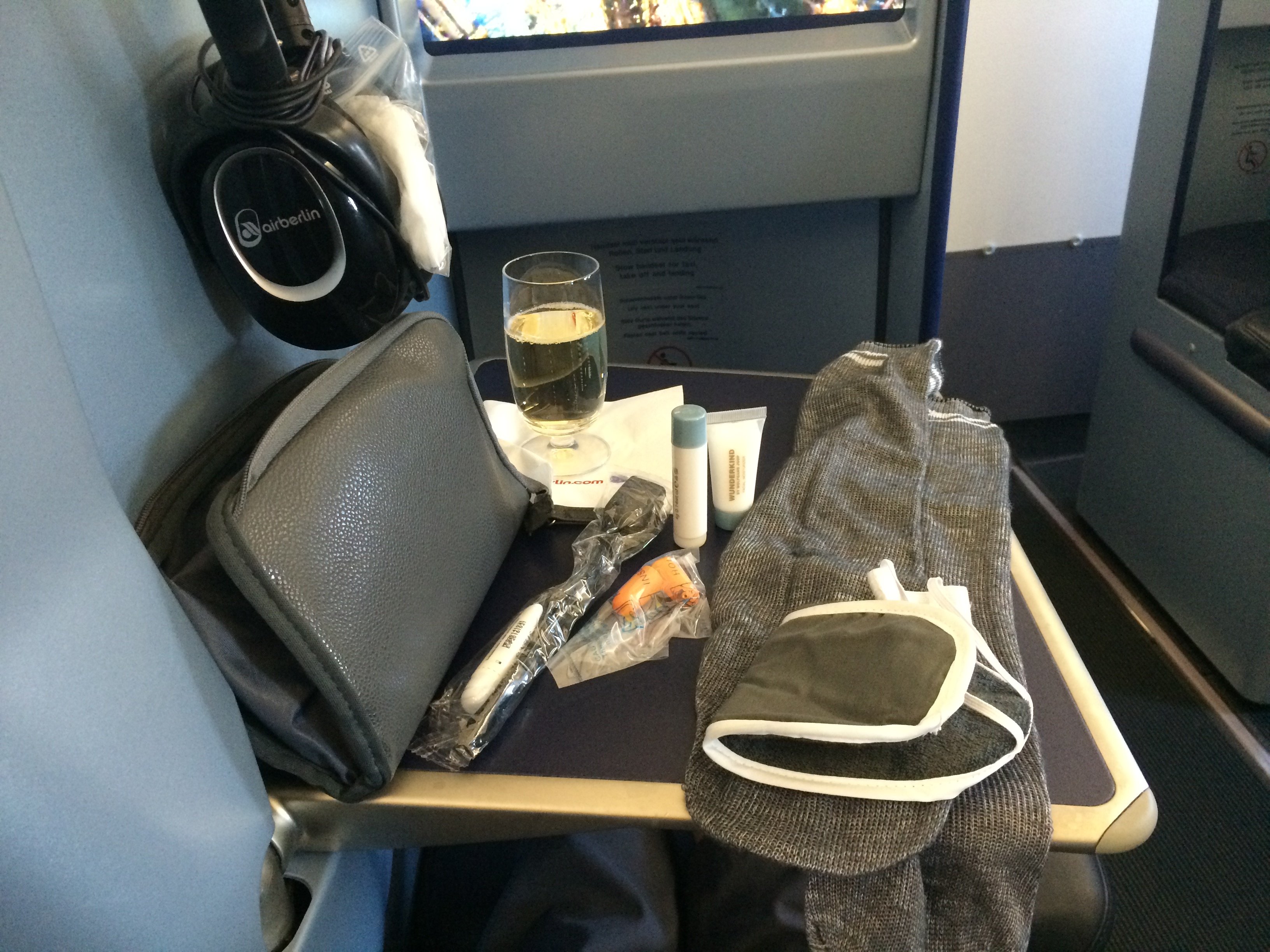
Then I checked out the amenity kit, which included an eye mask, ear plugs, lip balm, lotion, socks, a tooth brush, and some tooth paste.  A flight attendant later passed out slippers (yay!).
IMG_6840

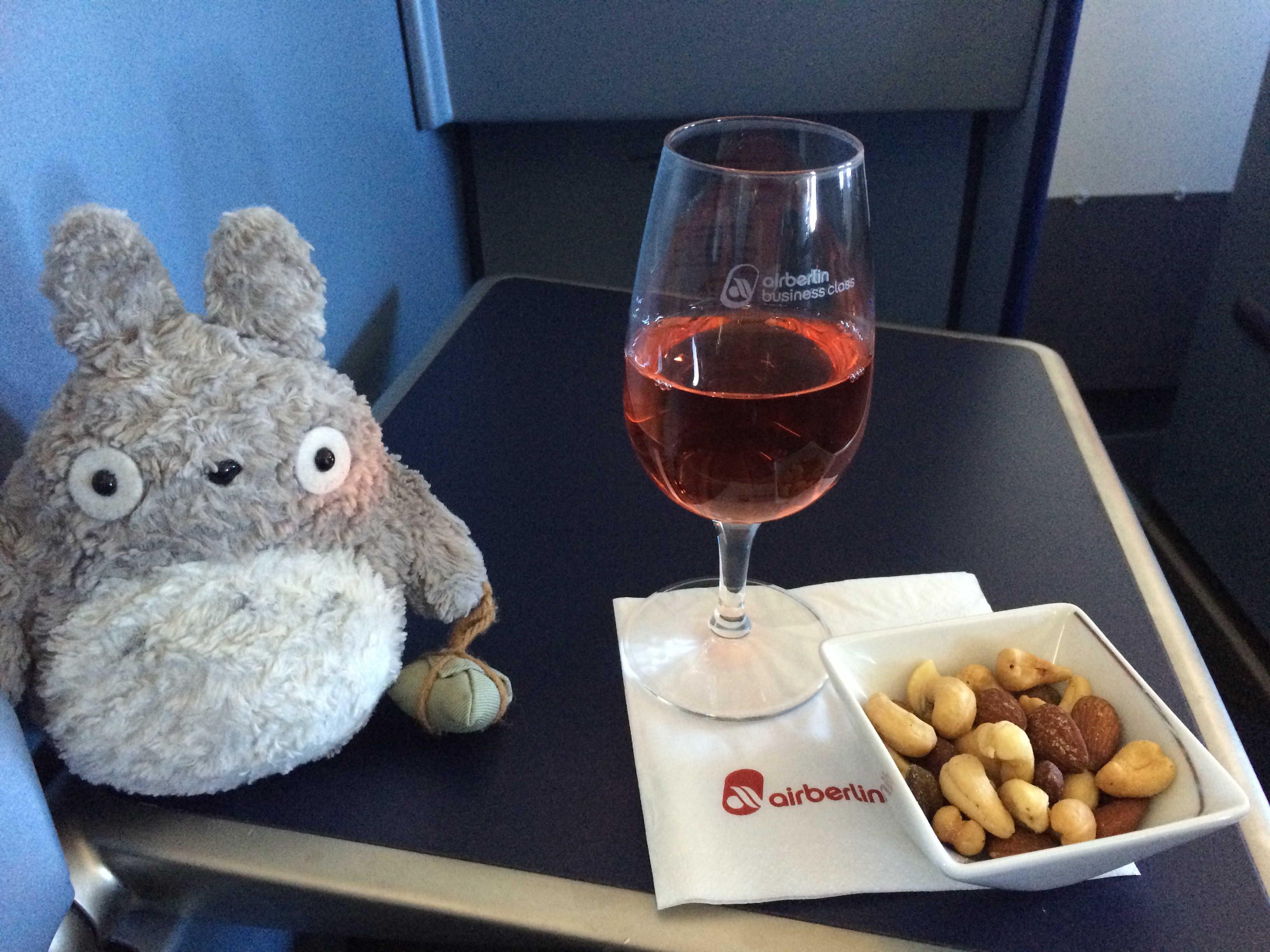
Shortly after takeoff we were served another beverage of choice (I got the rosé wine) and nuts.
IMG_6850

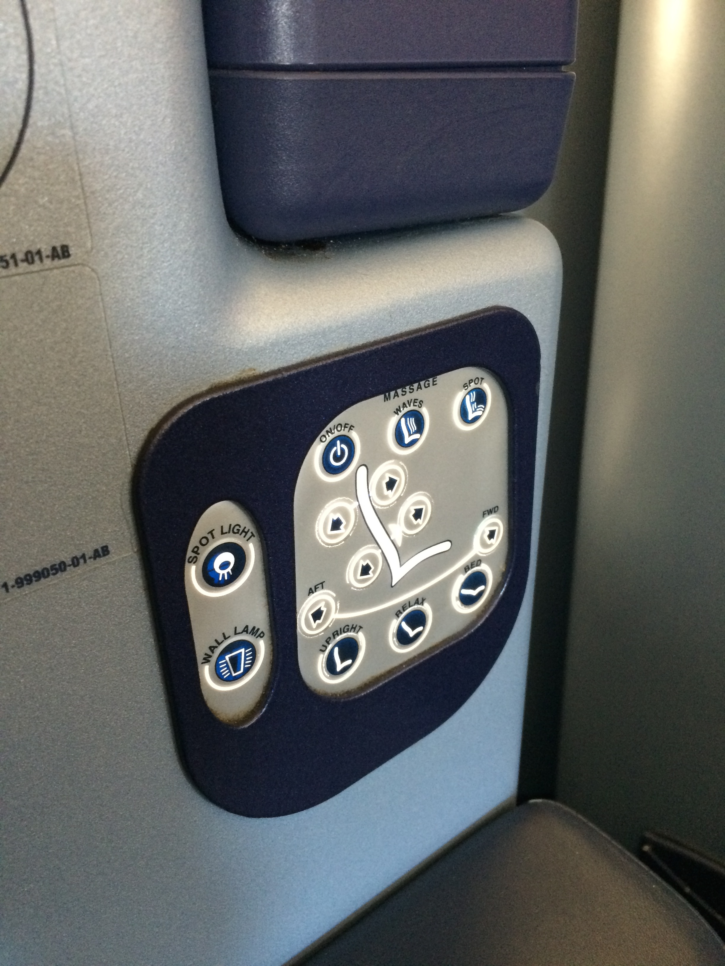
Then I played around with the seat configuration.  Not too difficult to figure out.IMG_6845

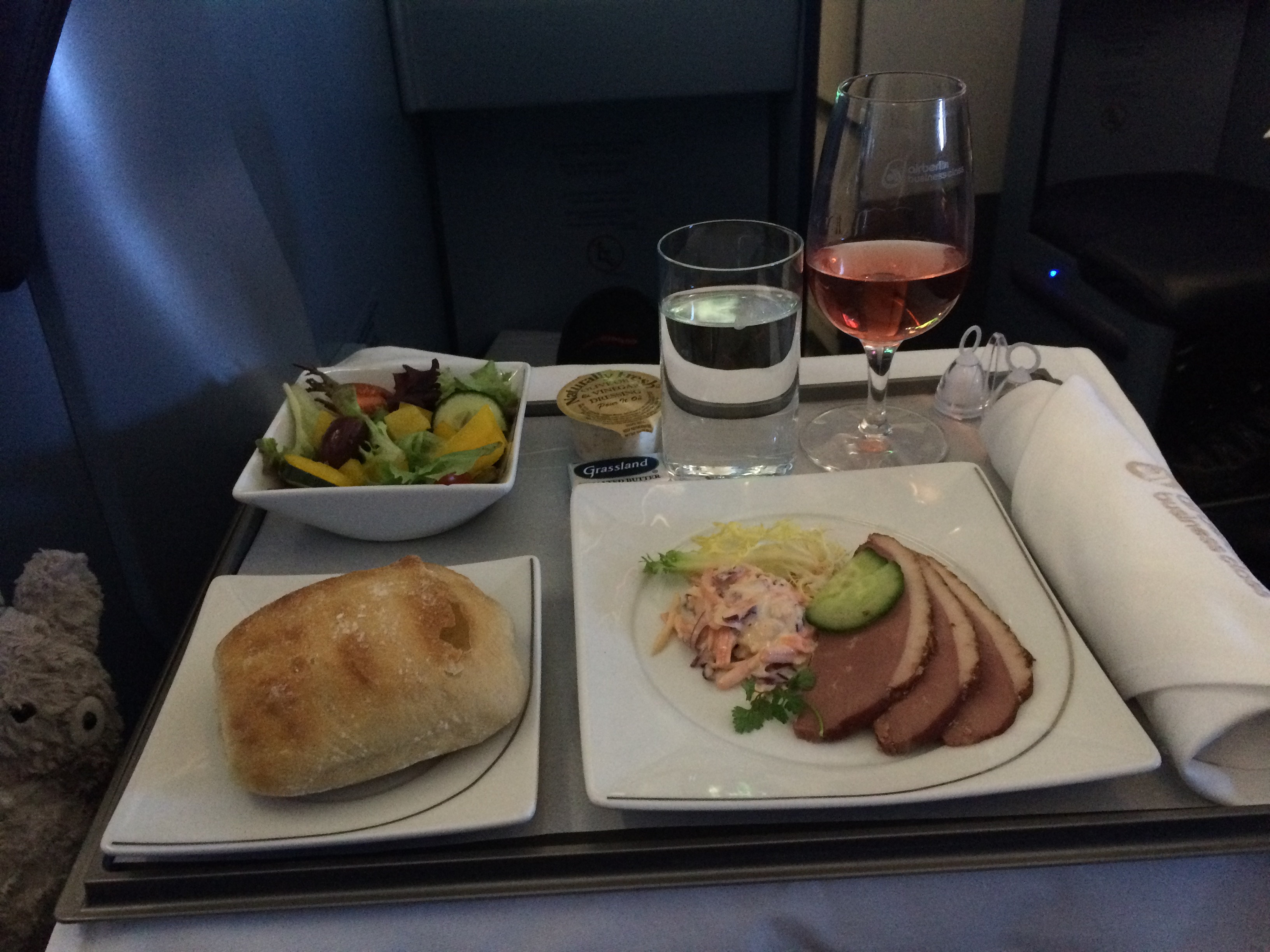
About 30 minutes after takeoff, they served dinner.  Because I read that the food on Air Berlin wasn’t memorable, my expectations were low.  However we were both impressed with the presentation and the food!  To start, we both had salad and smoked duck.  Tasty!IMG_6852

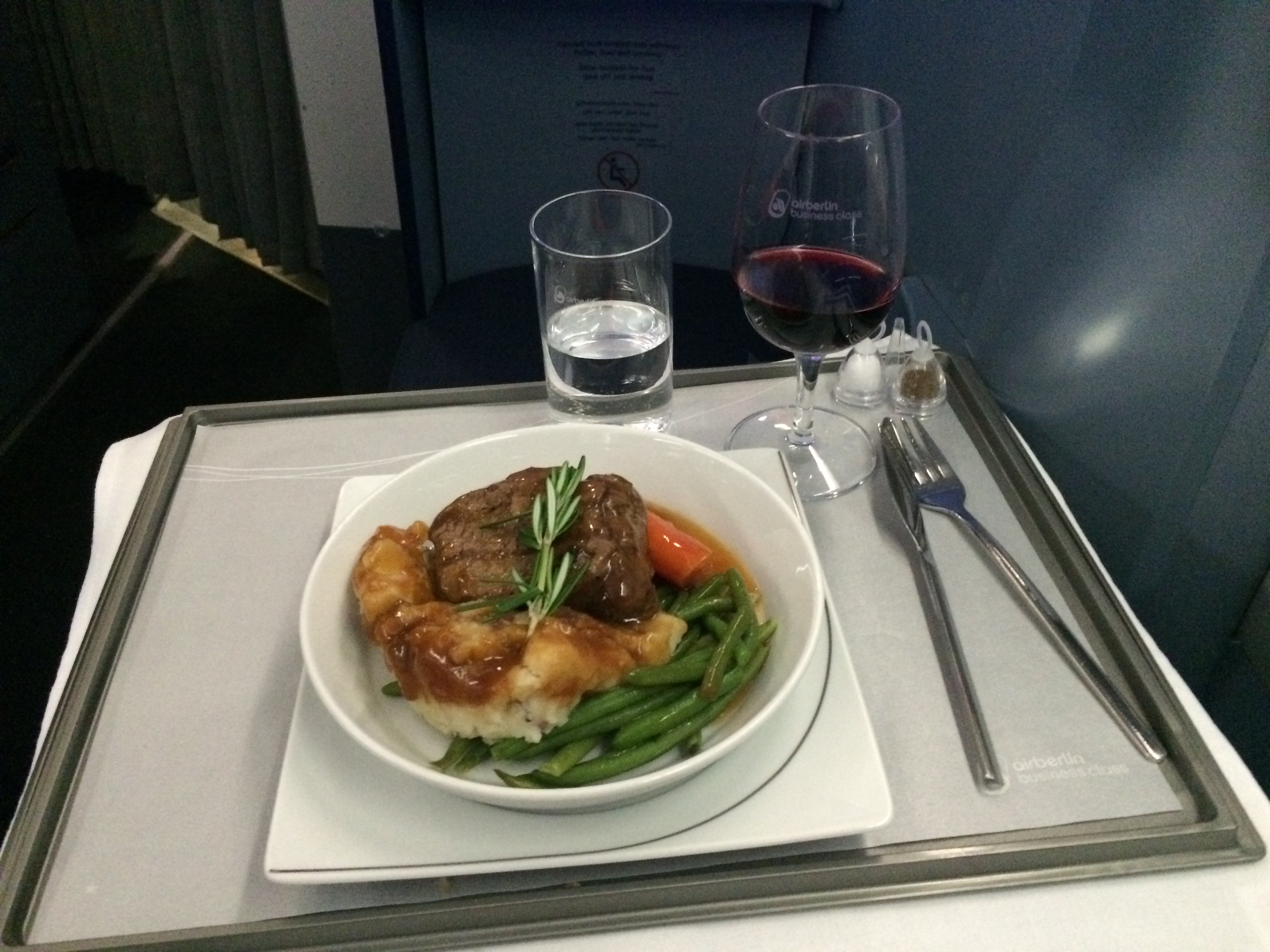
Because I had just regrettably stuffed myself at the lounge in Chicago, I had to skip the main course.  Chris opted for the beef and potatoes, which he claimed was delicious.IMG_6855

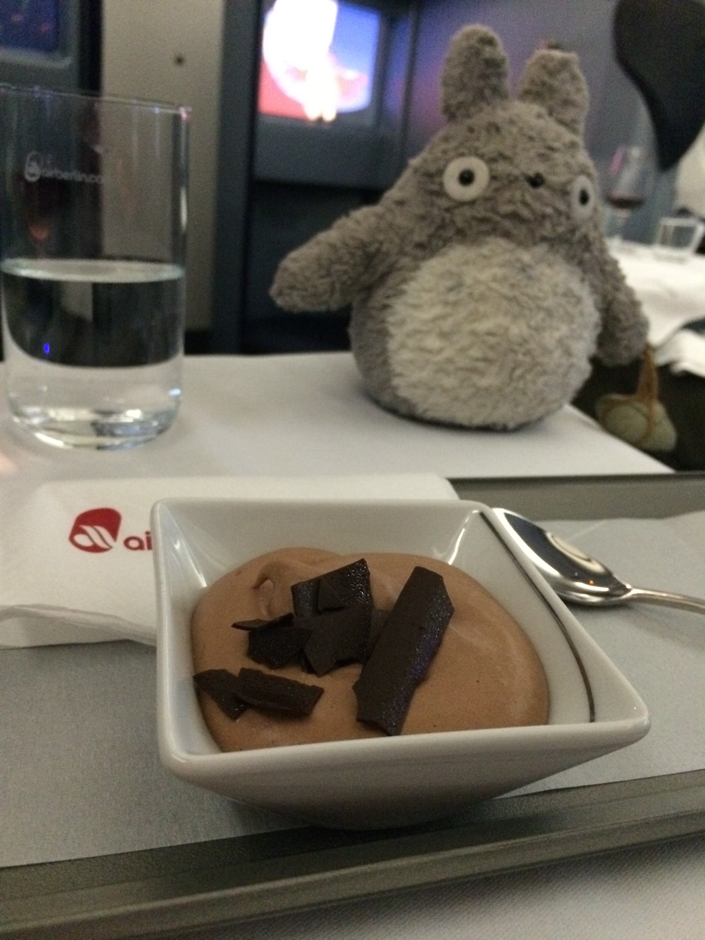
There was no way I was skipping dessert though. Chocolate mousse for both of us!IMG_6858

Immediately after dinner we attempted to sleep.  Our arrival time to Berlin was 7am the next day, so it was important to get adjusted.  Unfortunately our bodies thought it was 2pm PST.  None of us got any decent sleep.

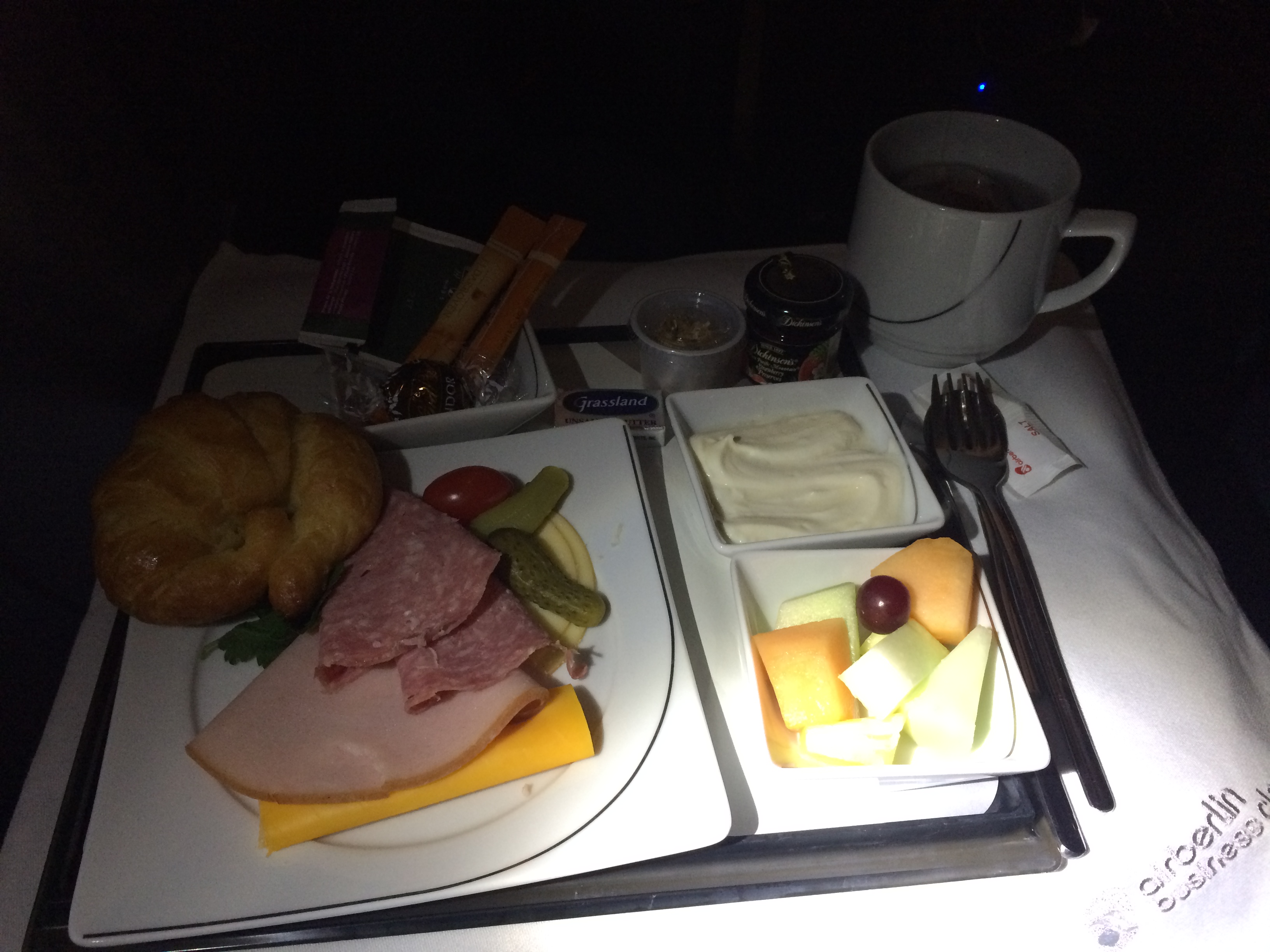
Naturally we were already awake for breakfast.  We were still stuffed, but, as always in any business or first class flight, we devoured as much as we could.  Breakfast was a simple plate of cold cuts, cheese, bread, fruit, and Greek yogurt.IMG_6861

And thirty minutes after breakfast, we touched down in Berlin!

The food and service was great.  Now if only American Airlines could make their AAdvantage Awards seat selection a less painful experience…

Posted in Uncategorized | Tagged | Leave a comment

Touring The City

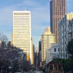
As of February 2016, I’ve lived in San Francisco for 7.5 years.  Before that I lived in Berkeley for a couple of years, and before that I spent most of my life in San Jose, where I was born and raised.  Unlike many residents in the area, I am actually a native to the Bay Area.  This world-famous, innovative, leading hub of tech and development is my home, and San Francisco has played a huge role in my life from childhood to adulthood.  It began with quick weekend day trips with the family as a child (Chinatown, Fisherman’s Wharf, Union Square, the Ferry Building, Golden Gate Park, etc.), to weekly parties and events as a teen and a university student (underground raves, night clubs, house parties, sold-out massive concerts), and now to my current daily life as a responsible adult (long commutes via bicycle and train, jogging, cycling, and keeping up with the incredible gastronomy). When I’m not eagerly giving city tours to my out-of-towner friends, I often find myself enjoying the beauty of San Francisco alone, revisiting the same spectacular sites over and over again.  This post will highlight most of my favorite sites–the sites that make me proud to call this city home.

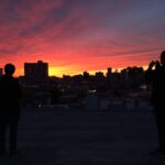
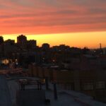
I start with my home.  With my central location in the city, perched atop Nob Hill, the roof of my apartment boasts spectacular views, perfect for enjoying a beer or wine with neighbors during a golden sunset.

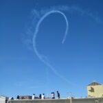
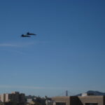
The best time to enjoy the rooftop on Nob Hill is during the annual October weekend of Fleet Week, when military jets perform their jaw-dropping stunts at nearby Ghirardelli Square. We happen to live off Hyde Street, which is the line of flight for the jets.  Every local in the neighborhood hosts a rooftop party throughout the weekend.  Neighbors hang out, and walk over to the adjoining roof to mingle with others.

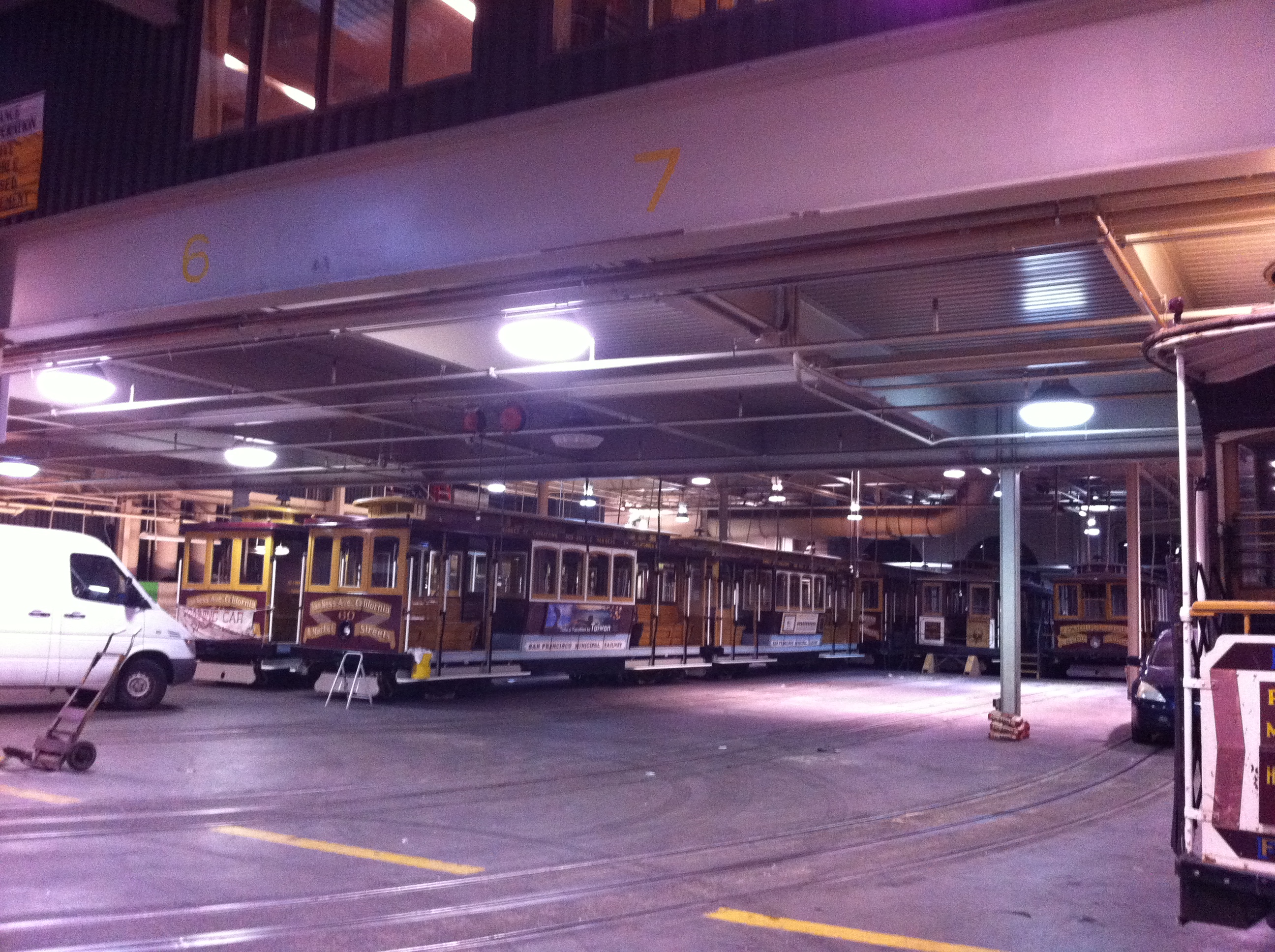
Within the Nob Hill neighborhood lies the Cable Car Museum.  I’m not sure if it’s really a museum.  It acts more like a home for the cable cars.  This is where they sleep at night.IMG_0864

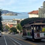
Cable cars are a fun but expensive and inefficient way to travel around San Francisco.  I’ve only ridden it once while I was playing tourist for the day.  As the cable cars constantly run around my neighborhood (the California and Hyde Street lines), it isn’t difficult to find one to hop on.  My lines of preference are Ghirardelli Square to Lombard on Hyde St., Washington St., and up and over California St. toward Market.

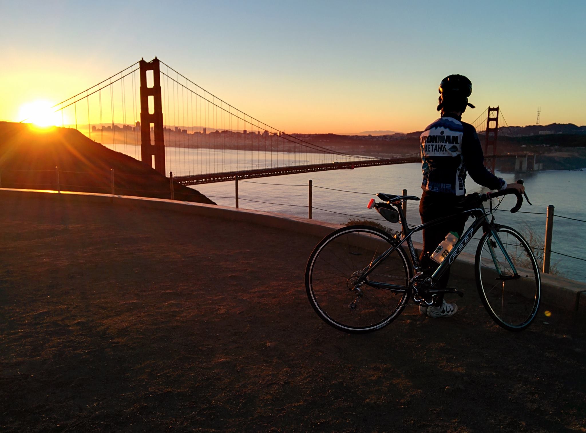
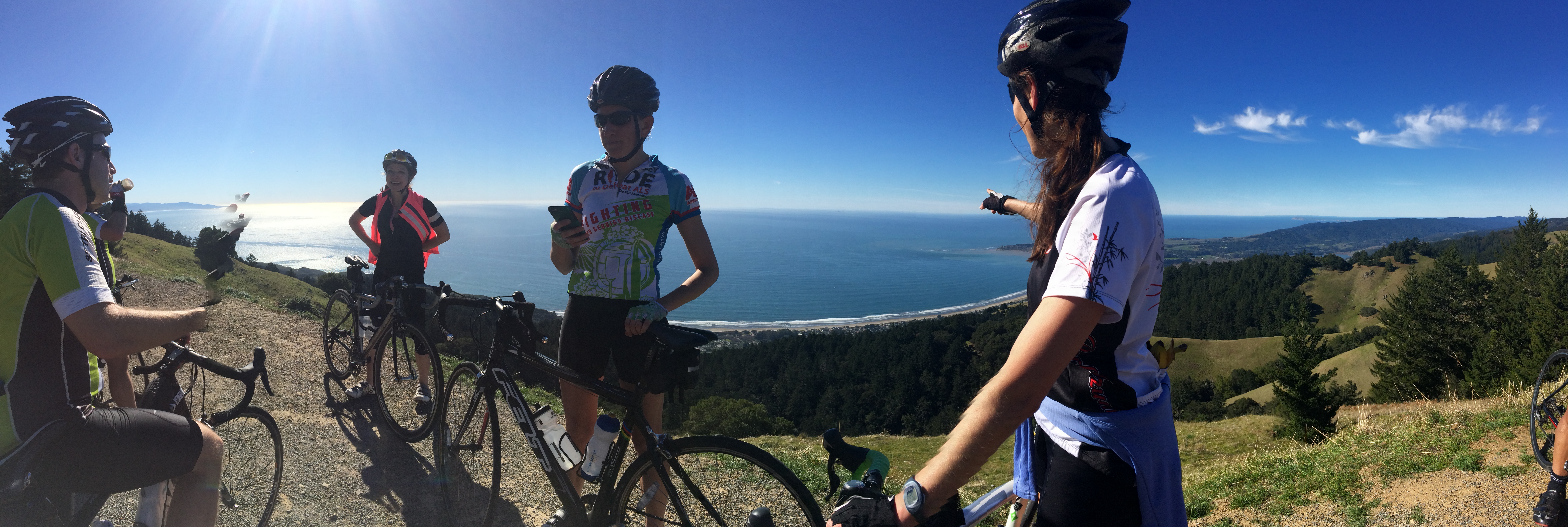
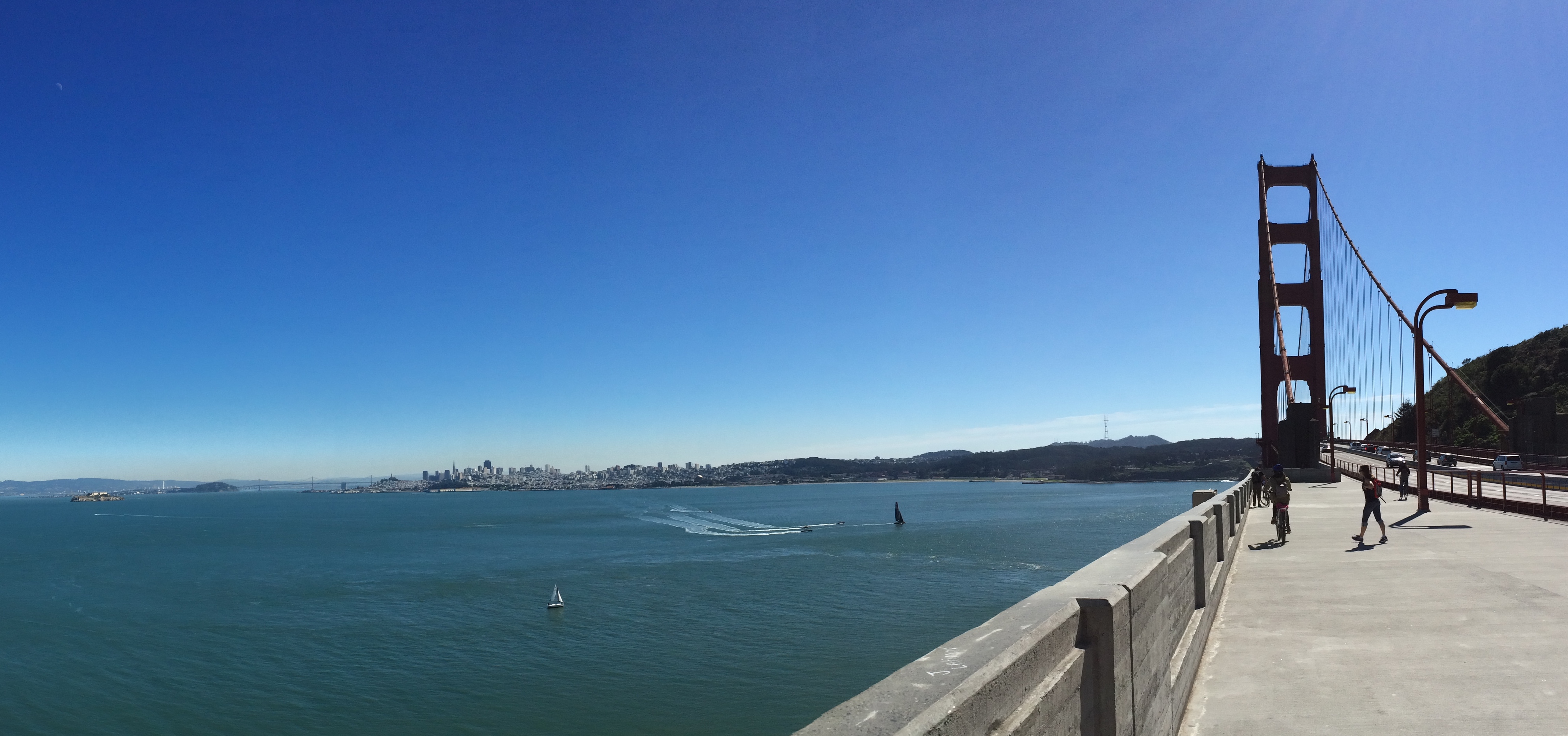
My favorite way to start my morning is to wake up before sunrise, while it is dark and cold and while the rest of the city is still sleeping.  Although it can be difficult to force myself out of bed hours before I need to be at work, the effort is well worth it.  More often than not I can convince a small group of friends to cycle the short 17-mile round trip ride from downtown, across the Golden Gate bridge, and up Hawk Hill just in time to witness the sun climbing up over the city.

1009274_10151777400633481_1135636551_o

Sometimes I enjoy the ride during the afternoons, when the sun illuminates the bridge and the city.  Beware though–at this time of day, the bridge is disgustingly packed.IMG_2273

Cycling is better on weekends, where there is more time and more distance to cover, such as the brutal rolling hills along the northern coast.IMG_9497

City running is also memorable.  There’s a reason why people spend hundreds of dollars to run the 1/2 or full San Francisco marathon.  I don’t need to pay for that event; I can run the course anytime, any day.  Of course, some days are better than others. My variety of runs include passing by:

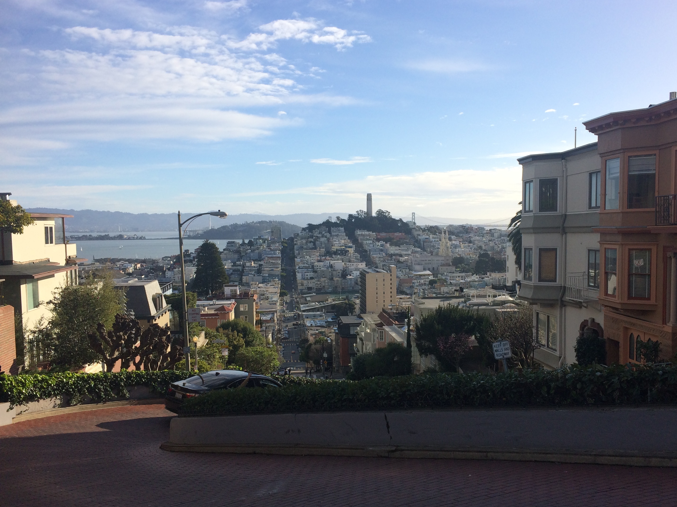
The top of Lombard Street (the crooked street), overlooking Telegraph Hill, Coit Tower, and the Bay Bridge:IMG_6692

Ghirardelli Square/Aquatic Park (which is my favorite place to outdoor swim, picnic, or stroll):

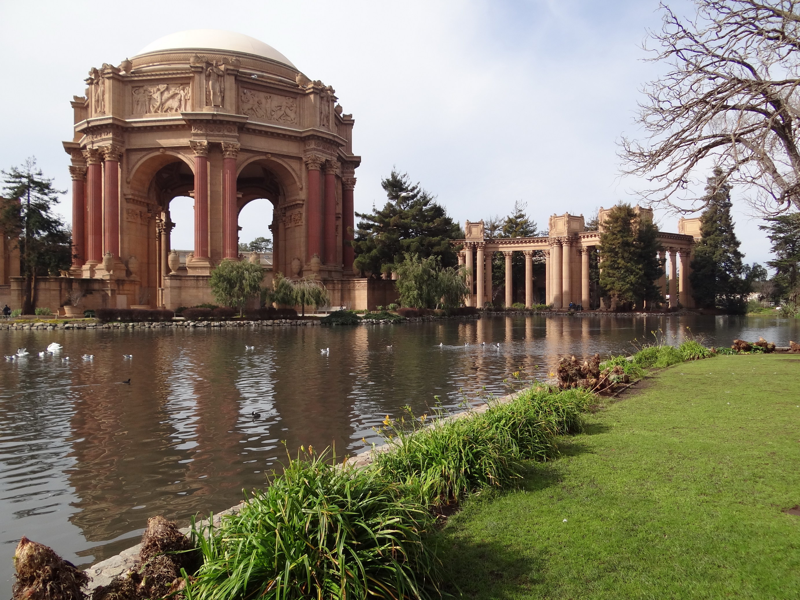
The Palace of Fine Arts:DSC08420

Crissy Fields and Hopper’s Hands:

Sometimes across the Golden Gate Bridge and back:IMG_9553

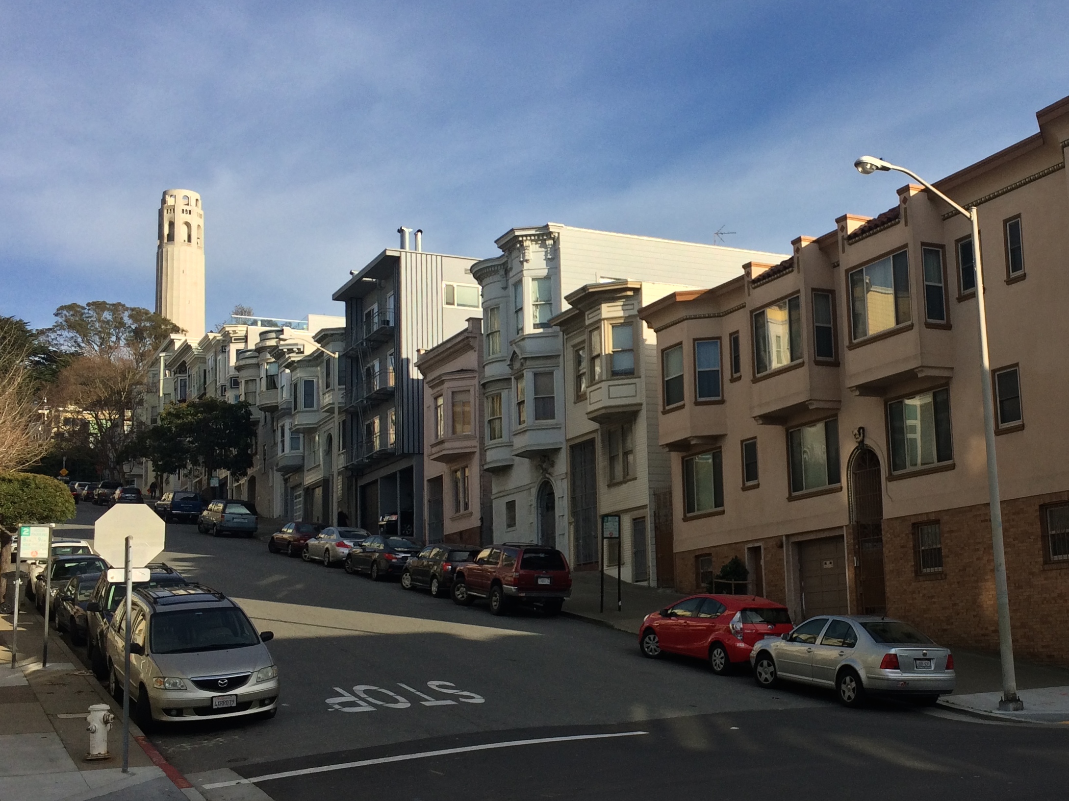
Coit Tower:
IMG_6812

Along the Embarcadero:

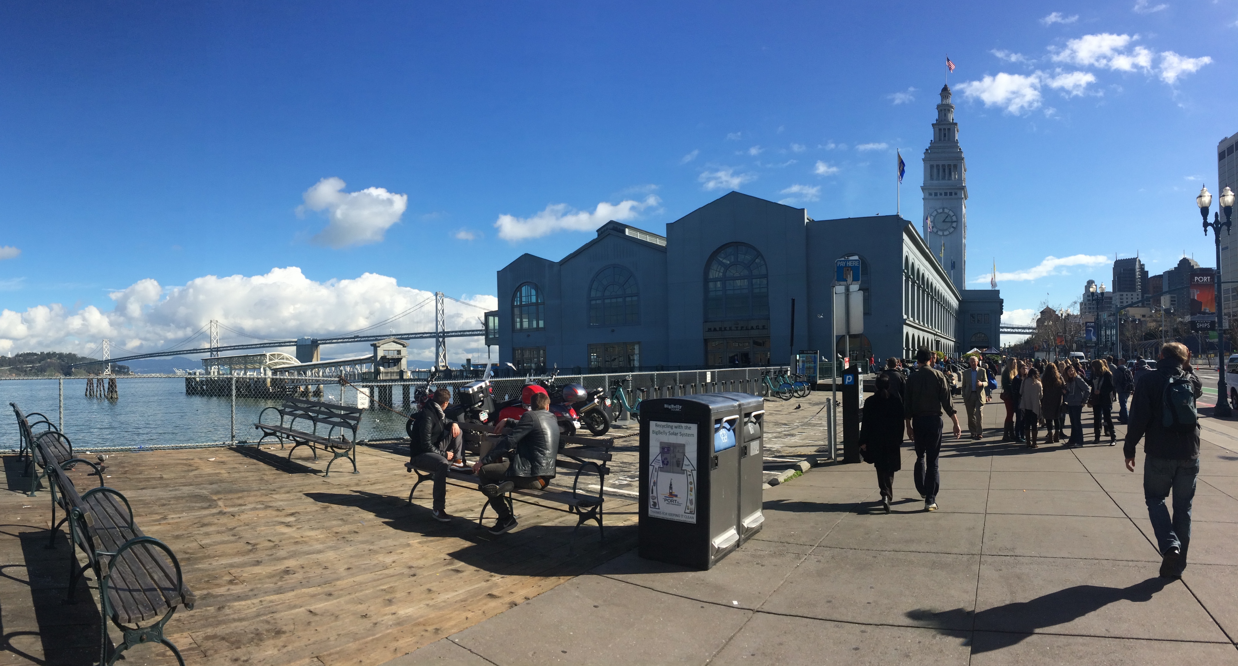
Maybe a quick look in the Ferry Building, because everything in there is pleasing to the eye, yummy in the tummy, and detrimental to the wallet:IMG_6768

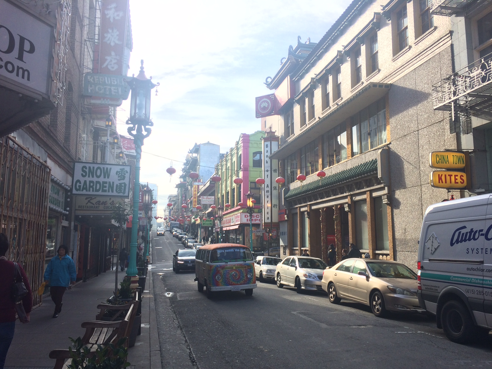
Sometimes I even run by Chinatown, the oldest Chinatown in North America and the largest Chinese community outside Asia:IMG_2167

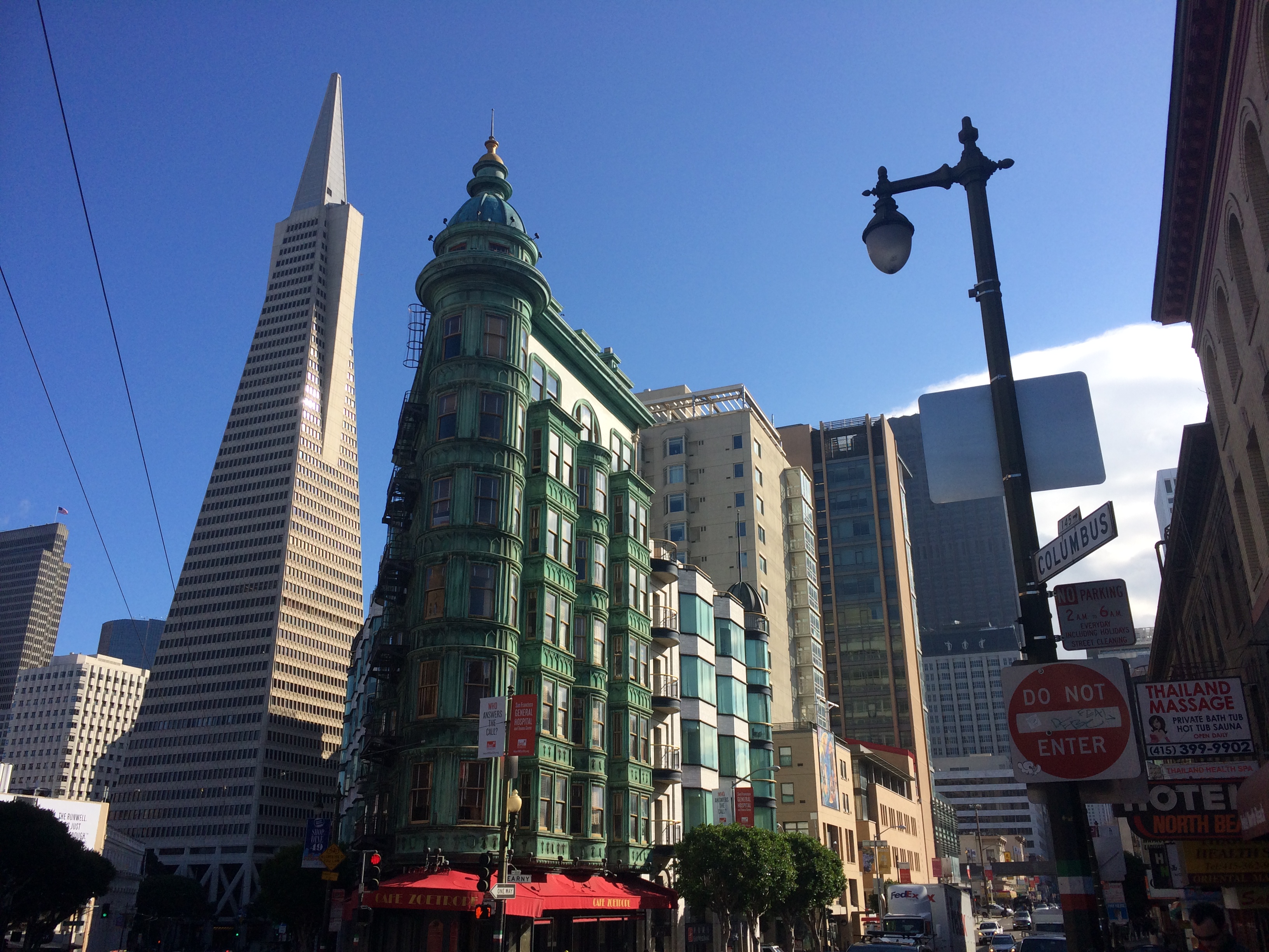
Chinatown, Little Italy, the Financial District, and North Beach are practically all in the same neighborhood.IMG_6780

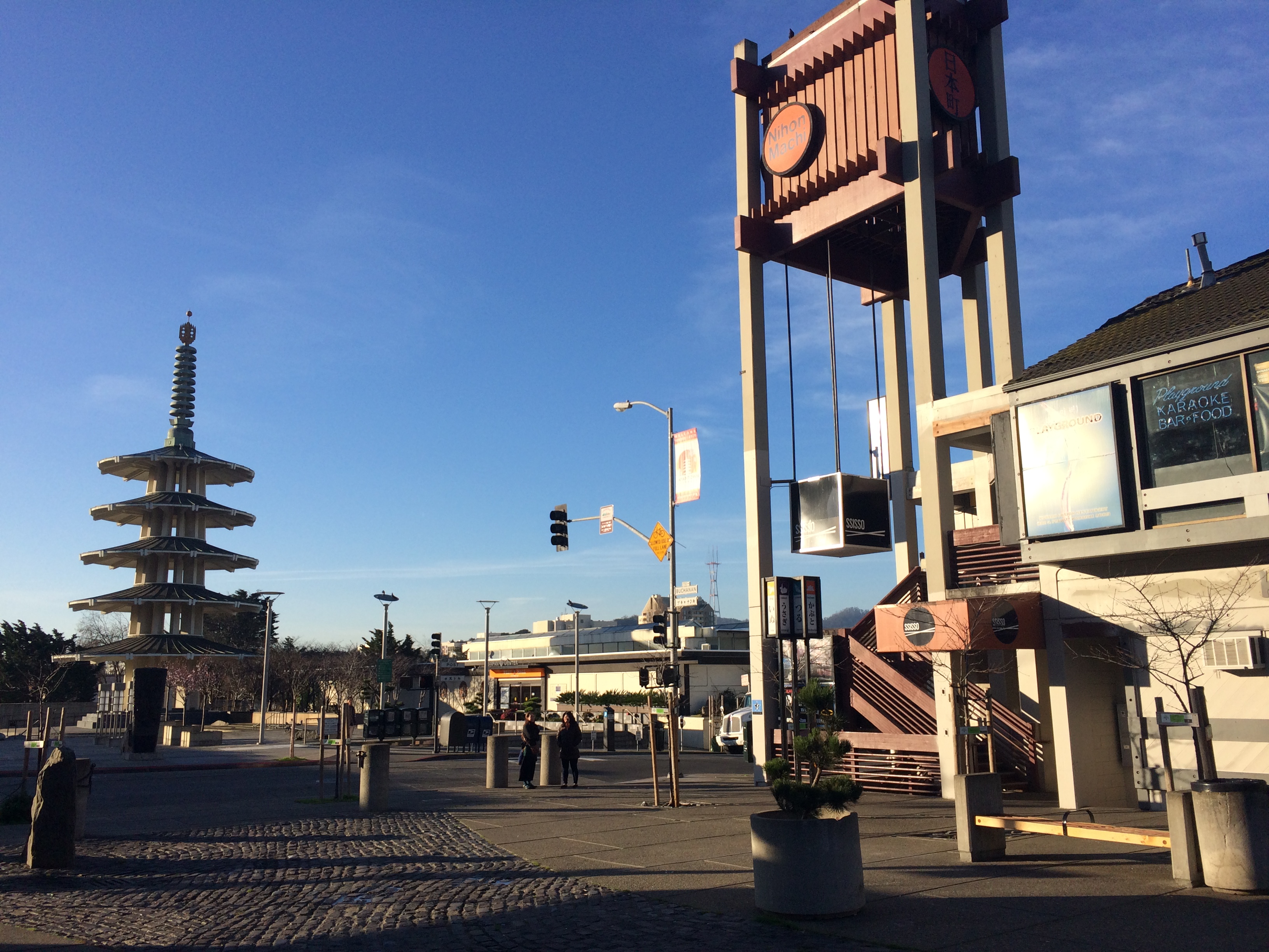
Japantown isn’t too far from where I live either.IMG_6821

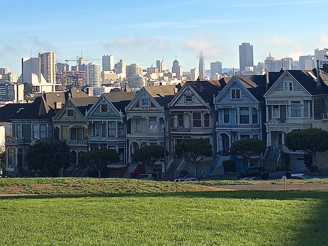
And neither are the iconic Painted Ladies:IMG_6822

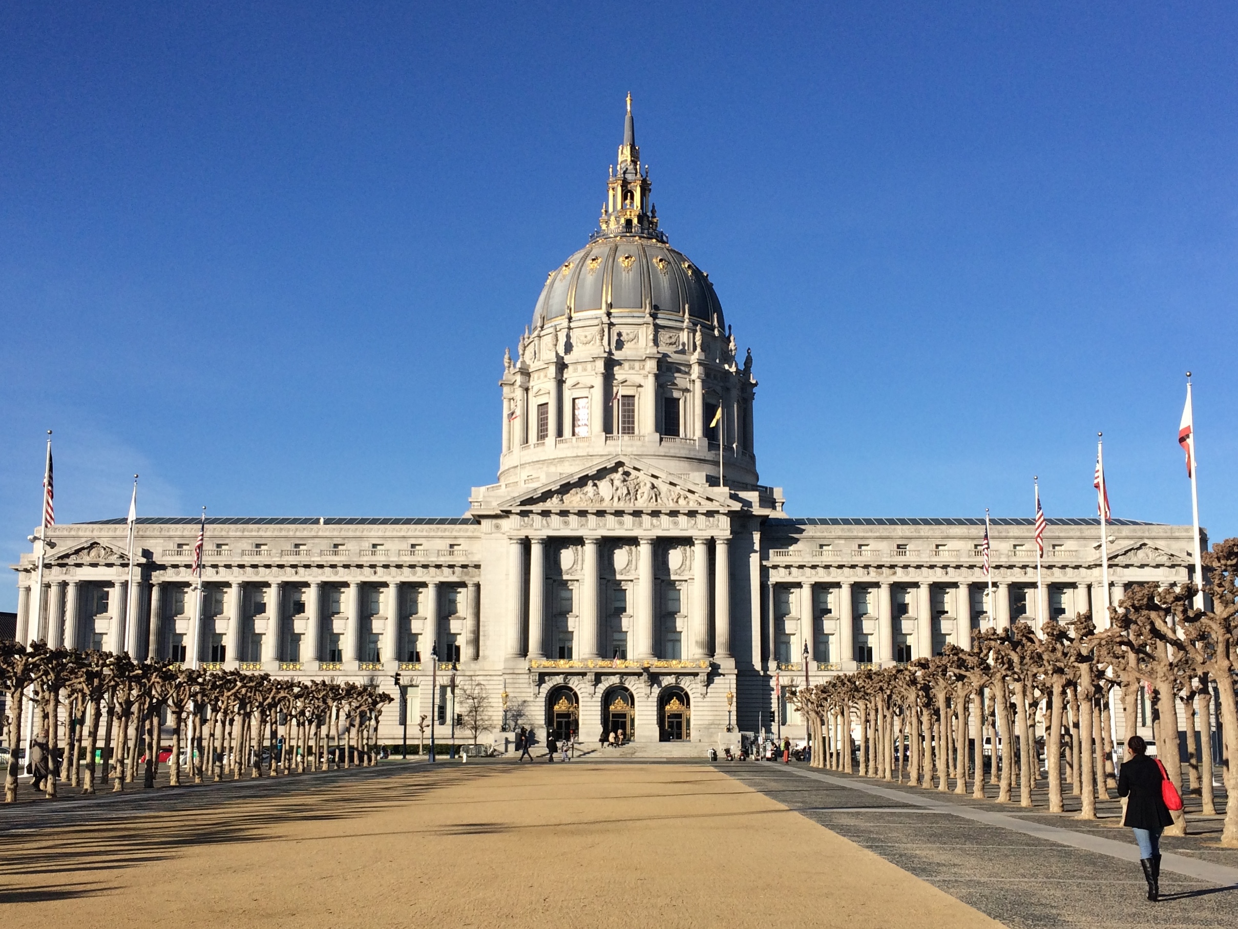
And the San Francisco City Hall/Civic Center is near the Painted Ladies.IMG_6825

I enjoy running through Golden Gate Park to the coast and up Cliff House to Land’s End Trail as well, but I don’t have any pictures of those.

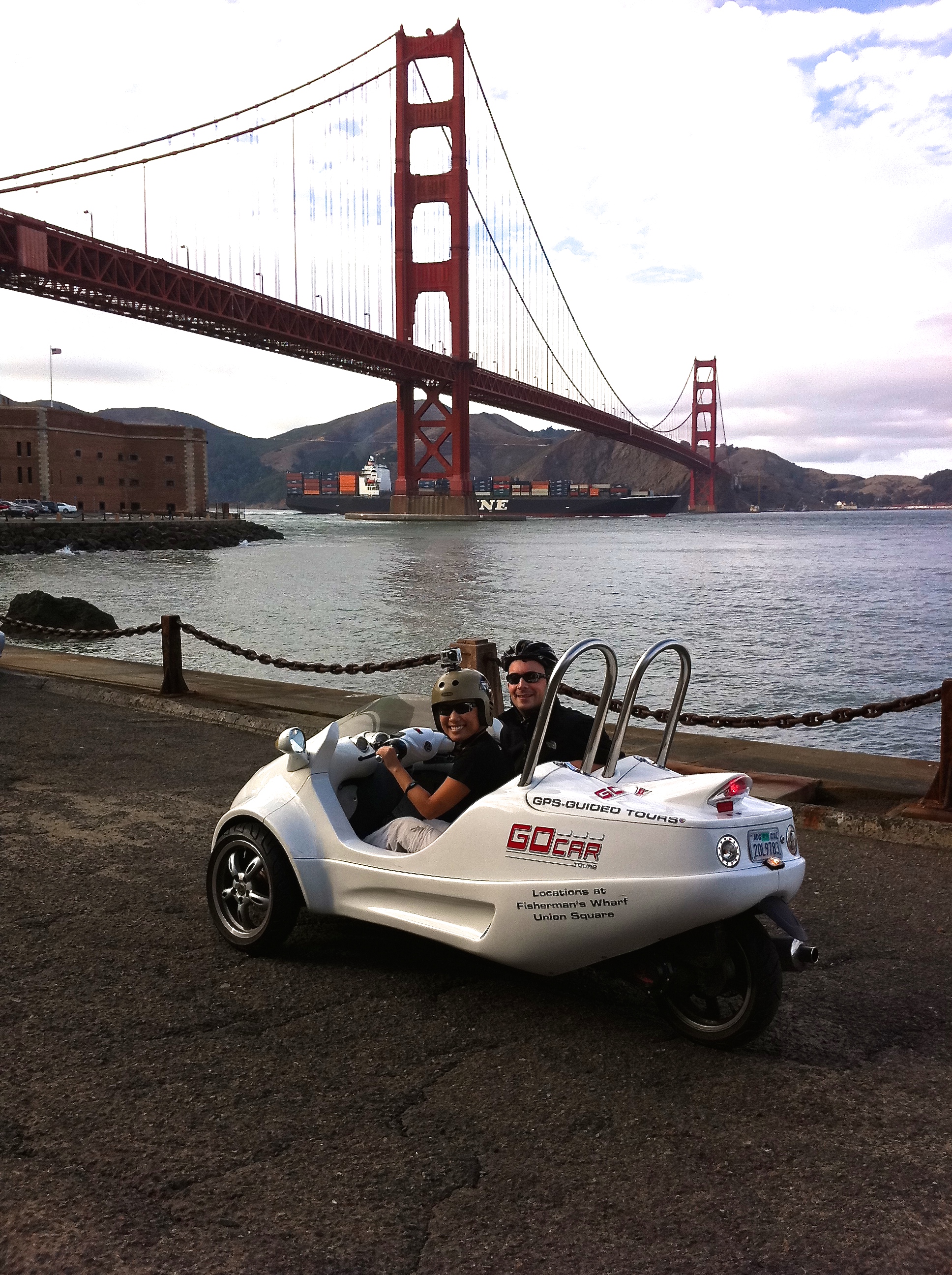
If running and cycling isn’t your thing, renting a Go Car for a couple hours is a fun and easy way to see San Francisco’s sites. IMG_1073

But if running is your thing, miles and miles of dirt trails perfect for trail running, mountain biking, and even horseback riding (if you’re wealthy enough!) can be discovered just north across the Golden Gate Bridge at the Golden Gate National Recreation Area.  This national rec area is like a backyard to me; it amazes me that this massive, beautiful chunk of land for outdoor activities and even backcountry camping can be so close to the city.  History buffs may also find this area fascinating; remnants of old WWII bunkers, missile sites, batteries, and even cannons lay scattered throughout there.

On weekends all types of boats and wind surfers and kite surfers can be found in the bay.  I had the opportunity to sail around the SF Bay this past winter with friends, but the lack of wind for 3 consecutive days canceled that trip.  At least I’ve had the opportunity to fly over San Francisco in a small Cessna plane, thanks to a deal on Groupon.  Seeing the city from an aerial perspective is a breathtaking experience.

As you can see from my photos, San Francisco isn’t always cold and cloudy, contrary to what many will say.  Just avoid the summer! Strangely enough, the best seasons to visit are fall and even winter.  Don’t be the tourist who assumes San Francisco is hot during the summer because it’s in California; if you are that tourist, you can buy the signature Alcatraz or San Francisco fleece in Chinatown for $12.

More often than not citizens of the Bay Area claim to live in San Francisco, even though they actually live in more low key suburbs 50+ miles away such as Walnut Creek, Palo Alto, and San Jose.  When I’m outside of California and I tell people I’m from San Francisco, more than half the time people respond with, “Do you actually live in San Francisco?” I always have to say, “YES, I do live in San Francisco. I’m not like those other liars!”

In order to reap the benefits of living in such a beautiful, lively, and boisterous city, we must suffer the wrath of what it means to live in this city.  We understand the sport of parking hunting, we have mastered parallel parking on a hill with a stick shift on a one-way street with traffic, we memorize street sweeping schedules, we dodge illegally parked moving trucks and broken down buses, we share the streets with foreigners who don’t know how to drive, and we build stamina from walking up and down the famously steep streets.  We deal with the not-so-pretty aspects of living in the city: transgender prostitutes lurking corners, mentally impaired drug addicts slouching against graffiti-covered walls, homeless transients spending the night in front of our front door, and a surplus of human feces between cars and near subway stations.  While most tourists love San Francisco, there are countless who hate it due to the putrid smells and significant number of homeless people.  I don’t blame them.

Like everything in life, hard work comes with a hard-earned reward.  Living in San Francisco is not easy.  But once one learns how to live in the city, the reward is oh so worth it.

Posted in California | Tagged | Leave a comment

Devil’s Tower

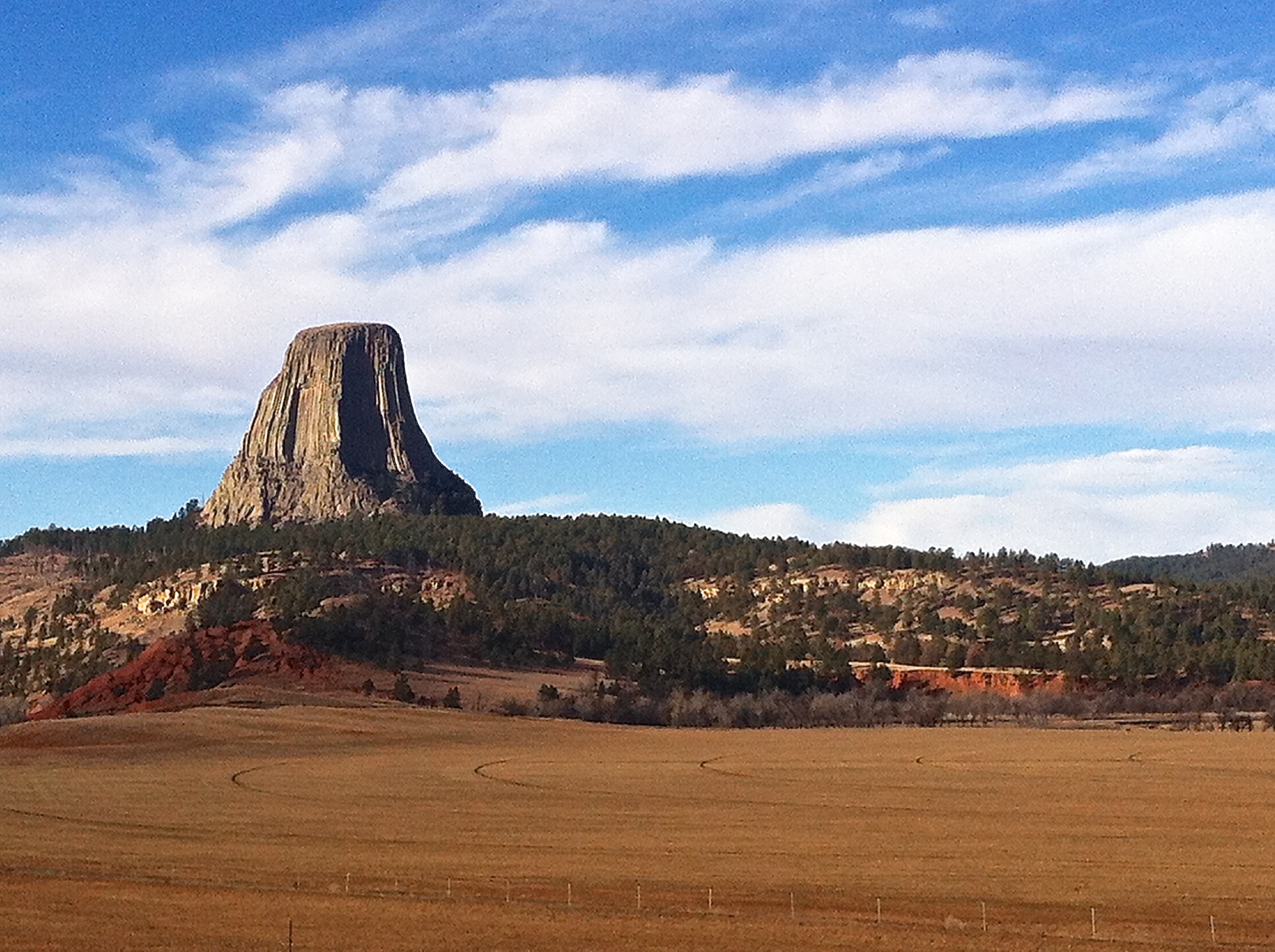
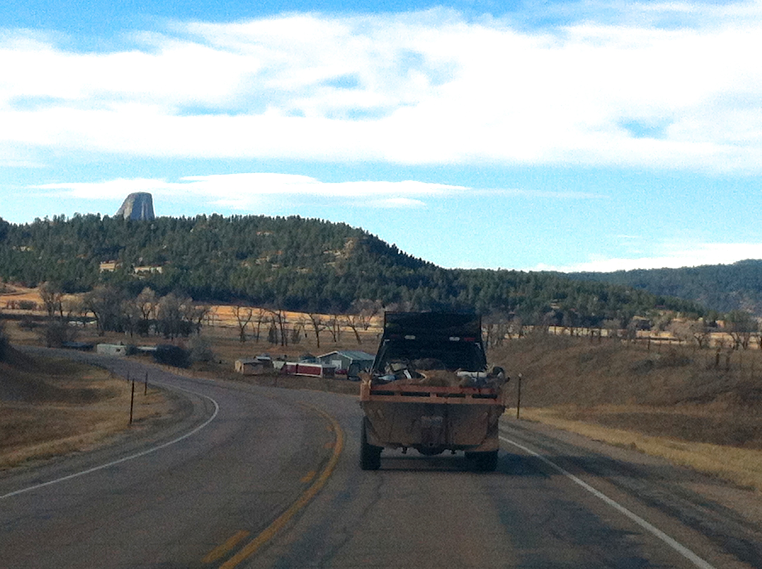
One hell of an interesting rock formation is Devil’s Tower, located in northeastern Wyoming.  Rising 1,267 ft. over its surrounding terrain, Devil’s Tower isn’t difficult to spot from the approaching roads.IMG_1444

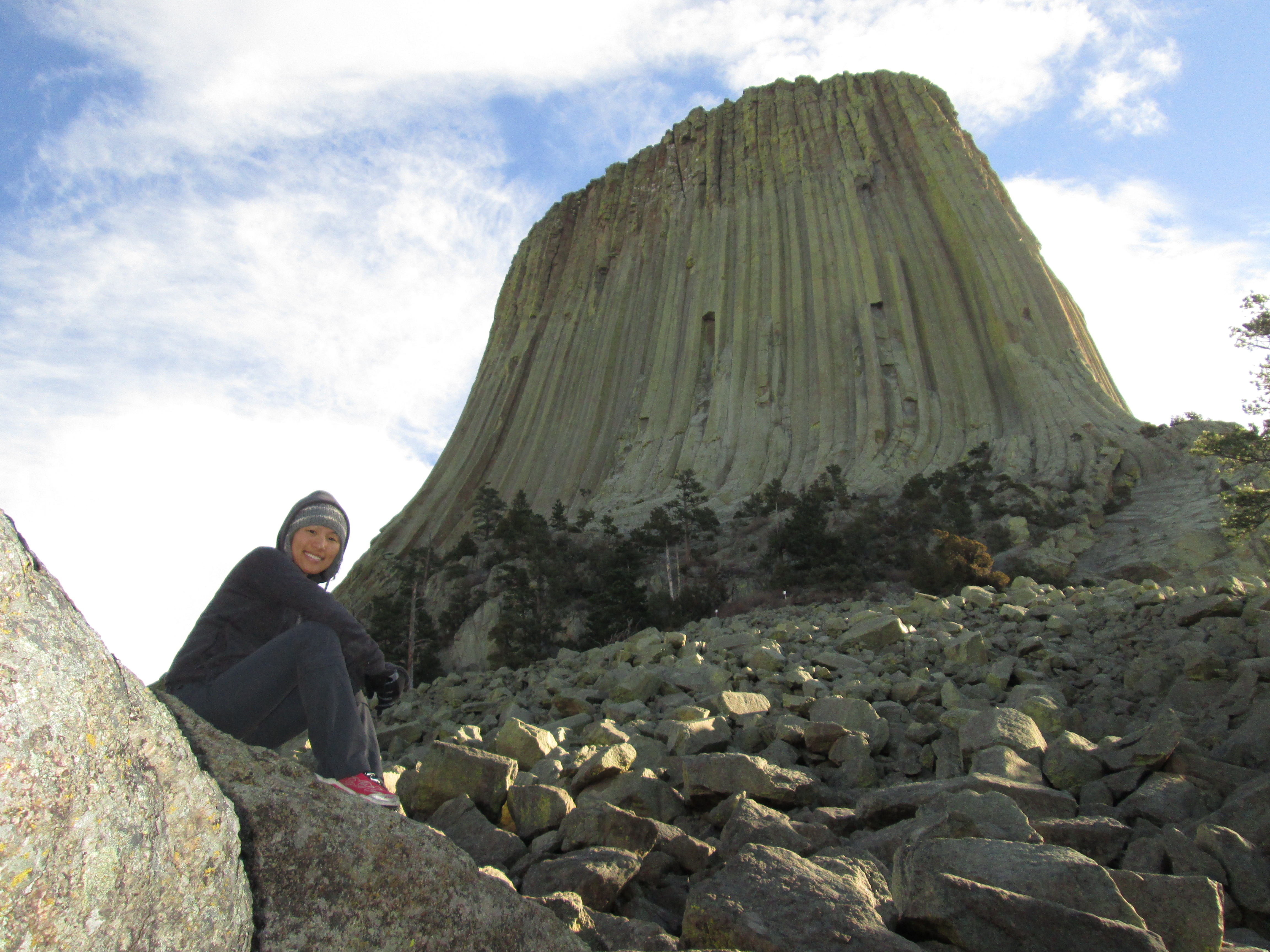
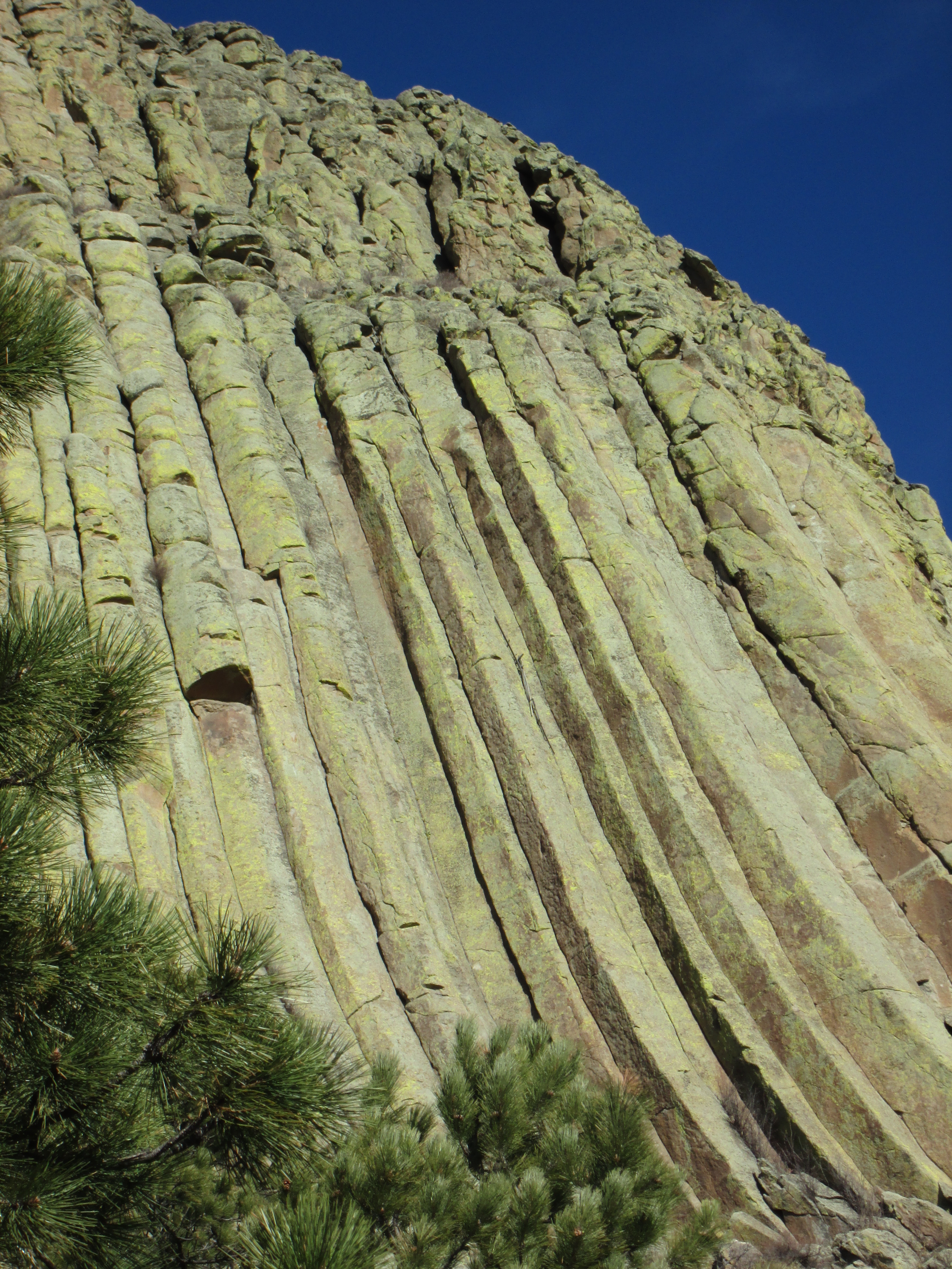
It is worth the quick stop and walk-around for a closer look at the rock details and columns.IMG_0218IMG_0221

In addition to the short trail, there are a number of interpretive signs encircling the rock tower that lay out the history of spiritual use by Native Americans. Had I been a rock climber, I probably would have found Devil’s Tower to be more interesting. But other than that, what you see is exactly what it is; there is nothing more for the outdoor enthusiast.

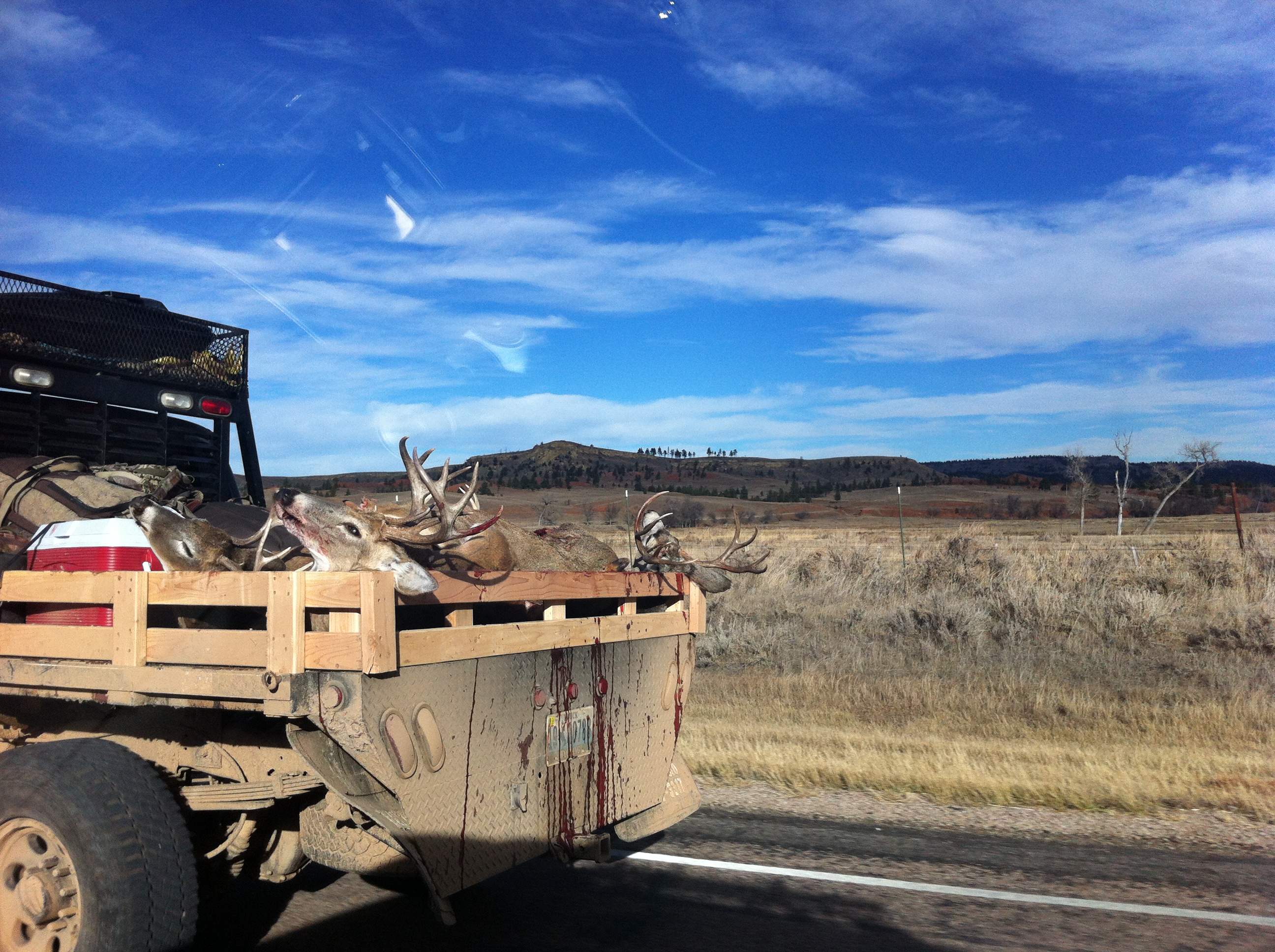
Within the surrounding area was the real “Wild West” culture–Wyoming country at its finest. It was autumn when we visited, which meant hunting season.  Most city folks and people from the Bay Area would be horrified if they saw what we saw on the roads during the day, but we were thoroughly amused and appreciated the culture.  Albeit completely legal, I imagine there would be endless riots and pointless protests if a vegetarian-vegan, gluten-free, gentrified-city dweller witnessed a passing truck loaded with deer carcasses and blood dripping out of it.IMG_1438IMG_1440

Devil’s Tower is worth dropping by if its location is convenient.  Otherwise, my favorite place in Wyoming (and one of my favorite national parks) is The Grand Tetons.

Posted in Wyoming | Tagged | Leave a comment

Yosemite and Mono Lake

Note: This post has two sections.  The first tells the story of my ridiculous chain of events and misadventure during my first visit to a national park, and the second shares useful information about hiking Half Dome, cycling Tioga Pass, and visiting Mono Lake.  I encourage you to read this entire post since the first section is entertaining, but if you’d rather skip the misadventure and only read the useful bits then scroll down until you see a bunch of photos.

Labor Day weekend 2010 was when I made my first visit to a national park. An acquaintance/friend asked me if I wanted to go to Yosemite National Park to hike Half Dome with a bunch of her friends.  They had an extra permit.  I said sure why not, despite not knowing anything about Yosemite, Half Dome, or the people I was going with. Literally. I thought Yosemite was north of San Francisco, I had never heard of Half Dome, and I assumed the group knew what they were doing. 2010 was the first year the lottery system was implemented for the notorious cables, and my friend’s friend scored a handful of permits. I had NO idea that the 16-mile round-trip hike to Half Dome was a bucket list hike for avid hikers.

I had just turned 25 years old. I had zero experience with backpacking and any kind of hardcore hiking, but I was a fairly in-shape newbie triathlete. Right before heading out to Yosemite, I had attended Burning Man for the first time from Sunday through Wednesday. I had literally partied all night long on Tuesday night, got back to camp around 9am on Wednesday, dozed around all day with a bunch of friends, and napped for 1 hour before driving the 5 hours back to San Francisco to make it for a Thursday wedding rehearsal to be a bridesmaid for a friend’s wedding that Friday. I stayed sober the entire wedding, left relatively early at around 10pm to be in bed by midnight, and got up early the next Saturday morning to carpool with a bunch of people to Yosemite. I brought my 10+ year-old sleeping bag from a 5th grade camping trip, a crappy 3-person tent I bought at Big-5 Sporting Goods for a skydiving event, my tiny 1.5-liter Camelback, some snacks, and some running clothes and running shoes.

We were 3 cars and 10 people. Upon arrival to our campsite (which was about a 45-minute drive from Curry Village, the starting point for Half Dome), I quickly learned how underprepared everyone else was. Not one person exercised regularly, nor had they ever done a long hike. That evening I asked the organizer of the whole group what the hell she was doing as she packed a head of lettuce, a half dozen tomatoes, and a loaf of bread into her pack. “I just thought it’d be nice to make sandwiches at the top of Half Dome,” was her response. “No,” I said firmly. “Everyone will be carrying their own lunches. You’re not carrying all that food to summit. Think of all that weight.” I had to convince her what she was doing was stupid, and she finally gave in.

It was still dark when we arrived to the trailhead the next morning. Of the 10 people, one couple stayed back at camp; they were going to hike elsewhere instead of Half Dome. 8 of us began the ascent together. From the very beginning I hiked ahead at my own pace, stopped, waited 5-10 minutes for the rest of the group to catch up, and hiked ahead again. This continued for about an hour until my natural impatience and utter disdain for ignorant hikers kicked in, and my brain told me to keep going after turning along a switchback. I didn’t want to stop. I couldn’t.

For the next several hours I quickly ascended, taking a few pictures along the way and passing up people as I continued toward Half Dome. I realized that I did not have the permit to climb the cables, and I figured I would just wait for the rest of the group at the permit checkpoint.

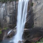
One of many waterfalls:IMG_4098

As a young solo female hiker, I made plenty of friends along the way. It was my first long hike alone, and I hadn’t realized how much fun it was to hike solo. After hiking and chatting with several people, I continued to pass them, until I finally made it to the permit checkpoint. I sat down on a rock and contemplated how far behind they were. Based on my calculation of my pace and theirs, I told the ranger, “I think I’m about 3 hours ahead of them…”

Just a moment after I sat down two men showed up without permits. The ranger told us we might luck out with hikers with extra permits. And within 10 minutes a woman showed up with exactly 3 extra permits. SCORE.

The rock scrambling began. Half Dome was much closer now.IMG_4108

Then there were the cables.IMG_4113

“So this is Half Dome,” I thought to myself as I clung onto the cables. Honestly it wouldn’t have been so terrifying if it wasn’t so damn crowded. With it being the Sunday of Labor Day weekend, it was traffic jam on the cables. It took me (and everyone else) about an hour to summit with the congestion of people.

Then I hung out at the summit for another hour. It was the prime location of choice for lunch and more obligatory photos.IMG_4122
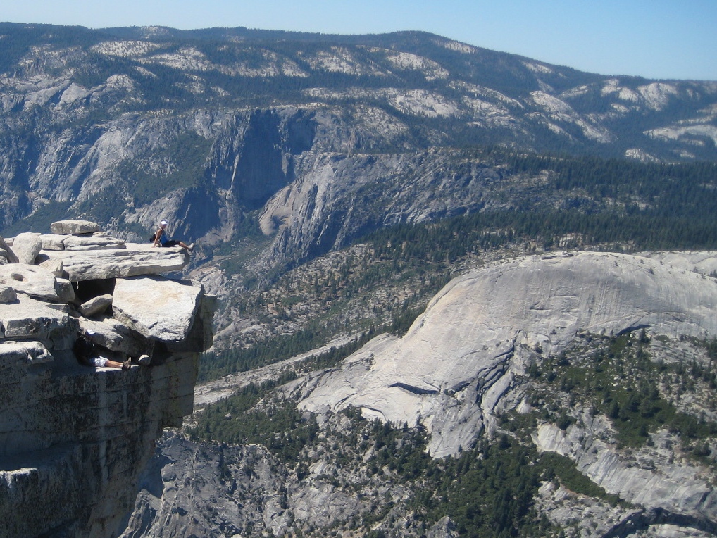
The descent on the cables also took about an hour. It was quite ridiculous.

Immediately after passing the permit checkpoint, I stumbled upon my original group whom were seated across boulders and taking a break. MY ESTIMATE OF A 3-HOUR GAIN WAS SPOT ON. It had taken me 1 hour to summit, 1 hour to hang out, and 1 hour to descend. Holy crap.

It was around 3pm. Two of the girls looked delirious; they had apparently vomited earlier from exhaustion. The guys didn’t look too hot either. Since they were my ride back to our campsite, we agreed to meet back at Curry Village. I’d have dinner and hang out at the village until their return. “Can you take this with you? I’m too tired to carry it,” one of the delirious girls handed me a big bottle of Gatorade. Despite only carrying 1.5 liters of water for the 16-mile hike, I wasn’t thirsty but I took the bottle as a favor. No one else had the energy to carry it.  I knew it’d be easy to find people on the way down who would want some extra Gatorade.

We parted ways. They continued up toward the cables, and I headed back down. “Do any of you guys want Gatorade?” I asked the first group of 3 guys heading up.

“OH MY GOD YES PLEASE.” Apparently they desperately needed it because they had run out of water.

“CAN WE HAVE SOME TOO?” Another small group of guys not far behind called out. They too had run out of water, and saw and heard my offer. Both groups (there were at least 5 guys) decided to split the single bottle of Gatorade. Seriously, what the FUCK guys?! It’s 90º out, you’re not even halfway DONE with this hike, and you’re already out of water? I thought to myself. As I mentioned earlier, I lack patience and have disdain for ignorant hikers. This is how people die!

The rest of the hike down passed by fairly quickly and almost without incident. I remember taking a quick break to soak my blistered feet in the river.IMG_4125

From the river I ended up off course and I had to scurry through a bunch of bushes and shrubs to get back on path. About 30 minutes later I noticed my jacket (that was loosely attached to my backpack) was missing. After pondering for a minute I realized that the shrubs must have snagged my jacket. Do I go back and get it? I asked myself. I considered leaving it behind, but after careful thought I turned around to look for it. The sun was setting, it was getting cooler, and it was my favorite jacket after all. However this meant that I had to hike back UP, backtrack through some shrubs OFF the trail, and hope that I would find it. As I ascended, I passed the same groups of people I had passed going down and they all thought I was psycho for hiking back up. It actually didn’t take long to find the jacket. I found it exactly where I thought it would be—snagged in a bush. I was glad I went back for it because that’s when I realized my ID and a twenty-dollar bill (the ONLY money I had on me) was in the pocket. From there I headed back down, passing the same people one final time.

Curry Village was bustling with energy when I returned. It was somewhere between 6:30-7pm and the dark shadows of the trees had already stretched over the village. The parking lot was still filled with cars, and famished hikers were busy socializing and stuffing their faces. Famished myself, I squeezed myself between groups of hikers at a counter and devoured a burger. I thanked myself for retrieving my jacket; otherwise, I wouldn’t have had any cash for food. Now all I had to do was hang out with random people and wait for my group to return. Luckily I wasn’t too tired—I didn’t even finish all the water in my 1.5-liter Camelback!

Soooo then I waited.

And waited.

Crowds began to thin out. Darkness crept into the parking lot as cars departed it. Soft chatter replaced what was once rancor in the restaurants and shops. As the sun disappeared, warmth went with it. Cold and alone, I paced back and forth between the lodge and the parking lot with some sort of naïve hope I’d reunite with my group. Soon it became apparent which cars belonged to my group. I borrowed a pen and paper and left a note on a windshield to let them know where to find me.

4 hours after finishing the hike, at 10:30pm, I sat down on a sofa in the lodge. The only people remaining were maintenance workers starting their graveyard shift, and they filled the vacant village with the murmurs of swishing mops and the grinding wheels of plastic mop buckets.

Fatigue did not drift me away. Boredom did. And before I knew it someone was tapping me softly on my shoulder to wake me up and tell me they were closed. It was past midnight.

Unsure of what to feel or think, I slowly made my way back to the parking lot for perhaps the 5th time that night. It was absolutely vacant except for the two cars.

The only building showing any sign of life was the Curry Village Yosemite Cabins office. Receptionists there told me they were fully booked for the night, but I could grab a chair and wait for my group to return. They also said rangers wouldn’t be able to help me since it wasn’t an emergency situation. Since I had already spent 6 hours waiting and doing nothing, the thought of waiting and doing nothing some more until who knew when killed me, so I thanked them and told them I’d hitchhike back to camp. (There was absolutely no one coming and going so hitchhiking wasn’t actually an option.) I just needed to keep moving. I needed to do something.

And there I was again back in the damn parking lot. My memory of sitting on the curb and staring up into the starry sky remains one of my most vivid memories. It was 12:30am and I was sitting alone in the middle of the wooded wilderness in the dark, surrounded by nothing but serenity and silence. As I sat, I reminisced how only 5 days ago I was also sitting outside gazing up at the dark sky, but in the middle of the desert wilderness with a bunch of friends and listening to the heavy bass of music cars. Both times I was seated, hugging my knees to my chest, looking up into the sky, taking in the beautiful moment and wondering what was going to happen next.

Approaching headlights disrupted my chain of thoughts. Excited that something was happening, I hopped to my feet and dashed toward the first moving vehicle I’d seen in hours. It was a truck with a park ranger. He pulled up to chat with another park ranger who was standing along the curb.

My excitement rudely interrupted their conversation as I burst into their view, desperately ranting, “Excuse me. I’m sorry. I just need to vent. I’ve been waiting here since 6:30. I lost my group of people and they haven’t returned yet. They have the keys to that car and I have no other way back to camp. I’m kind of desperate right now. I really don’t know what the hell I can do right now. Is there anything I can do?”

“Was it a group of 7?”

“Yes!”

“Yeah, someone from that group got in contact with a ranger. We’re aware that they’re hiking out there. They’ll be fine—there’s 7 of them. We can’t really do anything unless there is an actual emergency.”

“Well, is there anything I can do? My camp is 45 minutes away.”

They both looked at me, and frankly, I thought they were annoyed. After exchanging a few words, the driver told me, “I can take you back to camp.”

“Seriously?!”

“Sure. I’m not really doing anything else anyway.”

HELL. YES. I took my note off the other car and hopped into the truck. After waiting alone for 6 freakin’ hours, pacing back and forth between the lodge and parking lot, and filling my lonely mind with crazy and worried thoughts, I had driven myself insane. The fact that there was now a turning point, that something was actually happening, uplifted me beyond words.

The drive back to camp filled me back with normality. Like all park rangers, the park ranger who volunteered to take me back was friendly and patient. We shared small talk throughout the drive. It wasn’t until we arrived to the campsite that I realized I didn’t even know my campsite number. It was pitch dark and nothing looked familiar…

Fortunately after slowly driving around the campsite twice, I was able to recognize my campsite. Whew. I thanked the park ranger profusely and ran back to camp.

I mentioned earlier there was one couple that didn’t hike Half Dome with us. I rattled their tent to wake them up to inform them the rest of the group didn’t make it back. They were shocked, but there was nothing we could do. Going to bed and hoping for the best in the morning was really our only option.

It was almost 2am when I crawled into my sleeping bag. I had been awake for 21 hours, hiked Half Dome for the first time (alone), got stranded at Curry Village until after hours, and luckily met a kind enough ranger to take me back to camp. I wasn’t tired. It felt eerie lying there in my tent beside an empty sleeping bag. My friend who invited me was supposed to have shared my tent with me. Now she was not only there, but a couple of vacant tents surrounded me as well. This hollow feeling dug deep into my guts, and the memory of gazing down into my cold, empty tent is still oh so very vivid to this day.

Eventually I dozed off.

It was a while past sunrise when I was awakened by the soft rattling of my tent. Dazed and confused, I opened my eyes to see…that the group had returned. They literally had just returned.

Apparently they hadn’t begun to descend Half Dome until around 5pm. Even the rangers told them they needed to hurry up, and the group casually told the rangers that they’d be fine, not thinking they’d need at least 5 hours at their pace to make it back down and that it would be dark in 2.5 hours. Sure enough, darkness fell upon them and they simply got lost. One guy rolled his ankle. Two of the girls had puked earlier from exhaustion. They had enough water and snacks to last them the night, but it was COLD. They attempted to sleep on the ground, but the constant shivering kept them from falling asleep. It wasn’t until when the sky showed a hint of light that they were able to find their way back down. Exhausted, cold, miserable, and deprived of sleep, they drove back to camp and made it back after sunrise. It took them 24 hours to hike up and down Half Dome. Check out was later that morning, so they were able to nap for a couple hours before tearing down camp.

Naturally, I drove back so everyone else could get some rest. After partying at Burning Man from Sunday to Wednesday, celebrating wedding shenanigans Thursday and Friday, and experiencing Yosemite National Park and Half Dome for the first time from Saturday to Monday, I was back at my desk in the office Tuesday morning.  What a week…

***

I returned to Yosemite in 2013, this time with competent people who knew what they were doing: my boyfriend, a coworker, and my coworker’s brother. Despite how difficult they say it is to get Half Dome tickets, Chris won the lottery on his first try in March. Our date of choice was the end of July. Being one of America’s most popular national parks, all campsites were naturally booked well in advance. Fortunately we were able to snag a campsite on an early Friday morning at White Wolf, one of Yosemite’s several first-come first-serve campgrounds.20130726_190612
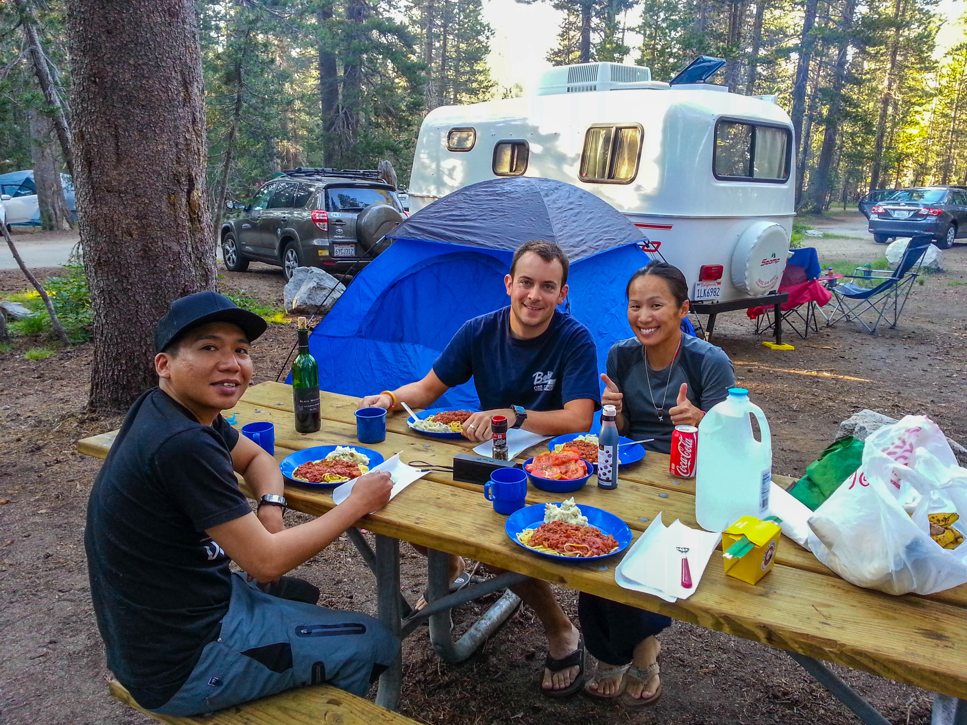
After setting up camp, we set out for an incredible out-and-back 70-mile bike ride from White Wolf over Tioga Pass (Highway 120 through Yosemite National Park). As the pass is the highest highway in California and the Sierra Nevada, it is closed for the majority of the year due to snow (October through May). Cycling on Tioga Pass was magical—with its perfectly paved roads and 3-4% climbs and descents, one could descend for miles without ever hitting the brakes. However the ride is not for the faint of heart; the climbs are long, the elevation averages 7-8,000 ft., and the ride tops out at almost 10,000 ft.  You don’t have to be a strong climber (I’m definitely not) to ride Tioga Pass but you’ve got to be in decent shape to endure the high elevation.


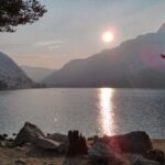
Checking out Tenaya Lake:

The next morning we hiked up and down Half Dome without incident. Unlike my first hike, I was able to keep track of time—4.5 hours up and 4.5 hours down. There was no lollygagging, no mental or physical exhaustion, and definitely no one getting lost and hiking for 24 hours.  I also took more pictures.

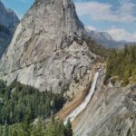
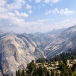
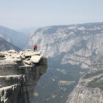
Epic overlooks:

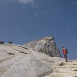
Approaching Half Dome:

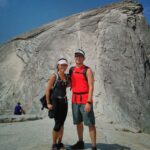
And of course, obligatory shots from the ridge:

Traffic jam on the cables on the way down:IMG_0409
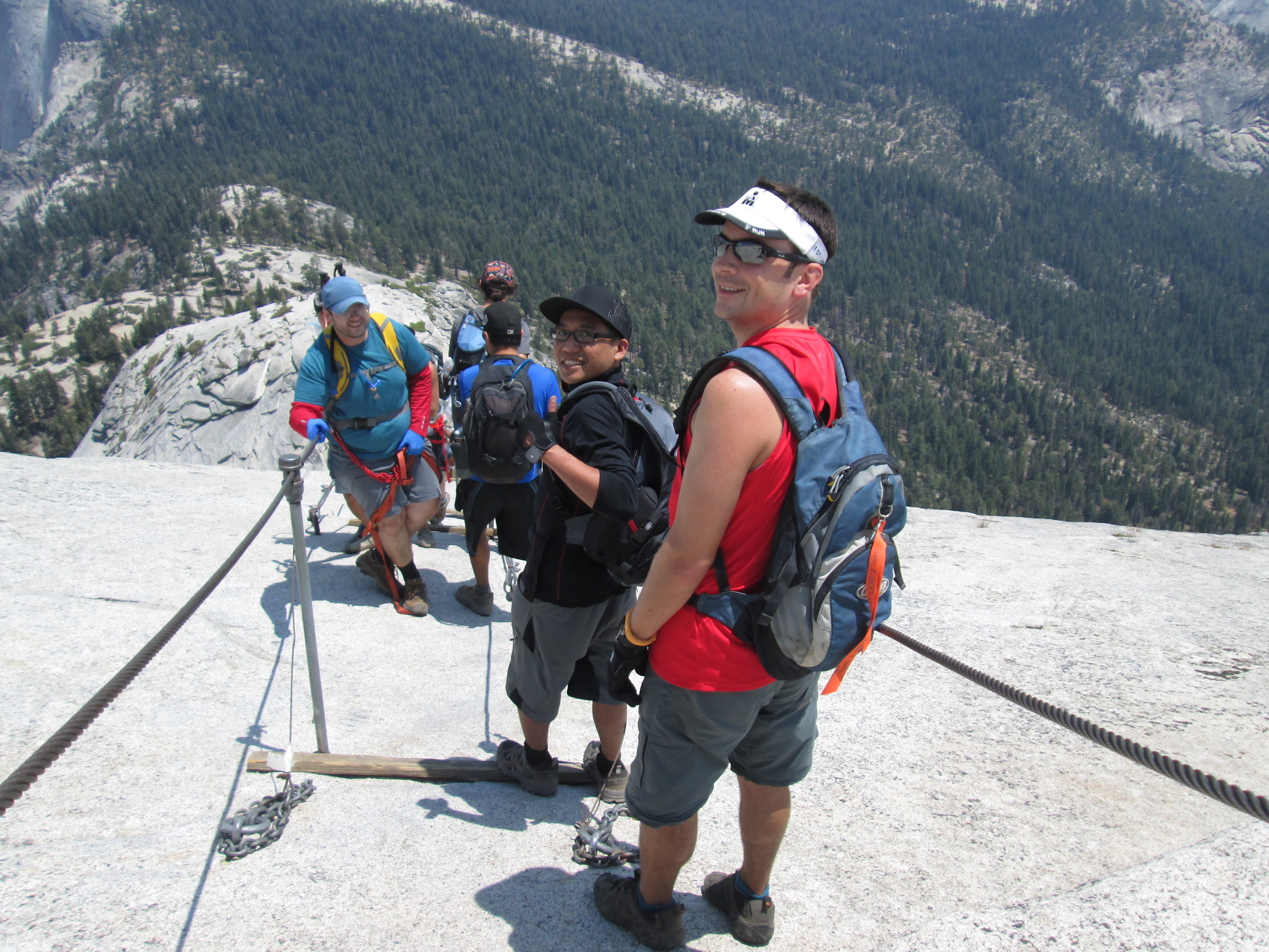
Friday was our epic 70-mile bike ride, and Saturday was the epic 16-mile Half Dome hike. What was Sunday? We got up bright and early one final time to check out the outer eastern side of Yosemite—Mono Lake.

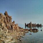
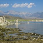
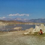
An eerie beauty lurks this human-caused environmental issue. Due to a lack of outlets the lake has high levels of salt, making the lake water alkaline. It wasn’t until when Los Angeles began to source water from the lake to the city that the lake drastically lost its volume. As the lake level dropped, previously submerged calcium-carbonate spires and knobs called “tufas” became exposed.  Thanks to recent conservation attempts, Mono Lake has been saved from being completely dried out. In a nutshell, the damage Los Angeles has done to the lake, I hate to say it, has created a breathtaking and surreal landscape that attracts tourists and photographers.

After our brief visit to Mono Lake, we headed back up over Tioga Pass to White Wolf Campground where we broke down camp and headed home.

Both times I’ve been to Yosemite have been extended weekends: first was Labor Day weekend and second was my own extended Thursday night through Sunday noon weekend.  With 1,190 square miles of land, Yosemite has so many more trails I have yet to explore.  I’ve only been in the summer; I’ll need to return in the winter for the scenic, snow-topped landscapes, and in the spring for the numerous gushing waterfalls.  Despite the fact that my first trip to Yosemite was a memorable misadventure in itself, I hope to never experience a misadventure like that again.
Posted in California | Tagged , , , | Leave a comment

Pinnacles National Park

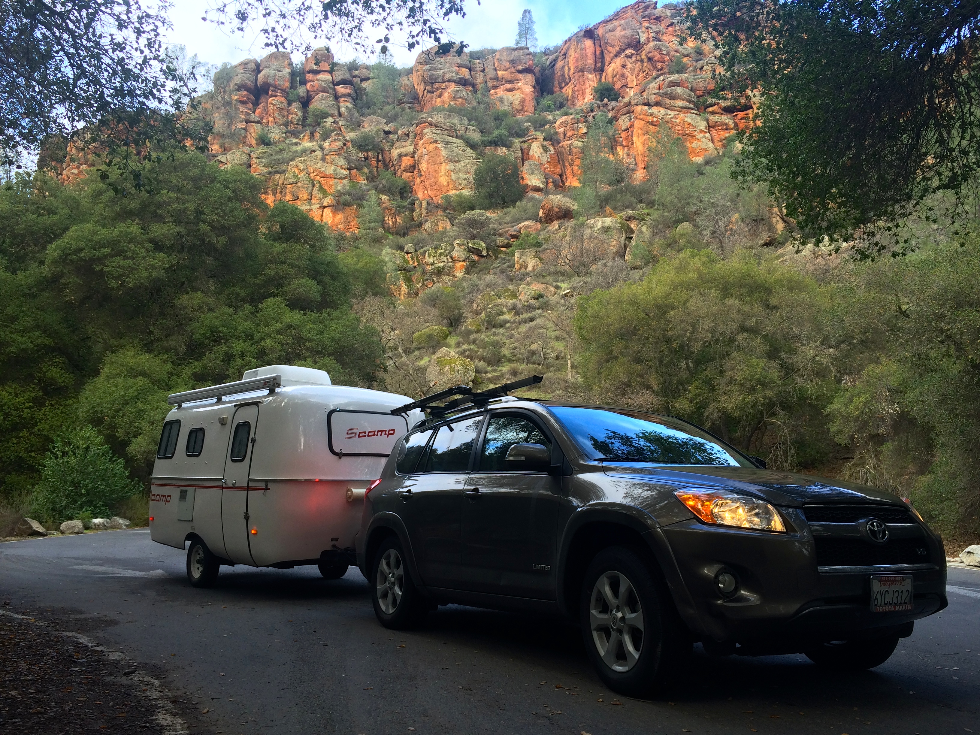
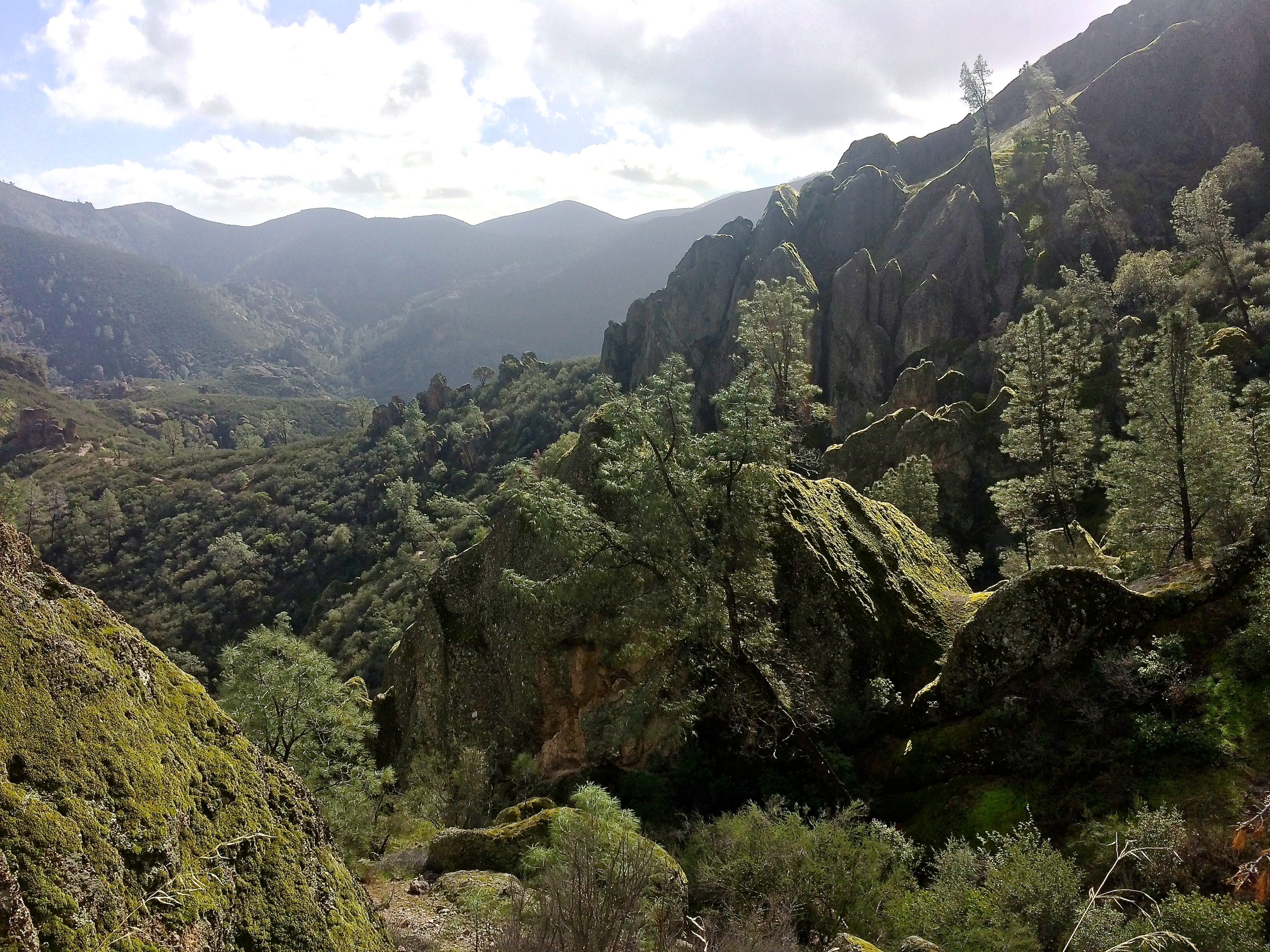
We knew we had to take Scromp out one last time before tucking him away for 6 months as we tour Europe. The question was where? California is spoiled with state and national parks and recreational areas. Three days before the weekend I had my heart set on Redwoods National Park but a friend mentioned Pinnacles National Park. I had never heard of it, so I casually looked it up. And WOW.IMG_6620

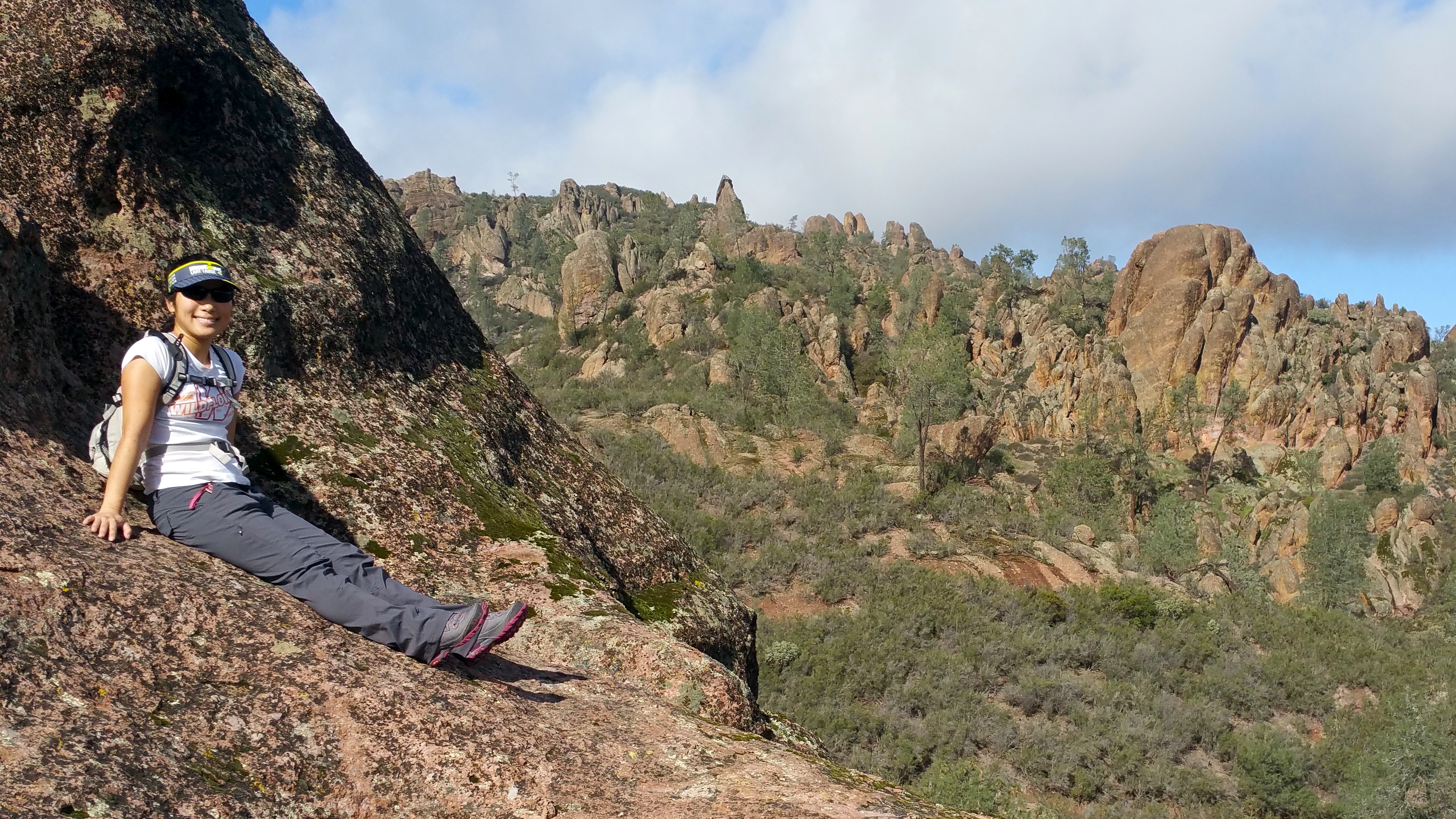
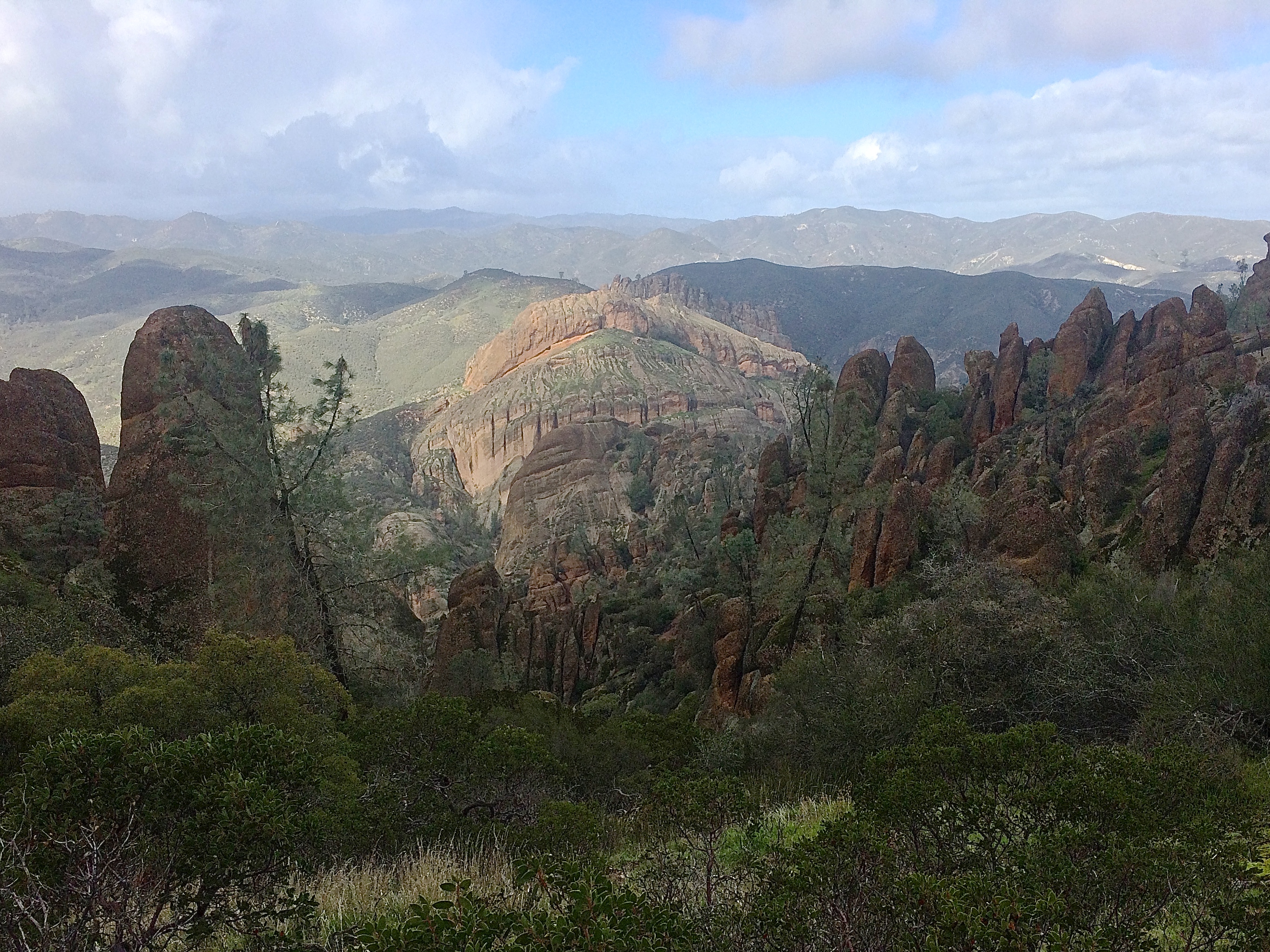
Despite the millions of people who live in Silicon Valley, only a small percentage of people know of this new national park just a couple hours drive south from the Bay Area. Pinnacles had been a national monument but got “promoted” to national park status in 2013, making it the newest national park on the list (#59!). The park itself is quite small, with parking lots so limited that park shuttles run regularly during busy weekends. All the trails could be hiked in a single weekend (I think there are only 30 miles of trails), but the trails offer outstanding views of geology and plenty of rocks to climb. AND ONLY 2 HOURS SOUTH OF THE BAY AREA.20160123_111537

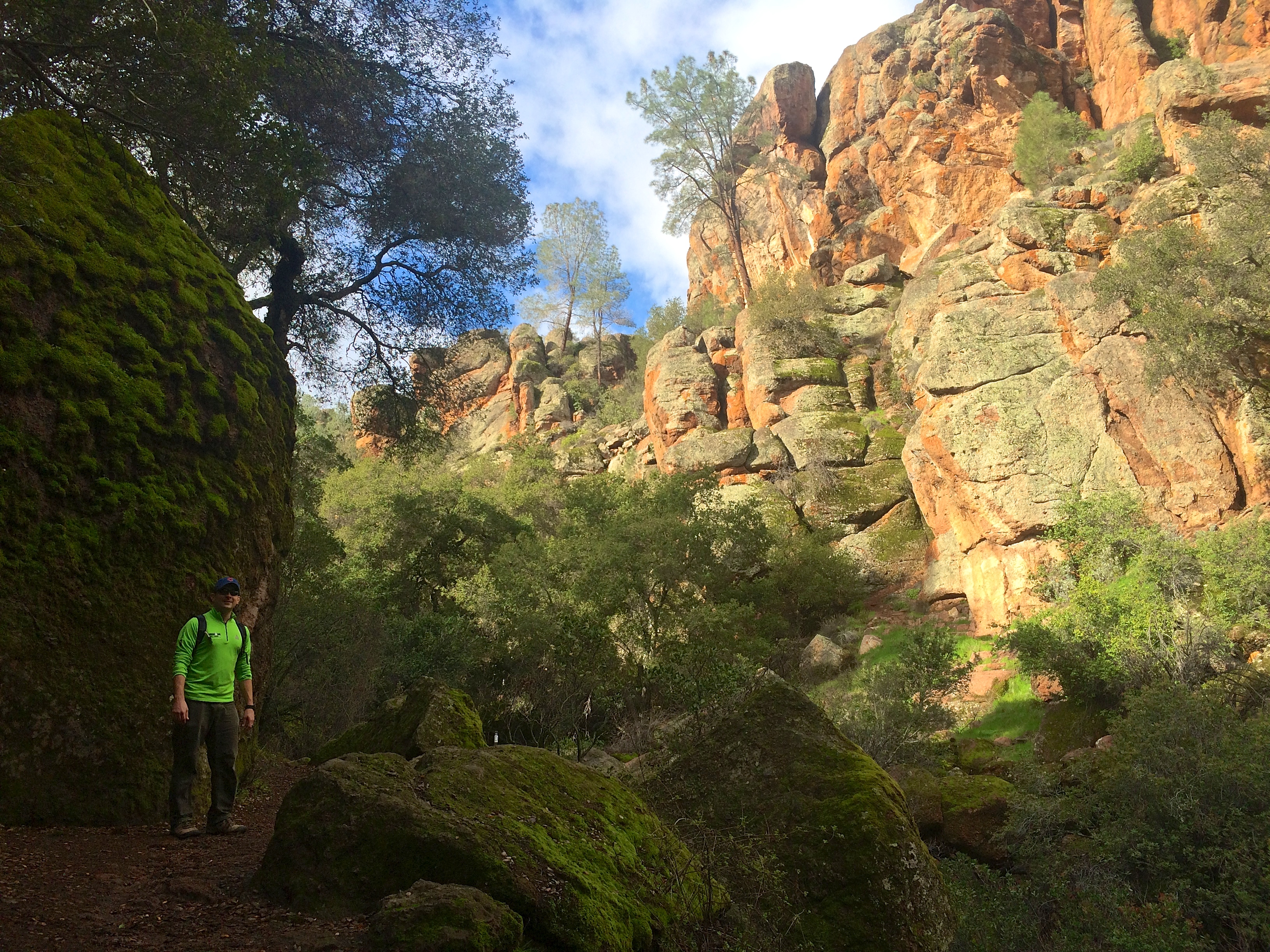
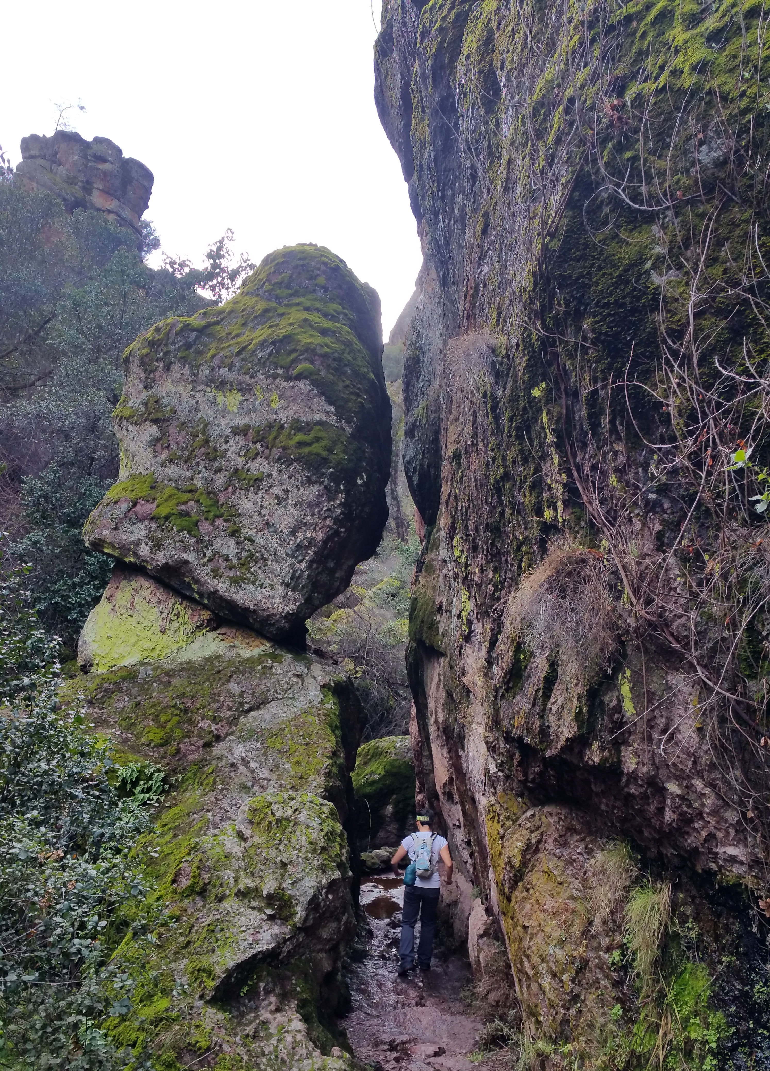
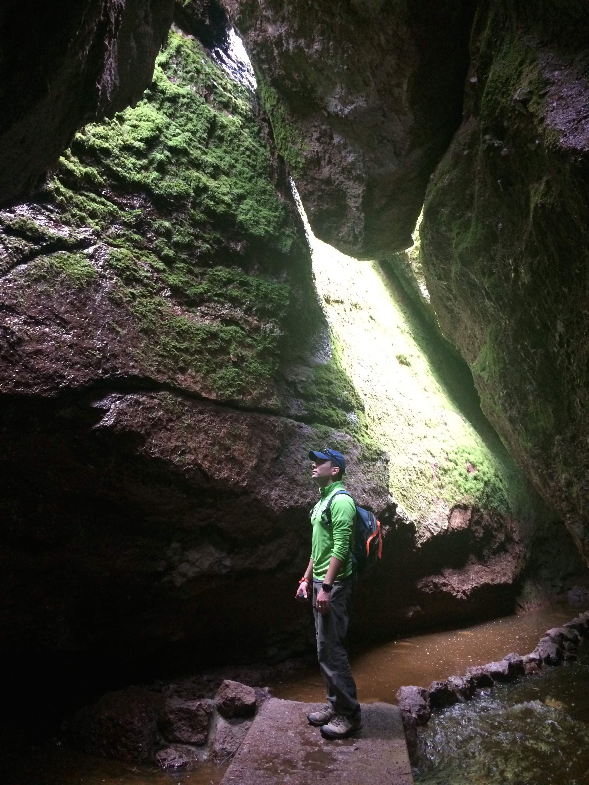
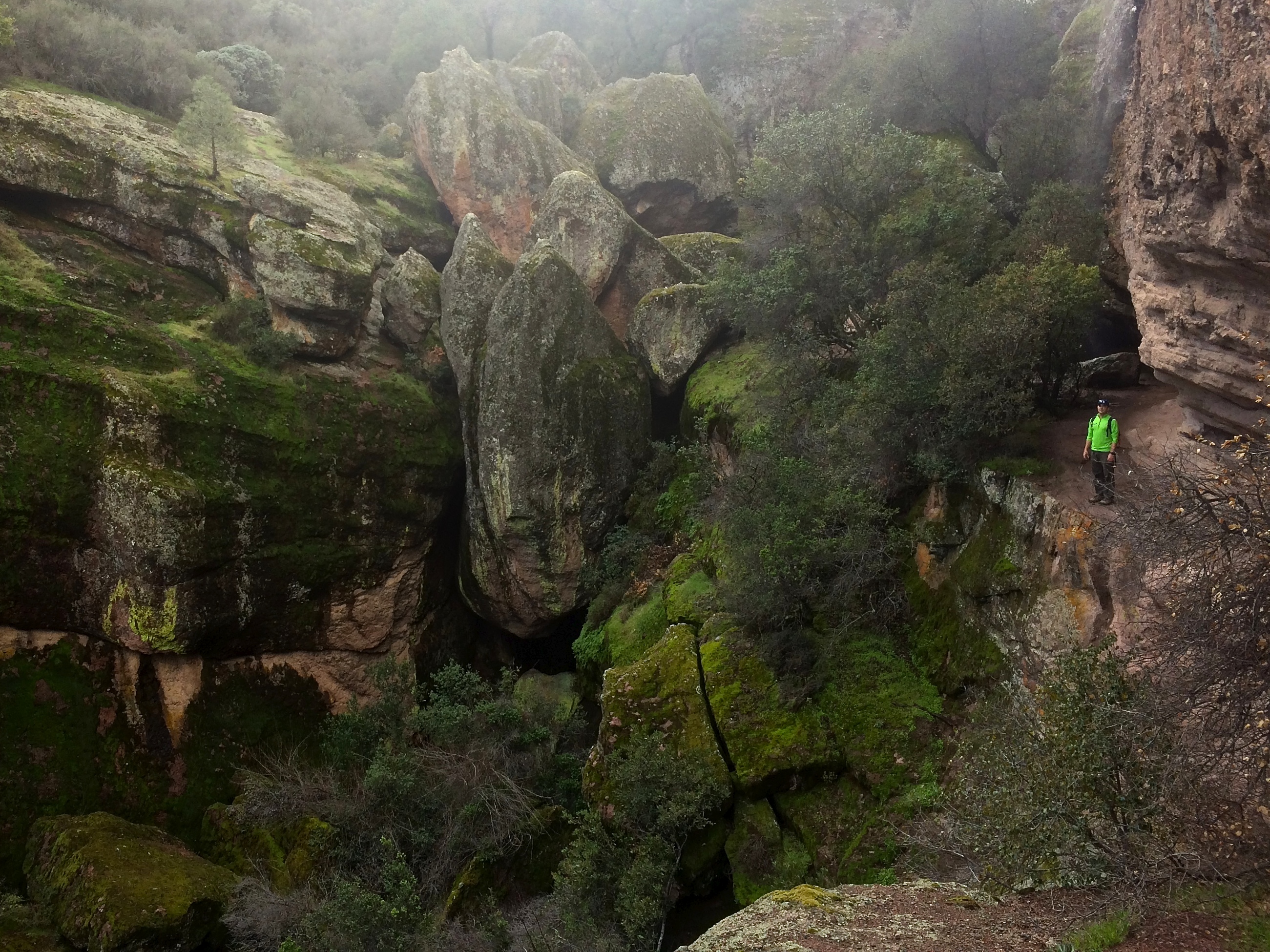
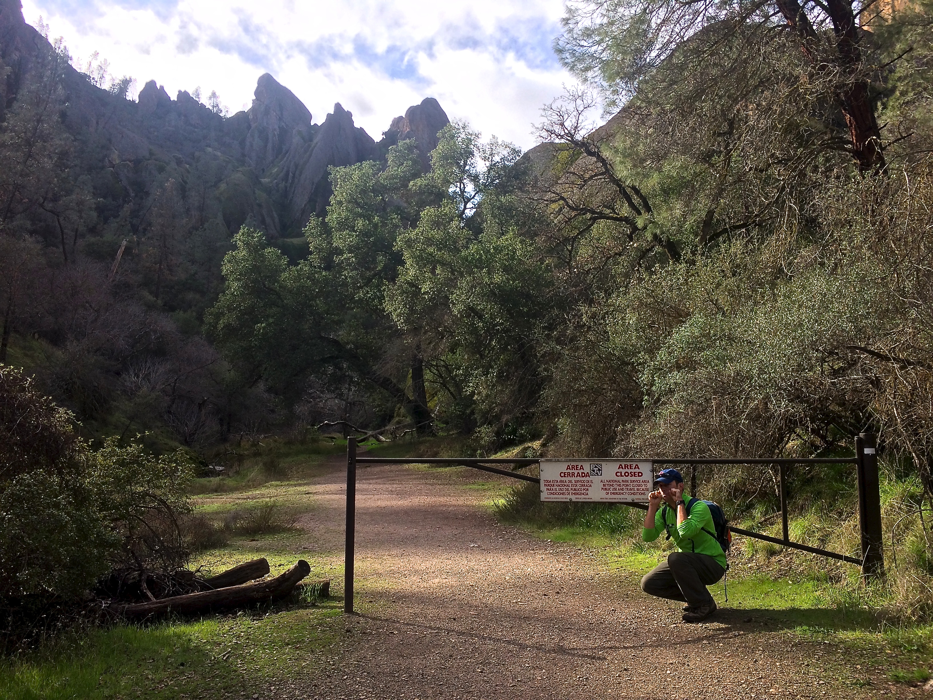
With its smack-center location in California granting dangerously high temperatures in the summer, the popular seasons to visit are from fall to spring. We arrived mid-January and hiking temperatures were perfect during the day—mid to high 50’s. There were pros and cons for coming the day after one of many El Nino storms. The pros? Numerous sightings of rare California condors, lush, green hills, gushing streams and waterfalls, fuzzy, moss-covered boulders and tree trunks, puffy clouds, and a relatively empty park. The only con was the closure of both caves due to flooding. The Bear Gulch Cave and Balconies Cave are not caves but taluses, which are cave-like tunnels formed from fallen boulders. Several bat species live and breed in the caves, but we didn’t see any. Fortunately there was so much else to see!

Because there was nowhere to boondock outside of Pinnacles National Park (private property and farmland all around!), we ended up camping for two nights at the private campground within the park. Luckily it was only $23/night for a basic campsite (not bad for a national park!), or $36 for a RV site with electricity. With it being the low season, there were more than plenty of campsites to choose from. Anyone from the Bay Area can simply drive down for the day, hike, trail run, or rock climb, and return home by evening, but we had to spend time with Scromp!IMG_6663

Now for the hiking. Numerous loops and combinations of loops can be made for day hikes, but after learning of the closure of Balconies Cave and knee-high creek crossings of West Fork Chalone Creek, we settled with a shorter 9-mile loop from the Bear Gulch Trail to the Bear Gulch Reservoir to High Peaks Trail and back.

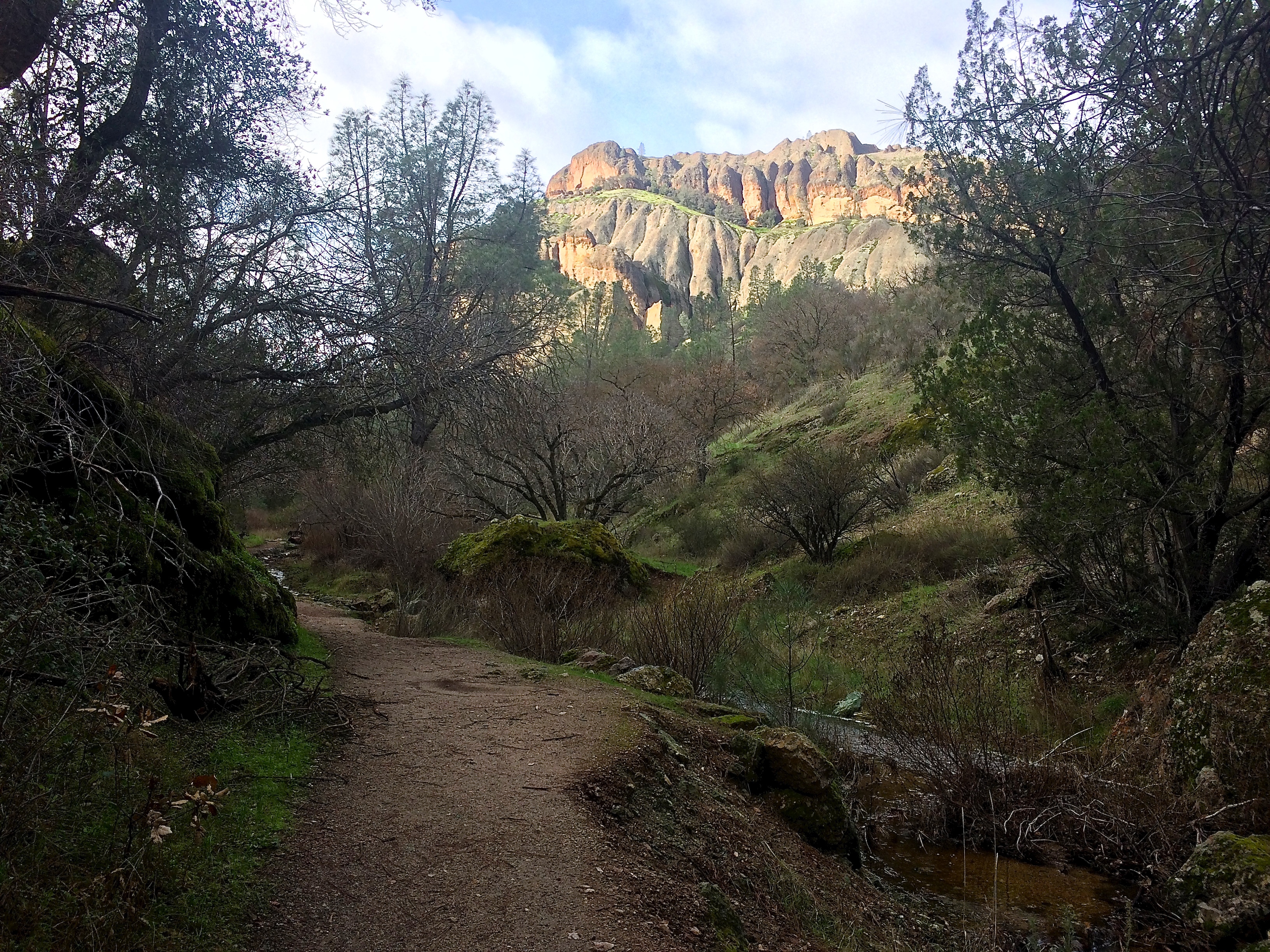
Hiking along the Bear Gulch Trail:20160123_102620

The trail through the Bear Gulch Cave was evidently flooded.IMG_6625

Instead of hiking through the cave, we had to hike around it.  Because the cave was actually a talus, we were able to spectate the dislodged, giant boulders from above.IMG_6628

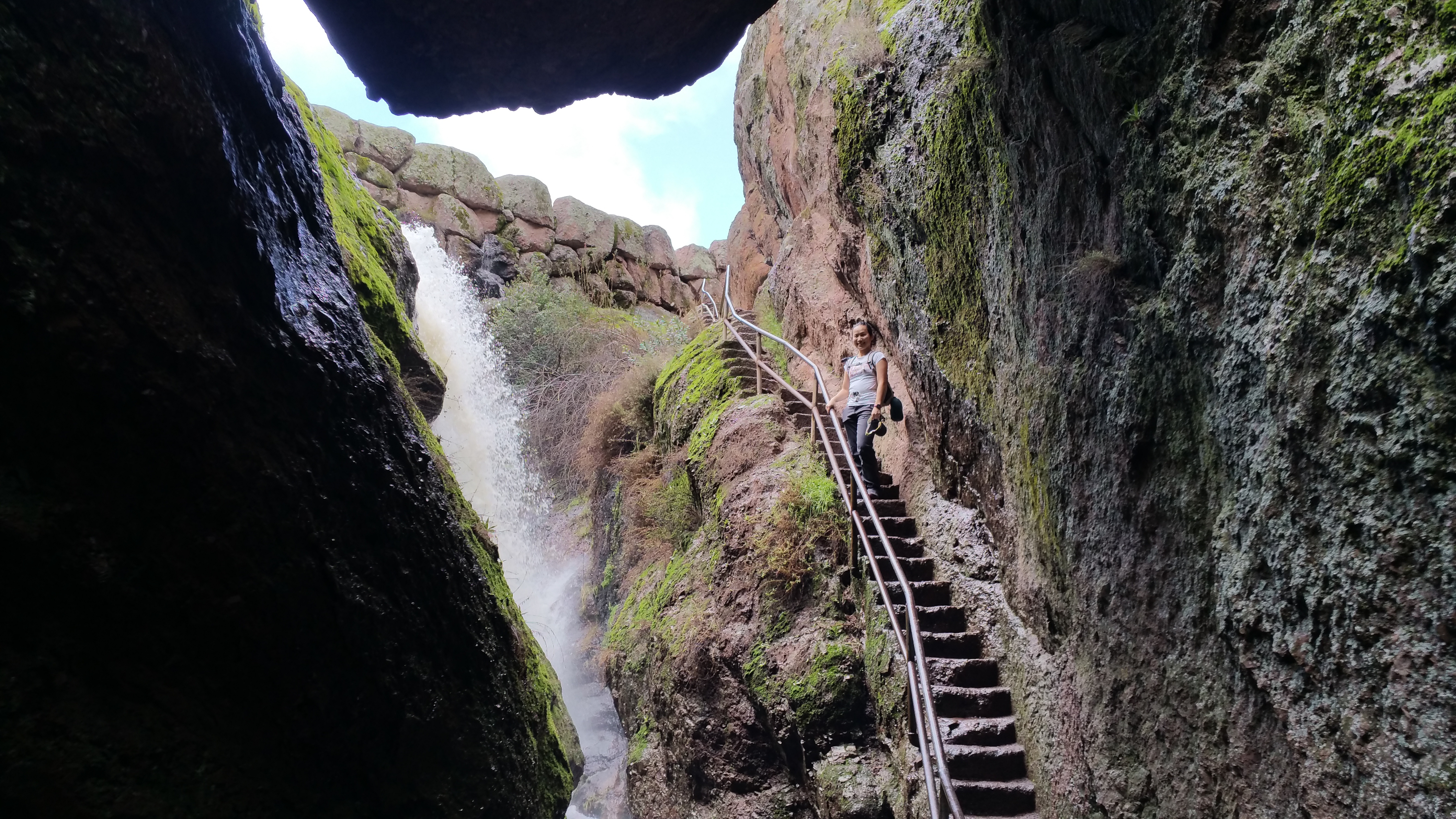
Climbing up a set of stairs to Bear Gulch Reservoir:20160123_104518

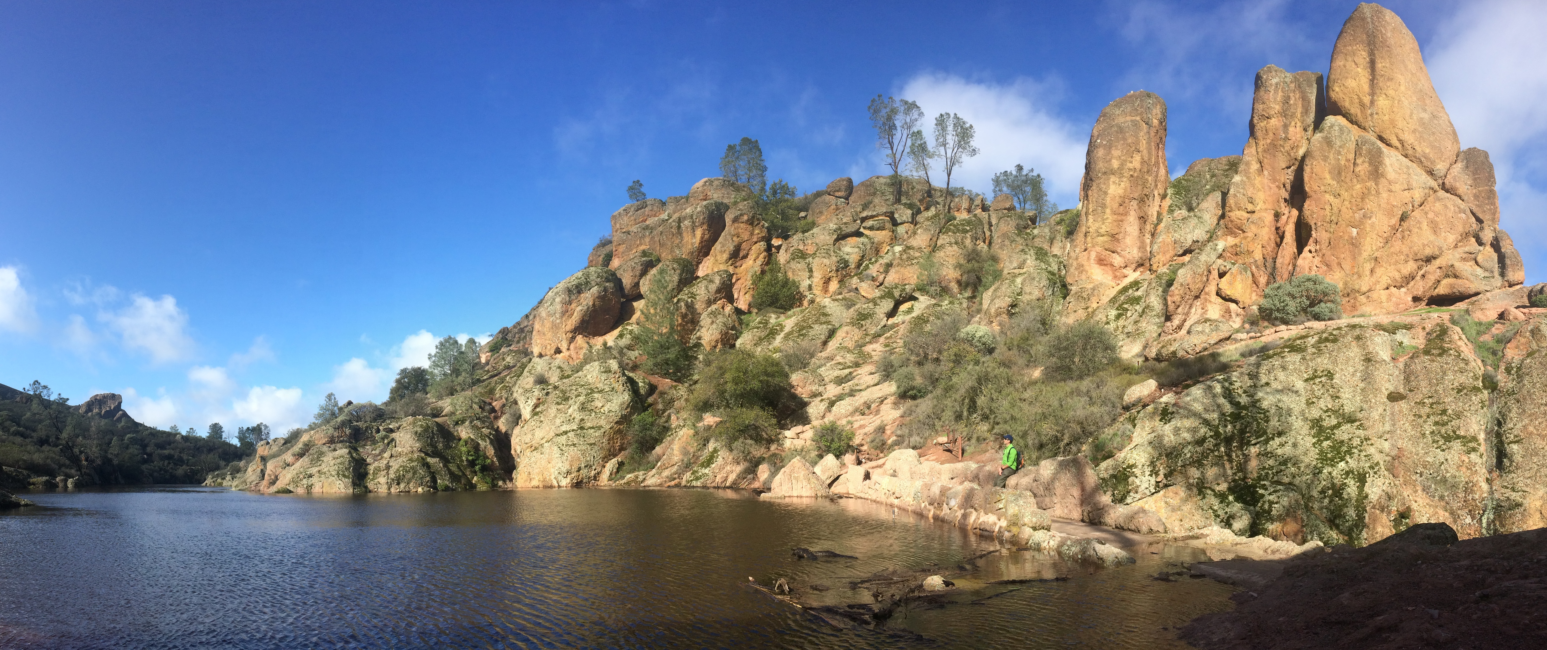
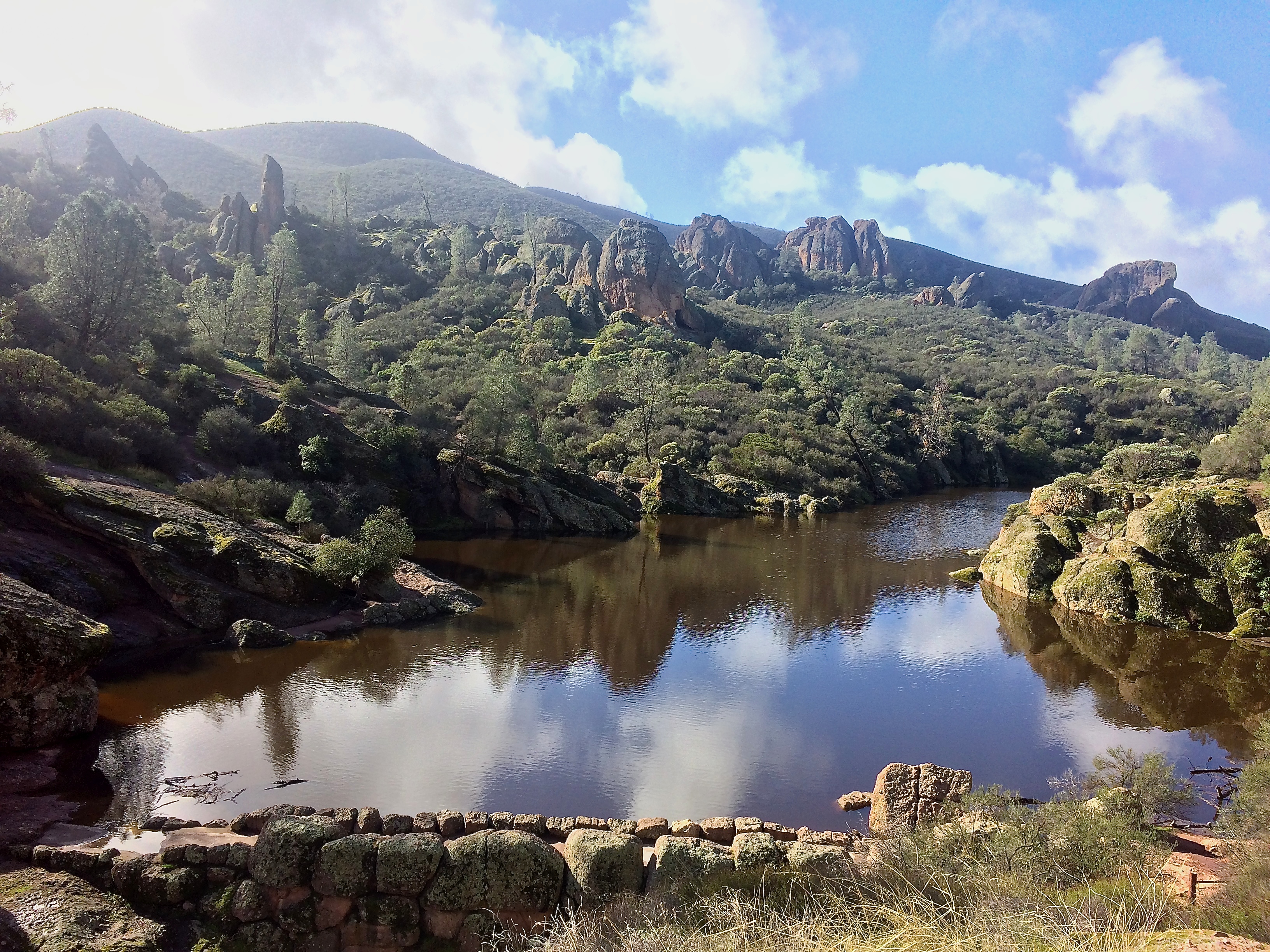
Thanks to recent storms, the Bear Gulch Reservoir was full!IMG_6635IMG_6639

Up toward the High Peaks:IMG_6645

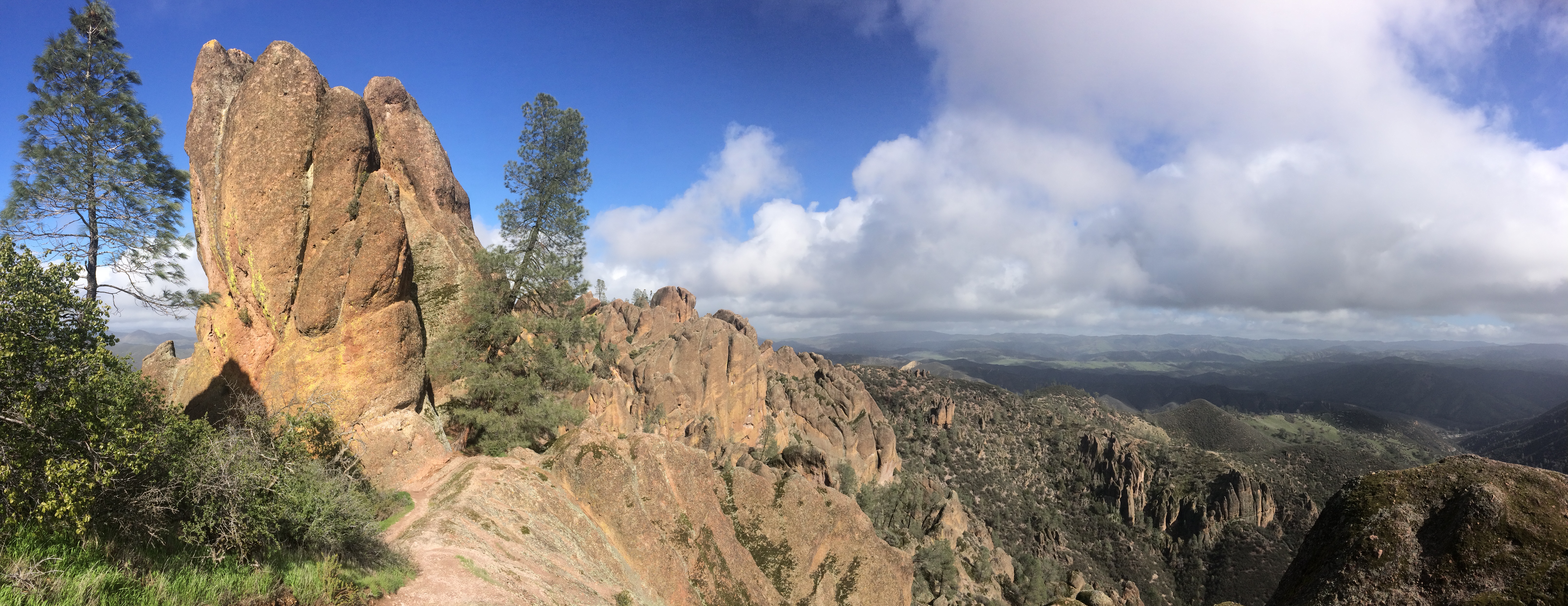
View from High Peaks overlooking the valley below:IMG_6652

Dangerously hot summers typically scorch the rocks, leaving them dry, bare, and brown. With all the winter rain this time of year, the rock formations bore a fuzzy green coat of moss.IMG_6647
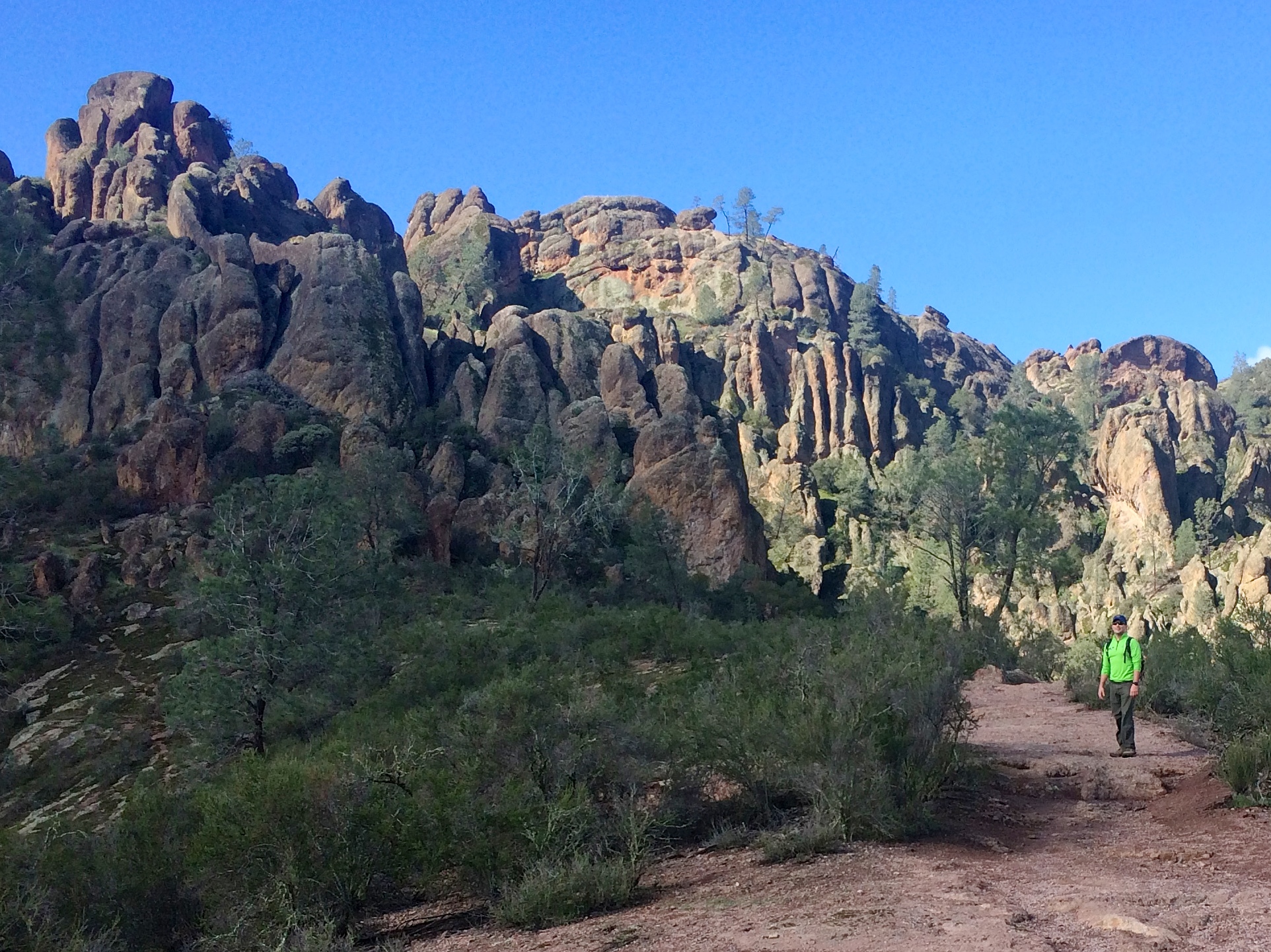
As we began our descent, we passed by more outstanding geologic features:IMG_6654

Even though we knew there was a slim chance that the Balconies Cave would be open the next morning, we set out for a quick out-and-back hike to see some trails on the northern side of the park.  After creatively leaping over the gushing creek 7 times, dramatic rock formations came into view.IMG_6666
But alas, the cave was still closed due to floods. IMG_6672

No big deal.  With its vicinity to the Bay Area, there is no doubt that we will be back soon! This new, small national park boasts incredible scenery, pleasant trails for running and hiking, and two talus caves to explore.  Pinnacles National Park–the “local” national park to Silicon Valley!

Posted in California | Tagged , , | Leave a comment

Our Must-Haves

We’ve found ourselves gratefully jotting down tips from other travelers and sharing these tips with friends and other travelers we meet during our adventures.  Rather than trying to recall our favorite services or phone applications (apps) from memory, I’m going to lay out all our favorite money tools, apps, services, and websites here.  These are more than just our favorite tools; I can’t imagine traveling without them!  Thanks to all the modern technology of the 21st century, traveling has become a piece of cake.  Sort of.


Plastic Money
My go-to credit card for international travel is the Chase Sapphire Preferred Card.  Many travelers know the benefits: 50,000 bonus points after meeting the bonus requirements (which allowed us to fly one-way on a first class flight to SE Asia in 2014), 2x points on travel and dining, travel and purchase protection/insurance, excellent customer service, and most importantly NO foreign transaction fees.  The $95 annual fee is waived the first year.  I pay the annual fee now because I’ve had it for more than a year, but it pays for itself with no foreign fees.

My go-to credit card for domestic travel in the U.S. is the Chase Sapphire Preferred Card’s awesome little sidekick: the Chase Freedom Card.  This one has no annual fee, but does not waive foreign transaction fees, hence my preference to only use it domestically.  Its bonus offer of 10k, 15k, or 20k points can be combined with points earned from the Chase Sapphire Preferred Card.  Chase keeps this card fun interesting by always having quarterly rewards–5x the points on up to $1,500 of purchases in that quarter’s bonus category.  Last fall’s bonus category was gas, so I used this card for all gas purchases during our U.S. road trip.  That’s 5x the points for gas purchases! Woo!

The final card to have (not just for travel but for life) is not a credit card, but a debit card! Anyone from the U.S. can have a Charles Schwab Investor Checking Account.  Despite its name, no investor account is needed (they open one, but you don’t have to fund it).  The perks are incredible.  There are no minimums, no deposit requirements, no fees, nothing, NADA.  It truly is free. This debit card can be used at any ATM worldwide without fees; charges made by any bank will be reimbursed to your account at the end of the month.  I’m surprised not every American has this debit card/checking account.  An American traveling couple we met while motorbiking in Southern Laos told us about the Schwab checking account, and now we share this information with other travelers we meet.


Paid Services

Ever thought about all your mail collecting while you’re traveling?  If it’s only a week or two, then no big deal, but when it’s for 3-6 months at a time it can get concerning.  Earth Class Mail offers mail scanning, shredding, recycling, check depositing, and online mail management.  We first go to usps.com and set up temporary mail forwarding to our address set up at Earth Class Mail.  While we’re traveling we receive emails from Earth Class Mail, and we let them know what to do with our mail.  The monthly fee ain’t cheap, but Chris writes it off as a business expense.

In countries like Argentina where the government exchange rate from dollars to pesos is crap, services like Xoom can be useful and money-saving.  Even after the small fee, we ended up saving 30-40% on the cash conversion (11.5 pesos to the dollar instead of 8 pesos to the dollar in May 2015).  We simply signed up for an account, sent money from our bank to the cash pickup location, and picked up the cash.  Xoom also does cash depositing into other bank accounts, but we only used Xoom to send cash to ourselves while overseas because the exchange rate from the ATM was so bad.

Thanks to a friend in Germany, I recently discovered Transfer Wise which I’ve used once to send money to a foreign bank.  I wish I had known about it earlier.  I believe Xoom and Transfer Wise can be used for the same purpose, but countries vary for each service.  When I booked my 2014 Son Doong Cave tour in Vietnam and 2015 Inca Trail Trek in Peru, I had to pay a 50% deposit up front to the company via money wire through my bank.  Each wire came with ridiculous fees (upwards of $50). Your first money transfer with Transfer Wise up to $700 is free, and money transfers with Xoom vary from $10-$20.  If you sign up for Transfer Wise, click on this referral link to hook me up. =)


Free Services/Websites

I cannot comment on how these sites work internationally, but they’ve been incredibly helpful if not a savior for road tripping around the U.S.

We primarily boondock when we camp, and freecampsites.net is a fantastic source for finding free campsites and inexpensive campsites.  All the information and photos are user-uploaded, and people can rate campsites and leave reviews.  From free incredible sites outside of the Tetons to free conveniently-located parking lots in Las Vegas, we found the majority of our boondocking sites through this site.

A fun way to digitally map out a route for a road trip is through tripline.net. There are numerous social avenues that can be taken via sharing and commenting but I’m pretty bare bones with this free service.  I like using this site to map my route, and this site allows me to do just that!

Years ago I discovered ridewithgps.com when plotting cycling and running routes.  My main purpose was to study elevation grades and gains on bike rides or runs.  I not only used ridewithgps for planning cycling and running routes during my road trip, but also for planning hikes.  Knowing exactly when steep climbs begin and end are helpful in meal planning and pacing.

Smart Phone Apps

There are probably hundreds and thousands of apps that people find useful which they specifically tailor to their travel needs.  We use the following handful of apps that don’t require much explanation:

Gas Buddy for finding and comparing gas prices in a given location
Wunderground for detailed weather info
AirBnB and booking.com for lodging/accommodation
TripAdvisor for travel advice, forums, and reviews
Venmo for instantly paying people and each other
XE for the most up-to-date currency conversion for every country
Duo Lingo for practicing and improving upon a language
Google Translate for translating just about any language into just about any other language
WhatsApp, for texting people using only a wifi connection
TripIt, for travel planning and itinerary management–can even share with others, and receive alerts such as flight delays!

Two specific apps that I’d like to give more attention to are Maps.me and Google Voice.

We only discovered Maps.me about 1/3 into our South American trip when we met an American motorcycling across the continent at a hostel.  This app puts Google maps to shame.  Within the app, you download maps of individual countries (with or without driving routes).  Maps include major cities, tiny villages, and even the remotest hiking trails and paths along mountain tribes.  Icons indicate gas stations, hospitals, banks, restaurants, fast food, lodging, and more.  Pins can be dropped to save locations. Elevations of mountains and peaks are even displayed.  And the best feature? GPS.  I download the map when I have wifi and save the map for later use.  Once I’m out of wifi range, let’s say in a village or the mountains, I open up the map to locate my position. With this app, it’s impossible to get lost!  From finding the nearest gas station in a major city to the nearest resting hut along the Bright Angel Trail in the Grand Canyon, this maps app has it all!
And finally, Google Voice.  I’ve had my cell phone number for more than 10 years, and the idea of canceling my cell phone plan and losing my number broke my heart.  Until I discovered I didn’t have to do that.  For $20 or so you can port your number over to Google Voice, which automatically cancels the line with your carrier.  This means no more monthly mobile payments while I’m traveling, AND I get to keep my number! YAY! While overseas we typically purchase a local SIM card or rely on free wifi at a hostel or restaurant to check our emails, make calls, and do research.  In most countries (with the exception of Cuba, Myanmar, and surprisingly Japan) getting a SIM card was easy and super cheap.  And with Google Voice, I can still receive phone calls, voicemails, and text messages from my old cell phone number when I’m connected to wifi.  This means people can still call me (my parents, landlord, insurance companies, etc.) and leave a voicemail.  I don’t ever have to worry about losing contact with anyone who has my number.  Whew.
***

And there you have it.  These are all our helpful tools we used for backpacking SE Asia and South America and road tripping around the U.S.  This page might change from time to time as we travel more, meet more people, and learn about the latest and greatest apps and services.

Posted in Tips | Tagged , , | Leave a comment