How Much Did That 11.5-Week Road Trip Cost?

I’ve said many times that traveling is much cheaper than living in San Francisco. Southeast Asia and most of South America are obviously easier to budget for, but I’ve discovered that even road-tripping around the U.S. is significantly cheaper than living in San Francisco too.

Last year when we spent 3.5 months on the road driving from San Francisco to New York and down to New Orleans and back, I compared domestic travel with international travel and laid out tips for RV-living.  This year, I decided to keep track of all my spending over the course of 11.5 weeks because I was curious about where my money went.  How much does a couple months of road tripping around the U.S. cost?  What percentage of my expenditures go toward gas? Food?  Our goal is to not travel in the cheapest way possible, but to simply be comfortable.  Even though we weren’t quite frugal with our spending, I was content with the final numbers.

Before I dive into the data, here are some important details.

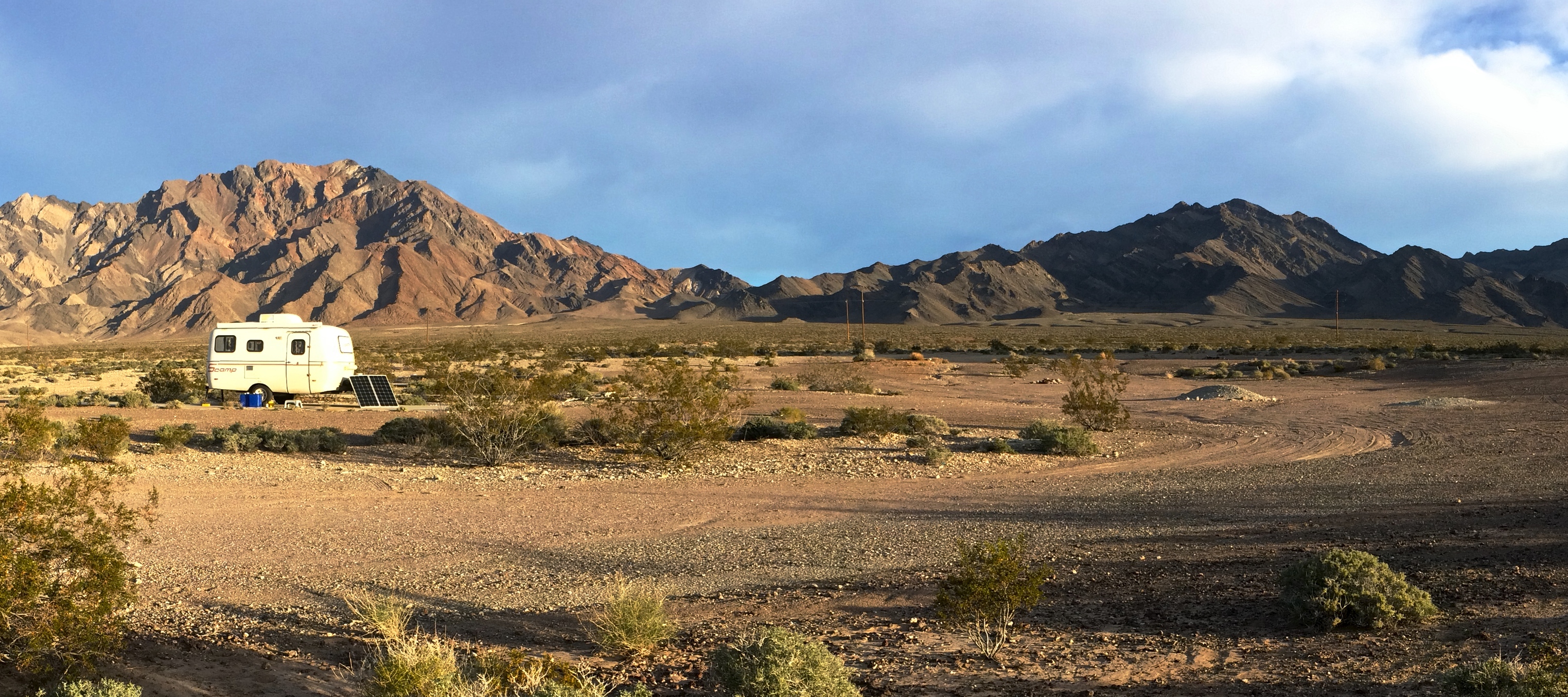
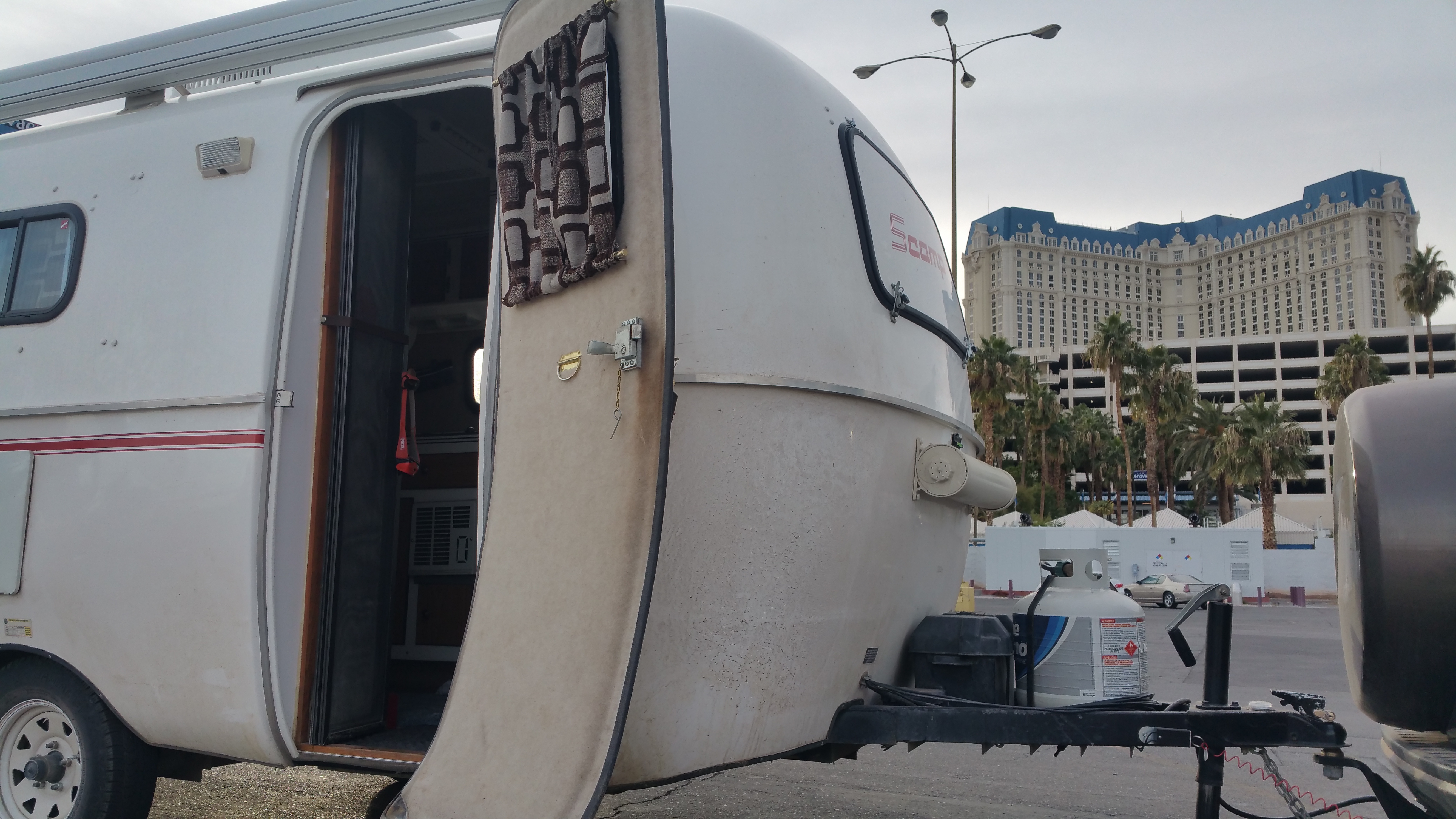
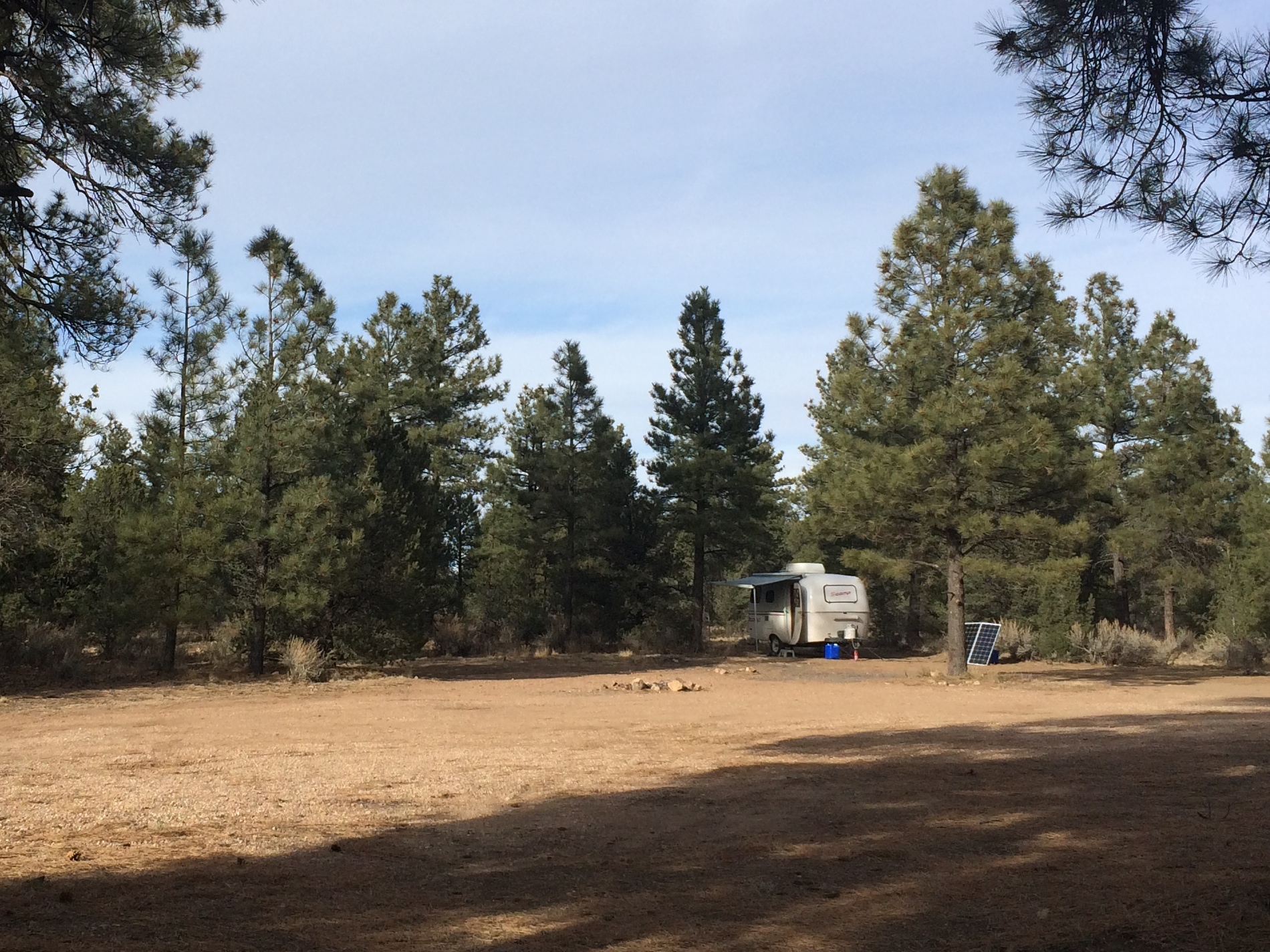
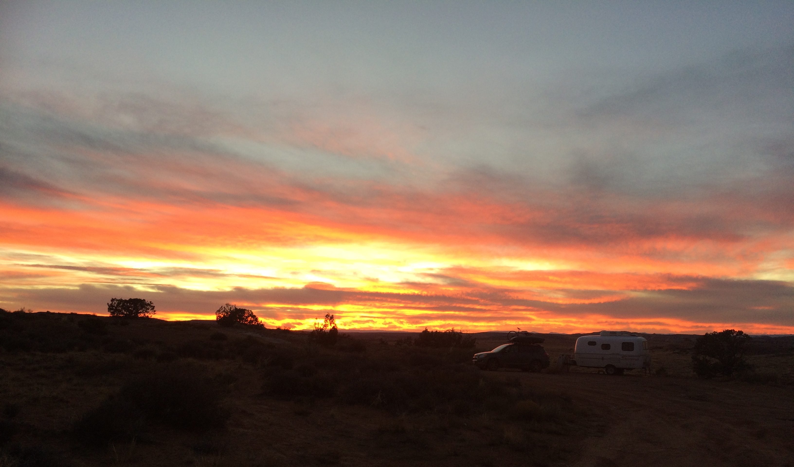
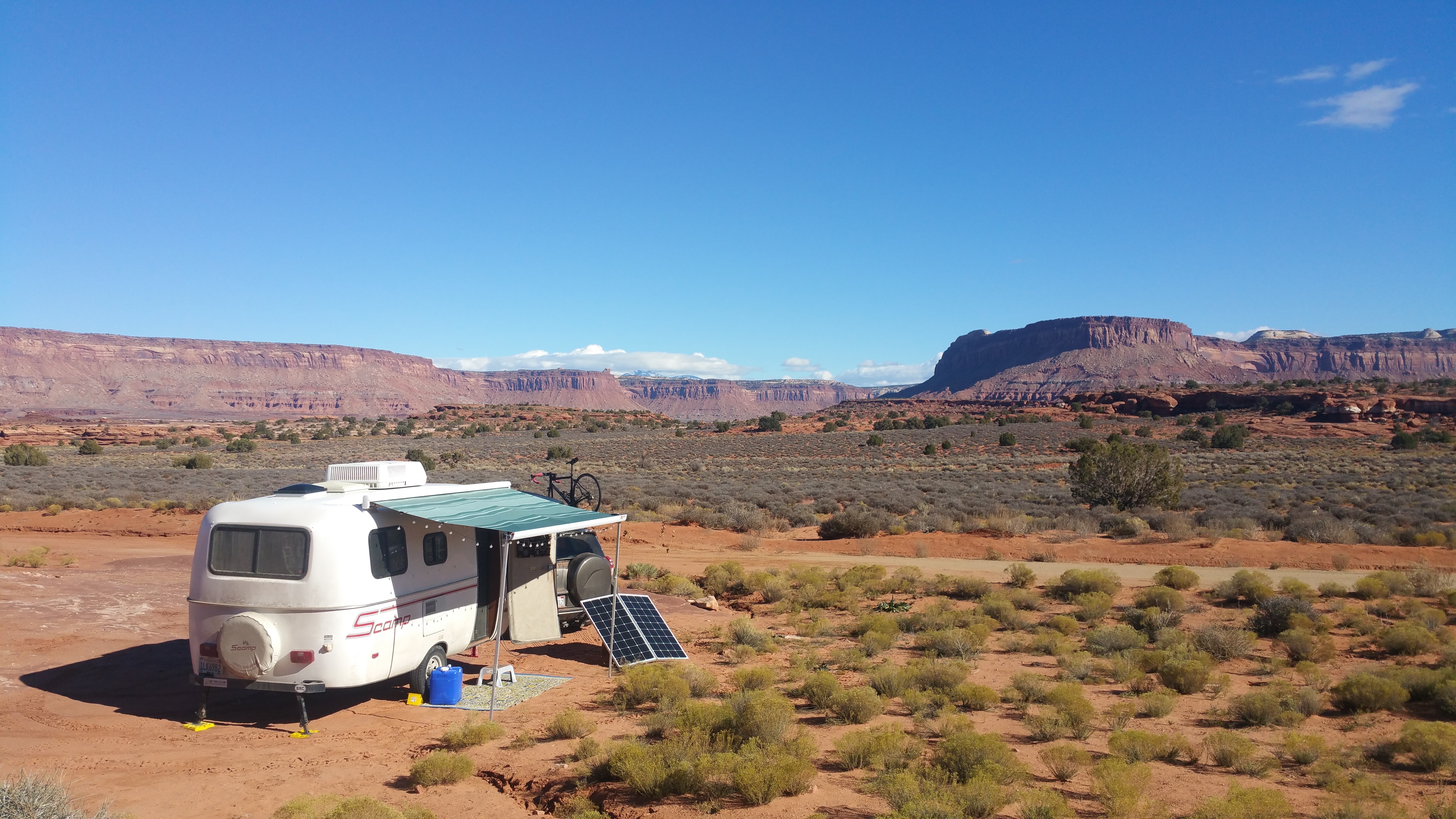
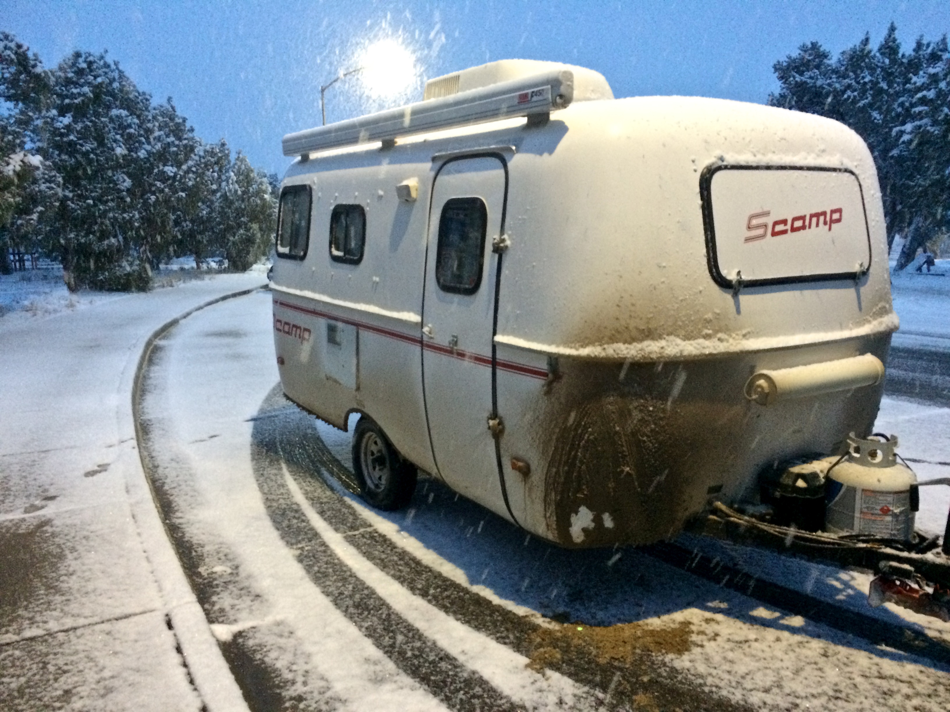
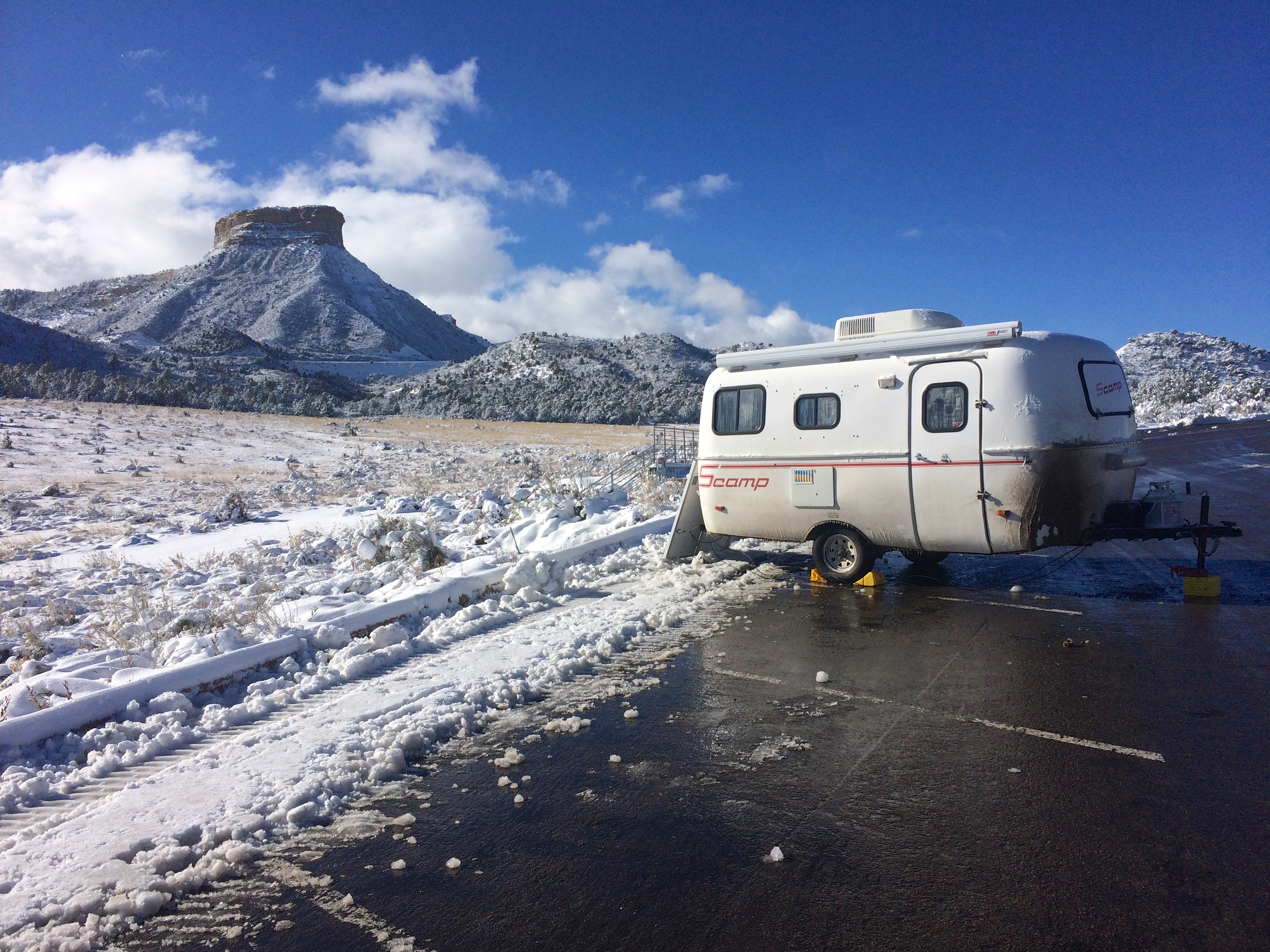
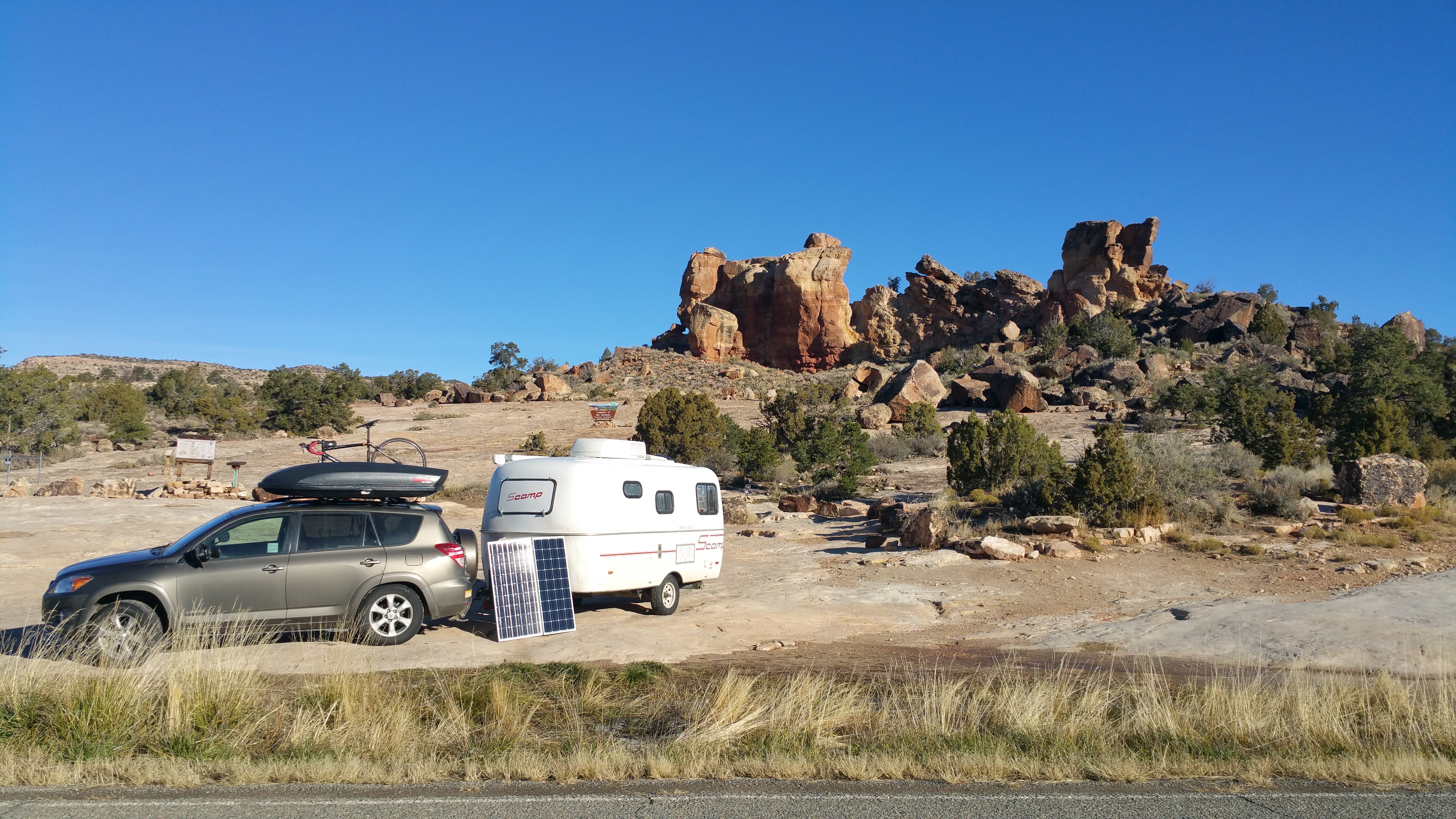
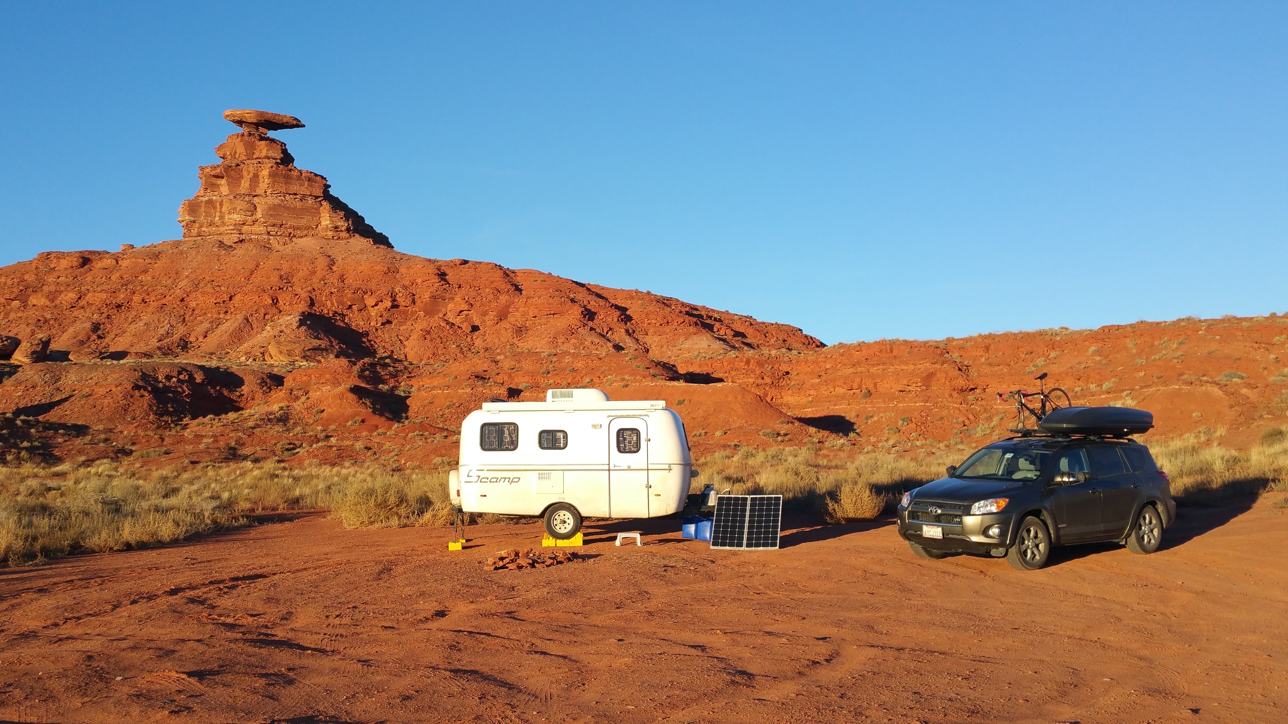
1. We own a 16′ trailer named Scromp.  20151118_163409Scromp has everything we need–bed, kitchen, heater, shower, toilet, hot water heater, solar power, the whole deal.  My budget does not include accommodation, since our home is our trailer.  We don’t like the idea of paying $30/night to camp. Instead, we love to boondock, which means self-contained, dispersed (free) camping, typically on BLM land, Forest Service Roads, and free campgrounds.
2. We stuck to the West: the Pacific Northwest and the Southwest.scrompin2015 Our first half of the trip was dedicated to the Pacific Northwest: Oregon, Washington, and a bit of British Columbia.  We bugged out of the Pacific Northwest before the weather could get too nasty and spent the remaining half of our trip in the Southwest: first Idaho, then Utah, Colorado, and Arizona.  We totaled ~9,500 miles.
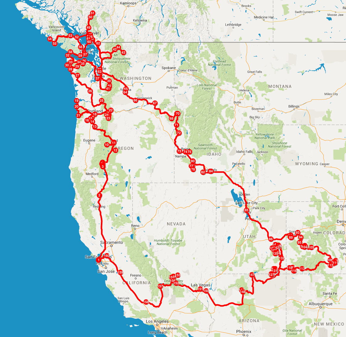
3. We always travel during the low season.  This entails more free campgrounds and generally lower prices on everything (gas, food, admission fees, etc.) We traveled from September 18, 2015 through December 9, 2015.

4.  Because we didn’t have to budget accommodation, our biggest expense was food.  When our expenses for groceries and dining out are combined, food takes up 40% of our total spending.  That breaks down to $11.45/day/person for 3 meals and snacks.  I tried to cook as much as possible, but we weren’t going to pass up on one-of-a-kind restaurants in Portland, Seattle, and Vancouver.  Still, I was thrilled to keep the number down to almost half the amount the average American spends on food per week.

5. Gas prices were at an all-time low, ranging from $2.05/gallon to $2.80/gallon.  Gas in Canada was more expensive, but we spent less than 2 weeks in Canada.  We were lucky that gas was at an all-time low because gas and propane was our 2nd biggest expense at 32%.  Keep in mind propane is used for heating, cooking, and the fridge.  It got COLD at times–the coldest being 10ºF at night at the Grand Canyon in December.  Needless to say we spent a bit more than expected on propane, as little as $15 every 2 weeks early on in the trip to almost $20 every week the last month of the trip.  Brrr!

6. My budget does not include data/cell-phone plans and insurance.  We paid ~$205/month for 2 smartphone plans and a hotspot line with 20 gigs of shared data.  Chris worked as we traveled so the data was a necessity, but fortunately a company write-off.

7. My budget does not include alcoholic beverages because I don’t drink. Chris spent money on beer and wine, which he purchased on his own and kept separate from my expenditures.  My assumption is if you always have beer or wine with dinner, then the cost of food should be 50-75% higher than what I have listed.

8. My budget is for 2 adults. I am 30 and Chris is 37.  Considering I’m below average in size for the average American, assume I don’t eat a whole lot.

Now for the fun useful stuff.  Remember this is for 2 adults over 82 days.

Category Notes Avg/Day % Total
Cash (ATM withdrawals) $2.56 4% $210
Gas & Propane $18.69 32% $1,532.42
Groceries $12 21% $983.86
Dining Out restaurants, cafes, fast food, bakeries, etc.

$10.90

19% $894.03
Sightseeing hiking permits, National Parks pass, admission fees, Vancouver ferries $6.81 12% $558.41
Misc. flat tires, bear spray, RV supplies, new trailer tires, 3 nights paid camping $6.63 12% $543.72
GRAND TOTAL $57.59 $4,722.44

download

To see the entire itemized list, you can download my spreadsheet here.

Total for 11.5 weeks (82 days): $4,722.44
Average per day: $57.59
To keep the number clean and easy, let’s say the trip cost $30 per person per day.  That’s $900/month/person for a home, gas, food, supplies, epic hikes at numerous national and state parks, incredible adventures, and one hell of a memorable journey. Well, that sure beats the San Francisco $2,500+ month lifestyle of rush hour traffic and 8 to 12-hour work days 5 days per week just to keep life on the grind!  The only way to make this possible is to not have debt and save as much money as possible, as outlined in this post.

For 5 months in Southeast Asia, Hong Kong, and Japan in 2014 we ended up spending roughly $1,200/month/person, which included international airfare and multiple international bus rides.  For 5+ months in Latin America in 2015 we ended up spending roughly $2,380/month/person, which included trips to Easter Island and the Galapagos Islands.  Even before arriving to Latin America, I assumed I would spend double than my Southeast Asia budget and I ended up being spot on!  I honestly had no idea how much we would end up spending on a road trip around the U.S., but I knew it wouldn’t be too bad considering we had Scromp and I cooked most of the time.  All in all, $30/day cannot be beat. We have so many more years of road tripping in the U.S. to look forward to, and I can’t wait!

Posted in Budgeting | Tagged , | 2 Comments

Rhyolite

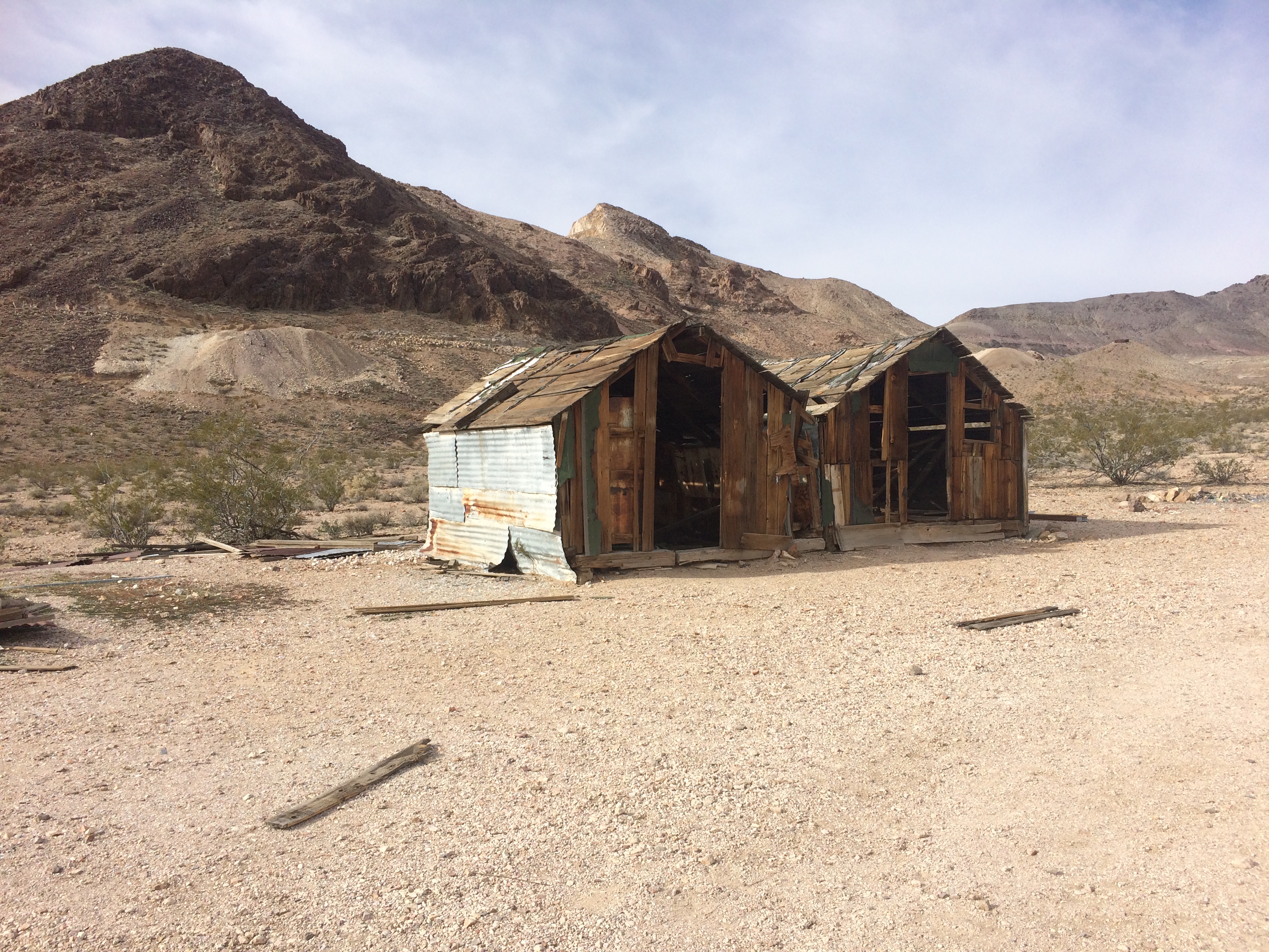
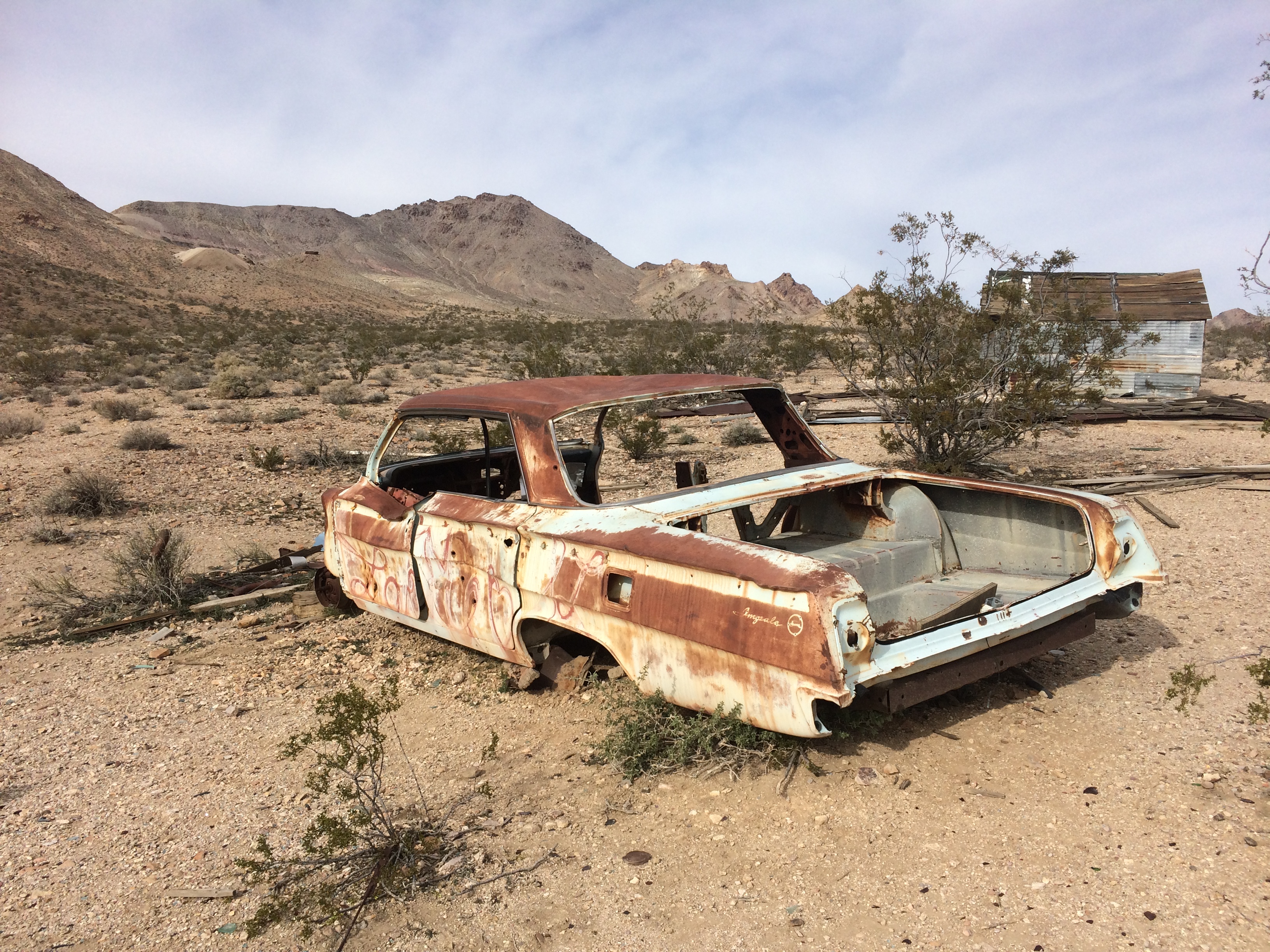
Hundreds if not thousands of ghost towns lay in dishevelment throughout the U.S., and Death Valley National Park is home to a number of forgotten ghost towns that were once mining towns.  Just outside this California park across the border into Nevada are the remains of Rhyolite, now a ghost town but once a prosperous mining town that housed 8,000 people at its peak.  I’ve passed by several ghost towns before, but not one of this scale.  Plenty of dilapidated buildings lined the “downtown” of Rhyolite, begging to be photographed.  I later learned that Rhyolite is one of the most photographed ghost towns in the West and is the backdrop for a number of films.

Here is a brief history of Rhyolite.  In 1905 several mining camps sprouted nearby and the California gold rush boomed, bringing a surge of miners to the area.  In 1906 an industrialist invested heavily in infrastructure and by 1907, there were power lines, water mains, a railroad, newspapers, a bank, a hospital, schools, an opera house, a stock exchange, and even a brothel.  However the richest ore was quickly exhausted, and with the financial panic of 1907 the town quickly declined.  By 1910 the mine was functioning at a loss, and by 1911 the mine was closed.  Miners without work moved elsewhere, the population drastically declined, and by 1920 the population dwindled down to 14.  Rhyolite busted as quickly as it boomed.

Now Rhyolite remains as a tourist attraction.

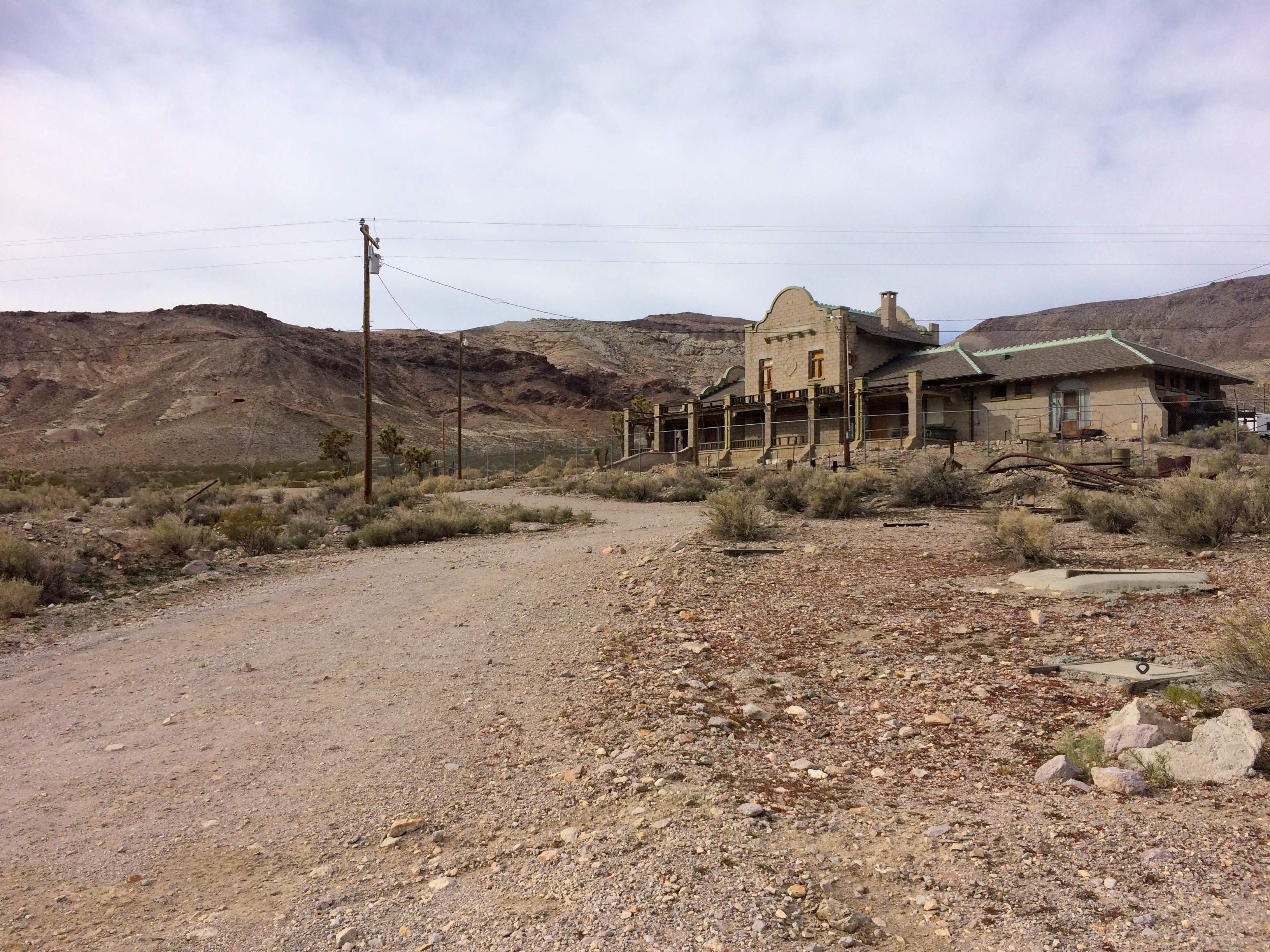
Perhaps the most in-tact building is the old railroad station, later turned bar and casino, then later turned museum, and now just a well-preserved but abandoned building.IMG_6368 IMG_6370

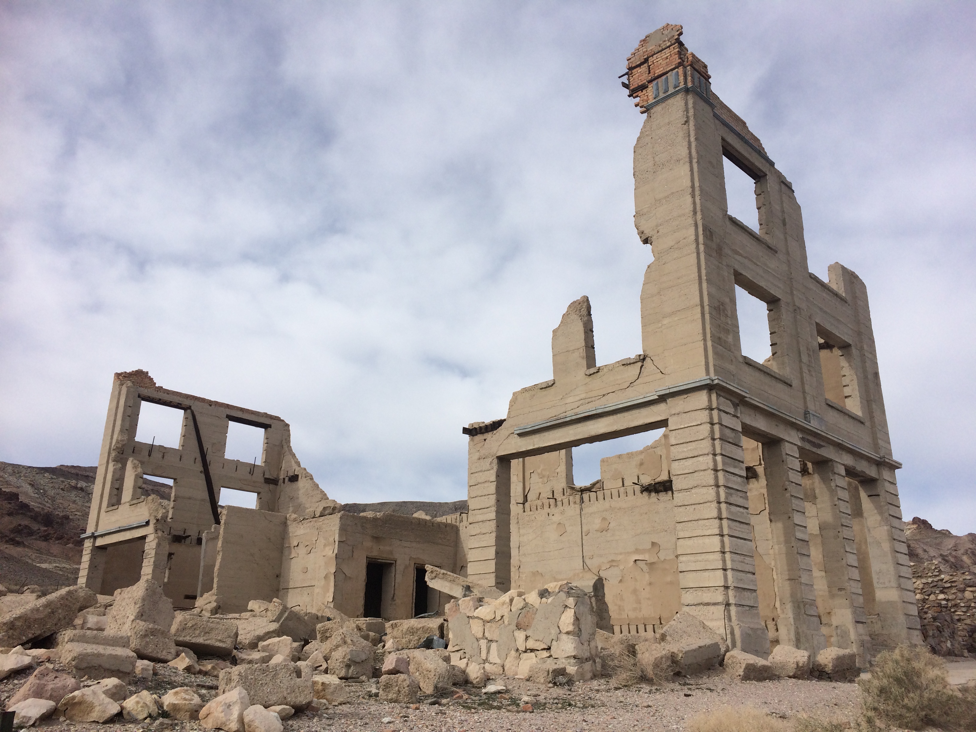
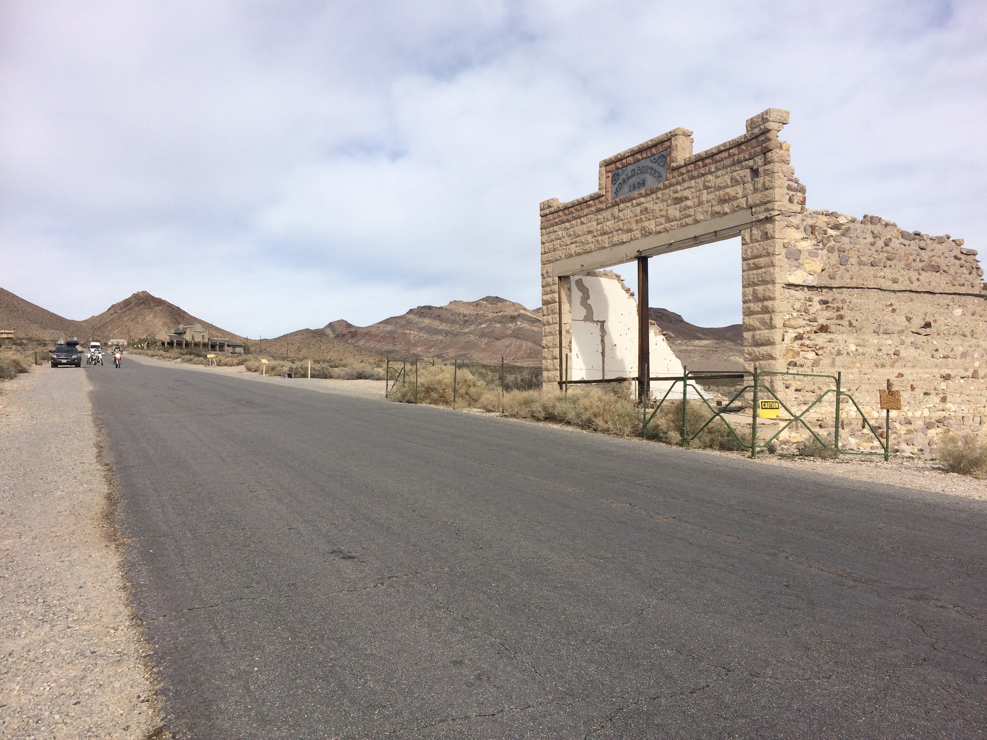
Remains of the bank:IMG_6371

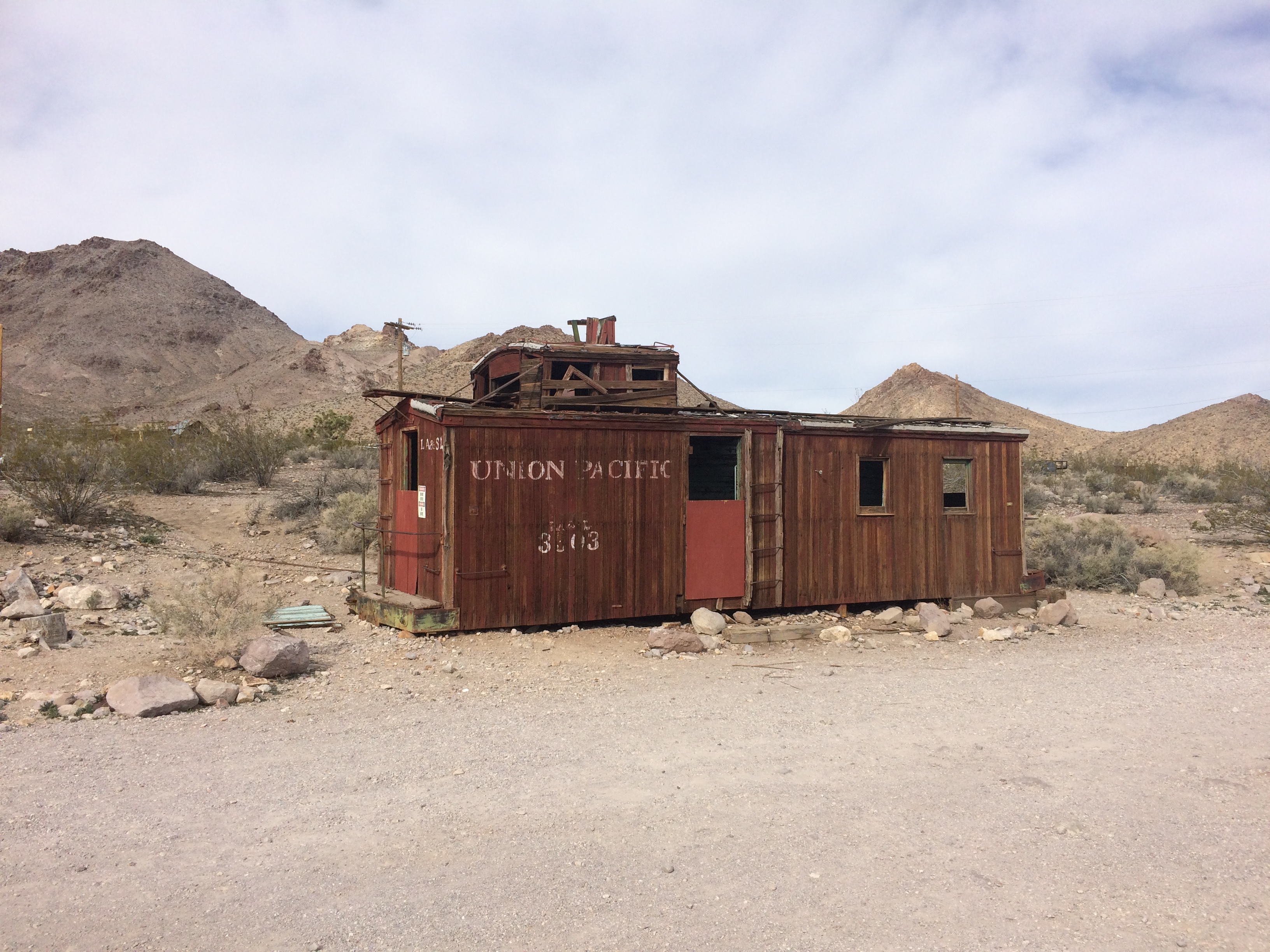
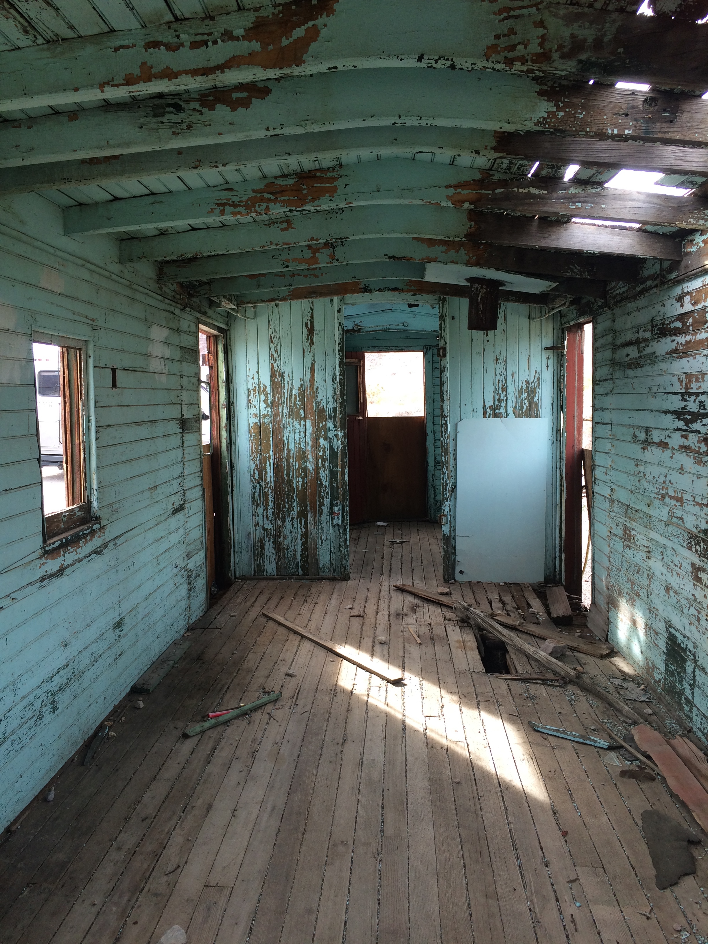
An old service station made of a caboose:IMG_6364IMG_6367

More ruins along the main street:IMG_6373

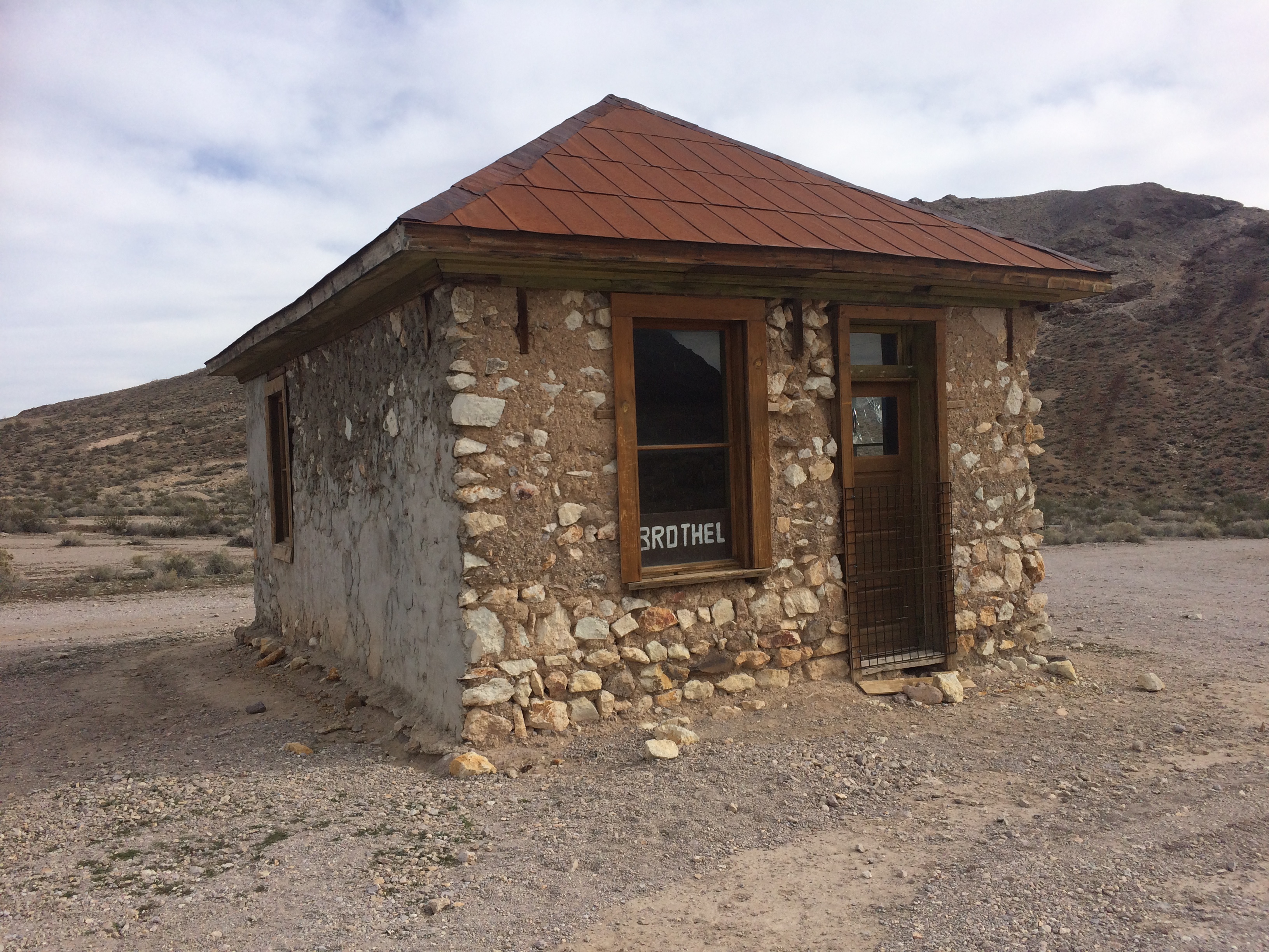
Quite a ways from the main street was this very in-tact building.  Curiosity forced me to walk over and upon my approach I discovered it was a brothel!IMG_6374

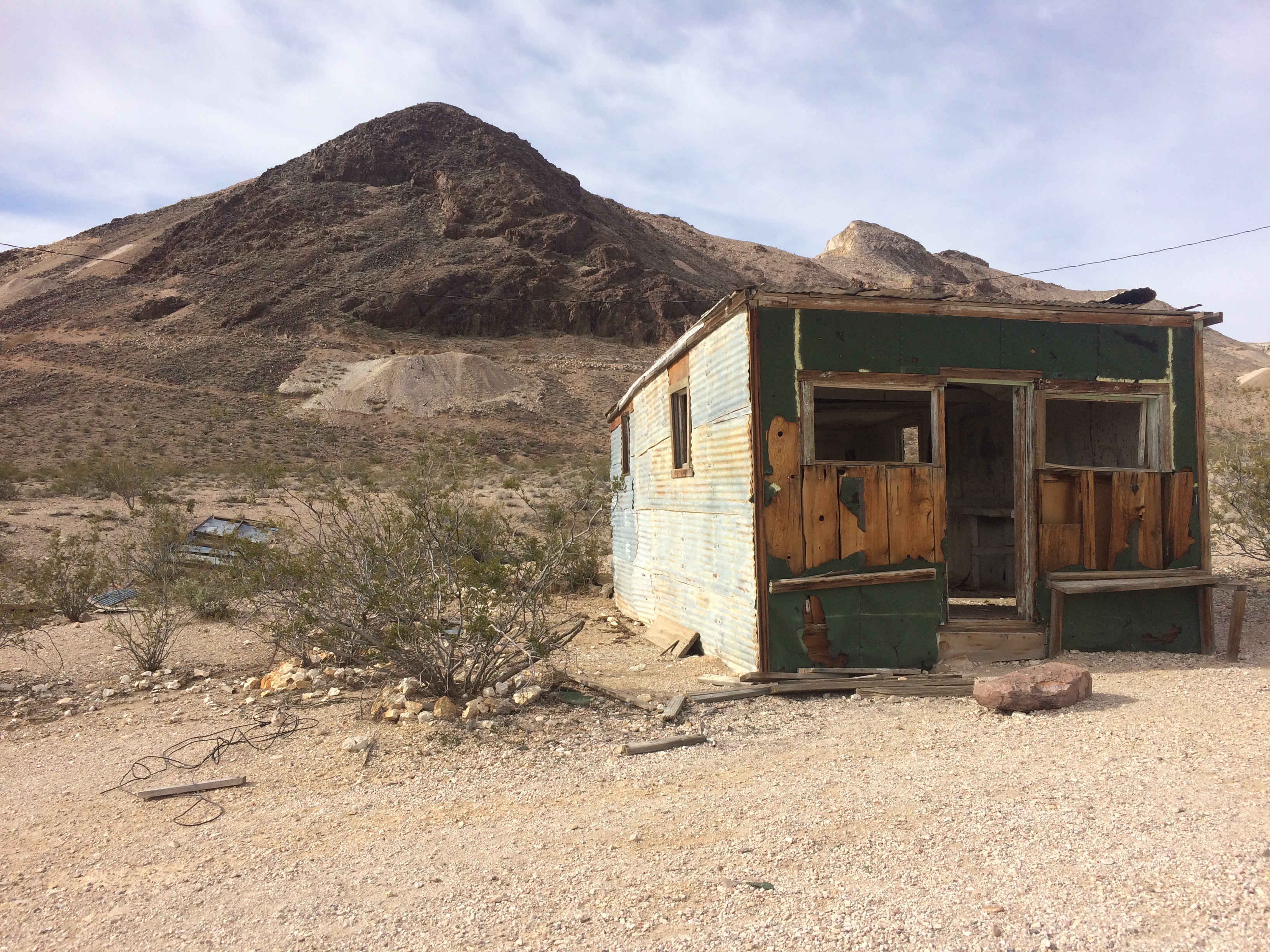
Some more abandoned ruins:IMG_6378 IMG_6380 IMG_6382

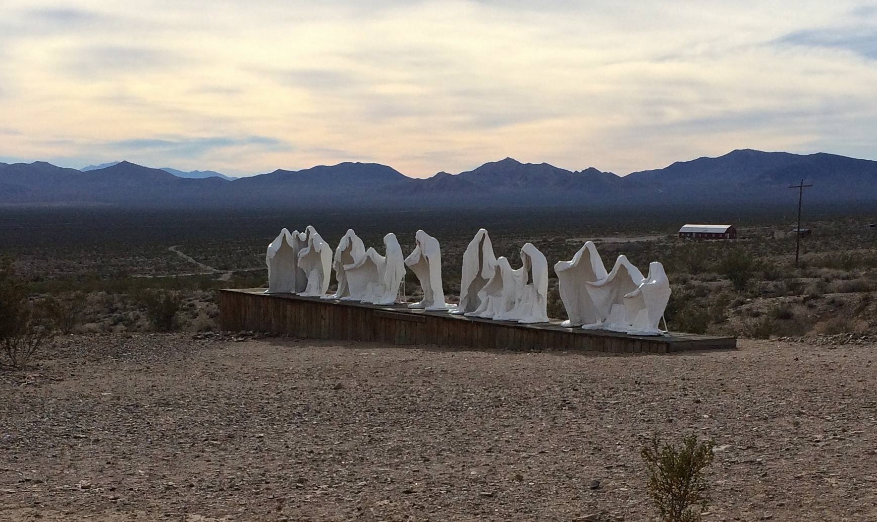
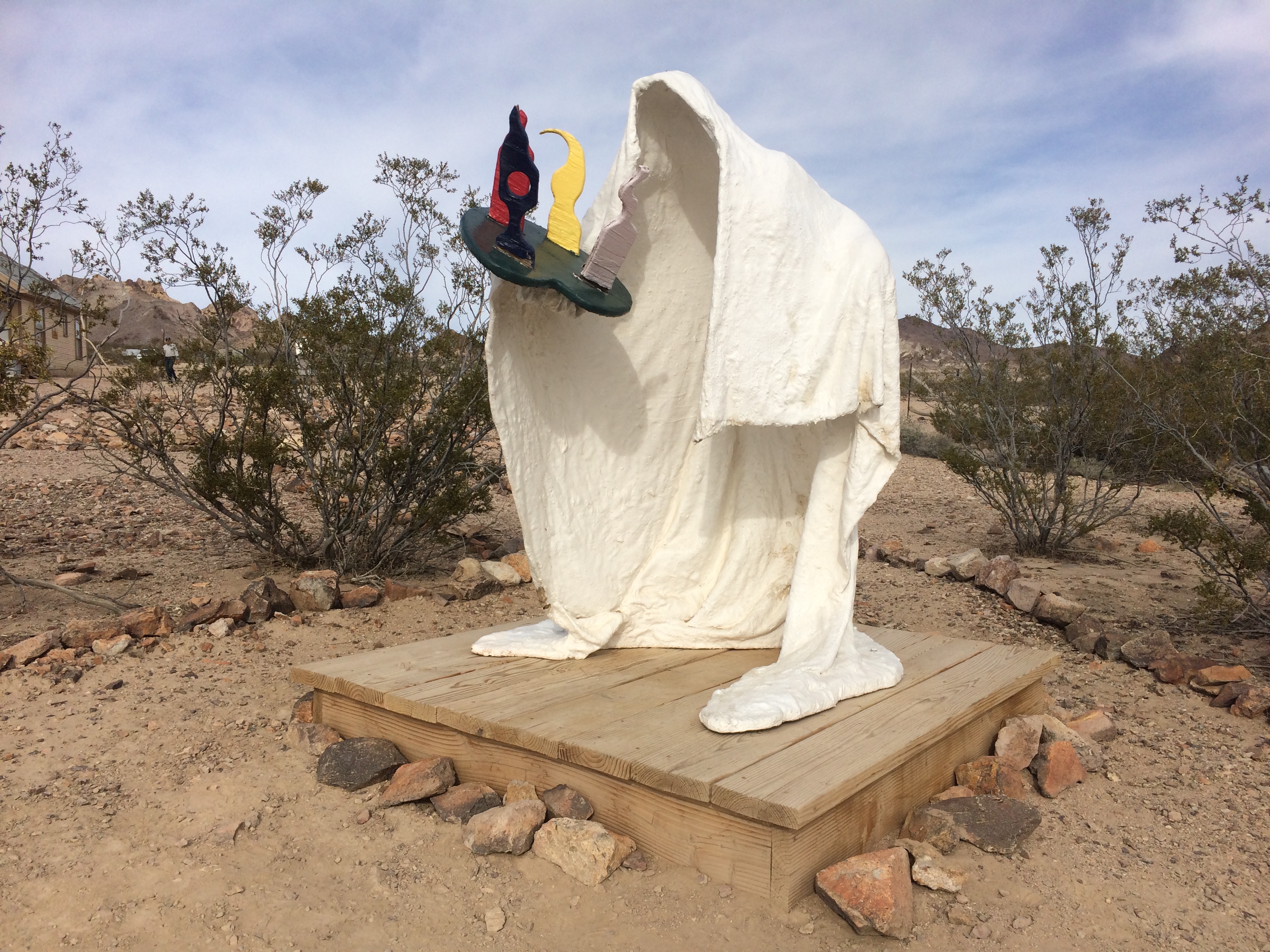
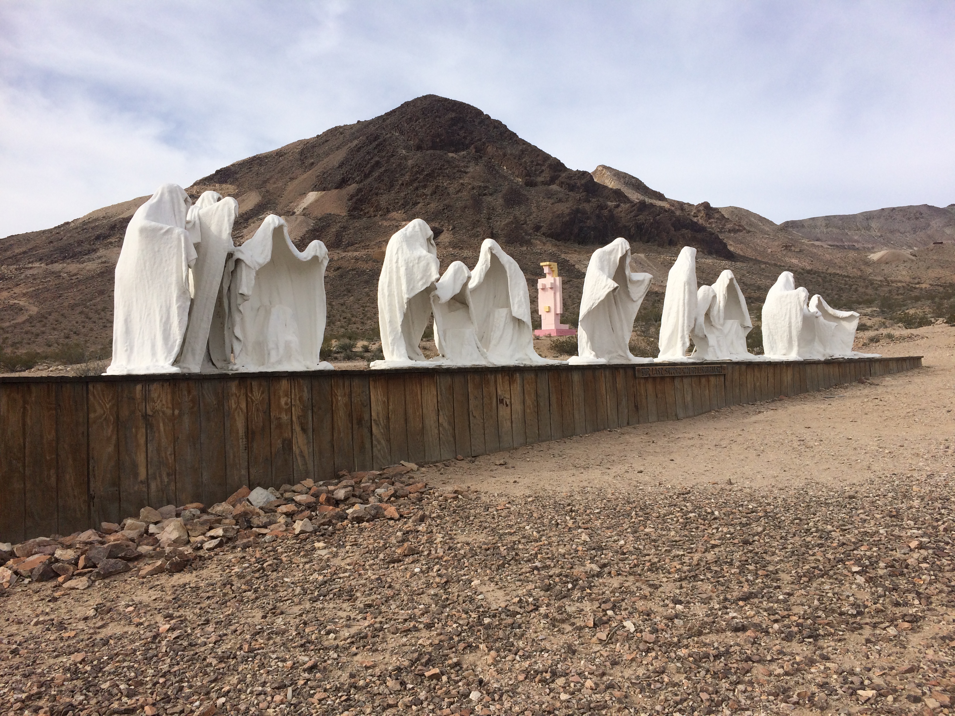
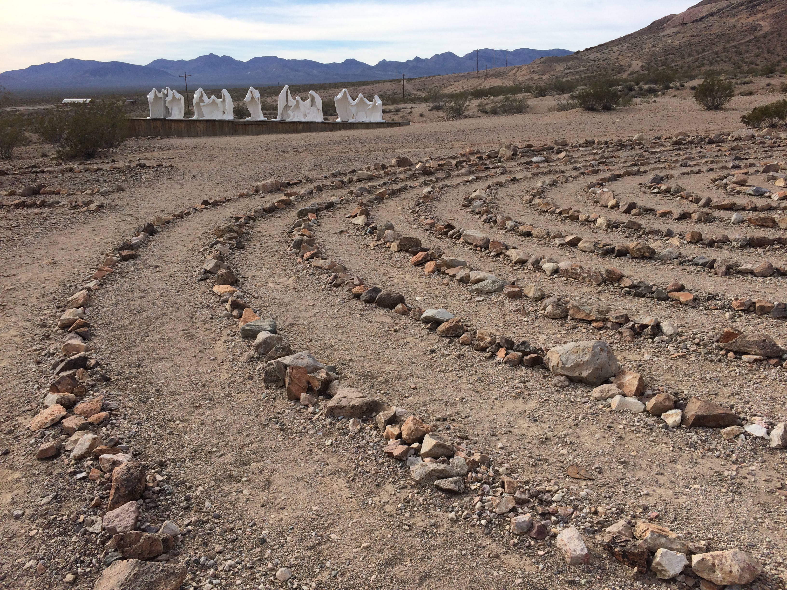
What makes Rhyolite even more appealing to visit and photograph is the addition of the Goldwell Open Air Museum, a free outdoor museum a stone’s throw away from the ghost town.  It began when Belgian artist Albert Szukalski created his own ghostly version of The Last Supper in 1984 amidst the backdrop of desert valley.IMG_6390

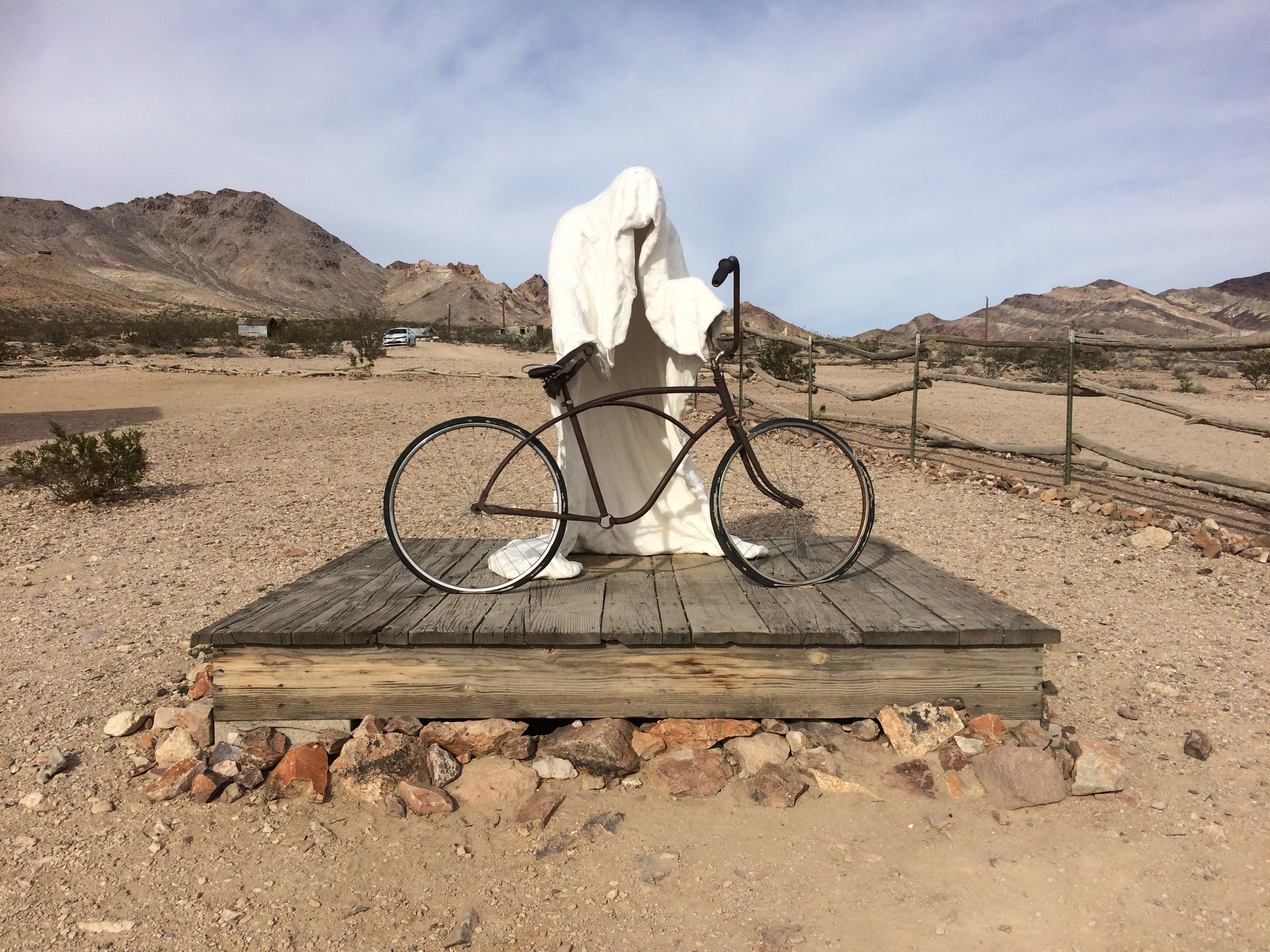
The artist created this sculpture by posing humans and draping plaster-soaked fabric over them.  Once the plaster dried enough to maintain its shape on its own, the people would carefully exit the mold.  From there the artist refined the details and applied fiberglass to the exterior in order for the sculpture to withstand the harsh elements of desert climate…kind of like Burning Man! He made a couple more sculptures in the same way.  In 2000 he passed, and the Goldwell Open Air Museum was formed in his memory to house his pieces in addition to other artists’ sculptures.

For the piece Ghost Rider, the artist used a local man for the pose:IMG_6389

And another:IMG_6385

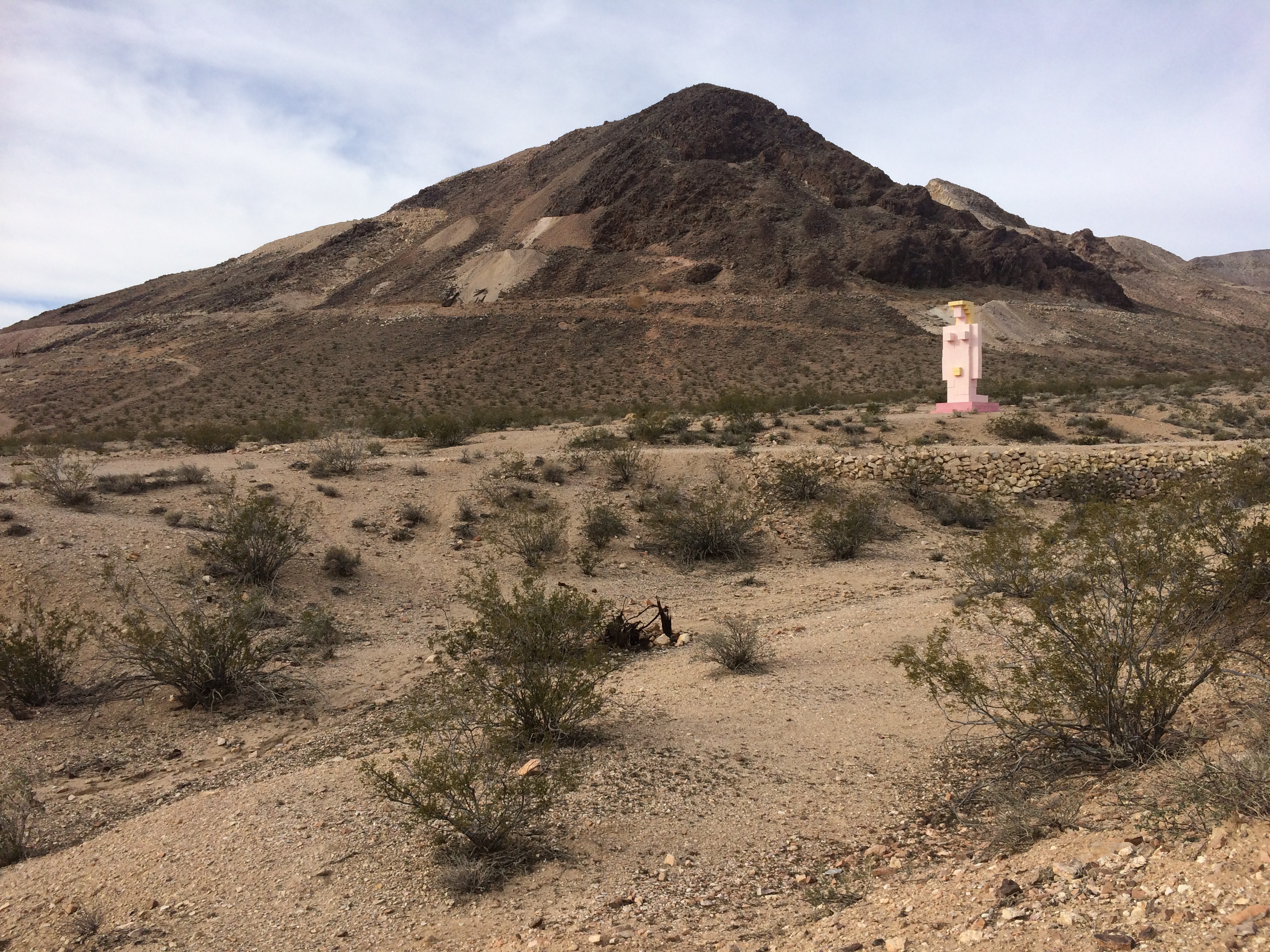
Lady Desert: The Venus of Nevada, a sculpture created by a different Belgian artist, portrays the goddess Venus in a highly technological/pixelated world of the 21st century:IMG_6387

A number of other permanent pieces were displayed within the open air museum, but the first and original sculpture that led to the creation of the museum is still my favorite.IMG_6386 IMG_6383

Within the museum was also a small visitor center/gift shop, but like Rhyolite, it seemed to be permanently closed and abandoned.  Luckily the open air museum is open 24 hours a day, 7 days per week for the public to enjoy.

From afar the ghostly figures seemed a bit campy due to its vicinity to the ghost town of Rhyolite; I thought the sculptures were simply a play on the town.  I didn’t think I’d spend as much time as I did at Rhyolite. I had no idea just how big it was!  If I hadn’t taken the detour to Rhyolite, I never would have discovered the museum.  If you’re visiting Death Valley, a trip to Rhyolite and the museum is definitely worth checking out.

Posted in Nevada | Tagged , , | Leave a comment

Death Valley

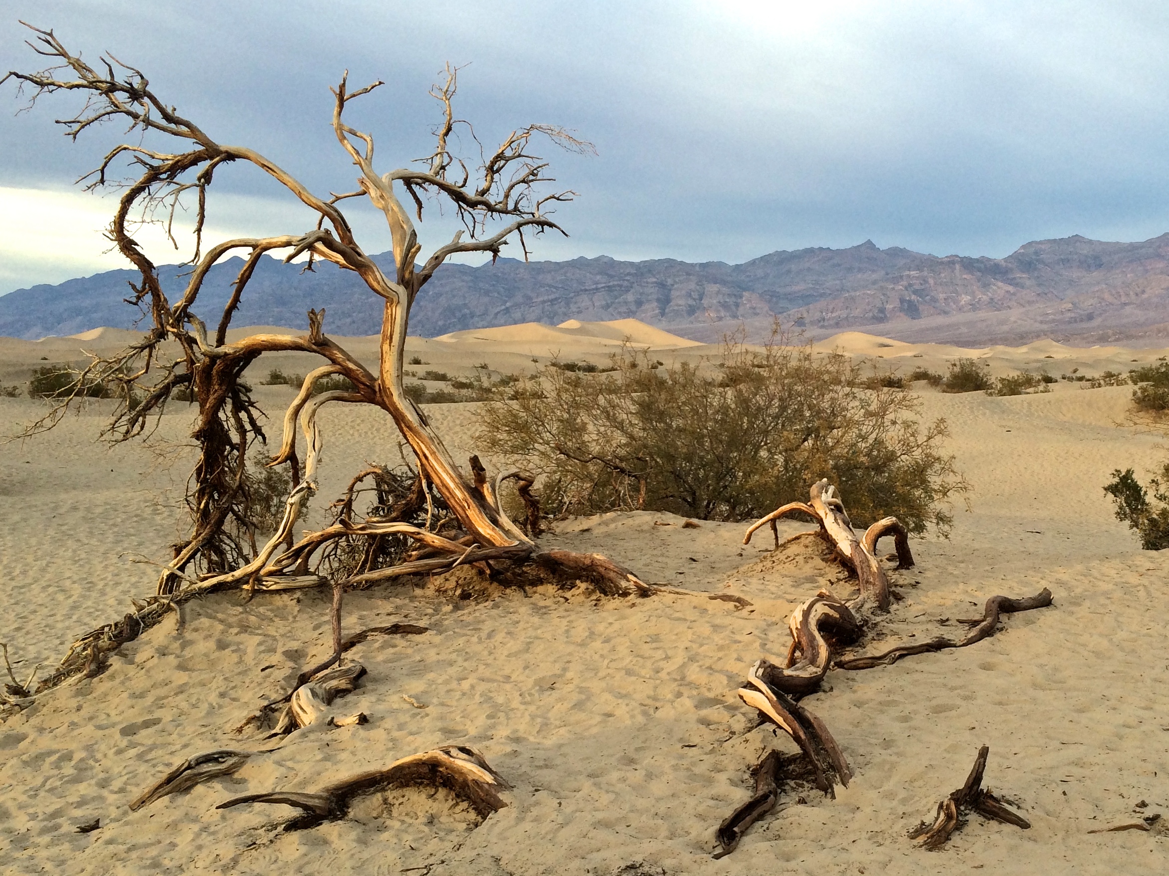
Unlike other national parks, the best time to visit Death Valley National Park is from November through February, where average temperatures hover between a comfortable 60-70ºF.  From May through September, the low season, average temperatures exceed 100ºF.  Despite being the largest national park in the contiguous U.S., this endless desert valley lacks one thing that I love the most about parks: trees! With areas of interest vastly spread out, I ended up spending more time driving in the park than exploring on foot.  Even with the lack of trees and epic hikes, we enjoyed the timeless views from our car windows as we explored by vehicle.

Multiple visits would be necessary in order to see everything the park had to offer, and with our limited time and closures of sections of the park due to the October 2015 flash flood, I was able to see Badwater Basin, Artists Palette, Zabriskie Point, Dantes View, Mesquite Flat Sand Dunes, Rhyolite, Titus Canyon, Mosaic Canyon, and Father Crowley Vista Point.  I knew that a park that covered so much ground would offer an array of landscapes; I expected the salt flats and sand dunes, but I was surprised by the thousands of canyons, splotchy mountains, ghost towns, and dramatic ripples of foothills.

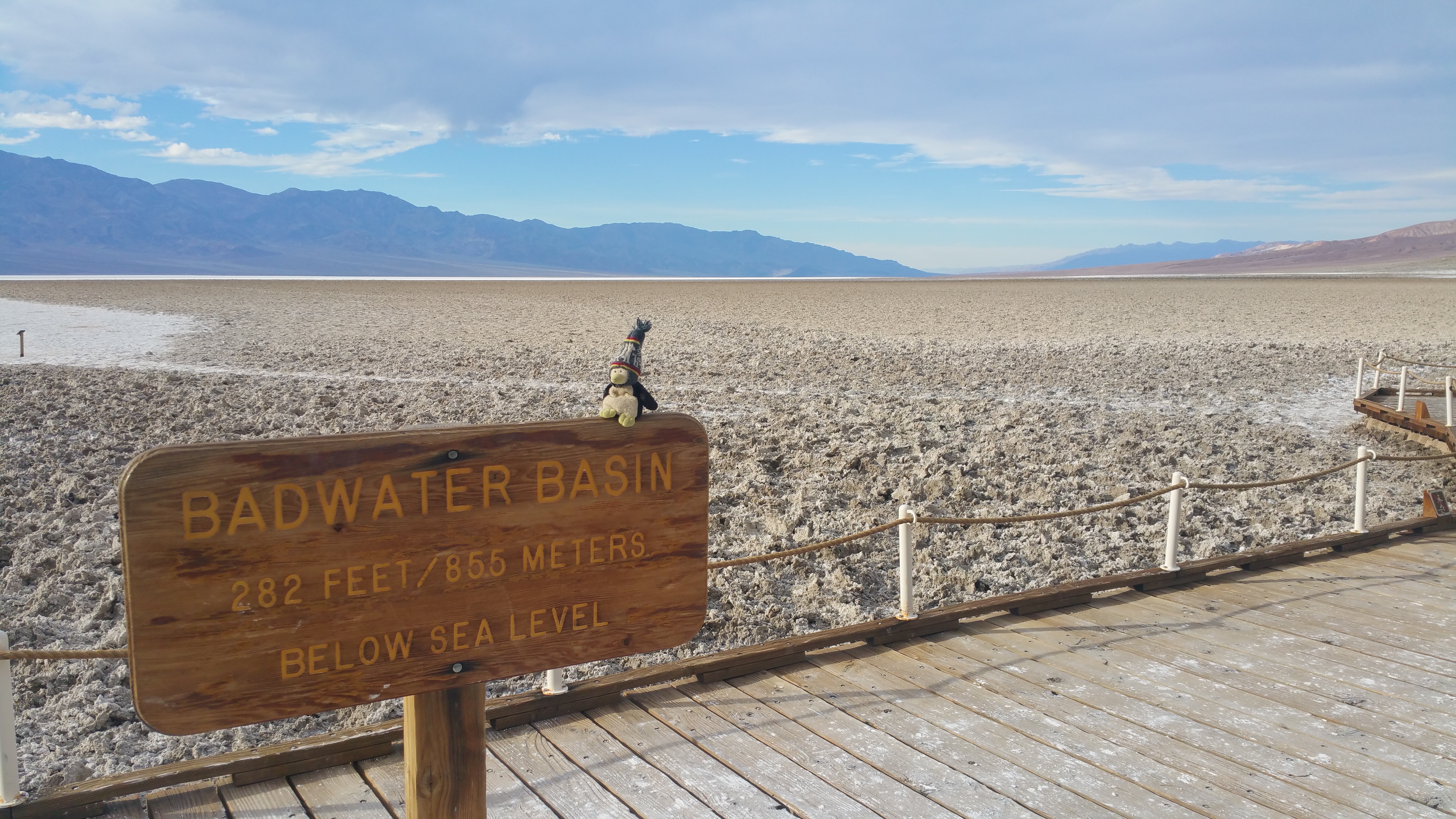
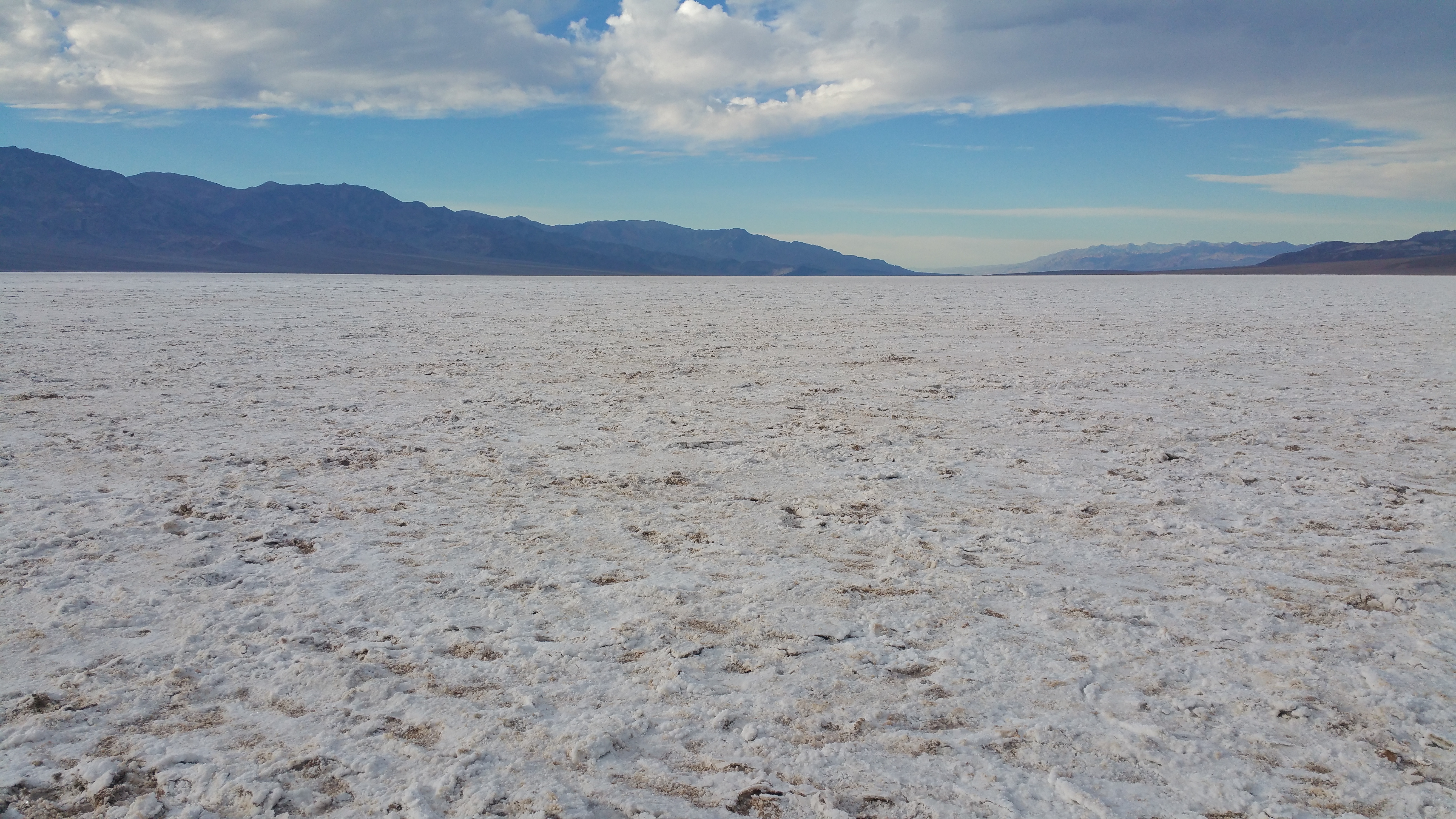
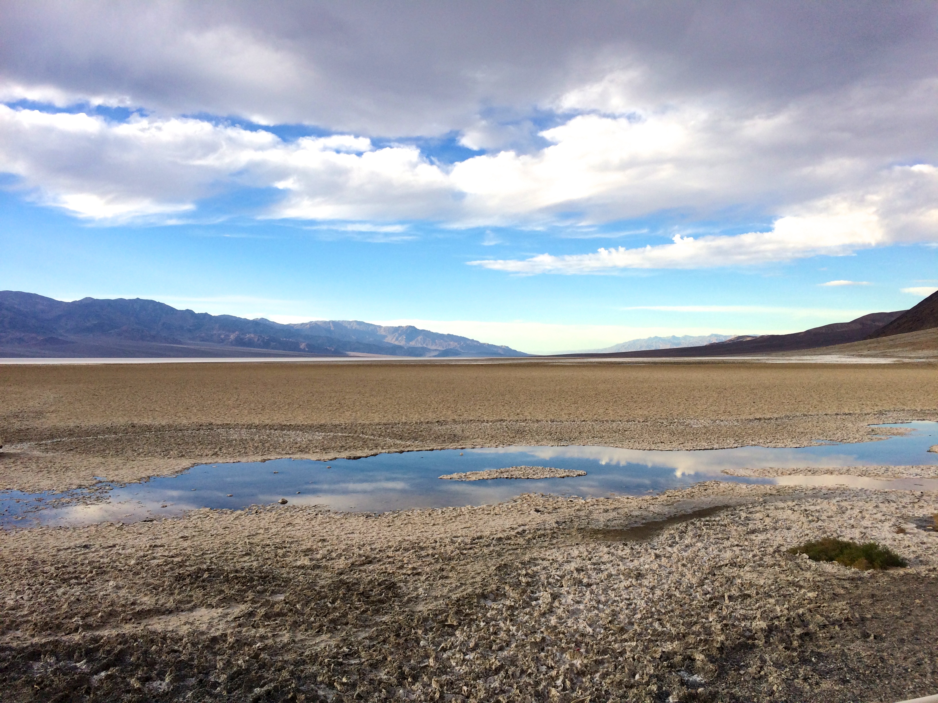
We entered the park by late afternoon, and we set out for Badwater Basin after a brief visit to the Furnace Creek Visitor Center (which by the way was equipped with a pricy gas station and wifi)!  Who knew that Badwater Basin, which has the lowest elevation point in North America, was a salt flat desert?20151206_140752 20151206_143112

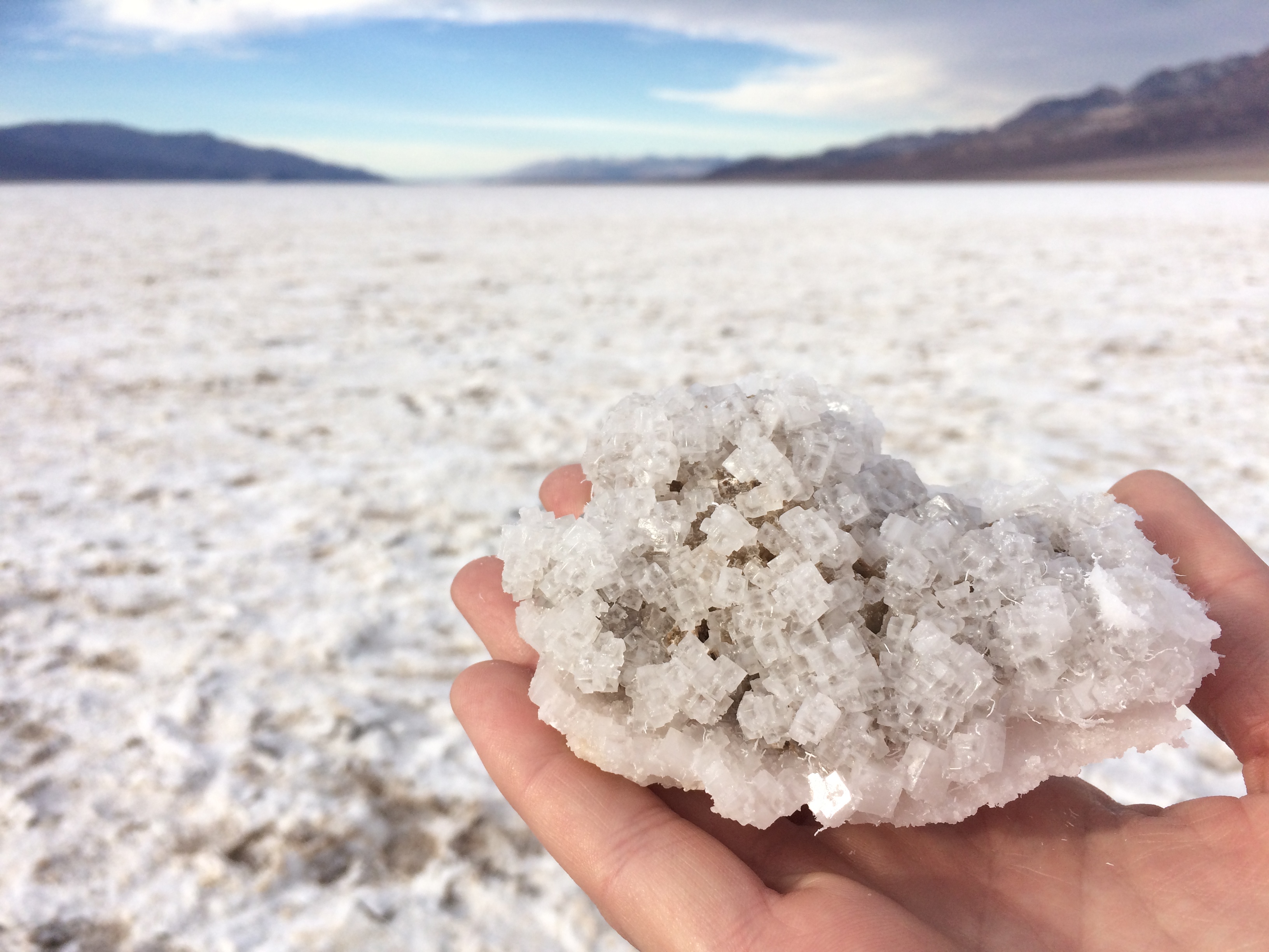
While not as impressive as Salar de Uyuni, the largest salt flats in the world in Bolivia, the landscape and salt clusters were still a marvel to spectate.IMG_6328 IMG_6335

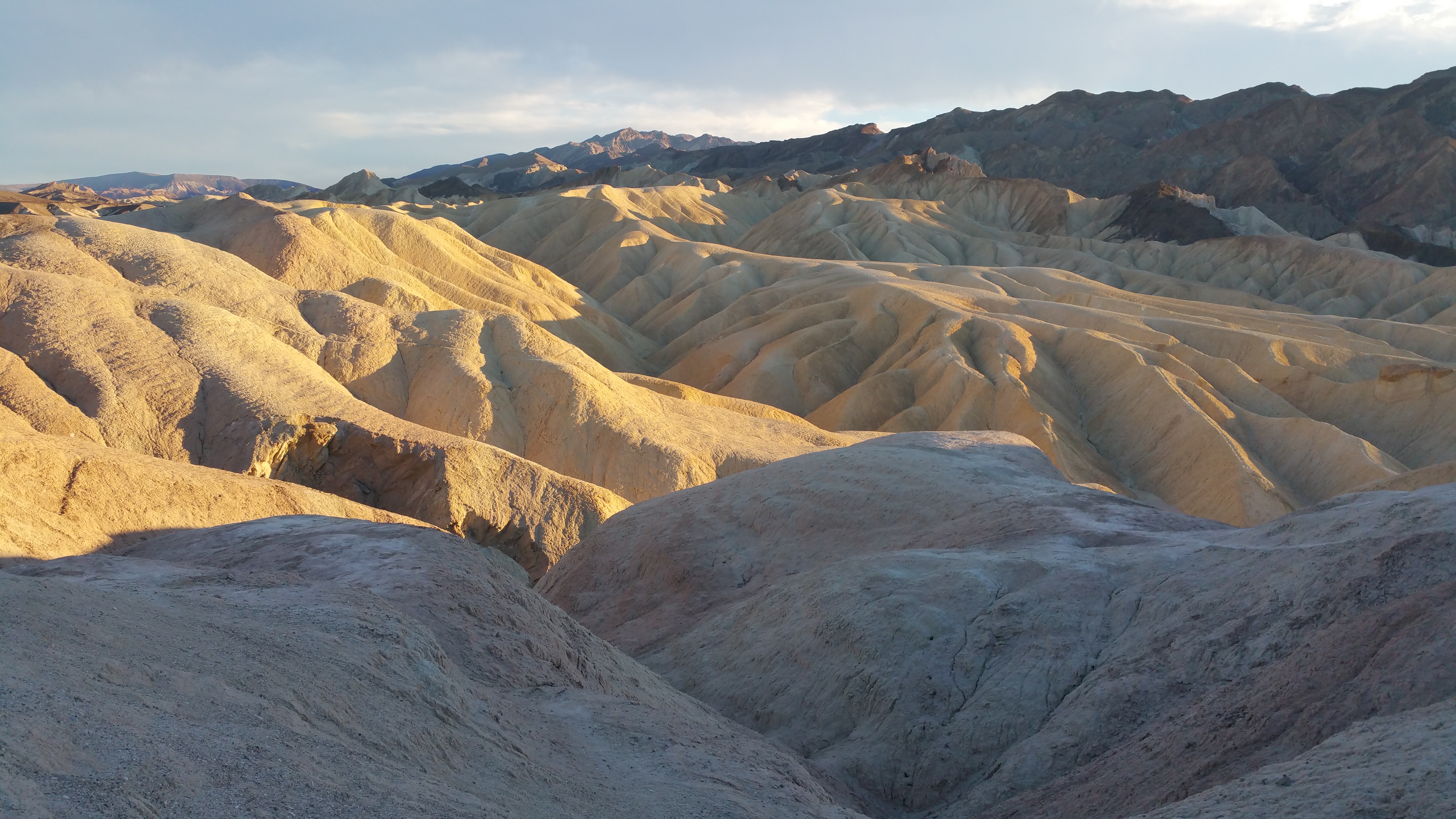
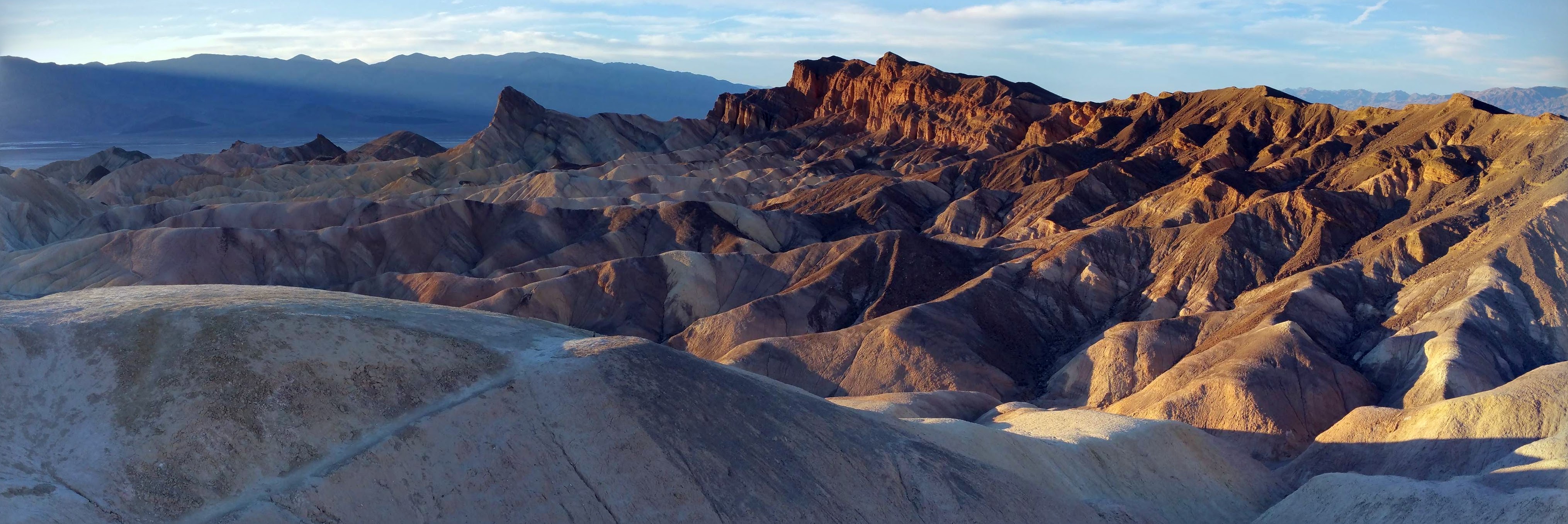
Following Badwater Basin was a quick drive through Artists Drive, and following Artists Drive was a short stopover at Zabriskie Point.  They say sunset was the time to go to this point, and the reason why was obvious.  As if the ripples of rock layers and splotches of colors weren’t already enough eye candy–the deep shadows added to the dramatic visuals!20151206_155402 20151206_155548-PANO

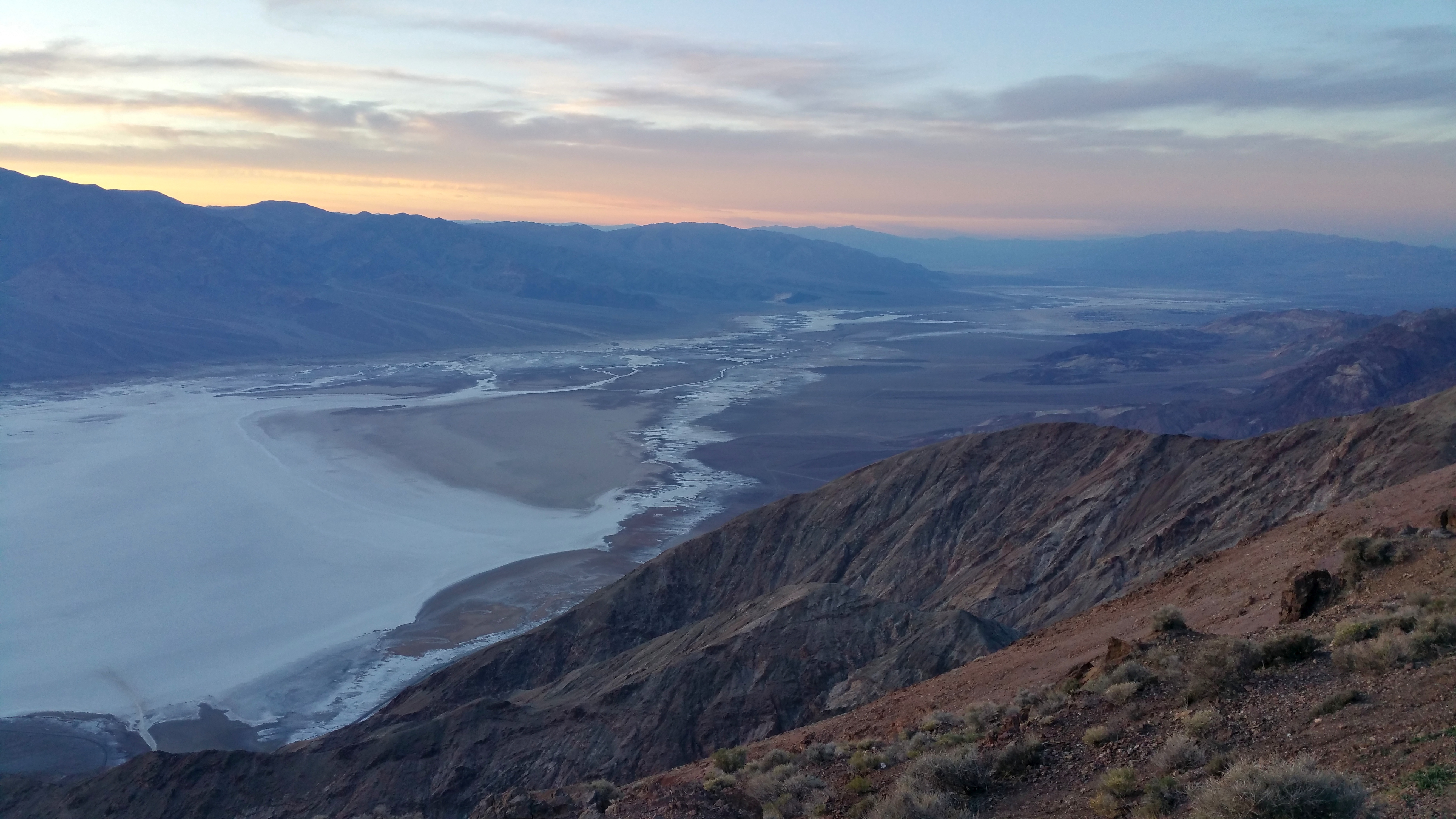
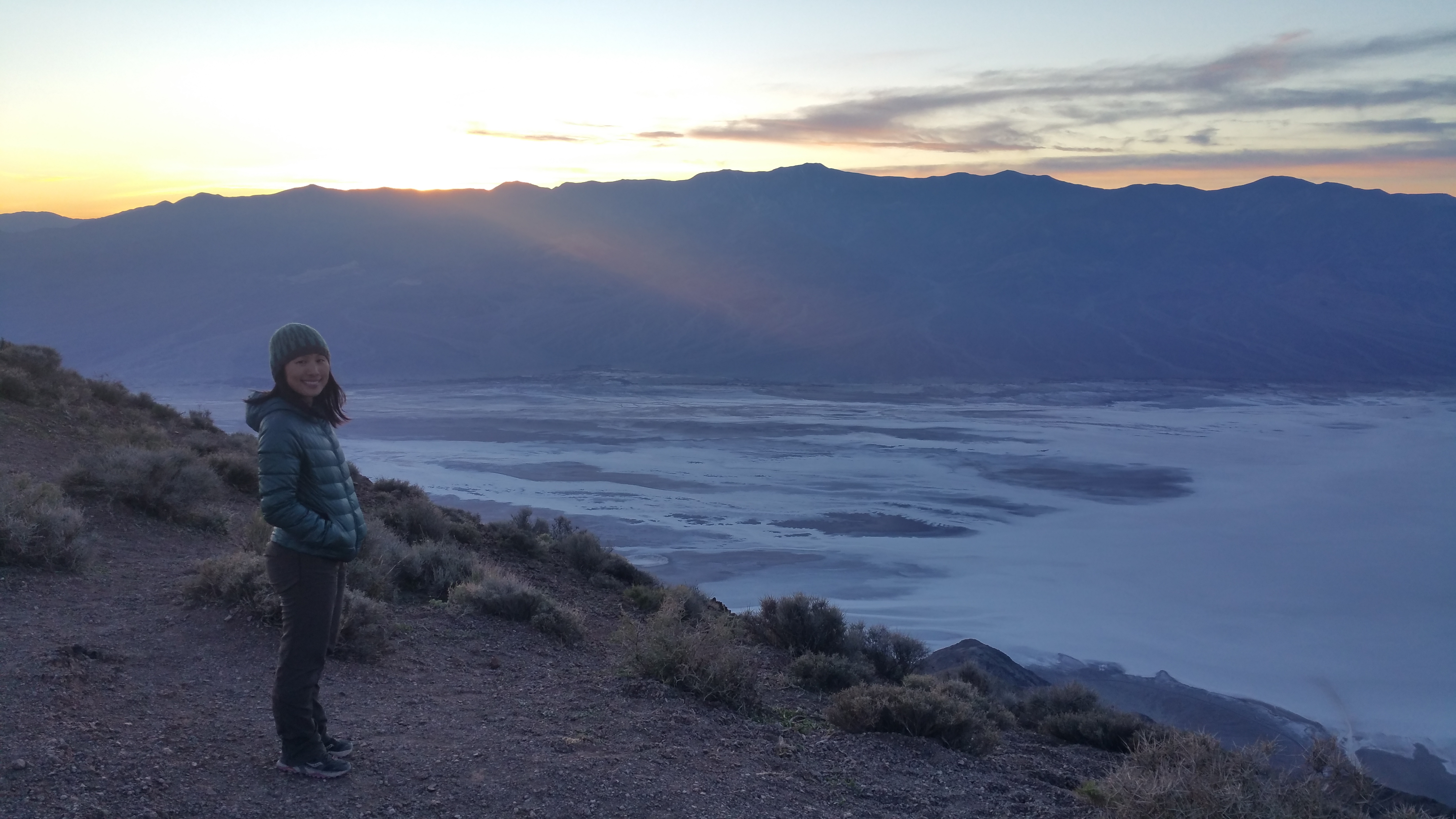
With the sunlight rapidly fading away we rushed over to Dantes View to gaze from the park’s acclaimed best overlook.  We arrived just in time as the sun had barely dipped behind Telescope Peak, the park’s highest peak.  From Dantes View at 5,475 ft., we could see Badwater Basin below and the desert valley beyond.20151206_162909 20151206_163423

We then left the park boundary since we planned to boondock on public land several miles from the entrance sign.  The plan was one free night of camping outside the park, and one paid night of camping within the park.  Our first night was spent here:IMG_6356

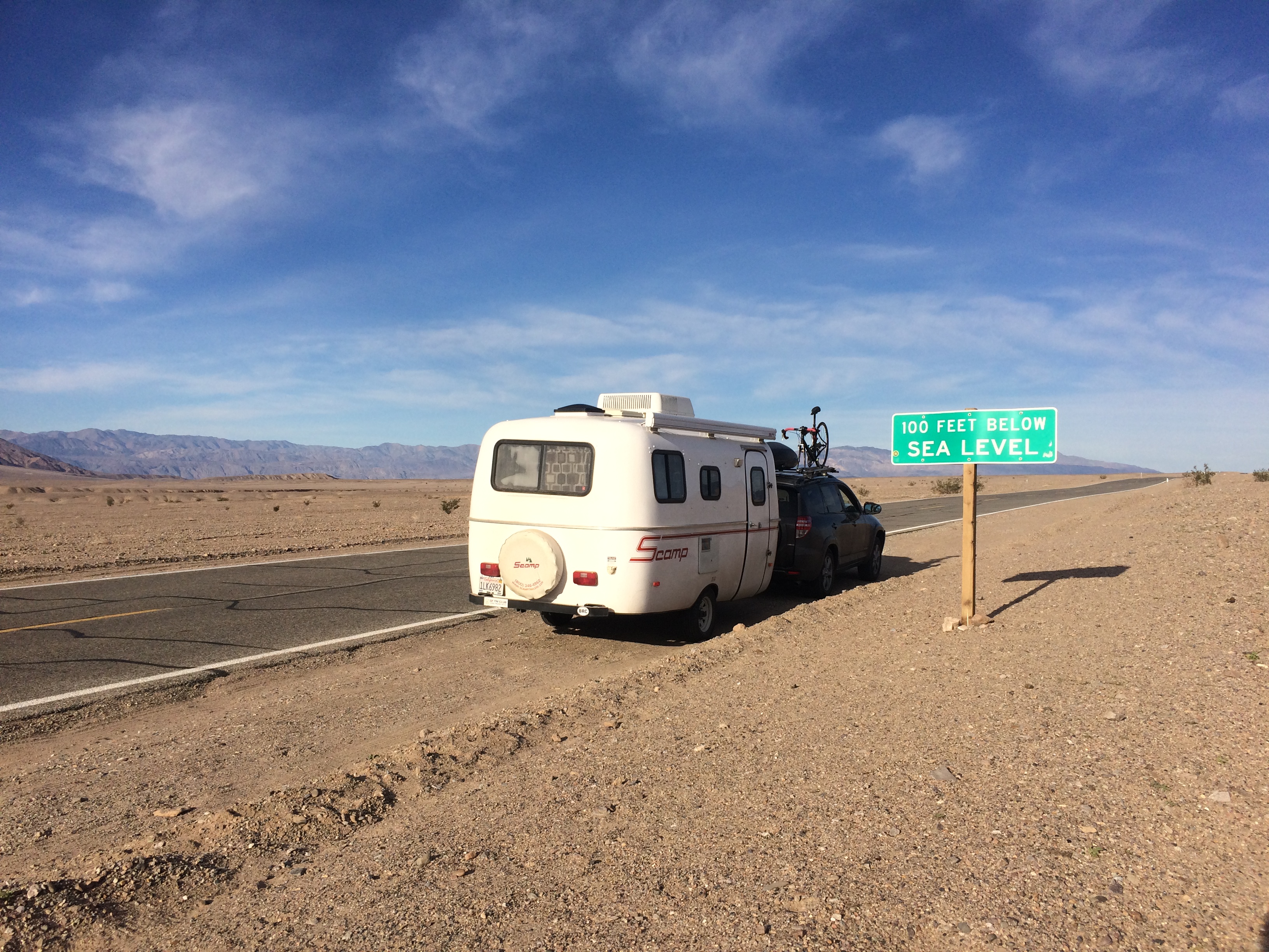
The next morning we entered the park again, driving past numerous signs that marked sea level elevations.IMG_6363

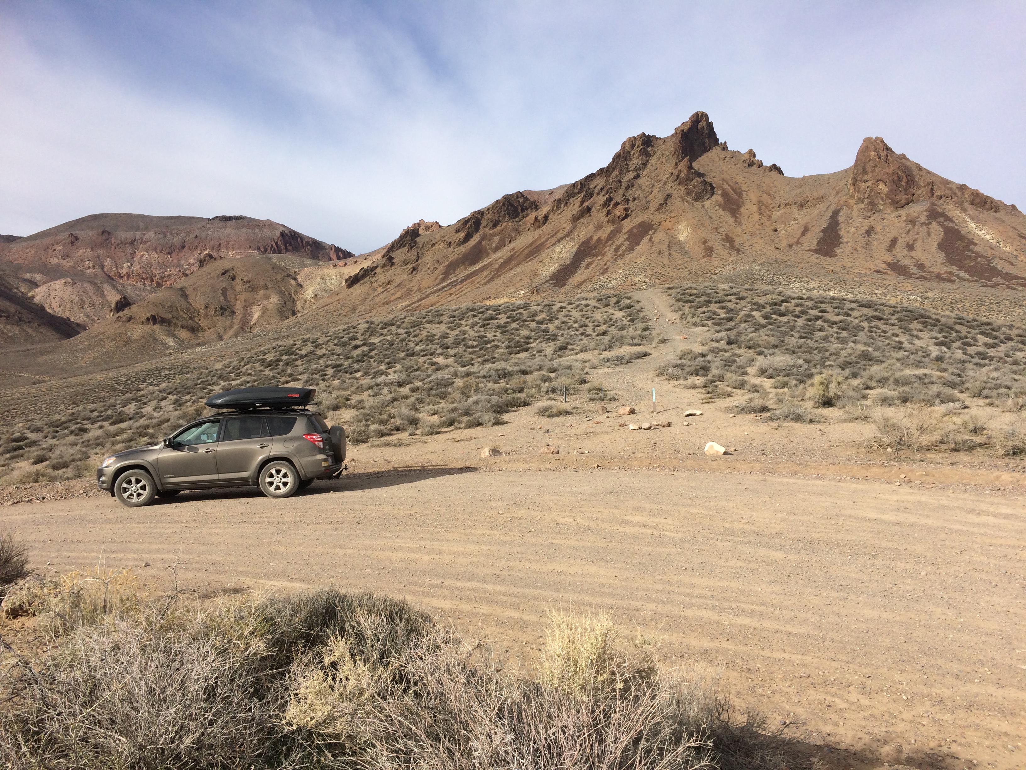
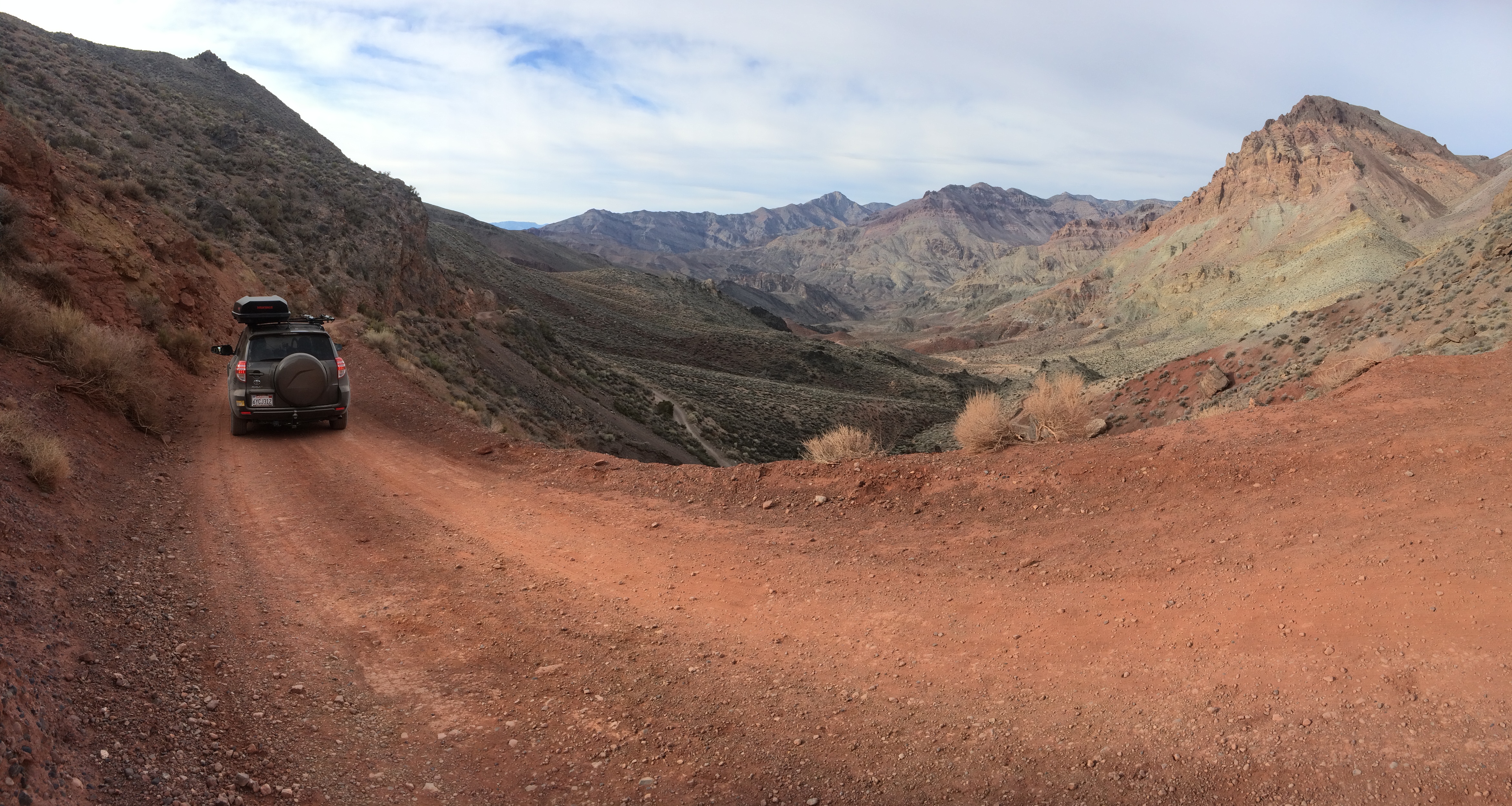
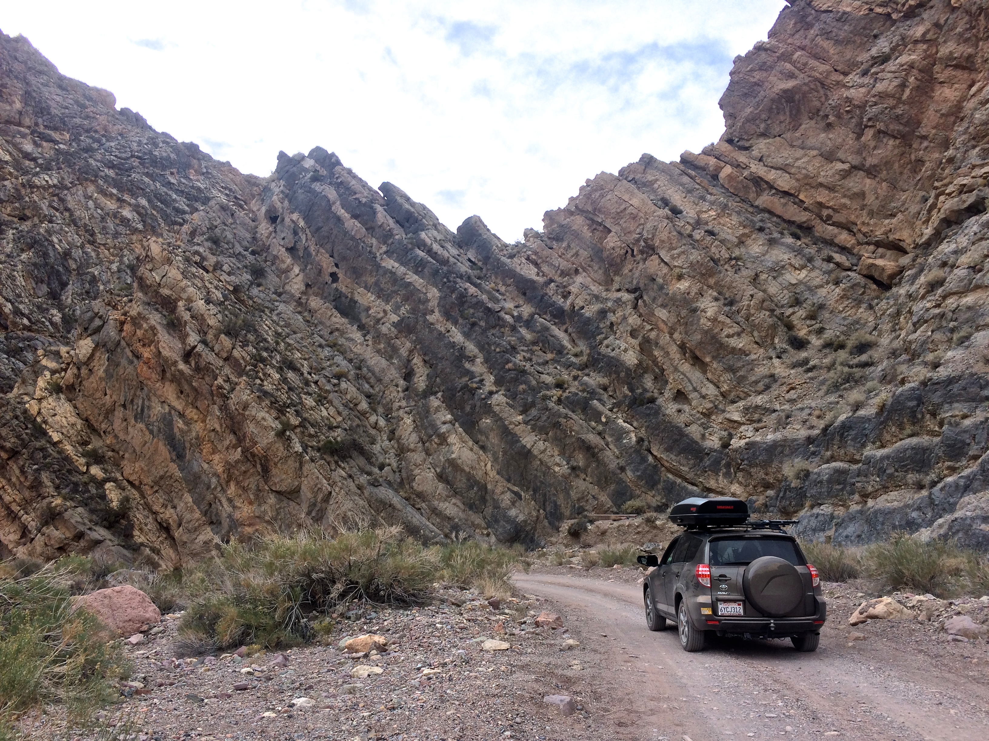
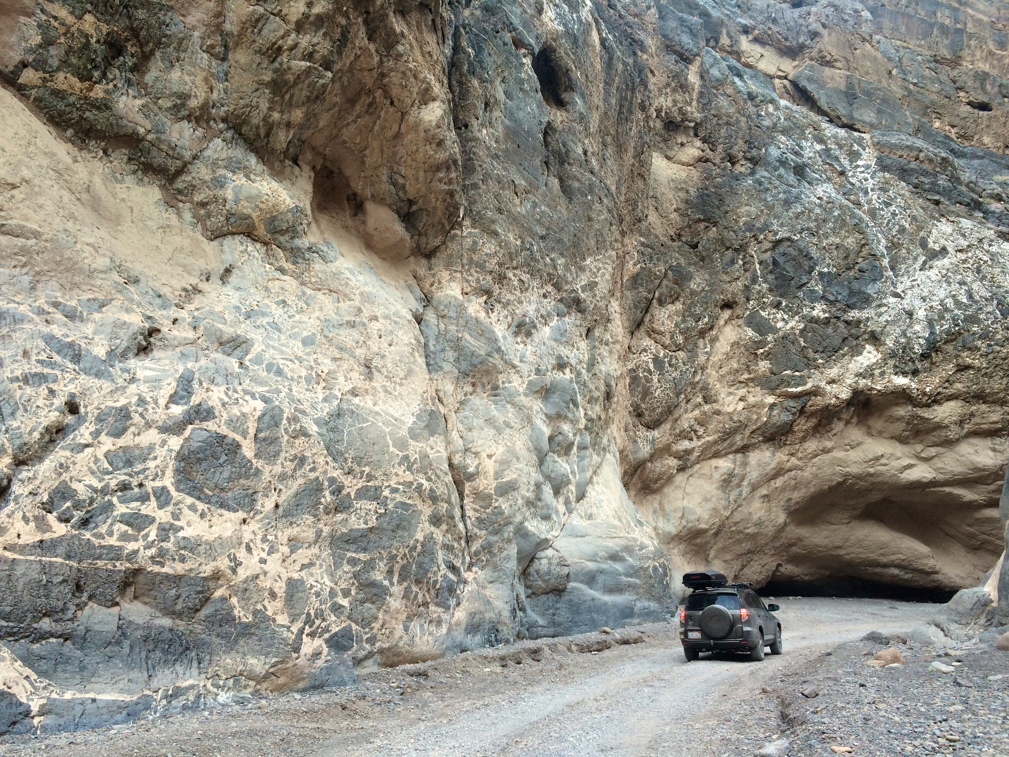
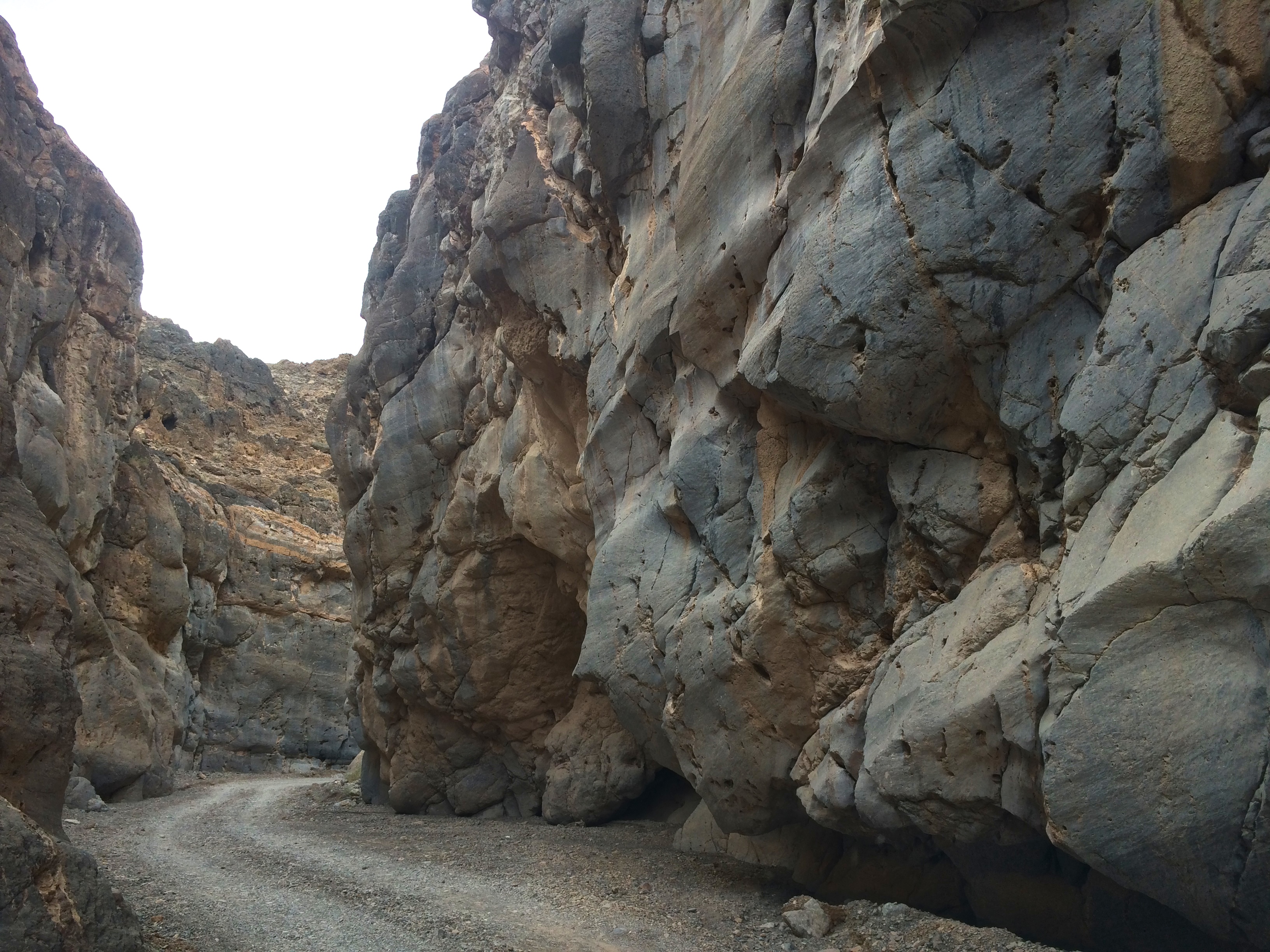
Later that morning after setting up camp at Sunset Campground I ventured into a different area of the park: Rhyolite (a ghost town just outside the park in Nevada) and Titus Canyon.  The 27-mile off roading adventure to Titus Canyon began with 10 miles of relatively flat gravel road before leading me through steep and windy roads between rugged mountains.  The second-half of the journey took me to a small ghost town, and ended with canyon narrows and jaw-dropping rock formations.  It is said that Titus Canyon is the most popular backcountry road in the park, but I enjoyed the entire road in solitude.

Easy riding through some washboard gravel early on in the drive:IMG_6392

Red Pass, the highest point of the drive at 5,250 ft.:IMG_6394

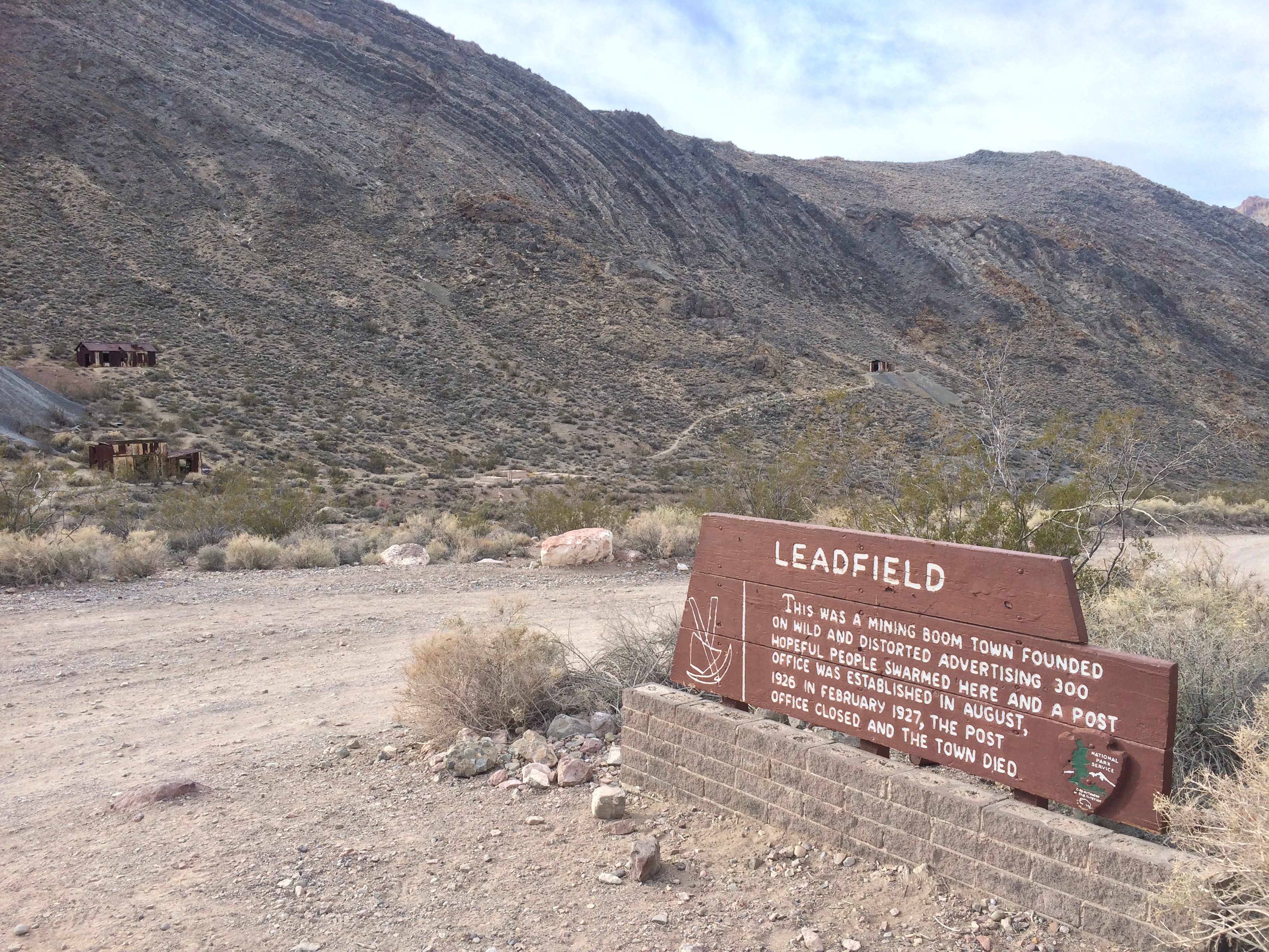
The ghost town of Leadfield, once a mining town, lasted less than a year.IMG_6400

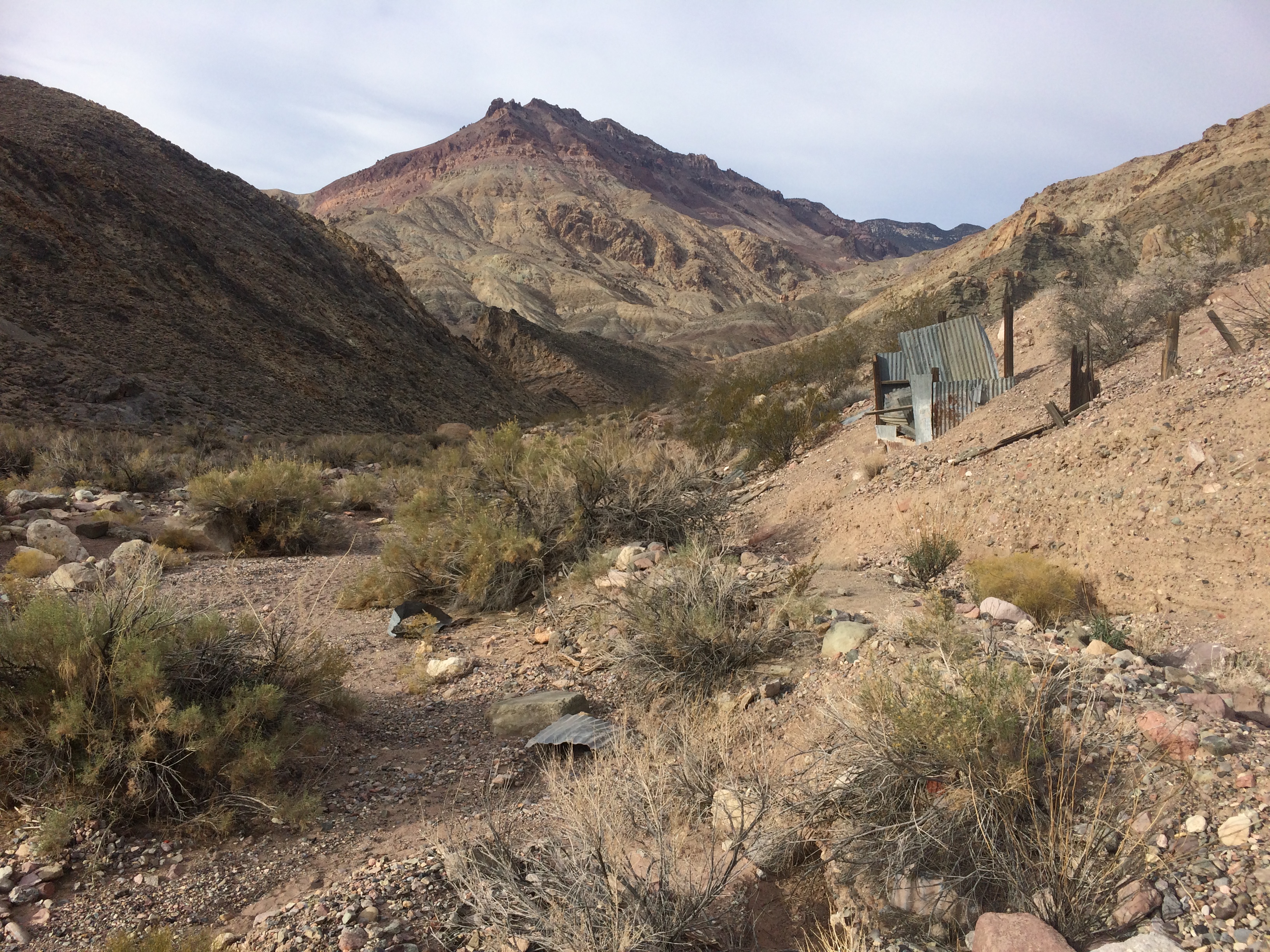
Several shacks still remain in Leadfield.IMG_6402

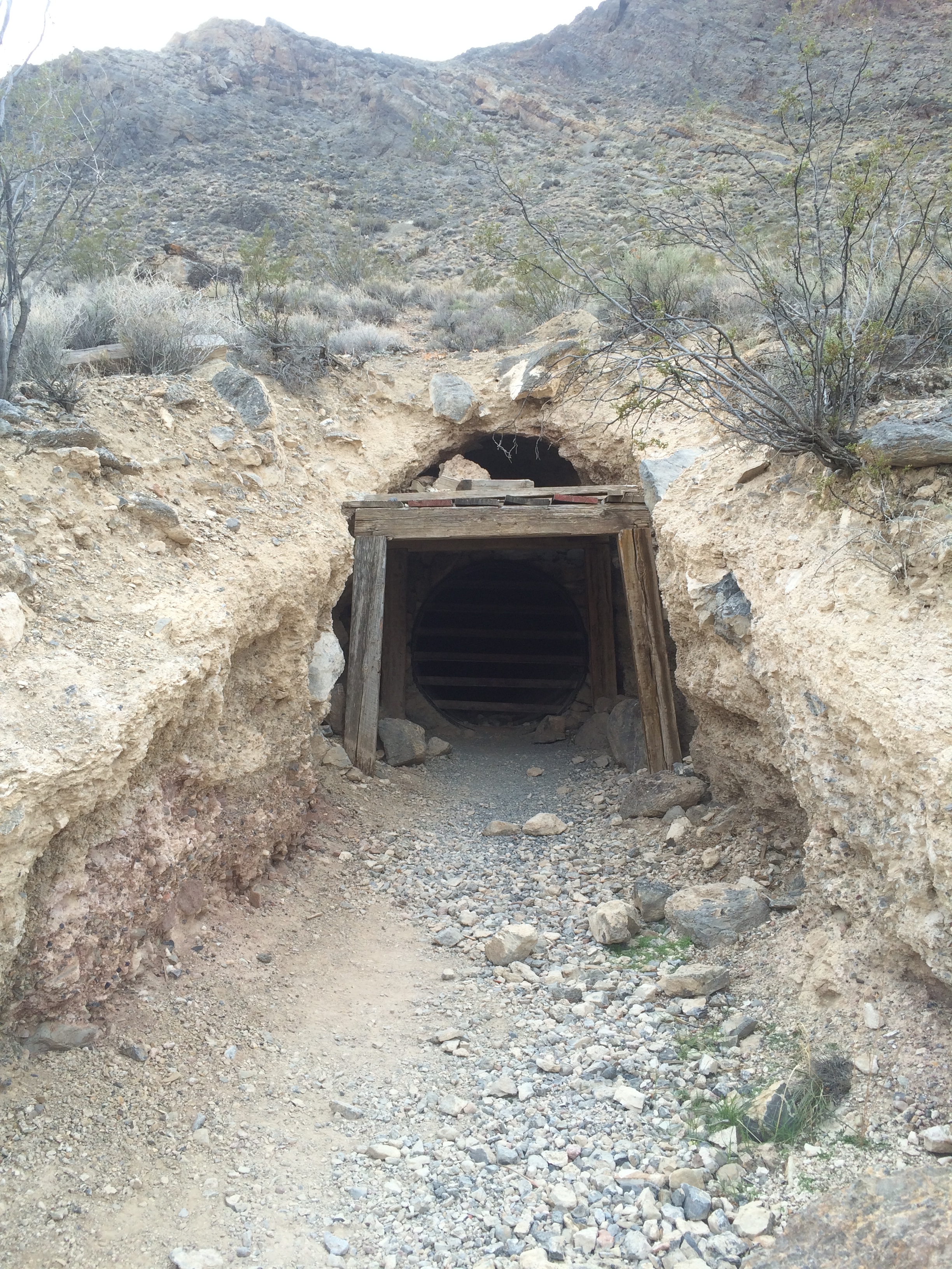
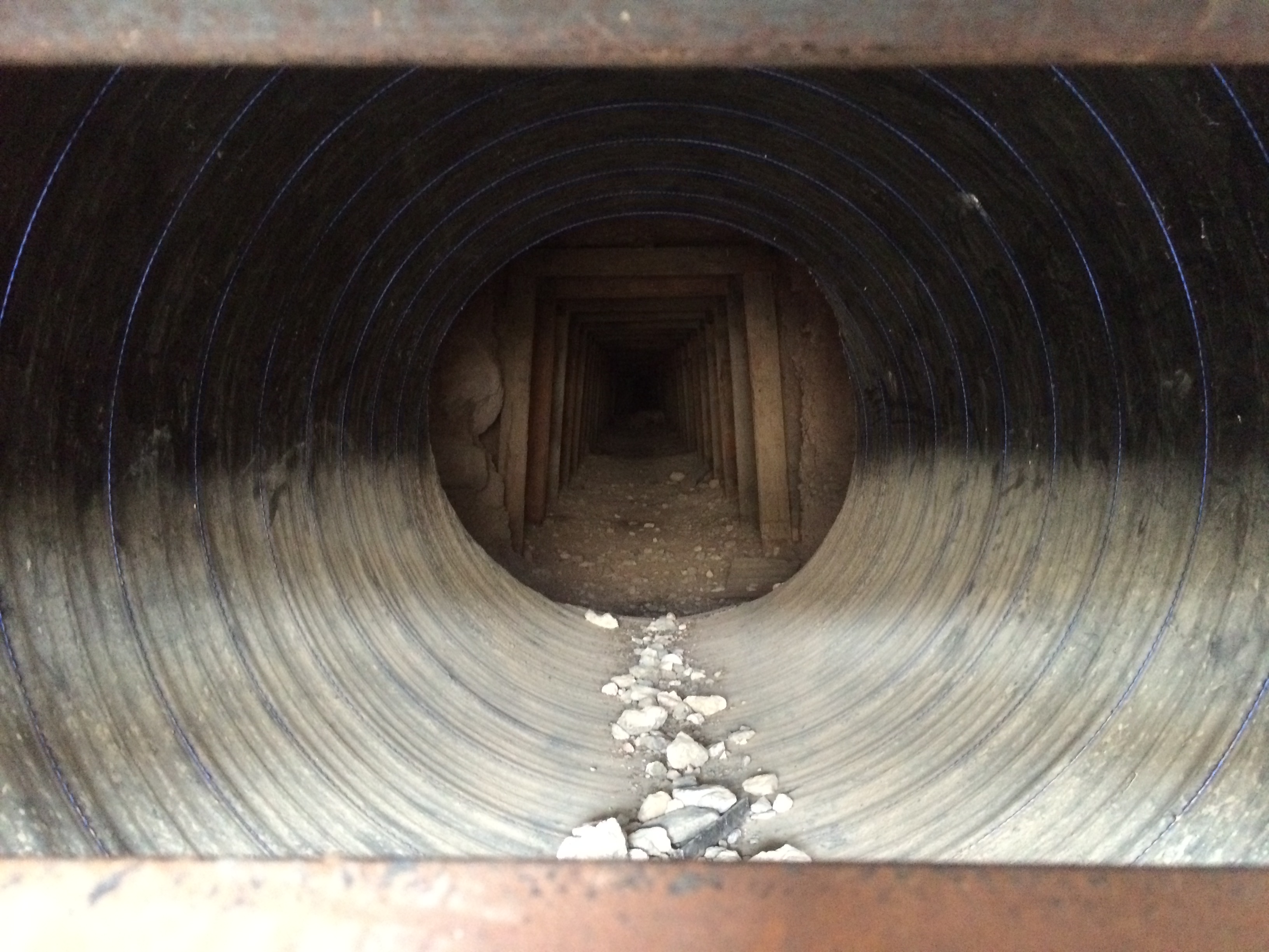
And some mines:IMG_6404 IMG_6406

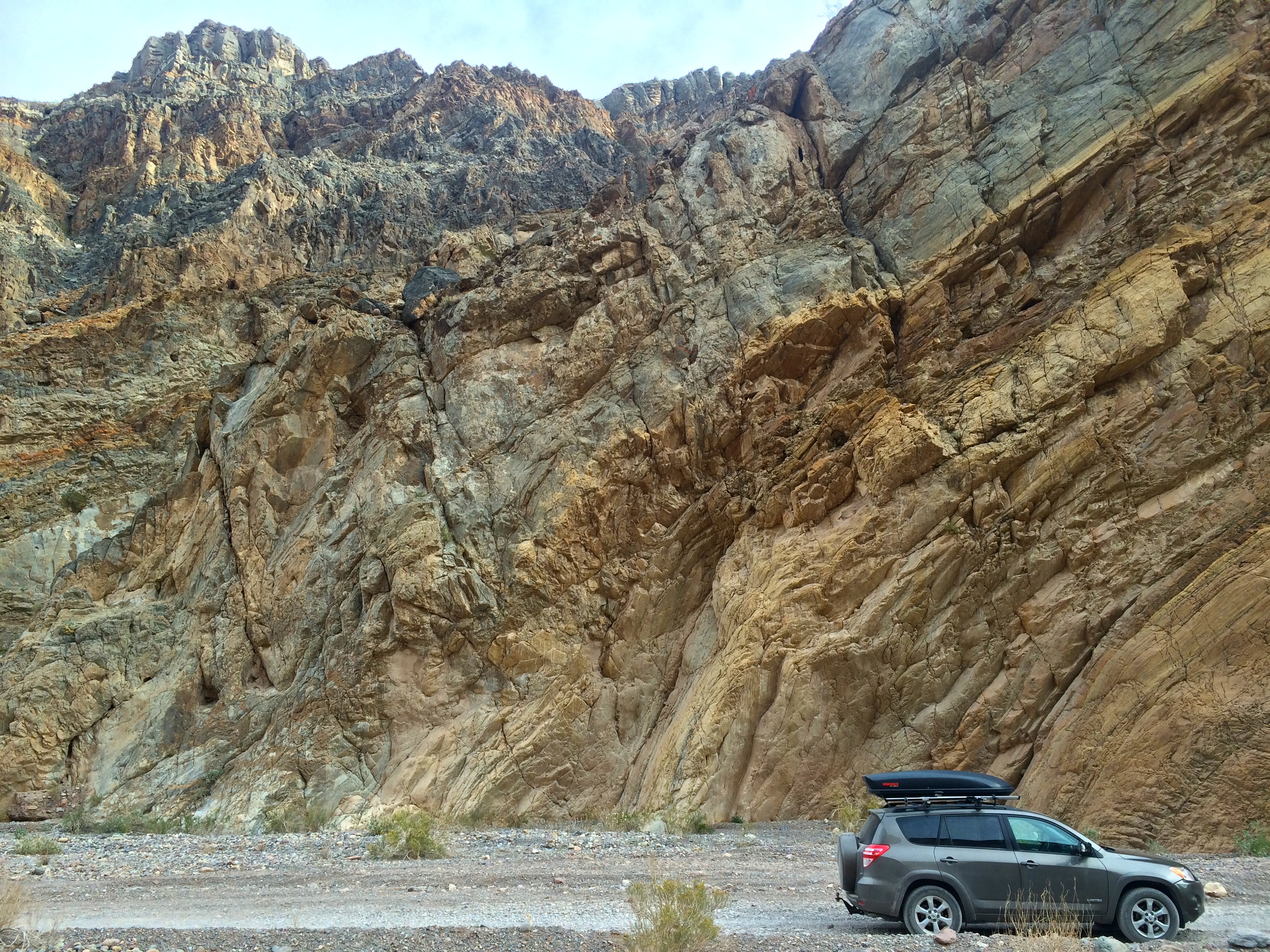
Titus Canyon loomed into view just beyond Leadfield.  This was where the rock formations became interesting and picture-worthy.IMG_6409 IMG_6418

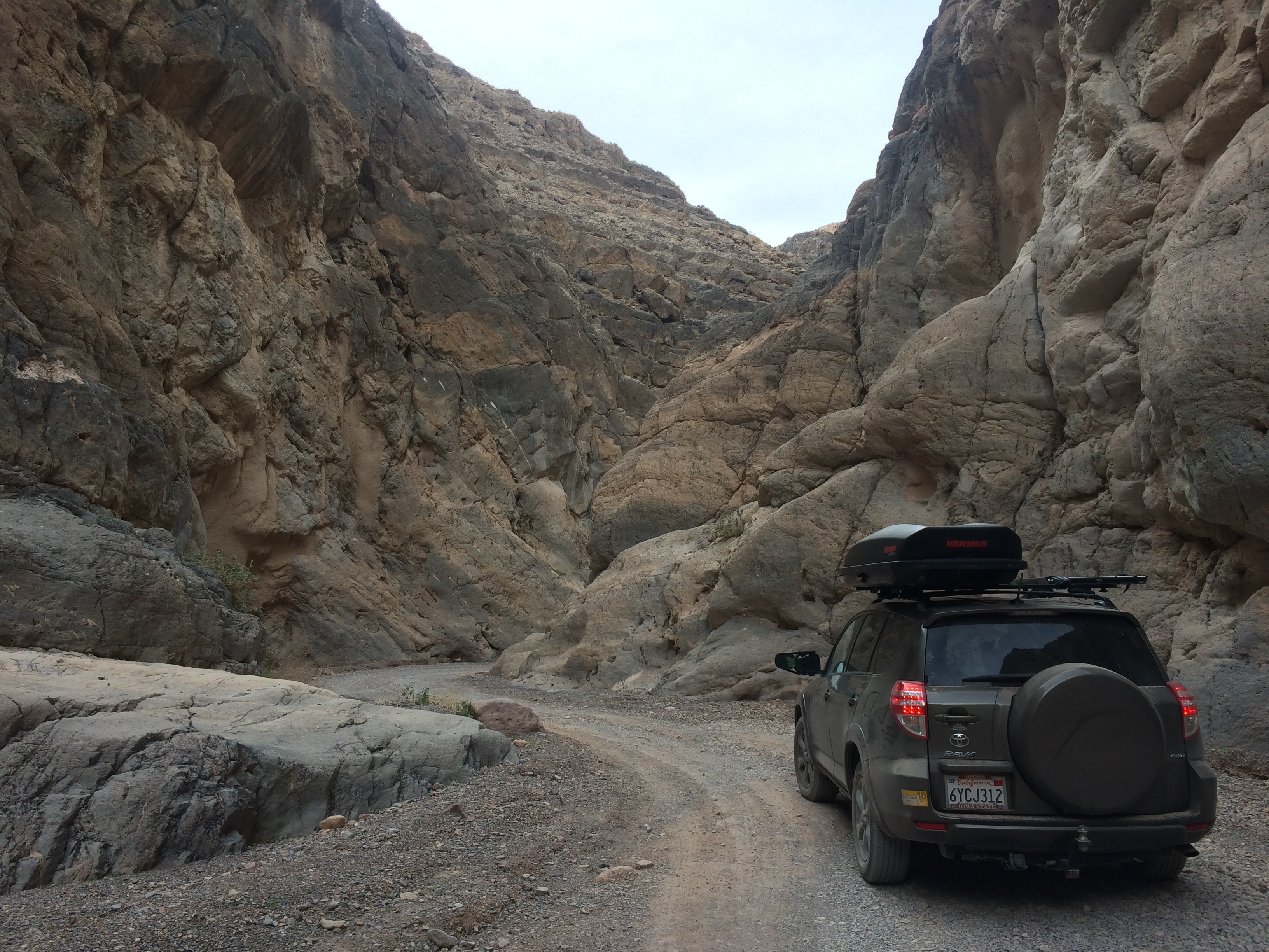
The last mile or two of the one-way road became very narrow.IMG_6429 IMG_6431 IMG_6435

And after the narrowest section of the canyon with looming rock walls, I popped back out into the open desert!
Before returning to the Furnace Creek area, I made a quick detour to the Mesquite Flat Sand Dunes.  Although the Eureka Sand Dunes in the park were the largest sand dunes in California, the sand dunes of Mesquite were more convenient and accessible.IMG_6446

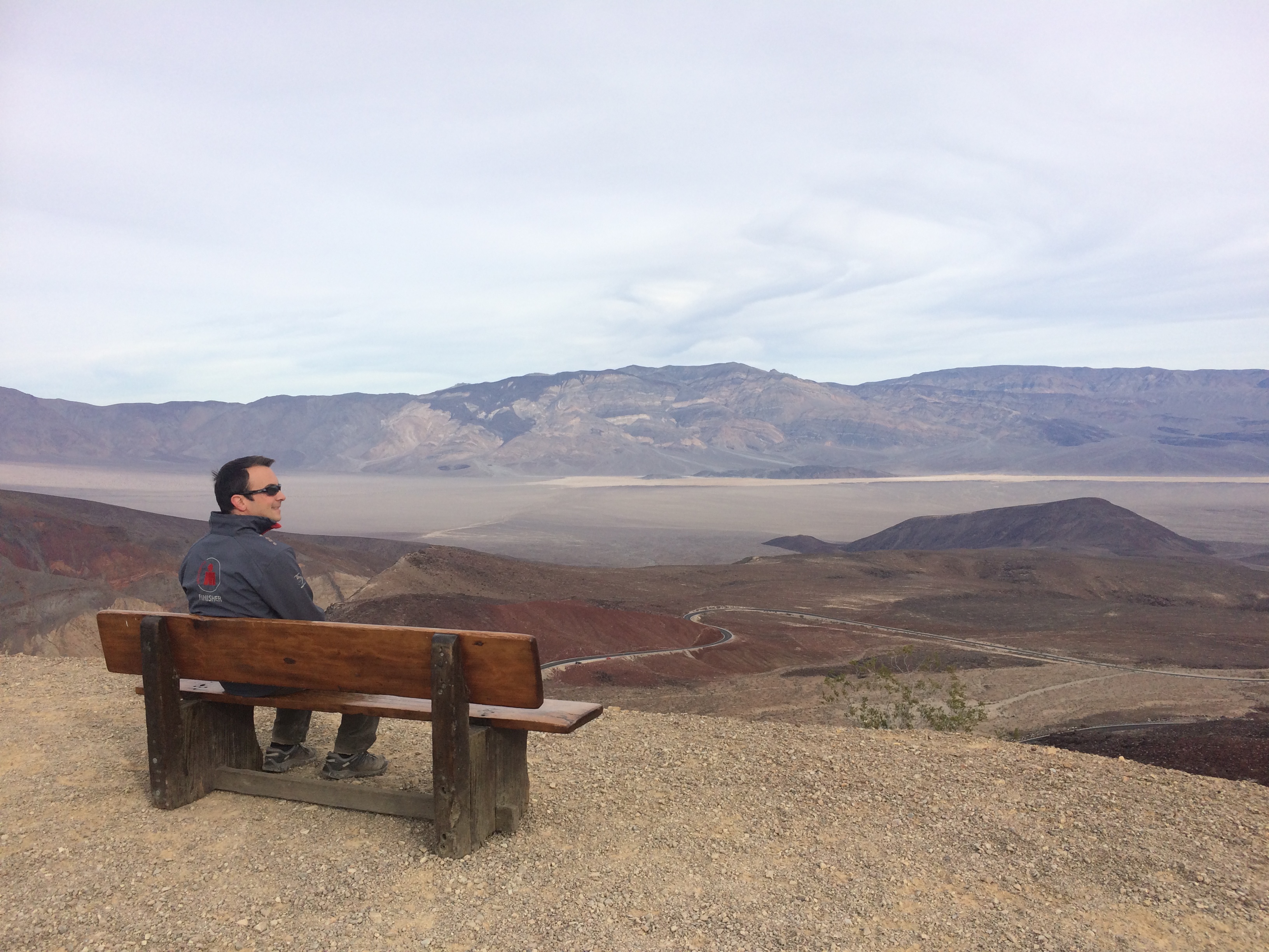
The next morning we made two stops on our way out of the park: Mosaic Canyon and Father Crowley Vista Point.  I didn’t find Mosaic Canyon very interesting, and we missed the turn for Darwin Falls, so our real excursion of the day was at Father Crowley Vista Point.IMG_6498

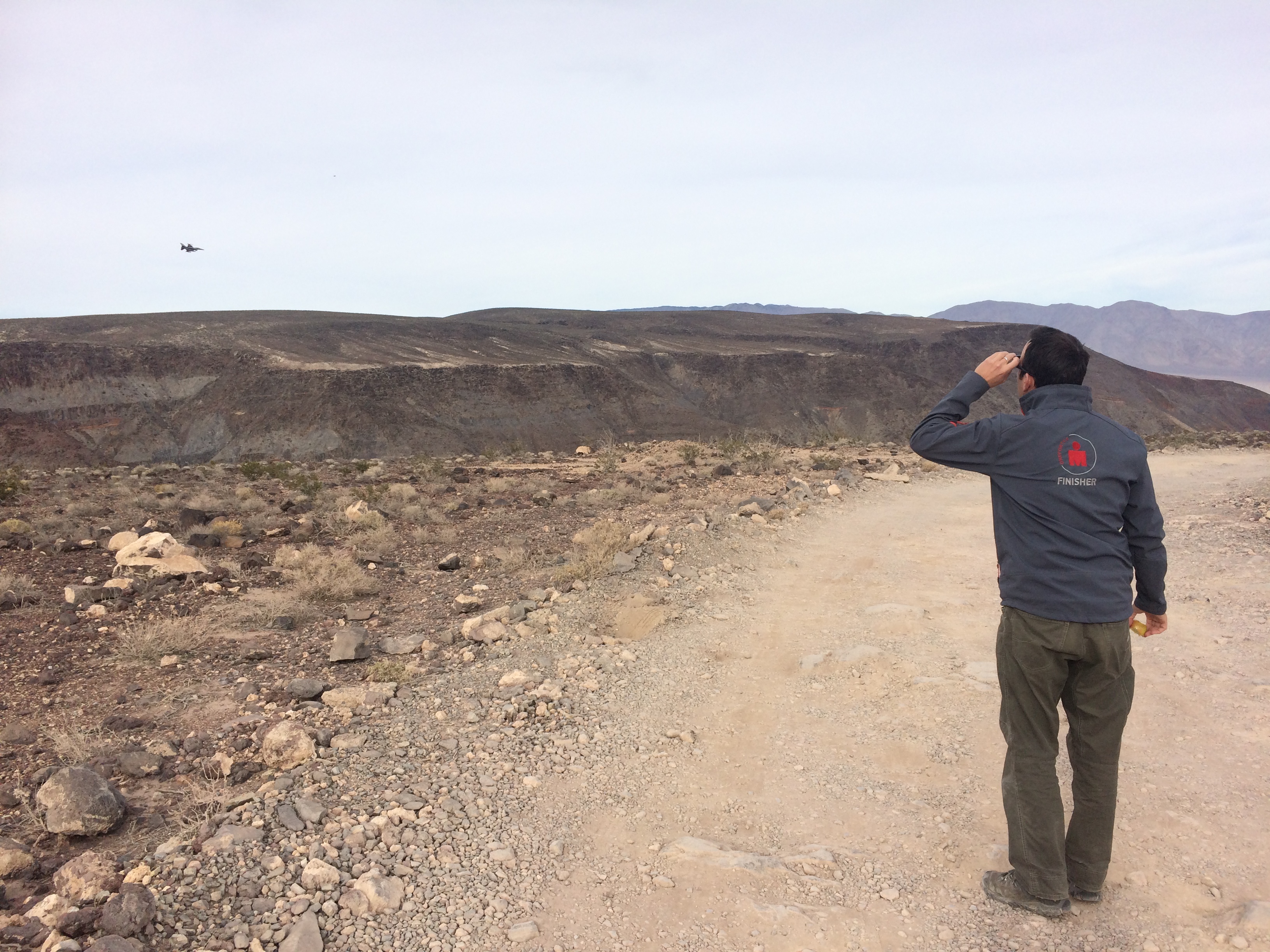
Luckily for us, we arrived on a day when U.S. military jets were practicing low flying between canyons.  Apparently there were three zones in the park where military aircraft could practice, and the Rainbow Canyon at this vista point was one of them.  As we strolled to the vista point, we stopped in our tracks when a couple F-16s buzzed overhead with a deafening roar following shortly after.IMG_6491

And then we left.  It took about a couple hours to drive from Furnace Creek to the Father Crowley Vista Point, and even after we exited the park, we drove through desert wilderness for what felt like hours.  Death Valley wasn’t my favorite national park, mainly due to standing at Point A and being able to see how freakin’ far away Point B was.  Maybe because that makes me feel smaller than I already am.

This post is part of the Travel Tips Collection: California.

Posted in California | Tagged | 5 Comments

Las Vegas

I think if you’ve lived in California your whole life, the idea of going to Las Vegas in your late 20’s or early 30’s would make you groan.  At least it does for me.  Don’t get me wrong.  Las Vegas is definitely a playground for adults, especially young adults.  Between the age of 21-23, my girl friends and I would flock to Las Vegas at least a couple times per year to get dolled up and party, which is why now the thought of Las Vegas turns me off.  And the last thing I want to do is tow a trailer through a congested and boisterous city.

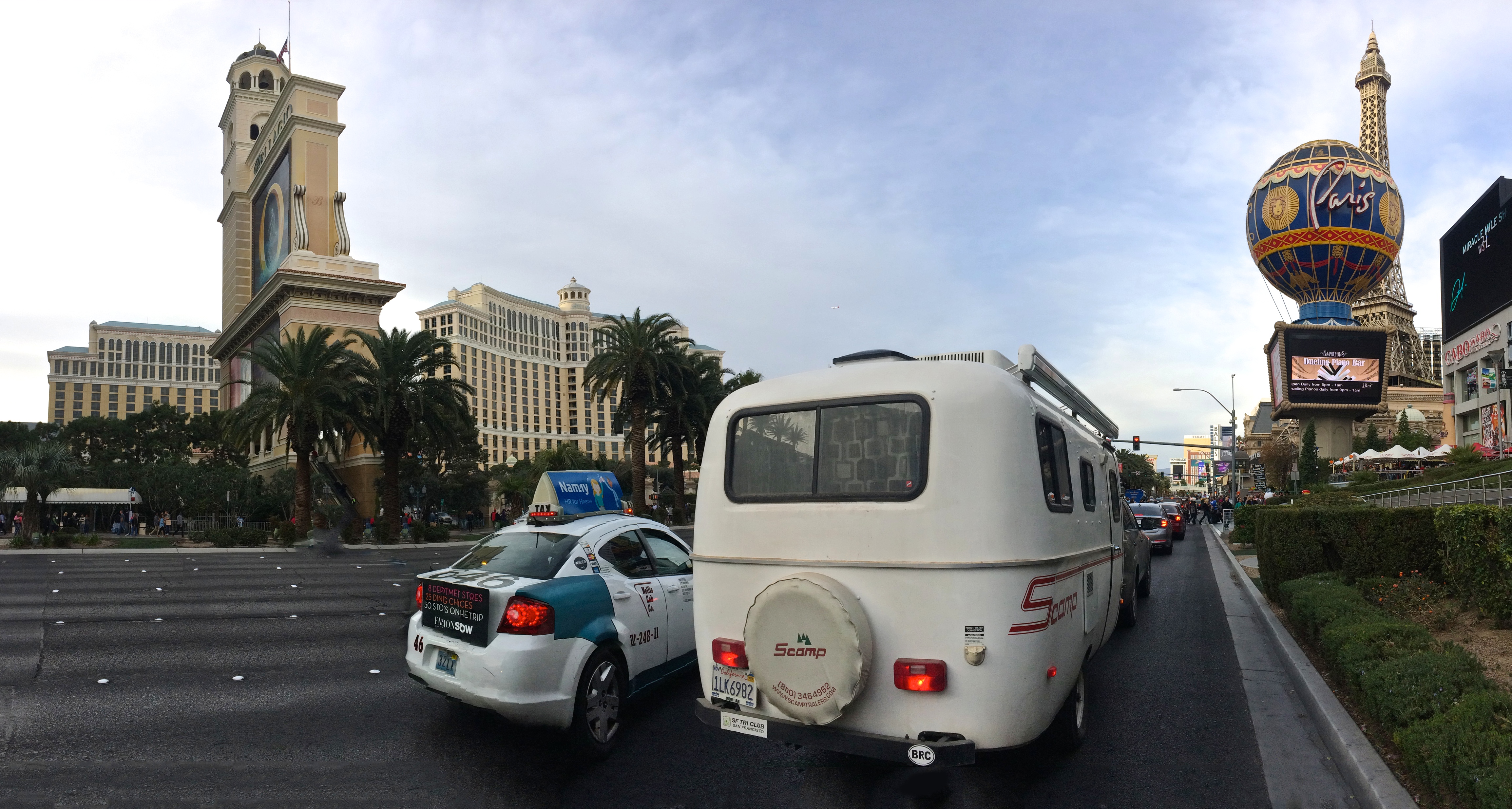
However we were already at the Grand Canyon and our next major destination was Death Valley.  With Las Vegas so conveniently located between the two national parks, we really had no excuse to skip it.  Plus, it was a Saturday.  We never wanted thought we’d do it but we did.  We took Scromp to Vegas.IMG_6312_fix

The best part was free parking in/near the Bally’s employee parking lot which was literally just down the street from the main strip.  There were at least a half dozen other trailers already parked when we arrived.  Even with its convenient vicinity to the strip, the spacious parking lot was quiet.20151205_150541

After we parked I bought discounted last-minute tickets to a Penn & Teller show.  It was Saturday night in Vegas.  The least we could do was see a show!20151205_223516

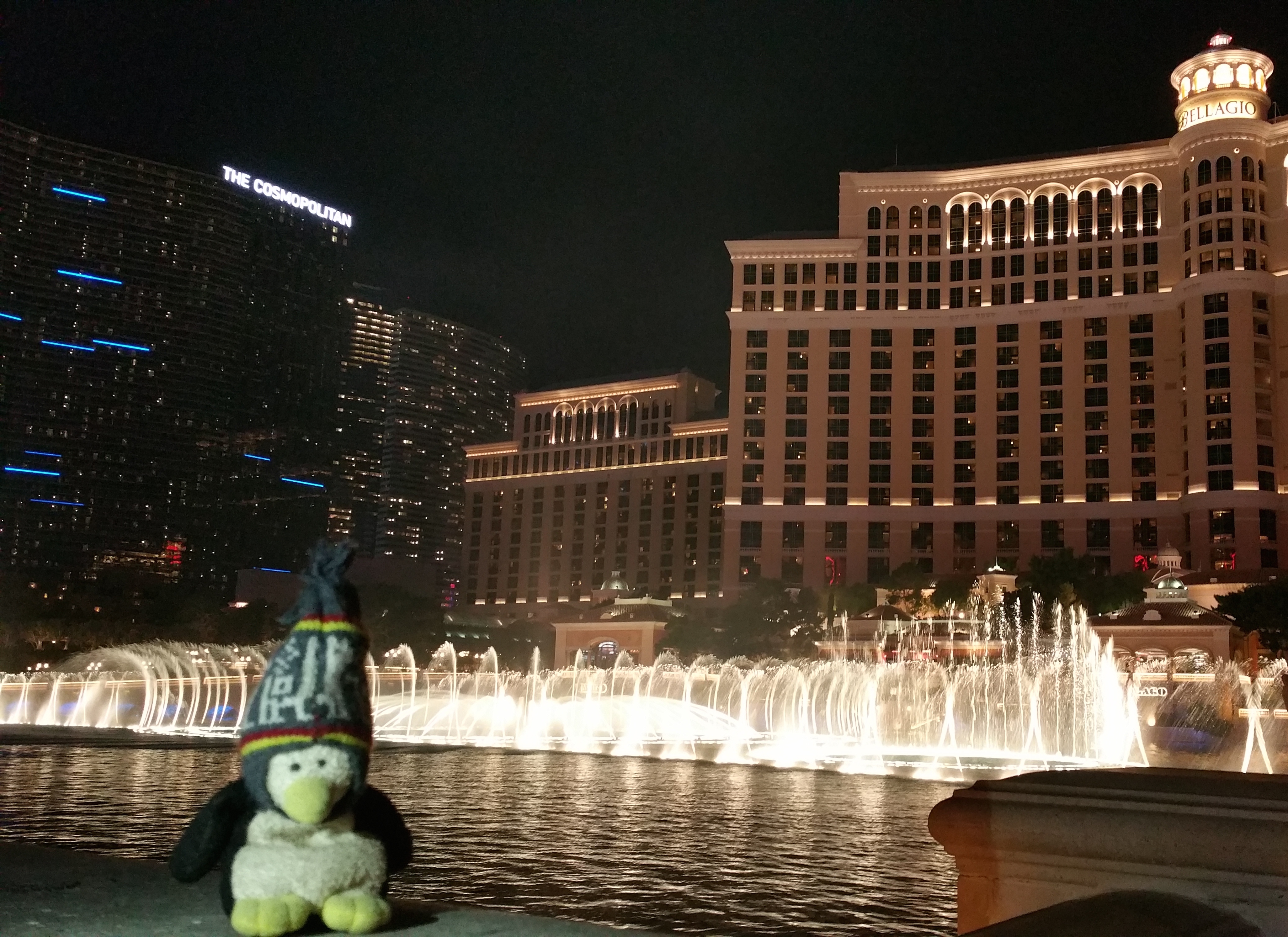
And after the comedy show we enjoyed the typical scene at Las Vegas with a stroll through the indoor Bellagio gardens and outdoor water show.  Because it was early December the streets were relatively quiet compared with the hot and busy summers. 20151205_231624 20151205_171643

Within less than 24 hours we were in and out of Vegas.  It was definitely an entertaining detour.

Posted in Nevada | Leave a comment

The Grand Canyon

Finally after numerous road trips and two years of travel, we made it to the Grand Canyon. The Grand Freakin’ Canyon.  Because Yellowstone, Yosemite, and the Grand Canyon are the most popular and overcrowded national parks in the U.S., visiting them during the low season is key.  It was early December and we were in southern Utah; we had no excuse to miss this natural wonder of the world.  So off we went.  Chris had hiked down to the Colorado River years ago, and now it was my turn.

Flowing through several states, the mighty Colorado River cuts and carves through thousands of canyons to create the Grand Canyon.  Situated in north-central Arizona, the Grand Canyon “starts” at Glen Canyon Dam in the northeast beneath Utah and “ends” at Hoover Dam in the west along Nevada.  Between these dams lie the national park which consists a small portion of the north rim (seasonal from only May through and October) and south rim.  In addition to the national park are two Indian reservations that run their own services and charge their own fees: the Havasupai and the Hualapai reservations.  We only had time to visit the national park.  Next time we’ll drop by the Havasupai reservation.

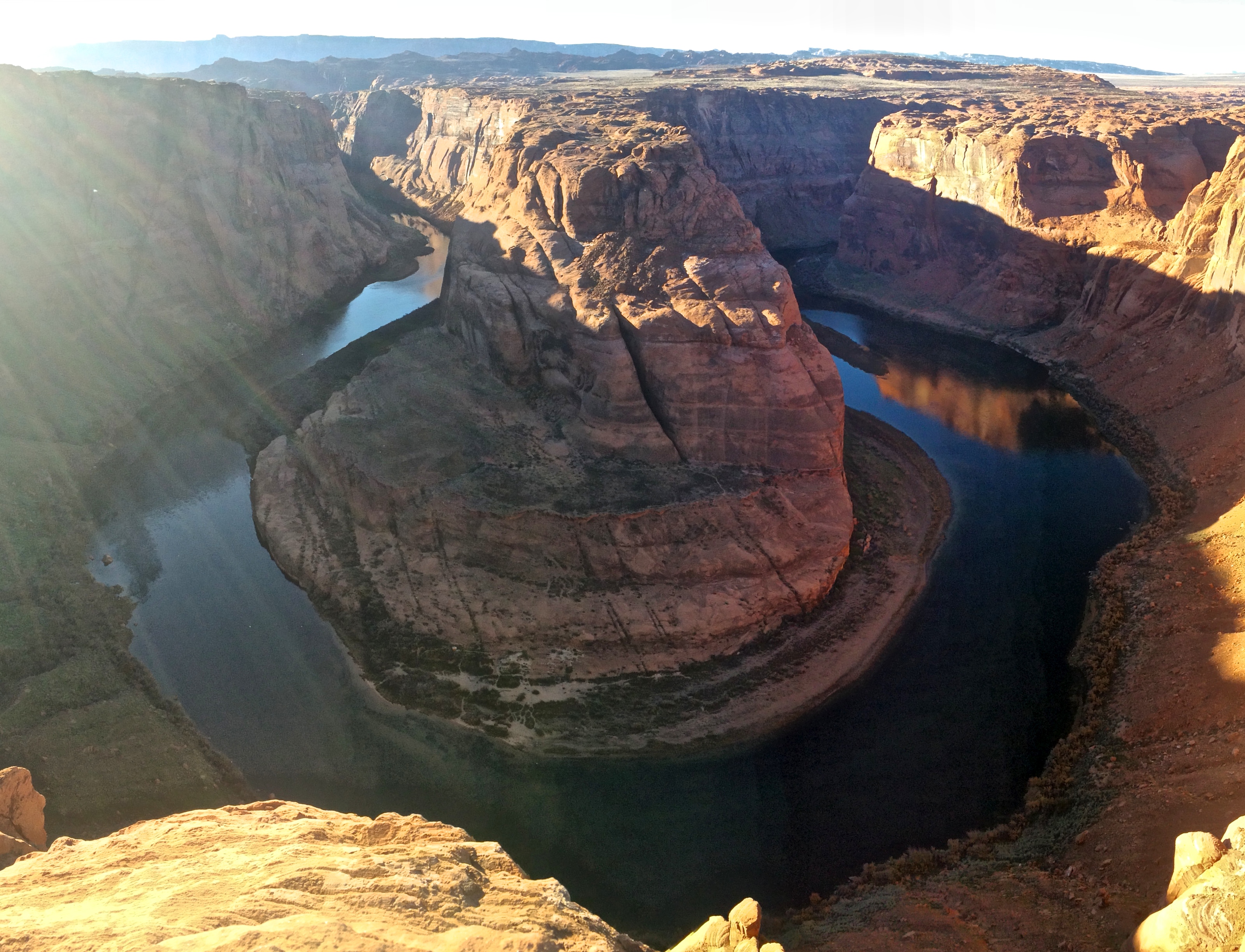
Before entering the Grand Canyon, we made a brief stop to Glen Canyon Dam.  There, we were introduced to the preliminary waters of the Colorado River that would later carve the Grand Canyon.  Just several miles south of the Glen Canyon Dam lied the Horseshoe Bend Overlook, a spectacular meander in the Colorado River.  And this is where the Grand Canyon begins, I thought when I gazed 1,000 feet below into the river.IMG_6058

Then off we went to the Grand Canyon.  We stayed at a free campsite in Tusayan, a town just south of the Grand Canyon Visitor Center.  Yay off-season!IMG_6125

Even after only visiting the Grand Canyon for the first time, I’m going to say that the time period immediately after Thanksgiving and before Christmas is the best time to visit.  I overheard park rangers and tour guides telling everyone that those several weeks were their lowest season.  Compared to other national parks I’ve visited it was still relatively crowded, but I at least did not have to suffer from the Disneyland-like summer crowds the park typically sees.  In addition to fairly vacant parking lots and overlooks, daytime weather was also most suitable for hiking down the canyon.  Rather than exposing myself to dangerous 100ºF+ temperatures, I cycled and hiked in near-perfect temperatures that never exceeded 55ºF.  Perfect outdoor temperatures and no crowds at the Grand Canyon?  Only in early December!
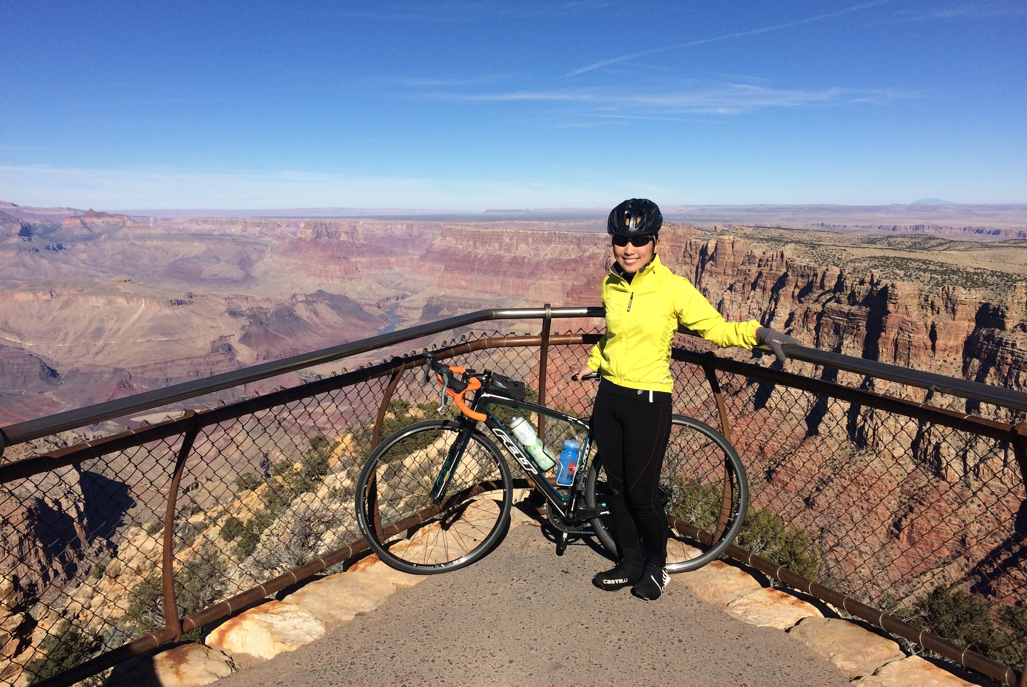
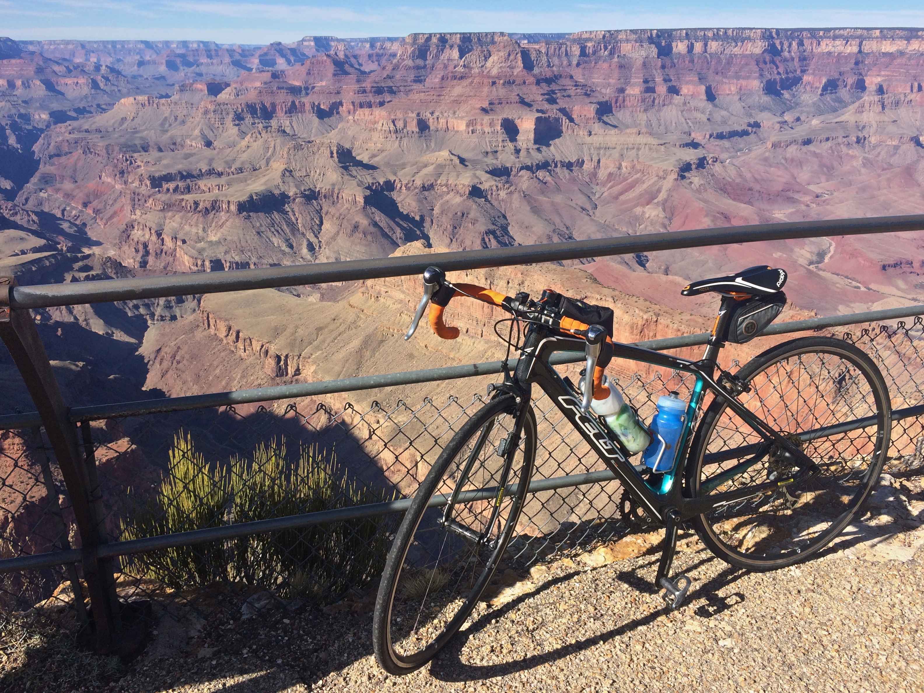
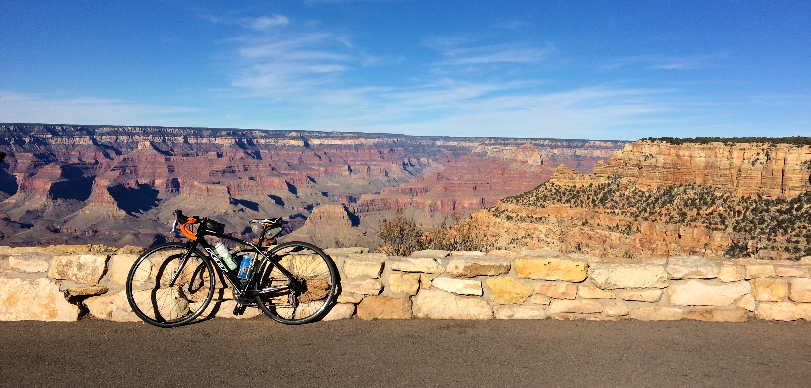
My preliminary days at the Grand Canyon were spent at the numerous overlooks along the rim.  First was a 45-mile bike ride on the eastern end of the park along the rolling Desert View Drive from the main Grand Canyon Visitor Center to the Desert View Watch Tower.IMG_6071IMG_6069IMG_6073 IMG_6078

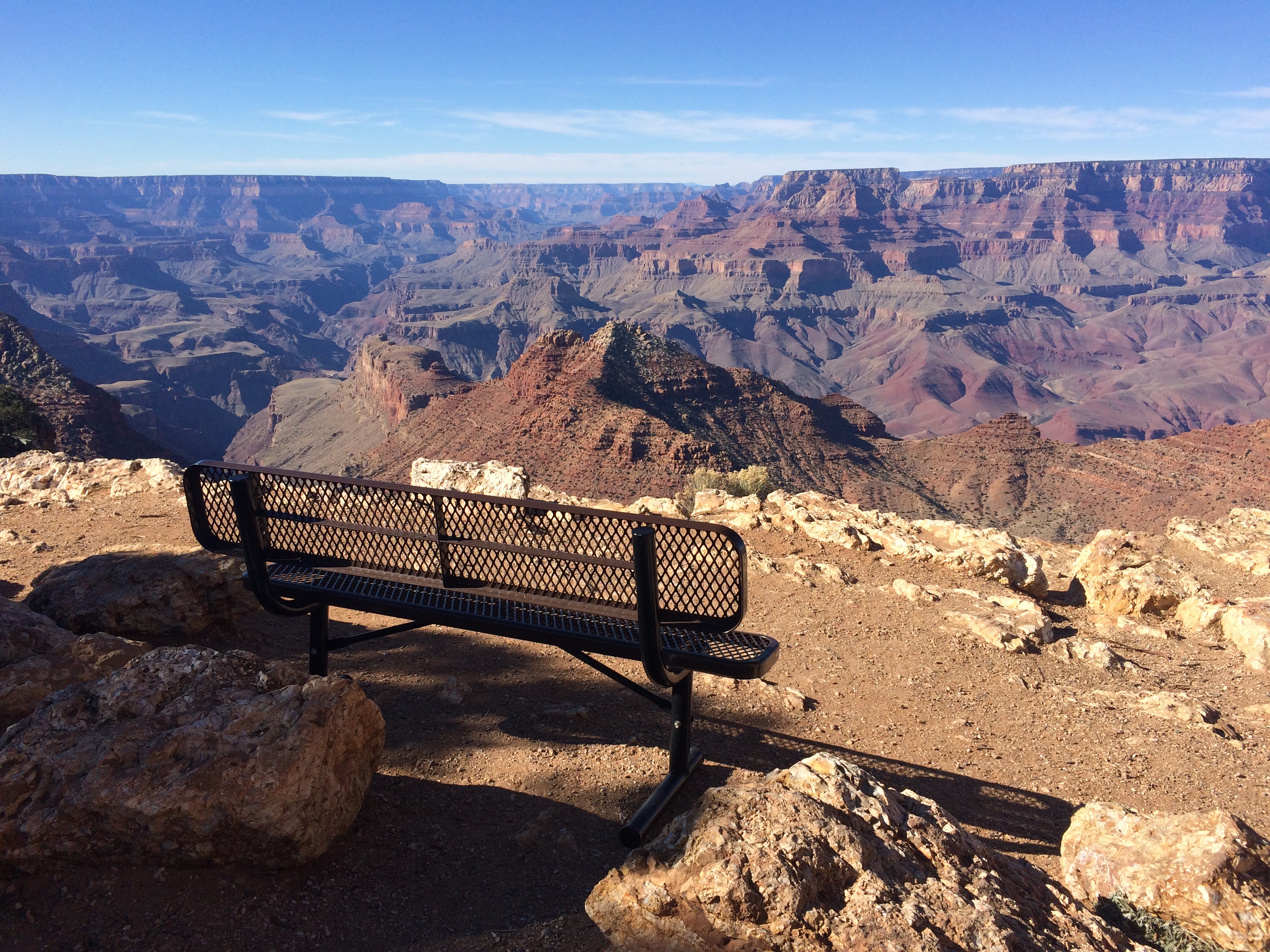
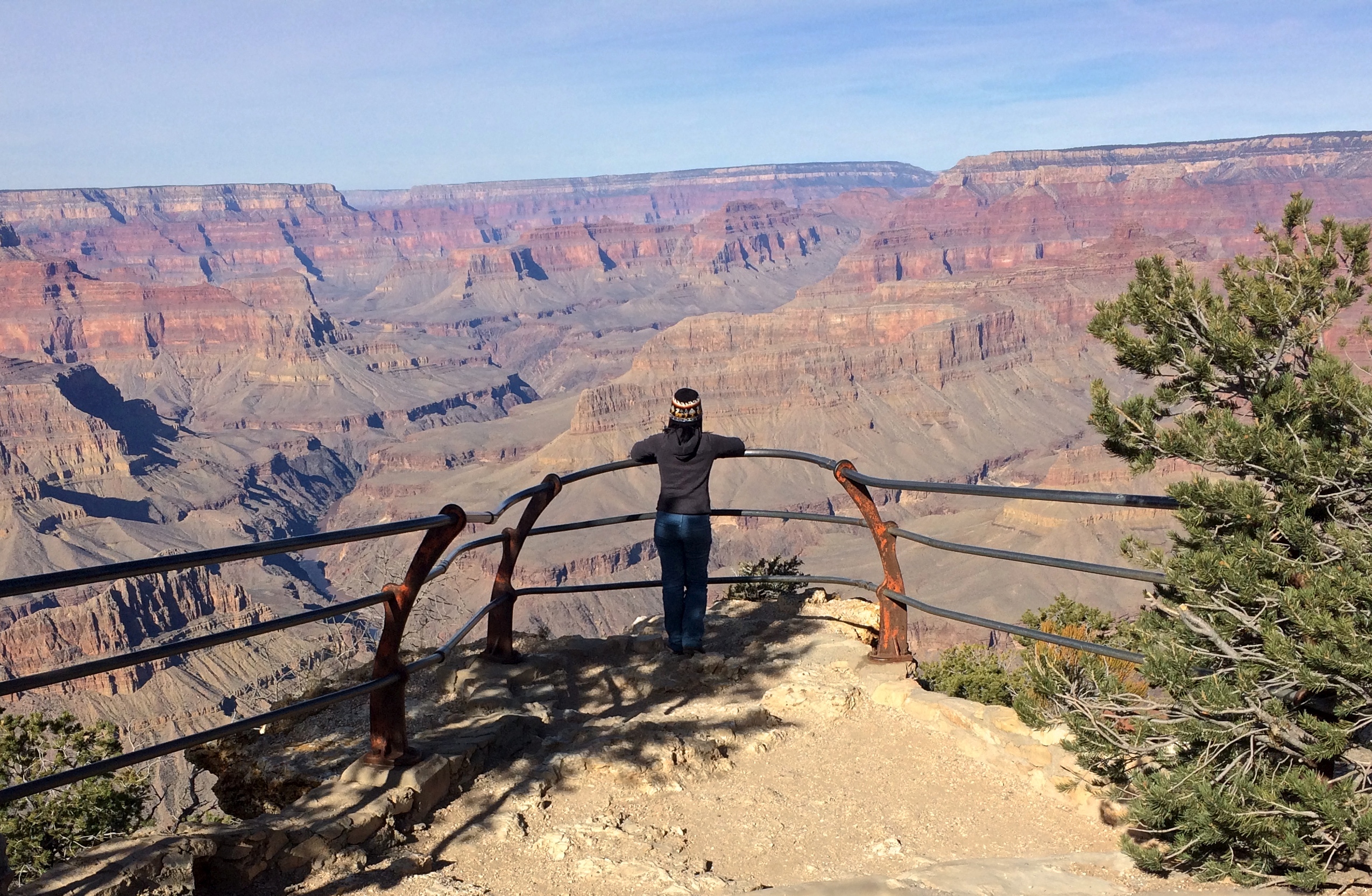
Along the western end of the park lies Hermit Road, a 7-mile scenic drive typically closed from March 1 through November 30 to private vehicles. Luckily for me, I was there during the first week of December!  This meant no wait times for shuttles and the ability to enjoy each overlook for however long I pleased.  Along with the low season and weekday mornings, I enjoyed most overlooks in complete solitude and peace.IMG_6090 IMG_6110

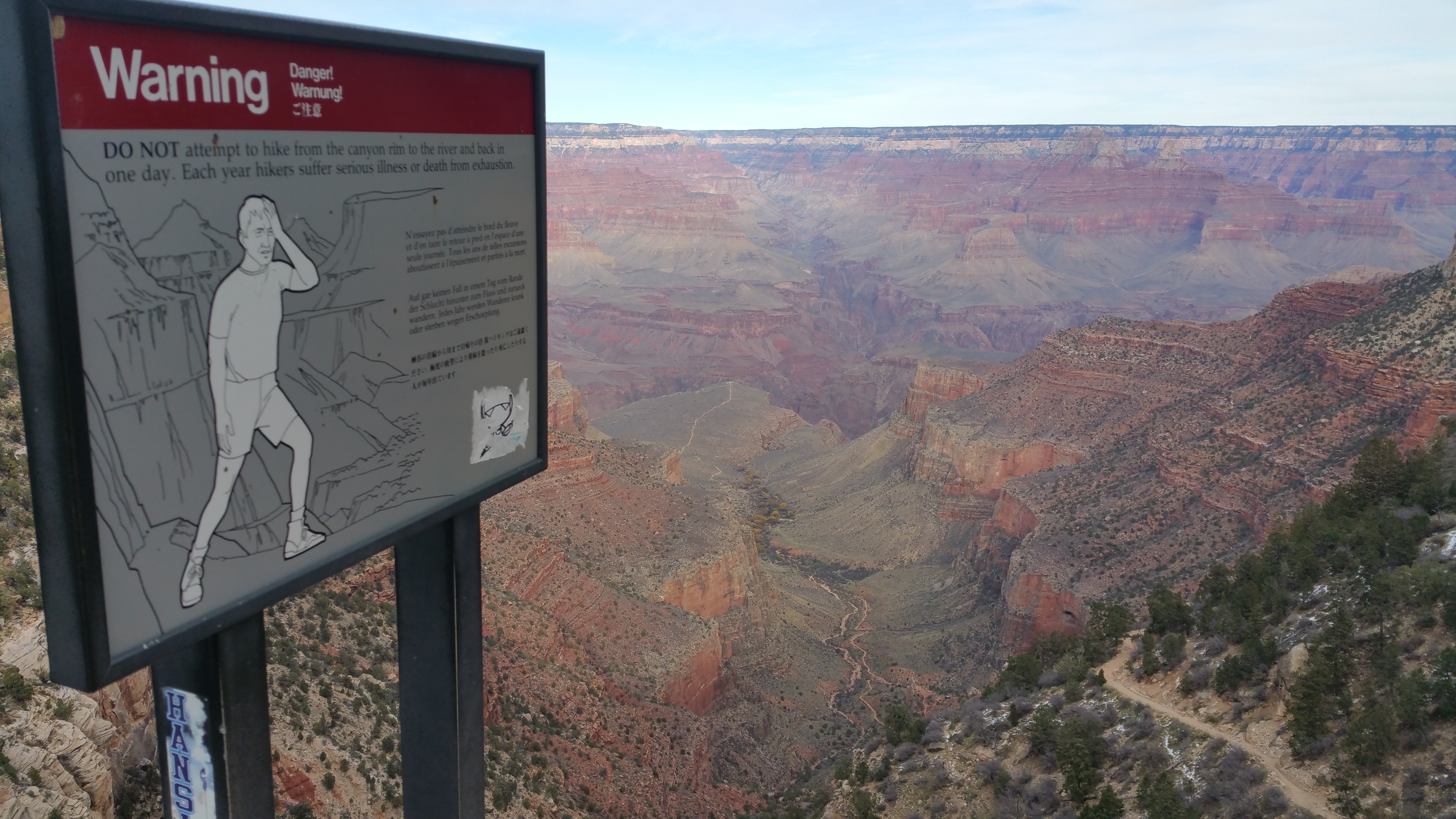
It is said that only ~1% of the 4.5 million+ annual visitors to the Grand Canyon hike down to the Colorado River.  Despite all the overlooks and my 45-mile bike ride, I saved the best for last: a 16.5-mile round trip hike down to the Colorado River and back up to the rim.  In the same day.  There are signs throughout the entire park advising against hiking down the canyon and back up in the same day, but I know these signs are for the millions of tourists who don’t know their own limits.20151204_141715

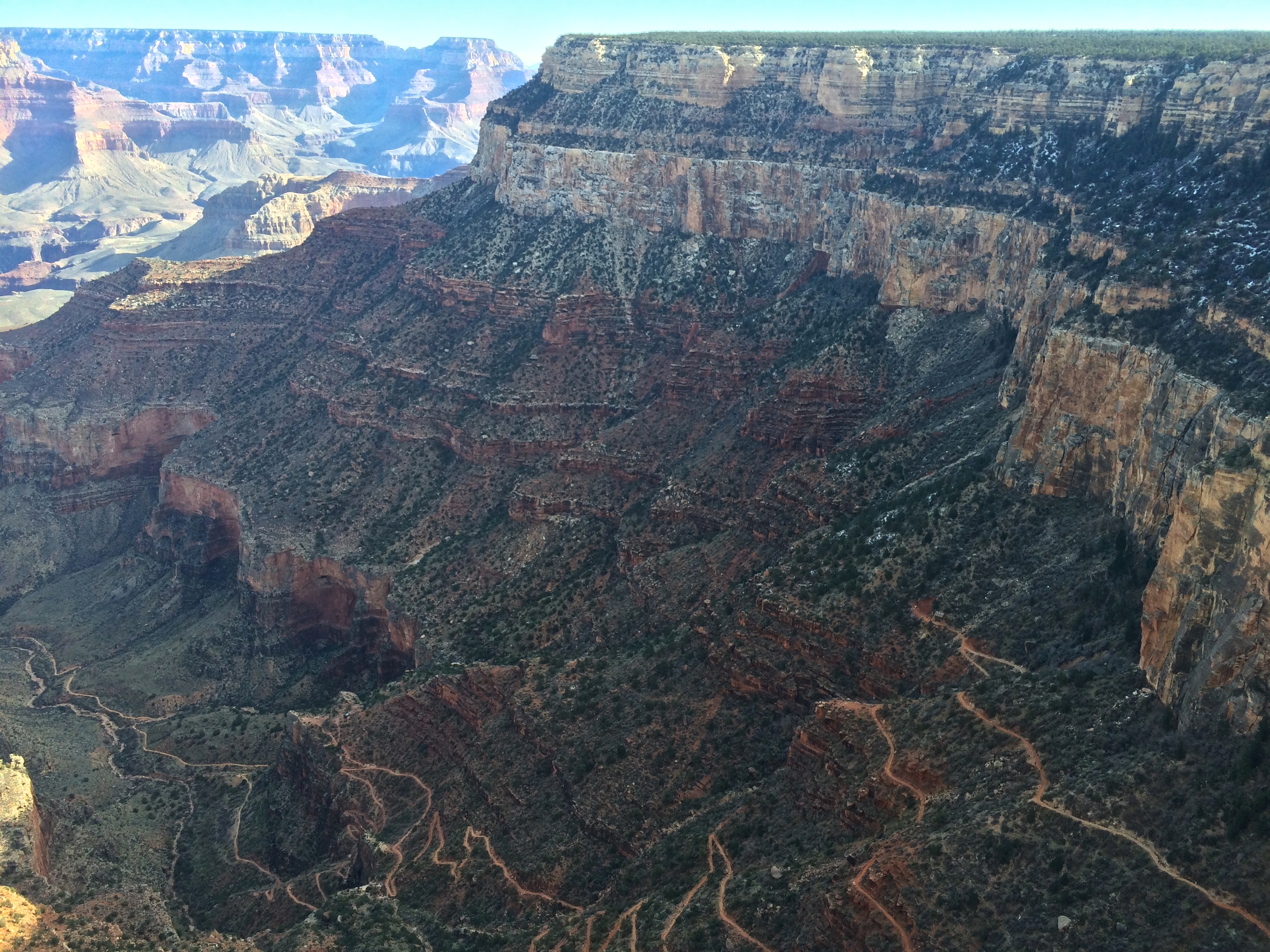
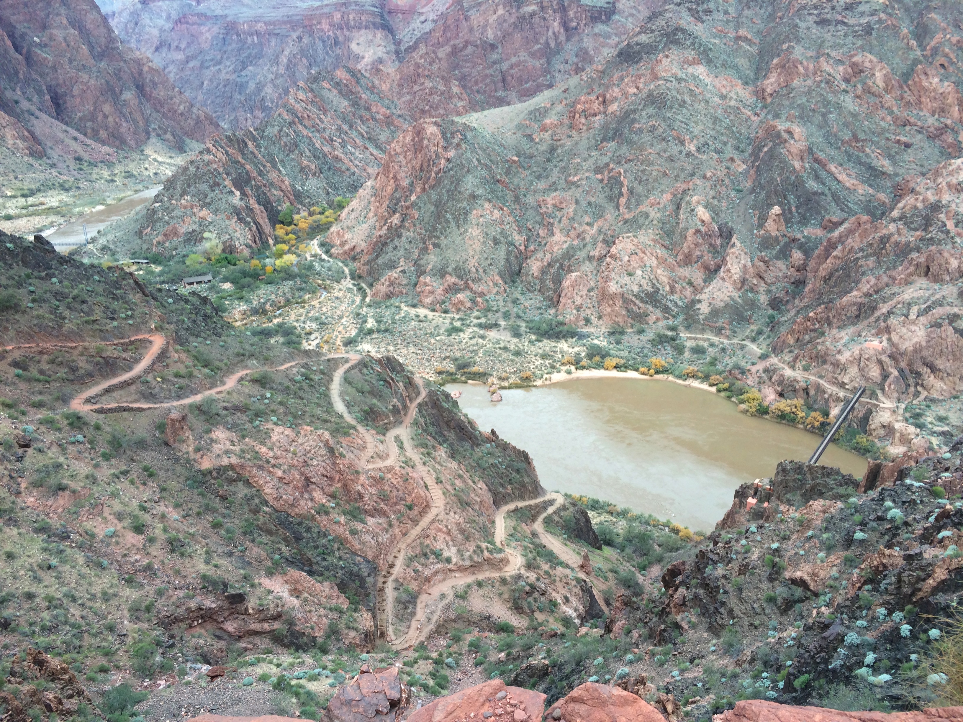
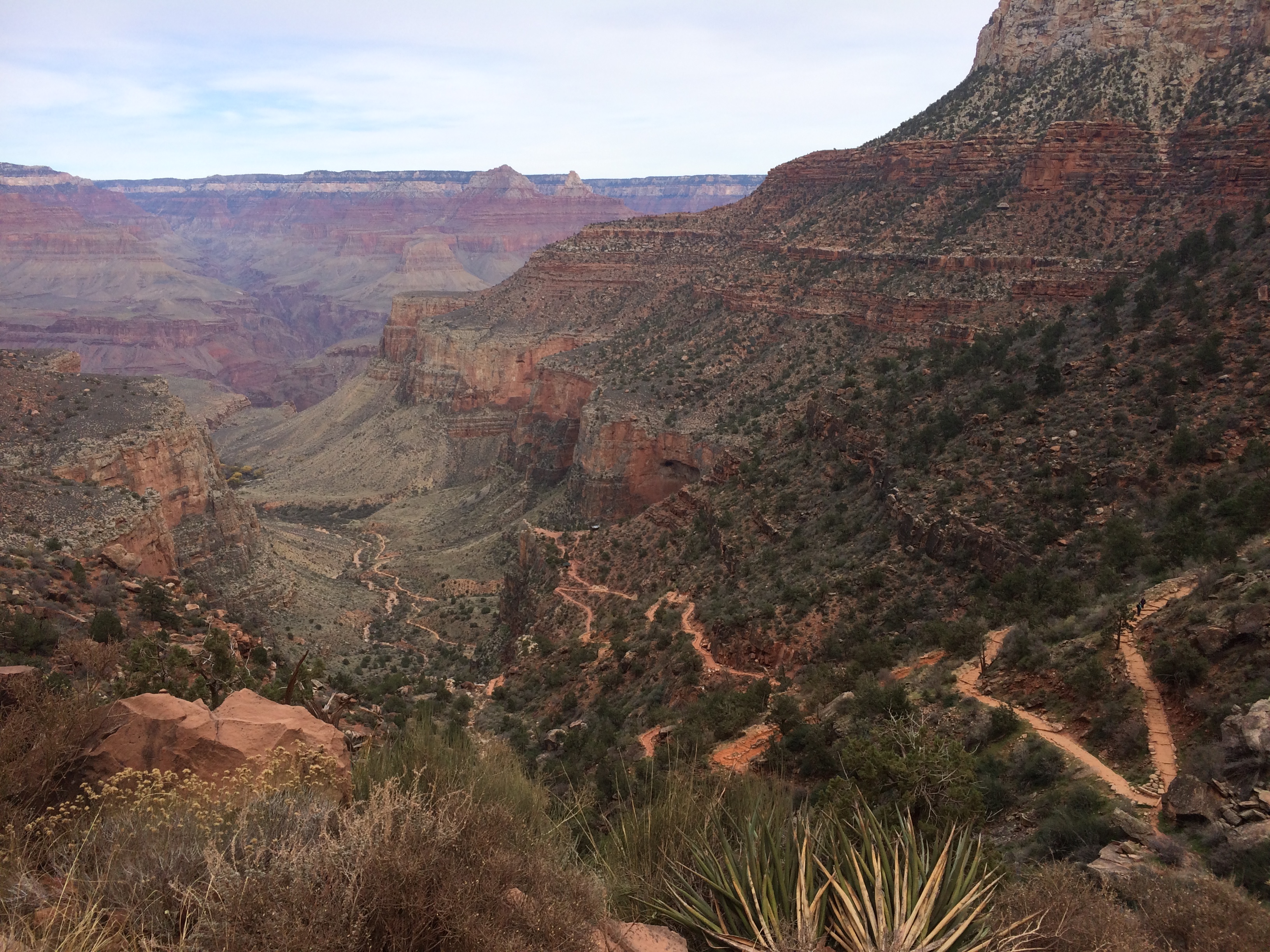
As a first-timer down the canyon, I picked the most straight forward route: 7 miles down South Kaibab to Phantom Ranch and up 9.5 miles via Bright Angel.  They say it’s a strenuous elevation gain of ~4,700 ft. over 7 and 9.5 miles, but after comparing the gain over distance with Half Dome, The Paintbrush Divide at the Tetons, The Inca Trail, and Mount Shasta, I realized that this would be my easiest 15+ mile hike in my book.  And I was right!
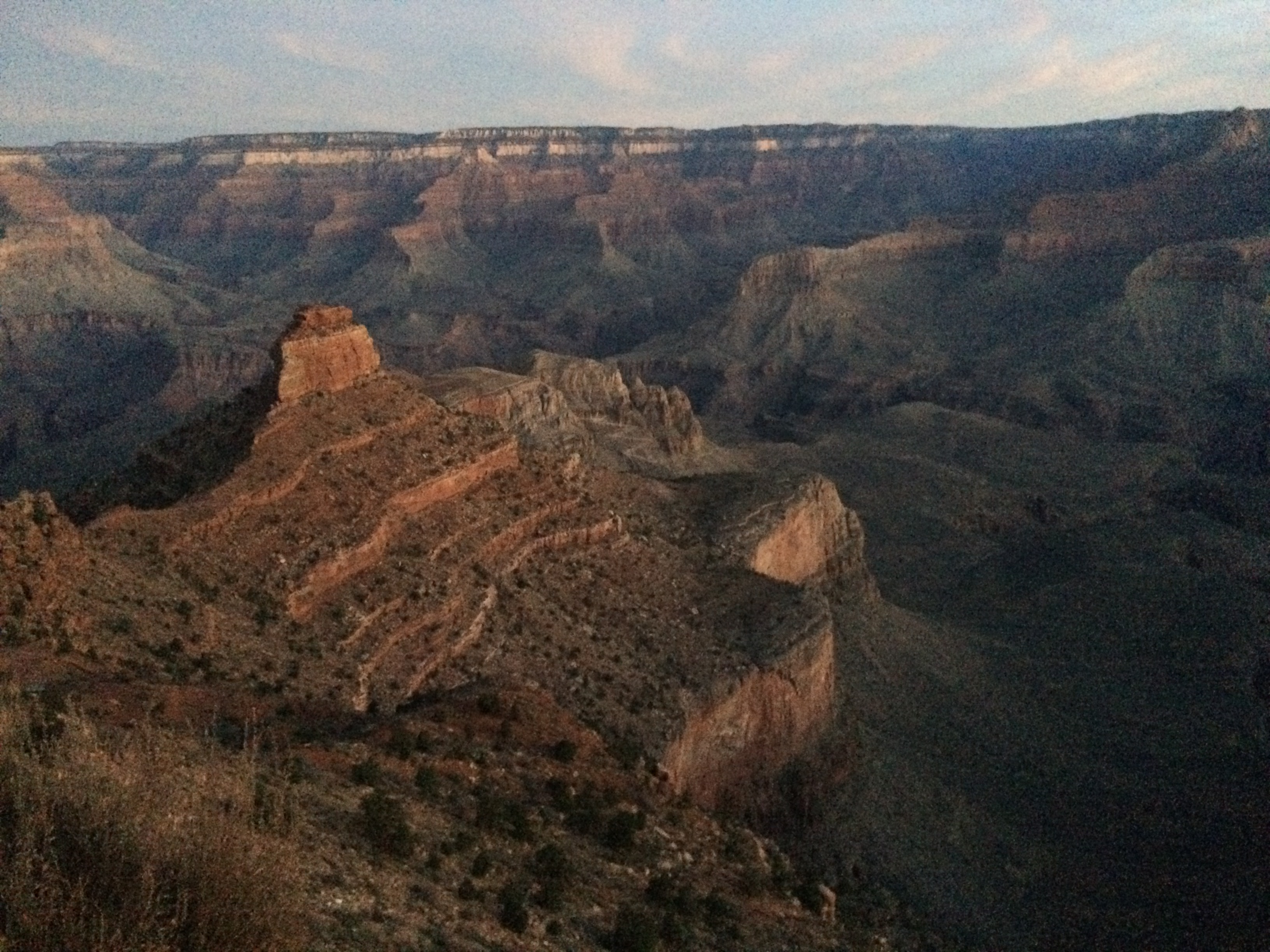
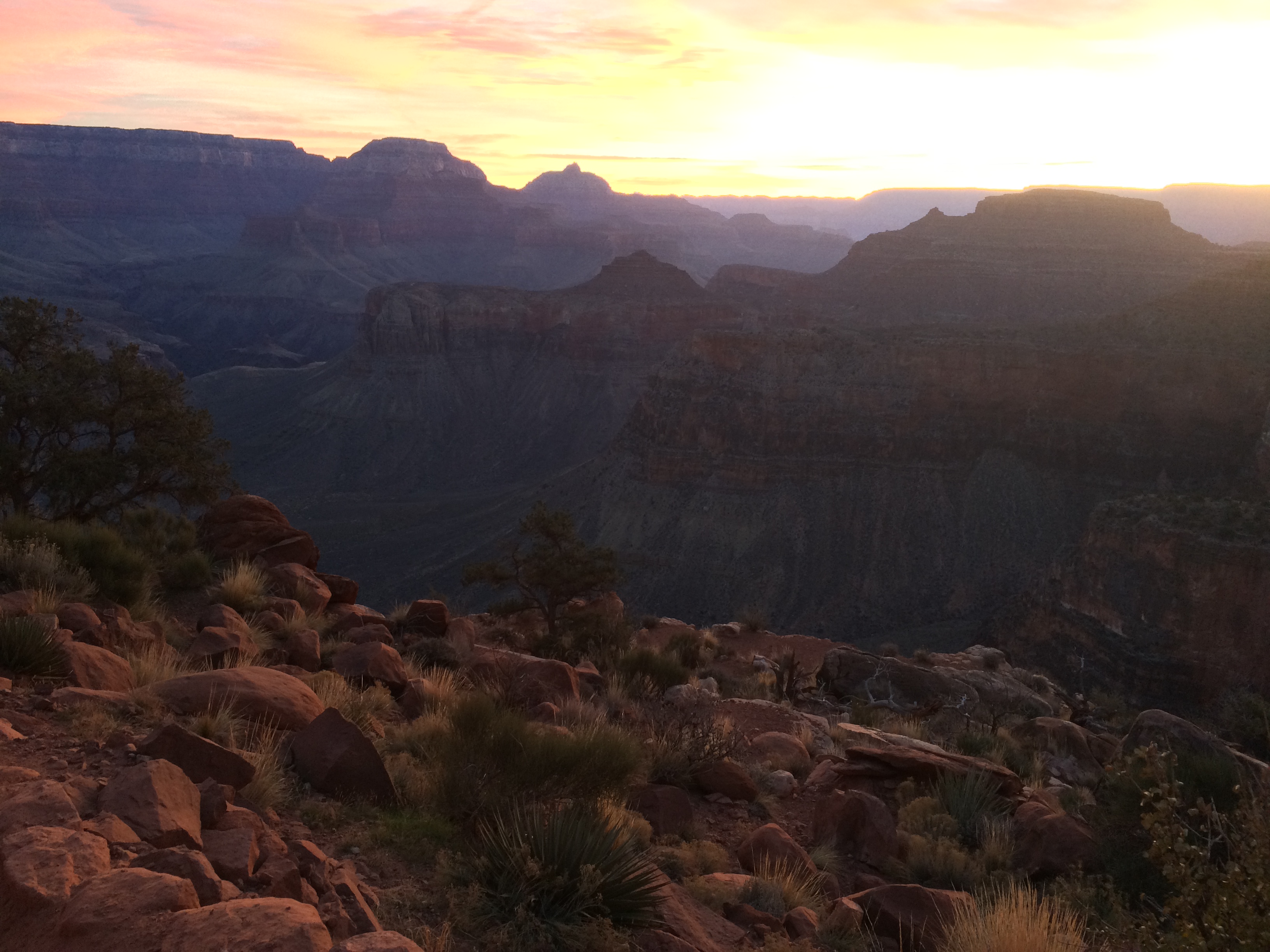
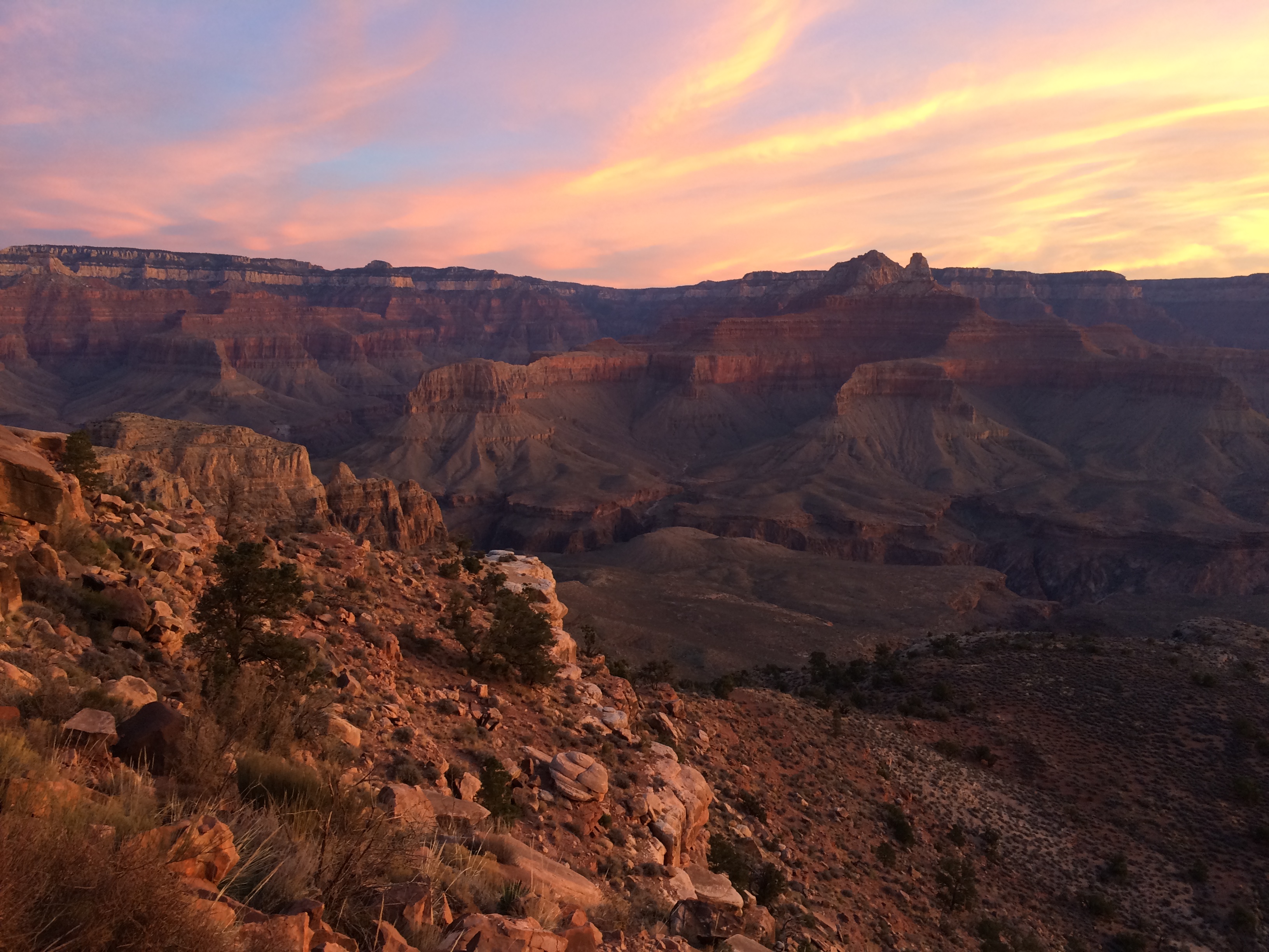
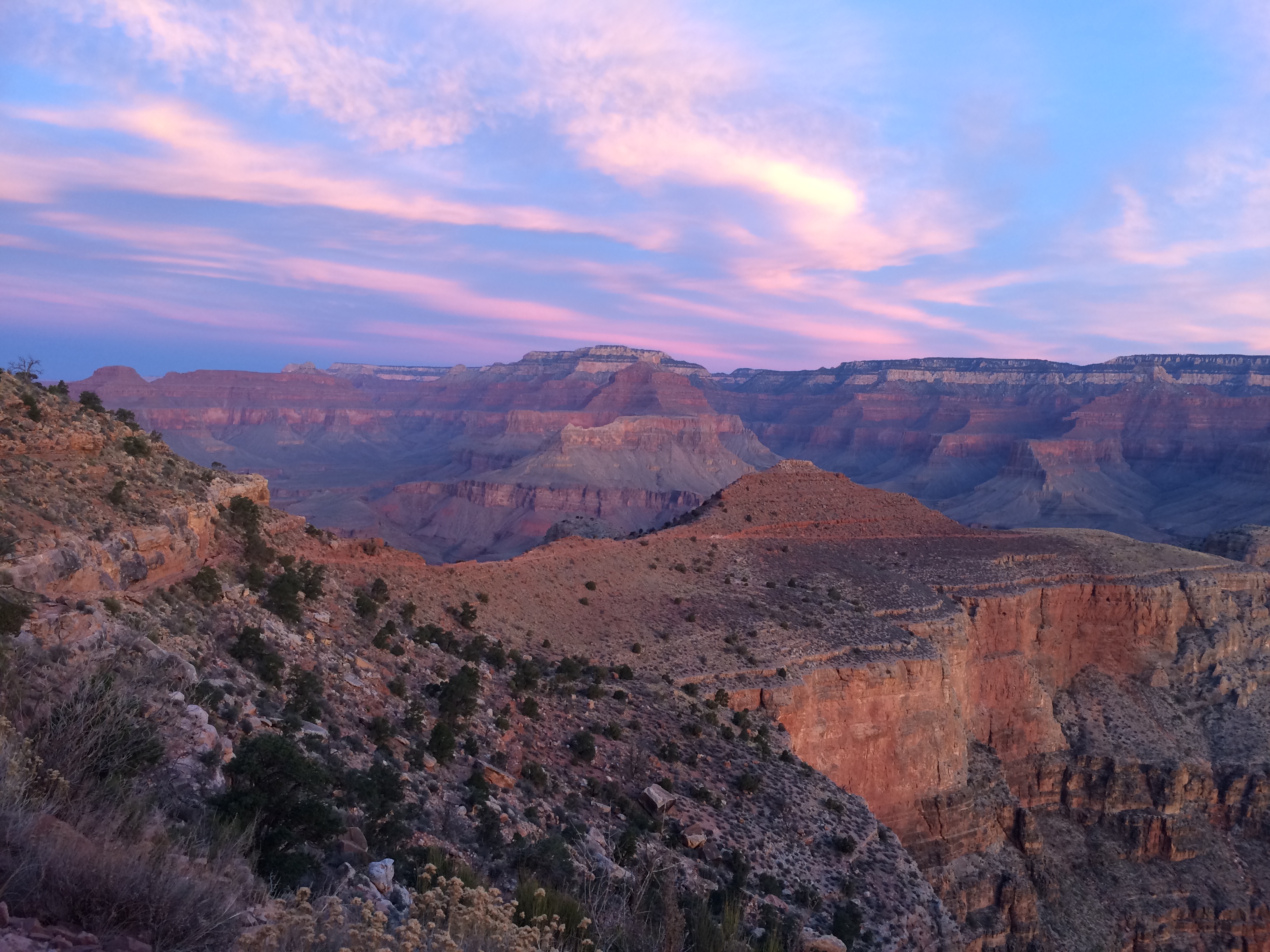
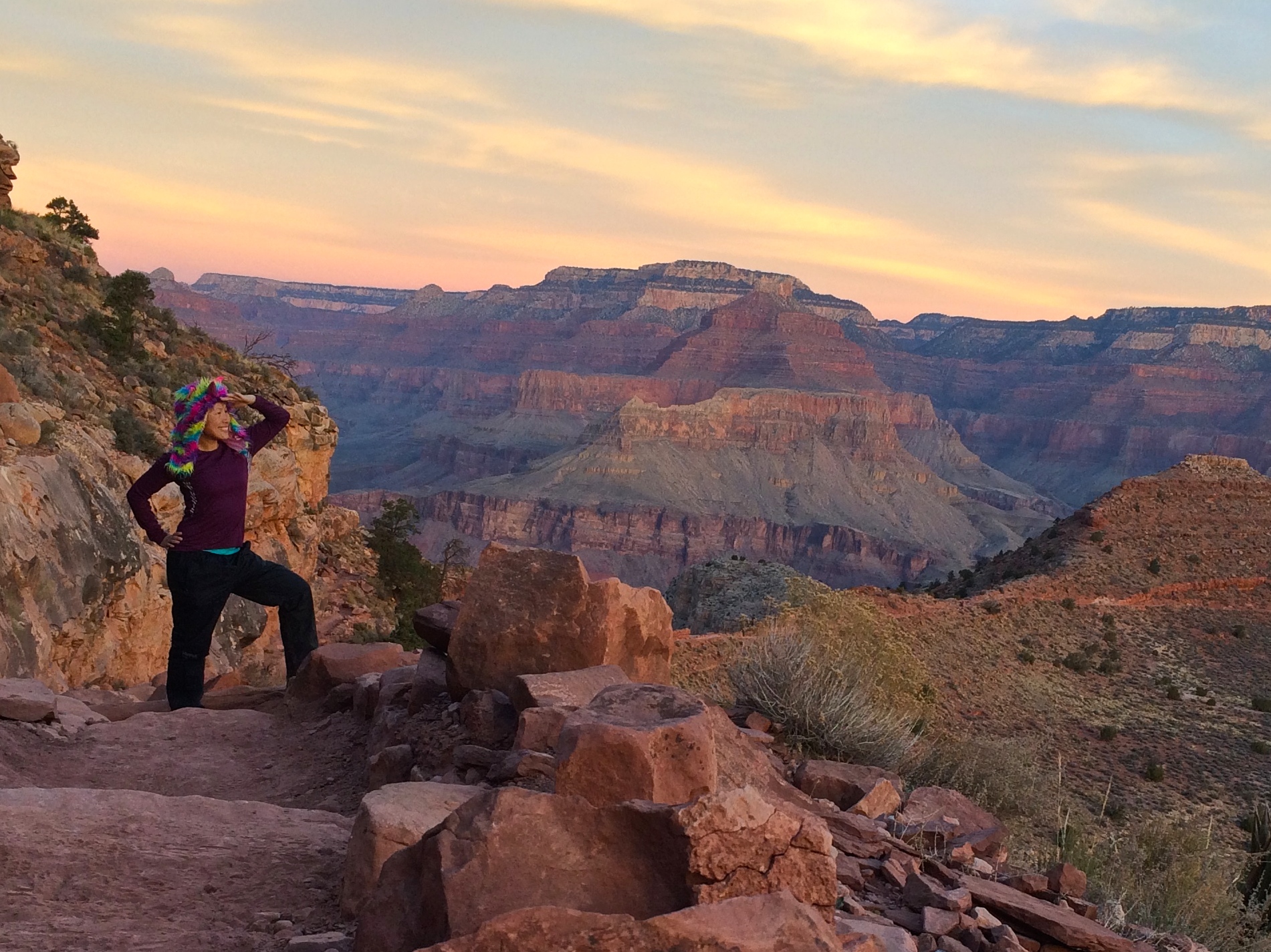
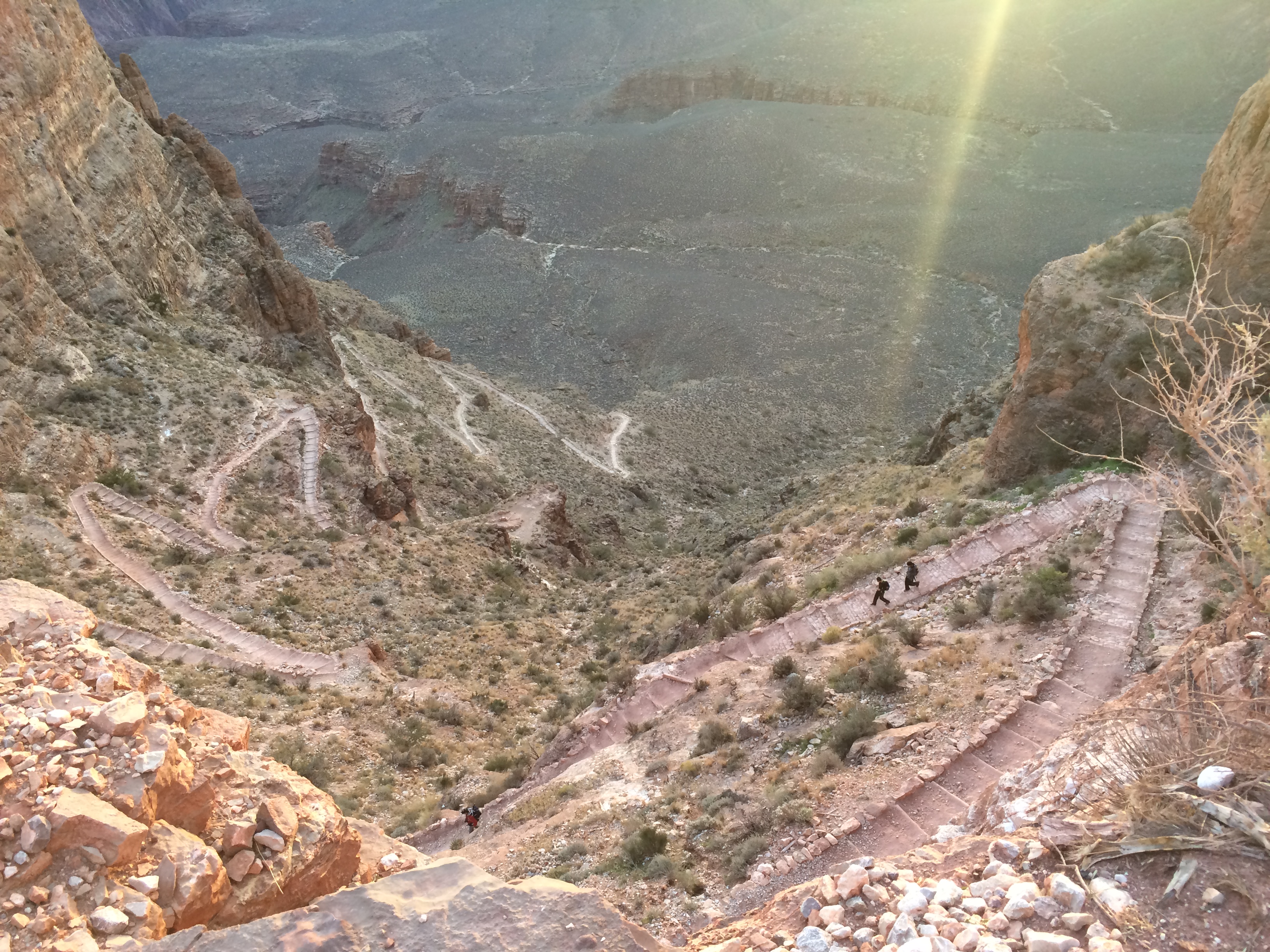
Worried that there wouldn’t be enough sunlight in a day, I began my hike in the dark at 6:30am at the South Kaibab Trailhead.  During the 2 hours and 45 minutes it took me to get down to Phantom Ranch, I watched the Grand Canyon fill with light and the sky change hues at sunrise.IMG_6129 IMG_6134 IMG_6136 IMG_6137

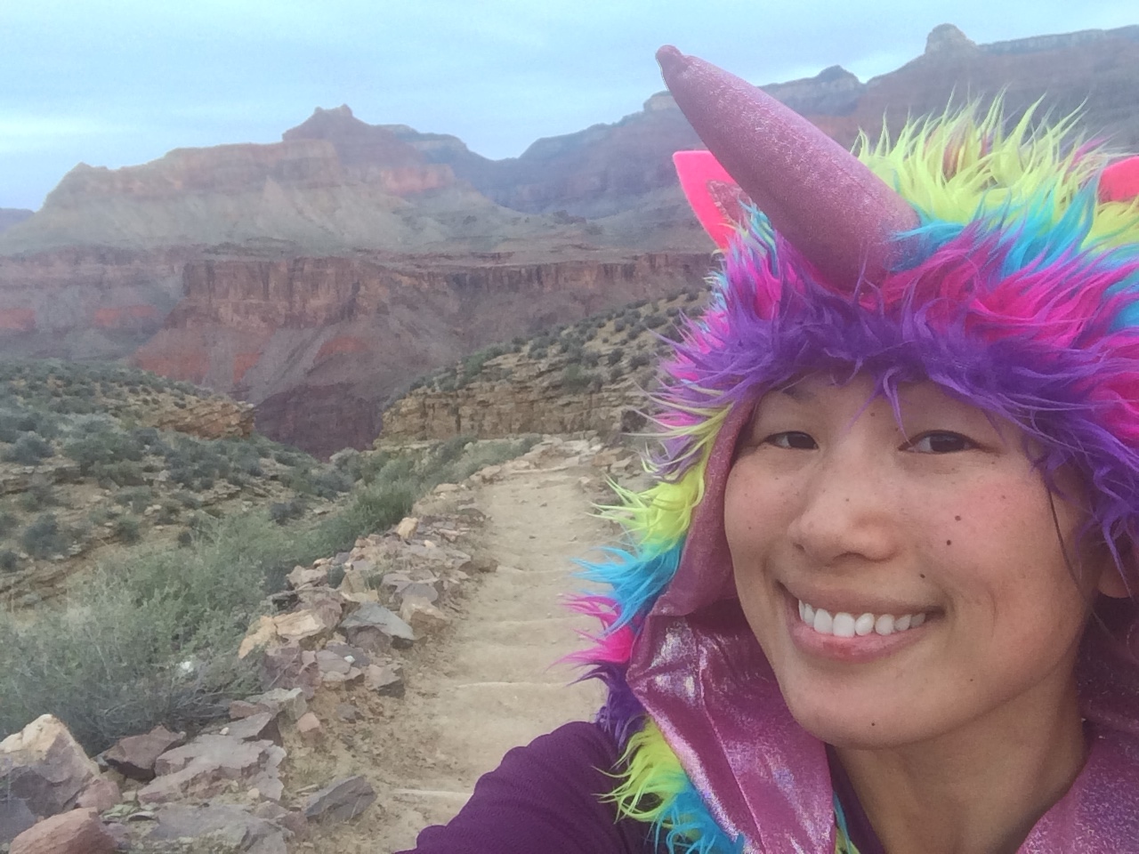
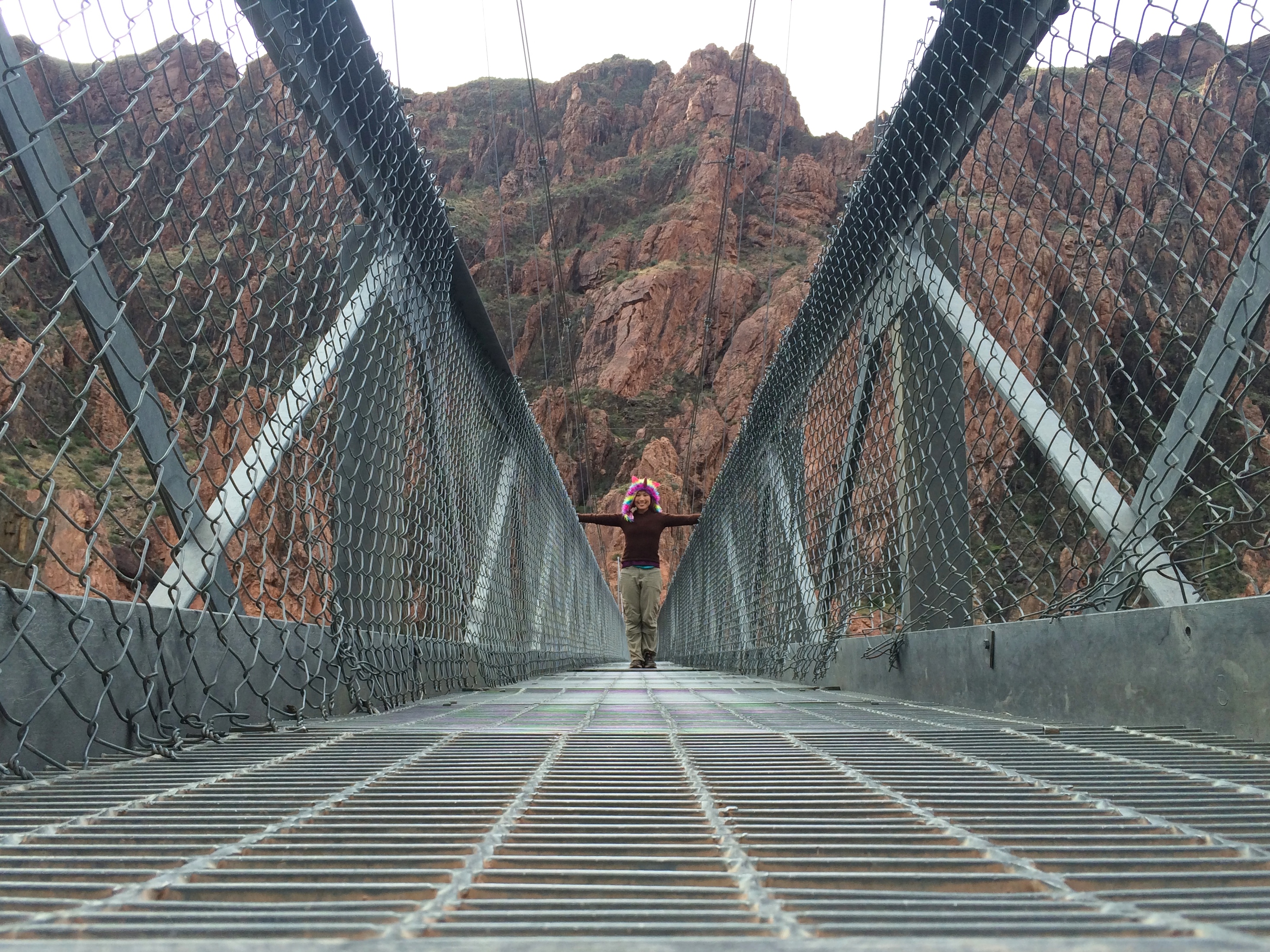
To keep myself (and others) mildly entertained I wore my unicorn hat.IMG_6158IMG_6184

These were the only other people going down Kaibab–a man with two teenage boys.  Aside from them, I enjoyed the trail all to myself.IMG_6172

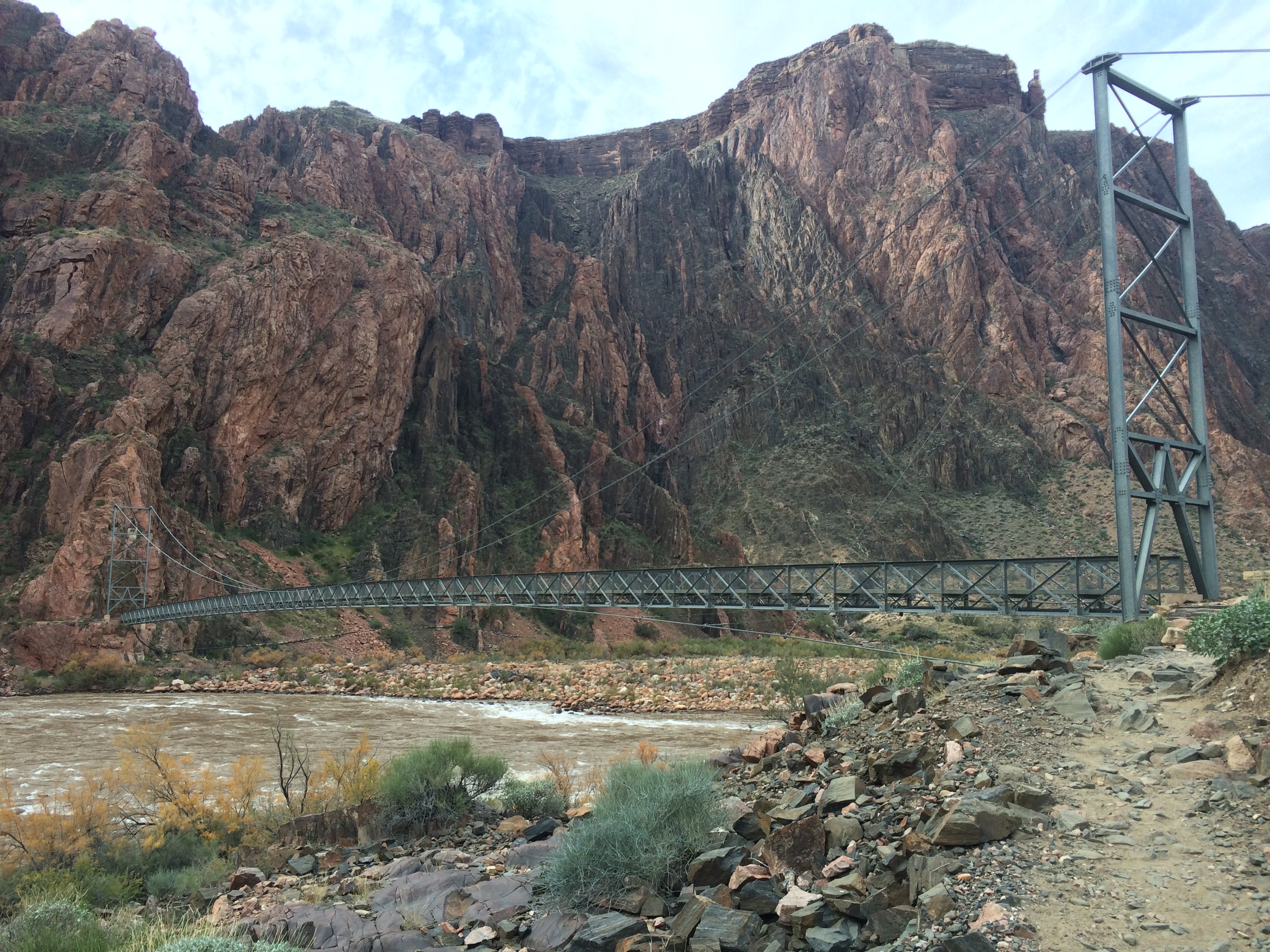
Approaching the Colorado River:IMG_6188 IMG_6193

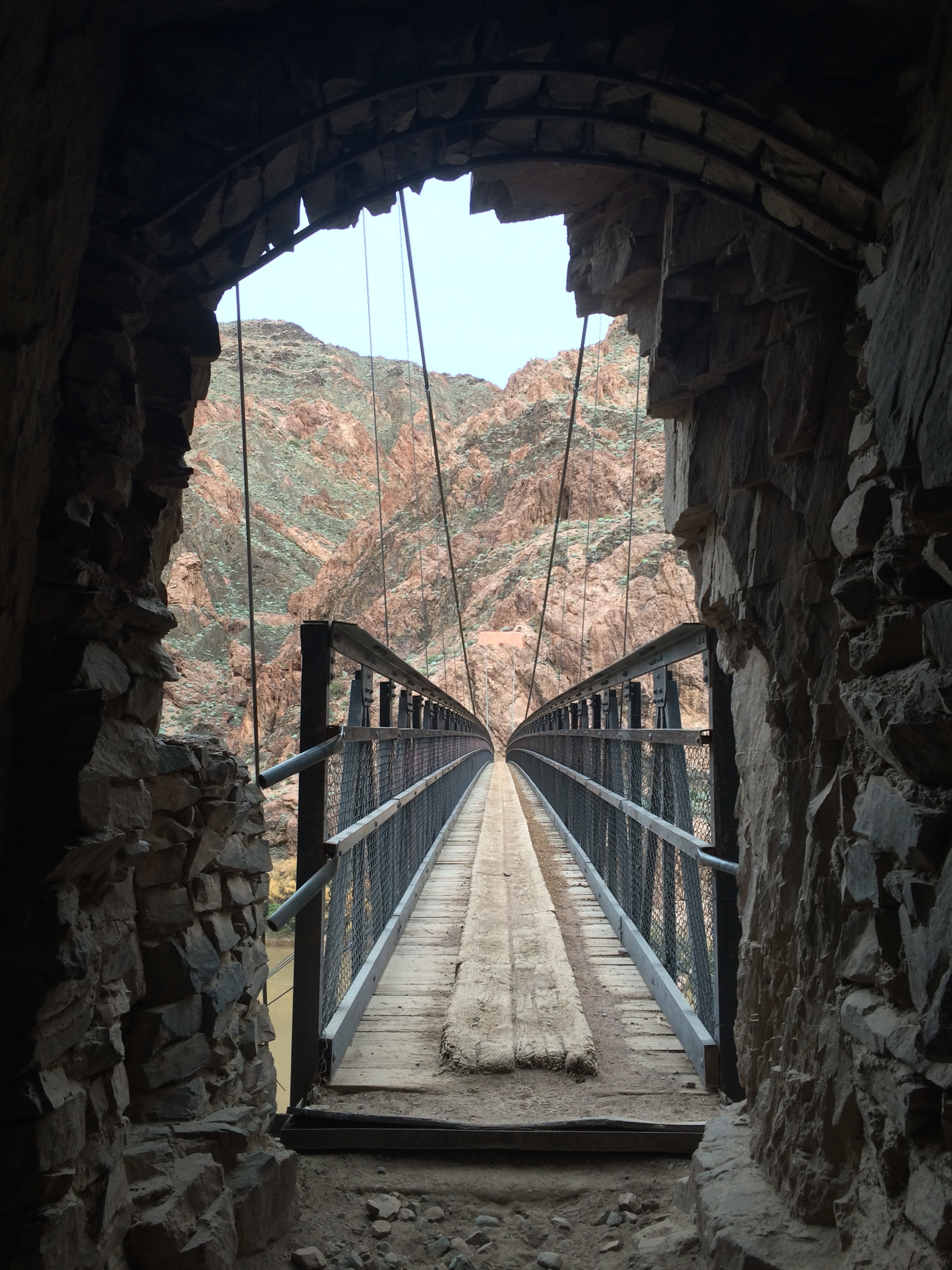
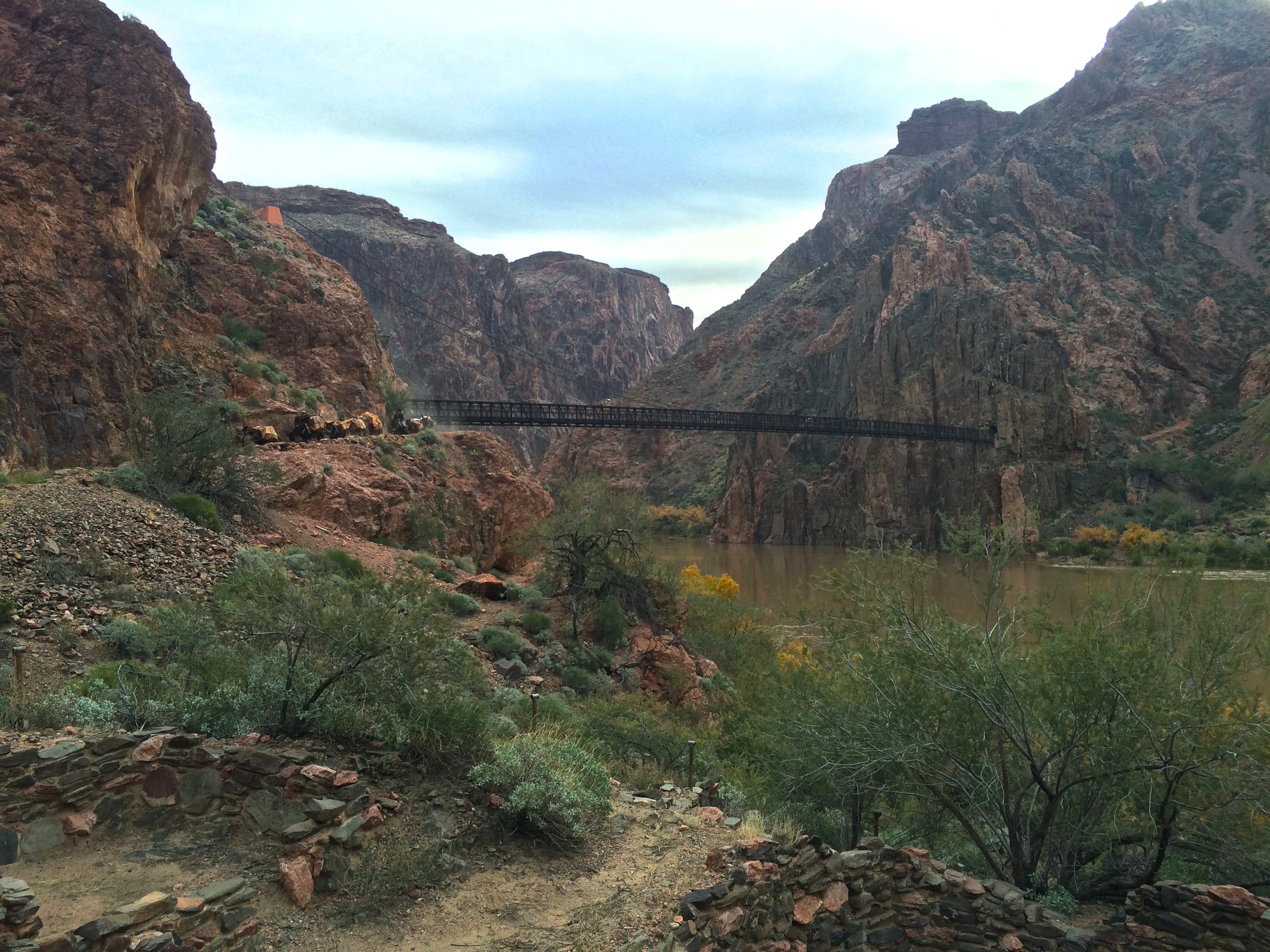
The bridge to Bright Angel Campground/Phantom Ranch:IMG_6197 IMG_6204

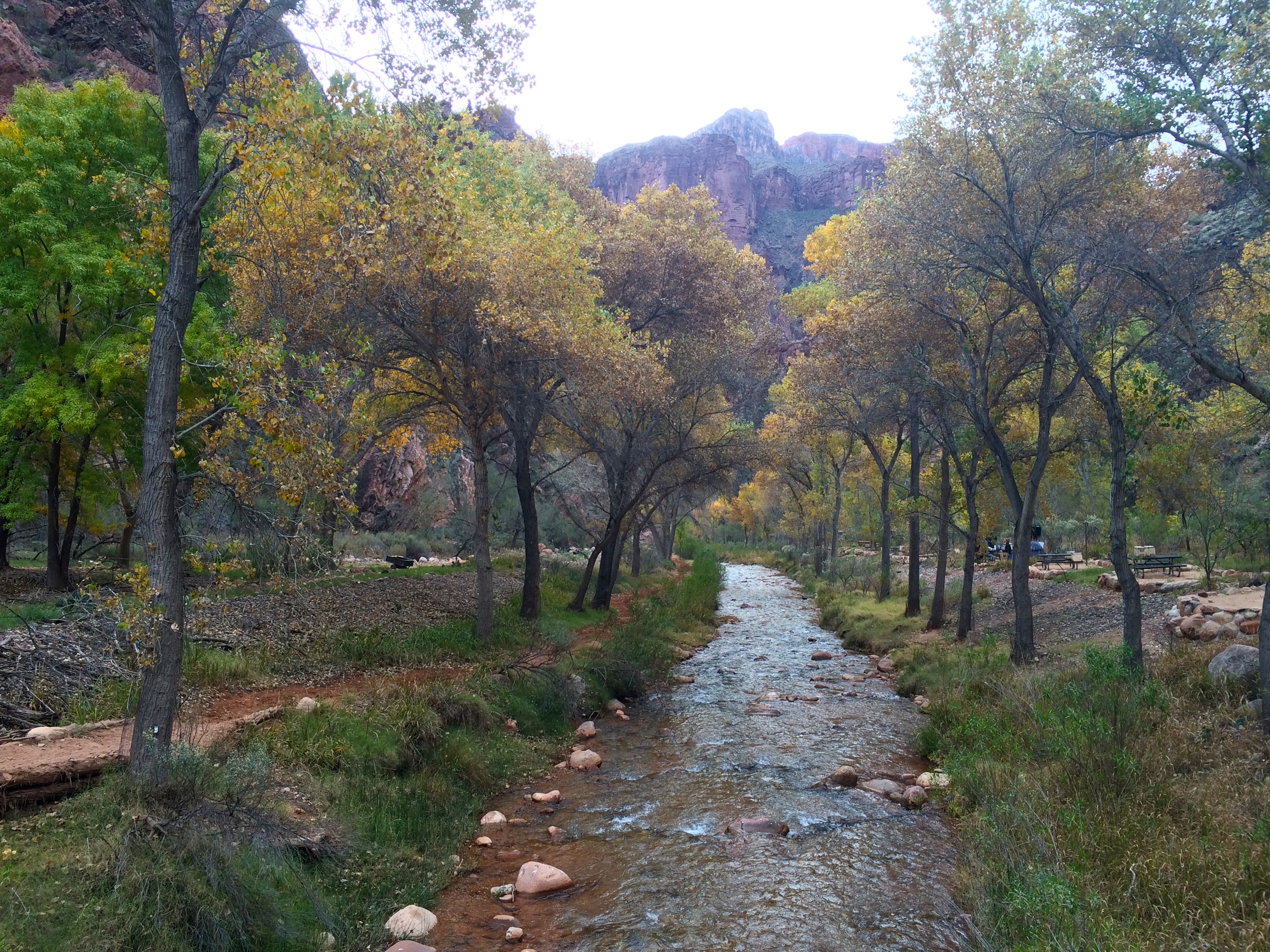
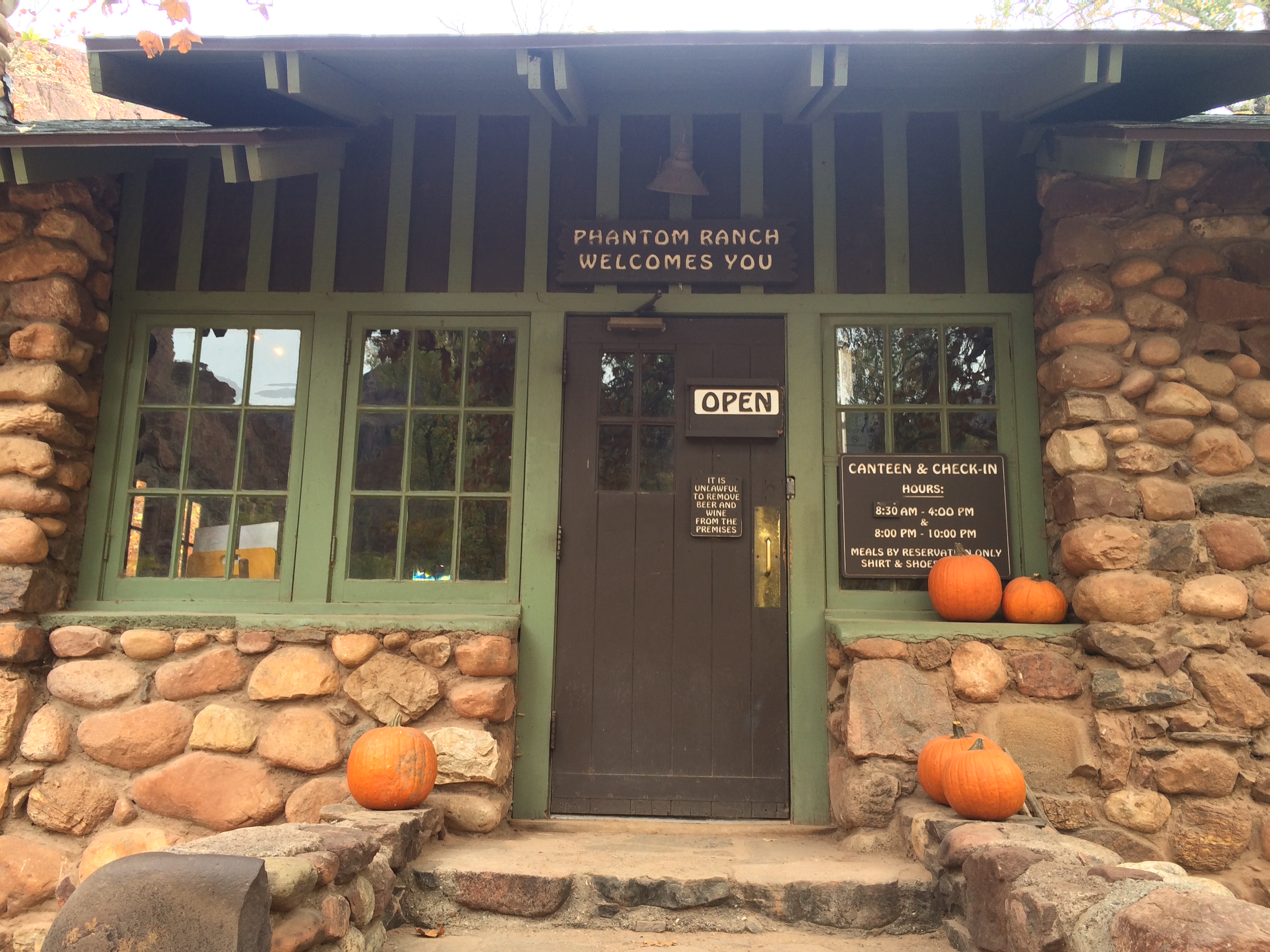
Phantom Ranch was pleasantly filled with green shrubs and trees, as a small stream flowed right through it. IMG_6205 IMG_6208 IMG_6209

After a 45-minute break at Phantom Ranch, I continued my hike to the Bright Angel Trail. I crossed the Colorado River again.IMG_6210 IMG_6222

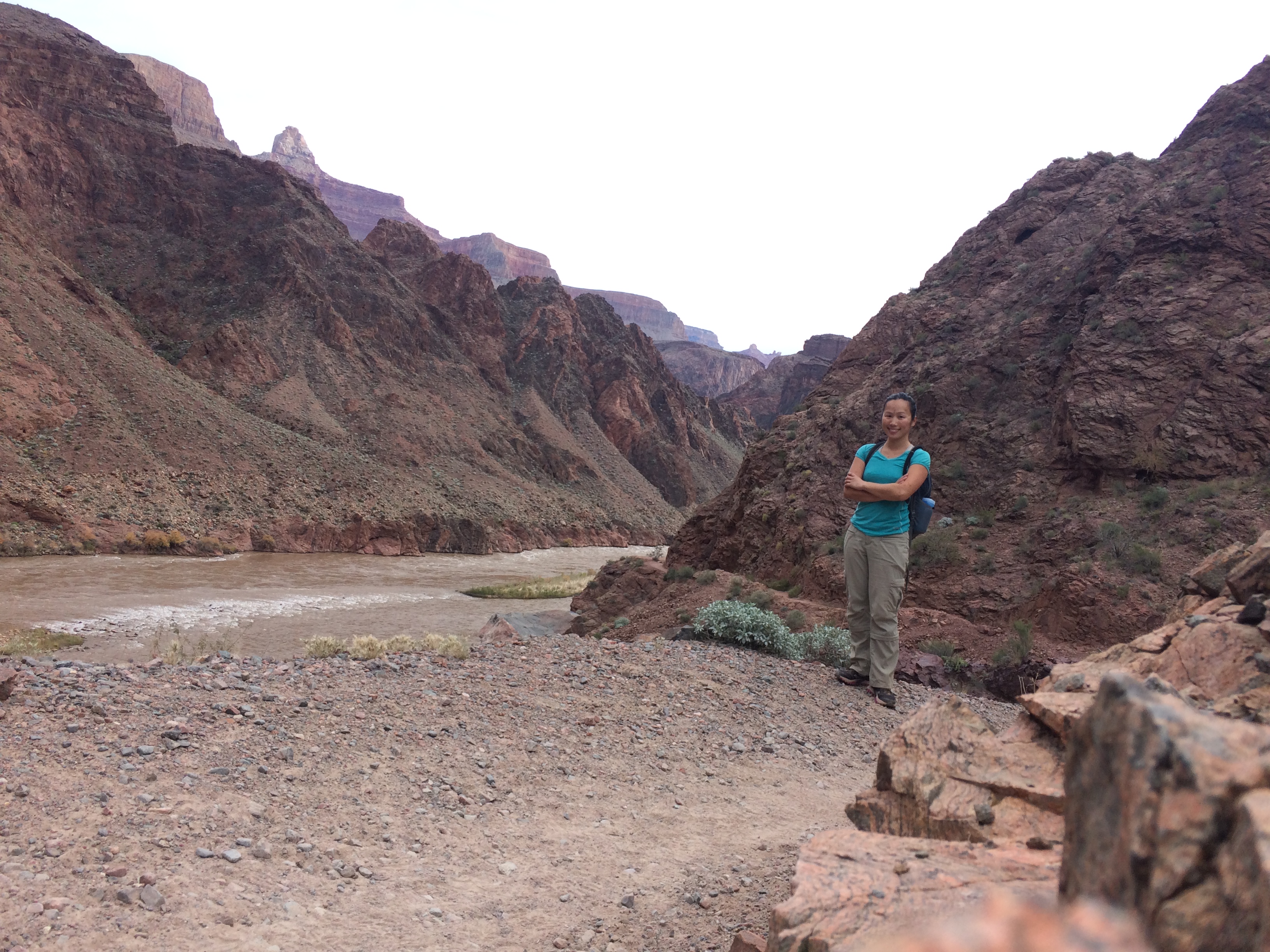
Hiking along the Colorado River:IMG_6240

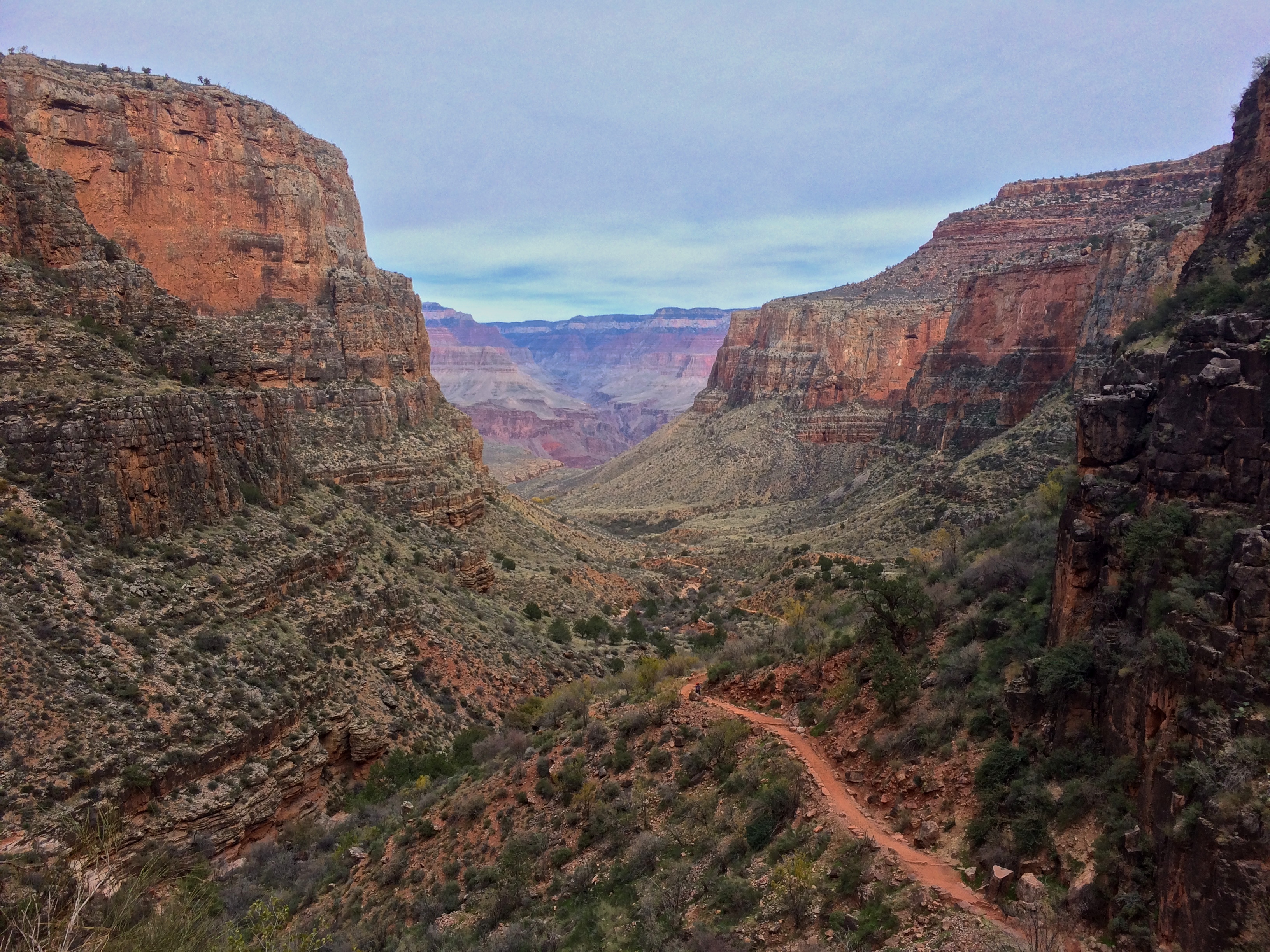
The canyon-enclosed Bright Angel Trail was much greener than the fully exposed South Kaibab Trail.IMG_6252

Obviously there was more green because there were several streams and creeks.IMG_6247 IMG_6253 IMG_6255

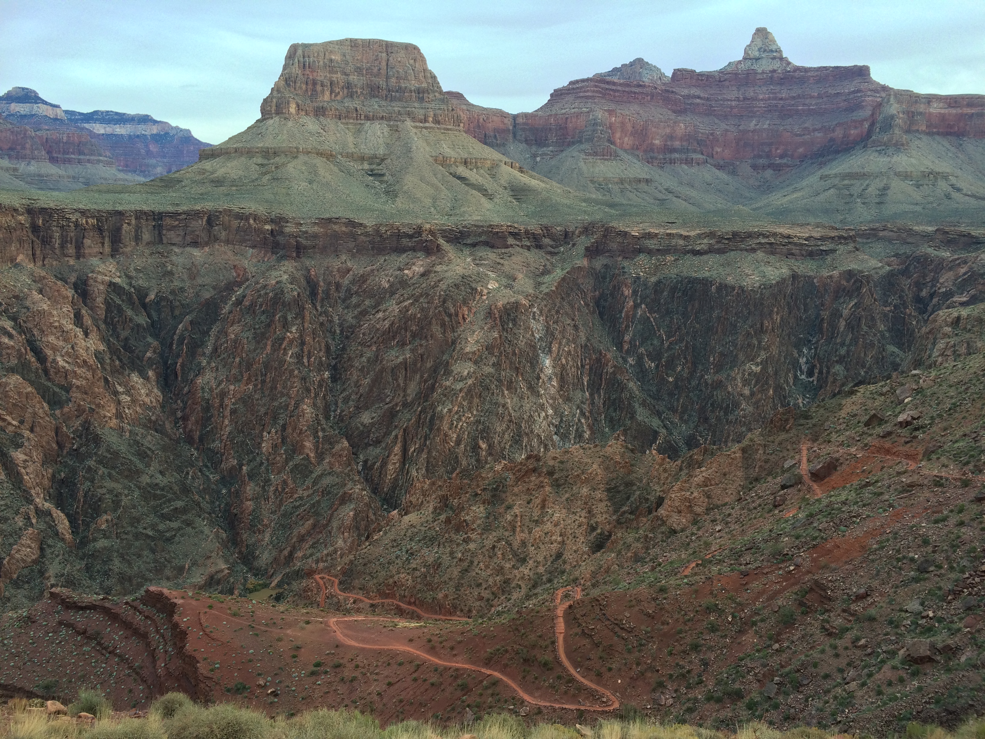
And within the last several miles of the trail, it was easy to look back and ask, “Wow, did I really just climb up through all that?”IMG_6276 IMG_6280

It was 3pm by the time my feet touched the rim of the Grand Canyon, exactly 8 and a half hours since I started my hike.  Excluding the 45-minute break at Phantom Ranch, it took me 7 hours and 45 minutes to hike rim to bottom and back over 16.5 miles.  2 hours 45 minutes down, 5 hours back up.  Was it difficult?  Not if the temps are cool and if you’re an experienced hiker.  The key is to not hike it in dangerously hot temperatures.  But still every year hundreds of inexperienced hikers attempt to do this hike in extreme heat, resulting in costly rescues.  It is thanks to these tourists that park rangers discourage this hike in a single day.

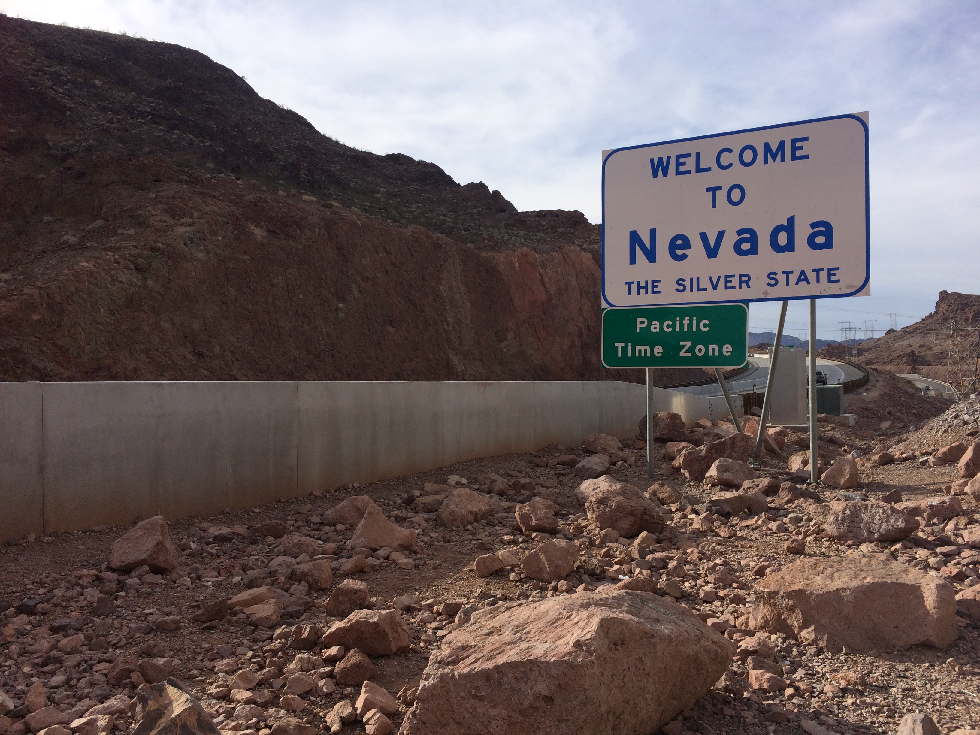
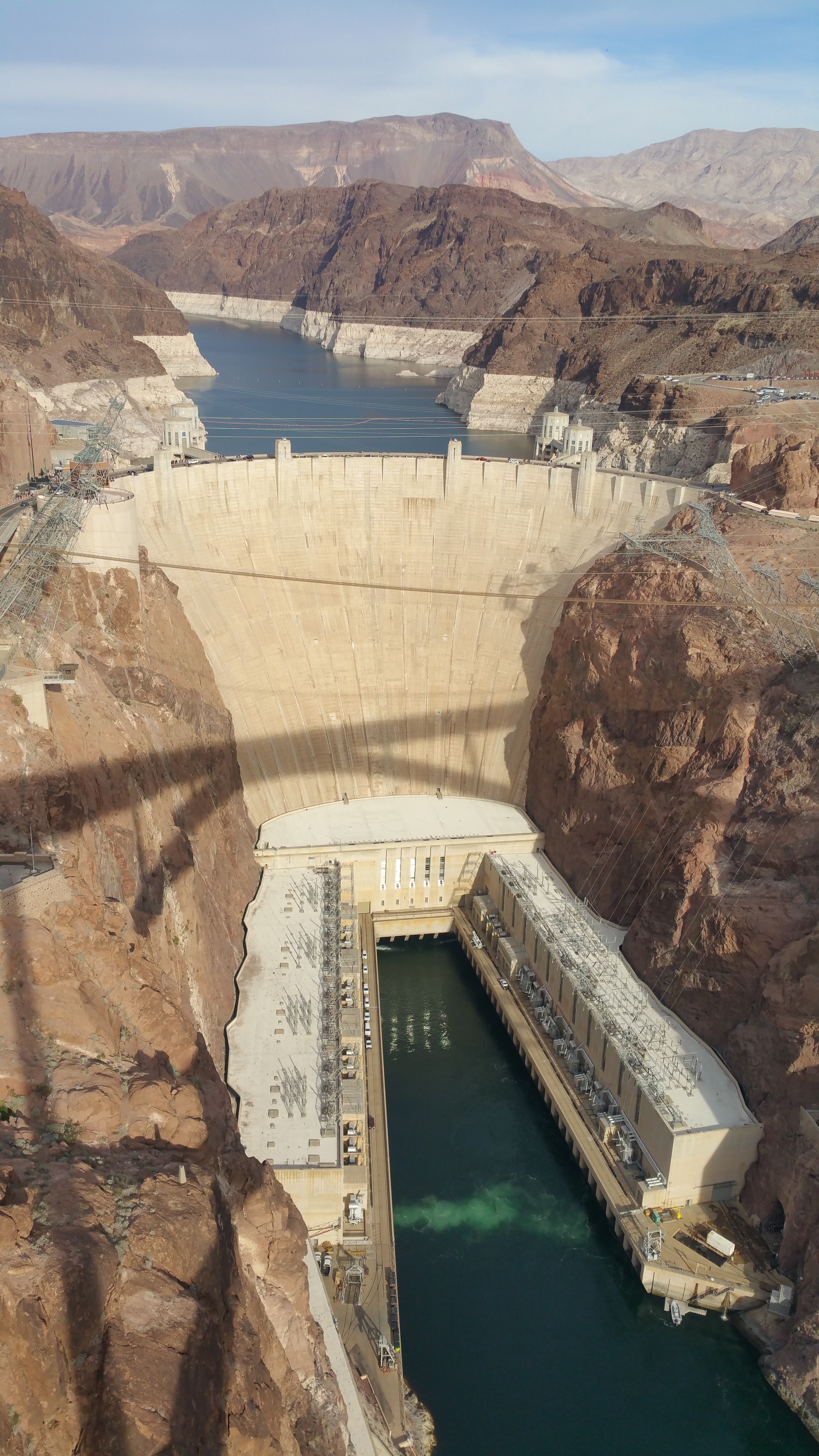
My legs were sore the next day (and the next several days) when we departed the Grand Canyon.  Even after we left, we saw the Colorado River one last time.  Straddling the border of Nevada and Arizona was Hoover Dam, a civil engineering masterpiece. IMG_630820151205_134412

This is where the Grand Canyon “ends.”

I often wondered if the Grand Canyon was worth the hype, if it was worth the tour bus lines, tours, and loud tourists with selfie sticks.  Like Yosemite, the majestic beauty leaves such a lasting impression that not even the bustling crowds can damage the experience.  And like Yellowstone, coming at the right time during the low season makes crowd control not an issue at all.  It definitely lives up to its name; it is grand after all.

Posted in Arizona | Tagged , , , | Leave a comment

Mesa Arch vs. Lost Kiva

Mesa Arch sucks. So bad. Mesa Arch is a reminder for why I hate people. We first went to Mesa Arch last year in 2014 at the end of September on a Tuesday.  The idea that a late fall weekday would bring fewer tourists ended up slapping in the face with disappointment as we were painfully proven wrong.  Fast forward one year to now, another Tuesday during the week of Thanksgiving.  Once again we ignorantly assumed (more like hoped) that there would be fewer tourists given it was so late in the season.  Nope.  Instead, the experience was worse.

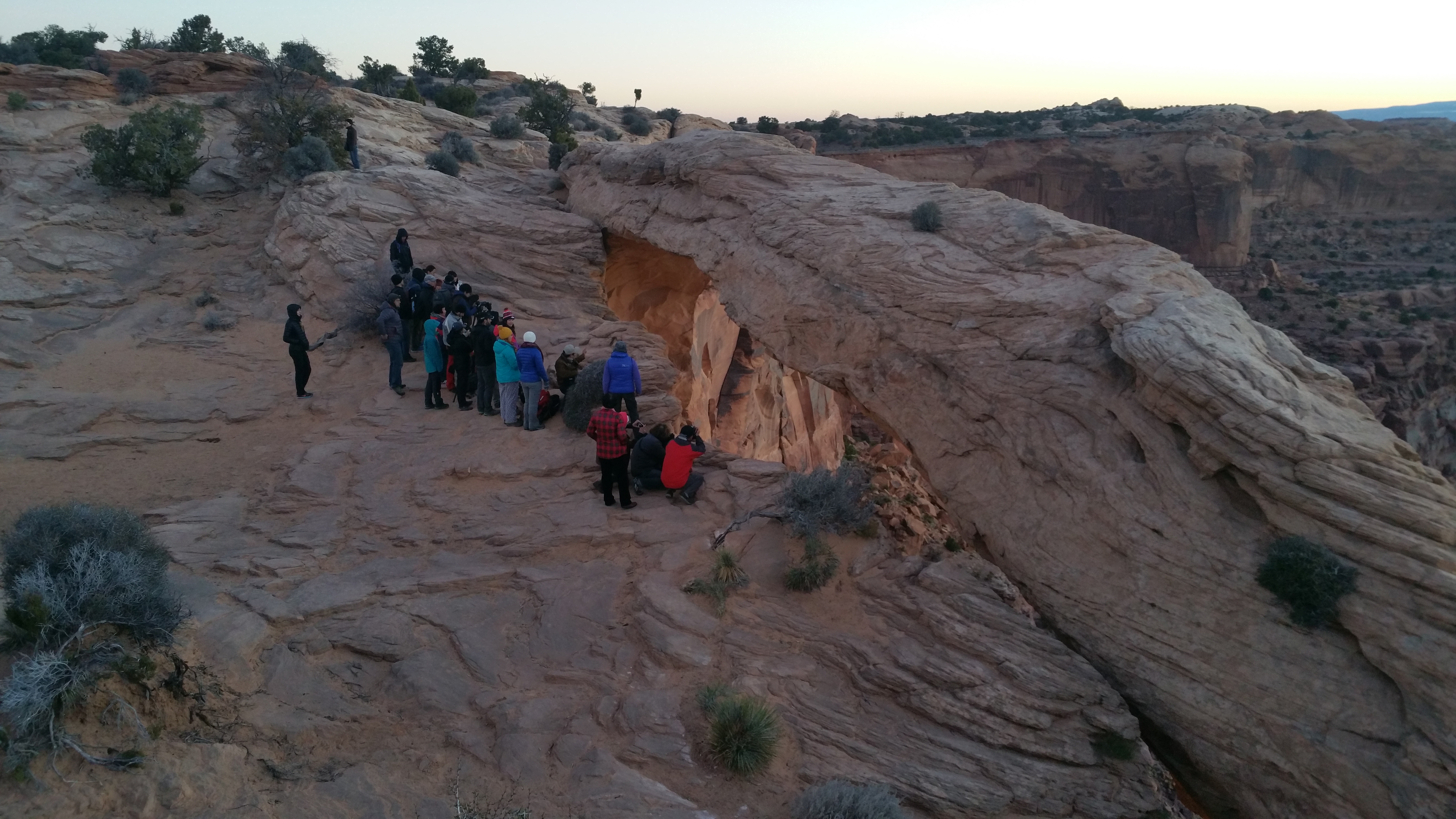
About 10 minutes before sunrise, a small crowd had already gathered at this spot.  Pretty bad, but not terrible, I thought.20151124_070350

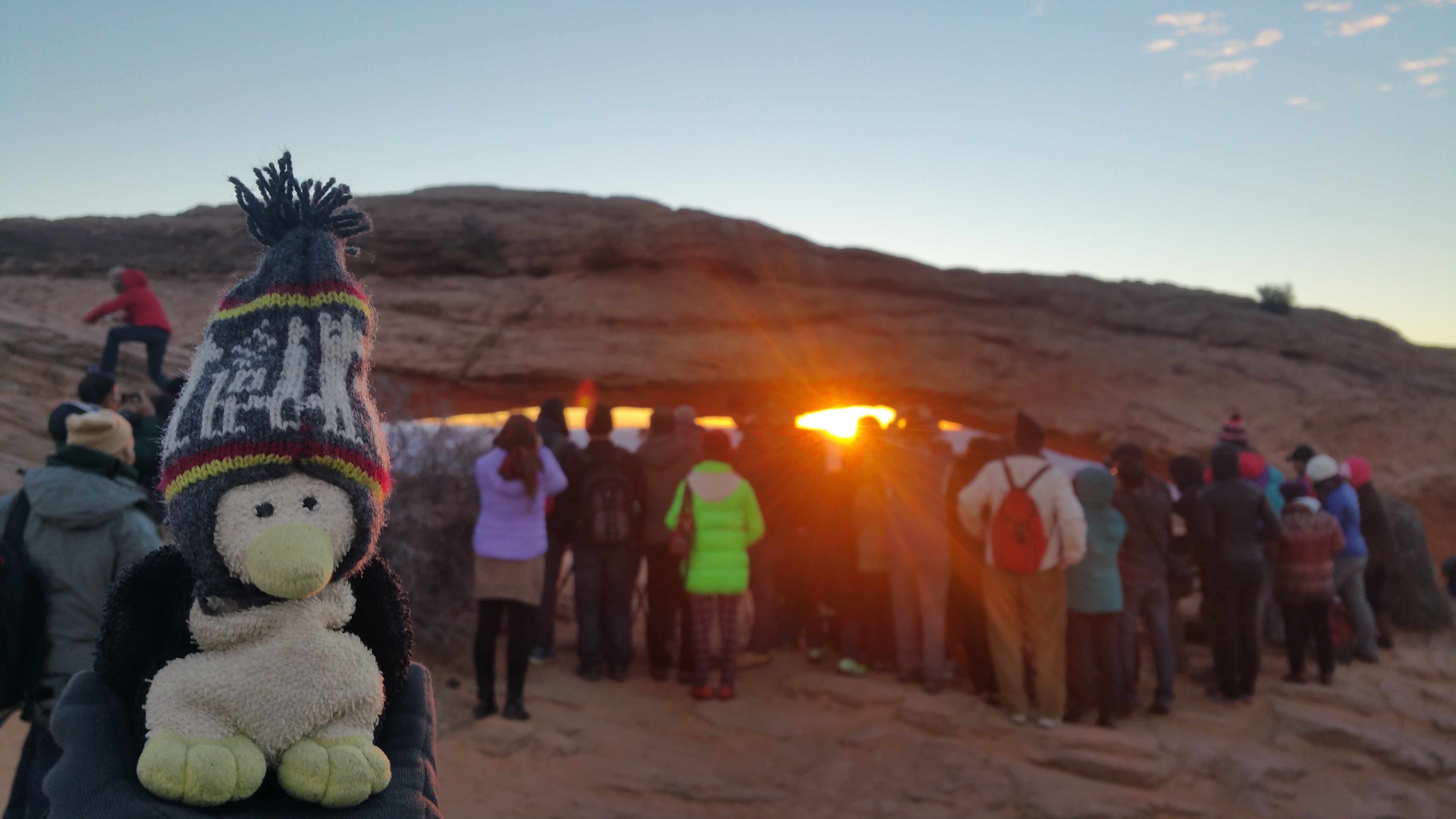
But, just like last year, bus loads of Asian tourists appeared literally a minute before sunrise.  They could be heard before they could be seen.  Pouring over the hill in masses, their anxiousness in the form of excited shouts and cries as if they were bargaining at the daily market splintered my ears.  And once within several feet of the arch, they whipped out the selfie sticks and tablets, and proceeded to scramble under tripods of photographers who had been waiting there longer than they.  This was the Mesa Arch sunrise.20151124_071146

It’s no wonder that nature lovers steer clear away from this place.  Isn’t the point to get away from it all?  We were the only onlookers at Mesa Arch who watched the catastrophe from a distance; everyone else ran, pushed, shoved, and destroyed the would-be silence of the desert.  Unless you’re lucky enough to have temperatures that prevent tourists from coming (let’s say 10ºF), don’t bother coming to this part of Canyonlands at sunrise.  We only wish that there could be tripod and tour bus-free days.  Ha, if only…

At least this wasn’t going to be the highlight of our day.  There was more in store for us.

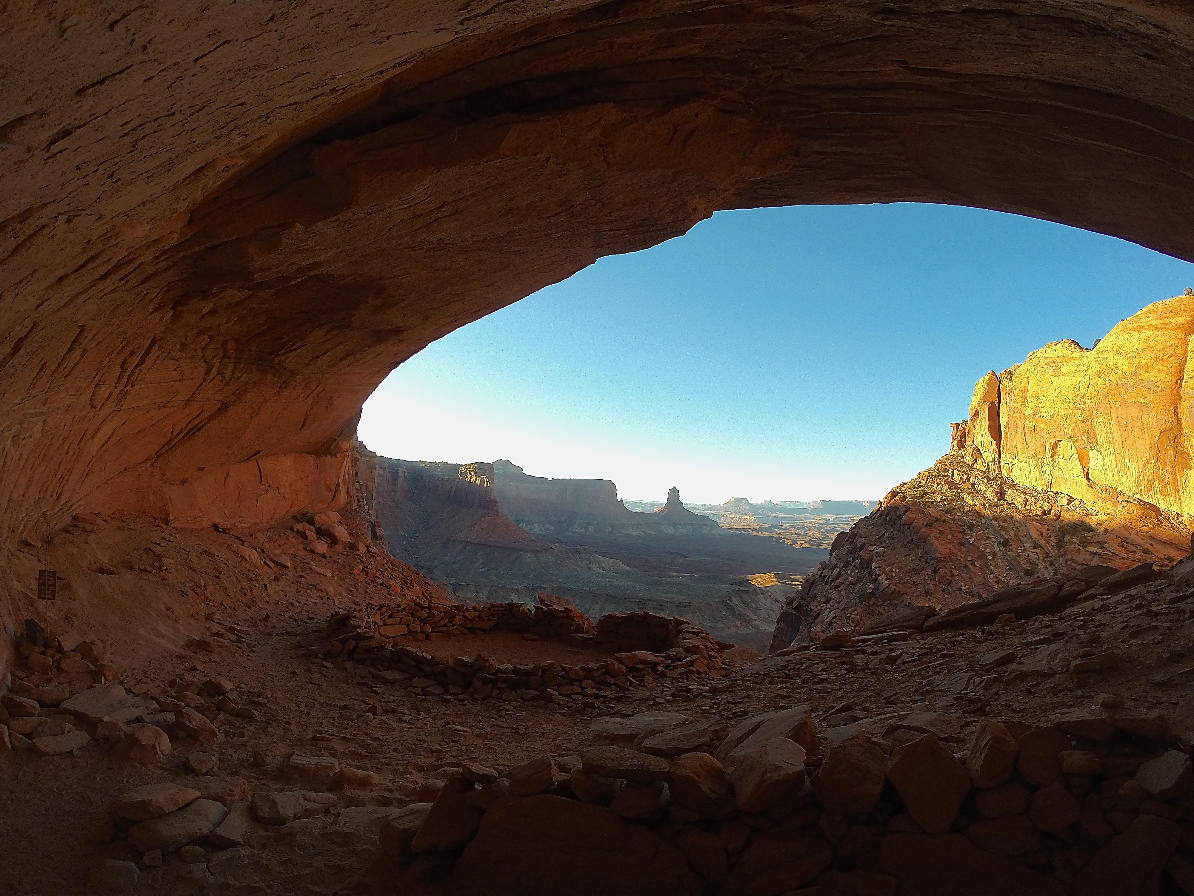
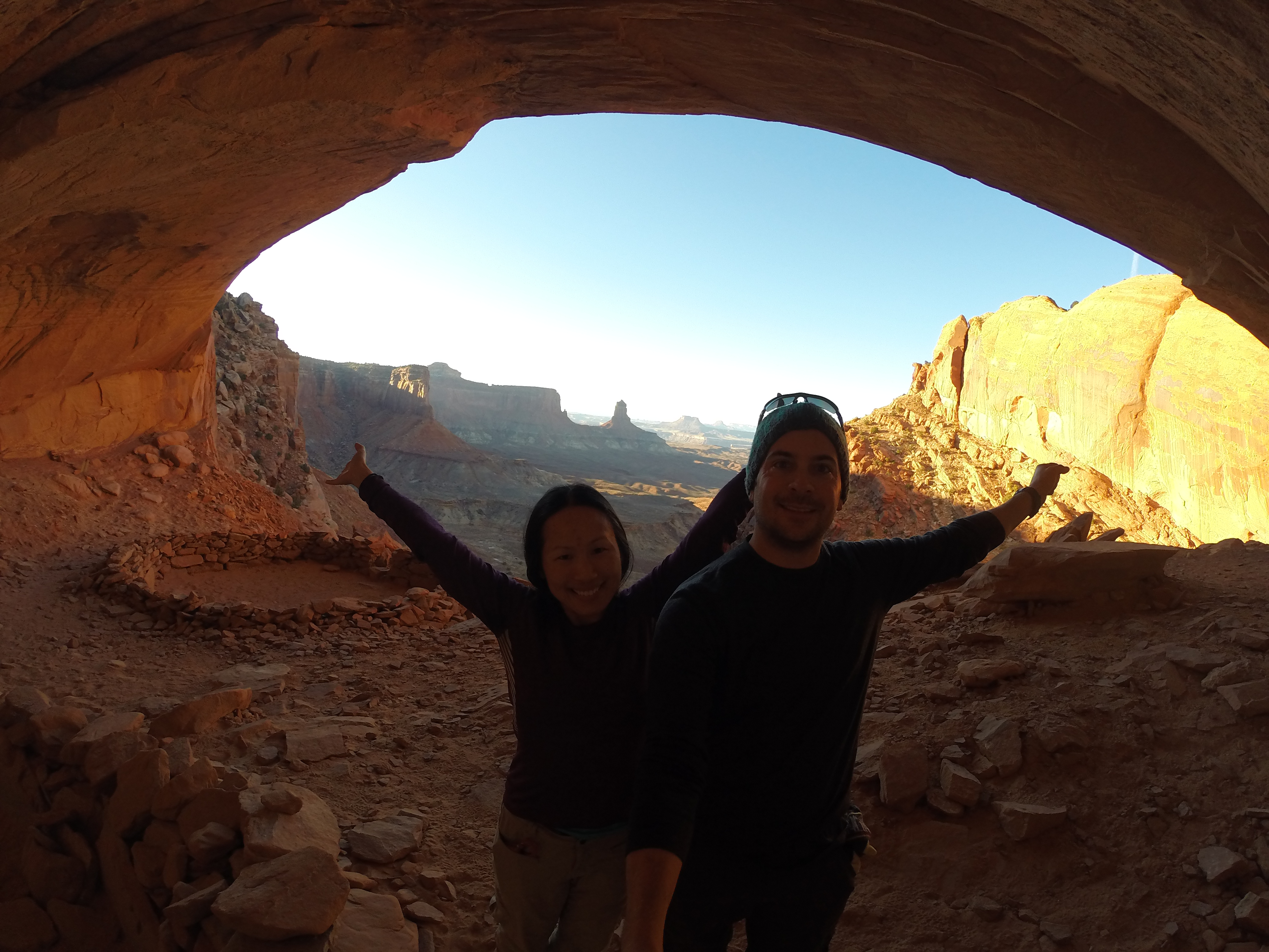
Avid hikers will know about False Kiva, but tourists won’t.  The short out and back trail to False Kiva is not marked on maps, nor is it talked about at the visitor center unless it is mentioned.  Even its “trailhead” is purposely obscured.   But if you know what you’re looking for, it’s obvious.  Plenty of footsteps and cairns dot the trail leading up into the False Kiva.  No one quite knows the history of this archeological site, and the mystery of whether or not it actually is a kiva gives it its name.  I couldn’t wait to see False Kiva, not just for its “secret” location and guarantee of complete solitude, but because of its views.

We parked at the Alcove Spring Trailhead, the nearest parking area to the False Kiva trail.  Then we walked back less than a quarter mile down the road we drove up and easily found the somewhat hidden trail on the west side of the road.

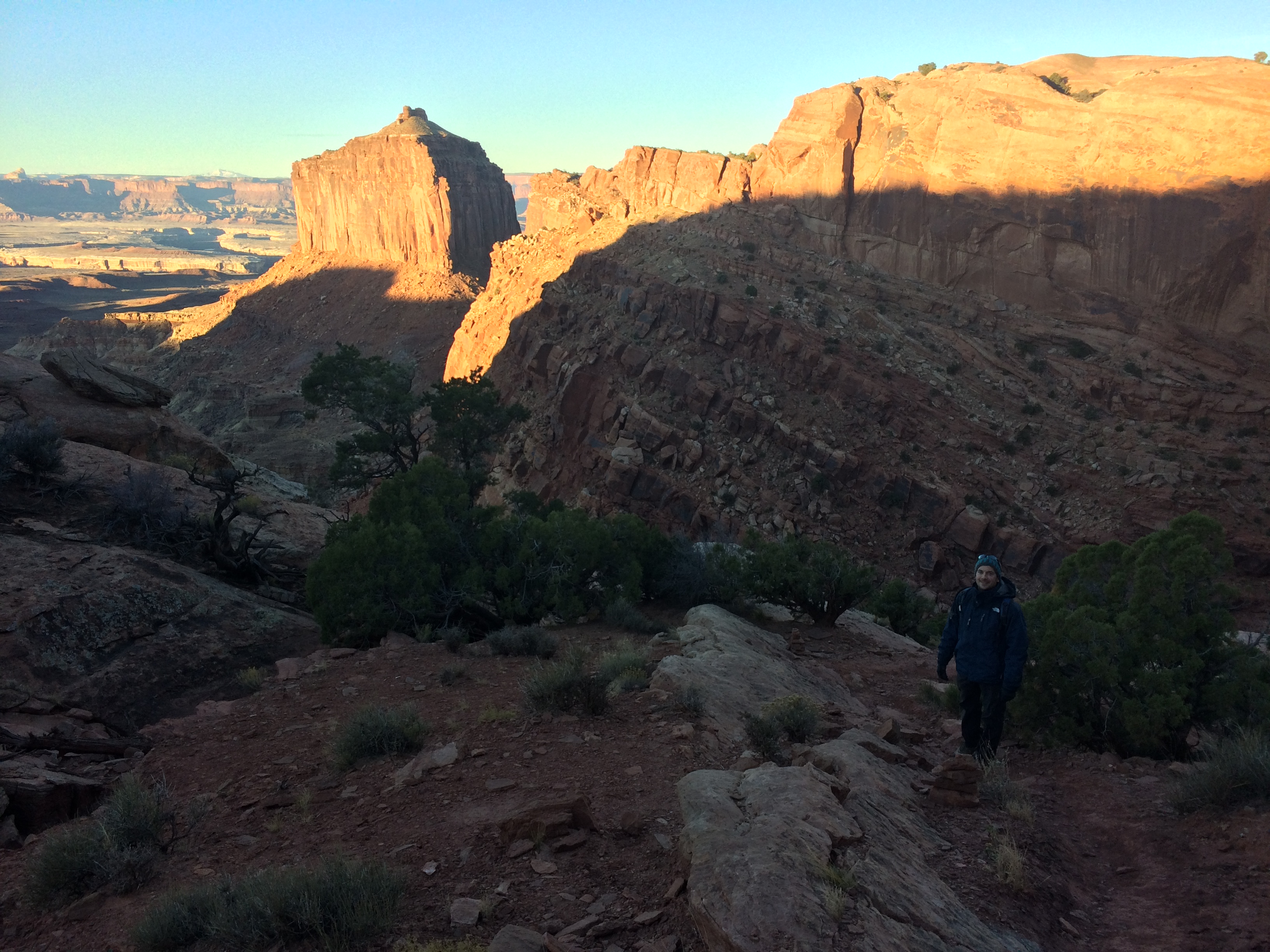
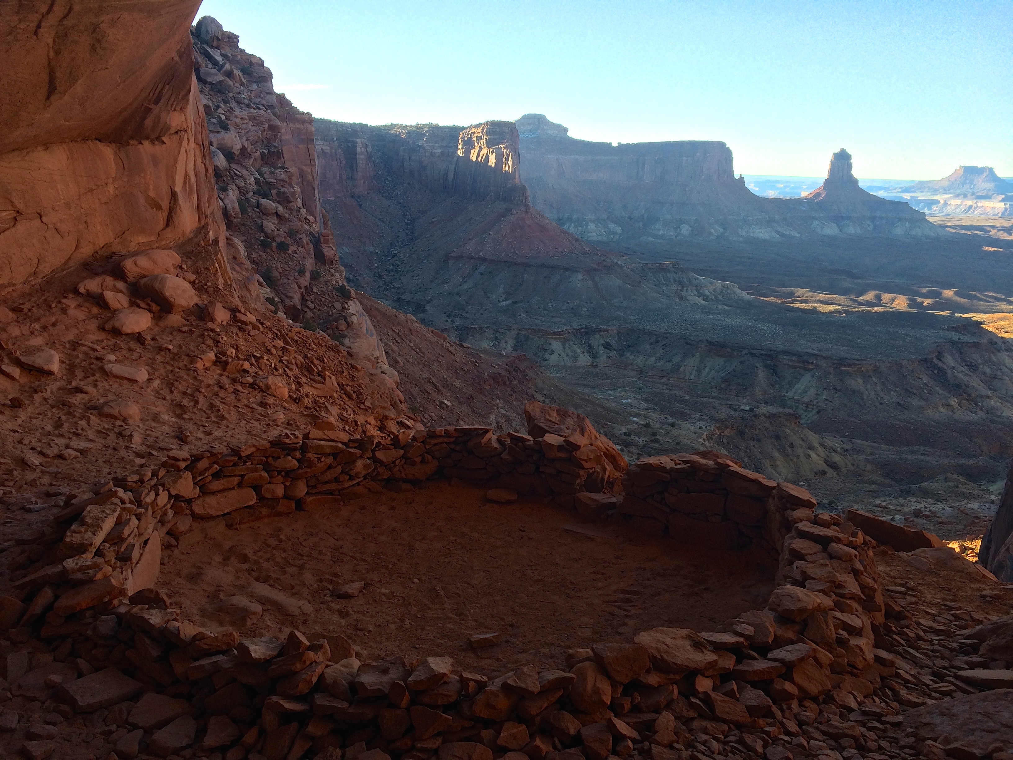
Pictures from the hike and False Kiva are below.  Note that morning is not the best time for photography due to dark canyon shadows.IMG_599320151124_080651

The False Kiva!DCIM105GOPROIMG_6006

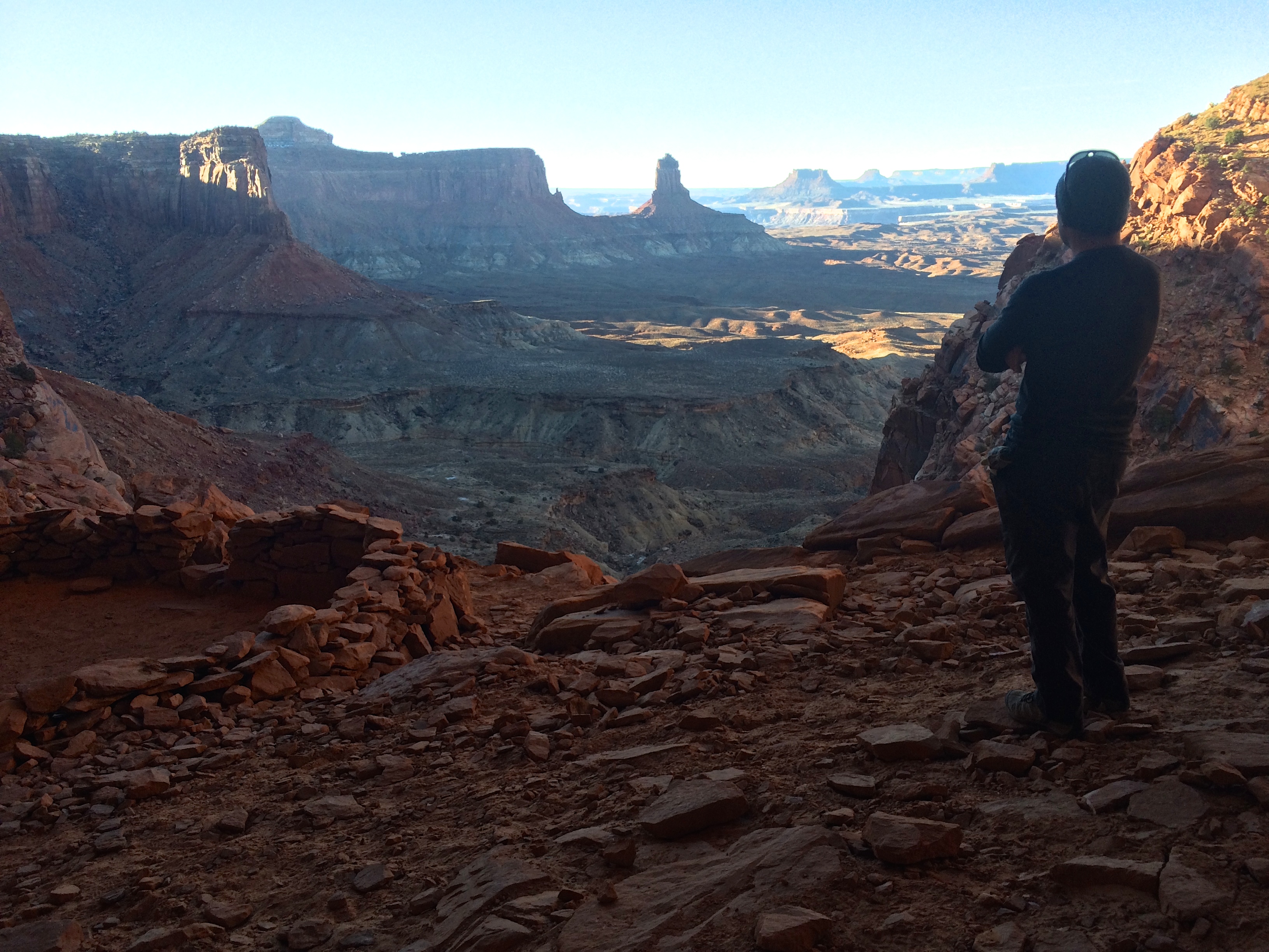
Looking out at the canyons:IMG_6009

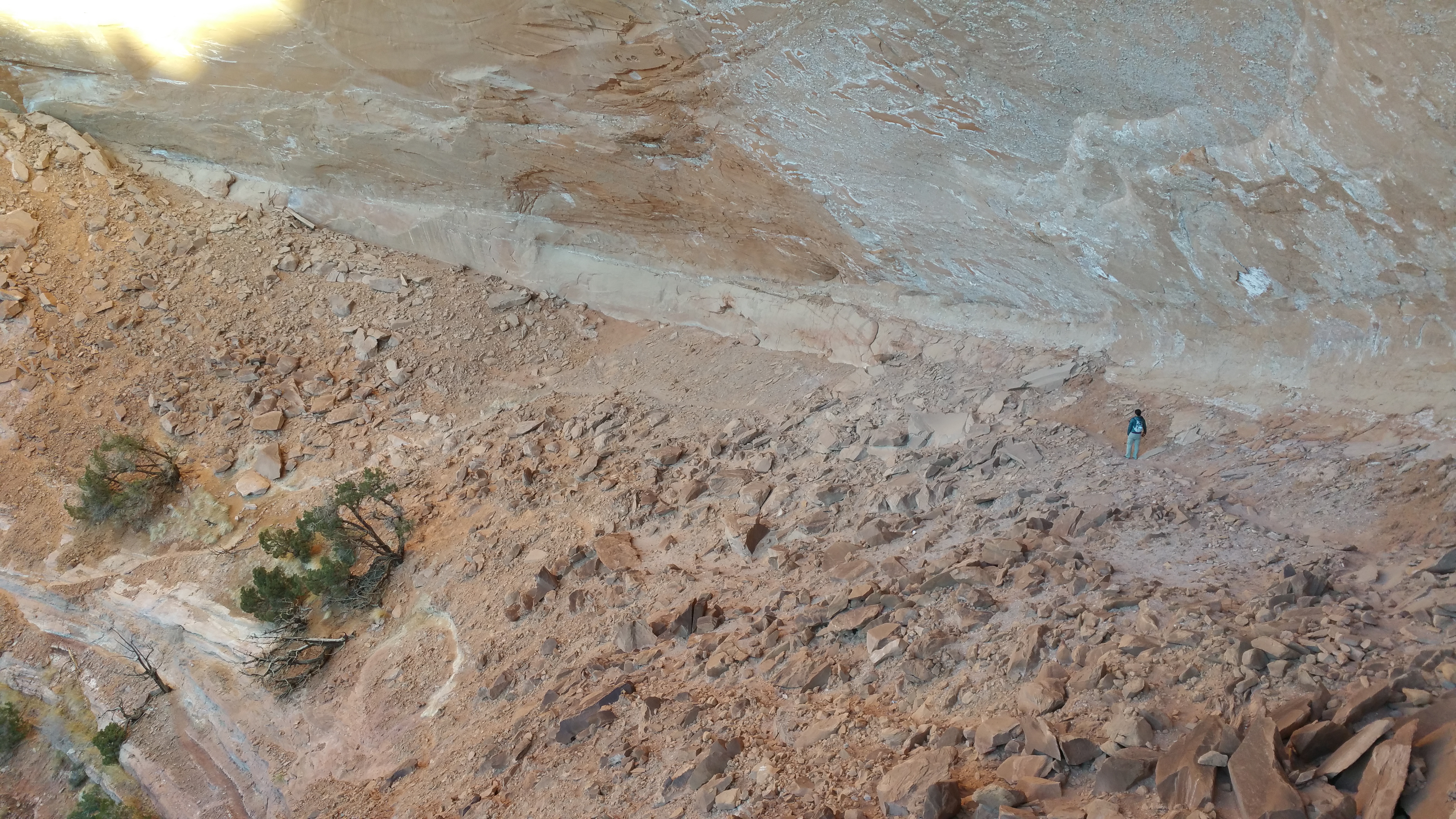
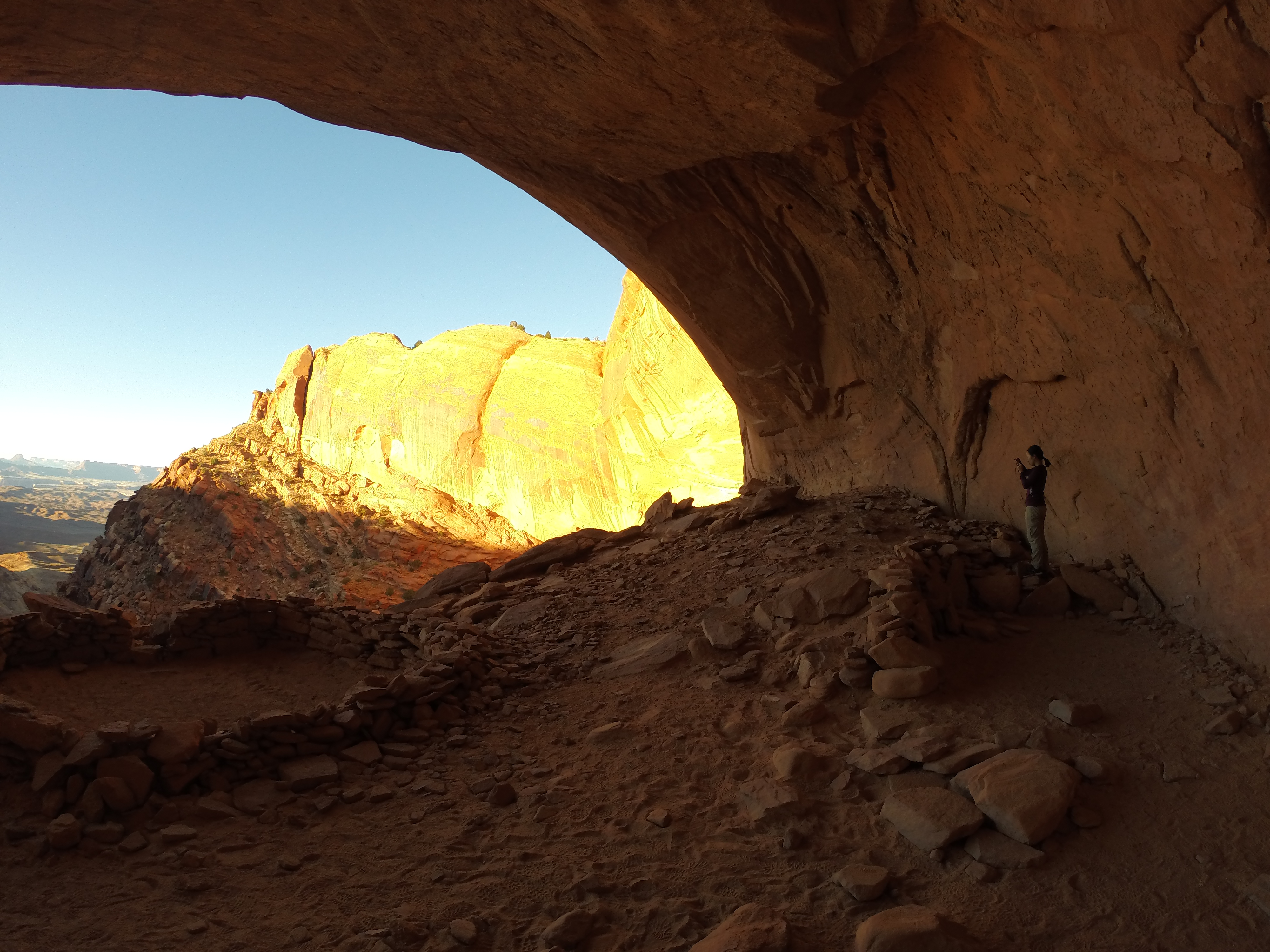
Hopefully this shot gives a sense of scale:DCIM105GOPRO

Hooray for a wide angle lens camera!DCIM105GOPRO

Round trip time including time to take photos was about an hour and a half.  And as expected, we had the whole trail and archeological site to ourselves.  YAY.  Screw you, Mesa Arch!
Posted in Utah | Tagged , | Leave a comment

White Rim Road

In the spring and fall permits for the White Rim Road sell out fast.  It’s no wonder why. The adventure on White Rim Road in the Island in the Sky district of Canyonlands offers more than just off-roading.  Tack on canyon rim camping, mountain biking, and hiking over a minimum of 2 days and 1 night and you’ve got some wild fun.  $30 permits can be reserved up to 4 months in advance but thanks to the cold off season we acquired ours the afternoon before we began our first real off-roading adventure.

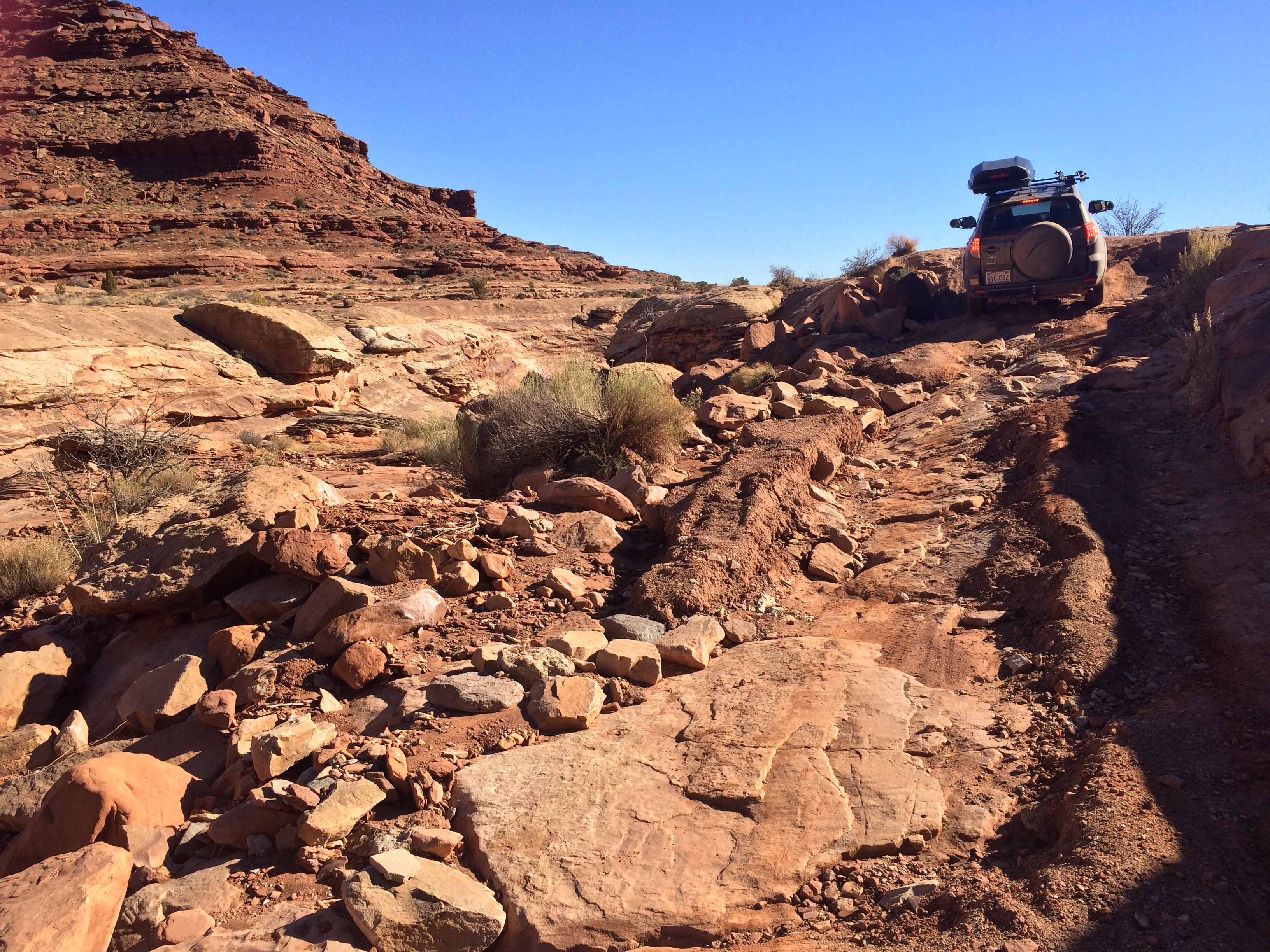
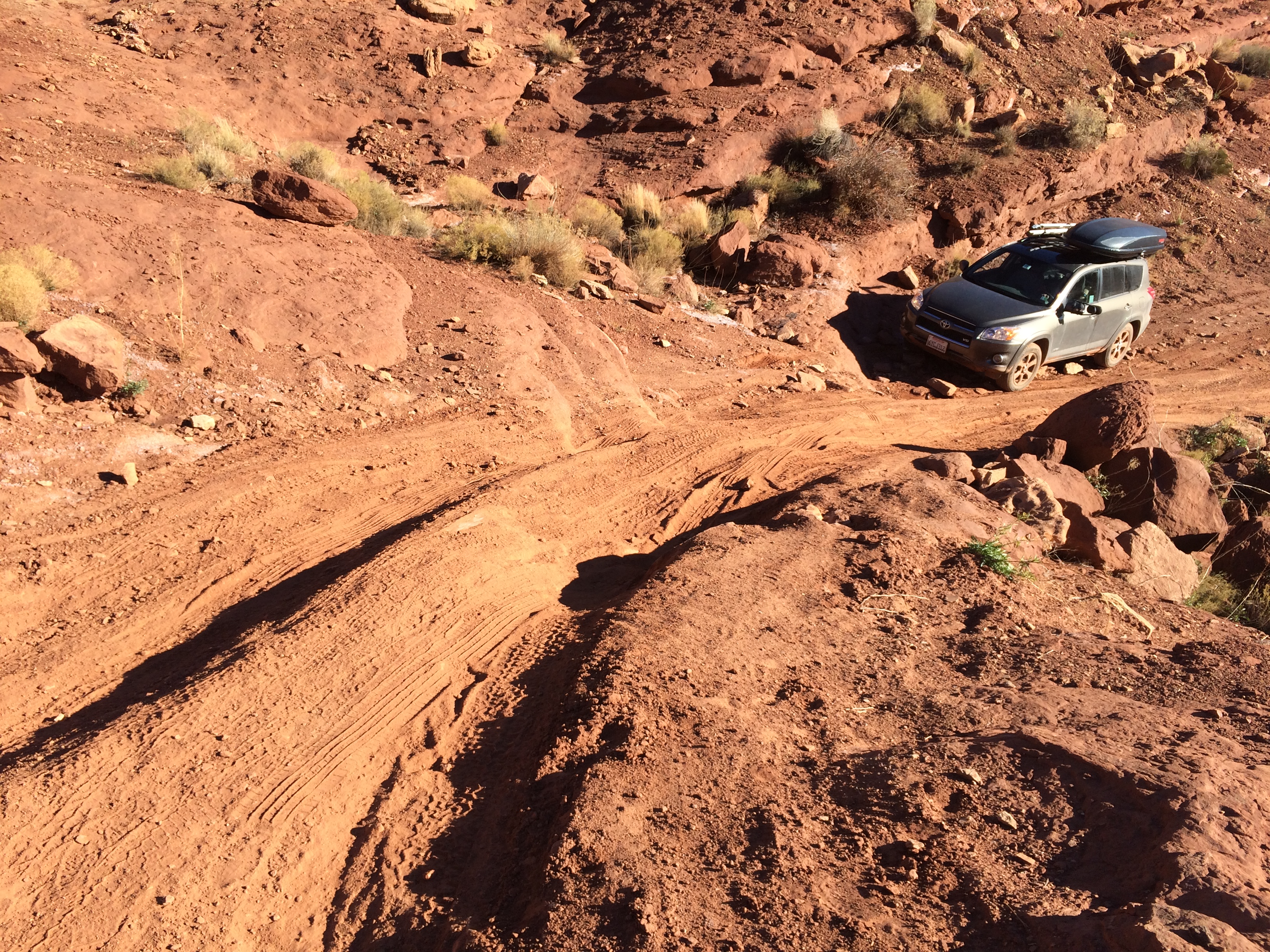
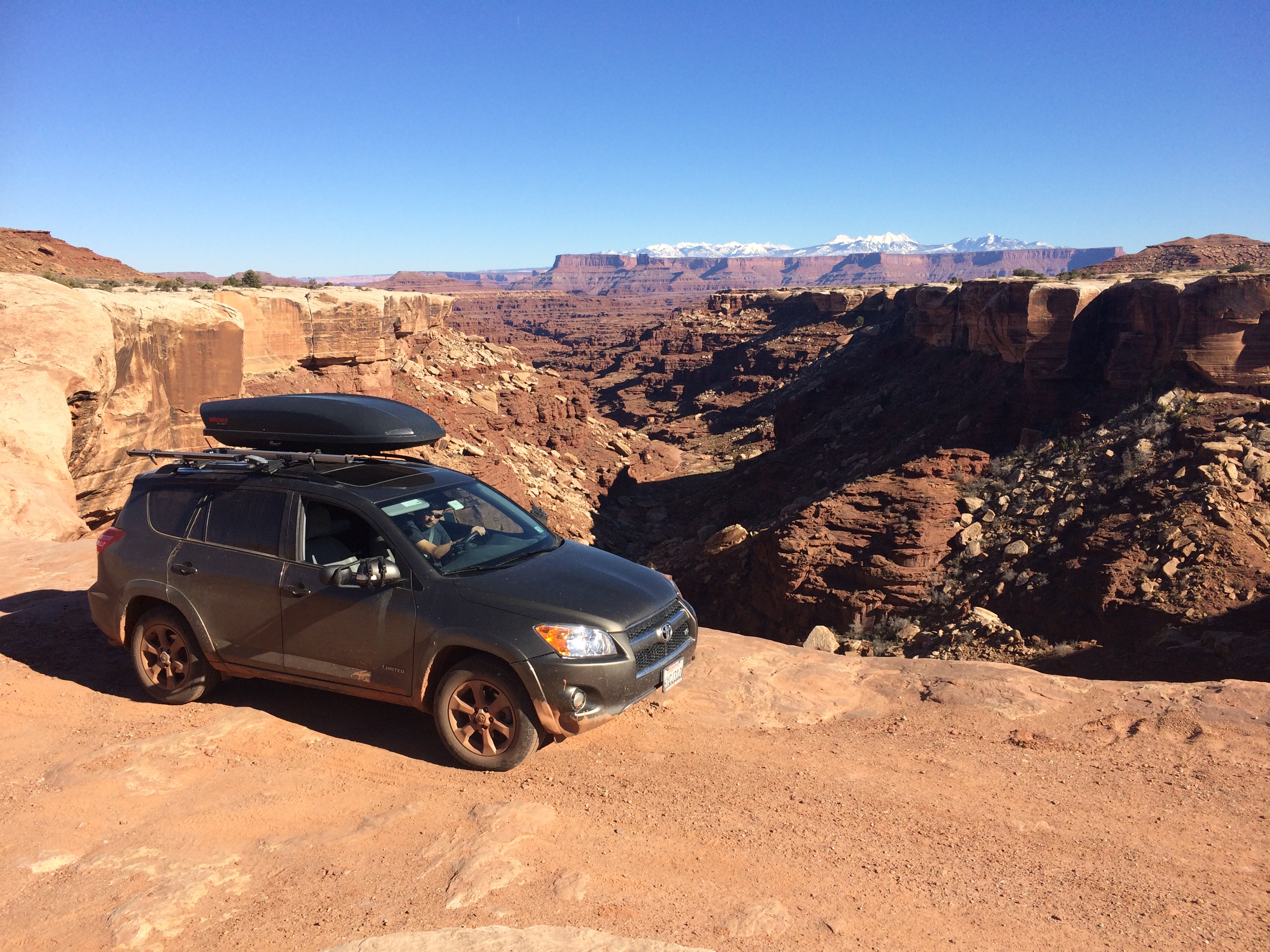
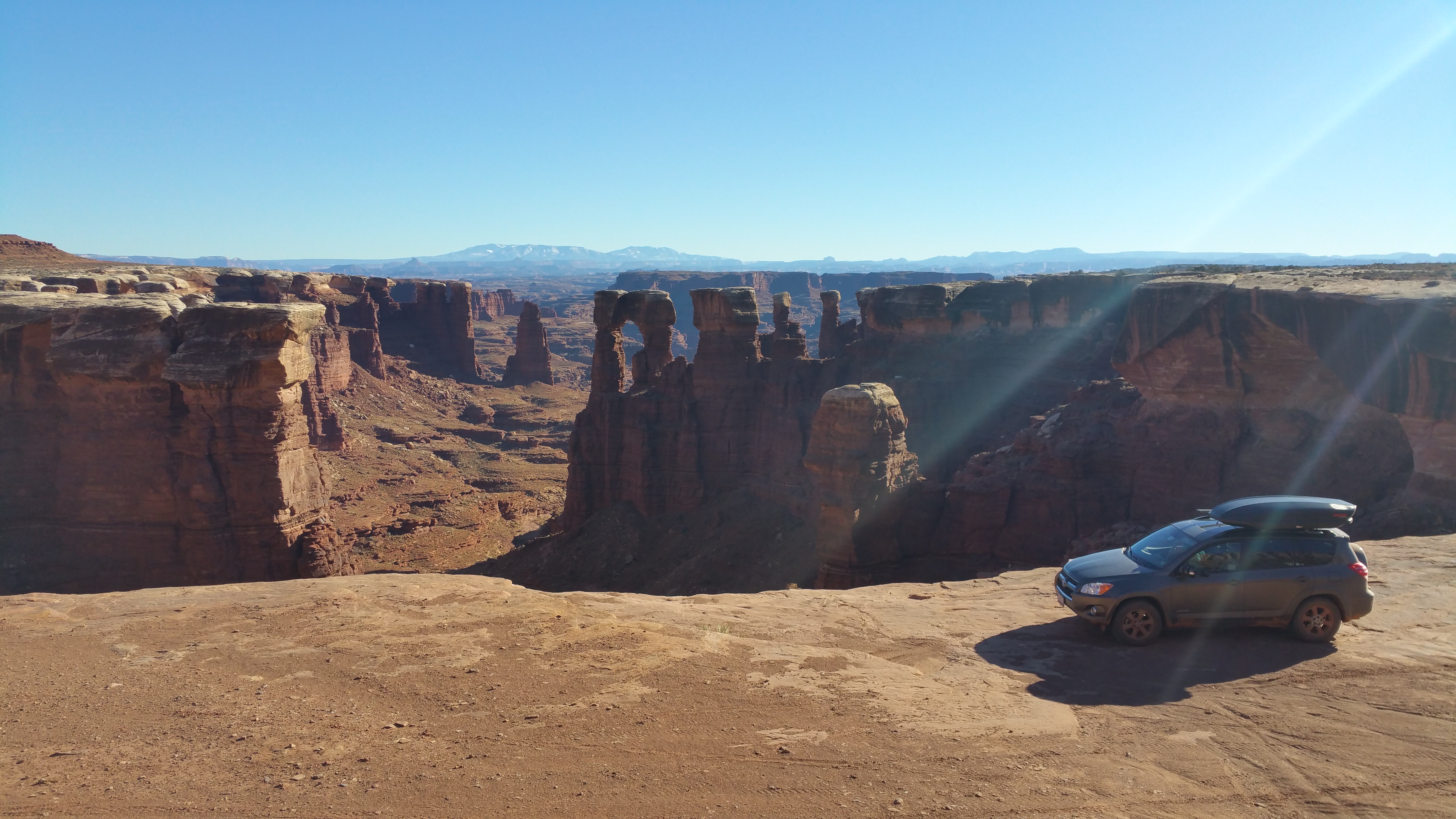
Because it was our first true off-roading experience, no words can describe what a freakin’ BLAST it was, albeit sometimes nerve-wrecking and stressful.  Now that we’ve driven it we cannot recommend doing it in a Toyota RAV4 even with a V6 and 4-wheel drive.  We’ve probably done more damage to the vehicle than we can see.  Next time we’re renting a Jeep.

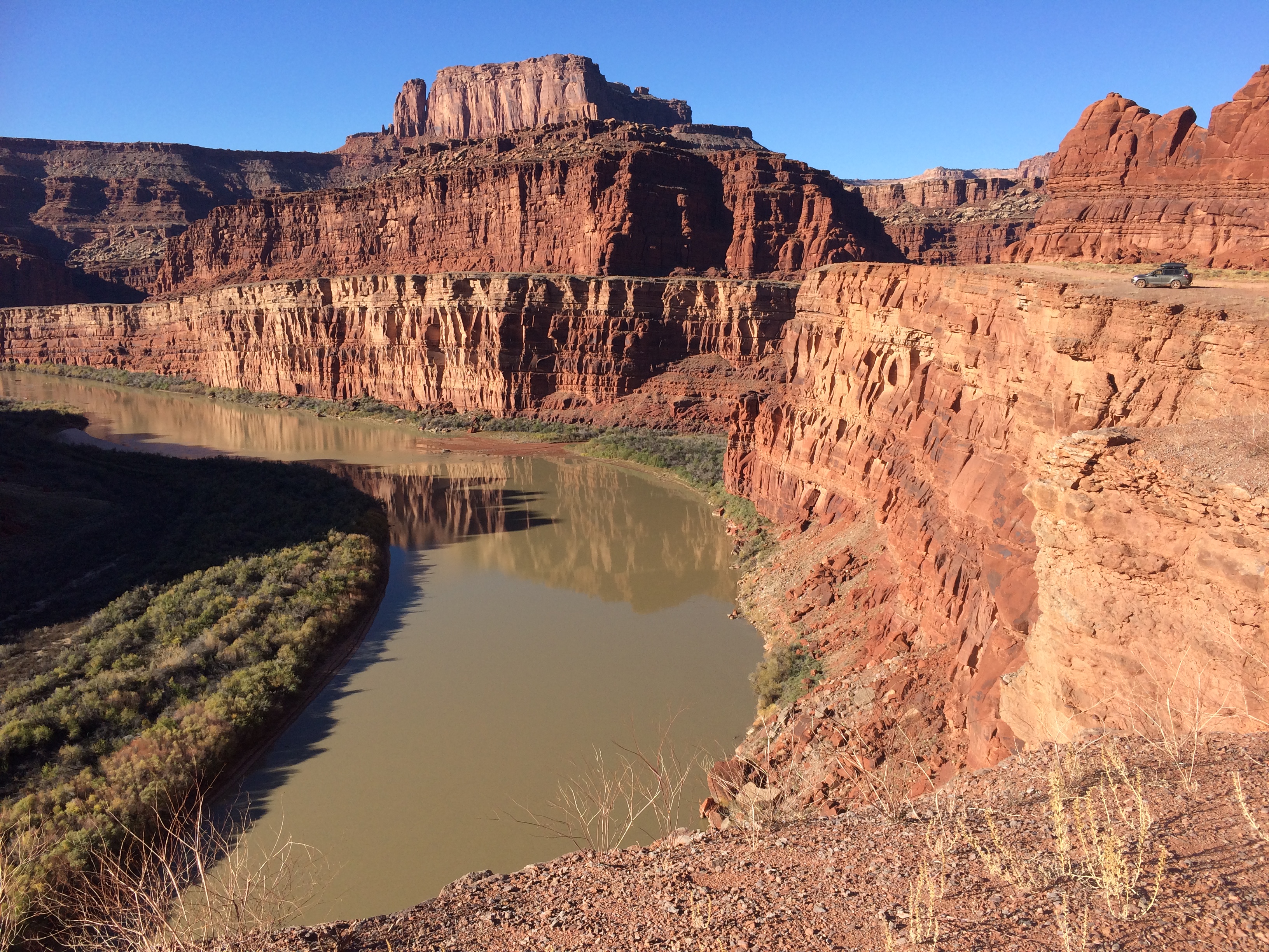
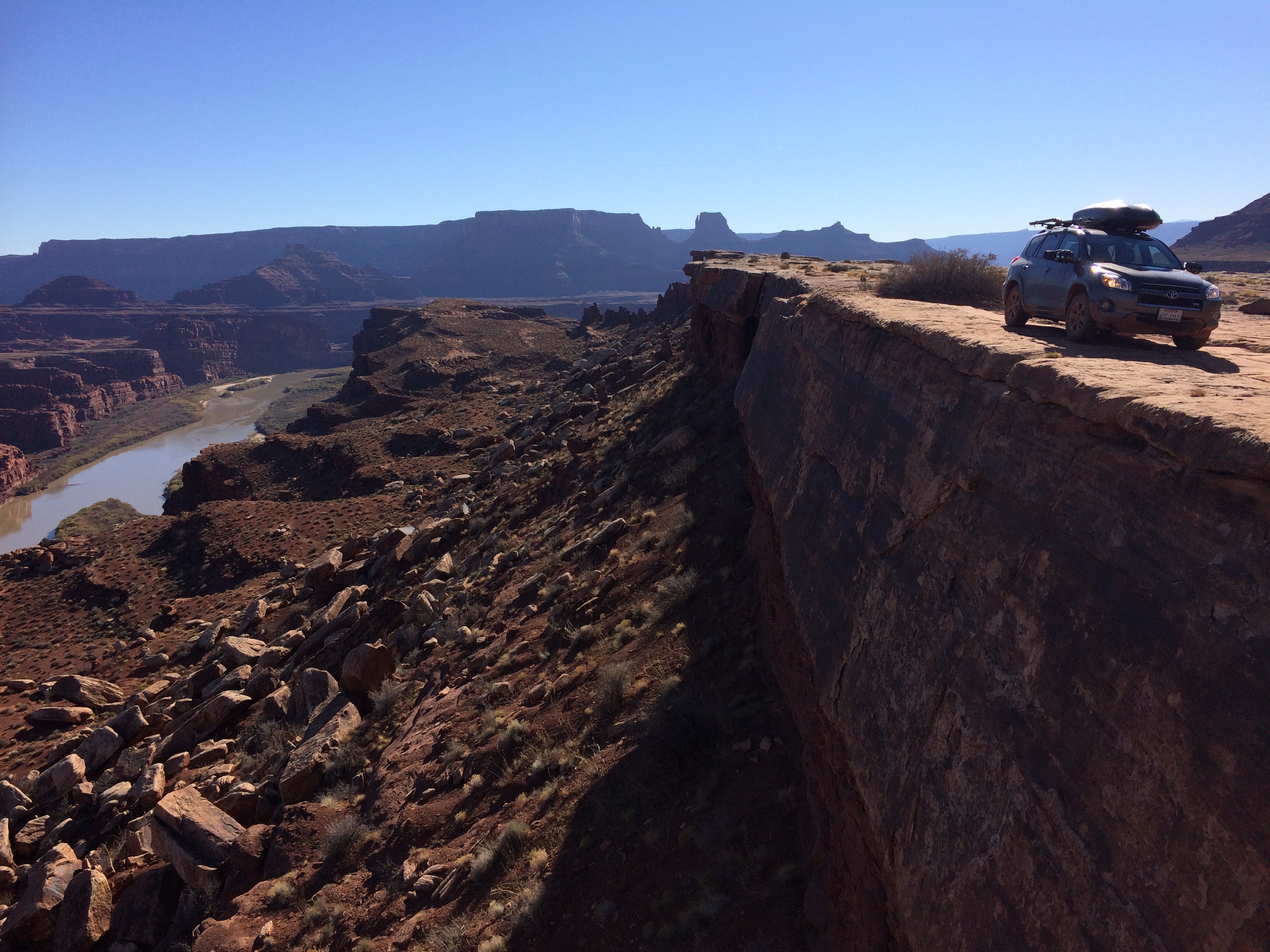
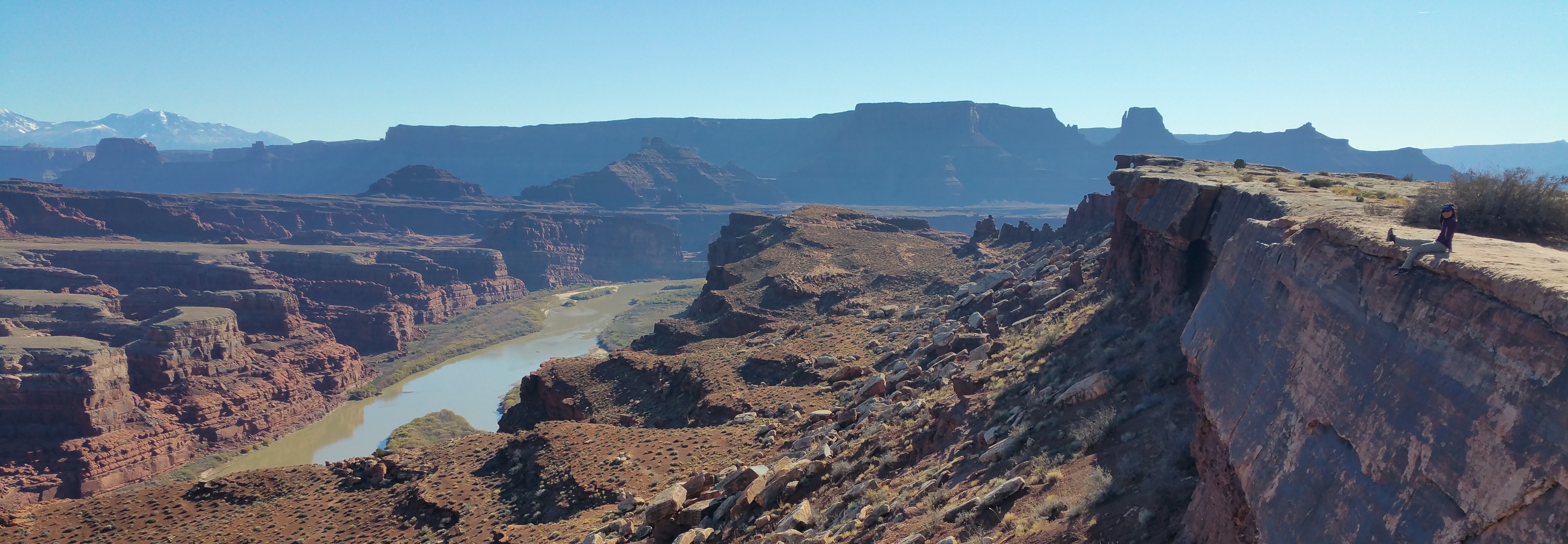
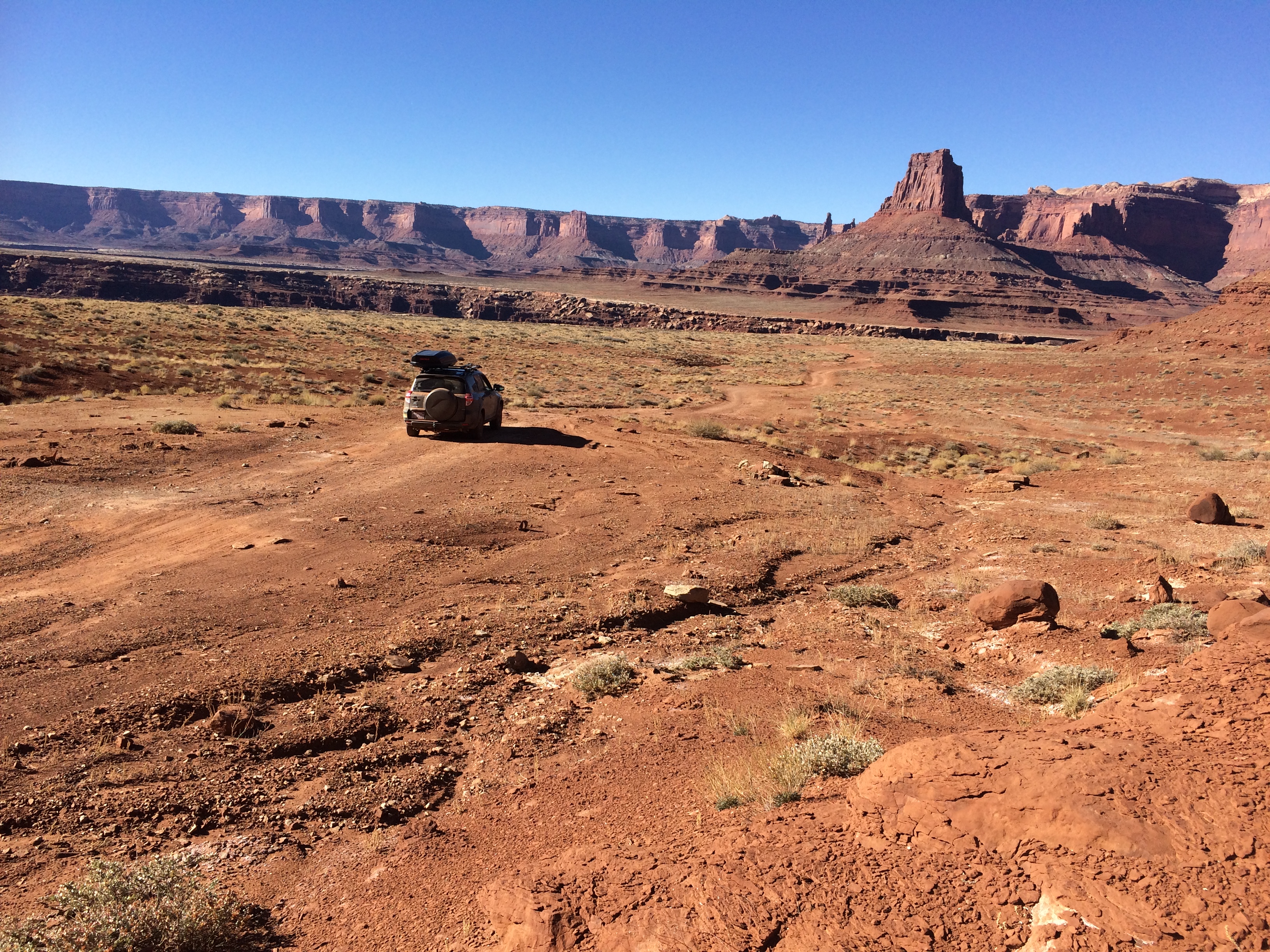
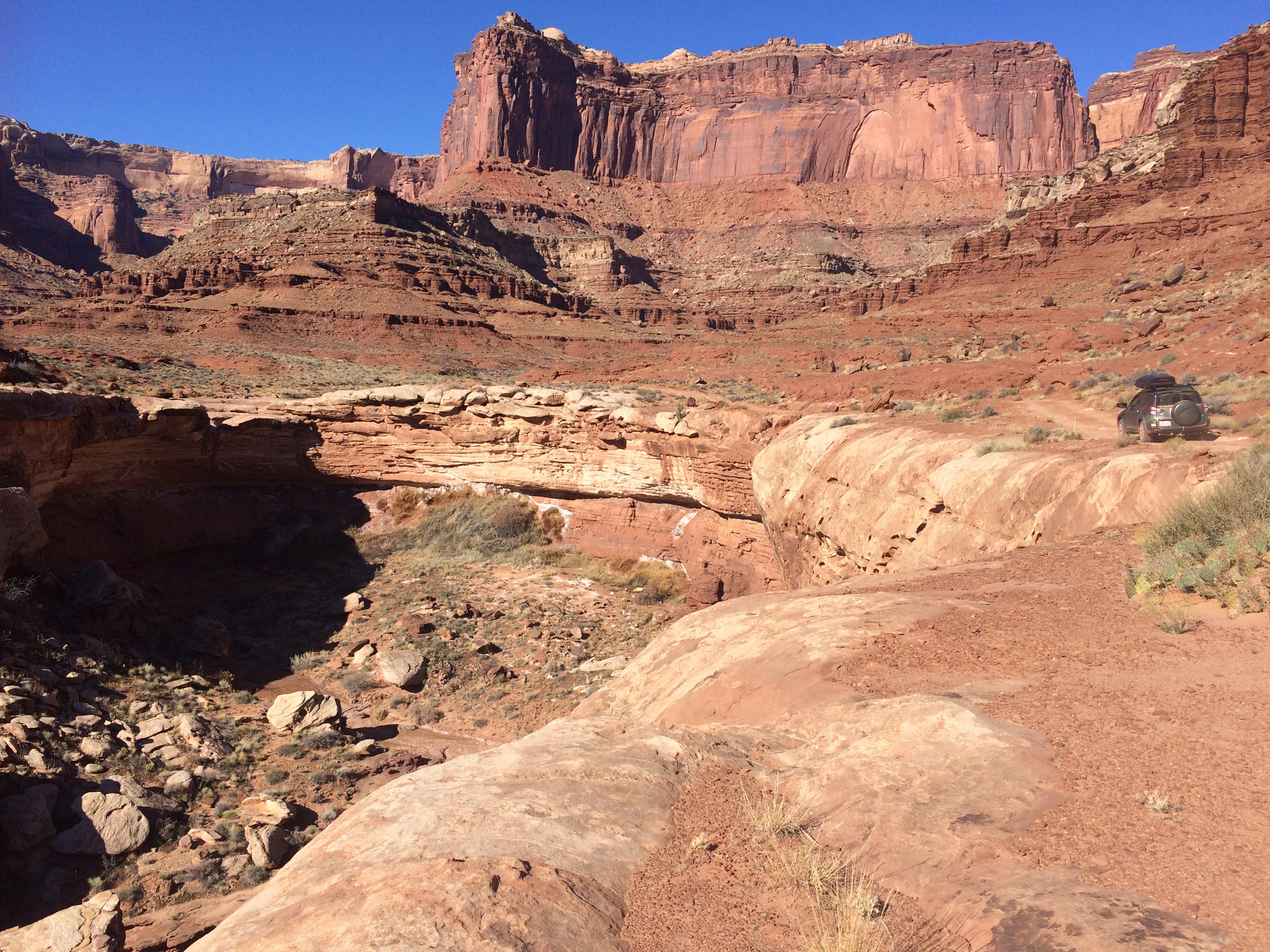
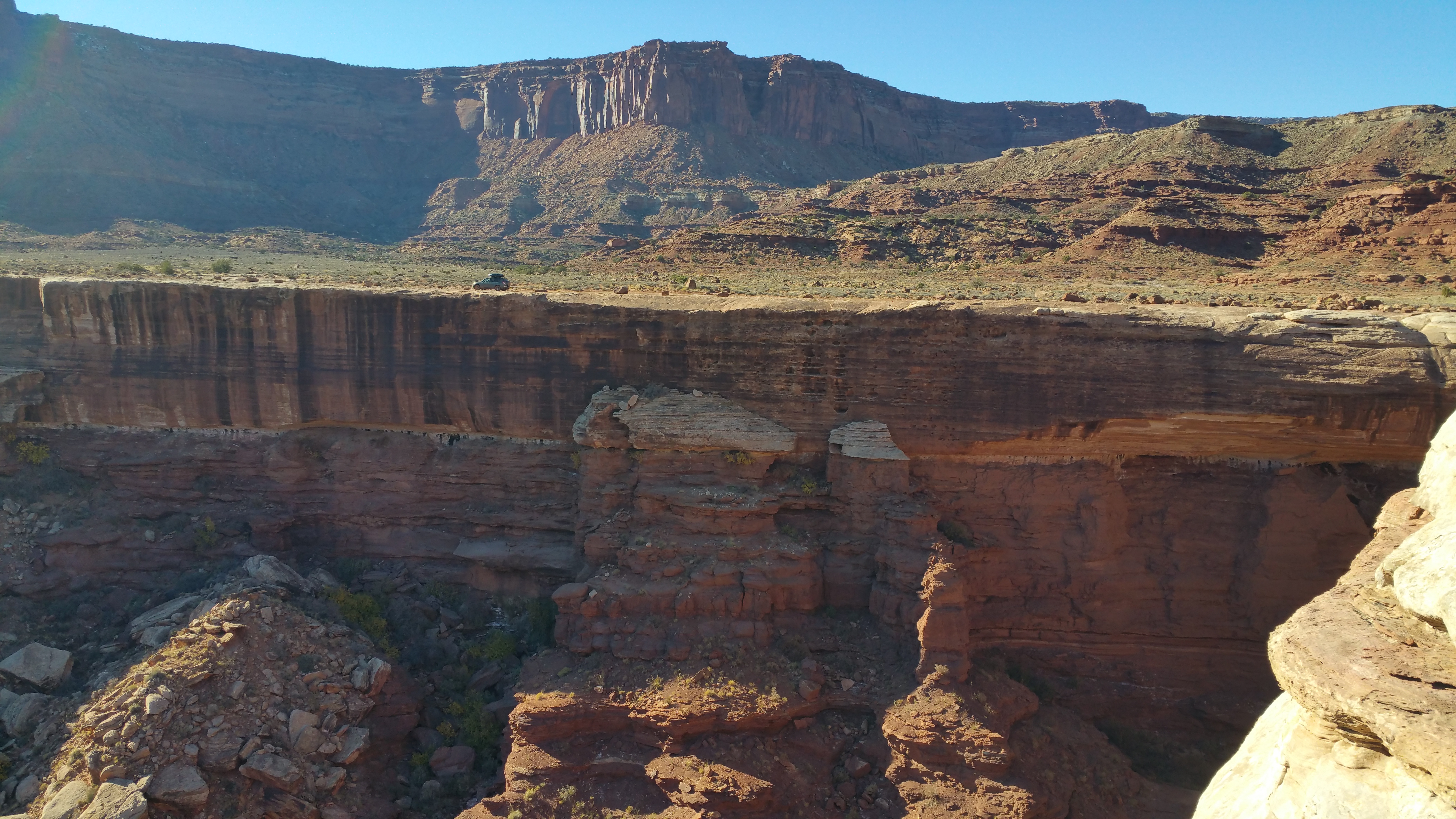
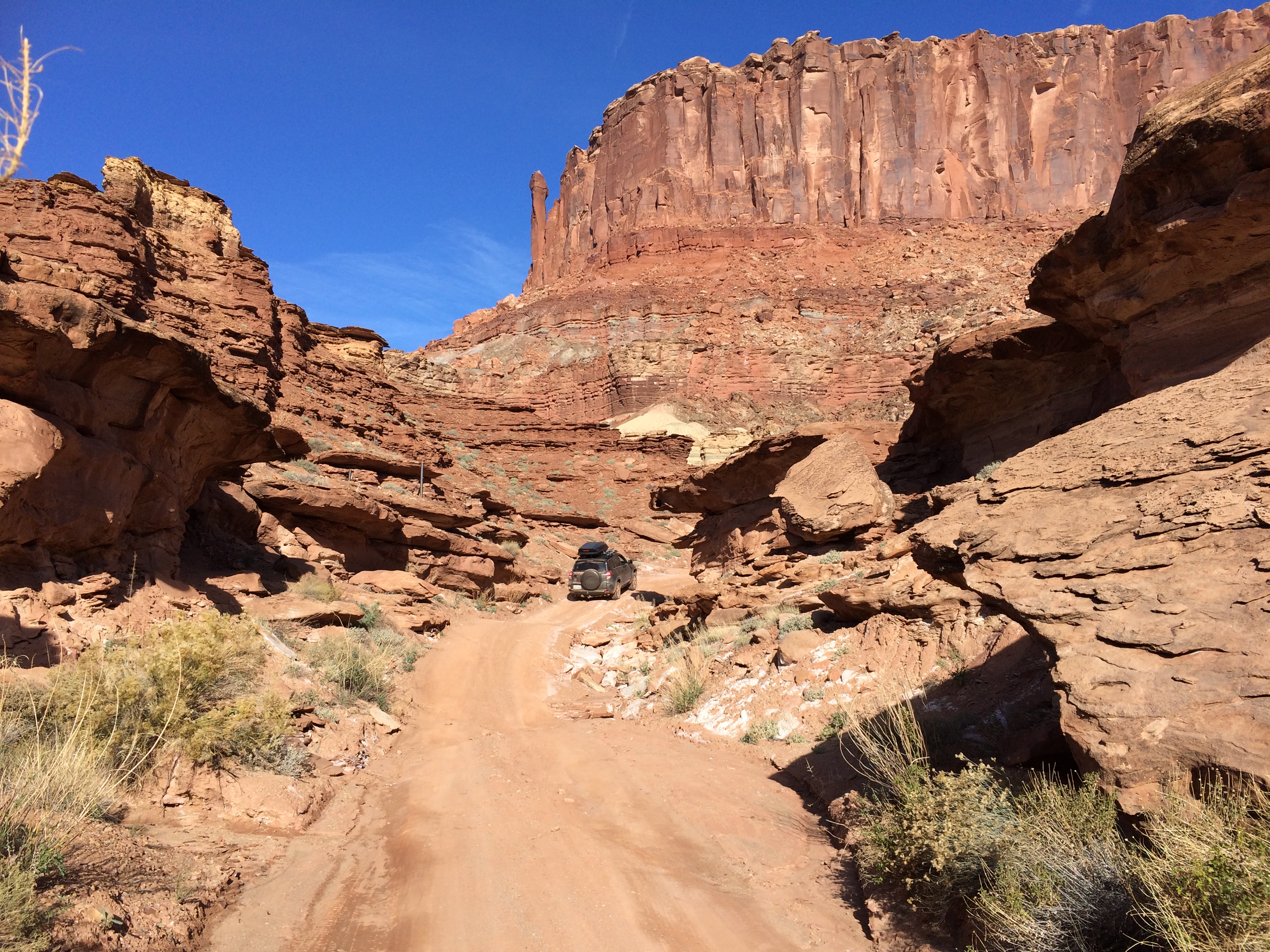
The remainder of this post below will showcase mostly pictures from White Rim Road.  Unfortunately, the famous, windy Schafer Trail down to the rim from the national park was closed due to ice so we entered from Moab via Potash Road. Much of the road hugged cliffs and the canyon rim, including steep switchbacks on loose gravel with boulders to one side and steep drop offs to the other.

Just the beginning on Potash Road along the Colorado River:IMG_5888

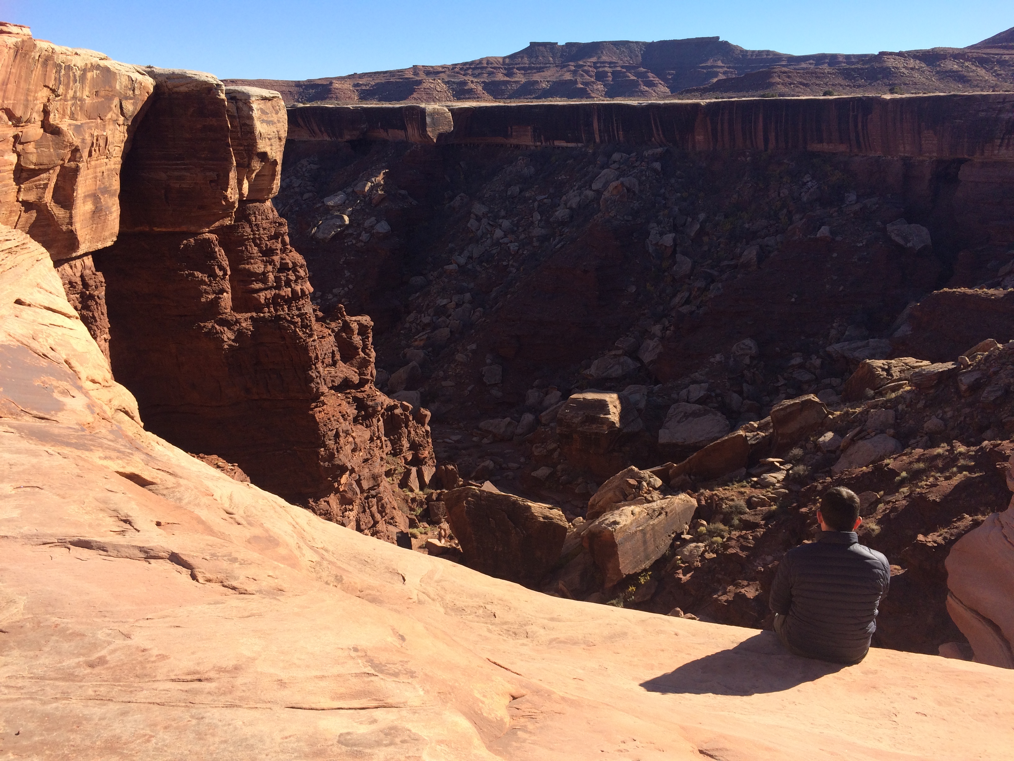
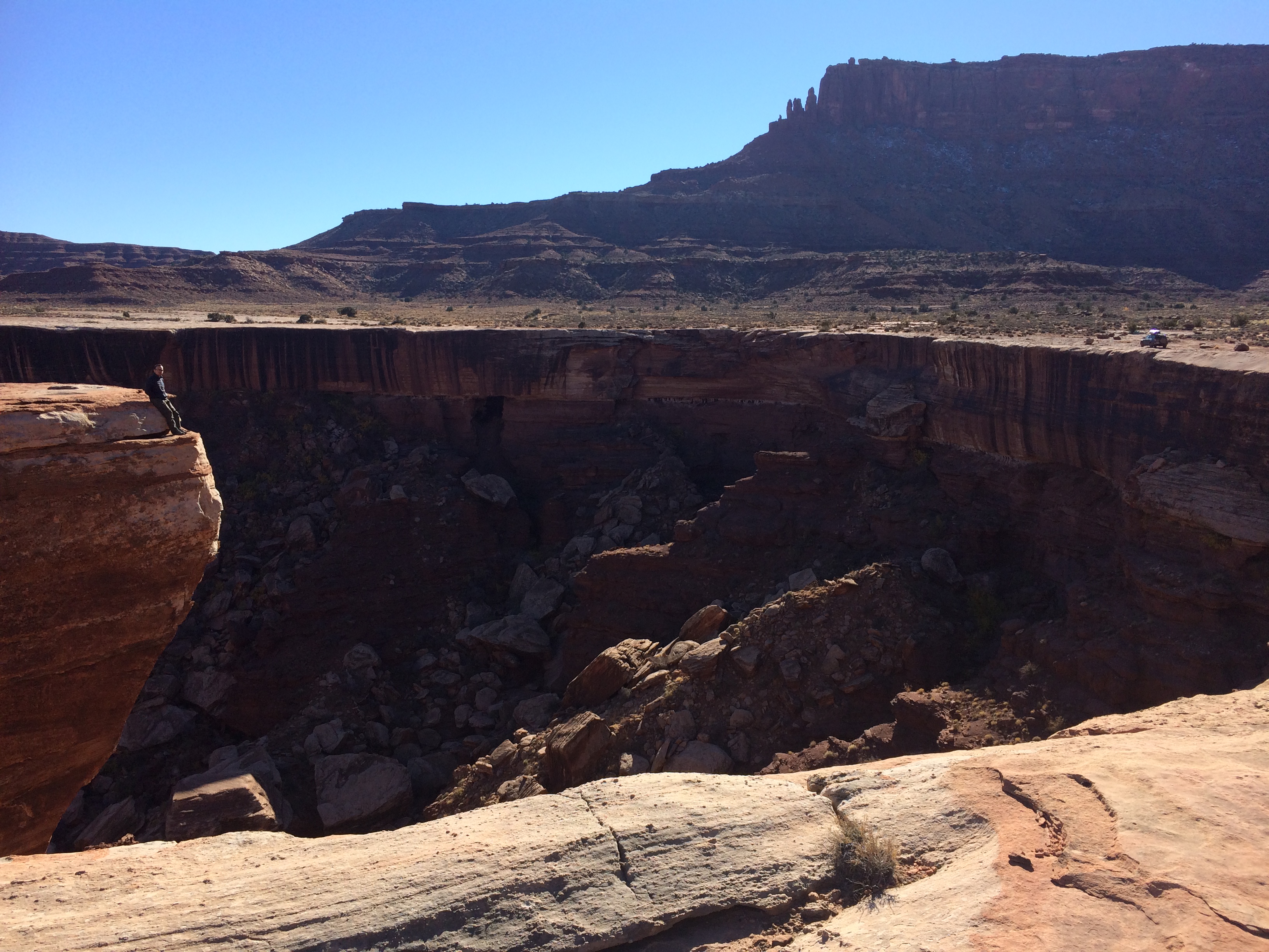
Super close to the edge at Gooseneck Overlook!IMG_5892 20151122_101741

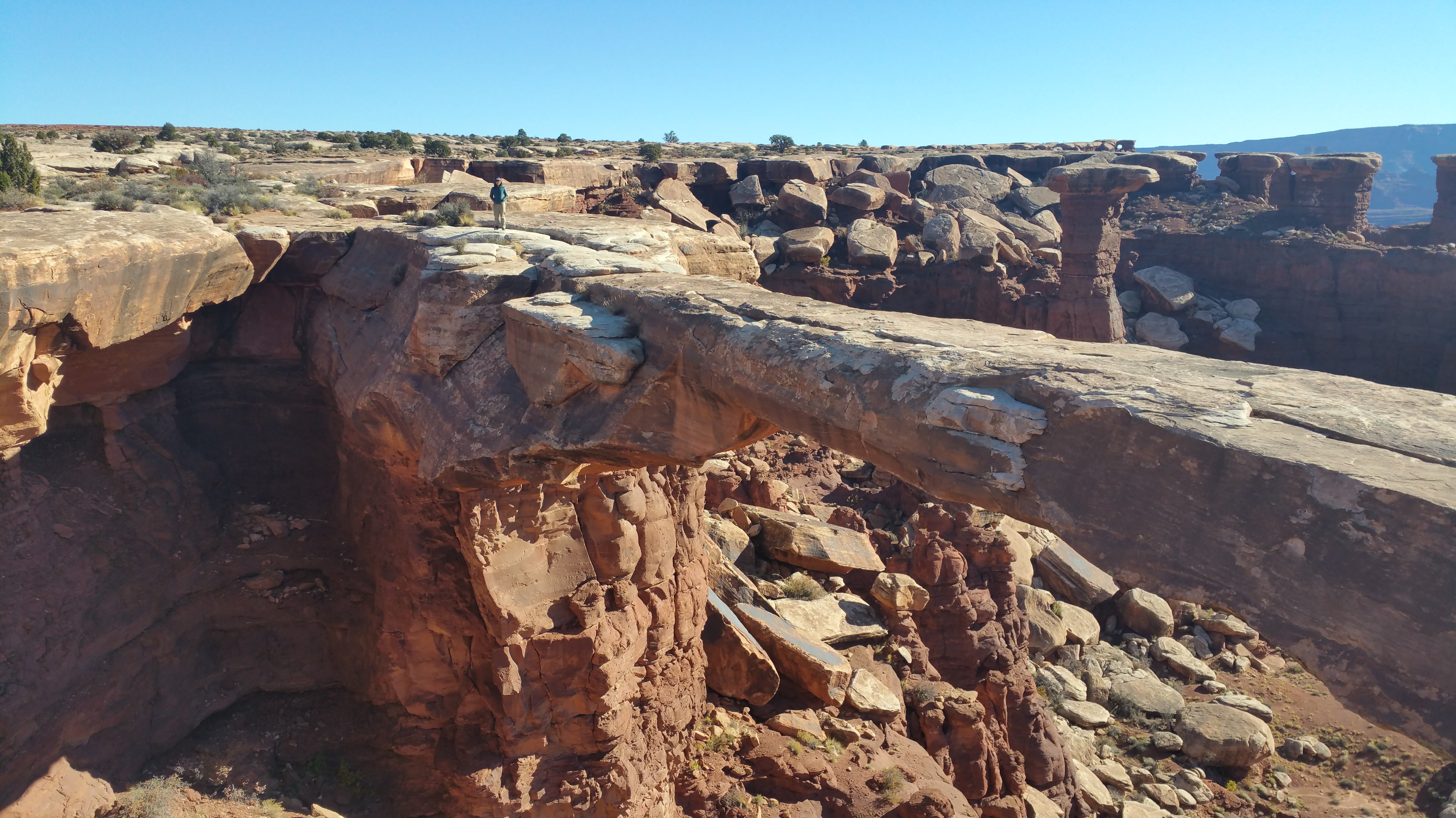
We made brief stops to see wonders such as Musselman Arch:20151122_102905

We were surrounded by breathtaking desert beauty the entire drive. IMG_5903 IMG_5905

Roads like these were exhausting.IMG_5924

But views like these made the effort worth it.IMG_5927 20151122_14090120151122_133255

Lunch break at Gooseberry.IMG_5933 IMG_5935

Ugh.IMG_5938

Our first day ended with a drive up this steep, bumpy road.IMG_5941

We set up camp at Murphy Hogback along the canyon rim.IMG_5943 IMG_5945

Even before the sun set, temperatures dropped tremendously.  Temps dropped to below freezing that night, so we spent most of the evening huddled in our sleeping bags.

Considering we were in our sleeping bags before 9pm, it was no surprise that we were up before sunrise.  The hot kettle was used for making hot beverages and warmth.IMG_5950

Sunrise in the distance.20151123_070428

After witnessing the canyon being flooded with sunlight, we broke down camp to drive the remainder of White Rim Road.20151123_072409-PANO

More awesome views and drop offs.IMG_596820151123_082135

Narrow roads between rock formations reminded me of a theme park ride.IMG_5971

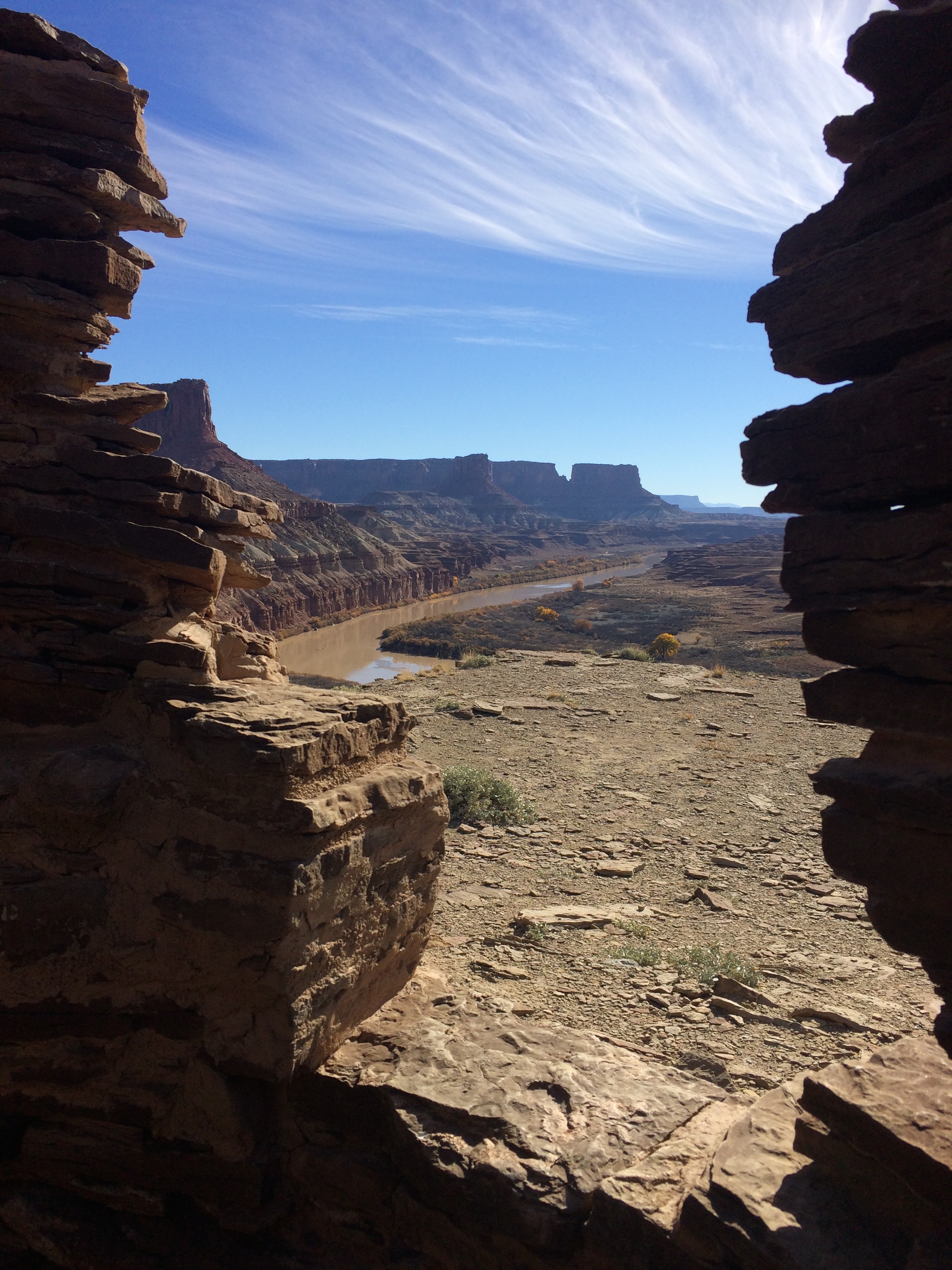
Before getting off White Rim Road we made one final excursion by hiking the short 3-mile roundtrip trail to Fort Bottom Ruin.  The day before we were rewarded with views of the Colorado River; now we had views of the Green River.IMG_5976

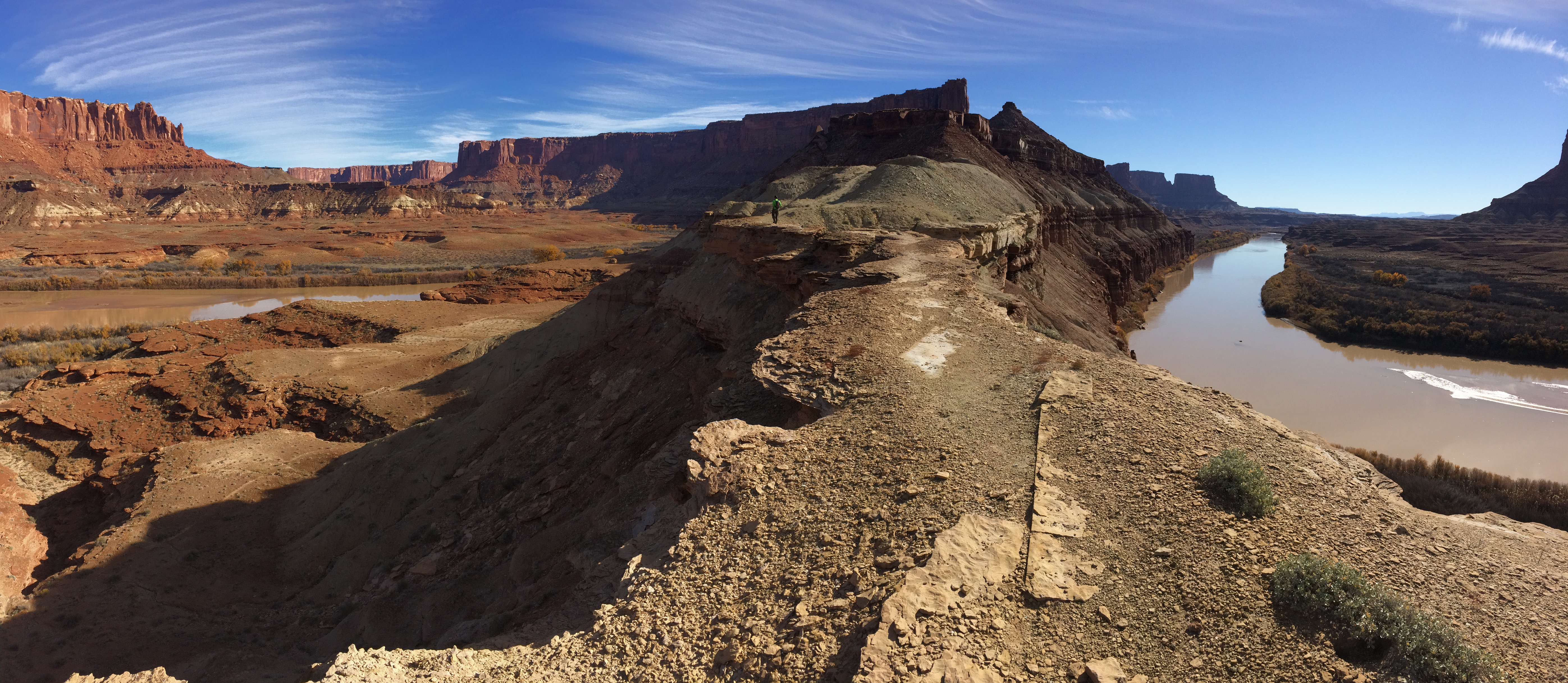
Getting to Fort Bottom Ruin required a short stroll over an incredibly narrow mesa top.IMG_5982

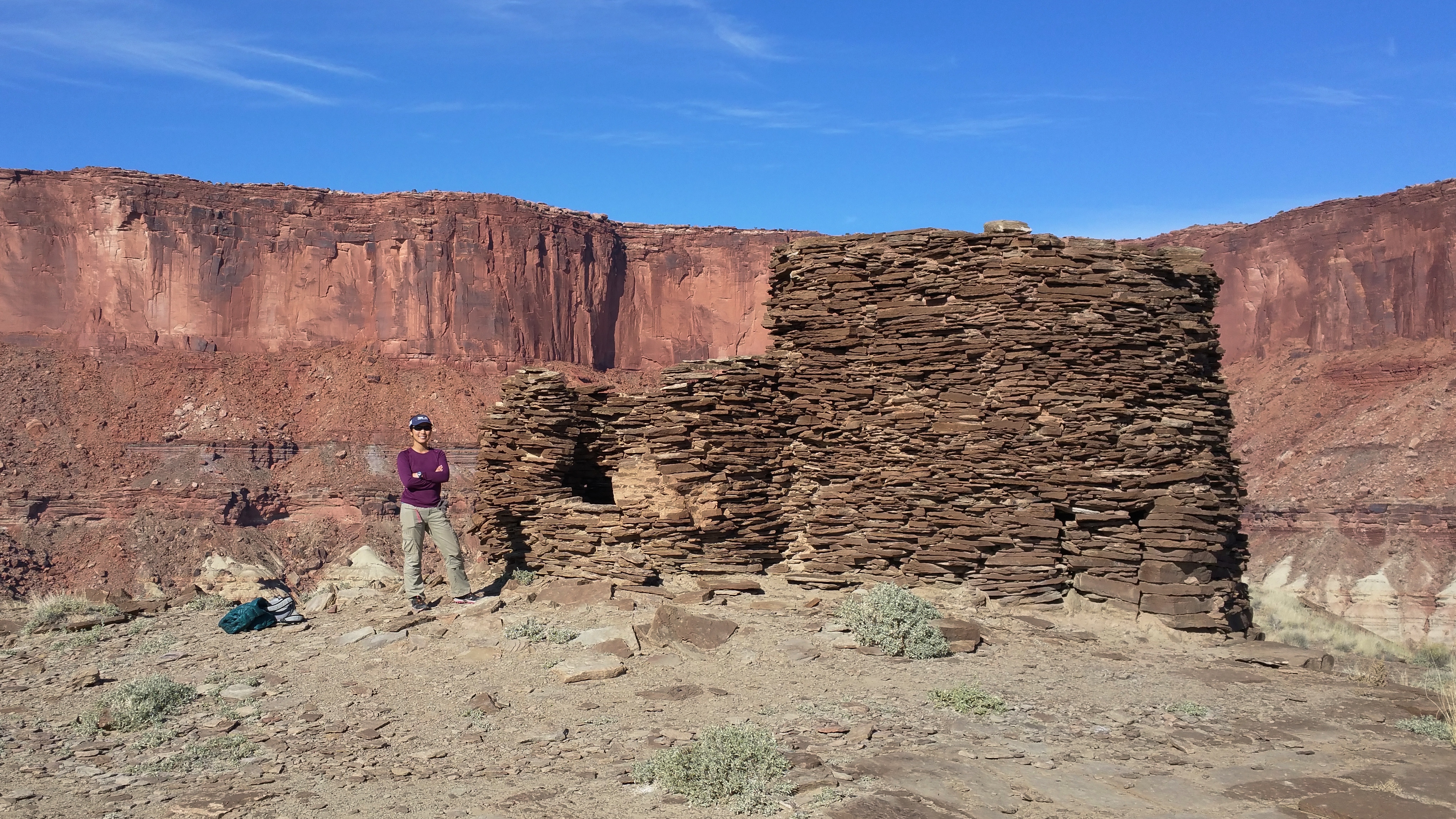
Fort Bottom Ruin, a tower structure once home to ancestral Puebloan people.20151123_110446IMG_5978

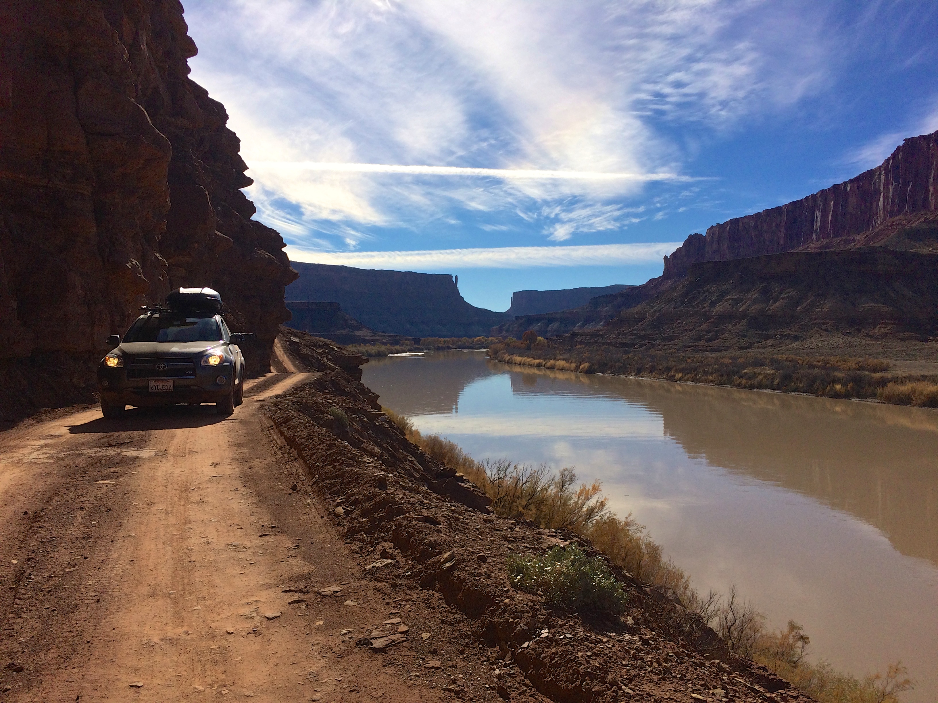
Upon returning to the car after the hike to Fort Bottom Ruin, we finished off the last several miles of White Rim Road by driving on relatively easy dirt road along the Green River.IMG_5986

Nothing more could have topped off our 2-day/1-night excursion on White Rim Road other than an evening back with Scromp.  After spending the previous night shivering in our sleeping bags in below freezing temps, we fully appreciated the warmth and coziness of our trailer.  The gorgeous sunset that night was also icing on the cake.IMG_5991

Posted in Utah | 3 Comments

Needles

I should have explained in my first post about Canyonlands that the national park is divided into three districts: Island in the Sky, Needles, and The Maze. These three districts are separated by deep canyons created by the Colorado and Green Rivers, making it impossible to go from one park to the other within national park boundaries. Each district has its own entrance, which takes at least a couple of hours to travel from one to the next. Last year during my first visit to Canyonlands, I sampled two days at Island in the Sky by checking out every overlook, walking all the easy trails including sunrise as Mesa Arch, and hiking the Upheaval Dome and incredible Gooseberry trails. This year the plan was to consume more of what Canyonlands had to offer at not just Island in the Sky but also Needles.

For those with limited time, Island in the Sky should be visited for its majestic overlooks and variety of short to long hikes. Needles takes it up a notch; in addition to the epic panoramic landscape of rock spires, there are countless combinations of hiking trails and backcountry camping. And finally, The Maze. Perhaps someday when I’m thirstier for adventure (and equipped with a more suitable vehicle) I’ll brave the Maze which is the least accessible district and is entirely made of wild, rugged roads and landscape.

This time around we visited Needles and revisited Island in the Sky. Due to Chris’ work schedule we had exactly 24 hours for Needles, and we definitely made the most of it.

As far as free camping went, there were campsites (paid and dispersed) conveniently located on BLM land not far from the Needles entrance. Hamburger Rock was an adorable campground with a $6/night fee, but all the campsites surrounding it were free.   By sunrise we departed Mexican Hat Rock, and after running errands and what not, we finally unhitched Scromp at a dispersed site before noon.20151120_115650

Our beautiful view:IMG_5839

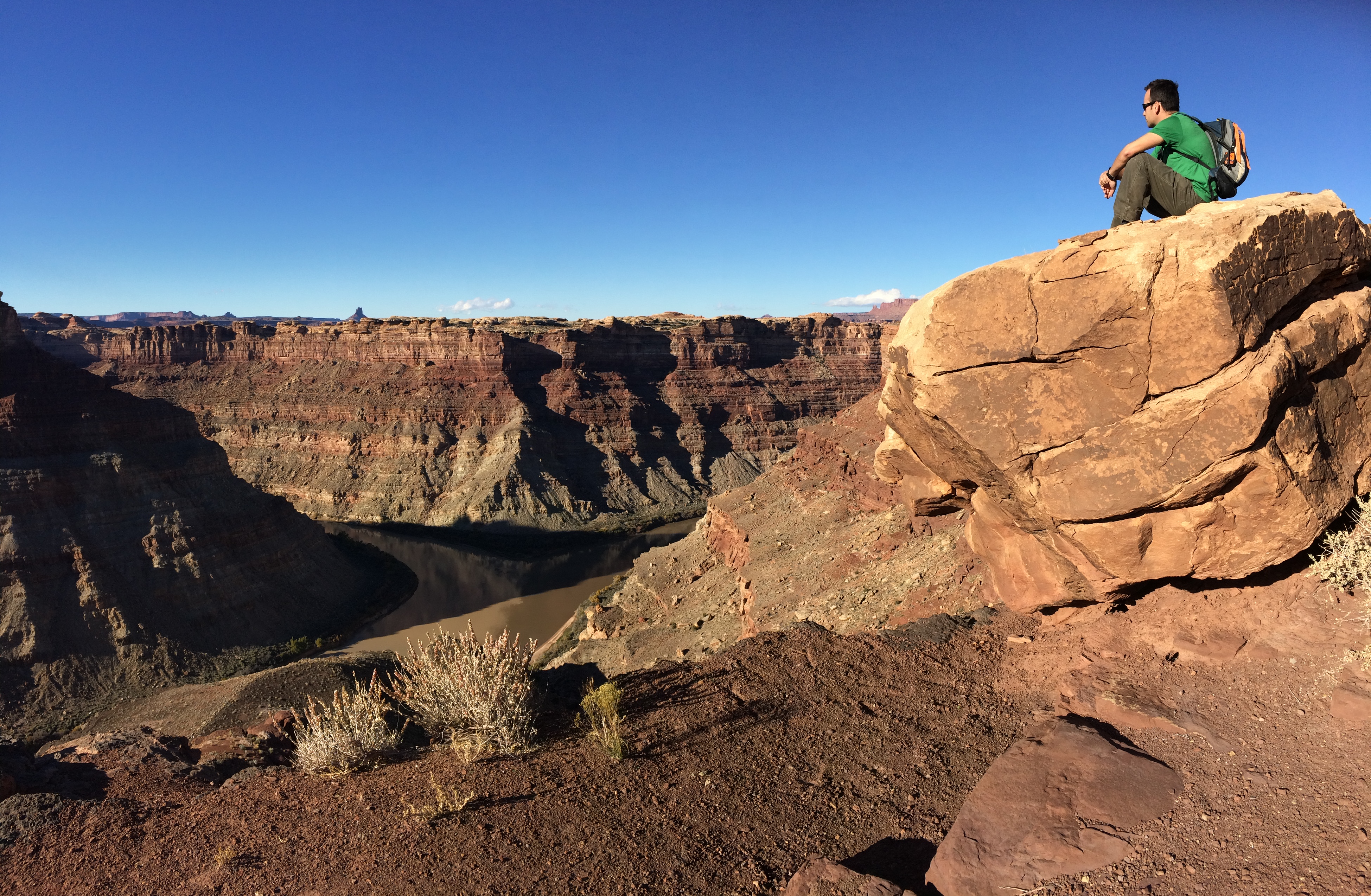
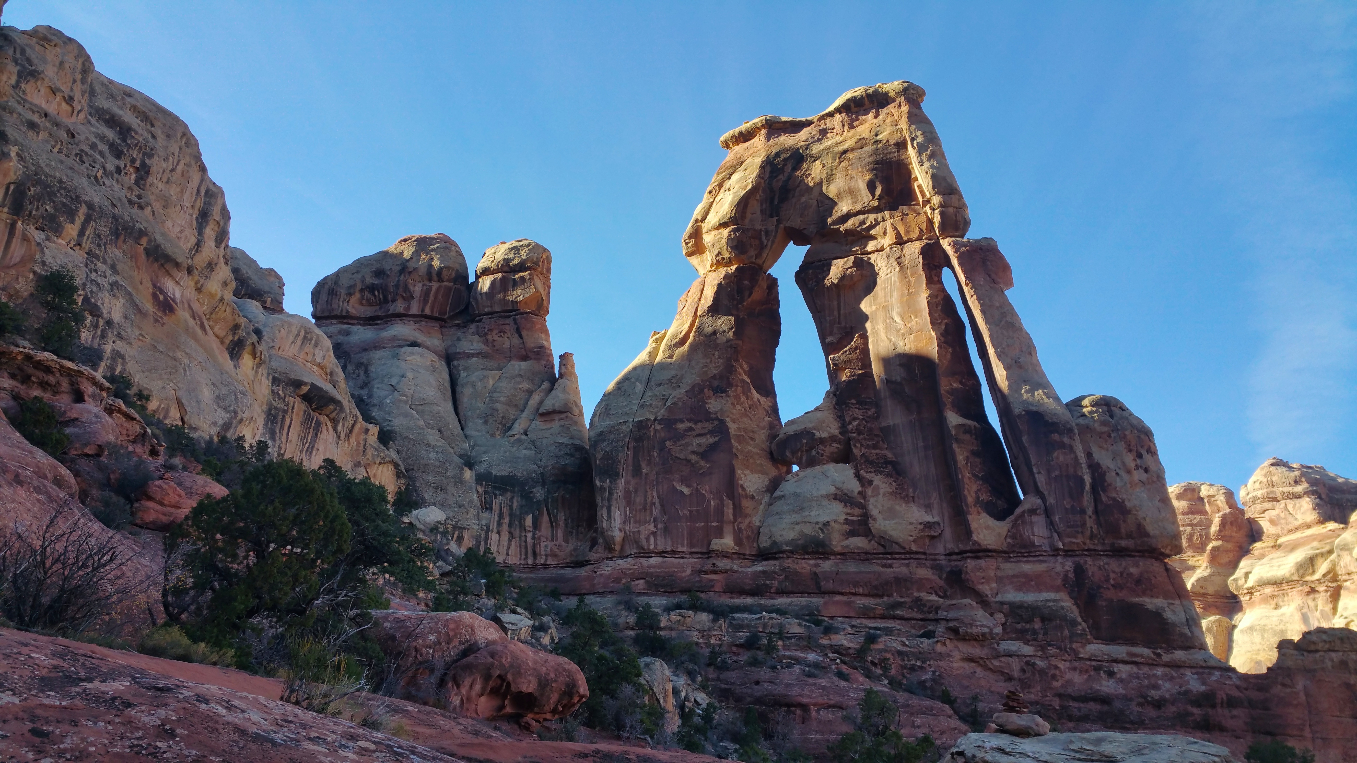
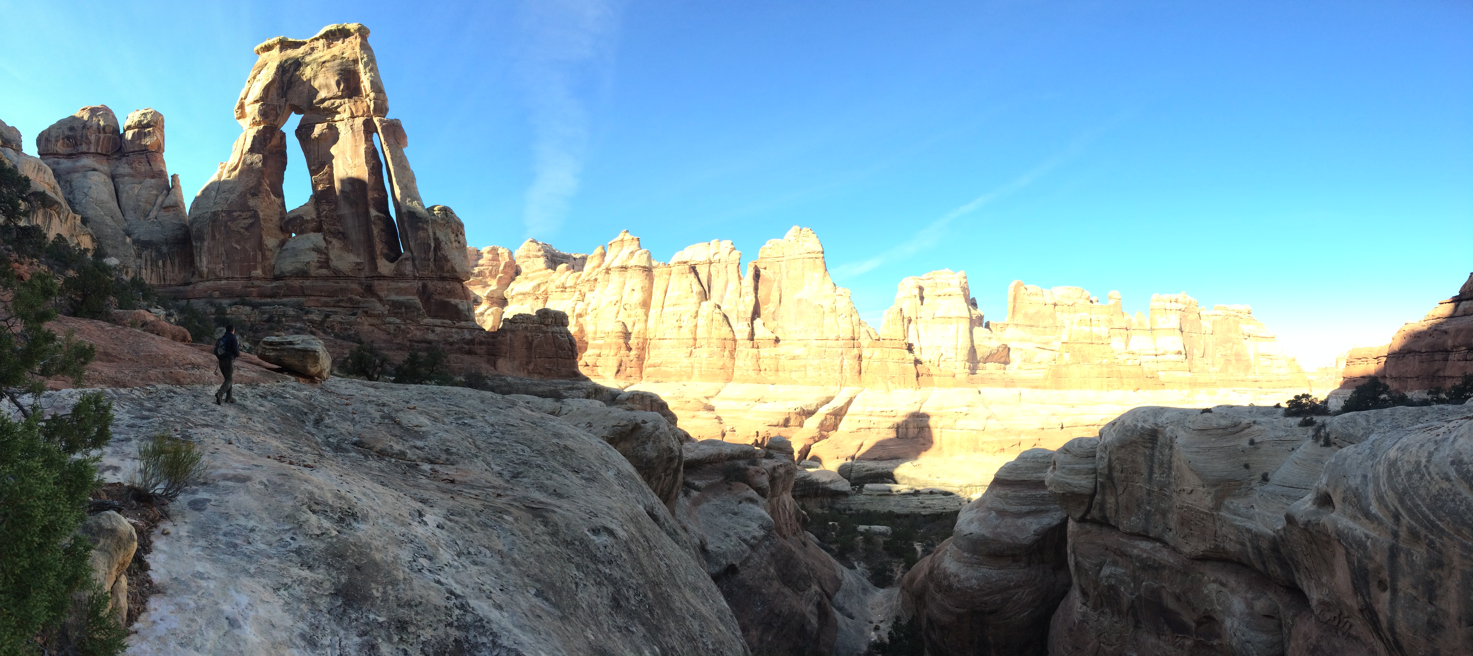
Once we entered the park we beelined it for the Big Spring Canyon Overlook in order to hike the 10-mile trail to the Confluence Overlook. We did make a quick stop at the Wooden Shoe Arch Overlook.IMG_5841

With winter dictating an early sunset, we knew setting out by 1pm was a must. Off we went into a valley of rocks and formations.20151120_130651 20151120_131751 IMG_5844

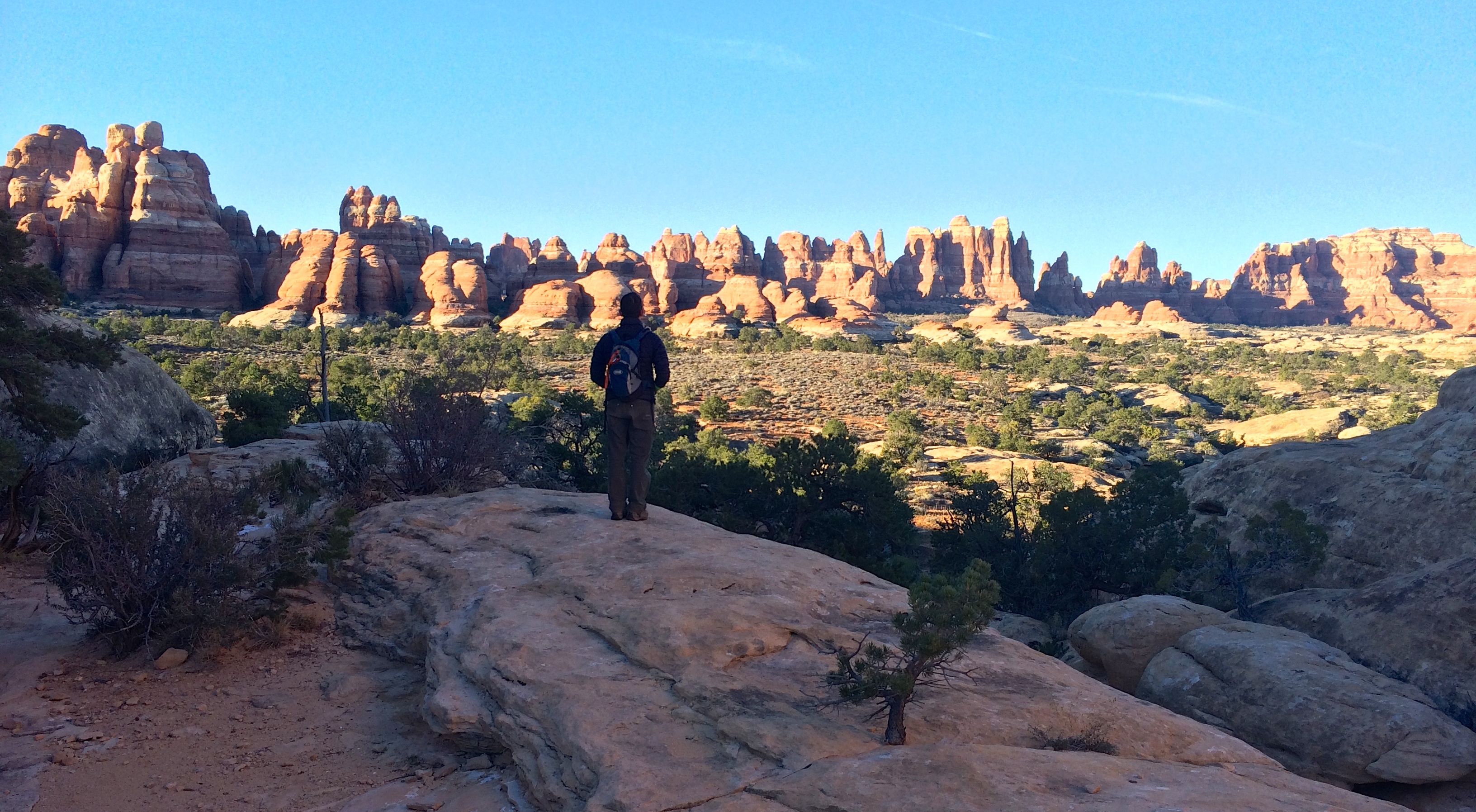
Unlike most trails in Needles, the Confluence Overlook trail was quite exposed and separated from the Elephant Hill area. Being distant from the rock peaks granted us spectacular views from afar; the silhouette of the needles resembled an enchanted kingdom one stumbled upon after days of relentless travel through lifeless deserts.20151120_140049

By the time we made it to the Confluence Overlook the long shadows of winter had already stretched across the Colorado and Green Rivers, but the muddy concoction of both rivers was still evident.20151120_145752-PANOIMG_5851

It wasn’t long before we set back out again, as it became a task to beat the sun. Thanks to the easy hike, it only took about 4 hours round-trip.

The following day was jam-packed with fun and logistics. Our agenda included the 11-mile round-trip hike to Druid Arch, restocking our water supply, acquiring a permit to drive the 100-mile White Rim Road, stocking up on groceries, and finishing the day by overnighting near the Island in the Sky district.

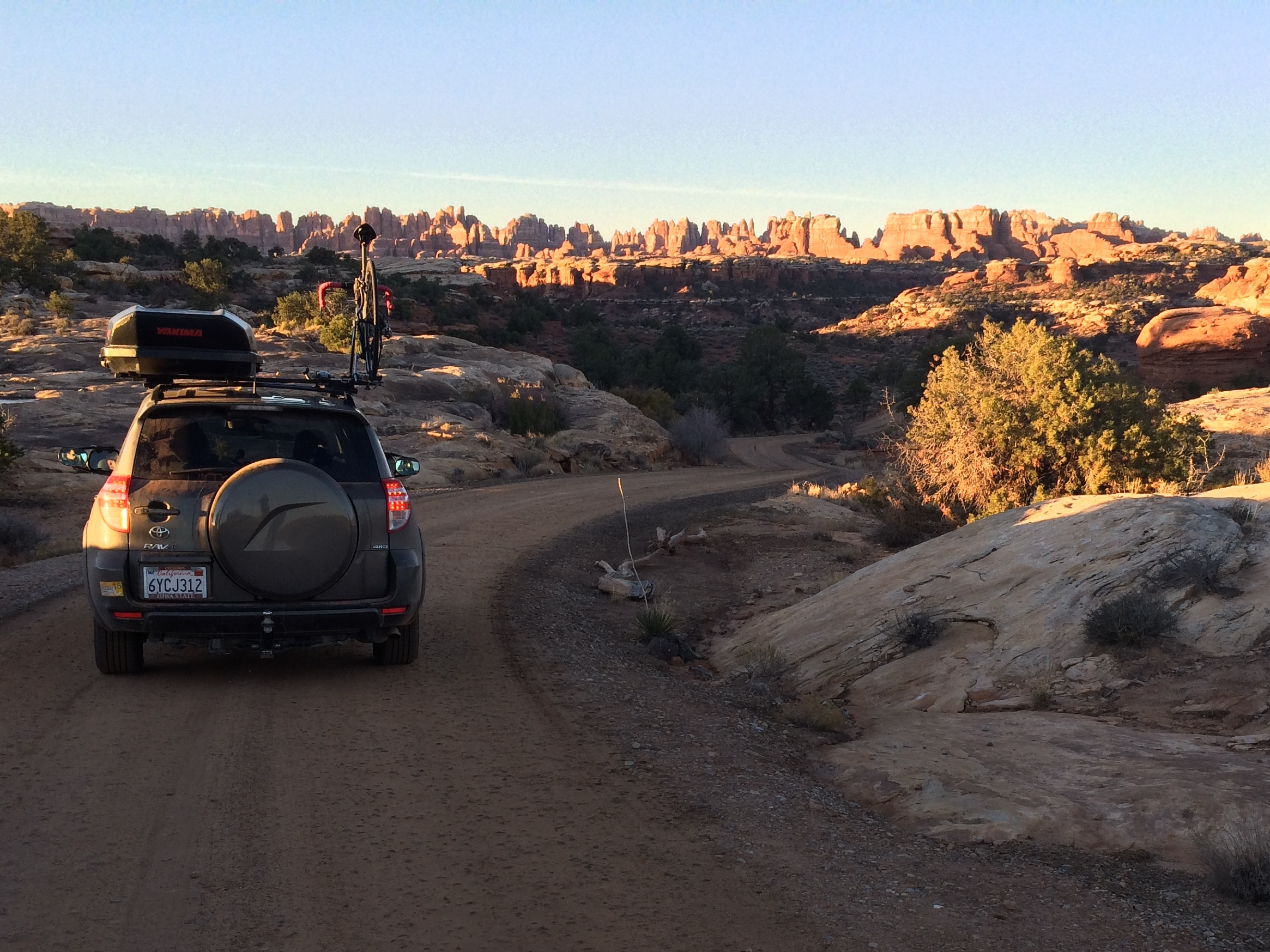
Again we got up before sunrise in order to hit the trail by 8am. As we drove into the park, the surrounding canyons glowed pink, and by the time we set tracks on the primitive road to the Elephant Hill trailhead the early sunlight had just begun to spill over the needles.IMG_5863

Like I mentioned earlier, seeing the panorama of needles from afar on the trail made me feel as if I was just outside the boundary walls of a kingdom.IMG_5866

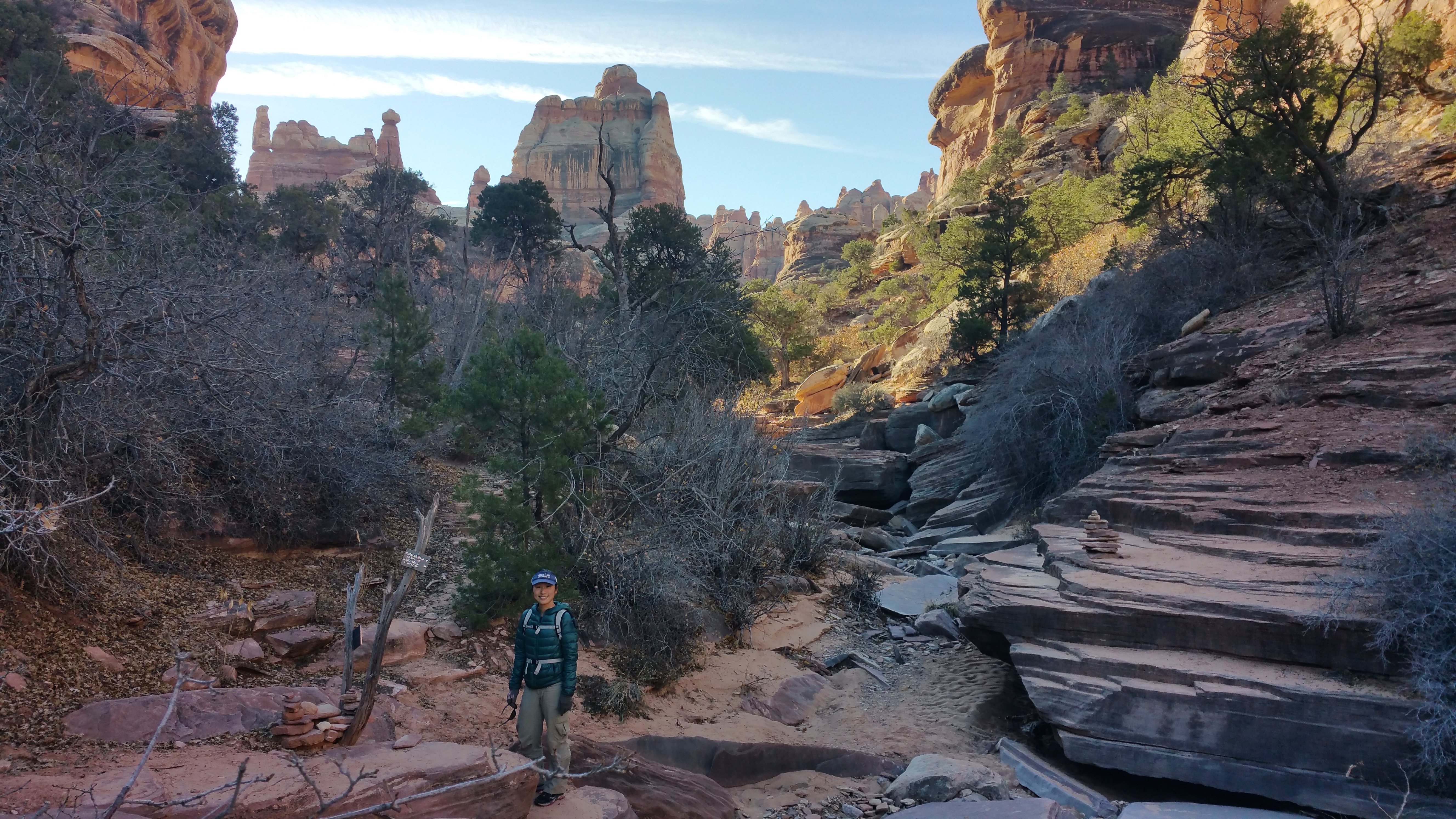
And once in the kingdom, it was a whole new magical world.20151121_091423

Criss-crossing through dried-up creek beds, scrambling over and down rocks, keeping an eye out for cairns, and playfully throwing stones into lightly frozen puddles became the typical affair throughout the course of the 11-mile hike. At its final rock scramble, we were rewarded with the looming Druid Arch.20151121_100903

Druid Arch was much bigger than it appeared in photos.IMG_5871

After lunch and several shouts into the echo chamber surrounding us, we backtracked to the trailhead. It took about 4.5 hours to complete the hike.

The next half of the day was an eventful blur. We filled up on water at the year-round campsite in Needles, purchased a permit for the 100-mile White Rim Road off-roading adventure for Island in the Sky at the Needles Visitor Center, broke down camp and drove into Moab, stocked up on groceries, and made it to our next campsite for the night just outside of the Island in the Sky entrance.

I was happy. Having only spent 24 hours in the Needles District, I was amazed we were able to squeeze in two epic hikes to the Confluence Overlook and Druid Arch. Interestingly enough the real fun would begin the next morning on the White Rim Road in Island in the Sky.

Posted in Utah | Tagged , | Leave a comment

Monument Valley and Around

Monument Valley is arguably one of the most famous landscapes in the American Southwest. After watching Forrest Gump, I knew a snapshot of the epic stretch of road leading up into the valley was obligatory. Better yet, I was going to cycle it.

Since we were approaching Monument Valley from the northeast in Colorado, I made note of the number of beautiful sites worth seeing along the way: Mexican Hat Rock, Moki Dugway, and Valley of the Gods.

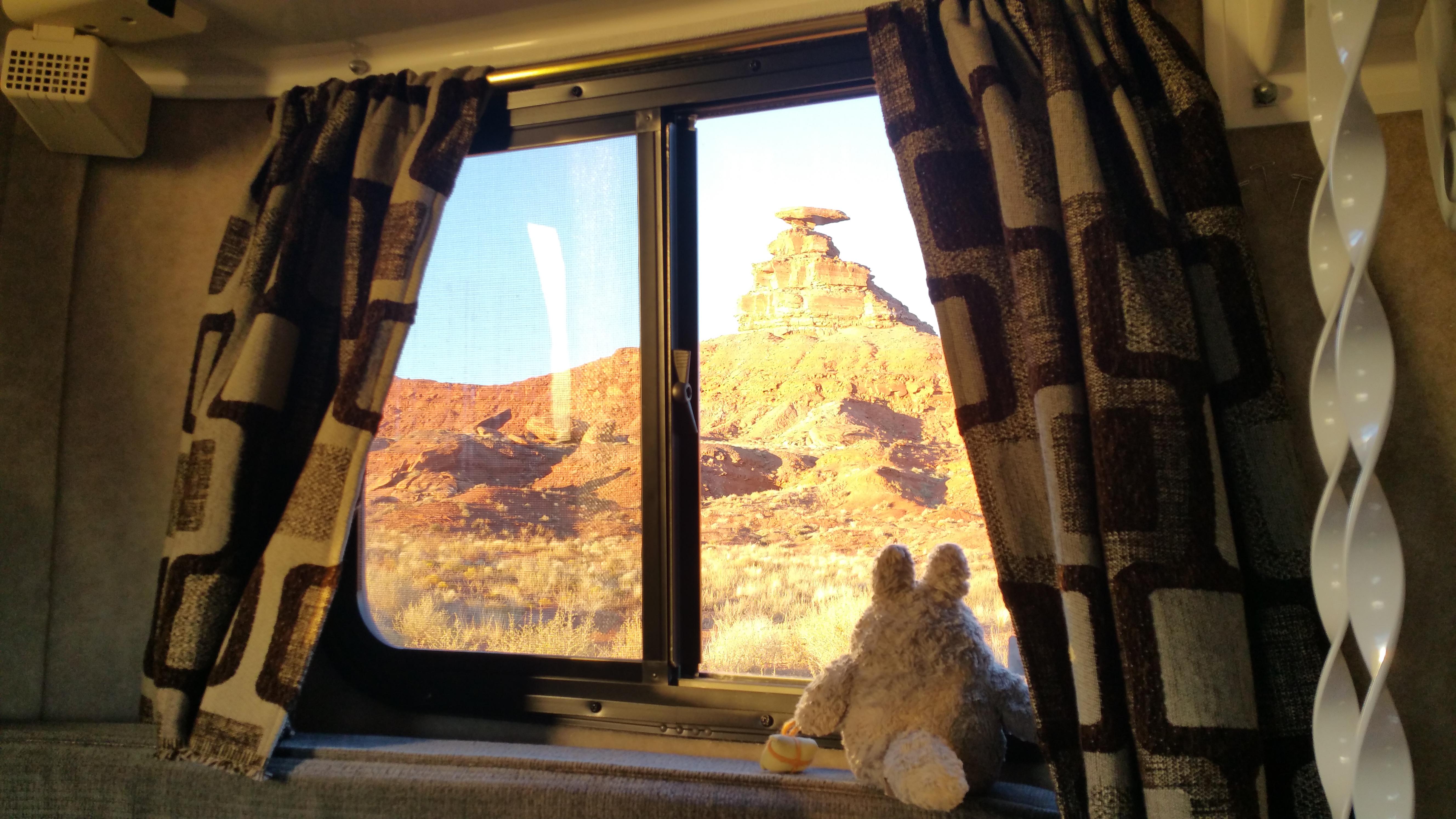
Immediately after hiking the Sand Canyon Trail we set out for Mexican Hat Rock, not because the rock formation was particularly interesting, but because it was surrounded by BLM land. We unhitched Scromp at our new location directly in front of Mexican Hat Rock before embarking on our off-roading adventure.20151118_163409

The awesome view from our window:20151118_164524

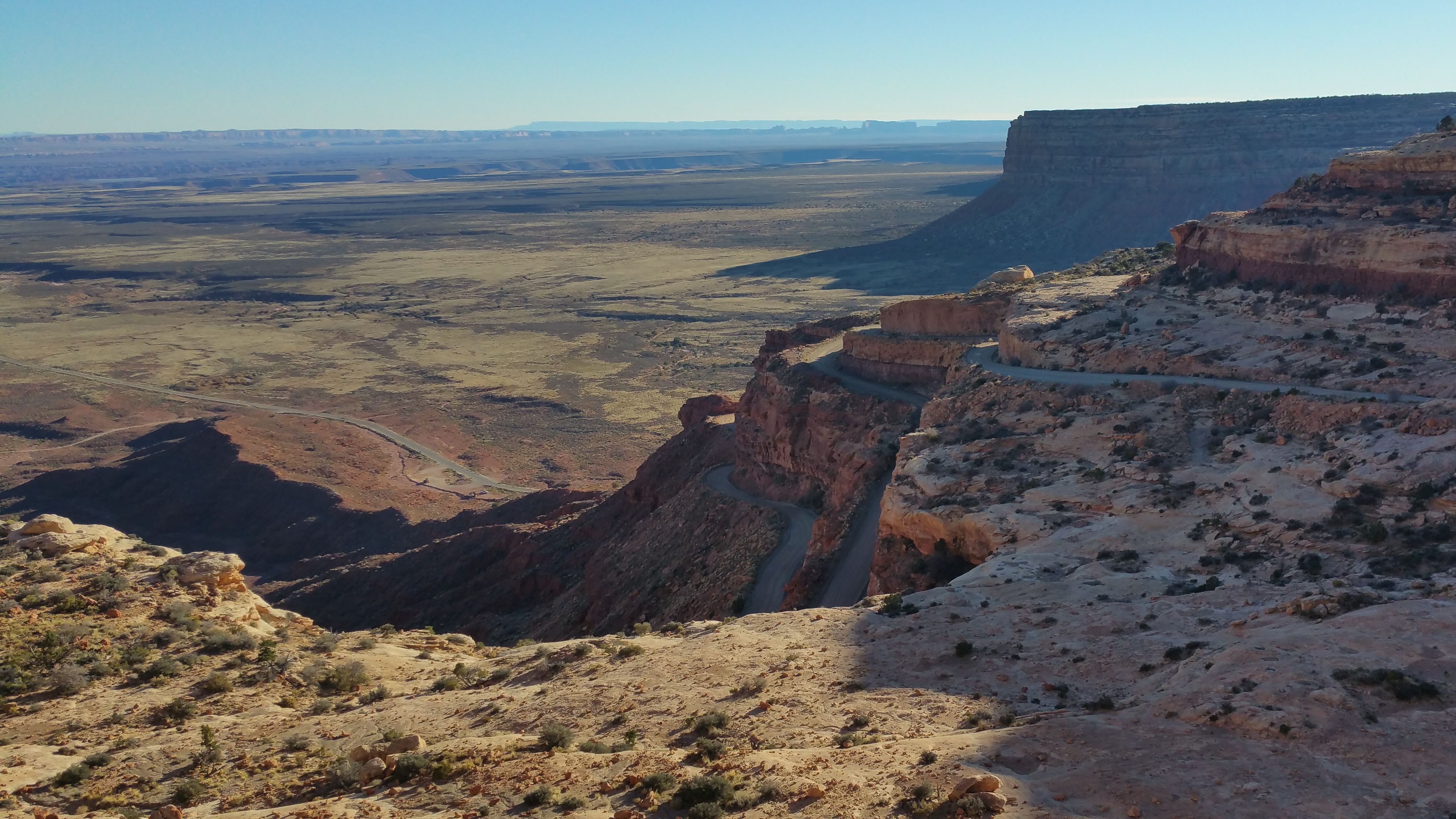
Our first excursion was Moki Dugway, a narrow, steep, twisty gravel road that goes up and over a canyon wall. This section begins just north of the west entrance to Valley of the Gods, and is a must-see if driving through the Valley of the Gods.

The twisty road up the canyon:20151118_152330

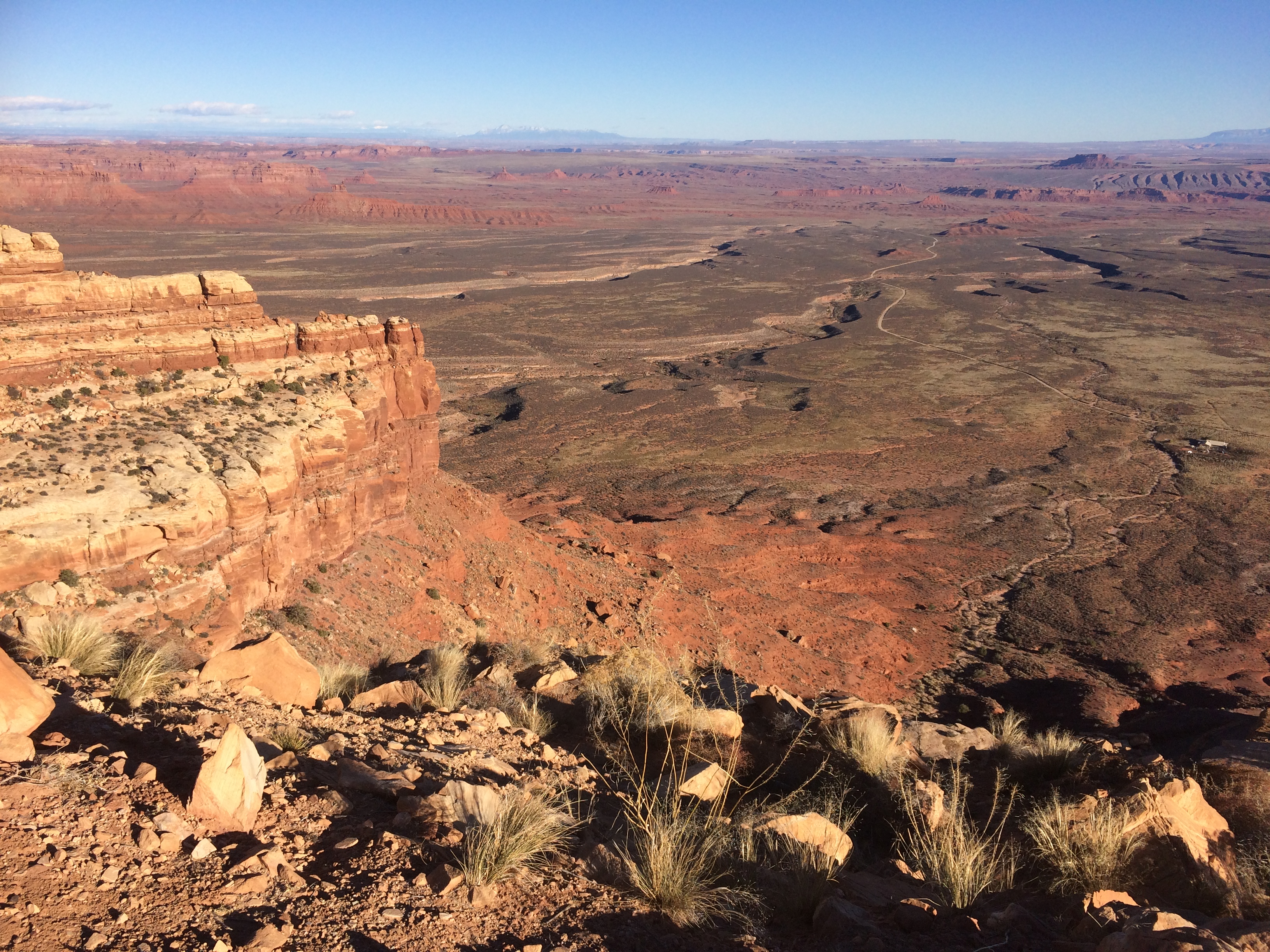
Looking at the Valley of the Gods below from Moki Dugway:IMG_5760

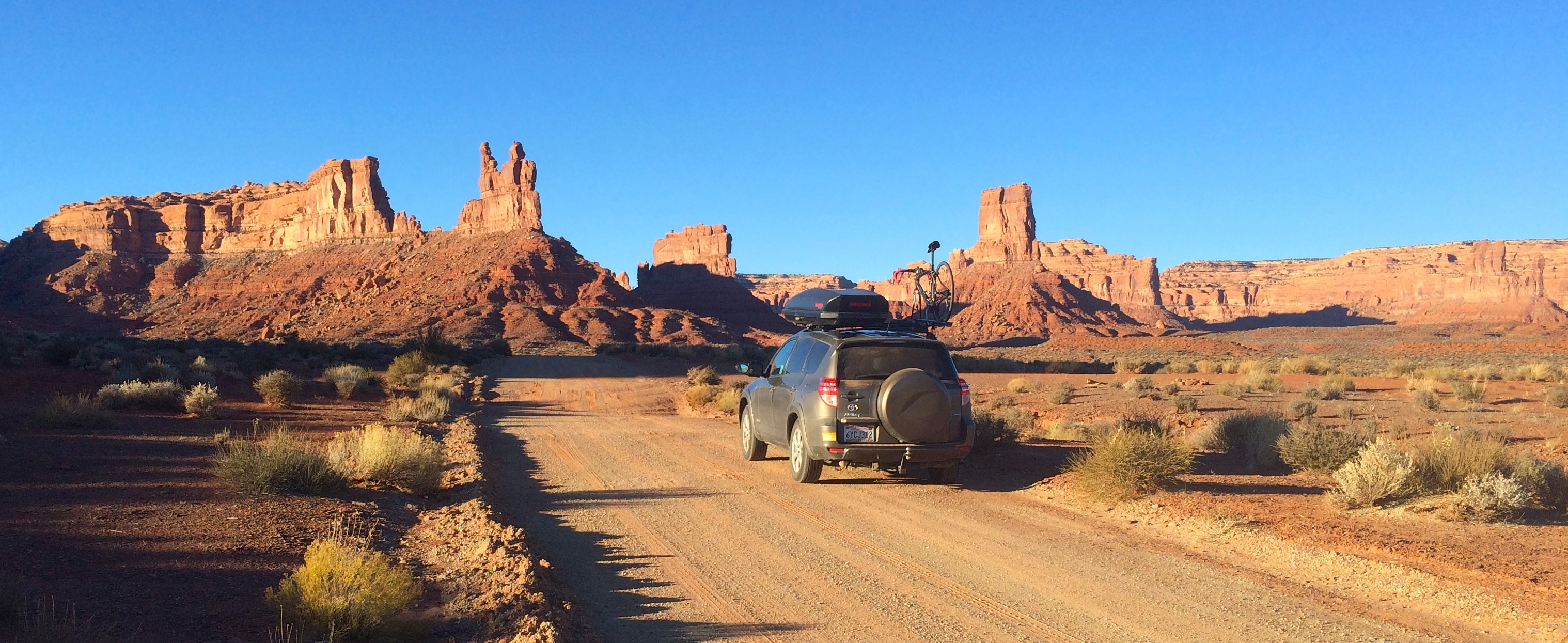
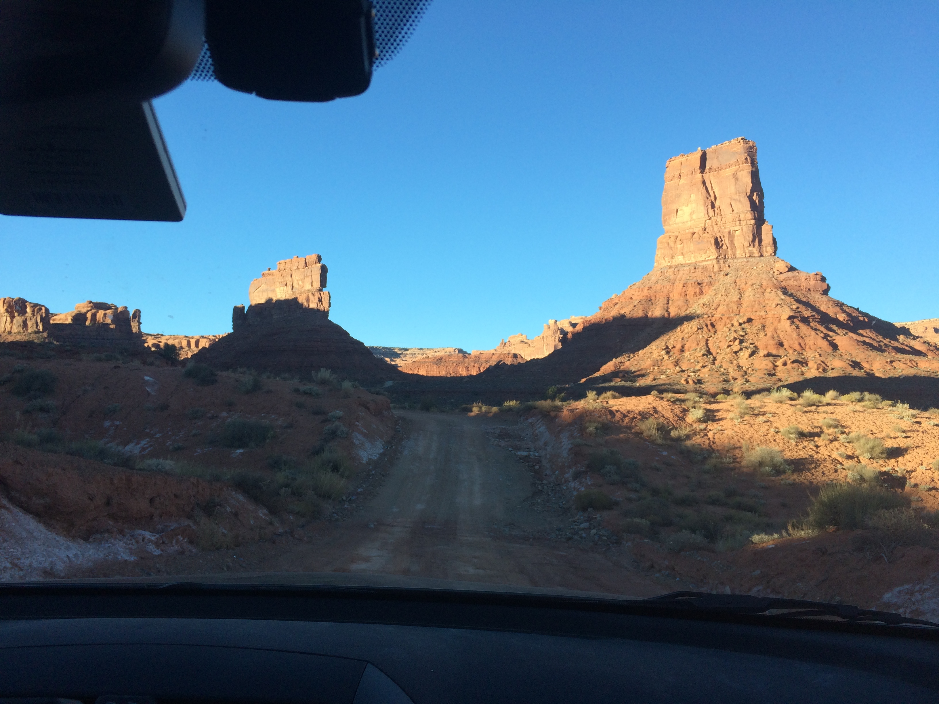
Once we reached the top, we turned around and drove back down to begin our final excursion of the day: the drive through the Valley of the Gods just before sunset. Like Monument Valley, the Valley of the Gods is another 17-mile off-roading adventure through a valley of rock formations and scenic landscape. The Valley of the Gods is not far from Monument Valley, and is lesser known, quiet, and free. While driving through this valley, we learned that the entire site is on BLM land, and dispersed camping is located throughout (assuming your car can off-road). There were a couple RVs parked with stunning scenery in the distance. Good to note for the future.

The drive through Valley of the Gods:IMG_5766IMG_5769

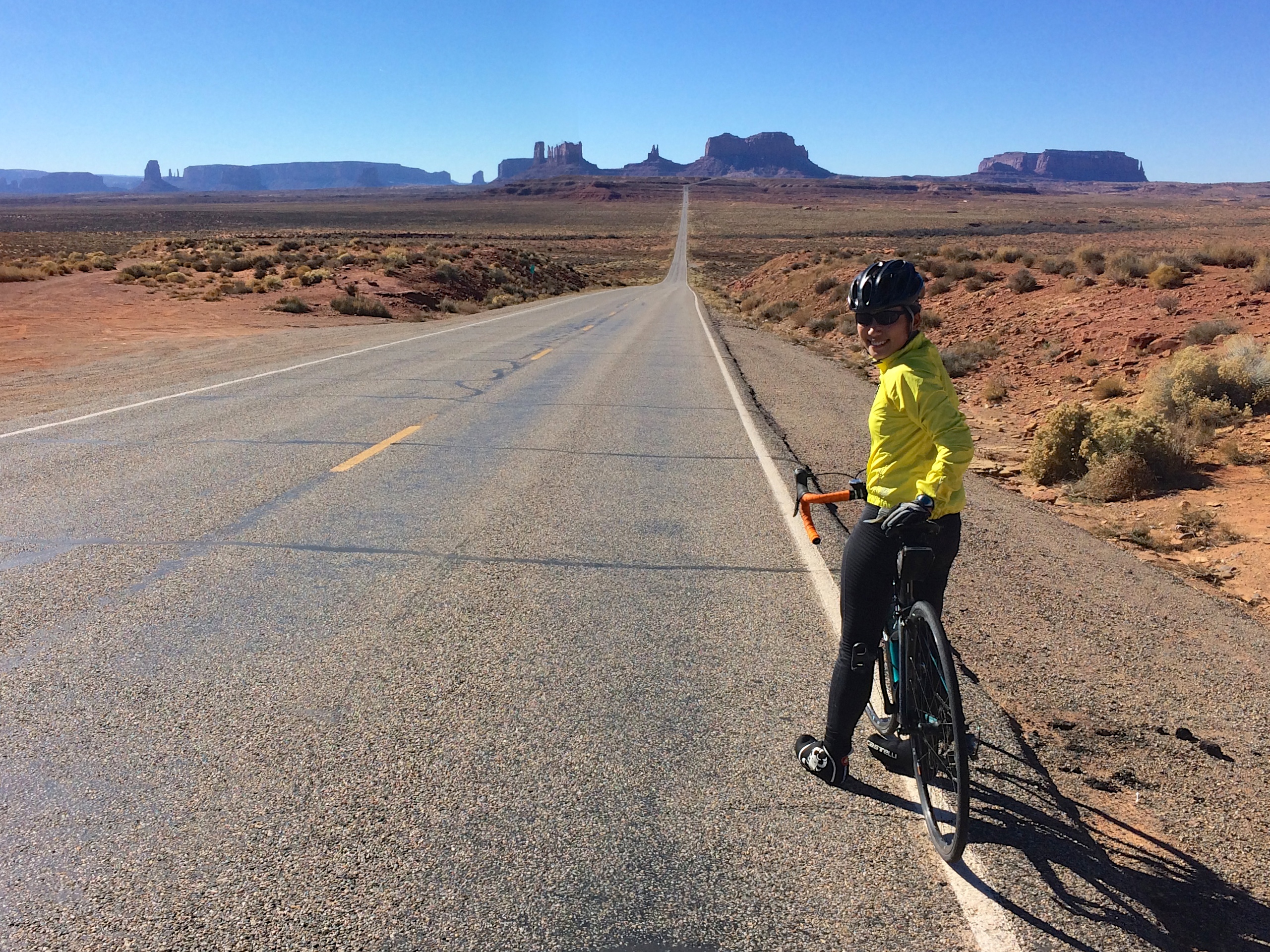
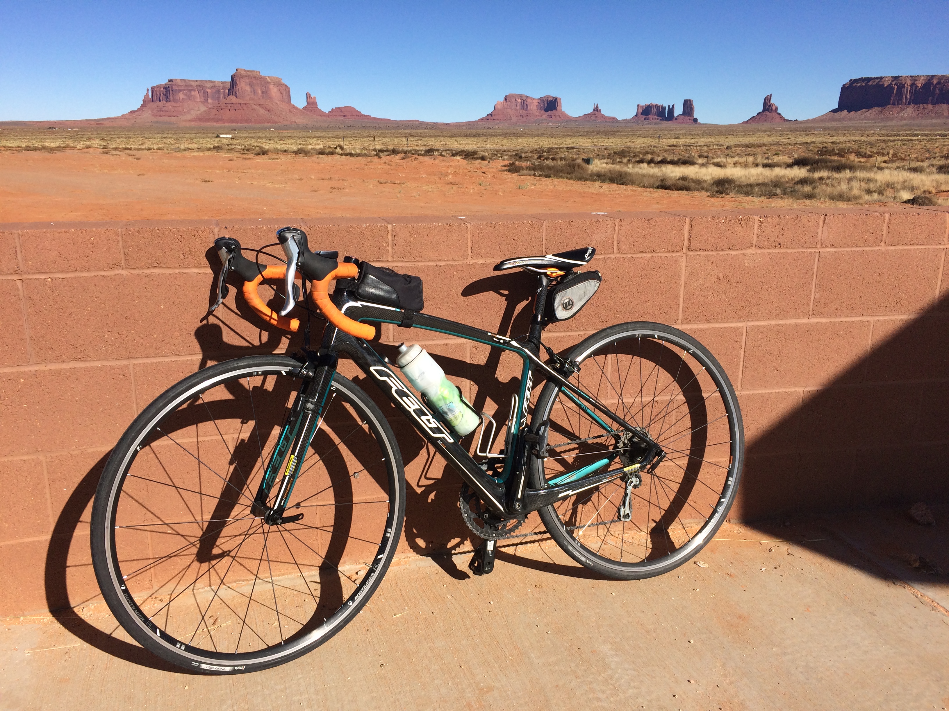
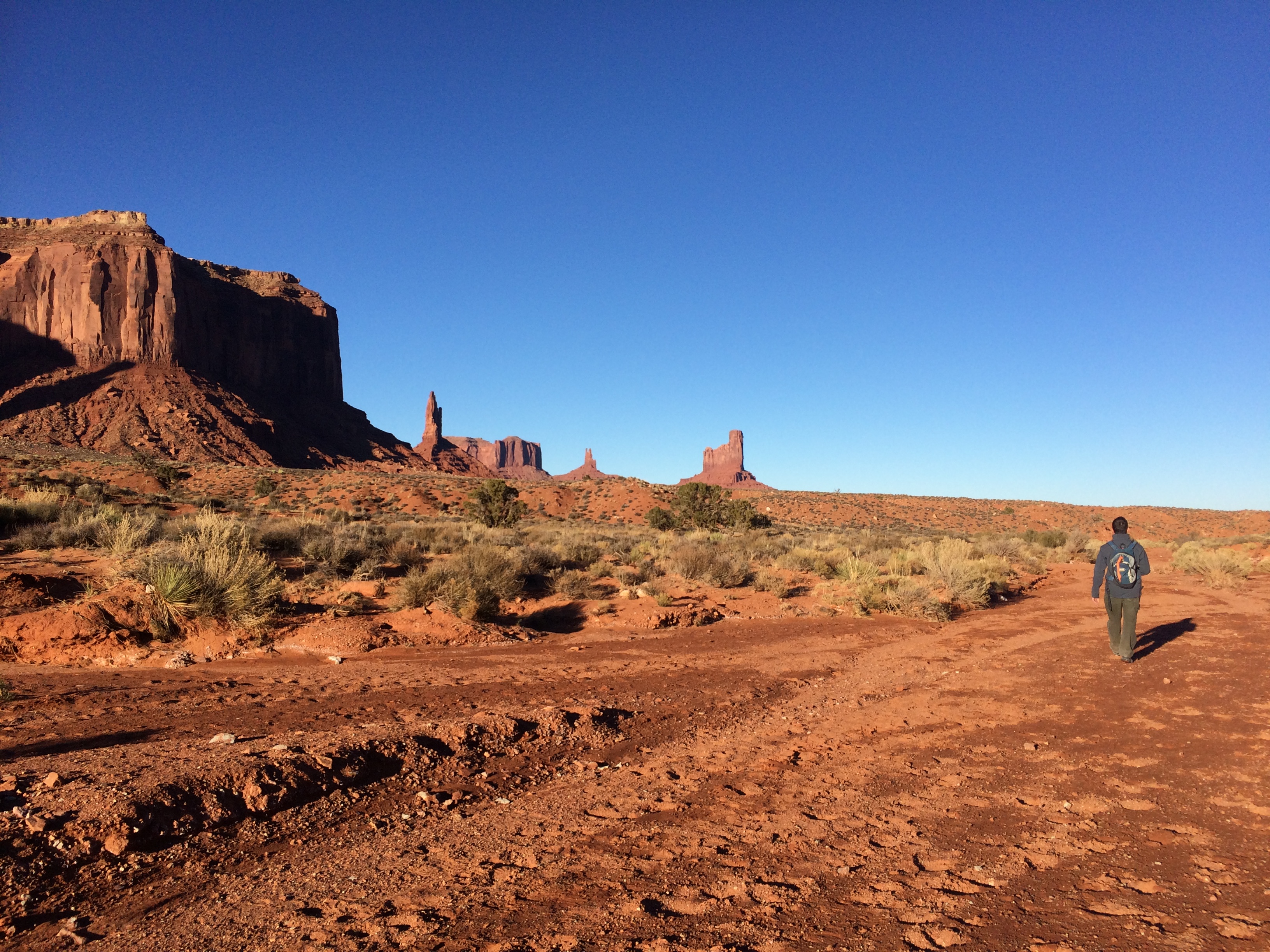
And finally, the next day was my long-awaited adventure in Monument Valley. I hopped on my bike and road the 27 miles from Mexican Hat Rock to the Monument Valley entrance booth. It was easy to assume the sparse dessert would be all flatland, but I kid you not, it was hardly ever flat. I either climbed or descended with grades varying from 6%-10%. I slowly climbed past horses along the side of the road that looked at me inquisitively, and I zoomed past looming desert rock formations. As Monument Valley grew in site, the smile across my face widened with delight.

On the famous road leading to Monument Valley, it was common to see cars stopped in pullouts in order for drivers to snap a picture of this scene. Fortunately one driver was kind enough to take a picture for me.  Forrest runs.  I ride.IMG_5780_fix

A pretty picture from the Welcome Center along the highway:IMG_5787

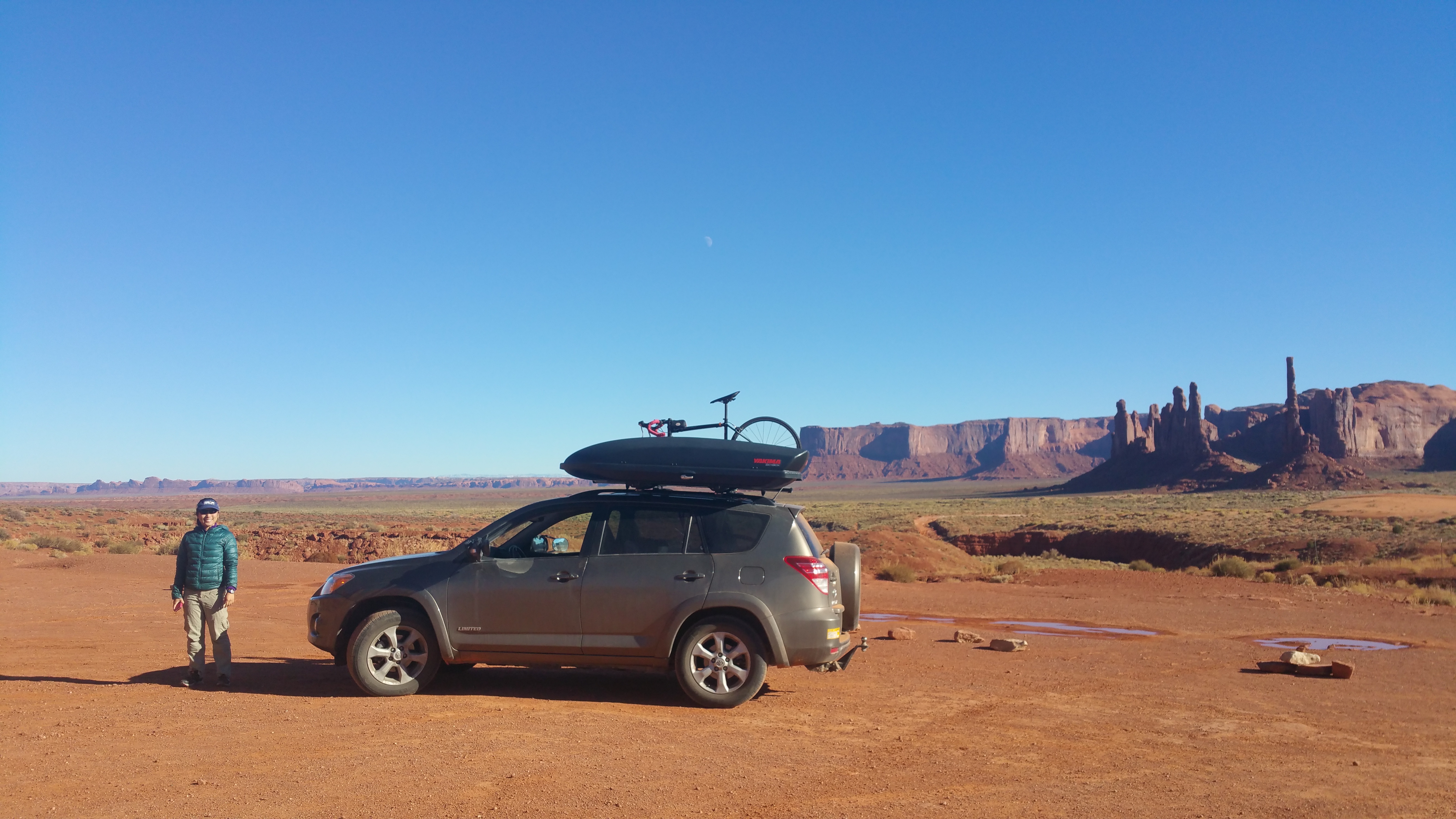
As planned, Chris met me at the entrance booth, where I loaded my bike into the car, changed, and got dressed to hike. It cost $20 per vehicle to enter; Monument Valley is Navajo land, not a national park!

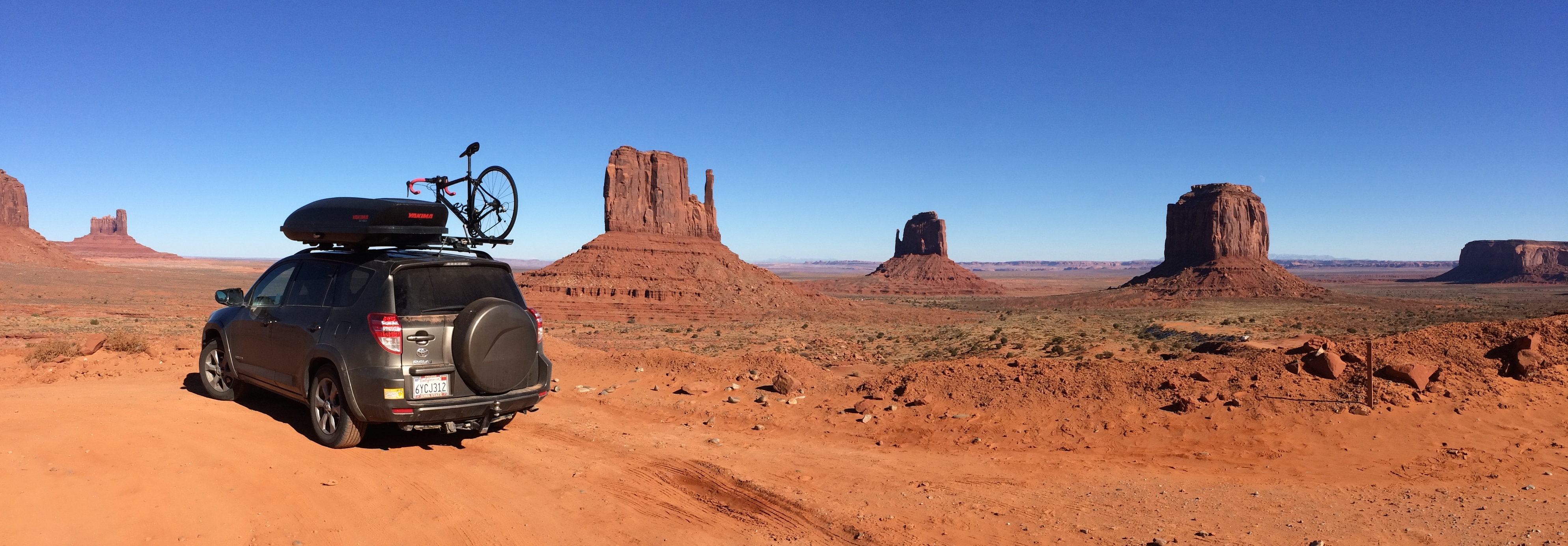
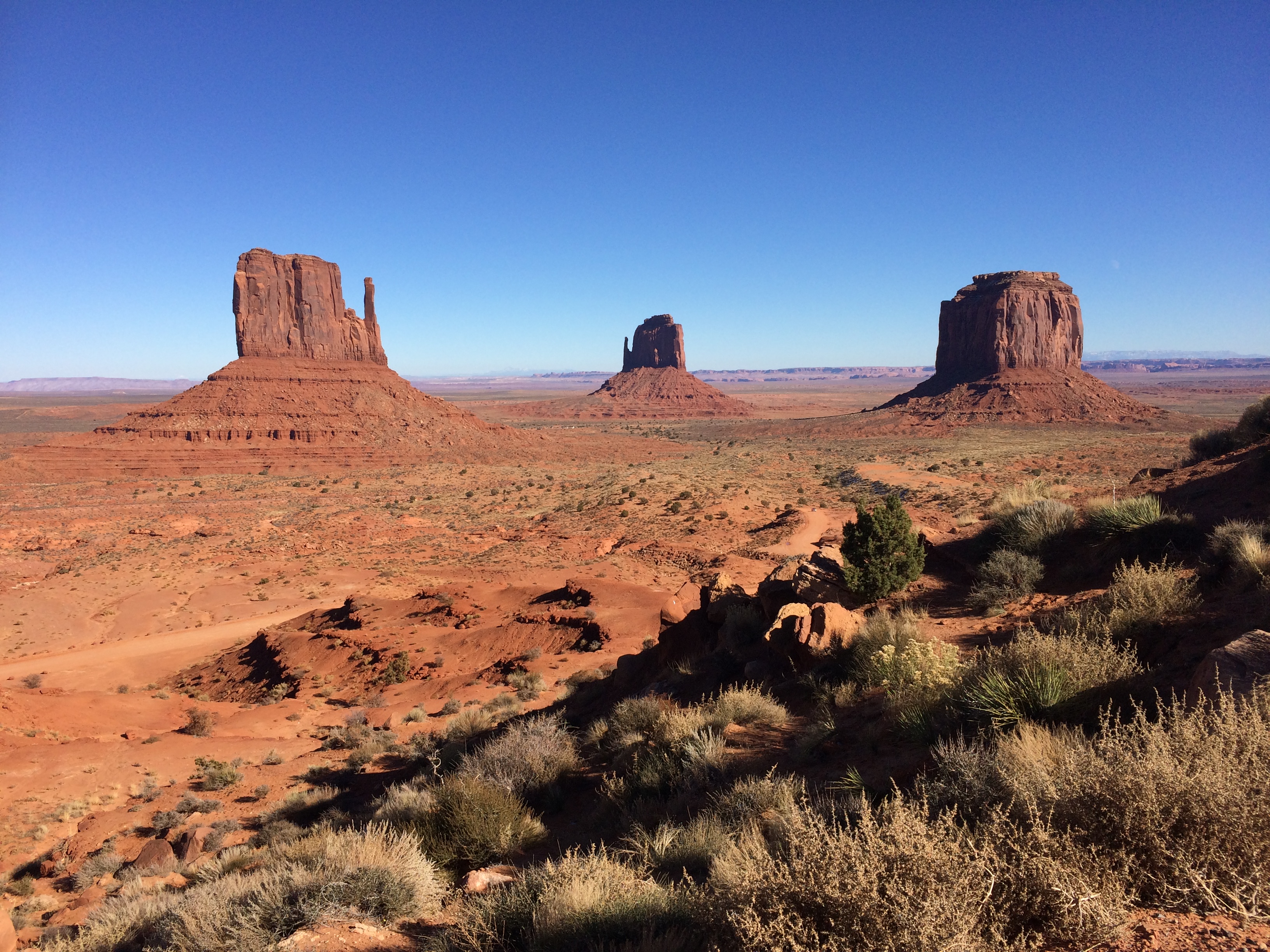
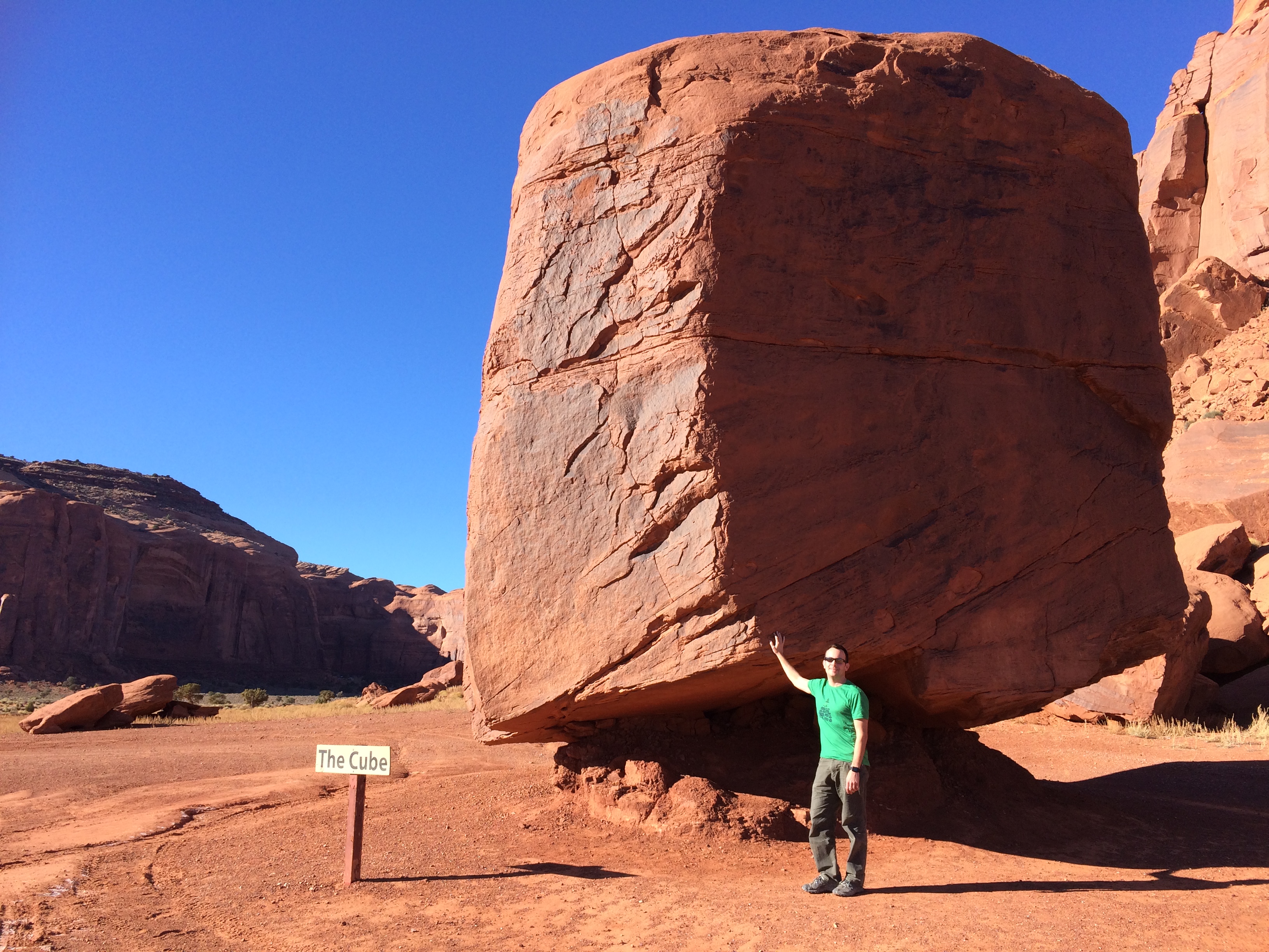
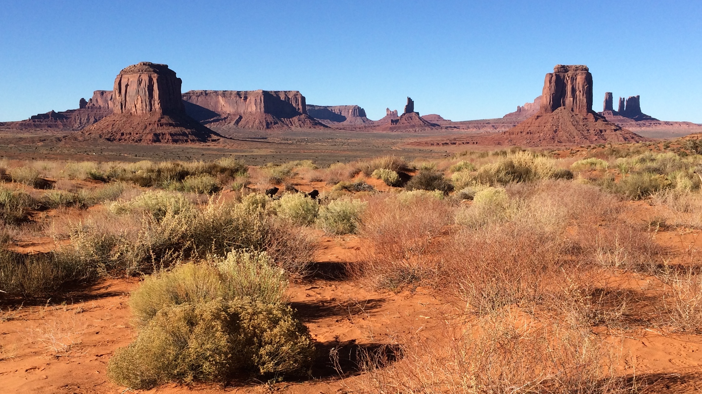
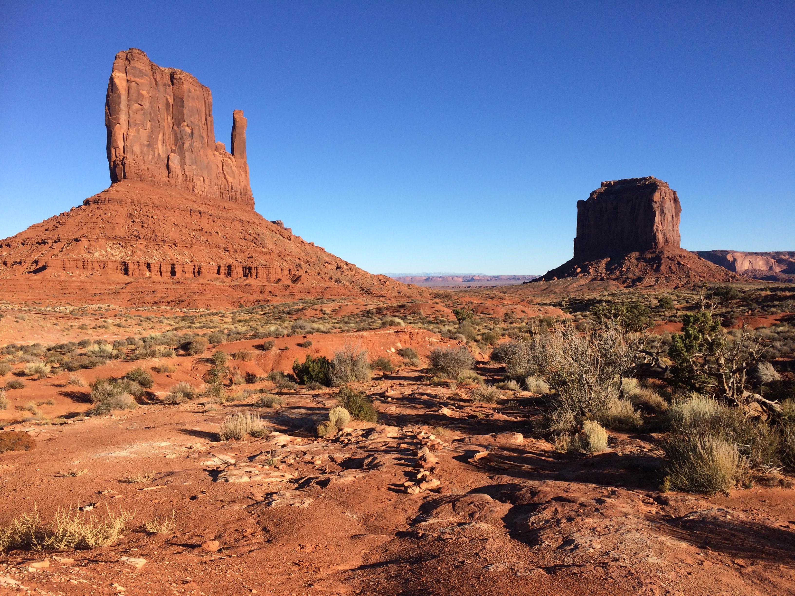
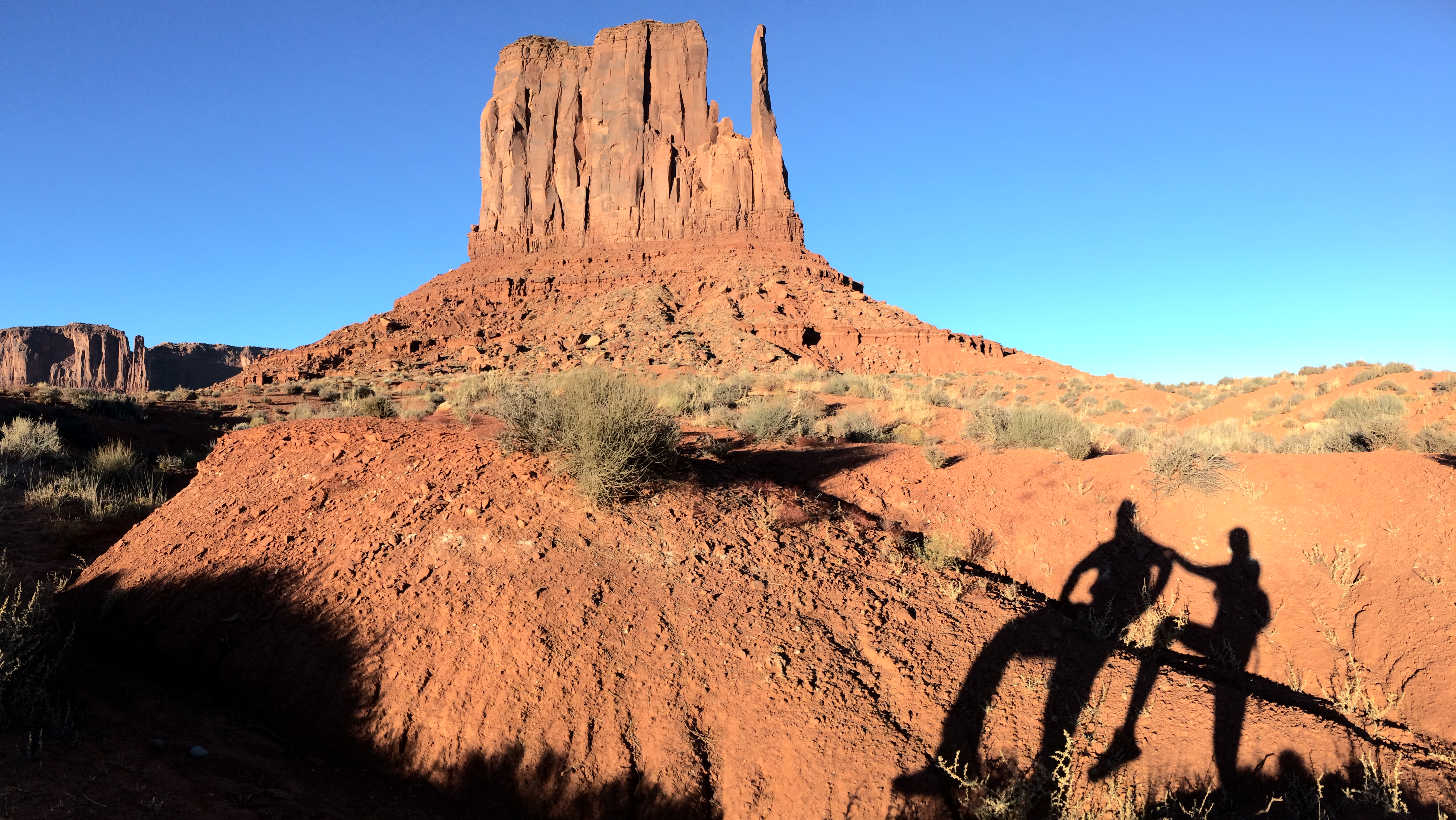
We immediately began our off-roading adventure, which wasn’t as terrible as visitors made it sound. There were at least 3 Fiats driving along the bumpy, unpaved dirt road and if the Fiats can make it, we’re pretty sure any sedan can too. The first landmark of the drive is arguably the most famous site of the mitten buttes.IMG_5790IMG_5789

Thanks to the off-season, the whole road was relatively empty. We enjoyed the pullouts and lookouts, typically brimming with tourists and buses, all to ourselves.20151119_141948IMG_5798

The best views can be seen from John Ford’s Point.20151119_145429

And runner up is Artist Point Overlook.IMG_5805

What is said to be a 2-3 hour drive only took 1.5 hours; traveling during the off-season saves so much more time!

We finished the drive in time for a sunset hike along the 3.8-mile Wildcat Nature Loop. This trail loops around West Mitten Butte along the valley floor, and is the only hike/run visitors can legally do in Monument Valley. But despite being the only hike in the valley, I heard hardly anyone hiked this trail. The verdict? We only saw one runner as we were finishing up our 1.5-hour hike.

Strolling along the valley floor:IMG_5816

Getting closer views of the double buttes:IMG_5813

Sunset time!IMG_5828

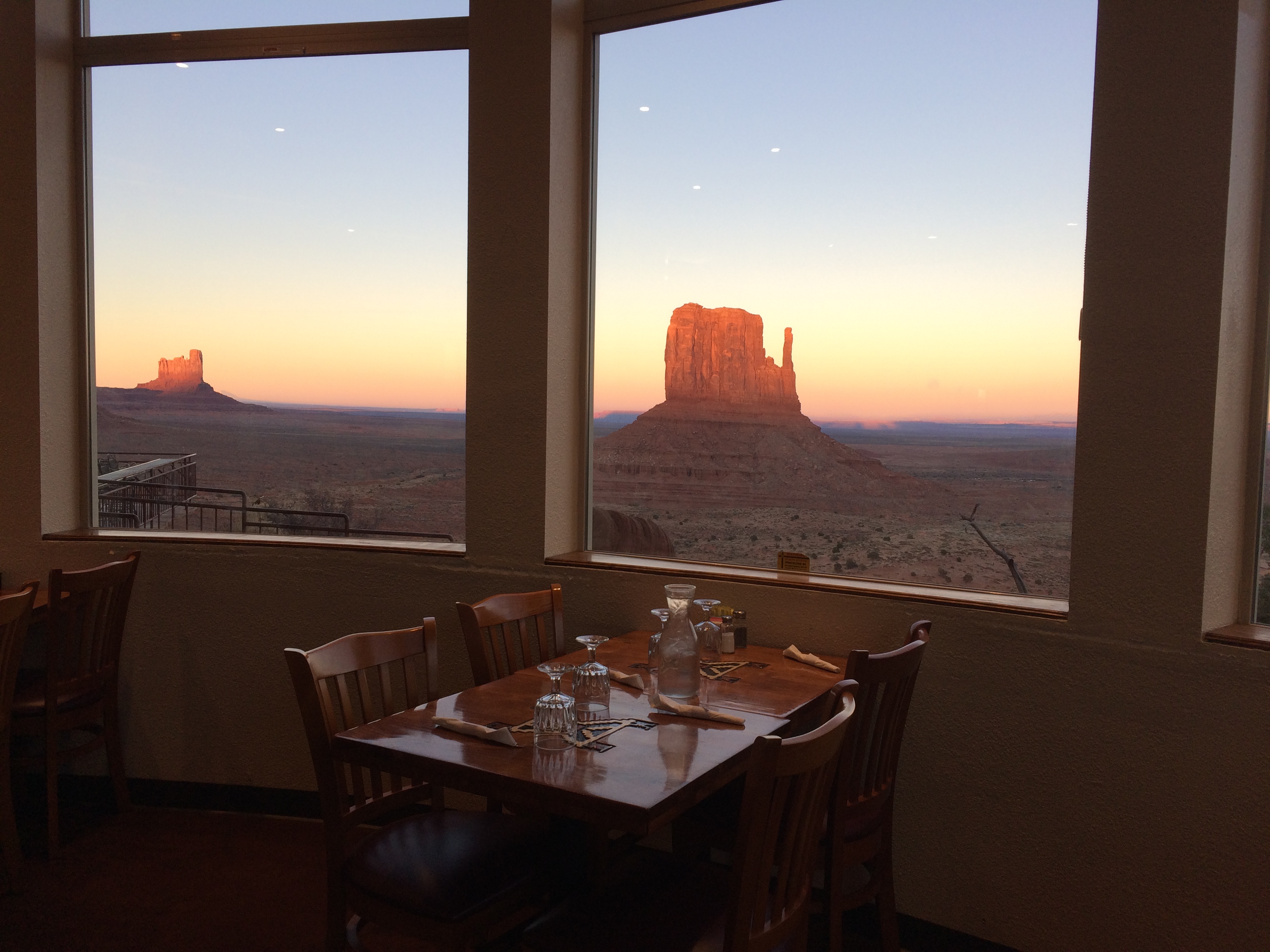
Bright pink alpenglow illuminated the rock formations as we crossed the parking lot into The View Restaurant after exiting the trail. What better way to end the day than a hot meal in a dining room with poster views of Monument Valley? We chowed down on Indian fry bread with honey and fried chicken as darkness swallowed the rocks.IMG_5831

It was an eventful (and logistical) day—I cycled the famous highway leading into the valley, followed by off-roading the 17-mile circuit through the valley, and finished with a hike around the most famous butte in the floor of the valley. NGUYENING!

Posted in Utah | Tagged , , | 1 Comment

Mesa Verde and Sand Canyon

I knew we weren’t going to leave Colorado before making it to Mesa Verde, the largest and most famous archeological site in the Southwest known to me. These ancient cliff dwellings were discovered by local ranchers only in the late 1800s, and then later became a national park in 1906. Now this popular national park has giant parking lots loaded with tour bus parking zones, and has a third party campground that hosts over 200 campsites. It’s a damn popular place. However, due to the off-season and the winter storm that passed through the night before our arrival, most archeological sites and all hiking trails had already been closed. As a result the park was mostly vacant which ended up working in our favor.

As I wrote in my previous post, we bugged out of Zapata Falls Campground earlier than we liked in order to get a head start from the storm. We spent the night in nearby Alamosa and set out the next morning for Mesa Verde, but we were hit by the winter storm earlier than expected. It was scary driving and towing up over Wolf Creek Pass with all the snow and ice, but we made it safely without incident and took a break in Durango.

While at a café in Durango a local told me that the nearby Sand Canyon was worth checking out. Upon quick research I saw how beautiful and fascinating Sand Canyon was—the Sand Canyon Trail was actually a part of Canyon of the Ancients National Monument and was only about a half hour drive west of Mesa Verde. Albeit much smaller than the sites at Mesa Verde, the archeological sites that trickled the Sand Canyon Trail hardly saw any visitors and was clearly a local gem. I made note to check it out after Mesa Verde.

That night, after attempting to search for a BLM campsite and slipping and sliding in snow with only a few minutes of light remaining, we resorted to spending the night at a rest stop just a mile west from the Mesa Verde entrance. Signs clearly indicating that overnight camping was prohibited were plastered all over the rest stop, but we figured it was safer to hunker down there than drive in the dark with snowfall and icy road conditions. We weren’t the only ones spending the night at the rest stop. There were 3 other trucks and another van idling their engines as we pulled in.IMG_5685

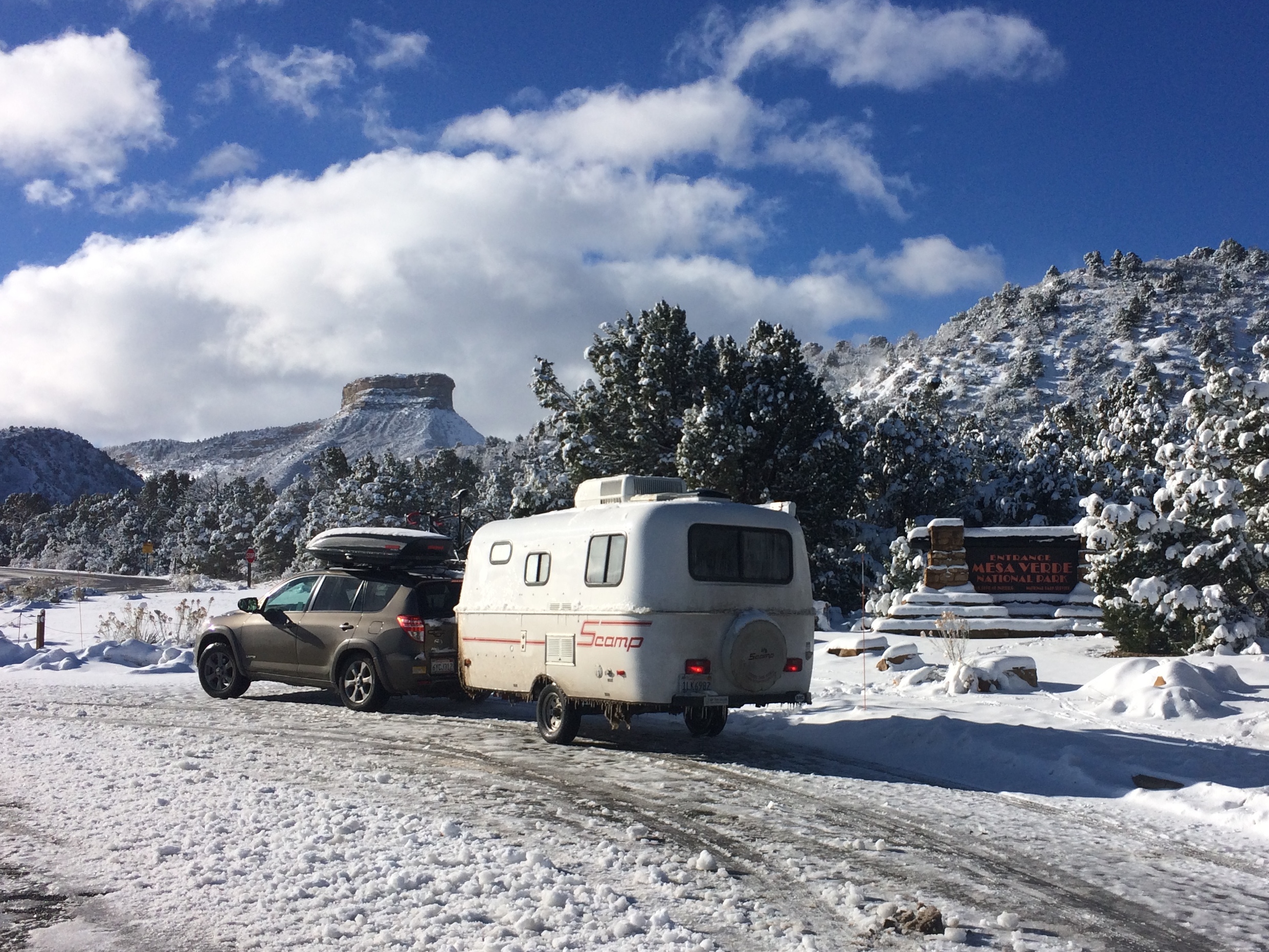
The next morning we finally made it to a snow-covered Mesa Verde.IMG_5691

Trailers weren’t (and aren’t) allowed in the park. We unhitched our trailer in the parking lot specified for trailers before making our way up.IMG_5696

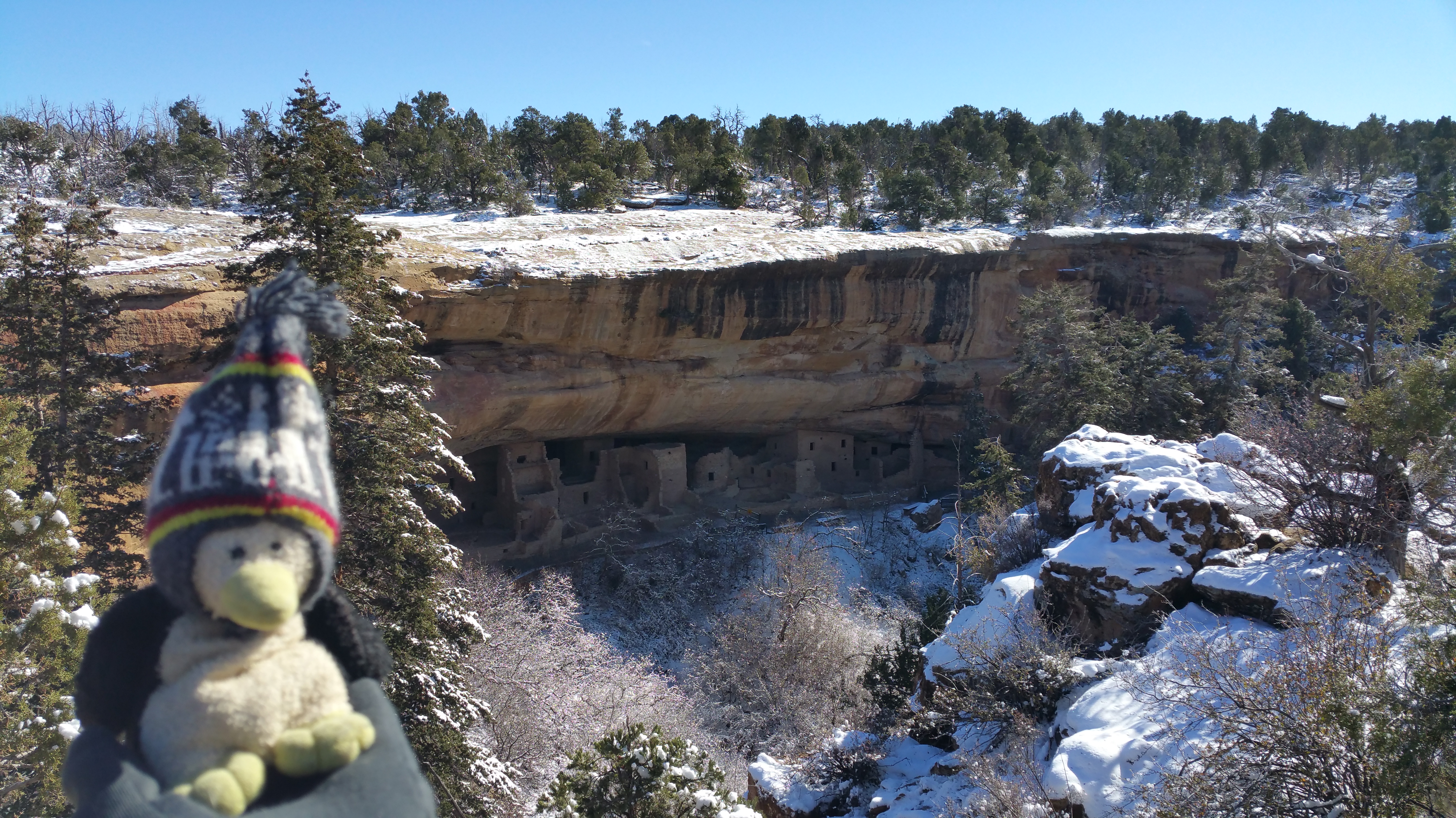
At that time of year only Chapin Mesa was available for visitors. The entire Wetherill Mesa and Cliff Palace Loop were already closed, meaning the Step House, Long House, Cliff Palace, and Balcony House were off limits. All hiking trails were closed due to snow and ice. Within Chapin Mesa were the highly informative archeological museum and the Spruce Tree House. Normally the Spruce Tree House is the only cliff dwelling open to visitors during the winter via free guided tour, but only 3 weeks before, large rocks above the Spruce Tree House had collapsed. Not only was it unsafe to enter, the site was becoming incredibly endangered. As a result we were only able to see Spruce Tree House from a distance.20151117_111413

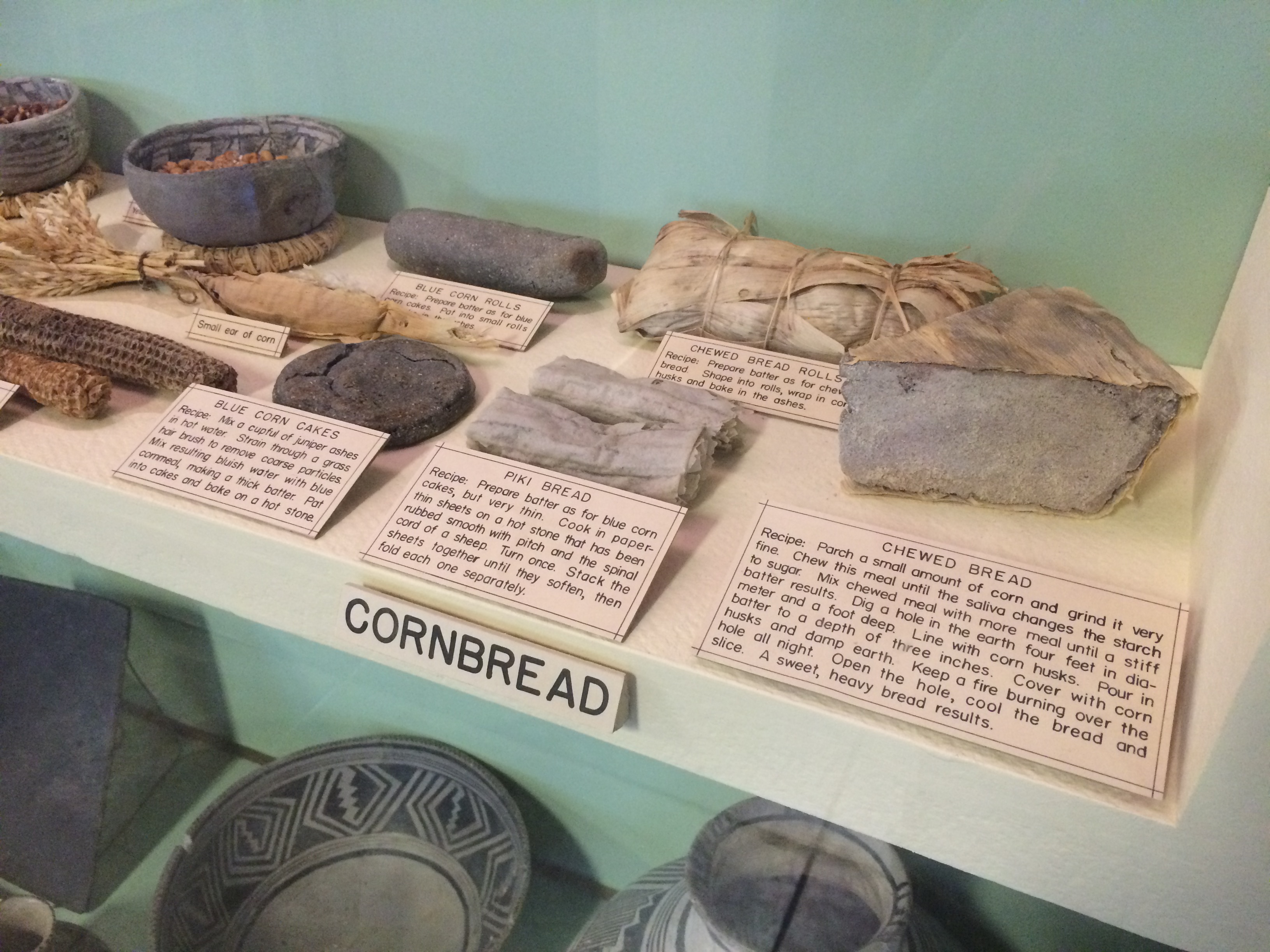
Because the 6-mile Mesa Top Loop was being cleared of snow and not yet open, I browsed the archeological museum, which ended up being more fascinating than I expected. Mesa Verde wasn’t just cliff dwellings—the park included more than 4,500 sites, with only 600 of them being dwellings! At the museum I learned more about archeological theories, anthropology, the natives’ time periods, generations of people, their food, clothing, tools, weapons, pottery, and more. Upon excavating the sites, archeologists discovered numerous artifacts, which were all now on display in the museum.IMG_5699

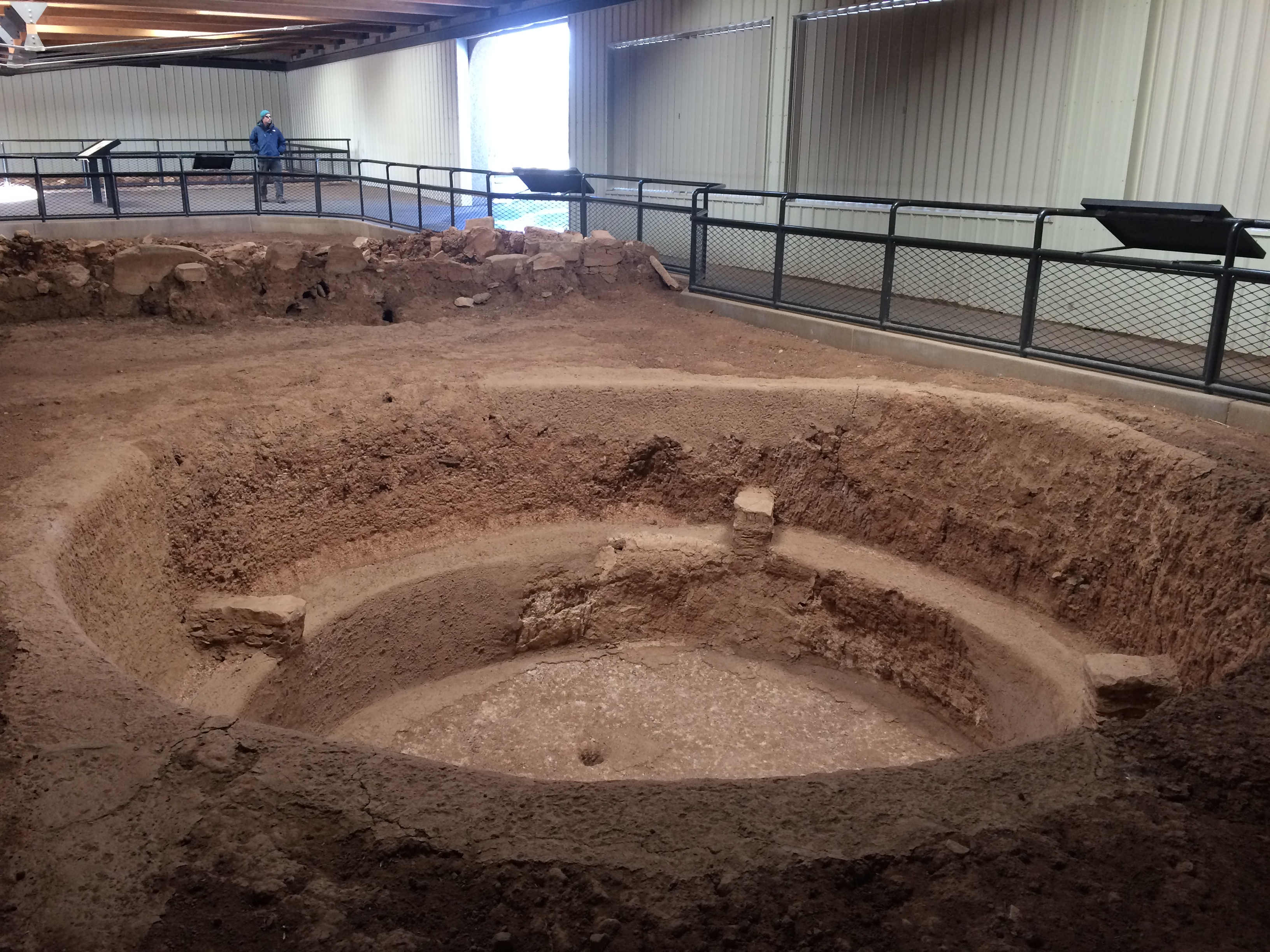
About an hour later the park rangers announced that the Mesa Top Loop had been cleared and was open. I grabbed Chris from the café and we headed out to drive the loop. The short loop had various stops, lookouts, and points of interest along a one-way single lane road. During the peak season I imagine this road is quite congested with wait times for parking. Thanks to the off-season we were followed by only one other car and enjoyed every pit house with serenity and peace.IMG_5707

Normally visitors should spend at least a whole day at Mesa Verde, but with most sites being closed, we were done by around 3pm. We spent that night in the nearby town of Cortez.

The next morning we drove the 30 minutes to the South Sand Canyon Trailhead, an excellent trail for running, hiking, and mountain biking.20151118_085837

With limited time I hiked the 4-mile-ish loop from the Sand Canyon Trail to the East Rock Creek Trail. More information and a map could be found on the BLM site here.

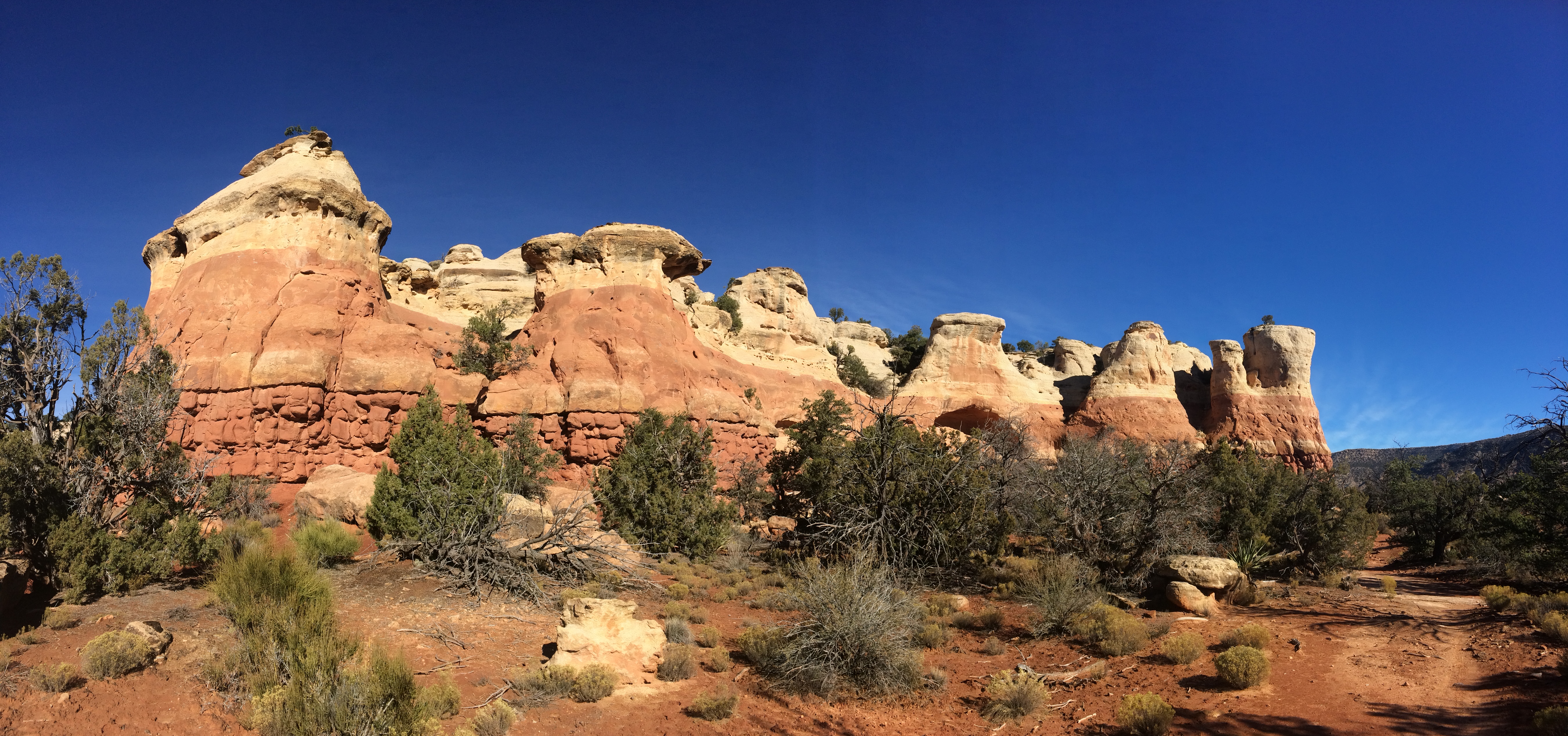
There were a number of unique natural rock formations.IMG_5727 IMG_5741

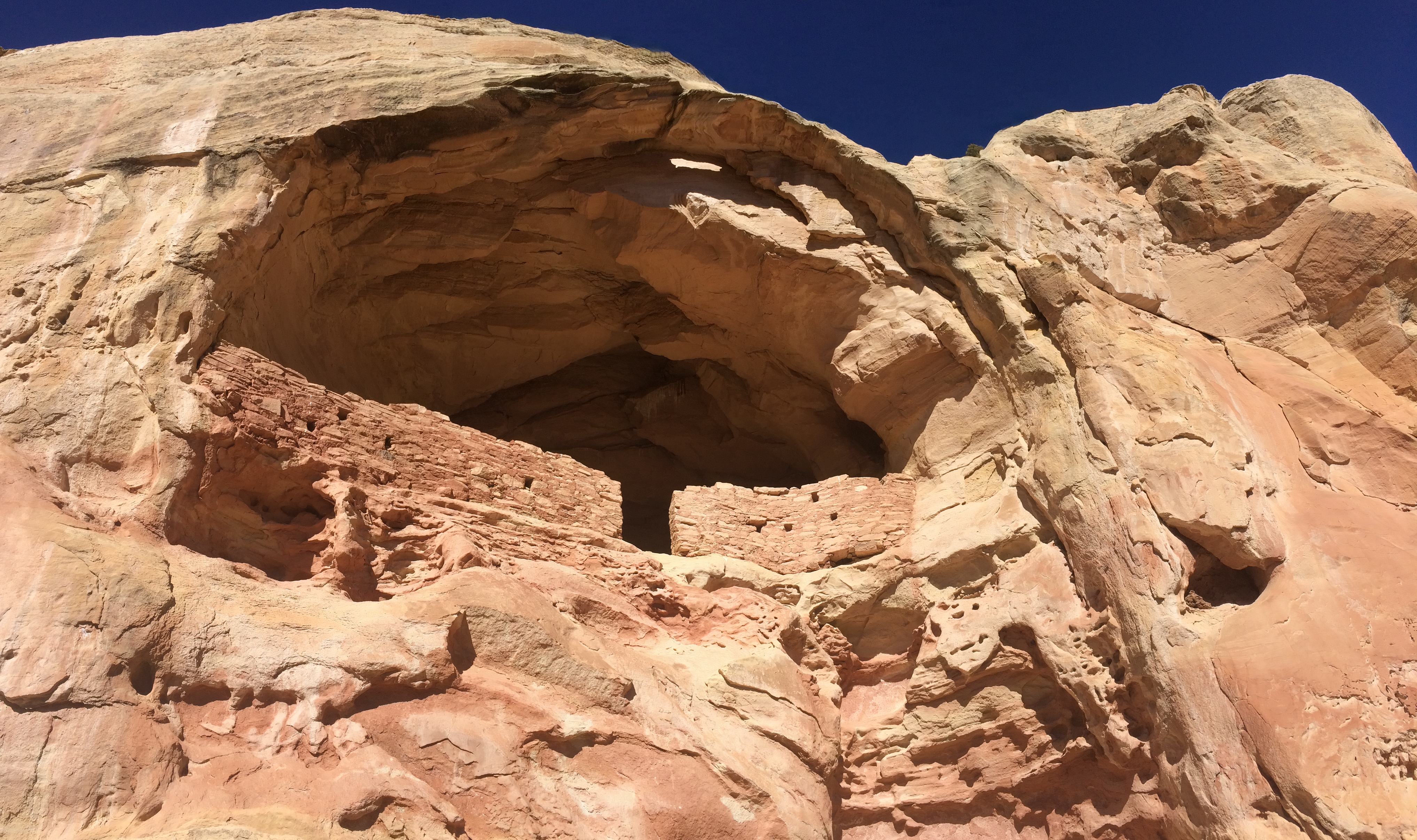
The Saddle Horn Dwelling (its name given due to its shape):IMG_5733IMG_5730

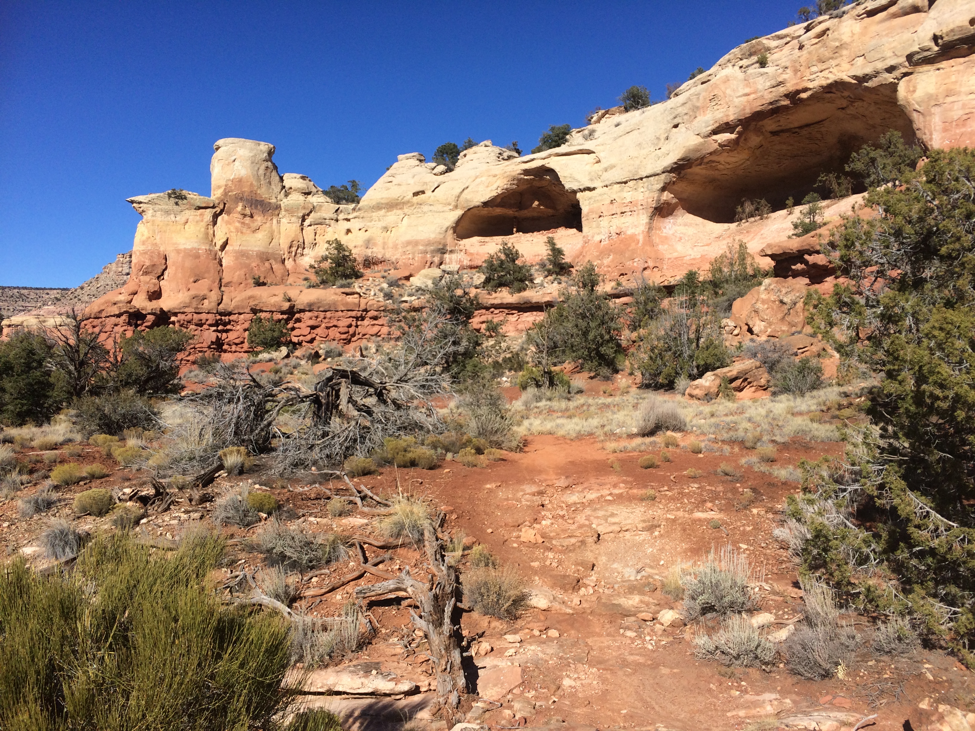
To my surprise, there were more cliff dwellings on the trail than I expected. Along the southern trail connecting East Rock Creek with Sand Canyon, I stumbled upon more sites.IMG_5746 IMG_5750

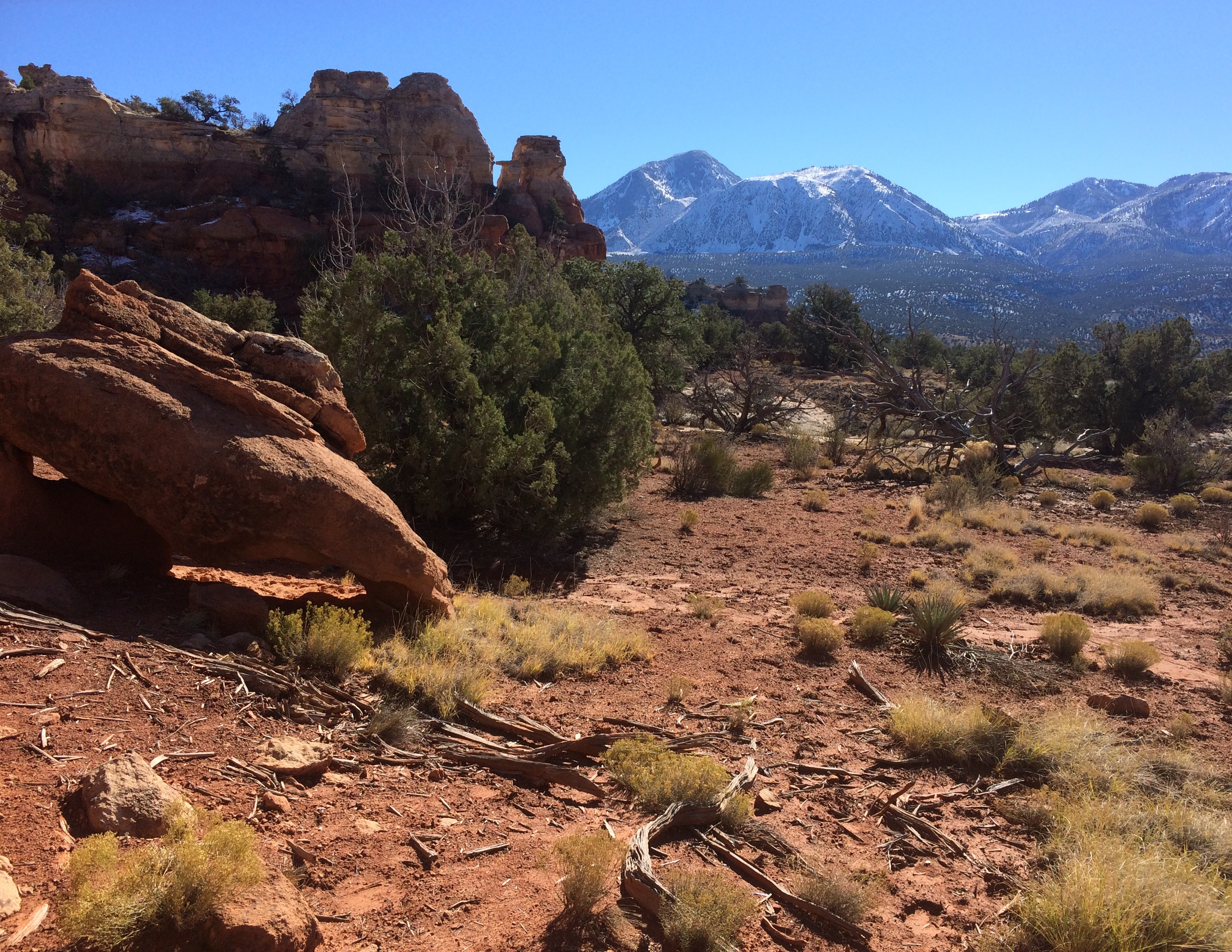
Imagine living in these cliff dwellings. This would have been your view.IMG_5747

I quickly made it back to the trailhead/parking lot, ate lunch, and headed out again. The archeological sites of Mesa Verde and Sand Canyon, undoubtedly fascinating for those with an appreciation for anthropology and history, were our last destinations in Colorado before returning to Utah. If you’re ever visiting Mesa Verde, take the time to drop by Canyon of the Ancients National Monument too.

Posted in Colorado | 1 Comment