Hiking in Dachstein. Check.
Driving on Grossglockner. Check.
Last but not least, a hike in Tirol near Innsbruck!
In order to avoid a mishap like in Dachstein, I double checked the route and thoroughly planned our transportation options. The only real issue was weather.
“Isn’t it wonderful when you wake up before dawn, put on a 30-lb. pack, and hike for three hours up a steep mountain just to stand in a white room?” a friend sarcastically asked once. That was what I was afraid of most. All our efforts of getting up early, spending money to take the chair lift up, all for hours of hiking in a cloud.
We awoke in the quiet, deserted dirt lot of the Giessenbach train station which was also a trailhead for the mountains. Fortunately the train was closed for the last two weeks of July for maintenance, and we were rewarded with a silent, calm night. We caught the 8:07am bus for €2.90 each to Seefeld and then walked over to the cableway.
Because it was early Monday morning with clouds enveloping the mountains, it was no surprise that we were the first passengers on the cableway. We paid €18 each for a one-way ride up to Seefeld Joch with a transfer at Rosshutte. 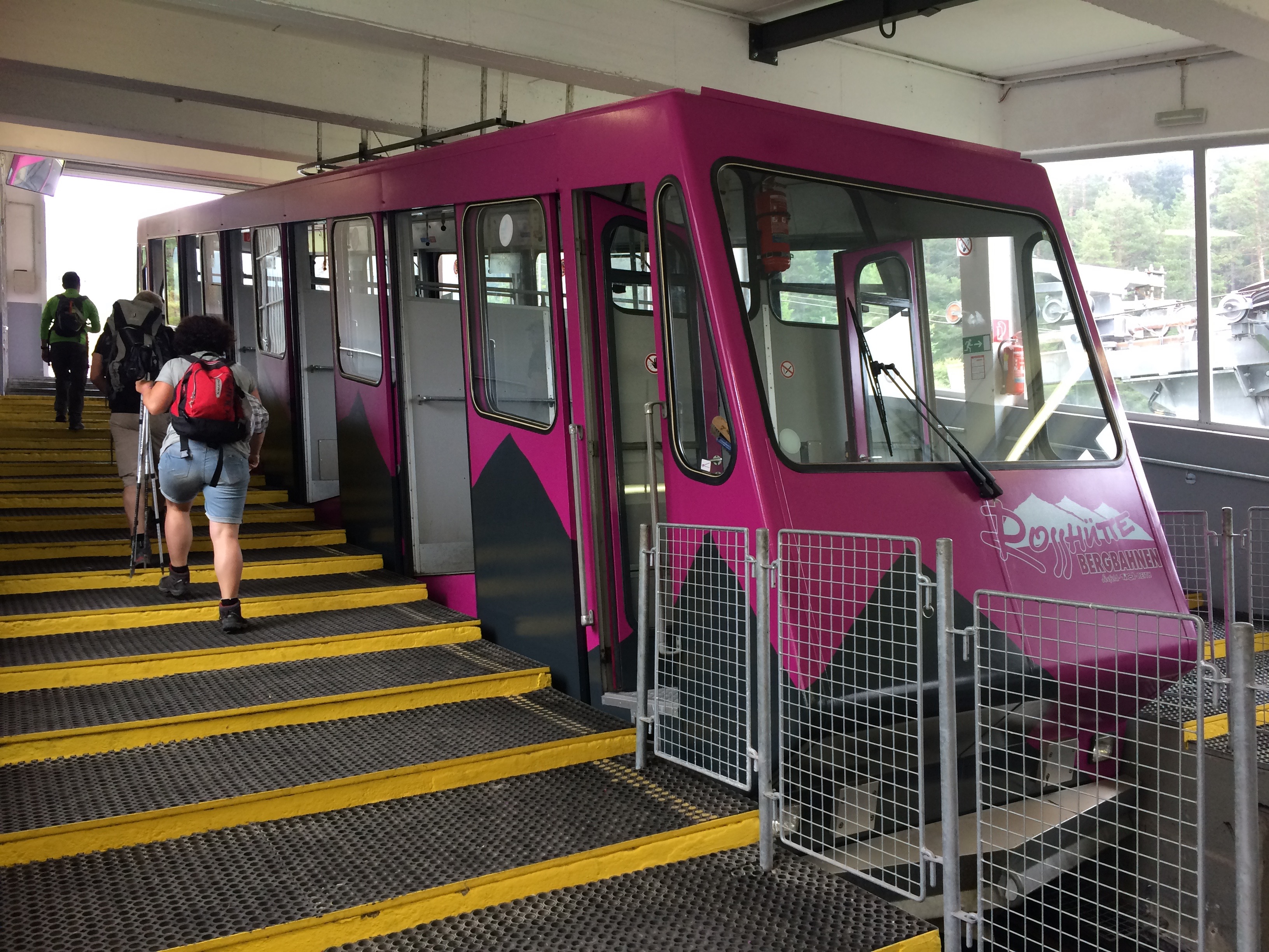
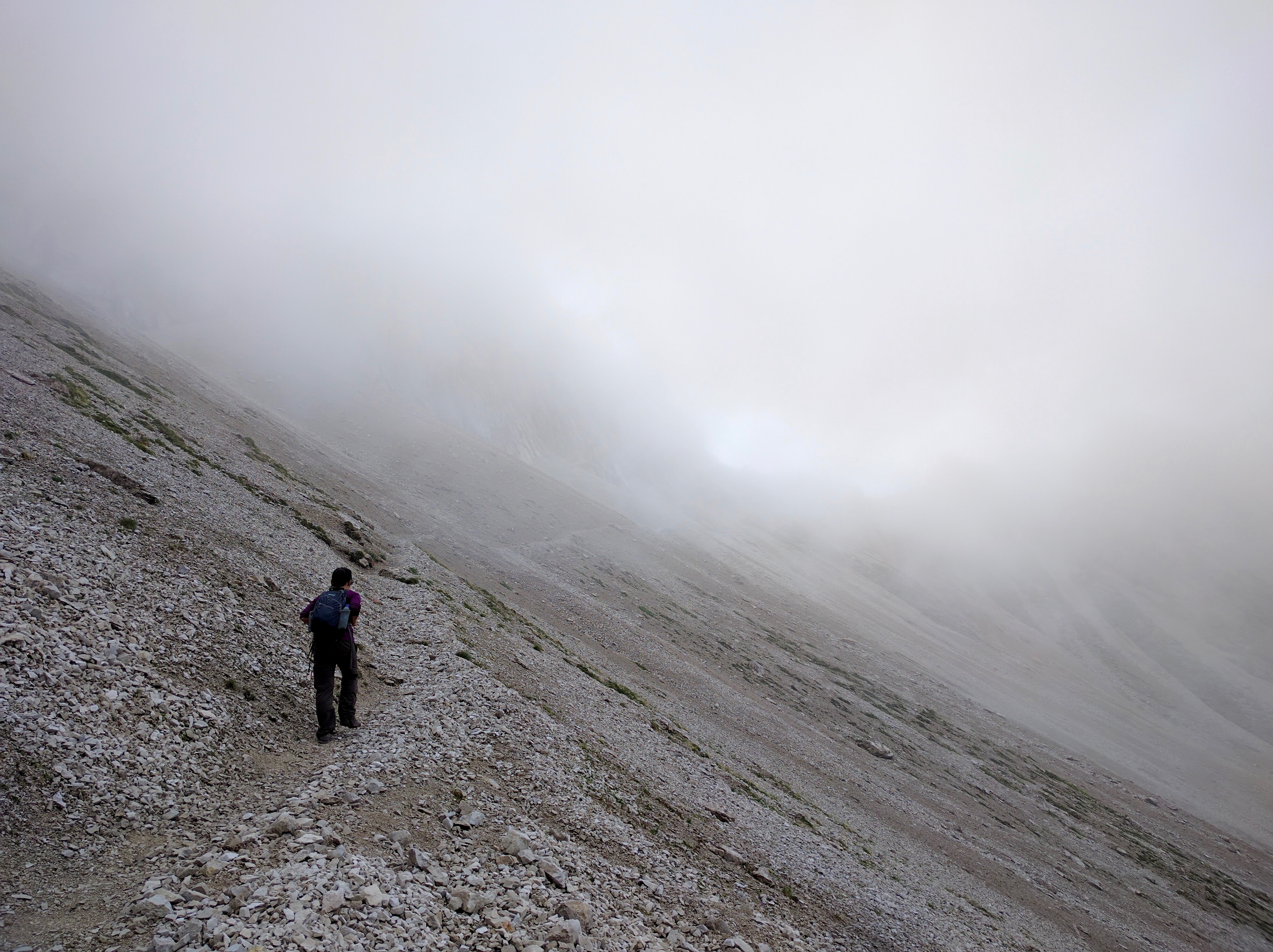
When we reached the top, my heart sank with disappointment. The supposedly epic “Panorama Trail” from Seefeld Joch to Seefelder Spitze was completely socked in. The trail over Seefelder Spitze was hardly any better.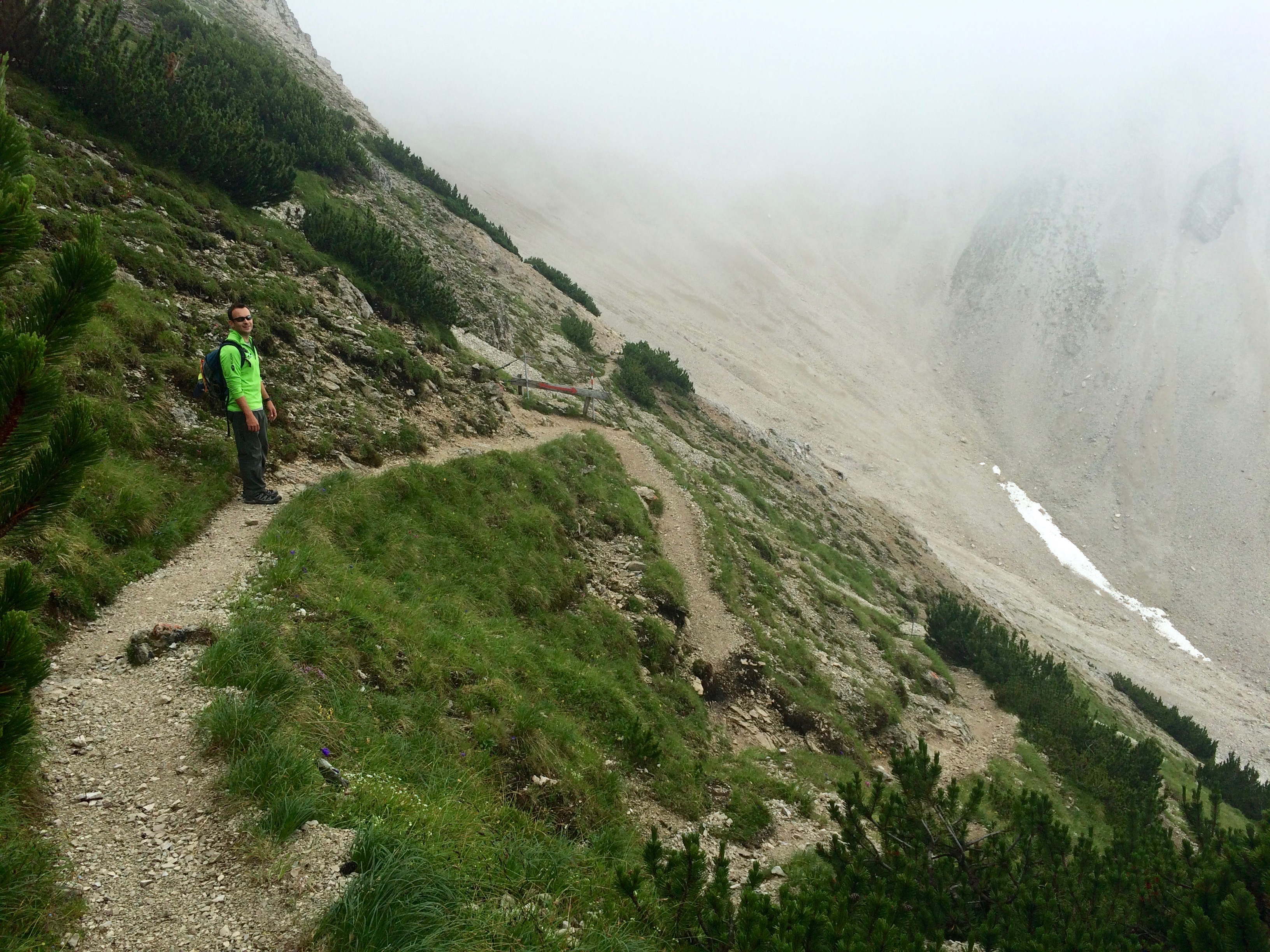
We at least got to witness an adorable sight: two tiny reptiles wrestling.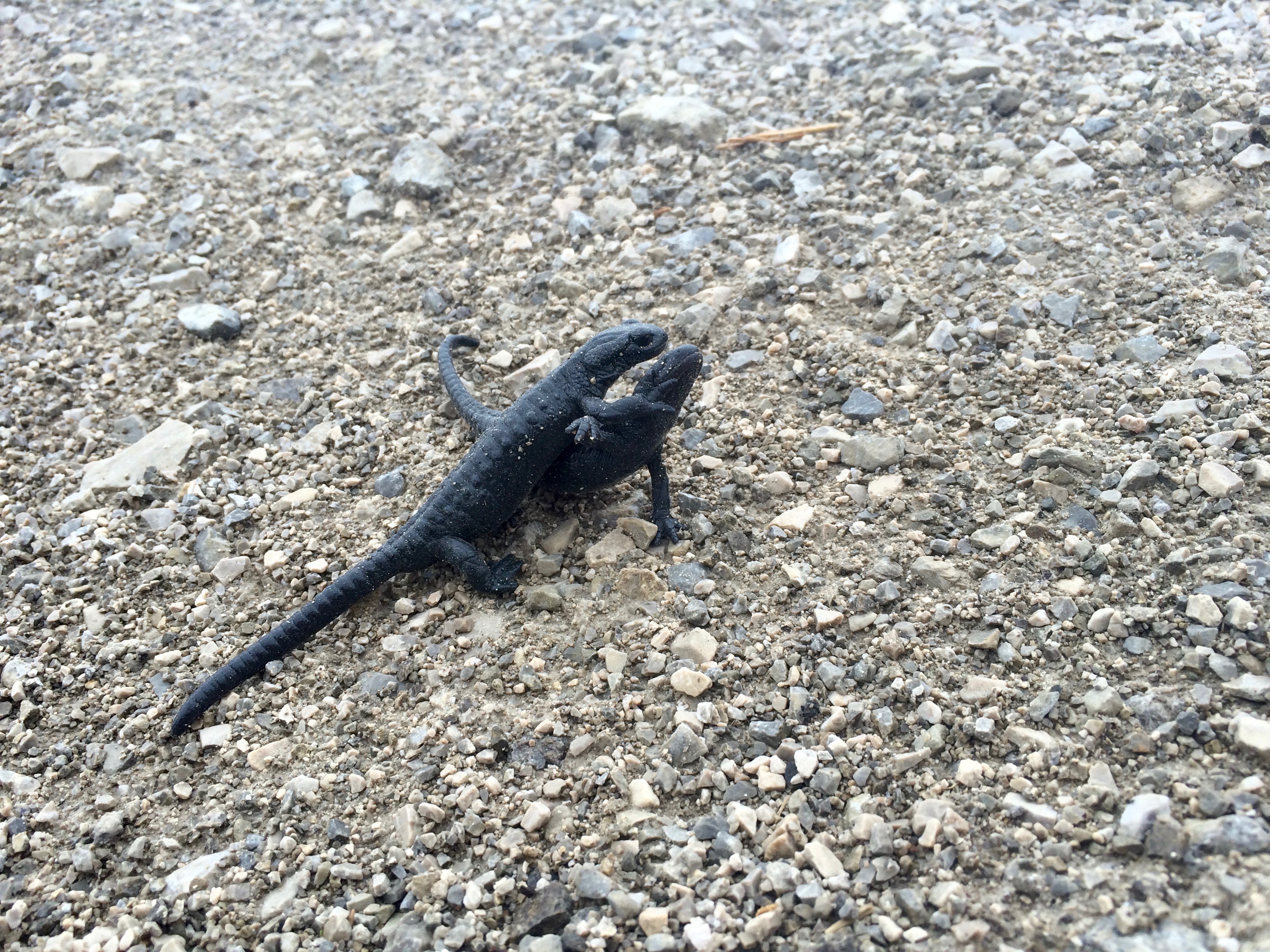
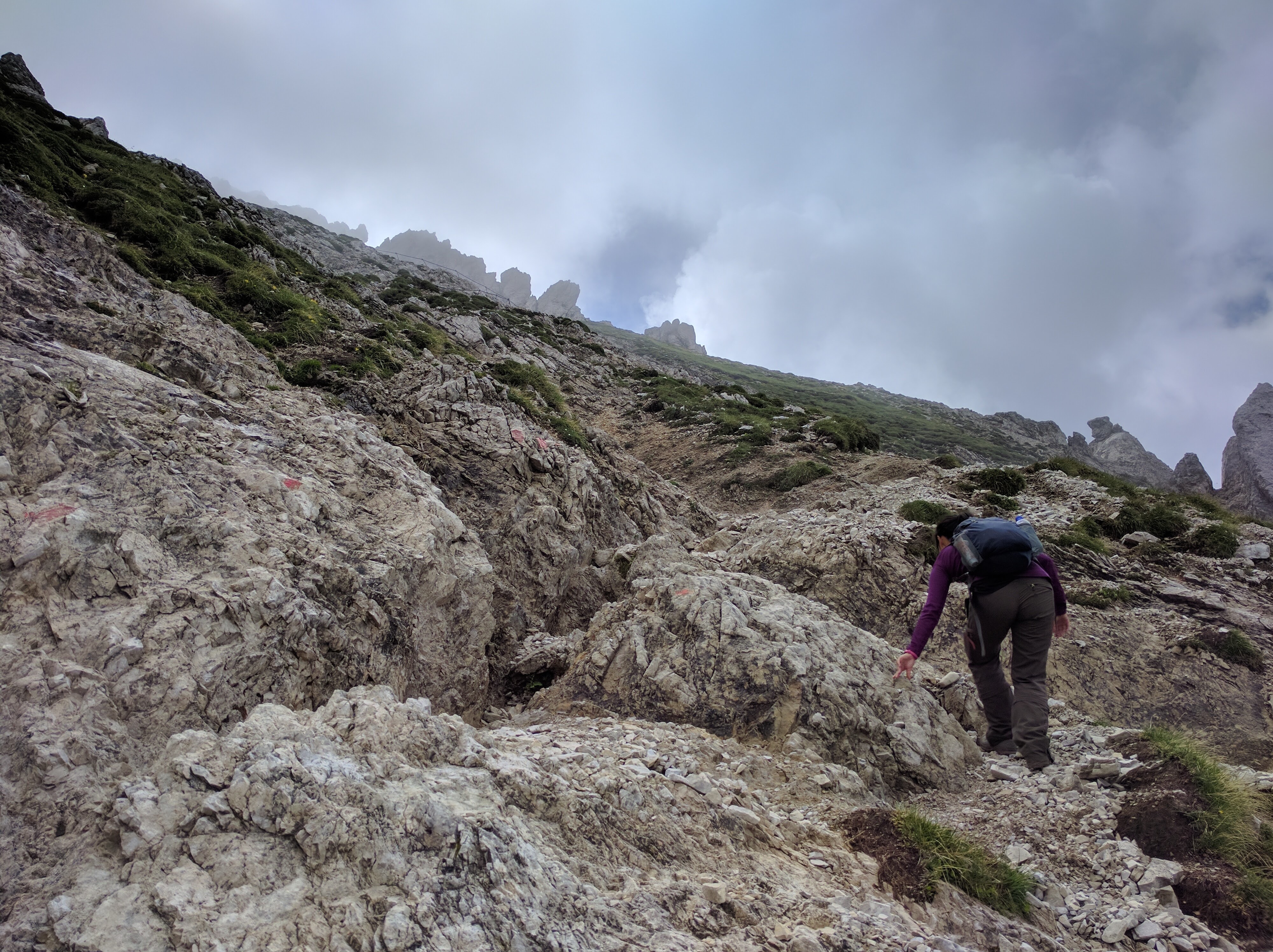
However, the weather turned for the better as we approached the foot of Reither Spitze.
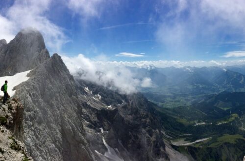
Reither Spitze, at 2,374 meters, was our highest point of the day. Mild scrambling and climbing with the aid of a ladder and some cables got us to the summit, but the trail wasn’t as scary as its description made it out to be.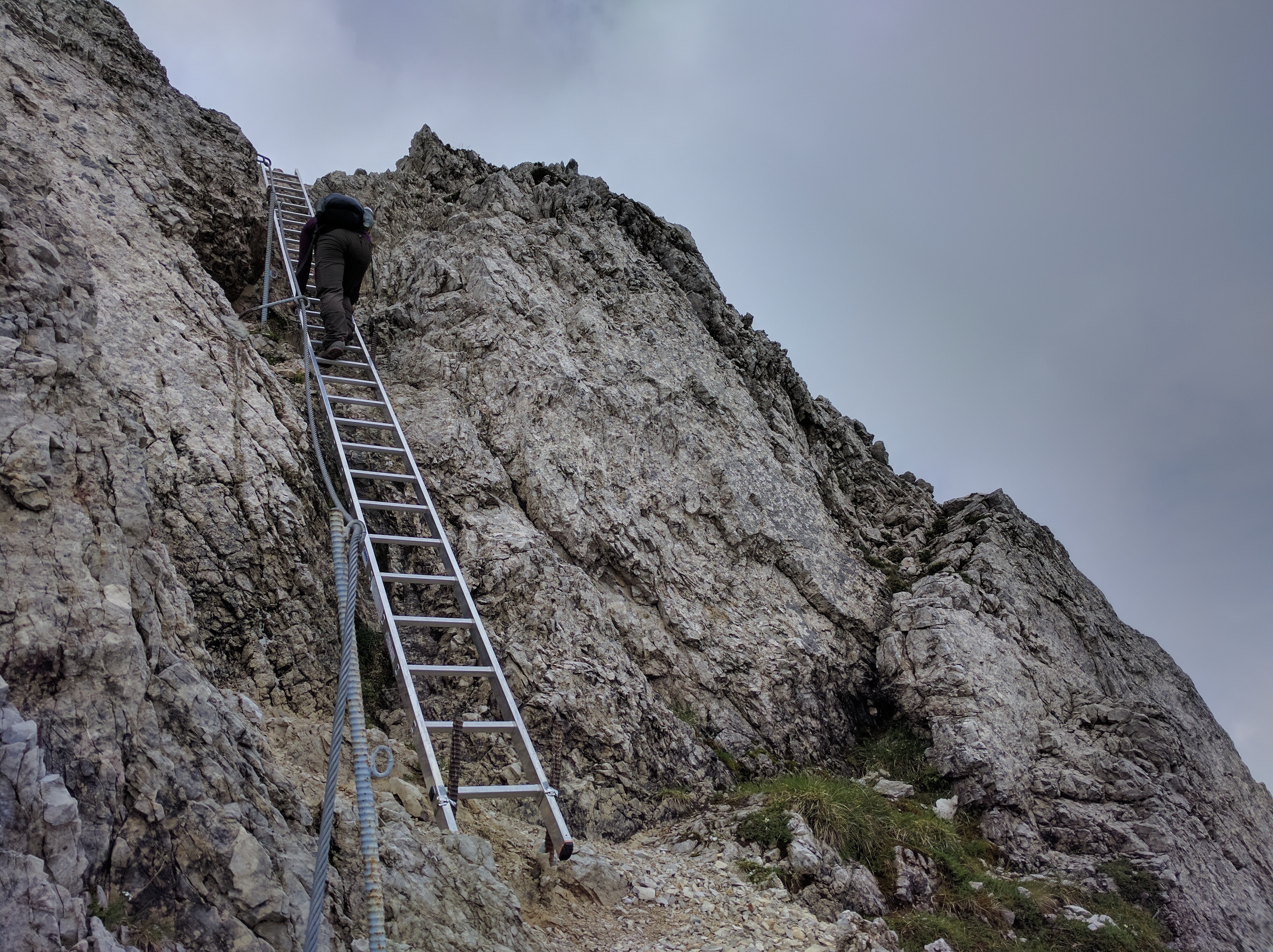
Looking down from the ladder, I saw this incredible, clear view that only lasted a few seconds: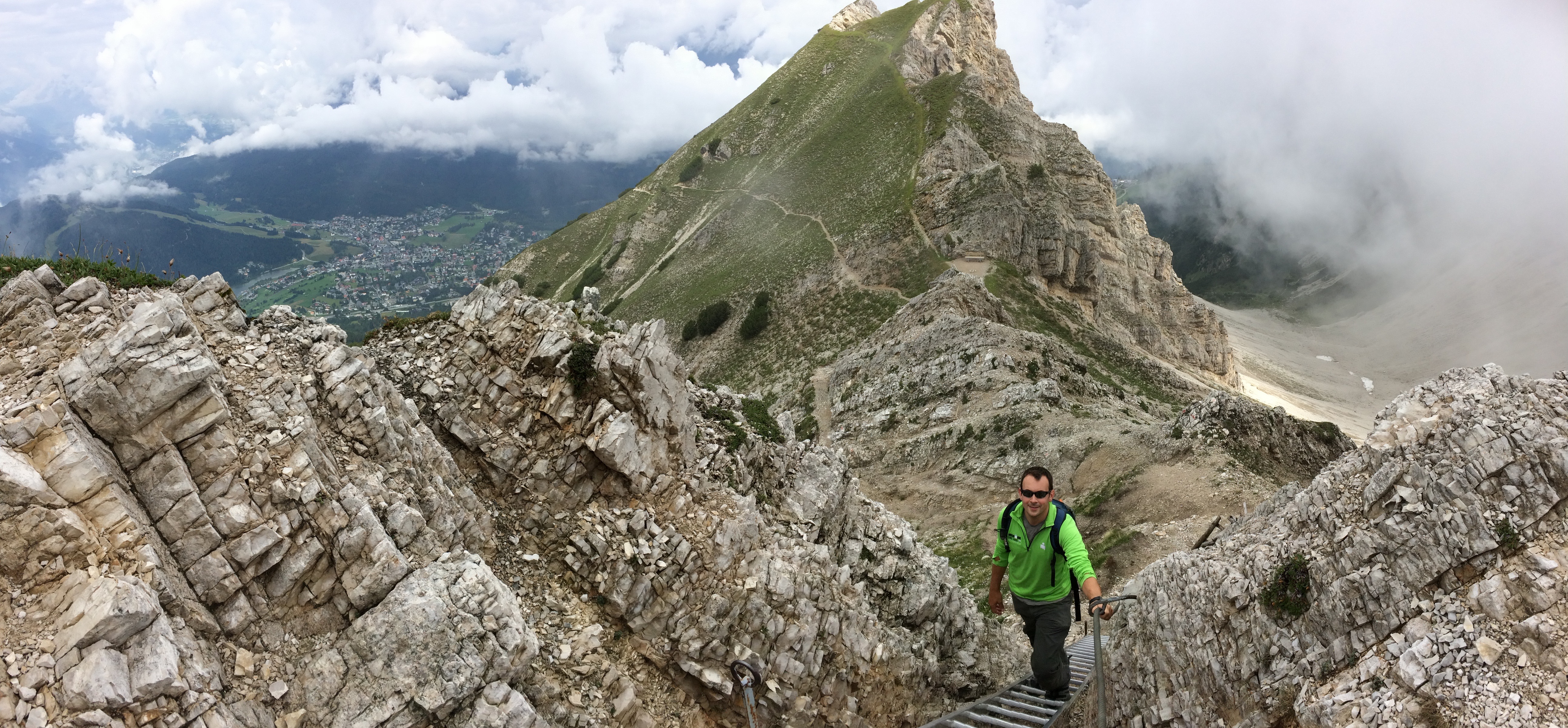
The Reither Spitze Summit: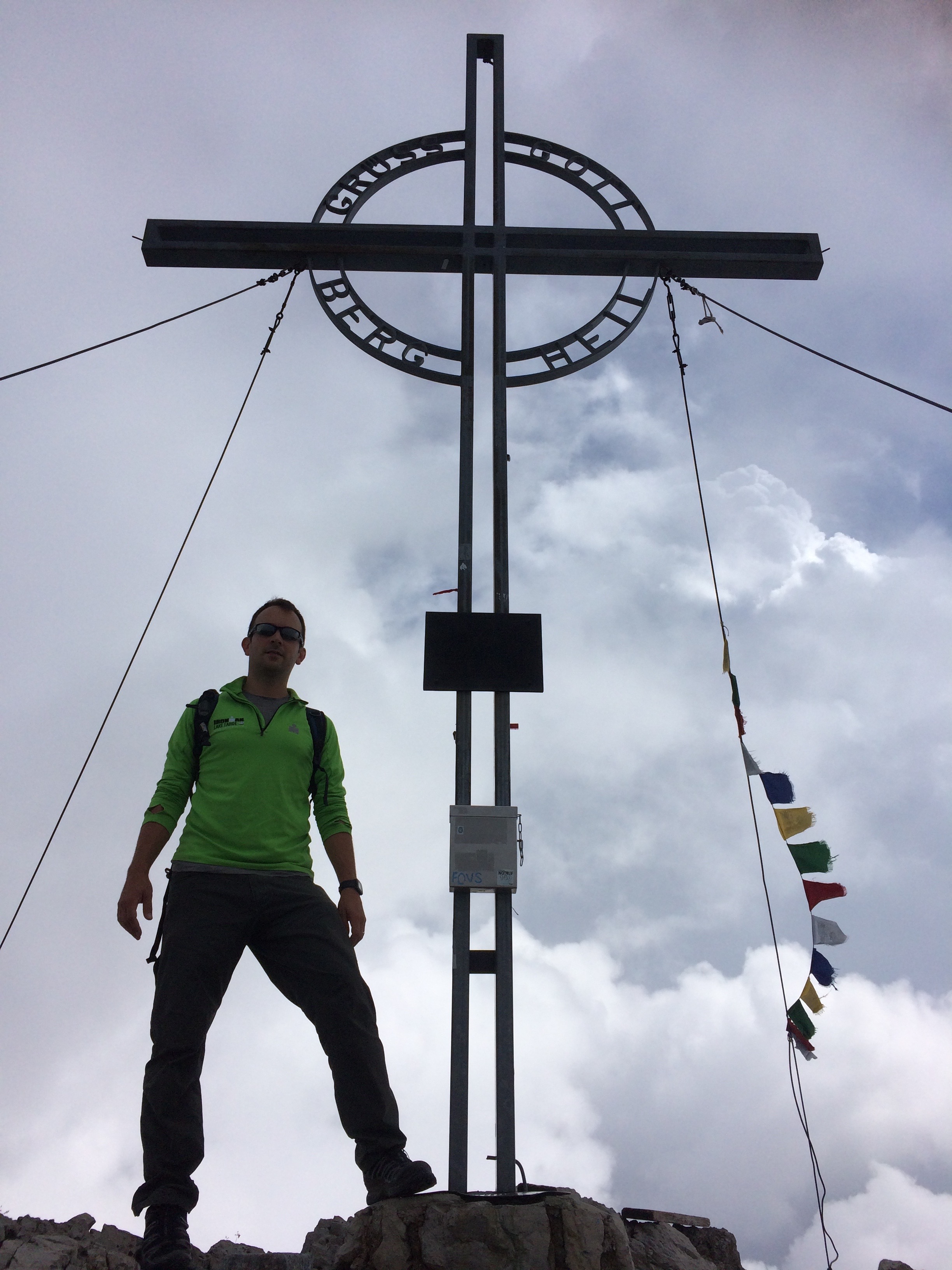
The view of the town and valley from the summit: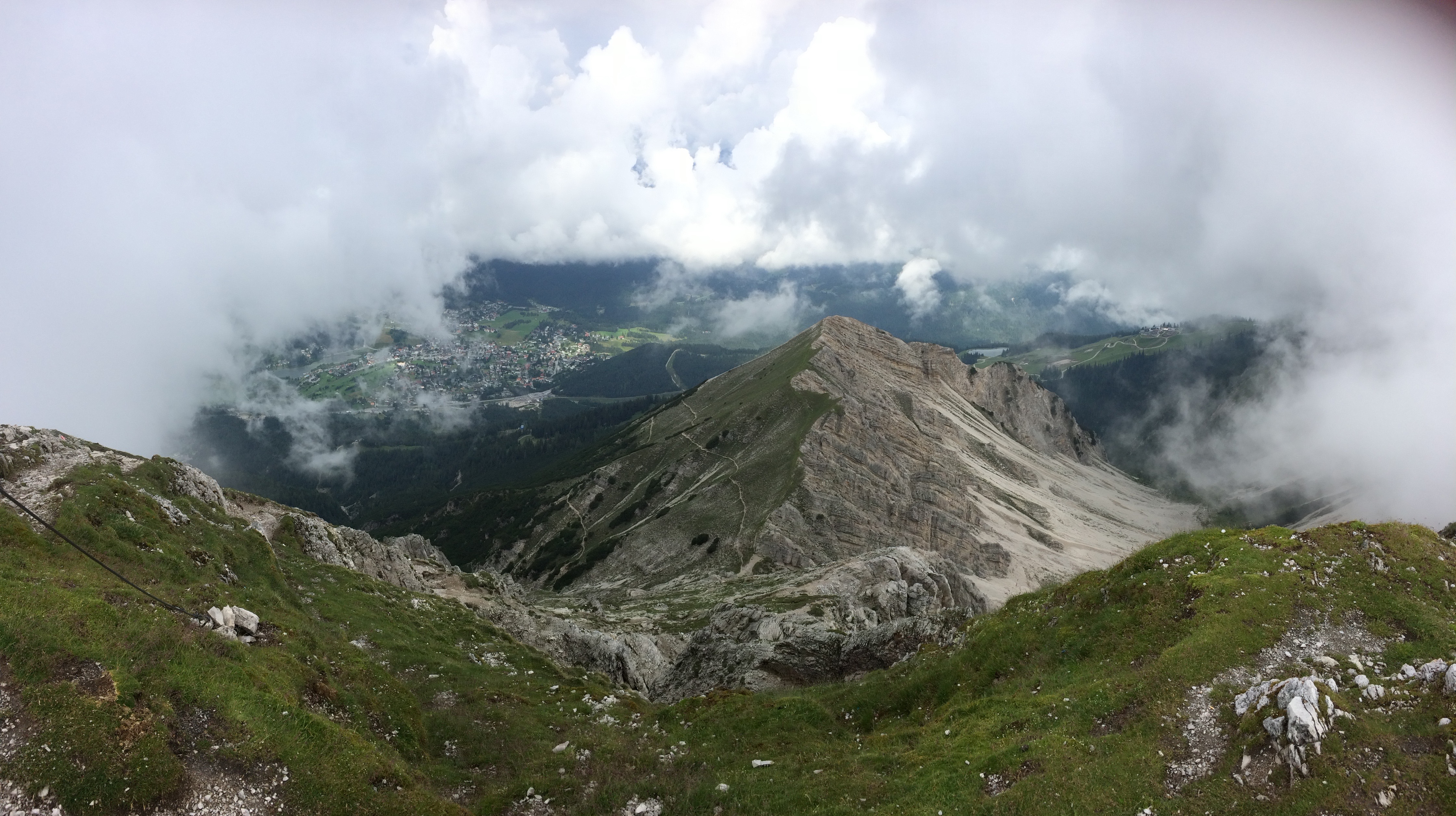
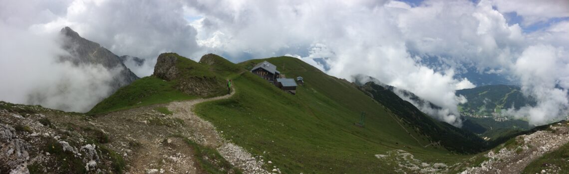
The classic King’s Trail takes hikers down to Nordlinger Hutte, then down the same side of the mountain back to Rosshutte. We didn’t do the classic. We opted for the extended version: a hike along the back side of the mountains, down into the mountain valley, and up a ridge to Eppzirler Alm. This portion of the hike turned out to be extraordinary; we were offered a different perspective of the mountains and we hiked on trails that seldom saw hikers.
Nordlinger Hutte, with the clouds parting ways for us: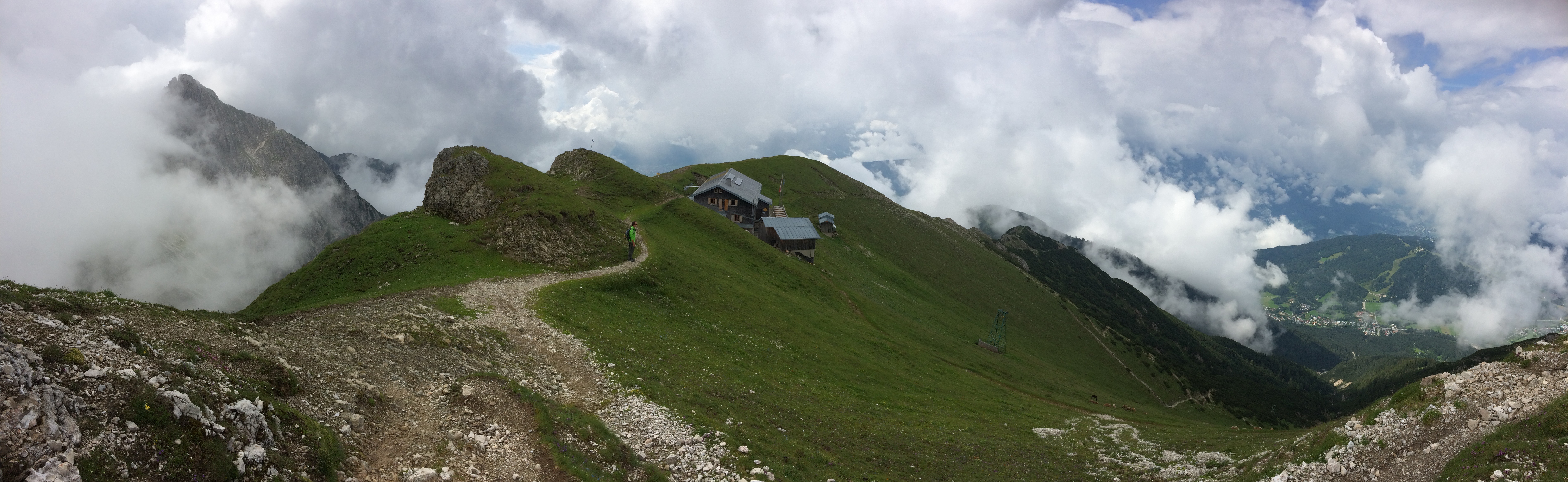
Hiking along the backside over washed out trails: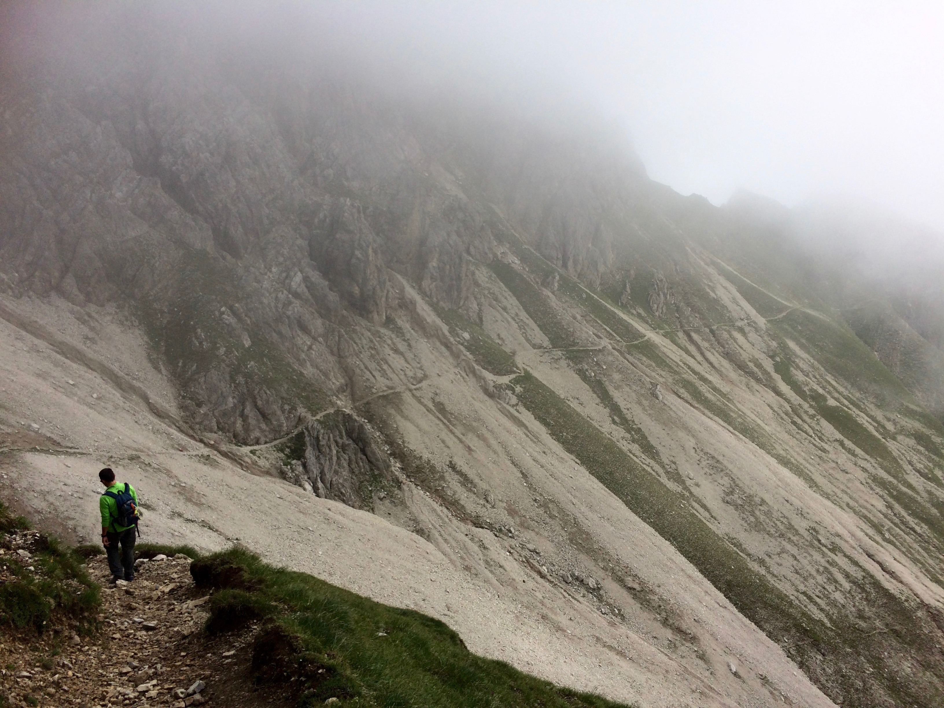
Incredible rock formations caused by water: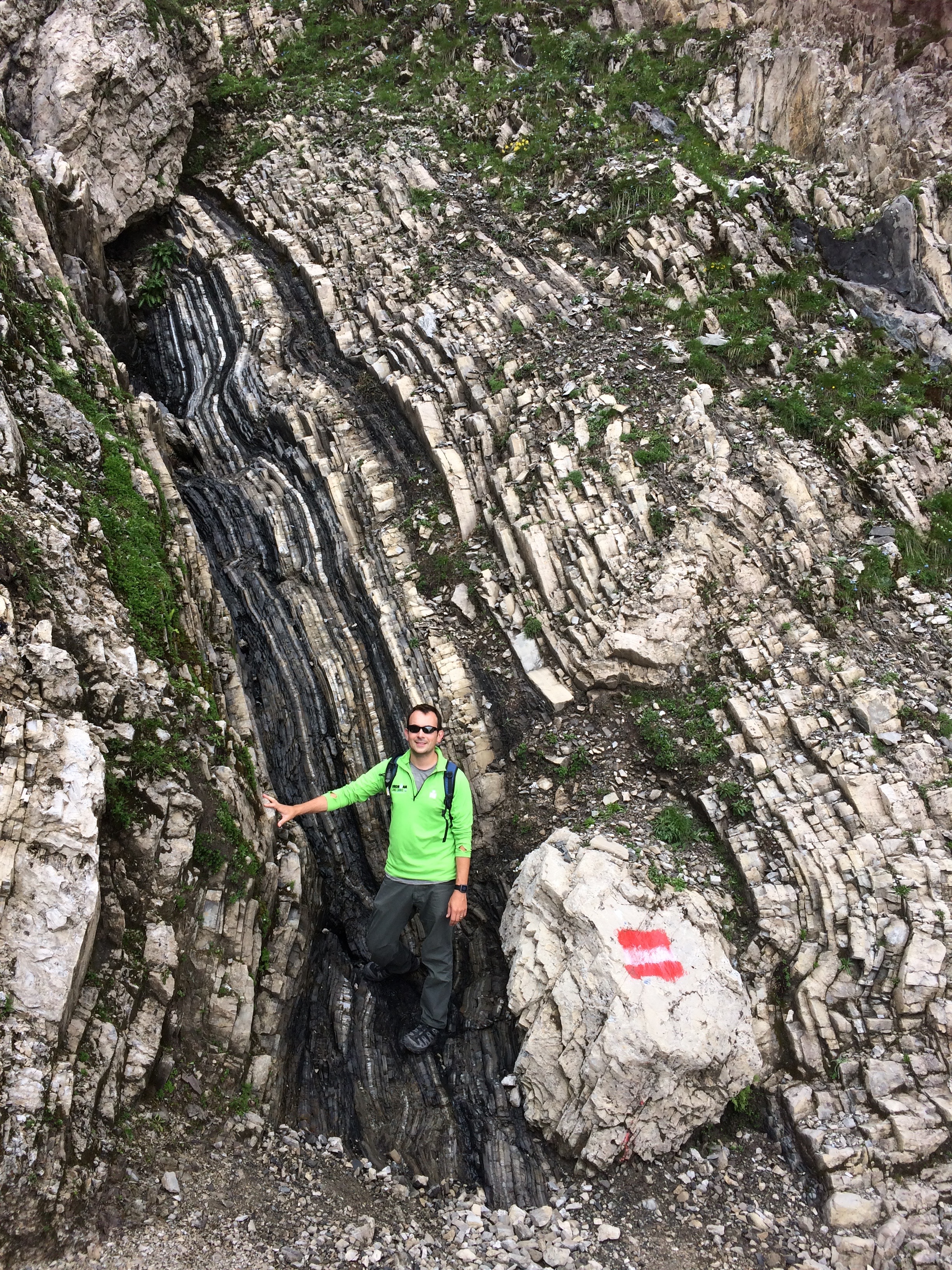
Eerie rock formations: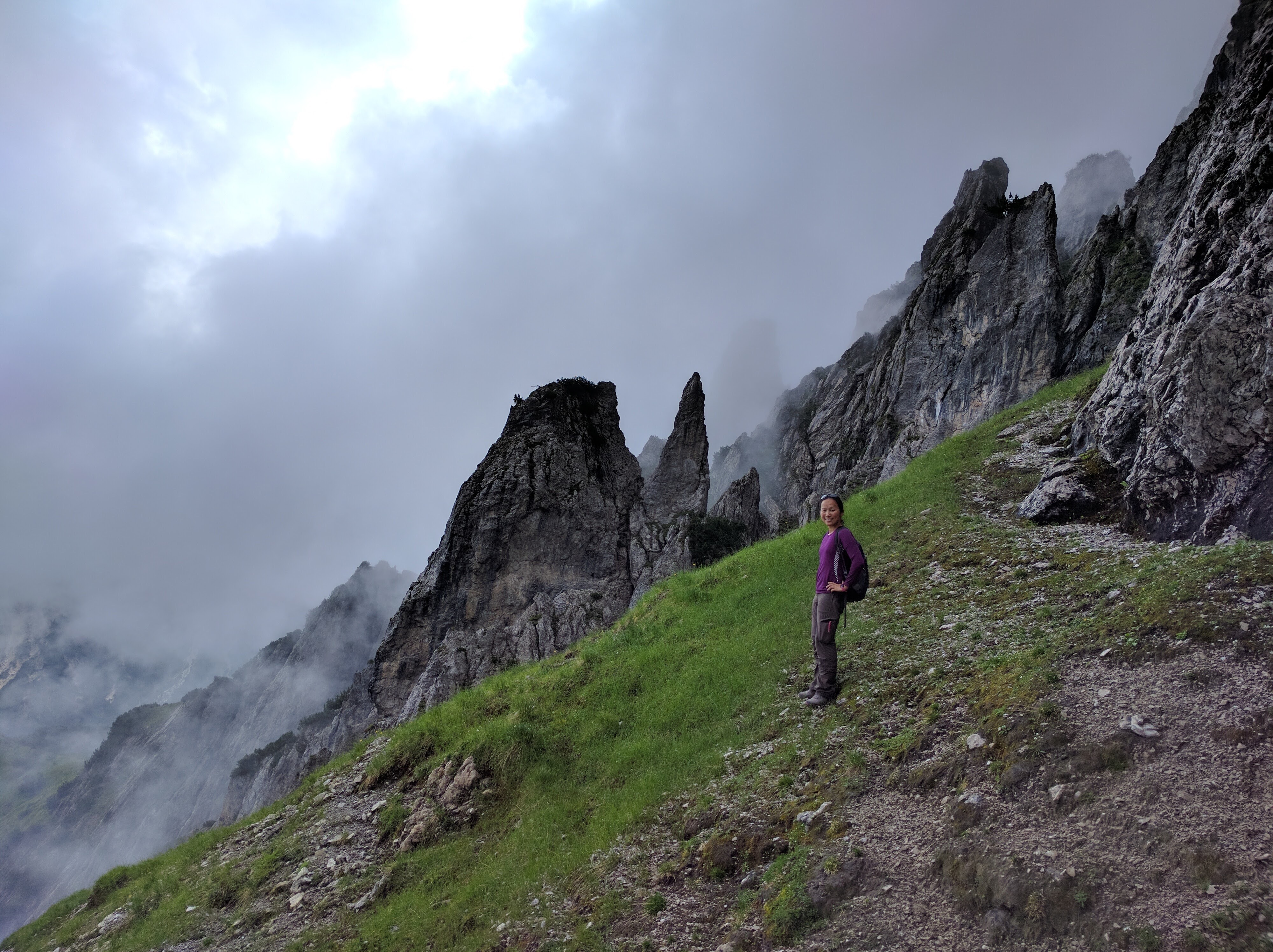
A walk along the ridge of Sunntigkopfl Peak engulfed me in a panorama of mountains.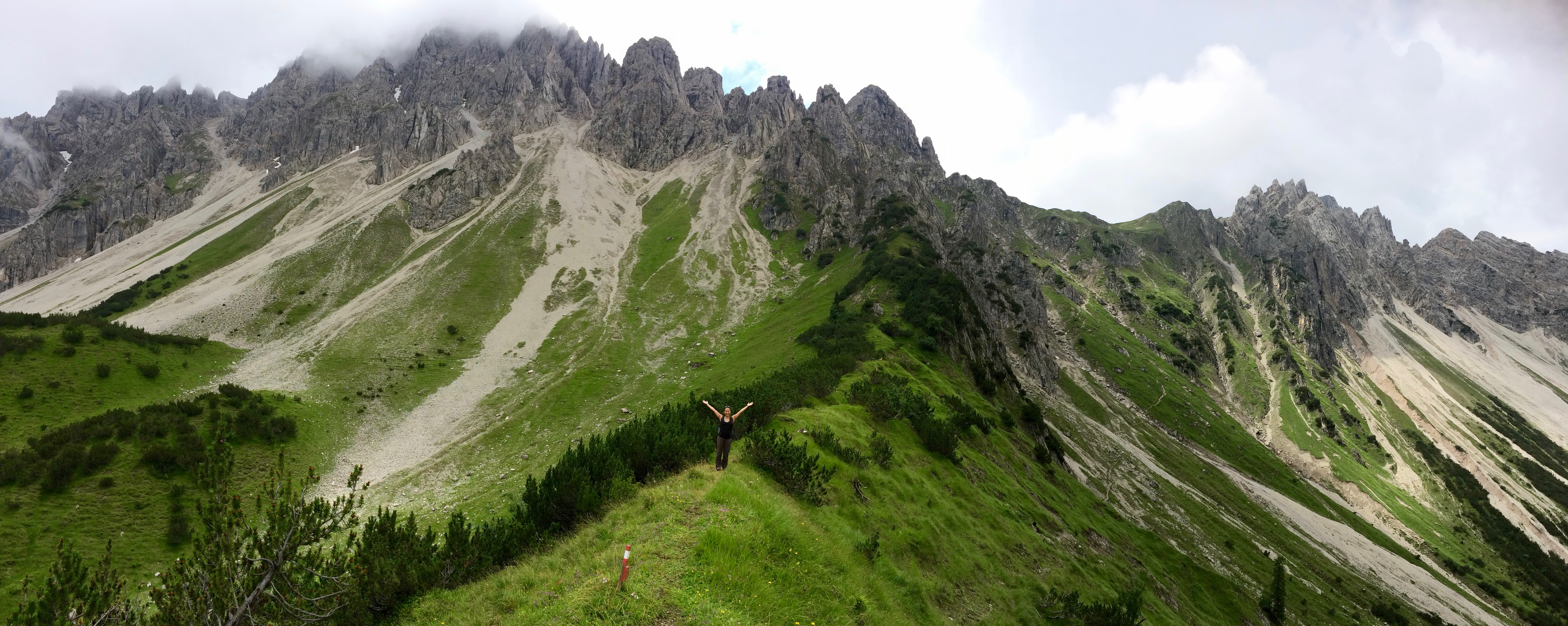
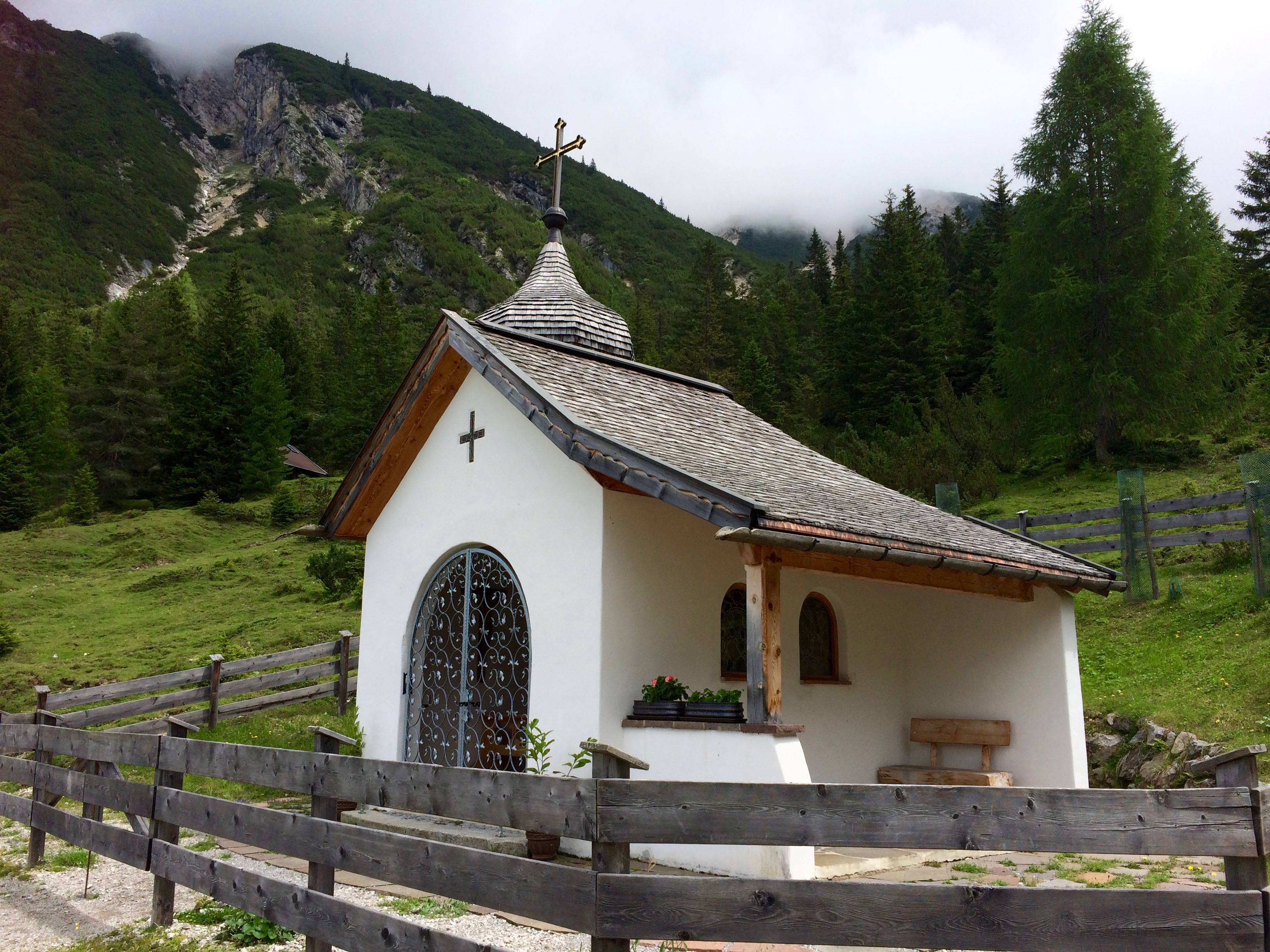
And finally, Eppzirler Alm, a small chalet and chapel easily reachable by car: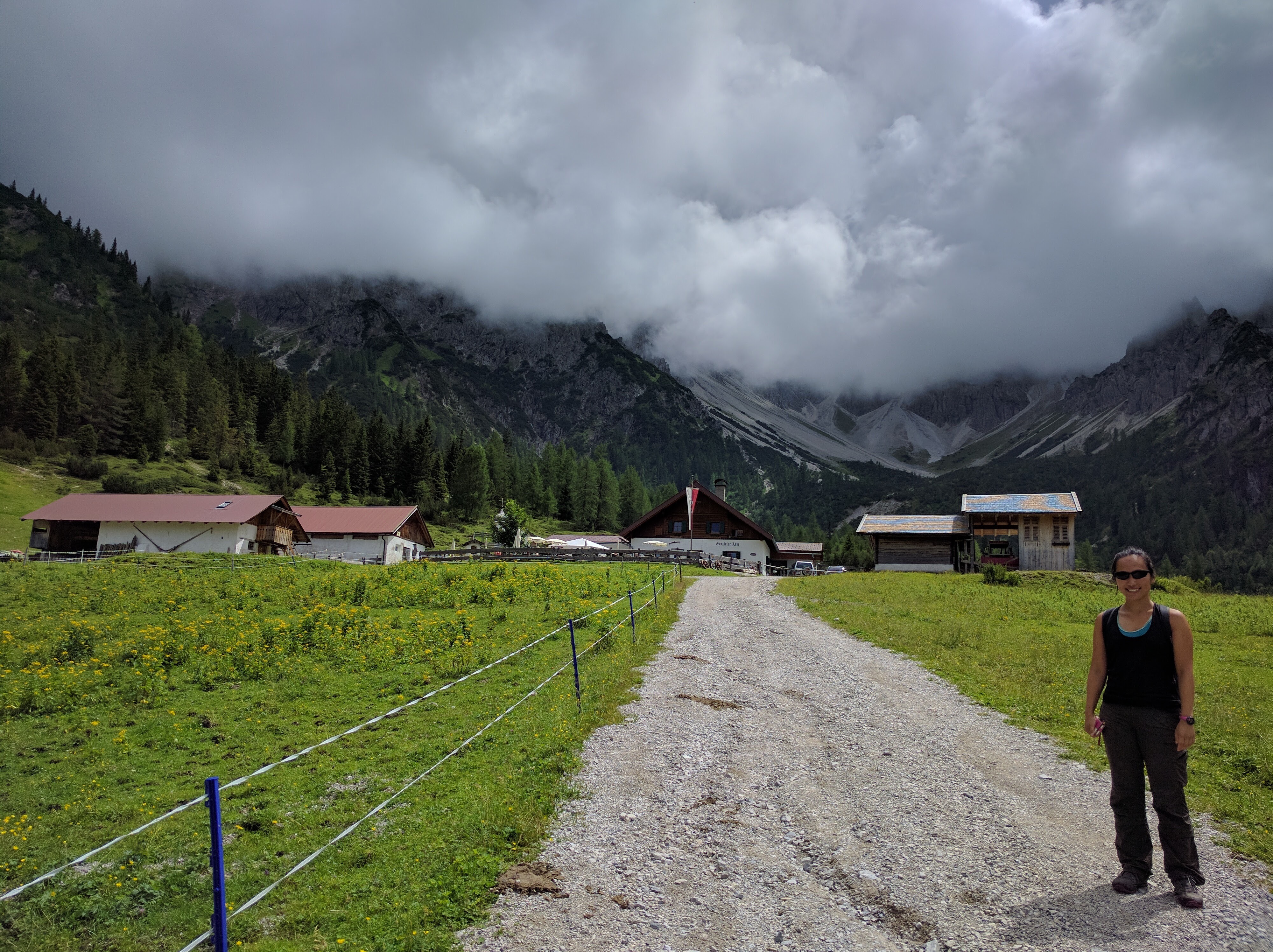
Then the 1.5-hour hike from Eppzirler Alm back to our motorhome in Giessenbach was a simple, pleasant stroll.
Overall, the extended Seefeld King’s Trail was a hiker’s paradise, even with the panoramic views socked in. We had no regrets getting up early and taking the risk of crappy weather to complete this hike. Oh Austria, you’re too damn beautiful.